Trip Date: July 11-16, 2022
2022 DOLOMITE ALPS ADVENTURE VACATION
Alta Via 2 Trekking Traverse – South Part: San Pelligrino Pass to Croce d’Aune
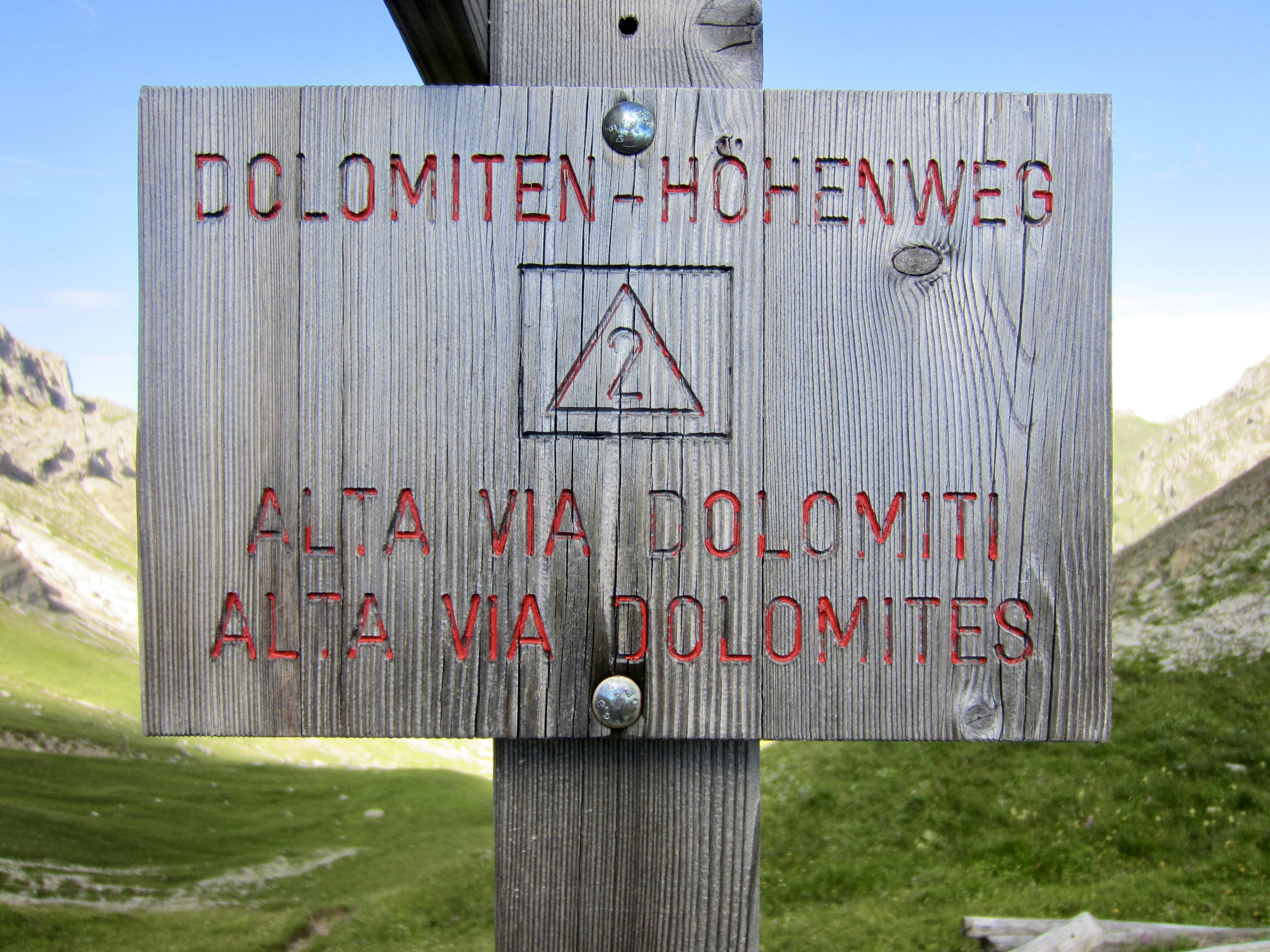
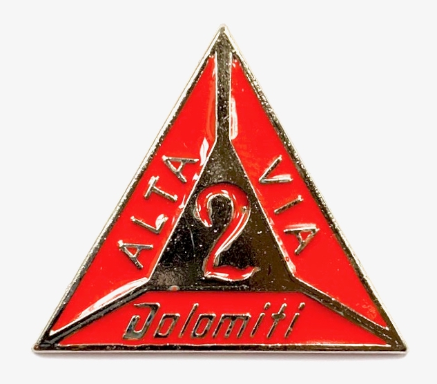
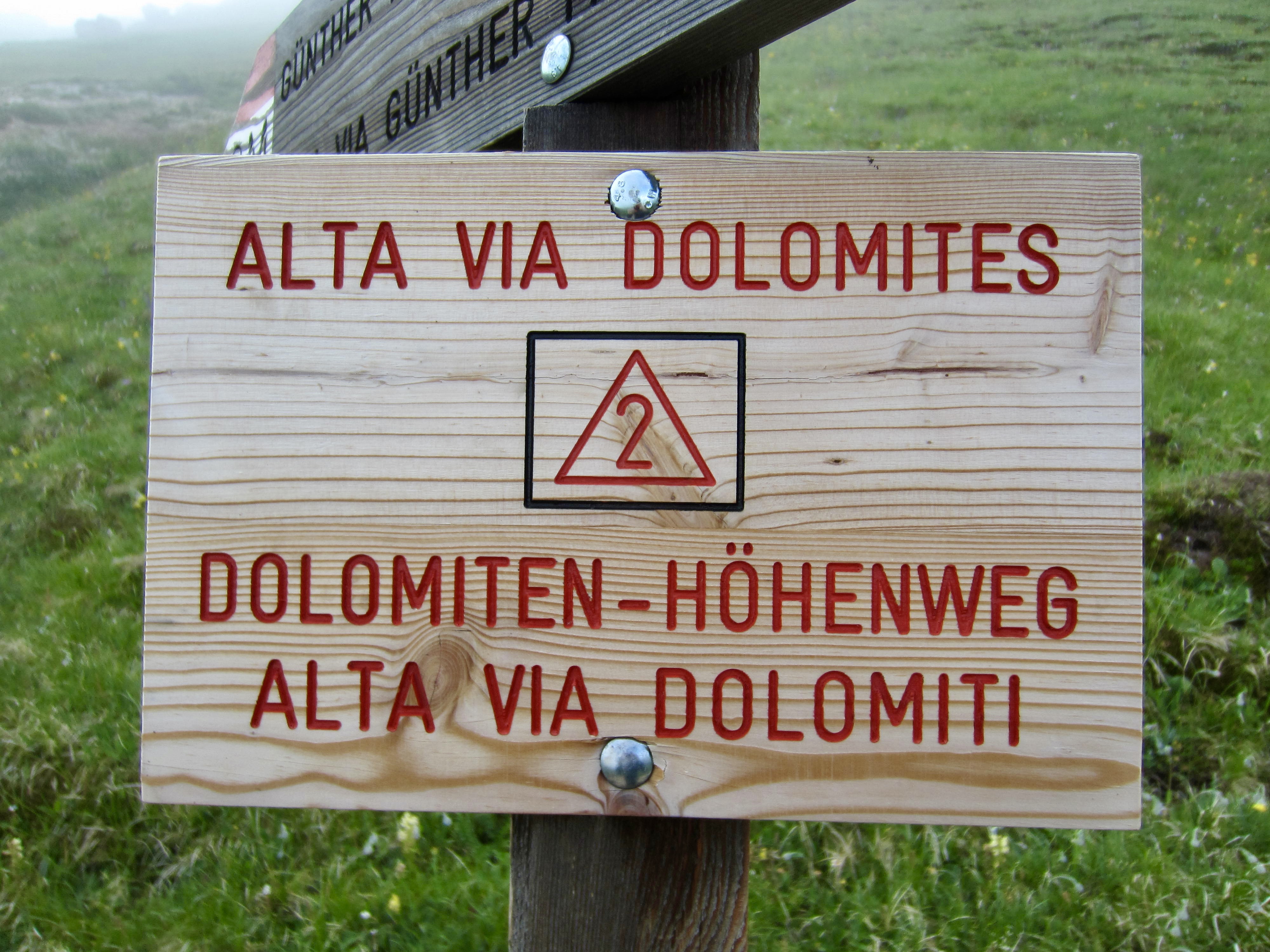
Alta Via Dolomiti 2 aka Dolomiten-Hohenweg 2
Passo Faragole aka Faragole Pass
Cima Rosetta (8997 ft / 2743 m)
Passo delle Lede aka Lede Pass
Via Ferrata Canalone aka Canalone Klettersteig
Passo Cereda aka Cereda Pass
- Trip Report Summary
- Related Posts
- Full Trip Report
- Day 1: San Pellegrino Pass to Mulaz Hut
- Day 2: Mulaz Hut to Rosetta Hut
- Day 3: Rosetta Hut to Treviso Hut
- Day 4a: Canalone Via Ferrata Climb
- Day 4b: Treviso Hut to Cereda Hut
- Day 5: Cereda Hut to Boz Hut
- Day 6: Boz Hut to Croce d’Aune
- Route Map & Profiles
- Photo Gallery
Trip Report Summary
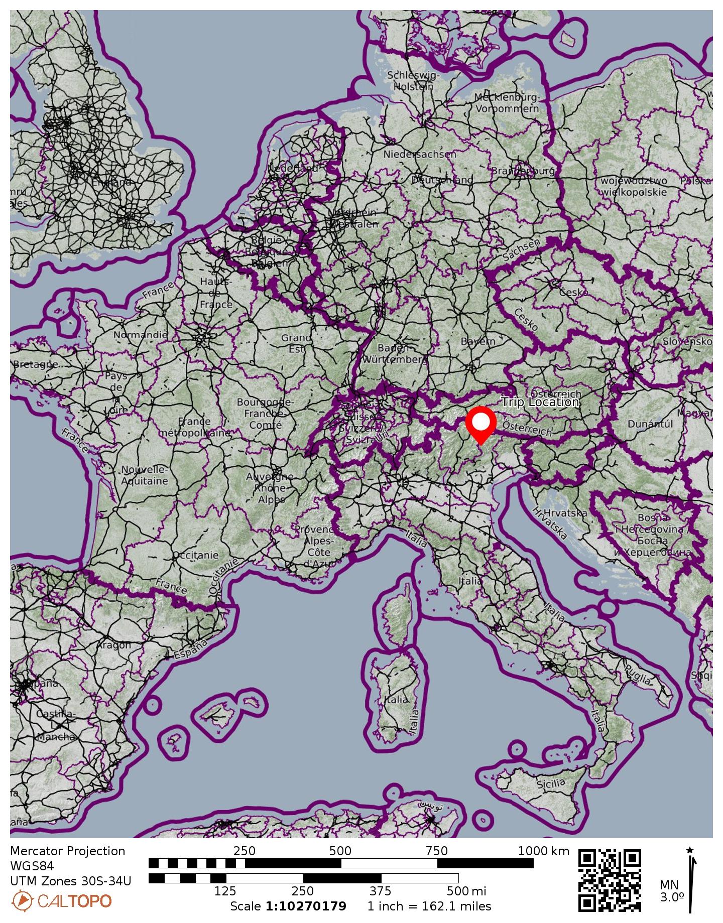
Region: Italy
Sub-Region: Dolomite Alps
Sub-Sub-Regions: Pale di San Martino Group & Cimonega Group
Area: Dolomiti Bellunesi Nature Park
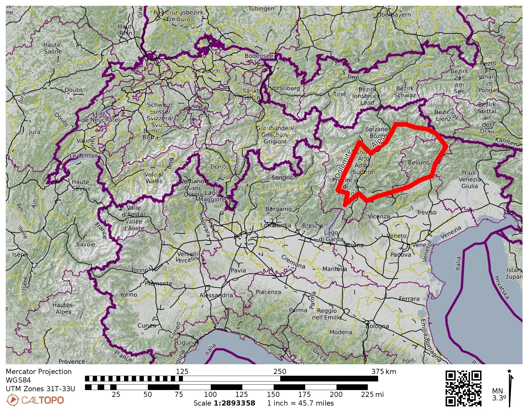
Starting Point: San Pelligrino Pass (Elev. 6255 feet / 1907 meters)
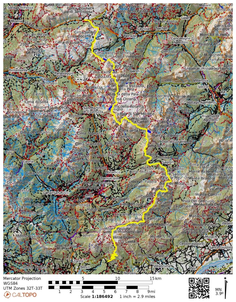
Traverse Way Points: Valles Pass Hut & Forcella Venegia & Venegiota Pass & Mulaz Hut & Forcella Margherita & Farangole Pass & Cantoni Basin & Rosetta Hut & Ball Pass & Pradidali Hut & Lede Pass & Minazio Bivouac & Canali Creek & Treviso Hut & Regade Pass & Bastie & Cereda Pass / Cereda Hut & Ortada Grande & Comedon Pass & Bodo Bivouac & Bechi Col & Mura Pass & Boz Hut & Finestra Pass & Pietena Pass & Vette Grandi Pass & Piaz Hut & Croce d’Aune (trail hike & trail scramble)
Traverse High Point: Farangole Pass (Elev. 8990 feet / 2740 meters)
Ending Point: Croce d’Aune (Elev. 3450 feet / 1050 meters)
Accommodations: Mulaz Hut & Rosetta Hut & Treviso Hut & Cereda Hut & Boz Hut
Summit Sidetrip: Cima Venegiota (ascent & descent via East Ridge)
Short Sidetrip: Sasso Arduini (trail hike)
Summit Sidetrip: Cima Rosetta (ascent & descent via North Slope)
Climbing Sidetrip: Via Ferrata Canalone (Grade 4 climb)
Approximate Stats (excluding sidetrips): 45.0 miles / 72.4 km traveled; 17,800 feet / 5425 meters gained; 20,600 feet / 6280 meters lost.
…
Related Posts
>>> Alta Via 2 Trekking Traverse – Overview: Brixen/Bressanone to Feltre
>>> Alta Via 2 Trekking Traverse – North Part: Brixen/Bressanone to Marmolada/Marmolata
>>> Canalone Via Ferrata / Klettersteig / Climb
>>> Alta Via 4 Trekking Traverse: Alte Sage to Tai di Cadore – July 12, 2026
…
Full Trip Report
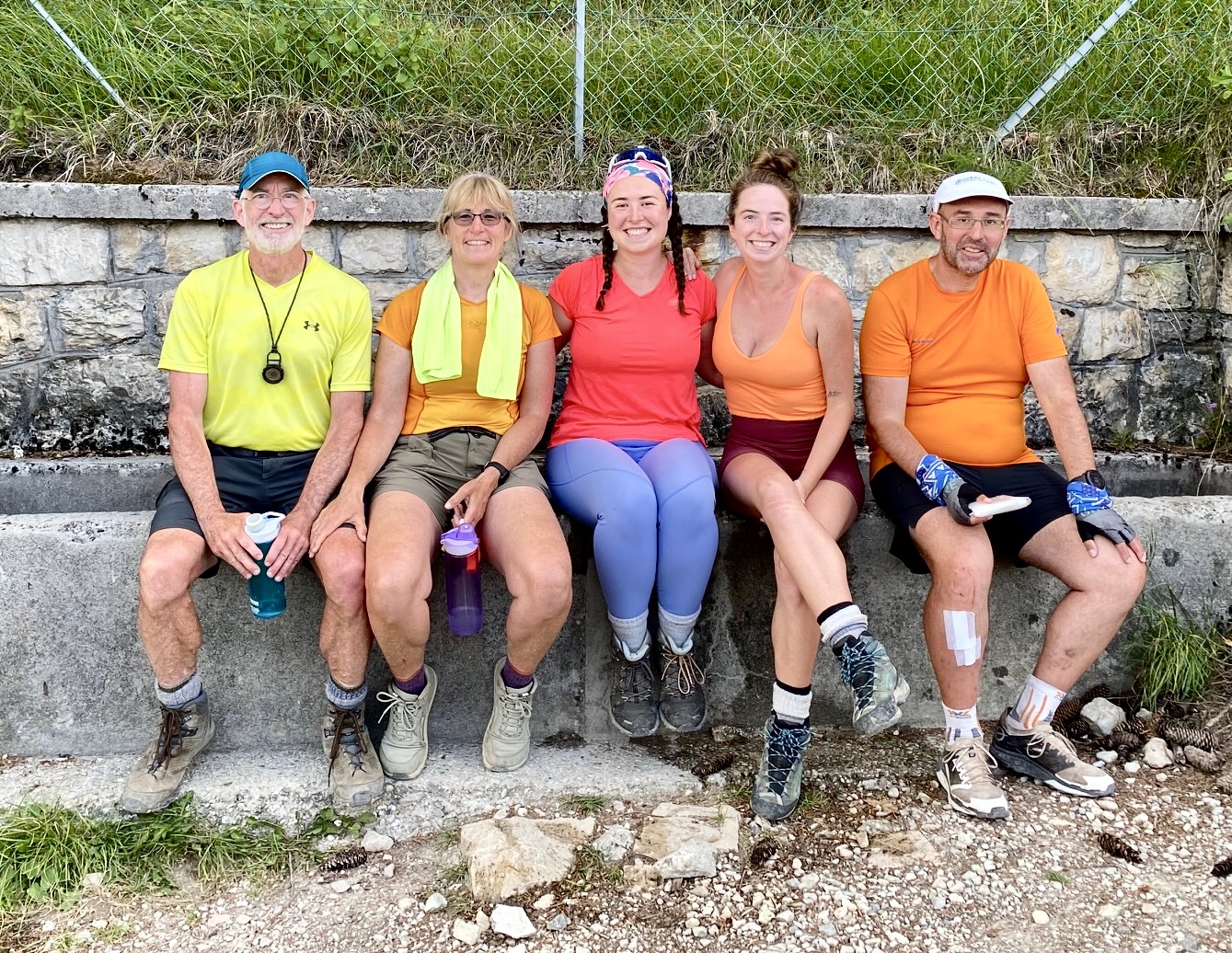
Over the course of six full days, Eileen, Brooke, Maeve, and I hiked the southern part of Alta Via 2 (AV2) in the Dolomite Alps of northern Italy, traveling from San Pellegrino Pass to the town of Feltre. We were also joined by Francois for the last two days. This was the culmination of three years of planning by Eileen and Brooke, and it exceeded our expectations in so many ways. The following is a day-by-day summary of our trek. For a general discussion regarding our combined AV2-North and AV2-South treks, see my separate Trekking Overview post.
We had all recently completed the northern part of AV2 from Brixen/Bressanone to Lake Fedaia, and both Maeve and Francois had just done the additional day around the shoulder of Marmolada. What surprised all of us was how much more difficult the southern part is compared to the northern part. The trail has bigger and steeper ups and downs; more narrow ledges with dramatic exposure; and more rocky locations that require scrambling skills. Furthermore, there are no chairlifts or gondolas available to ease the burden. It was certainly an arduous week!
Day 1: San Pellegrino Pass to Mulaz Hut
Approximate Stats (excluding sidetrips): 8.7 hours elapsed; 8.1 miles / 13.0 km traveled; 3700 feet / 1130 meters gained; 1550 feet / 472 meters lost.
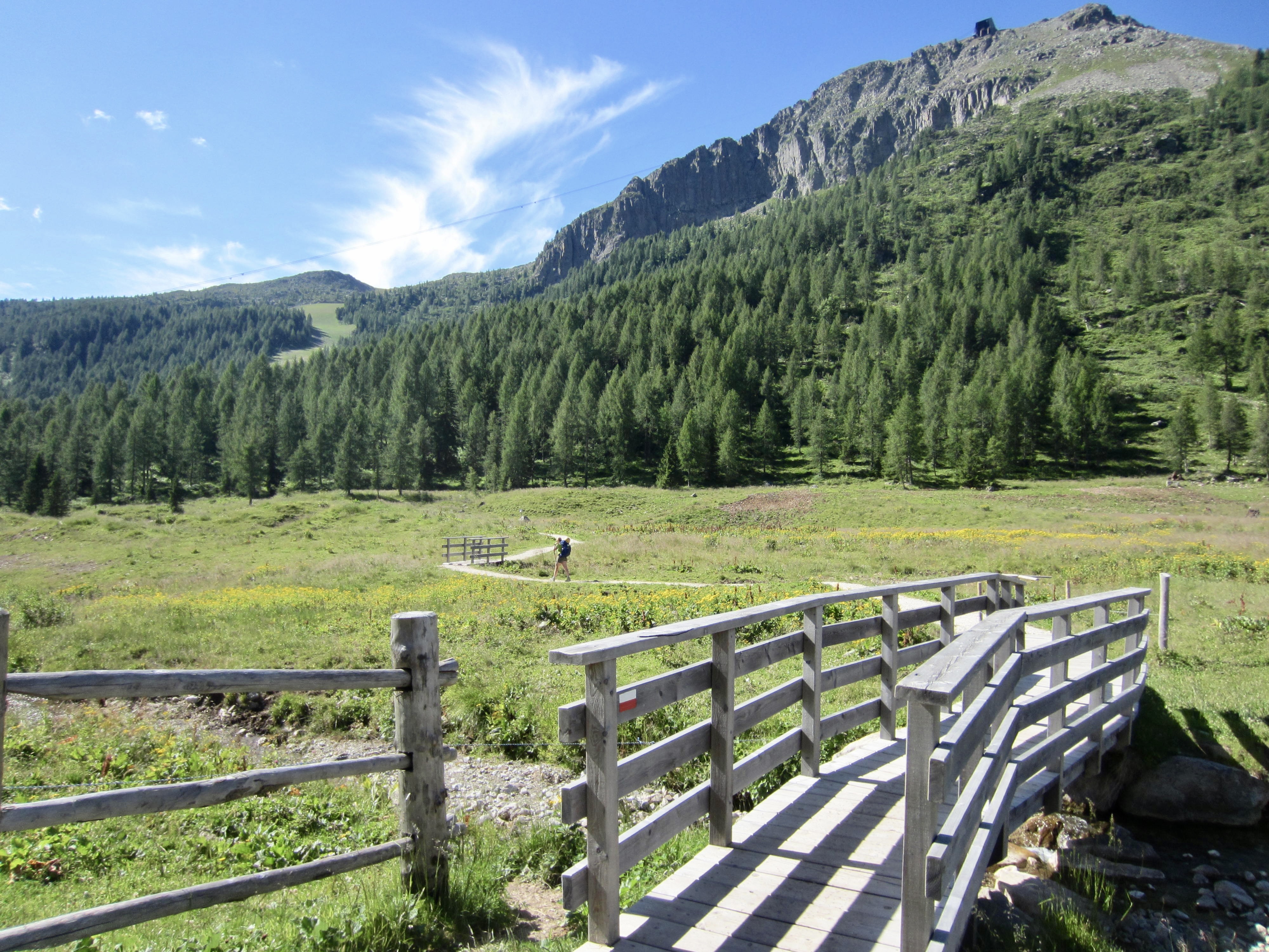
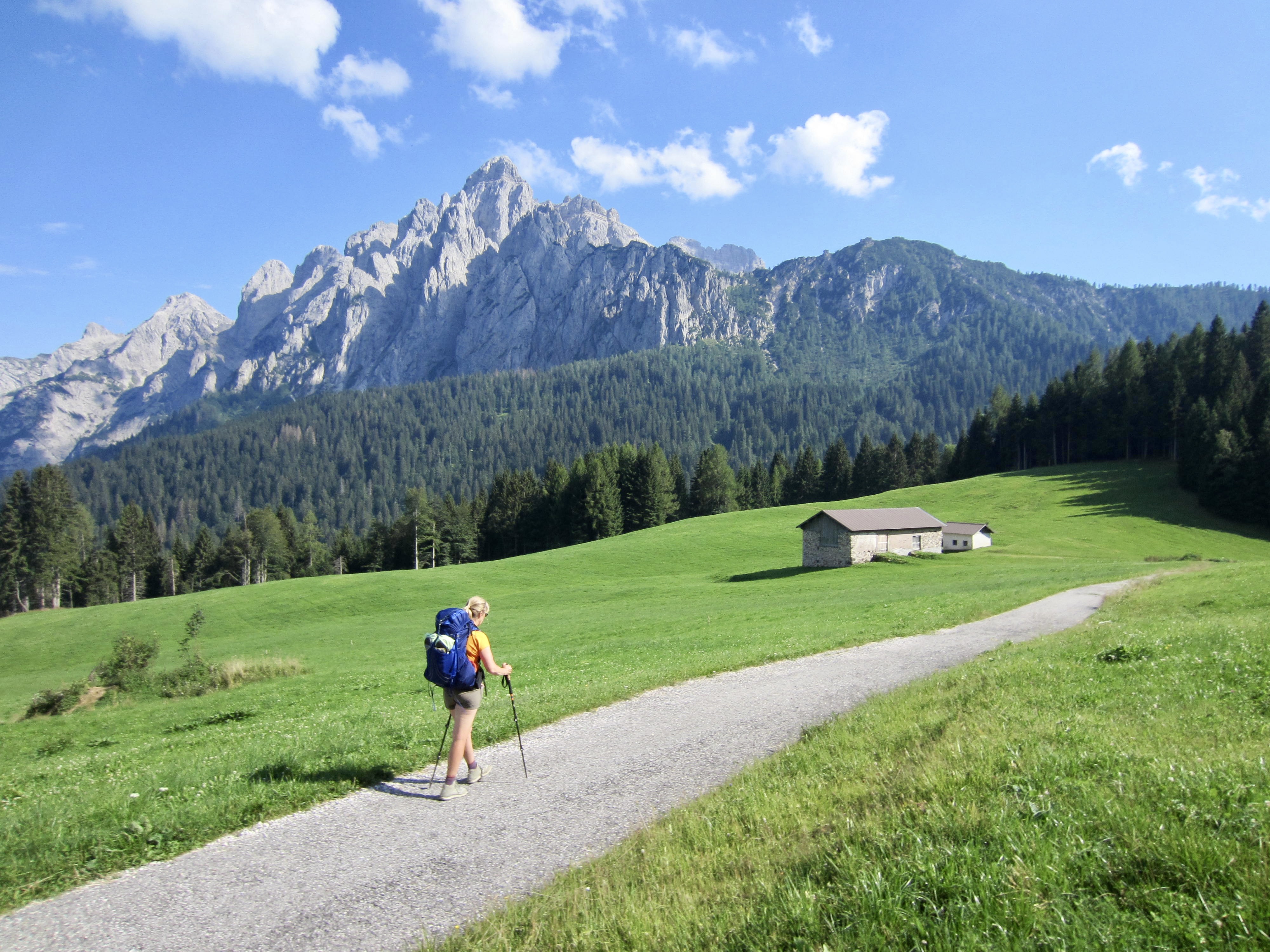
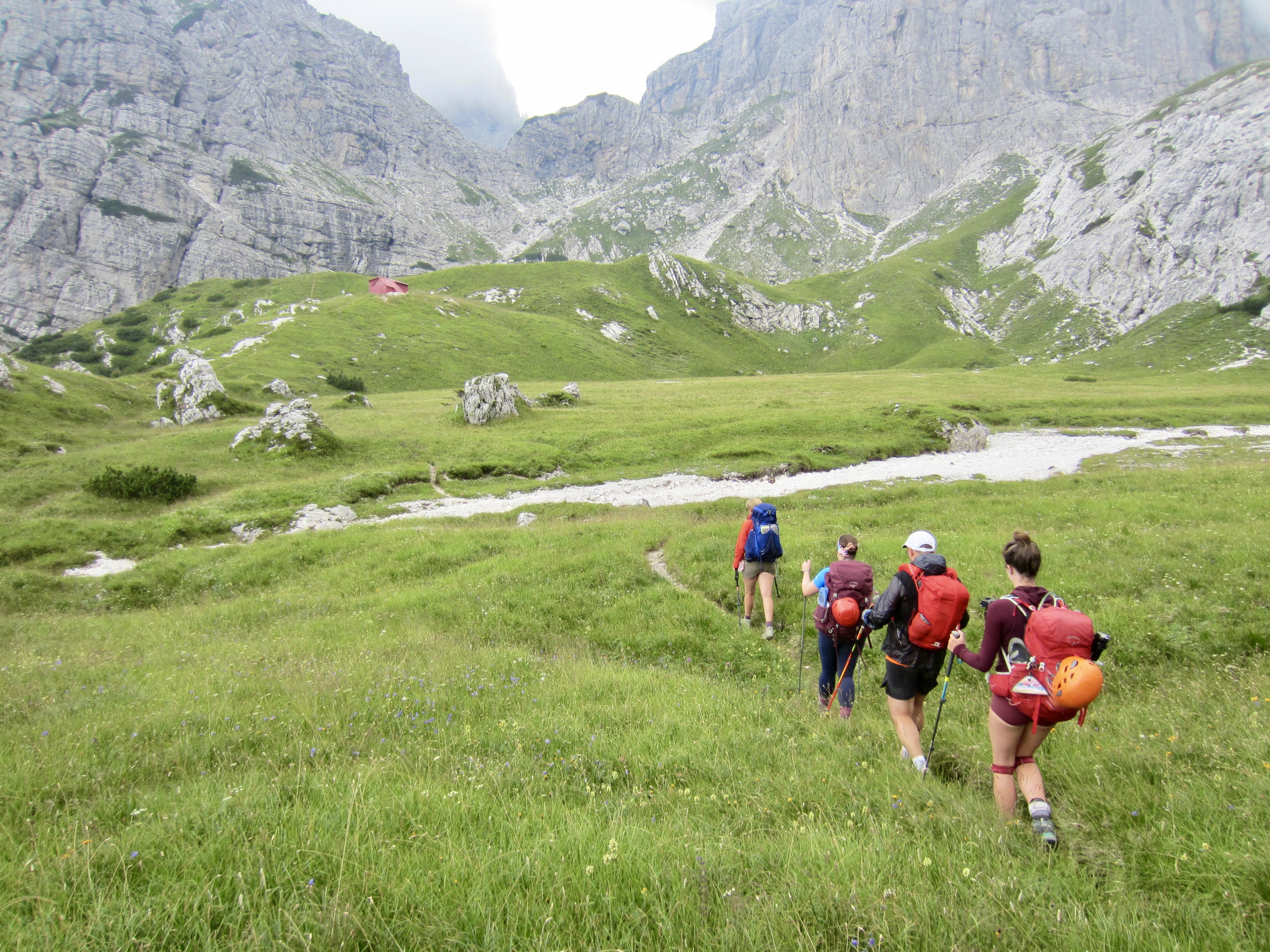
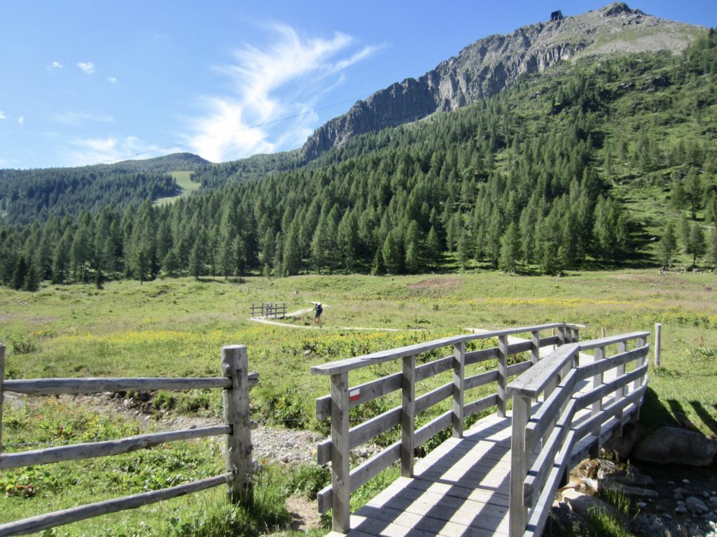
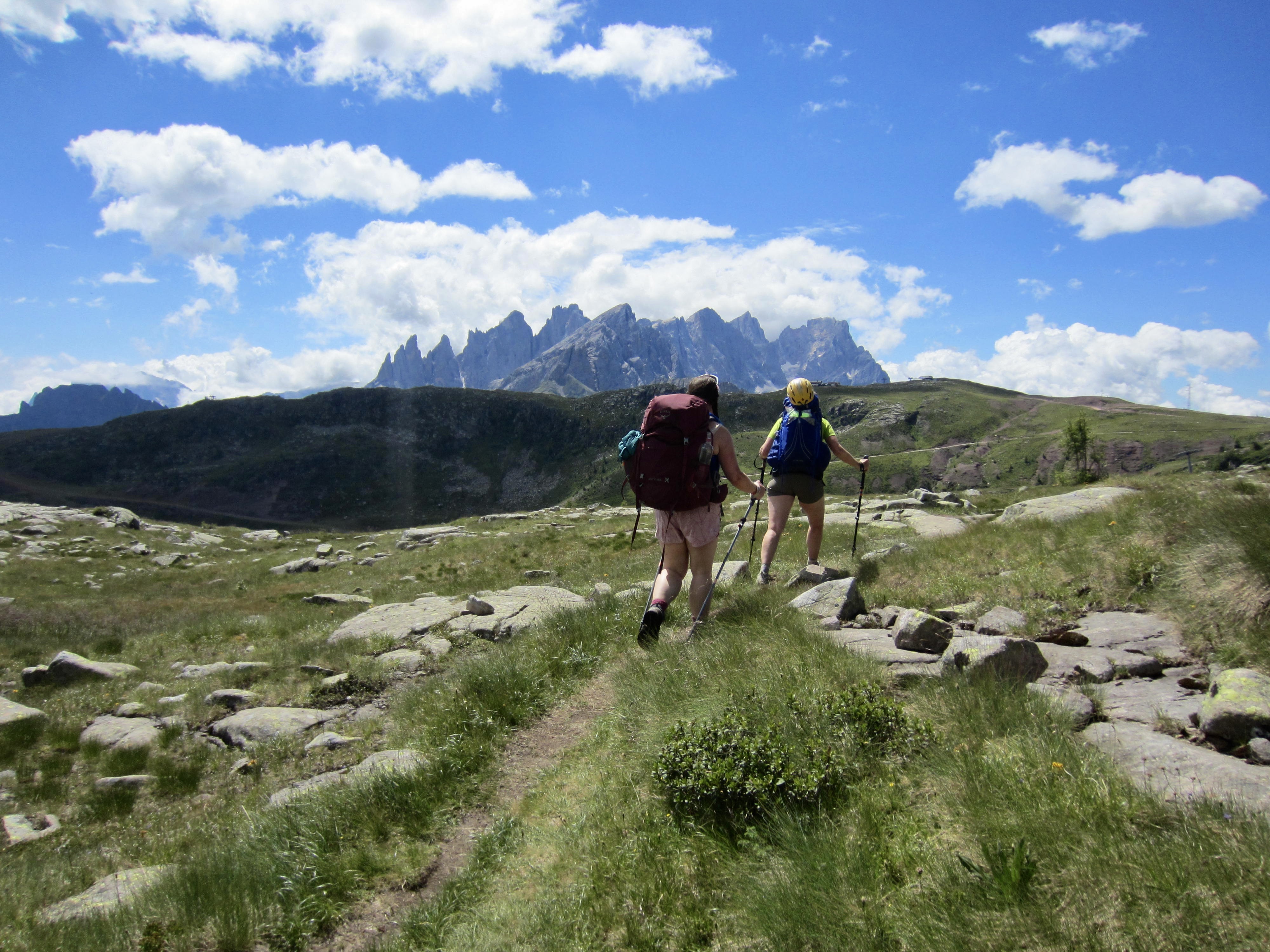
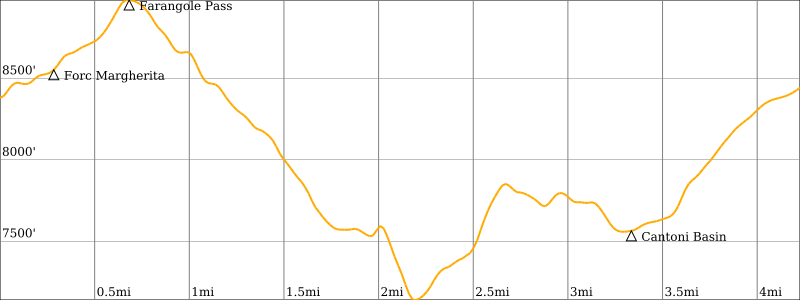
Starting from the busy trailhead parking lot at San Pellegrino Pass, Eileen, Brooke, and I puzzled out the confusing trails and headed southward on AV2. We soon encountered Maeve, a solo traveler from Ireland, who immediately became a welcome addition to our group for the whole trek. The four of us spent our morning hiking through rolling pastureland on a combination of trails and roads.
Around noon, we arrived at Valles Pass Hut alongside a gravel road. Brooke and Maeve stopped here for lunch and ended up having one of the best meals of our entire time in Italy! Eileen and I had brought lots of snack food, so we continued uphill to Forcella Venegia for lunch.

From Forcella Venegia, there are two trail options: an indirect low trail and a direct high trail. The signage is a bit ambiguous here, but it appears that AV2 has recently been rerouted from the low trail to the high trail. We all took the high trail and found it to be very agreeable. At Venegiota Pass, Brooke and Maeve proceeded on to the Mulaz Hut while Eileen and I took a short sidetrip up Cima delle Venegiota (0:30 + 200 feet RT).
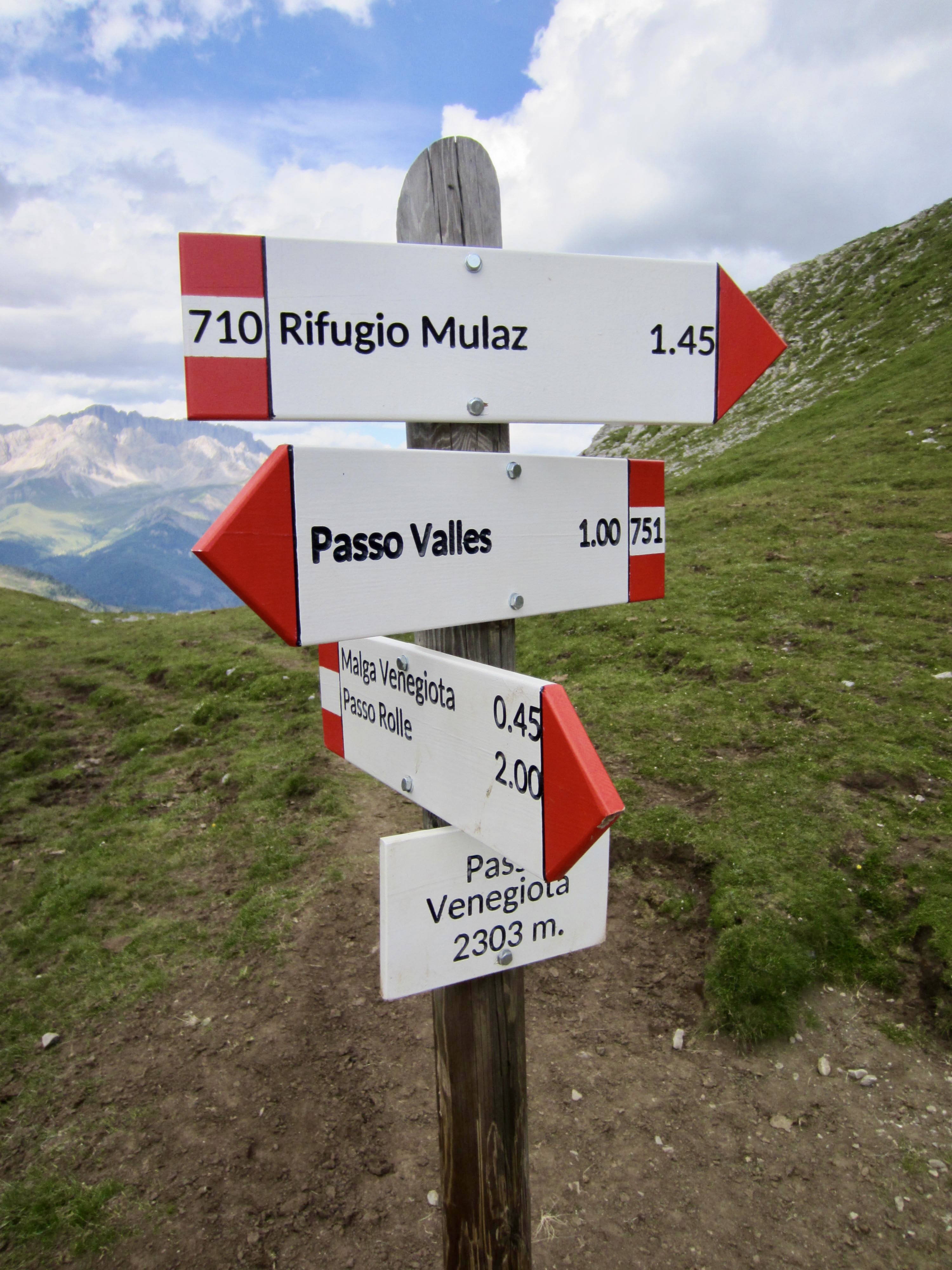
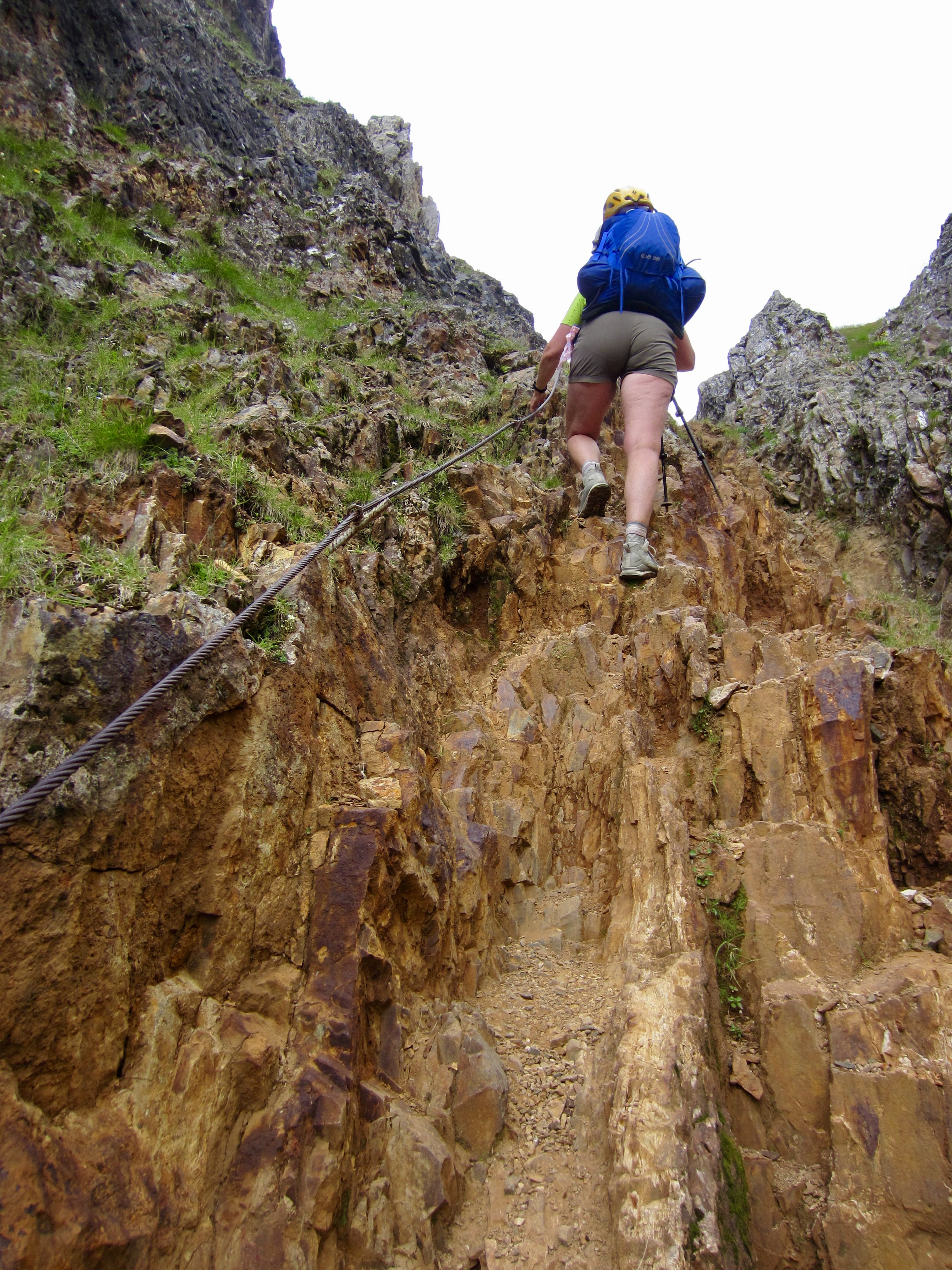
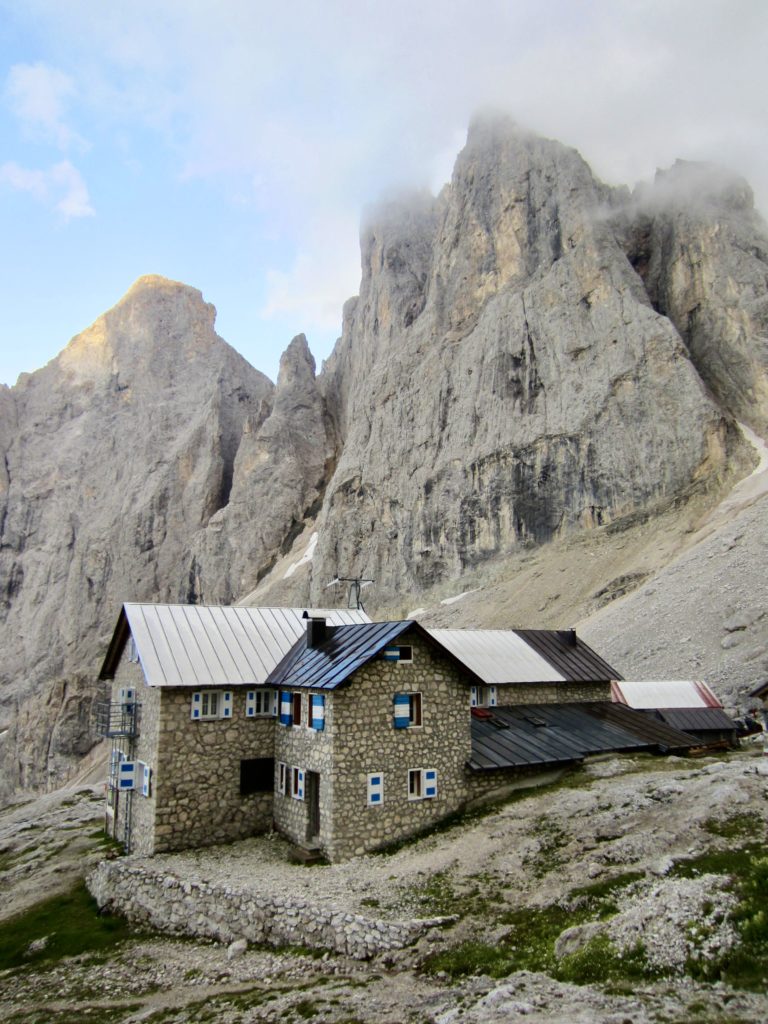
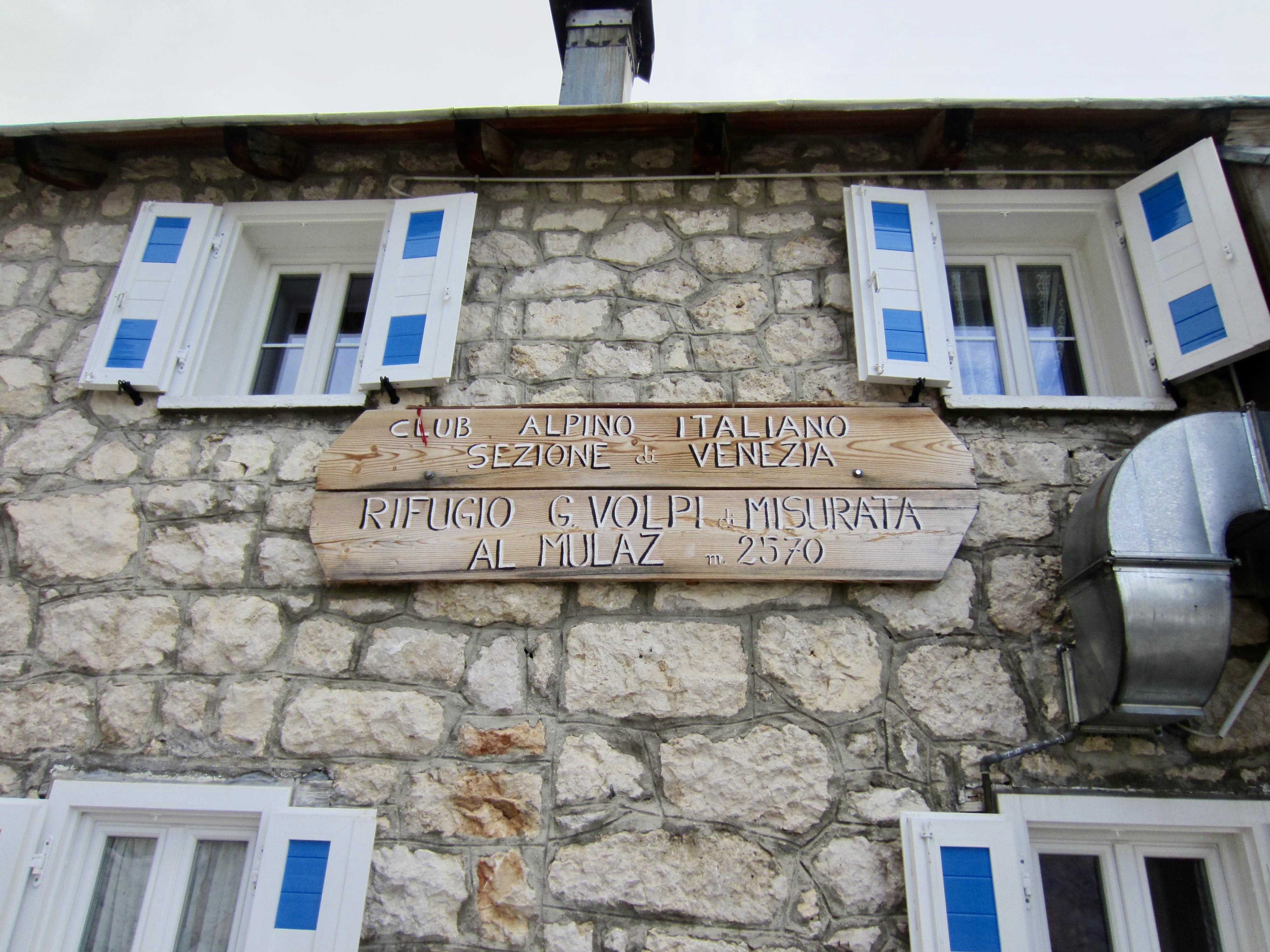
Back at the pass, Eileen and I followed AV2 around a corner and into a small, drippy box canyon bounded by weathered orange rock and mud. We groveled up the eroded headwall with the aid of a steel cable, then finished our day with a short hike to Mulaz Hut.

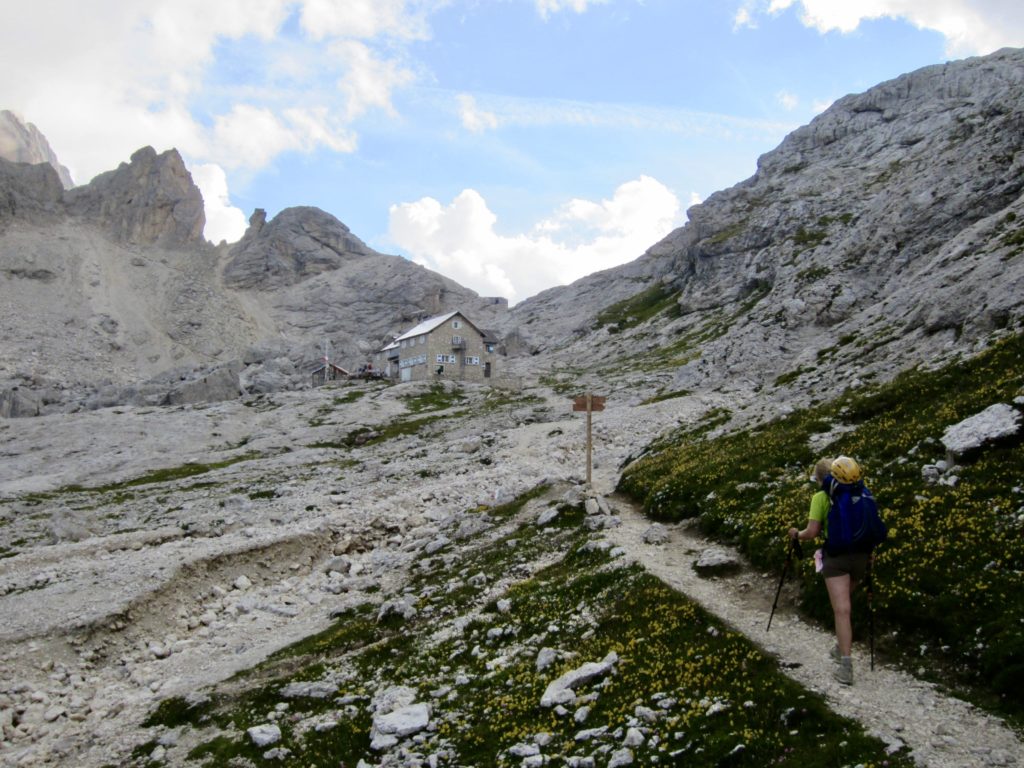
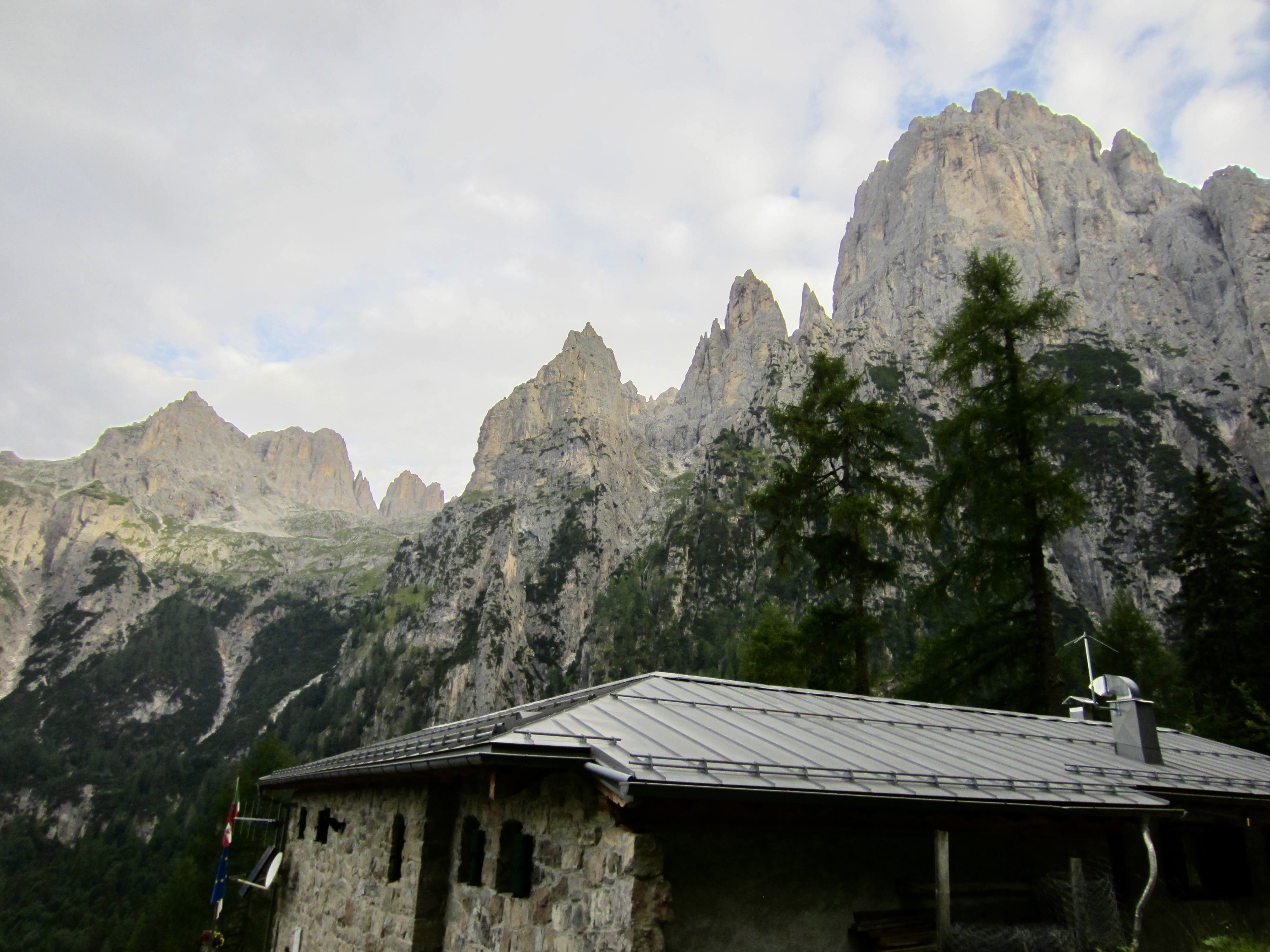
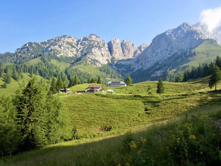
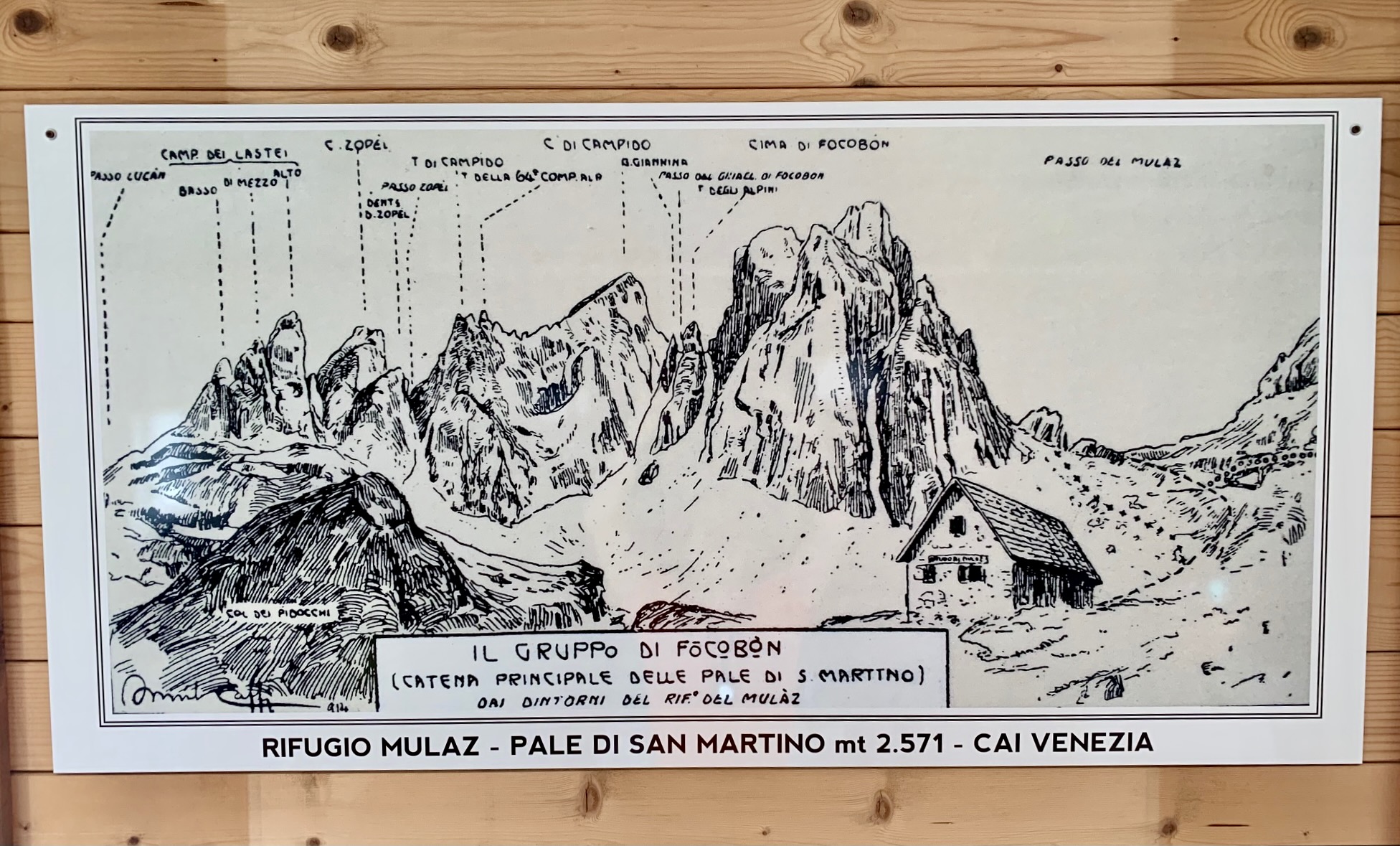
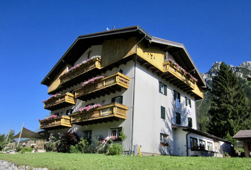
Mulaz Hut is an old stone structure tucked up against towering peaks. Like many Dolomite huts, the interior displays an interesting collection of historical photos, climbing memorabilia, and artwork.
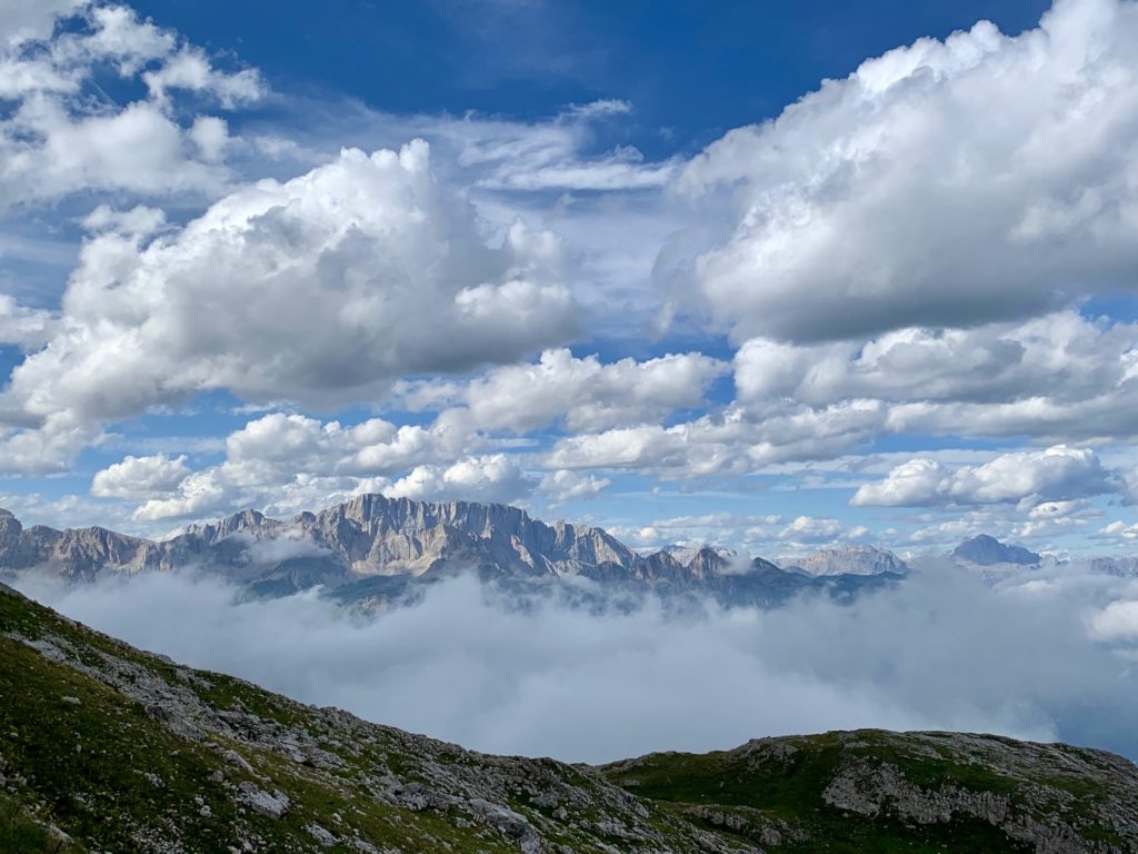
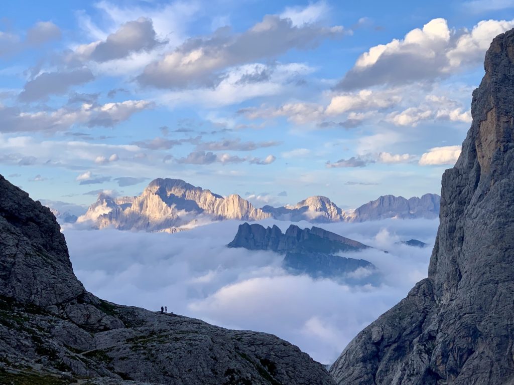
The afternoon had been cool and overcast, but the evening gave us some stunning views between puffy clouds and valley fog.
Day 2: Mulaz Hut to Rosetta Hut
Approximate Stats (excluding sidetrips): 6.9 hours elapsed; 4.2 miles / 6.8 km traveled; 2250 feet / 685 meters gained; 2200 feet / 670 meters lost.
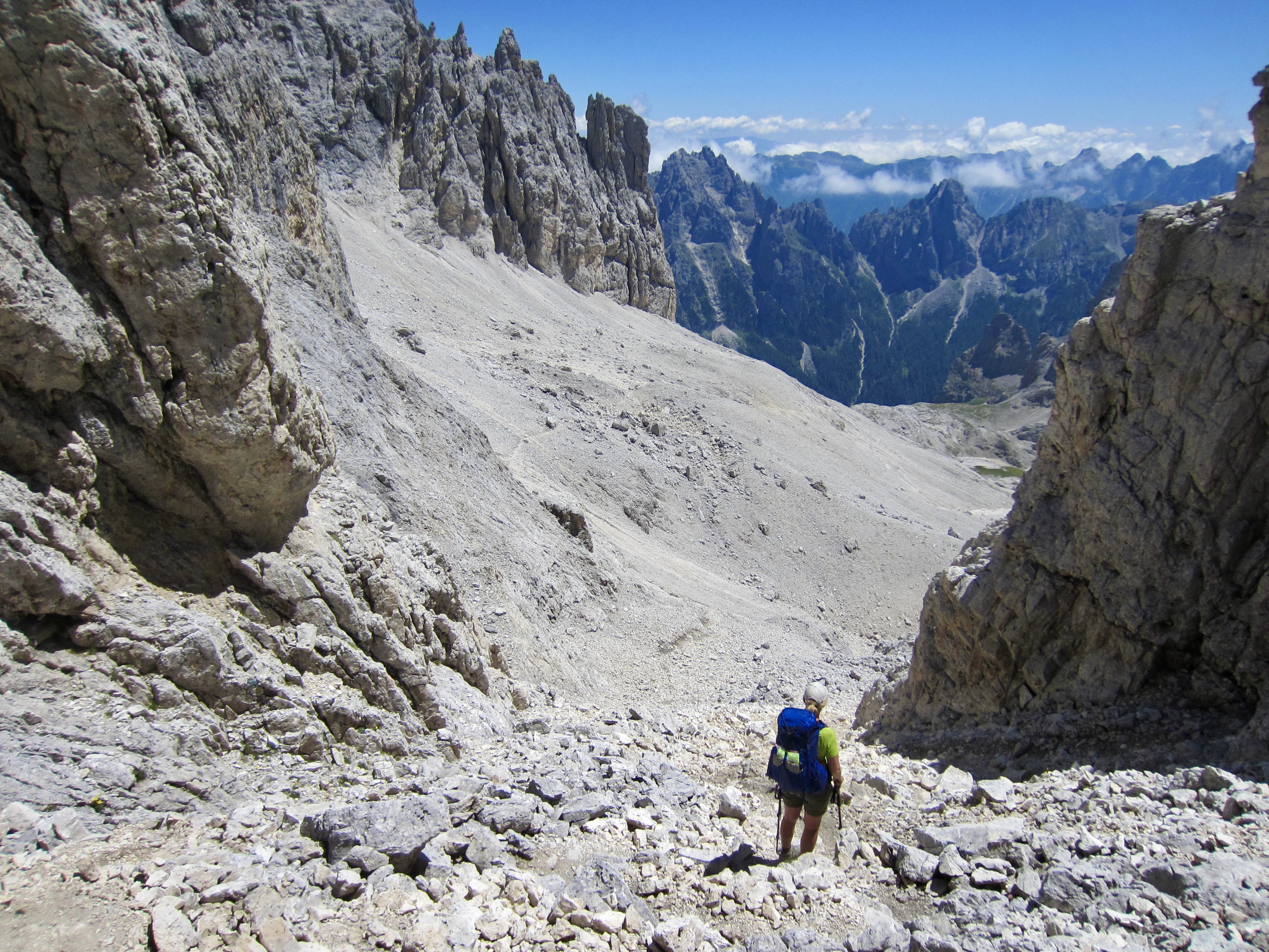
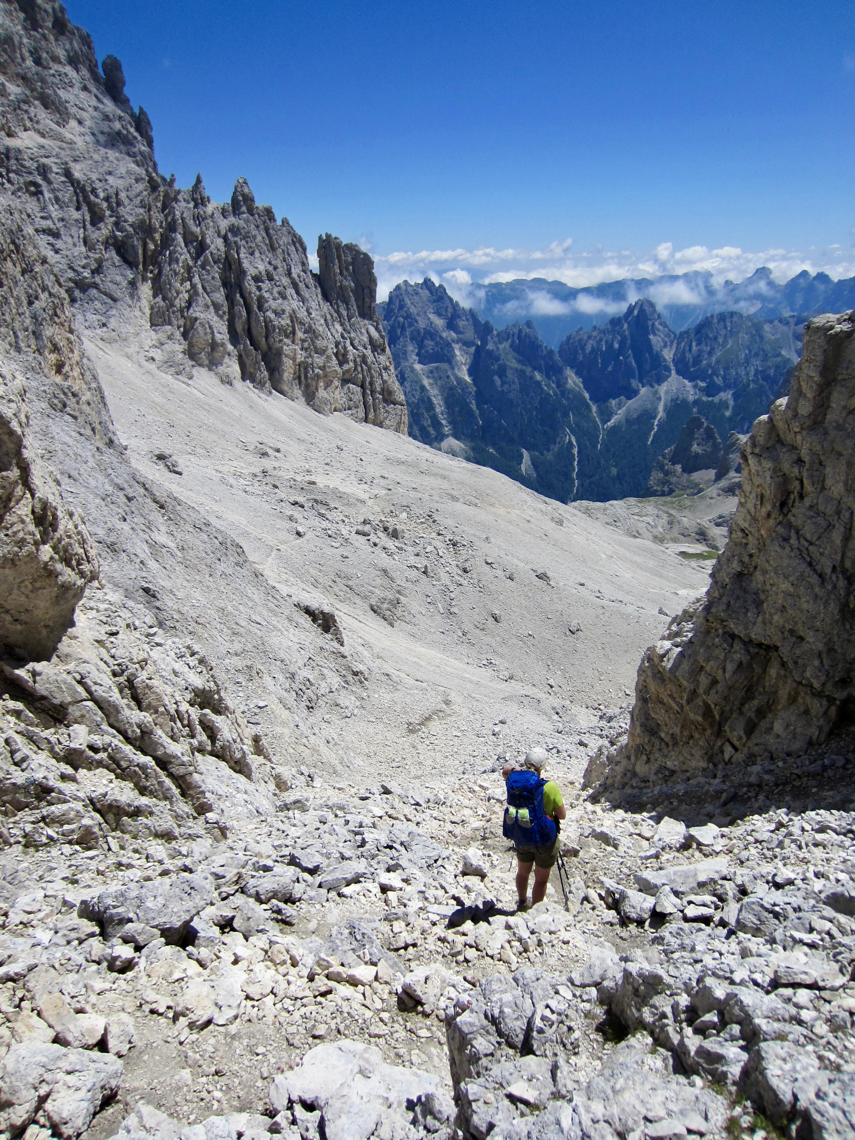
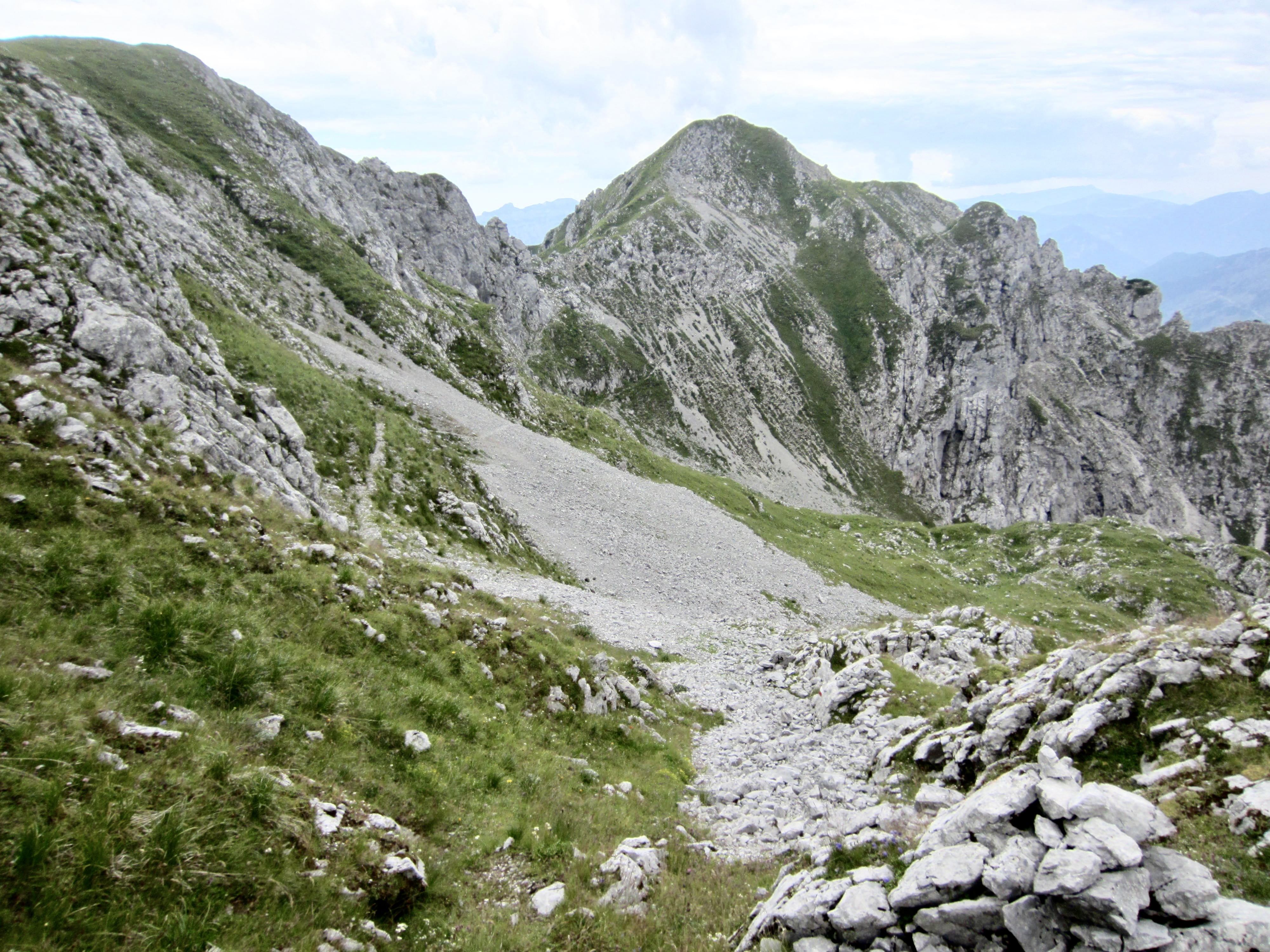
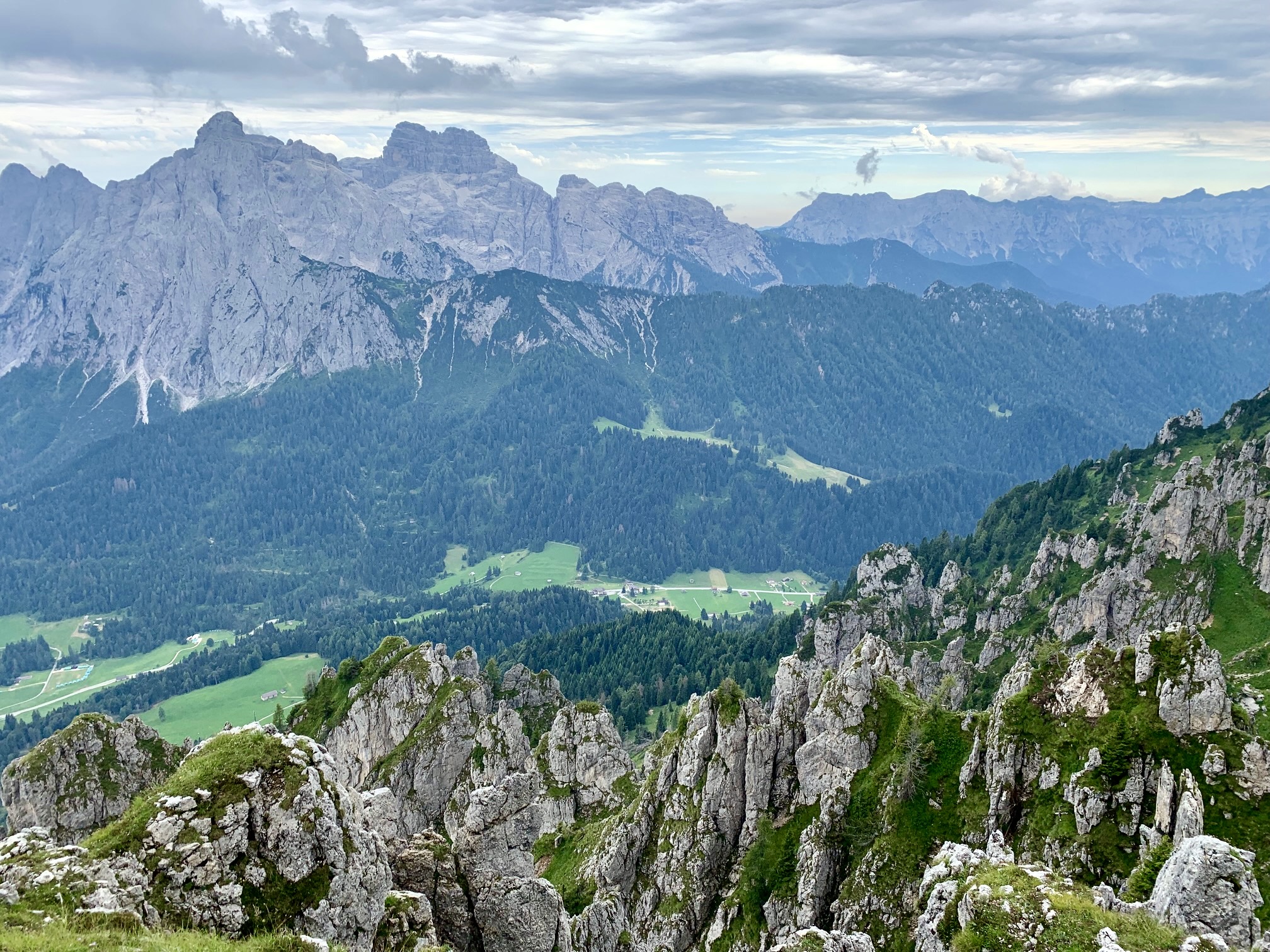
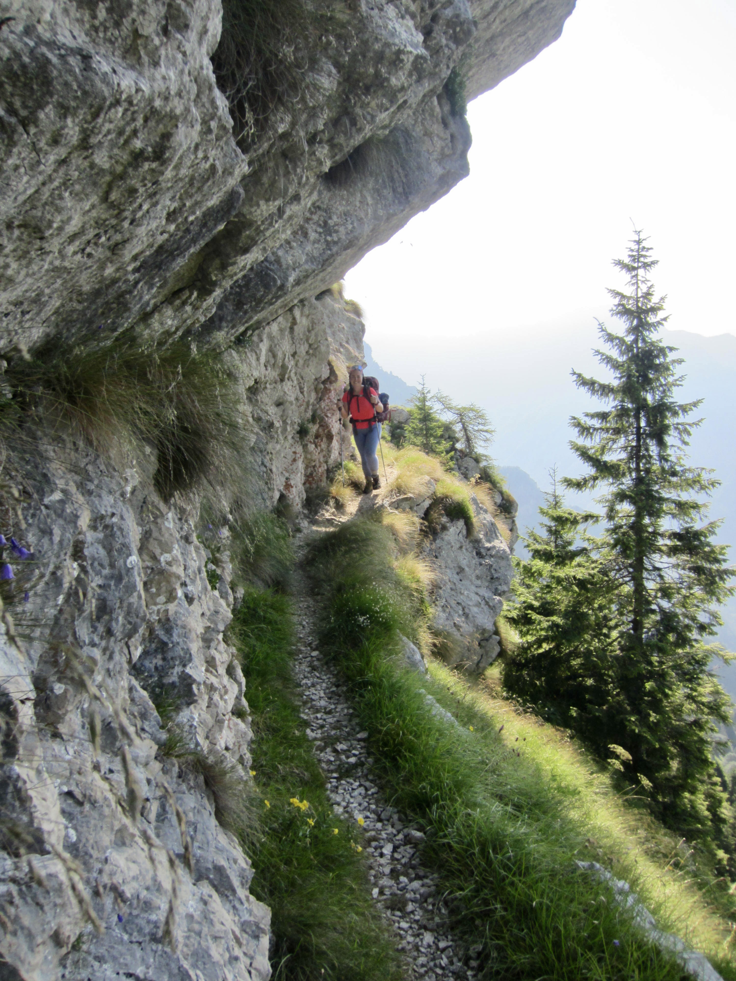
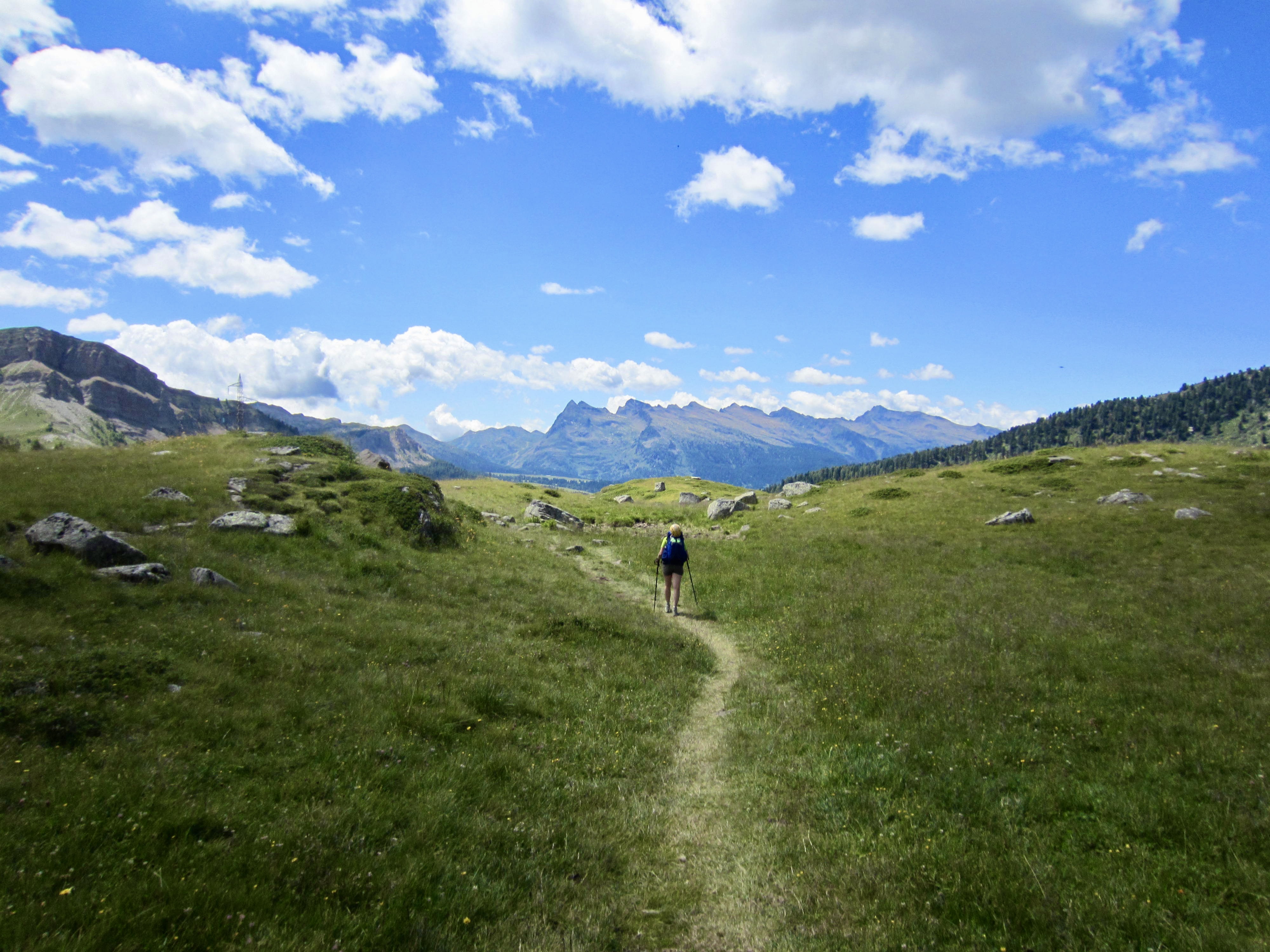
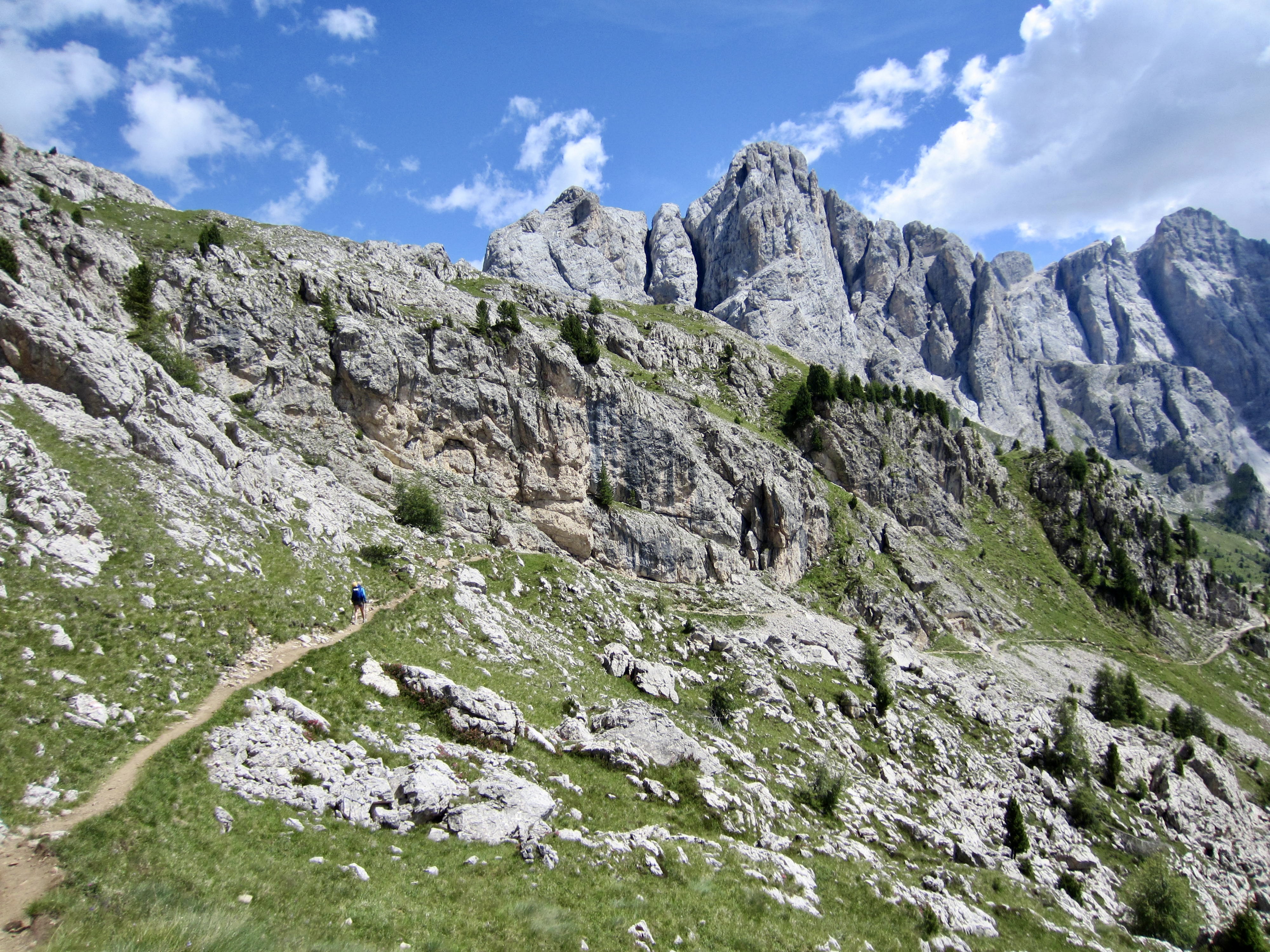
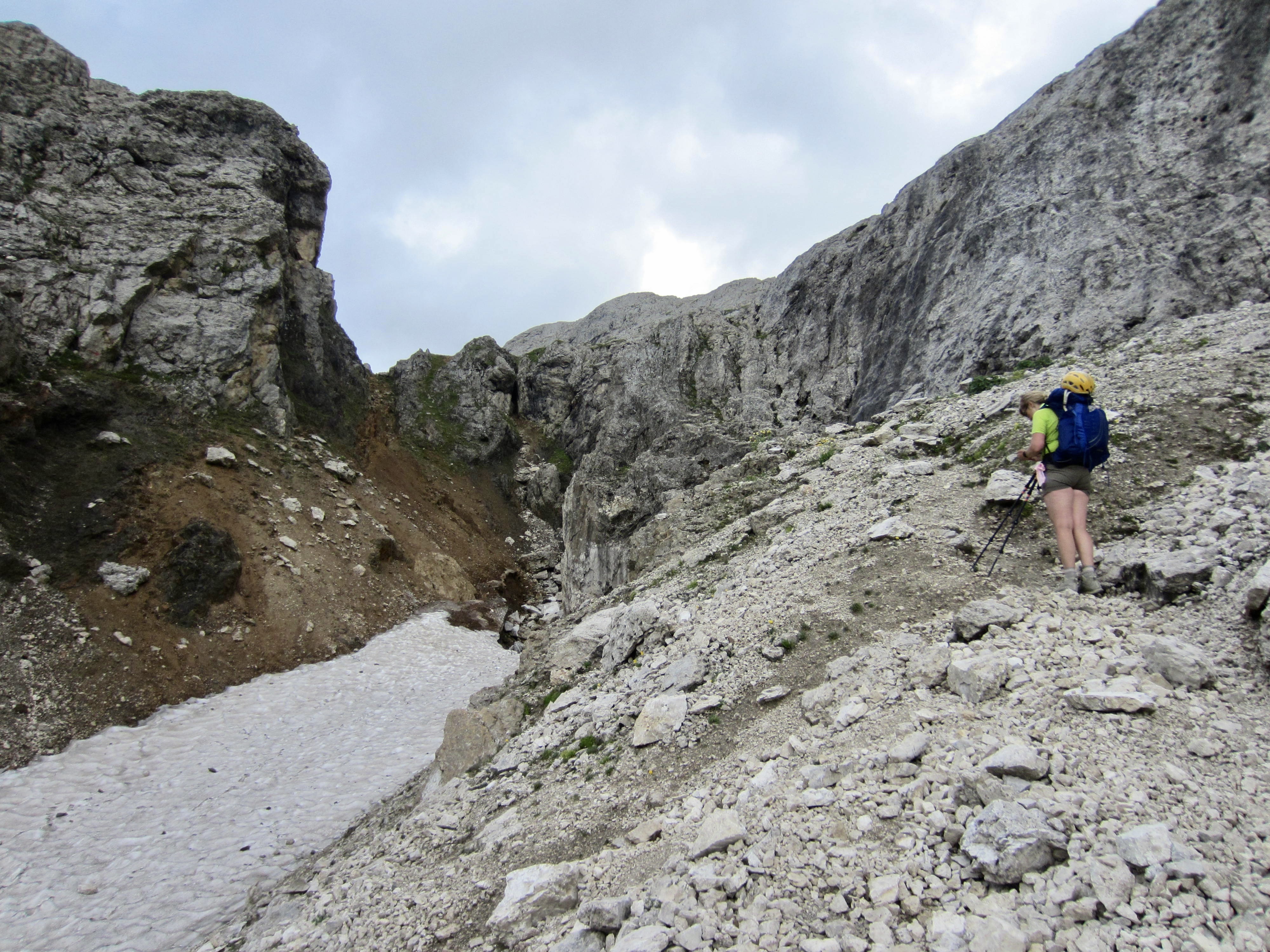
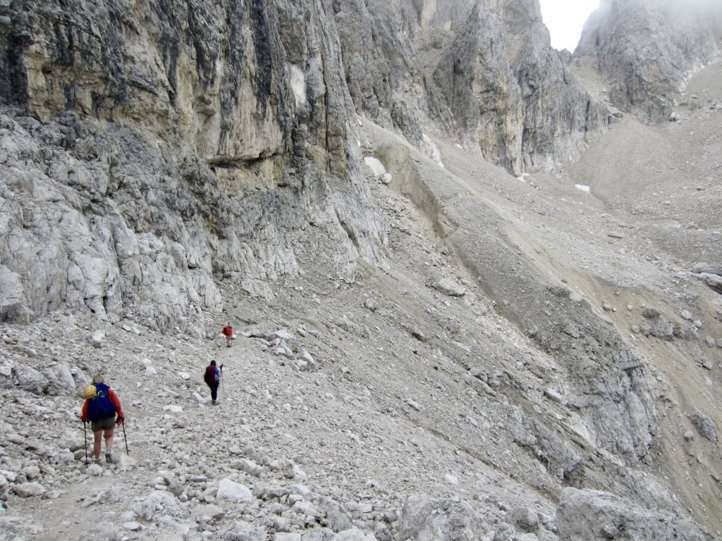
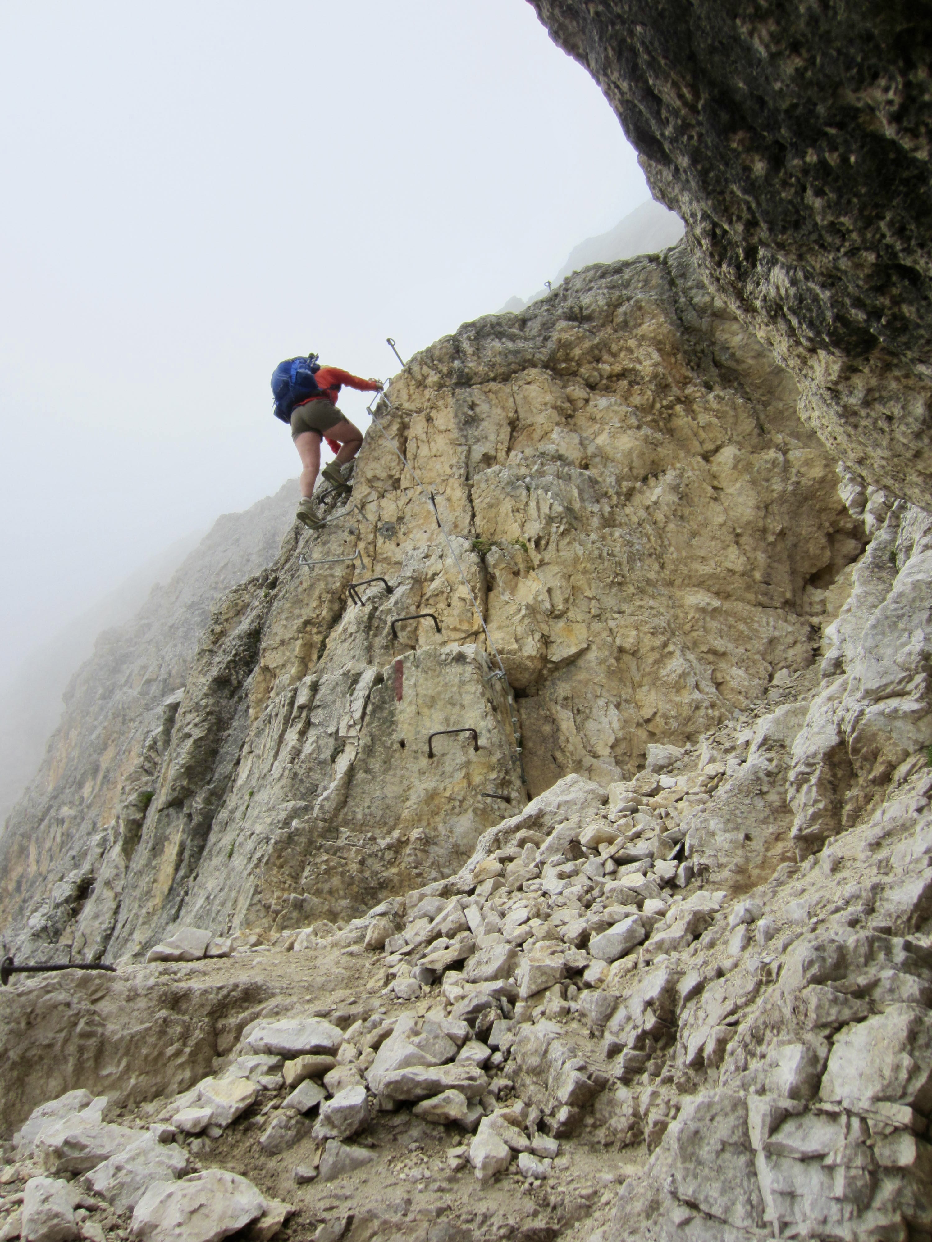
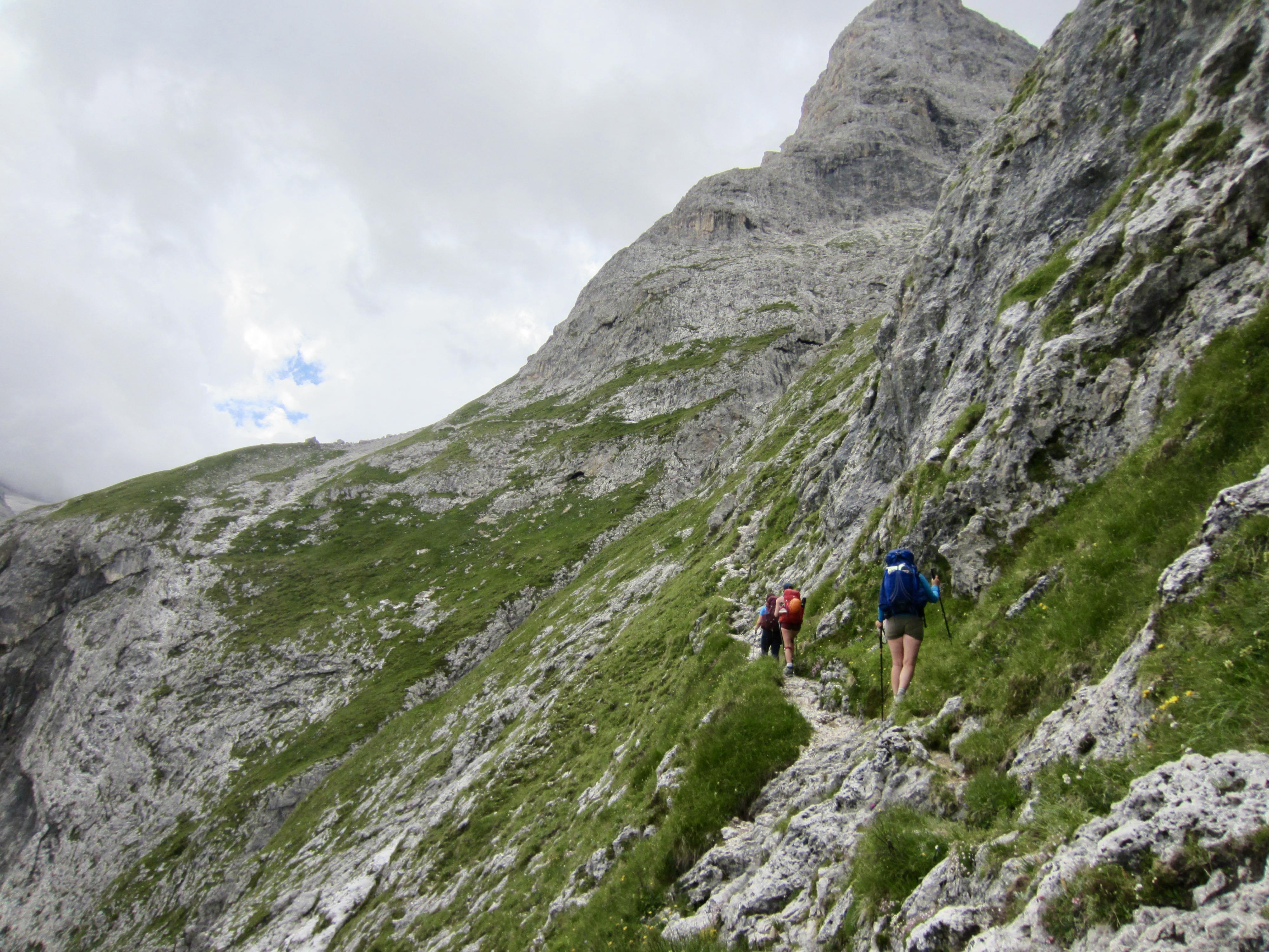
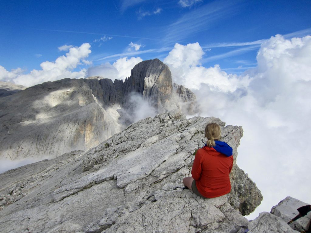
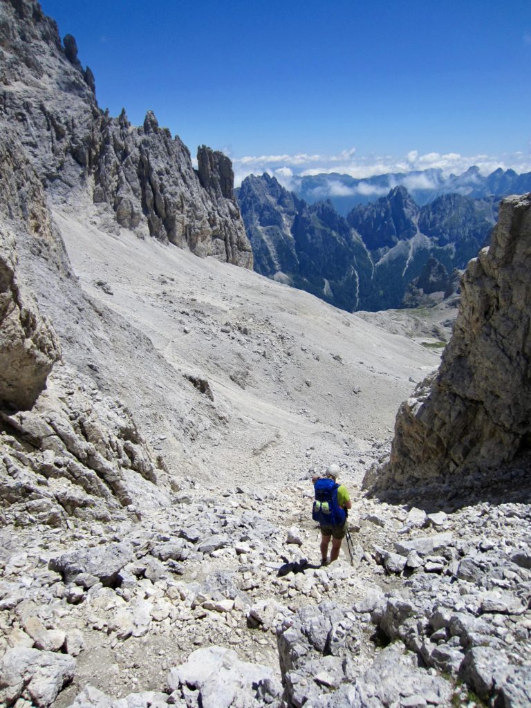
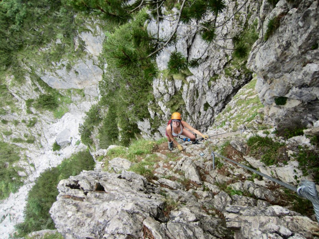
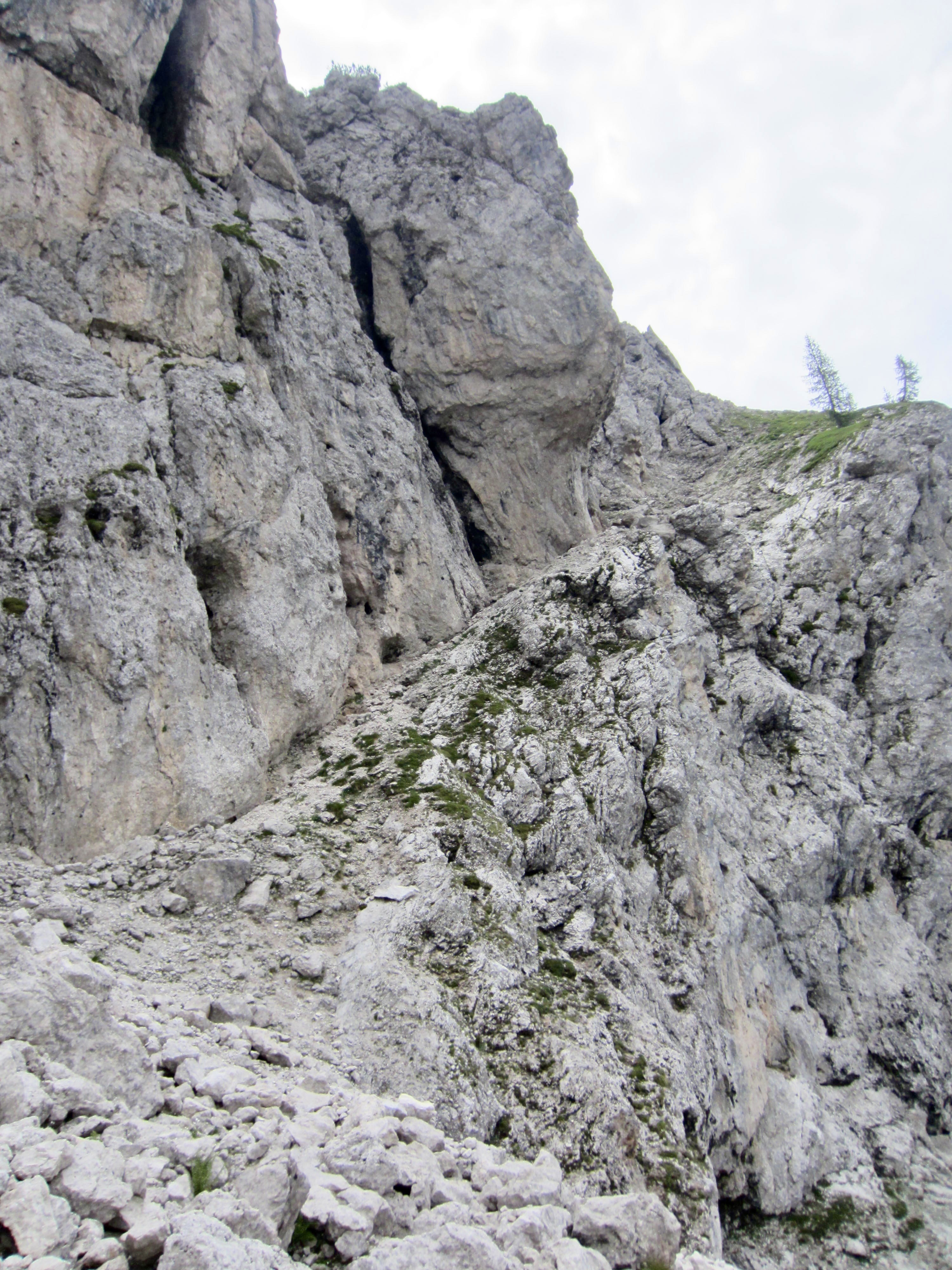
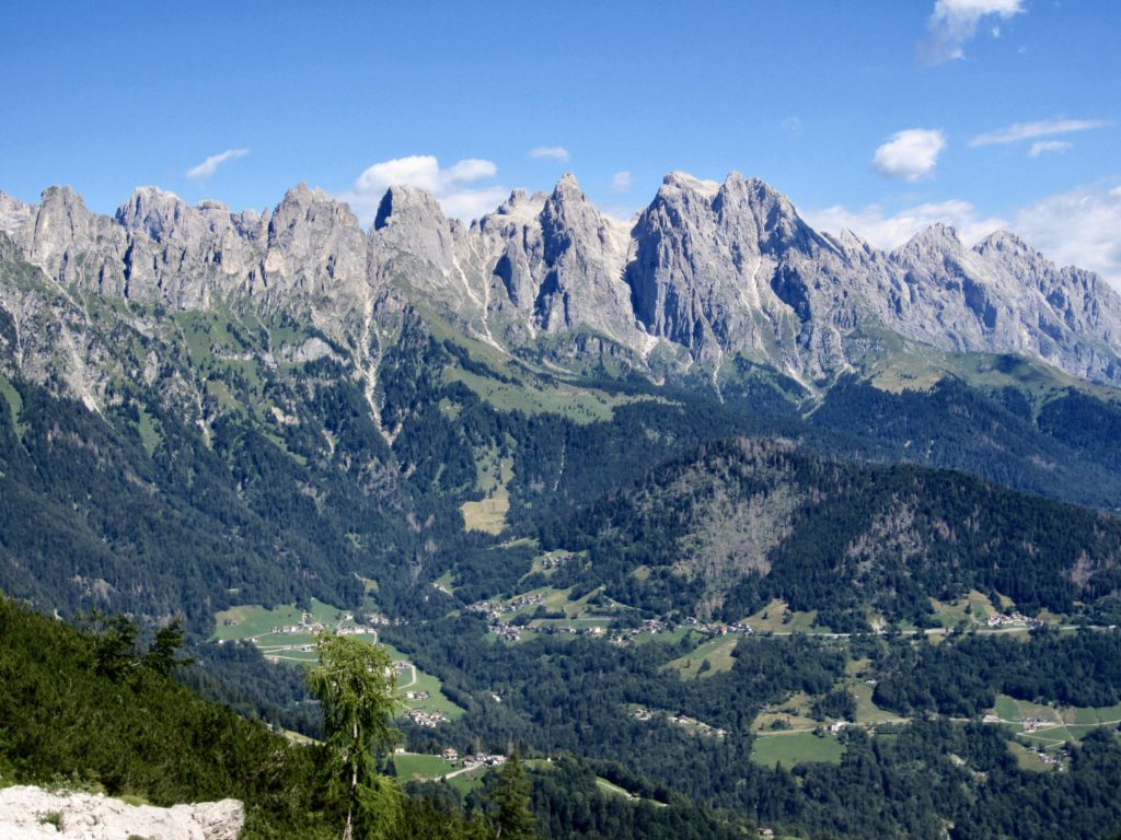
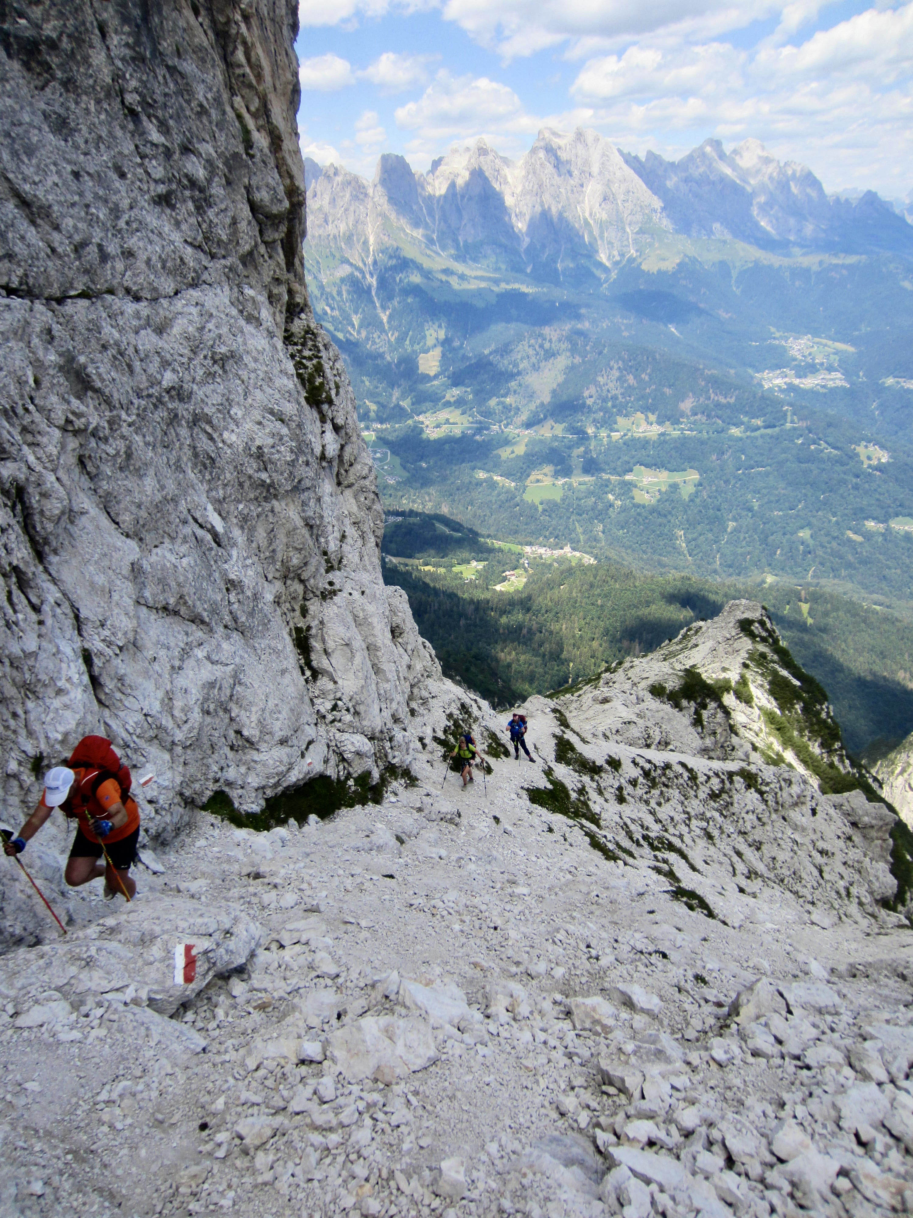
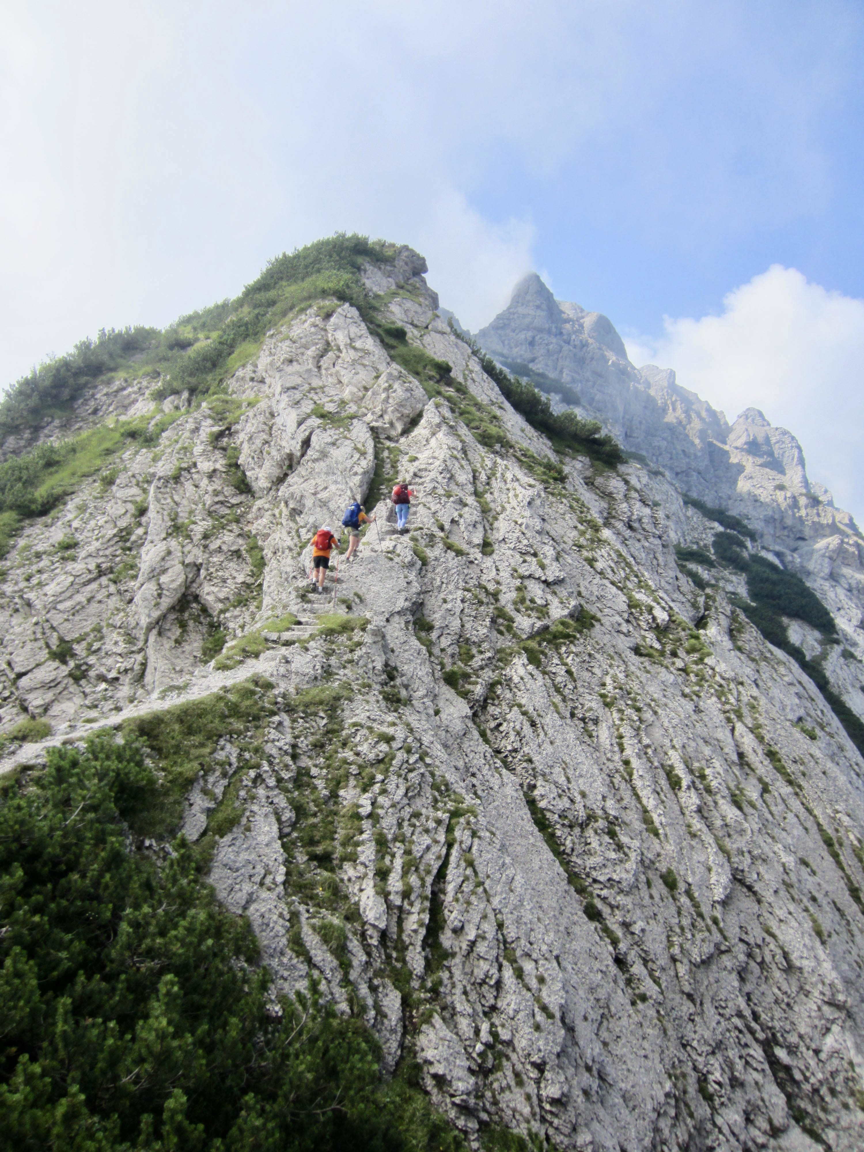
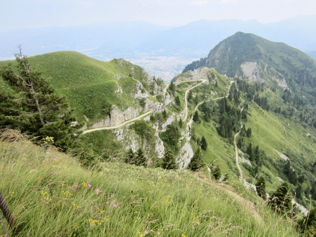
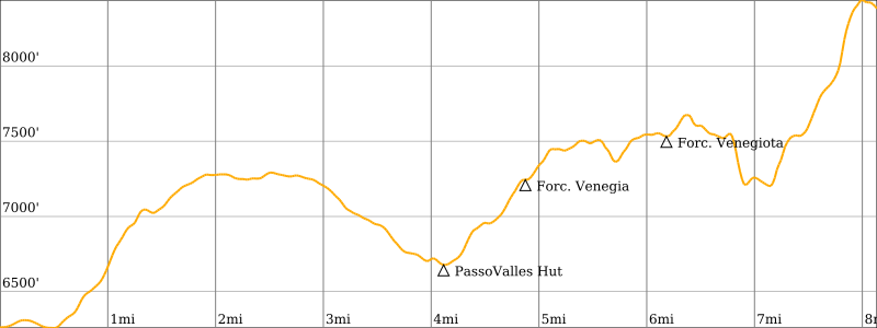
Because Mulaz and Rosetta are the two highest huts on the southern part of AV2, most of our day was spent on barren slopes of scree, talus, and dolomitic outcrops. The trail led us up to Forcella Margherita, then across a talus bowl before making a steep ascent to 9000-foot Farangole Pass—the maximum elevation we reached all week.
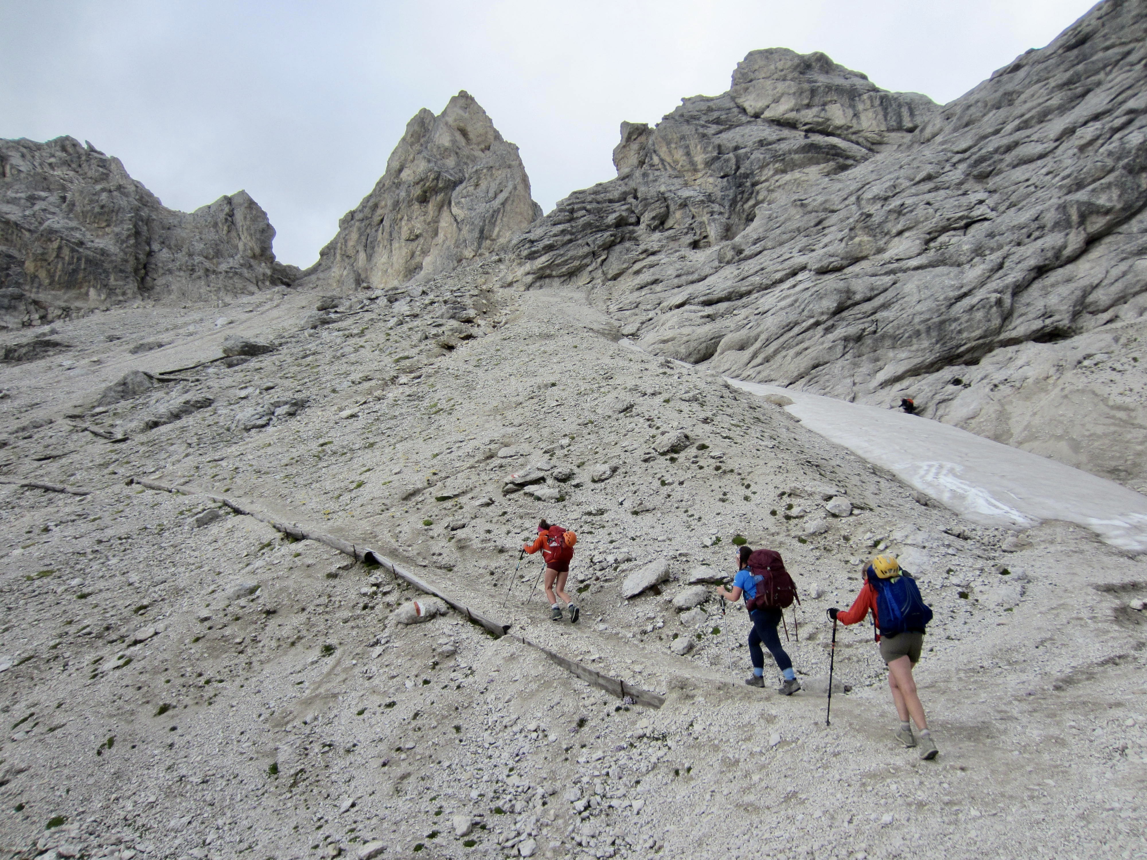
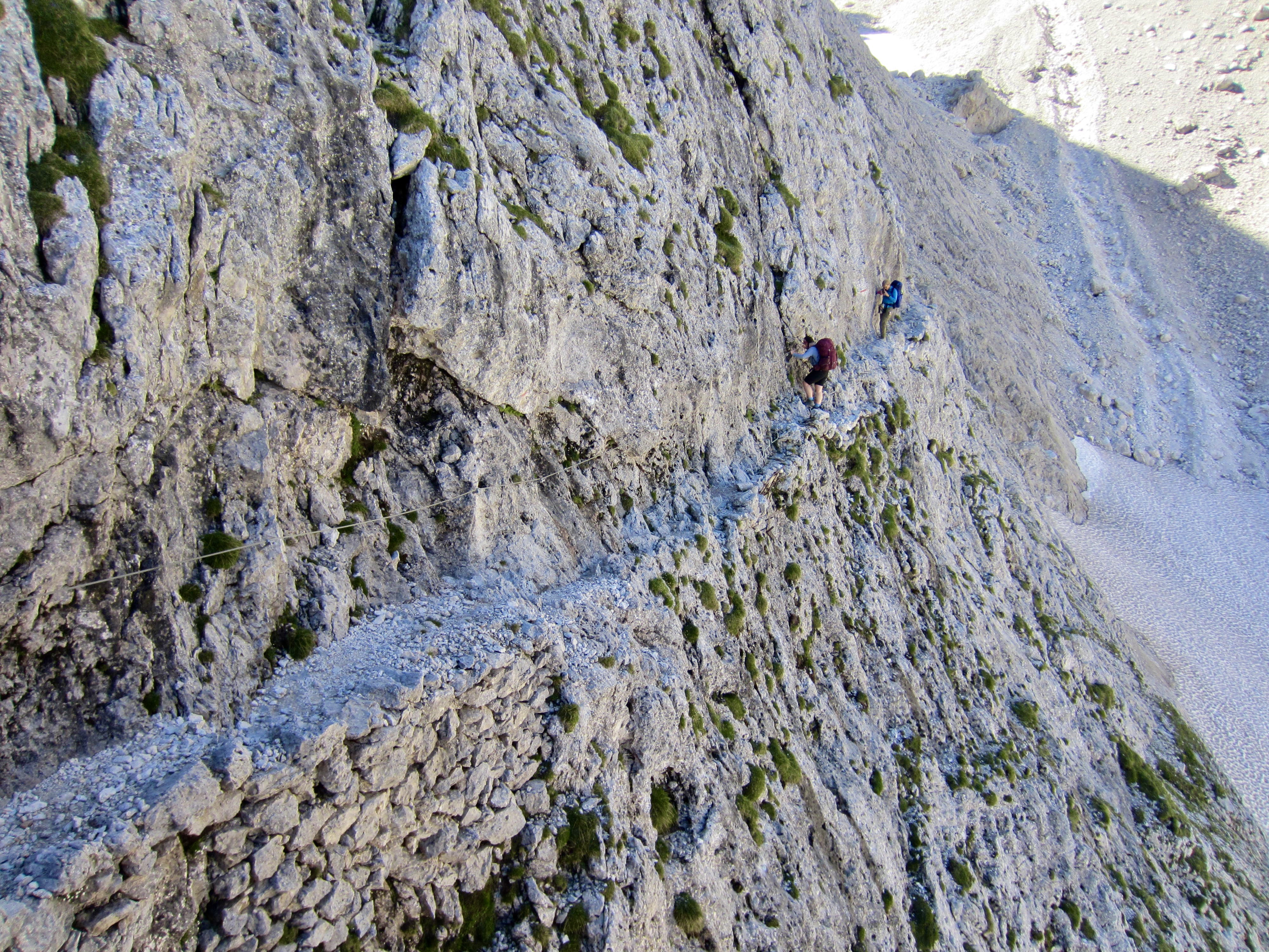
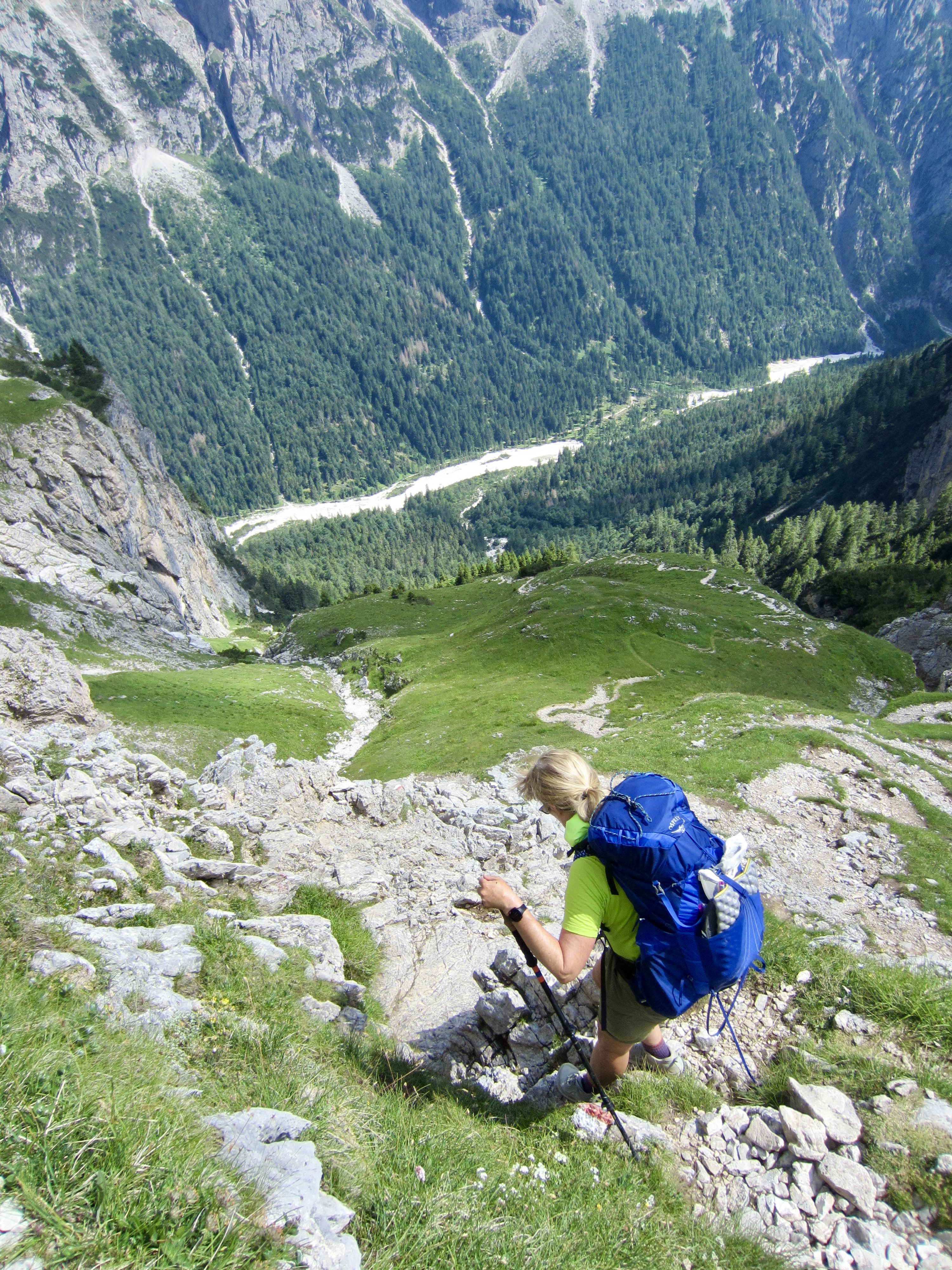
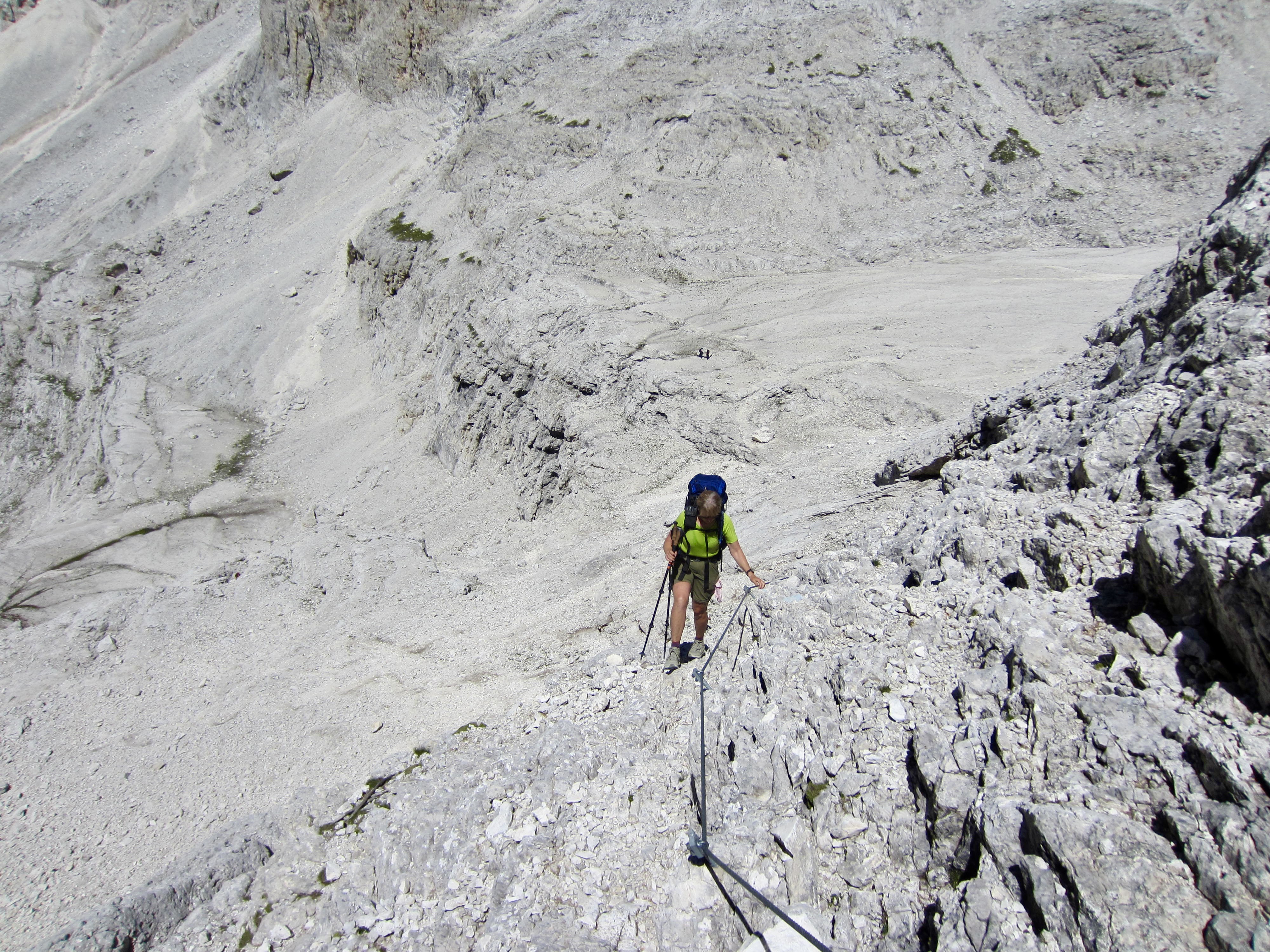
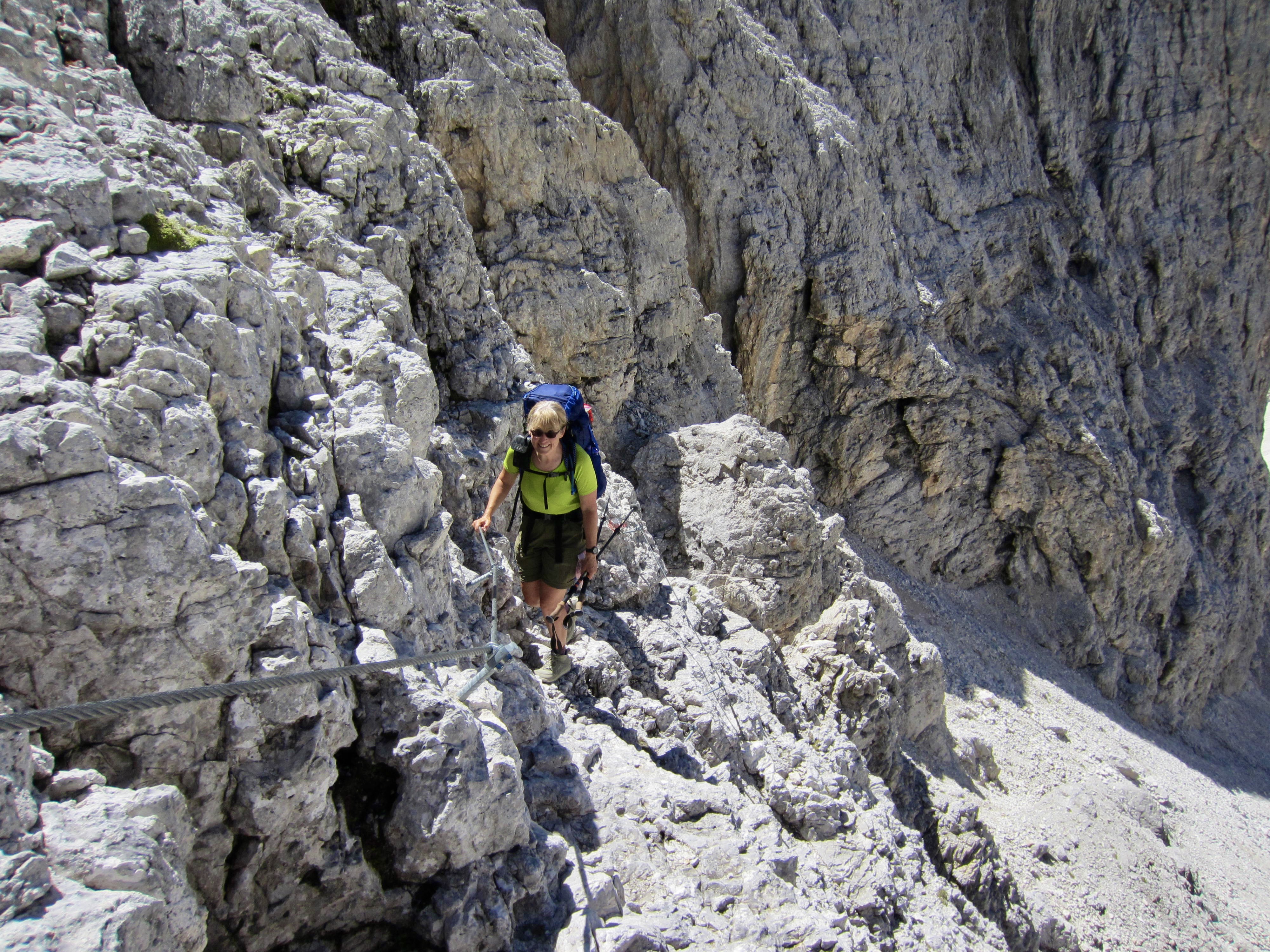
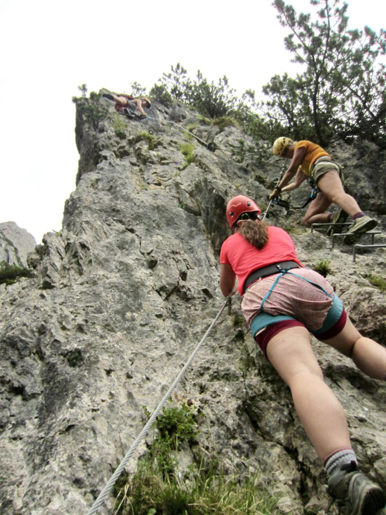
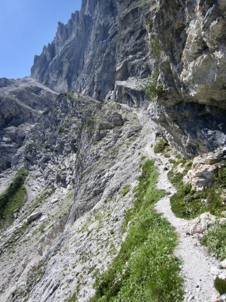
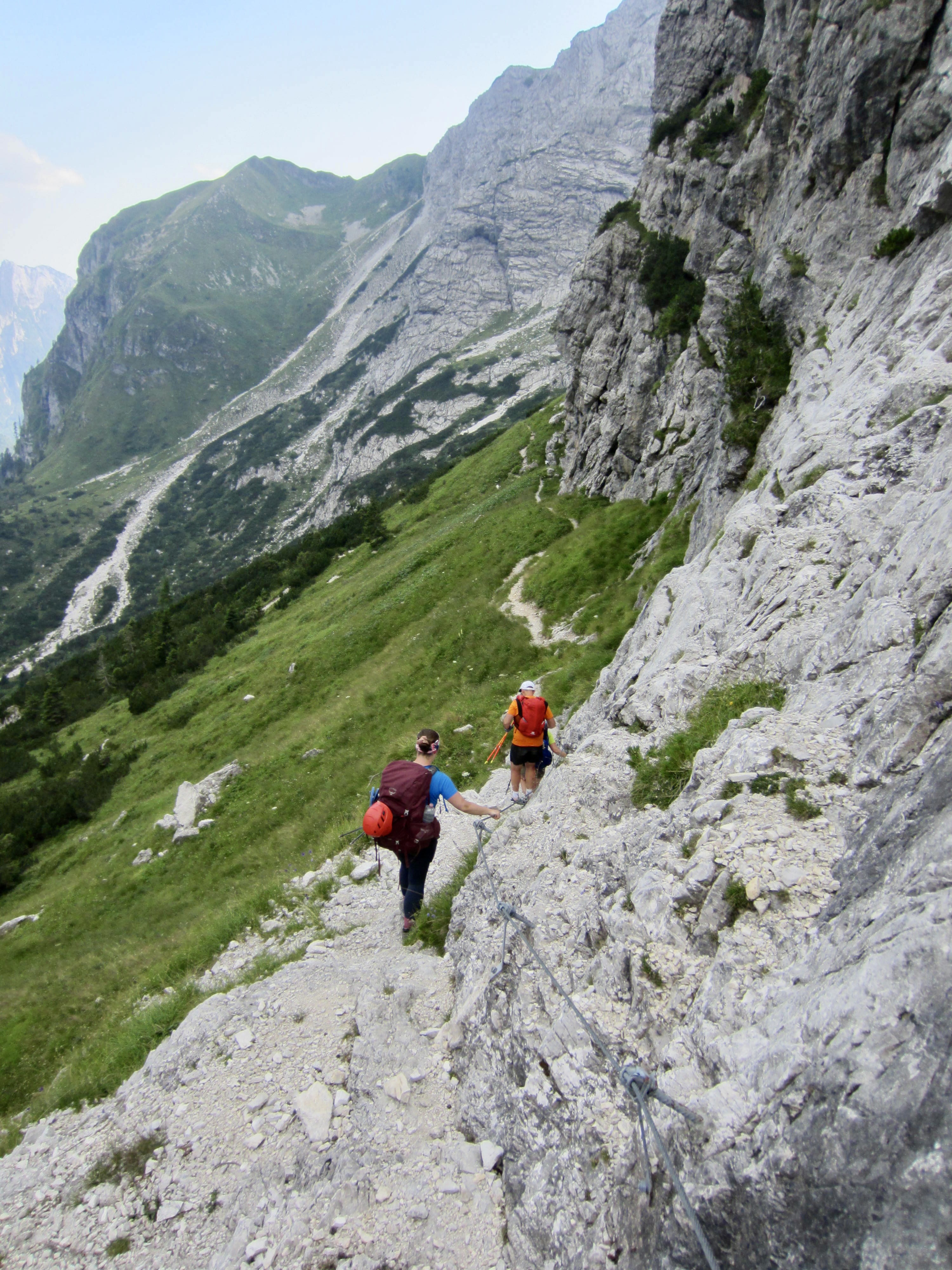
The uppermost portion of Farangole Pass involves climbing up, across, and back down steep, loose rock with the aid of iron rungs and steel cables. We all wore harnesses, lanyards, and helmets for safety here.
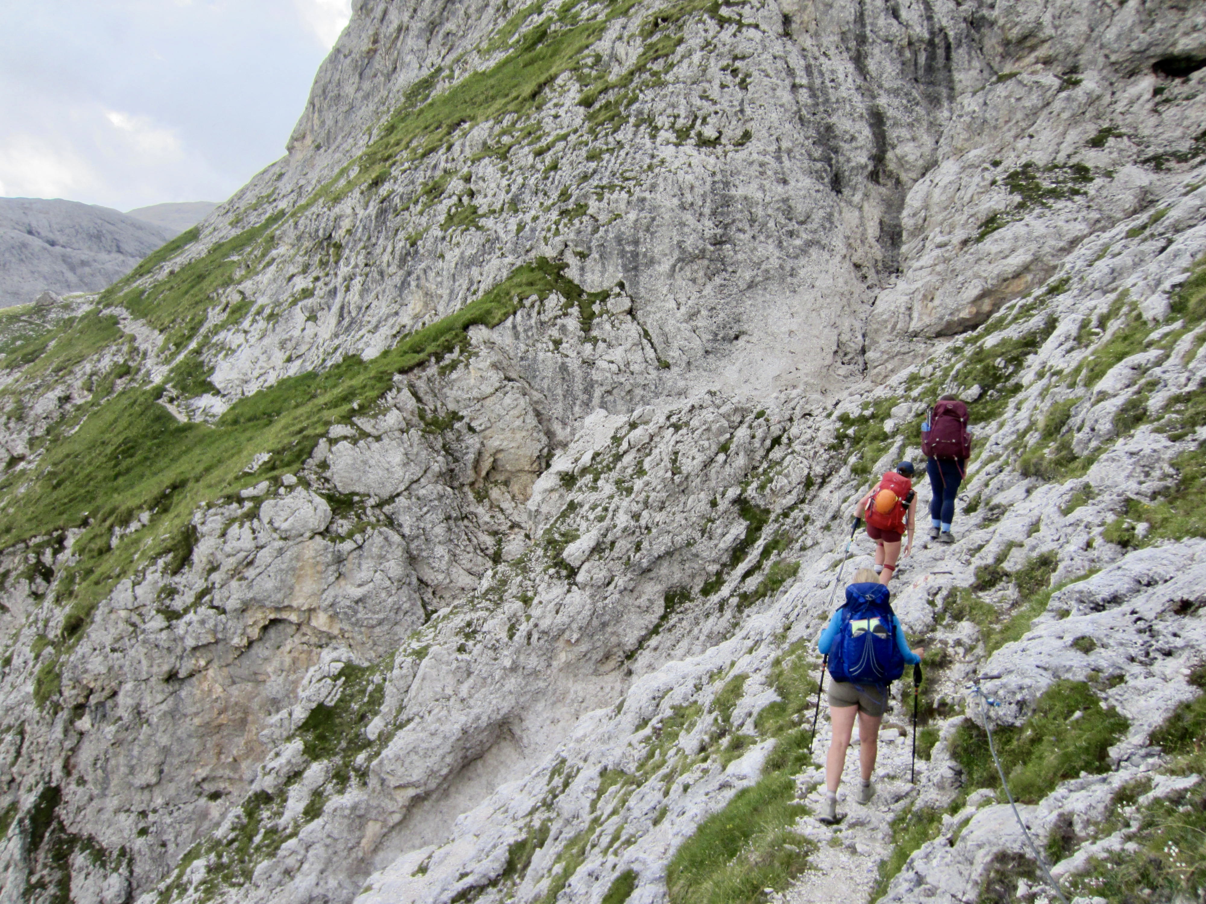
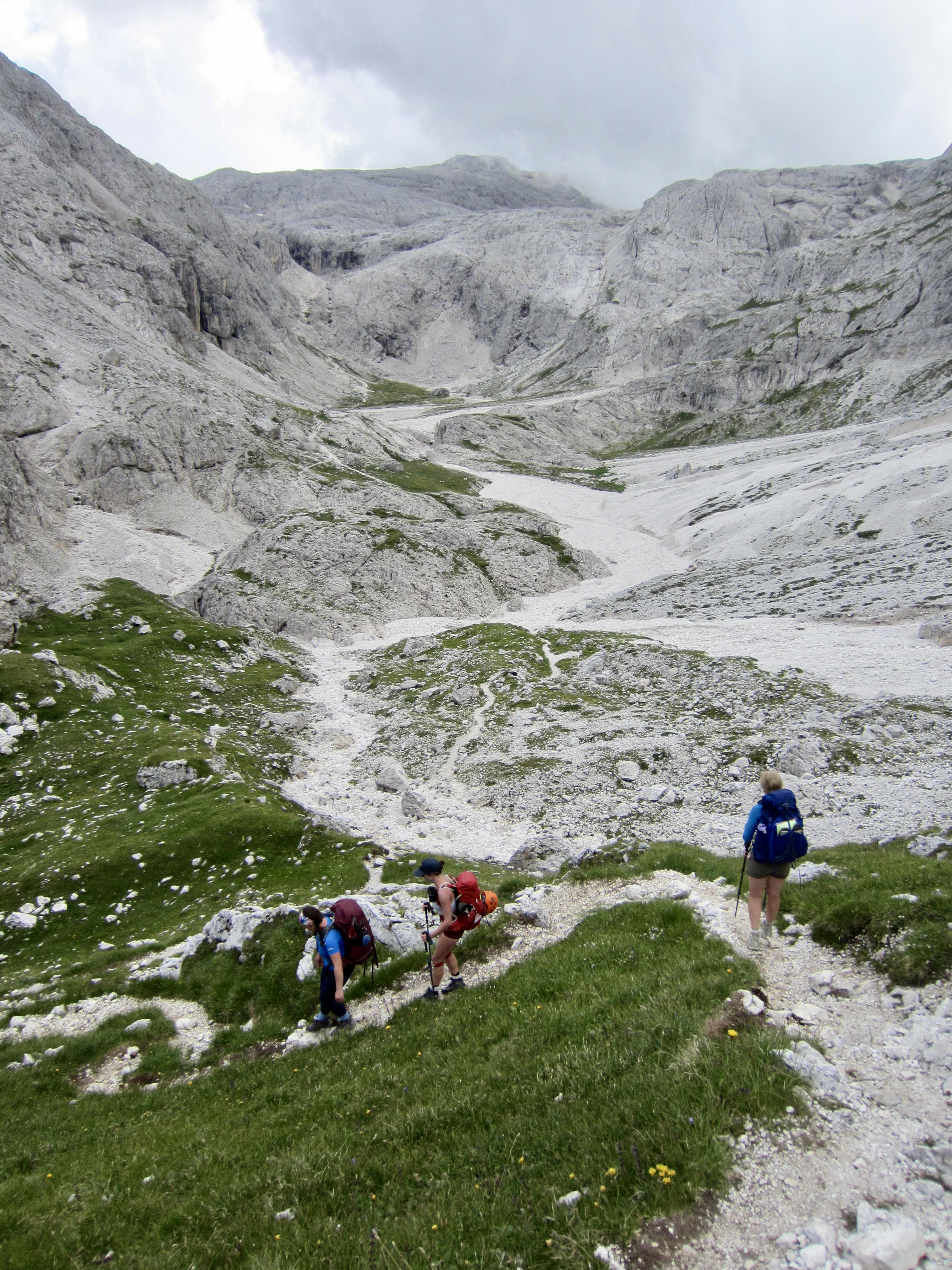
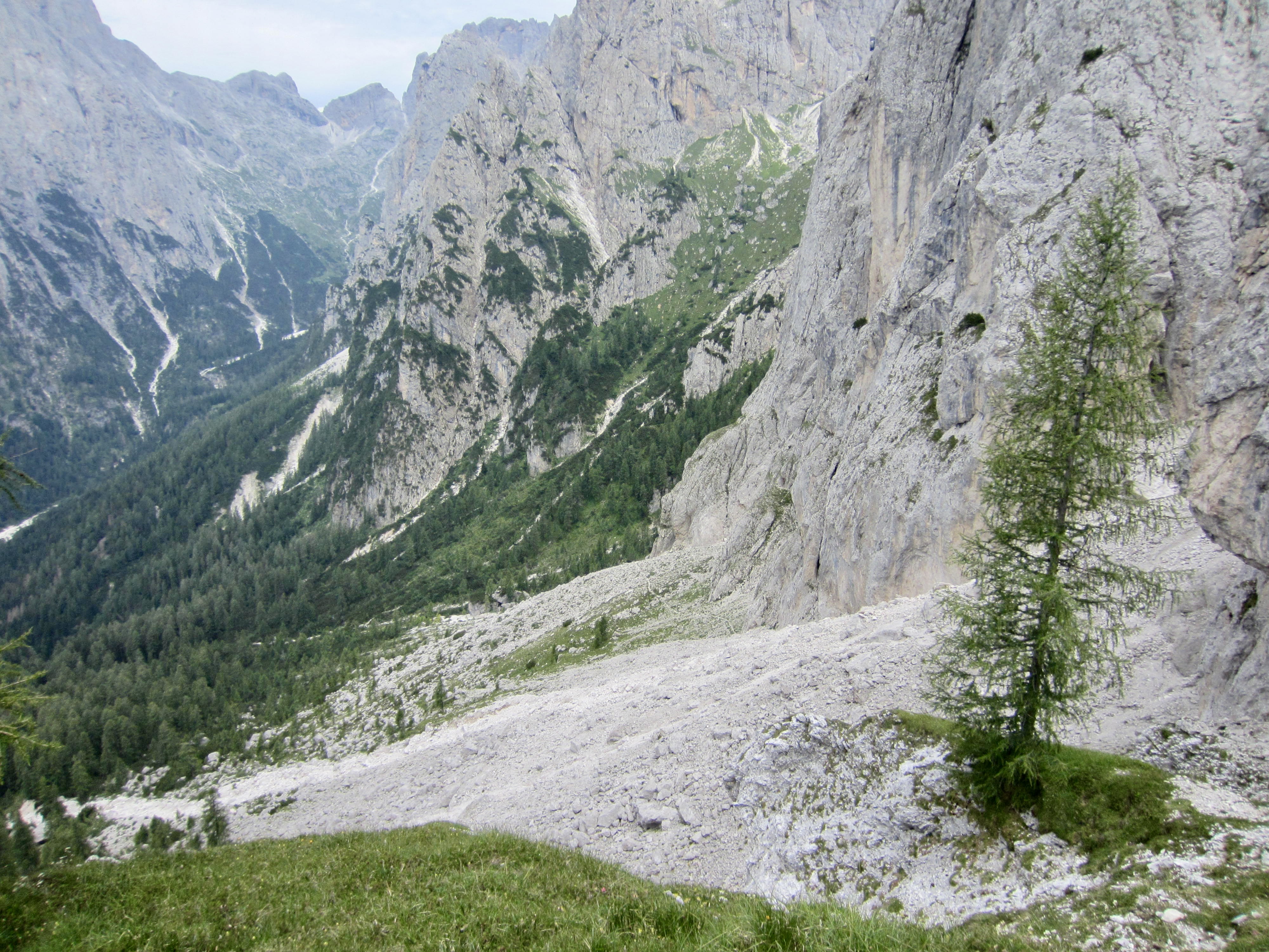
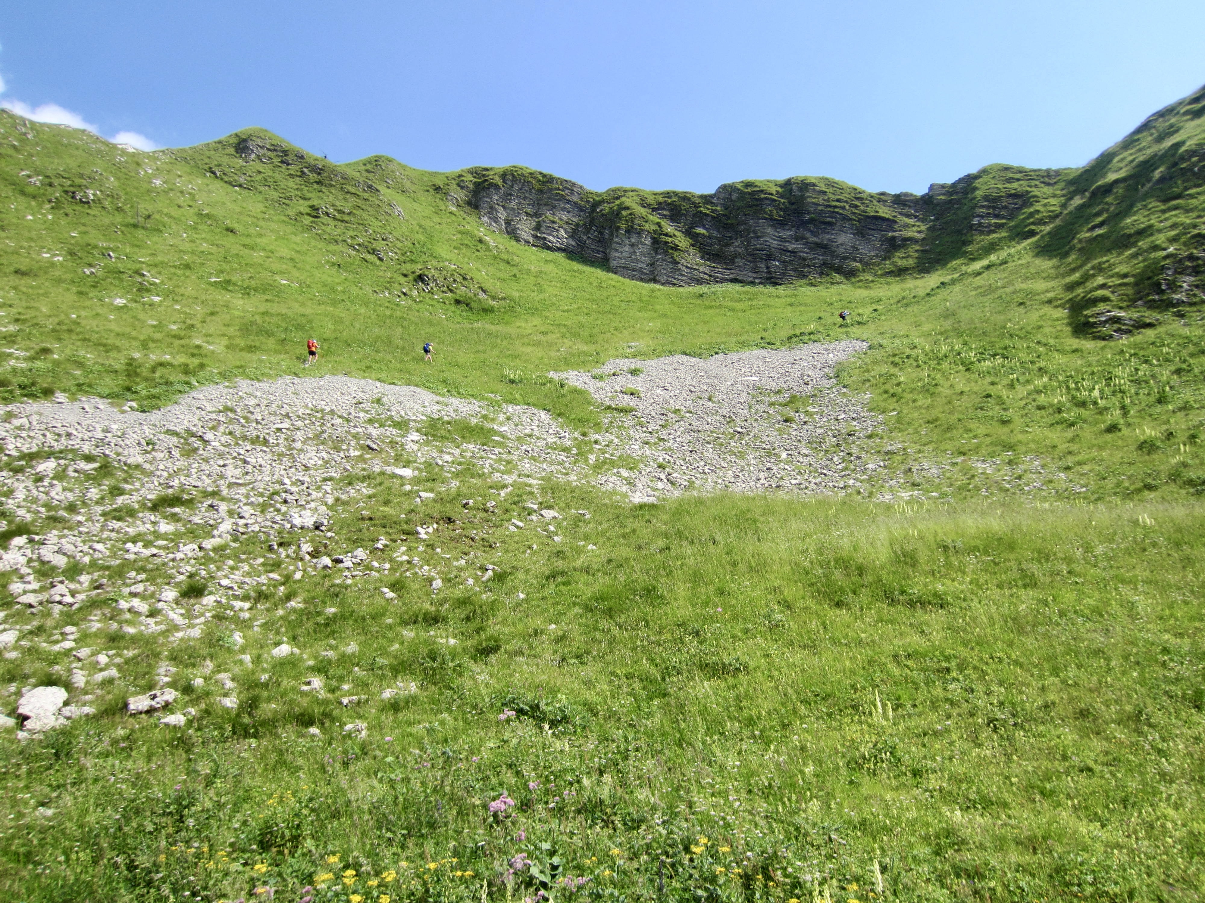
We descended into a small gravel basin below the pass and then made a long traverse across a steep hillslope. There were cables in place at the more exposed locations, but the terrain was fairly easy.
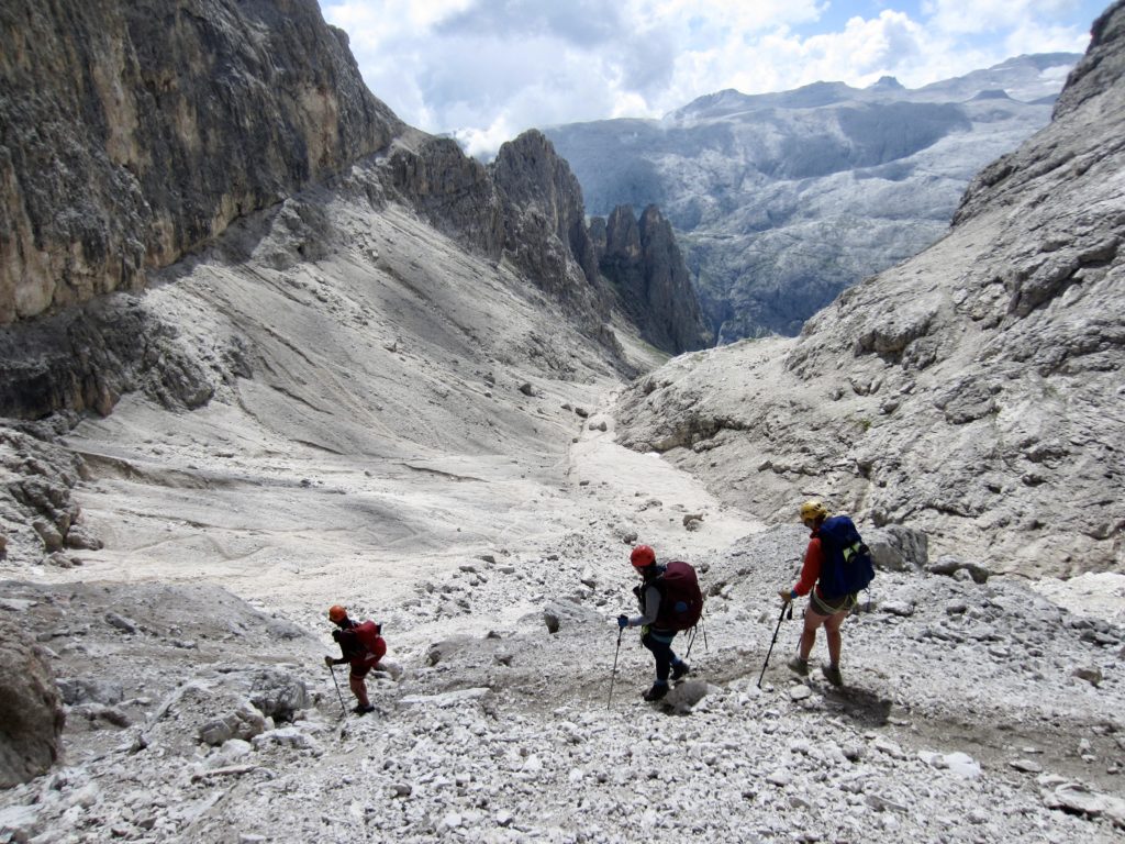
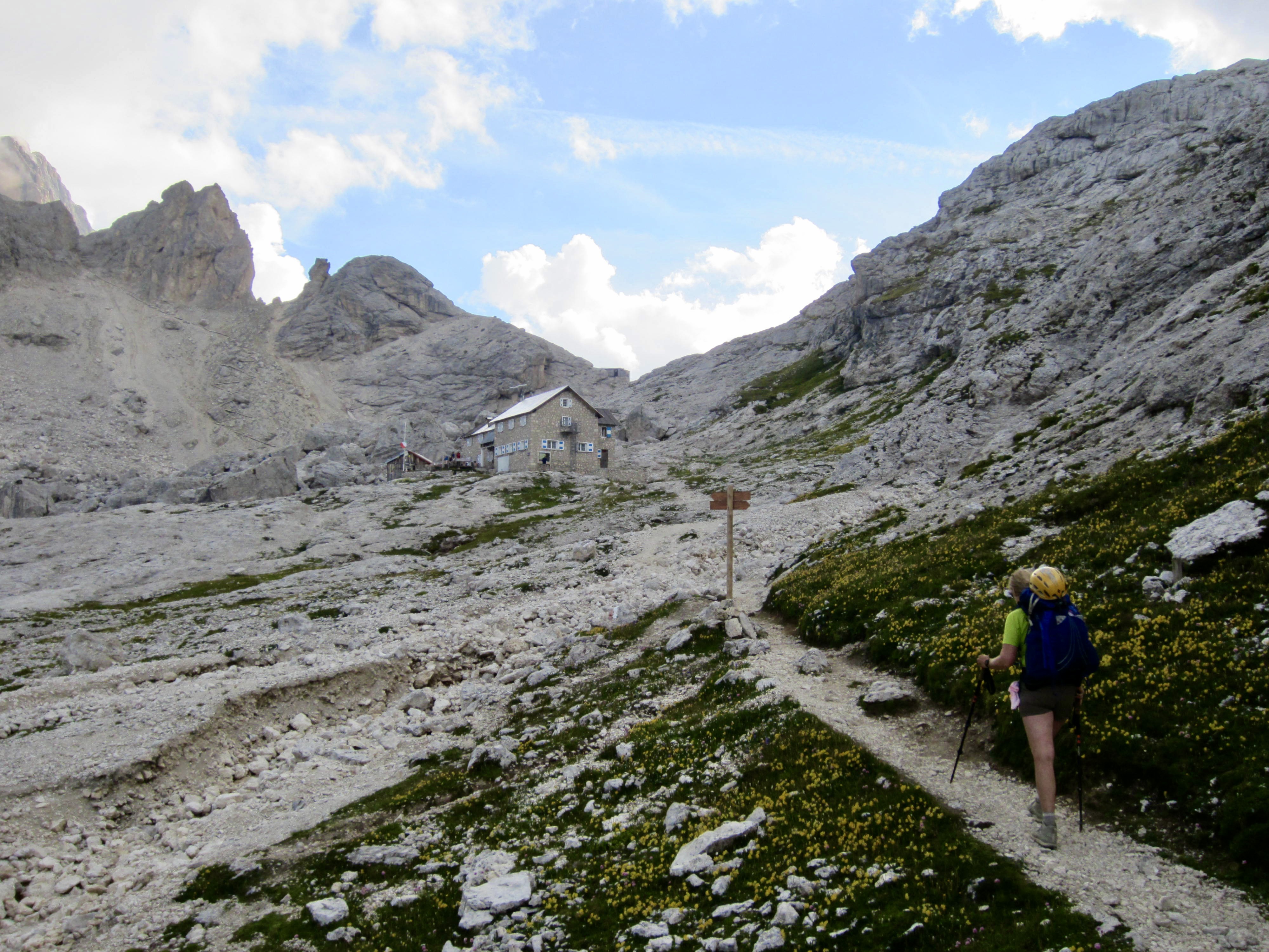
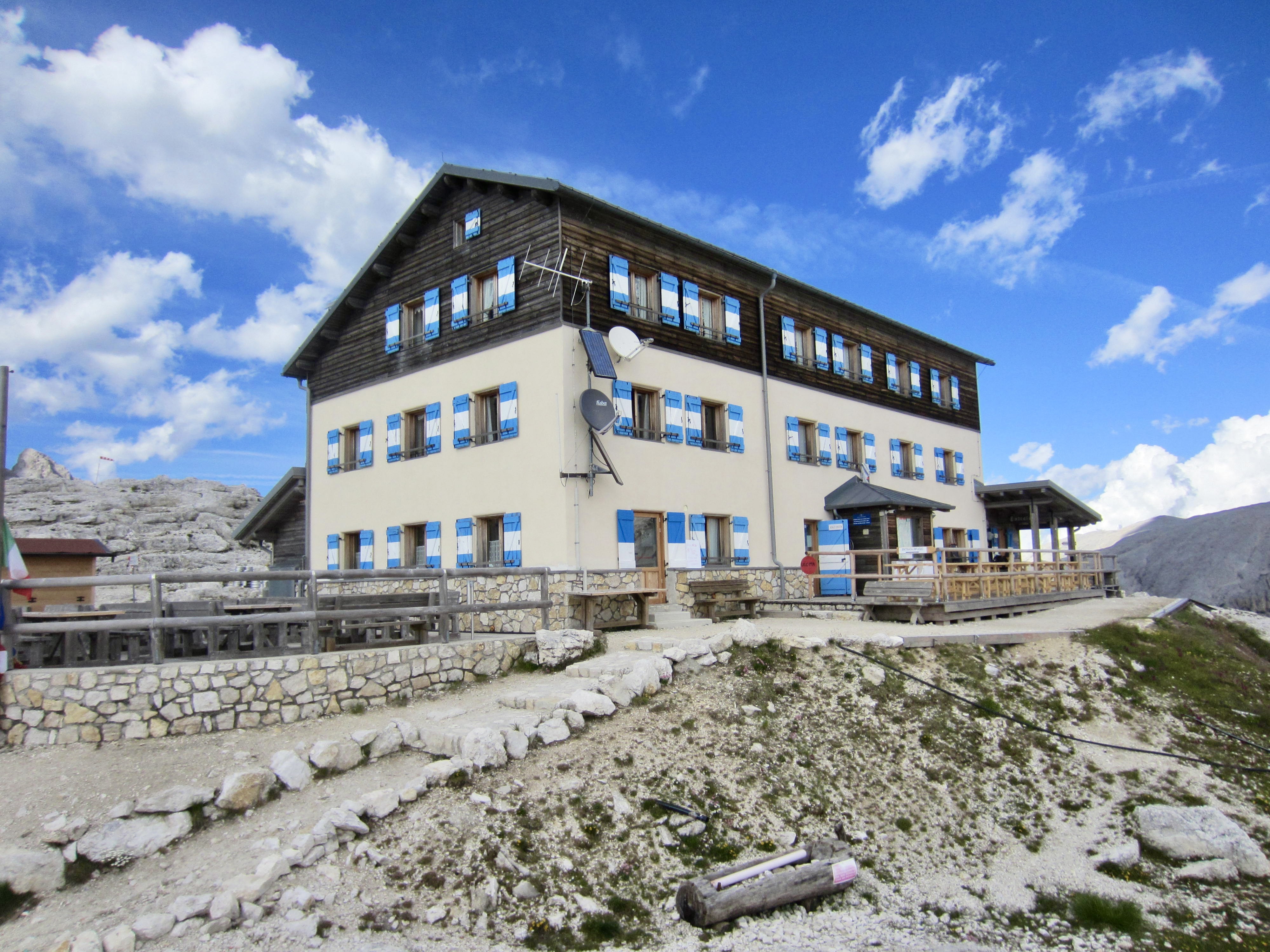
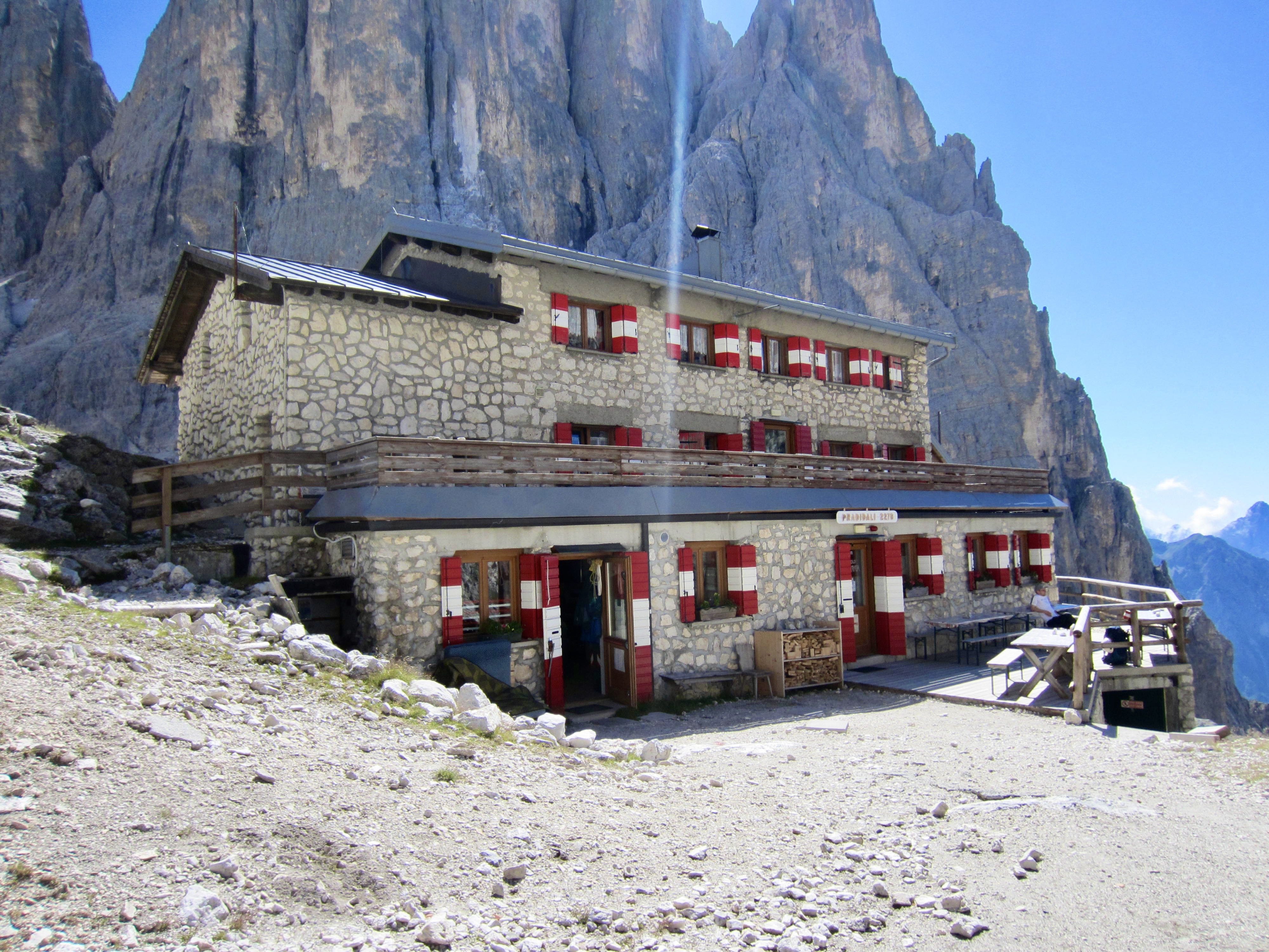
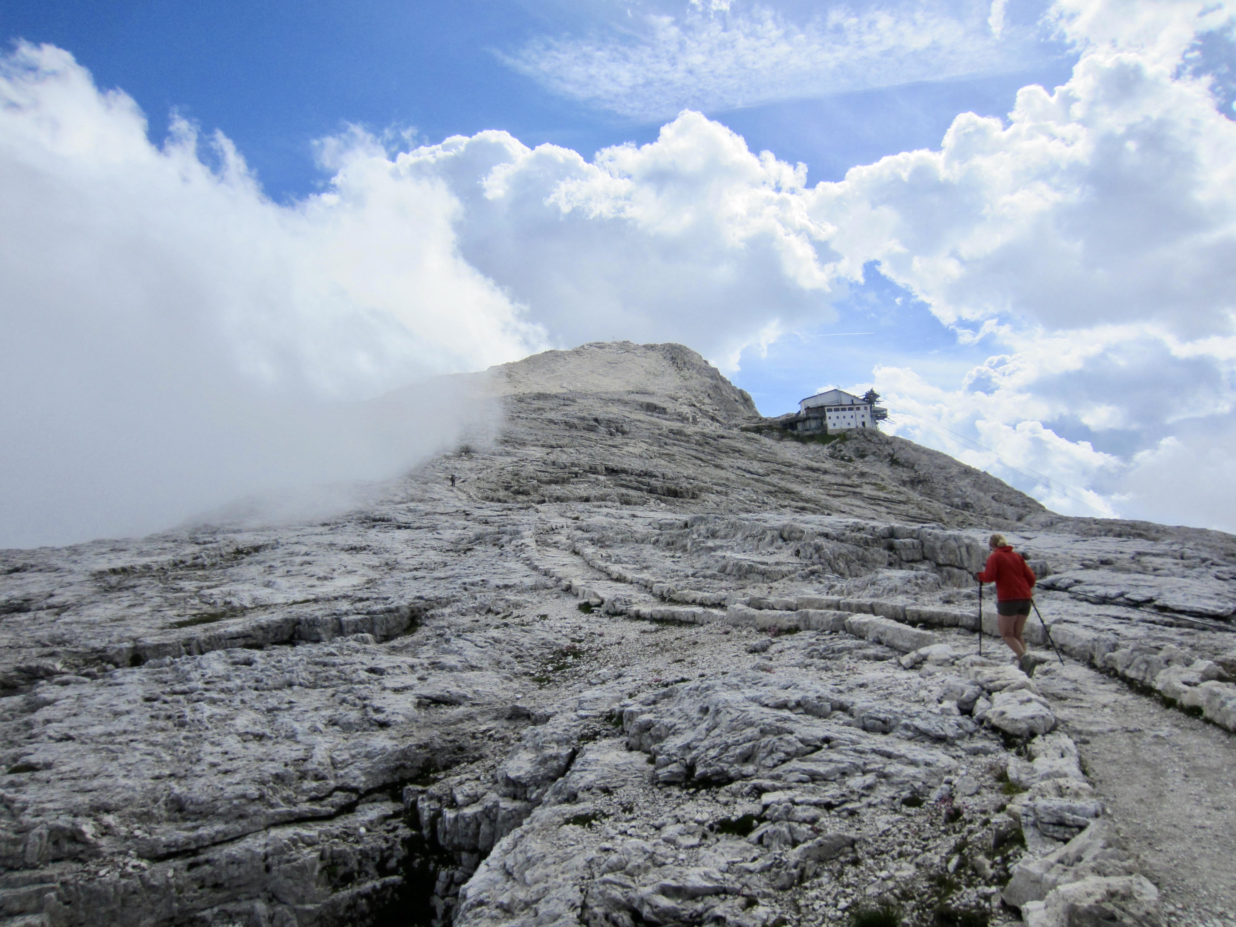
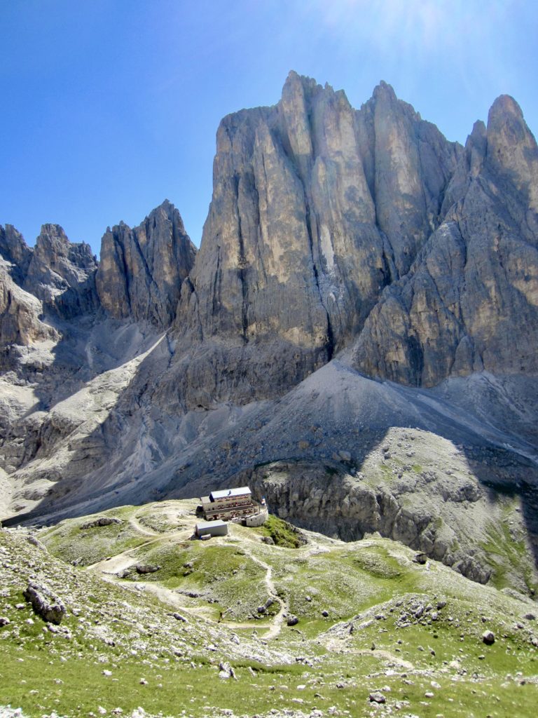
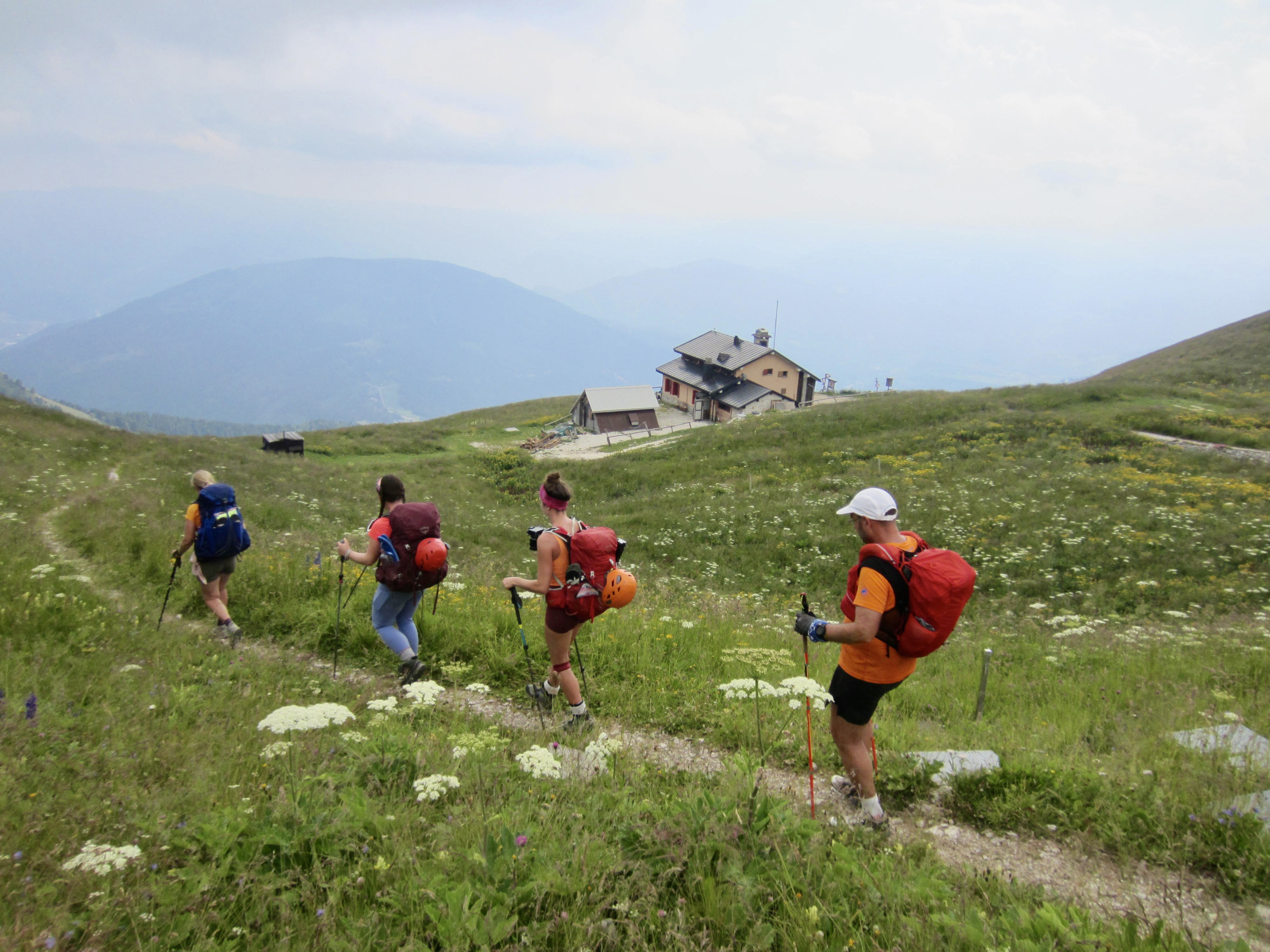
After 2 miles of traversing, we entered a large outwash basin called Pian de Cantoni. A final ascent of the basin headwall brought us to Rosetta Hut in late afternoon. This is a relatively modern structure that lacks the rustic appeal of most other huts along AV2.
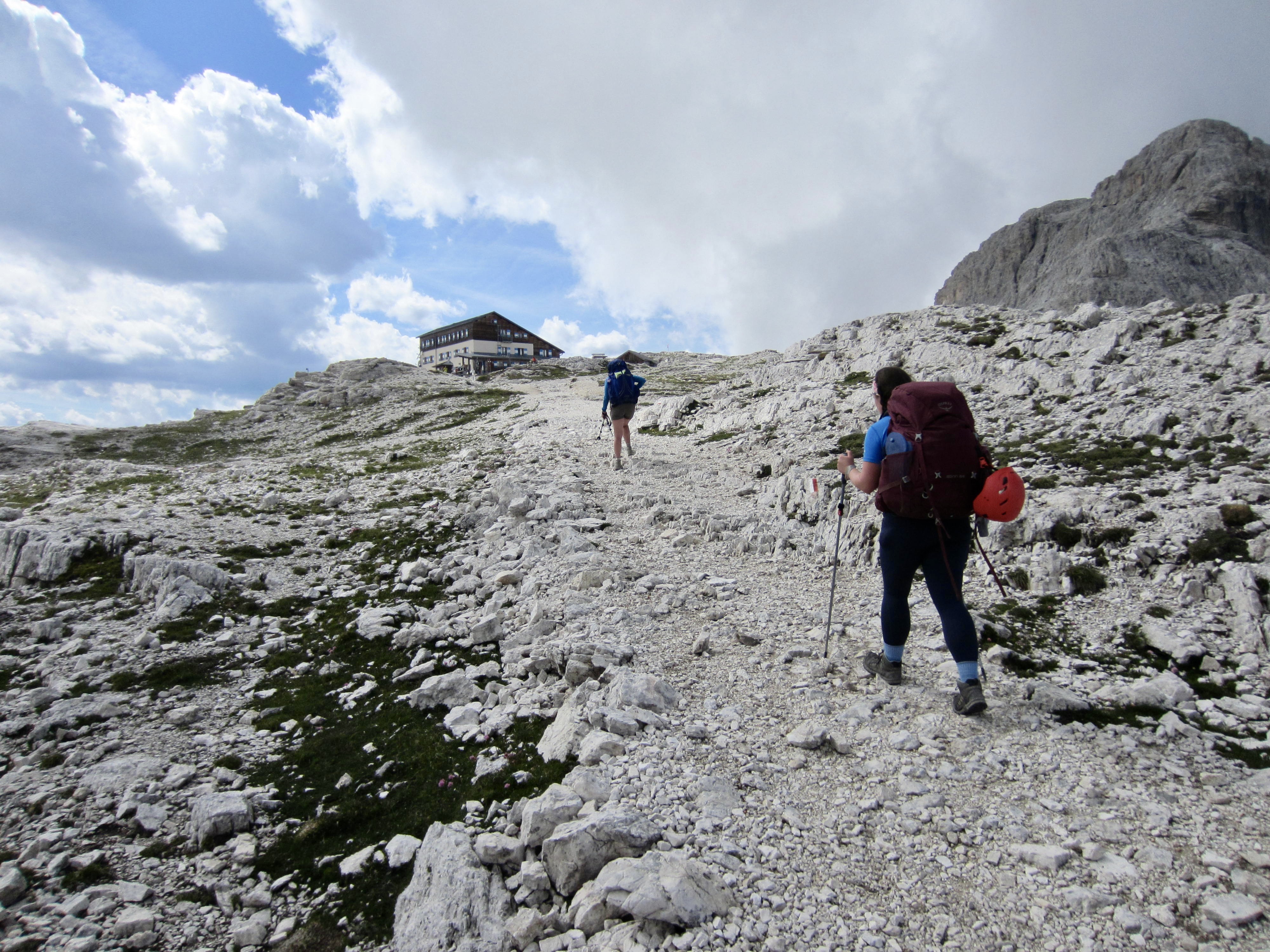

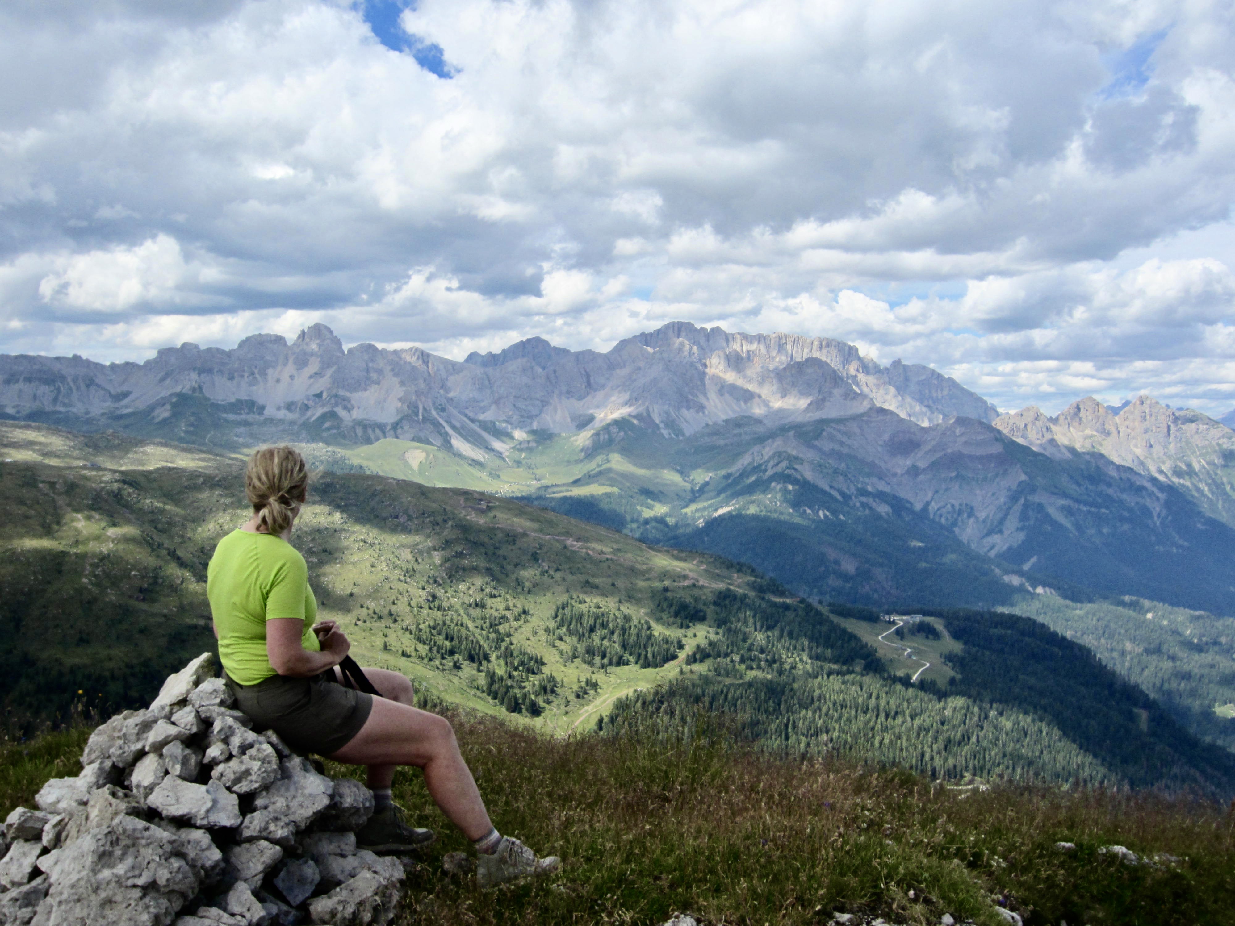
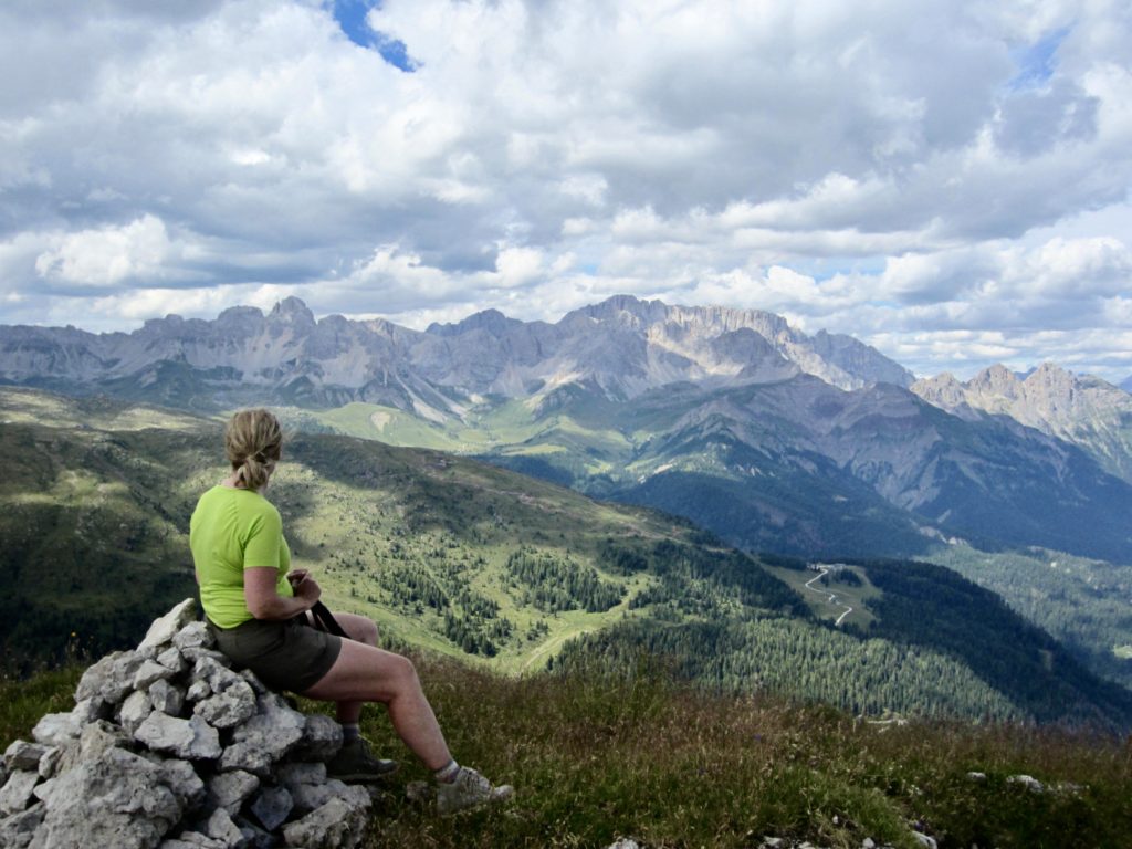
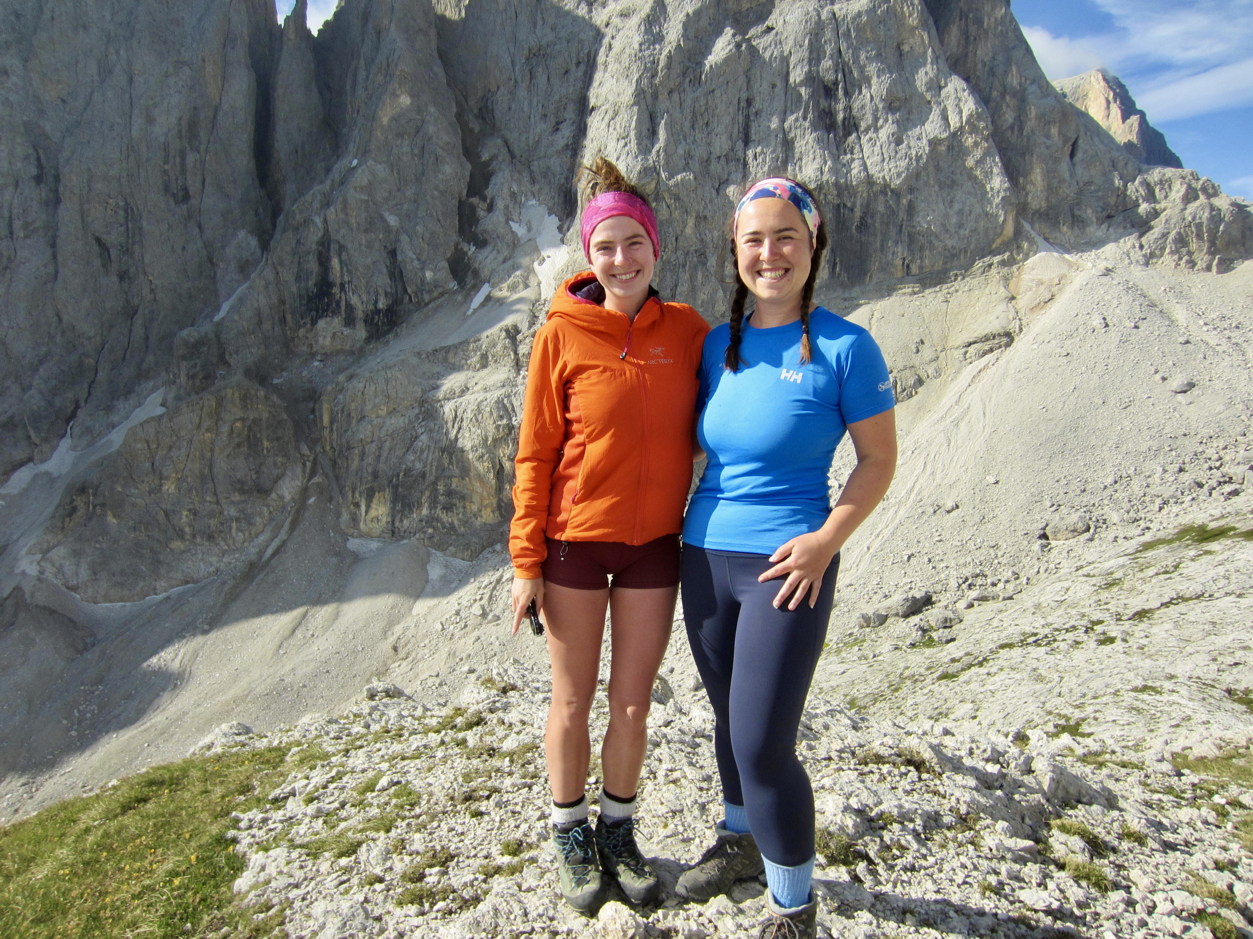
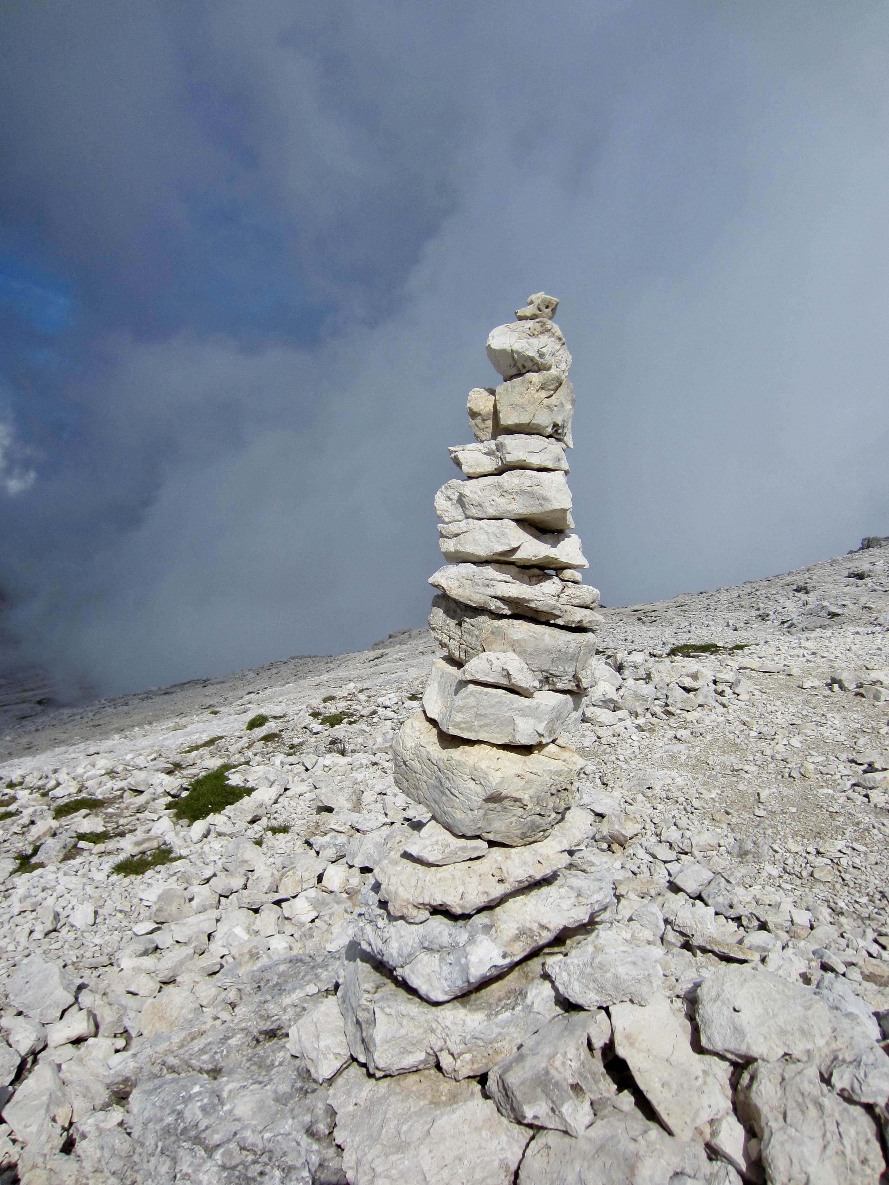
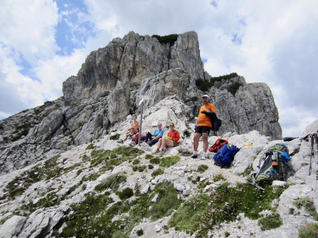
Eileen and I had enough time before dinner to hike up nearby Cima delle Rosetta. This excellent view summit is reached by means of a nicely constructed trail marked with dozens of tall cairns. Thanks to a gondola station located only 200 feet below the summit, it sees lots of visitors.
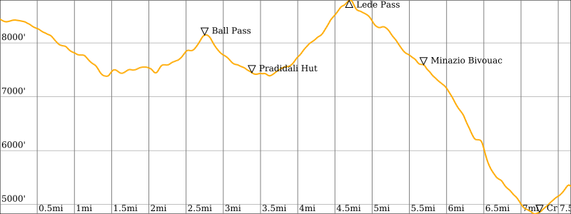
Day 3: Rosetta Hut to Treviso Hut
Approximate Stats (excluding sidetrips): 9.7 hours elapsed; 7.7 miles / 12.4 km traveled; 2600 feet / 790 meters gained; 5700 feet / 1735 meters lost.
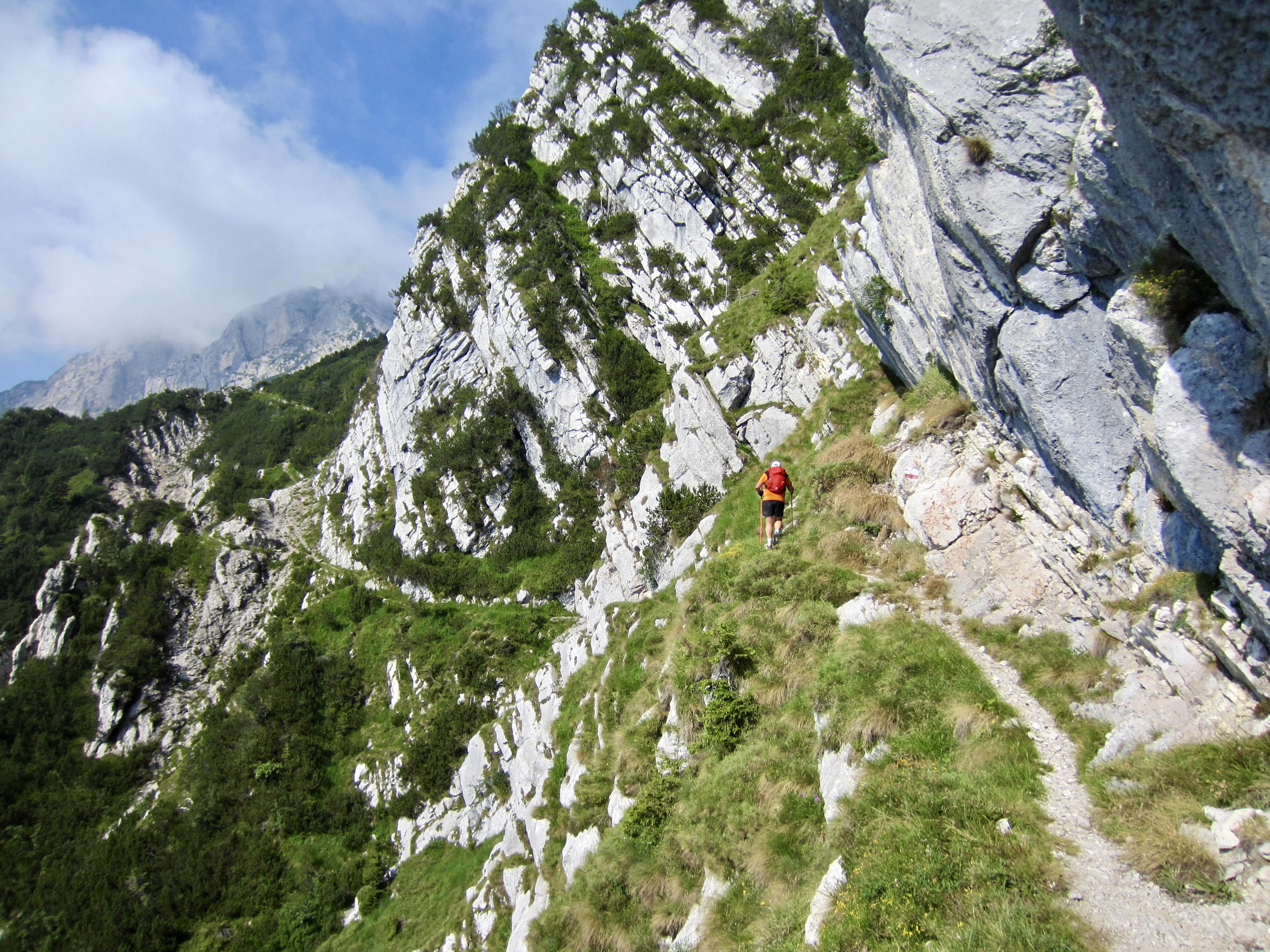
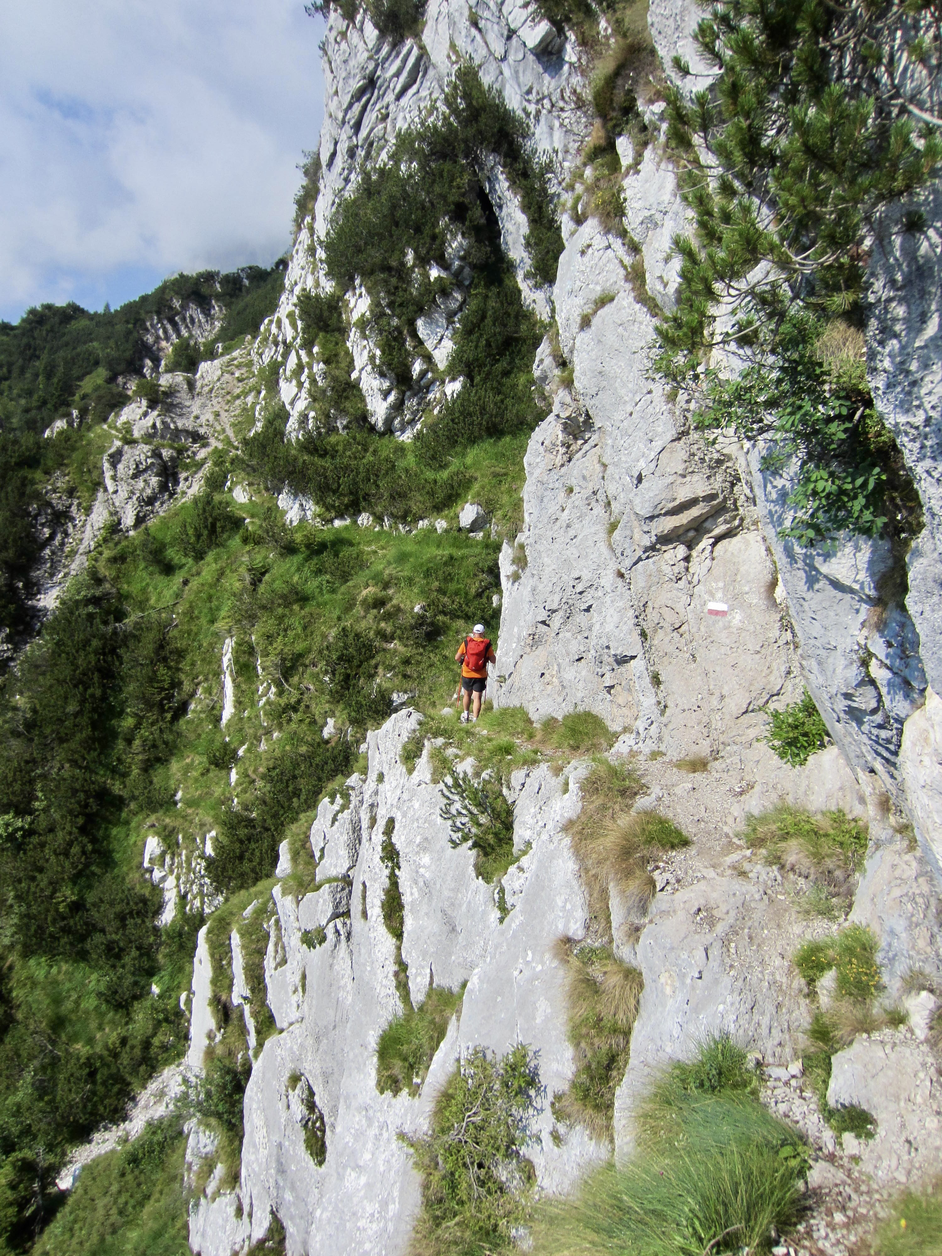
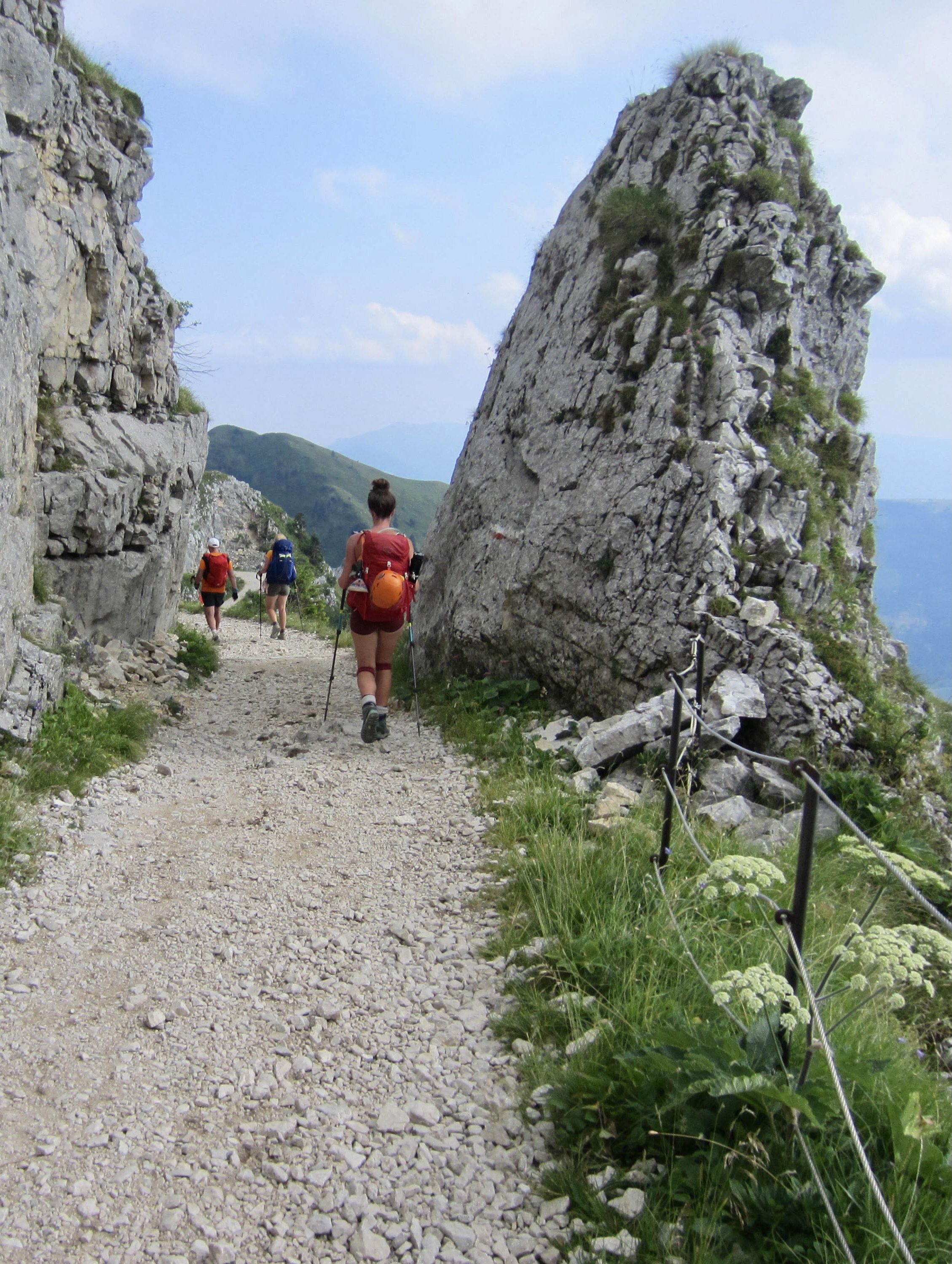
Today was advertised to be “a tough day on the knees” due to a total elevation loss of nearly 6000 feet. Uhhgg! We all got an early start, knowing it would be long and painful hike, but Brooke had an added impetus because she wanted to tuck in two popular via ferratas along the way. Our trail began with tight switchbacks down a steep slope, followed by a cable-aided traverse across a wildly exposed cliff.

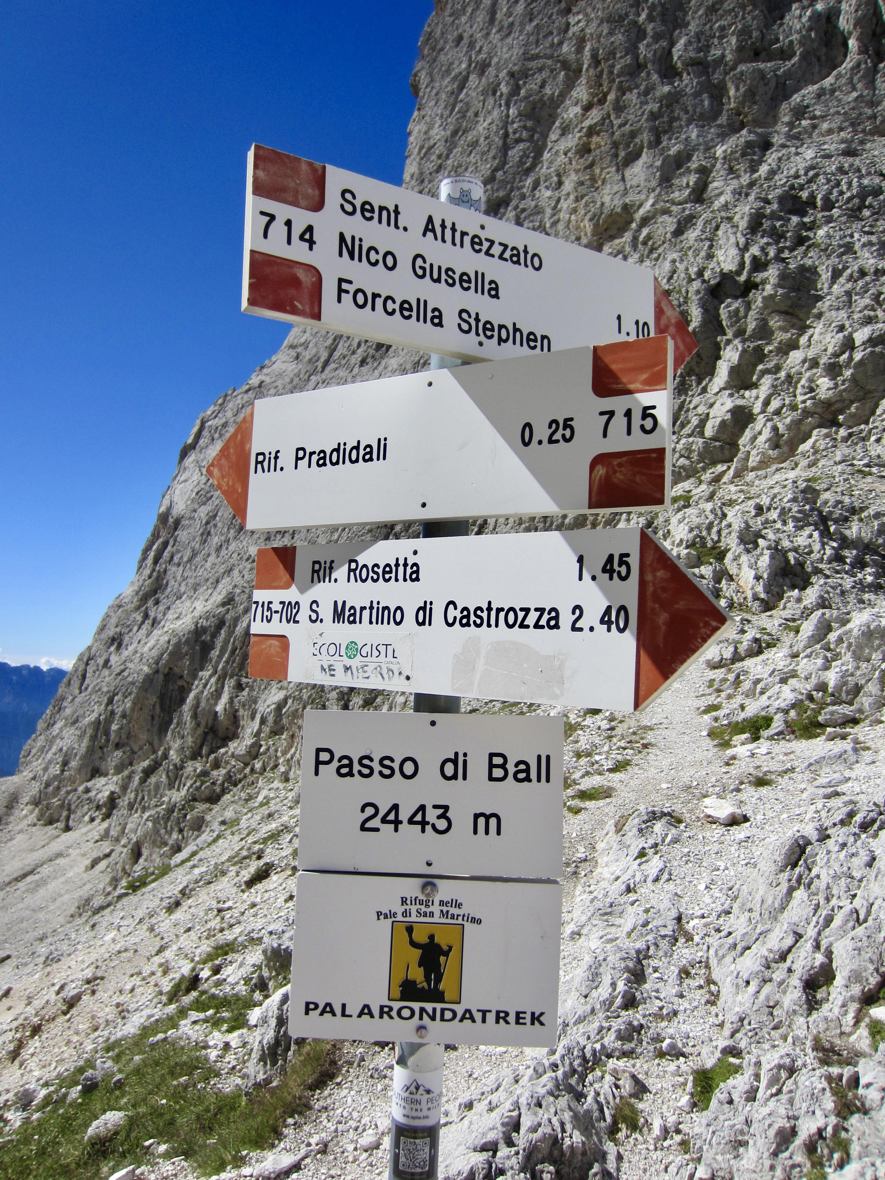
We made a short ascent over Ball Pass before dropping down to Pradidali Hut. Brooke dashed off to do her via ferratas, and Maeve stopped at the hut for an early lunch. (We consistently found that most huts served a woefully unsatisfying breakfast but a wonderfully satisfying lunch.)

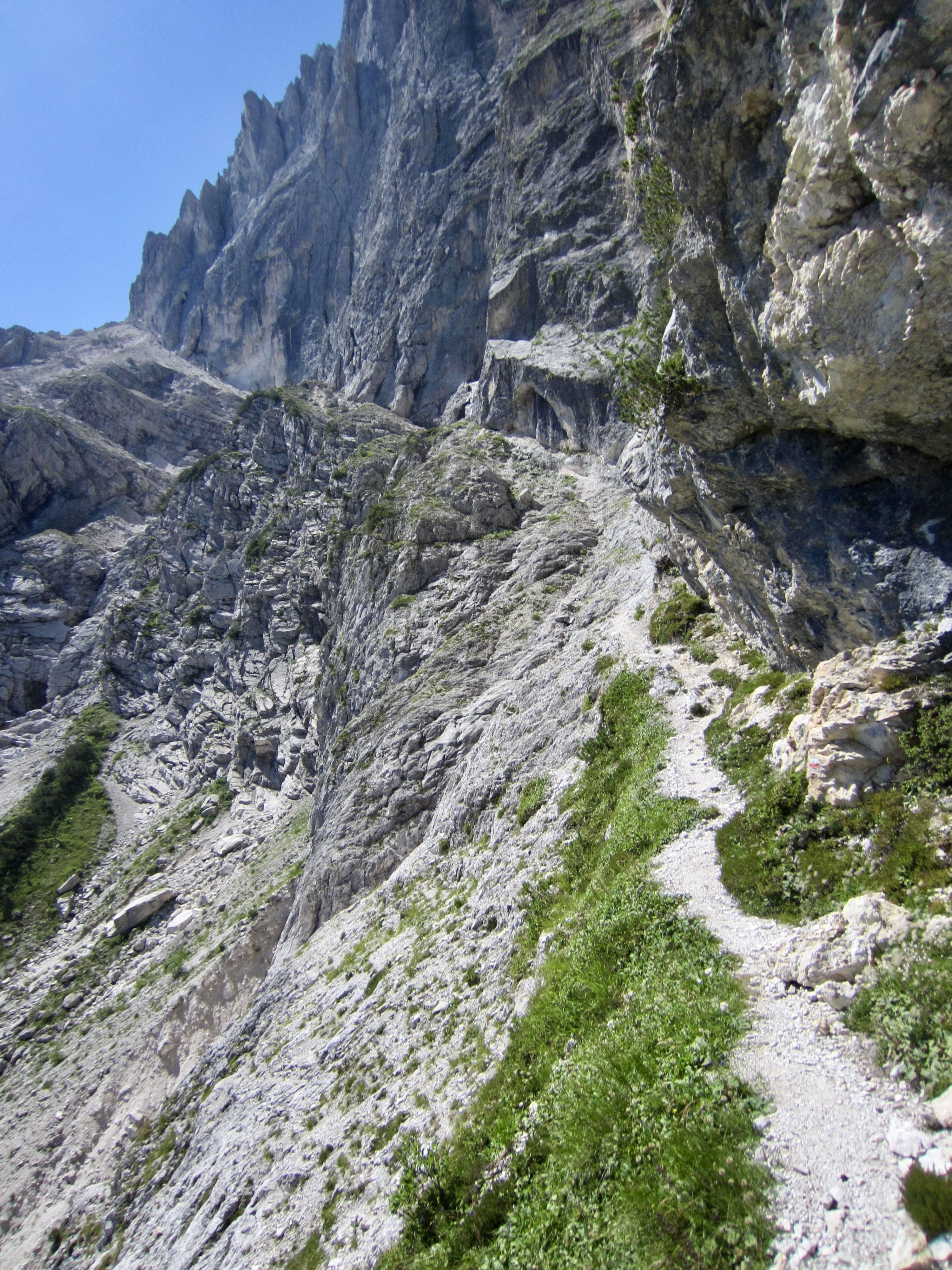
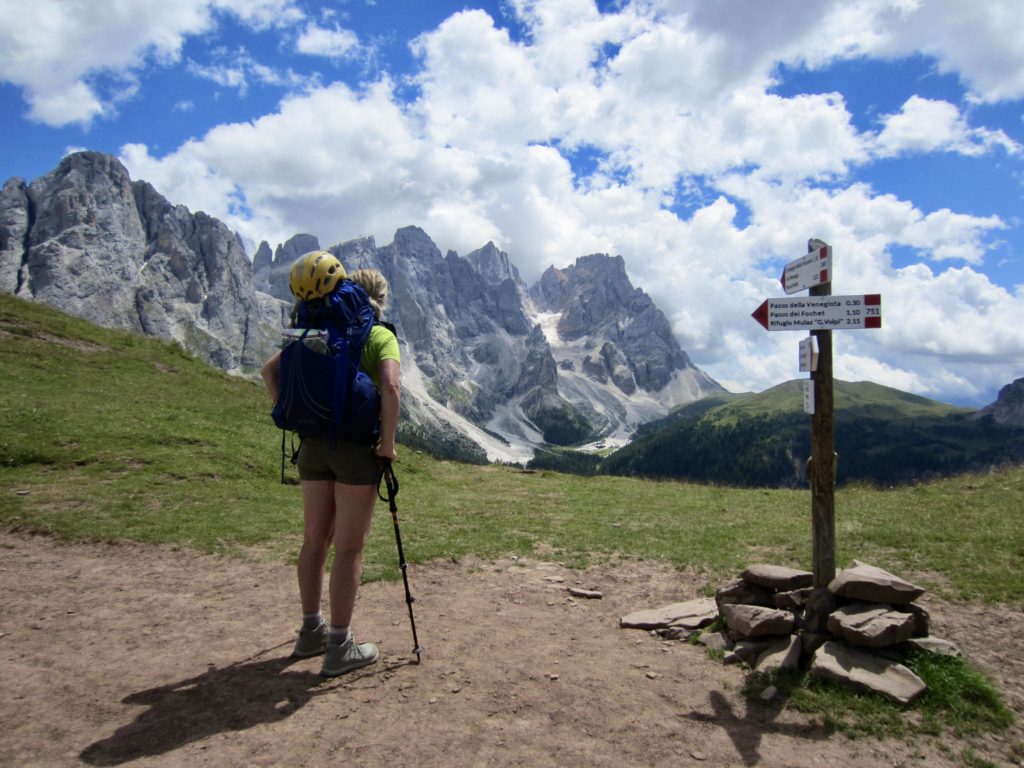
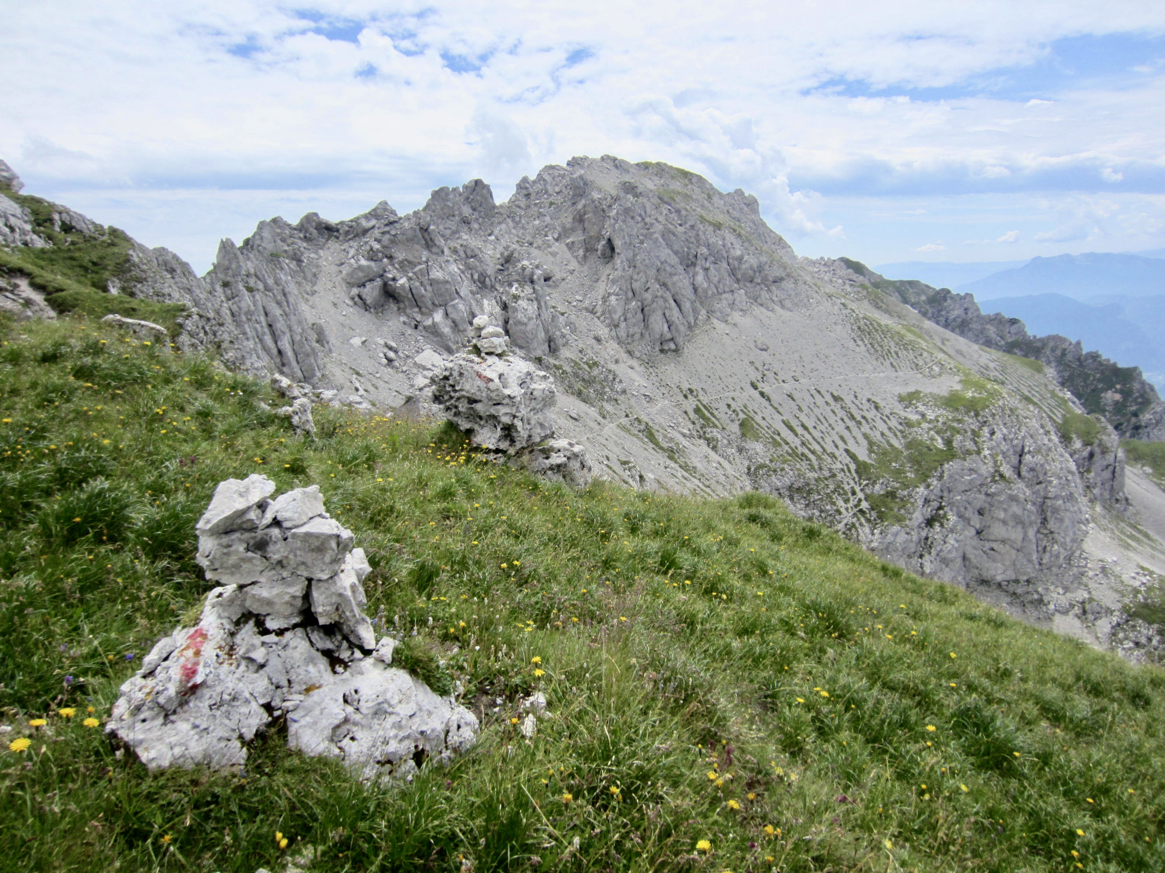
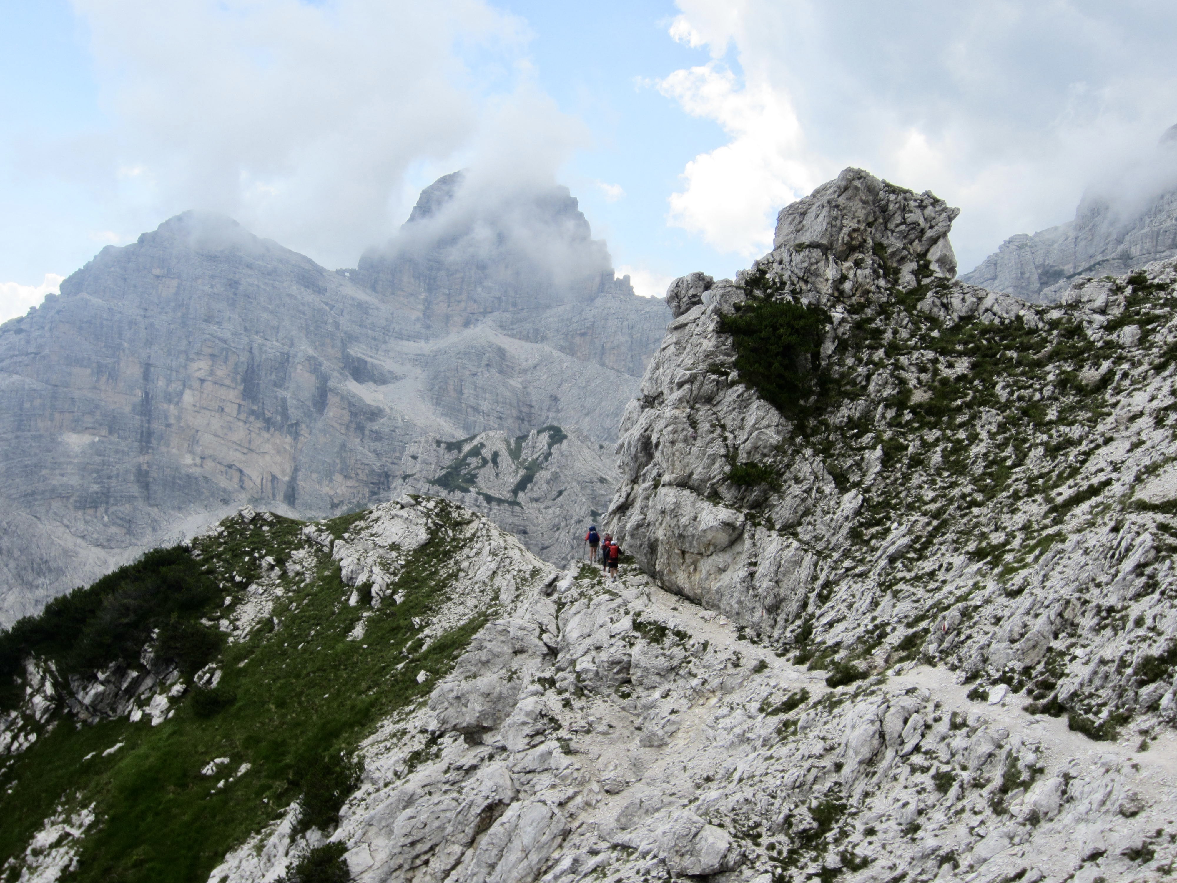
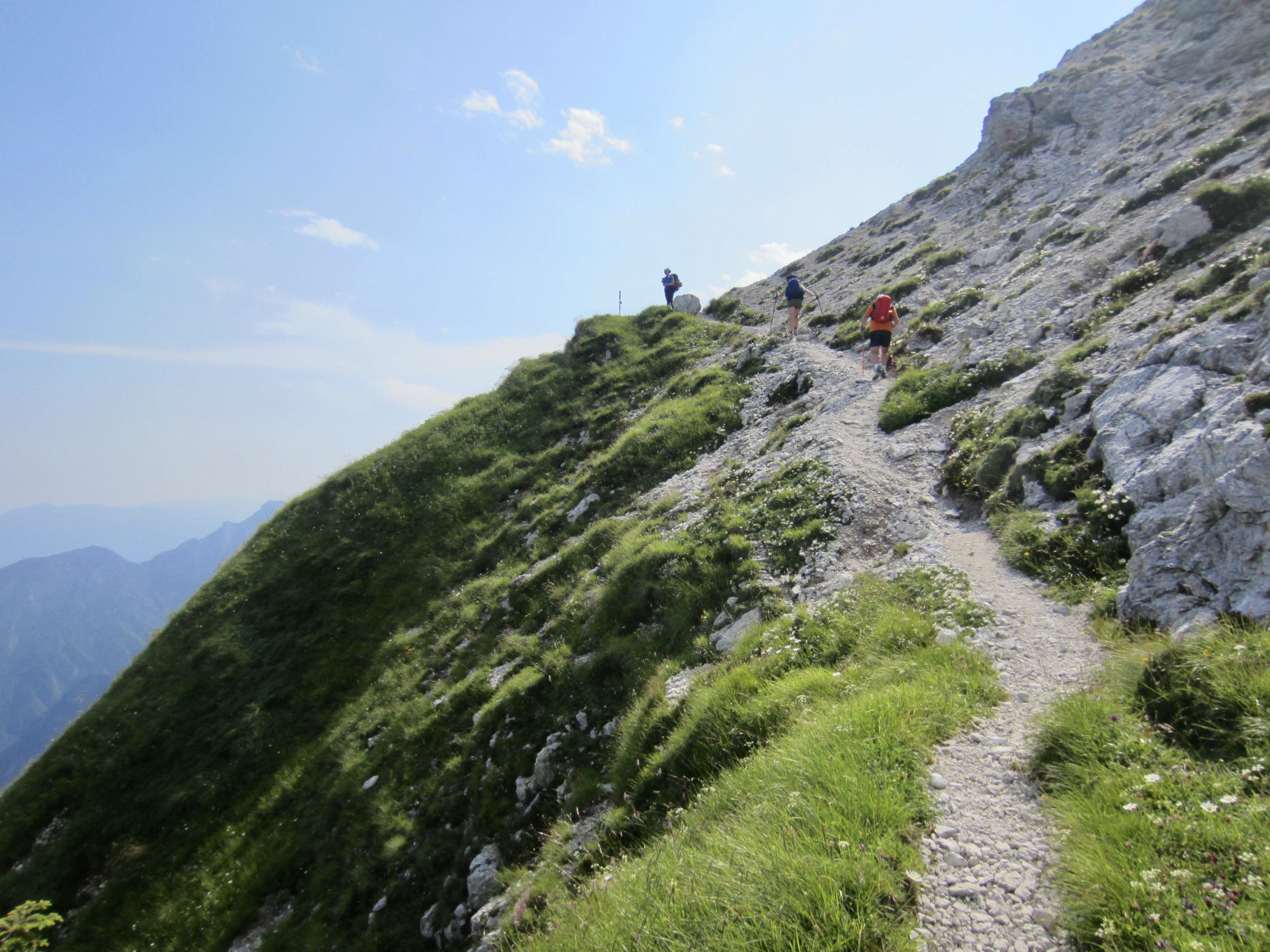
Eileen and I continued along AV2, which first entered a dry valley, then turned sharply to the right and went up a steep sidewall. Lots of Class 2-3 scrambling combined with bits of trail took us to 8800-foot Lede Pass, a tiny notch in the narrow ridge crest. While eating lunch here, we engaged in an animated conversation with two Italians. Because we spoke no Italian and they spoke no English, we had to rely entirely on gestures and gesticulations but somehow got the meanings across!
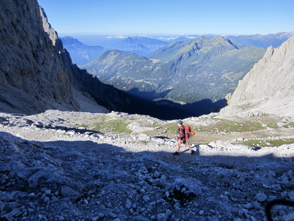
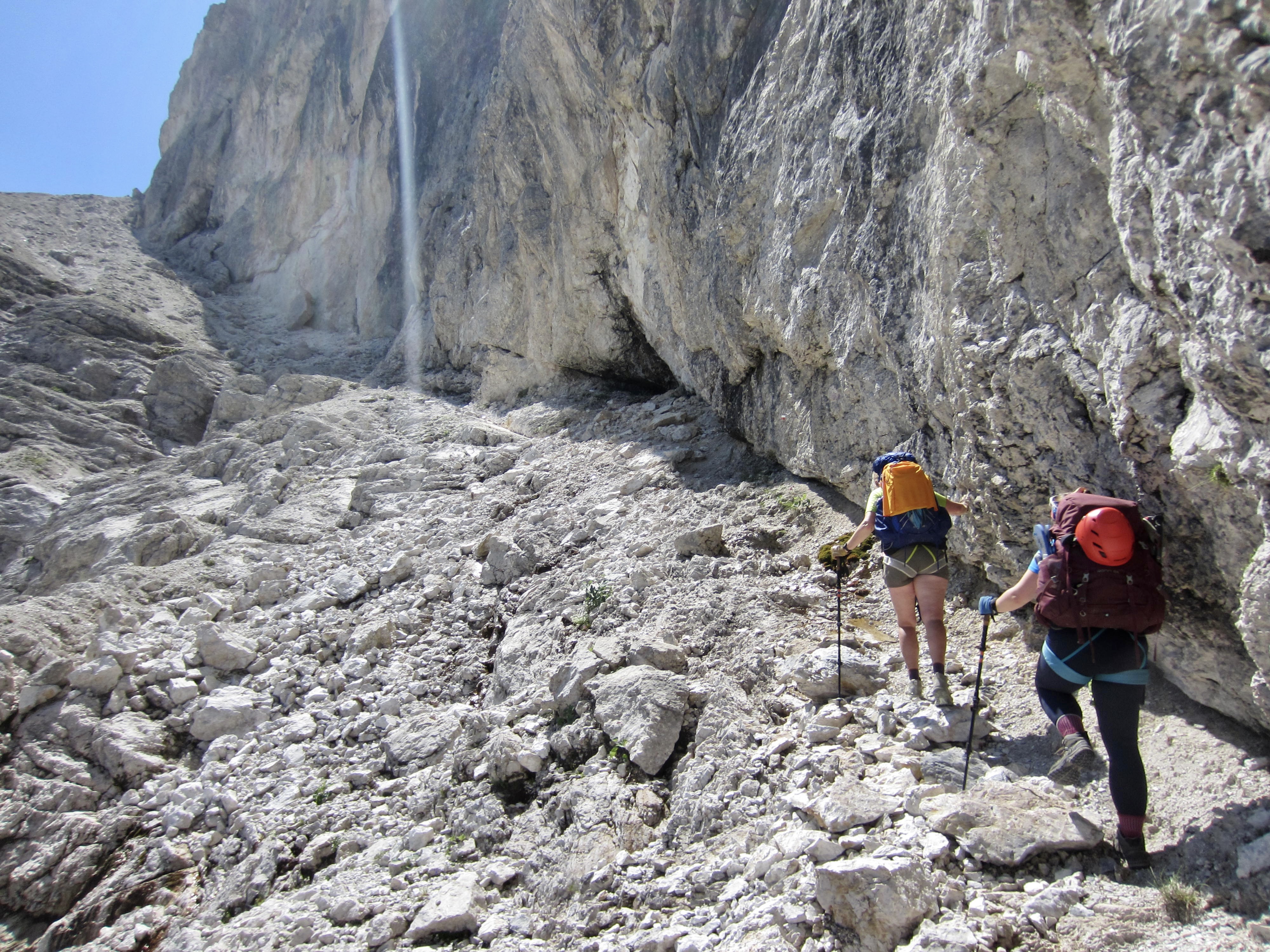
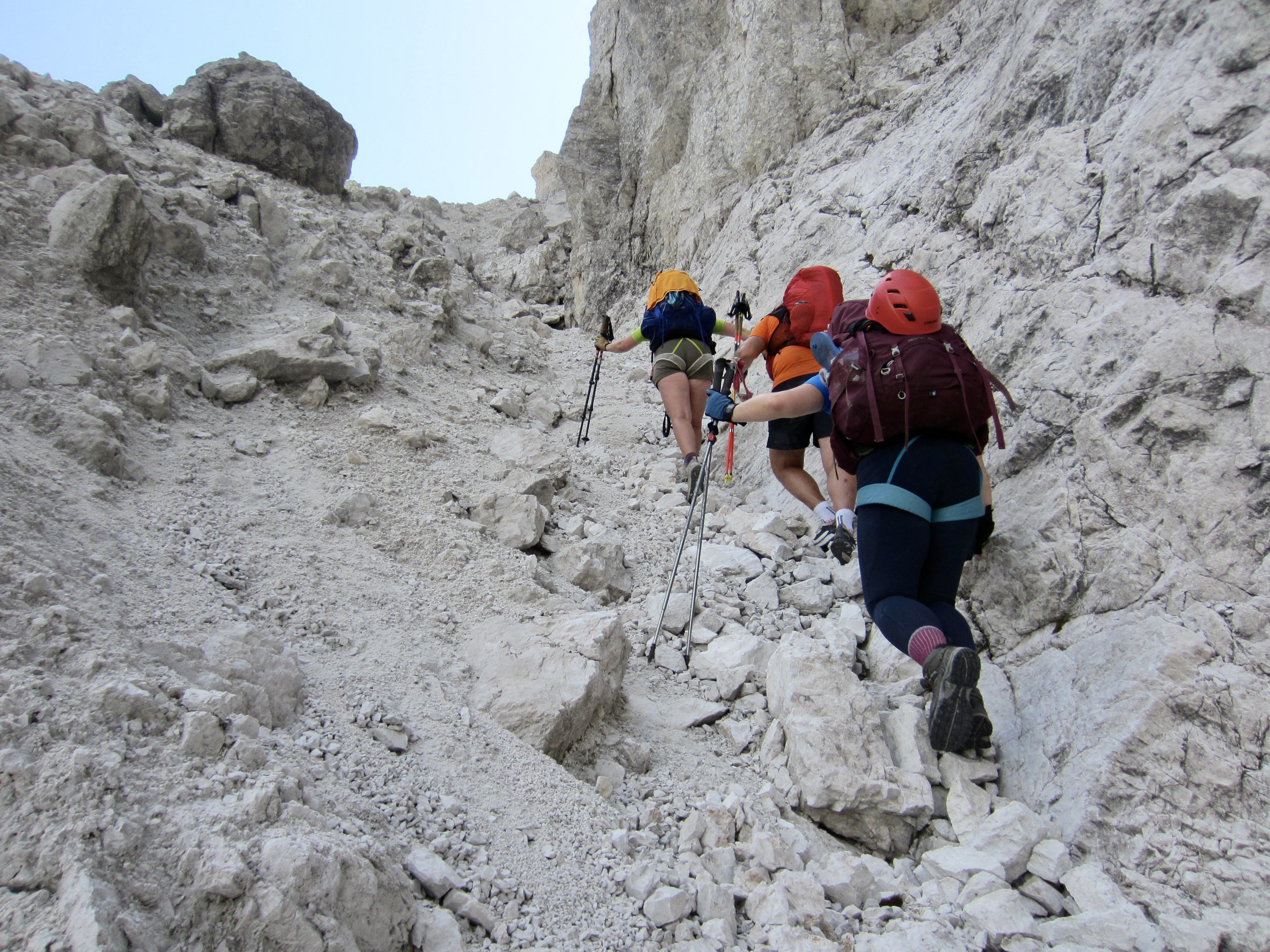
Reluctantly, we shouldered our rucksacks and began our long descent to Canali Creek—a full 4000 feet below. To make things worse, although we were officially on AV2 here, the first 1000 vertical feet was not really on a trail but rather on something more like a rocky climbers path. It was terribly slow and tedious.
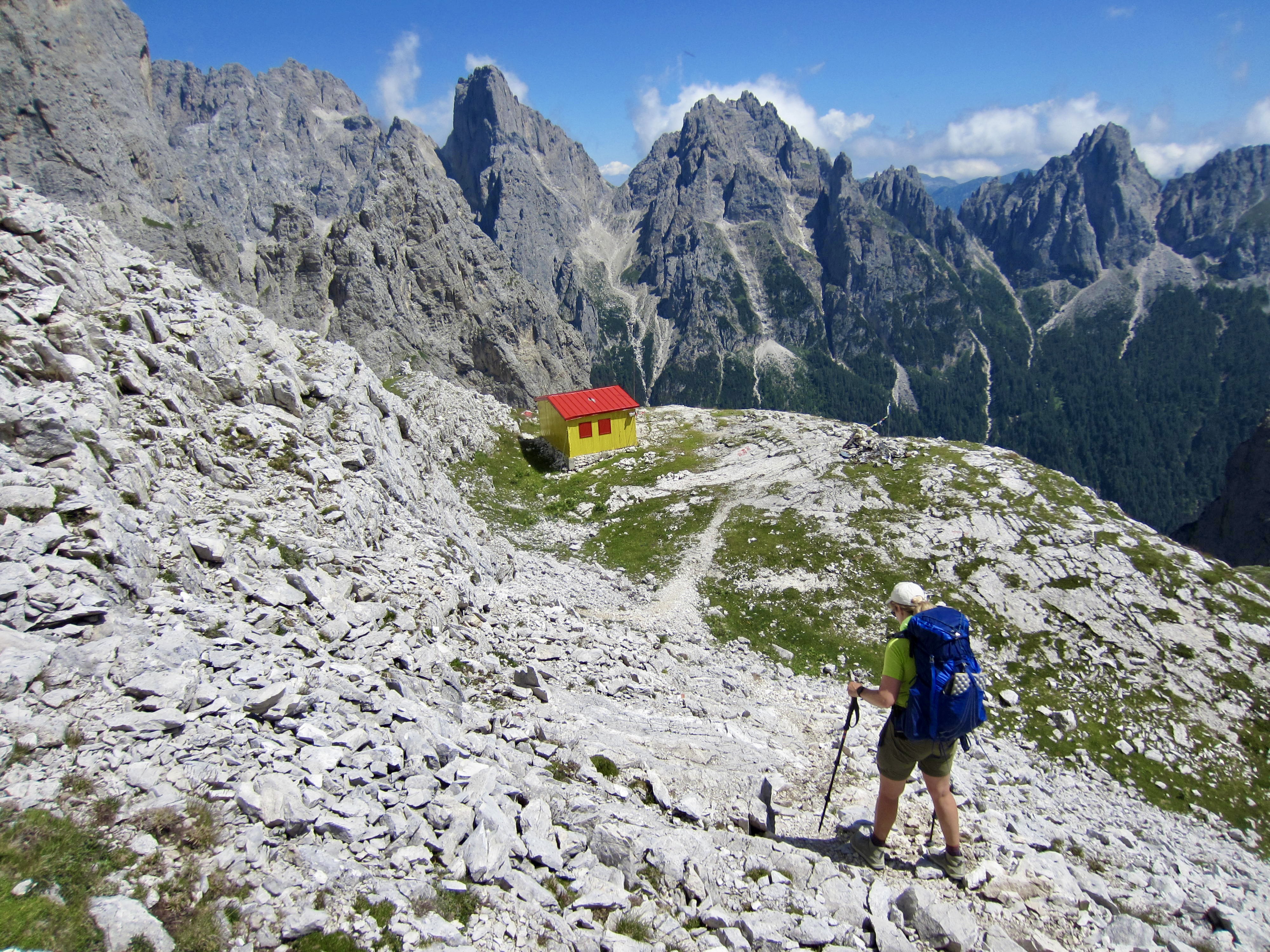
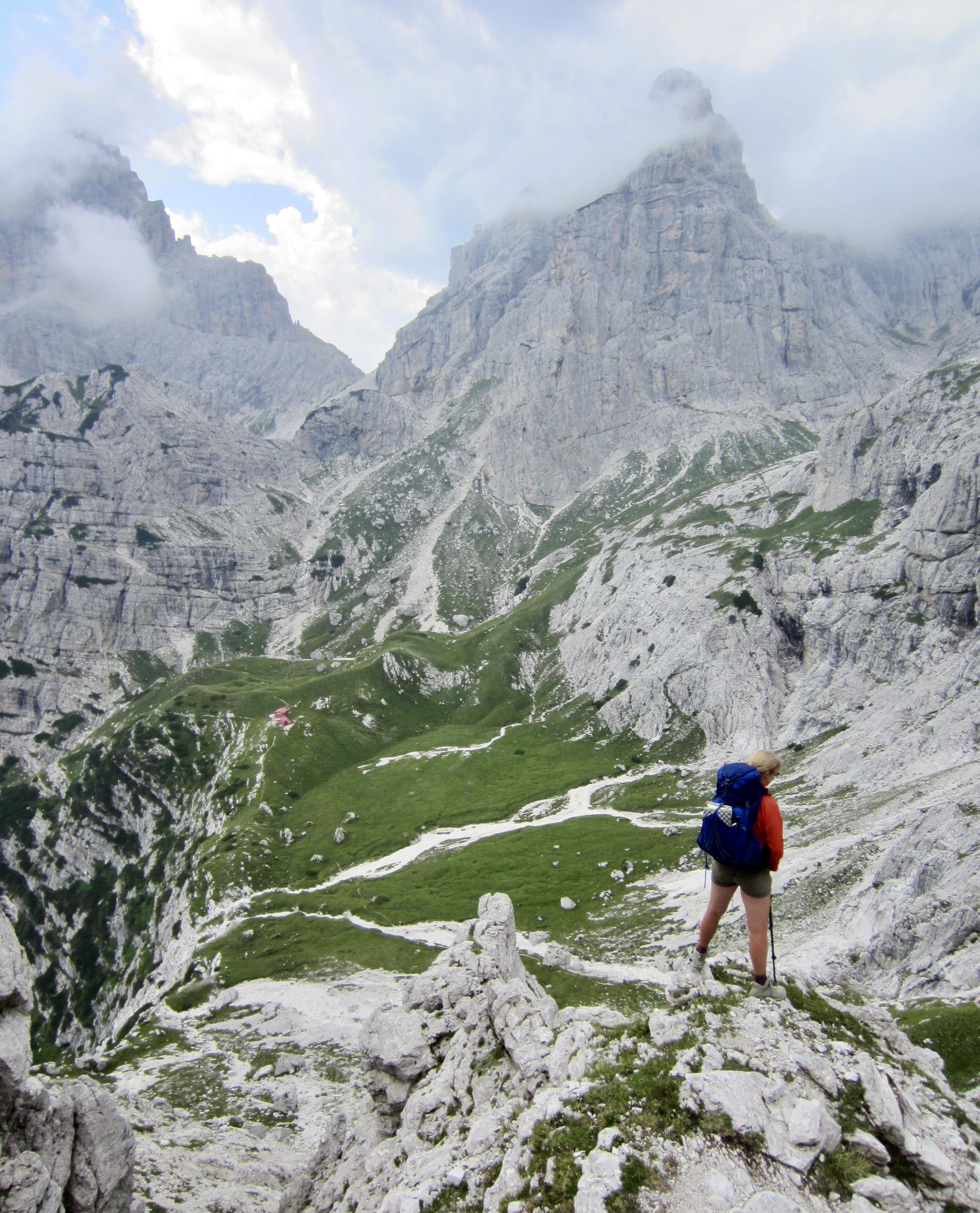
After dropping 1300 feet, we arrived at Minazio Bivouac Hut, a simple yellow shelter sitting on a grassy bench. In contrast to the building’s cheery color, the sight of Canali Creek far below was quite discouraging.

We continued down the trail, which was still steep and rough—and interrupted in places by small cliff bands with no cables. This appears to be a sorely neglected section of AV2. There were several slips and falls along the way. Trail conditions improved greatly below treeline, and it was a relief to finally reach Canali Creek in late afternoon. We stopped to splash off and drink up.
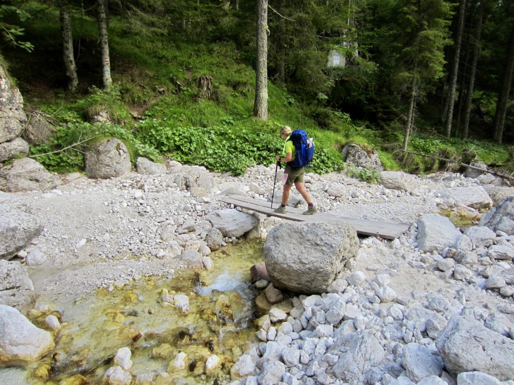
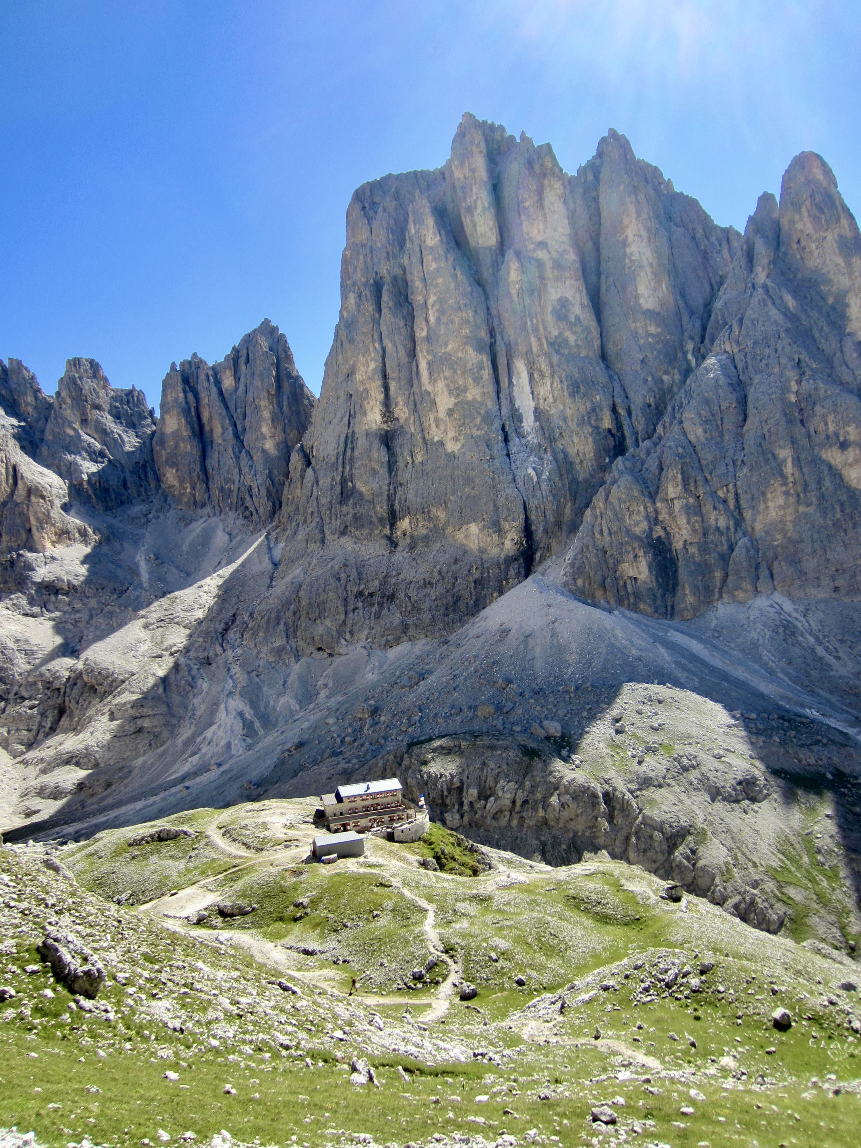
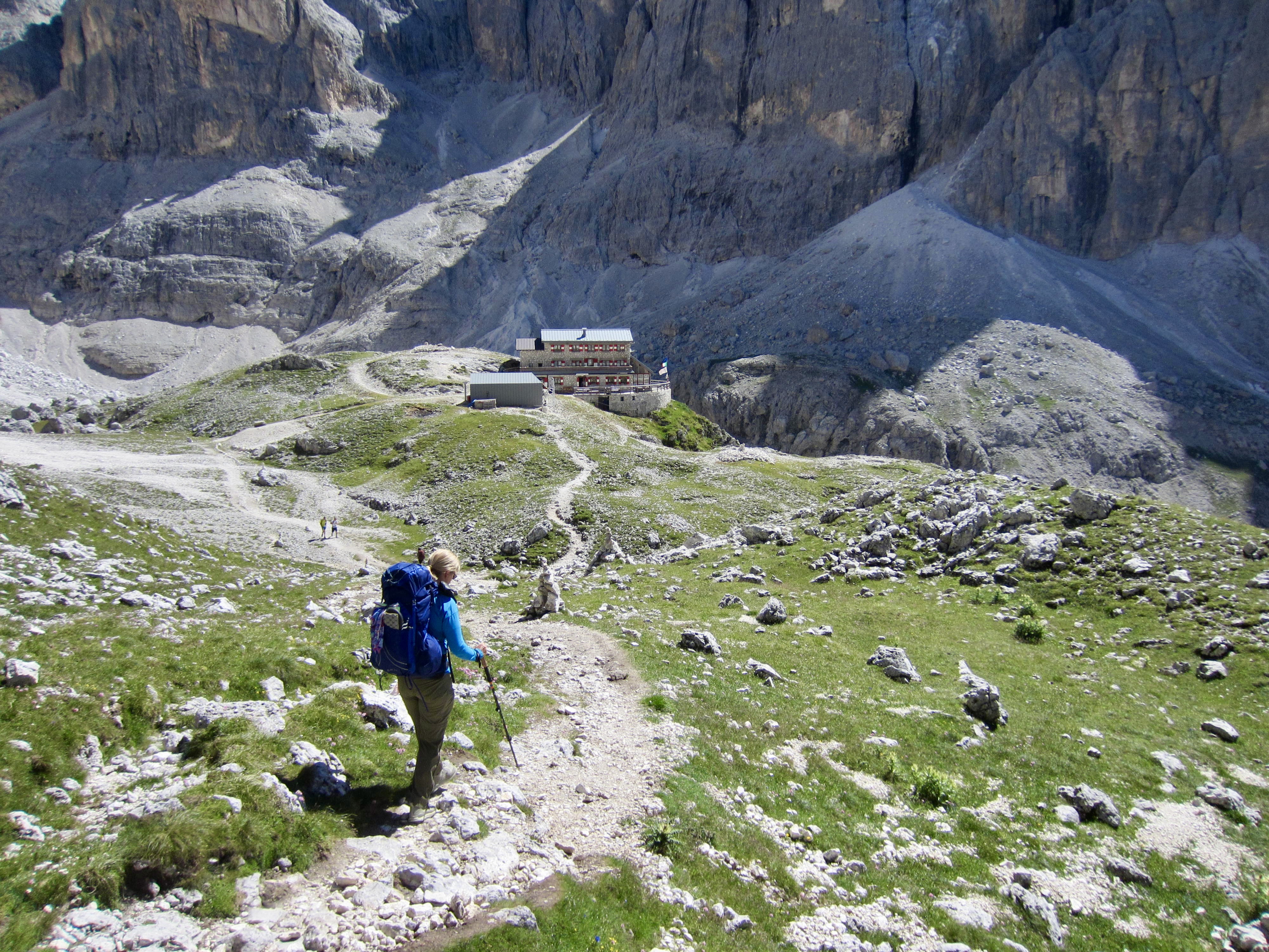
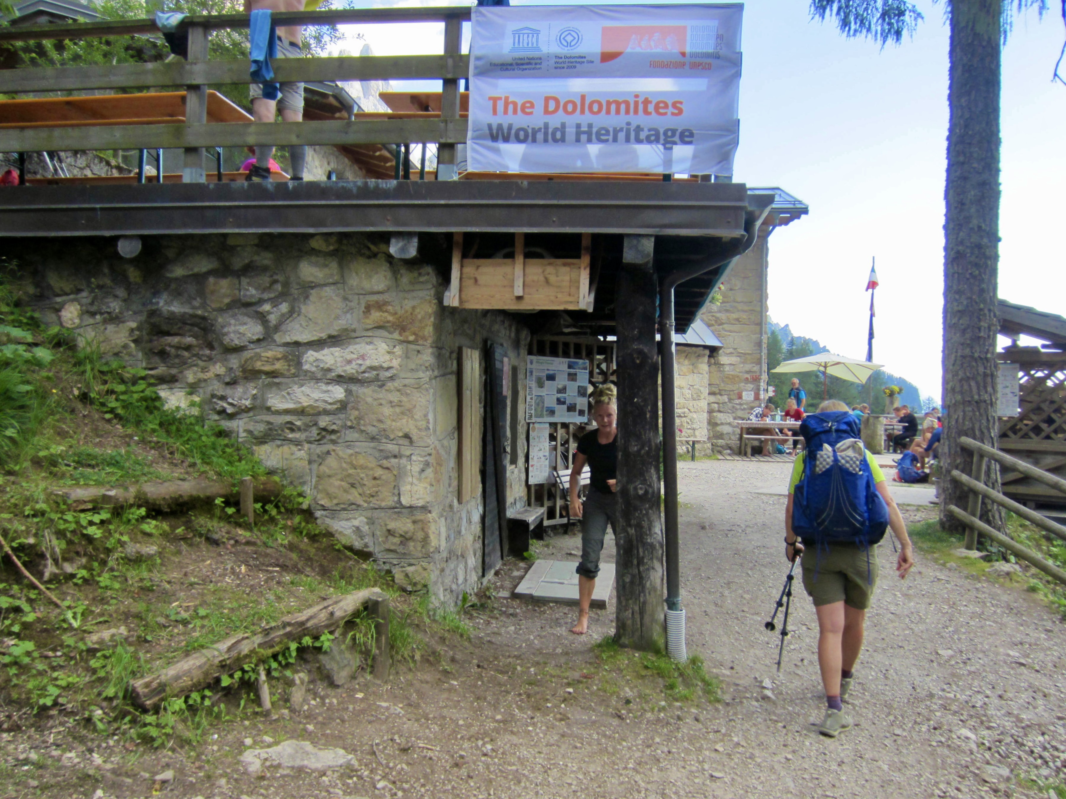
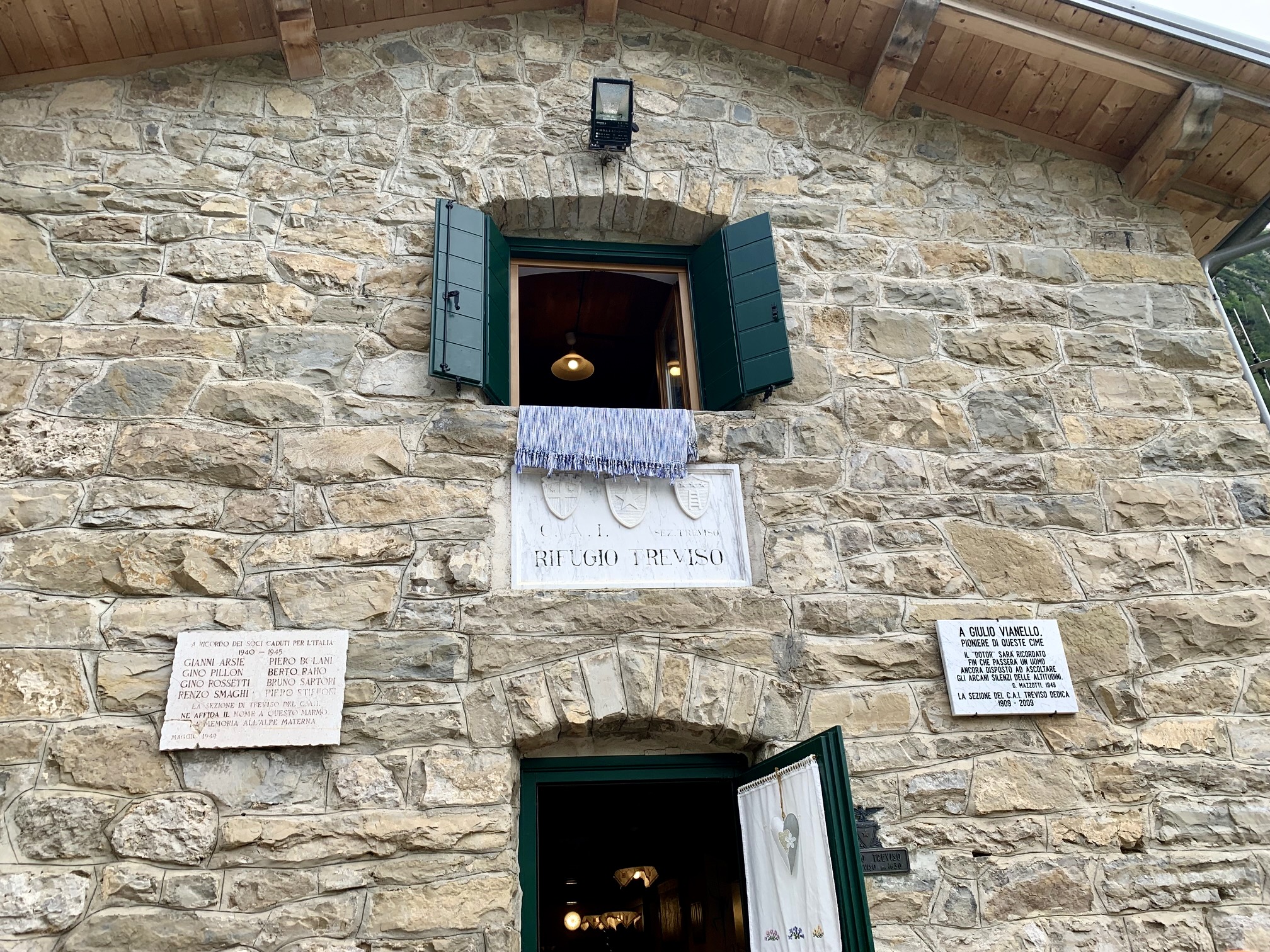
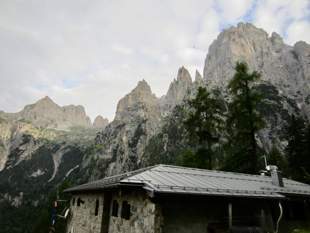
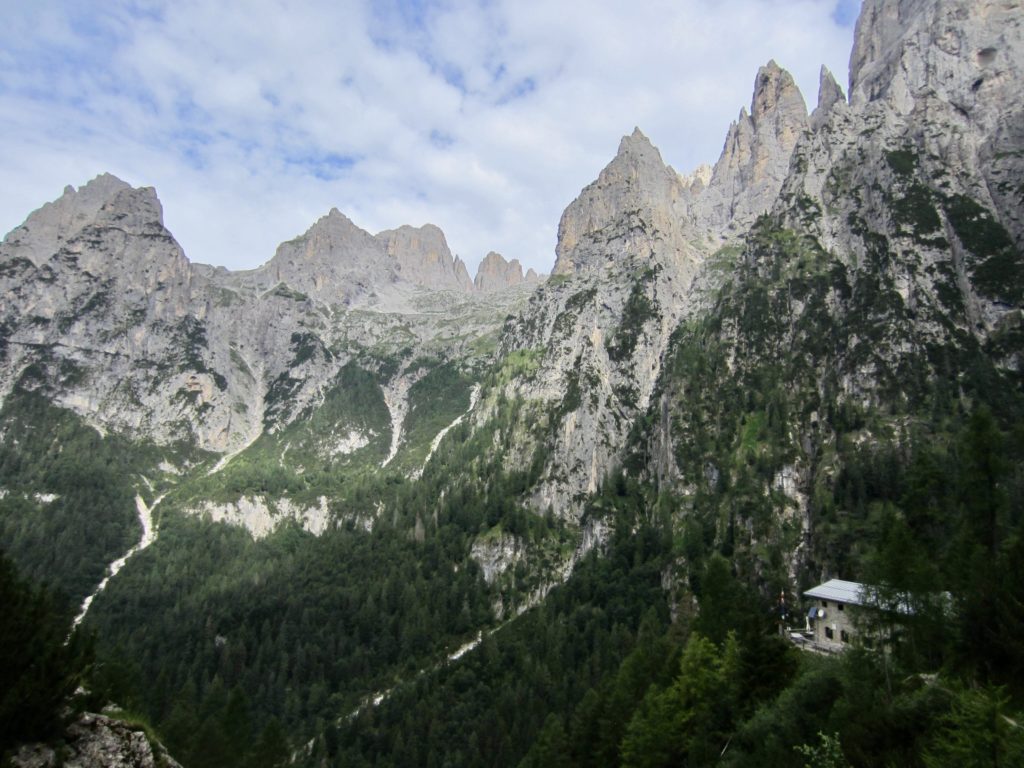
Having bottomed out at the 4850-foot creek bridge, we finished our day with a 500-foot hike up to Treviso Hut. This medieval-looking hut is perched on a steep, forested hillslope, and being only a few miles from a local trailhead, it was bustling with activity.
We had earlier received a text message from Brooke on our InReach satellite messenger, indicating that she and Maeve were about 2 hours behind us. They both arrived at 7:45pm and shared their separate stories about today’s adventures and misadventures. Brooke’s via ferrata enchainment had been much longer and harder than expected, whereas Maeve had inadvertently made a 2-mile detour up the valley below Lede Pass. Both of them disliked the rough descent from Lede Pass as much as Eileen and I did!
Day 4a: Canalone Via Ferrata Climb
As a fun diversion from hiking, we started our day with a climb of Via Ferrata Canalone, which is located on a cliff directly behind Treviso Hut. This short but difficult (Grade 4) via ferrata is very popular due to its easy access. For details regarding our climb, see my separate trip report here:
>>> Canalone Via Ferrata / Klettersteig / Climb
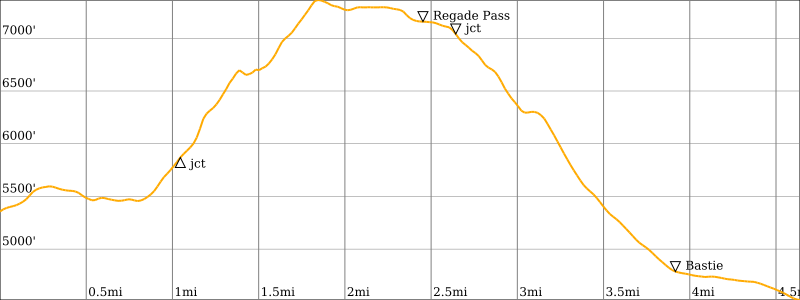
Day 4b: Treviso Hut to Cereda Hut
Approximate Stats (excluding sidetrips): 5.9 hours elapsed; 4.6 miles / 7.4 km traveled; 2350 feet / 715 meters gained; 3200 feet / 975 meters lost.
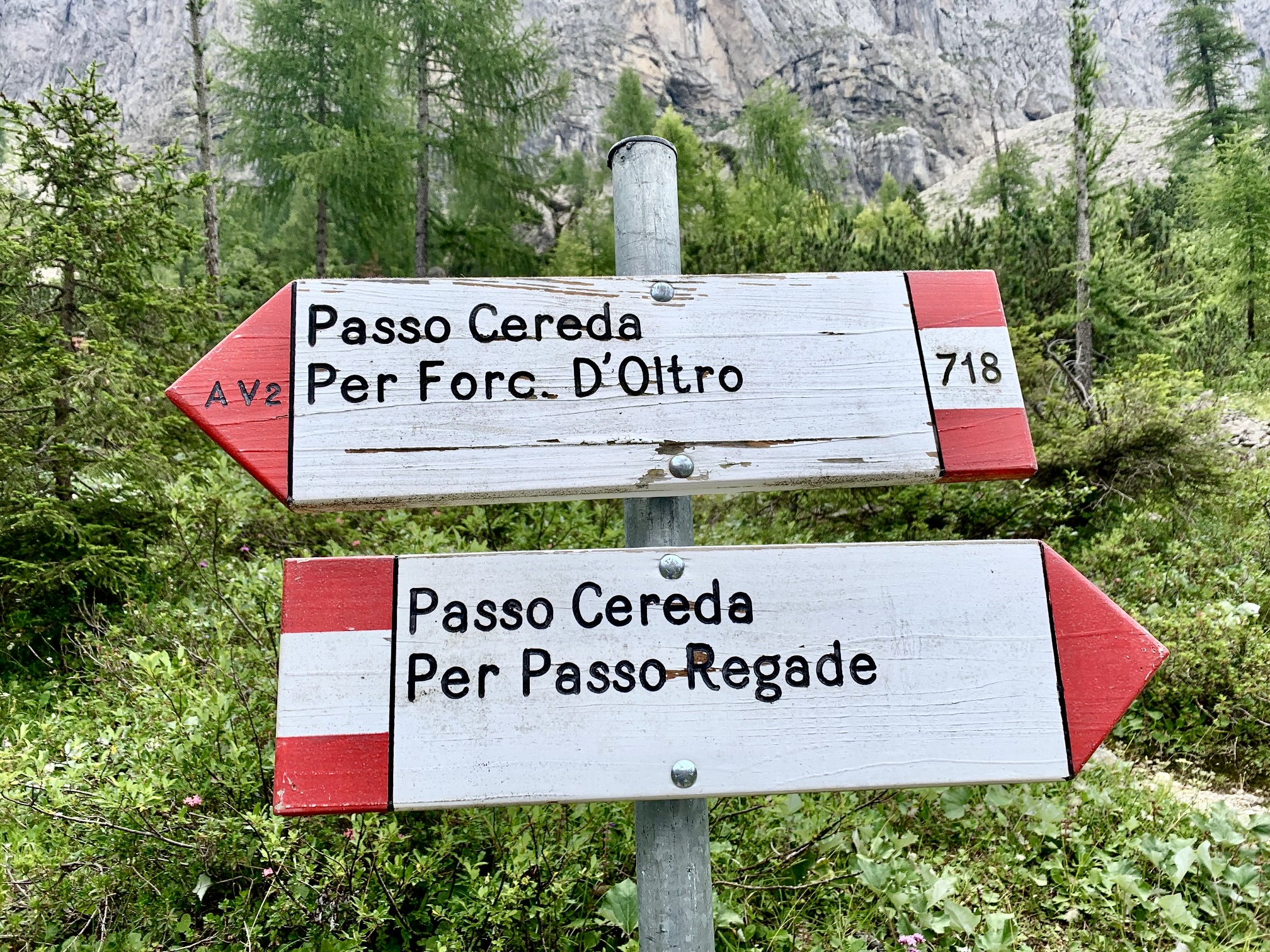
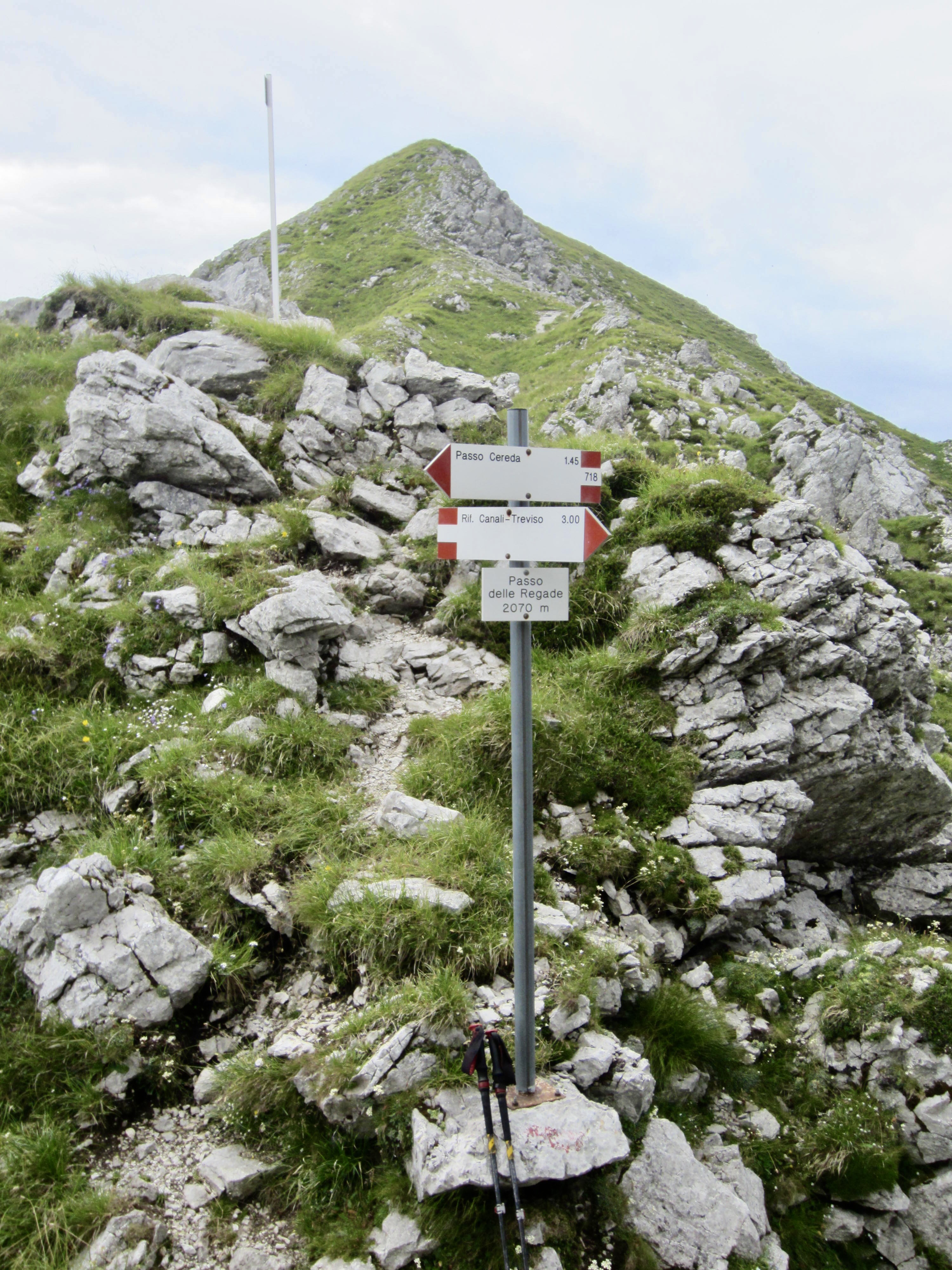
Following our climb, Brooke and Maeve returned to the hut for an early lunch while Eileen and I headed south on AV2 until coming to a junction at 5800 feet. Eileen continued to the left, staying on AV2 as it crossed eastward over Forcella Oltro and then turned back to the south. However, because one of our trek goals was to check out as many variant trails as possible, I went right on a more direct trail that crosses over Regade Pass farther to the south. I should mention that my decision was made against the stern admonitions of an Italian man who happened to be standing at the junction.
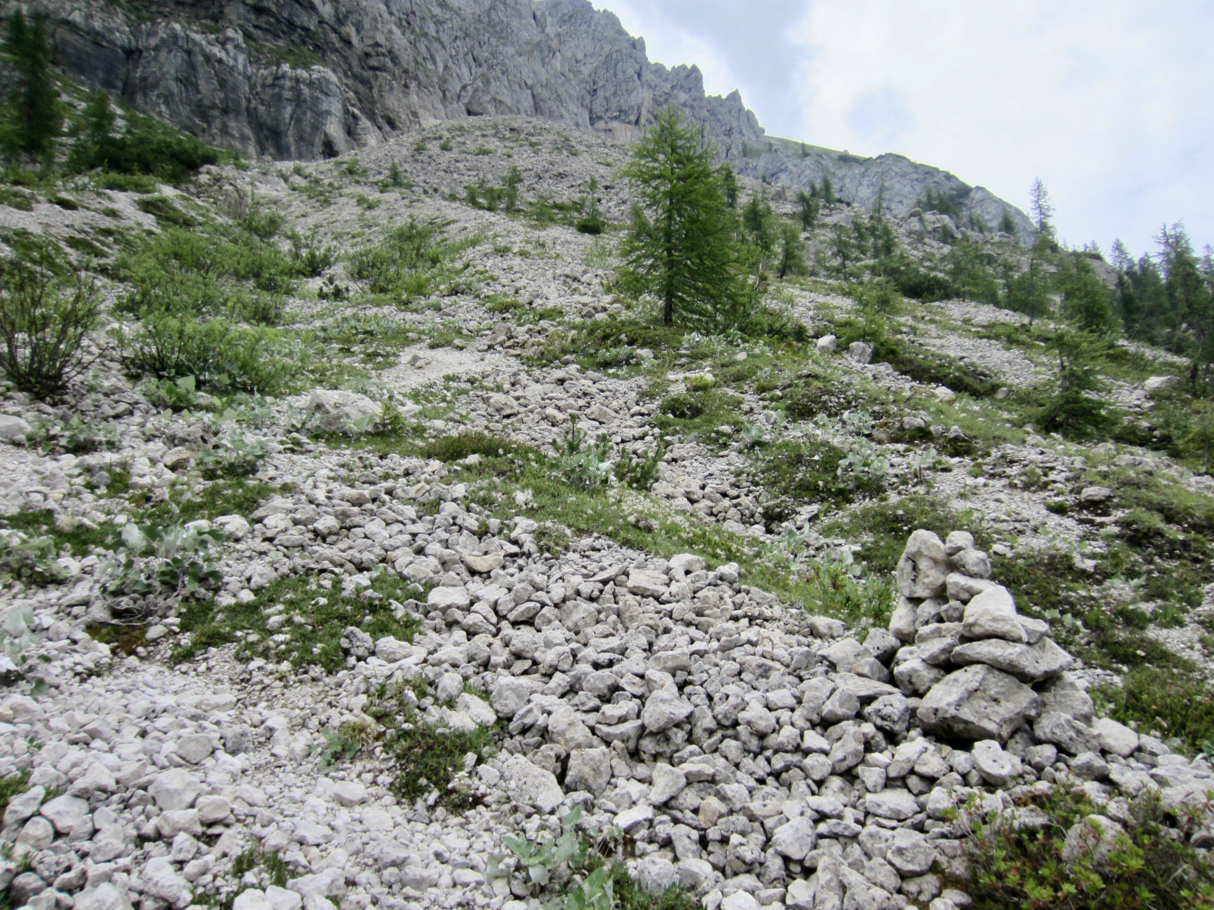
My variant “trail” (more of a vague path, really) proceeded up a series of steep, loose moraines and then underneath a long cliff band. After 1500 feet of rough ascent, I came to a 7300-foot notch in the ridge crest. I realized why the man had advised against this route! From the notch, however, a much better path led me over to Regade Pass and down to a junction with AV2.

Eileen arrived at the junction an hour later after slogging through a mile of incessant ups and downs on AV2. We concluded that the variant path over Regade Pass would be a good option for adventurous trekkers who desire a more direct route and don’t mind rough terrain.
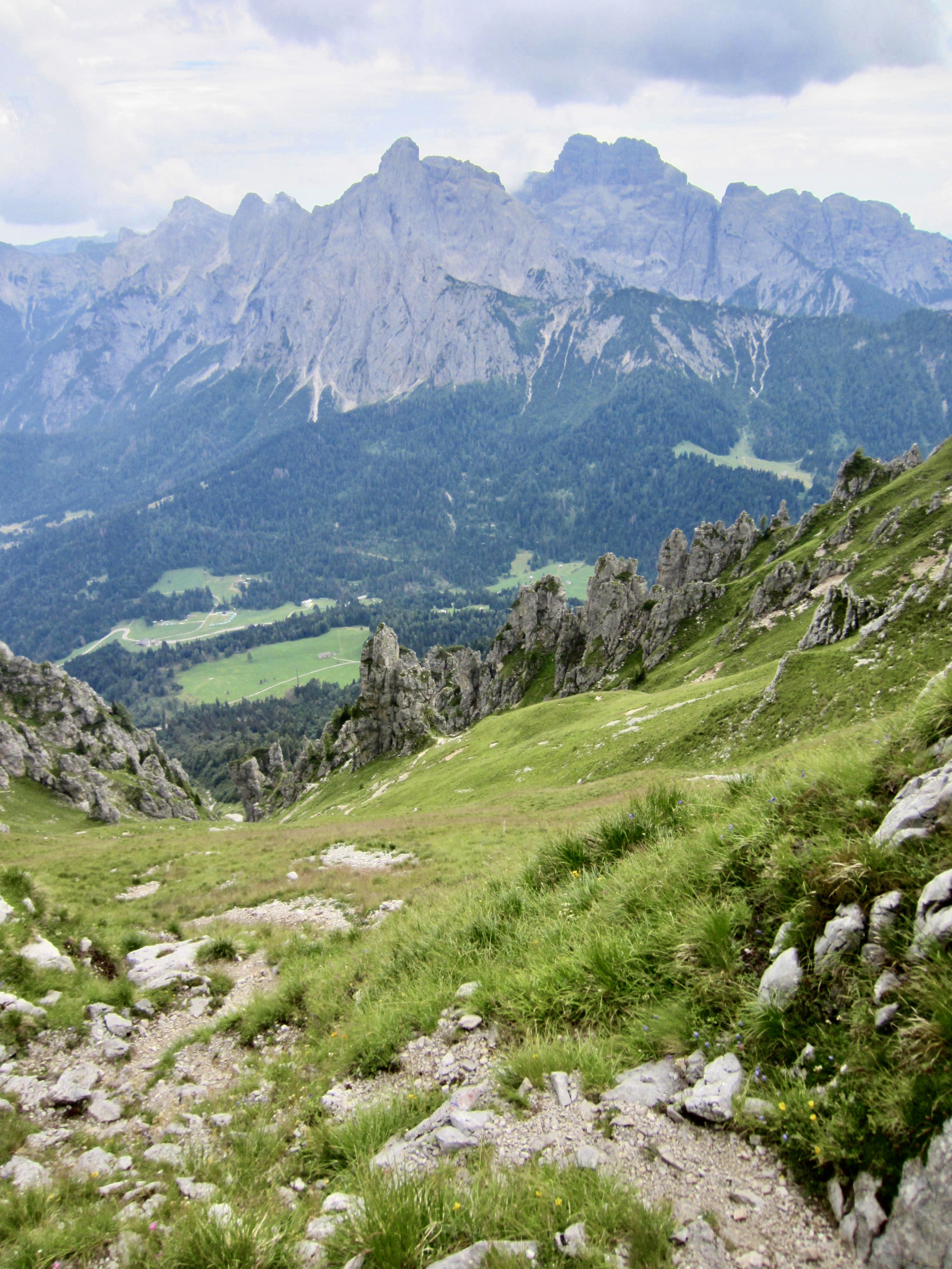
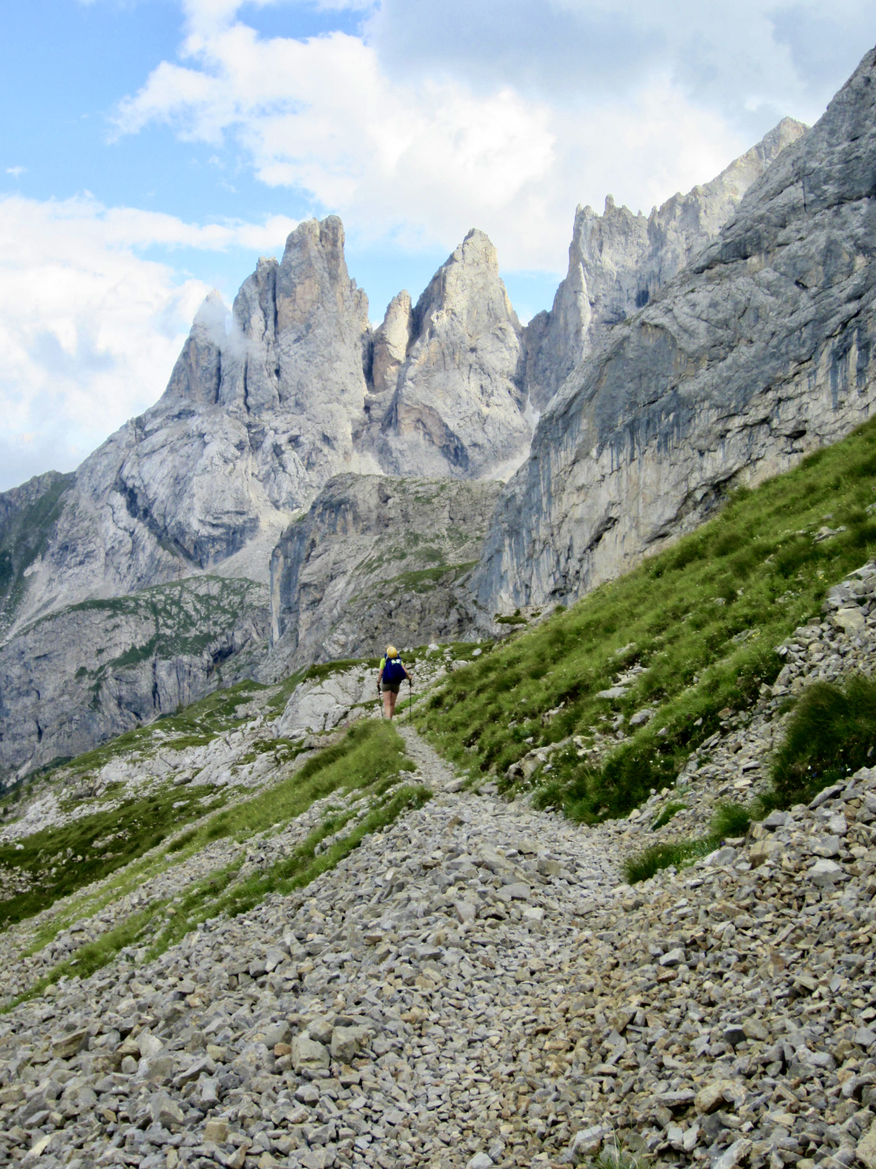
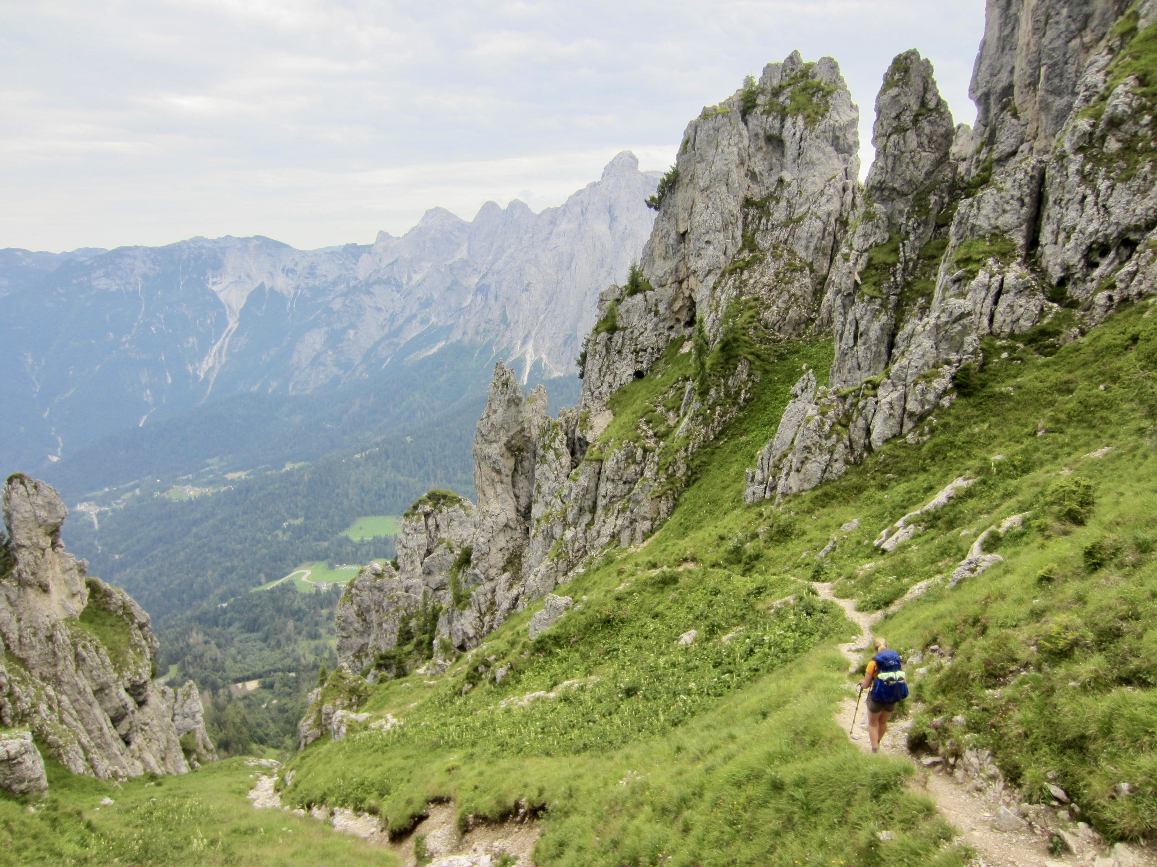
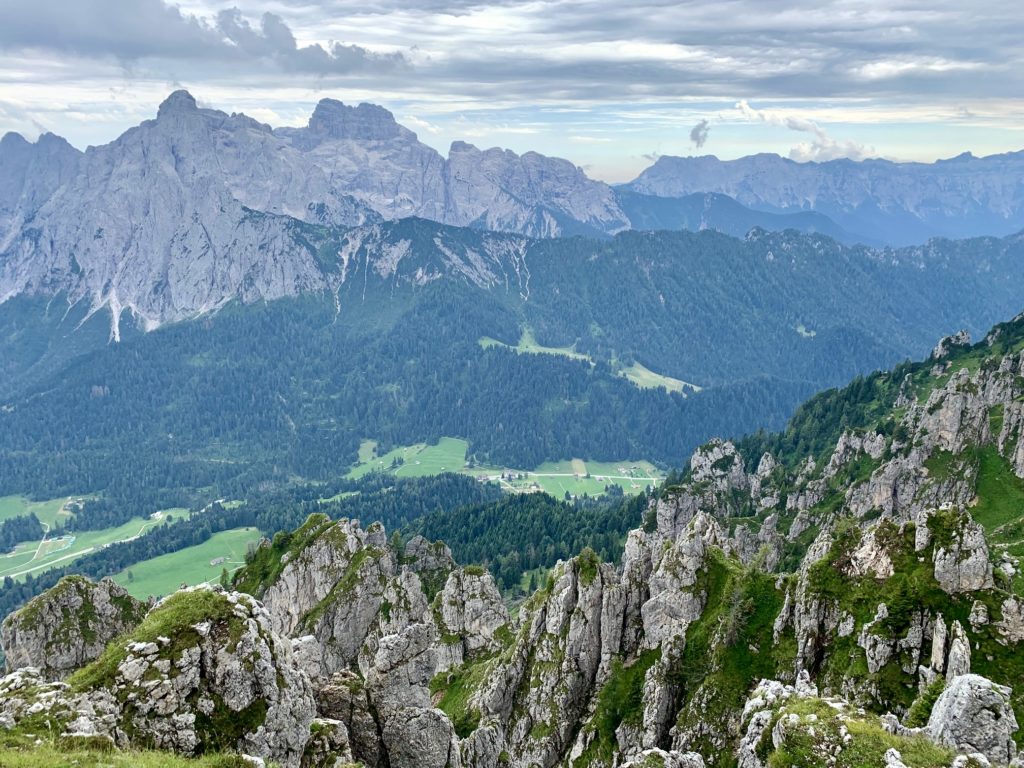
Together, Eileen and I continued hiking along AV2 as it traversed and descended through numerous clusters of dolomitic ribs and pinnacles having the appearance of tilted hoodoos.

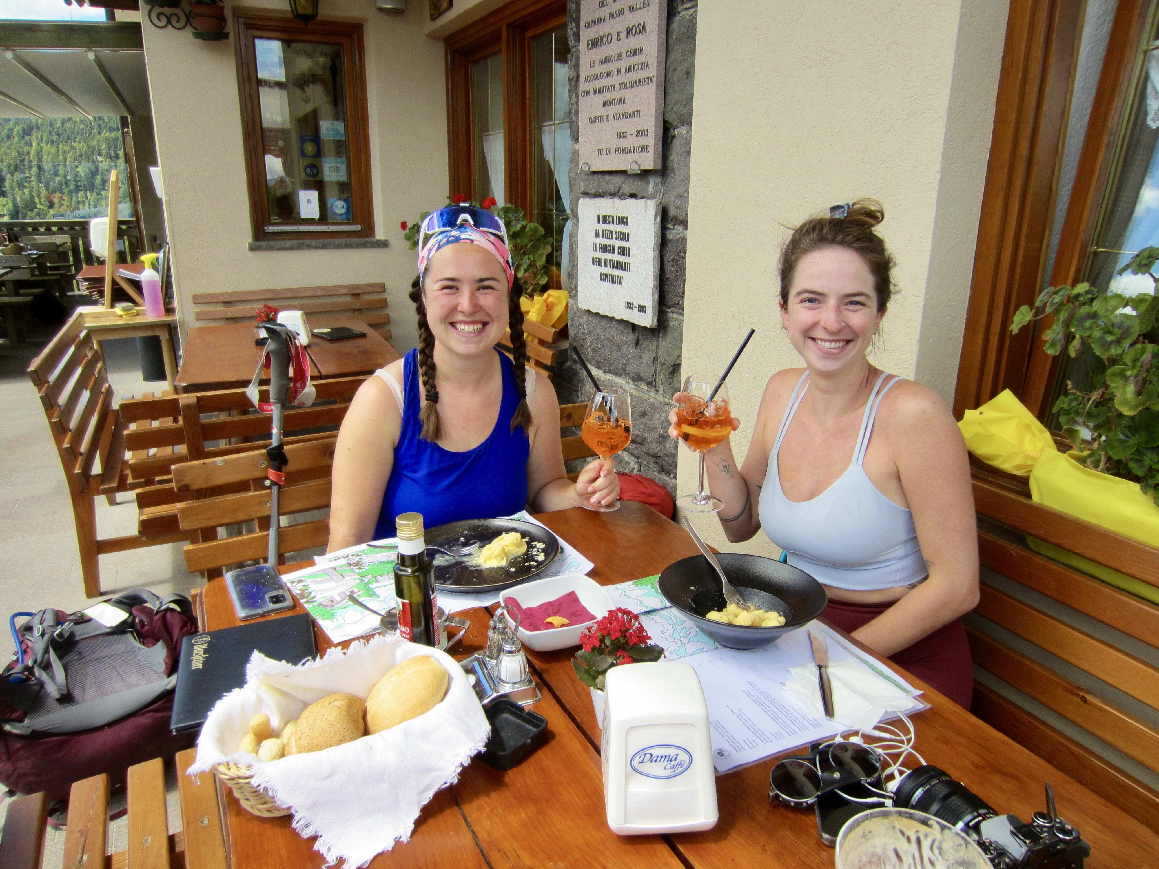
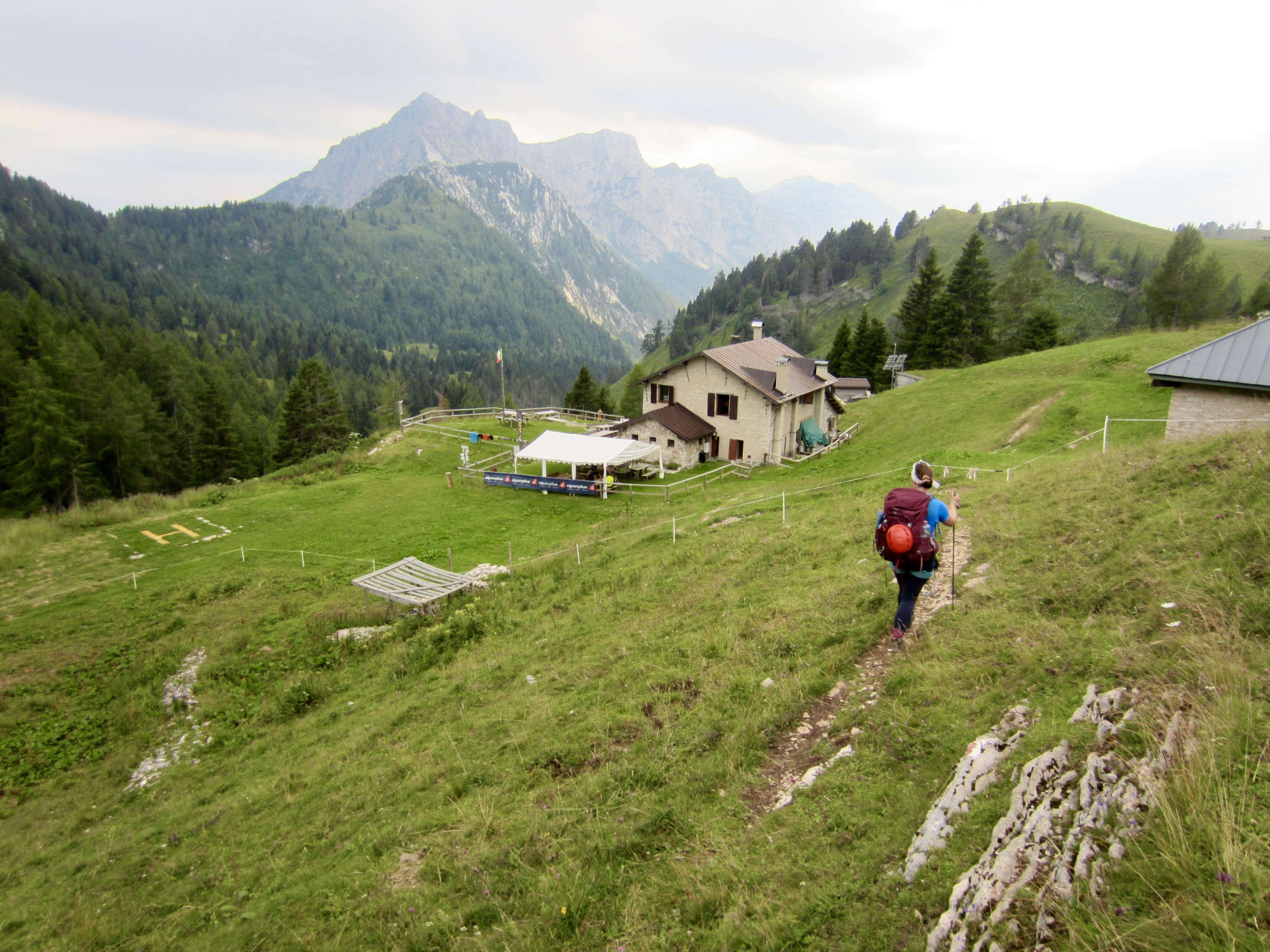
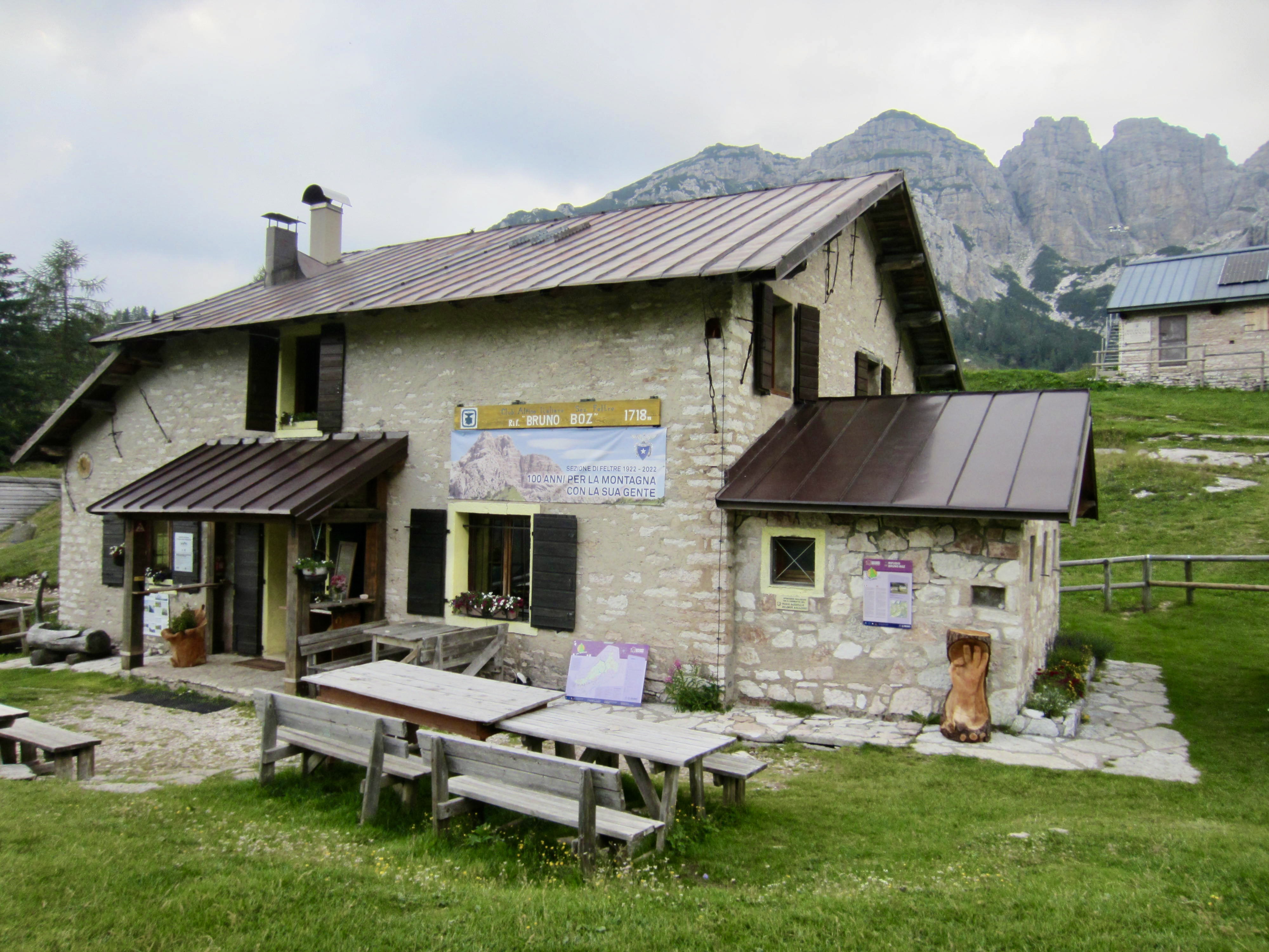
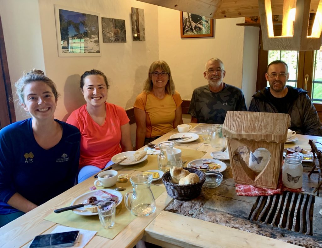
A 1400-foot plunge through sparse forest ended at the verdant pastures of Bastie, where a paved road led us down to Cereda Pass and the nearby Cereda Hut in late afternoon. Brooke and Maeve arrived an hour later, and we enjoyed cold spritzers on the patio before dinner.
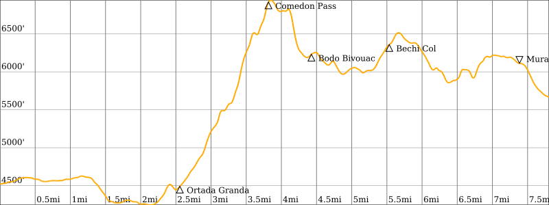
Day 5: Cereda Hut to Boz Hut
Approximate Stats (excluding sidetrips): 9.5 hours elapsed; 7.8 miles / 12.6 km traveled; 3850 feet / 1175 meters gained; 2700 feet / 825 meters lost.
Knowing that our day would start with a hot climb to Comedon Pass, Eileen and Maeve headed out early. I left an hour later, and Brooke left more than an hour after me. I soon met a Frenchman named Francois and struck up a conversation while hiking. He was traveling very light (his pack weighed only about 12 pounds, compared to my 35-pound pack!) and set a brisk pace as we climbed out of Cereda Pass.
Francois and I eventually caught up with Eileen and Maeve at a point where AV2 begins skirting the base of a long, tall cliff. The four of us hiked together, following the rocky trail as it hugged the cliff. Unfortunately, we missed a key turn and found ourselves trapped in a steep, loose gully.
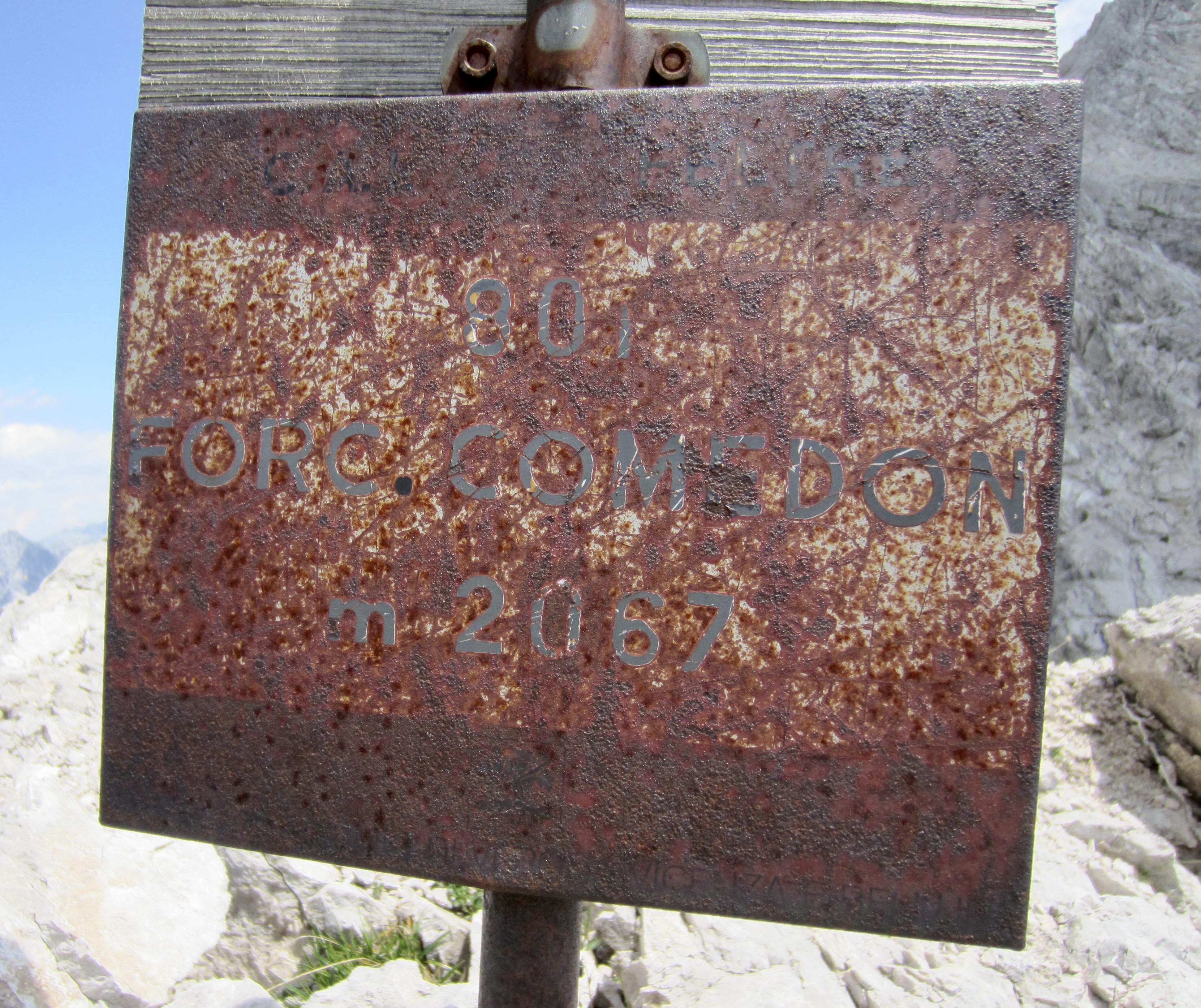
After an hour of scratching and clawing up dirt and rock, we gained Comedon Pass in a frazzled state. Brooke arrived minutes later in a calm state, having managed to stay on the formal trail. Sometimes it’s an advantage to travel alone because you don’t fall into a “follow-the-leader” trap.
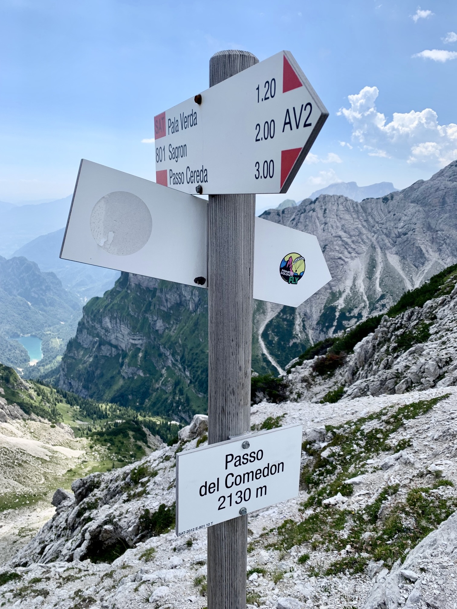
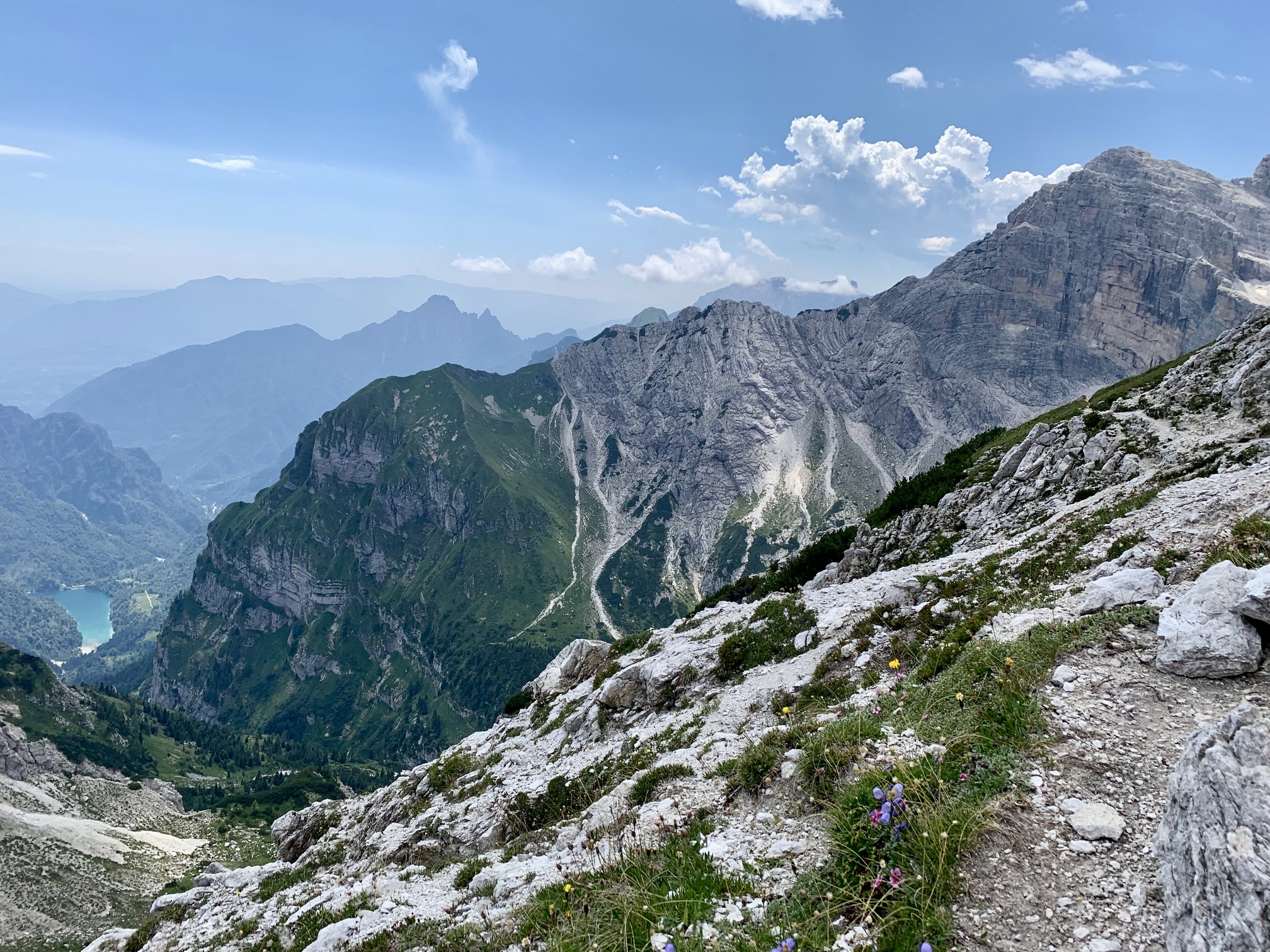
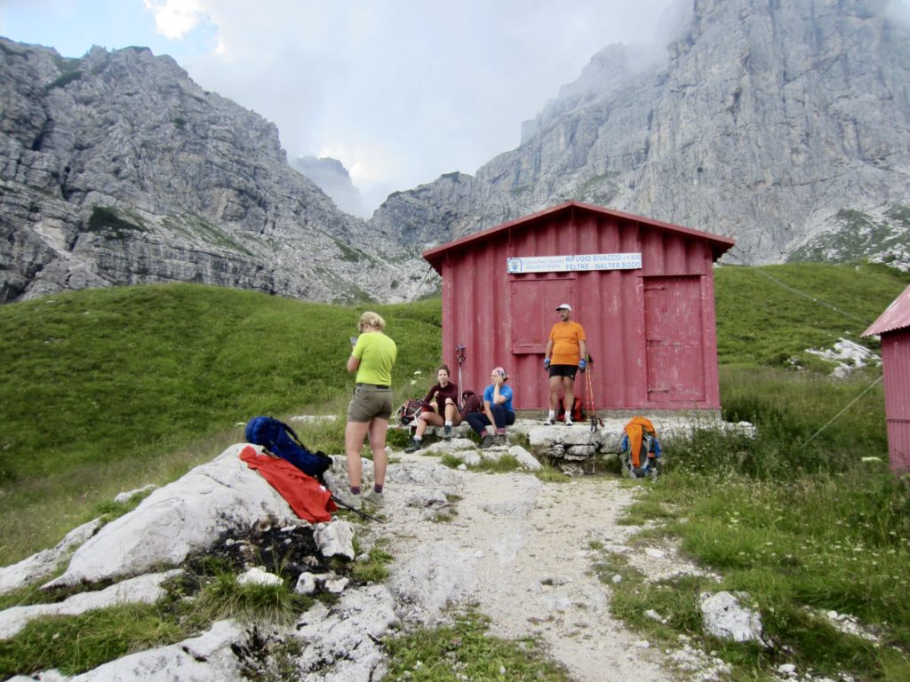
From the 6800-foot pass—the high point of our day—we descended rough trail to Bodo Bivouac Hut, which sits in a large, meadowy basin. It had been a hot, thirsty morning, and we hoped to find water here, but the basin was bone dry. Fortunately, though, there were several small streams located a short distance farther down the trail.

After filling up water bottles, we contoured around a cliff and then hiked up a grassy bowl to Bechi Col—a marvelous viewpoint. More traversing took us across emerald green hillsides and a few vertical cliffs (with cables) to Mura Pass.
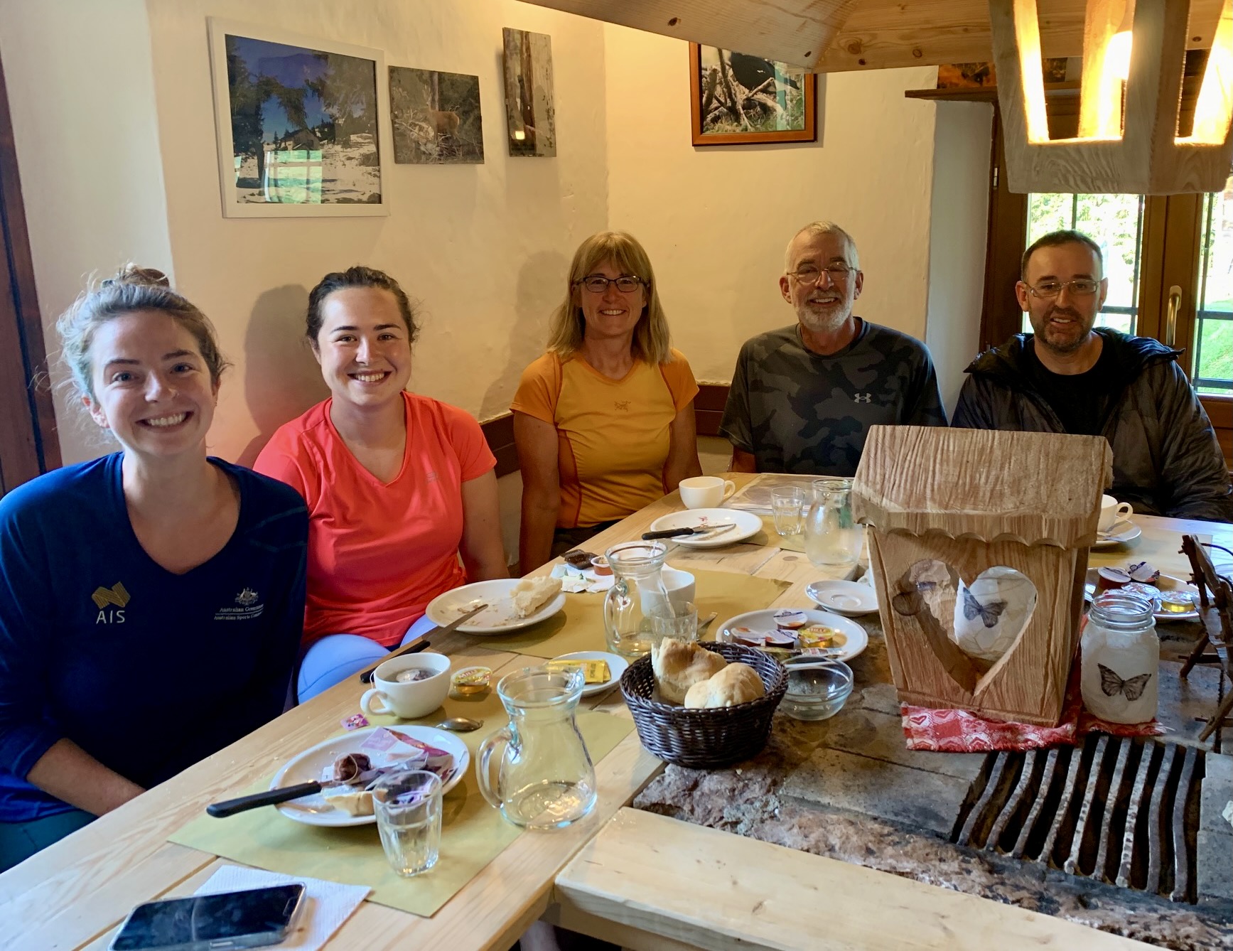
A short descent from Mura Pass ended at Boz Hut, a farmhouse-style building surrounded by rolling pastureland. Being a lower-elevation mountain hut, they had an ample supply of potable water here. Francois, graciously paid for our whole group to have hot showers. Dinner involved a rousing conversation with the the only other three guests staying at this hut.


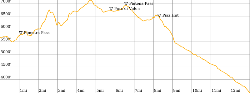
Day 6: Boz Hut to Croce d’Aune
Approximate Stats (excluding sidetrips): 10.8 hours elapsed; 13.0 miles / 20.9 km traveled; 3000 feet / 915 meters gained; 5200 feet / 1585 meters lost.
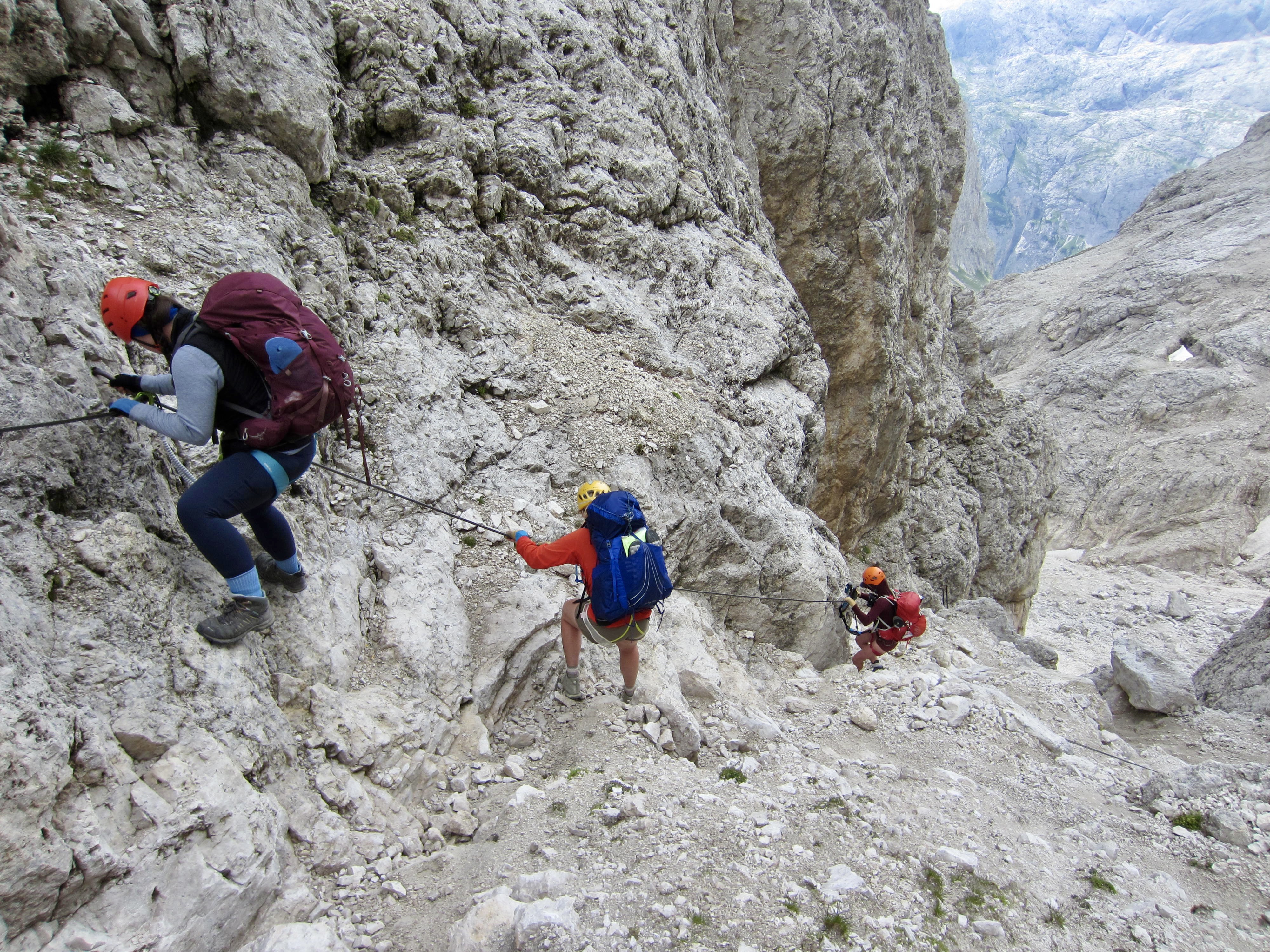
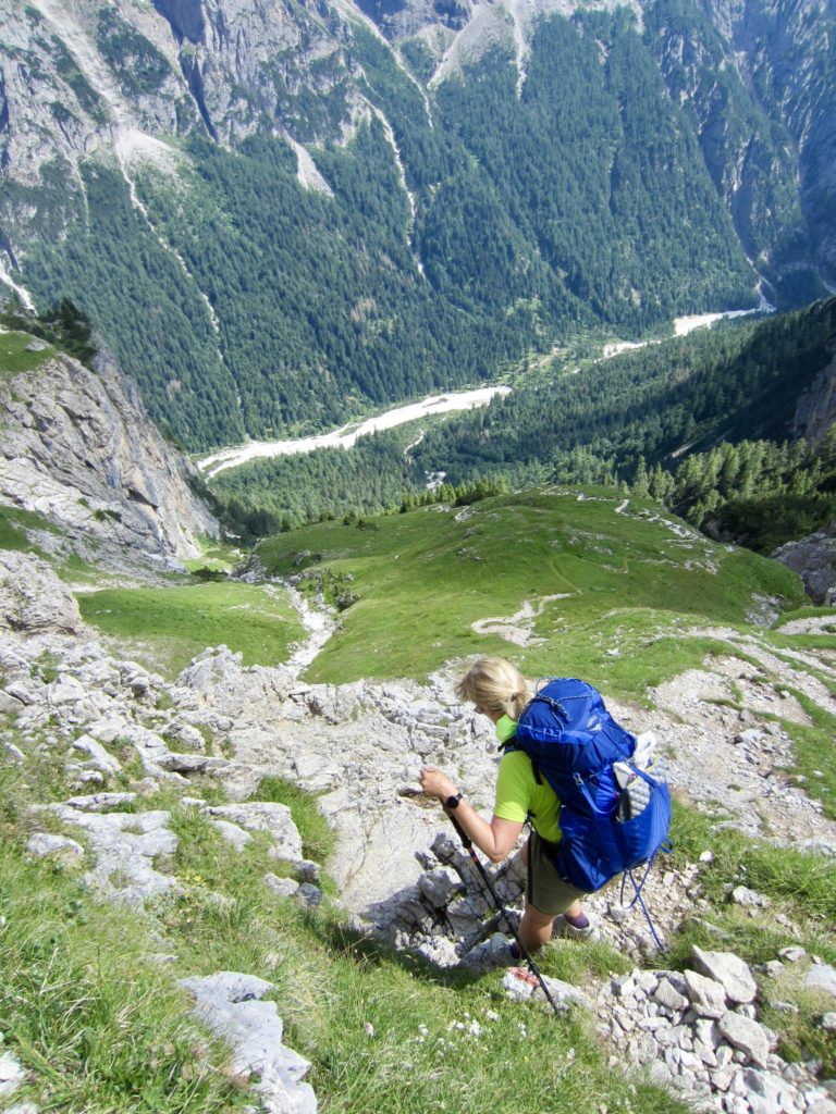
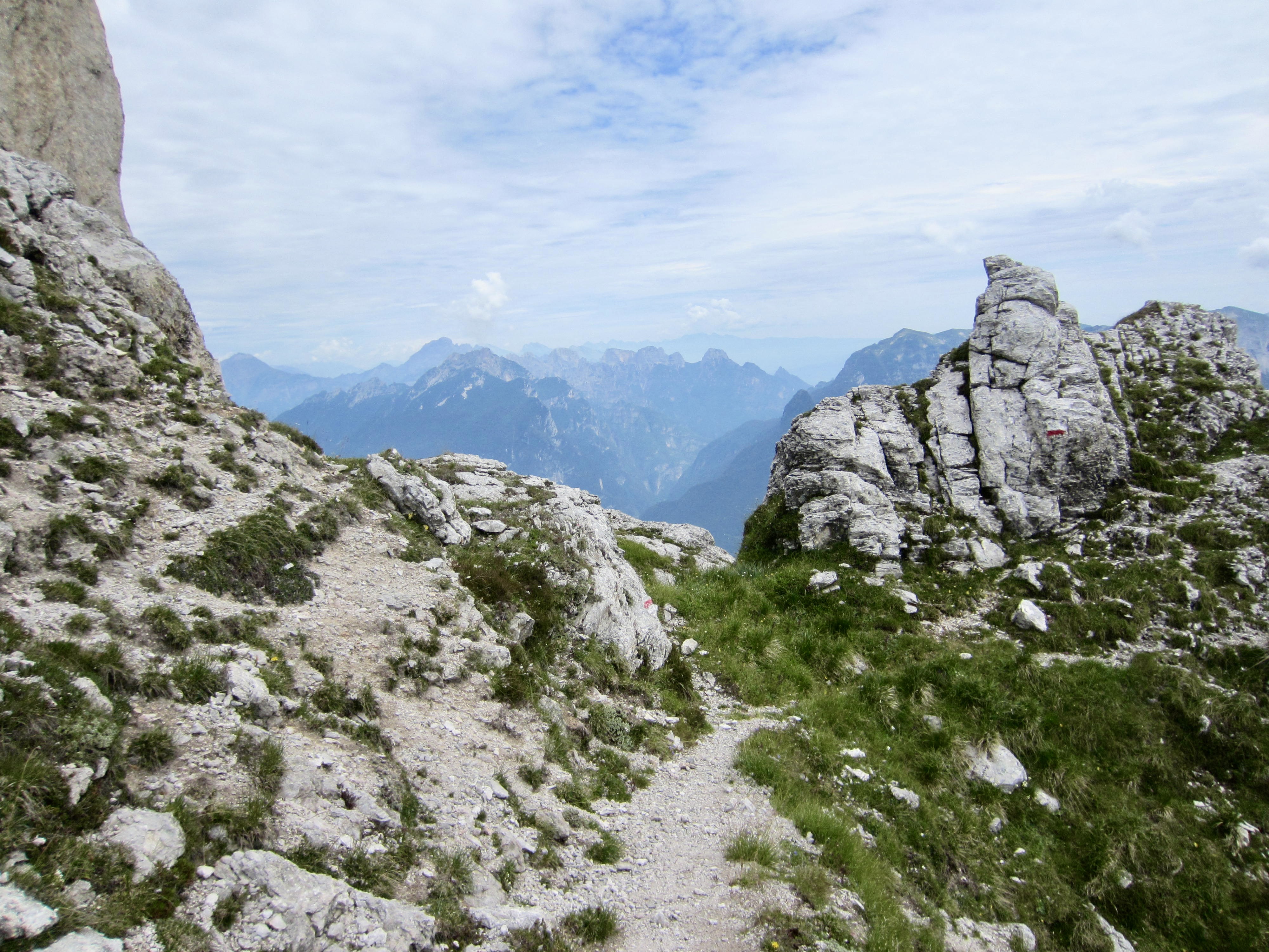
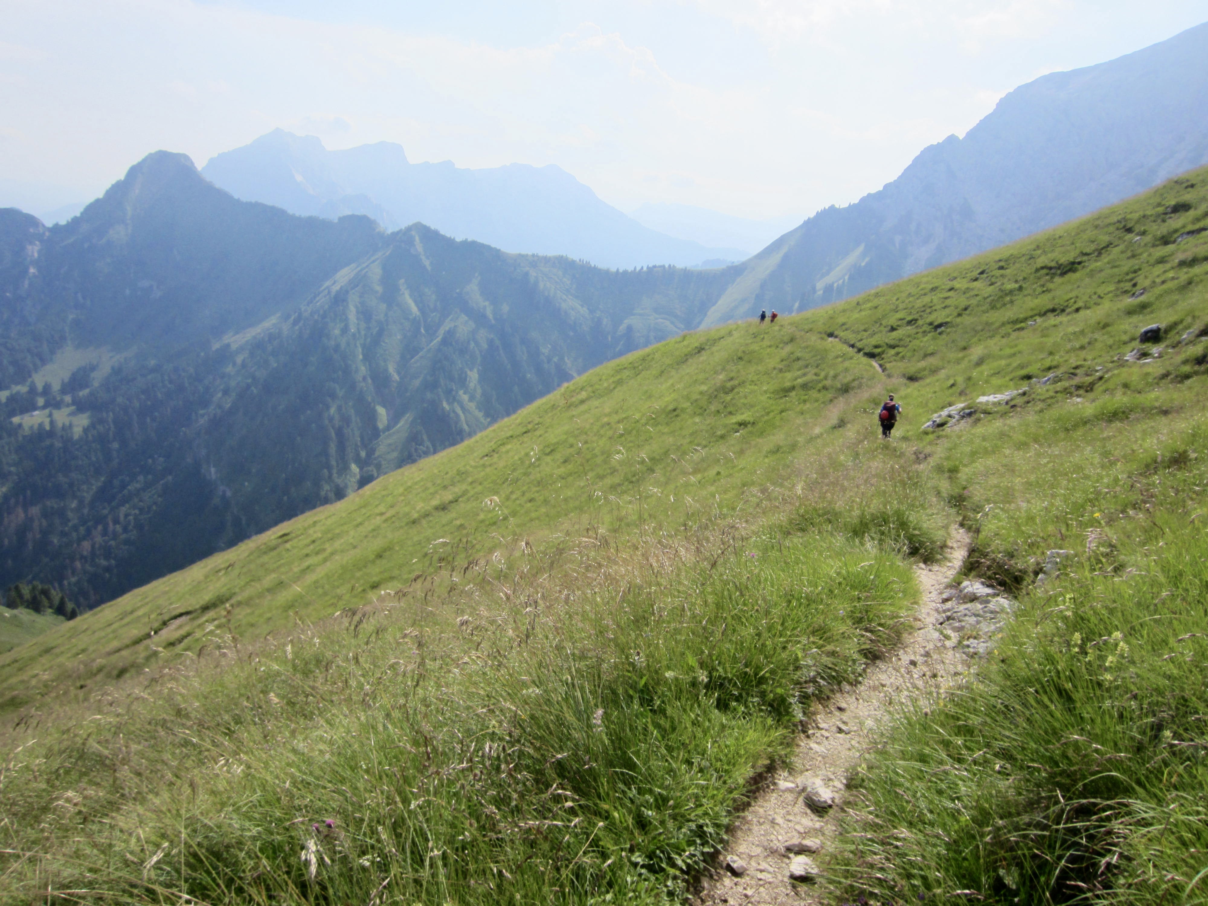
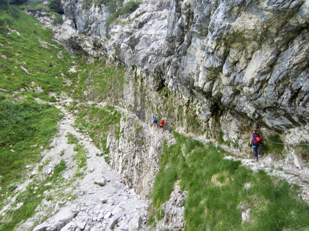
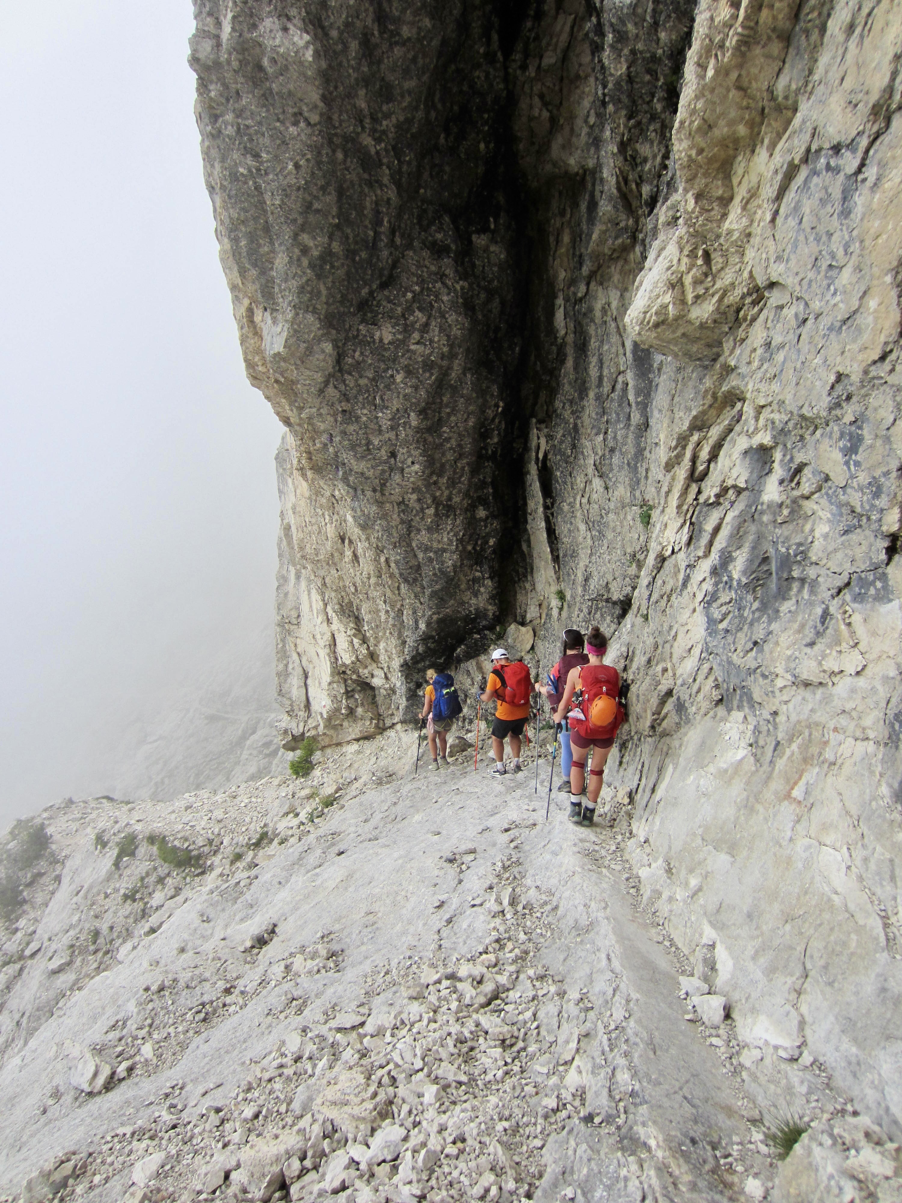
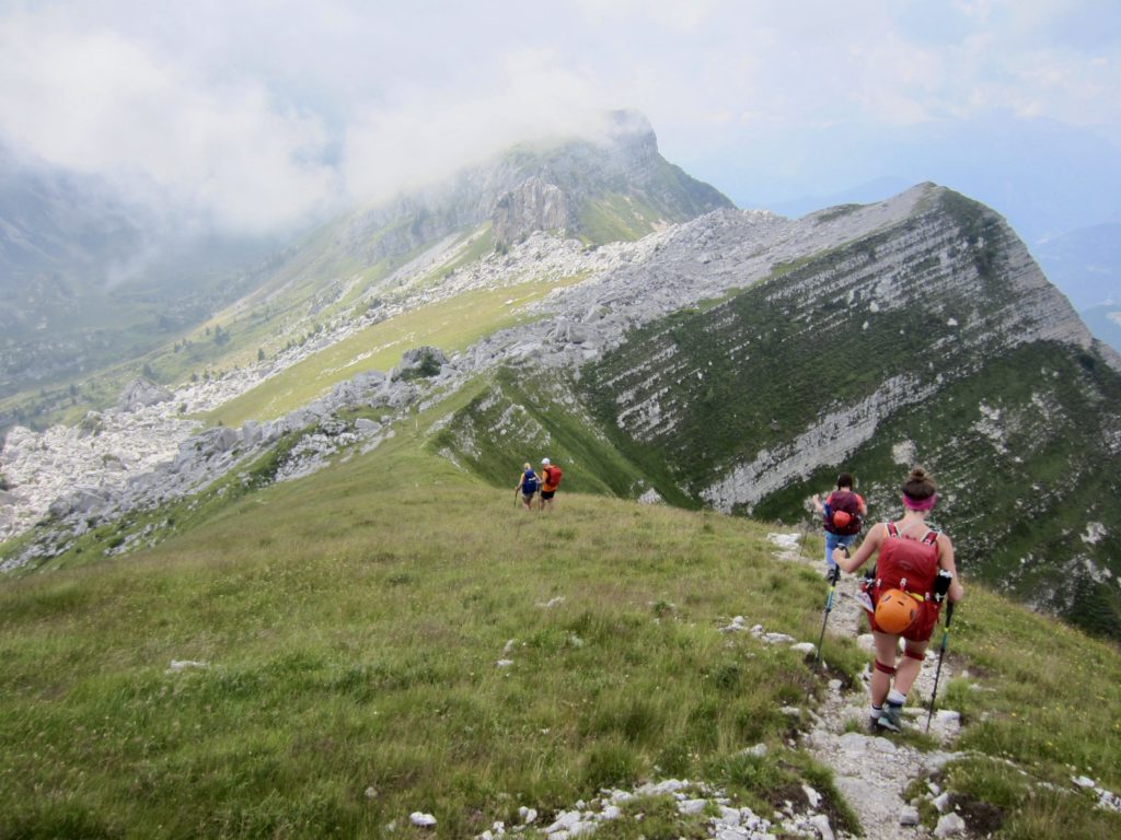
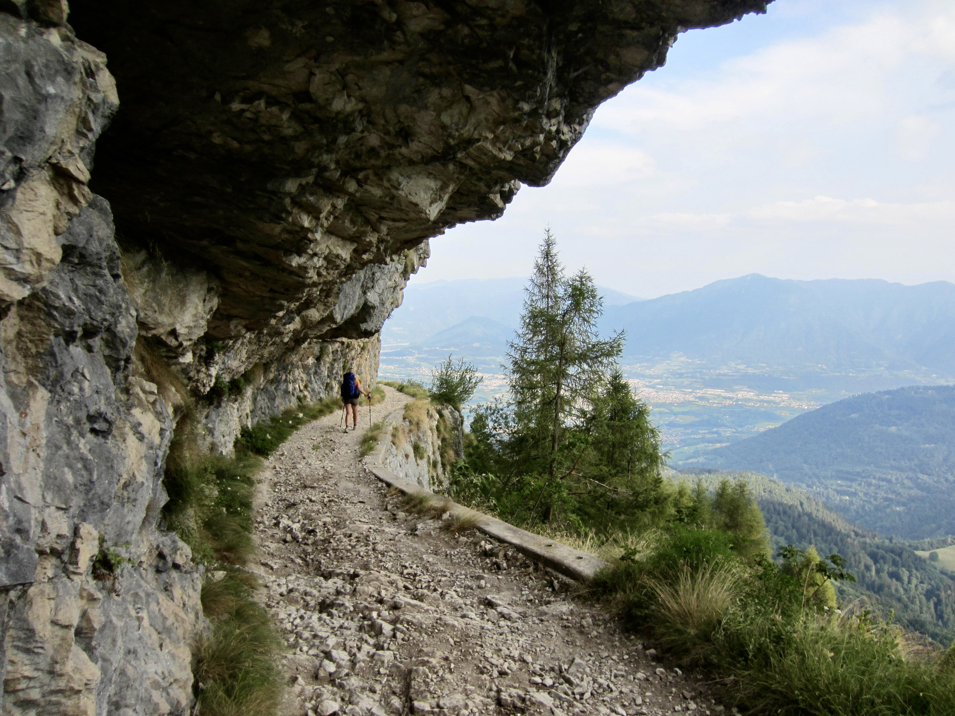
There had been a dousing thunderstorm during the night, so the AV2 trail was slick and muddy when we left Boz Hut in the morning. We hiked over Finestra Pass and made a long traverse beneath a sharp ridgeline. In many locations, the trail followed narrow ledges blasted into near-vertical cliffs where steel cables provided a welcome handline. This is not a place for inattention!
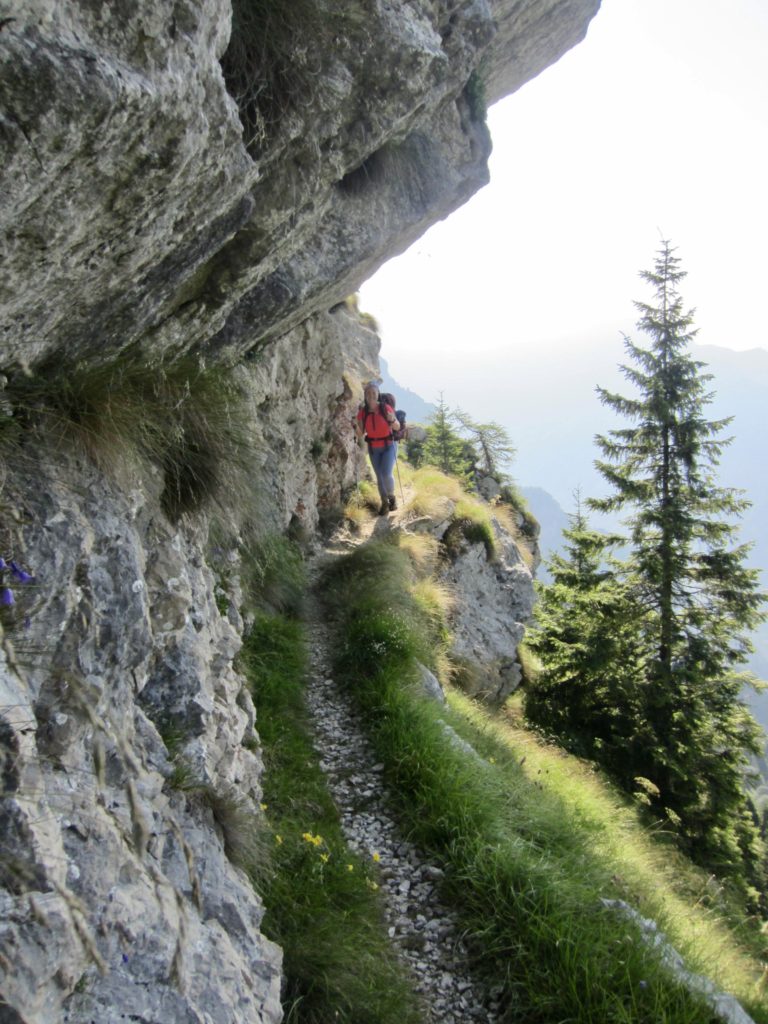

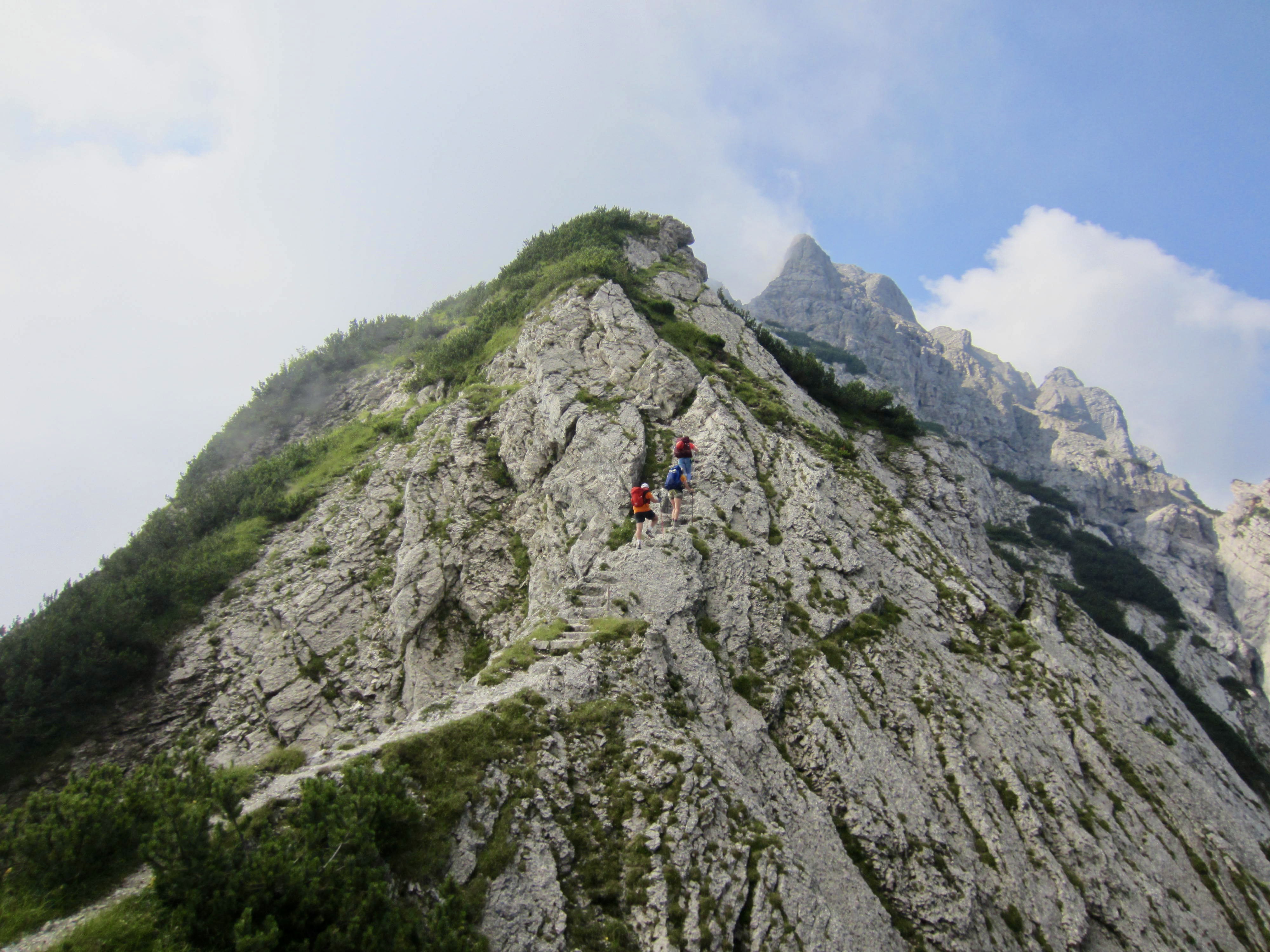
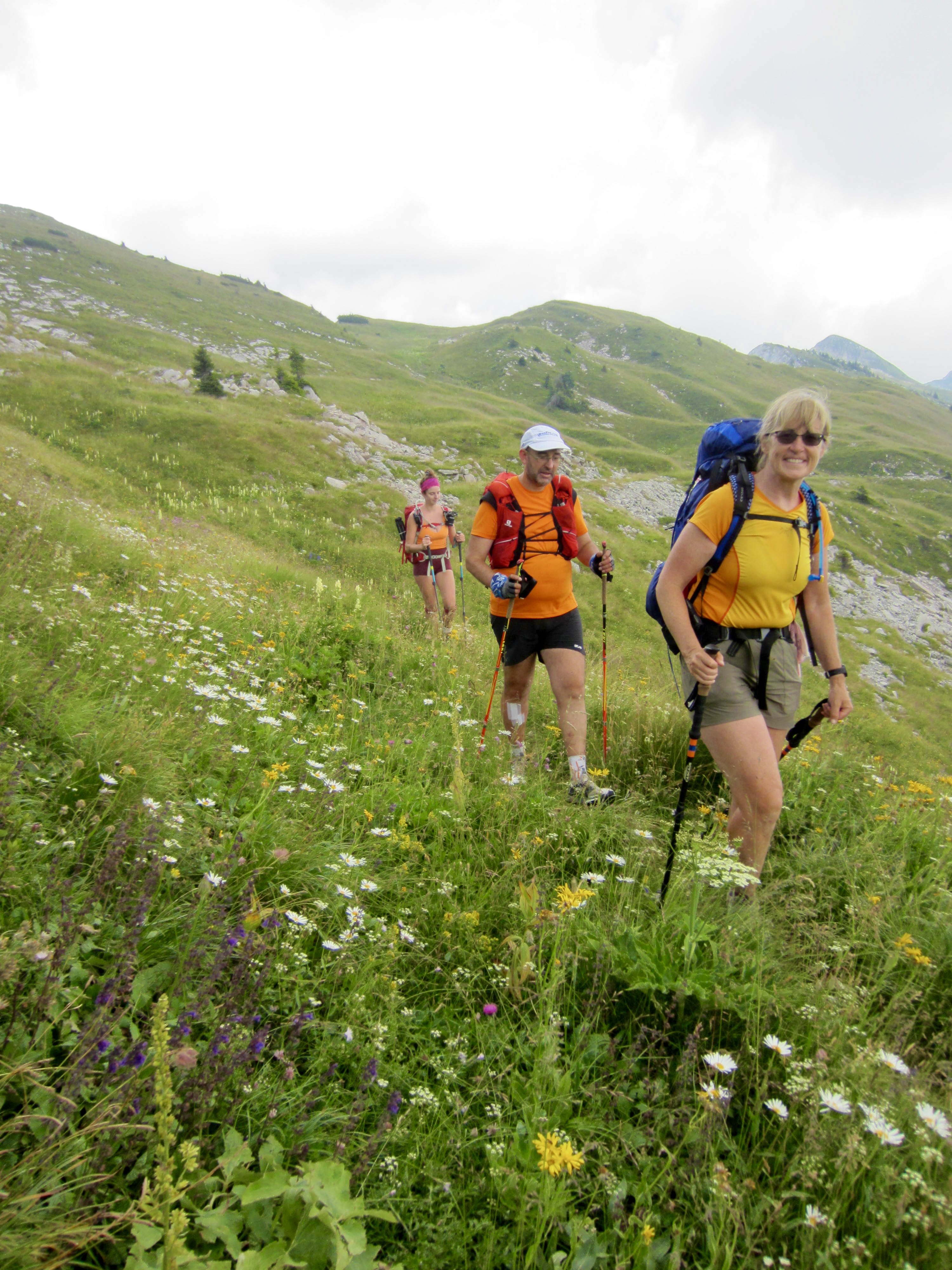
Our trail angled over a ridge saddle, climbed a stairway carved into the bedrock, and then wound back and forth among some pinnacles shrouded by morning fog. We eventually left the rocky terrain behind us and entered onto a grassy hillslope flush with wildflowers.
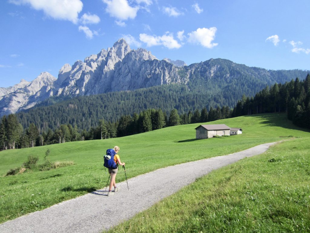
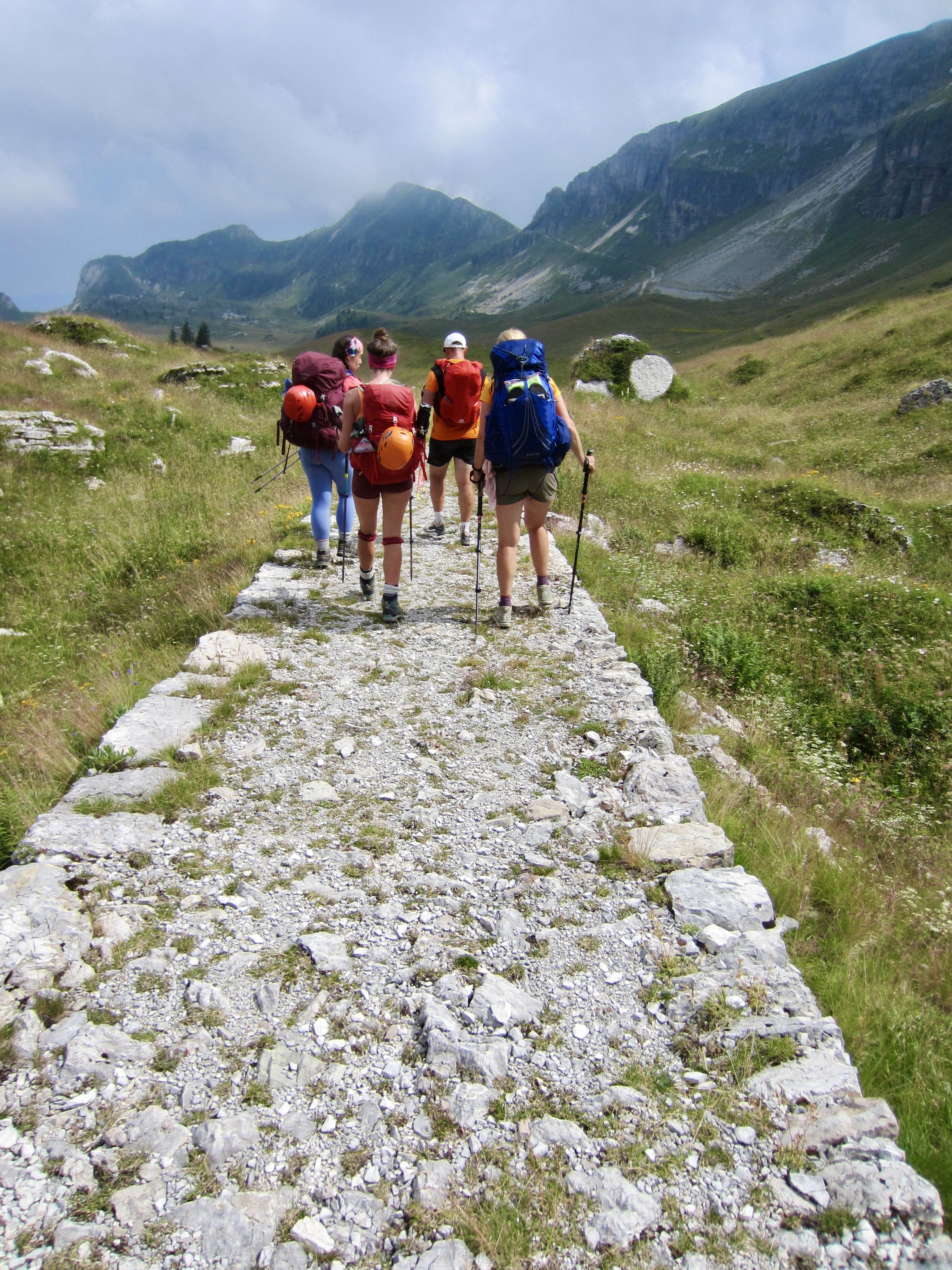
Single-track trail gradually transitioned to a wide trail paved with dolomite flagstones. This portion of AV2 follows an old military road built during World War I for the purposes of moving troops and supplies.
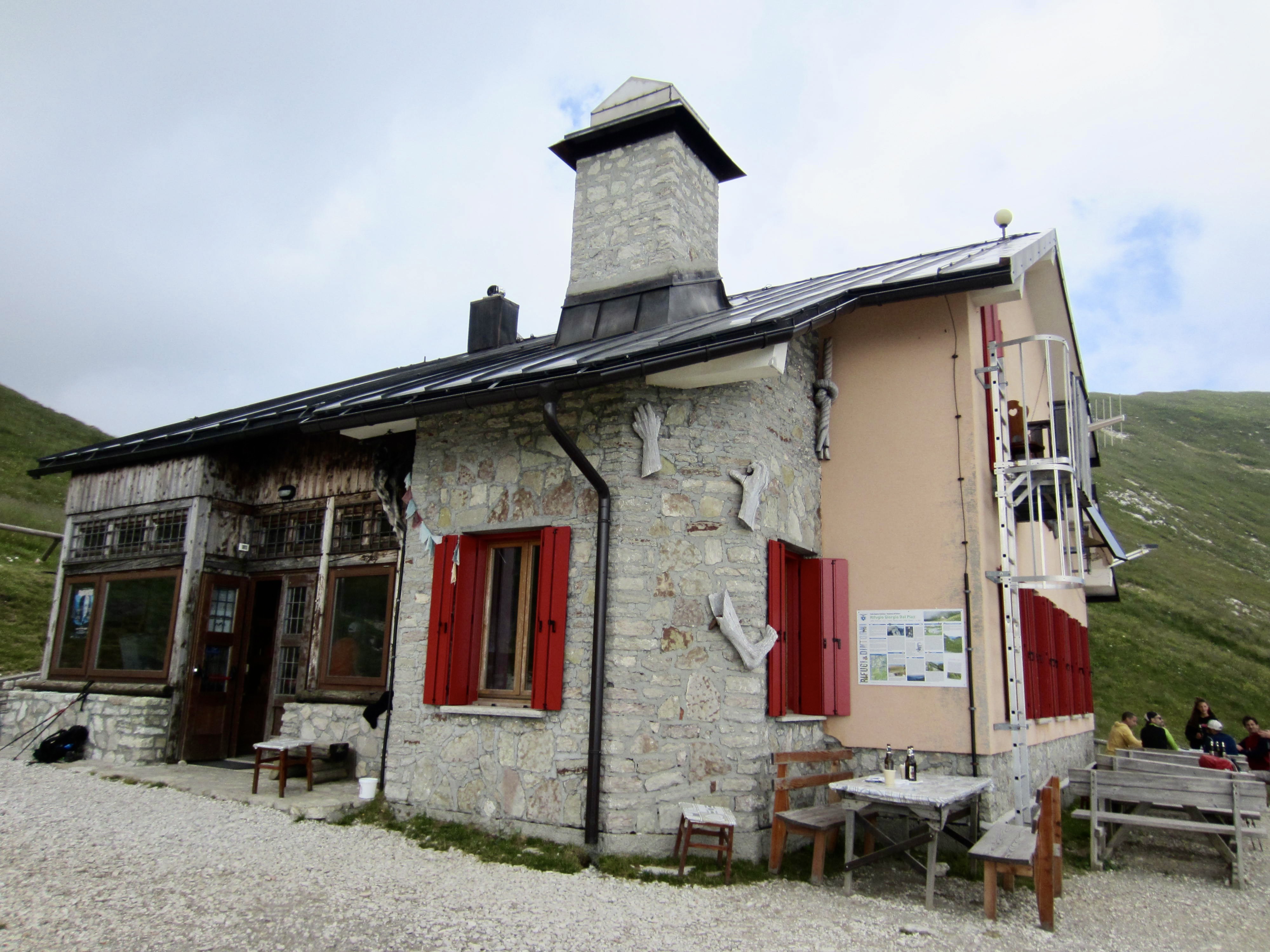
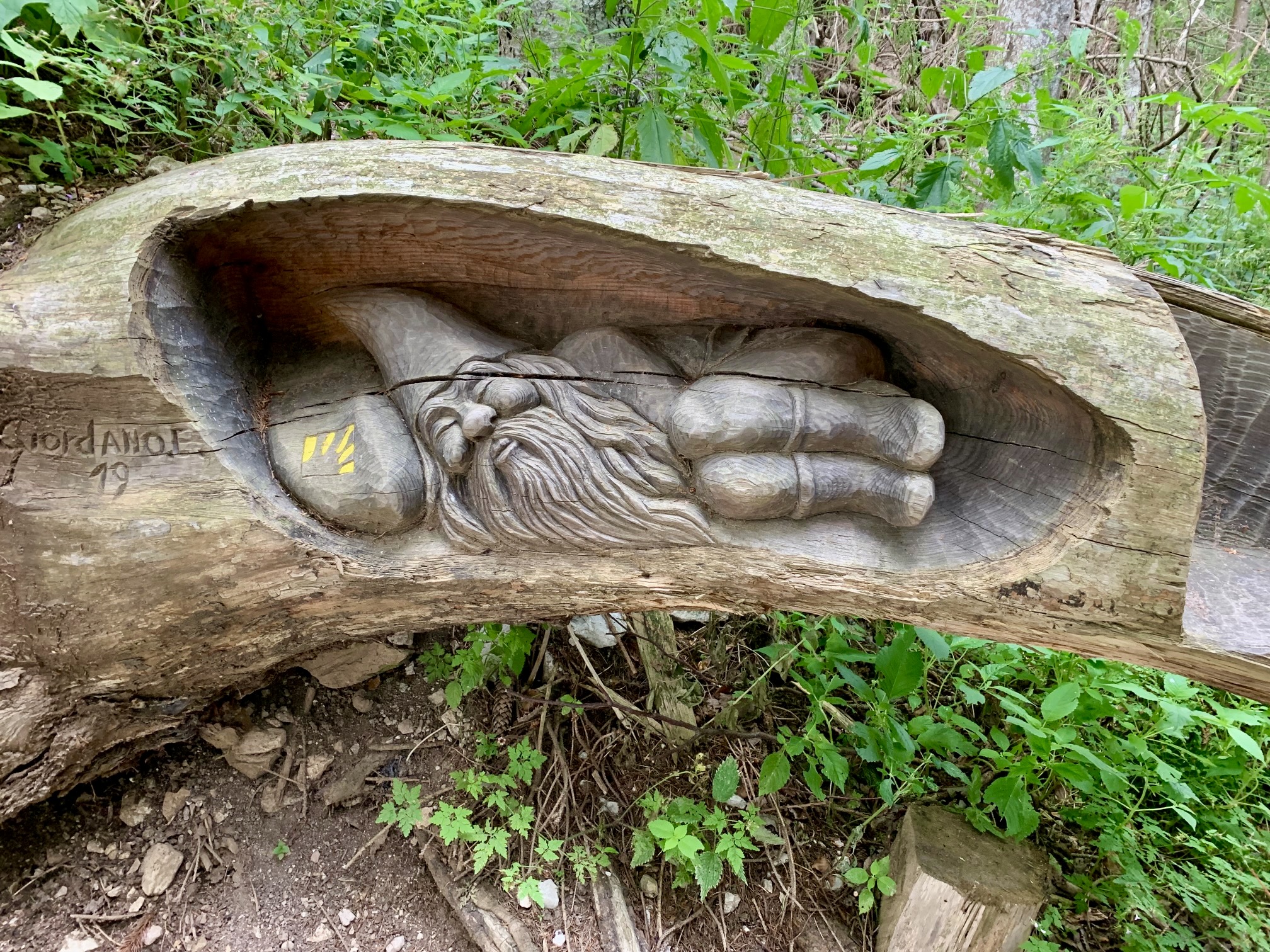
The old military road crossed a low ridge and dropped a bit to Piaz Hut, the southernmost shelter on AV2. We all stopped to enjoy a cold drink and dessert and to admire the wooden artwork. Most of us had originally planned to spend the night here, but we unanimously agreed to push on.
From Piaz Hut, AV2 descends 3000 feet to Croce d’Aune via a combination of road and trail. This was a continuation of the World War I military road, and we had to marvel at the elegant, century-old construction.
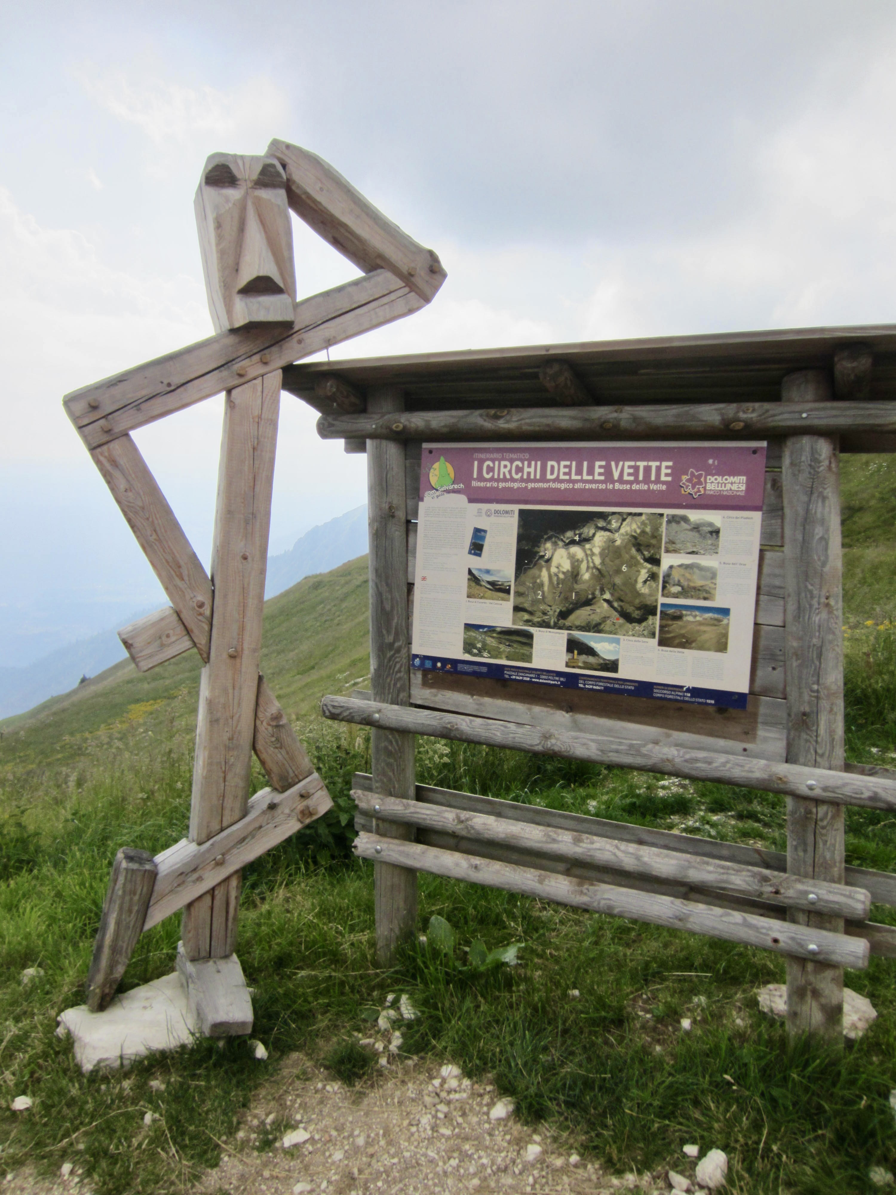
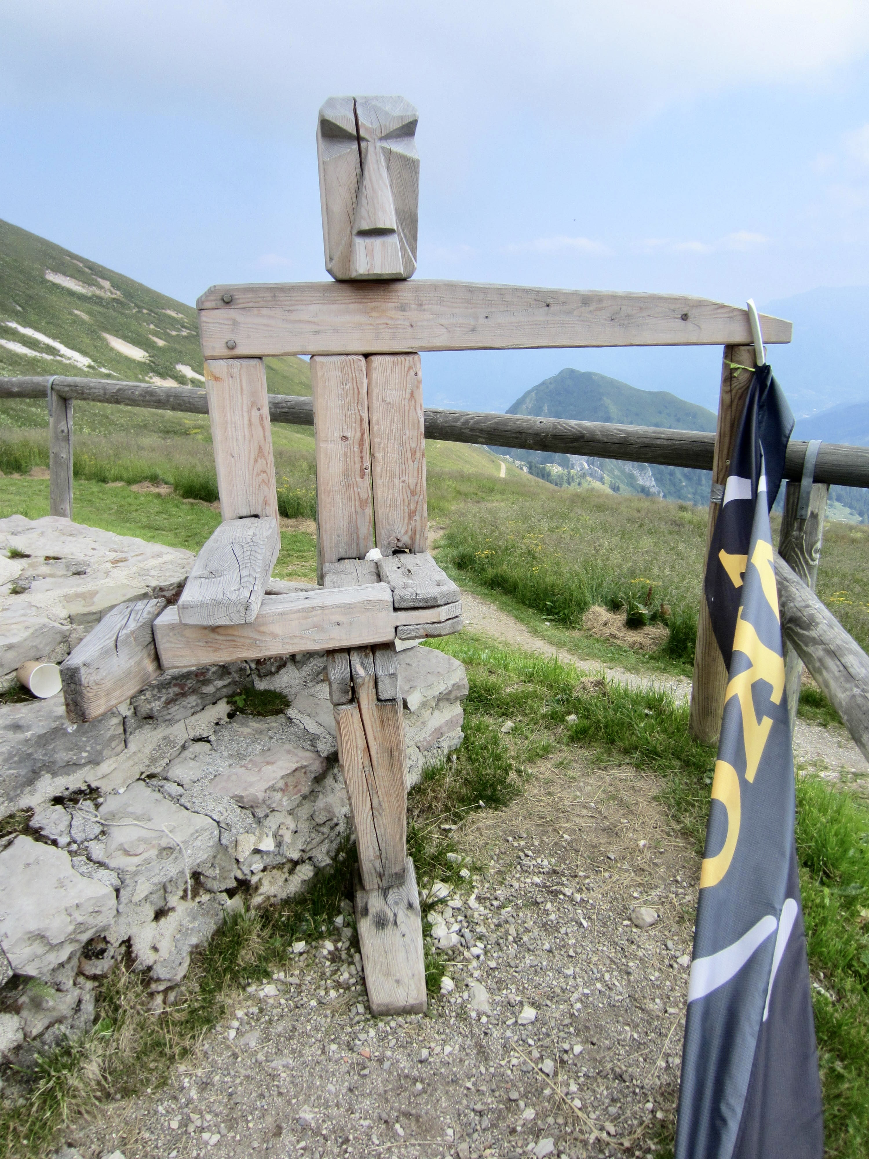
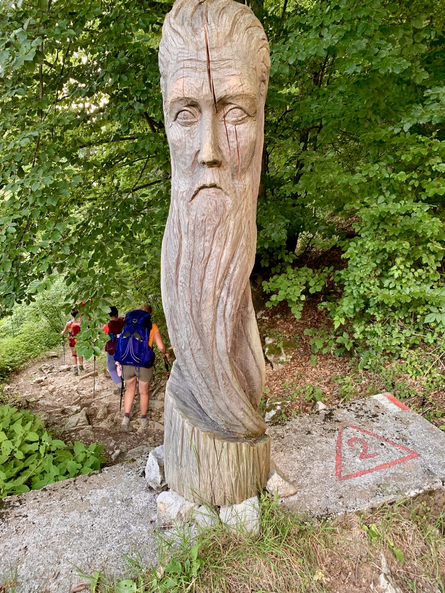
The final portion of trail featured a variety of modern wooden sculptures and ancient drainage structures. In early evening, we all arrived at a paved road in the tiny village of Croce d’Aune, feeling tired, sore, hungry, and giddy. Although there is an official continuation of AV2 down more roads and trails to the big town of Feltre, very few trekkers are interested in doing it. Our group was more than happy to terminate our adventure here, so Maeve called a taxi that took us into town, where we celebrated with pizza and wine.

Route Map & Profiles
…
…
…
…
…
…
…
Photo Gallery
Click to enlarge…