Trip Date: July 12-19, 2026
2026 DOLOMITE ALPS ADVENTURE VACATION
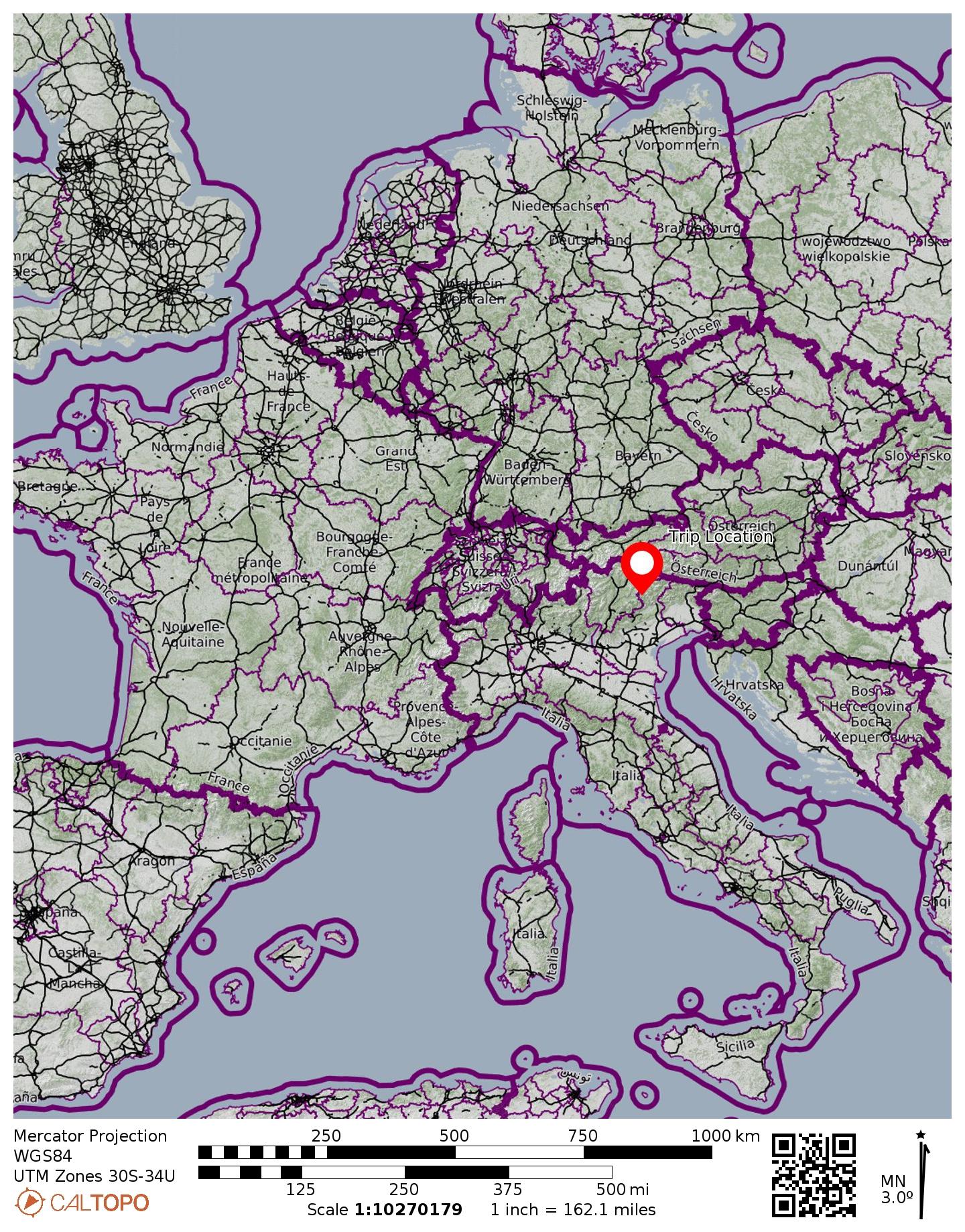
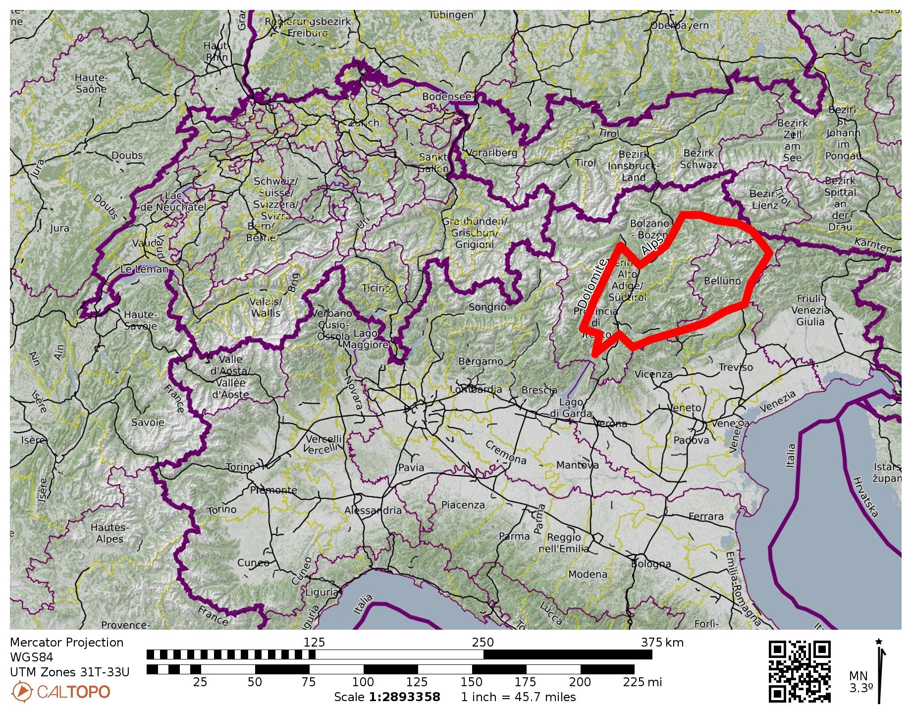
Alta Via 4 Trekking Traverse: Alte Sage to Tai di Cadore
Alta Via Dolomiti 4 aka Dolomiten-Hohenweg 4
Torre di Toblin aka Toblinger Knoten (8586 ft / 2617 m)
Monte Paterno aka Paternkofel (9003 ft / 2744 m)
Camoscio–Laghi–Cengia–Lavaredo Loop
Lago del Sorapis aka Lake Sorapis
Via Ferrata Vandelli
Via Ferrata Ghiacciaio
- Trip Report Summary
- Related Posts
- Trip Overview
- Geologic Setting
- Route Description
- Trail Conditions
- Accommodations & Food
- Drinking Water
- Trekker Camaraderie
- Nomenclature Comments
- Trekking Gear
- Full Trip Report
- Day 1: Alte Sage Trailhead to Scarperi/Schuster Hut
- Day 2a: Scarperi/Schuster Hut to Locatelli/Zinnen Hut
- Day 2b: Toblin/Toblinger Climb & Sesto/Sextner Hike
- Day 3: Paterno/Paternkofel Climb & Camo–Lavaredo Loop
- Day 4a: Locatelli/Zinnen Hut to Fonda Savio Hut
- Day 4b: Cima Cadin NE Attempt on Via Ferrata Merlone
- Day 5: Fonda Savio Hut to Vandelli Hut
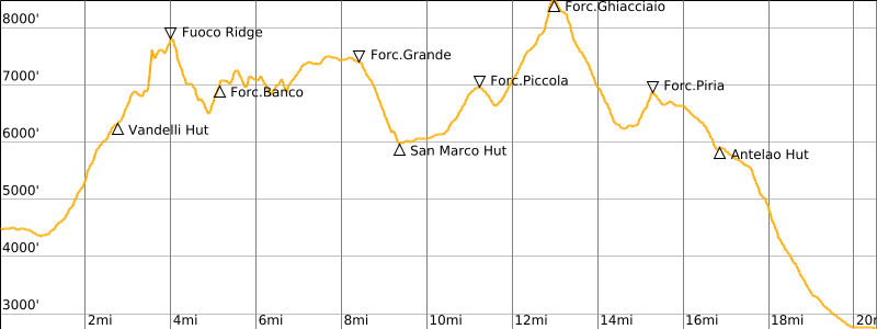
- Day 6: Vandelli Hut to San Marco Hut
- Day 7: San Marco Hut to Antelao Hut
- Day 8: Antelao Hut to Tai di Cadore
- Route Maps & Profiles
- Photo Gallery
Trip Report Summary
Region: Italy
Sub-Region: Dolomite Alps
Sub-Sub-Regions: Sesto/Sexten Group & Cadini di Misurina Group & Sorapiss Group & Marmarole Group
Areas: Tre Cime / Drei Zinnen Nature Park & Dolomiti d’Ampezzo Nature Park
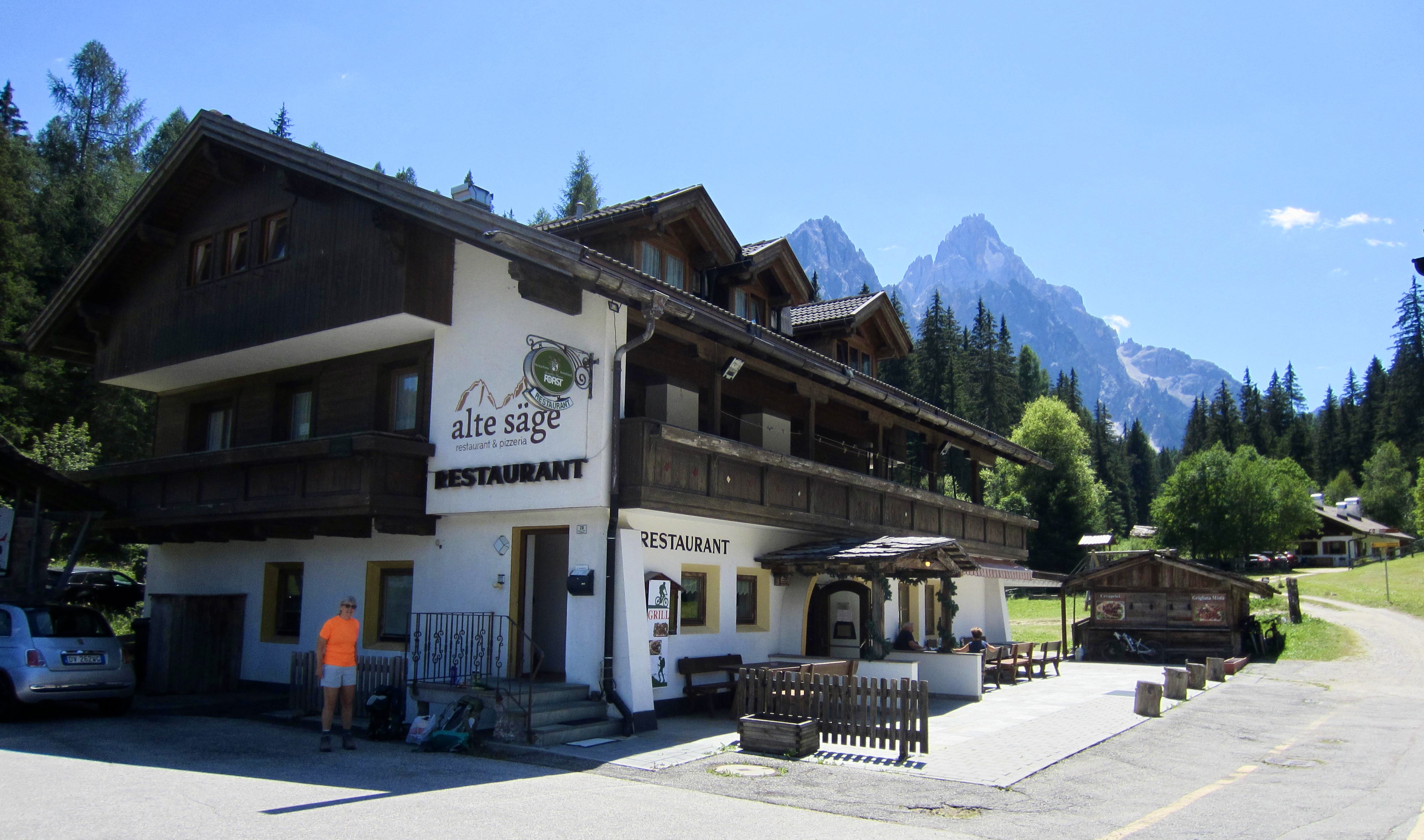
Starting Point: Alte Sage Restaurant on Road SS-52 near town of San Candido / Innichen (Elev. 4130 feet / 1260 meters)
Traverse Way Points: Innerfeld / Campo di Dentro Road crossing & Tre Scarperi / Drei Schuster Hut & Forcella Mattina & Locatelli Tre Cime / Drei Zinnen Hut (2 nights) & Lang Alm Cafe & Forcella Col di Mezzo & Auronzo Hut & Forcella di Rinbianco & Nevaio Valley & Fonda Savio Hut & Forcella della Torre & Forcella Sabbiosa & Forcella Ciadin Deserto & Forcella Cristina & Città di Carpi Hut & Forcella Maraia & Maraia Pasture & Valbona / Road SR-48 crossing & Rudavoi River Bridge & Vandelli Hut & Via Ferrata Vandelli base & Fuoco Ridge crest & Comici Bivouac Hut & Forcella Bassa del Banco & Forcella Alta del Minazio & Forcella Grande & San Marco Hut & Forcella Piccola & Galassi Hut & Via Ferrata Ghiacciaio base & Forcella del Ghiacciaio & Forcella Piria & Antelao Hut & Forcella Antracisa & Nebbiu di Cadore / San Dionisio Road junction & Road SS-51 junction & Tai di Cadore bus stop (trail hike & off-trail hike & via ferrata climb & road walk)
Traverse Low Point: Rudavoi River Bridge at Valbona (Elev. 4470 feet / 1360 meters)
Traverse High Point: Forcella del Ghiacciaio (Elev. 8490 feet / 2590 meters)
Ending Point: Tai di Cadore bus stop on Road SS-51 (Elev. 2730 feet / 830 meters)
Accommodations: Tre Scarperi / Drei Schuster Hut & Locatelli Tre Cime / Drei Zinnen Hut (2 nights) & Fonda Savio Hut & Vandelli Hut & San Marco Hut & Antelao Hut
Summit Sidetrip: Torre di Toblin / Toblinger Knoten (via ferrata climb & rock scramble)
Summit Sidetrip: Monte Paterno / Paternkofel (via ferrata climb & rock scramble)
Trekking Sidetrip: Camoscio–Laghi–Cengia–Lavaredo Trekking Loop (trail hike & via ferrata climb)
Summit Attempt: Cima Cadin Northeast (rock scramble & via ferrata climb to 8500 feet / 2590 meters)
Short Sidetrip: Lake Sorapis (trail hike)
Approximate Total Stats (excluding all sidetrips): 40.5 miles / 65.2 kilometers traveled; 16,550 feet / 5040 meters gained; 17,950 feet / 5470 meters lost.
Approximate Total Stats (including all sidetrips): 49.0 miles / 78.9 kilometers traveled; 20,850 feet / 6100 meters gained; 22,250 feet / 6520 meters lost.
Related Posts
>>> Torre Di Toblin / Toblinger Knoten Climb + Sasso di Sesto / Sextner Stein Hike – July 13, 2026
>>> Monte Paterno / Paternkofel Climb + Camoscio–Laghi–Cengia–Lavaredo Loop – July 14, 2026
>>> Cima Cadin NE Attempt + Partial Merlone Via Ferrata Climb – July 15, 2026
>>> Alta Via 2 Trekking Traverse – Full Overview: Brixen/Bressanone to Feltre – July 2, 2022
…

…
Trip Overview
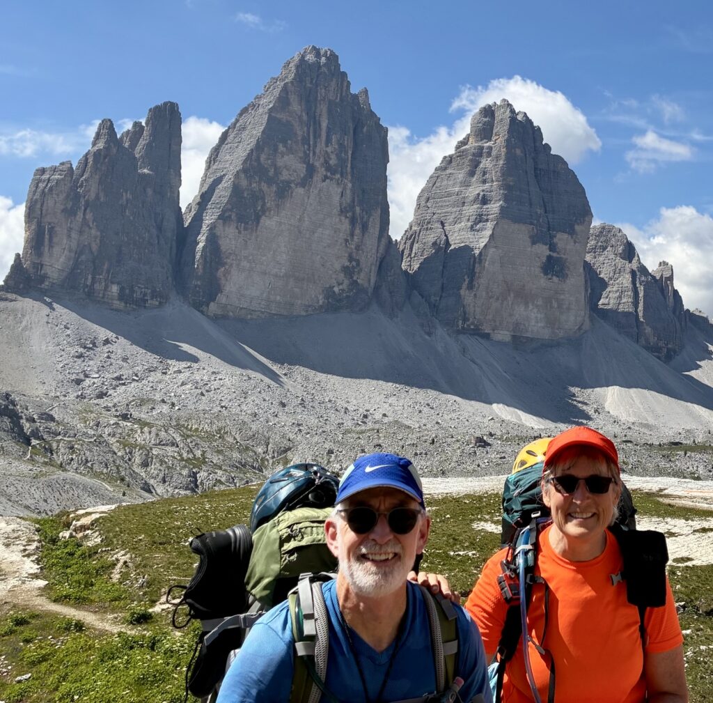
Eileen and I completed the Alta Via 4 trekking traverse over a span of eight days in mid-July. This schedule allowed for travel from the town of Trento to our starting point on Day 1, and travel from our ending point to Rome on Day 8. It also allowed for short sidetrips on Day 2 and Day 4, as well as a full-day sidetrip on Day 3. The following subsections provide an overview of general conditions along the traverse.
Geologic Setting
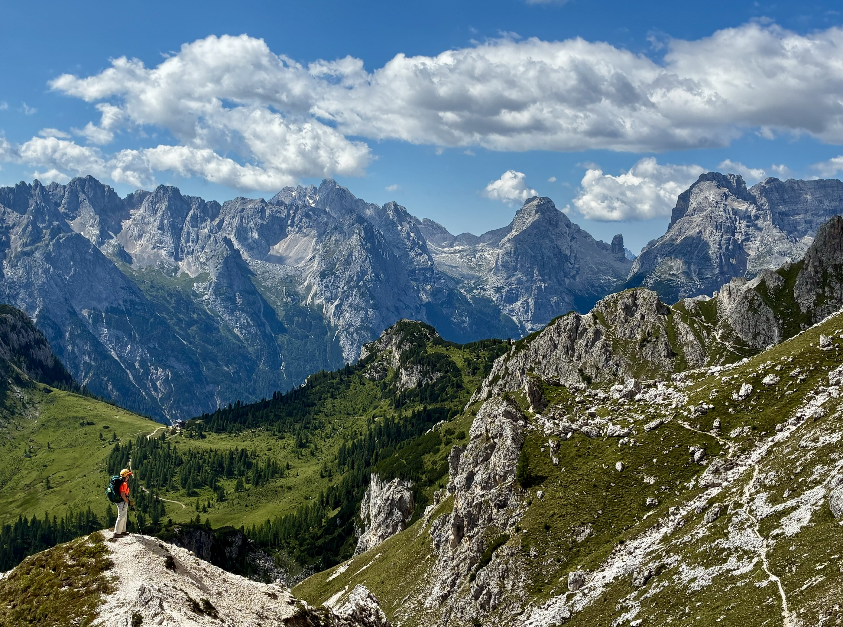
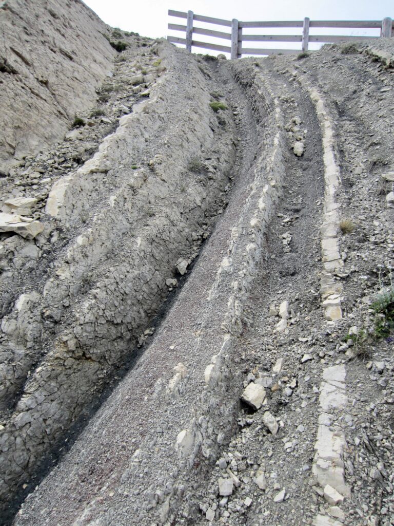
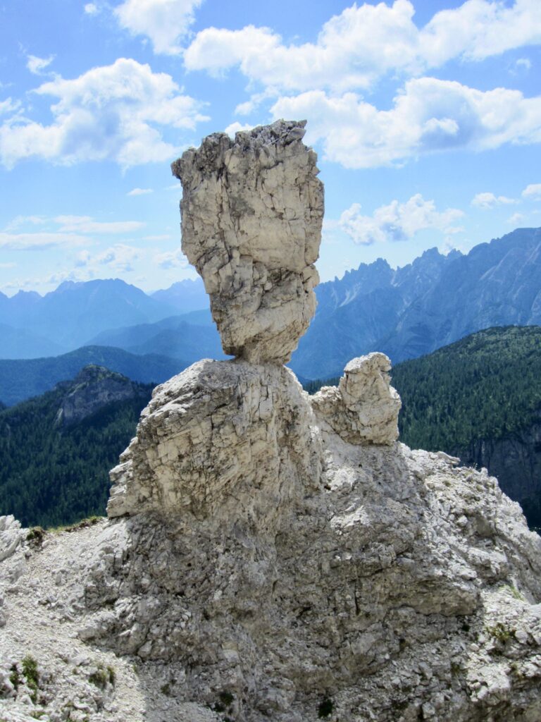
The Dolomite Alps, or Dolomites, are a famous sub-range of astonishingly steep and rugged mountains in northeastern Italy, sandwiched between the Atesine (Tyrol) Alps on the north and the Venetian–Carnig Pre-Alps on the south. Geologically, they consist mostly of dolomite or dolostone, a calcium-magnesium carbonate sedimentary rock closely related to limestone. This predominant rock type is locally interlayered with thick deposits of igneous volcanic rock and a few thin deposits of shale, and it is transected in places by basaltic dikes. The unweathered dolomitic rock ranges from chalk-white to dark gray, but light gray is the principal color. Small amounts of iron within the rock cause weathered surfaces to take on a brownish yellow color, thereby giving the Dolomites their characteristically soft hues. Tectonic folding is evident in some exposed faces, and gradual erosion of the relatively soft rock leads to dramatic shapes.
.
Route Description
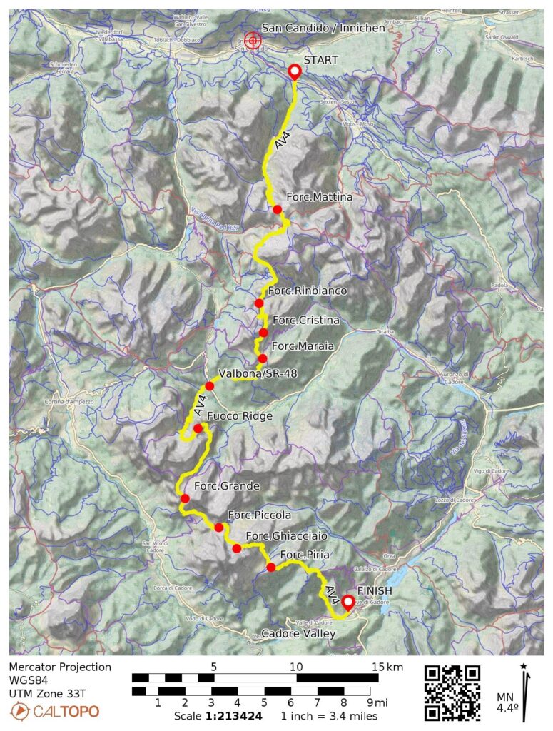
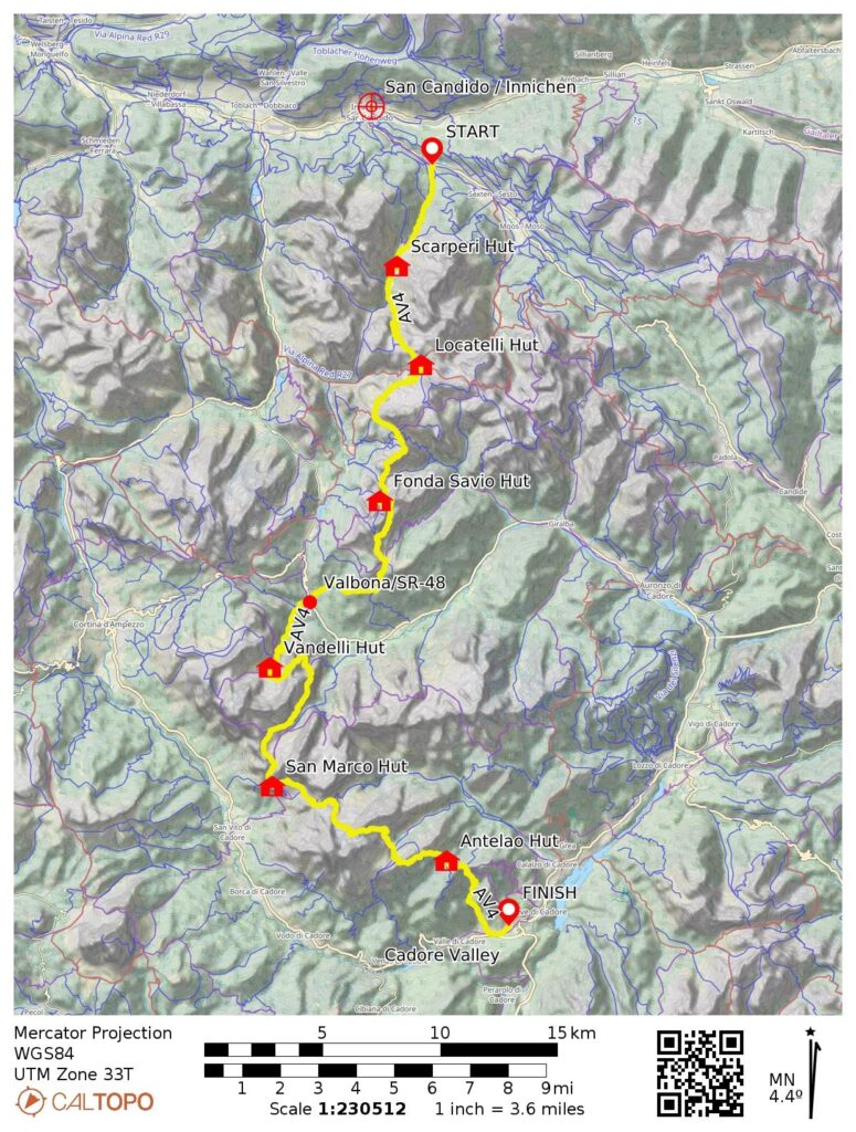
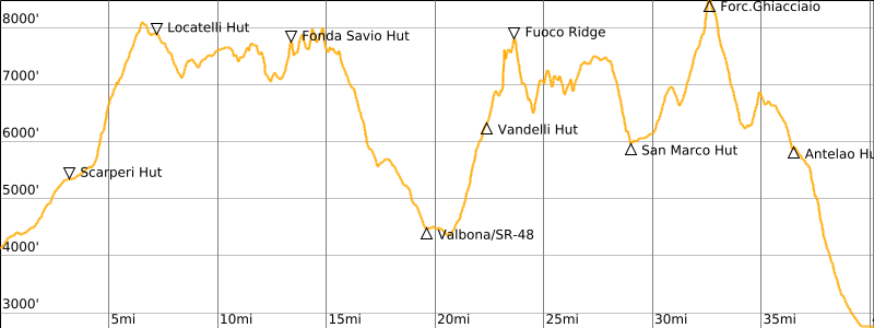
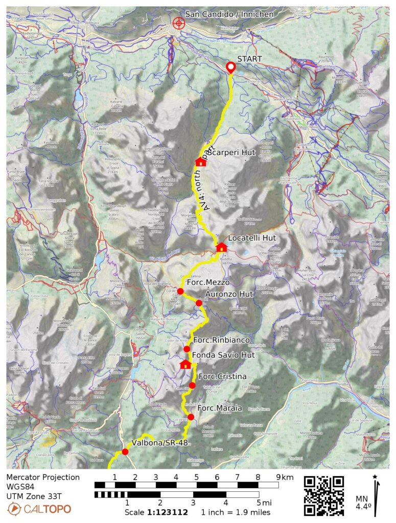
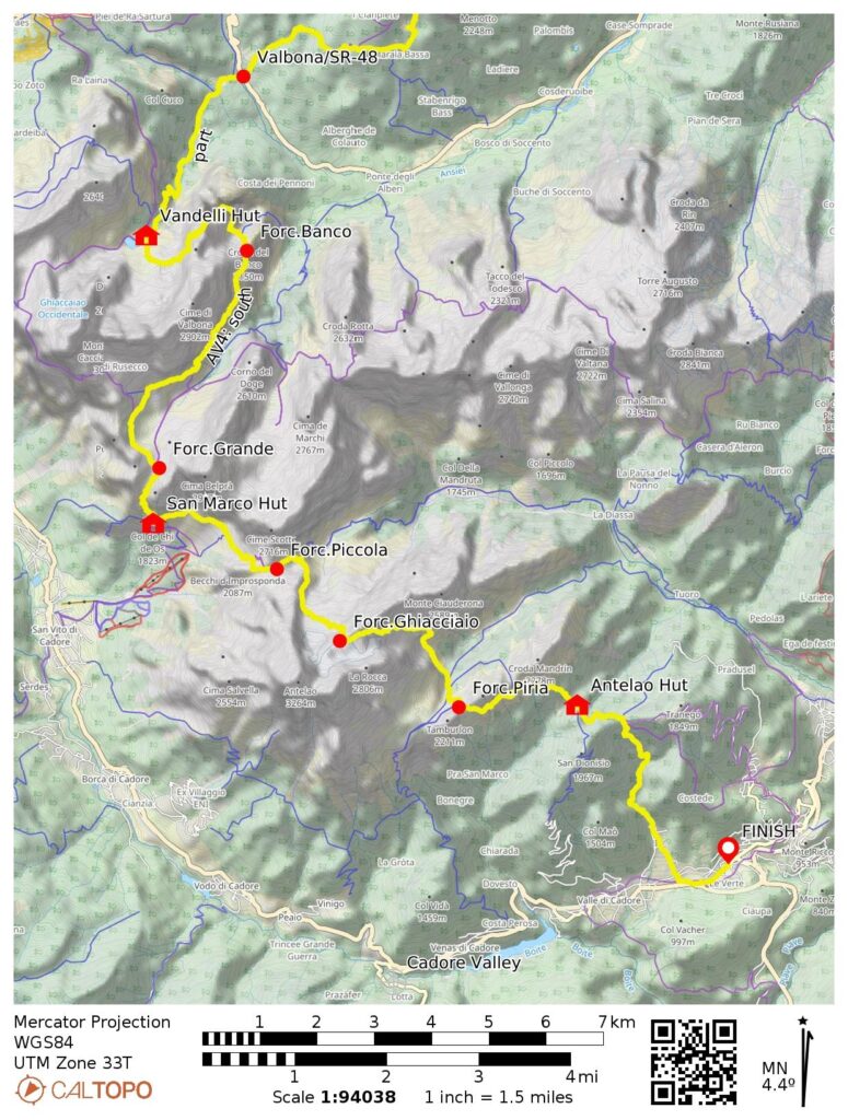
There are six or eight established High Routes that traverse the Dolomites in various locations. Of these, Alta Via 4 (in German, Hohenweg 4; typically abbreviated as AV4 in all languages) is relatively short but also relatively difficult. It extends approximately 40 miles / 65 kilometers in a generally north–south direction from the small town of Innichen / San Candido to the Cadore Valley. The trail is crossed by Road SR-48 near its midpoint at Valbona. This road crossing provides a jump-on and jump-off point for trekkers, and to a limited degree, it provides a resupply point.
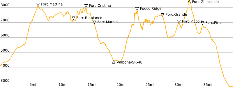
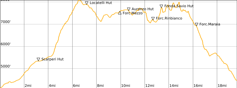
Over its course, AV4 makes countless ups and downs, reaching a maximum elevation of about 8500 feet / 2600 meters at Forcella del Ghiacciaio and a minimum elevation of about 4500 feet / 1370 meters at Valbona. The cumulative elevation gain and loss approach 17,000 feet / 5200 meters and 18,500 feet / 5640 meters, respectively. However, there are numerous possible variations and sidetrips that can significantly increase the total distance, gain, and loss. There are also a few gondolas and shortcuts that can be used to decrease these numbers. For a complete trail and via ferrata description, I recommend purchasing BrookeBeyond’s Alta Via 4 Adventure Route GPS Map.
.
Trail Conditions
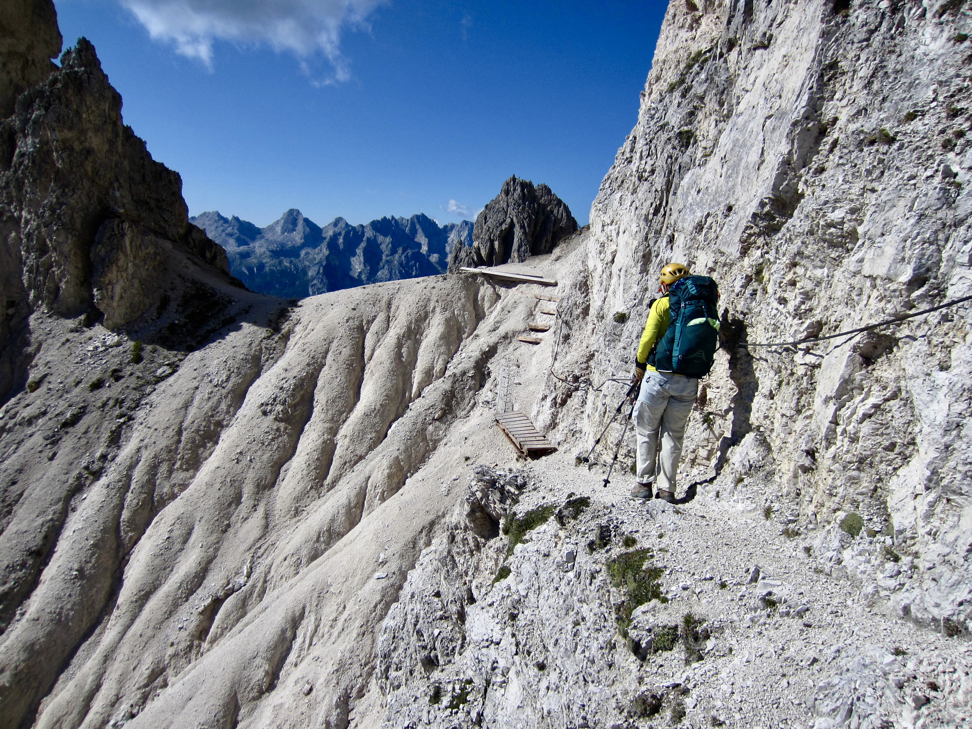
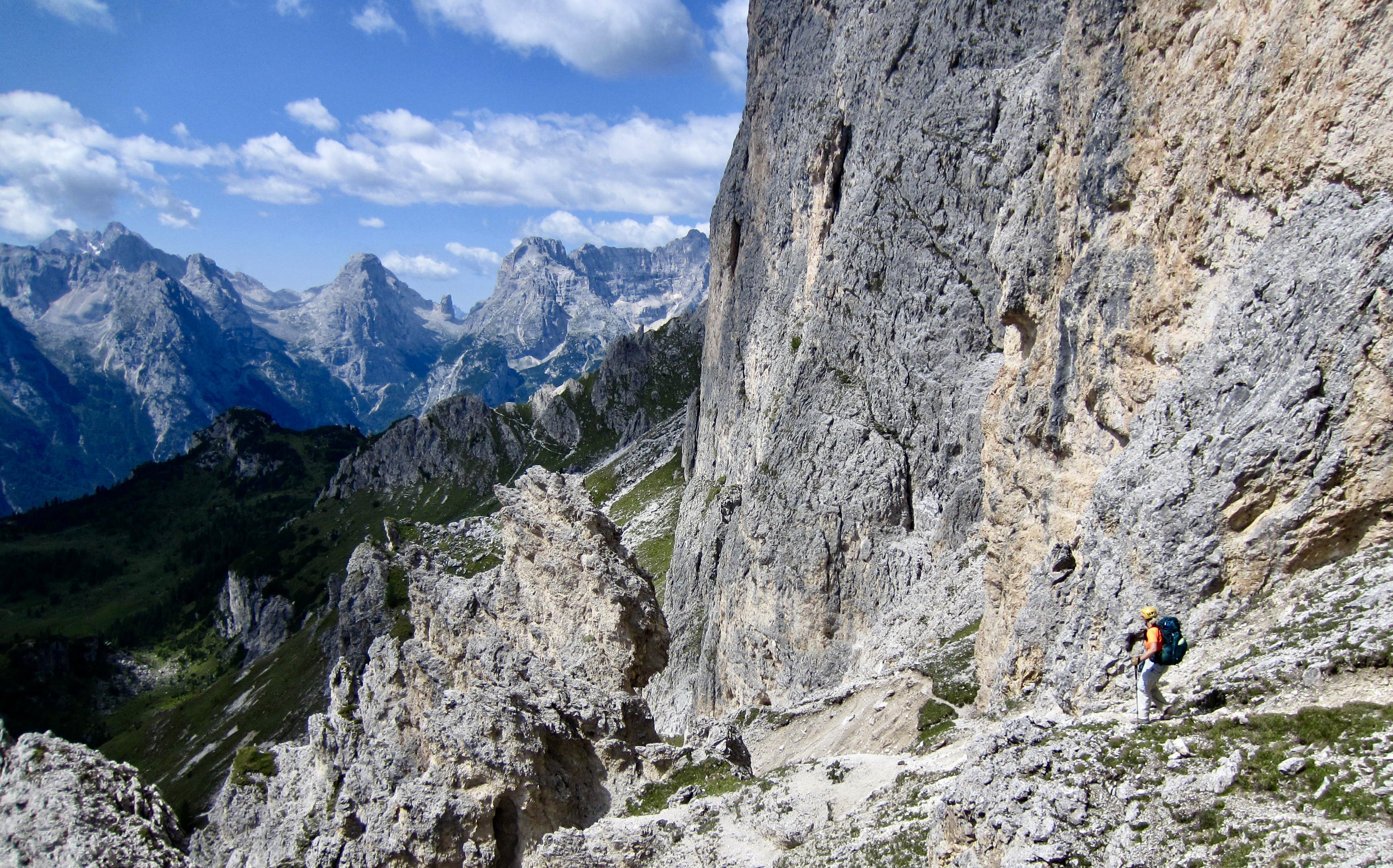
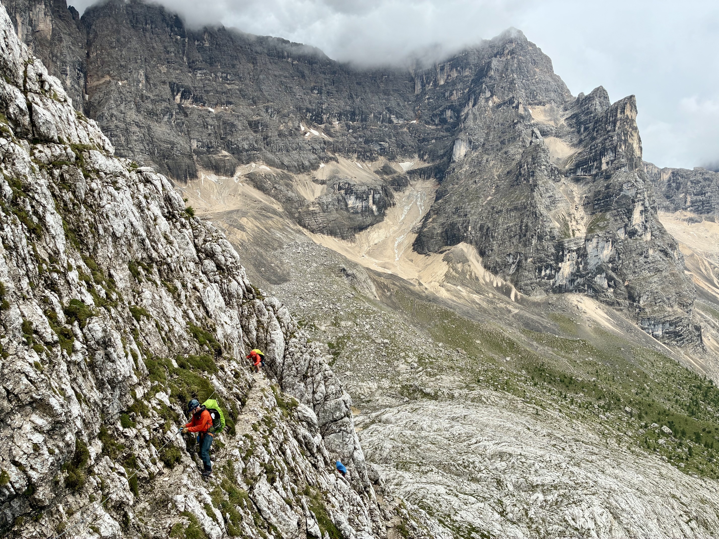
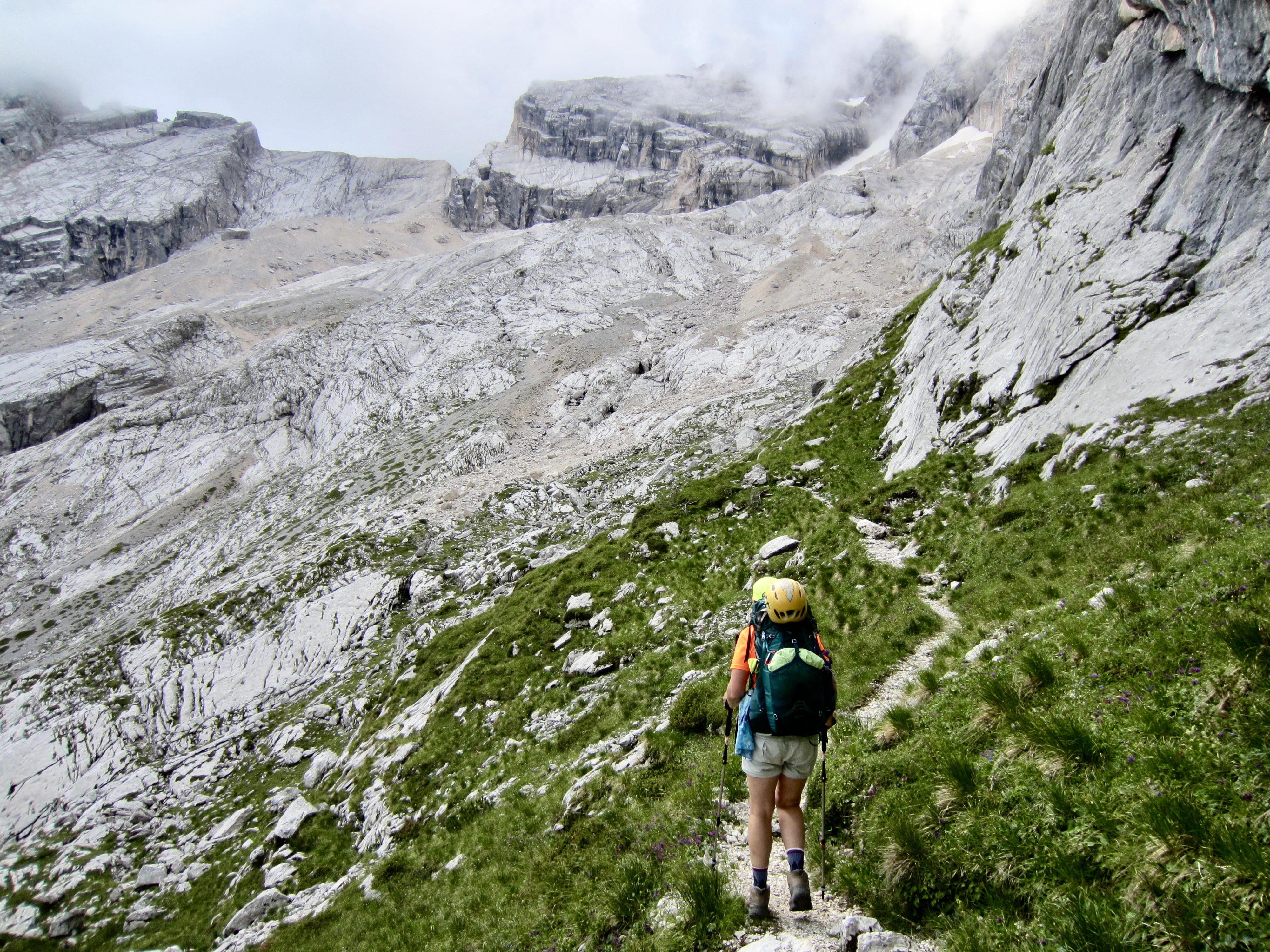
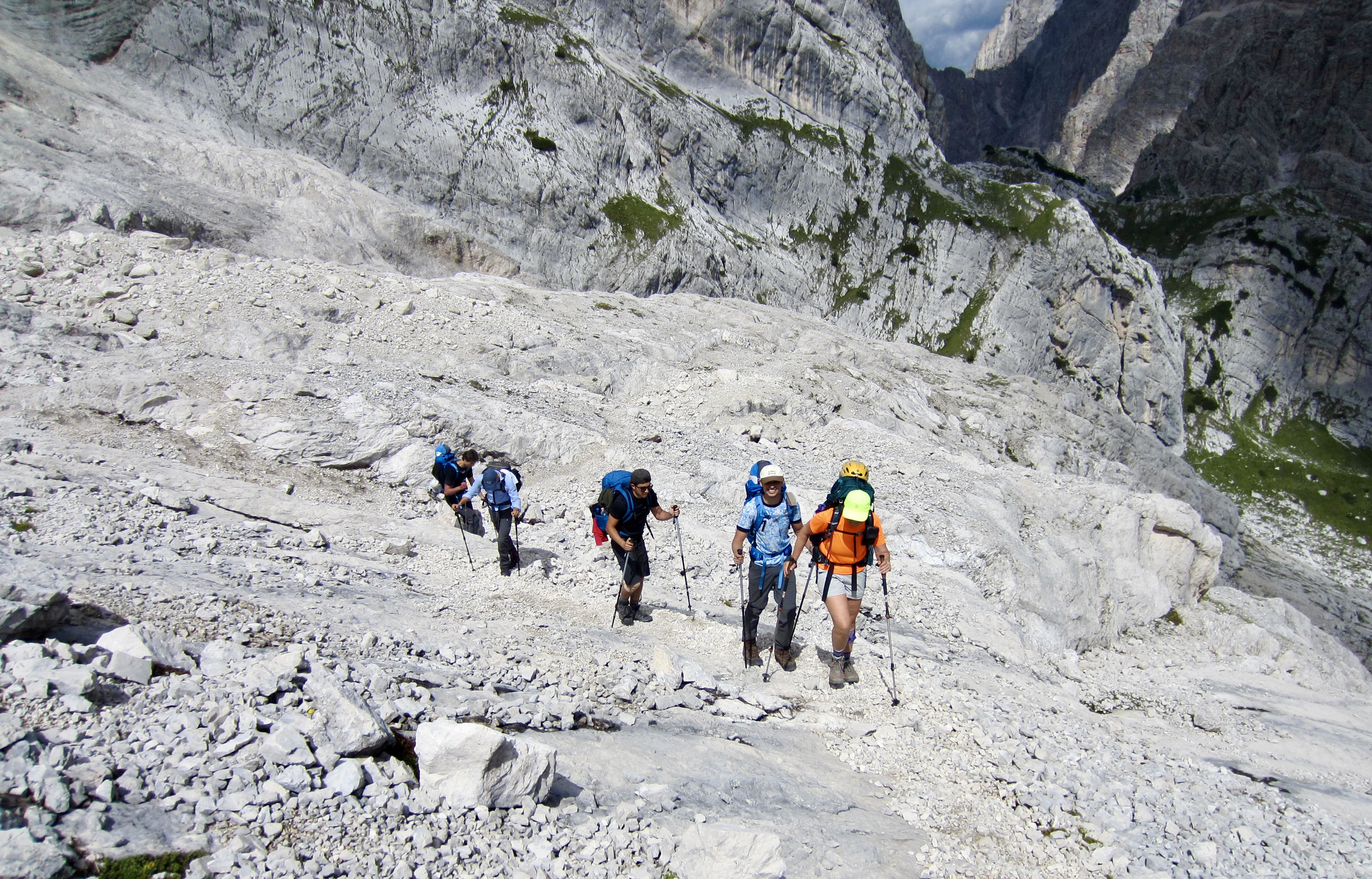
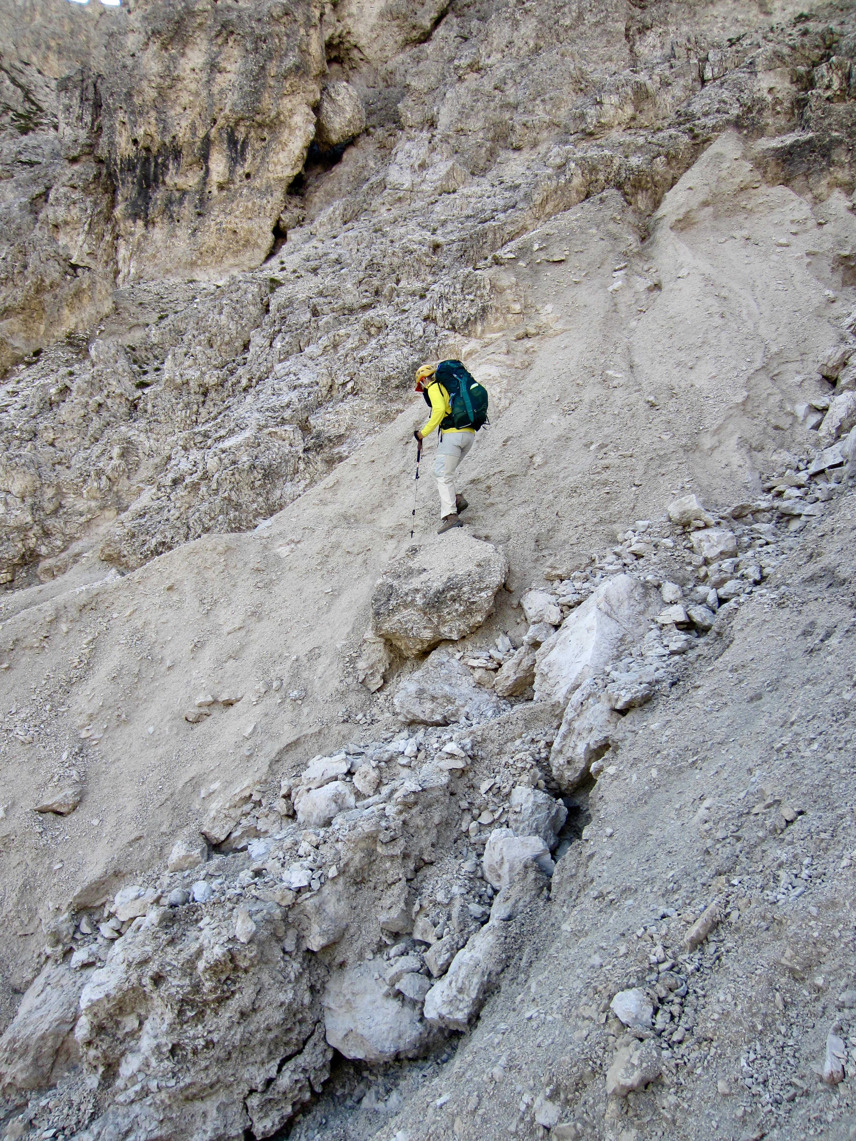
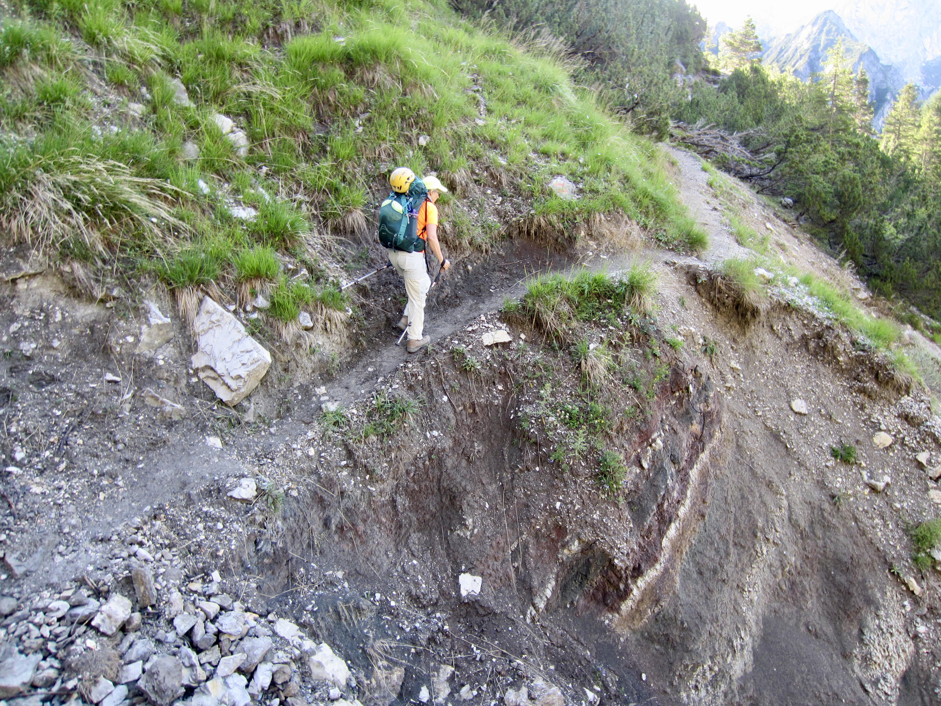
Although AV4 officially follows a “trail” for the entire distance, it should not be regarded as a conventional hiking or backpacking trip. Much of the trail is steep, rocky, and rough, and it crosses vertical cliffs on narrow ledges at many locations. Furthermore, there are likely to be numerous places where the trail has been damaged or even obliterated by water erosion and landslides. These sections require careful footwork and steady nerves.
.
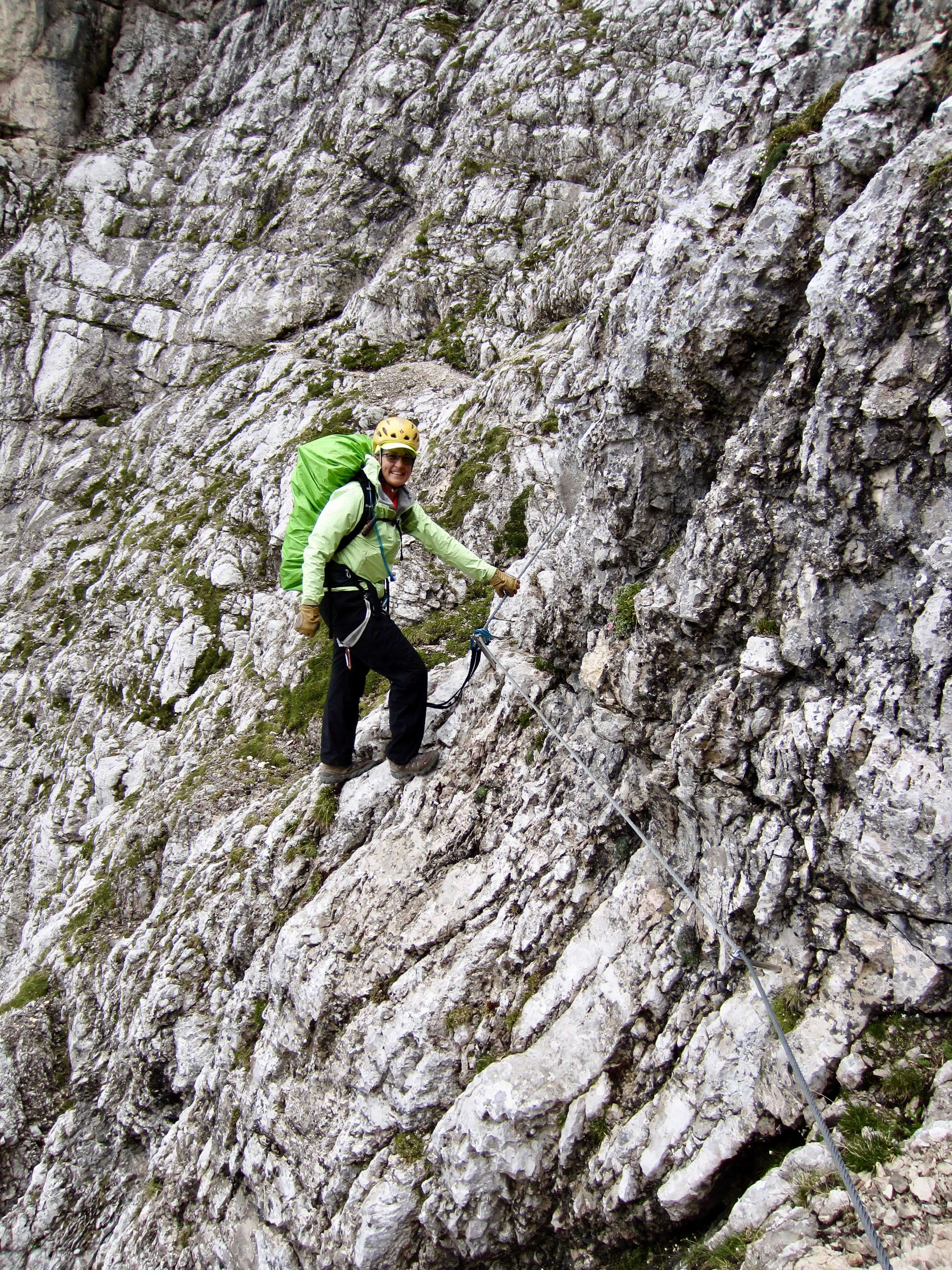
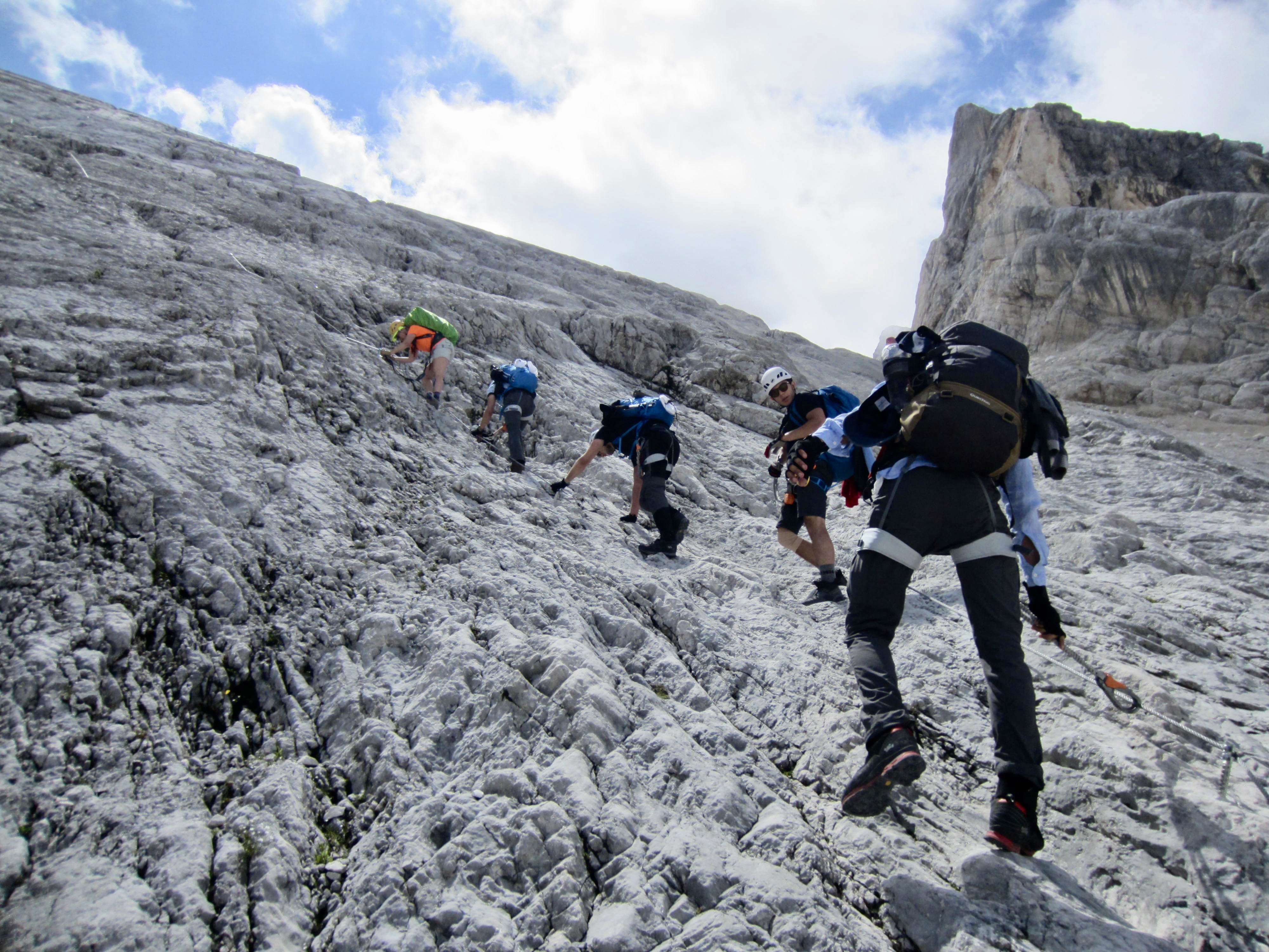
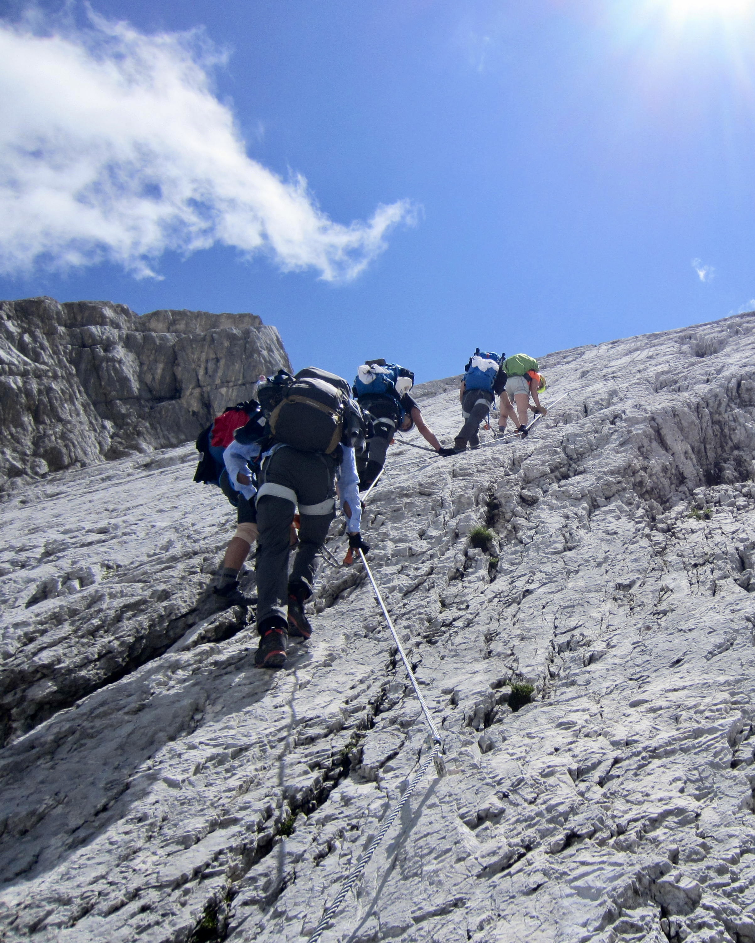
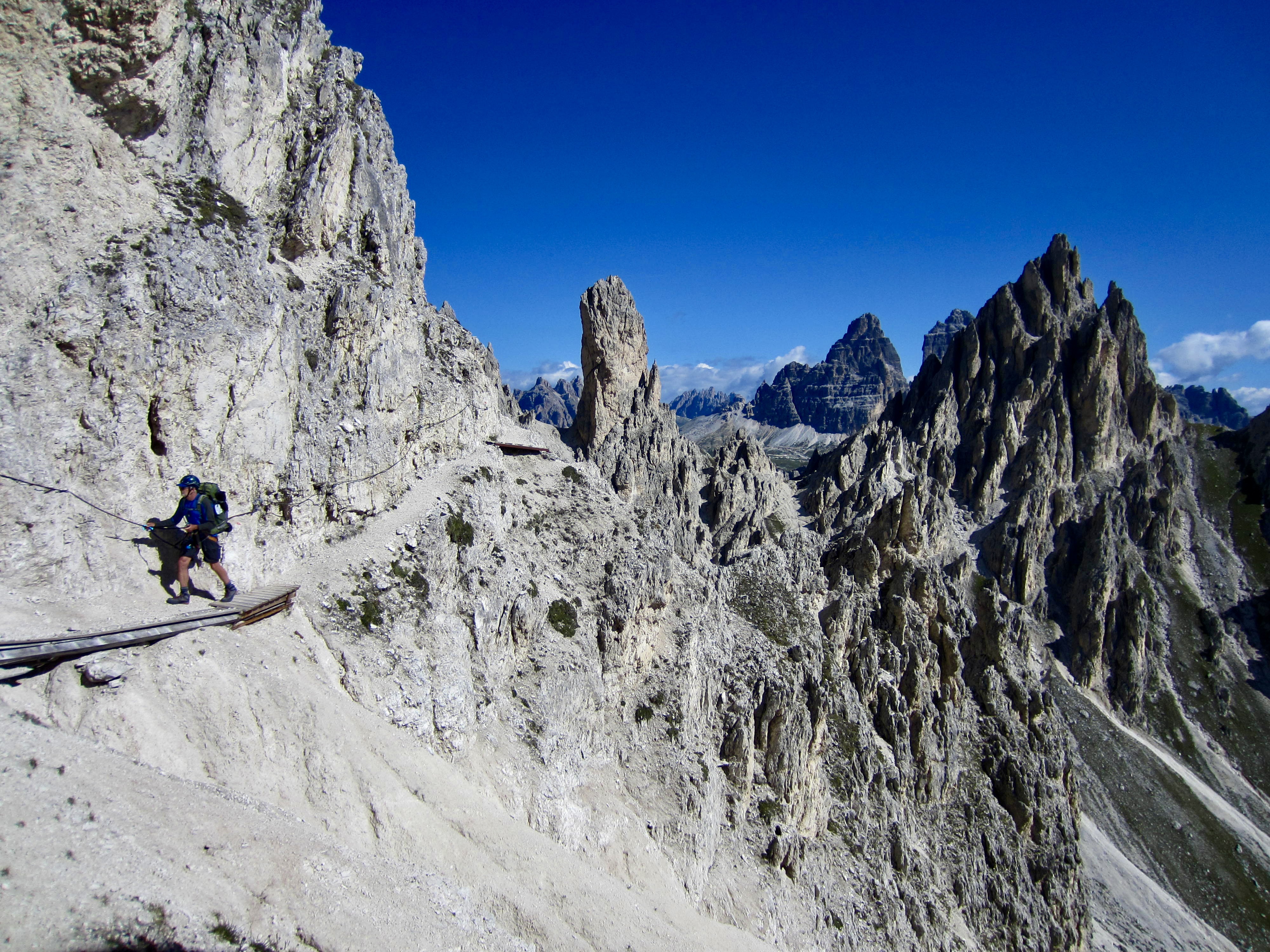
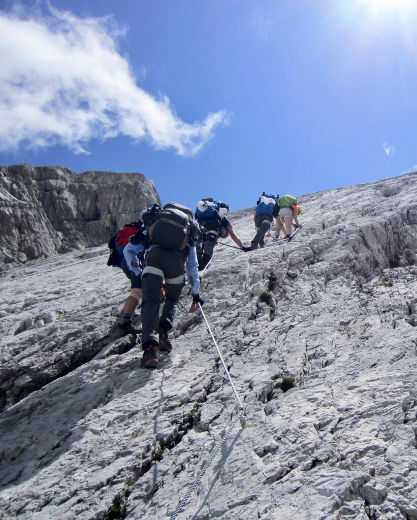
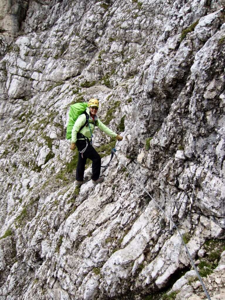
At particularly steep or exposed locations along the trail, steel cables, stemples, and ladders have been installed for safety purposes. As such, specialized via ferrata gear and knowledge are required for all but the most technically skilled and confident trekkers. In general, the southern half of the route is more rugged and more technically difficult than the northern half, with exaggerated ups and downs and frequent via ferrata climbing.
.
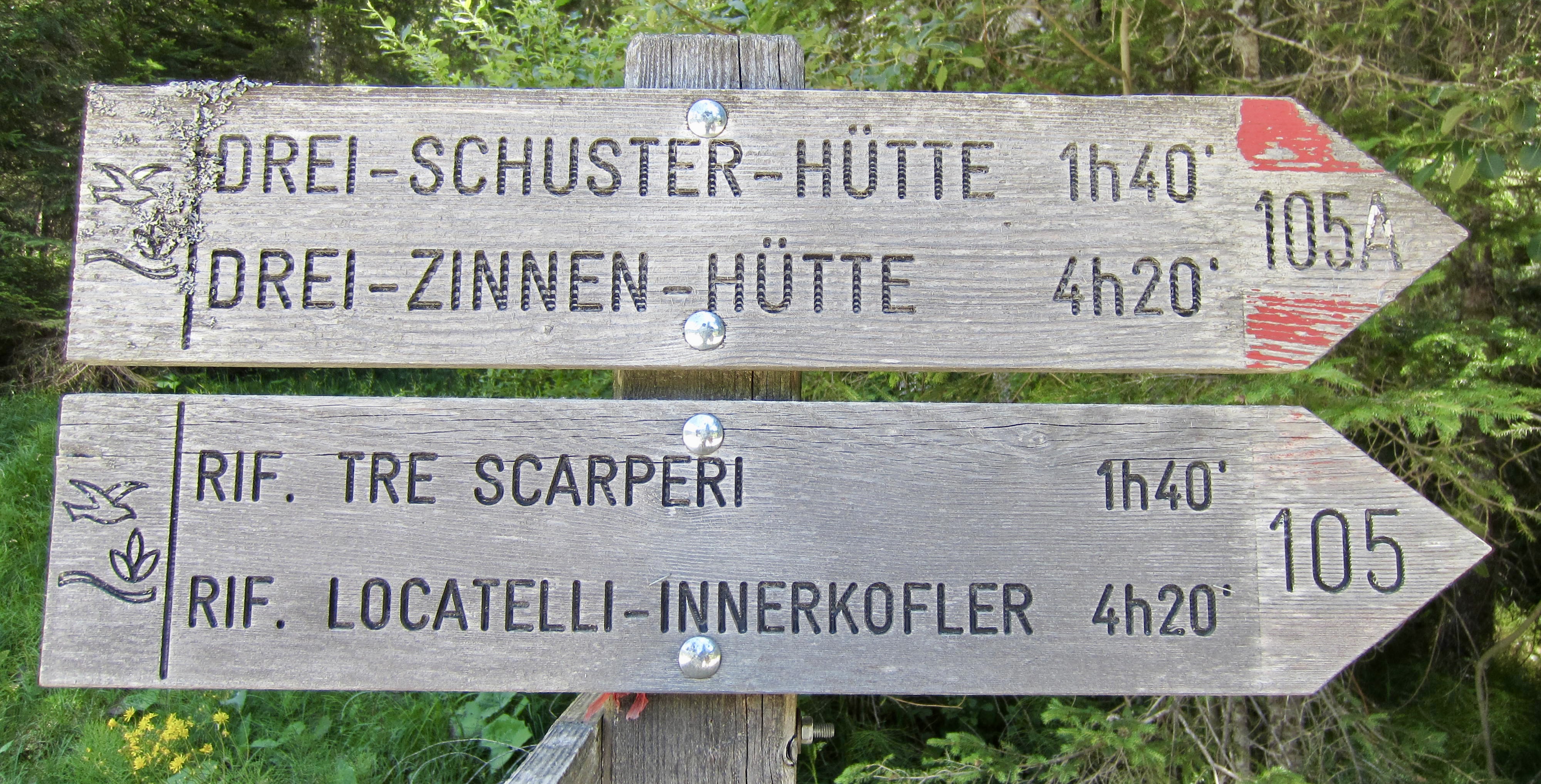
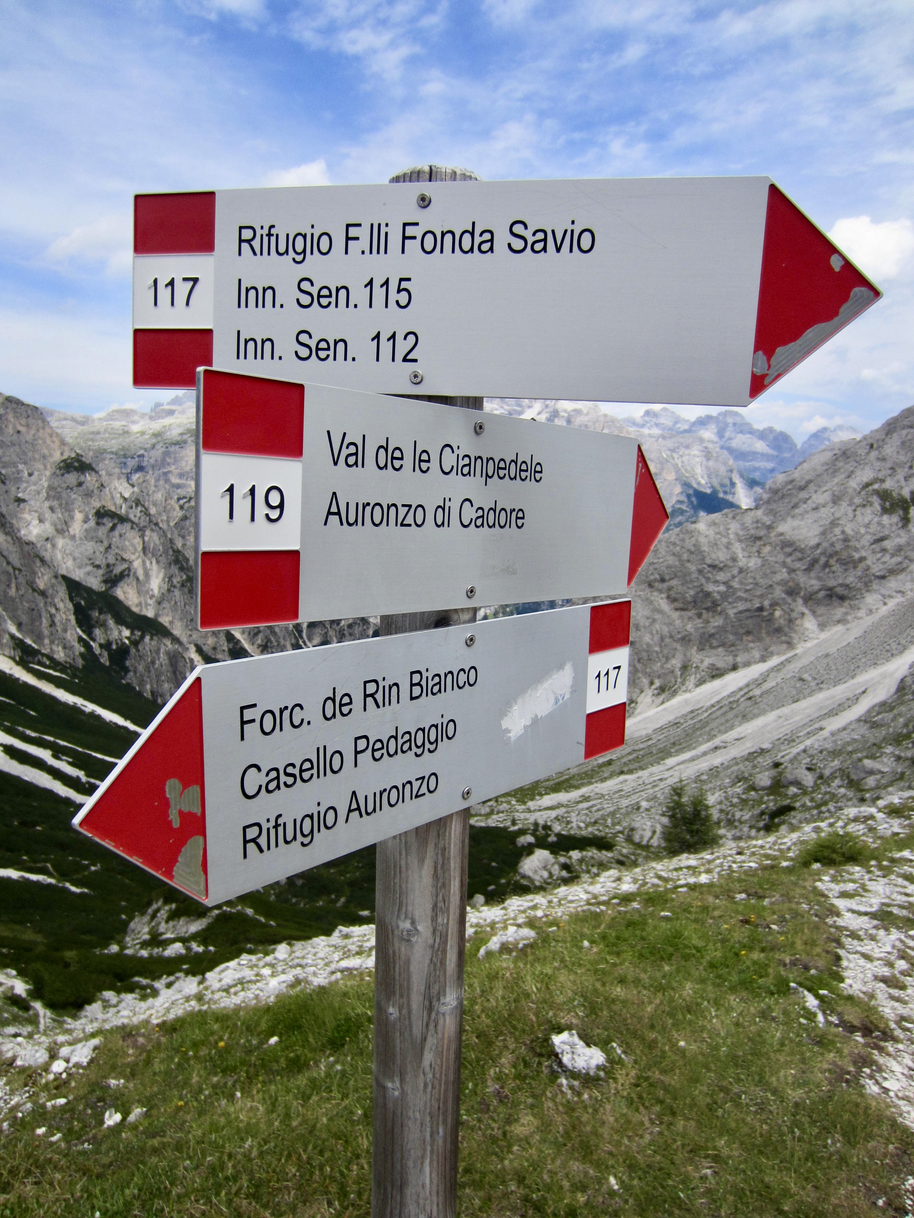
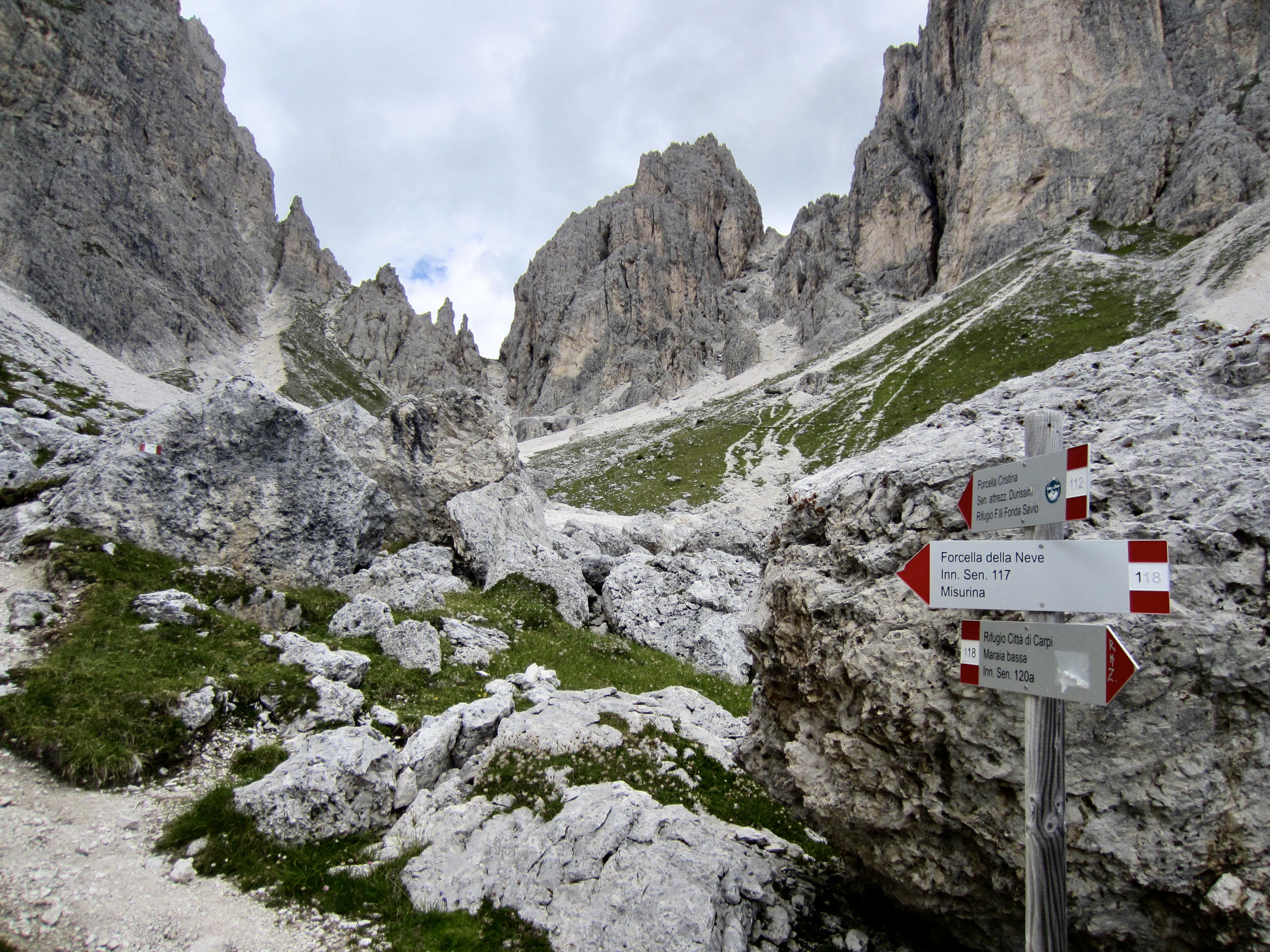
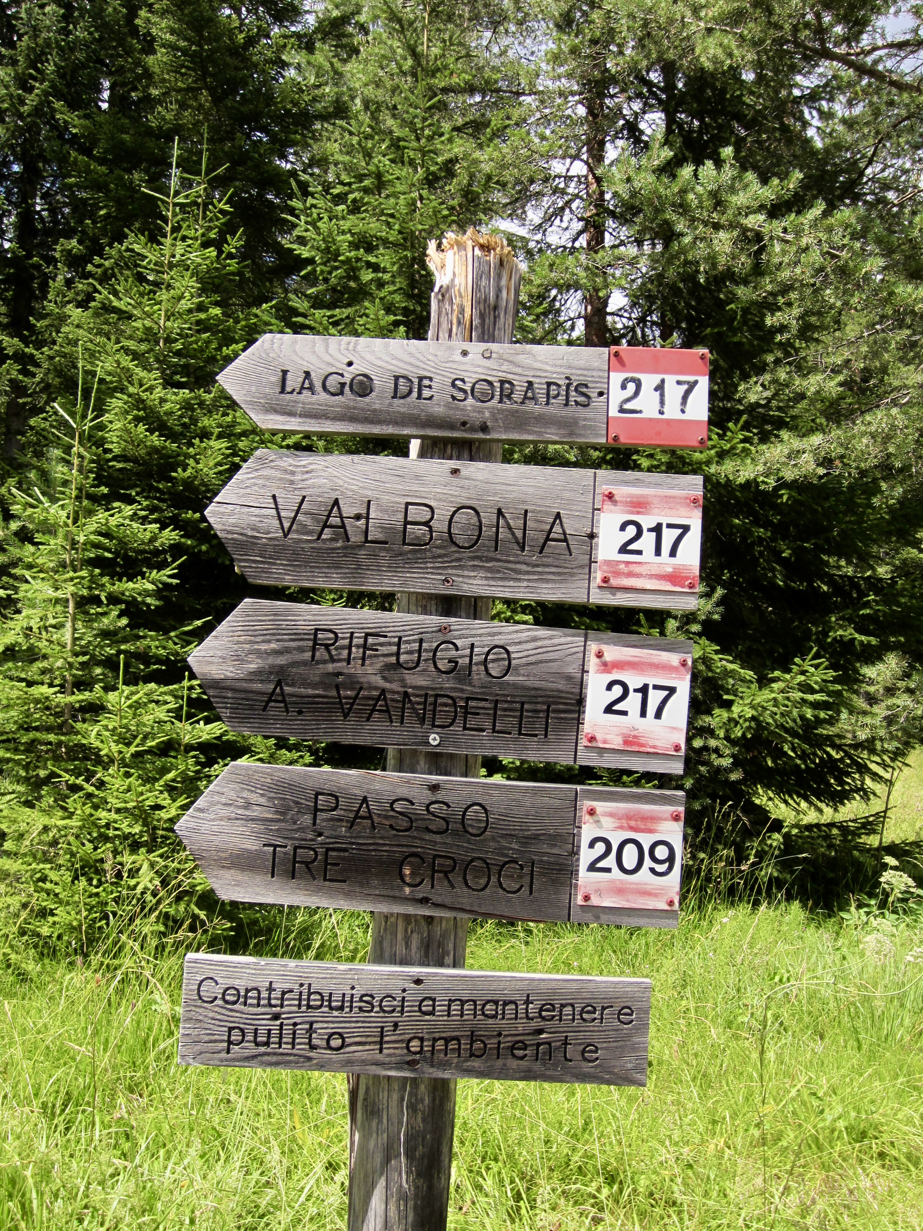
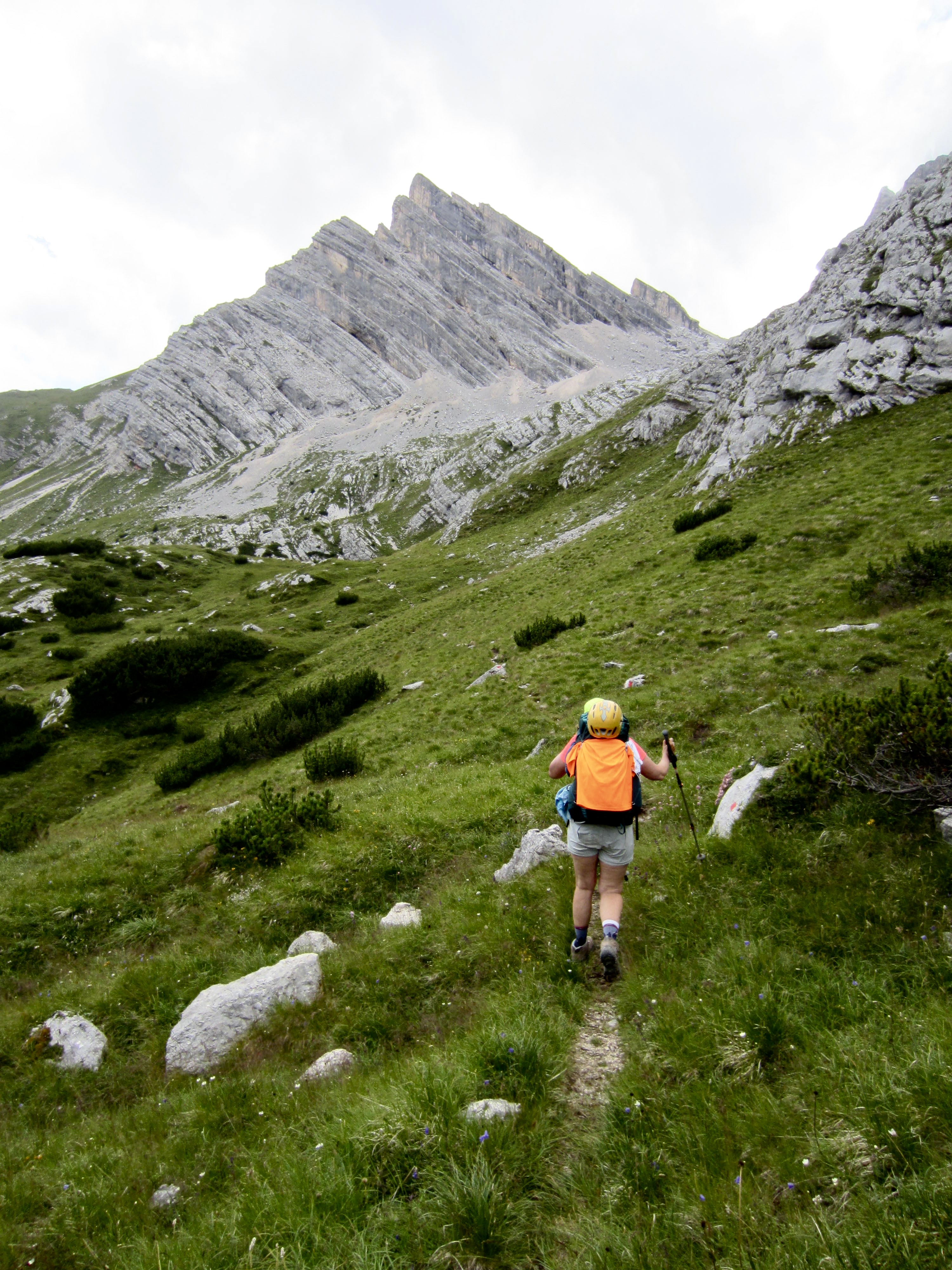
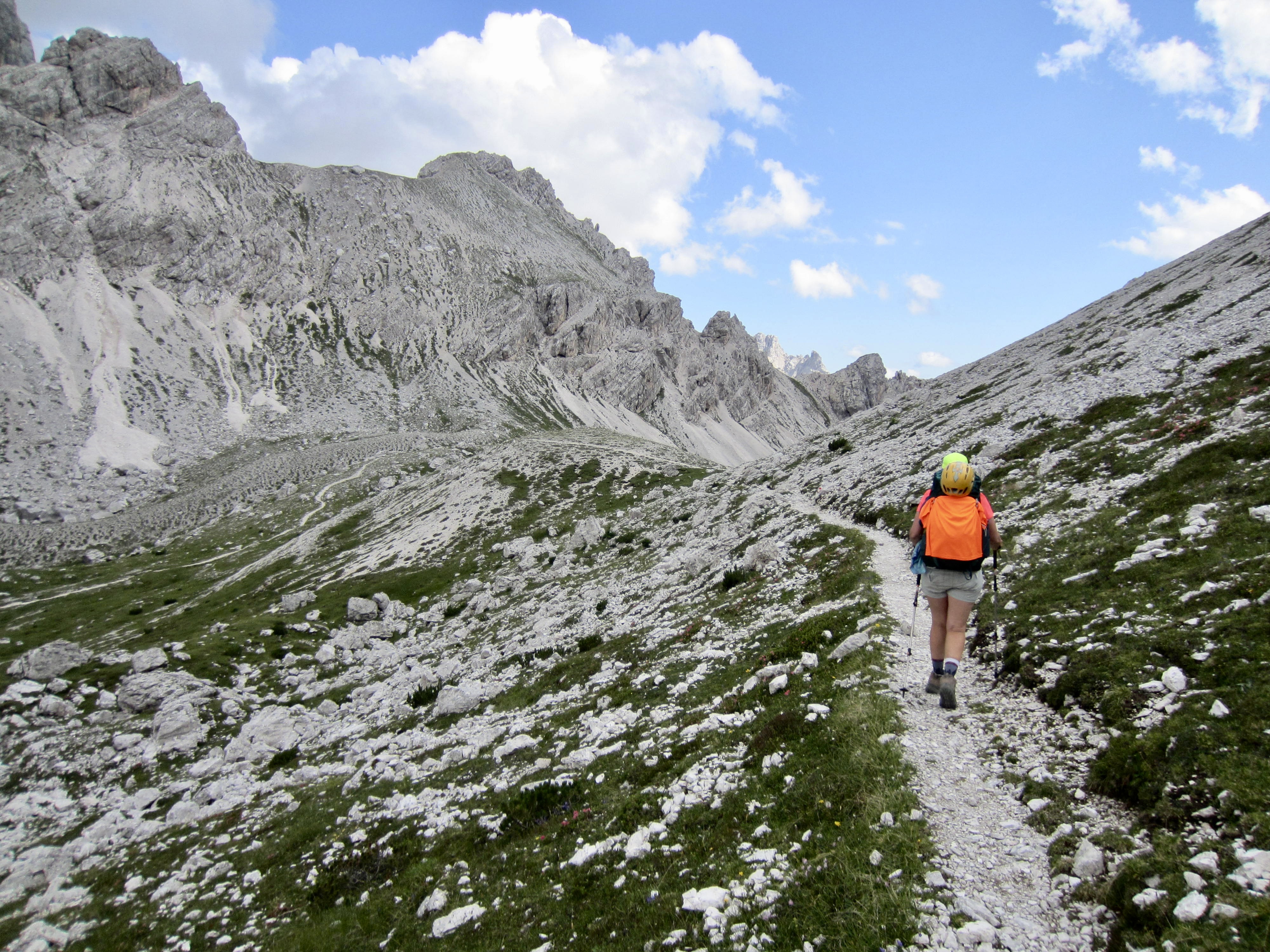
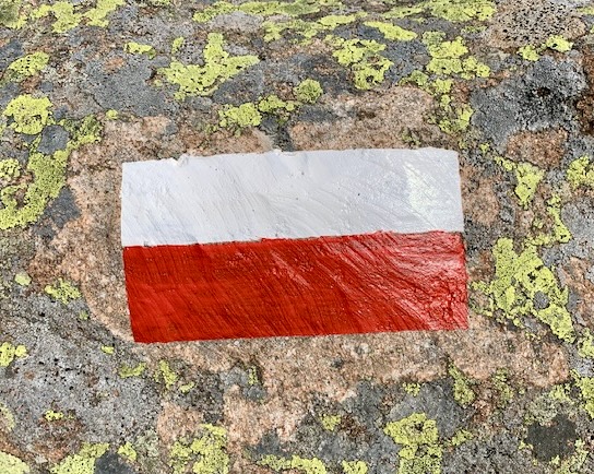
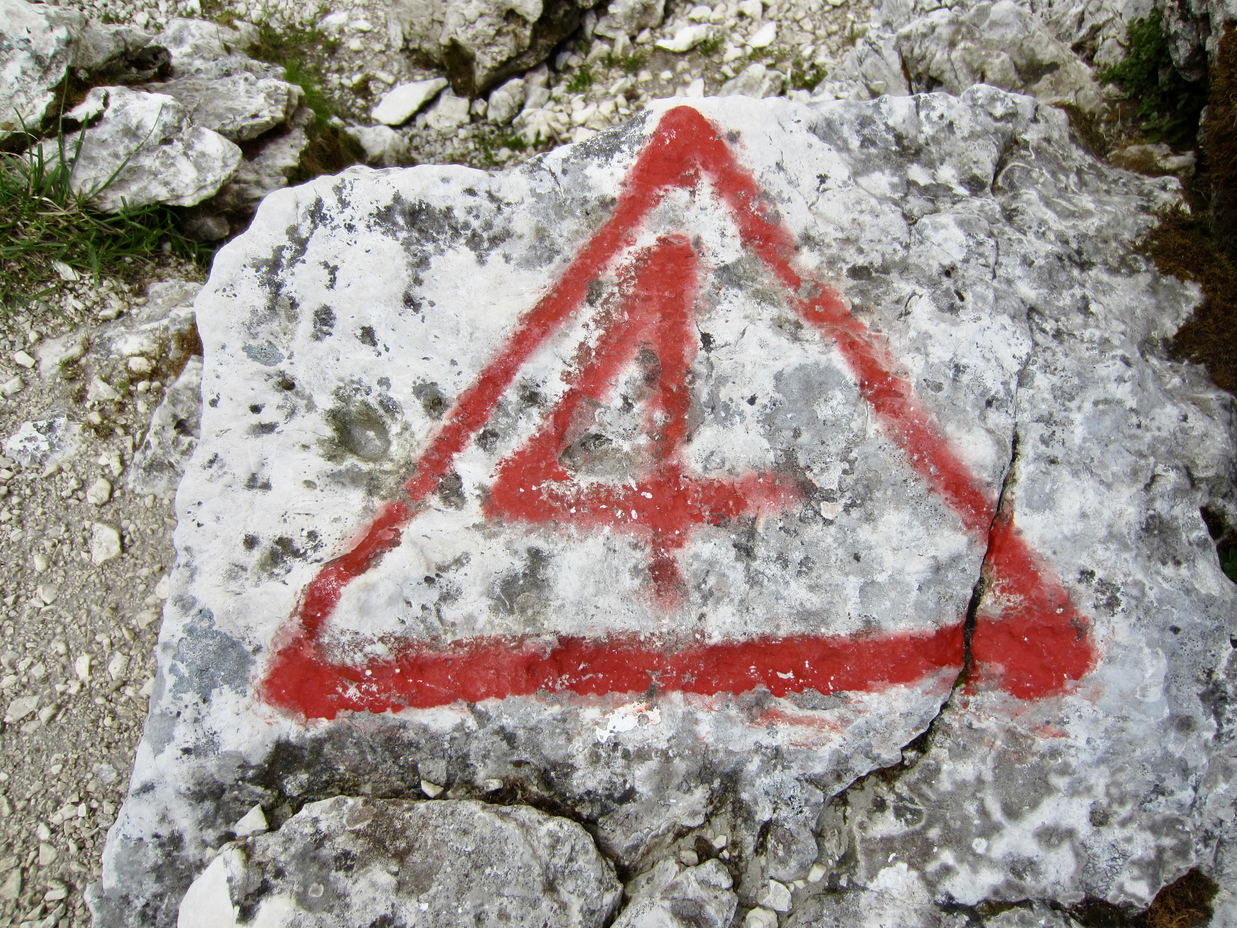
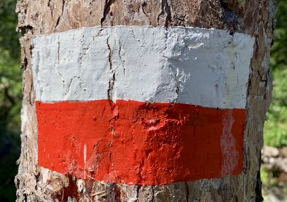
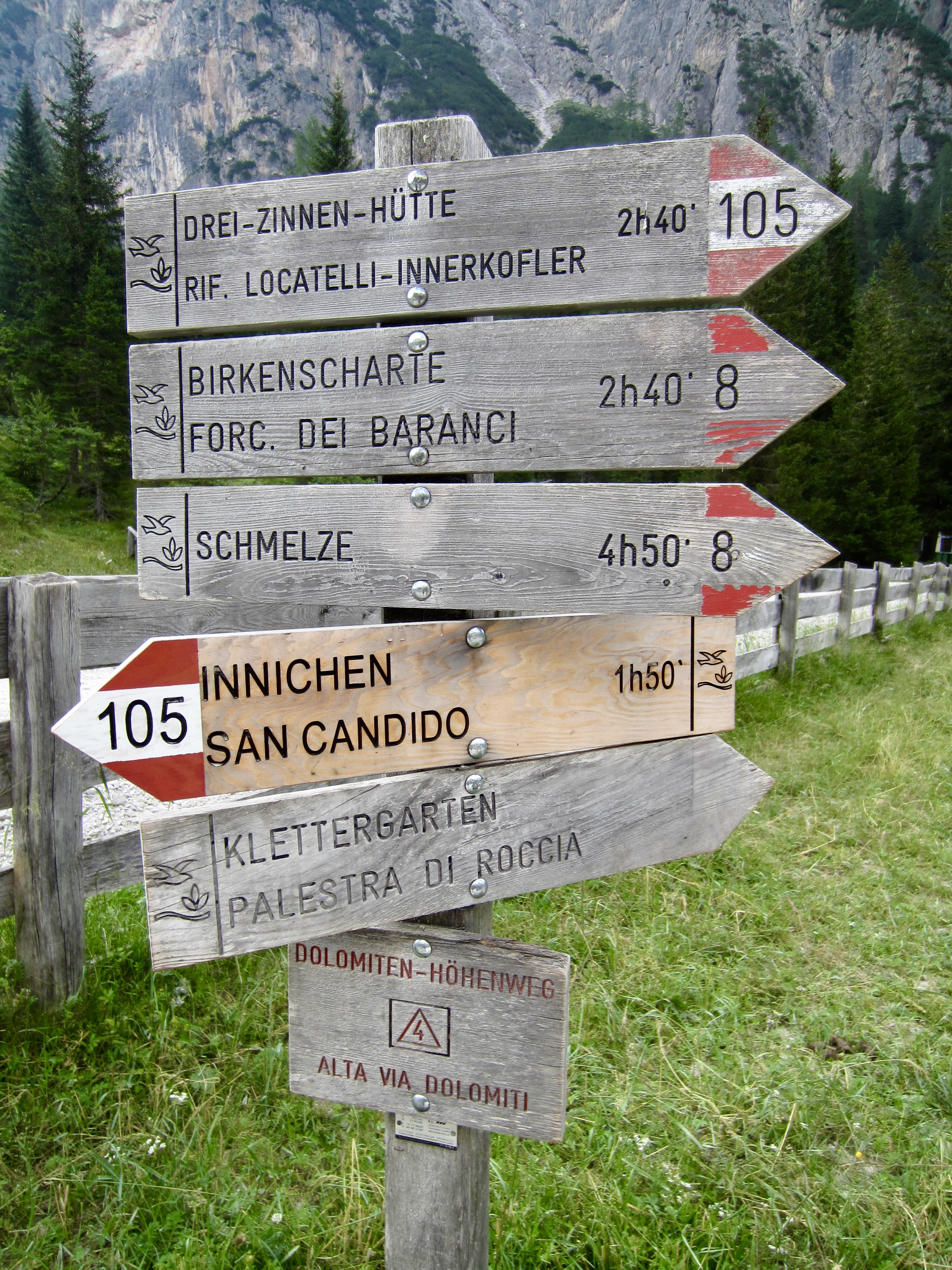
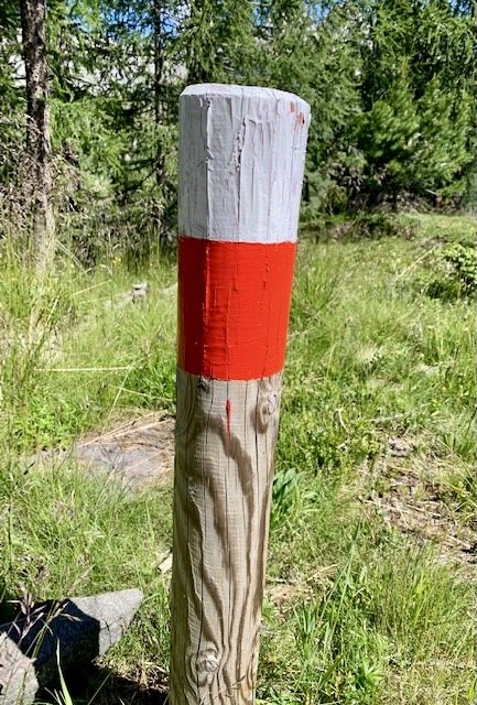
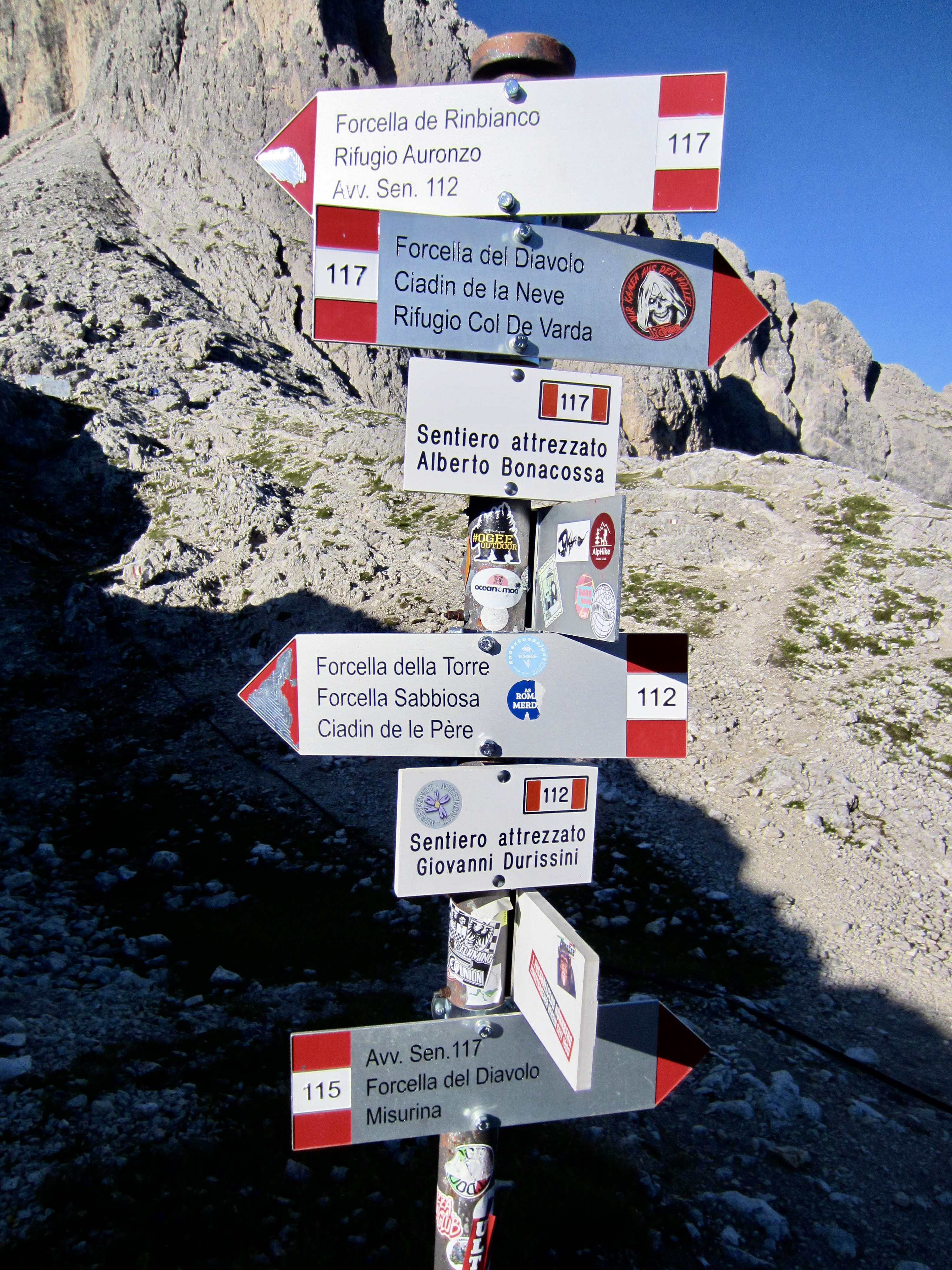
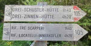
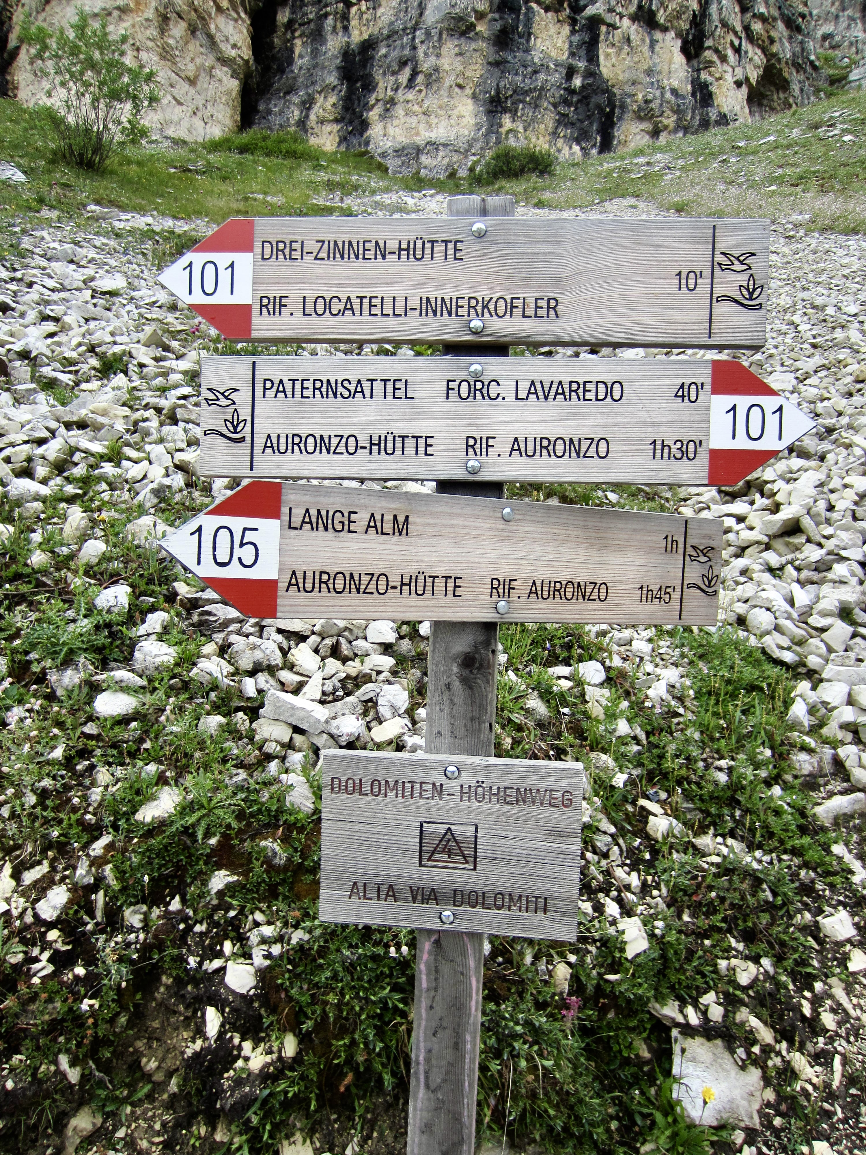
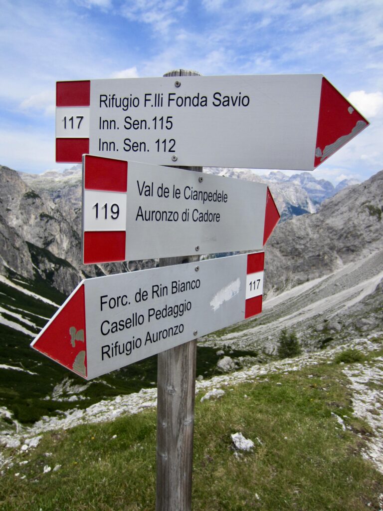
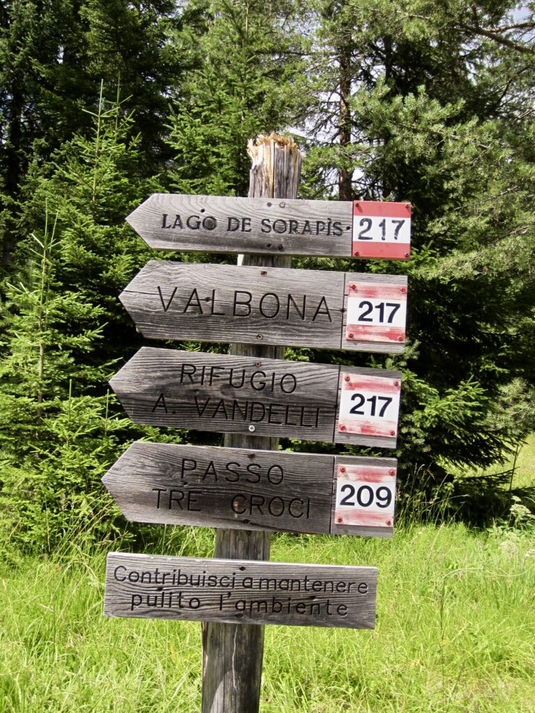
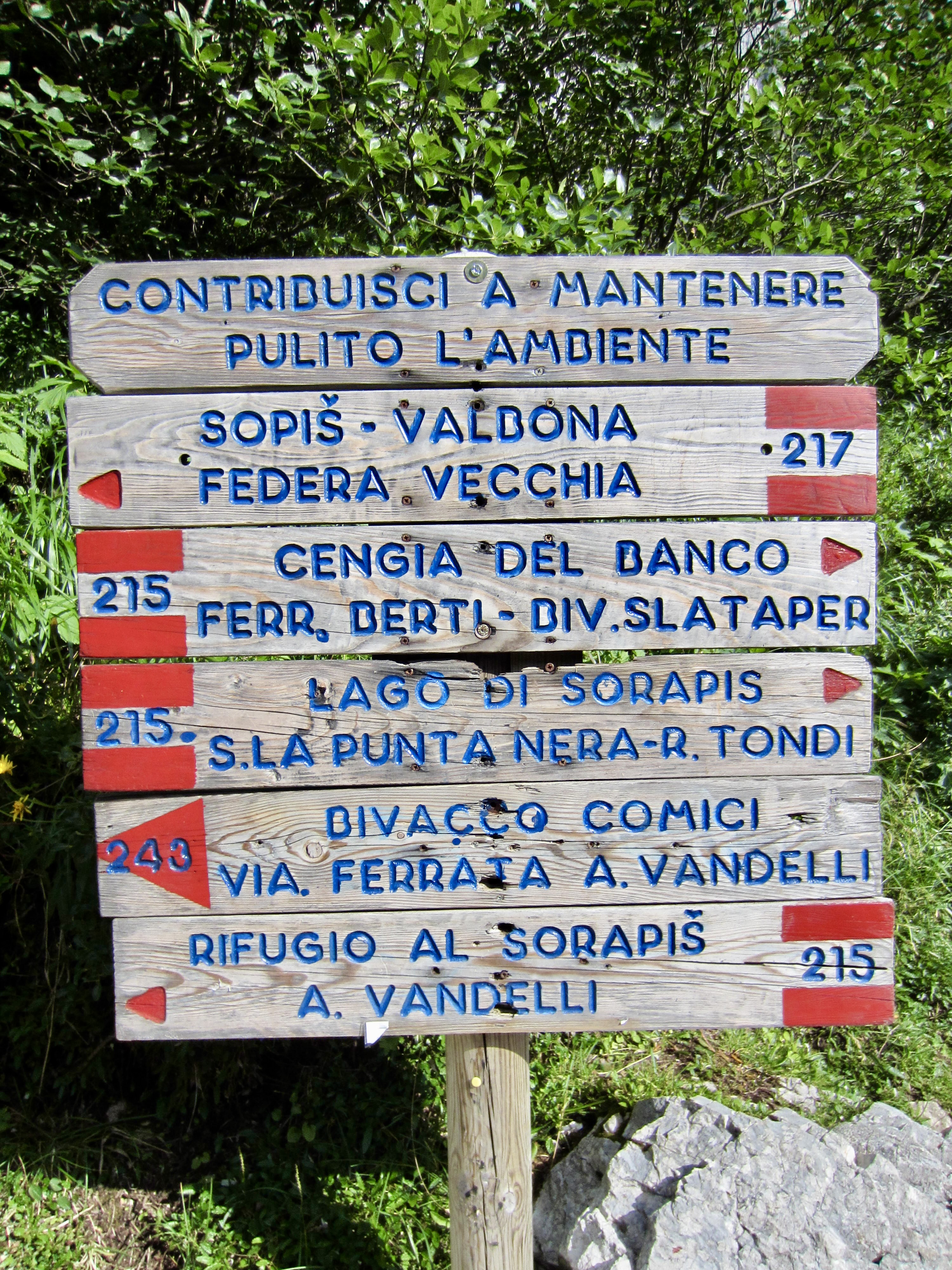
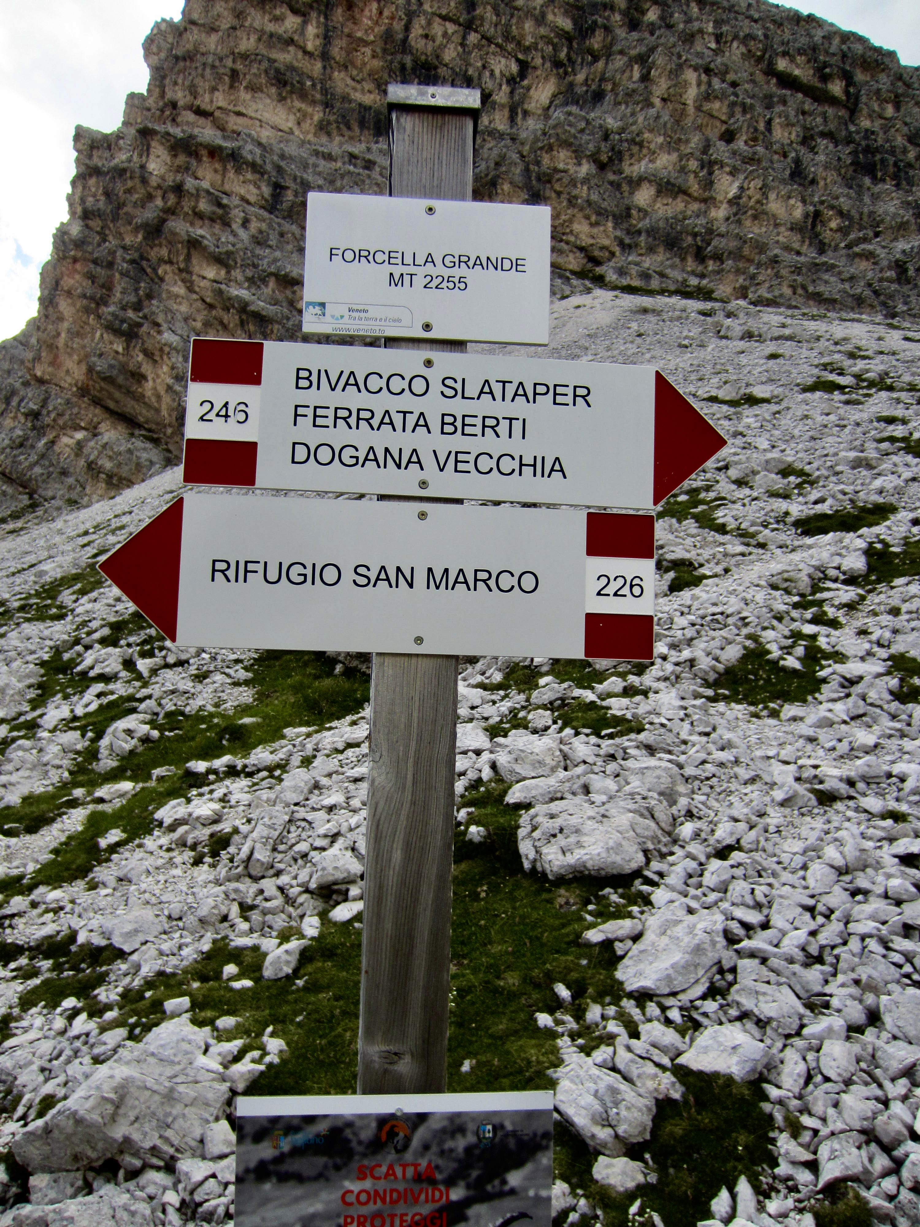
Like all trails throughout the Dolomites, AV4 is well-marked with red and white stripes painted on rocks, trees, stakes, and poles. These distinctive marks are supplemented with red dots and red triangles, as well as rock cairns at sporadic locations. In addition to trail markers, nearly every trail junction has a signpost that clearly identifies the particular trail numbers and direction to critical waypoints such as passes, valleys, peaks, huts, and bivouac shelters. Older signs are made of wood, whereas most newer signs are made of white-painted aluminum with red accents.
.
Accommodations & Food
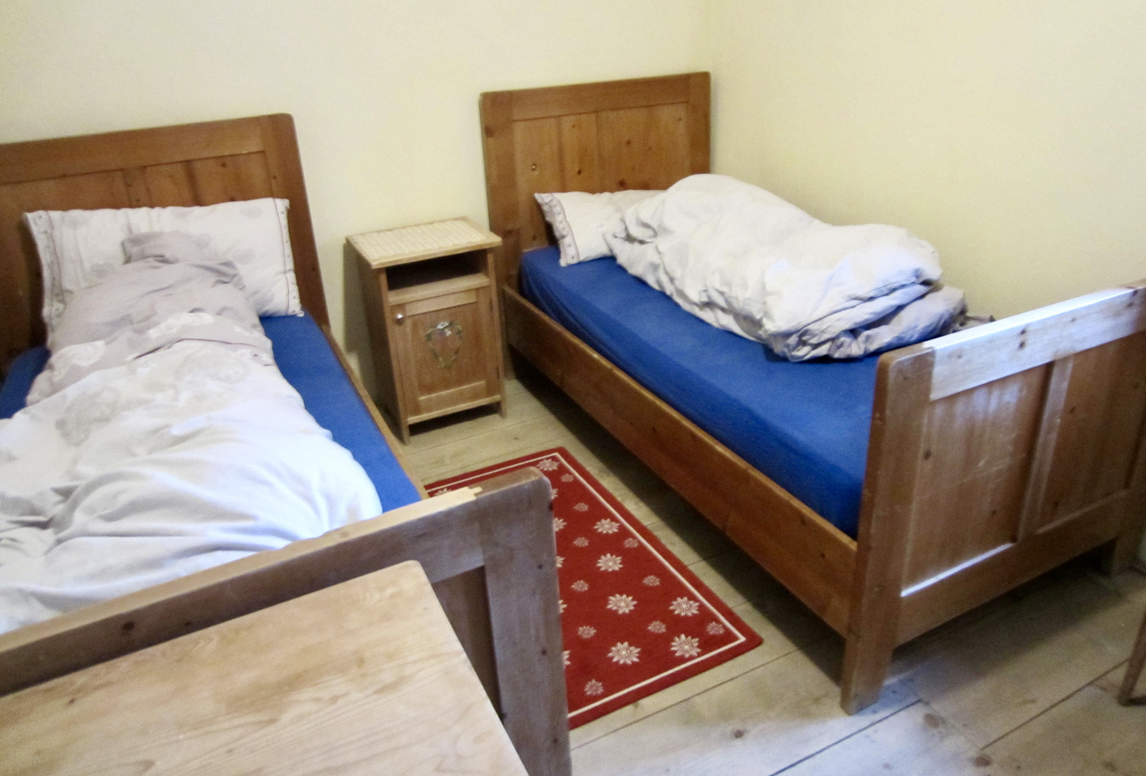
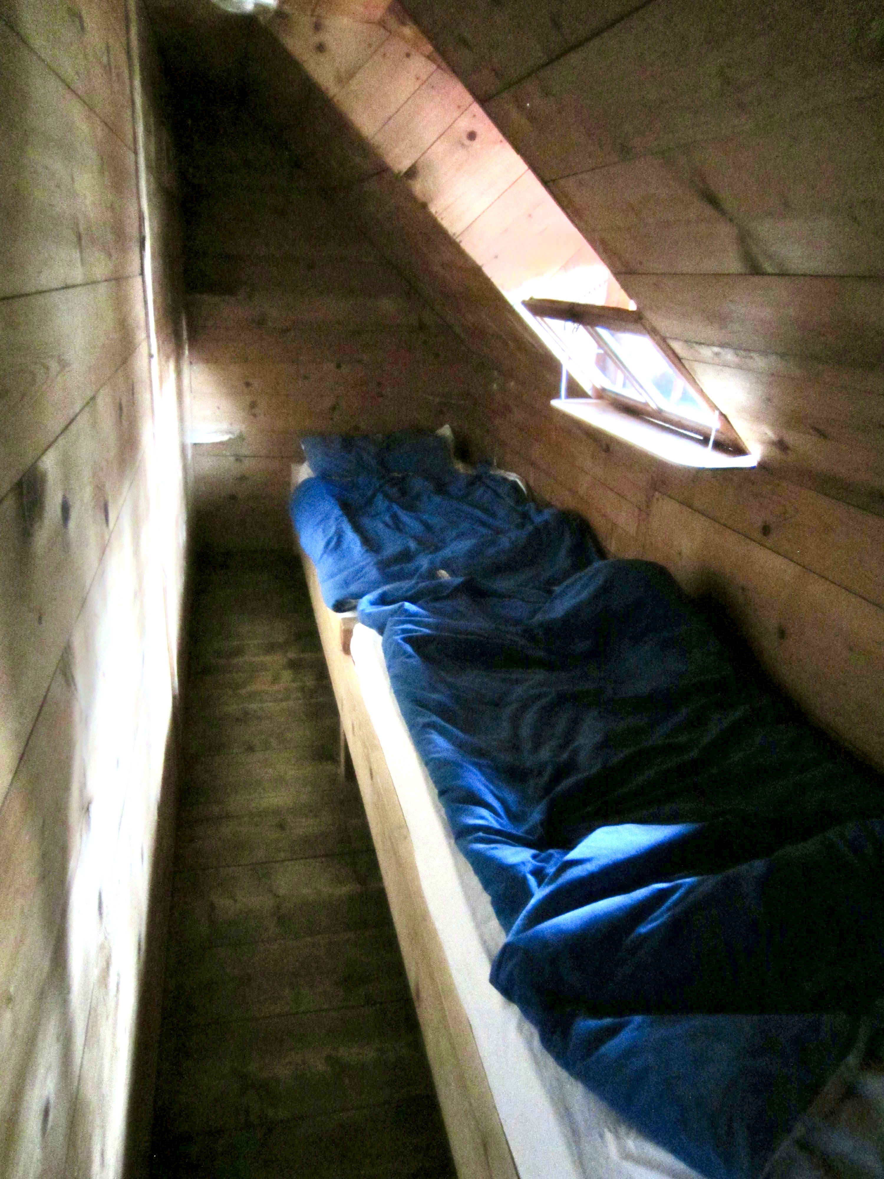
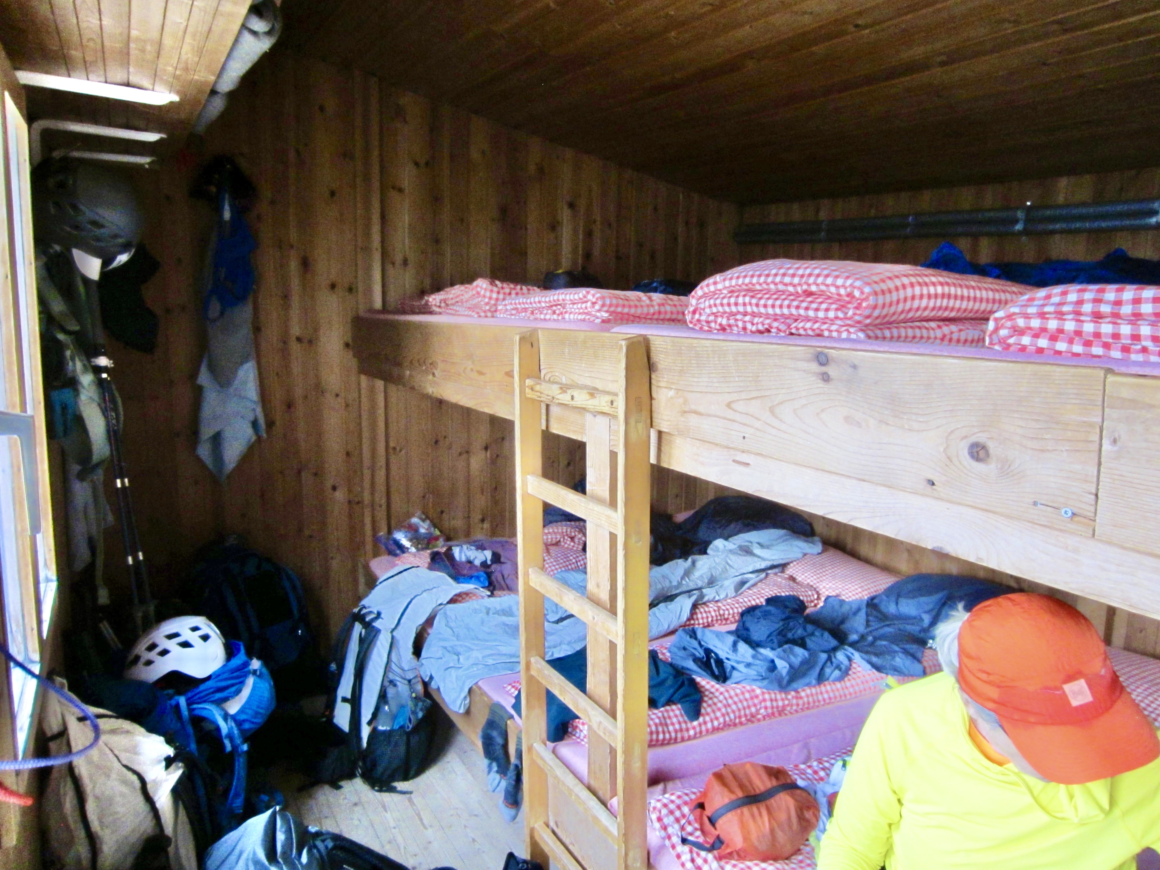
AV4 is served by numerous mountain huts that are spaced at intervals ranging from a couple hours apart to a full day apart. These huts vary greatly in their capacity and configuration, but nearly all have a combination of small, private bedrooms and larger bunkrooms, which hold a dozen or so people. Every hut provides a mattress, a blanket, and a pillow, so you need only to bring a sleeping sack. Be aware that hut accommodations are in high demand throughout the summer, so it is essential to book early—ideally in January.
Bathroom facilities are shared by all guests within a hut, and most of these facilities are barely adequate for the number of guests. In the worst situations, you might have one toilet for 25 or more people! Some huts also have showers (either hot, or cold-water only) available for free or for a nominal charge (typically about 2 to 5 euros). However, the shower situation is never certain. We found that some huts either had severely limited their shower times or had closed their showers entirely, due to chronic water shortages.
.
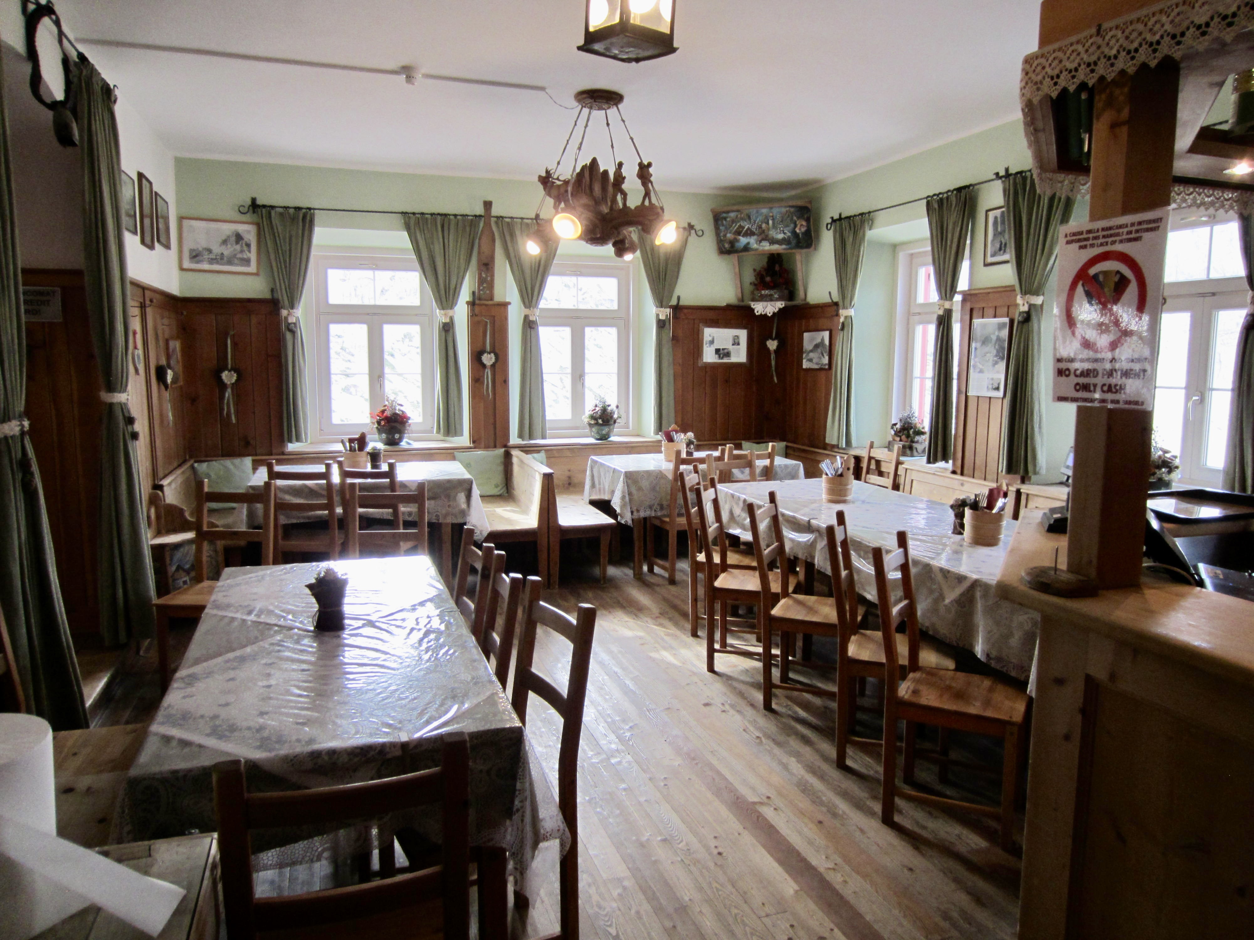
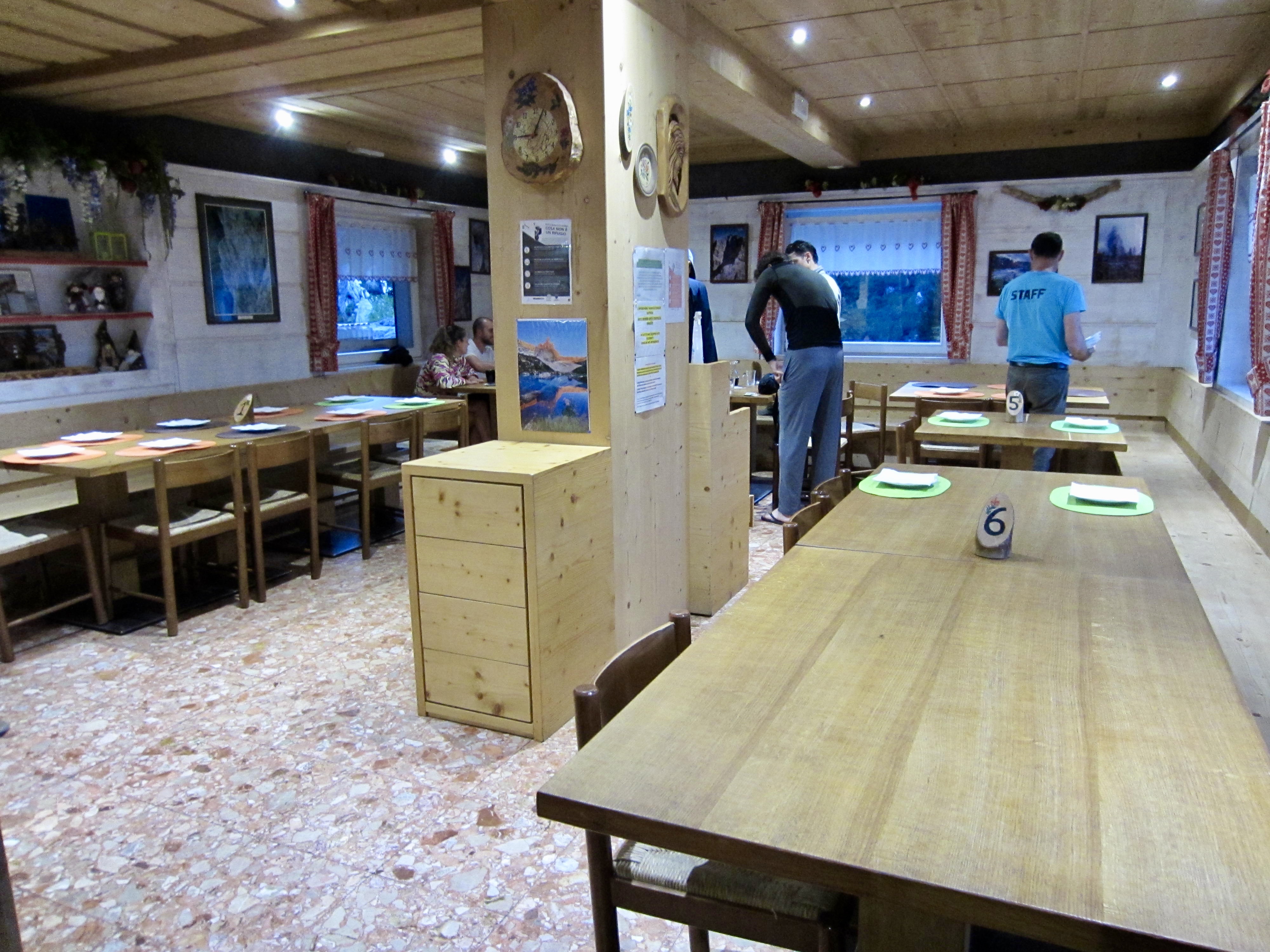
All of the mountain huts along AV4 offer breakfasts, lunches, and dinners, but food quality and variety differ greatly from one hut to another. Vehicle-accessible huts generally offer better meals and more variety, whereas remote huts tend to provide simpler fare. We found most dinners to be ample and tasty if not memorable. Breakfasts, however, are usually unimpressive if not downright dismal—limited to dry white bread, jam, Nutella, coffee, and tea. Many huts have an espresso machine, so cappuccinos, americanos, and espresso shots are often available. Curiously, though, lattes and mochas are virtually unknown in the Dolomites.
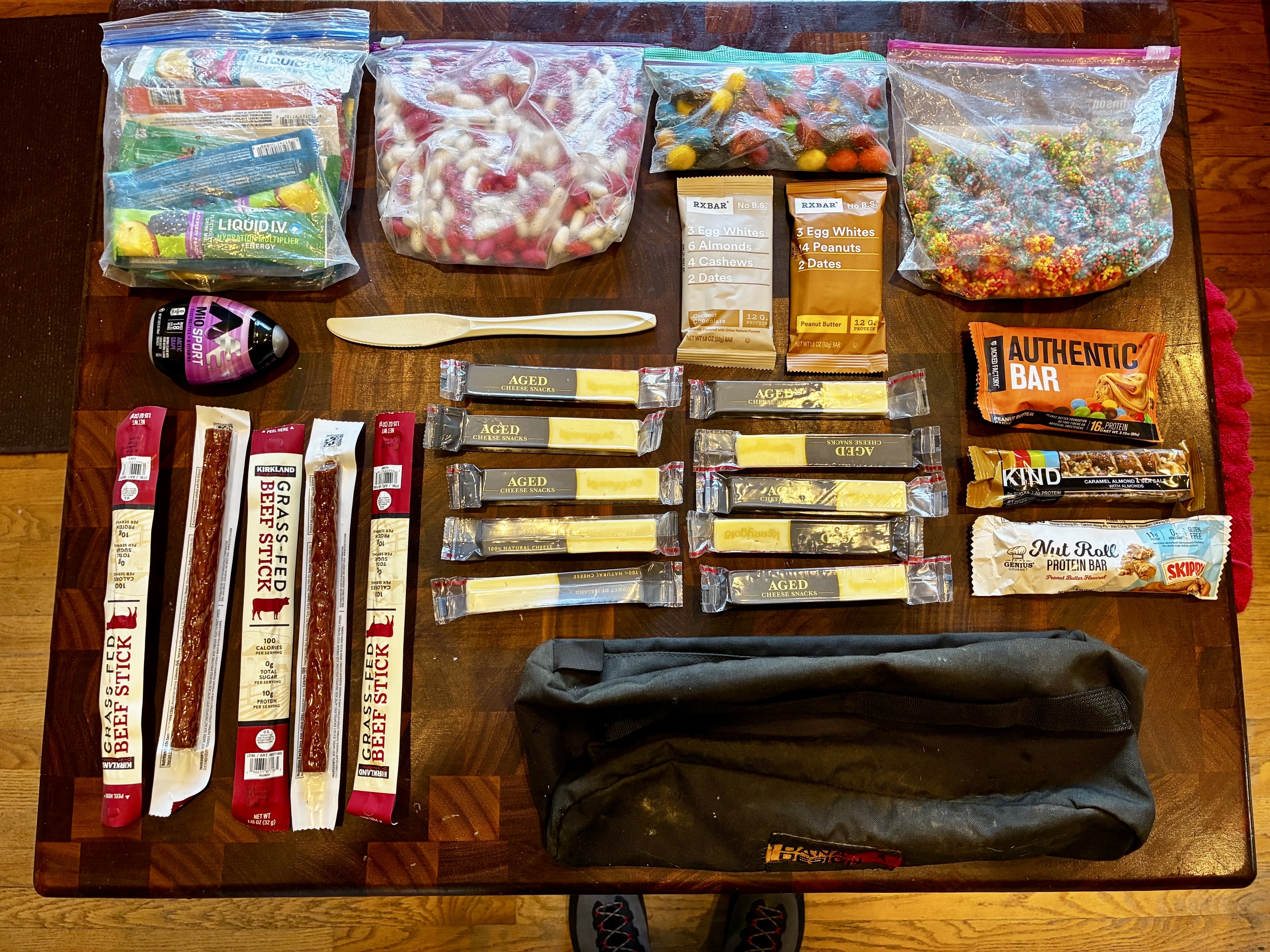
Because the sack lunches offered by huts (for an extra charge) are usually uninspiring, Eileen and I carried a large amount of portable snack food on our AV4 trek. Our 8-day supply of provisions included energy bars, pepperoni sticks, cheese sticks, nuts, gummies, cookies, and candy. This resulted in a substantial weight—about 3 to 5 pounds / 1.3 to 2.3 kilograms for each of us—but it gave us much variety and flexibility on the trail.
.
Drinking Water
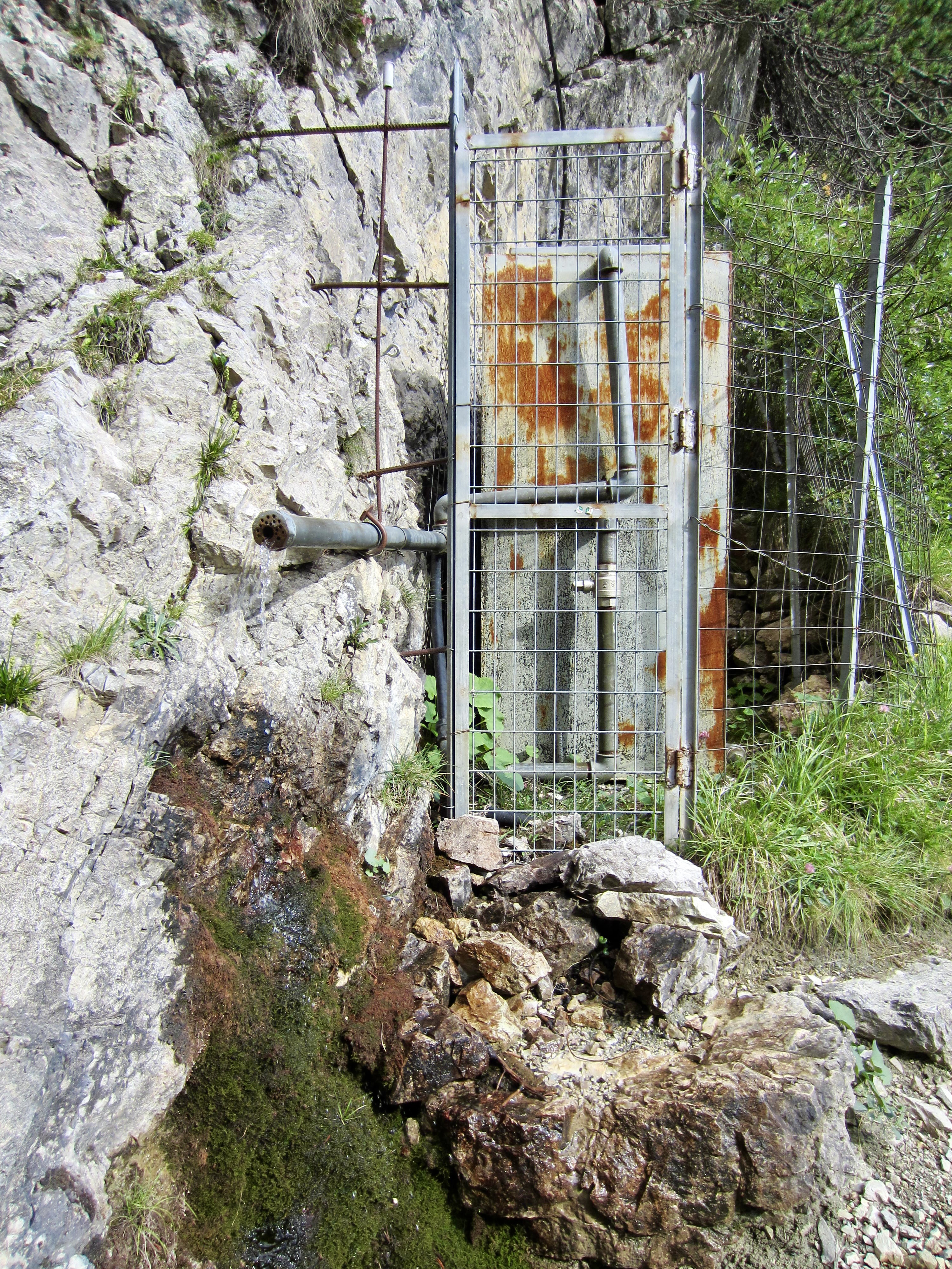
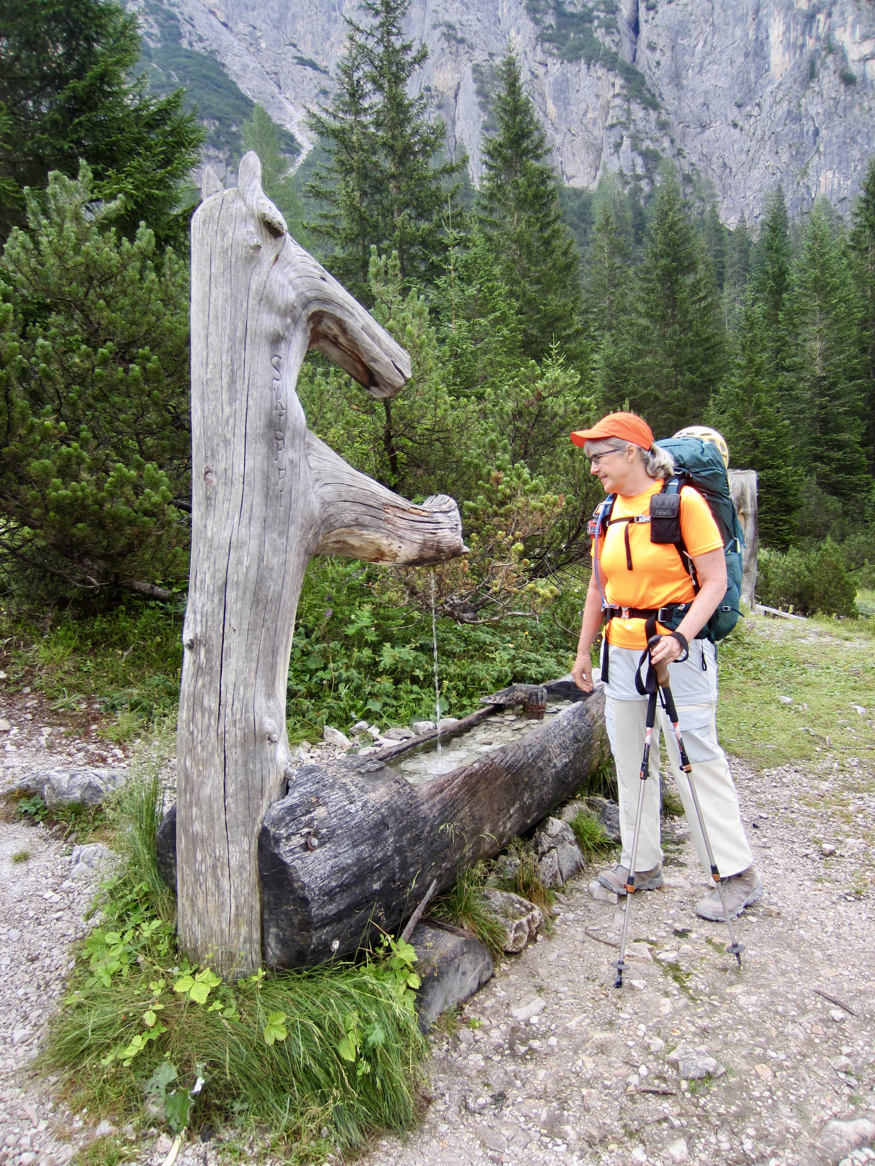
Because the Dolomites are a fairly arid mountain range, water is not widely available along the AV4 trail. There are occasional streams and springs along the lower-elevation segments of the trail, but the higher-elevation segments tend to be very dry by mid-summer—and getting drier each year as the glaciers and snowfields shrink. Consequently, it is advisable to start each day with enough water for the entire day’s trek.
Aside from a couple larger streams and several established springwater spigots, the only reliable water sources are found at mountain huts. Some huts have good, potable water available from washroom sinks, whereas other huts have warning signs saying the tap water is not potable, thereby implying that guests need to buy bottled water. We were curious about potability, considering that most huts obtain water from uphill springs or snowfields, and we were told by one hut manager that the snowmelt water is undrinkable because “it does not contain any minerals and is too cold for the stomach.” To me, these concerns are ridiculous on multiple levels, because mountain travelers have been safely drinking snowmelt for centuries! Eileen and I often drank water from hut sinks with no gastric issues (using judgment about the source), but if you have personal concerns, simply take a water filter on your trek.
.
Trekker Camaraderie
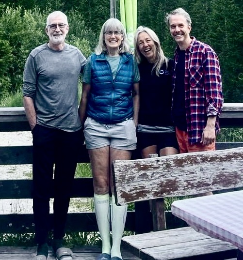
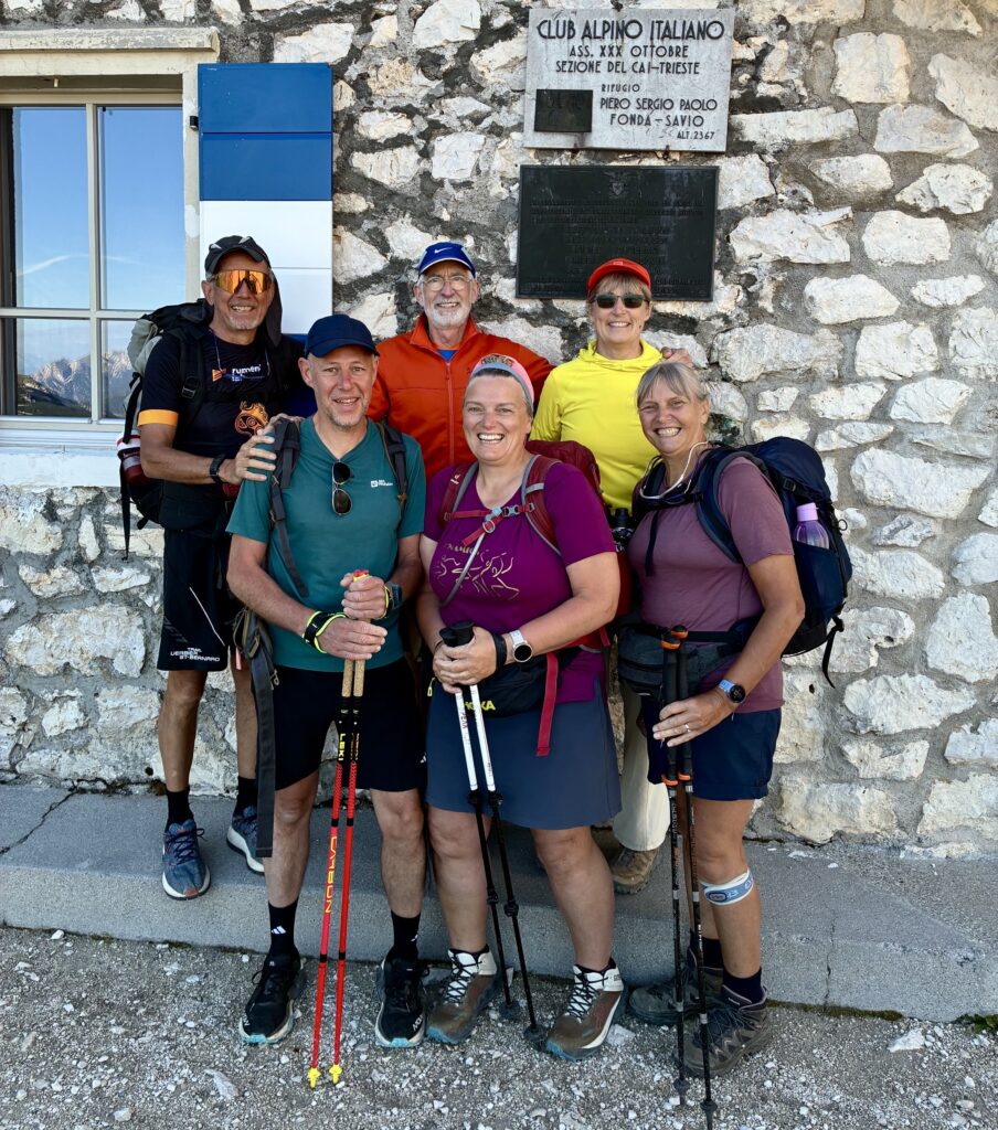
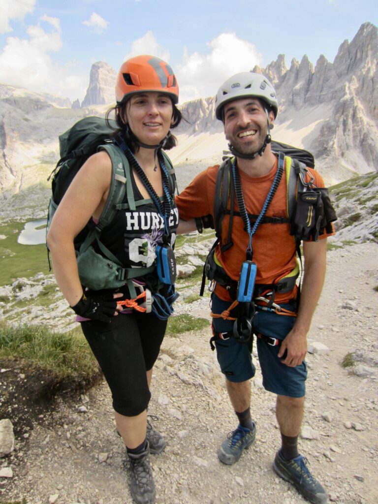
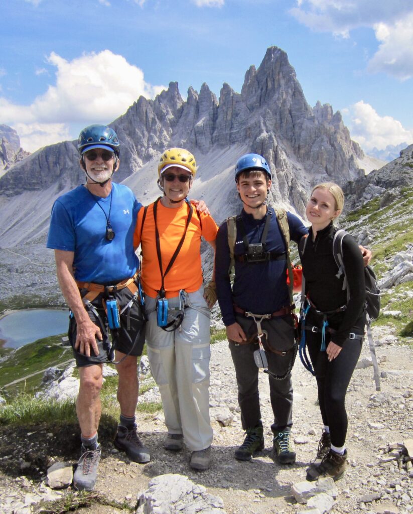
For Eileen and me, socializing with other trekkers from around the world is a major appeal of an internationally famous hut-to-hut traverse like AV4. At various times early in our trek, we shared meals or trails or summits with a highly accomplished scientist-engineer couple from Germany, a lively foursome from Belgium, a young couple from Italy, and another young couple from Poland.
.
.
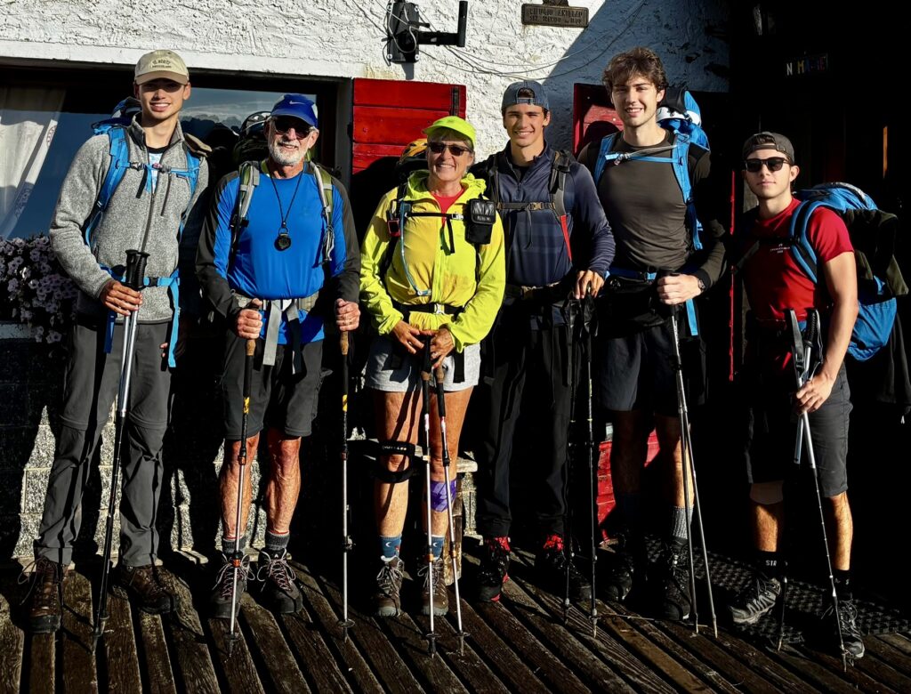
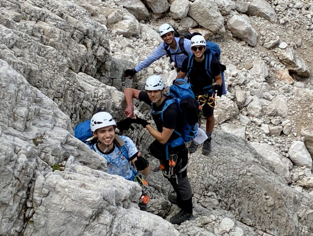
During the last few days of our trek, we had the pleasure of sharing meals, bunkrooms, trails, and via ferrata cables with four spirited and gracious young college students from Sweden. On one particular afternoon, we slithered down wet rock, stumbled across loose talus, and trudged through a prolonged rainstorm, getting thoroughly drenched in the process. Their good humor and intellectual conversation turned a miserable experience into one of the highlights of our entire traverse!
.
Nomenclature Comments
The nomenclature used throughout the northern Dolomites can be confusing. Due to a long history of territorial disputes between Austria and Italy, most geographic features possess both a German name and an Italian name. Along AV4, for example, Innichen and San Candido refer to the same town; Paternkofel and Monte Paterno refer to the same peak; Toblinger Riedl and Forcella di Toblin refer to the same pass; and Dreischusterhutte and Rifugio Tre Scarperi refer to the same hut. However, as you travel farther south on AV4, geographic names tend to be Italian only.
In an effort to balance clarity with conciseness in my daily reports, I describe certain features with anglicized common nouns and syntax. For example, rather than saying Rifugio Locatelli / Dreizinnenhutte, I simply say Locatelli Hut. Similarly, rather than saying Forcella del Camoscio / Gamsscharte, I simply say Camoscio Notch. However, summits always retain their distinctive native names, such as Torre di Toblin / Toblinger Knoten and Cima Cadin Northeast.
Trekking Gear
Trail Clothing & Equipment
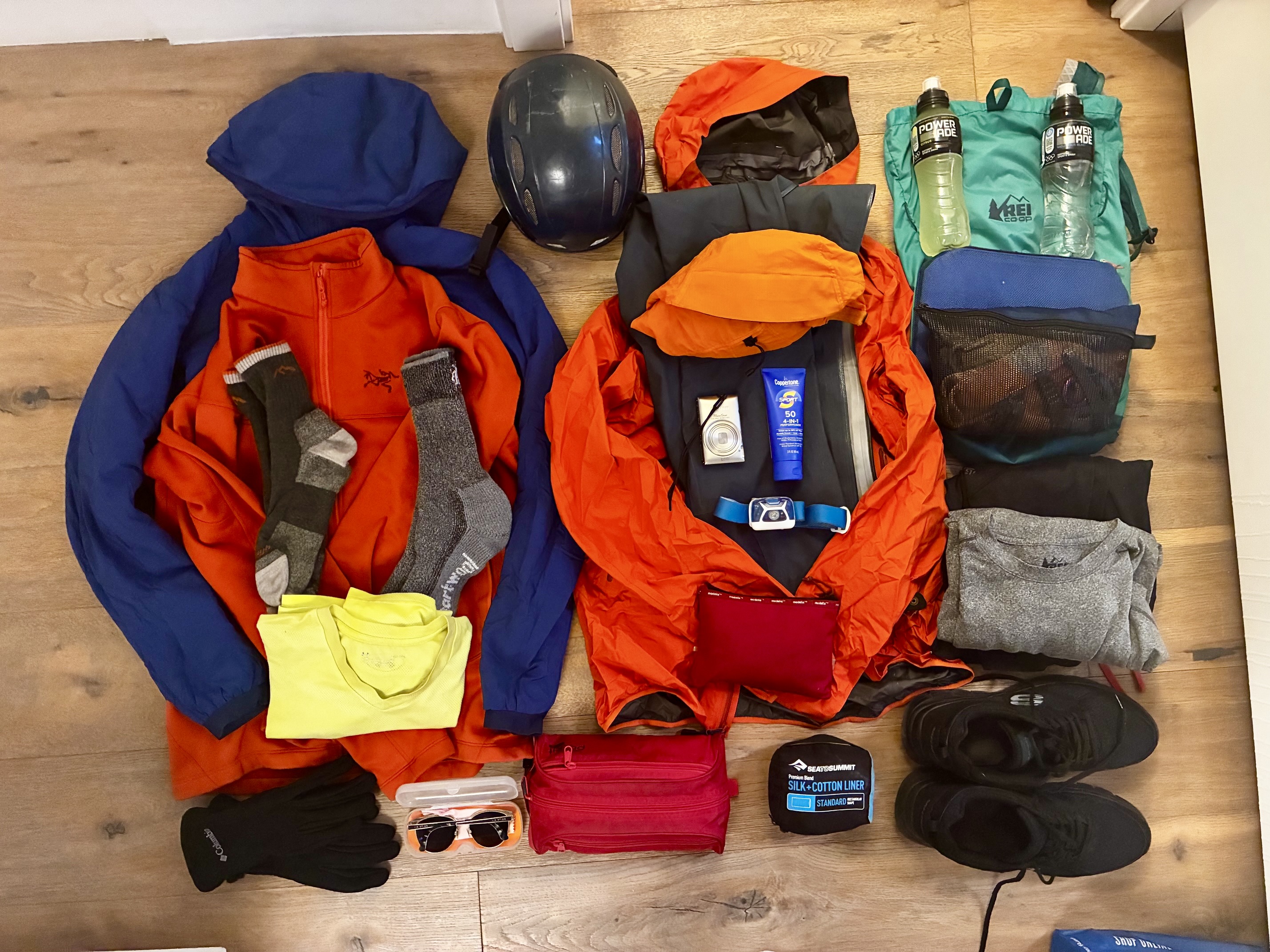
During our midsummer AV4 trek, Eileen and I experienced a full gamut of weather conditions—ranging from hot, sunny periods to cold, windy thunderstorms. Consequently, it was necessary to have a variety of clothing items, including shorts, pants, a sun hat, a jacket or sweater, a raincoat, rainpants, and gloves. We also doubled up or tripled up on tee shirts, underwear, and socks for the sake of comfort and hygiene.
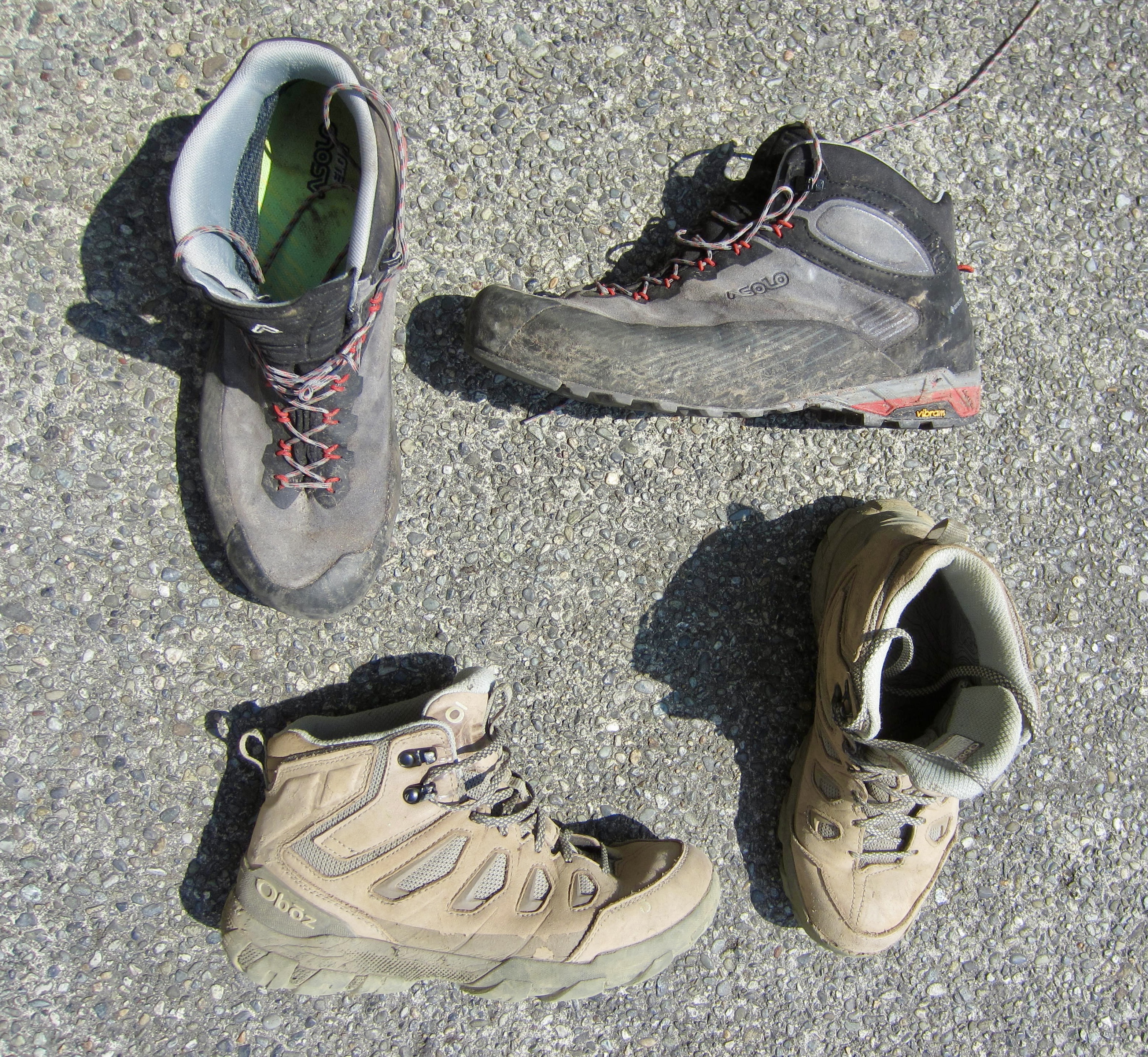
Trekking footwear is obviously a crucial item but highly subject to personal preference. We both elected to wear medium-weight trail boots, as a compromise between comfort and support. Because AV4 involves so much rock scrambling and via ferrata climbing, I chose an Asolo Eldo trail boot, which is slightly more oriented to technical performance. Eileen chose a more comfort-oriented Oboz Sawtooth trail boot. Neither boot was ideal for all conditions encountered, but we were both satisfied with our choice.
Our other trekking gear included a sturdy pair of adjustable poles, a water bladder and water bottle (3-liter capacity minimum), a cell phone with one or more GPS mapping apps (CalTopo and Gaia), sunglasses, sunscreen, a first aid kit, backup paper maps, altimeter, and a compass. To accommodate our various sidetrips, we also each brought a compact summit pack. For route-finding purposes, we relied on the thoroughly annotated CalTopo AV4 digital map package prepared by Brooke Beyond.
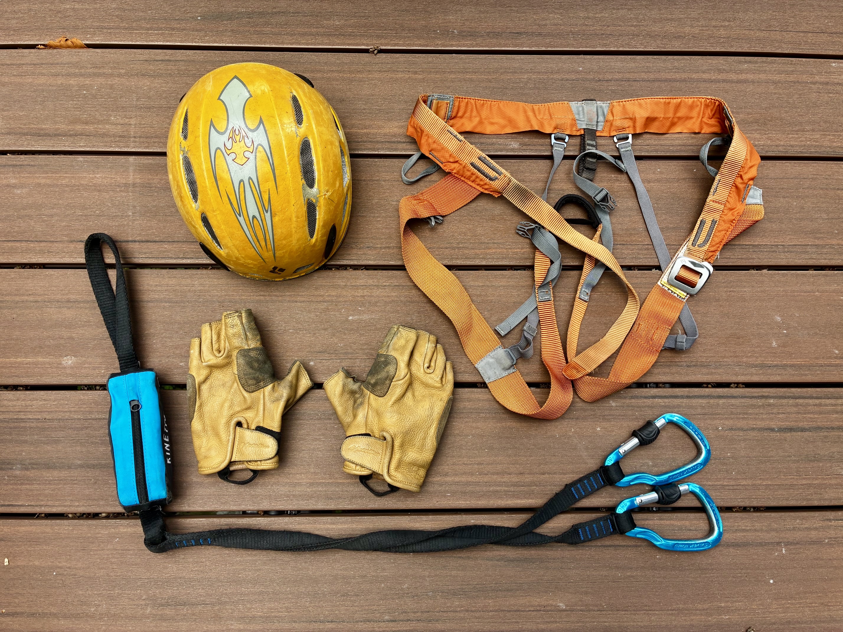
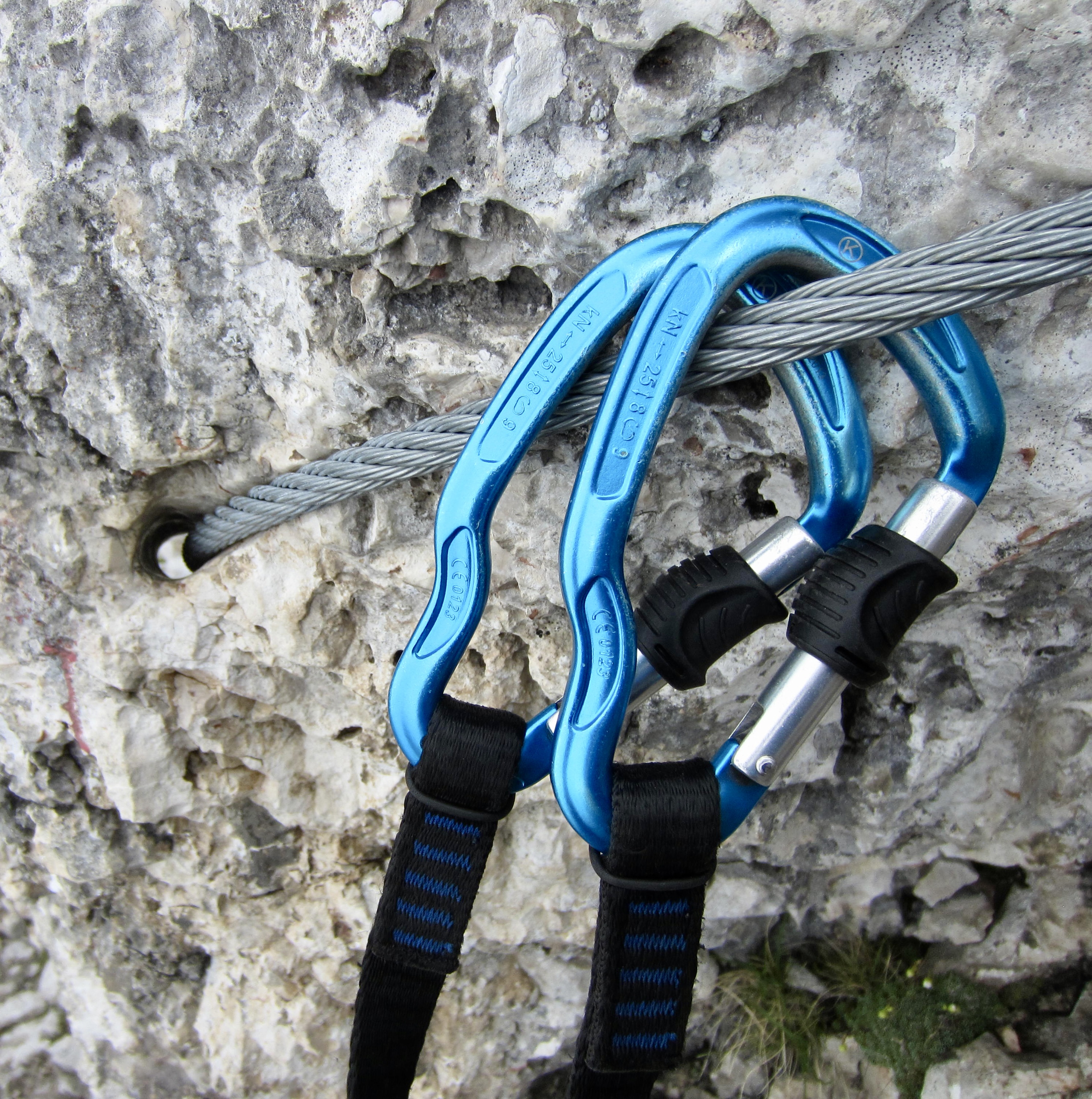
Because AV4 includes numerous via ferrata segments in route, and because we wanted to do several via ferrata sidetrips as well, we brought appropriate technical gear. Our gear consisted of a lightweight climbing harness, a set of energy-absorbing lanyards, a helmet, and a pair of leather gloves.
.
Hut Clothing & Accessories
Most trekkers will appreciate some clean, casual clothing to wear around the huts as a reprieve from smelly or wet trekking clothes. We each brought a dedicated hut shirt, shorts or pants, and socks for this purpose. I also brought a pair of lightweight sneakers, whereas Eileen chose to wear the loaner footwear (usually sandals or Crocs) that most huts provide.
As previously mentioned, all huts provide mattresses, blankets, and pillows, but for hygienic reasons, they require that trekkers use a sleeping sack (unless you have paid extra to use their sheets). Eileen and I each used an ultralight Sea to Summit cotton/silk-blend sack, and oftentimes these were the only covers that we needed in the warmer huts. Our other hut accessories included a basic hygiene kit, a hand towel and/or bath towel, a headlamp for navigating dark hallways, and a Type C electrical adapter and recharger cable for our cell phones.
An easily overlooked but critical hut item is cash, because many huts have no internet access and cannot accept electronic payment. We started our trek with 500 Euros in cash to pay for lodging, extra food, and extra drinks. A related item for us was our Austrian Alpine Club membership cards; when presented at the time of check-in, these cards got us a considerable discount on the lodging cost. And don’t forget that passports are required at some huts.
Trail Packs & Summit Packs
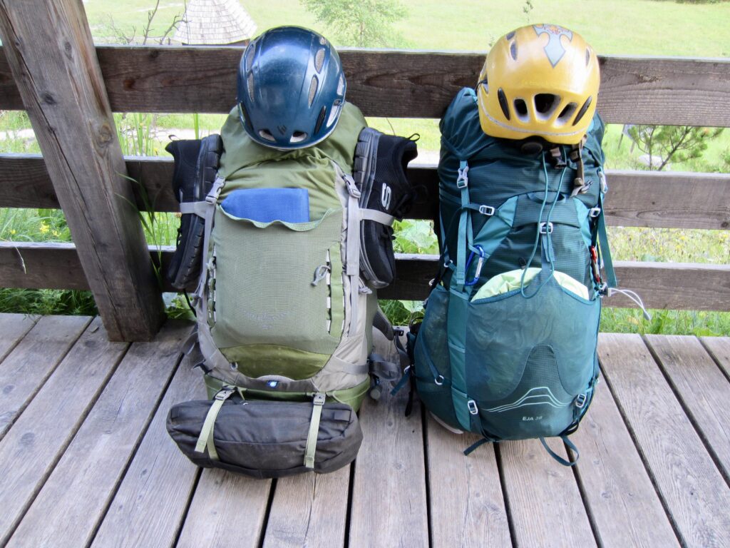
To carry all of our gear on the AV4 trail, we each used a comfortable medium-capacity rucksack. I chose an Osprey Kestrel 48, and Eileen chose an Osprey Eja 38. Both rucksacks have a rain cover, which we used on multiple occasions. For sidetrip hikes and via ferrata climbs, I chose an REI Flash 18 summit pack, while Eileen chose an ultralight Sea to Summit pack. Our total cargo weights (including food and water) at the beginning of the trek were approximately 32 to 36 pounds / 14 to 16 kilograms.
Full Trip Report
Our eight days spent on AV4 are individually described in the following text subsections. This includes seven trekking days and one layover day.
Day 1: Alte Sage Trailhead to Scarperi/Schuster Hut
Approximate Daily Stats: 3.2 miles / 5.2 kilometers traveled; 1250 feet / 380 meters gained.
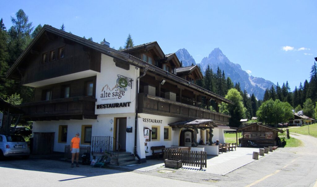
From our rental unit in Trento, Eileen and I took a taxi to San Candido / Innichen and then an additional 2 miles / 3 kilometers on Road SS-52 to the Alte Sage Restaurant. This provided direct access to AV4 close to its trailhead parking lot. On a warm Sunday afternoon, we strapped on rucksacks and started walking.
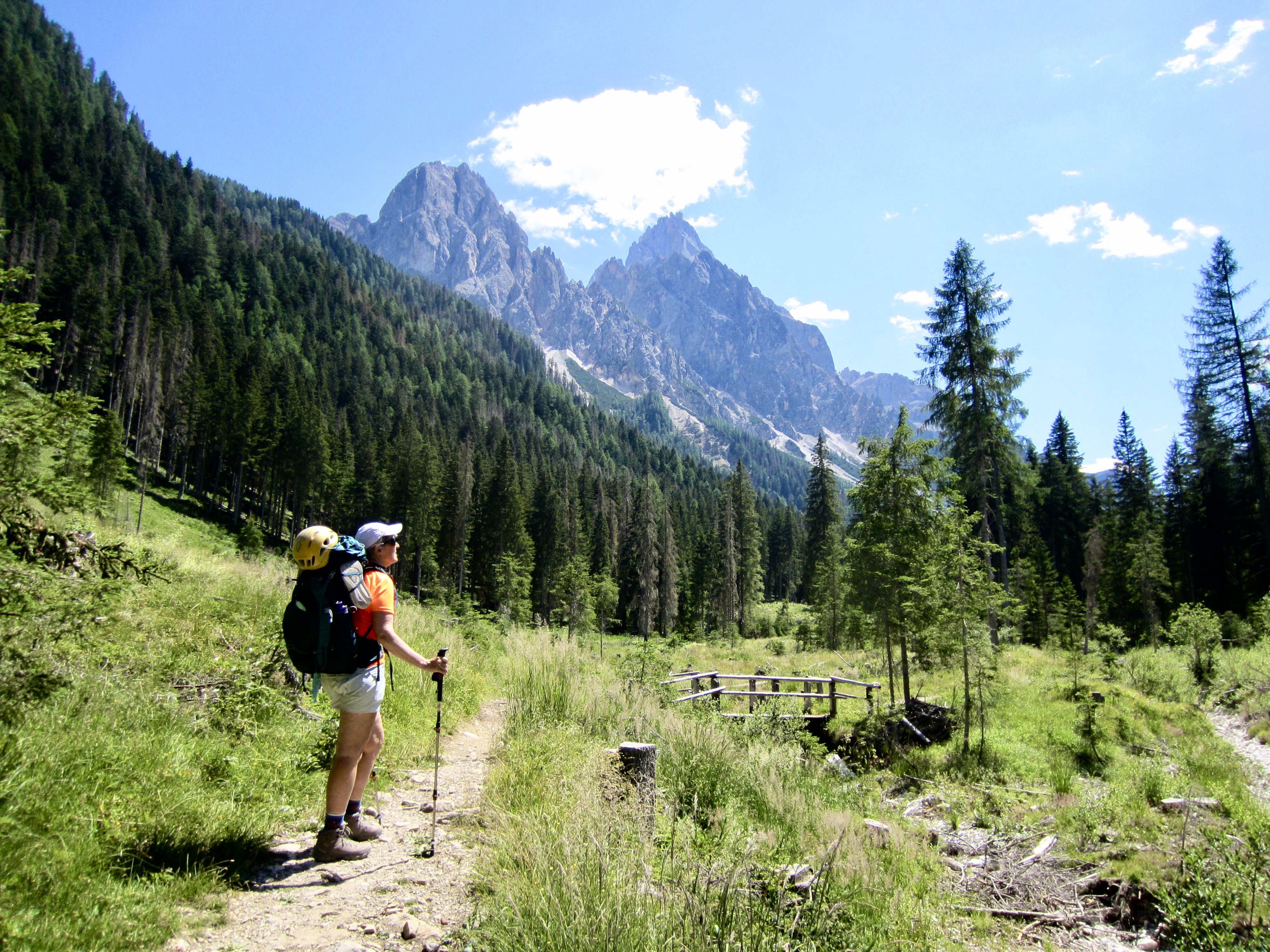
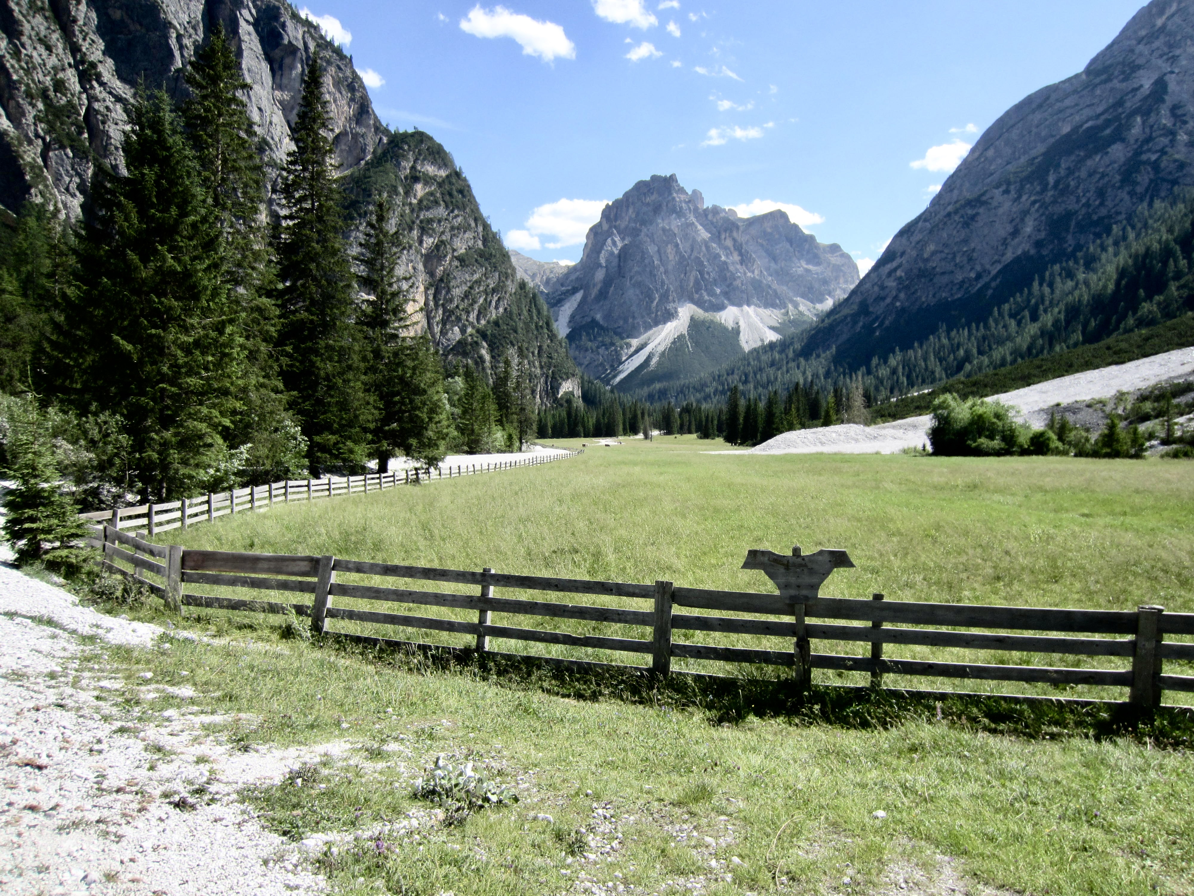
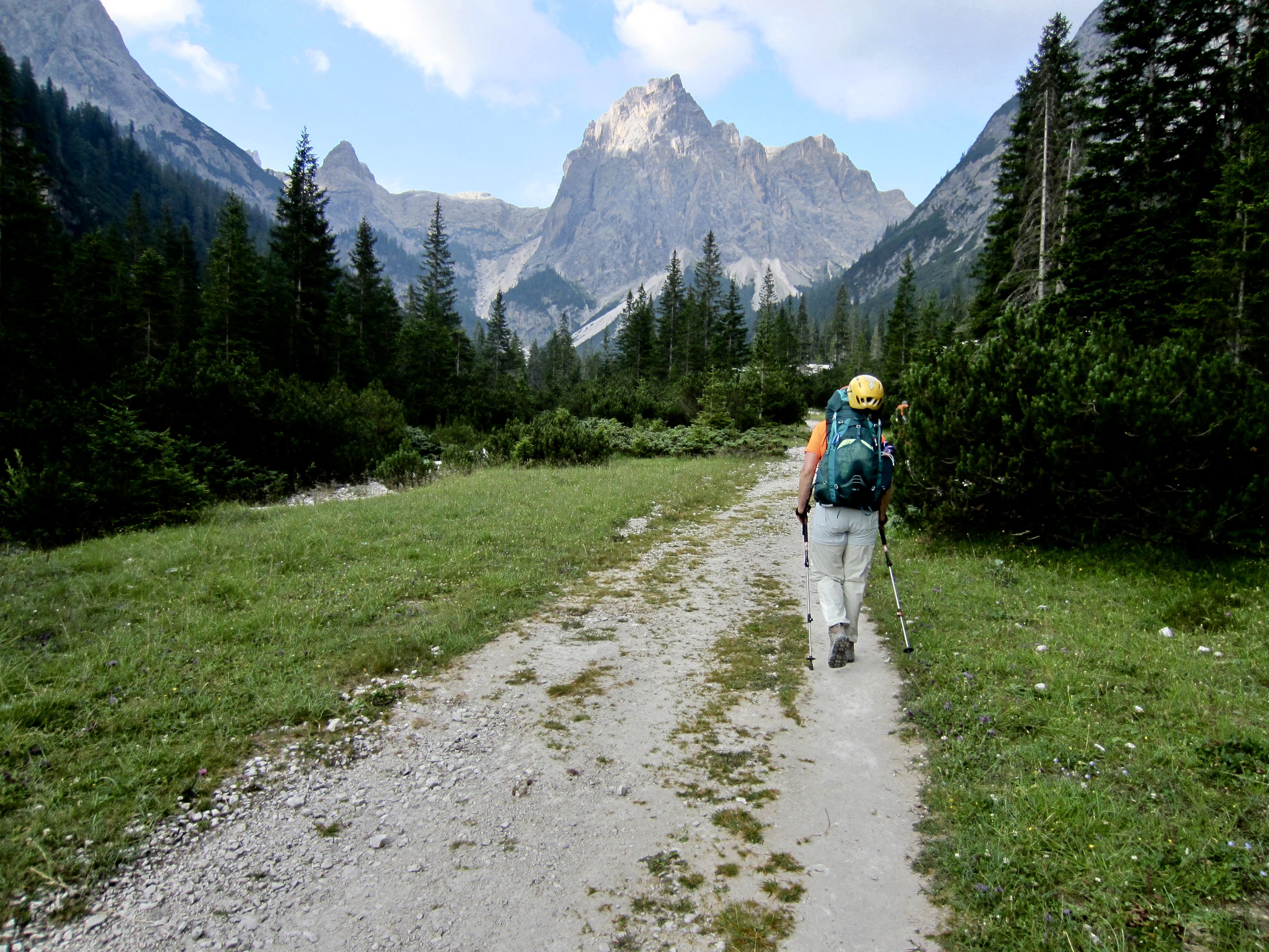
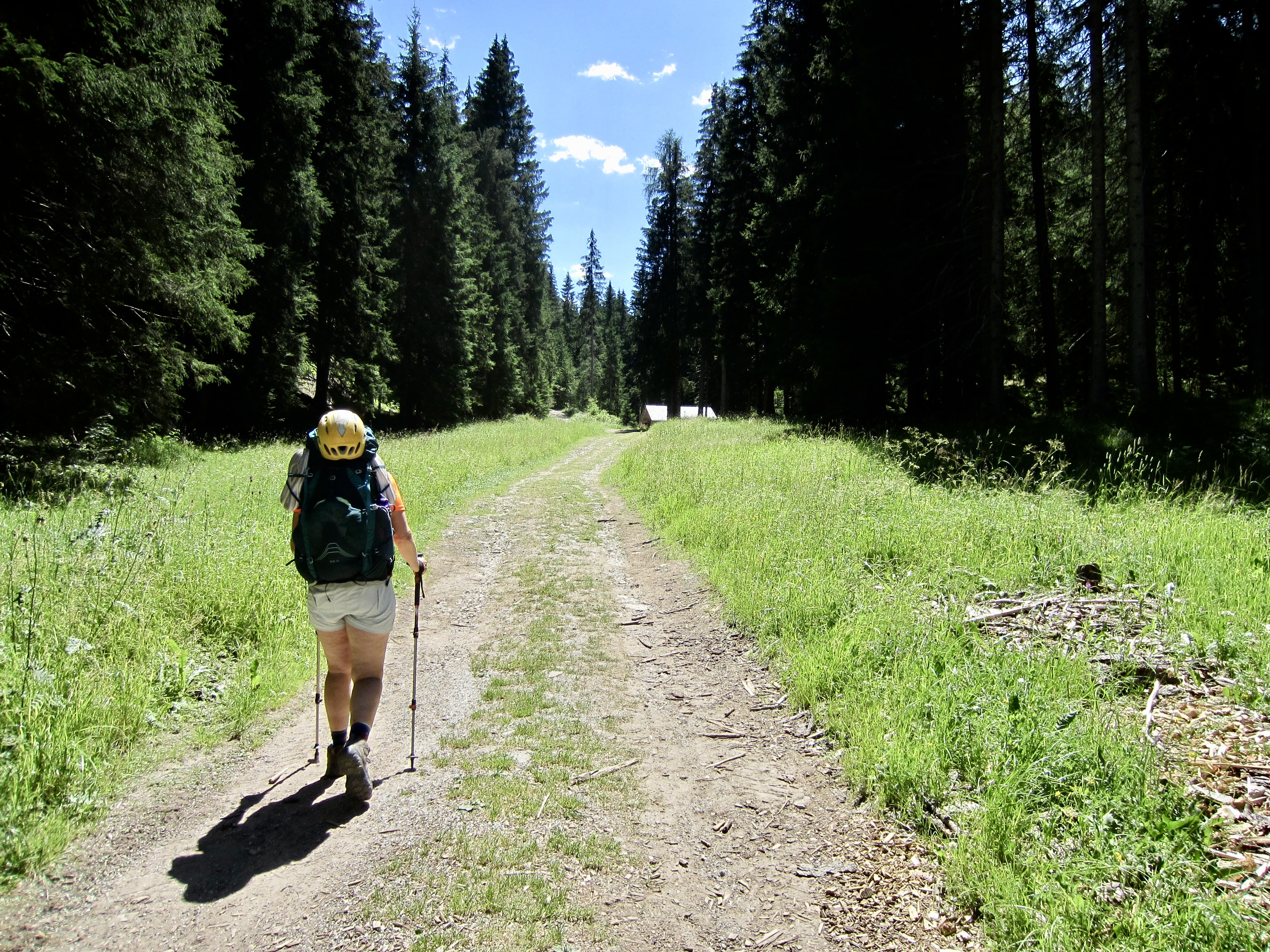
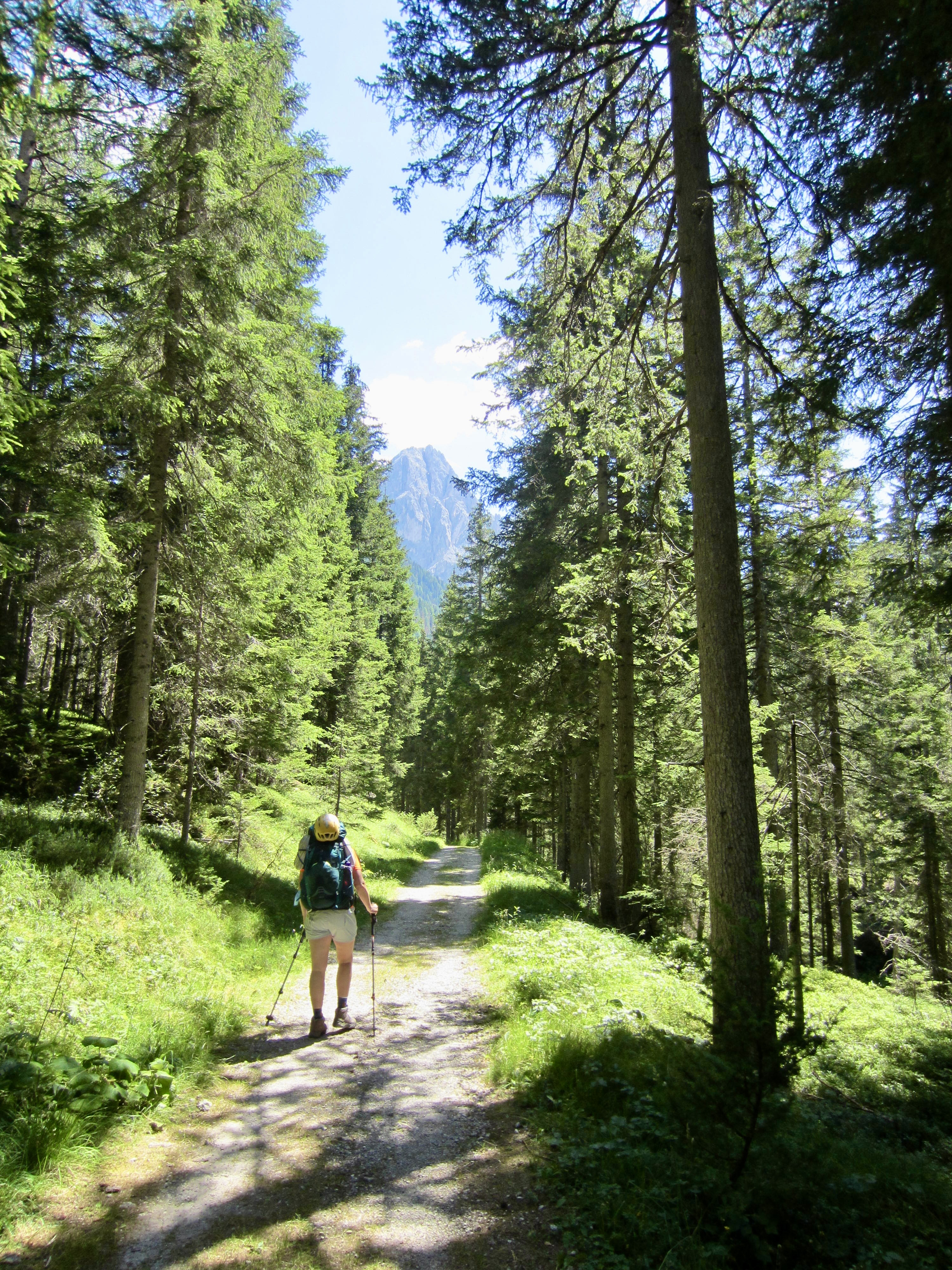
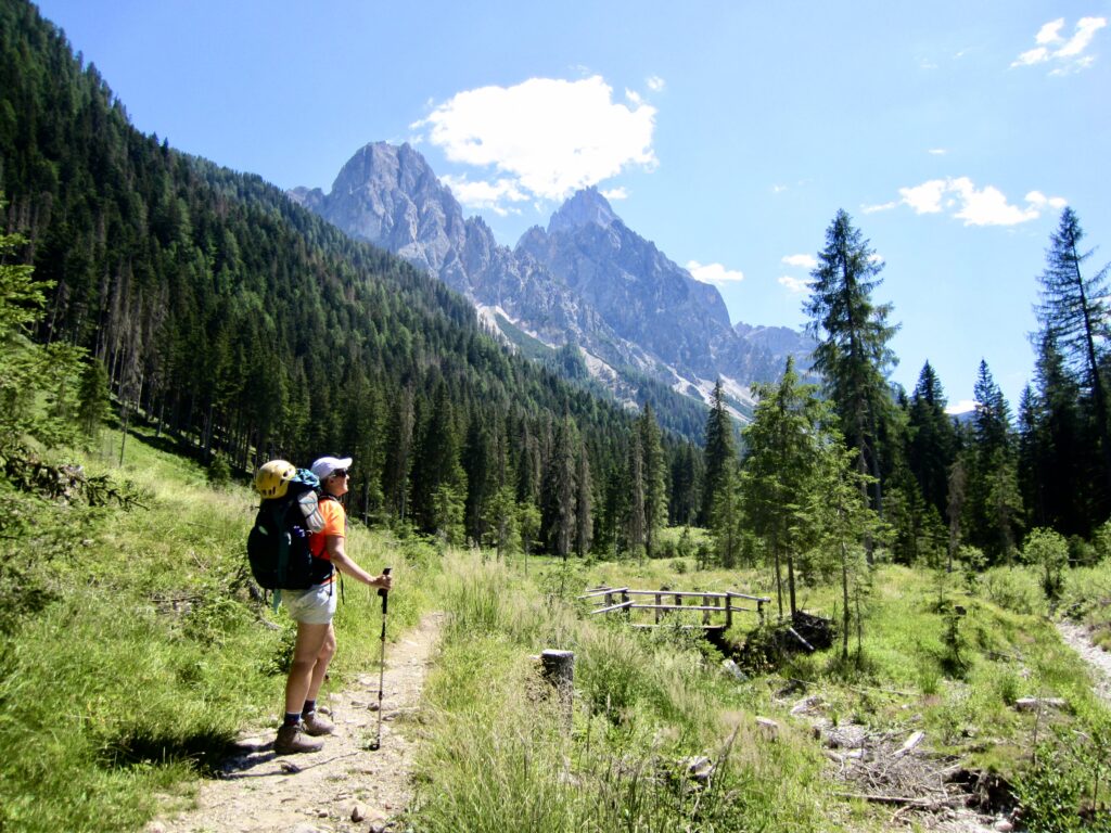
AV4 initially follows a series of dirt roads, then transitions to a single-track trail that extends through a forested valley, always staying close to a gently flowing creek. Rugged peaks at the head of the valley gave us a preview of things to come.
.
.
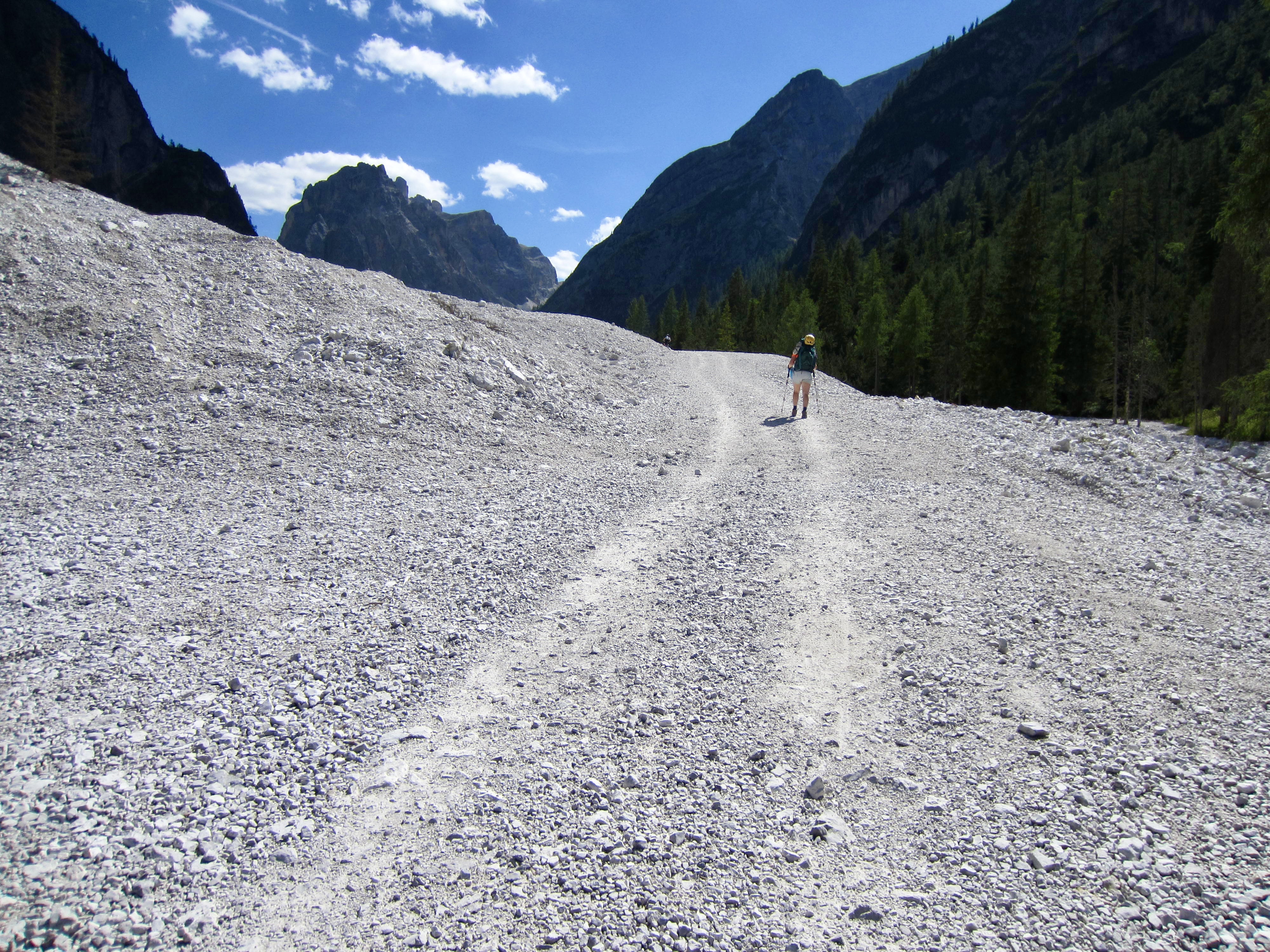
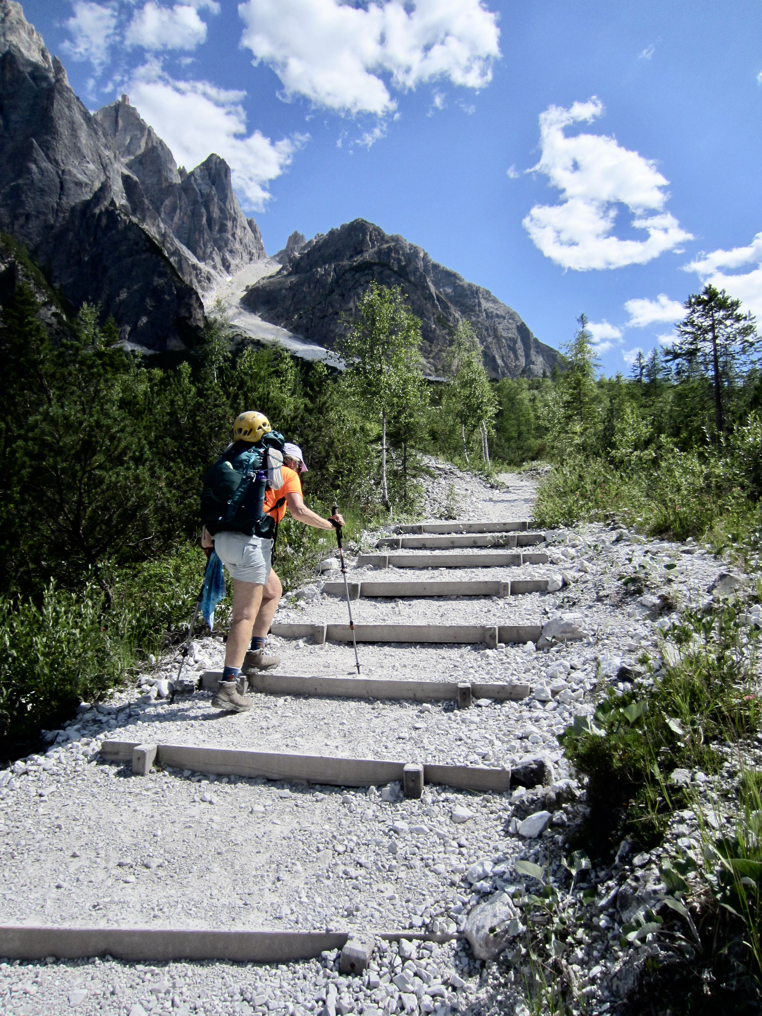
Farther up-valley, the trail crosses a paved road and begins to climb a bit more steeply. At one point, we walked across a huge debris fan emanating from a high gully. In recent years, the Dolomites have experienced some major rainstorms that have triggered numerous landslides, ranging from small blowouts to massive debris flows like this.
.
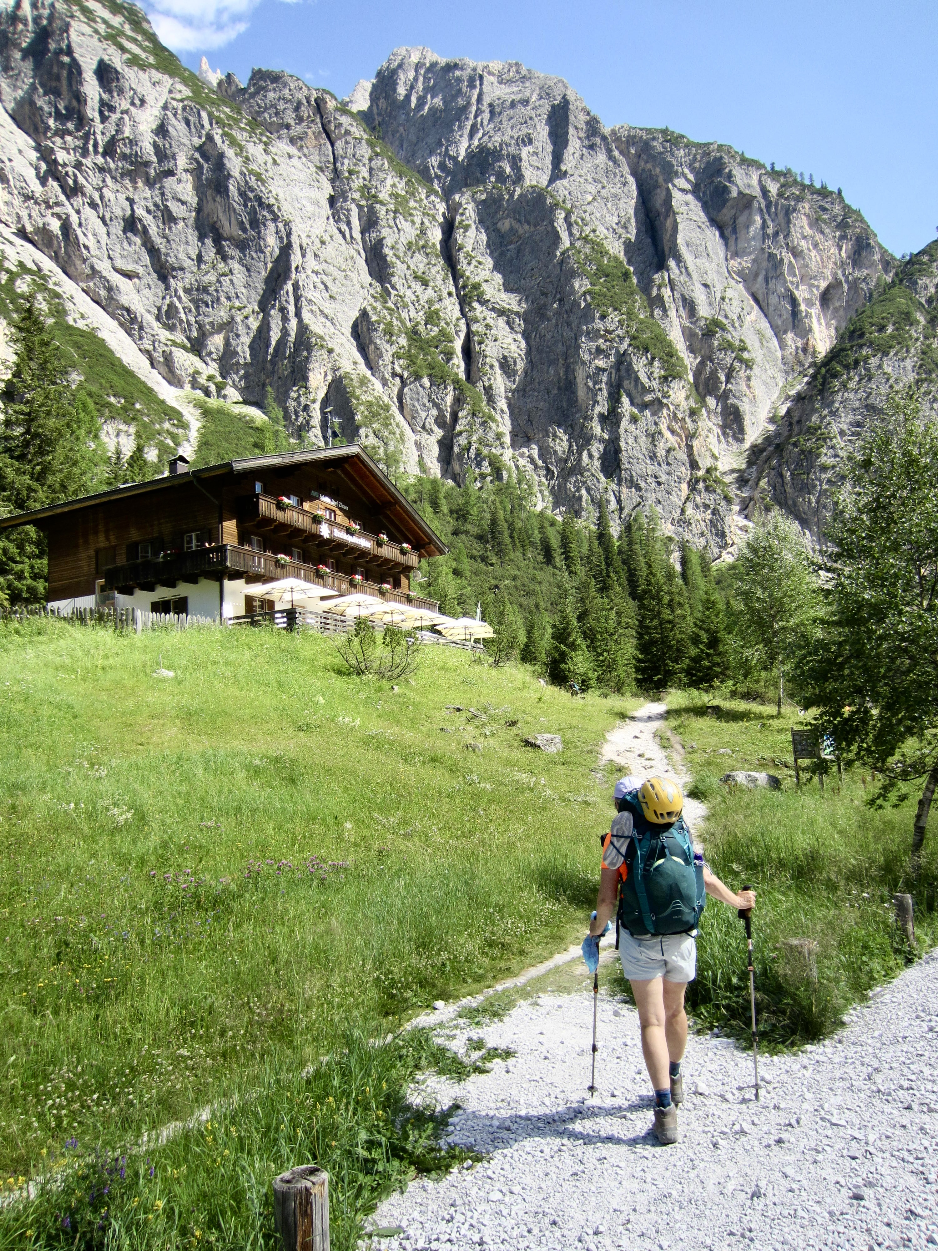
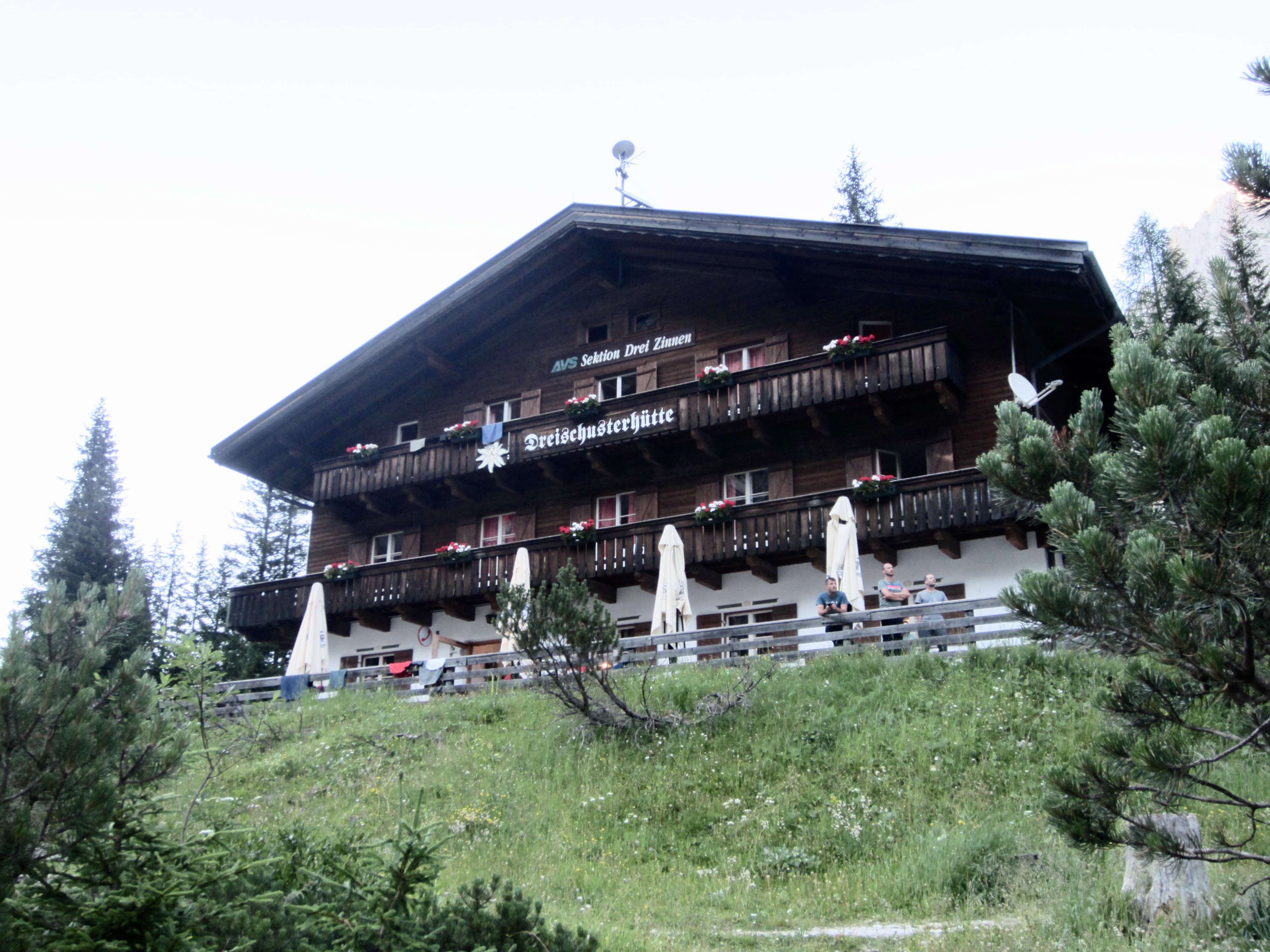
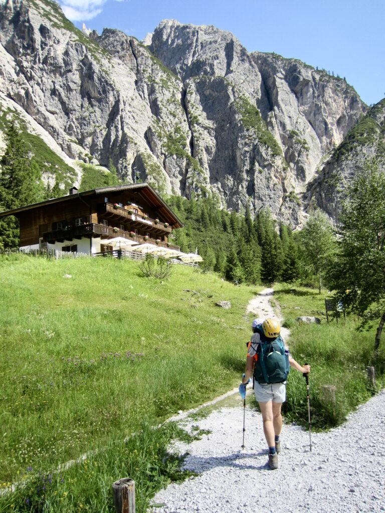
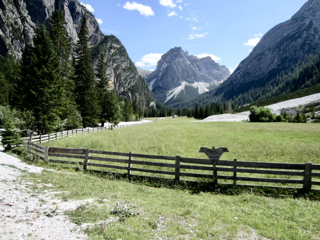
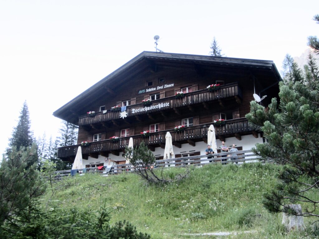
In late afternoon, we arrived at Tre Scarperi / Drei Schuster Hut (2.0 hours from Alte Sage). This is a large Tyrolean-style building that sits at the base of a cliff and overlooks a scenic pasture. Due to the easy access, it gets a lot of day-hikers, AV4 trekkers, gravel bikers, and rock climbers.
.
.
The hut’s accessibility was an advantage in terms of food options and other amenities. Eileen and I enjoyed gelato, apple strudel, and cold radlers (lemon-flavored beer, which is very popular in Europe) on the deck before taking a hot shower. We ate dinner with Lutz and Kathrin, who regaled us with anecdotes about growing up in East Germany during the Cold War.
.
Day 2a: Scarperi/Schuster Hut to Locatelli/Zinnen Hut
Approximate Daily Stats: 4.0 miles / 6.4 kilometers traveled; 2700 feet / 820 meters gained; 150 feet / 45 meters lost.
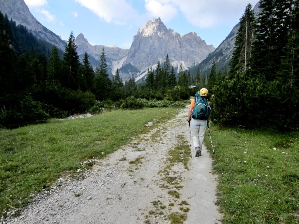
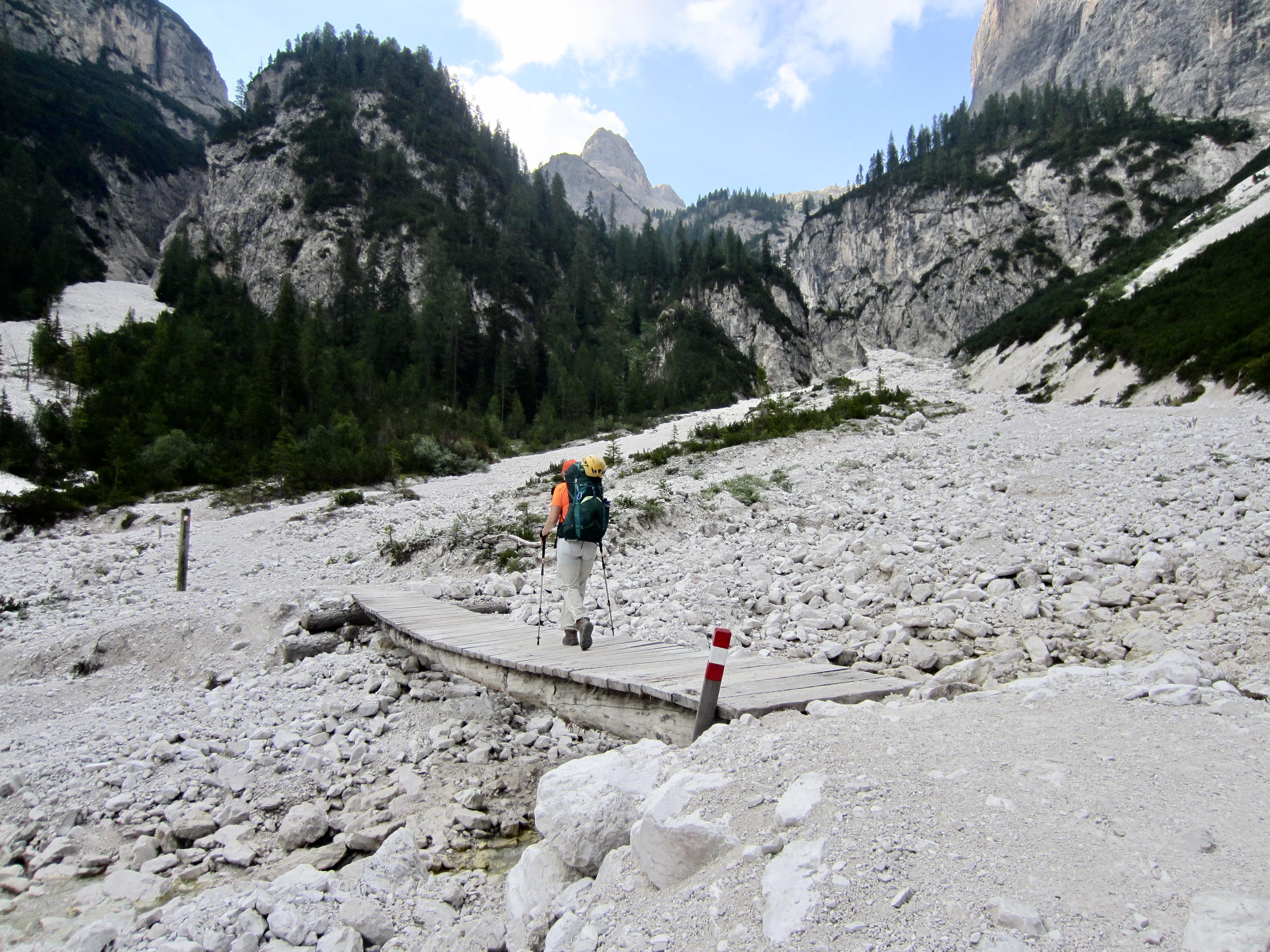
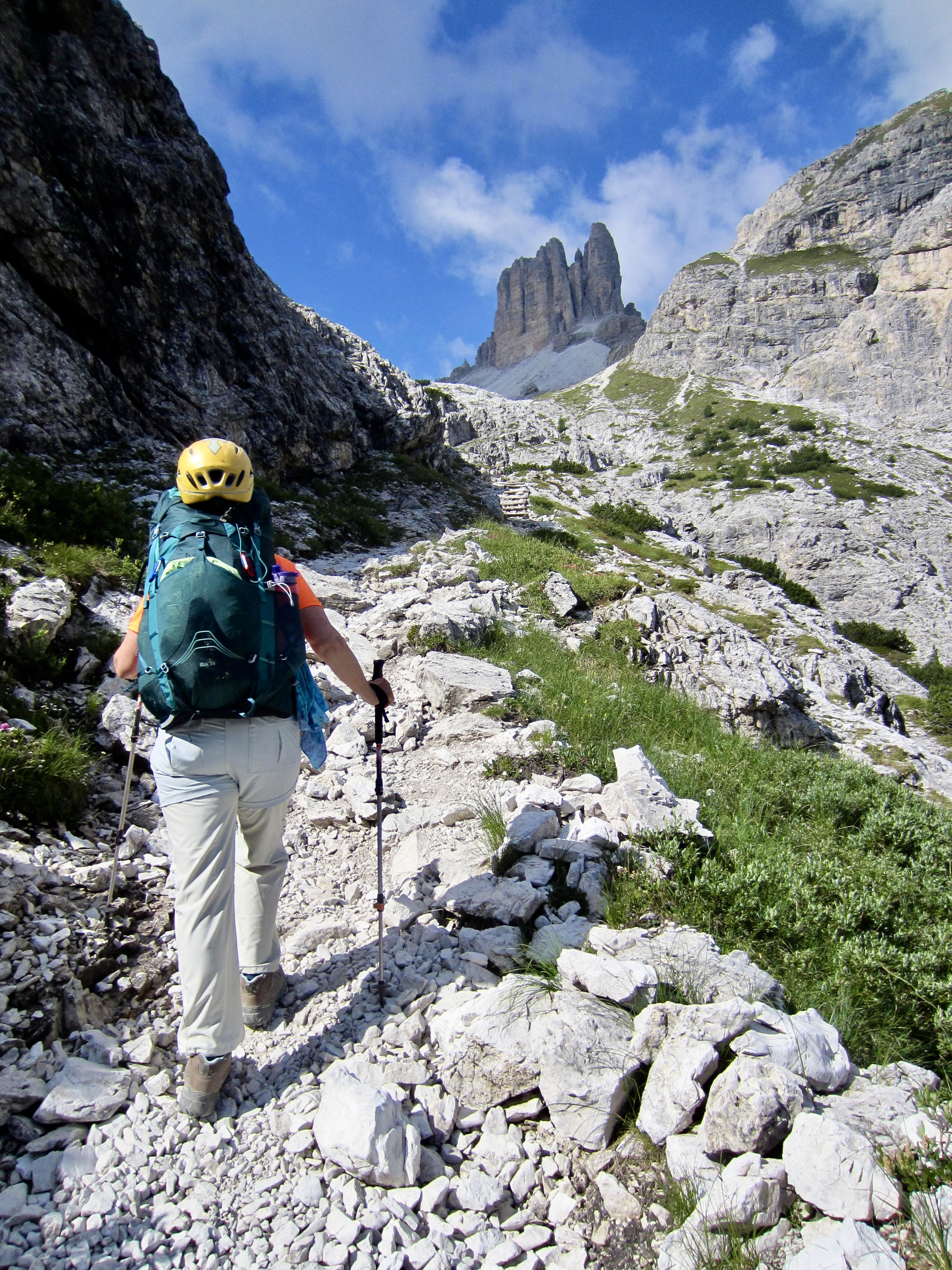
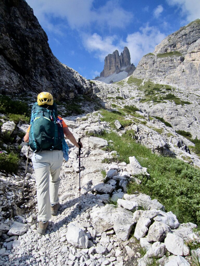
After having a nice breakfast (our best of the trek, by far), we headed out at 7:45am. From Scarperi/Schuster Hut, AV4 continues up-valley at a gentle inclination, crosses a broad drainage wash, and then climbs steeply up a rocky headwall.
.
.
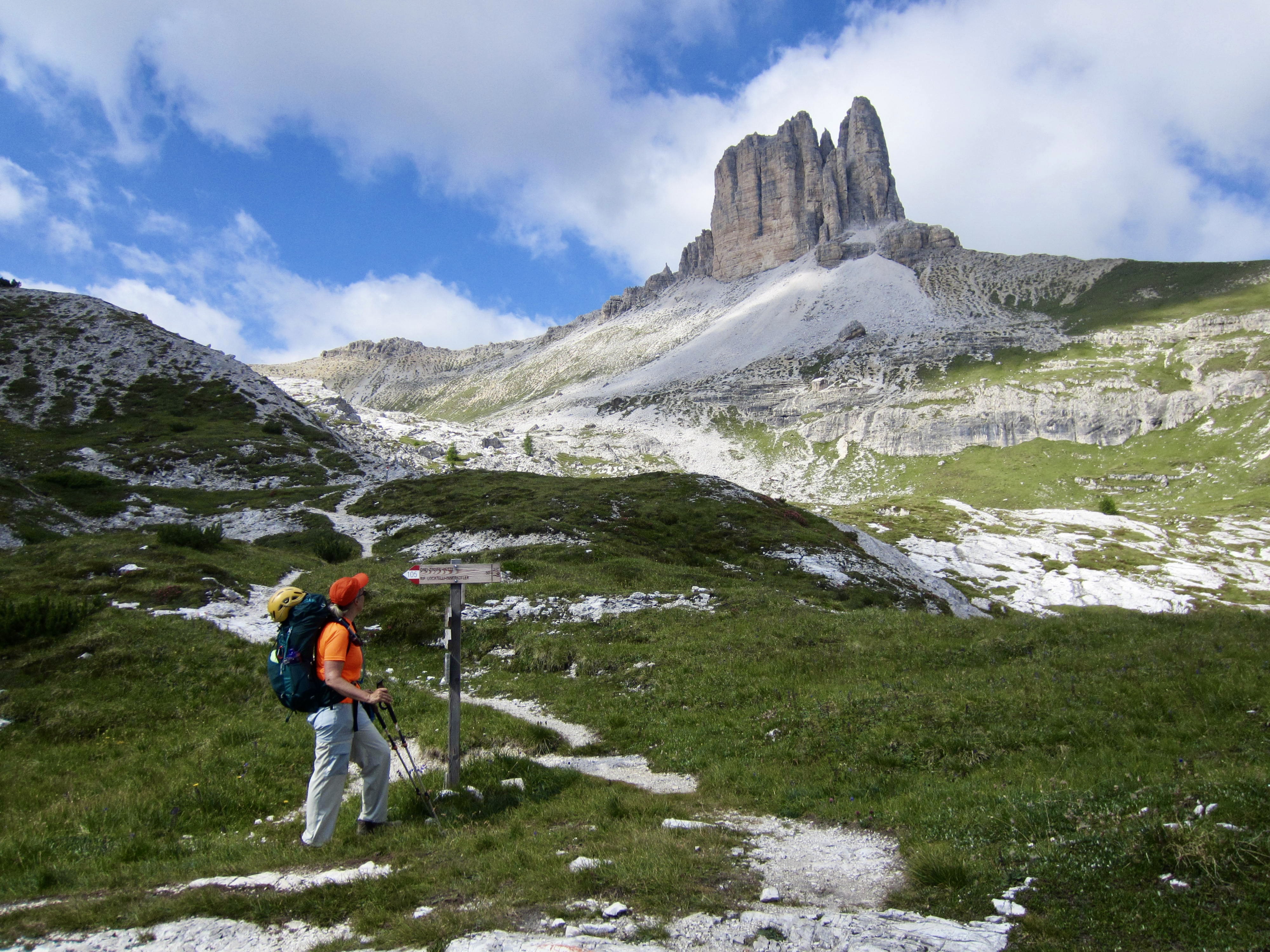
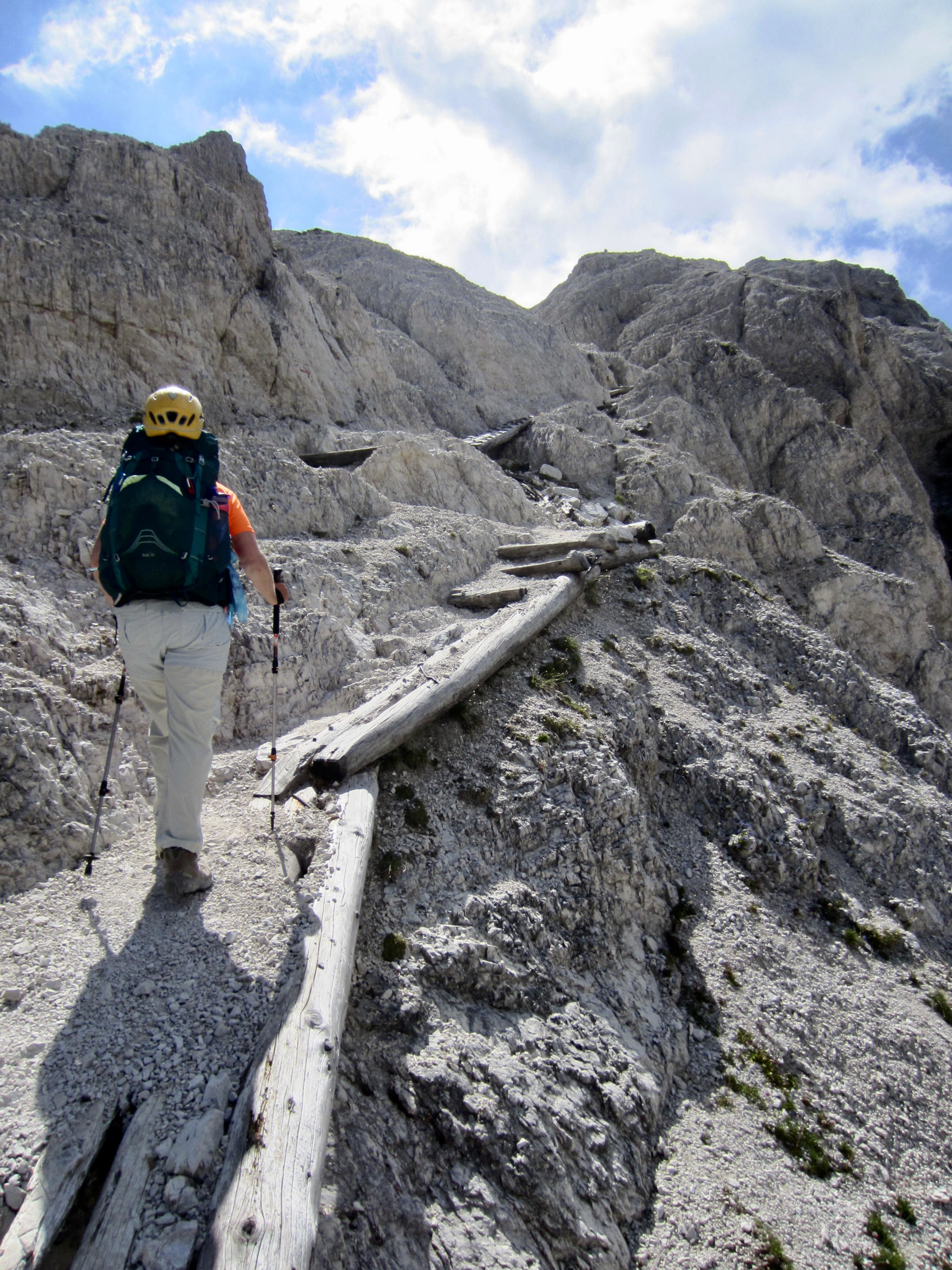
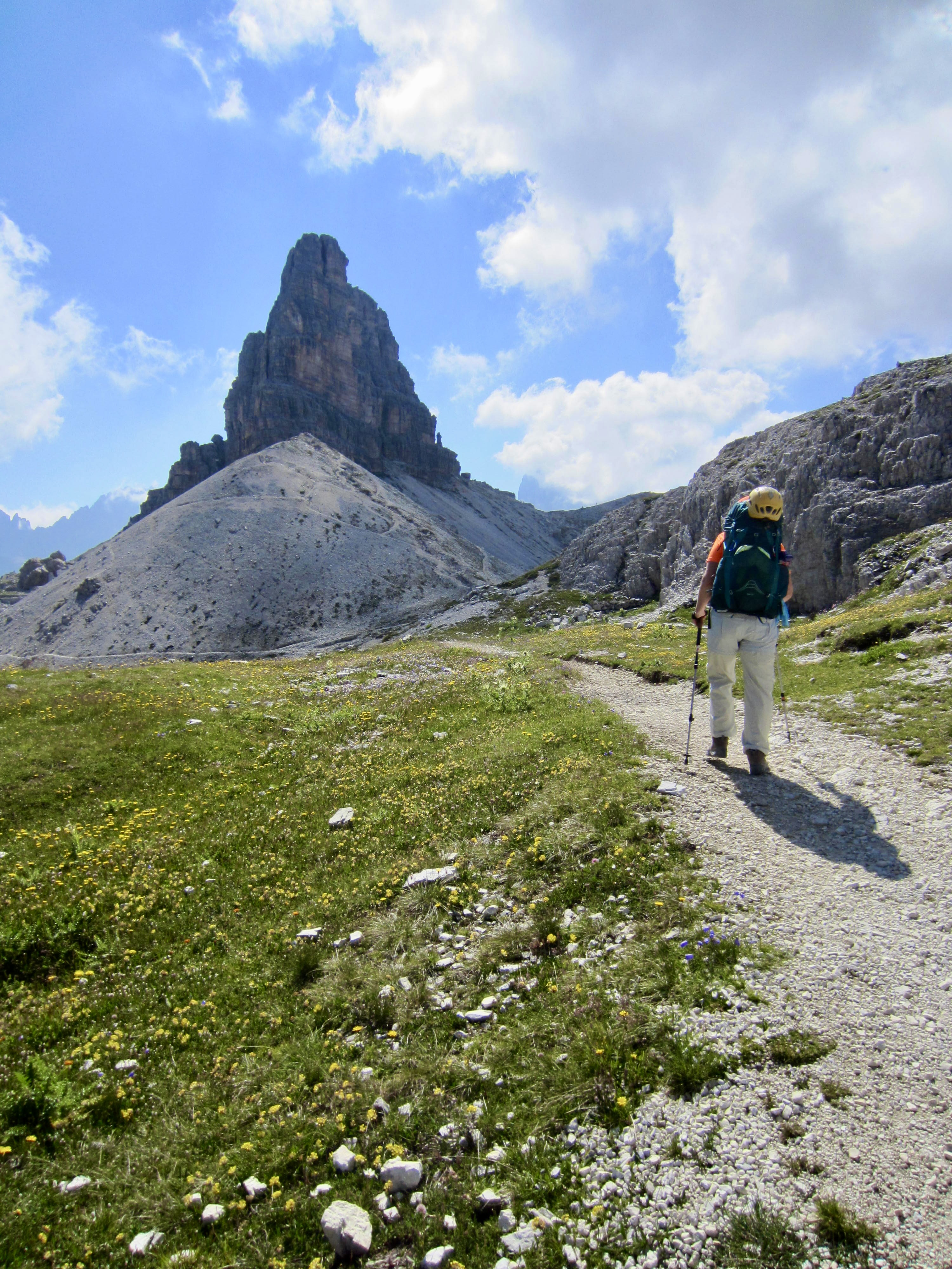
The fortress-like countenance of Torre dei Scarperi served as a beacon as we hiked over the headwall and entered the rolling meadowland around Forcella Mattina.
.
.
.
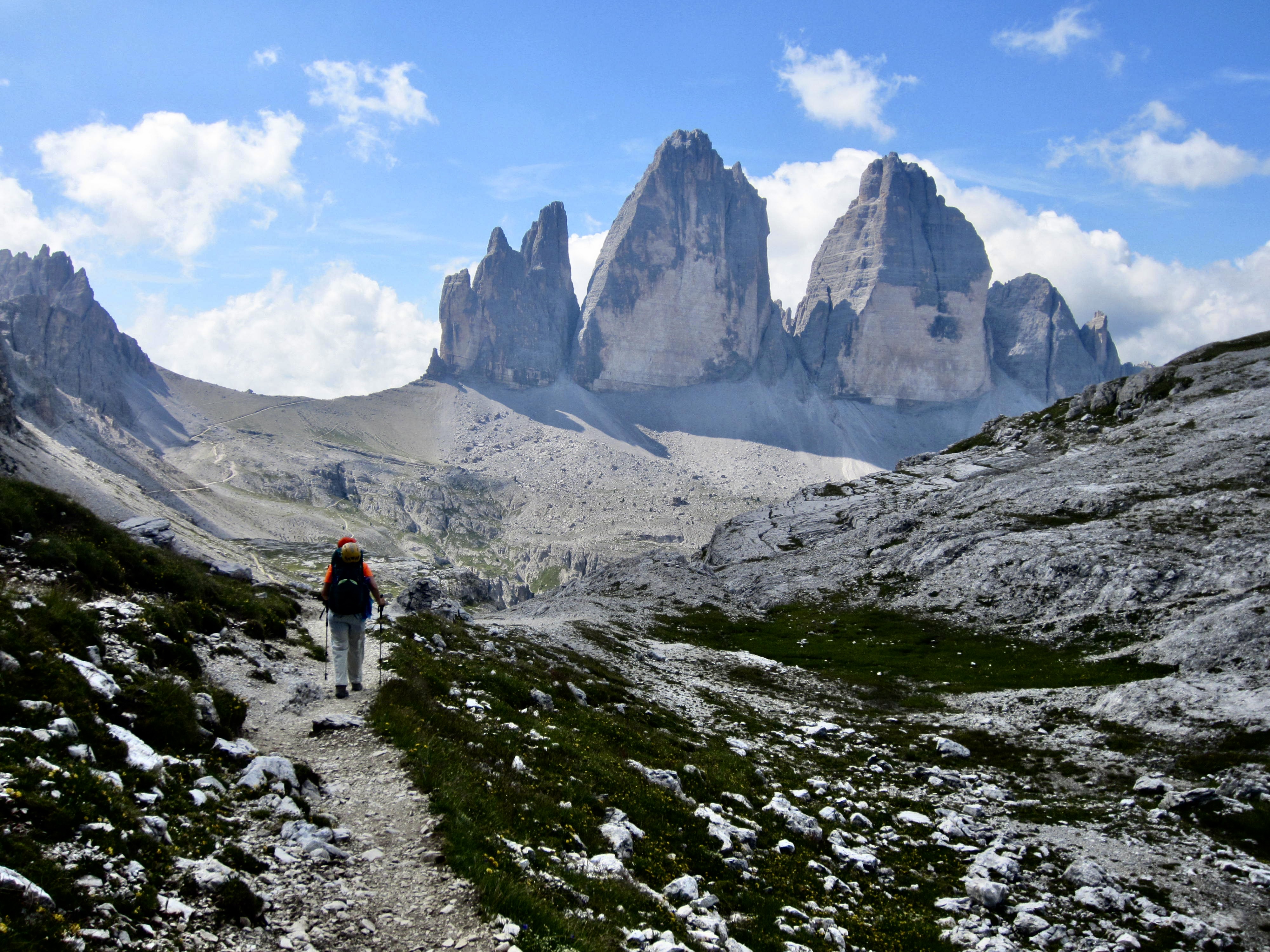
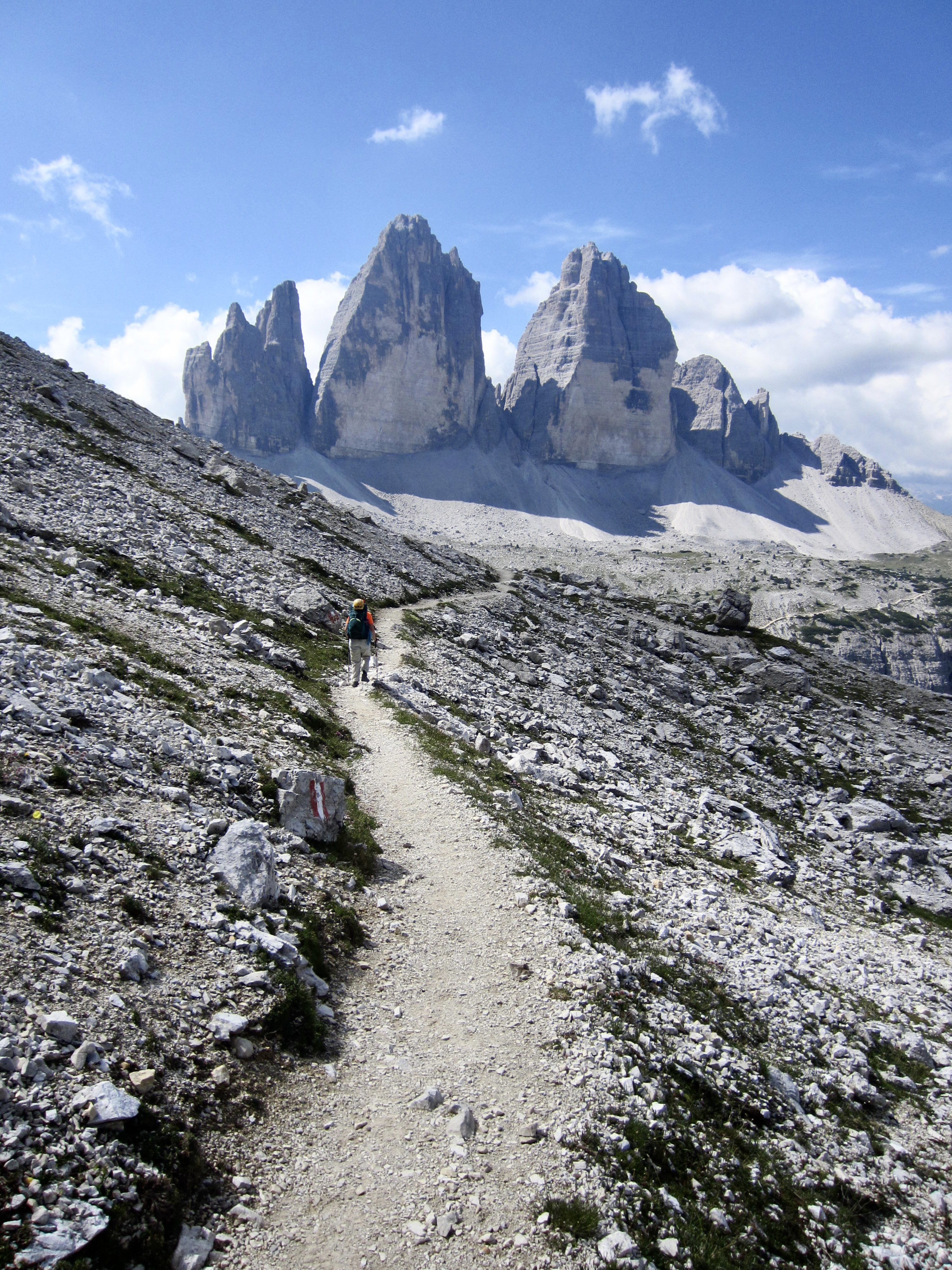
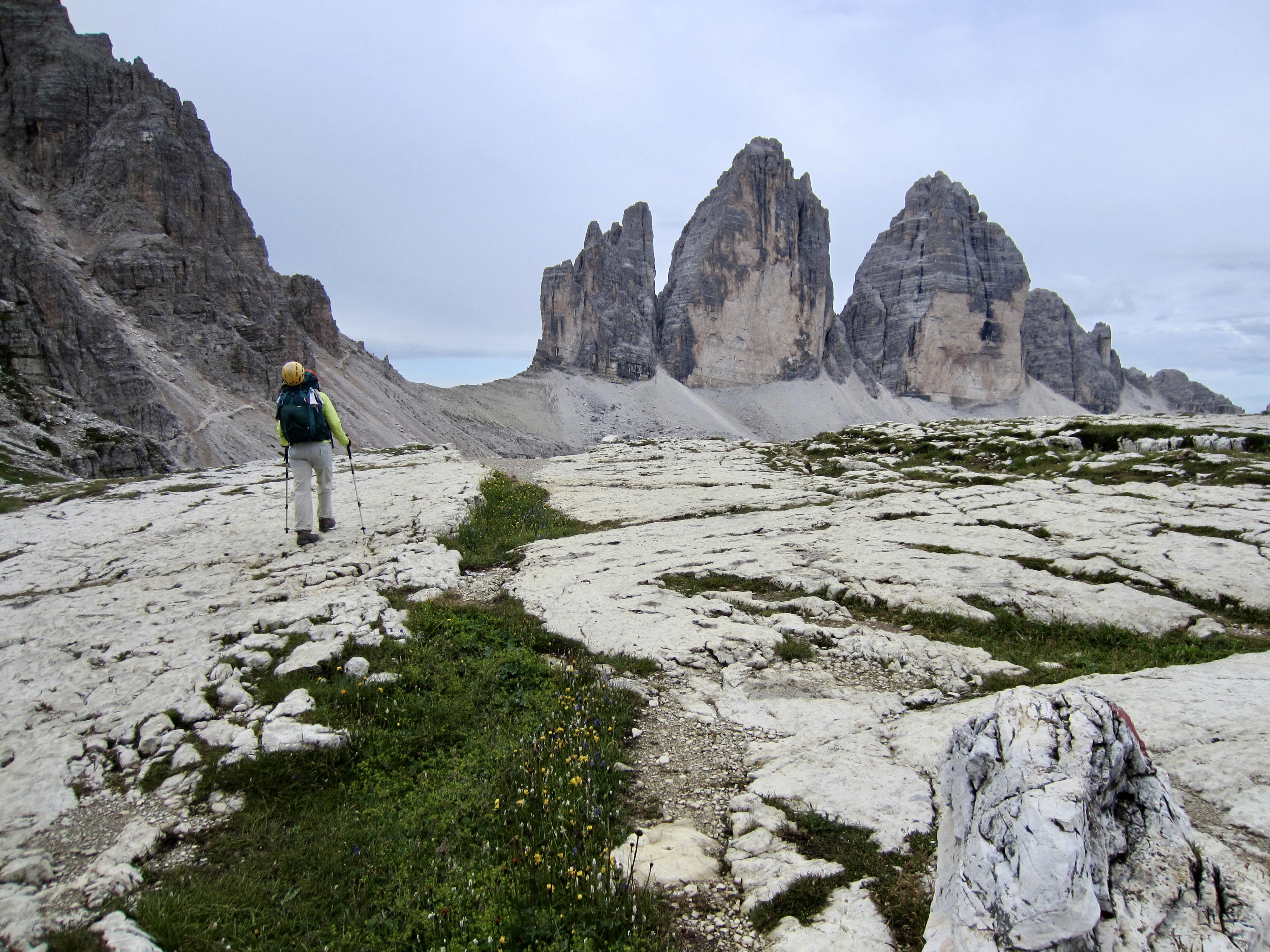
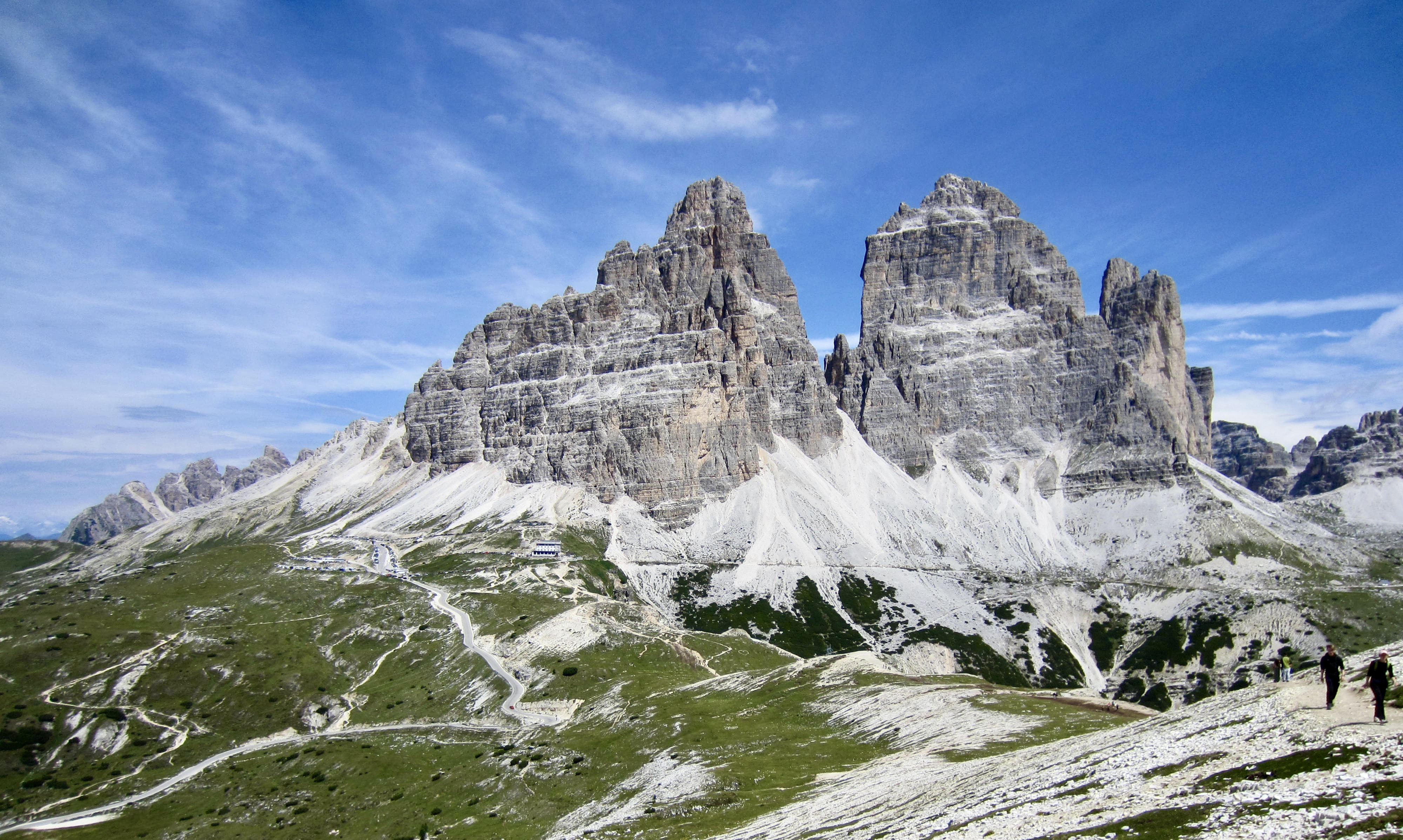
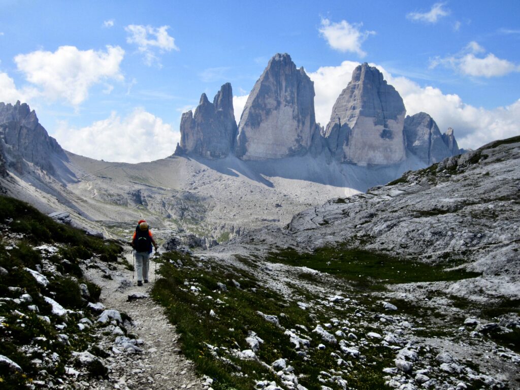
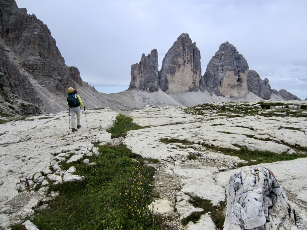
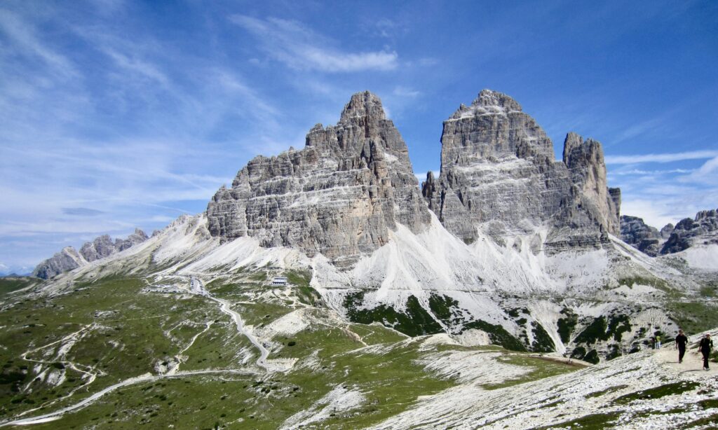
Very soon, the star of the entire show—Tre Cime Di Lavaredo—made its grand appearance. Wow! This trio of limestone peaks represents the most iconic image within the Dolomites and, arguably, one of the most iconic images in all of Italy.
.
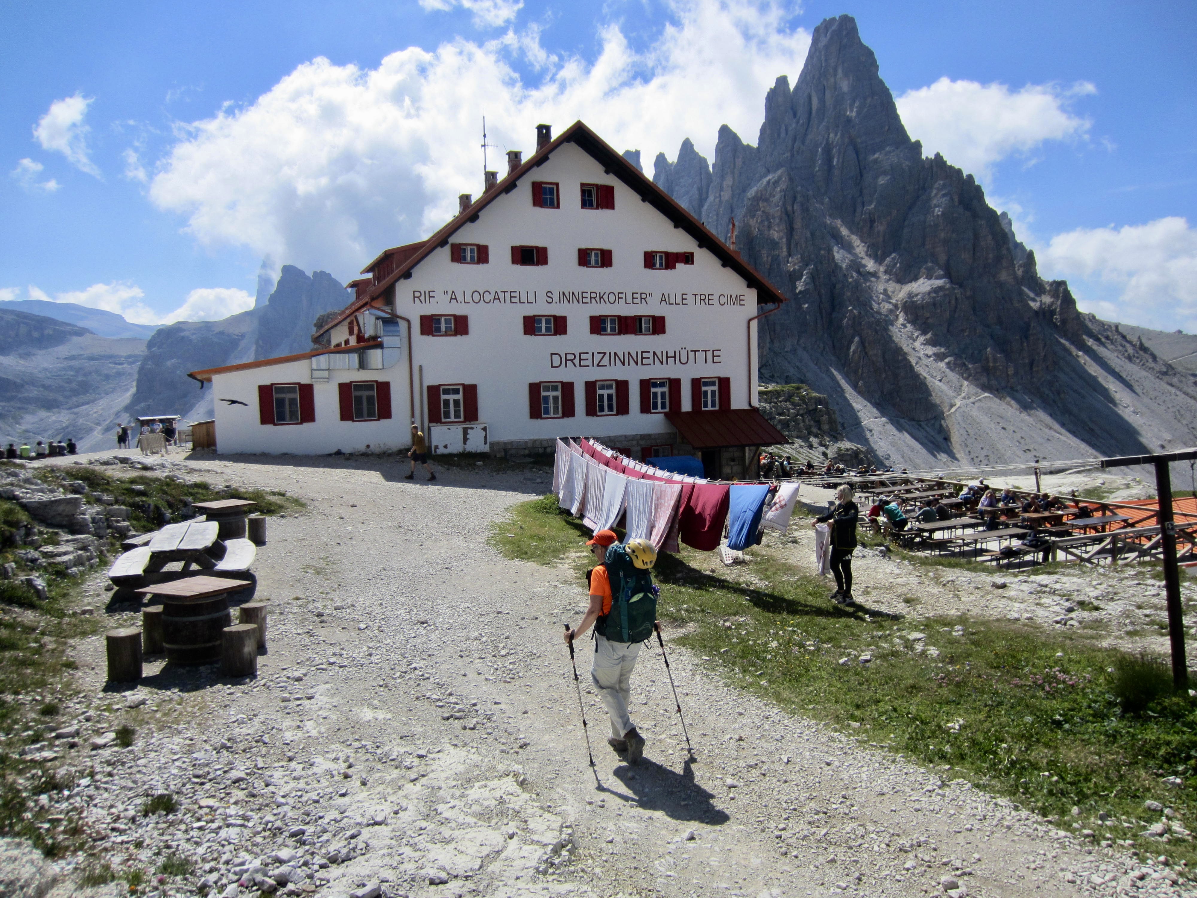
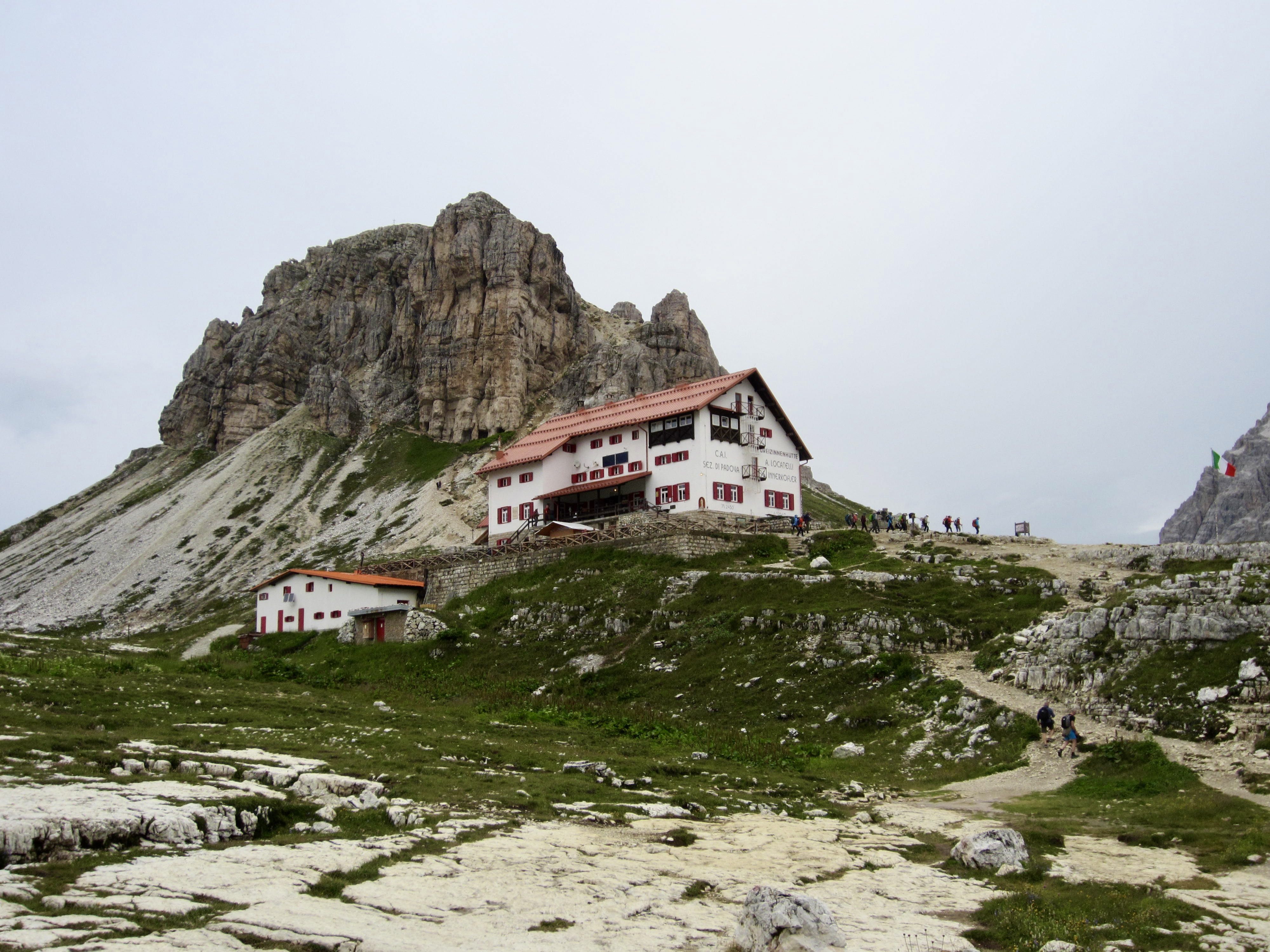
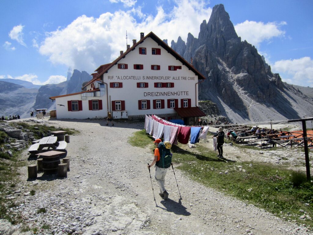
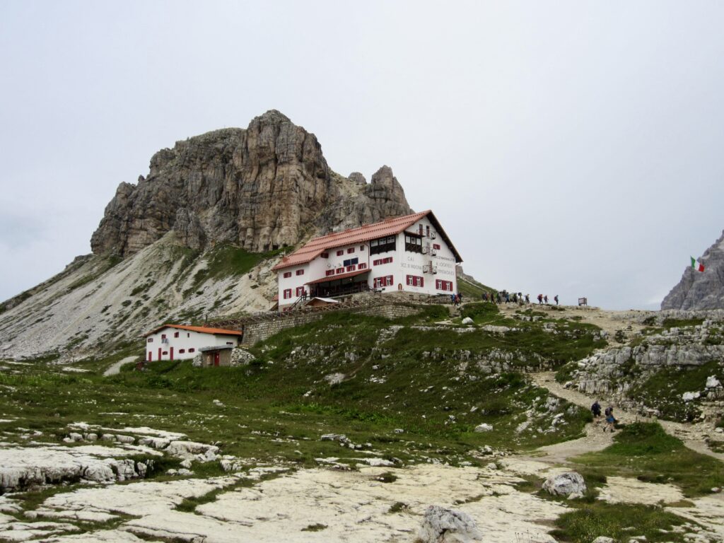
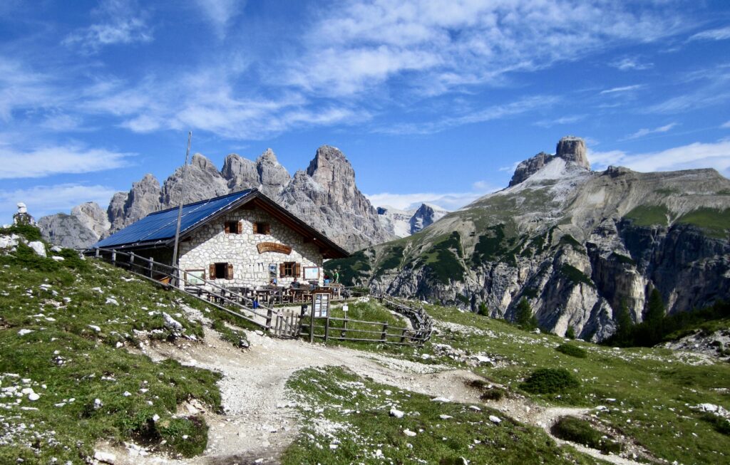
We arrived at Locatelli Tre Cime / Drei Zinnen Hut in late morning (3.2 hours from Scarperi/Schuster Hut). This large, white building sits in the broad saddle of Forcella di Toblin, halfway between the striking summits of Torre di Toblin / Toblinger Knoten on the north and Monte Paterno / Paternkofel on the south.
.
.
Because the Locatelli/Zinnen Hut provides a front-row seat to the northern face of Tre Cime Di Lavaredo, it draws visitors from around the world. Among the crowd, we found Lutz and Kathrin on the deck and had lunch with them before we all parted ways. They were continuing southward on AV4 today, whereas Eileen and I were checking into the hut for two nights.
Day 2b: Toblin/Toblinger Climb & Sesto/Sextner Hike
Approximate Sidetrip Stats: 1.35 miles / 2.2 kilometers traveled; 900 feet / 280 meters gained & lost.
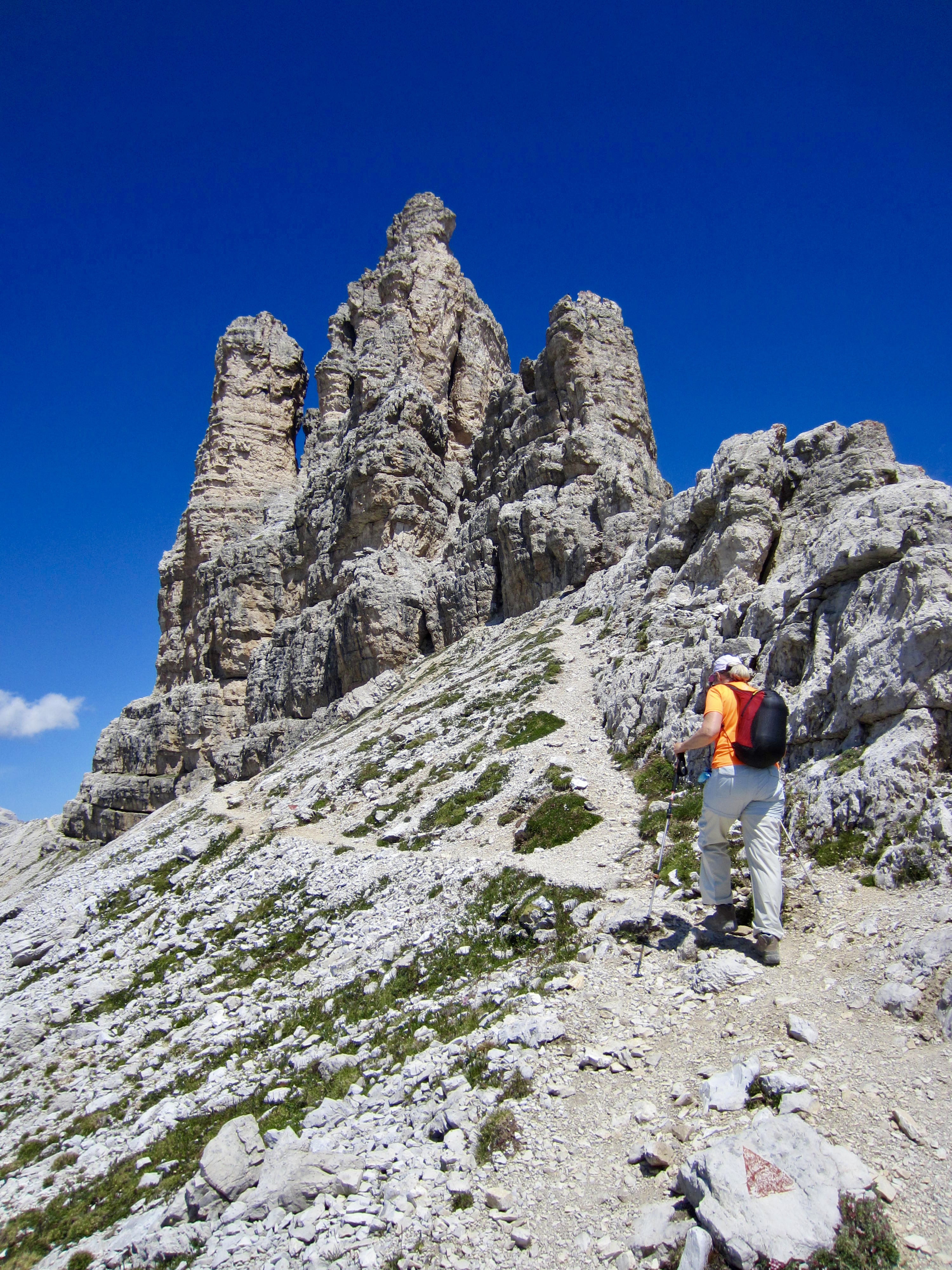
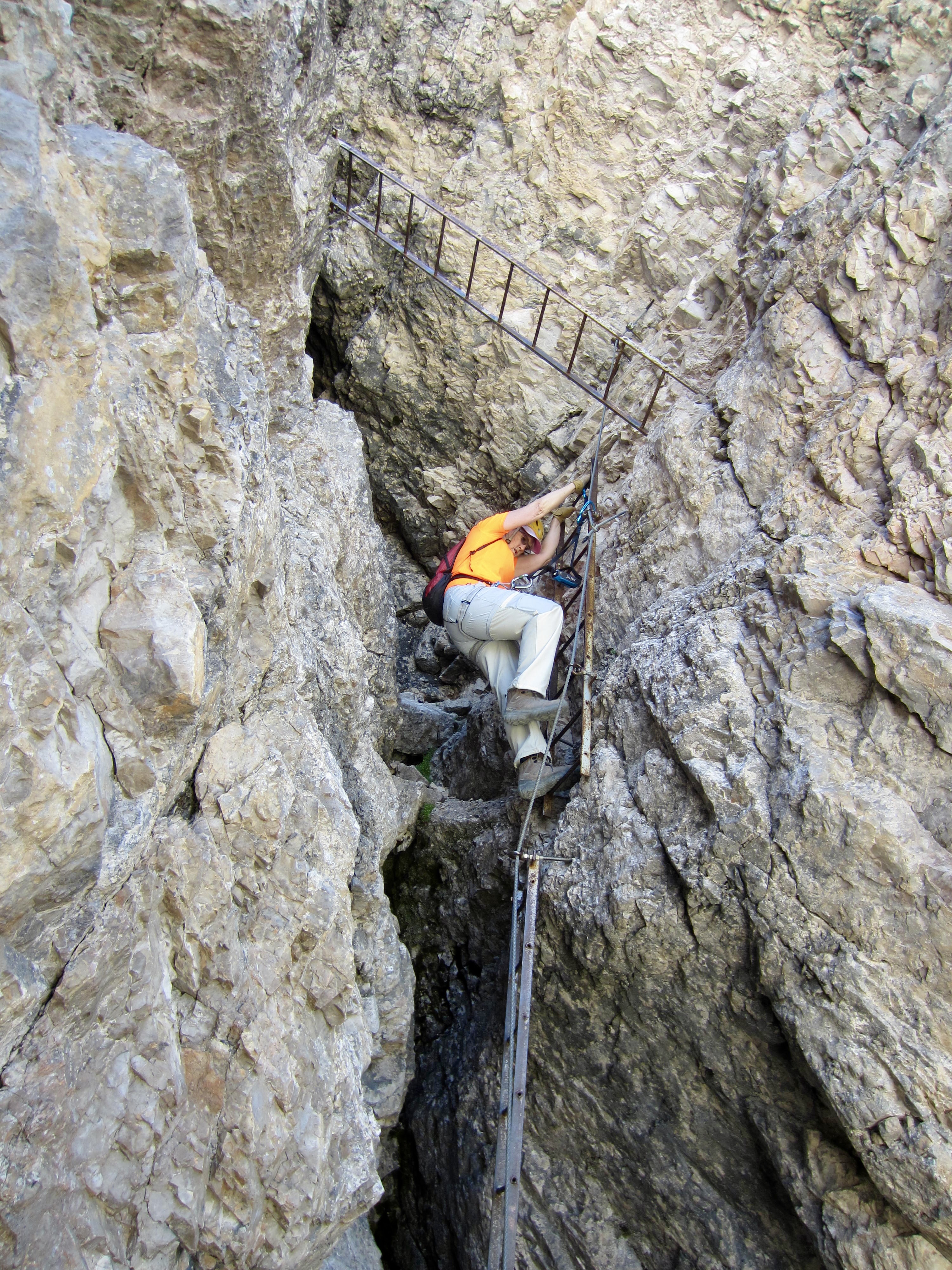
After getting settled into our bedroom at Locatelli/Zinnen Hut, Eileen and I loaded our summit packs and headed out for a via ferrata climb of nearby Torre di Toblin / Toblinger Knoten and a hike up Sasso di Sesto / Sextner Stein. This proved to be an excellent way to spend a sunny afternoon, as described in my separate trip report here:
>>> Torre Di Toblin / Toblinger Knoten Climb + Sasso di Sesto / Sextner Stein Hike
.
Day 3: Paterno/Paternkofel Climb & Camo–Lavaredo Loop
Approximate Stats: 6.0 miles / 9.7 kilometers traveled; 2550 feet / 780 meters gained & lost.
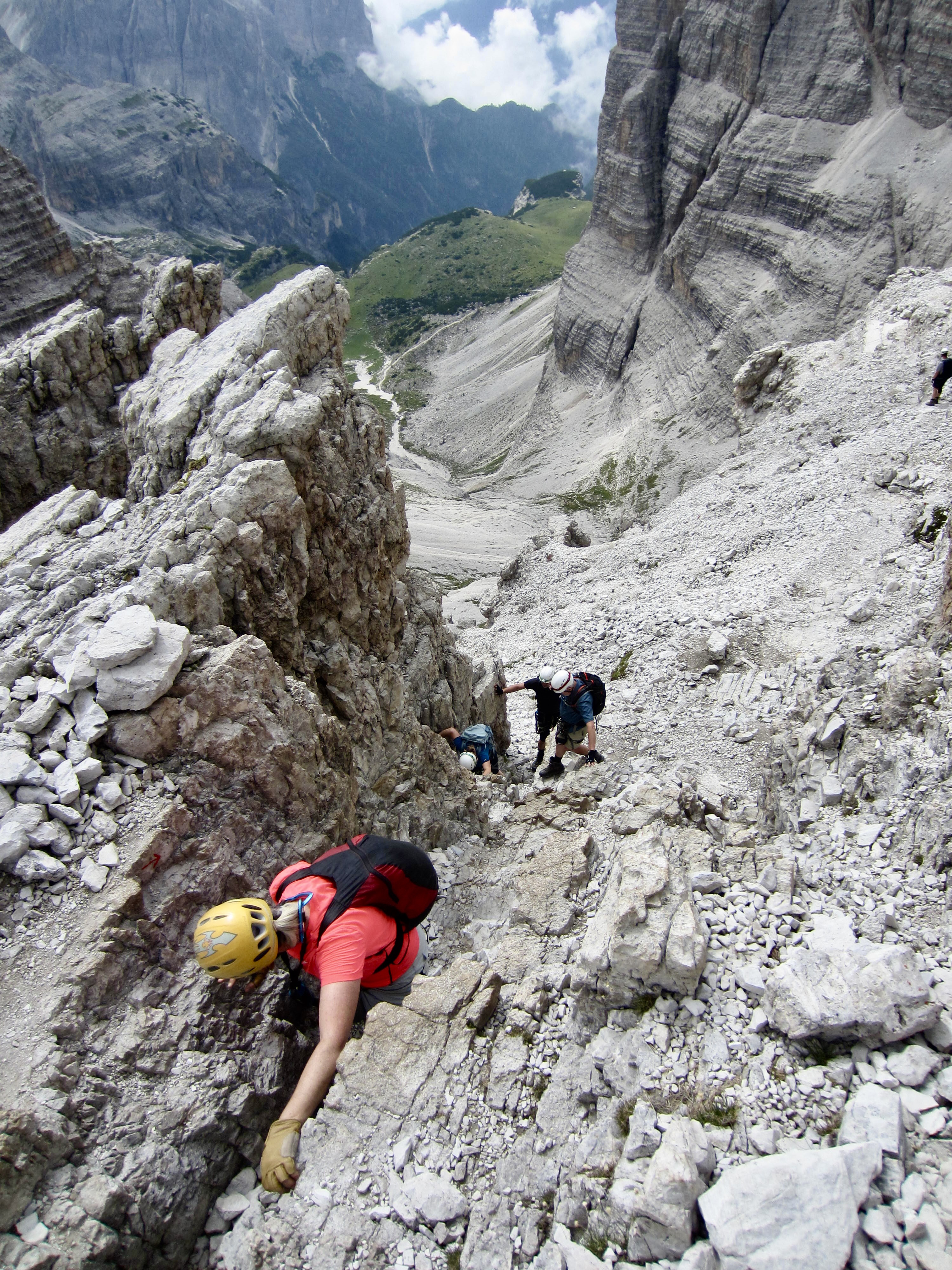
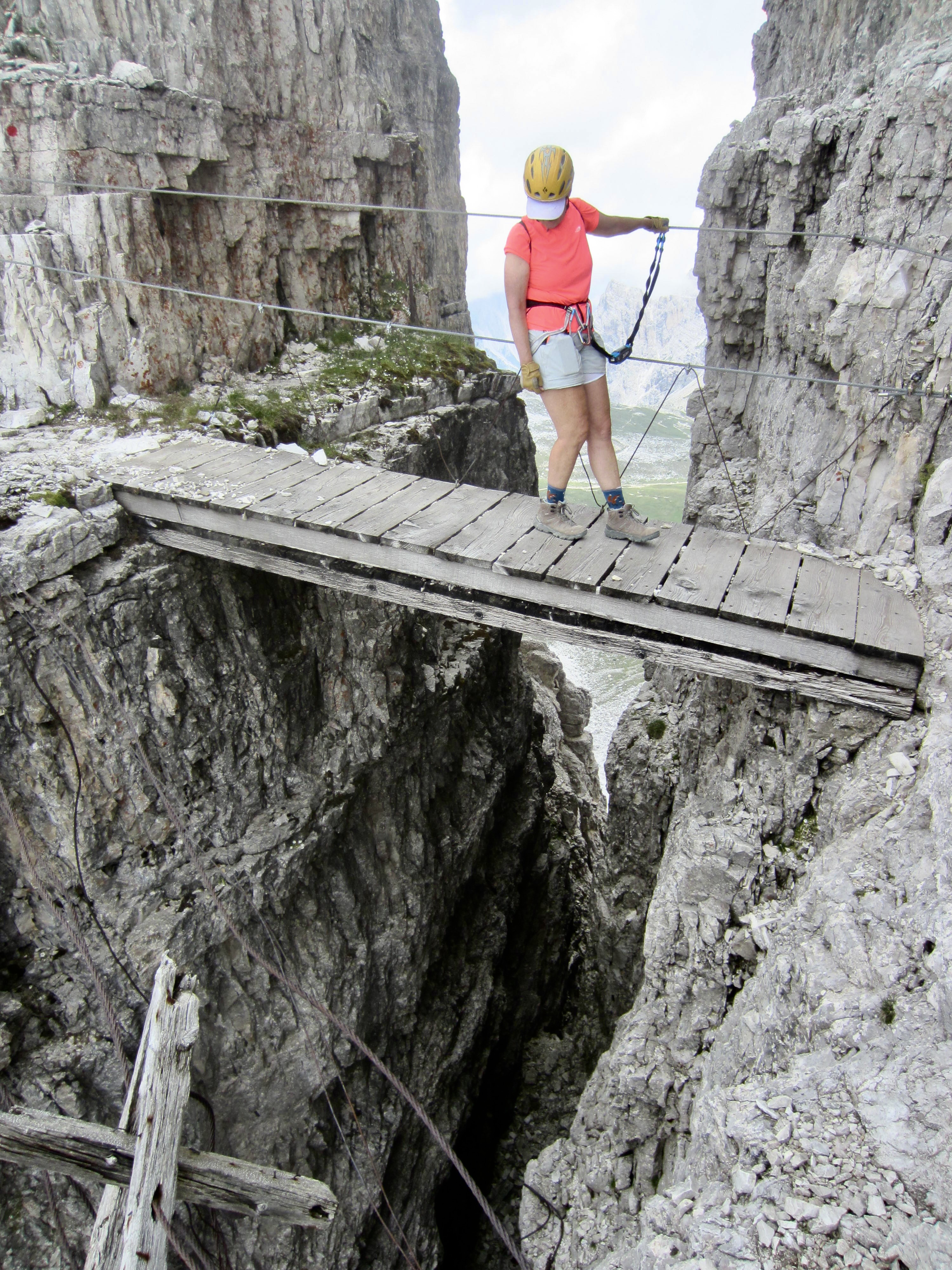
During our layover day at the Locatelli/Zinnen Hut, Eileen and I made a via ferrata climb of nearby Monte Paterno / Paternkofel, combined with a scrambling and hiking loop along the peak’s East Ridge and back through Forcella Lavaredo. This trekking sidetrip turned out to be a much greater adventure than we expected, as described in my separate trip report here:
>>> Monte Paterno / Paternkofel Climb + Camoscio–Laghi–Cengia–Lavaredo Trekking Loop
.
Day 4a: Locatelli/Zinnen Hut to Fonda Savio Hut
Approximate Daily Stats: 6.2 miles / 10.0 kilometers traveled; 2000 feet / 610 meters gained; 2200 feet / 670 meters lost.
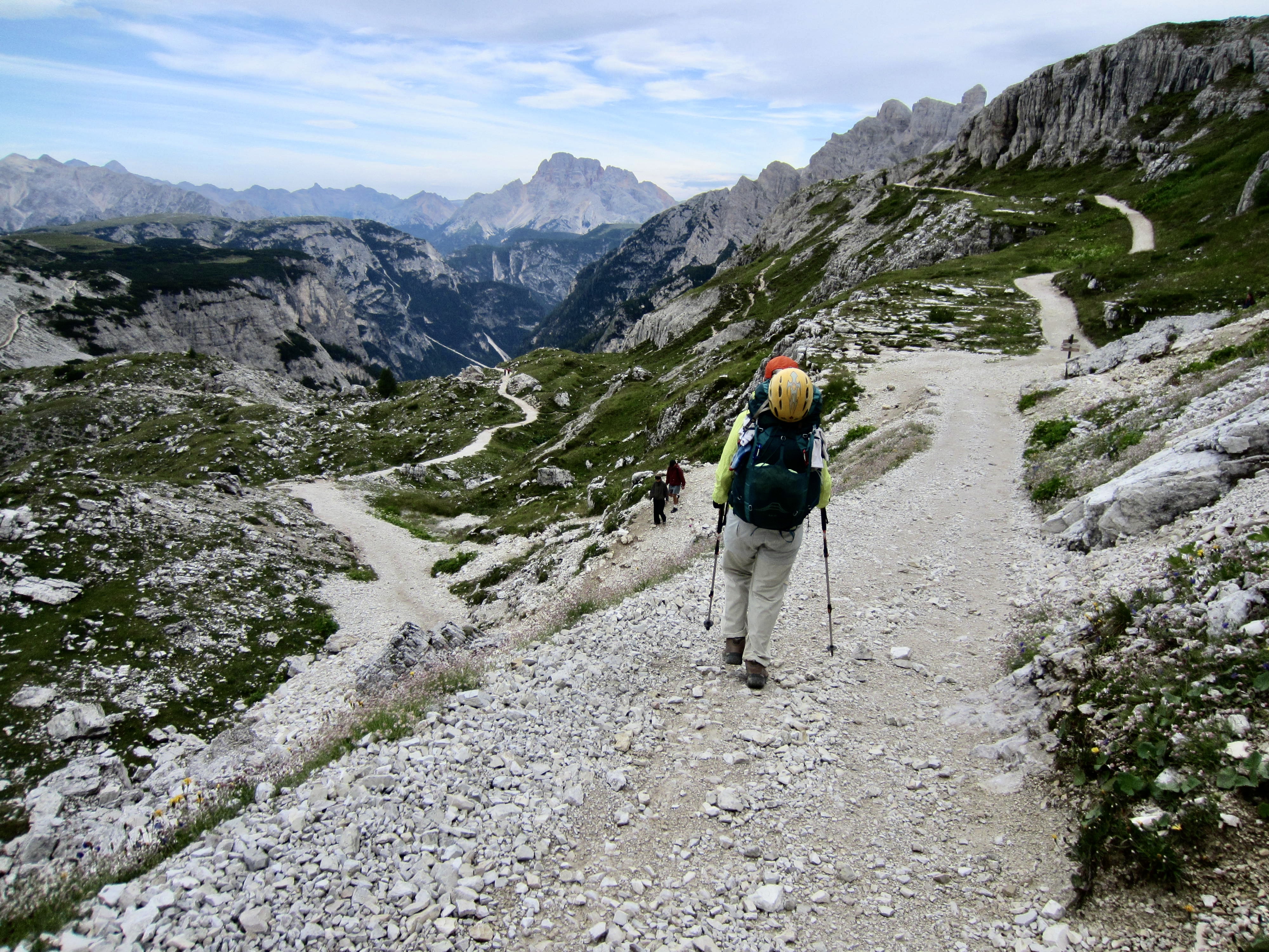
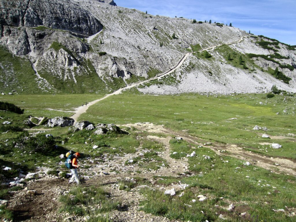
Eileen and I left the Locatelli/Zinnen Hut shortly after 8:00am, heading down AV4 as many other trekkers were coming up the hill from other huts. We dropped into a large, grassy basin and then hiked up a long grade on the far side.
.
.
.
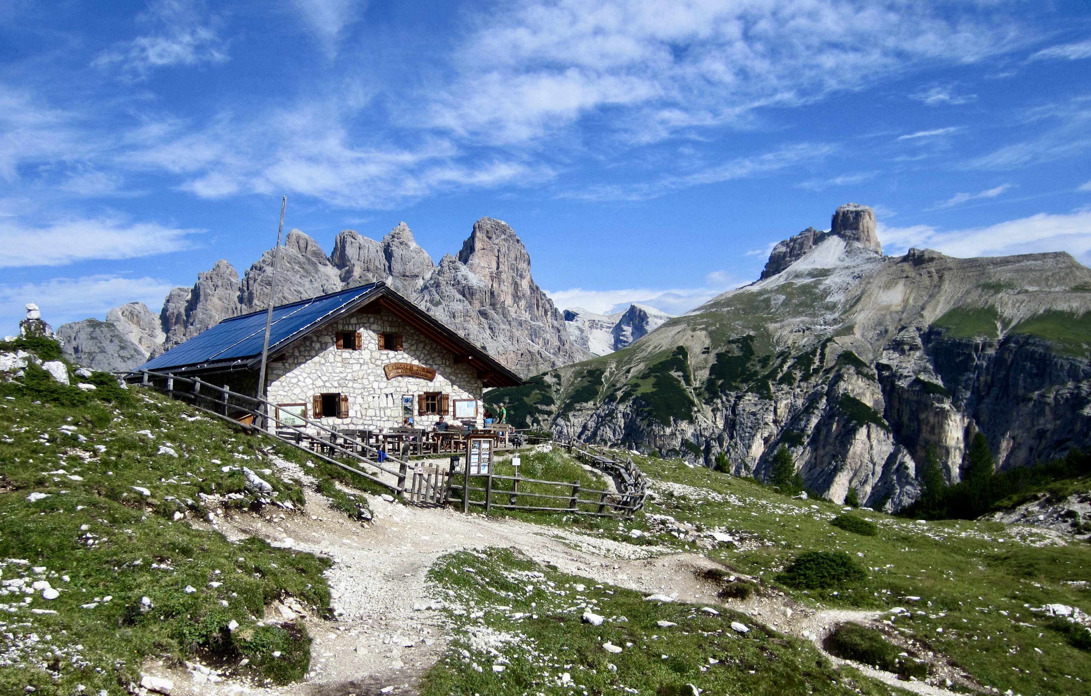
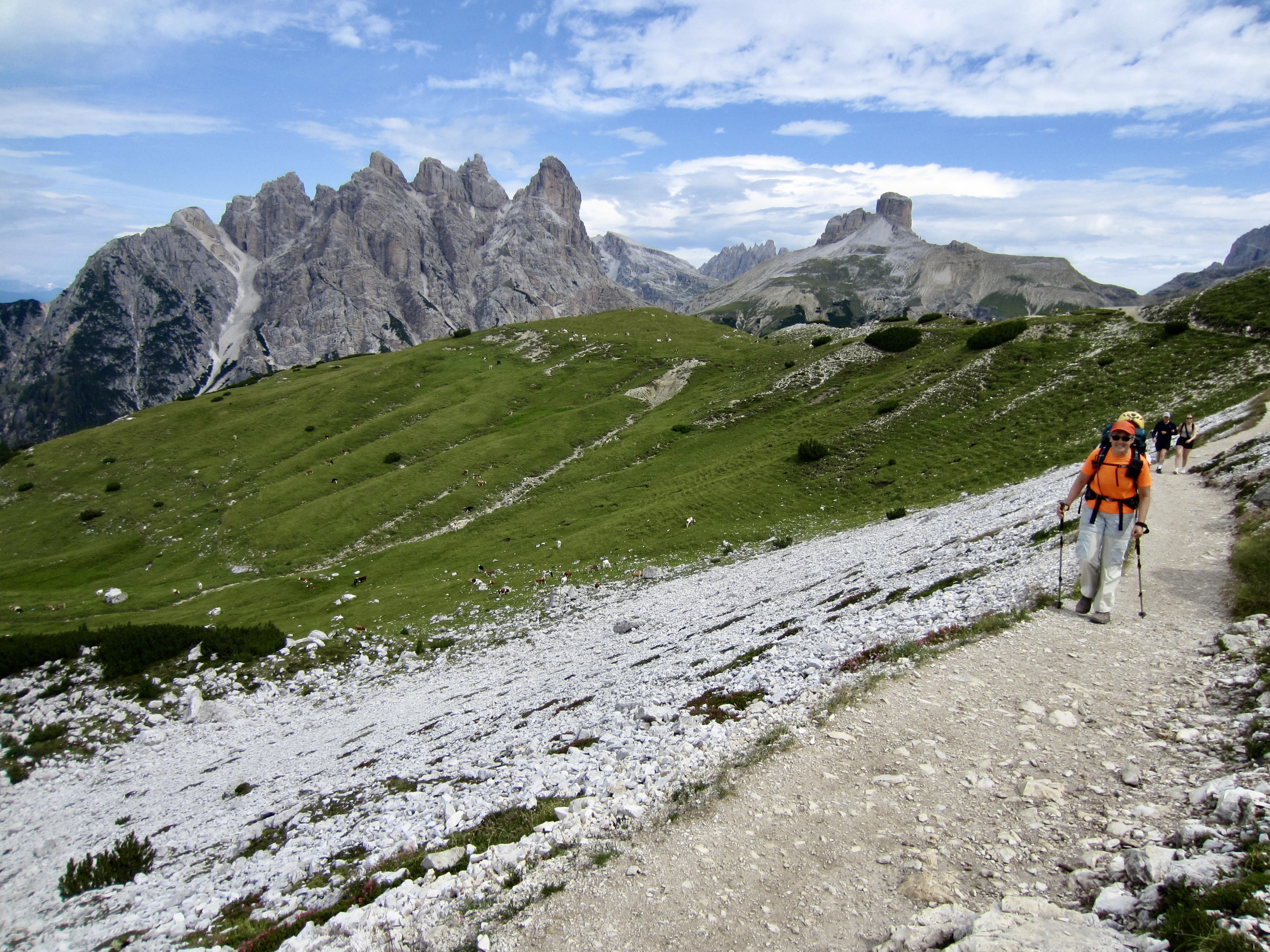
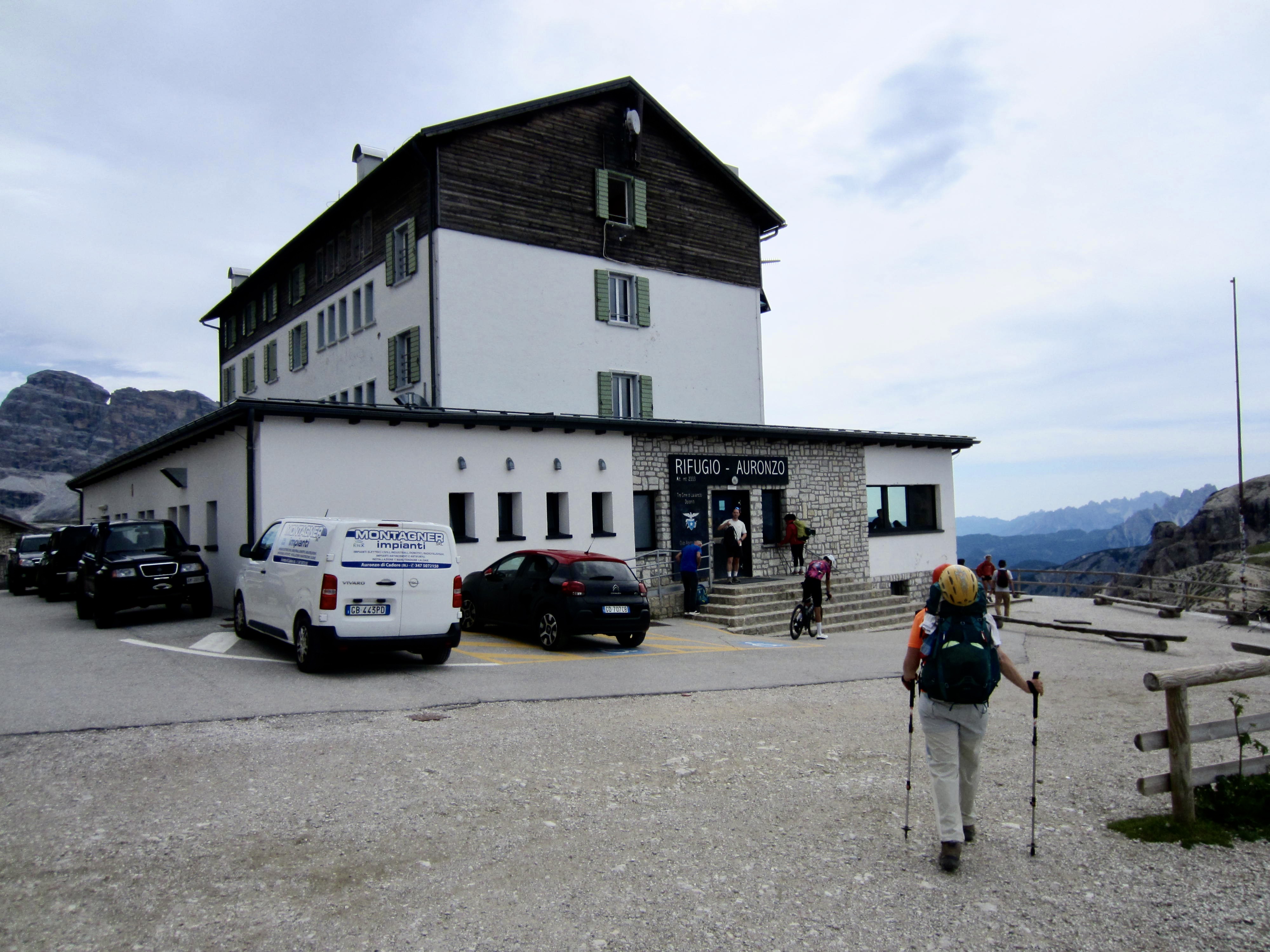
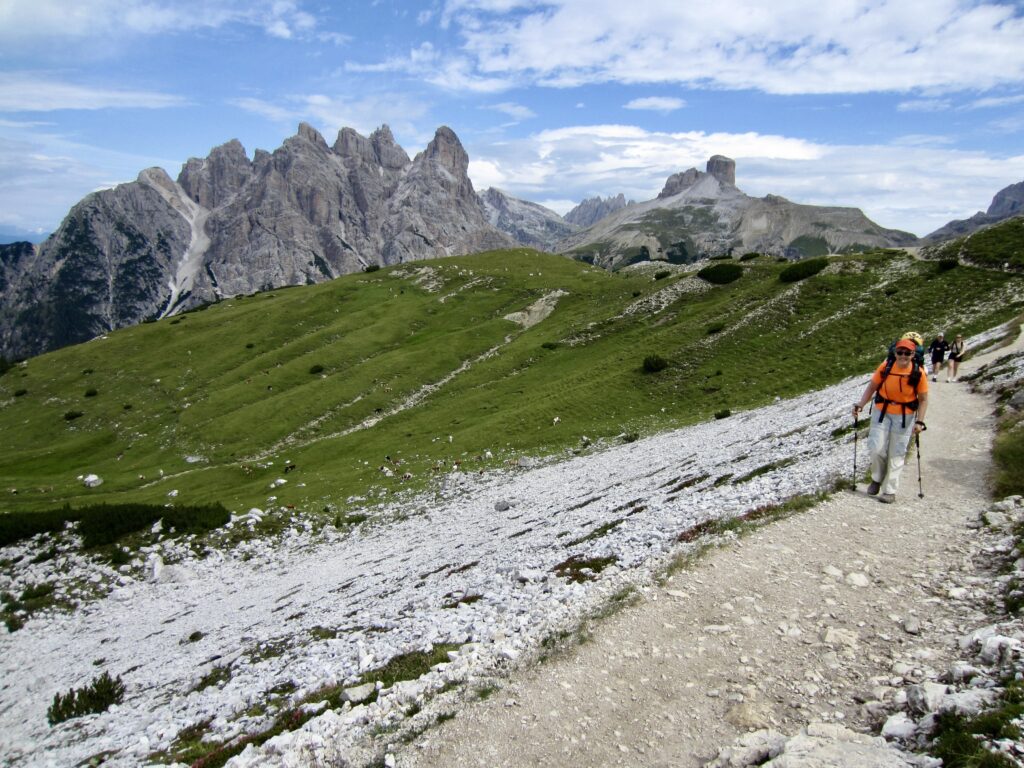
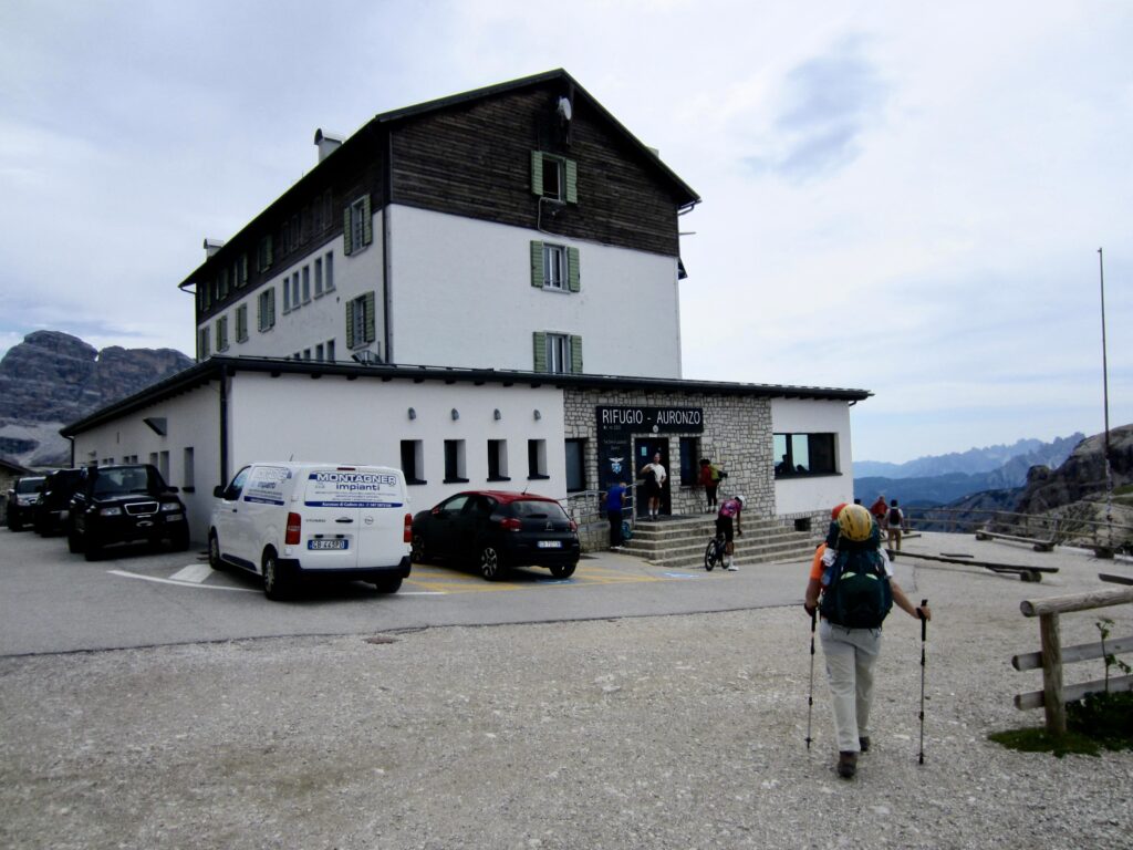
We passed the Lang Alm (or Langalm) Cafe and crossed through Forcella Mezzo/Medo before arriving at Auronzo Hut in late morning (2.8 hours from Locatelli/Zinnen Hut). Because this hut is accessible by a paved road and sits closely below the southern face of Tre Cime Di Lavaredo, it is always bustling with international visitors. We stopped at the buffet cafeteria and had a very tasty lunch.
.
.
.
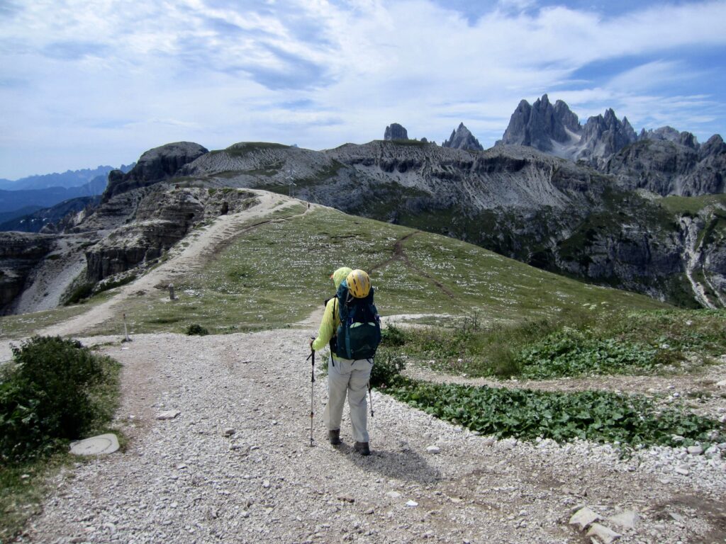
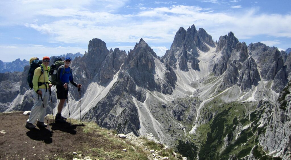
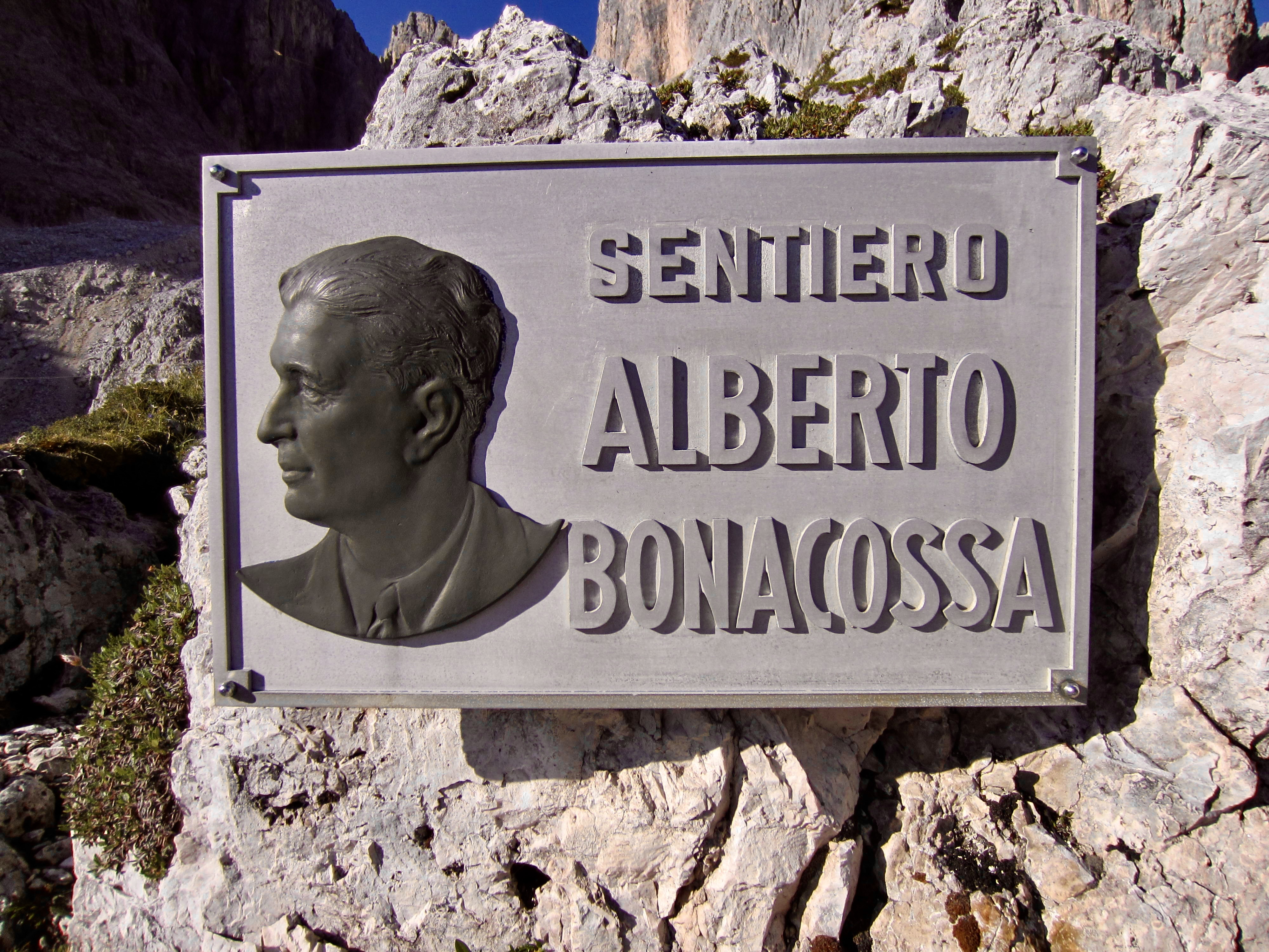
After lunch, we continued south on AV4, which follows the historic Bonacossa Trail around and over several spectacular viewpoint knolls. There were a hundred or more tourists posing for photographs in front of the jagged Dolomite skyline. Ok, we couldn’t resist either!
.
.
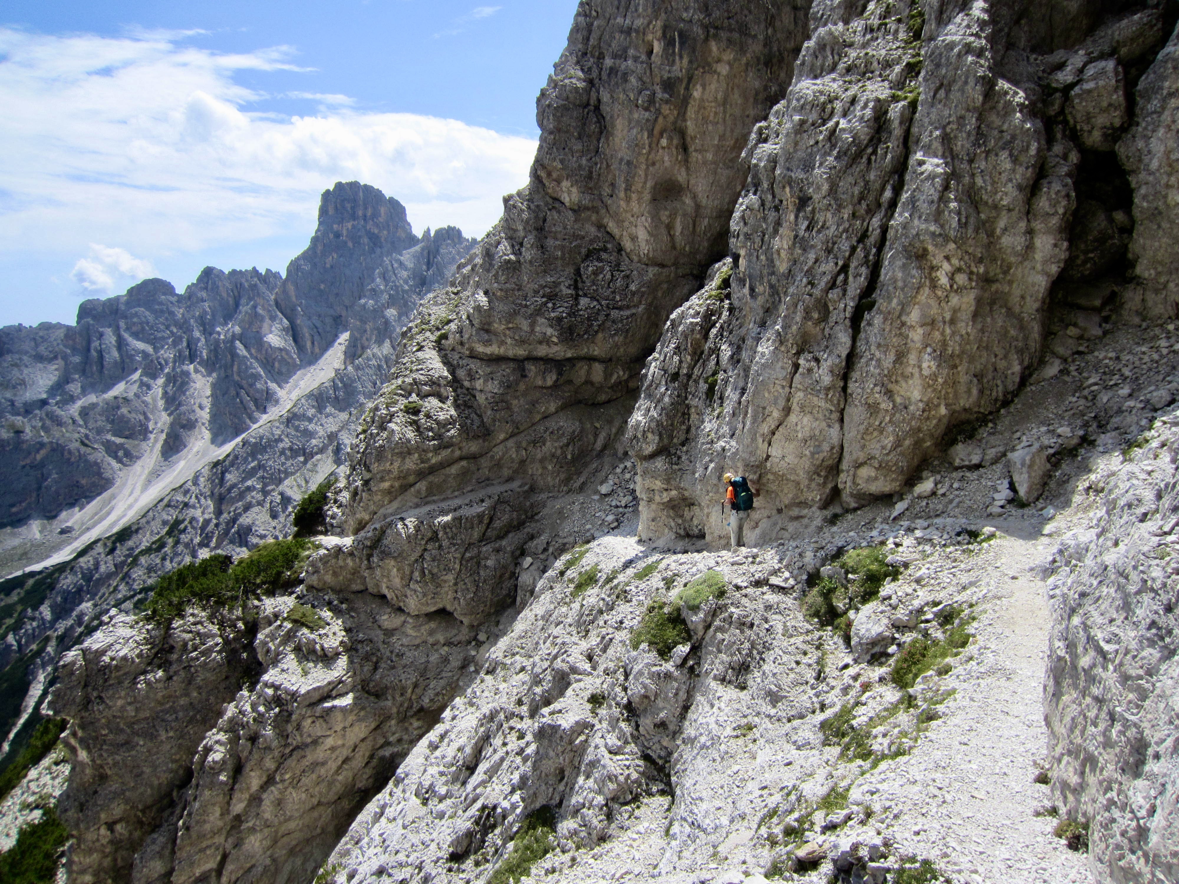
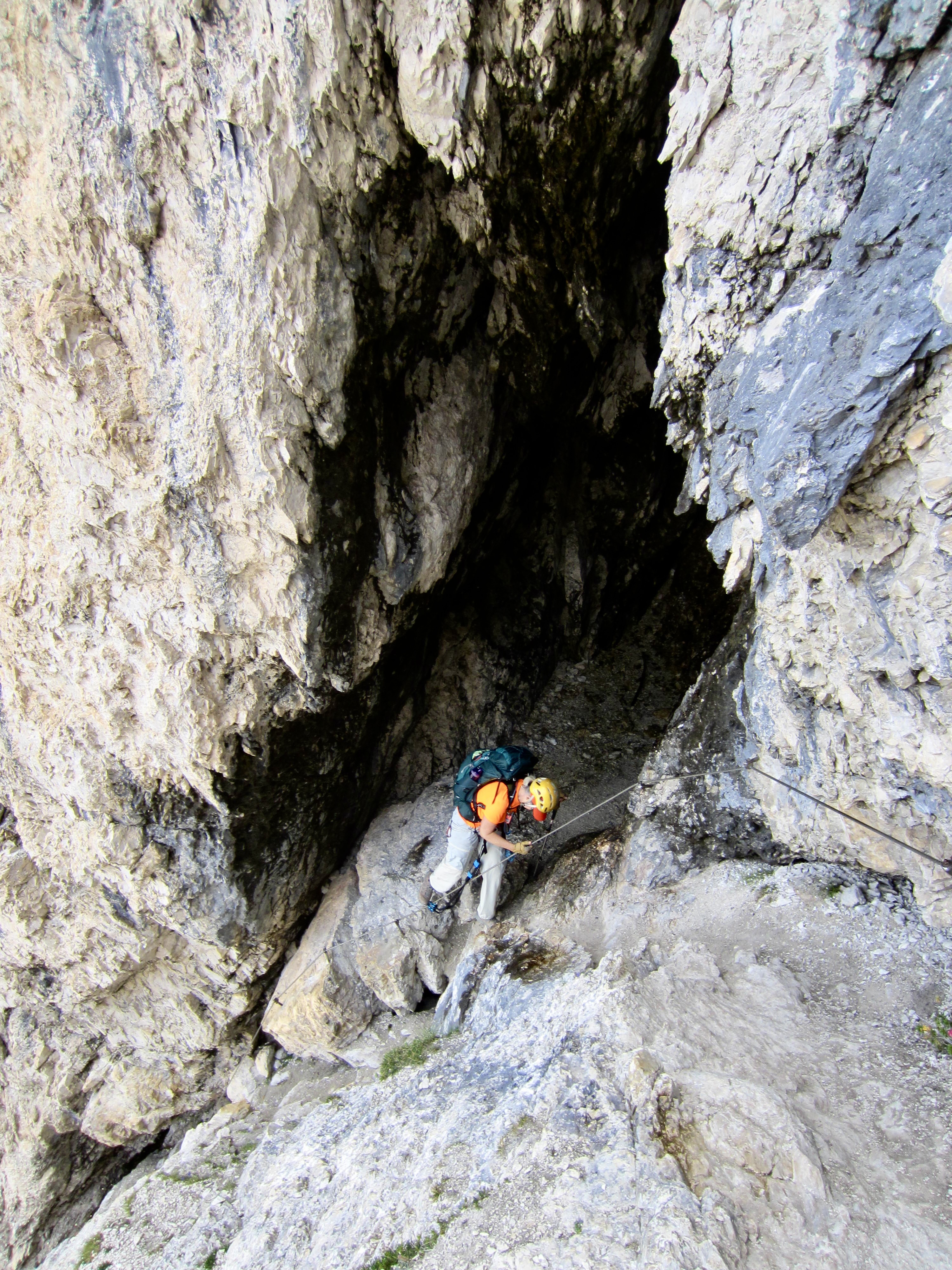
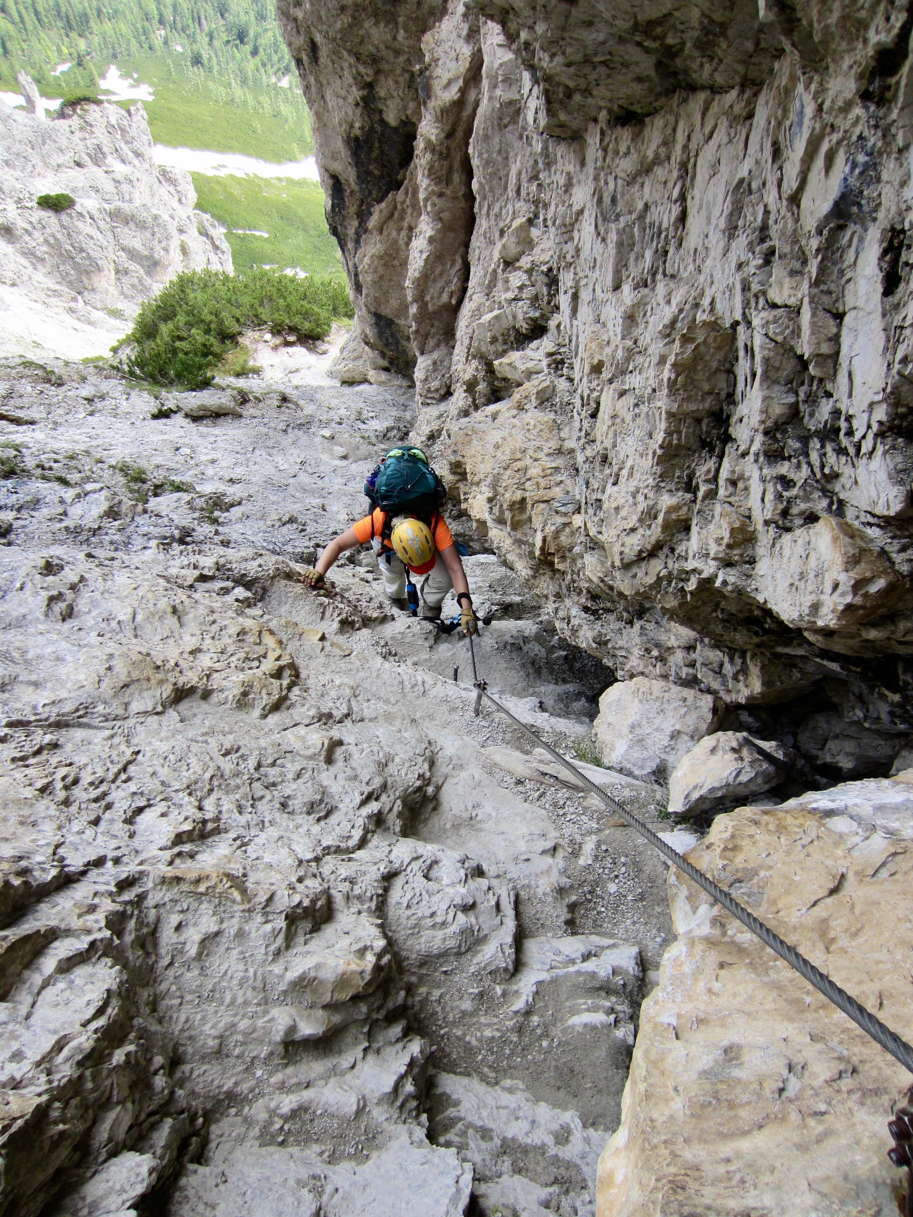
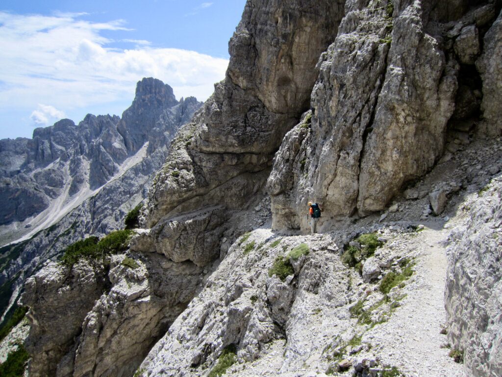
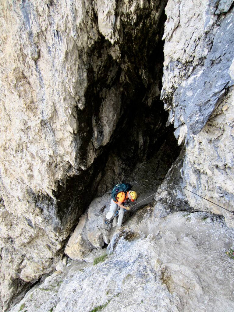
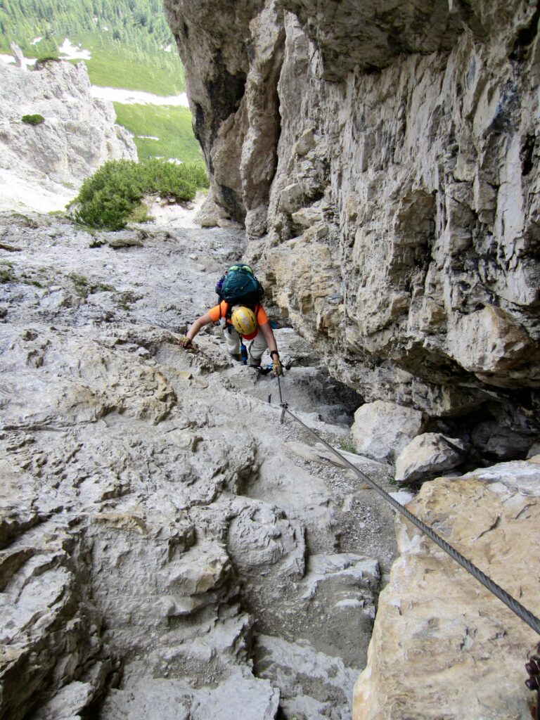
Before long, our civilized “tourist trail” veered onto the side of a cliff and abruptly ended at a giant dihedral with a menacing cave. We put on our via ferrata gear, clipped into a cable, and made a tricky down-climb of the steep dihedral face, which was slippery from water and wear.
.
.
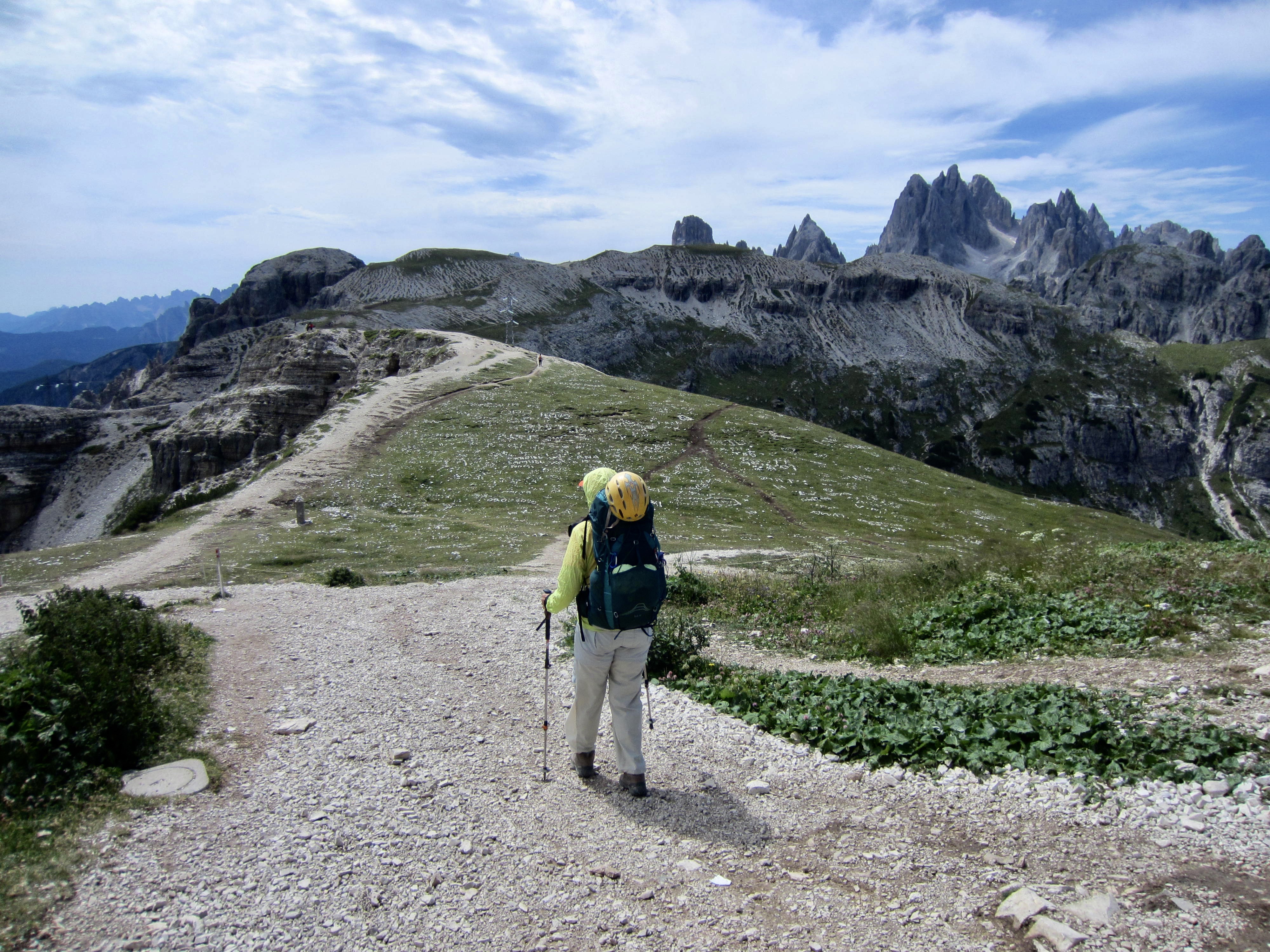
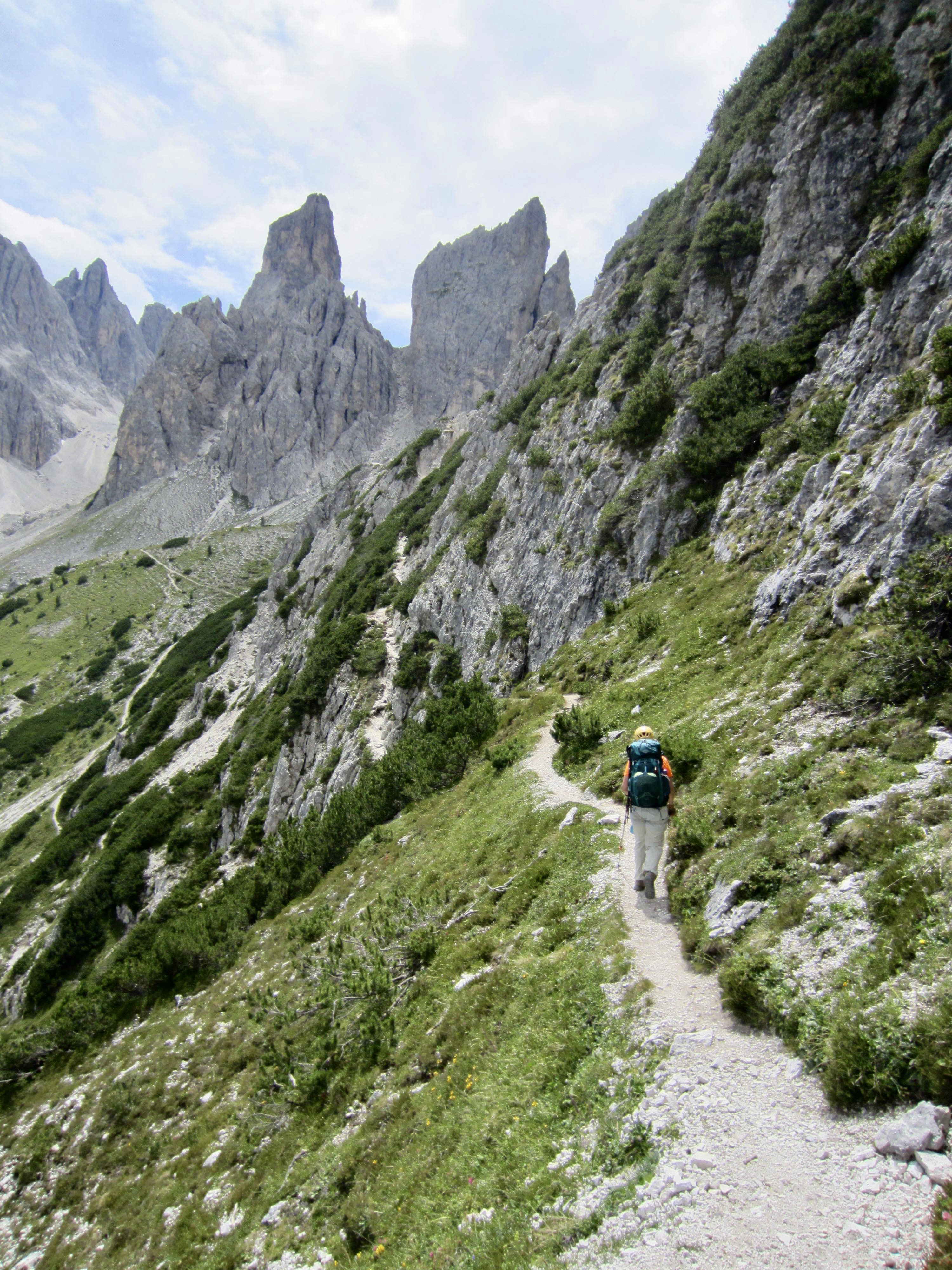
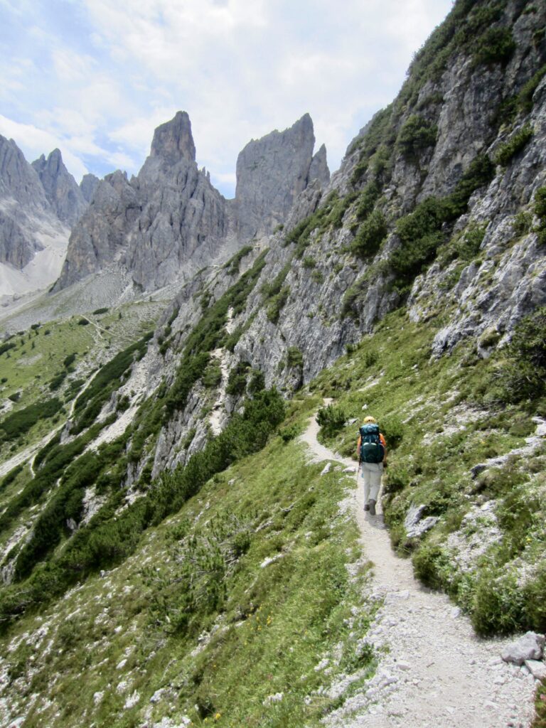
Upon reaching the bottom of the dihedral, we began an undulating traverse along the cliff below Cima Cadin di Rinbianco. Our AV4 trail could be seen extending around the sharp fang of Torre Wundt far ahead.
.
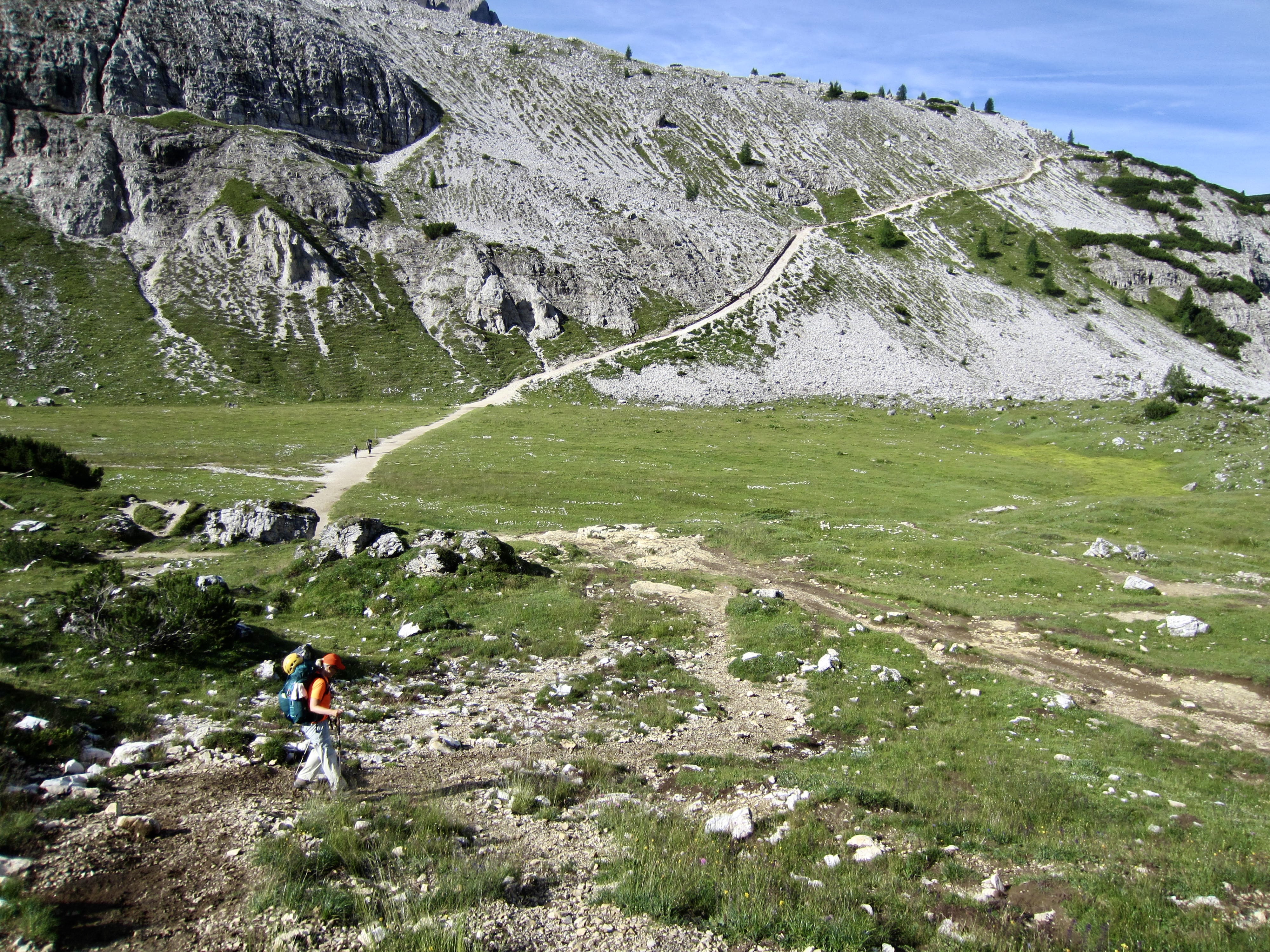
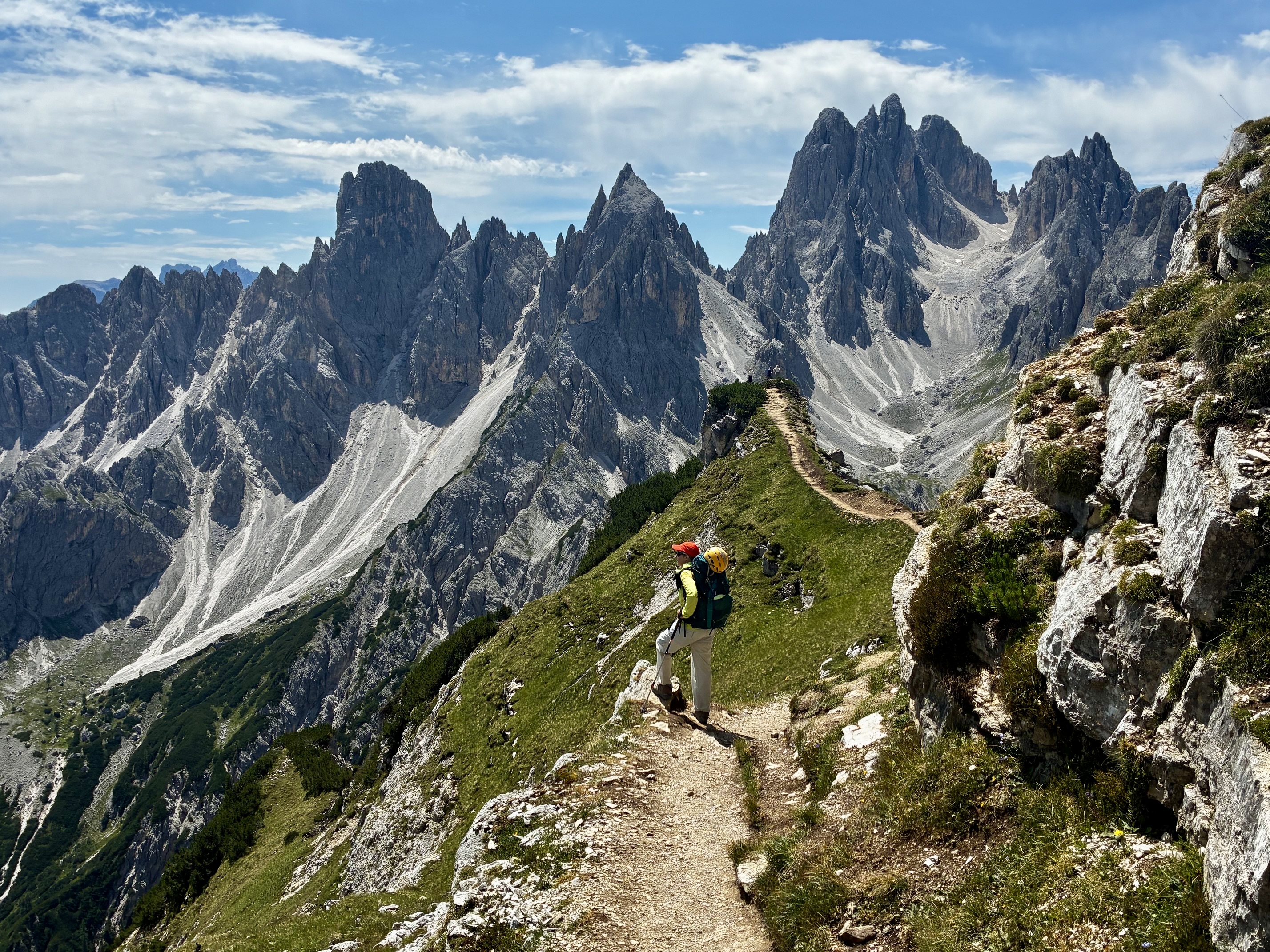
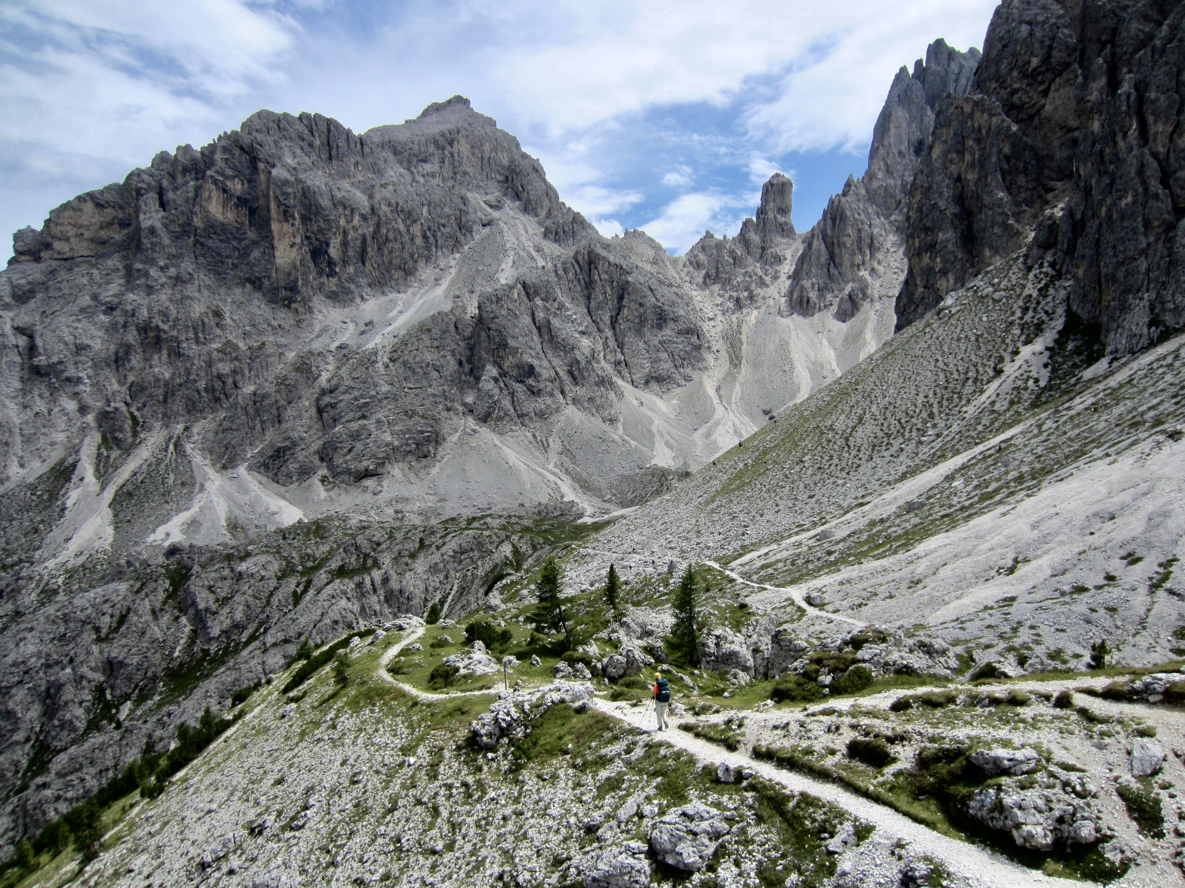
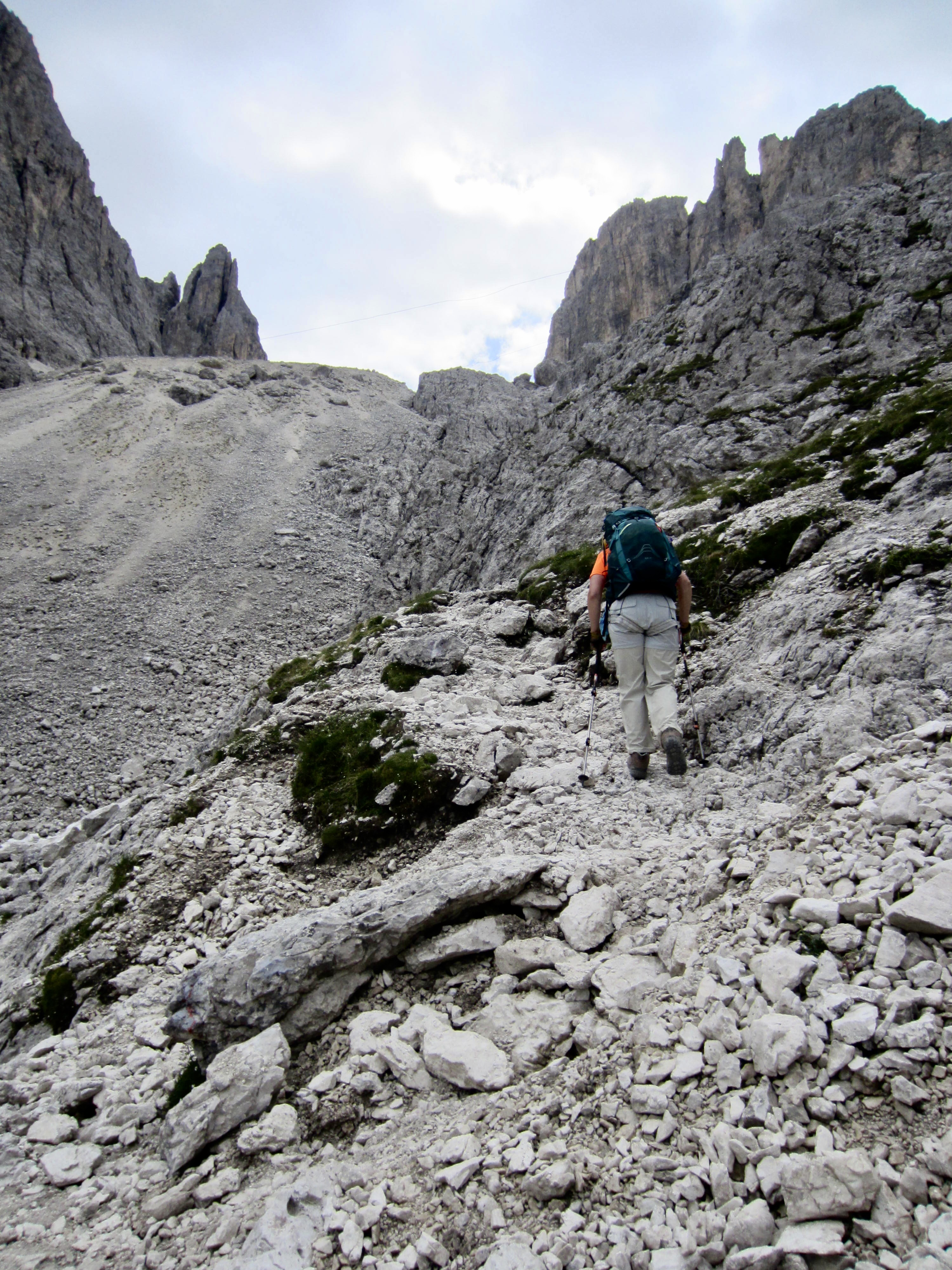
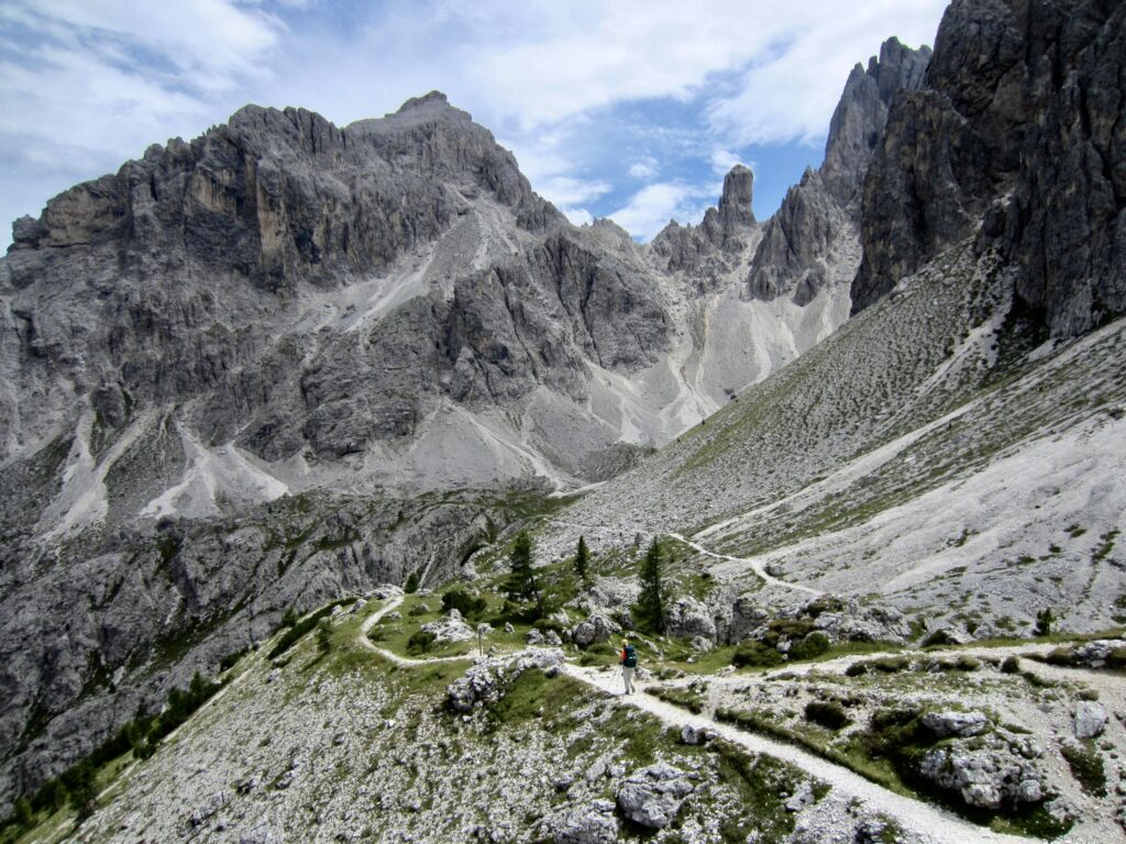
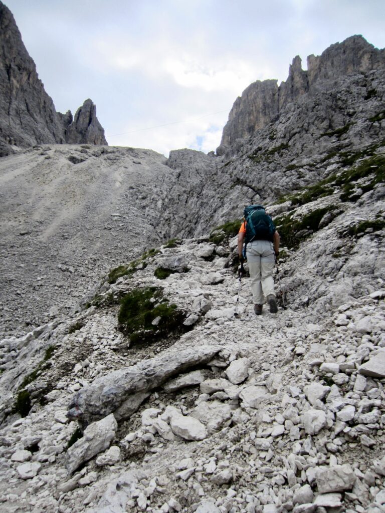
We descended into the rolling terrain of Forcella Rinbianco and then angled over to the left (east) on a wide bench. This put us into the heart of the rugged Cadin massif, which comprises ten or more named summits. We hiked up a steep, rocky trail in the barren Nevaio Valley and scrambled up a Class 3 headwall.
.
.
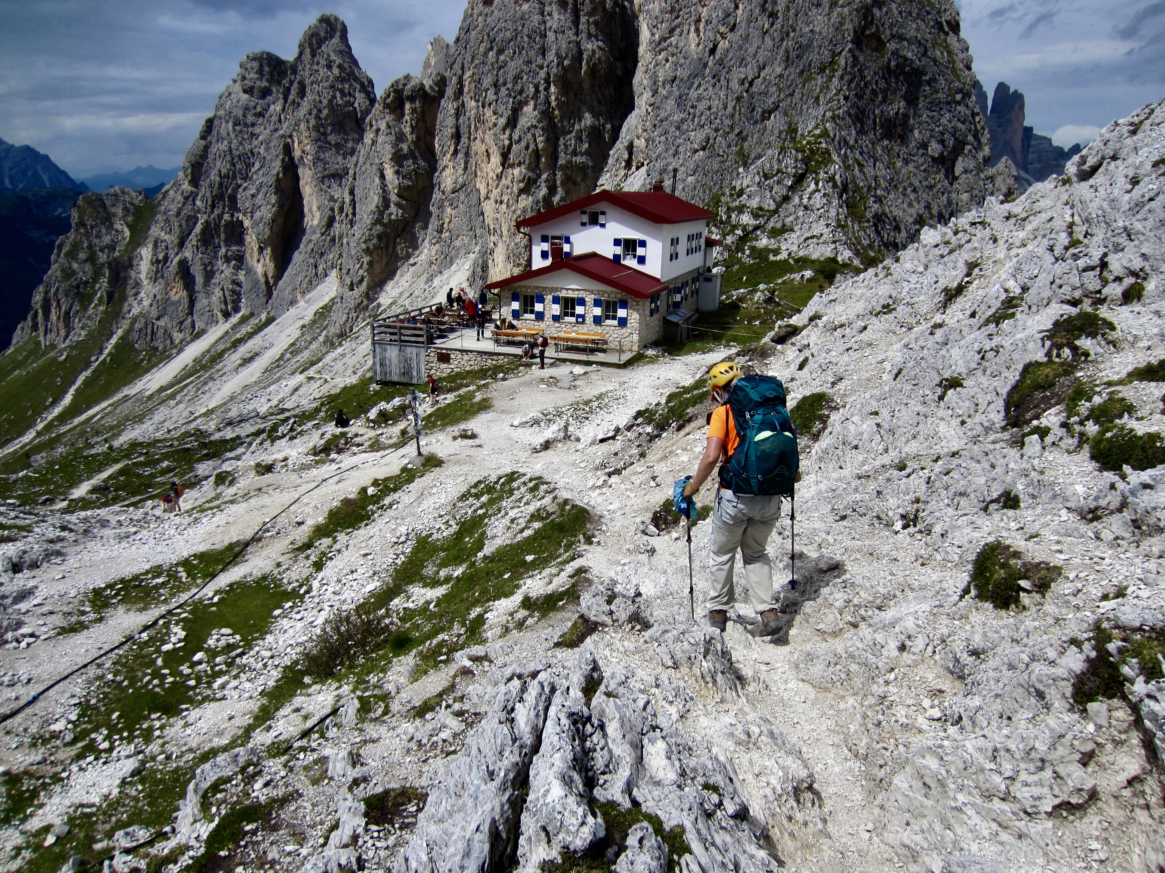
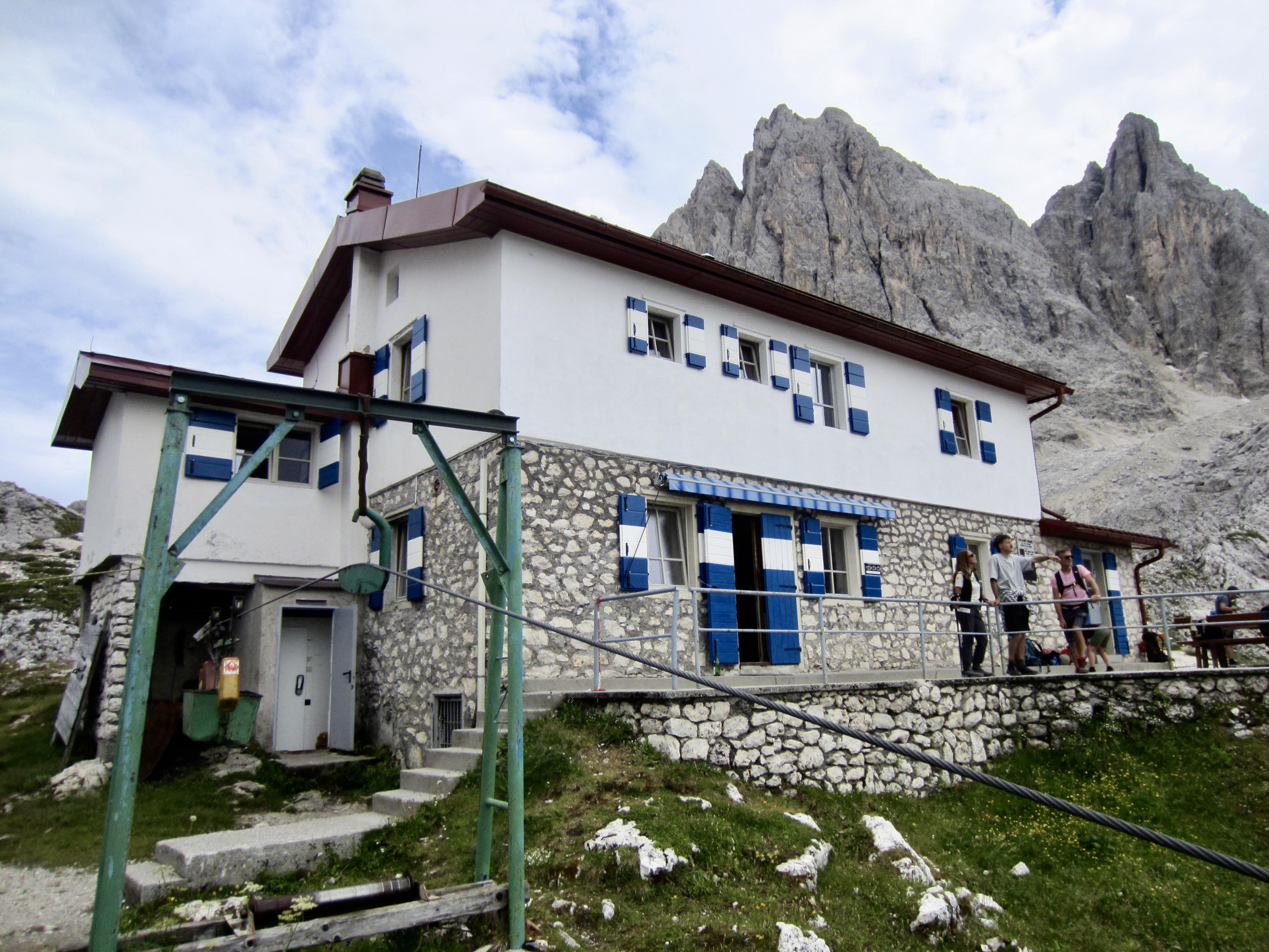
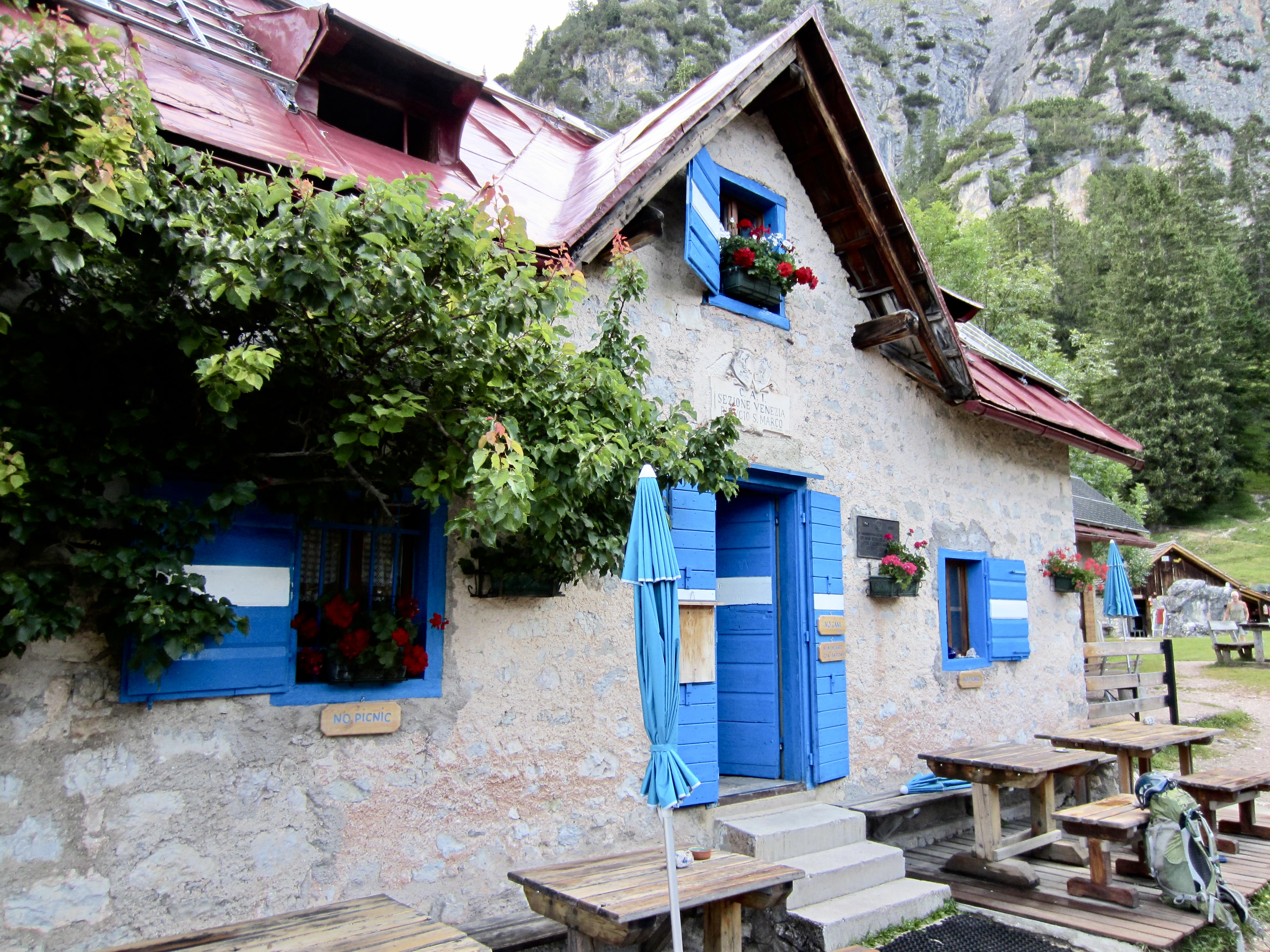
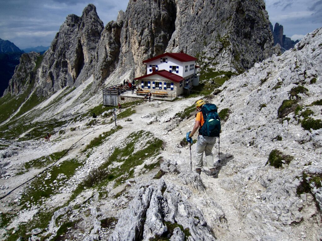
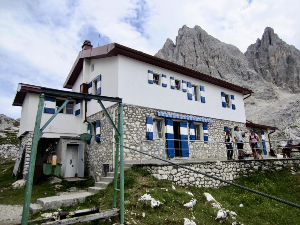
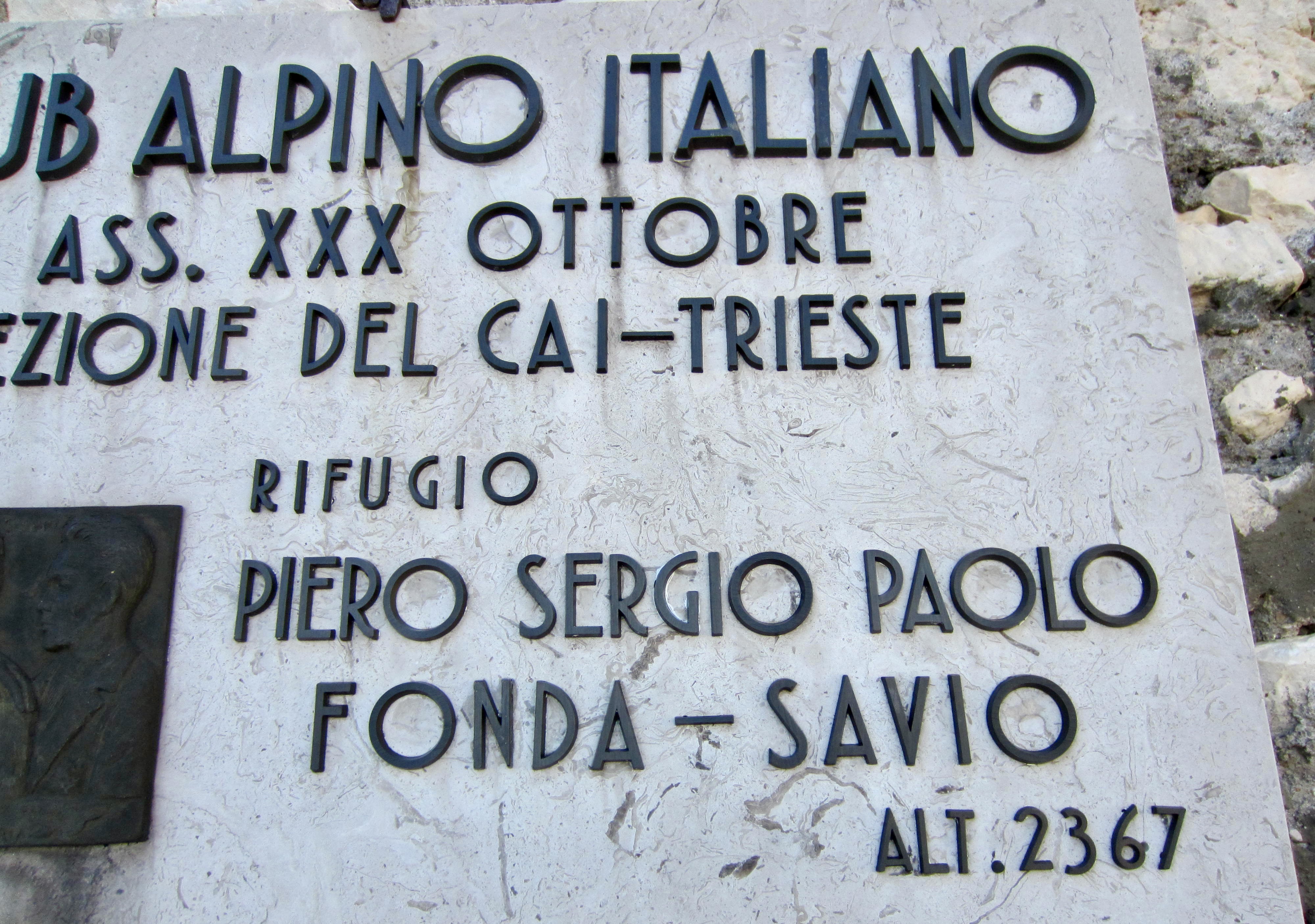
A short descent delivered us to Fonda Savio Hut in mid-afternoon (6.8 hours from Locatelli/Zinnen Hut). This small hut sits in a high gap (Passo dei Tocci) overlooking the Misurina Valley. Architecturally, it has the classic Italian Alpine Club style, with exterior walls of exposed stone and white stucco, finished with traditional blue-and-white shutters. Eileen and I were assigned to a detached 12-person bunkhouse for the night.
.
.
Day 4b: Cima Cadin NE Attempt on Via Ferrata Merlone
Approximate Sidetrip Stats: 0.95 miles / 1.5 kilometers traveled; 850 feet / 260 meters gained & lost.
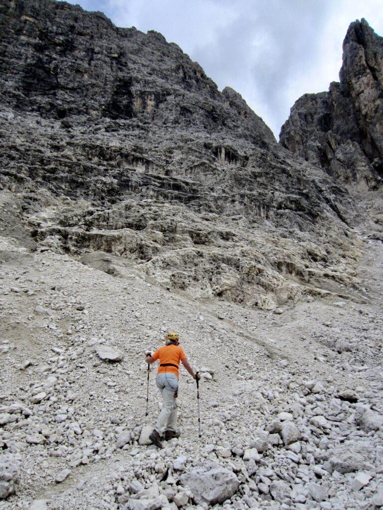
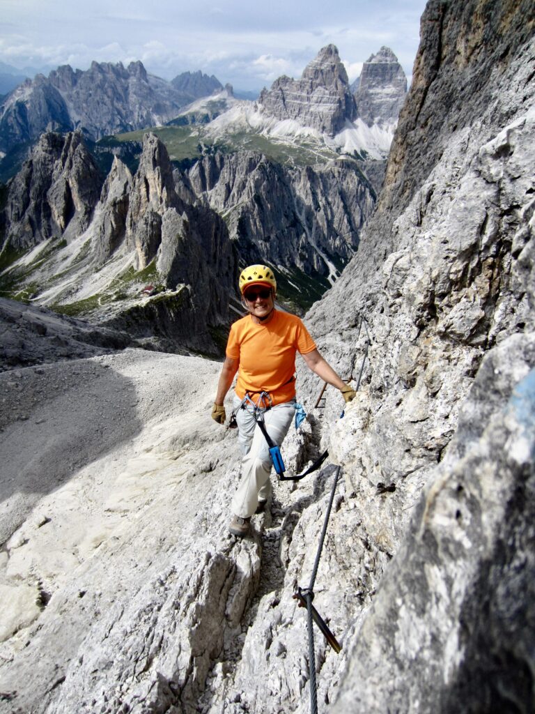
Having a few hours before dinner, Eileen and I made a hurried attempt to climb the Via Ferrata Merlone route on nearby Cima Cadin Northeast. We cut our climb short due to an impending storm but had a good time in the process. Our little sidetrip is described in my separate trip report here:
>>> Cima Cadin NE Attempt + Partial Merlone Via Ferrata Climb
.
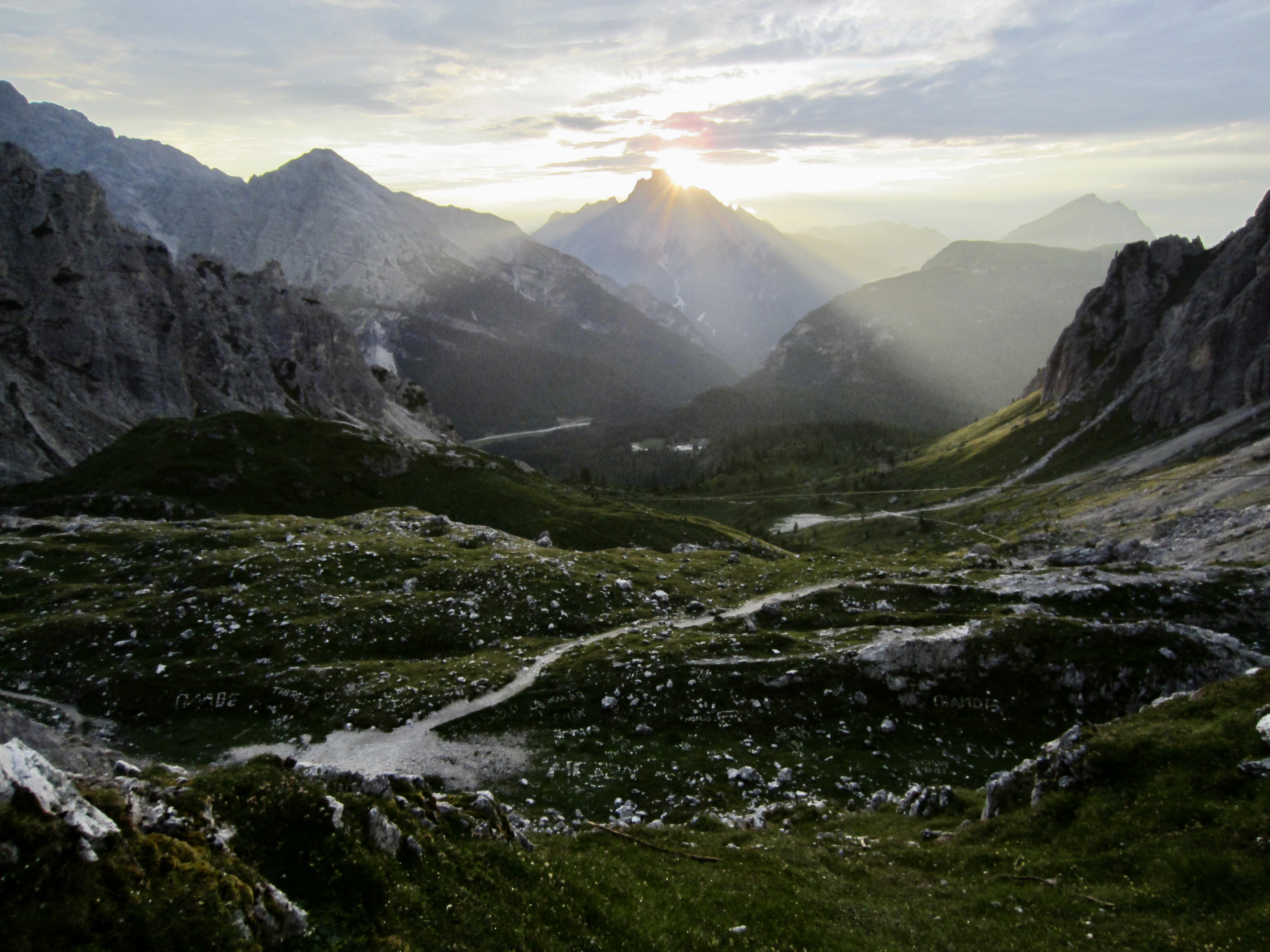
Upon our return to Fonda Savio Hut, we shared a dinner table with a group of four lively Belgians, one of whom was a biomechanics scientist who helped develop Superfeet orthotic insoles, and our meal was served by two delightful young Italian women. The forecasted thunderstorm rolled through during dinner and left us with a moody sunset.
.
Day 5: Fonda Savio Hut to Vandelli Hut
Approximate Daily Stats: 9.0 miles / 14.5 kilometers traveled; 3200 feet / 980 meters gained; 4600 feet / 1400 meters lost.
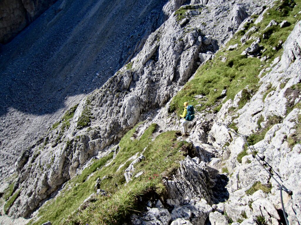
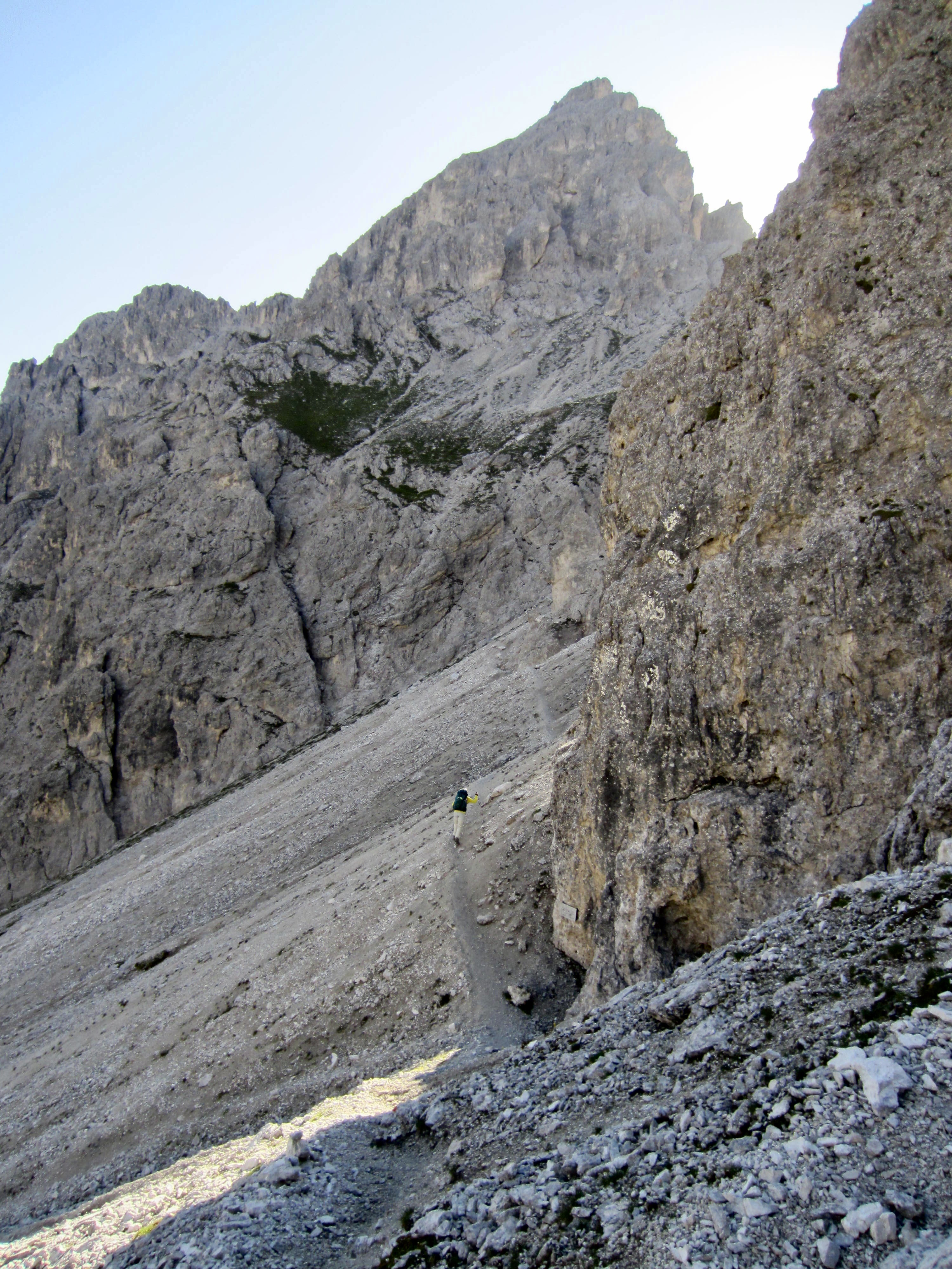
Before leaving the hut, Eileen and I consulted with one of our waiters regarding the three primary exit routes from here. She recommended the eastern route, and this turned out to be excellent advice. We were on the move at 8:00am, heading eastward across the Nevaio Valley and then up to Forcella della Torre.
.
.
.
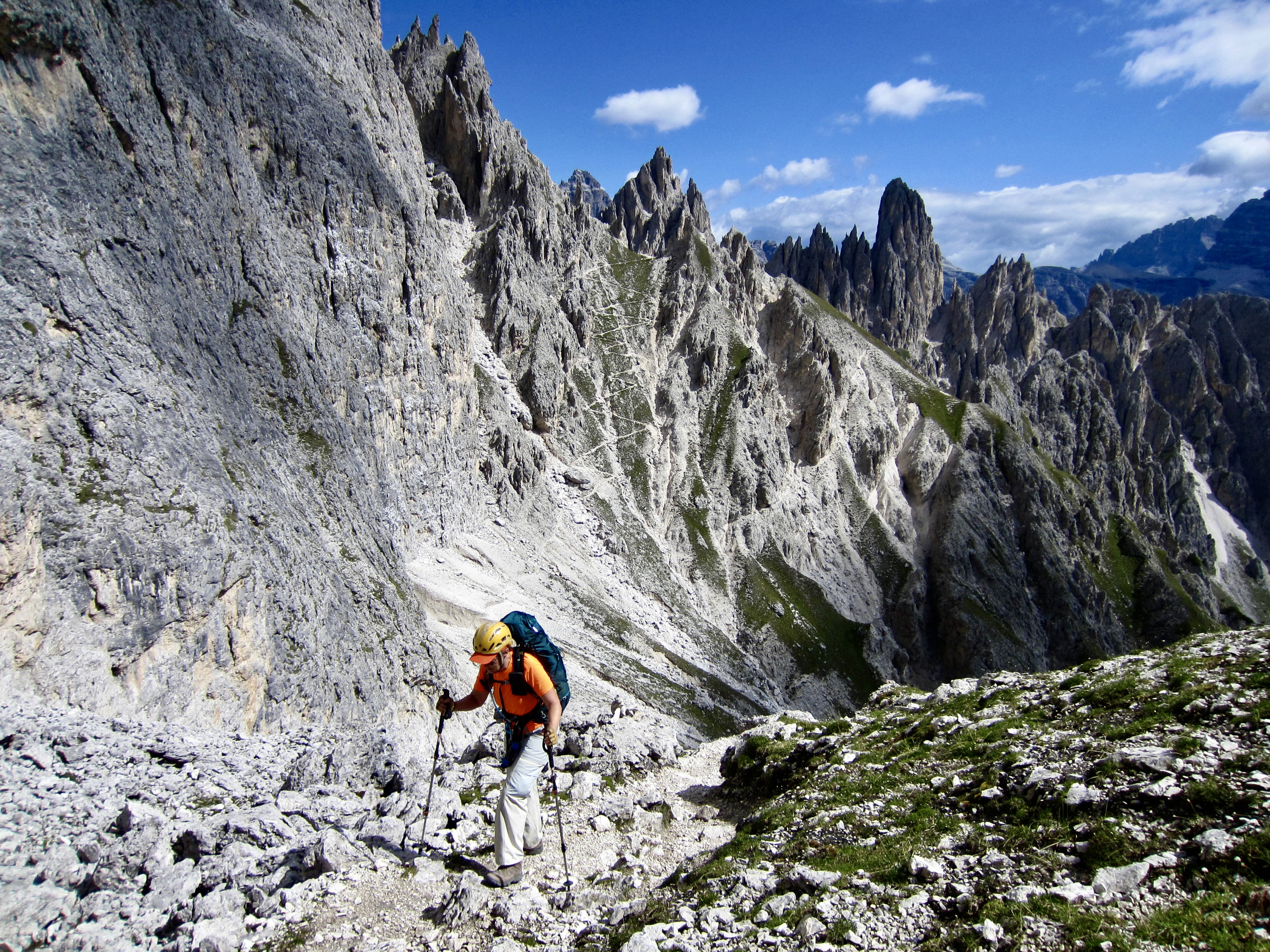
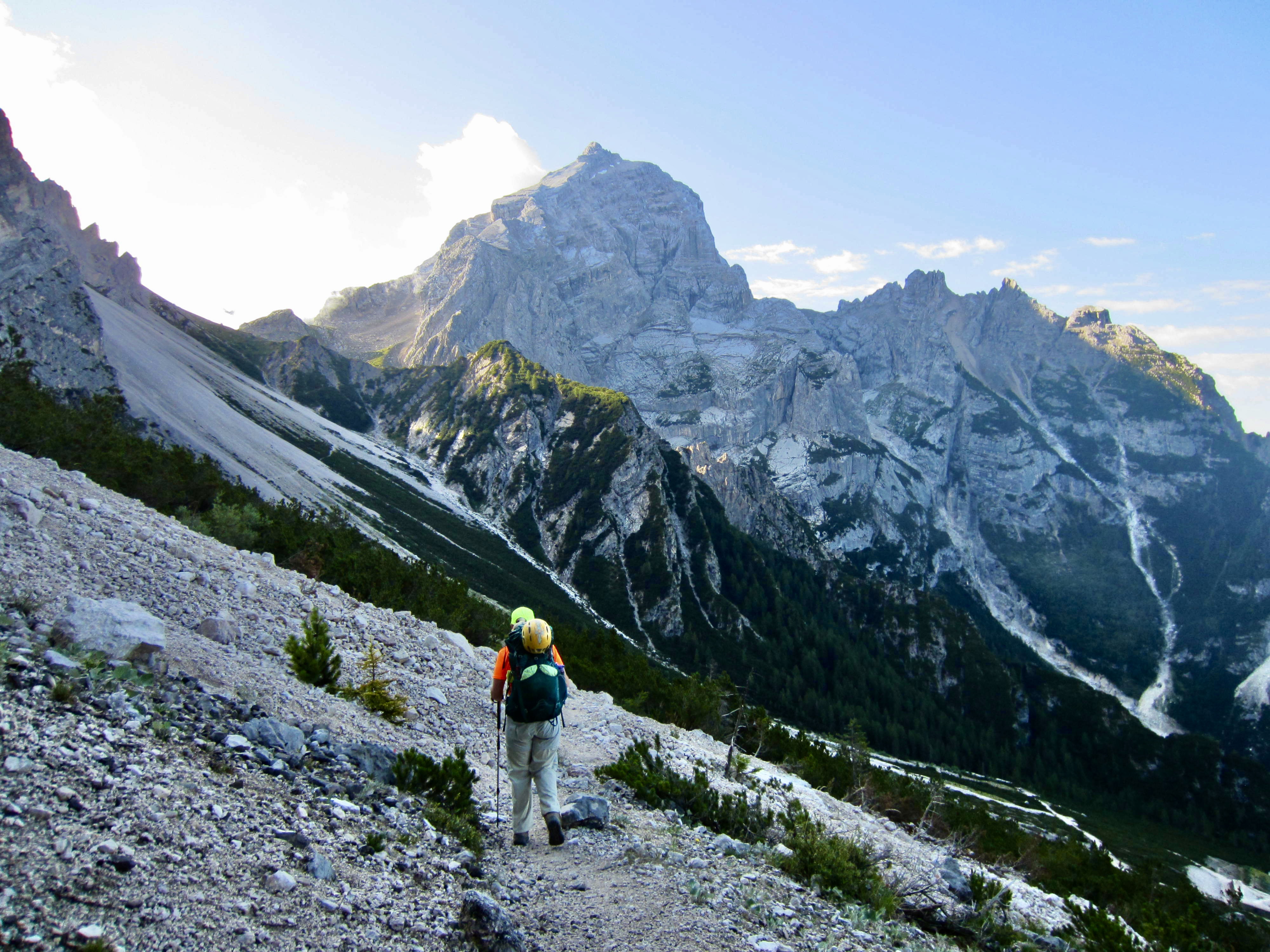
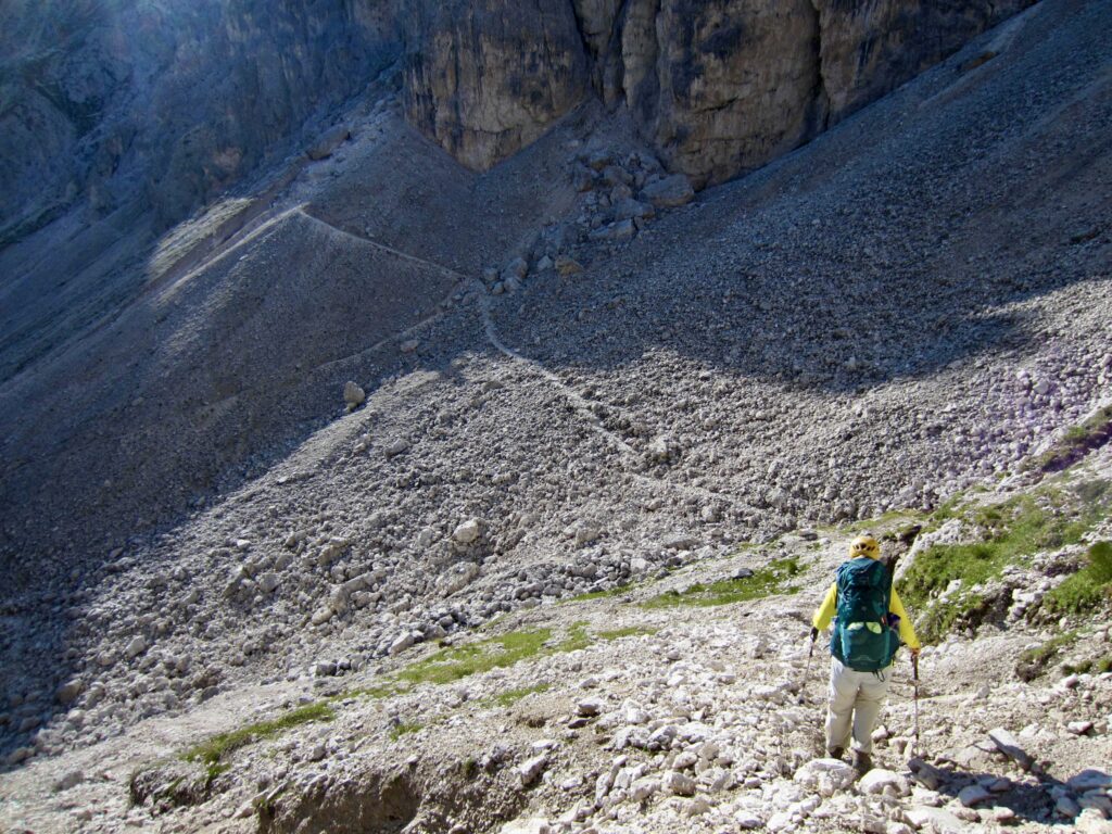
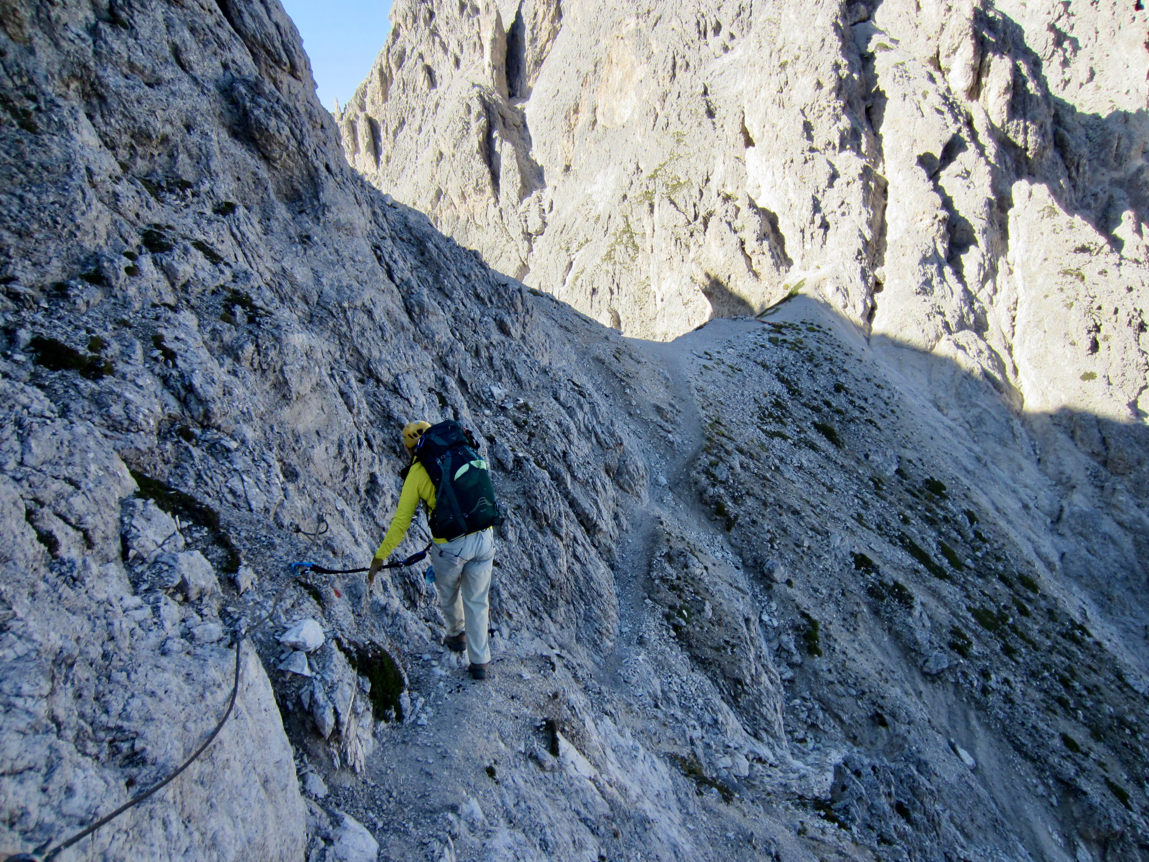
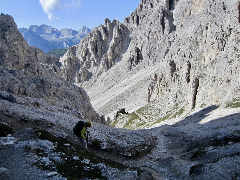
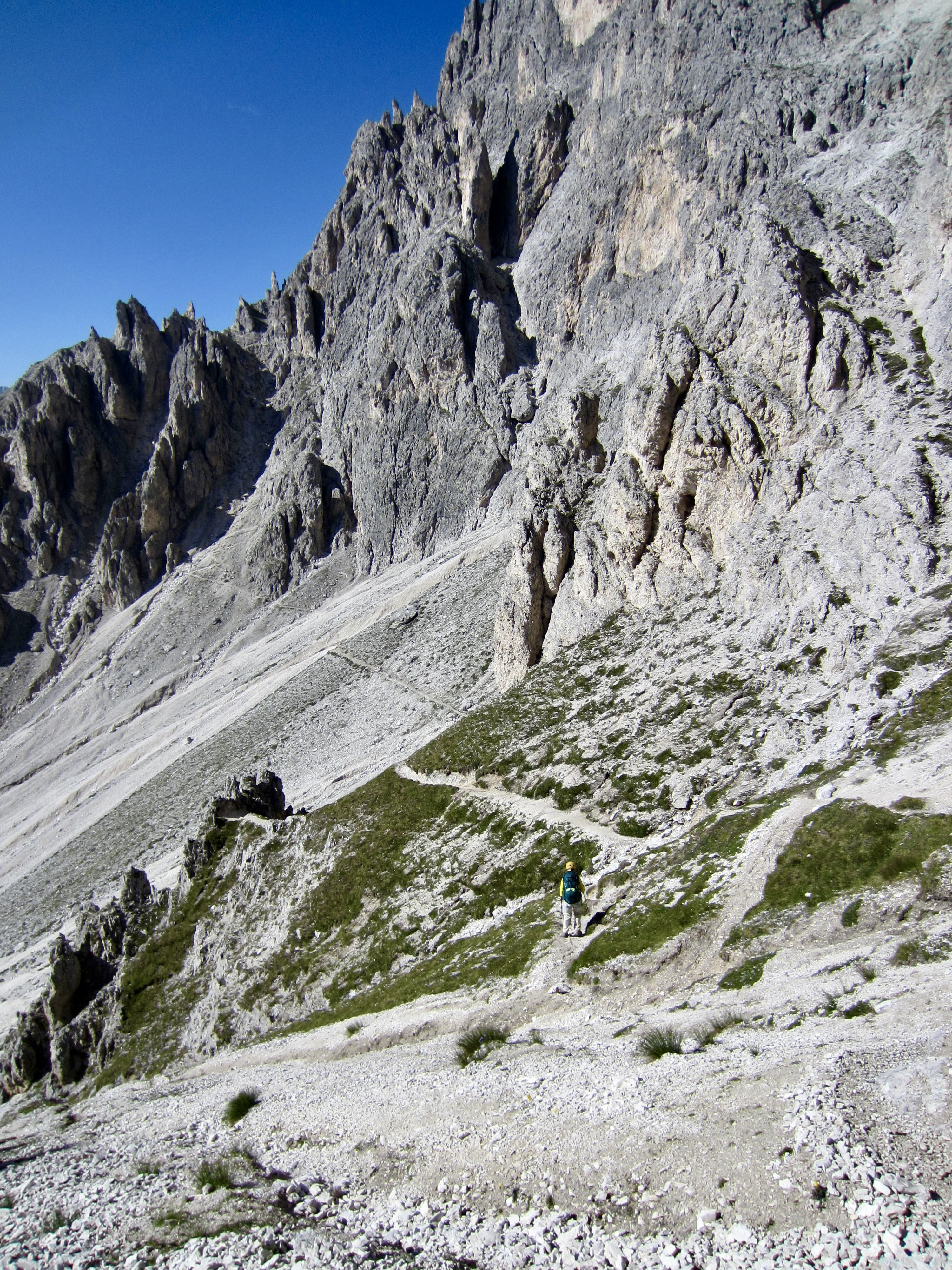
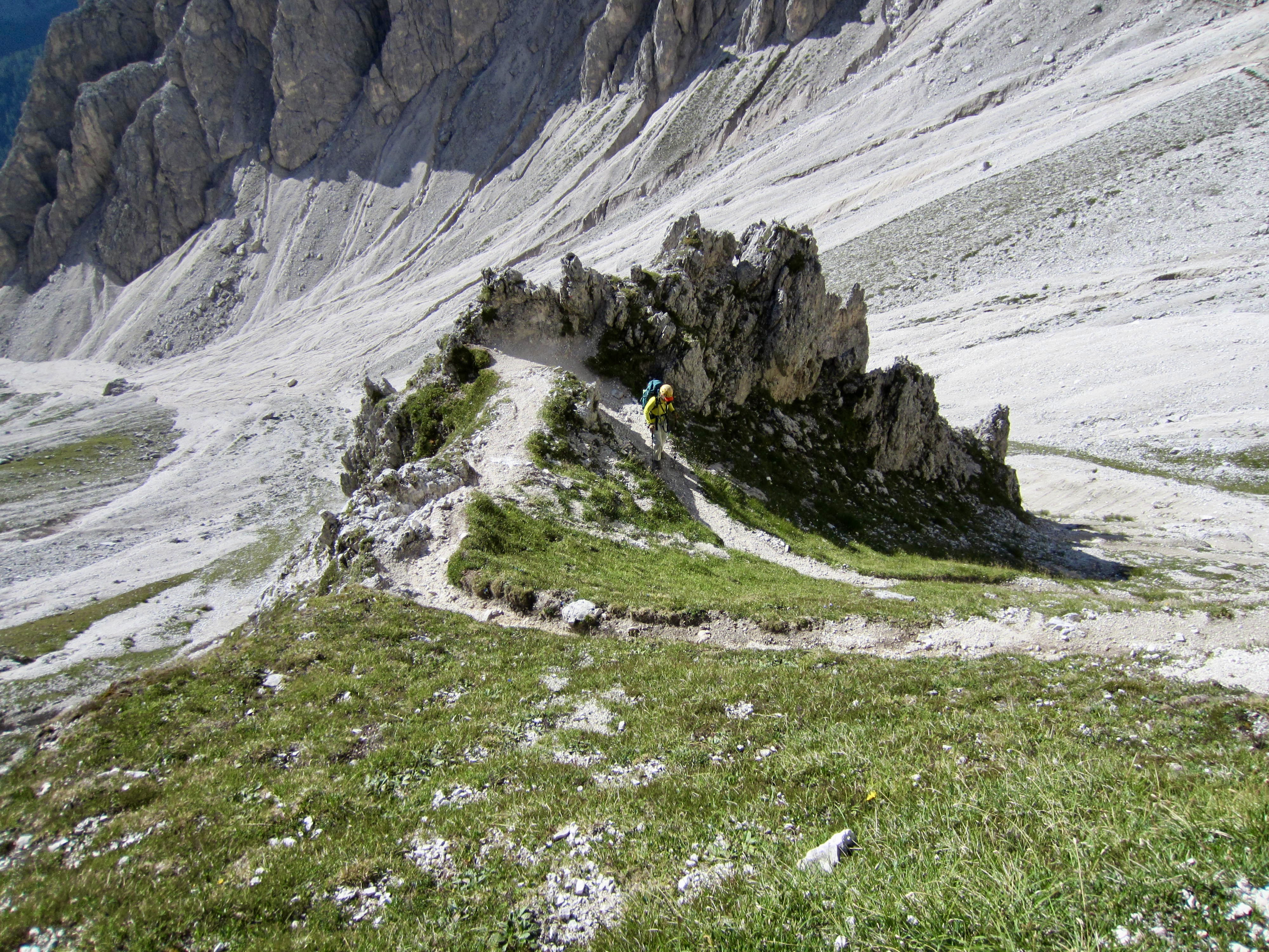
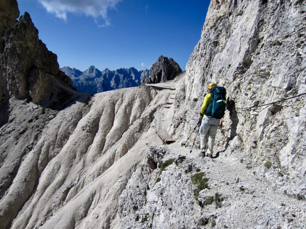
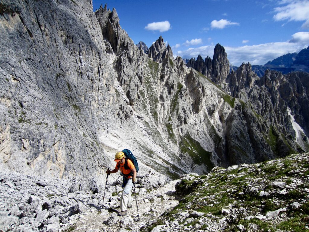
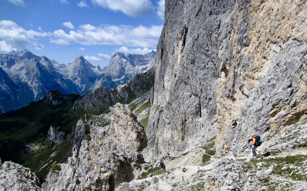
From the high pass, we began a marvelous roller-coaster traverse across the east-facing hillslope. Our trail took us over three more high passes, all separated by deep talus couloirs. Next in the series was Forcella Sabbiosa, which involved an exposed traverse across an eroded cliff with a safety cable in place.
.
.
.
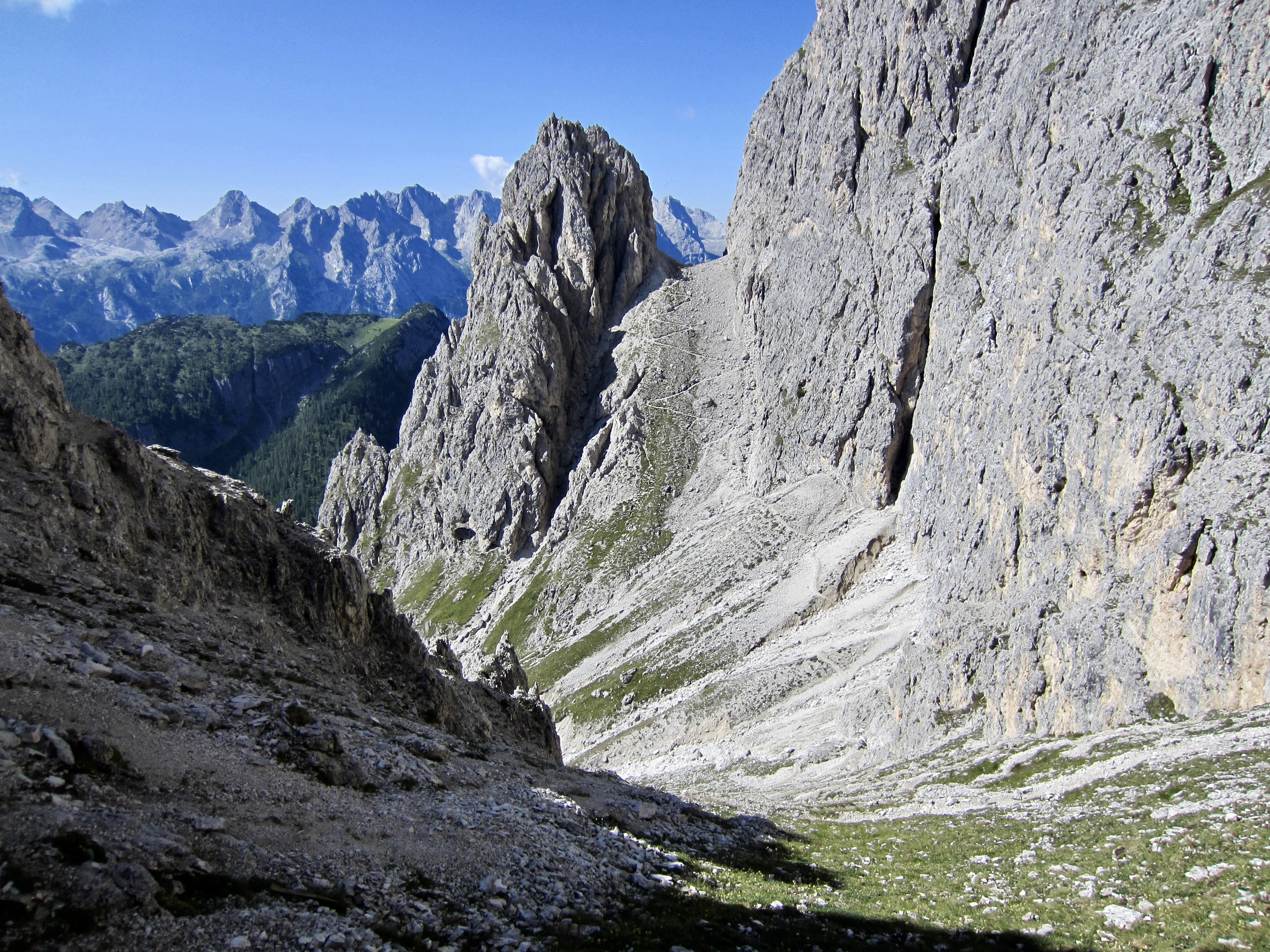
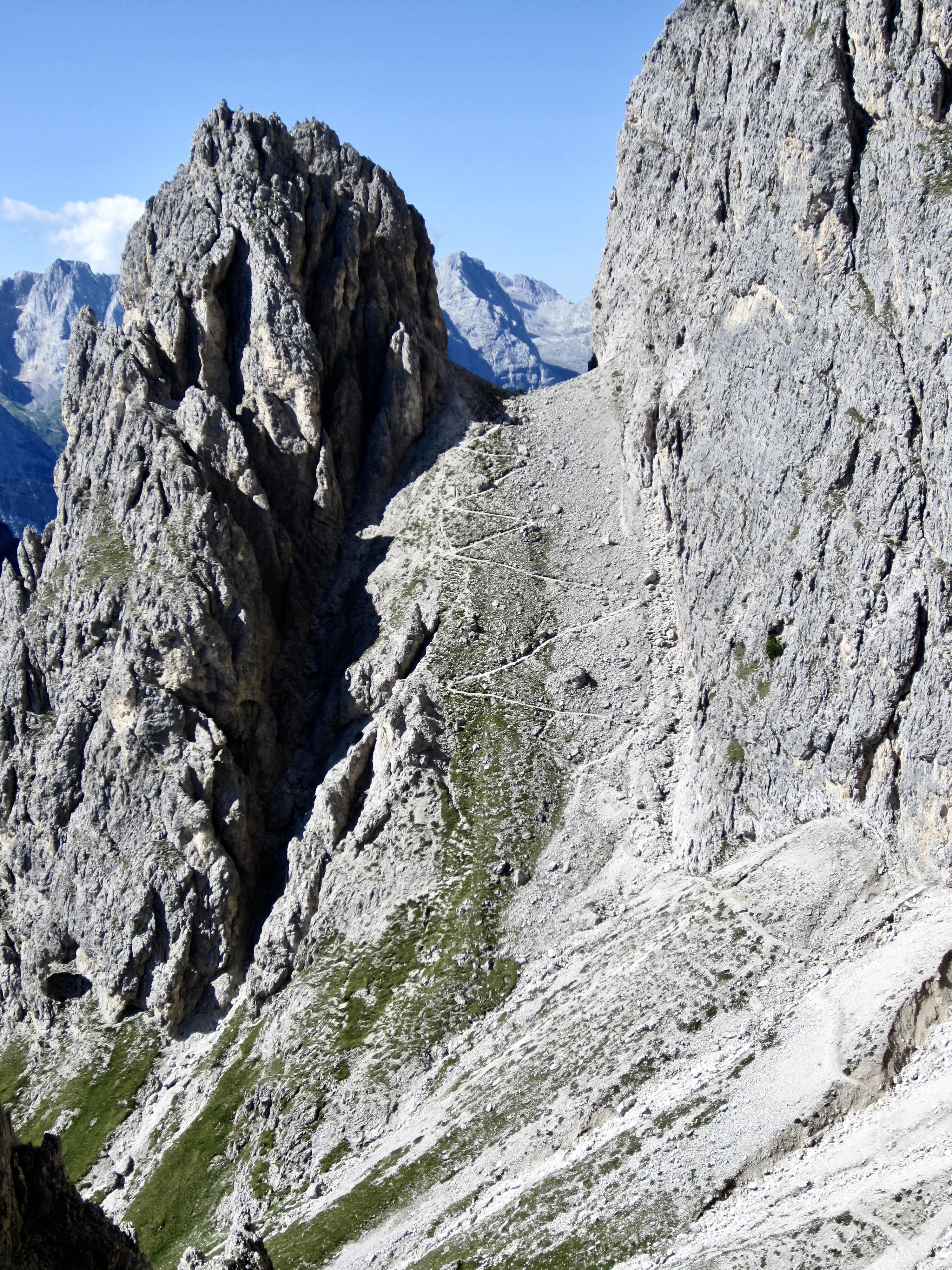
Steep switchbacks led down from Forcella Sabbiosa and then back up to Forcella Ciadin Deserto, which occupies a deep notch between vertical cliffs. Near the low point, we passed a northbound group—a rare encounter in this remote terrain.
.
.
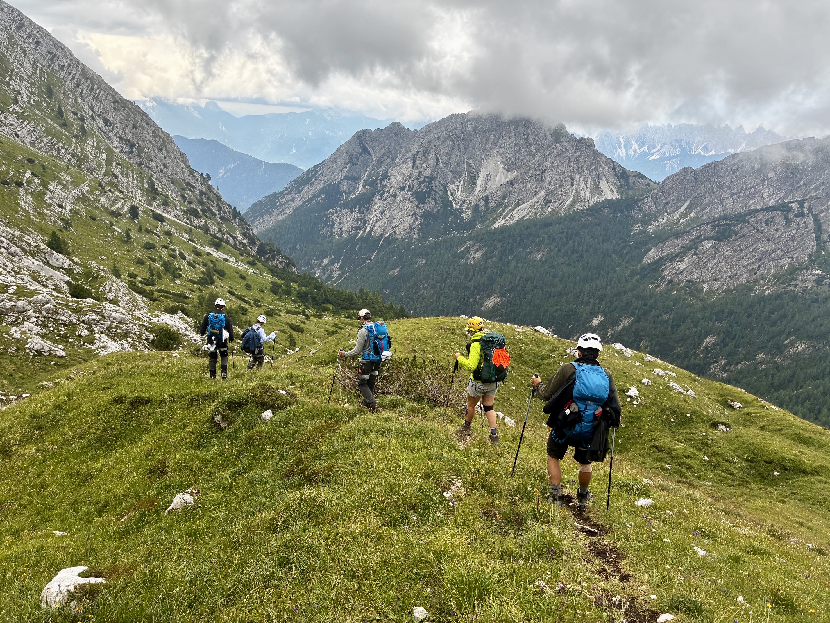
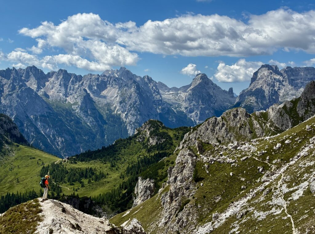
Last in the series was Forcella Cristina (3.0 hours from Fonda Savio Hut). From there, we made a gradual descent into an inviting meadowland below. Along the way, we passed a junction with two other trails coming from Fonda Savio Hut—one via Forcella della Neve and the other via Forcella Verzi. Seeing these, Eileen and I felt that we’d made the correct choice.
.
.
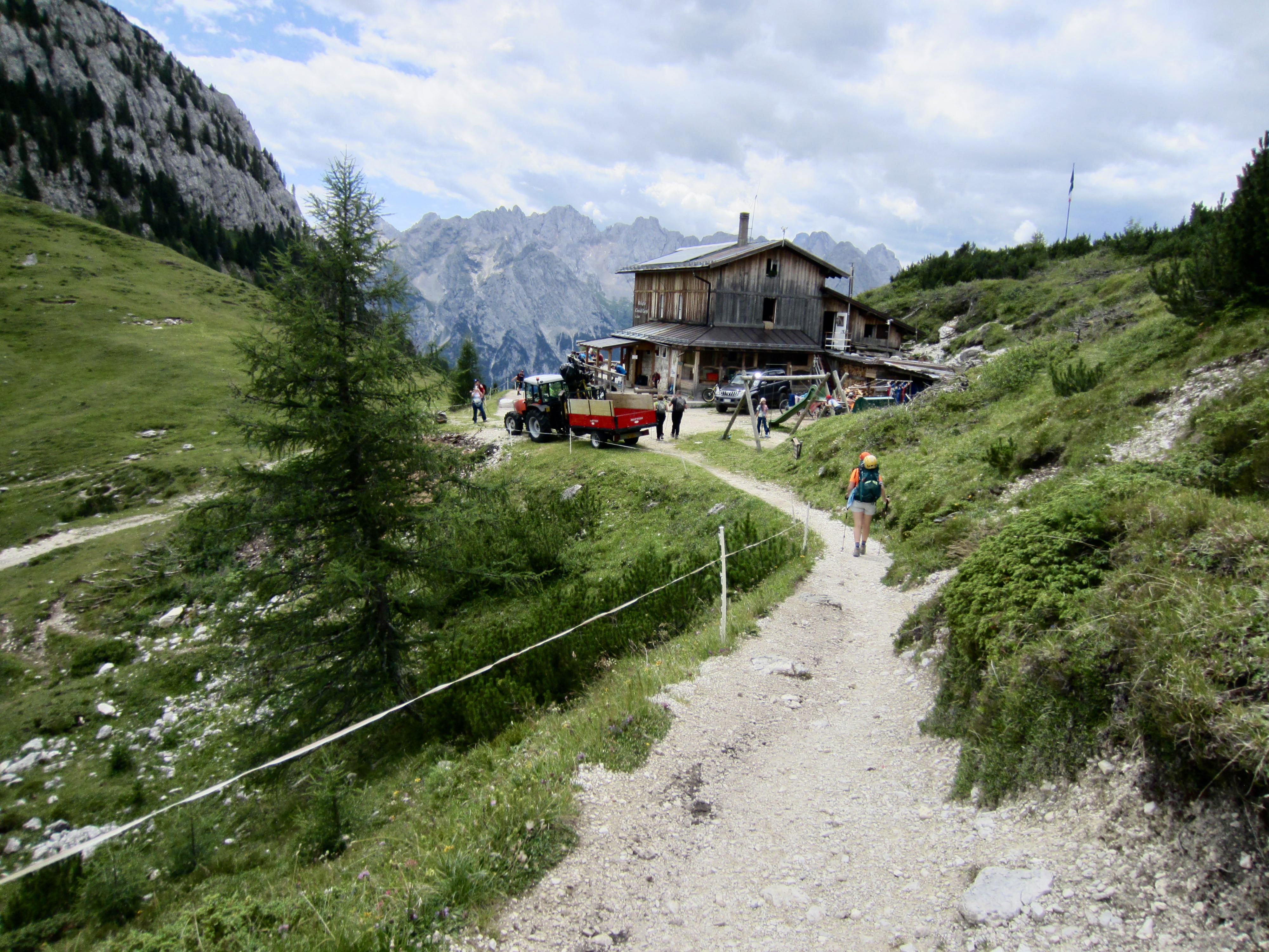
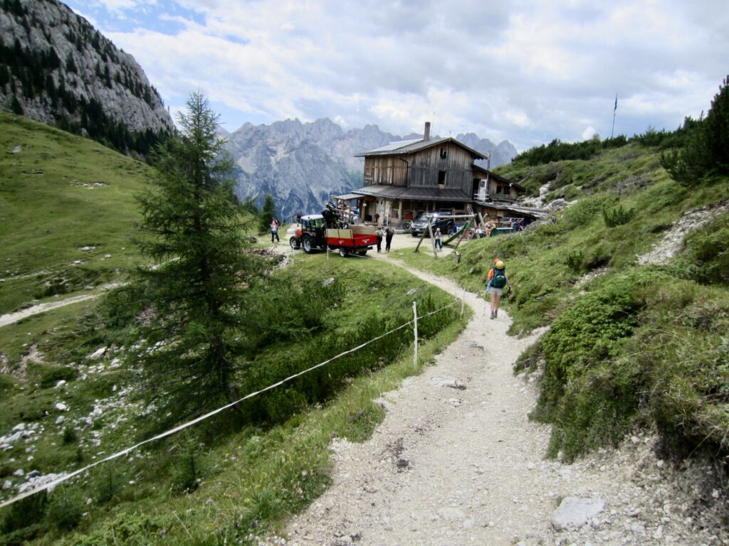
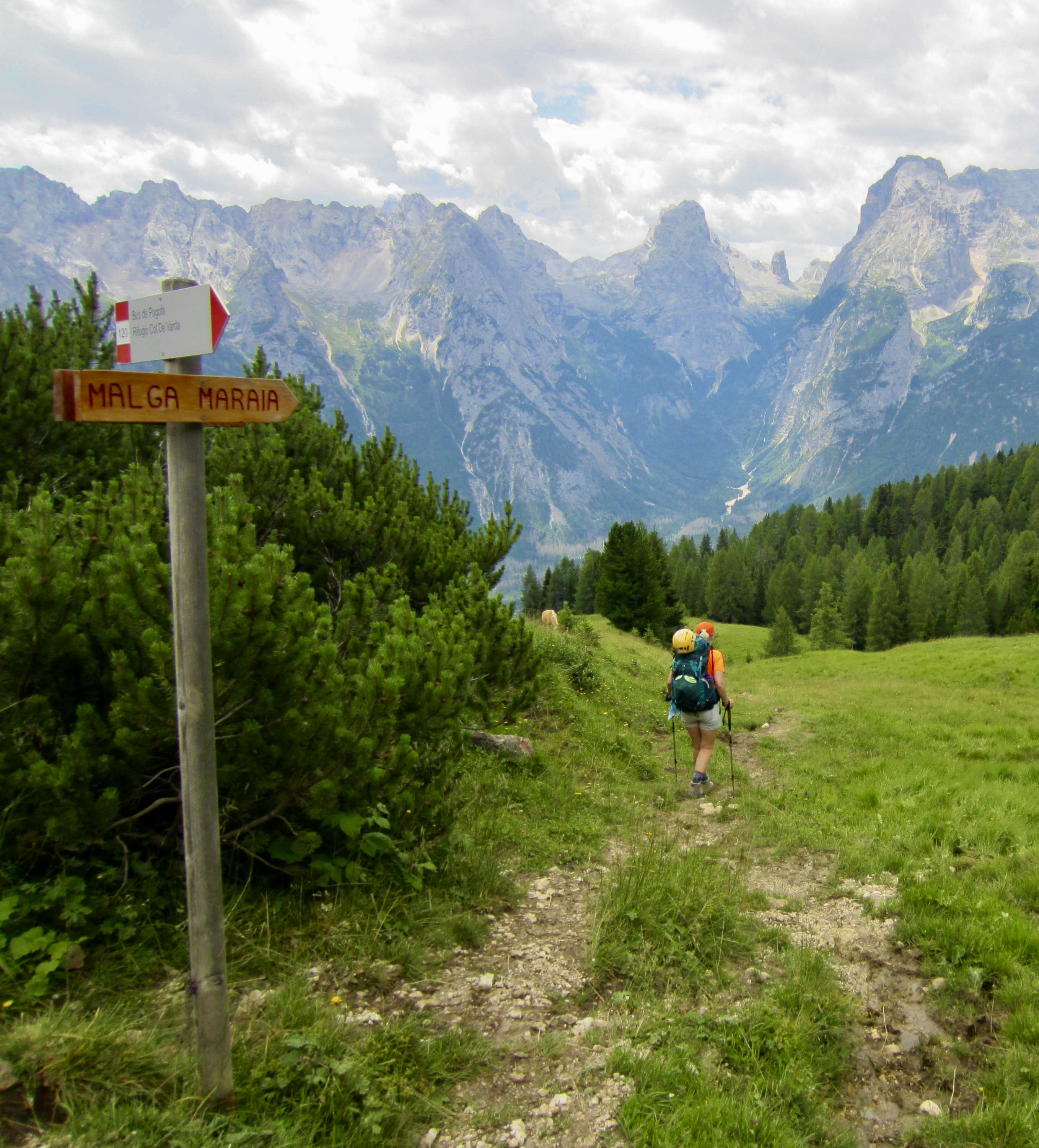
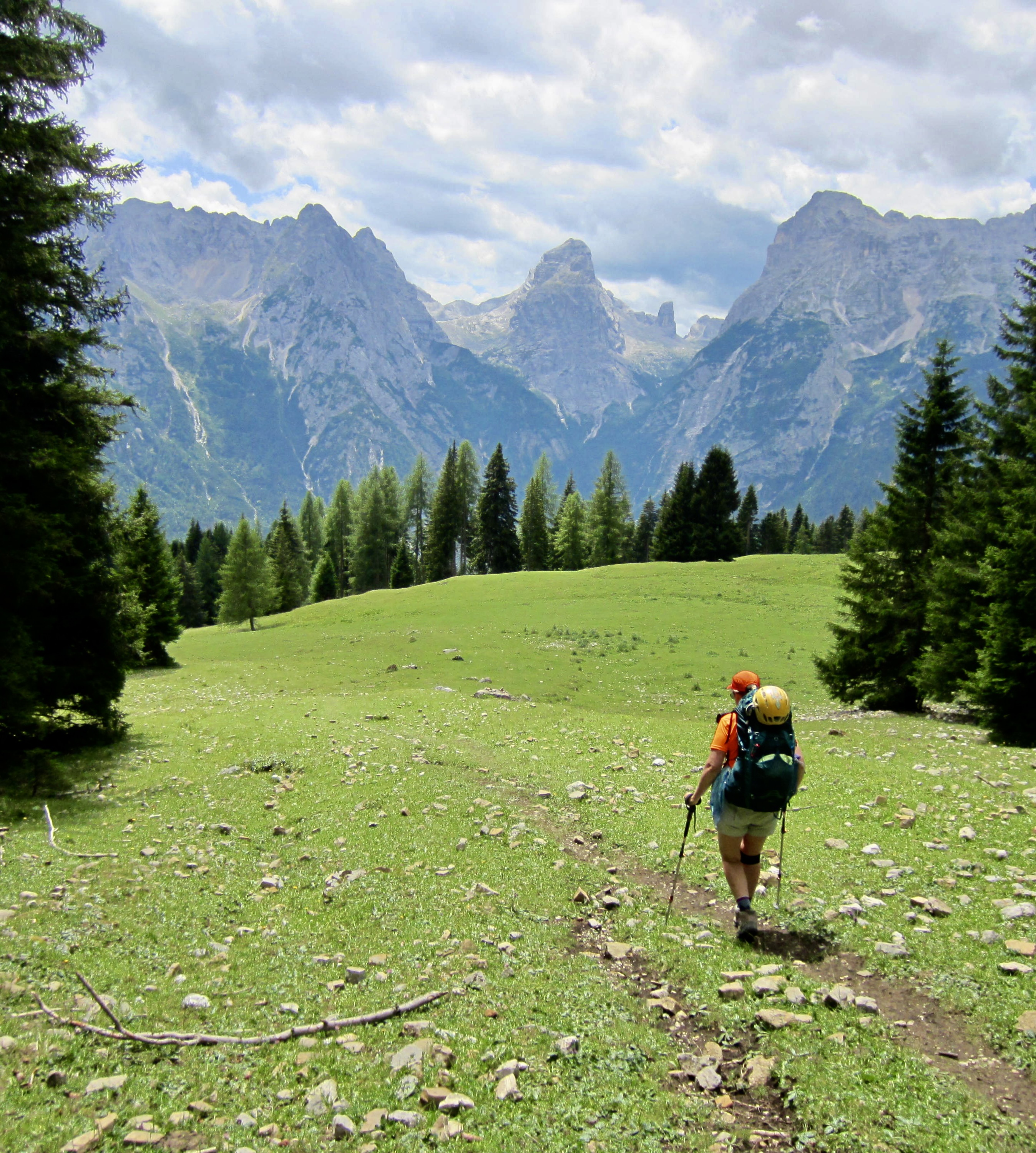
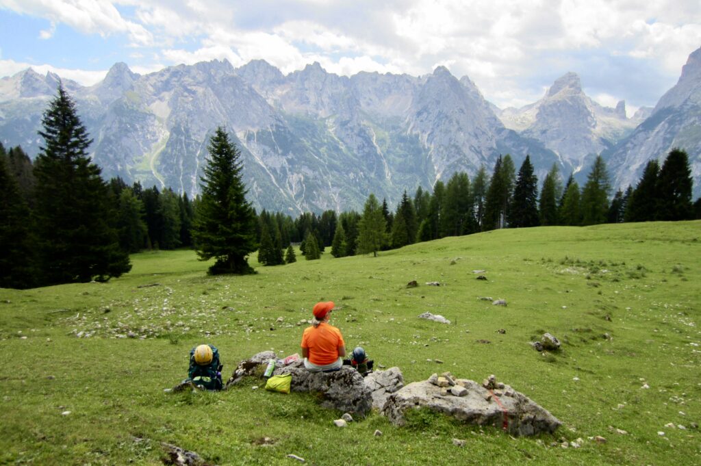
We hiked past the bustling Citta Di Carpi Hut at Forcella Maraia in early afternoon (4.5 hours from Fonda Savio Hut) and continued descending into an expansive pasture above Malga Maraia. Lunch was eaten in the lower pasture, overlooking the Ansiei Valley.
.
.
.
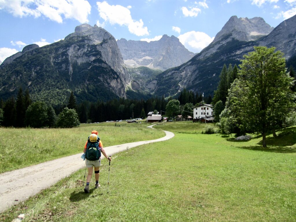
We had some trouble finding a route out of the pasture but eventually got on a series of roads and trails that led us down to the valley bottom at Valbona. In quick succession, we crossed Road SR-48 (6.9 hours from Fonda Savio Hut) and the Rudavoi River Bridge—the internal low point of our entire traverse.
.
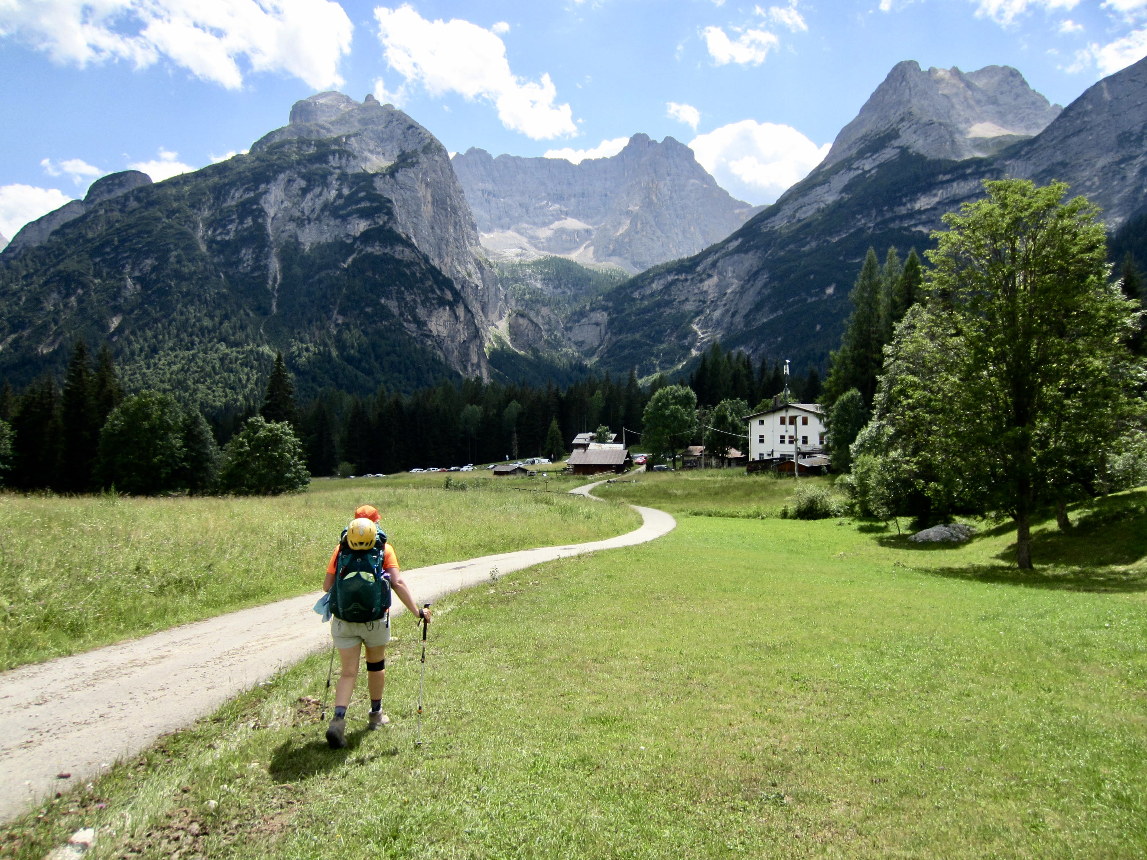
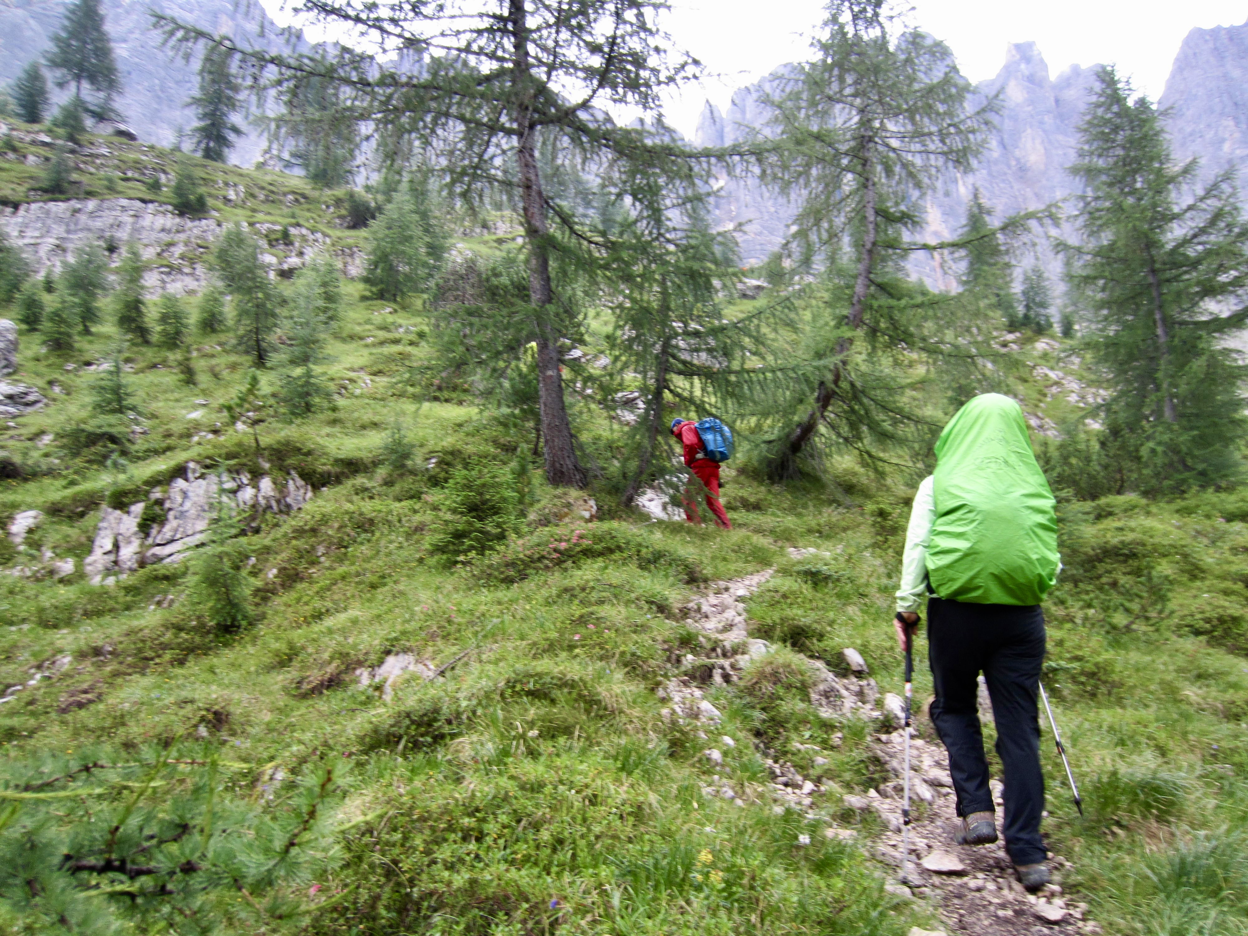
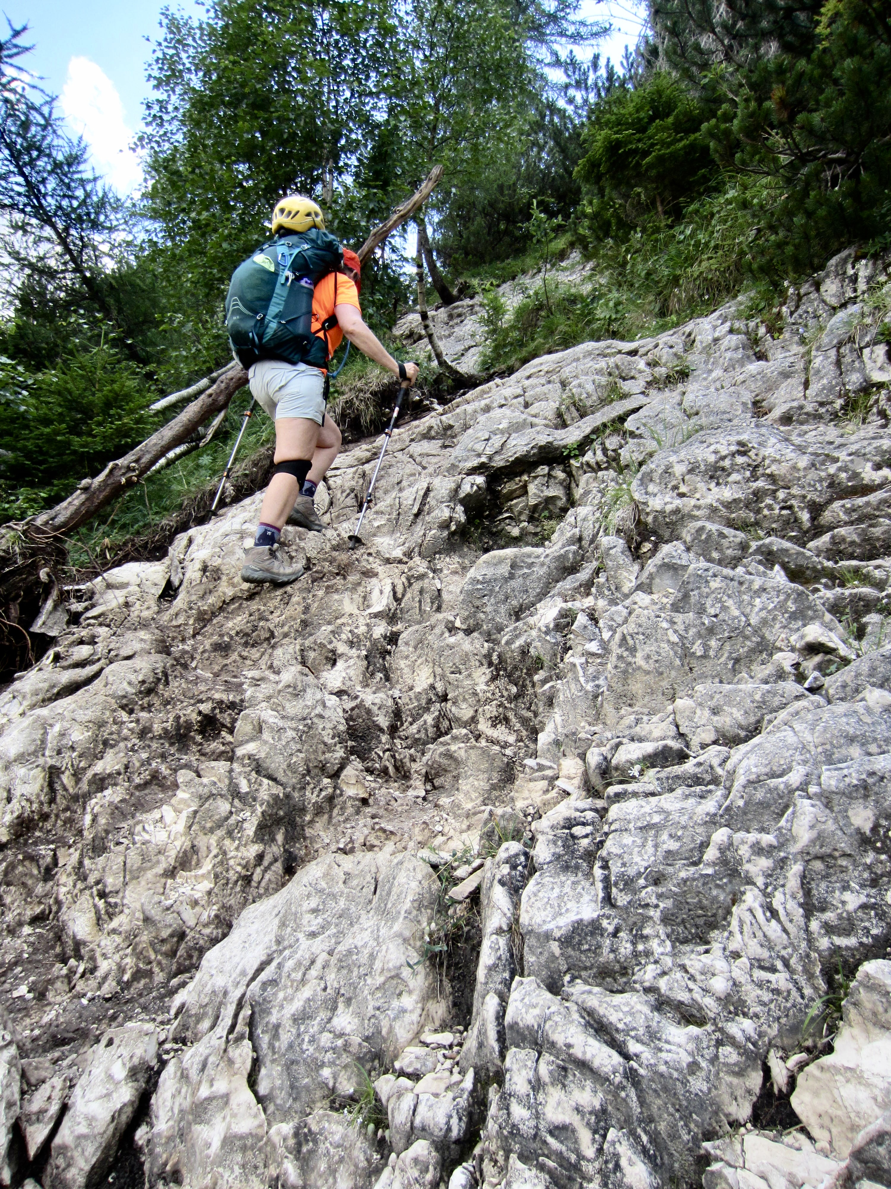
The AV4 ascent route out of Ansiei Valley follows a steep, primitive trail with numerous Class 2-3 scrambling sections. By all appearances, this trail was never formally constructed; rather, it is a boot-beaten path that was created by thousands of people visiting Lake Sorapis. Eileen explained that Sorapis is one of the most popular alpine lakes in the Dolomites, and the hundred-odd people we saw this afternoon confirmed that status.
.
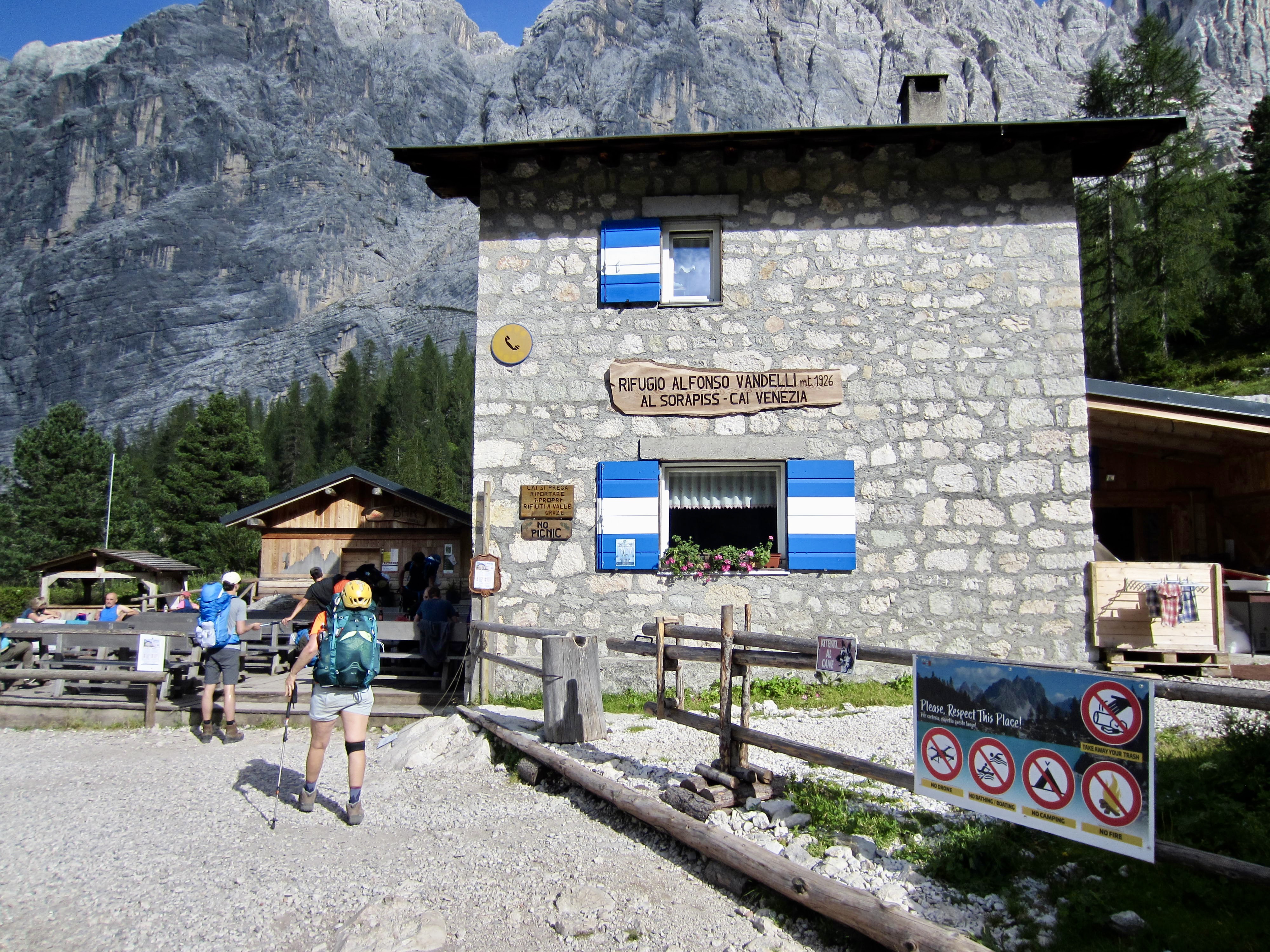
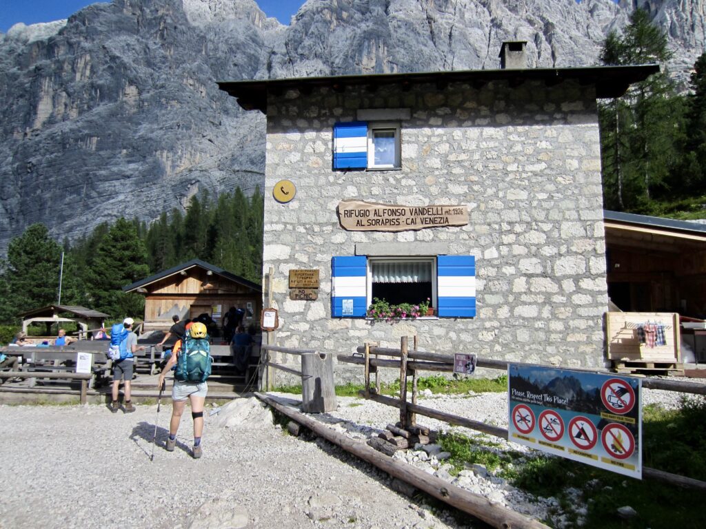
After an unpleasant ascent through hot, humid air, we arrived at Vandelli Hut in late afternoon (9.6 hours from Fonda Savio Hut). Being soaked with sweat, it was greatly disappointing to discover that their shower was closed due to a water shortage. We took our packs up to a crowded bunkroom, then cooled off on the shady deck.
.
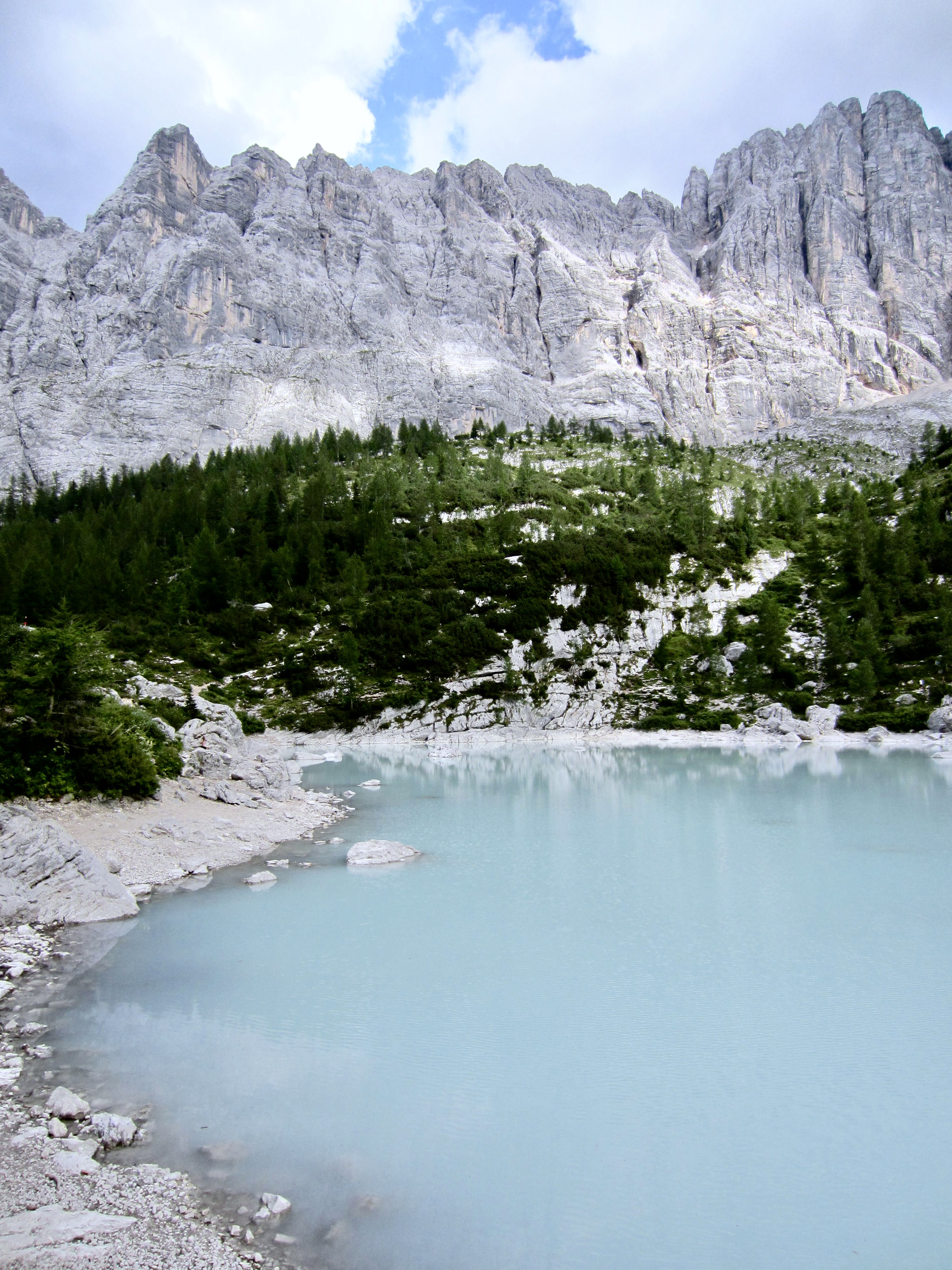
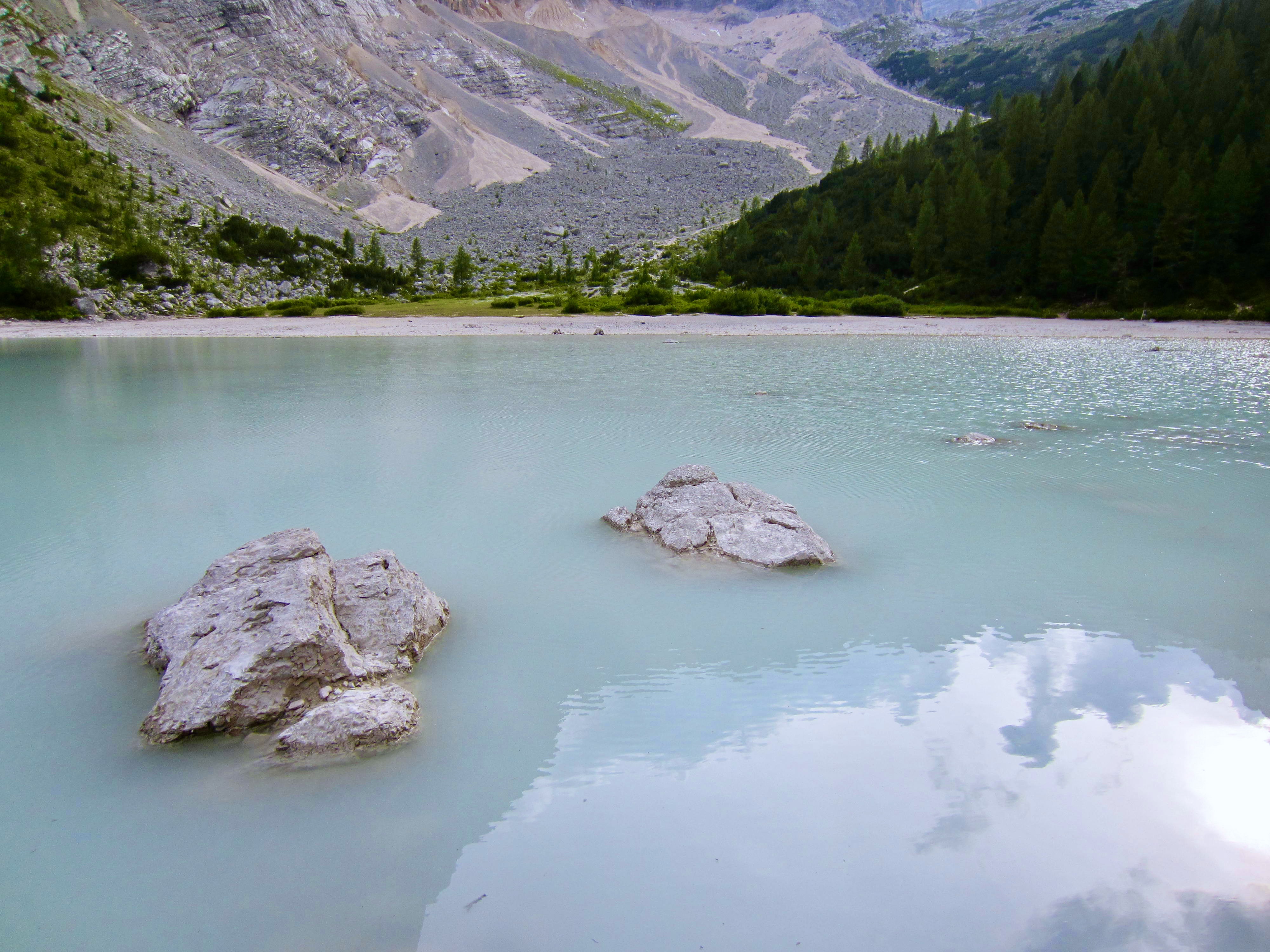
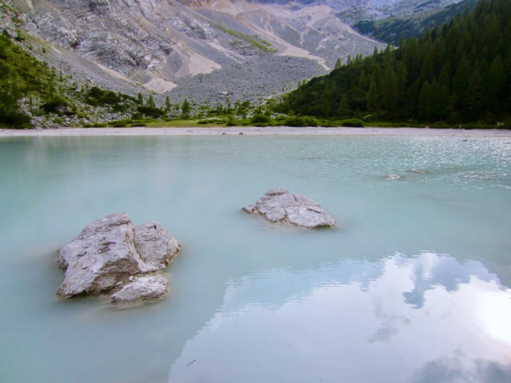
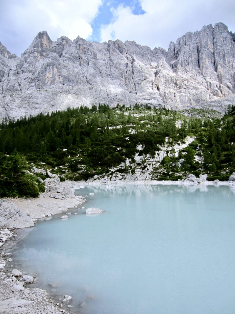
Before dinner, Eileen and I walked over to nearby Lake Sorapis. The water here has an etherial milky blue color, undoubtedly due to the prevalence of tiny limestone particles (“rock flour”) and enhanced by the white bedrock. We could understand why this lake is so popular with day-hikers.
.
.
Day 6: Vandelli Hut to San Marco Hut
Approximate Daily Stats: 6.6 miles / 10.6 kilometers traveled; 3700 feet / 1130 meters gained; 4050 feet / 1230 meters lost.
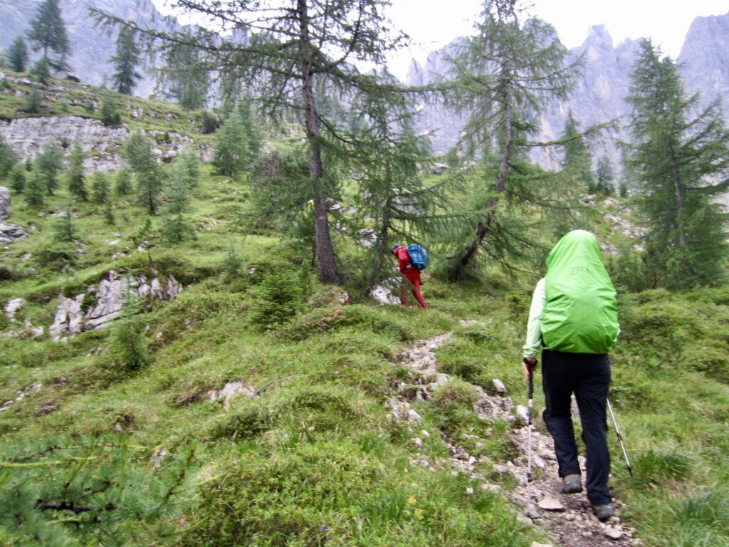
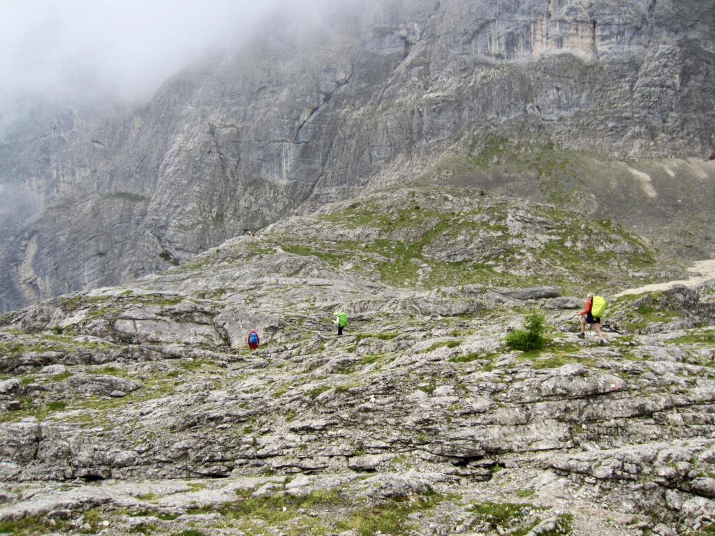
Due to a scheduled helicopter delivery to the hut this morning, breakfast was served at 5:45am and all guests were required to leave by 7:00am. This early departure was advantageous because today was the most technically difficult day of our traverse. Naturally, it started raining heavily just before we left the hut.
.
.
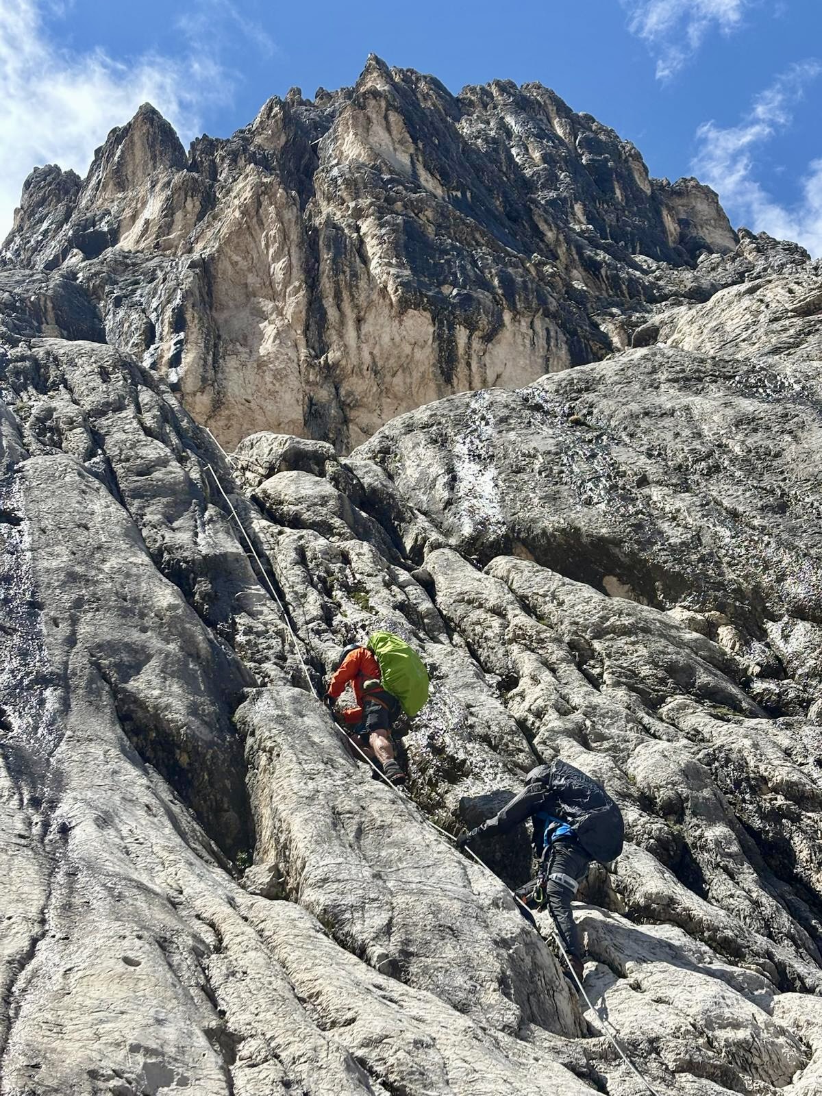
Our hiking trail abruptly ended at the base of a massive cliff. A plaque mounted onto the rock marked the start of Via Ferrata Vandelli. While a group of other trekkers waited under an overhanging rock in hopes of the rain stopping soon, Eileen and I resigned ourselves to a wet climb. We donned harnesses, lanyards, gloves, and helmets, then began climbing up the wet rock.
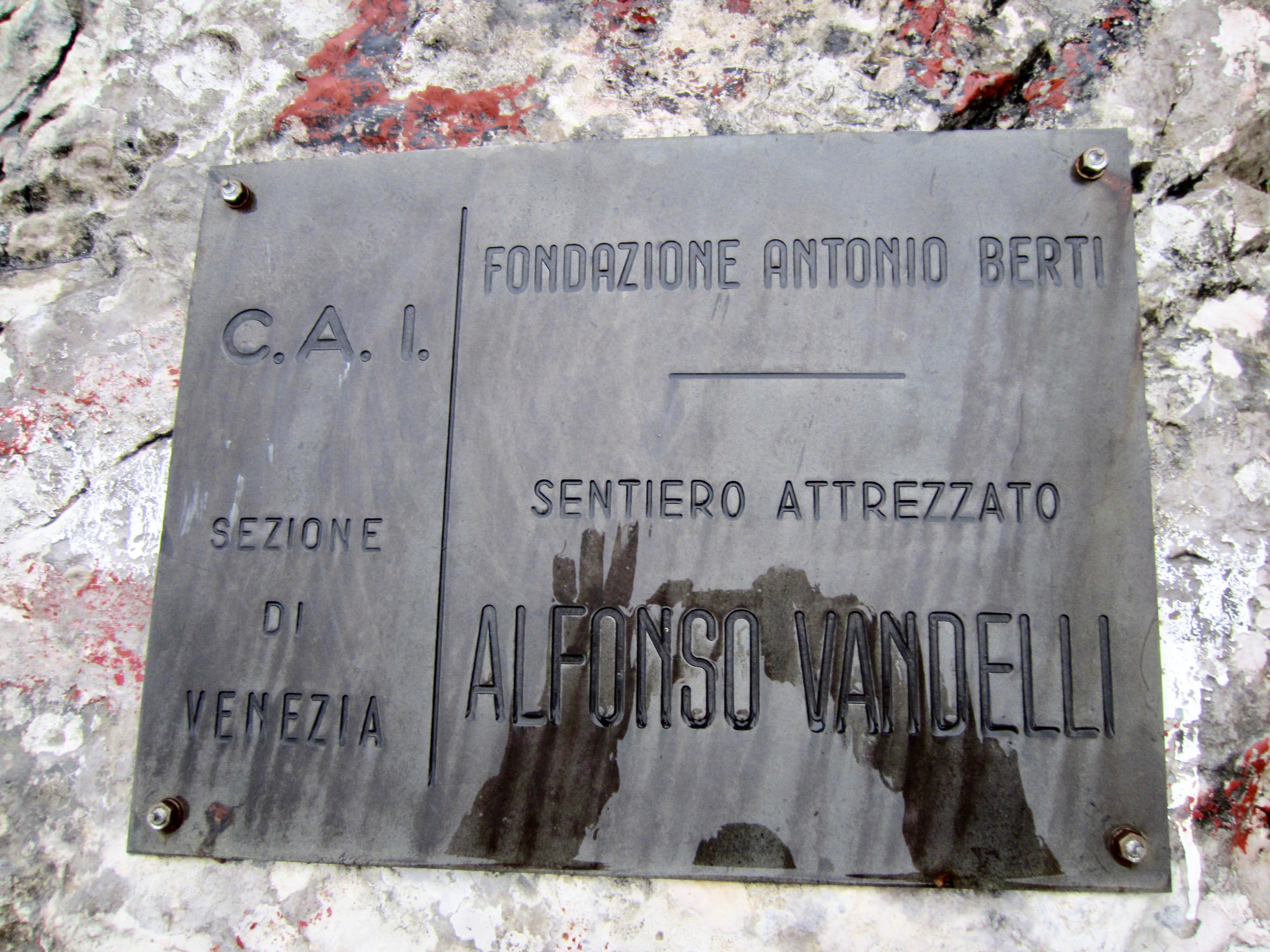
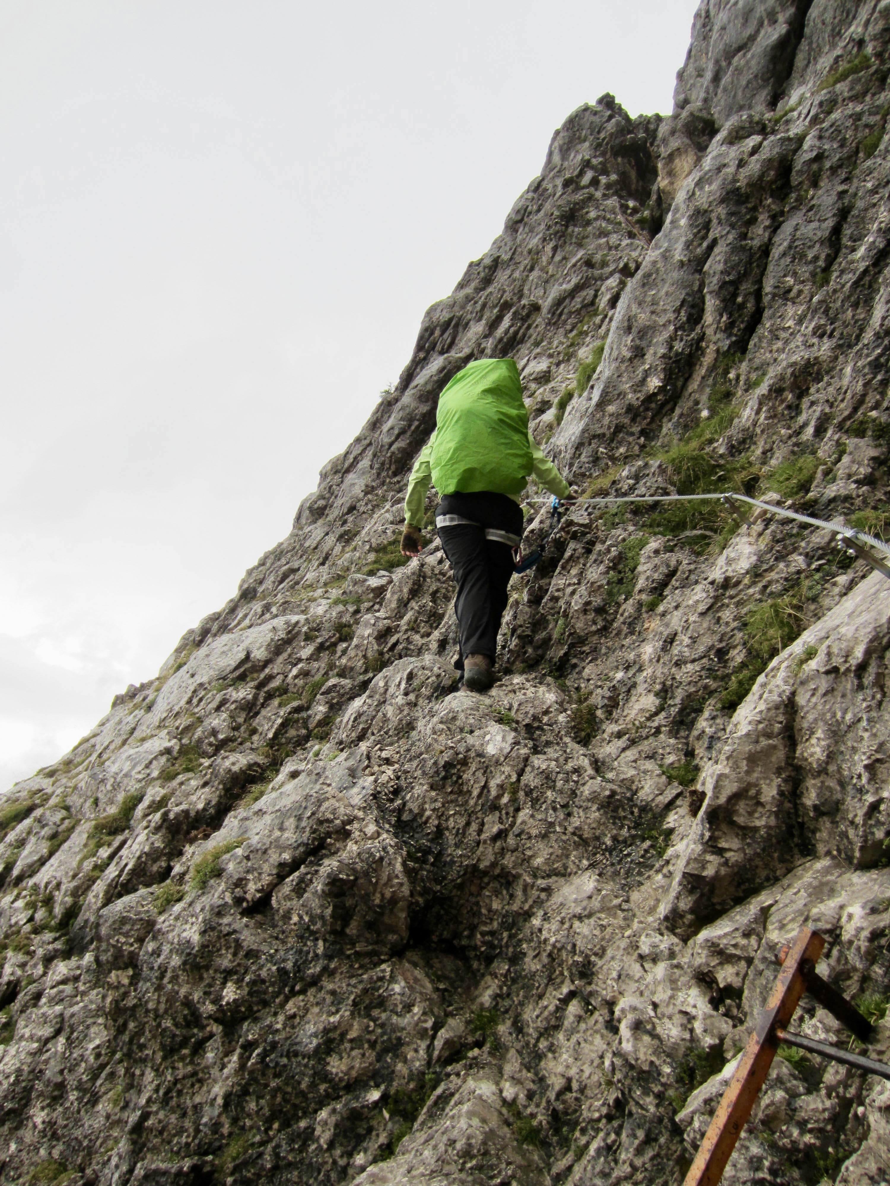
.
The via ferrata starts with a series of steep cables and ladders. There were a few awkward moves on this part, made all the more difficult by the wet conditions and our heavy trekking packs. Two trekkers from England got in line behind us.
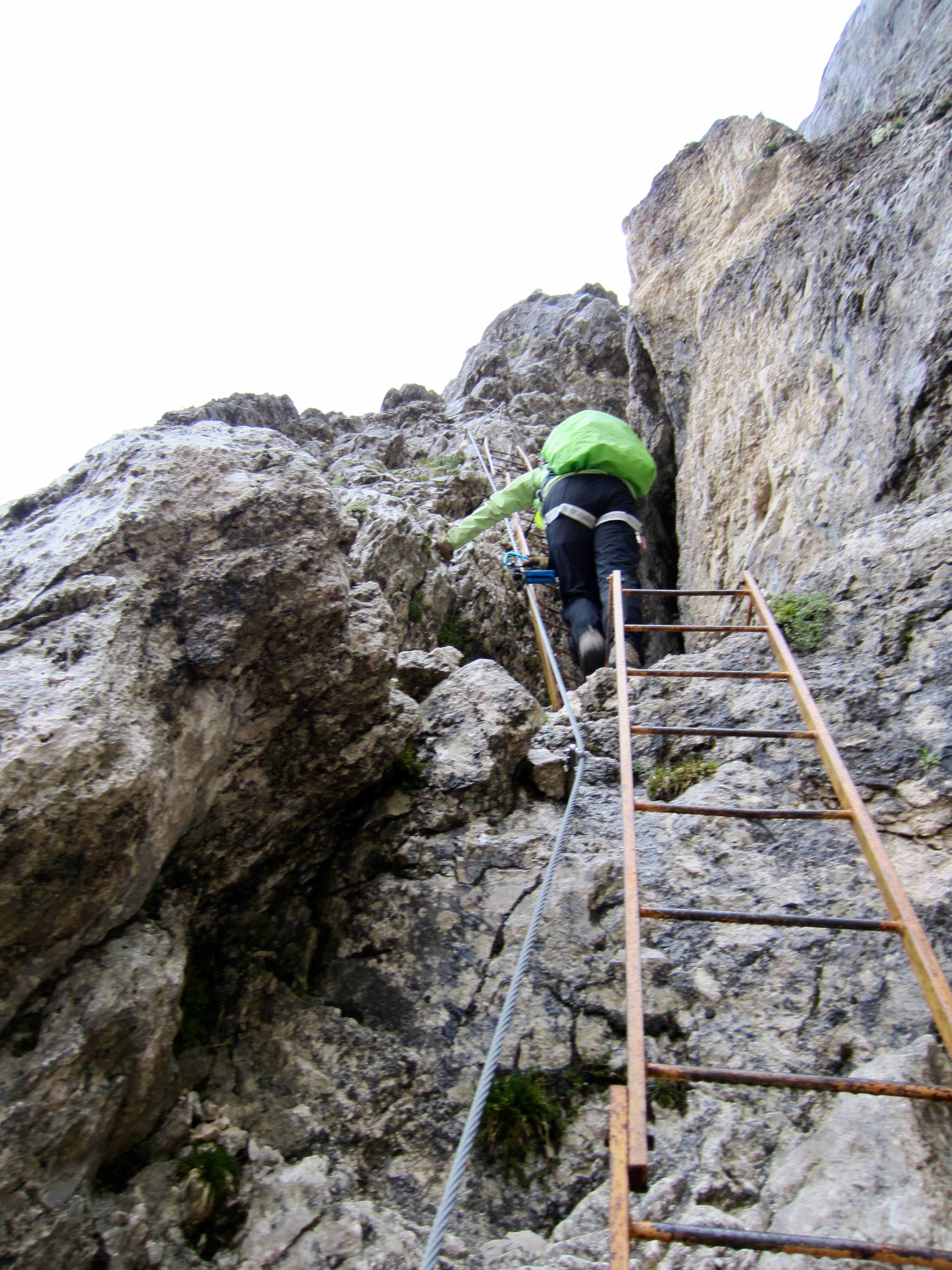
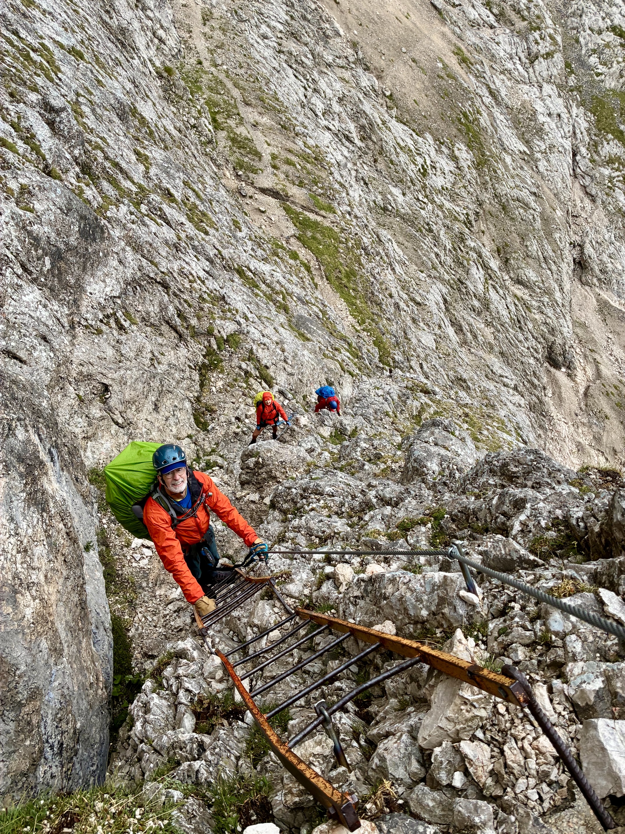
.
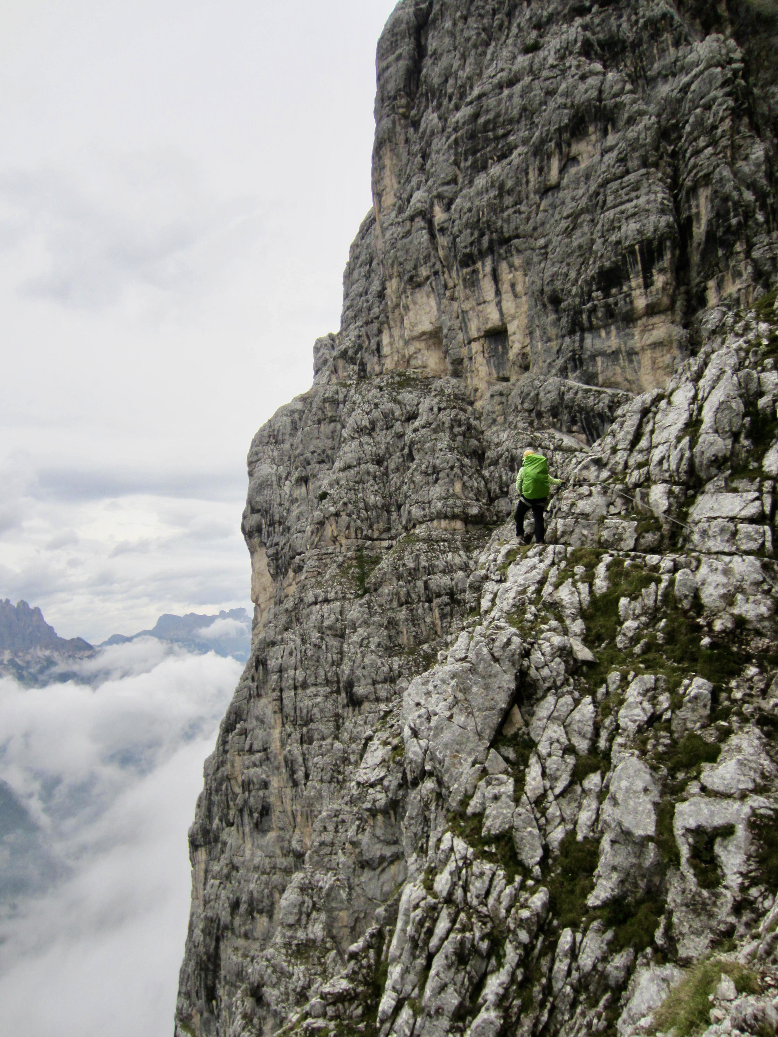
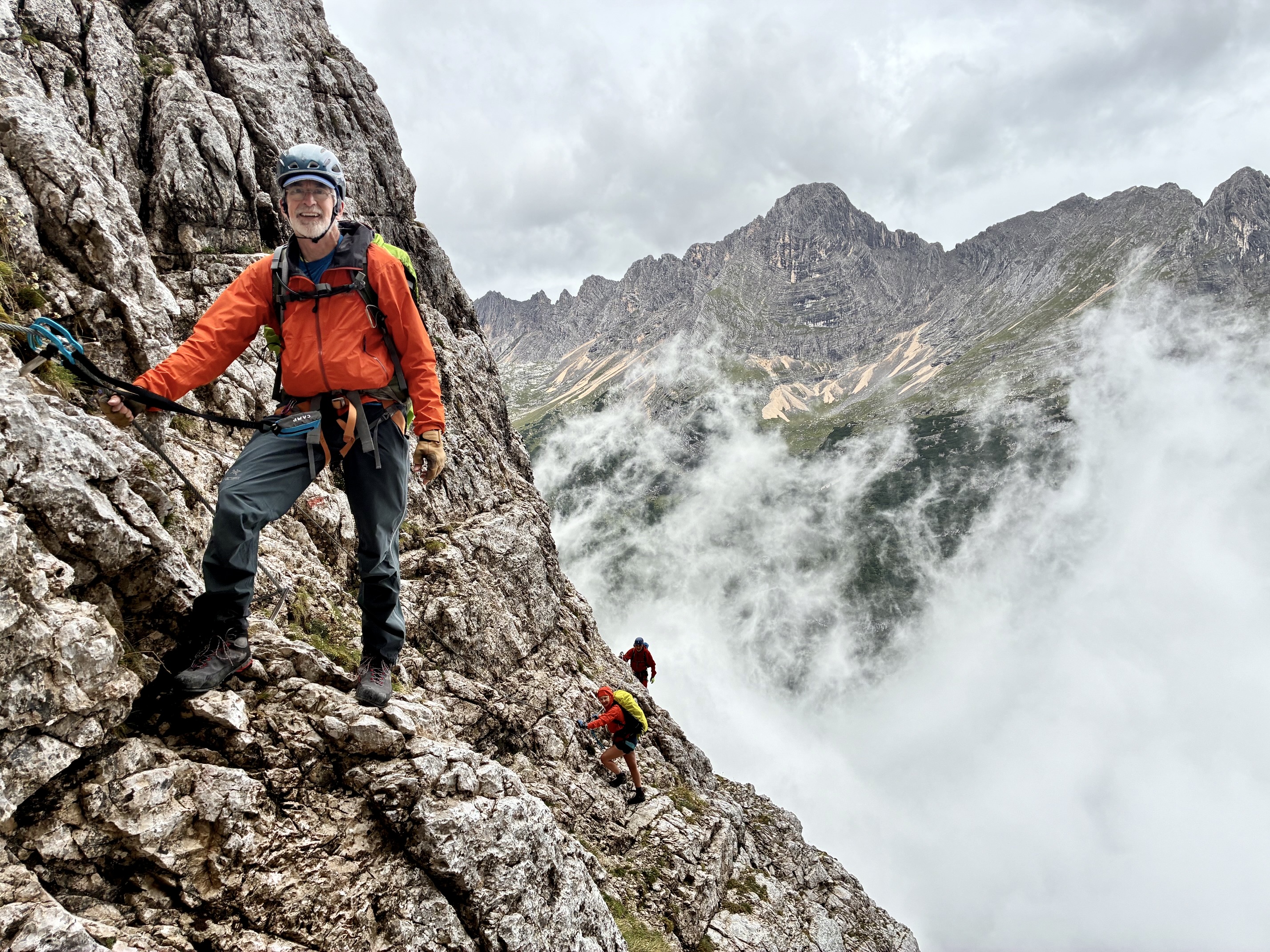
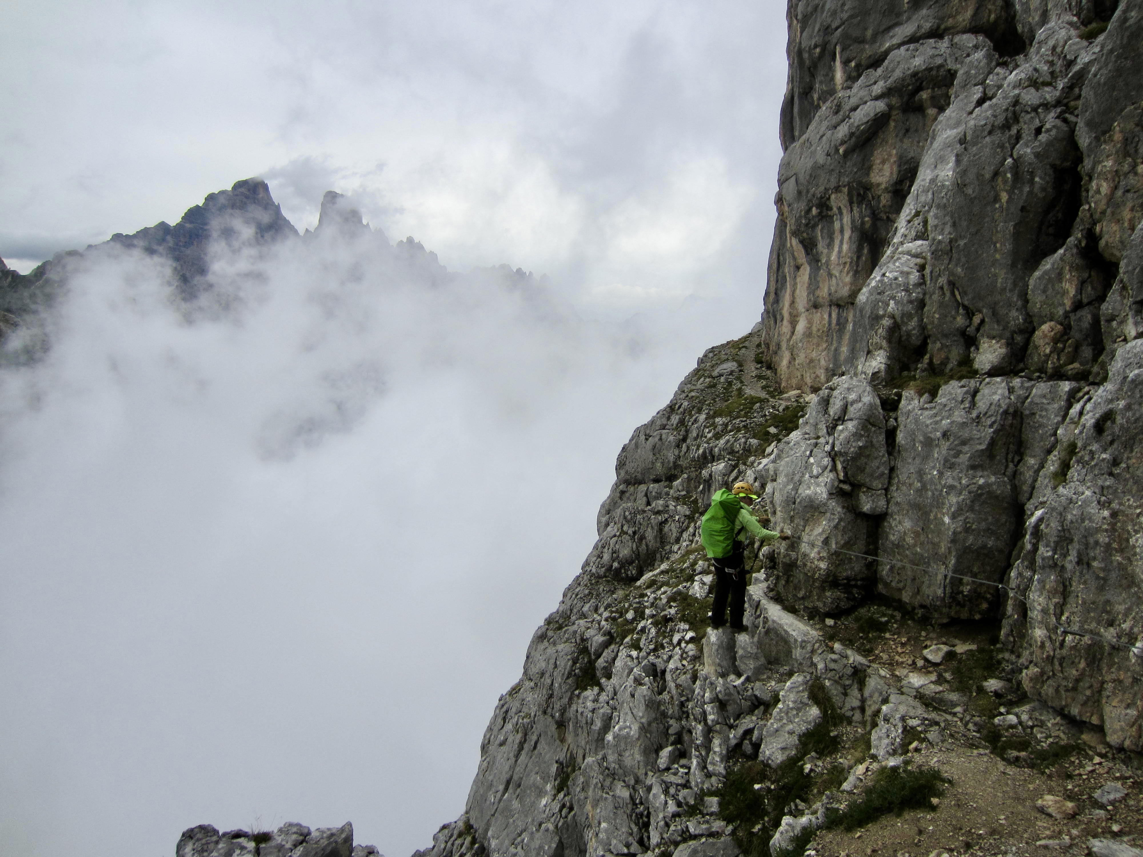
Farther along, Via Ferrata Vandelli makes a long, improbable, leftward traverse across the cliff face, following natural ledges and benches. This traverse is extremely exposed and visually scintillating but never too difficult.
.
.
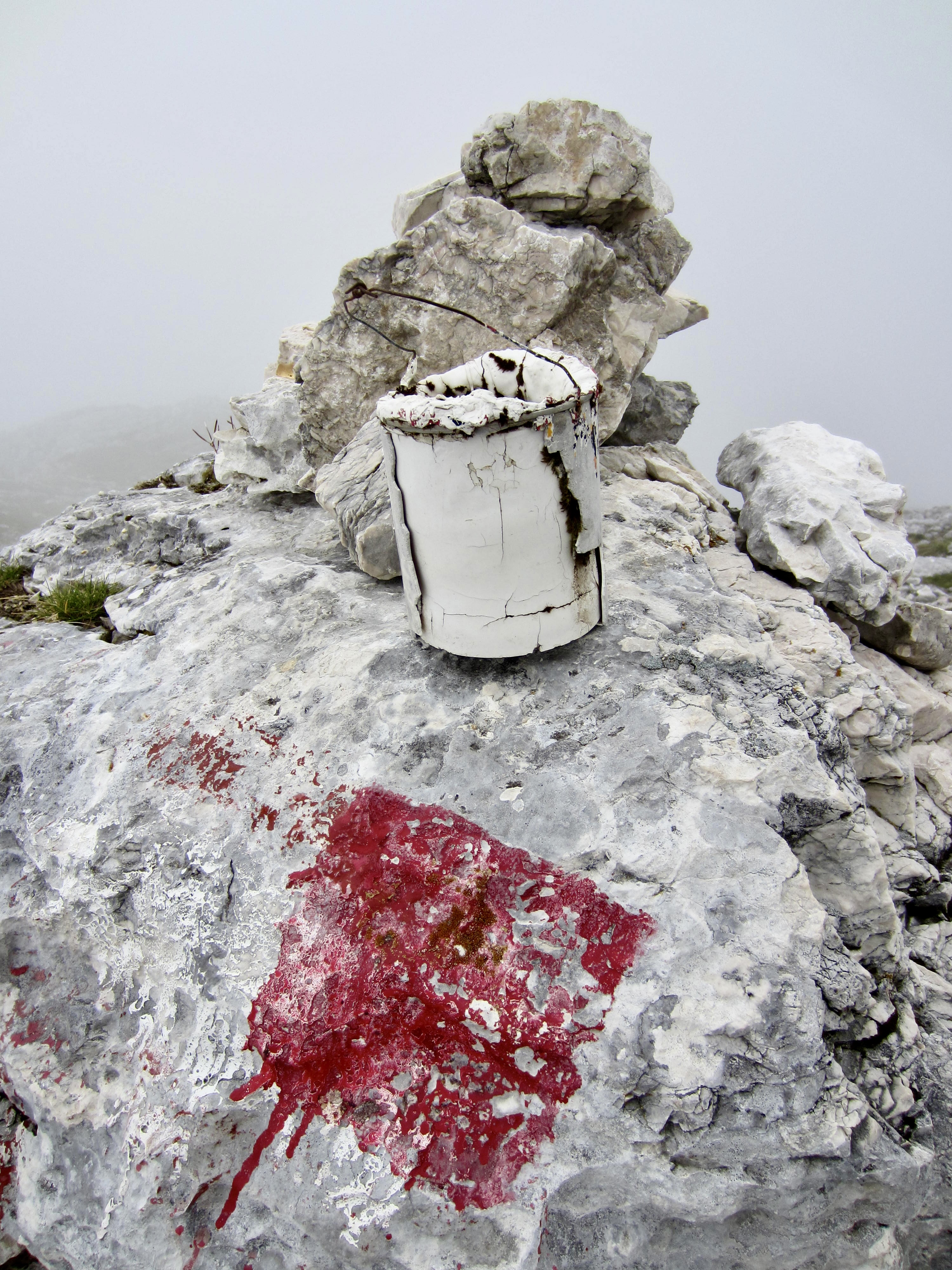
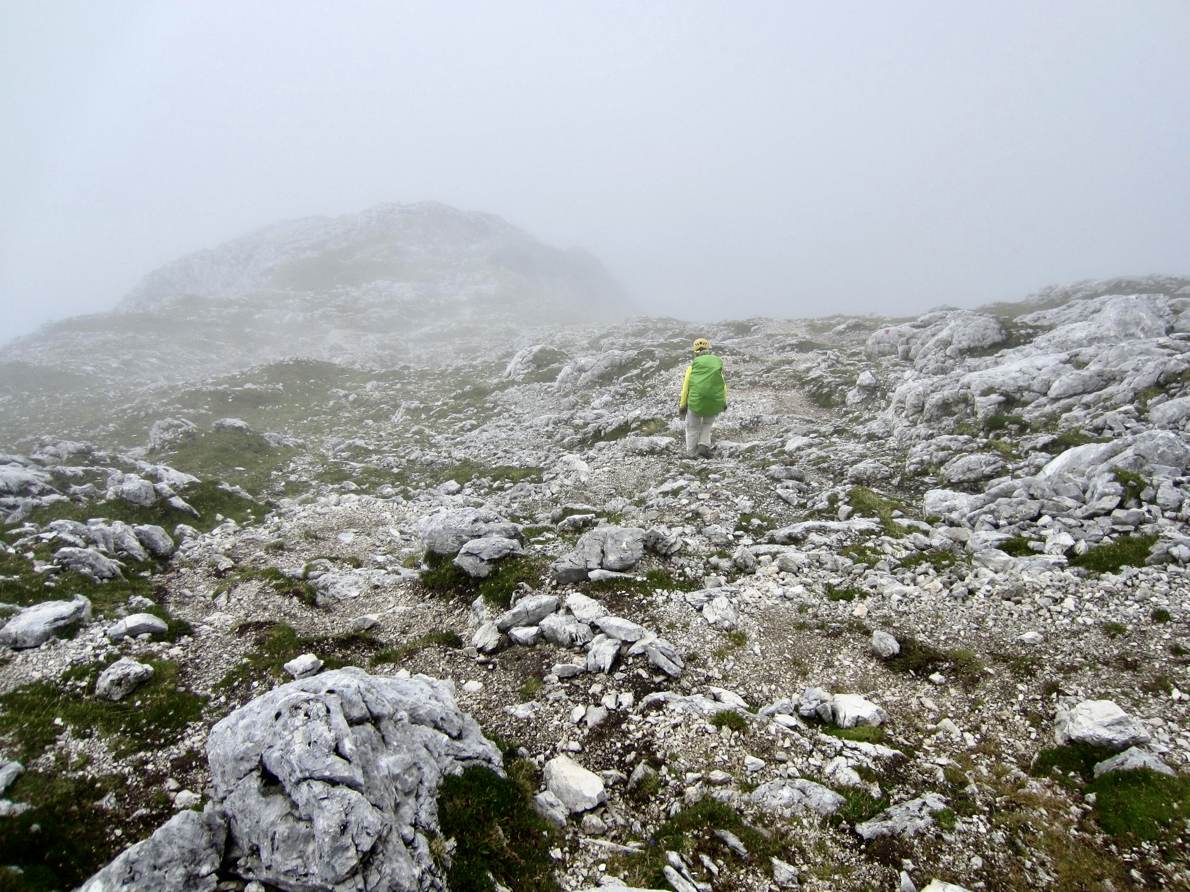
After more than 2 hours of steady scrambling, we reached the top of Fuoco Ridge, marked by a red square and an old paint can (3.3 hours from Vandelli Hut). Thankfully, the rain had tapered off by now, and the via ferrata appeared to be done. We took off our harnesses and began descending a rocky slope in light fog.
.
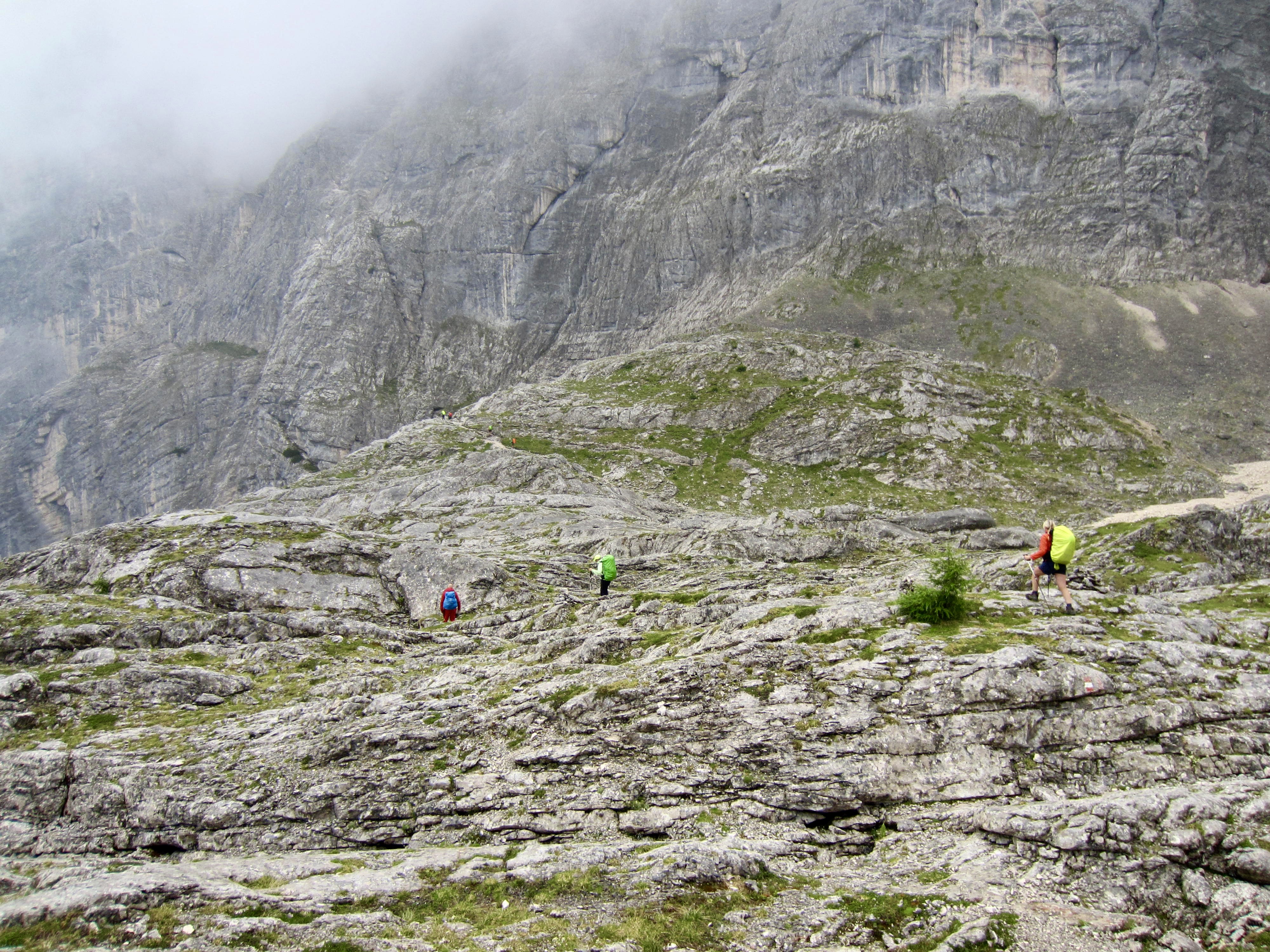
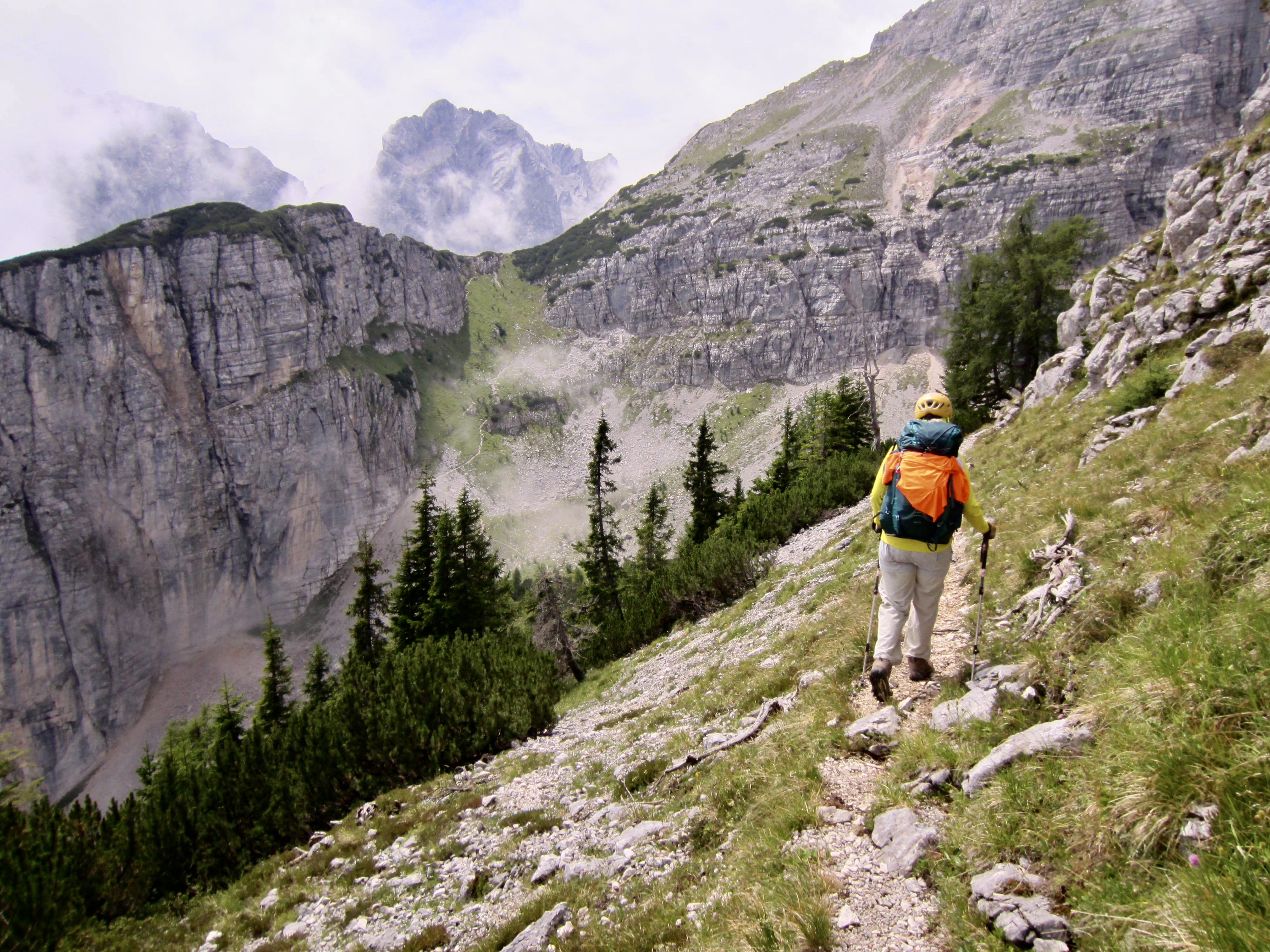
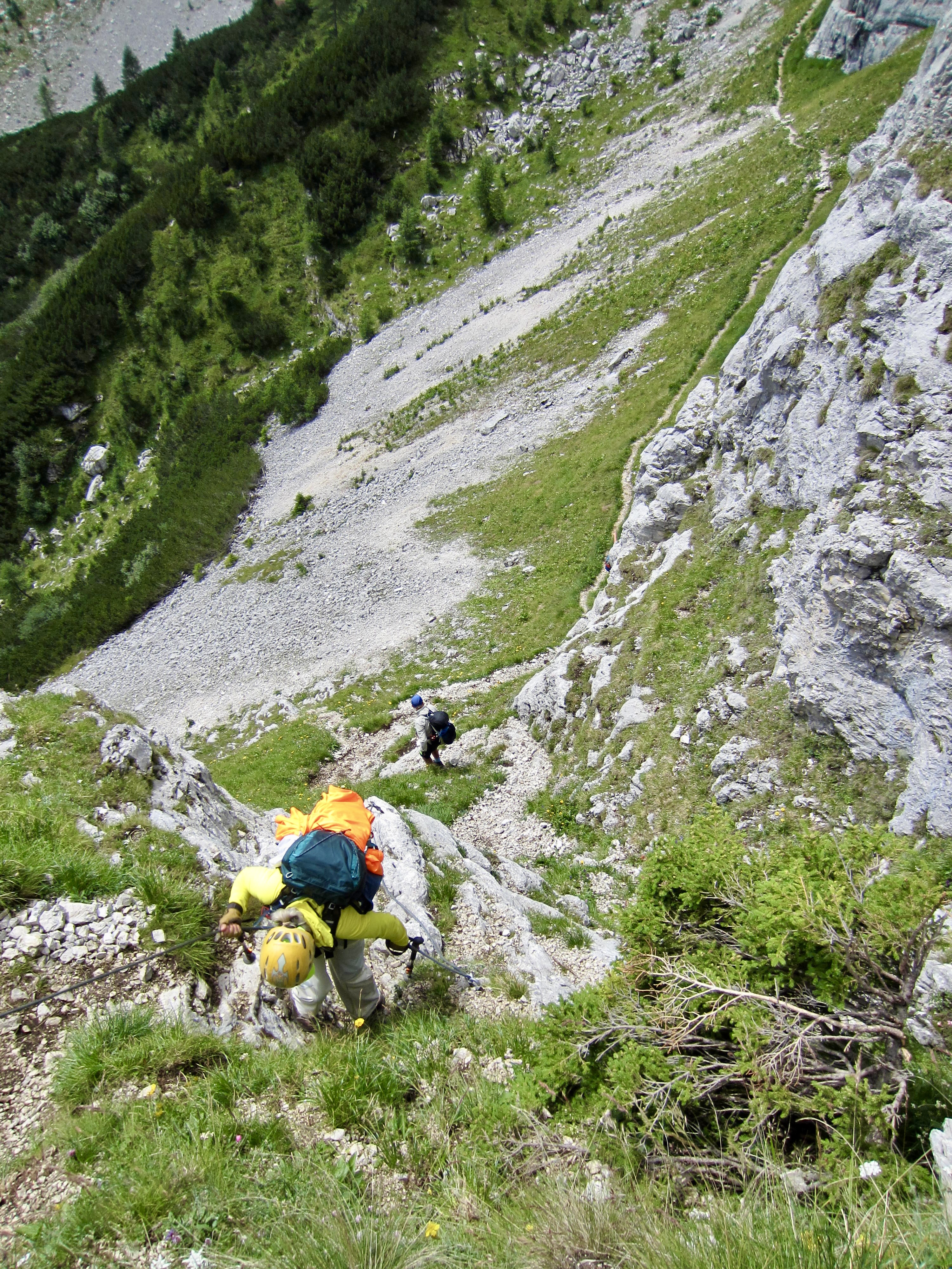
Our AV4 trail took us around the northern nose of Fuoco Ridge and on a southerly traverse across the lower hillside. More cables were in place at some Class 3-4 down-climbs, so it became obvious that we were a bit premature in removing our lanyards. On AV4, you are never certain where a via ferrata really ends!
.
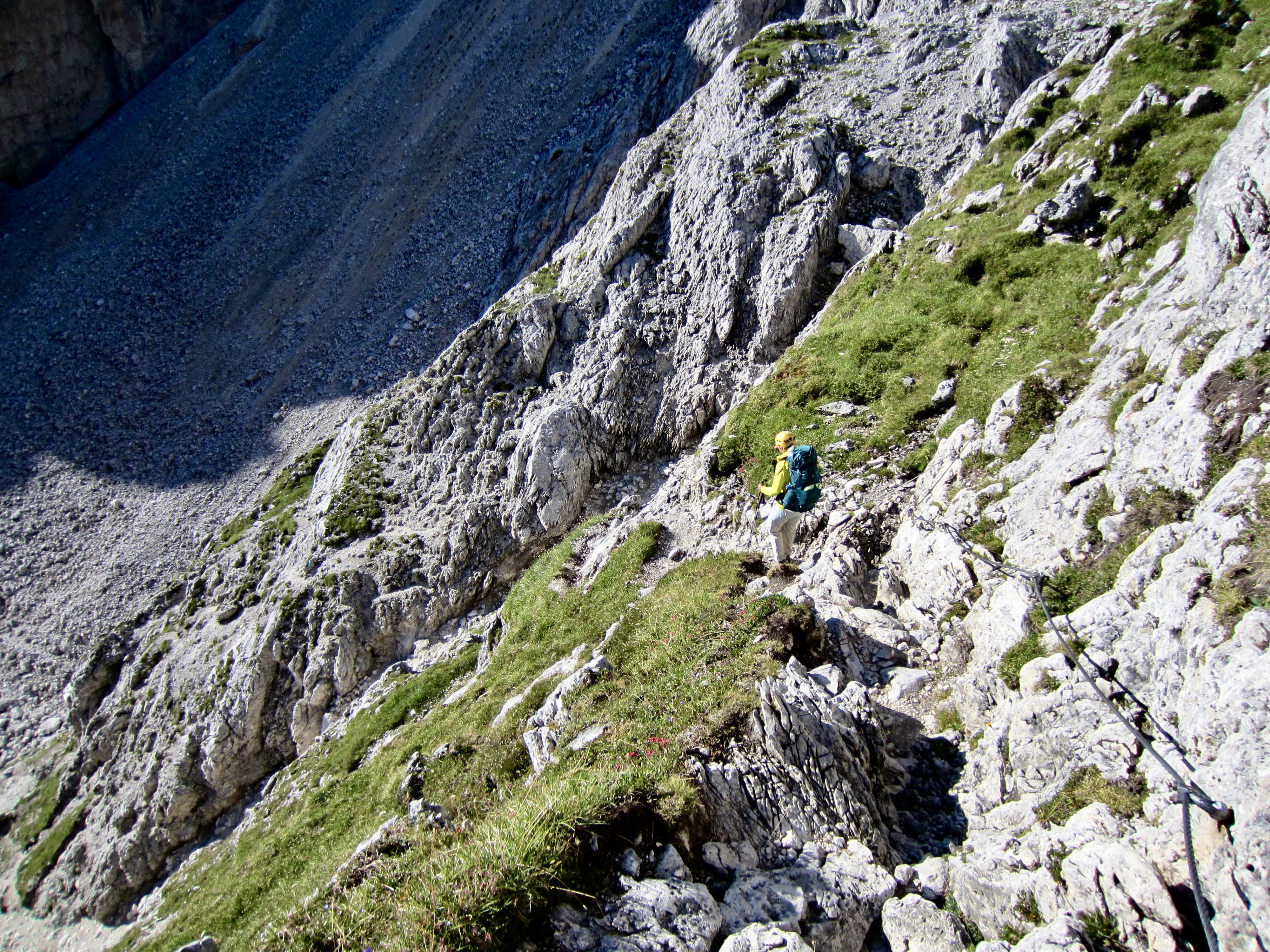
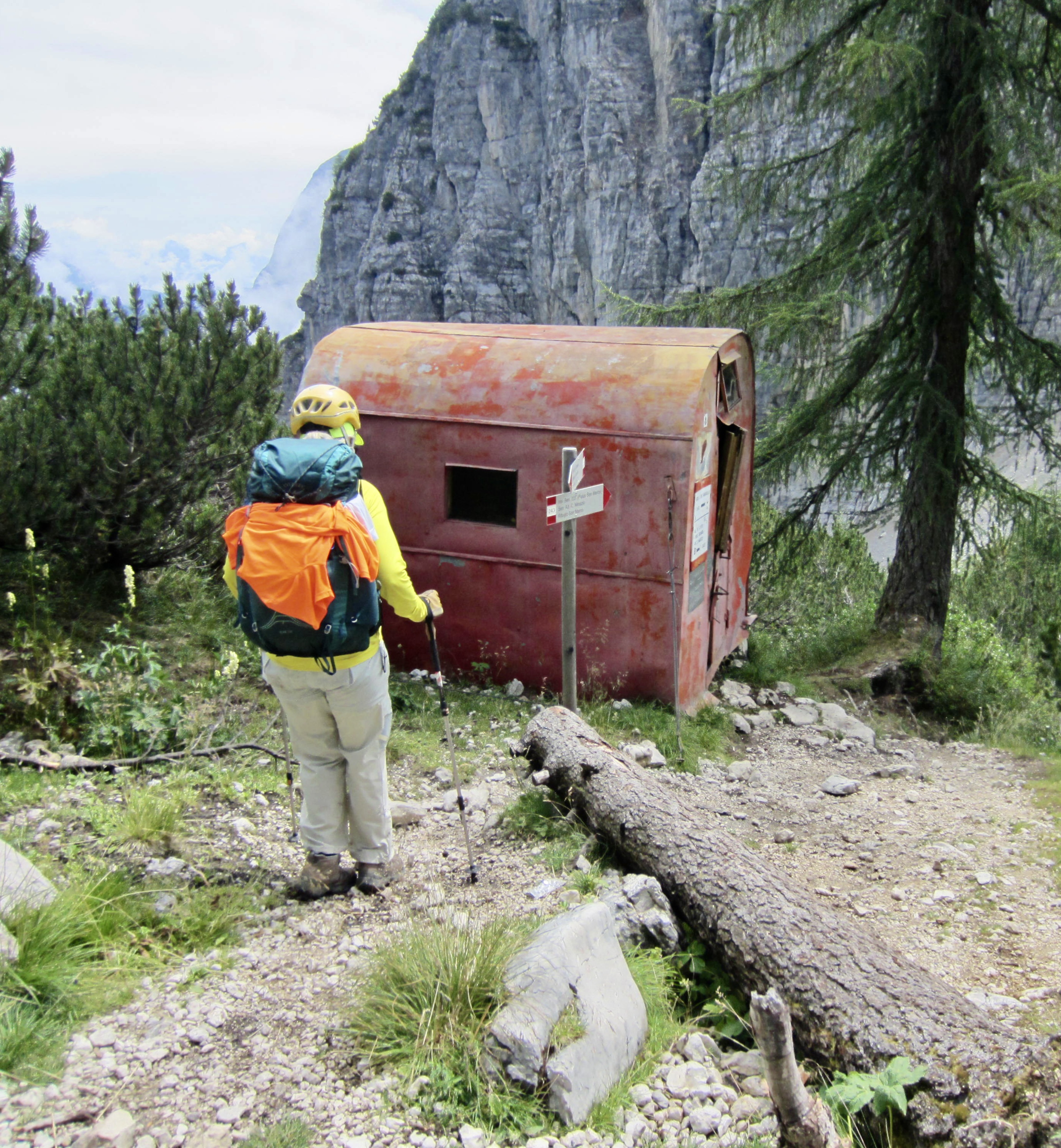
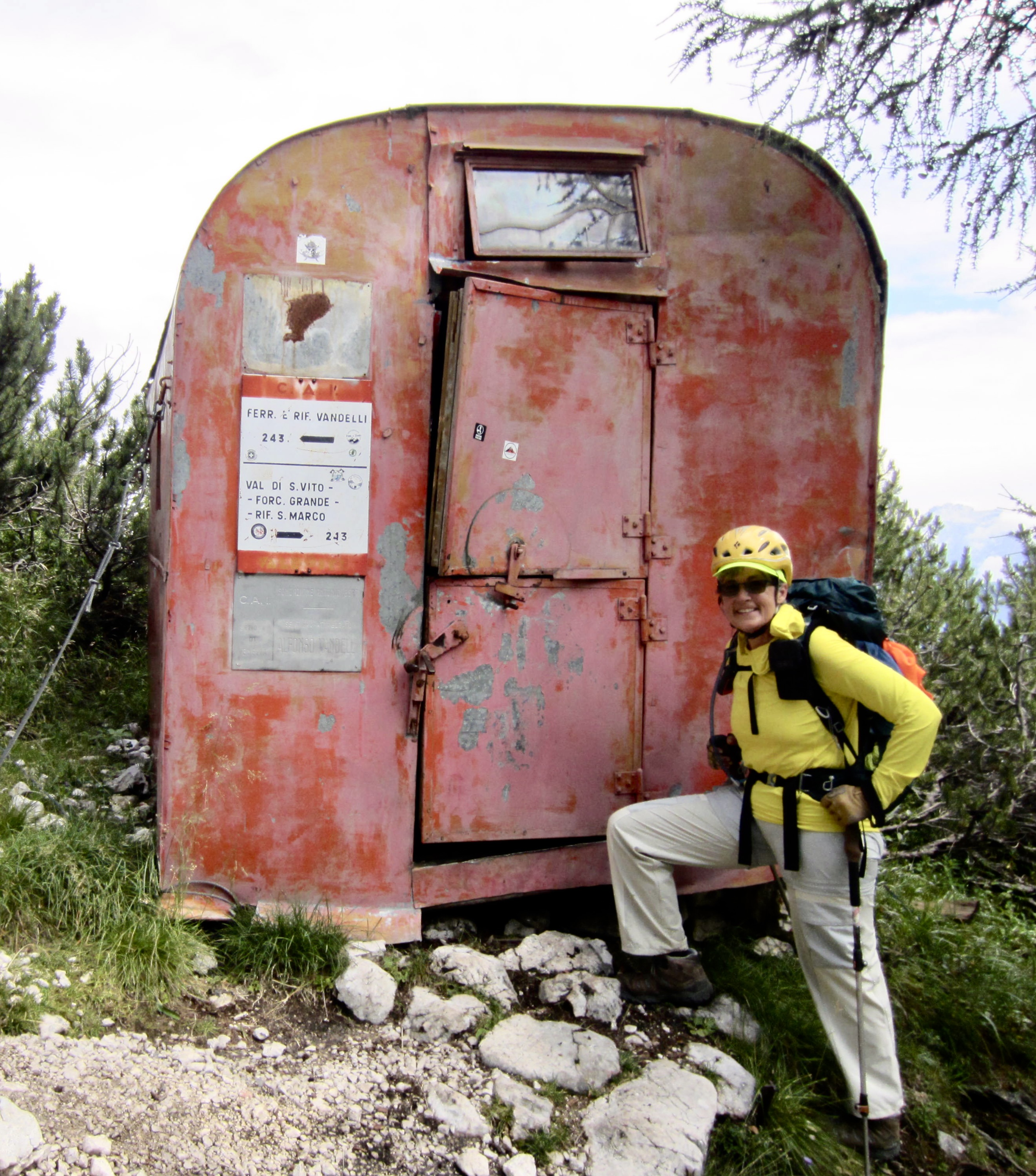
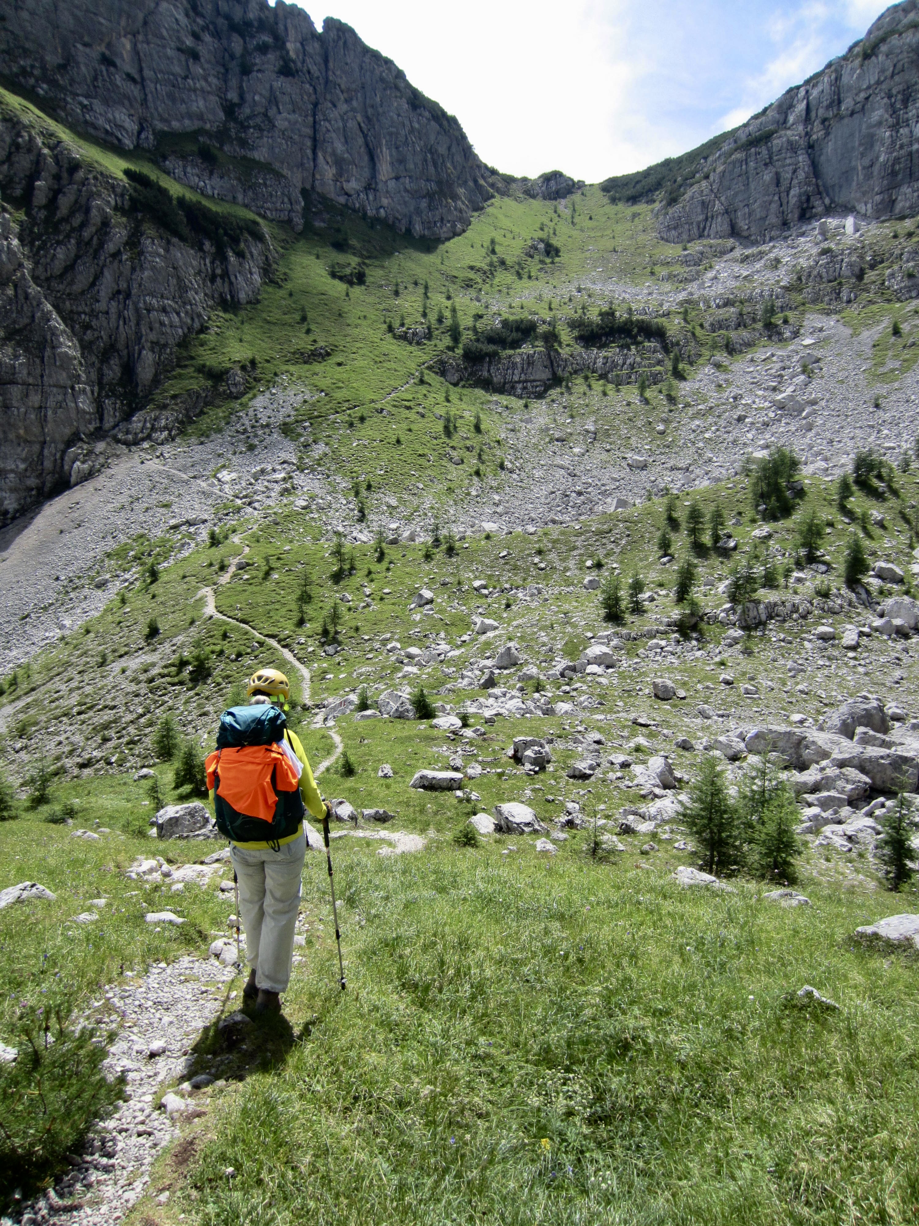
We did eventually put the scrambling behind us, but our difficulties were not over. The trail crosses three erosion gullies that required careful footwork on loose rocks and over-steepened dirt. Eileen slipped and gouged her shin at one of the gullies. Soon afterwards, we descended past the decrepit Comici Bivouac Hut (5.2 hours from Vandelli Hut) and dropped into a grassy draw.
.
.
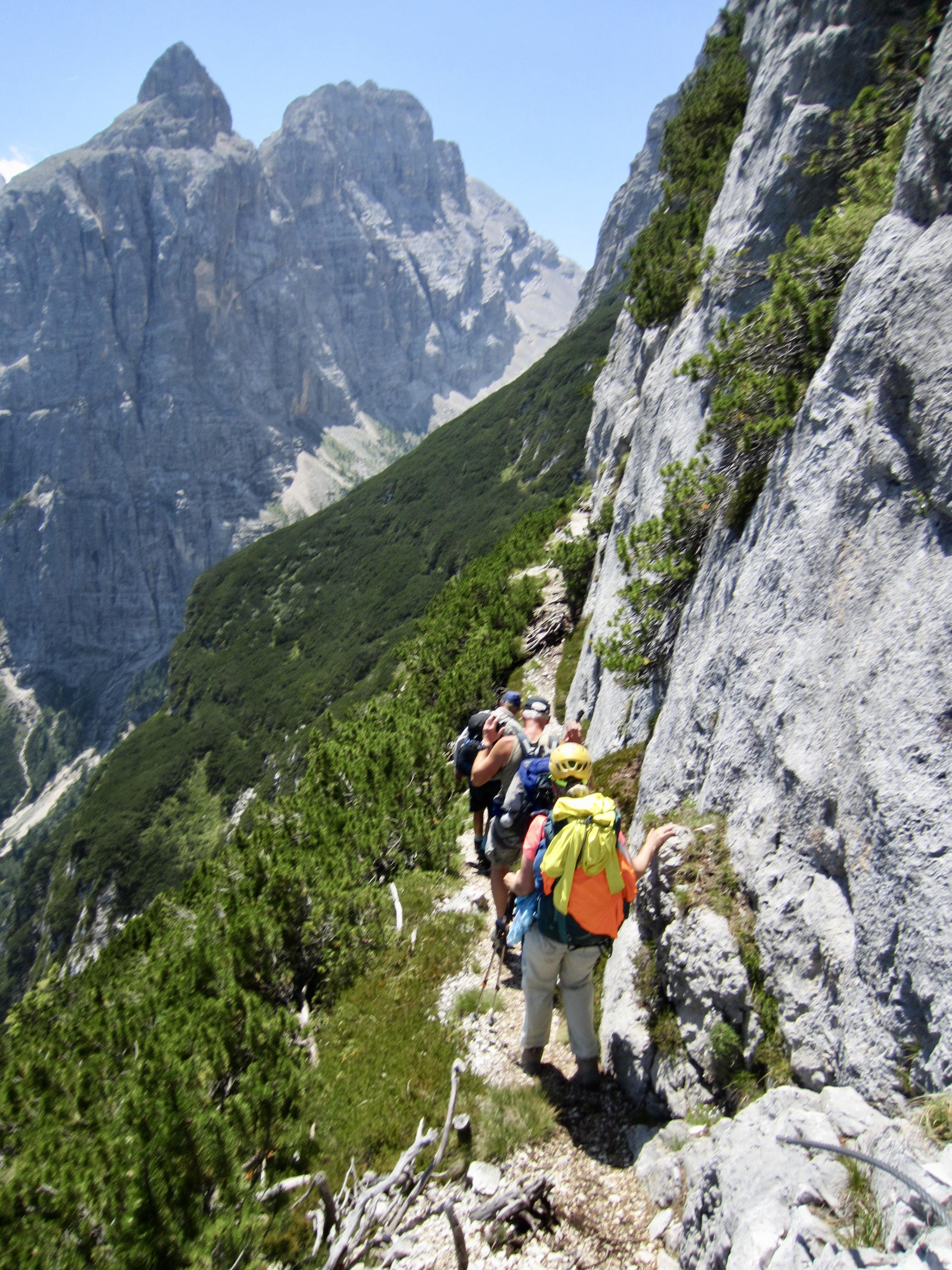
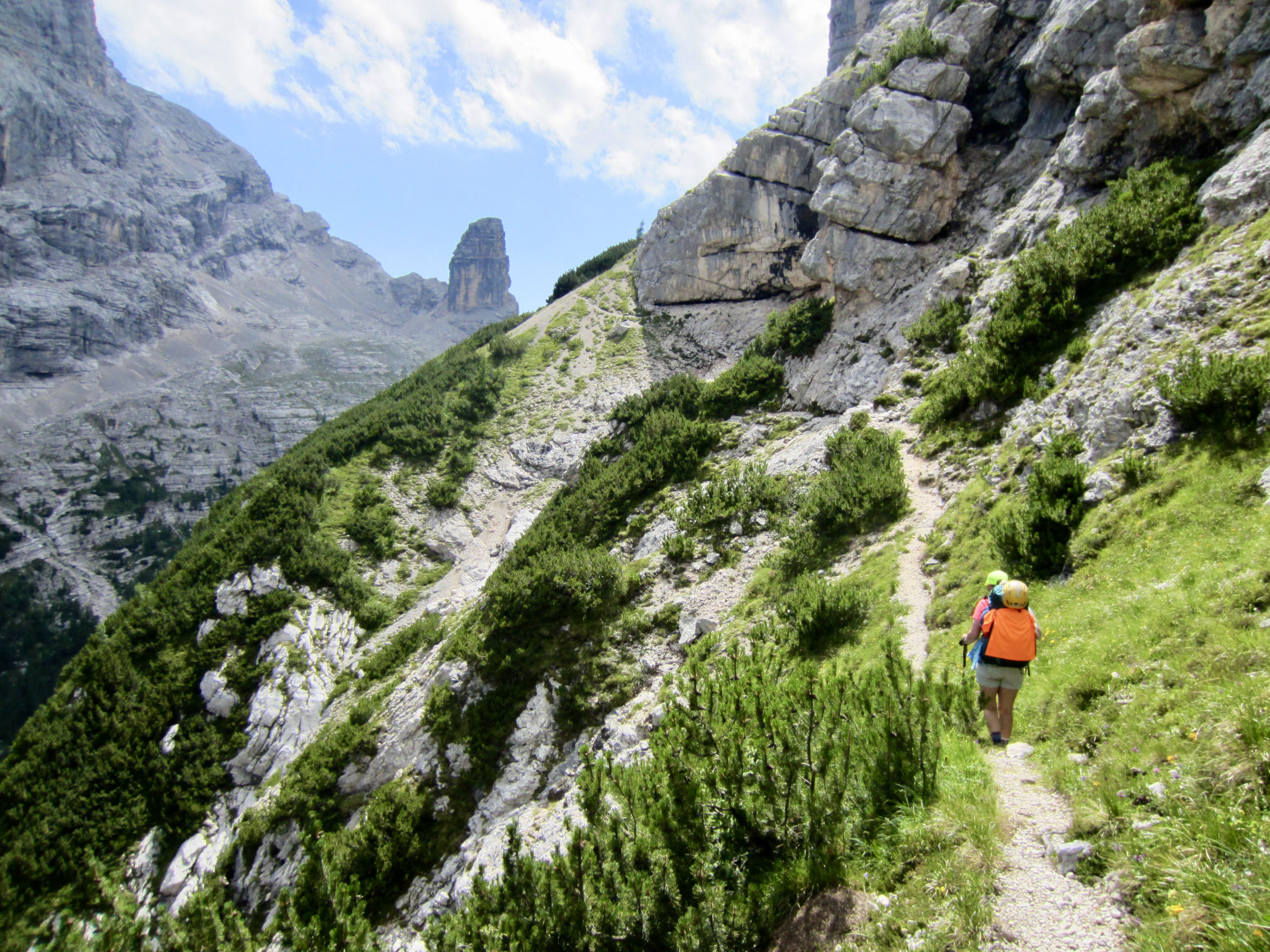
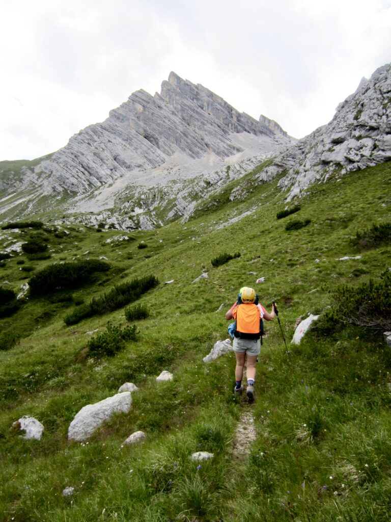
From the grassy draw, we ascended steep switchbacks to Forcella Bassa del Banco and then made a long, up-and-down traverse below Cime di Valbona. Throughout the afternoon, we leap-frogged with a group of seven English trekkers and got overtaken by two Belgian couples.
.
.
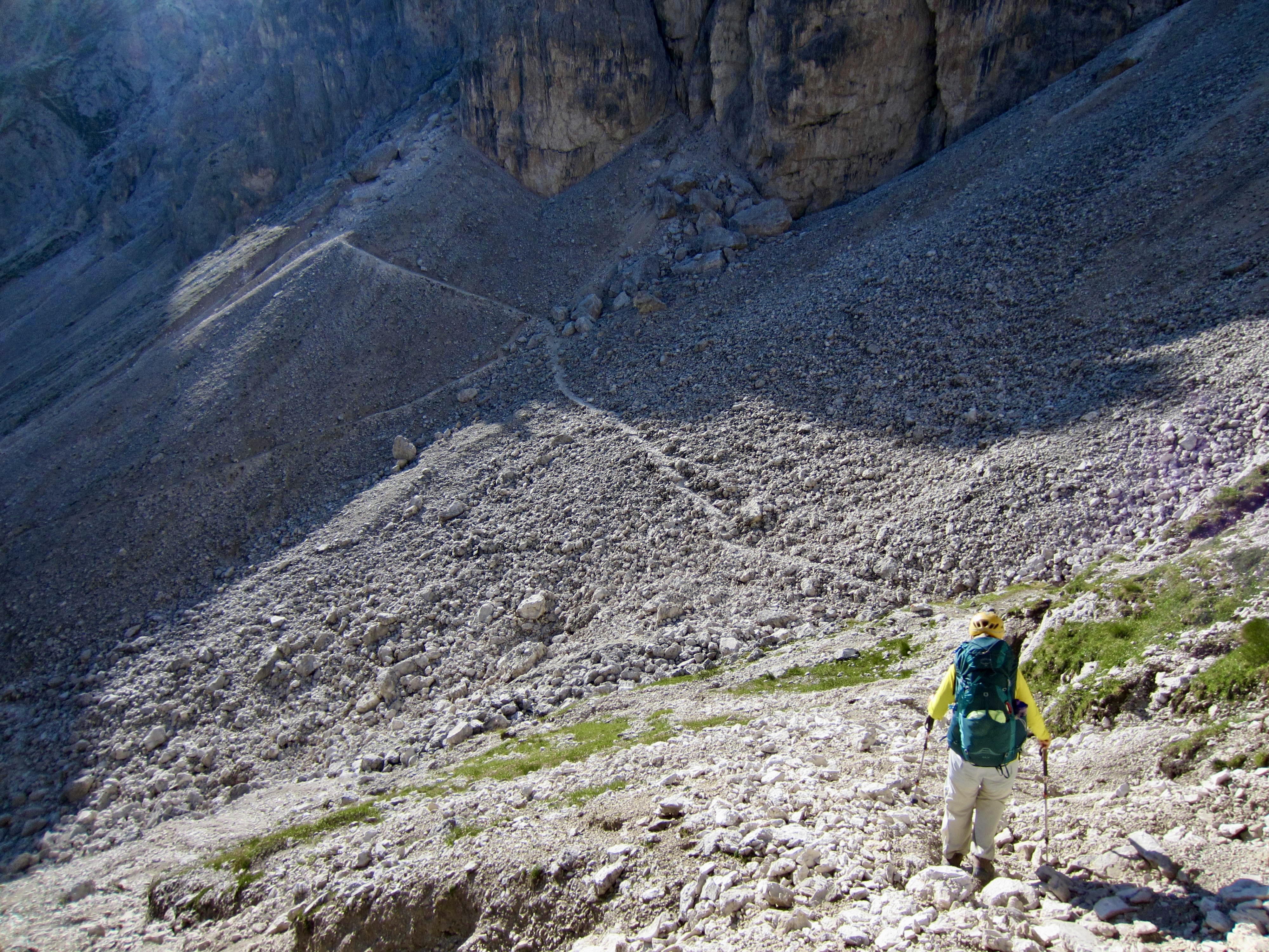
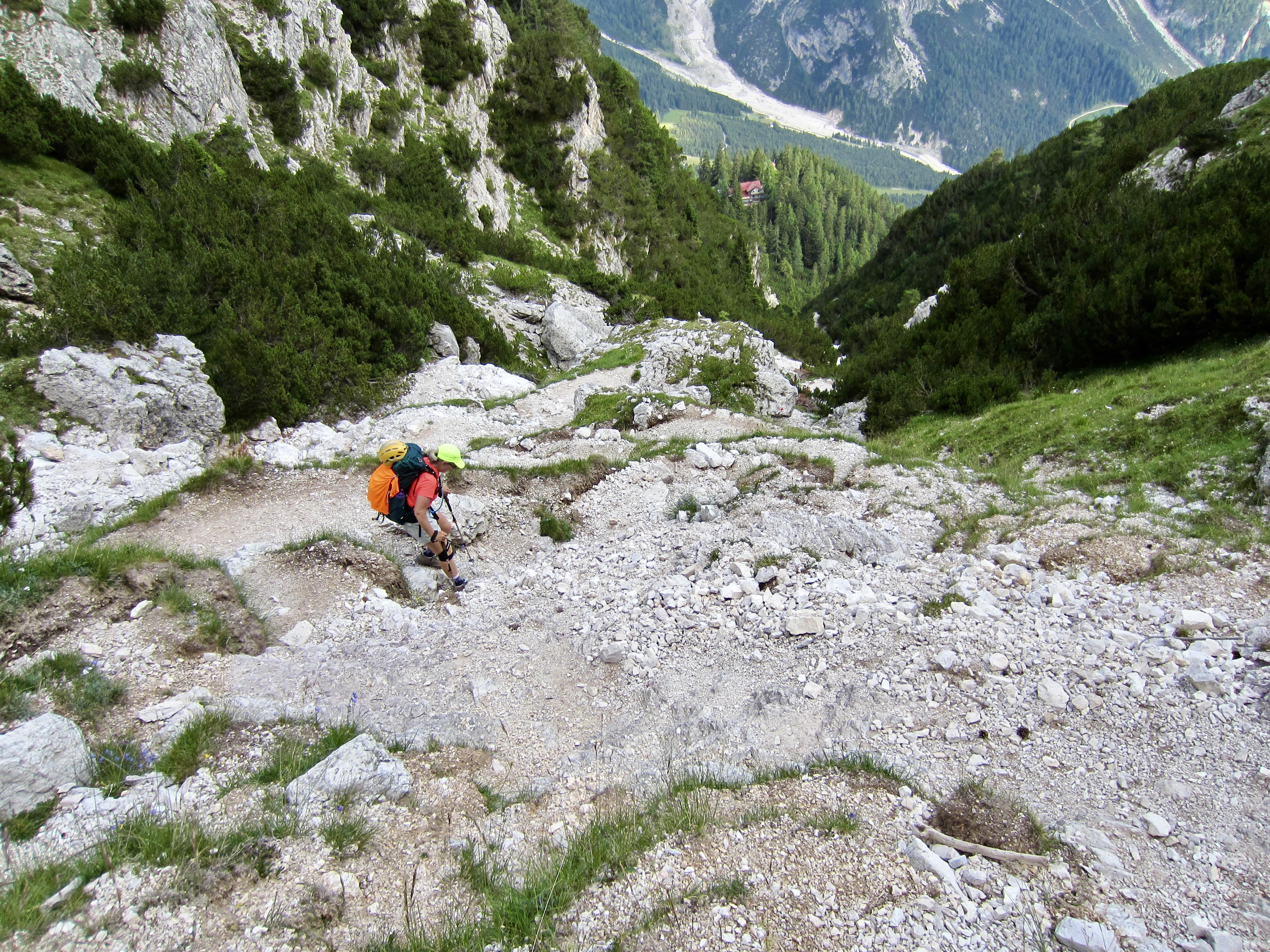
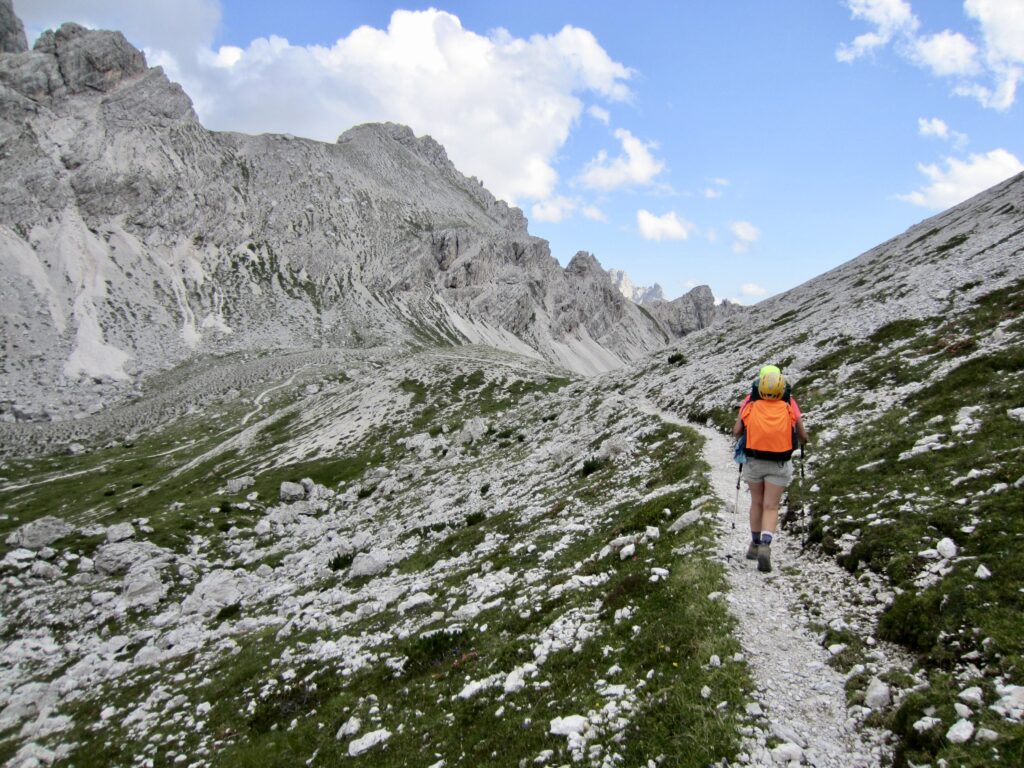
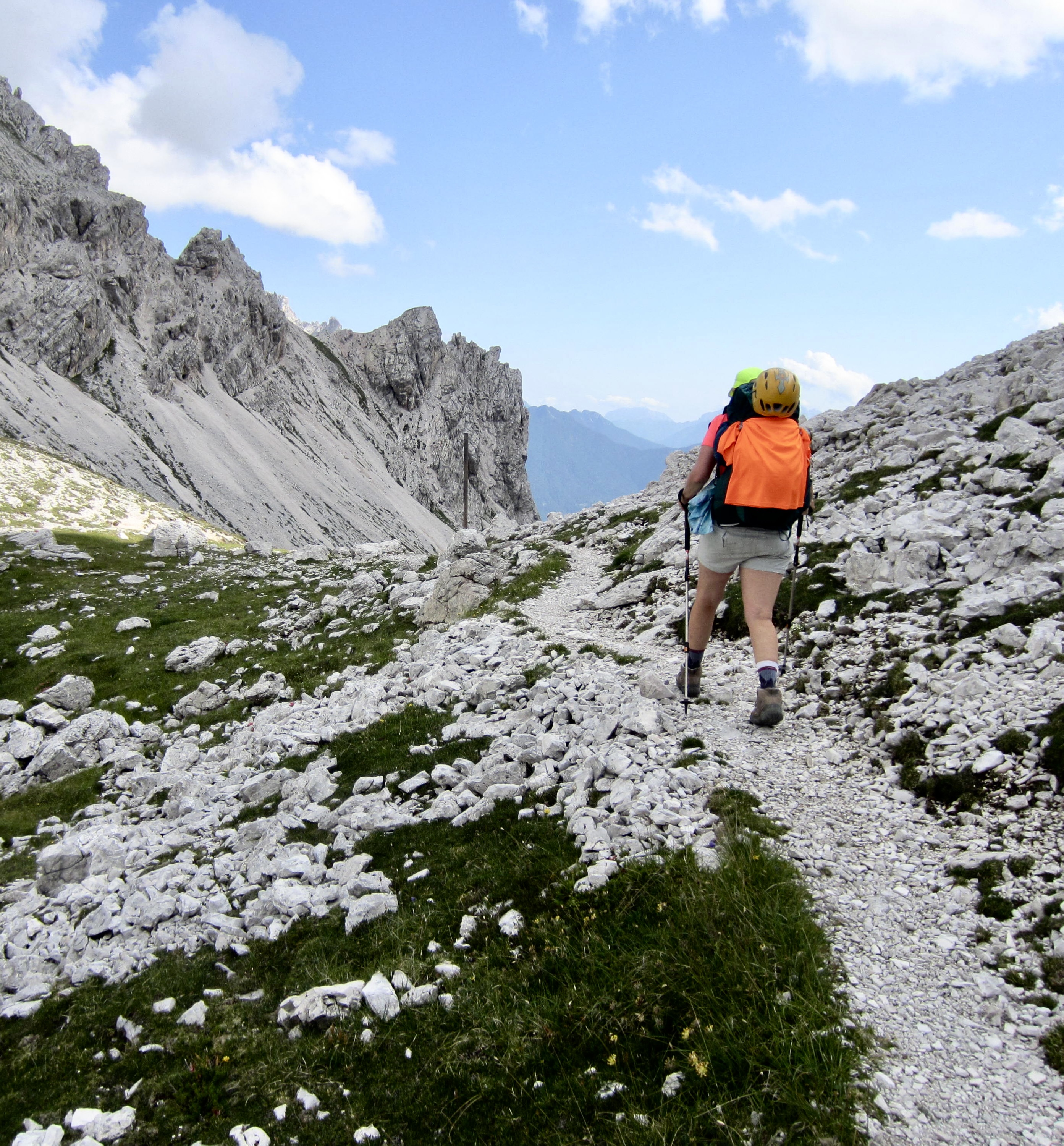
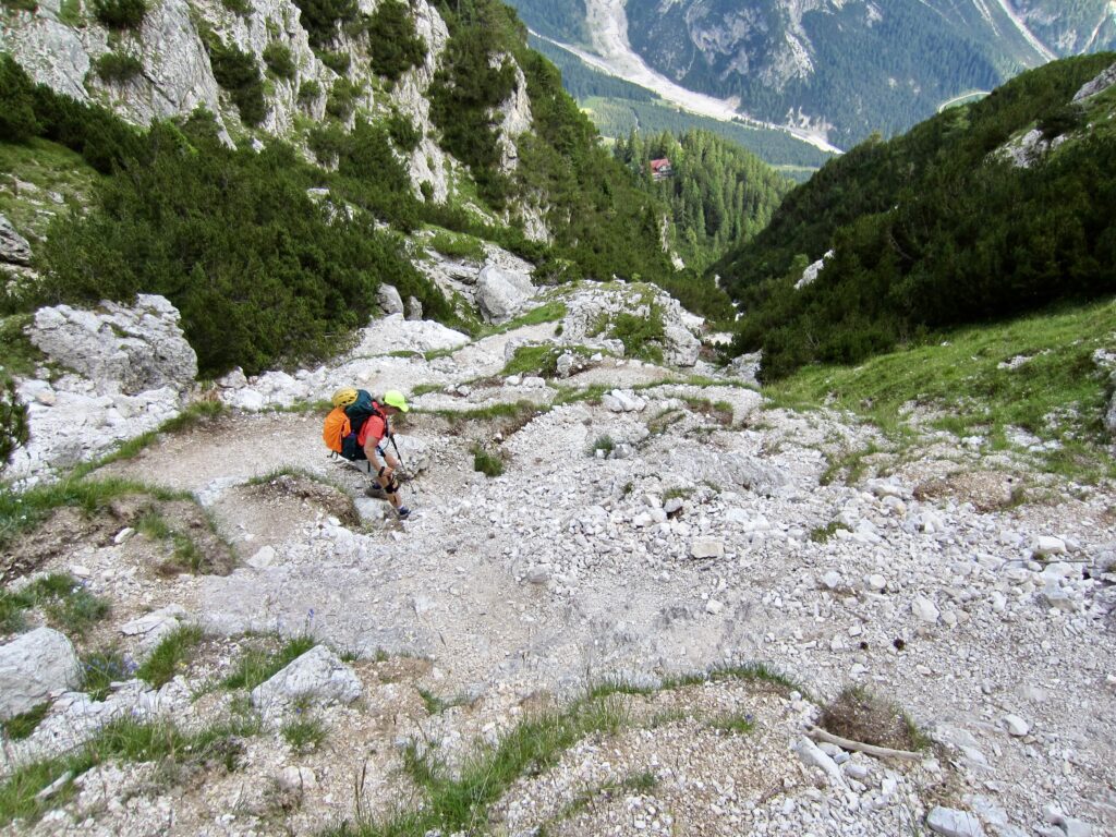
Our long traverse finally ended at Forcella Grande (9.7 hours from Vandelli Hut). From that barren saddle, we descended steep switchbacks covered with loose rocks. This was not a favorite part of anyone’s day, but at least we were getting close to the end.
.
.
.
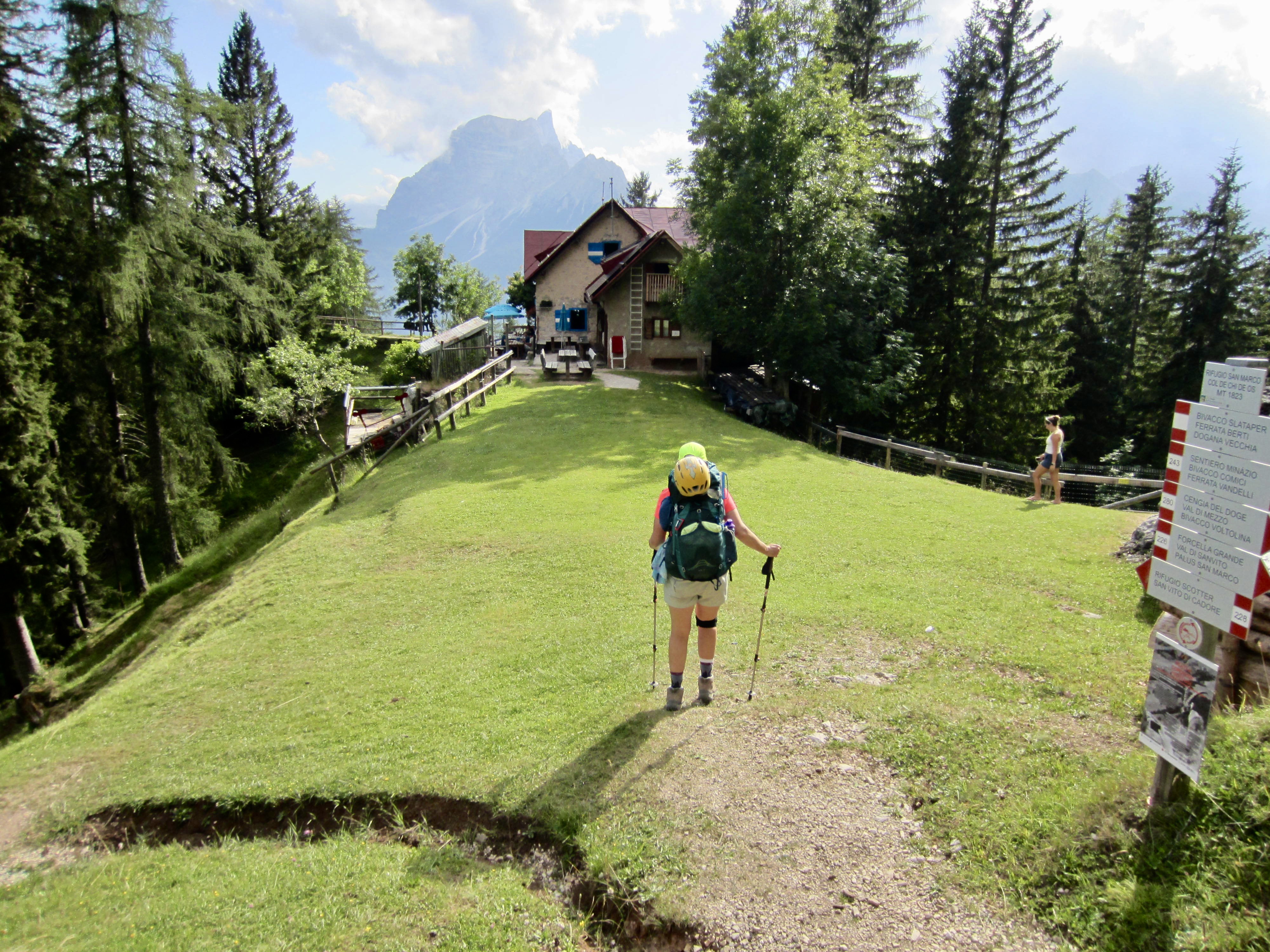
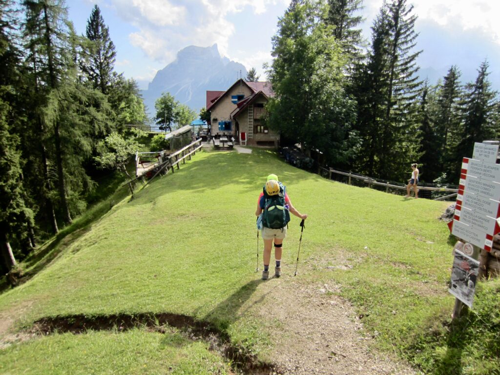
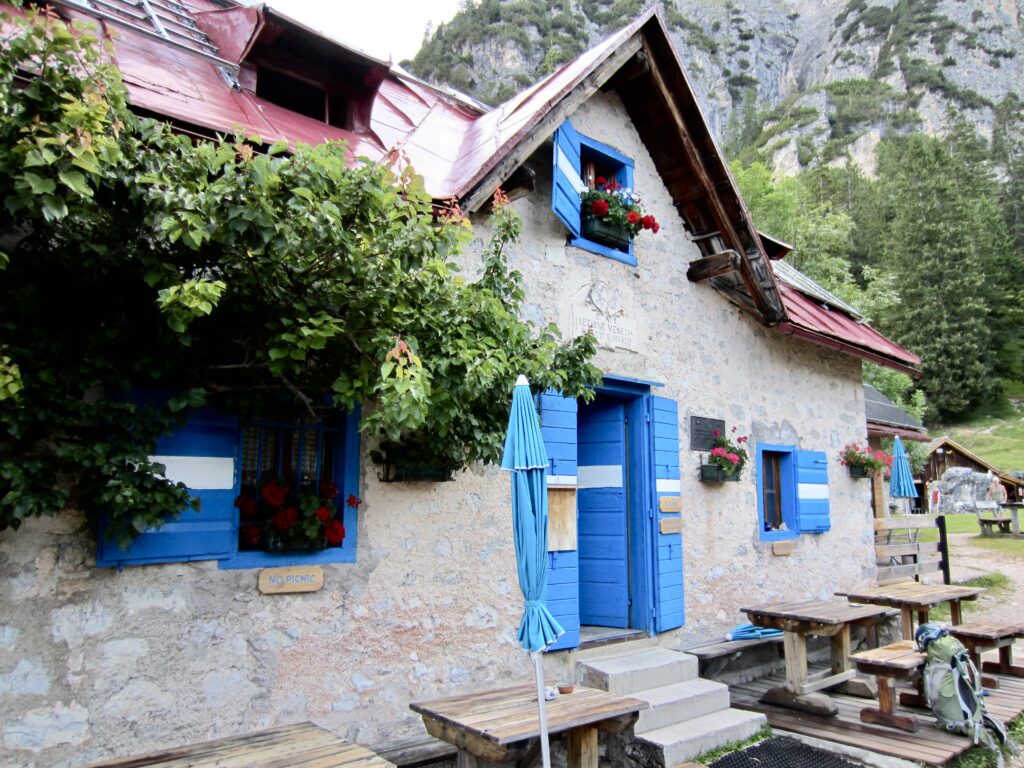
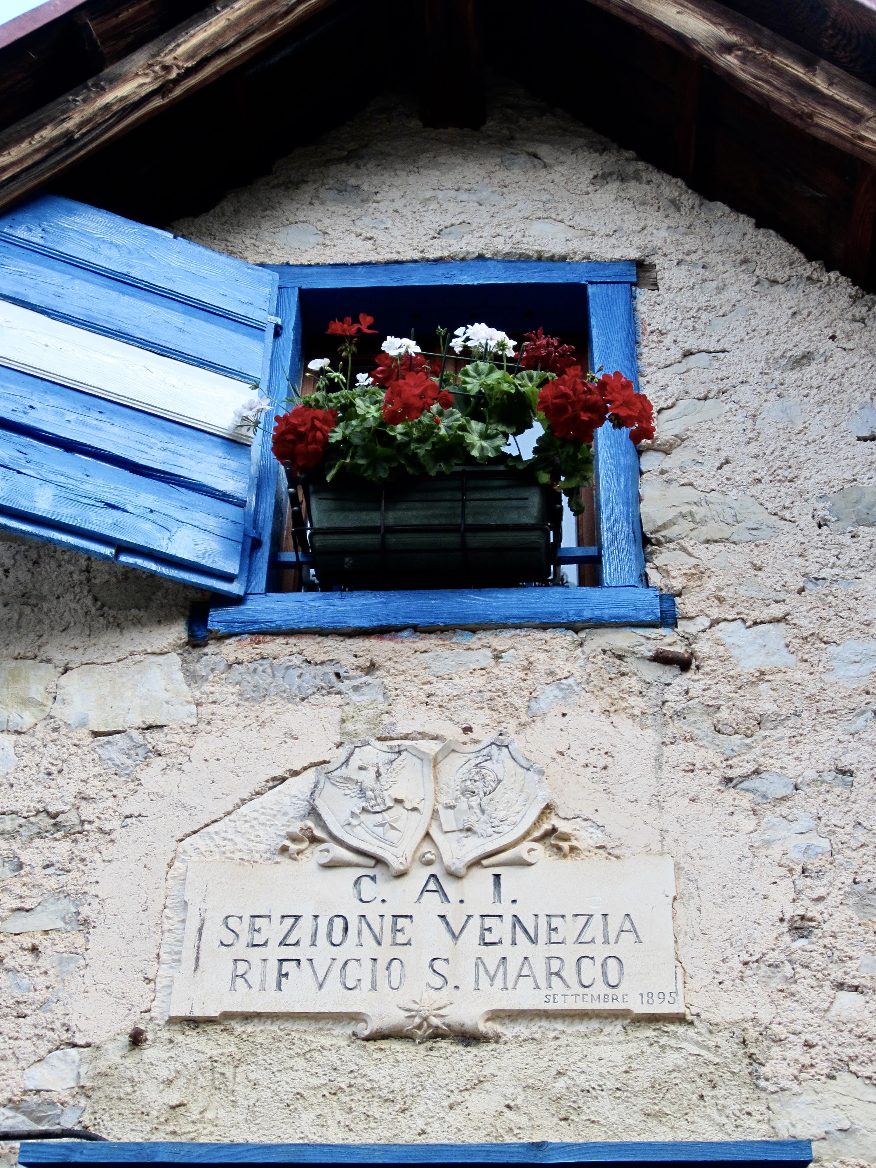
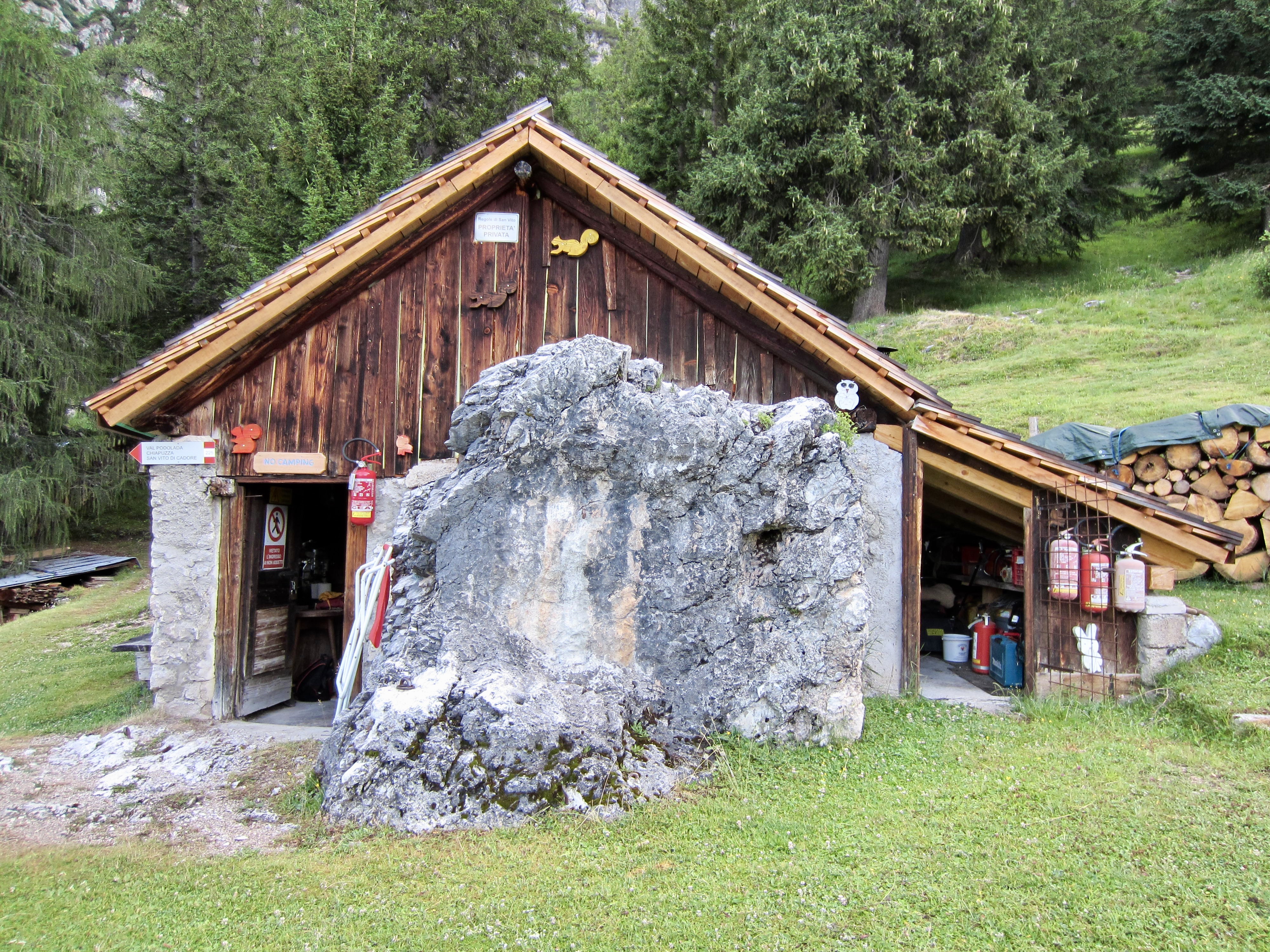
In late afternoon, we arrived at San Marco Hut (10.8 hours from Vandelli Hut). This charming little structure sits on a grassy arm overlooking the town of San Vito di Cadore, and it has an outdoor cold-water shower. We were assigned to a comically skinny bedroom with a sloping ceiling and two beds placed end-to-end.
.
.
.
Day 7: San Marco Hut to Antelao Hut
Approximate Daily Stats: 7.5 miles / 12.1 kilometers traveled; 3700 feet / 1130 meters gained; 3750 feet / 1140 meters lost.
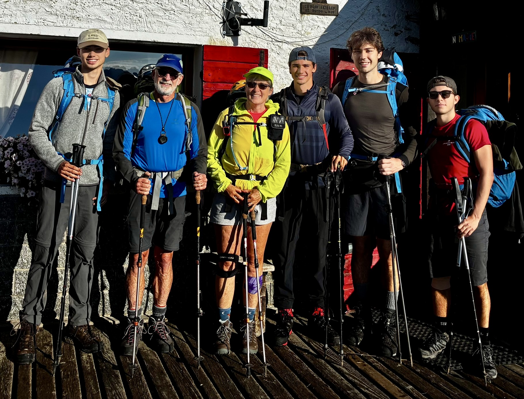
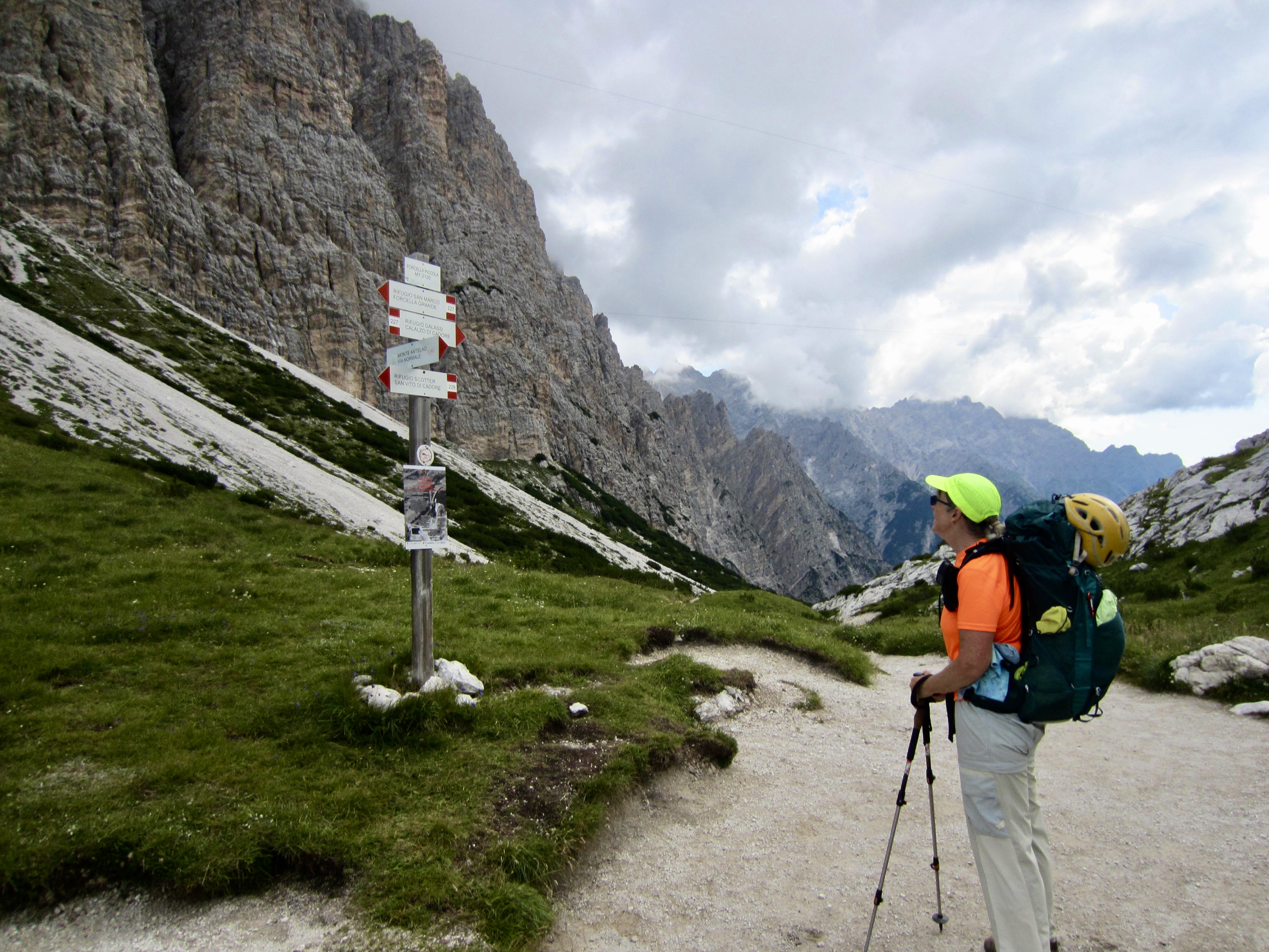
Eileen and I left the hut at 8:00am and headed up-valley on a shady trail. We stopped for a snack at Forcella Piccola and were soon joined by four college students from Sweden: Laurence, Luka, Maxie, and Vincent. From that point on, the six of us stayed together for the remainder of our traverse.

.
.
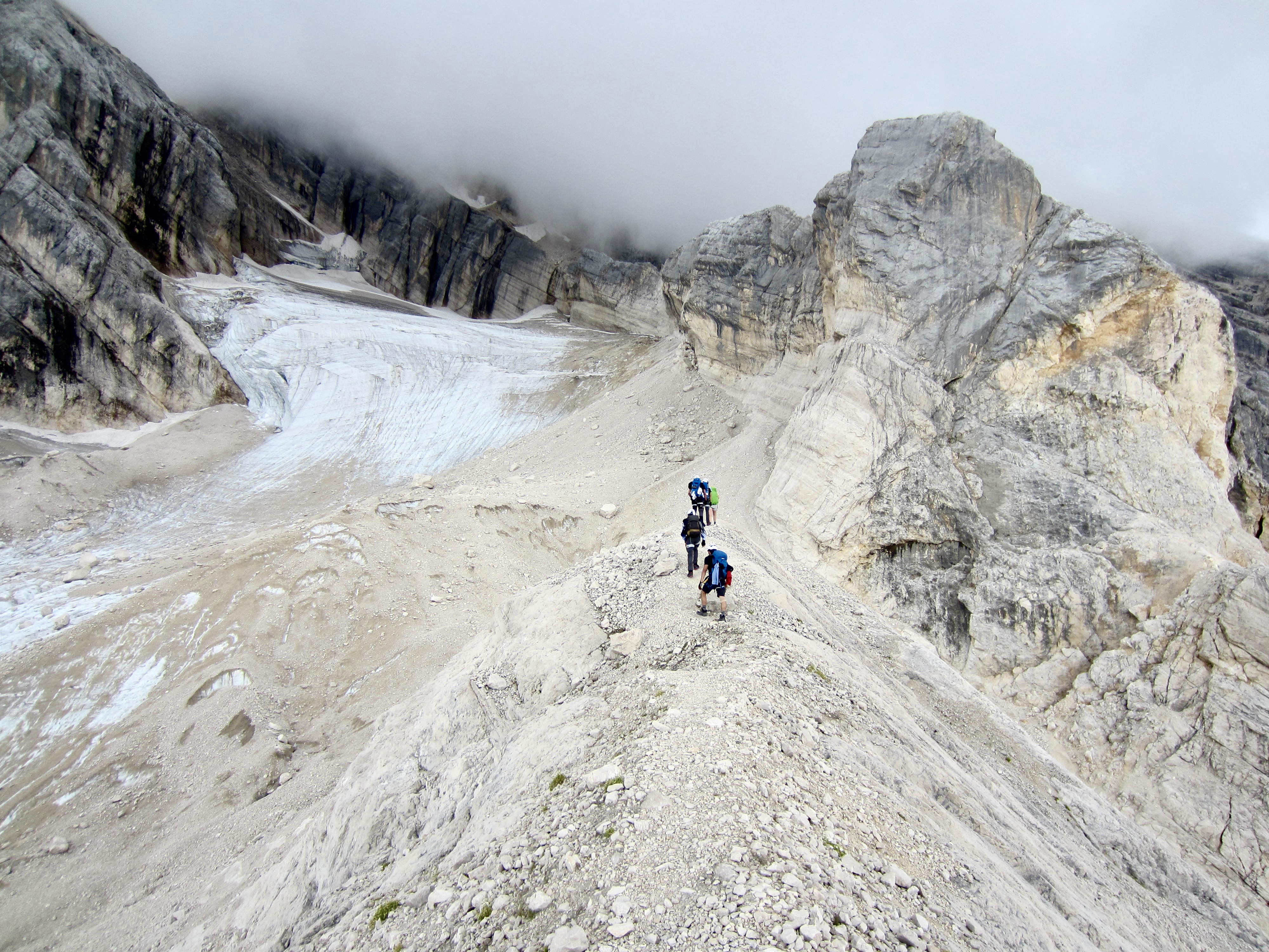
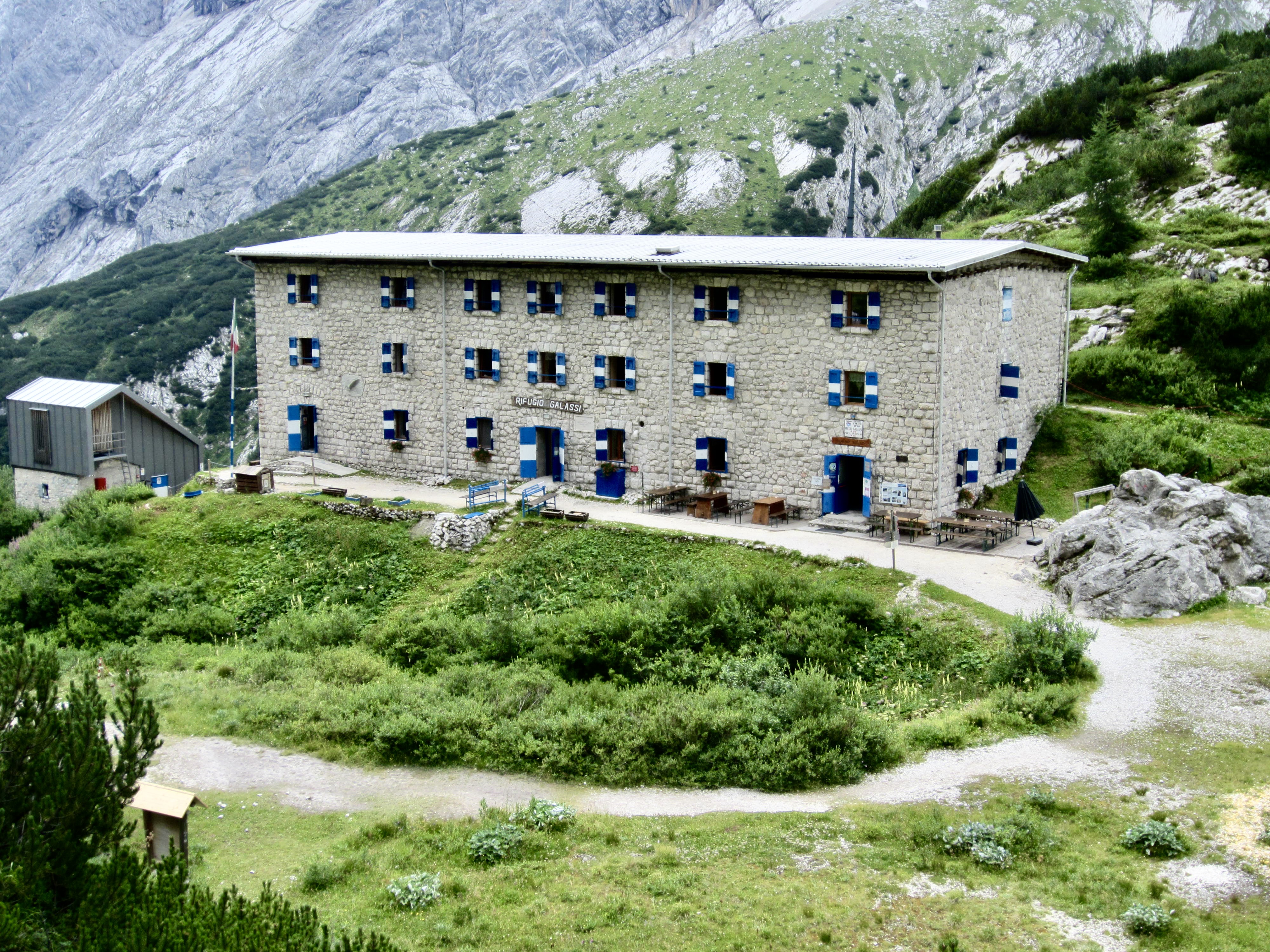
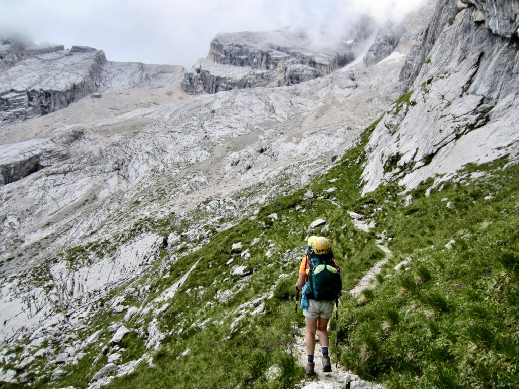
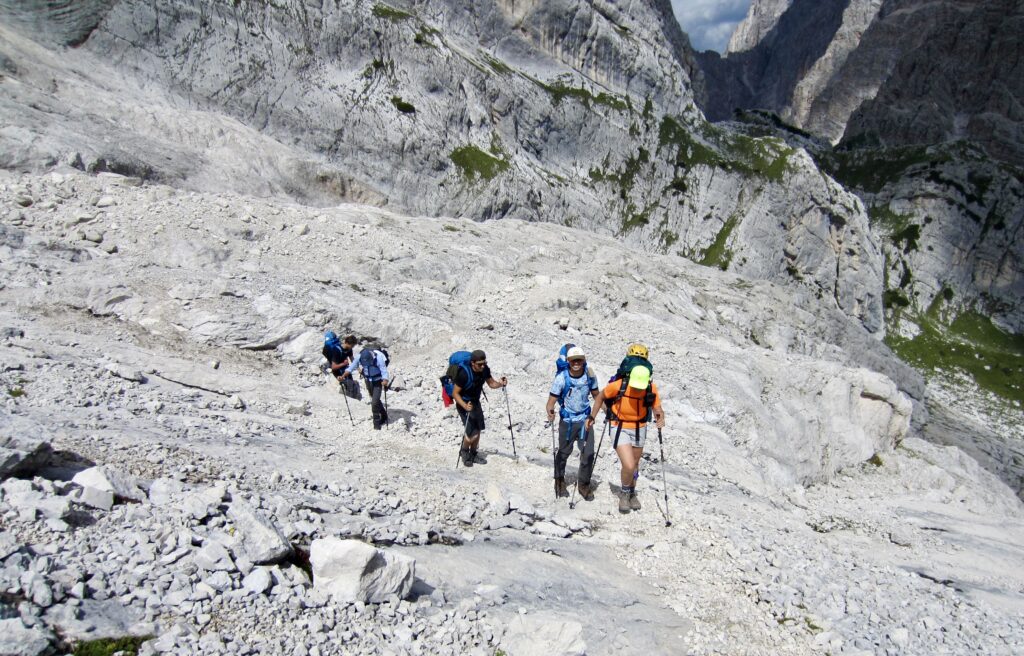
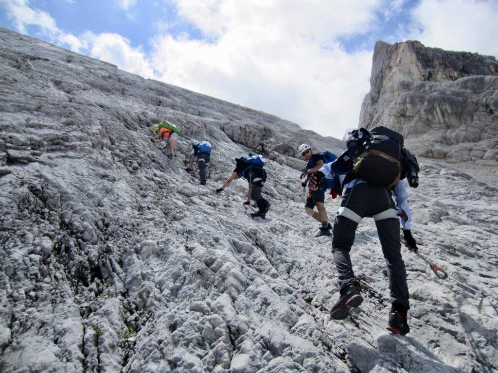
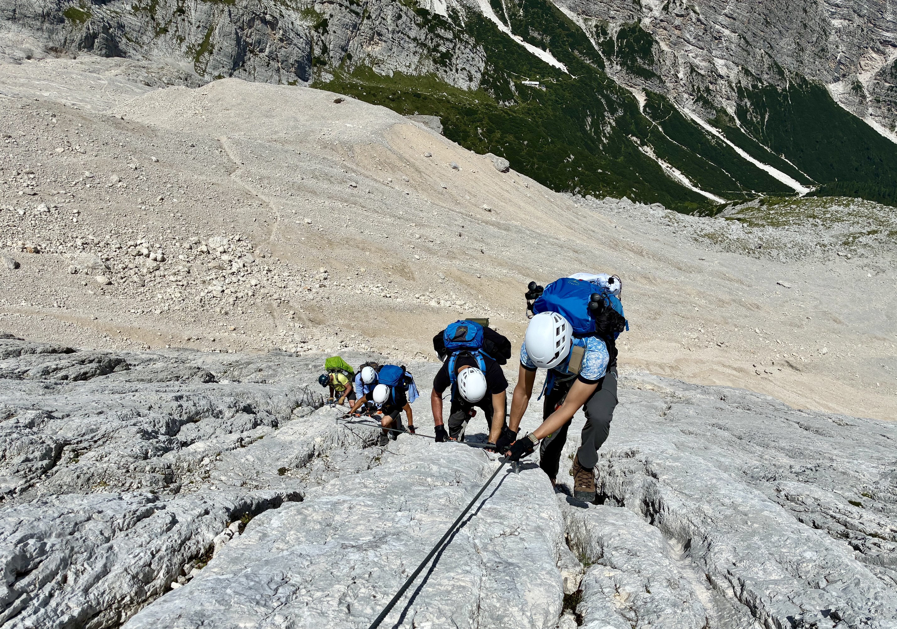
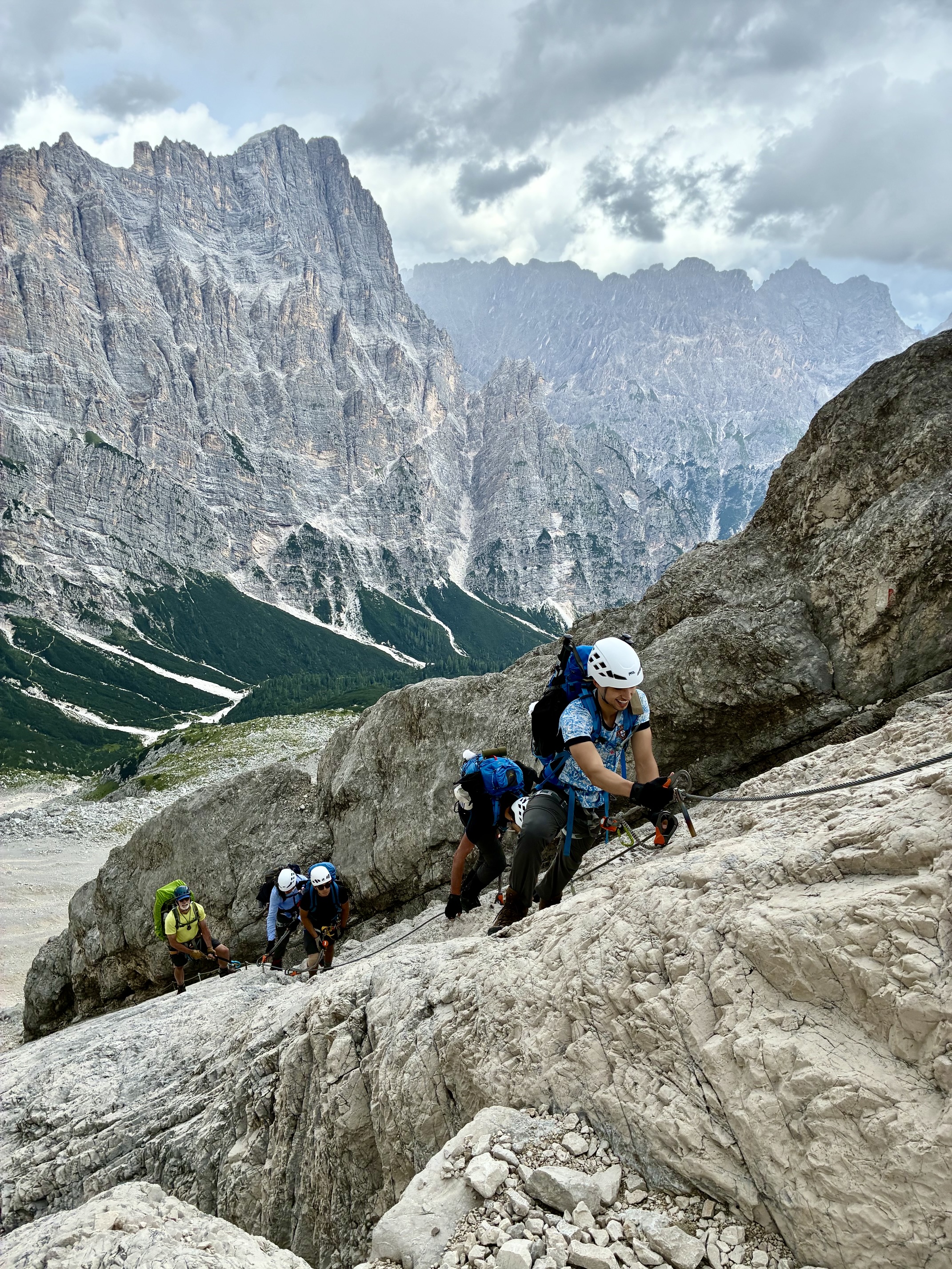
We hiked down to Galassi Hut and then over to the former bowl of the Lower Antelao Glacier, which has now receded to a small patch of ice. Our morning’s destination, Forcella del Ghiacciaio (which effectively translates to “Glacier Pass”), was visible on the far side of the bowl. We traversed across the post-glacial wasteland until coming to a sloping wall. This was the start of Via Ferrata Ghiacciaio.
.
.
.
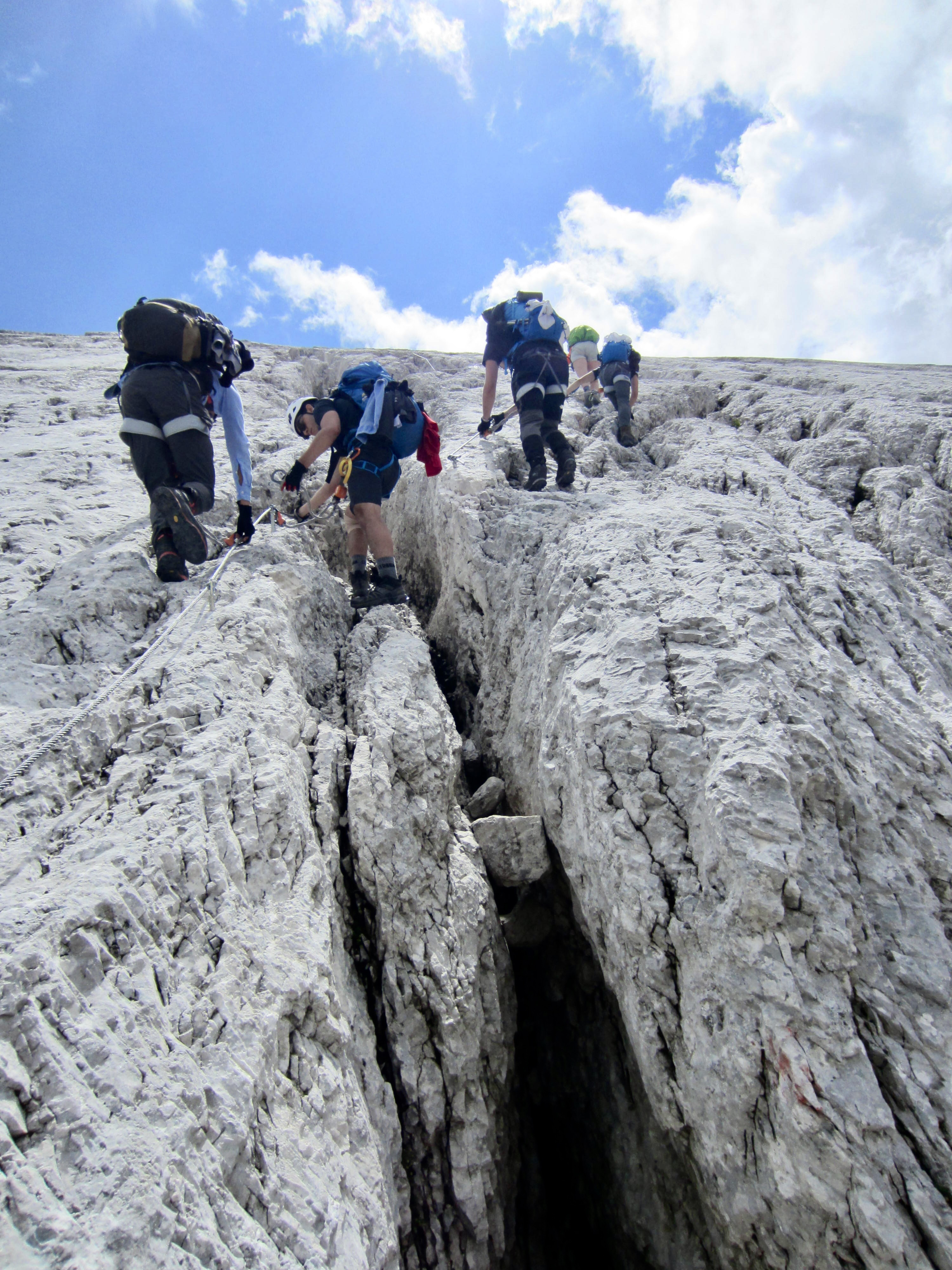
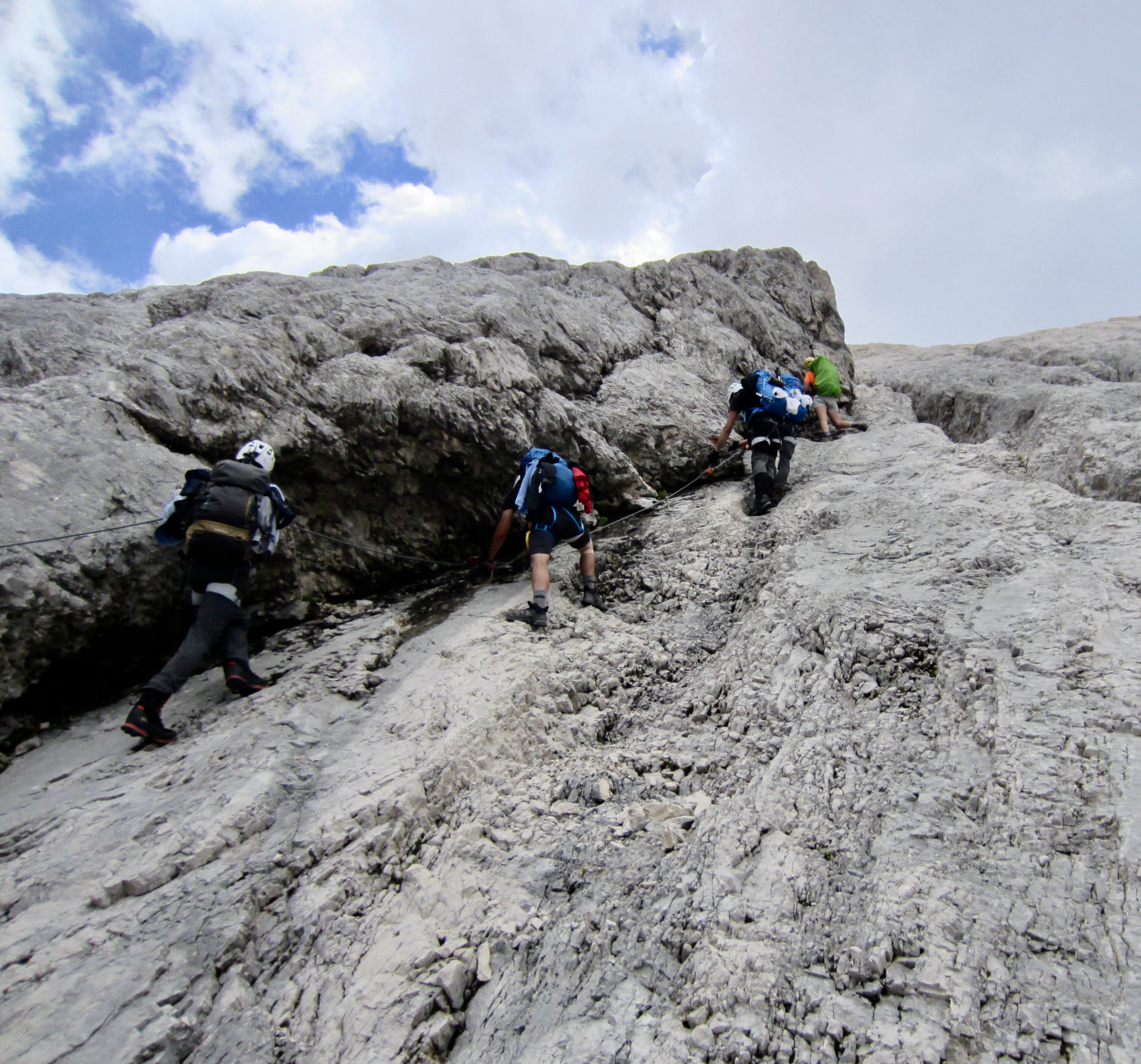
Our group of six put on via ferrata gear and headed up the sloping wall. Of all the scrambles and climbs that we encountered on our AV4 trek—either in route or as a sidetrip—this was the cleanest, most solid rock, and none of the moves were awkward or sketchy. It was 1200 vertical feet / 370 vertical meters of pure alpine joy!
.
.
.
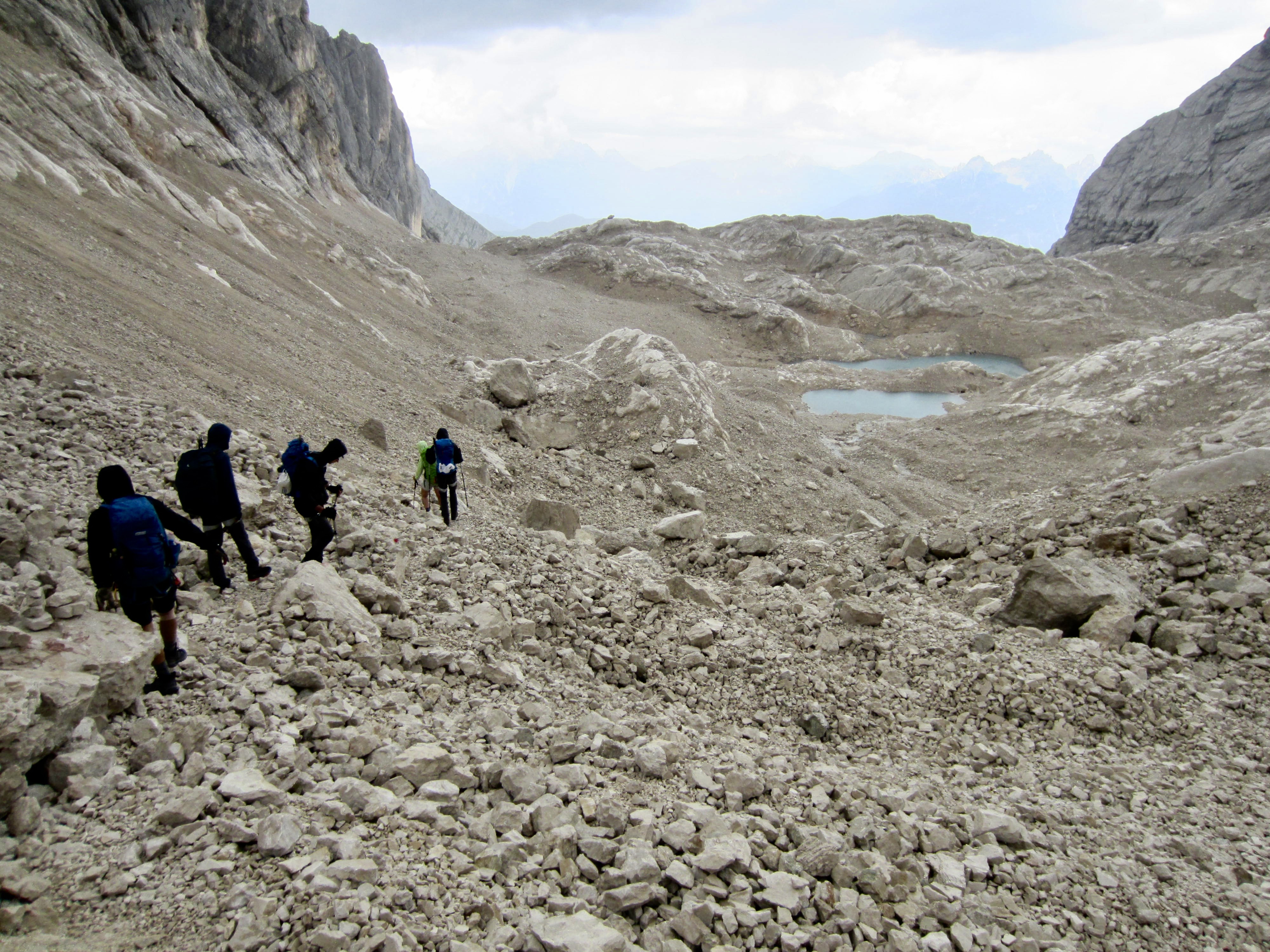
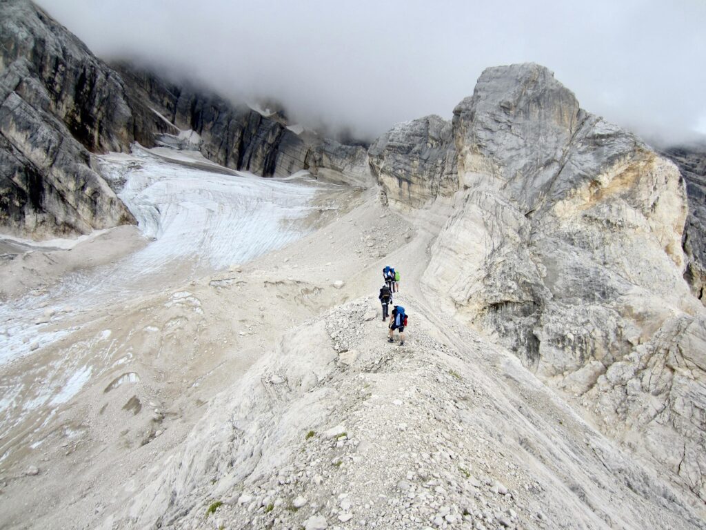
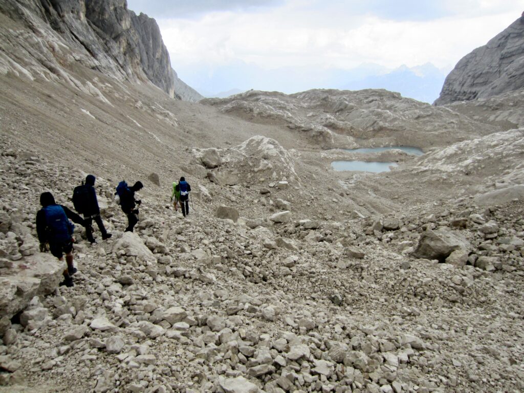
All too quickly, our splendid via ferrata ended on the narrow crest of Forcella del Ghiacciaio (5.2 hours from San Marco Hut). As if on cue, raindrops starting falling, and we hurried down the opposite side. A vague trail took us through the ablation wasteland of the Upper Antelao Glacier while thunder boomed around us.
.
.
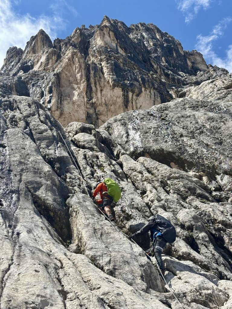
Forward progress abruptly ended when we came to the top of a steep cliff with more cables. We stood there for several minutes, being pelted by big raindrops and small hailstones, and watching water pour over the cliff. Eileen then snapped into action and headed down the first cable, followed closely by Luka and Laurence, while Vincent and I waited above to avoid rockfall. Given the slippery conditions, it was frustrating—and even a little terrifying—that this was the most poorly configured via ferrata that we’d done on the trek. There was a distinct shortage of stemples and rungs! Thankfully, the thunderstorm was short-lived; by the time Vincent and I headed down, the sun was out and good spirits were restored.
.
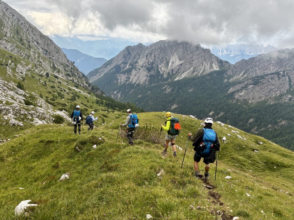
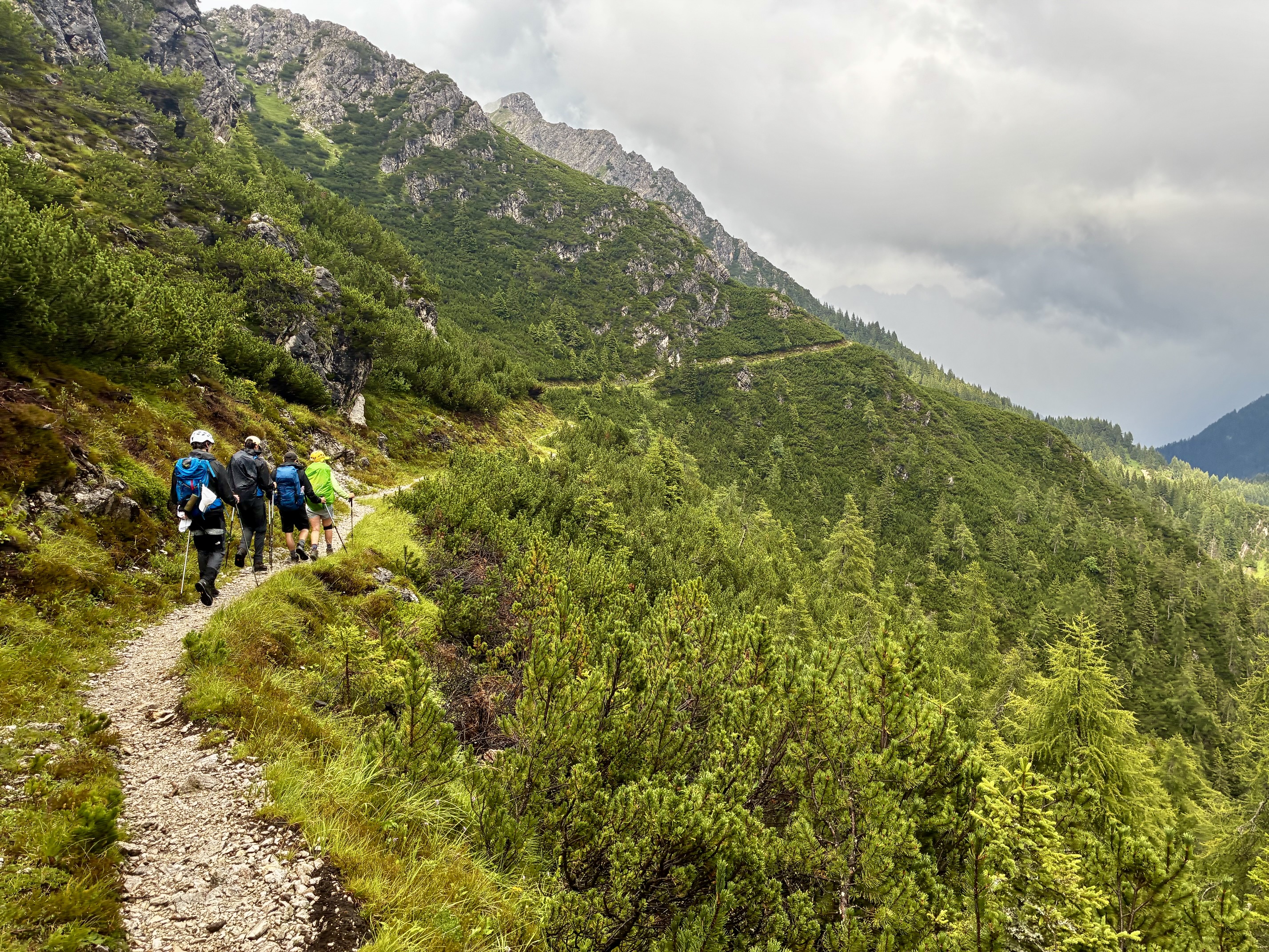
The remainder of our afternoon was spent descending the Upper Antelao Glacier bowl and subsequent meadow slopes, and then hiking over Forcella Piria (9.1 hours from San Marco Hut). Intermittent rain showers accompanied us the entire time.
.
.
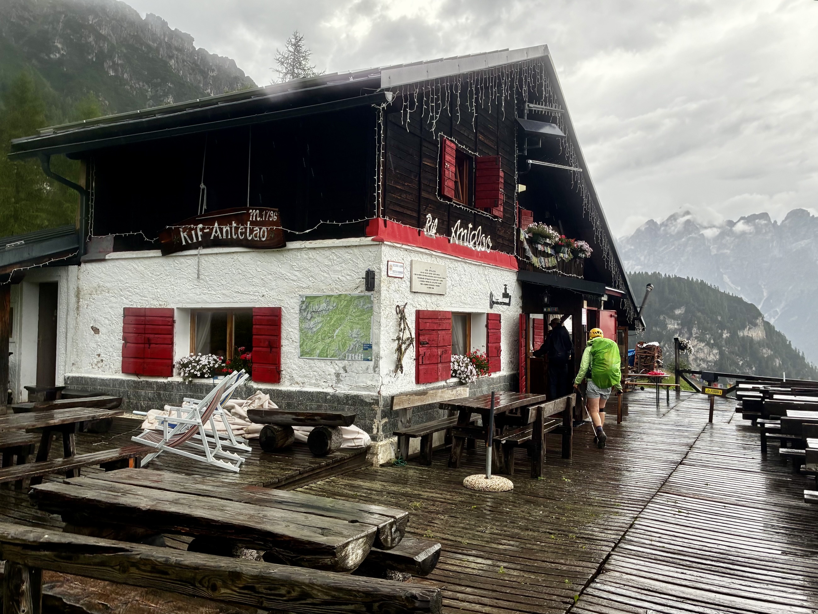
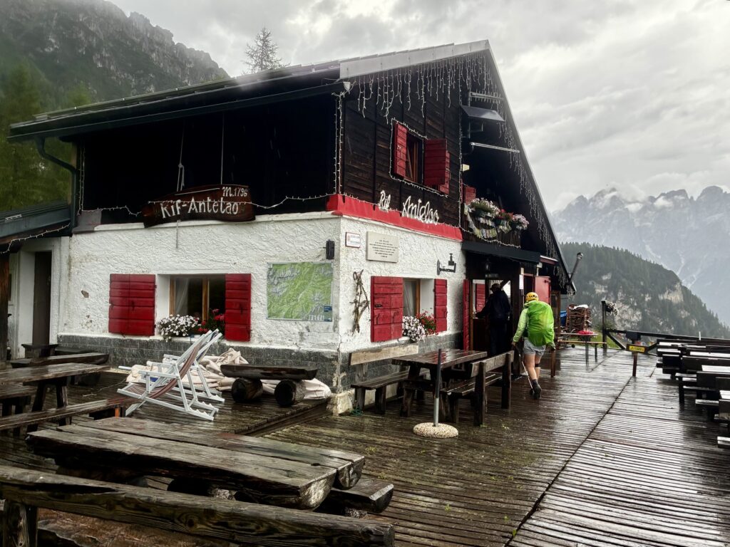
We were all thoroughly drenched by the time we trudged into Antelao Hut at 6:00pm (10.0 hours from San Marco Hut). Laurence had raced ahead and claimed a bunkroom for our group. Wet clothes were hung over every possible rod, rail, and hook. During dinner that night, we recounted the highs and lows (or “roses and thorns”) of this wild and crazy day.
.
Day 8: Antelao Hut to Tai di Cadore
Approximate Daily Stats: 3.7 miles / 6.0 kilometers traveled; 3150 feet / 960 meters lost.
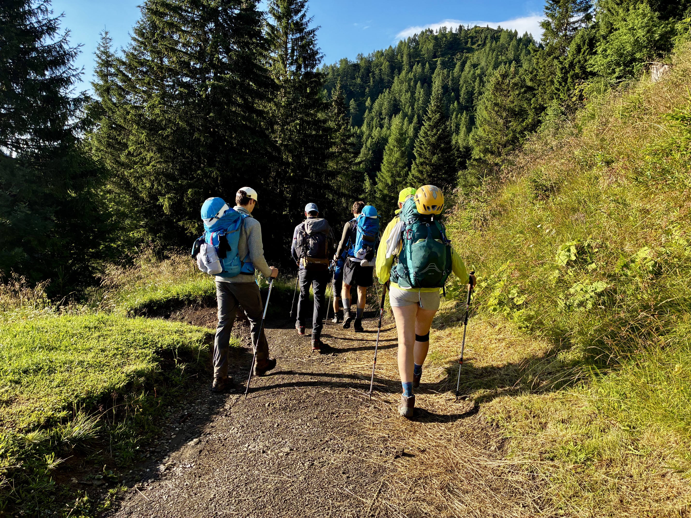
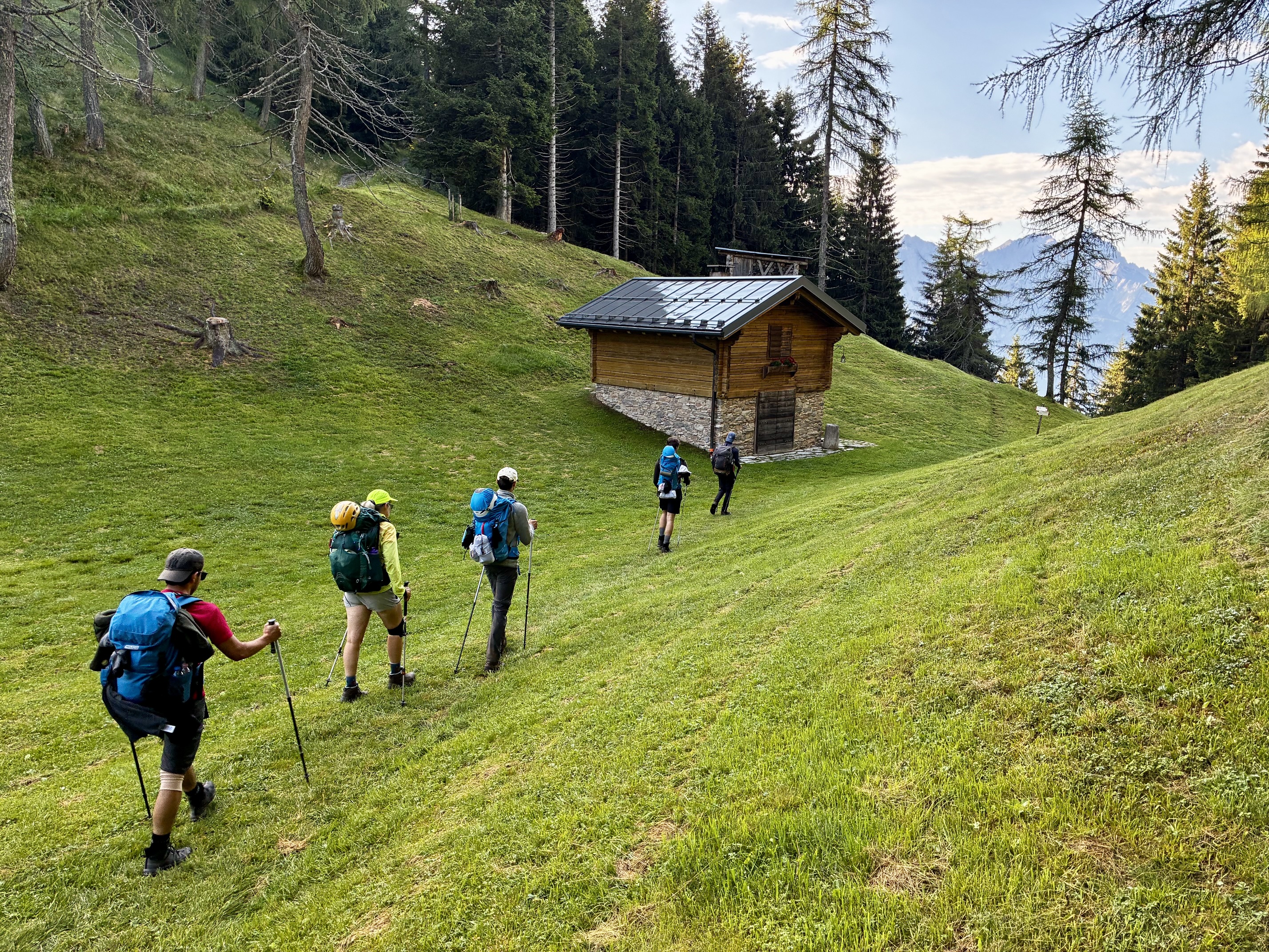
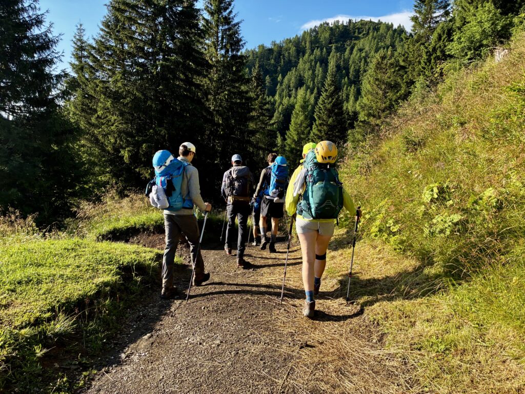
Our last day of the traverse dawned with blue skies and benign weather. If not for our rucksacks full of wet clothing, yesterday’s storm might have been relegated to a distant memory. We left the hut at 7:50am and marched down the wide AV4 trail in warm sunshine.
.
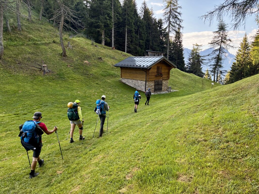
At Forcella Antracisa, a short distance from the hut, we all departed from the main trail and descended southward on a steep ancillary trail. This alternative route took us to our bus connections in Cadore Valley more directly and saved us some road walking.
.
After passing through Nebbiu di Cadore and reaching Road SS-51, Eileen and I bade farewell to the Swedish boys. We walked into downtown Tai di Cadore and located the appropriate bus stop (2.1 hours from Antelao Hut). Shortly after noon, our bus picked us up and transported us to Venice, where we boarded a train back to Rome. It had been a fantastic traverse, with so many components that we struggled to piece them together in our minds. A week later, we even discussed the possibility of repeating AV4 someday. But for now, we will try to digest this one.
Route Maps & Profiles
…
…
…
…
…
…
Photo Gallery
Click to enlarge…