
Trip Date: July 15, 2026
2026 DOLOMITE ALPS ADVENTURE VACATION
Cima Cadin NE Attempt & Partial Via Ferrata Merlone Climb
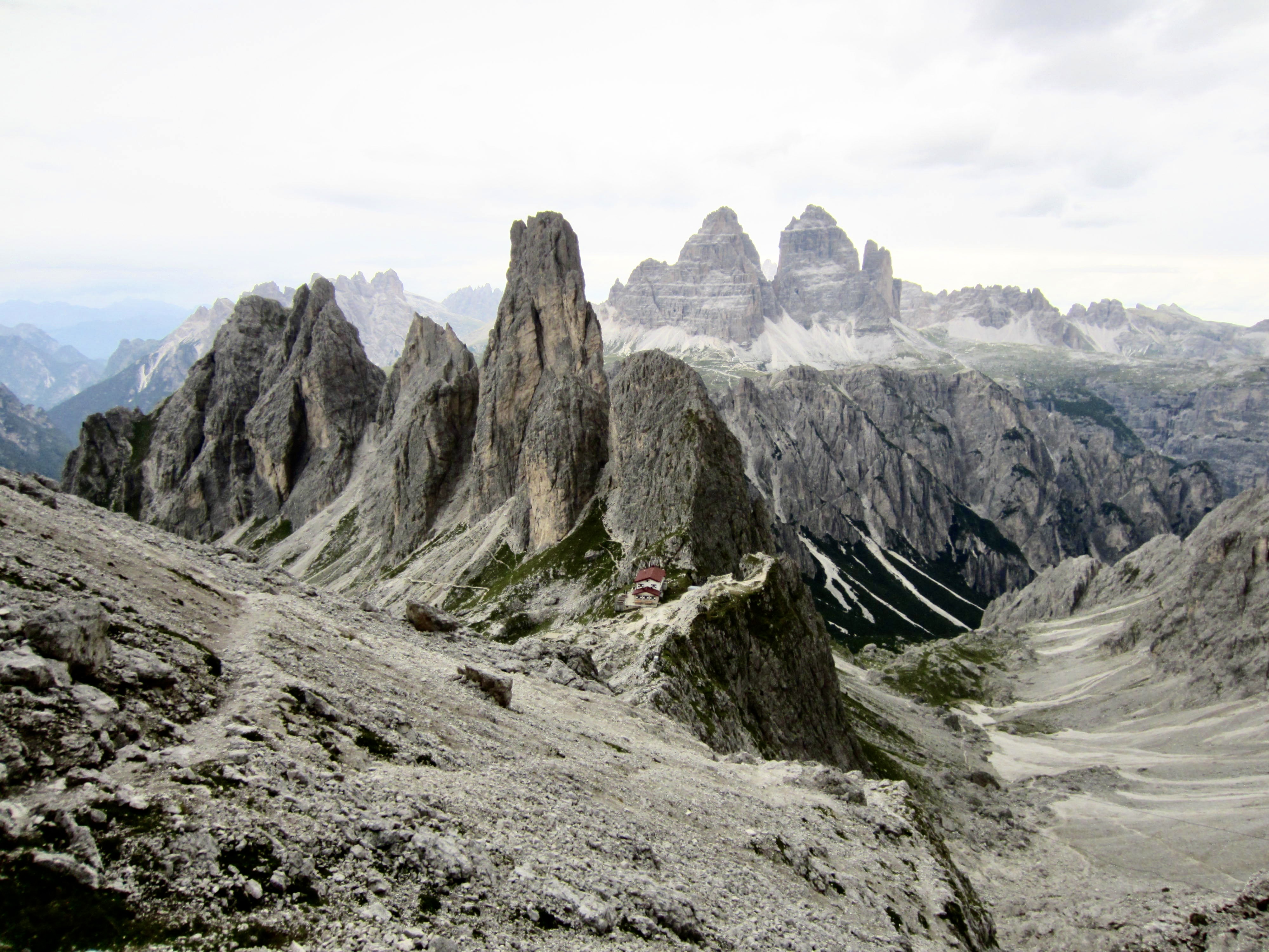
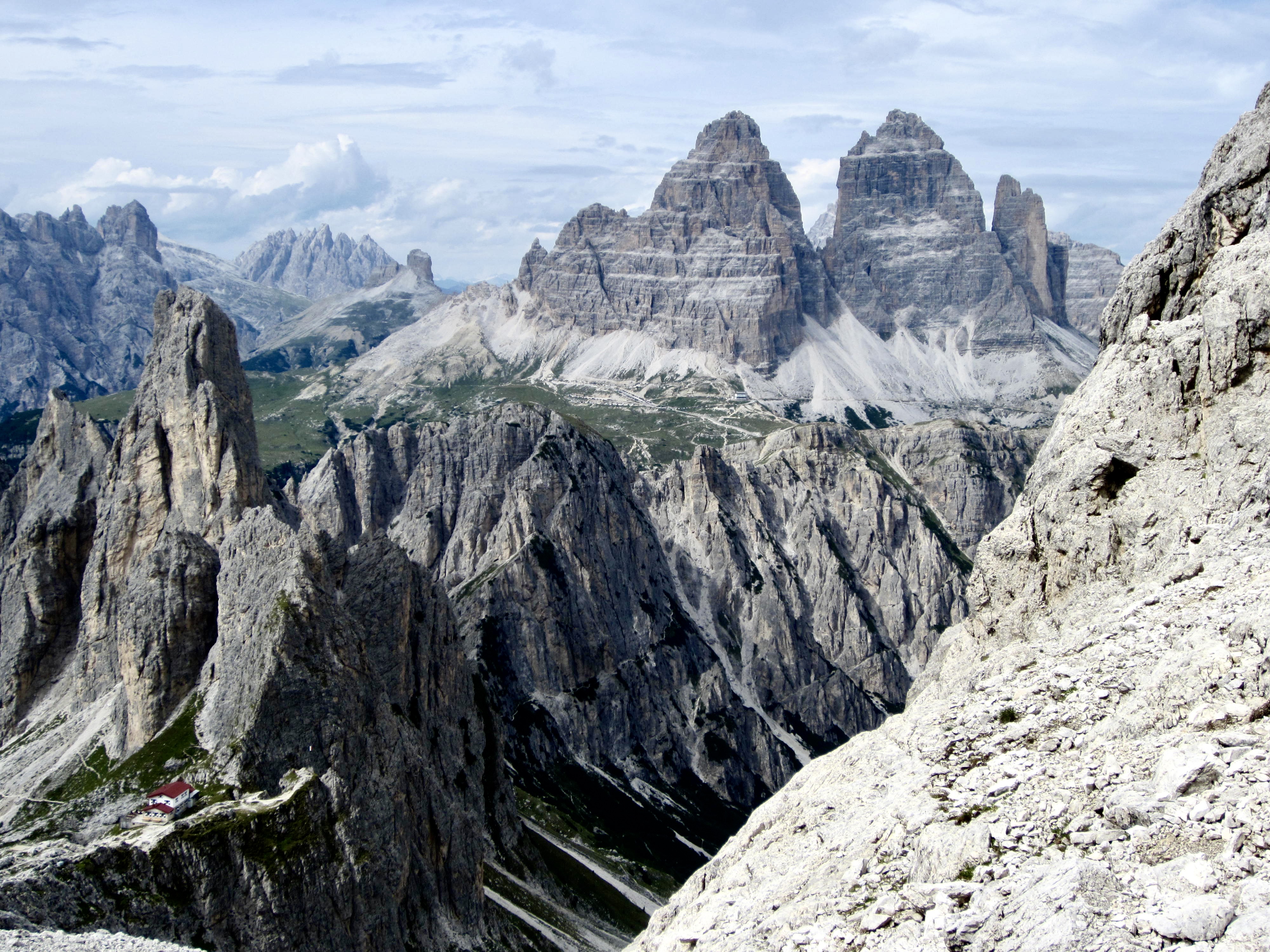
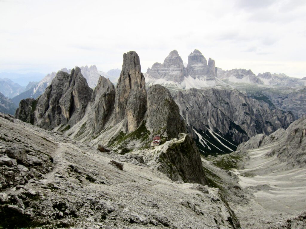
Refugio Fonda Savio aka Fonda Savio Hut
Via Ferrata Merlone aka Merlone Klettersteig
Cima Cadin Nord Est aka Cima Cadin Northeast attempt
Trip Report Summary
Region: Italy
Sub-Region: Dolomite Alps
Locale: Cima Cadin massif
Starting & Ending Point: Refugio Fonda Savio / Fonda Savio Hut (Elev. 7700 feet / 2350 meters)
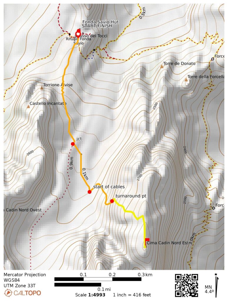
Way Points: Nevaio Valley trail junction & Via Ferrata Merlone base & ladder base & turnaround point (trail hike & rock scramble & via ferrata climb)
Summit Attempt: Cima Cadin Northeast (rock scramble & via ferrata climb to 8500 feet / 2590 meters)
Approximate Stats: 0.95 miles / 1.5 kilometers traveled; 850 feet / 260 meters gained & lost; 2.1 hours elapsed.
Related Posts
>>> Alta Via 4 Trekking Traverse: San Candido / Innichen to Cadore Valley – July 12-19, 2026
>>> Monte Paterno Via Ferrata / Paternkofel Klettersteig – July 14, 2026
>>> Torre Di Toblin Via Ferrata / Toblinger Knoten Klettersteig – July 13, 2026
Full Trip Report
During an overnight stay at the Fonda Savio Hut on our Alta Via 4 trail traverse, Eileen and I made a sidetrip into the nearby Cima Cadin massif. Our goal was to climb Cima Cadin Northeast by way of the popular Via Ferrata Merlone route. Honestly, though, we had a low chance of success because a thunderstorm was forecasted to arrive in late afternoon, thereby giving us only a short window of climbing weather. Hanging onto a steel via ferrata cable during a thunderstorm is never a good idea!
.
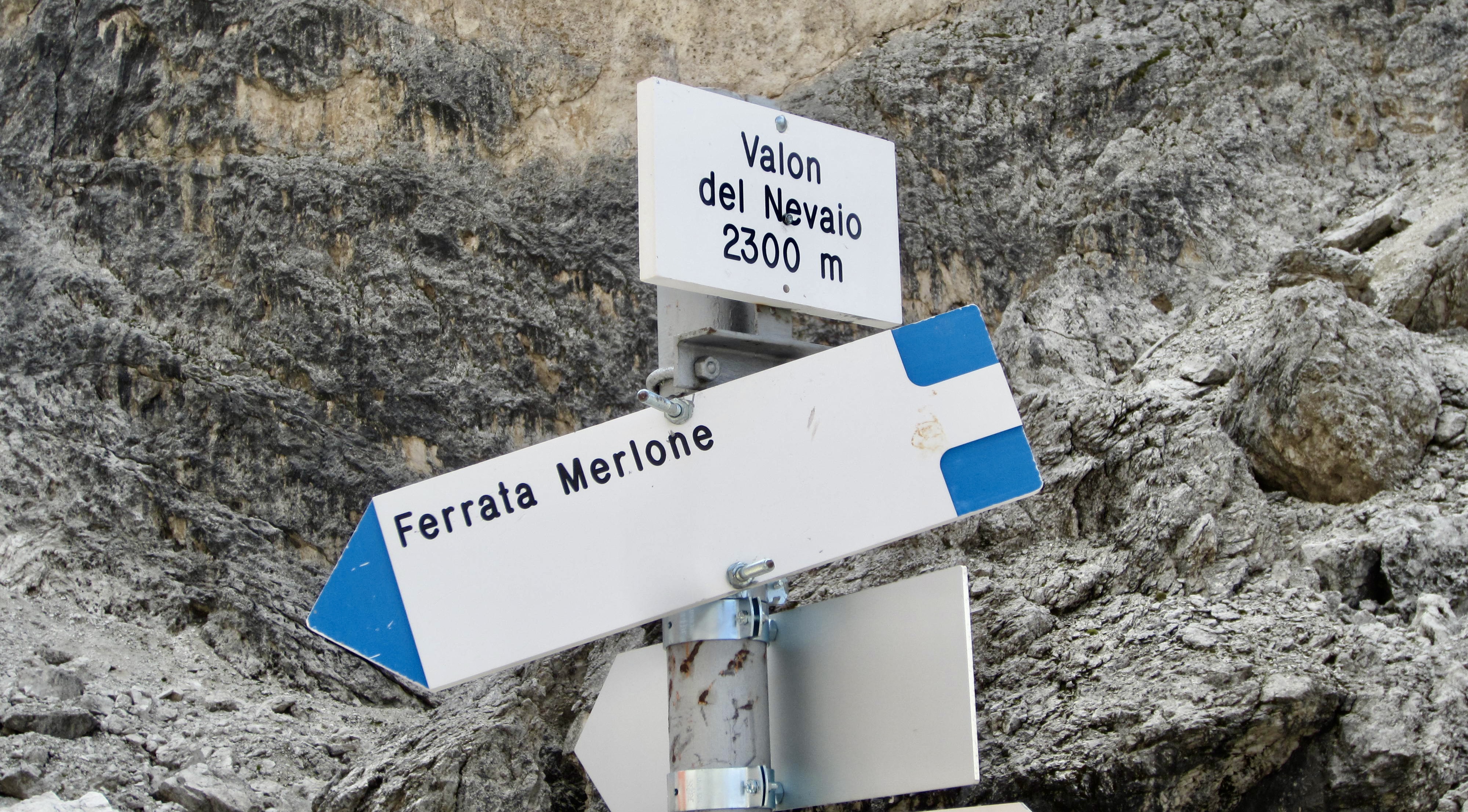
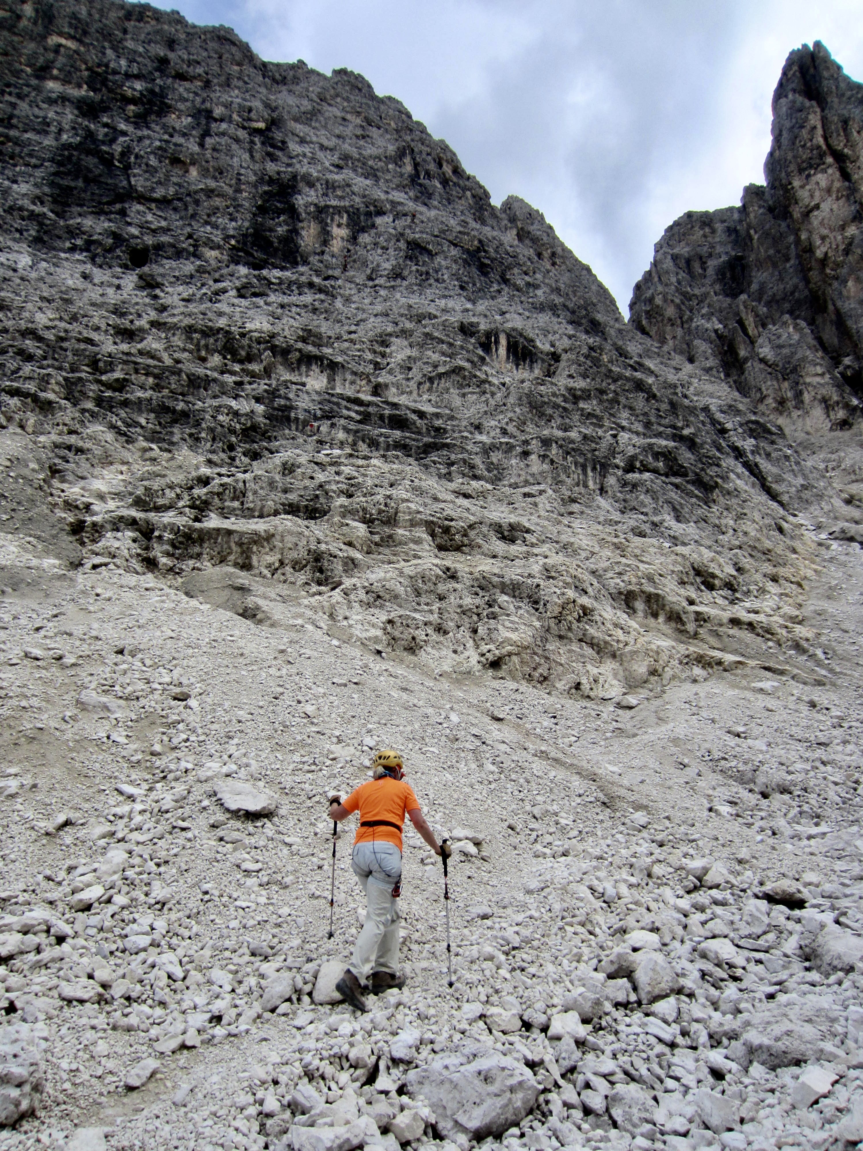
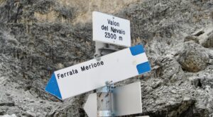
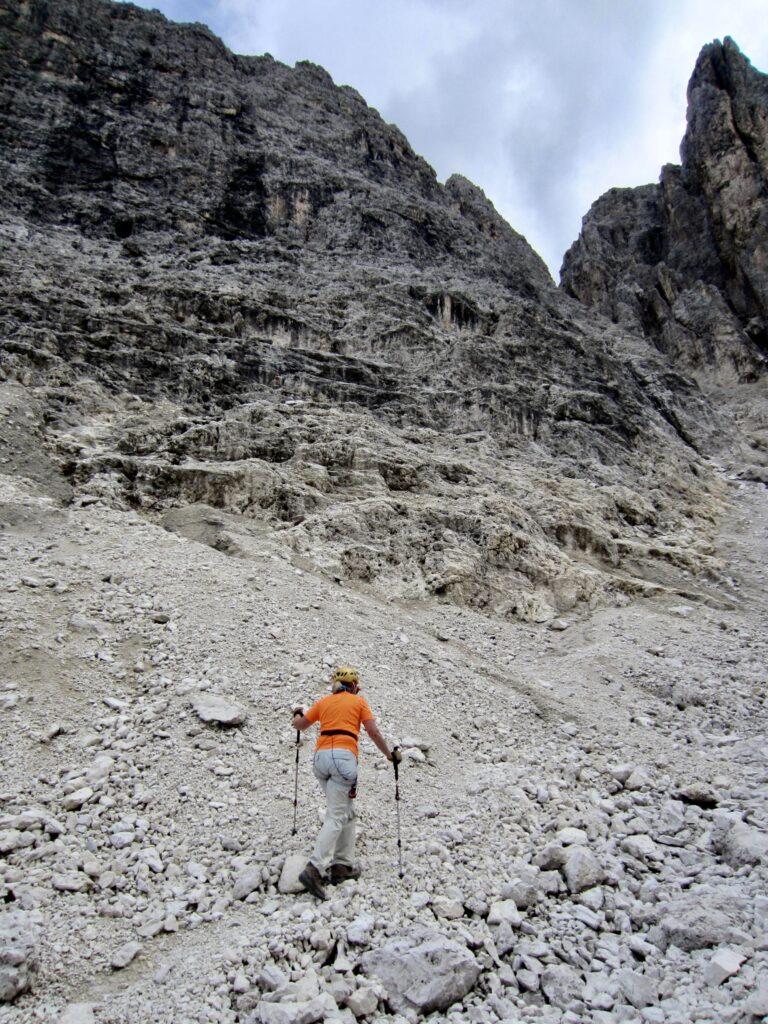
Eileen and I headed out from the hut at 3:30pm, approximately ½ hour behind two other parties. We hiked up a rocky moraine until coming to a signed junction on the crest, then we turned left on a primitive path and crossed a barren gulch to reach the base of the big western face of Cima Cadin Northeast (0.5 hours + 450 feet / 135 meters from hut). The other two parties were visible partway up the face.
.
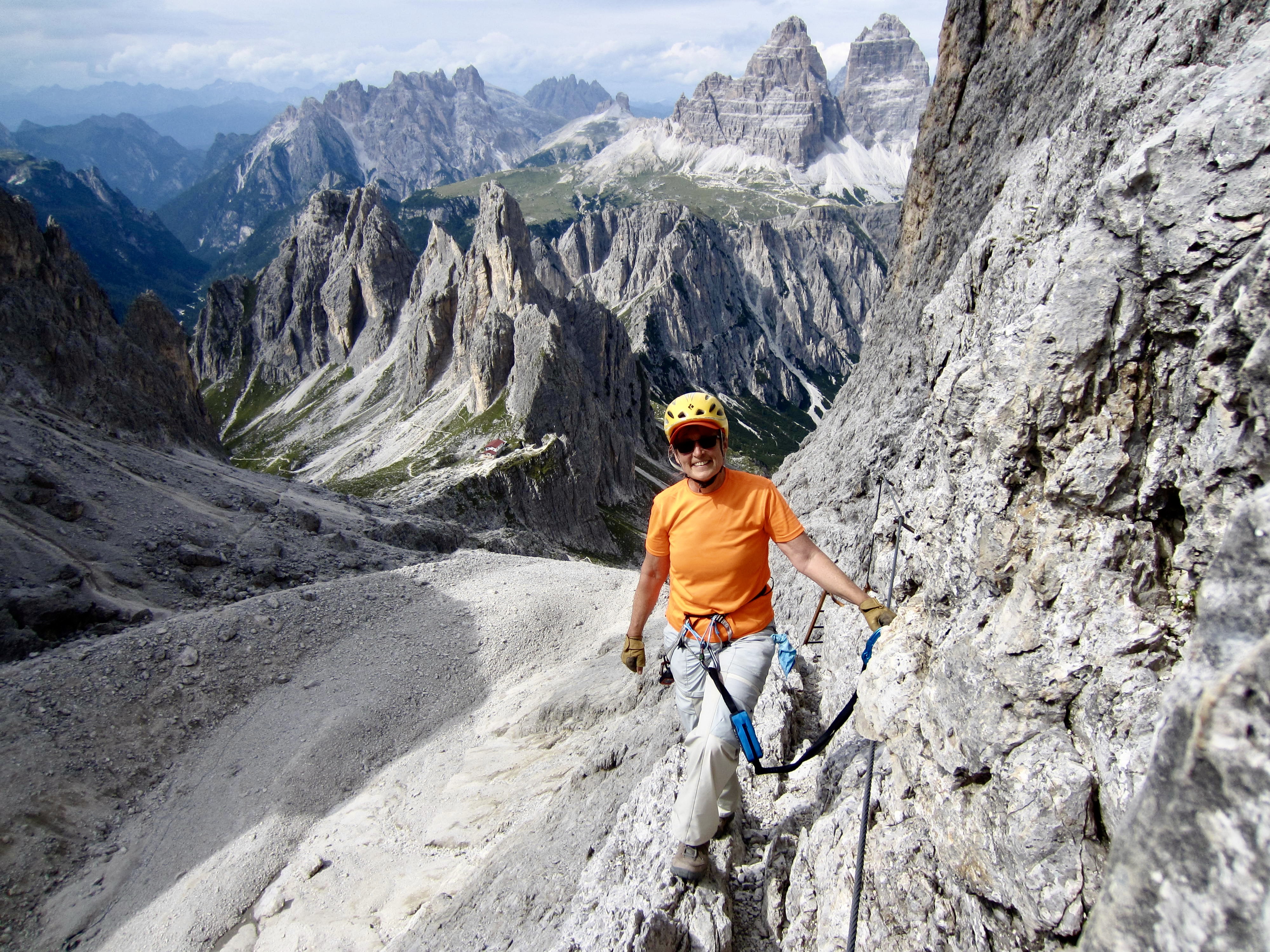
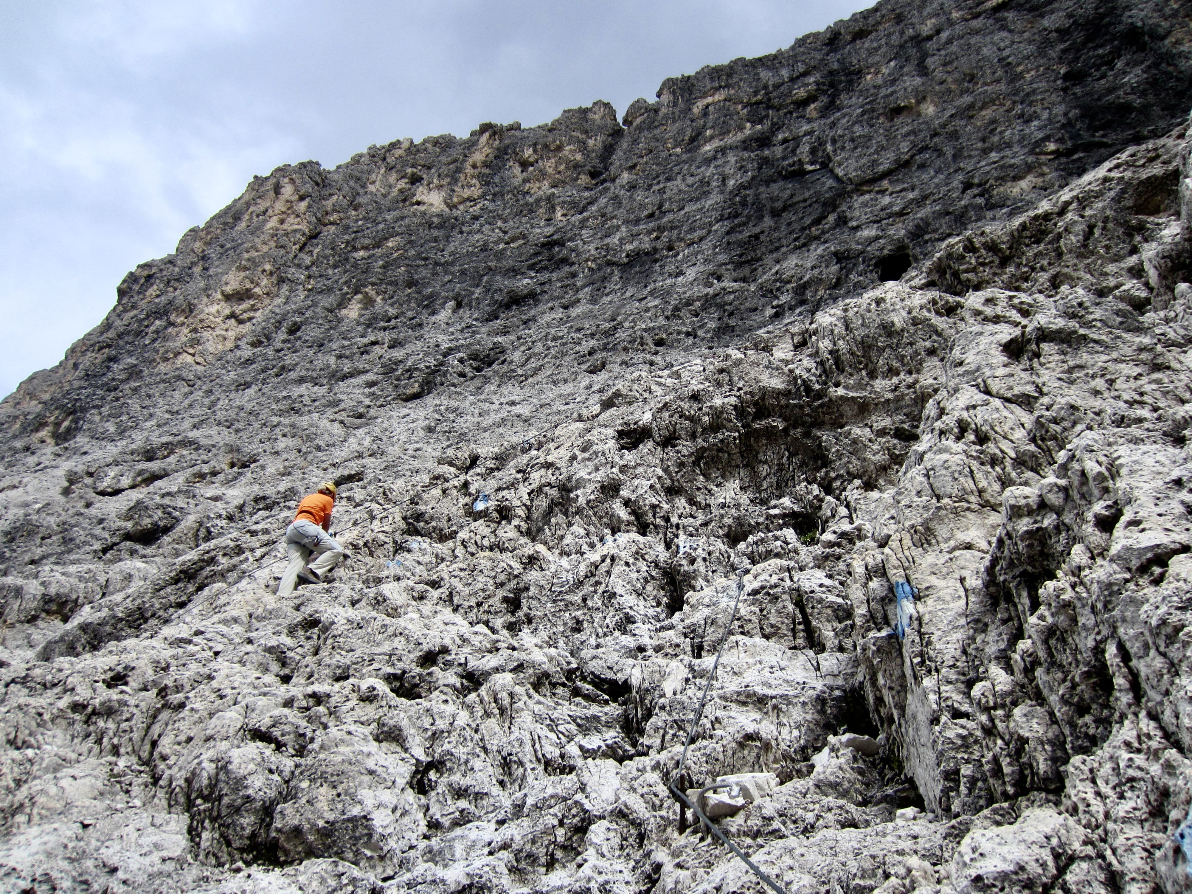
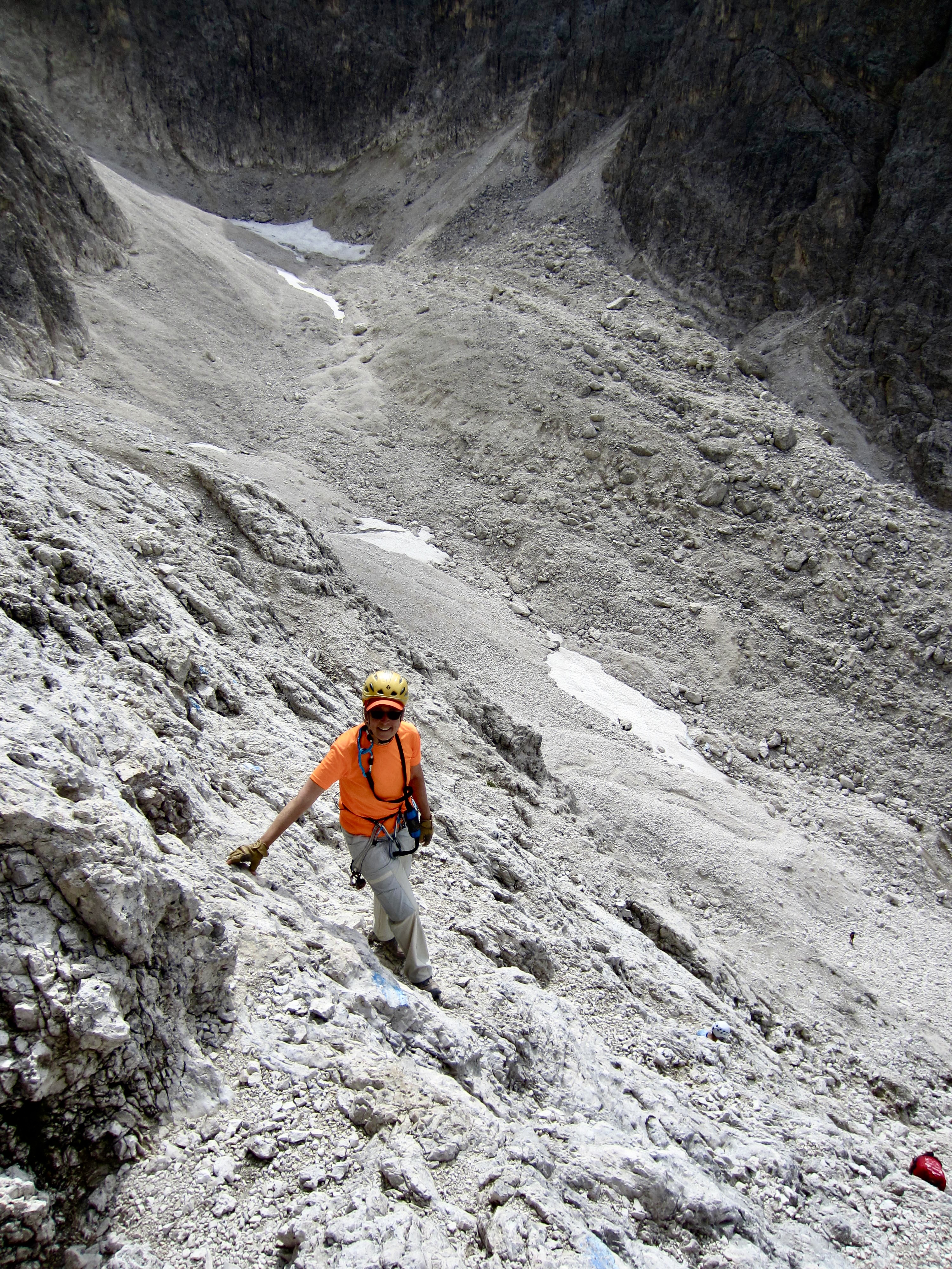
We began ascending the lower face, following blue route markers and occasional safety cables. Although the rock initially appeared crumbly and unpleasant, it actually offered enjoyable Class 2-3 scrambling on fairly solid, highly textured limestone. We soon encountered the other two parties at a point where the face becomes considerably steeper. Both parties had decided to turn around there due to dark clouds growing in the southern sky.
.
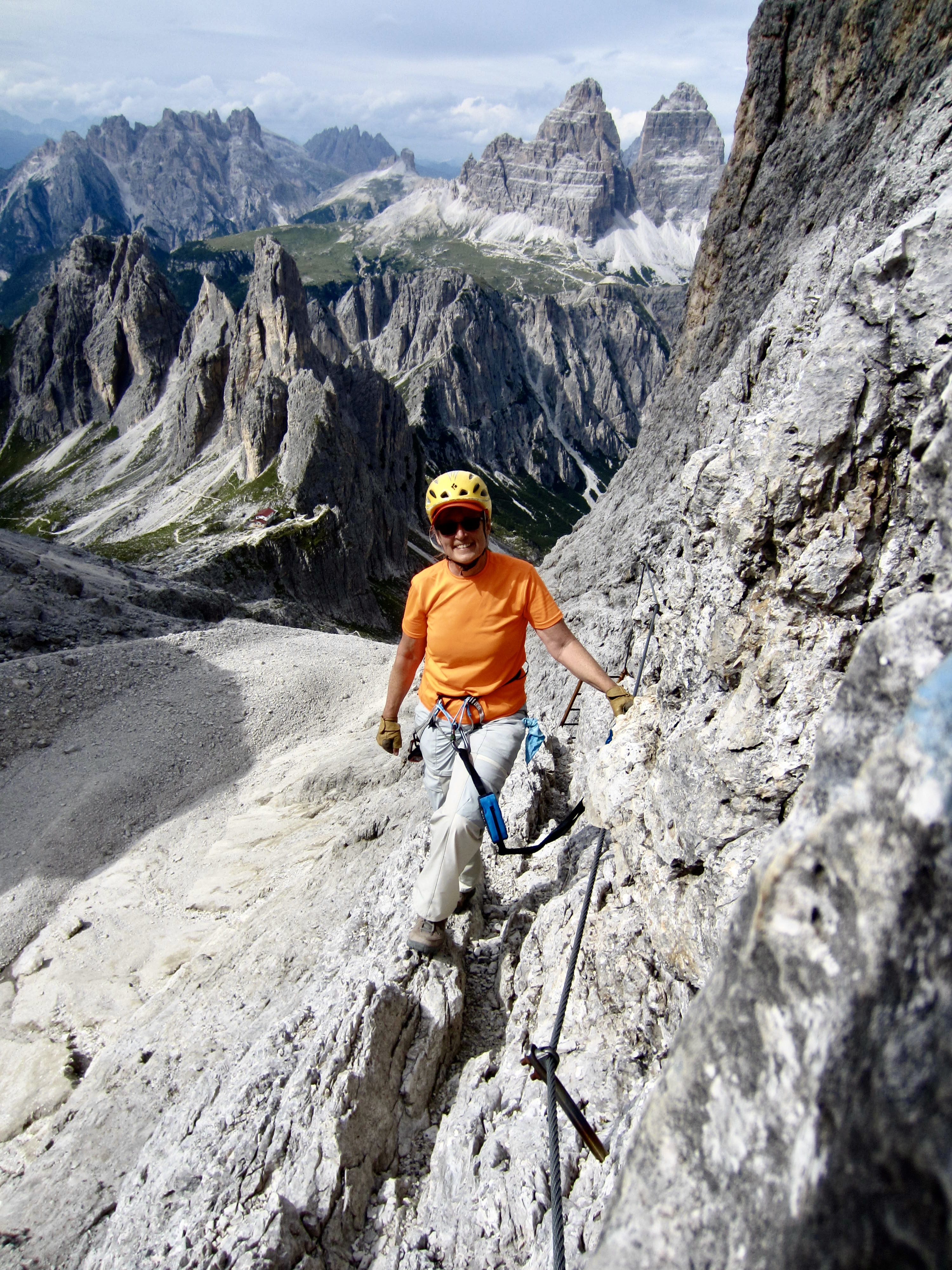
Given the fact that there was still blue sky overhead, Eileen and I elected to continue upward until the clouds looked more serious. This would obviously become a judgement call, but we were prepared to pull the plug at the first sign of trouble. We clipped into a nearby cable and began climbing a long series of steel ladders.
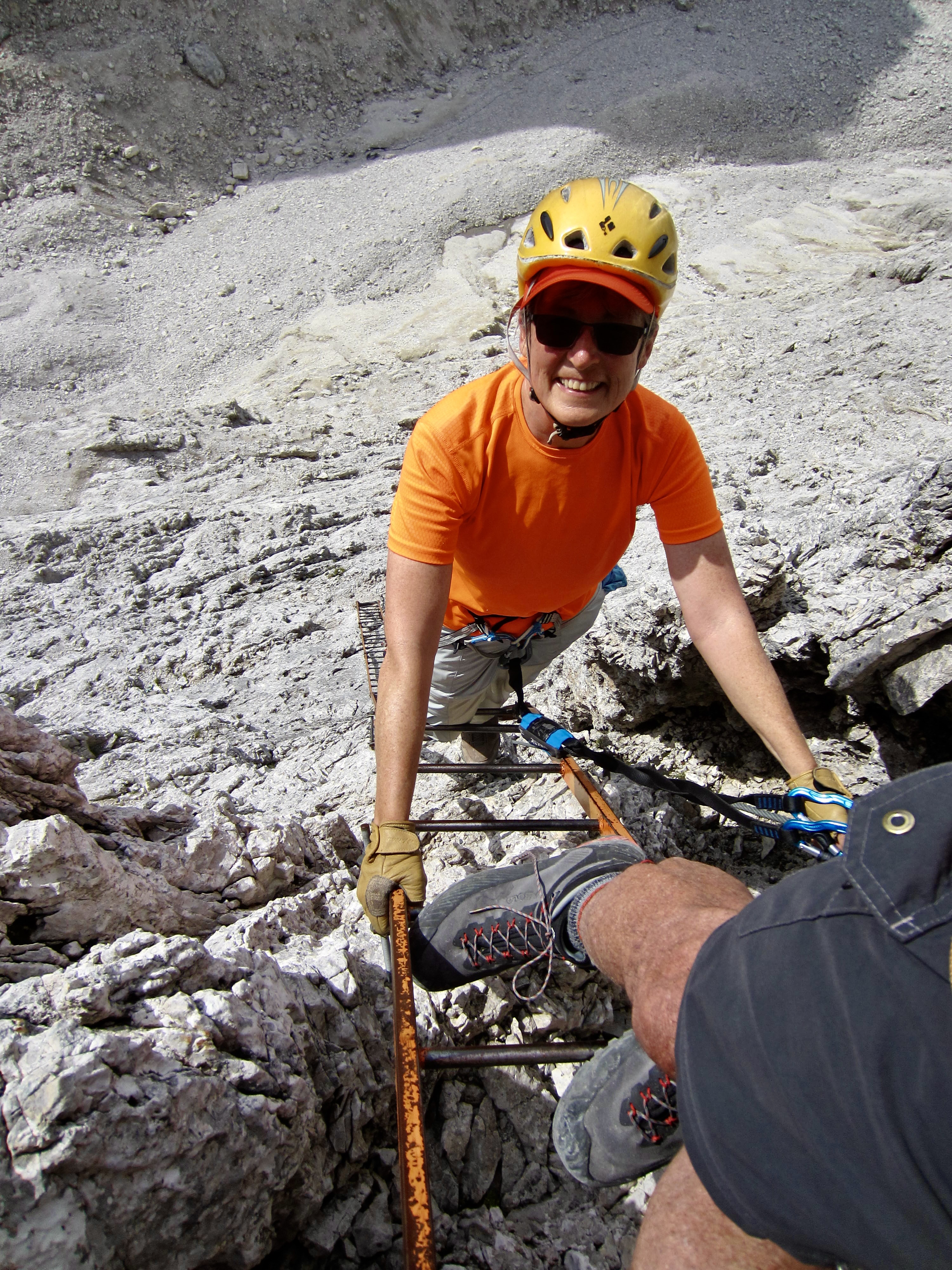
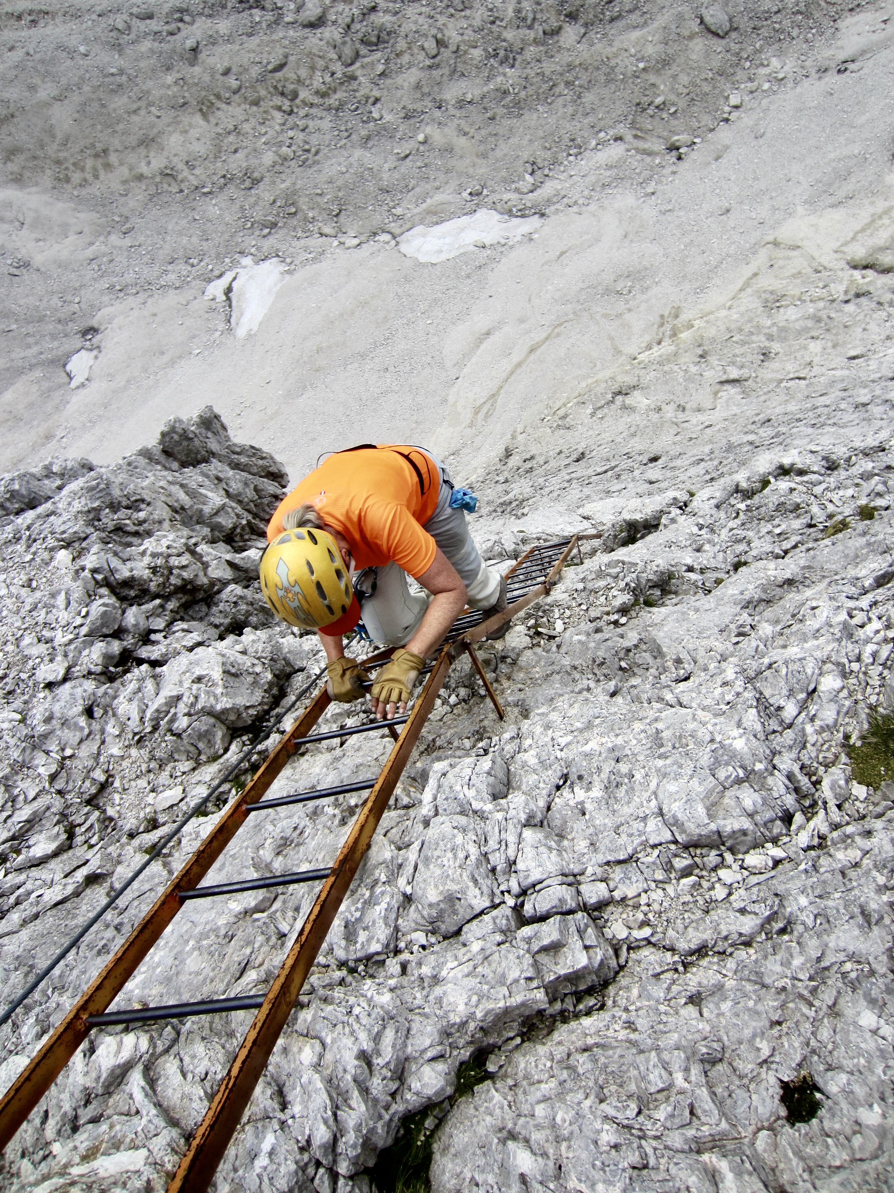
.
Via Ferrata Merlone is well-known for being a “ladder climb,” and we found that reputation to be very true. Our ascent involved ladder after ladder after ladder, many of which were nearly vertical or fully vertical. In certain locations, the ladders were separated by short lateral traverses, but otherwise we rarely touched the rock face.
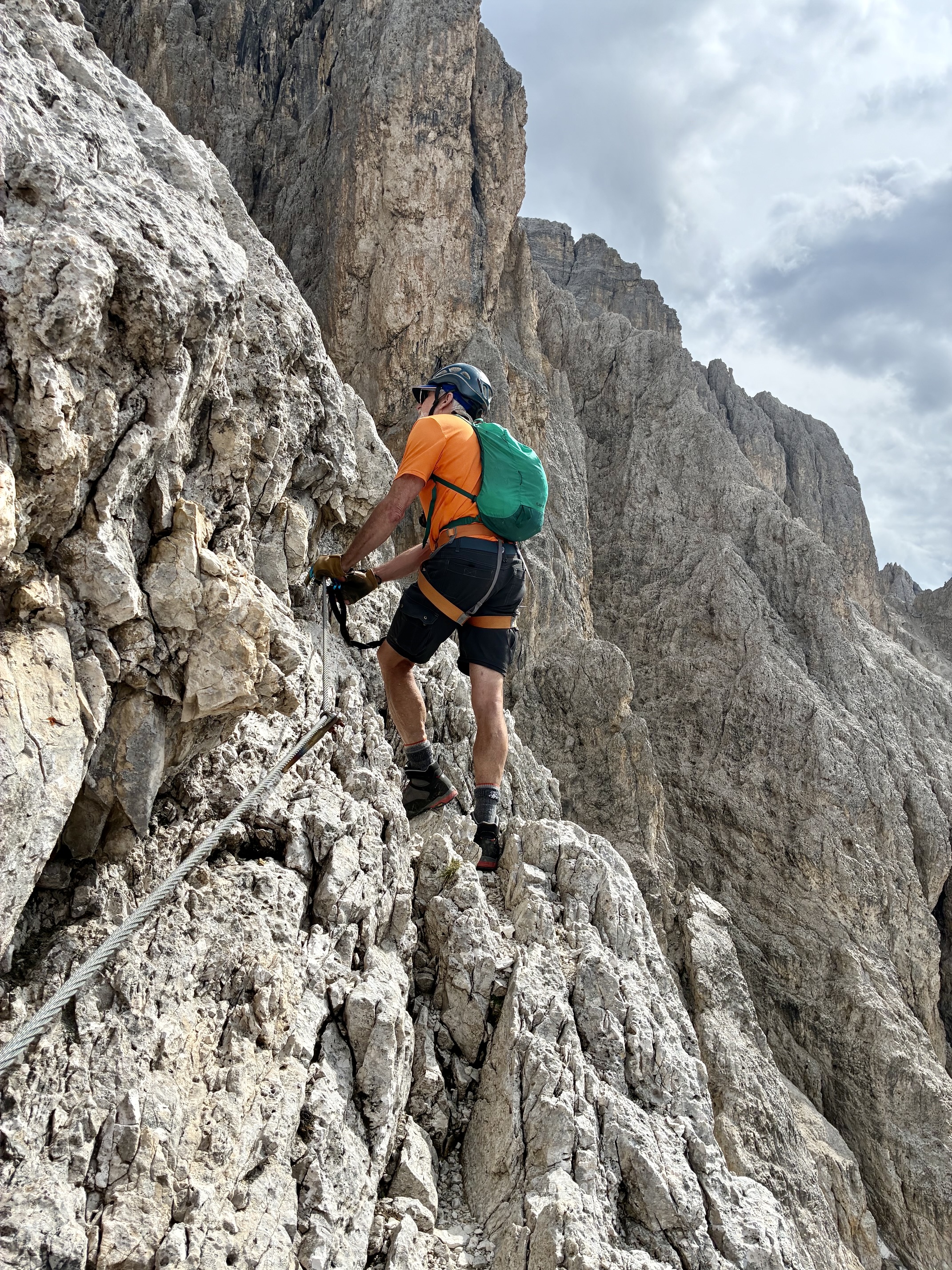
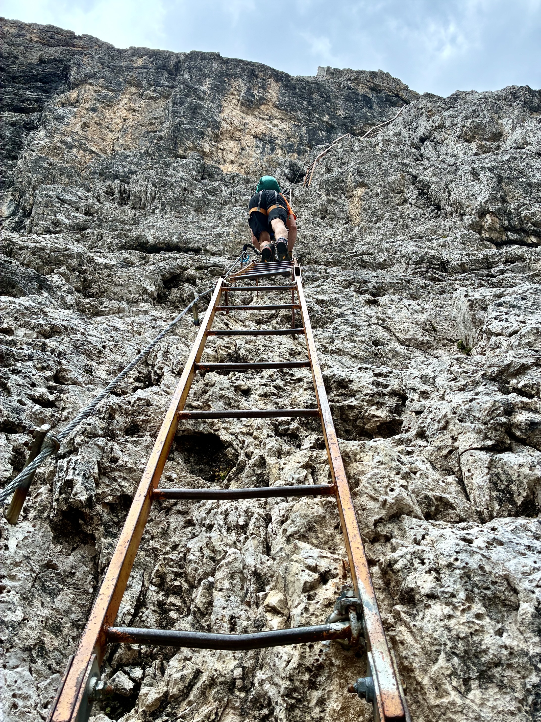
.
At an elevation of 8500 feet / 2590 meters, we noticed dark clouds drifting overhead. We were still 600 feet / 180 meters below the summit, and there was a long series of ladders ahead, so it was an easy decision to turn around here. We immediately reversed direction and began climbing down the ladders. Upon reaching the base of the cliff 30 minutes later, we heard the first clap of thunder and felt the first raindrop. Yikes! We hustled down the approach trail and were back at Fonda Savio Hut before any heavy rain fell.
Although we had not been able to reach the summit of Cima Cadin Northeast, Eileen and I were satisfied with our partial ascent. Frankly, the incessant ladder-climbing required on Via Ferrata Merlone is not an appealing via ferrata style to us; we much prefer a scrambling type of via ferrata, such as what we recently encountered on Torre di Toblin / Toblinger Knoten and on Monte Paterno / Paternkofel. Fortunately for us, the remaining part of our Alta Via 4 traverse served up a large dose of scrambling.
Route Map
…
Photo Gallery
Click to enlarge…