Trip Date: June 30 – July 2, 2026
Argonaut Peak Climbing Trip & Ingalls Creek Trail Loop
Long’s Pass
Ingalls Creek Valley
Argonaut Peak (8453/8455 ft)
Fourth Creek Pass
Eldorado Pass
Trip Report Summary
Region: Central Washington Cascades
Sub-Region: Icicle Mountains
Area: Alpine Lakes Wilderness
Starting Point: Esmerelda Trailhead at end of North Fork Teanaway River Road #9737 (Elev. 4250 feet)
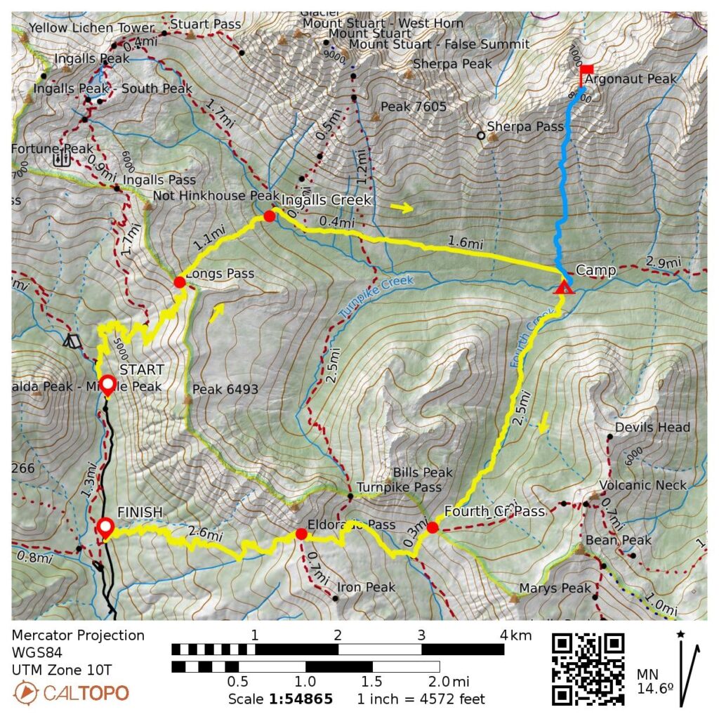
Loop Way Points: Longs Pass Trail junction & Longs Pass & Ingalls Creek crossing & Ingalls Creek Trail junction & Fourth Creek Trail junction & Ingalls–Fourth Camp & Ingalls Creek crossing & Fourth Creek Pass & Beverly Turnpike Trail junction & Beverly Creek crossing & Iron Peak Trail junction & Eldorado Pass & Iron Peak Trailhead (trail hike & log thrash)
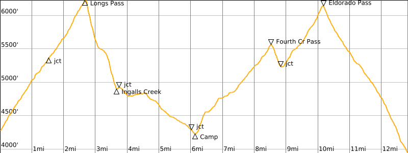
Loop High Point: Long’s Pass (Elev. 6200 feet)
Ending Point: Iron Peak Trailhead on North Fork Teanaway River Road #9737 (Elev. 3950 feet)
Campsite: Ingalls–Fourth Camp at Ingalls Creek crossing point on Fourth Creek Trail (Elev. 4200 feet)
Summit: Argonaut Peak (log thrash & bushwhack & off-trail hike & rock scramble & rock climb via South Slope—South Gully—Chockstone Dihedral—Upper East Ridge)
Approximate Total Stats: 16.4 miles traveled; 8500 feet gained; 8800 feet lost.
Related Posts
>>> Argonaut Peak via Colchuck Lake—Colchuck Col—East Ridge—Northeast Face – July 1999
Full Trip Report
Ever since getting thwarted by Argonaut Peak in 2024, Eileen and I planned to make another attempt. On that unsuccessful climb, we had tried to do a hybrid route by first going up the brushy south slope, then traversing into Porcupine Basin and wrapping around to the Northeast Face. Our subsequent attempt followed a more conventional route up the South Gully and Upper East Ridge. Andrew was able to join us for this next attempt, which turned out to be successful but presented some unexpected difficulties.
Our original plan was to start at the Beverly Turnpike Trailhead and hike over Fourth Creek Pass, then establish a basecamp at Ingalls–Fourth Camp, where the Fourth Creek Trail crosses Ingalls Creek. A few days before leaving, however, we saw reports that this trailhead was temporarily closed due to a washout. We quickly changed our starting point to the Esmerelda Trailhead. This seemed to be a minor adjustment, since it involved the same elevation gain and only an additional ½ mile of hiking. Unfortunately, the actual impact was not so minor.
Day 1: Esmerelda Trailhead to Ingalls–Fourth Camp
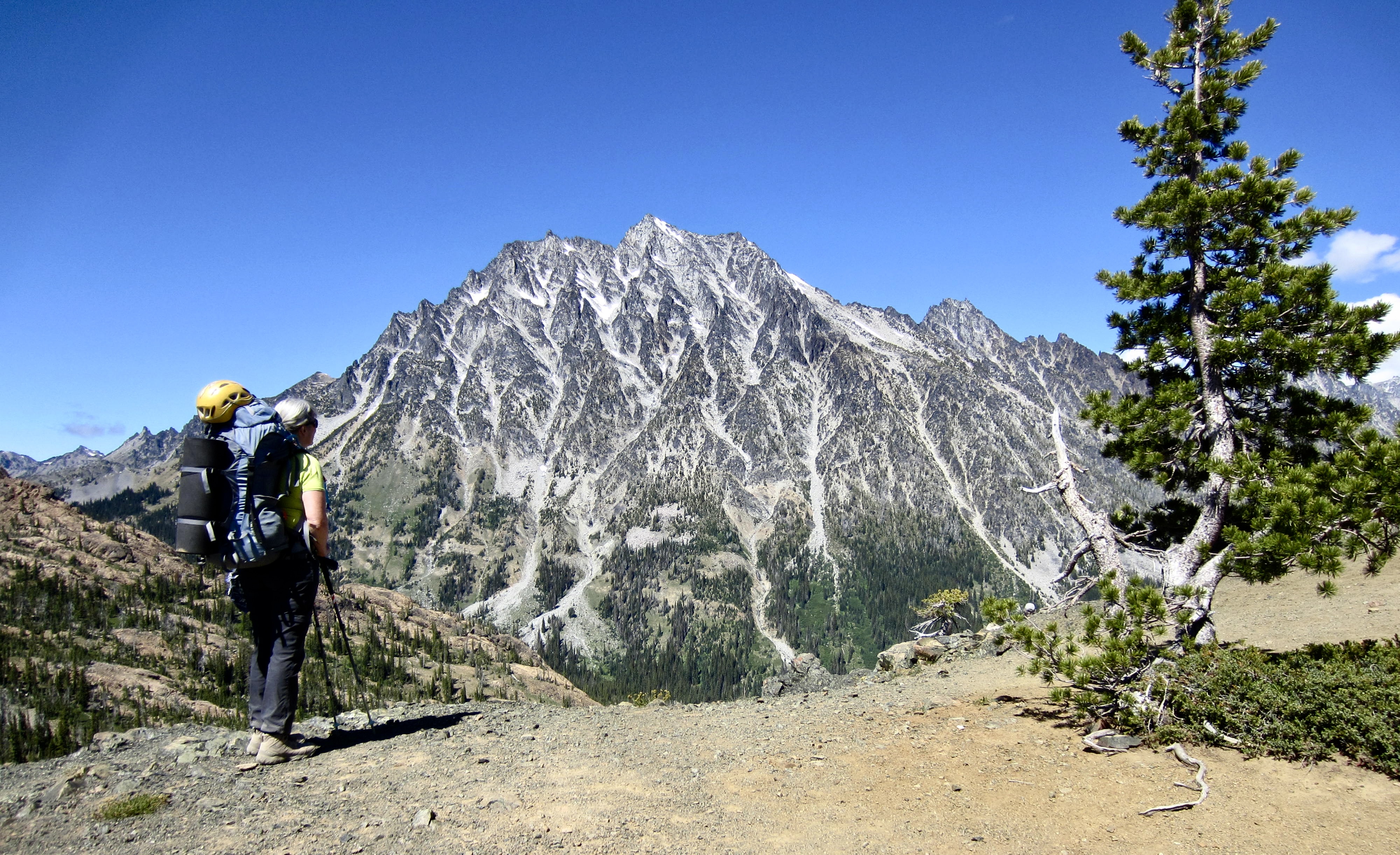
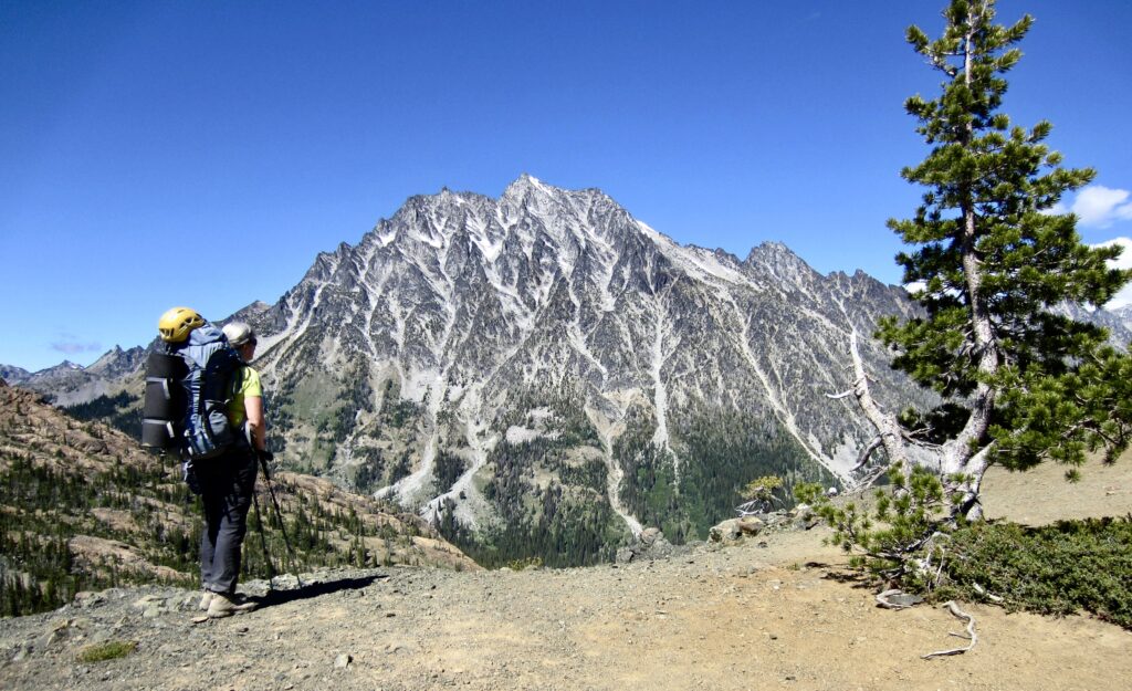
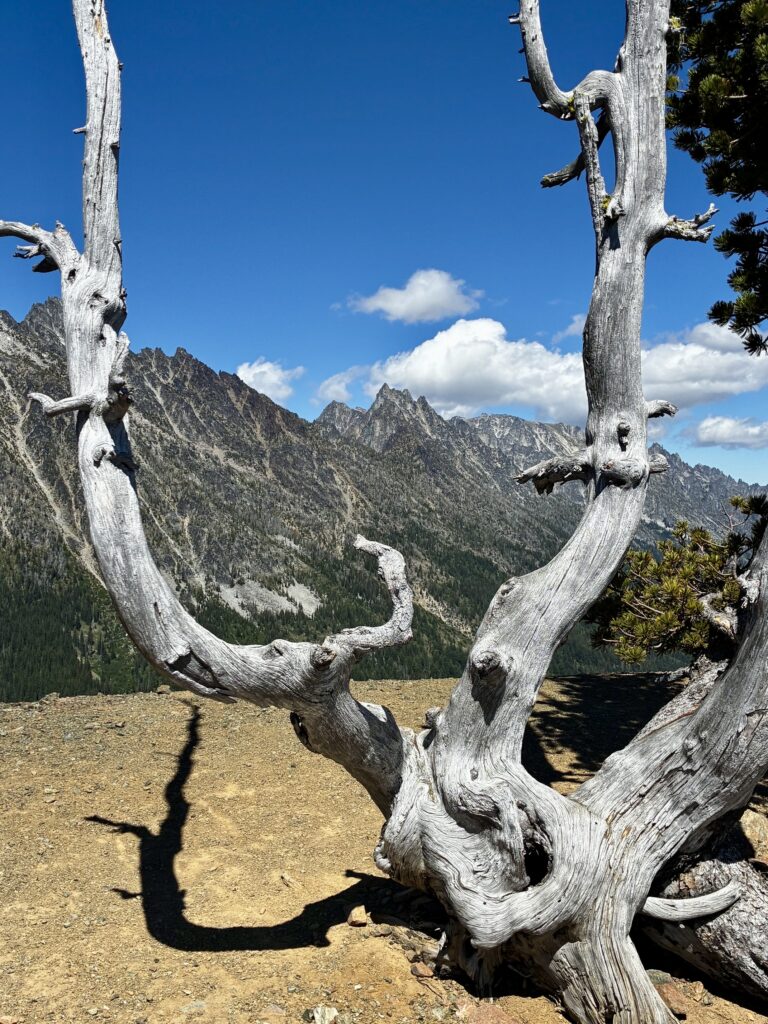
Eileen and I headed out from the Esmerelda Trailhead on a sunny but cool Tuesday afternoon (Andrew was leaving home later due to work commitments). We hiked up to 6200-foot Long’s Pass, which offers a gob-smack view of Mt. Stuart. The spiked summit of Argonaut Peak was visible 3½ miles to our northeast.
.
.
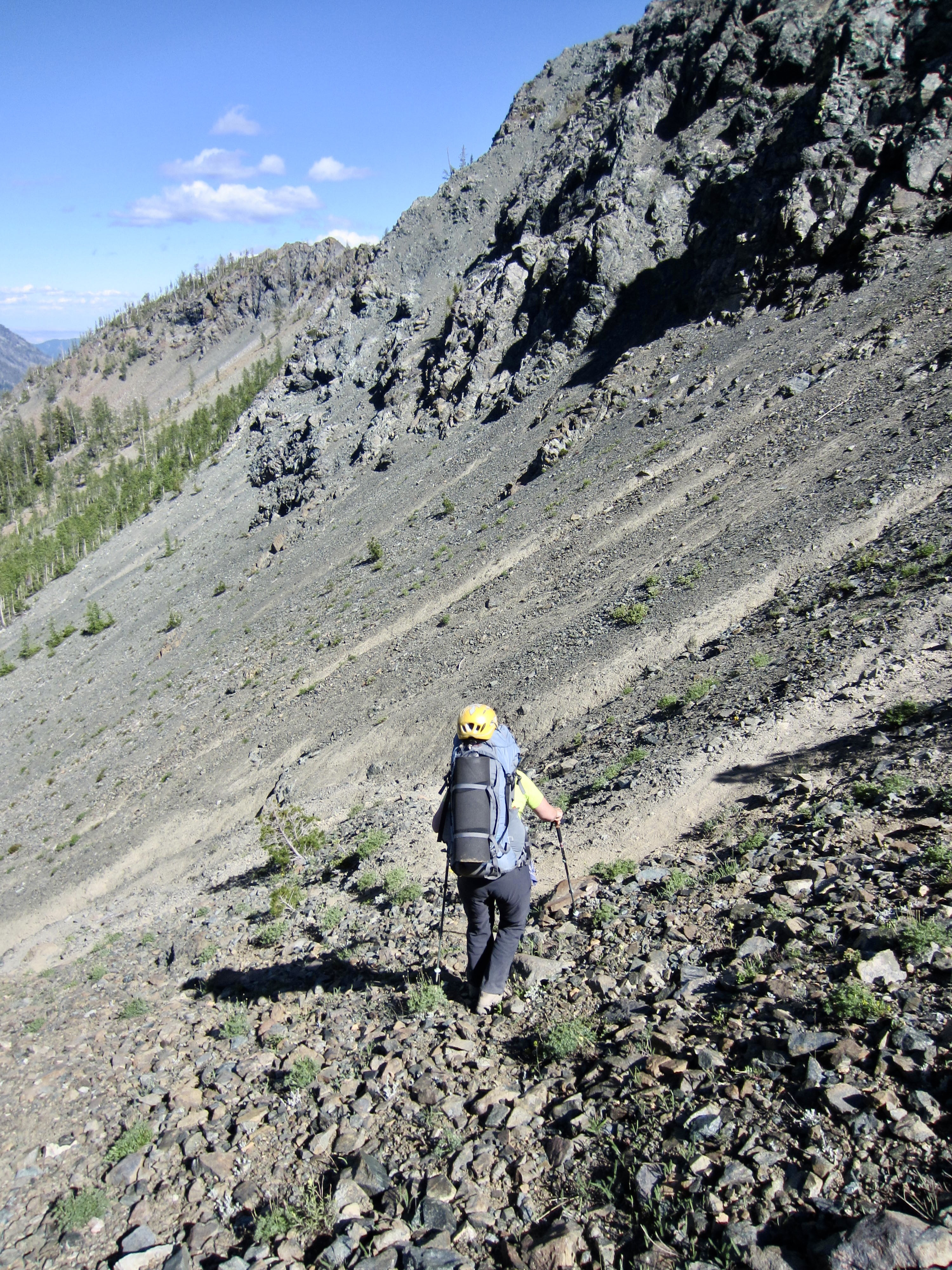
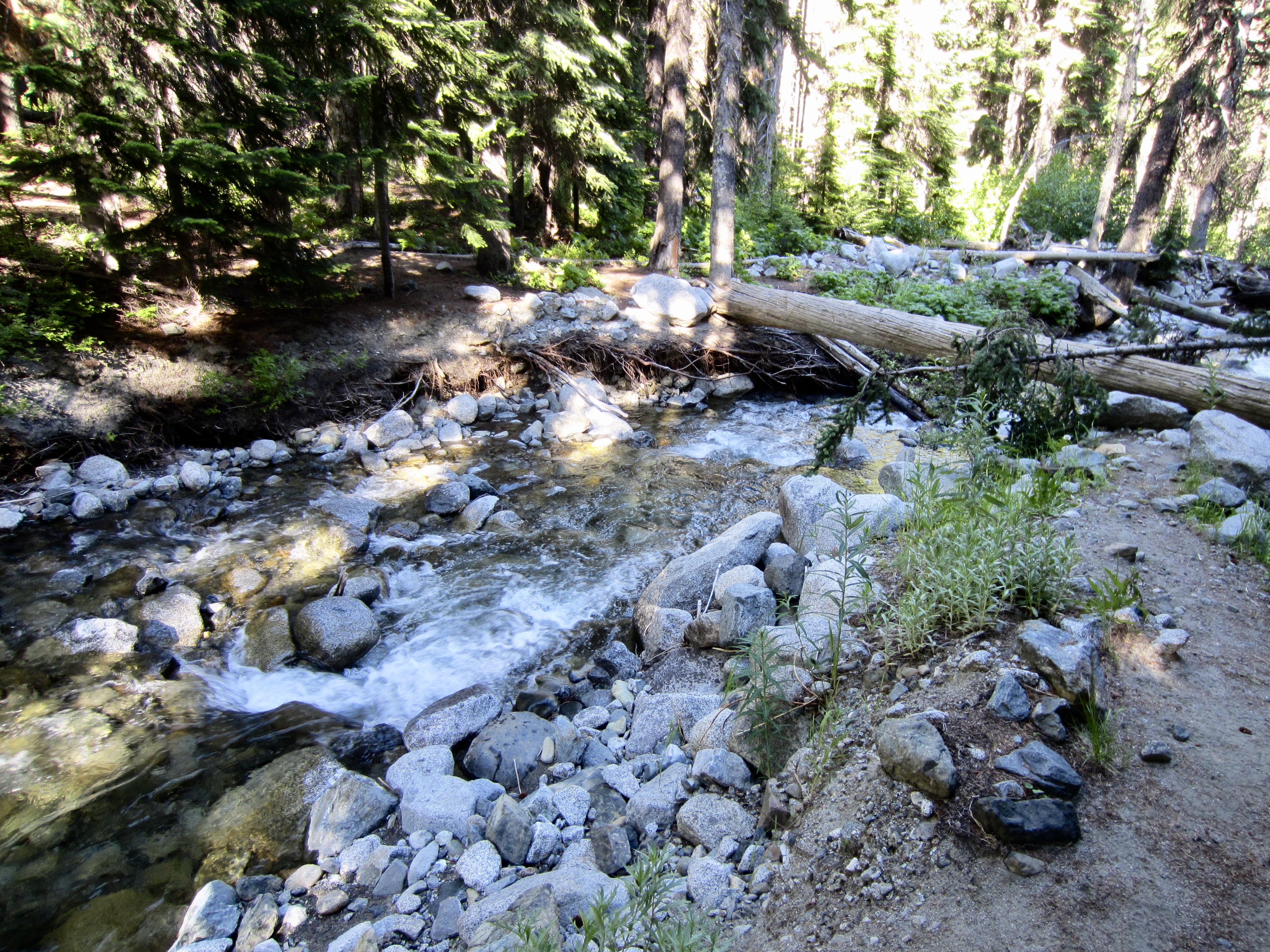
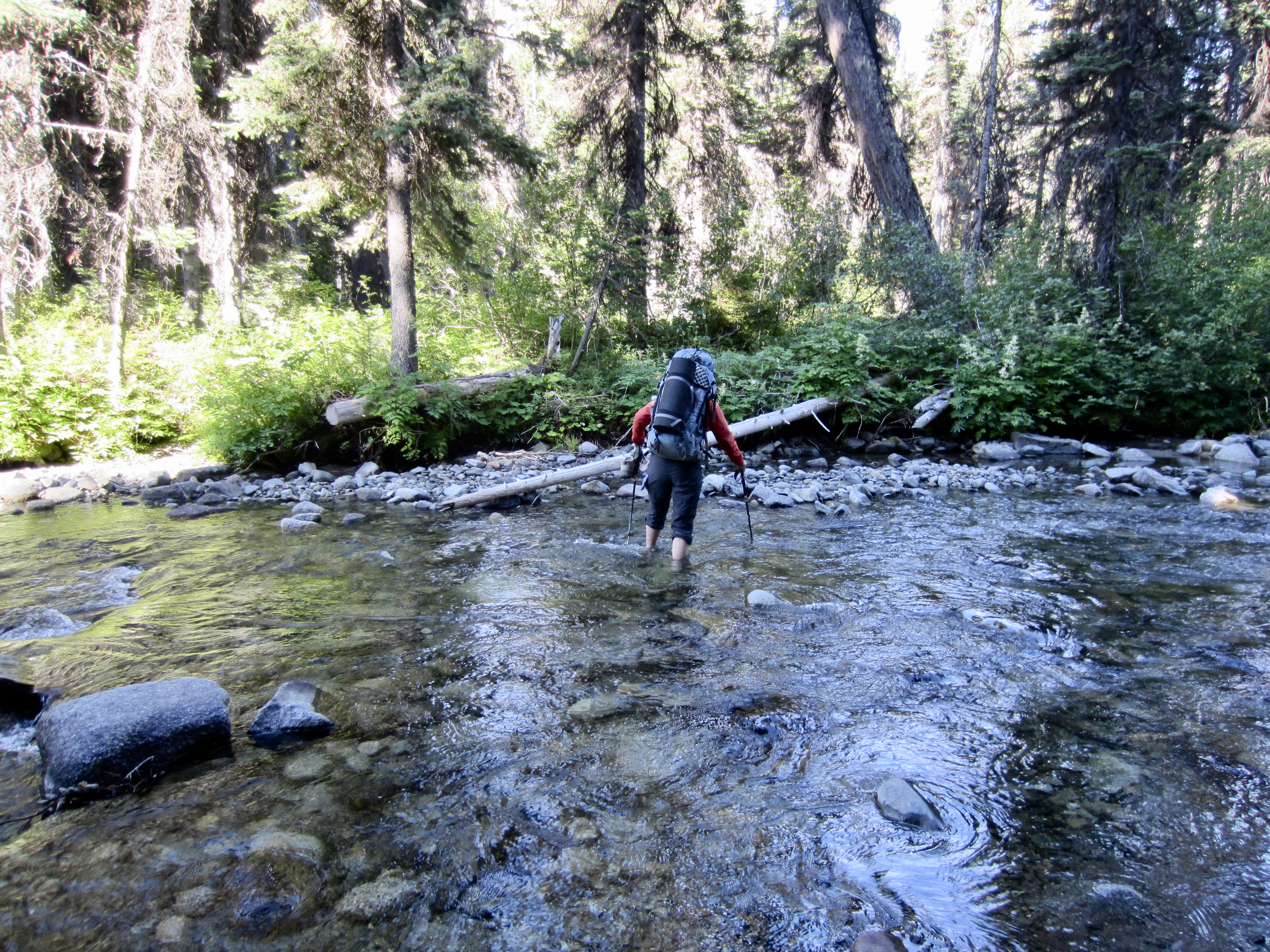
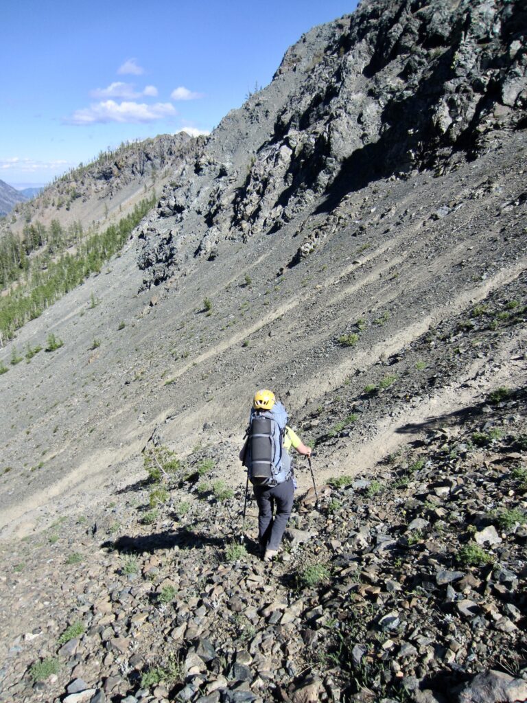
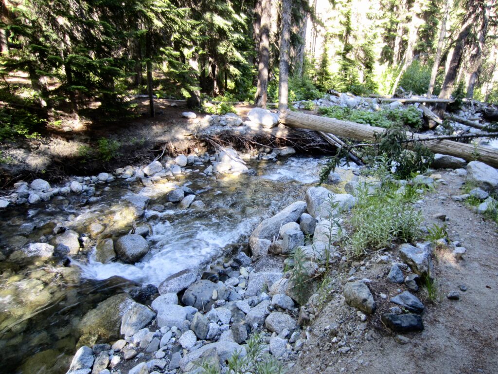
From Long’s Pass, we carefully descended the steep, eroded trail and arrived at the shore of Ingalls Creek in late afternoon (4.5 hours + 3.7 miles + 1950 feet – 1300 feet from TH). Our creek-crossing options consisted of either walking on a sturdy log or making an easy ford. We chose the latter, and Andrew arrived just as we were putting our boots back on.
.
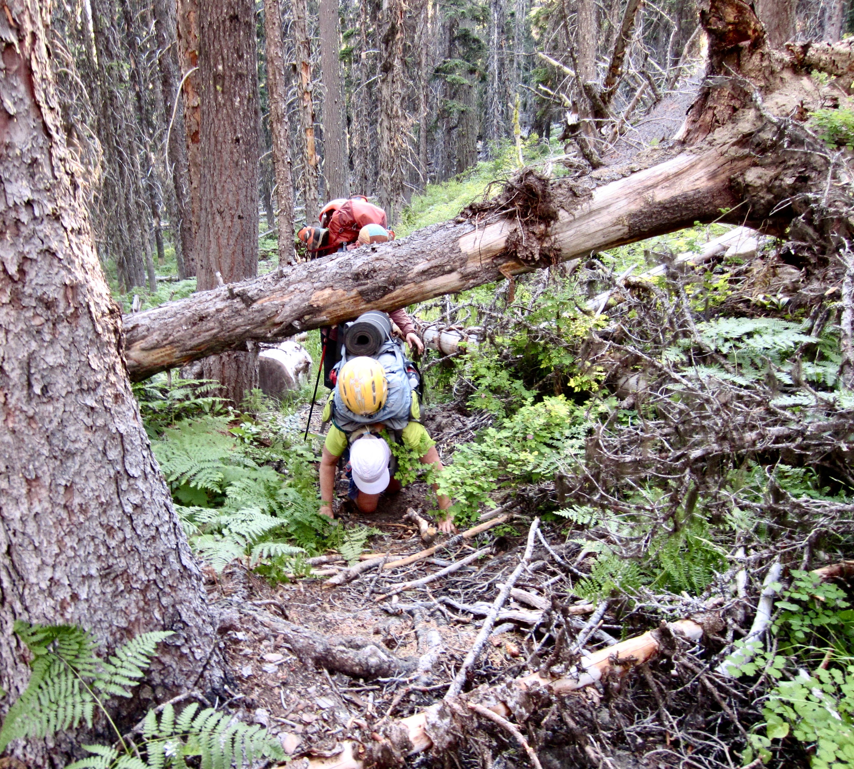
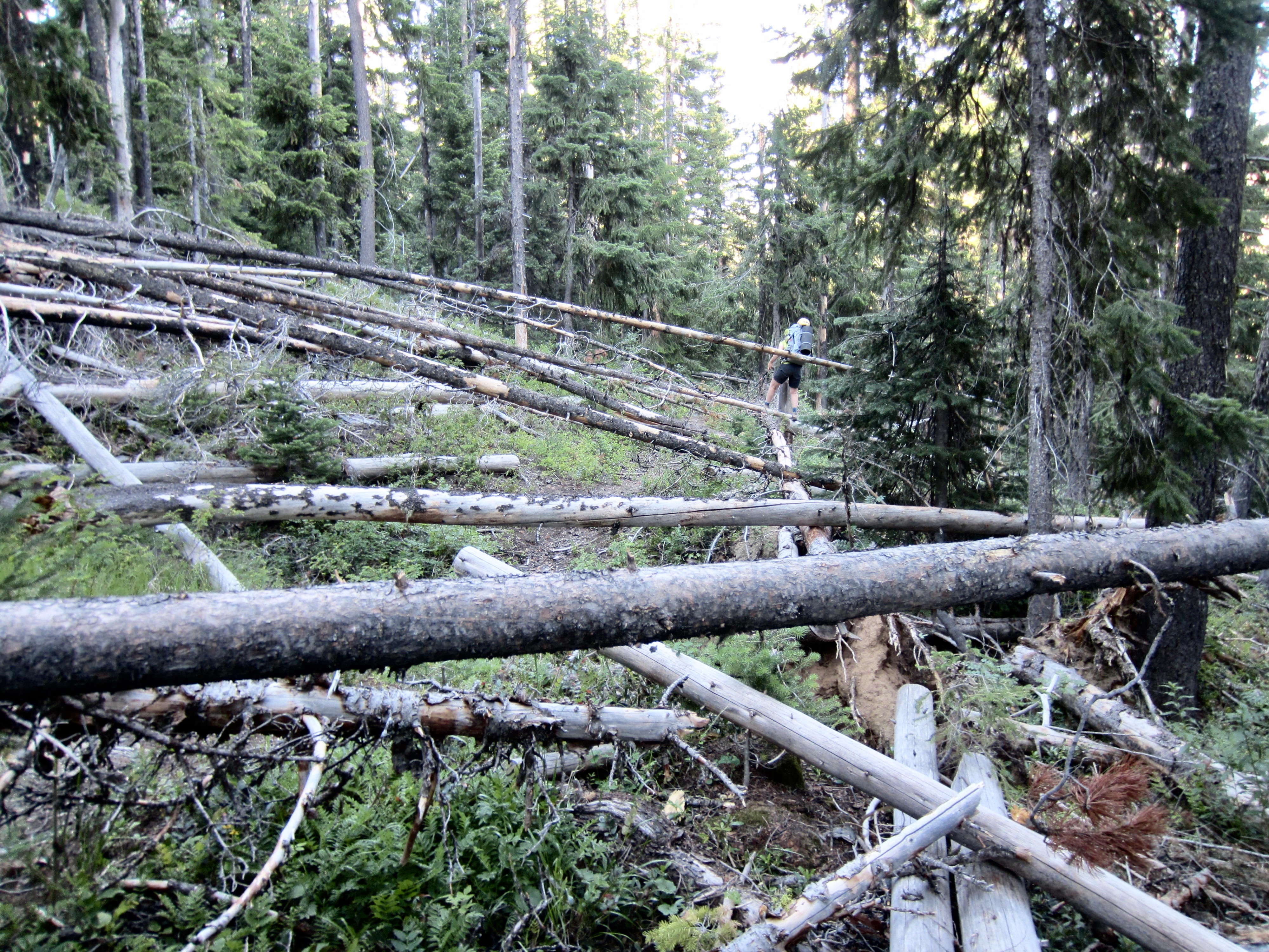
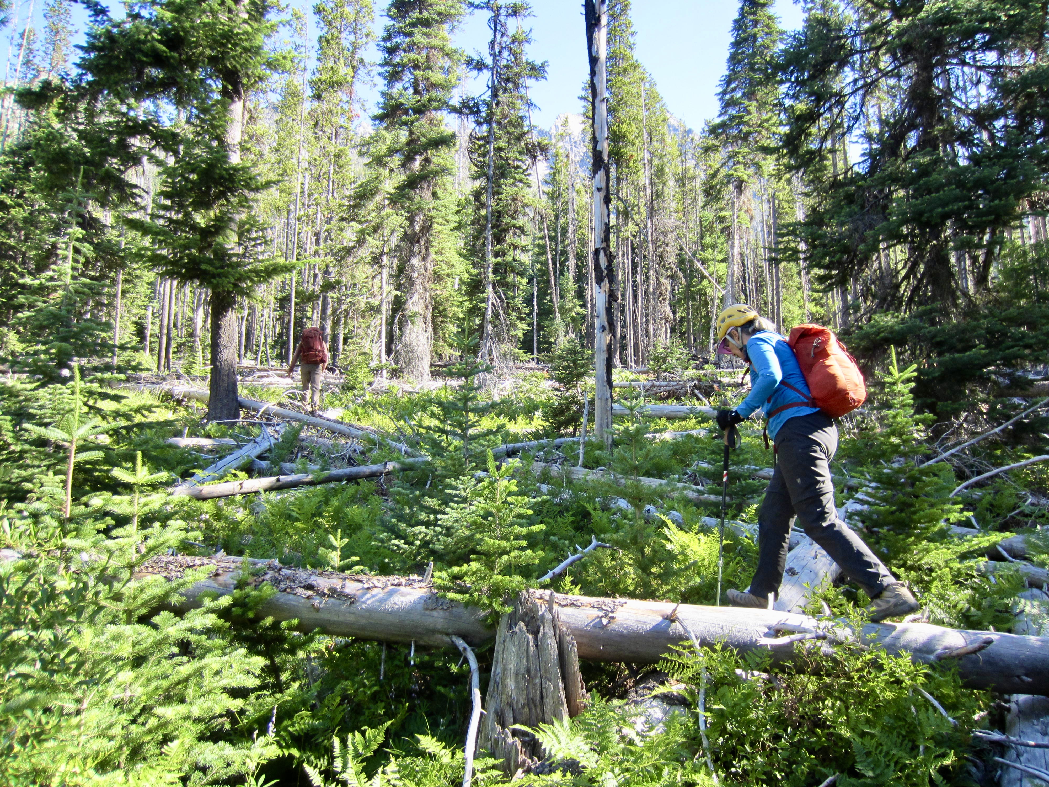
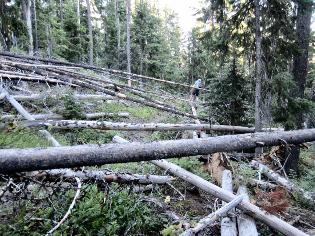
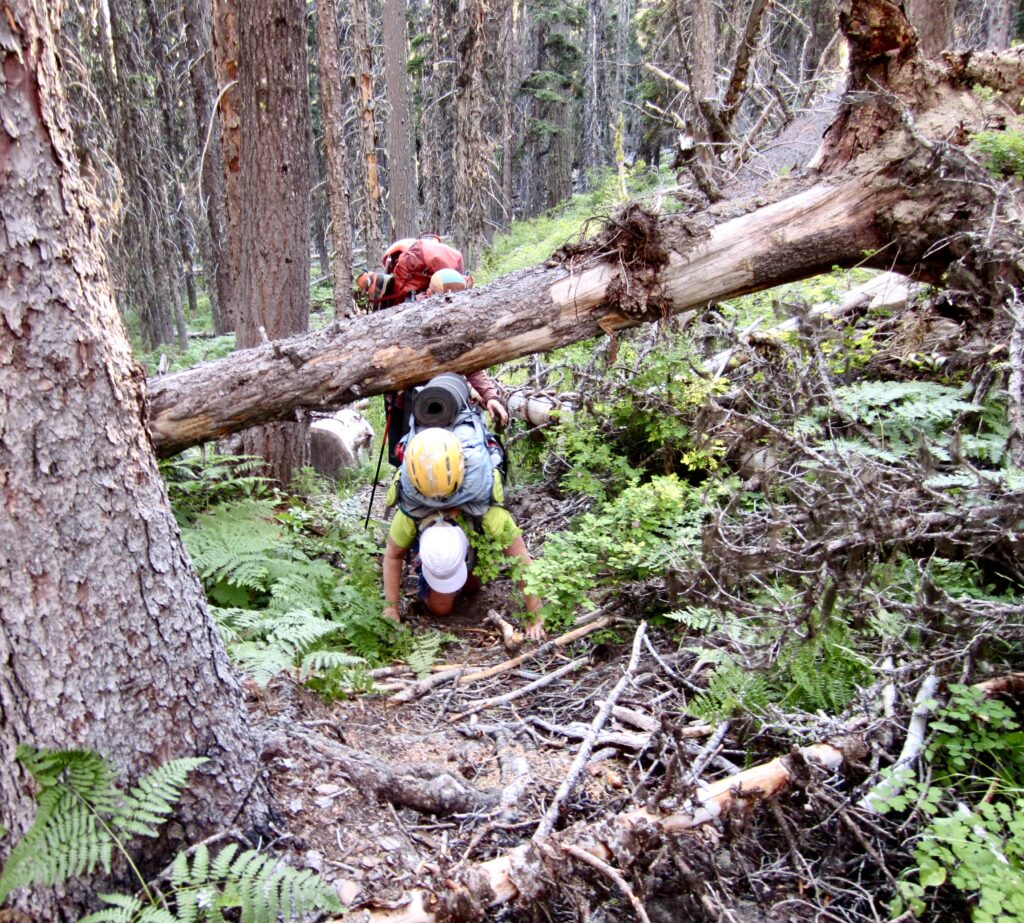
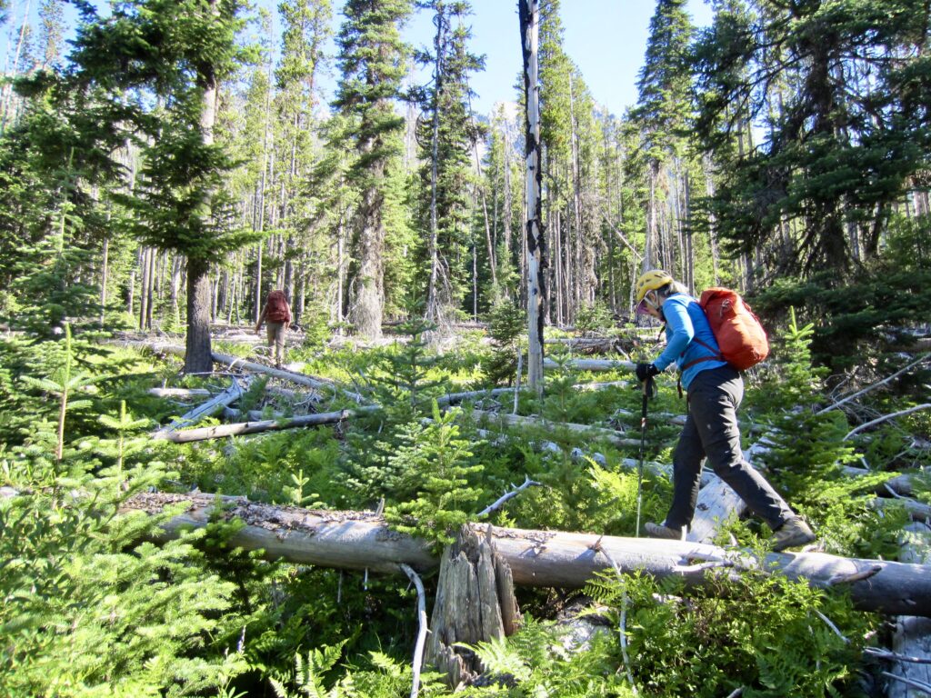
On paper, the remainder of our day involved an uneventful 2½-mile hike down the Ingalls Creek Trail to the Fourth Creek Trail junction. It began innocently enough, but after about ½ mile, we encountered the first downed log. A bit farther along, we encountered another…then another…then several more…then lots more. The logs became more prevalent with distance, such that we eventually spent most of our time crawling under, sliding over, and crashing around them rather than actually hiking. I estimated that there were several hundred fallen logs in a 2-mile stretch of trail!
.
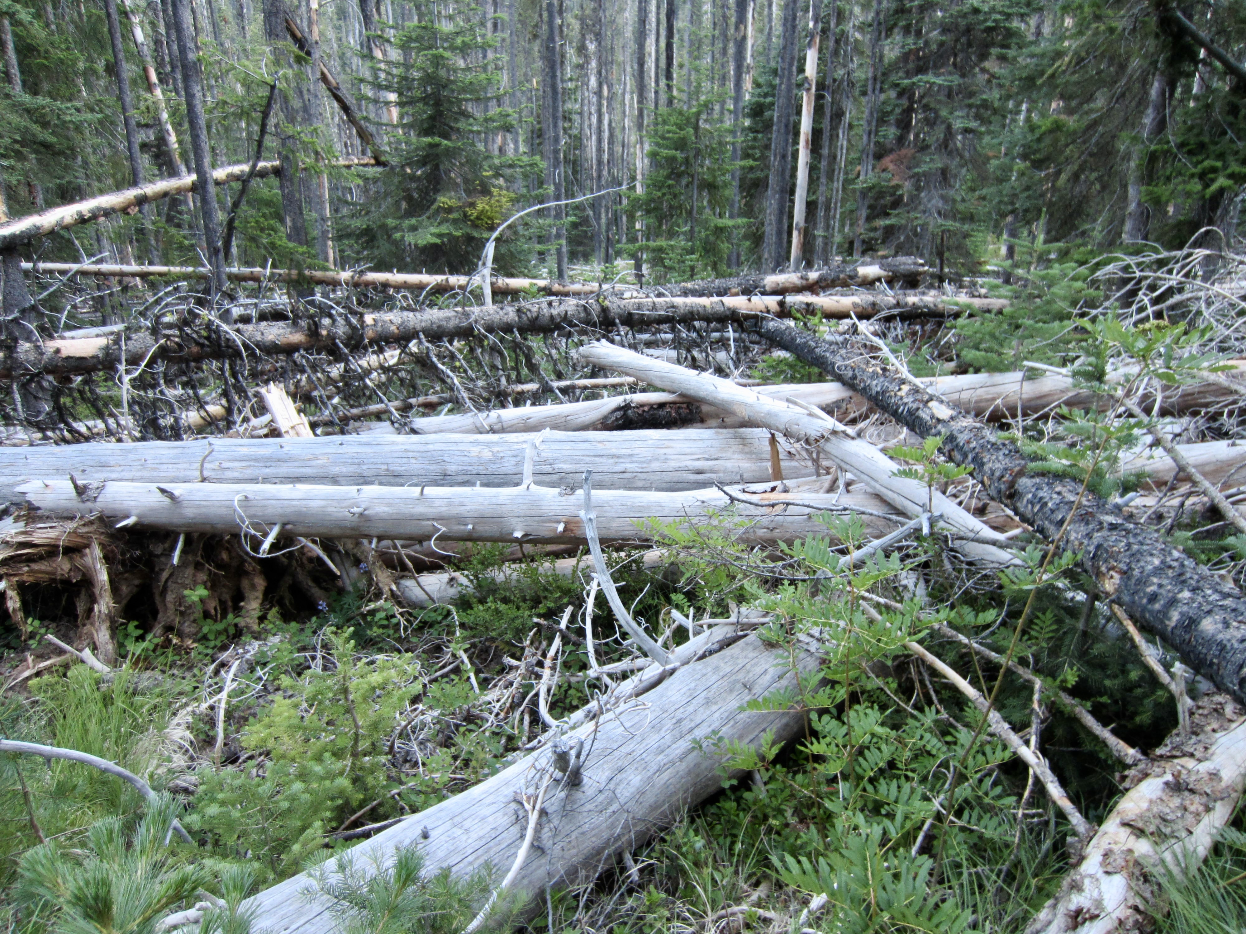
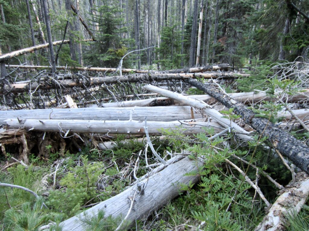
The log situation got even worse when we arrived at the Fourth Creek Trail junction. This short side trail was almost completely buried under a mess of jackstraw trees. It was truly hideous! Considering that these fallen logs were not here last year, I suspect that they represent yet another casualty of December’s “bomb cyclone” windstorm. Trail crews will face a monumental task to re-open both trails here.
.
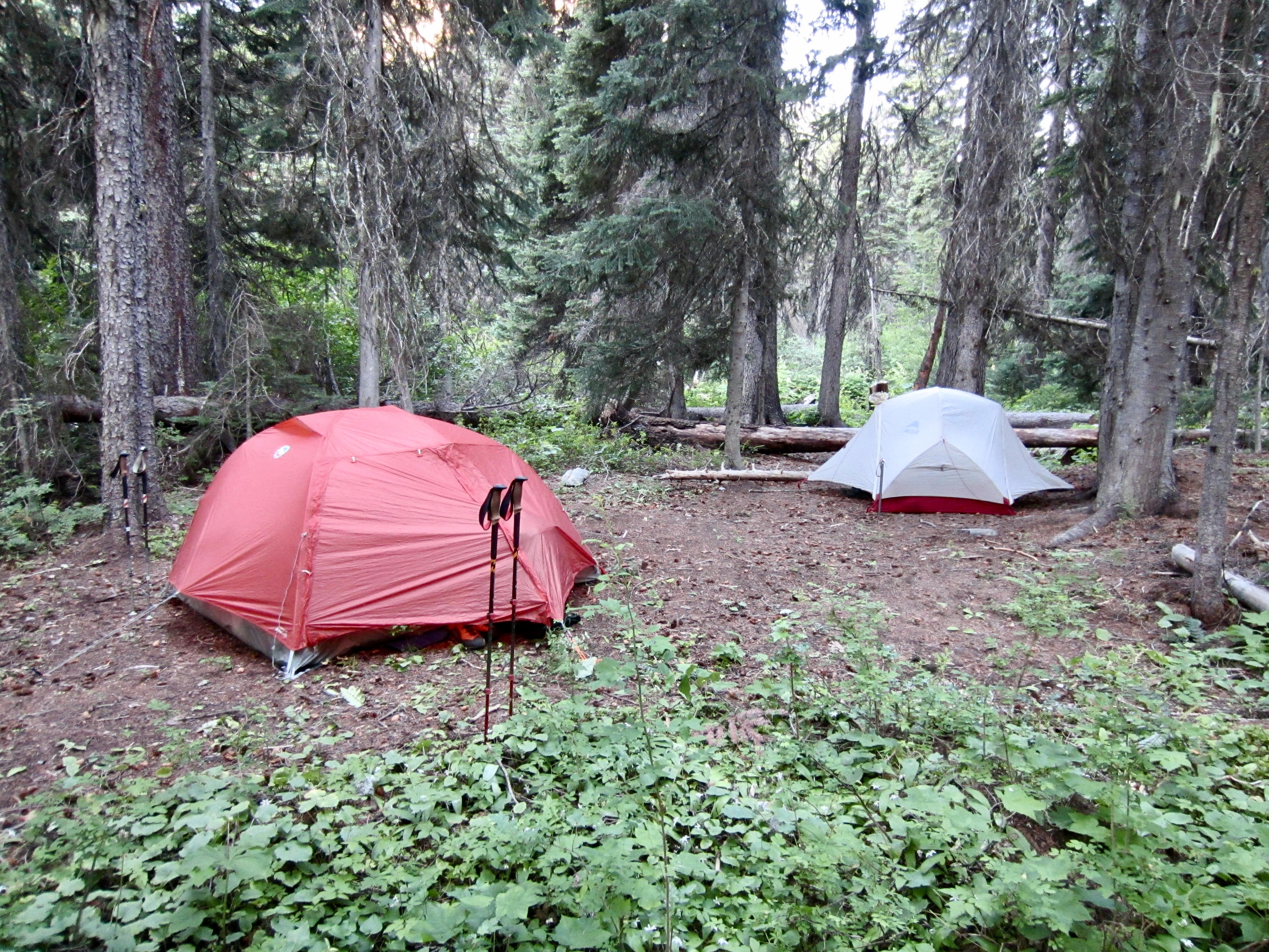
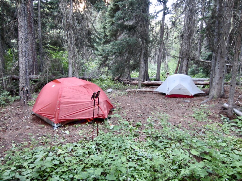
Although the distance from the junction to Ingalls Creek is less than 200 yards, we spent more than ½ hour thrashing over to the Ingalls–Fourth Camp adjacent to the creek (7.8 hours + 6.2 miles + 2150 feet – 2200 feet from starting point). It was now 8:30pm, and we were all cringing at the thought of repeating the short “log thrash” twice tomorrow and then making the long exit thrash up Ingalls Creek Trail the next day.
.
Day 2: Argonaut Peak Summit Climb
We awoke to a cold, clear morning and left camp at 7:50am. In hopes of avoiding the worst of the fallen logs, we took a circuitous route over to the Ingalls Creek Trail, first heading east and then curving back to the west. This allowed us to cover the 200 yards in a blazingly fast 26 minutes! [Sigh….]
.
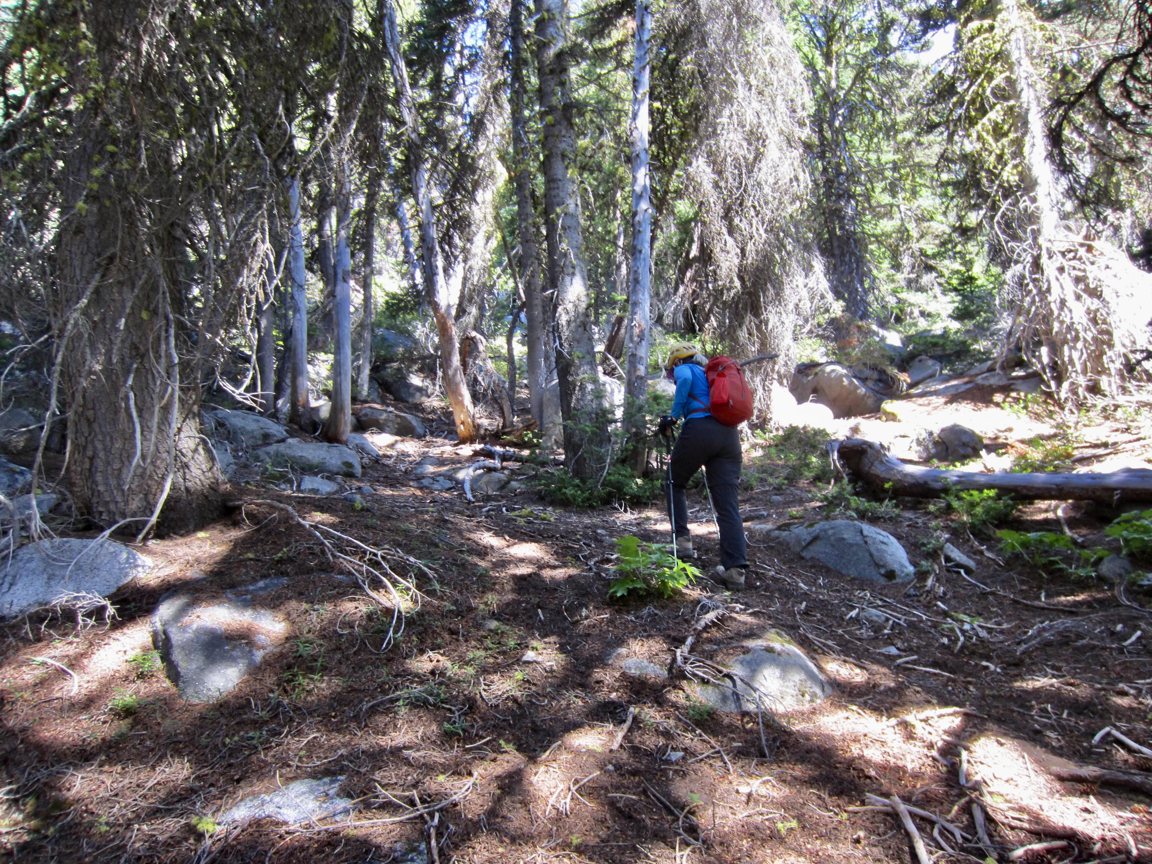
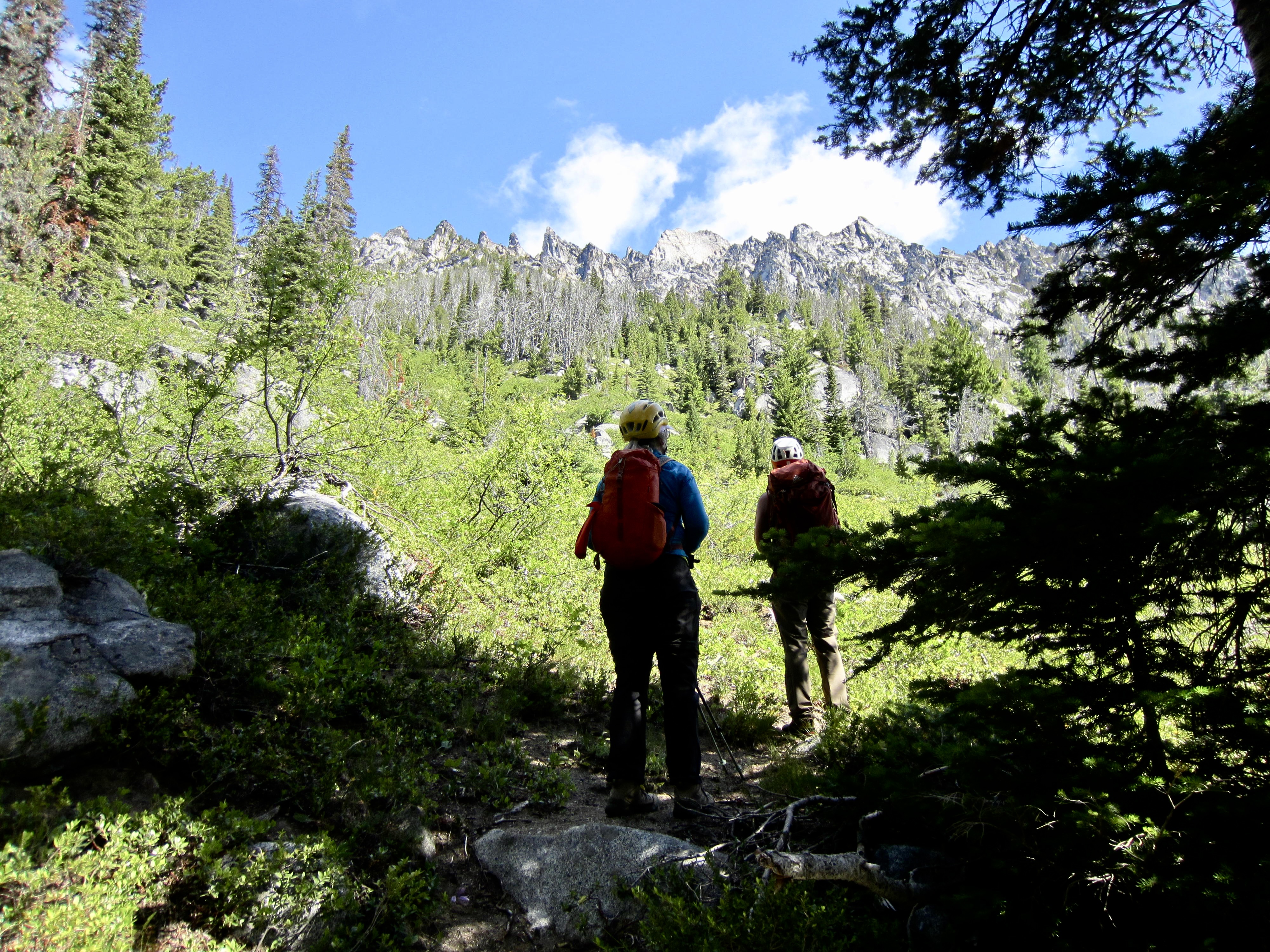
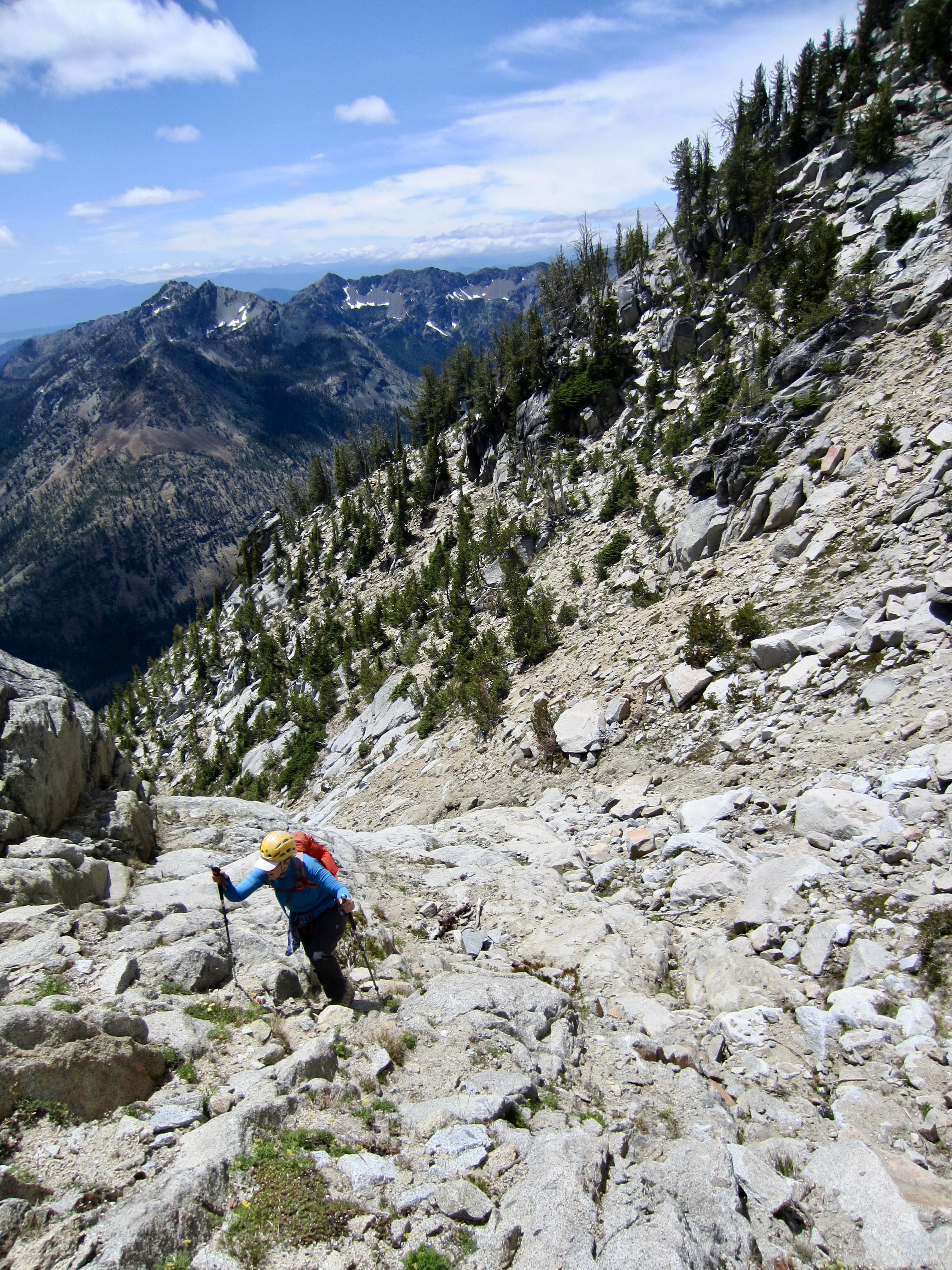
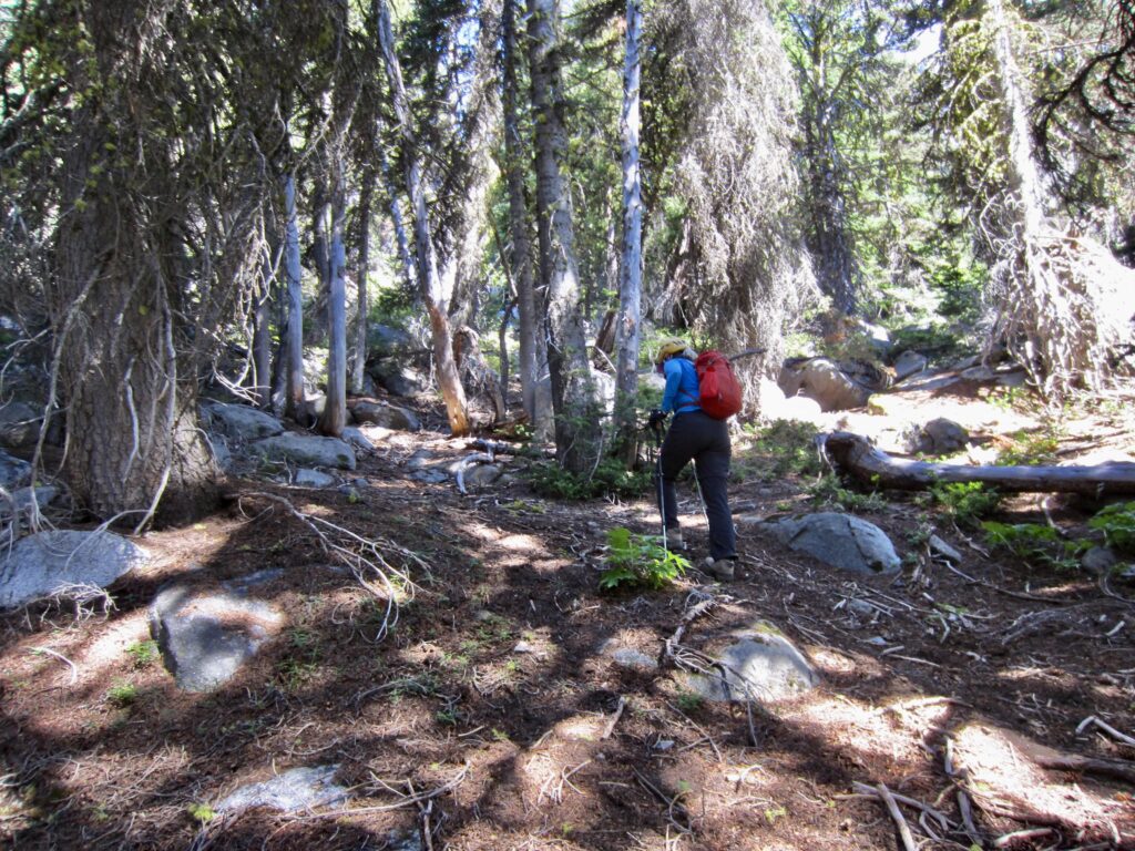
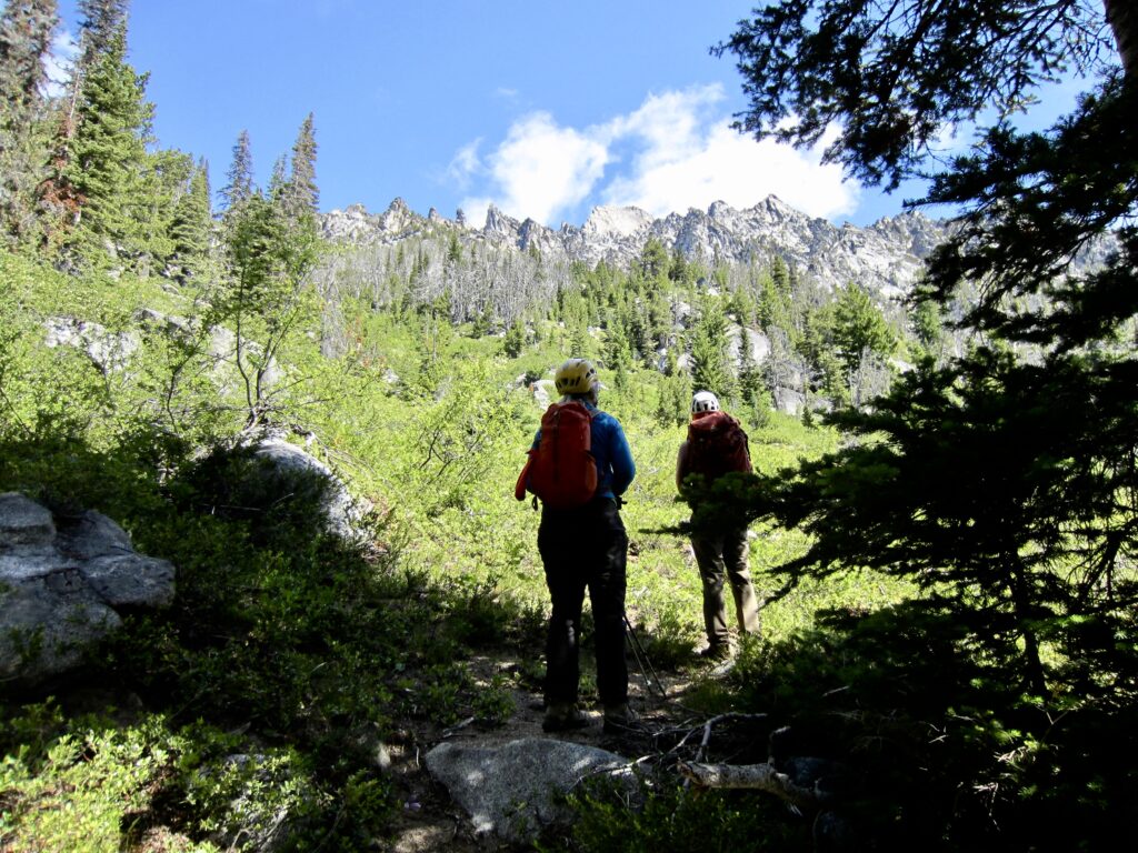
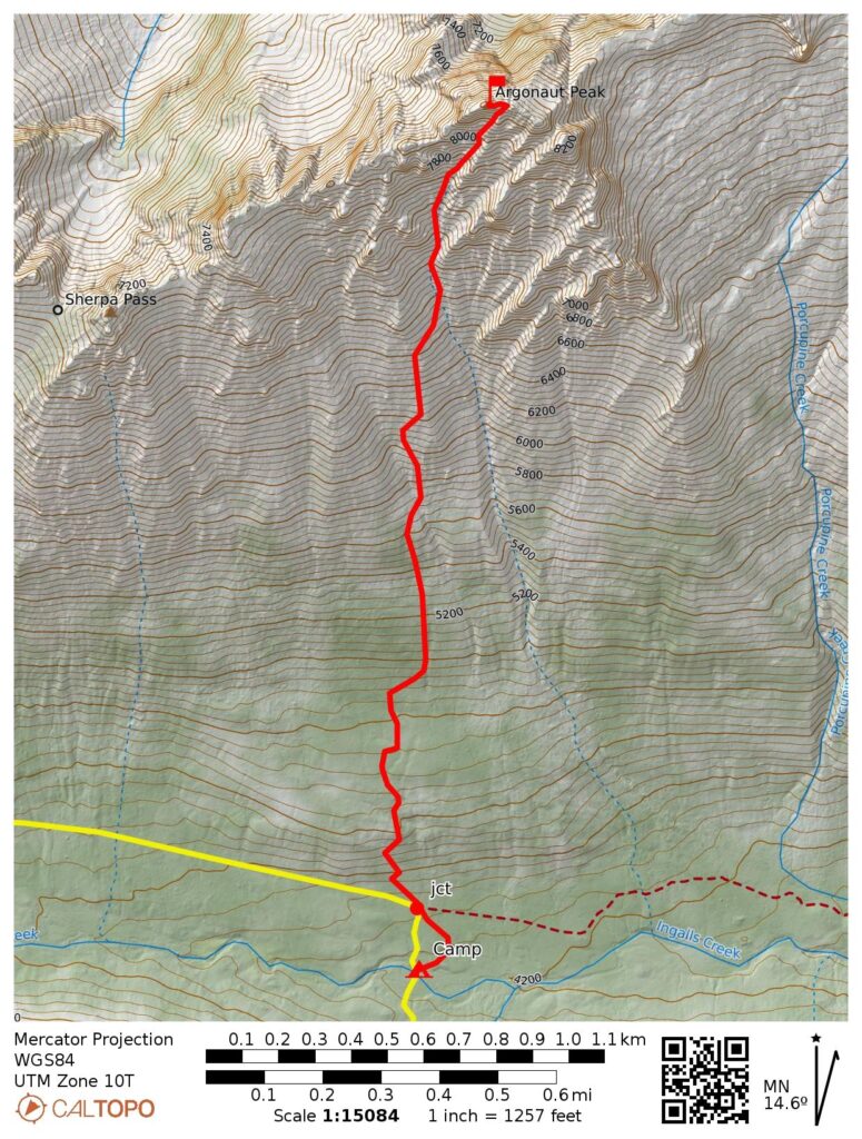
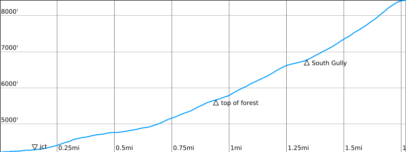
After crossing over the Ingalls Creek Trail, we angled uphill through more jackstraw trees for about 500 vertical feet. This was followed by 300 vertical feet of slide alder, which gradually gave way to fairly open forest. We encountered a vague climber/game path that led steeply upward to treeline at 5650 feet and opened onto a large hillslope of low-growing, bushy heath. Here, we got our first good look at Argonaut’s craggy summit ridge.
.
.
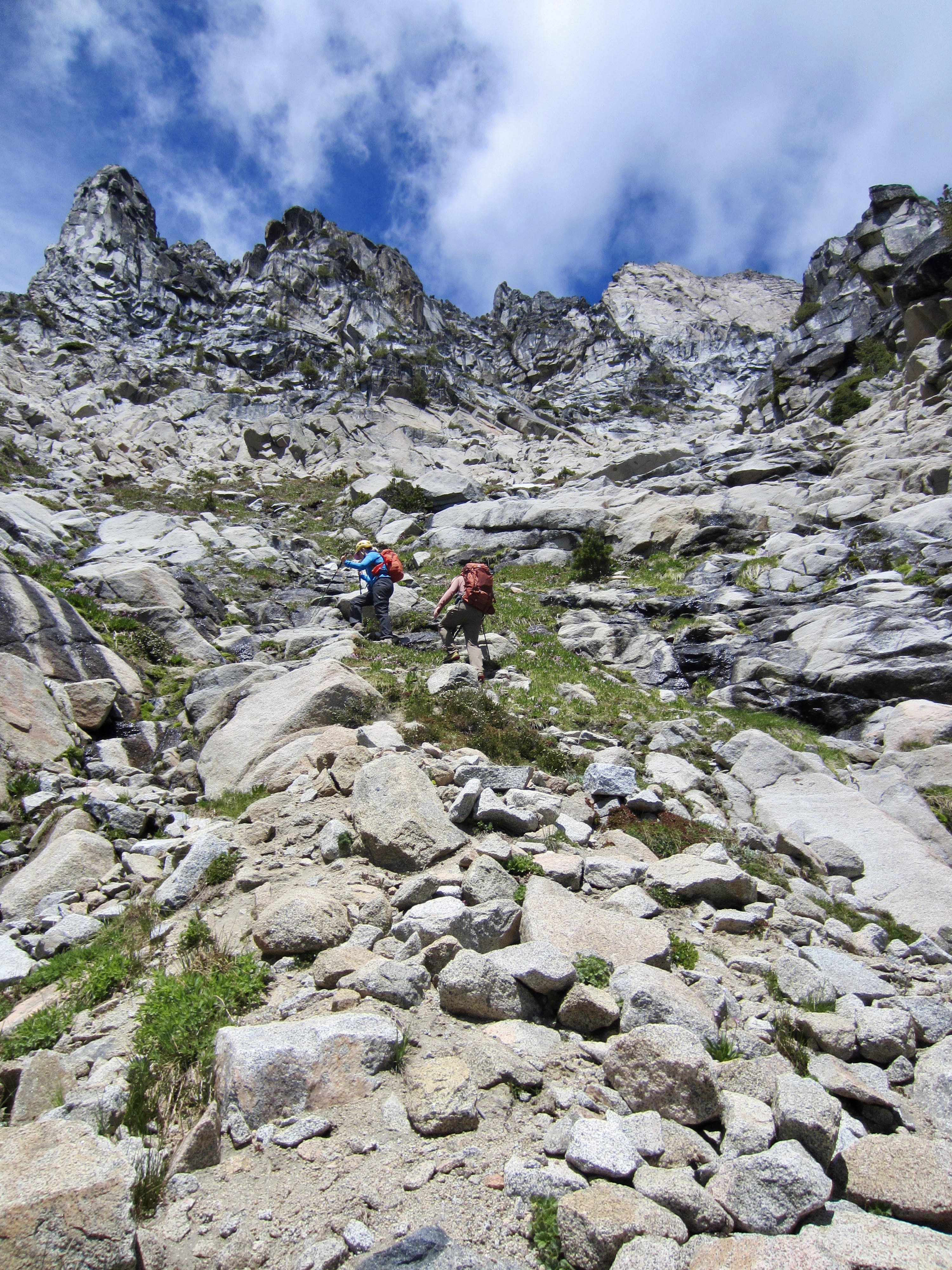
A well-trodden climber’s path continued upward through the heath until it faded out amongst rock outcrops. We eventually veered rightward to reach Argonaut’s broad South Gully at 6800 feet, shortly past noon (4.5 hours + 2600 feet from camp). A trickle of water was flowing down the invert, so we topped off our water bottles.
.
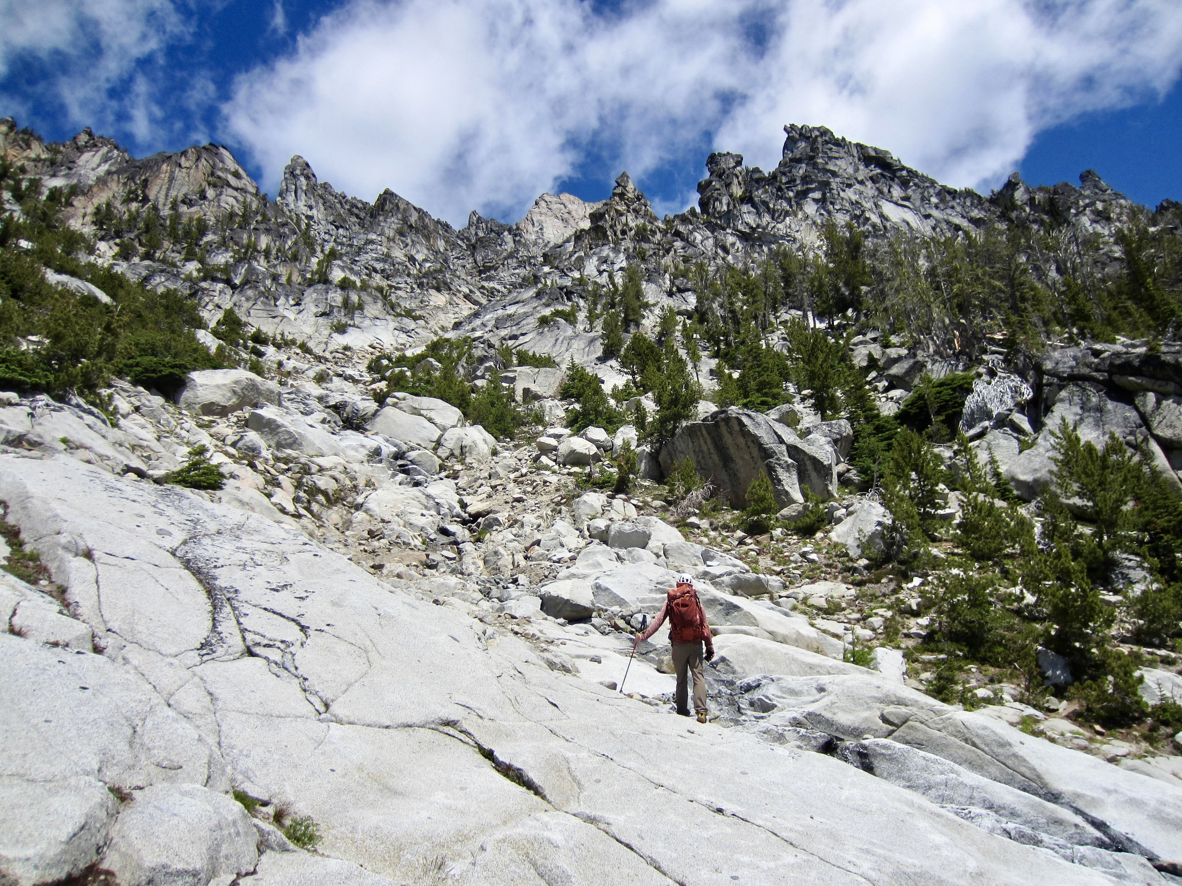
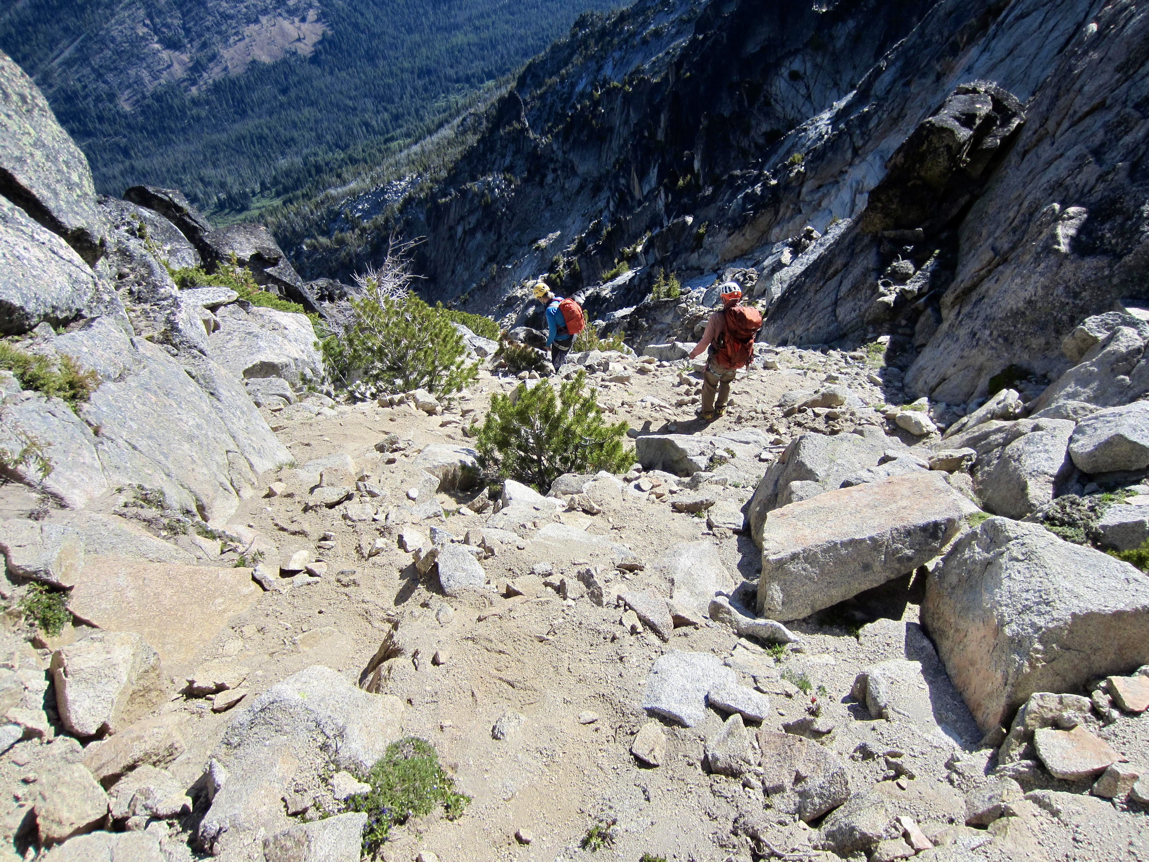
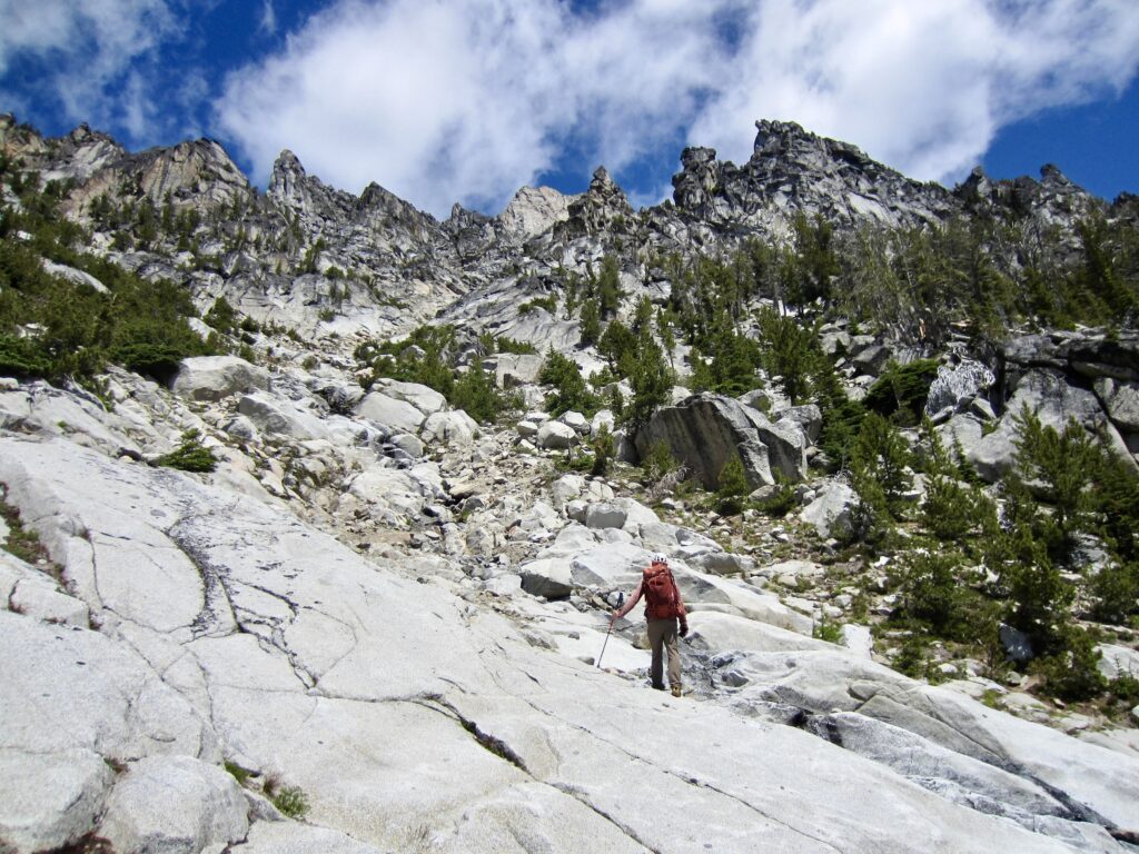
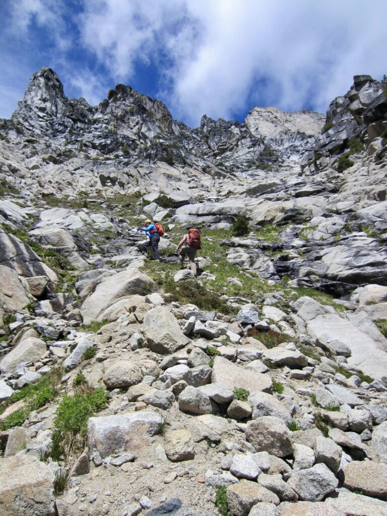
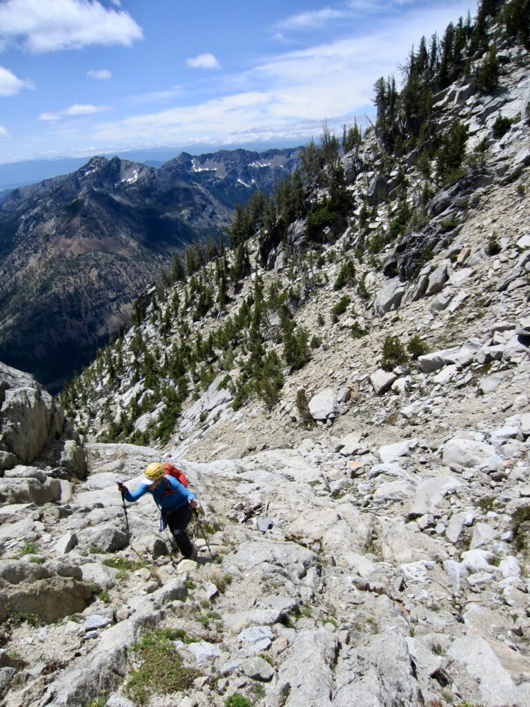
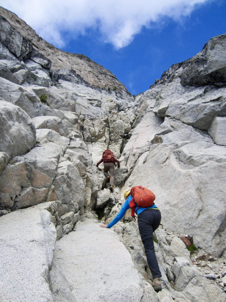
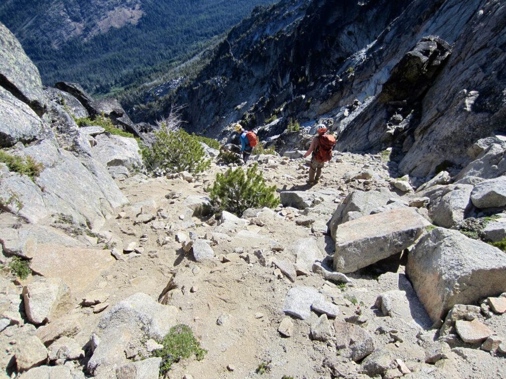
Our ascent of the rightward-curving South Gully began with Class 1 slopes, then transitioned to Class 2 slabs, then transitioned to Class 3 steps for approximately 800 vertical feet. We normally dread spending so much time and distance in a gully, but this one is wonderfully solid granite and quite enjoyable!
.
.
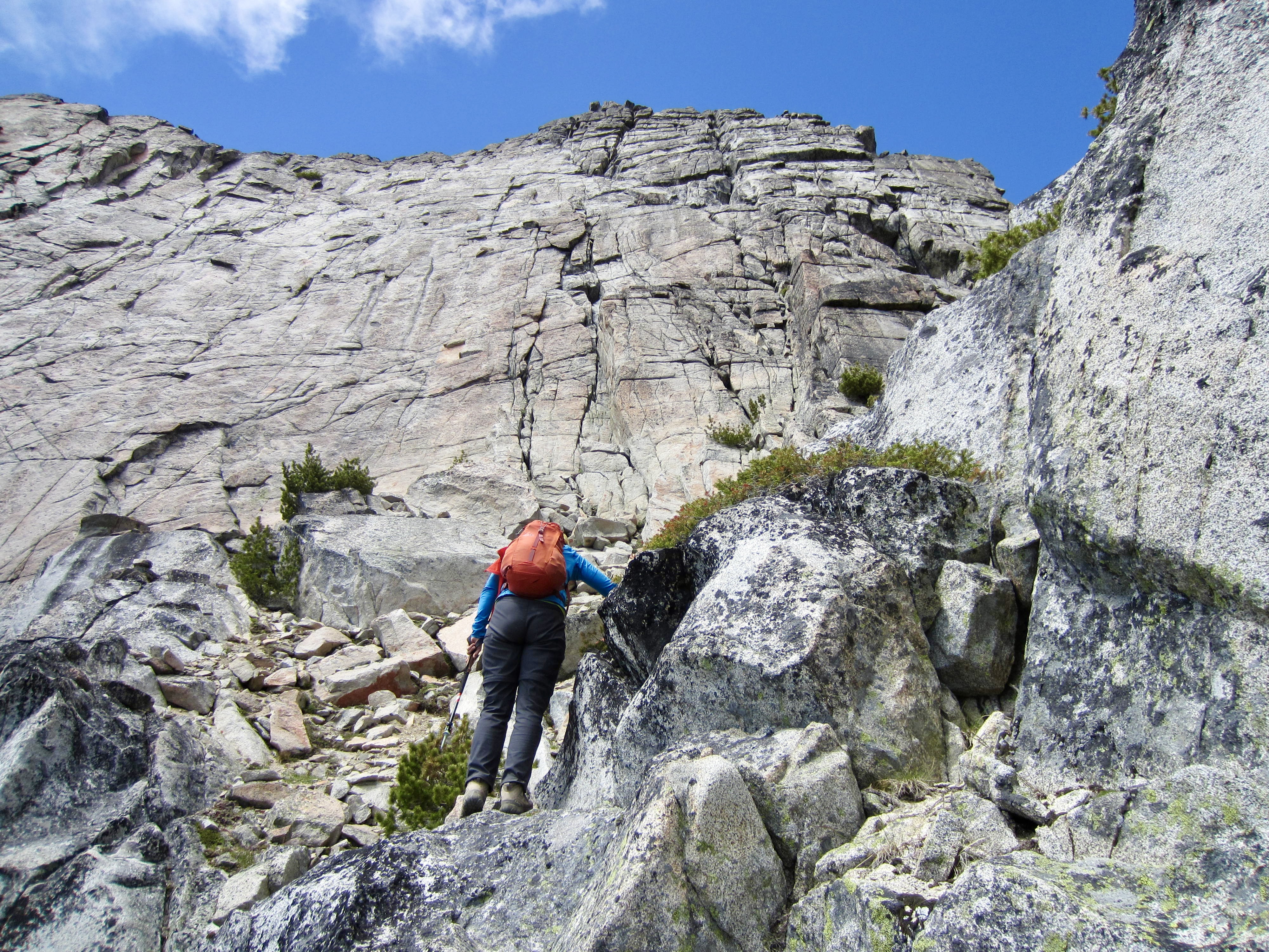
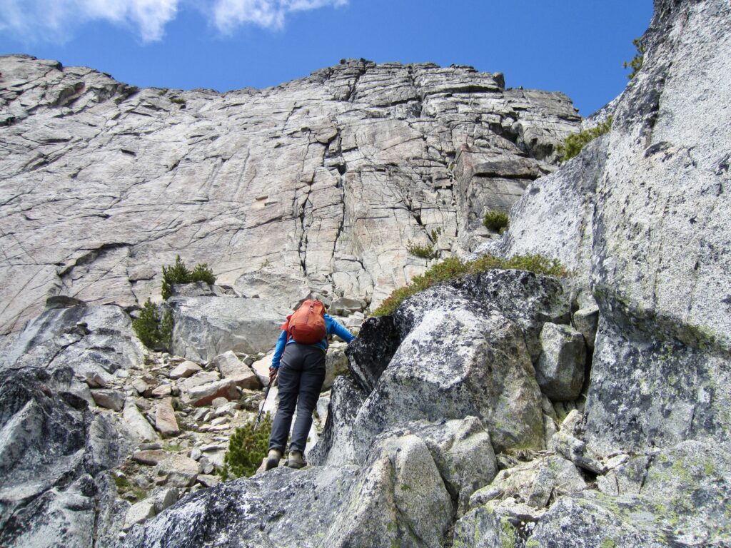
As we gained elevation, the gully took us directly under Argonaut’s remarkably sheer South Face. To my knowledge, this is the largest expanse of unfurrowed rock in the entire Stuart Range, and I can only imagine how many splendid Class 5 climbing routes its myriad cracks would supply if it were situated close to a road.
.
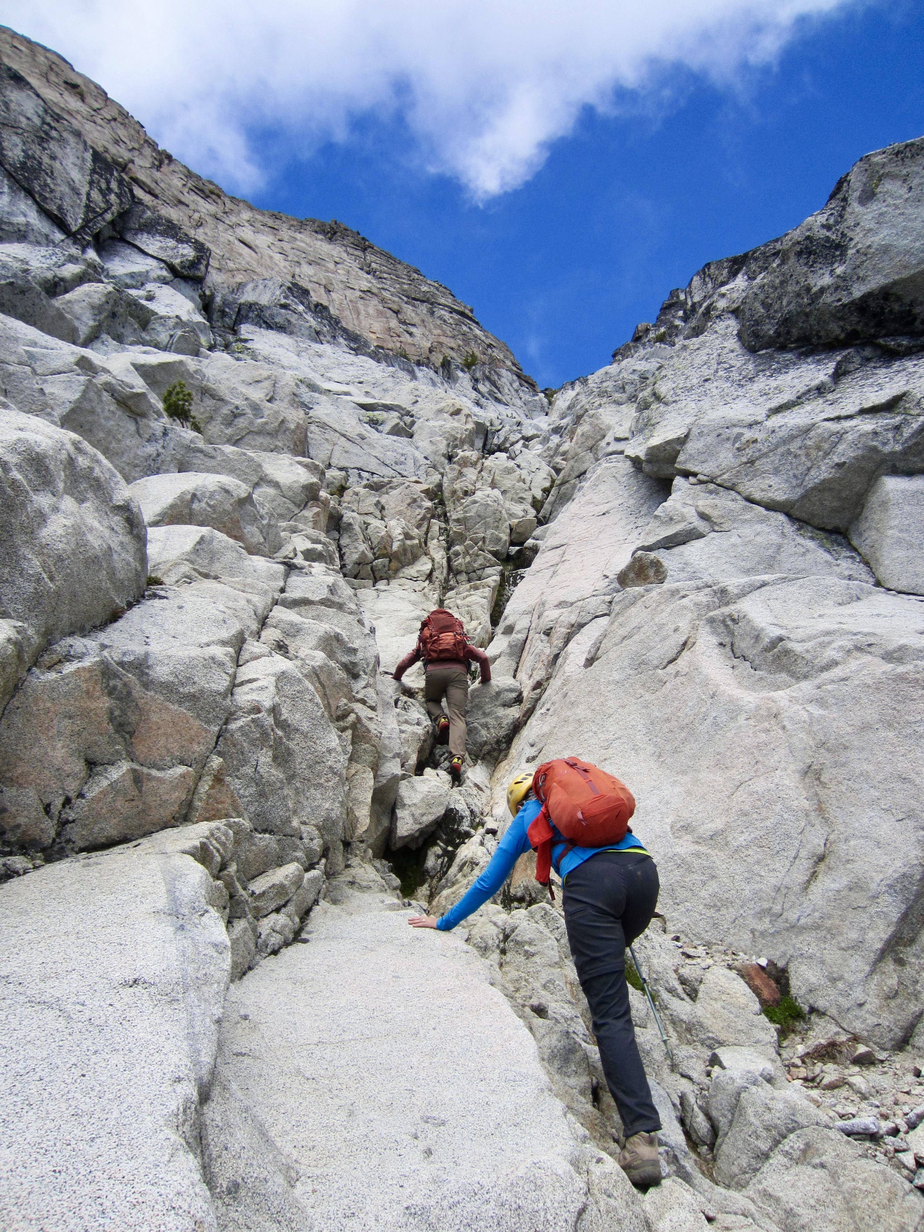
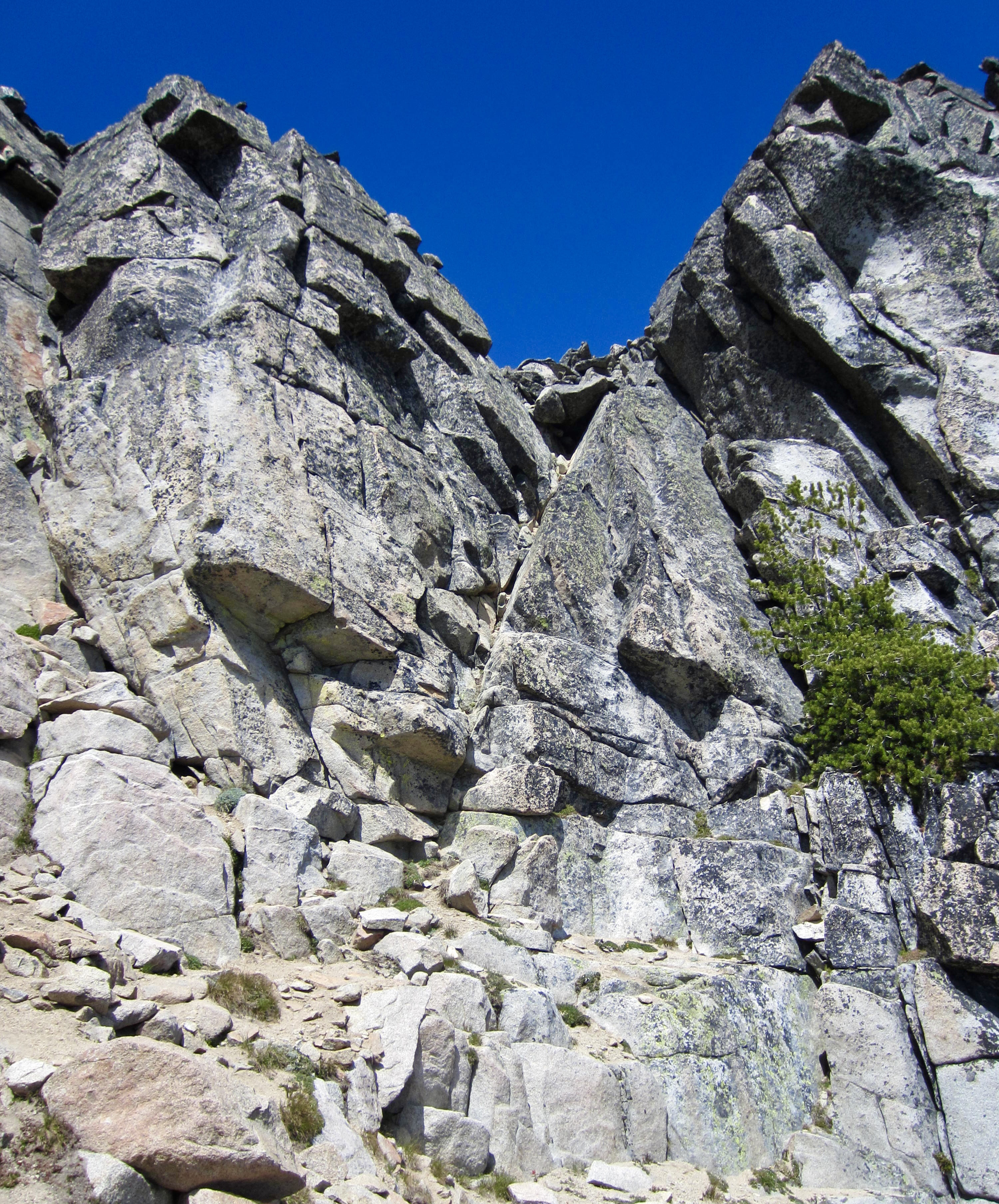
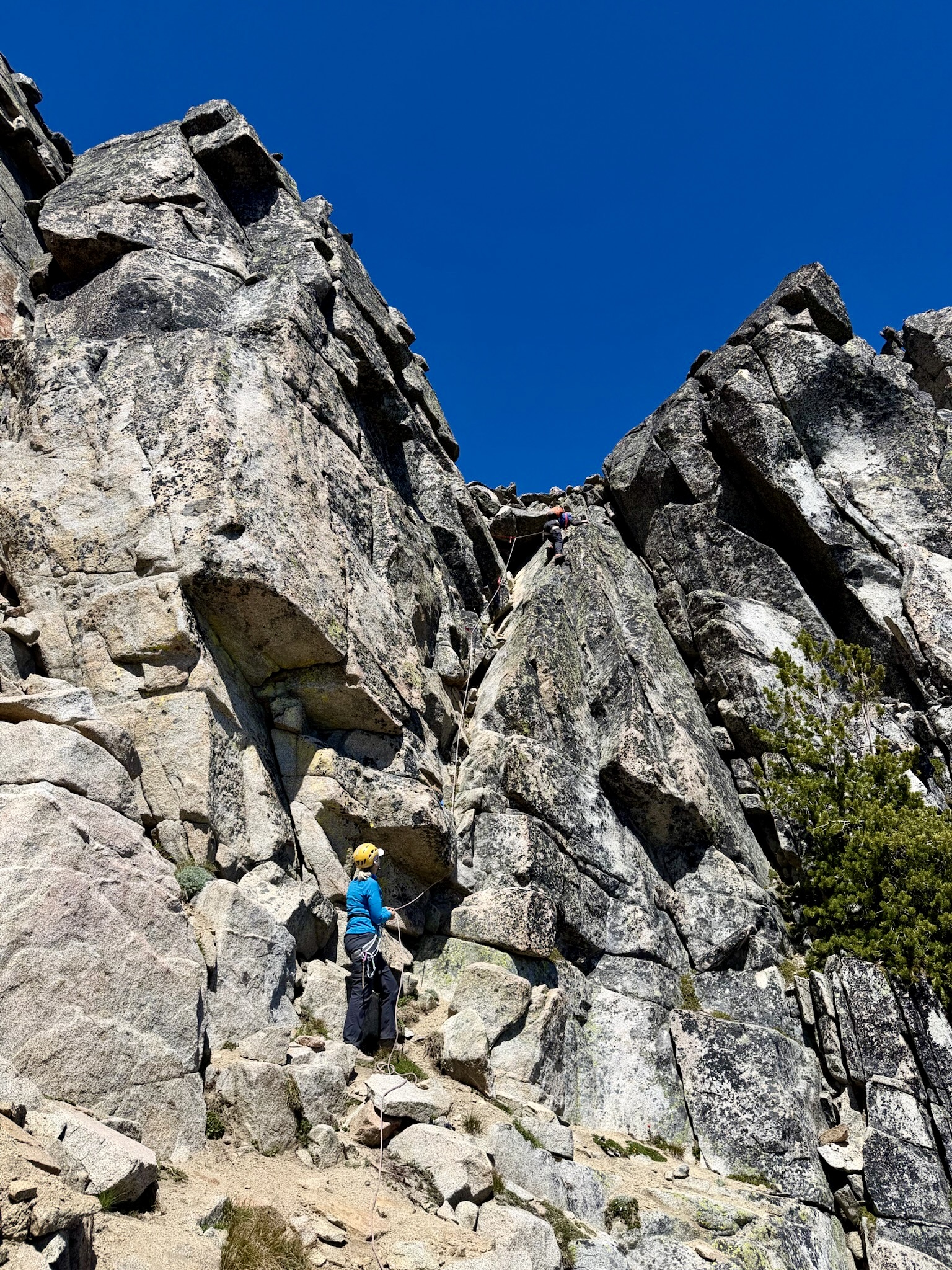
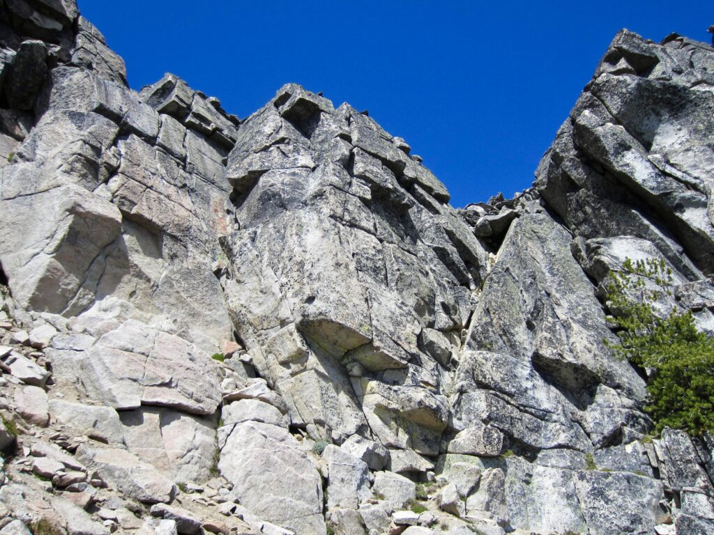
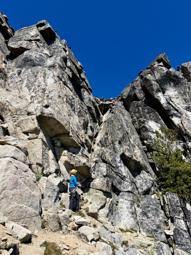
Below the eastern edge of the South Face, we gained a small saddle and saw the long-awaited technical crux of our route: the Chockstone Dihedral. This feature consists of a blocky, 60-foot-high cleft with a large, overhanging boulder perched at the top. We donned harnesses and tied into our 40-meter alpine rope.
.
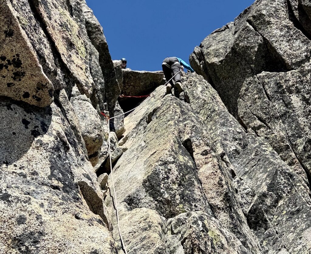
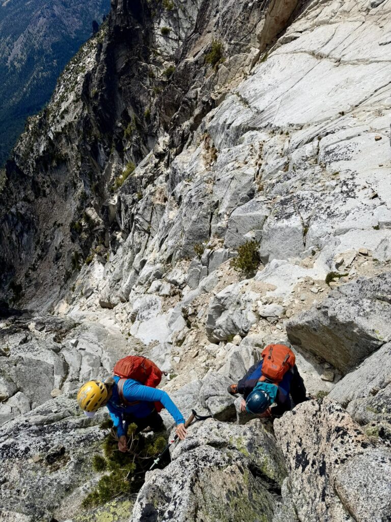
I headed up the dihedral, placing several stoppers and small cams along the way. The solid rock made for fun climbing, which I would rate as Class 4 due to the exposure. Upon reaching the chockstone, I worked around its right side and found a fixed sling anchor above it. I would give these upper few moves a Class 5.4 rating.
.
.
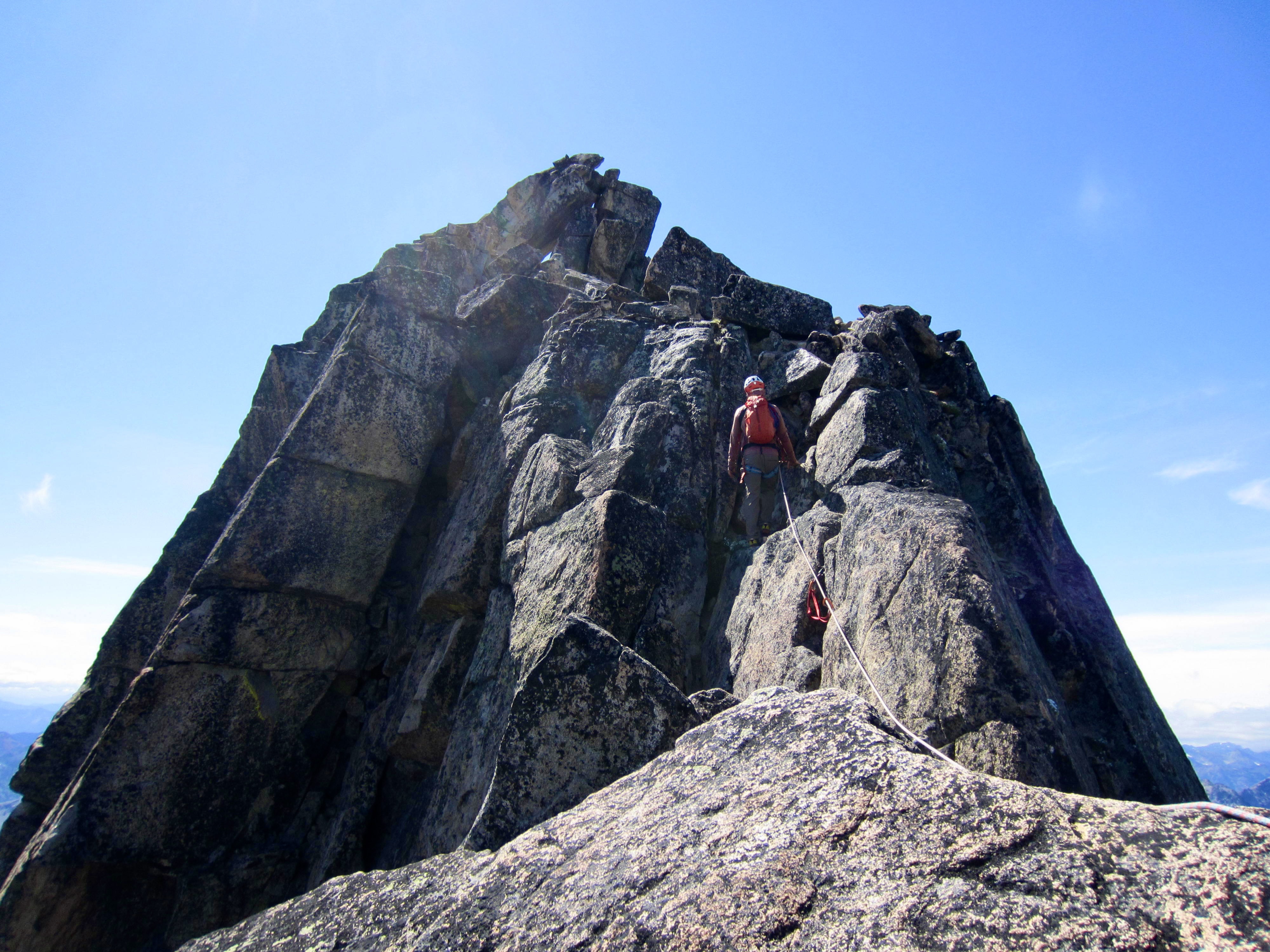
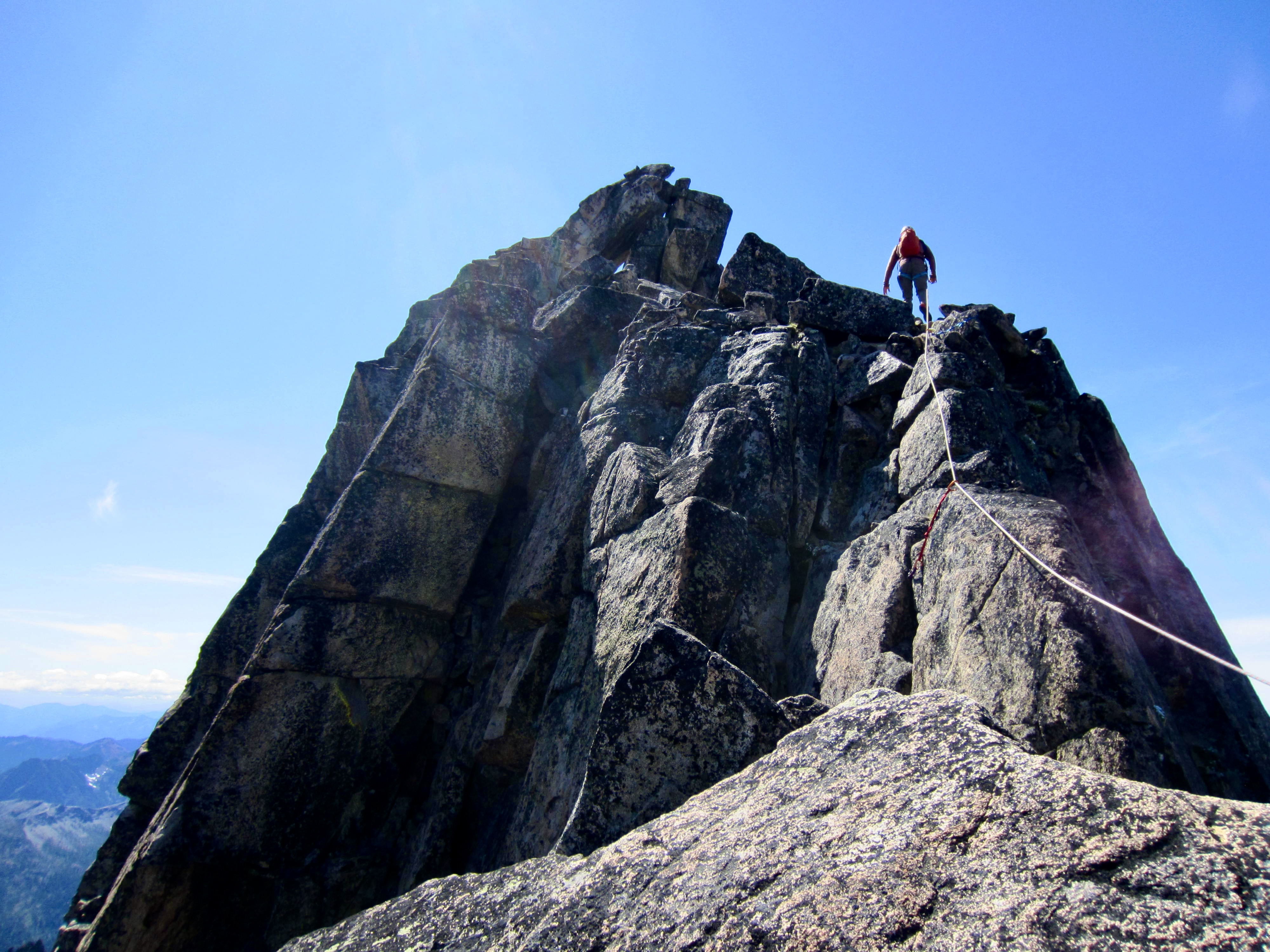
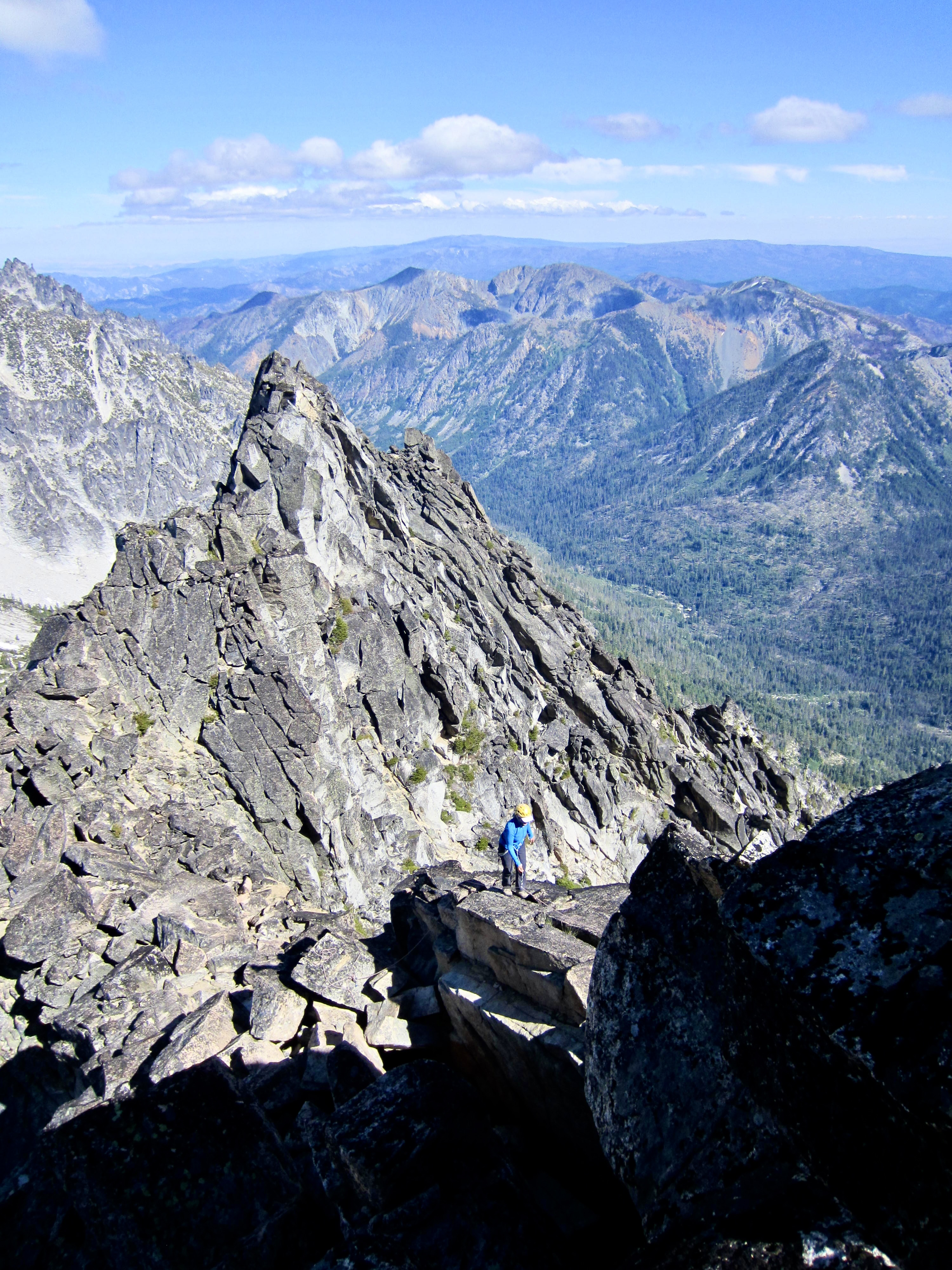
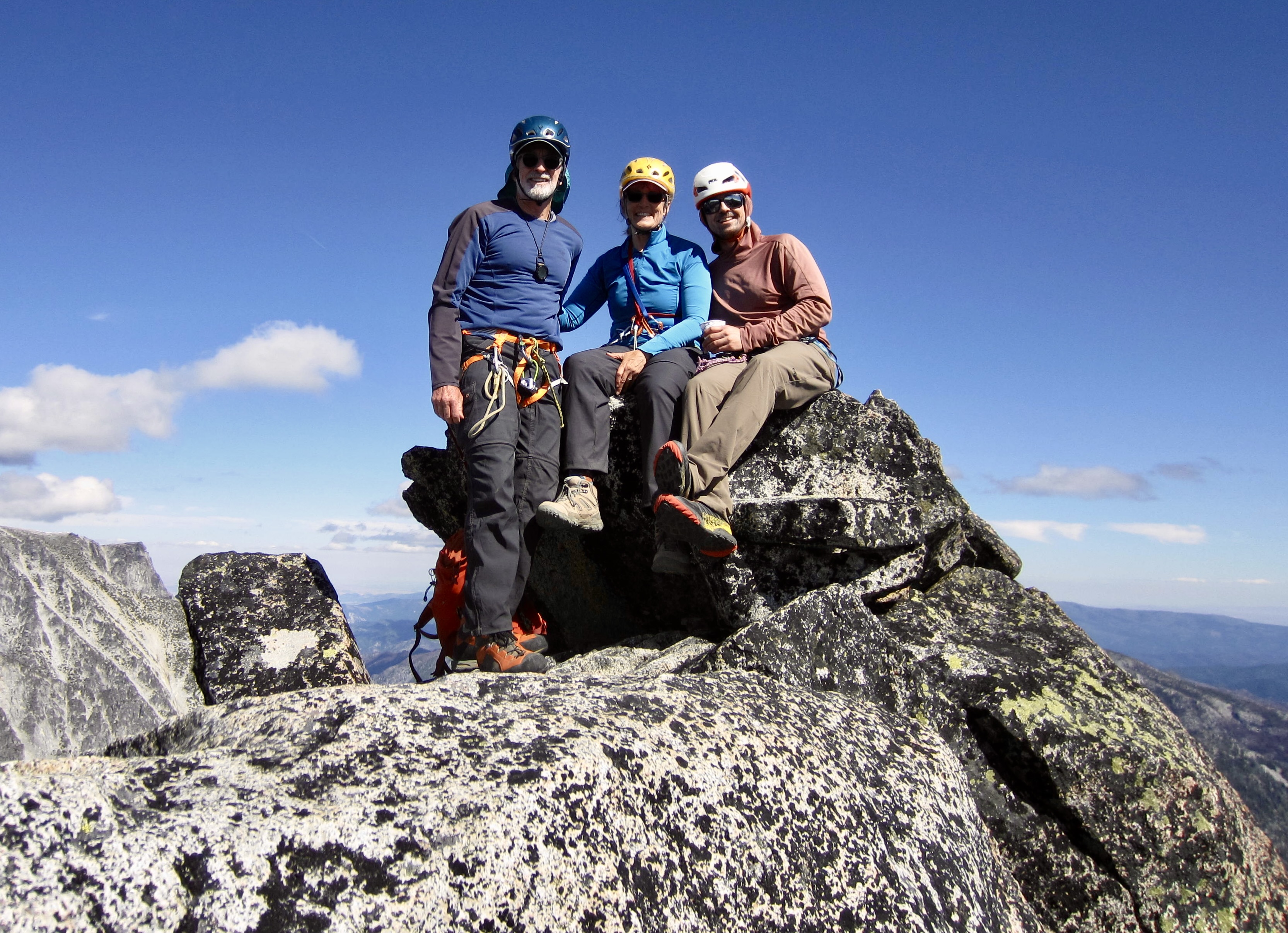
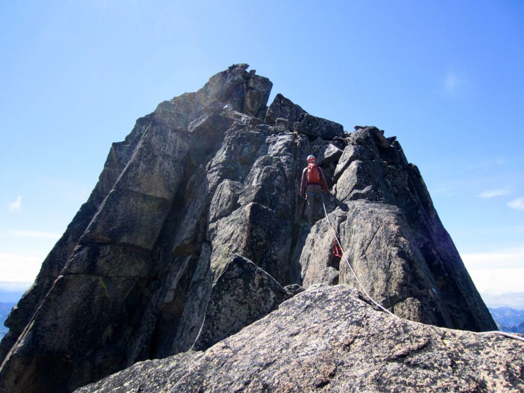
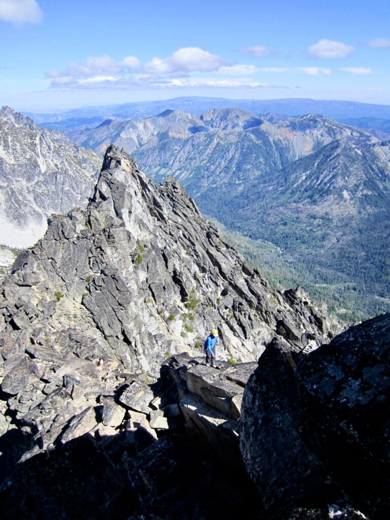
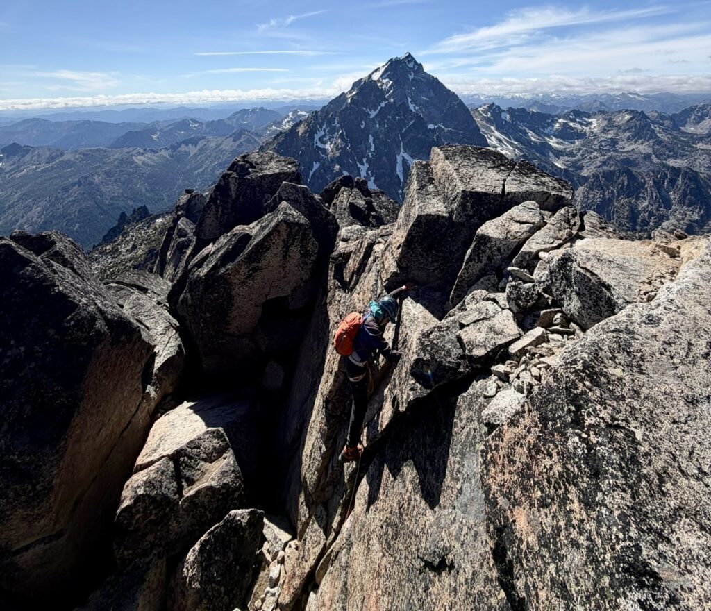
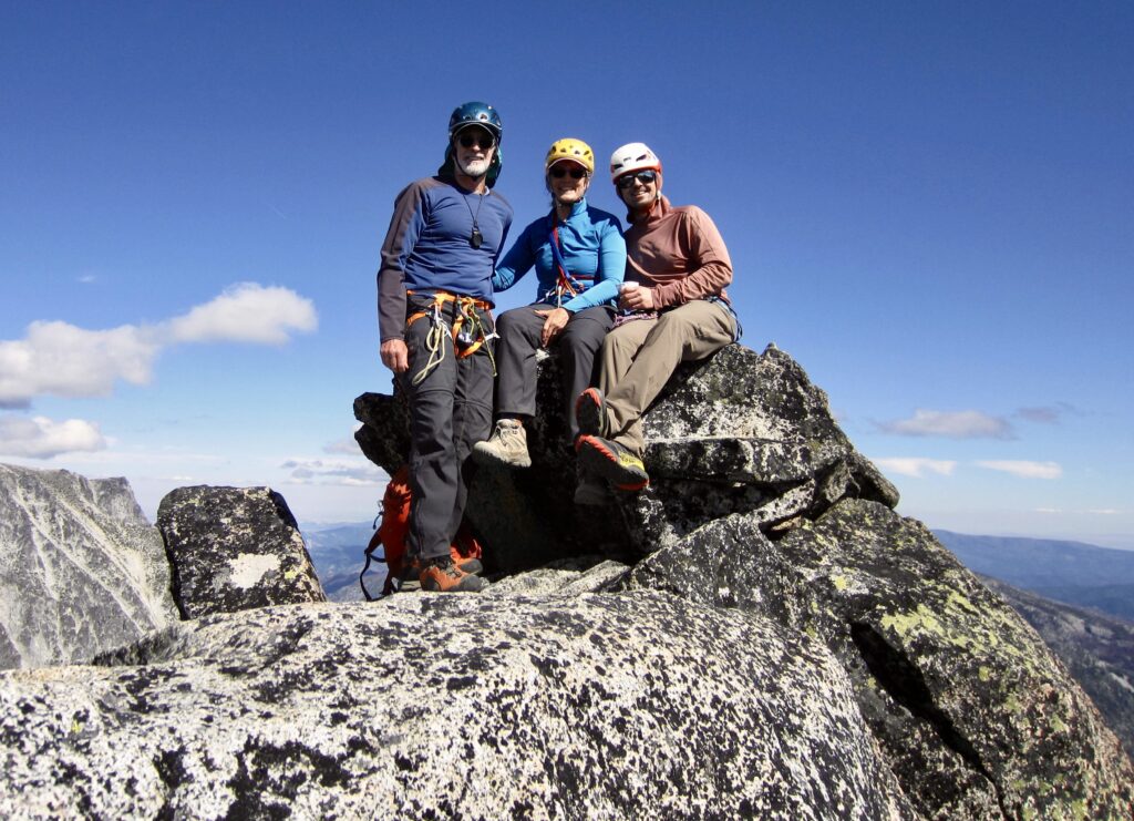
Above the chockstone, a short scramble brought us to the Upper East Ridge. Andrew led out, and we did a running belay up the ridge and around the left (south) side of the summit blocks on a wide ledge. The scrambling is only Class 2-3 here, but the exposure is considerable. A final 10-foot-high, near-vertical, Class 3+ face delivered us to the summit of Argonaut Peak at 4:20 pm (8.5 hours + 4250 feet from camp).
.
.
.
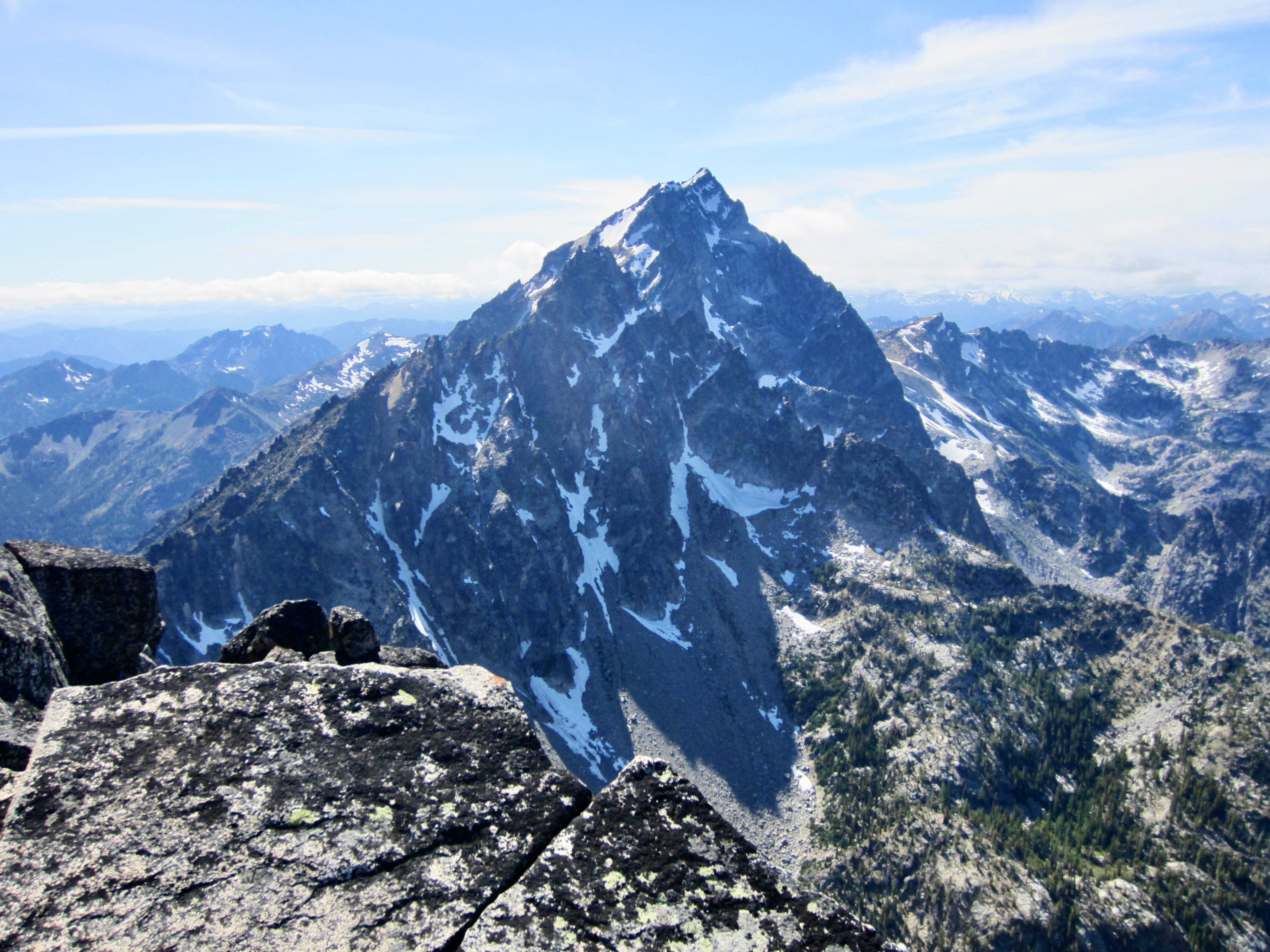
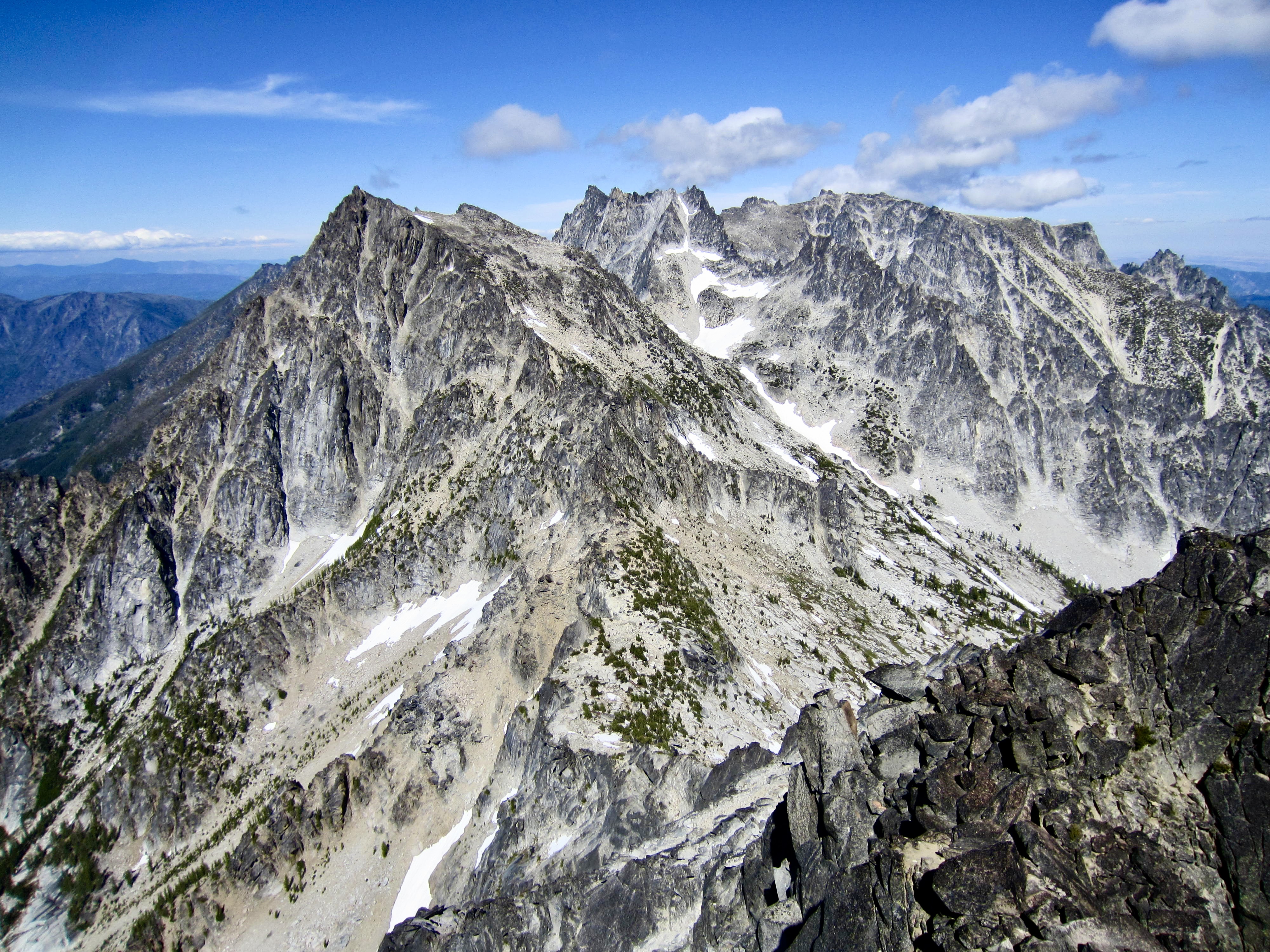
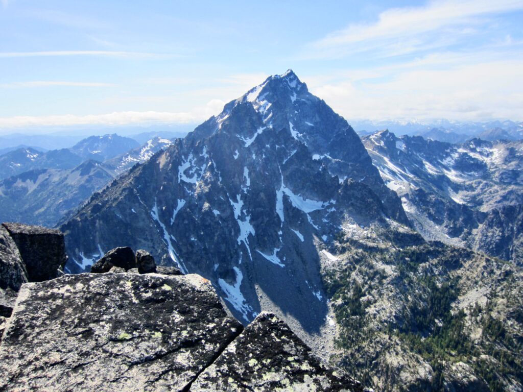
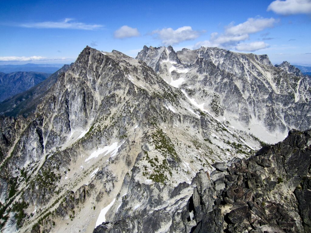
Argonaut Peak is centrally positioned in the Stuart Range, so it provides a nice view of Sherpa Peak and Mt. Stuart to the west, as well as Colchuck Peak and Dragontail Peak to the east. Because this was Eileen’s last summit on her Icicle Eight list, it had a special significance to her. For Andrew, it was the first of many great summits to come in this area.
.
.
Upon leaving the summit at 4:35pm, we did a running belay down the ridge, followed by a combination of belayed down-climbing and rappelling in the Chockstone Dihedral. We then packed up our rope and began a long descent of the South Gully and south slope. Knowing that sunset would be coming all too soon, there was an underlying sense of urgency in our carefully placed footsteps.
.
We managed to descend the steep forest and slide alder in fading dusk, but darkness caught us shortly after we entered the zone of jackstraw trees. We donned headlamps and painstakingly navigated through the deadfall for 1½ hours. The worst part of this was the final 100 yards into camp. Even with the aid of our GPS units, the maze of logs and the lack of a visible reference frame made it impossible to travel in anything resembling a straight line. As such, we all spent 30 minutes walking in circles before arriving in camp at 11:30pm (6.9 hours from summit). It had been a fun and successful day that ended with a big dose of frustration.
Day 3: Ingalls–Fourth Camp to Iron Peak Trailhead
We all awoke at 6:30am and were surprised to find a pair of trekkers camped nearby. We learned that the trekkers—Joe and Melissa—had arrived via Beverly Creek and Fourth Creek Pass yesterday. They were out for a five-day adventure loop up Porcupine Creek, over Dragontail Peak, and down Crystal Creek. Eileen and I shared some information regarding likely route conditions, and they shared some information about their approach conditions.
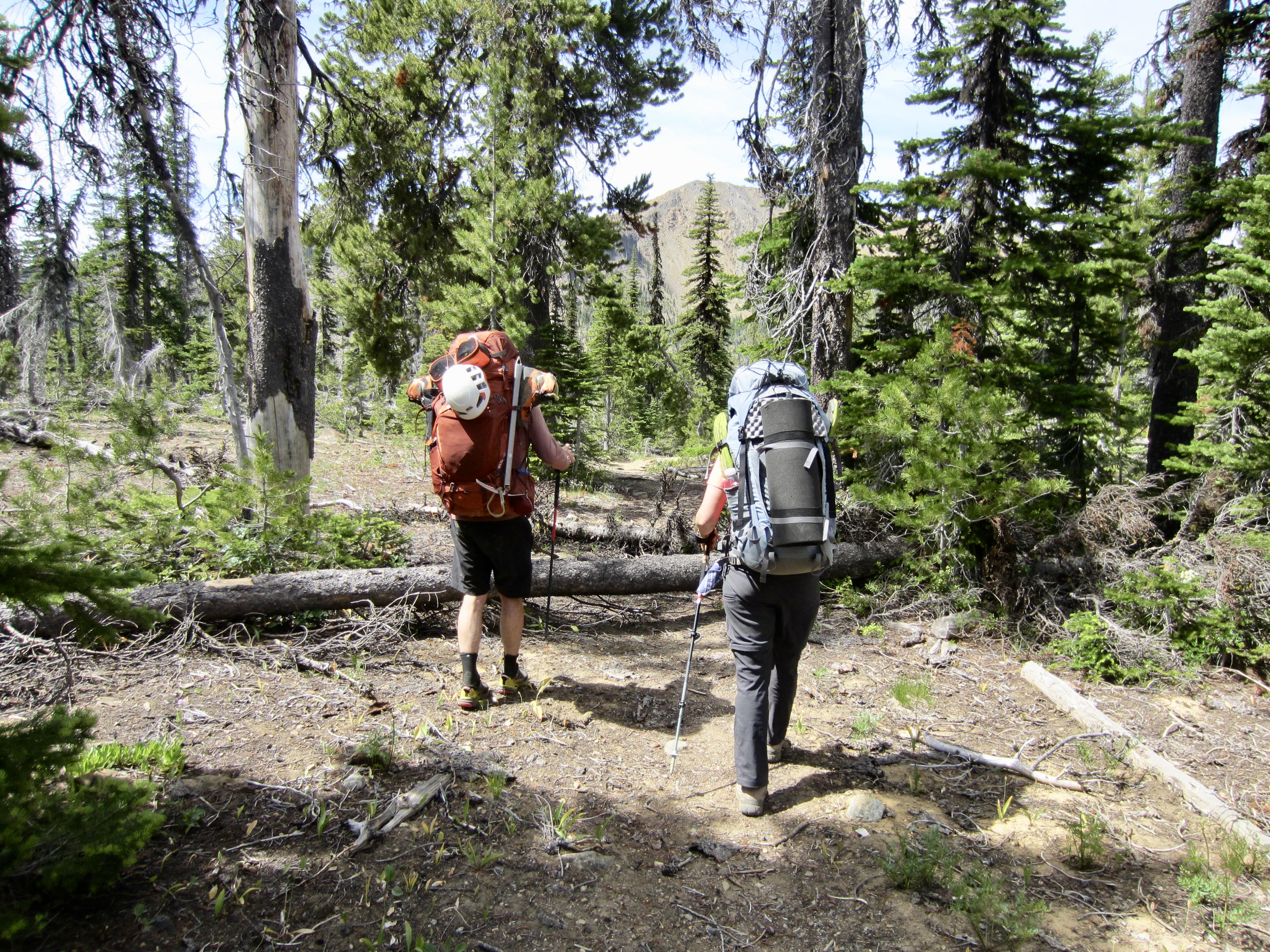
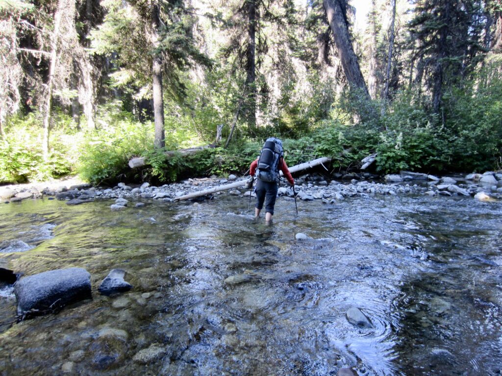
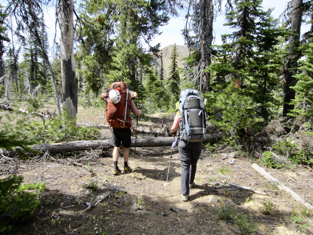
Based on Joe and Melissa’s favorable trail report, Eileen, Andrew, and I made a quick decision to exit via Fourth Creek Pass and Eldorado Pass, rather than battling through fallen logs on the Ingalls Creek Trail and then hiking back over Long’s Pass. This proved to be a good move. We started with an easy ford of Ingalls Creek, followed by a fairly straightforward hike up the Fourth Creek Trail. There were a dozen logs across this trail, but nothing too problematic.
.
.
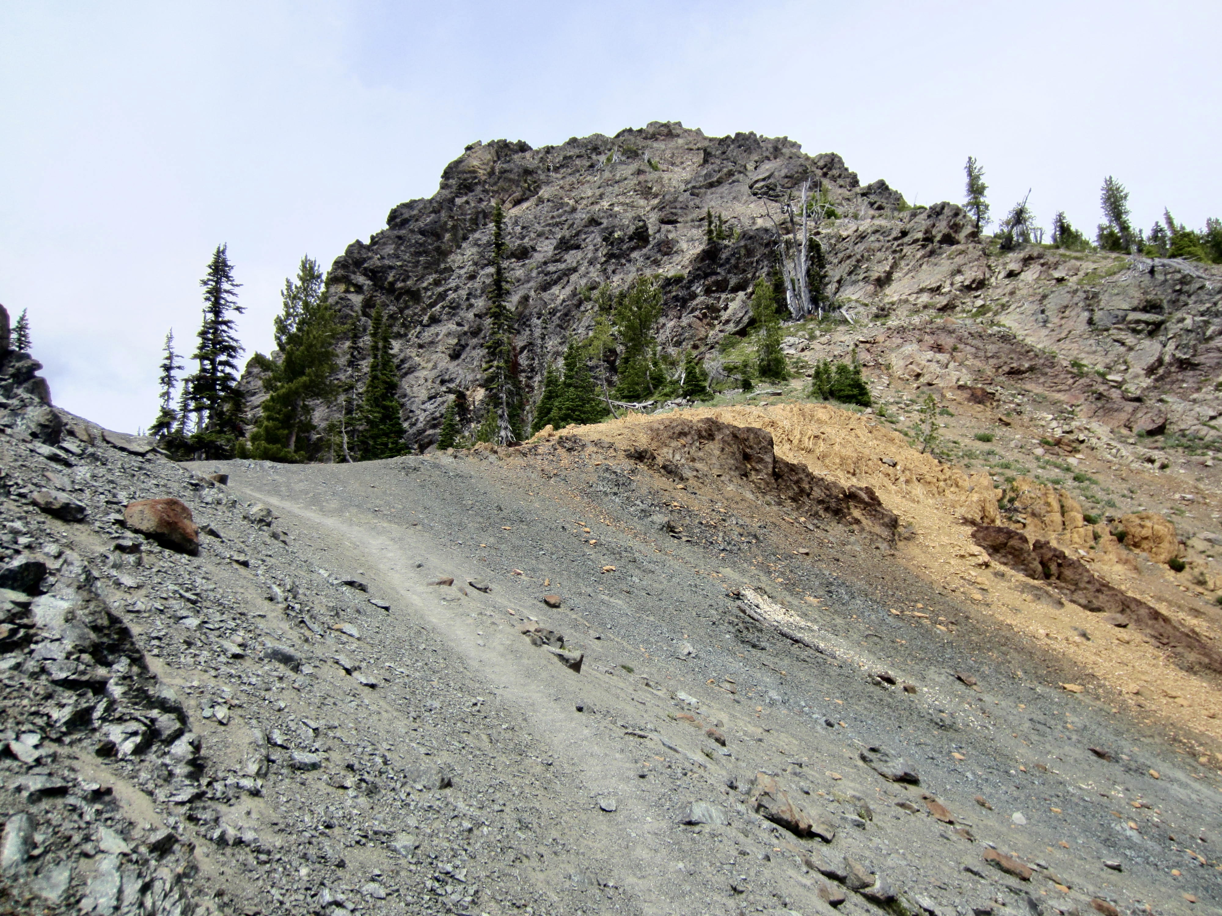
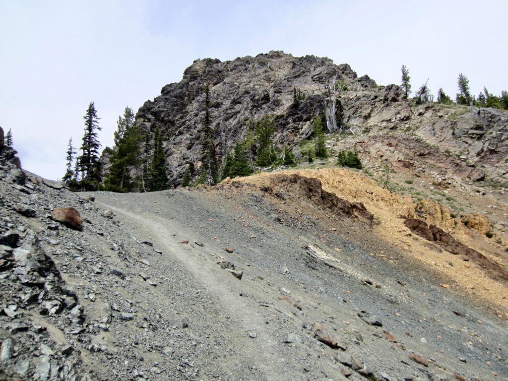
At Fourth Creek Pass, Andrew sped ahead, leaving Eileen and me to continue at our own pace. We descended a short distance to Beverly Creek, then followed the Beverly Turnpike Trail and Iron Peak Trail up to 6150-foot Eldorado Pass (4.4 hours + 4.0 miles + 2150 feet from camp). This scenically barren saddle has an interesting two-tone geology, with a band of bright orange serpentinite sandwiched between dark gray volcanic rock.
.
I left Eileen at Eldorado Pass and hurried down to the Iron Peak Trailhead (5.8 hours + 6.6 miles + 2150 feet – 2400 feet from camp). There, I stashed my backpack and walked 1.3 miles up the North Fork Teanaway River Road to retrieve our vehicle at the Esmerelda Trailhead, then I drove back to pick up Eileen. Our revised exit route had been a tad longer than our approach route over Long’s Pass, but it had saved us time and misery by avoiding 2 miles of fallen logs. Until the Beverly Turnpike Trailhead officially reopens, we highly recommend this option.
Route Maps & Profiles
…
…
…
…
Photo Gallery
Click to enlarge…