Originally Posted: November 2023
Updated: March 2026
Easy to Intermediate Snowshoe Treks along Interstate-90: Issaquah to Cle Elum
Snoqualmie Range
Lower Snoqualmie Range
Keechelus Mountains
Iron Horse Mountains
Kittitas Mountains
Issaquah Alps
Introduction
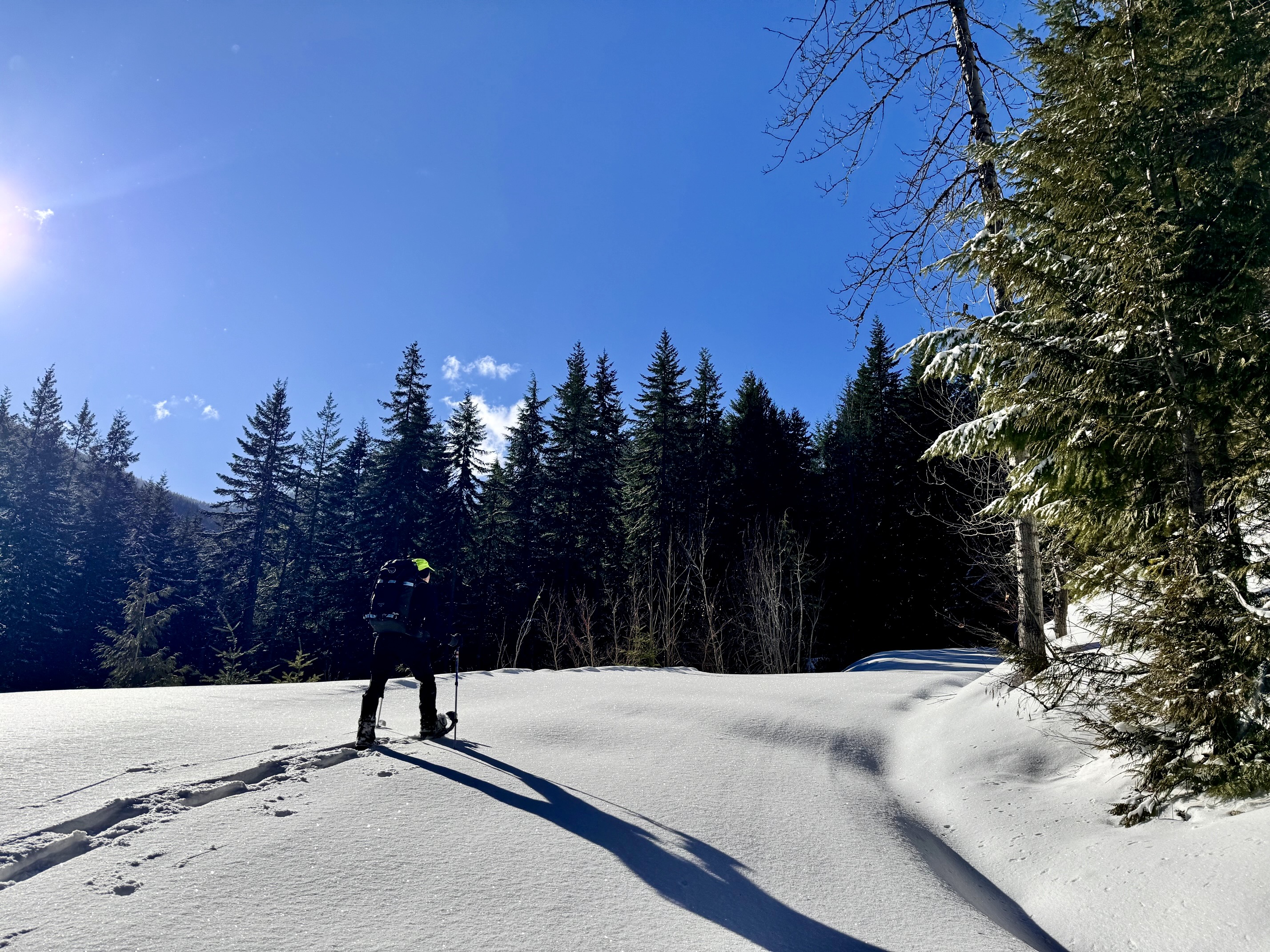
Every weekend of the winter, hundreds of residents in the Puget Sound metropolitan area drive eastward on Interstate-90 looking for a good snowshoeing adventure. The eternal challenge, of course, is to find a suitable destination. Everybody wants someplace that serves up an appropriate amount of difficulty, low avalanche danger, nice scenery, and a reliable parking situation. I prepared this guide to assist snowshoers who are seeking an easy to intermediate trek somewhere in the I-90 corridor.
Knowing where to go also means knowing where not to go. For example, Snow Lake and Granite Mountain Lookout are marvelous snowshoeing destinations when snow conditions are very stable, but they involve big open slopes that can be extremely hazardous when conditions are even slightly unstable. These places should be avoided unless you really know what you’re doing, so I have excluded such options from my list of suggestions.
If you are not a snowshoer but, rather, a backcountry skier looking for easy to intermediate ski touring options along Interstate-90, check out my companion guide titled Where to go Ski Touring in the I-90 / Snoqualmie Pass Corridor.
Groomed Ski Trail Etiquette
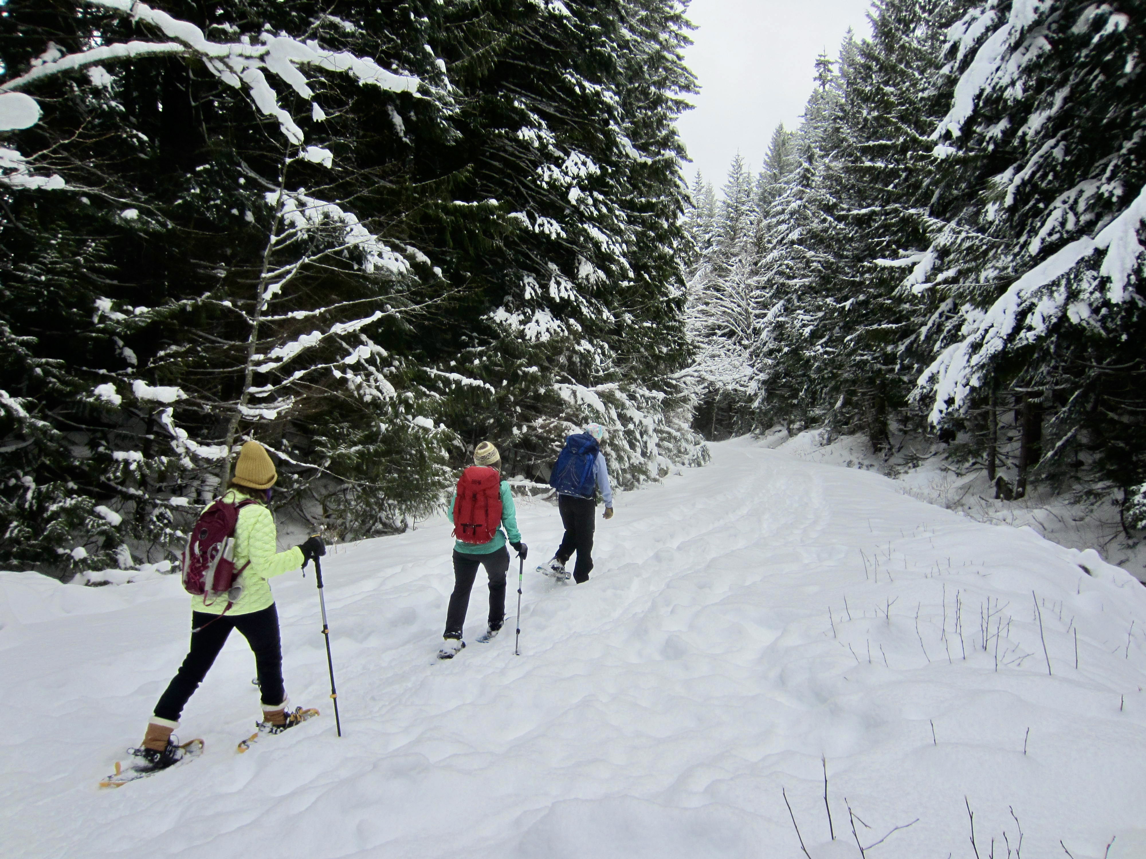
When selecting a snowshoe trek, I feel that it’s best to avoid groomed cross-country ski trails, especially the three that have become inexplicably popular with snowshoers in recent years—namely, (1) the Palouse-To-Cascades Ski Trail along Keechelus Lake; (2) the Cold Creek Ski Trail leading to Windy Pass; and (3) the Cabin Creek Ski Trail heading up Amabilis Mountain. Although all three trails are officially open to snowshoers, there have been many conflicts reported by skiers, and this has created an unfortunate animosity against snowshoers. Help keep the peace by staying off these trails. Besides, snowshoeing along a hard-packed ski trail really misses the main appeal of the sport, which is to travel through untracked snow! But if you simply cannot resist the urge to snowshoe on a groomed ski trail, please walk on the outer margins, well away from the dual grooves.
My Ideal Snowshoe Trek
If I were to envision my ideal backcountry snowshoe trek, it would have the following key elements. Of course, it’s not possible to achieve all of these elements on every trek, but this represents a desirable goal.
- A fairly “clean” approach; for instance, it might start on a hiking trail or forest road to get me through lowland forest more quickly so I can reach better terrain at higher elevations.
- A satisfying destination, such as a lake, a pass, or a summit. Better yet is a closed loop or one-way traverse that includes a lake, pass, or summit along the way.
- A consistently low avalanche hazard, so that the trek is available during most days of the season. Avalanche professionals often point out that there are safe places to go snowshoeing even during times of extreme instability..
- Terrain that is not excessively steep, thereby minimizing the risk of a long slide and eliminating the need for any special climbing gear other than perhaps an ice axe on occasion.
- An absence of snowmobile traffic, which is usually not too difficult to achieve on snowshoeing routes. However, with the growing proliferation of machines in the backcountry, the only solution for some treks is to go midweek or on a special low-traffic day such as Christmas, New Year’s Eve, or Super Bowl Sunday.
…
Suggested Snowshoe Treks
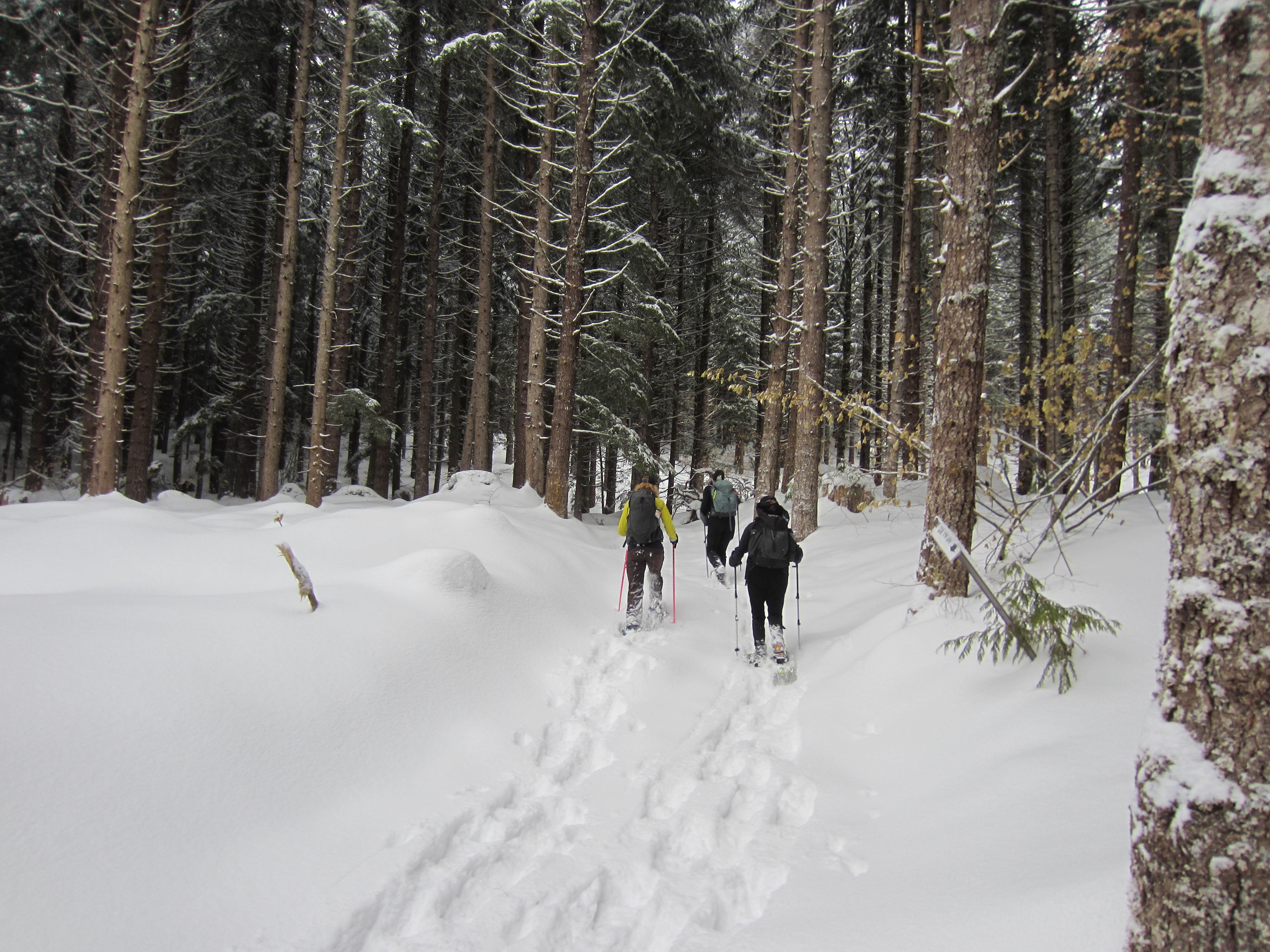
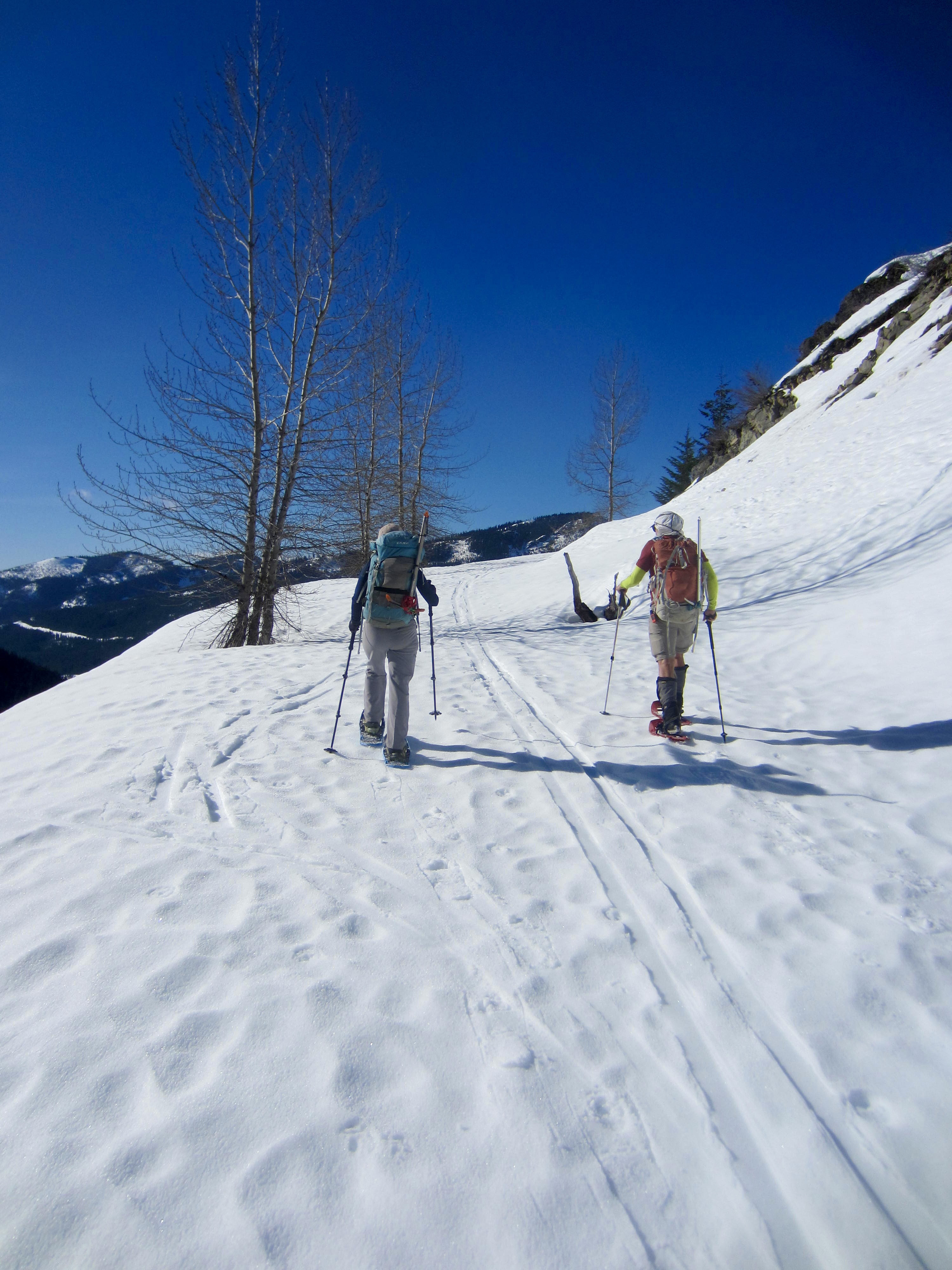
In order to help Puget Sound-area snowshoers pick suitable destinations—and to offer some variety throughout the season—I have compiled the following list of easy to intermediate trekking options in the I-90 corridor between North Bend and Cle Elum. These treks are generally arranged from easiest to hardest, based on the distance, elevation gain, and experience level required. Links are provided for my route descriptions or trip reports, where available. I will continue to add trekking suggestions and route descriptions throughout the winter, so check back periodically.
Keechelus Lake Flats: A short and very easy snowshoe trek from Hyak Sno-Park to the broad, snow-covered shoreline flats of this very large reservoir, which is drawn down throughout the winter. The route follows a marked snowshoe trail down to the lakeshore, then you can wander through open terrain and an ancient stump farm. Approximately 2 to 4 miles + 100 feet round trip, depending on turnaround point.
Denny Creek Waterslide: An easy snowshoe trek from Franklin Falls Sno-Park to this scenic lunch spot where Denny Creek flows over curvy bedrock slabs. The route begins on a forest road and then transitions to a hiking trail through dense forest. Approximately 2.9 miles + 600 feet round trip.
Three-Trestle Trek: An easy snowshoe trek from Homestead Valley near Exit 38 up to the Palouse-to-Cascades Trail, then eastward across three high railroad trestles over Change Creek, Hall Creek, and Mine Creek. The route initially ascends an access roadway, then follows a former railroad grade. Due to the low-elevation start, this is suitable only when the Puget Sound lowlands get a good snowfall. Approximately 5.6 miles + 400 feet round trip.
Snoqualmie Tunnel West Portal: An easy snowshoe trek from Lake Annette Sno-Park to the west entrance of this historic railroad tunnel. The route starts on the Lake Annette Trail and then branches onto the Palouse To Cascades Trail. Approximately 5.0 miles + 600 feet round trip.
Hyak Lake: An easy to moderately strenuous snowshoe trek from the Hyak overflow parking lot to this tiny lake surrounded by rolling glades. The entire route follows the lower half of the adventurous Nordic Pass Trail through dense forest; good navigation skills are needed. Approximately 3.4 miles + 850 feet round trip. (Follow first part of route description for Surveyors Hill.)
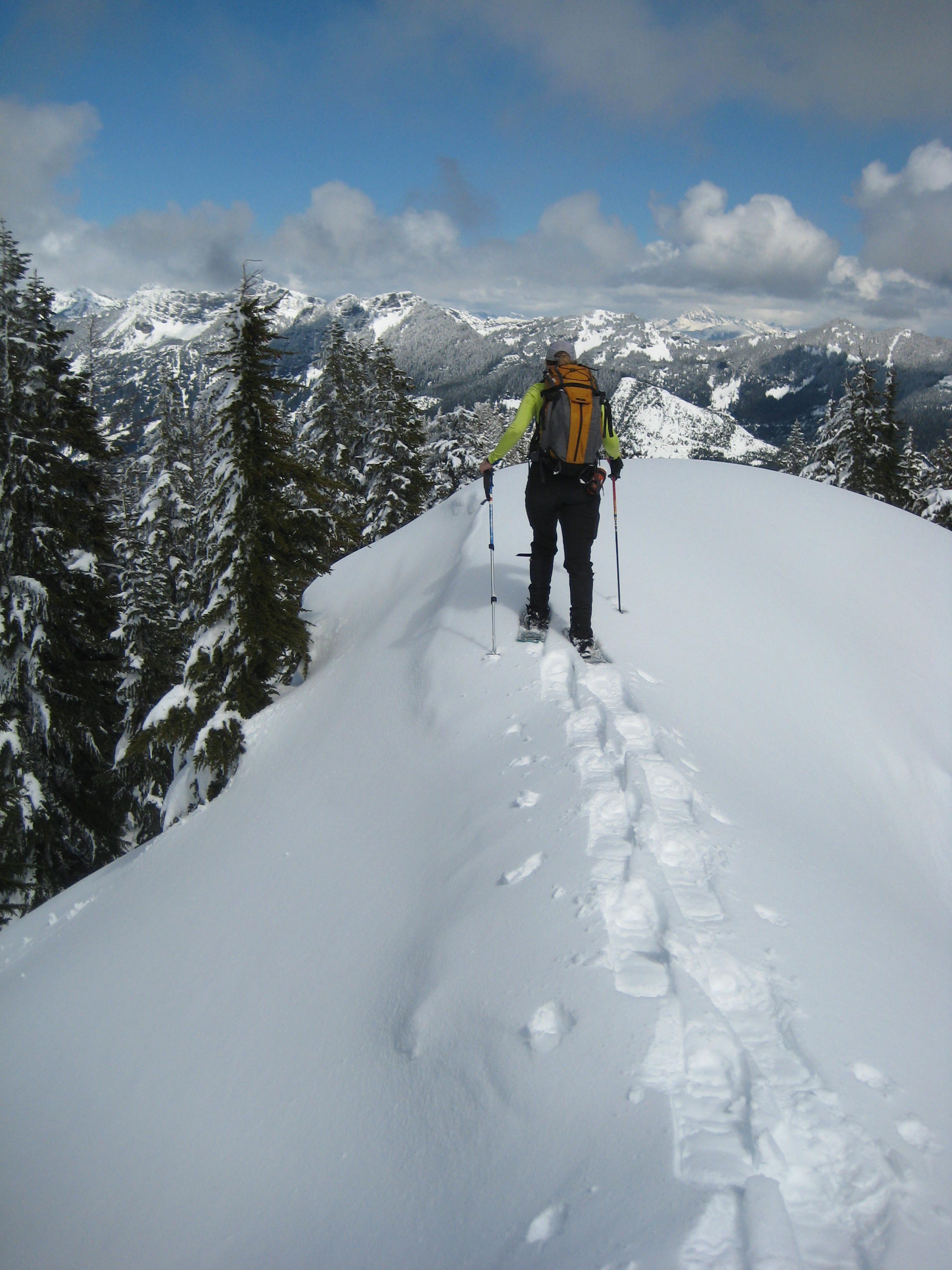
Surveyors Hill: A moderately strenuous snowshoe trek from the Hyak overflow parking lot to this forested summit overlooking the Snoqualmie River Valley and Interstate-90 corridor. The route begins on the adventurous Nordic Pass Trail and finishes on forest roads and forest slopes; good navigation skills are needed. Approximately 6.0 miles + 1600 feet round trip.
Dungeon Point: A moderately strenuous snowshoe trek from South Gold Creek Sno-Park to this dramatic viewpoint overlooking the Hyak and Snoqualmie Pass area. The route follows a combination of abandoned forest roads, steep forest slopes, and open slopes; good mountain skills are needed. Approximately 4.8 miles + 2000 feet round trip.
Southeast Thetis Knoll: A moderately strenuous snowshoe trek from Kachess Lake Sno-Park to this small knoll overlooking Kachess Lake and Kachess Ridge. The entire route follows forest roads with occasional snowmobile traffic, so a weekday schedule is recommended. Approximately 7.0 miles + 1750 feet round trip.
Annette Lake: A moderately strenuous snowshoe trek from Annette Lake Sno-Park to this pretty lake nestled in a wide bowl below Silver Peak and Abiel Peak. The entire route follows a hiking trail through dense forest and across several open chutes; good mountain skills are needed. Approximately 6.8 miles + 1900 feet round trip.
First Kendall Knob & Kendall Peak Lakes: A moderately strenuous snowshoe trek from North Gold Creek Sno-Park to this viewpoint overlooking the Hyak and Snoqualmie Pass area, or to these small lakes set beneath Kendall Peak. The entire route to First Kendall Knob follows abandoned forest roads, and the short sidetrip to the lakes goes through sparse forest slopes. Approximately 7.1 to 8.3 miles + 1700 to 1950 feet round trip, depending on destination chosen.
Lake Laura: A moderately strenuous snowshoe trek from South Gold Creek Sno-Park to this cute little horseshoe-shaped lake tucked below the cliffs of Dungeon Peak. The route follows a combination of abandoned forest roads, steep forest slopes, and steep open slopes; good mountain skills are needed. Approximately 6.6 miles + 2200 feet round trip. (Follow first part of route description for Mt. Laura.)
Nordic Pass: A moderately strenuous snowshoe trek from the Hyak overflow parking lot to a forested saddle between Mt. Catherine and Nordic Knob. The entire route follows the adventurous Nordic Pass Trail through dense forest; good navigation skills are needed. Approximately 8.0 miles + 1700 feet round trip.
Cole Creek Pond: A moderately strenuous snowshoe trek from Easton Reload Sno-Park to this small lake perched on a high bench above the Cole Creek Valley. The entire route follows forest roads, some of which get frequent snowmobile traffic; a weekday schedule is recommended. Approximately 8.6 miles + 2100 feet round trip.
Talapus Lake & Olallie Lake: A moderately strenuous snowshoe trek from the Exit 45 interchange vicinity to Talapus Lake, with the option of continuing another mile up to Olallie Lake. The route follows a combination of forest roads and hiking trails through dense forest; good navigation skills are needed. Approximately 8.0 to 12.0 miles + 1600 to 2200 feet round trip, depending on starting point and destination chosen.
Cole Valley Overlook: A moderately strenuous snowshoe trek from Easton Reload Sno-Park to this high viewpoint on the western side of Goat Peak. The entire route follows forest roads, some of which get frequent snowmobile traffic; a weekday schedule is recommended. Approximately 10.6 miles + 2650 feet round trip.
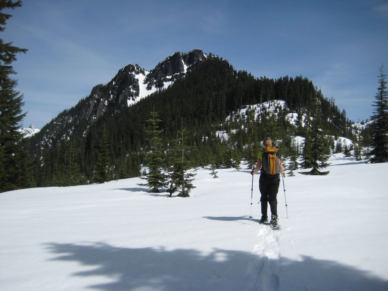
Mt. Catherine: A strenuous snowshoe trek from the Hyak overflow parking lot to this fine summit overlooking Keechelus Lake. The route largely follows the adventurous Nordic Pass Trail but finishes on steep forest slopes and steep open slopes; good mountain skills are needed. Approximately 10.0 miles + 2750 feet round trip.
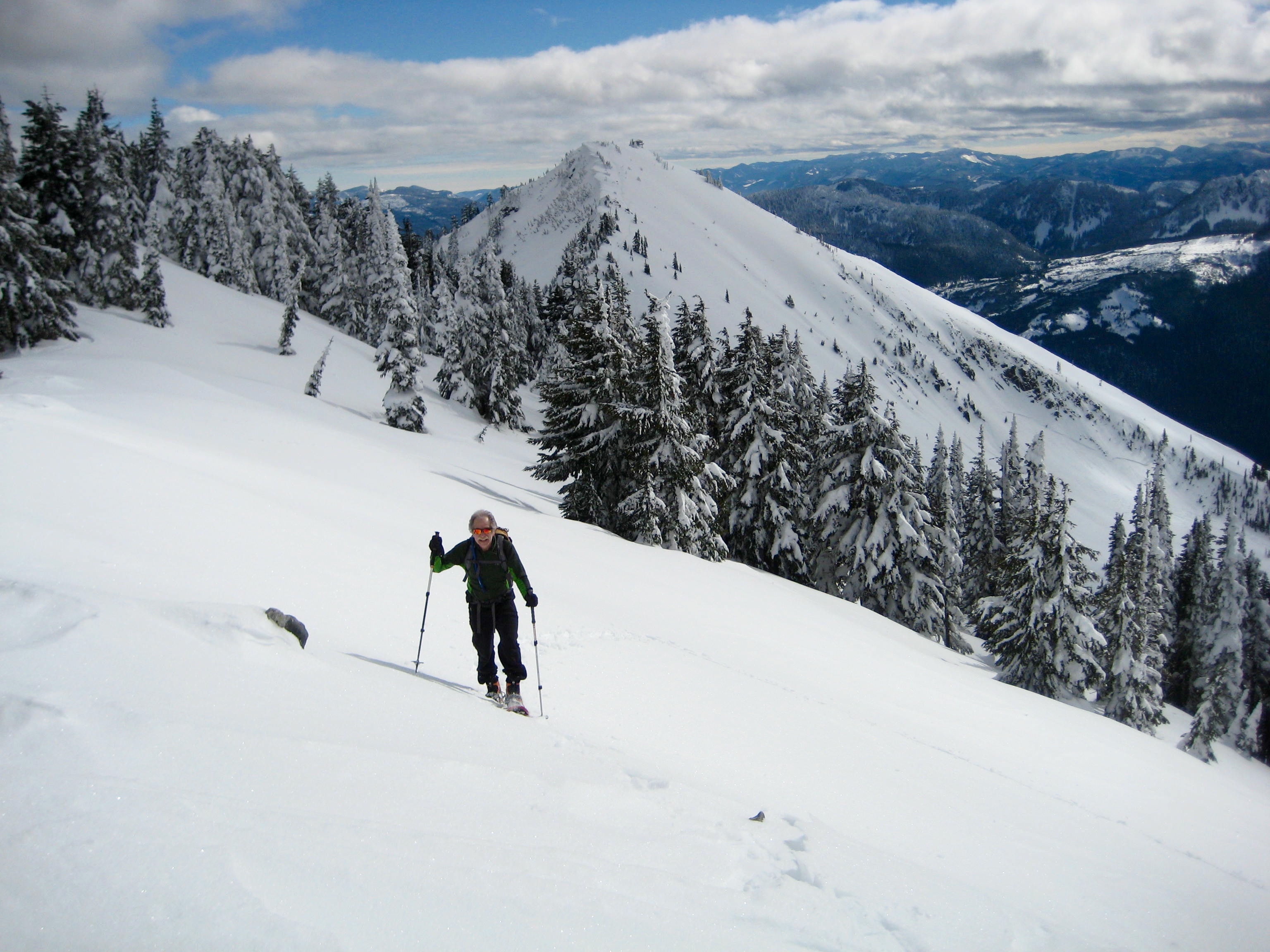
Mt. Laura: A strenuous snowshoe trek from South Gold Creek Sno-Park to this alpine summit with northerly views into the rugged Snoqualmie Mountains. The route follows a combination of abandoned forest roads, steep forest slopes, and steep alpine slopes; good mountain skills are needed. Approximately 7.4 miles + 3300 feet round trip.
Goat Peak: A strenuous snowshoe trek from Easton Reload Sno-Park to this wooded summit overlooking the Yakima River Valley and Kachess Lake. The route initially follows forest roads with frequent snowmobile traffic, then finishes on little-used roads and forest slopes; good mountain skills are needed, and a midweek schedule is recommended. Approximately 11.2 miles + 3100 feet round trip.
Mt. Margaret: A popular ski touring destination that can also be done as a strenuous snowshoe trek from South Gold Creek Sno-Park to this forested summit in the Keechelus Mountains. The route follows a combination of abandoned forest roads, steep forest slopes, and steep glades; good mountain skills are needed. Approximately 9.0 miles + 3400 feet round trip.
Humpback Mountain: A strenuous snowshoe trek from Lake Annette Sno-Park to this viewpoint summit overlooking the Snoqualmie River Valley and Interstate-90 corridor. The route follows a combination of forest roads, steep forest slopes, and narrow ridges; good mountain skills are needed. Approximately 10.2 miles + 3450 feet round trip. (Route description coming soon.)
West Granite Peak: A strenuous snowshoe trek from the Pratt Lake / Granite Mountain Trailhead parking lot to this semi-alpine summit with northeasterly views toward the rugged Snoqualmie Mountains. The route follows a combination of hiking trails, steep forest slopes, and narrow ridges; good mountain skills are needed. Approximately 7.0 miles + 4000 feet round trip.
…
Essential Information Sources
It should be emphasized that all of the options listed above are subject to weather, snow stability, road conditions, parking status, and other factors. On any given day, a certain option might be inaccessible or unsuitable for one reason or another; therefore, it is advisable to check highway reports, weather forecasts, and avalanche assessments—and to have an alternative destination in mind—before heading out. The following links provide helpful information for planning purposes. Even these information sources, however, should not be taken as a substitute for having the fitness, experience, knowledge, equipment, and clothing required for a chosen snowshoe trip.
>>> Washington State Parks description of sno-parks in the Interstate-90 corridor
>>> WSDOT road condition reports for Interstate-90 and Snoqualmie Pass
>>> National Weather Service weather forecast for Snoqualmie Pass area
>>> Northwest Avalanche Center avalanche forecast for Snoqualmie Pass area
Sno-Park Permits
Many of the snowshoeing trips that I’ve listed begin at a Washington State Sno-Park. These facilities range from something as simple as a plowed roadway shoulder with a porta-potty (such as Gold Creek) to something as deluxe as a large plowed parking lot with heated bathrooms (such as Hyak). In all cases, a Washington State Sno-Park Permit is required to park there. Season permits cost about $50 per vehicle and are available for purchase at many sporting goods stores or on-line directly from Washington State Parks. Furthermore, any sno-park that serves a groomed cross-country ski trail (such as Hyak and Cabin Creek) requires an additional “special groomed-trail sticker,” which costs about $70 more.
<<< ————– >>>