
Originally Posted: October 2026
Guye Peak Day Climb
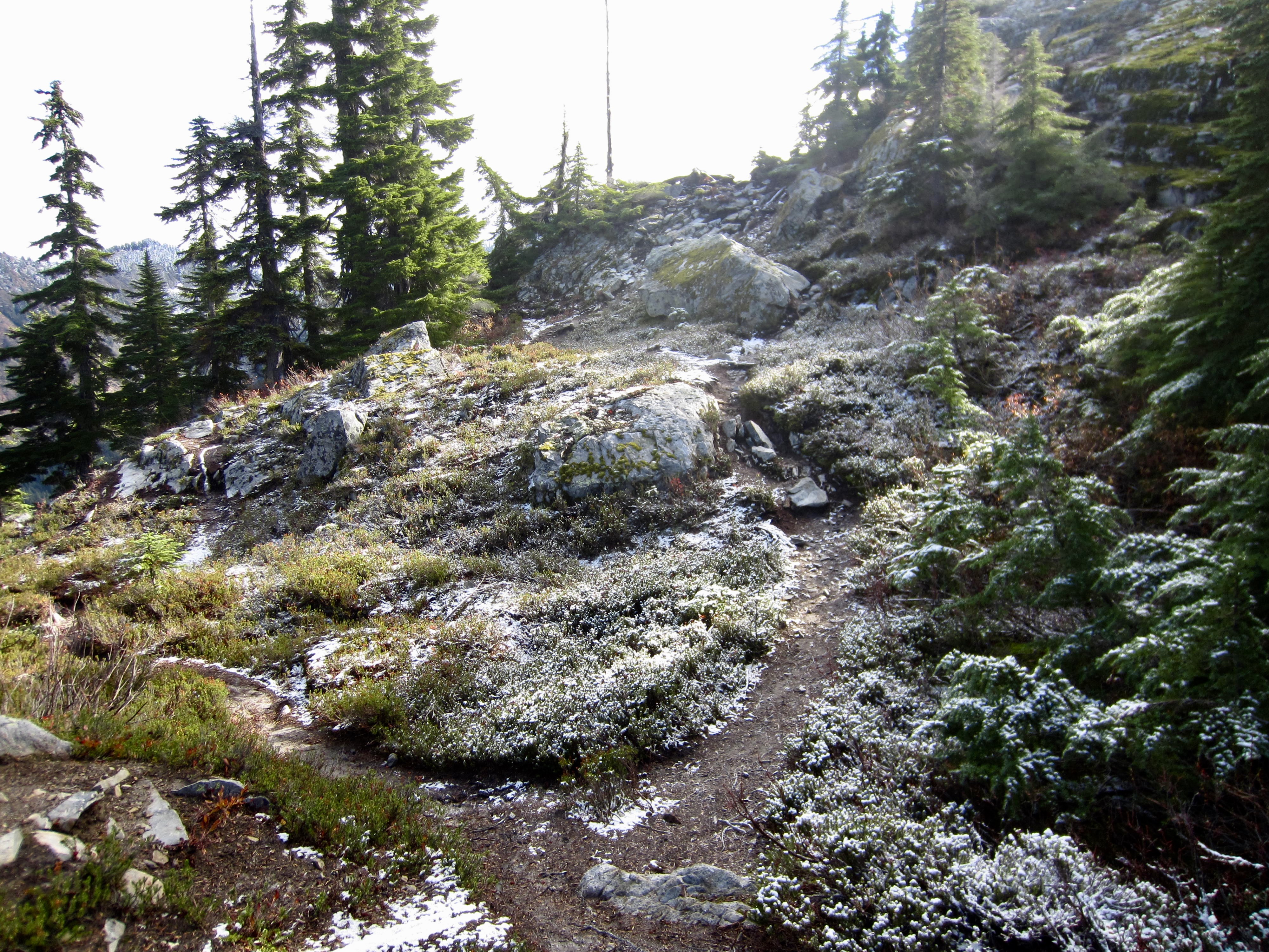
Cave Ridge Saddle
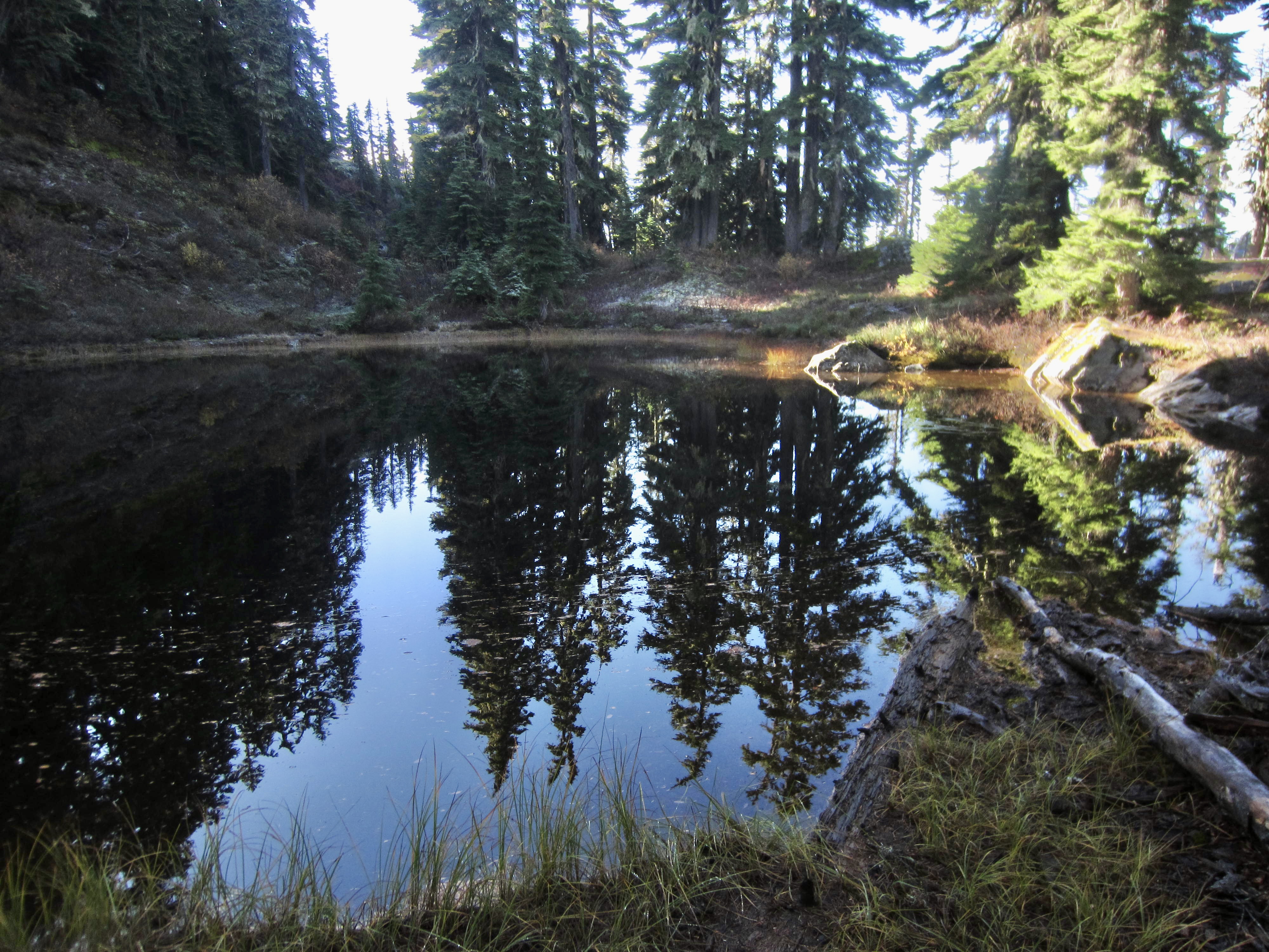
Guye Pond
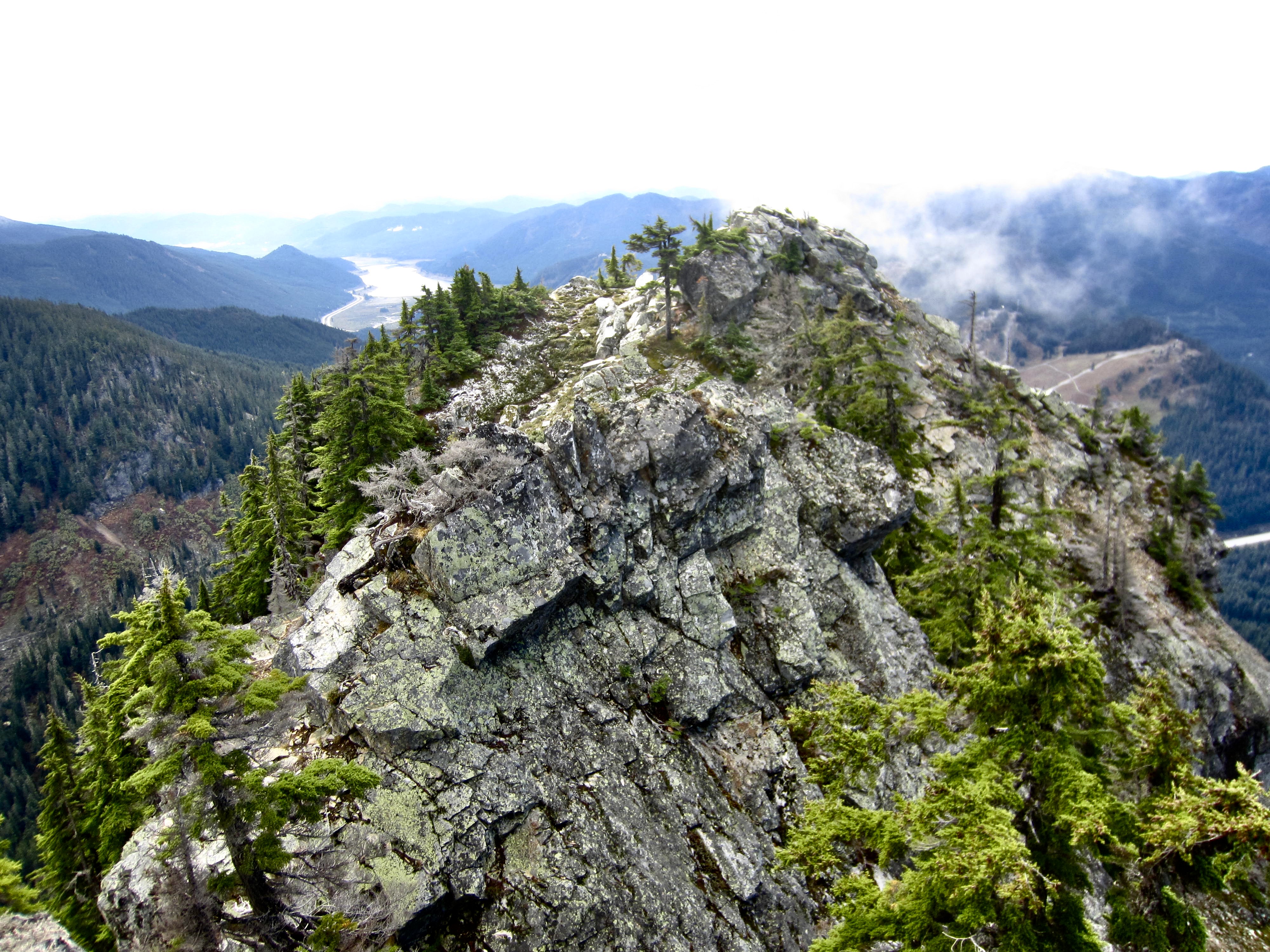
Guye Peak: north summit (5160+ ft)
Guye Peak: middle summit (5160+ ft)
Guye Peak: south summit (5168 ft)
Trip Report Summary
Region: Central Washington Cascades
Sub-Region: Snoqualmie Range
Area: Mt. Baker – Snoqualmie National Forest & Alpine Lakes Wilderness
Starting & Ending Point: Snoqualmie Mountain / Guye Peak Trailhead on Alpental Road #9040 (Elev. 3100 feet)
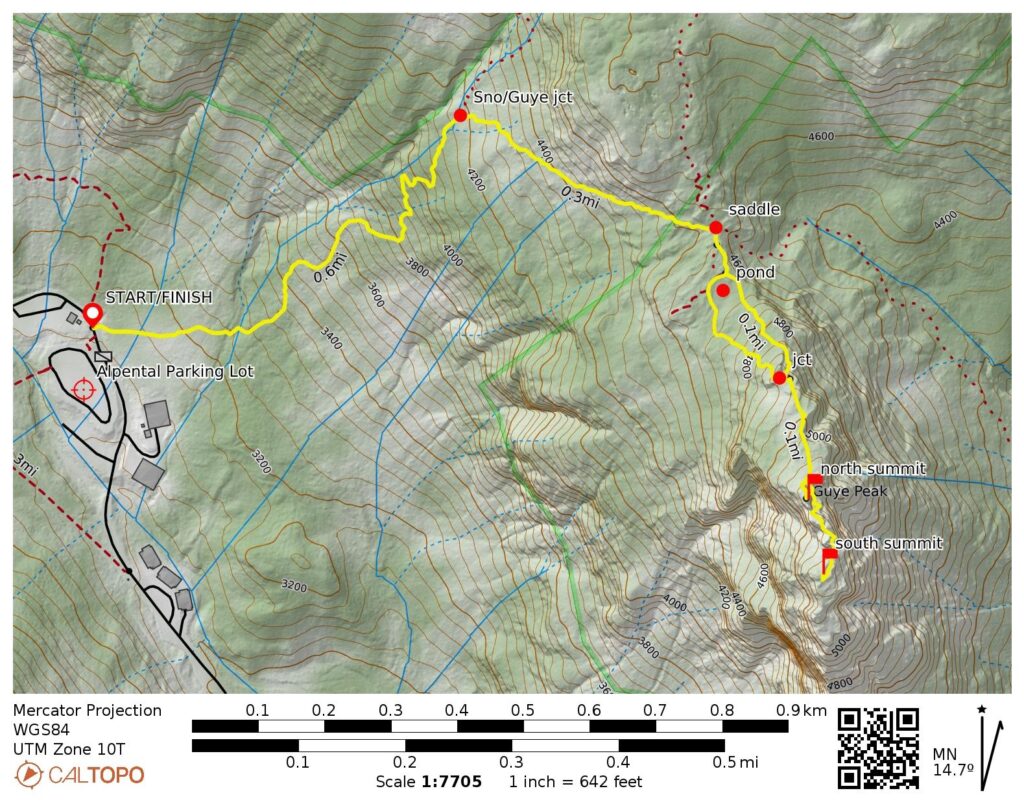
Approach Way Points: Snoqualmie Mountain Trail / Guye Peak Trail junction & Cave Ridge Saddle / four-way junction & Guye Pond & trail branch junction & access notch (trail hike & trail scramble)
Summit 1: Guye Peak: north summit (trail hike & trail scramble via North Ridge)
Summit 2: Guye Peak: middle summit (dirt scramble & rock scramble via East Gully—East Ramp—North Ridge; descent via Southeast Face)
Summit 3: Guye Peak: south summit (trail scramble & rock scramble via East Slope—East Face)
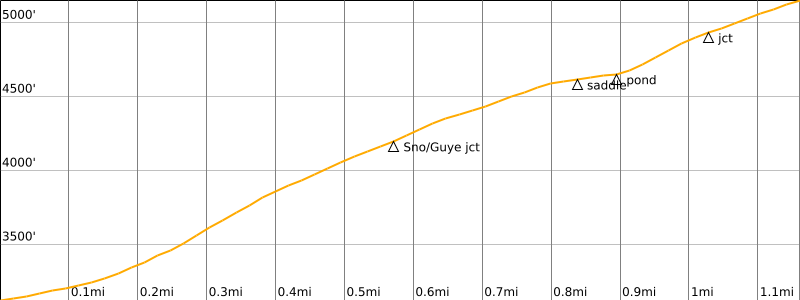
Approximate Round-Trip Stats (north summit only): 2.4 miles traveled; 2050 feet gained & lost.
Approximate Round-Trip Stats (all three summits): 2.6 miles traveled; 2400 feet gained & lost.
Related Posts
>>> Lundin Peak via Commonwealth Basin—Red Pass—Southeast Ridge – September 9, 2023
>>> Denny Mountain via Alpental Ski Area—South Face – June 10, 2021
>>> Lundin Peak via Commonwealth Basin—South Couloir—West Ridge – July 13, 2008
>>> Red Mountain via Commonwealth Basin—Southwest Face – September 28, 2003
Route Overview
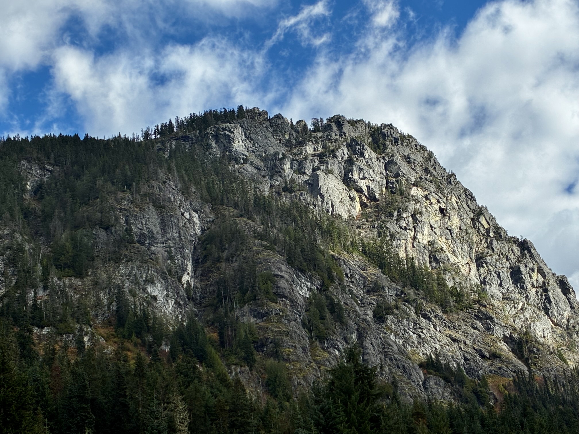
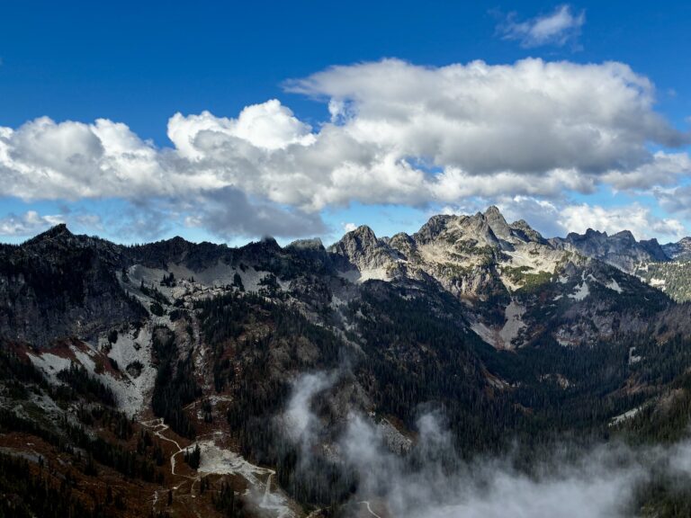
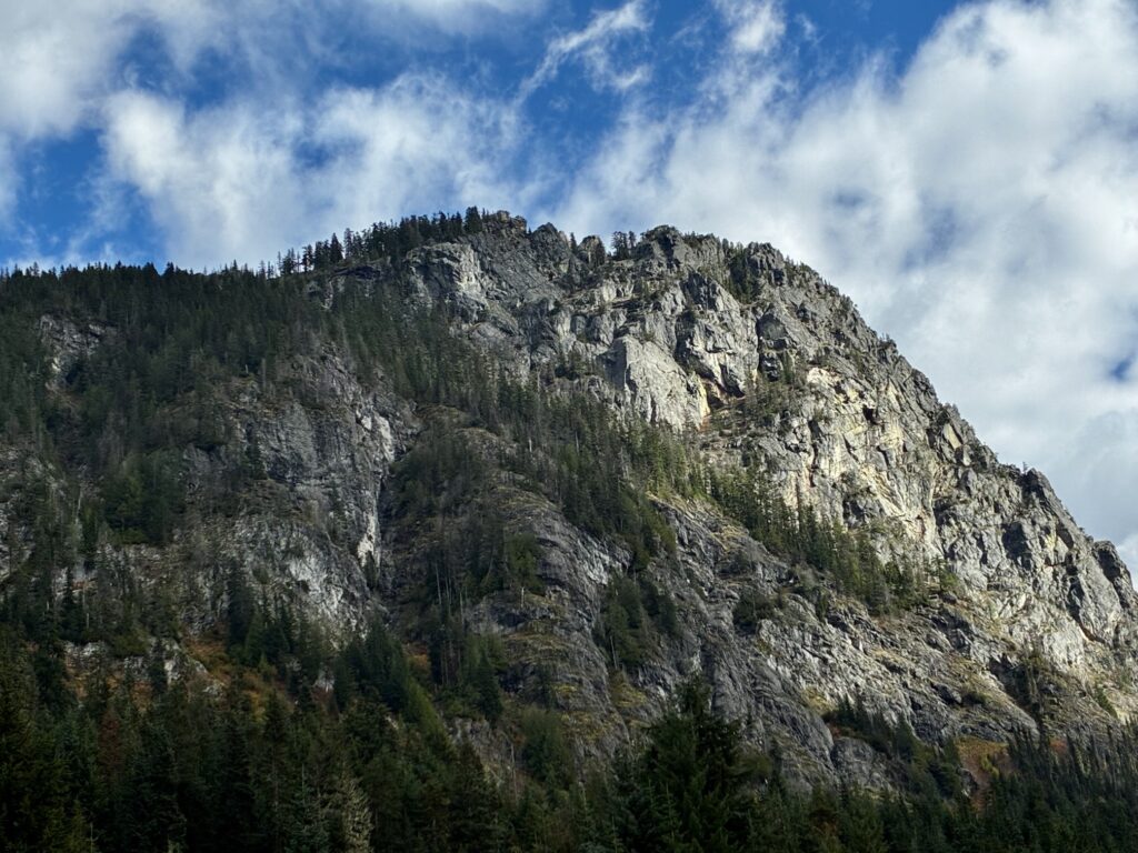
Despite having the lowest summit in the entire Snoqualmie Range, Guye Peak is probably the most frequently viewed and admired, simply due to its highly visible location from Interstate-90 on both sides of Snoqualmie Pass. When driving in either direction over the pass, Guye Peak has the appearance of a massive, gray sugarloaf or haystack, towering 1500 vertical feet above the surrounding forest. For this reason, it constitutes a very popular day-trip objective.
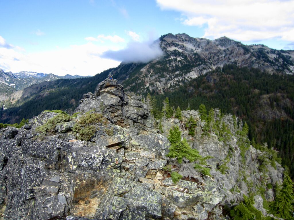
The broad summit crest of Guye Peak has three separate points of nearly equal height. The north summit is the easiest to reach, involving only a short Class 2 scramble at the top. The middle summit appears to be slightly lower but is relatively difficult to reach; it requires tricky scrambling on fairly exposed soil and Class 3-4 rock. The south summit, which appears to be the highest, requires an ascent of the middle summit, followed by some additional Class 2-3 scrambling. These latter two summits are suitable only for competent scramblers who are comfortable with moderate exposure.
The most direct route to Guye Peak starts at the Alpental Ski Area parking lot and follows a crude trail eastward up to the crest of Cave Ridge and then southward along the ridge crest. Conveniently, this parking lot lies directly beneath the peak, but be aware that it fills up quickly on weekends and requires a Northwest Forest Pass or equivalent. A longer alternative is to start farther down Alpental Road and hike up Commonwealth Creek, then ascend a broad gully to the crest of Cave Ridge.
.
Full Route Description
The following text sections describe the approach route for all three summits, and the continuation route to the three summits separately.
Approach Route to all Summits
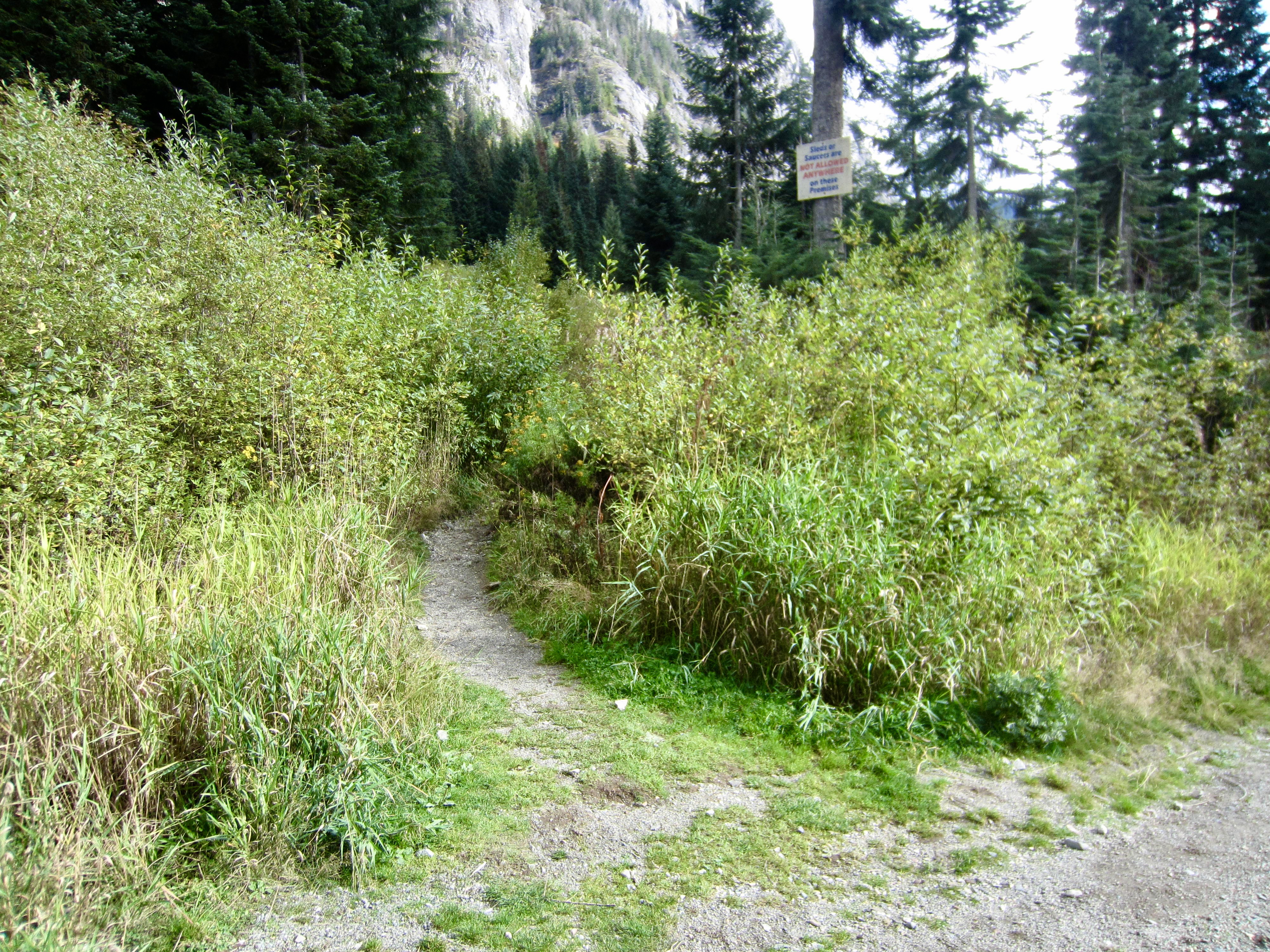
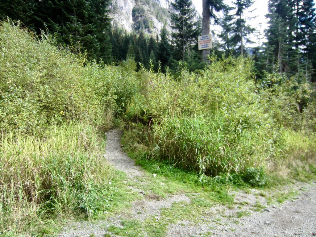
The approach route to Guye Peak begins at the unmarked Snoqualmie Mountain / Guye Peak Trailhead, which is located on Alpental Road a mere 20 yards downhill from the Snow Lake Trailhead. Although there are no formal signs at this trailhead, it can be identified by an unrelated signboard attached to an adjacent tree.
.
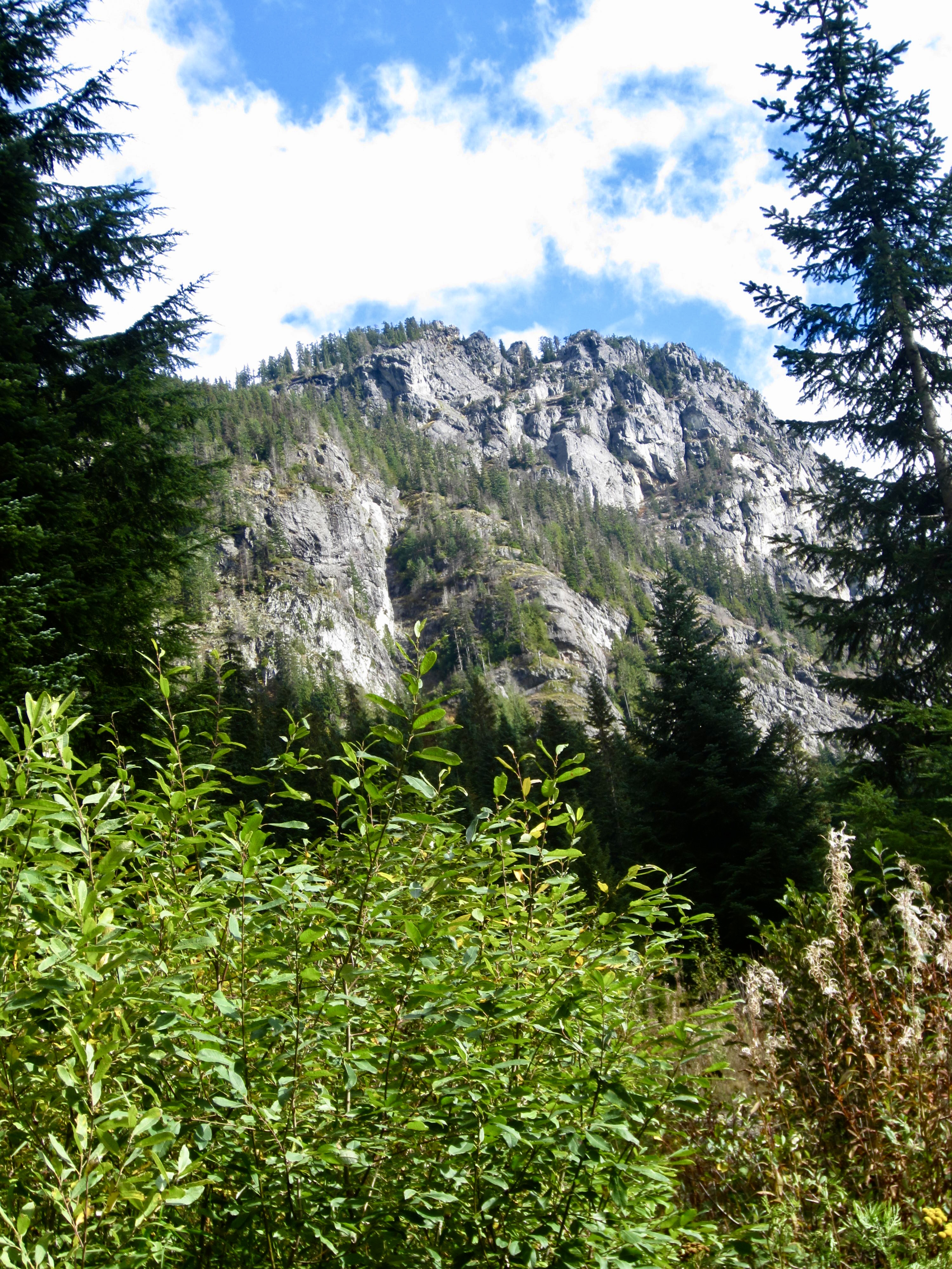
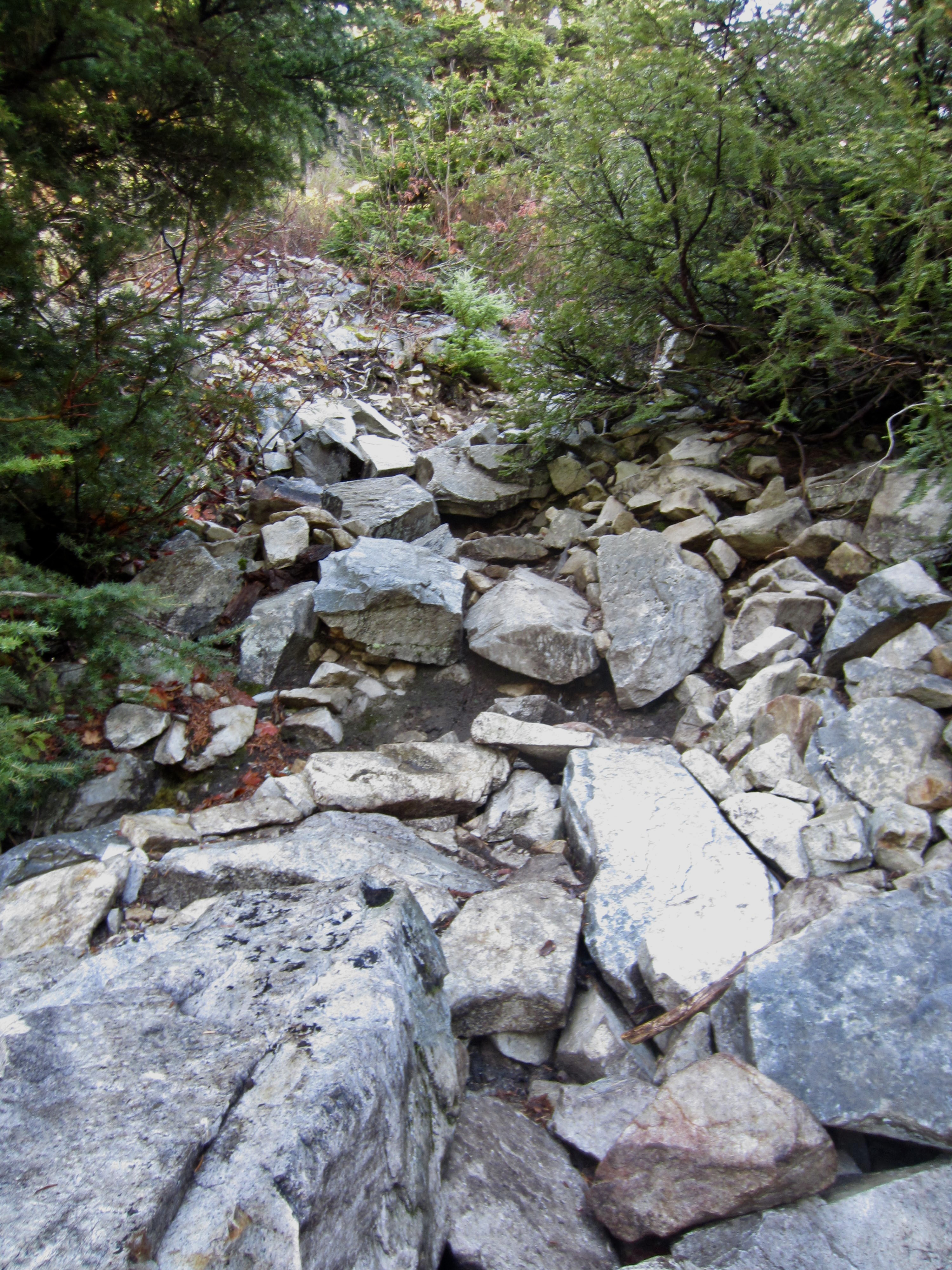
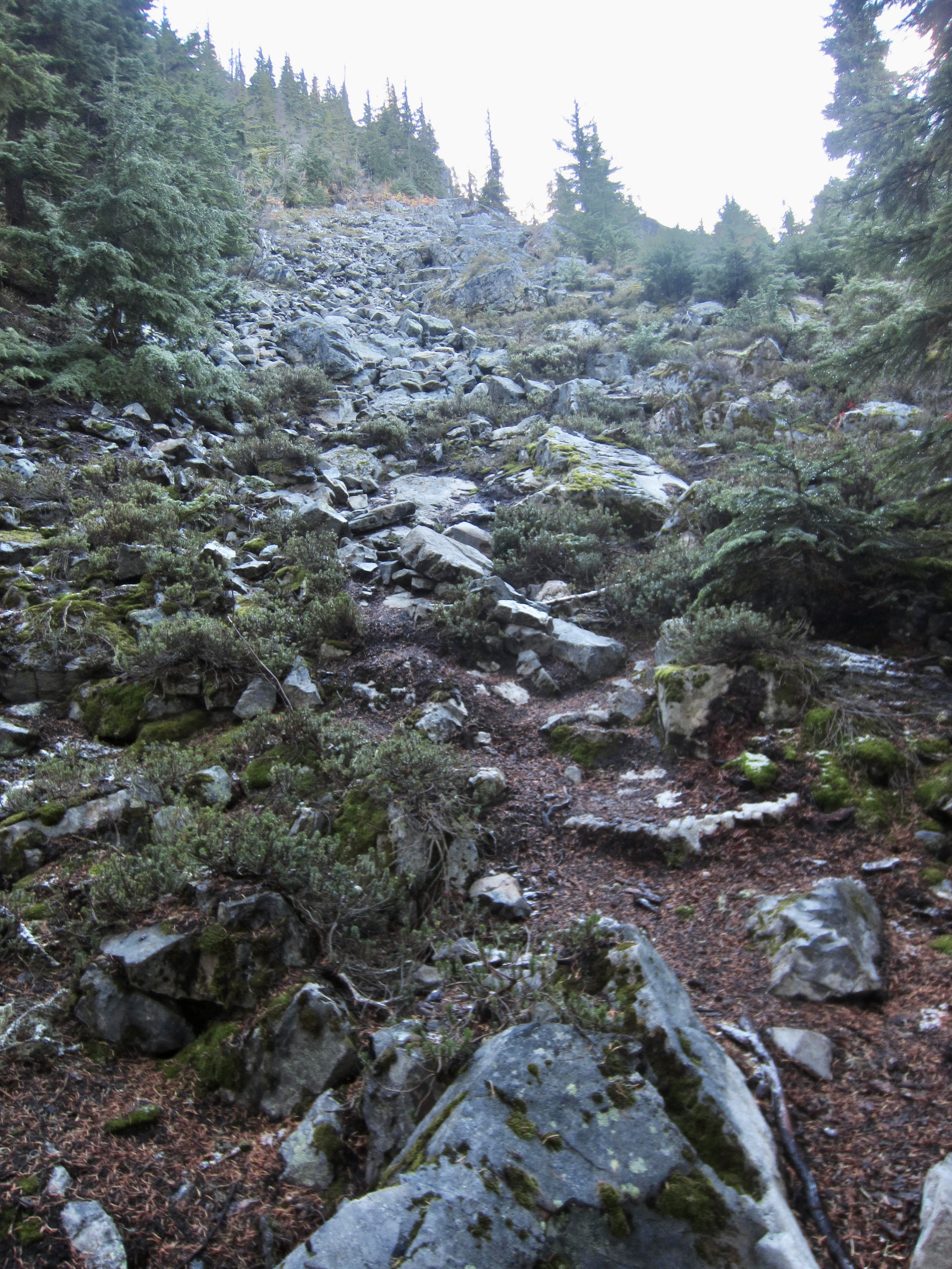
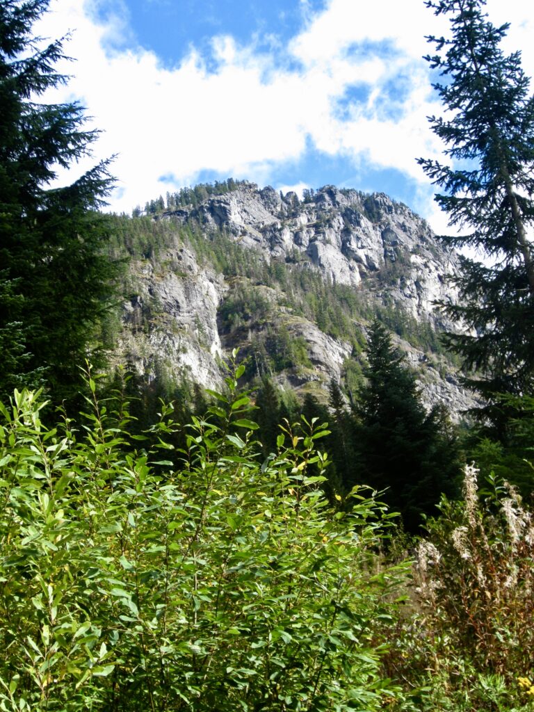
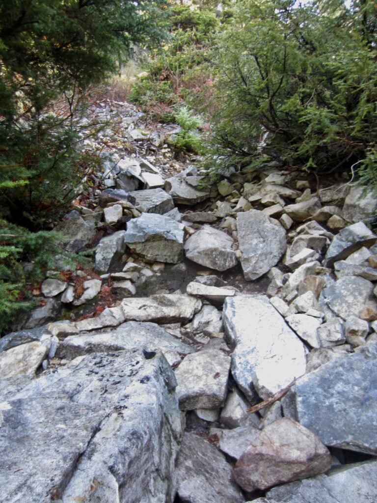
The trail initially ascends through a patch of dense brush at a moderate grade, with a view of Guye Peak directly overhead. Before long, the trail becomes very steep and rocky, at times degenerating to little more than an eroded stream channel. Higher up, the trail makes a series of tight switchbacks through dense forest.
.
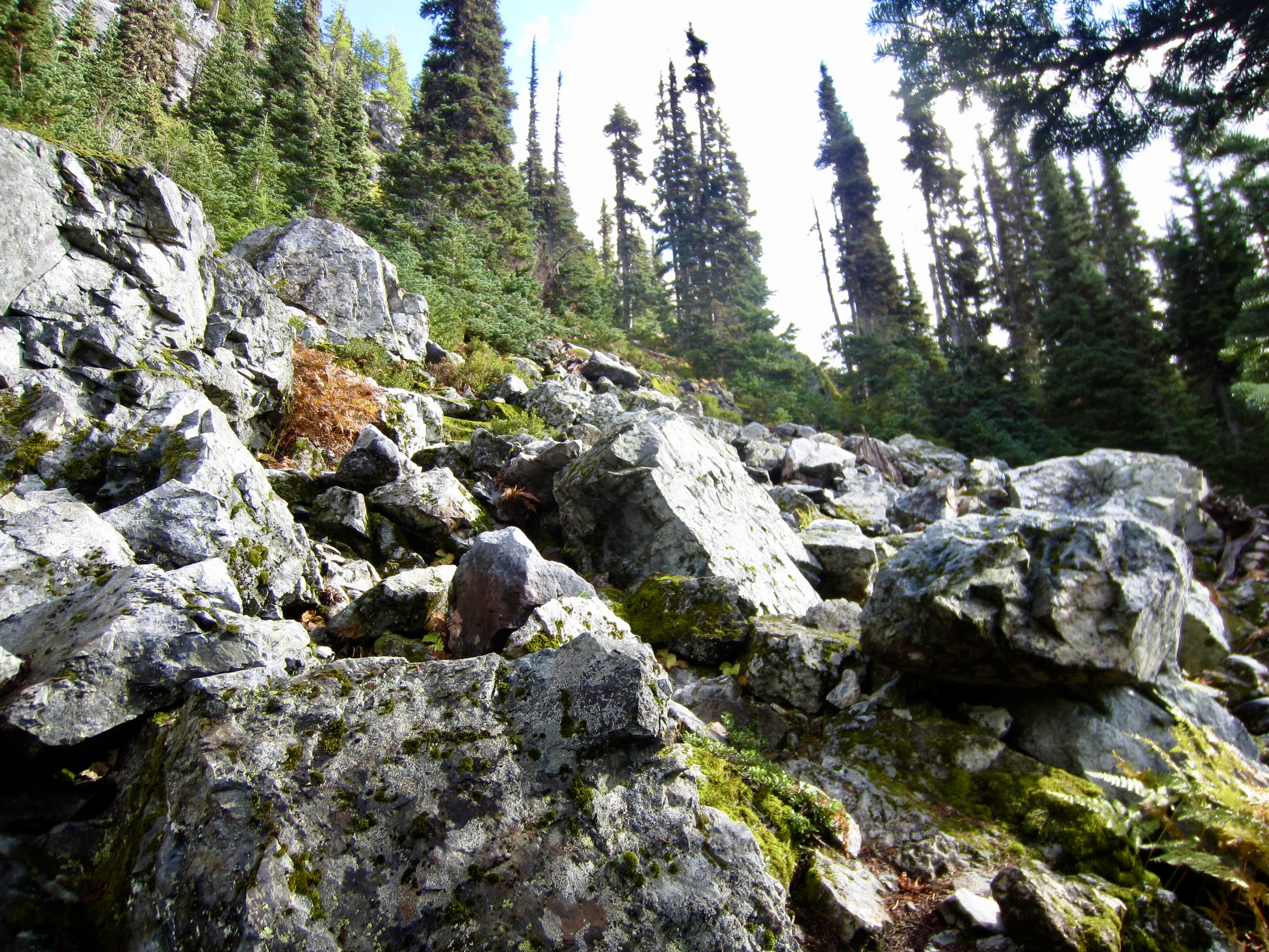
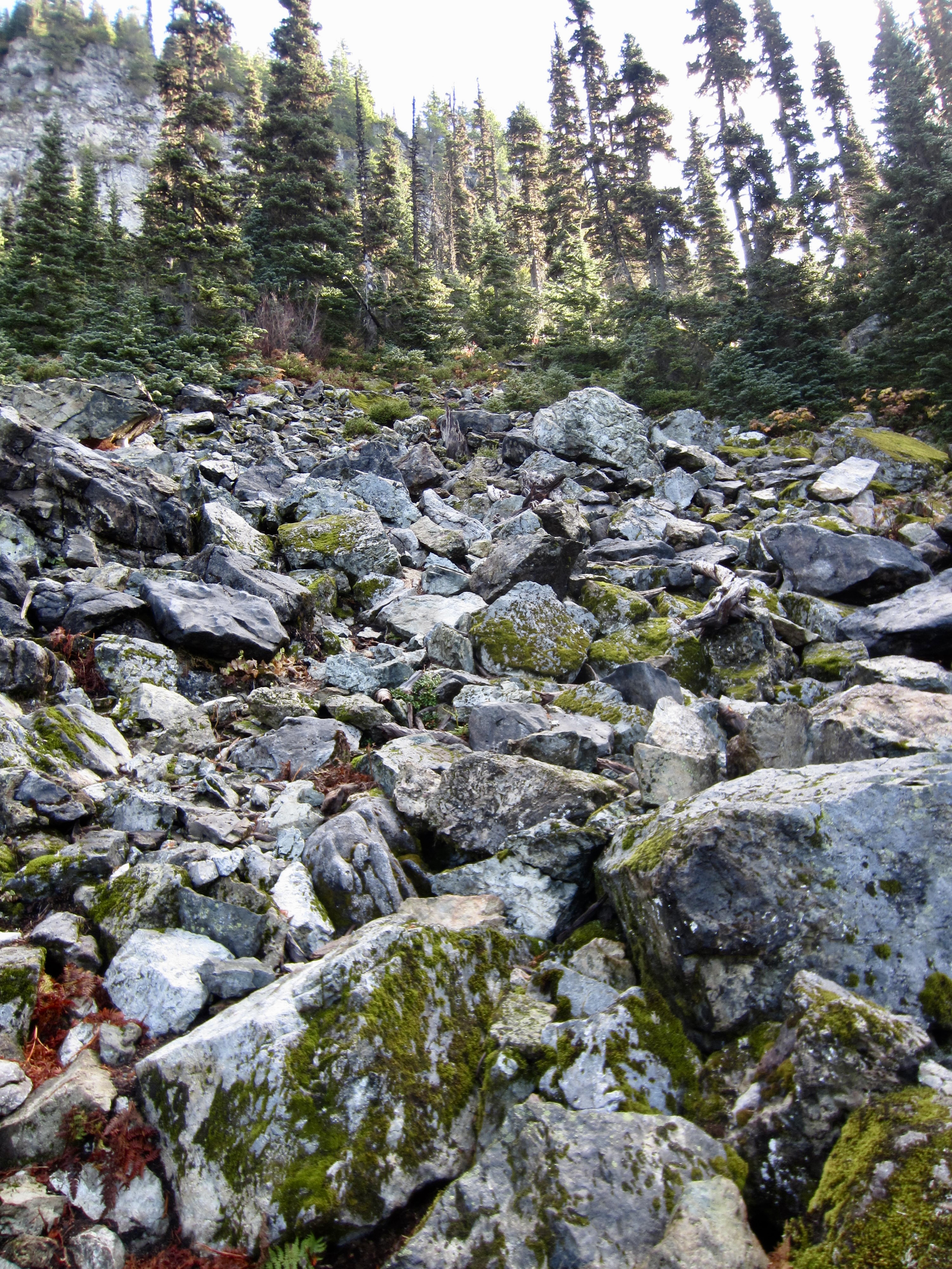
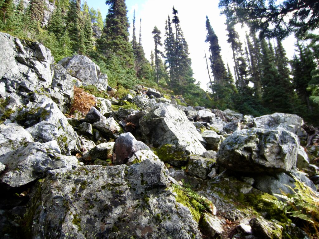
After gaining 1100 vertical feet, you will break out of the dense forest and enter a field of very large, mossy boulders. Near the bottom of this boulderfield is an inconspicuous trail junction. The well-trodden Snoqualmie Mountain Trail angles to the left, whereas the Guye Peak Trail proceeds more steeply up to the right. Take the latter branch.
.
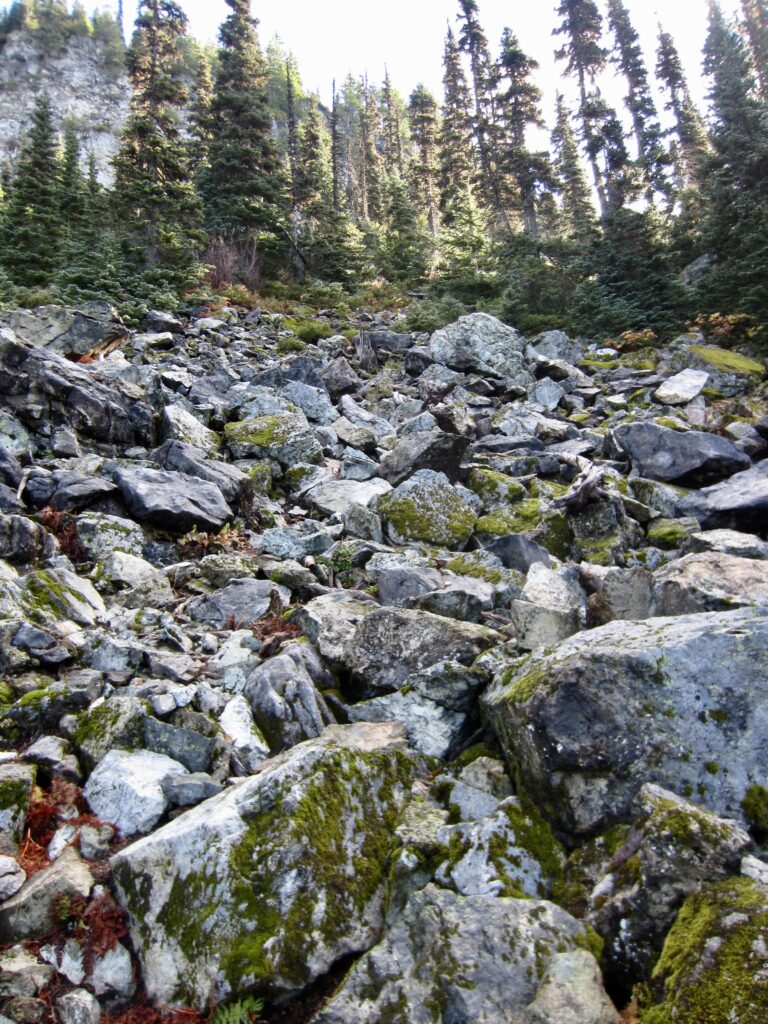
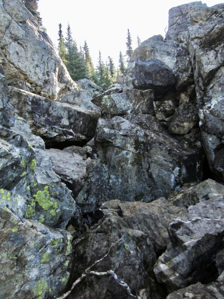
The Guye Peak Trail makes a long rightward (southeasterly) traverse up through the boulderfield, staying below a tall cliff band. Eventually, the boulderfield gives way to moderately dense forest, but the trail continues its rightward traverse.
.
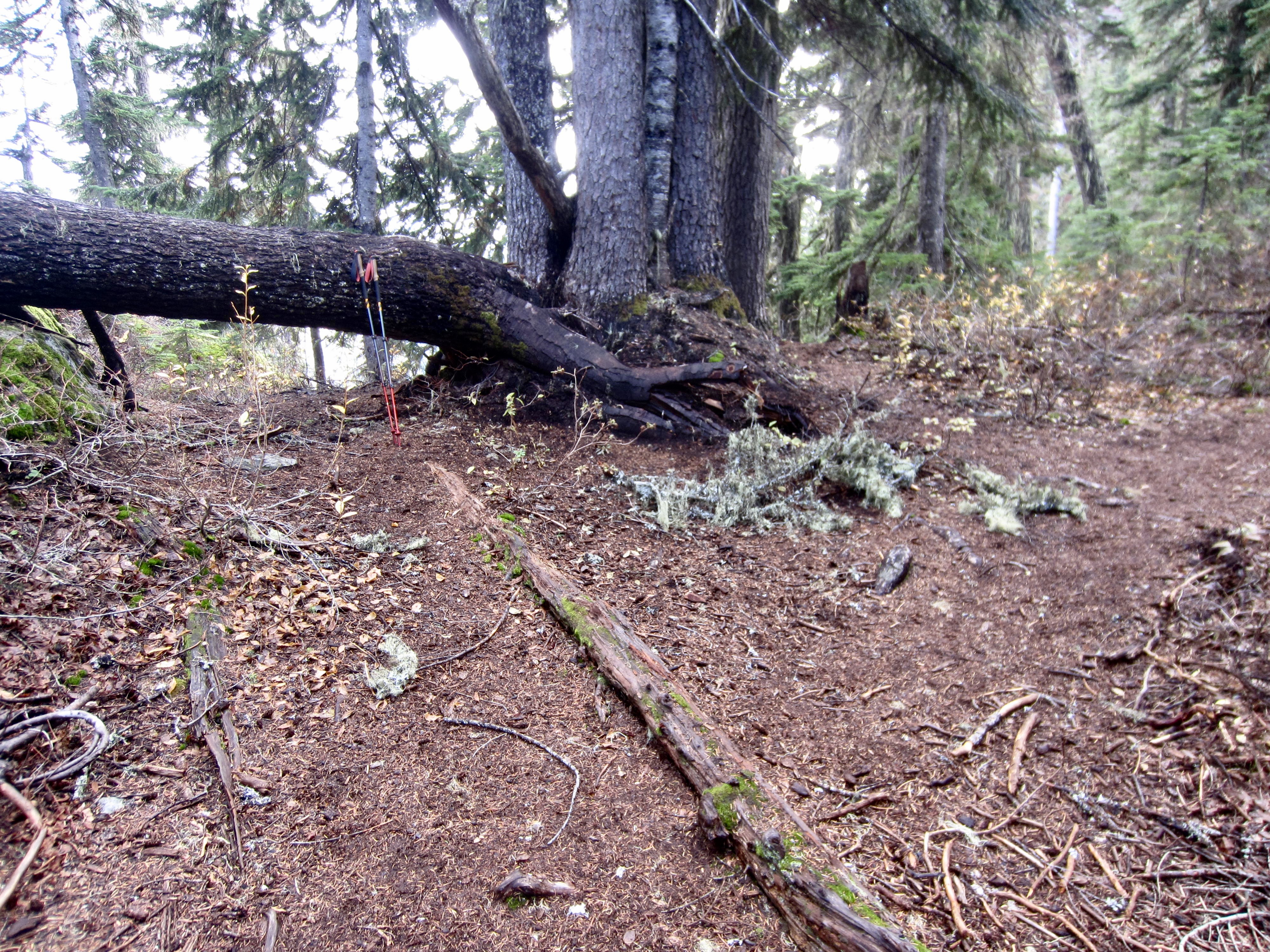
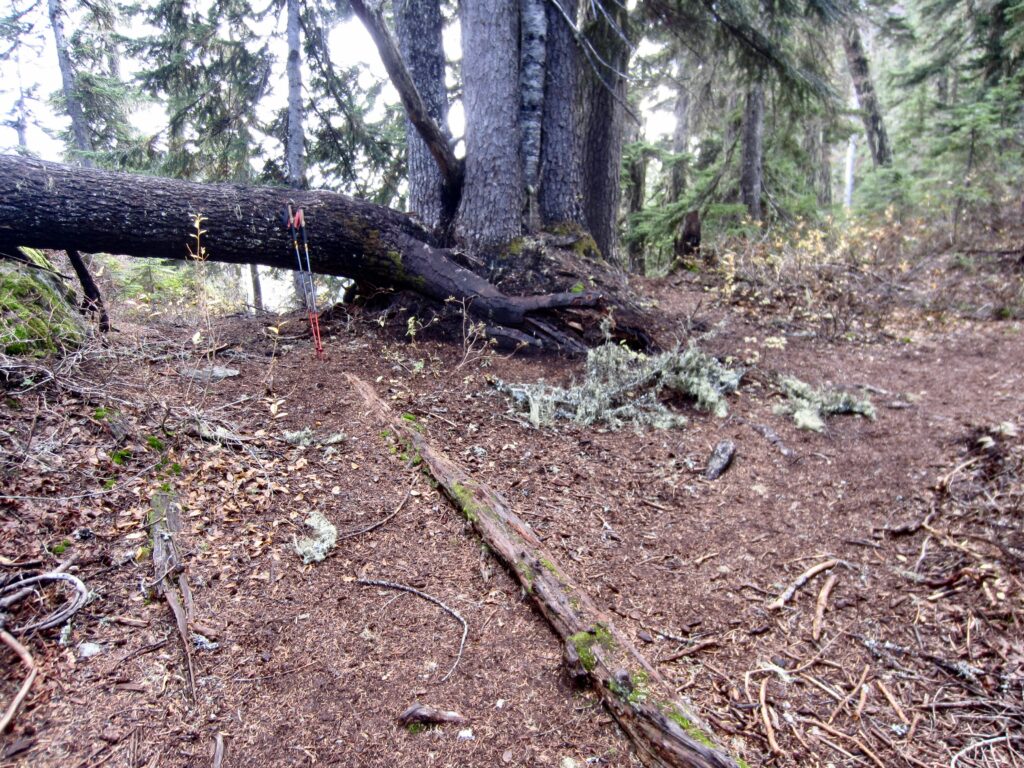
At an elevation of 4600 feet (1500 feet from TH), the Guye Peak Trail reaches the Cave Ridge Saddle—a wooded saddle that serves as a four-way intersection. To the left (north) is a path that heads up the crest to Cave Peak and the Snoqualmie Snow Dome. Straight ahead (on the other side of a fallen tree) is a path that descends to Commonwealth Creek. Turn right (south) here and continue following the Guye Peak Trail upward.
.
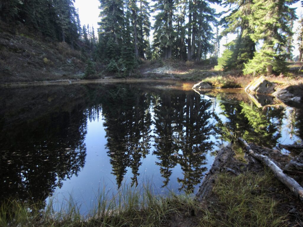
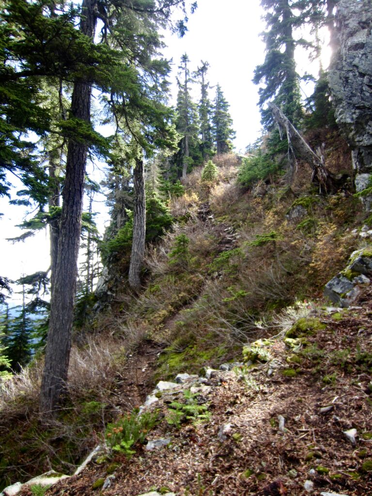
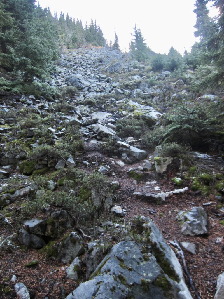
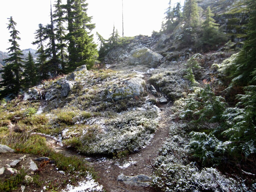
Very soon, you will arrive at Guye Pond—a cute little pool resting on a meadowy bench. Near the edge of this pond is a fork in the Guye Peak Trail, offering two options for further travel. One branch goes left around the pond and up through forest closely left of the crest, while the other branch goes right around the pond and up a talus field closely right of the crest. The left branch is slightly easier to follow, whereas the right branch is slightly more interesting. Choose either branch; they converge again at a junction 300 feet higher.
.
.
.
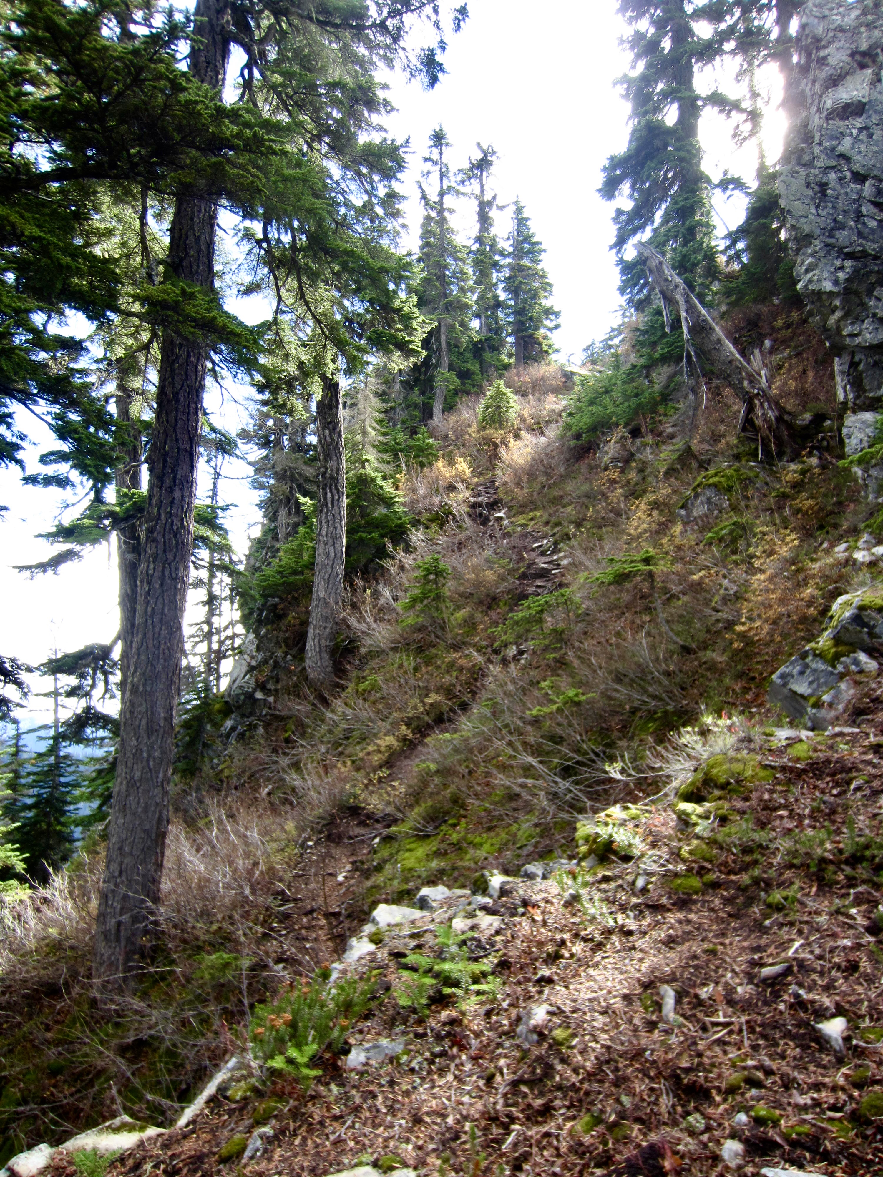
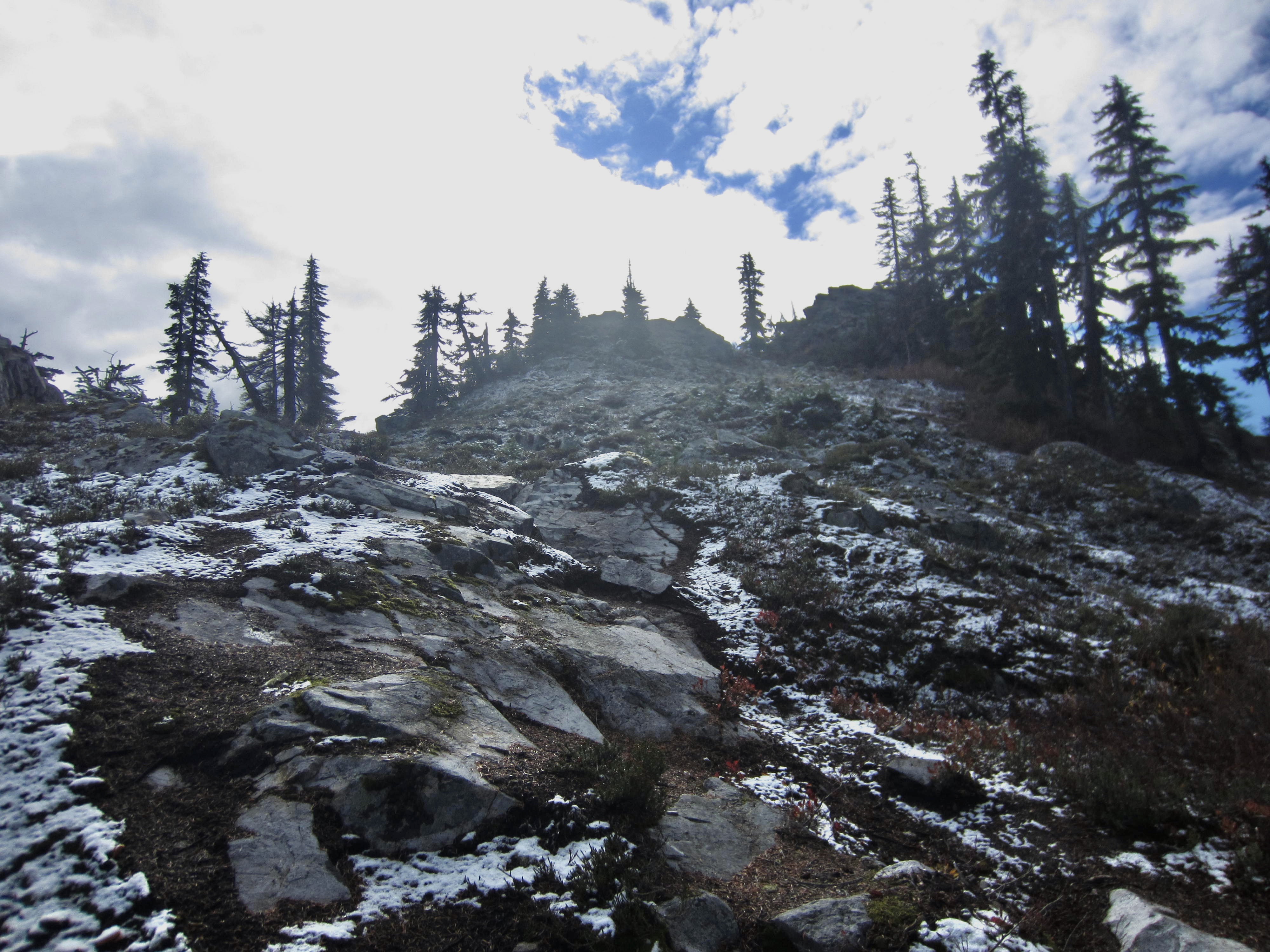
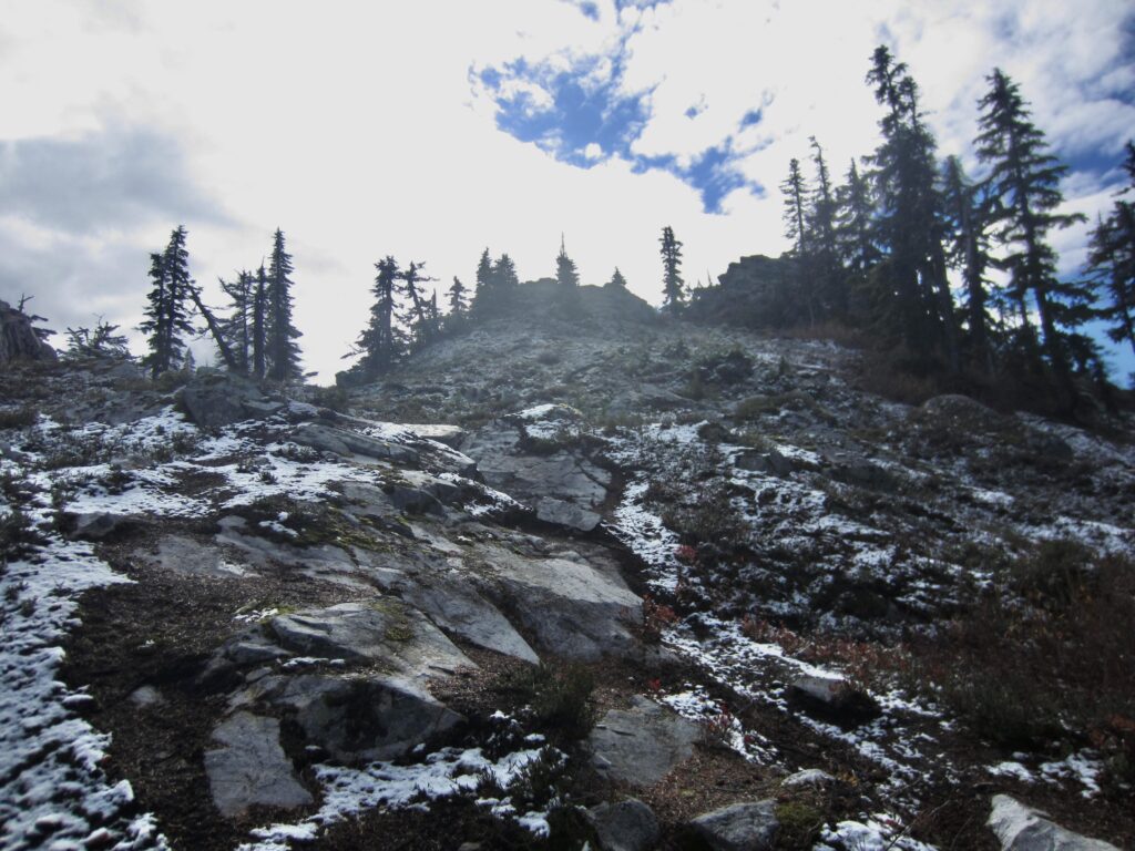
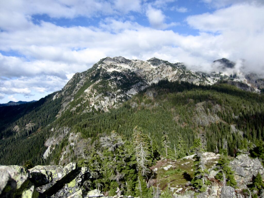
After the two branches converge at a high junction, the Guye Peak Trail continues uphill on rocky terrain. The route becomes a bit more indistinct and requires some easy scrambling, but the north summit can now be seen ahead.
.
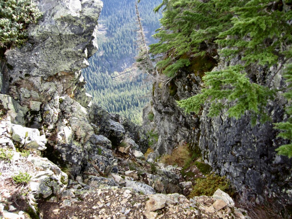
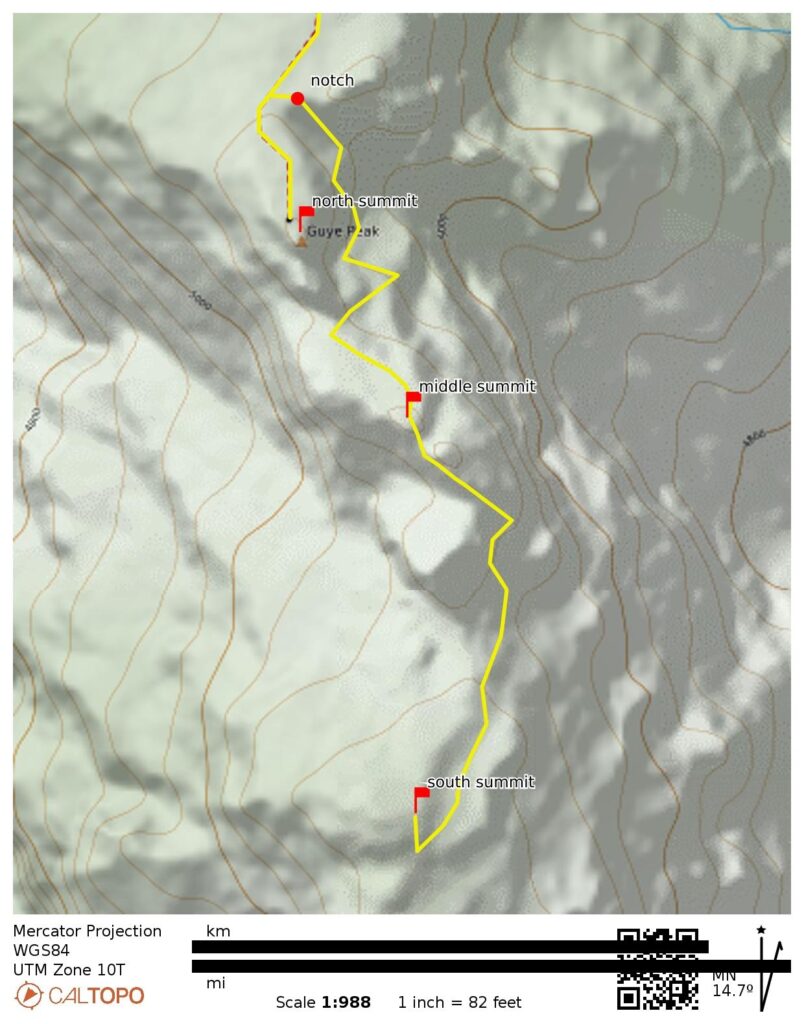
At an elevation of 5100 feet, just before you reach the base of the north summit, you will pass the access notch—a sharp gap in the ridge crest. This notch marks the end of the approach route, as defined here, and marks the top of the access gully leading to the middle and north summits.
.
North Summit Route Description
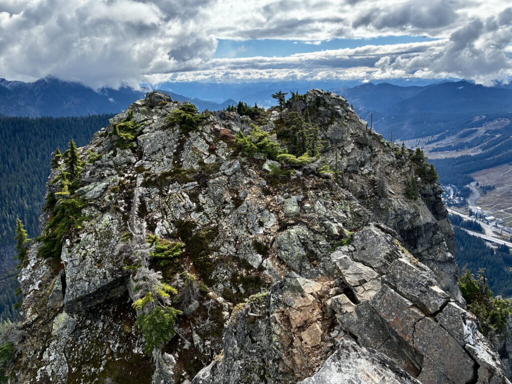
From the aforementioned access notch in the ridge crest, Guye Peak’s north summit is located only 50 vertical feet above. The craggy summit horn can be gained by means of an easy Class 1-2 scramble up slabby rock (2.4 miles + 2050 feet from TH). This location provides an excellent destination for anybody wanting a good workout and a fine viewpoint. Although the middle and south summits look tantalizingly close from here, they are separated by deep chasms, so don’t be tempted to to scramble directly over!
.
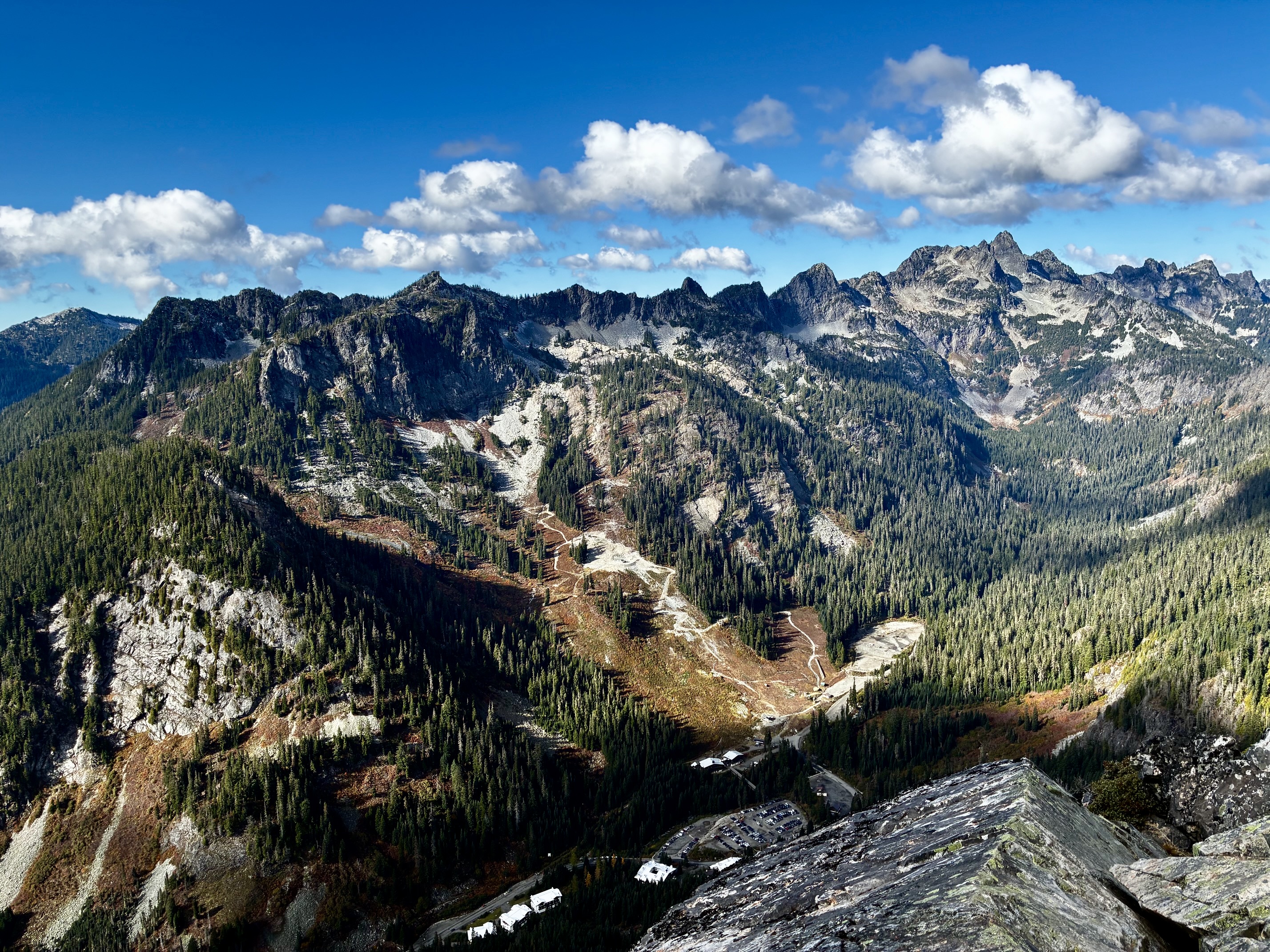
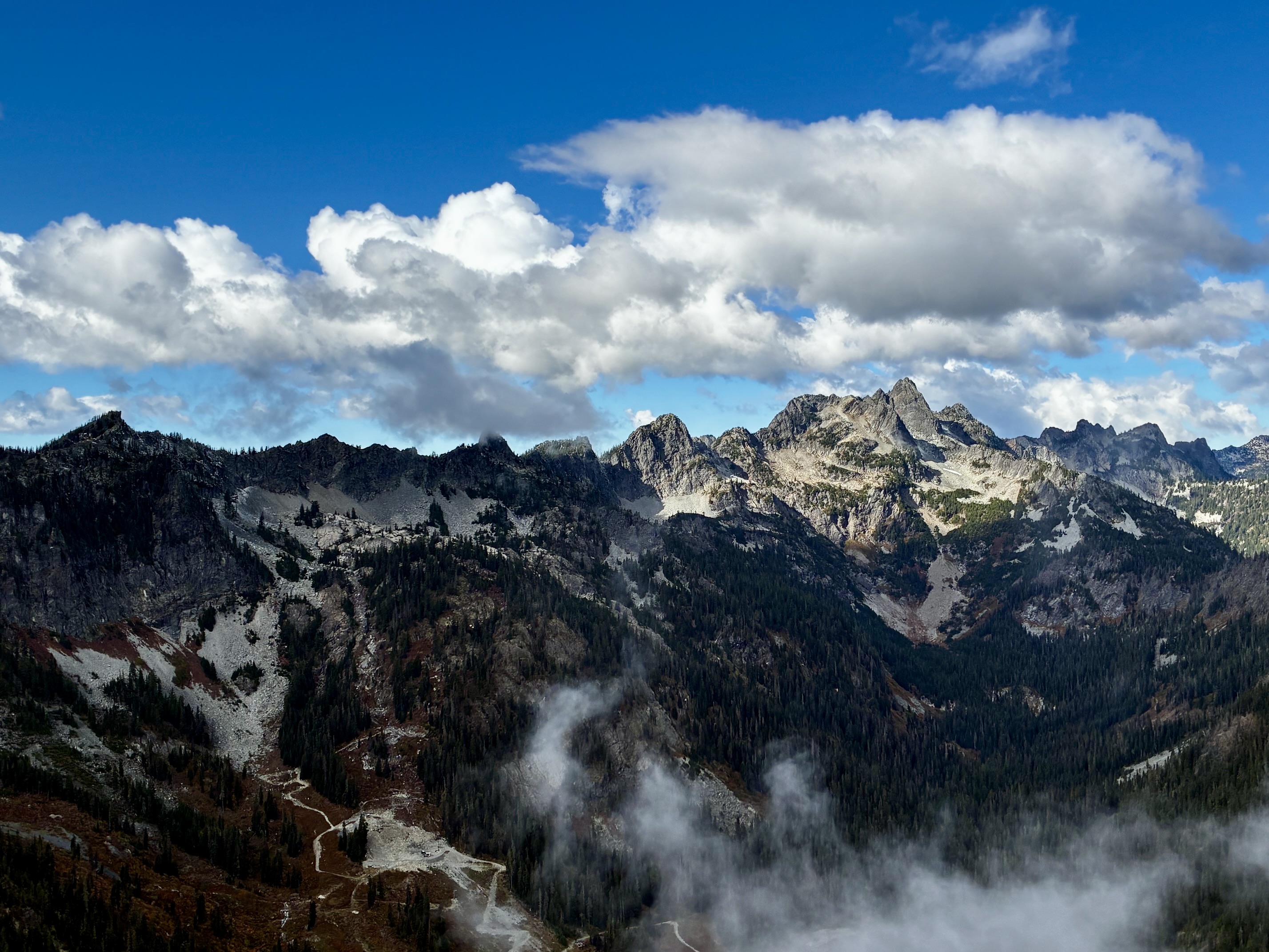
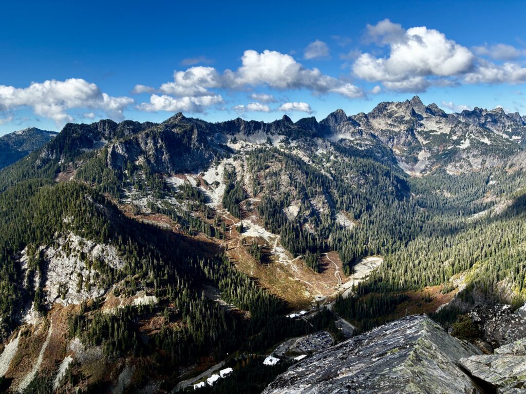
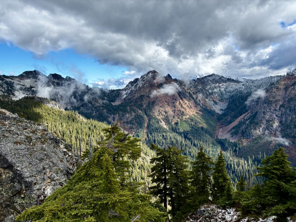
The south summit offers close-up views of Snoqualmie Mountain, Lundin Peak, and Red Mountain to the north. Down to the west is the Alpental Ski Area, and above this you can see the row of craggy Alpental peaks extending from Denny Mountain to Chair Peak.
.
.
Middle Summit Route Description
The route to Guye Peak’s middle summit begins at the aforementioned 5100-foot access notch. Before proceeding, be aware that this route requires difficult scrambling on steep, moderately exposed terrain. As such, do not attempt this route unless you are very competent and properly prepared.
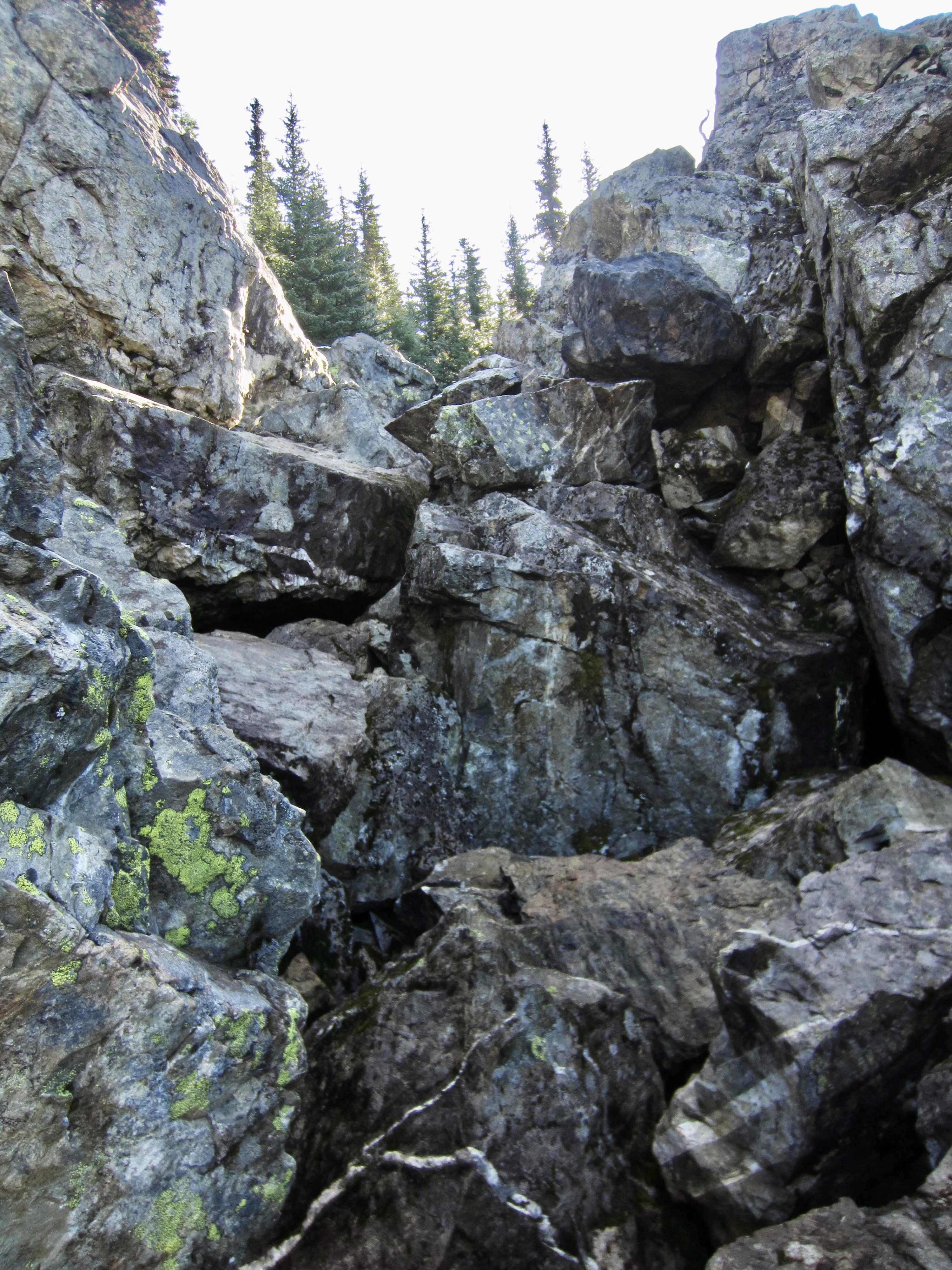
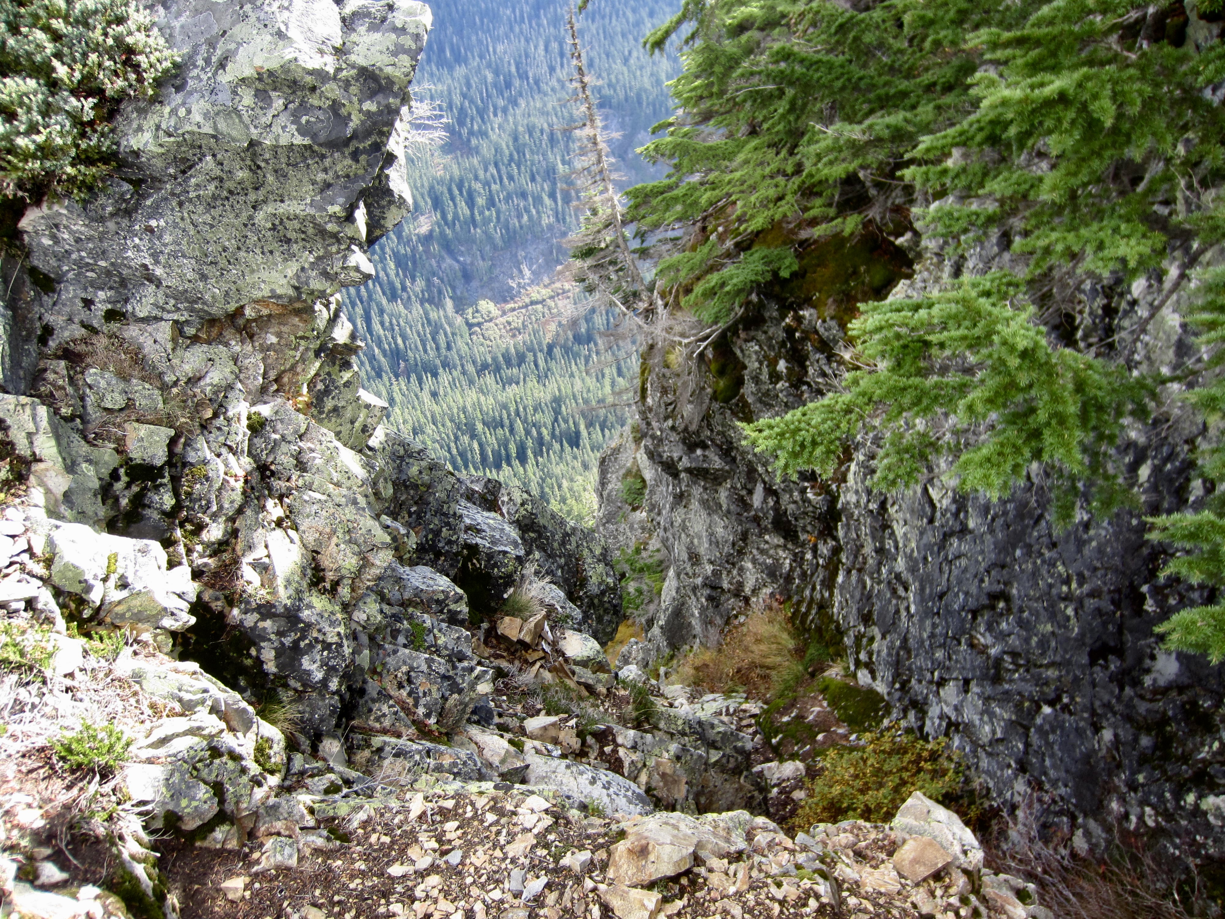
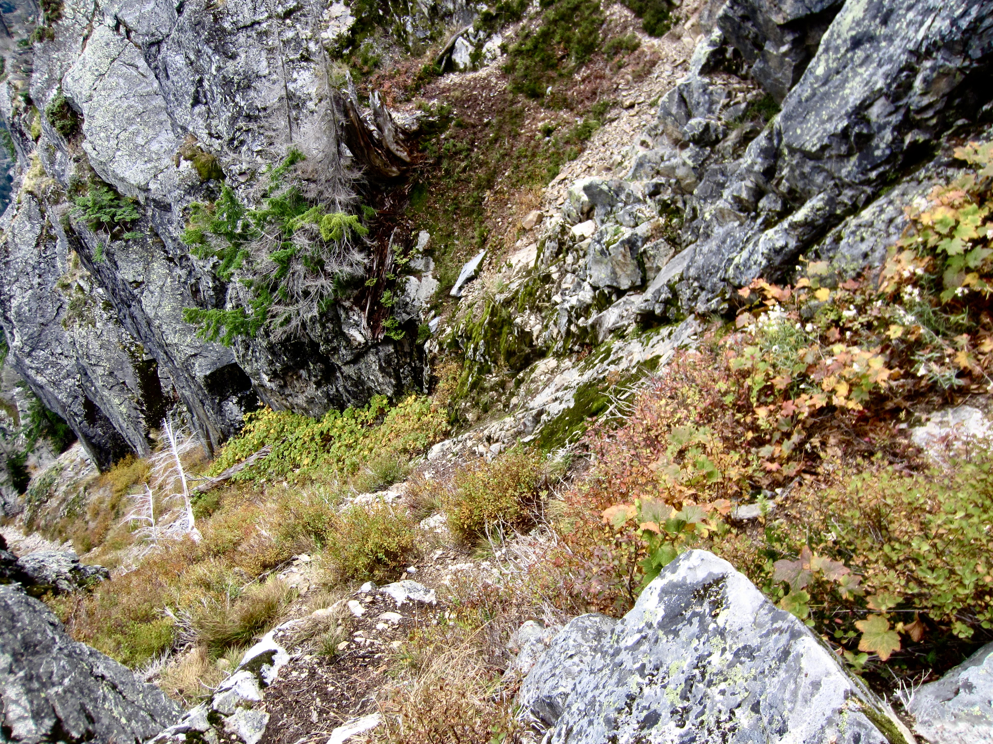
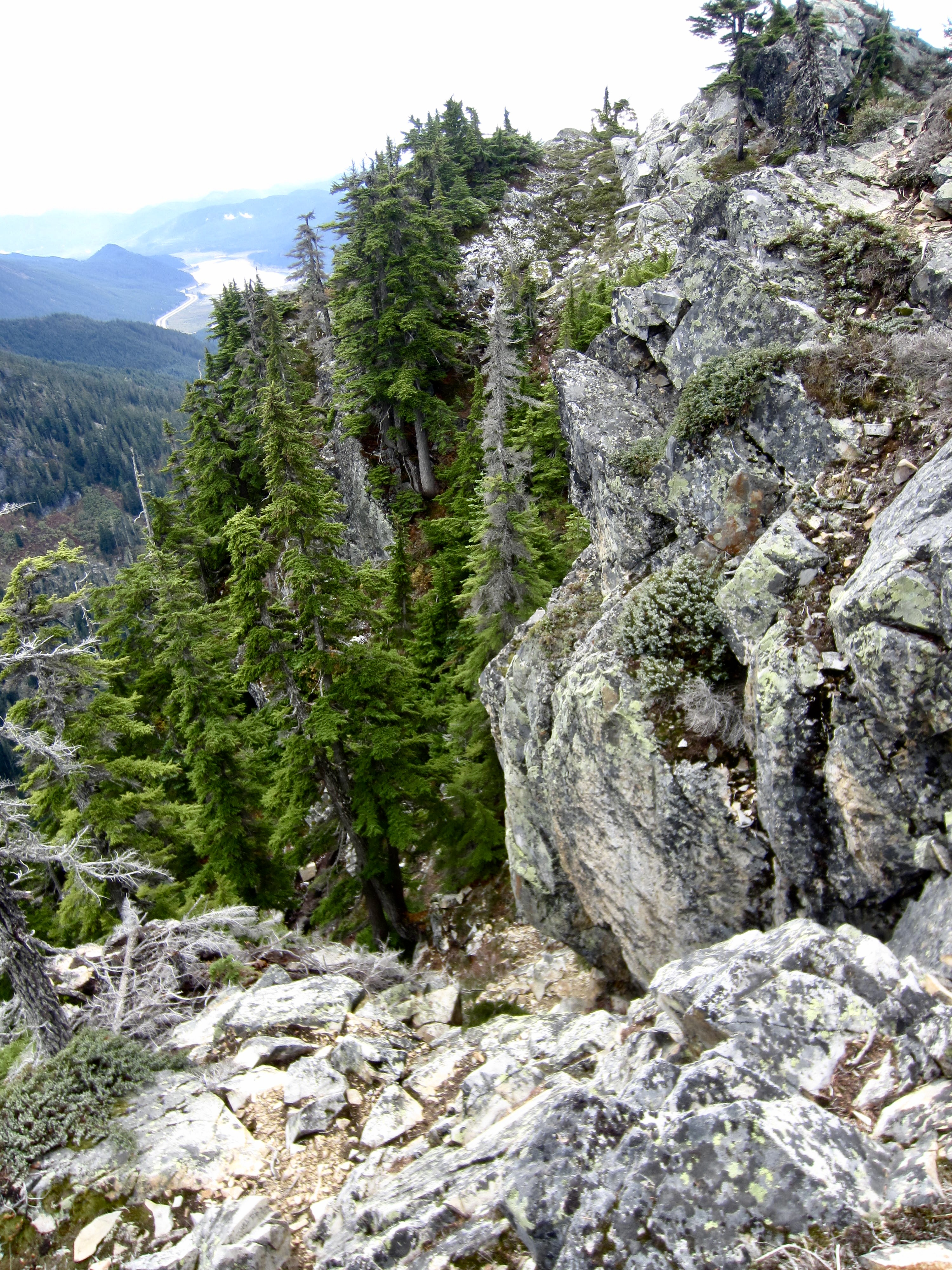
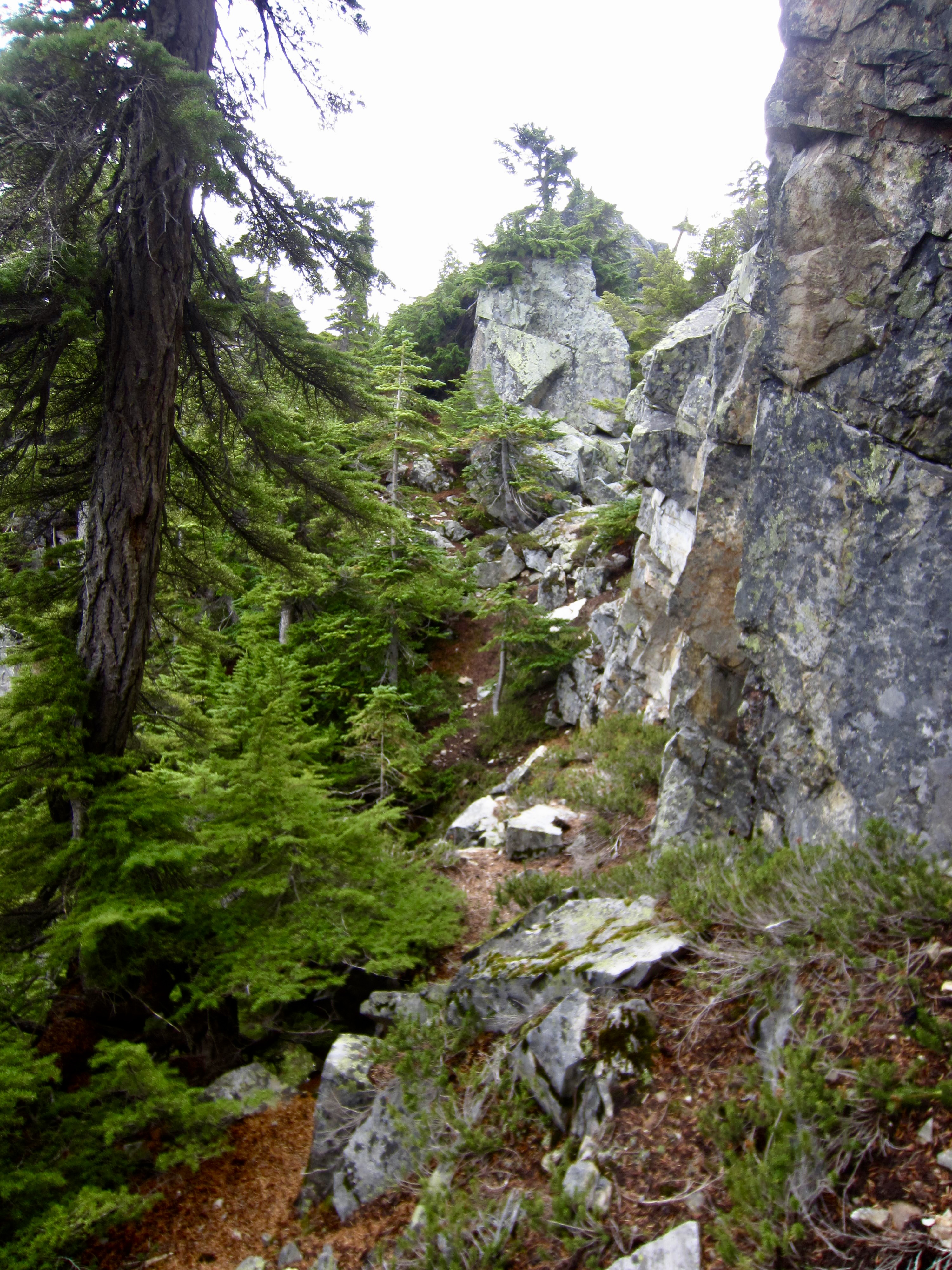
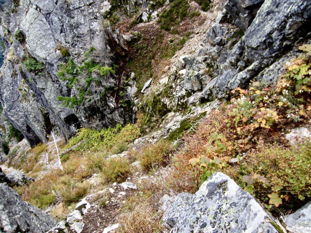
From the access notch, descend a steep and narrow gully that trends in a southeasterly direction. A faint bootpath leads down this gully, but it still constitutes what I regard as a dirt scramble due to the severe angle. Be very careful, because you wouldn’t want to slip here!
.
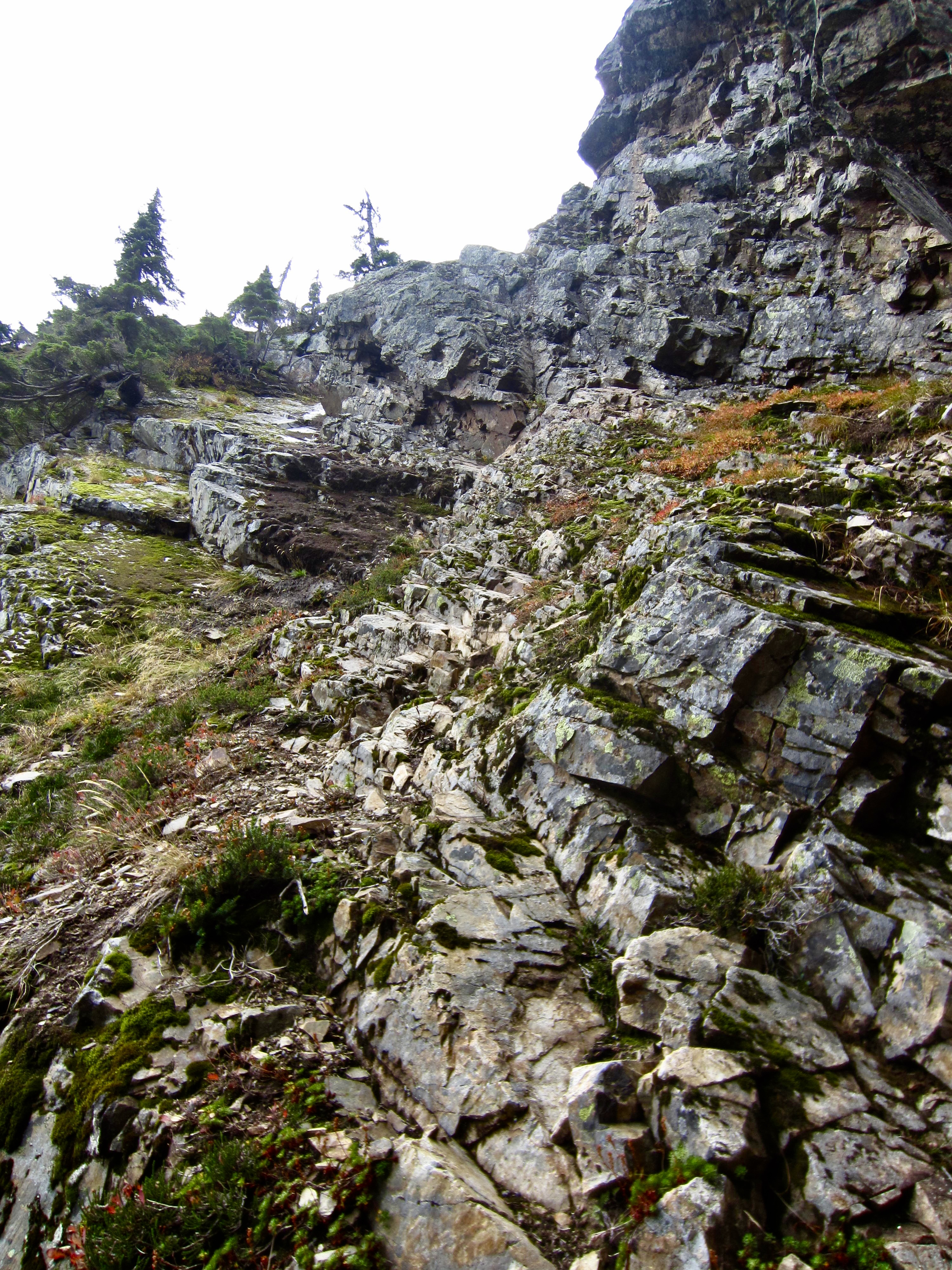
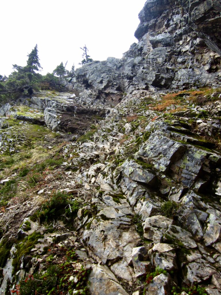
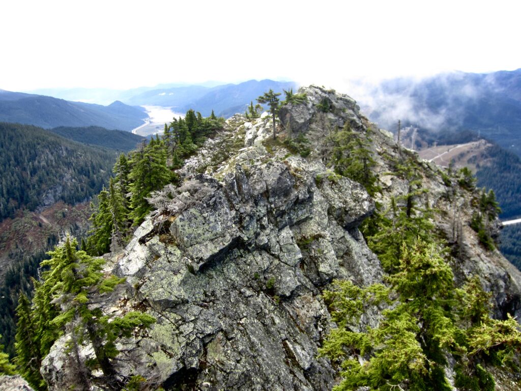
After descending the access gully for about 40 feet, you will be able to traverse rightward (south) on broken Class 2-3 rock directly beneath a vertical-to-overhanging cliff. This traverse will take you over to a steeply inclined slab consisting of a tilted layer of volcanic rock. Go left around a vertical corner to get onto this slab and then scramble upward. In dry conditions, the ascent involves moderately exposed Class 3 scrambling. In wet conditions, which occur frequently on Guye Peak, the ascent involves Class 3+ or Class 4 scrambling; as such, you might wish for a rope here.
.
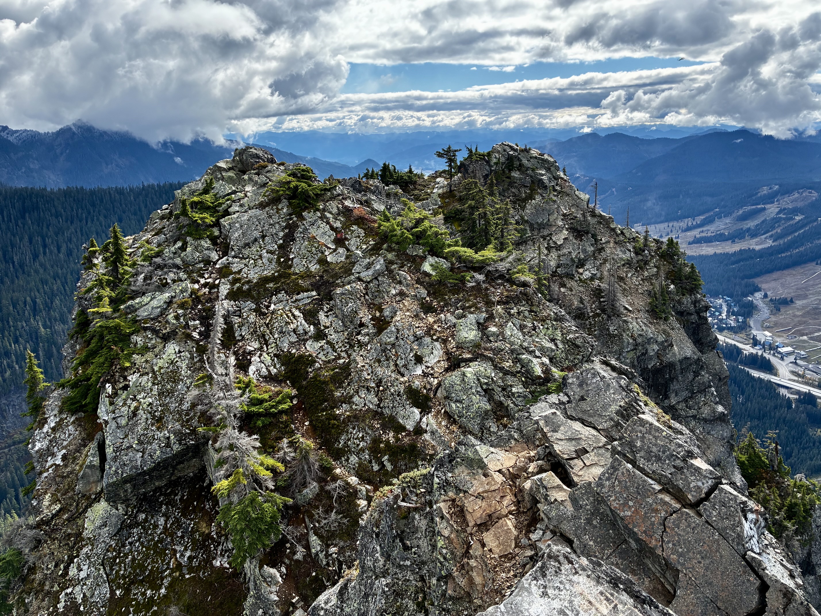
After reaching the top of the steep slab, continue hiking up a path that ends in the chasm between the south and middle summits. Turn left and make a short Class 2-3 scramble to the top of the middle summit. From here, you can sight over to the adjacent north and south summits, both of which appear to be a few feet higher.
.
.
South Summit Route Description
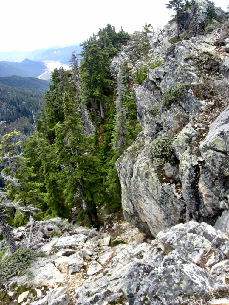
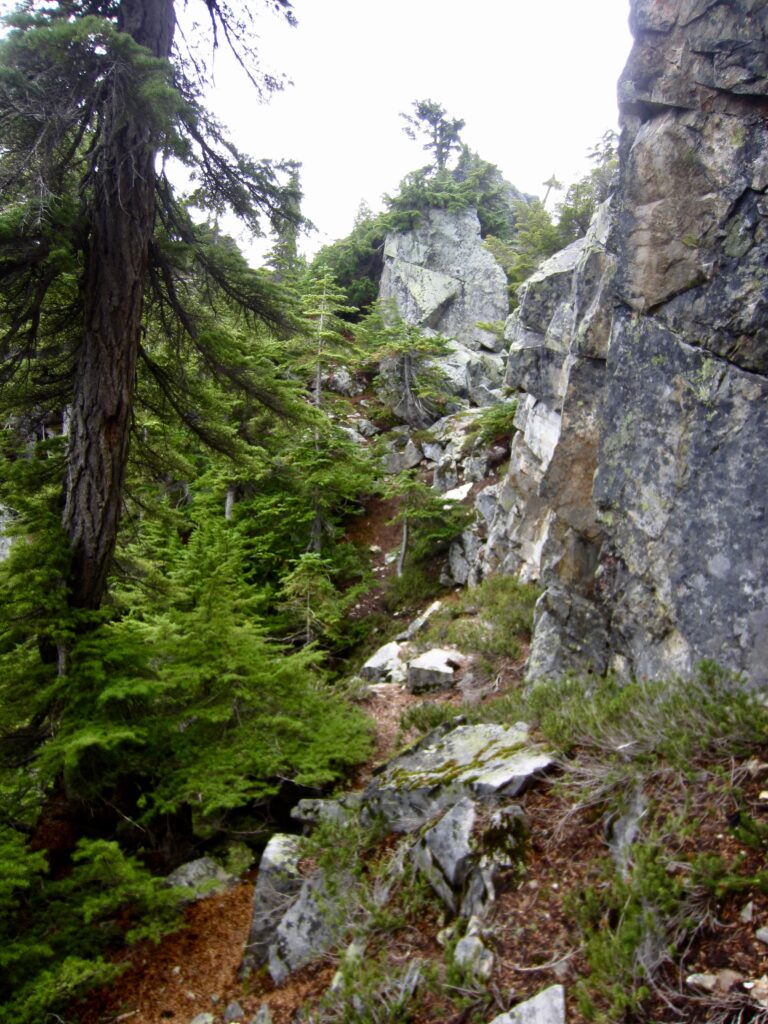
If you’ve managed to gain the middle summit, you will undoubtedly want to continue over to the south summit. Start by scrambling down toward the middle-south gap, angling slightly to the left (southeast) on Class 2-3 rock. Upon reaching a heather ledge below the gap, follow a bootpath southward below the cliffy ridge crest and then up to a rocky shoulder. Turn right and make a short Class 2-3 scramble to gain the coveted south summit.
.
.
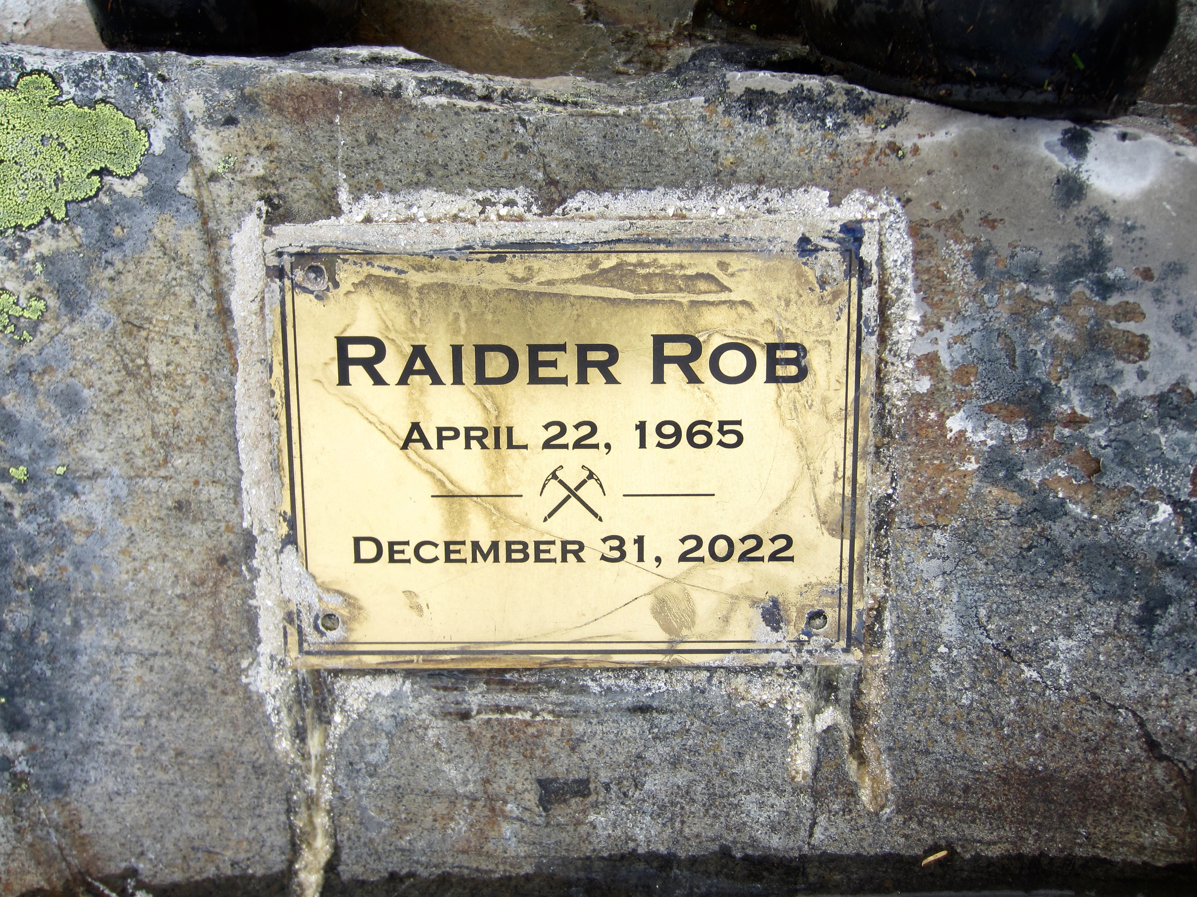
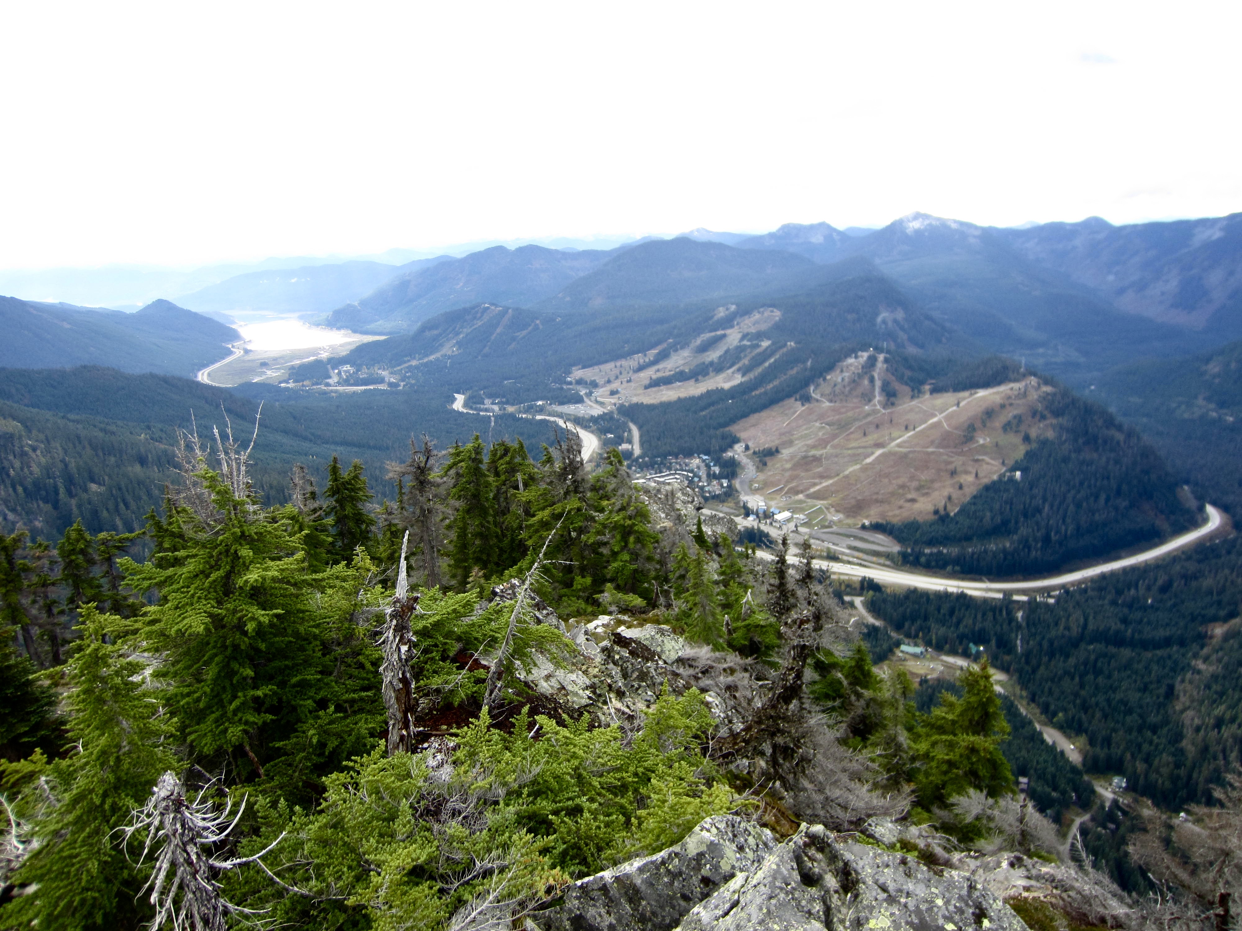
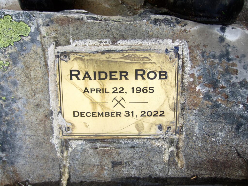
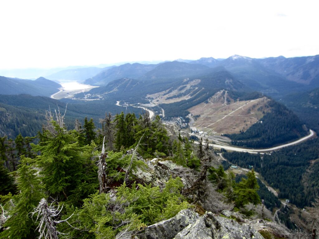
The south summit, which is adorned with a memorial plaque, offers a unique view of Interstate-90 as it curves through Snoqualmie Pass. The summit ski areas and Keechelus Lake are visible farther to the south.
.
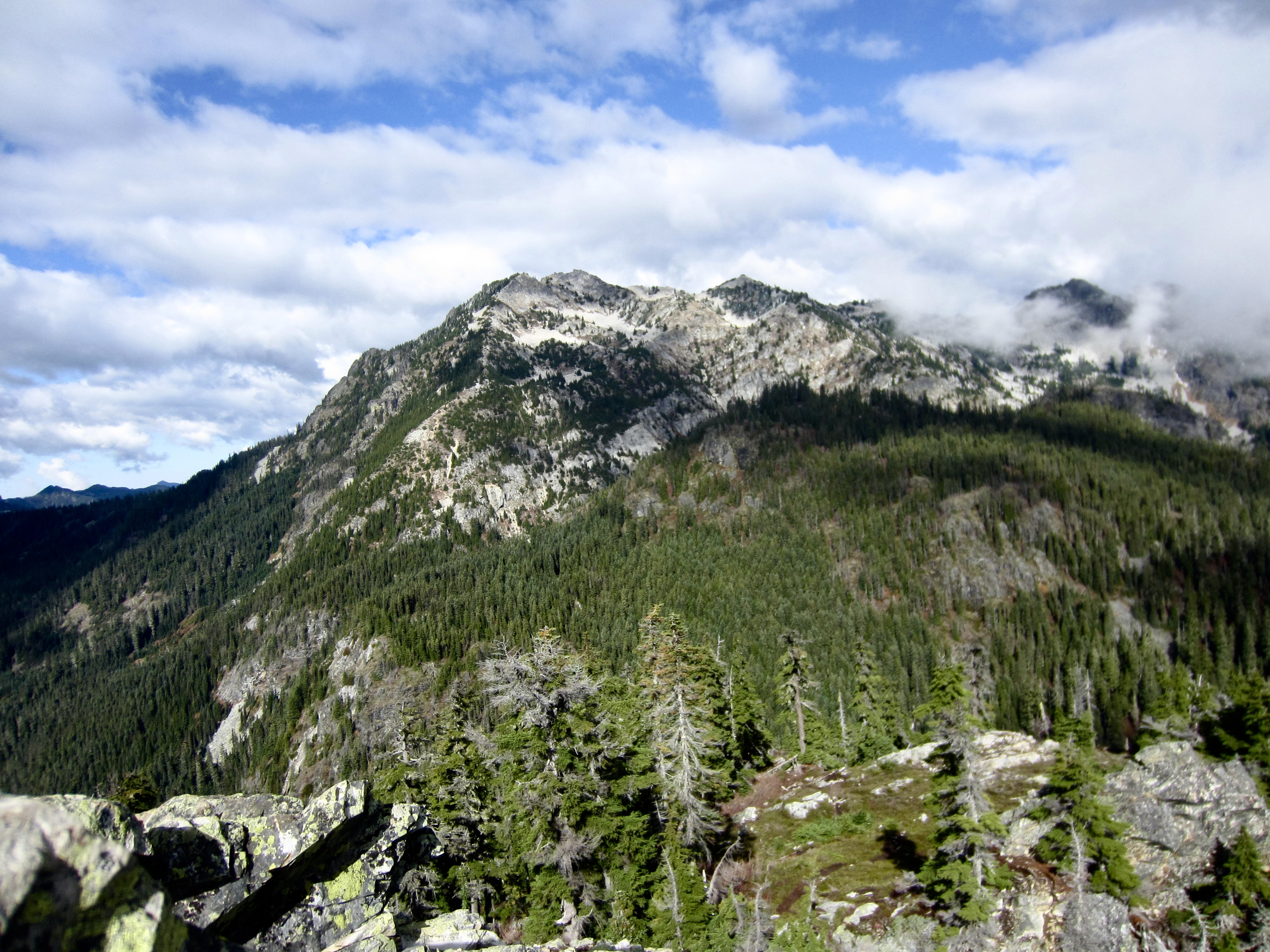
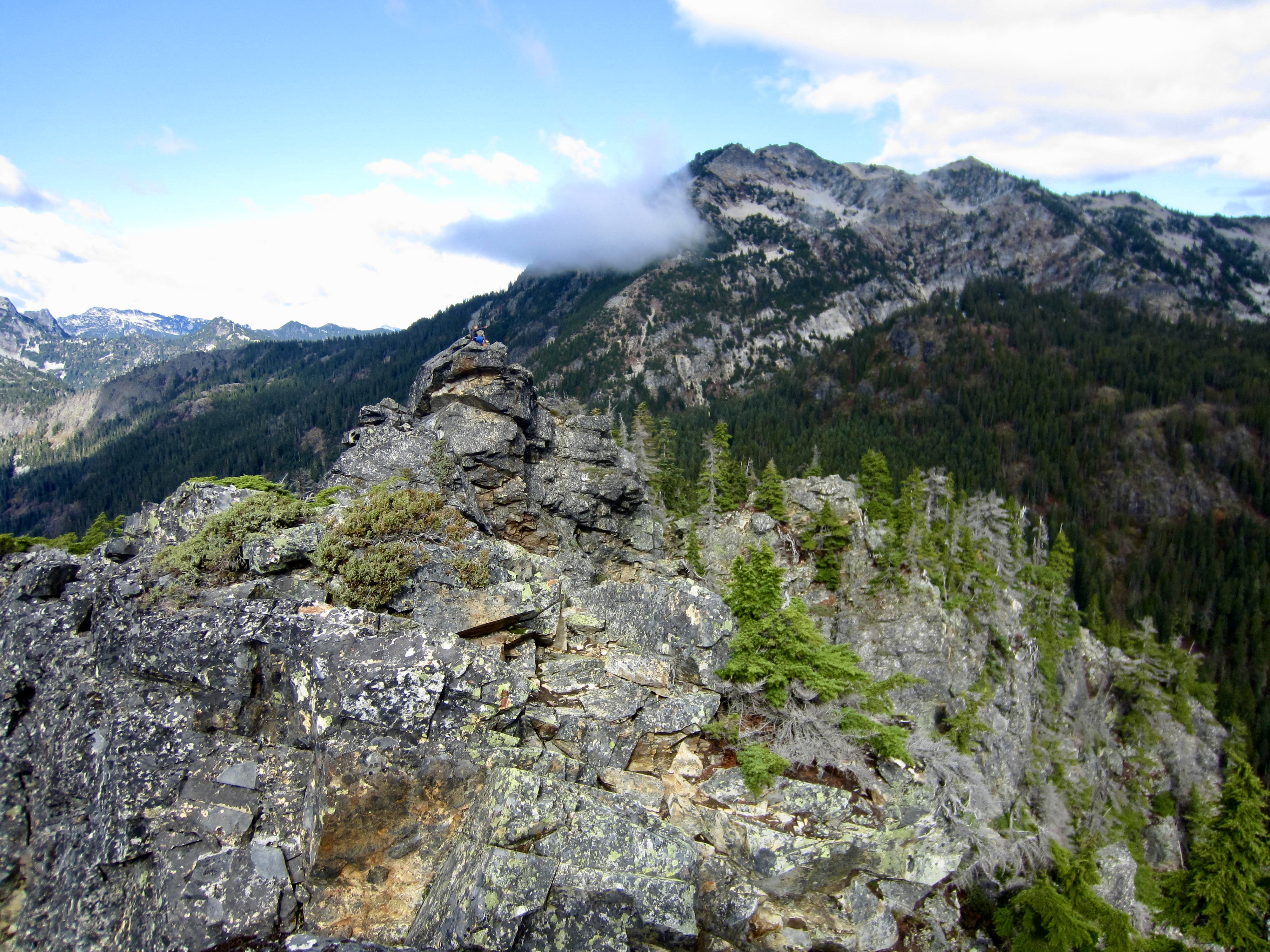
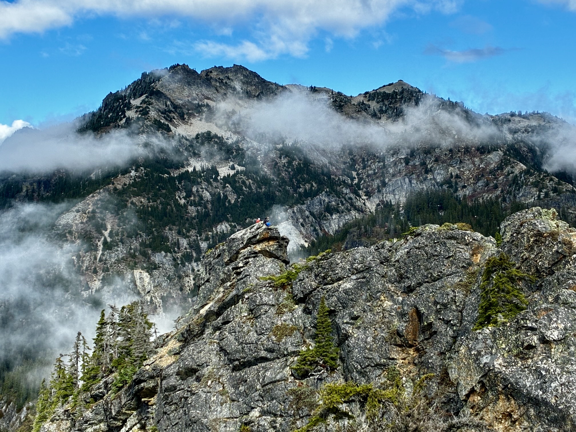
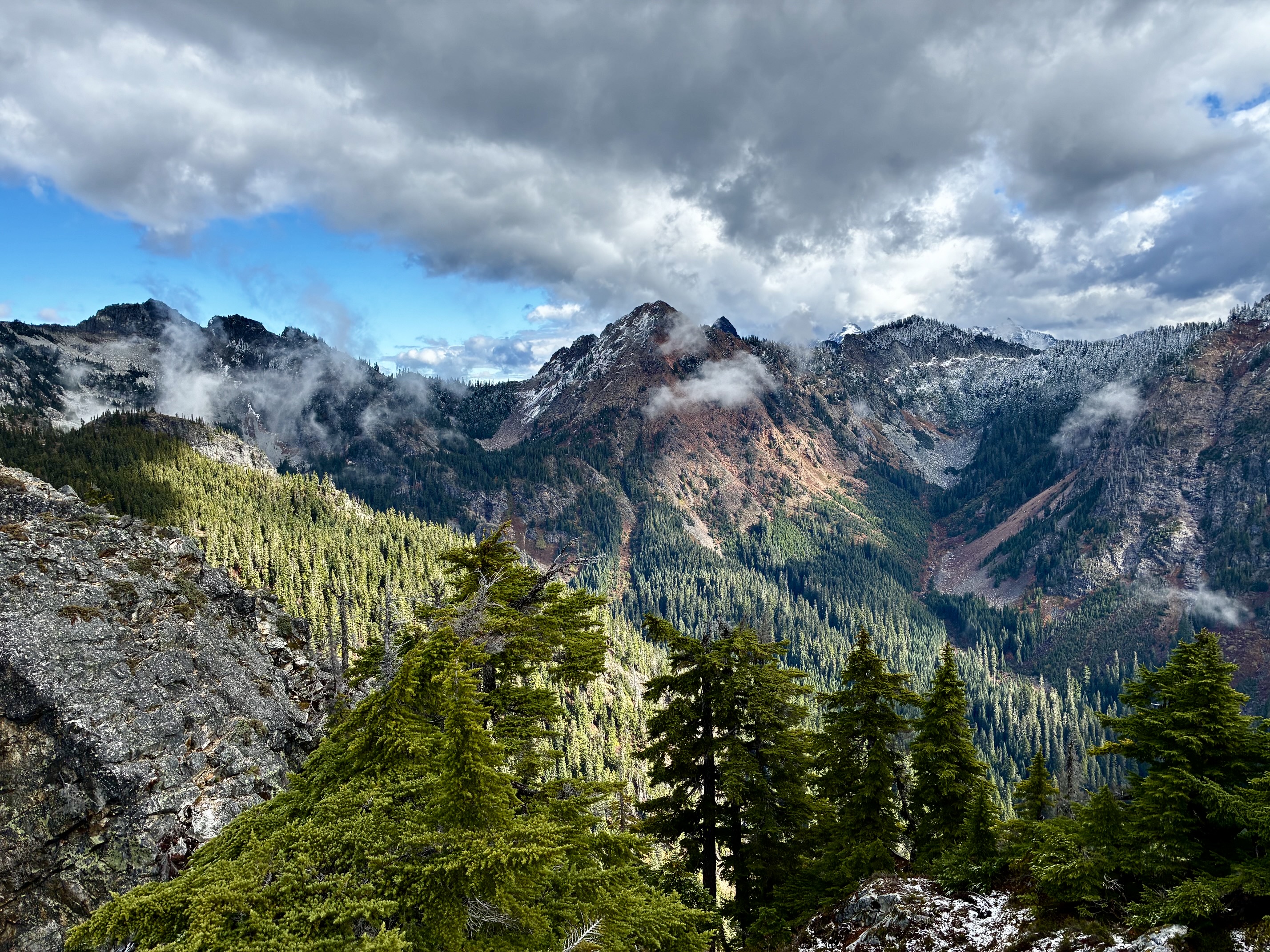
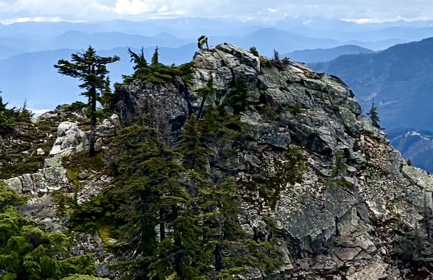
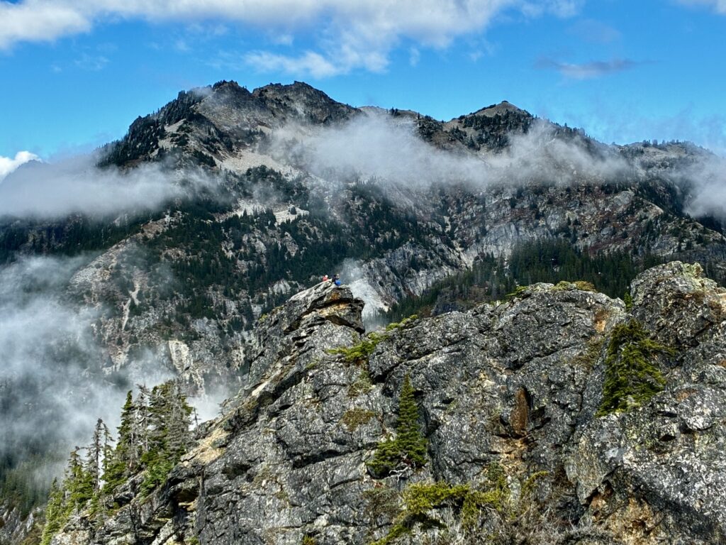
Not surprisingly, most views from this summit are similar to those from the north summit. These include the Alpental peaks to the west, as well as Snoqualmie Mountain, Lundin Peak, Red Mountain, and other peaks above Commonwealth Basin. On most days, you will also be able to see people lounging on the north summit.
.
.
Descent Route to Access Notch
Your descent from the south summit involves backtracking across the heather ledge, then scrambling up and over the north summit. After hiking down a short distance from the north-middle chasm, you will be faced with down-climbing the steep, exposed slab beneath the north summit. In any conditions, this down-climb requires careful movements and delicate footwork. In wet conditions, it can be a frightening event! It is advisable to carry a 30-meter scramble rope to be used as a handline in the event that you or anyone in your party feels uncomfortable with the difficulty or exposure. Be aware that serious accidents—and even deaths—have occurred here! Upon reaching the bottom of the slab, carefully traverse back over to the steep dirt gully and boot up to the access notch.
Route Map & Profile
…
…
…
Photo Gallery
Click to enlarge…