
Trip Date: October 1-5, 2026
GOLDEN LARCH OUTING: NORTH STEHEKIN MOUNTAINS
McAlester–Rainbow Loop Hiking & Scrambling Trip
McAlester Creek Valley
McAlester Lake
McAlester Pass
South Pass
Dee Dee Lakes
McAlester Mountain (7928 ft)
Rainbow Creek Valley
Rainbow Lake
Rainbow Pass
South Fork Bridge Creek Valley
Trip Report Summary
Region: North-Central Washington Cascades
Sub-Region: North Stehekin Mountains
Areas: North Cascades National Park & Lake Chelan National Recreation Area
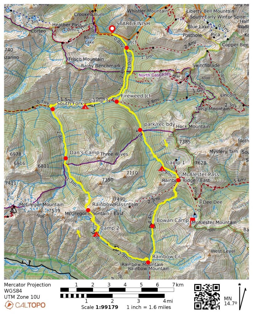
Starting & Ending Point: Bridge Creek Trailhead on Highway 20 (Elev. 4550 feet)
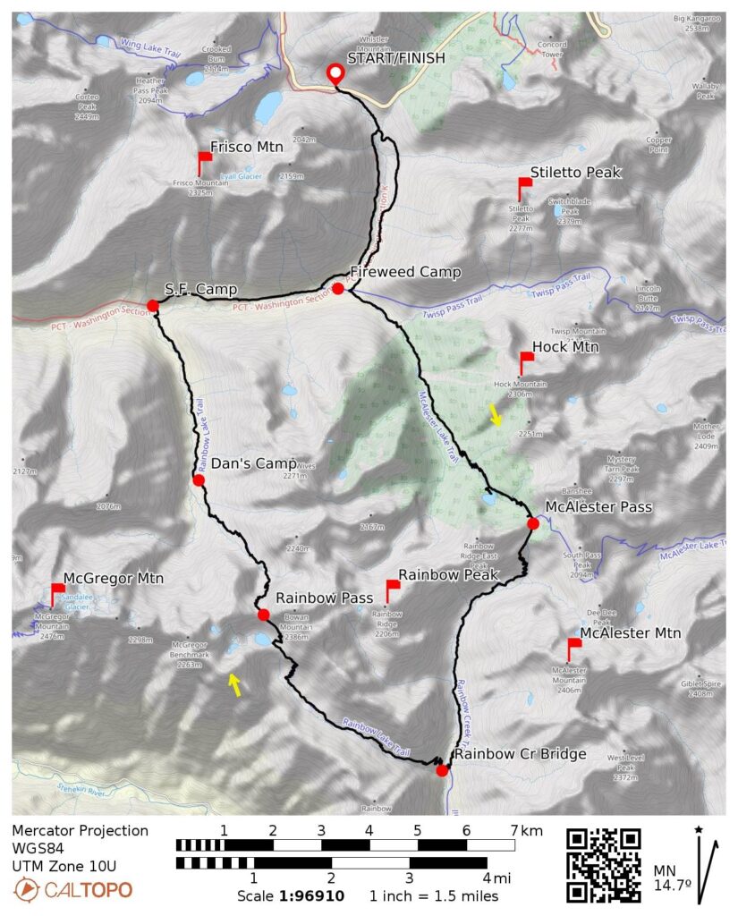
Loop Way Points: Stiletto Spur Trail junction & Fireweed Camp / McAlester Creek Trail junction & park/rec boundary & McAlester Lake Camp & McAlester Pass / South Pass Trail junction / Rainbow Creek Trail junction & Rainbow Ridge Trail junction & Bowan Camp & Bench Creek Camp / Rainbow Lake Trail junction & Rainbow Creek Bridge & Rainbow Meadows Camp & Rainbow Lake & Rainbow Pass & Dan’s Camp & Bridge Creek footlog & South Fork Camp & Pacific Crest Trail junction & Hideaway Camp & Fireweed Camp & Bridge Creek Trailhead (trail hike)
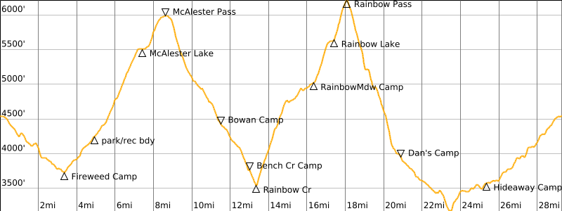
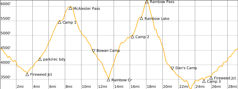
Loop Low Point: Bridge Creek footlog near South Fork Camp (Elev. 3200 feet)
Loop High Point: Rainbow Pass (Elev. 6200 feet)
Campsites: McAlester Lake Stock Camp (2 nights) & Rainbow Meadows Group Camp & Hideaway Camp
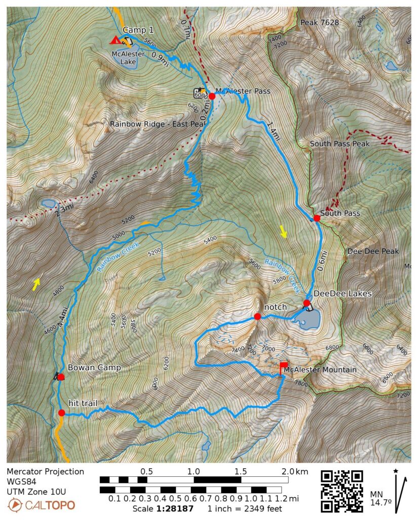
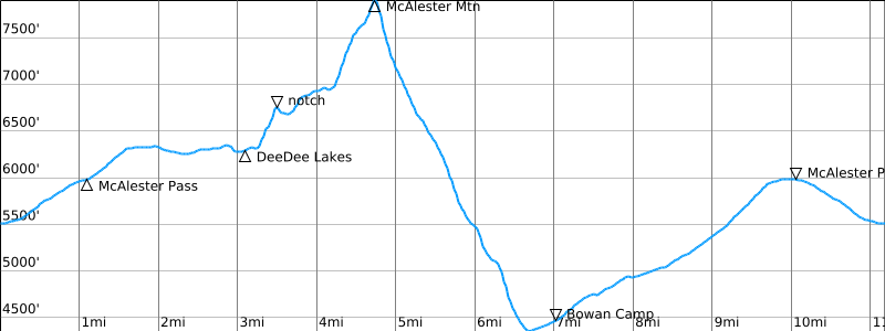
Sidetrip Summit Loop Way Points: McAlester Pass / South Pass Trail junction & South Pass & Lower Dee Dee Lake & Upper Dee Dee Lake & Notch 6800 & Step 6900 & McAlester Mountain summit & Lake 6230 & Rainbow Creek Trail intersection & Bowan Camp & McAlester Pass & McAlester Lake (trail hike & off-trail hike & boulder hop & rock scramble & bushwhack)
Summit: McAlester Mountain (off-trail hike & rock scramble via Upper Southwest Slope—South Face; descent via South Face—Lower Southwest Slope)
Approximate Stats (excluding sidetrip): 29.4 miles traveled; 6700 feet gained & lost.
Approximate Stats (including sidetrip): 40.6 miles traveled; 11,200 feet gained & lost.
Related Posts
>>> McAlester Pass Wishbone: Dee Dee Lakes + McAlester Mtn Attempt + Rainbow Peak – October 2025
>>> McGregor Mtn Summit Traverse: Rainbow Pass to Heaton Basin via Sandalee Glacier – July 2024
>>> Bowan Mtn via Rainbow Lake—East Ridge + McGregor Mtn Attempt via Sandalee Glacier – July 2016
>>> Rainbow Ridge Loop via Rainbow Lake—Bowan Pass—Lake 6111 + Bowan Mtn – September 2013
Trip Overview
The McAlester–Rainbow Loop is a popular trekking route in the North Stehekin Mountains between Highway 20 and Lake Chelan. It lies partially within North Cascades National Park and partially within the Lake Chelan National Recreation Area. The 23-mile core of this trek follows a series of trails that cross over two high passes—6000-foot McAlester Pass and 6200-foot Rainbow Pass—and dip into the low valleys of Bridge Creek and Rainbow Creek. These trails also provide an opportunity to visit famed Rainbow Lake and demure McAlester Lake.
The core loop trails are usually accessed either from the north via Highway 20 and Bridge Creek or from the south via Stehekin Valley Road and Rainbow Creek, thereby adding about 7 or 10 miles, respectively. As such, the total trekking distance approaches 30 or 33 miles, depending on access option. Given the relatively short access trails (or “handles”) in relation to the large core loop, I regard the overall trek to be a “skillet loop,” in contrast to a long-handled “lollipop loop.”
Although the southern access option is more adventurous, Eileen and I chose the logistically simpler northern access option for our 2026 Golden Larch Outing. We also elected to complete the loop in a clockwise direction because this worked out better in regard to available campsites. Our five-day schedule allowed for a sidetrip to Dee Dee Lakes (Eileen’s main goal) and a climb of McAlester Mountain (my main goal).
…
…
Full Trip Report
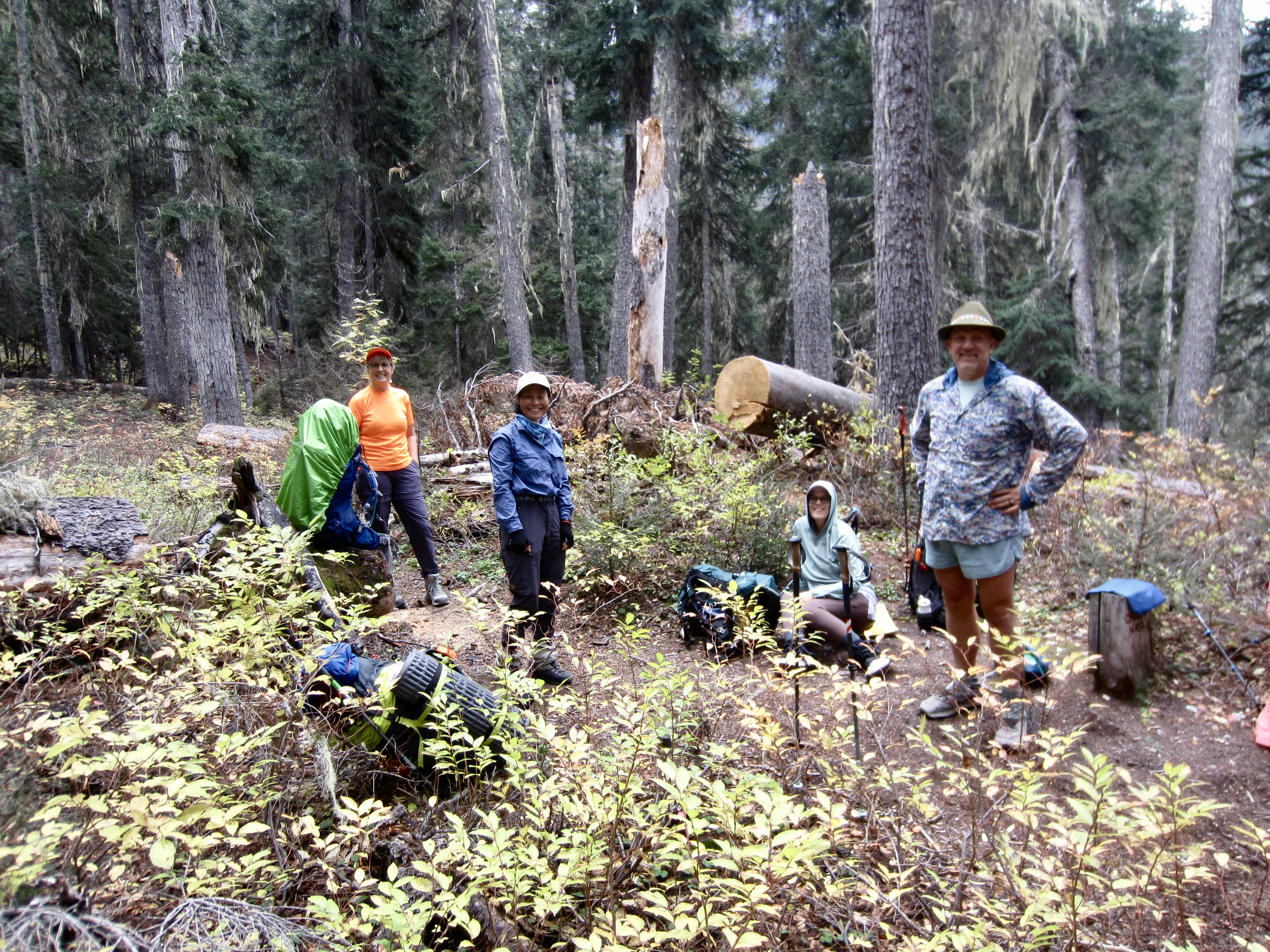
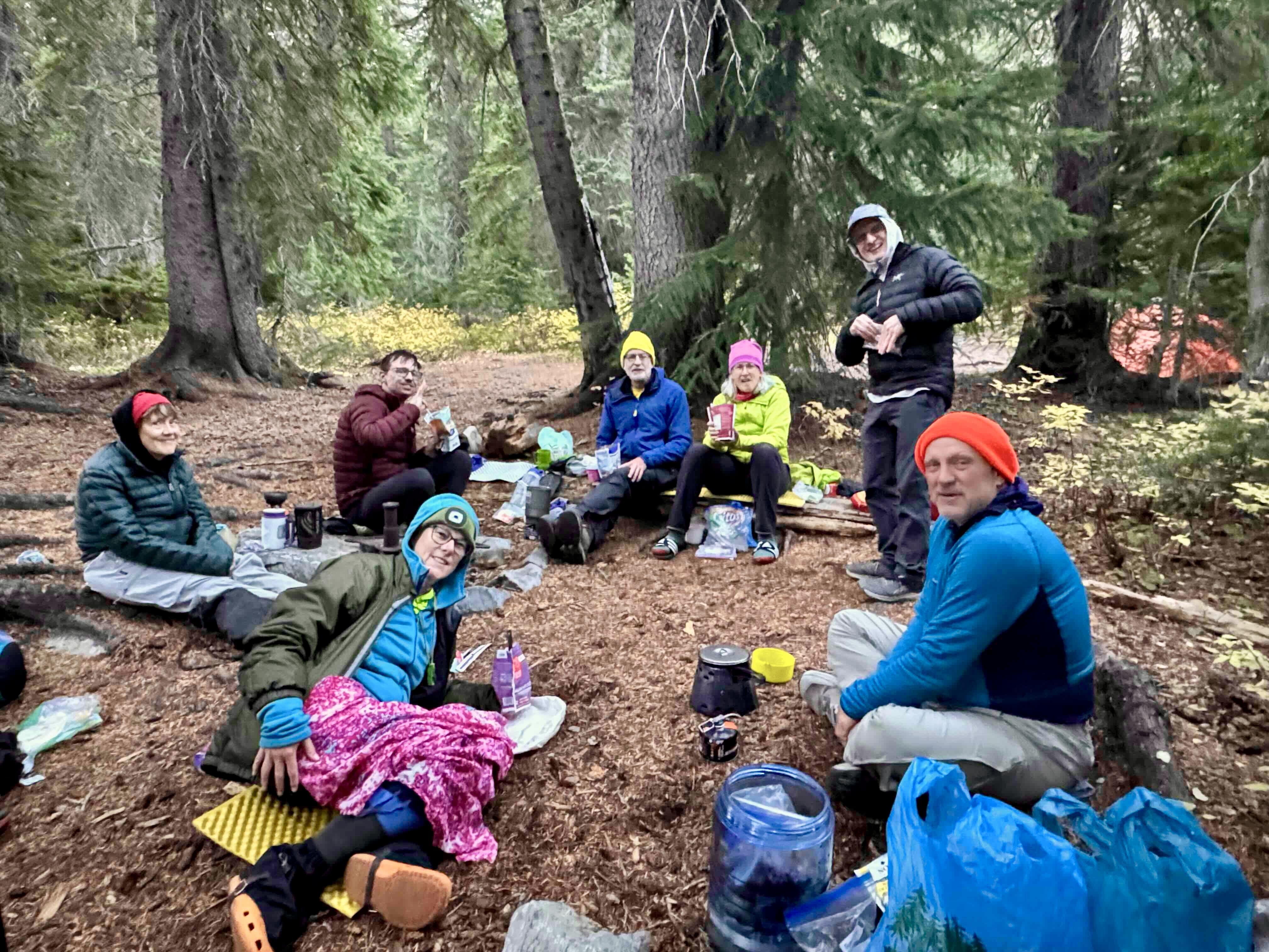
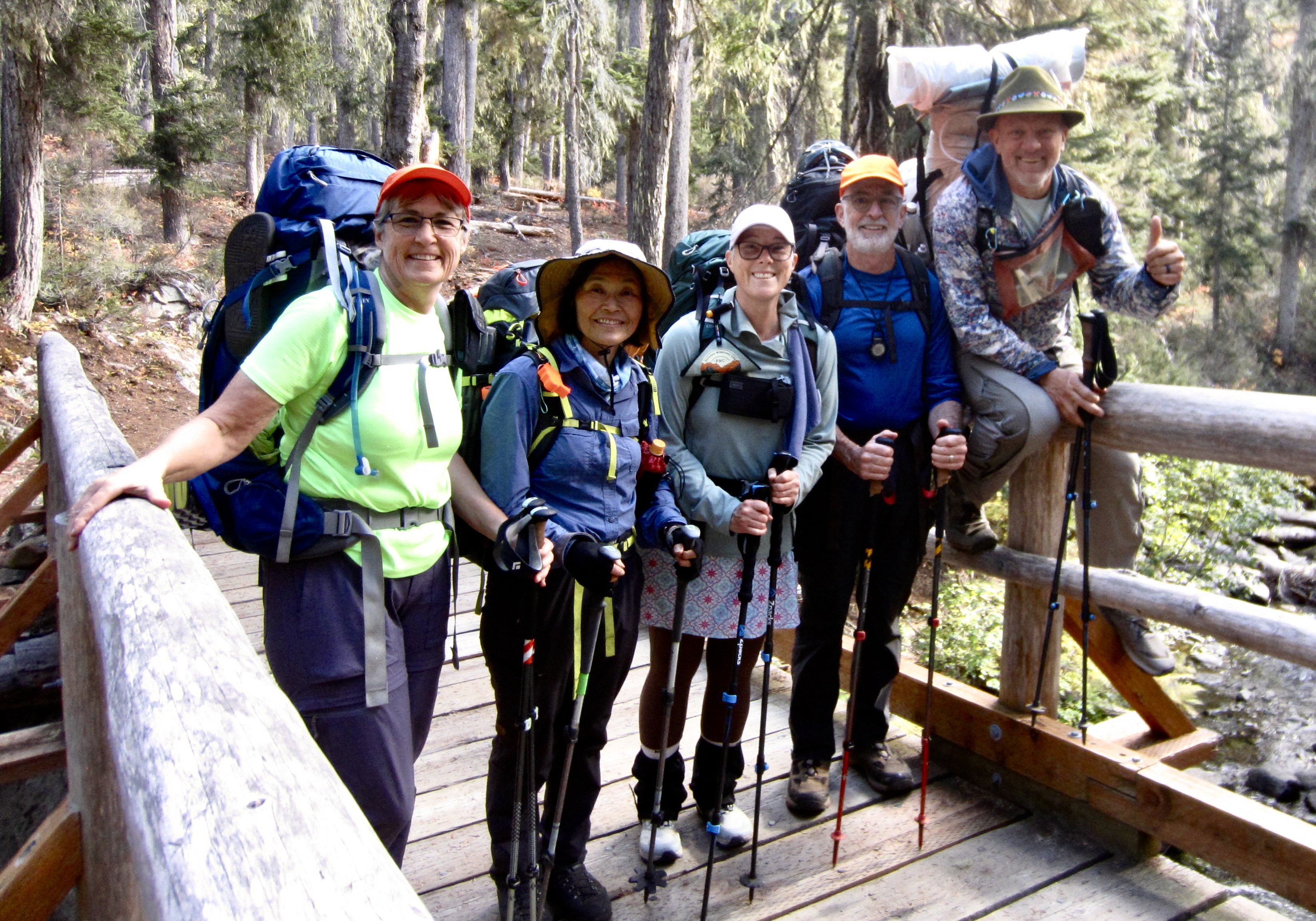
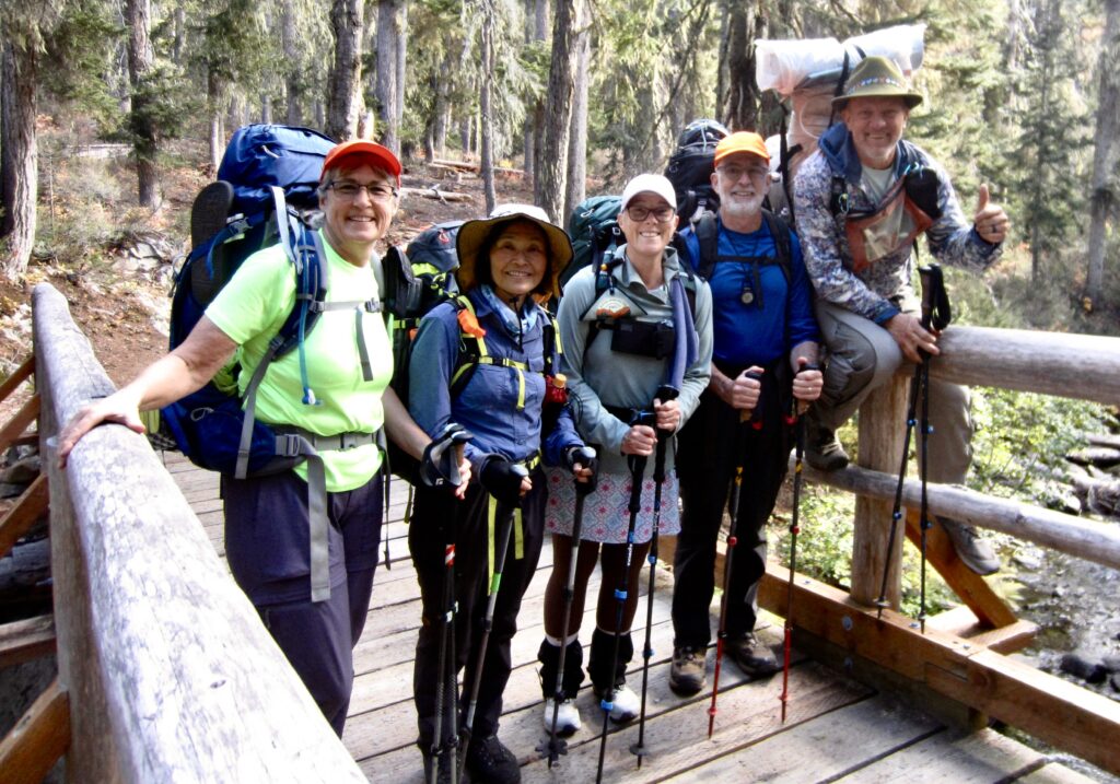
Yoko, Kevin, and Maria accompanied Eileen and me for the full five days of our McAlester–Rainbow Loop, whereas Blaine and Joyce joined us on a compressed three-day schedule. Also, Andrew hitched on for the more-difficult Rainbow Ridge Loop variation in three days, with a climb of Bowan Mountain along the way. All of us benefited from the fact that every trail was thoroughly logged out and mostly brushed out. We also had plenty of autumn color throughout.
.
Day 1: Trailhead to McAlester Lake
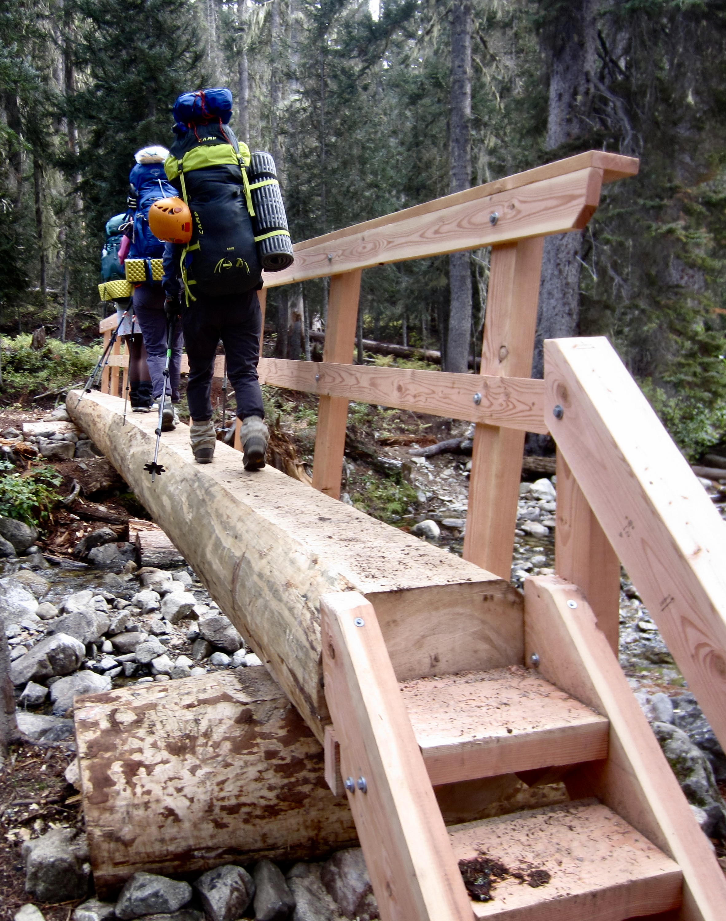
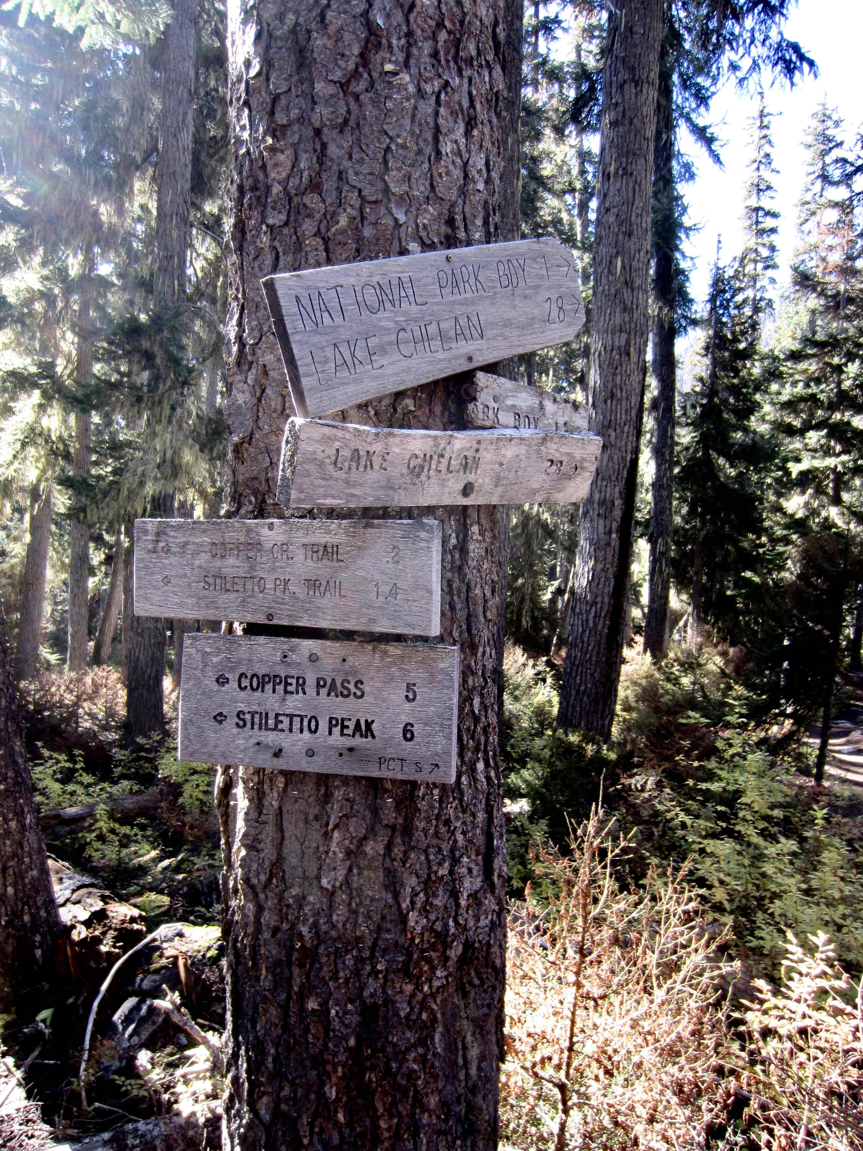
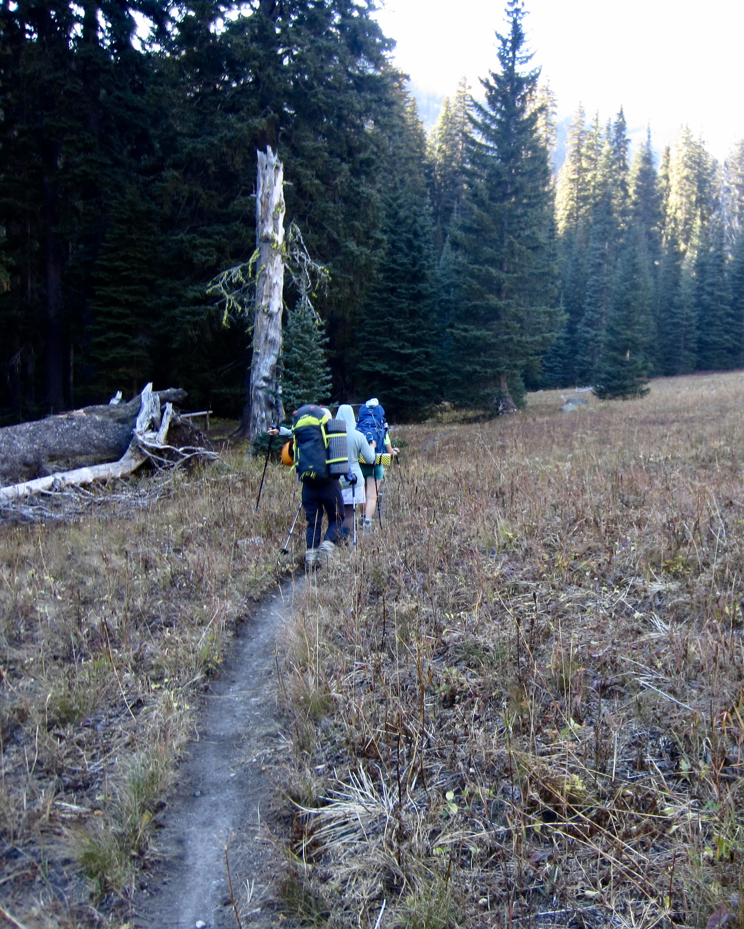
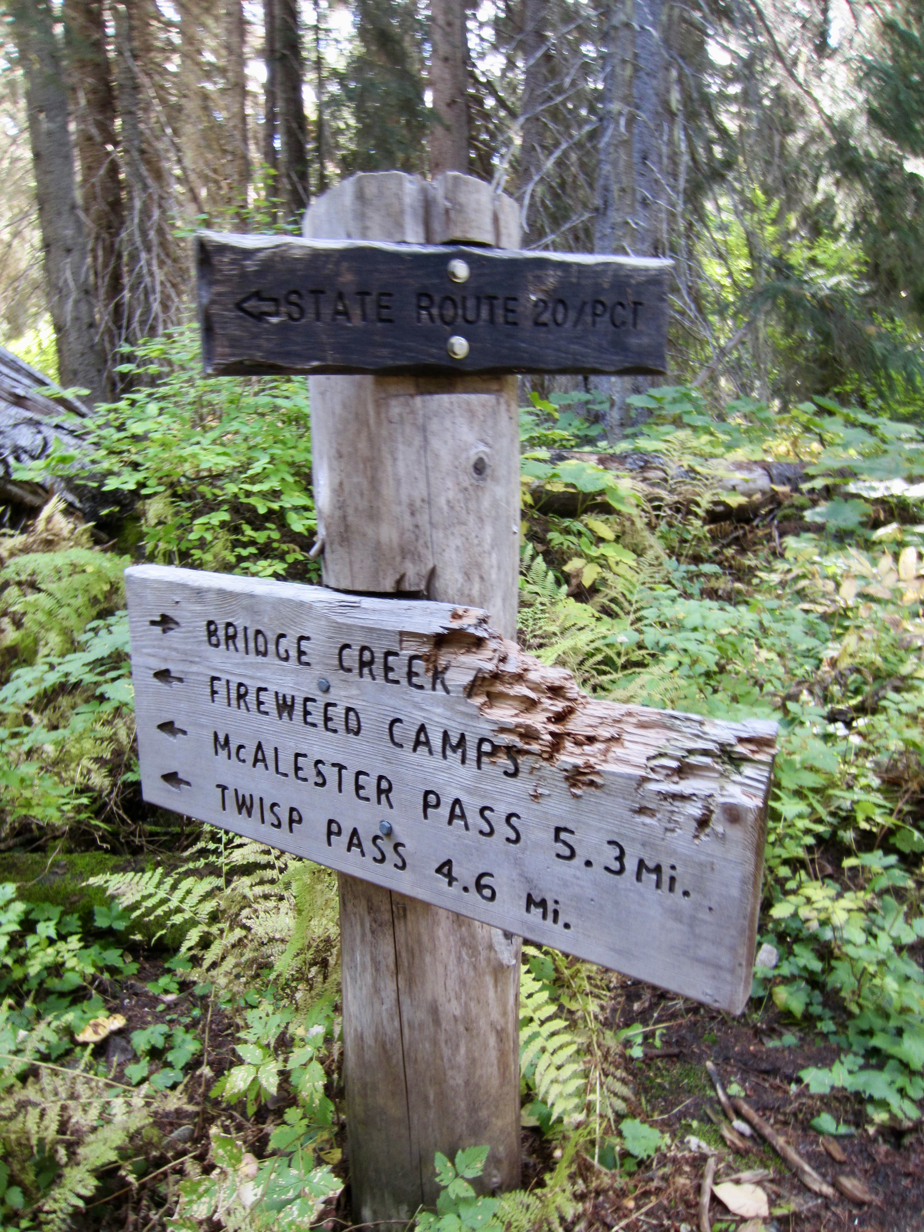
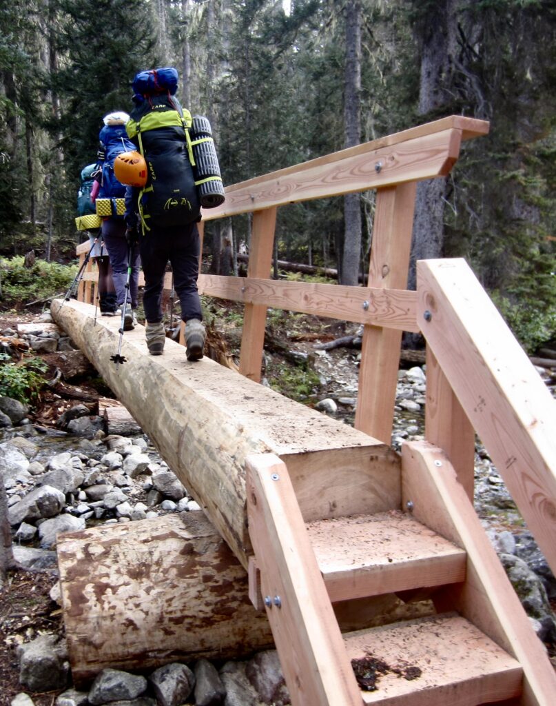
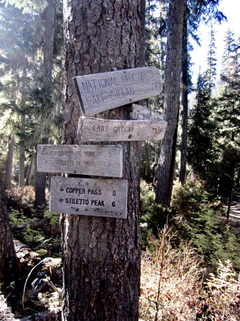
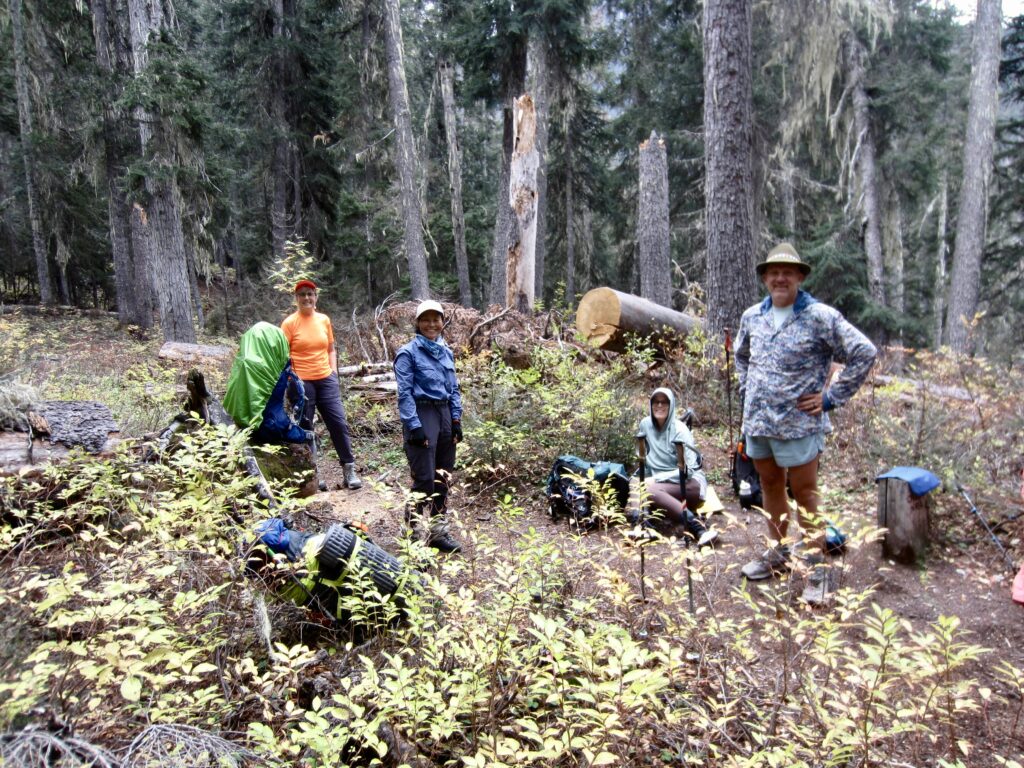
Eileen, Yoko, Kevin, Maria, and I headed out from the Bridge Creek Trailhead parking lot shortly before noon on a mild, overcast Thursday. We hiked downstream, soon crossing Bridge Creek on a spiffy new footlog and then coming to a major fork. Here, we veered left onto the Stiletto Spur Trail and continued down to Fireweed Junction, then began ascending the McAlester Lake Trail.
.
.
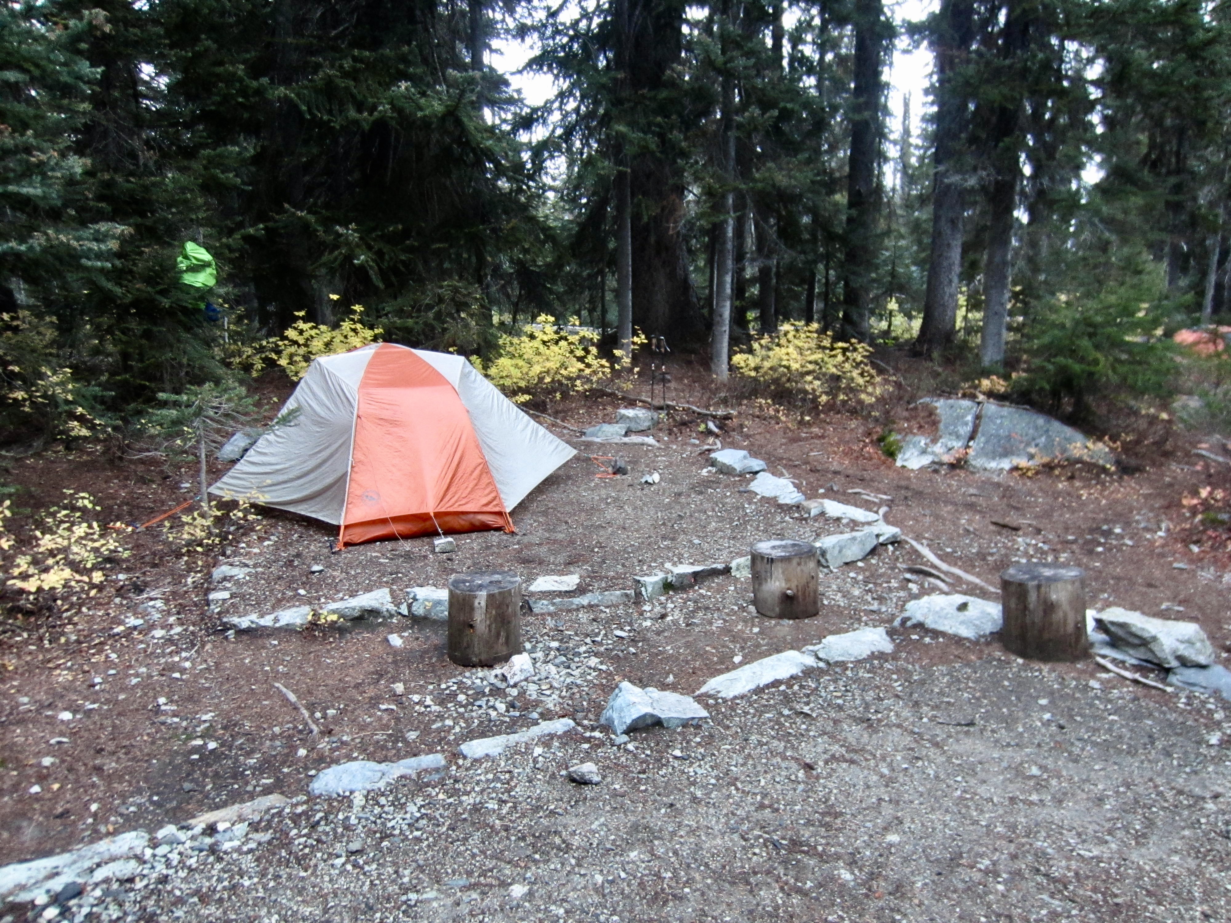
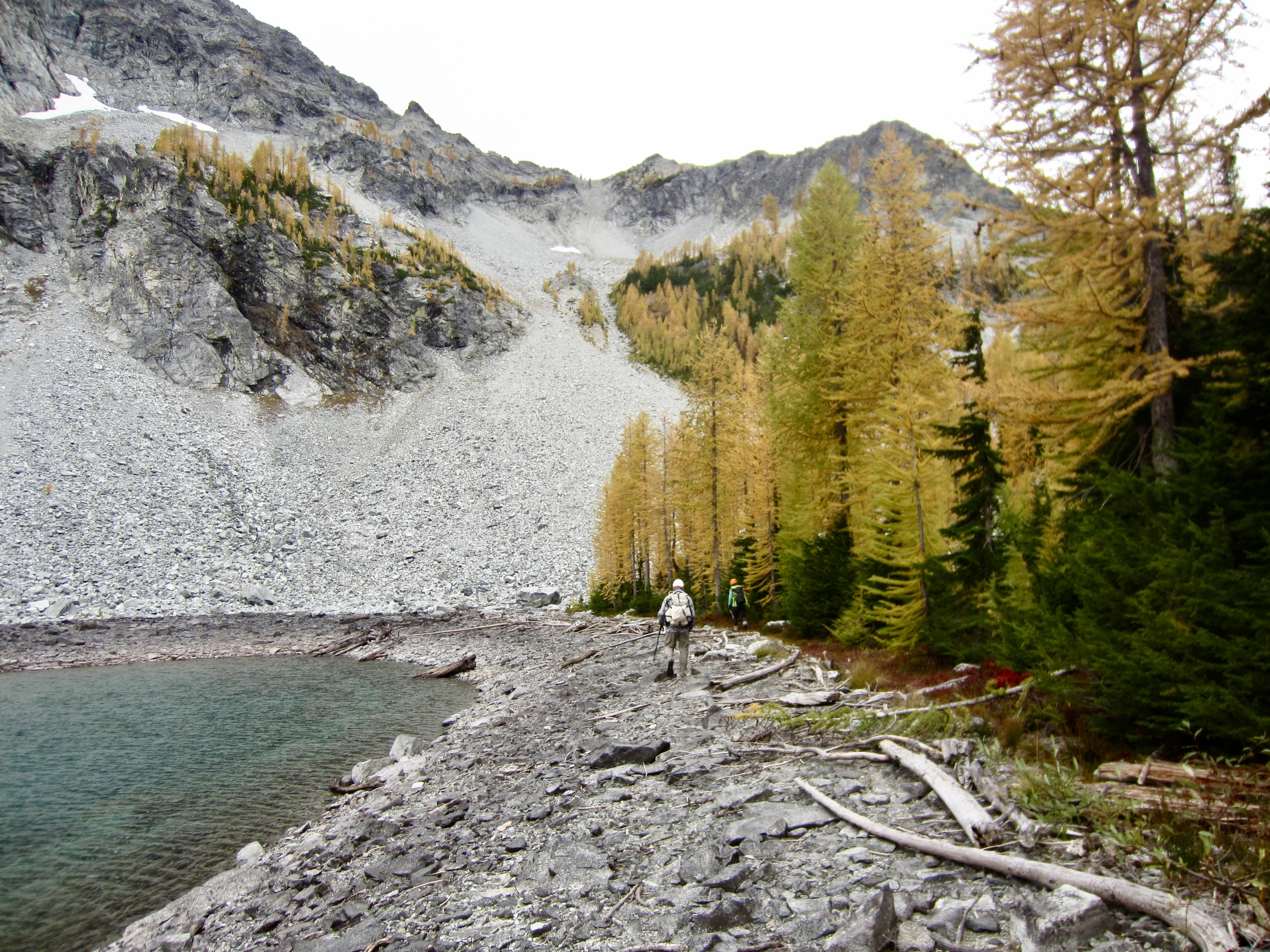
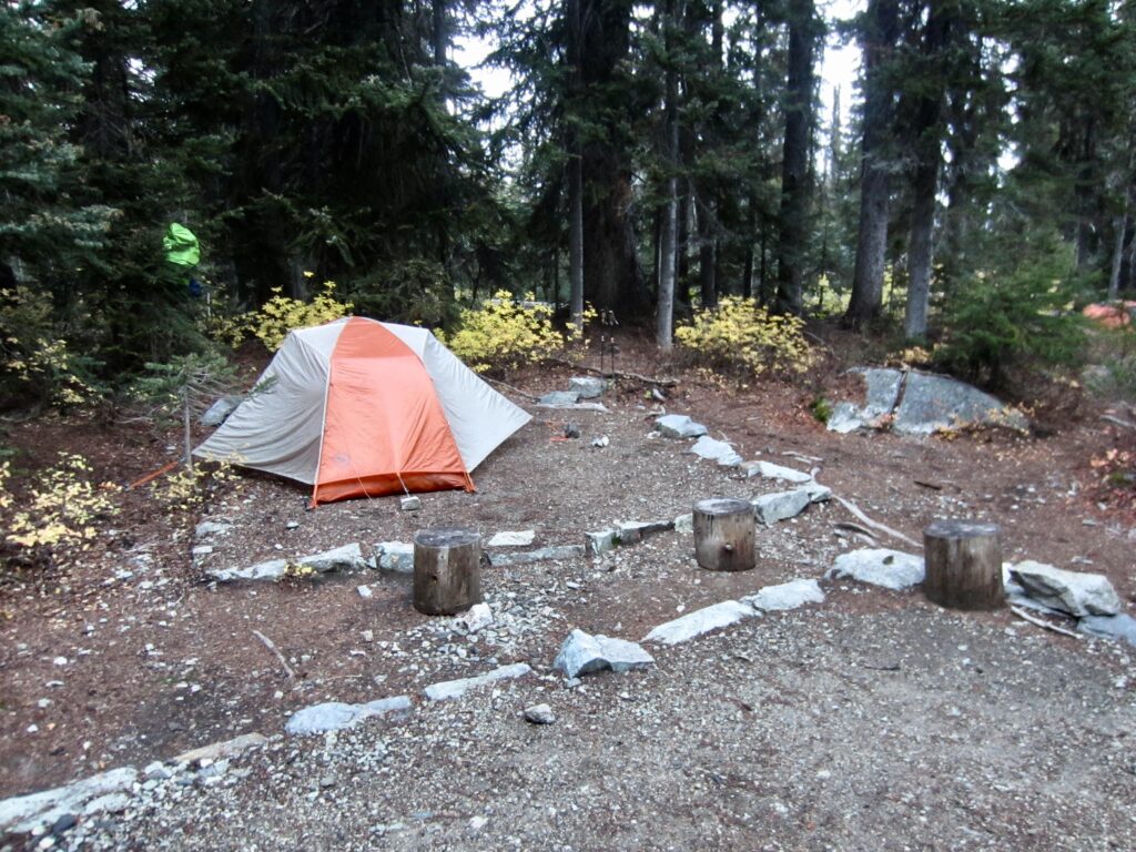
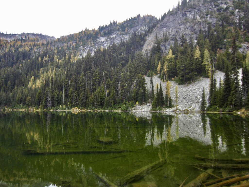
In late afternoon, we arrived at McAlester Lake and set ourselves up for two nights in the roomy stock camp (5.5 hours + 7.3 miles + 1850 feet – 900 feet from TH). Because the adjacent group camp had been reserved for the following night, park rangers put us in the stock camp. Aside from a colony of brazen mice, it was clean and comfortable.
.
.
.
Day 2: Sidetrip to Dee Dee Lakes & McAlester Mtn
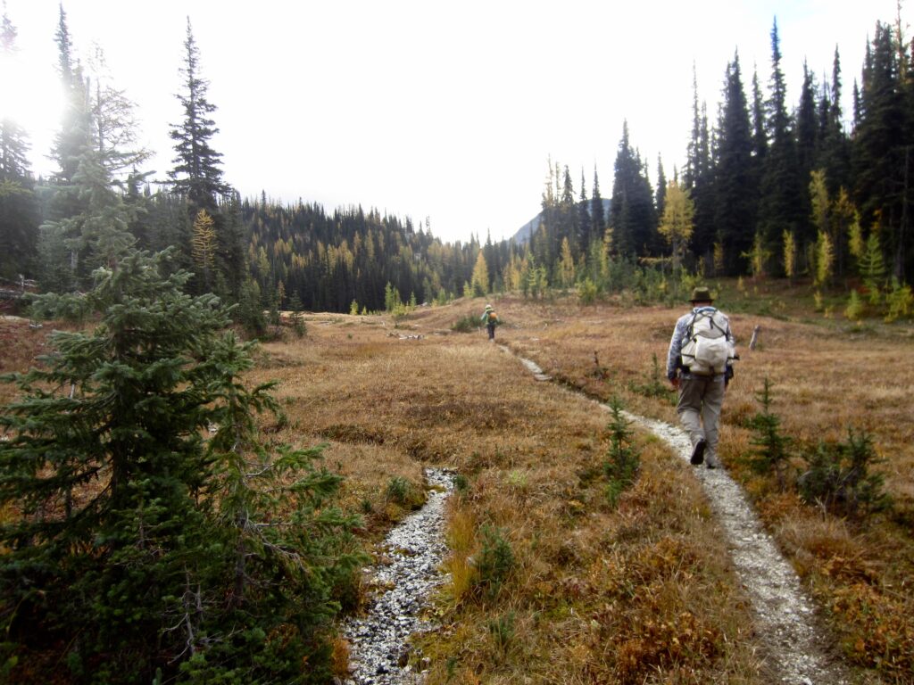
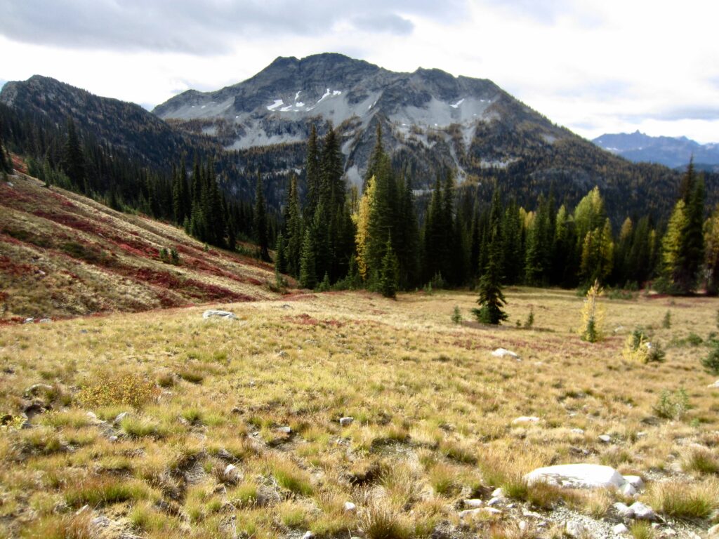
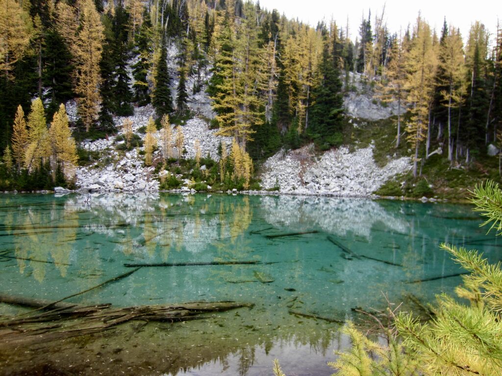
Under a gray sky, Yoko, Kevin, and I left camp with summit packs at 8:45am. We hiked up to 6000-foot McAlester Pass, then up to 6300-foot South Pass, then over to Dee Dee Lakes (1.7 hours + 3.1 miles + 1000 feet from Camp 1).
.
.
.
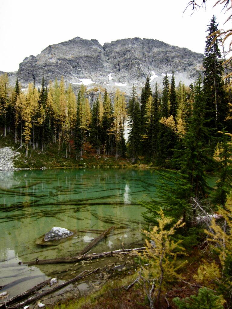
McAlester Mountain, today’s objective, was visible high above Dee Dee Lakes. Yoko and I had attempted to climb the mountain on last year’s Golden Larch Outing but were thwarted by fresh snow. Today, we were encouraged by dry conditions.
.
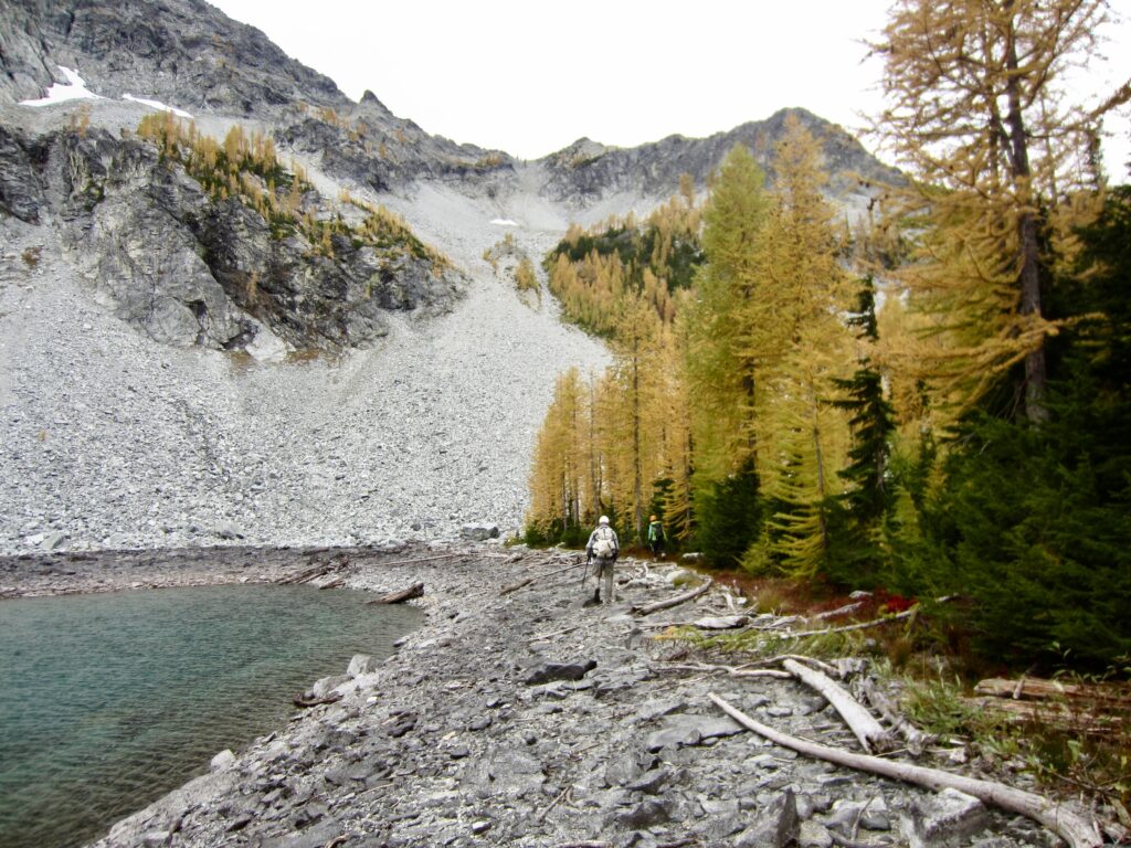
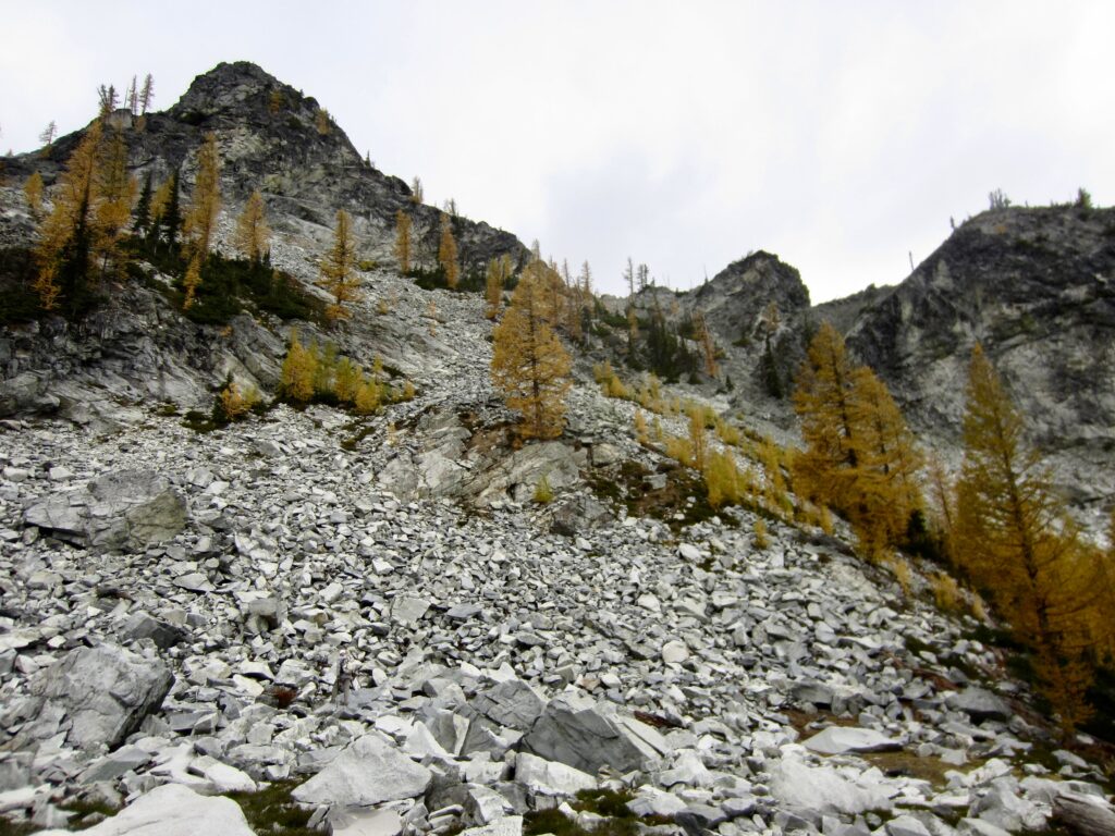
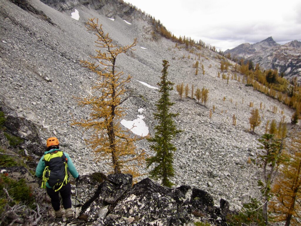
We skirted around the shore of Upper Dee Dee Lake and then ascended a talus slope leading to a 6800-foot notch in the ridge directly west of the lake. From this ridge notch, we dropped into a large talus bowl and traversed over to a 6900-foot step in another ridge farther to the west.
.
.
.
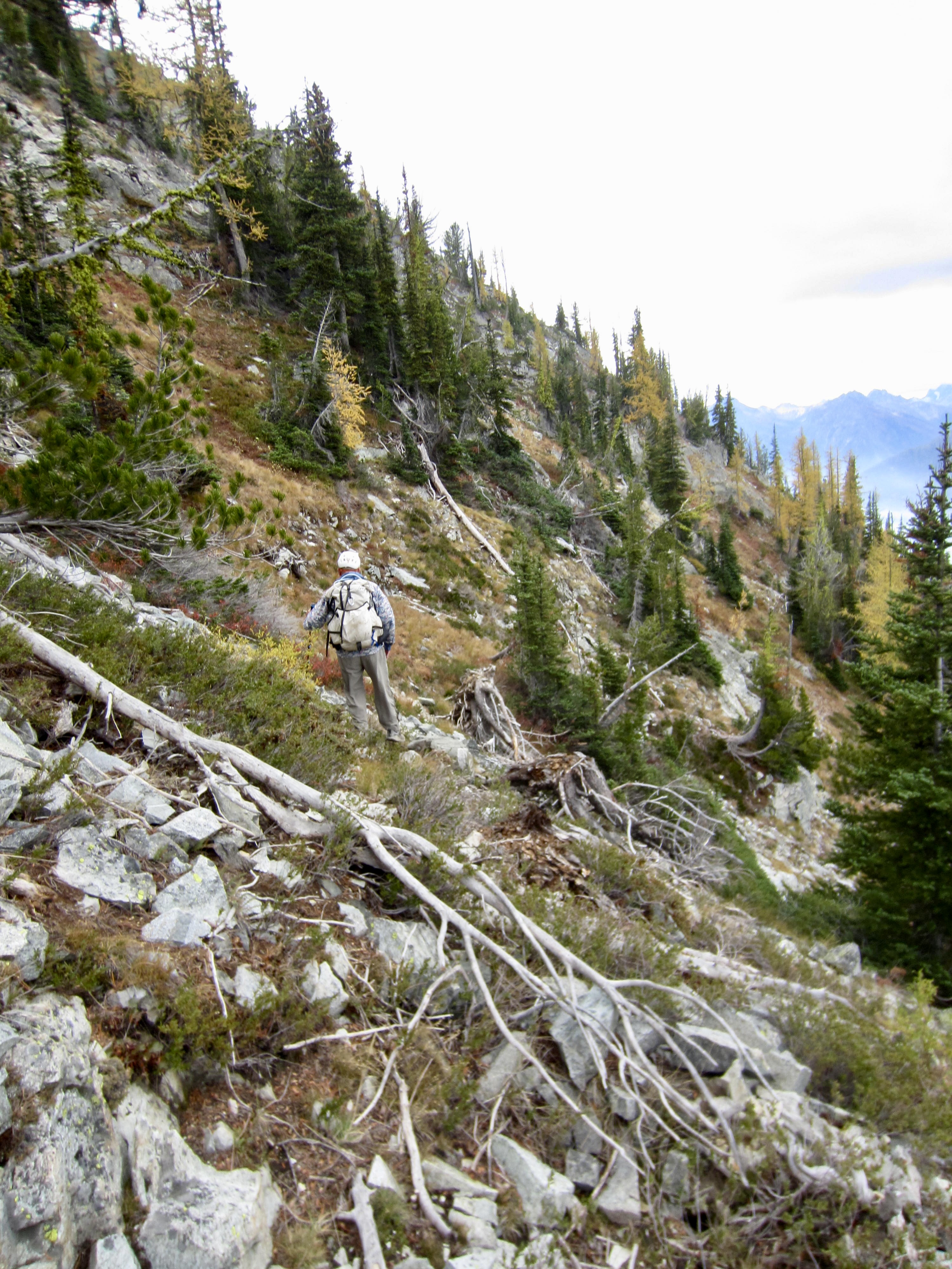
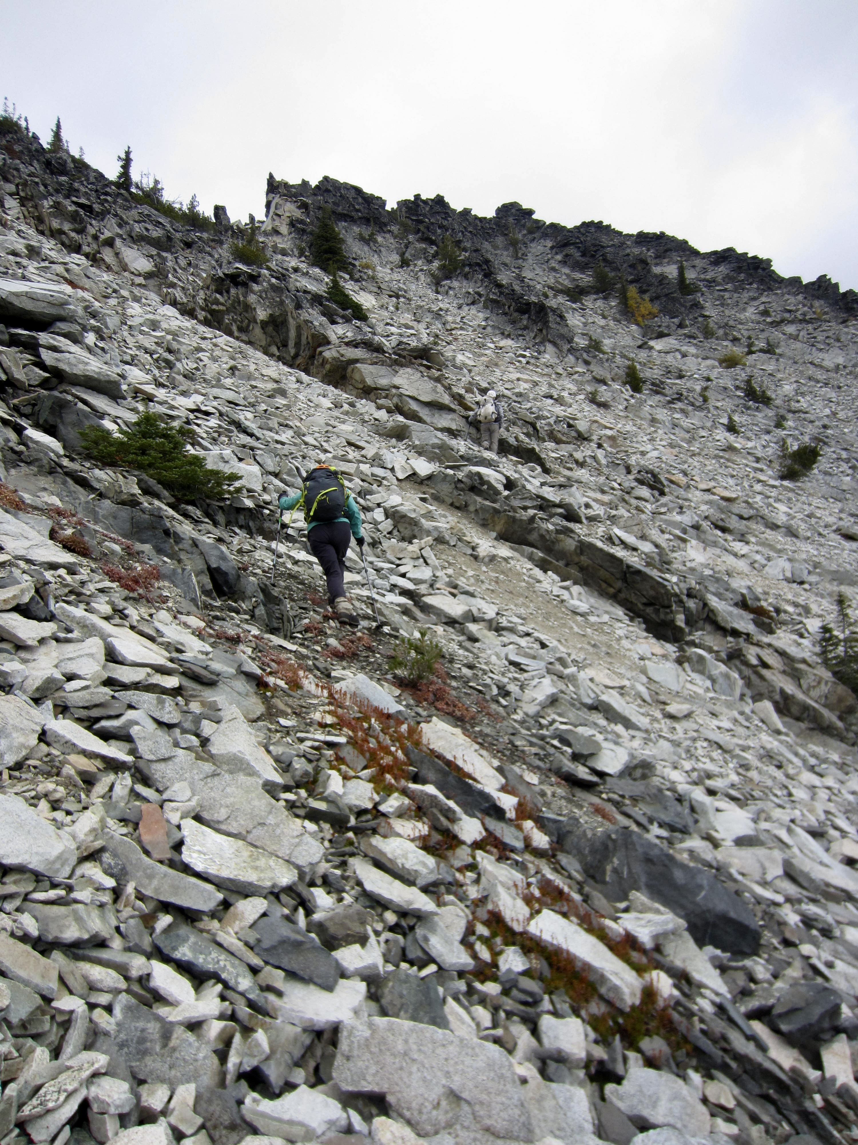
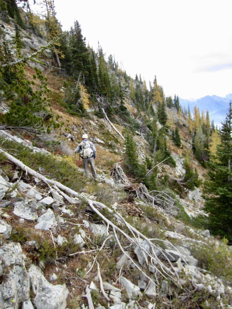
Upon gaining the ridge step, we began contouring around the western arm of McAlester Mountain, staying at an elevation between 6800 and 7000 feet. The terrain here consists of steep heather slopes with scattered outcrops of loose rock. Last year, this had been very sketchy due to fresh snow; now, it was only slightly less sketchy.
.
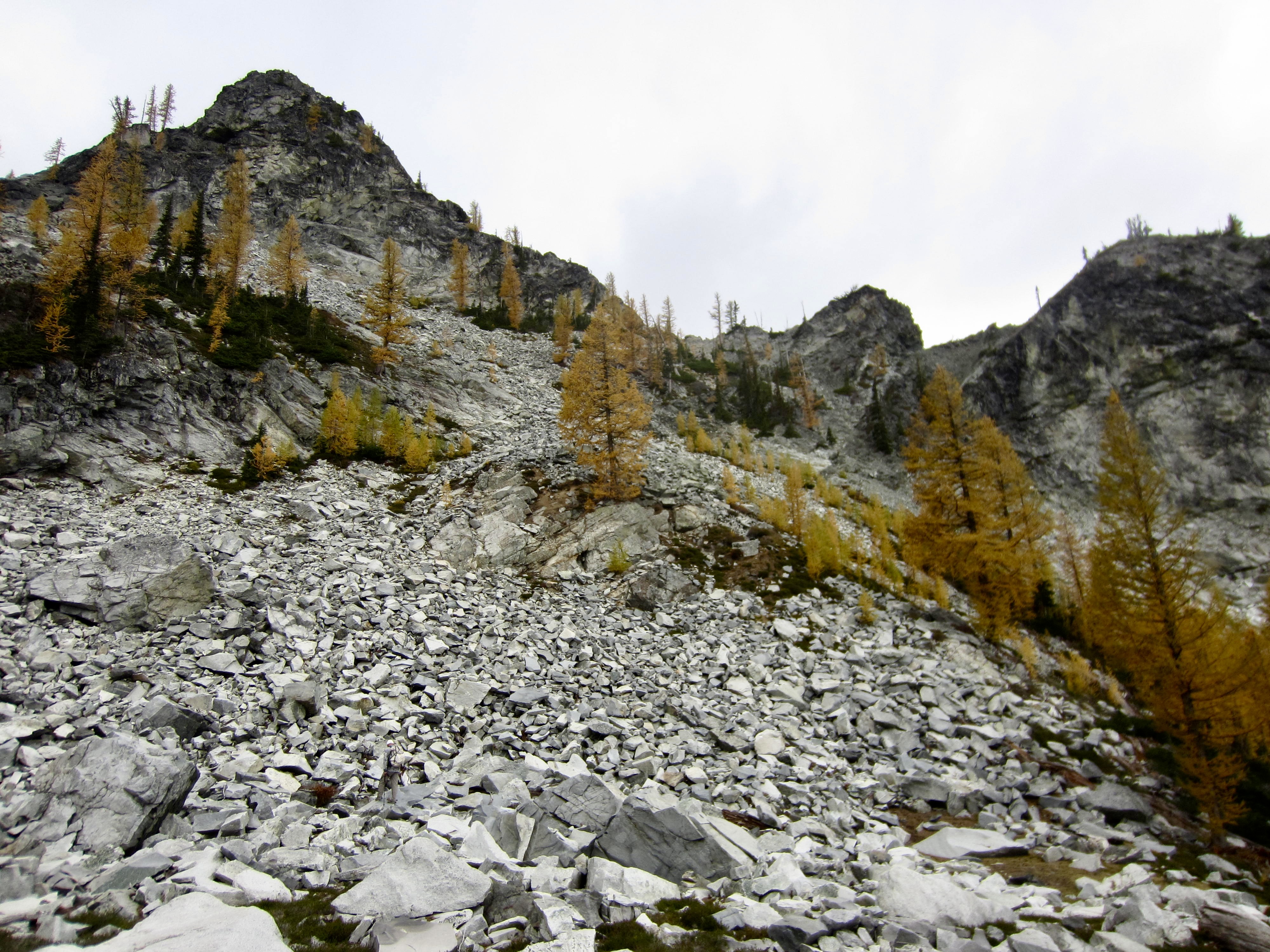
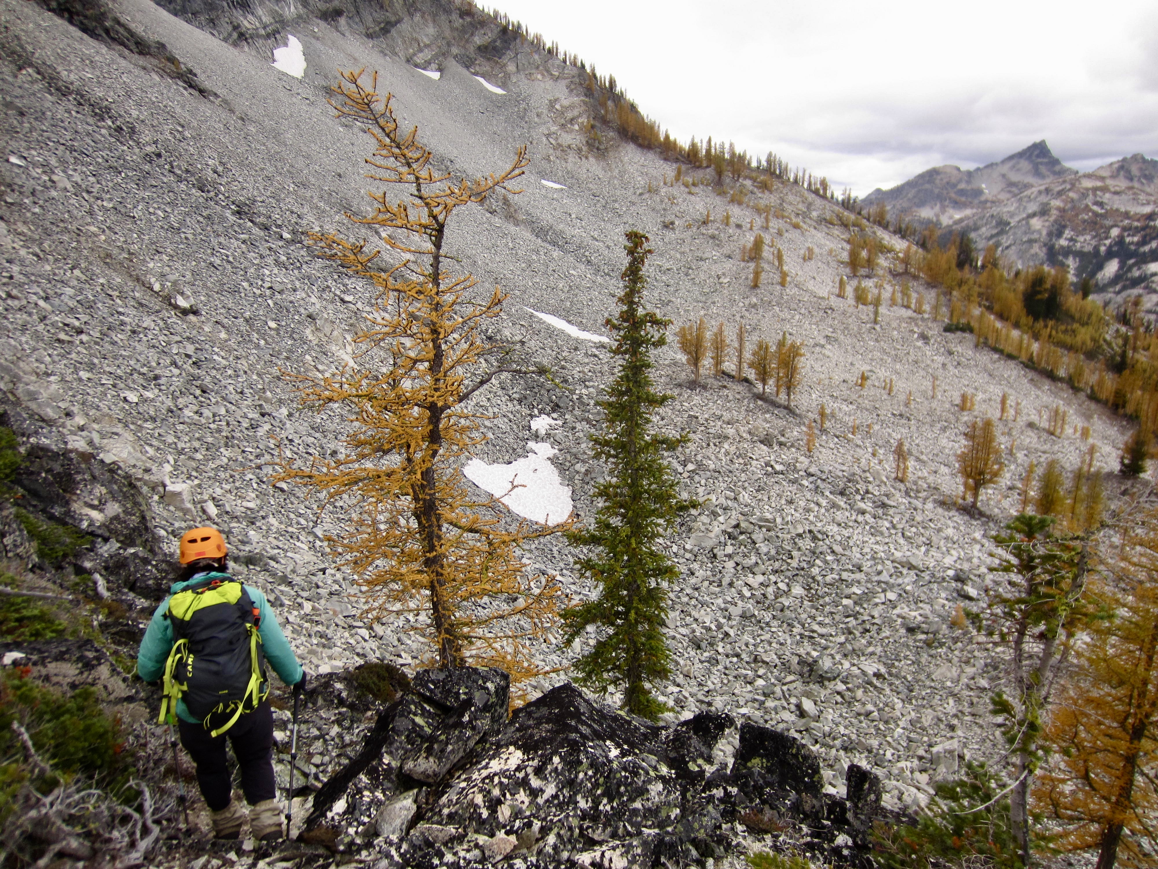
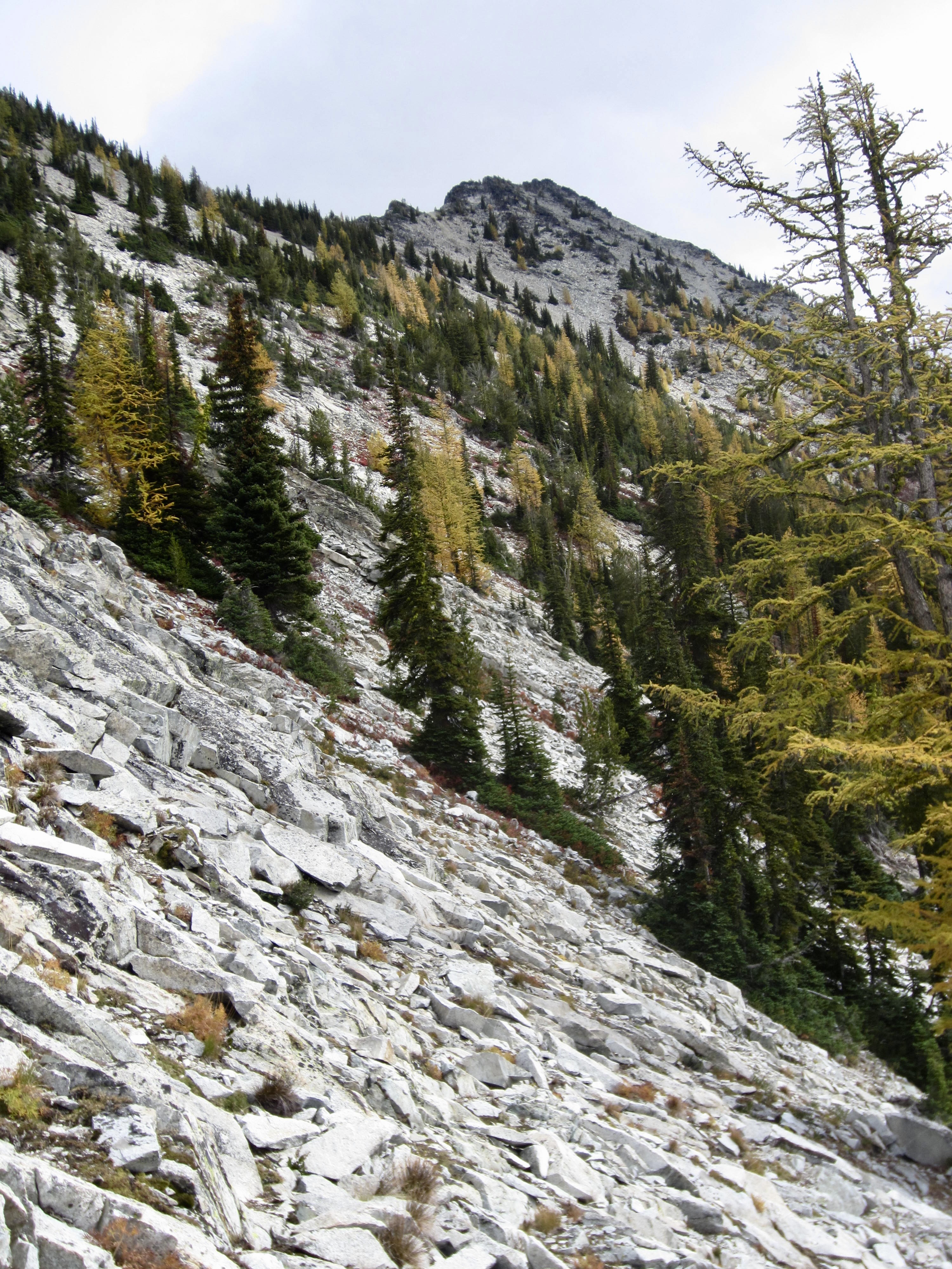
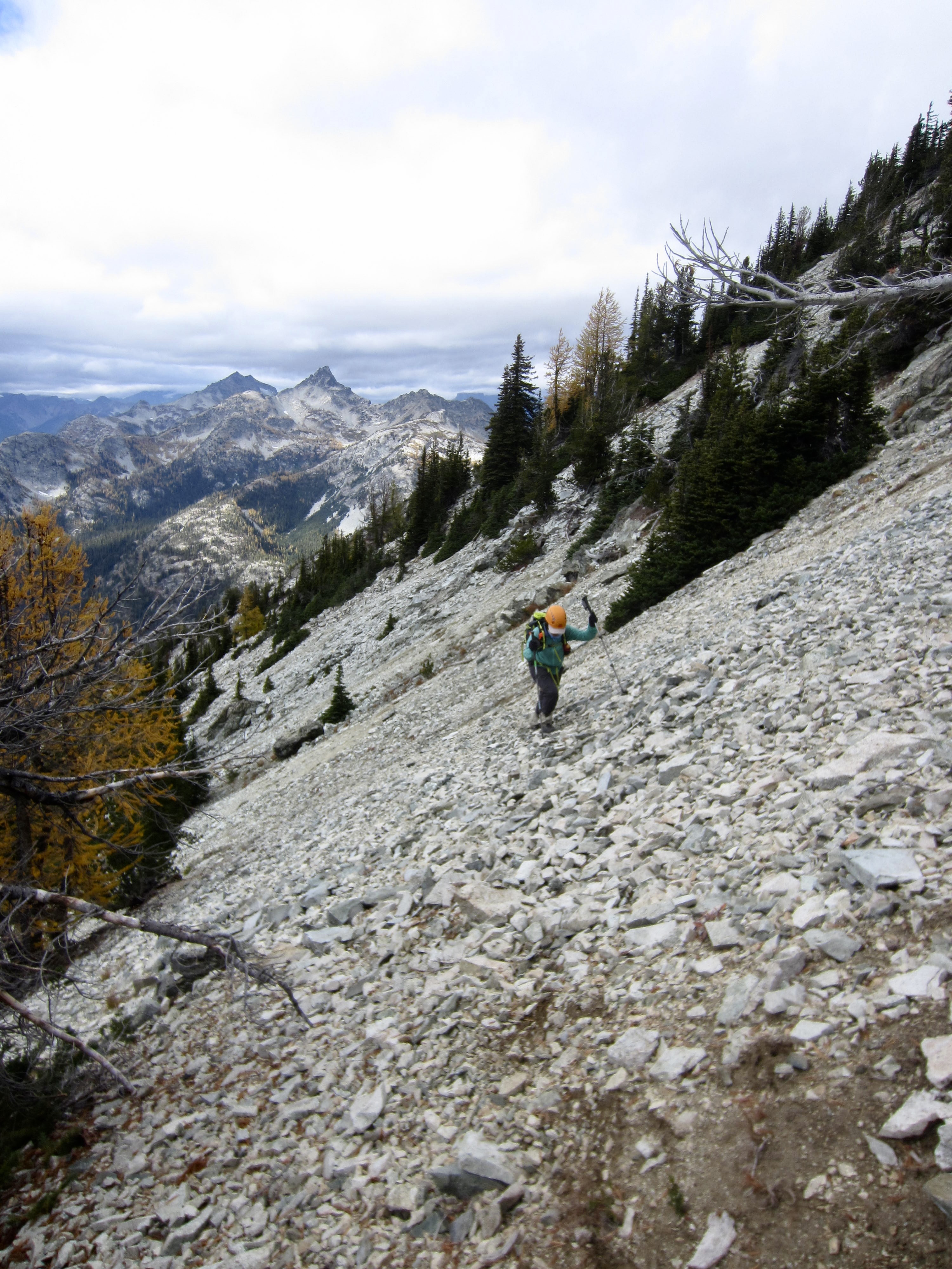
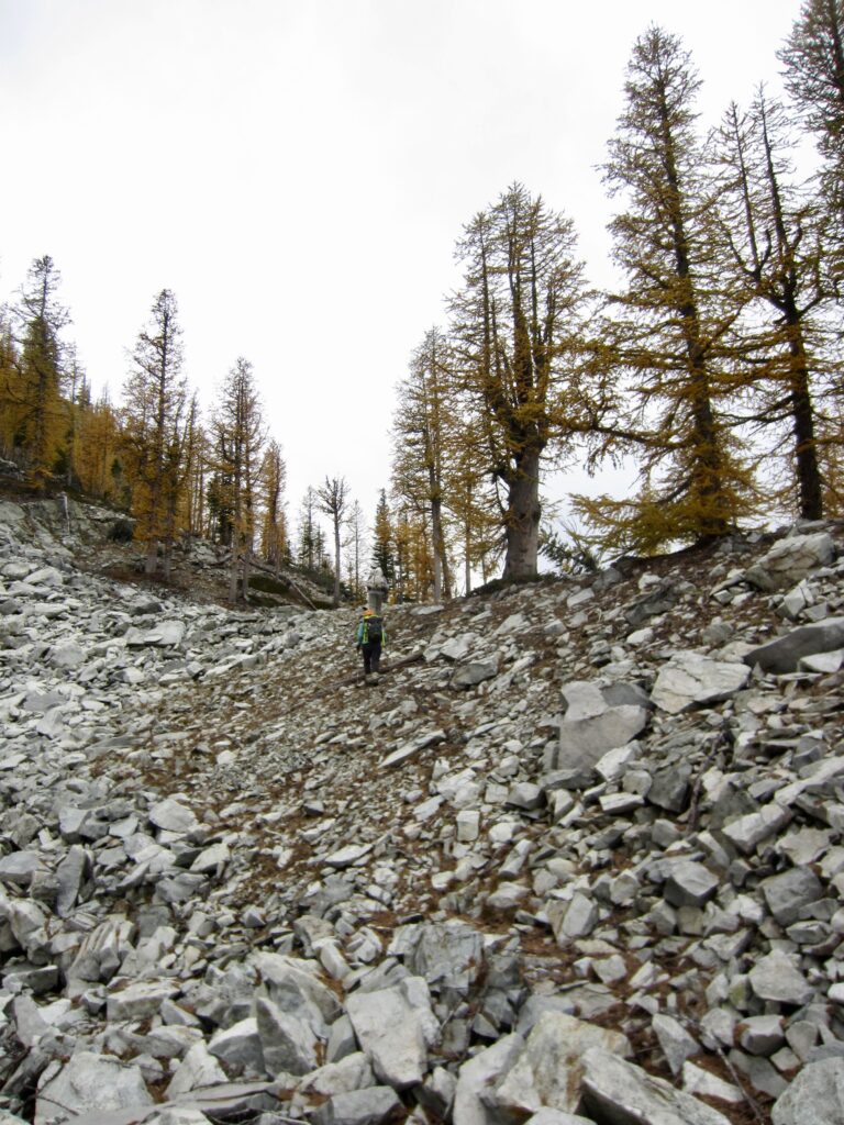
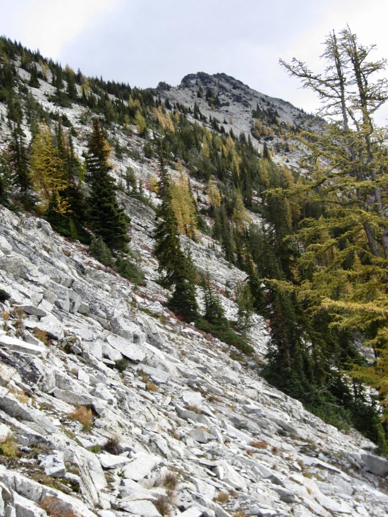
We eventually worked around a rib that put us onto the mountain’s broad, upper southwestern slope, with the summit block visible ½ mile to the east. Our traverse across this slope took us over a seemingly endless expanse of unstable talus and broken slabs. It was slow, treacherous, and very stressful!
.
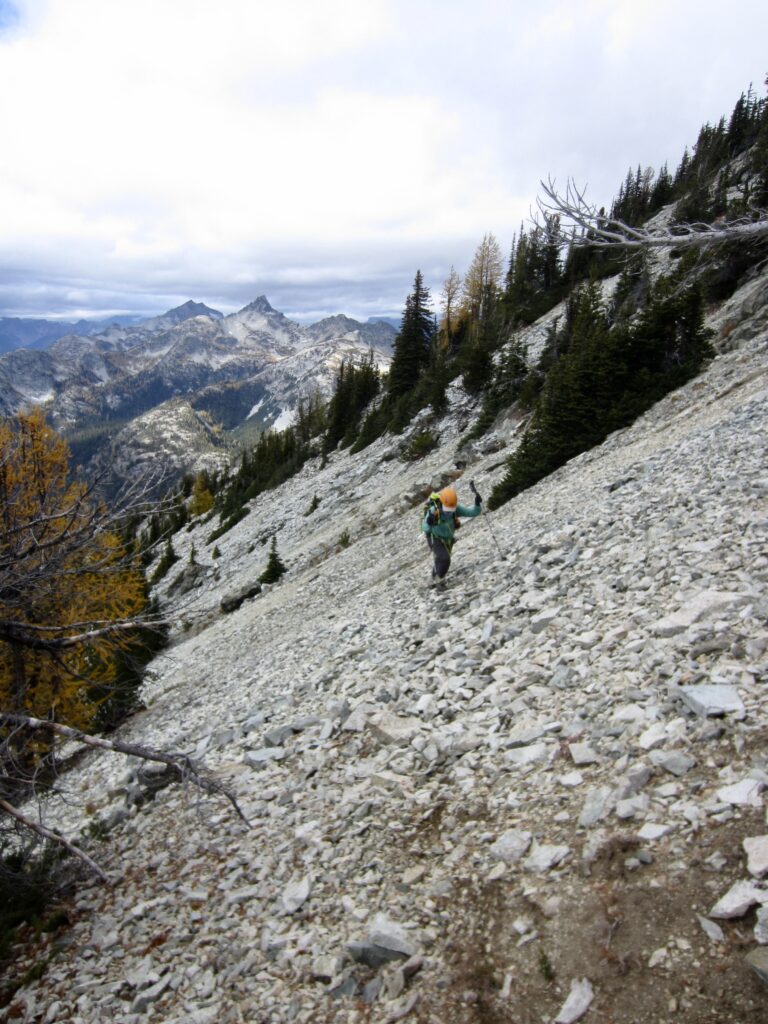
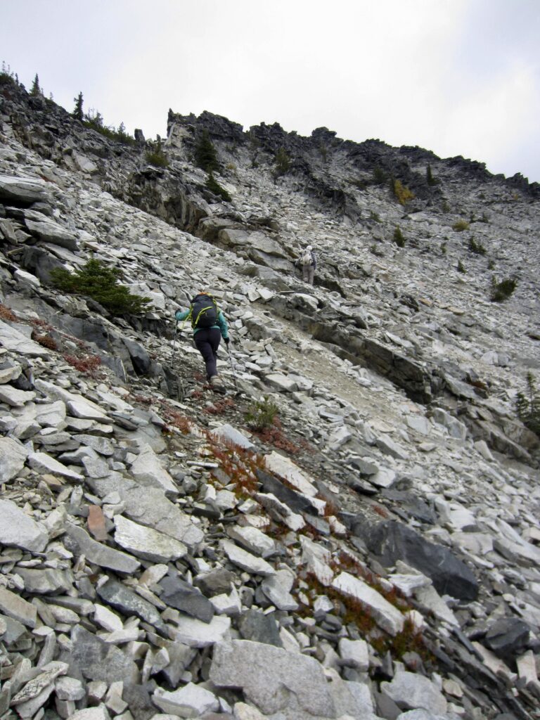
.
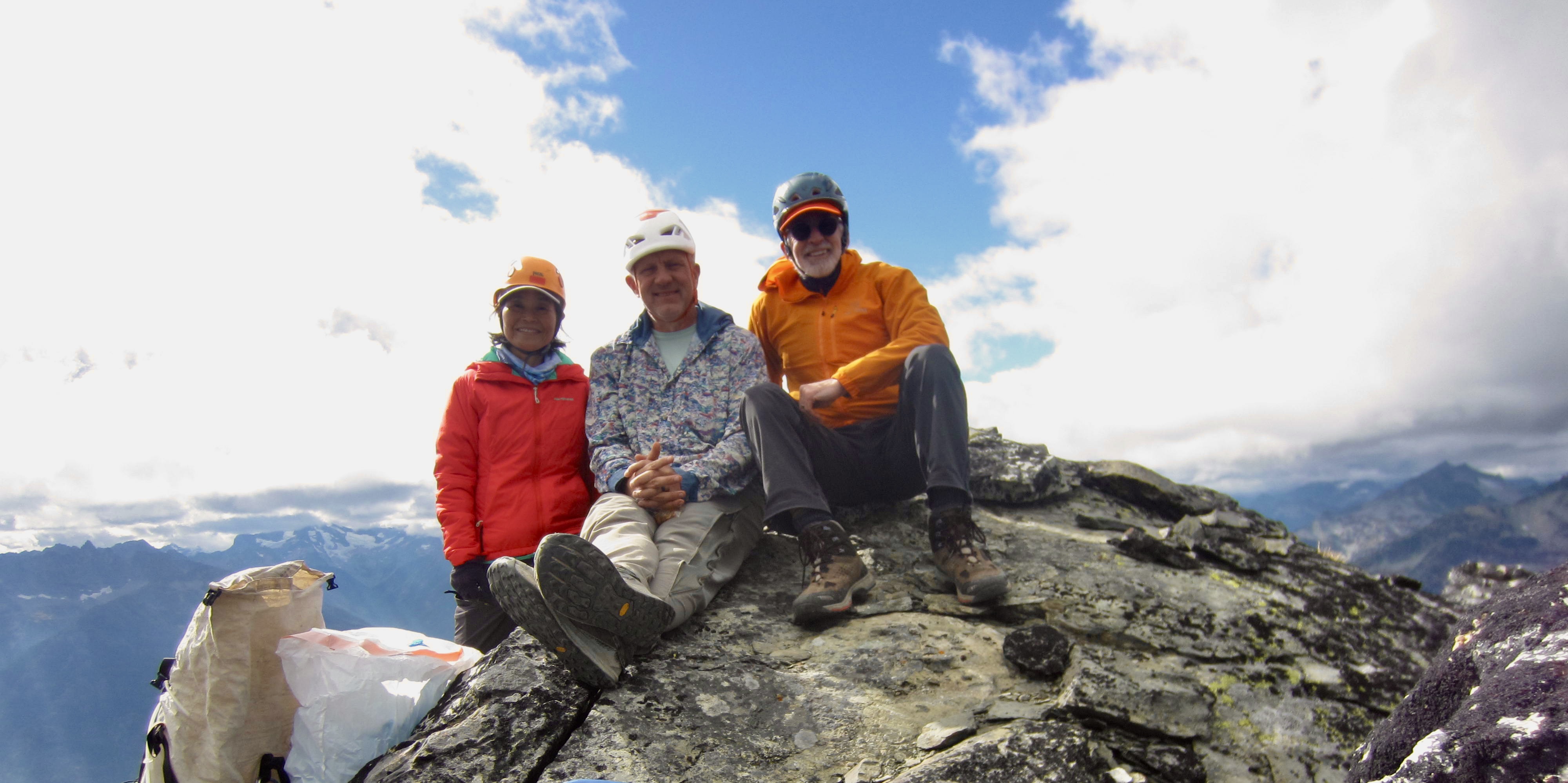
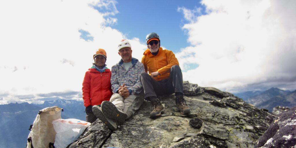
We finally traversed into a position beneath the south face of the craggy summit block and were faced with the challenge of determining which crag is the actual summit. After several false starts, we identified it as the easternmost crag. A short Class 2-3 scramble put us atop McAlester Mountain at 1:50pm (5.0 hours + 4.7 miles + 2850 feet – 400 feet from Camp 1).
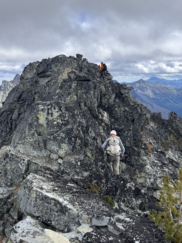
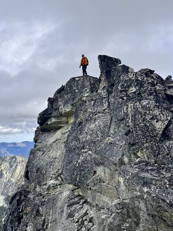
.
.
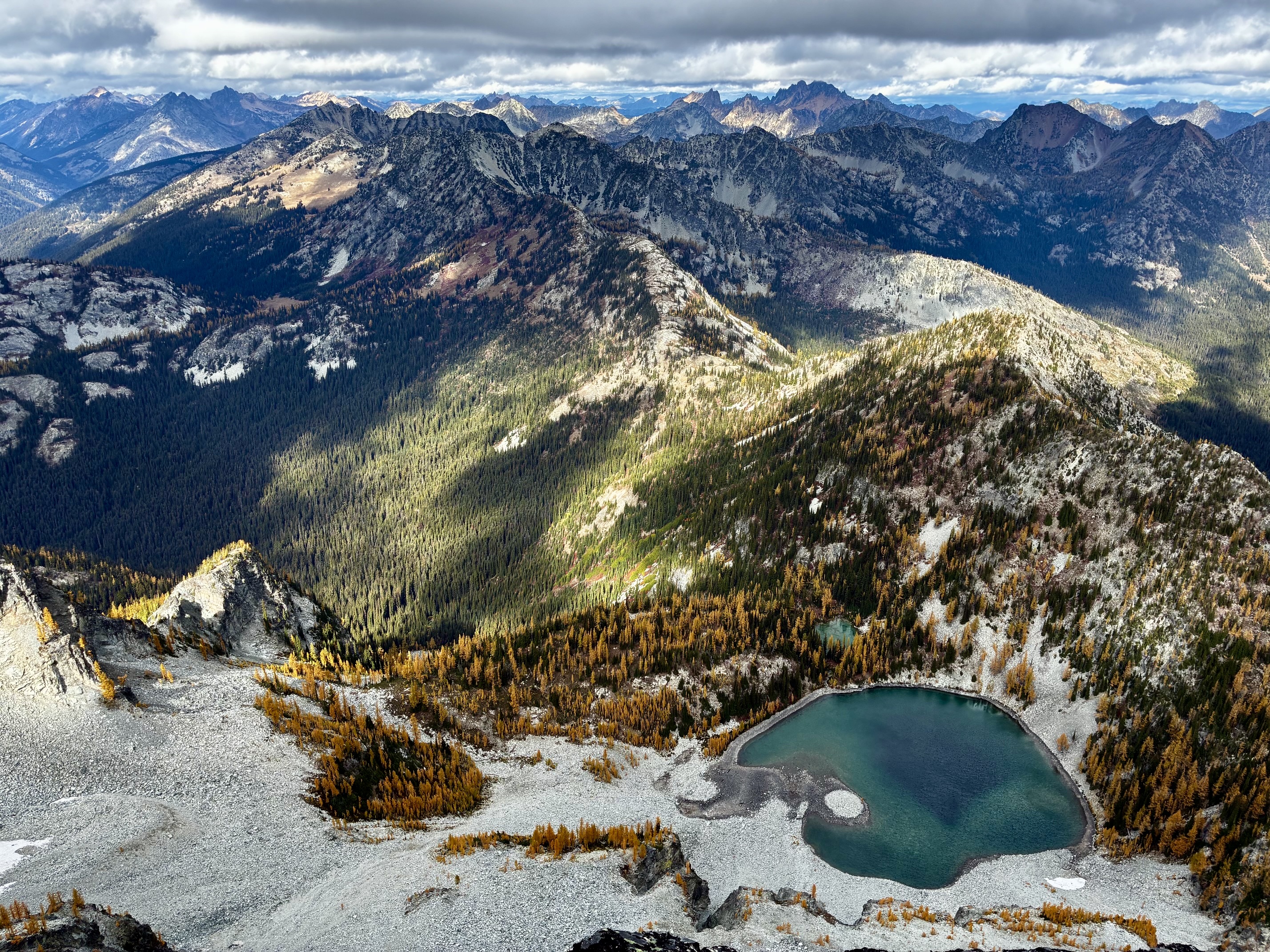
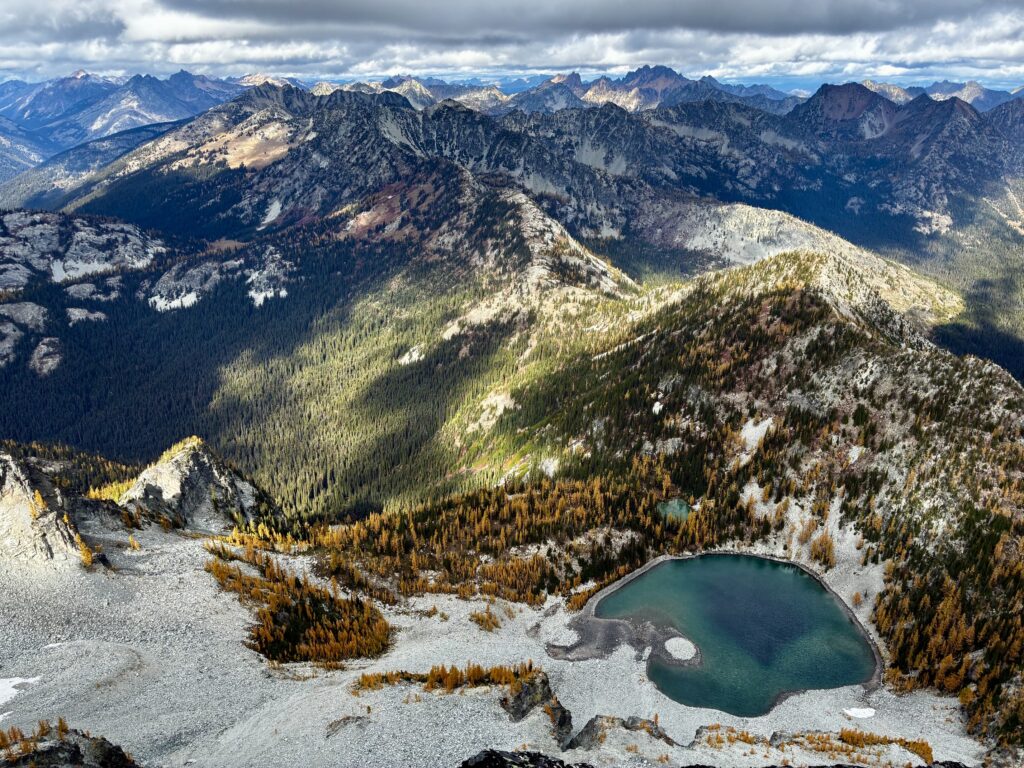
From the summit, we could look directly down at Upper Dee Dee Lake, which was Eileen’s and Maria’s objective for today. Our hollers and war-whoops were returned with shouts from the lake. We couldn’t see them, but we could hear them—1600 vertical feet below!
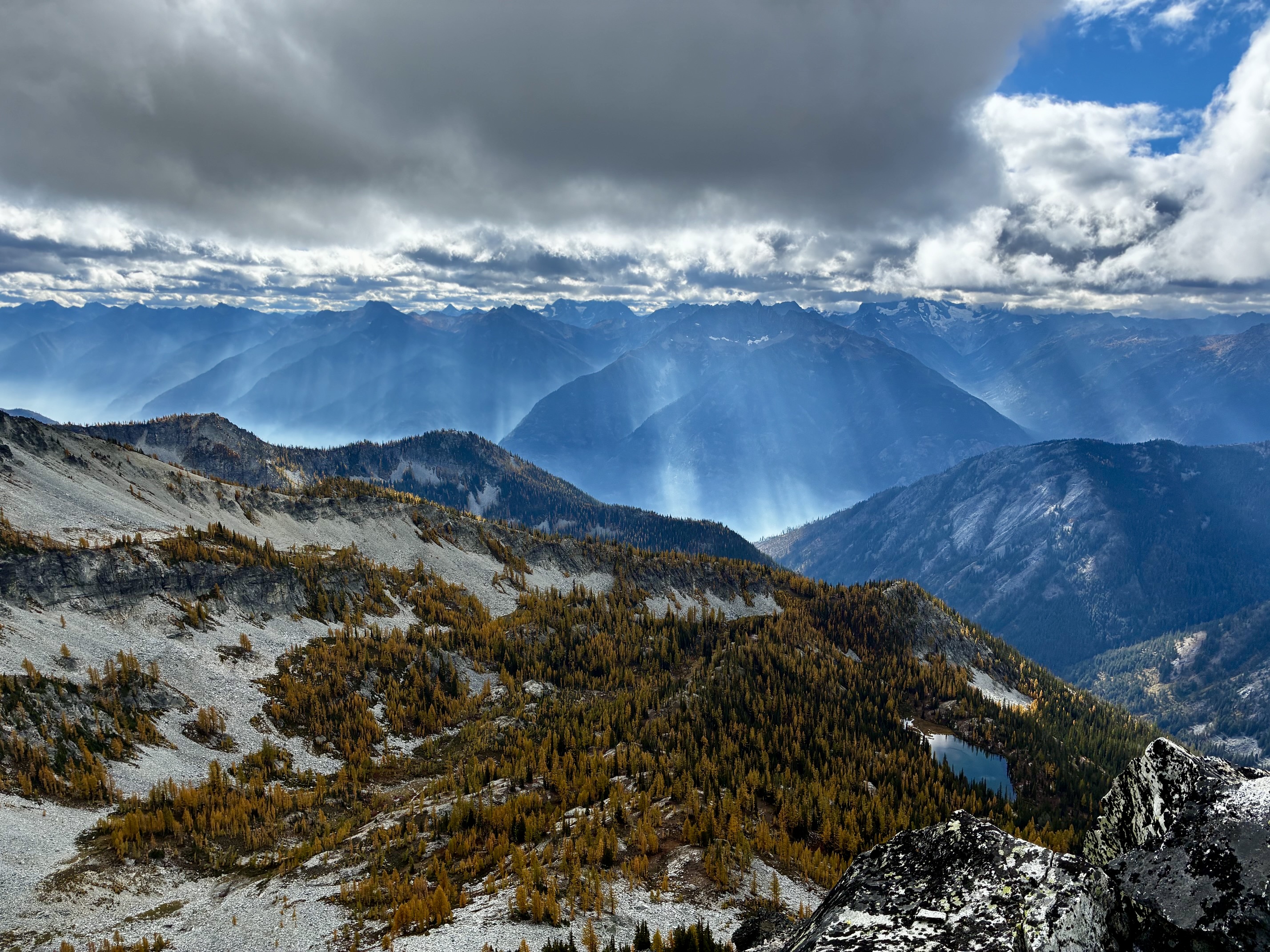
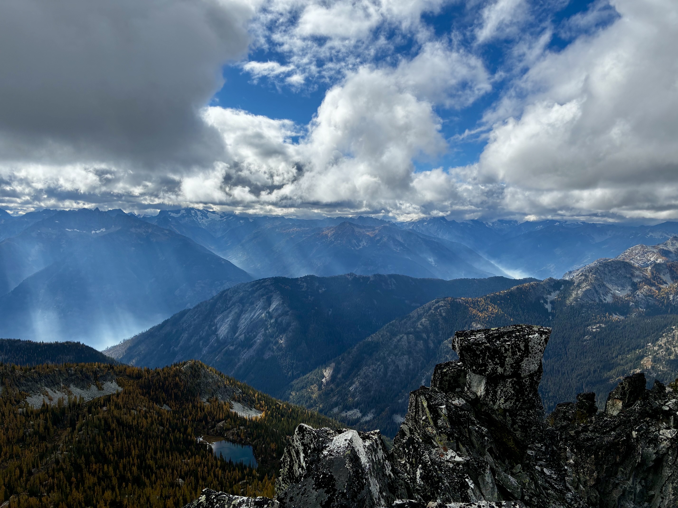
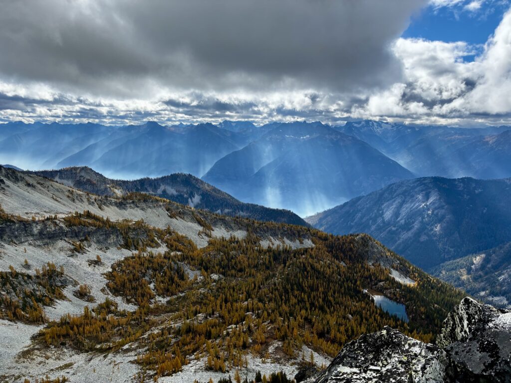
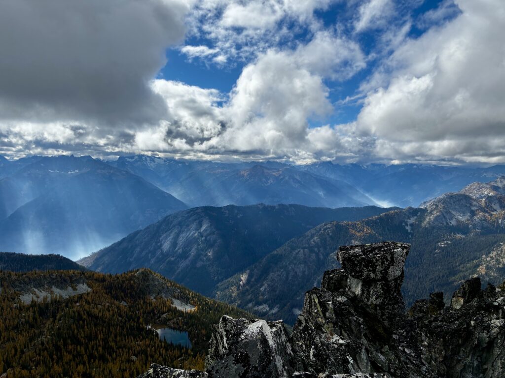
Although our views to the west were truncated by low clouds, random sunbeams engaged with wildfire smoke in the Lake Chelan trough to create ethereal bands of light. It looked like an alien invasion taking place!
.
.
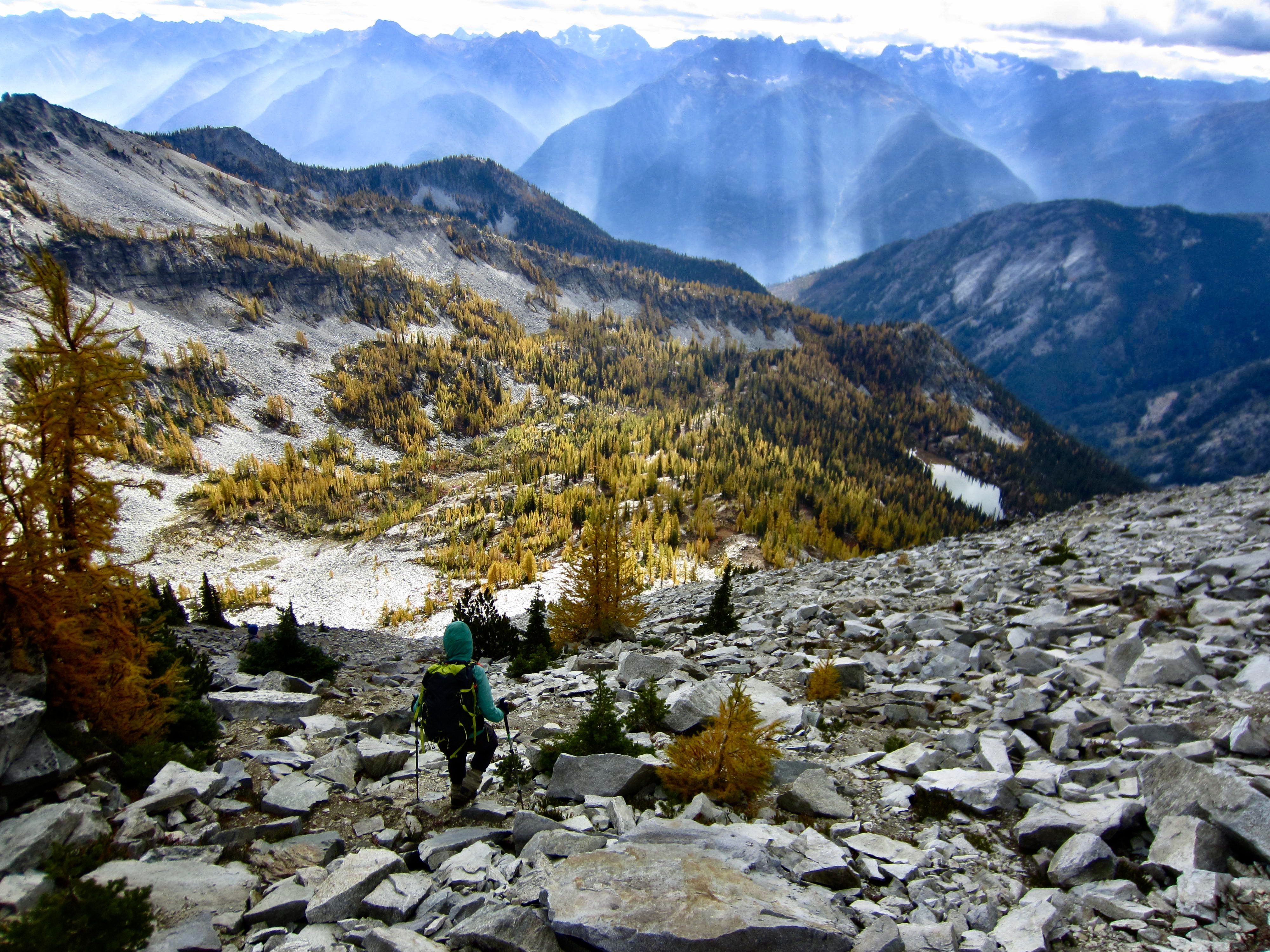
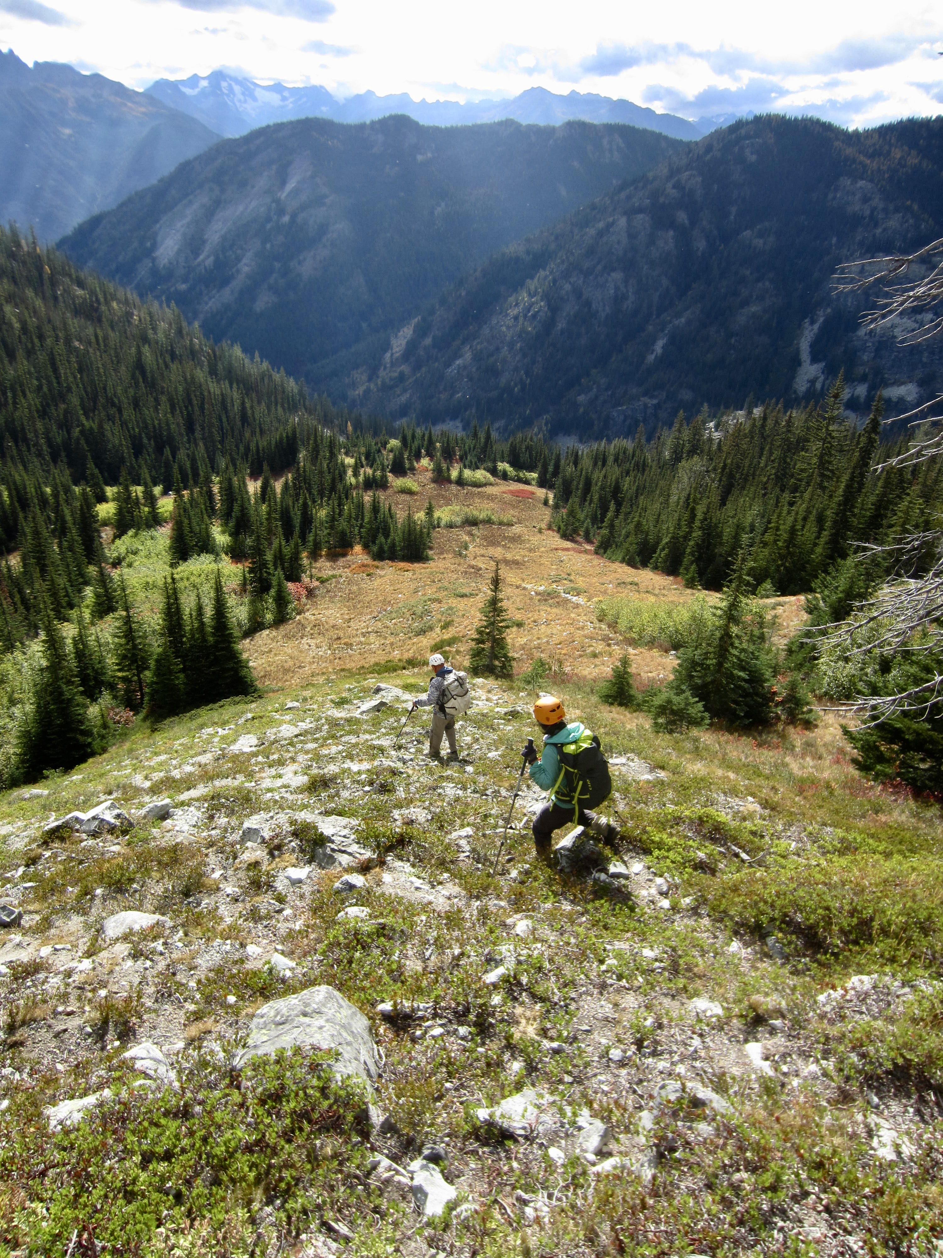
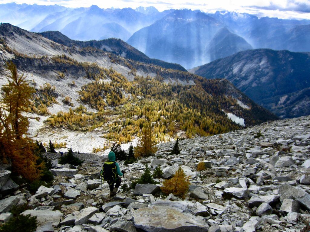
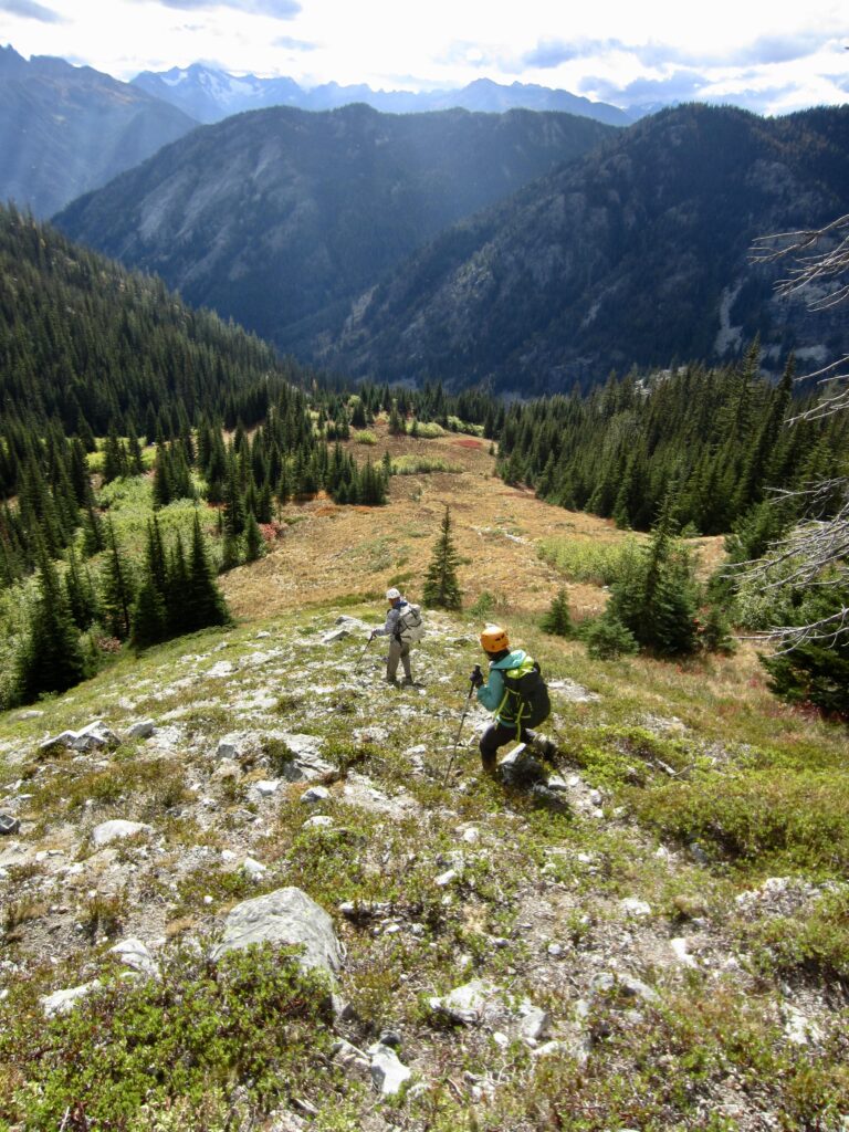
Because none of us were eager to make the long traverse back across the mountain’s treacherous southwestern slope, we decided to make a direct descent into the Rainbow Creek Valley. We initially headed down the steep south face, then angled rightward down the more-moderate lower southwestern slope.
.
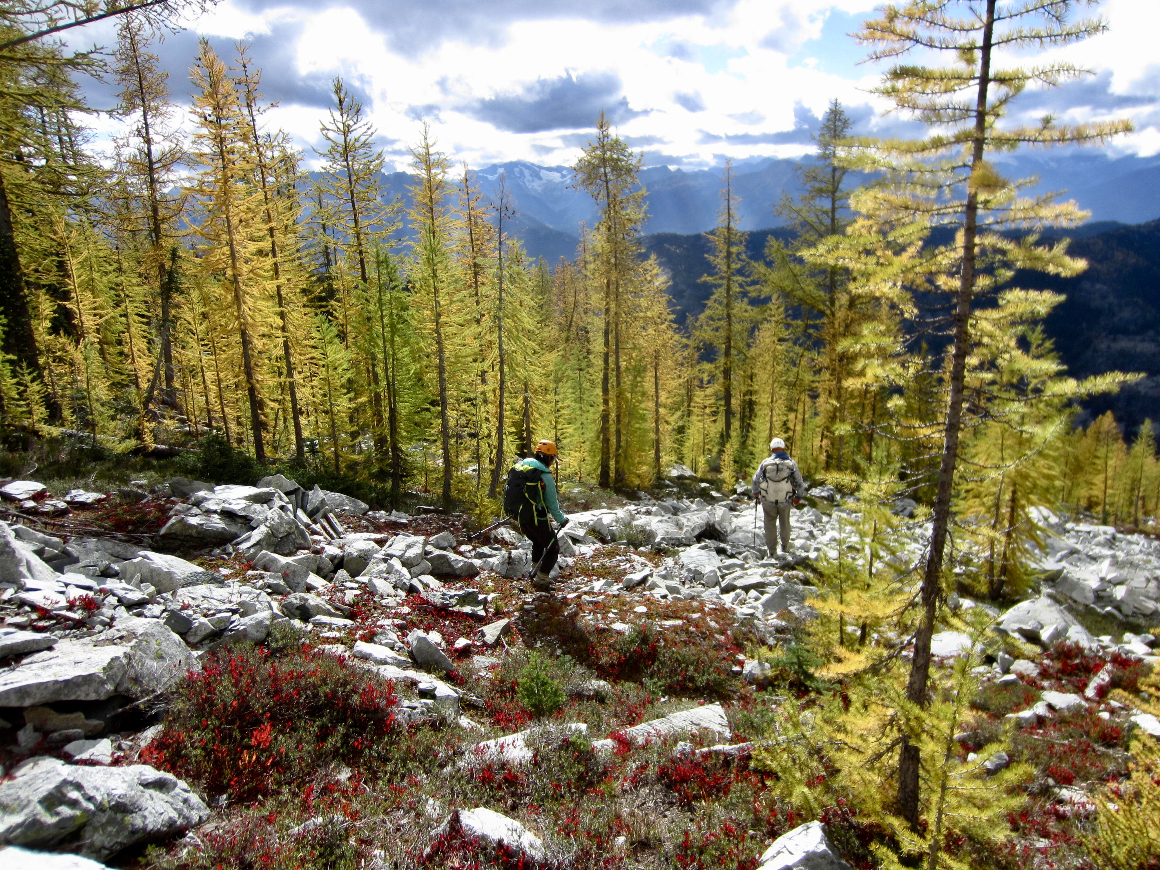
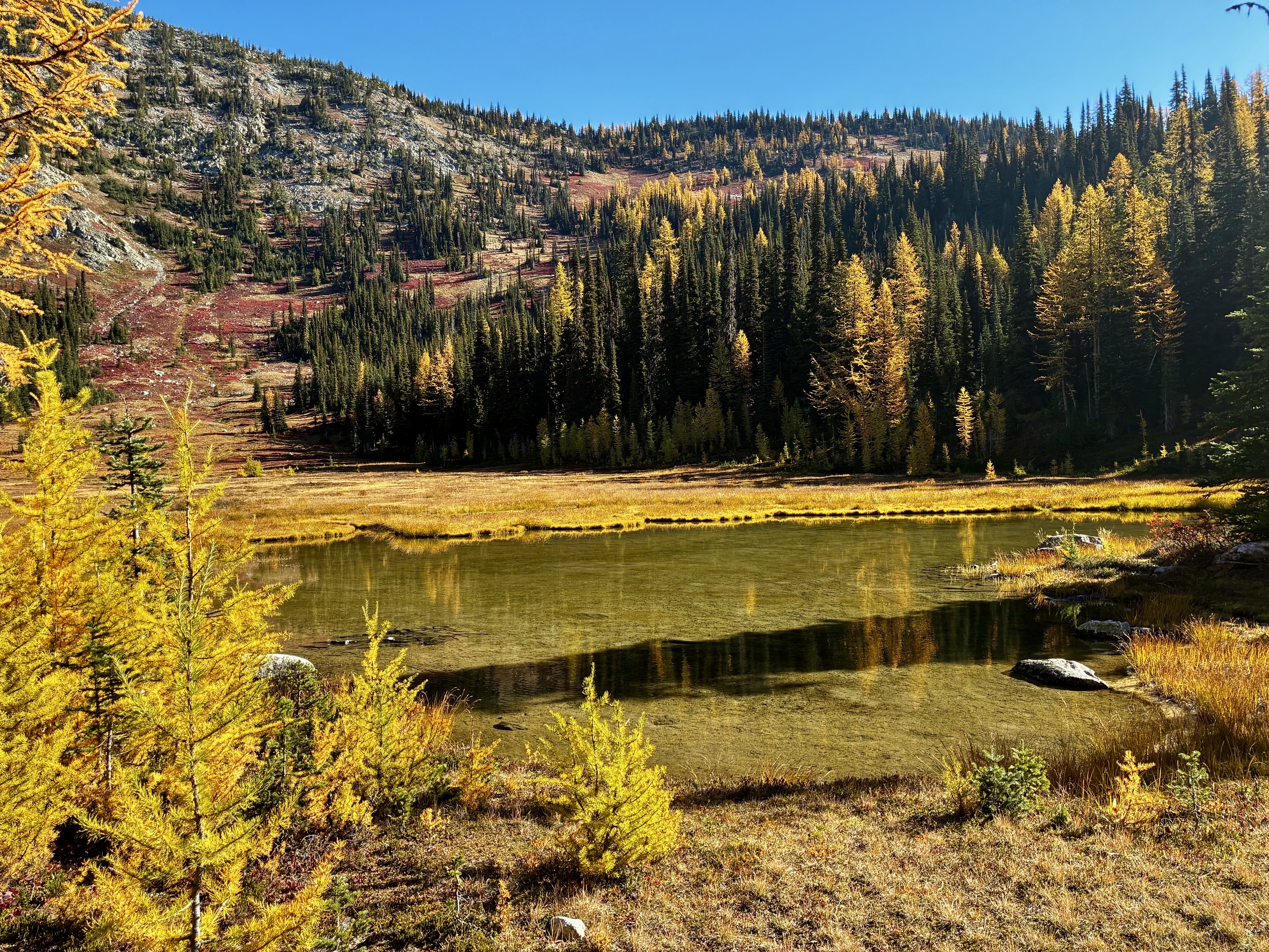
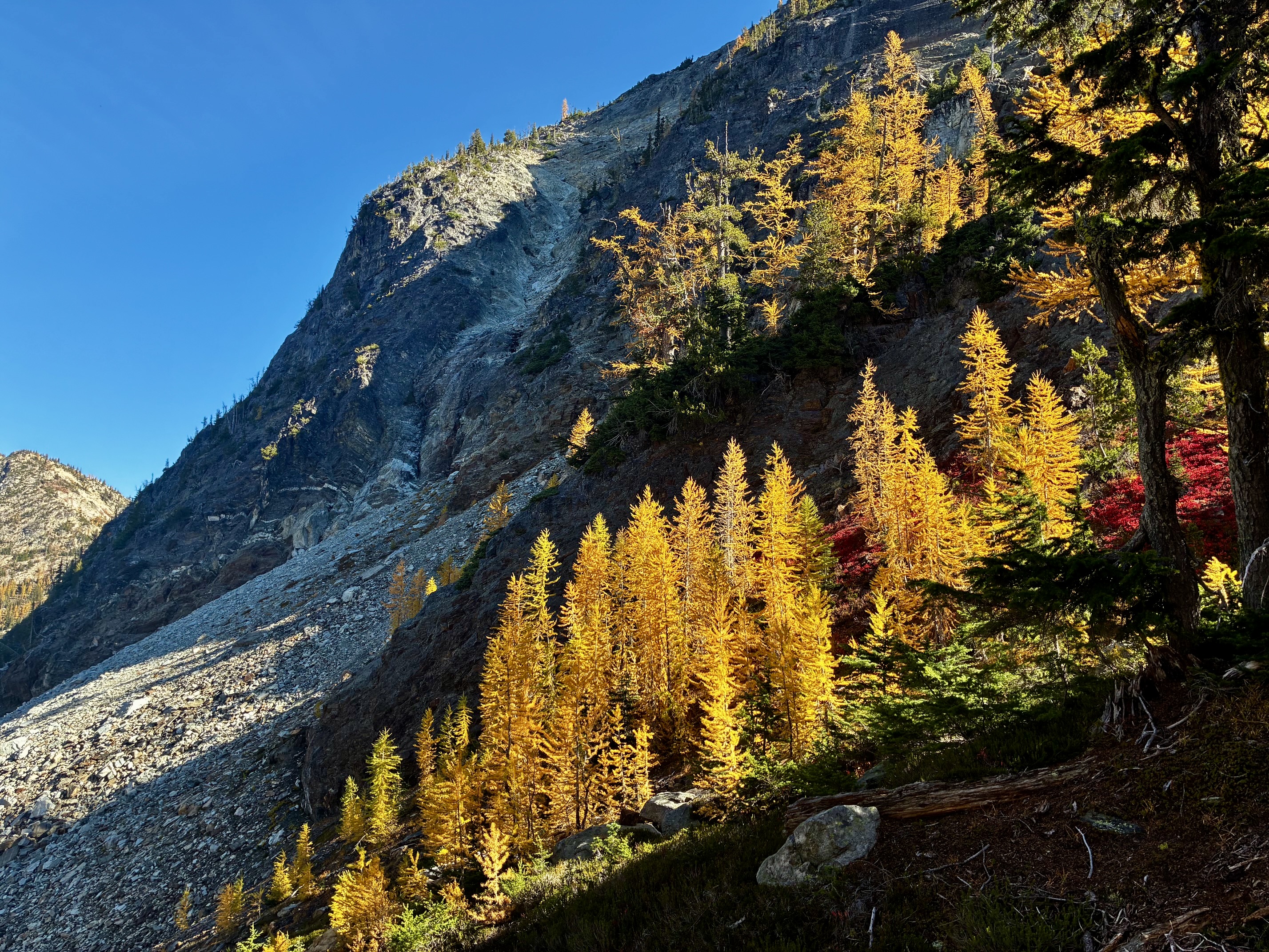
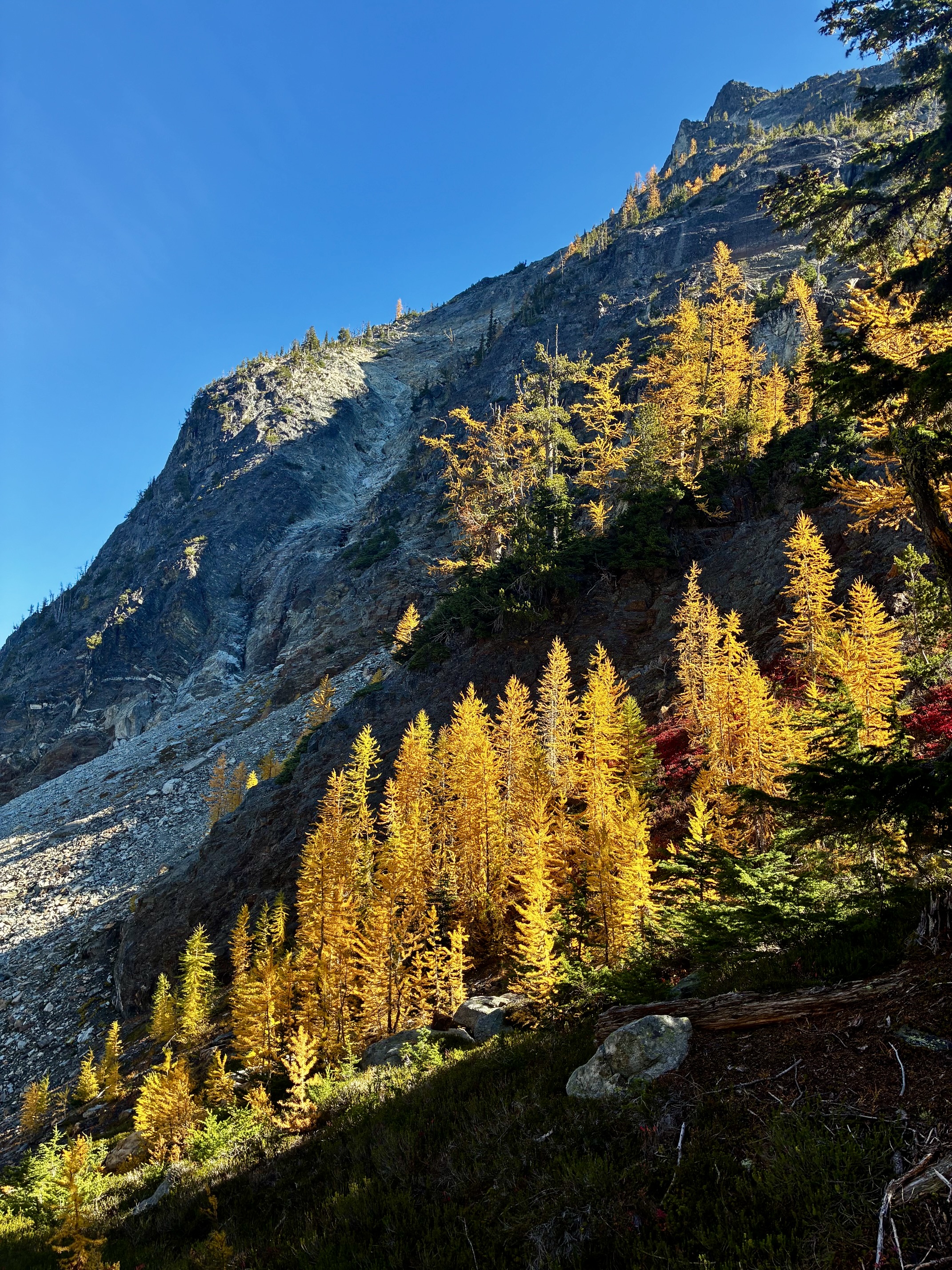
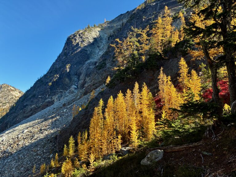
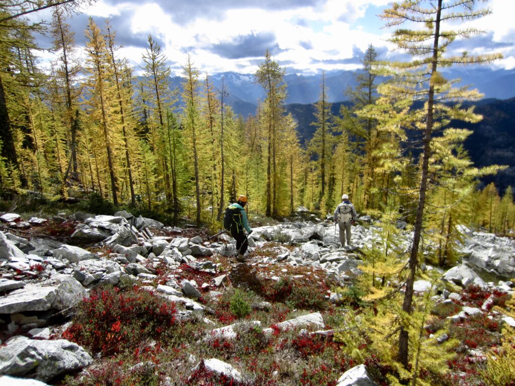
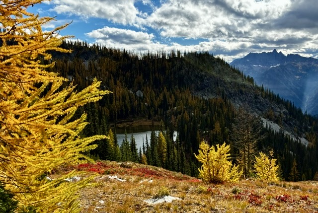
Our descent took us through larch groves and down a heather rib closely north of Lake 6230. This pristine lake would offer a splendid destination or base camp for anyone willing to make the cross-country ascent from the Rainbow Creek Valley.
.
.
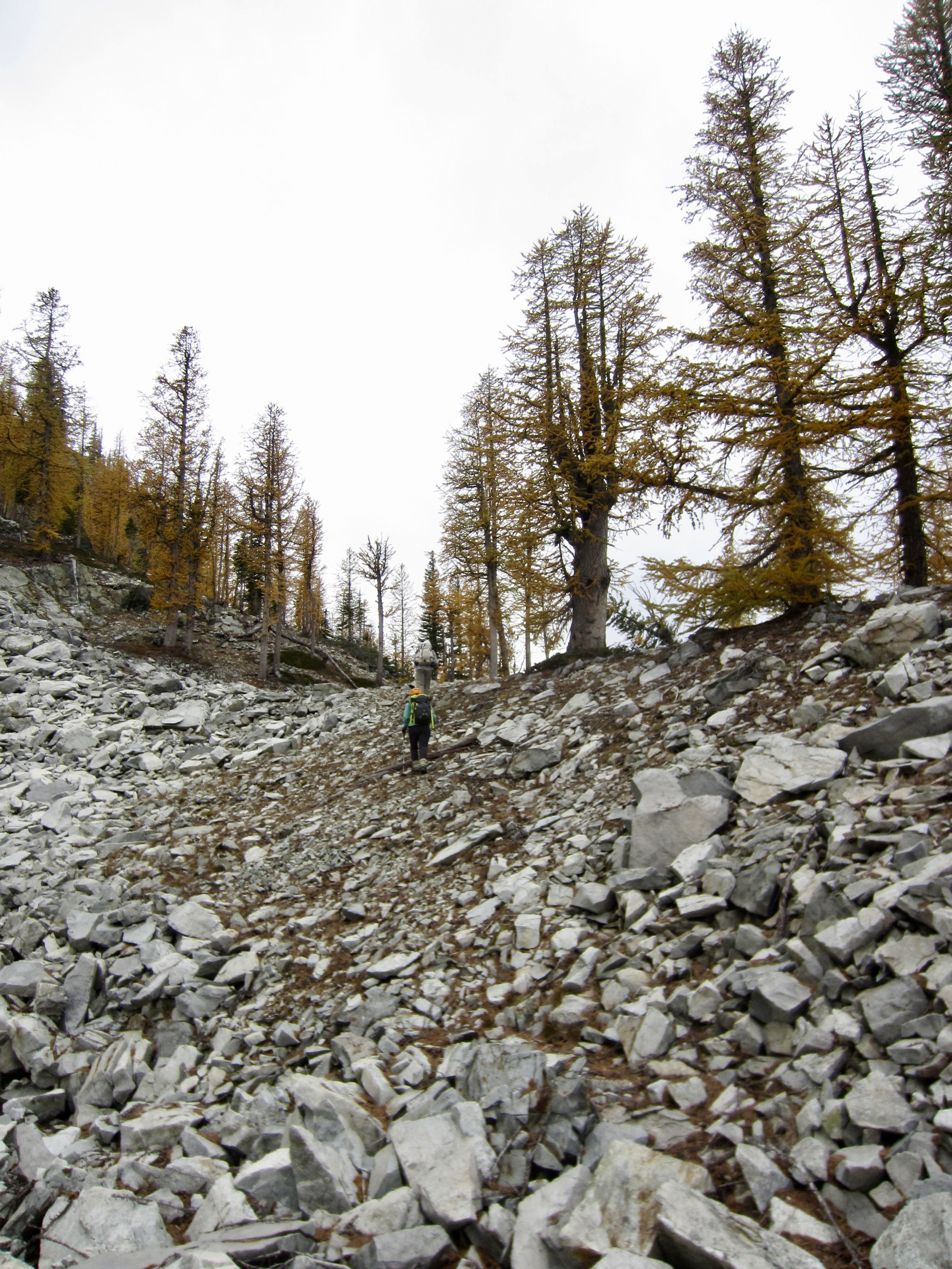
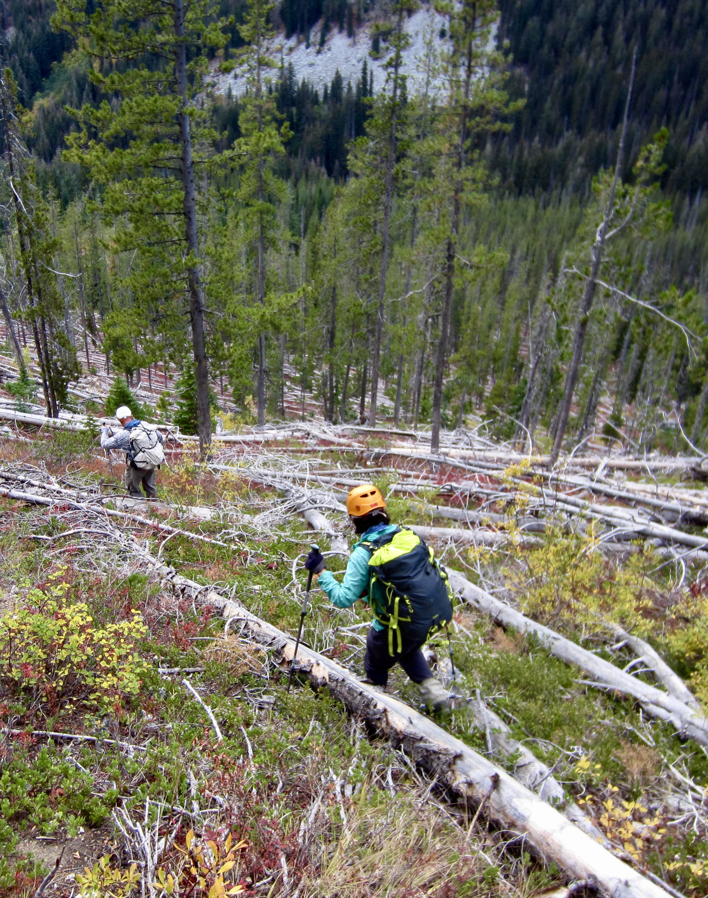
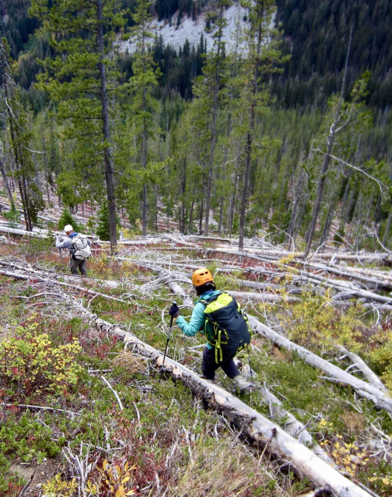
Everything went quite nicely until we reached an elevation of 5400 feet. We then had to skid down steep forest, battle through impenetrable slide alder, hop across loose boulders, navigate through cliffy outcrops, and wend through jackstraw trees. It was a great relief to intersect the Rainbow Creek Trail in late afternoon (2.1 hours – 3600 feet from summit). We hit this trail at an elevation of 4350 feet, about ¼ mile down-valley from Bowan Camp and 3 miles from McAlester Pass. Although our direct descent route hadn’t really saved any time or misery, it did feel much safer than retracing our up-route. All in all, the combined ascent and descent seemed like a Whitman Sampler of unsavory mountain terrain!
.
We hiked back up to McAlester Pass In the pleasant coolness of twilight, and then hiked down to McAlester Lake Camp. Kevin arrived shortly before dark, whereas Yoko and I arrived by headlamp at 7:30pm (5.3 hours + 6.5 miles + 1650 feet – 4100 feet from summit). Andrew, Blaine, and Joyce had arrived from the Bridge Creek Trailhead earlier in the day.
Day 3: McAlester Lake to Rainbow Meadows
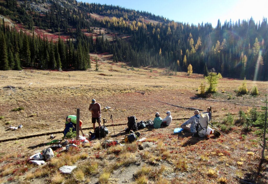
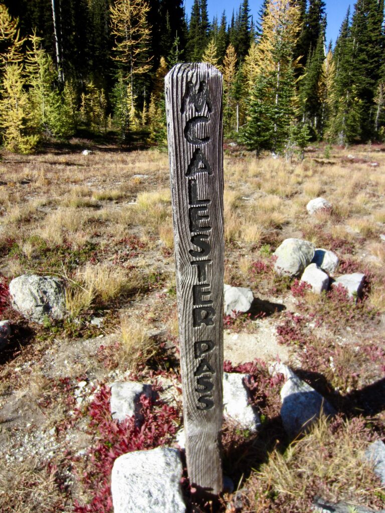
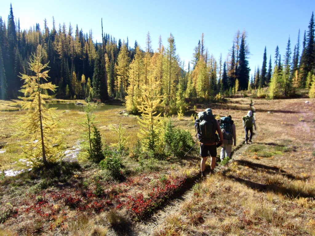
We awoke to find a completely blue sky that was truly fitting for a Golden Larch Outing! The seven of us left camp in various stages and made the 1-mile hike up to McAlester Pass, where we all reconvened at 10:15am.
.
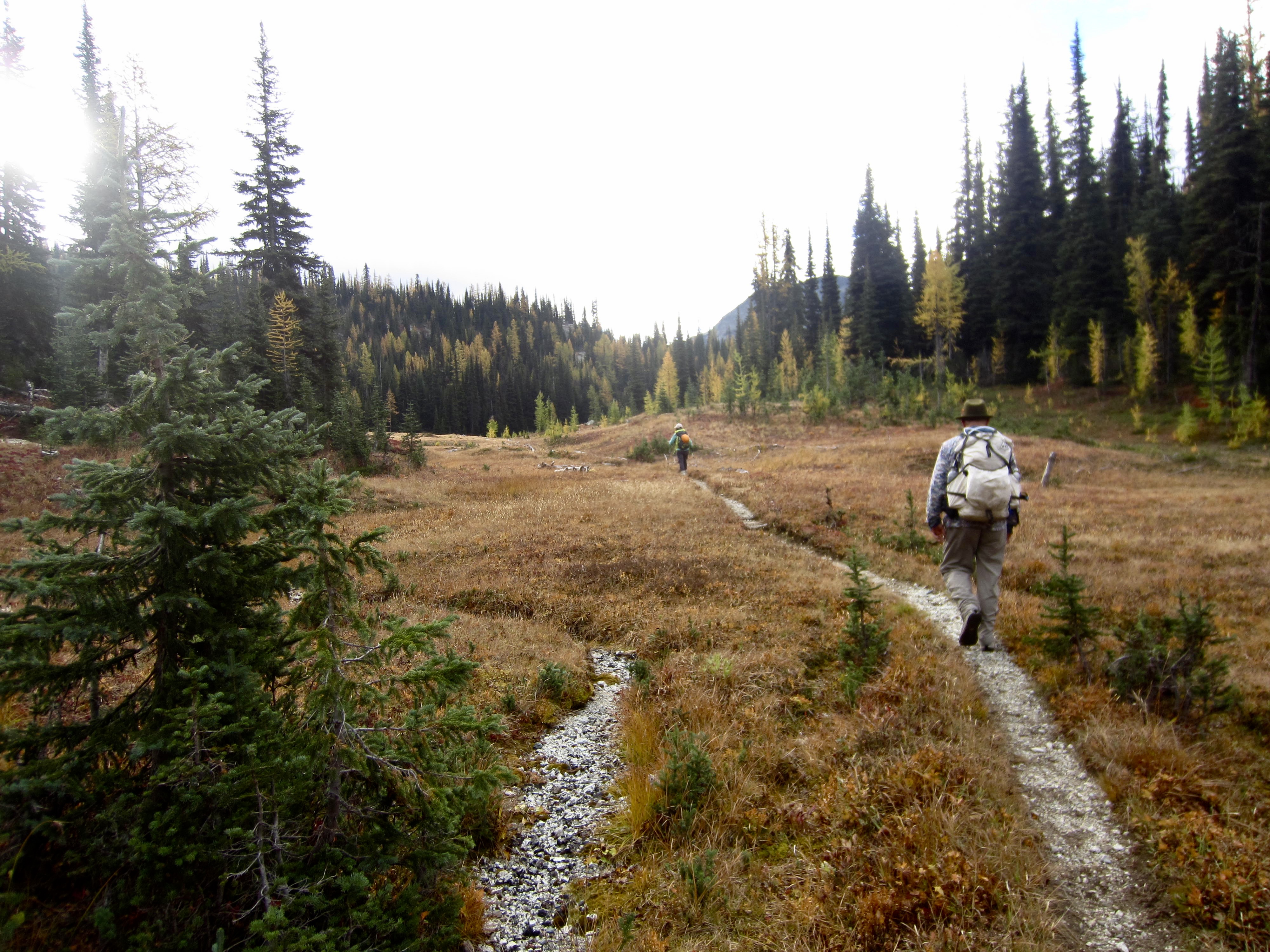
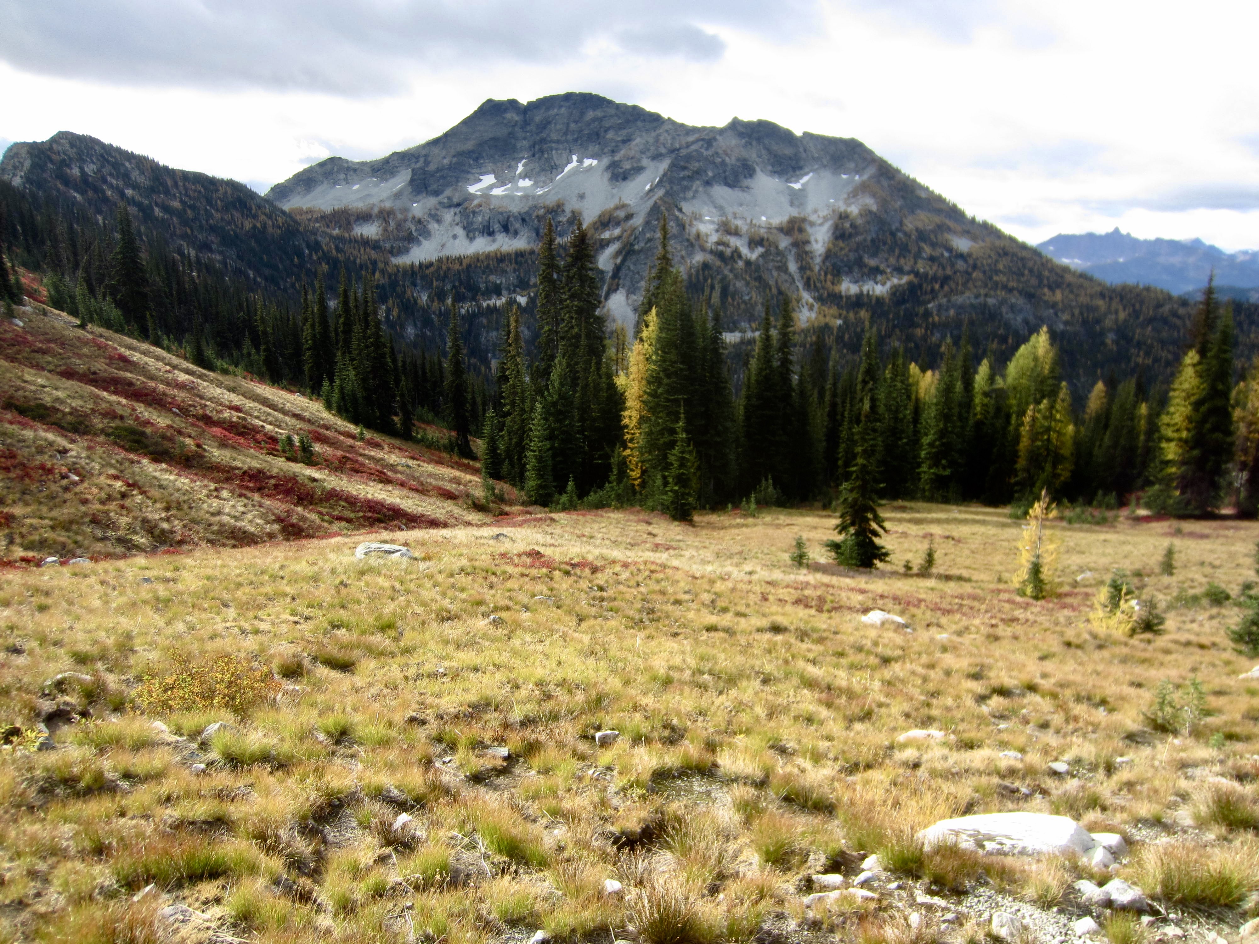
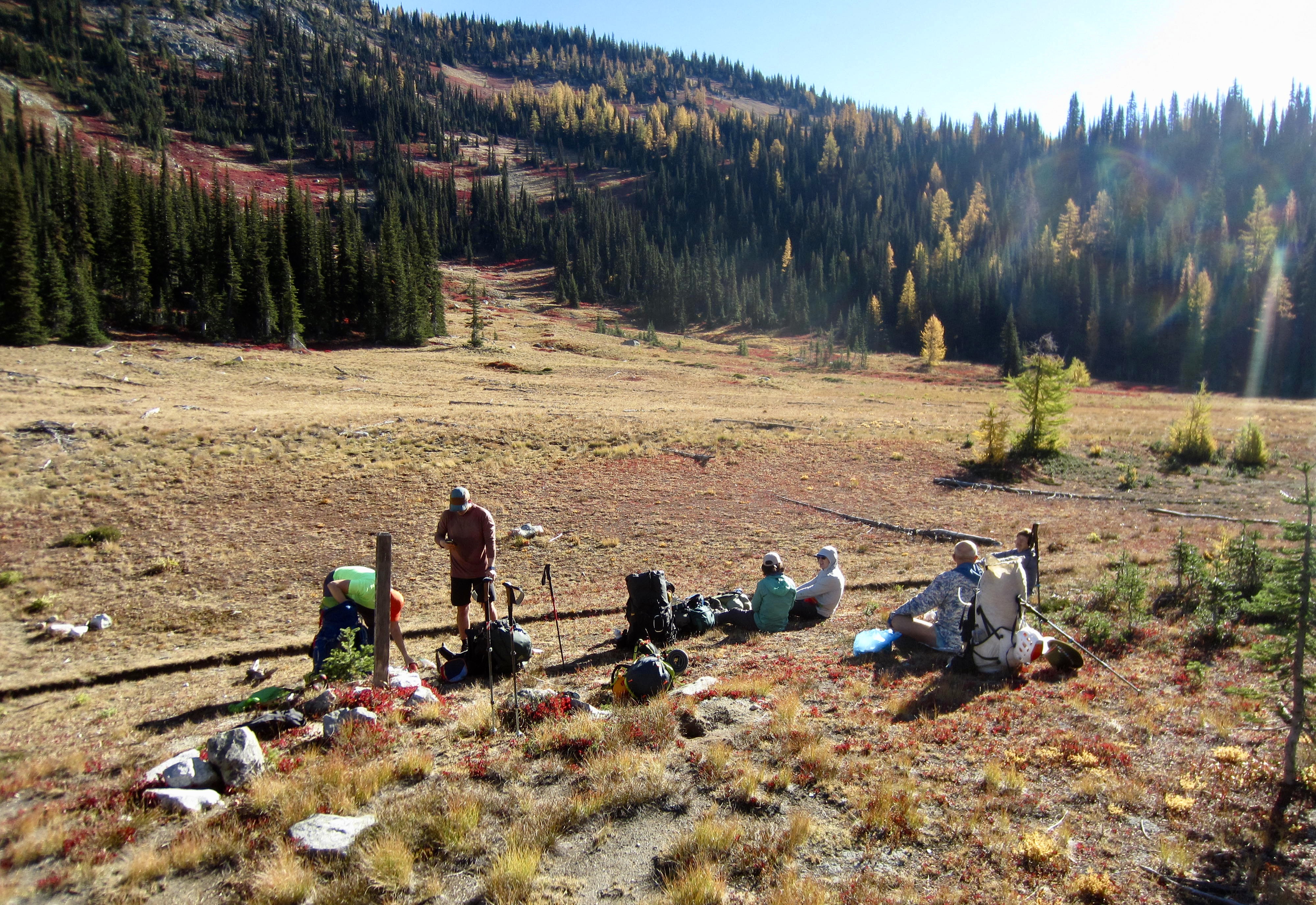
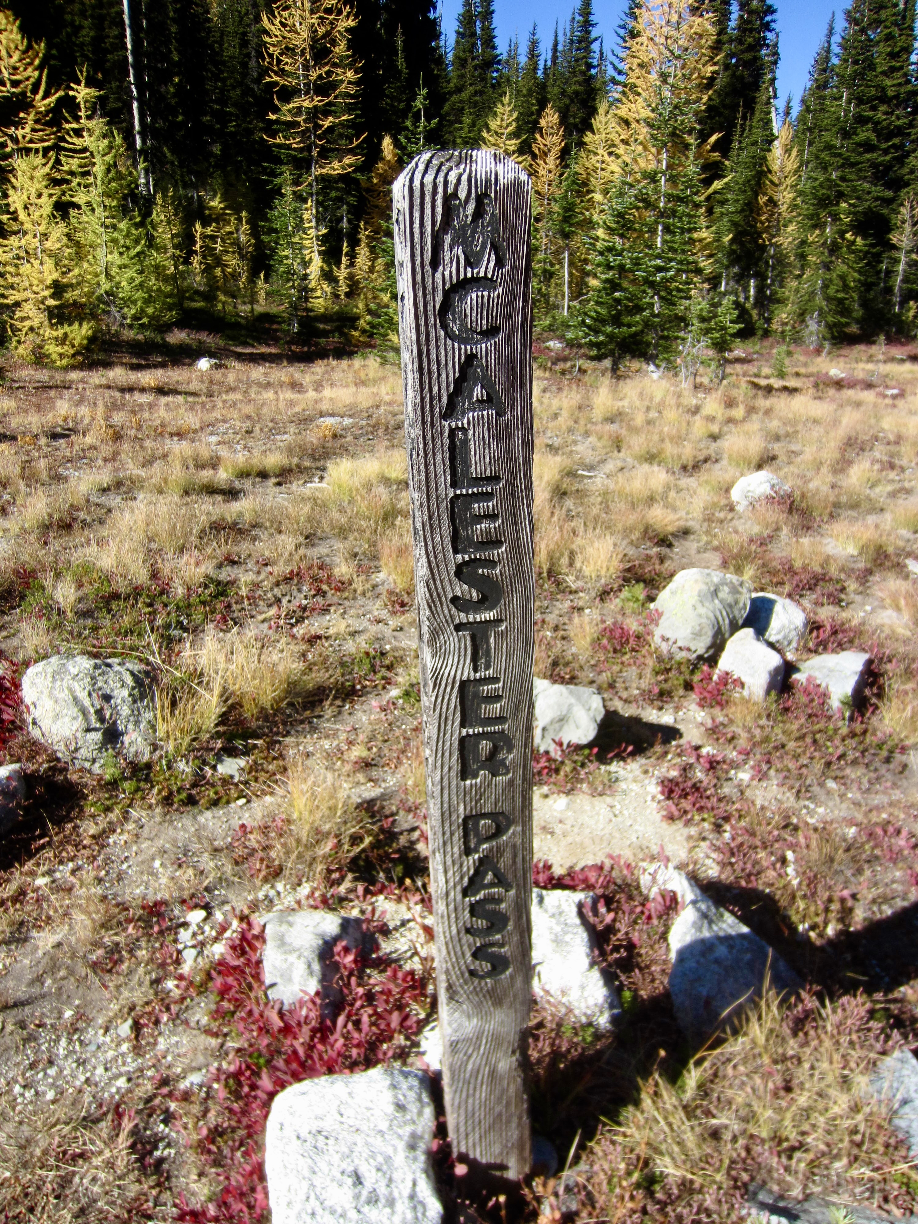
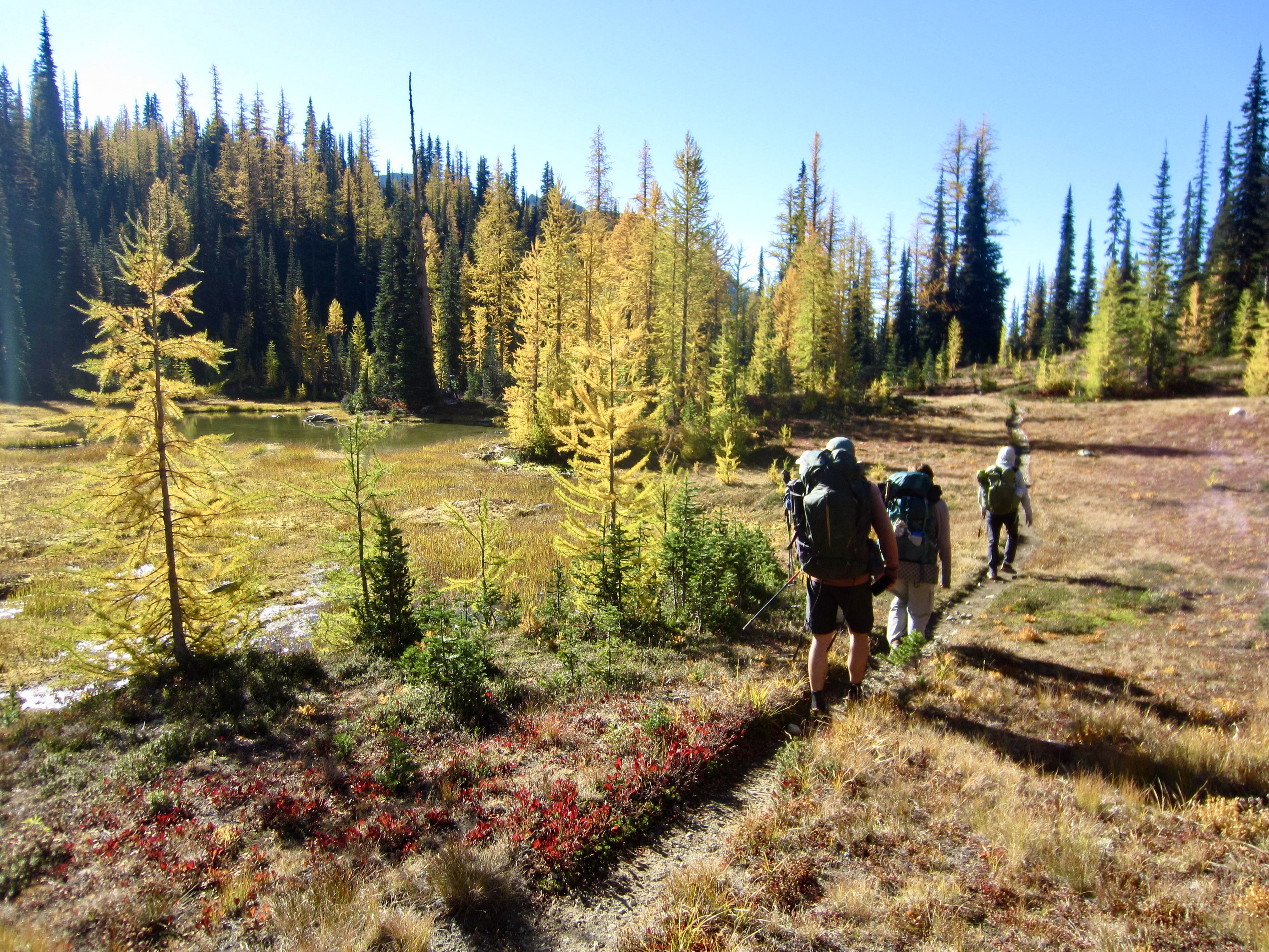
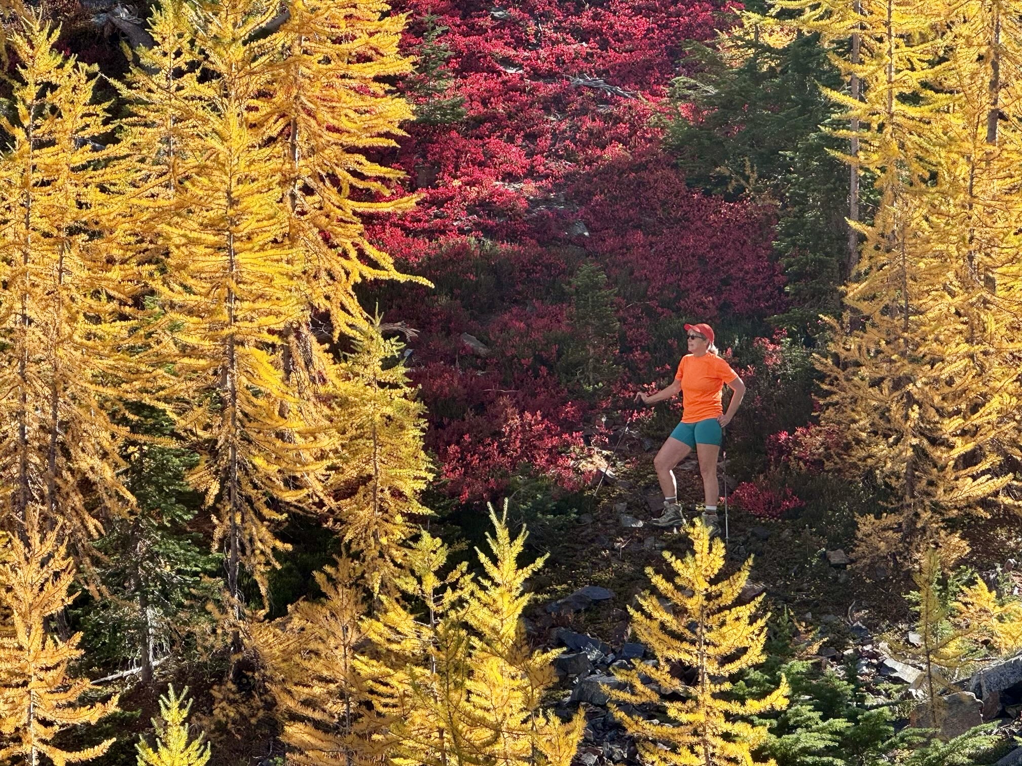
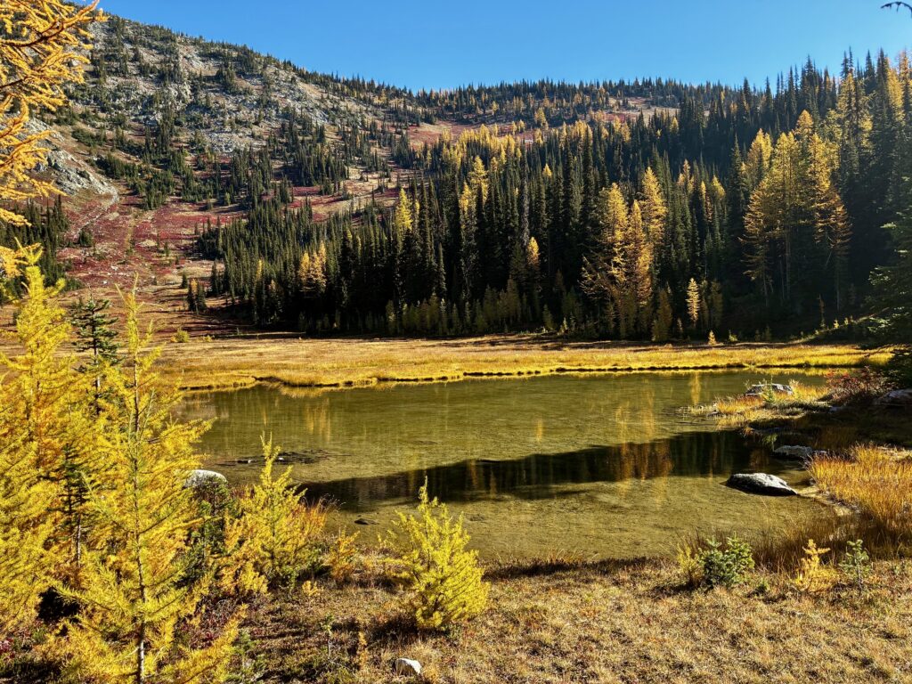
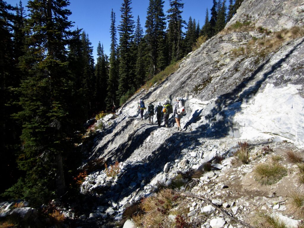
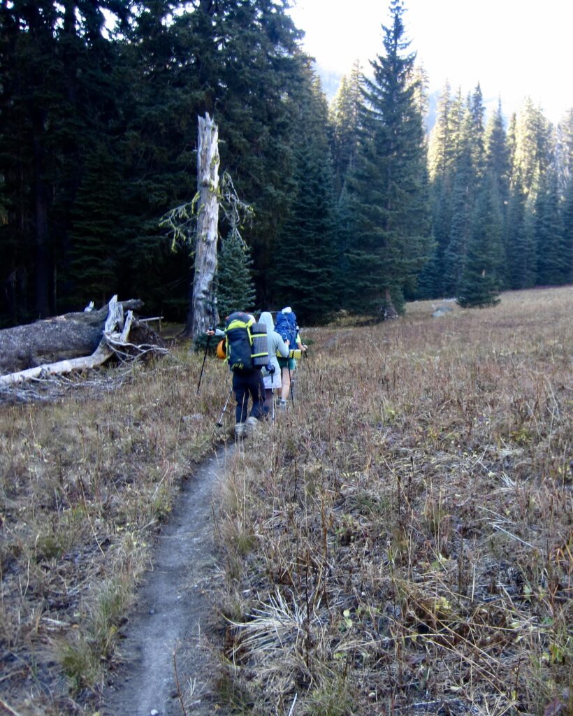
From the pass, we strolled through McAlester Park and marveled at the autumn livery displayed by trees and grasses. Andrew soon veered off to the right on the inconspicuous Rainbow Ridge Trail, while our six-person peloton continued down the Rainbow Creek Trail.
.
.
.
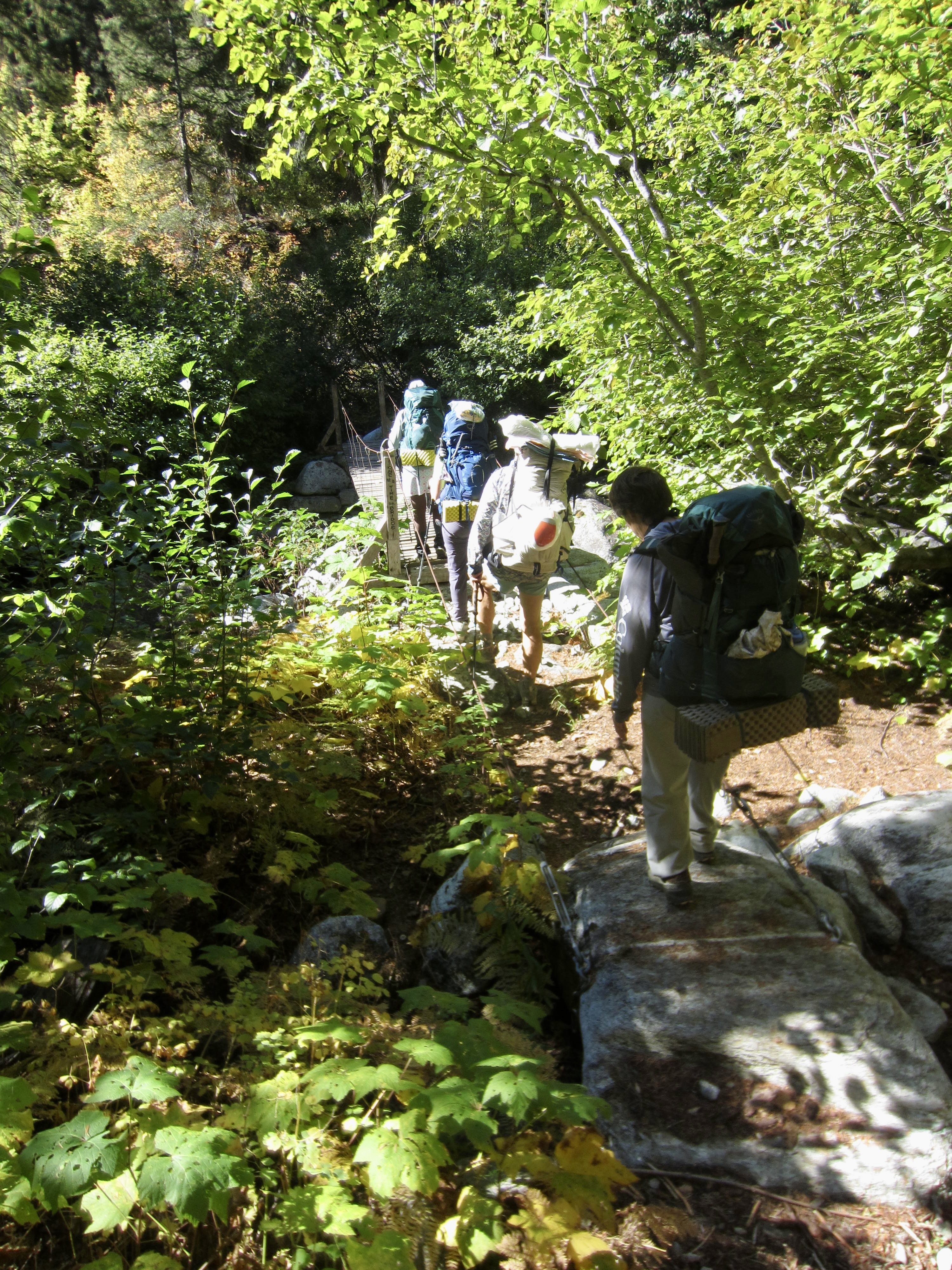
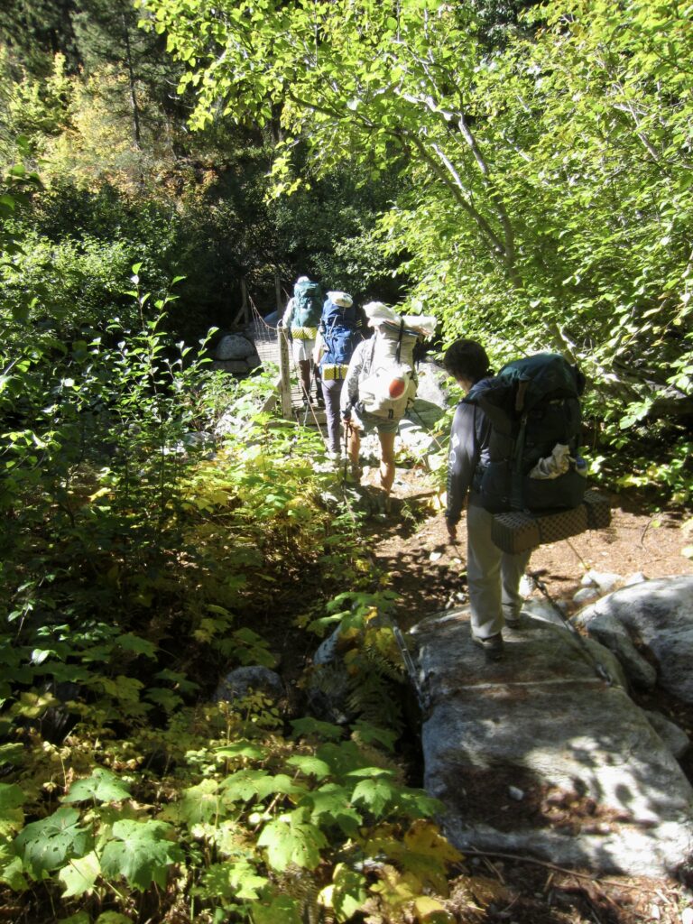
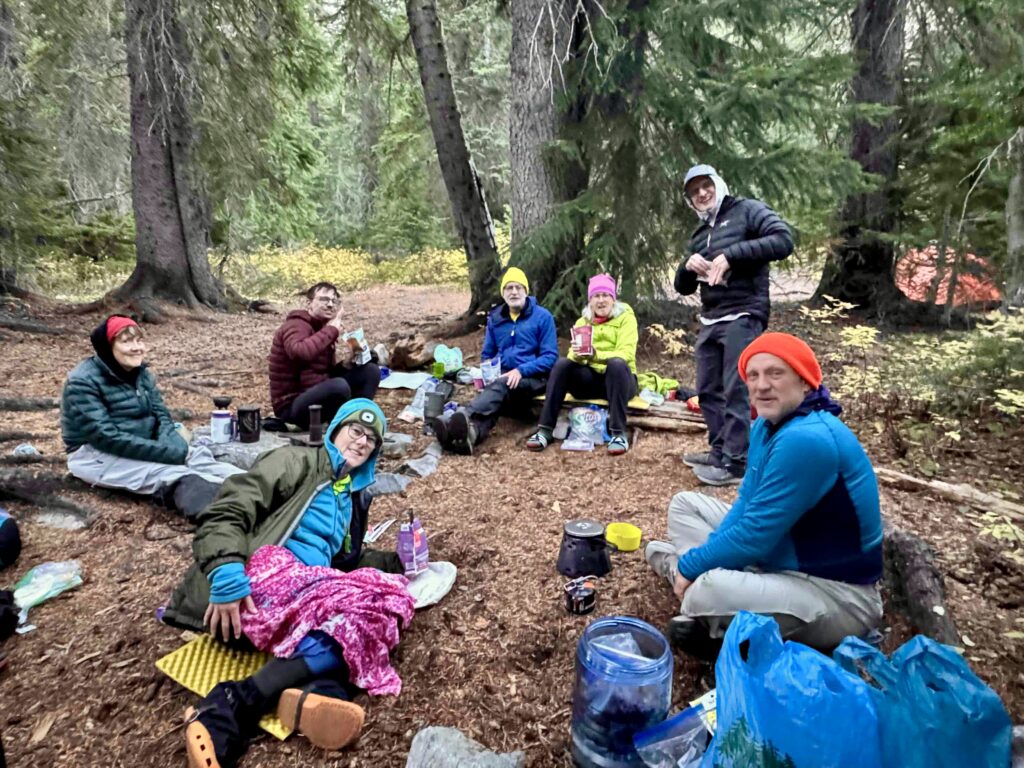
Our peloton passed Bowan Camp and Bench Creek Camp before turning downhill on the Rainbow Lake Trail. We crossed Rainbow Creek on a small suspension bridge and stopped for lunch, then headed up-valley. By late afternoon, all six of us were assembled in the Rainbow Meadows Group Camp (7.2 hours + 9.1 miles + 2050 feet – 2550 feet from Camp 1). Andrew arrived during dinnertime, having tucked in Bowan Mountain and descended from Bowan Pass.
.
.
Day 4: Rainbow Meadows to Hideaway Camp
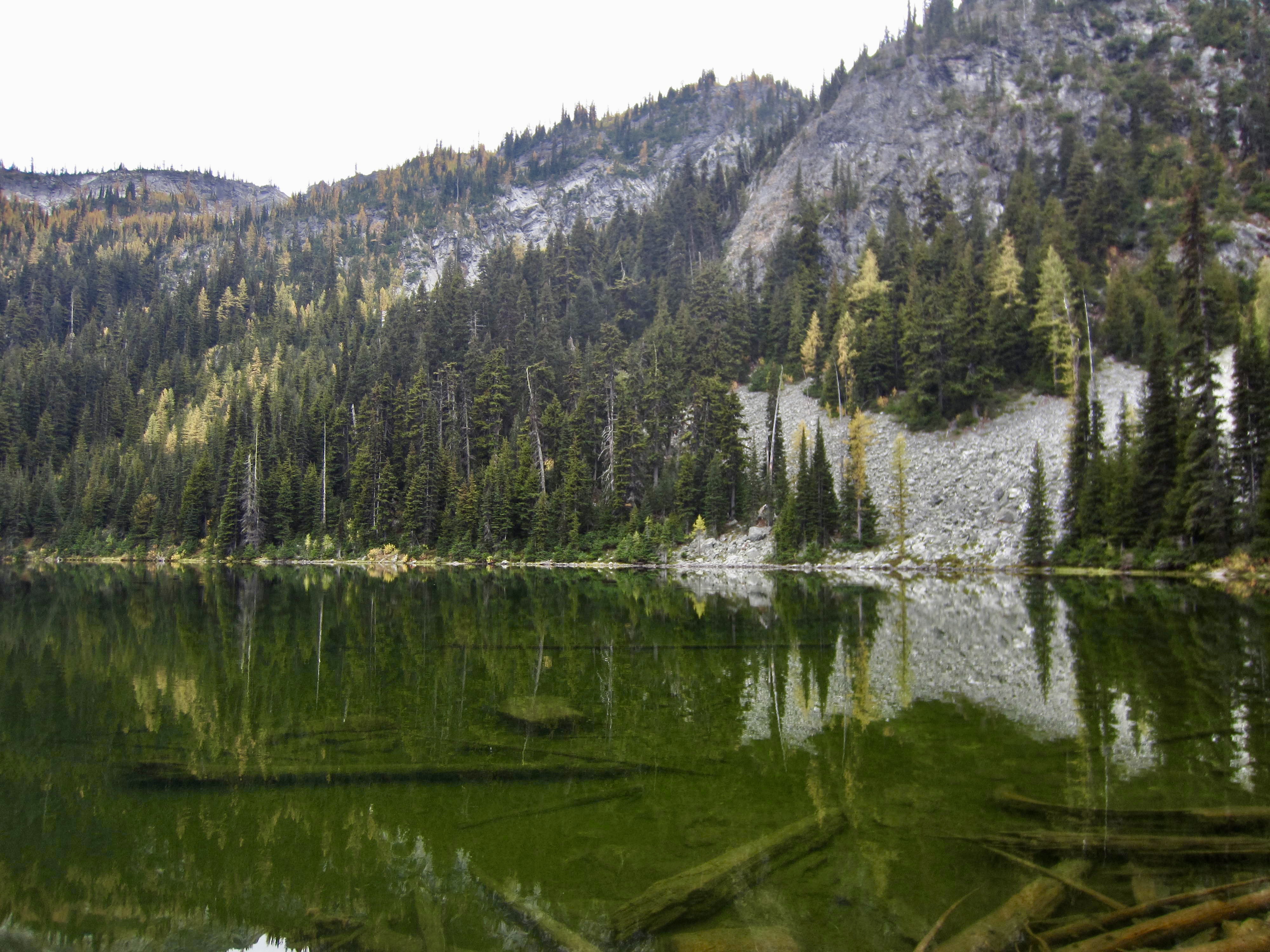
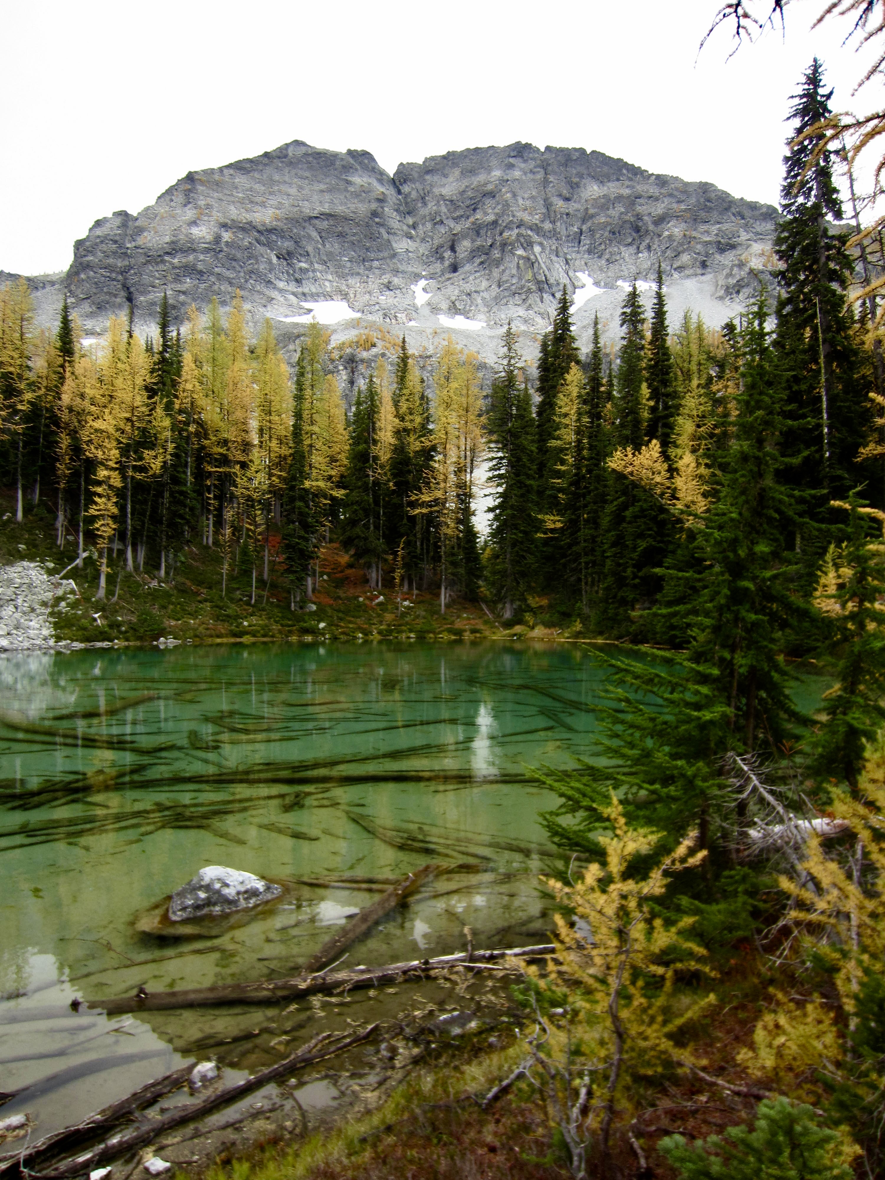
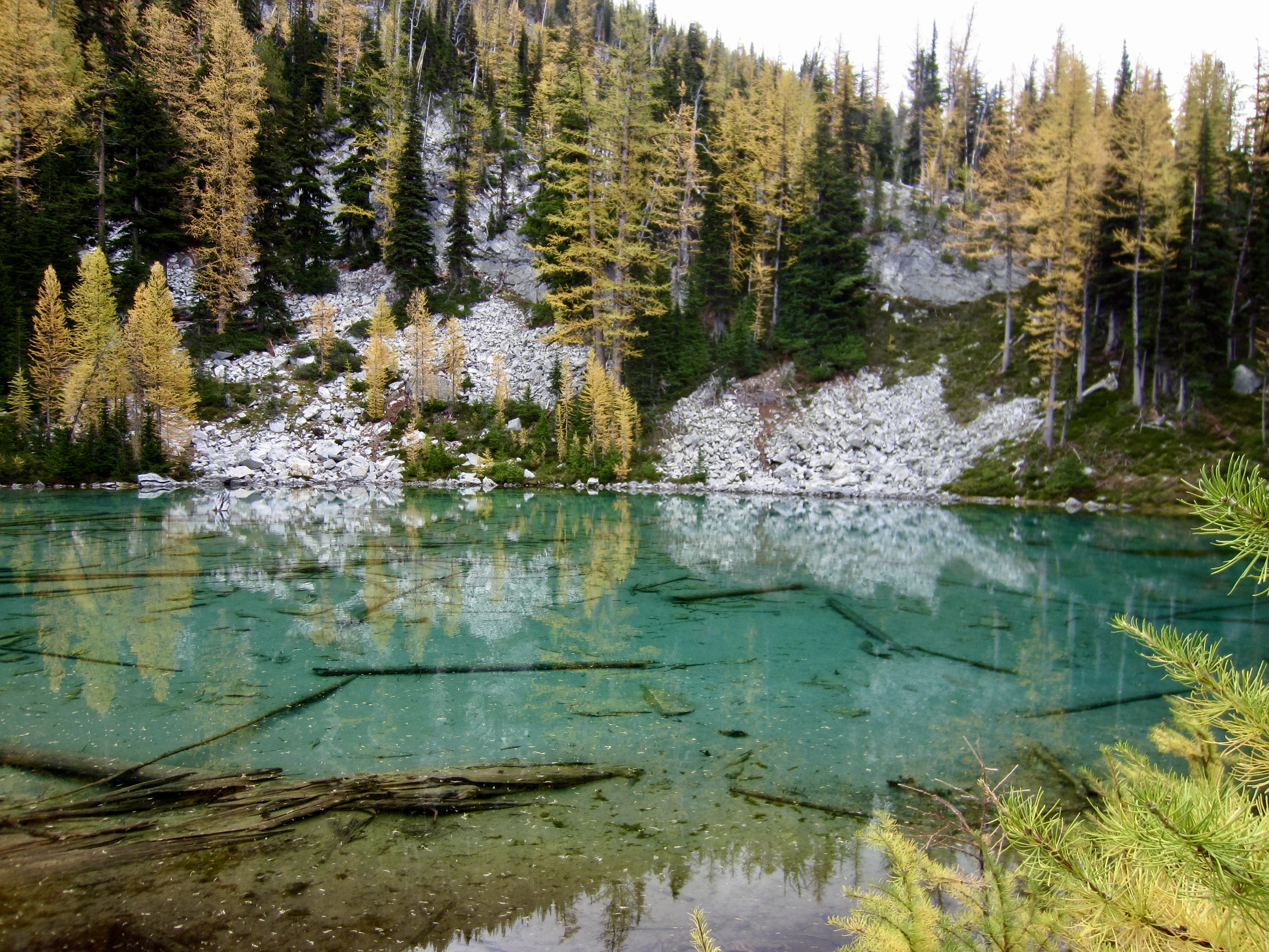
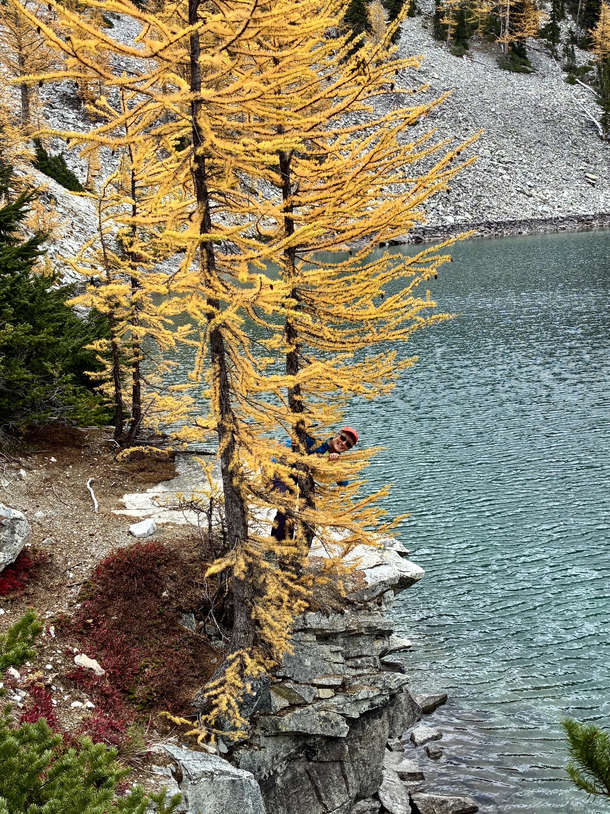
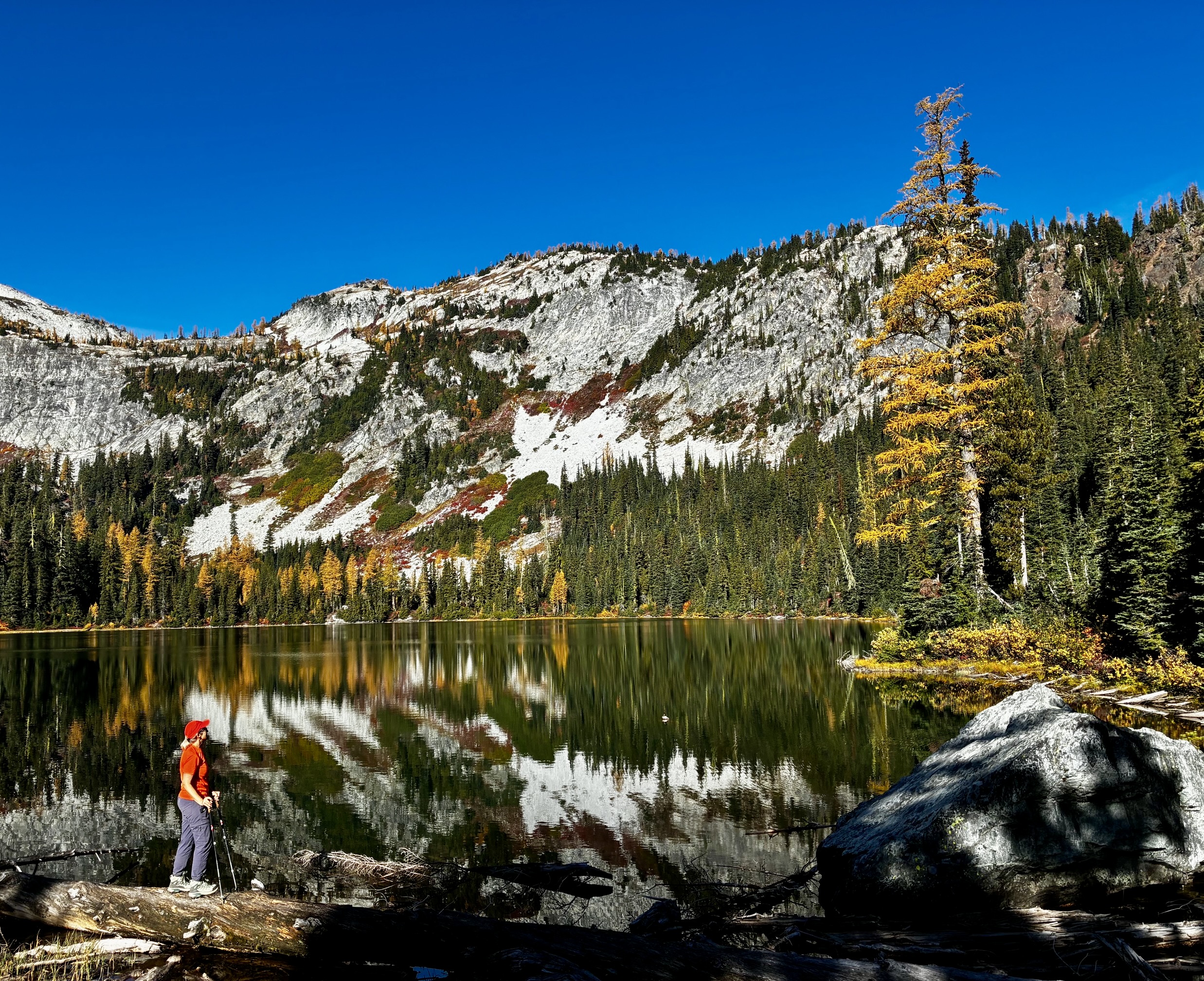
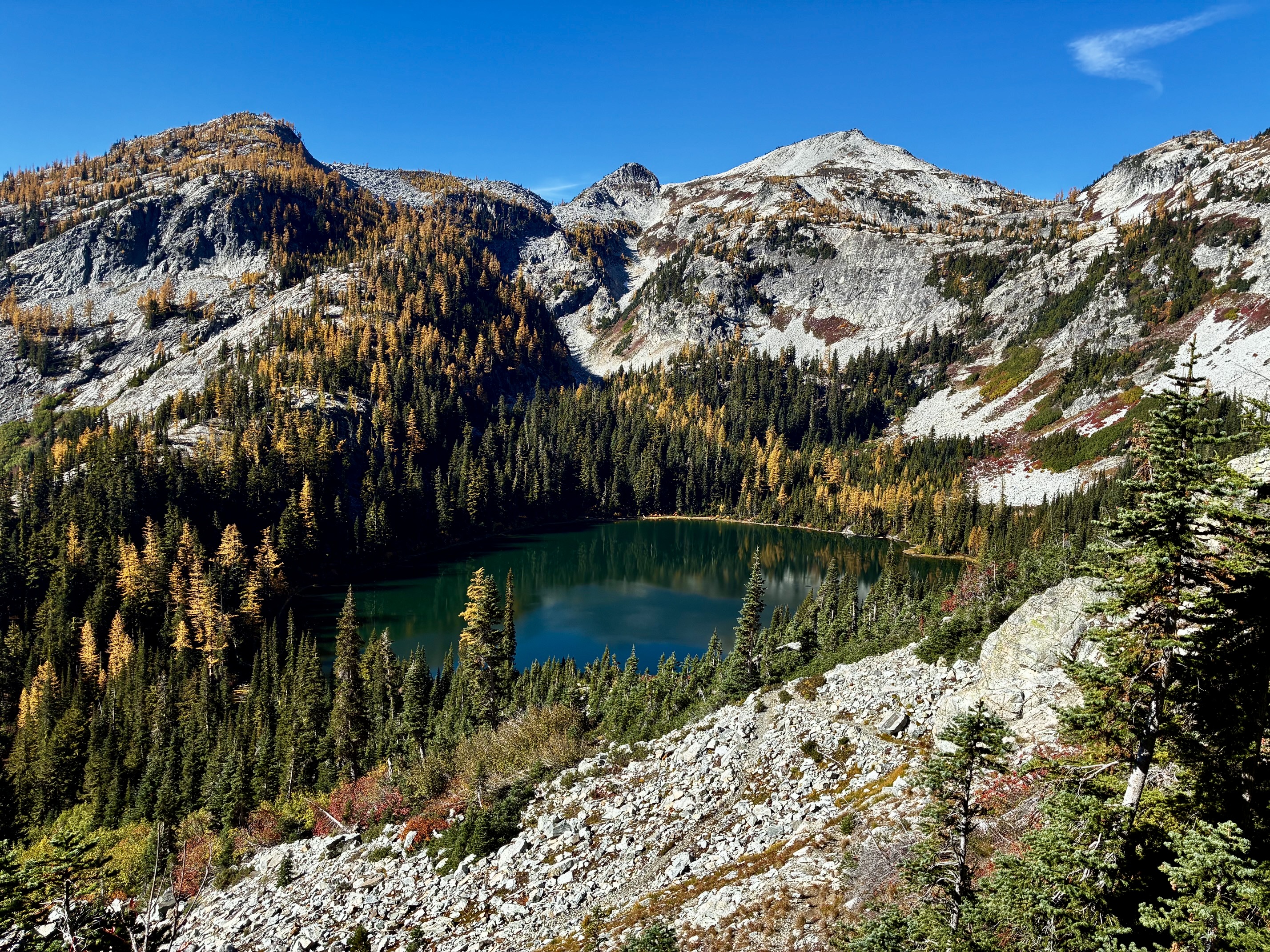
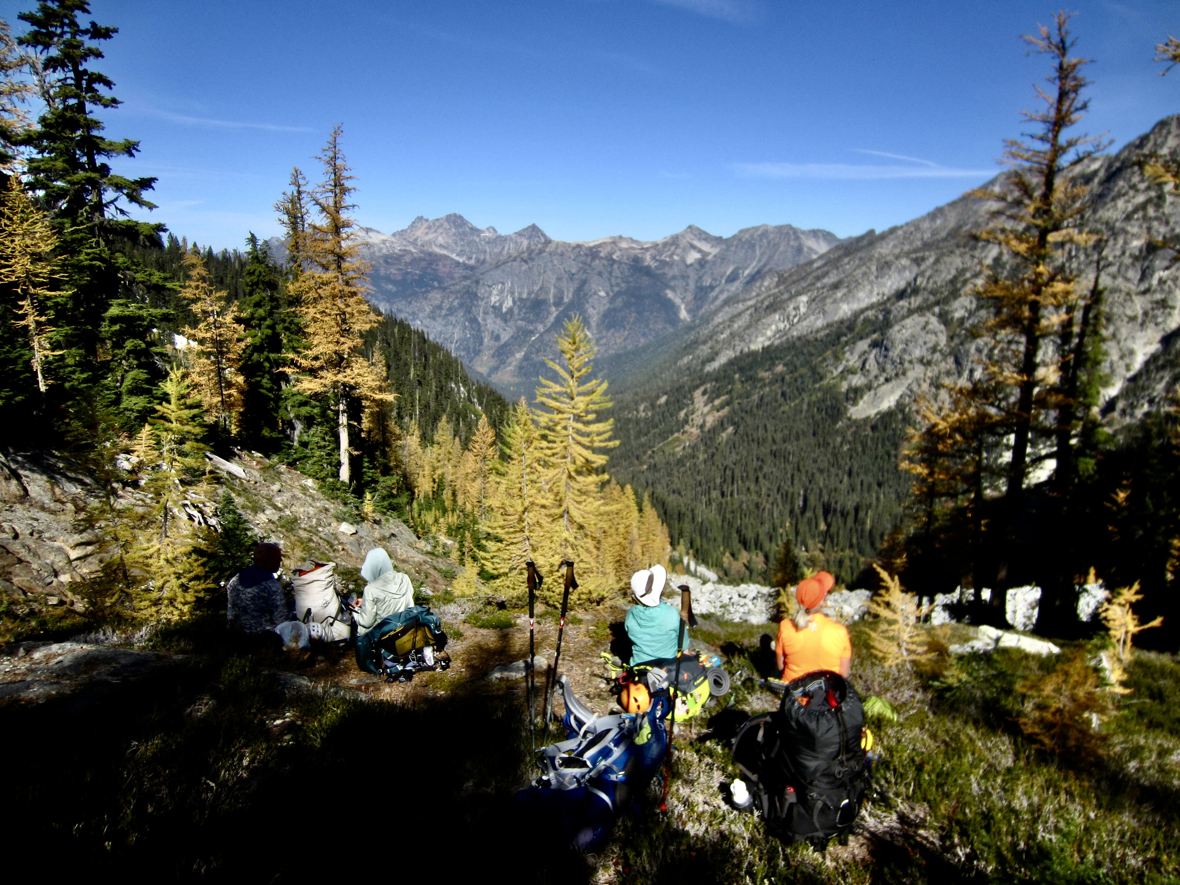
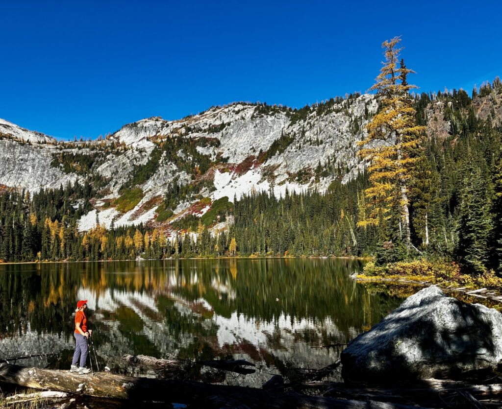
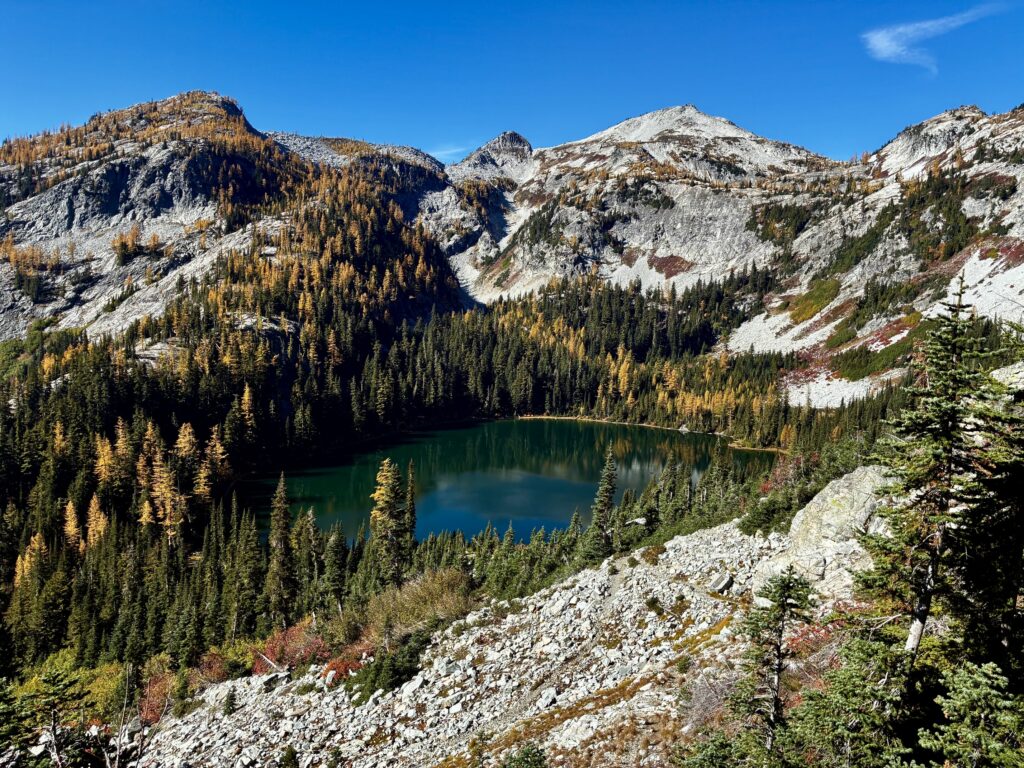
Following a cold night, we awoke to another glorious bluebird day. Blaine, Joyce, and Andrew blazed out of camp in order to complete their 13-mile exit hike today, whereas Kevin, Maria, Yoko, Eileen, and I took a slower pace up numerous switchbacks to Rainbow Lake. The calm water reflected yellow bushes, golden larches, and granitic faces in a spectacular autumn scene.
.
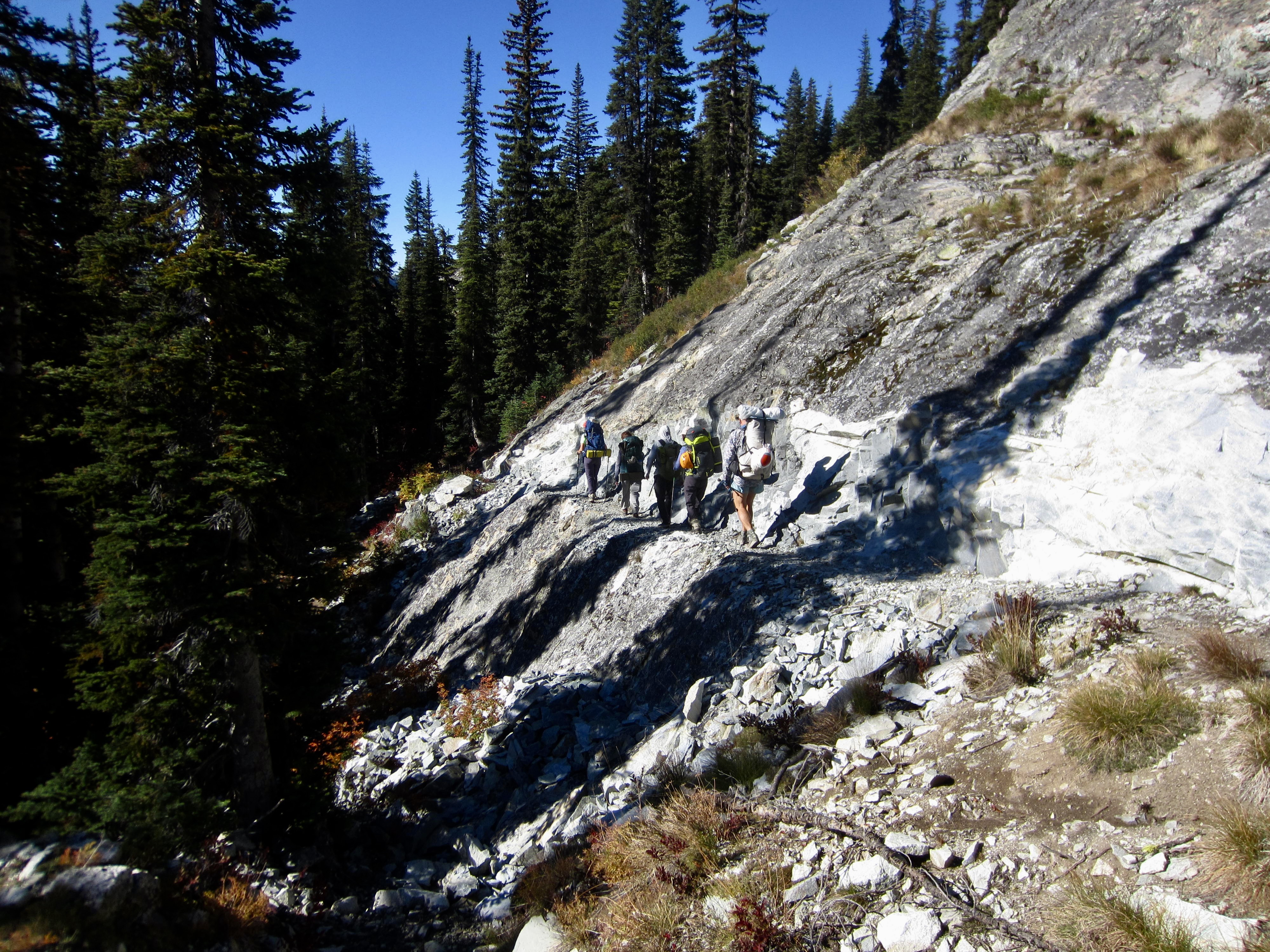
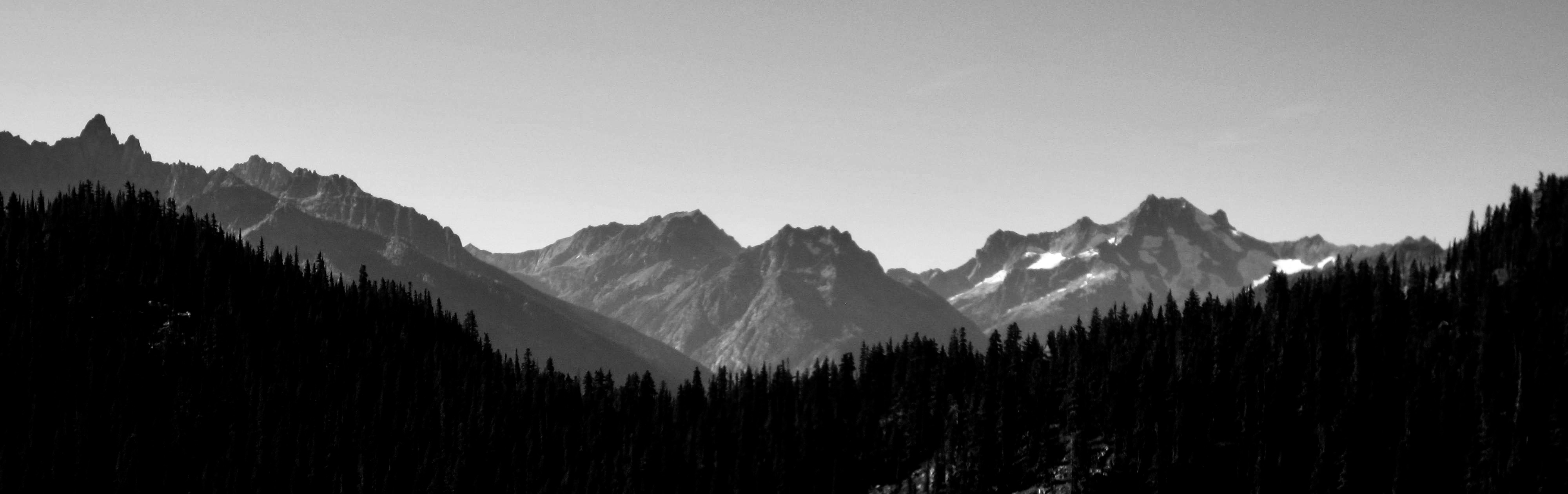
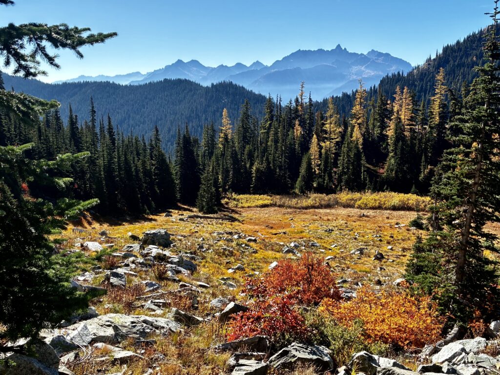
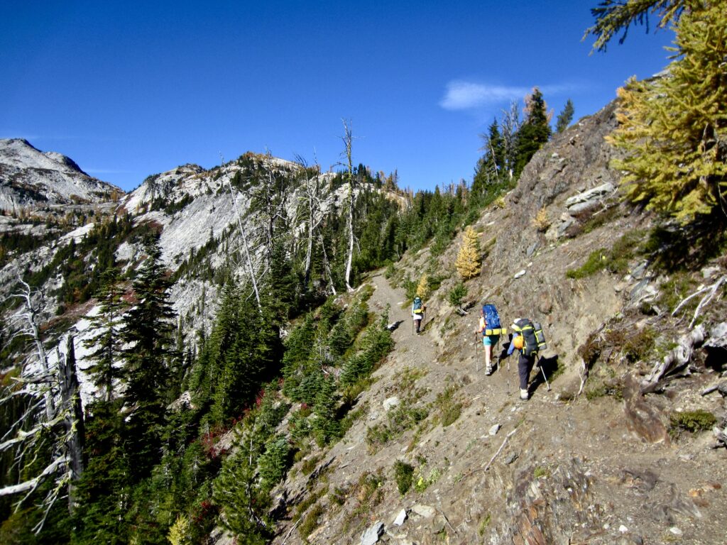
From the lake, we ascended more switchbacks through colorful meadows and rocky slopes, with ever-increasing views to the west and south. The geologic setting abruptly changes from gray granite to brown volcanic rock along this trail.
.
.
.
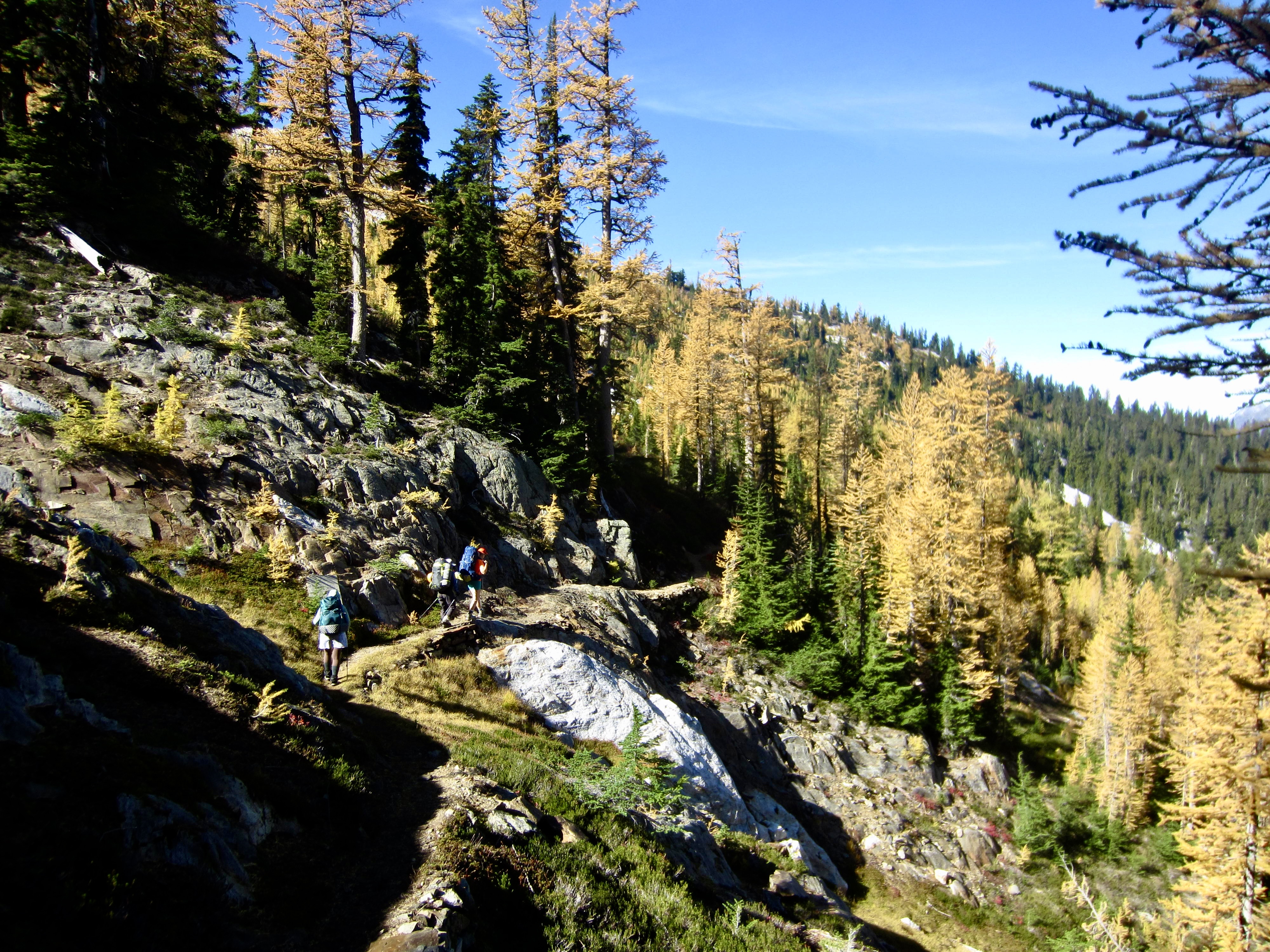
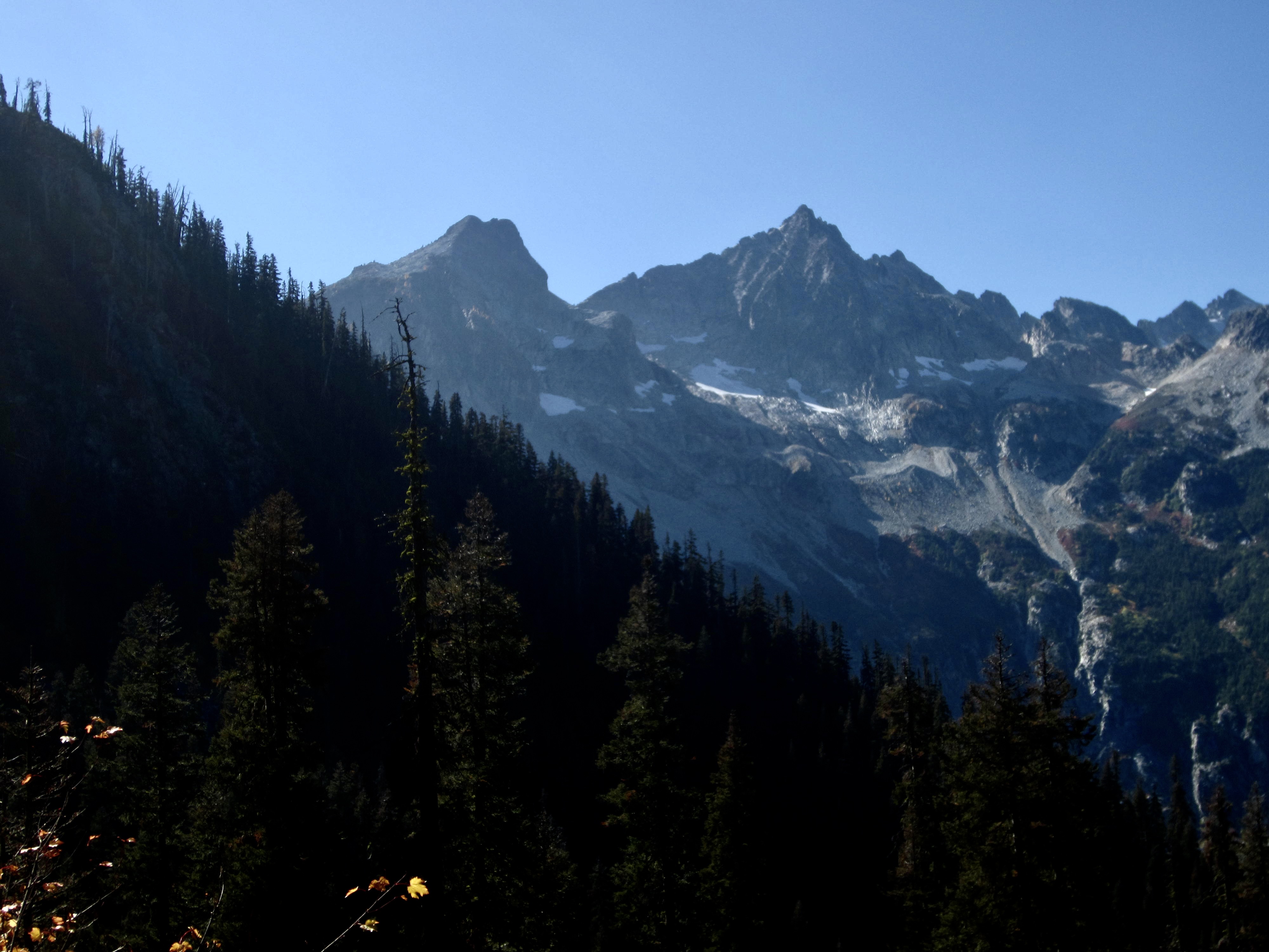
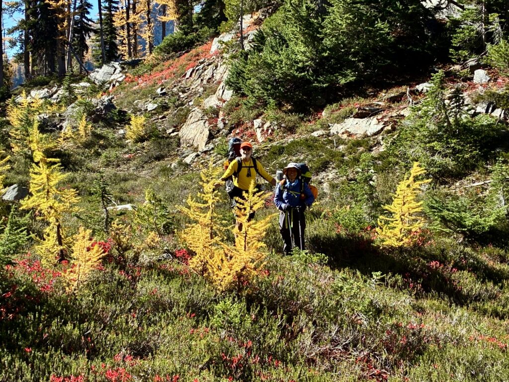
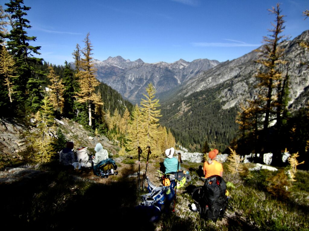
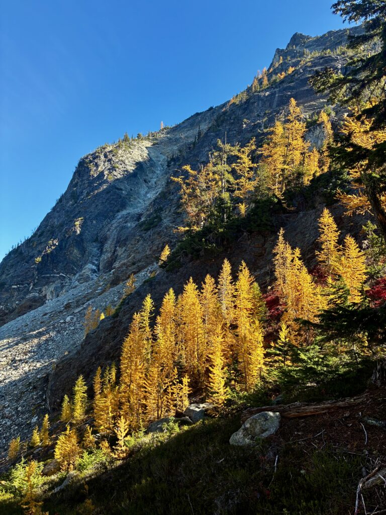
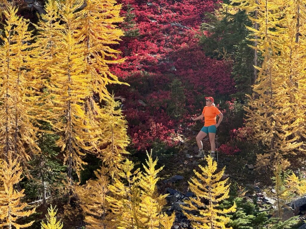
Upon reaching 6200-foot Rainbow Pass—the high point of our entire trail loop—we were greeted with mountain views to the north and flaming larch trees in all directions. The steep cliffs of Bowen Mountain towered overhead.
.
.
.
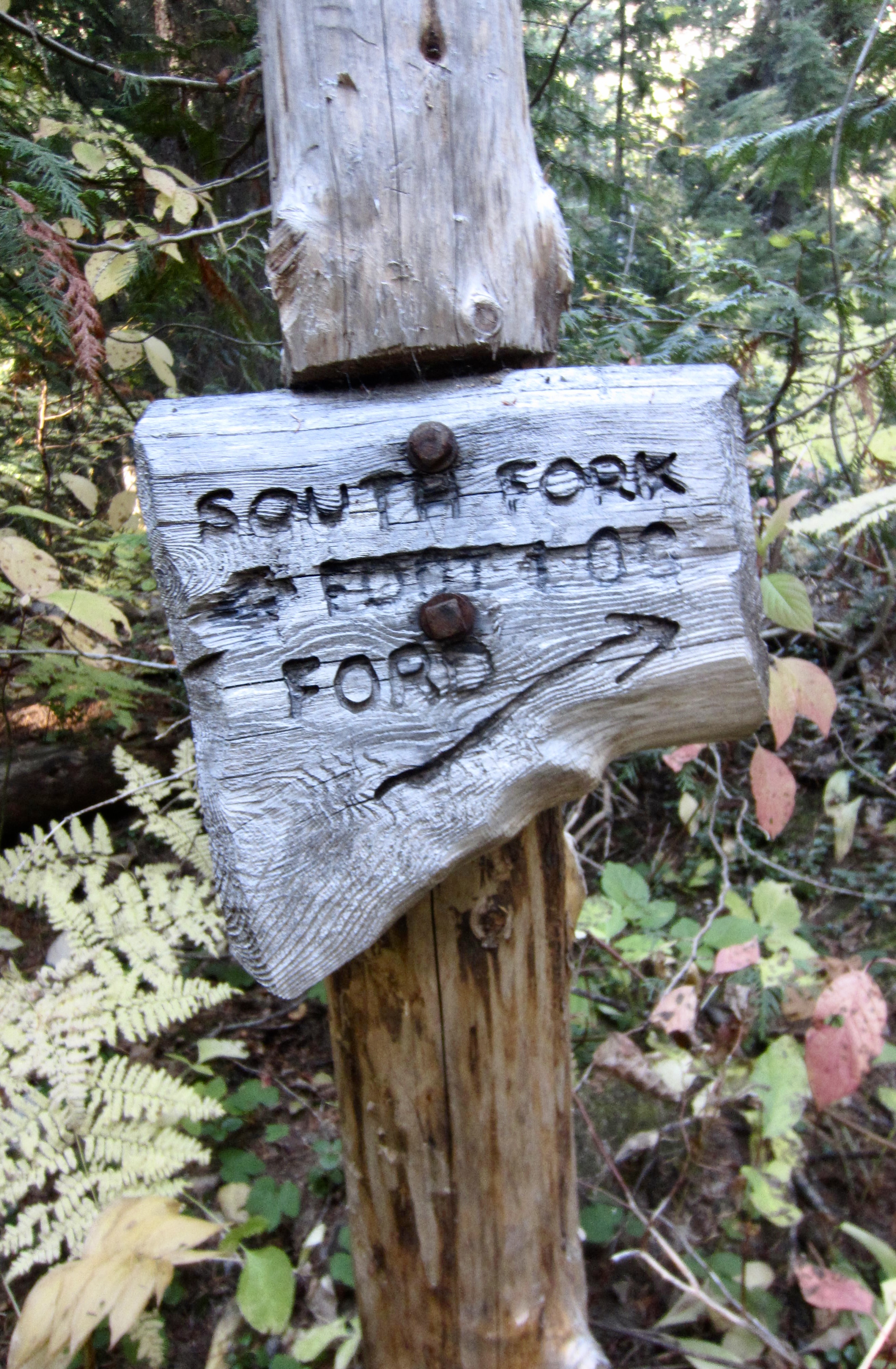
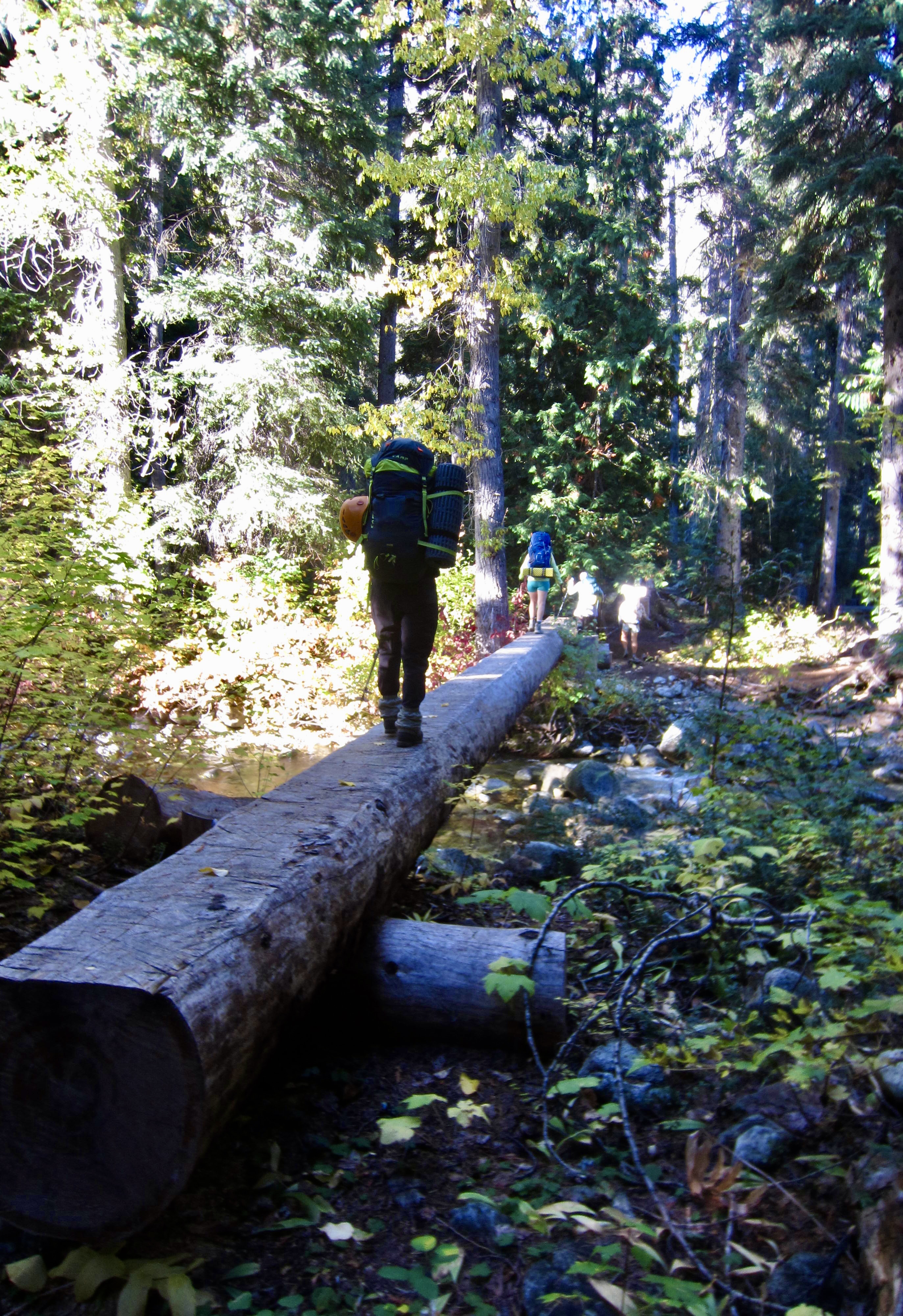
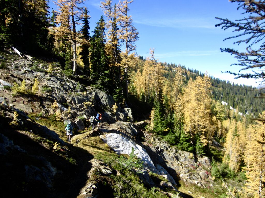
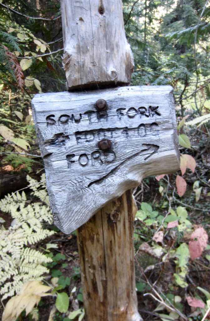
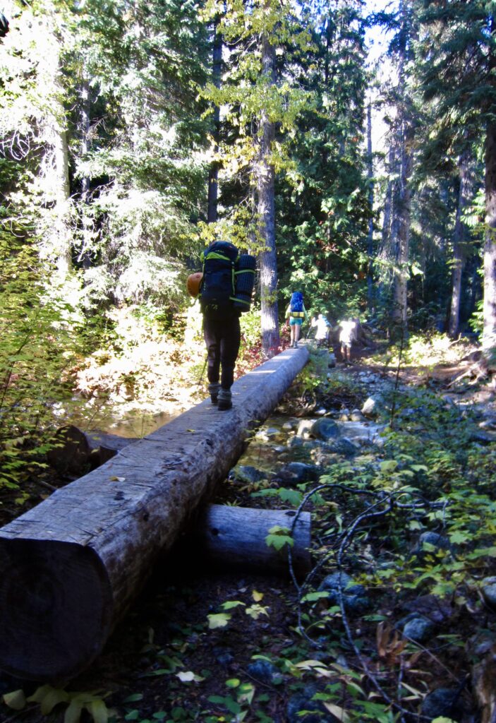
From Rainbow Pass, we made a 3000-foot descent into the South Fork Bridge Creek Valley, hiking past Dan’s Camp before crossing Bridge Creek on a footlog. This 3200-foot footlog represents the low point of the entire McAlester–Rainbow Loop. Just beyond is the large, well-appointed South Fork Camp.
.
.
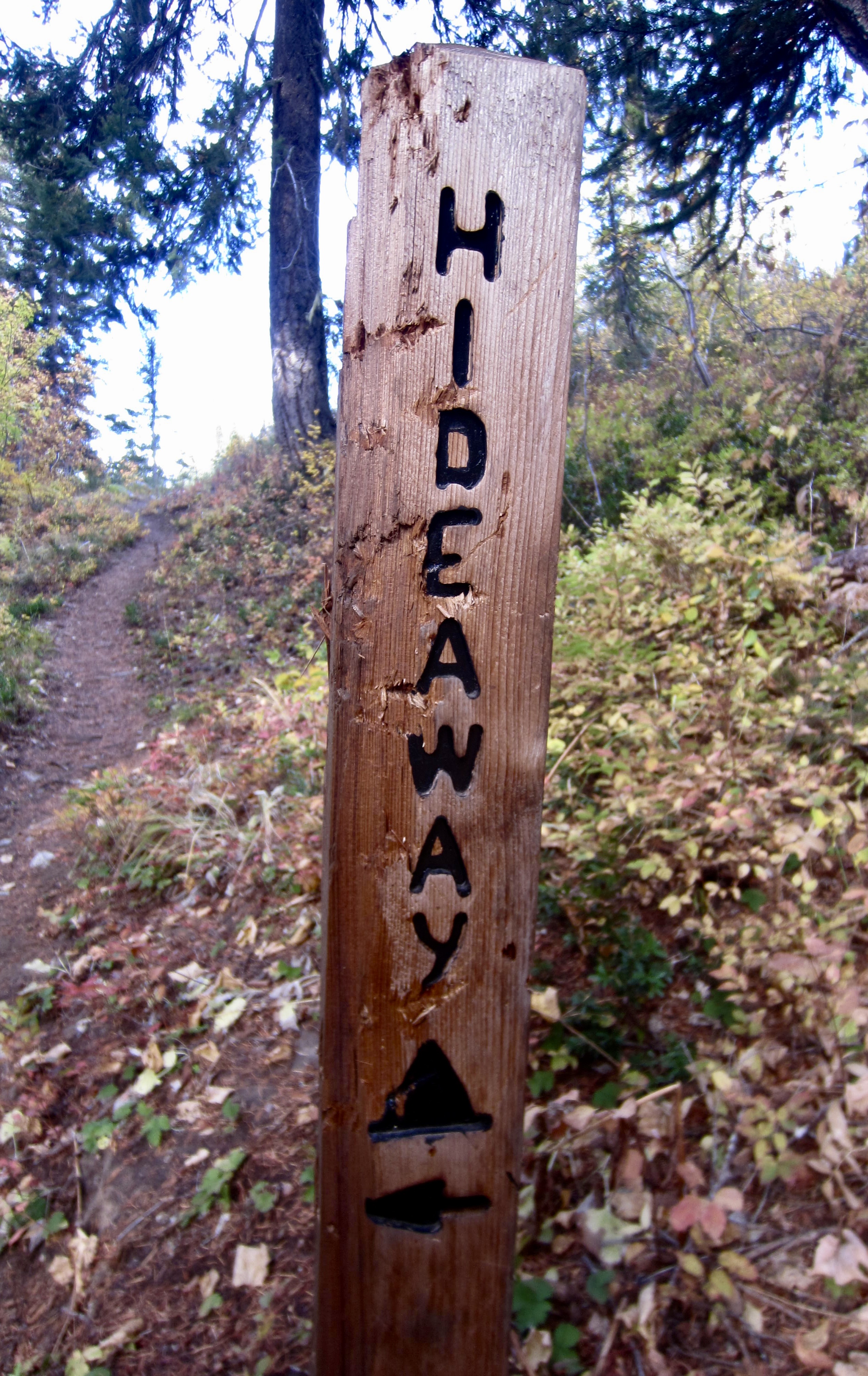
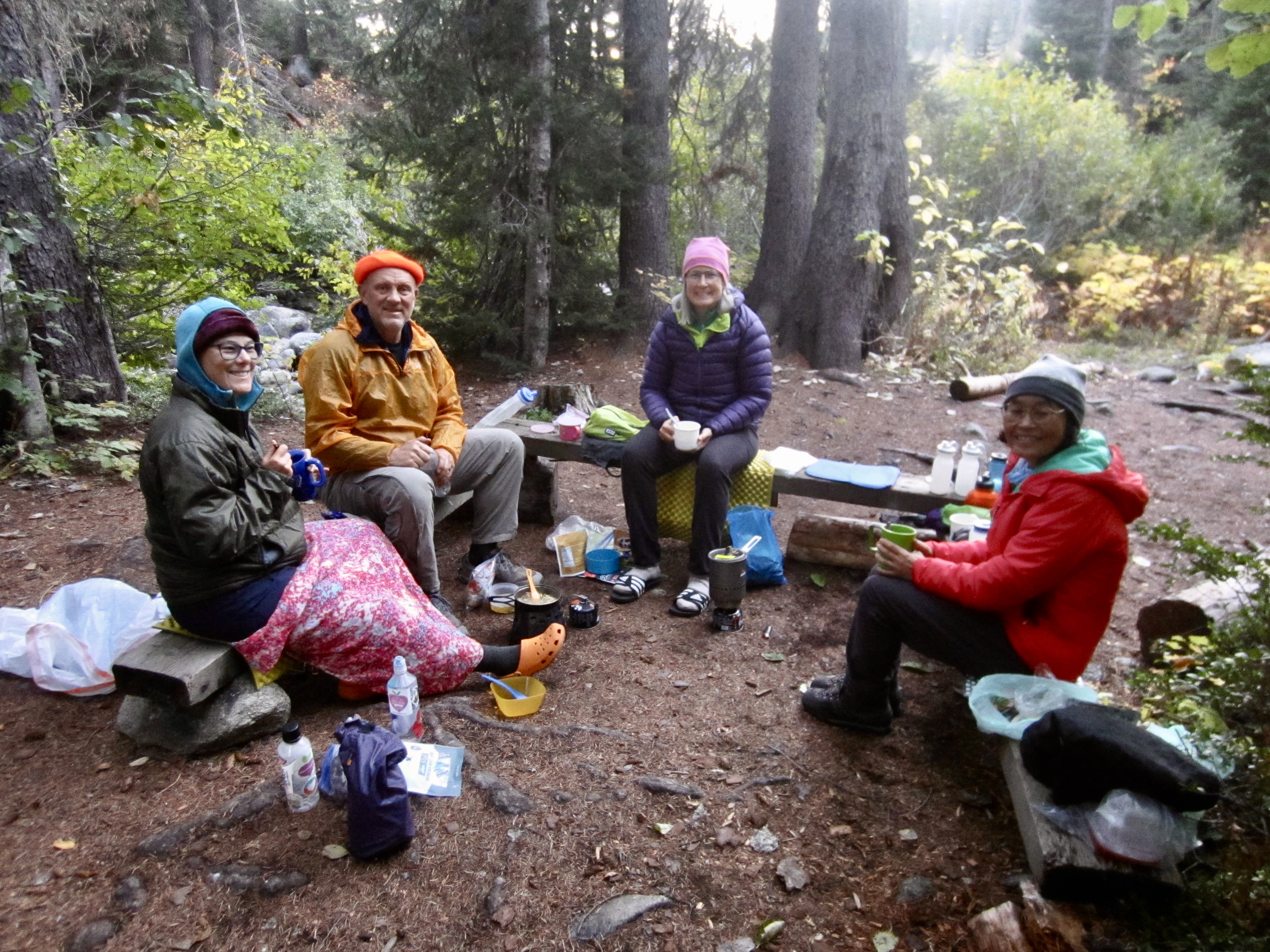
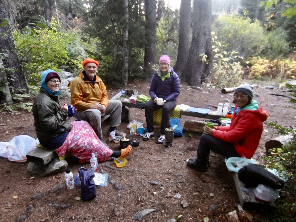
A 2-mile eastward hike on the Pacific Crest Trail brought us to Hideaway Camp in late afternoon (8.1 hours + 8.9 miles + 1650 feet – 3200 feet from Camp 2). At this small campsite, we were surrounded by vine maples, serenaded by the babbling creek, and treated to comfortable benches. It was a perfect location for our last night!
Day 5: Hideaway Camp to Trailhead
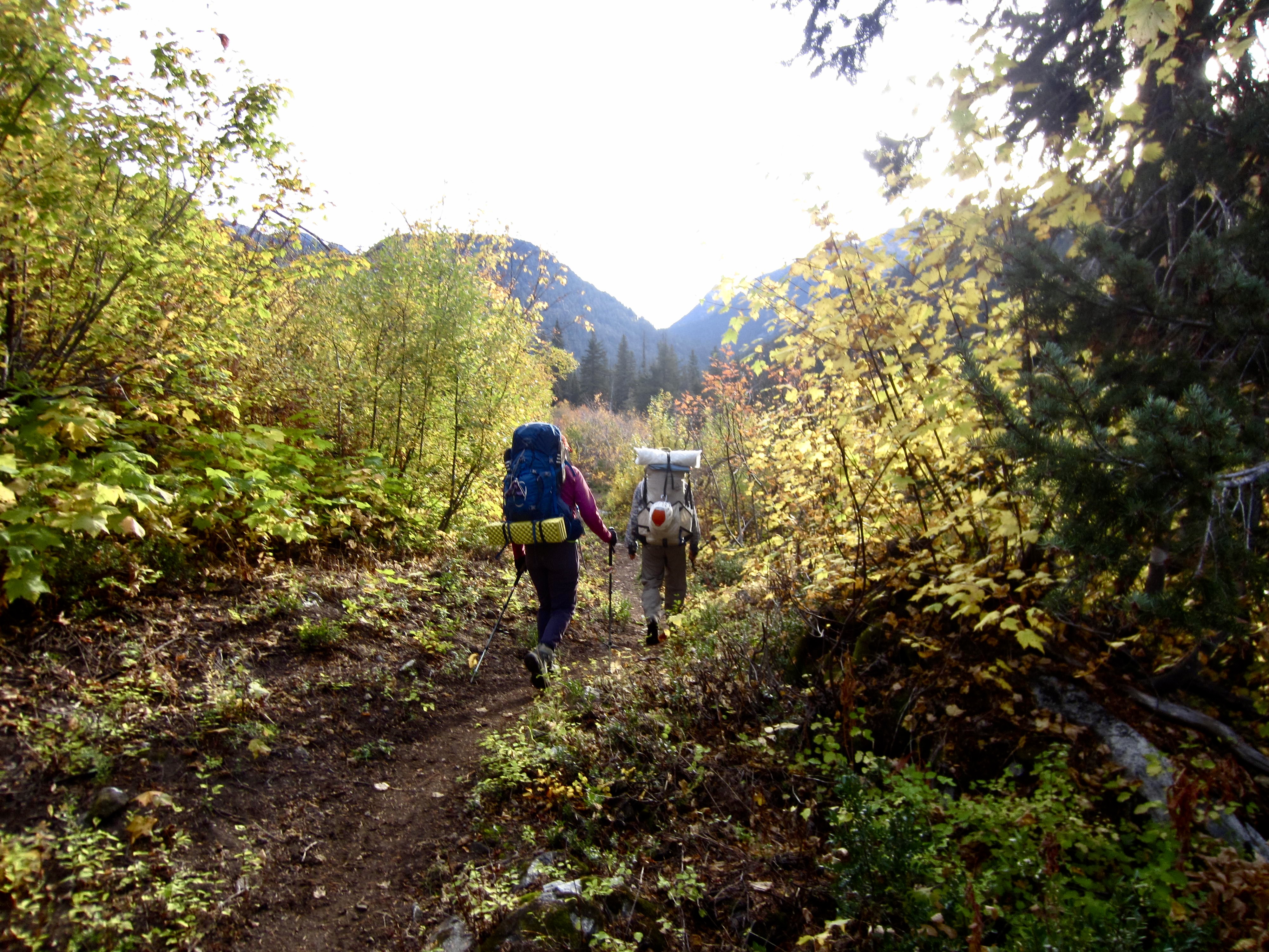
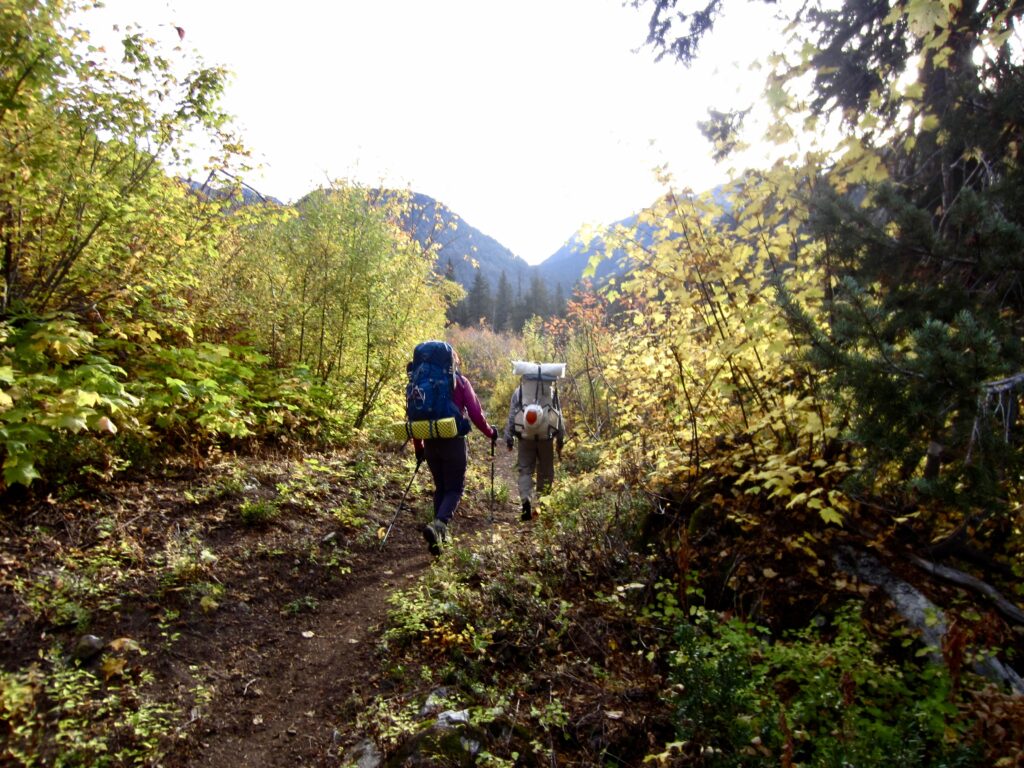
Cirrus clouds filtered the morning sun as we continued our hike up through Bridge Creek Valley on the Pacific Crest Trail. In quick succession, we passed Fireweed Junction, crossed over the park boundary, and closed our loop at the Stiletto Spur Trail junction.
.
In late morning, we arrived at the Bridge Creek Trailhead to end our trek (2.5 hours + 4.1 miles + 1150 feet from Camp 3). The McAlester–Rainbow Loop had delivered a wonderfully scenic and social Golden Larch Outing. The only sour note was the wily mice that had snuck into all of our vehicles and chewed on everything in sight!
Route Maps & Profiles
…
…
…
…
Photo Gallery
Click to enlarge…