
Trip Date: August 25-30, 2026
LaCrosse Pass Trail Loop: O’Neil Pass to Anderson Pass
Quinault River Valley
Enchanted Valley
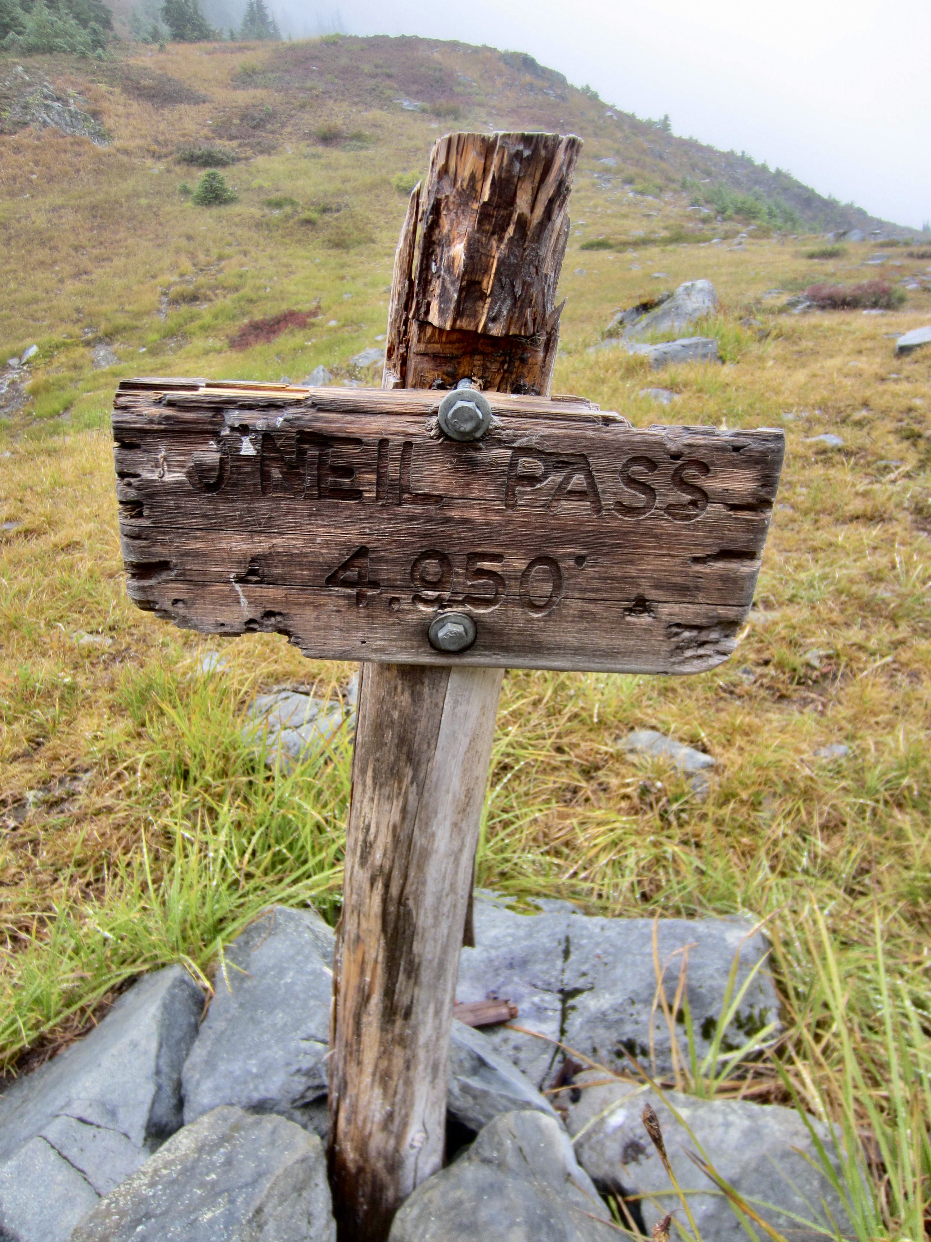
O’Neil Pass
Marmot Lake
Duckabush River Valley
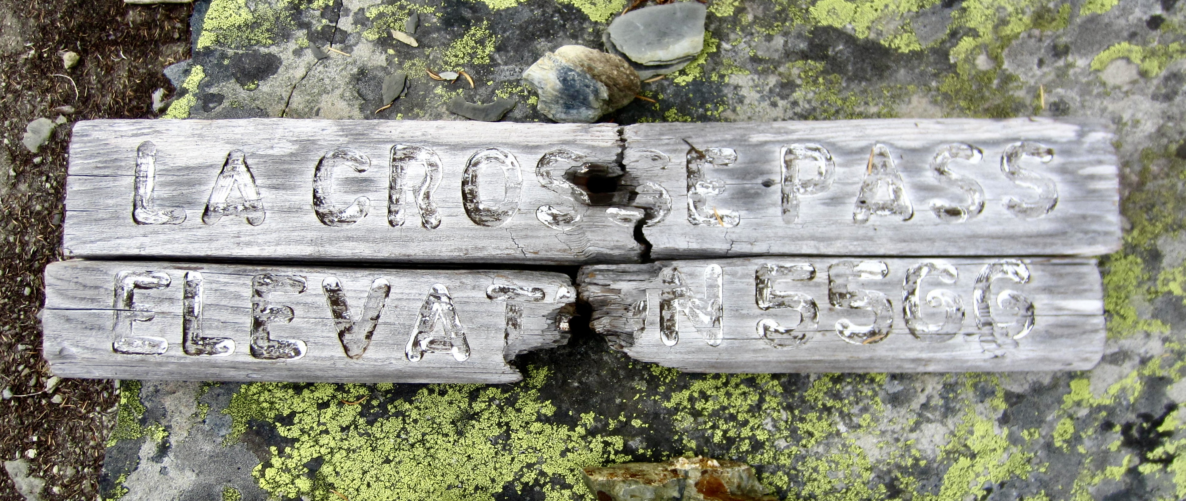
LaCrosse Pass
Dosewallips River Valley
Anderson Pass
- Trip Report Summary
- Trip Overview
- Full Trip Report
- Day 1: Trailhead to Penny Creek Camp
- Day 2: Penny Creek Camp to 14-Mile Camp
- Day 3: 14-Mile Camp to Marmot Lake
- Day 4: Marmot Lake to LaCrosse Pass Camp
- Day 5: LaCrosse Pass Camp to Penny Creek Camp
- Day 6: Penny Creek Camp to Trailhead
- Route Maps & Profiles
- Photo Gallery
Trip Report Summary
Region: Olympic Mountains (Washington)
Sub-Region: Dosewallips Group
Area: Olympic National Park
Starting & Ending Point: Graves Creek Trailhead at end of Graves Creek (Quinault River) Road (Elev. 600 feet)
Way Points: Pony Bridge & Fire Creek Camp & Penny Creek Camp & O’Neil Creek Camp & Hat Camp & Pyrites Creek Camp & Quinault River Footbridge & Enchanted Valley Chalet & 14-Mile Camp & O’Neil Pass Trail junction (loop junction) & O’Neil Pass & Marmot Lake & Duckabush River Trail junction & Upper Duckabush Camp & Duckabush River crossing & LaCrosse Pass Trail junction & LaCrosse Pass & West Fork Dosewallips River crossing & LaCrosse Pass Camp & West Fork Dosewallips River Trail junction & Camp Siberia & Anderson Pass & O’Neil Pass Trail junction (loop junction); return to Graves Creek Trailhead (trail hike)
High Point: LaCrosse Pass (Elev. 5566 feet)
Campsites: Penny Creek Camp & 14-Mile Camp & Marmot Lake & LaCrosse Pass Camp & Penny Creek Camp
Approximate Stats: 52.7 miles traveled; 11,300 feet gained & lost.
Trip Overview
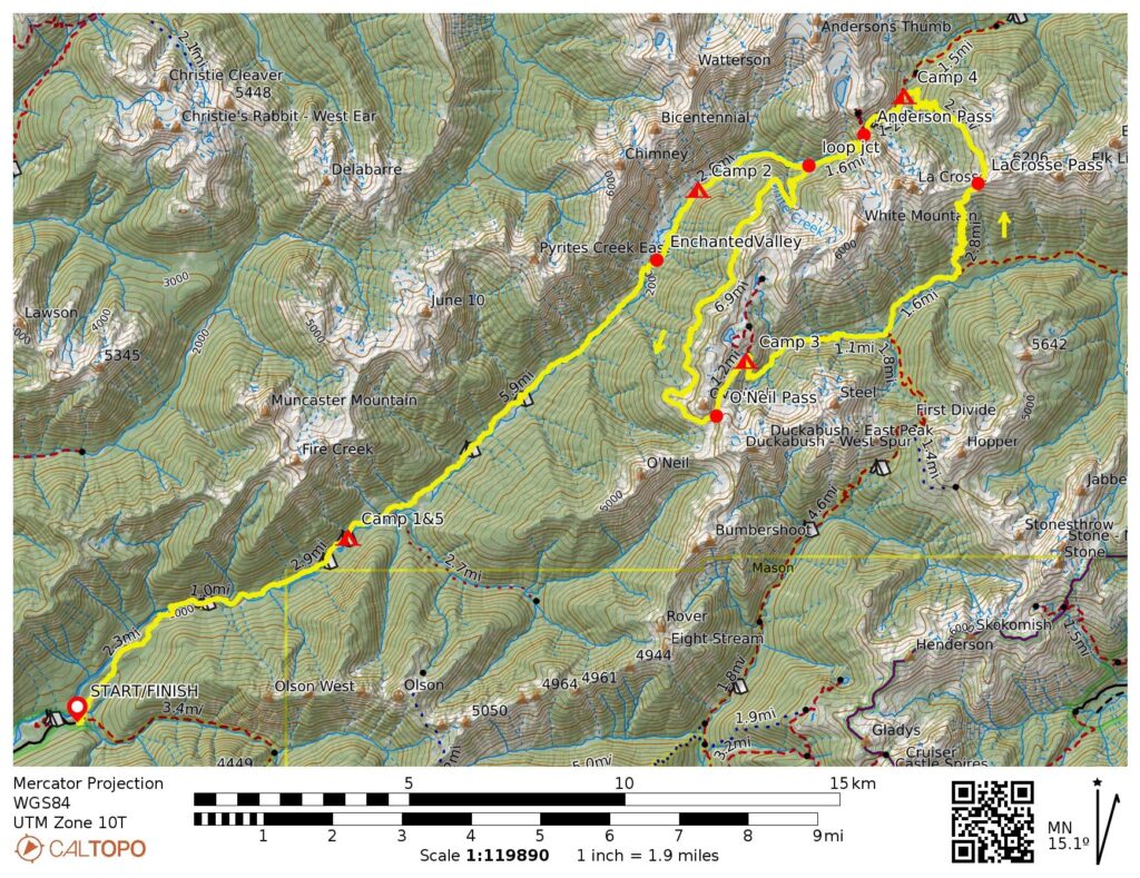
The LaCrosse Pass Loop is an excellent hiking trek in the heart of Olympic National Park. At its core, the trek comprises a 21-mile circuit around Mt. LaCrosse and White Mountain, following a series of trails over three separate mountain passes: LaCrosse Pass (5566 feet), O’Neil Pass (5000 feet), and Anderson Pass (4500 feet). These core trails are typically accessed either from the north via the Dosewallips River Valley, from the east via the Duckabush River Valley, or from the southwest via the Quinault River Valley. By odd chance, all three valley approaches are nearly identical in terms of distance and elevation gain. Regardless of approach, the overall trek entails a “lollipop loop” with a total distance slightly exceeding 50 miles.
Eileen and I elected to use the Quinault River Valley approach for our LaCrosse Pass Loop. Although this option involved the longest drive for us, it afforded me an opportunity to finally visit Enchanted Valley—an illustrious destination that had languished on my wish list for many decades. Eileen had been there 25 years ago, so it was her opportunity for a long-overdue revisit. In retrospect, I would say that our hike through the Quinault Rainforest was a worthy trek by itself.
.
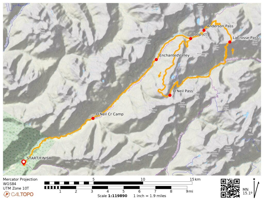
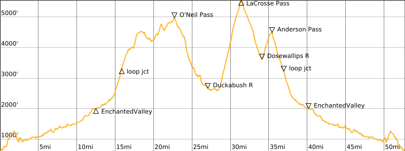
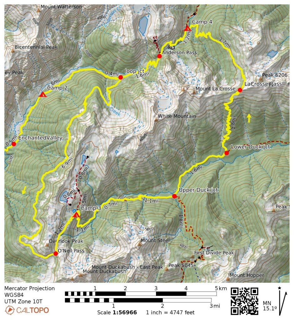
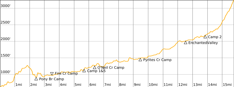
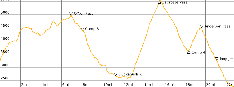
When using a Quinault River approach, the entire LaCrosse Pass Loop comprises a 16-mile valley hike each way, plus a 21-mile loop portion. This results in a total distance of approximately 53 miles, with more than 11,000 feet of elevation gain and loss. Given our long drive to the trailhead, we did the trek over a span of six days, with Day 1 and Day 6 involving relatively short hikes. We also elected to complete the loop portion in a counterclockwise direction, as this better accommodated our desire to spend one night at Marmot Lake. The overview map and profile below illustrate our completed trek.
.
.
Full Trip Report
Day 1: Trailhead to Penny Creek Camp
Approximate Daily Stats: 3.3 hours + 5.6 miles + 1050 feet – 550 feet
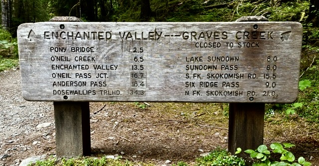
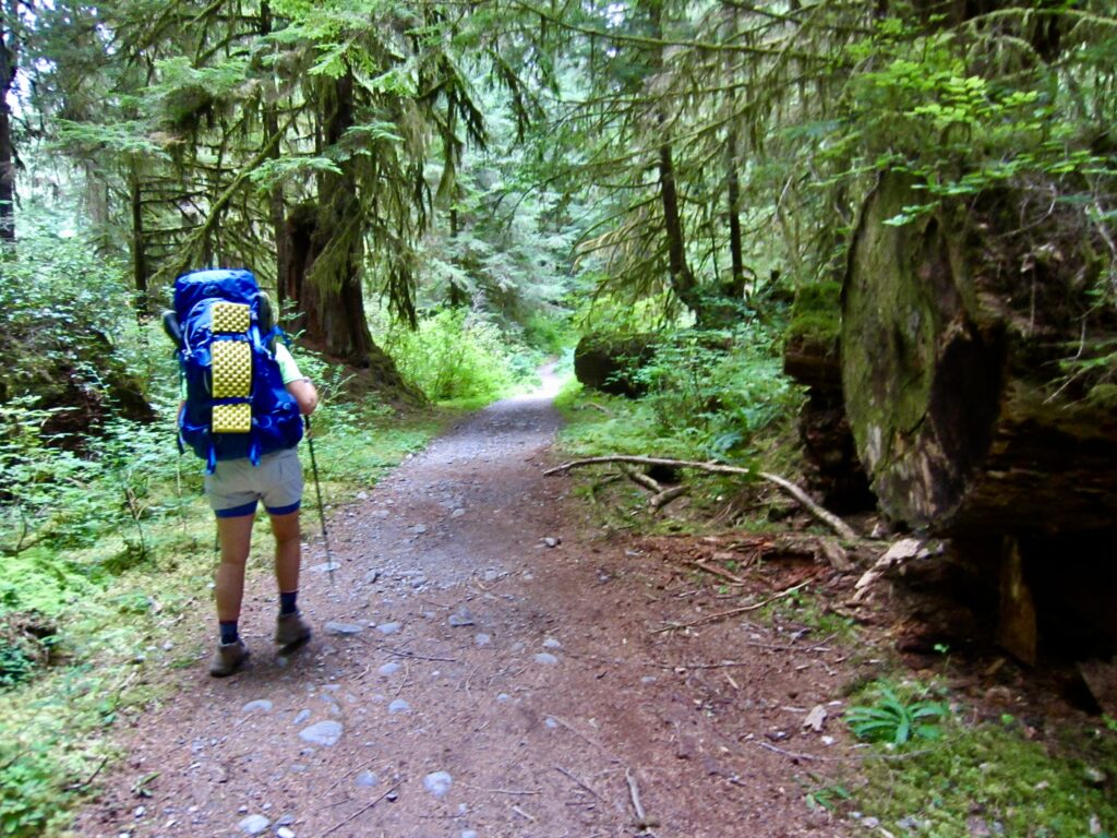
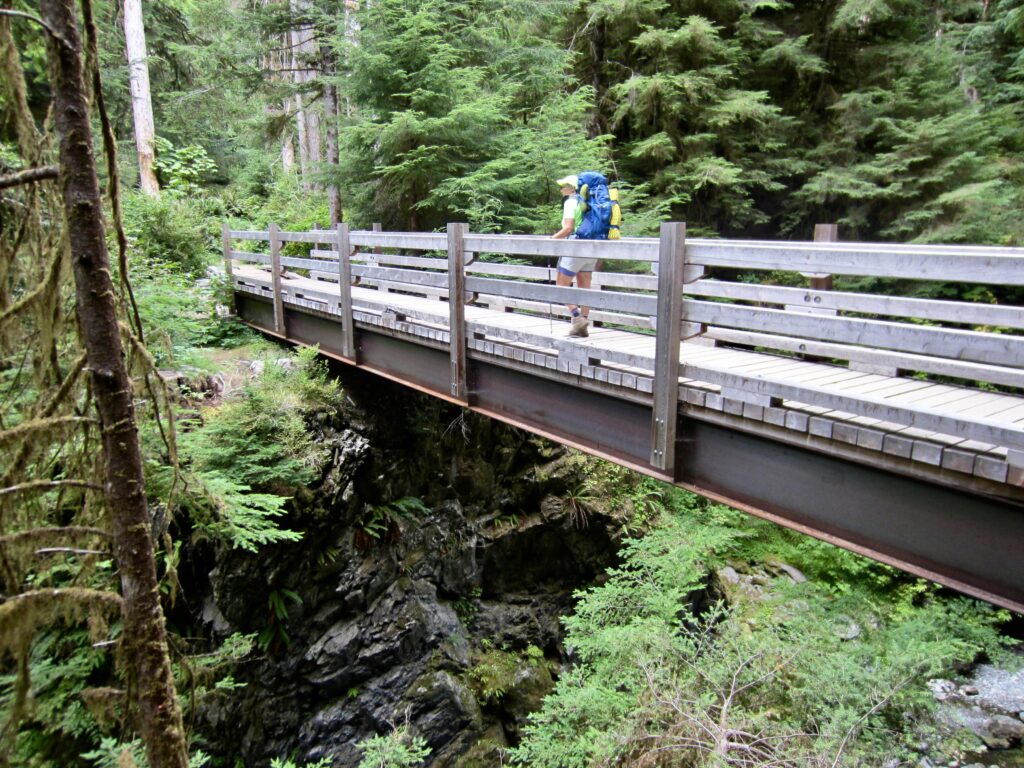
Eileen and I headed out from the Graves Creek Trailhead on a warm Tuesday afternoon. We hiked up the Quinault River Trail, crossing Pony Bridge after 2½ miles and passing Fire Creek Camp at 3½ miles. Considering the poor condition of so many trails lately, it was a pleasure to find that this trail has been logged out and brushed out all the way to Enchanted Valley.
.
.
.
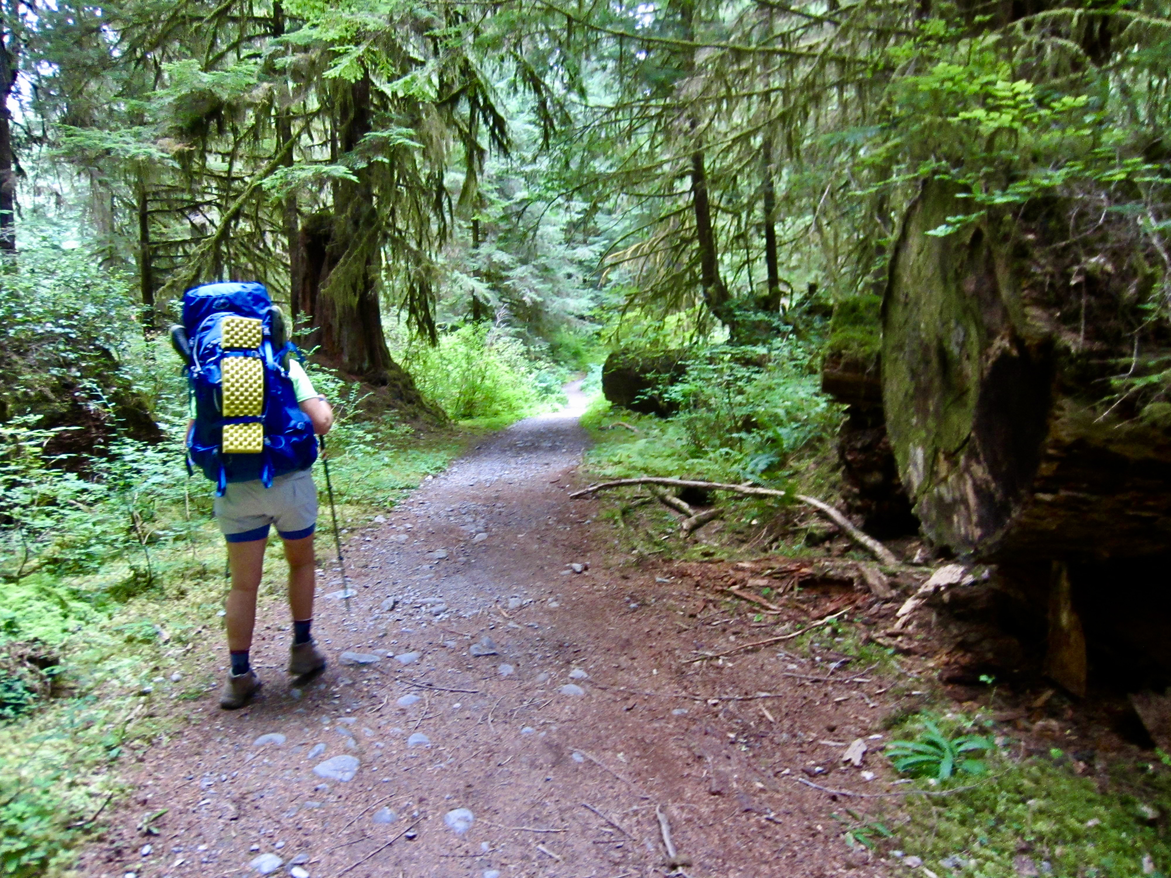
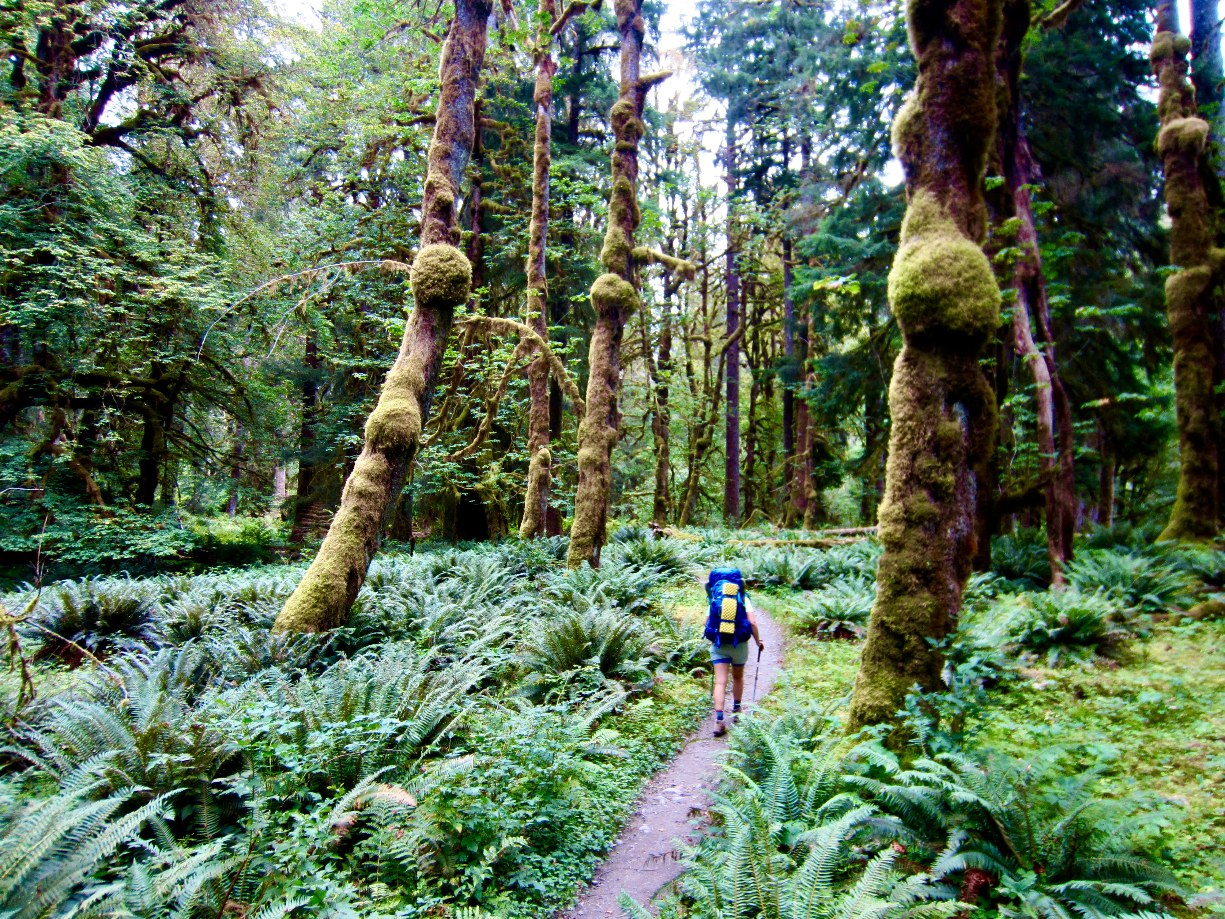
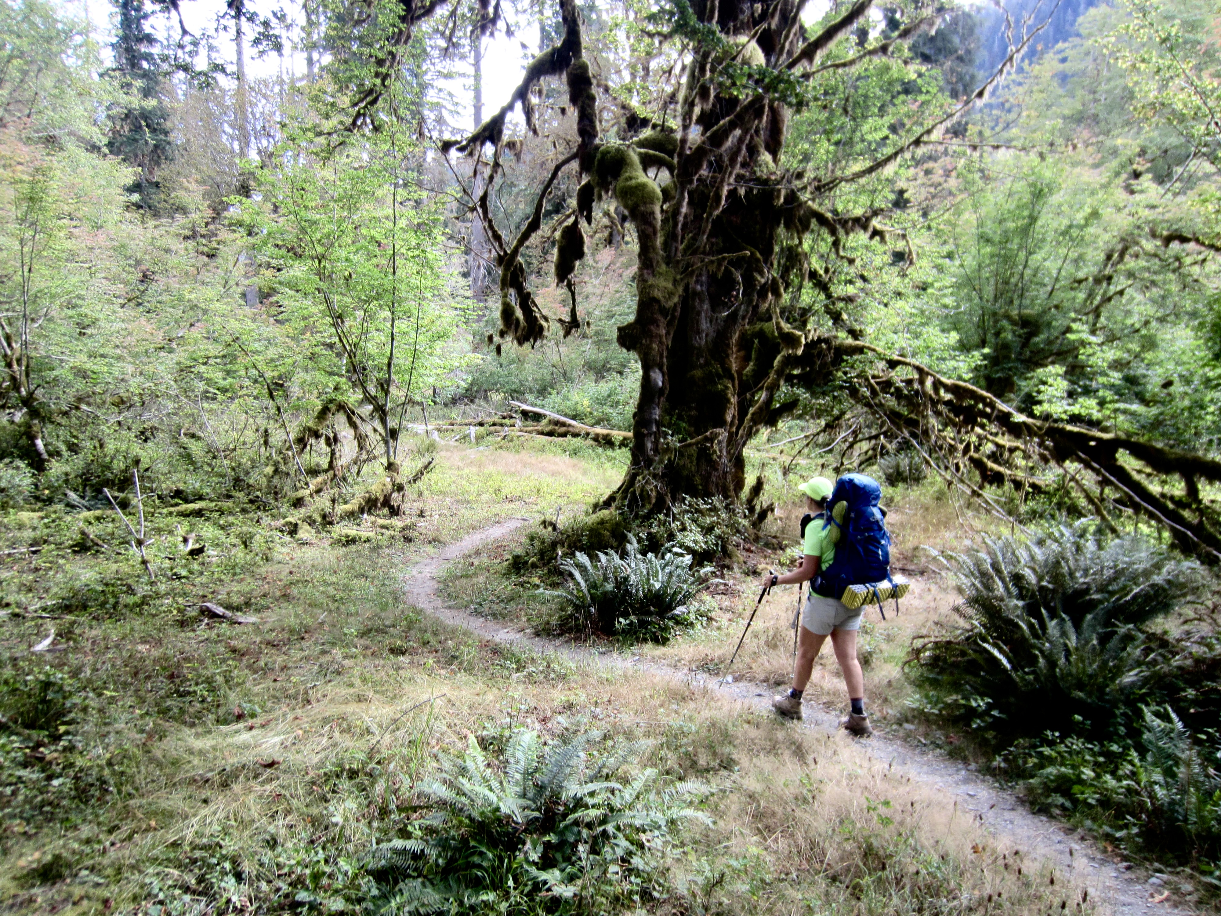
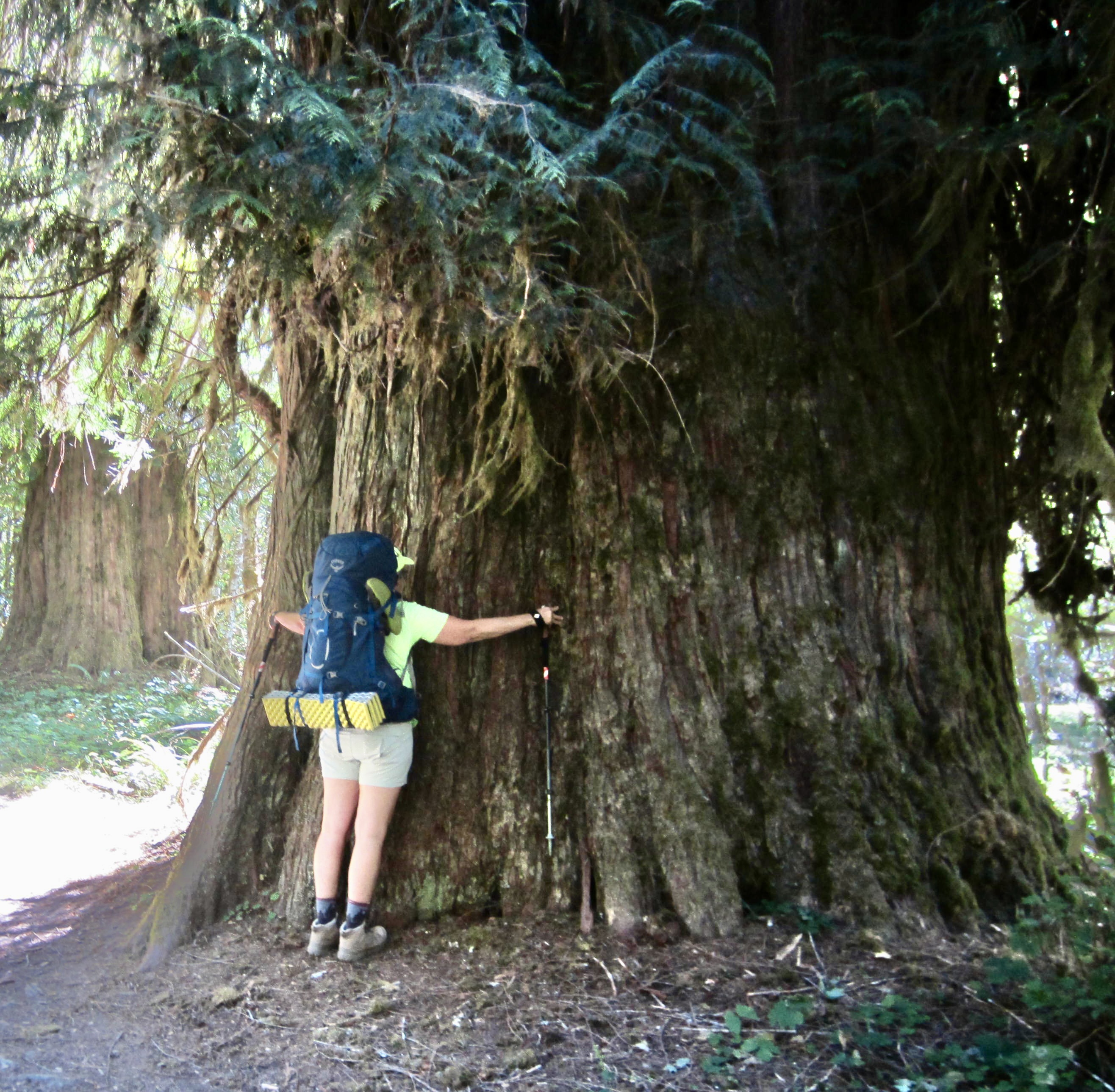
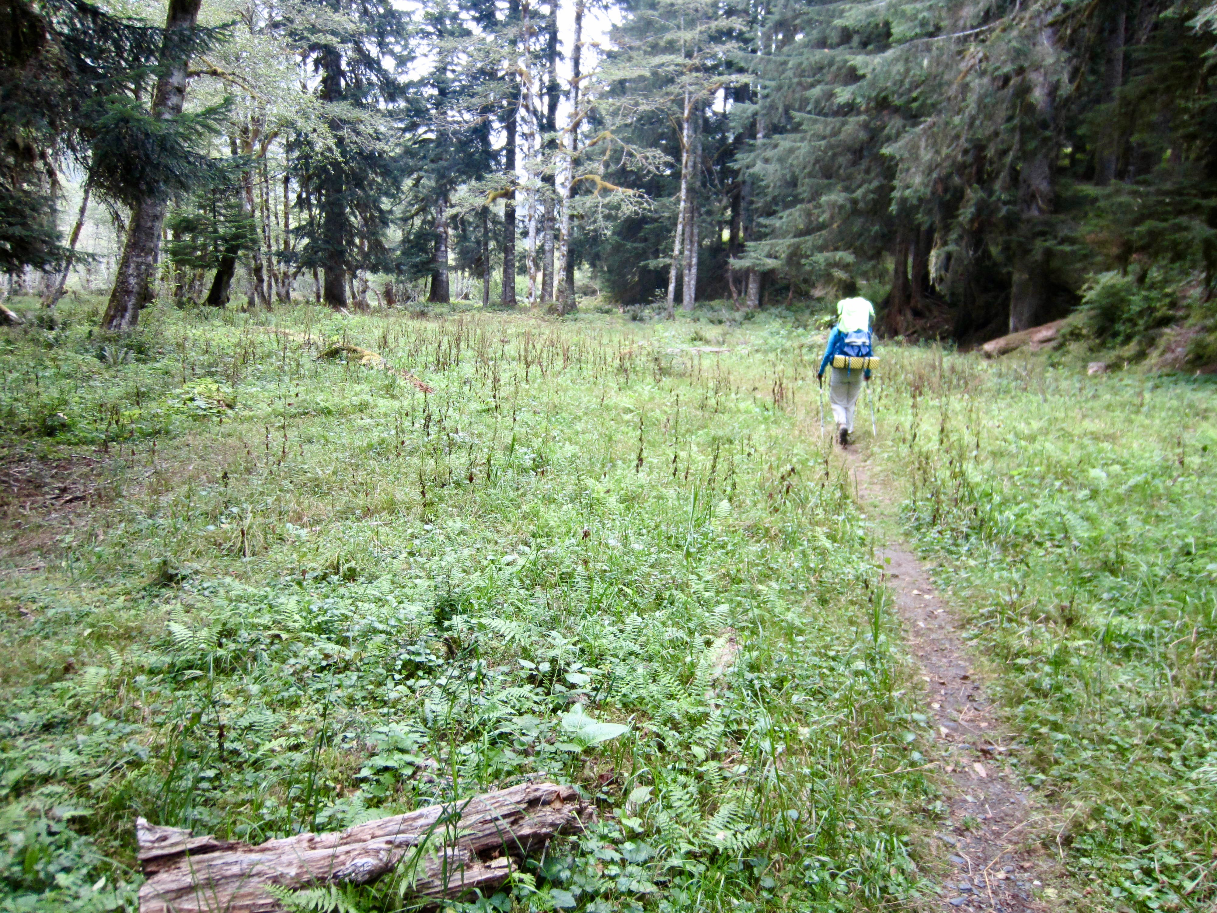
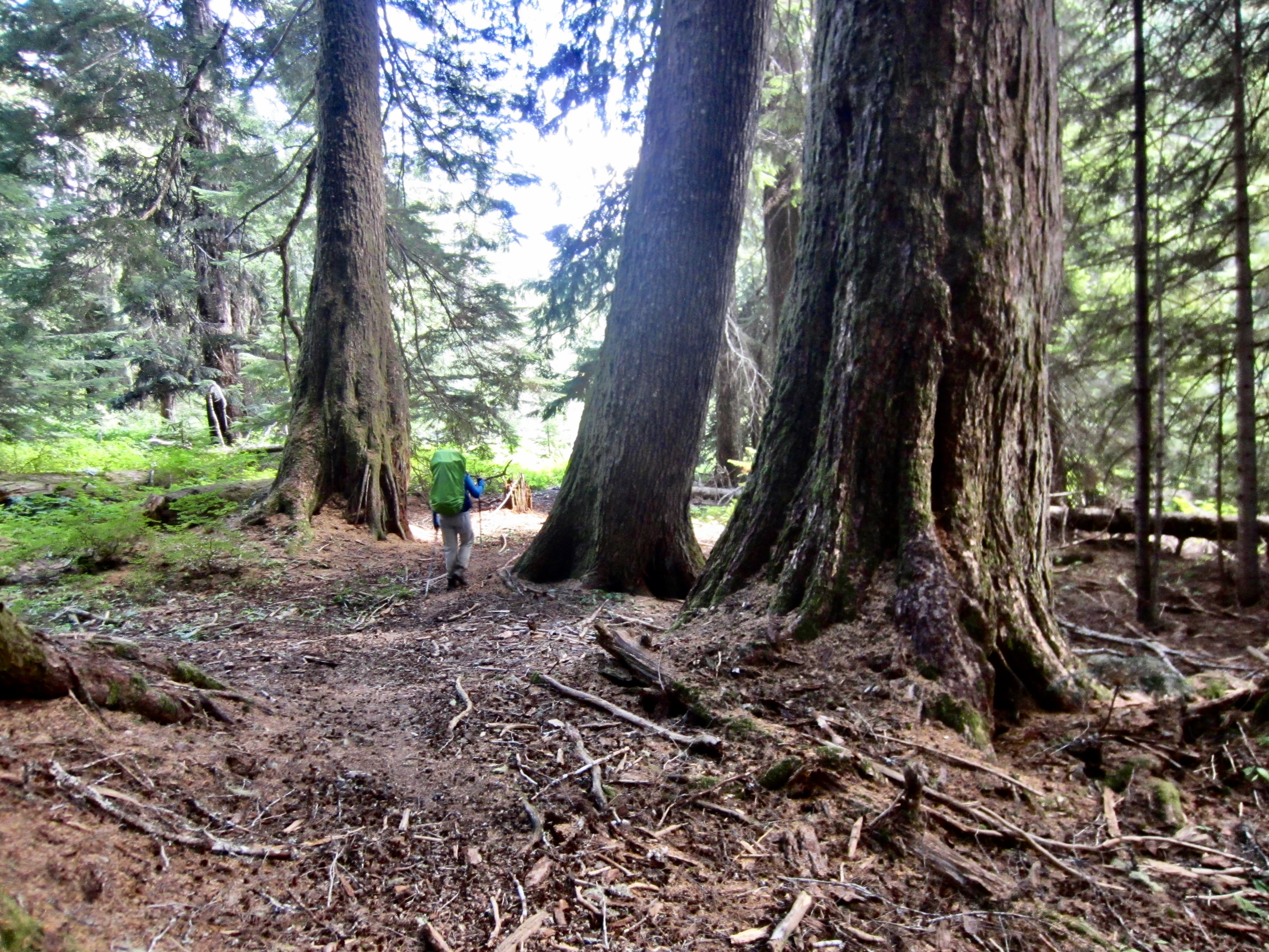
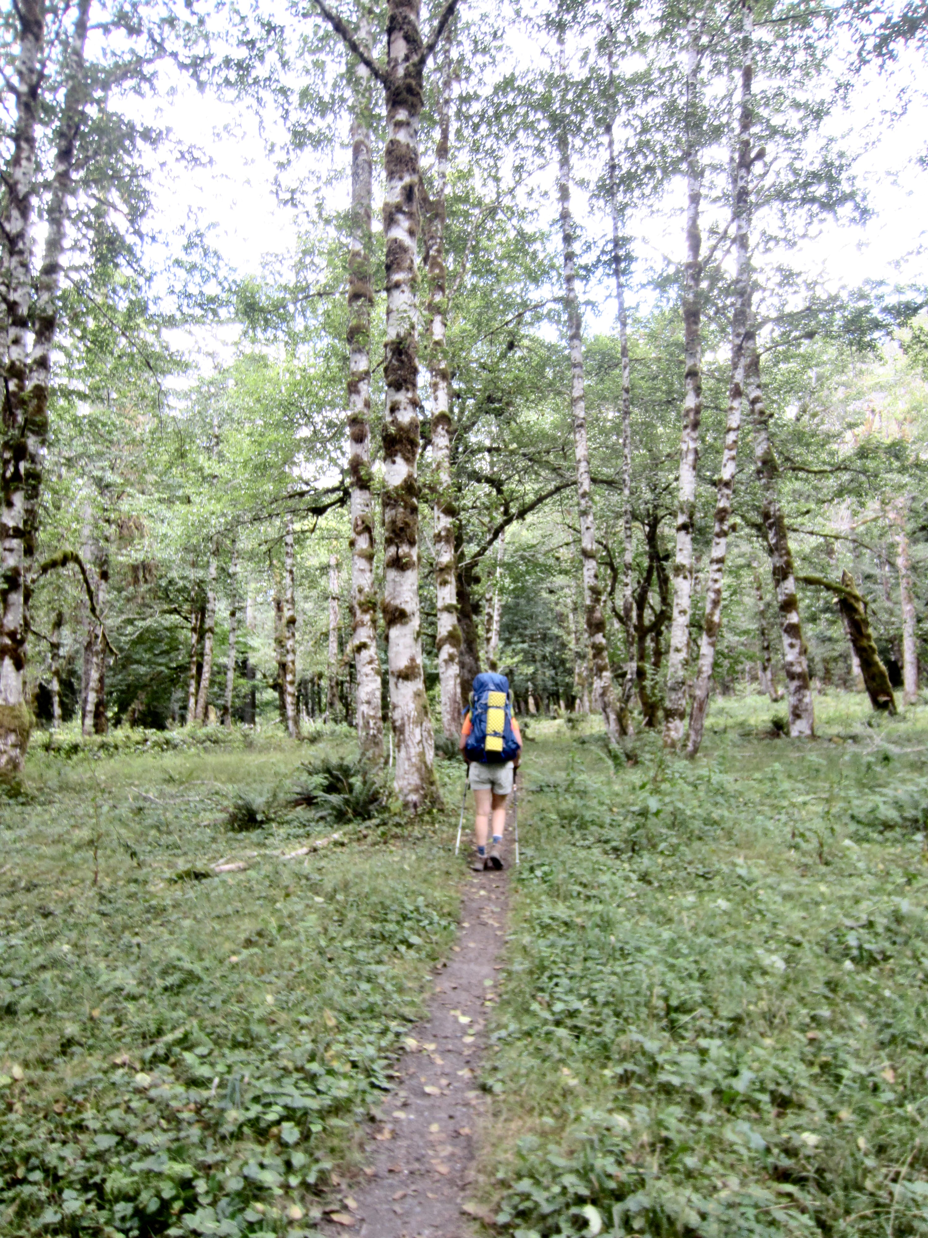
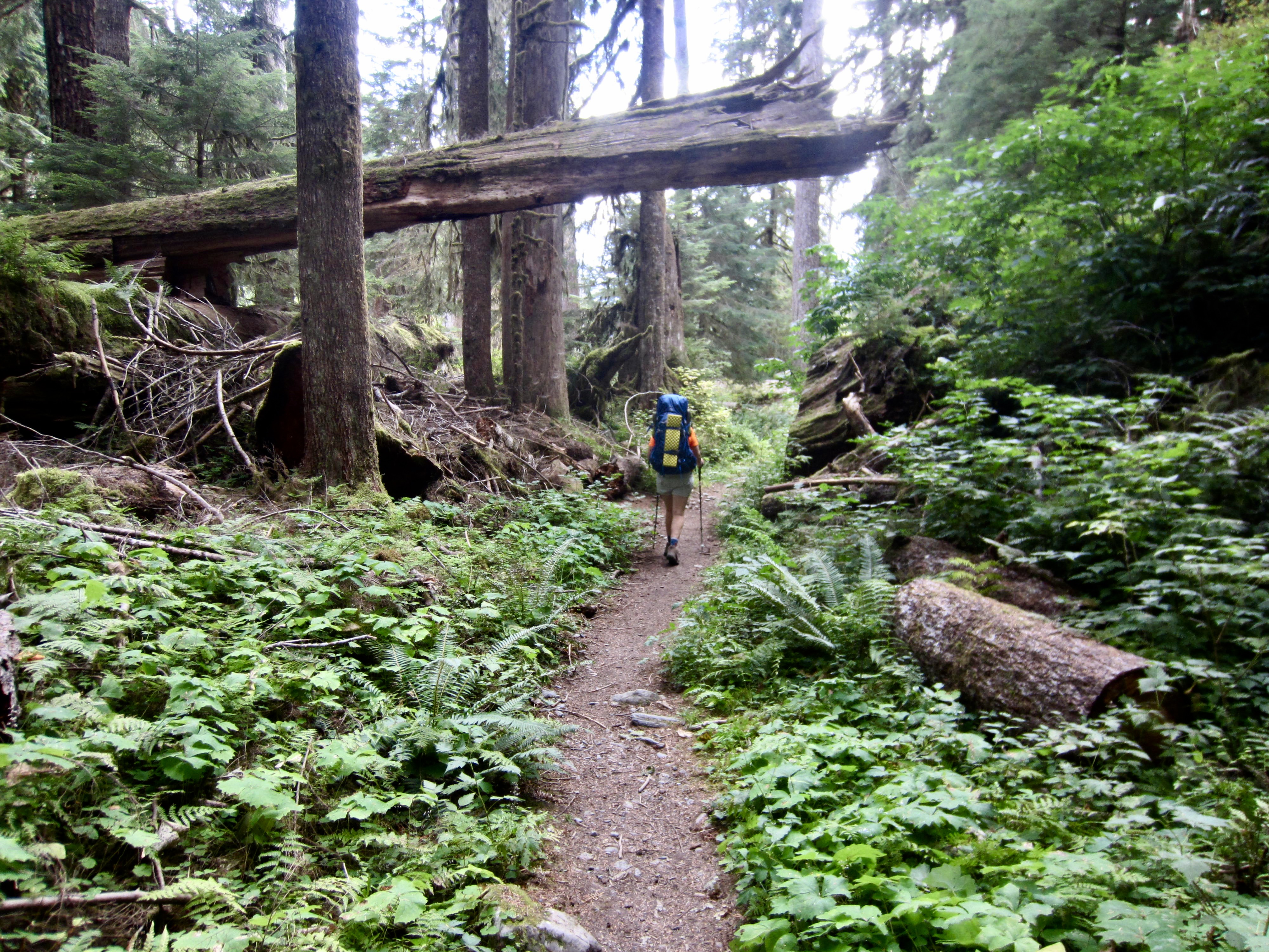
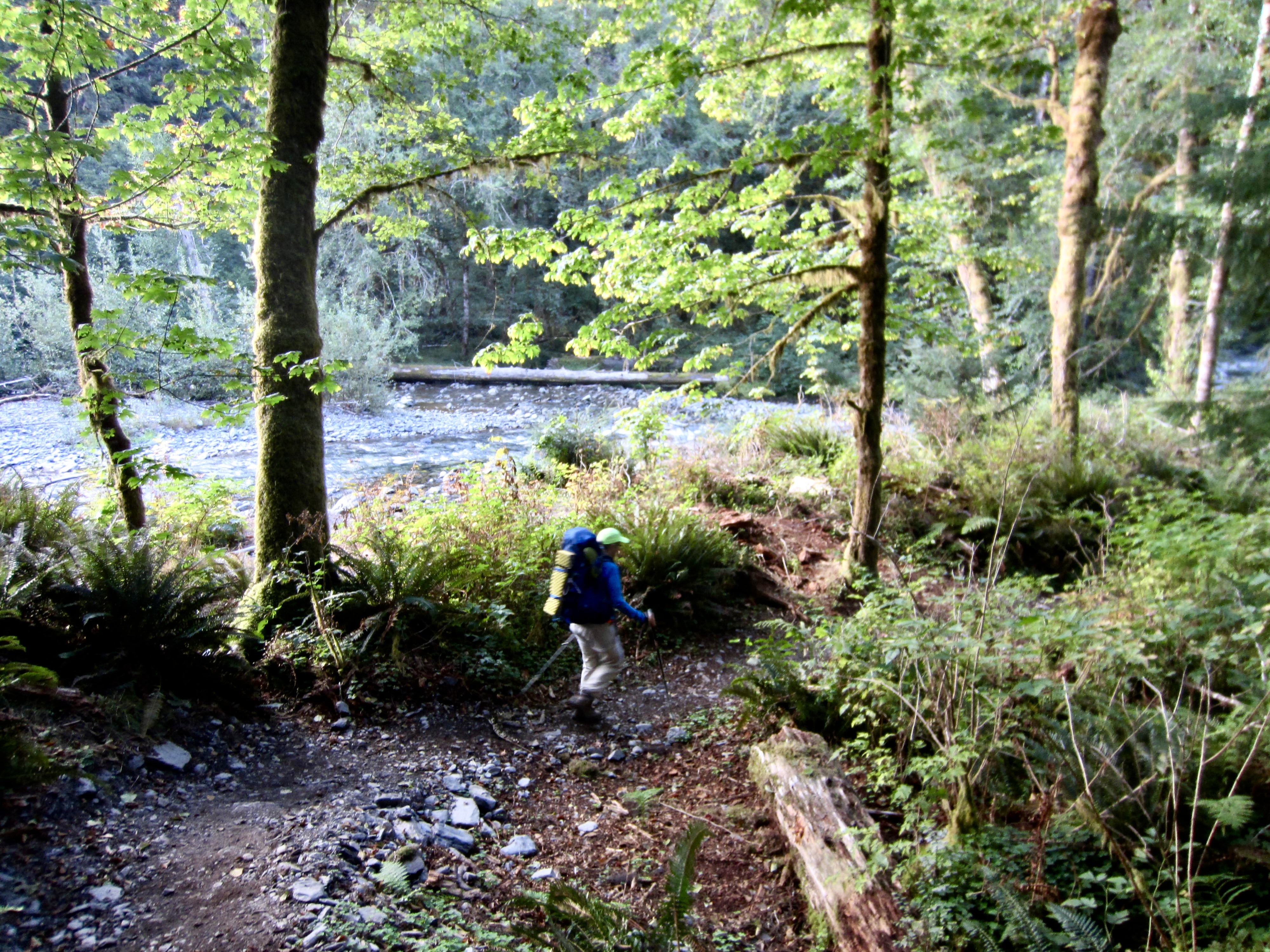
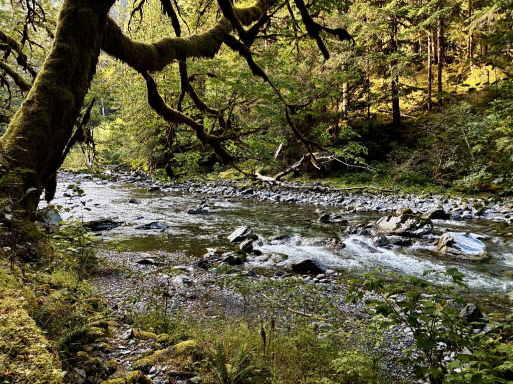
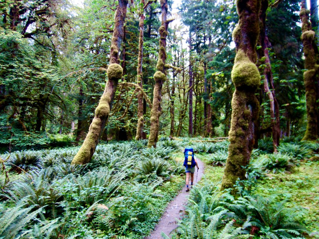
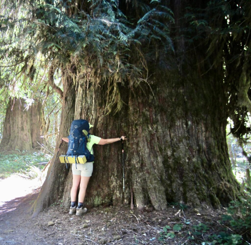
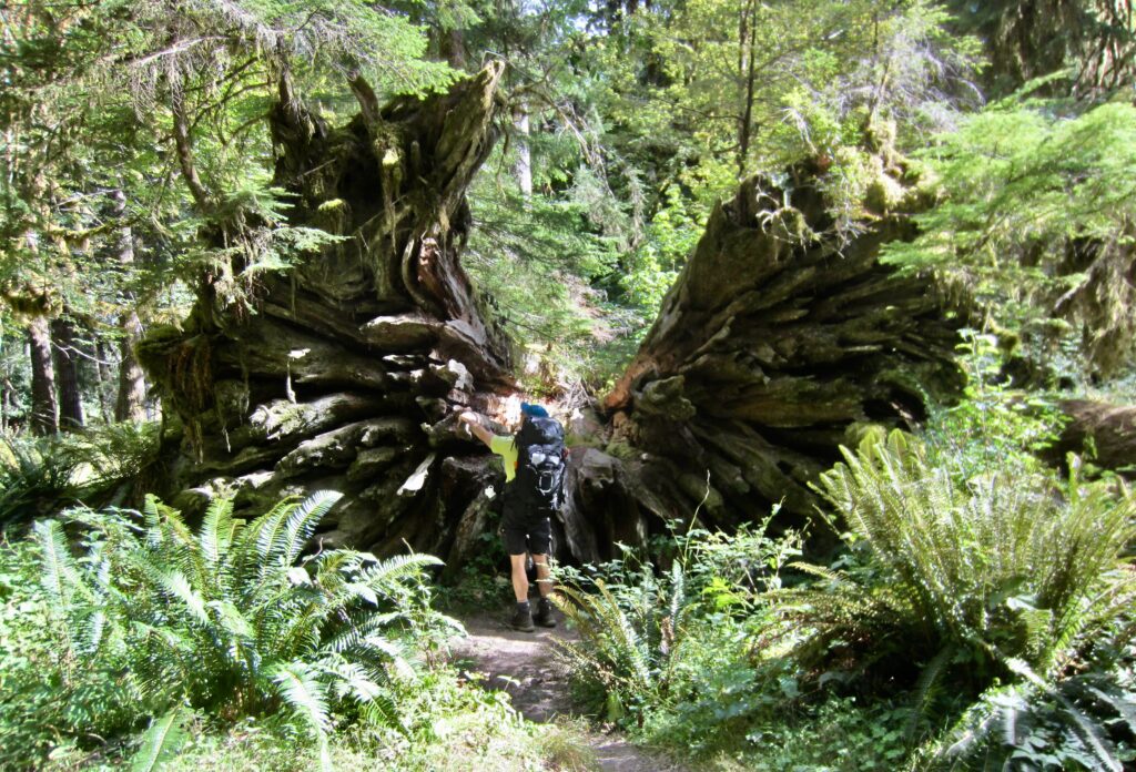
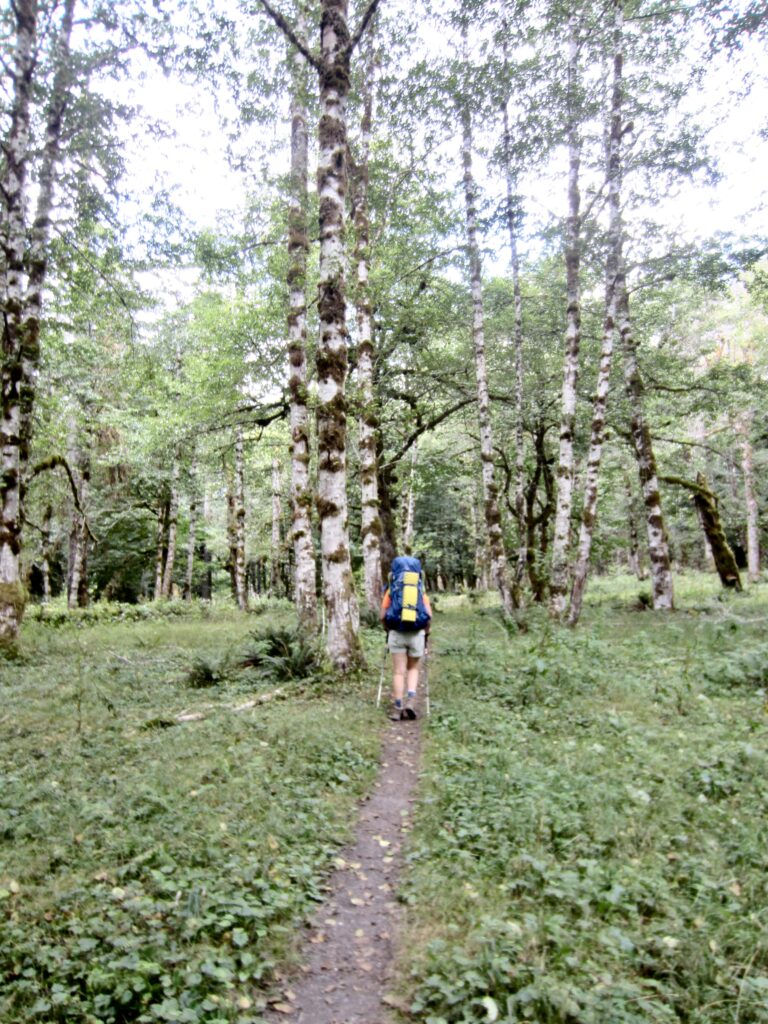
The Quinault Rainforest served up a splendid smorgasbord of moss, ferns, and big trees as we continued up-valley. Compared to Olympic National Park’s more-famous Hoh Rainforest, which features giant cedar and maple trees, this forest seems to display a greater assemblage of huge hemlock and alder trees.
.
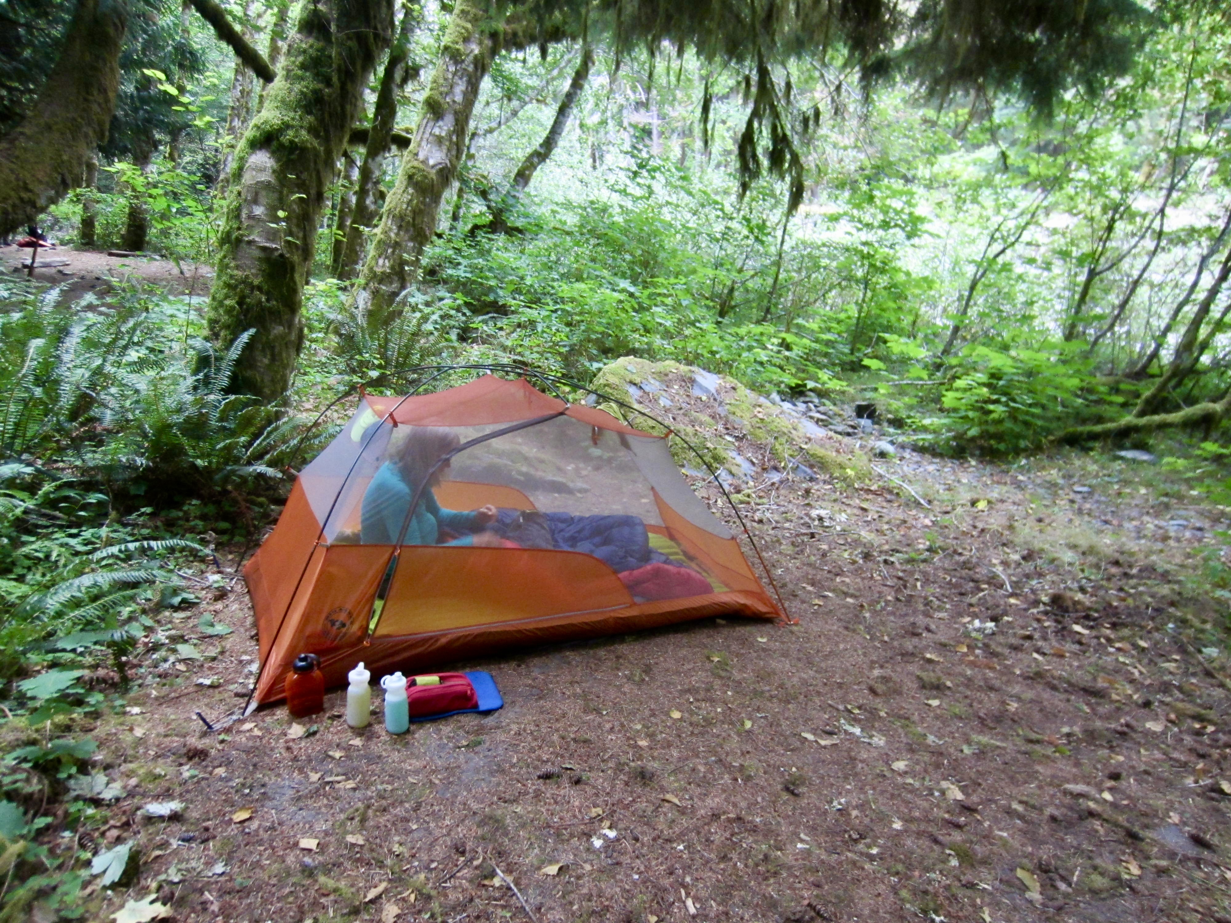
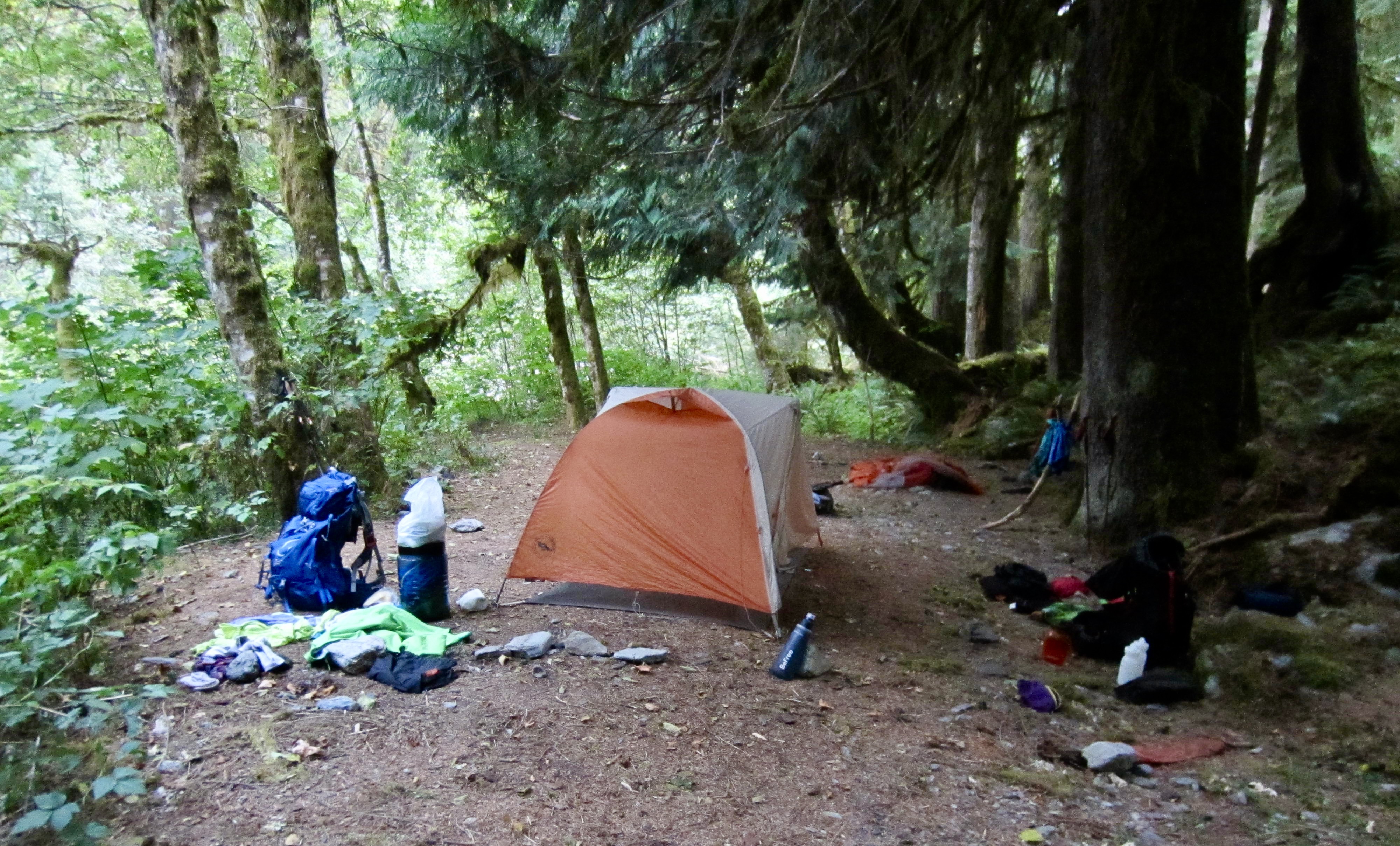
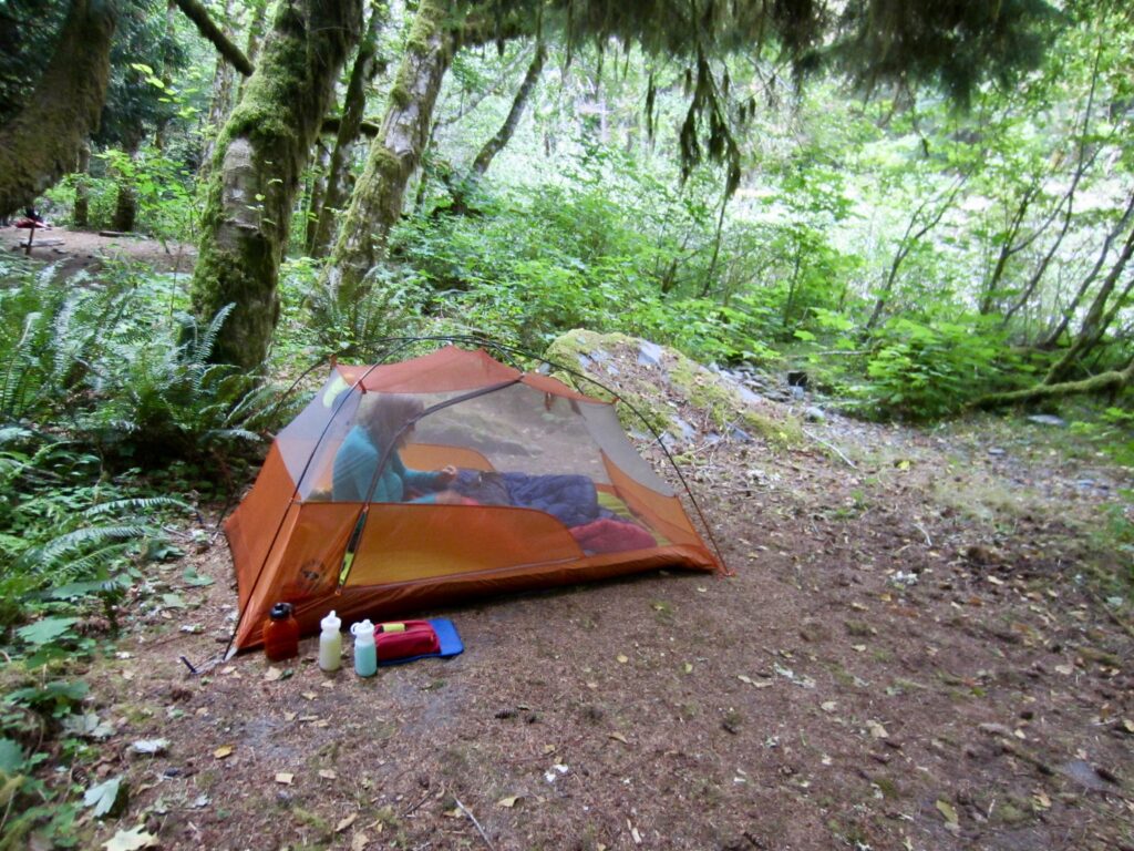
In early evening, we arrived at Penny Creek Camp (3.3 hours + 5.6 miles + 1050 feet – 550 feet from TH). This unmarked campsite occupies several small benches adjacent to the Quinault River, and it has room for a half-dozen tents, but there was only one other party here tonight.
.
Day 2: Penny Creek Camp to 14-Mile Camp
Approximate Daily Stats: 6.4 hours + 8.2 miles + 1600 feet – 550 feet
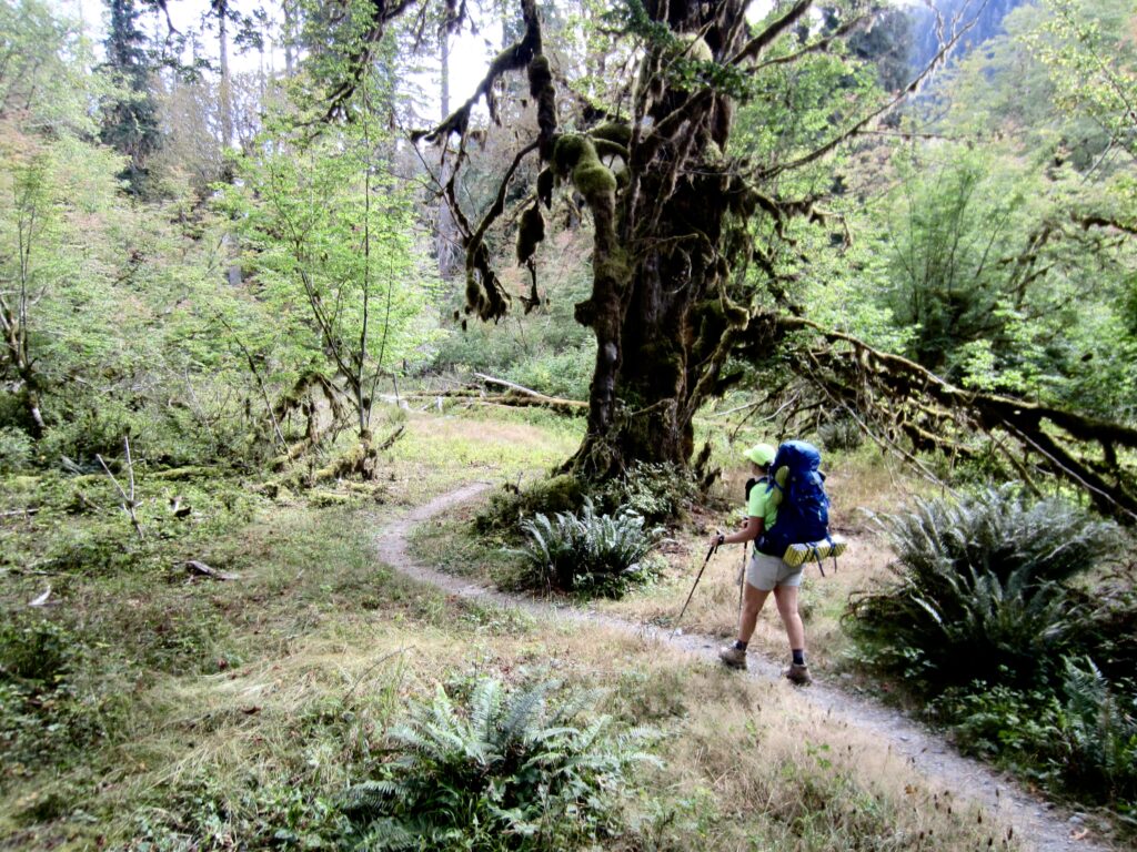
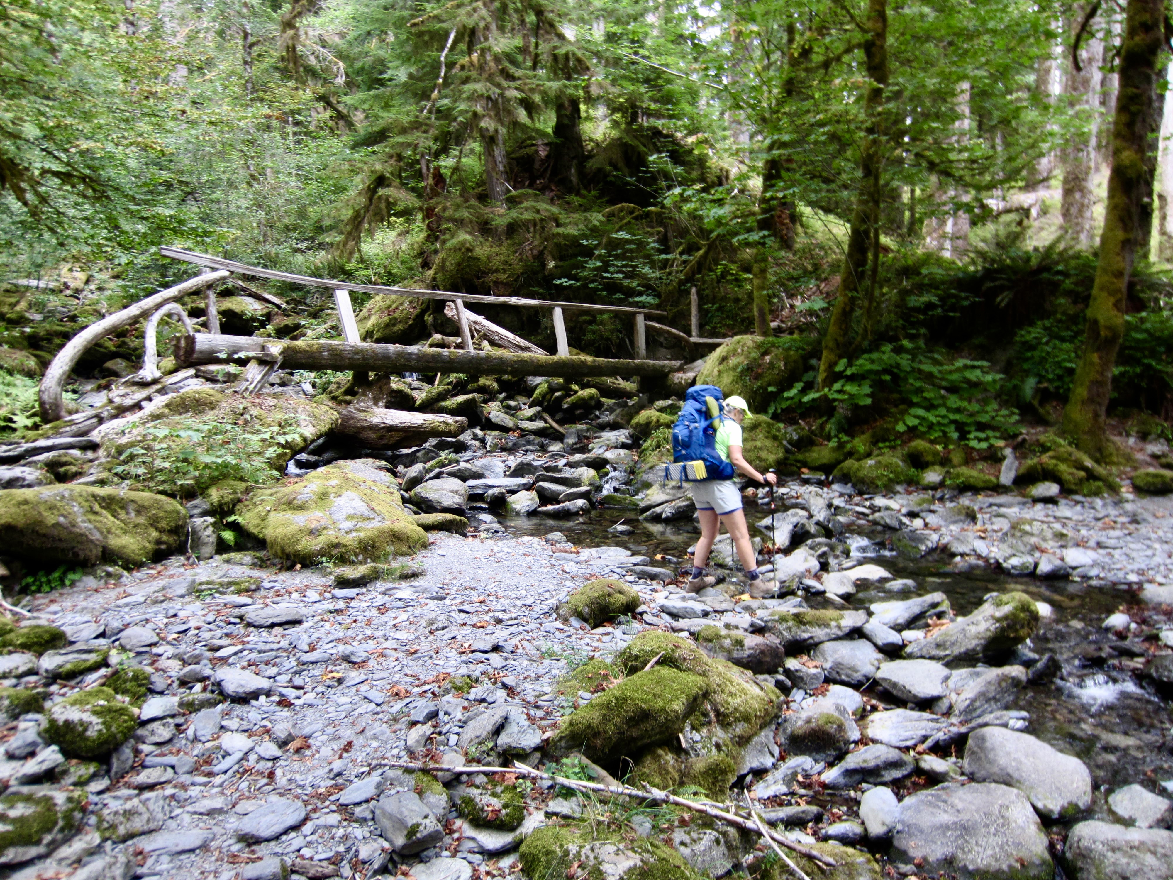
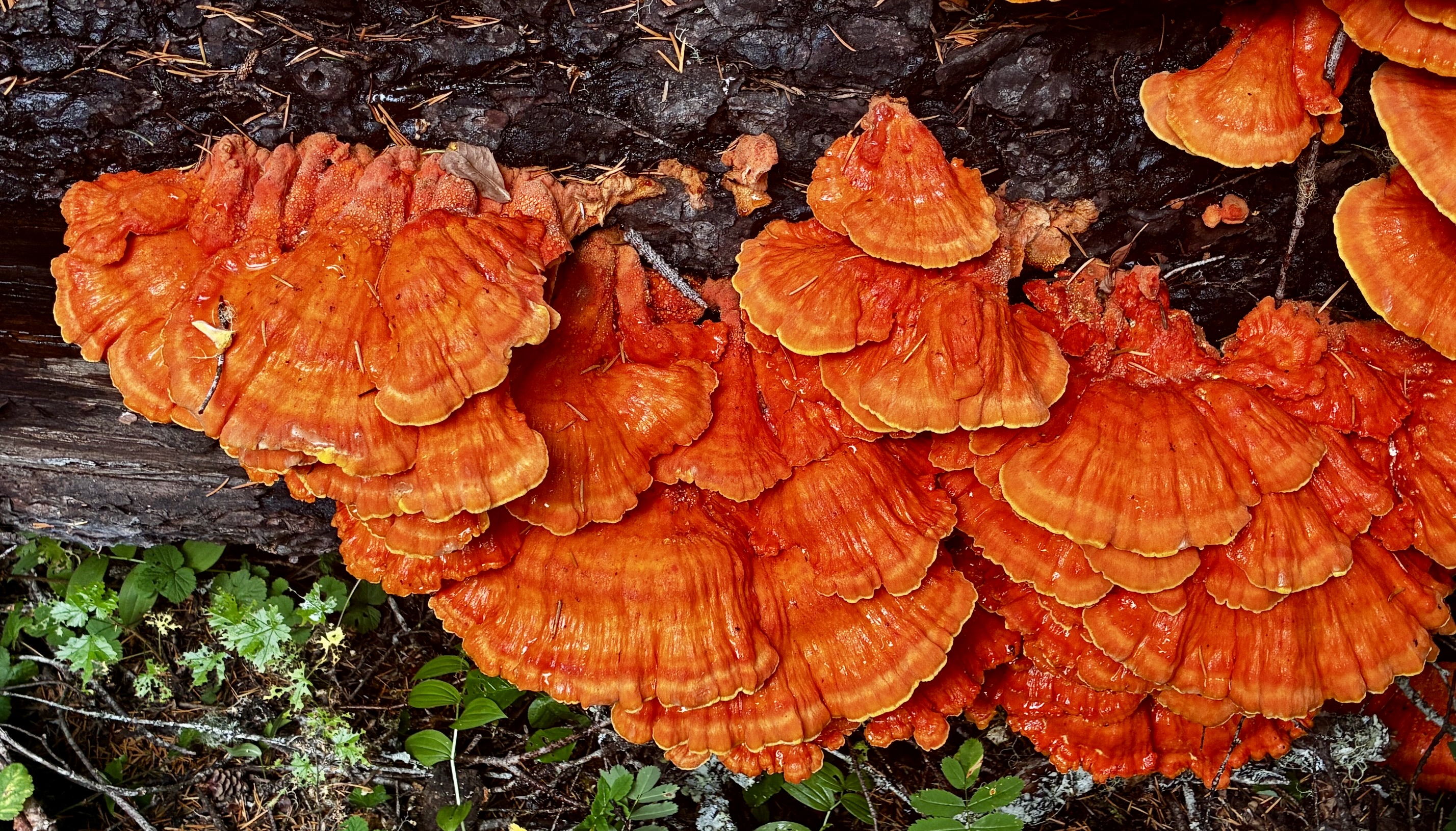
We were back on the trail shortly after 9:00am, encouraged by the forecast of a sunny day. Over the next few miles, we passed appealing accommodations at O’Neil Creek Camp, Hat Camp, and Pyrites Creek Camp. It was reassuring to see that this trail has no shortage of official and unofficial campsites. (Unofficial campsites do not appear on the National Park Service reservation website, but they can be reserved by calling a ranger station.)
.
.
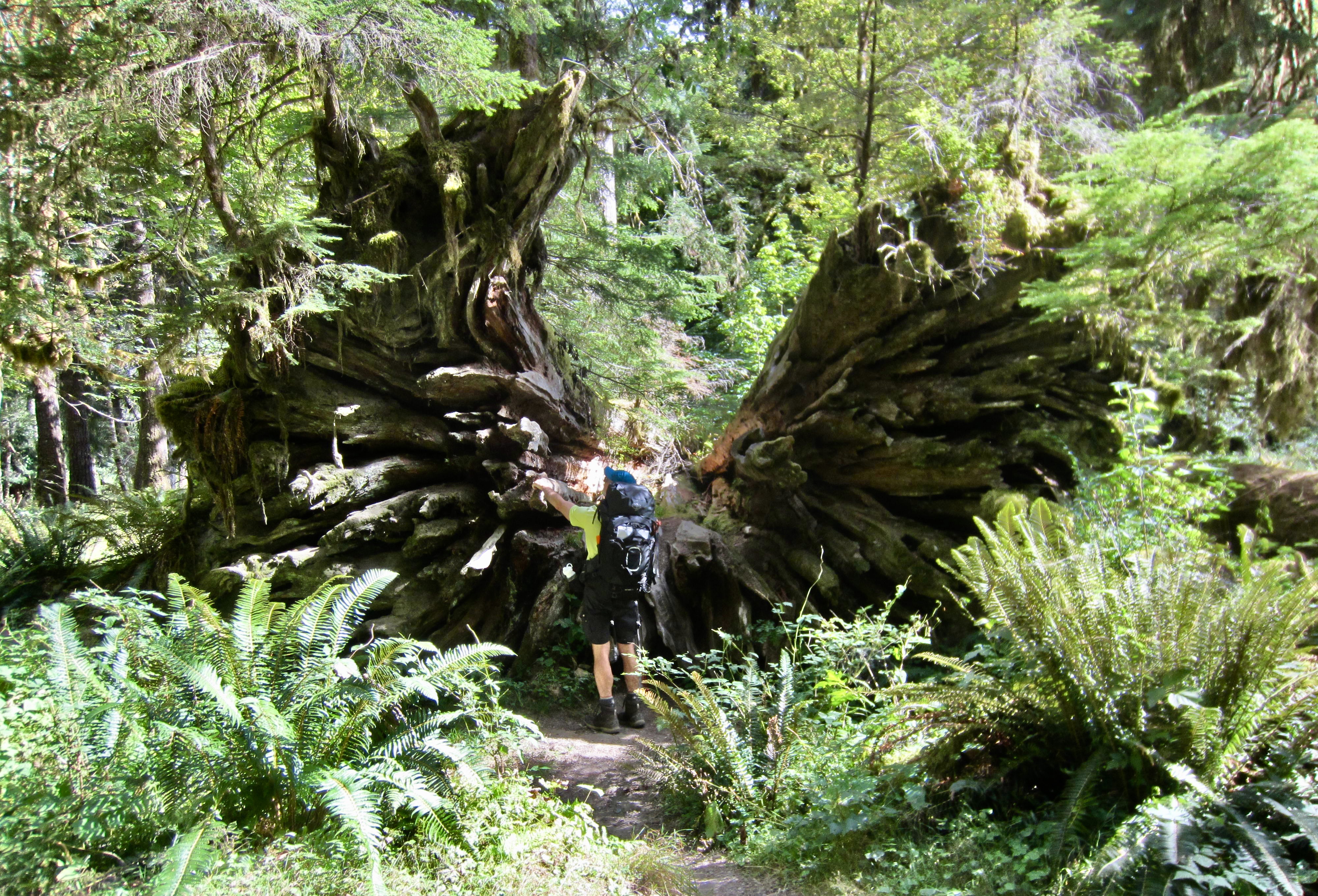
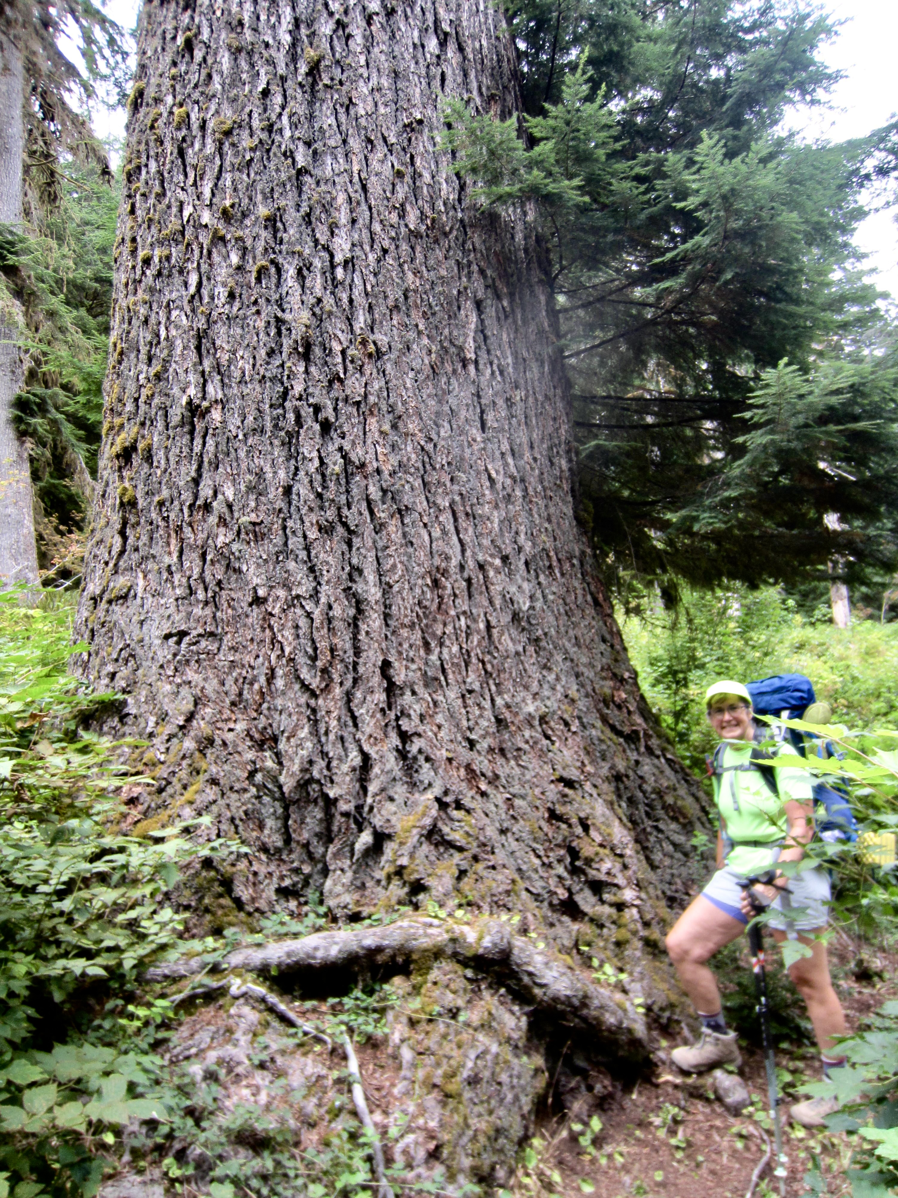
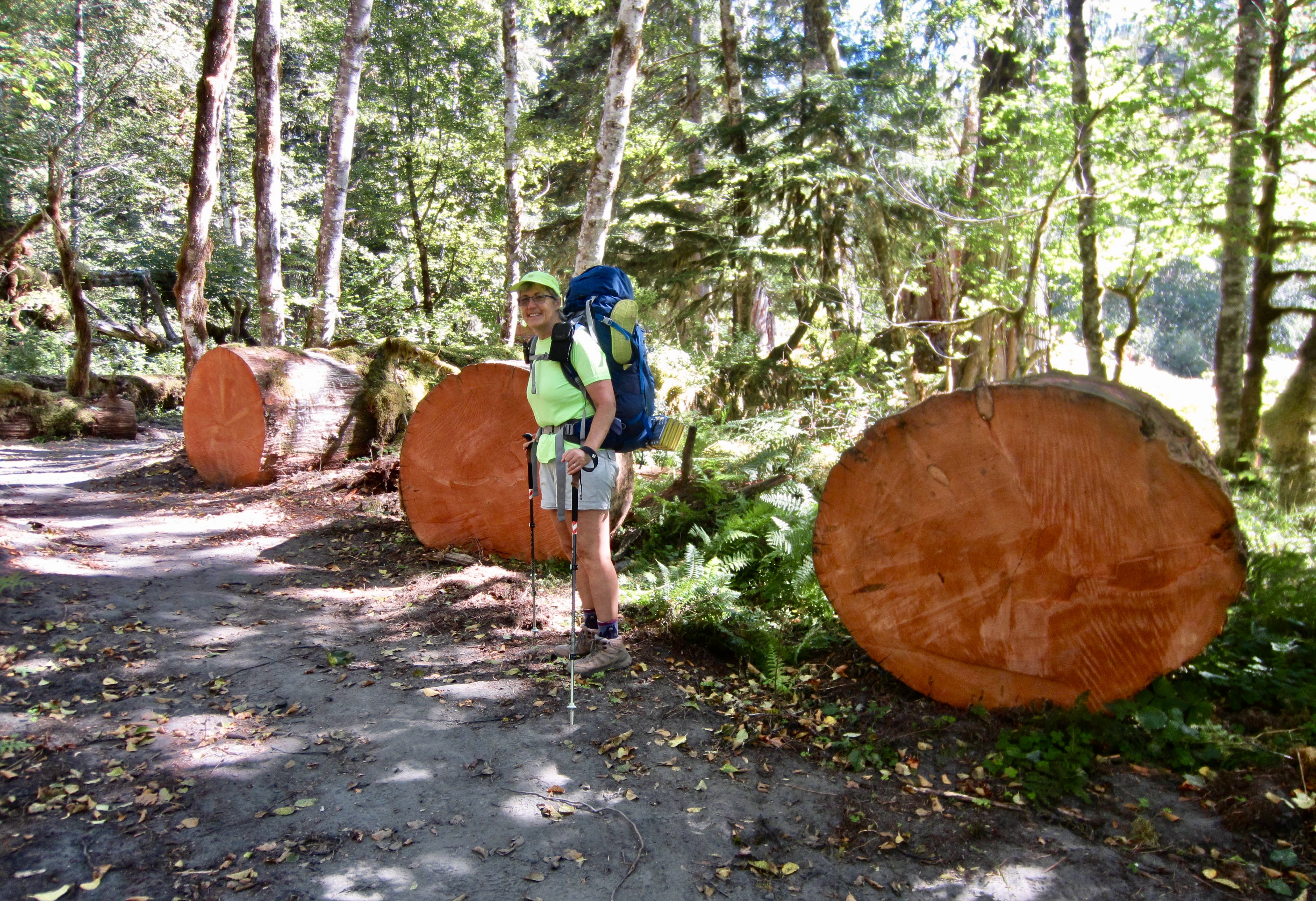
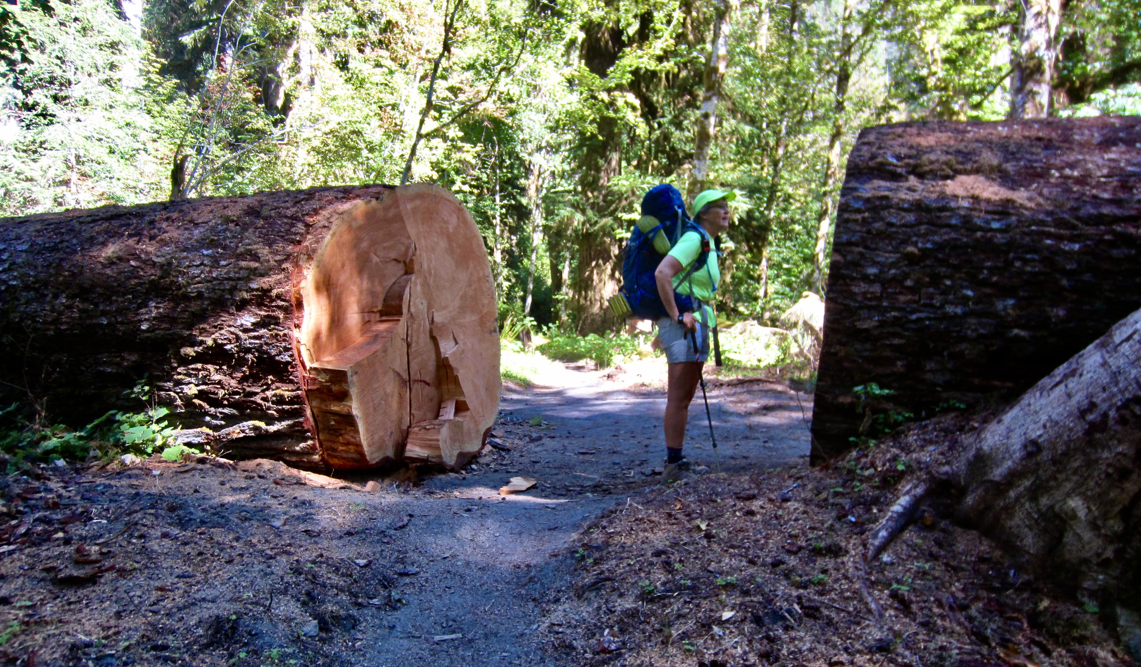
We marveled at huge hemlock, cedar, and spruce trees along the trail. Some of these sylvan giants were still standing, whereas others had succumbed to eternal rest. One particularly large hemlock had fallen across the trail and subsequently been cut out, exposing a clean cross-sectional face; ring-counting marks on this face indicated that the tree was between 900 and 1000 years old!
.
.
.
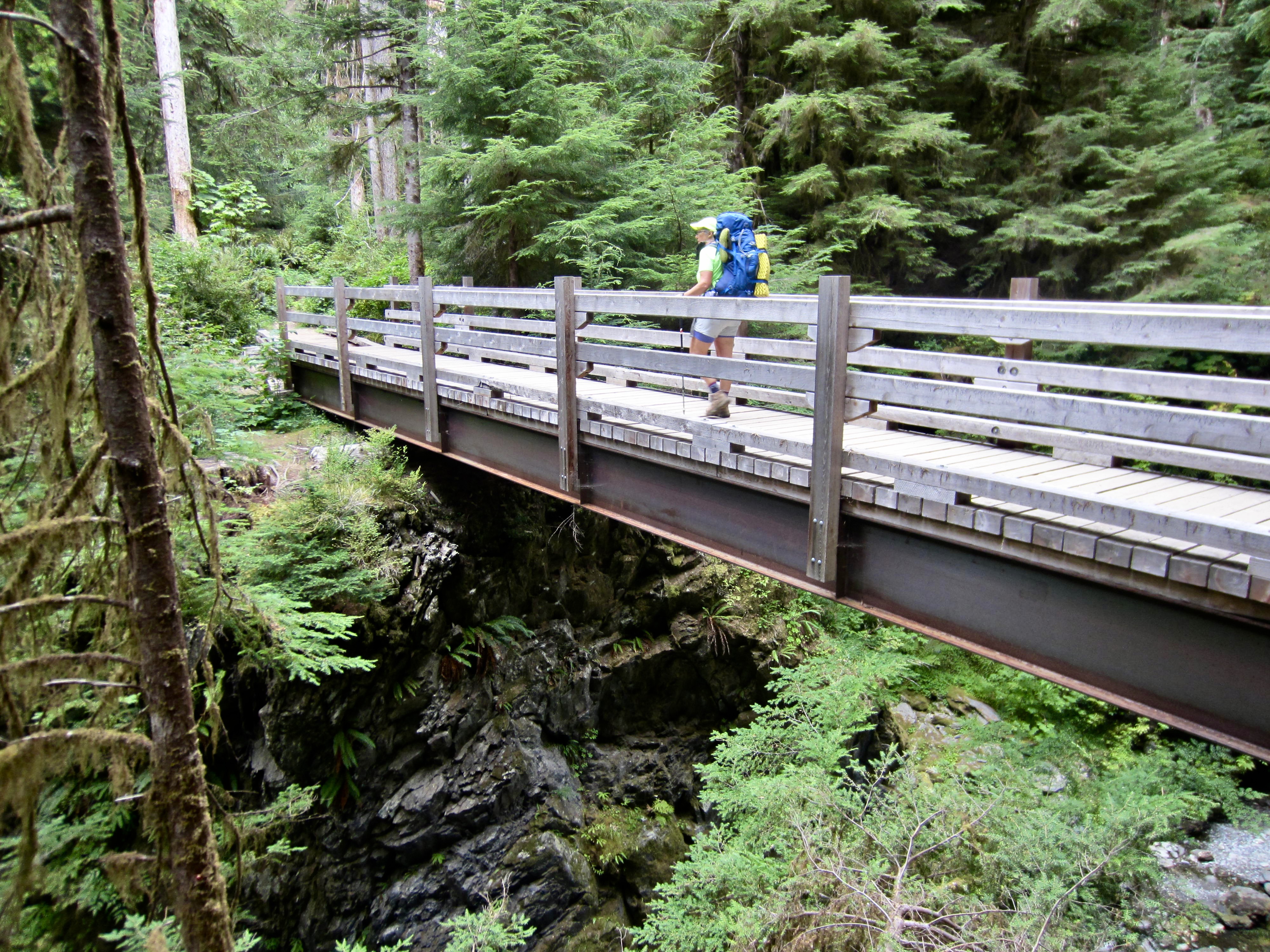
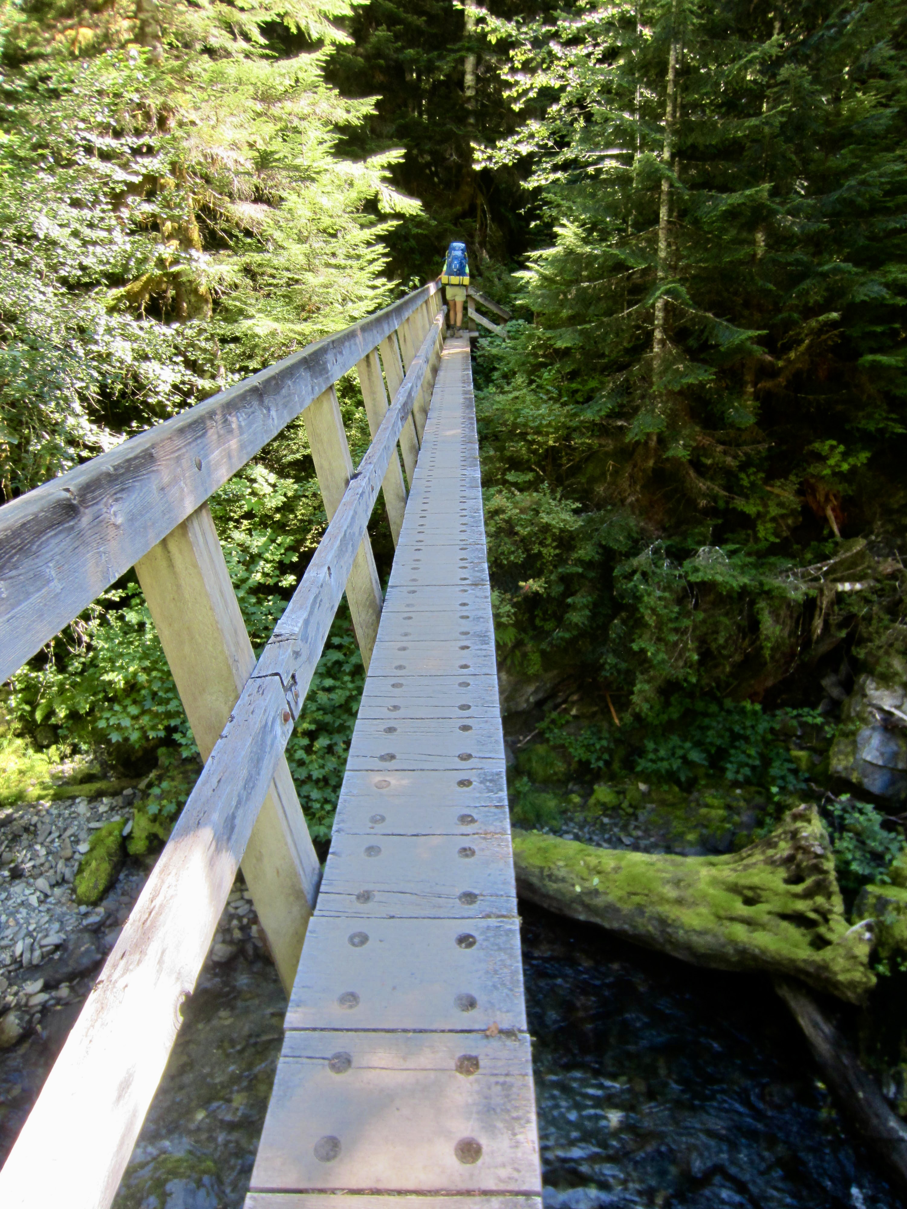
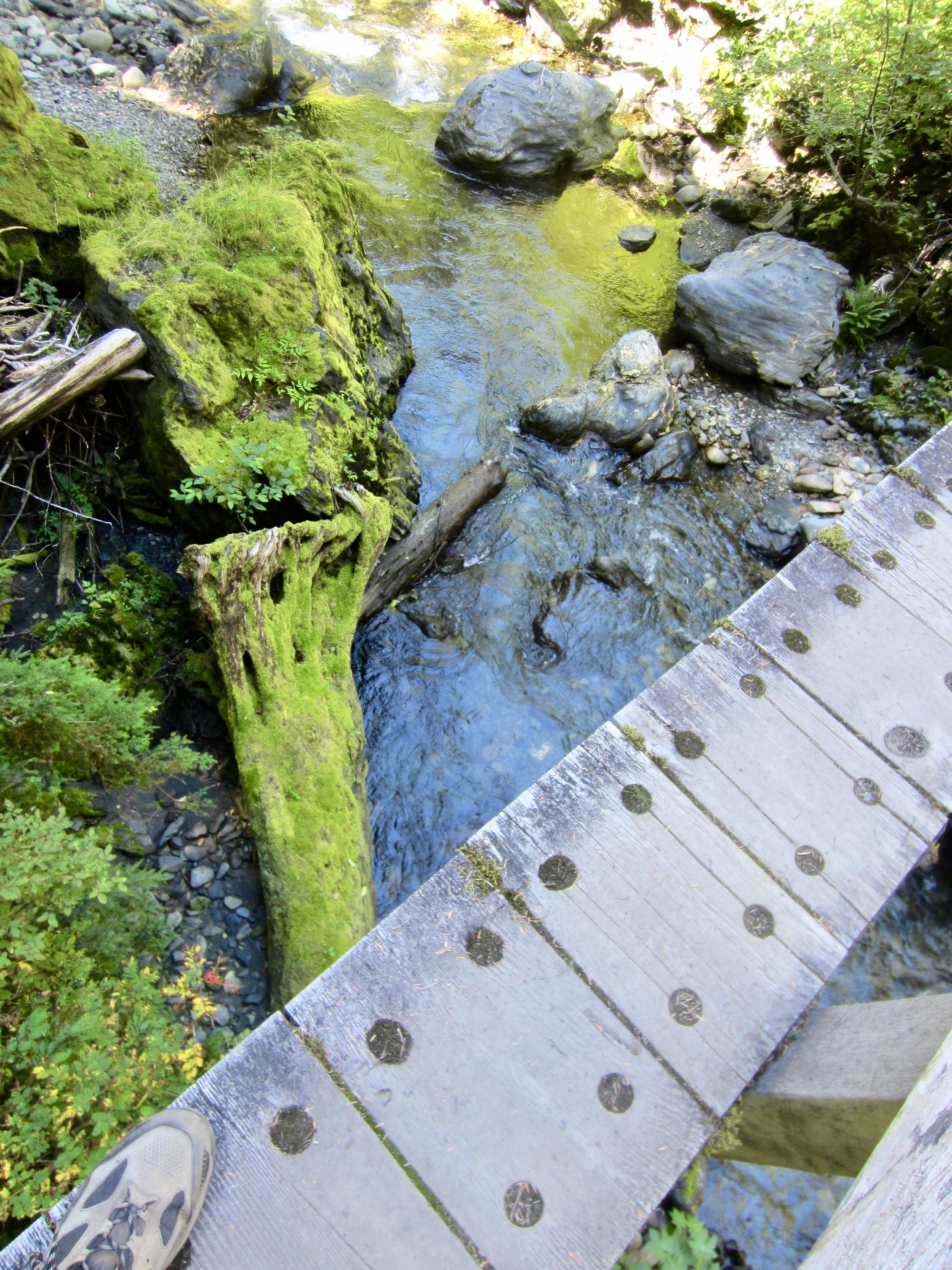
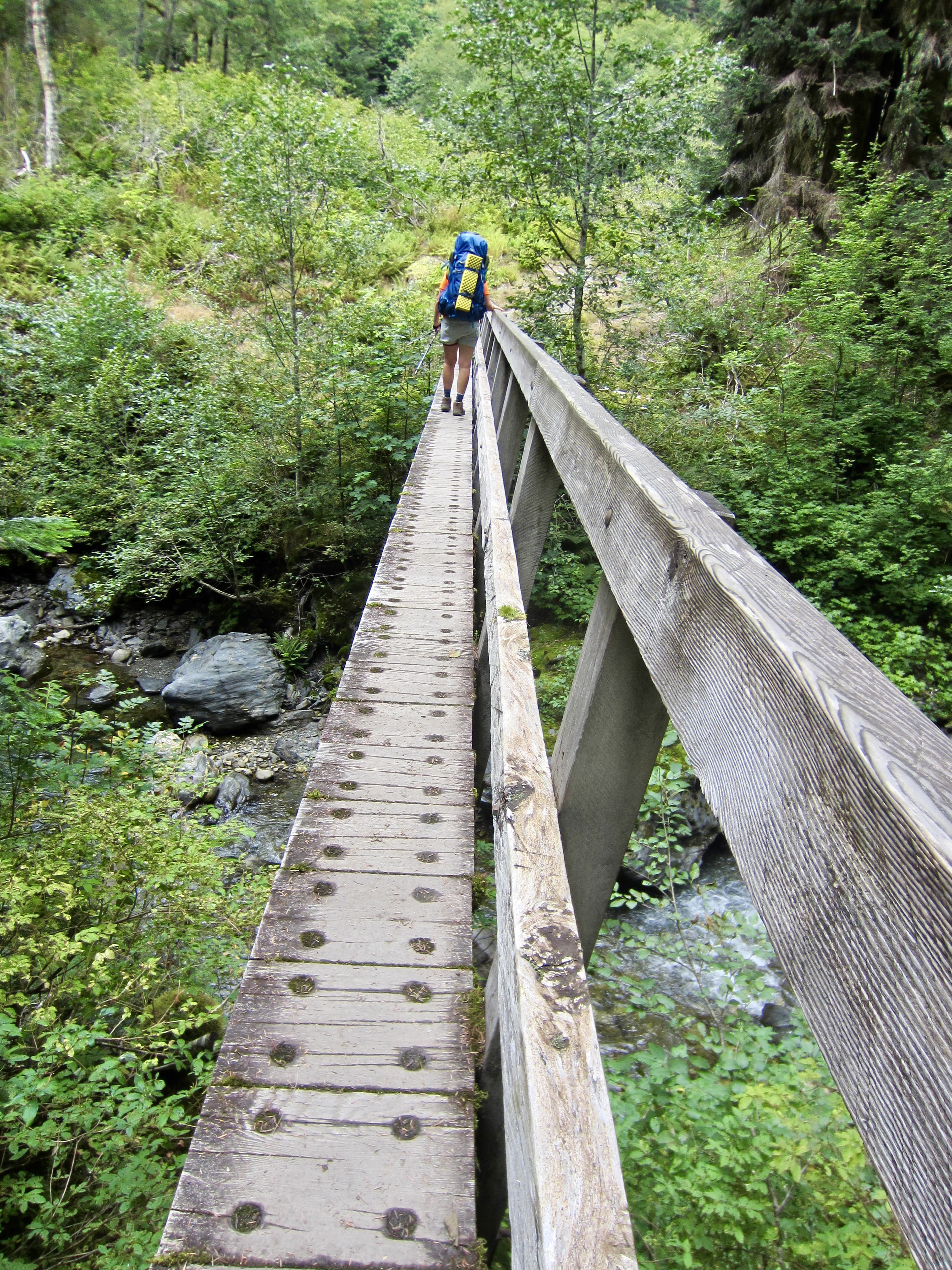
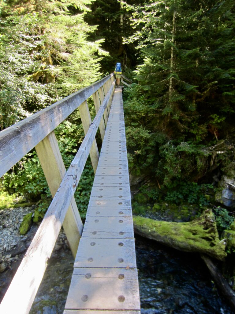
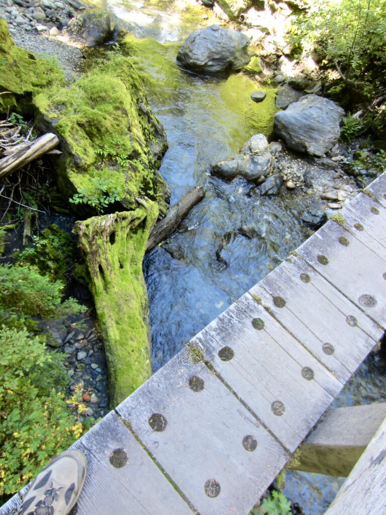
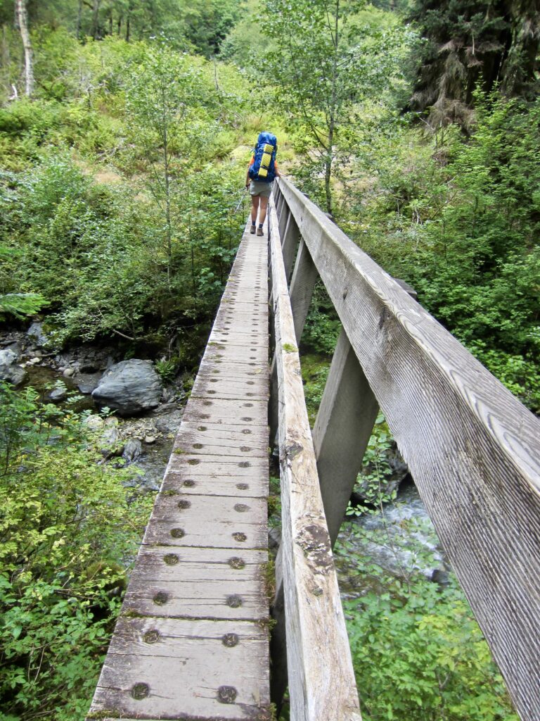
Farther up-valley, we crossed the Quinault River on a long, skinny footbridge. This unusual bridge consists of a 100-foot-long steel box girder with an 18-inch-wide wooden deck. Given its great length, small width, and moderate height above river level, the bridge’s handrail was greatly appreciated!
.
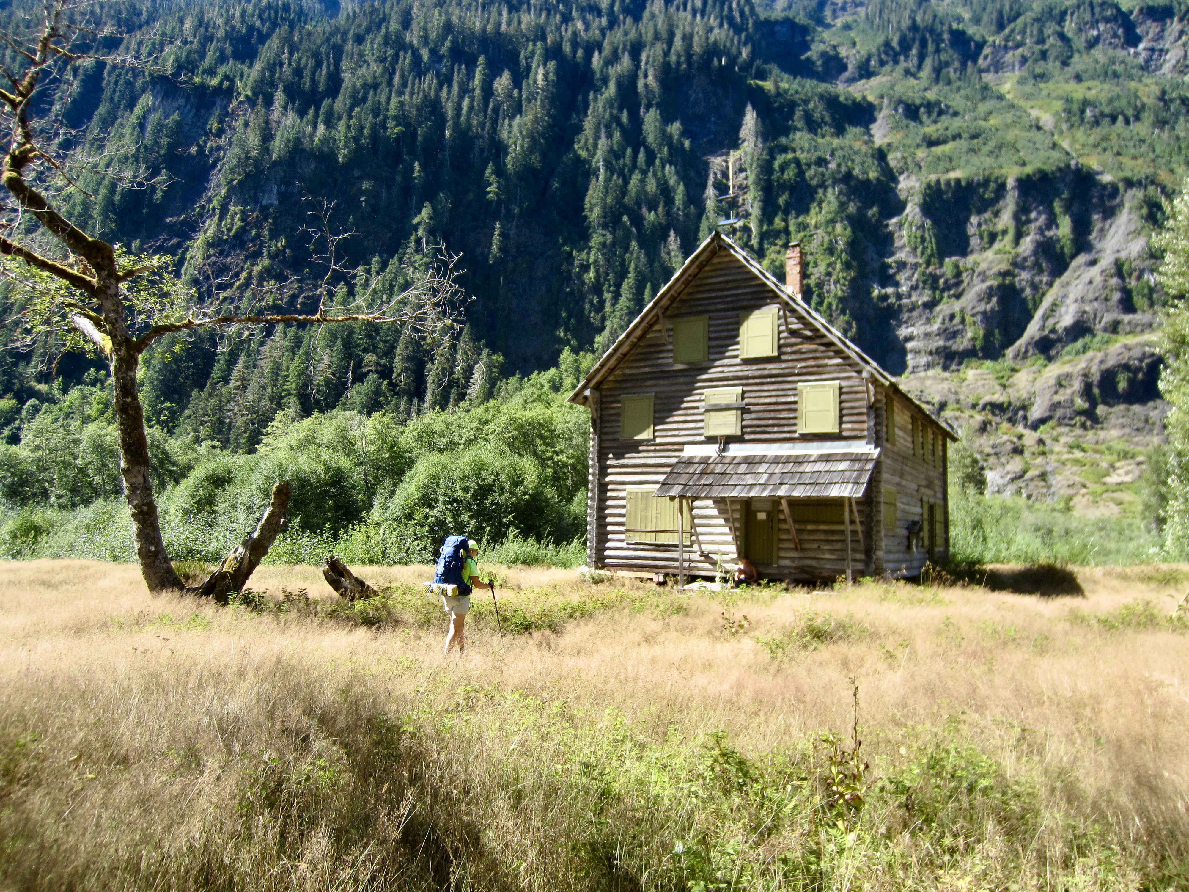
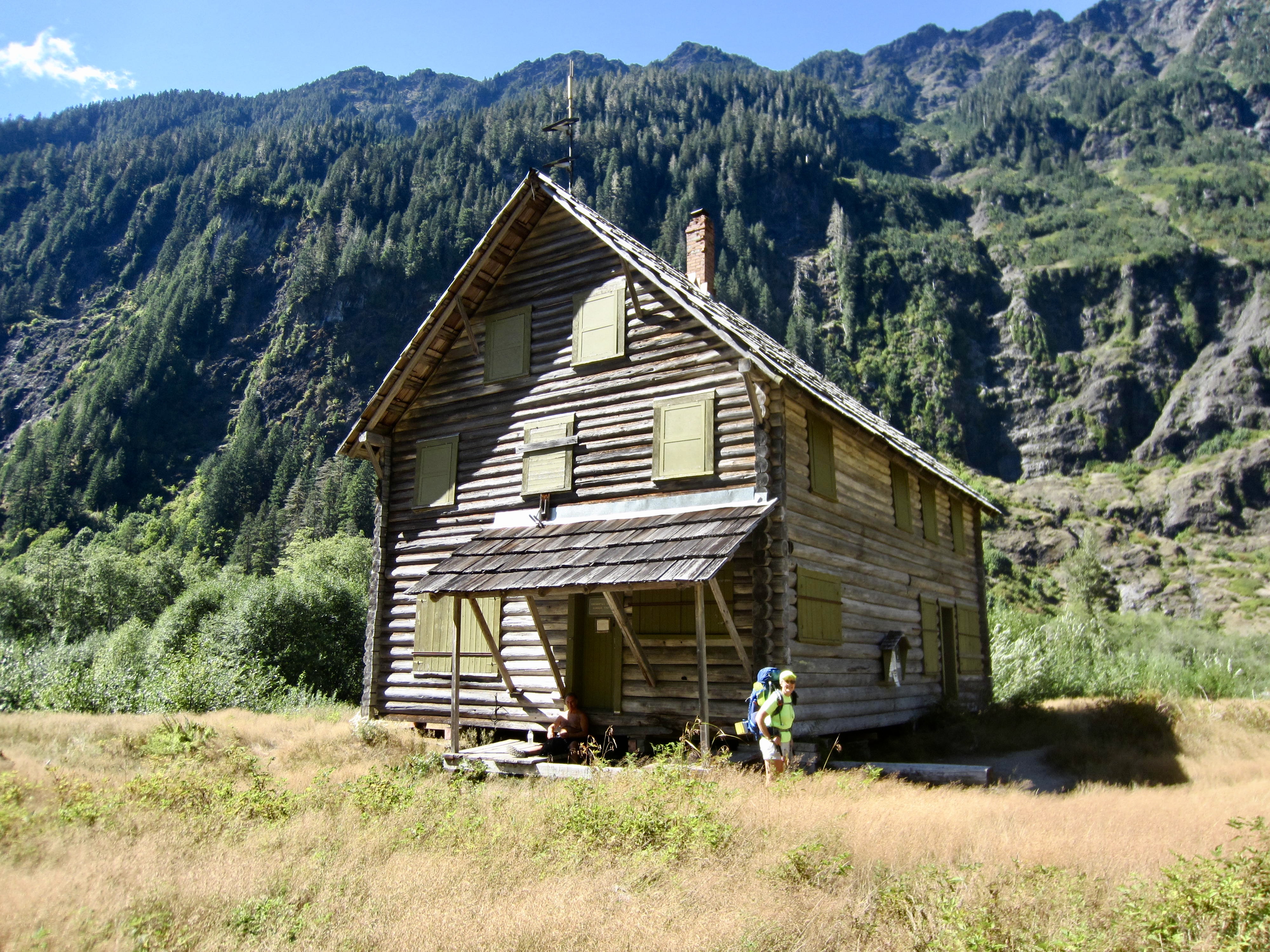
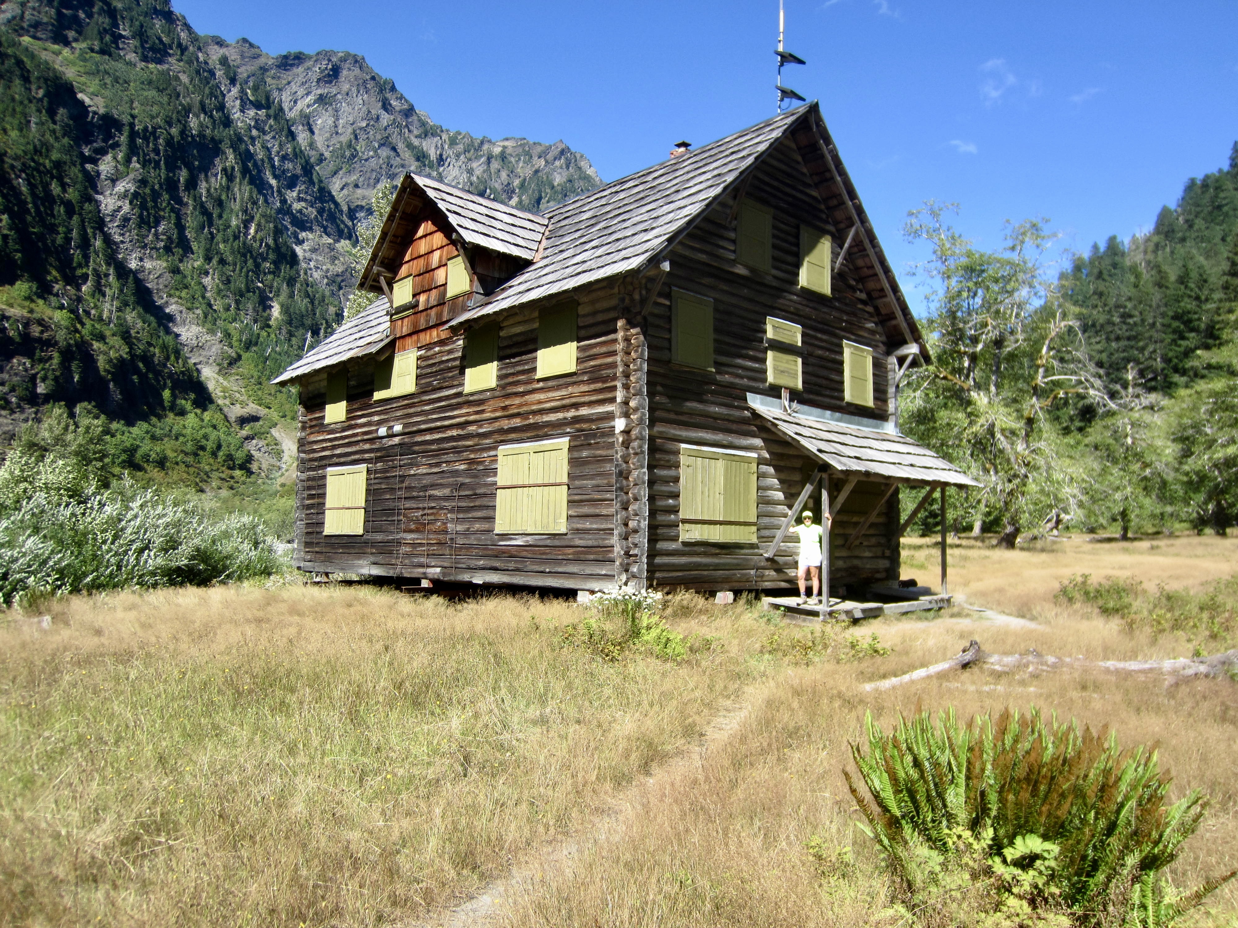
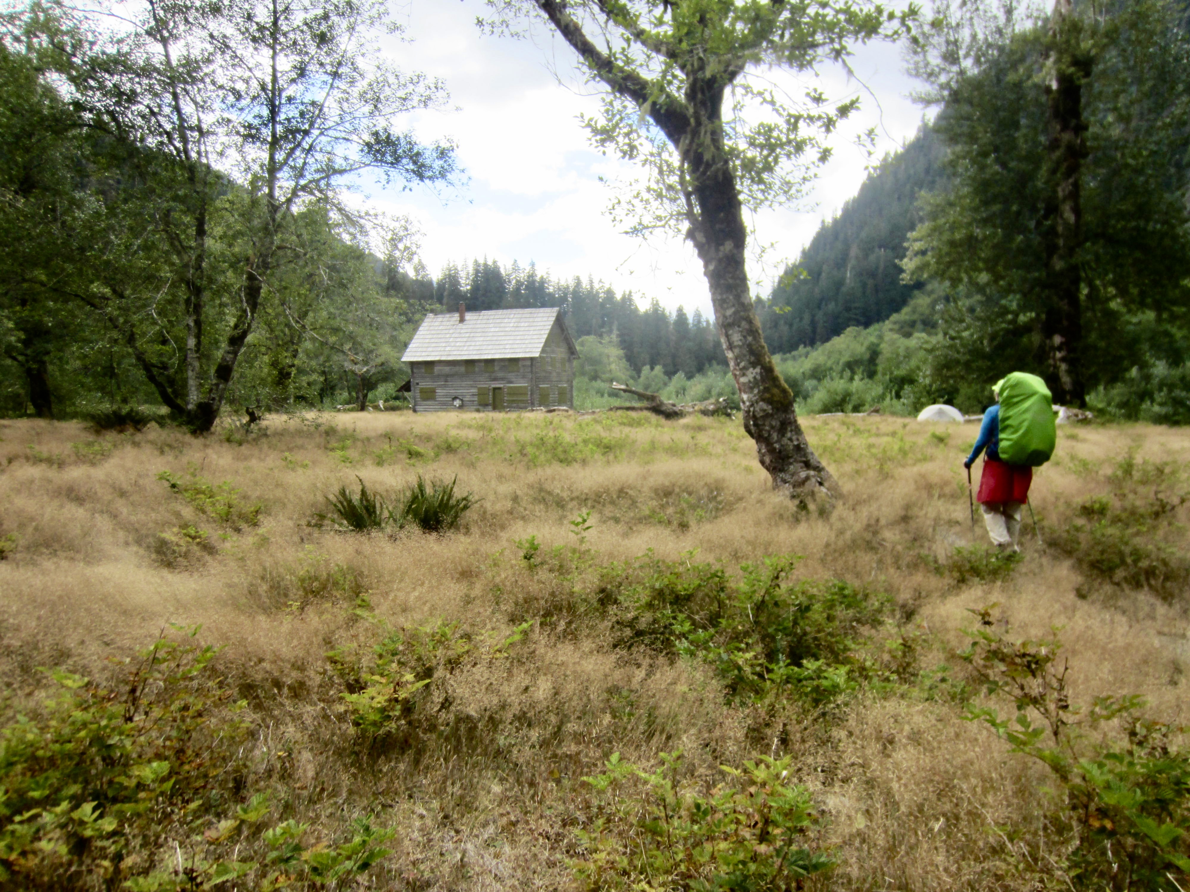
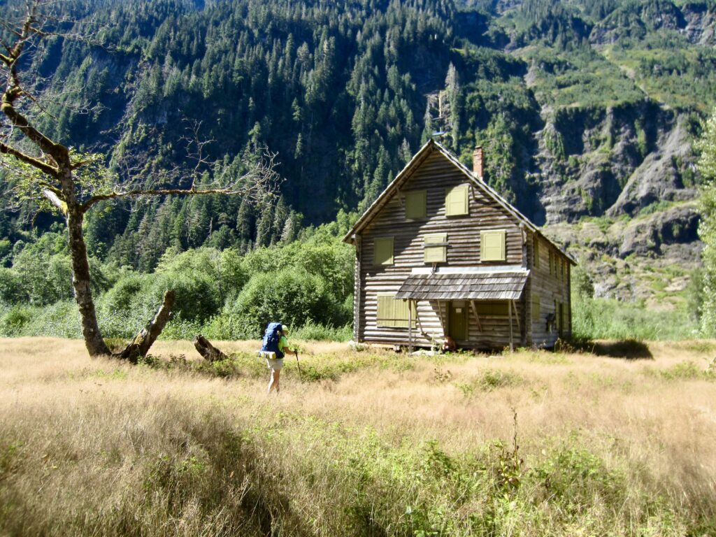
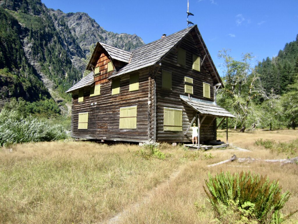
In early afternoon, we reached the venerable Enchanted Valley Chalet (5.4 hours + 6.9 miles + 1350 feet from Camp 1). This two-story building was completed in 1931 and variously used as a lodge, emergency shelter, and ranger station for many decades, but it is currently boarded up. When riverbank erosion threatened the chalet several years ago, it was lifted off the foundation and moved a short distance away from the river. The temporary support beams and foundation blocks used for this move are still in place.
.
.
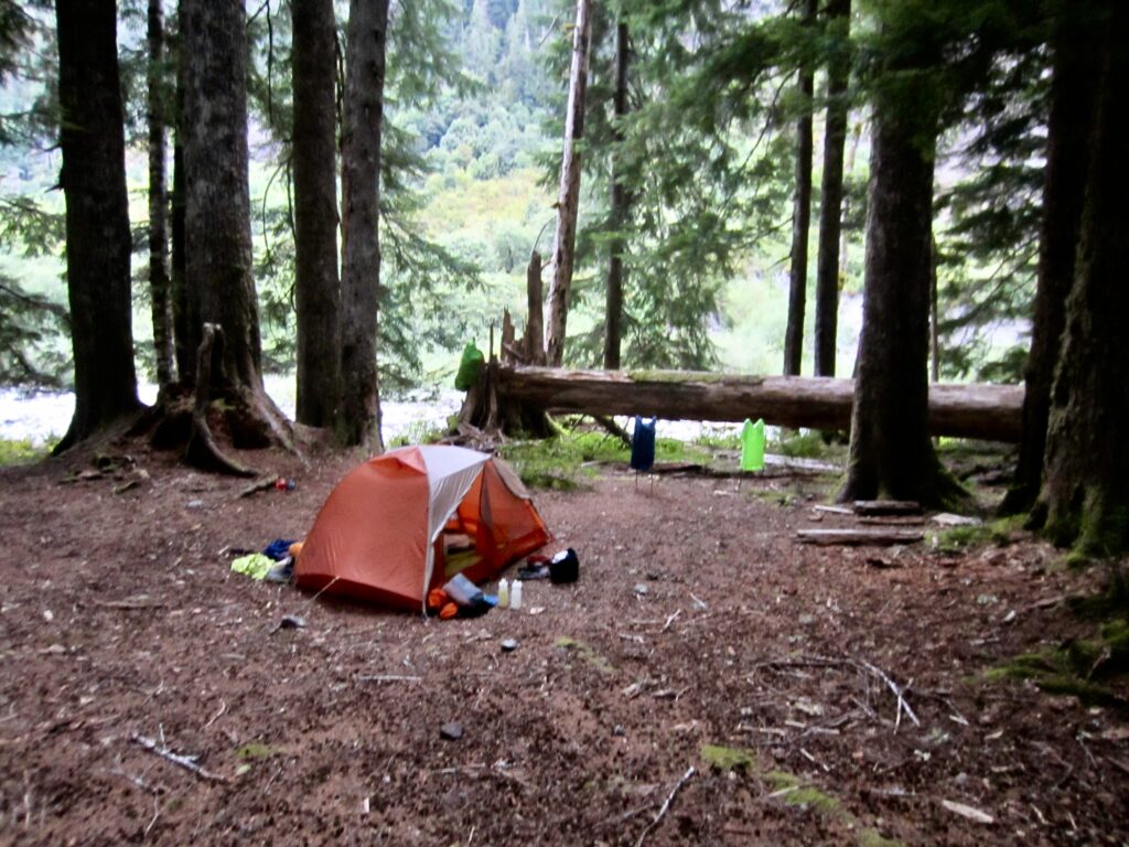
After exploring Enchanted Valley for a bit, we continued hiking up-valley until arriving at 14-Mile Camp in mid afternoon (6.4 hours + 8.2 miles + 1600 feet – 550 feet from Camp 1). This informal but comfortable campsite sits near the Quinault River and accommodates several tents. Although Eileen and I would have preferred to spend the remainder of our afternoon getting farther up-valley, the camping situation beyond was uncertain, so we stopped here. Interestingly, the adjacent river flowed underground throughout the morning and afternoon but suddenly made an appearance at 5:00pm!
.
Day 3: 14-Mile Camp to Marmot Lake
Approximate Daily Stats: 9.4 hours + 10.0 miles + 3400 feet – 1150 feet
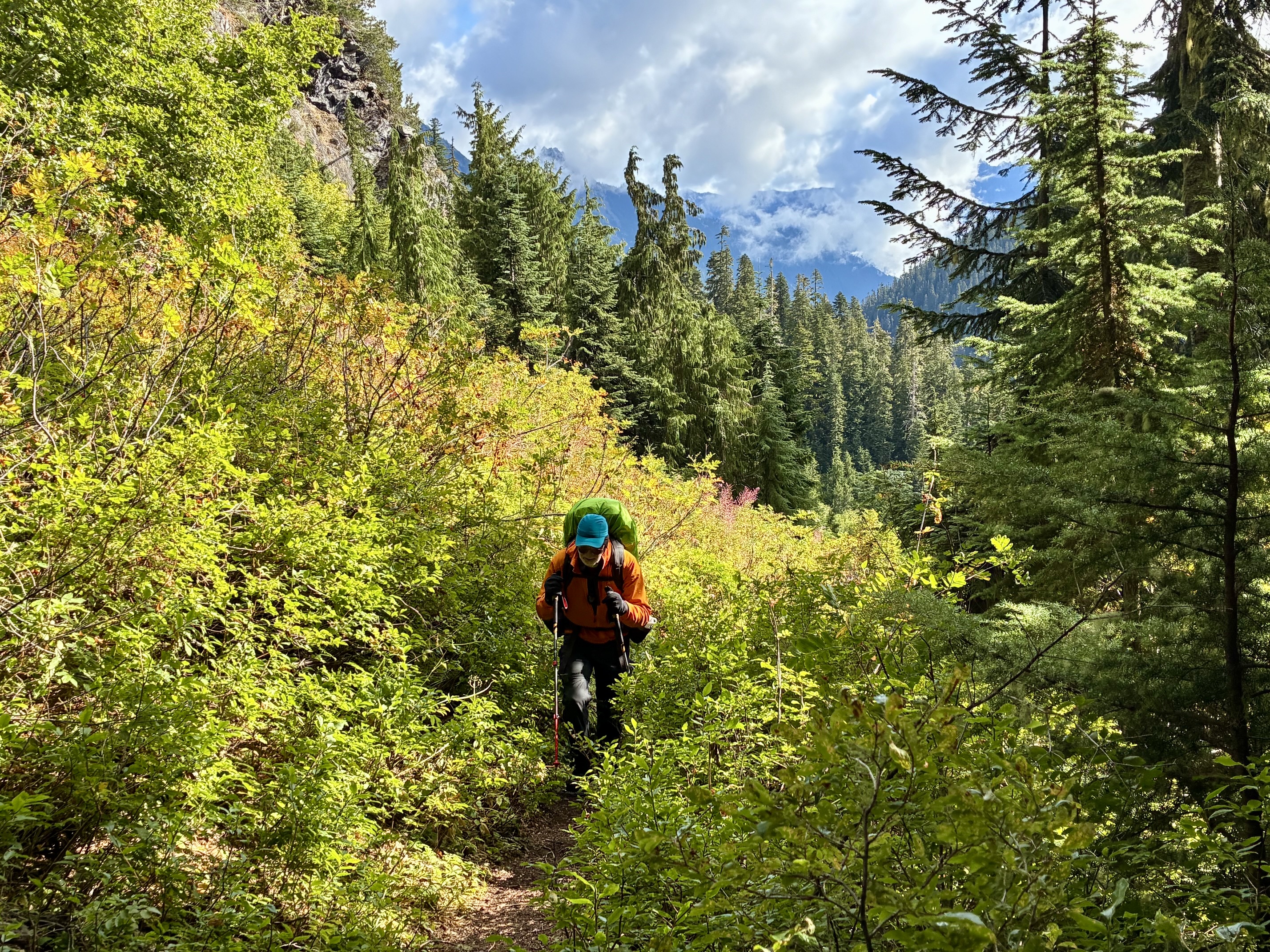
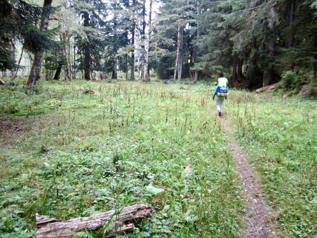
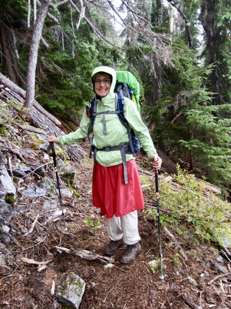
Forecasted rainfall began shortly after Eileen and I left camp at 8:30am, so we donned raingear and kept hiking up the Quinault River Trail. The portion of this trail upstream of Enchanted Valley has received little maintenance lately and is now quite brushy, resulting in a “carwash” situation during wet weather.
.
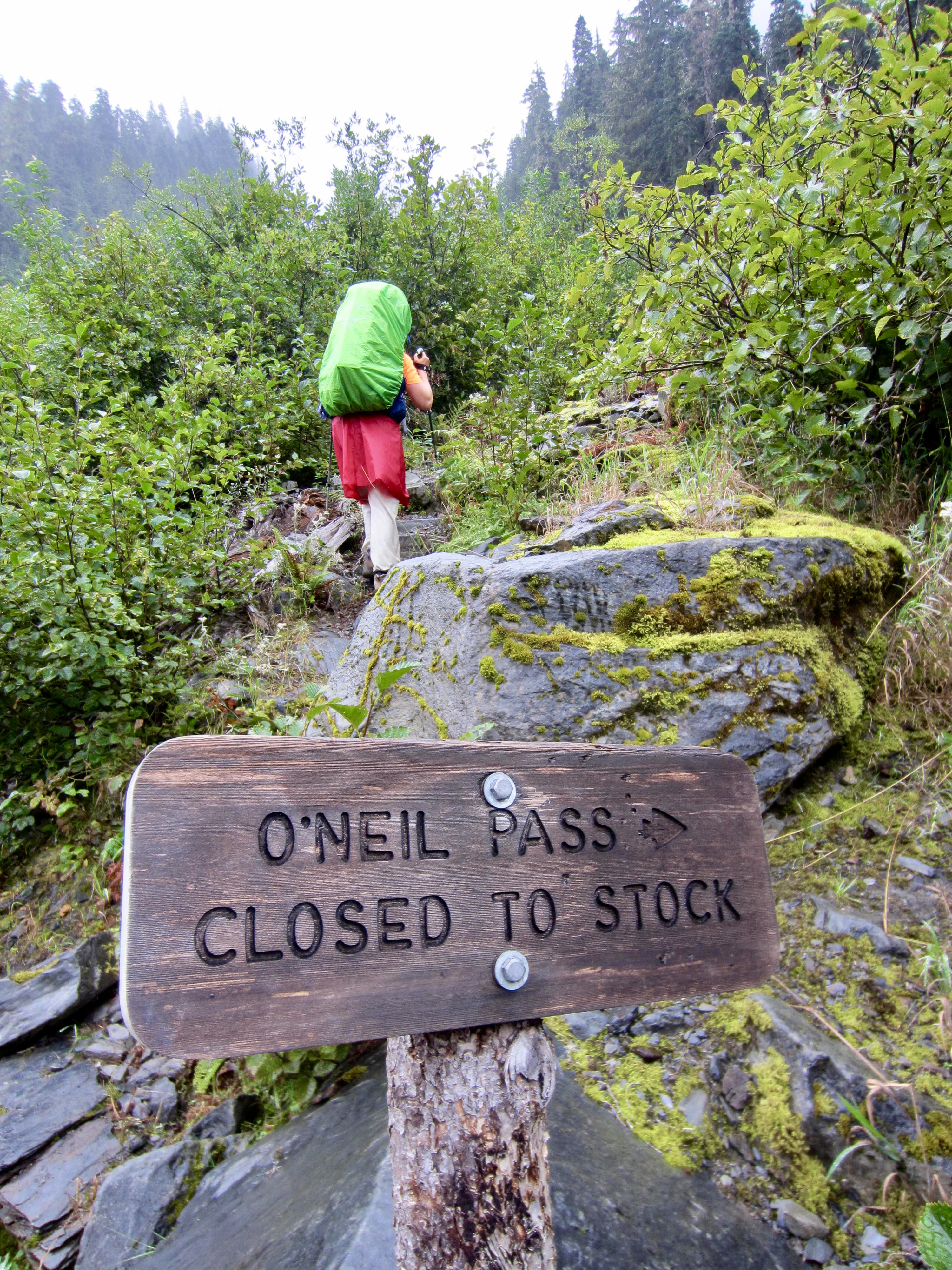
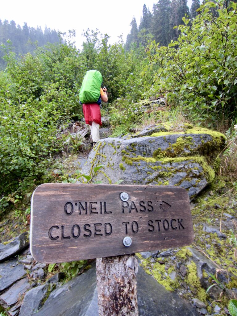
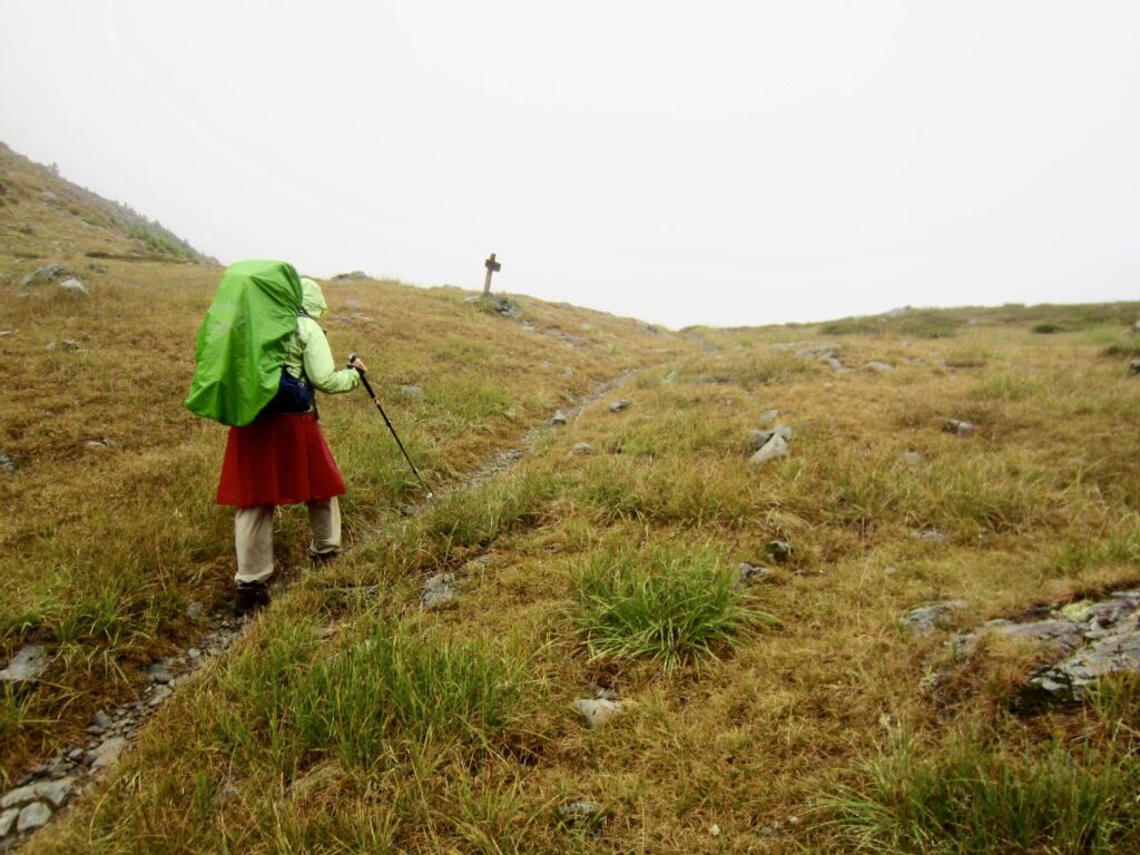
Within 2 hours, we reached a junction with the O’Neil Pass Trail. This junction marked the end of our valley approach and the beginning of our core loop; as such, it represented our loop junction. We turned right here and settled into a long, wet hike up to O’Neil Pass.
.
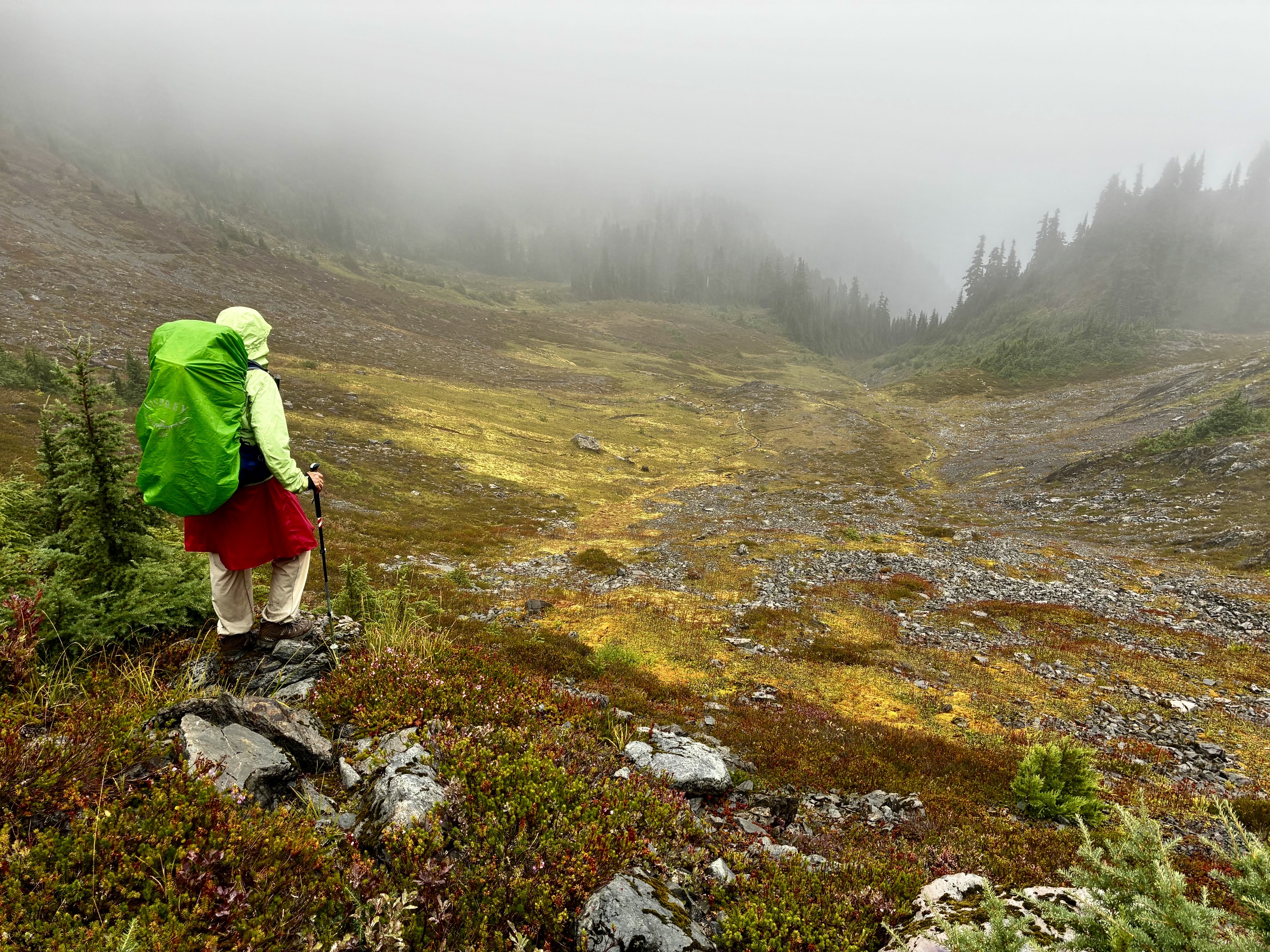
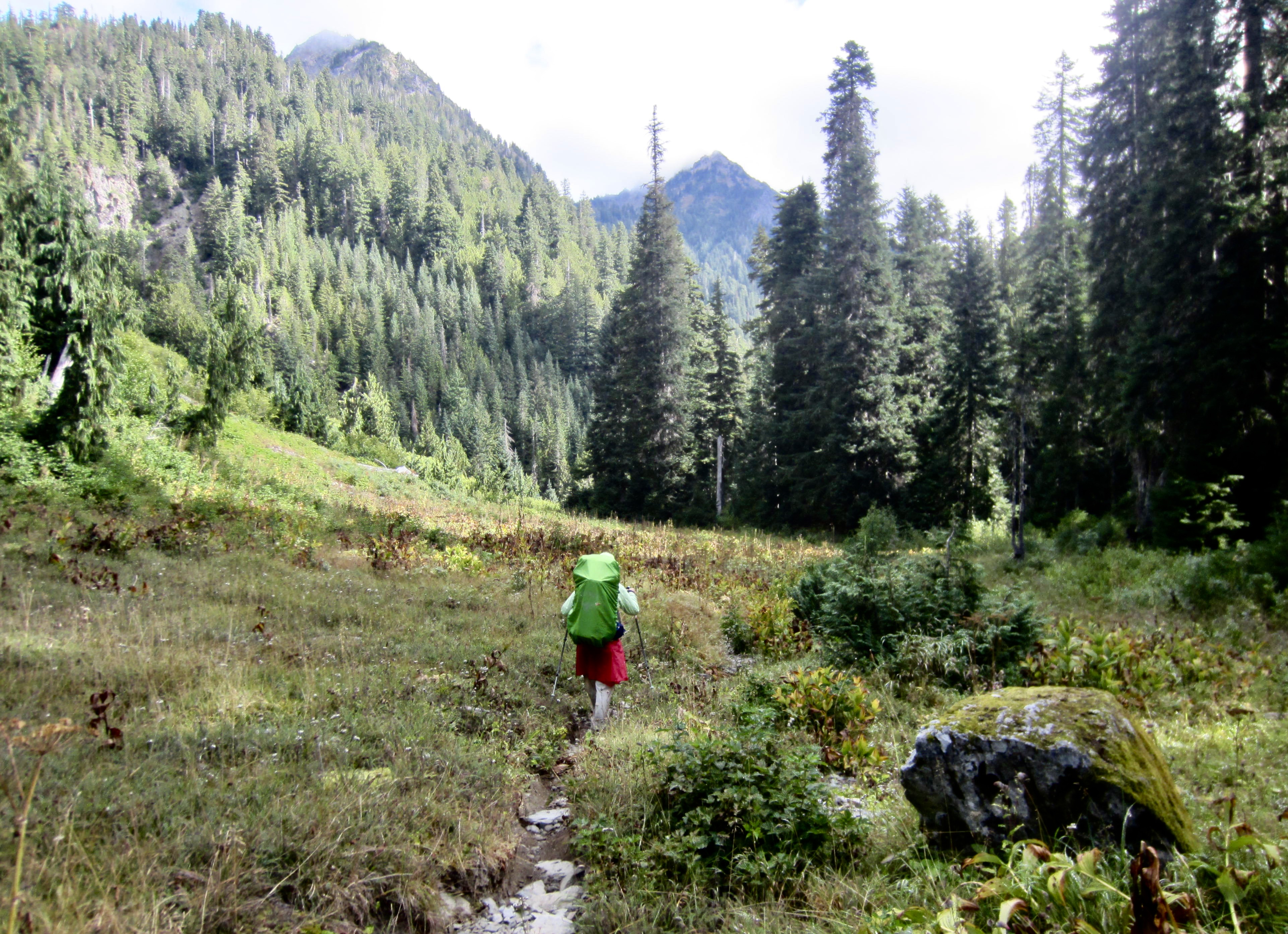
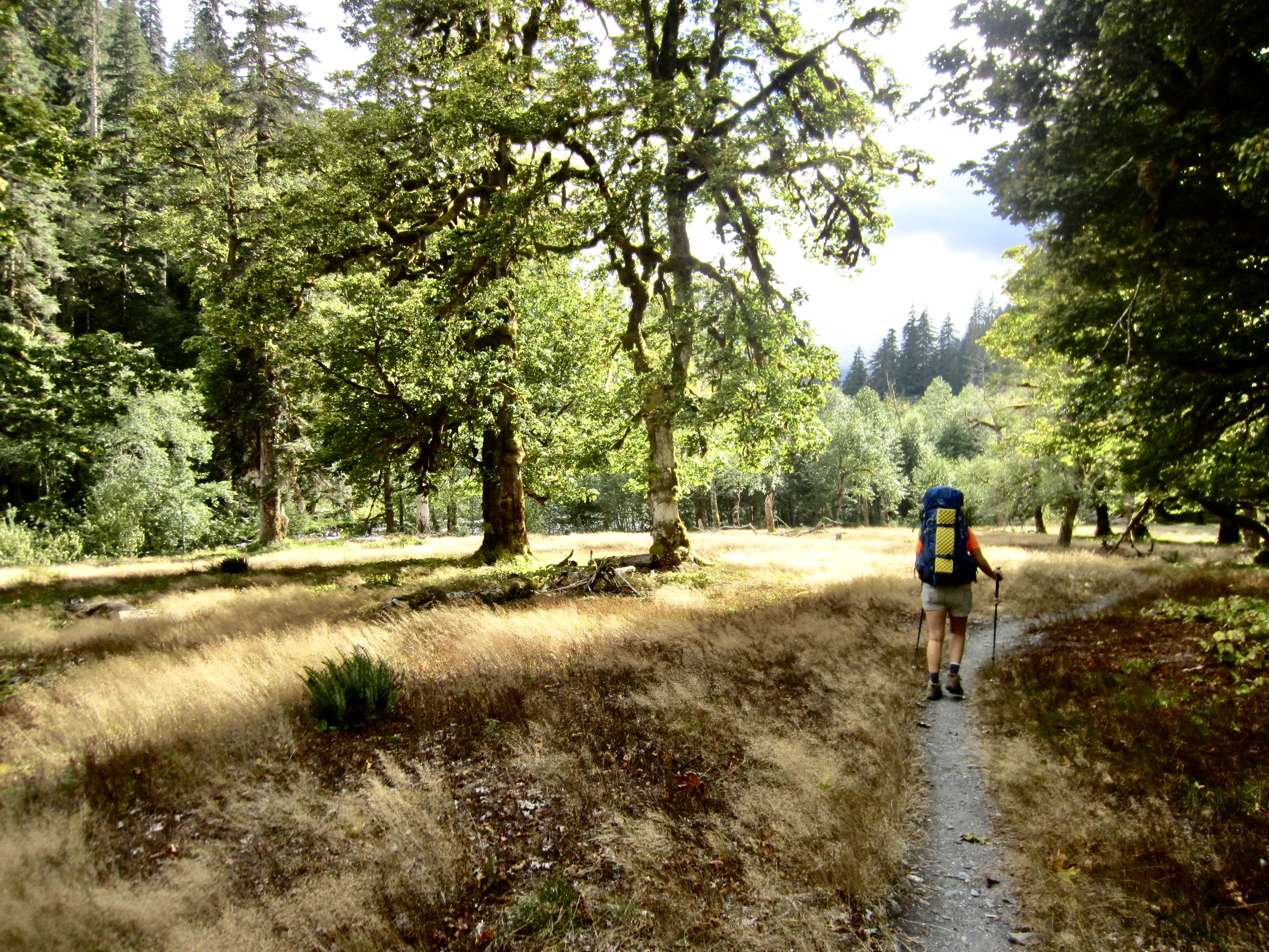
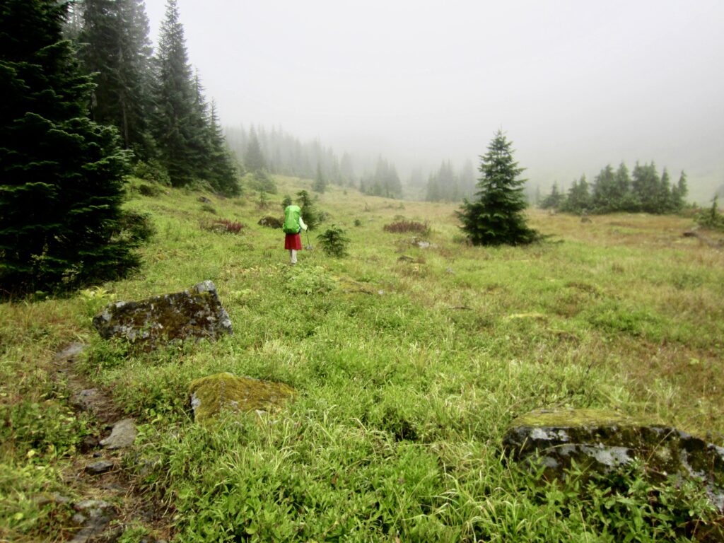
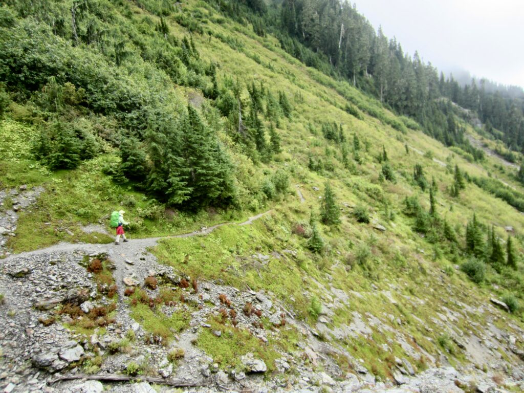
Despite getting drenched by wet vegetation on the brushy trail, we were able to enjoy the grassy meadows and open hillslopes along the way. There was even serious talk of a future return trek in better weather.
.
.
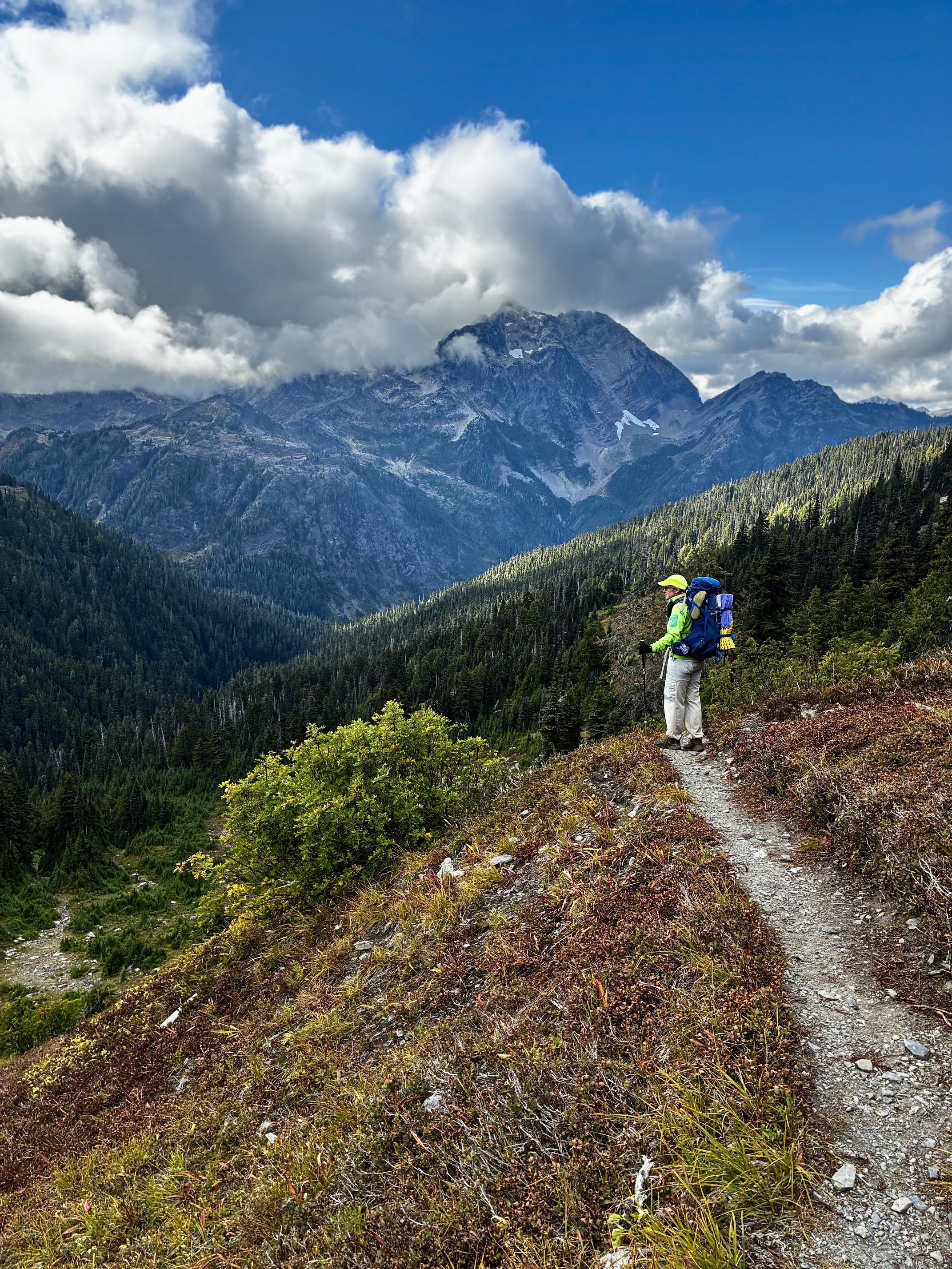
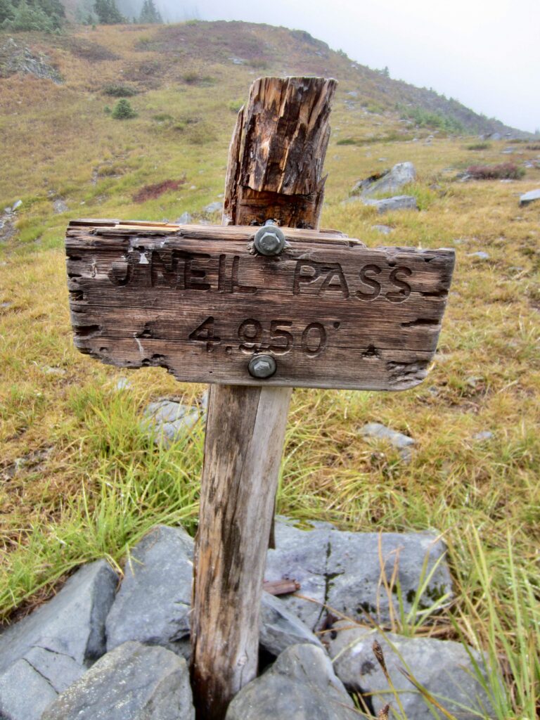
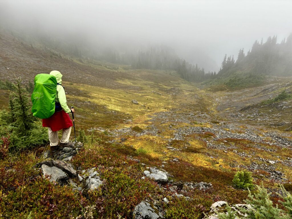
In late afternoon, we crossed over 5000-foot O’Neil Pass, which marked today’s high point (8.4 hours + 3400 feet from Camp 2). This broad saddle is wonderfully open, with sweeping hillsides of grass and heather. Several bears could be seen grazing in the surrounding meadows several hundred yards away.
.
.
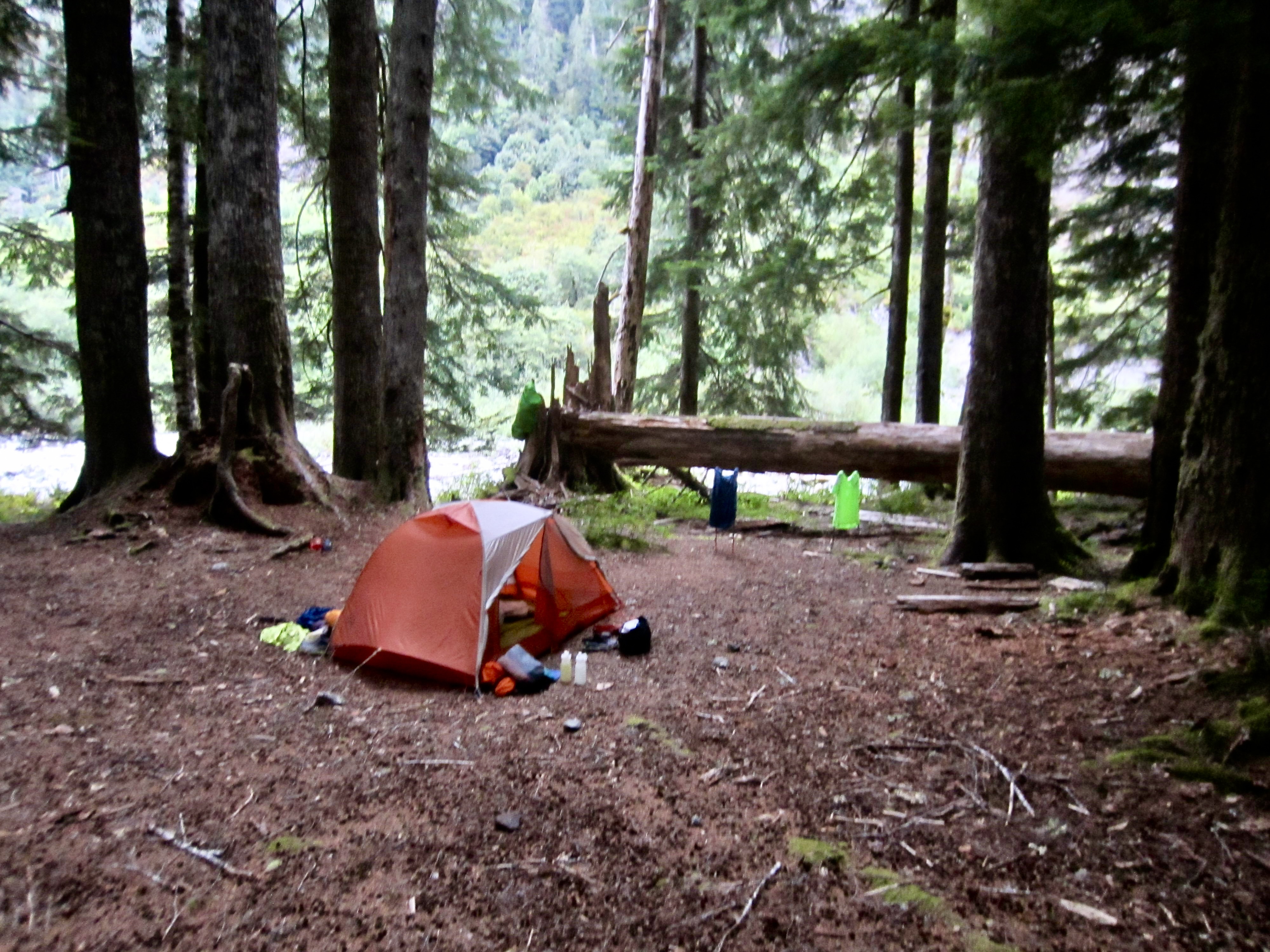
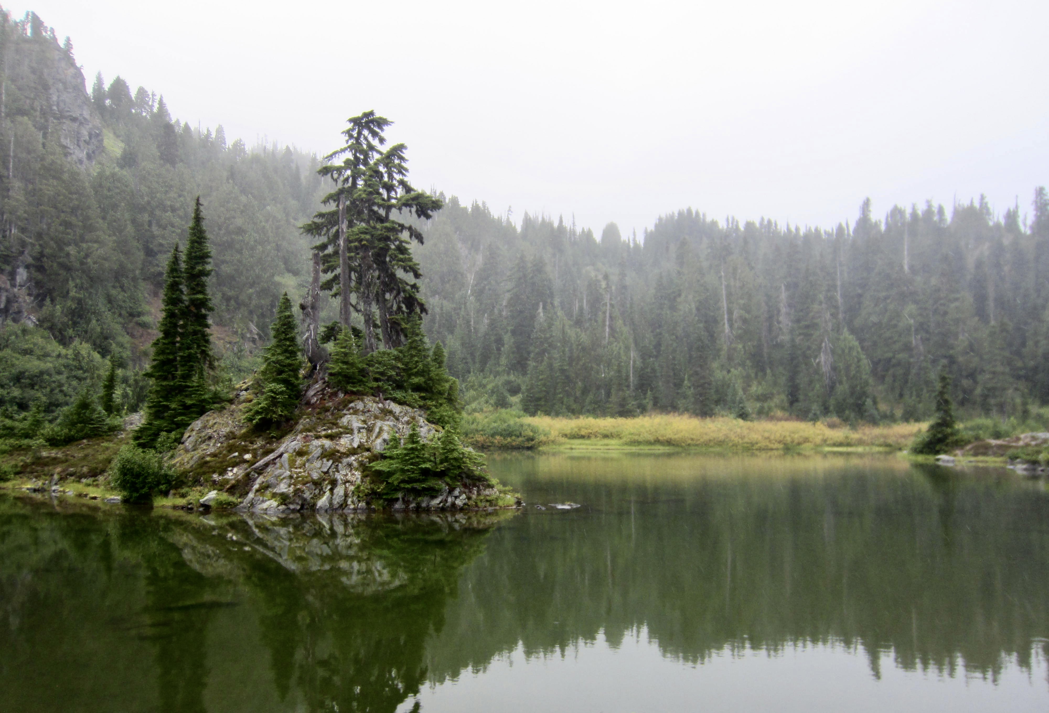
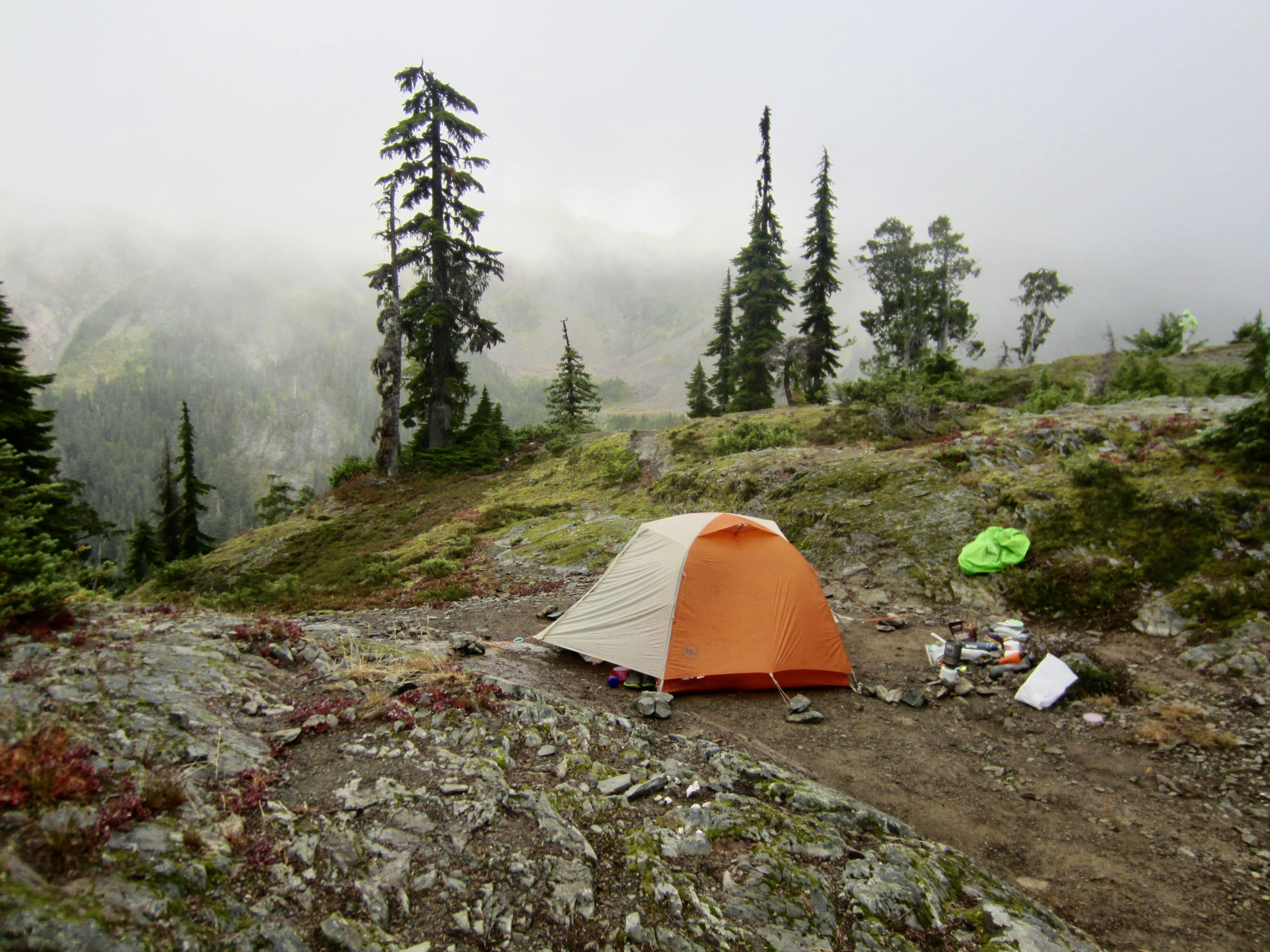
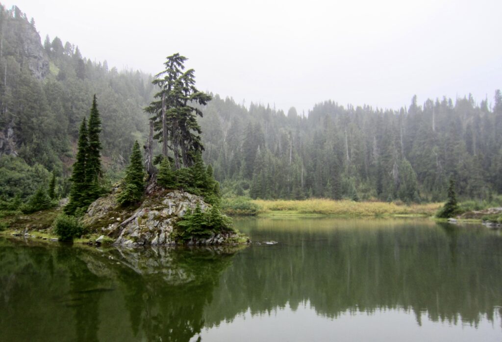
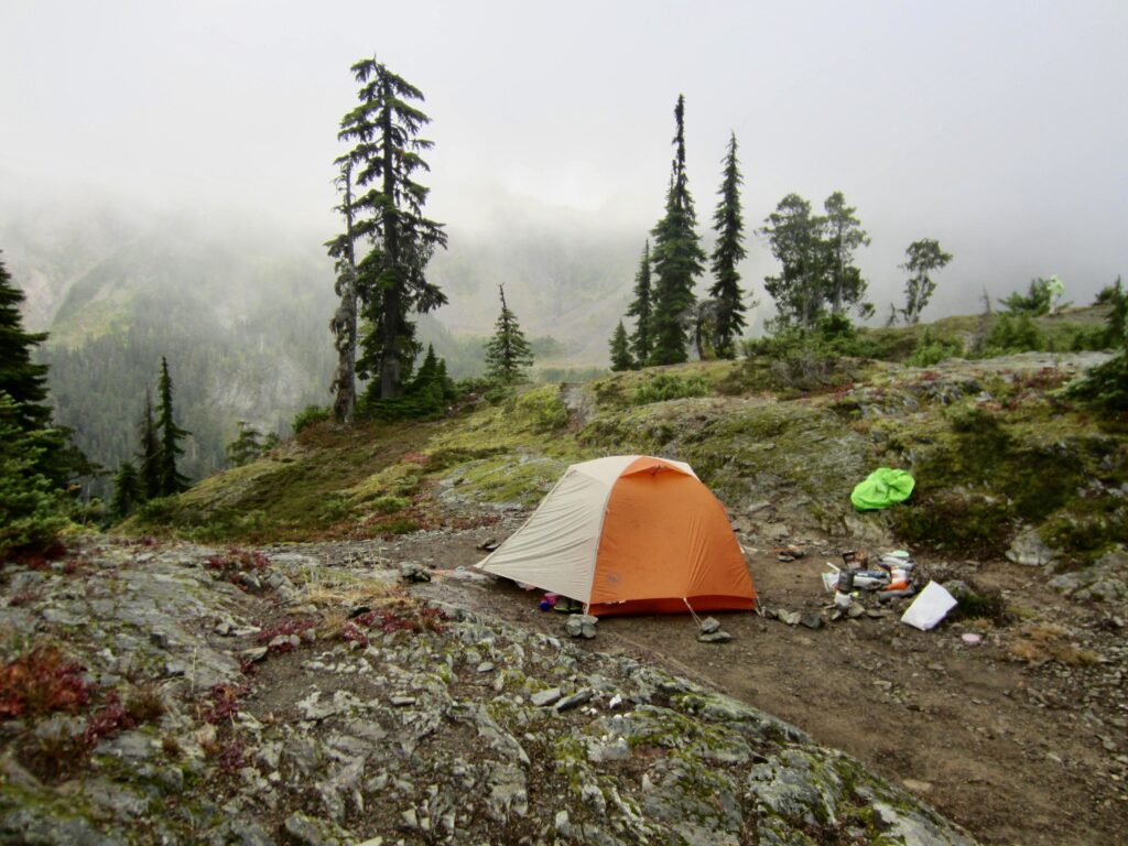
A short descent from O’Neil Pass brought us to cute little Marmot Lake shortly before 6:00pm (9.4 hours + 10.0 miles + 3400 feet – 1150 feet from Camp 2). Moments before arriving, we found ourselves face-to-face with a medium-size black bear who was standing on the trail less than 10 yards away! No problem, though; he slowly wandered up the hillside and went about his business. We subsequently pitched our tent on a rocky knob overlooking the fog-bound lake, just as the rain stopped.
.
.
Day 4: Marmot Lake to LaCrosse Pass Camp
Approximate Daily Stats: 9.4 hours + 10.1 miles + 3300 feet – 4000 feet
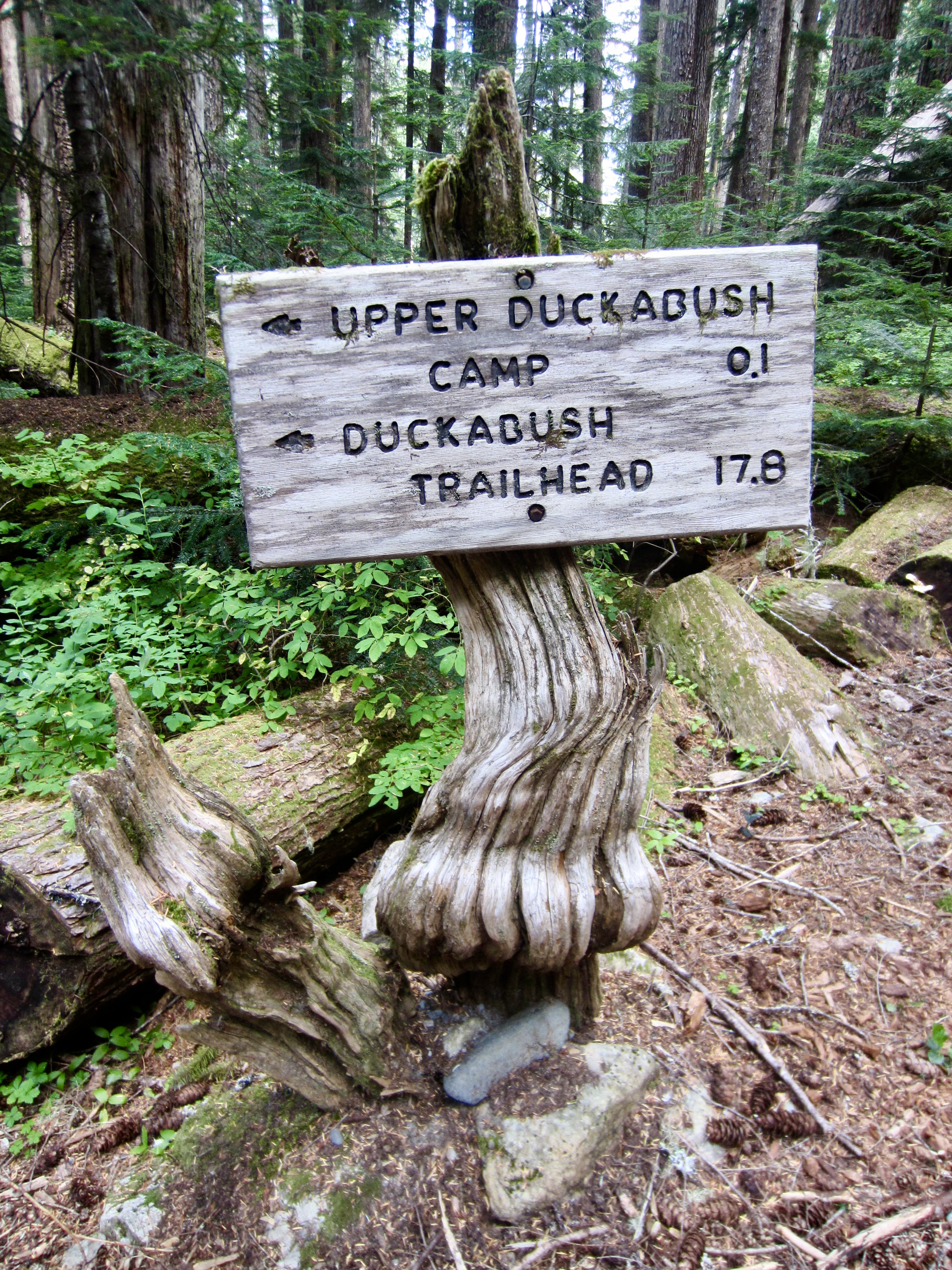
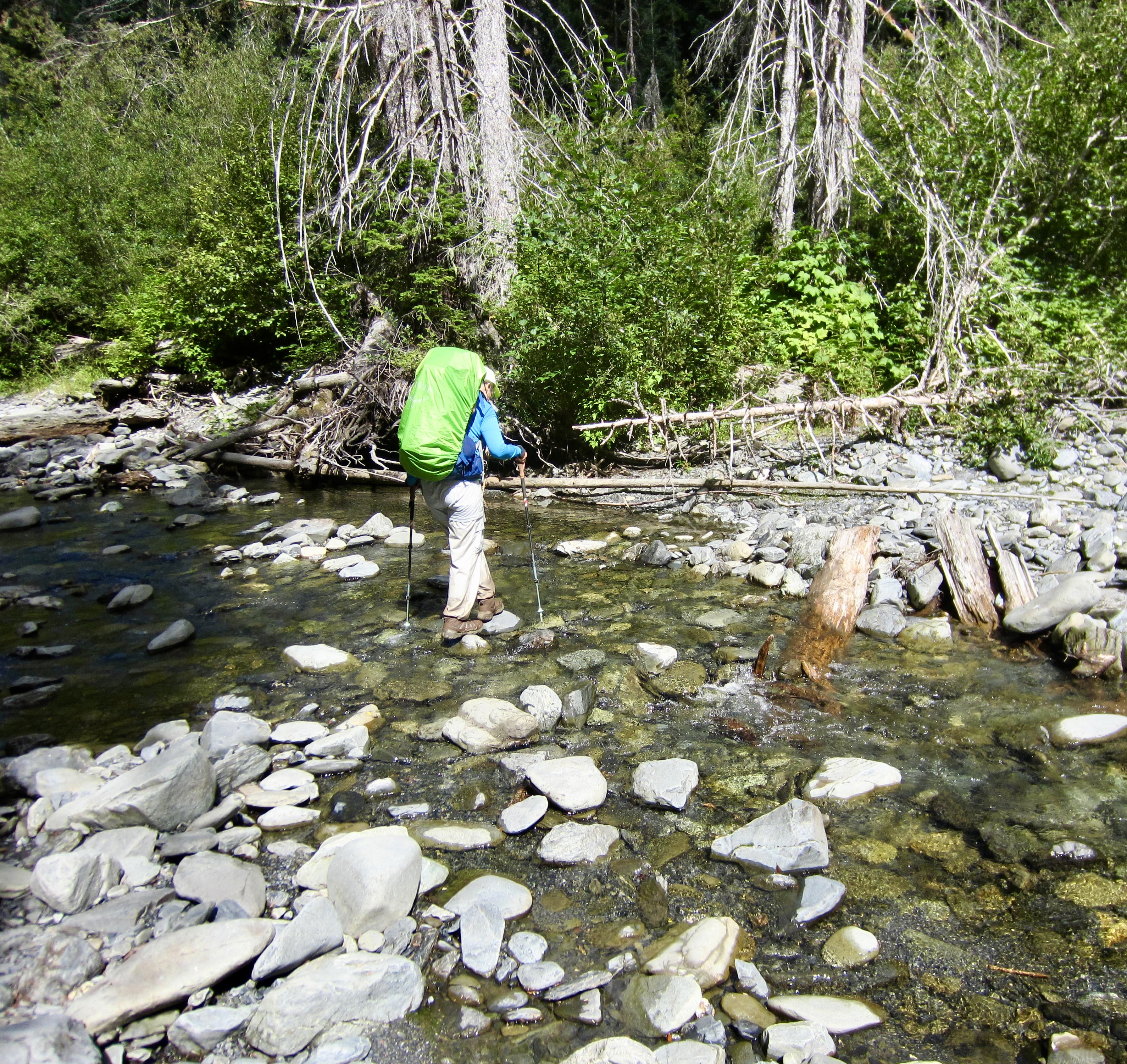
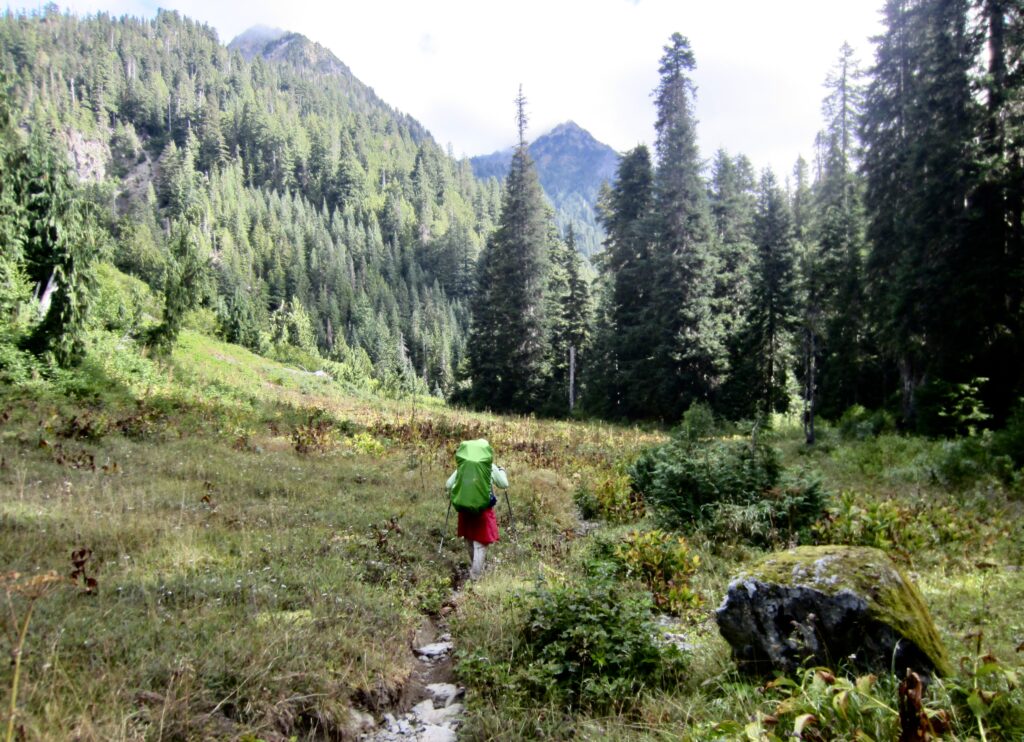
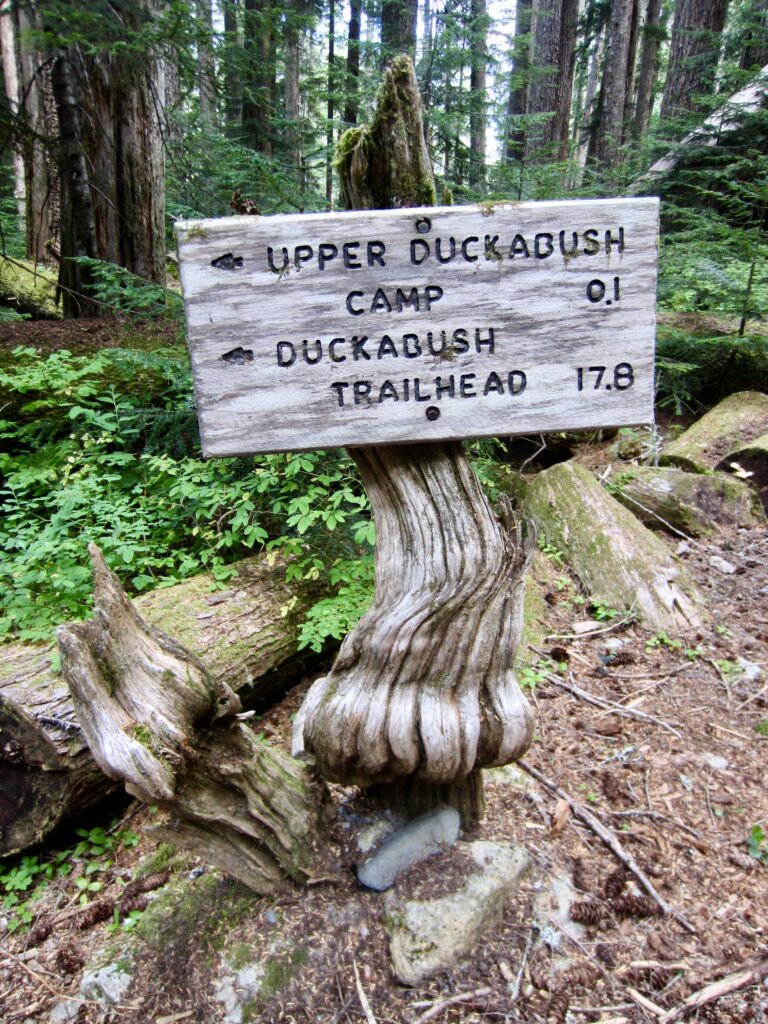
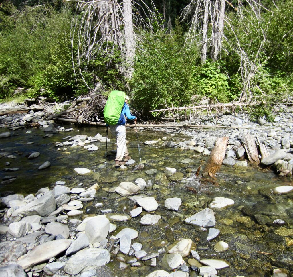
We awoke to low clouds and fog, but morning sun began poking through by the time we left camp. Steep switchbacks dropped us into the Duckabush River headwaters, then a long traverse took us down-valley to expansive Upper Duckabush Camp and an easy crossing of the nearby Duckabush River (3.1 hours + 250 feet – 2000 feet from Camp 3).
.
.
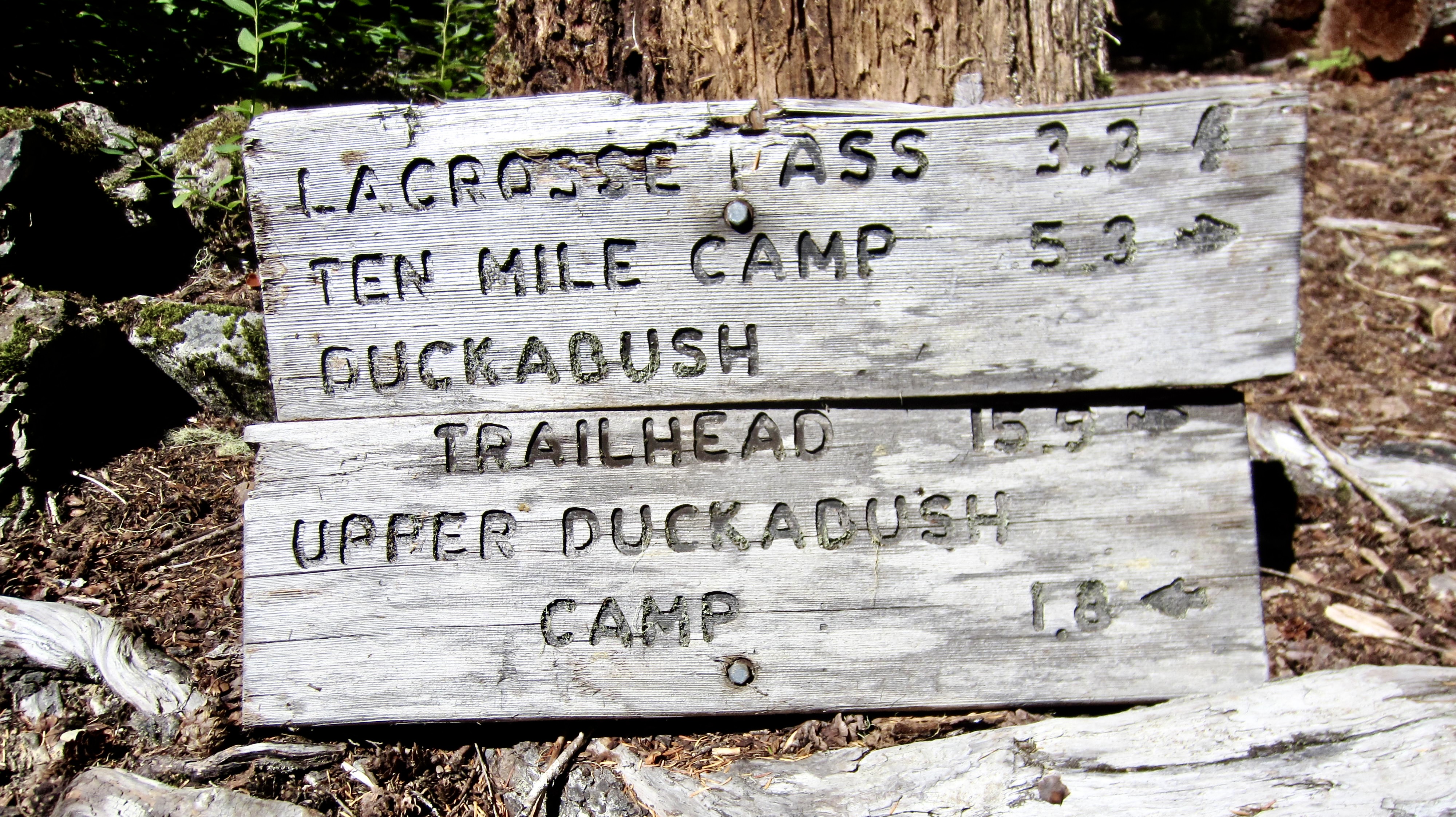
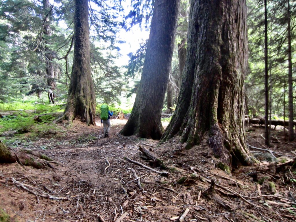
We strolled along the pleasant Duckabush River Trail, which parallels the babbling river and wanders between big evergreen trees. This area achieves a minimum elevation of 2600 feet, thereby representing the lowest point of the core loop. After 1½ miles, we came to a junction with the LaCrosse Pass Trail and turned left.
.
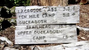
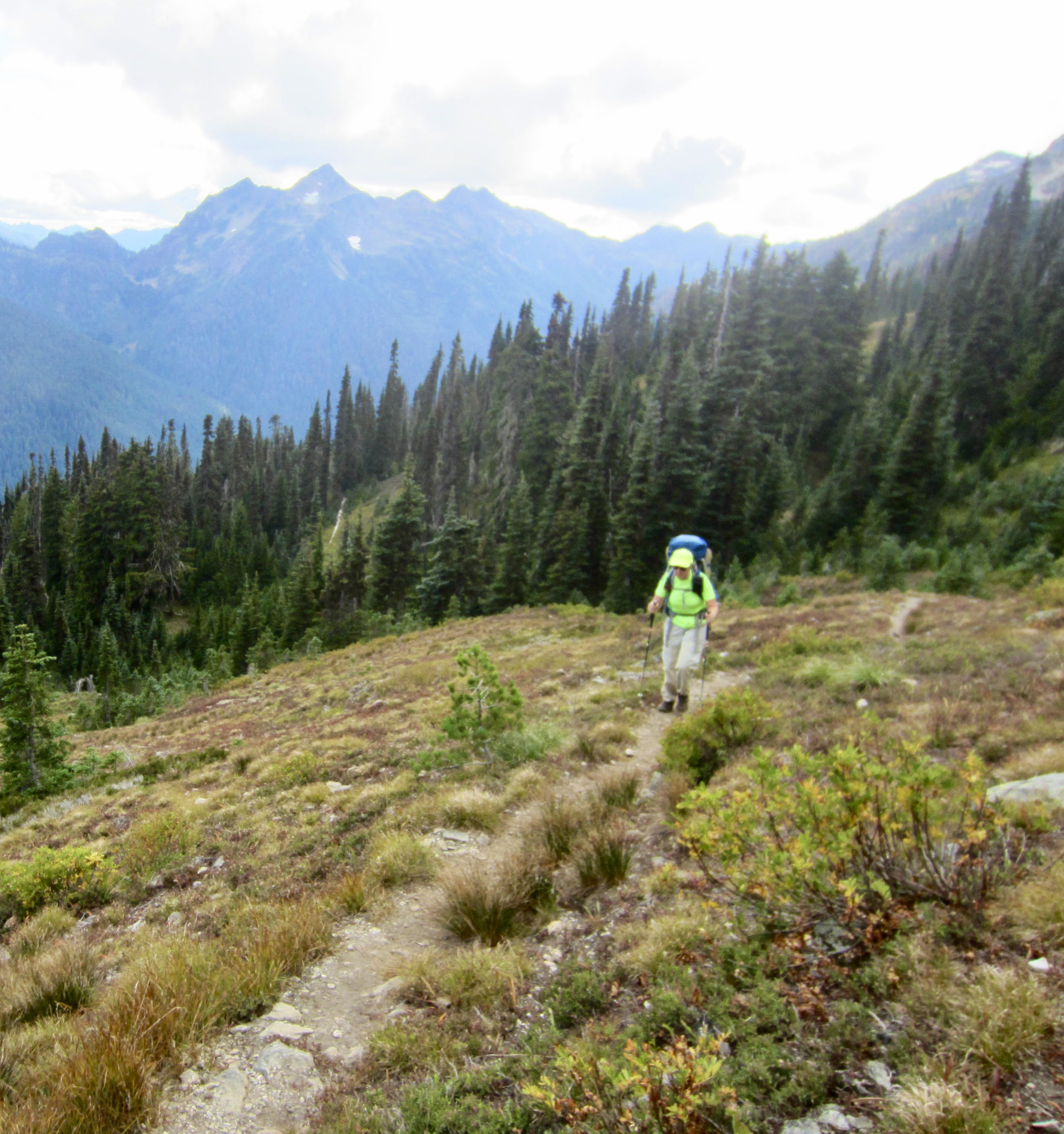
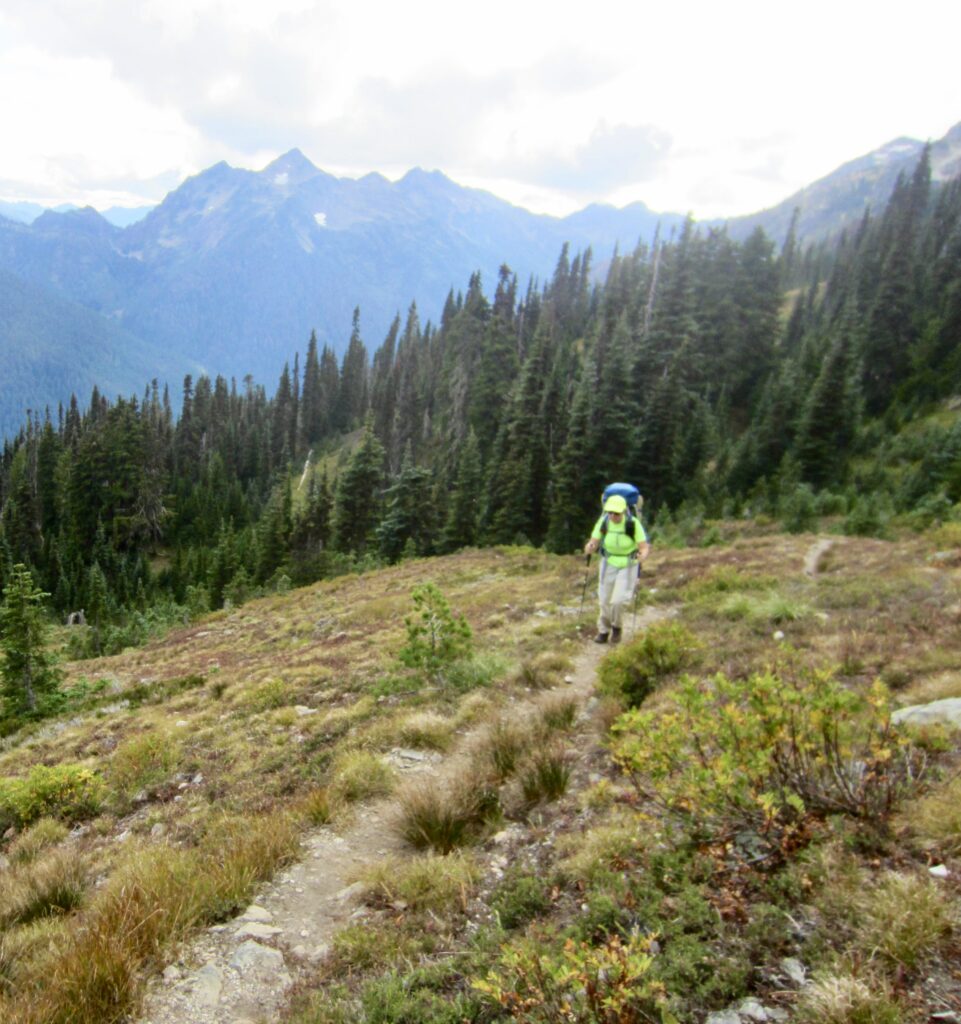
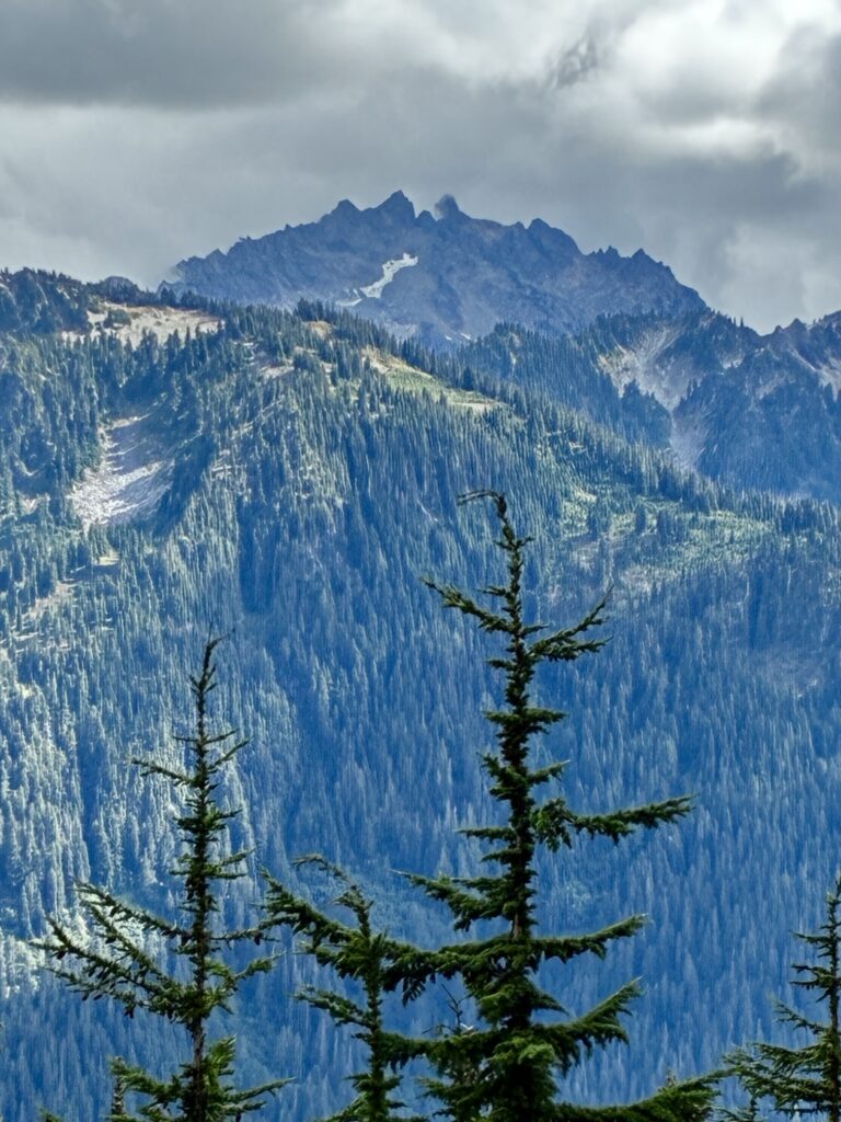
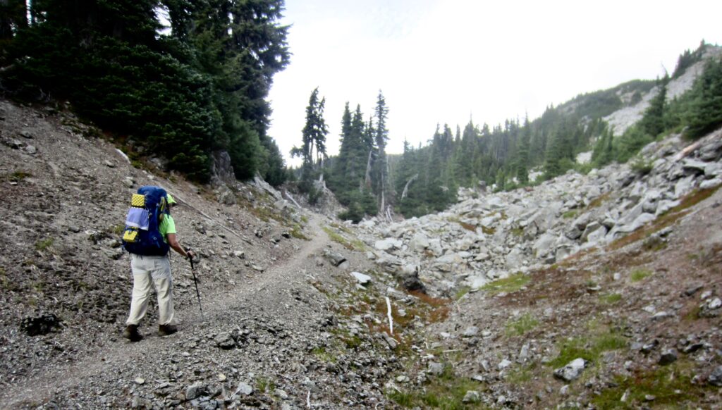
Numerous closely spaced switchbacks led us upward through dense forest for 2500 feet. Dozens of fallen trees and long stretches of overhanging brush indicated that this trail has received no maintenance in many years. Eventually, the forest opened onto meadowy slopes that offered views of Mt. Stone, Mt. Duckabush, and other peaks to the south.
.
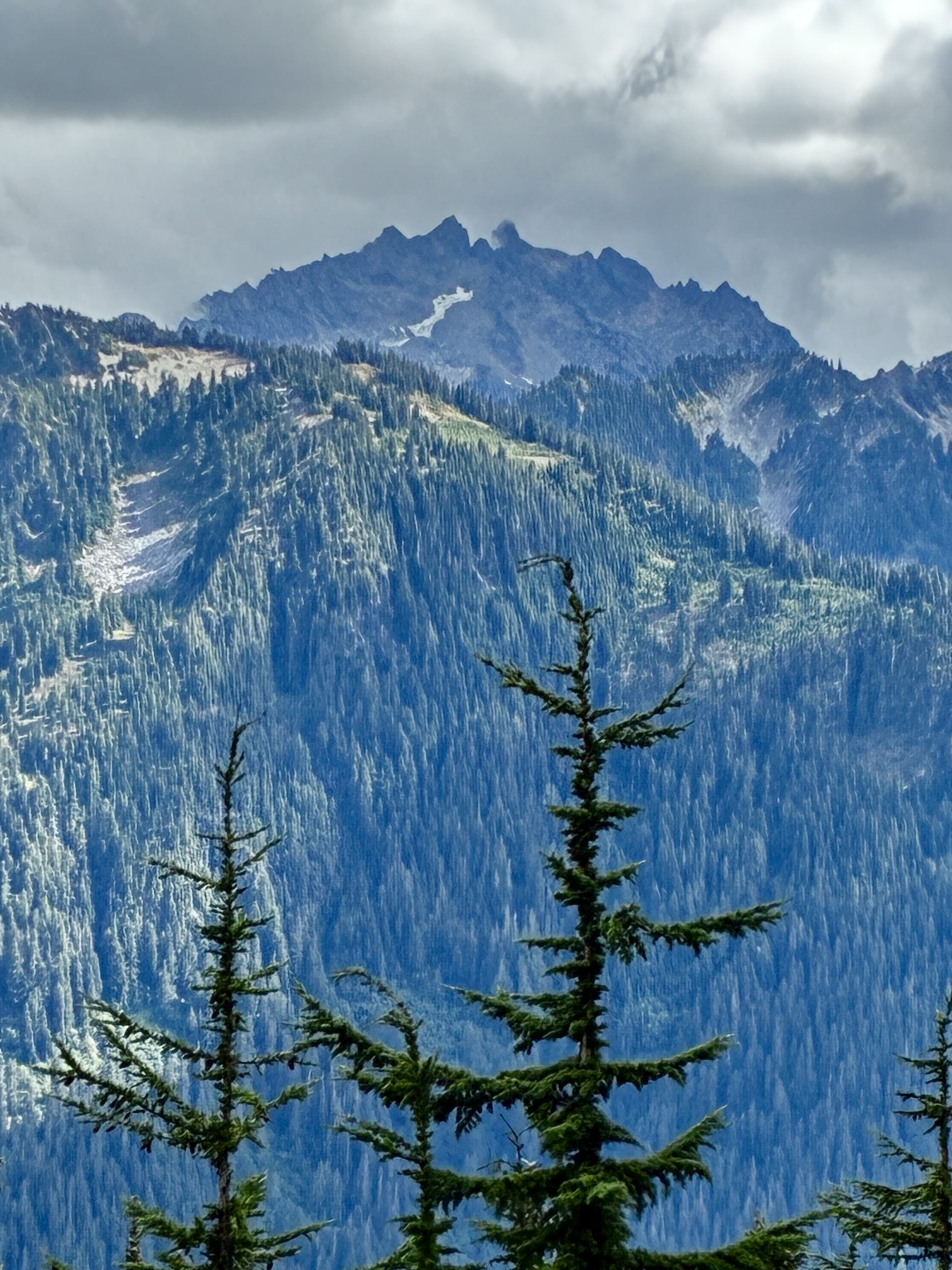
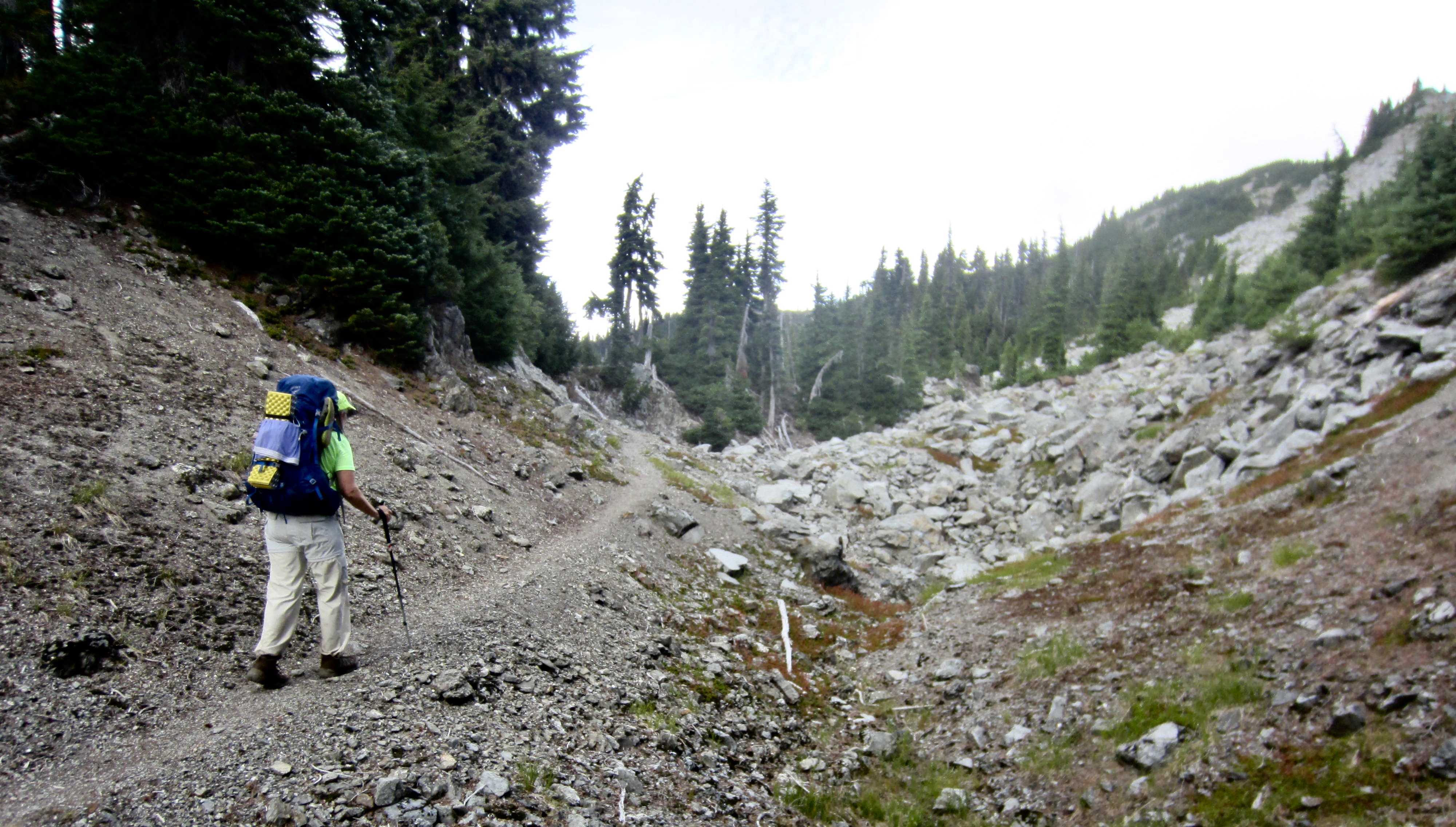
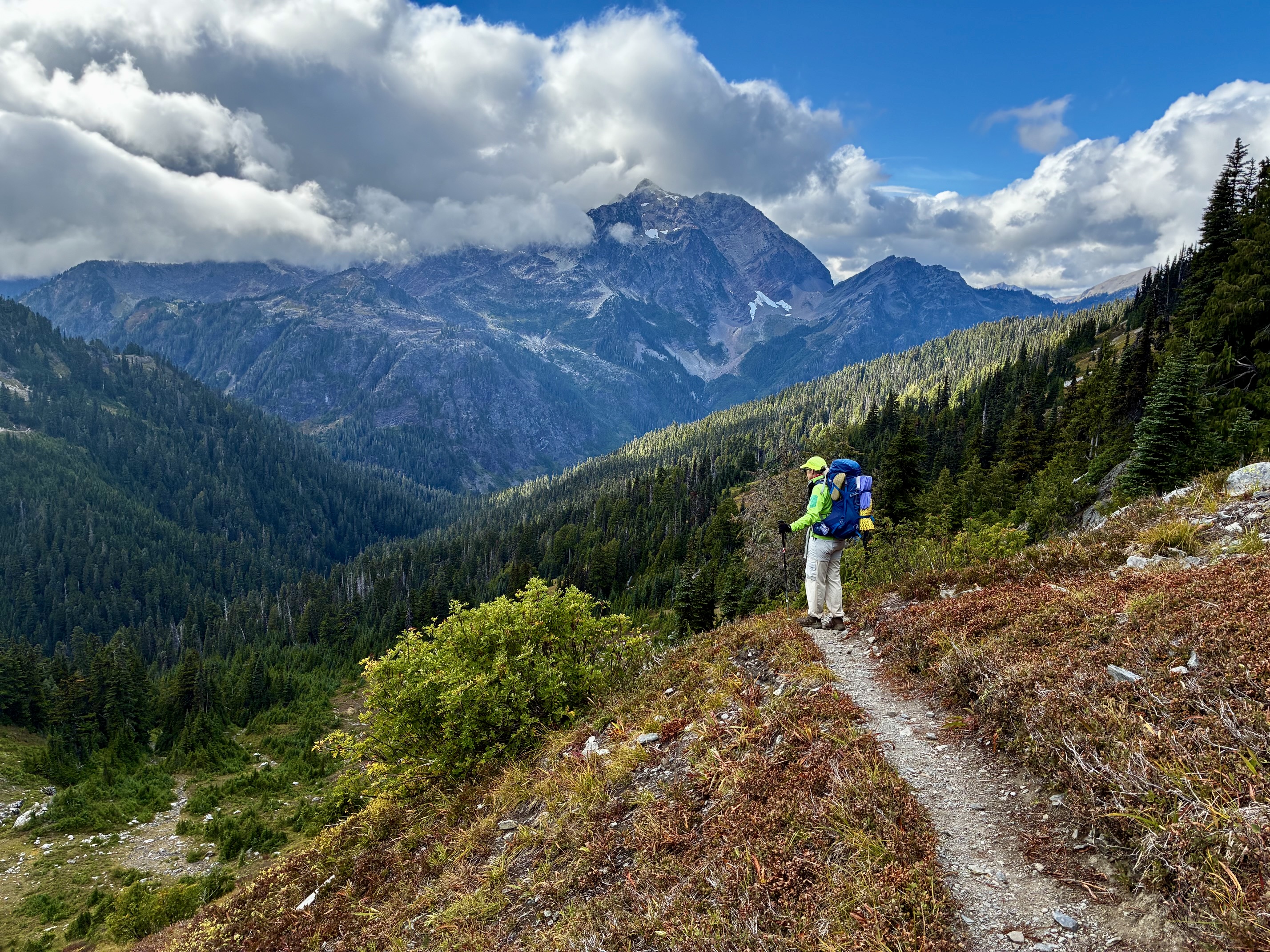
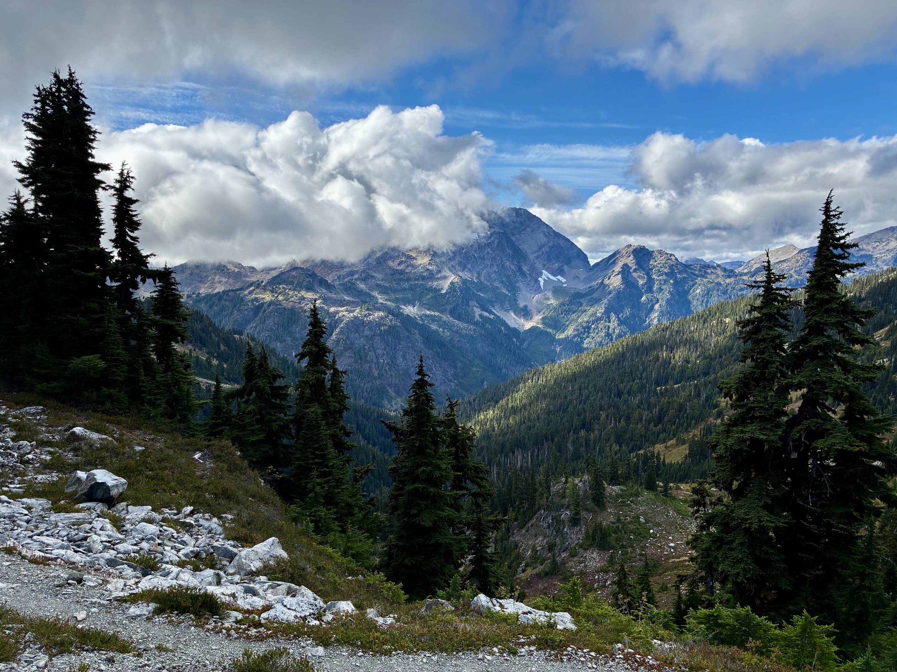
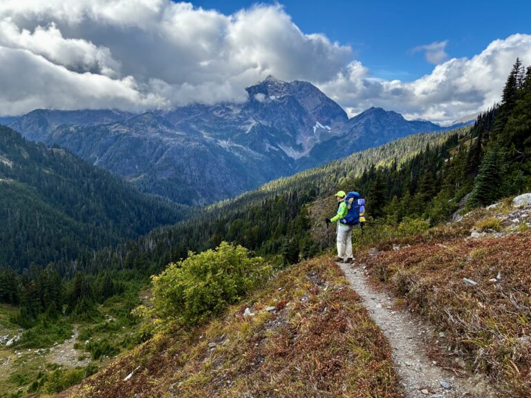
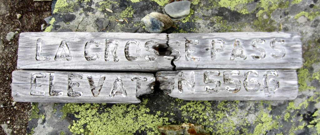
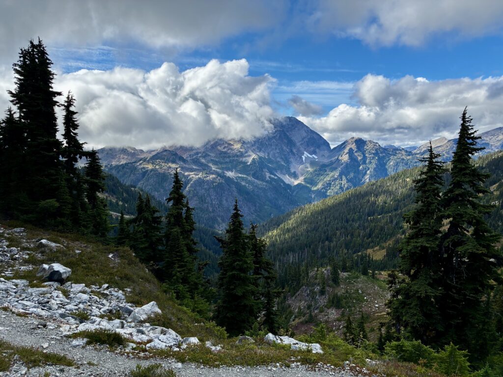
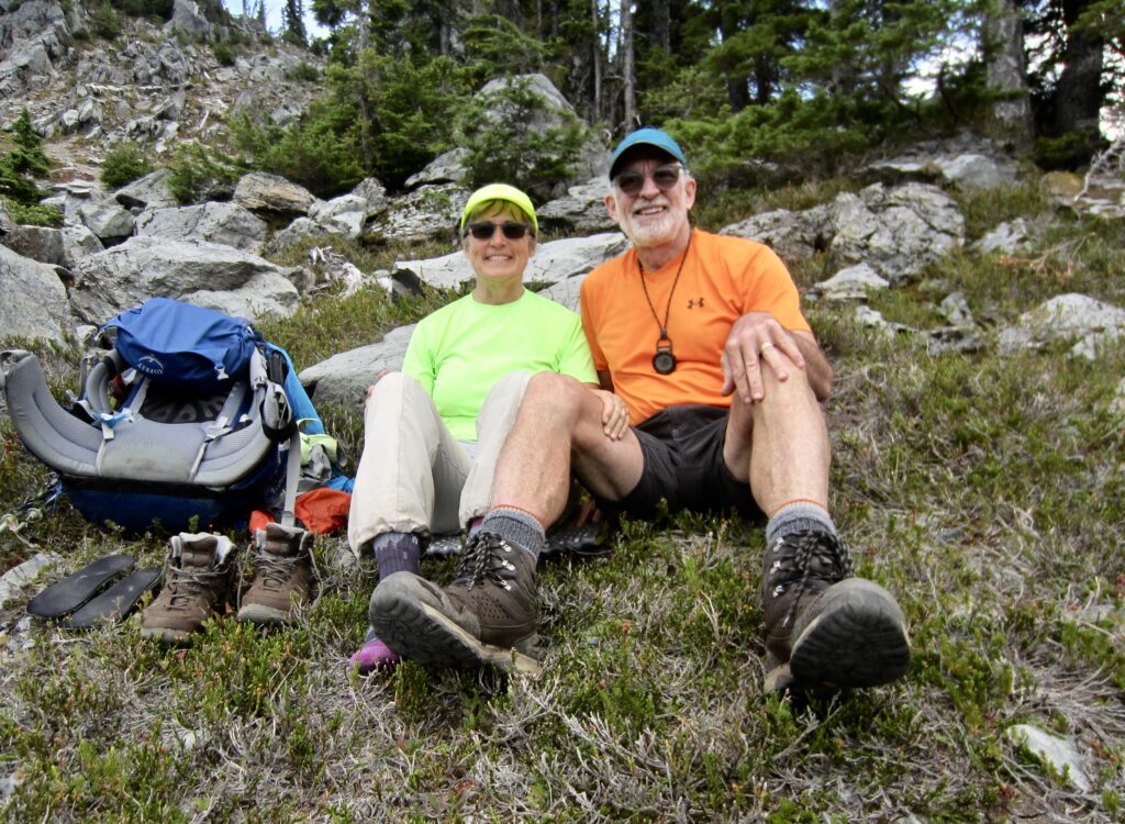
A rightward traverse took us up to 5566-foot LaCrosse Pass—the high point of our entire trek—in late afternoon (7.1 hours + 7.6 miles + 3300 feet – 2000 feet from Camp 3). We were greeted with a view of Mt. Anderson, which was partially obscured by a thick bank of clouds drifting over Anderson Pass.
.
.
.
.
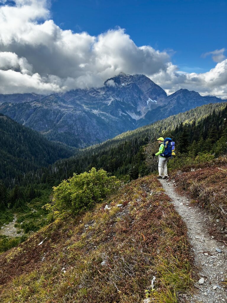
From LaCrosse Pass, we made a northwesterly descent into the Dosewallips River Valley while keeping an eye on the cloud bank over Mt. Anderson. Unfortunately, the mountain never completely revealed itself.
.
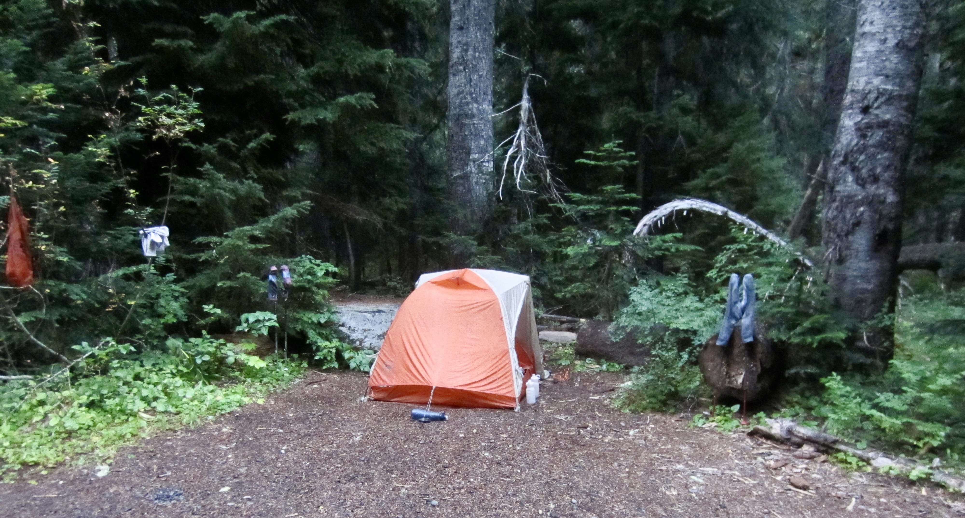
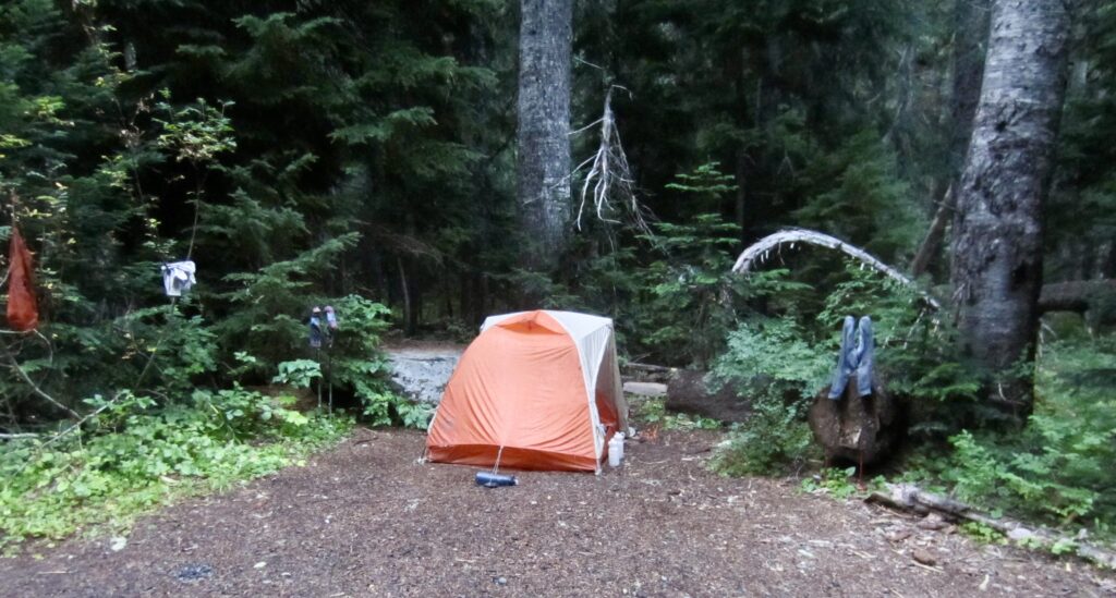
Following a 2000-foot descent, we stepped across the slowly flowing West Fork Dosewallips River and strode into adjacent LaCrosse Pass Camp in early evening (9.4 hours + 10.1 miles + 3300 feet – 4000 feet from Camp 3). Considering that this was a Friday night, it was surprising to see only one other party in camp. We immediately pitched our wet tent and hung up our soggy clothing to begin drying out.
.
Day 5: LaCrosse Pass Camp to Penny Creek Camp
Approximate Daily Stats: 9.8 hours + 13.2 miles + 1400 feet – 3950 feet
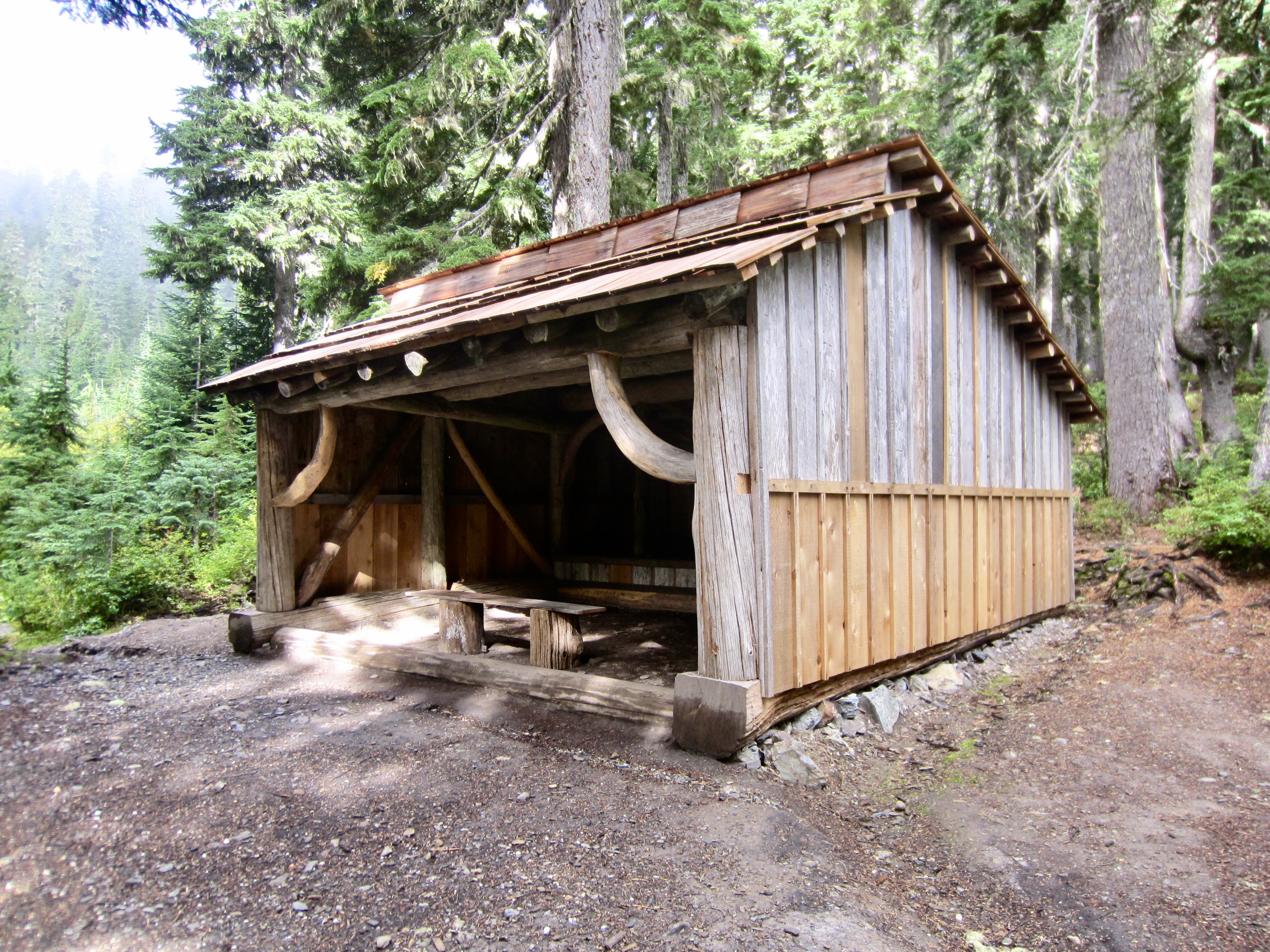
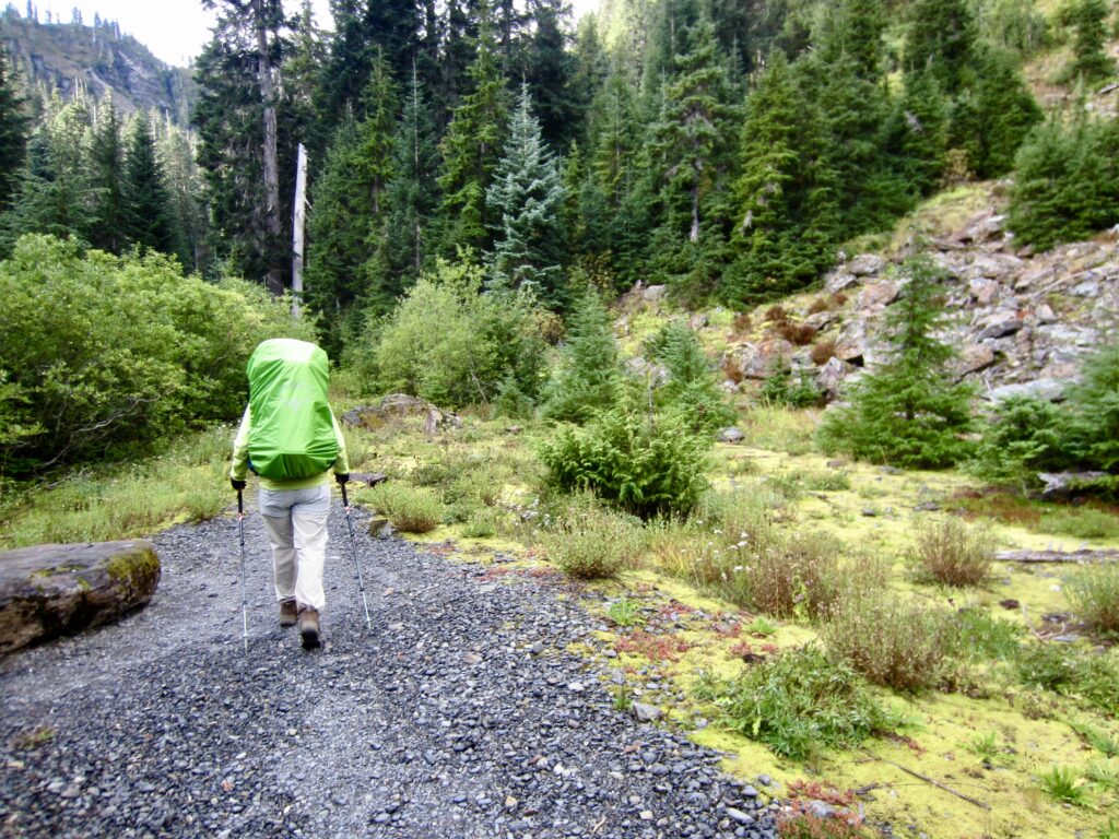
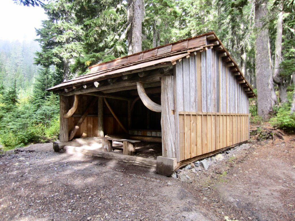
At 9:00am, we started hiking up the West Fork Dosewallips River Trail under cloudy skies. Upon coming to Camp Siberia 40 minutes up the trail, I made a quick sidetrip to check out the shelter there. It was apparent that this old structure has recently received much-needed maintenance, including a new roof and some new siding.
.
.
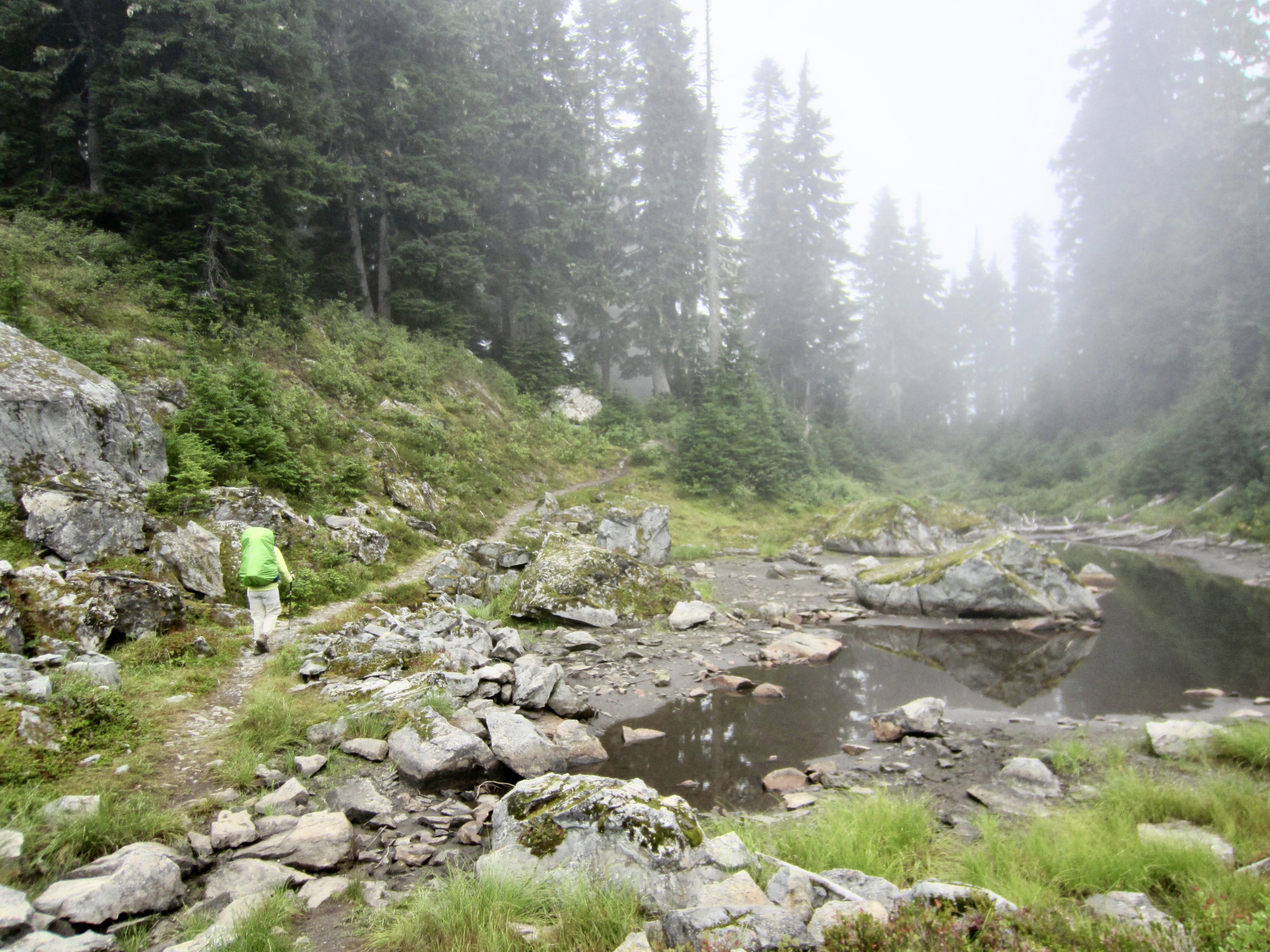
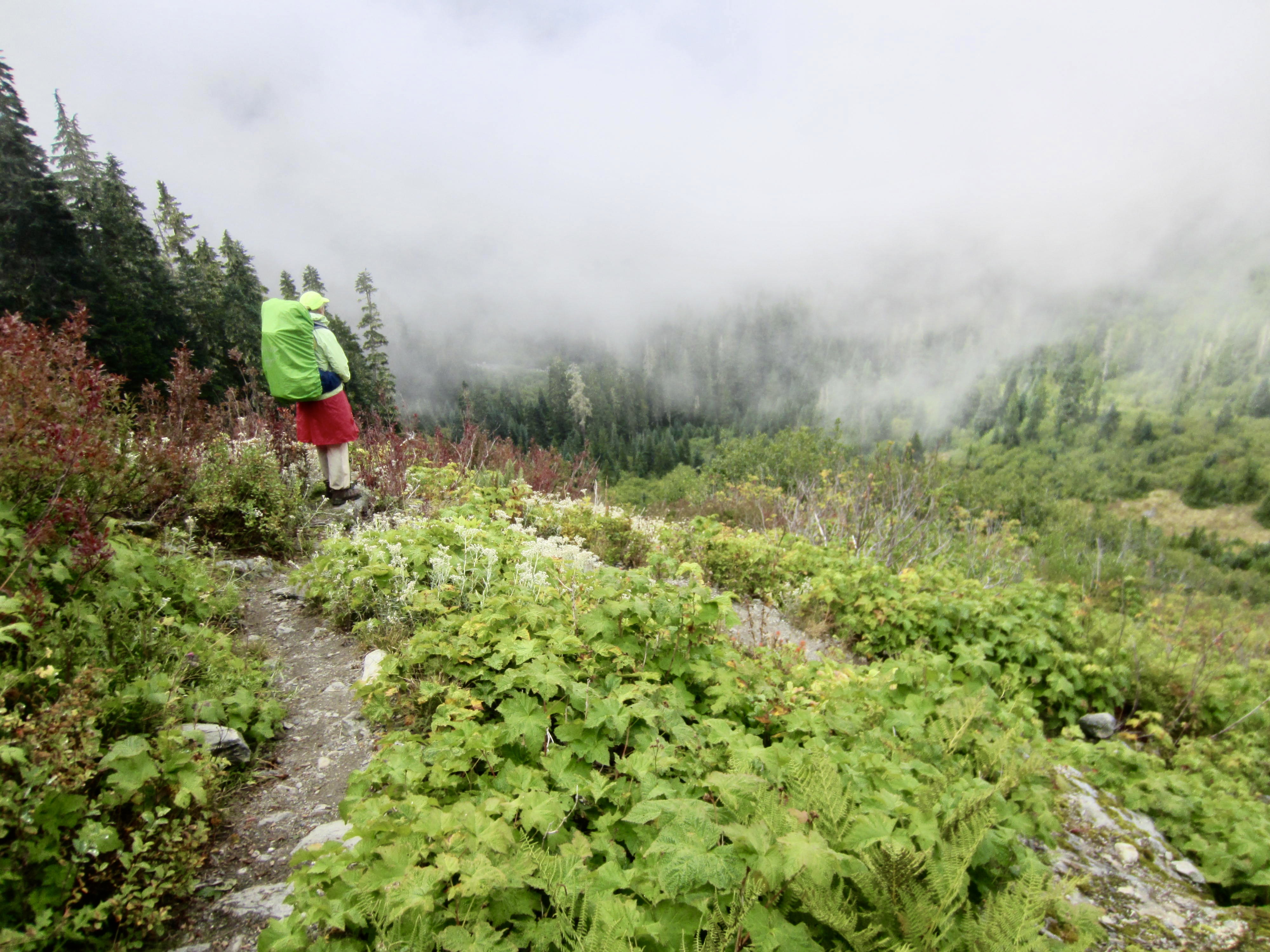
A short distance beyond Camp Siberia, we crossed over 4500-foot Anderson Pass (1.1 hours + 850 feet from Camp 4). This was the third and final mountain pass of our loop. From there, we began descending into the fog-filled Quinault River Valley. One hour later, we passed the O’Neil Pass Trail junction, thereby closing the loop portion of our trek.
.
.
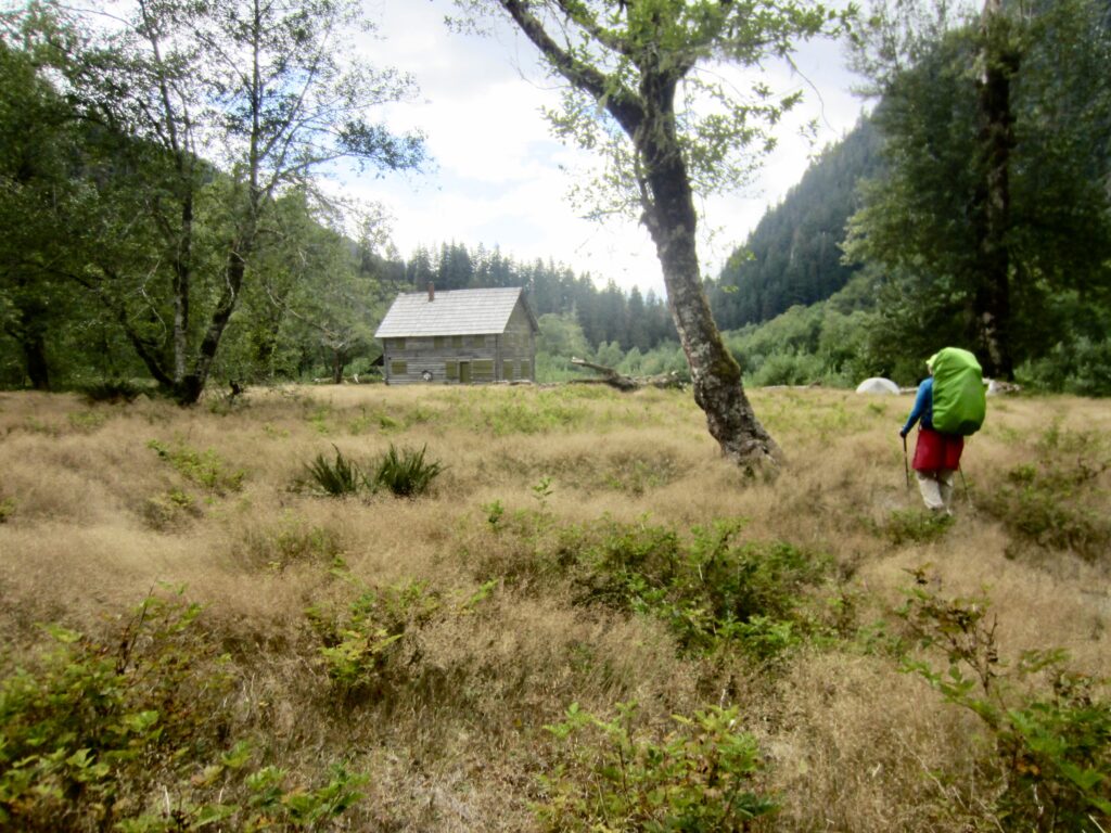
At 2:00pm, we stopped for lunch near the Enchanted Valley Chalet (5.0 hours + 1050 feet – 2700 feet from Camp 4). Being a Saturday afternoon, there were numerous tents scattered around the large meadow.
.
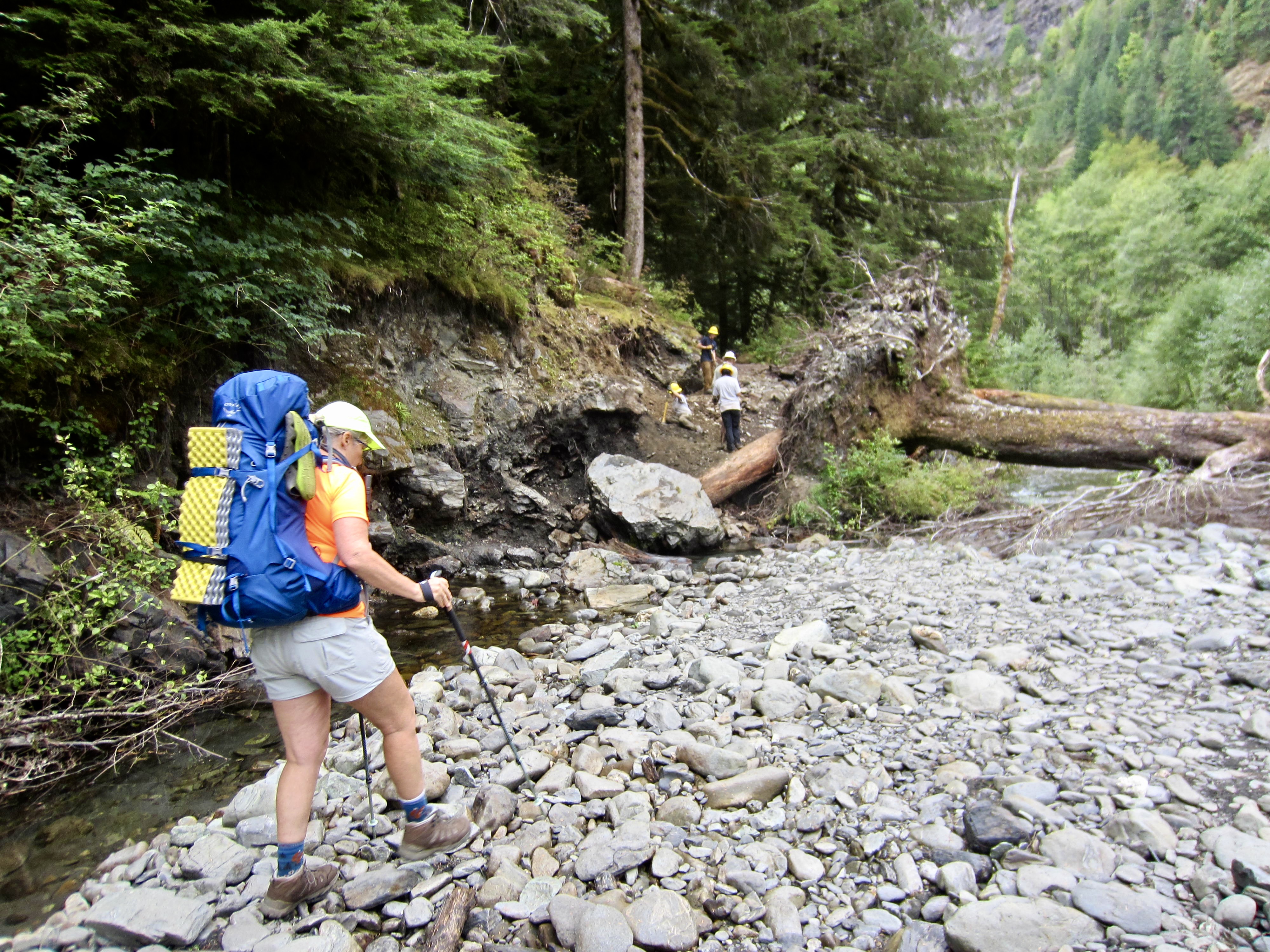
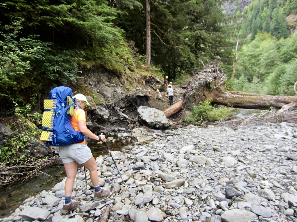
Just after exiting Enchanted Valley, we encountered a Washington Trails Association crew actively working on a large washout area. They were creating a temporary trail through the washout in advance of a permanent detour trail. Go WTA!
.
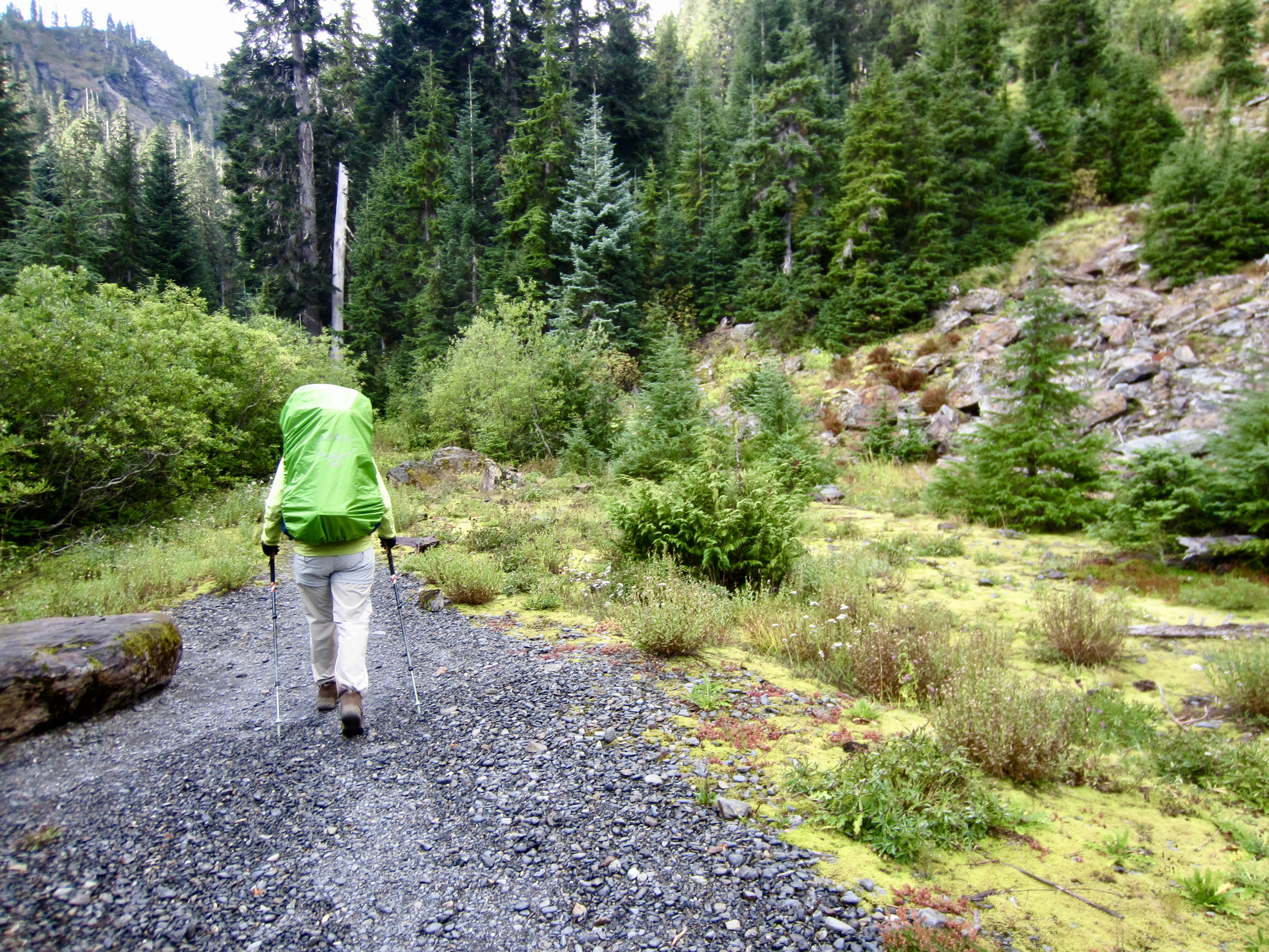
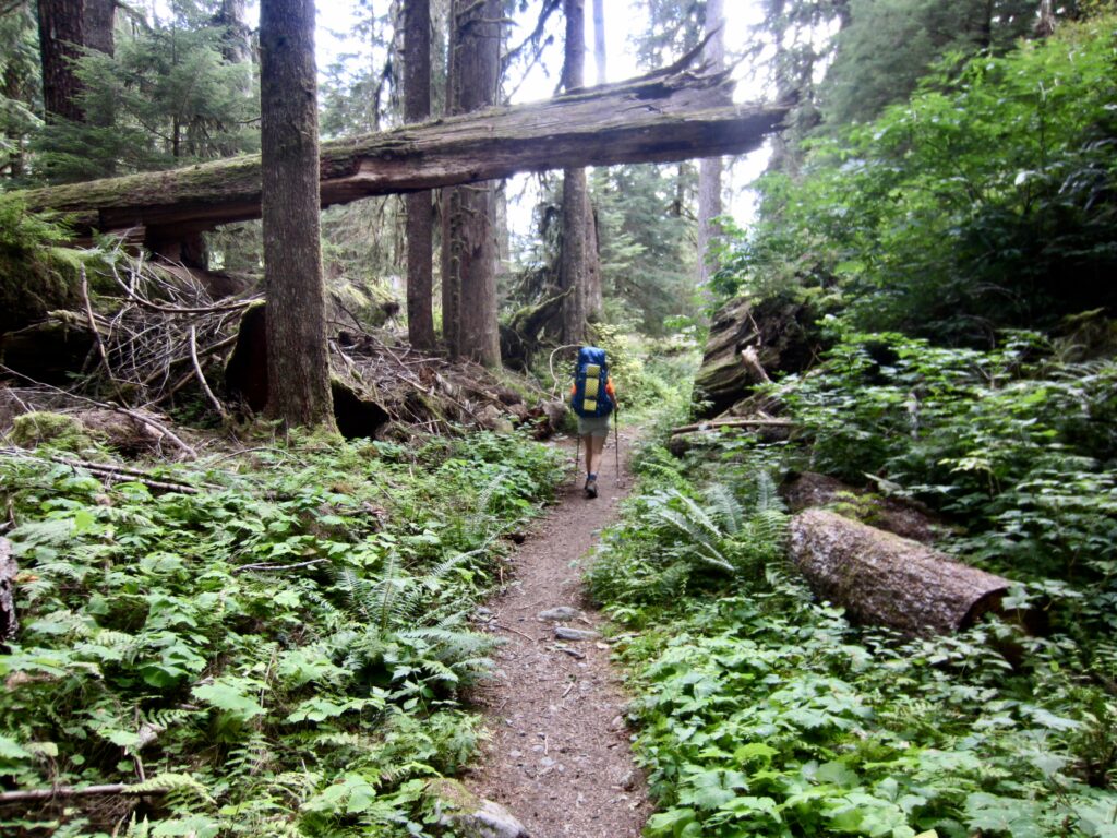
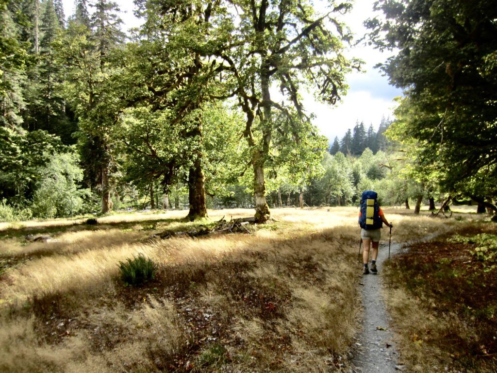
The rest of our afternoon was spent reversing our approach route through the Quinault River Valley. Despite the repeat, we actually enjoyed seeing the marvelous rainforest from this opposite perspective.
.
.
.
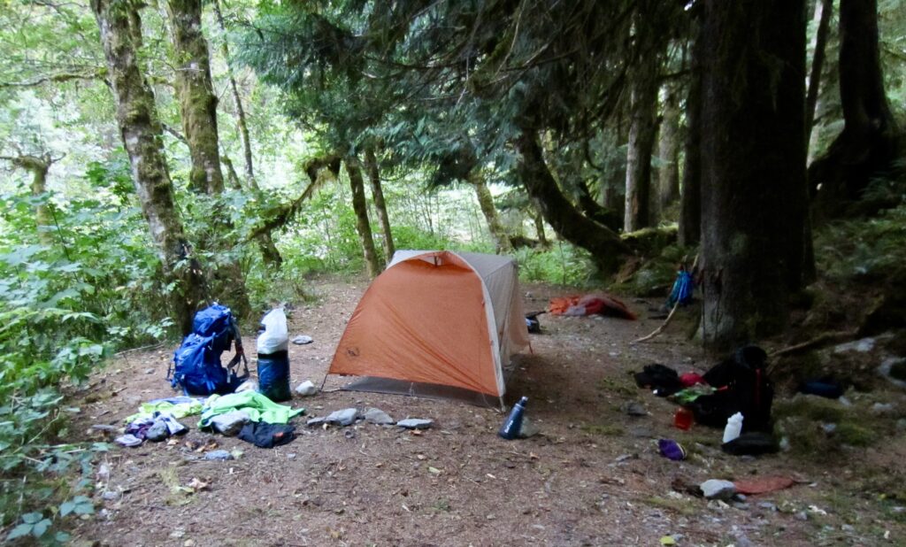
We reached Penny Creek Camp in early evening and stopped for the night (9.8 hours + 13.2 miles + 1400 feet – 3950 feet from Camp 4). Having camped here on Day 1, it felt as though we’d come full circle. Once again, there was only one other party at the site.
.
Day 6: Penny Creek Camp to Trailhead
Approximate Daily Stats: 3.1 hours + 5.6 miles + 550 feet – 1050 feet
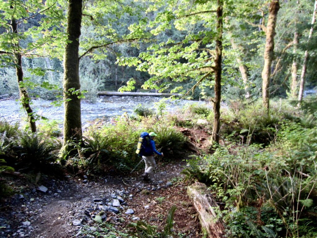
In hopes of beating Sunday traffic, we hit the trail earlier than normal. Cool morning air made for a pleasant exit hike along the western side of the river, across Pony Bridge, and then along the eastern side of the river. We arrived at the Graves Creek Trailhead in mid morning to end an outstanding trek (3.1 hours + 5.6 miles + 550 feet – 1050 feet from Camp 5). By now, there was no question that we’ll be back!
.
Route Maps & Profiles
…
…
…
…
Photo Gallery
Click to enlarge…