Trip Date: September 10-12, 2026
Defiance Trail Traverse: Granite Creek to Denny Creek
Granite Creek Valley
Thompson Pass
Thompson Lake
Mount Defiance (5584 ft)
Rainbow & Island Lakes
Pratt Lake
Lower Tuscohatchie Lake
Melakwa Lake
Hemlock Pass
Denny Creek Valley
Trip Report Summary
Region: Central Washington Cascades
Sub-Region: Lower Snoqualmie Range
Areas: Middle Fork Snoqualmie Natural Resources Conservation Area & Mt. Baker – Snoqualmie National Forest & Alpine Lakes Wilderness
Starting Point: Granite Creek Trailhead on Middle Fork Snoqualmie River Road (Elev. 850 feet)
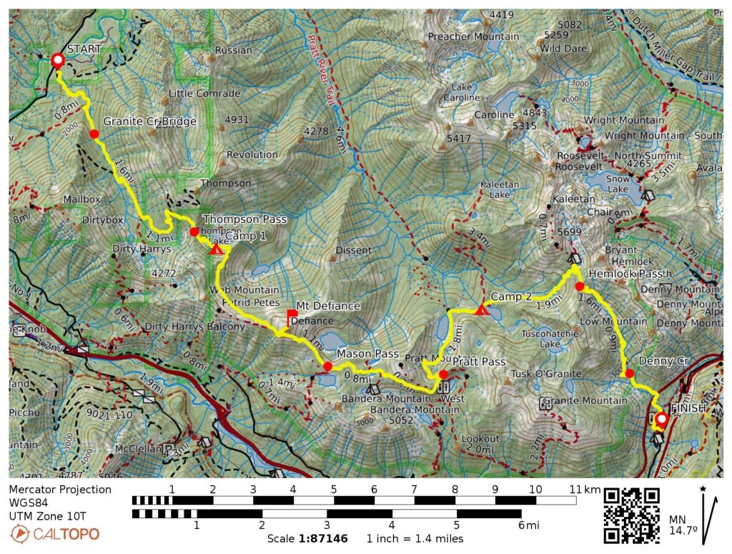
Way Points: Granite Creek Connector Trail junction & Granite Creek Bridge & Granite Lakes Trail junction & Thompson Lake Trail junction & Thompson Pass & Thompson Lake & Cobweb Pass & Defiance Junction & Mason Pass & Rainbow Lake & Island Lake Trail junction & Pratt Pass & Pratt Lake & Lower Tuscohatchie Lake & Melakwa Lake & Hemlock Pass & Denny Creek Waterslide & Interstate-90 undercrossing & Denny Creek Bridge & Old Denny Creek Trailhead & South Fork Snoqualmie River Bridge & New Denny Creek Trailhead (trail hike)
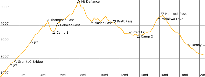
High Point: Mt. Defiance Summit Trail junction (5140 feet)
Ending Point: New Denny Creek Trailhead on Denny Creek Road #58 (Elev. 2250 feet)
Campsites: Thompson Lake (Elev. 3670 feet) & Lower Tuscohatchie Lake (Elev. 3420 feet)
Summit: Mt. Defiance (trail hike)
Sidetrip: Island Lake (trail hike)
Approximate Stats (excluding lake sidetrip): 20.4 miles traveled; 7450 feet gained; 6050 feet lost.
Trip Overview
Sometimes, a really fine backpacking trip exists right in front of your face for years before you recognize it. Perhaps it’s like the old admonition, you can’t see the forest for the trees; in this case, however, you can’t see the trees for the forest. That was certainly my problem in regard to the Defiance Trail Traverse. I spent many decades hiking in and around the Interstate-90 corridor before finally noticing this terrific 20-mile traverse route extending along the northern side of the freeway between the Middle Fork Snoqualmie River and Denny Creek. Satisfyingly, the route encompasses the entire west-to-east span of the Lower Snoqualmie Range.
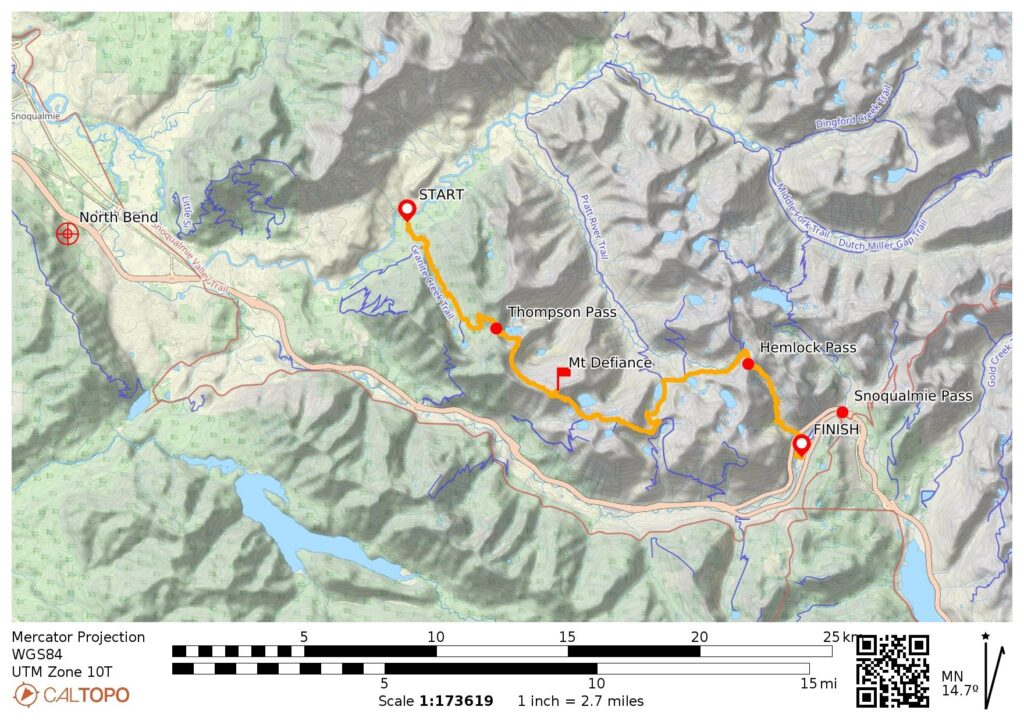
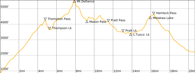
The Defiance Trail Traverse follows part or all of six different trails as it crosses five subalpine passes: Thompson Pass, Cobweb Pass, Mason Pass, Pratt Pass, and Hemlock Pass. Near its midpoint, the route reaches a maximum elevation of 5140 feet on the flank of Mt. Defiance, the summit of which can be gained by making a short—and almost mandatory—sidetrip. Furthermore, the traverse route touches five nice lakes and provides access to another half-dozen lakes. As a logistical bonus, the driving distance between trailheads is less than 20 miles, resulting in an easy car shuttle.
…
…
Full Trip Report
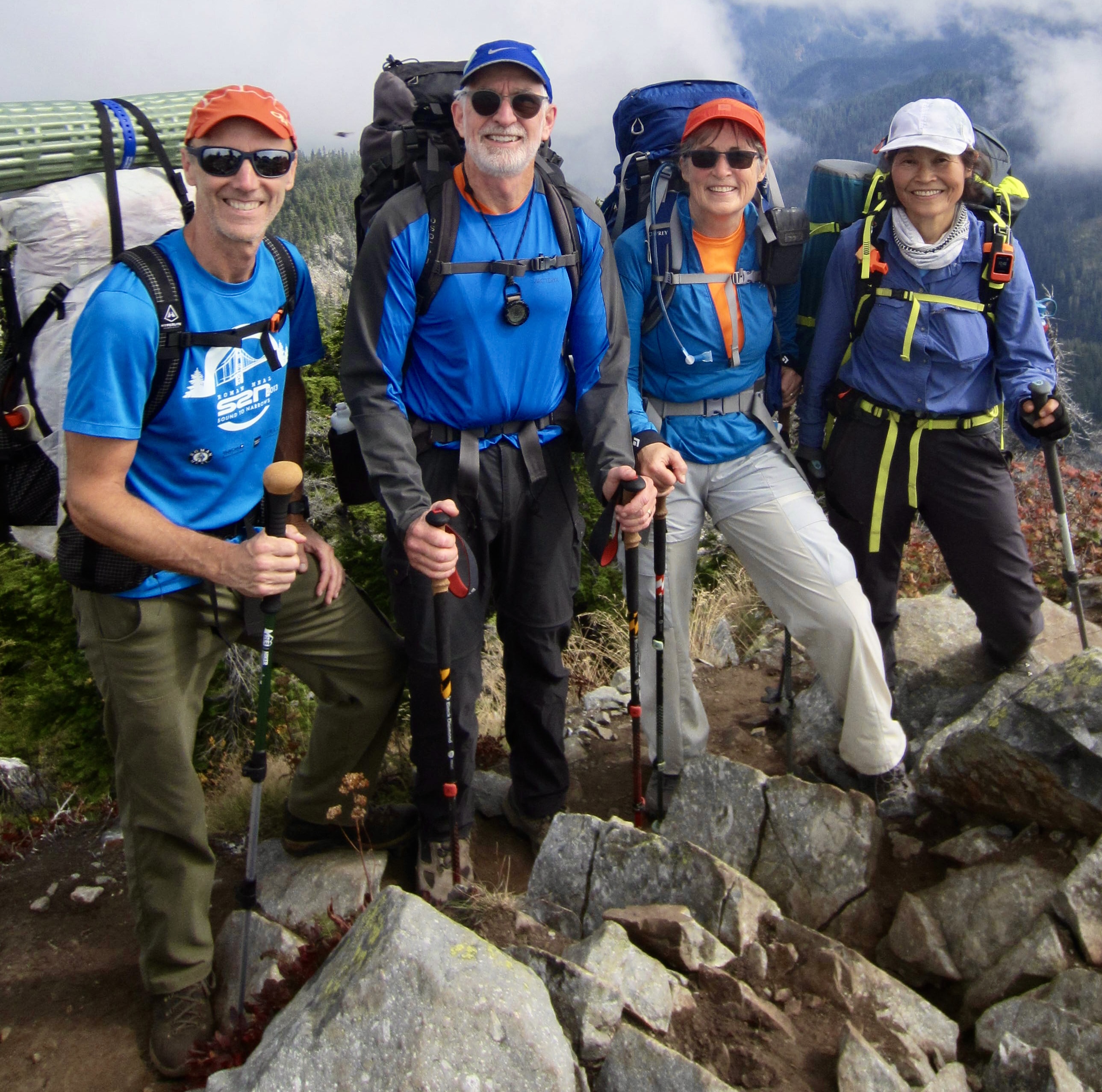
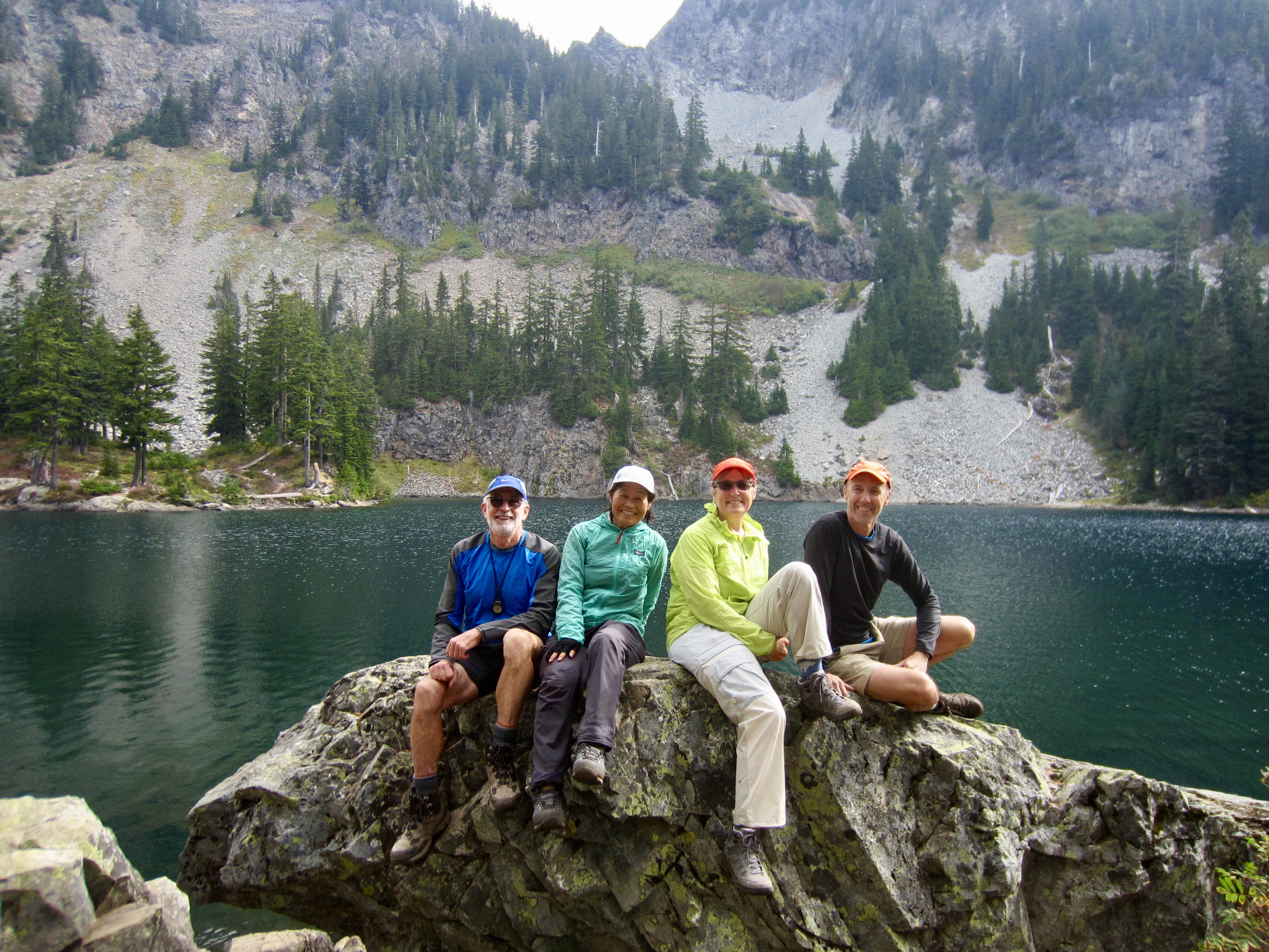
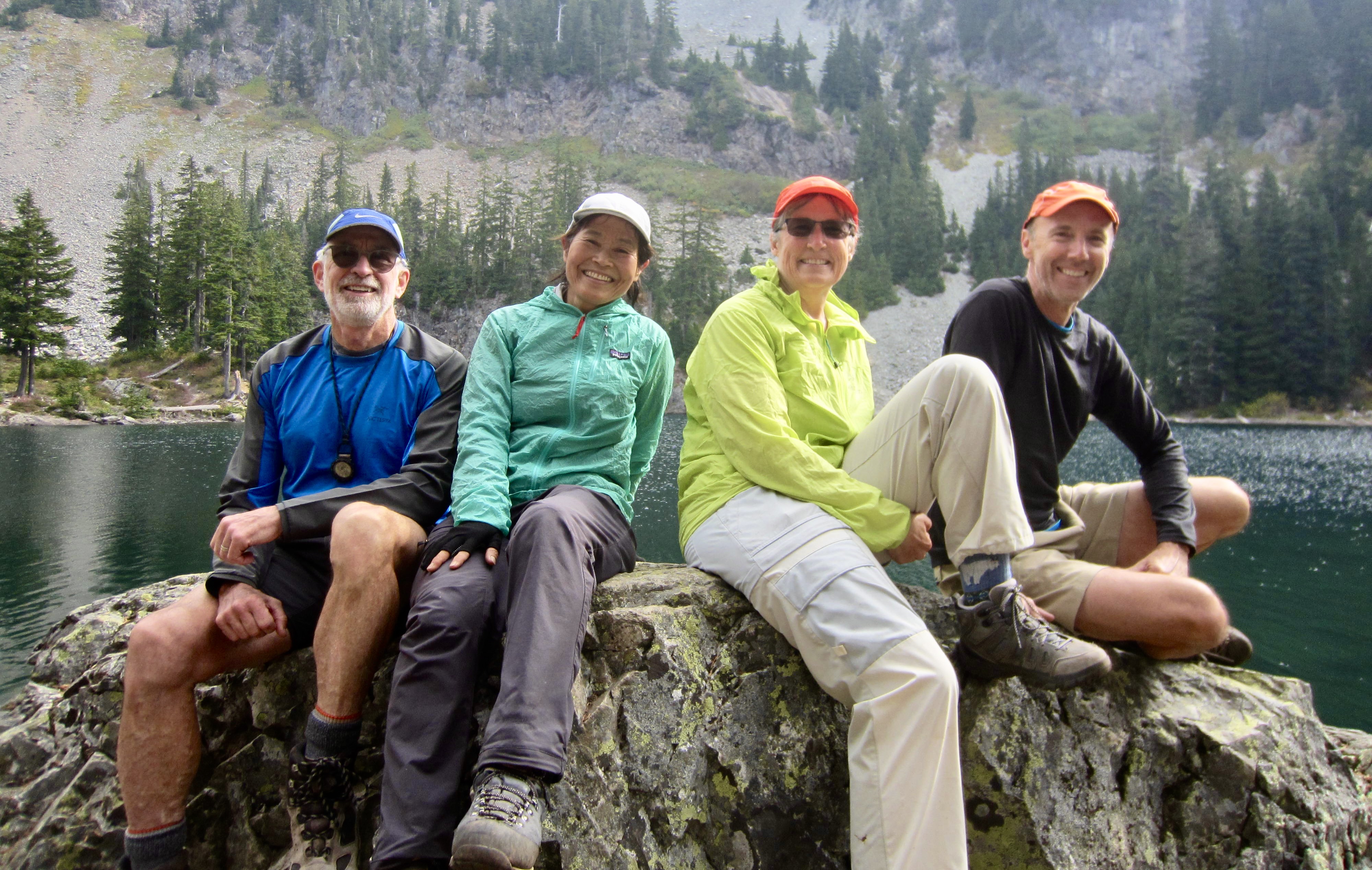
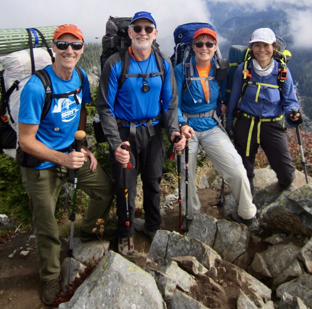
Eileen, Yoko, and Todd eagerly joined me for an early-autumn installment of the Defiance Trail Traverse, during a brief interlude between a period of hot, sunny weather and a period of cold, wet weather. Consequently, we experienced very favorable hiking conditions: mild temperatures and no rain, albeit with some morning fog and reduced visibility. Happily, mosquitoes and other bothersome insects were non-existent.
Although the traverse could be completed in two days, or even one long day, we chose to do it over a span of three days. This relaxed schedule gave us ample time to enjoy the scenery, and it provided two other important benefits. First, by having two nights out, we were able to camp at the two least-visited lakes along the route: Thompson Lake and Lower Tuscohatchie Lake. As hoped, we were the only campers at both lakes. Second, our three-day schedule put us on the summit of Mt. Defiance—the topographic and emotional climax of the entire traverse—right at lunchtime on Day 2.
.
Day 1: Granite Creek Trailhead to Thompson Lake
After dropping off a vehicle at the new Denny Creek Trailhead beside Interstate-90, we drove to our starting point at the Granite Creek Trailhead on Middle Fork Snoqualmie River Road. Yoko and Eileen began hiking at noon on this mild, overcast Thursday, but for reasons too personally embarrassing to mention, Todd and I did not begin until 1:30pm.
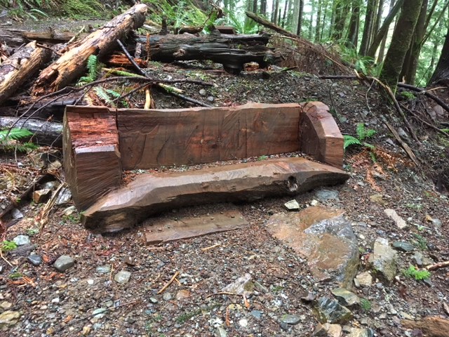
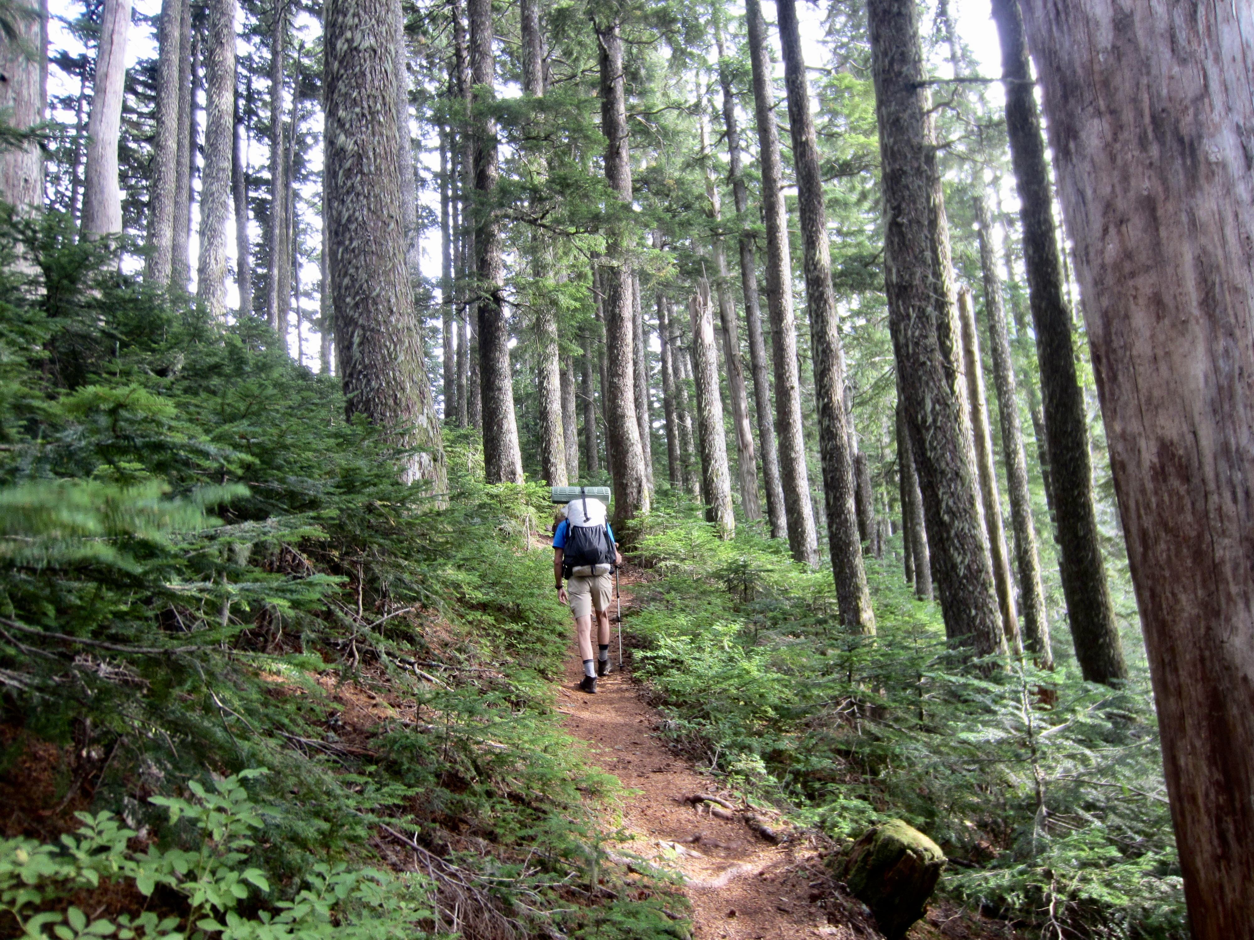
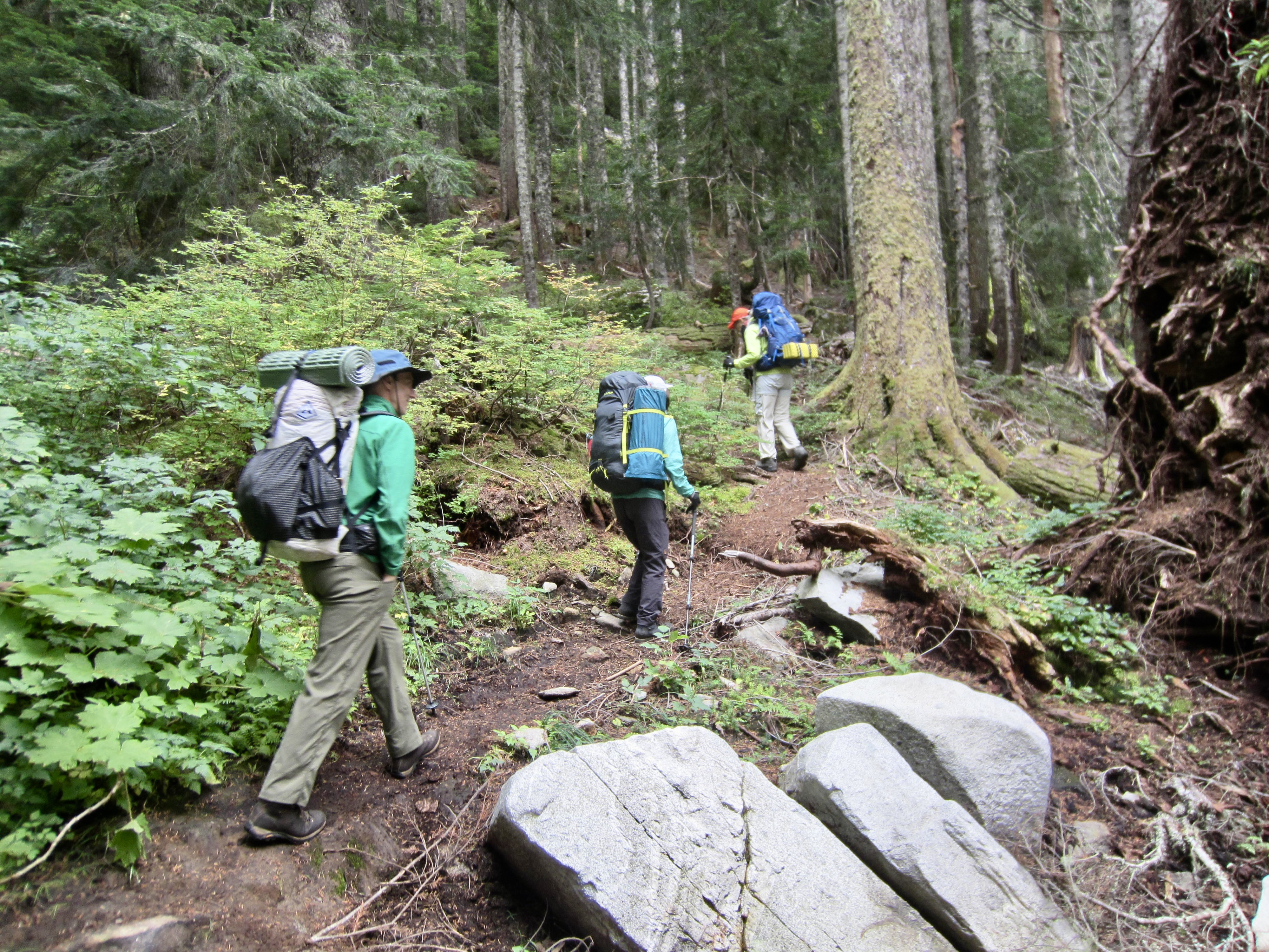
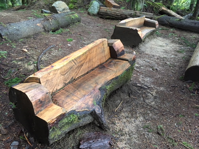
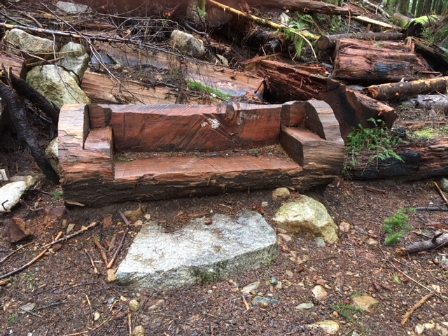
The Granite Creek Trail was in excellent condition, having been recently logged out. This road-to-trail conversion climbs through lush forest and exhibits numerous pieces of whimsical log furniture in the first couple miles. The trail-construction crew obviously had fun on this project!
.
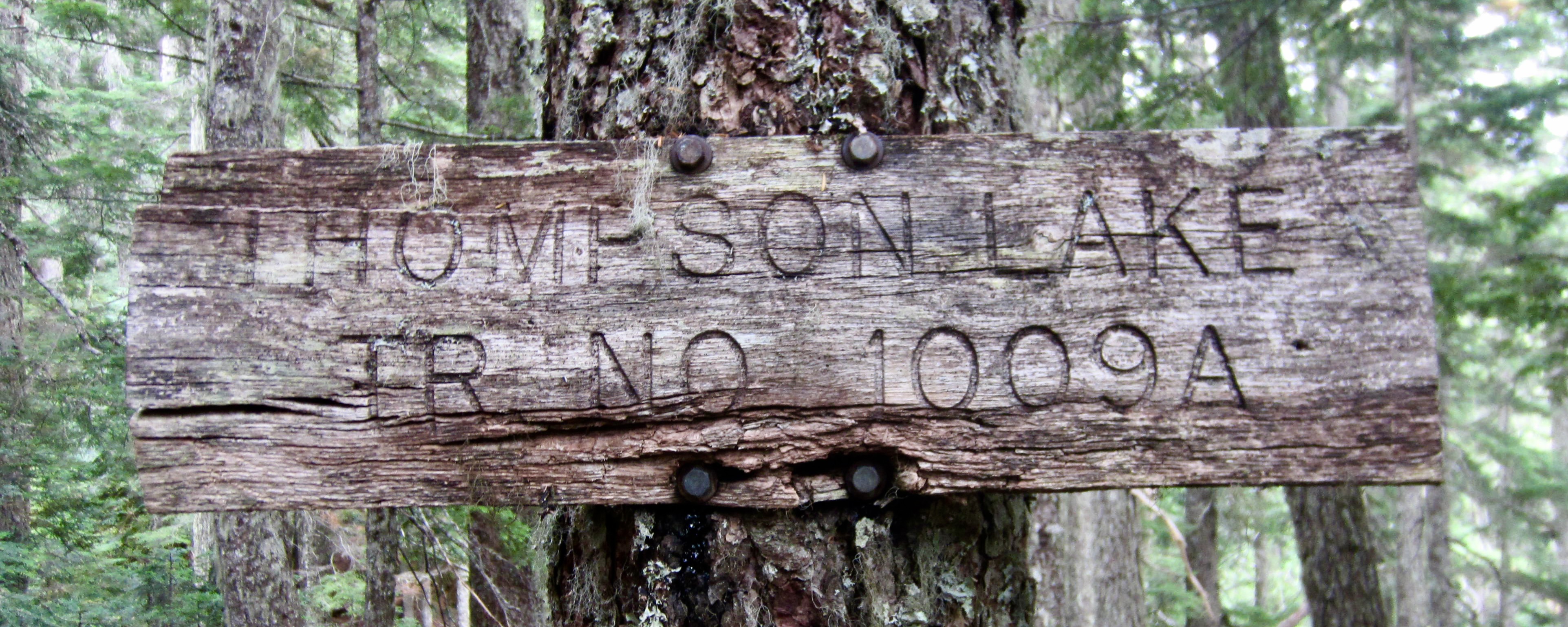
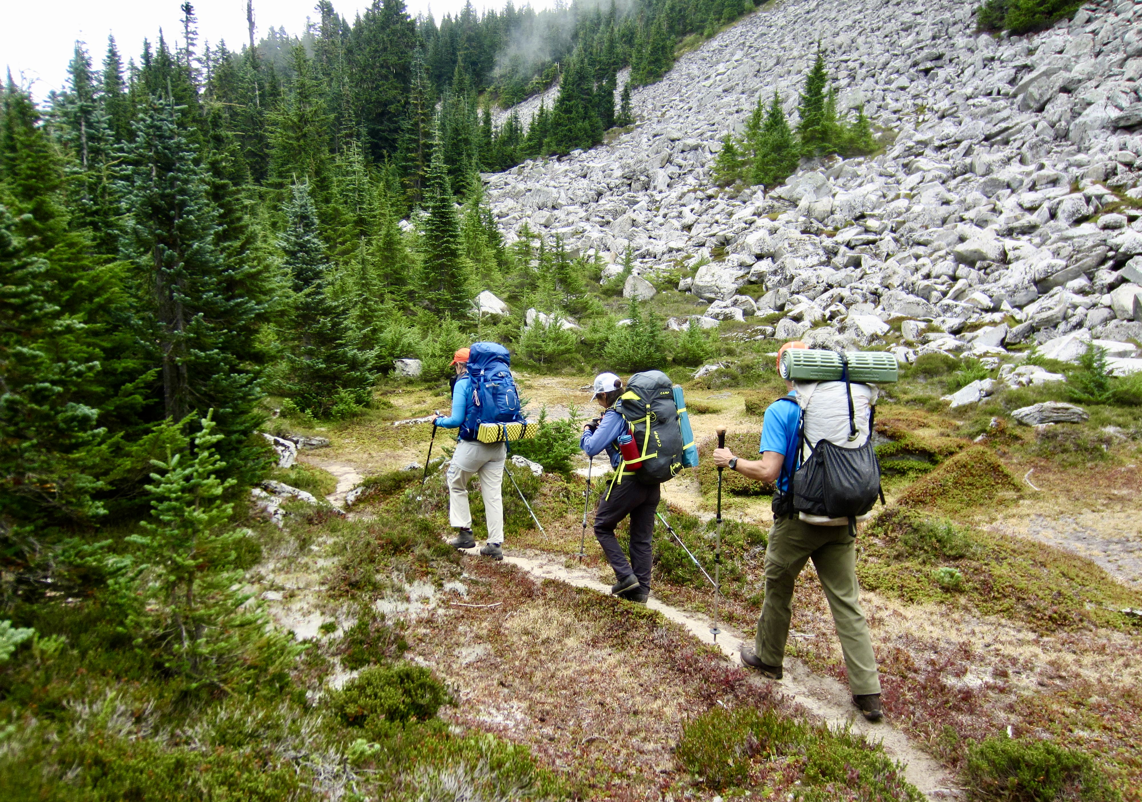
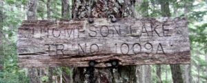
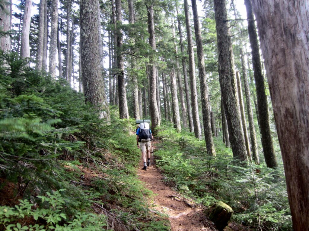
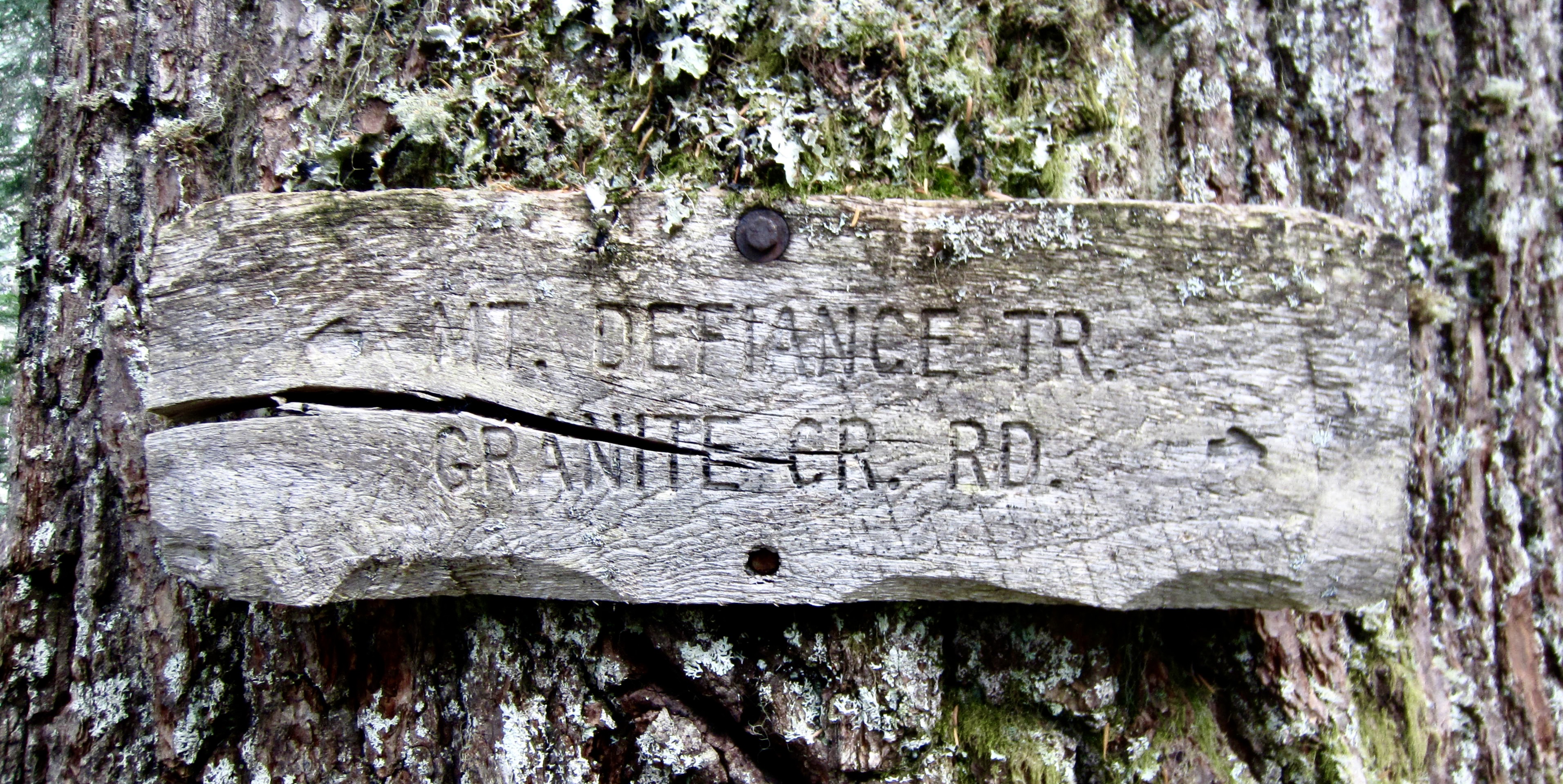
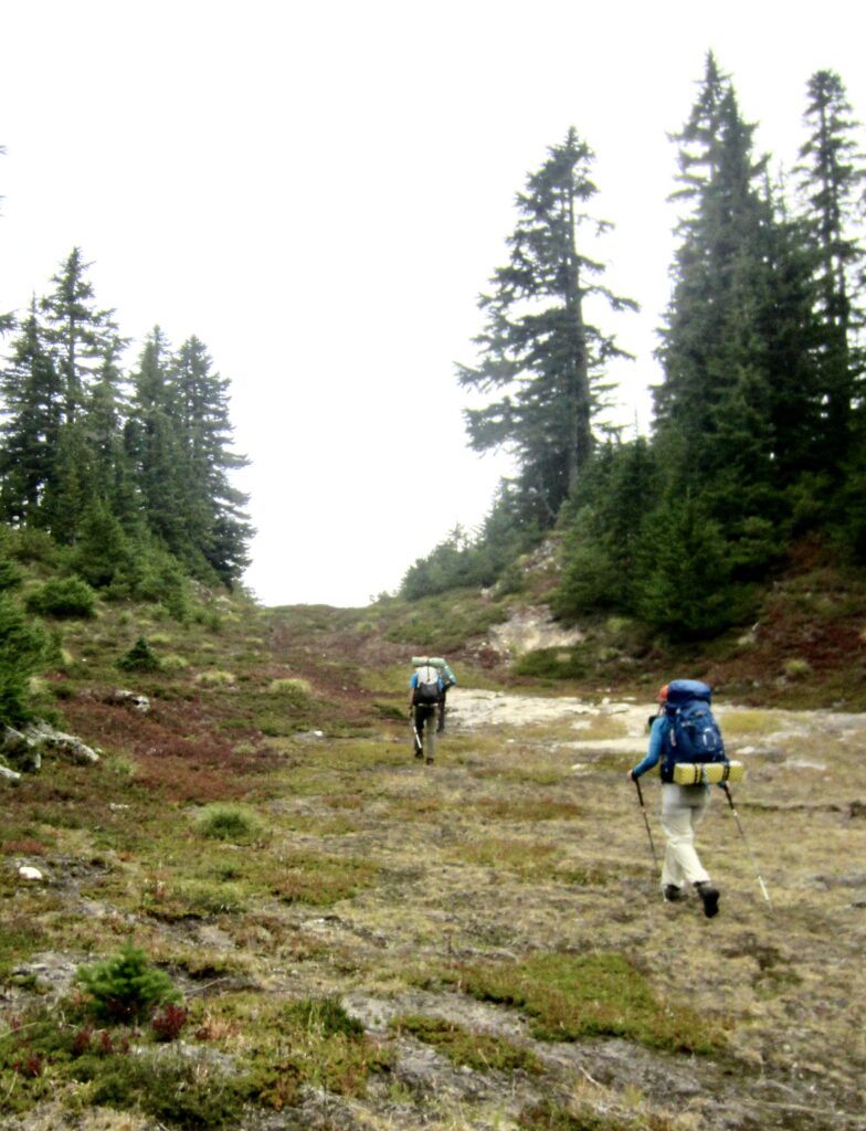
Todd and I maintained a conversational pace up the trail and eventually came to a junction with the Thompson Lake Trail, which is marked by a splintered sign. This old single-track trail (not part of the former logging road) took us over 4250-foot Thompson Pass in mature second-growth forest.
.
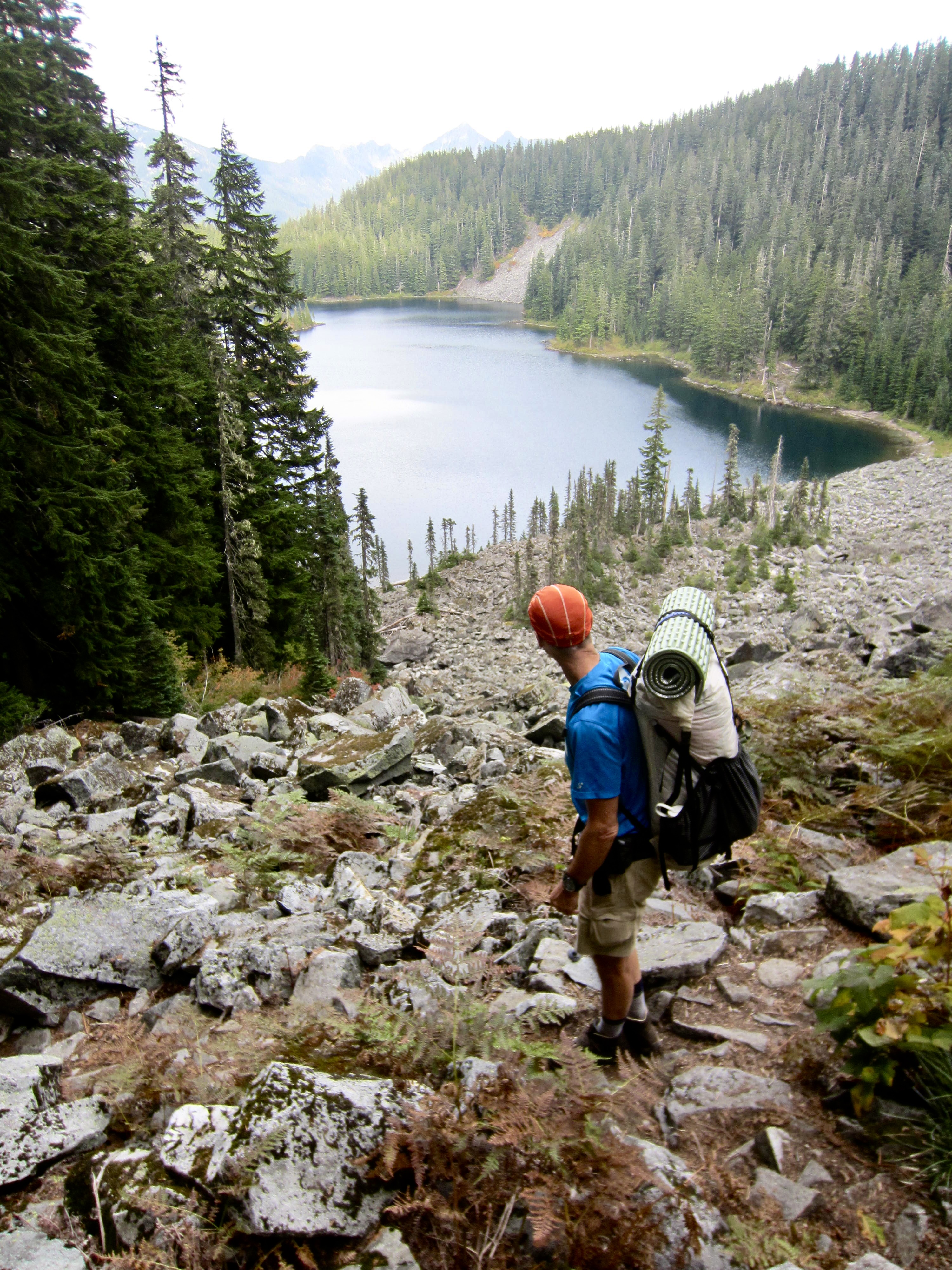
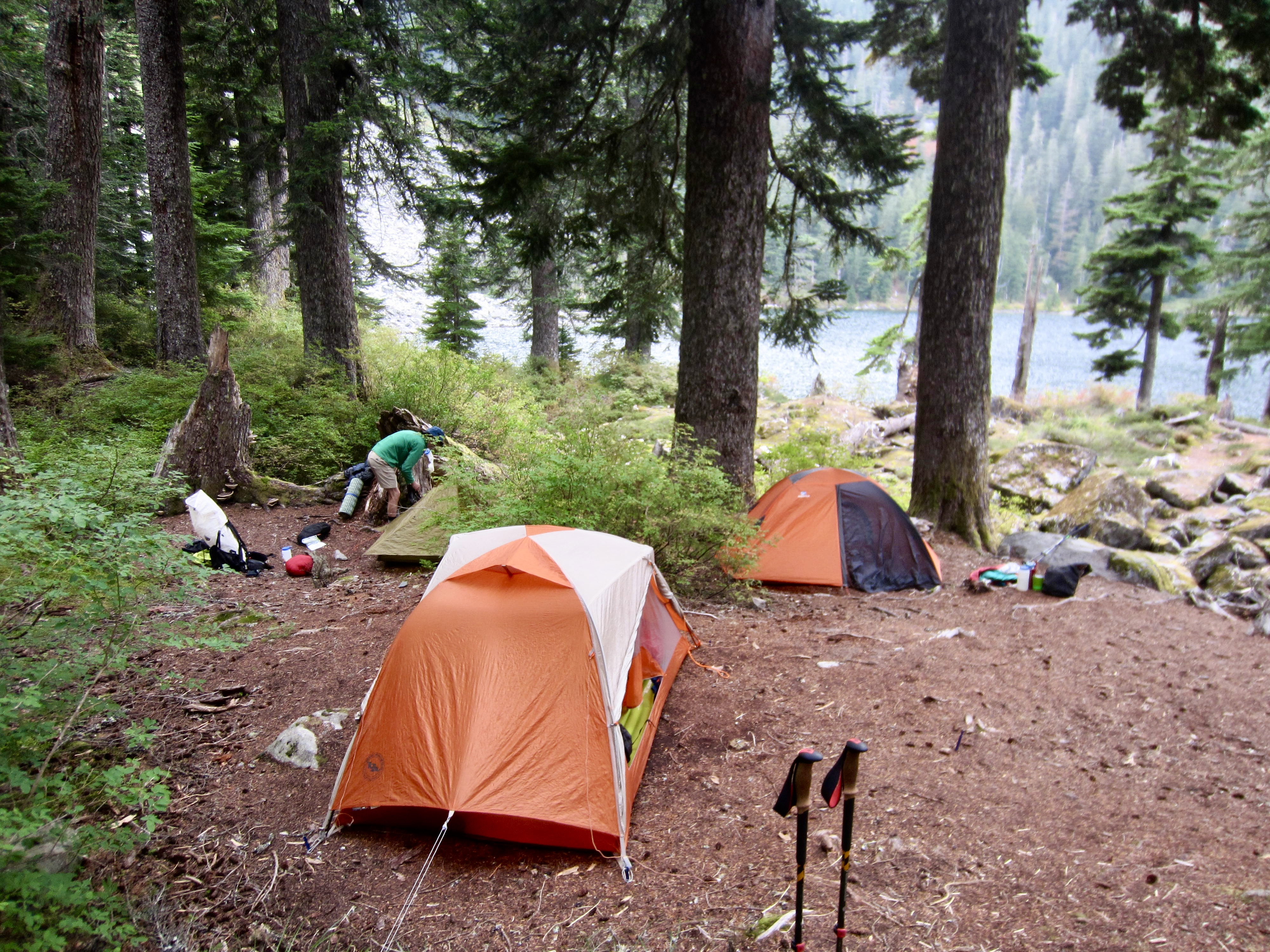
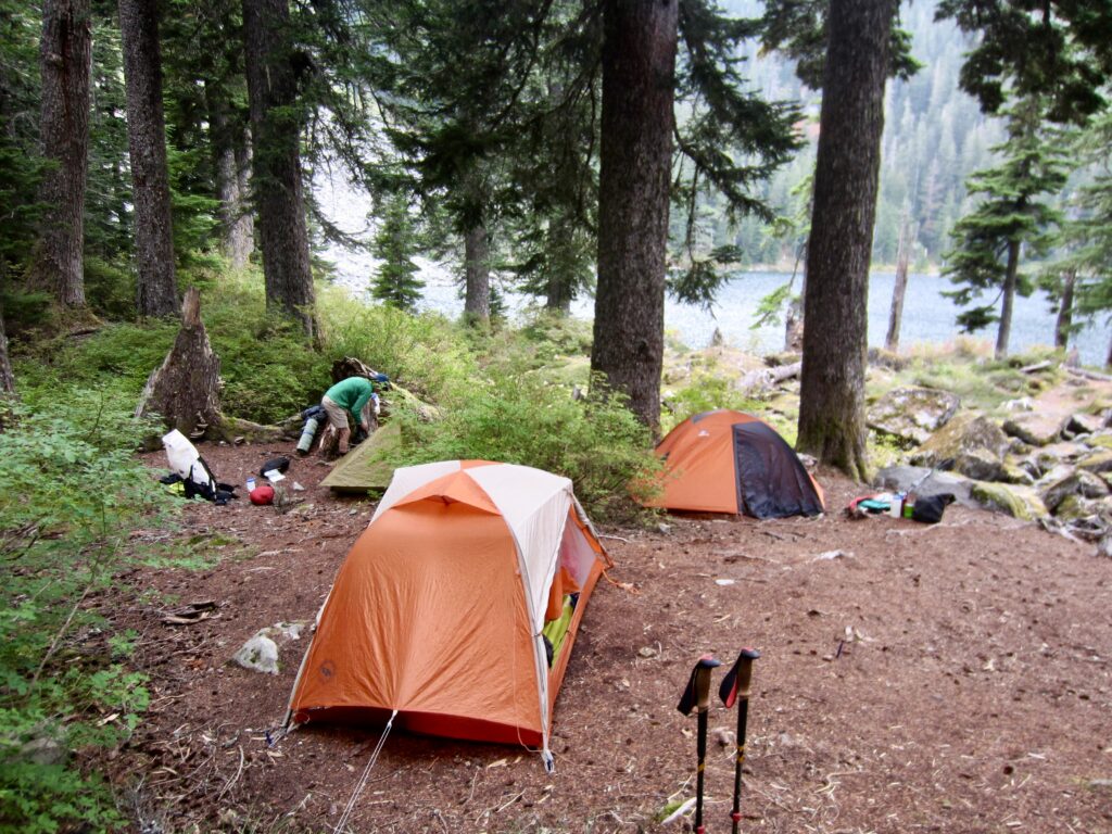
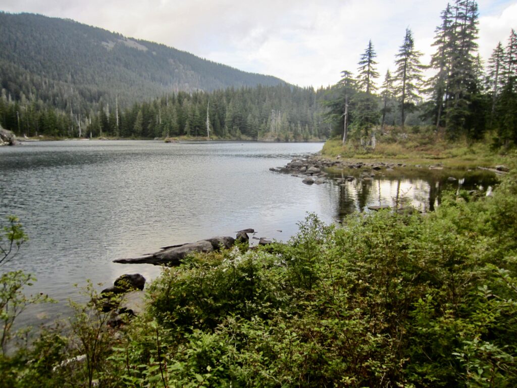
From Thompson Pass, a 600-foot descent brought us to the official start of the Mt. Defiance Trail at Thompson Lake in late afternoon (4.0 hours + 5.3 miles + 3450 feet – 650 feet from TH). We quickly found Eileen and Yoko setting up tents at a roomy campsite near a spring-fed inlet stream .
.
.
.
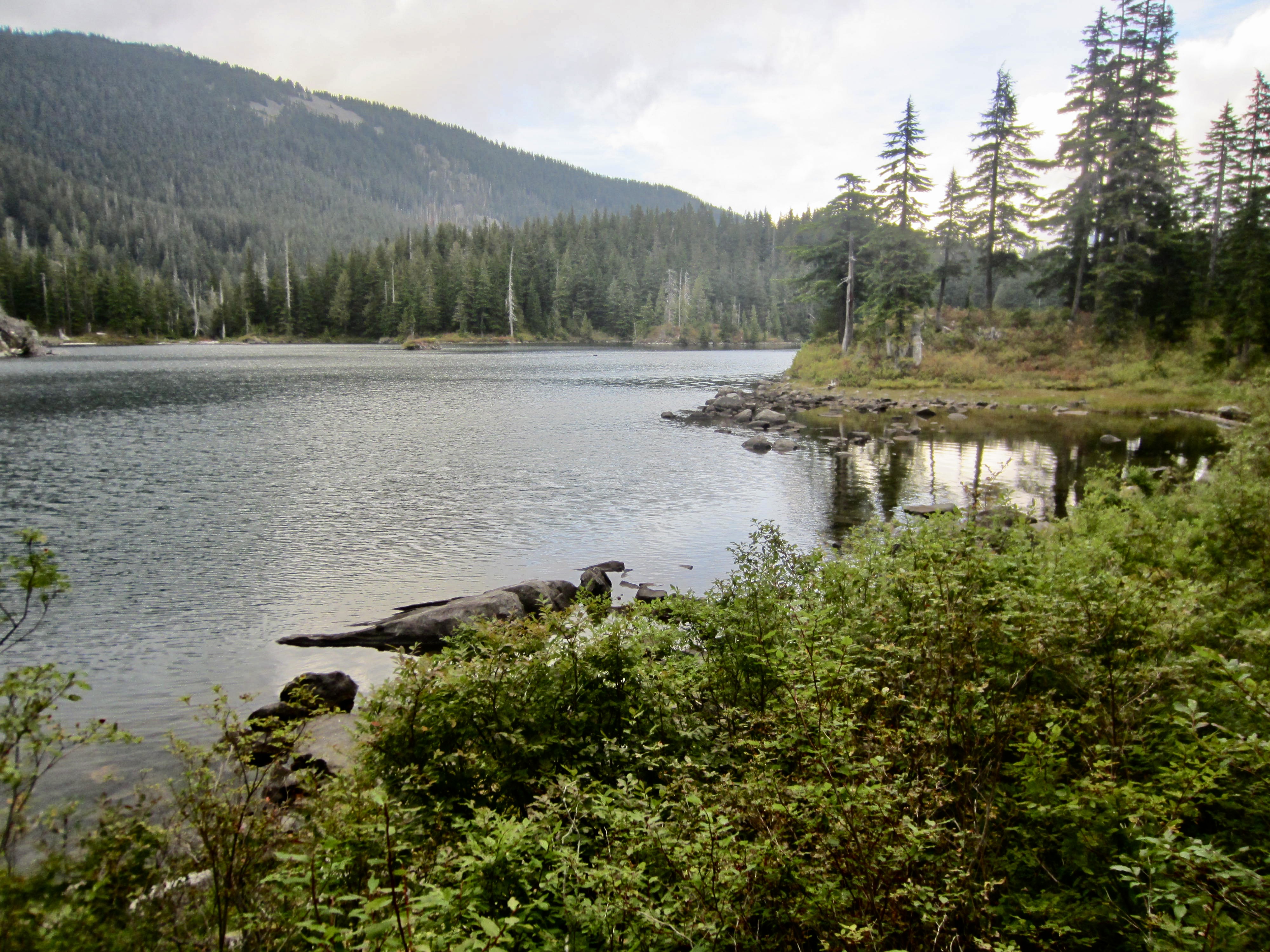
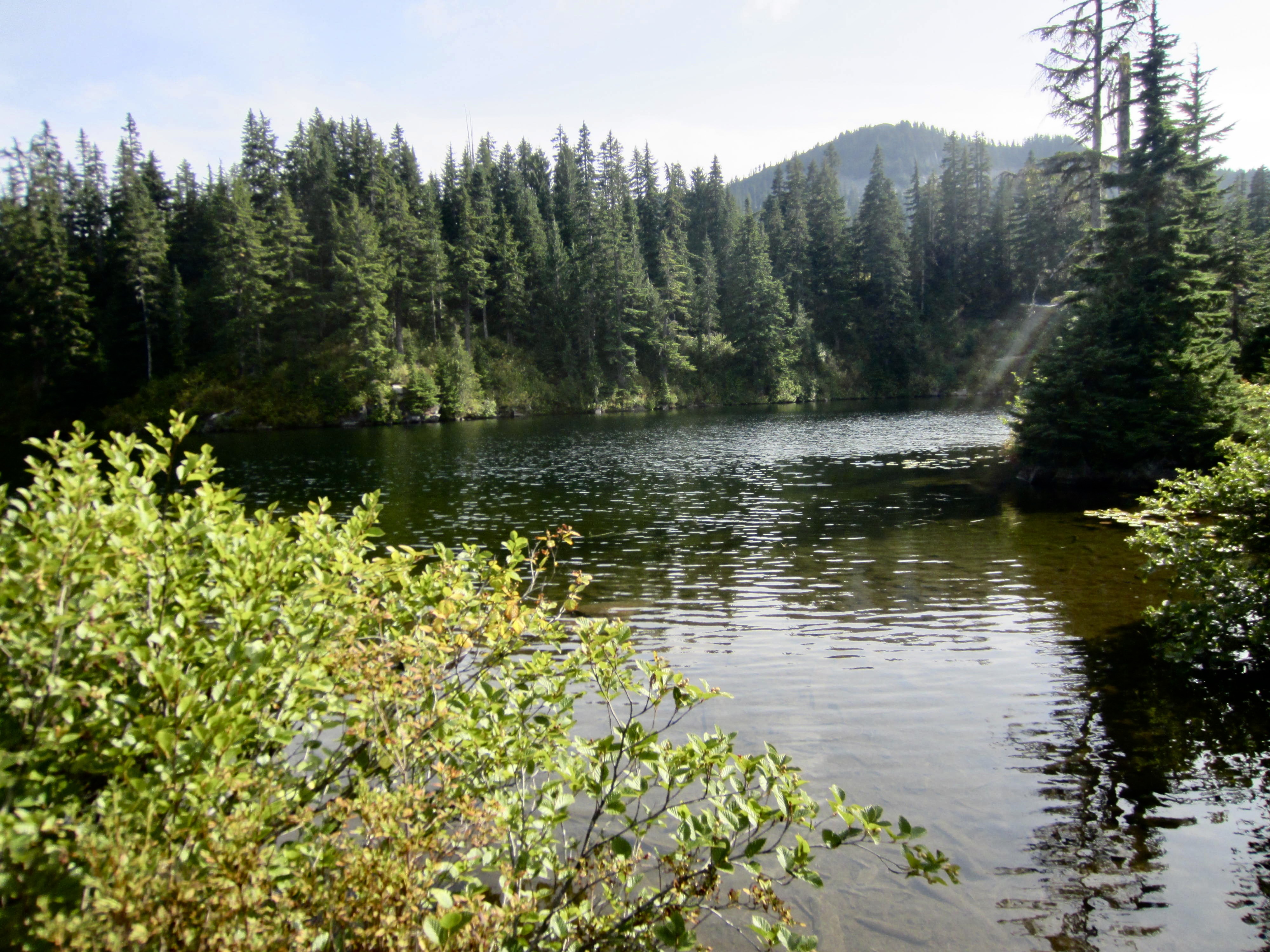
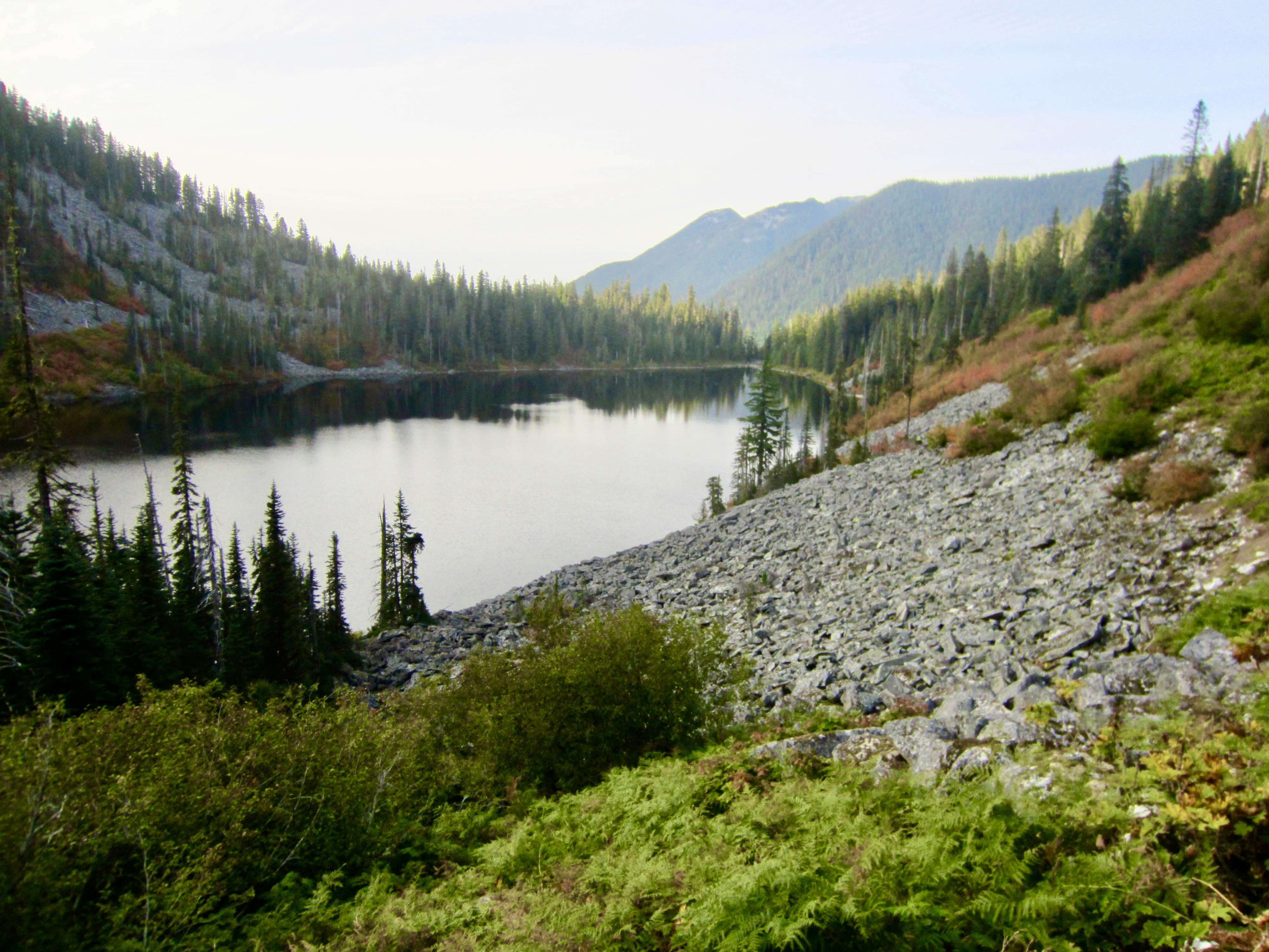
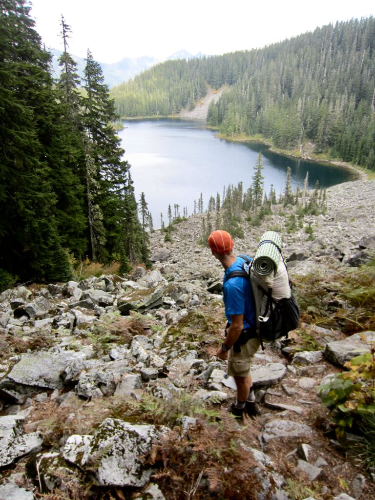
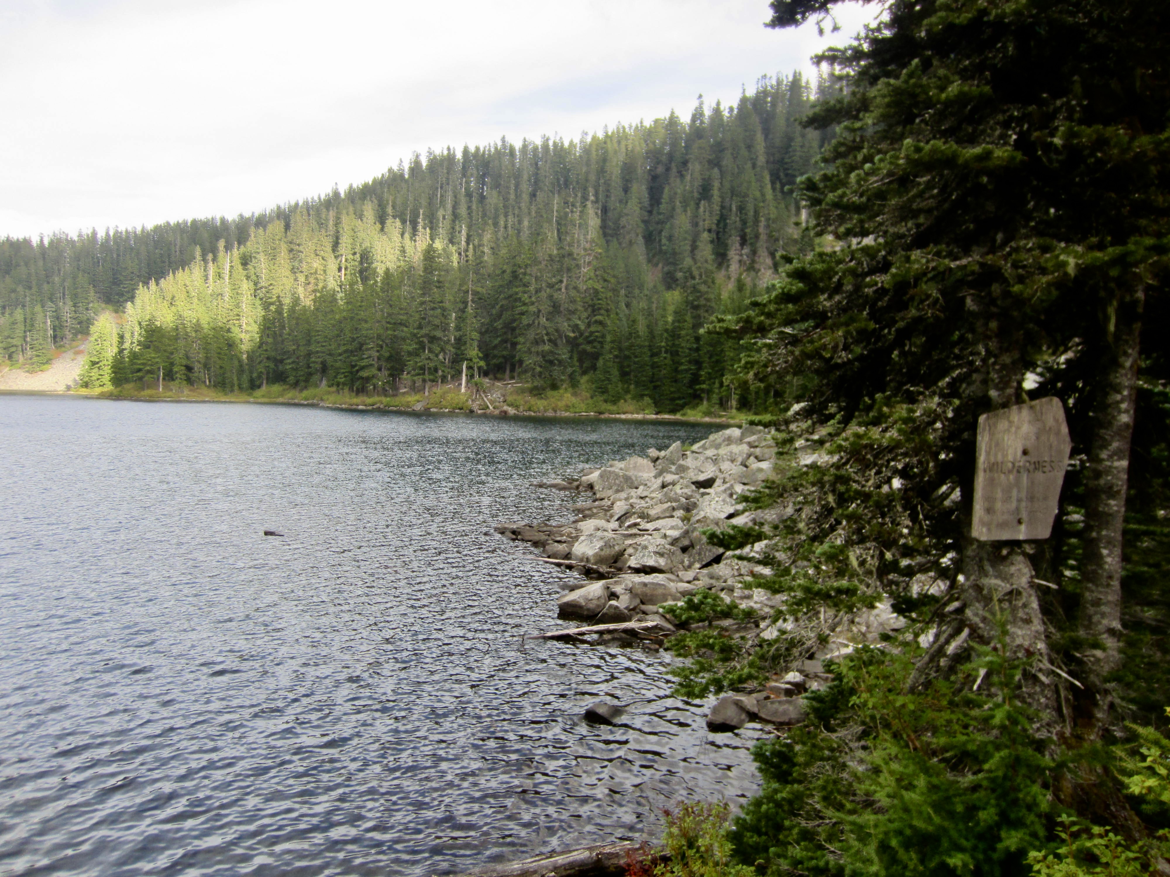
Thomson Lake occupies a large northeast-facing bowl between the ridges of Thompson Pass and Cobweb Pass. Despite being a very attractive and fairly accessible lake, it still has a nearly pristine look, and we had the place to ourselves. On a historical note, I wonder whether it is named after Reginald Thomson (hence, misspelled) or named after an actual Thompson (with a “p”).
.
Day 2a: Thompson Lake to Mt. Defiance
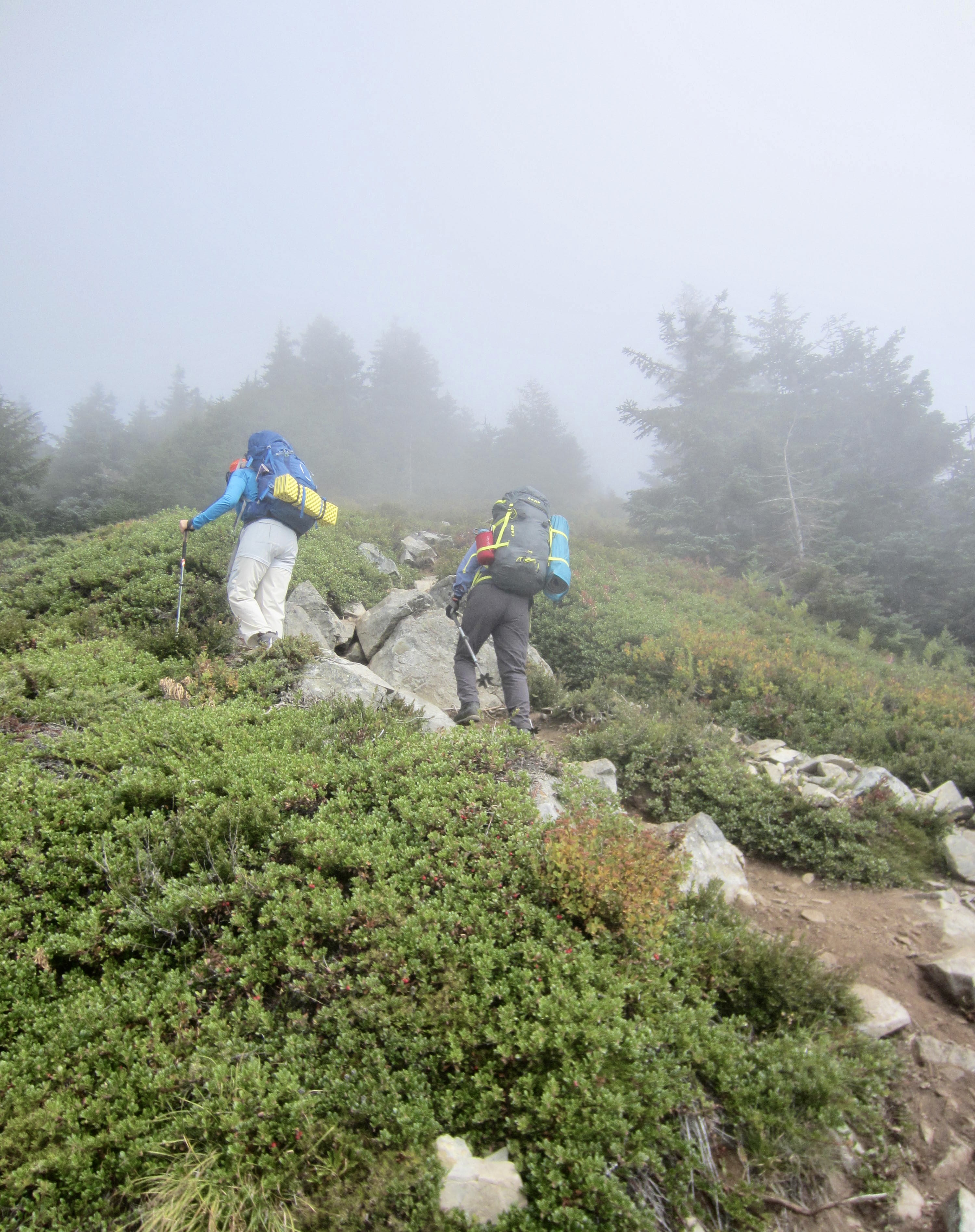
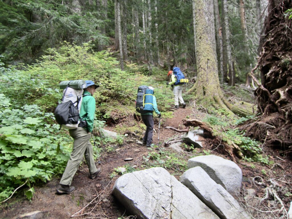
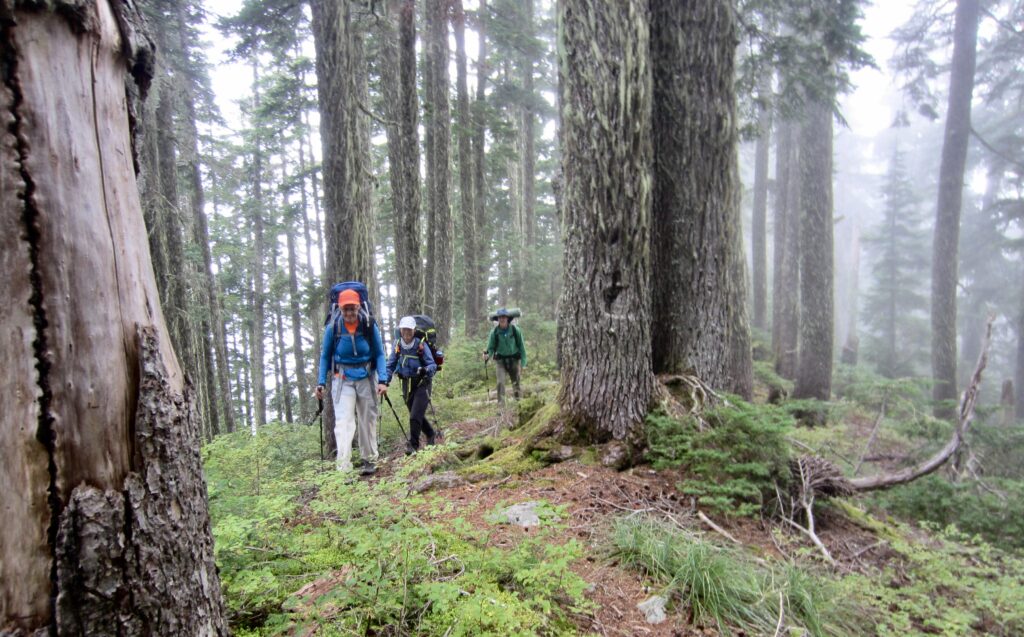
We awoke to a cold morning with dense fog filling the lake bowl. In hopes that the weather would clear up by midday, we were purposely slow in getting out of camp. At 9:20am, we began hiking up the Mt. Defiance Trail, which was noticeably steeper and less maintained than our incoming trails. A 400-foot ascent took us to Cobweb Pass in light fog.
.
.
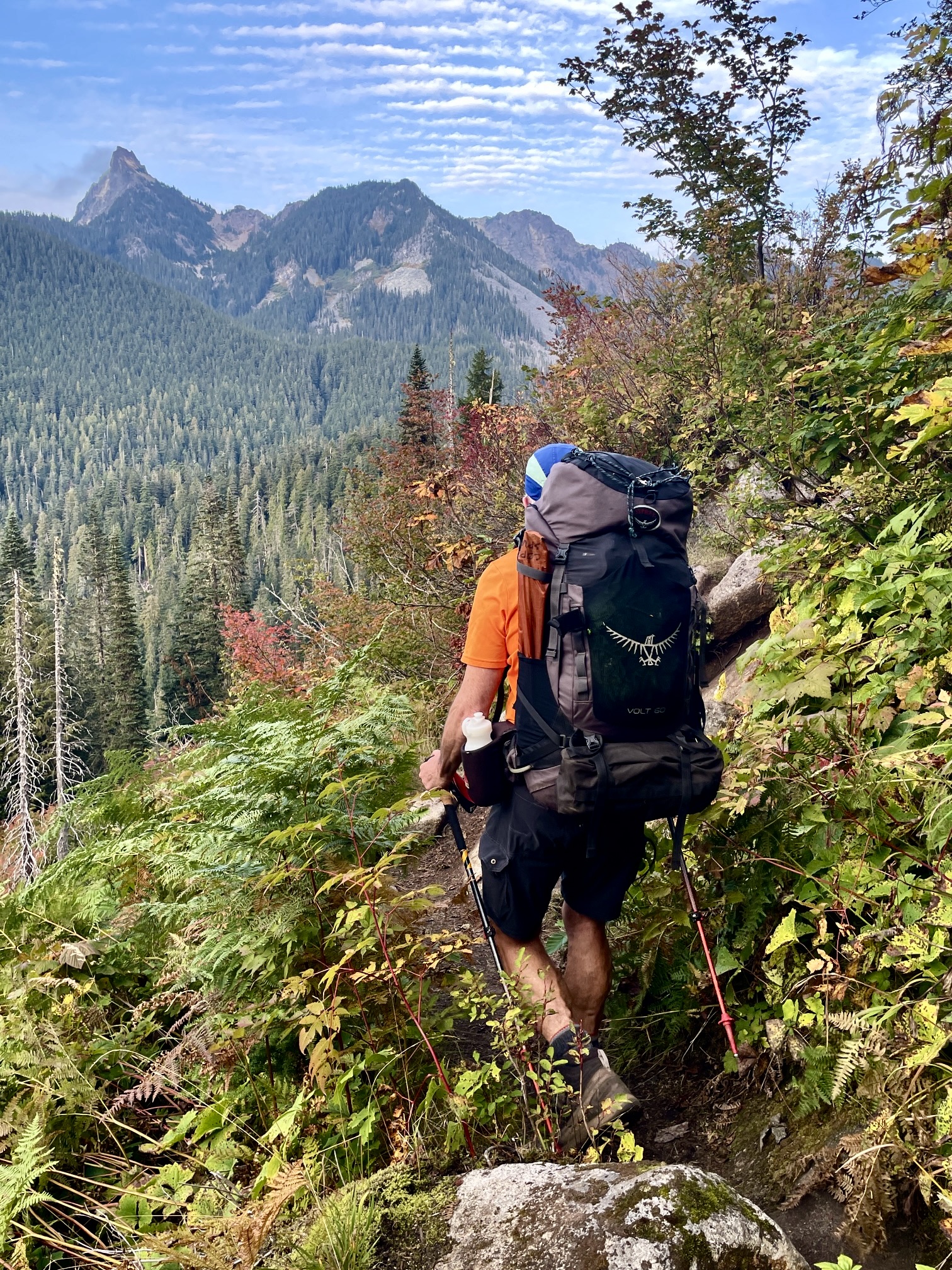
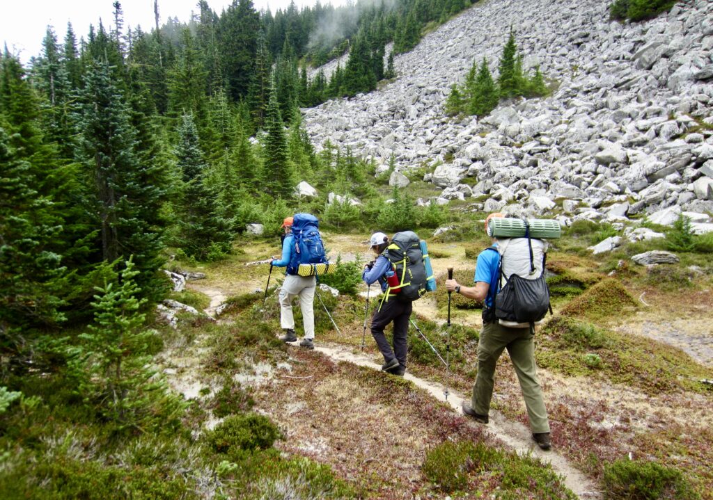
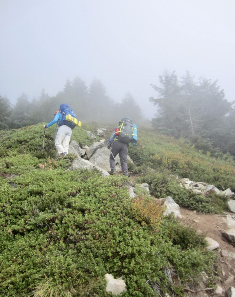
Beyond Cobweb Pass, the trail makes a rising traverse high above Spider Lake and closely below the cliffs of Web Mountain (see the theme here?). We hiked through a series of delightful little basins and made a mini sidetrip over to a Spider Lake viewpoint. A final ascent then took us southward over a ridge to Defiance Junction. Here, we turned onto the Mt. Defiance Summit Trail and made a steep climb into heavy fog.
.
.
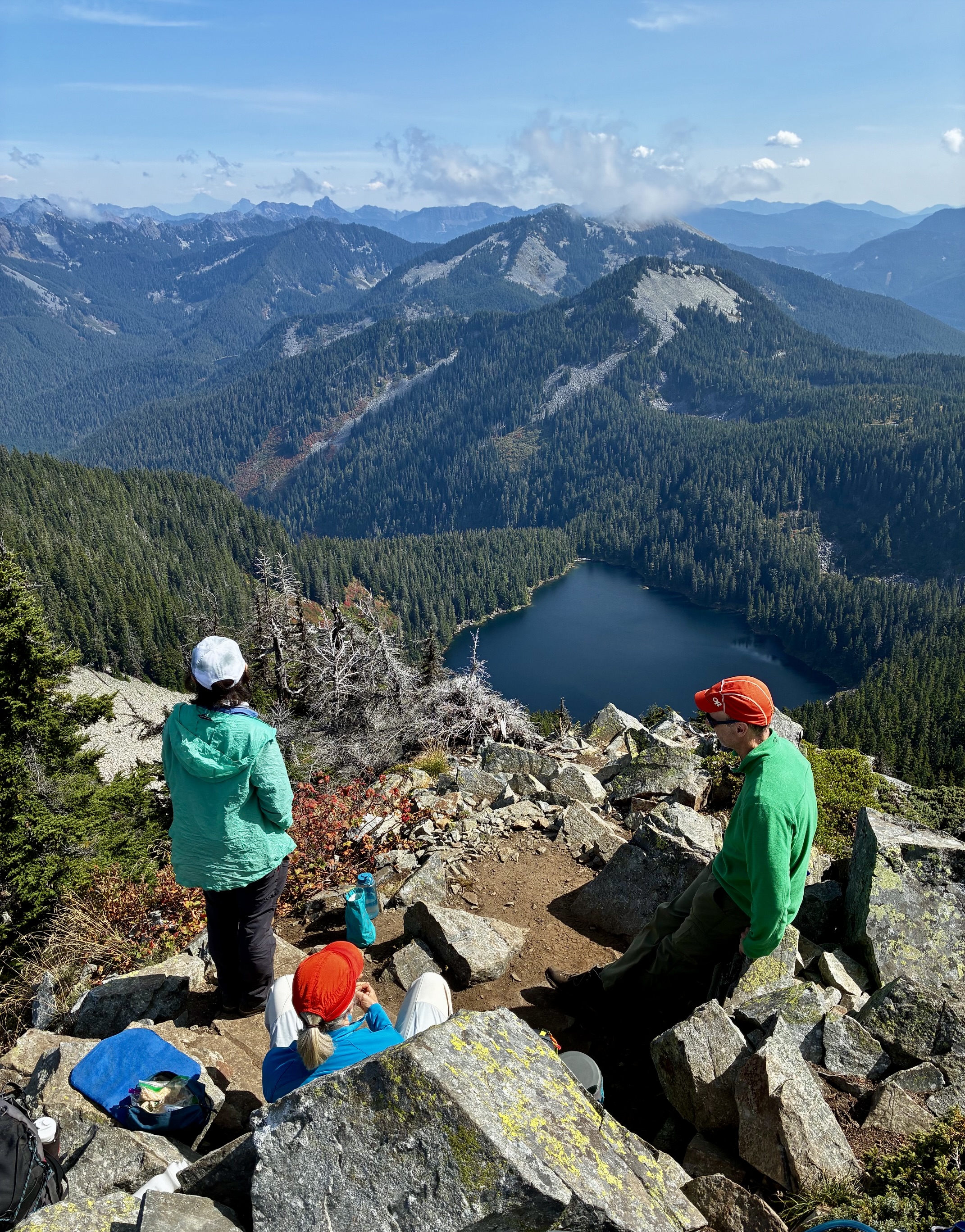
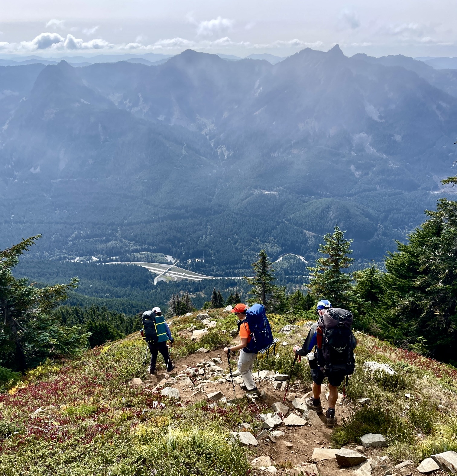
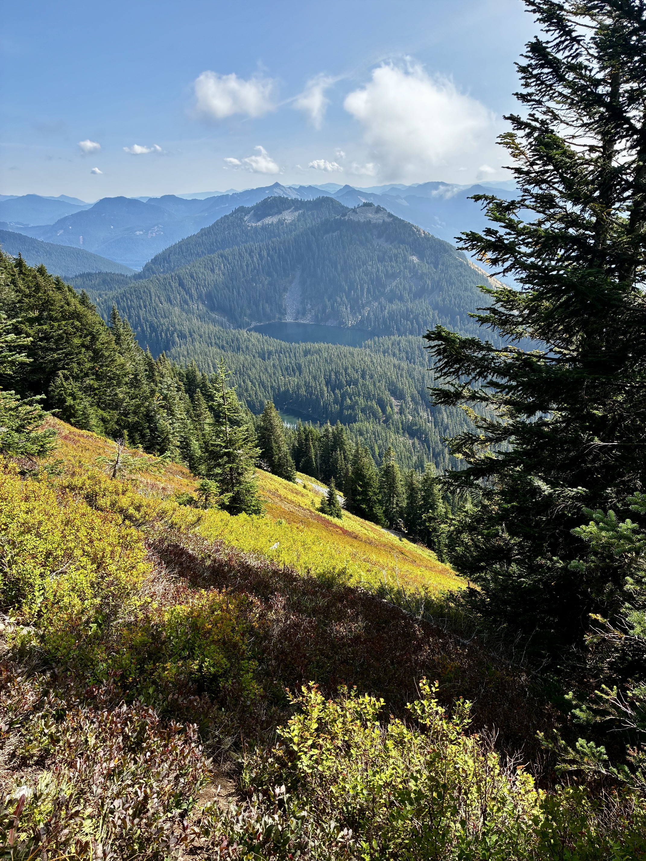
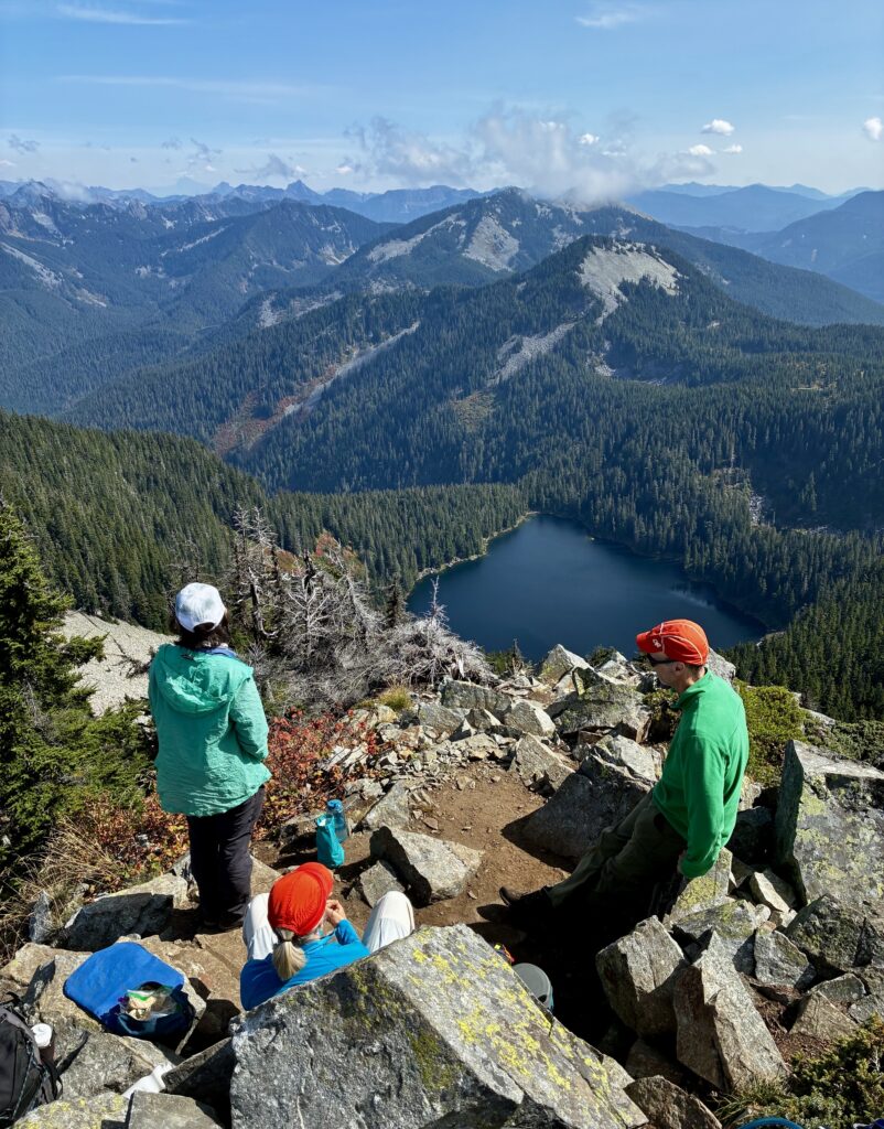
As planned, we topped out on the 5584-foot summit of Mt. Defiance in early afternoon (3.3 hours + 2.6 miles + 1950 feet from Camp 1). Miraculously, the fog and low clouds began dissipating just as we arrived! During our one-hour lunch break, numerous peaks and lakes came into view. Directly below was Lake Kulla Kulla (a fun name that means “bird” in Chinook Jargon), and farther to the east we could trace our continuing route past Pratt Mountain, Granite Mountain, and Low Mountain. To the south, Mt. Rainier made a brief appearance before disappearing in the clouds.
.
Day 2b: Mt. Defiance to Lower Tuscohatchie Lake
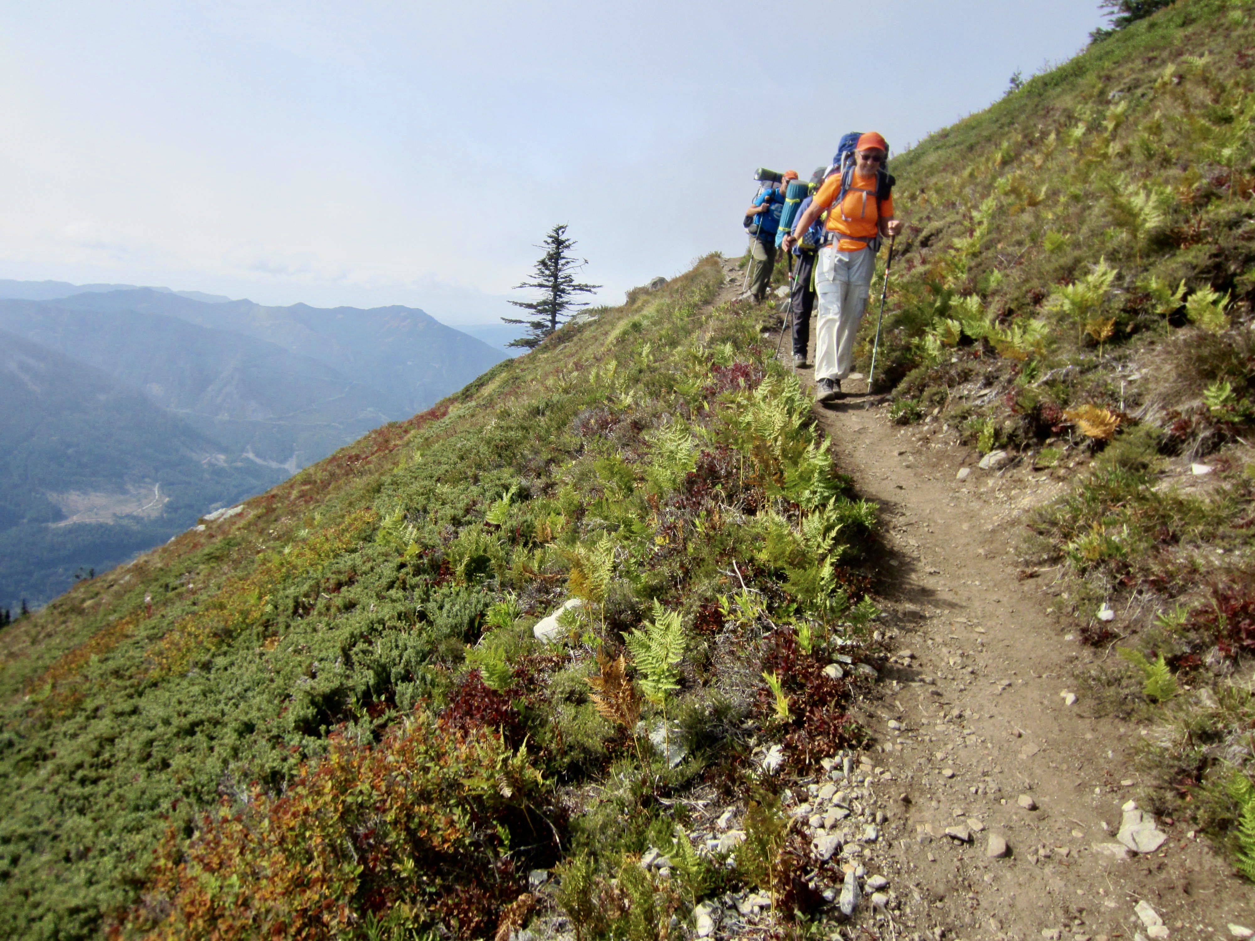
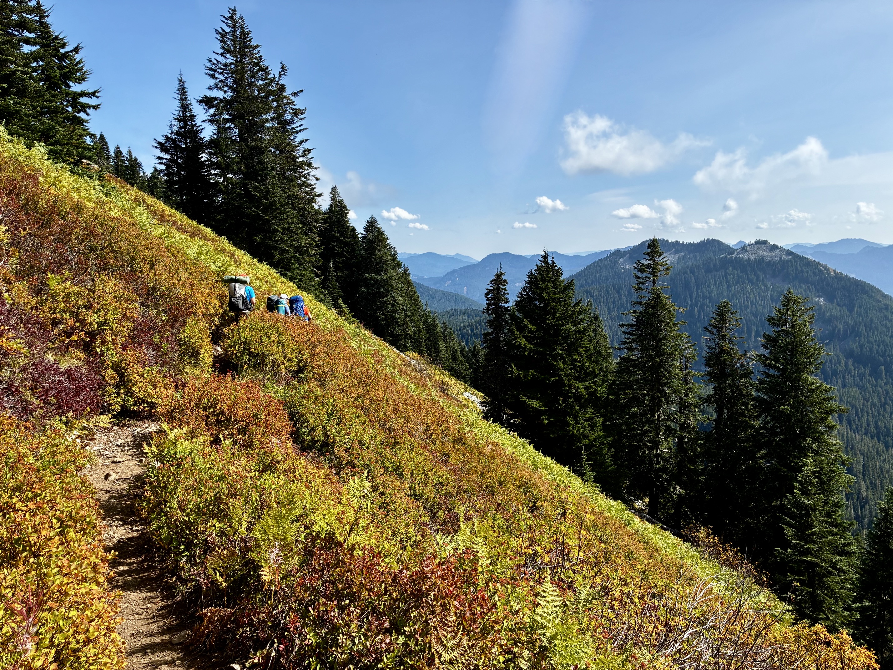
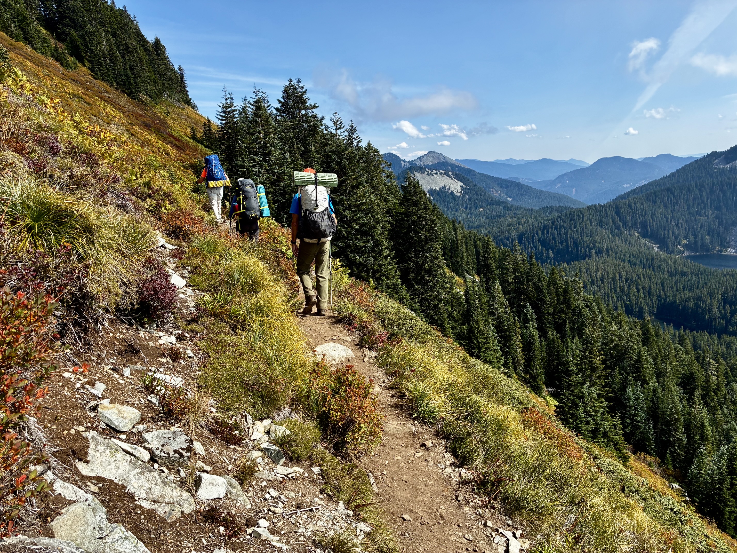
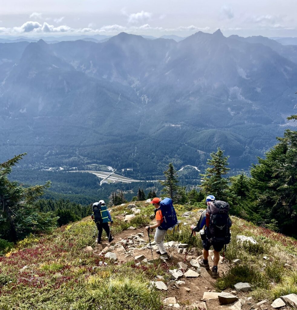
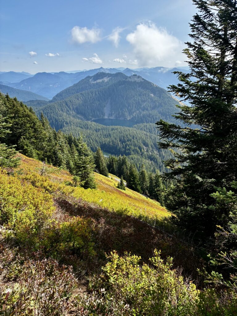
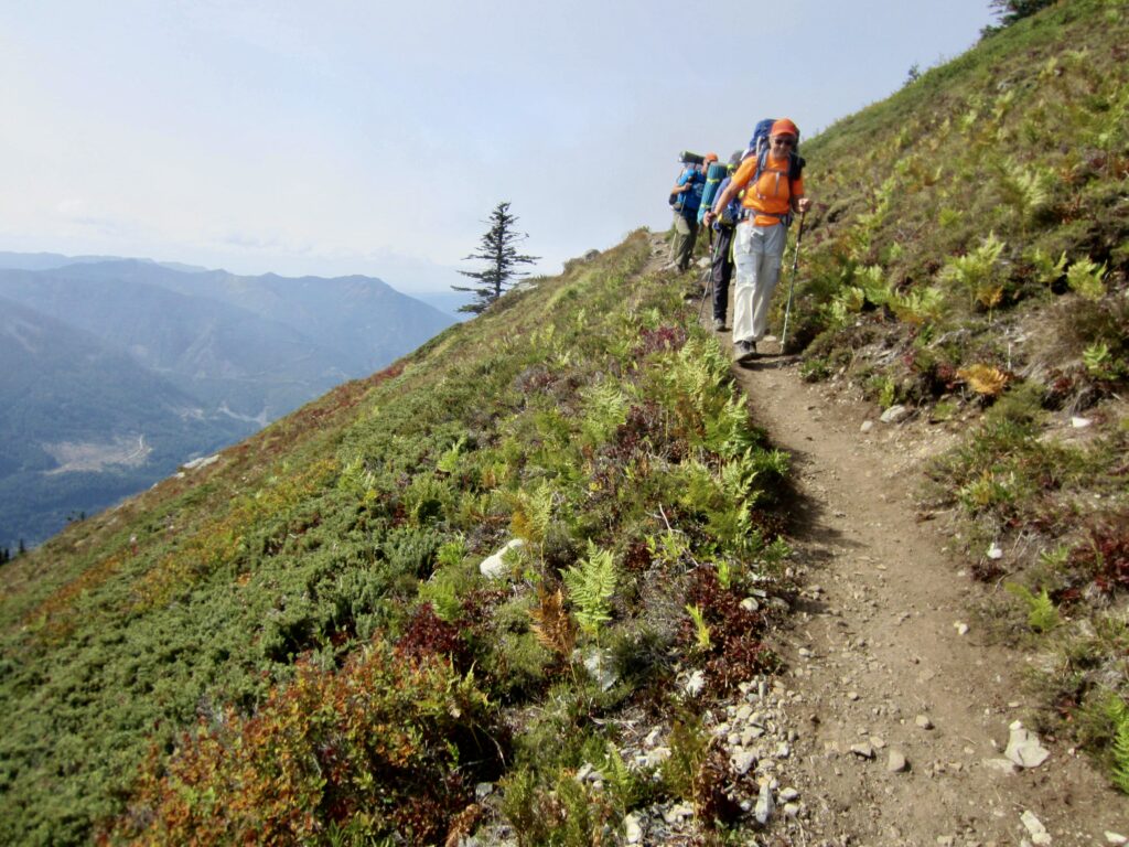
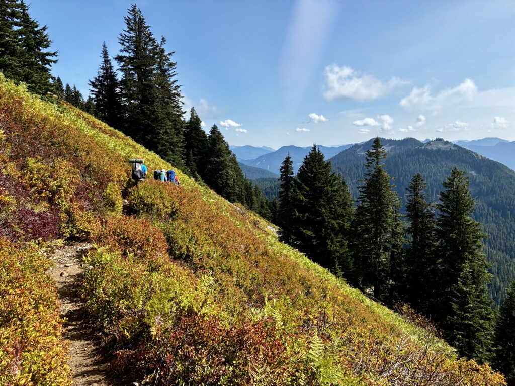
After lunch, we descended to Defiance Junction and continued our easterly traverse across the open hillside, which was ablaze with early-autumn color. This gorgeous hillside is only part of the reason that Mt. Defiance has been my favorite hiking summit in the I-90 corridor for many decades.
.
.
.
.
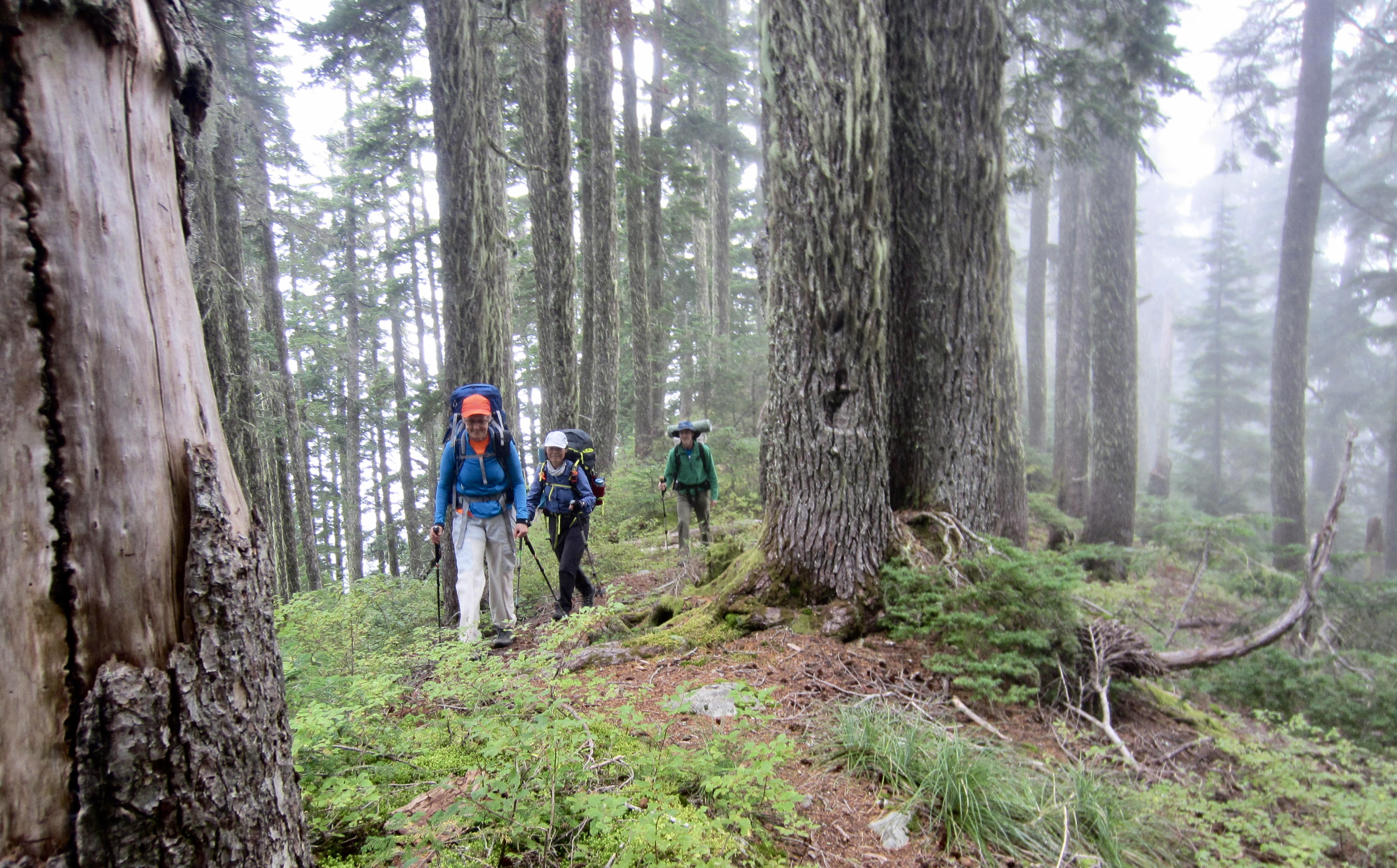
Our trail gradually descended to 4250-foot Mason Pass, which separates Lake Kulla Kulla from Mason Lake. Because the dense forest prevents any distant views from here, we entertained ourselves with the local terrain, such as bizarre mushrooms and giant boulders.
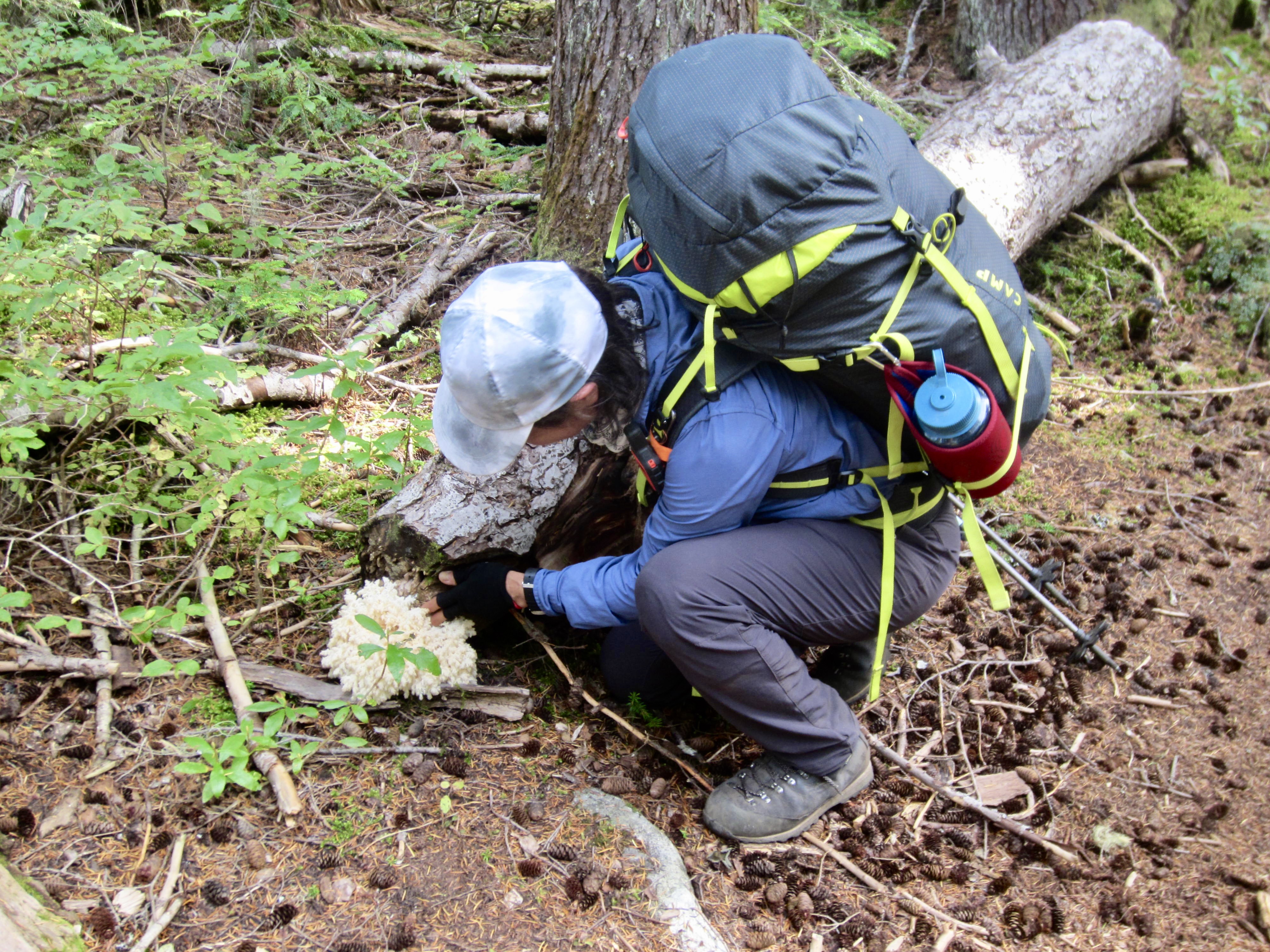
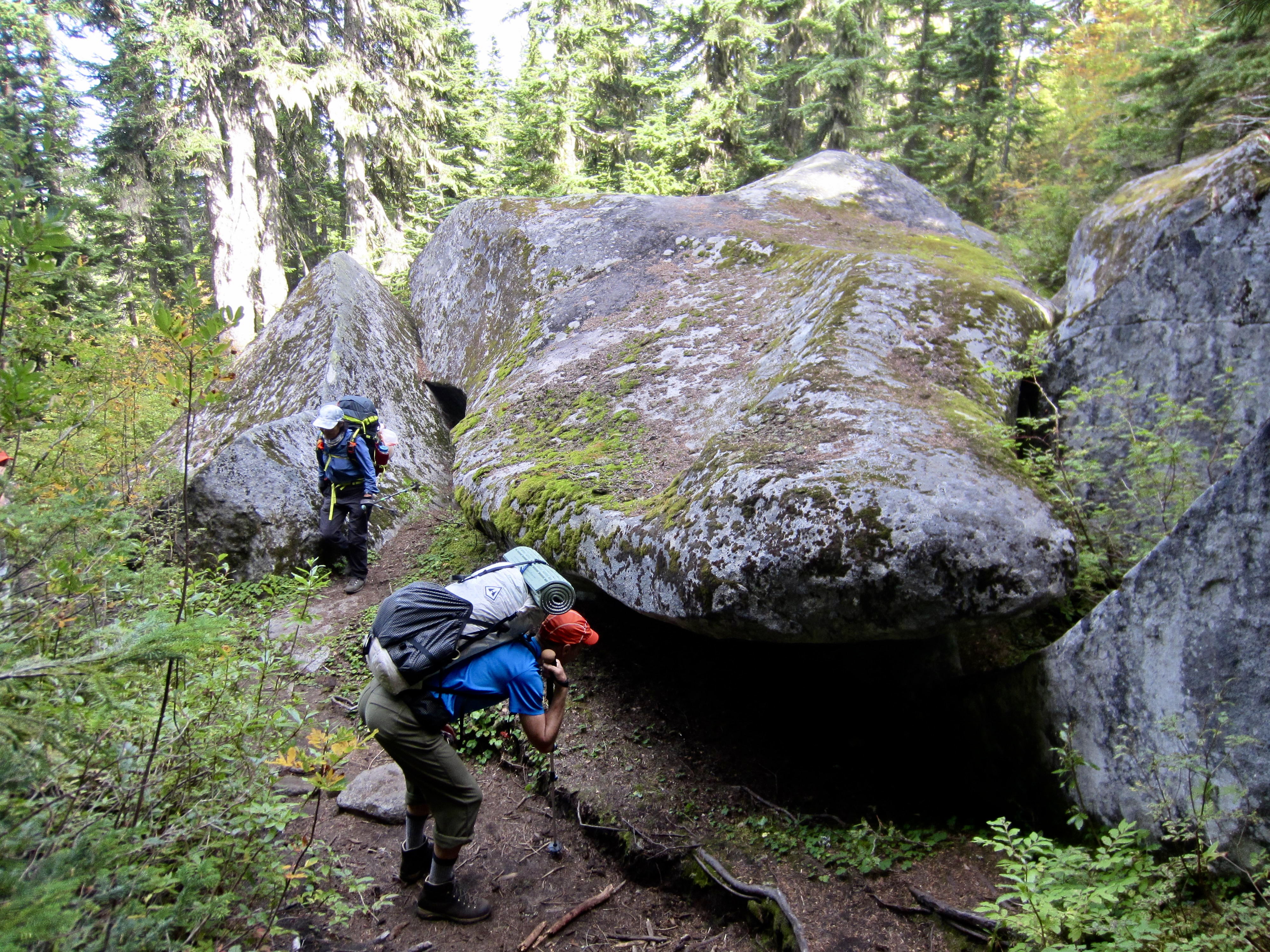
.
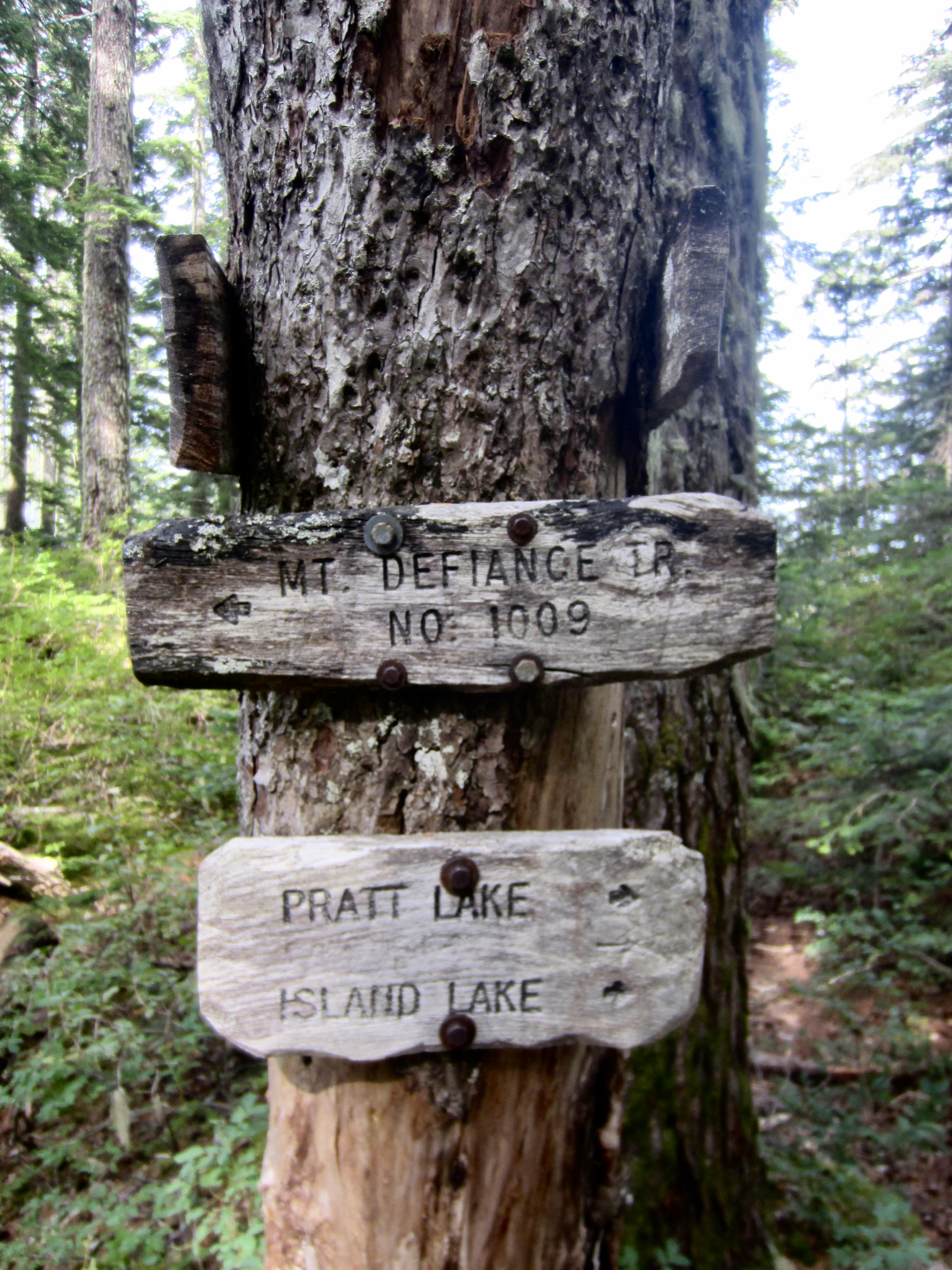
East of Mason Pass, the Mt. Defiance Trail crosses over a wooded bench between Bandera Mountain and Pratt Mountain. This bench contains numerous lakes, ponds, and meadows. We stopped for a break at Rainbow Lake, which sits right beside the trail, and three of us later made a 20-minute sidetrip over to nearby Island Lake.
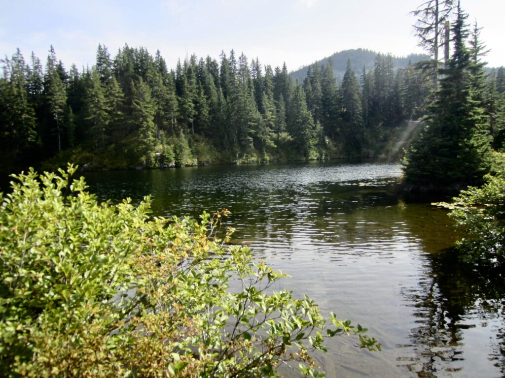
.
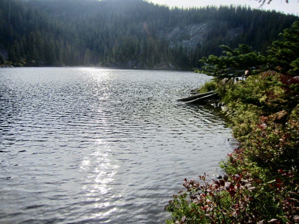
.
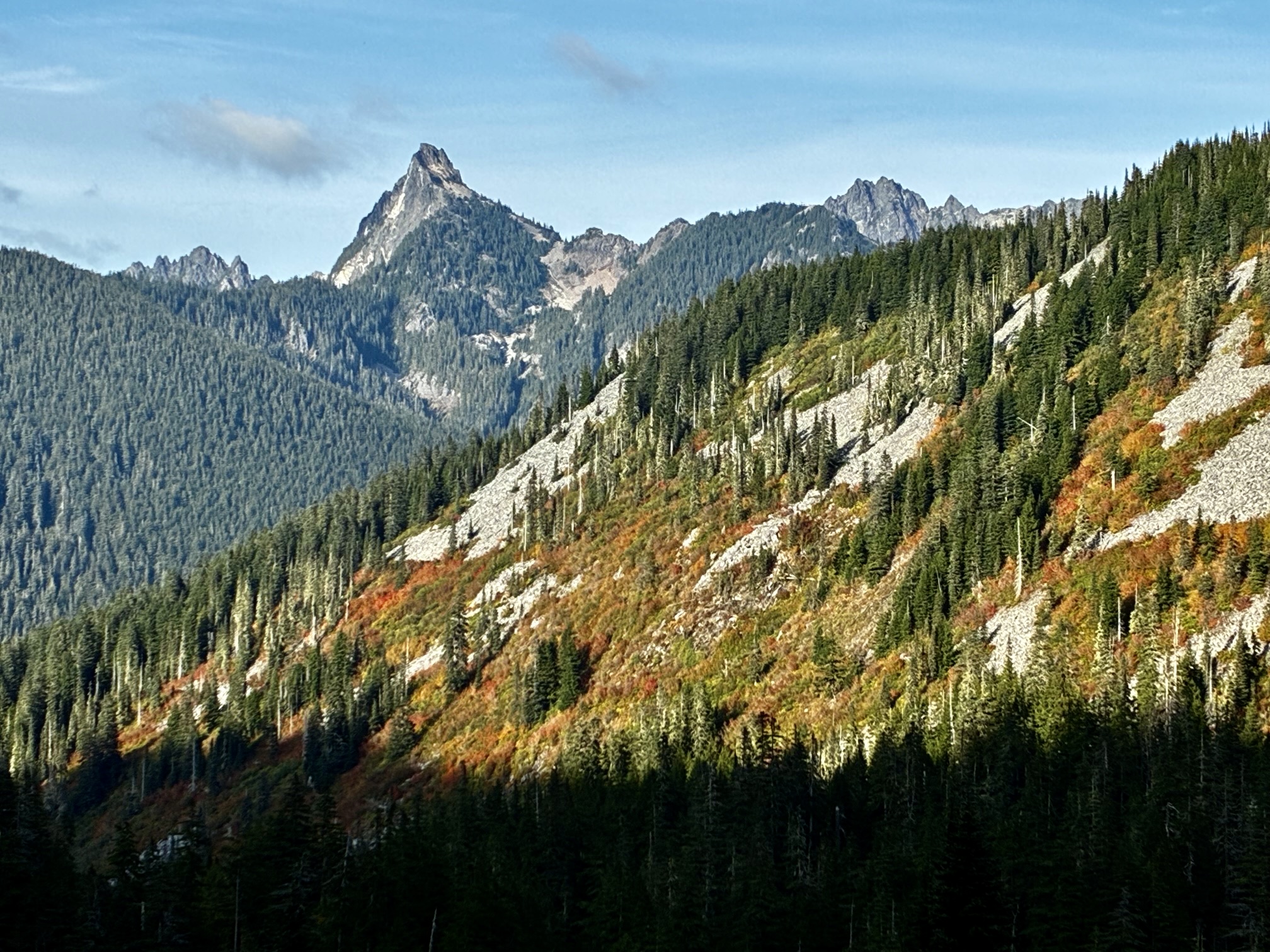
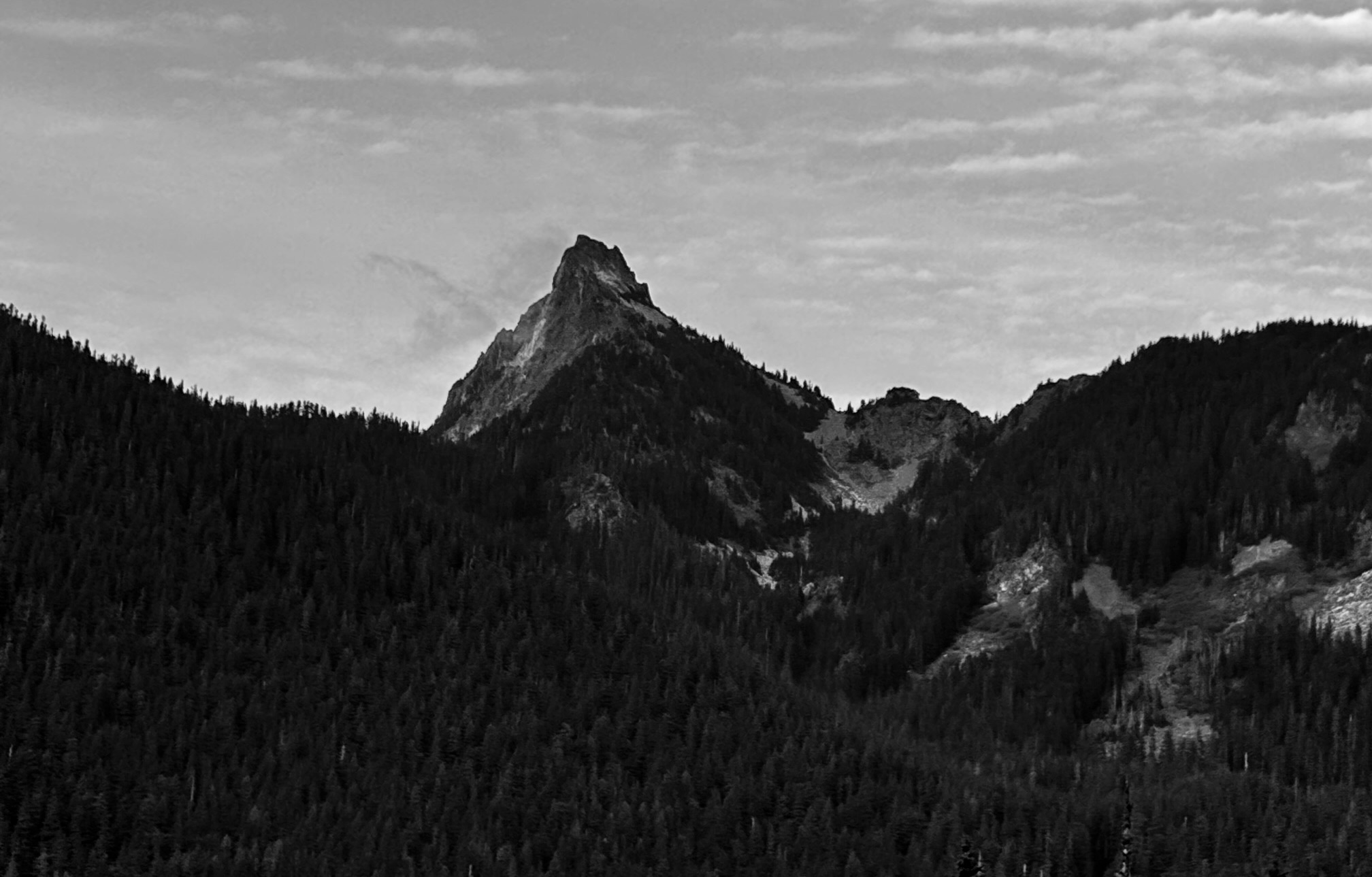
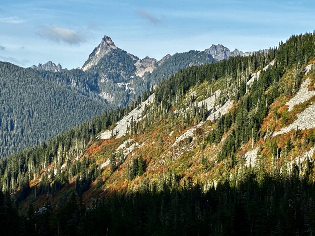
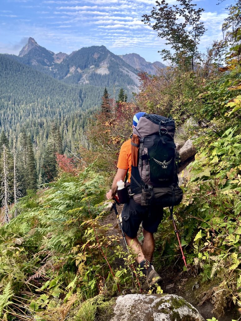
More easterly traversing took us across the southern flank of Pratt Mountain and over to 4160-foot Pratt Pass. From there, we turned onto the Pratt Lake Trail and began a northerly descent into the lake bowl. Upon breaking out of the forest, we found ourselves staring at the striking fang of Kaleetan Peak. It seems so improbable that this imposing peak could actually have a straightforward scramble route! Farther to the right was the craggy double summit of Chair Peak.
.
.
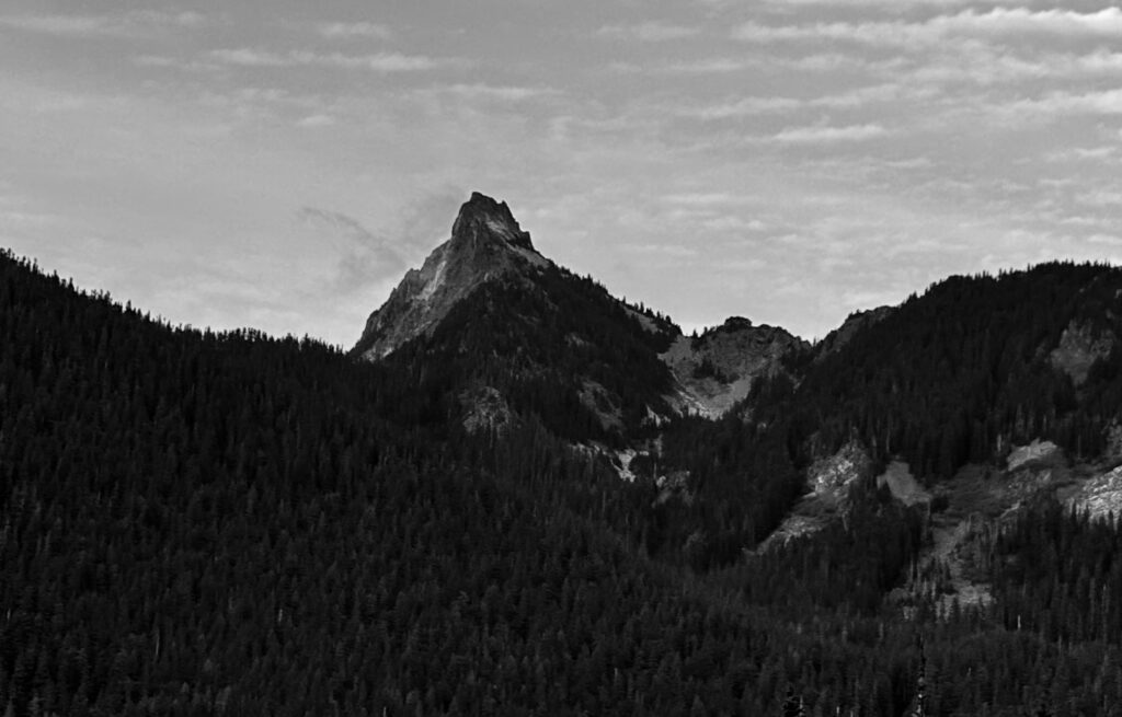
After skirting Pratt Lake, we turned right on the Melakwa Lake Trail and made a short traverse across a brushy hillside. Kaleetan Peak towered above the adjacent valley, seemingly close enough to touch.
.
.
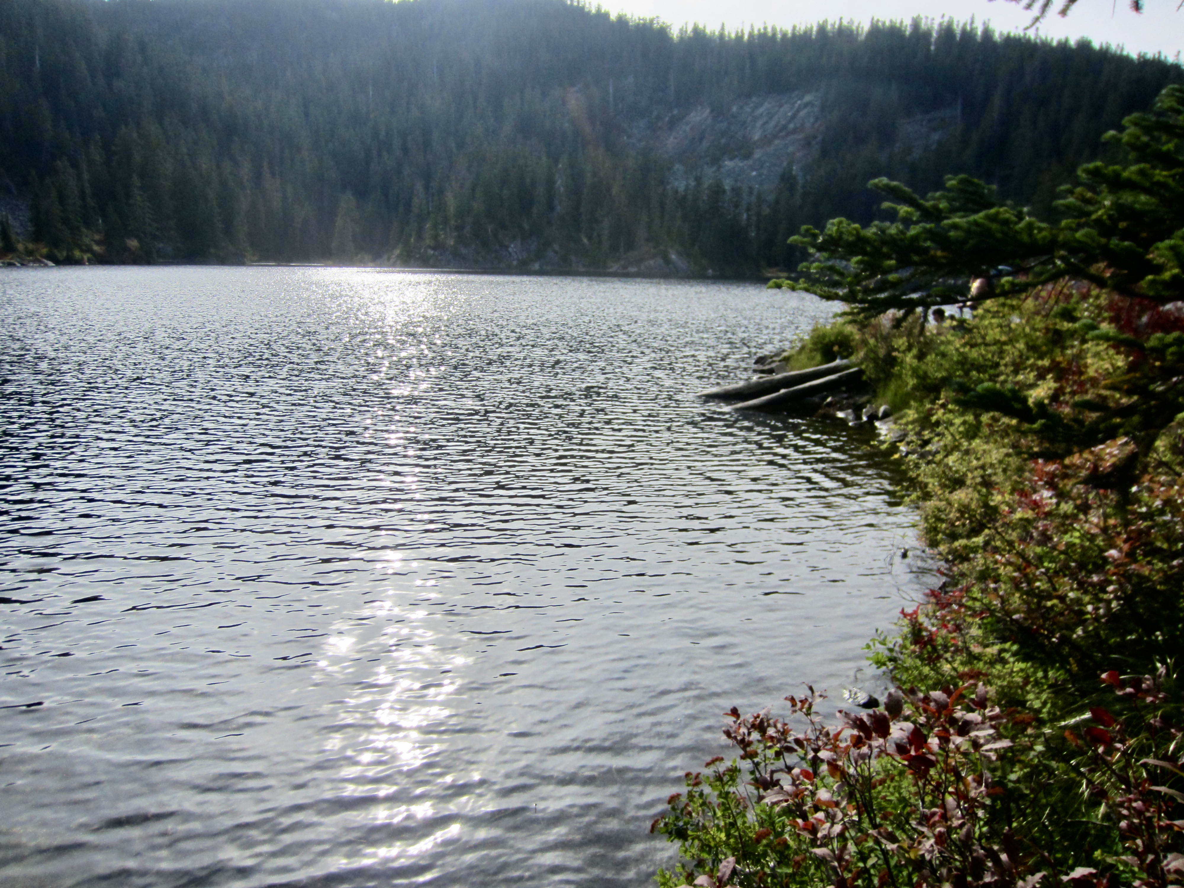
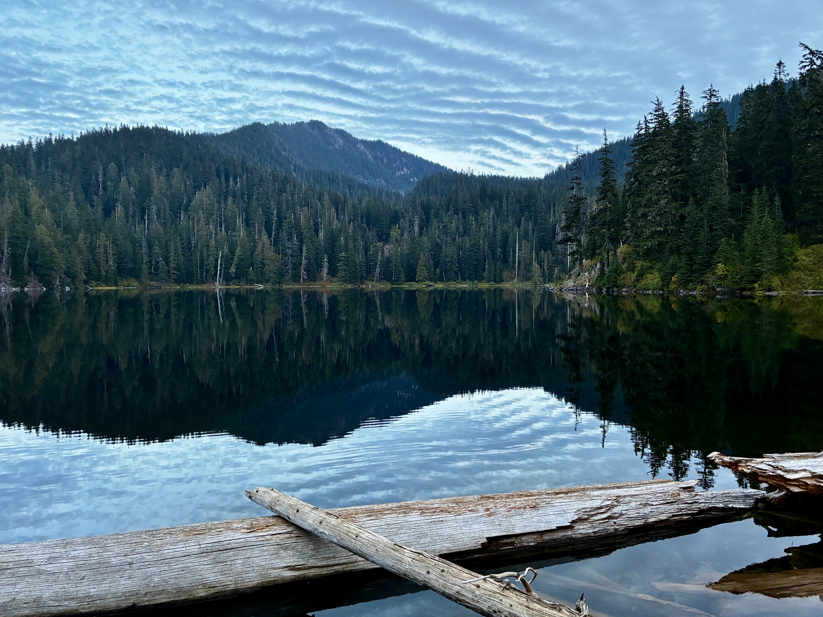
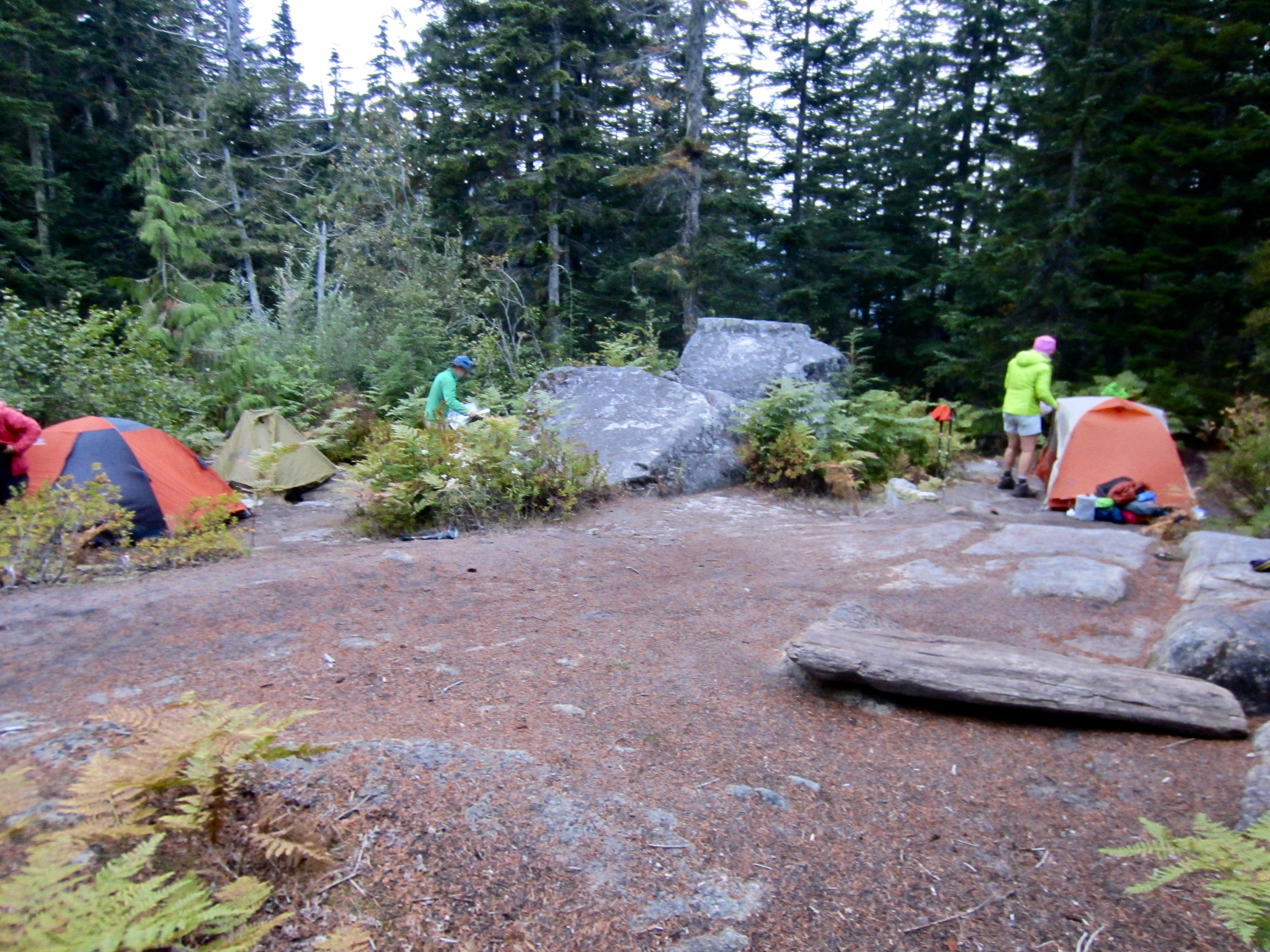
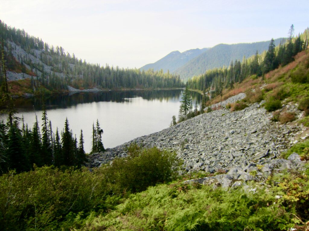
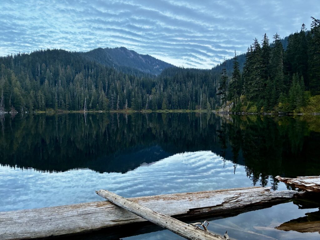
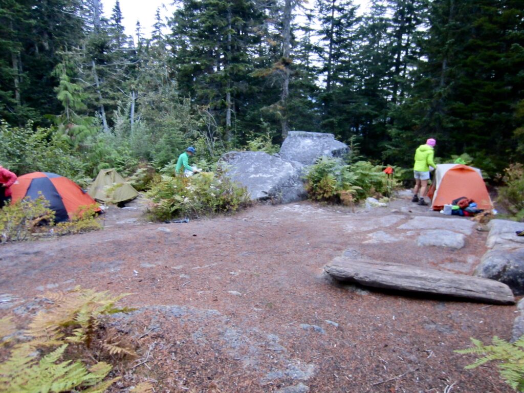
In early evening, we arrived at the glassy water of Lower Tuscohatchie Lake under a “mackerel sky” of altocumulus clouds (9.3 hours + 8.6 miles + 2750 feet – 3000 feet from Camp 1). We made camp in a spacious clearing with scattered boulders, once again having the whole place to ourselves. The old USGS map indicates that this clearing is the site of a former backcountry shelter.
.
.
Day 3: Lower Tuscohatchie Lake to Denny Creek Trailhead
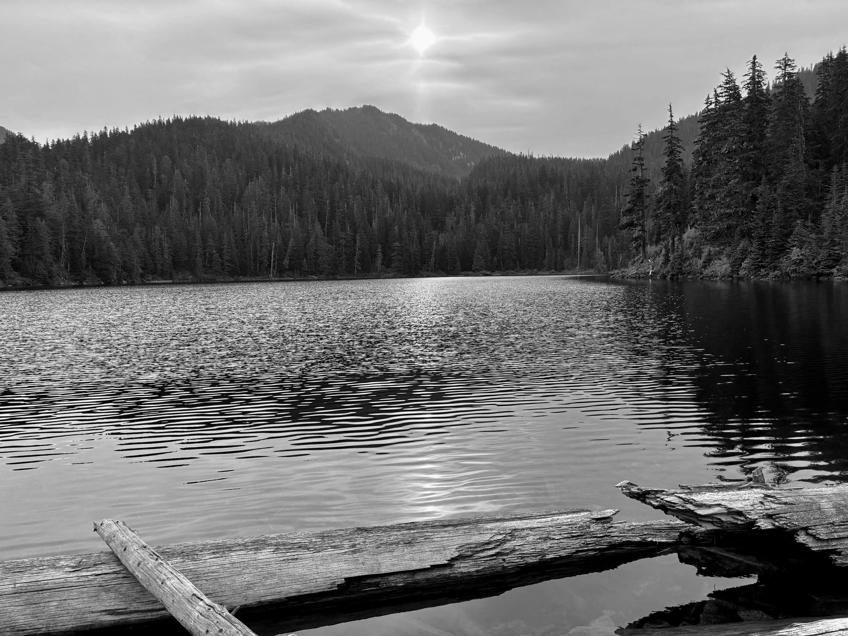
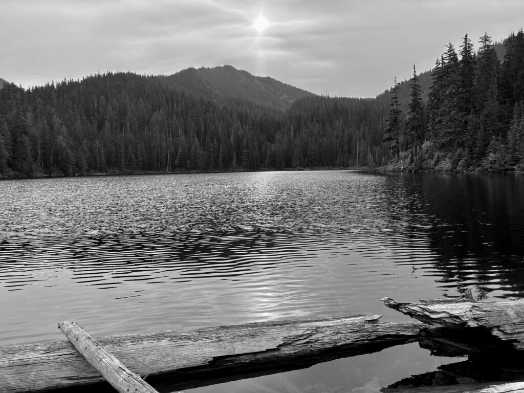
Following a warm night, we awoke to a high overcast, a watery sun, and a trace of smoke in the air. Presumably, a shift in the wind was bringing smoke from the Three Queens Fire several miles away.
.
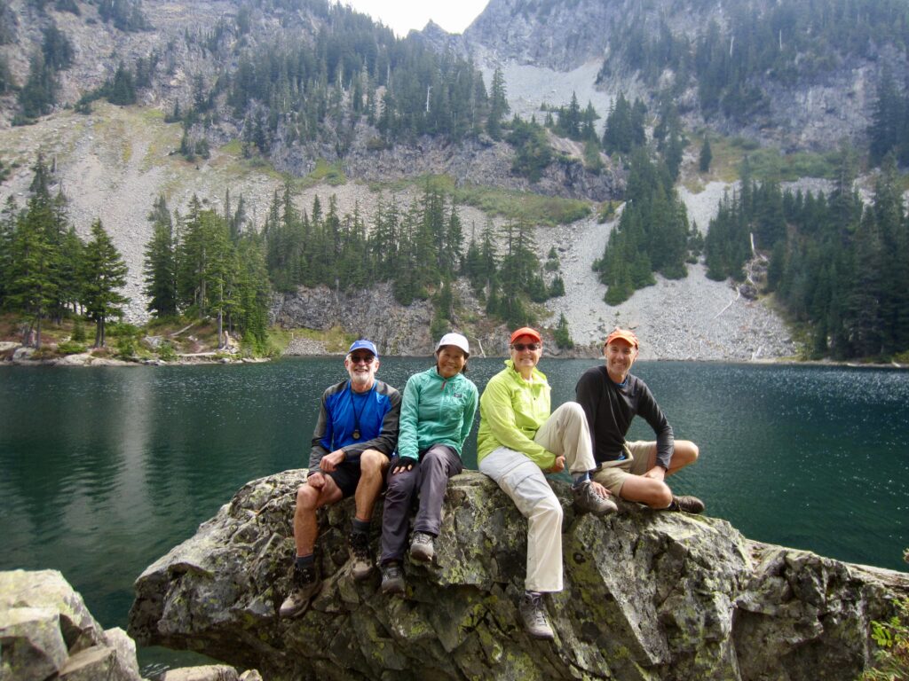
Our morning started with a 1000-foot hike up to Melakwa Lake (melakwa means “mosquito” in Chinook Jargon) at the headwaters of the Pratt River. In contrast to the relatively few people we’d seen the previous two days, this area was a hub of activity, with a combination of day-hikers, backpackers, and Kaleetan Peak scramblers.
.
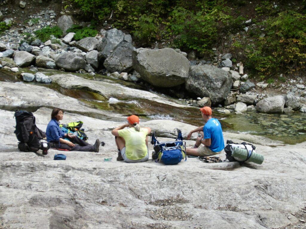
From Melakwa Lake, we headed south on the Denny Creek Trail and crossed over 4600-foot Hemlock Pass—our fifth pass of the traverse—and then made a long descent into the Denny Creek Valley. We stopped one last time at the ever-popular Denny Creek Waterslide, which was now at a very low flow rate.
.
The remaining 1½ miles of our exit hike featured a steady stream of foot traffic in both directions. At 2:00pm, we strode across the large, bustling parking lot of the new Denny Creek Trailhead to conclude a splendid trail traverse (5.4 hours + 6.5 miles + 1250 feet – 2400 feet from Camp 2). An easy 30-minute drive then took us back to the Granite Creek Trailhead to retrieve our other vehicle.
Route Map & Profile
…
…
Photo Gallery
Click to enlarge…