
Trip Date: September 24-27, 2026
Hoodoo Pass Loop Hiking & Scrambling Trip
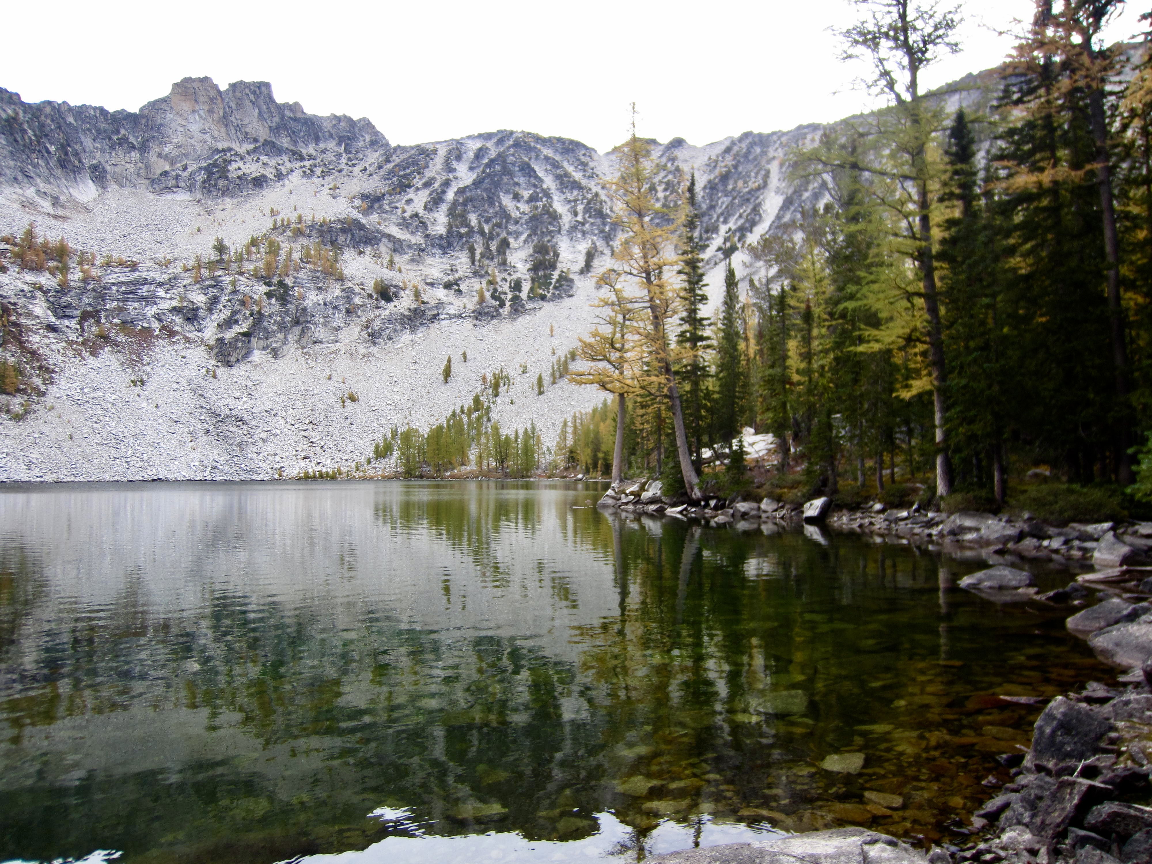
Eagle Lakes
Horsehead Pass
Boiling Lake
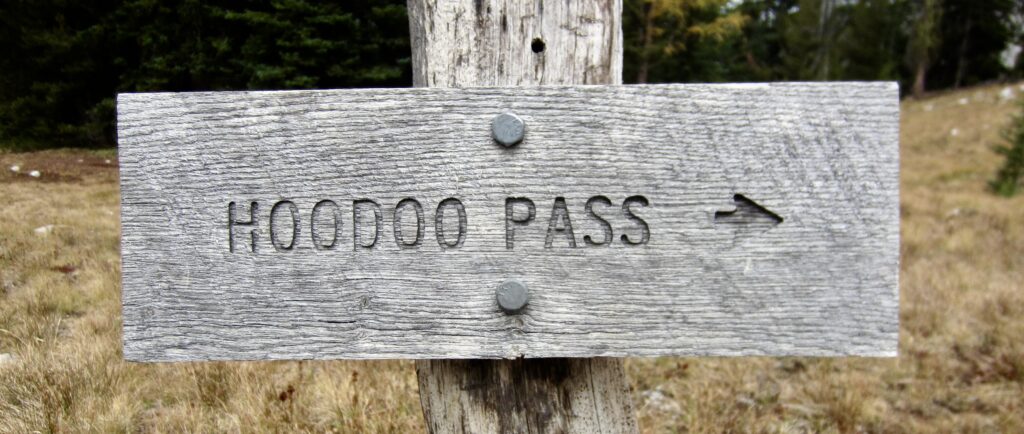
Hoodoo Pass
Mount Bigelow (8468 ft)
Libby–Crater Saddle
Crater Peak (8217 ft)
Crater Lake
Trip Report Summary
Region: North-Central Washington Cascades
Sub-Region: Sawtooth Mountains
Areas: Okanogan–Wenatchee National Forest & Lake Chelan – Sawtooth Wilderness
Starting & Ending Point: Crater Creek Trailhead at end of Crater Creek Road #4340-300 (Elev. 4700 feet)
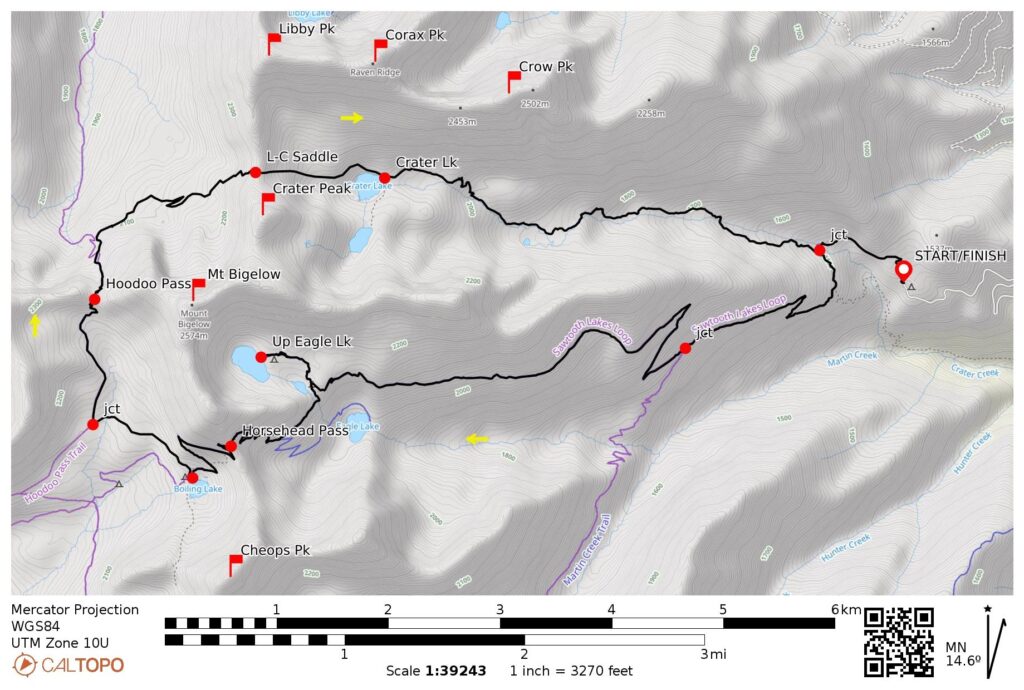
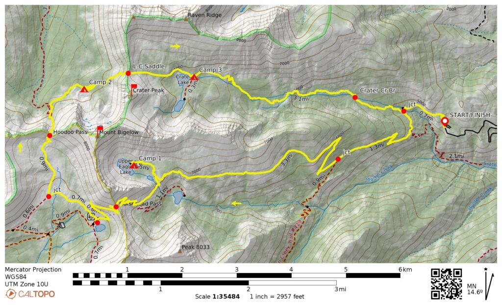
Loop Way Points: Eagle Lakes / Crater Creek Trail junction & Eagle Lakes / Martin Creek Trail junction & Middle Eagle Lake & Upper Eagle Lake & Middle Eagle Lake & Horsehead Pass / Lower Eagle Lake Trail junction & Horsehead Pass & Boiling Lake & Hoodoo Pass Trail junction & Hoodoo Basin & Hoodoo Pass & North Bigelow Bench & Libby–Crater Saddle & Crater Lake & Crater Creek Bridge & Crater Creek Trailhead (trail hike & off-trail hike & boulder hop & rock scramble)
Campsites: Upper Eagle Lake & North Bigelow Bench & Crater Lake
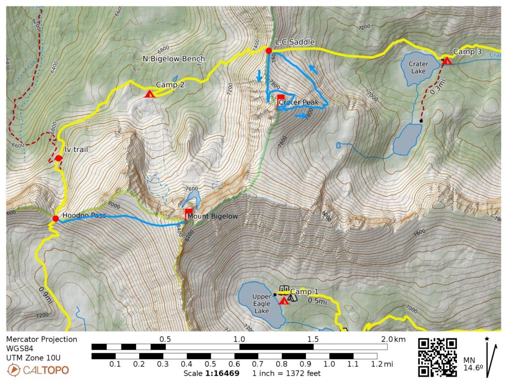
Summit Sidetrip 1: Mt. Bigelow (off-trail hike & boulder hop & rock scramble via West Ridge—Southwest Slope)
Summit Sidetrip 2: Crater Peak (off-trail hike & boulder hop & rock scramble via North Ridge—Upper Northeast Slope—Northeast Chute; descent via East Ridge—Lower Northeast Slope)
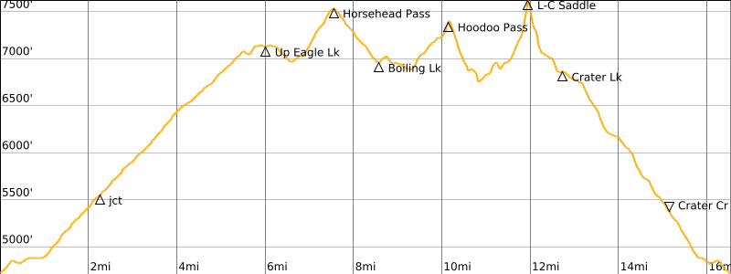
Approximate Stats (excluding all sidetrips): 16.6 miles traveled; 4750 feet gained & lost.
Approximate Stats (including all sidetrips): 18.8 miles traveled; 6650 feet gained & lost.
Related Posts
>>> Mt. Bigelow via Buttermilk Creek—Hoodoo Pass—Southwest Slope – September 11, 2002
>>> Cheops Peak & Martin Peak via Martin Creek—Martin Lakes – September 18-20, 2019
>>> Golden Lakes Loop & Cooney/Switchback Peak & Old Maid Mtn – September 28-30, 2007
>>> Corax Peak & Libby Peak via Crater Creek—Crater Lake—Libby-Crater Saddle – May 28, 2004
Trip Overview
The Crater Creek Trailhead represents a key jump-off point on the eastern side of the Sawtooth Mountains, which extend in a roughly northwest–southeast orientation adjacent to Lake Chelan. This single trailhead provides access to three different trails that lead to several popular east-side lakes, including Crater Lake, Eagle Lakes, Martin Lakes, and Cooney Lake. By linking any of these lake trails to certain west-side trails, a variety of interesting loops can be created.
The Hoodoo Pass Loop around Mt. Bigelow is one such interesting trek that starts and ends at the Crater Creek Trailhead. This 16½-mile loop comprises 14½ miles of trail hiking and 2 miles of cross-country travel. Although the loop could be completed in either a clockwise or counterclockwise direction, it is advantageous to go clockwise—moving westward over Horsehead Pass and then eastward over Libby–Crater Saddle to Crater Lake—because you will be ascending rather than descending the steepest terrain. Regardless of direction, you will have the opportunity to reach multiple nearby summits, such as Cheops Peak, Mt. Bigelow, Crater Peak, Libby Peak, Corax Peak, and Crow Peak.
.
…
…
Full Trip Report
During a period of unsettled autumn weather, Eileen and I completed the Hoodoo Pass Loop in a clockwise direction. We took four days for the whole trek, as this accommodated our long drive to and from the trailhead and also allowed time for some summit sidetrips. Despite encountering difficult weather conditions along the way, we were able to tuck in Mt. Bigelow and Crater Peak. It was also a pleasant surprise to find that all trails had been thoroughly logged out, thanks to the efforts of the Coulee Riders motorcycle club.
Day 1: Trailhead to Upper Eagle Lake
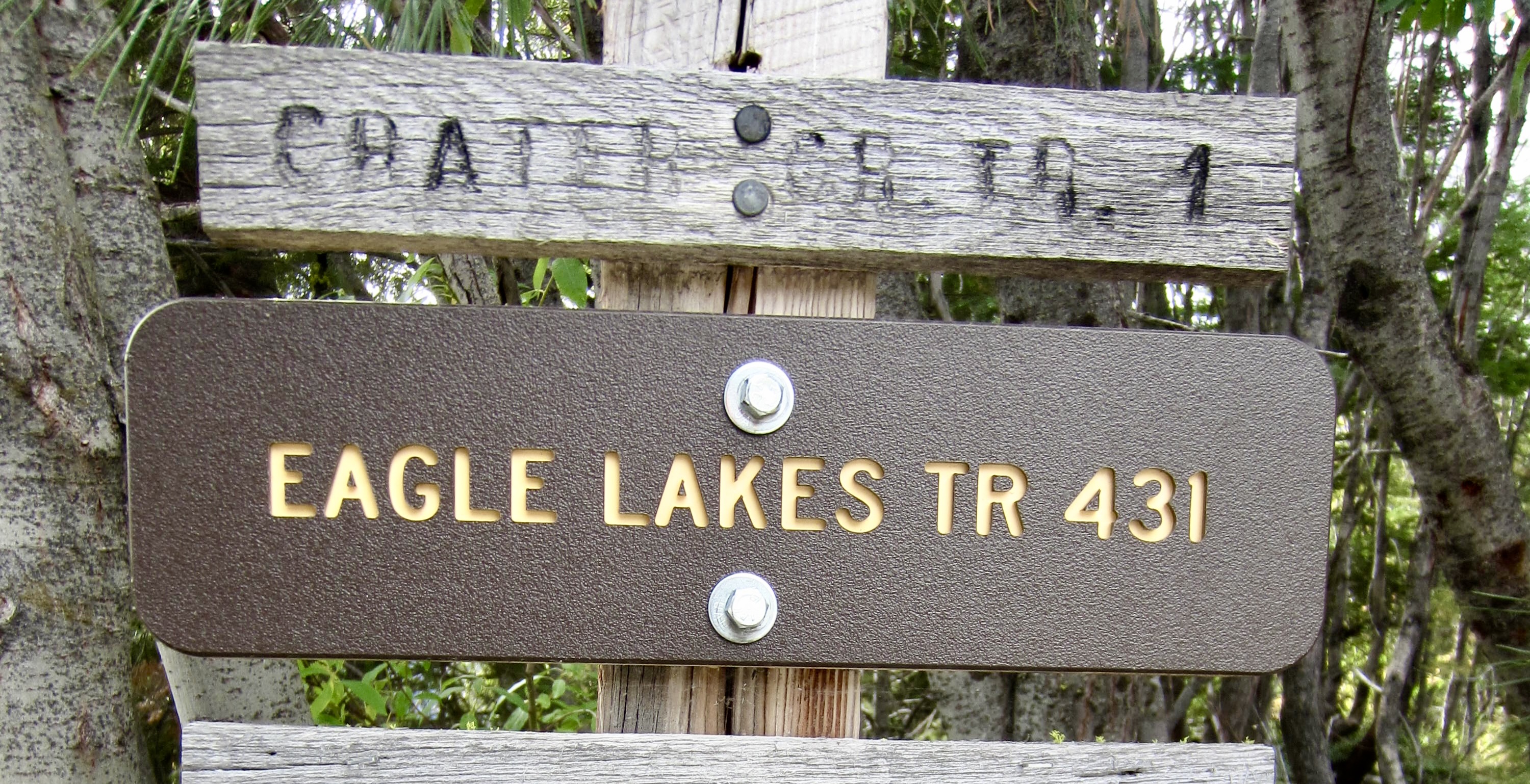
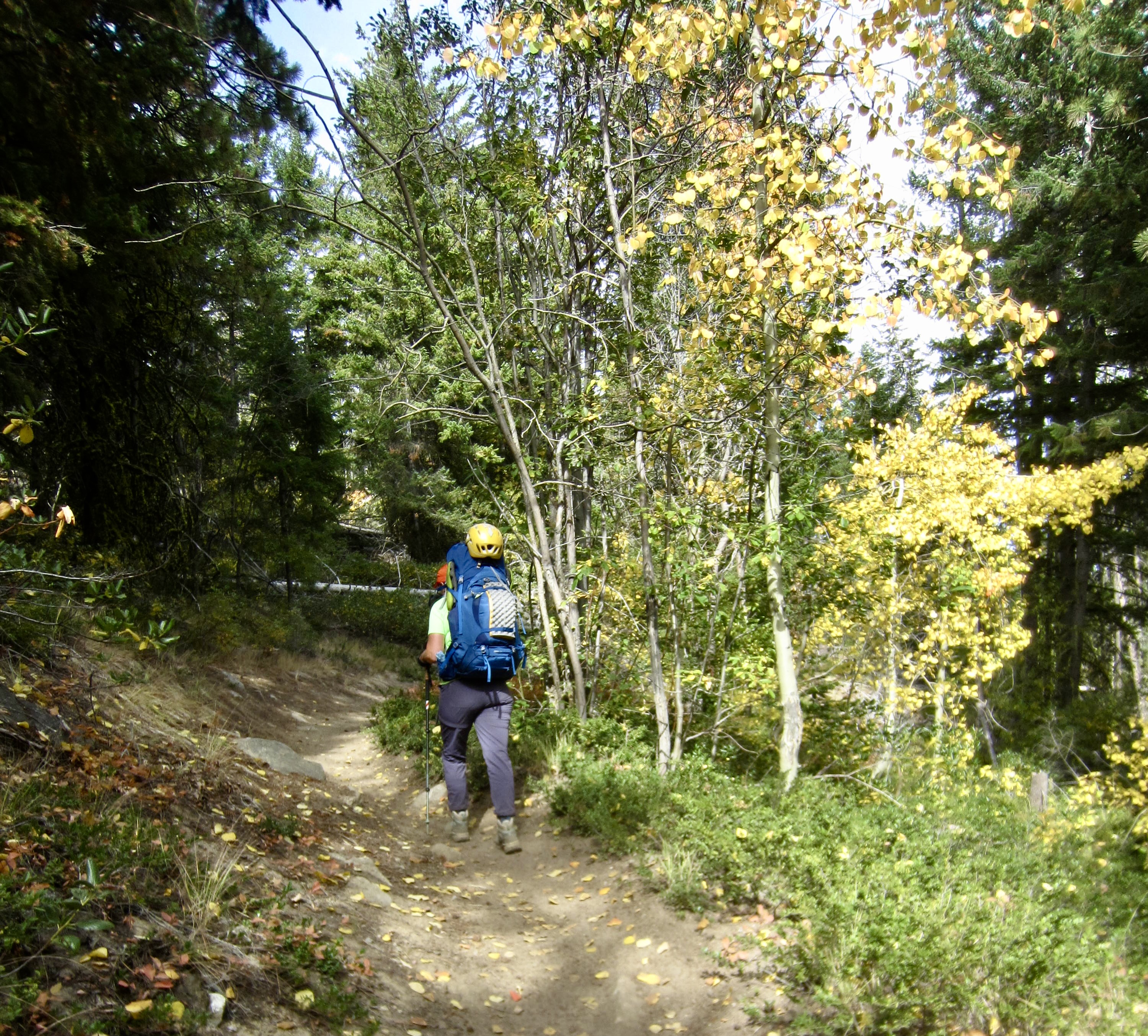
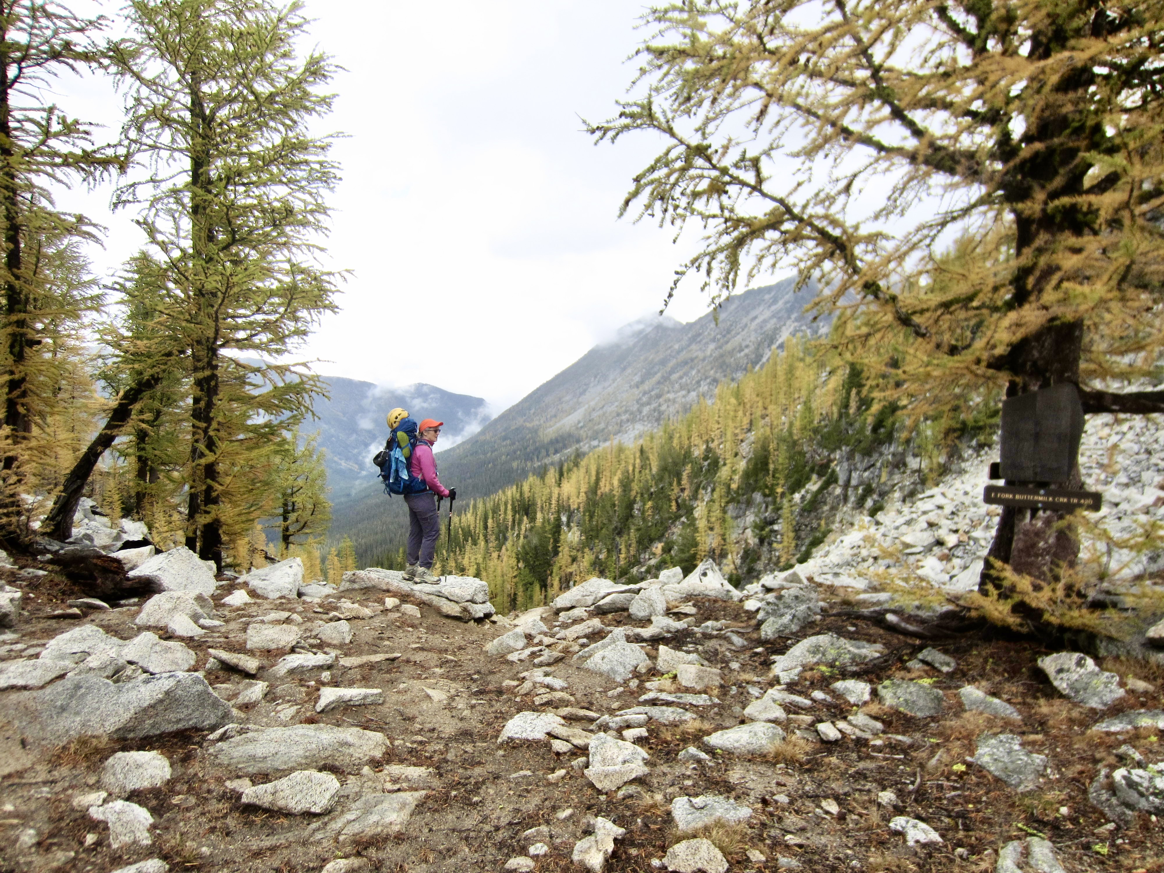
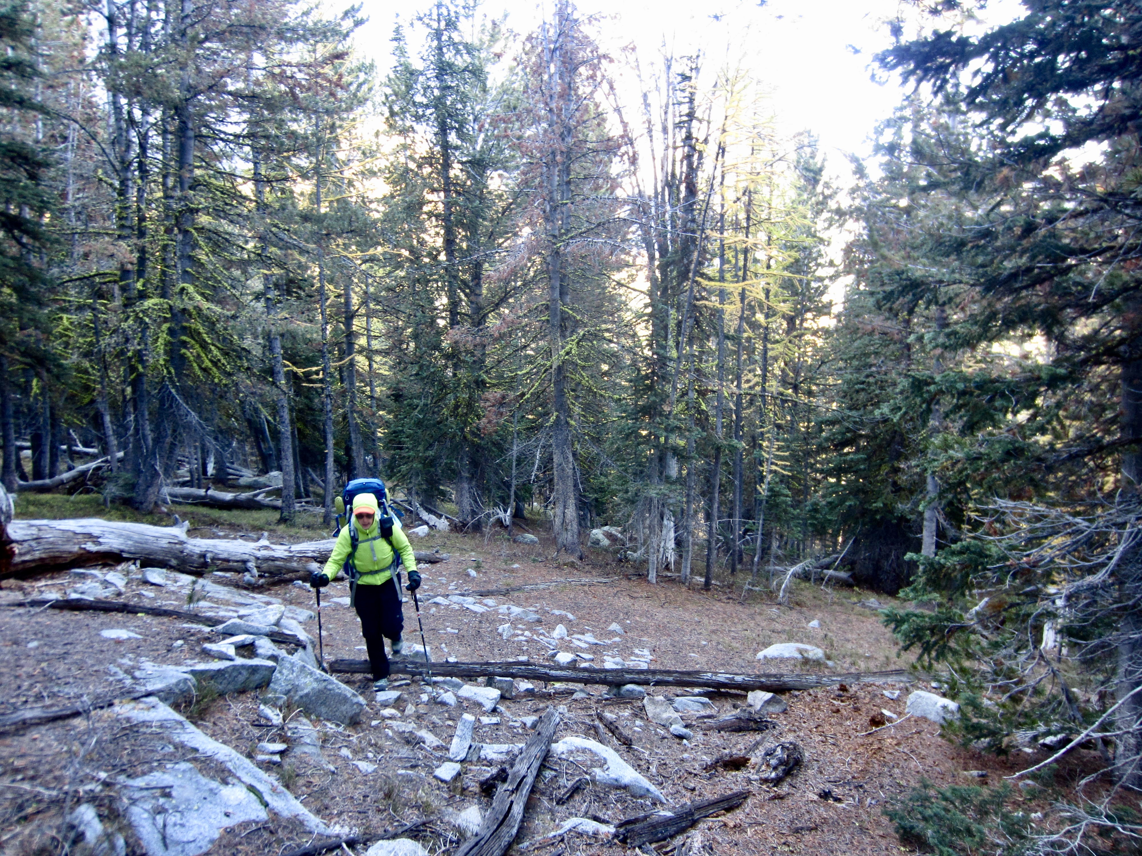
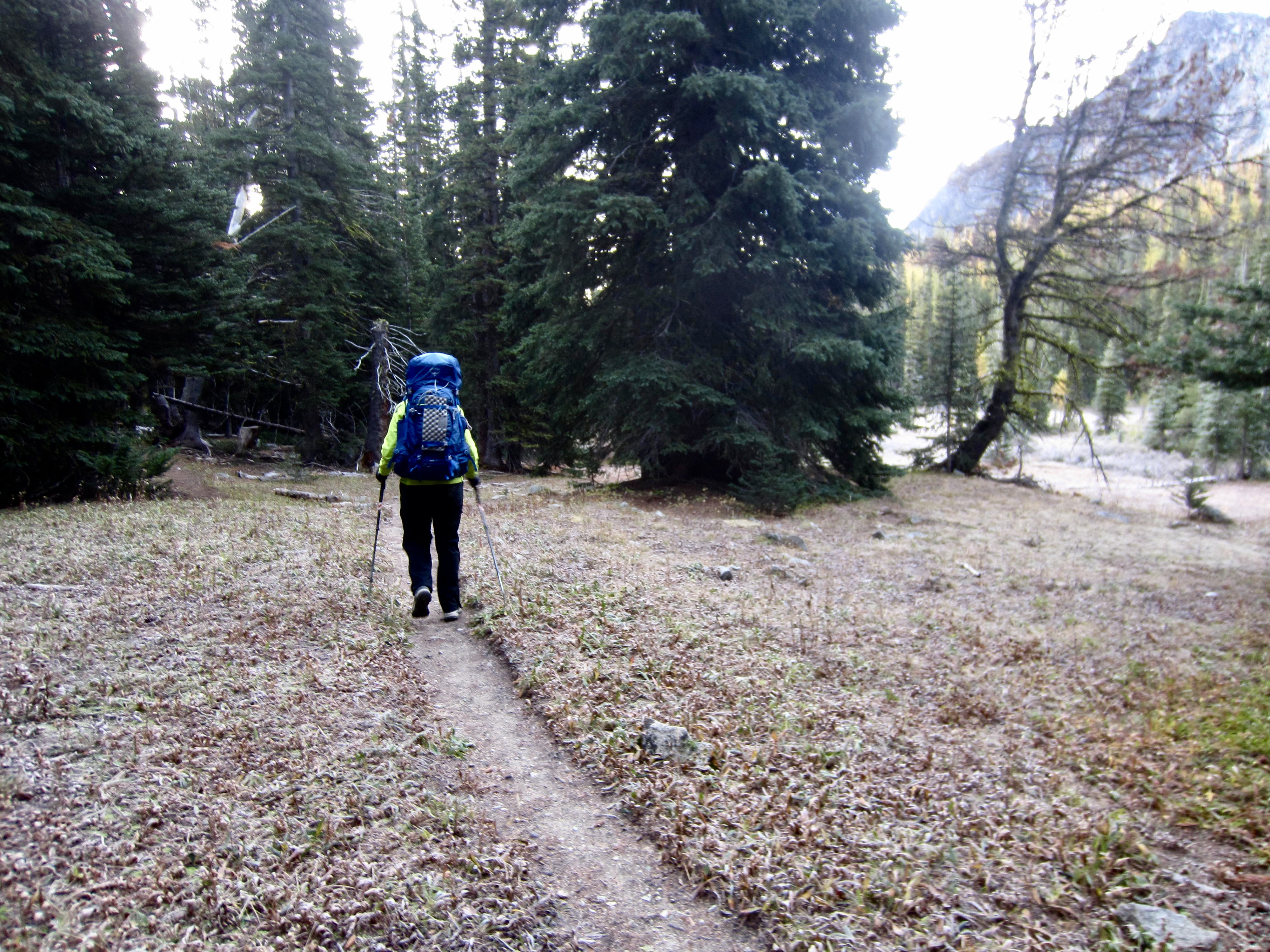
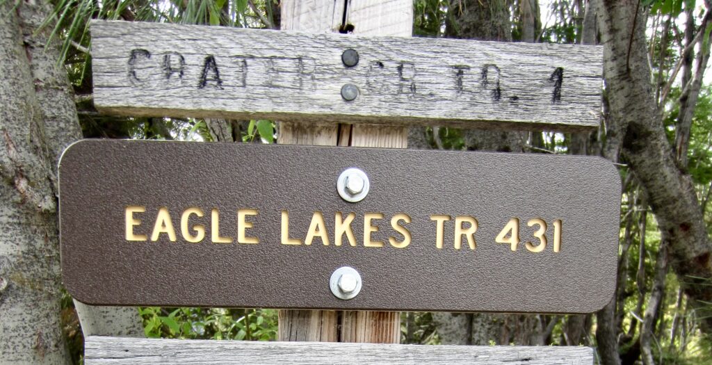
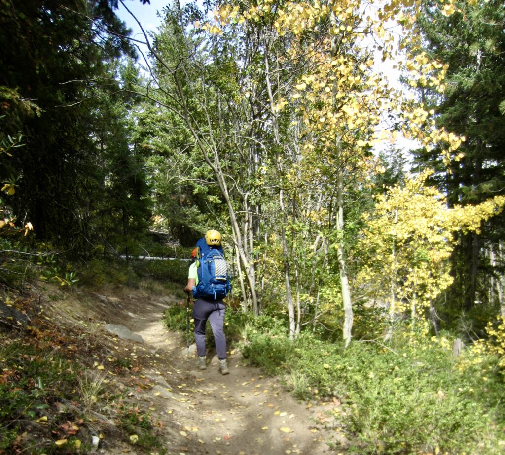
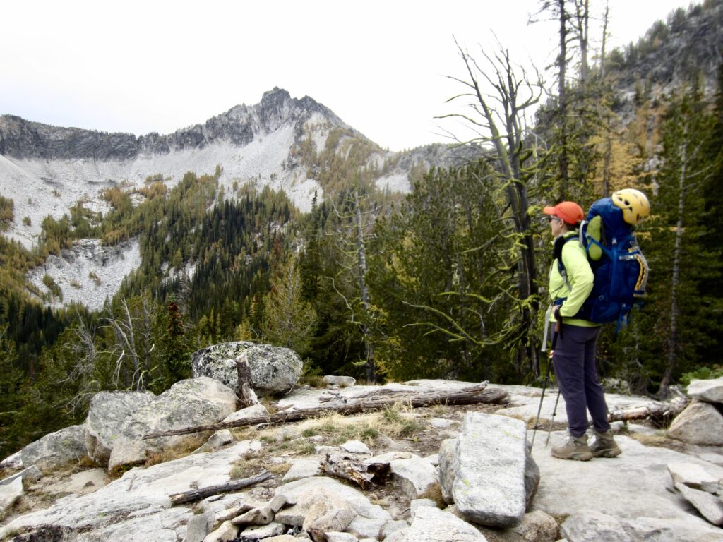
On a cool, partly sunny Thursday afternoon, Eileen and I pulled into the unexpectedly full Crater Creek Trailhead parking lot. We hiked up the initial trail for ¾ mile, then veered leftward on the Eagle Lakes Trail and continued upward. Some deciduous trees and larch trees on these east-side hillslopes were turning color, whereas others were still hanging onto their summer chlorophyll.
.
.
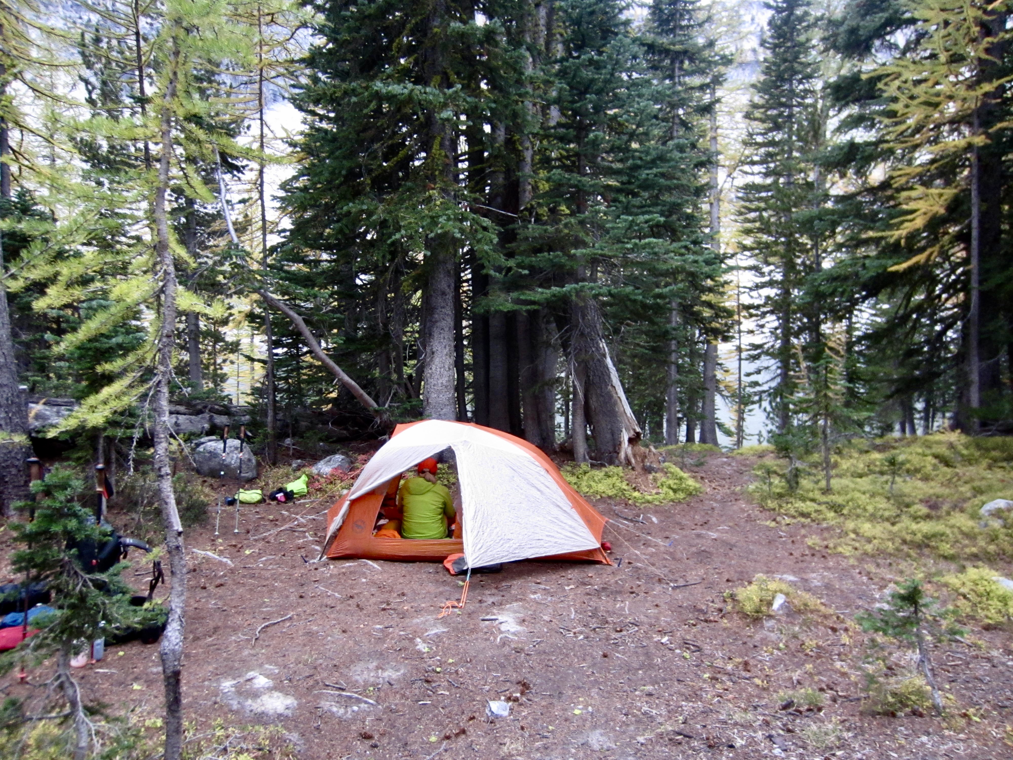
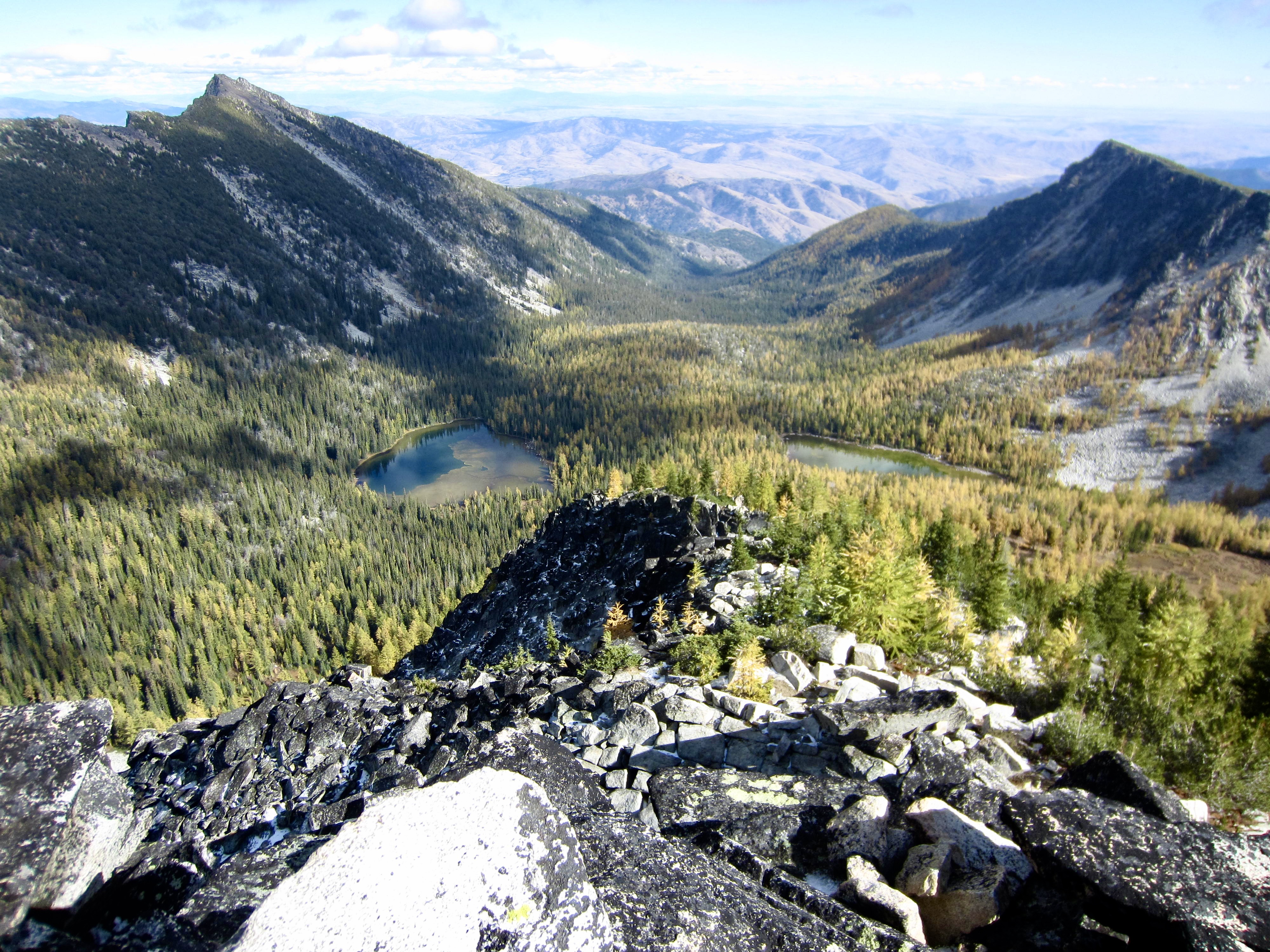
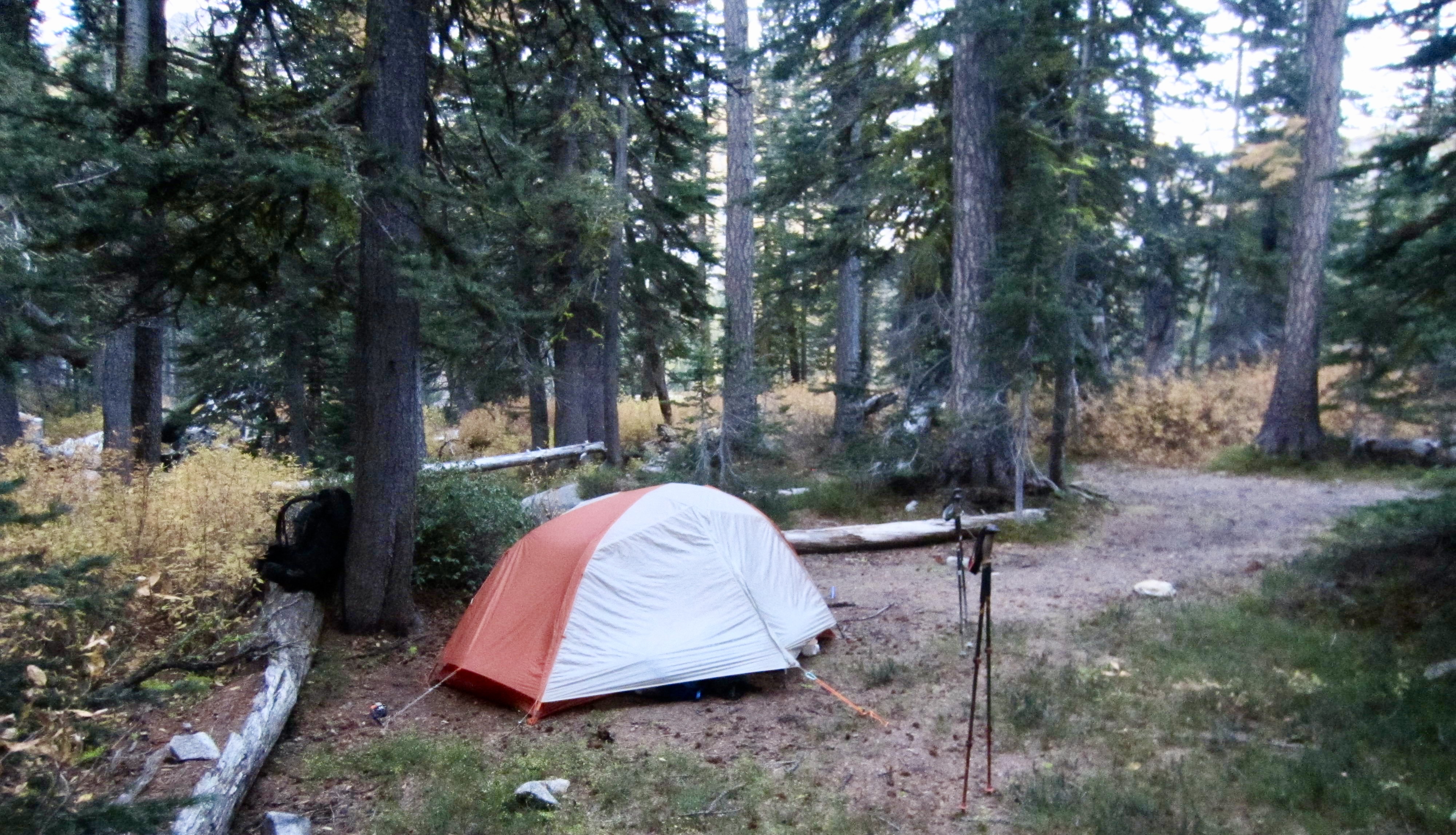
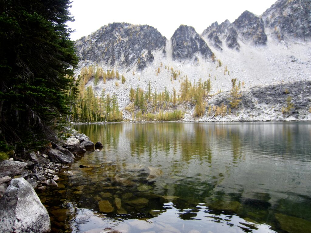
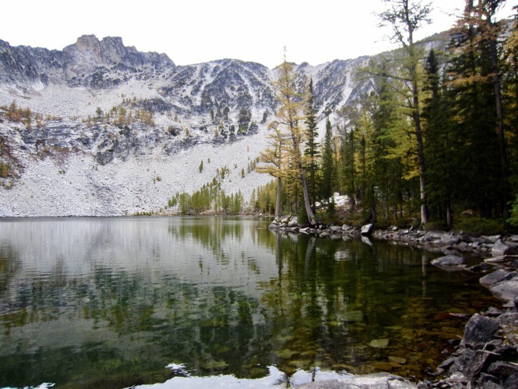
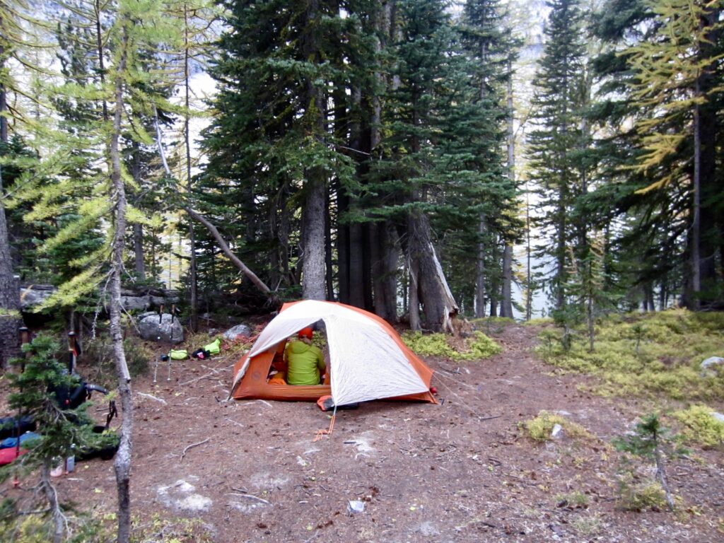
We turned right at Middle Eagle Lake arrived at beautiful Upper Eagle Lake in late afternoon (3.9 hours + 6.0 miles + 2450 feet from TH). It immediately became obvious why the parking lot was so full; there were numerous parties of various sizes camped around the lake. Fortunately, there are many campsites scattered throughout the forest, so we were able to find a nice spot for the night.
.
.
.
Day 2: Upper Eagle Lake to North Bigelow Bench + Mt. Bigelow
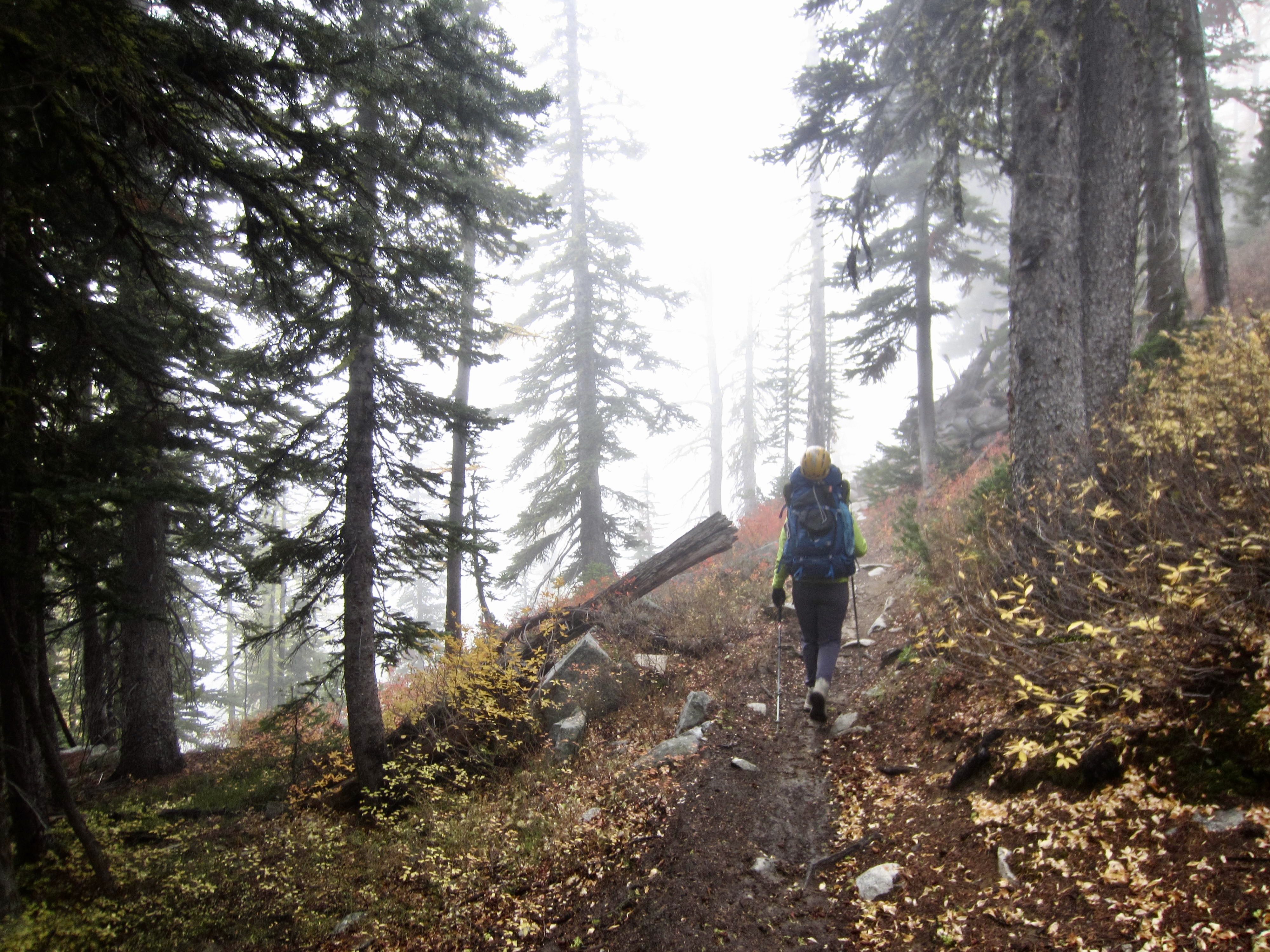
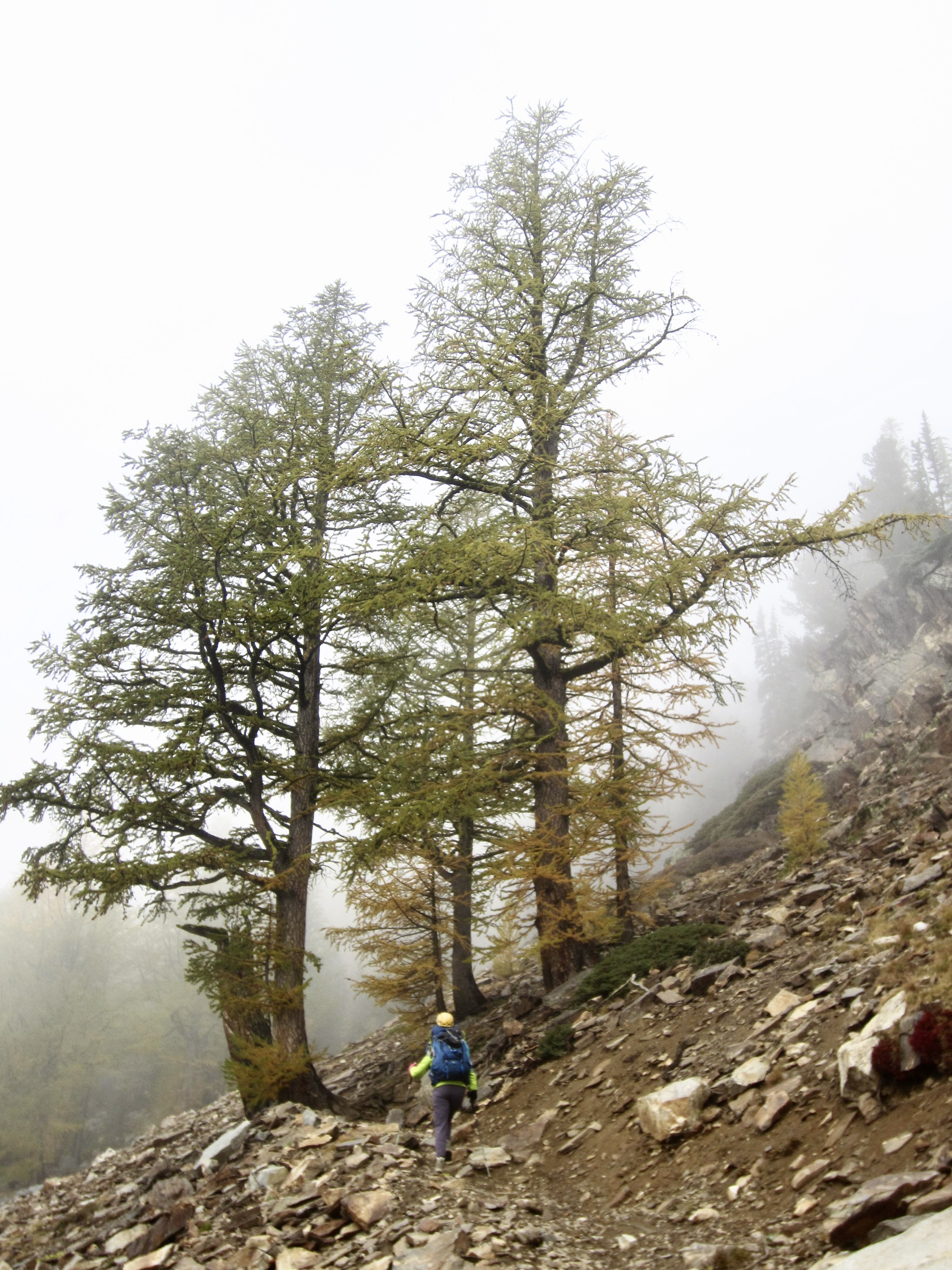
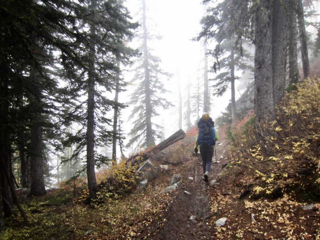
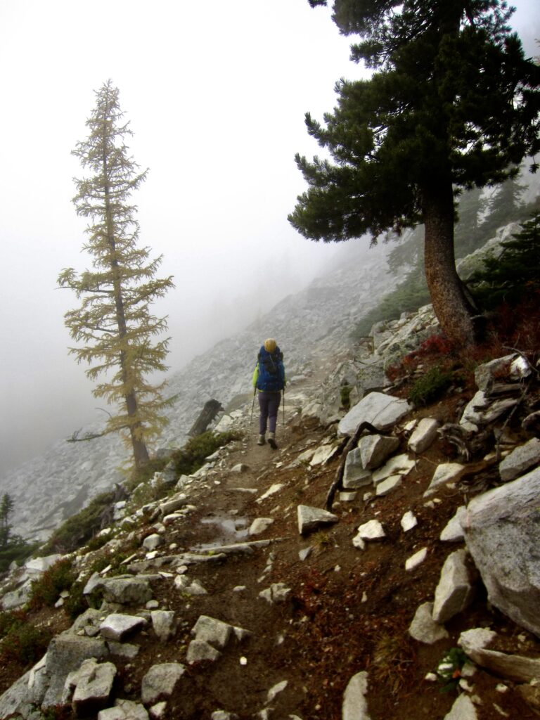
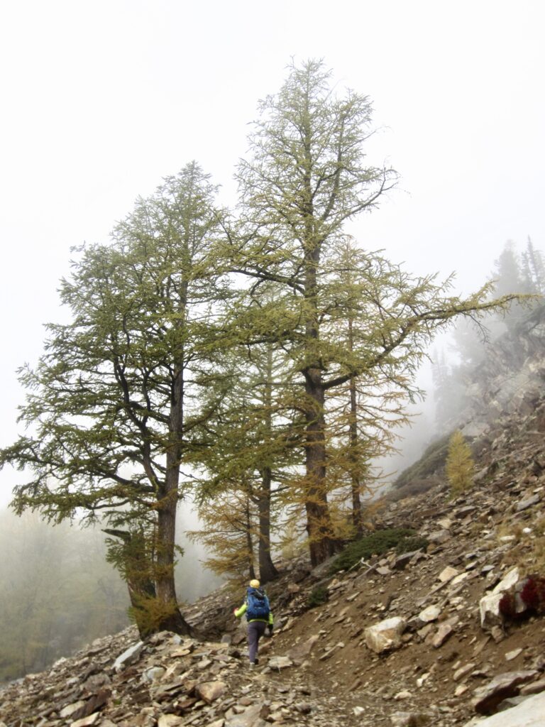
The night had been chilly but calm, and we awoke to moderately dense fog in the lake bowl. After hiking back down to Middle Eagle Lake, we continued hiking up the Horsehead Pass Trail. Widely spaced trees successively appeared through the fog, creating an eerie effect.
.
.
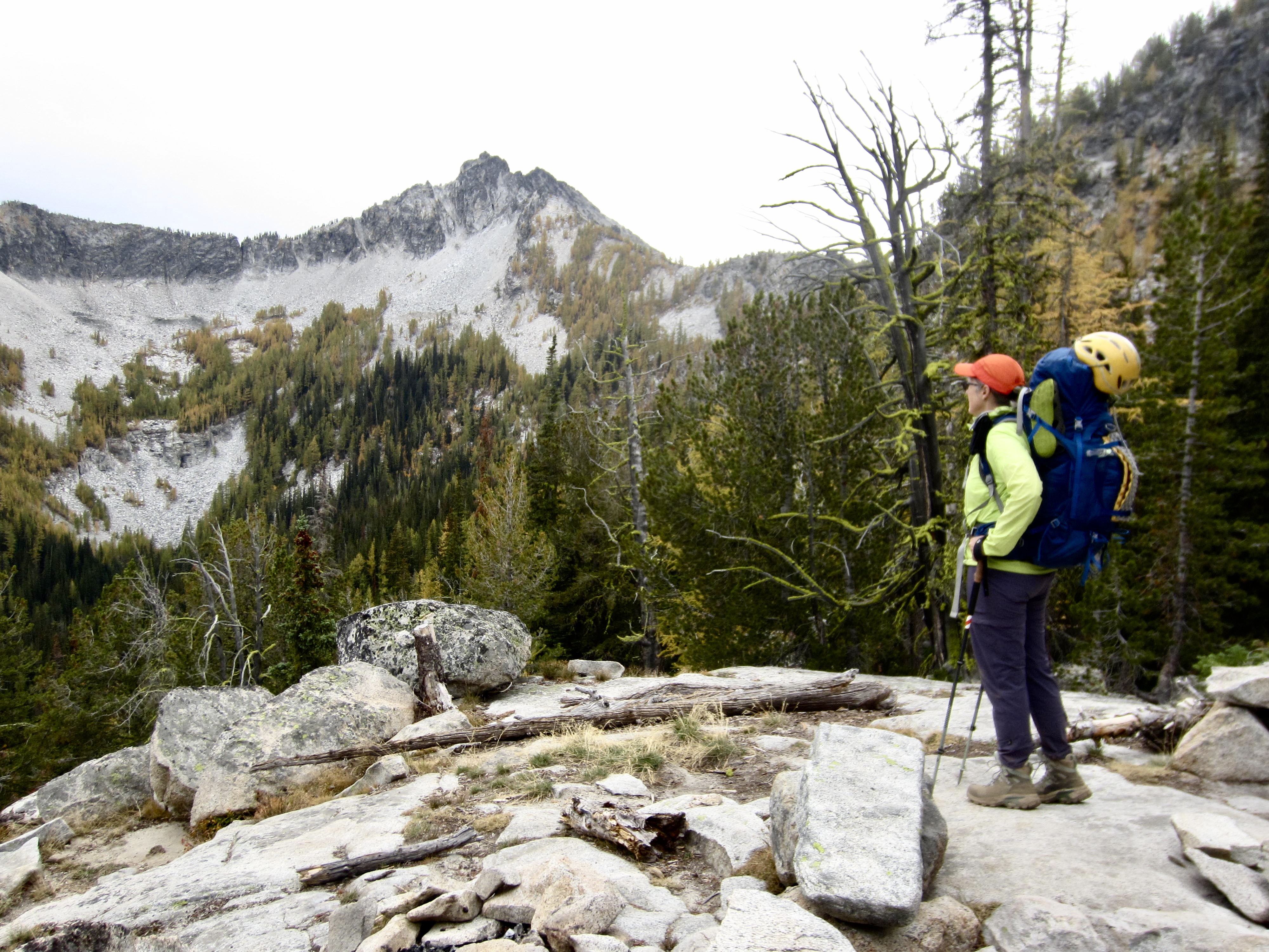
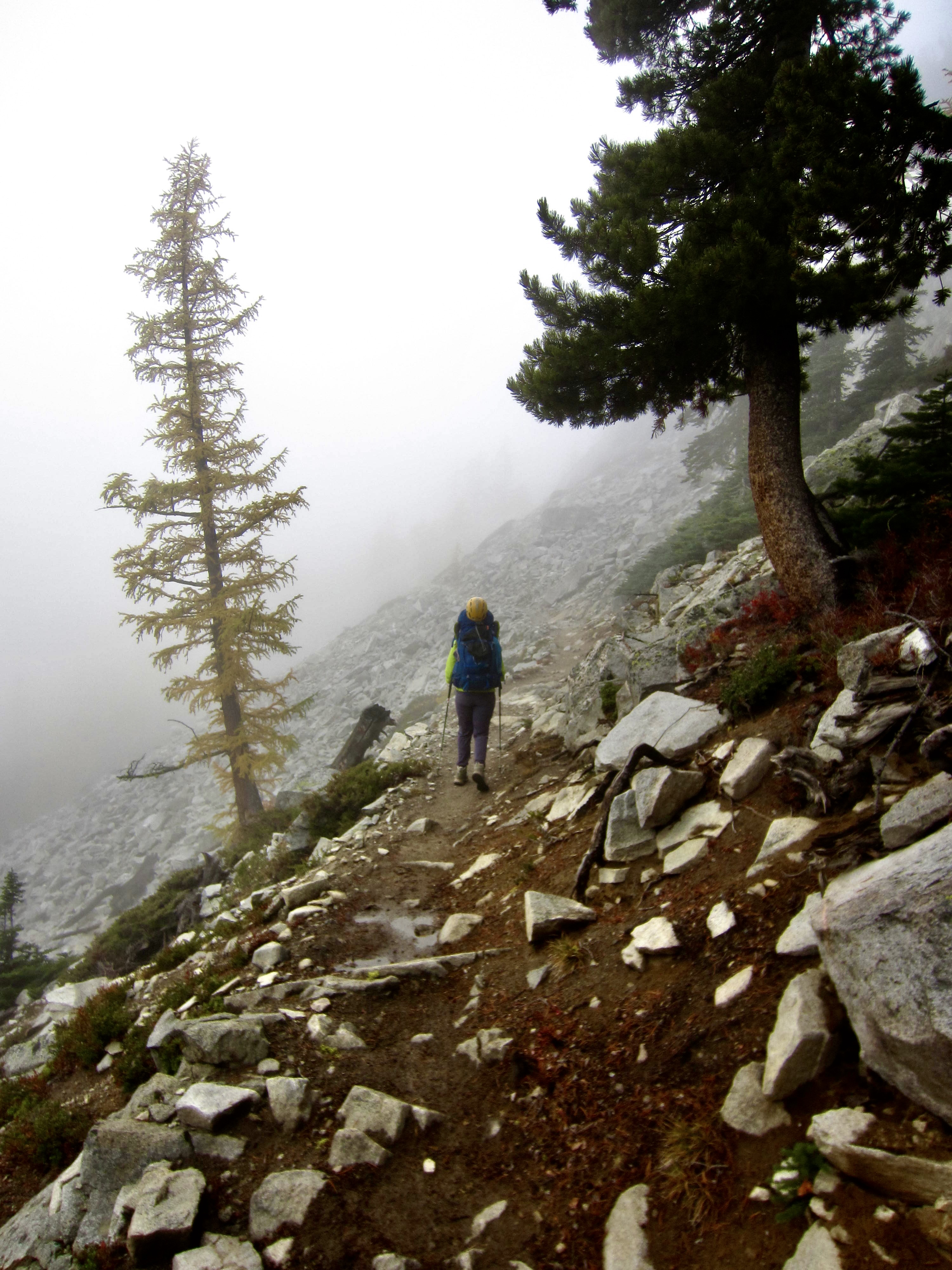
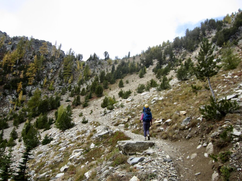
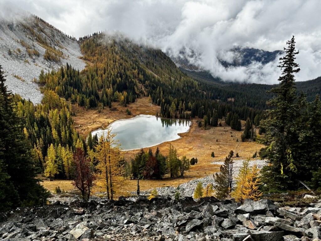
We crossed over 7530-foot Horsehead Pass in mid-morning, then began descending the much-stormier western side of the Sawtooth Mountains. Very soon, Boiling Lake came into view 500 feet below.
.
.
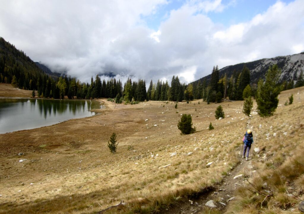
We reached Boiling Lake at 11:00am and stopped for a snack (1.8 hours + 600 feet – 700 feet from Camp 1). This is probably the most famous lake in the Sawtooth Mountains due to its gorgeous park-like setting and its curious “boiling” phenomenon, which results from air bubbles being released from the lake-bottom clay.
.
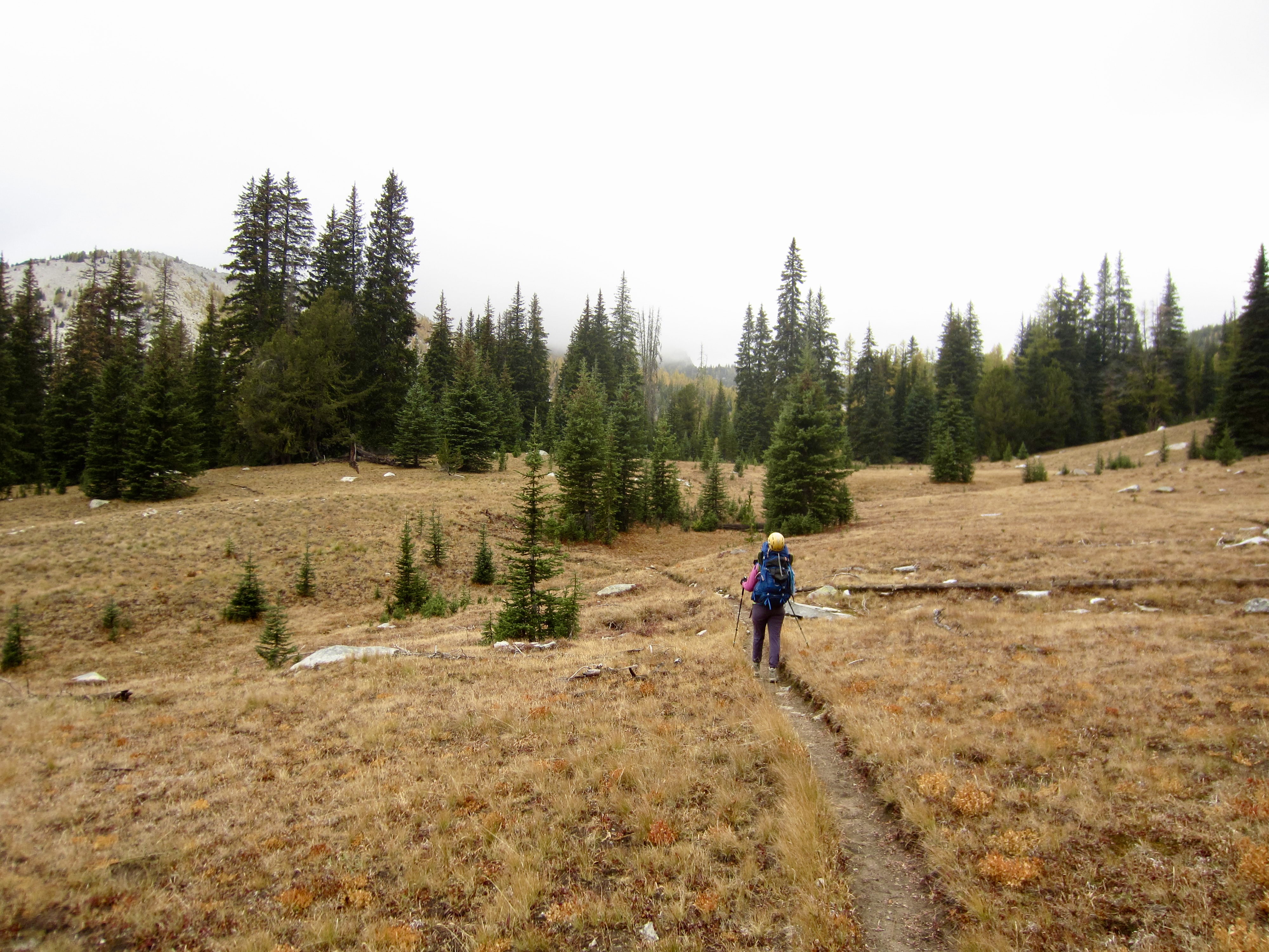
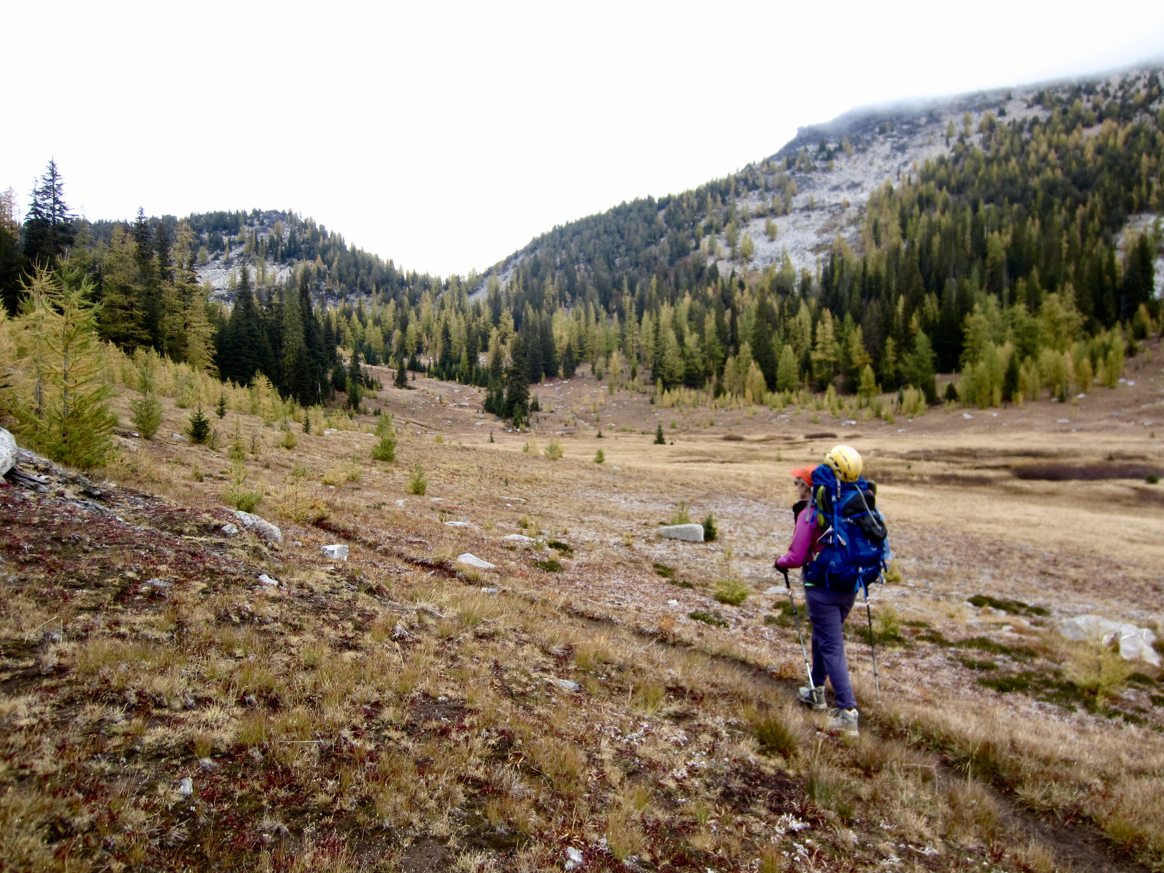
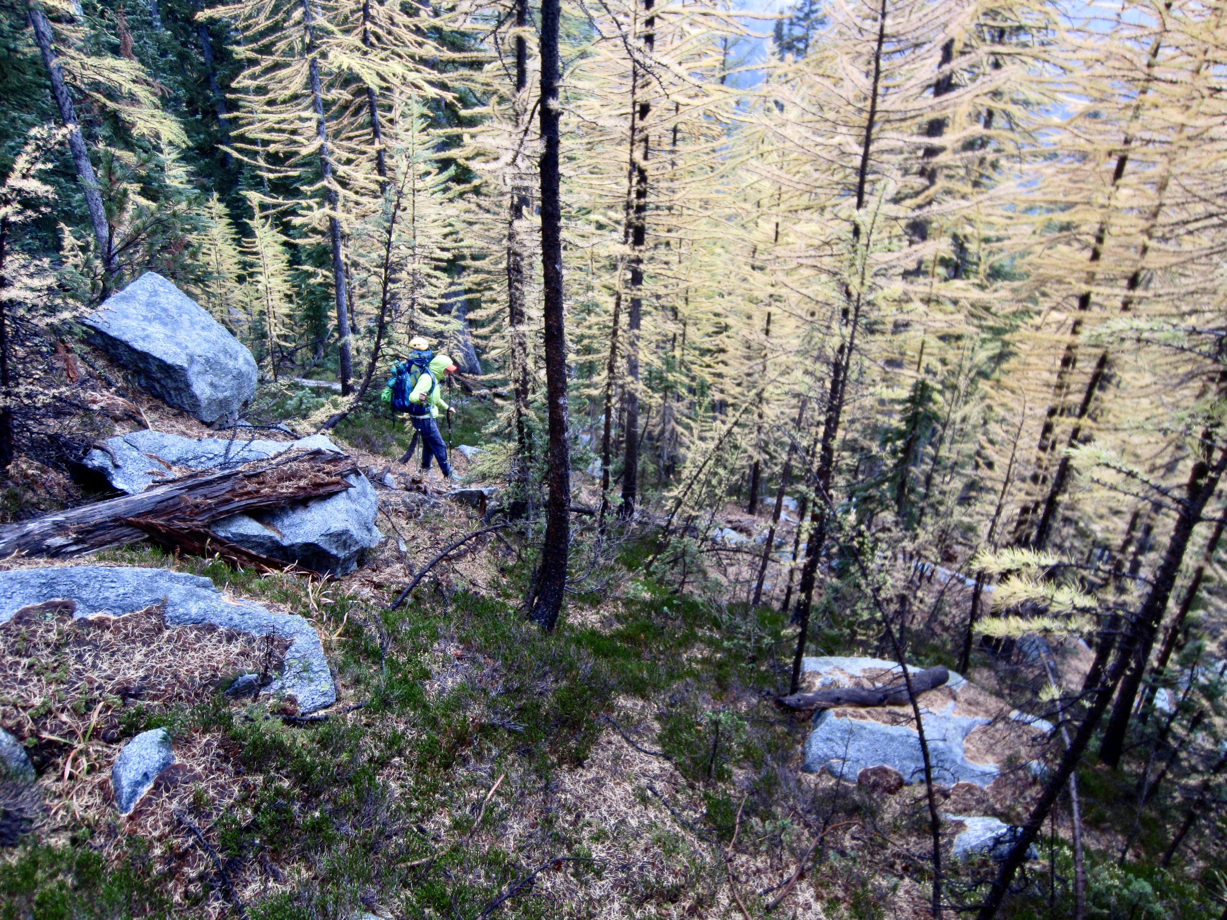
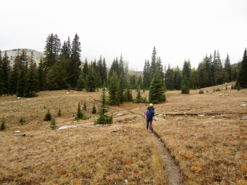
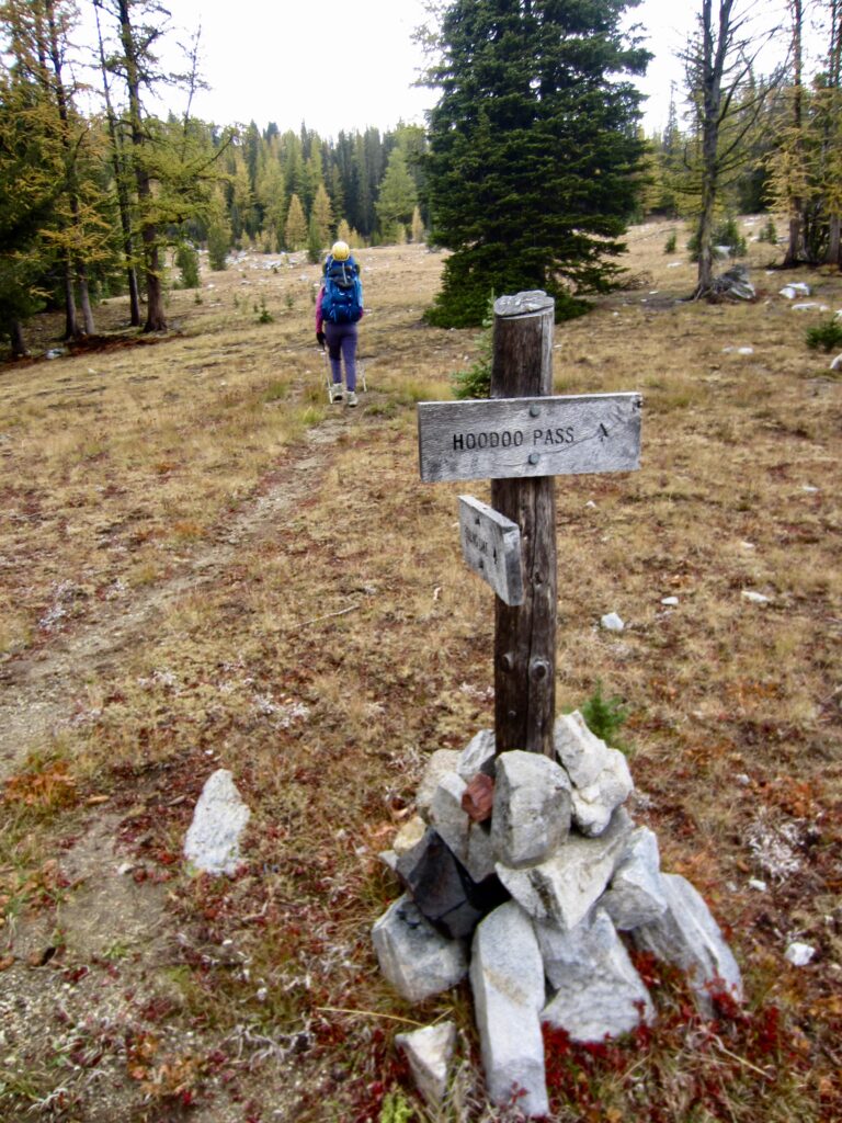
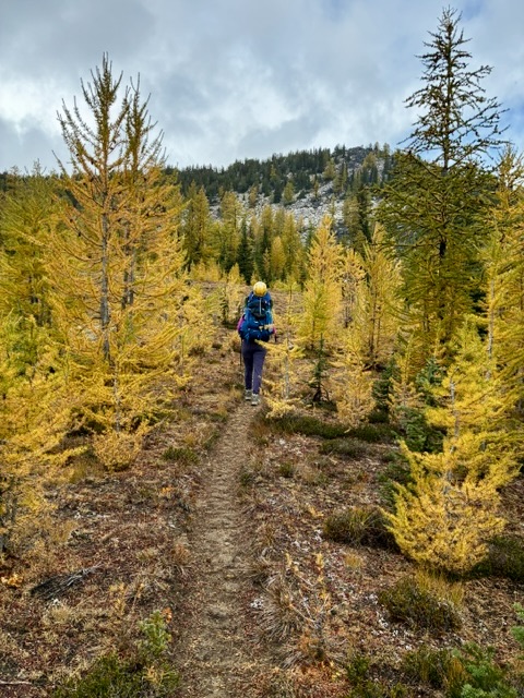
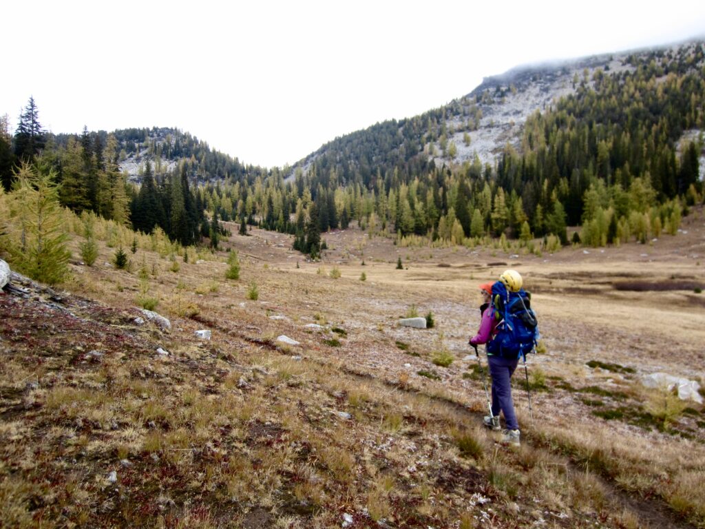
From Boiling Lake, we hiked northward on the Hoodoo Spur Trail and Hoodoo Pass Trail. These trails took us through the sweeping parkland of Middle Fork Prince Creek Basin and Hoodoo Basin. Many of the larch trees here appeared to be at or near full golden color.
.
.
.
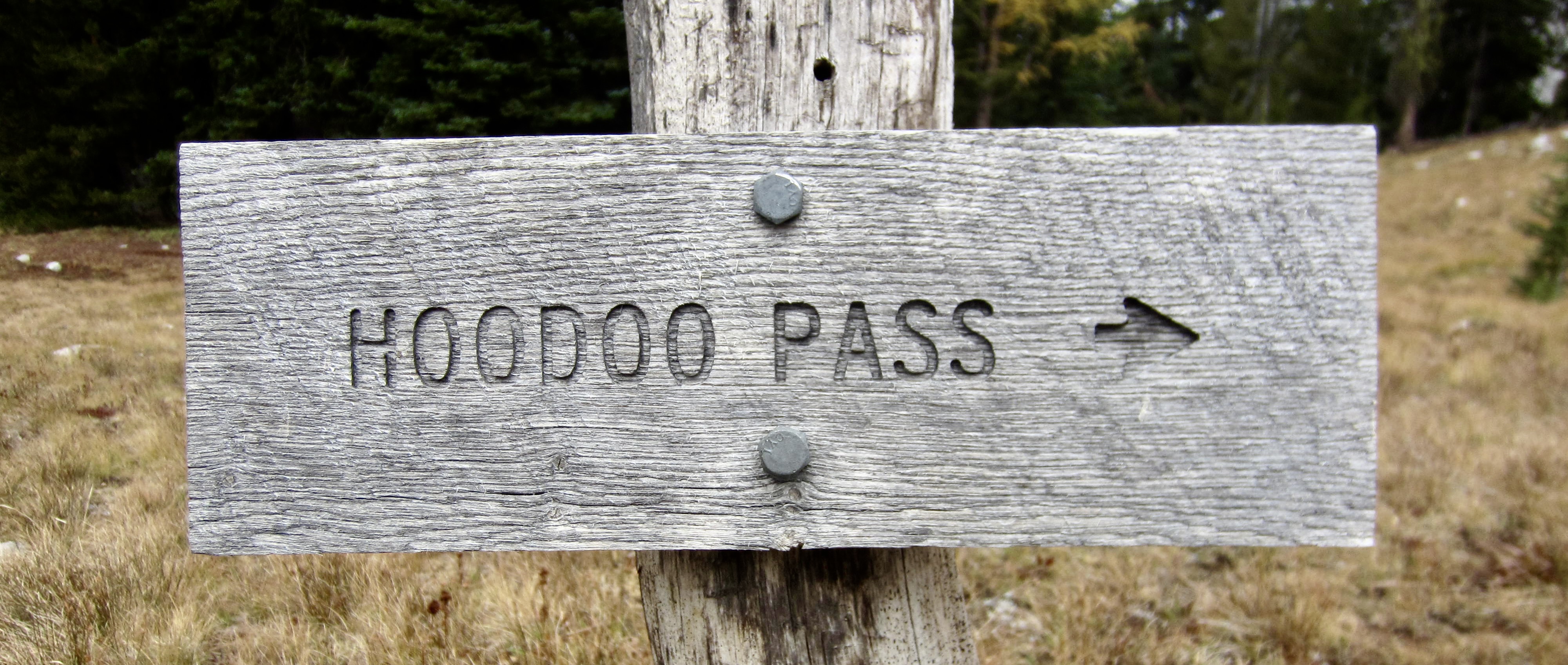
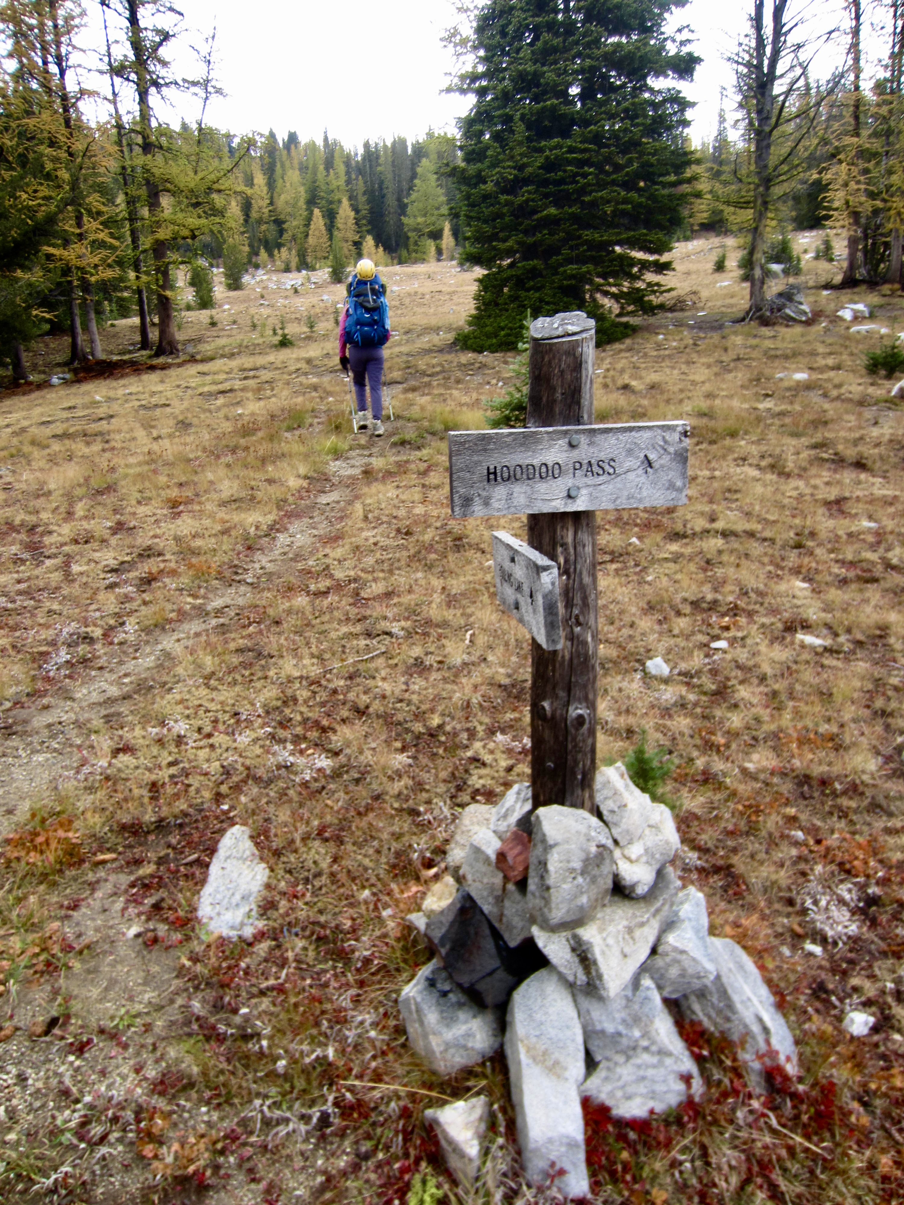
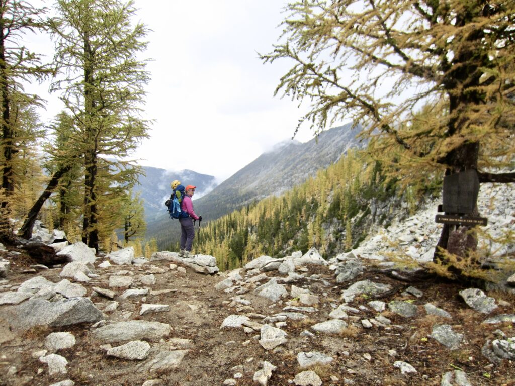
Shortly past noon, we topped out at 7400-foot Hoodoo Pass (3.1 hours + 4.2 miles + 1200 feet – 900 feet from Camp 1). A cold wind was blowing through the pass, and low clouds swirled around the surrounding peaks and ridges. The weather was a-changing!
.
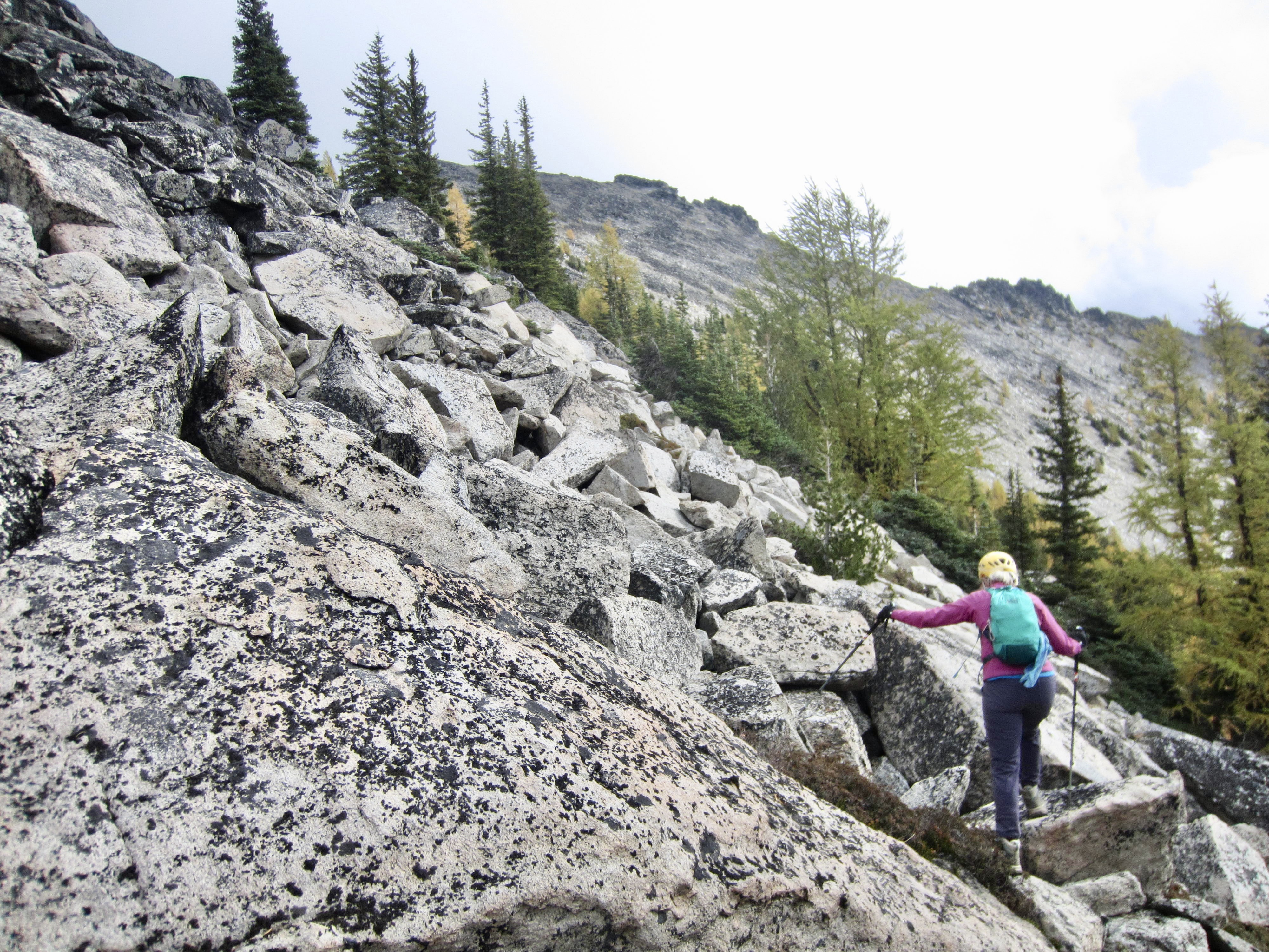
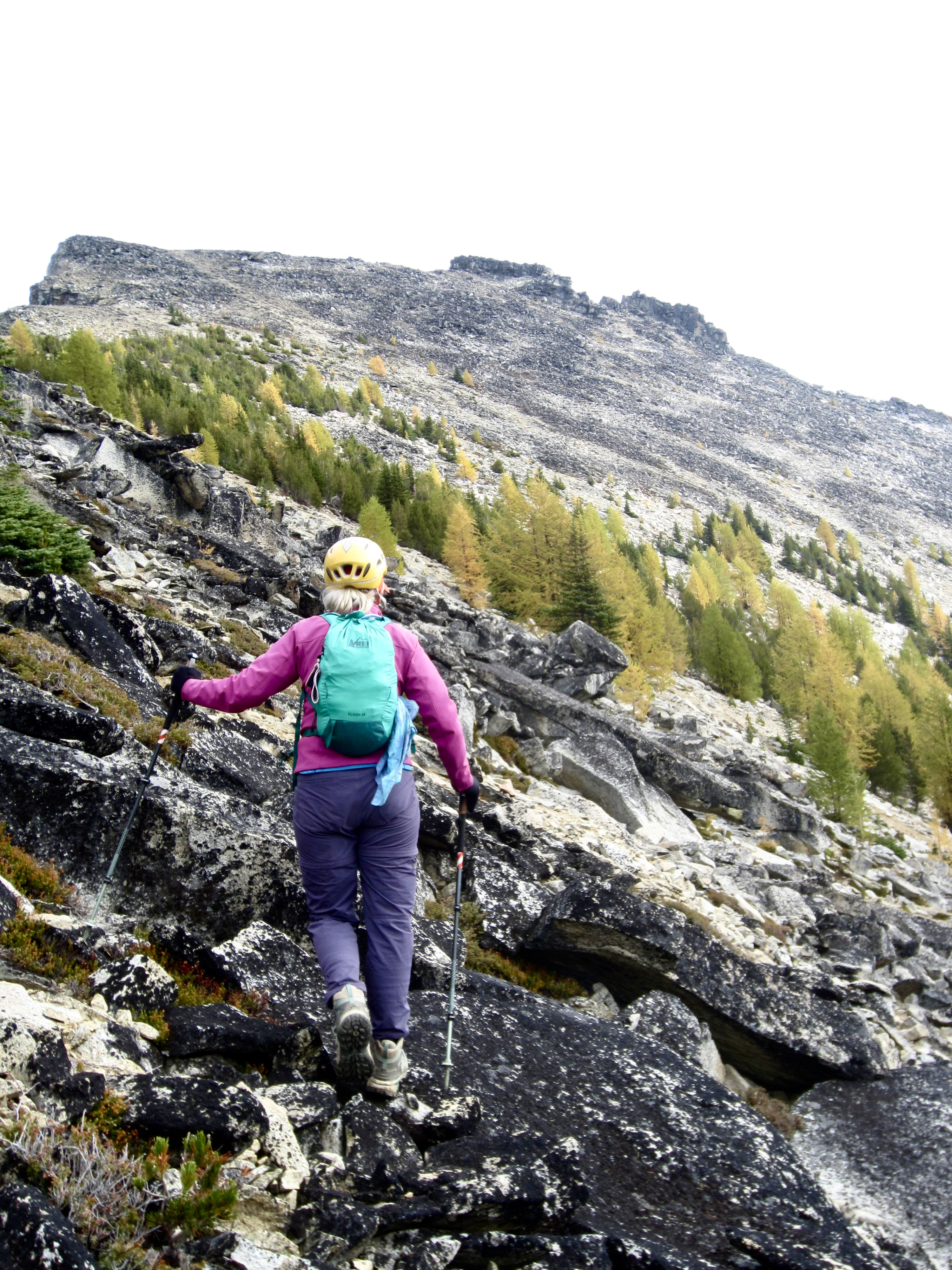
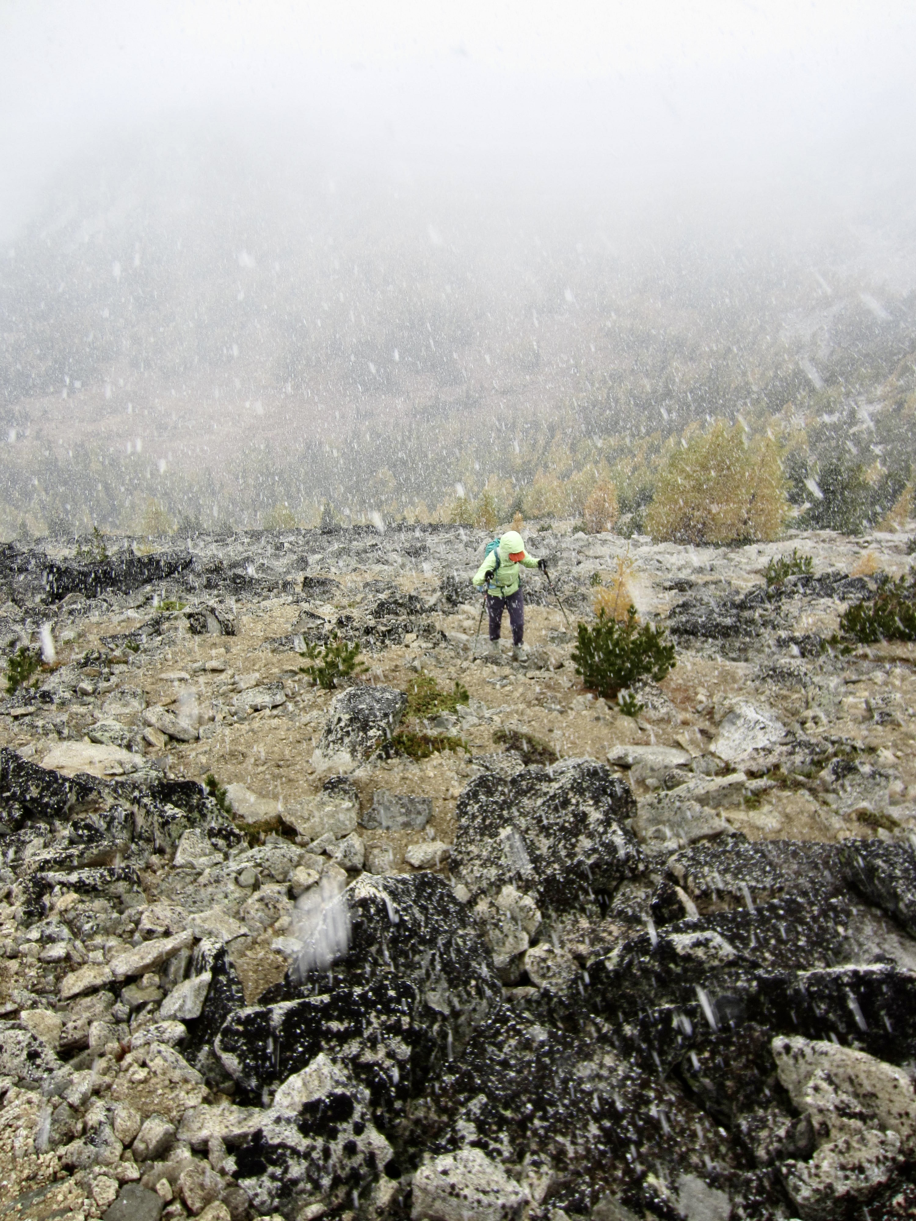
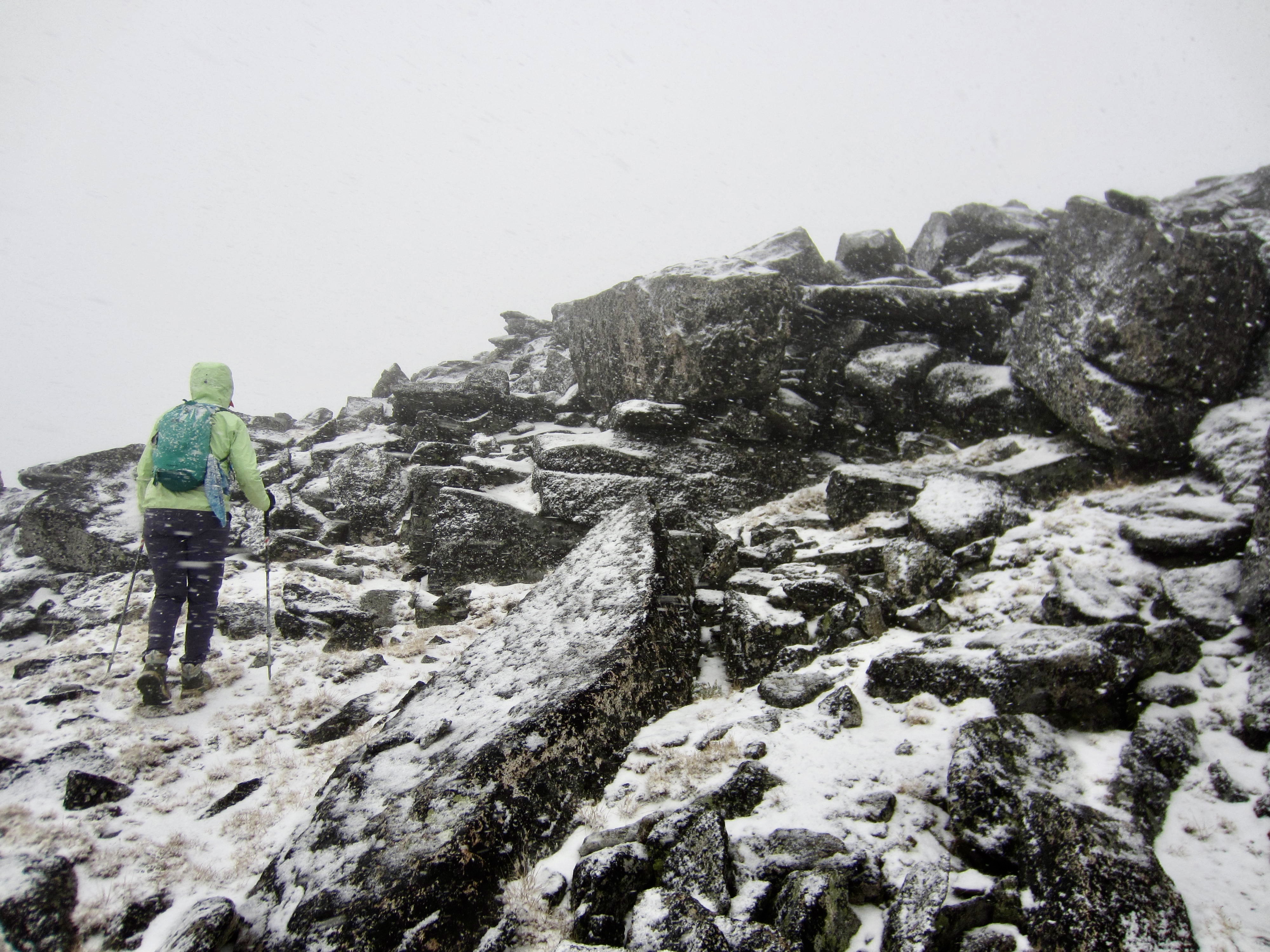
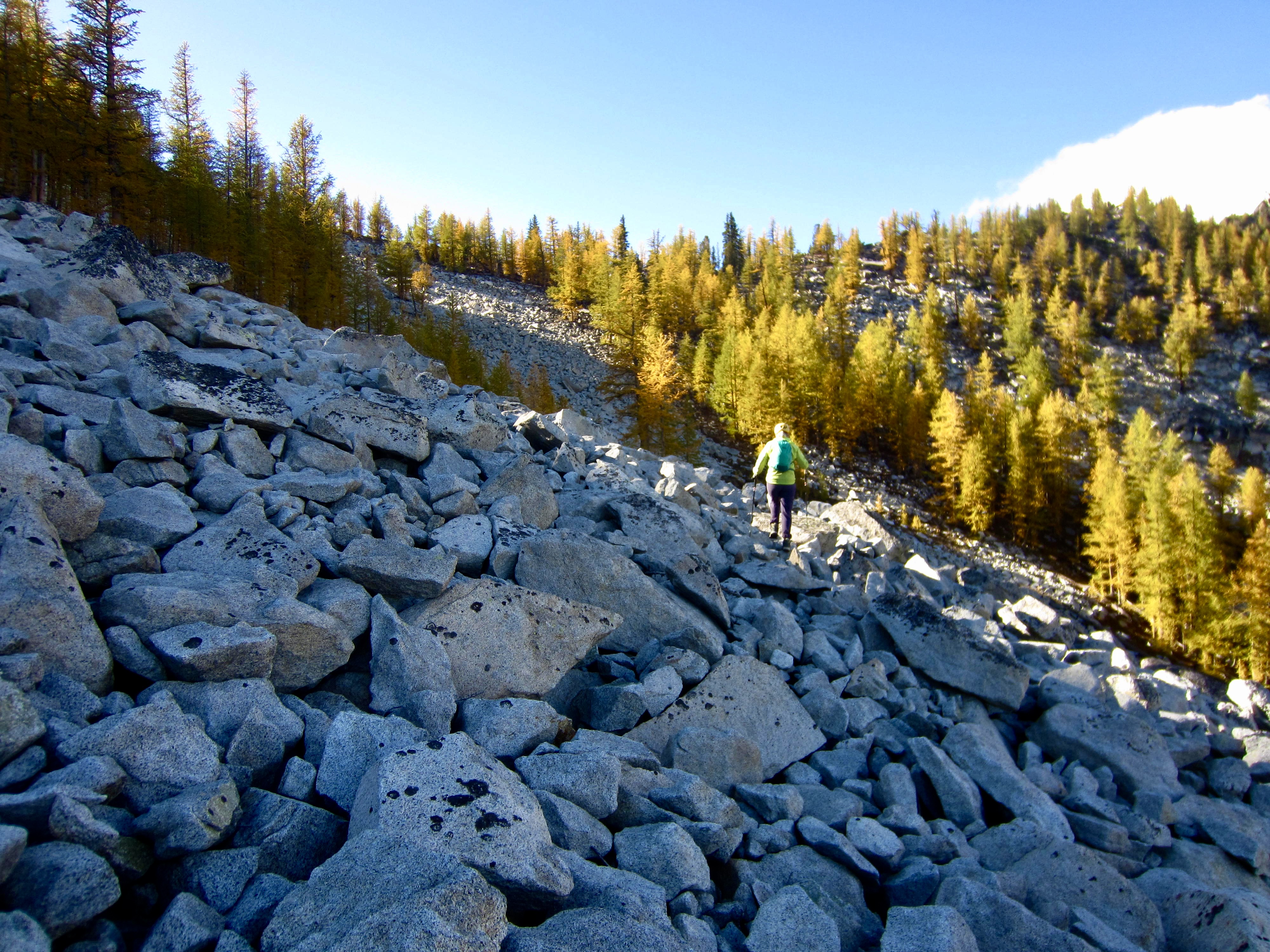
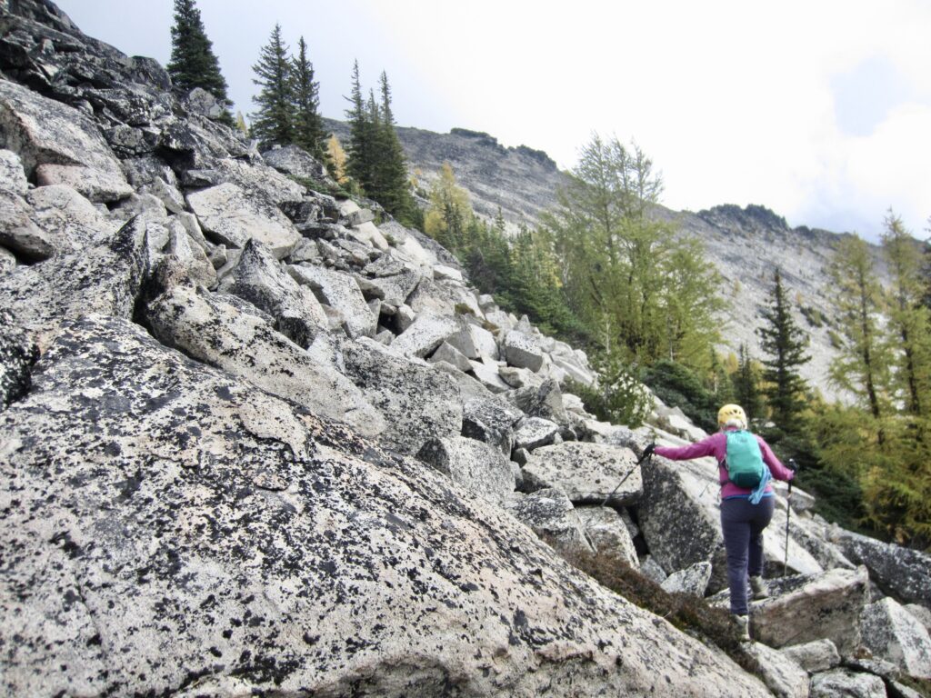
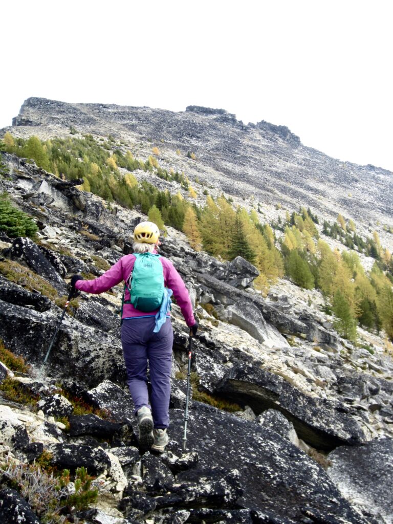
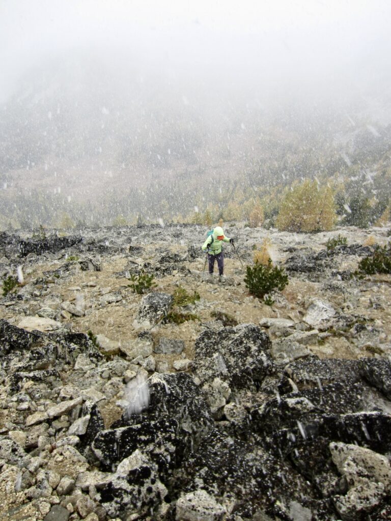
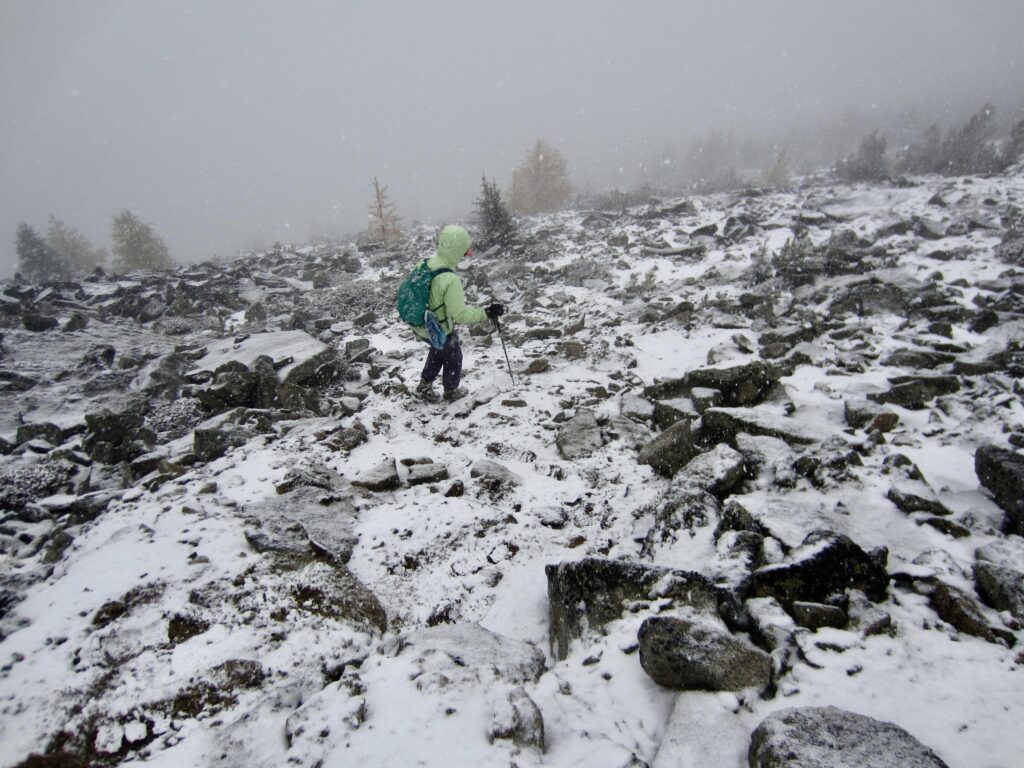
We stashed our backpacks at the pass and headed up Mt. Bigelow—Eileen’s primary summit goal of our trek. Staying on the lee (southern) side of the west ridge, we boulder-hopped across a wide talus field and hiked up broken rock on the peak’s southwestern flank. It soon began snowing lightly, then more heavily.
.
.
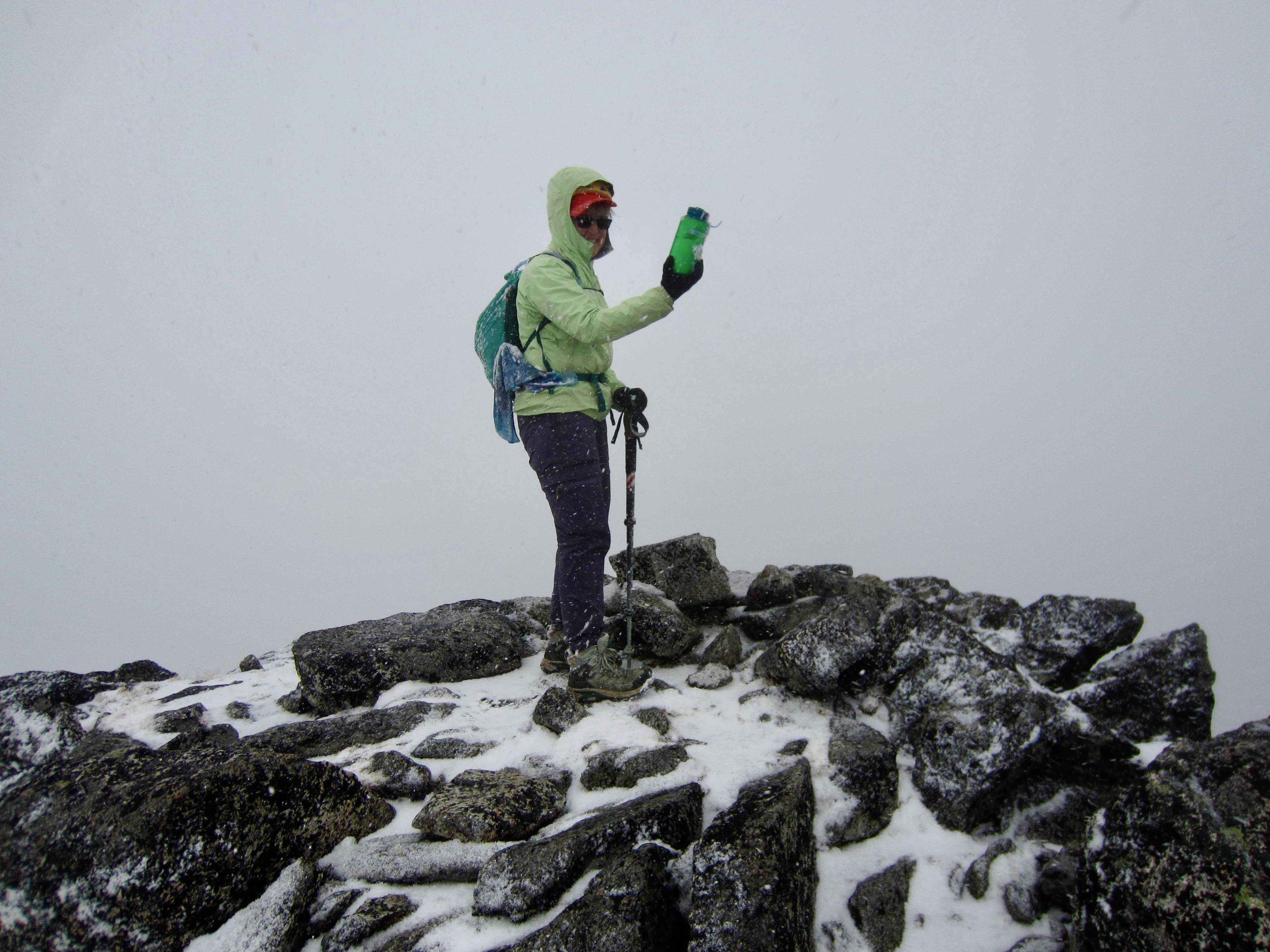
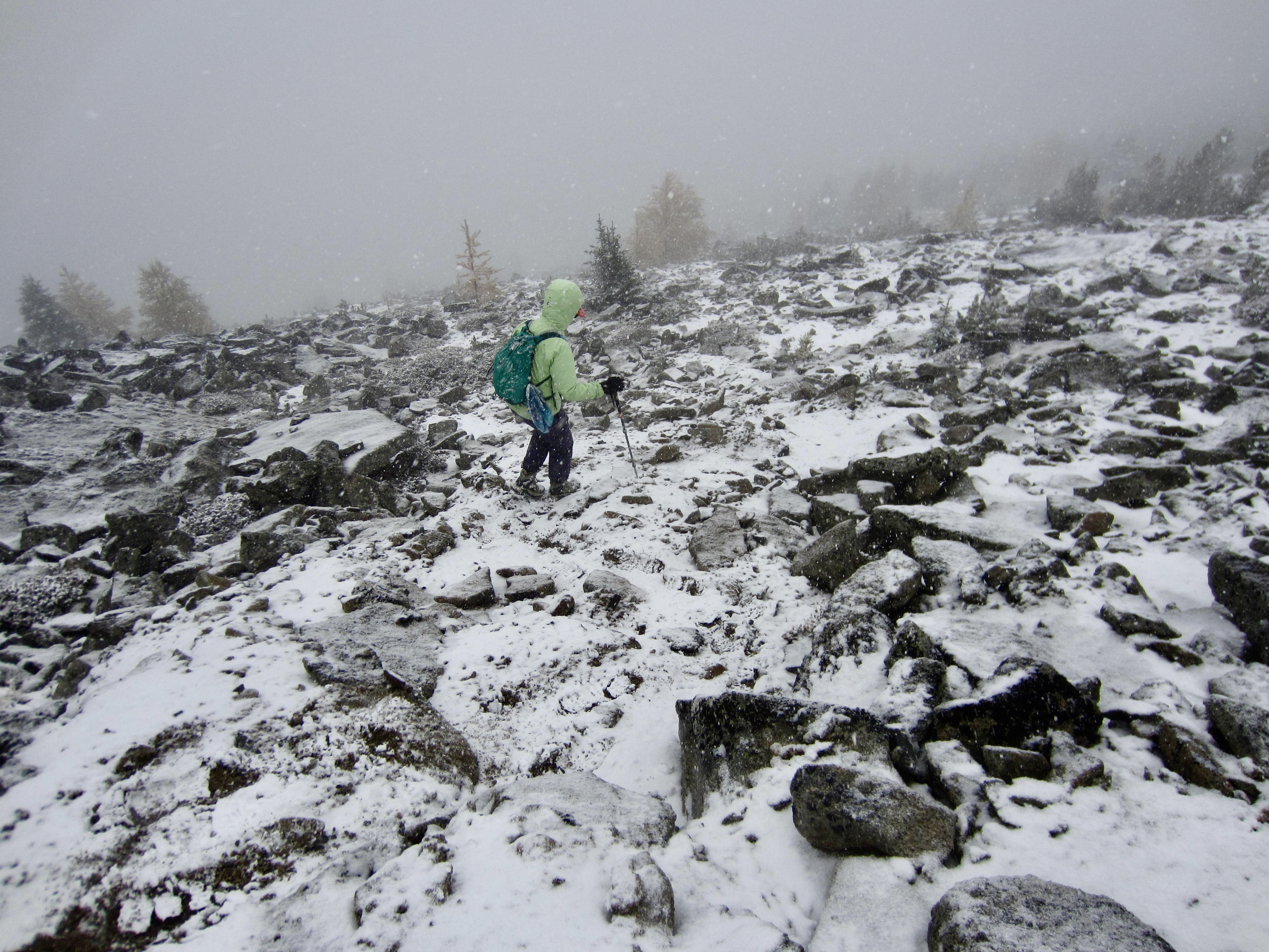
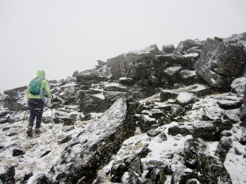
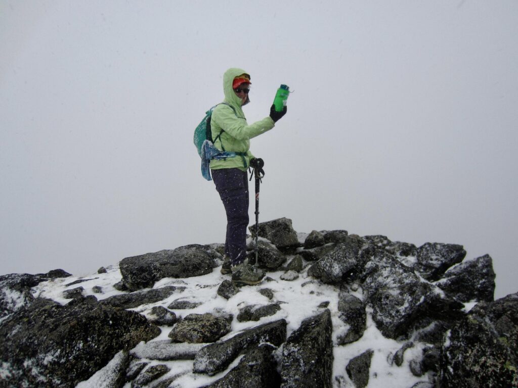
By the time we gained the 8468-foot summit of Mt. Bigelow, our weather had degenerated into a full-blown snow squall! The ground was white, and views were nonexistent. We signed the summit register and immediately headed back down. Our careful descent of the now-slippery rock took longer than our ascent.
.
.
.
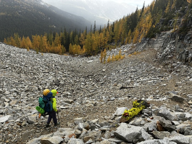
The snow squall tapered off to a series of rain and graupel showers by the time we reached Hoodoo Pass in mid-afternoon (2.8 hours + 1050 feet for total summit sidetrip). We retrieved our backpacks and began hiking down a rocky trail on the northern side of the pass.
.
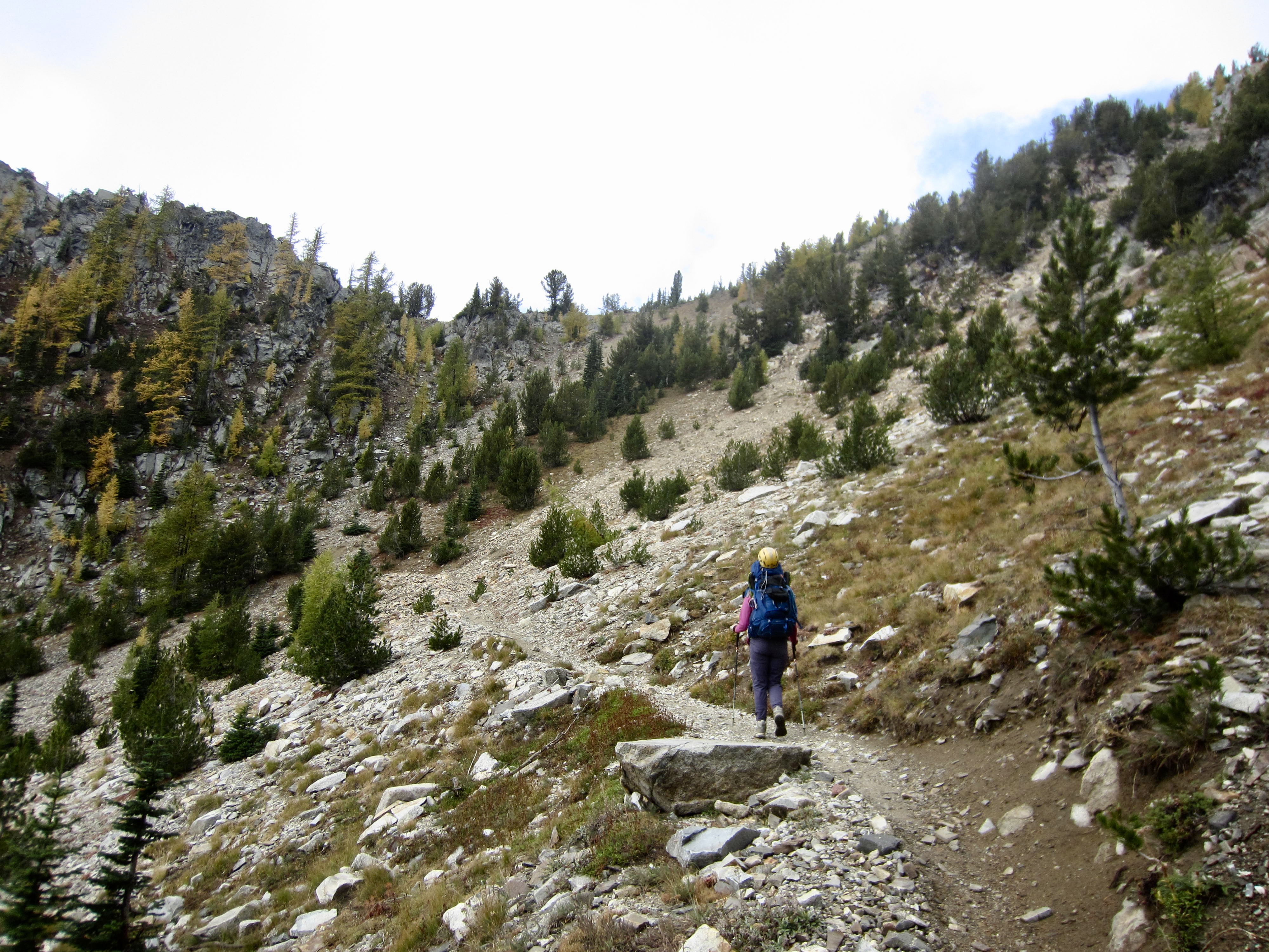
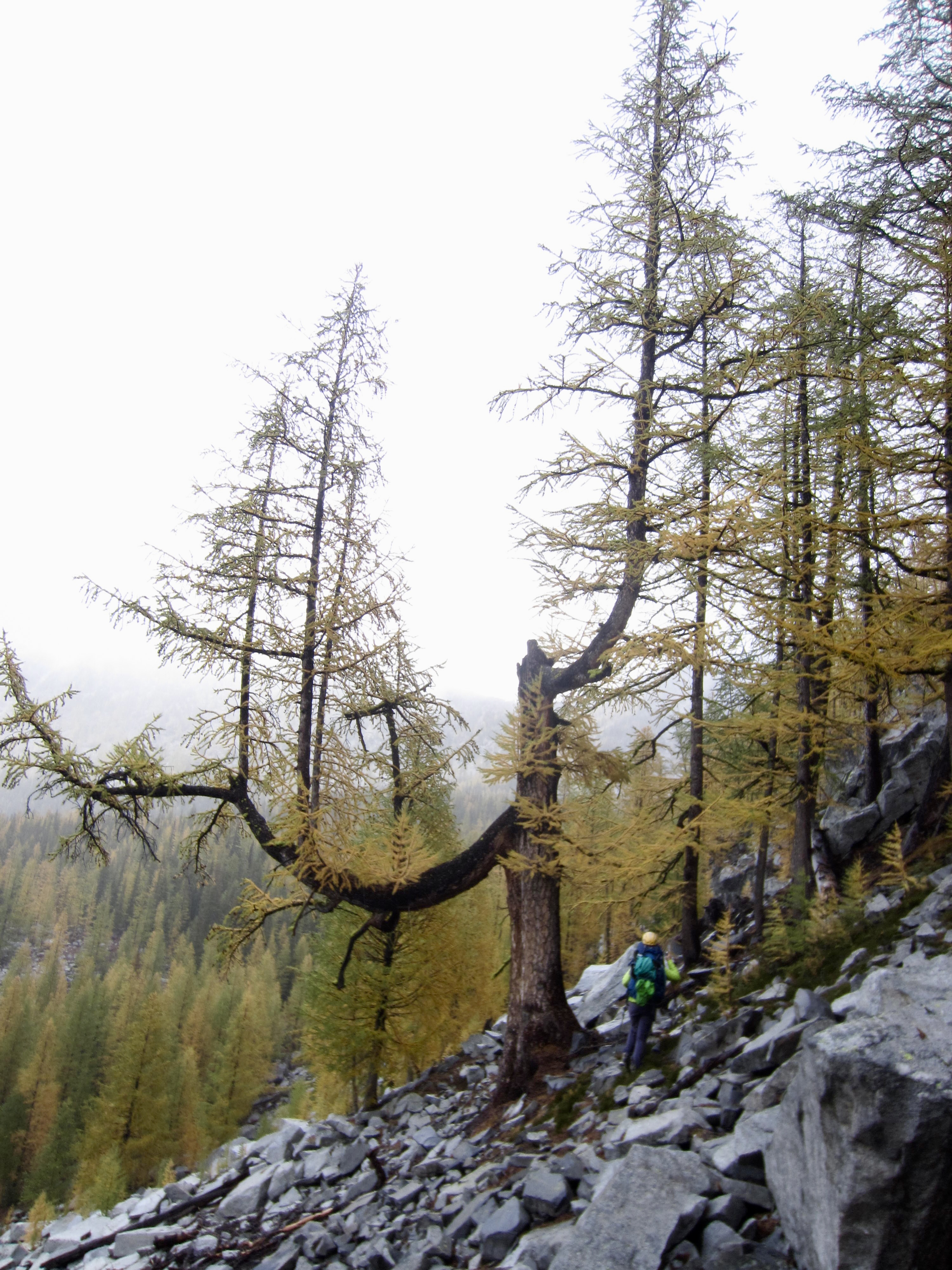
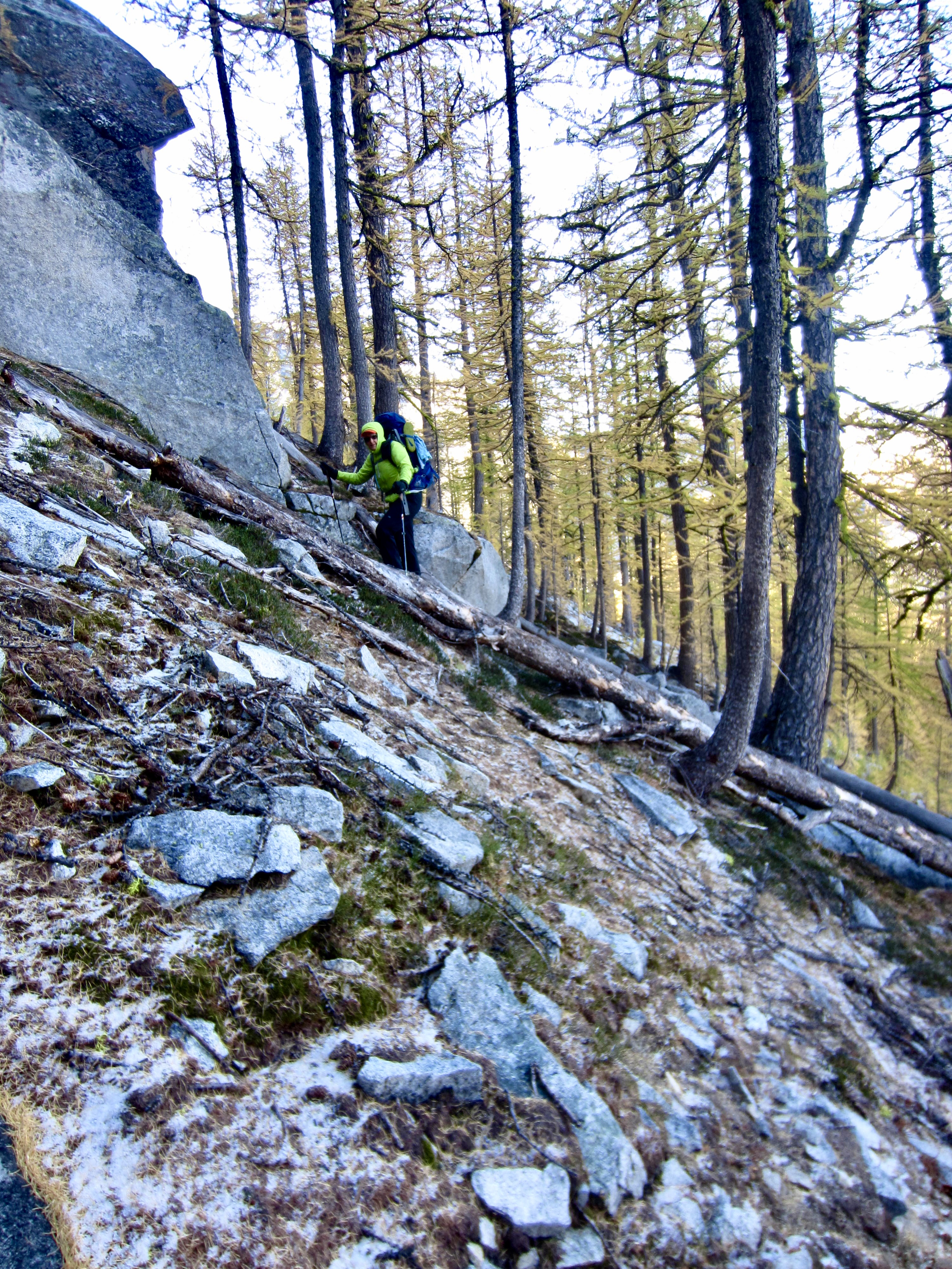
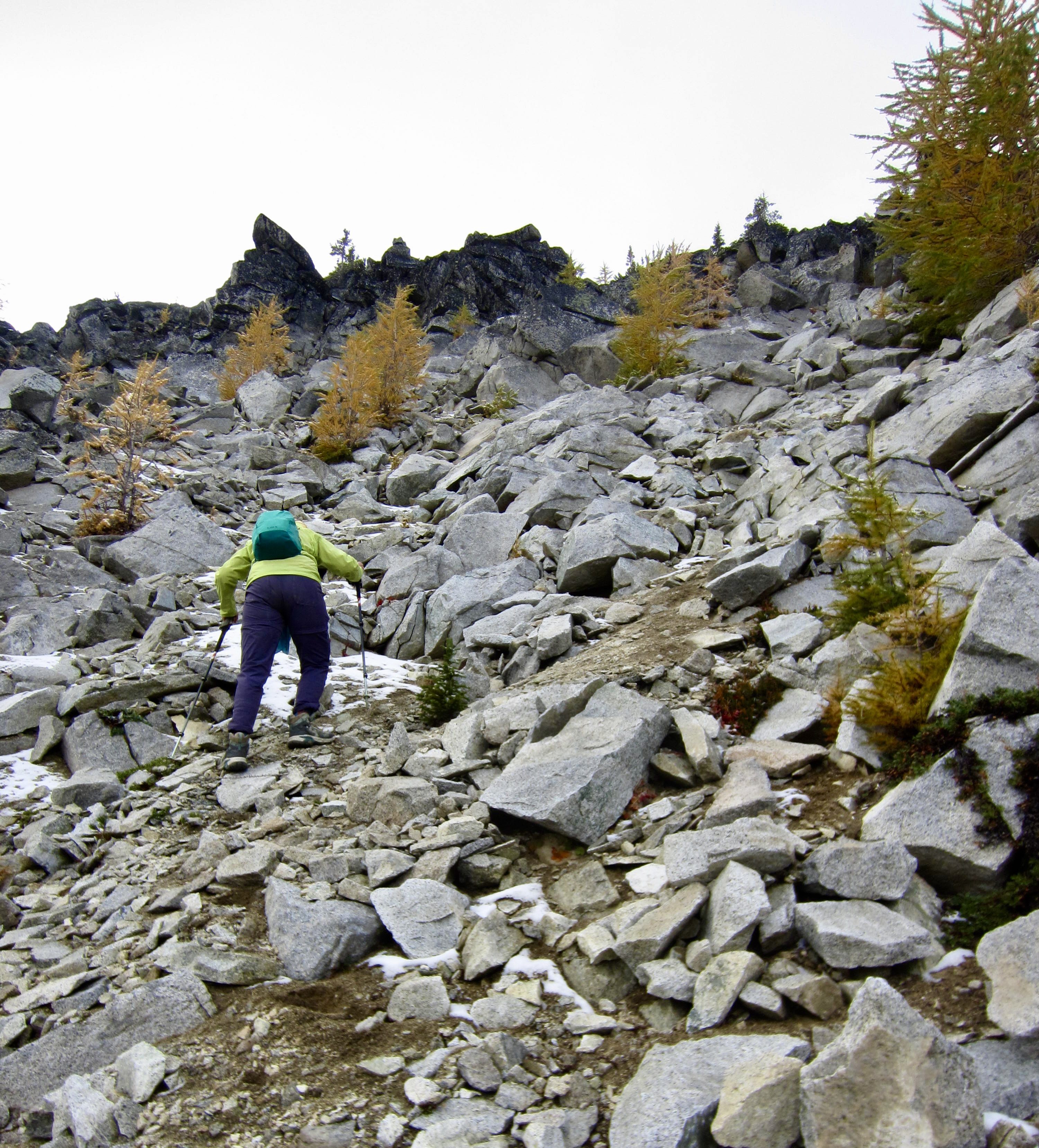
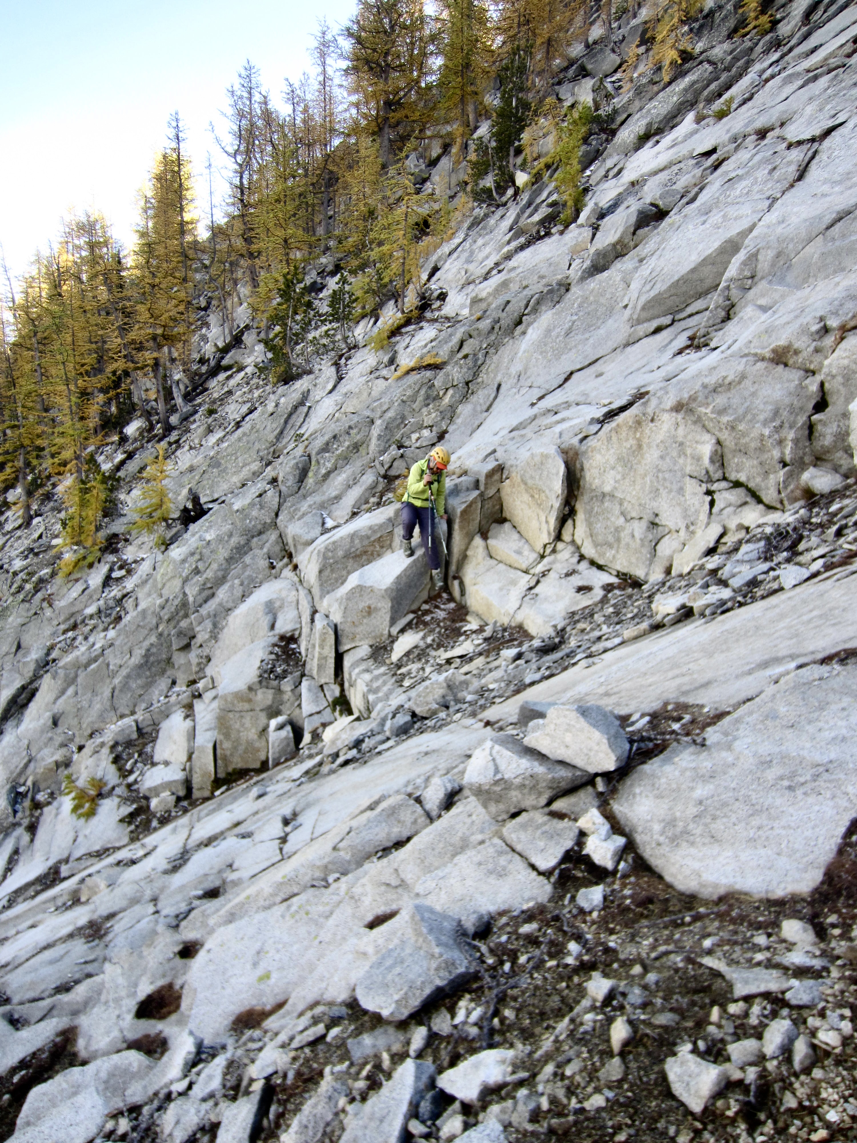
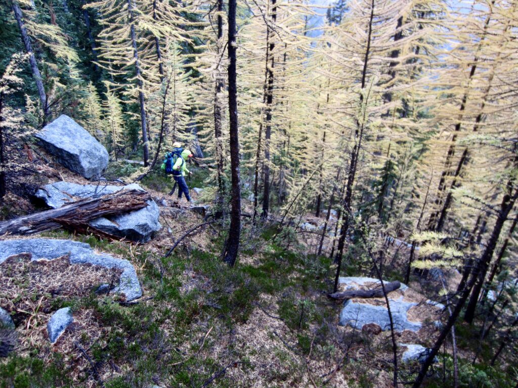
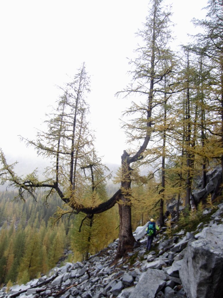
After descending 400 vertical feet, we departed from the trail and began contouring across the hillslde at an elevation of about 6900 feet. The terrain consisted of steep larch forest and talus fans, along with scattered granitic outcrops and wet brush. We got thoroughly soaked during this traverse.
.
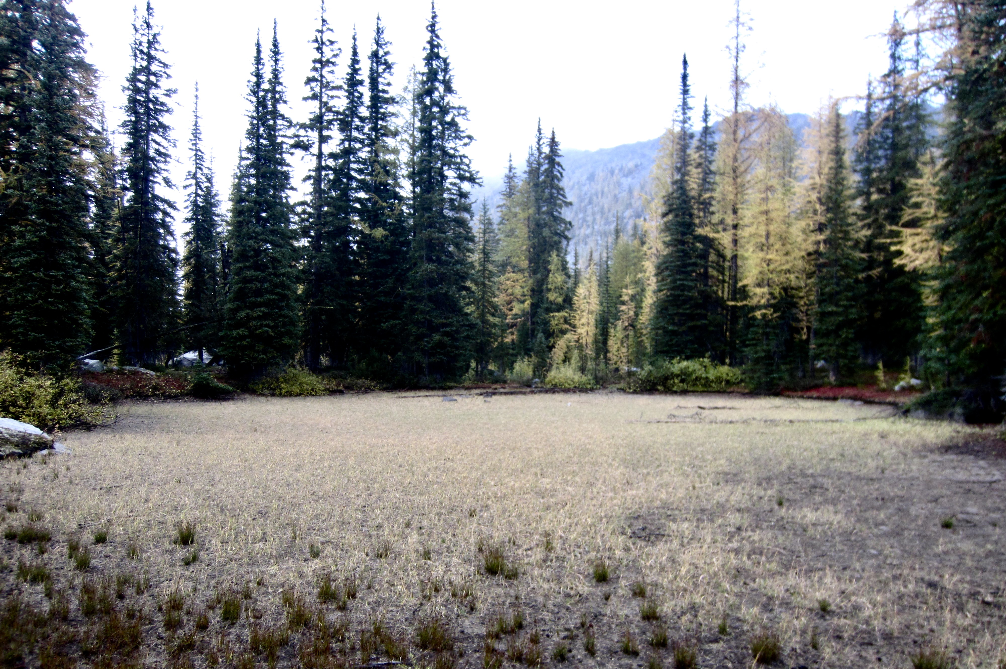
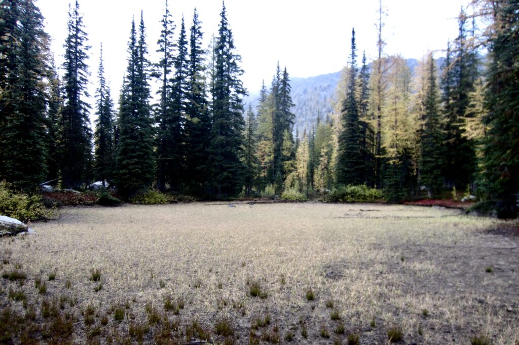
Steep terrain gradually transitioned to gentle slopes as we approached North Bigelow Bench. Our planned campsite was at a small pond on the bench (as shown on various maps) because this was the only certain water source. It was a bit shocking to find that this pond is now just a bone-dry, pancake-flat meadow!
.
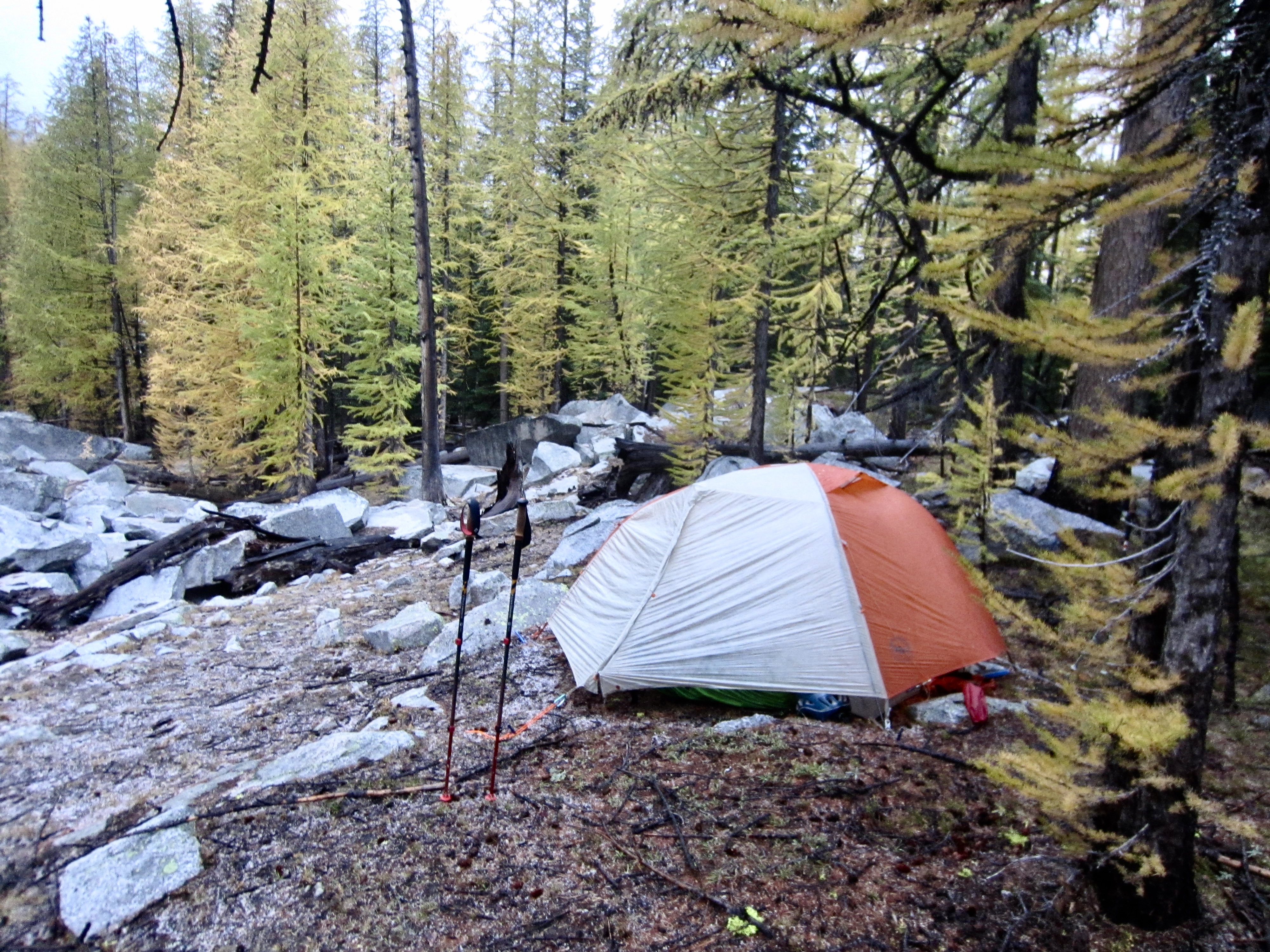
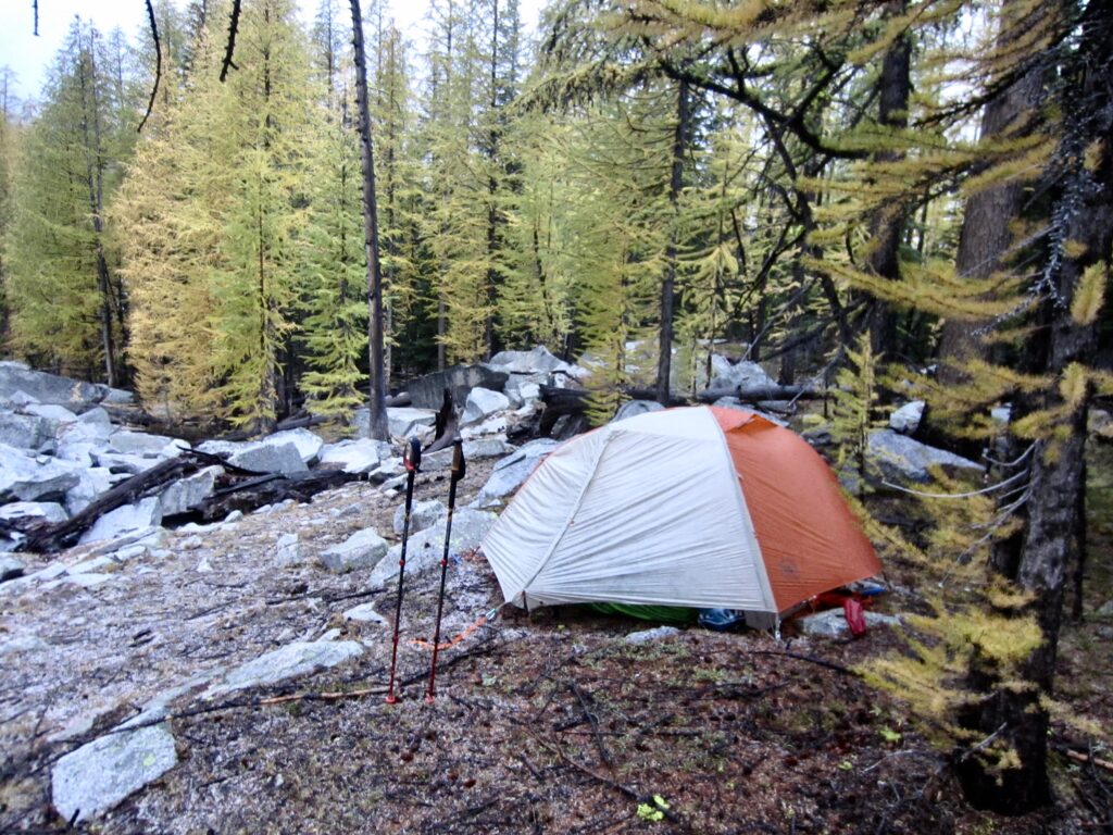
Fortunately, we had passed a tiny creek about 300 yards downhill from the former pond, so we back-tracked to a meager tent site closer to the creek (8.3 hours + 2500 feet – 2750 feet from Camp 1, including summit sidetrip). We were cold and wet and happy to escape from the weather.
.
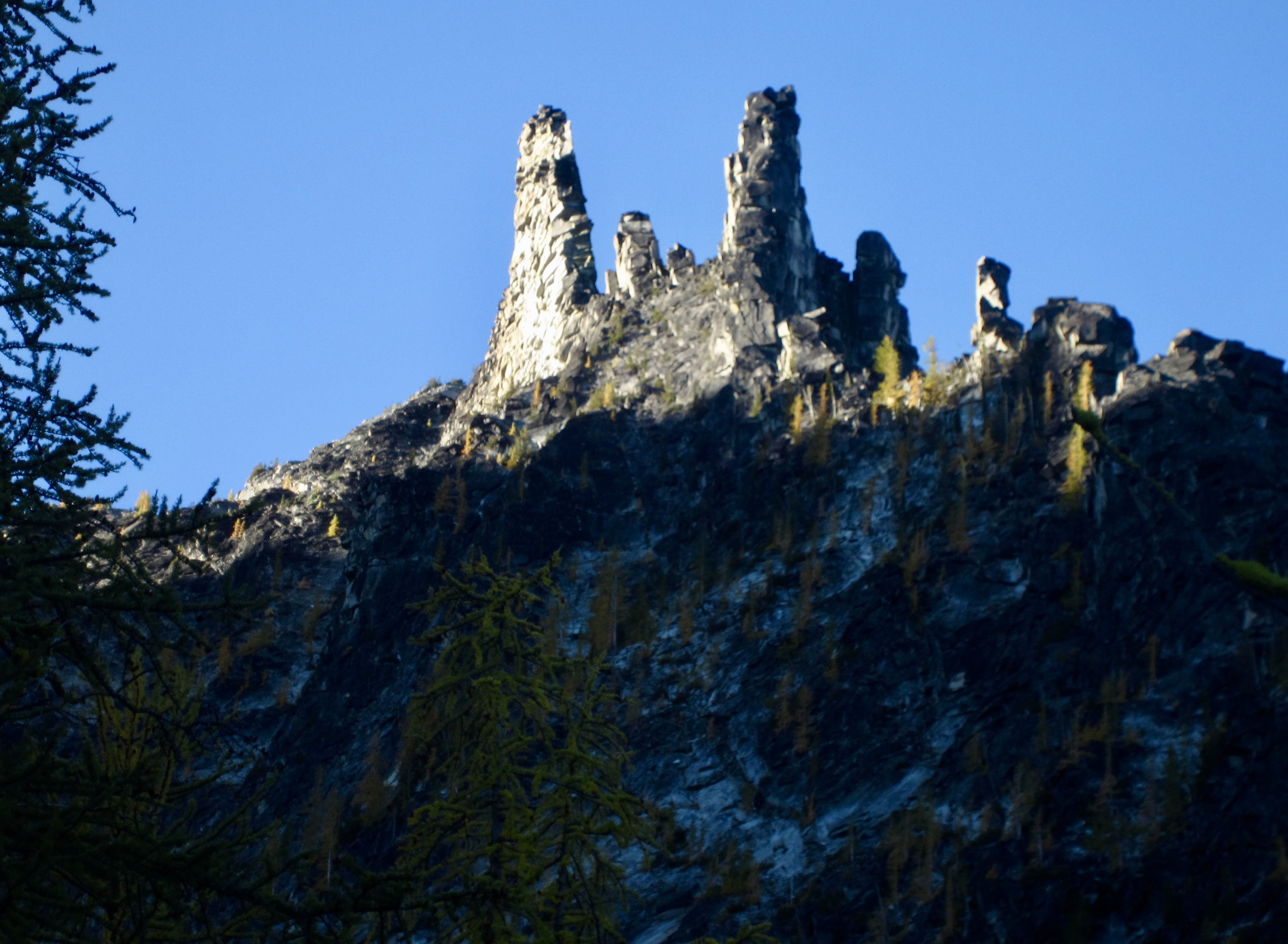
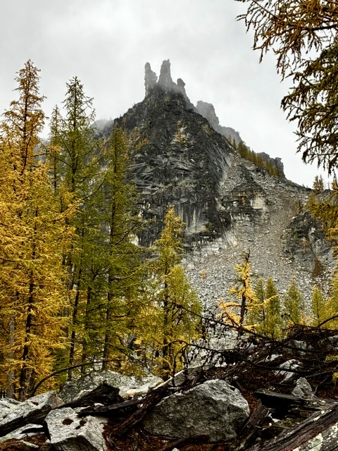
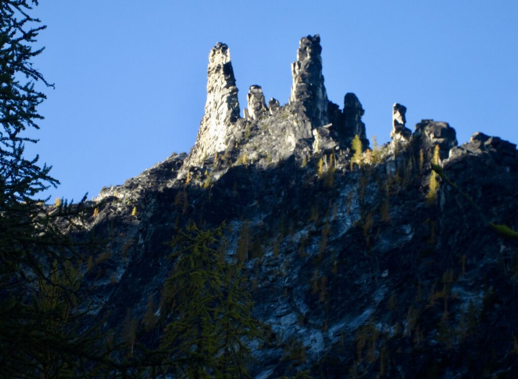
As the clouds gradually thinned throughout the evening, a visually striking cluster of rock spires appeared on the ridge crest directly above our campsite. Wow! We wondered whether these “Bigelow Spires” had ever been climbed.
.
Day 3: North Bigelow Bench to Crater Lake + Crater Peak
After a frigid night, Eileen and I awoke to find a blue sky, an icy tent fly, and frozen ground. When the sun finally rose over the eastern ridge, we spent some time trying to thaw our leather boots and other gear.
.
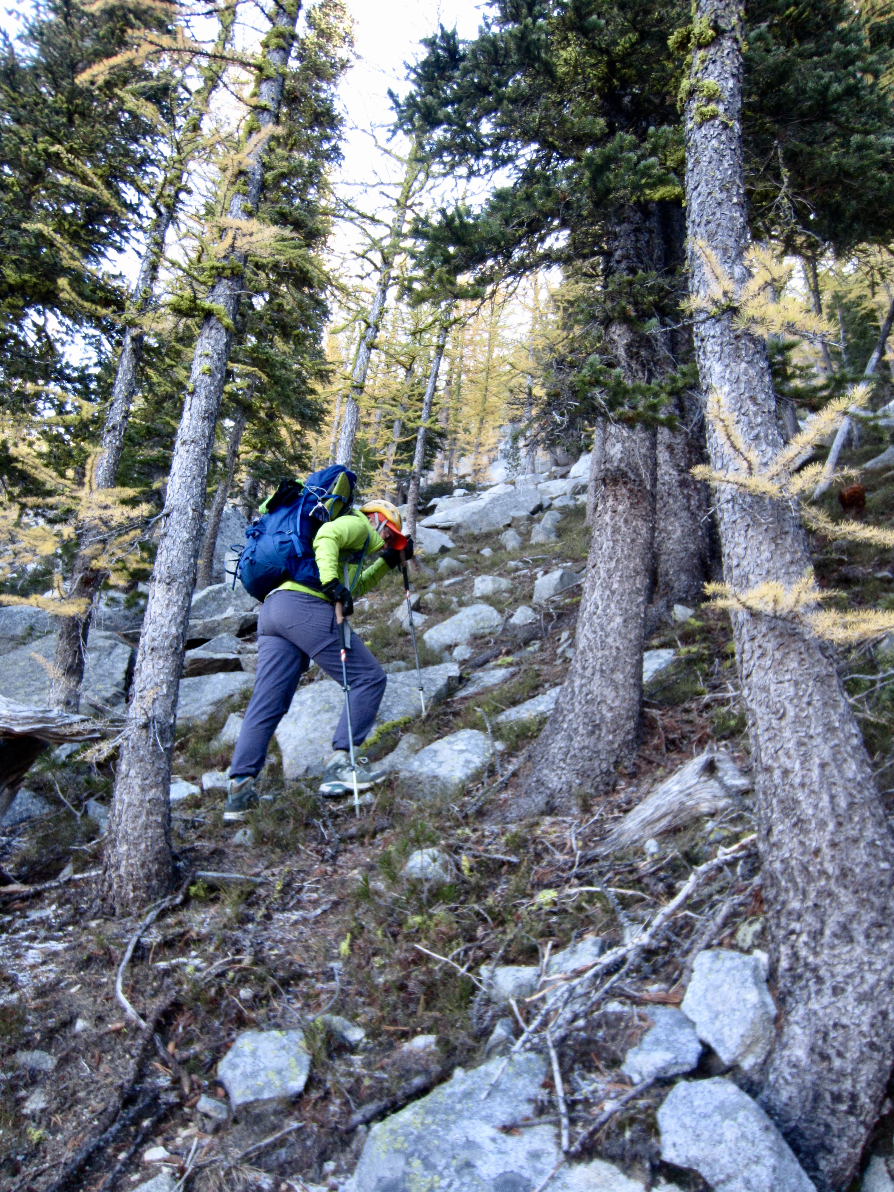
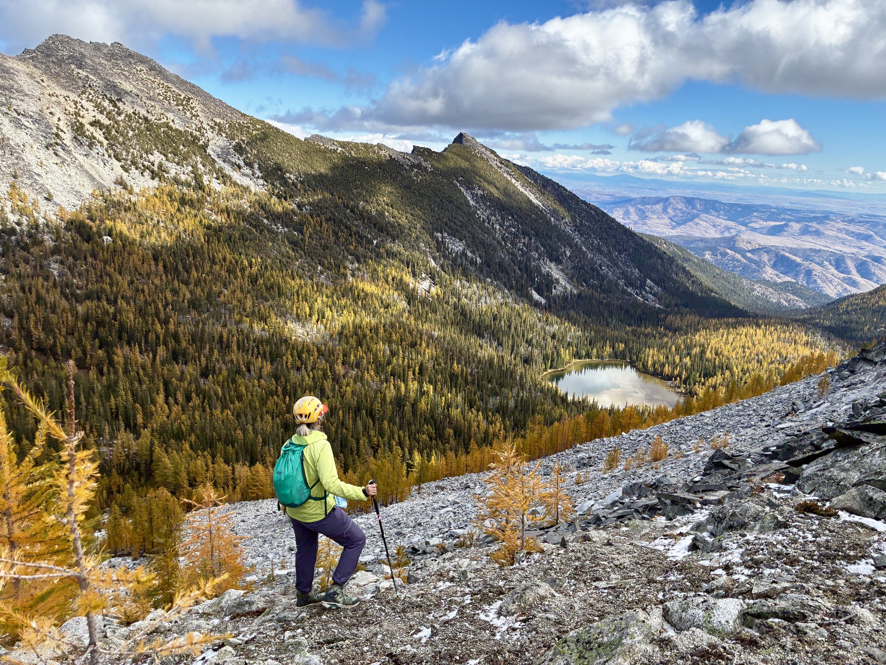
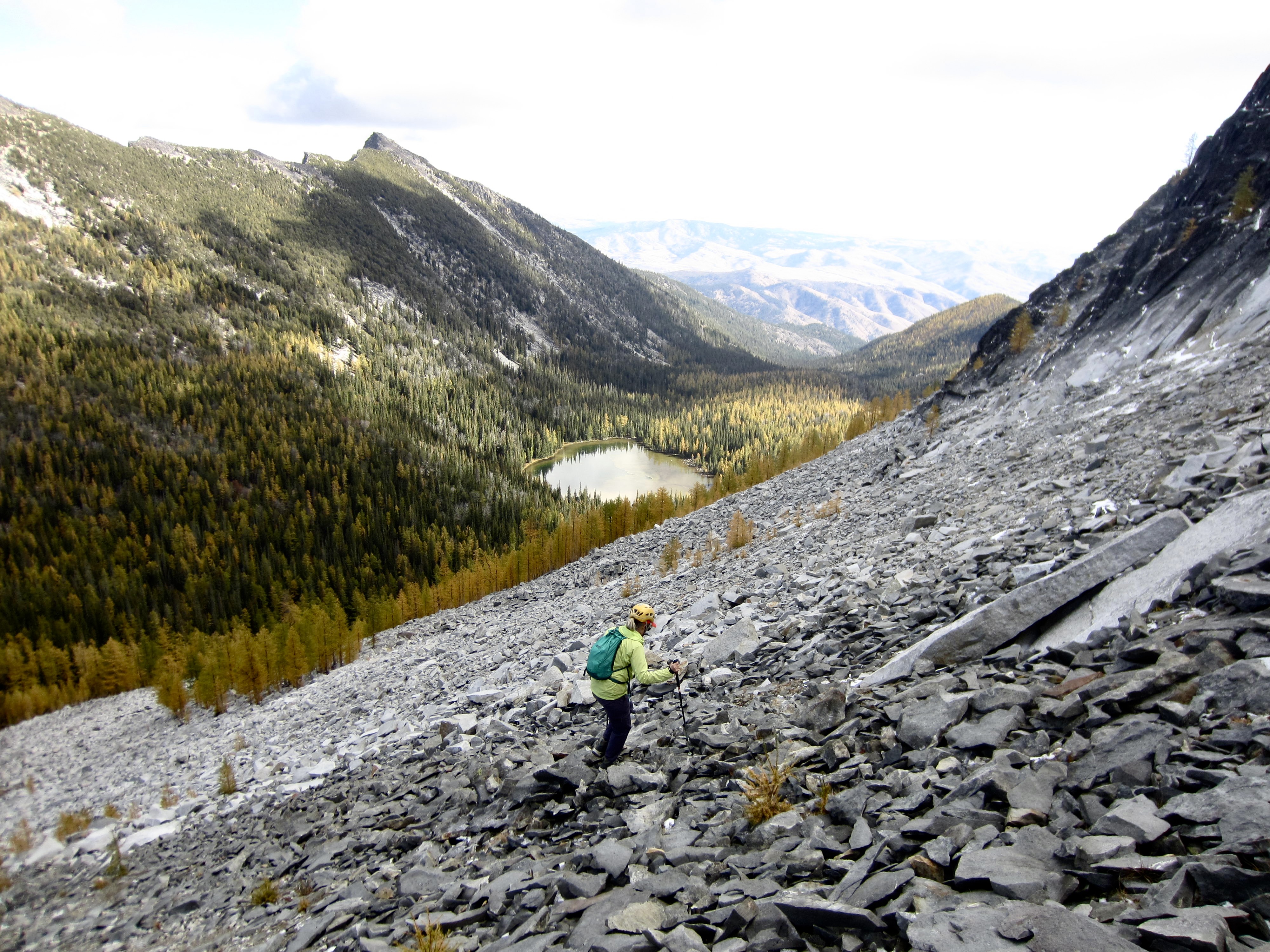
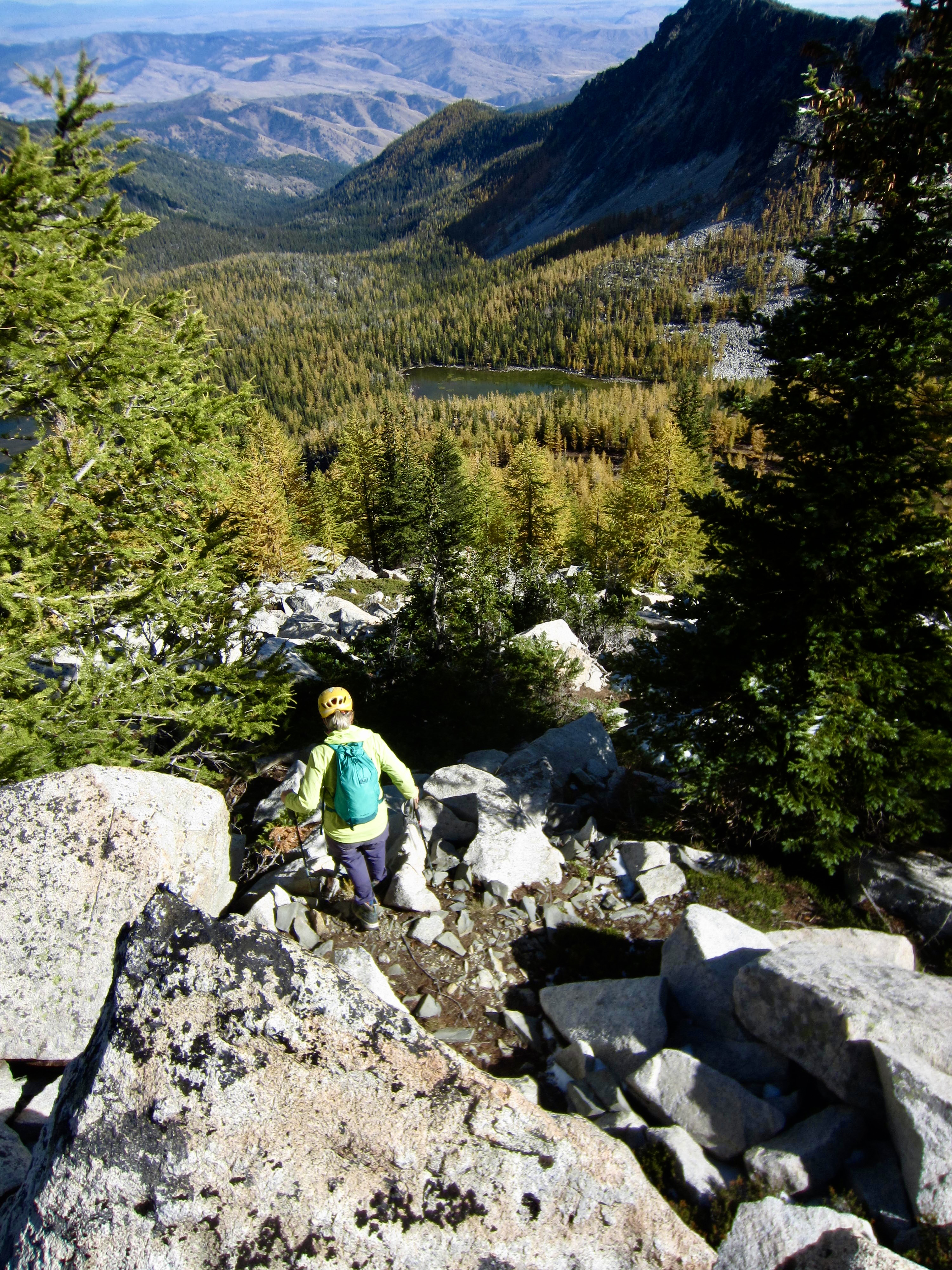
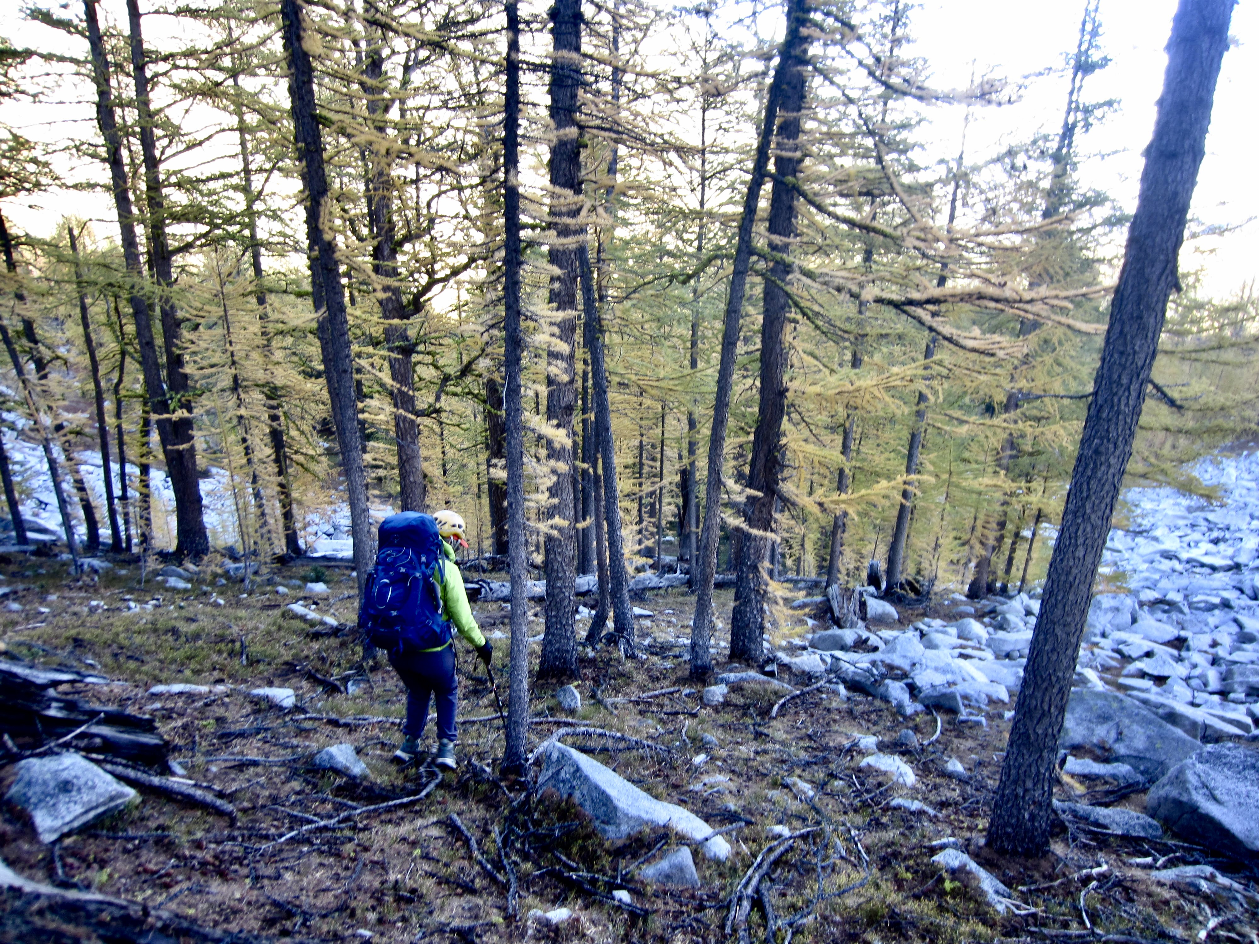
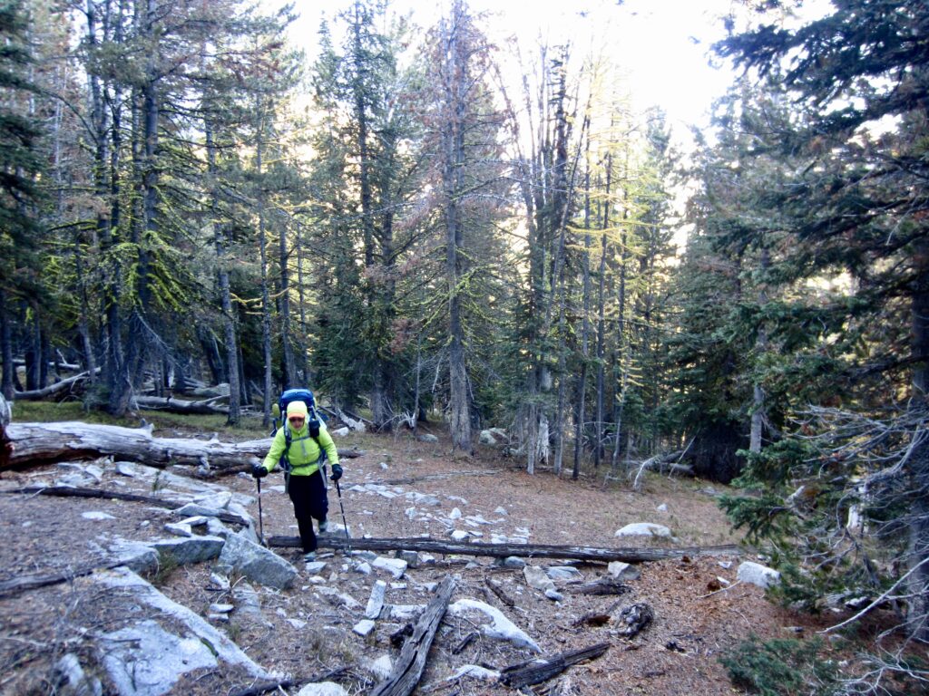
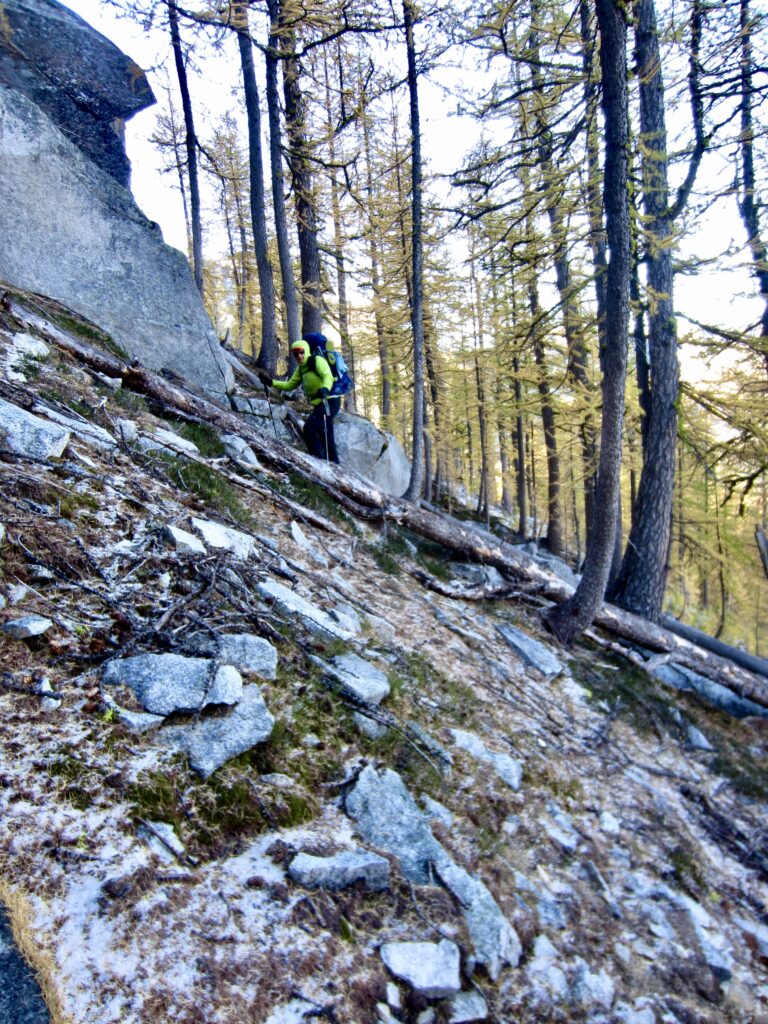
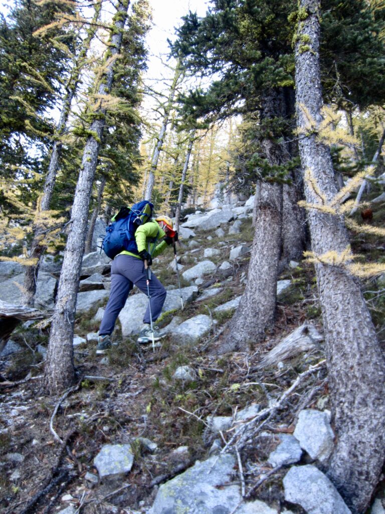
Once underway at 9:30am, we angled northeasterly up through larch forest, aiming toward the broad saddle between Libby Peak and Crater Peak. The frozen hillslope soon became quite steep and rocky, such that we needed to weave back and forth to avoid granite cliff bands. Even still, it was necessary to do some Class 2-3 scrambling on icy rock. The tricky terrain here justified our earlier decision to ascend rather than descend this hillslope!
.
.
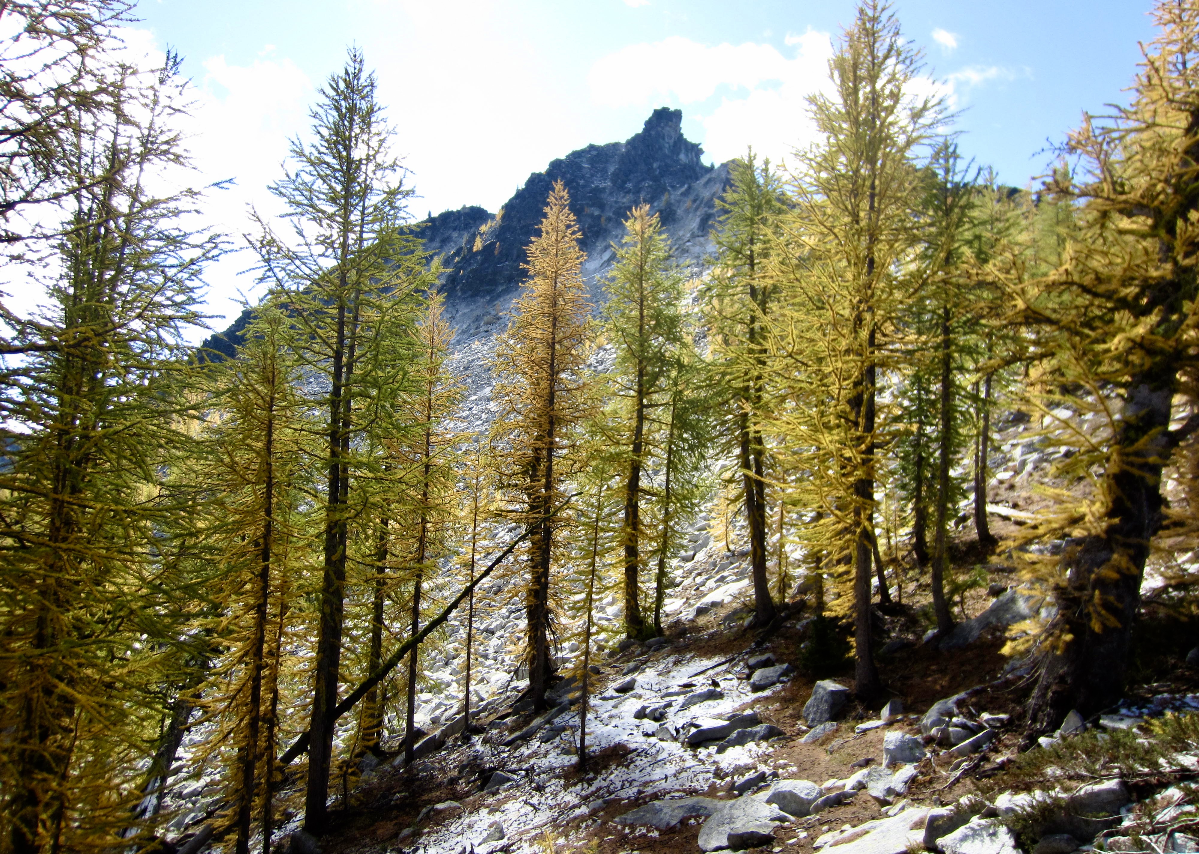
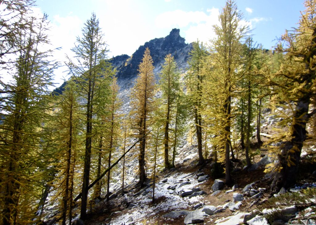
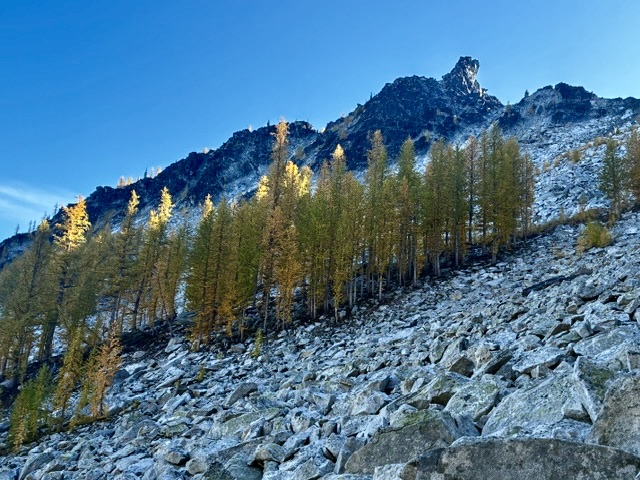
We stepped atop the narrow crest of Libby–Crater Saddle at 7600 feet in late morning (1.8 hours + 750 feet from Camp 2). Directly to the south, we could clearly see the impressive horn of Crater Peak—our summit goal for today—rising above a row of golden larch trees.
.
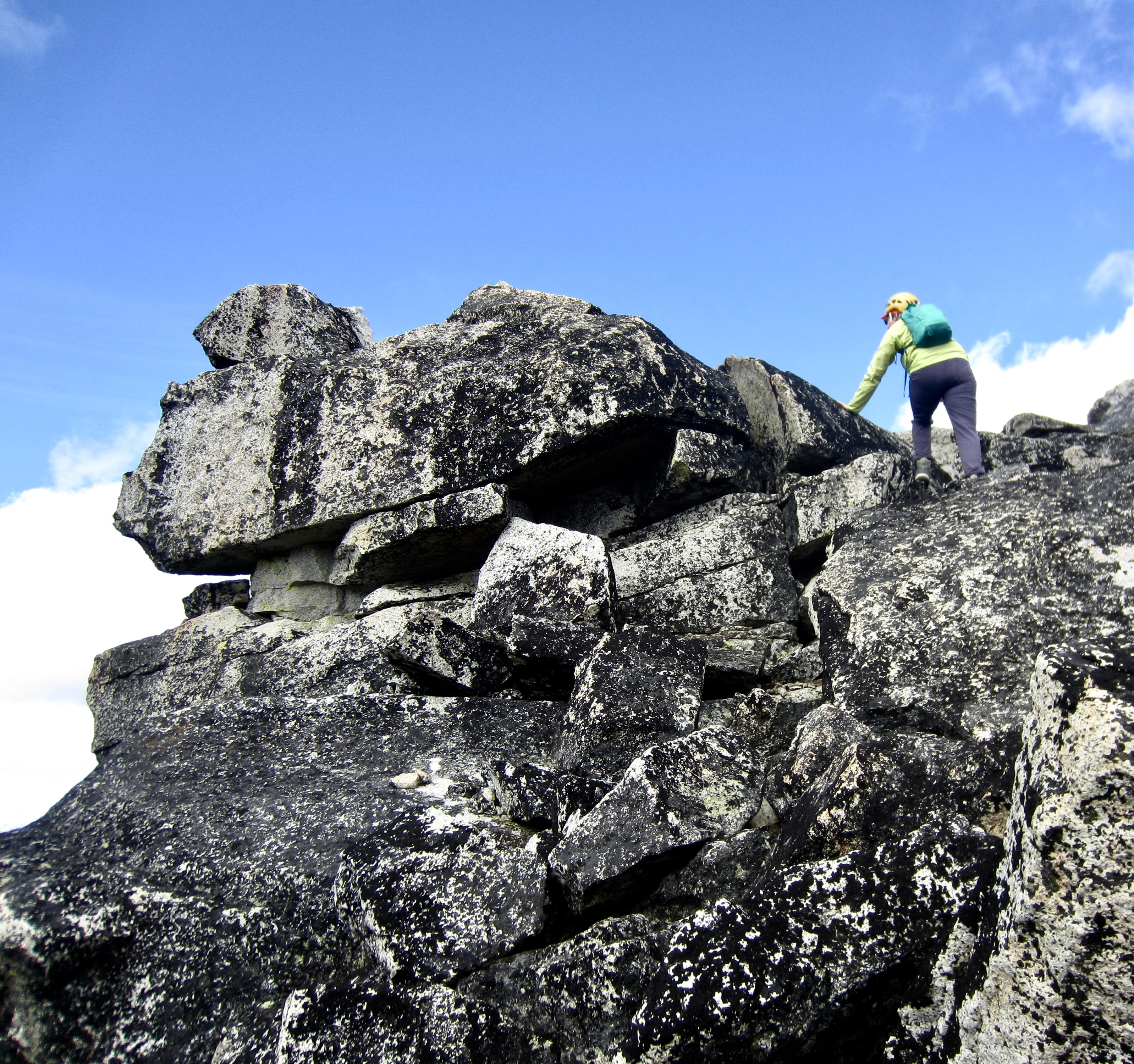
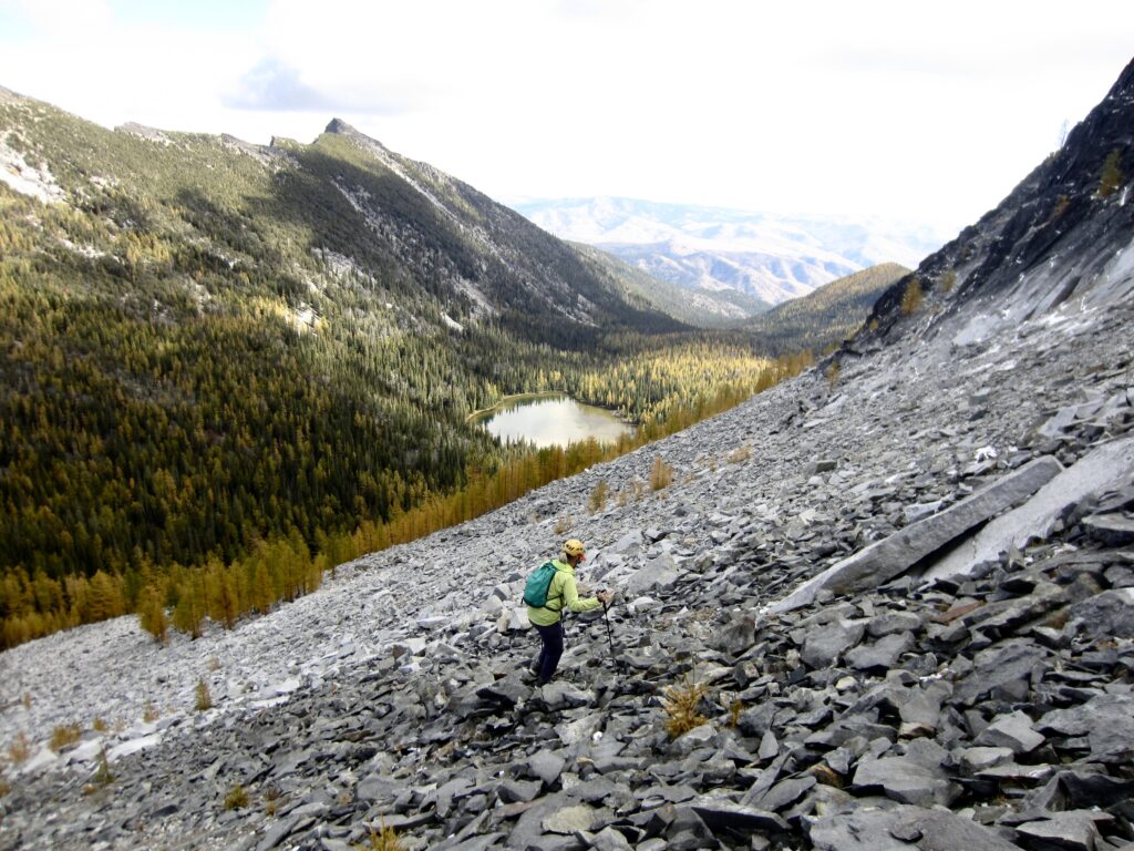
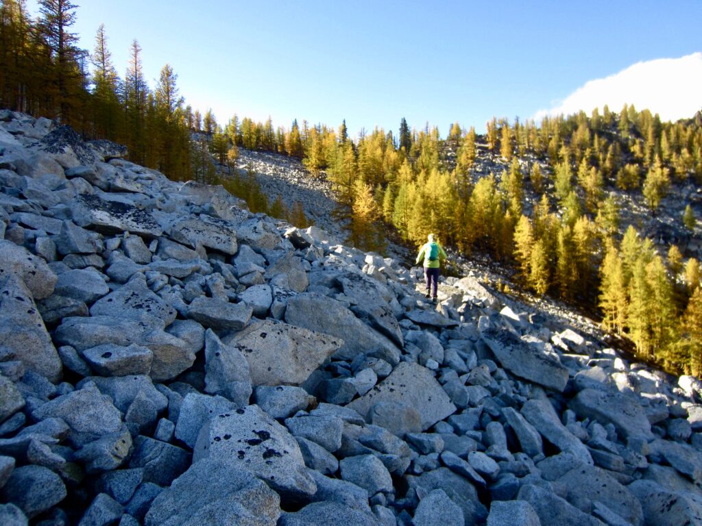
After stashing backpacks, we headed up Crater Peak’s north ridge, staying east of the crest until encountering the imposing summit block, then we began traversing across the west face. Immediately, the geology changed from friendly, stable granite to steep, unstable volcanic rock. Yuck! We reversed course and dropped down the peak’s northeast face, then contoured across a broad talus slope.
.
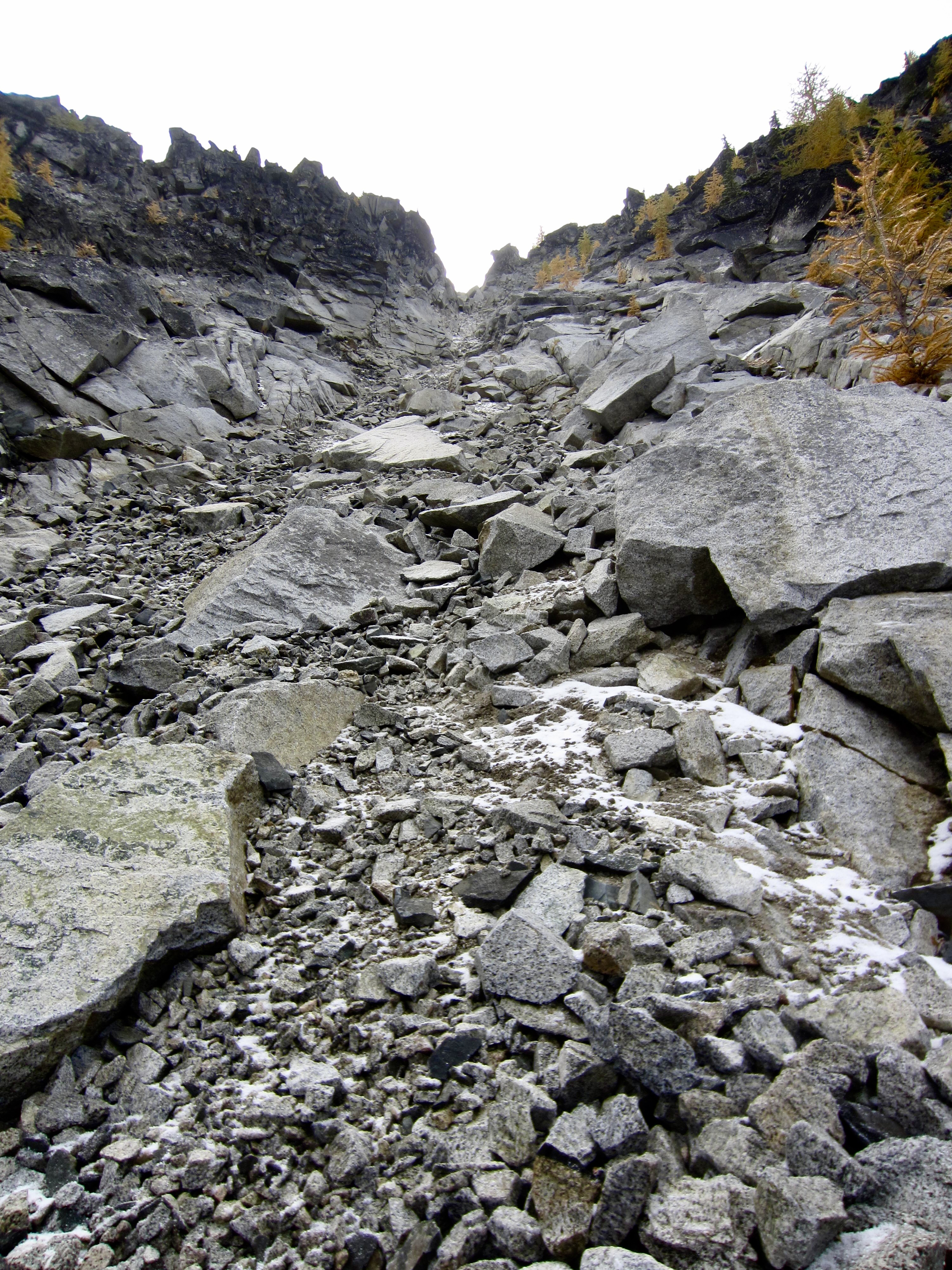
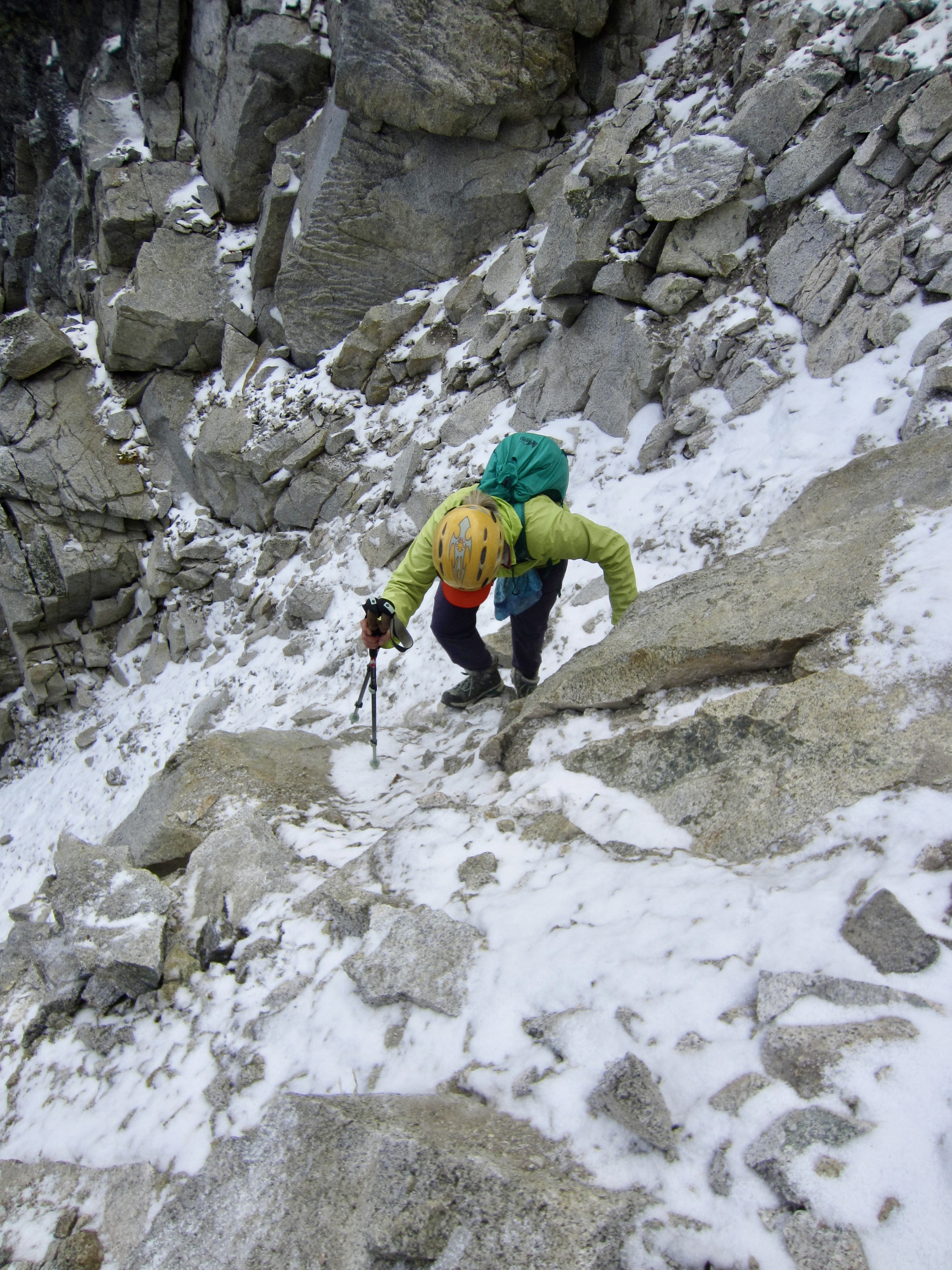
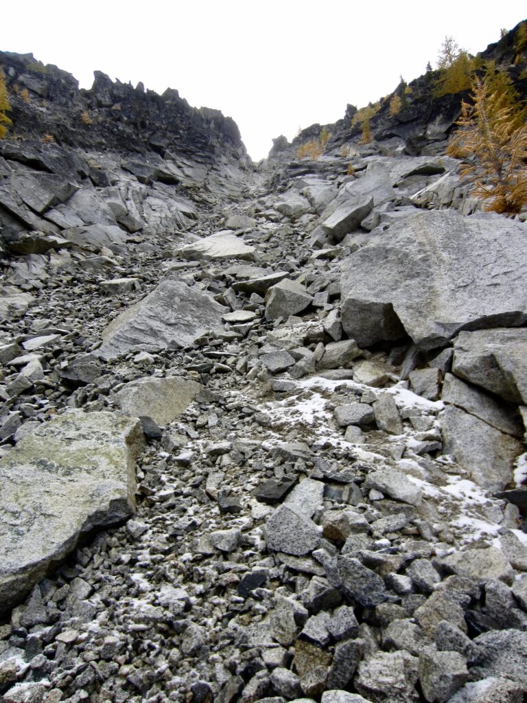
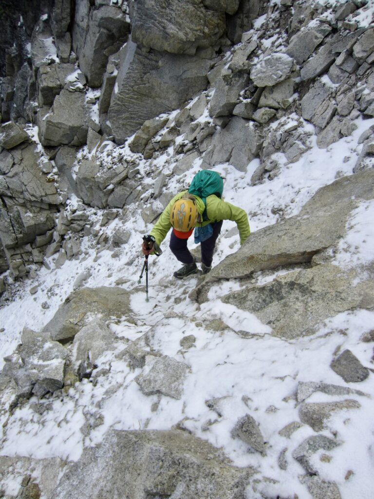
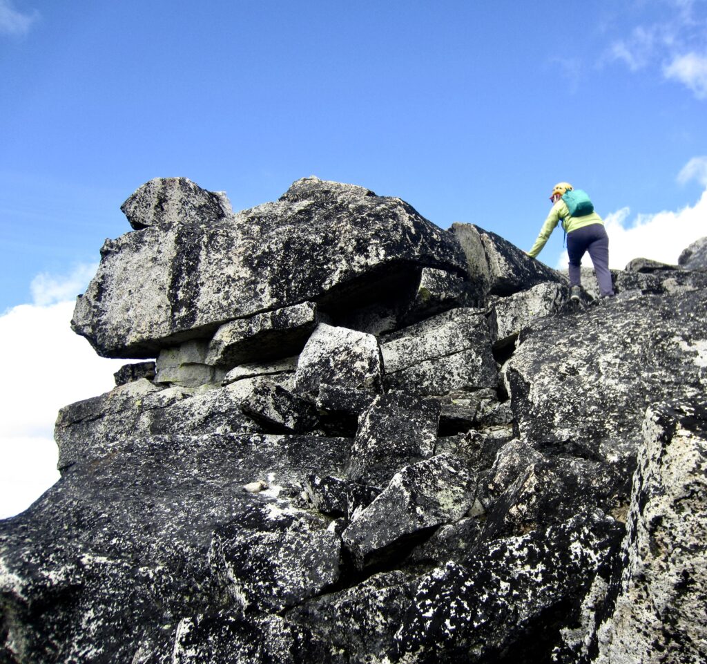
After crossing under the summit, we headed up a rocky chute that leads to Crater Peak’s east ridge. This northeast chute began as a typical scree and talus slog, but higher up it turned into a white-knuckle scramble on frozen dirt and snow-covered boulders! Before long, we passed the point of no return and felt compelled to keep going.
.
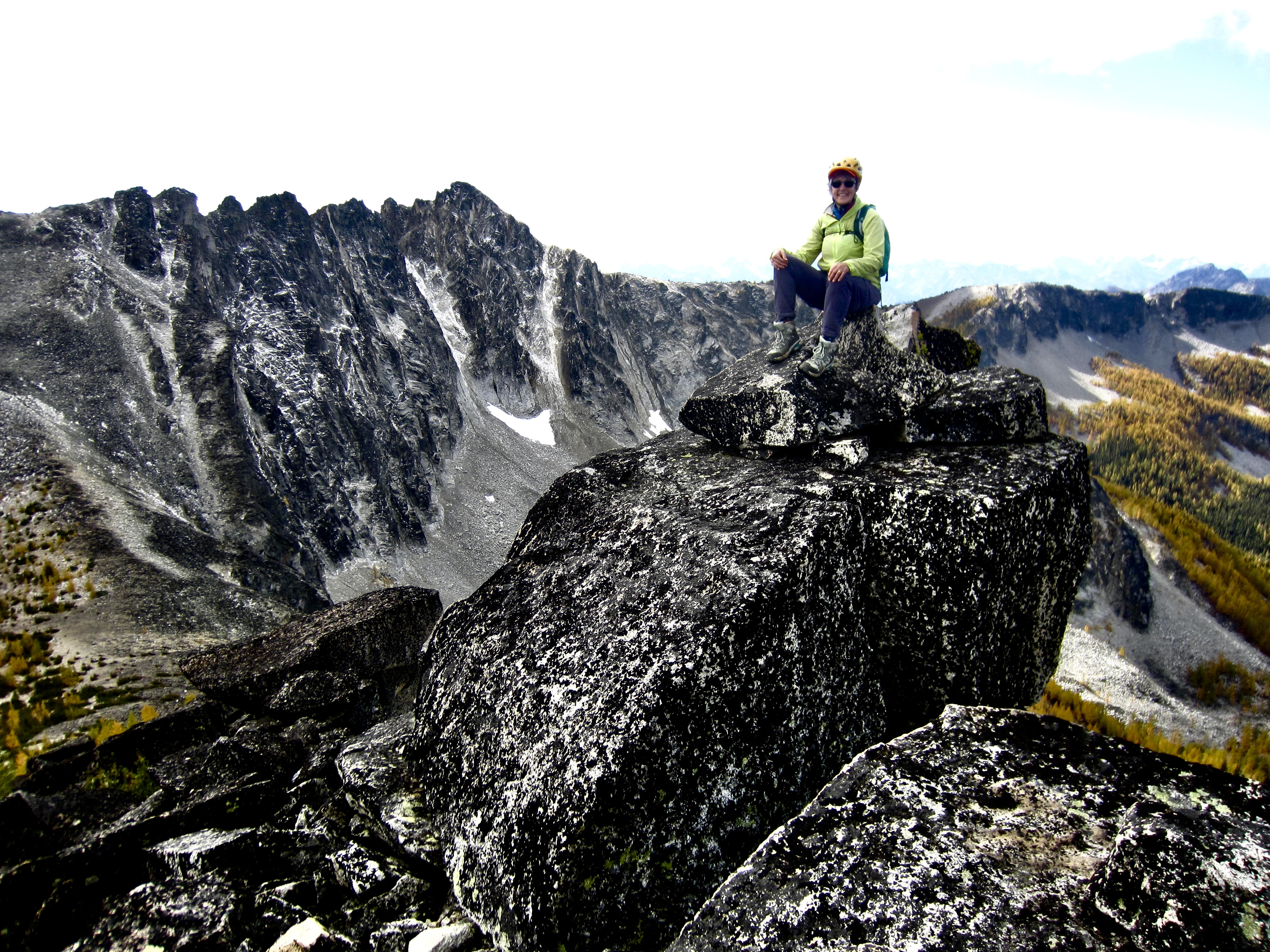
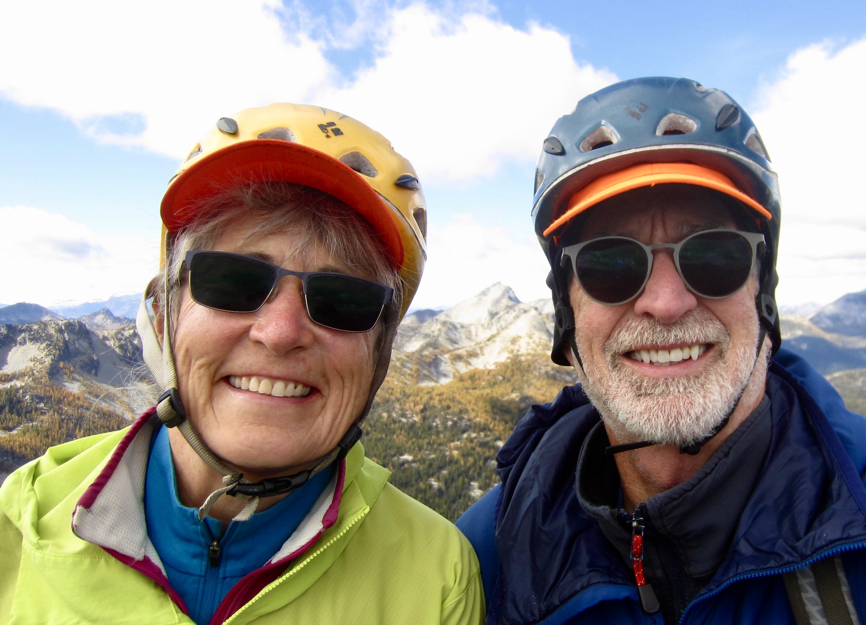
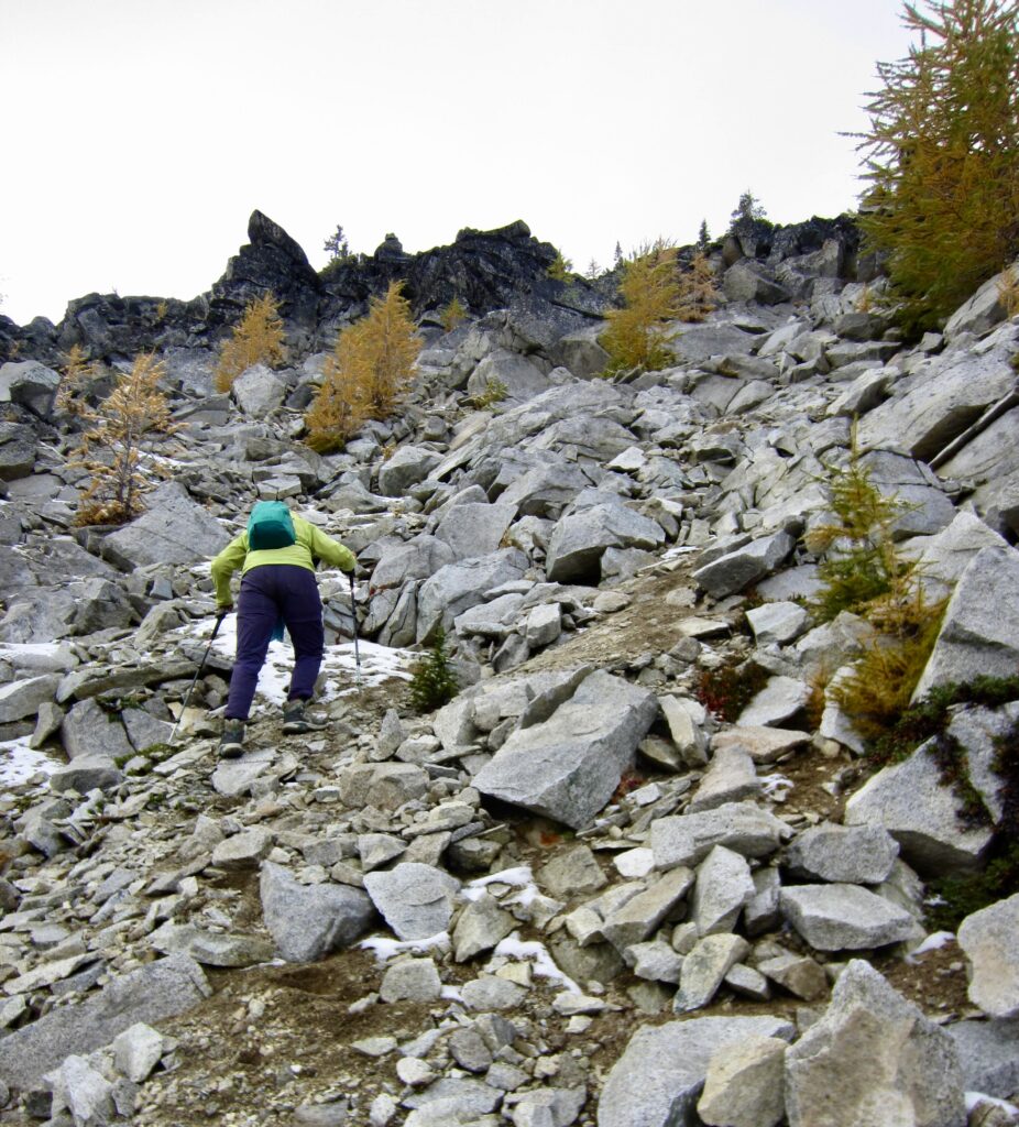
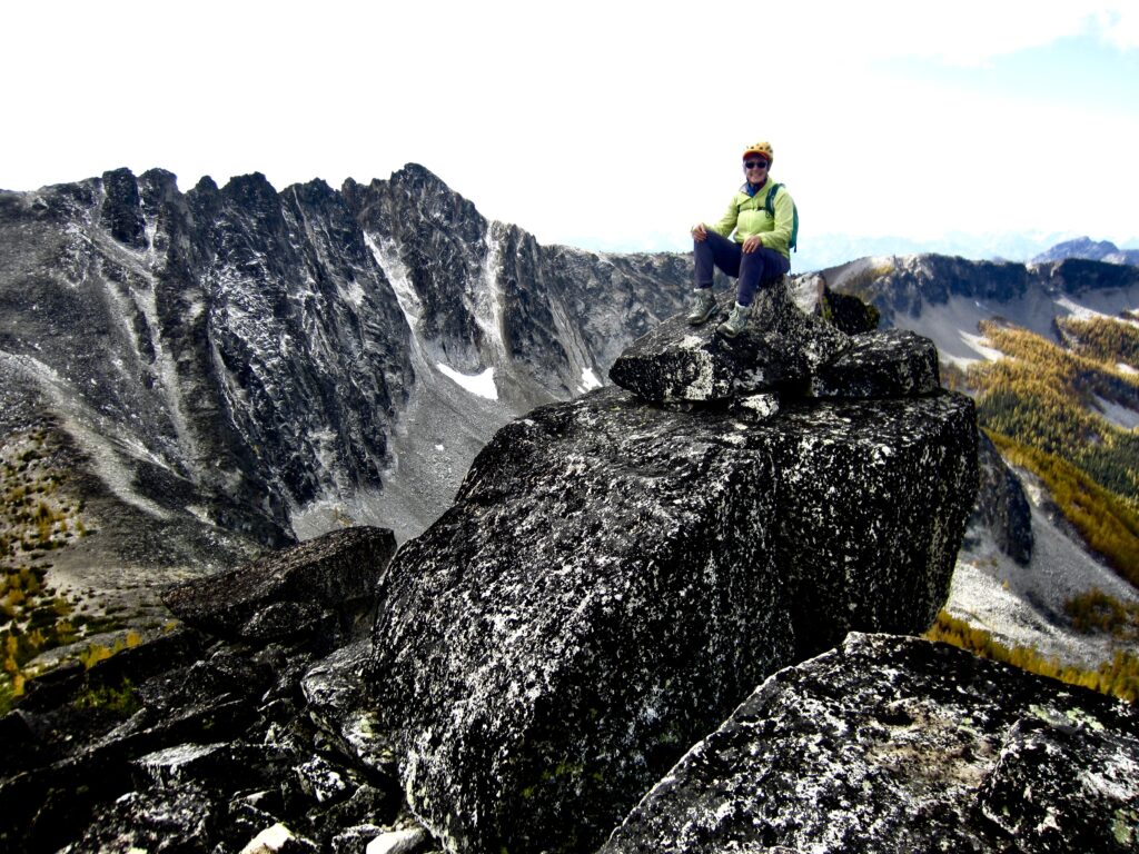
It was a great relief when the angle eventually eased off and the terrain changed to solid granite. A short and enjoyable scramble put us on the 8217-foot summit of Crater Peak. Surprisingly, there was no summit cairn, even though Peakbagger.com shows multiple ascents dating back to John Roper’s 1985 climb, so I built a small cairn.
.
.
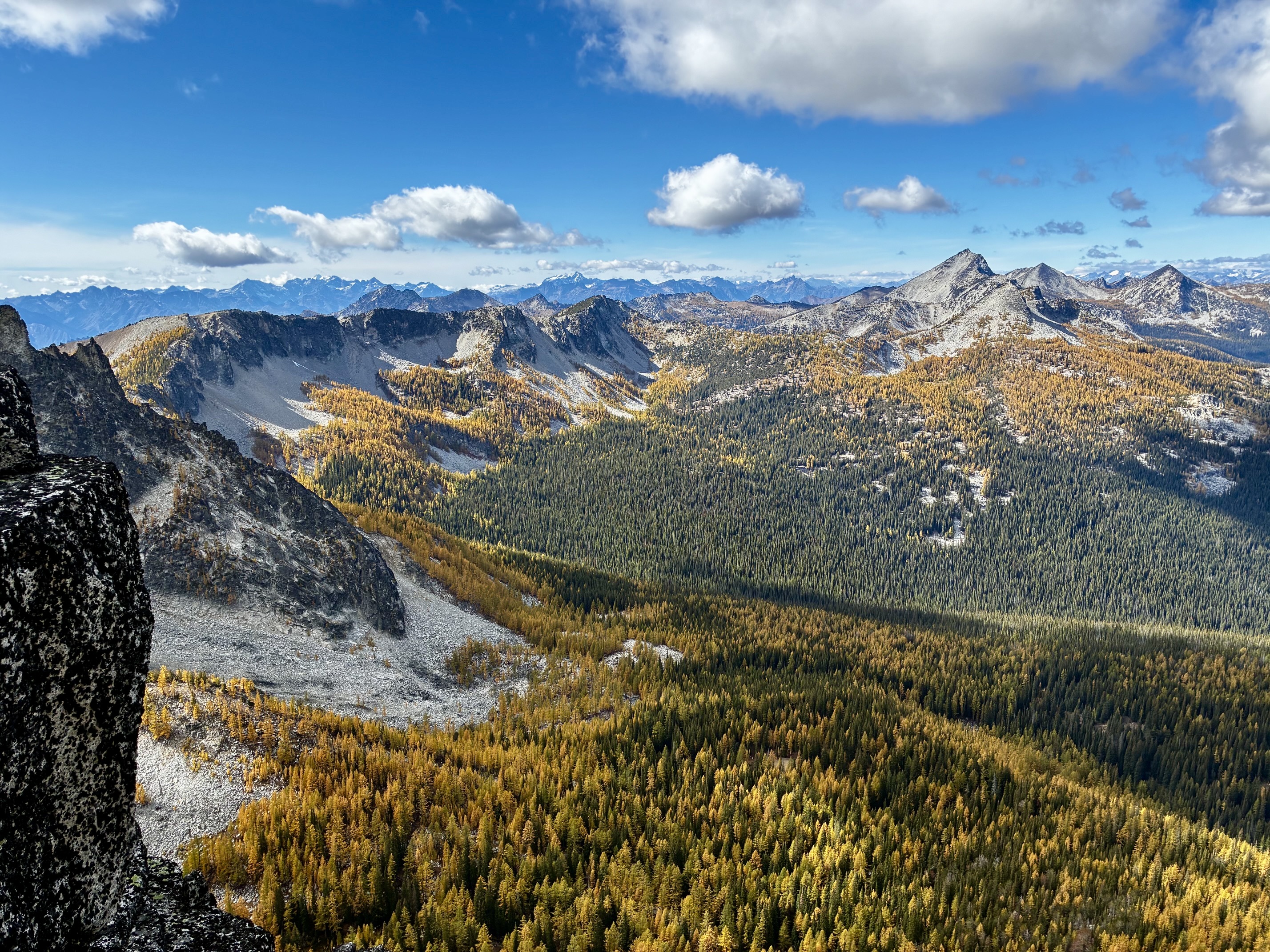
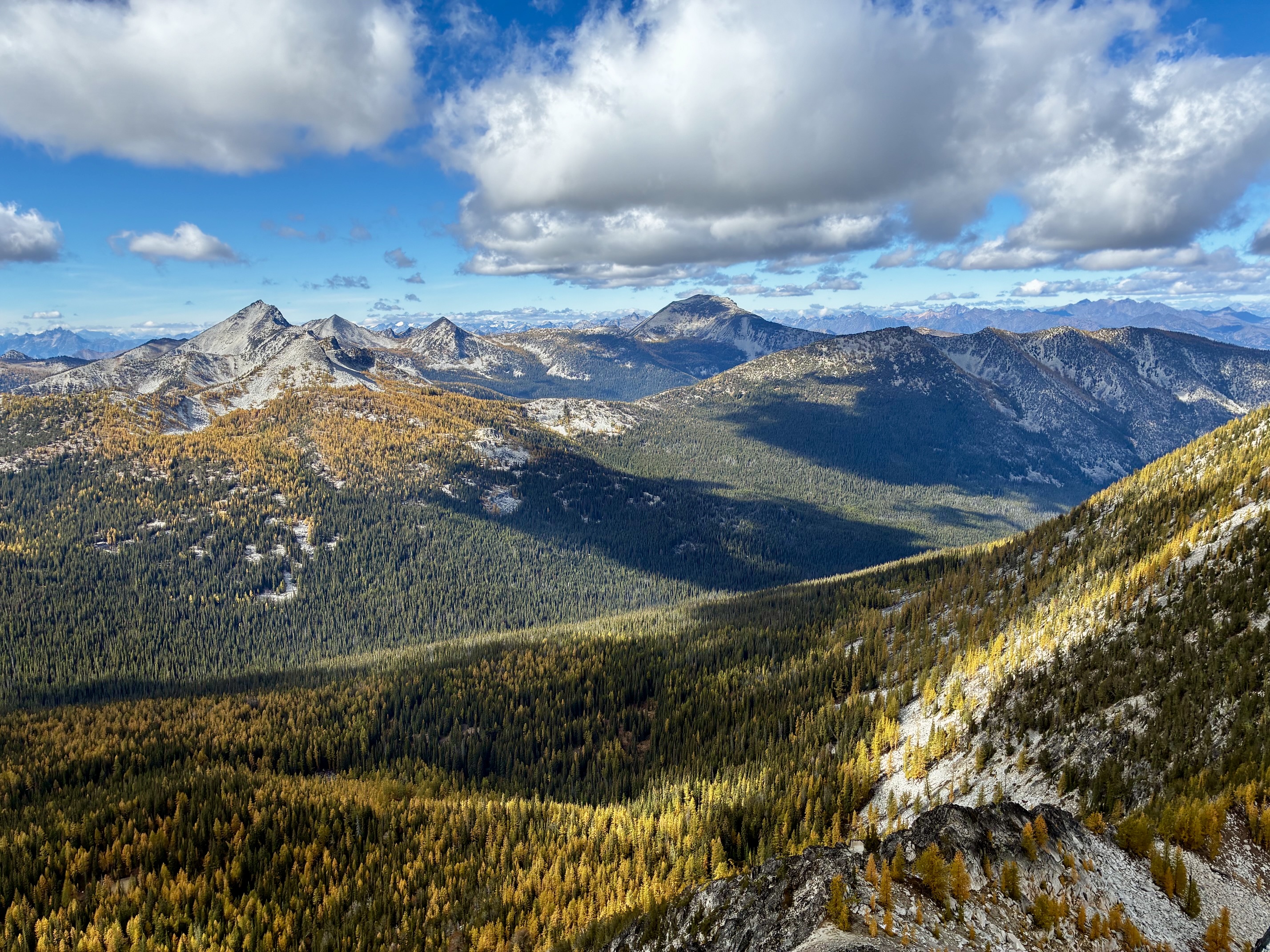
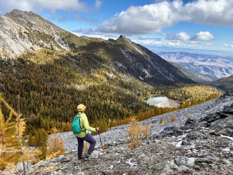
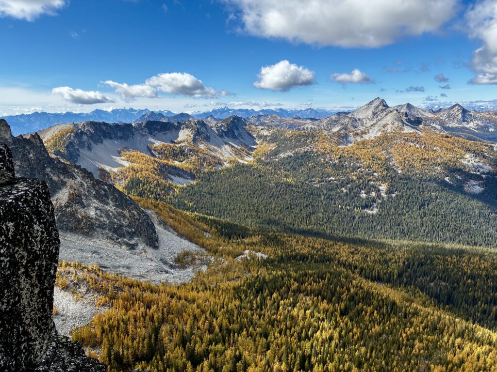
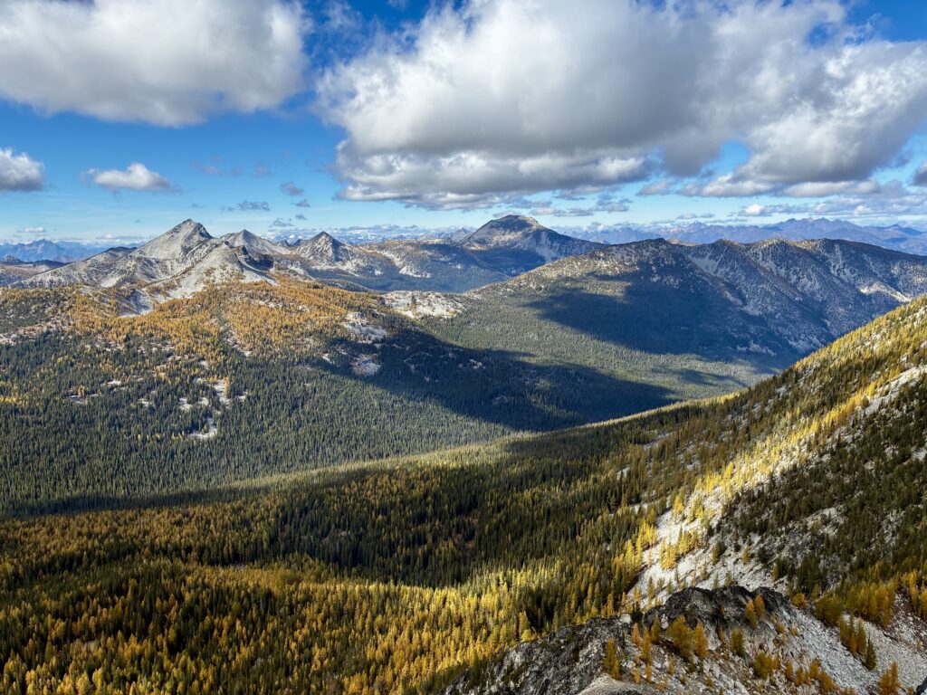
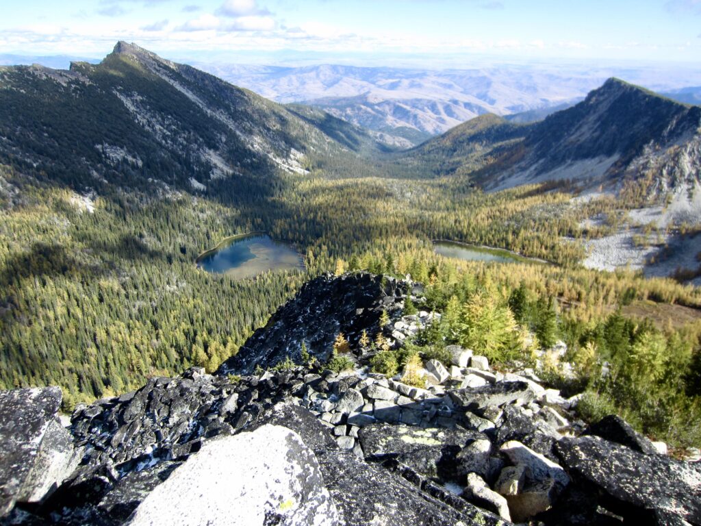
Crater Peak provides a nice view of other summits in the Sawtooth Mountains, as well as the big peaks west of Lake Chelan. Today, our scenery was enhanced by a blue sky, puffy clouds, and golden larch groves. It appeared that yesterday’s snowfall was now almost entirely melted off.
.
.
.
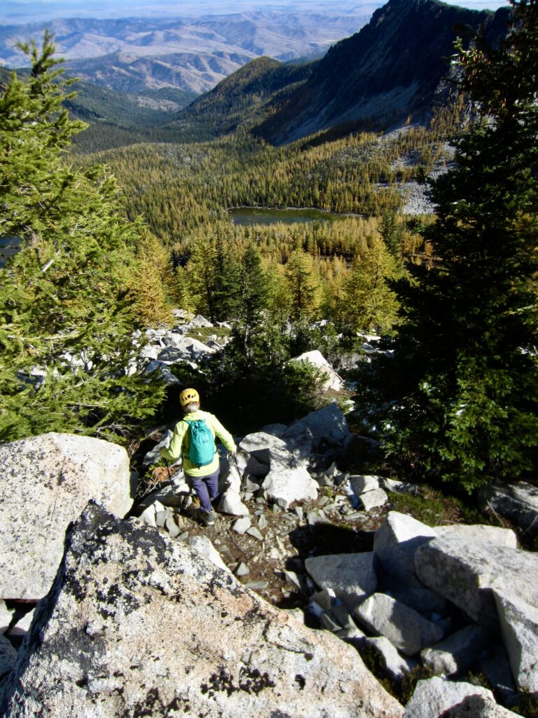
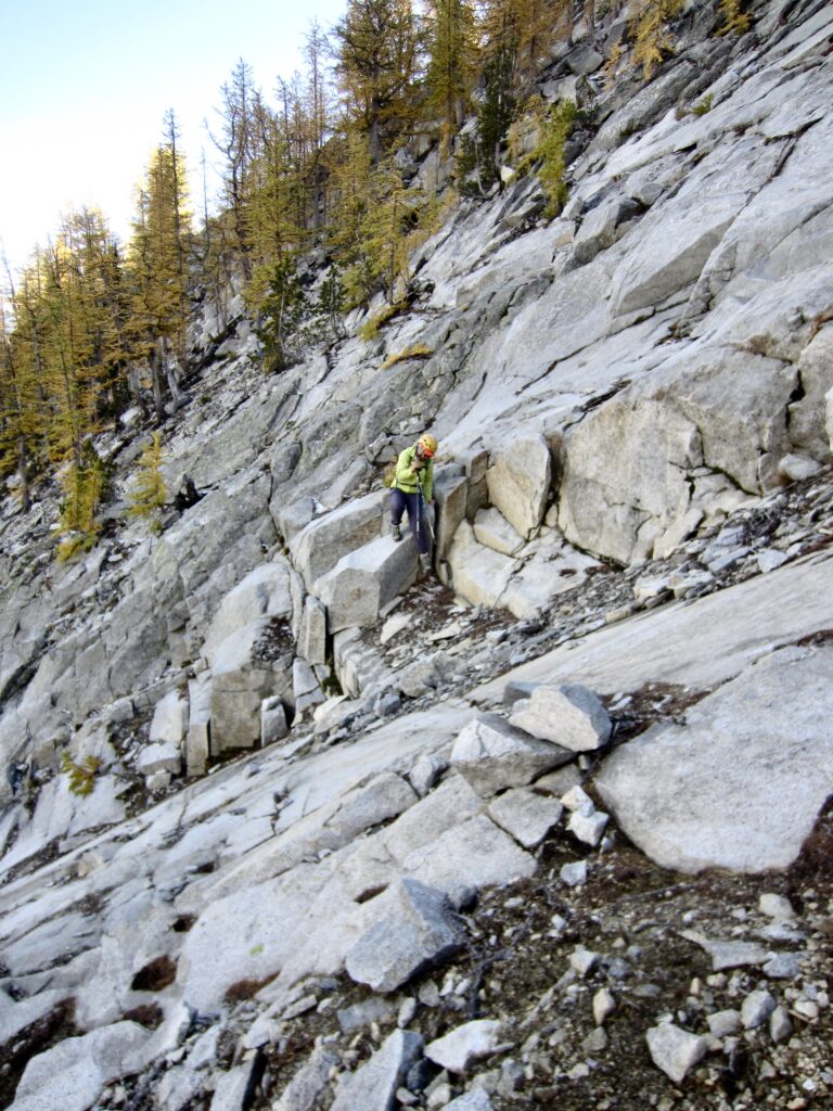
Rather than down-climbing the sketchy chute, we elected to descend the east ridge for about 600 vertical feet and then traverse back across the northeast slope. Our traverse stayed close to an elevation of 7500 feet and involved some delicate scrambling over slabby rock, followed by boulder-hopping over stable talus.
.
.
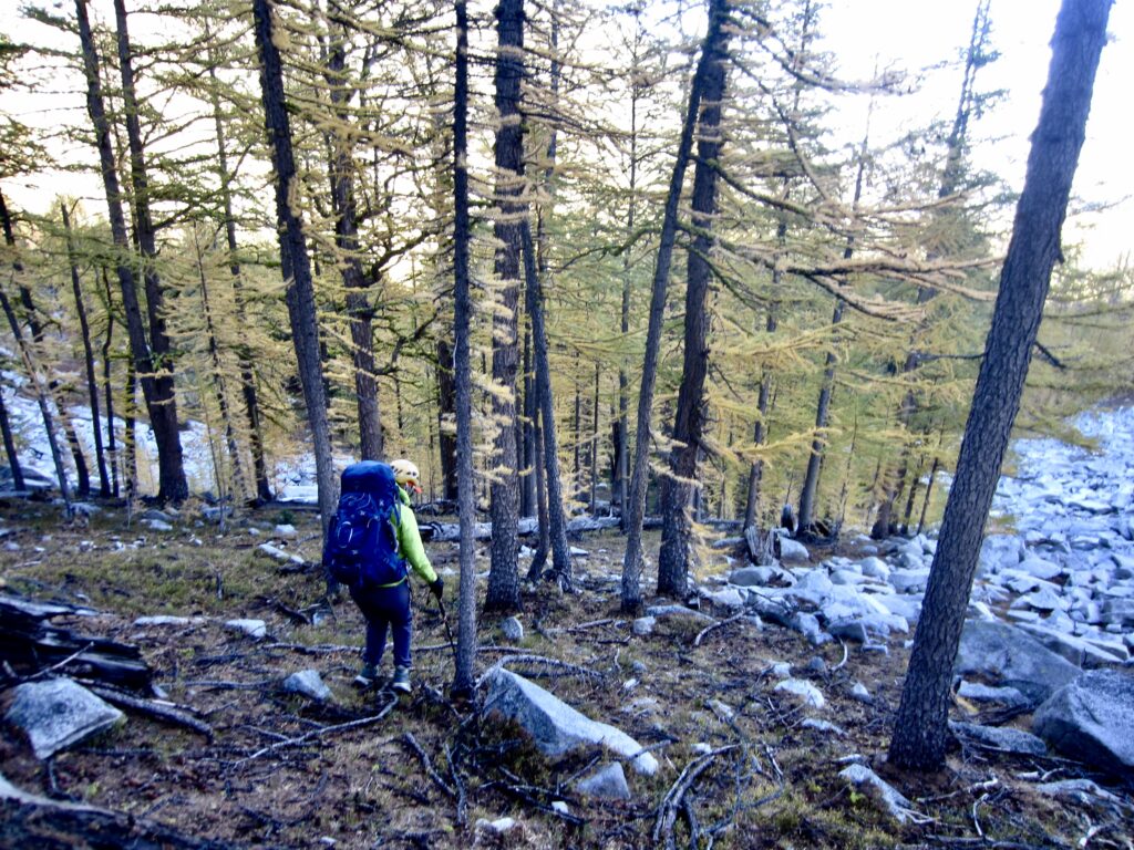
Our circuitous descent route went well, and we were back at Libby–Crater Saddle in mid-afternoon (4.1 hours + 850 feet for total summit sidetrip). We spent some time drying more gear in the warm sunshine before packing up and heading down the eastern side of the saddle. In contrast to the steep, tricky terrain on the western side, this eastern side is very moderate.
.
.
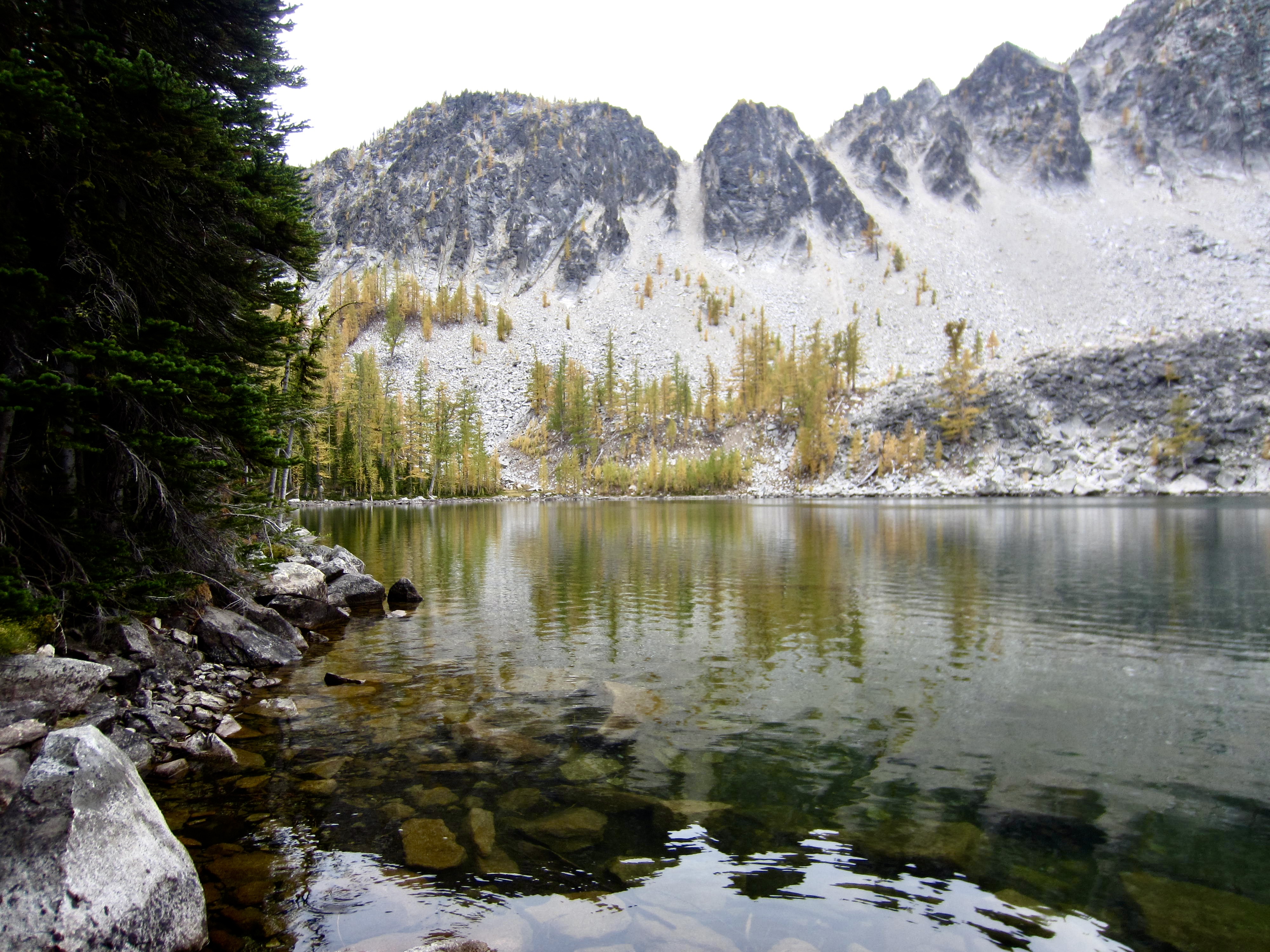
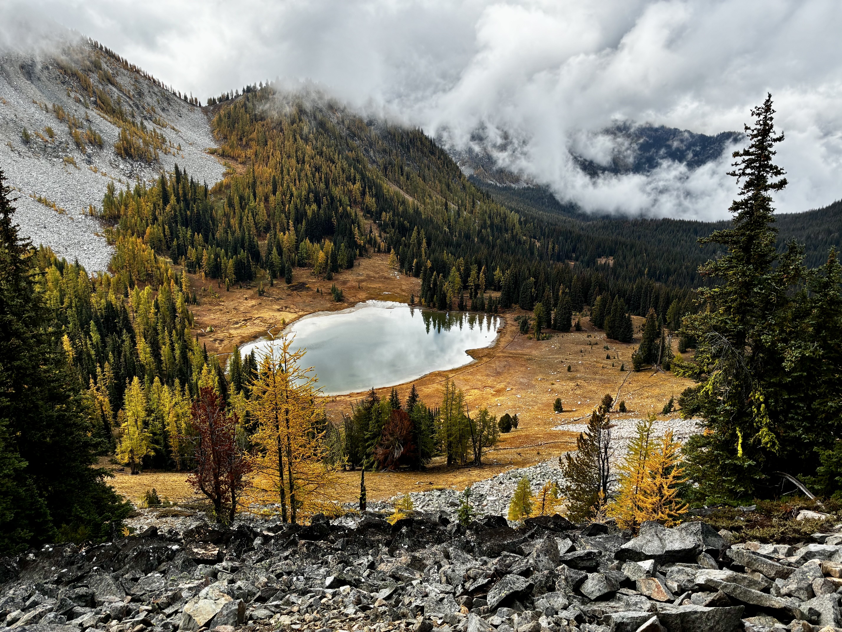
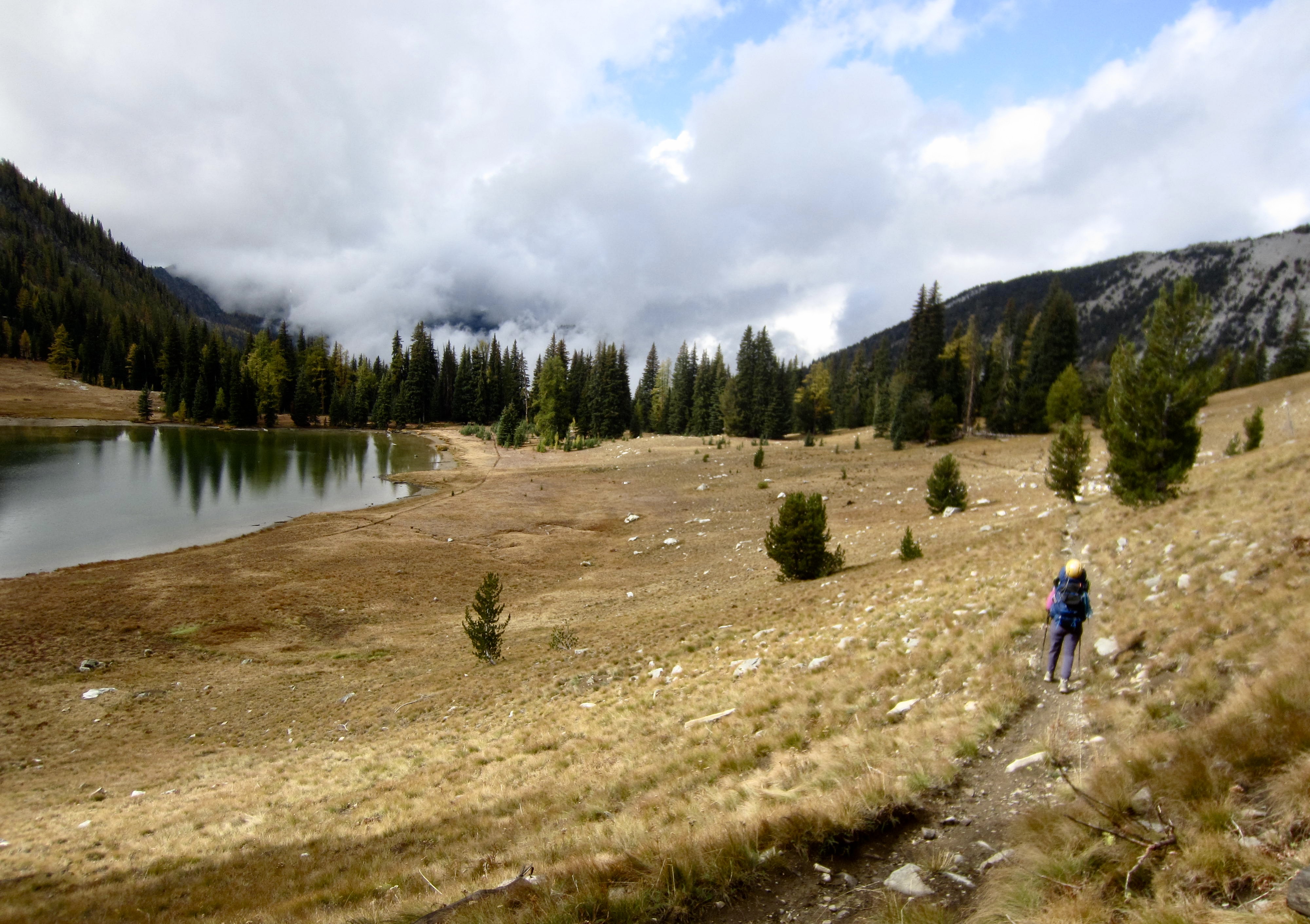
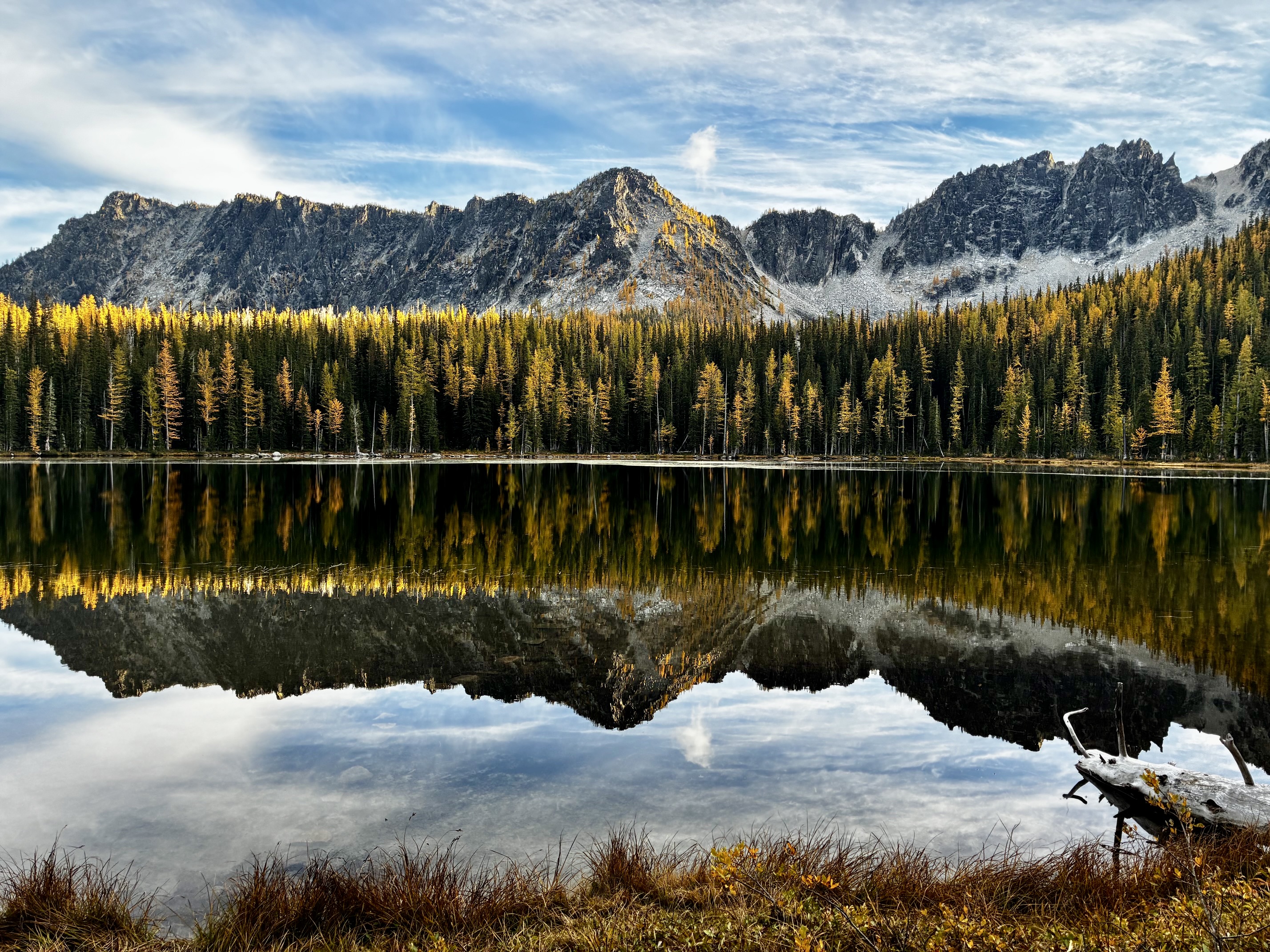
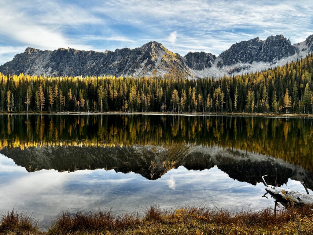
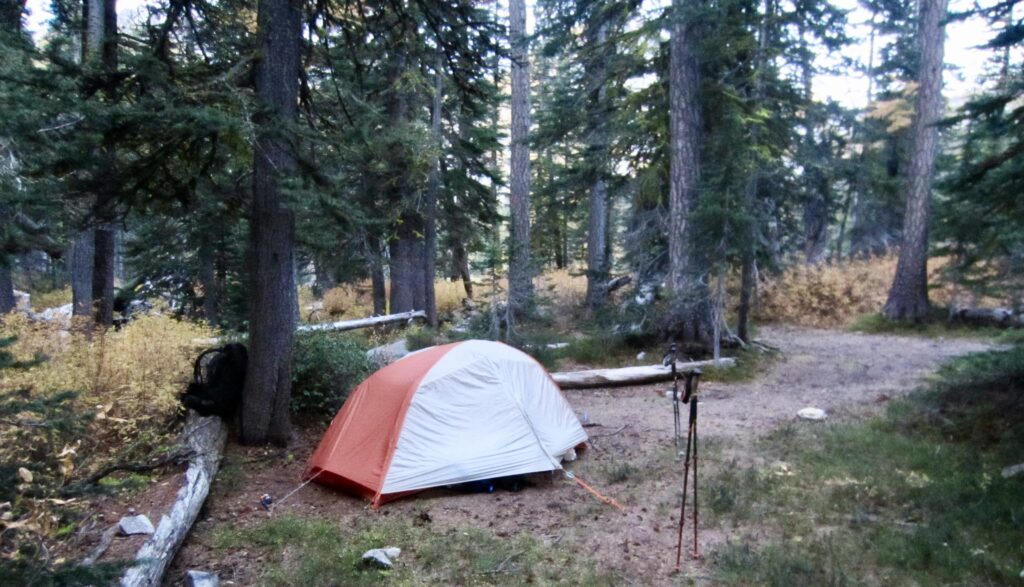
We reached the shore of glass-smooth Crater Lake in late afternoon and found a roomy campsite near the outlet stream (7.8 hours + 1650 feet – 1650 feet from Camp 2, including summit sidetrip). Despite being a Saturday, there was only one other party camped here. Crater Lake itself is not particularly pretty, but the surrounding mountains do create a stunning backdrop.
.
.
Day 4: Crater Lake to Trailhead
.
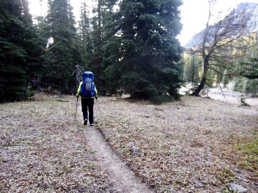
After another very cold night, Eileen and I awoke to find a light frost on the frozen ground. We enjoyed a short exit hike down to the Crater Creek Trailhead, arriving at the overflowing parking lot in mid-morning (2.1 hours + 3.8 miles – 2200 feet from Camp 3). It occurred to us that this “pre-golden larch trip” had been colder than most of our annual early-October Golden Larch Outings!
.
Route Maps & Profile
…
…
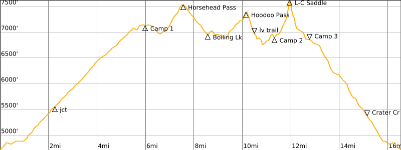
…
Photo Gallery
Click to enlarge…