Trip Date: September 11, 2002
Mt. Bigelow Day Climb
East Fork Buttermilk Creek Valley
Hoodoo Pass
Mount Bigelow (8468 ft)
Trip Report Summary
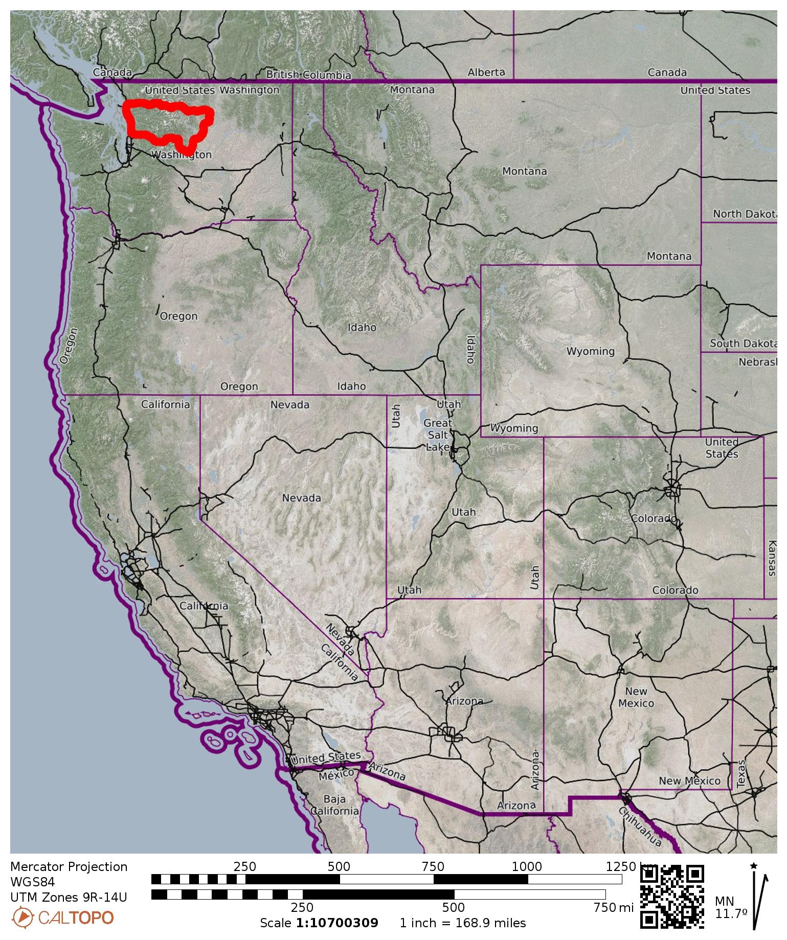
Region: North-Central Washington Cascades
Sub-Region: Sawtooth Mountains
Area: Lake Chelan – Sawtooth Wilderness
Starting & Ending Point: East Fork Buttermilk Creek Trailhead on East Fork Buttermilk Creek Road #43-400 (Elev. 4800 feet)
Way Points: East Fork Buttermilk Creek bridge & Hoodoo Pass (trail hike)
Summit: Mt. Bigelow (off-trail hike & rock scramble via West Ridge—Upper Southwest Slope)
Approximate Stats: 14.5 miles traveled; 3600 feet gained & lost; 4.5 hours up; 3.0 hours down.

…
Related Post
>>> Hoodoo Pass Loop: Horsehead Pass to Libby–Crater Saddle + Mt. Bigelow + Crater Peak – September 2026
Full Trip Report
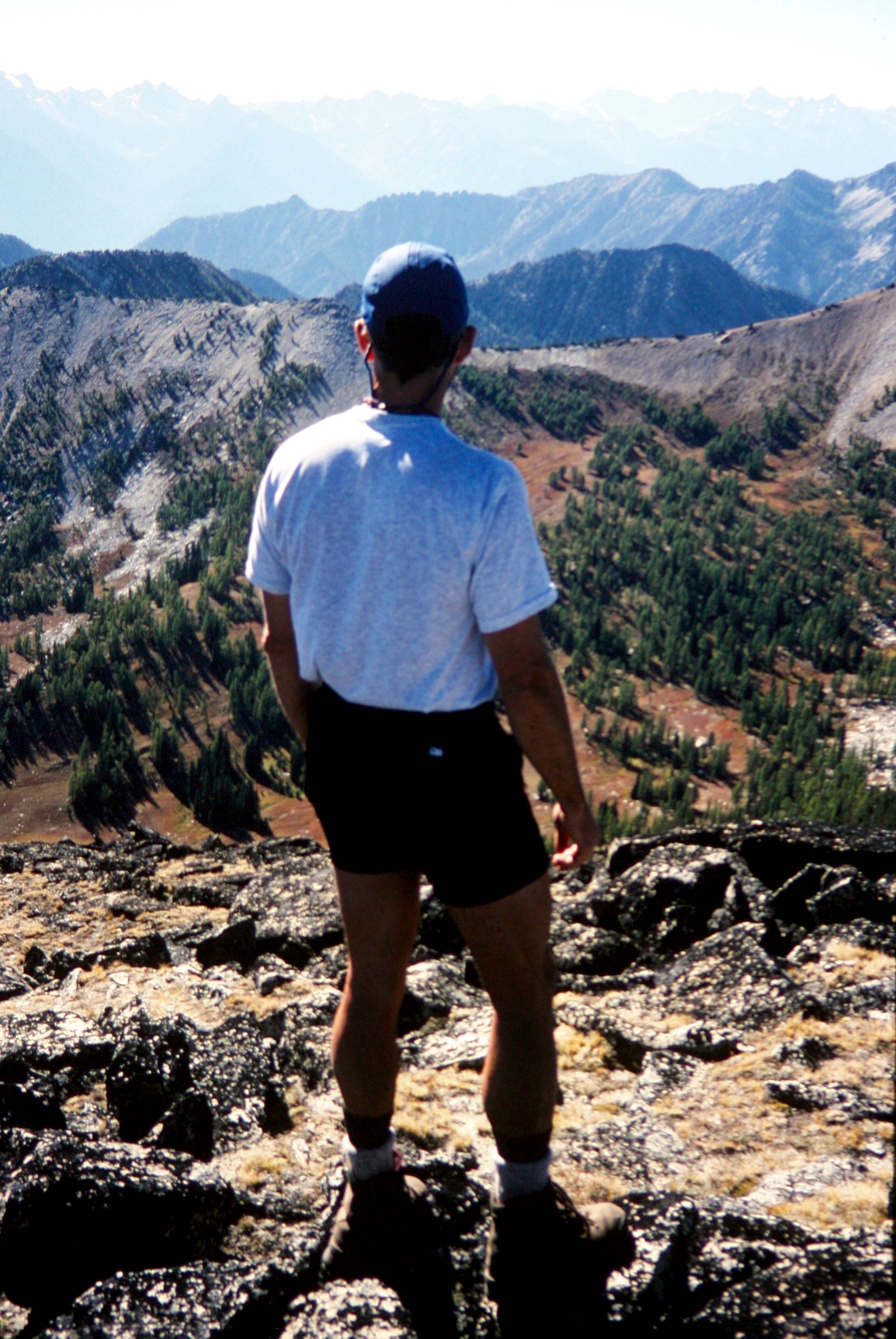
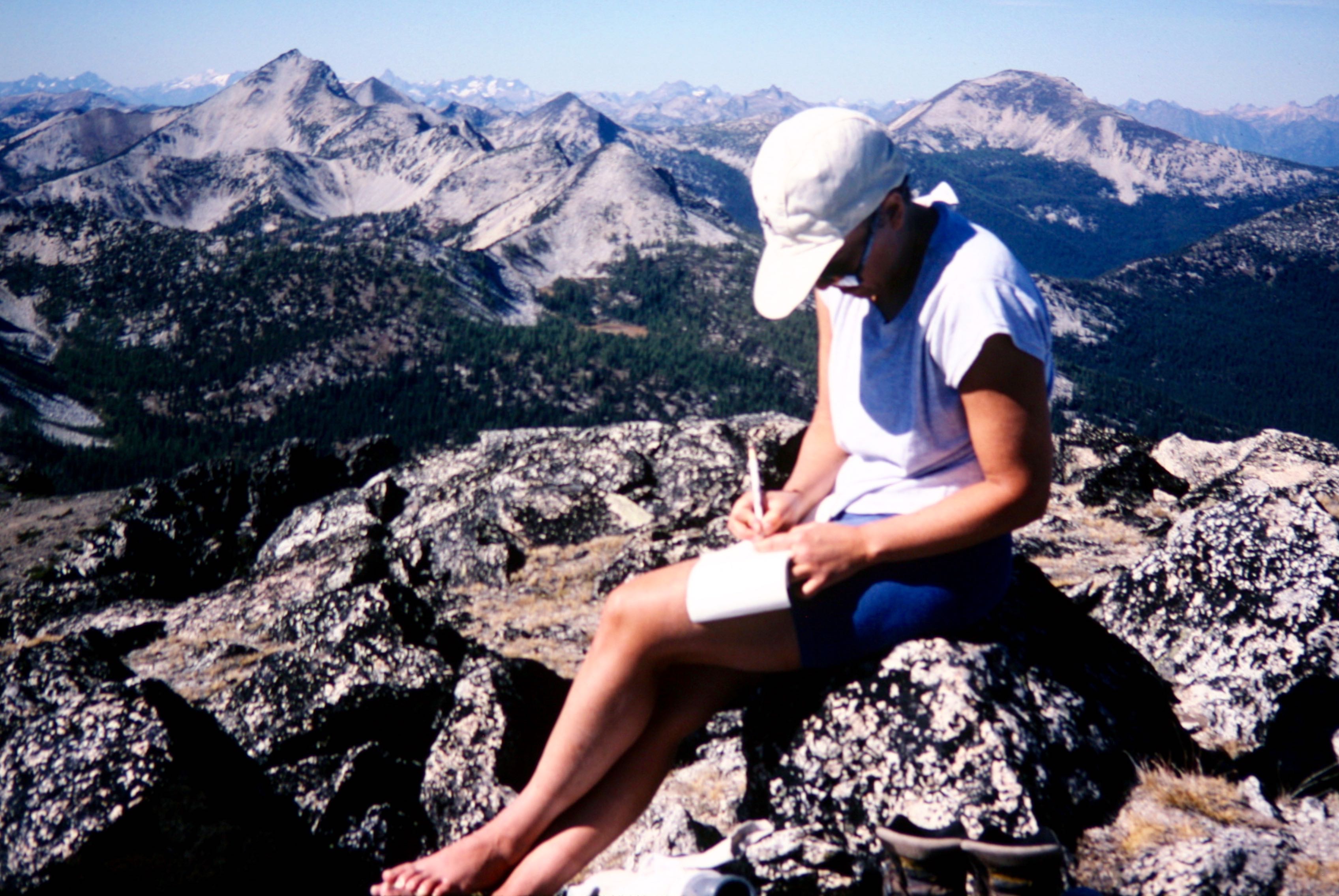
On this perfectly clear, warm, and introspective day, Laura and I hiked up the East Fork Buttermilk Creek Road-Trail to Hoodoo Pass. We then turned eastward and hiked or scrambled up the Class 1-2 west ridge and upper southwest slope of Mt. Bigelow.

- Jim On Mt Bigelow Summit
The gentle sunshine and wonderful visibility held us captive on the summit for 1.5 hours, allowing much binocular viewing of Cascade Peaks ranging from Mt. Stuart to Mt. Daniel to Mt. Baker to Gardner Mountain.
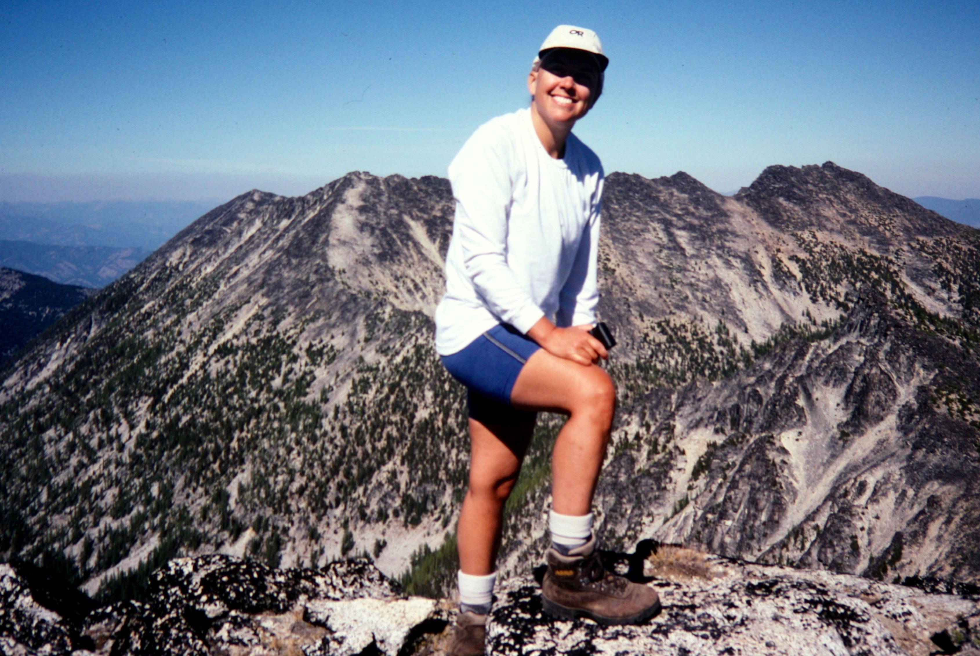
Among the other Sawtooth peaks, Reynolds, Oval, Star, Corax, and Martin all stood out nicely. Many familiar names filled the summit register, which indicated several ascents per year.
Photo Gallery
Click to enlarge…