
Trip Date: July 29-31, 2026
MID-SUMMER OUTING NO. 24: MONTE CRISTO MOUNTAINS
Glacier Basin Climbing Reconnaissance
Monte Cristo Townsite
Glacier Basin
Monte Cristo Peak (7136 ft) attempt
Cadet Peak (7186 ft) attempt
Trip Report Summary
Region: North-Central Washington Cascades
Sub-Region: Monte Cristo Mountains
Area: Henry M. Jackson Wilderness
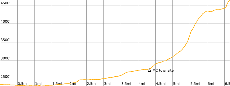
Starting & Ending Point: Monte Cristo Trailhead at Barlow Pass on Mountain Loop Highway (Elev. 2350 feet)
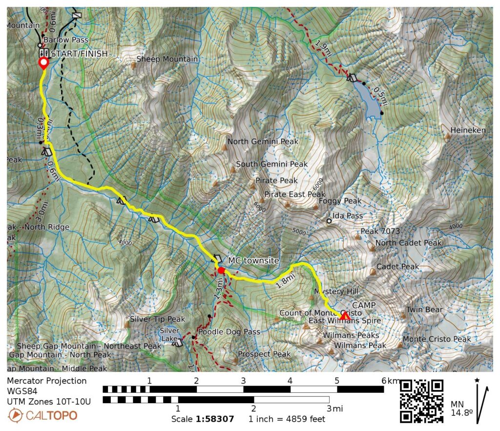
Approach Way Points: South Fork Sauk River footlog & South Fork Sauk River vehicle bridge & Upper South Fork Sauk River footbridge & Monte Cristo townsite & Glacier Basin Trail junction & Lower Glacier Basin & Upper Glacier Basin (trail hike & trail scramble & off-trail scramble)
Campsite: Ray’s Knoll in Upper Glacier Basin (Elev. 4650 feet)
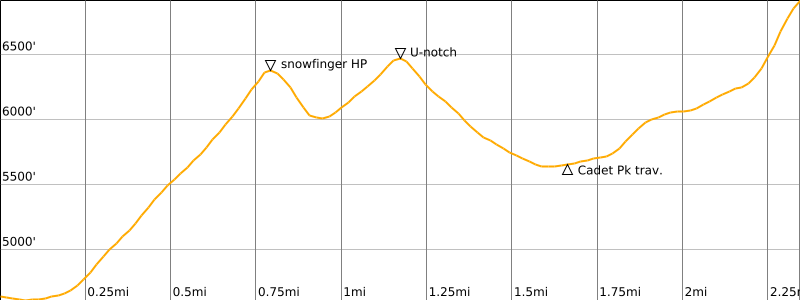
Summit Attempt 1: Monte Cristo Peak (snow climb to 6440 feet via North Snowfinger)
Summit Attempt 2: Monte Cristo Peak (rock scramble to U-notch via Northwest Gully)
Summit Attempt 3: Cadet Peak (off-trail hike & rock scramble to 6900 feet via Southwest Ridge)
Approximate Total Stats (as a group): 11.2 miles traveled; 6300 feet gained & lost.
Related Posts
>>> Monte Cristo Peak via Glacier Basin—North Couloir—East Face – June 1996
>>> Monte Cristo Peak attempt via Glacier Basin—North Couloir—East Face – July 1995
>>> Cadet Peak via Southwest Ridge—West Face + North Peak – September 2002
>>> Cadet Peak via Southwest Ridge—West Face – June 1997
Full Trip Report
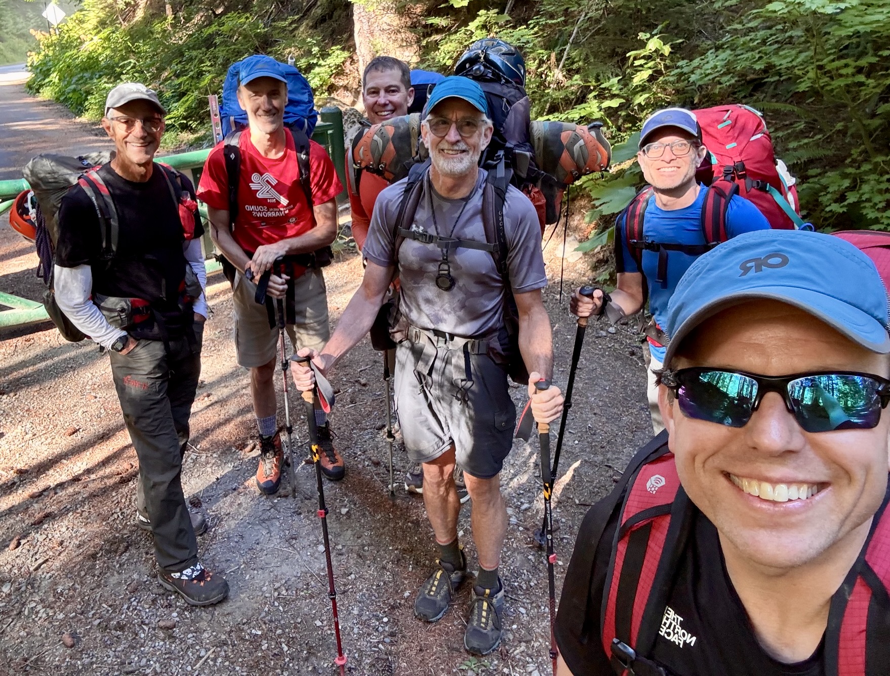
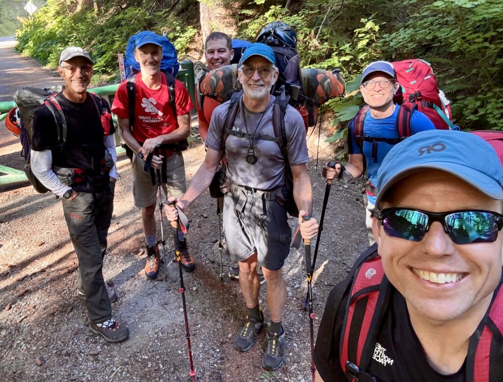
For the 24th installment of our annual Mid-Summer Outing, Jon, Eric, Todd, Adam, Kris, and I headed into the heart of the Monte Cristo Mountains. Our plan was to set up a basecamp in Upper Glacier Basin and then climb as many surrounding peaks as time would allow in a three-day trip. This seemed like a great plan, but the Count of Monte Cristo must have caught wind of it, and he pitched a total shutout. Ouch! It was the first time our mid-summer group had experienced a “summit skunk.” To deflect any potential embarrassment, we quickly put a positive spin on the trip by calling it a reconnaissance—and in that spirit, it was a truly successful trip!
.
Day 1: Barlow Pass to Upper Glacier Basin
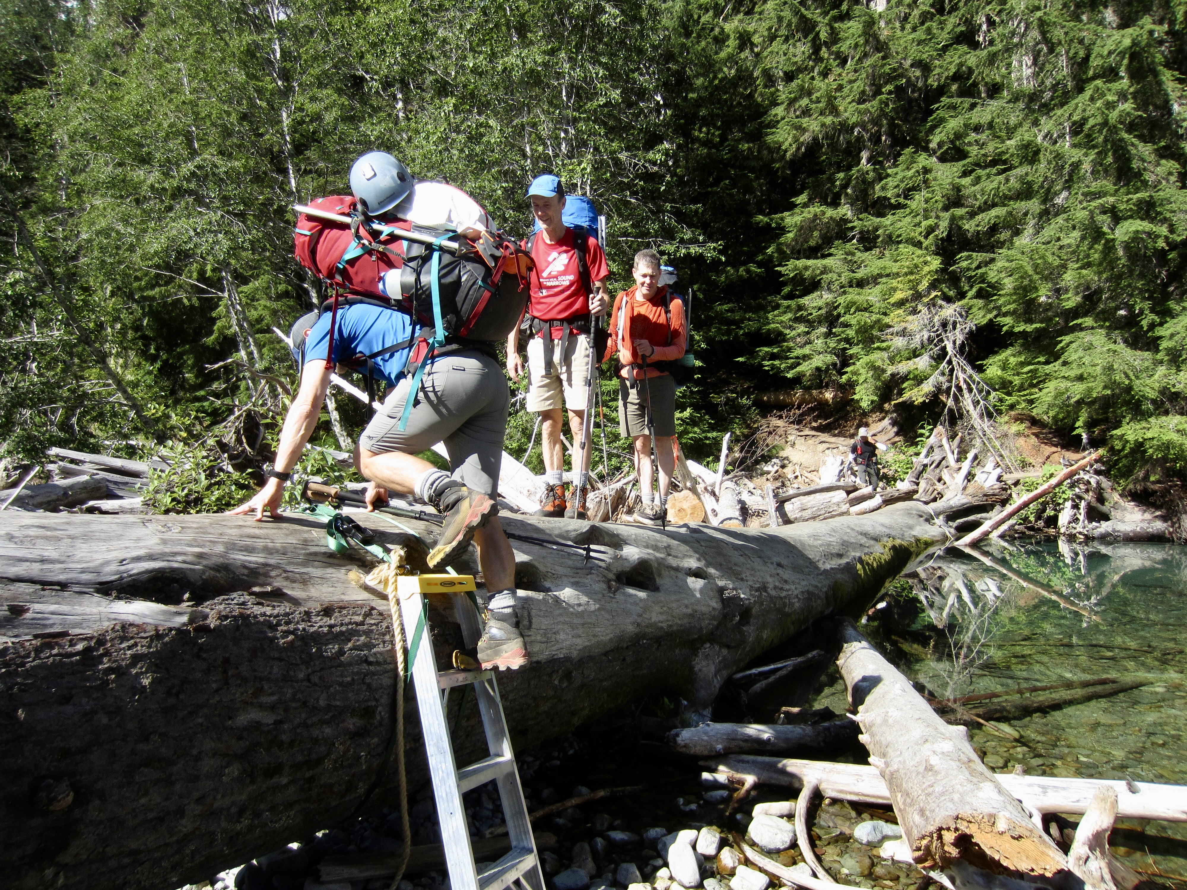
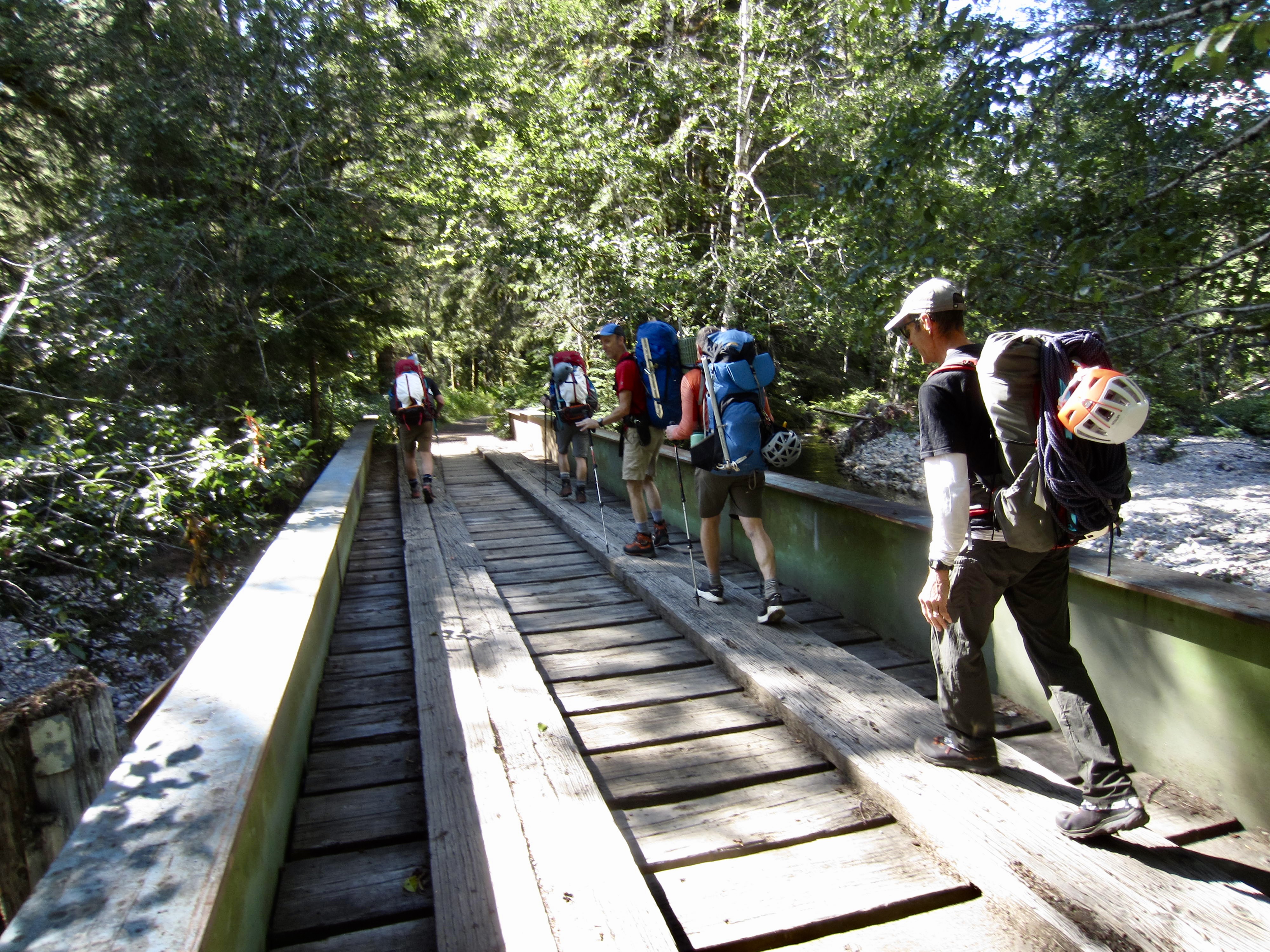
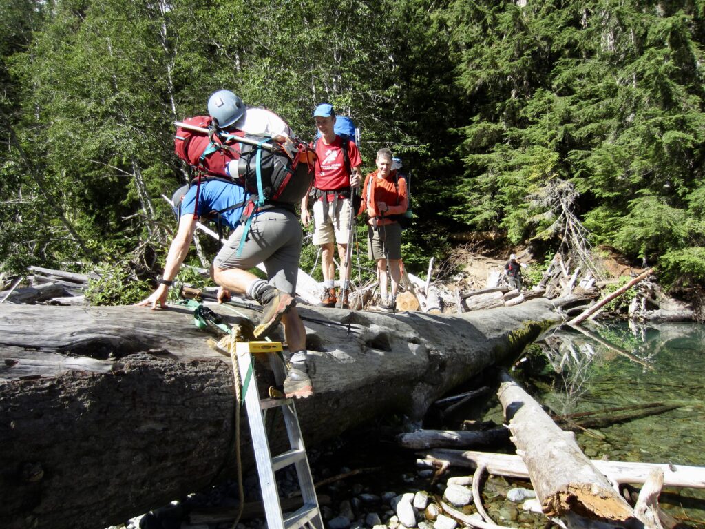
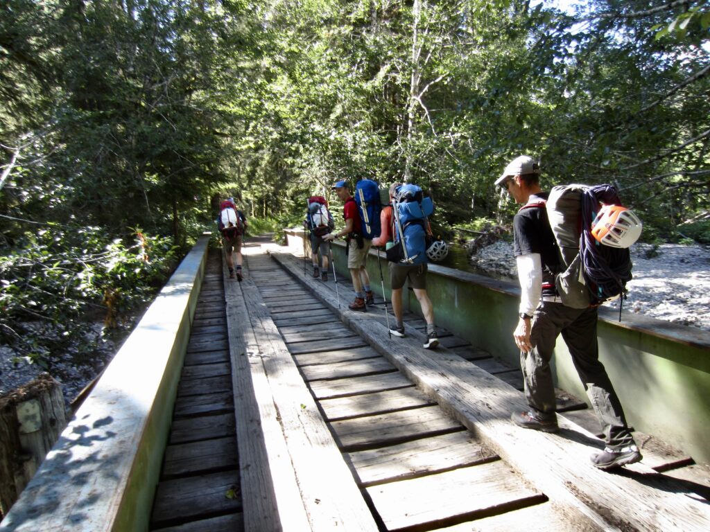
From the Barlow Pass parking lot, which was surprisingly full for a Wednesday morning, we hiked up the old Monte Cristo Road (now just a trail in many places) and quickly left the crowds behind. Both branches of the South Fork Sauk River were easily crossed, first on a large footlog and then on an old vehicular bridge.
.
.
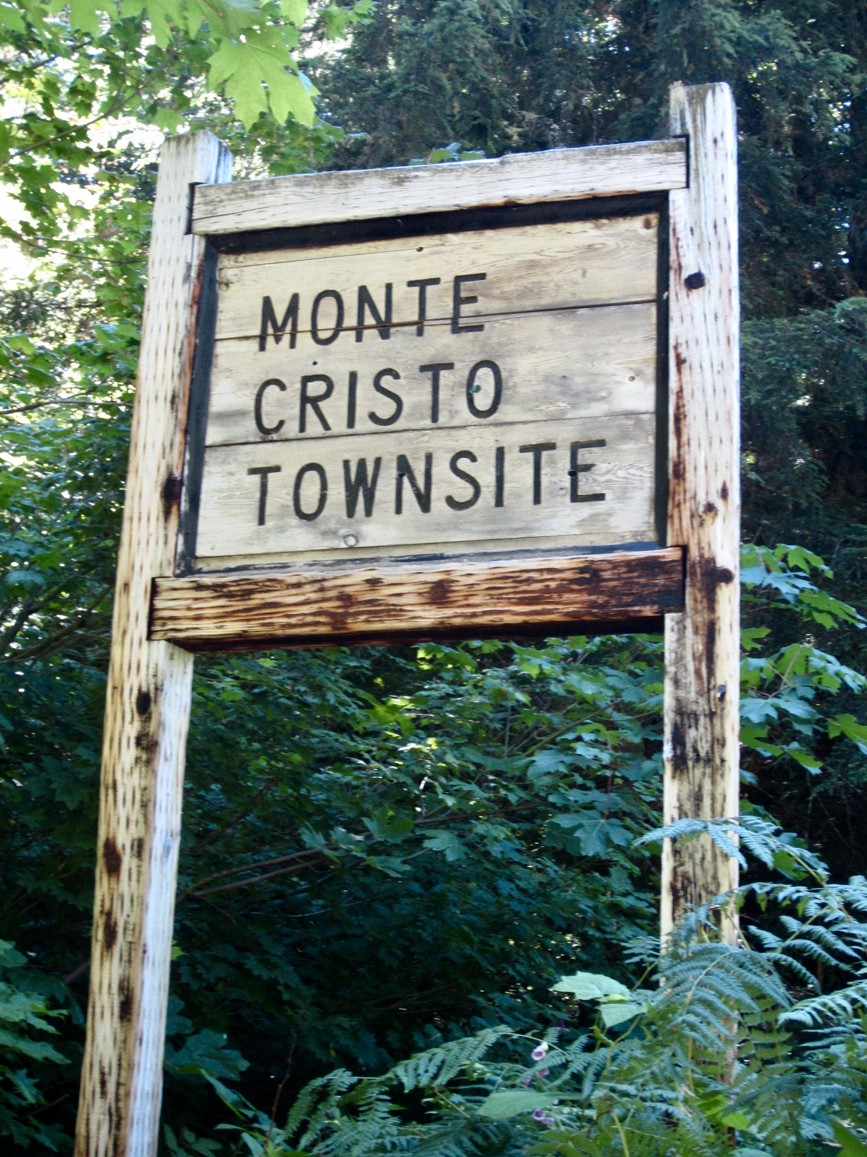
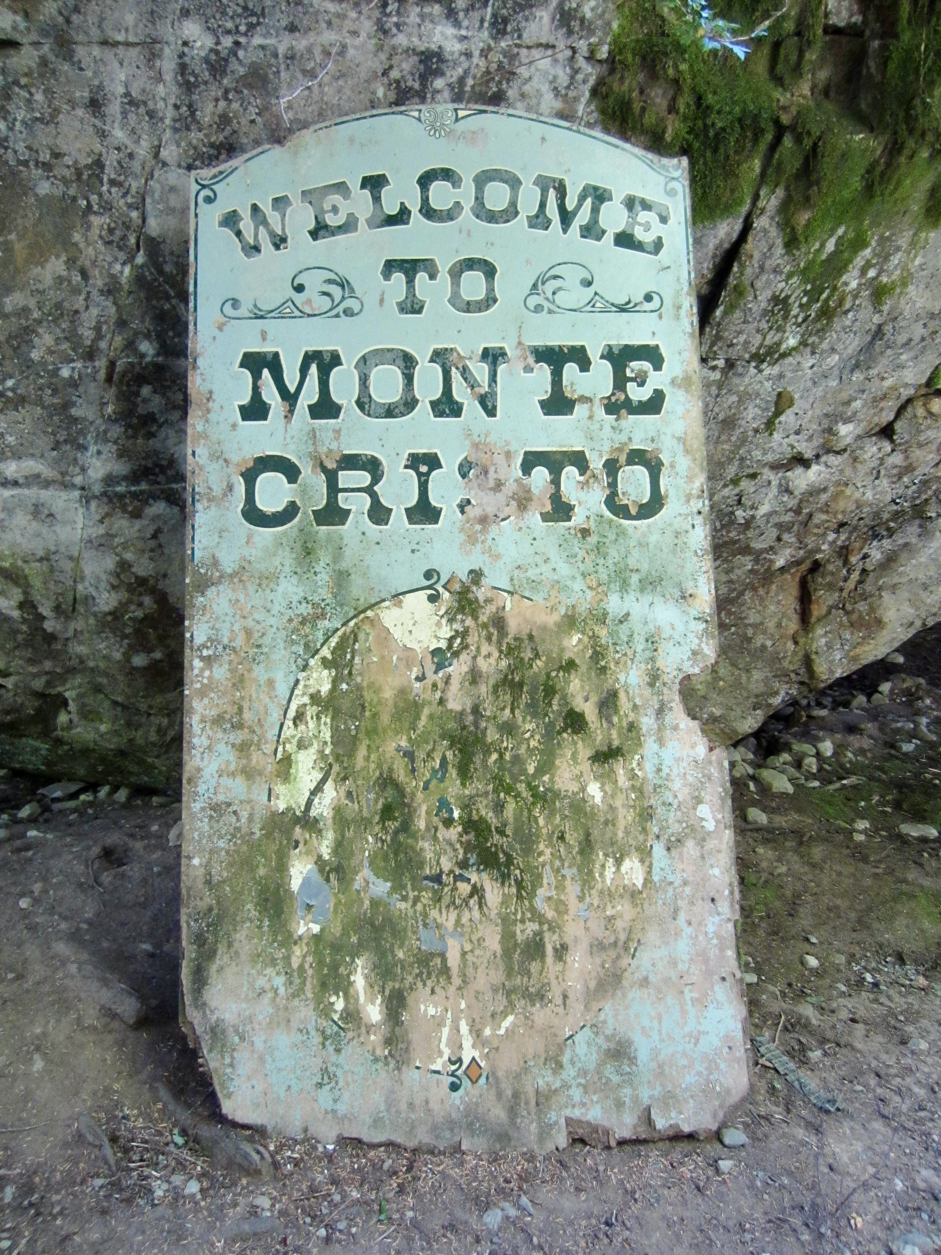
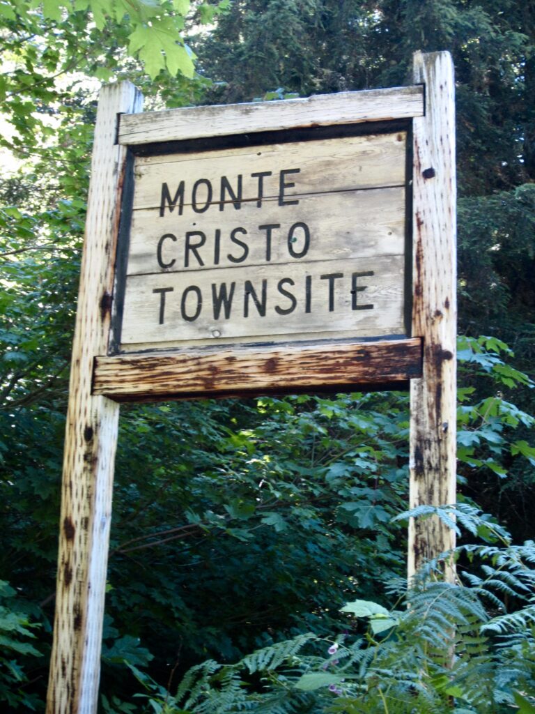
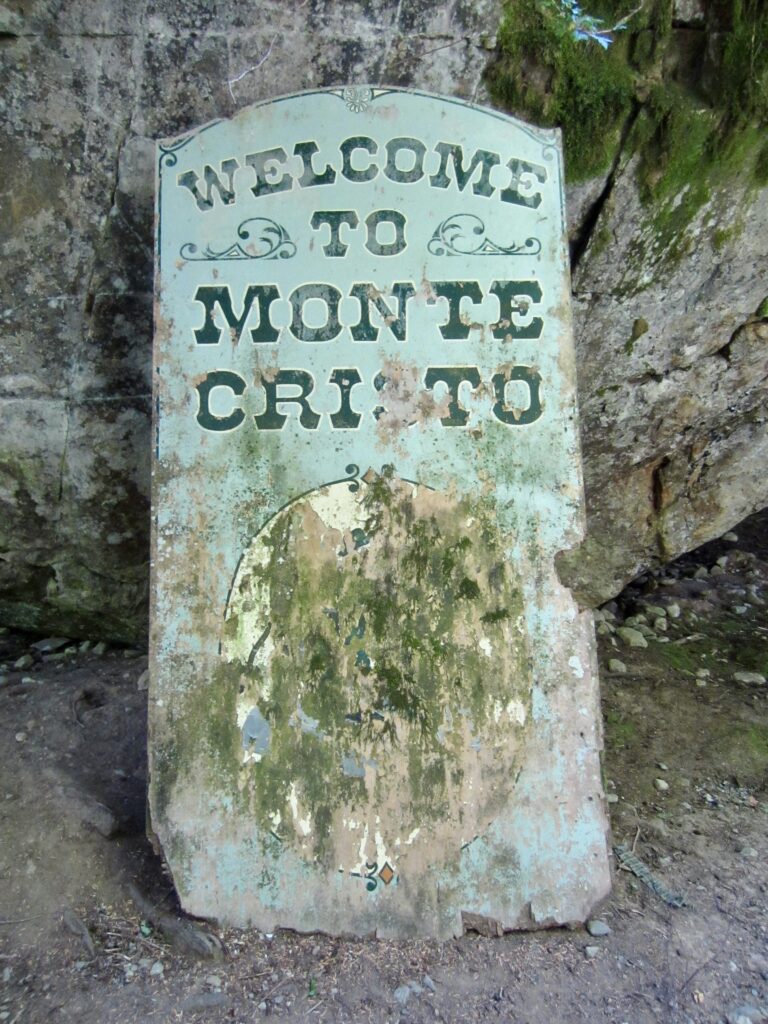
After 4.3 miles of pleasant hiking, we arrived at the historic Monte Cristo Townsite in late morning (1.8 hours + 500 feet from Barlow Pass). The numerous mining artifacts and interpretive signs provided some educational entertainment as we continued up the Glacier Basin Trail.
.
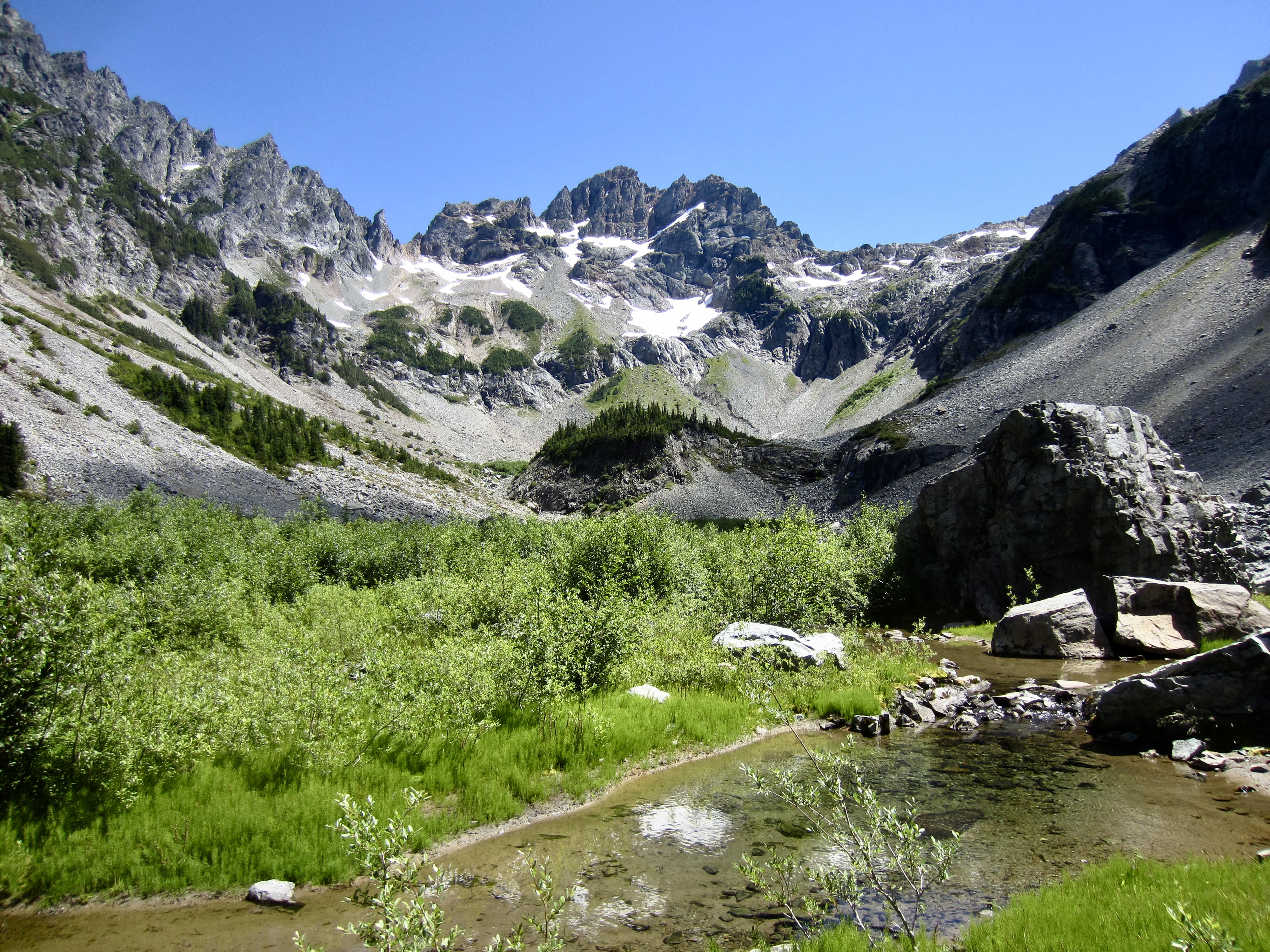
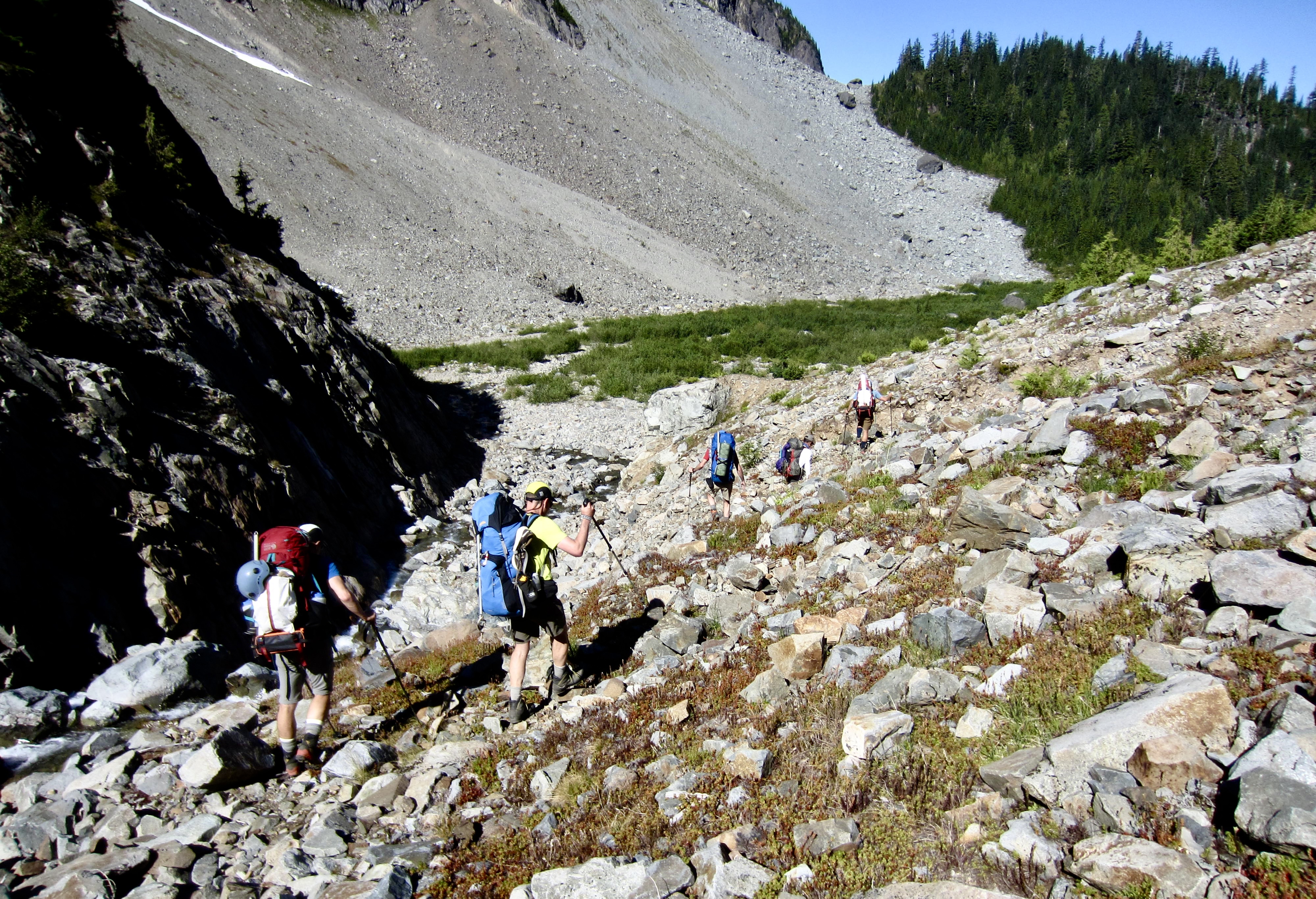
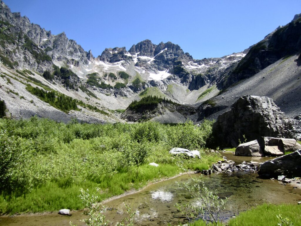
It had been 23 years since I last visited Glacier Basin, so I’d forgotten how steep and rocky this old mining trail is. In my book, it constitutes a trail scramble as much as a trail hike, and it has become badly overgrown due to reduced hiker traffic and lack of maintenance. Our steep, sweaty ascent abruptly ended in the flat terrain of Lower Glacier Basin, with a straight-ahead view of Monte Cristo Peak—our primary objective for this trip.
.
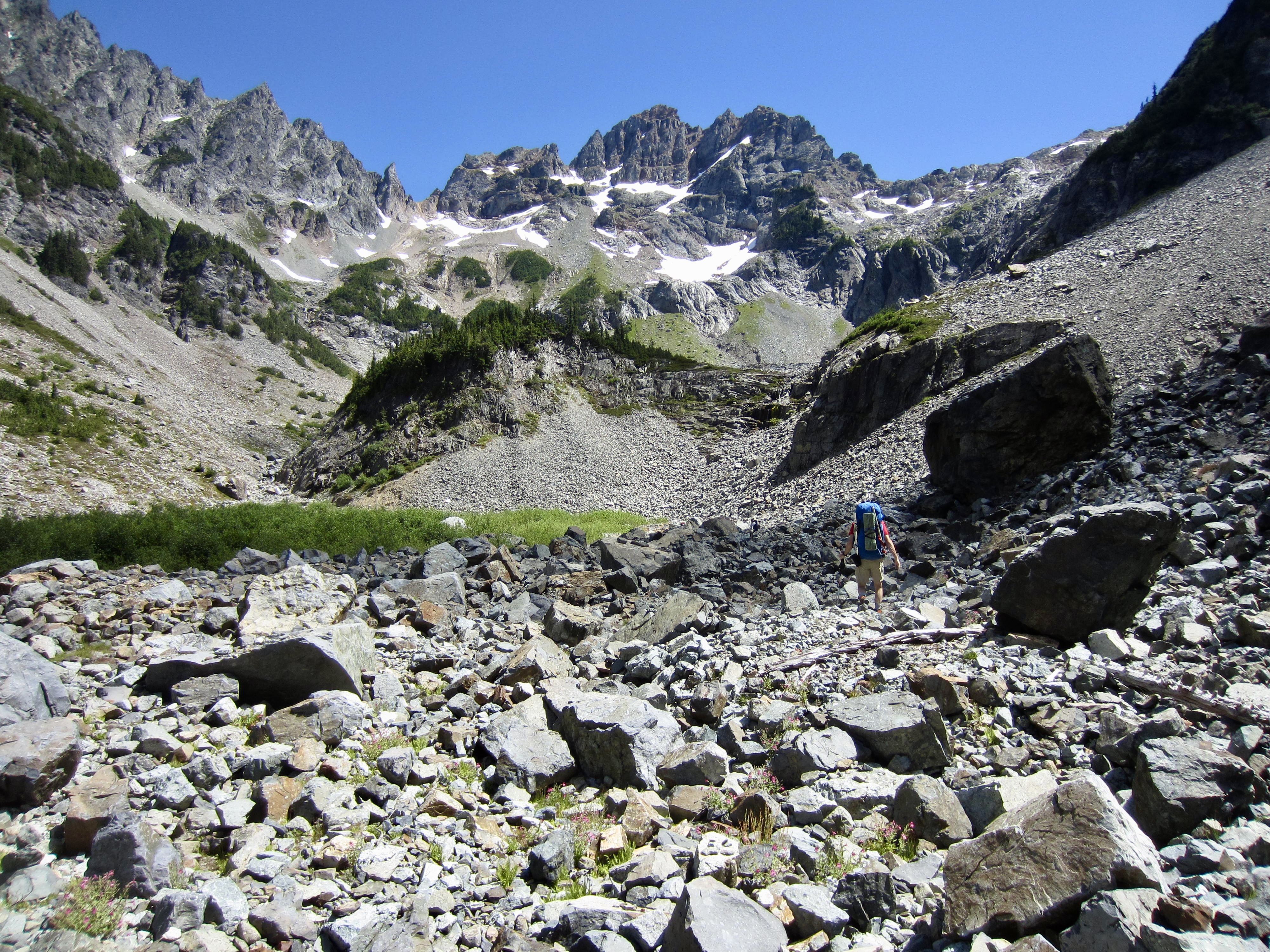
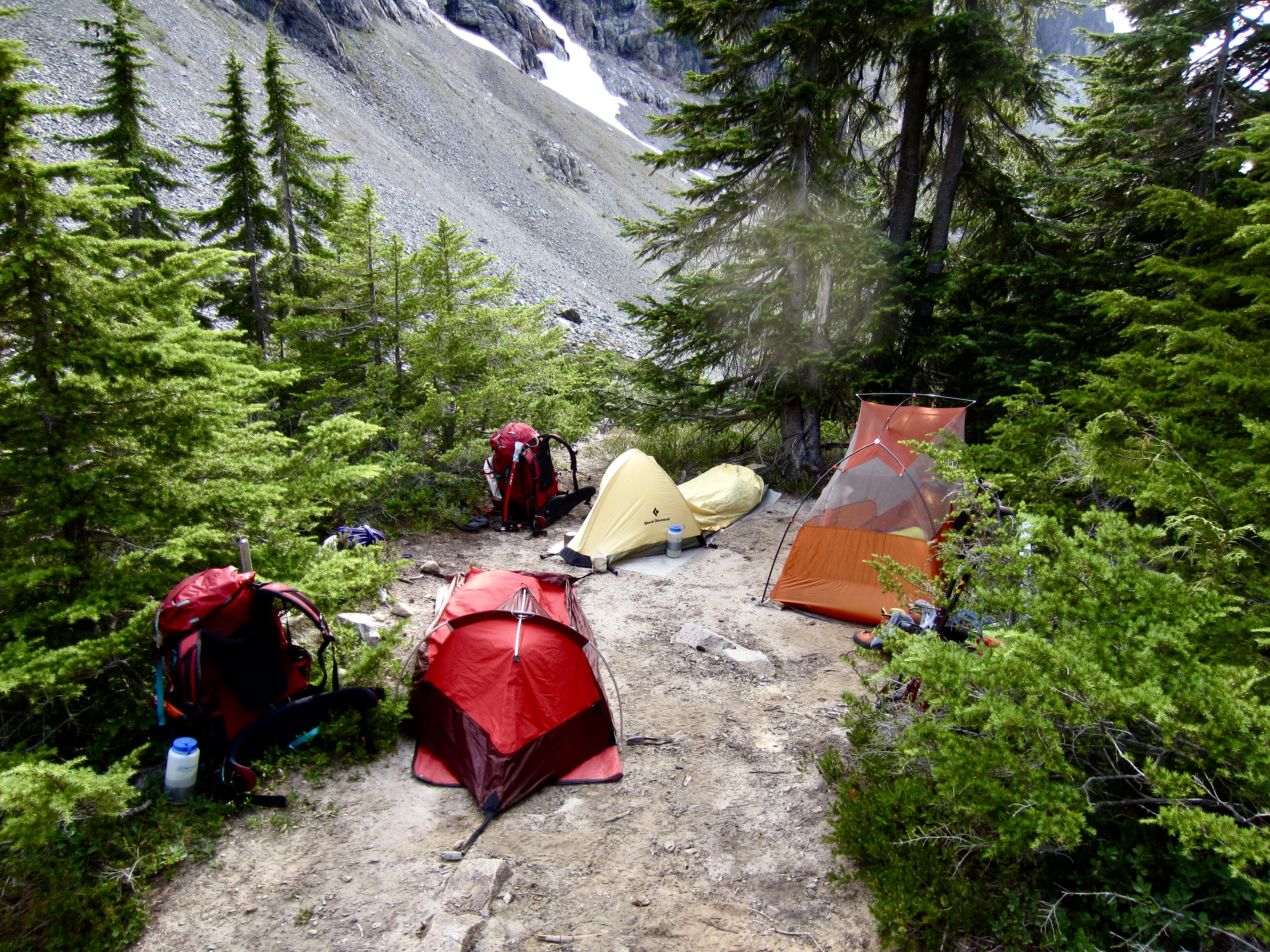
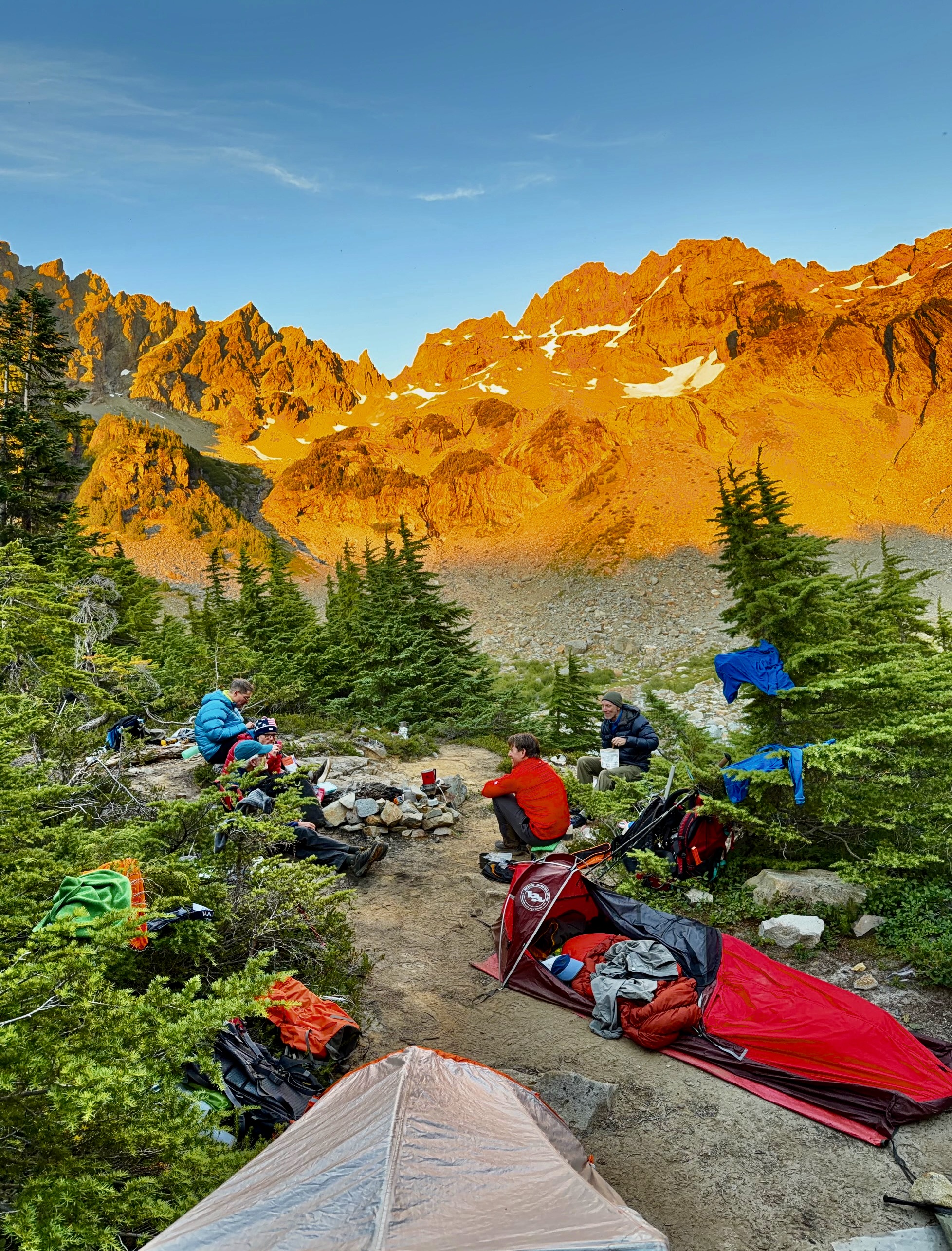
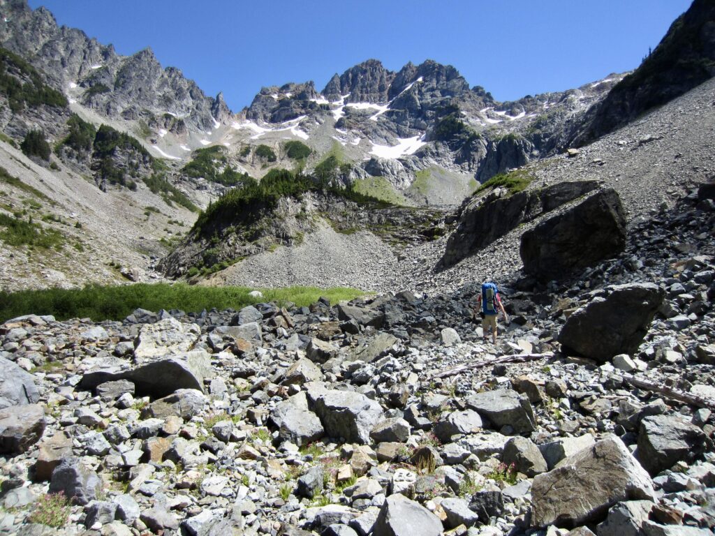
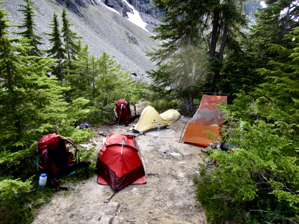
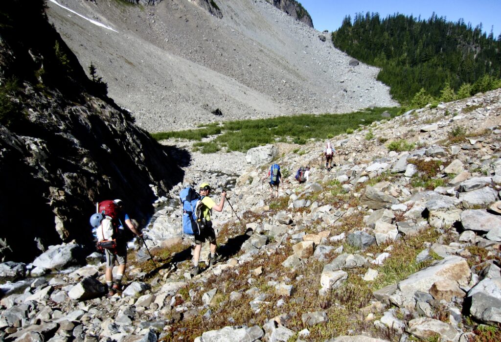
We hiked across the right edge of the basin on a talus field and scrambled up a short headwall that brought us into the rugged cirque of Upper Glacier Basin (5.0 hours + 2300 feet from Barlow Pass). A thorough search of the basin revealed that the only decent campsites are atop Ray’s Knoll—a wooded hump that separates the lower and upper basins (reportedly named after former climber Ray Rigg). We unloaded our backpacks and pitched our tents or bivouac sacks at various places on the knoll.
.
.
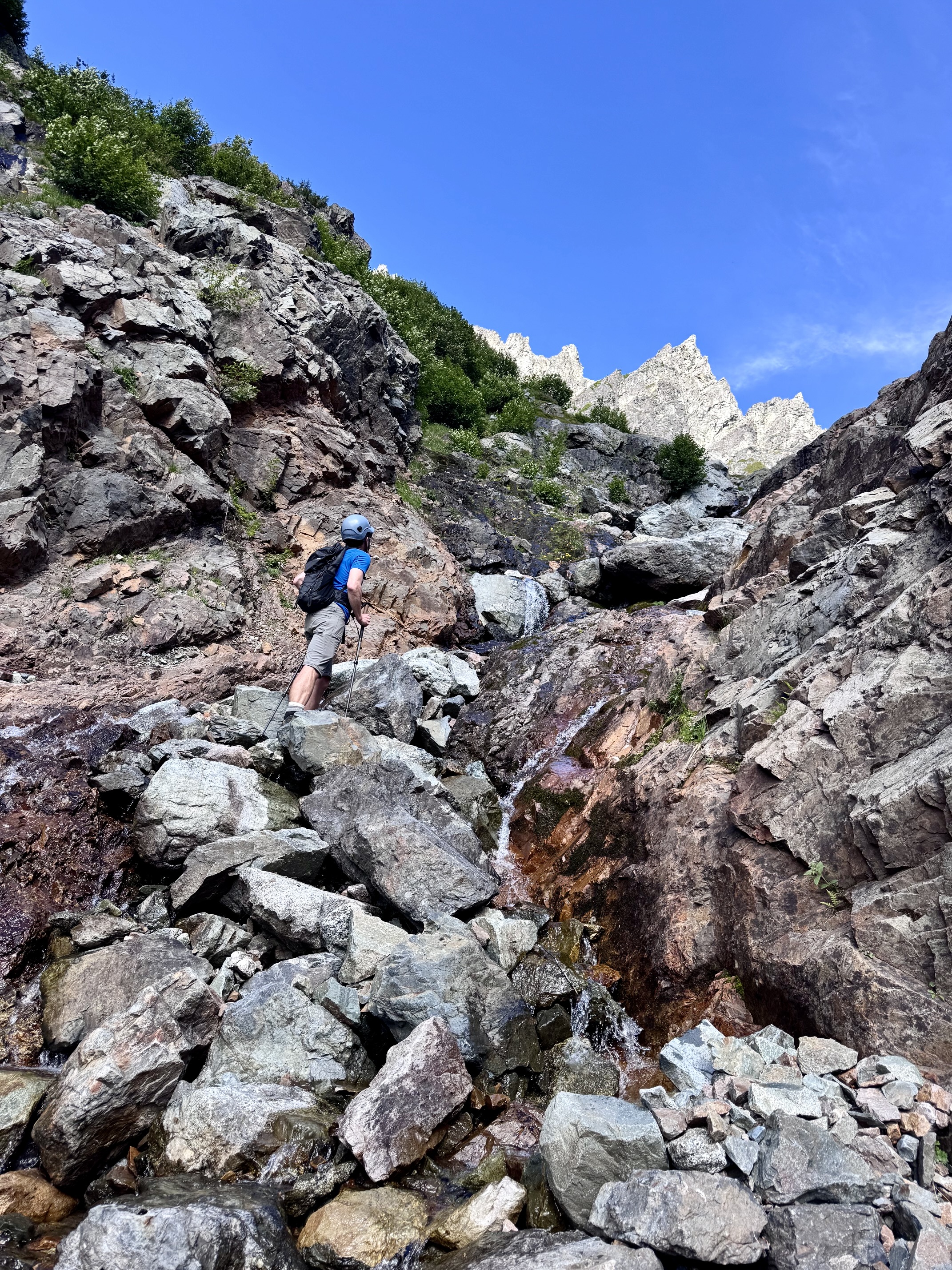
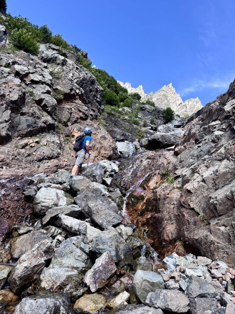
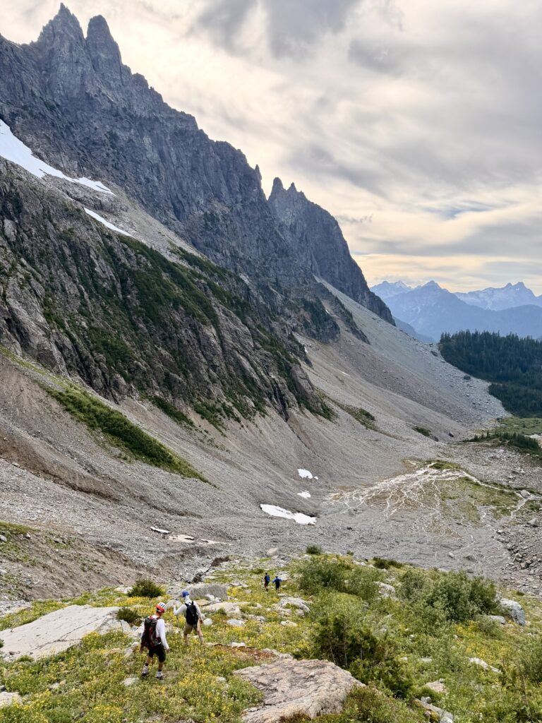
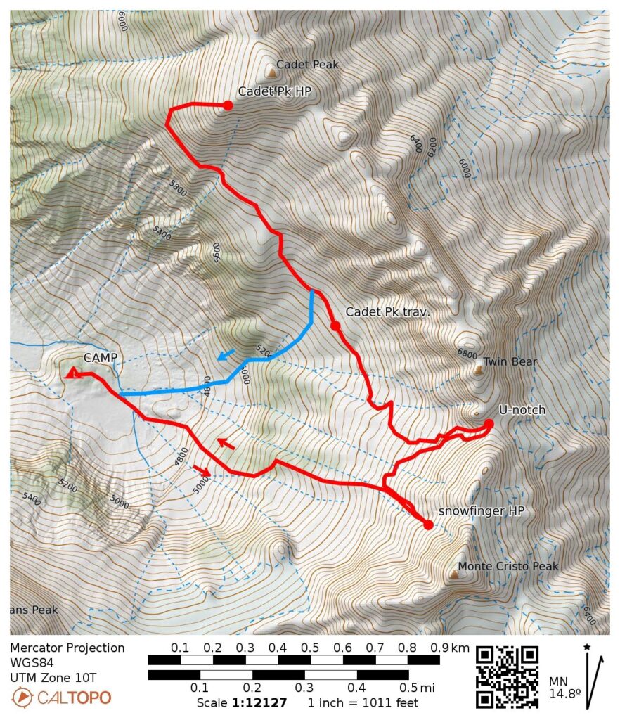
Having a few hours remaining this afternoon, Jon, Eric, Todd, Adam, and Kris decided to reconnoiter two possible routes for surmounting the lower wall of the cirque. They first headed east from camp and scrambled up a waterfall gully (Class 2-3). Next, they traversed southward at an elevation of 5600 to 5700 feet for ¼ mile, going over the top of several tree patches. Then they descended back to camp via a short gully and vegetated alluvial fan. This reconnaissance loop provided valuable intel for tomorrow’s climb.
.
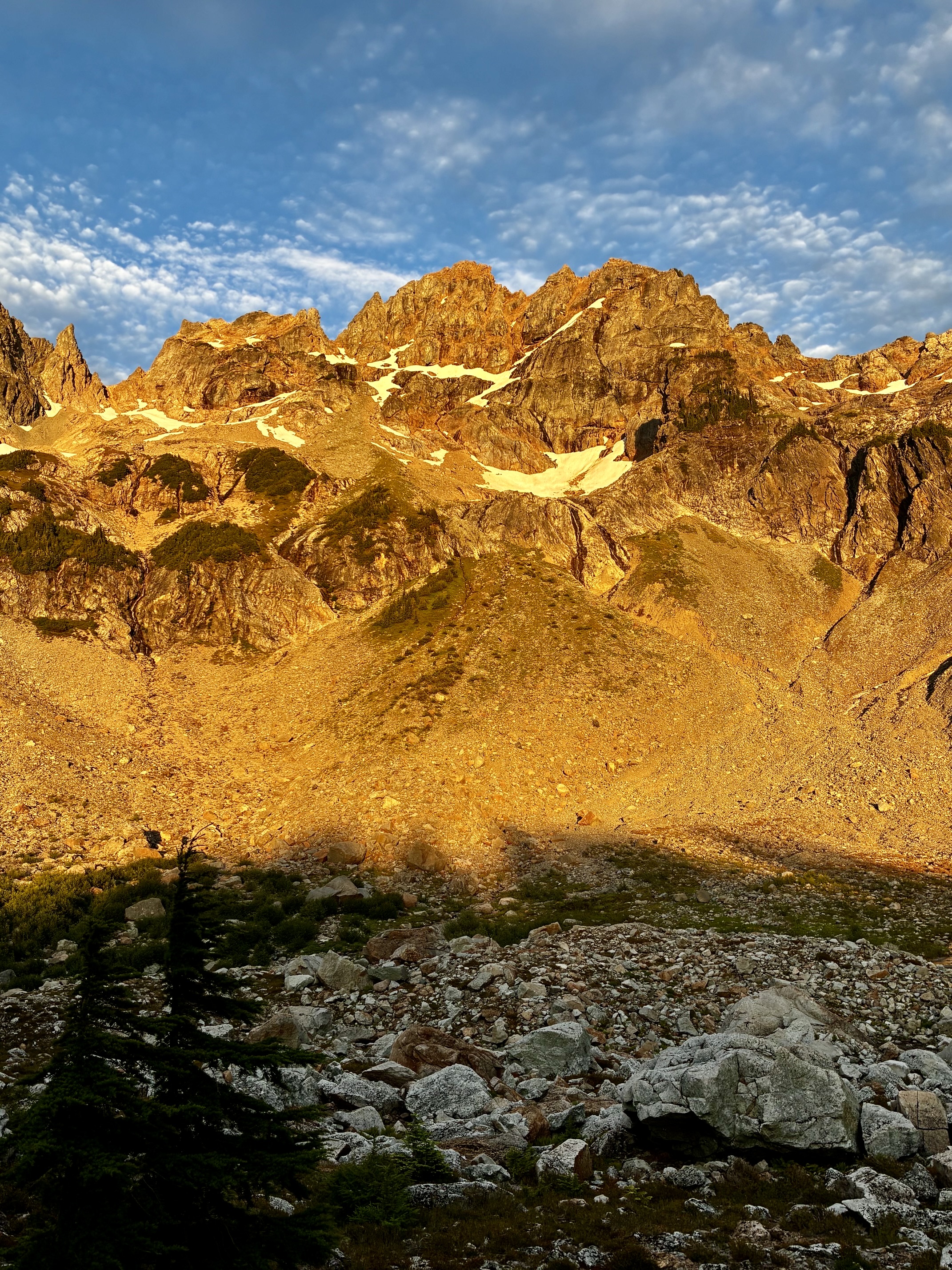
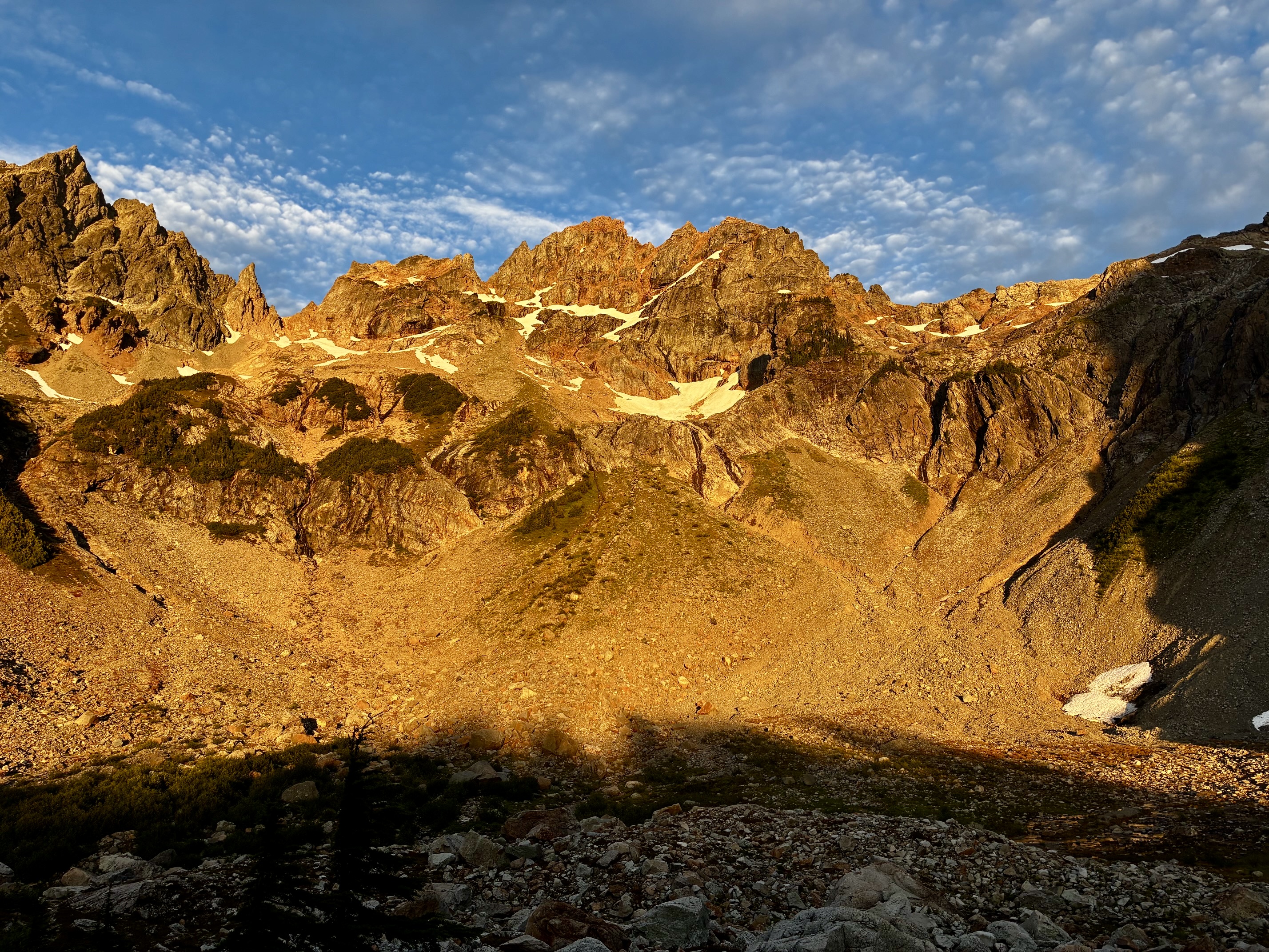
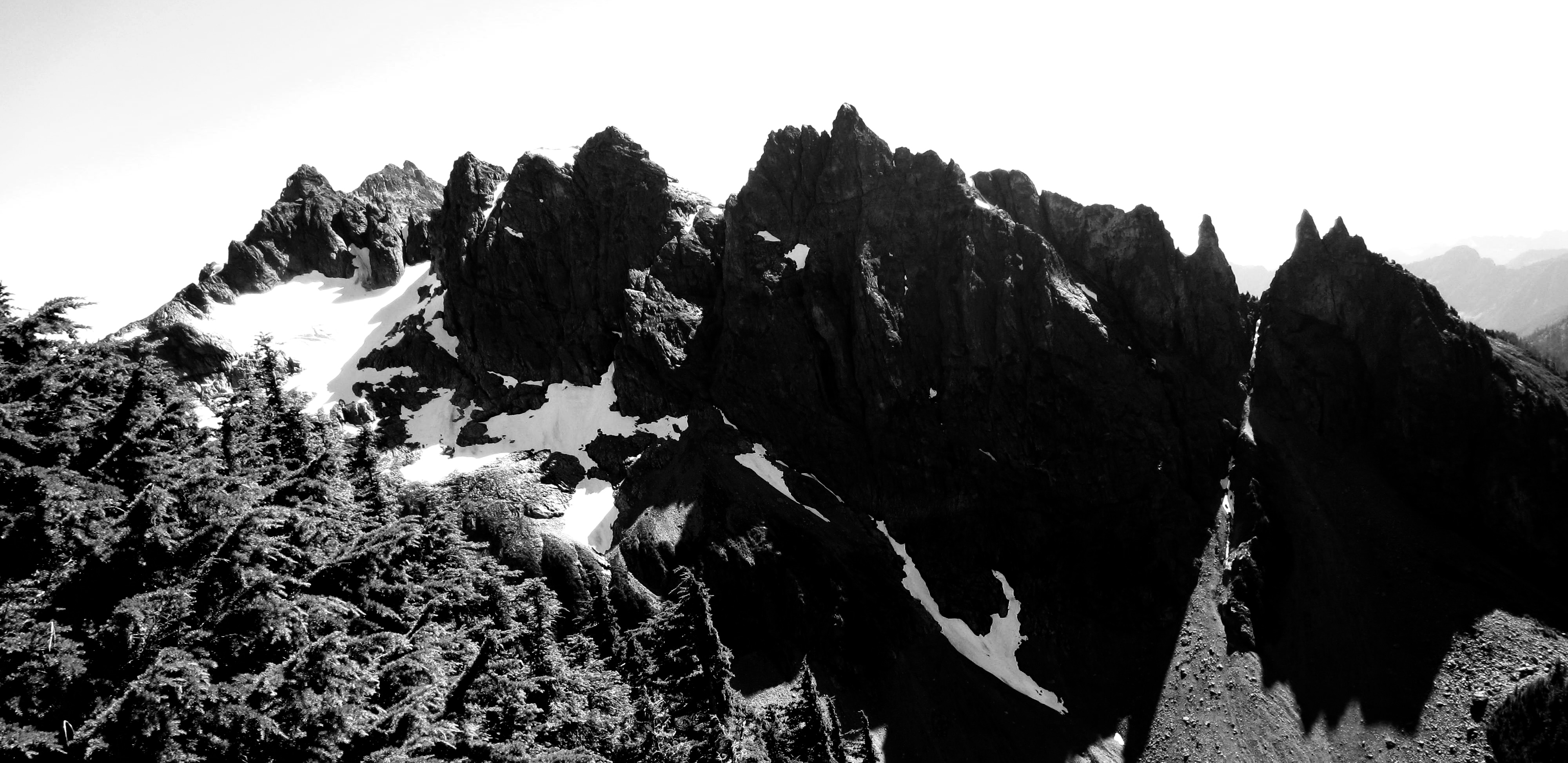
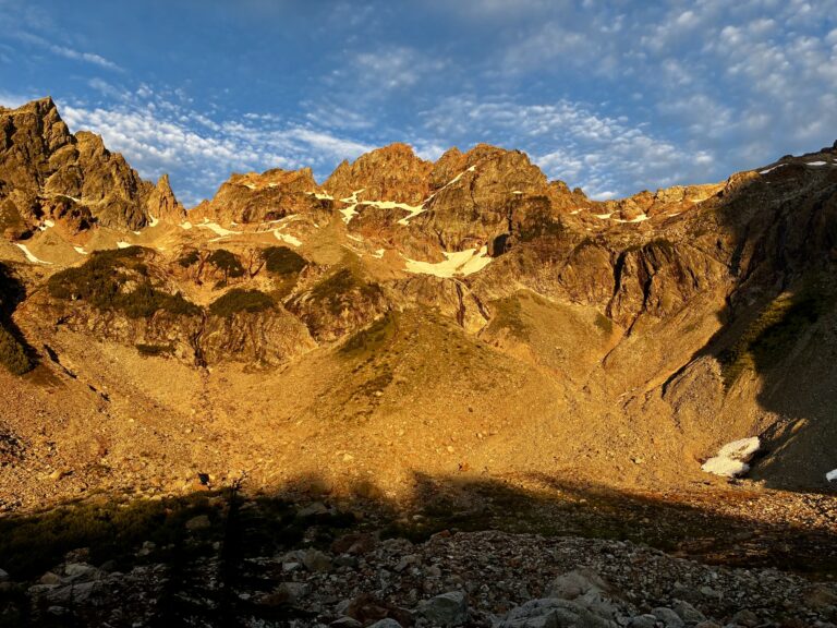
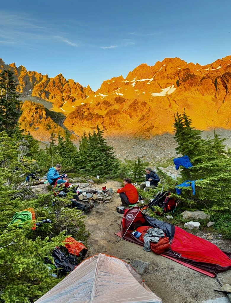
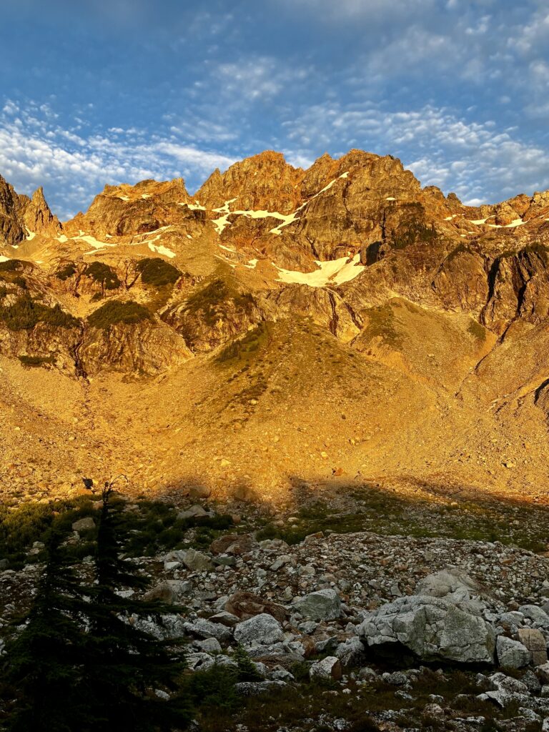
Our dinner on Ray’s Knoll was accompanied by dramatic alpenglow on Monte Cristo Peak. In preparation for tomorrow’s climb of this peak, we scoped out two possible crossover points in the summit ridge: the U-notch and the North Col. What concerned Eric and me, however, was the extremely limited snowcover. We had separately been to one or both of these crossover points in years past with a thick snowpack and found the travel to be relatively straightforward. What would they involve under these nearly bare conditions?
.
Day 2: Monte Cristo Peak & Cadet Peak Climbing Attempts
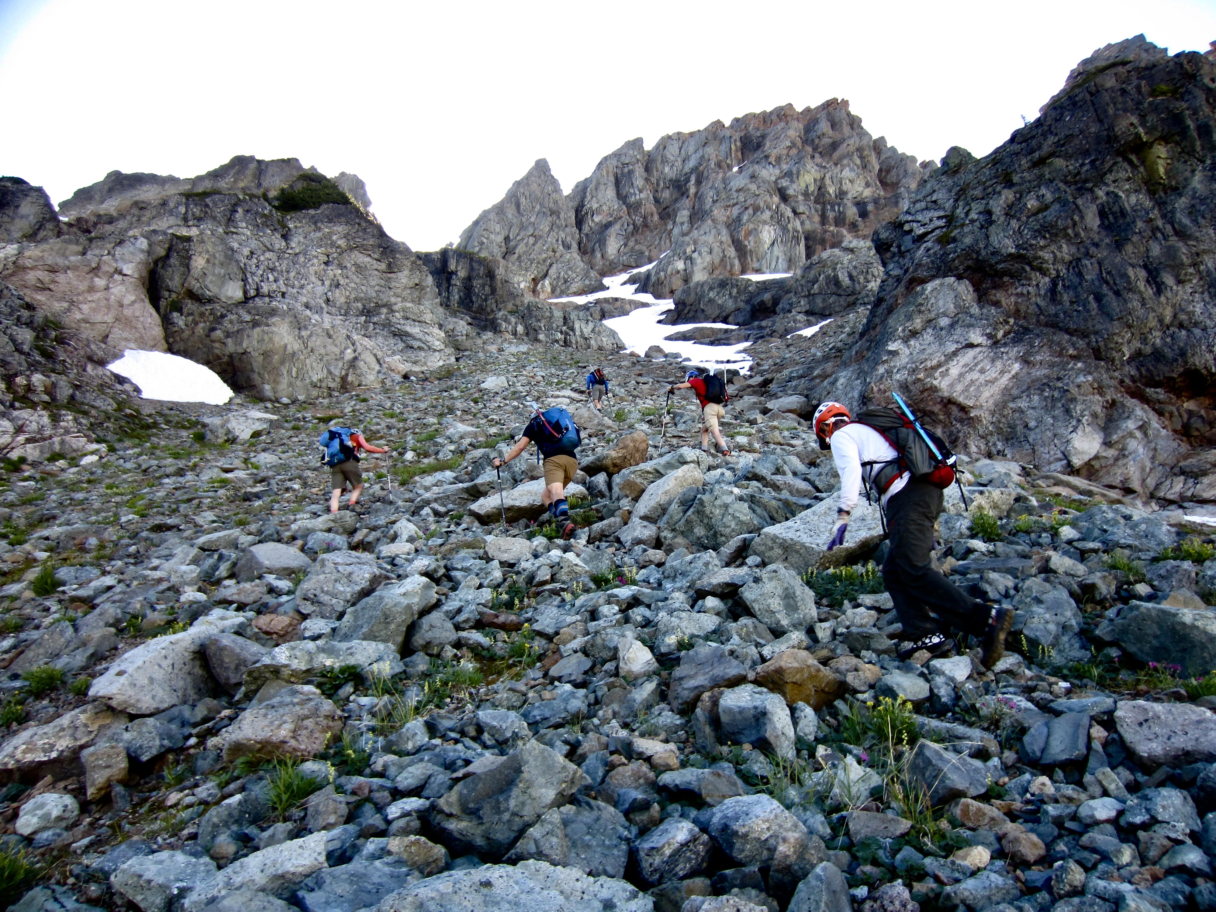
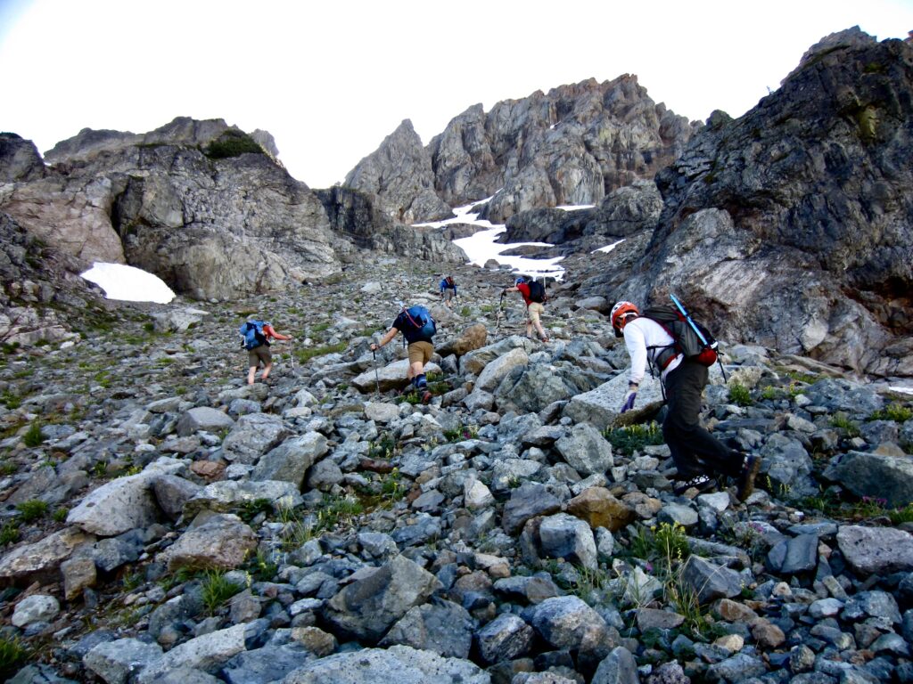
Shortly before 8:30am, the six of us were heading out of camp under clear skies. To get through the lower cirque wall, we ascended the vegetated alluvial fan and short gully, then we continued directly up rocky slopes toward an irregular snowfinger leading to the North Col.
.
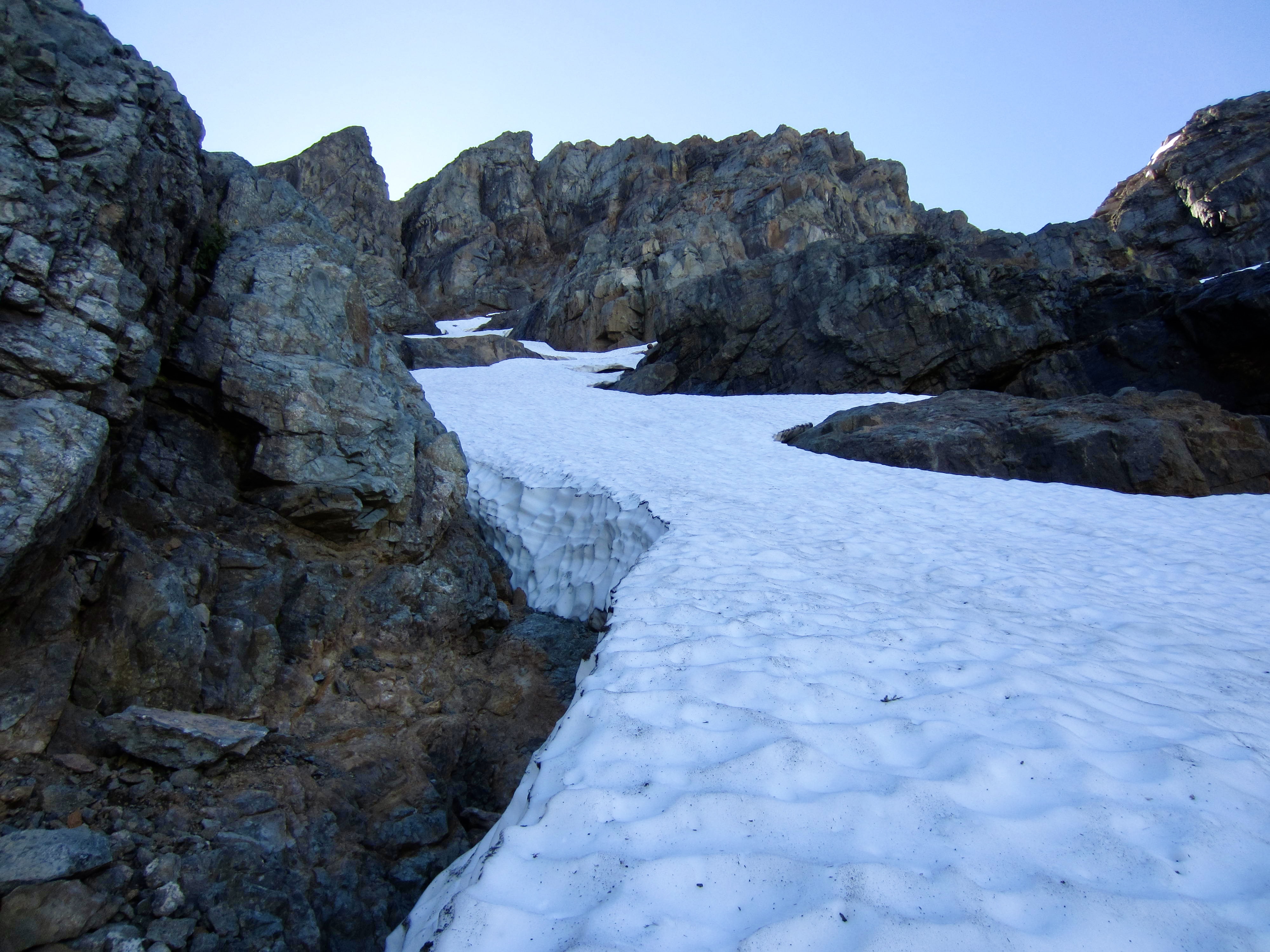
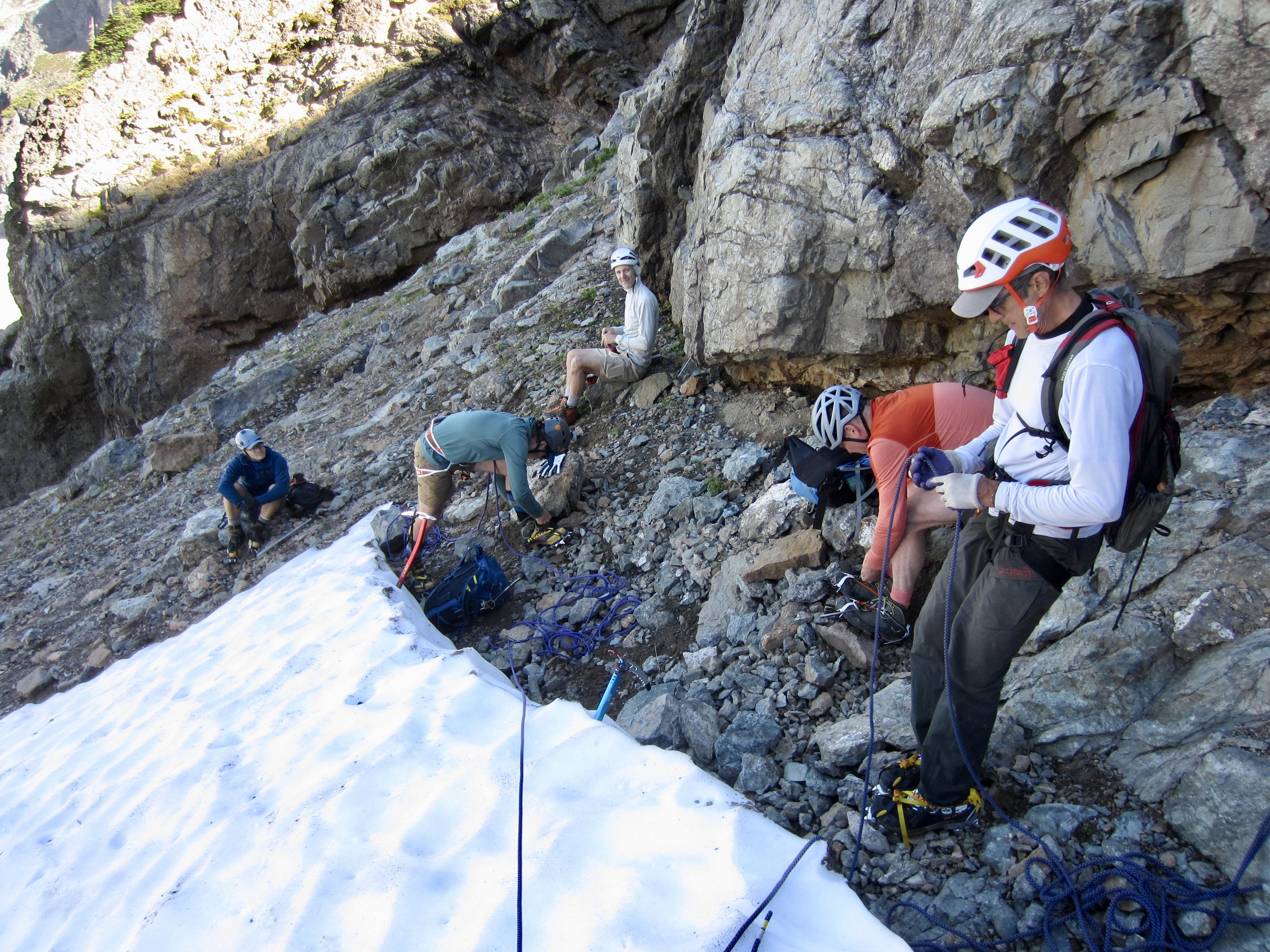
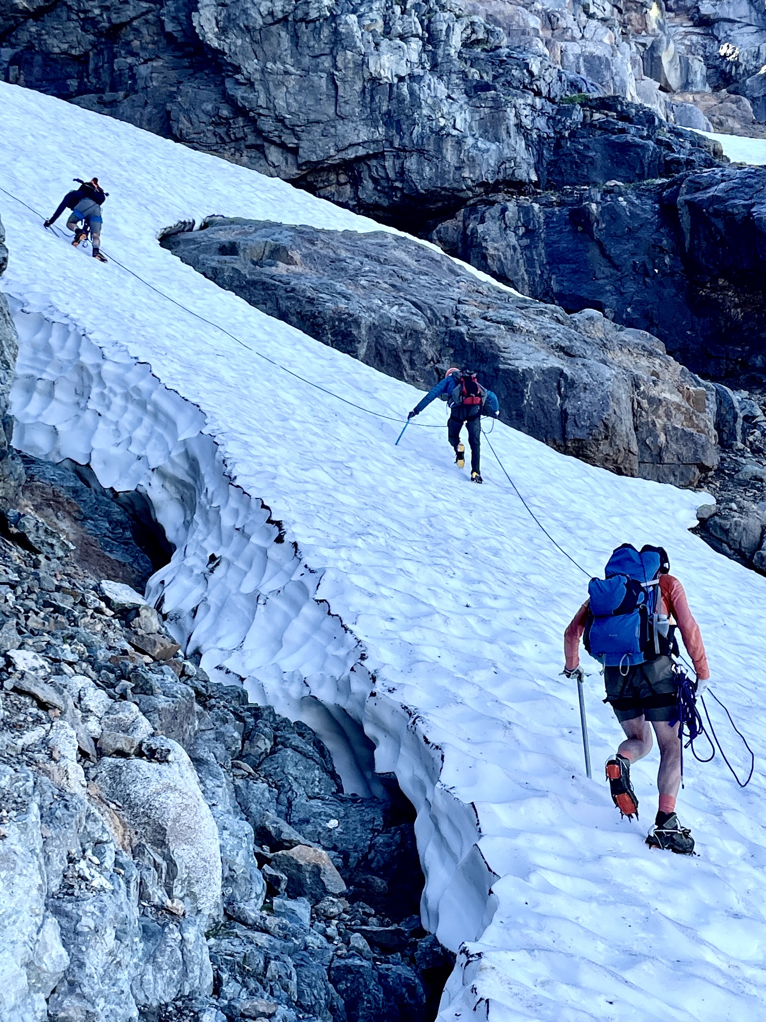
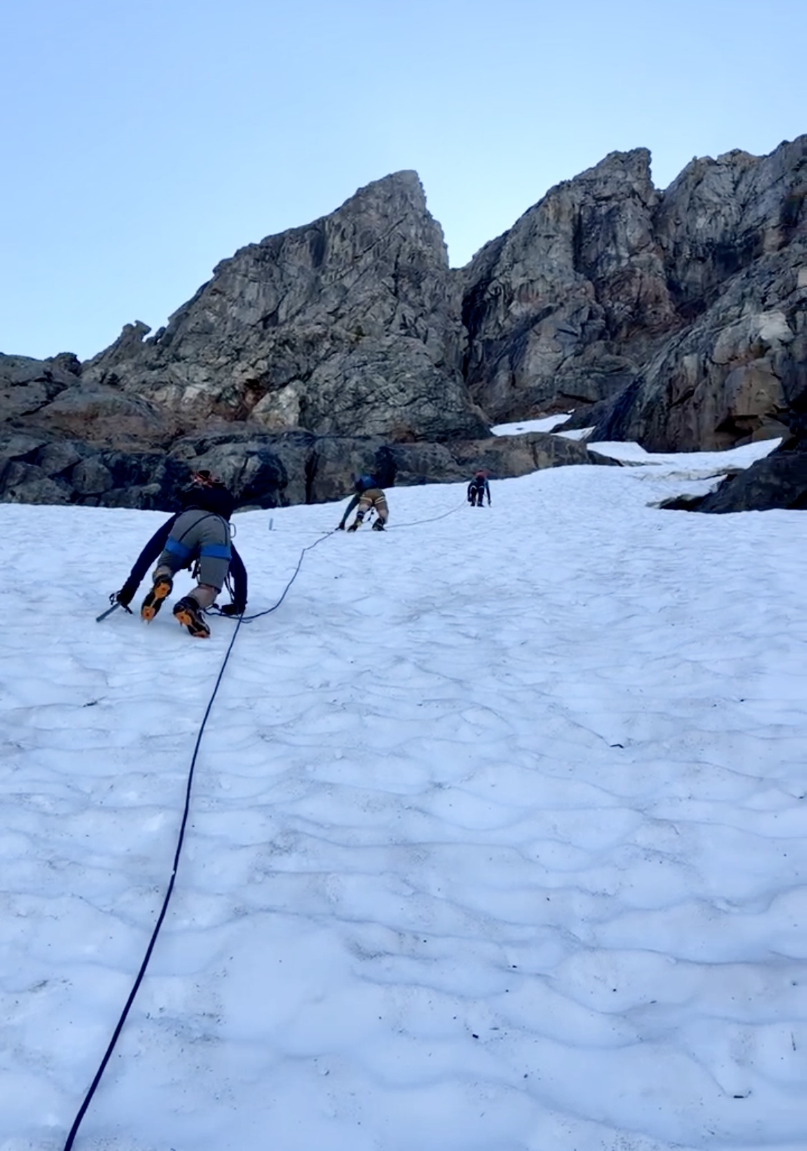
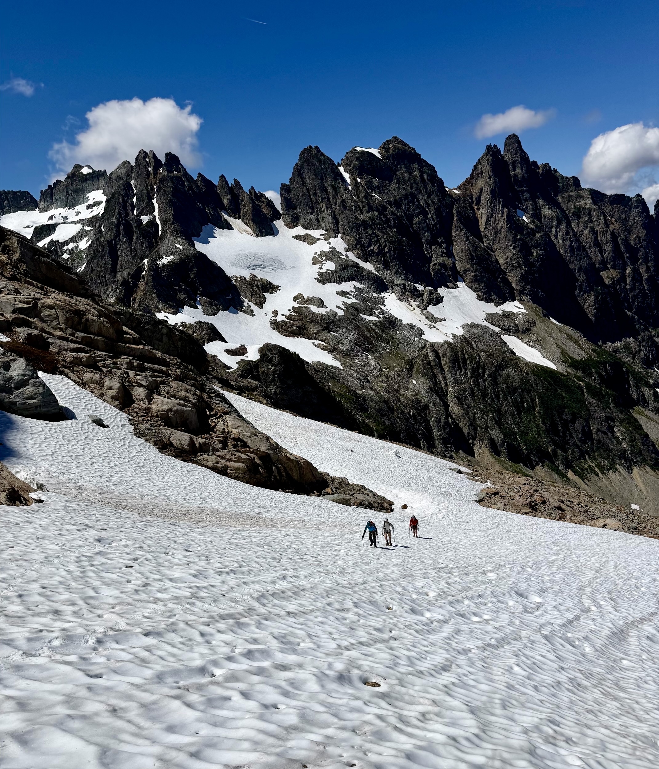
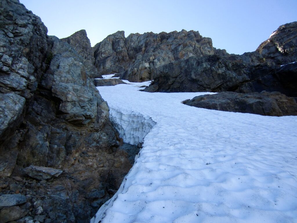
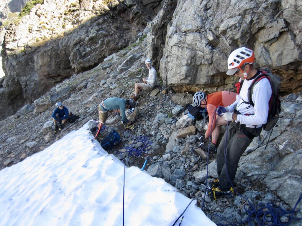
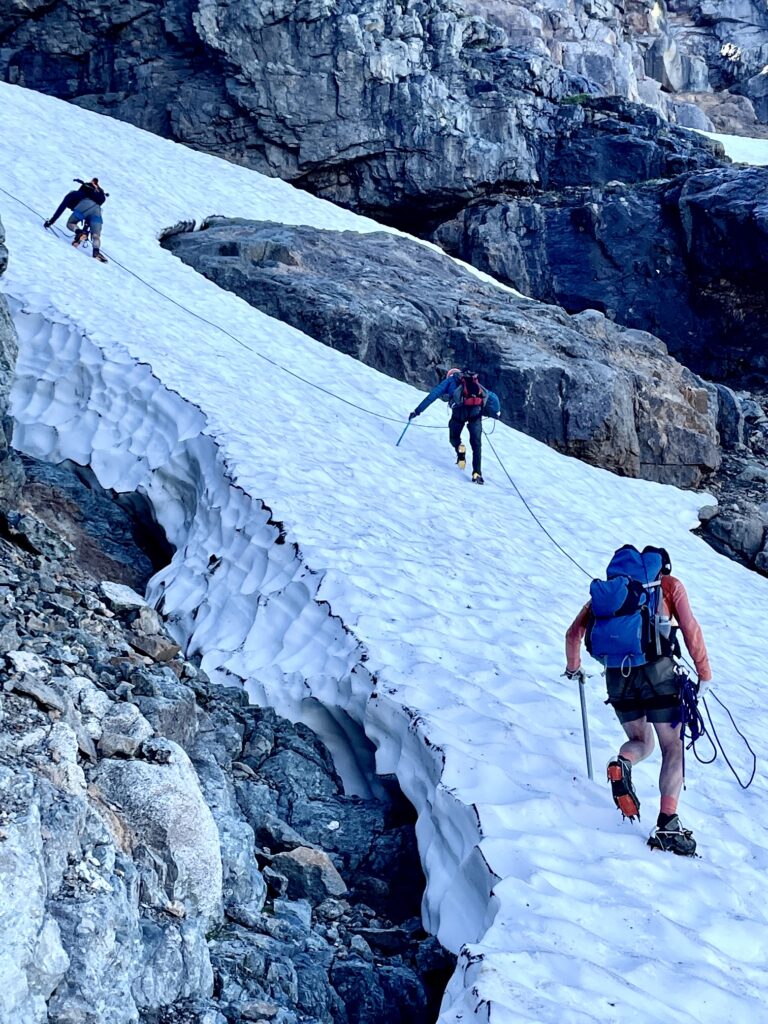
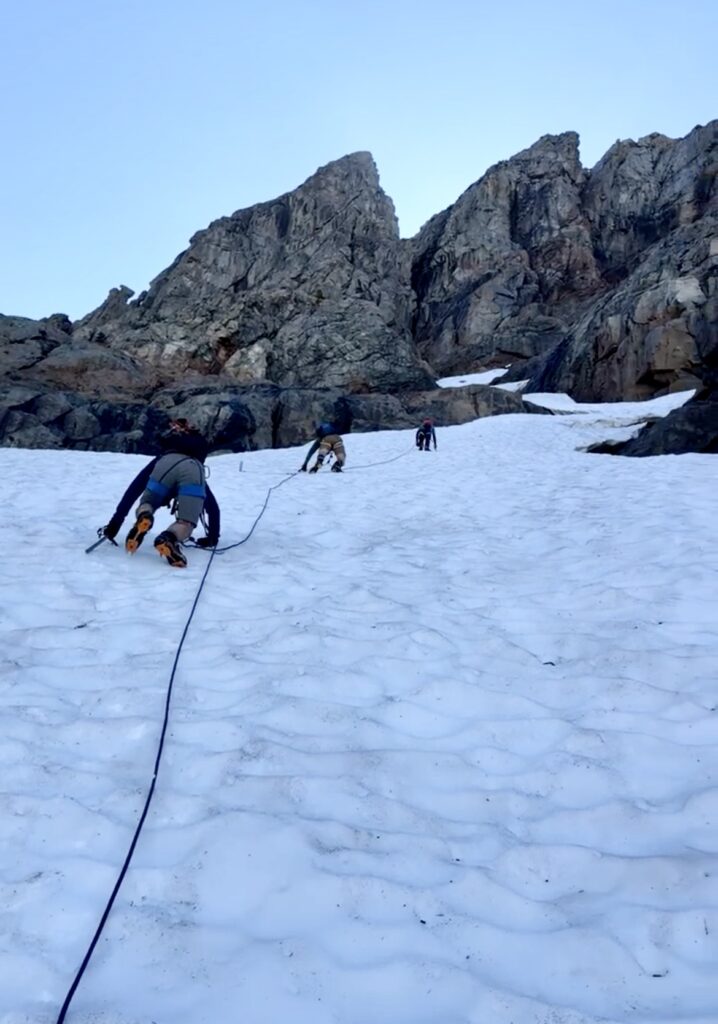
Upon reaching the base of the snowfinger, we discovered that it consisted of steep, rock-hard snow. This was going to be serious business! We could also see a breach partway up, so there was an element of uncertainty. Fortunately, we’d brought ice axes, crampons, two 30-meter ropes, and two pickets just for this situation. Todd must have sensed trouble, though, because he stayed behind while the rest of us roped up and began climbing.
.
.
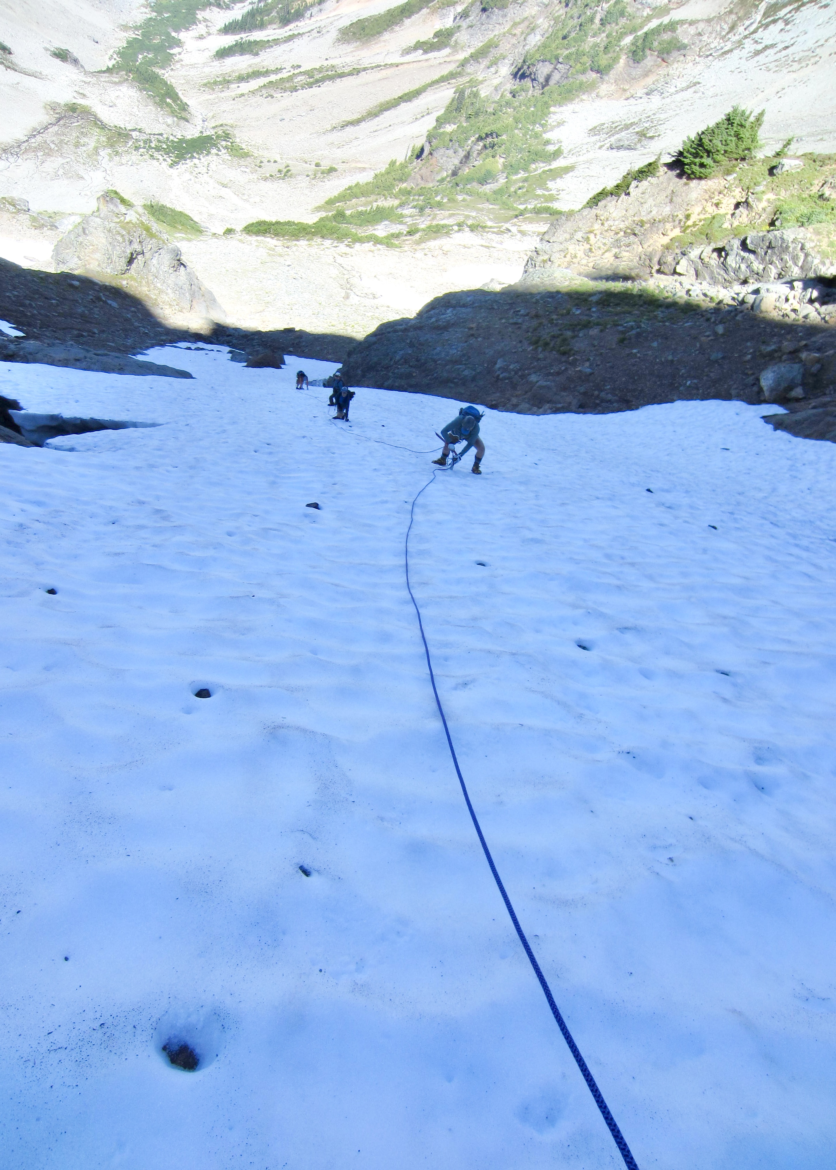
I led out and was immediately distressed at the hardness of the snow. I couldn’t jam in the spike of my ice axe more than ½ inch, nor could I kick in the edges of my crampons. As the slope gradually steepened, I resorted to using my ice axe pick in dagger mode while climbing on crampon front-points. Everyone else adopted a similar technique.
.
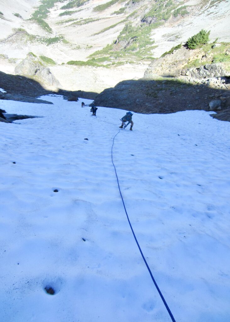
After several hundred feet of climbing, with two pickets in place, I reached the breach. It was frightening! Vertical snow walls on the downslope and upslope sides were separated by a wet, inclined, rock slab that disappeared into a dark moat. We instantly reversed direction and carefully down-climbed the snowfinger, repeatedly placing our two pickets in a leap-frog fashion for extra protection.
.
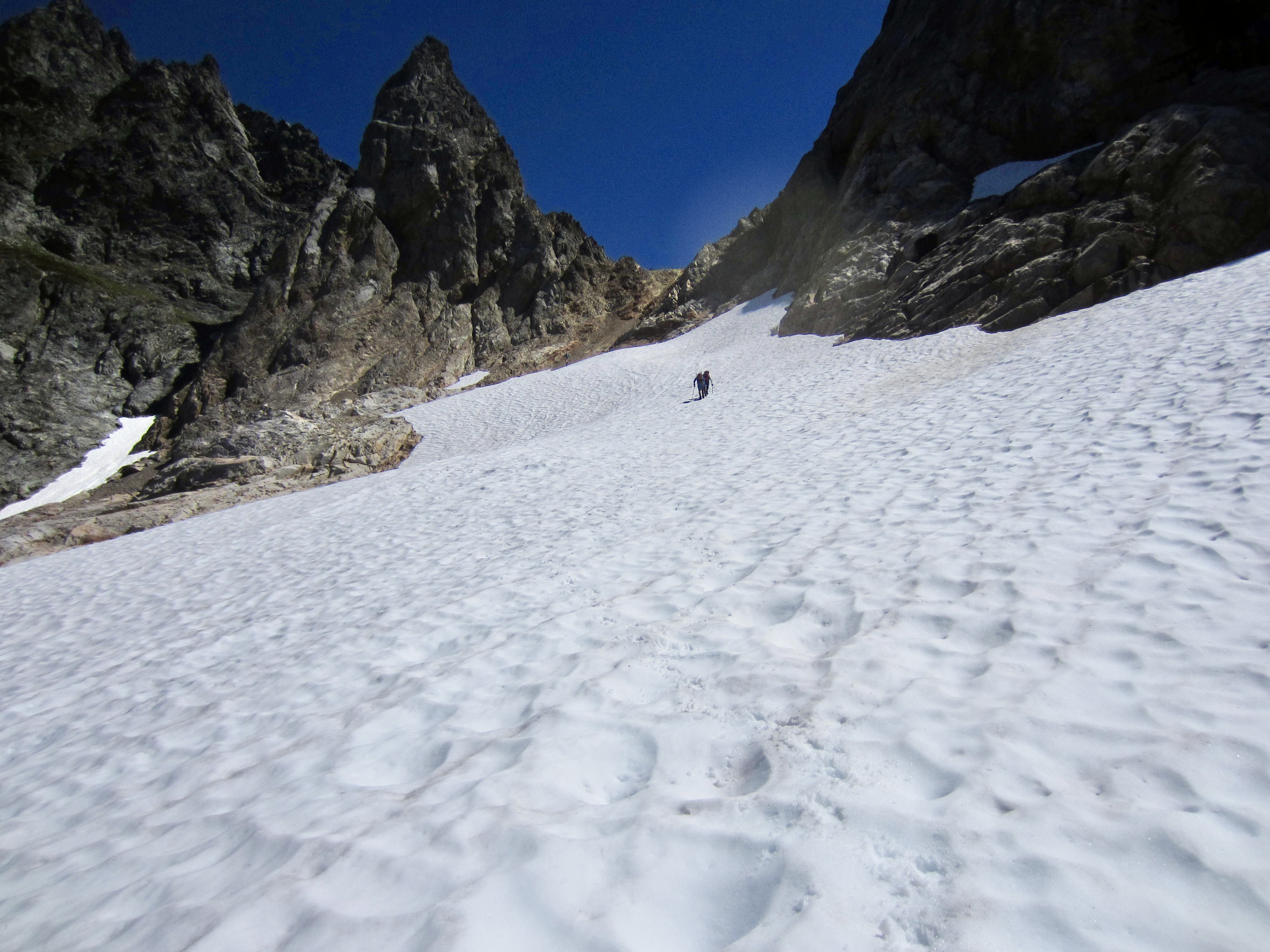
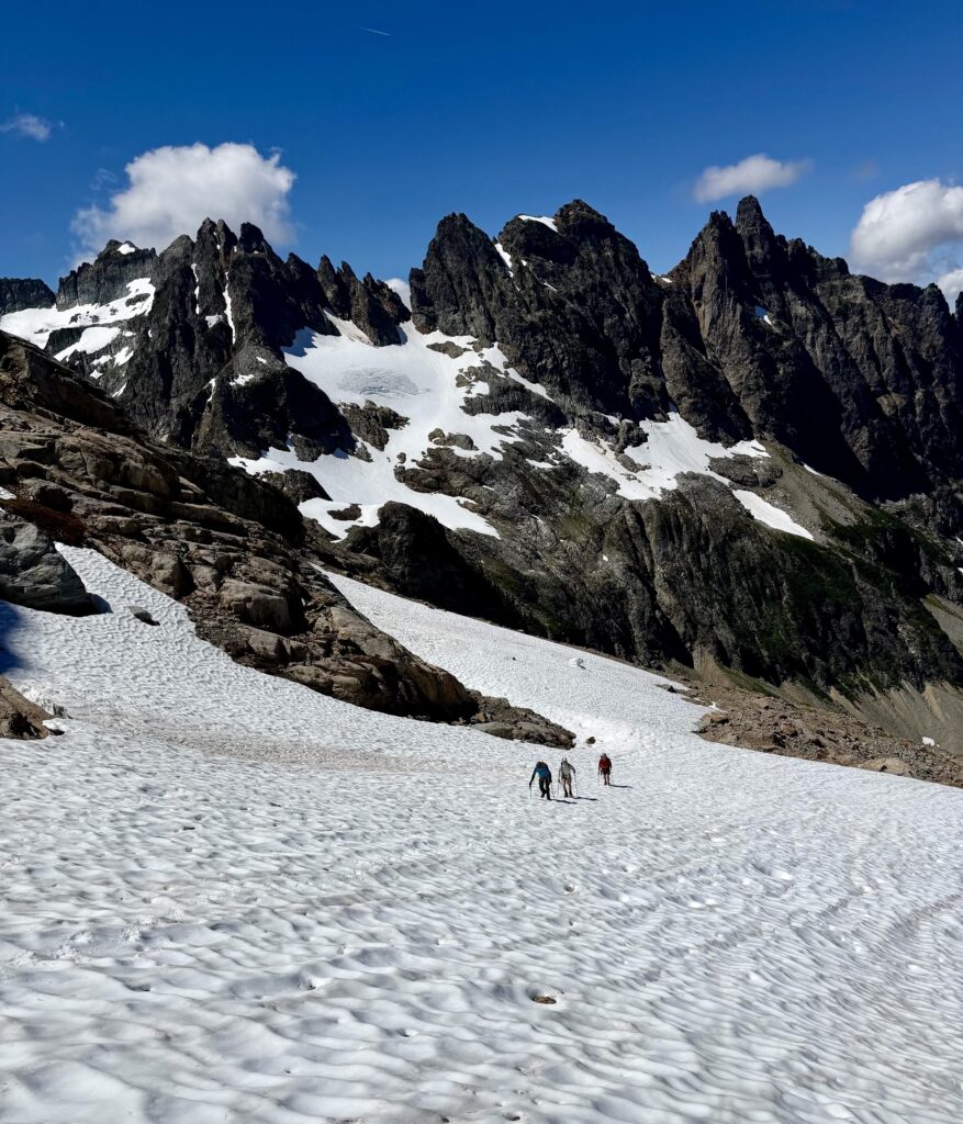
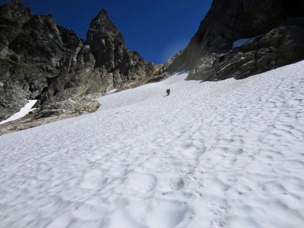
Once off the snowfinger, we all dropped below a rock buttress and then made a rising traverse across a large snowfield toward the U-notch. The North Col route was a no-go, but we hoped the U-notch would get us to the summit of Monte Cristo Peak.
.
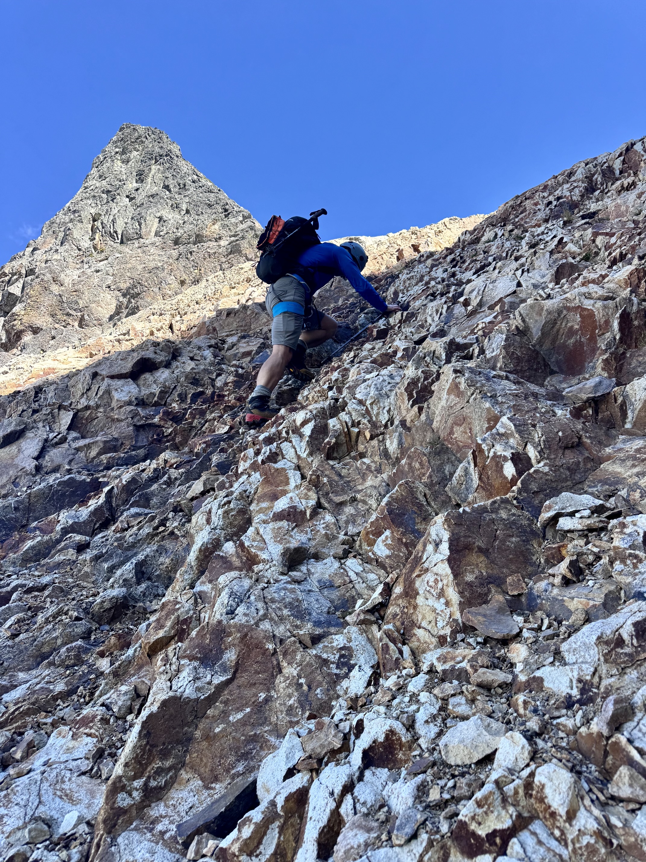
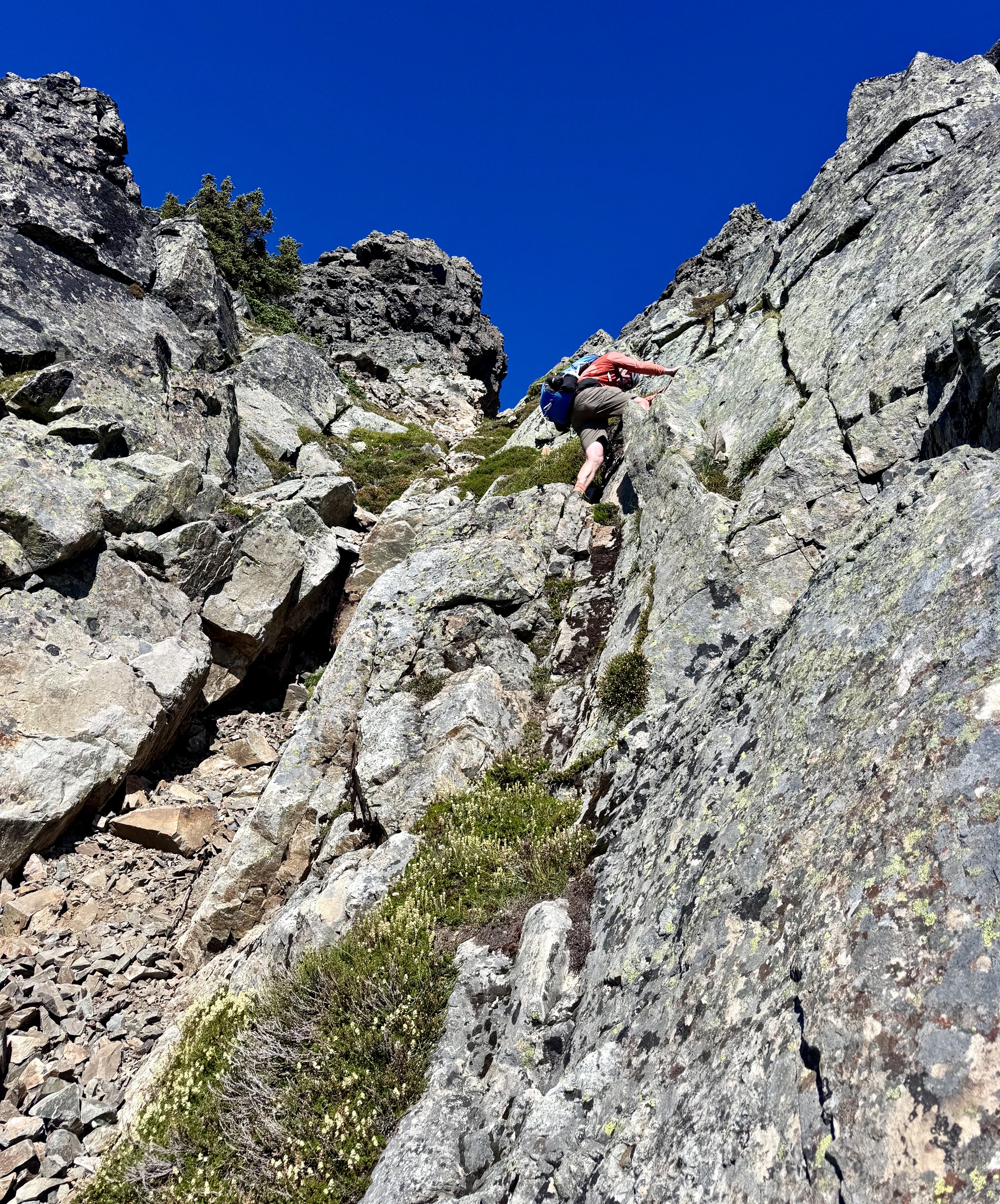
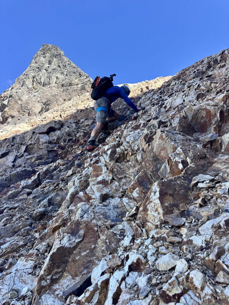
At the top edge of the snowfield, we transitioned to rock scrambling. Adam led the charge up the right side of a rib of crumbly volcanic rock, inadvertently discharging a barrage of loose rocks. Kris chose a route up the left side on equally crumbly rock. After a dicey ascent, they both converged at the U-notch. Meanwhile, the rest of us pulled the plug on this grossly unappealing route and began descending.
.
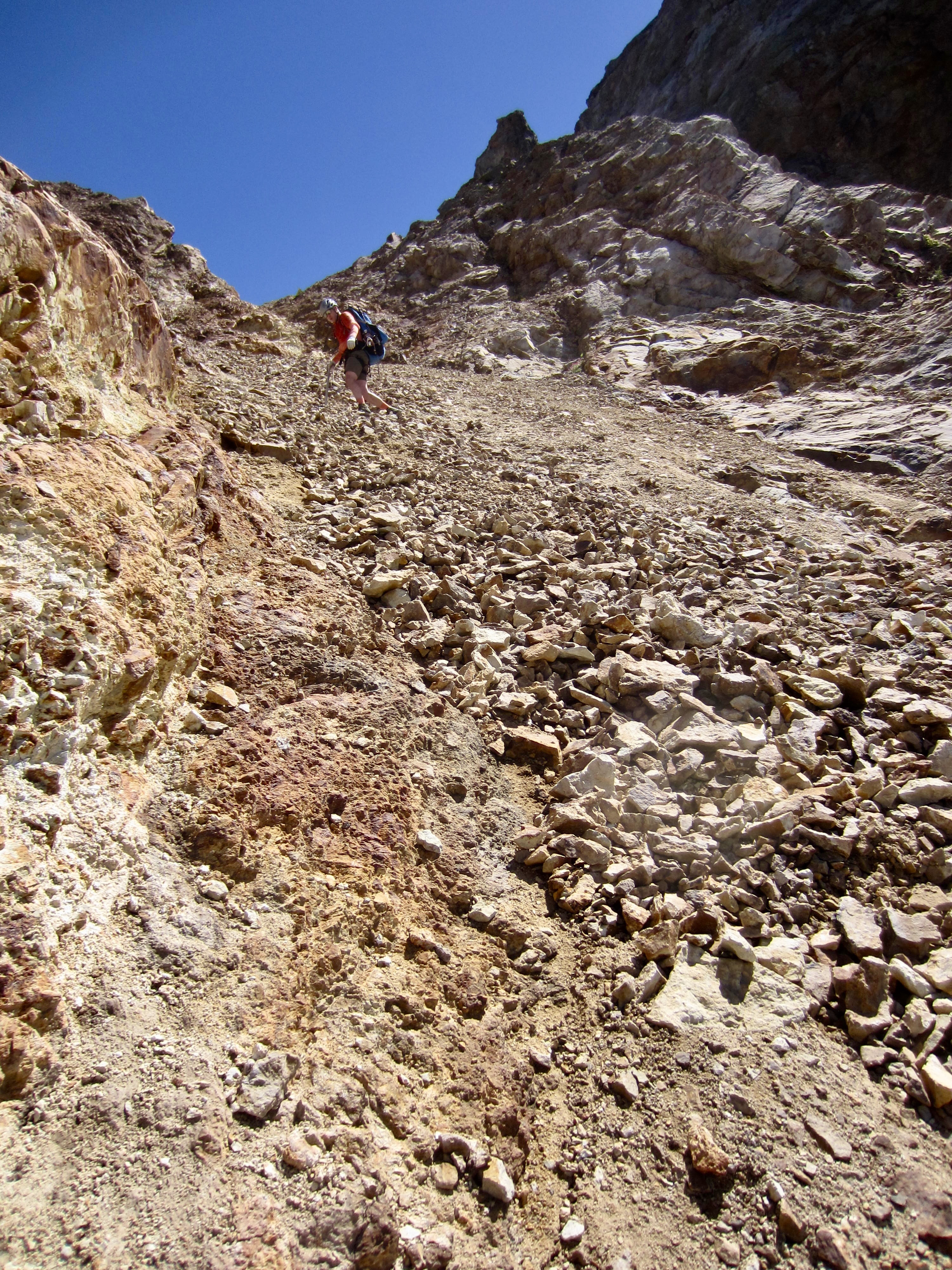
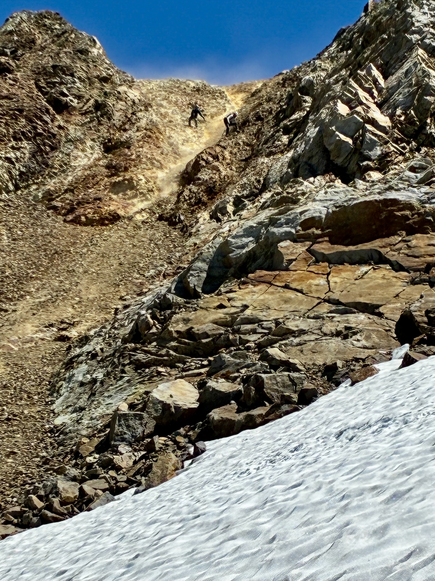
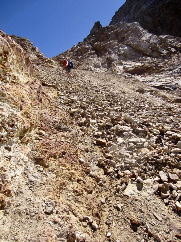
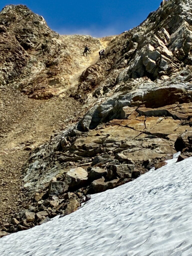
What Adam and Kris saw on the eastern side of the U-notch was a super-steep patch of hard snow—another dead end, in their mind. Ultimately, we all descended the same gully directly below the U-notch. Depending on one’s individual starting position, this involved scrambling down chossy rock, skidding down hard dirt, and/or riding down an avalanche of unstable scree (a “screevalanche”). It was truly horrible.
.
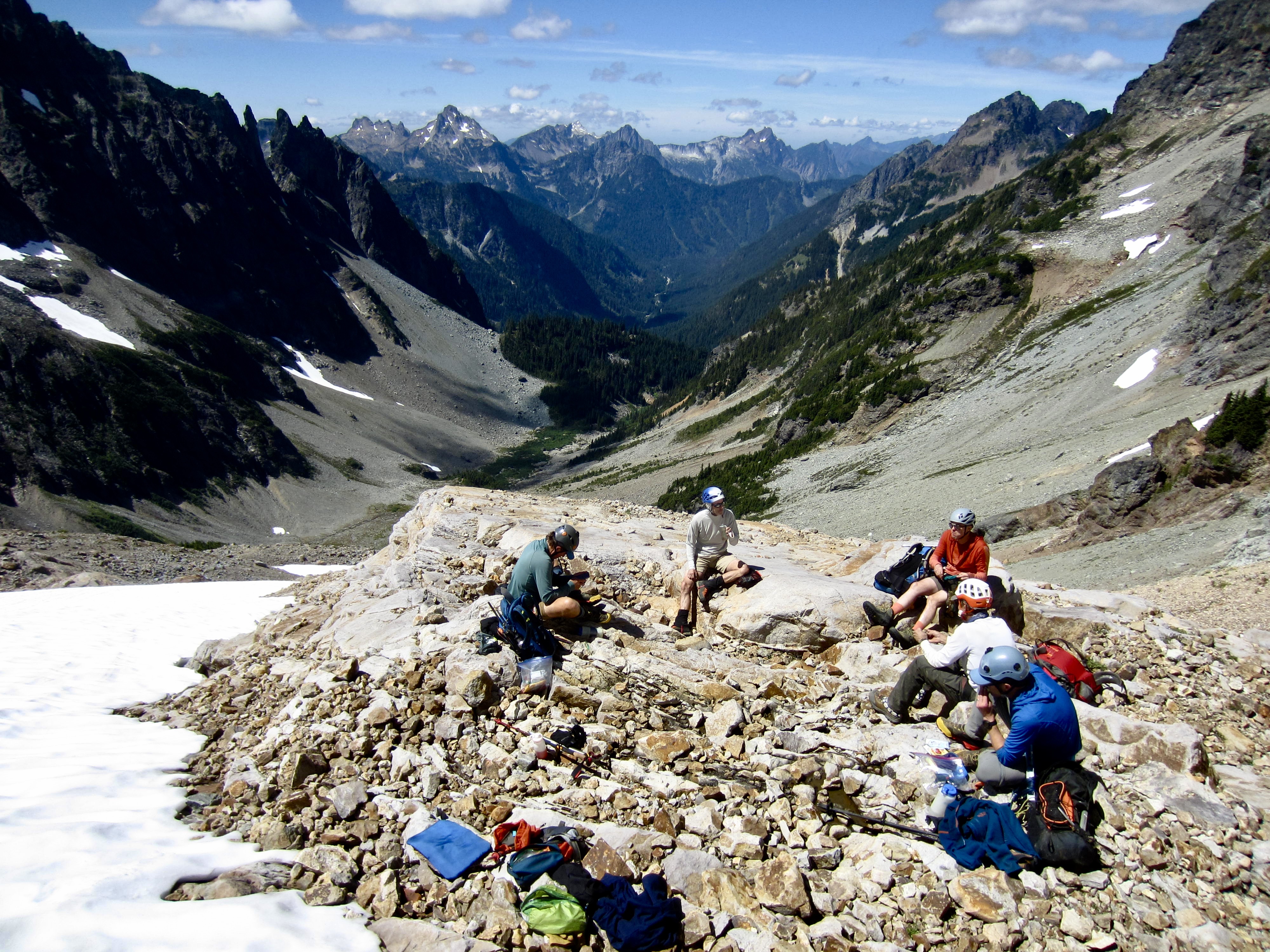
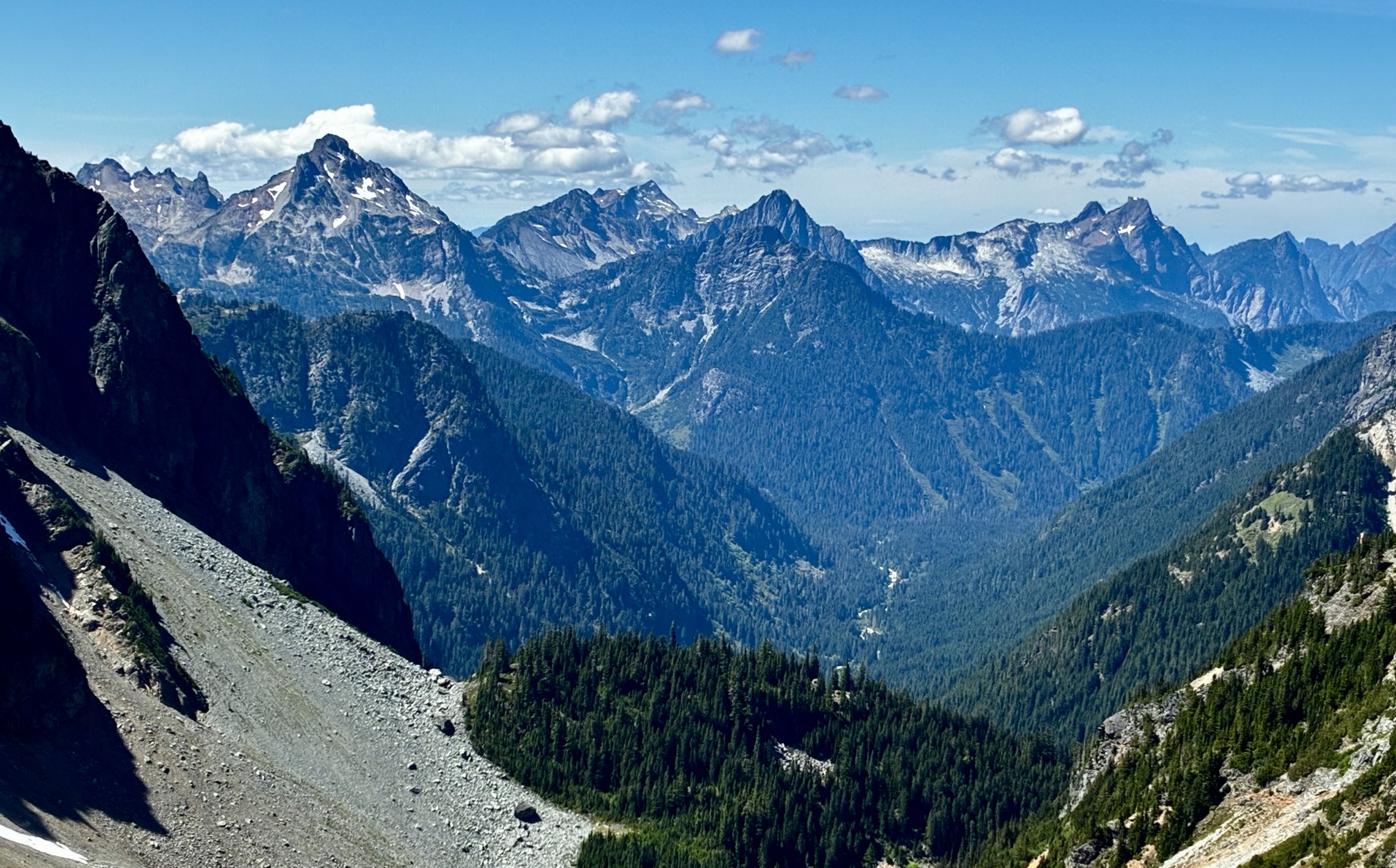
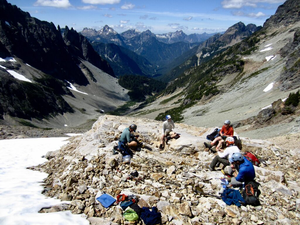
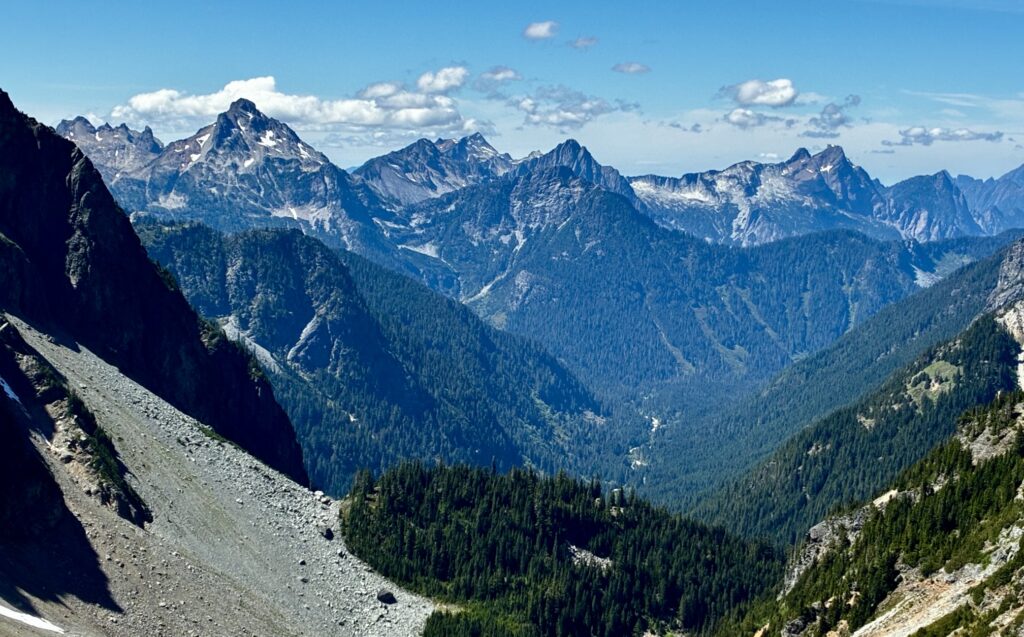
Somehow, we all managed to descend the gully without incident, and it was early afternoon by the time we regrouped on a rock bench overlooking the South Fork Sauk River Valley. While eating lunch, we discussed our options for the rest of the day.
.
.
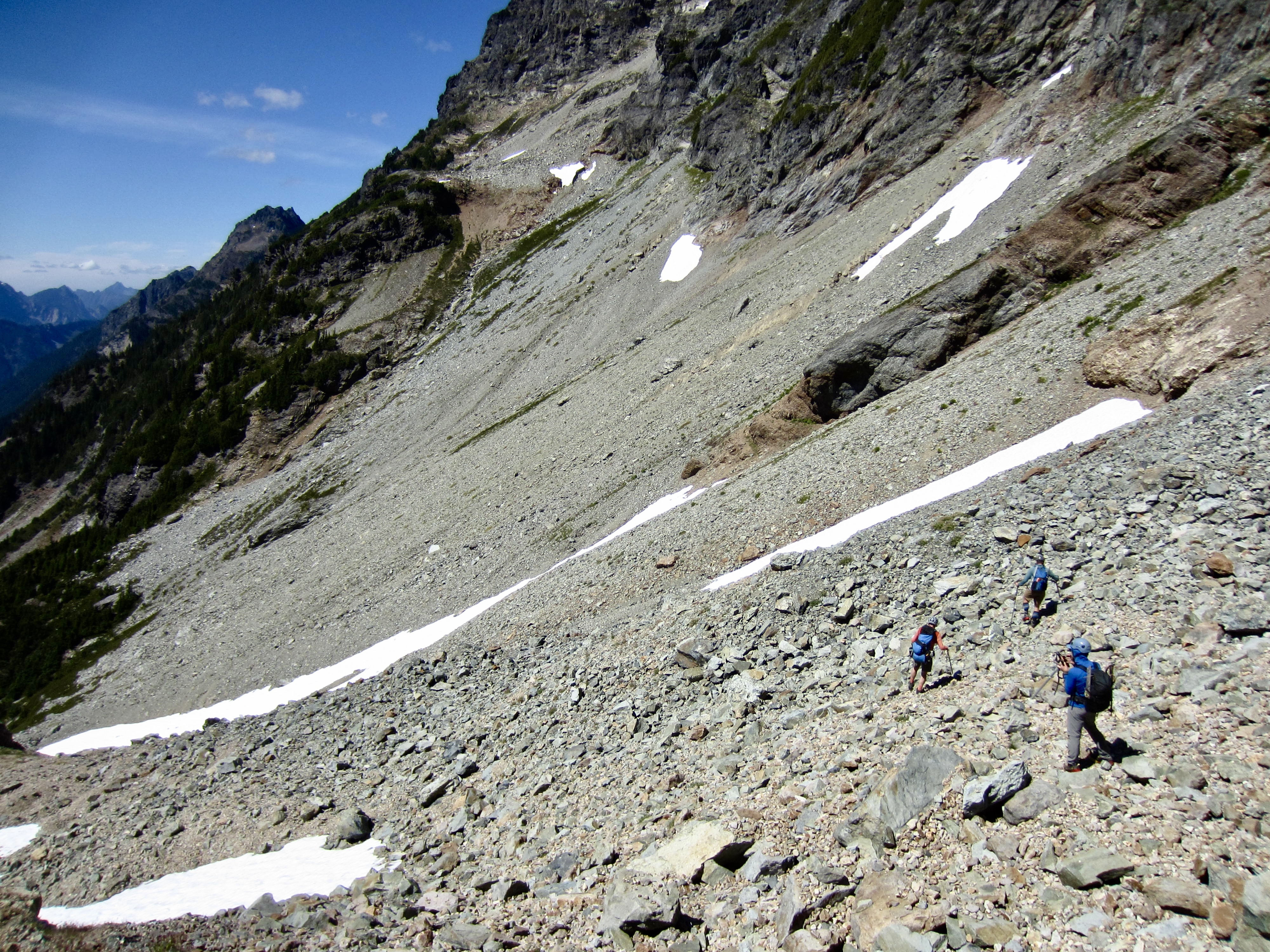
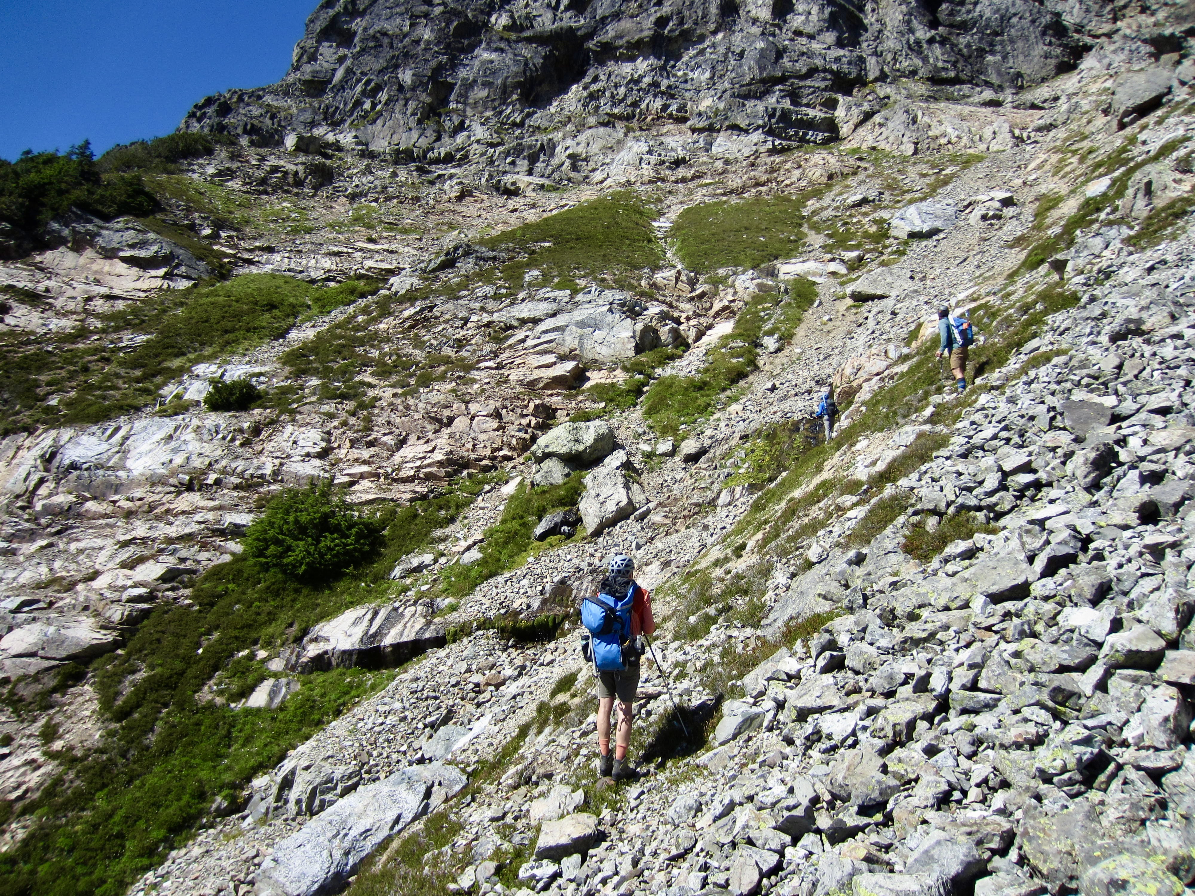
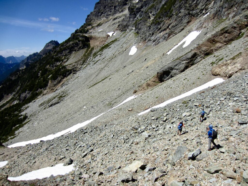
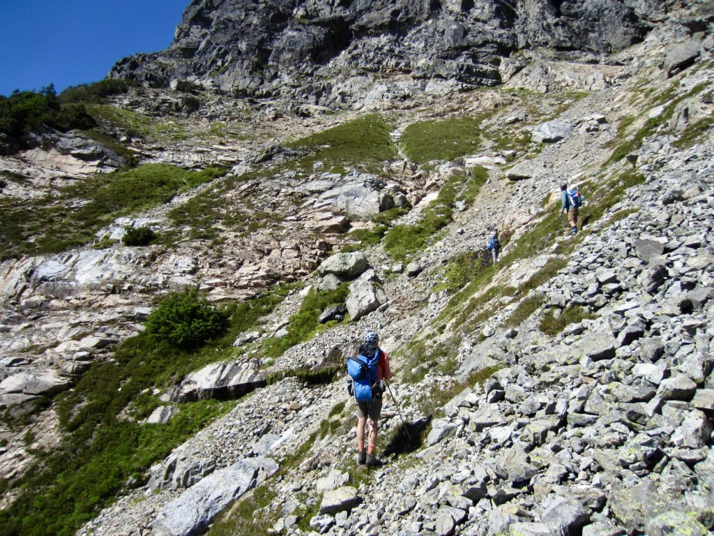
There was collective interest in making an attempt on nearby Cadet Peak, despite the fact that it would require a ¾-mile-long traverse across a very uninviting hillslope of scree and talus. Our traverse route generally linked together the small snow patches shown in the photo below. It proved to be extremely tedious but not entirely awful.
.
.
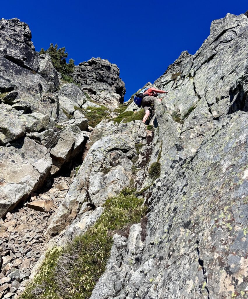
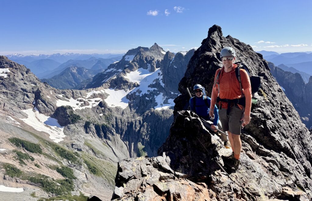
Shortly before 4:00pm, we crossed over a krummholz rib at 6200 feet and could see the peak’s long Southwest Ridge just beyond. Here, at a point 1000 feet below the summit, our group split up. Todd, Kris, and I began heading back across the traverse route, and then Kris took a detour up to a 6800-foot saddle on Cadet’s Southeast Ridge in hopes of finding a reasonable way up the summit block (there wasn’t). Meanwhile, Adam, Jon, and Eric made a run up the Southwest Ridge. They encountered lots of Class 2-3 scrambling, in addition to an encouraging climber’s path, but eventually hit a dead end at 6900 feet. Another summit had eluded our group!
.
.
Todd, Kris, and I returned to camp by way of the alluvial fan, whereas Jon, Eric, and Adam descended the waterfall gully. We were all back in Upper Glacier Basin by 7:00pm (10.5 hours for the total excursion). It had been a day that started with grand expectations and ended with disappointment. But that disappointment was greatly overshadowed by the appetizers, wine, dinner, and conversation in camp. After all, today was merely a reconnaissance in preparation for a future summit celebration!
Day 3: Upper Glacier Basin to Barlow Pass
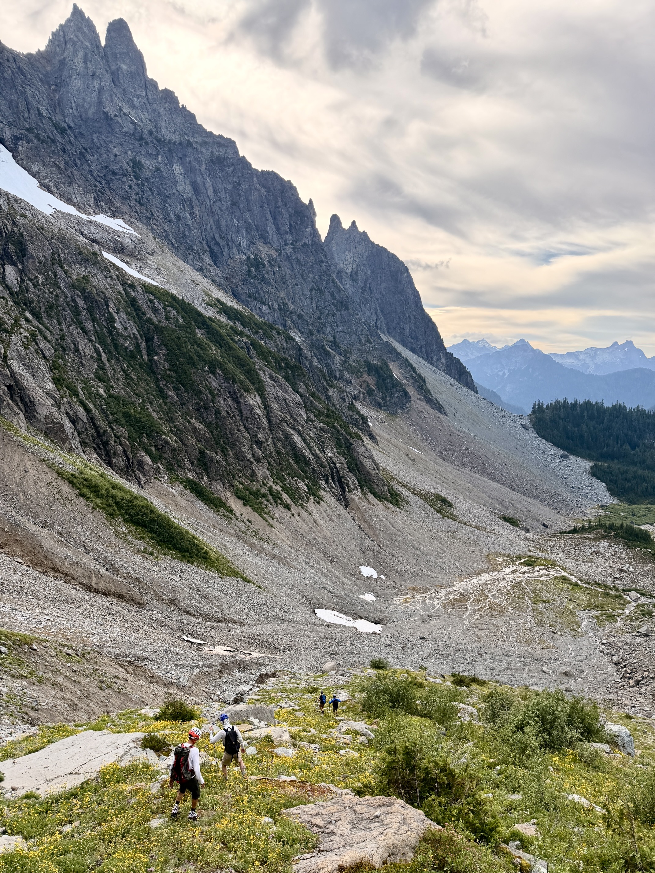
After a leisurely breakfast, we packed up and headed down the northeastern side of Ray’s Knoll. This proved to be a better route than our previous ascent on the southwestern side. We intersected the formal trail on the far side of Lower Glacier Basin and descended to the Monte Cristo Townsite, encountering a few other hikers along the way. An easy march down the old road brought us to Barlow Pass to end our trip in early afternoon (4.6 hours from camp).
.
Route Maps & Profiles
…
…
…
…
Photo Gallery
Click to enlarge…