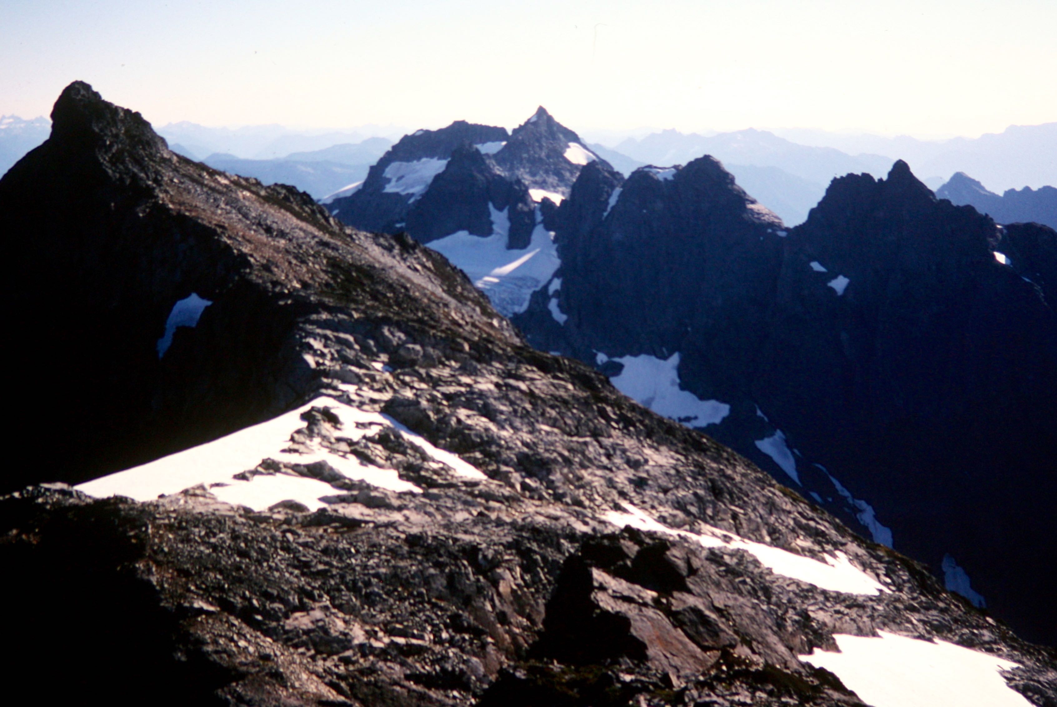
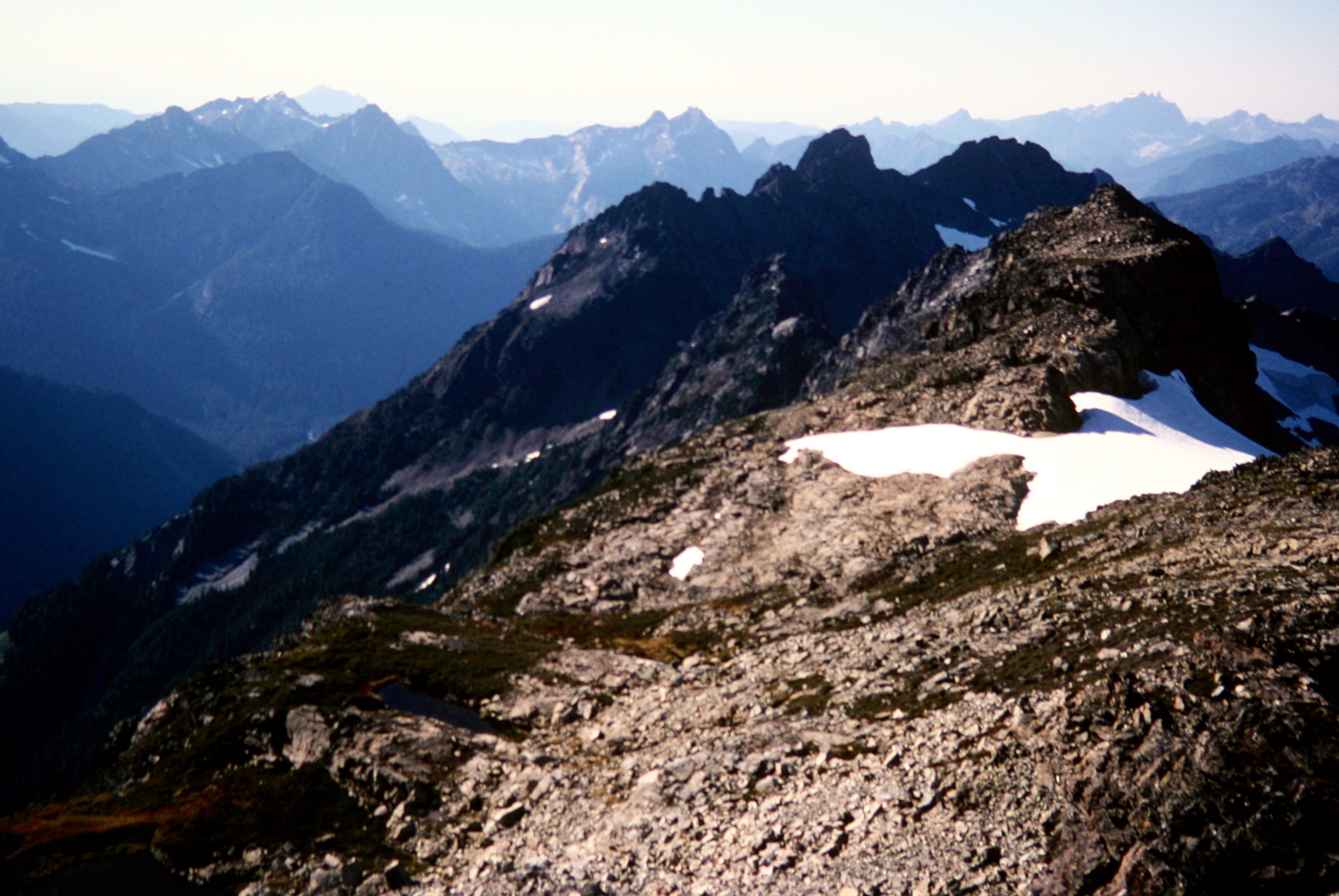
Trip Date: September 21, 2002
Cadet Peak Day Climb
Monte Cristo Townsite
Lower Glacier Basin
Cadet Peak (7186 ft)
North Cadet Peak aka Ida Peak aka Rover Peak (~7165 ft)
Trip Report Summary
Region: North-Central Washington Cascades
Sub-Region: Monte Cristo Mountains
Area: Henry M. Jackson Wilderness
Starting & Ending Point: Monte Cristo Roadhead at Barlow Pass on Mountain Loop Highway (Elev. 2350 feet)
Way Points: South Fork Sauk River Bridge & Monte Cristo townsite (bike ride); Glacier Creek & Lower Glacier Basin (trail hike)
Summit: Cadet Peak (off-trail hike & rock scramble via Southwest Ridge—West Gully—West Slope)
Summit: North Cadet Peak / Ida Peak (rock scramble via South Ridge—West Slope)
Approximate Stats: 16.5 miles traveled (8.5 miles on bike + 8.0 miles on foot); 5200 feet gained & lost; 6.0 hours up; 5.2 hours down.
Related Post
>>> Cadet Peak via Southwest Ridge—West Face – June 22, 1997
Full Trip Report
I originally climbed Cadet Peak on a snowy, foggy weekend back in 1997. At least I thought I had climbed Cadet Peak. However, my subsequent peak research disclosed a controversy over the actual location of the true summit. Is it the north peak, which the current 7.5-minute topo map triangulates at 7197 feet, or is it the south peak, which is triangulated at 7186 feet and regarded by most climbers as the true summit? Poor visibility during my previous climb of the south peak effectively obscured both the north peak and the map discrepancy. Adding to the confusion is the elevation of 7073 feet shown for the north peak on the older 15-minute maps, but this is actually a lower northwest peak.
Recently inspired by Don Duncan’s rudimentary surveying efforts on Raven Ridge and other controversial peaks, I decided to climb both of the Cadet peaks with a hand-level in order to determine for myself which is the true summit. Toward this end, Laura, Steve, and I mounted our bicycles at Barlow Pass and pedaled up the newly re-graded roadway to Monte Cristo. Much work has been done on this roadway during the past several months, and we passed several pieces of construction equipment (including a trackhoe and bulldozer) that appear poised to do more.
After stashing our bikes near the townsite, we hiked up to Lower Glacier Basin while Steve provided a running commentary on the history of this old mining area. We arrived at Beckey’s “house-sized boulder” in Lower Glacier Basin just in time for lunch (3.5 hours from car). Here, Laura decided that our perfect autumn weather needed to be enjoyed from atop one of the basin’s many rocks rather than from some summit. Steve and I said goodbye and headed up Cadet Peak.
From the basin, we ascended an obvious erosion gully to its headwall, then scrambled up steep rock and scrub slopes to the crest of the southwest ridge. A series of climber’s and game paths led us easily up the ridge and funneled us into a narrow gully. We climbed this gully to its top at about 6500 feet, where the only continuation seemed to be up the steep and very exposed southwest face. Fortunately, Steve knew from a prior summertime ascent that the key is to traverse sharply back to the left on a moderately exposed Class 3 ledge, which initially appears to dead-end at a steep rock rib. Once around the rib, however, this ledge leads directly onto easy heather slopes beneath the south peak. A short scramble finished our climb of South Cadet Peak in mid afternoon (6.0 hours from car).

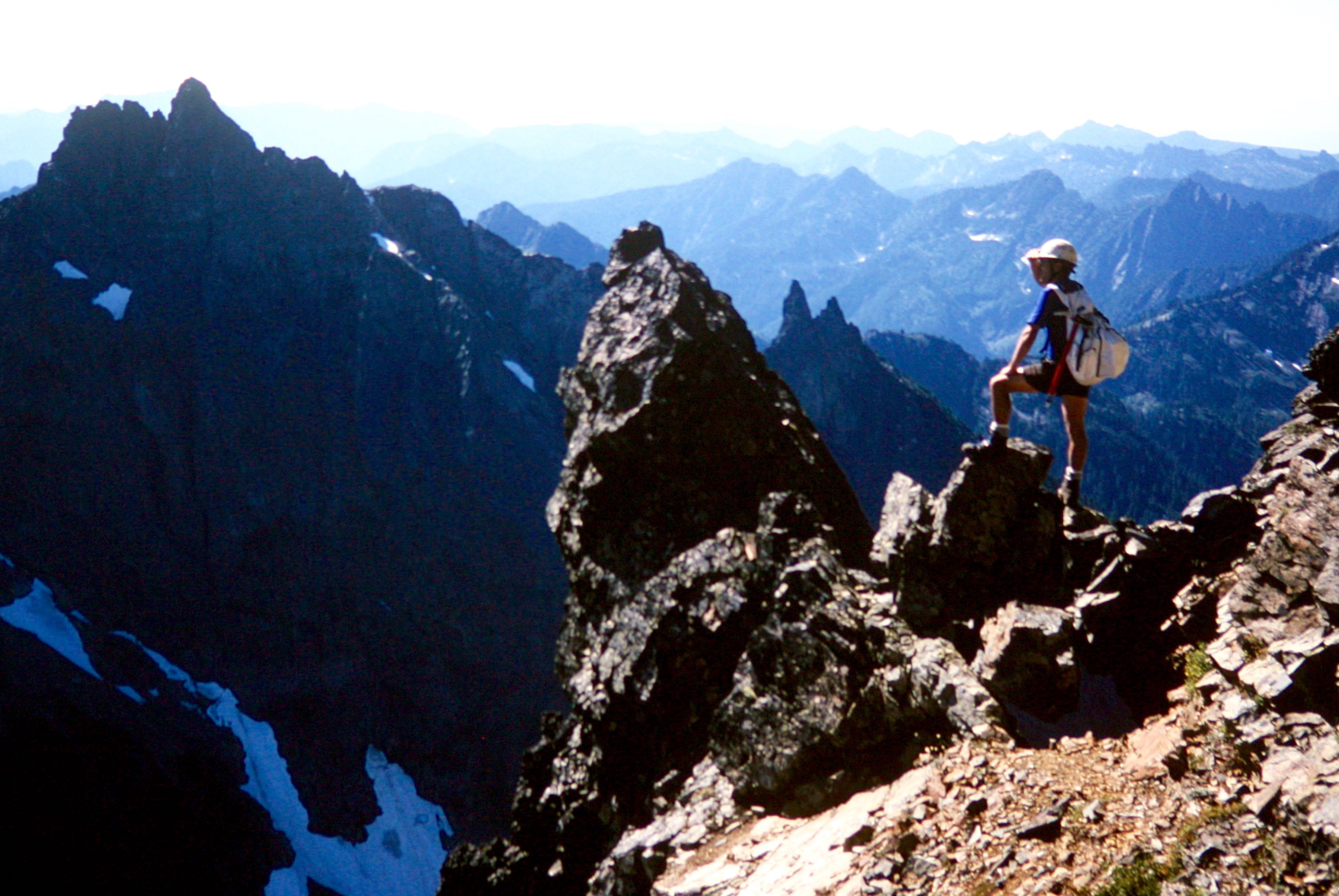
- Steve Looking At Wilmans Peak and Wilmans Spires From Cadet Peak
We sat atop the summit for a half-hour, admiring views in all directions. I employed my trusty hand-level for purposes of evaluating the relative elevations of the two Cadet peaks and surrounding peaks. Although the 7.5-minute topographic map shows the north peak to be 11 feet higher than the south peak (7197 feet versus 7186 feet), my hand-level clearly revealed the north peak to be considerably lower. I sighted on Mt. Pugh (triangulated at 7201 feet) and found it to be fairly close in elevation to our South Cadet Peak summit.
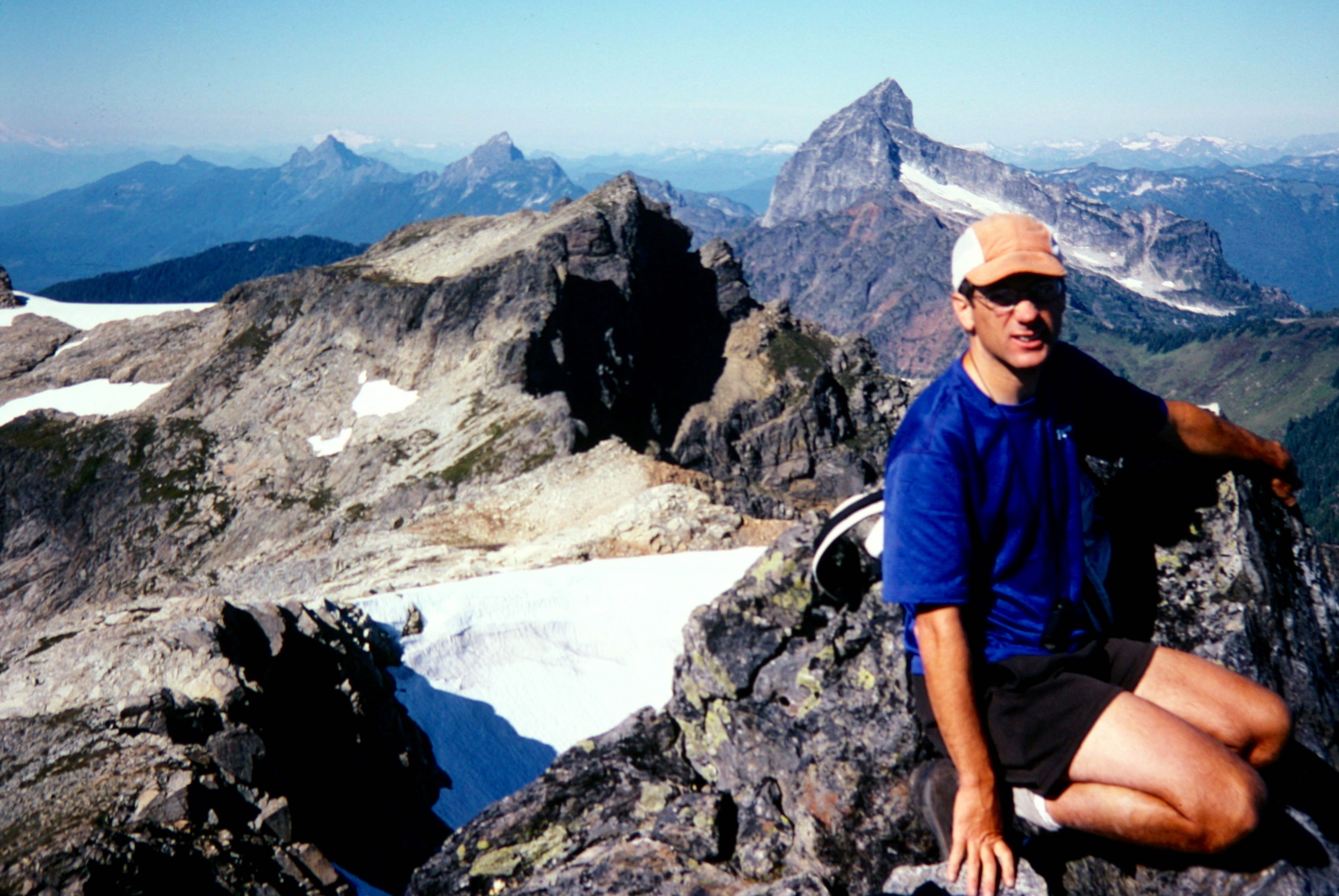
- Kyes Peak and Monte Cristo Peak From Cadet Peak
For the sake of good science, we traversed over to North Cadet Peak (28 minutes from south peak) so that I could sight back on the south peak. Indeed, my hand-level confirmed that the south peak is considerably higher. Steve and I visually estimated the height difference to be on the order of 25 to 40 feet. My altimeter indicated a difference of about 30 feet.

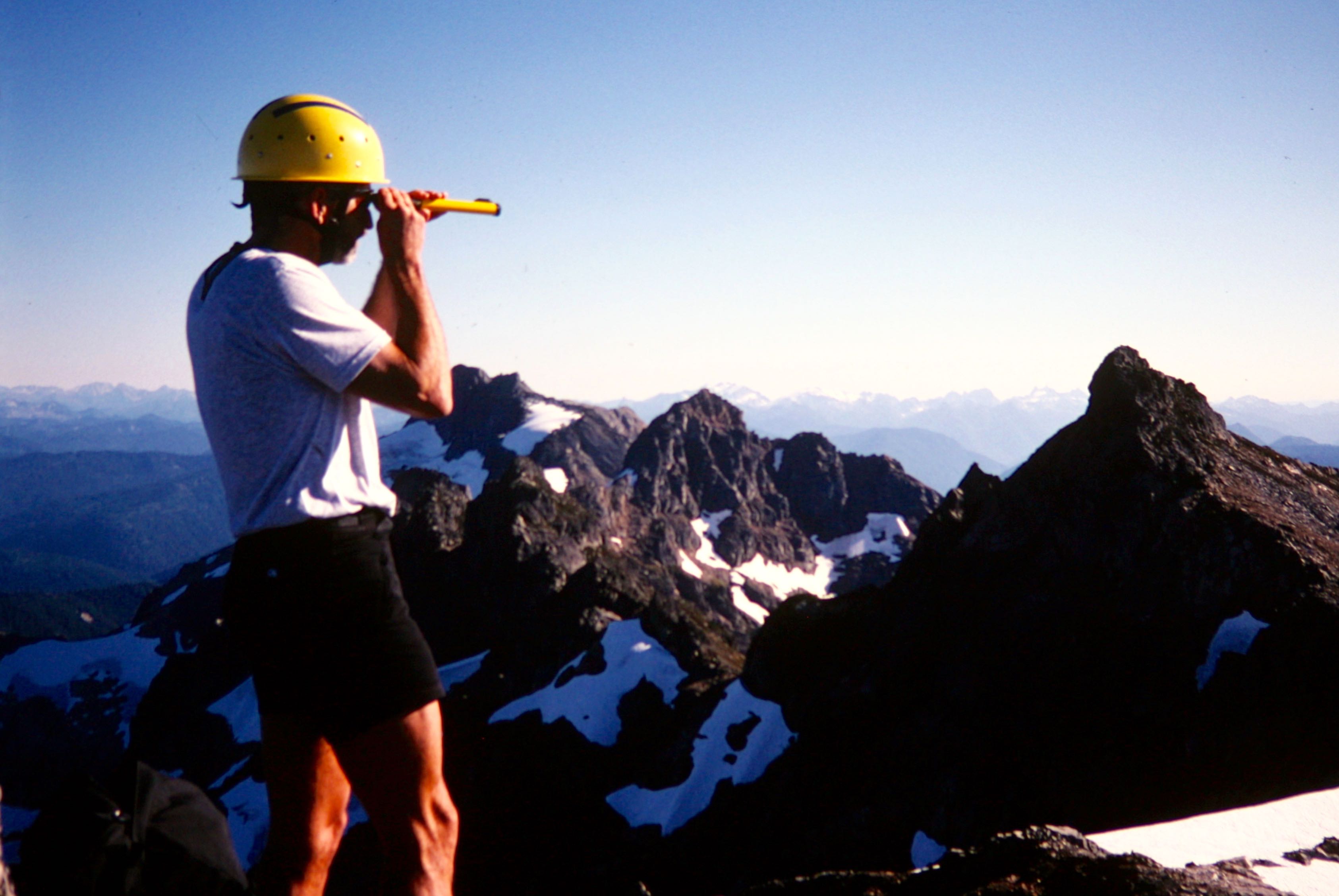
- Jim Checking South Cadet Peak Elevation From North Cadet Peak
Surprisingly, the north peak has a summit register that was placed by a Mountaineer party in 1973. This register uses the name “Rover Peak,” which they say was inspired by a bay in Norway. We also found it interesting that the register lists two different elevations: 7197 feet (the map triangulation) and 7140 feet (perhaps a visual estimate by the 1973 party).
I prefer to ignore the map’s stated elevation (it could simply be a typographical error) and go with the map contours, which indicate an indefinite elevation of 7160+ feet—but just barely over 7160 feet. Combining this fact with our visual estimates and altimeter readings, I think a reasonable (and perhaps generous) elevation for the north peak would be 7165 feet. I also prefer the name “Ida Peak,” due to its proximity to Ida Pass. Norway is much farther away.

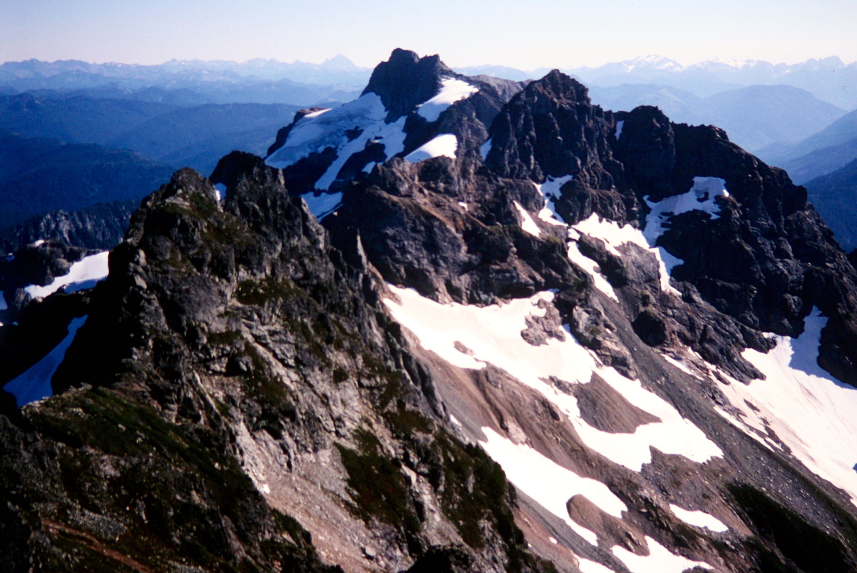
- South Cadet Peak, Columbia Peak, and Wilmans Peaks From North Cadet Peak
All good science must come to an end, so we traversed back over to the south peak and then began our descent. Locating the key ledge across the rock rib took a bit of searching (we should have marked it with a duck), but we eventually found it and were soon downclimbing the narrow gully. Laura met us in the erosion gully above Lower Glacier Basin.
Nightfall caught us hiking down the trail to Monte Cristo, and it was really quite eerie to walk through the ghost town in the dark. Since Laura had forgotten her headlamp, Steve loaned her his own headlamp for our bike descent—but only after making her drop to the ground and do fifty push-ups while reciting the ten essentials. We finished the 4-mile ride back to Barlow Pass in mid evening (5.2 hours from north summit).
Photo Gallery
Click to enlarge…