Trip Date: October 21, 2021
Sun Top Bike Loop: Huckleberry Creek to Buck Creek
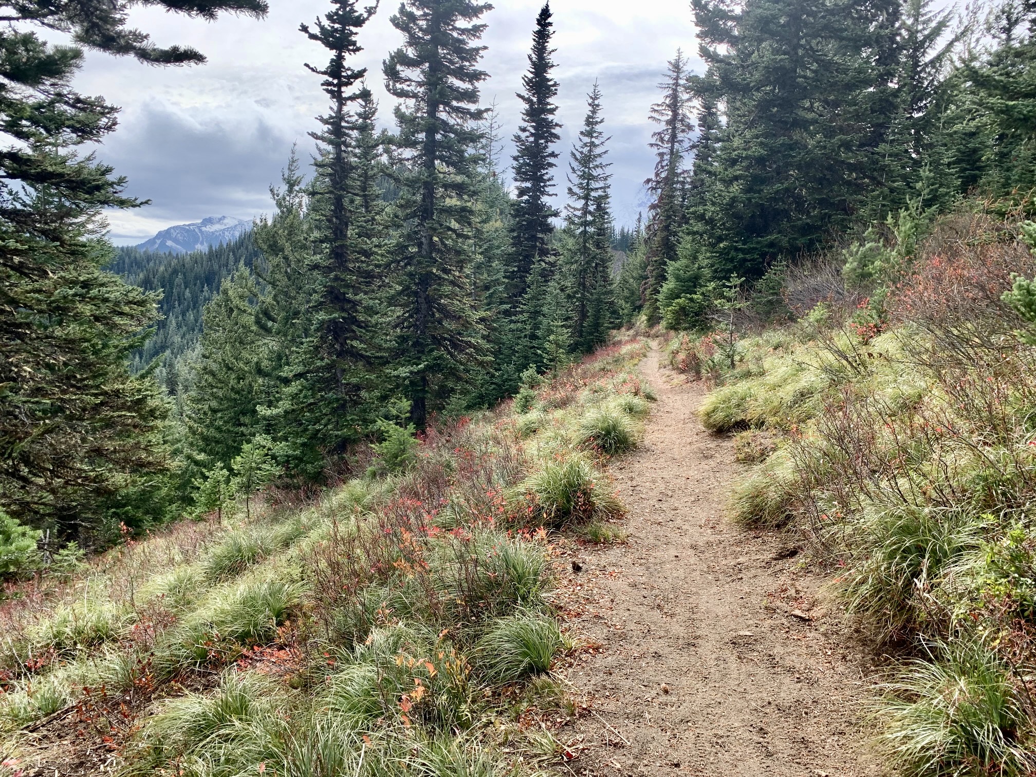
Huckleberry Valley Overlook
Sun Top Saddle
Sun Top / Lookout (5271 ft)
Point 5590
Trip Report Summary
Region: Southern Washington Cascades
Sub-Region: Clearwater Mountains
Area: Mt. Baker – Snoqualmie National Forest
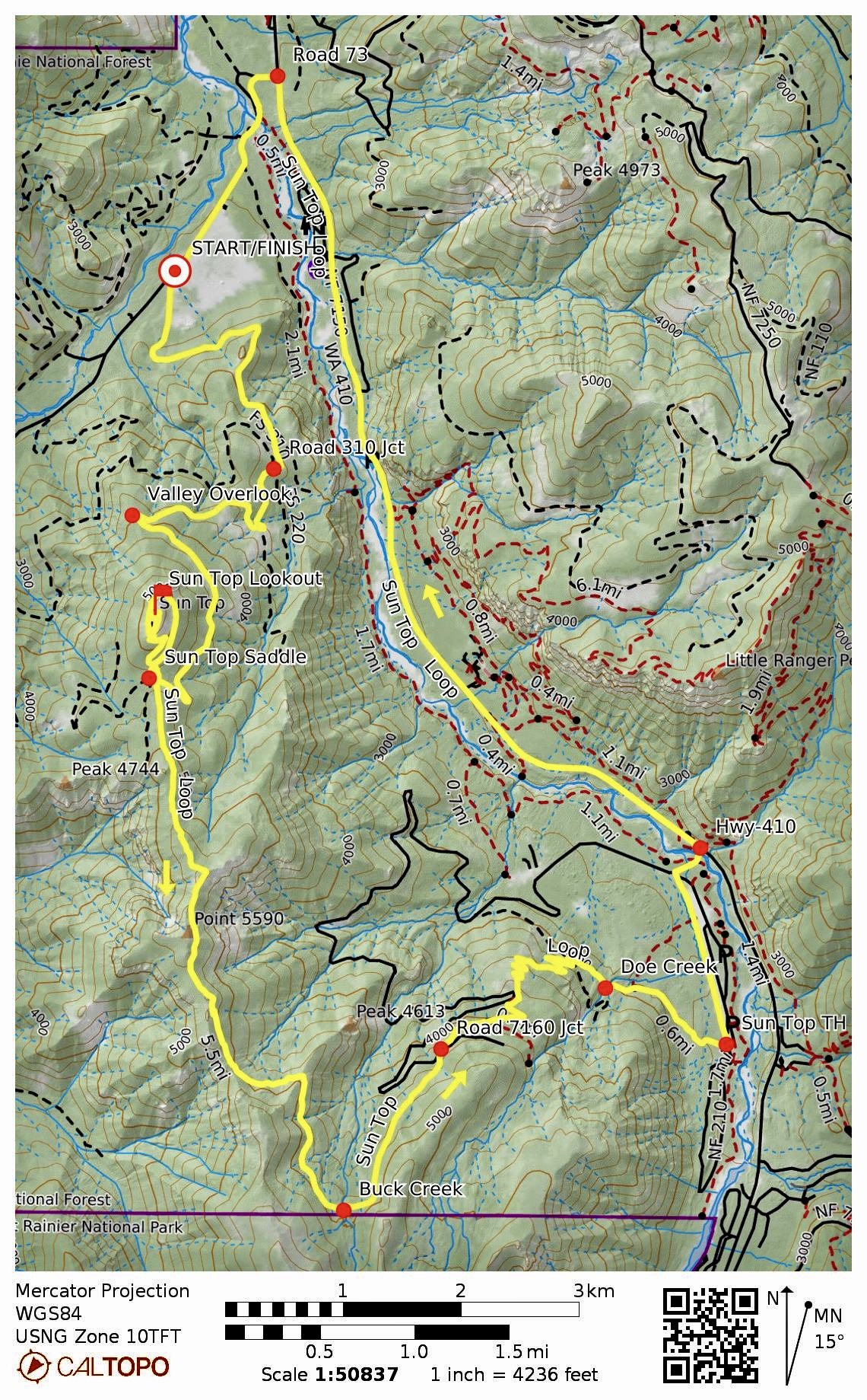
Starting & Ending Point: Huckleberry Creek Road #73 pullout (Elev. 2240 feet)
Way Points: Road 7315 junction & Huckleberry Valley Overlook & Sun Top Saddle & Sun Top summit/Lookout & Sun Top Saddle & Point 5590 & Buck Creek & Road 7160 crossing & Doe Creek & Sun Top Trailhead / Road 7160-210 junction & Ranger Creek Landing Strip & Road 7160 junction & White River Bridge & Highway 410 junction & Road 73 junction & White River Bridge & Road 73 pullout (bike ride via Sun Top Road #7315—Sun Top Trail #1183—Road #7160-210—Highway 410—Road #73)
Summit: Sun Top (ascent via road; descent via trail)
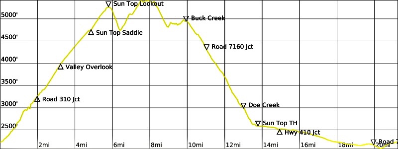
Approximate Stats: 21.4 miles traveled; 4100 feet gained & lost; 5.5 hours elapsed.
Full Trip Report
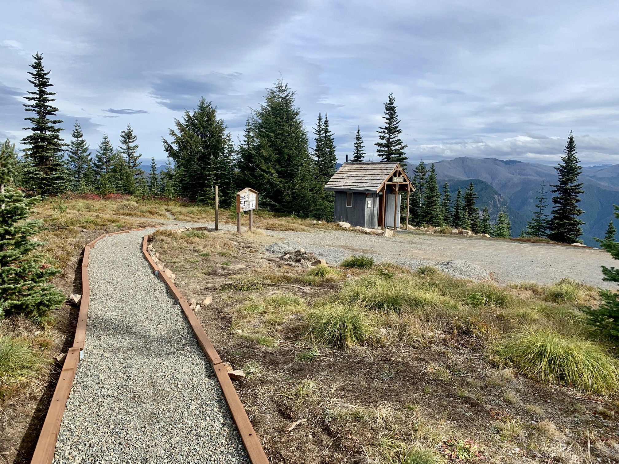
To perform this semi-popular mountain biking loop, I parked at the Sno-Park pullout on Huckleberry Creek Road #73 and pedaled up Sun Top Road #7315. This road ascends at a steady and moderate grade, passing a junction with Road #7315-310 (2.1 miles + 1000 feet) and Huckleberry Valley Overlook (3.4 miles + 1750 feet) before reaching 4760-foot Sun Top Saddle (4.9 miles + 2500 feet). From there, I continued riding up the road as it spirals around the uppermost part of Sun Top and ends at the summit lookout cabin (5.9 miles + 3050 feet + 2.0 hours from starting point).

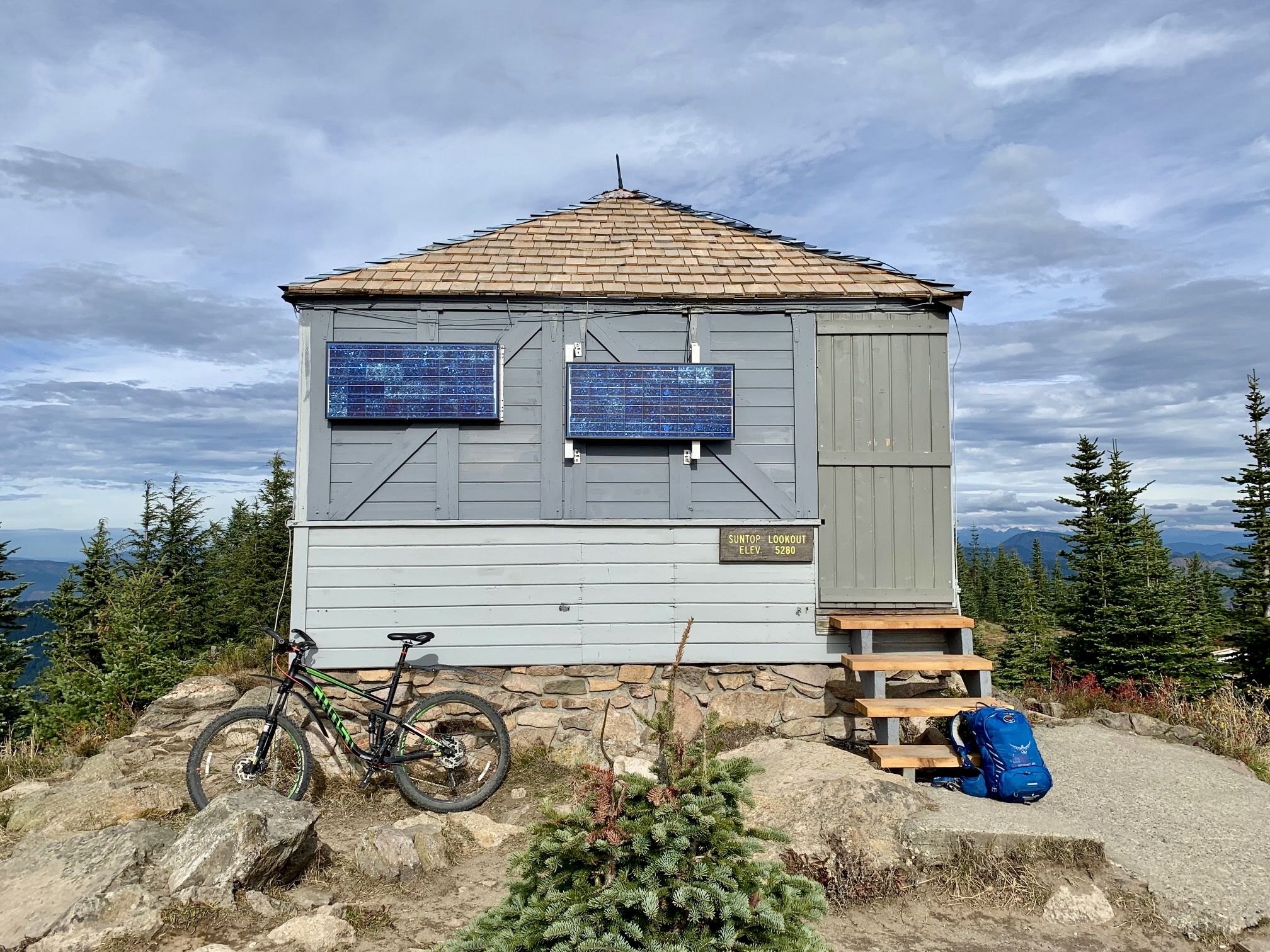
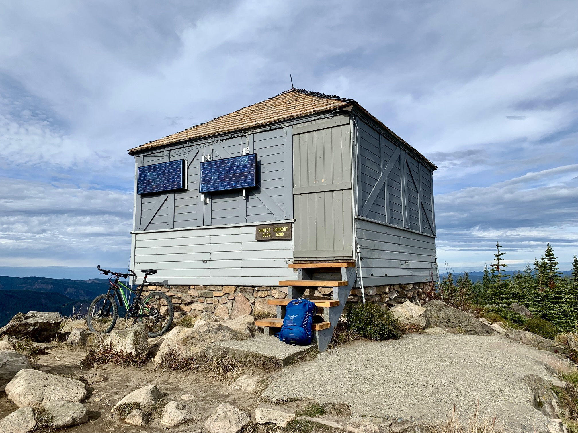
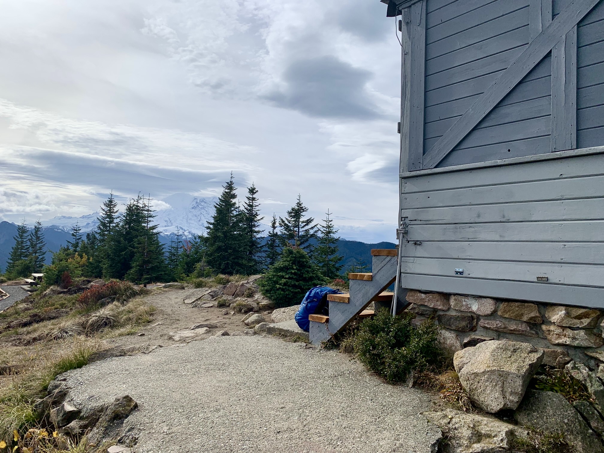
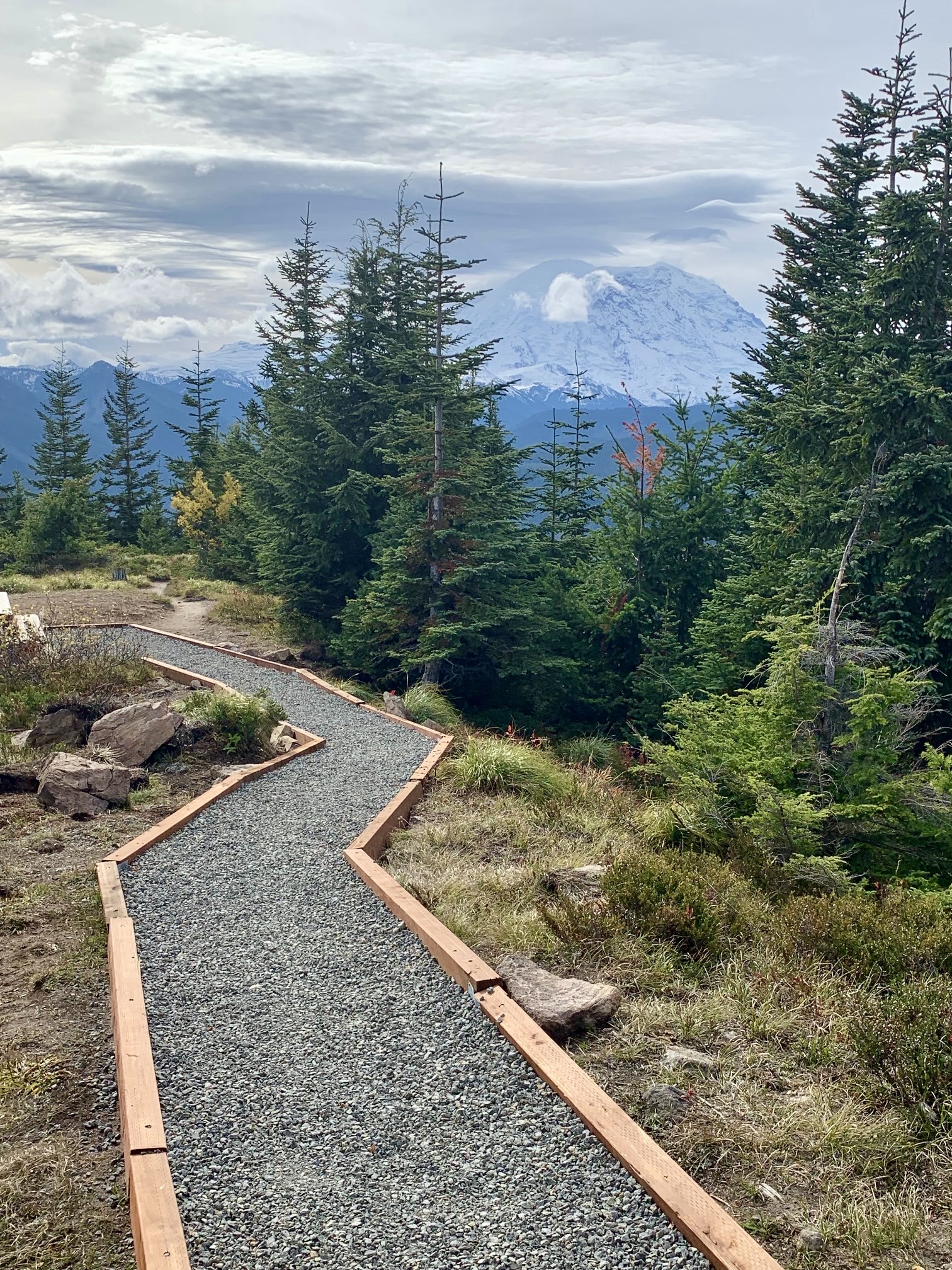
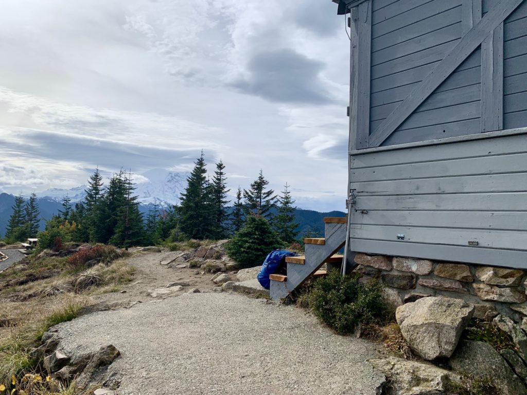
The old fire lookout cabin appears to be in good condition and has received various upgrades in recent years, including a new shake roof, fresh paint, and small solar panels. The entire summit area is nicely landscaped, with gravel walkways and a picnic site. Mt. Rainier was visible through a cloudy sky to the south.
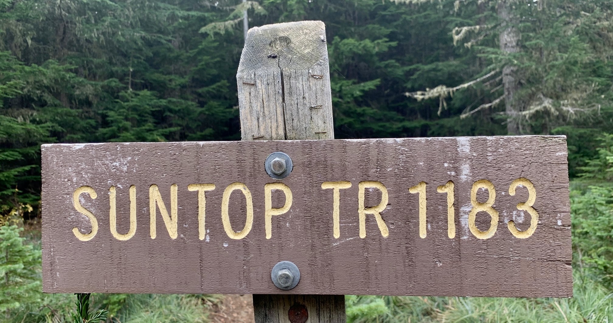
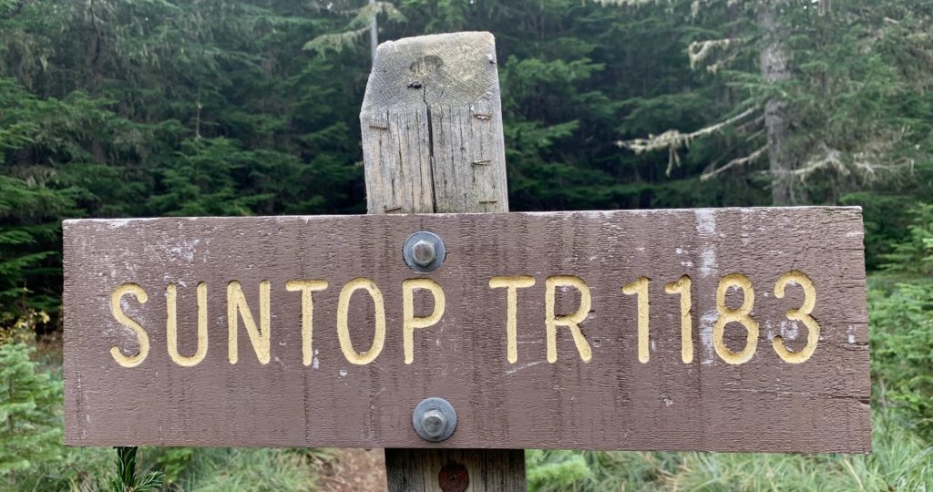
Rather than riding back down the road to reach the 4760-foot saddle, I decided to ride down the hiking trail. This turned out to be a poor decision, because the trail segment is quite steep and rocky; I ended up pushing and carrying my bike down most of the way. Oh well. From the saddle, I headed southward on Sun Top Trail #1183, which climbs off and on for about 1½ miles to Point 5590, then traverses over to the headwaters of Buck Creek.

After crossing Buck Creek, the trail descends steeply along Fawn Ridge and eventually crosses Fawn Creek. In another ½ mile, I reached the Sun Top Trailhead and turned northward on Road #7160-210, which parallels the Ranger Creek Landing Strip. It was now starting to rain, so I took the fastest route back to my starting point. This involved turning right on Road #7160, crossing the White River, and riding northward on the shoulder of Highway 410 for about 4 miles. I then turned left on Road #73 and proceeded another mile to the pullout (15.5 miles + 1050 feet + 3.0 hours from summit) to complete my loop.
…
Route Map & Profile
…
…
Photo Gallery
Click to enlarge…