Trip Date: October 29, 2021
DESERT SOUTHWEST ADVENTURE VACATION
Observation Point Day Hike
East Zion Mesa
Observation Point
Trip Report Summary
Region: Utah
Sub-Region: Southwestern Utah
Area: Zion National Park
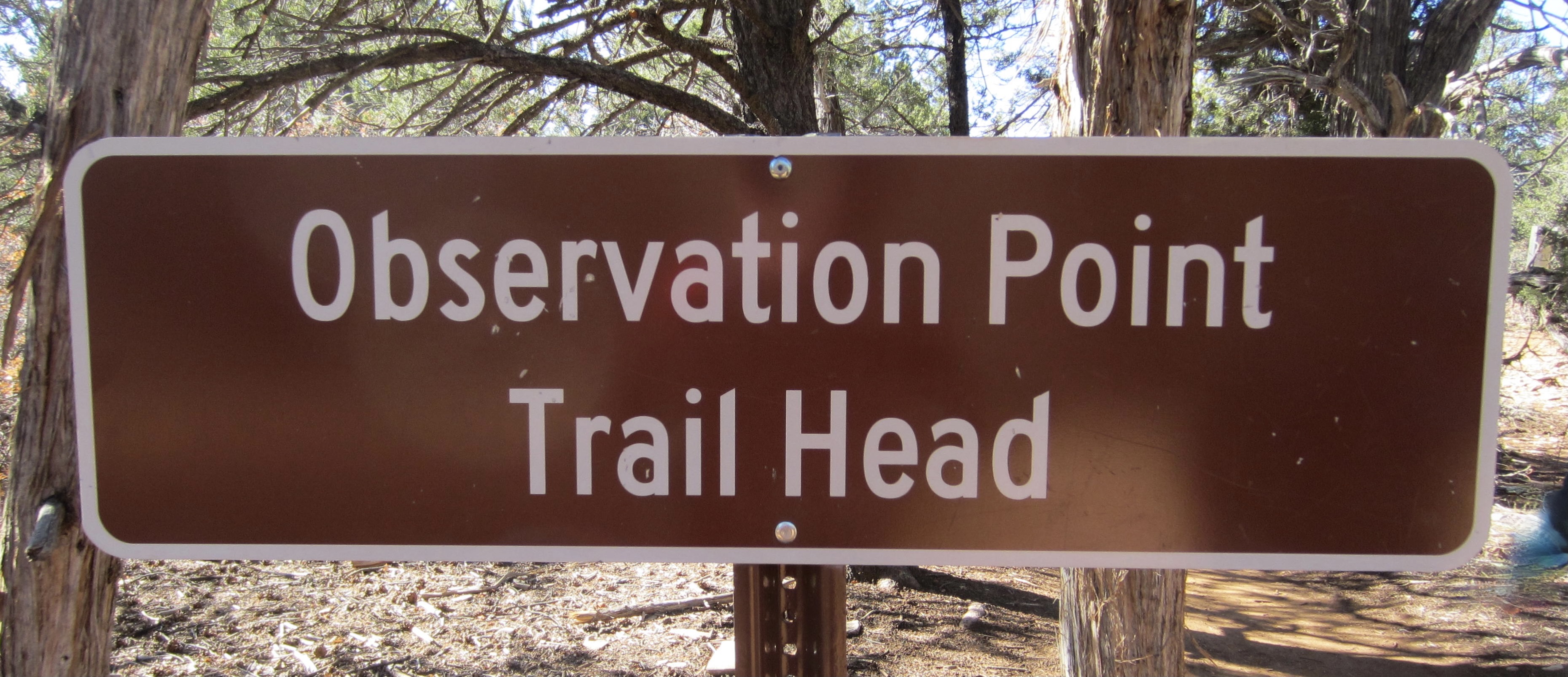
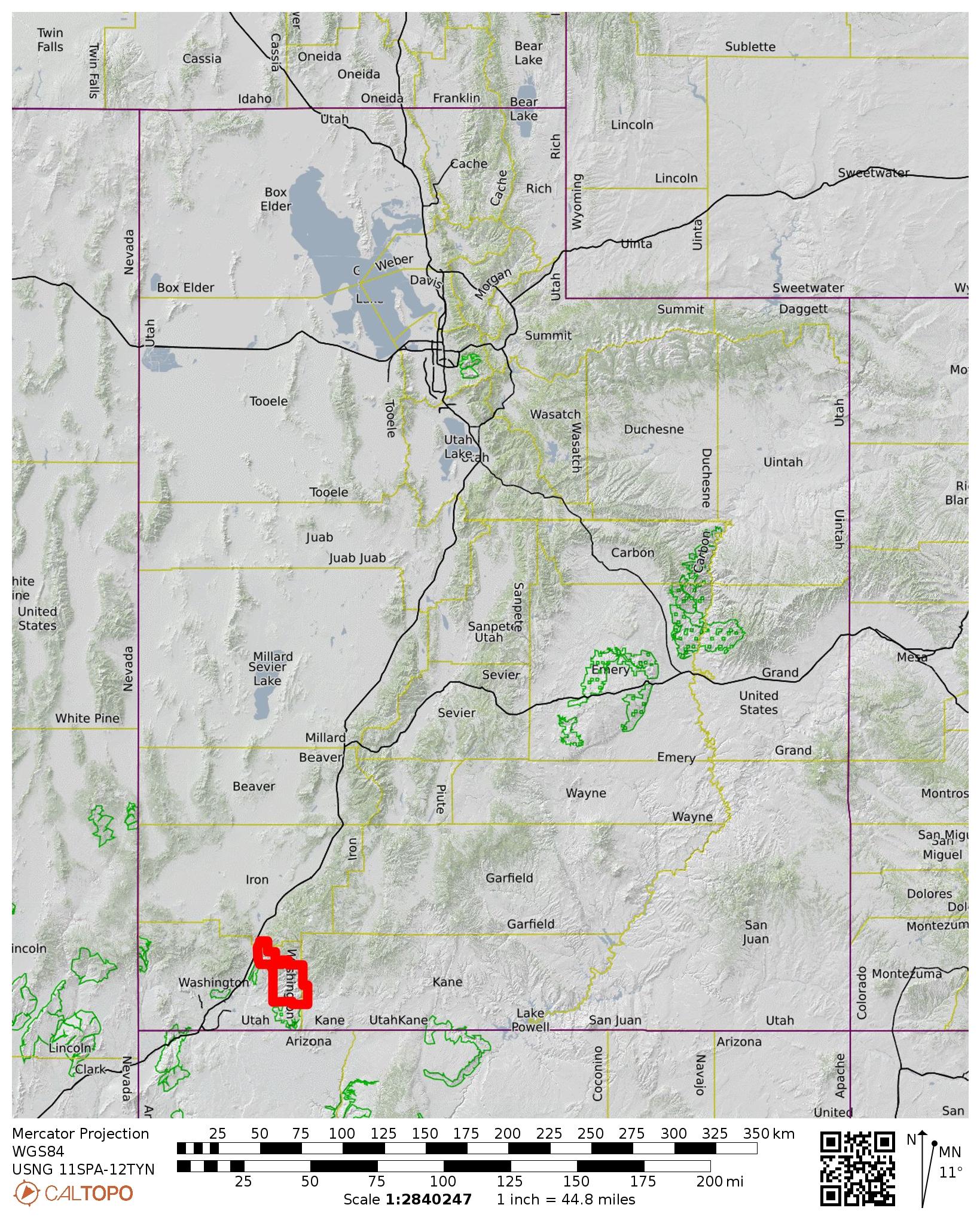
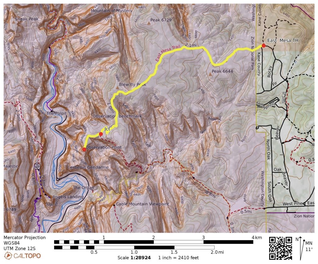
Starting & Ending Point: East Mesa / Observation Point Trailhead at end of Fir Road
Way Points: Observation Point Trail junction & Observation Point (trail hike)
Approximate Stats: 6.8 miles traveled; 700 feet gained & lost; 3.1 hours elapsed.
…
Full Trip Report
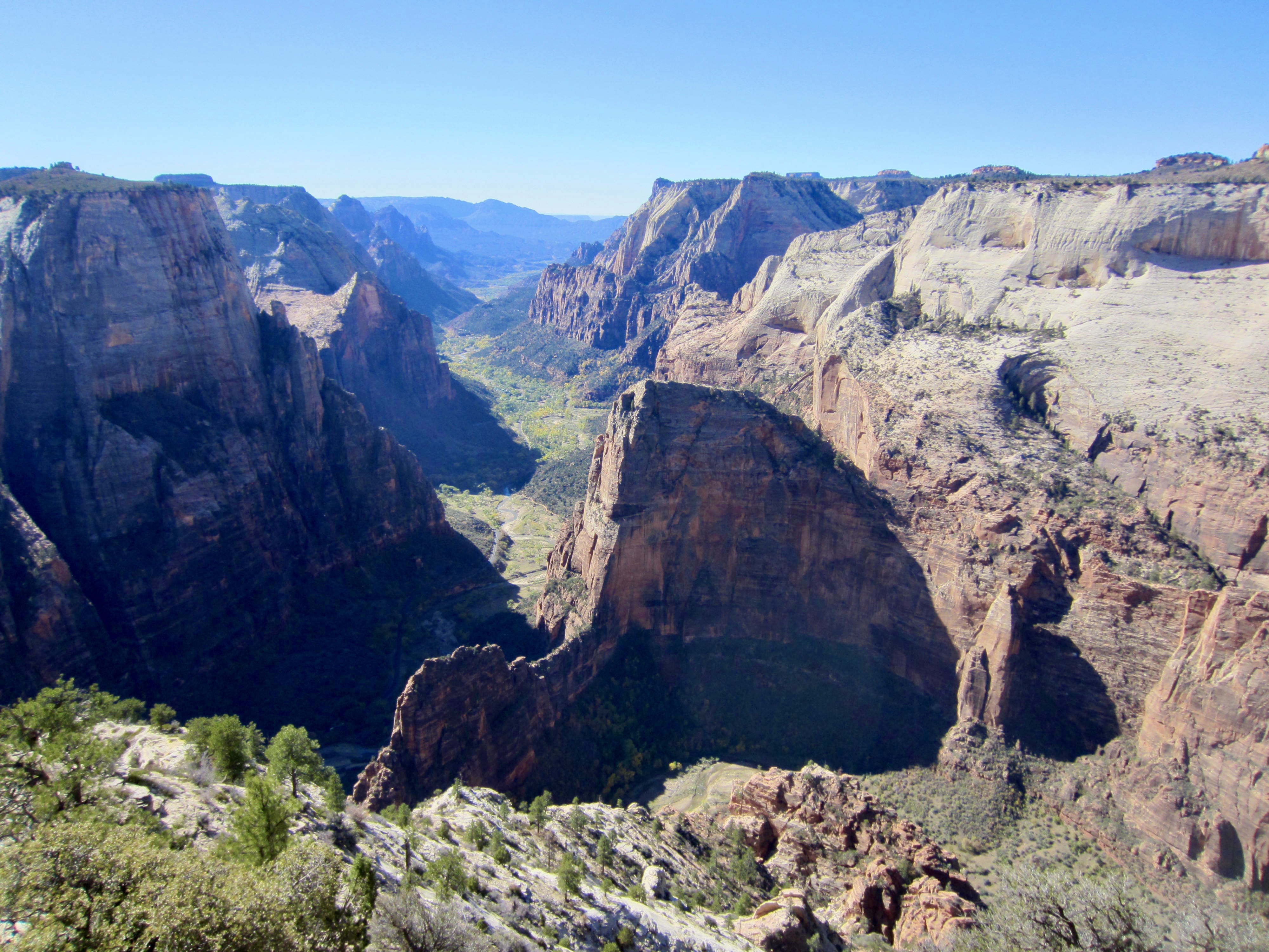
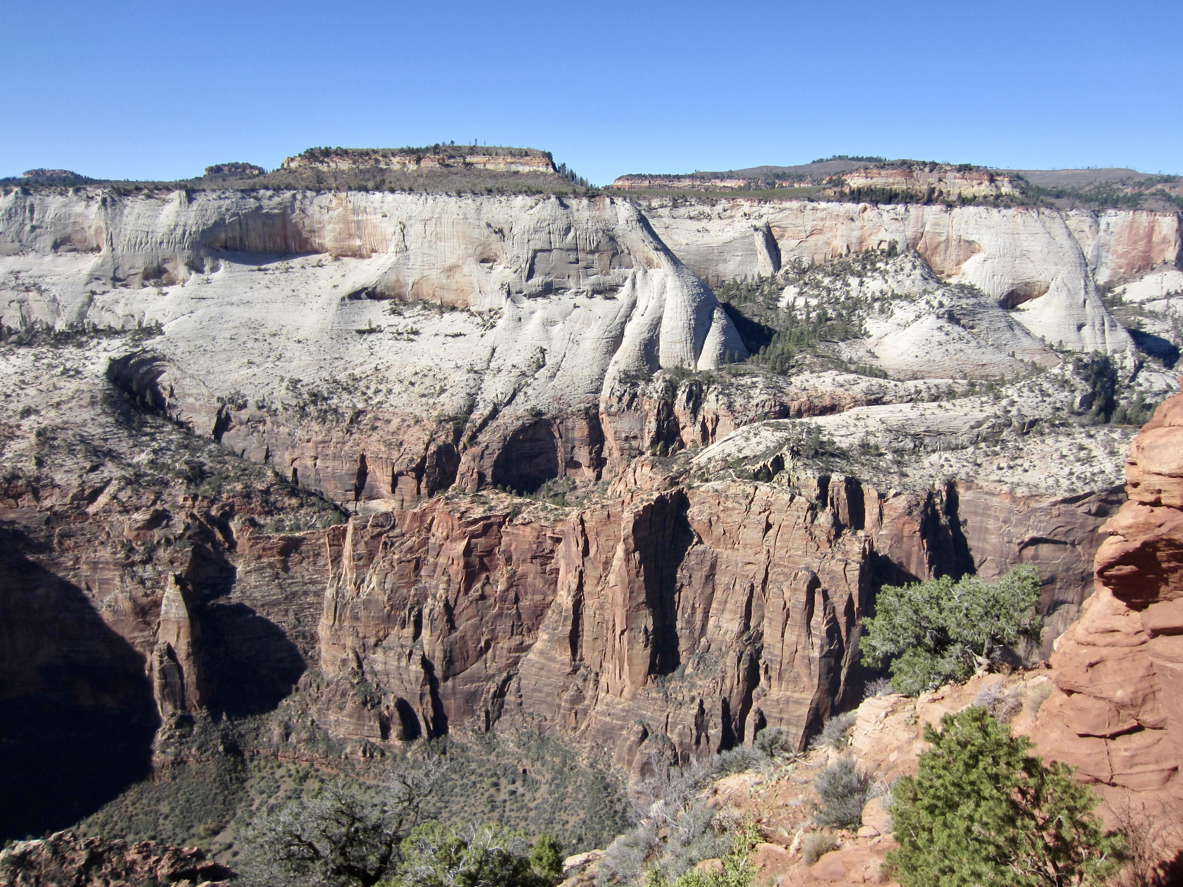
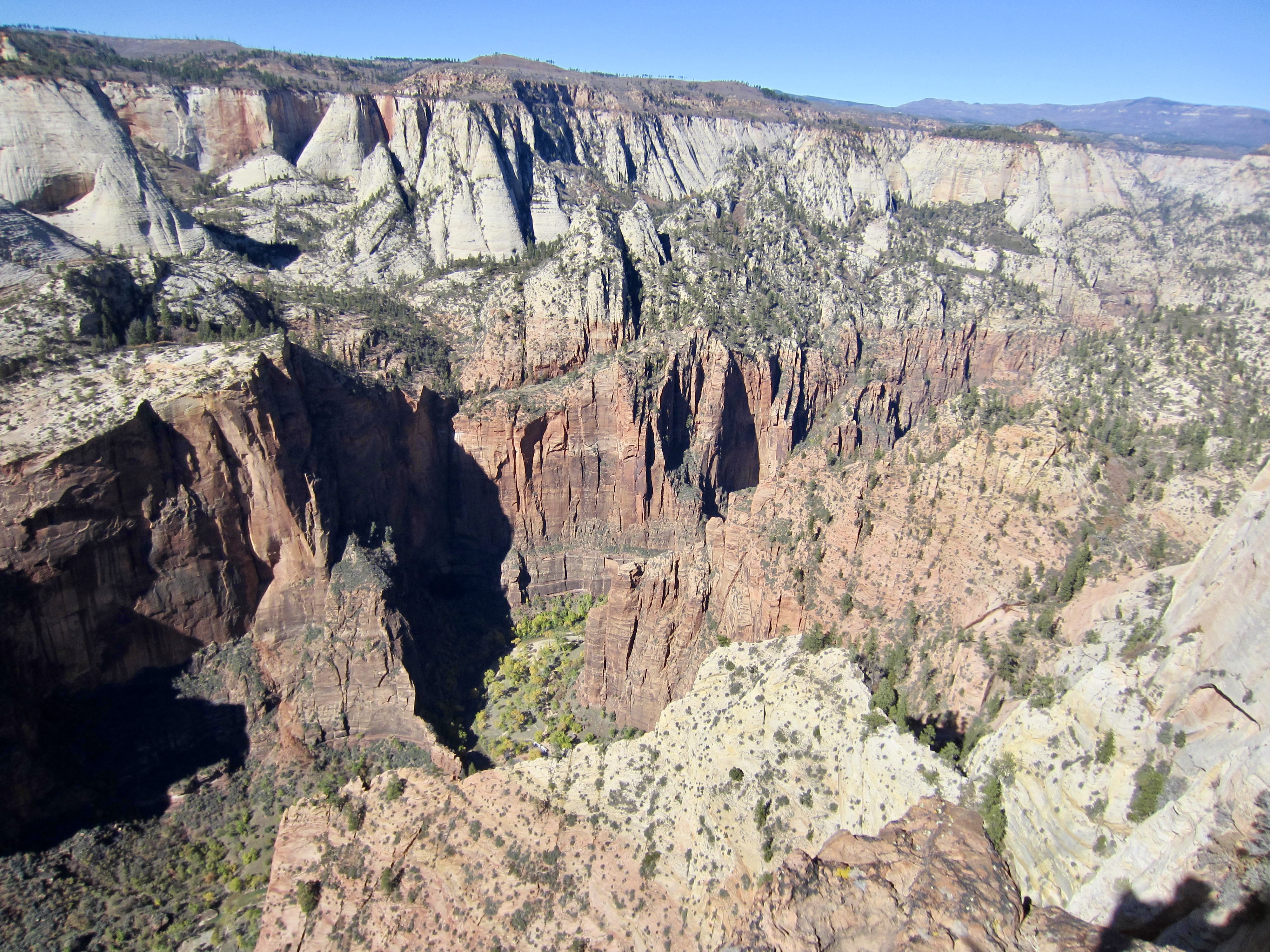
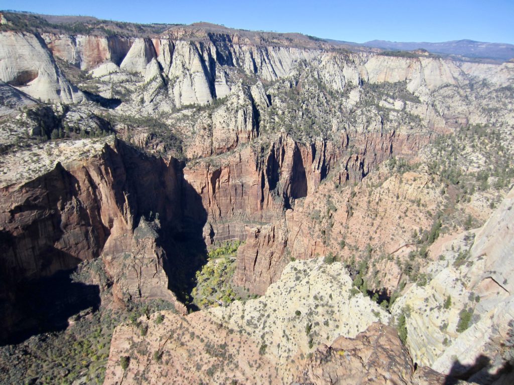
Although Angel’s Landing is arguably the most popular and dramatic day-hike in Zion National Park, I would say that Observation Point is probably the best viewpoint day-hike. This high, rocky promontory sits at the eastern edge of the park and overlooks the heart of Zion Canyon. Historically, the hike to Observation Point could be started directly from the canyon floor, but that trail was obliterated by a rockslide several years ago; as such, the only current access is from the eastern uplands.
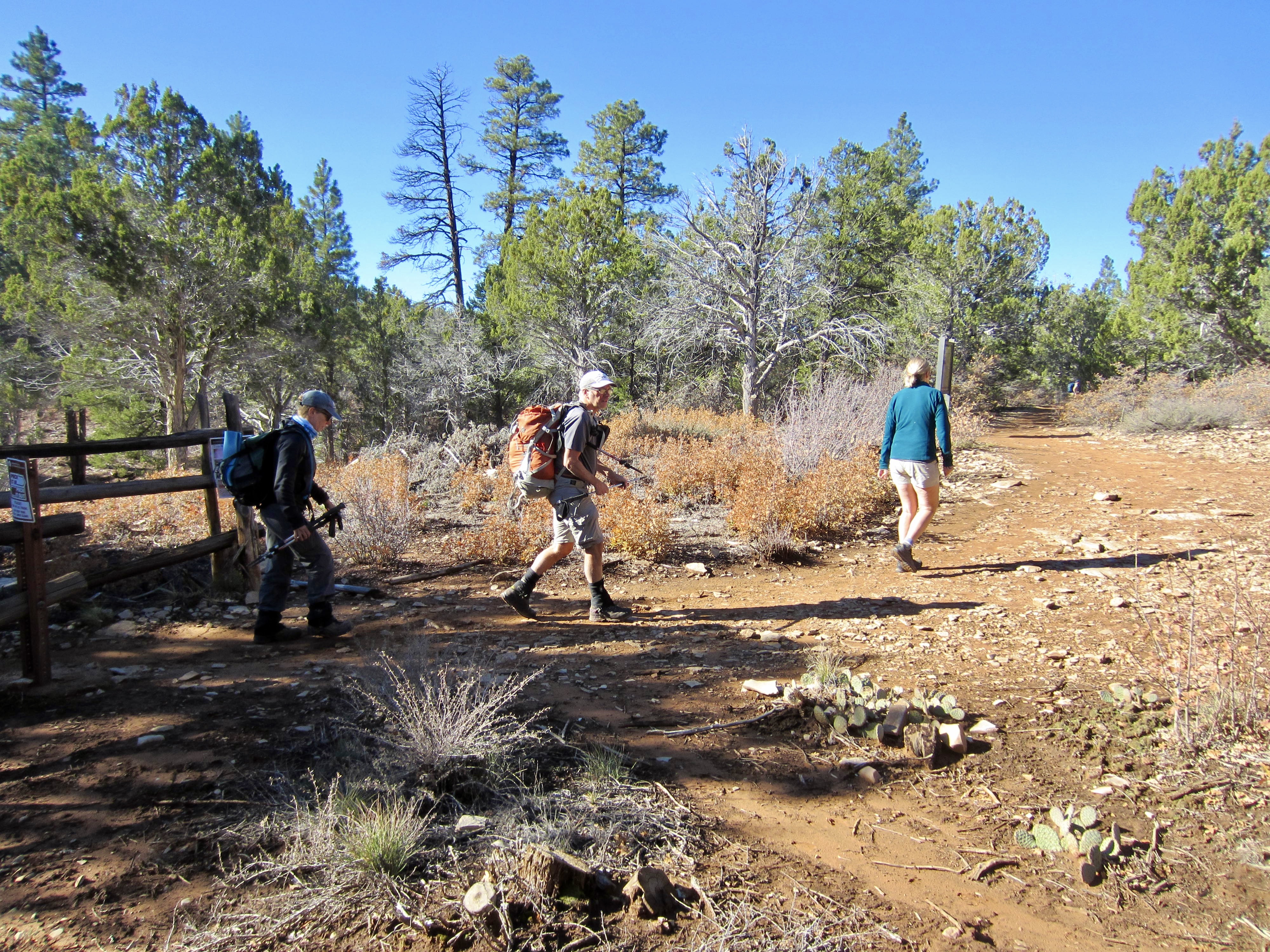
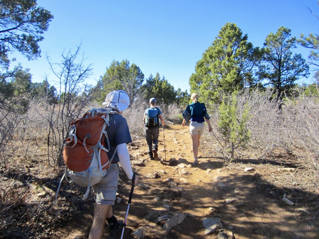
Eileen, Steve, Deb, and I made the trek out to Observation Point on a warm and clear fall morning. Starting from Highway 9 east of the park boundary, we drove out North Fork Road for about 5 miles, then continued northwesterly along a maze of dirt roads, passing many signs warning us that trailhead parking is very limited and that we should take a shuttle bus. (We subsequently found parking to be limited indeed, but there did not appear to be a shuttle bus operating this late in the season.)
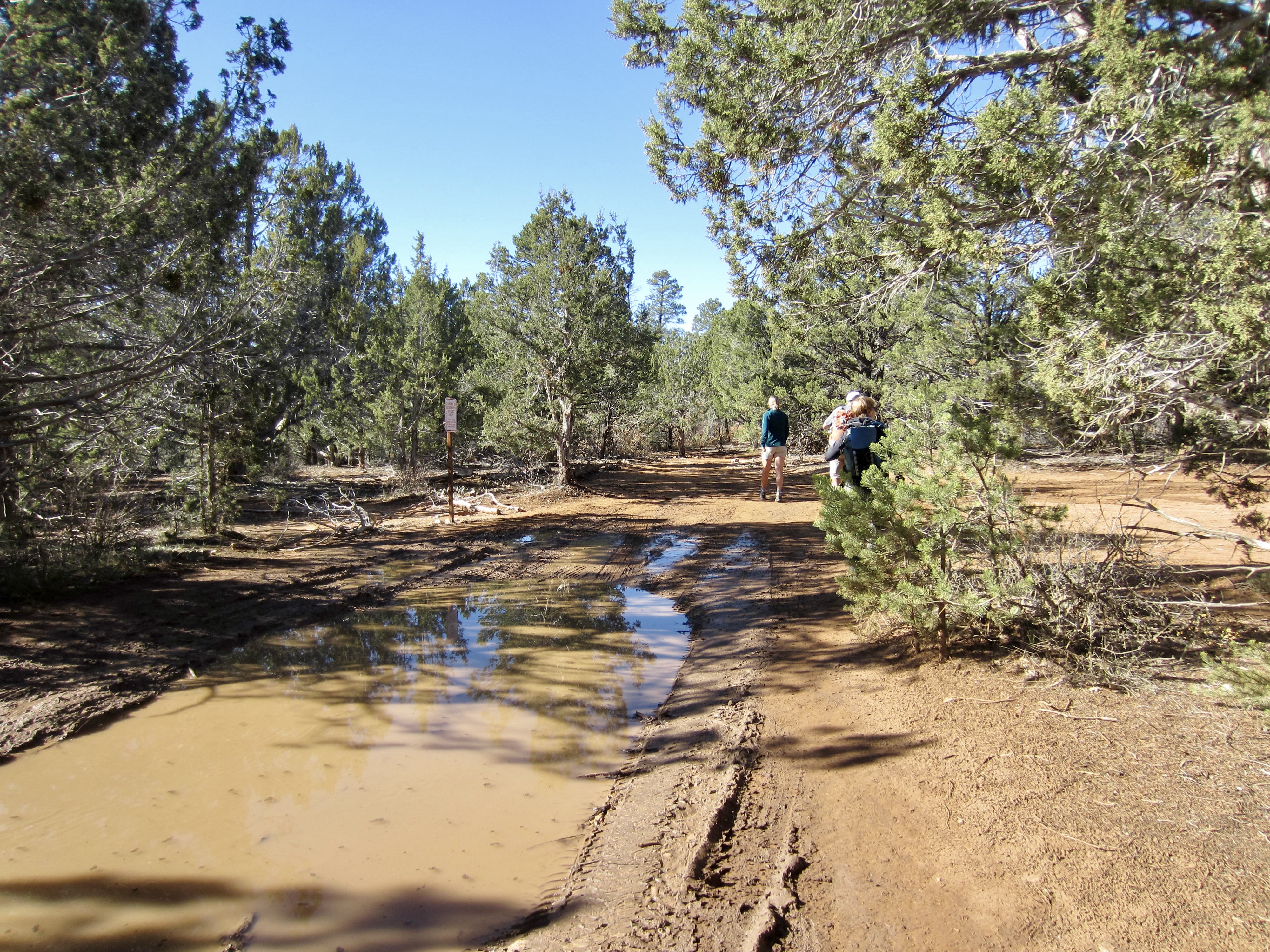
Road conditions steadily degraded as we drove onward, such that the last mile was a muddy, rutted mess. Steve and Deb had no problems getting through the quagmire in their four-wheel-drive truck, but Eileen and I experienced a few tense moments in our two-wheel-drive van (rented from Escape Campervans). It was a relief to finally reach the informal parking area, which can accommodate a couple dozen vehicles.
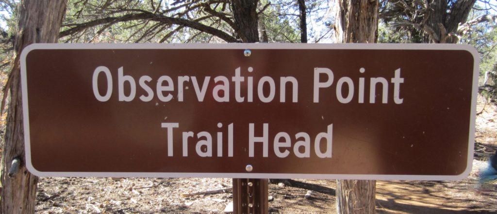
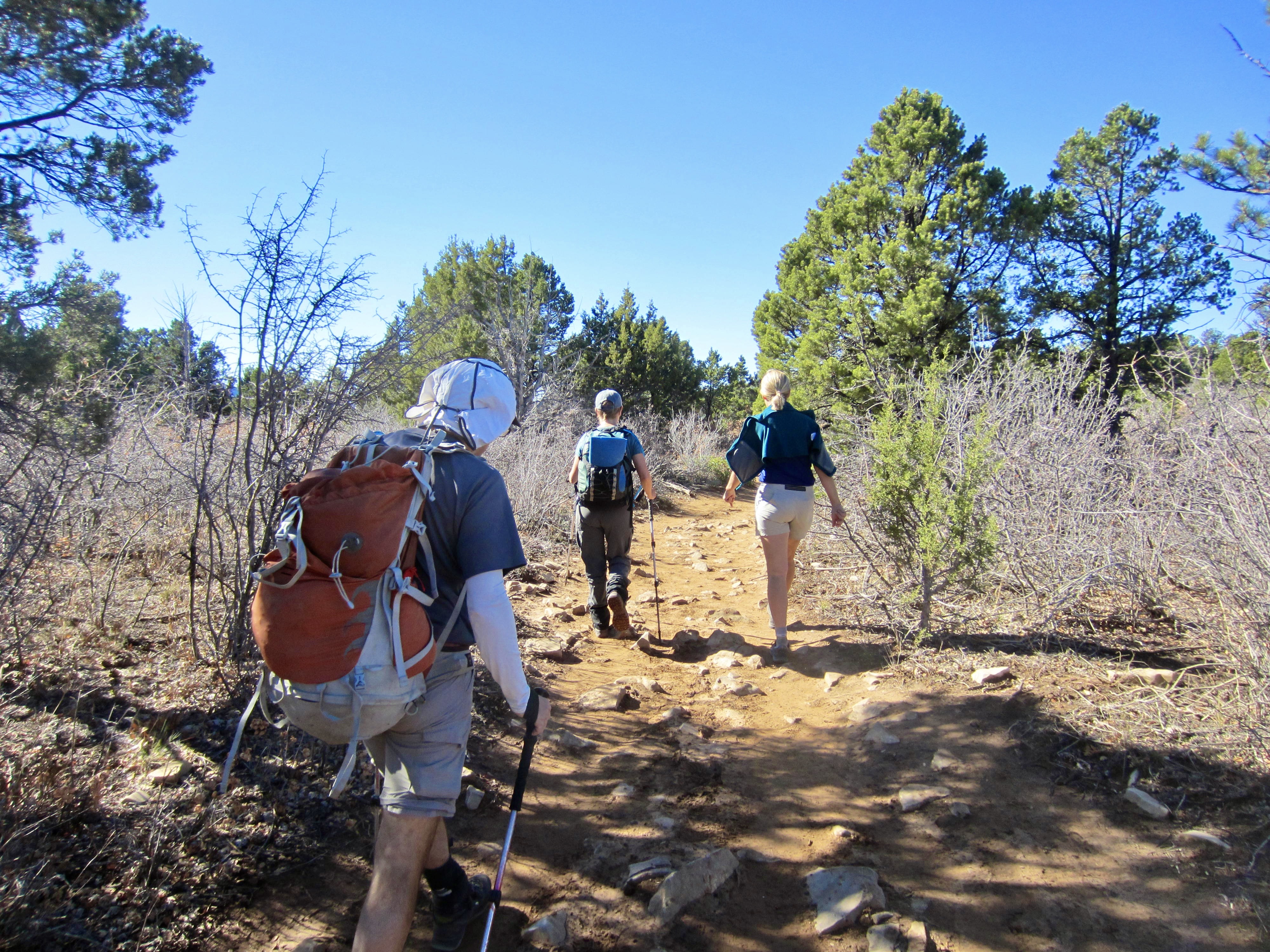
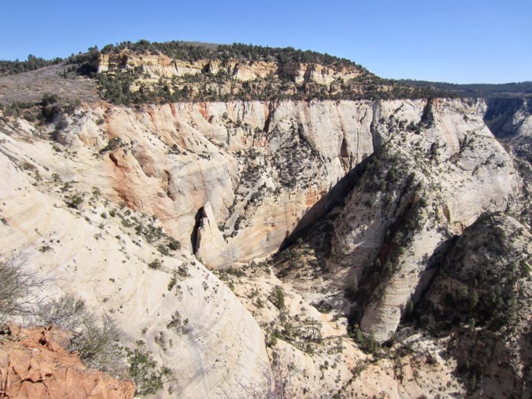
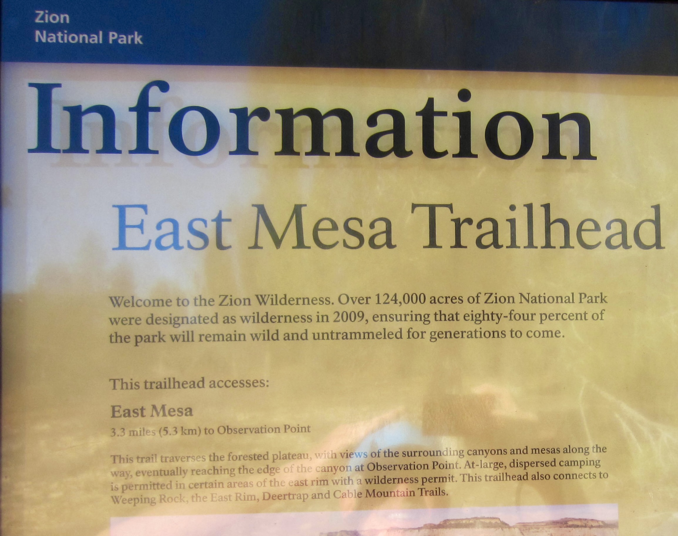
From our parking spot, we walked along a short road segment to the park boundary, marked by a gated fence. Several signs identify this as both the Observation Point Trailhead and East Mesa Trailhead. The easy-going trail took us southwestward across open forest and scrubland on East Mesa for 3 miles, making gentle ups and downs with no net elevation gain.

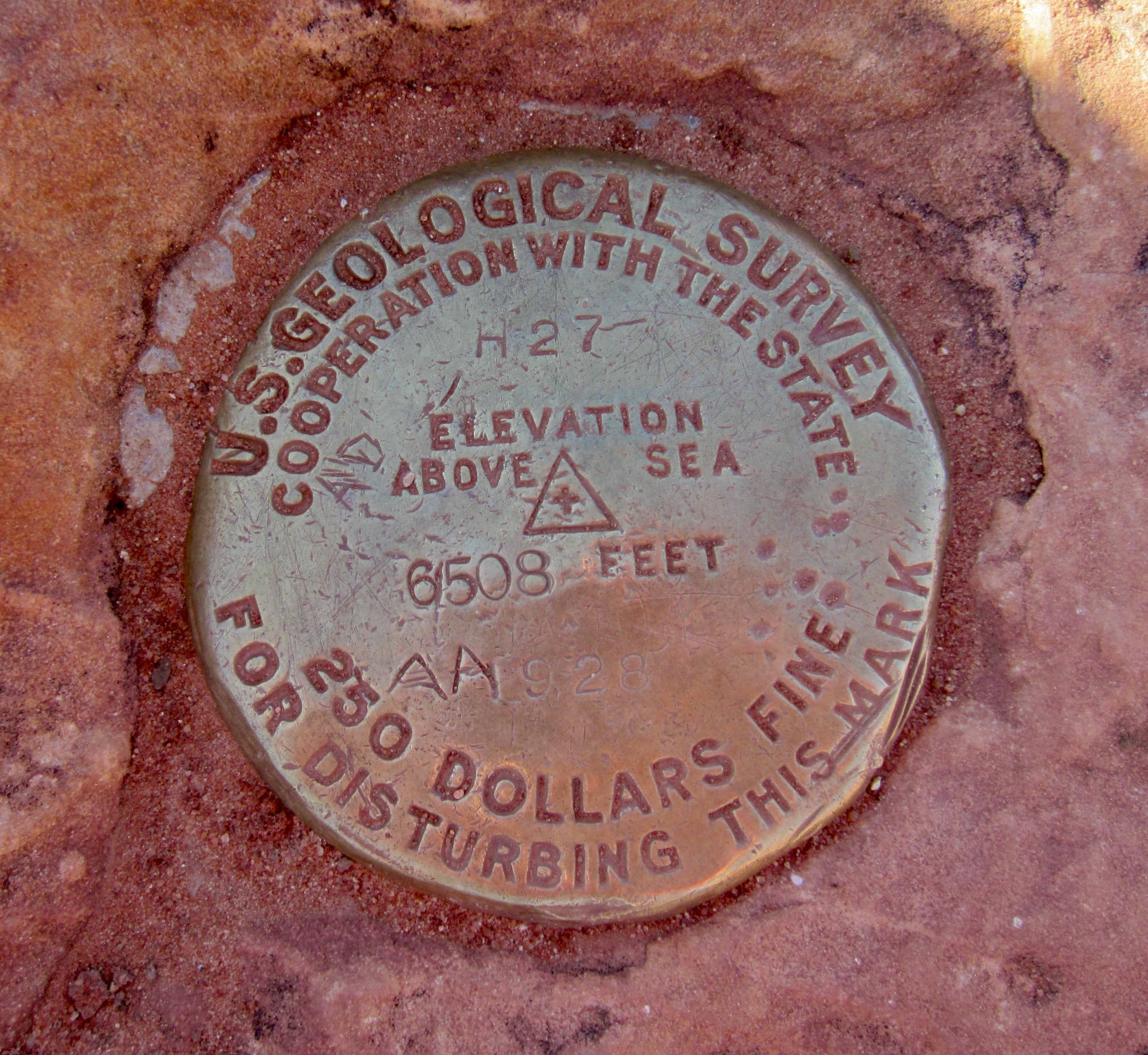
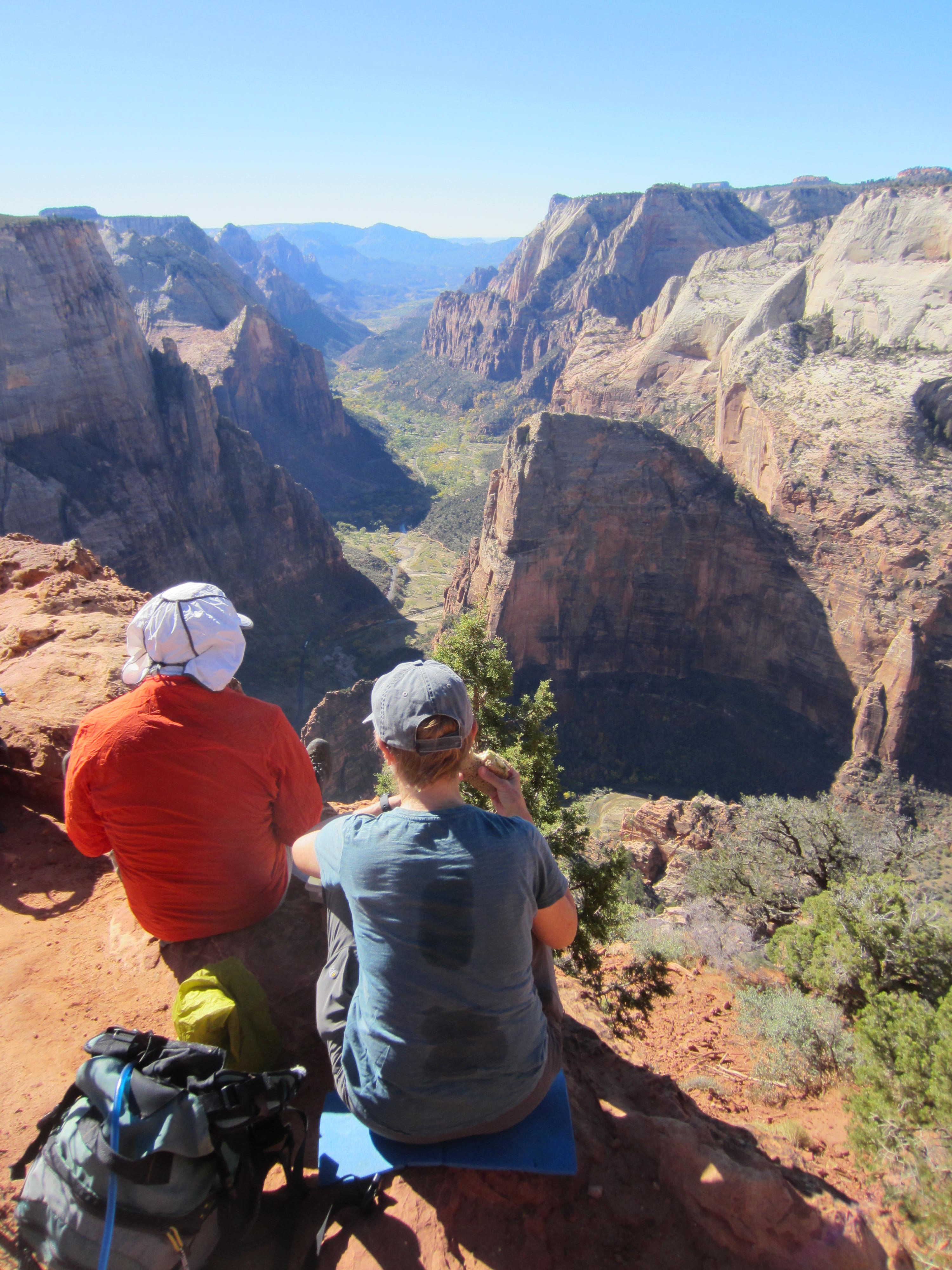
Upon arriving at a trail junction, we took a short spur trail out to Observation Point (1.3 hours + 300 feet from TH). This marvelous vantage affords great views in multiple directions: southward through the North Fork Virgin River valley; northward to Zion Narrows; straight down into Zion Canyon; and across the canyon to the West Rim. Using Steve’s monocular, we could see a cluster of hikers atop Angel’s Landing—located 1 mile away, at an elevation 700 feet below us.


We passed numerous hikers during our return, and by the time we reached the trailhead at midday (1.1 hours + 400 feet), the parking lot was nearly full. Obviously, it behooves one to get an early start on this trek.
…
Route Map
…
Photo Gallery
Click to enlarge…