Trip Date: October 30, 2021
2021 DESERT SOUTHWEST ADVENTURE VACATION
Queen’s Garden – Peekaboo – Navajo Figure-8 Loop Day Hike
Sunrise Point
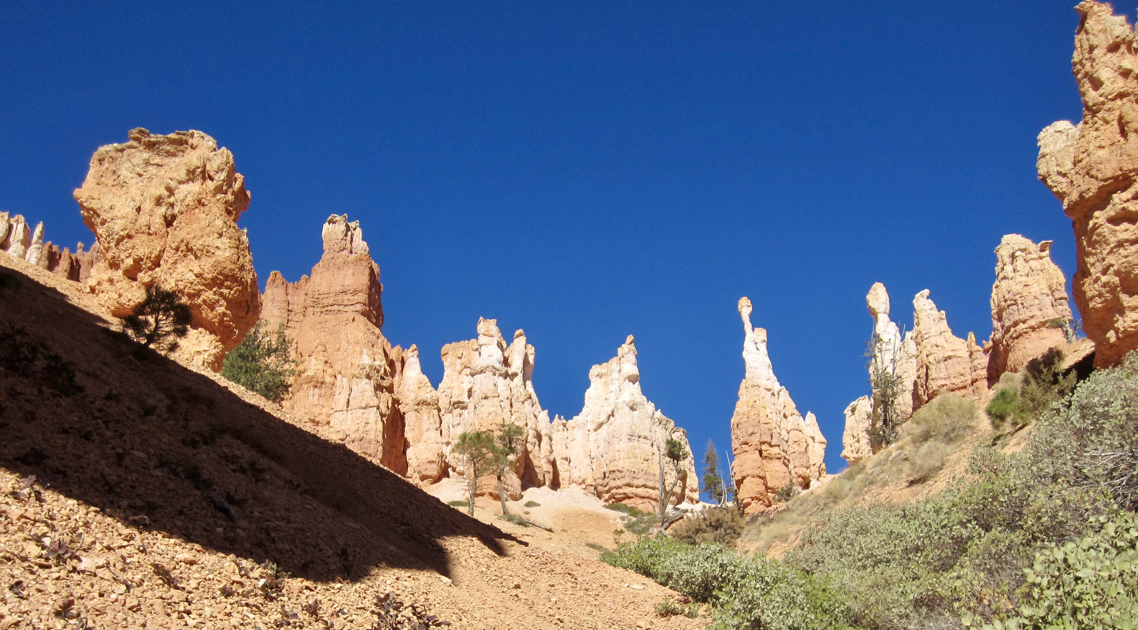
Queen’s Garden
Bryce Creek
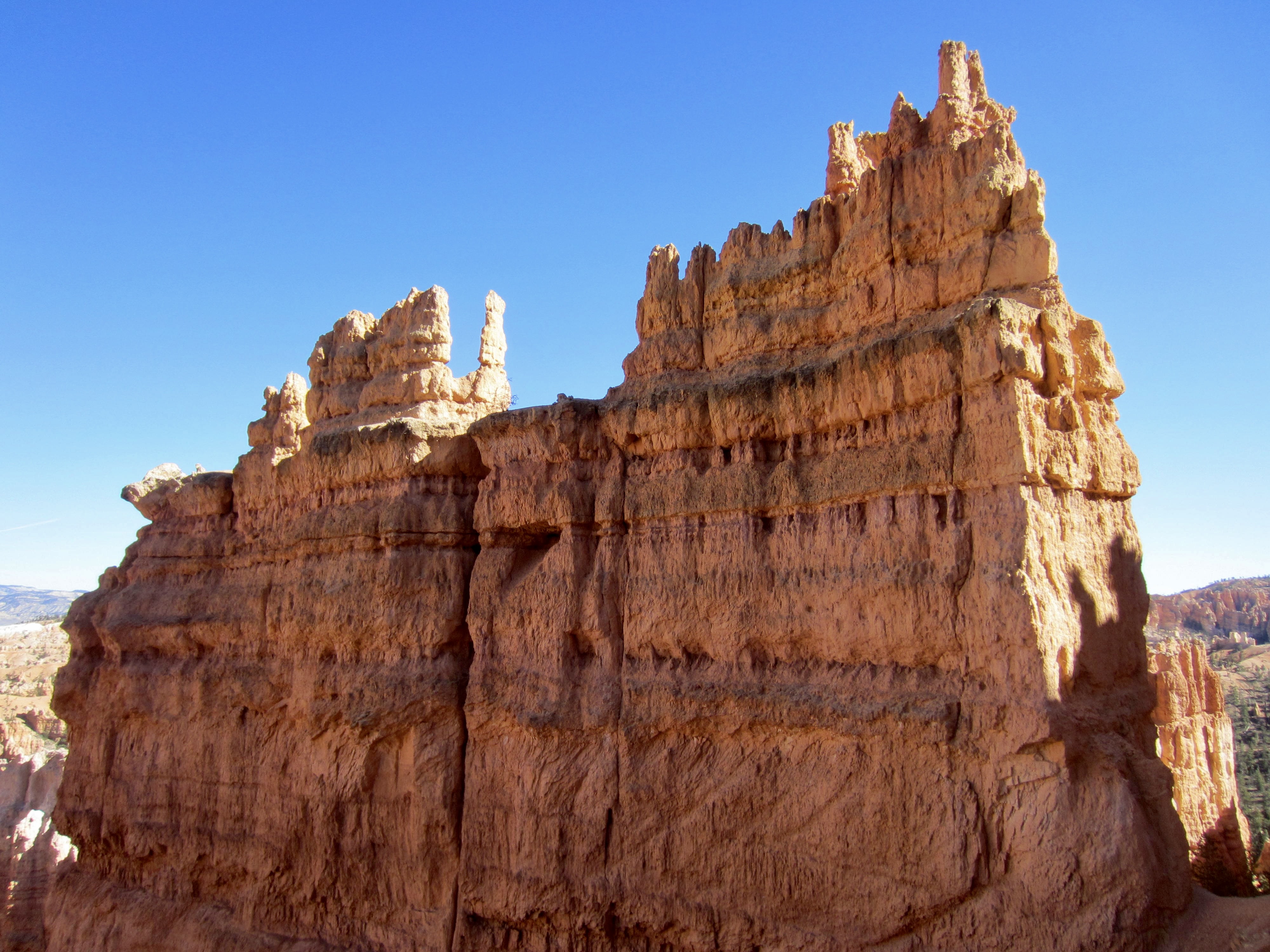
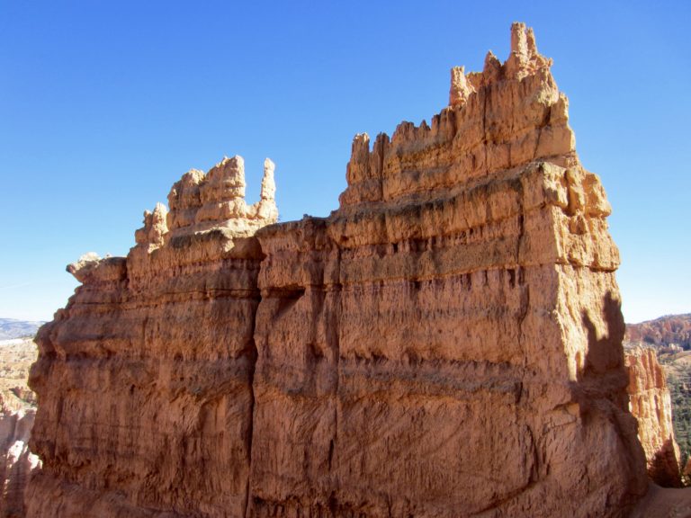
The Cathedral
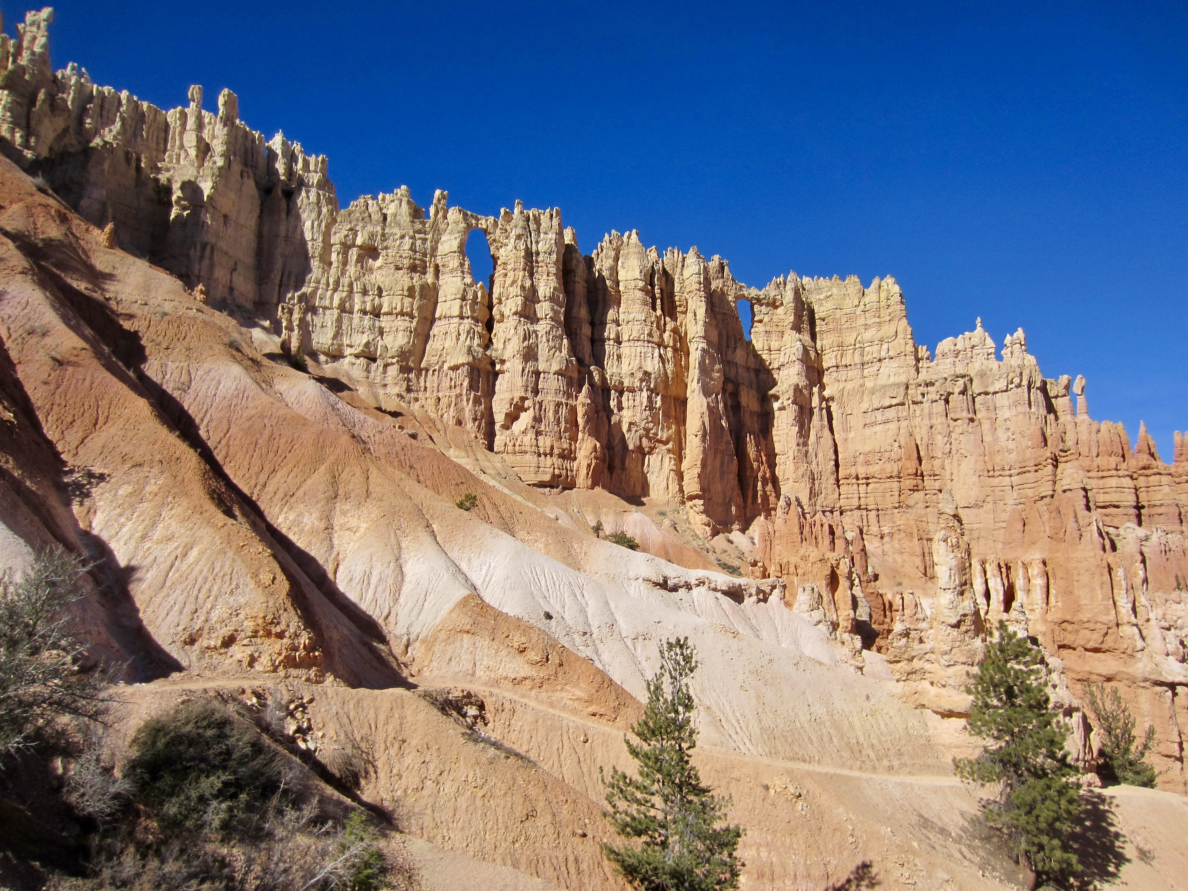
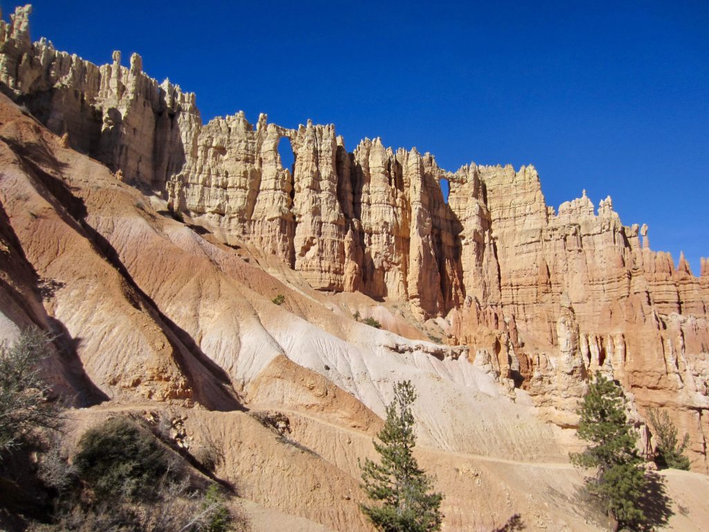
Wall of Windows
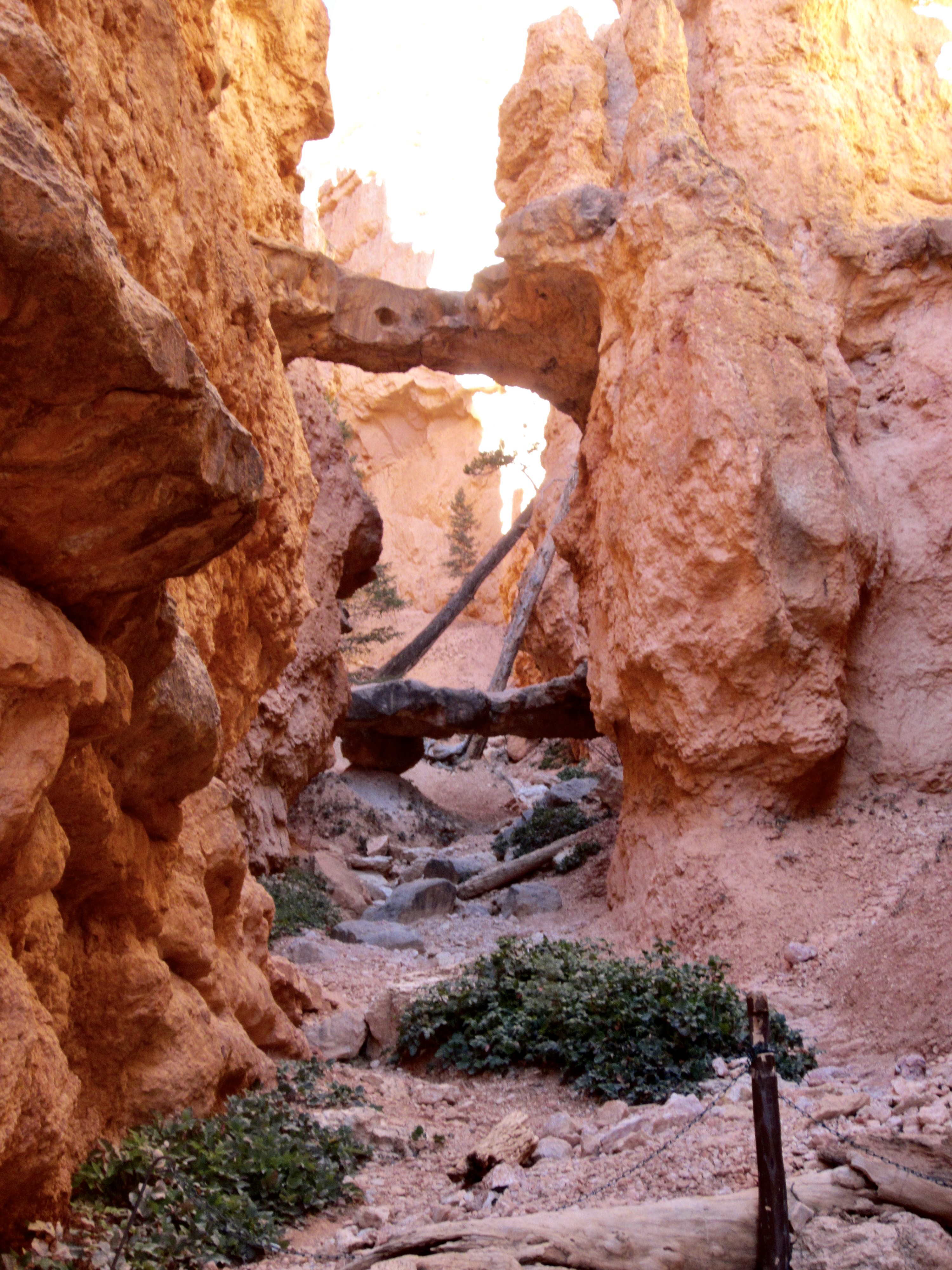
Twin Bridges
Sunset Point
Trip Report Summary
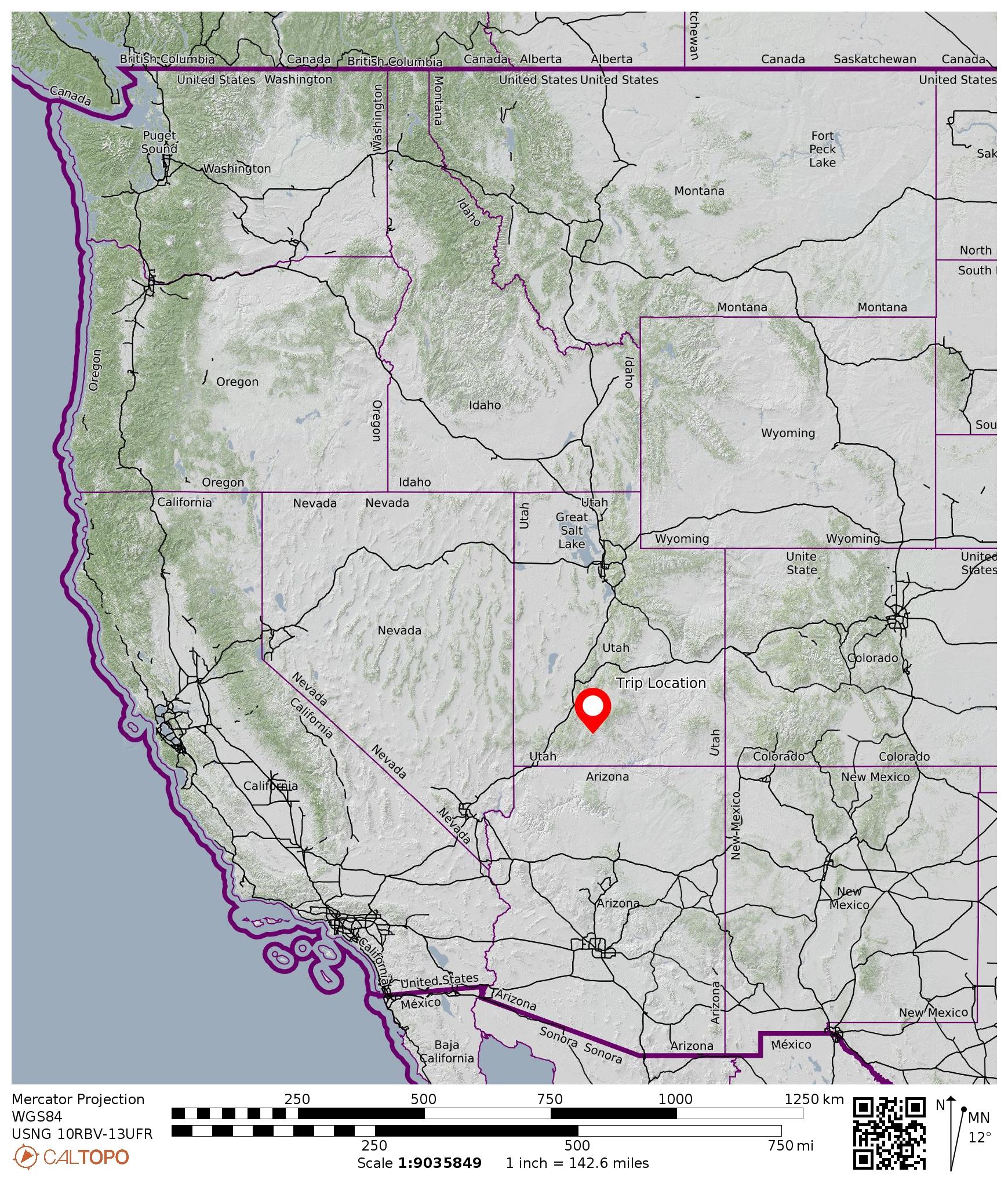
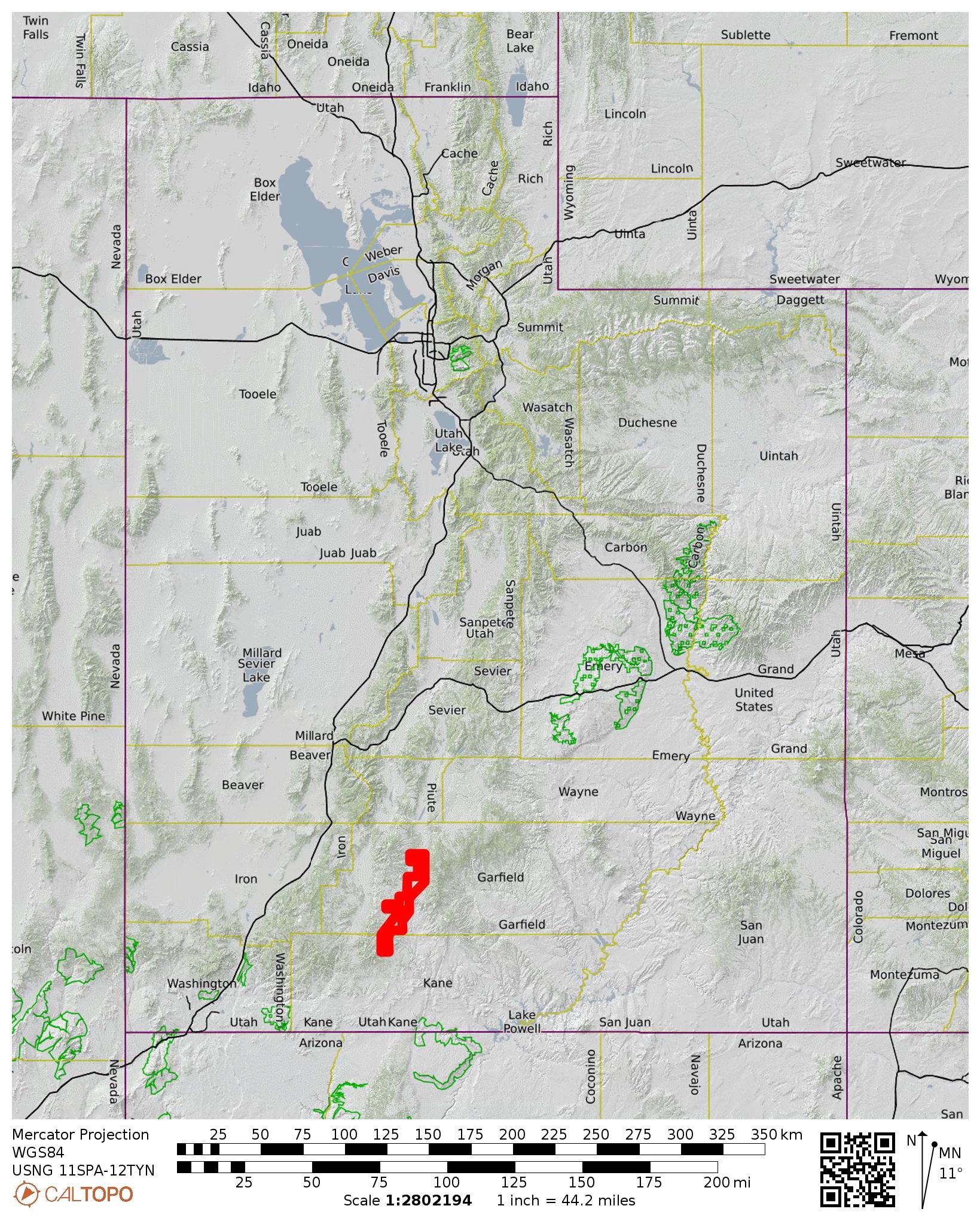
Region: Utah
Sub-Region: Southwestern Utah
Area: Bryce Canyon National Park
Starting & Ending Point: North Campground (Elev. 7970 feet)
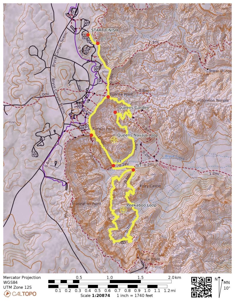
Way Points: Bryce Canyon Rim & Sunrise Point / Queen’s Garden Trailhead & Queen’s Garden & Bryce Creek & The Cathedral & Wall of Windows Ridge & Bryce Creek crossing & Twin Bridges & Sunset Point & Bryce Canyon Rim & Sunrise Point (hike via Rim Trail—Queen’s Garden Trail—Peekaboo Loop Trail—Navajo Loop Trail—Rim Trail)
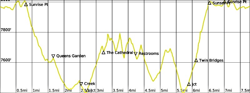
Approximate Stats: 7.5 miles traveled; 1700 feet gained & lost; 4.8 hours elapsed.
…
Related Post
Queens Garden – Peekaboo – Navajo Figure-8 Loop – November 2020
Full Trip Report
Eileen and I first visited Bryce Canyon last year with Brooke, during an early-season snowstorm, and we hiked the quintessential Queen’s Garden – Peekaboo – Navajo Figure-8 Loop on a cold, overcast day. Now Eileen and I were back here with Steve and Deb on a mild, bluebird day, and we were eager to repeat the hike under much different conditions.
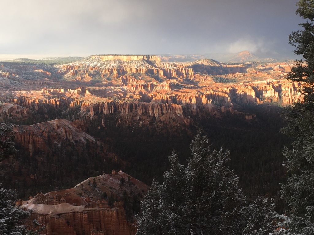

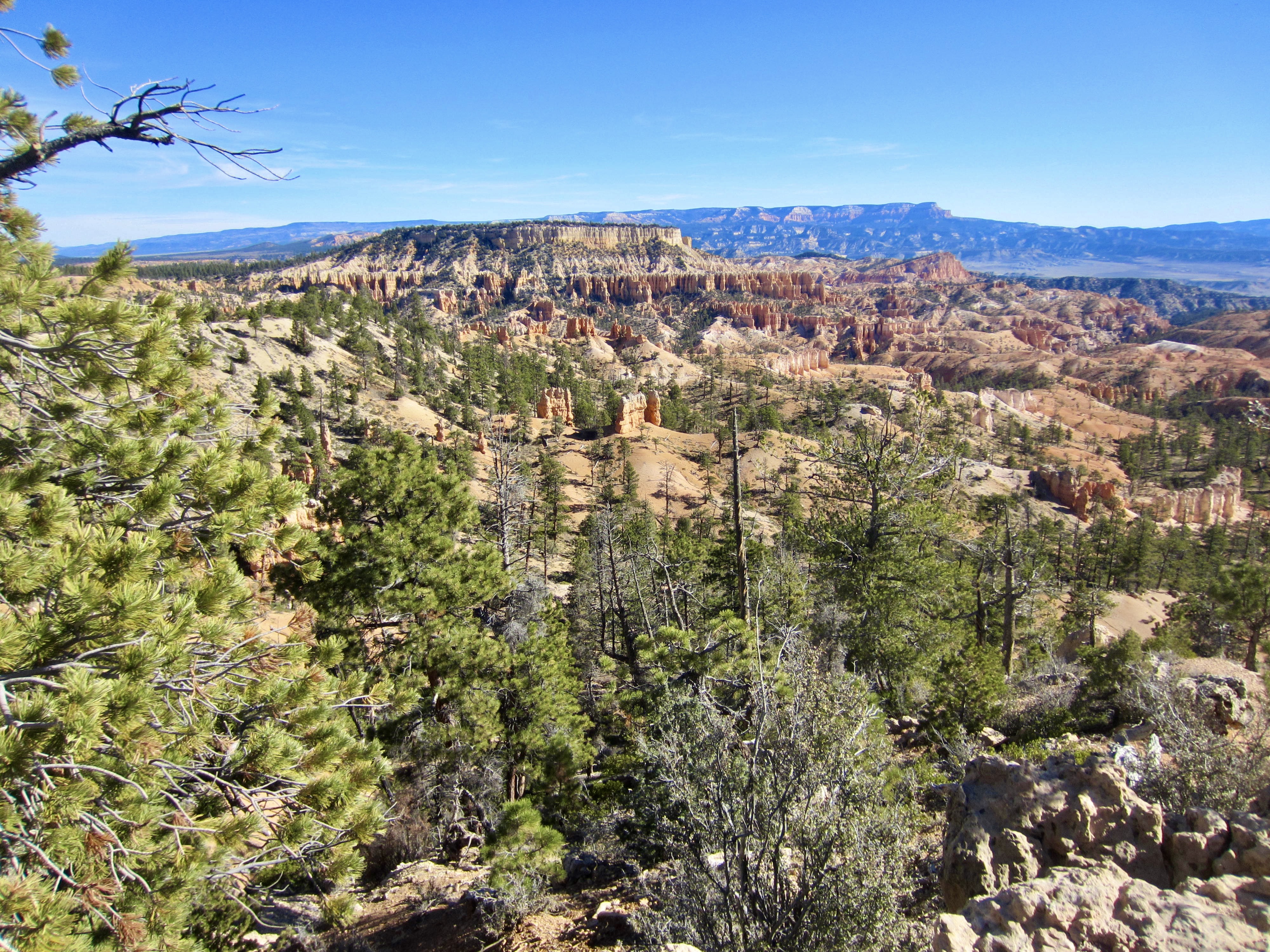
Starting from our campsite in North Campground, the four of us walked out to the Rim Trail and headed south along the edge of Bryce Amphitheater. We stopped at Sunrise Point to gawk at the chaotic landscape of natural walls and windows, cathedrals and castles, turrets and towers, spires and and spears—all formed by severe erosion of sedimentary rock (mostly limestone and siltstone). It is truly an indescribable view!

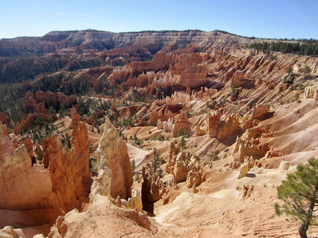
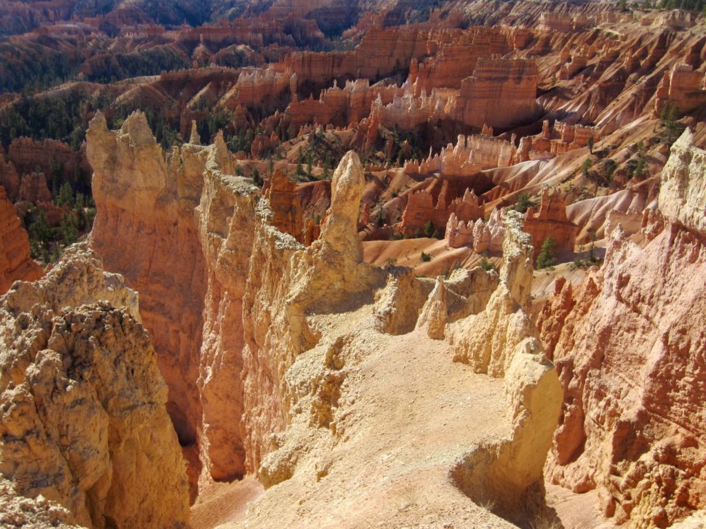
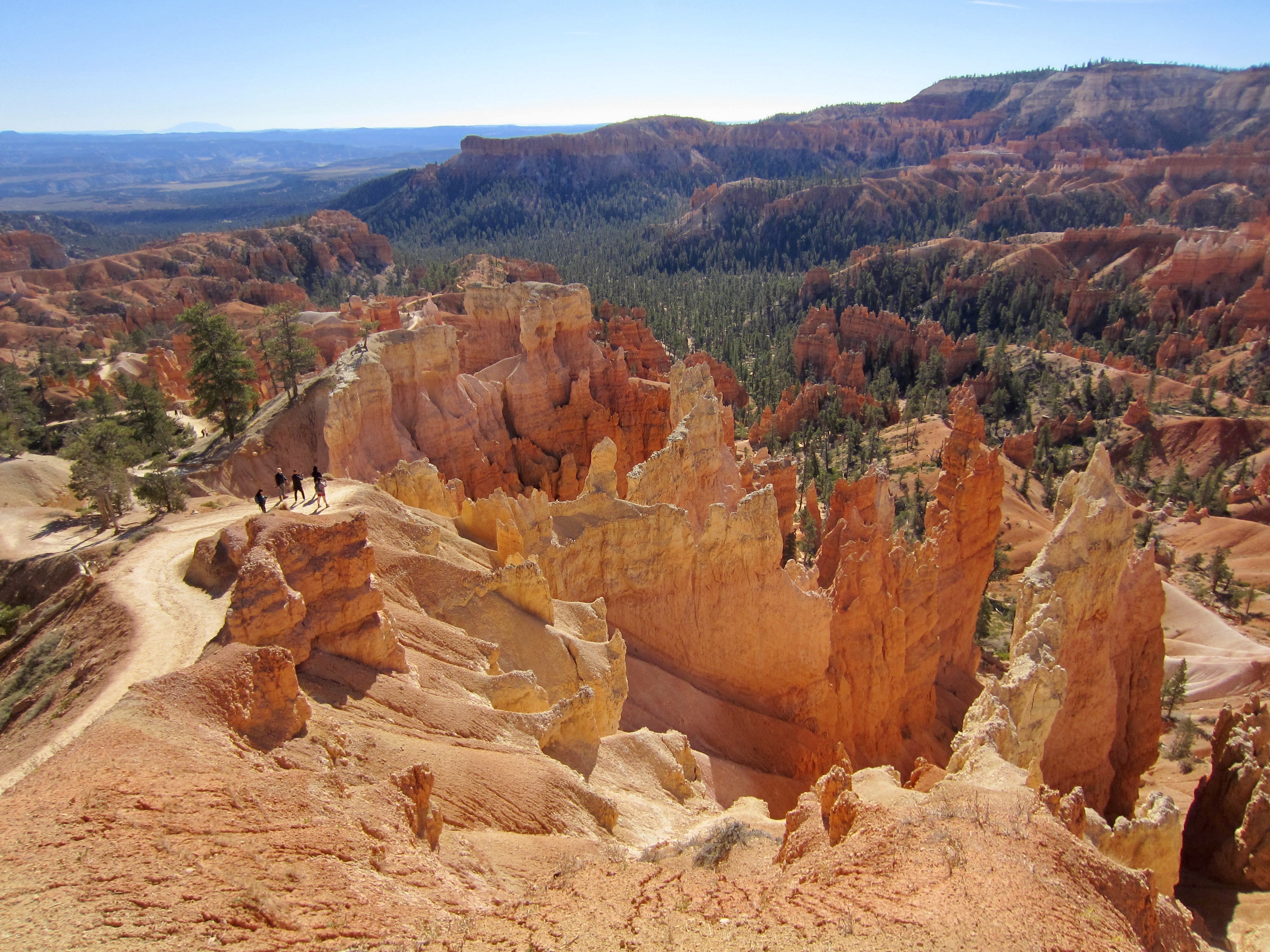
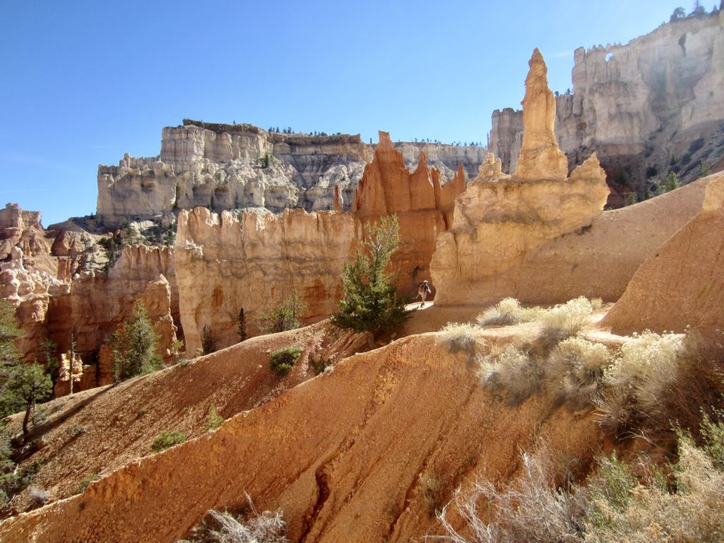
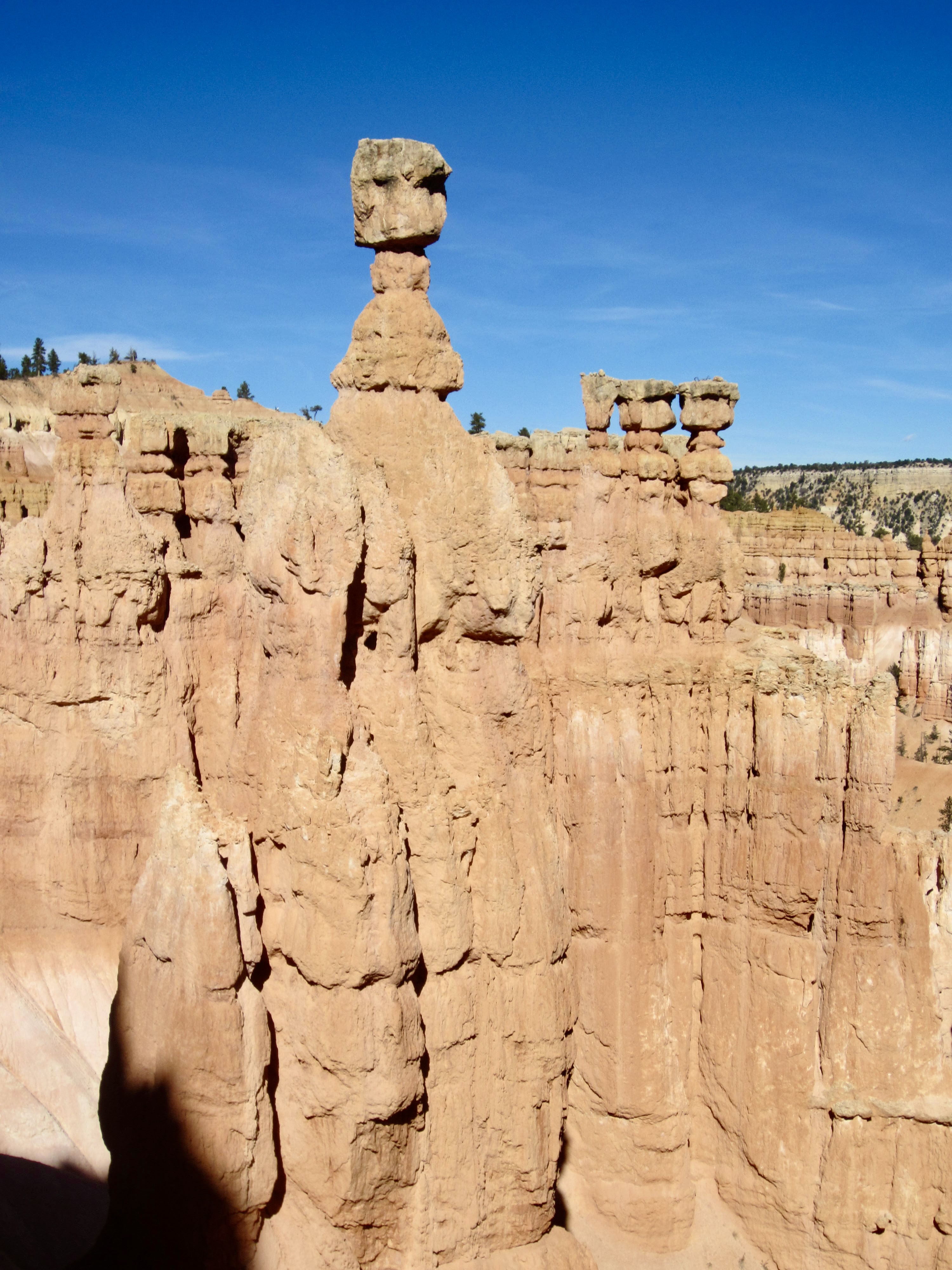
We headed down the Queen’s Garden Trail, which winds around countless bizarre rock outcrops and passes through several tunnels. After a quick sidetrip to pay homage to Queen Victoria—not the real queen, just a lookalike hoodoo—we bottomed out at Bryce Creek and then started hiking up the Peekaboo Loop Trail in a counter-clockwise direction. This 3-mile circuit took us on a tour of myriad delicate siltstone and limestone formations, most of which appear to be on the verge of toppling over! The photos below show a few examples; for other examples, see my 2020 report.


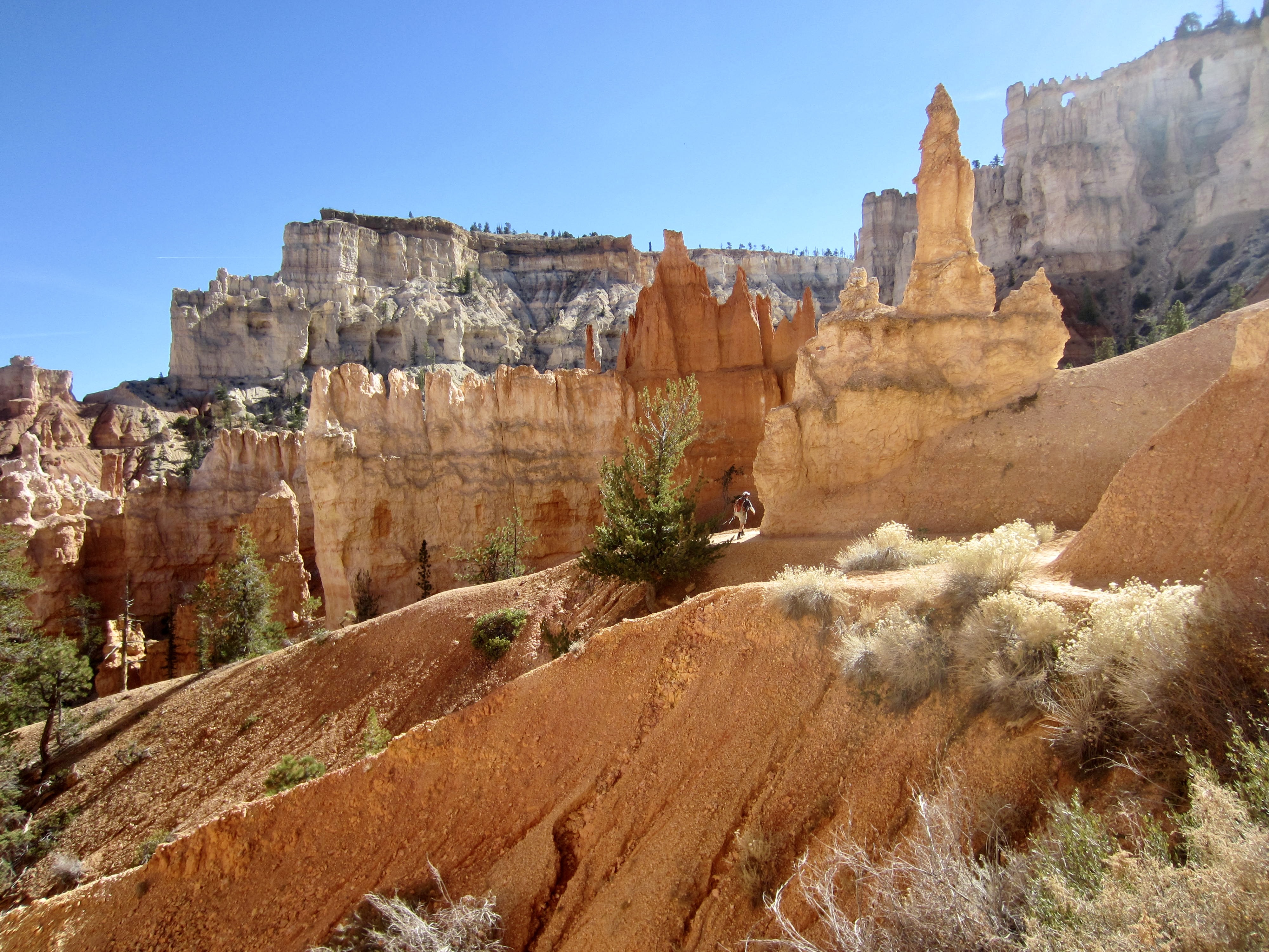
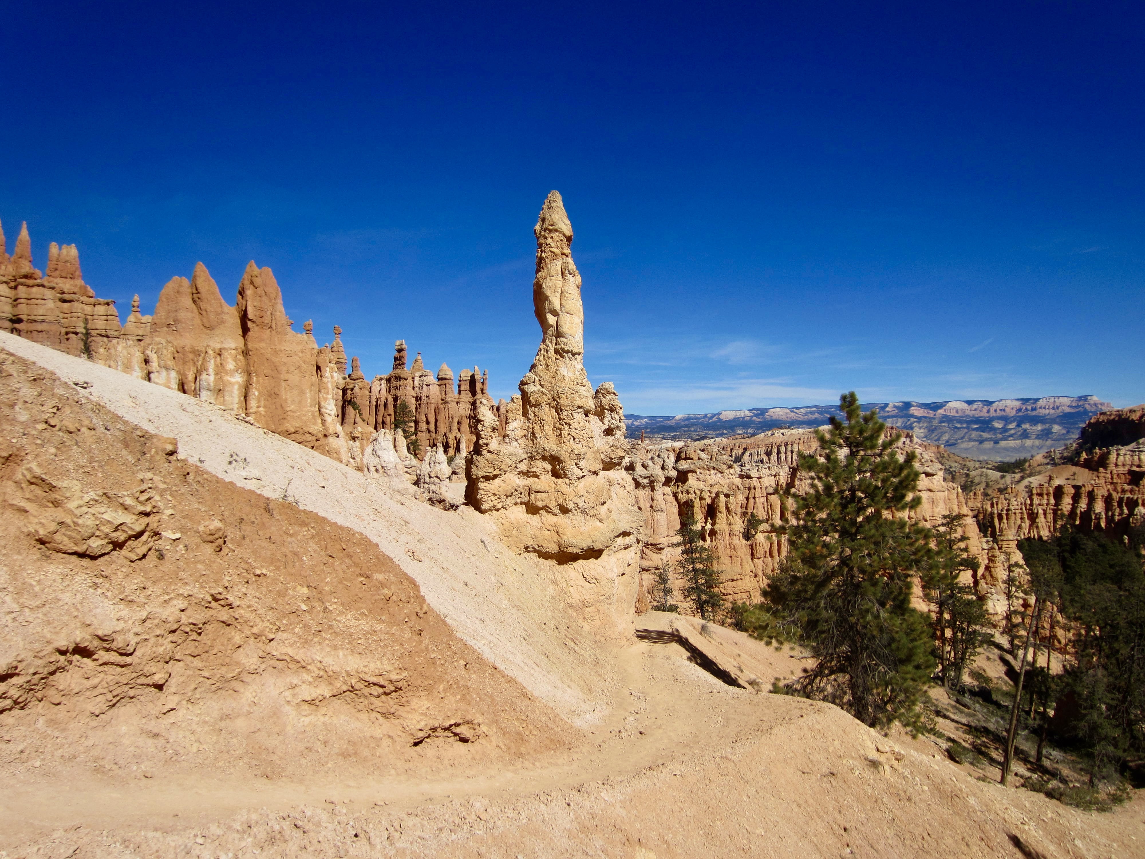
Upon circling back down to Bryce Creek, we came to a junction with the Navajo Loop Trail. The left (southwest) branch of this loop was closed for the winter, so we took the right (northeast) branch and headed steeply uphill through an impressively deep gulch. Although not as dramatic as the left branch, which ascends a slot canyon called “Wall Street,” the right branch offers two notable rock features: Twin Bridges and Thor’s Hammer.
Both branches of the Navajo Loop Trail converge near Sunset Point—the most popular viewpoint at Bryce Canyon, for good reason. From there, we hiked northward on the Rim Trail past Sunrise Point and arrived back at North Campground in mid-afternoon (4.8 hours + 6.8 miles + 1700 feet total trek).
Route Map & Profile
…
…
Photo Gallery
Click to enlarge…