Trip Date: June 1-3, 2018
North Gardner Mountain Climbing Trip
Wolf Creek Valley
Gardner Meadows
Wolf Creek Basin
North Gardner Mountain (8956 ft)
Trip Report Summary
Region: Northeastern Washington Cascades
Sub-Region: Mazama Mountains
Area: Lake Chelan – Sawtooth Wilderness
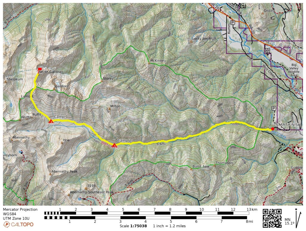
Starting & Ending Point: Wolf Creek Trailhead at end of Wolf Creek Road #5005 (Elev. 2950 feet)
Way Points: Wolf Creek & North Fork Trail junction & Abernathy Trail junction & Hubbard Creek Trail junction & Gardner Meadows (trail hike)
Campsites: Gardner Meadows & Abernathy Trail junction
Sidetrip: Wolf Creek Basin (off-trail hike)
Summit: North Gardner Mountain (snow climb & rock scramble via Southeast Bowl—South Ridge)
Approximate Stats: 24.5 miles traveled; 7300 feet gained & lost.
Related Posts
>>> North Gardner Mtn via Wolf Creek–Southeast Slope–South Ridge – June 2004
>>> Gardner Mountain via Wolf Creek–South Slope – October 2000
Full Trip Report
Day 1: Trailhead to Gardner Meadows
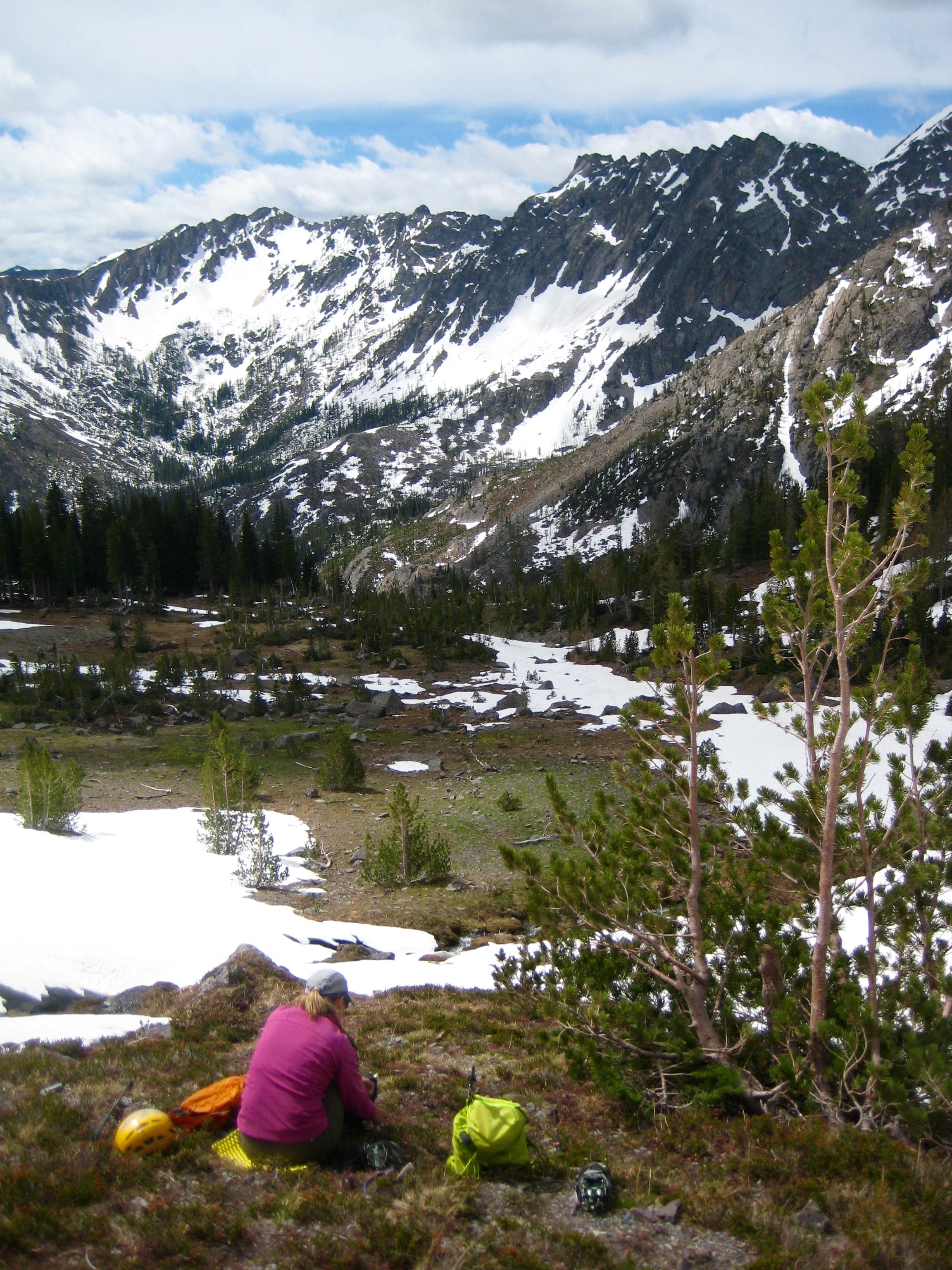
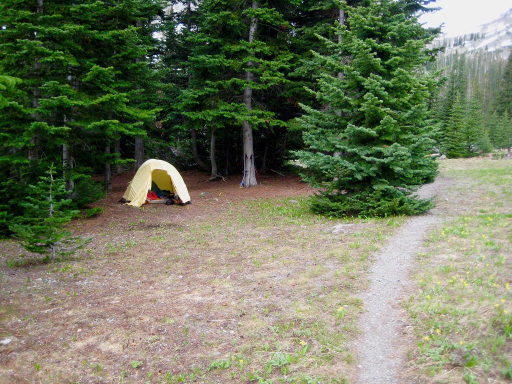
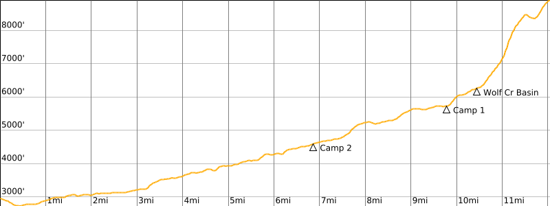
Eileen and I headed out from the Wolf Creek Trailhead on a mild, sunny afternoon. The trail was in good shape the whole way but the weather had turned cold and windy by the time we reached Gardner Meadows in early evening (6.3 hours + 10 miles + 2950 feet from TH). We pitched our tent in the shelter of some trees on the edge of the meadow.
…
Day 2: North Gardner Mtn Climb + Partial Exit
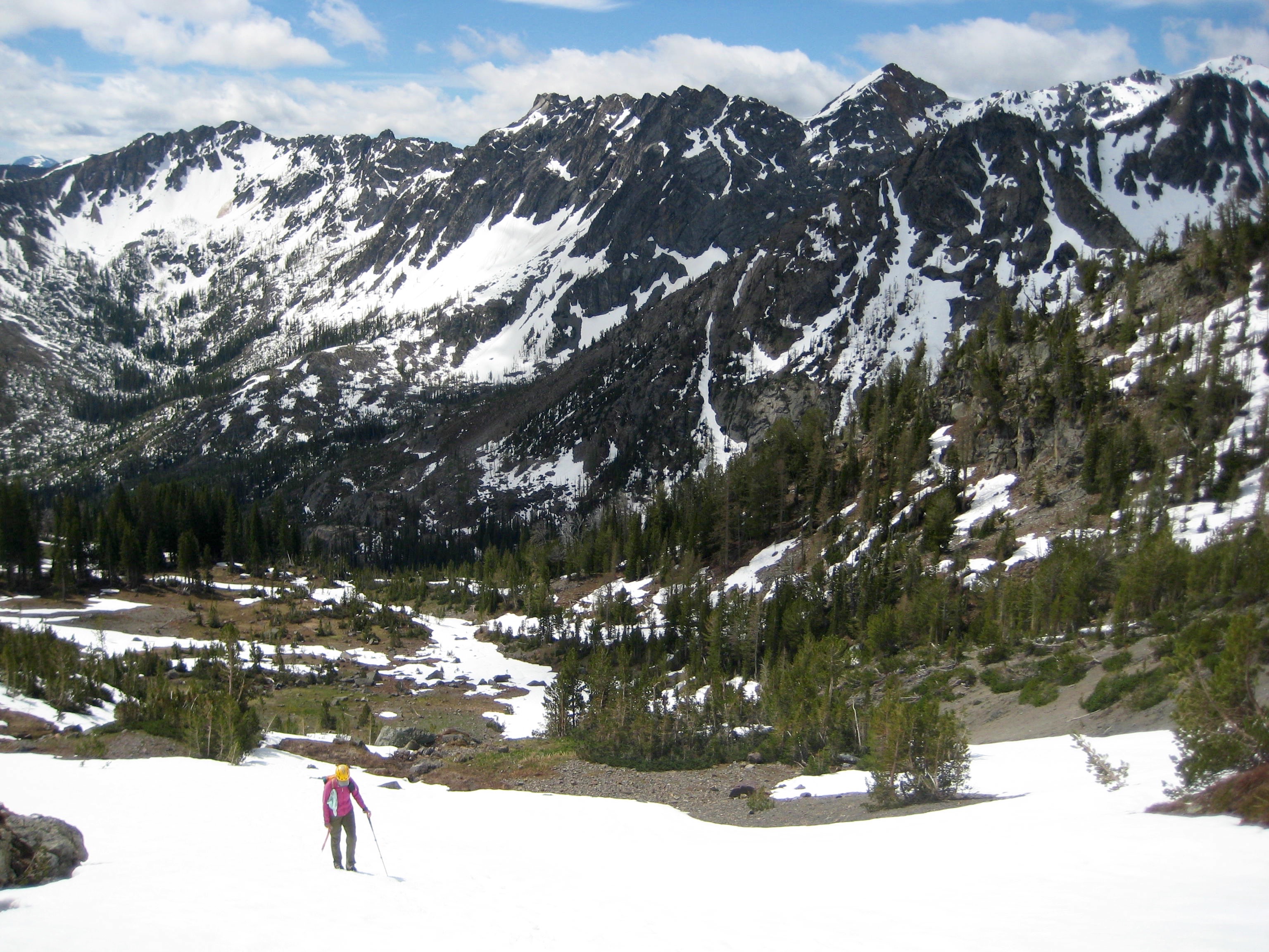
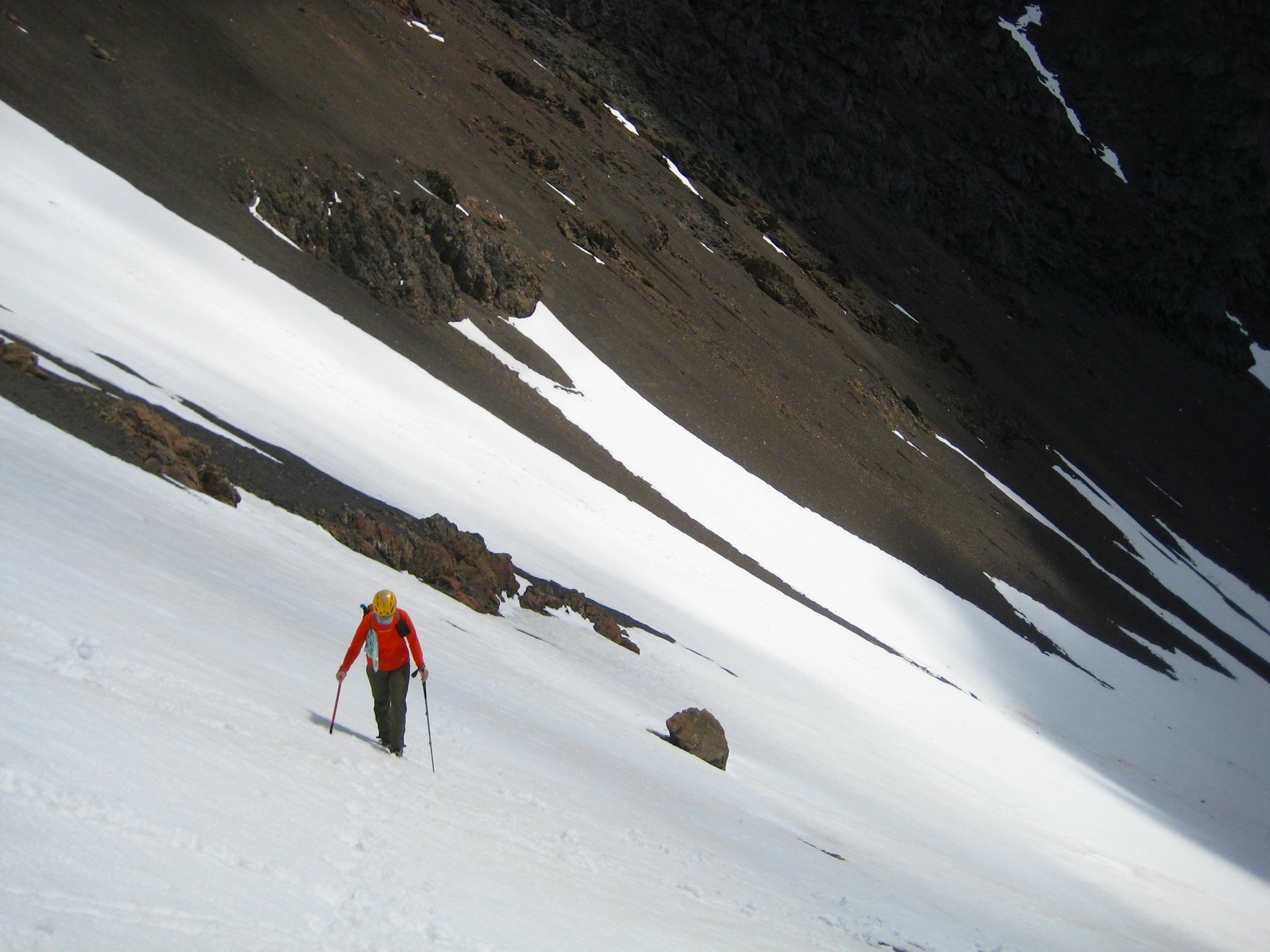
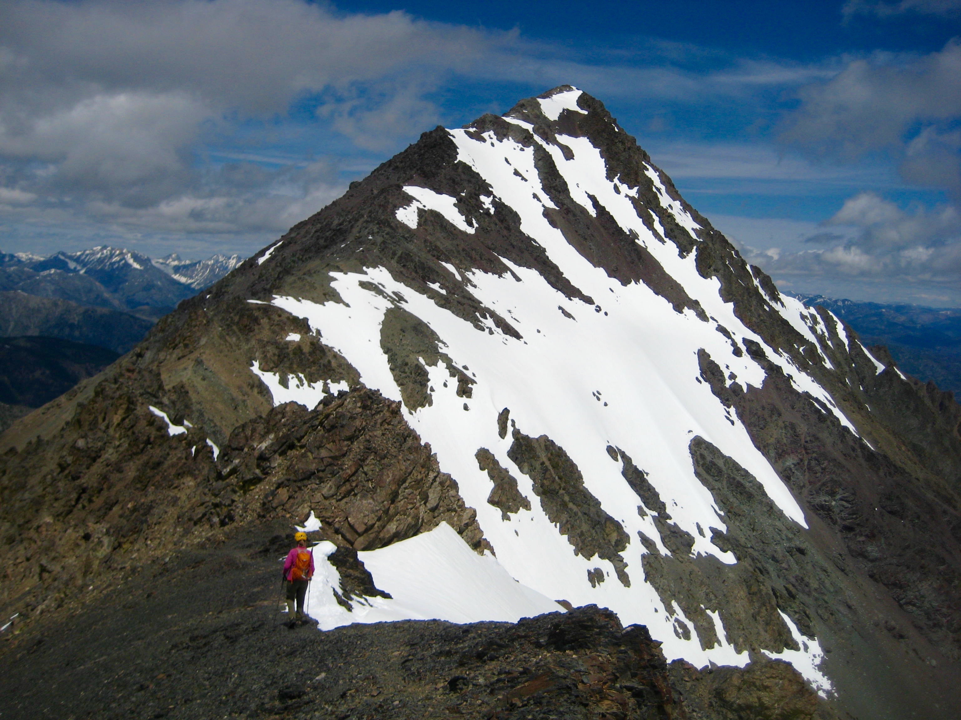
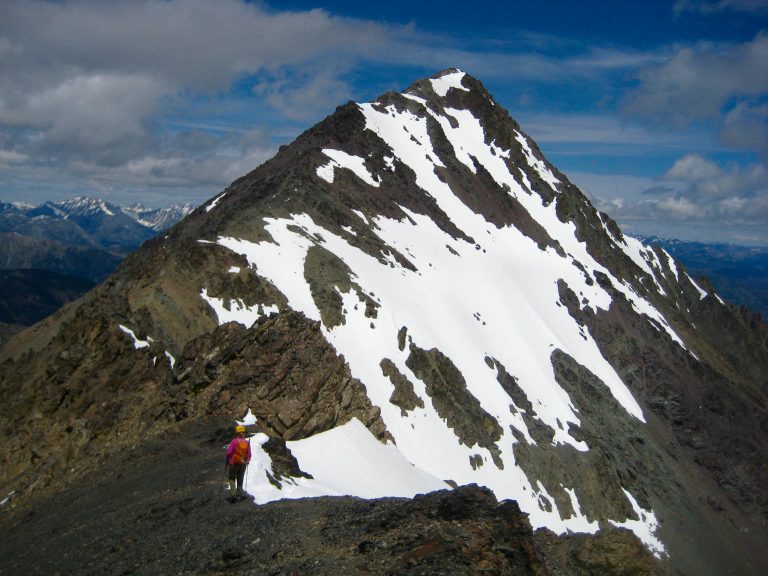
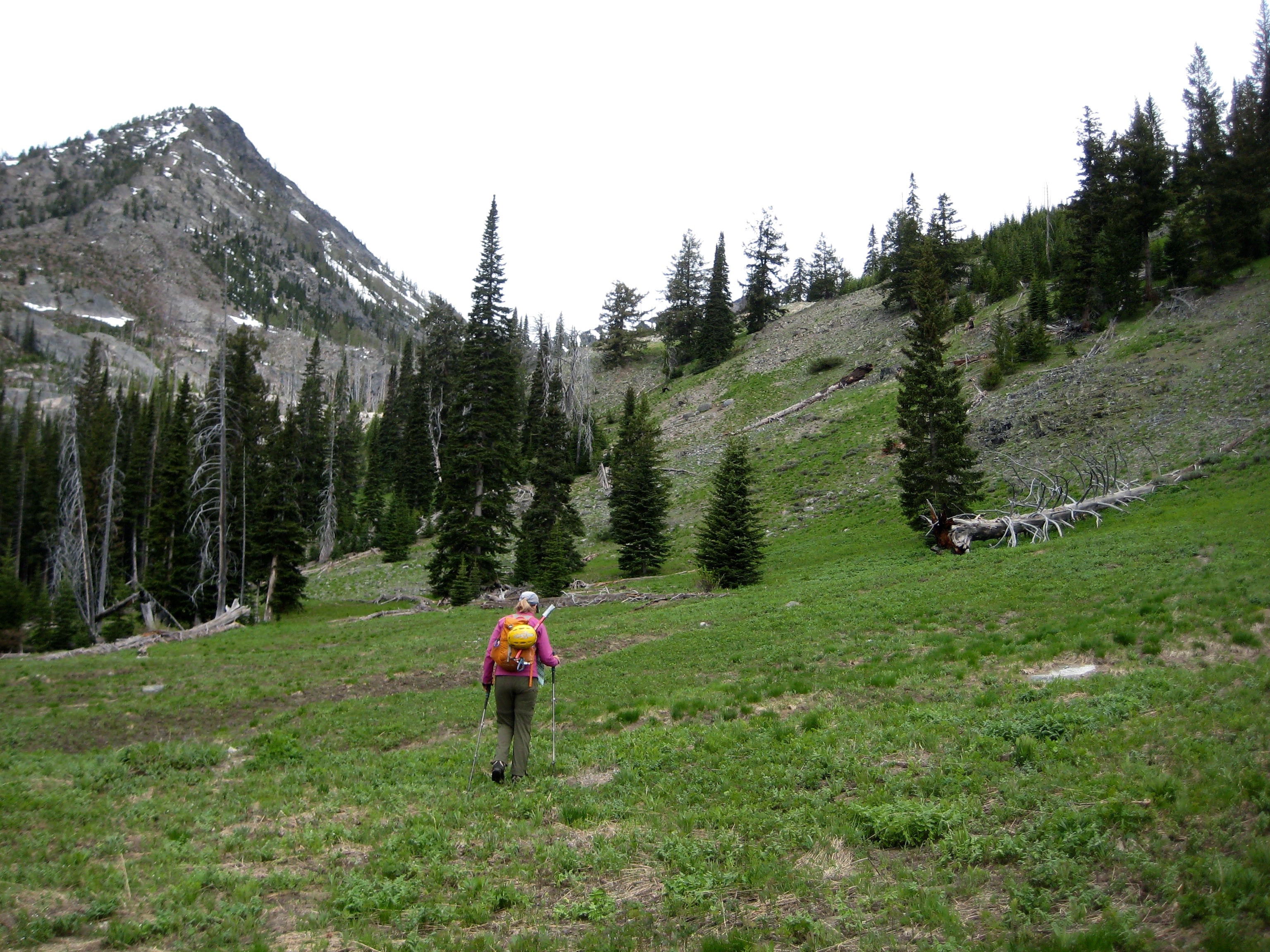
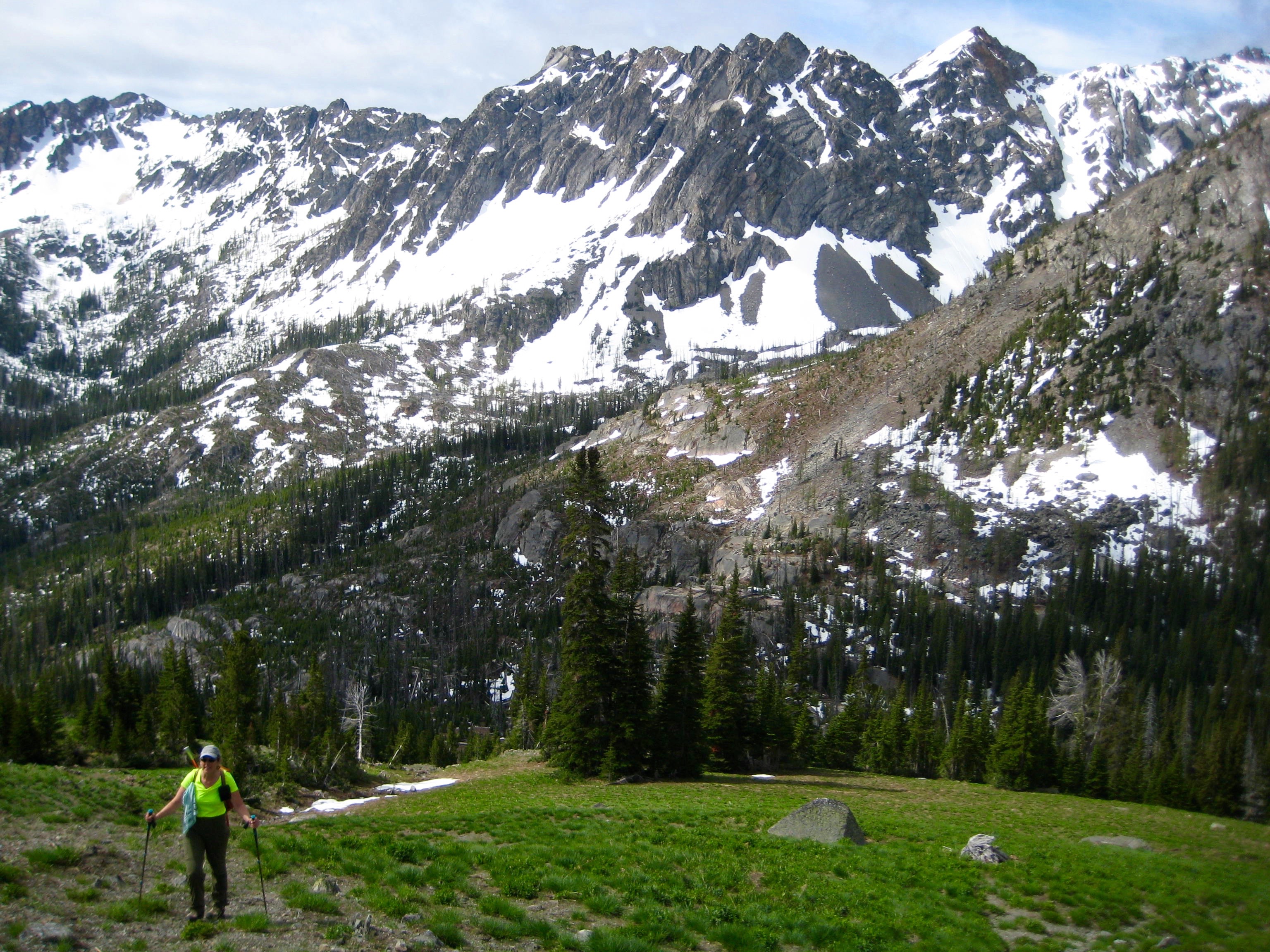
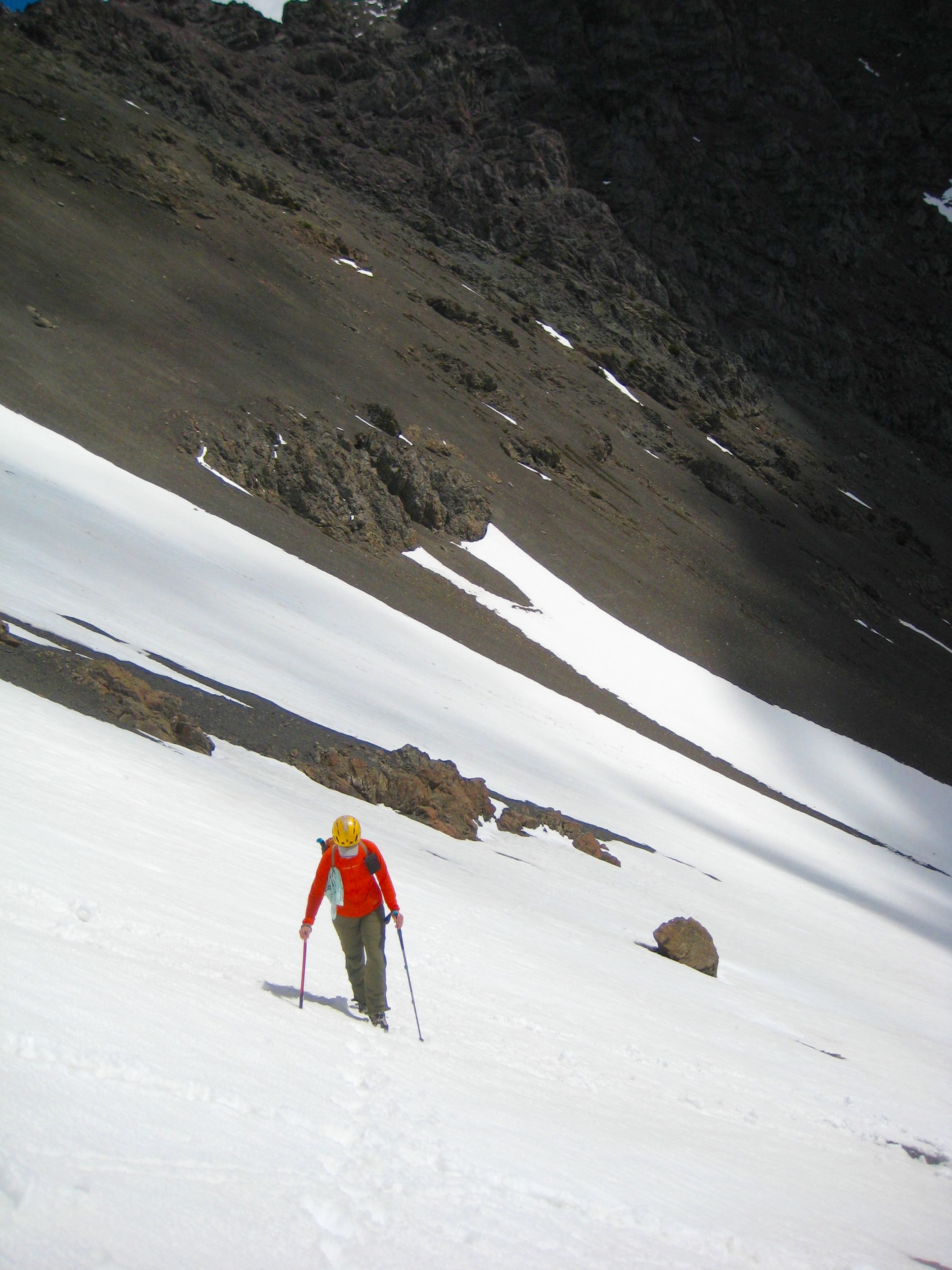
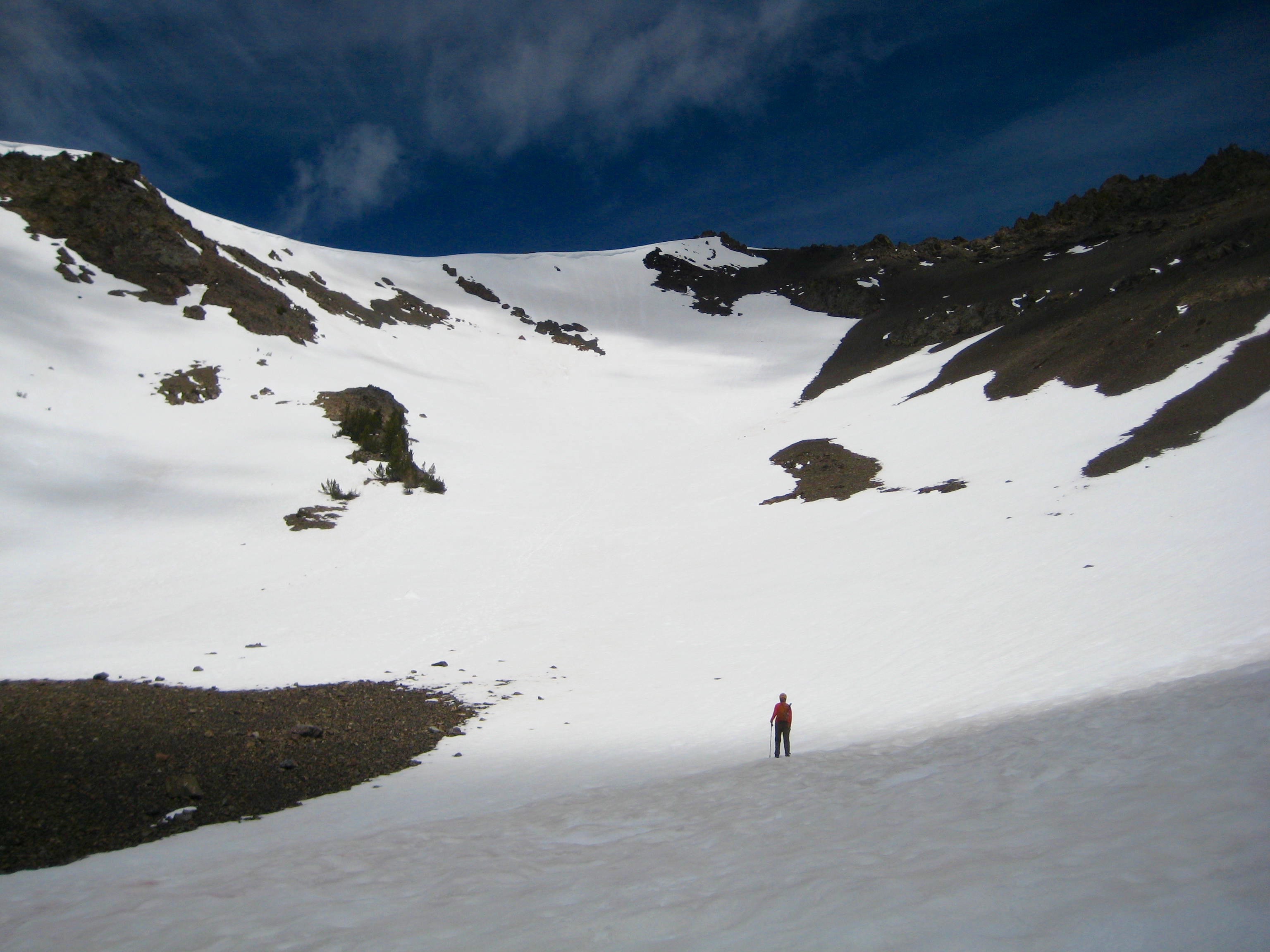
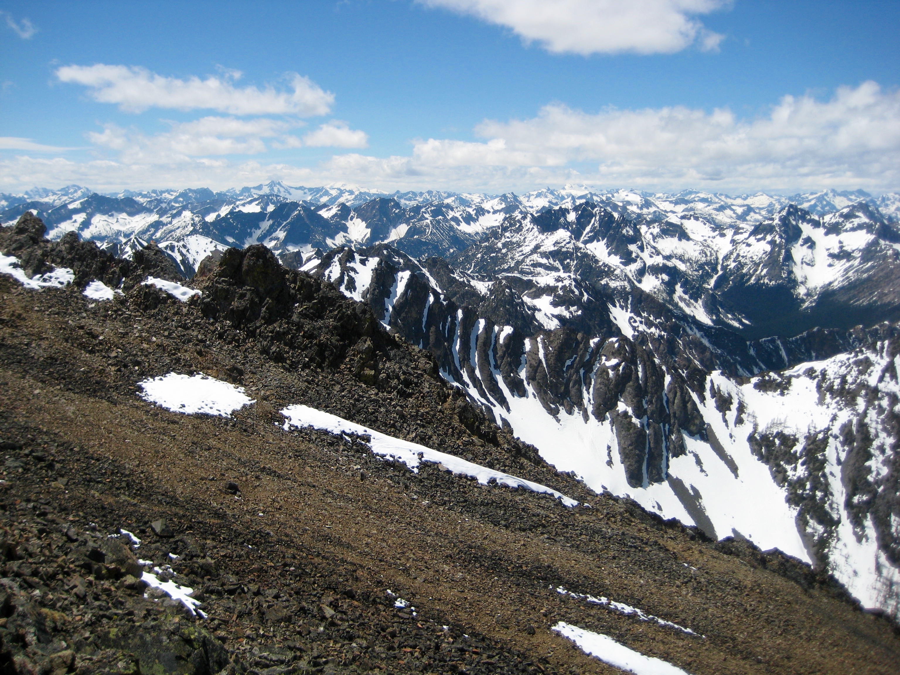
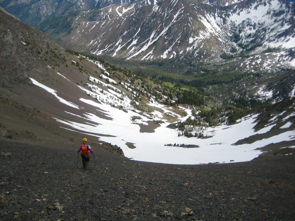
We awoke to a cool, sunny morning and began our ascent by hiking up grassy slopes to Wolf Creek Basin. From there, we booted up a large snow bowl and a broad scree slope to gain a 8487-foot false summit on North Gardner Mountain’s south ridge. The true summit stood at the end of this ridge, looking quite far away.
.
.
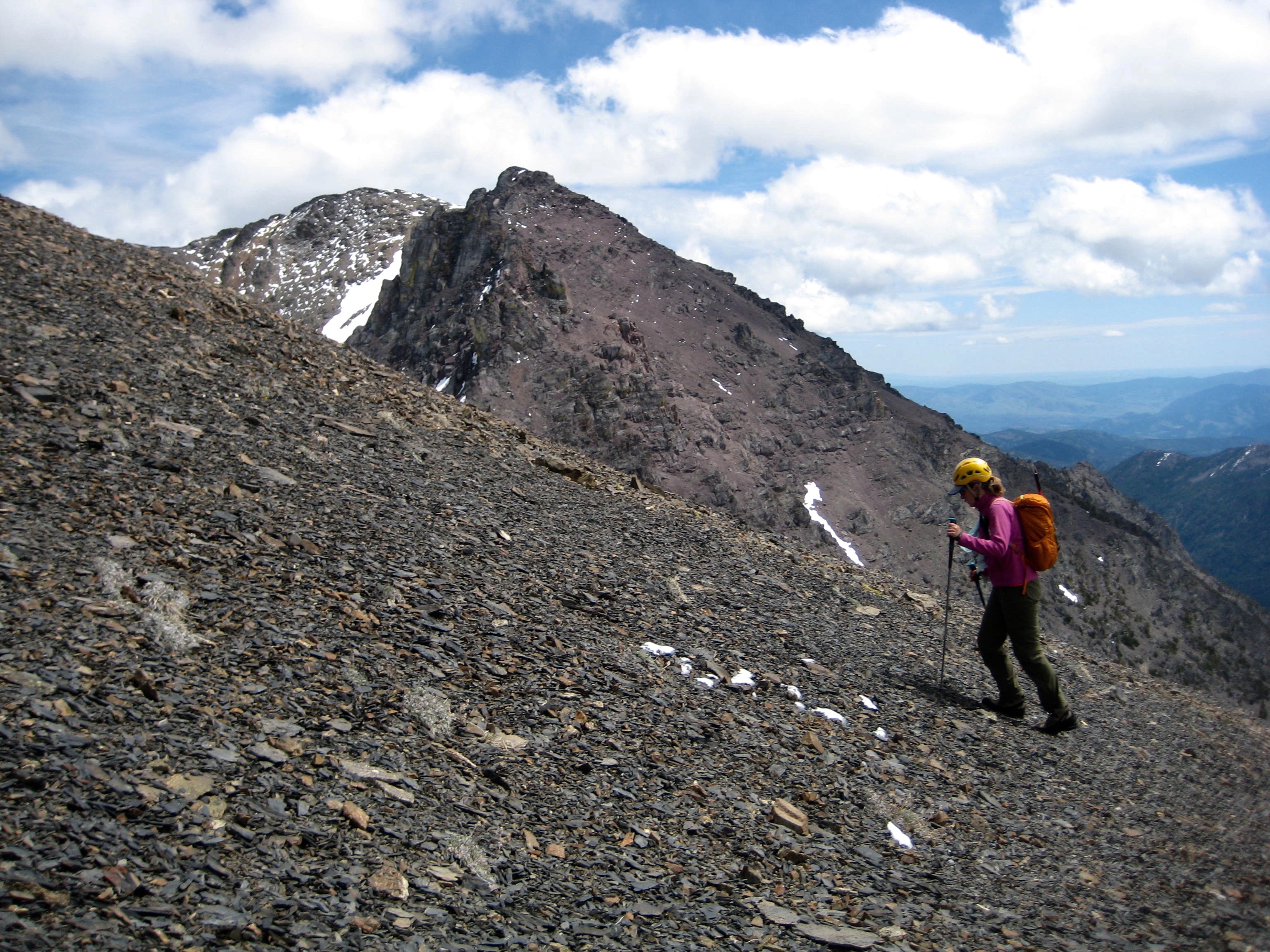
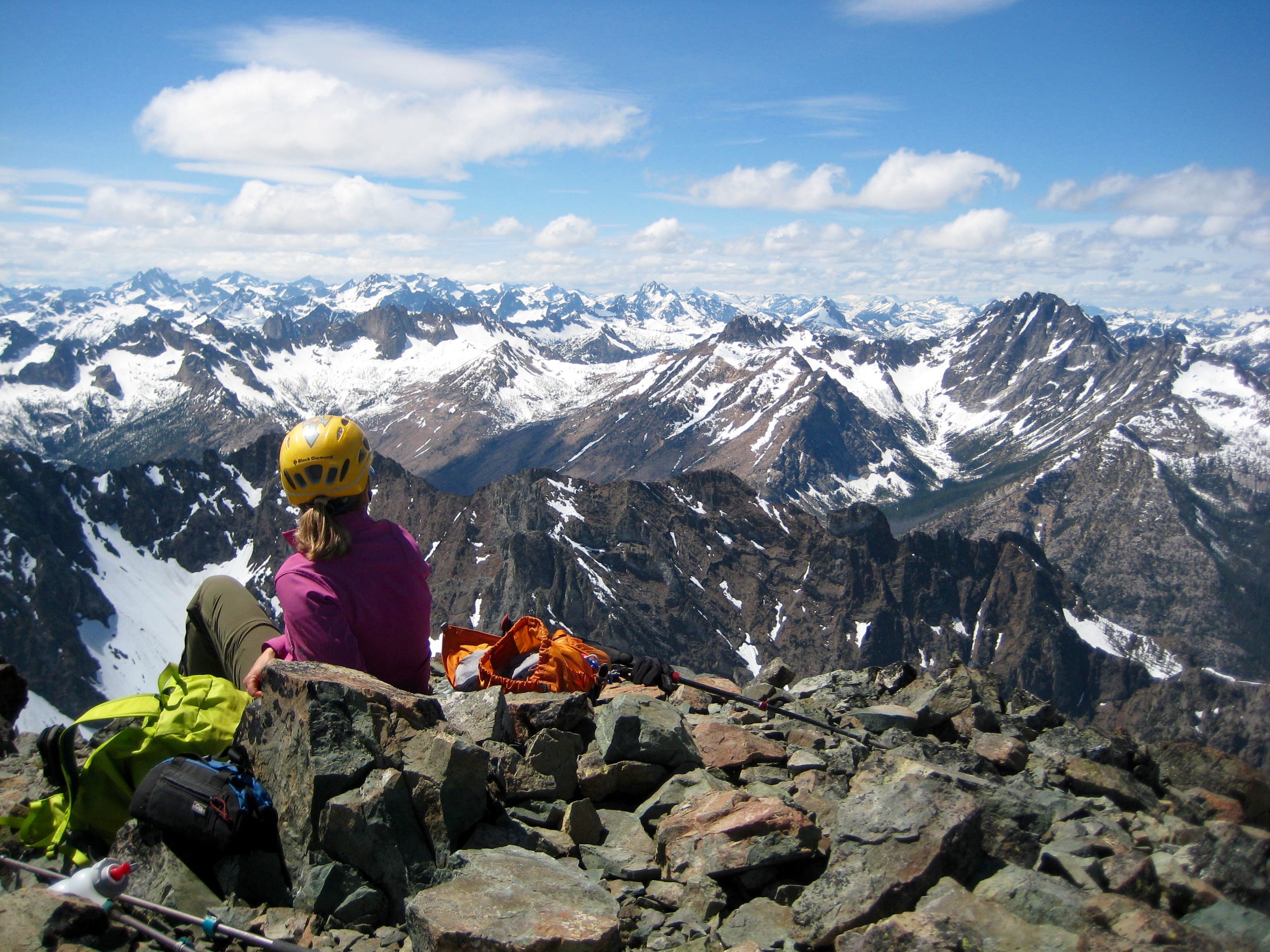
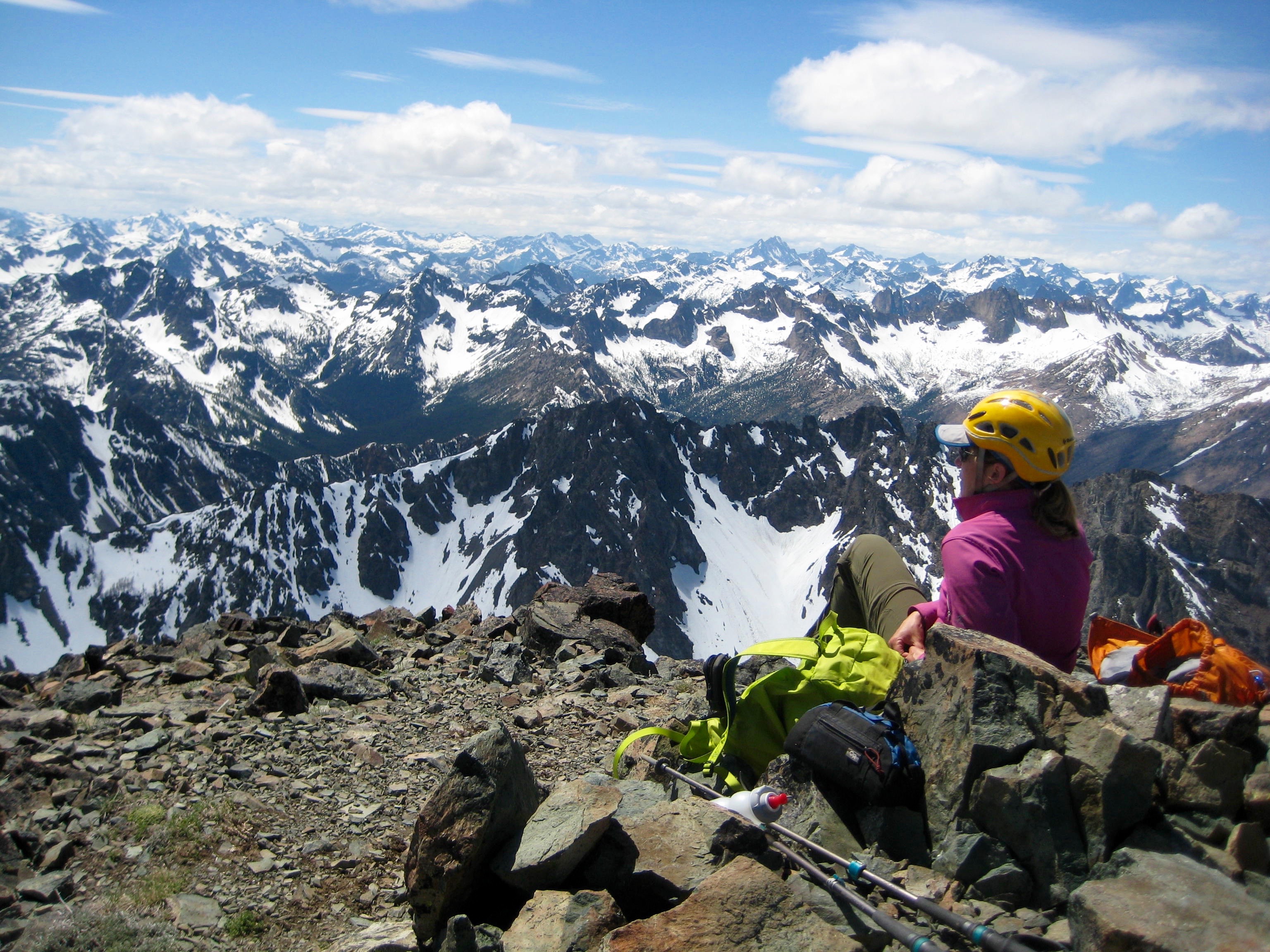
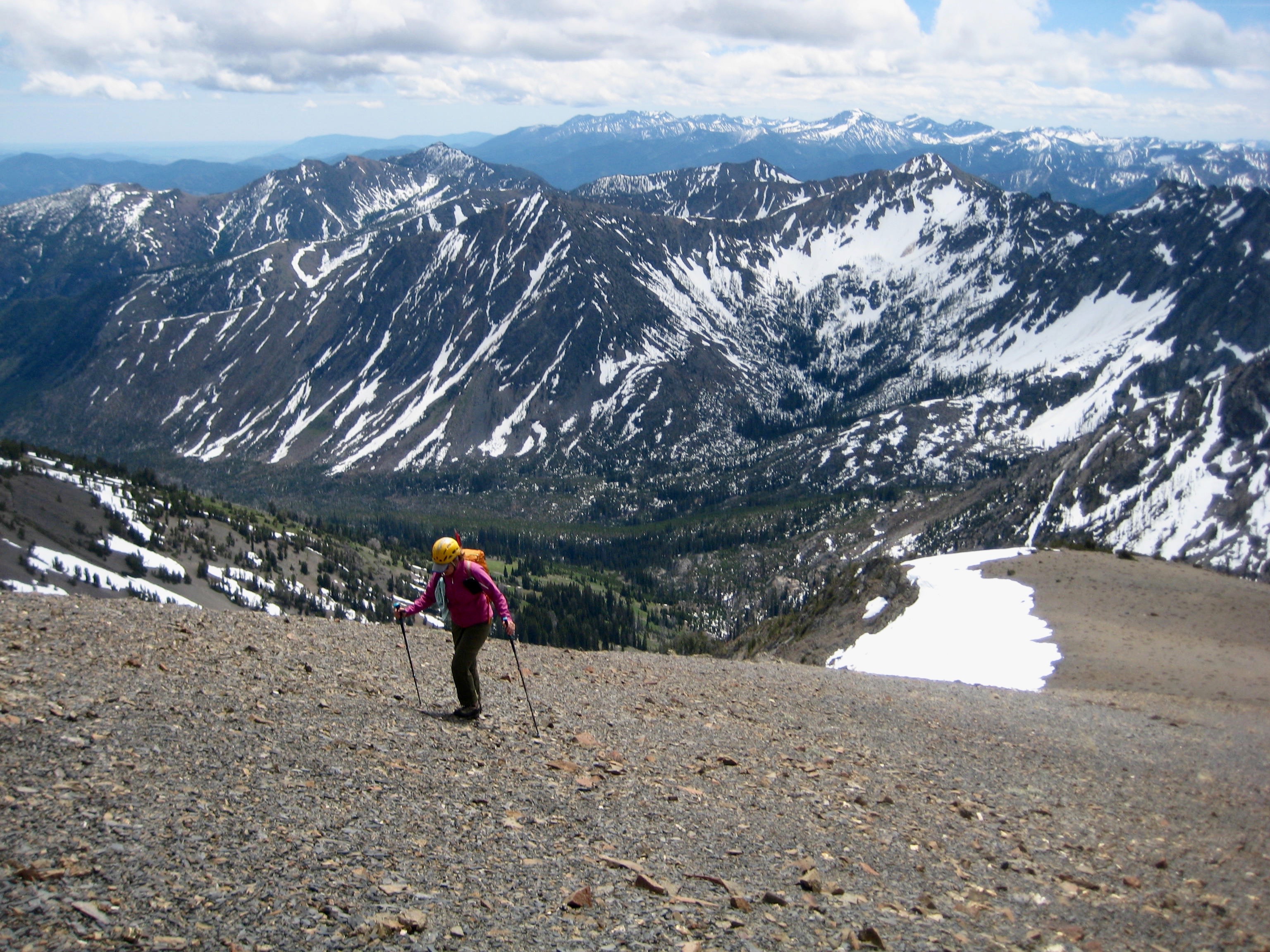
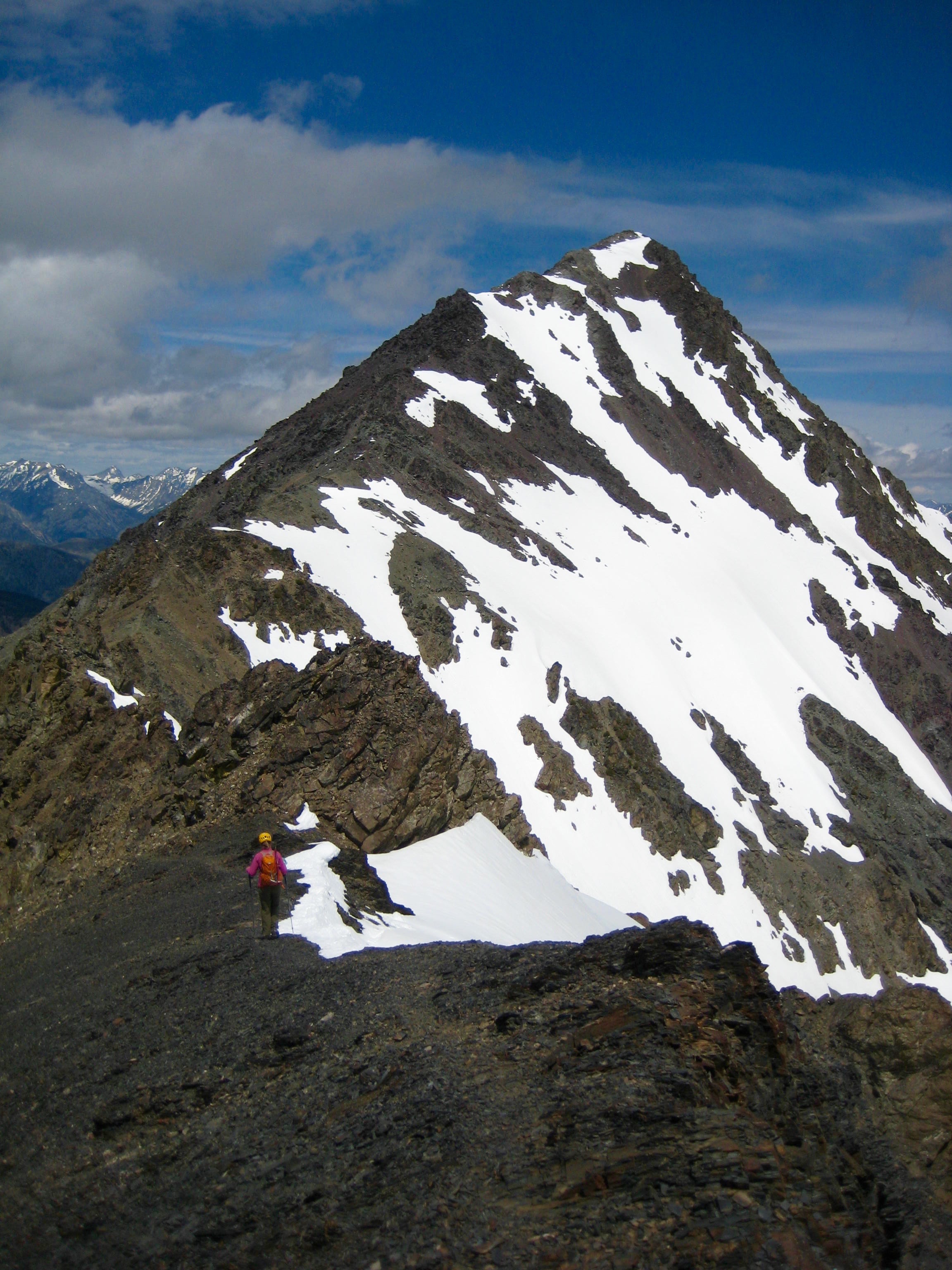
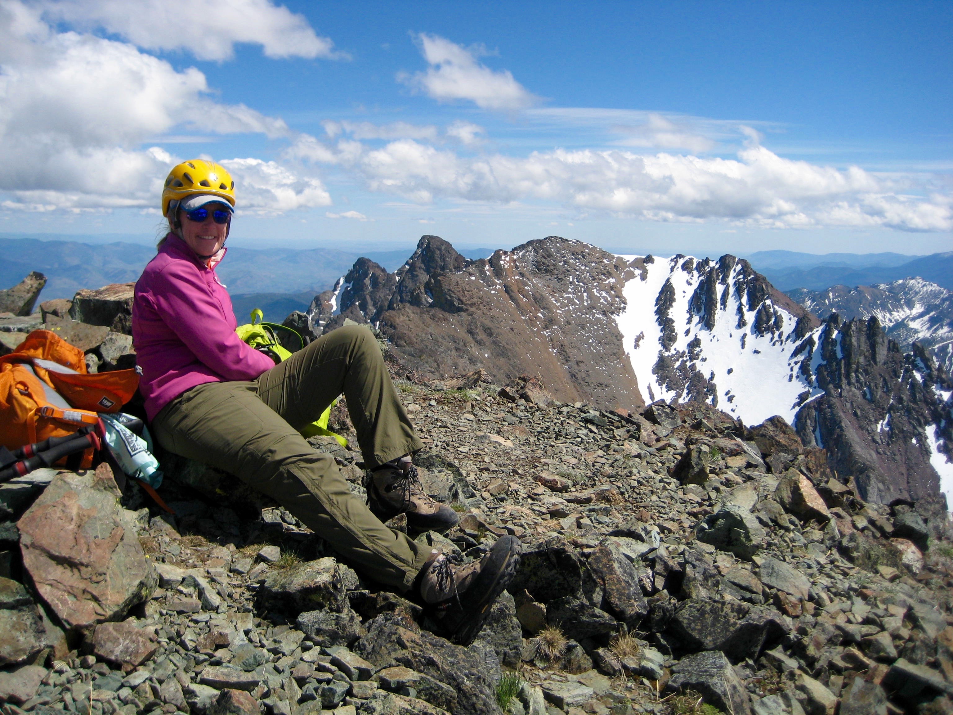
We dropped down to a shallow saddle and then worked our way up the ridge, staying on or left (west) of the crest. The travel was mostly Class 1 or 2 with some short sections of Class 3 scrambling. We stepped onto the small summit in early afternoon (5.1 hours + 3550 feet from camp).
.
While eating lunch on top we were surprised to see a trail runner coming towards us. He seemed a bit anxious and told us that he was very confused about his current location and how to get back to his car. We explained where he was and give him some directions for the easiest descent. He thanked us and hustled back down the ridge.

.

.
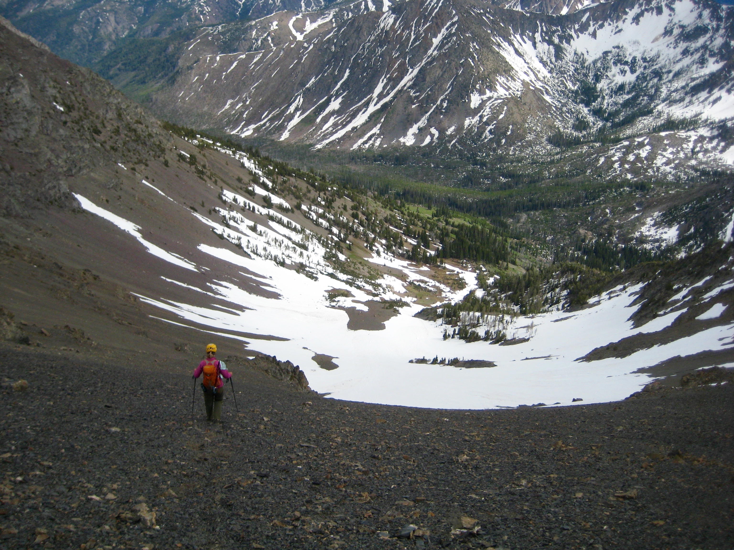
For our own descent, Eileen and I retraced our up-route back to the false summit and down through Wolf Creek Basin, arriving in camp by late afternoon (2.3 hours from summit). In order to shorten tomorrow’s exit hike, we packed up our camp and moved several miles down-valley to a comfortable campsite at the Abernathy Trail junction (1.7 hours from Camp 1).
…
Day 3: Abernathy Trail Junction to Trailhead
Our last morning merely involved a 7-mile hike down Wolf Creek to the trailhead. It was warm and partly sunny when we arrived shortly before noon (3.6 hours from Camp 2).
Route Map & Profile
…
…
Photo Gallery
Click to enlarge…