Originally Posted: September 2026
Amabilis Mountain Bike Loop: North Ridge to South Ridge
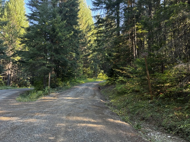
Amabilis “Y”
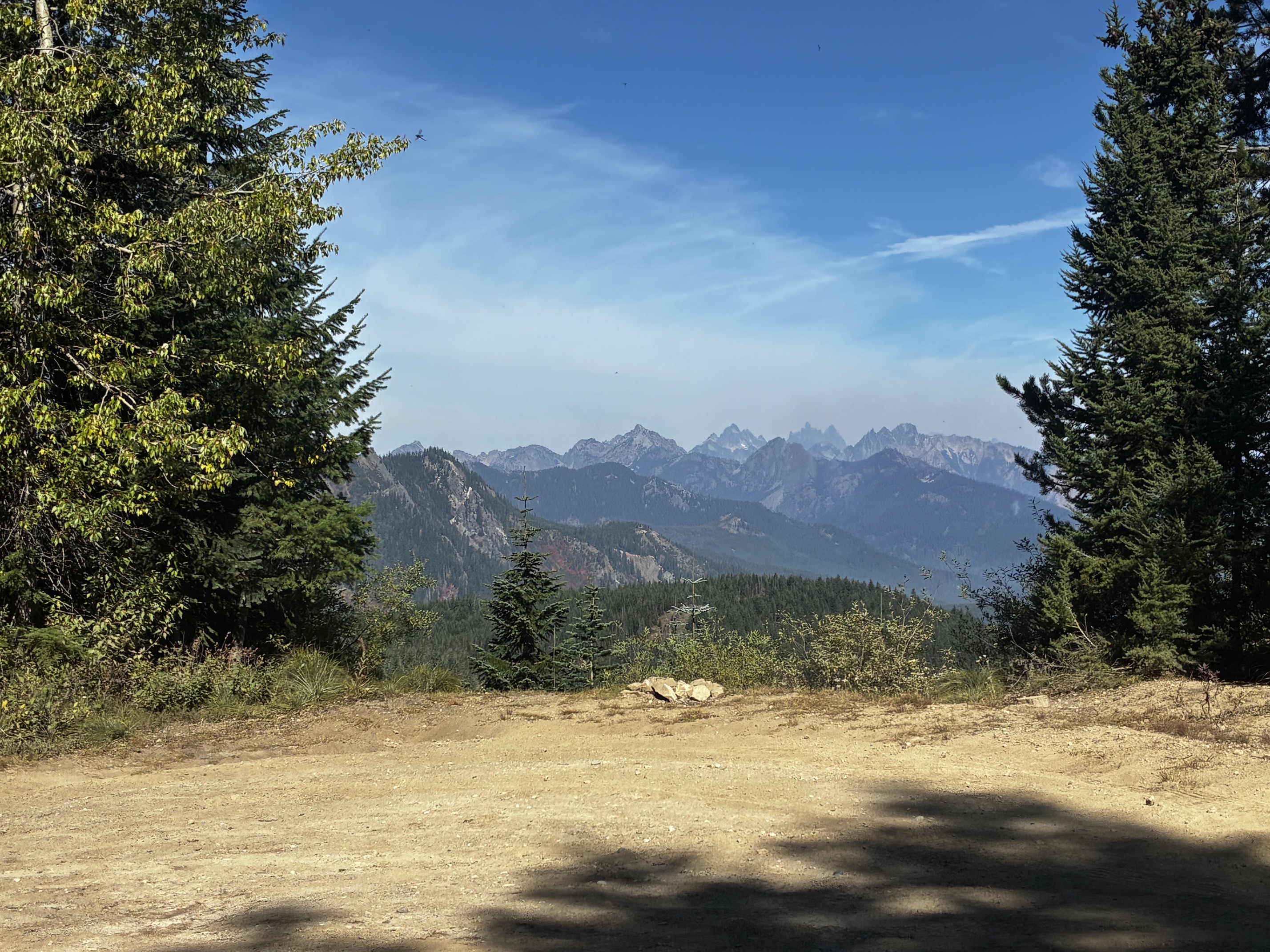
Amabilis Viewpoint
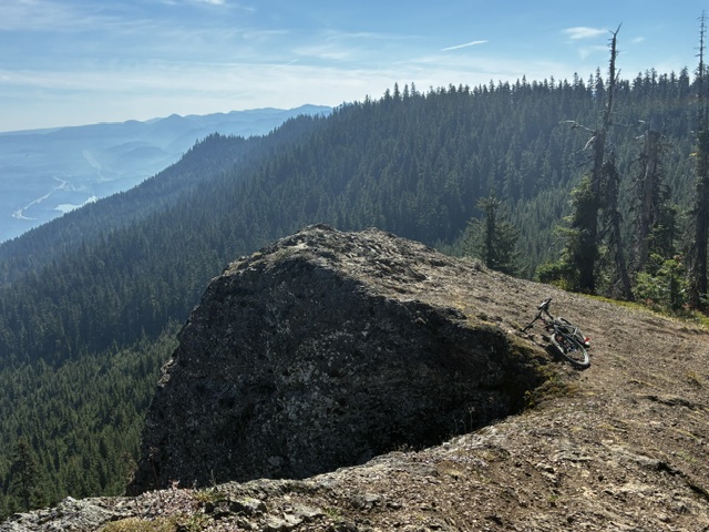
Amabilis Mountain: south summit aka Amabilis Beacon (4530 ft)
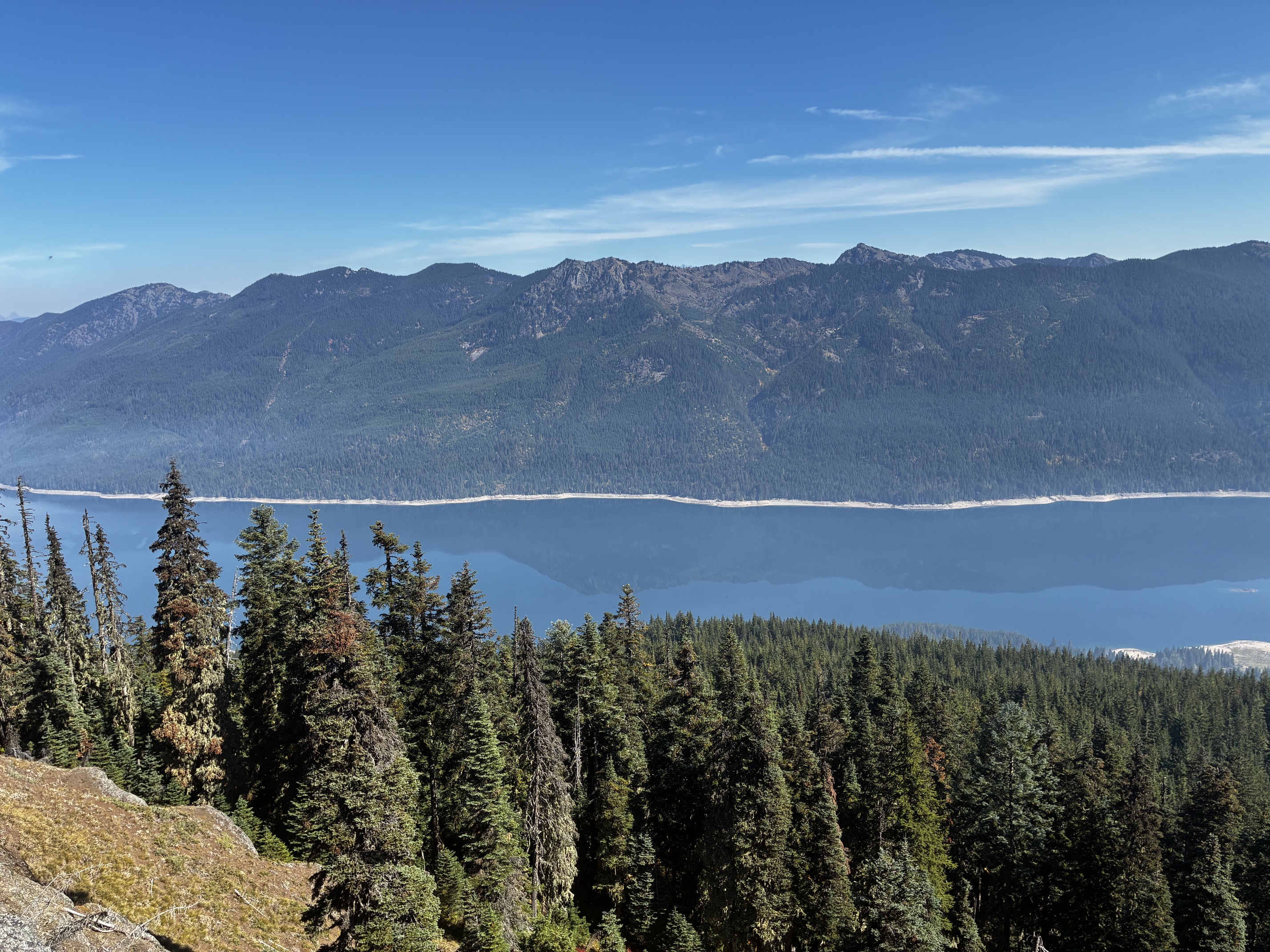
Amabilis Mountain: north summit aka Amabilis Peak (4560+ ft)
Route Summary
Region: Central Washington Cascades
Sub-Region: Keechelus Mountains
Area: Okanogan–Wenatchee National Forest
Starting & Ending Point: intersection of Cabin Creek Road #4826 & Amabilis Mountain Road #4822 off Interstate-90 at Exit 63 (Elev. 2480 feet)
Loop Way Points: Toll Creek culvert & Amabilis “Y” & North Hairpin & Amabilis Viewpoint & Amabilis Peak spur road junction & connector road junction & Amabilis Beacon & South Hairpin & Cedar Creek culvert & Amabilis “Y” & Cabin Creek Road junction (gravel road ride)
Loop High Point: South Summit / Amabilis Beacon (Elev. 4530 feet)
Summit Sidetrip: Amabilis Peak (dirt road ride & bike push)
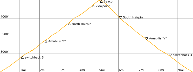
Approximate Stats (excluding sidetrip): 9.8 miles traveled; 2100 feet gained & lost.
Typical Season: late May thru early November
Route Overview
Amabilis Mountain is a prominent forested hill located at the southern end of the Keechelus Mountains, approximately 10 miles east of Snoqualmie Pass. Throughout the winter months, this is a very popular venue for cross-country skiers. I am particularly fond of the Amabilis Mountain Ski Loop, which consists of an 11-mile “lollipop loop” over the summit area on groomed forest roads. It’s not well-known, however, that the summer months provide an opportunity to do the Amabilis Mountain Bike Loop on these same roads.
The bike loop follows a series of gravel roads over the top of Amabilis Mountain in a lollipop configuration, with a total distance of 9.8 miles and elevation gain of 2100 feet. Although most of these roads are drivable by passenger cars, I have rarely seen any vehicles during my visits. As a bonus, Amabilis Peak—the true summit of Amabilis Mountain—can be gained by making a short sidetrip off this primary loop. The loop can be ridden on either a gravel bike or a mountain bike, but I much prefer using a mountain bike due to the amount of loose gravel covering much of the roads.
The logical starting point for the Amabilis Mountain Bike Loop is at the intersection of Cabin Creek Road #4826 and Amabilis Mountain Road #4822. This intersection can be easily reached by a ¼-mile drive from Exit 63 on Interstate-90. There is a large, informal parking area located diagonally opposite the intersection.
Fun Fact: The word “Amabilis” (pronounced a-MAH-bil-is) comes from the Latin term abies amabilis, which is the scientific name for the Pacific silver fir tree. These trees are prevalent throughout the western and central slopes of the Cascade Range, including Amabilis Mountain.
Route Descriptions
Detailed route descriptions for the full bike loop and for the summit sidetrip are presented in the following sections.
Amabilis Mountain Bike Loop
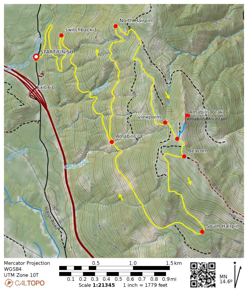
From the aforementioned intersection, start pedaling uphill on Amabilis Mountain Road #4822. This wide gravel road climbs steadily via three switchbacks in the first mile, followed by a southerly traverse through shady forest in the next mile. The gradient remains moderately steep for the whole distance.
.
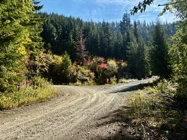
After 2.3 miles of travel and 950 feet of elevation gain, you will reach an obvious fork in the road. This fork is called the Amabilis “Y” and it represents the closure point of the actual loop. The south (right) branch is a bit steeper than the north (left) branch, so I recommend going left and completing the loop in a clockwise direction.
.
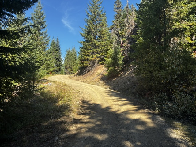
The north branch road makes a long northerly traverse across the western flank of Amabilis Mountain, still climbing at a steady inclination but never getting too steep. At a point 1.2 miles from the “Y” you will make a tight turn to the right. This is the North Hairpin, which marks the northernmost extent of your loop (3.5 miles + 1400 feet from starting point).
.
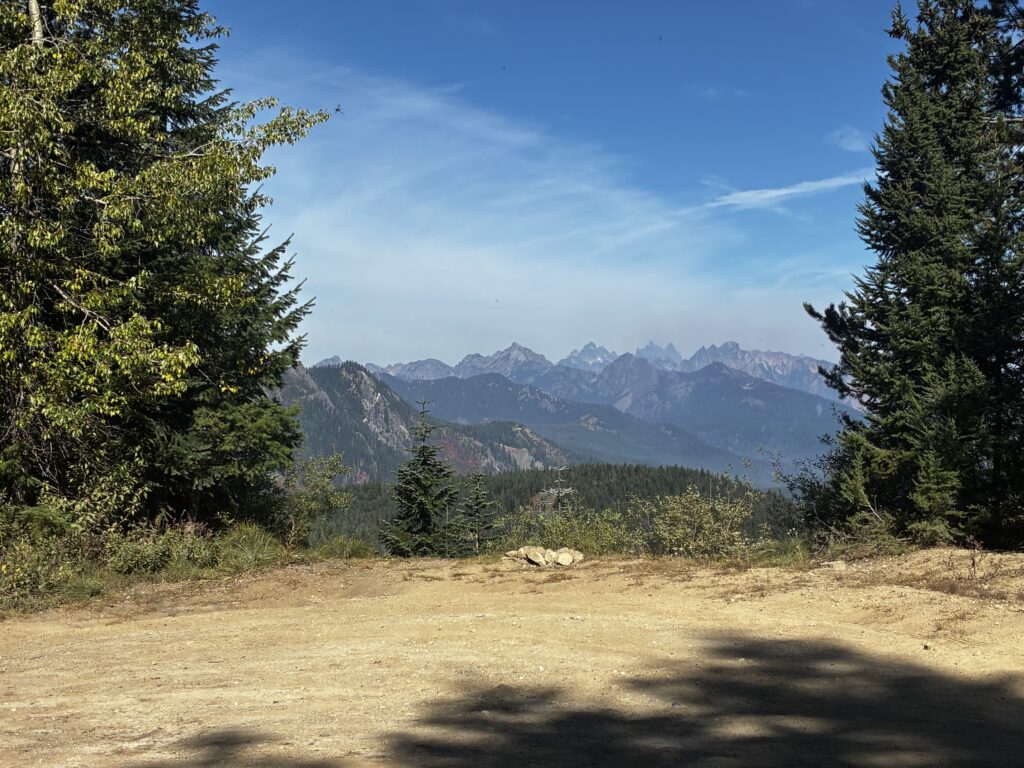
In another mile, you will pass the Amabilis Viewpoint—a wide spot on the left side of the road, with an opening in the trees. This spot provides a great view of the rugged Snoqualmie Range, which includes Chikamin Peak, Lemah Mountain, Chimney Rock, Three Queens Mountain, Summit Chief Mountain, and Mt. Daniel.
.
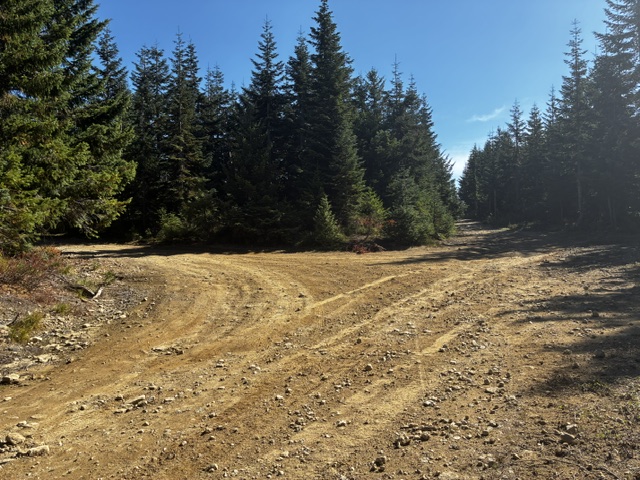
Shortly past the Amabilis Viewpoint, you will come to another obvious fork. The north branch road goes straight ahead, whereas the Amabilis Peak spur road curves off to the left. If you are doing just the loop, stay to the right and keep pedaling uphill. If you want to tuck in the summit of Amabilis Peak, turn left and follow my description in the Amabilis Peak Sidetrip section below.
.
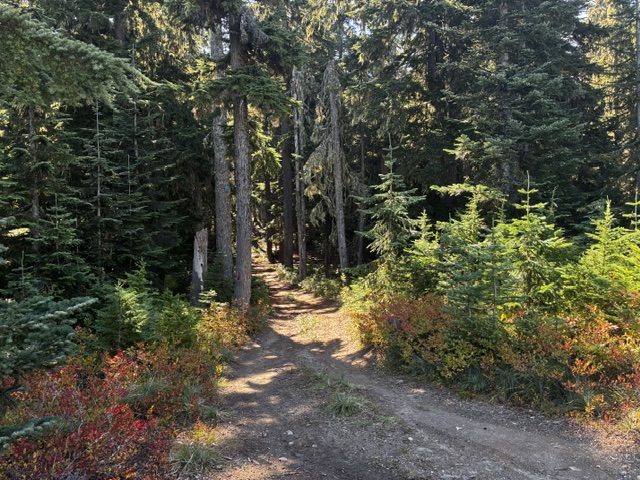
Approximately 200 yards past the aforementioned junction, the north branch road curves to the right and ends at a small clearing atop a flat-topped knoll. From this knoll, two narrow connector roads continue into the dense forest. Take the left-hand connector road, which is marked with a blue diamond mounted high on a tree. This connector road initially descends a few feet and then climbs at a moderately steep grade.
.
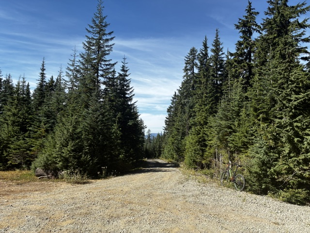
After about 200 yards, you will pop out of the forest and enter a large, gravel-covered clearing on the south (lower) summit of Amabilis Mountain (5.1 miles + 2100 feet from starting point). This south summit is more commonly known as the Amabilis Beacon because there was previously a radio beacon located on a nearby hump. The south branch road descends to the west from here.
.
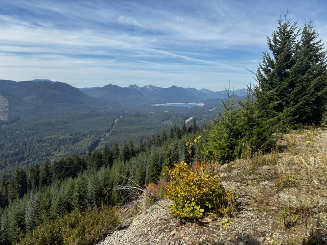
From the Amabilis Beacon, it’s all downhill on the south branch road. This road is covered with loose gravel, so be careful to control your speed! In a quick mile, the road makes a sweeping right-hand turn at the South Hairpin, which marks the southernmost extent of your loop. The road then performs a long northerly traverse across the western flank of Amabilis Mountain. At various points during this traverse, you will obtain some views across the Interstate-90 corridor to Stampede Pass. Over to the right, you can see Tinkham Peak, Silver Peak, Mt. Catherine, and Granite Mountain rising above Keechelus Lake.
.
Continuing downhill, you will soon arrive at the Amabilis “Y,” thereby closing your loop. From here, more twists and turns take you back down to your starting point on Cabin Creek Road for a total distance of 9.8 miles.
Amabilis Peak Sidetrip
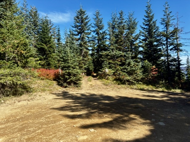
During your biking loop, the summit of Amabilis Peak—the highest point of Amabilis Mountain—offers a short and worthwhile sidetrip. This sidetrip starts at the previously mentioned spur road that branches off from the north branch road closely below its terminus. Follow this dirt spur road for about 50 yards as it curves to the left, then turn right onto a secondary spur road that quickly ends at a small clearing. Veer left (north) onto a primitive double-track road that gets progressively steeper. Ride, push, or stash your bike and continue up to the rocky summit.
.
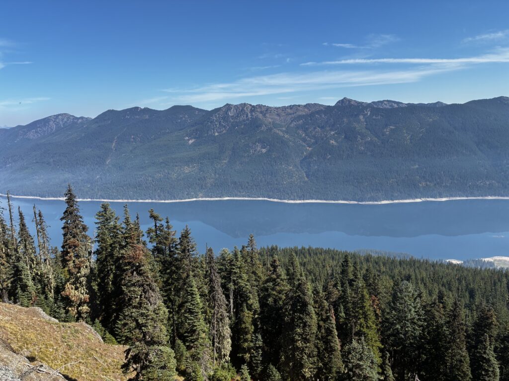
If you reach the 4560-foot summit on a clear day, you will be rewarded with views of the rugged Snoqualmie Range to the north, extending from Kaleetan Peak to Mt. Daniel. To the east, directly across Kachess Lake, are the multiple peaks of French Cabin Mountain. Look closely to see the sharp summit of Mt. Stuart barely peeking over the ridge here. Farther to the left is Thorp Mountain, with its summit lookout appearing as a tiny white dot.
.
Route Map & Profile
…
…
Photo Gallery
Click to enlarge…