
Trip Date: July 14, 2026
2026 DOLOMITE ALPS ADVENTURE VACATION
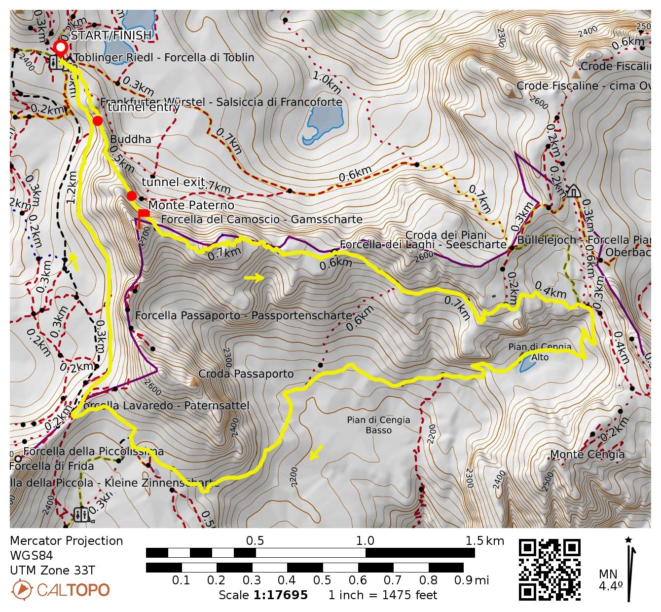
Monte Paterno / Paternkofel Climb & Camoscio–Laghi–Cengia–Lavaredo Loop
De Luca–Innerkofler Tunnels
Via Ferrata de Luca aka Innerkofler Klettersteig (Grade 2B)
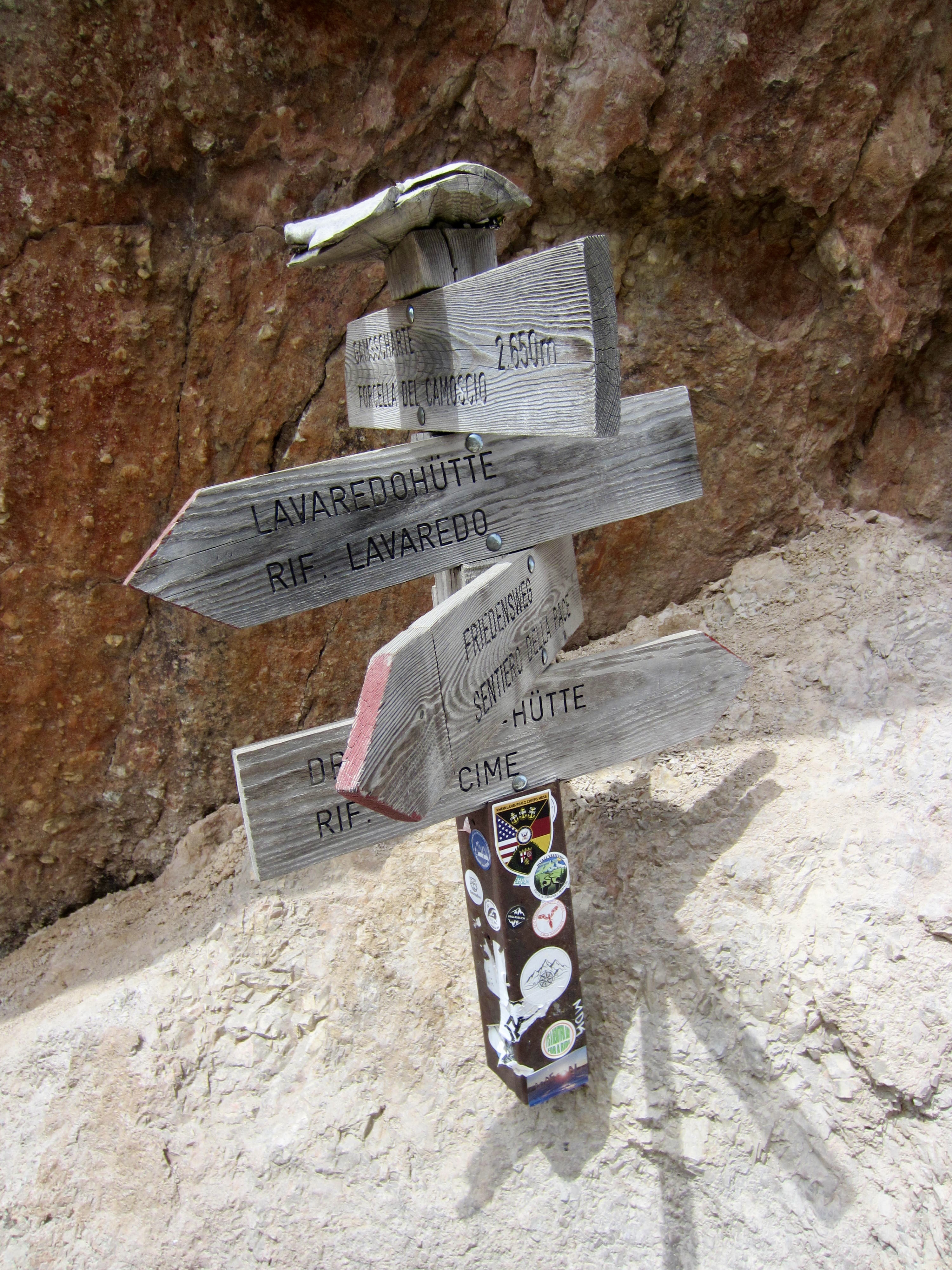
Forcella del Camoscio aka Gammsscharte
Monte Paterno aka Paternkofel (9003 ft / 2744 m)
Forcella del Laghi aka Seescharte
Pian di Cengia
Forcella Lavaredo aka Paternsattel
Trip Report Summary
Region: Italy
Sub-Region: Dolomite Alps
Area: Parco Naturale Tre Cime / Naturpark Drei Zinnen
Locale: Forcella di Toblin / Toblinger Riedel / Toblin Pass vicinity
Starting & Ending Point: Refugio Locatelli Tre Cime / Drei Zinnen Hutte / Locatelli Hut (Elev. 7900 feet / 2410 meters)
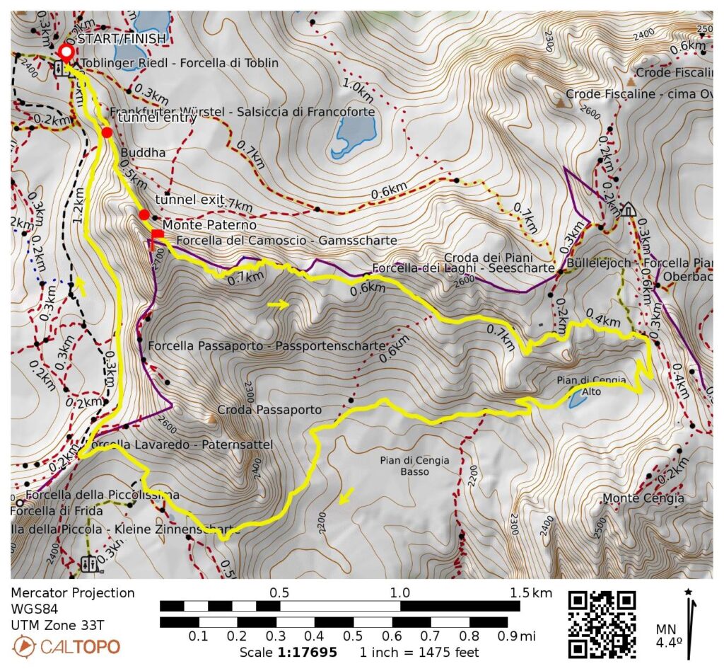
Loop Way Points: De Luca–Innerkofler Tunnels entry & De Luca–Innerkofler Tunnels exit & Via Ferrata de Luca / Innerkofler Klettersteig base & Forcella del Camoscio / Gammsscharte & Forcella del Laghi / Seescharte & Pian di Cengia Alto & Pian di Cengia Basso & Forcella Lavaredo / Paternsattel & Locatelli Hut (trail hike & tunnel hike & rock scramble & via ferrata climb)
Summit Sidetrip: Monte Paterno / Paternkofel (via ferrata climb & rock scramble)
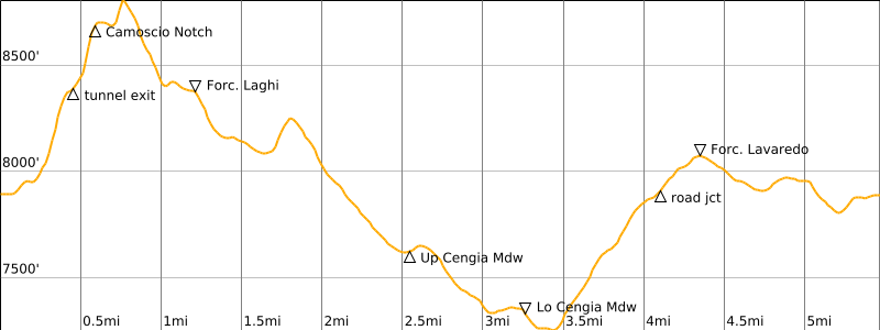
Approximate Loop Stats (excluding sidetrip): 5.5 miles / 8.9 kilometers traveled; 2150 feet / 660 meters gained & lost; 7.5 hours elapsed).
Approximate Total Stats (including sidetrip): 6.0 miles / 9.7 kilometers traveled; 2550 feet / 780 meters gained & lost; 8.5 hours elapsed).
Related Posts
>>> Alta Via 4 Trekking Traverse: San Candido / Innichen to Cadore Valley – July 12-19, 2026
>>> Torre Di Toblin / Toblinger Knoten Climb & Sasso di Sesto / Sextner Stein Hike – July 13, 2026
>>> Cima Cadin NE Attempt + Partial Merlone Via Ferrata Climb – July 15, 2026
Full Trip Report
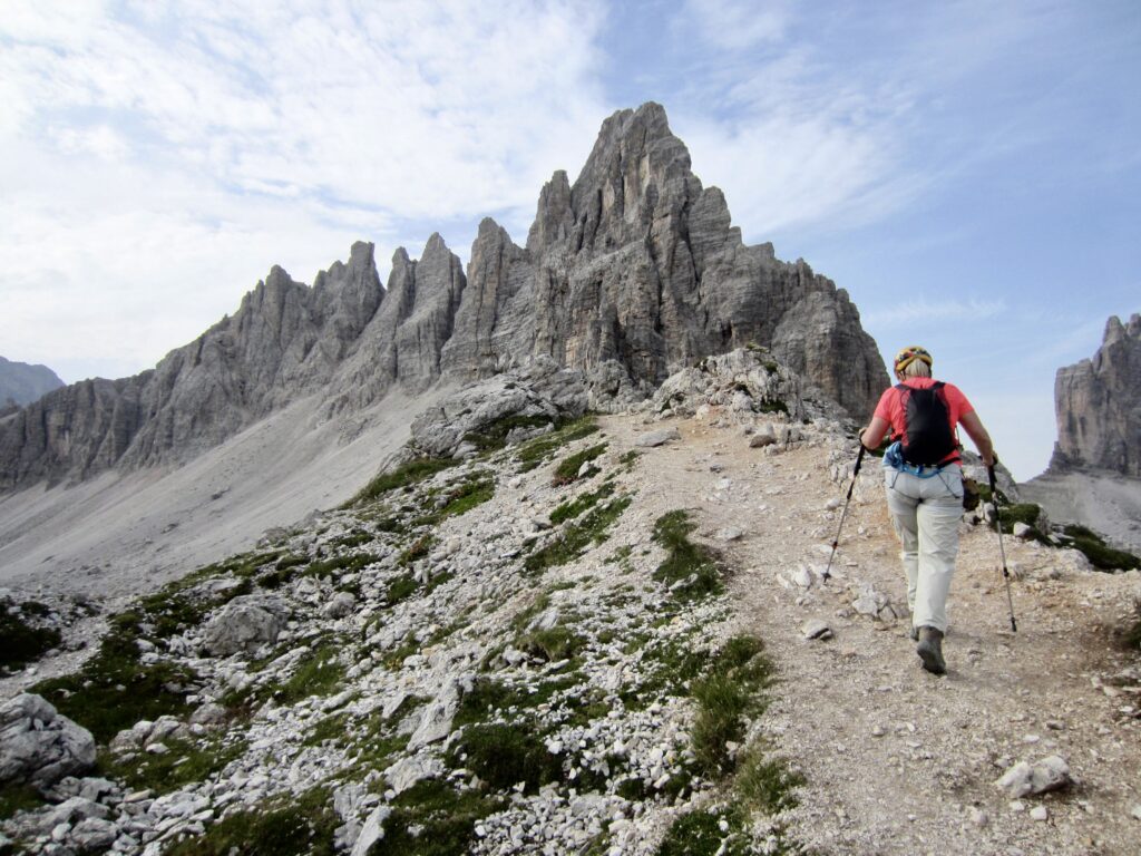
During our stay at the Locatelli Hut on the Alta Via 4 trail traverse, Eileen and I did a hiking, scrambling, and climbing exploration of the nearby massif to the south. In the process, we ascended the interesting Via Ferrata de Luca / Innerkofler Klettersteig, tucked in the outstanding summit of Monte Paterno / Paternkofel, and completed an interesting loop along the craggy east ridge of the massif and back through the scenic meadows of Pian di Cengia.
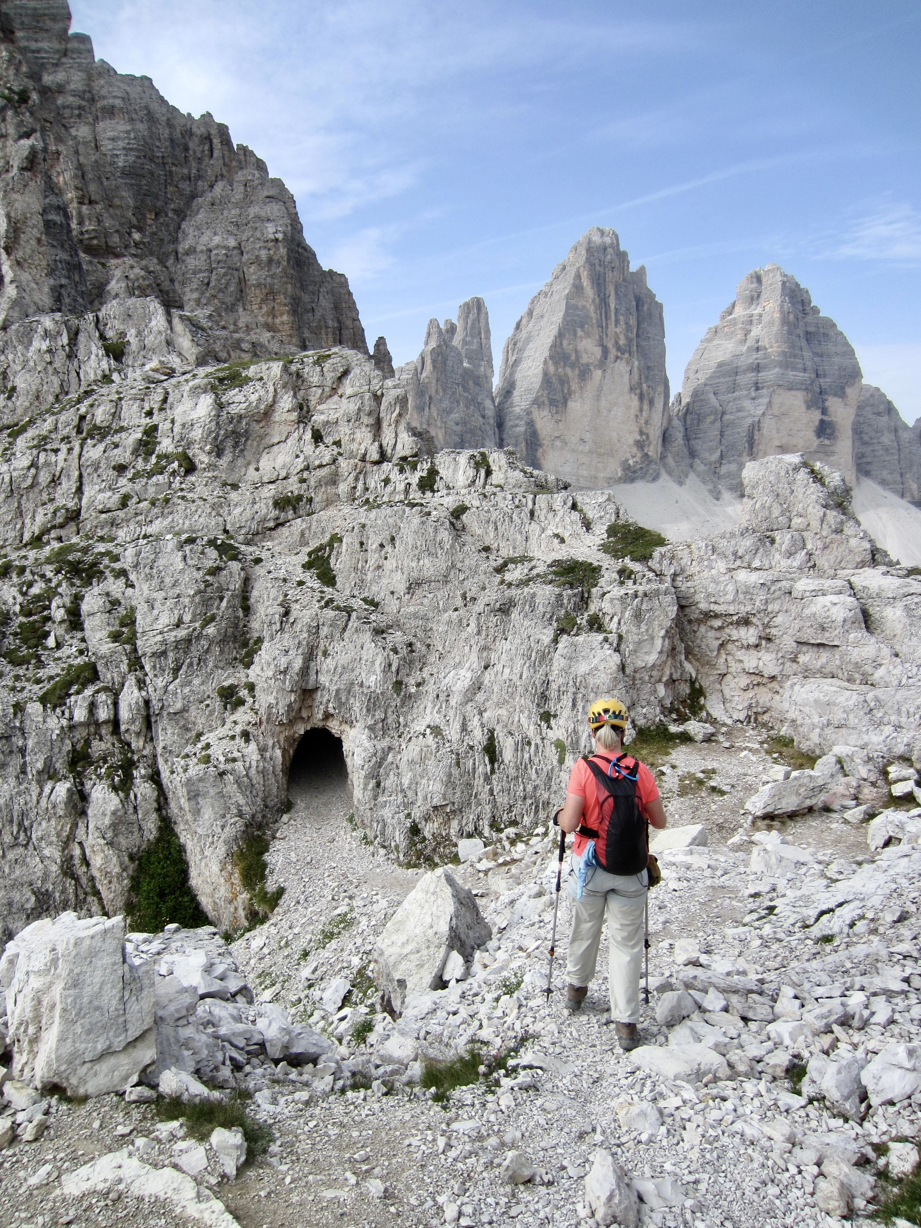
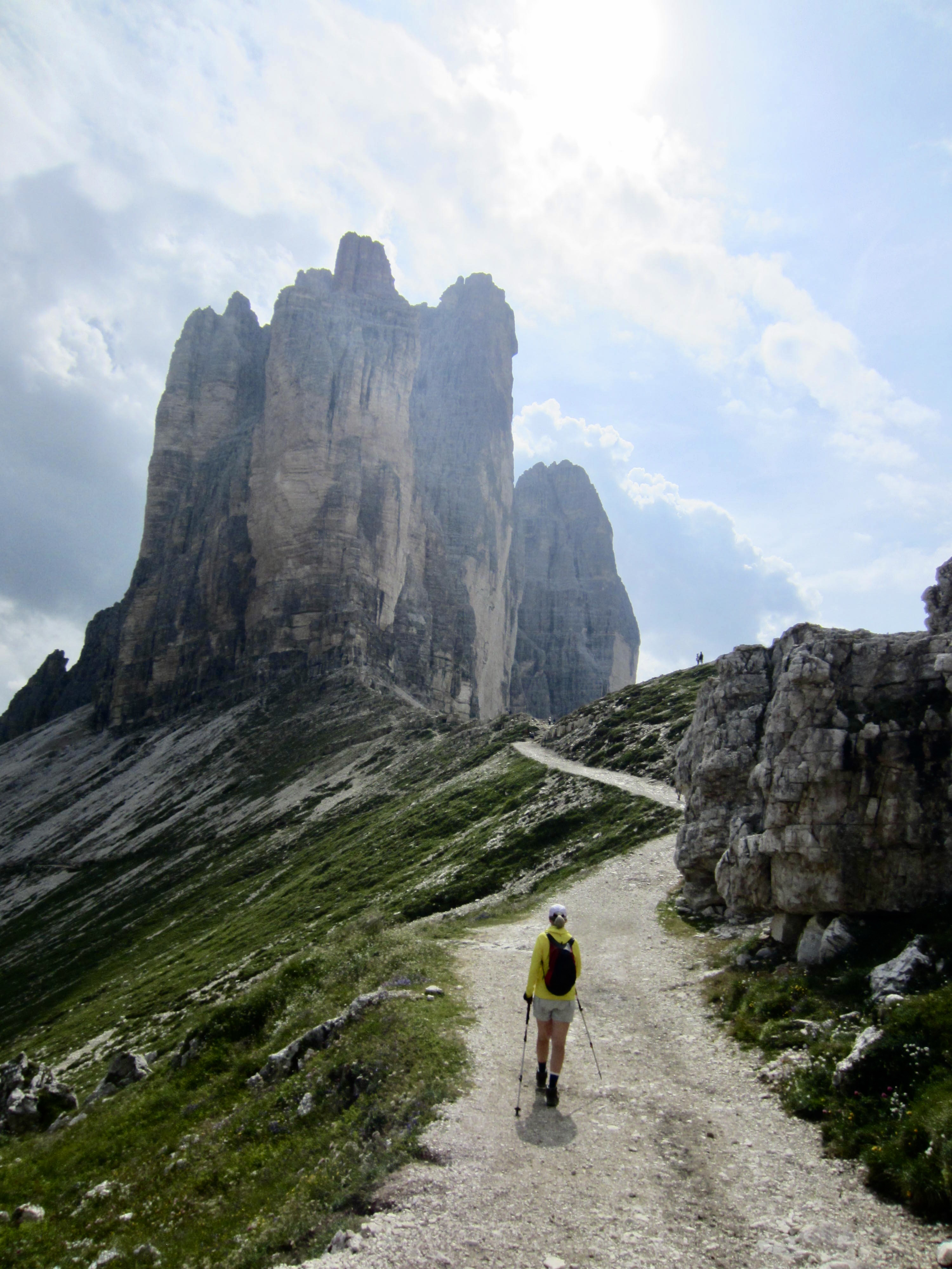
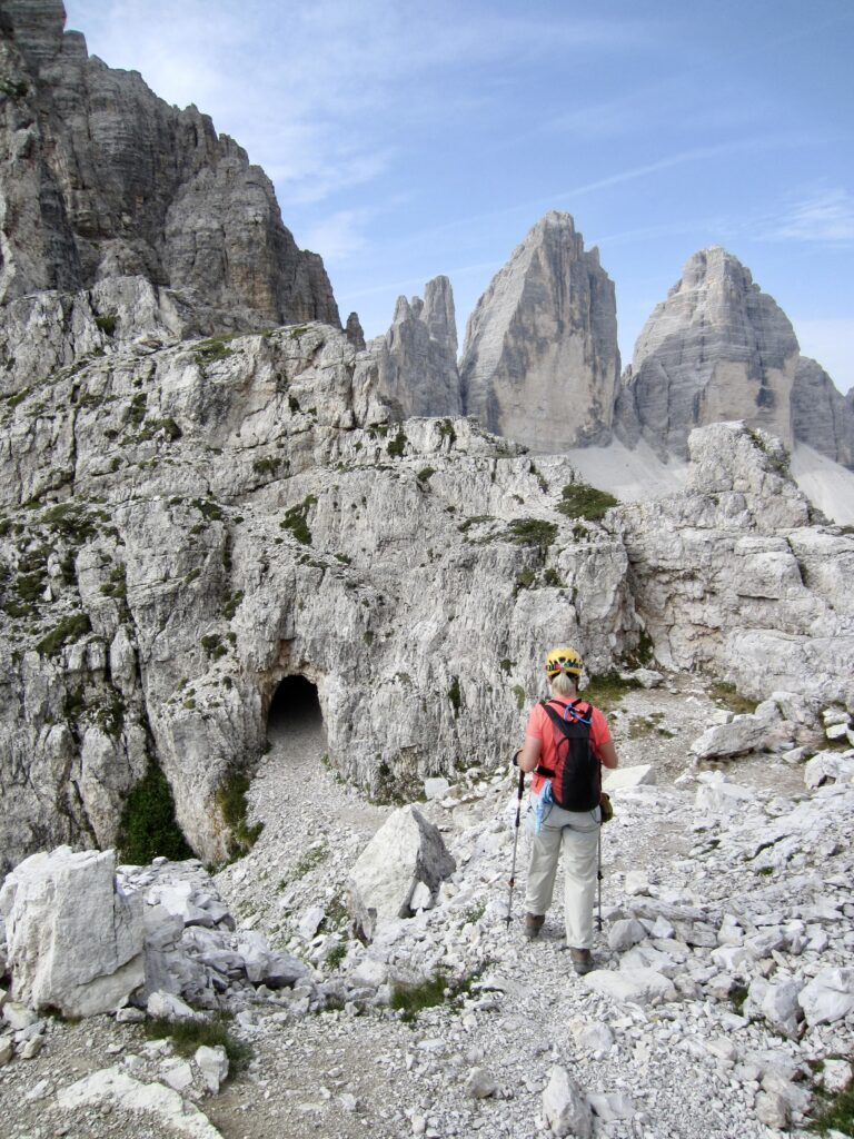
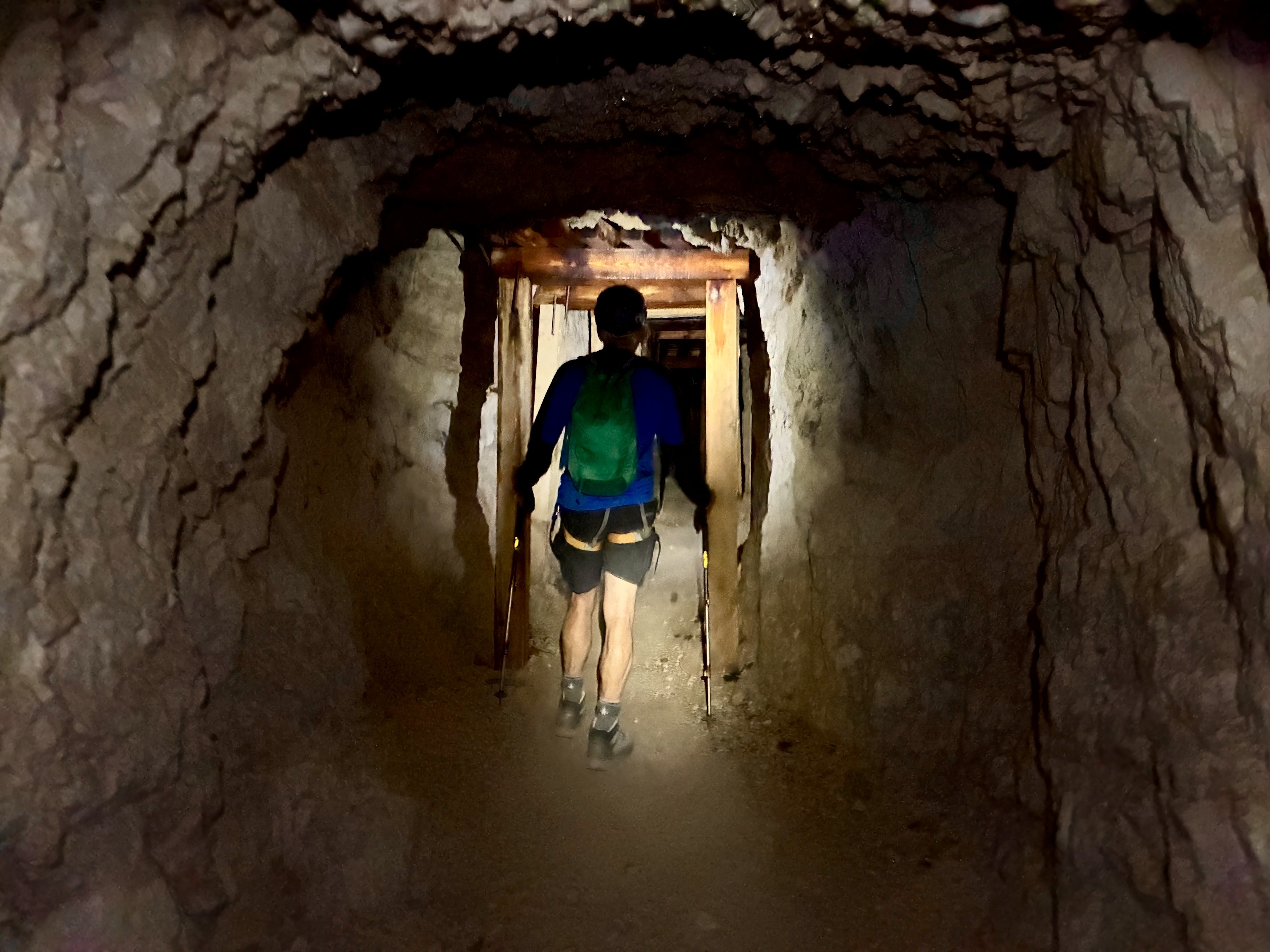
From the Locatelli Hut, we hiked southward along a low ridge, past a sausage-shaped limestone pinnacle fondly known as the Frankfurter Wurstel, and down to a small notch. This notch marks the lower end of the historic De Luca–Innerkofler Tunnels, which are named after two important World War I mountain personalities: Piero de Luca and Sepp Innerkofler.
.
.
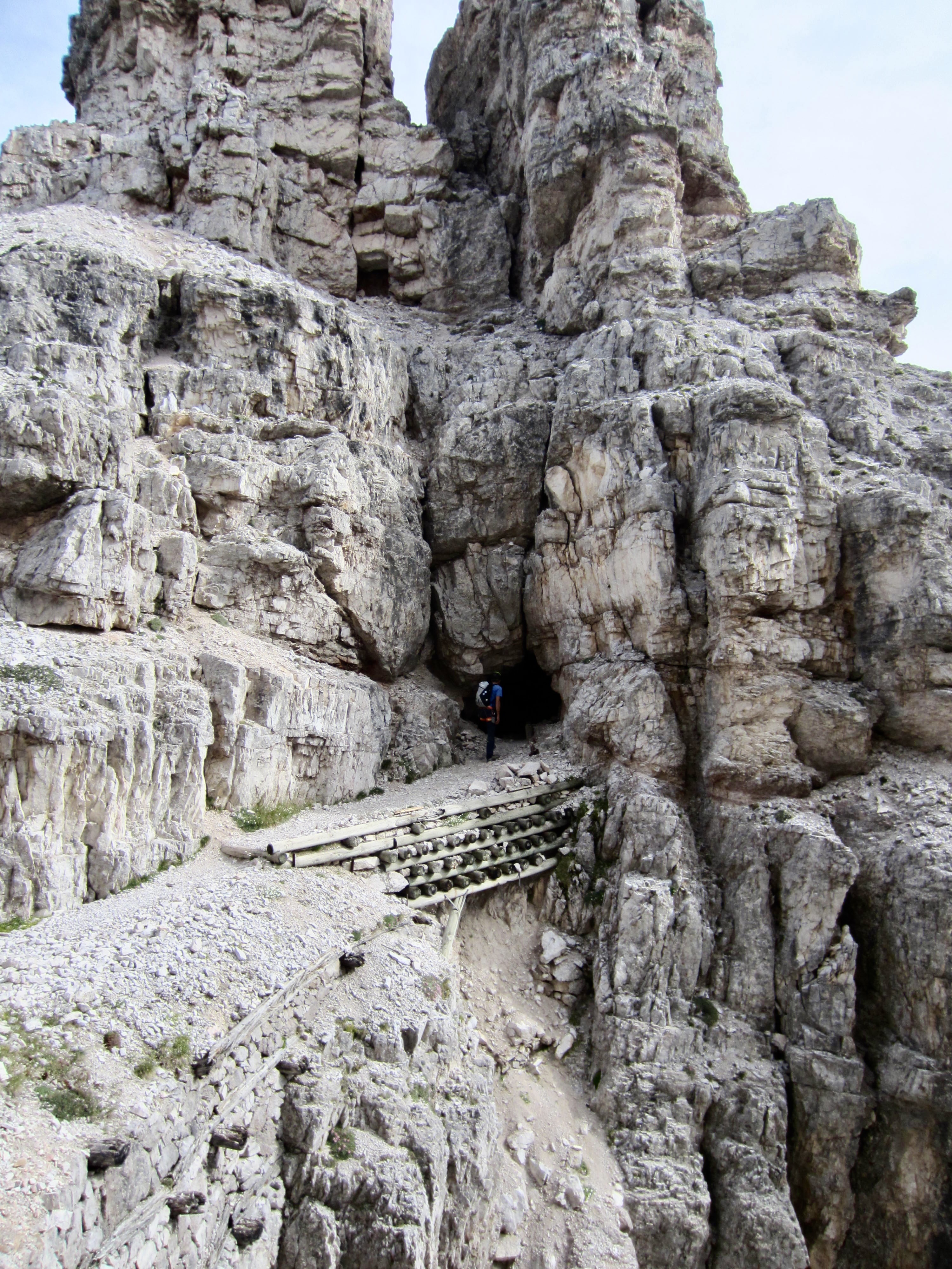
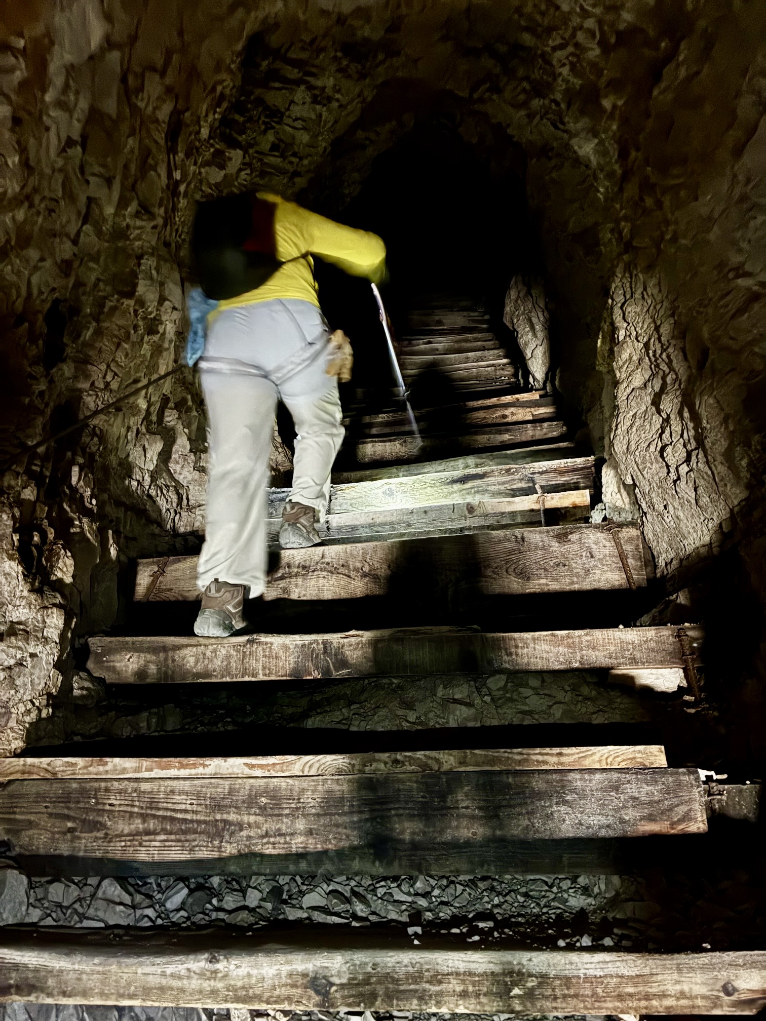
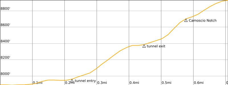
We donned headlamps and via ferrata gear, then entered the first in a series of interconnected tunnels. The entire chain of tunnels extends for a distance of approximately 650 yards / 600 meters and becomes progressively steeper. The final tunnel includes a steep wooden staircase with a handline cable.
.
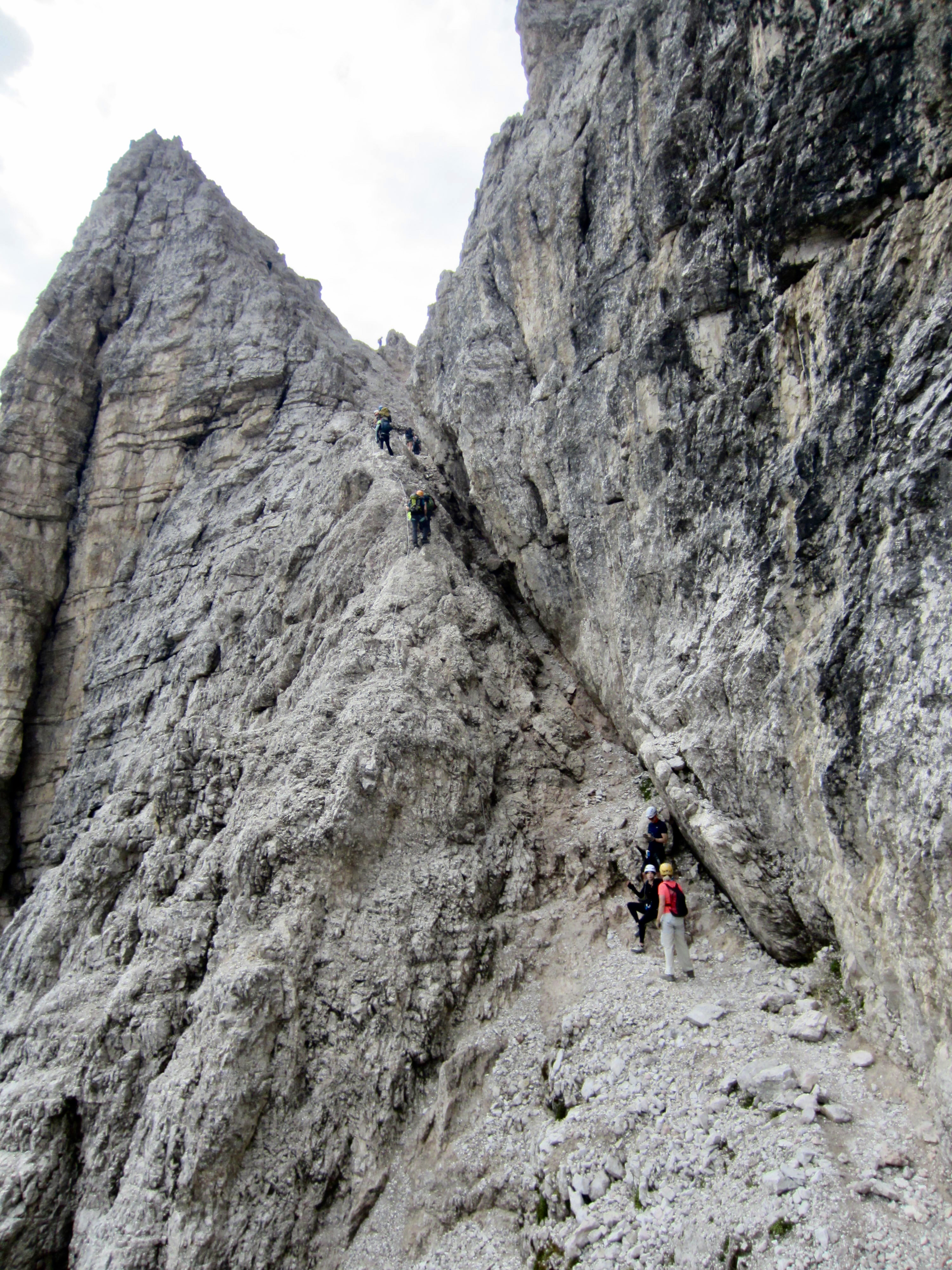
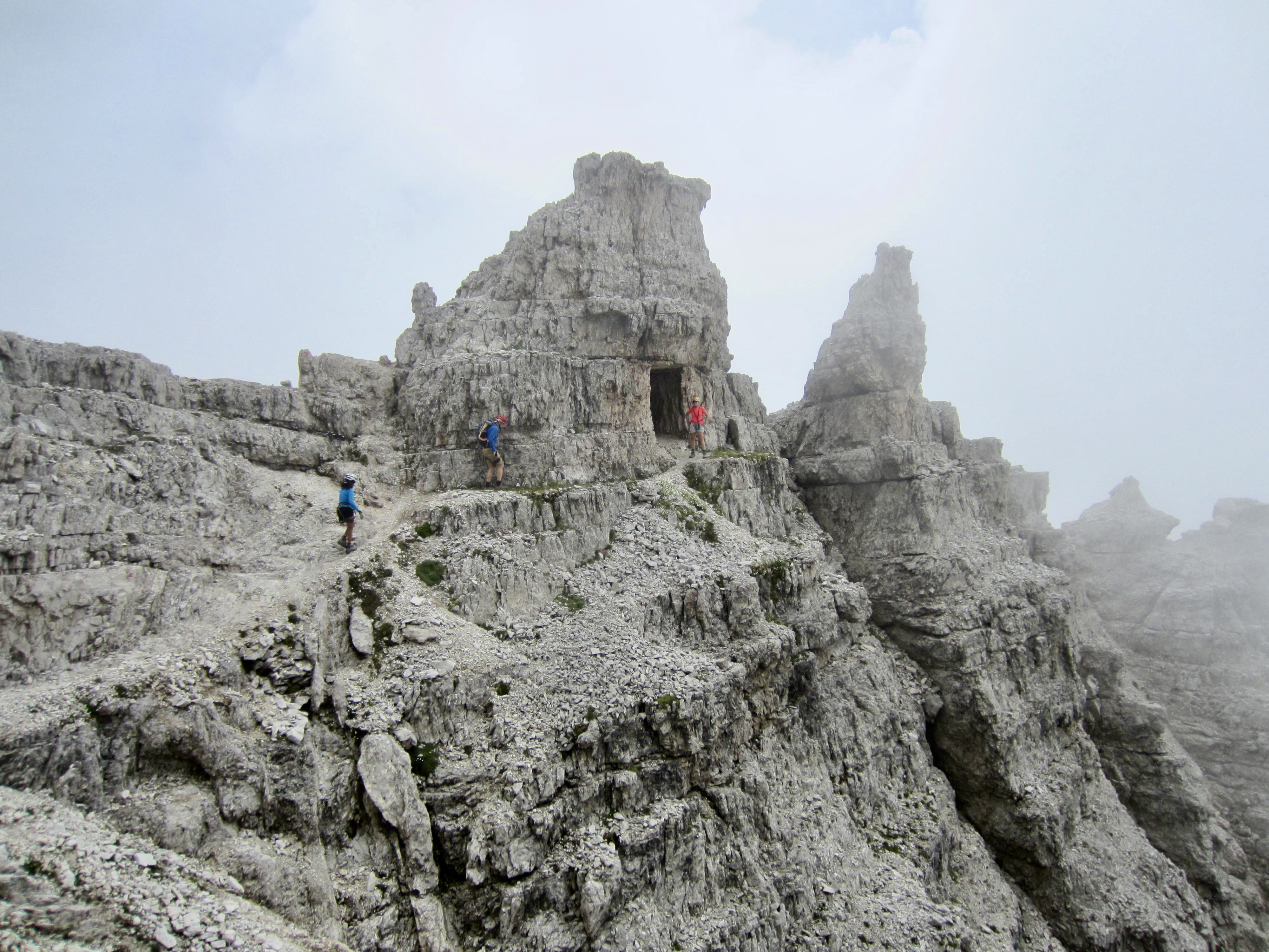
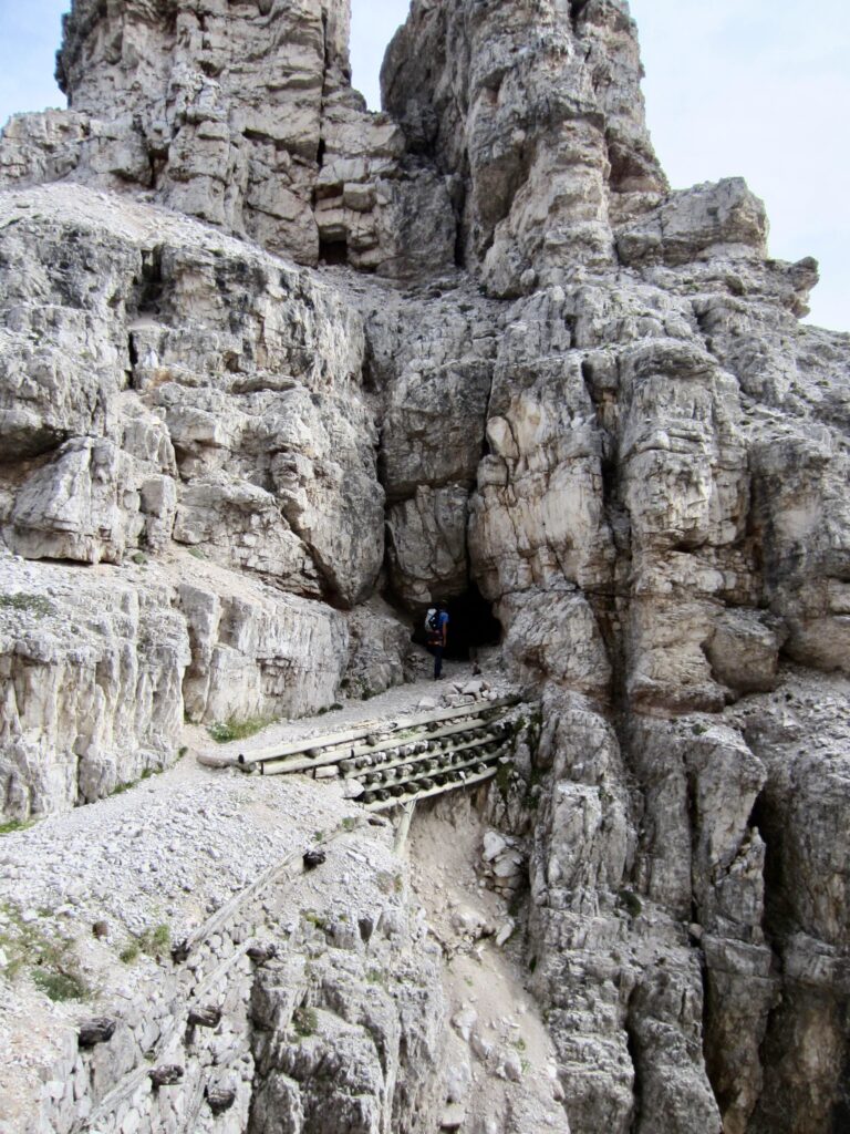
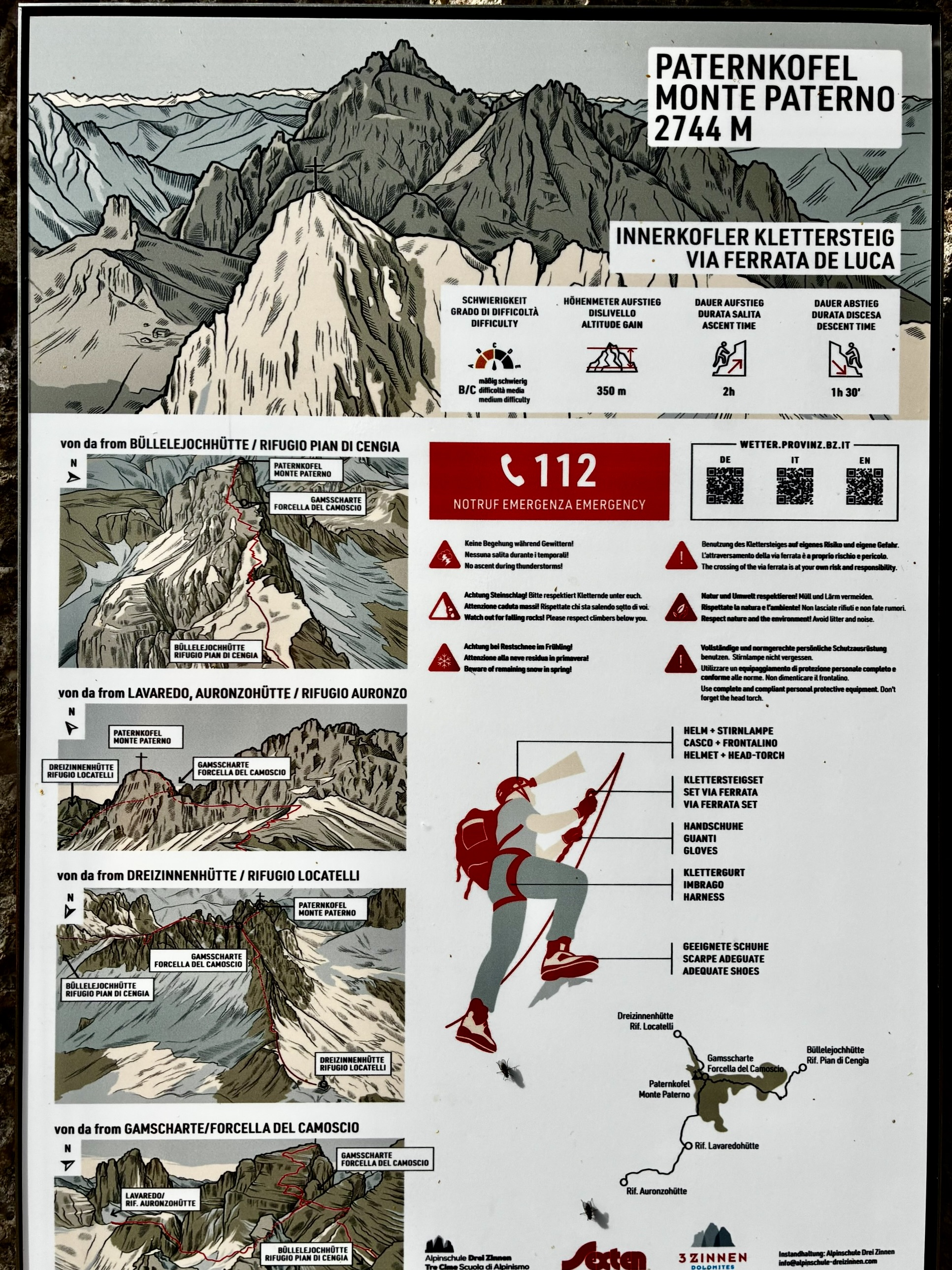
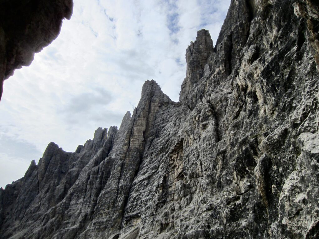
The final tunnel exits onto a short, wide ledge that ends at a tall cliff on the Northeast Face of Monte Paterno / Paternkofel. A route plaque mounted on the rock marks the start of Via Ferrata de Luca / Innerkofler Klettersteig. Eileen and I each got a little shiver at the sight of this imposing cliff!
.
.
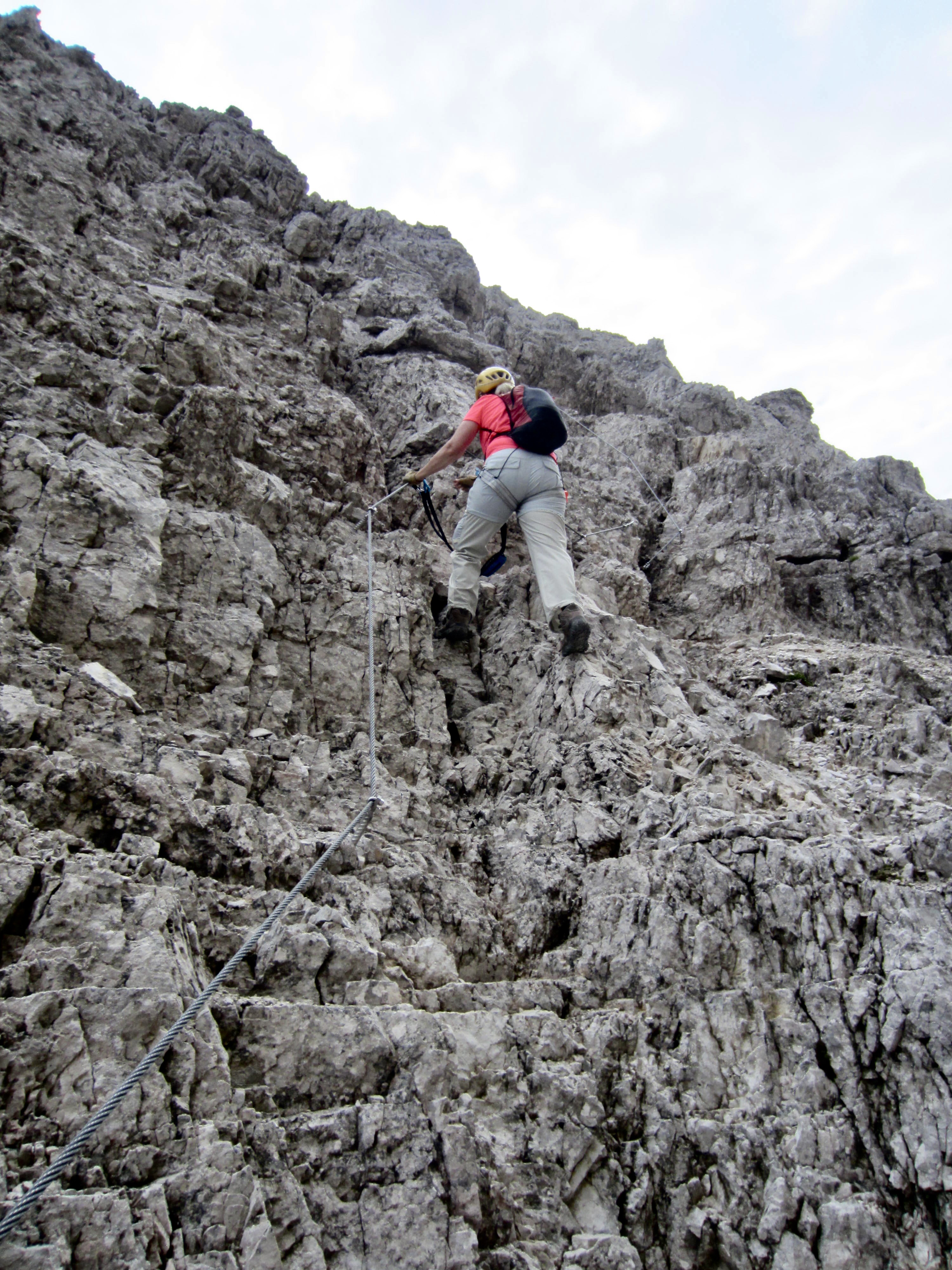
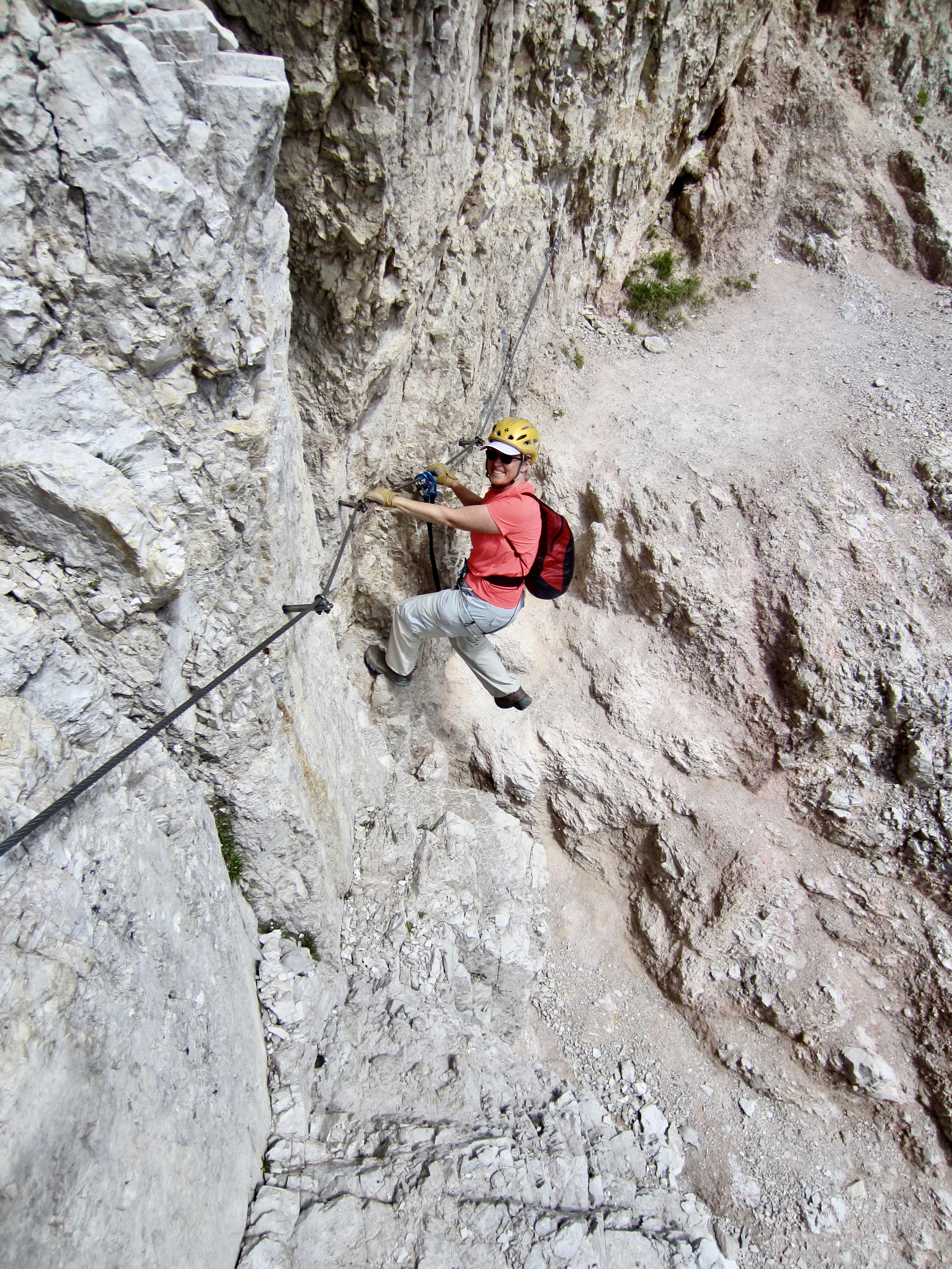
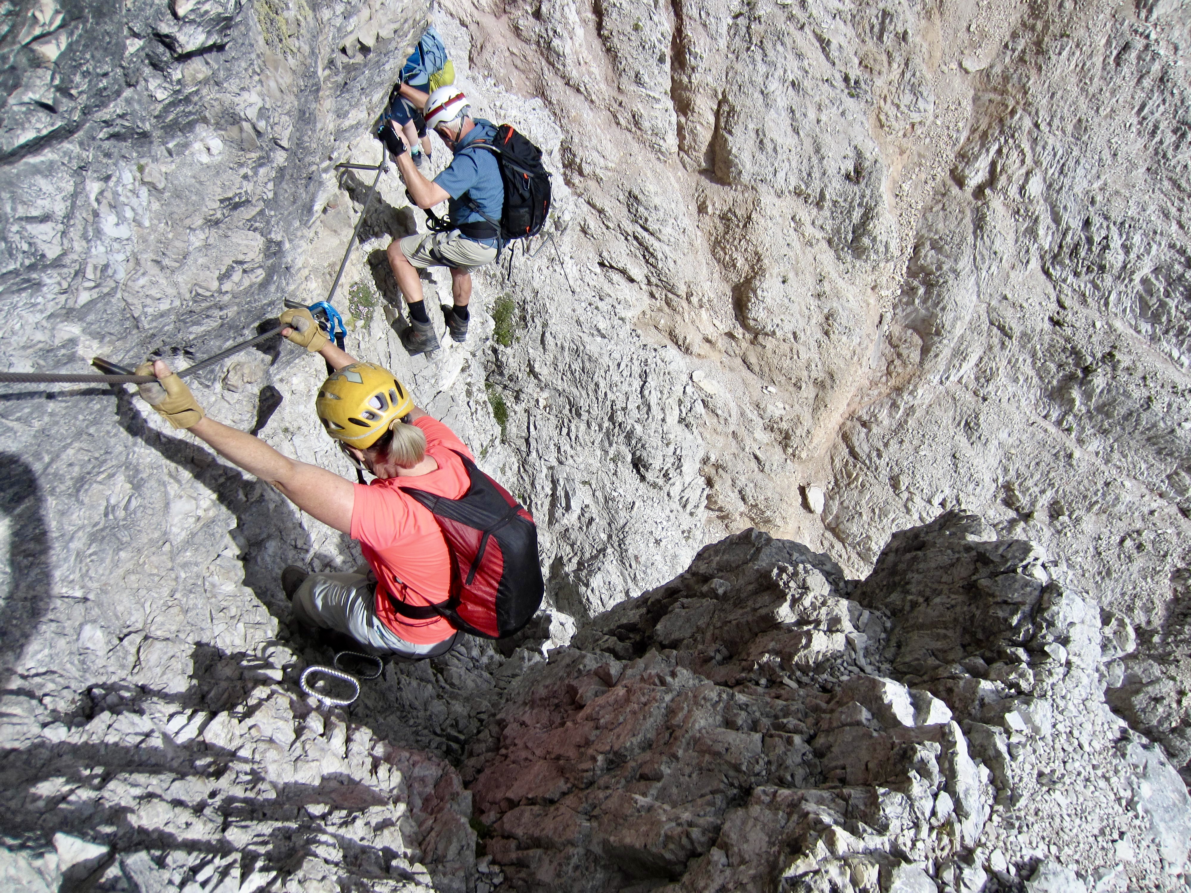
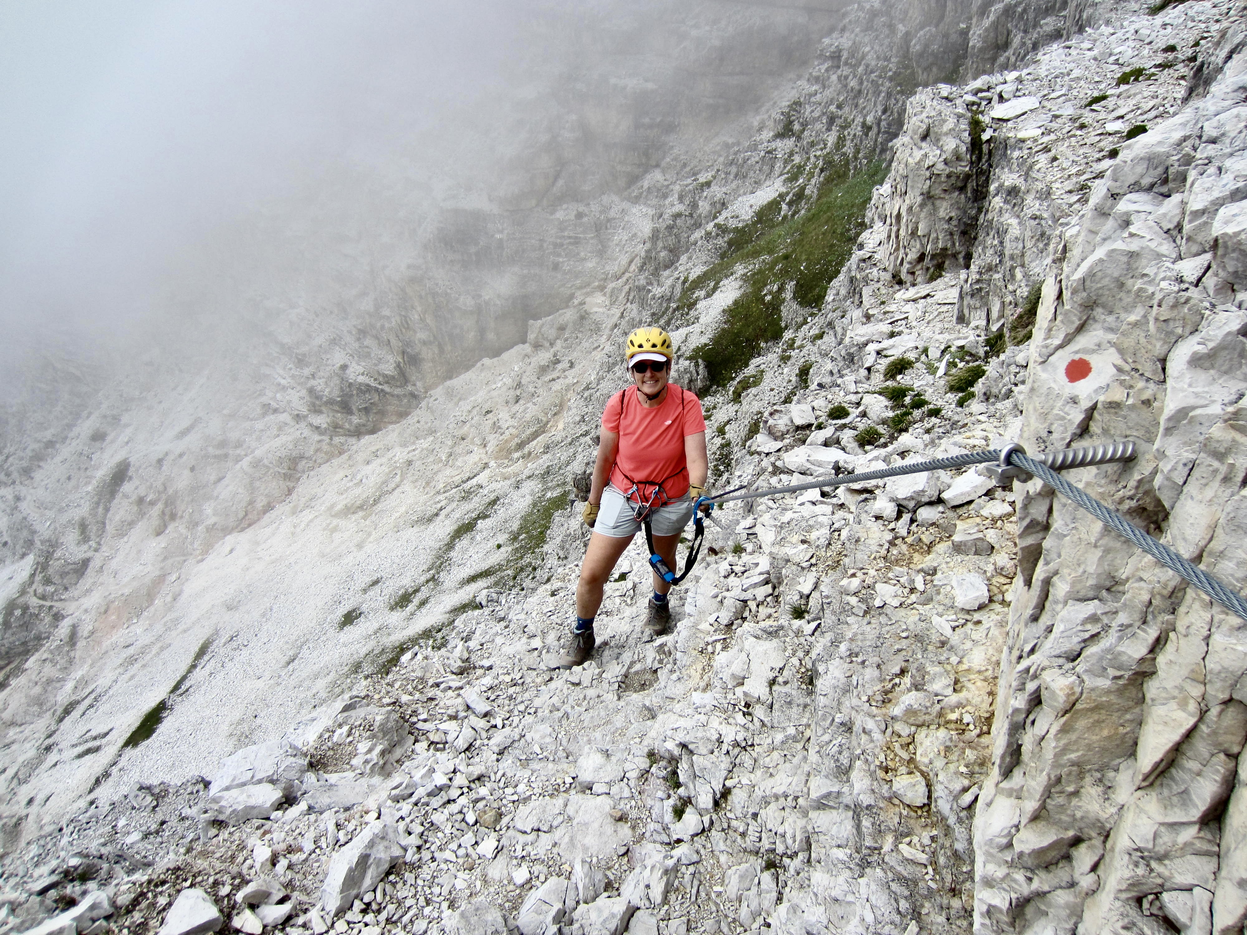
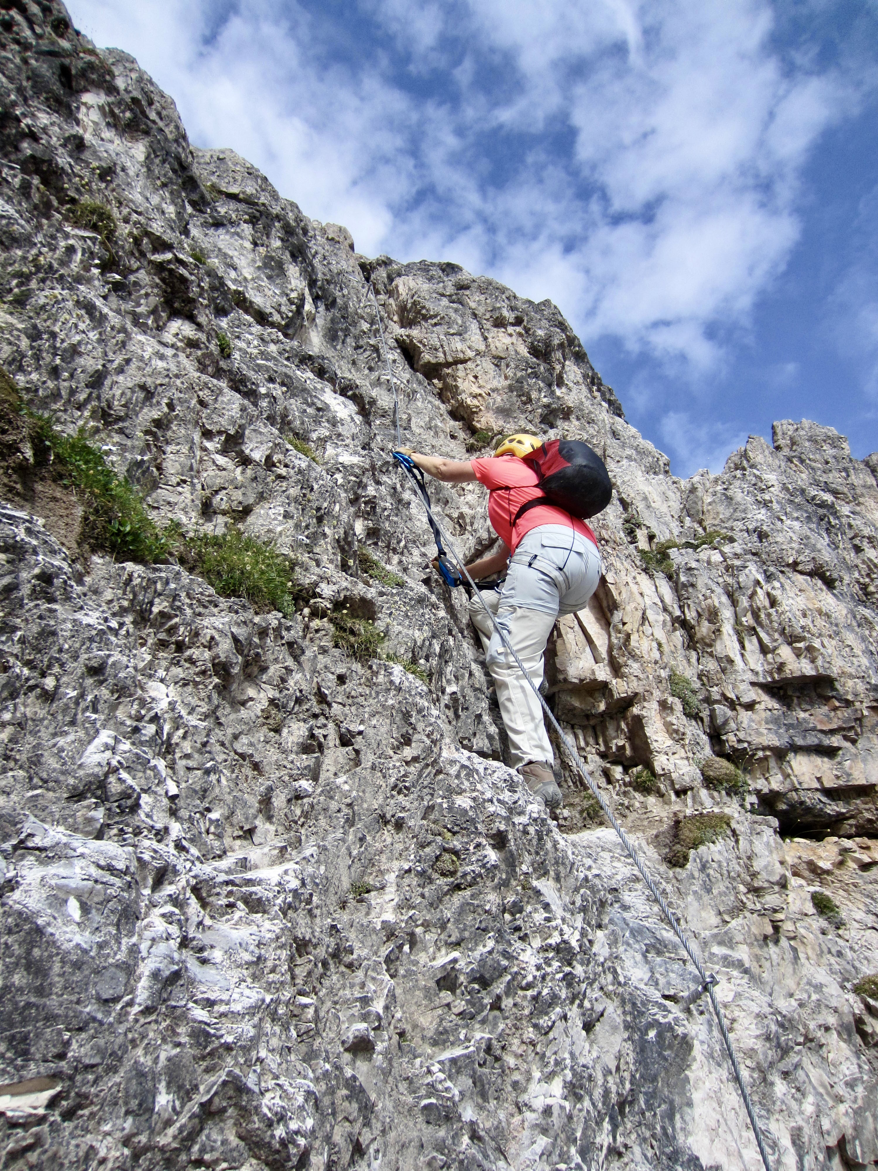
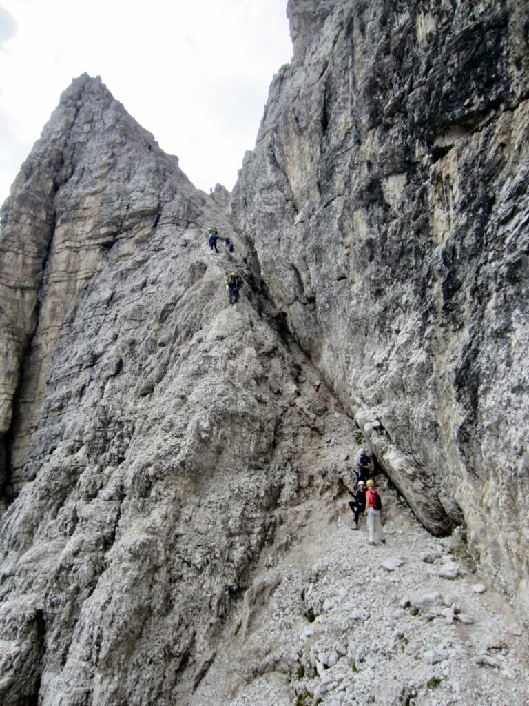
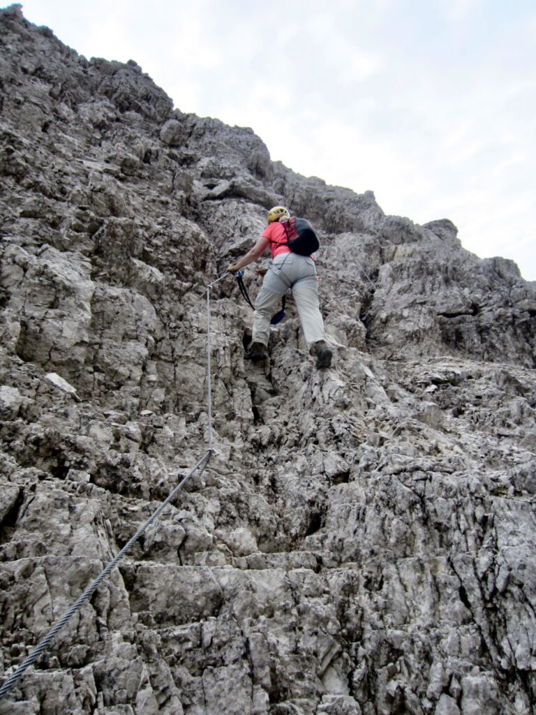
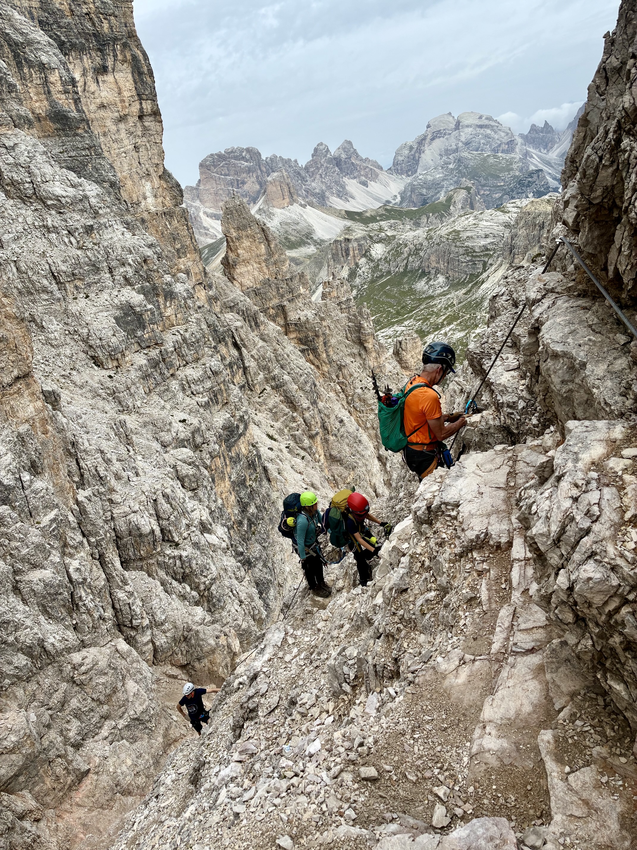
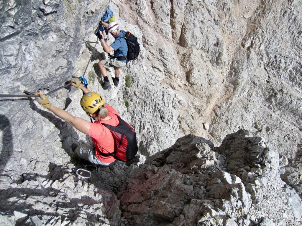
We clipped onto the first cable and began climbing. Despite the initial daunting appearance, this via ferrata ascent is actually very well-protected with updated hardware and was quite enjoyable. The overall ascent has a grade of 2B (low-to-moderate difficulty and moderate seriousness). The route makes a left-angling traverse up the cliff and eventually works into a diagonal slot. Eileen and I caught up with several preceding groups here, as this slot creates a bit of traffic congestion.
.
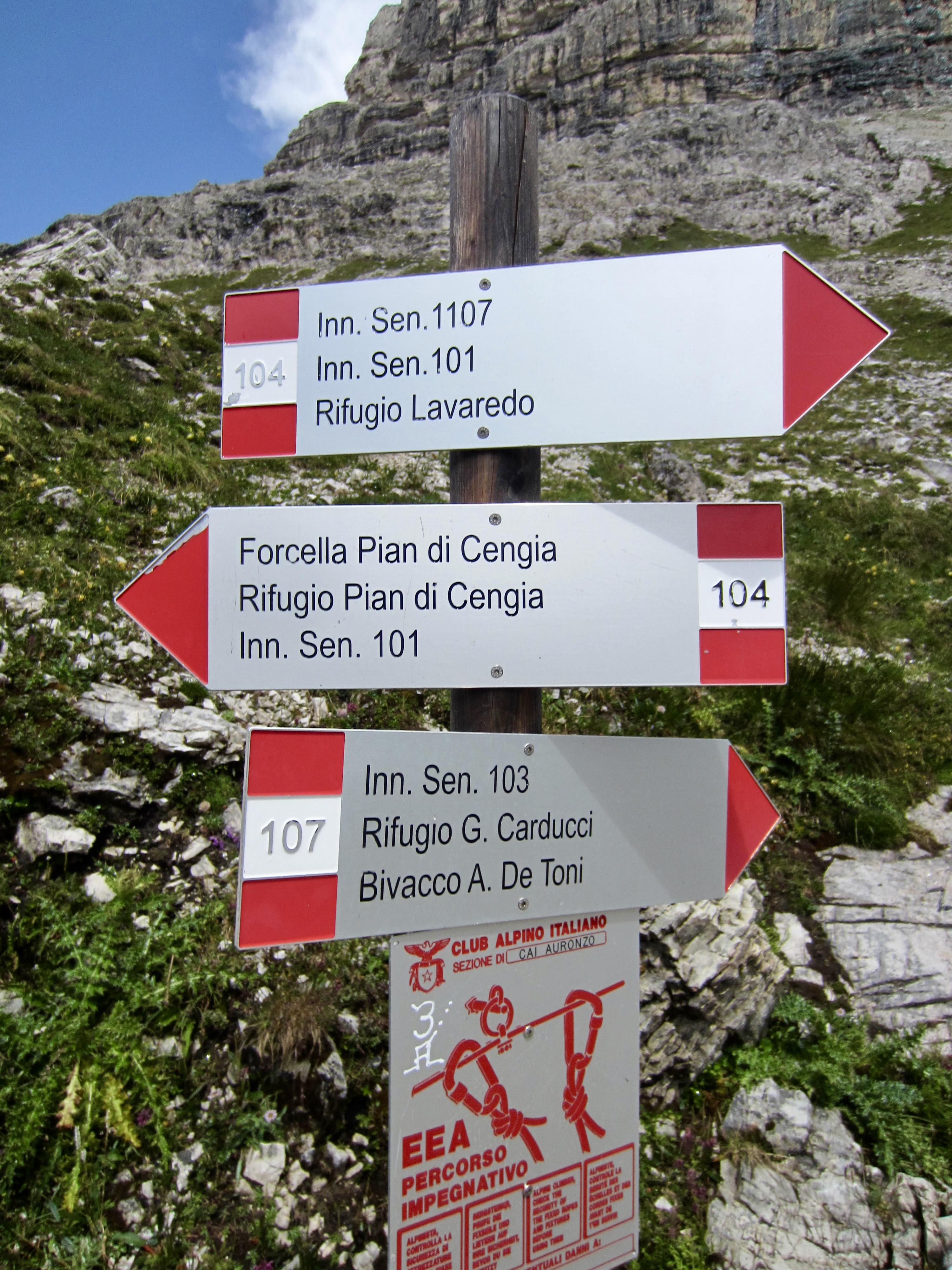
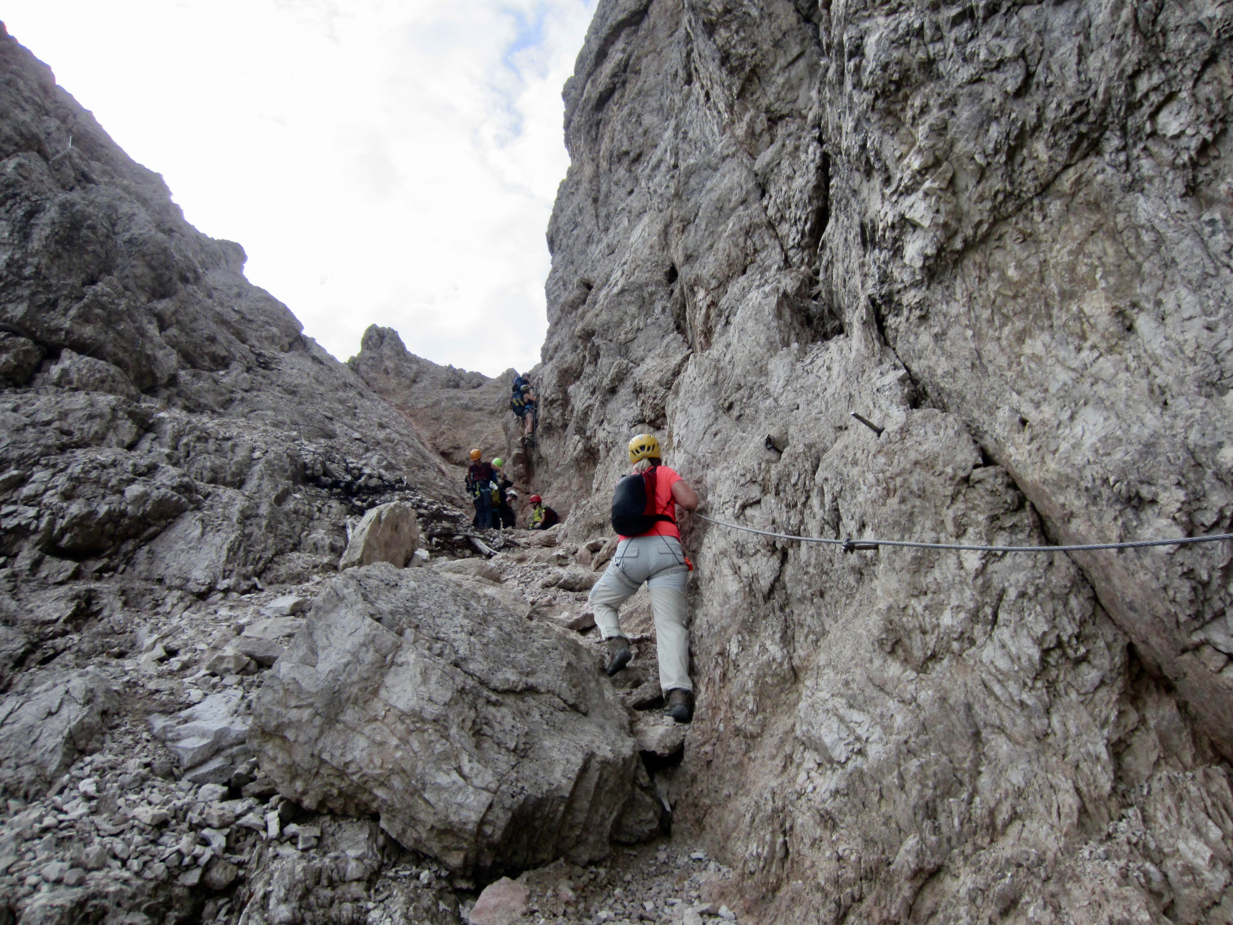
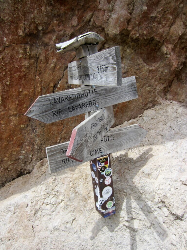
Where the route divides within the diagonal slot, we went to the left on steeper cables that led us around the congestion. A short traverse then brought us to the ridge crest at a key notch known as Forcella del Camoscio / Gammsscharte, or simply Camoscio Notch. A wooden signpost here identifies routes in four different directions.
.
.
.
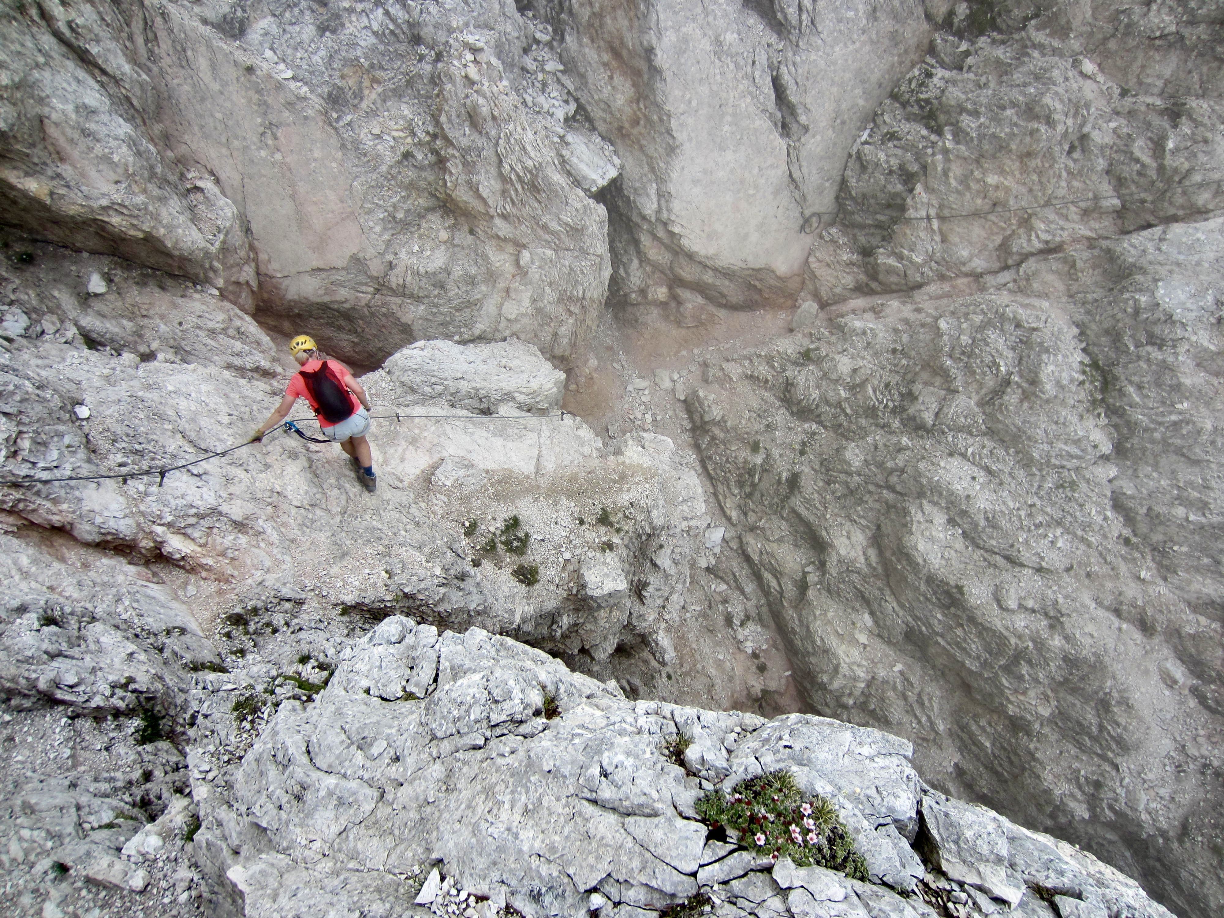
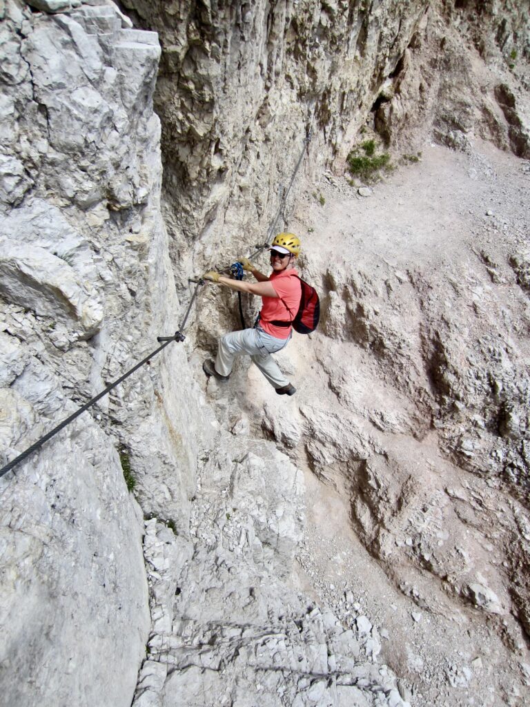
Because our primary destination today was the summit of Monte Paterno / Paternkofel, Eileen and I veered to the right on a narrow ledge. Almost immediately, we had to work across a missing part of the ledge, using a safety cable. This required some strenuous layback moves that constituted the crux of the entire via ferrata.
.
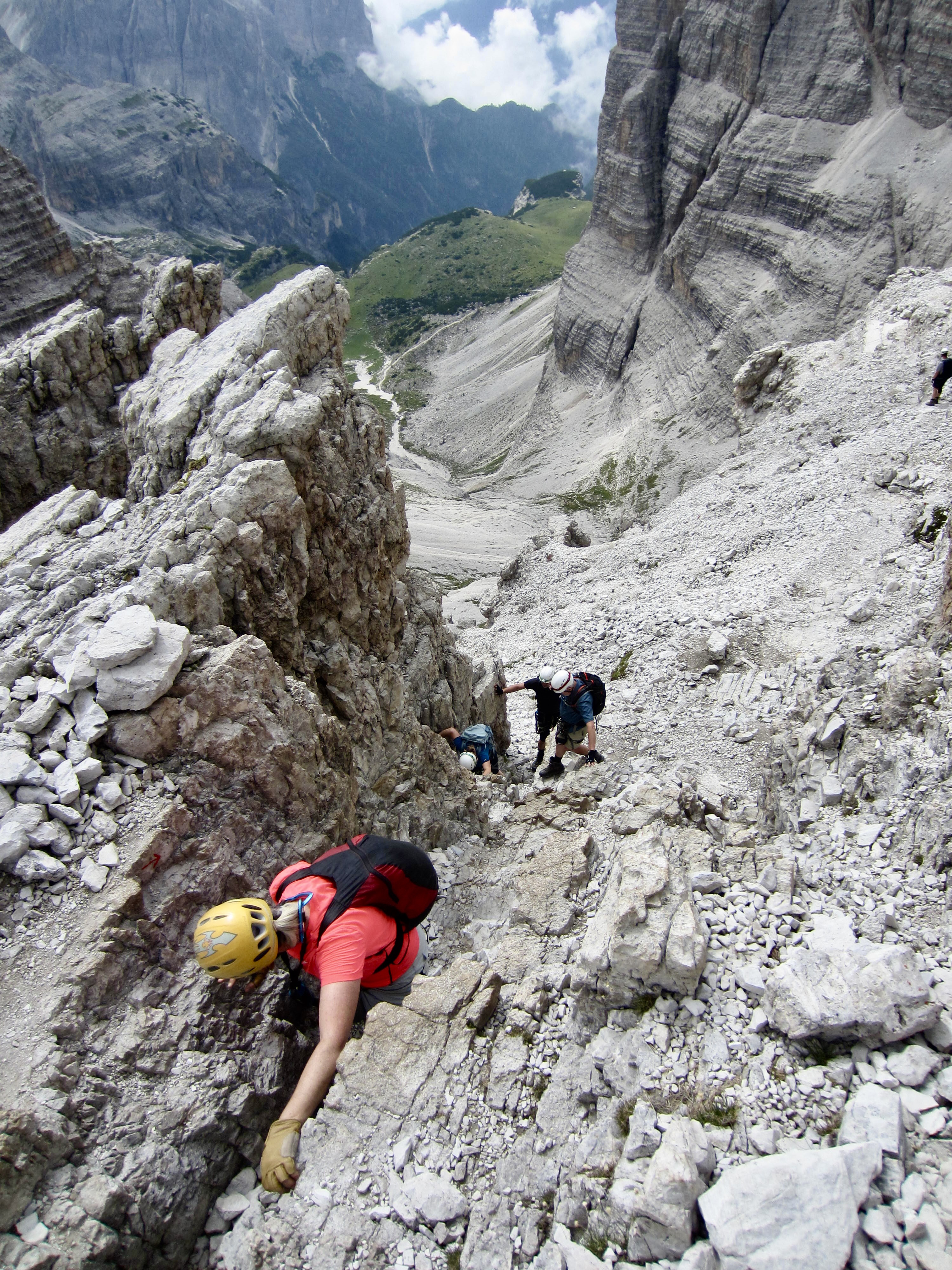
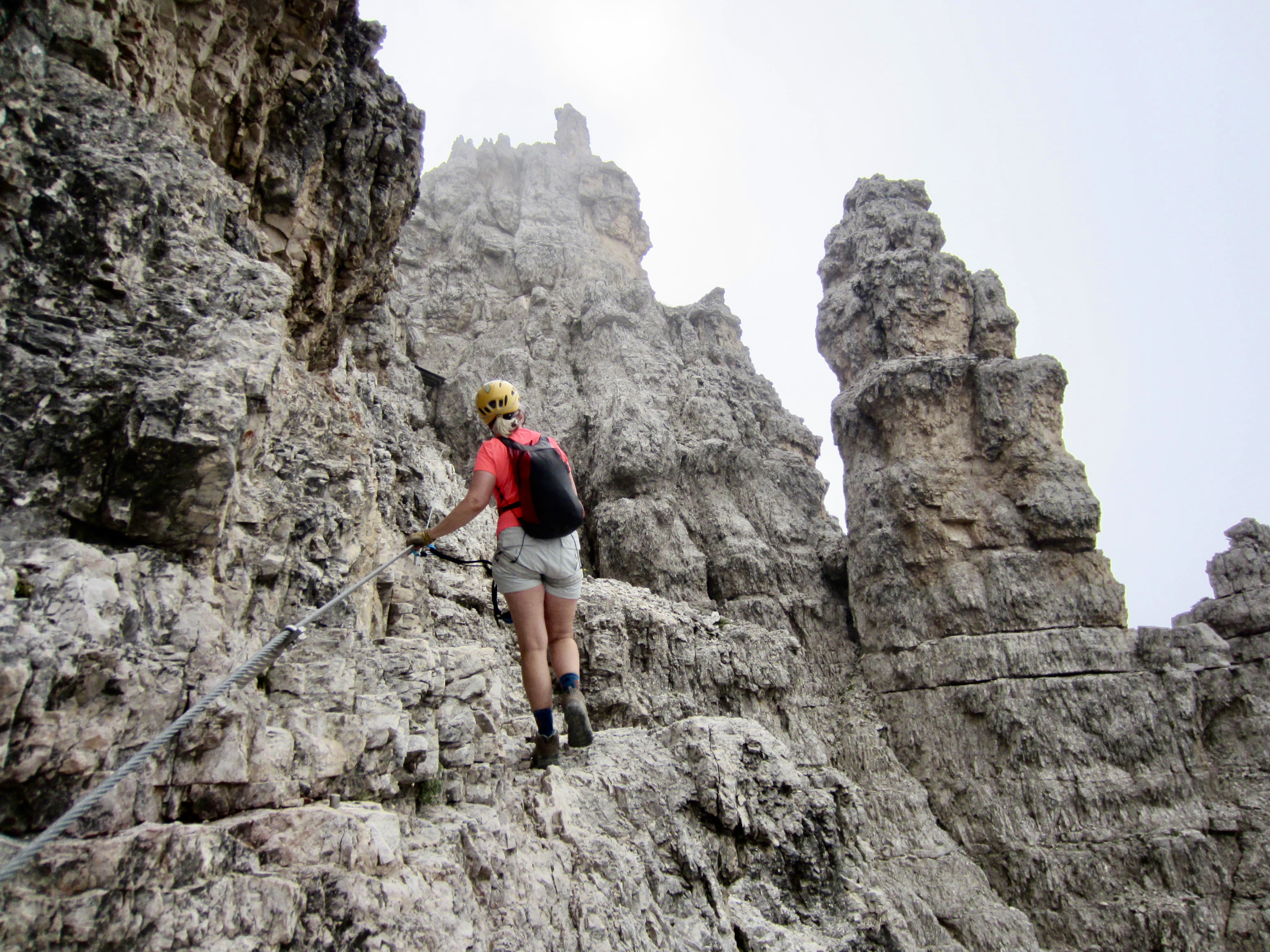
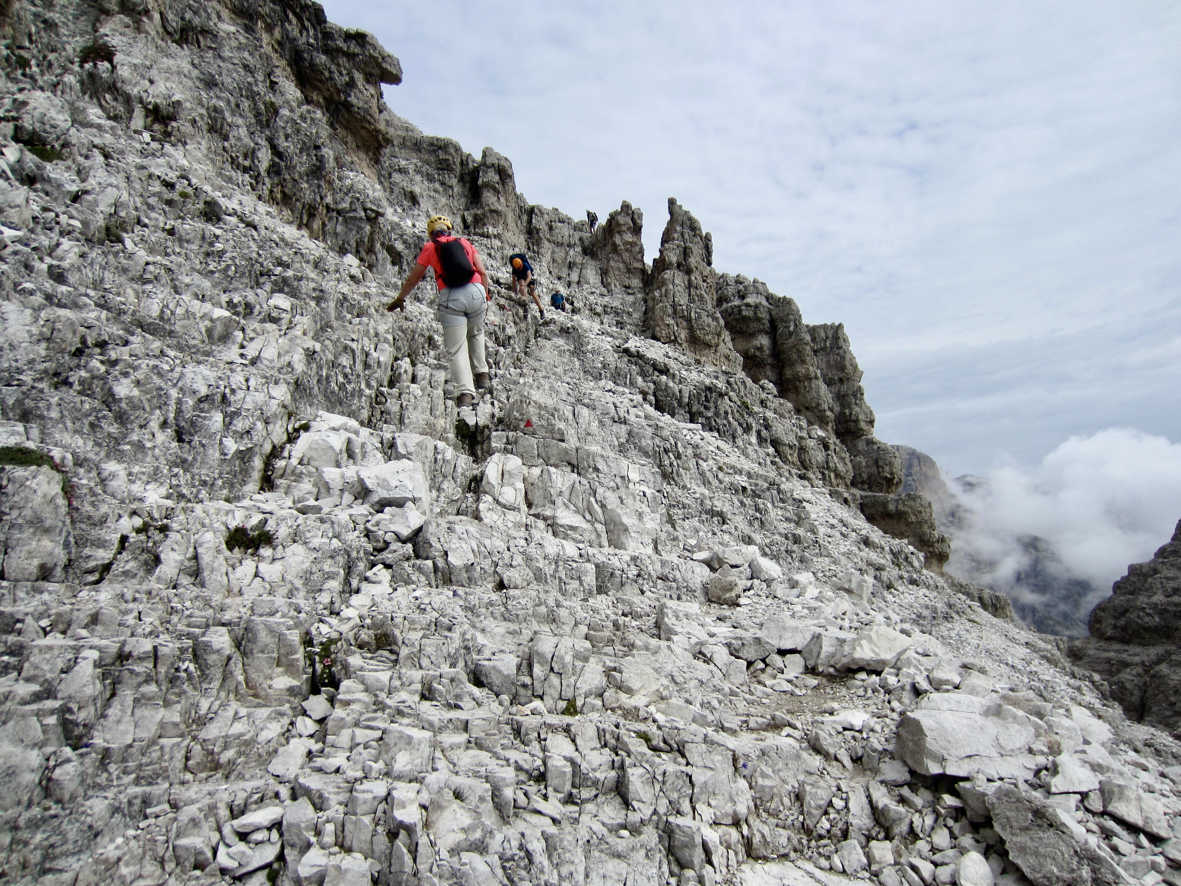
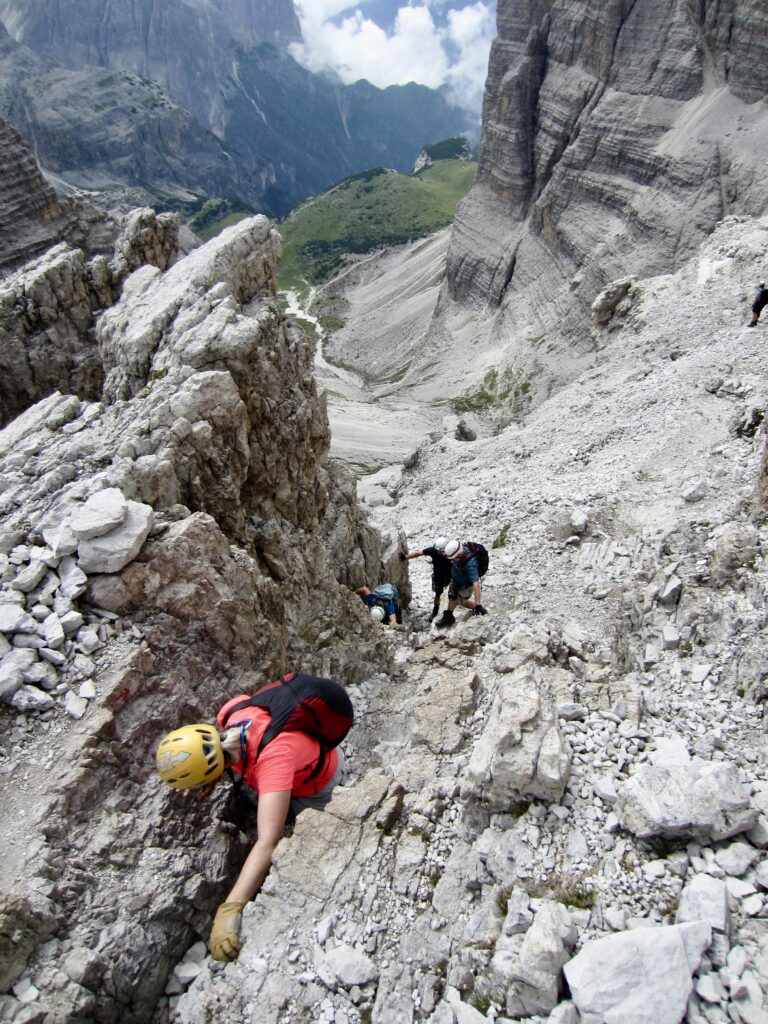
Once past the via ferrata crux, we easily zigzagged up a series of ledges and broken rock on the peak’s southeastern face. The scrambling crux is a short but steep Class 3+ crack that, curiously, has no safety cables or assistance stemples.
.
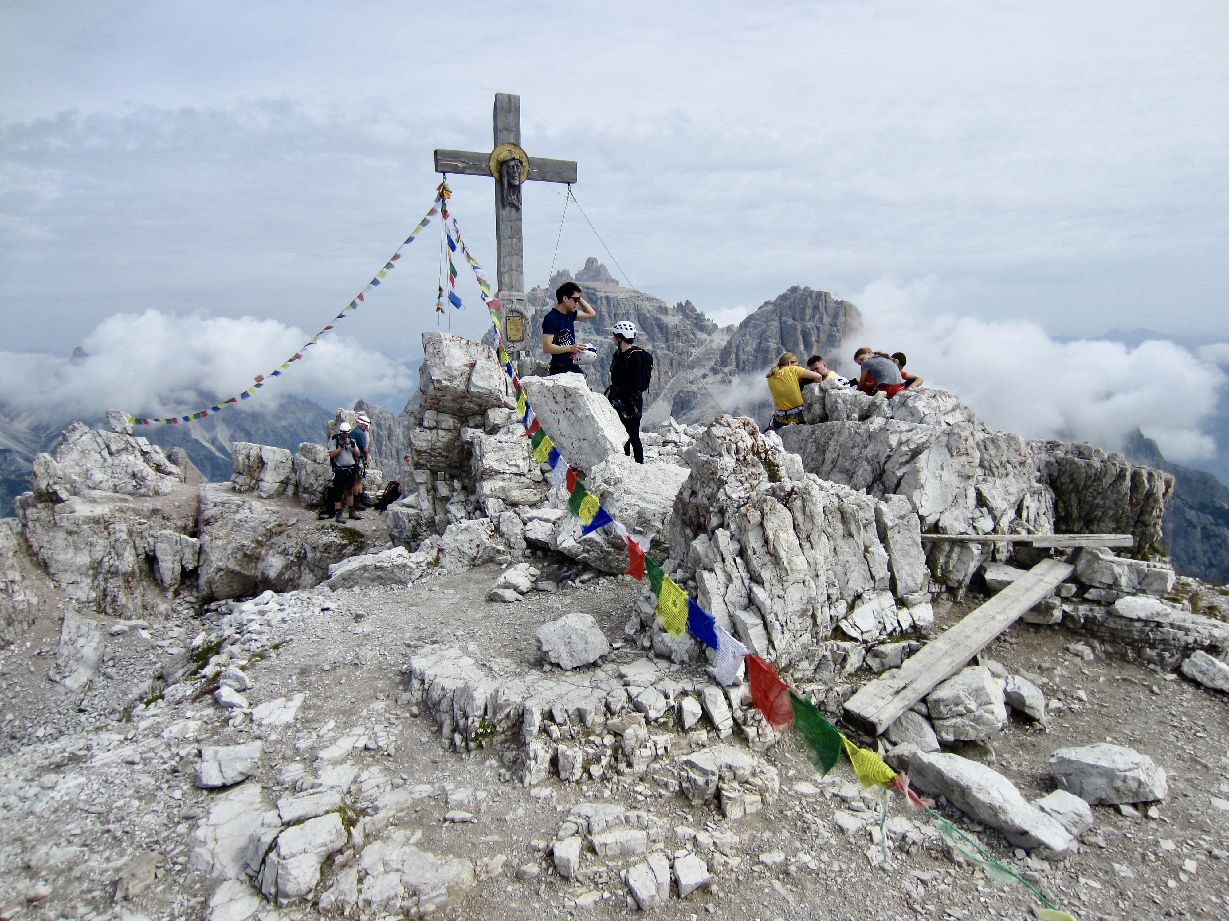
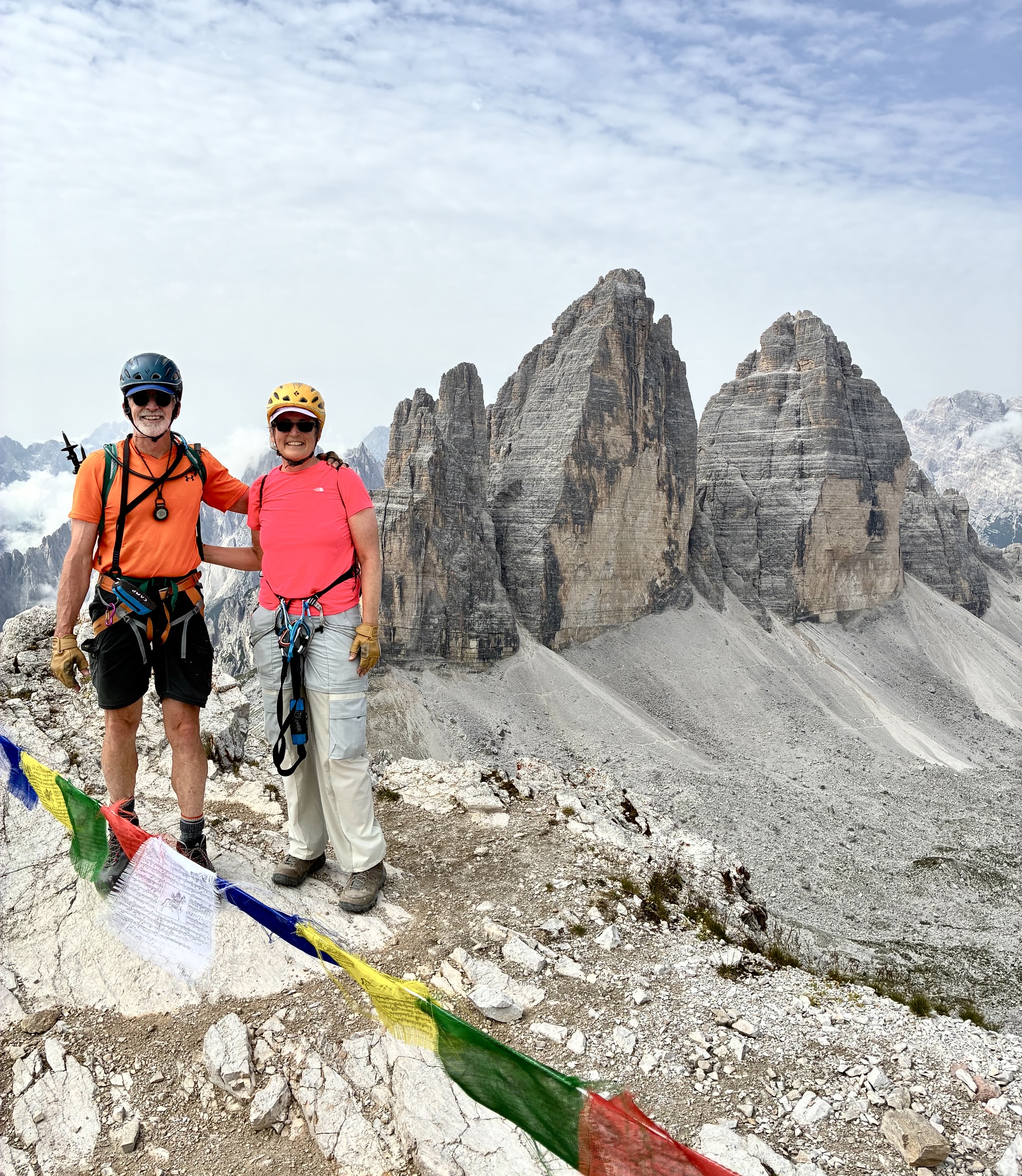
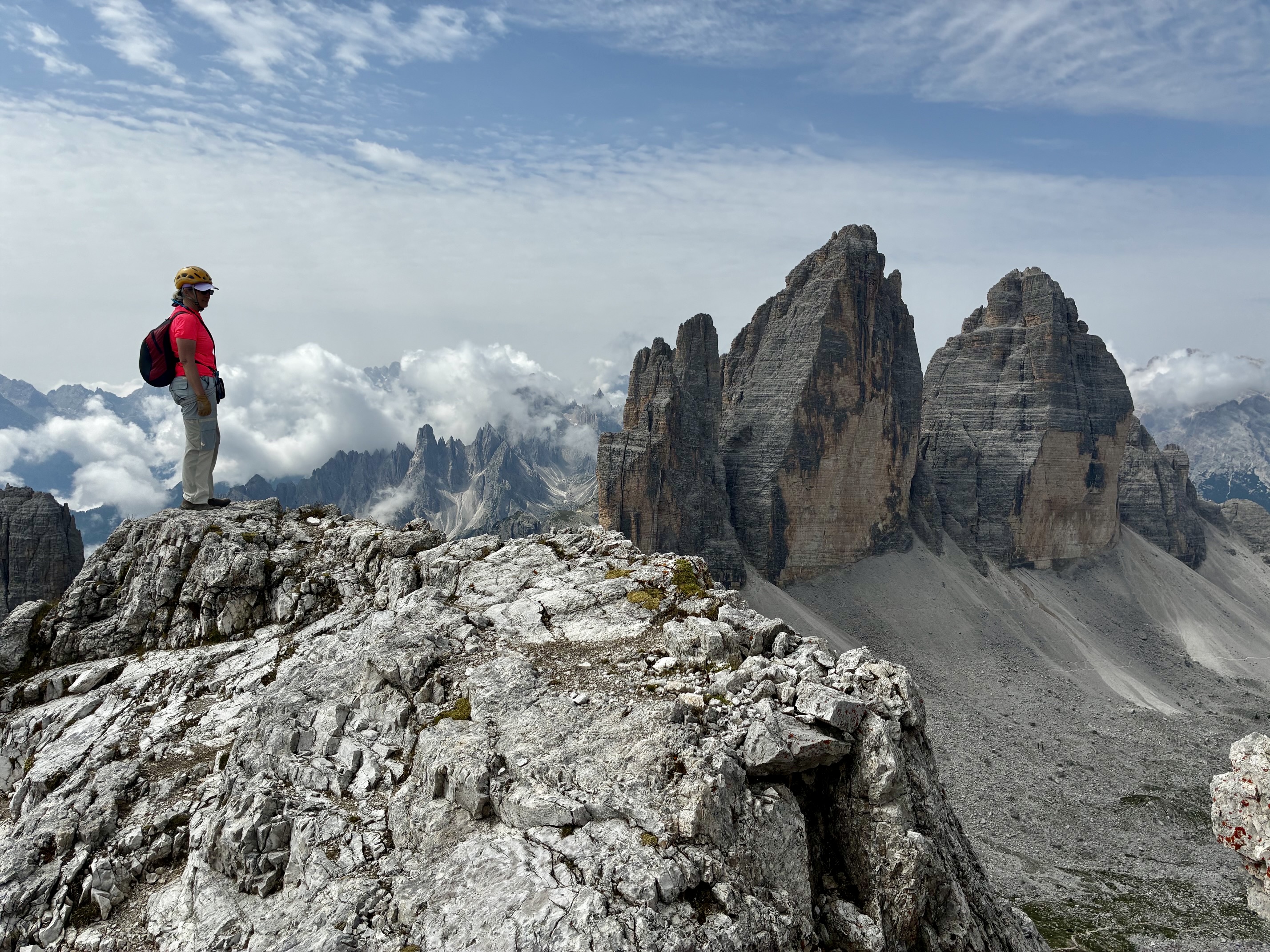
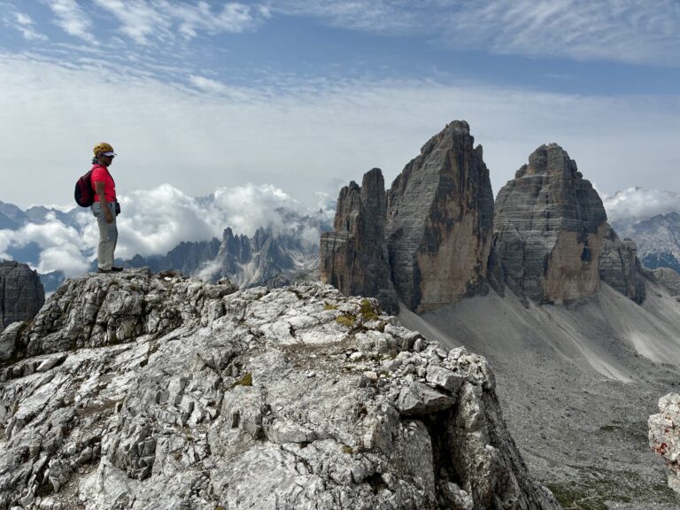
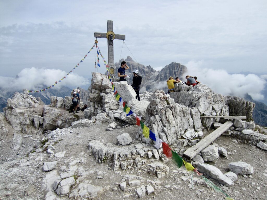
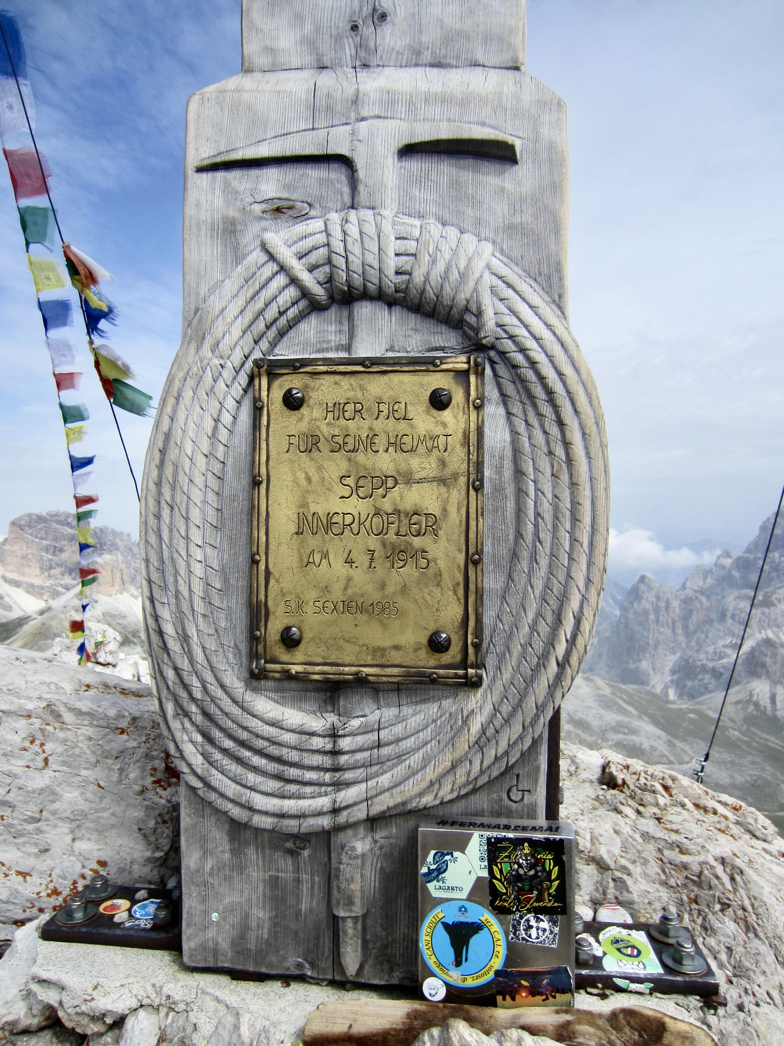
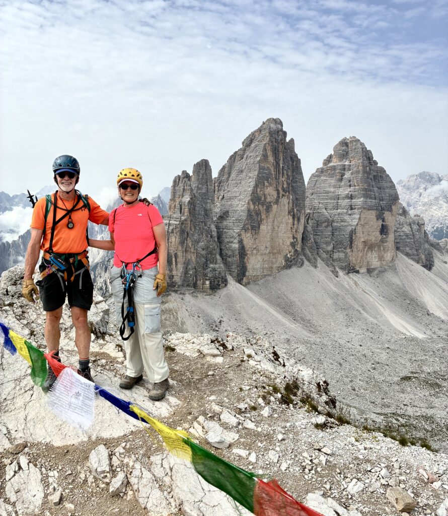
Easier scrambling delivered us to the busy summit of Monte Paterno / Paternkofel at 10:30am (1.8 hours + 1070 feet / 330 meters from Locatelli Hut). This summit hosts a variety of historical and religious artifacts, including a handsome wooden monument to Sepp Innerkofler. Hazy air and swirling clouds prevented long-range views, but we could admire the peak’s craggy East Ridge, as well as the famous Lavaredo Tre Cime to the southwest.
.
.
.
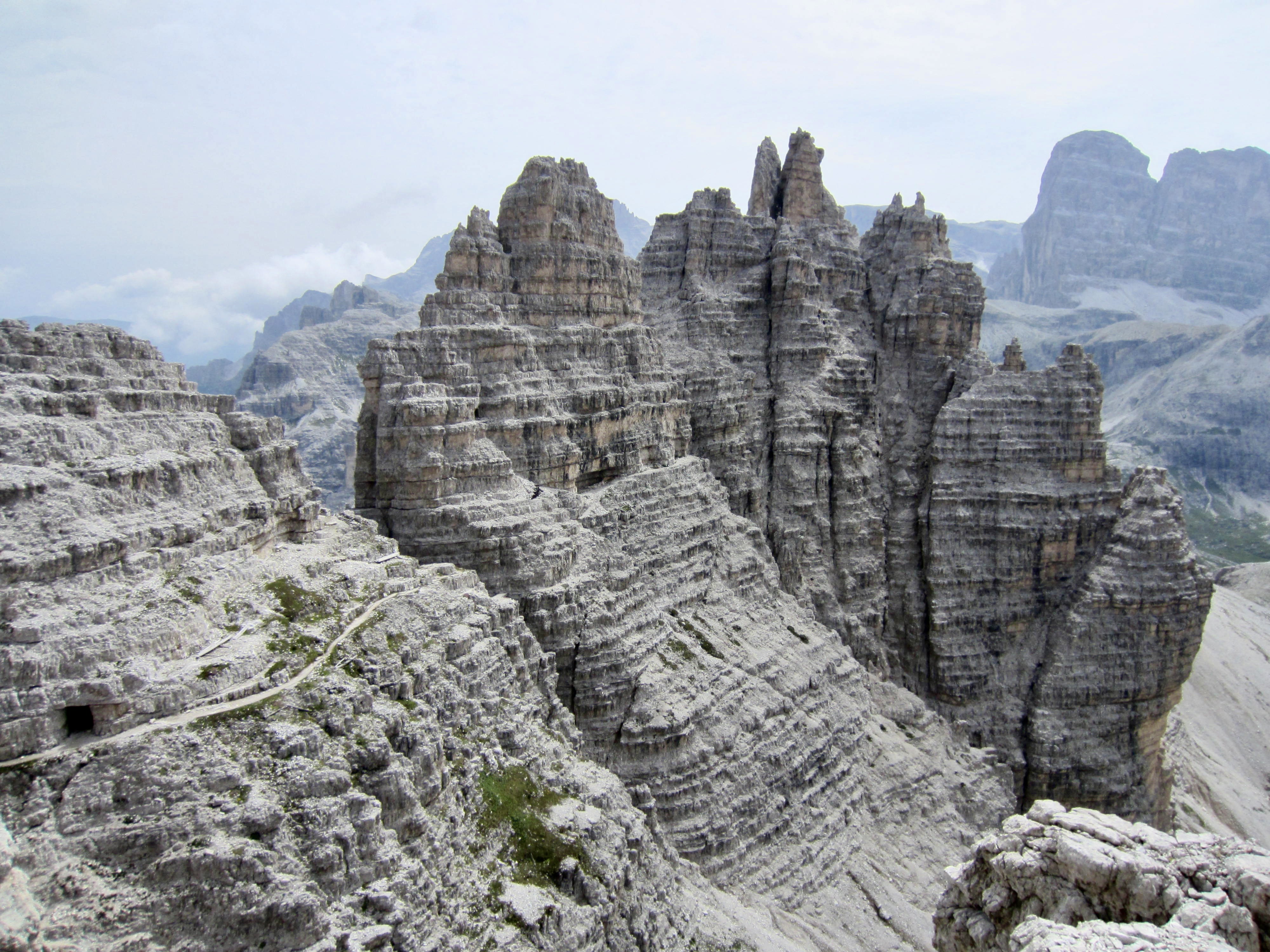
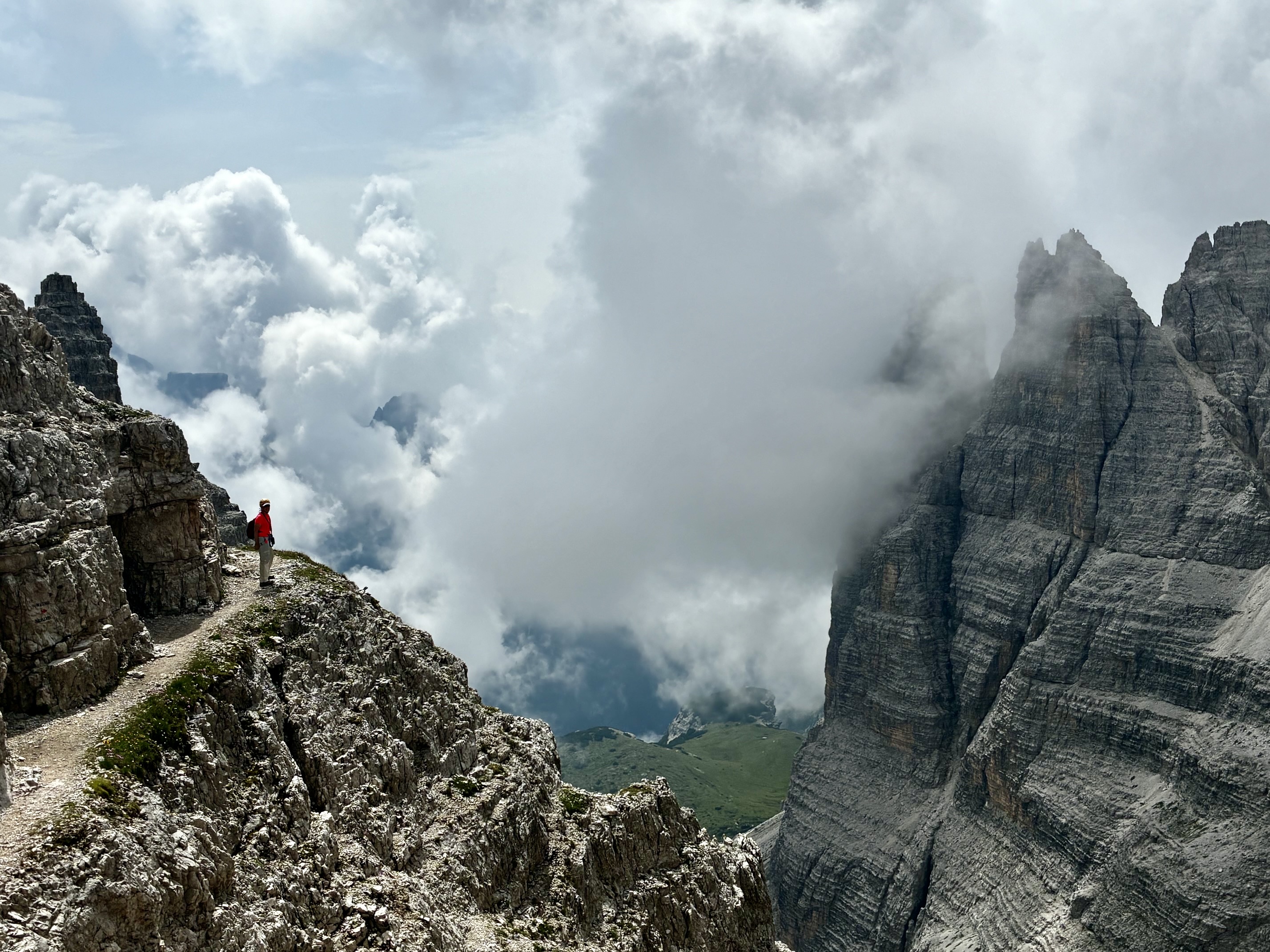
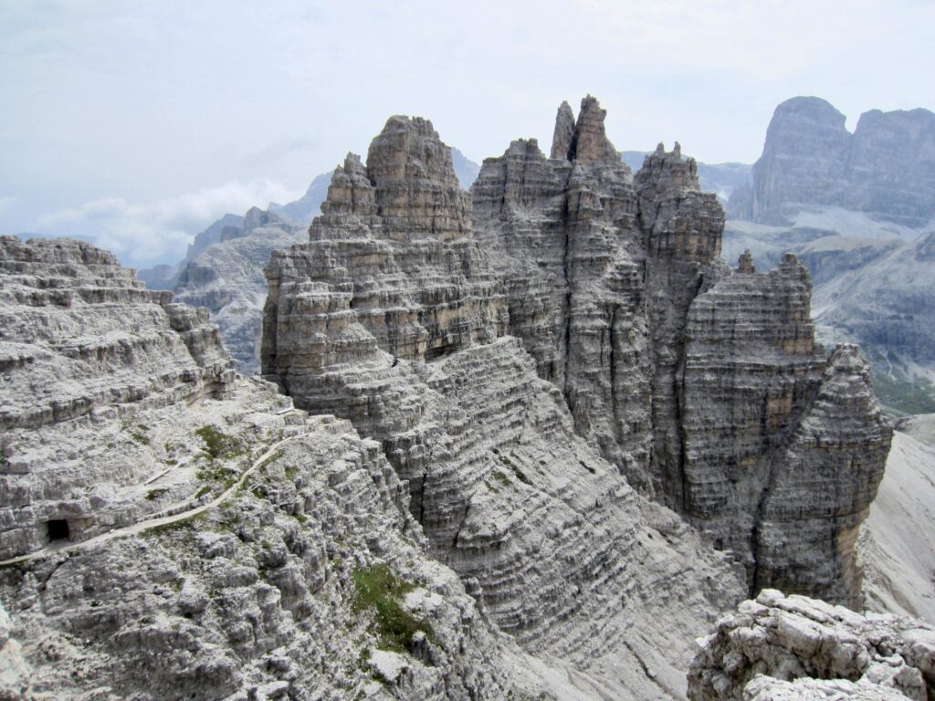
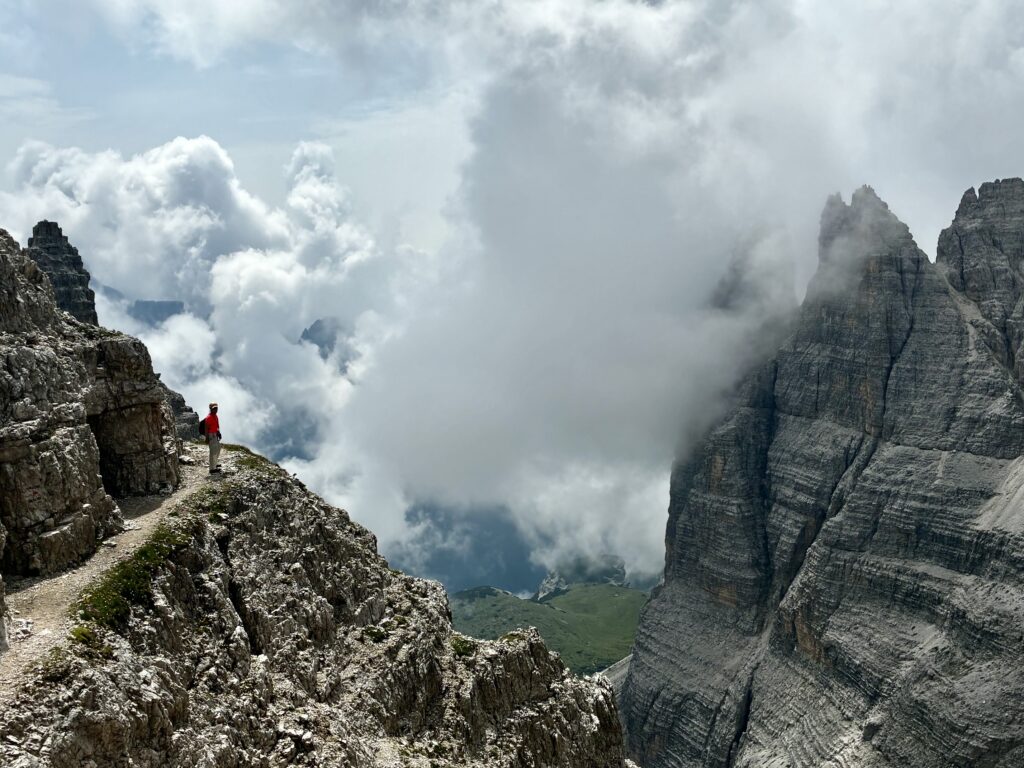
After a 20-minute sojourn on top, we descended back to Camoscio Notch and then continued along the East Ridge on a marvelously exposed but easy ledge system. Today’s weather forecast called for a high chance of thunderstorms, and this was confirmed by clouds building nearby.
.
.
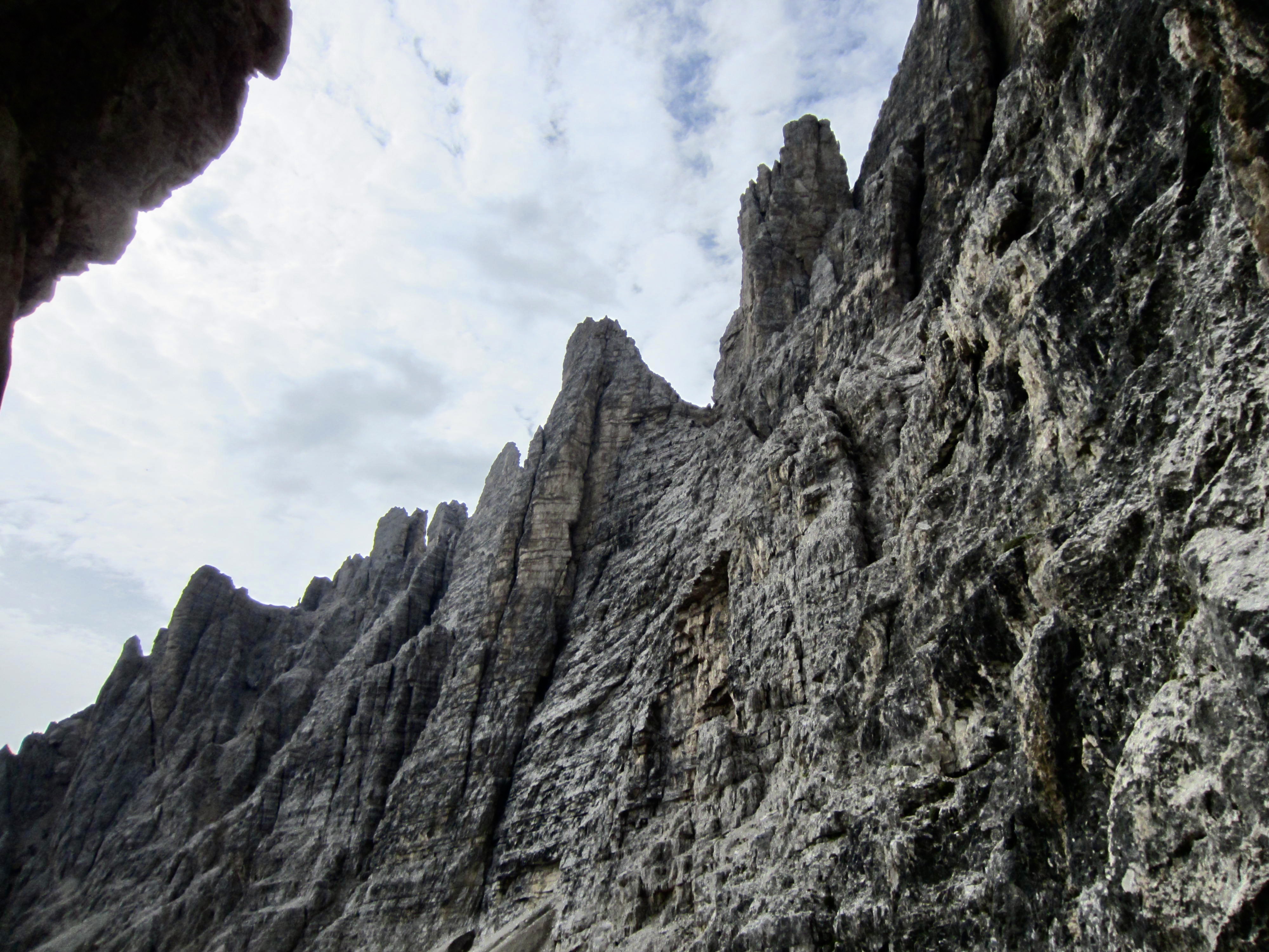
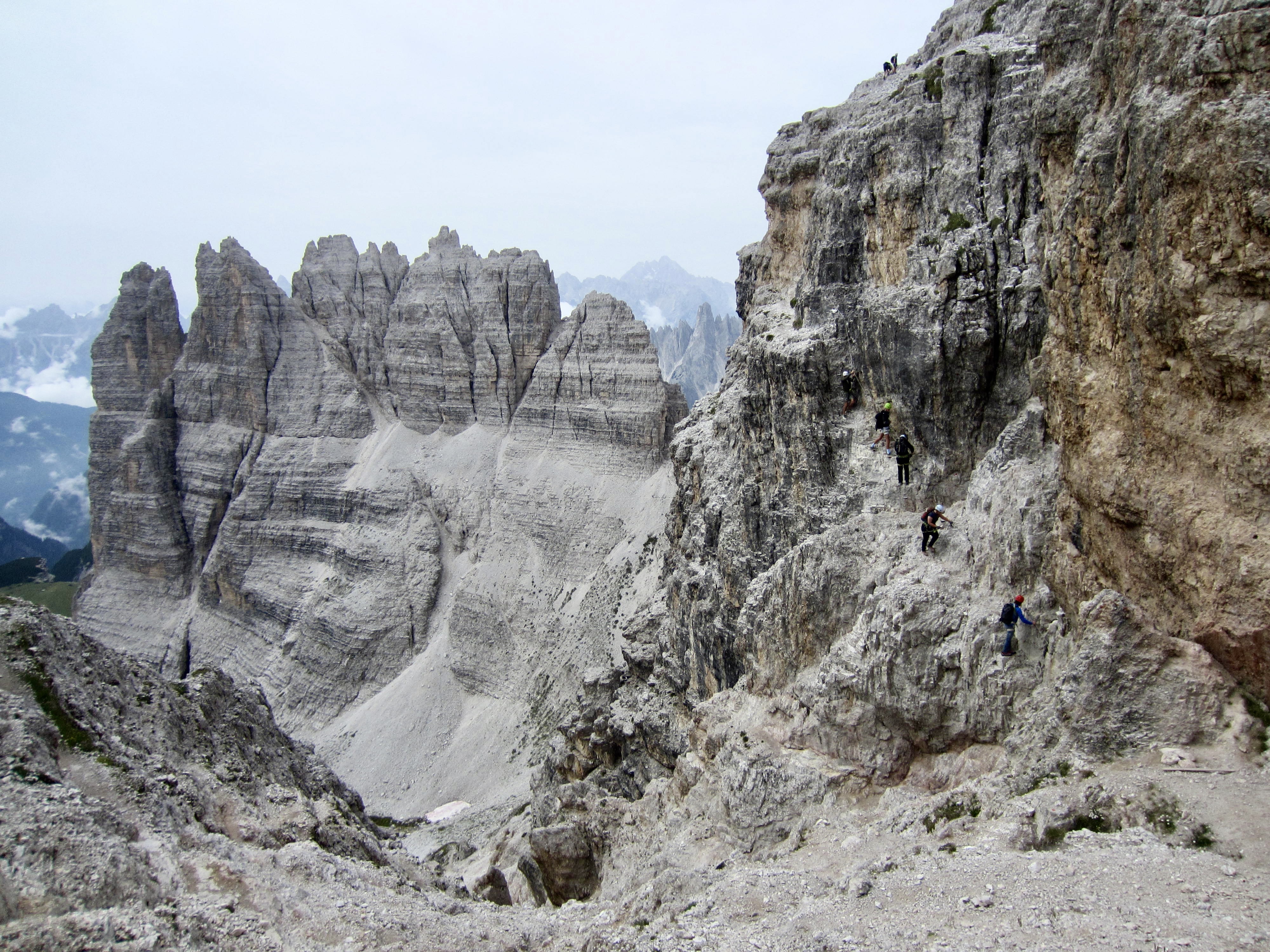
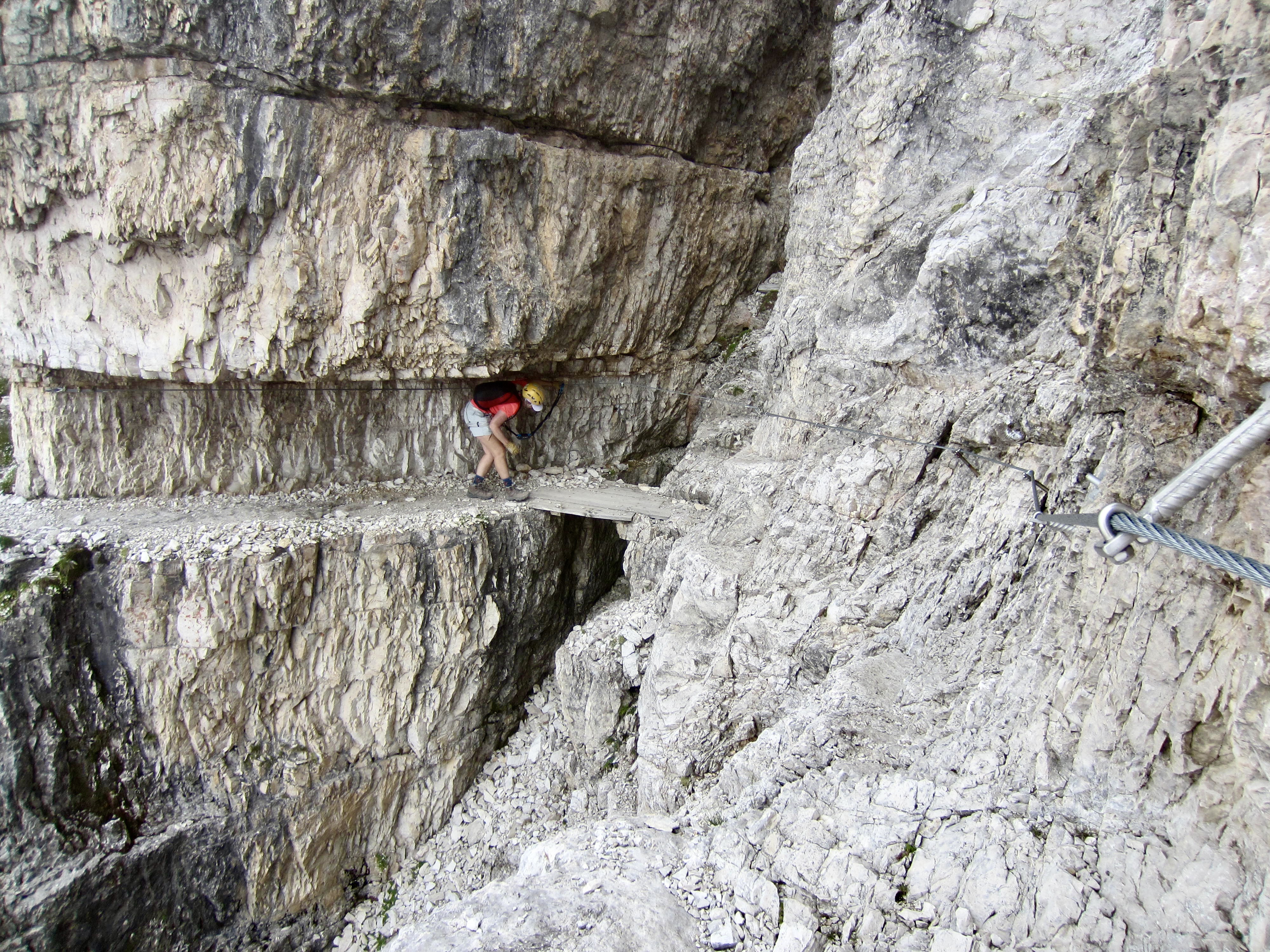
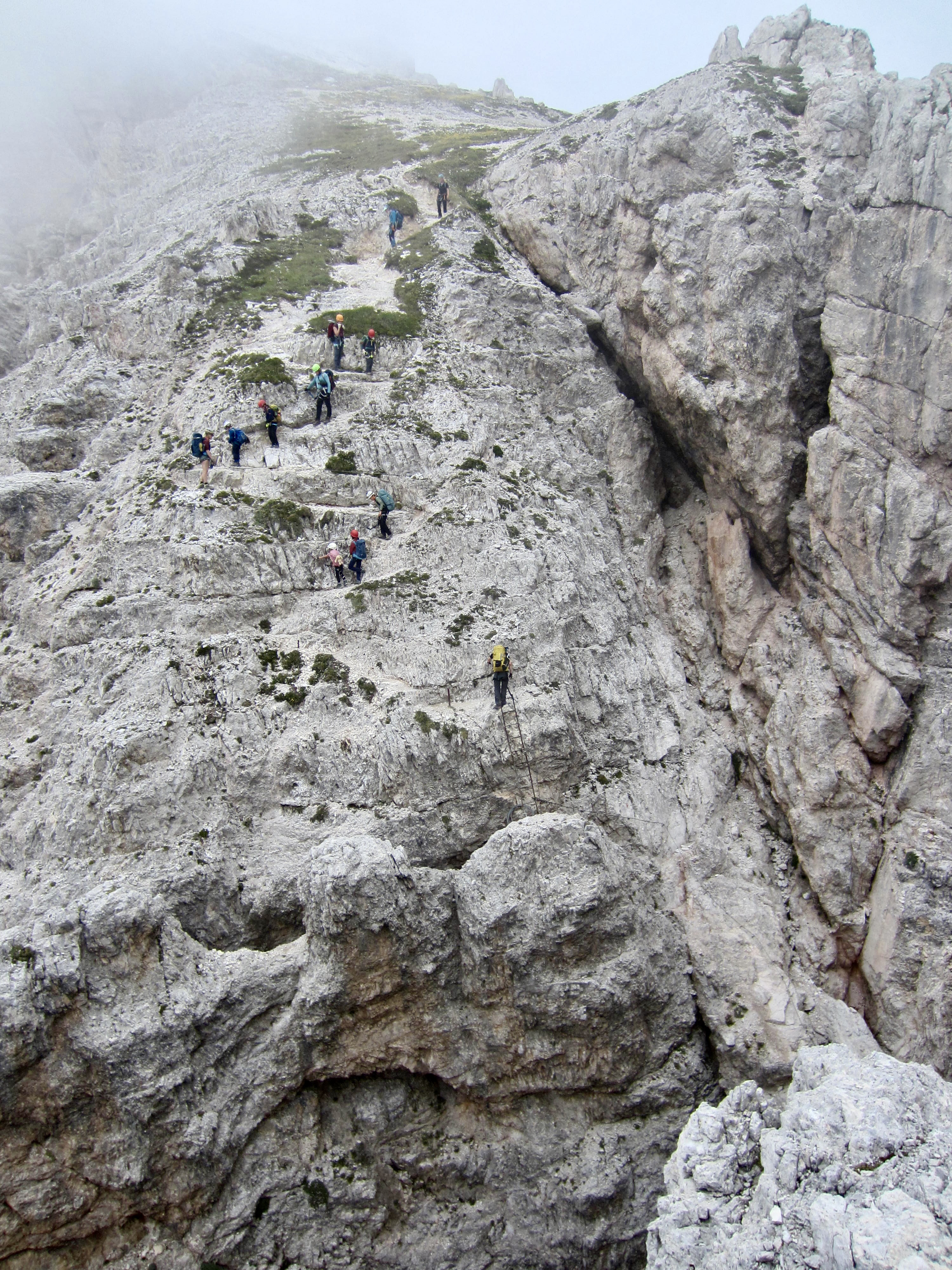
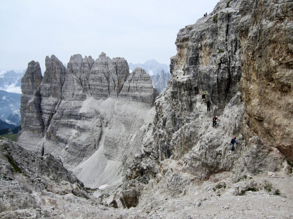
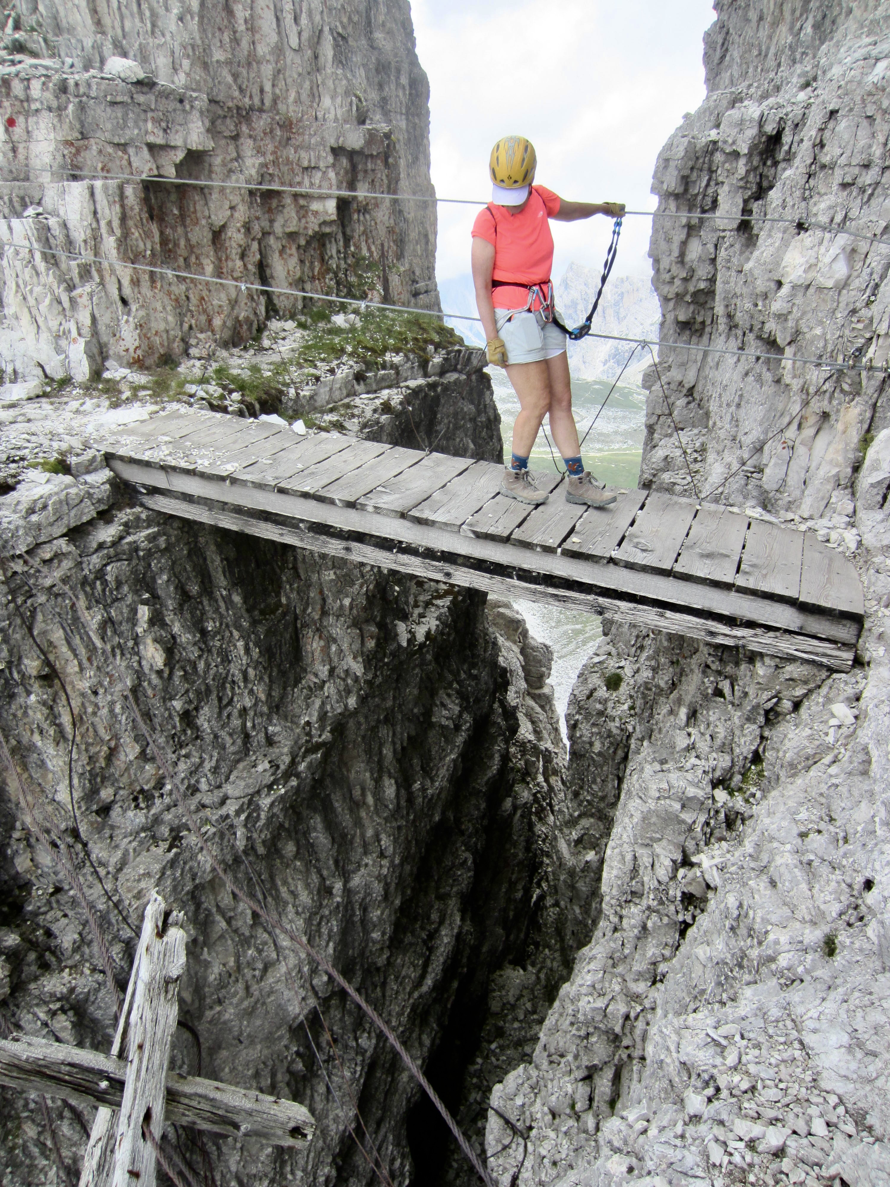
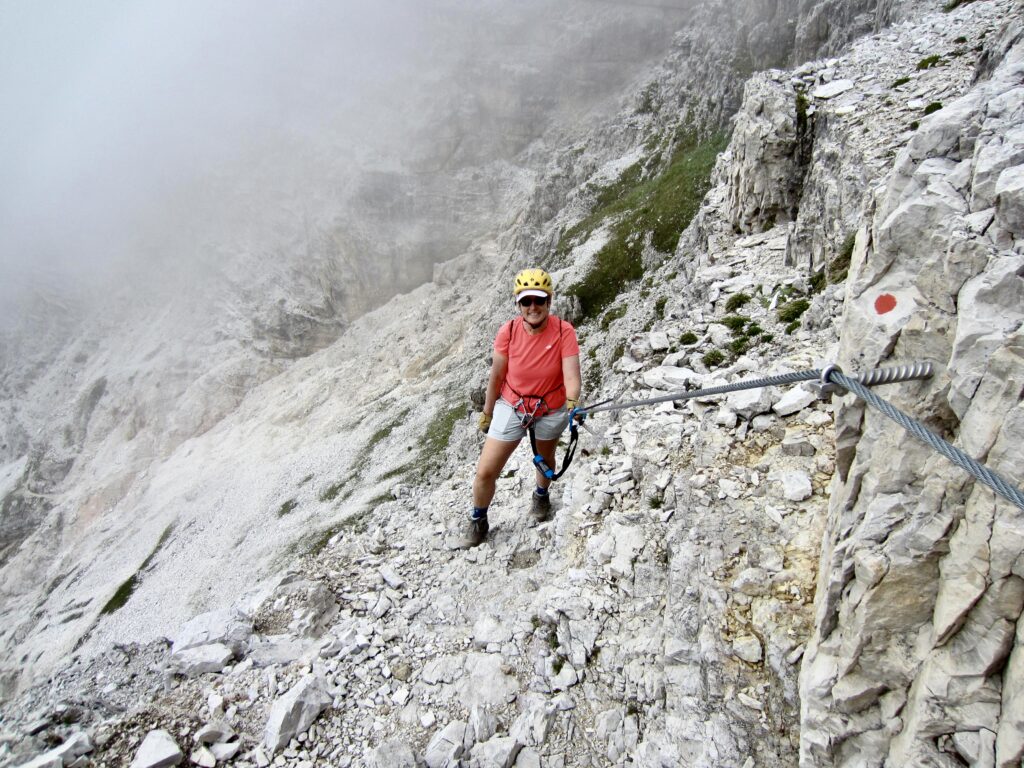
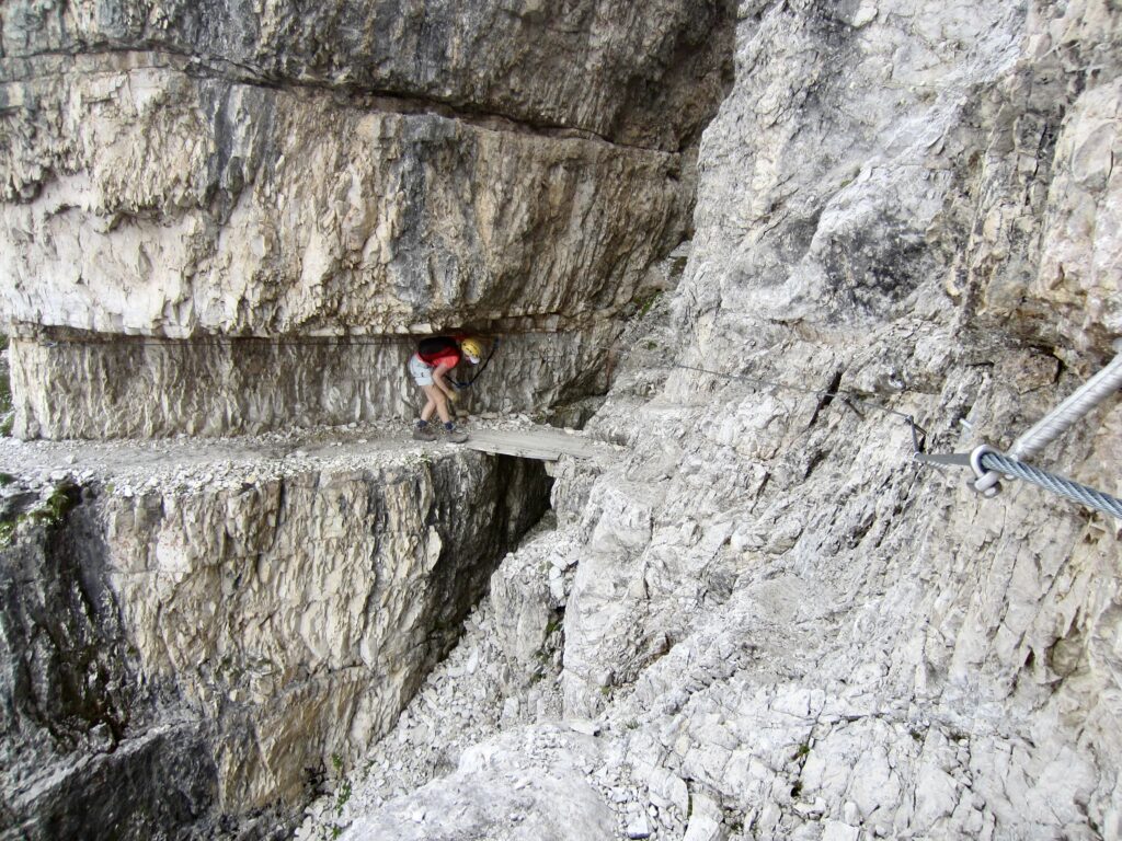
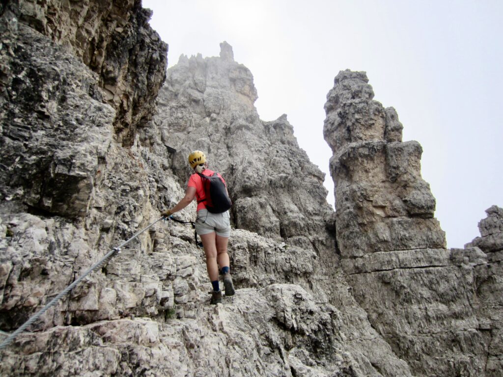
The traverse along the East Ridge includes several small bridges and an ample number of safety cables. As a via ferrata, it carries a grade of 1B (easy but moderately serious). Eileen and I found the limestone geology to be fascinating and the convoluted route to be an absolute hoot!
.
.
.
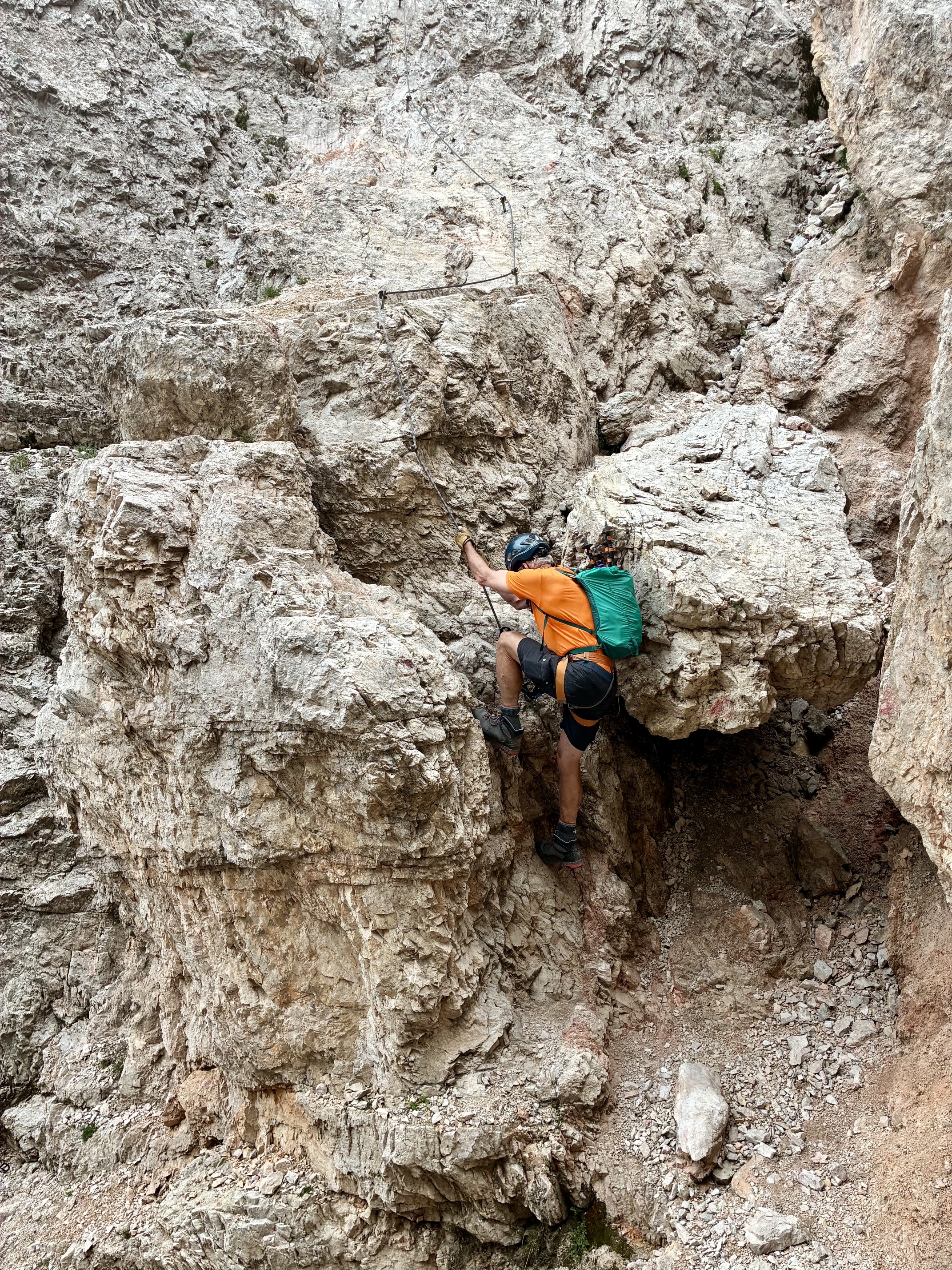
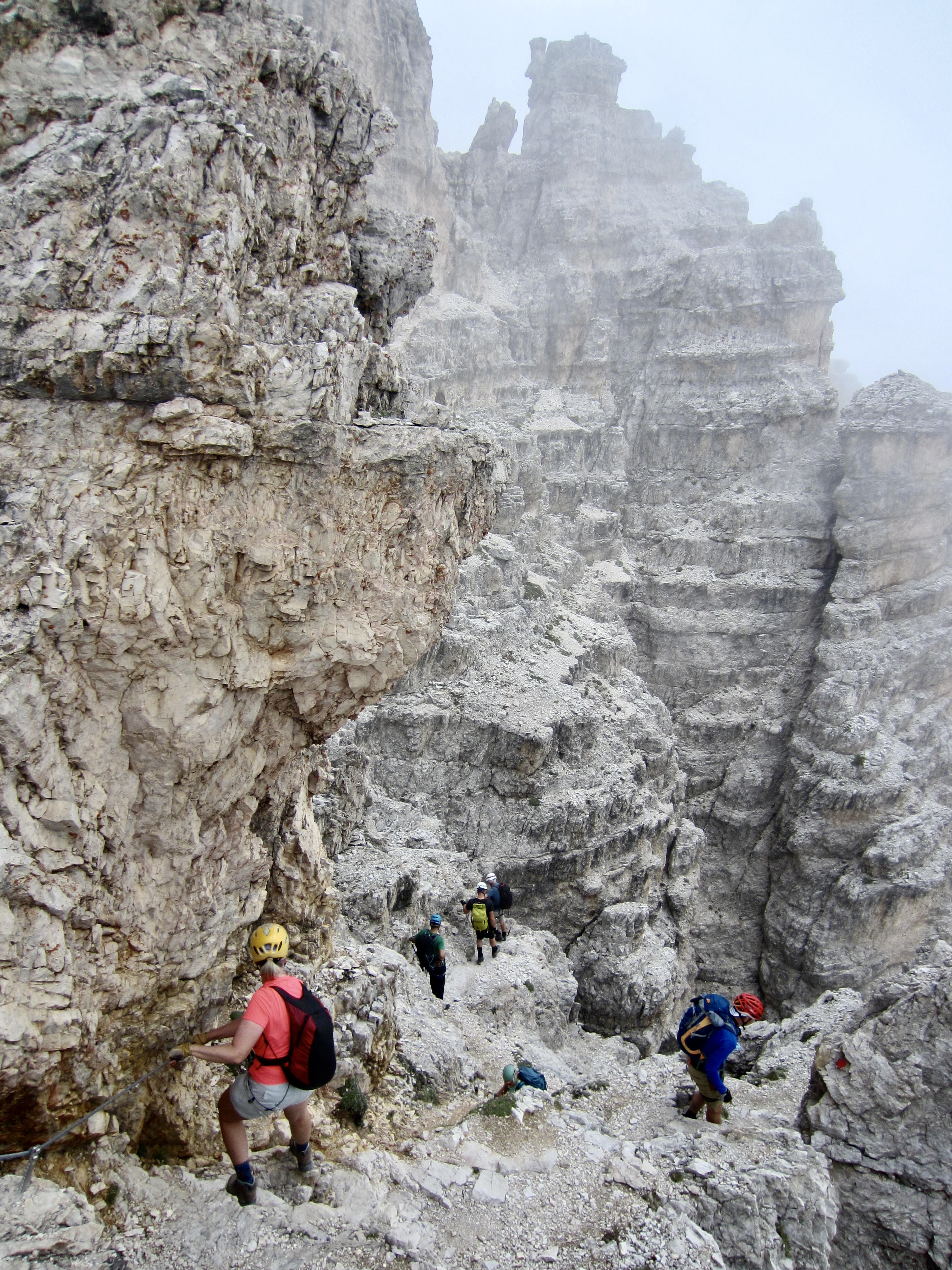
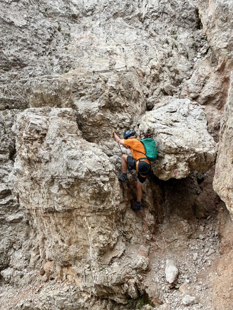
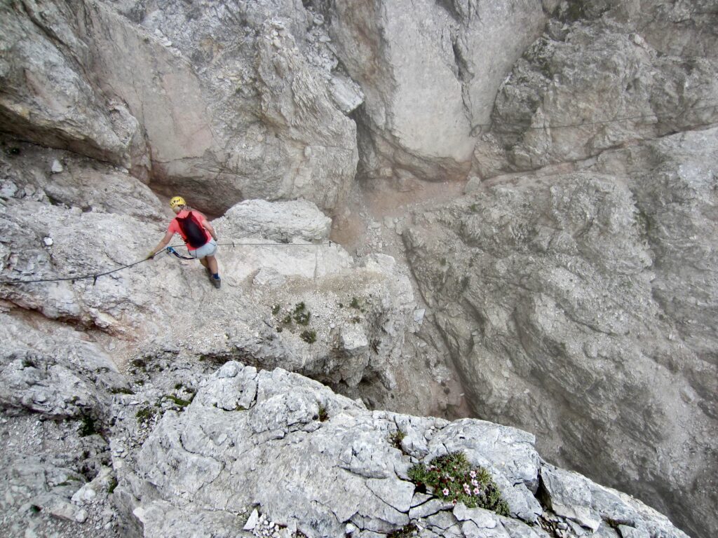
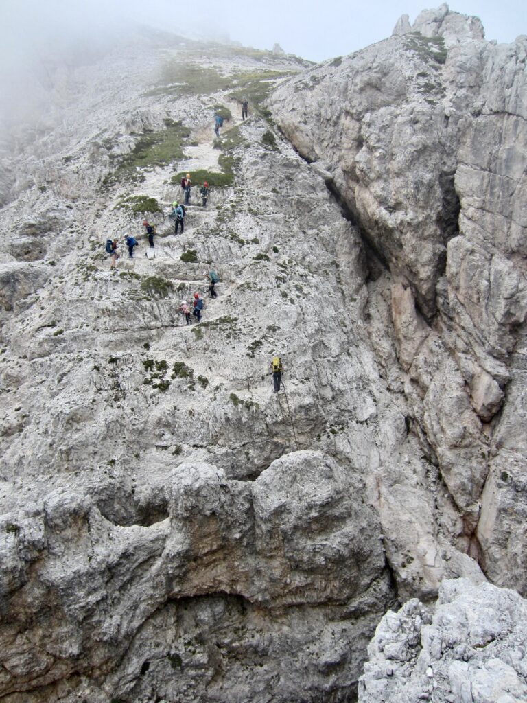
After scrambling over a local high point, we began a gradual descent into a scary-looking slot gully, aided by cables, stemples, and ladders. This part felt much more difficult than a 1B grade—more like a 2B or 3B—but it marked the end of our route’s via ferrata portion.
.
.
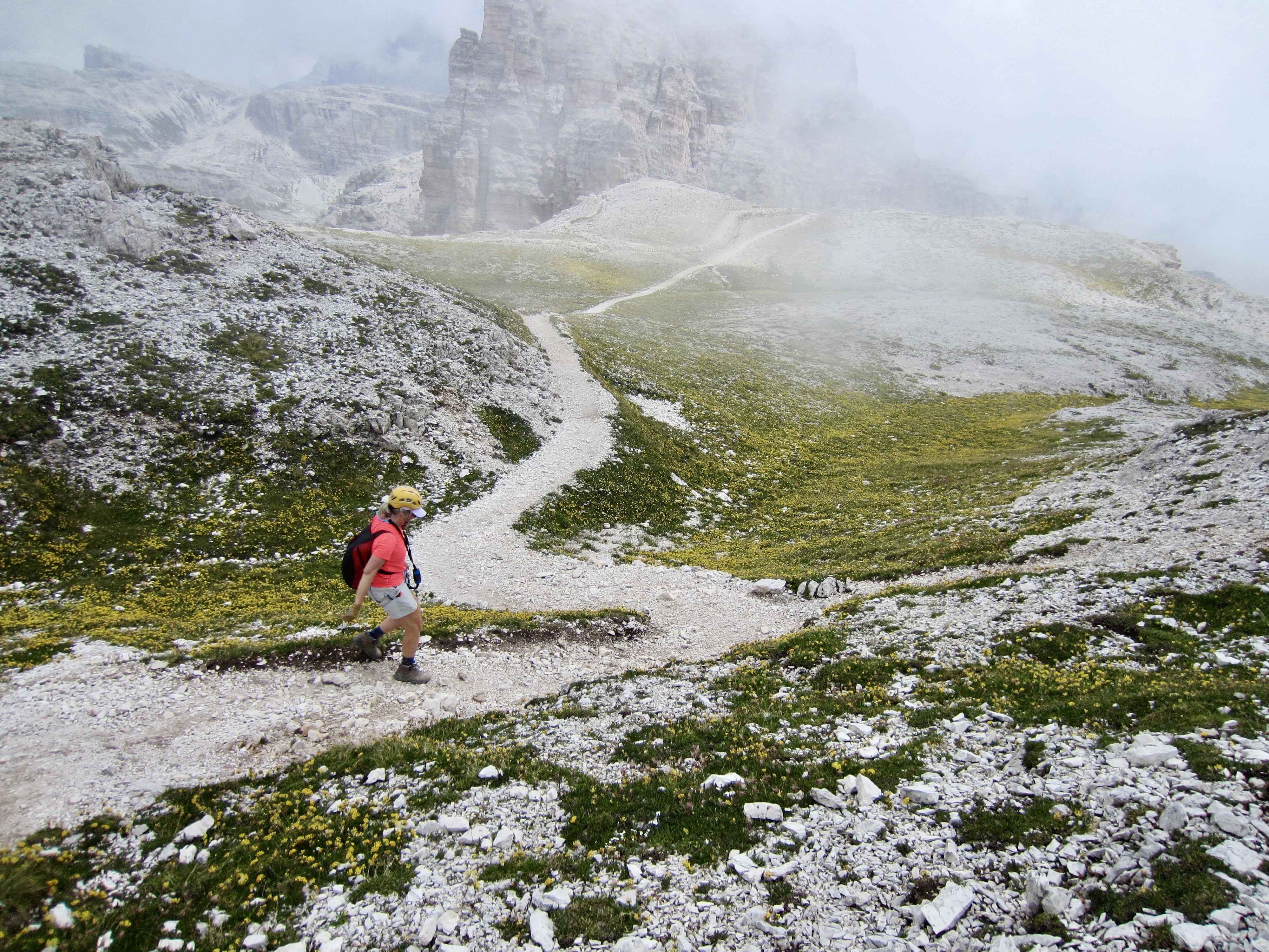
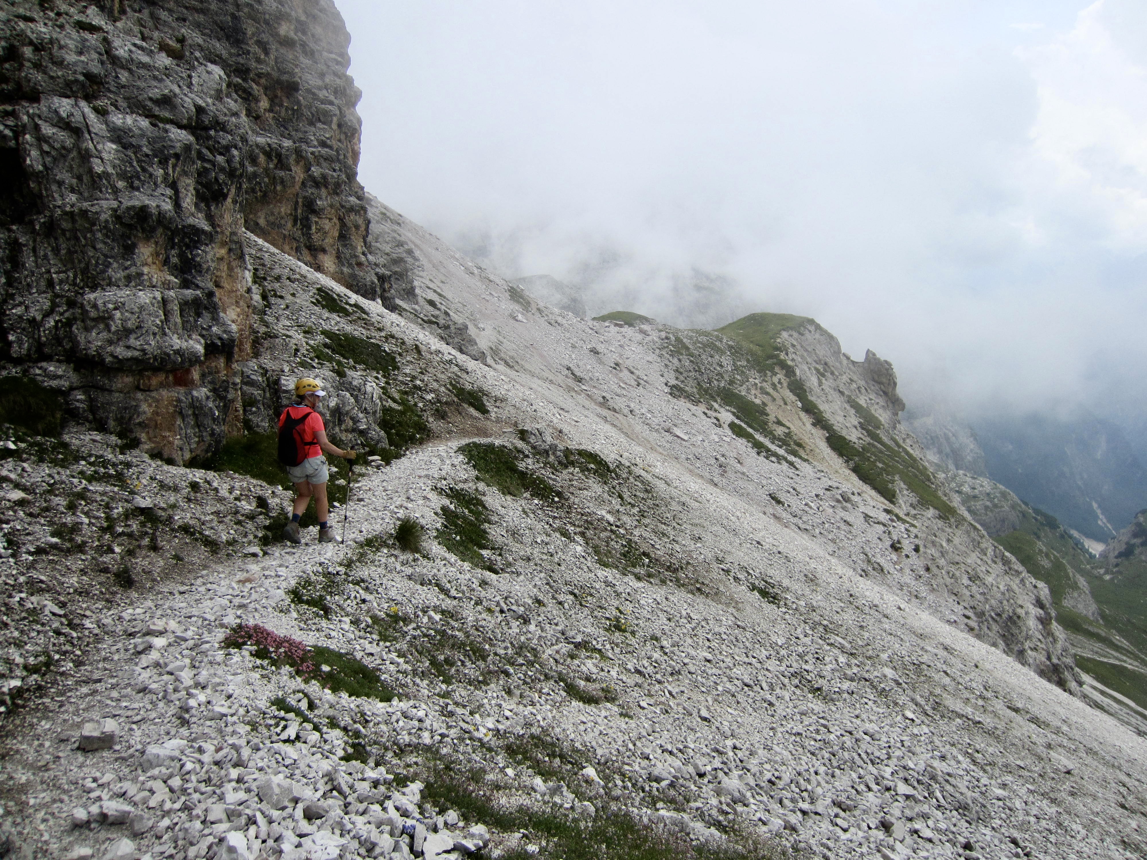
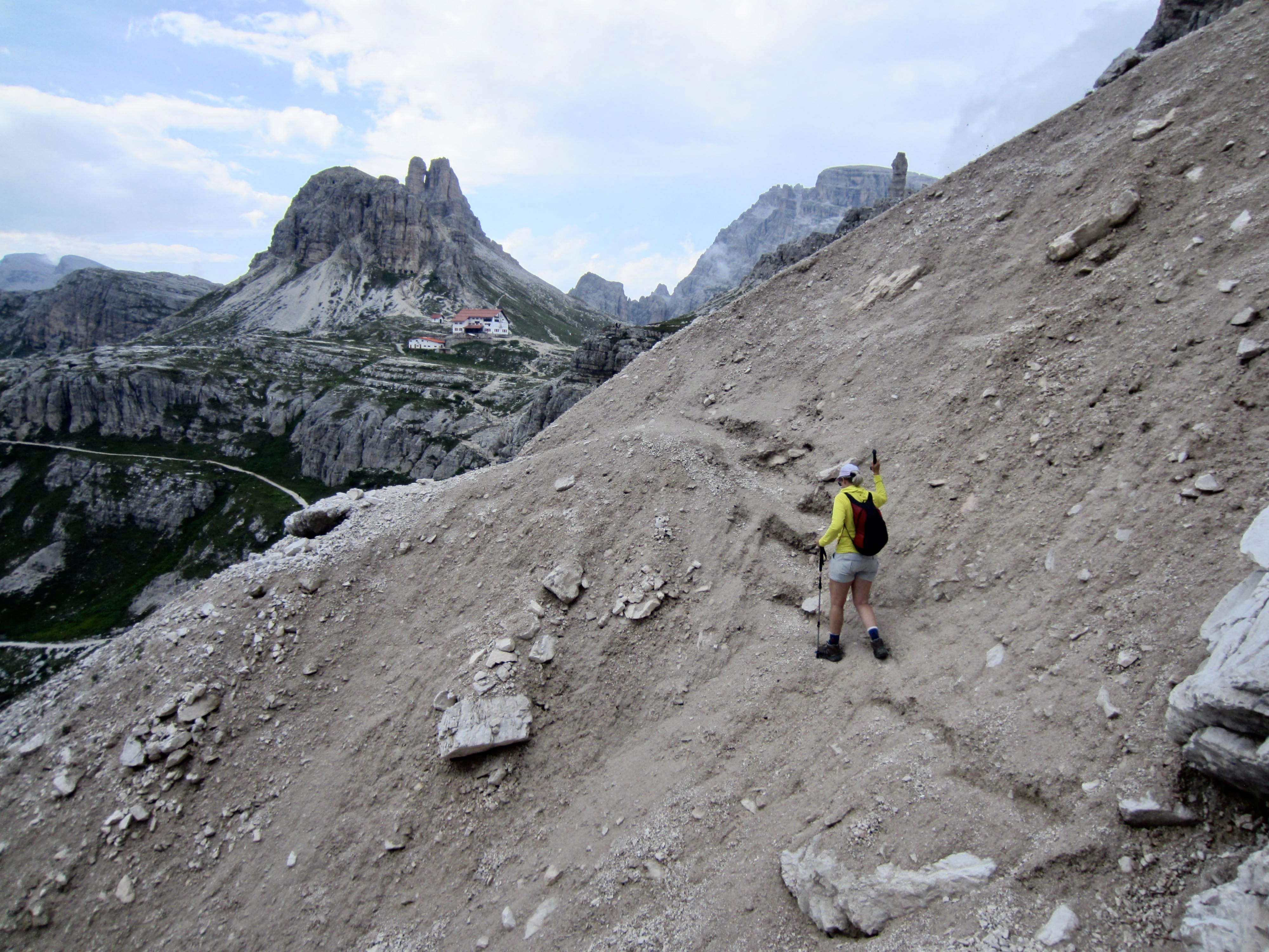
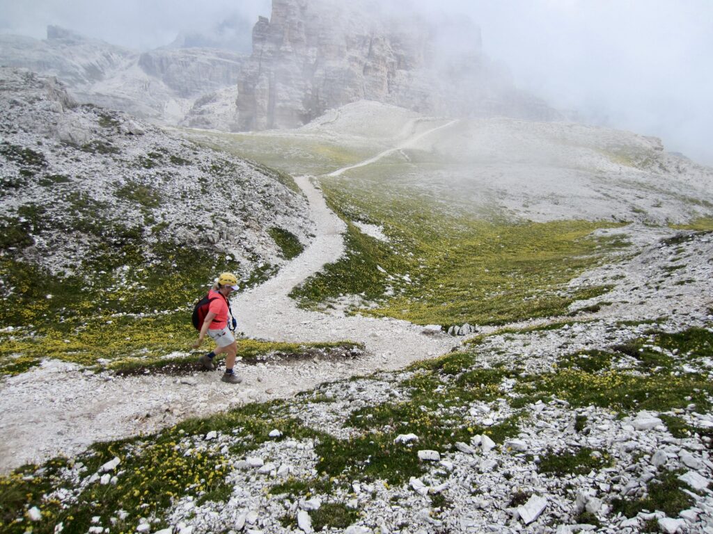
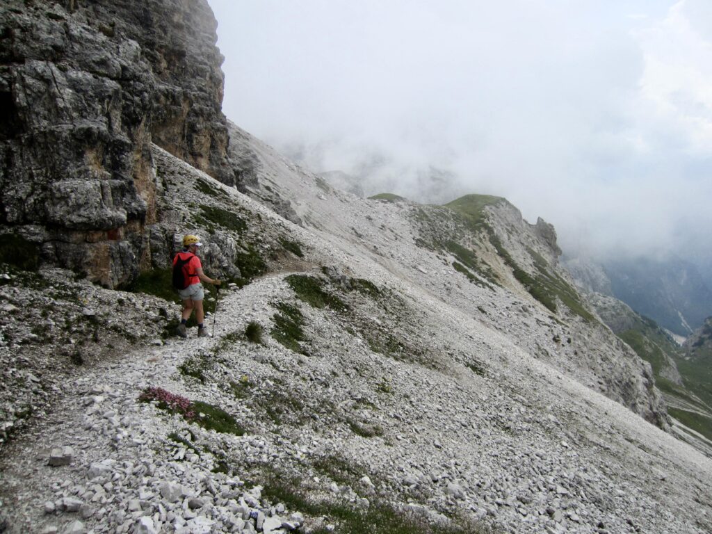
Once past the slot gully, we hiked over a low ridge and down through a high, grassy plateau, then across a broad scree slope. Visibility was becoming very limited due to low clouds and wafting fog.
.
.
Eileen and I stopped on a grassy ridge to eat lunch, but this was cut short by raindrops starting to fall. We put on raincoats and continued hiking along the trail. A large group of trekkers stopped behind us to don raingear, and two lightly dressed trekkers hurried past us. The rain was getting heavier, the temperature was plummeting, and a wind was kicking up—giving everybody a sense of urgency. When strong gusts started blasting us in the face with big raindrops and hailstones, we had no choice but to stop and hunker down beside the trail. Despite shivering uncontrollably now, we didn’t dare try to add any warm clothing under our raingear. We were in a bad situation and wondering what was happening to the other trekkers nearby.
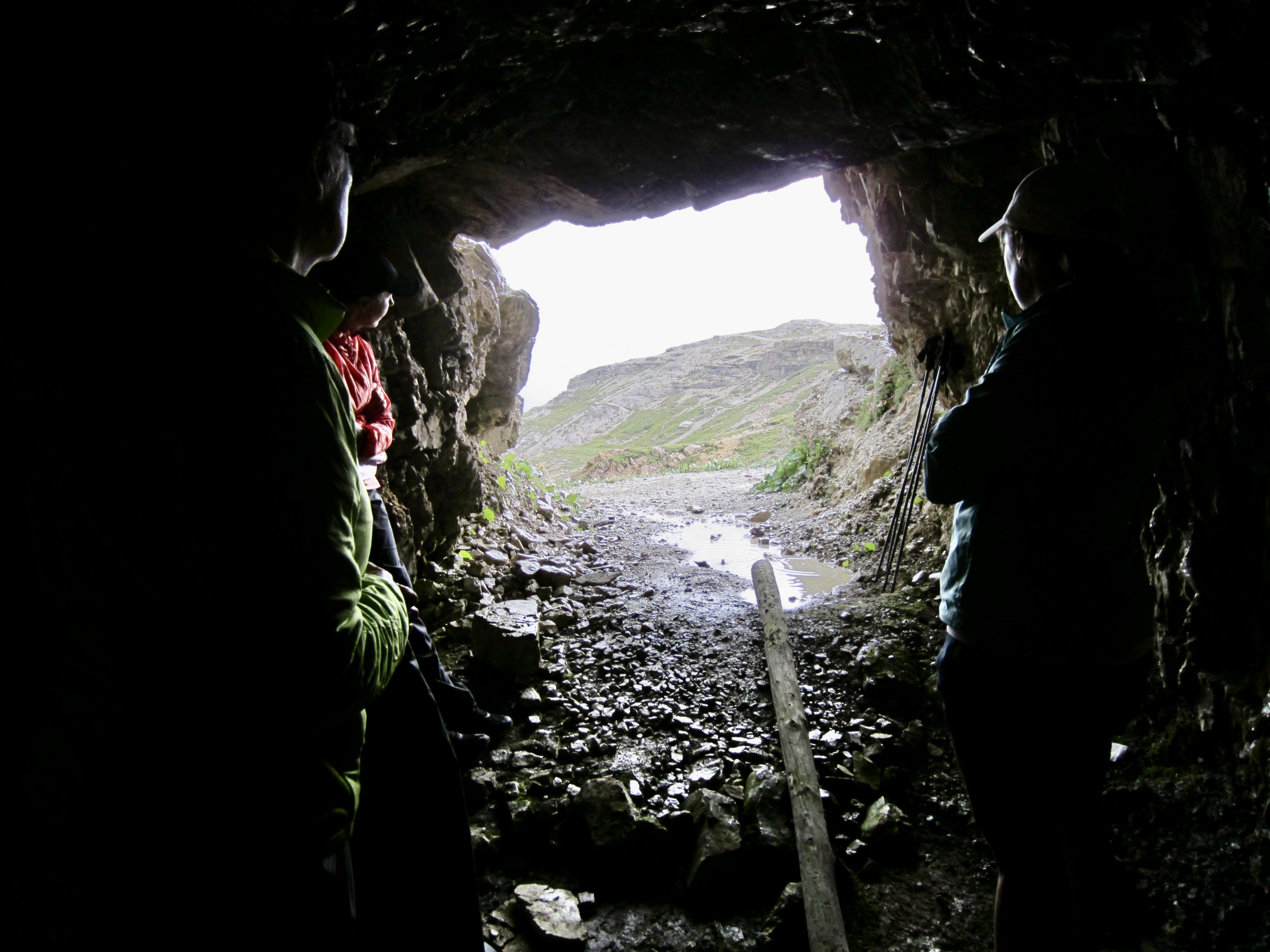
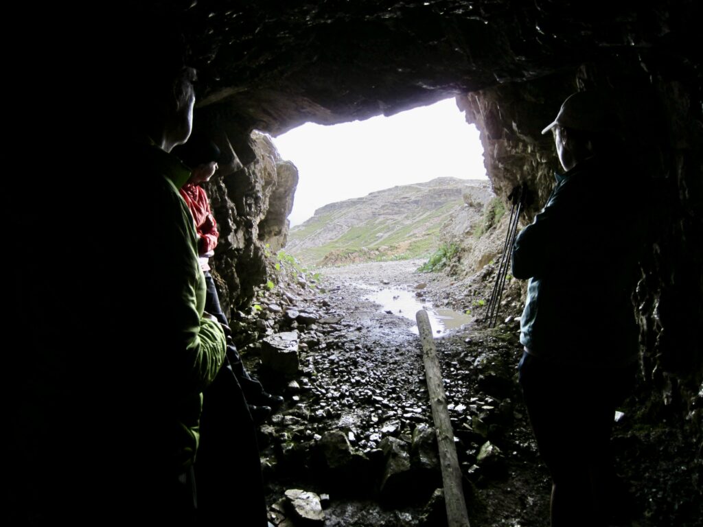
After 10 minutes, the wind abated enough that Eileen and I could get up and keep hiking. Almost miraculously, we could see a cave a short distance ahead, so we made a run for it. Inside the cave were six or eight other trekkers sheltering from the storm and expressing silent appreciation for the World War I soldiers who had excavated these hundreds of caves throughout the Dolomites. We were all drenched but safe and even a little giddy!
.
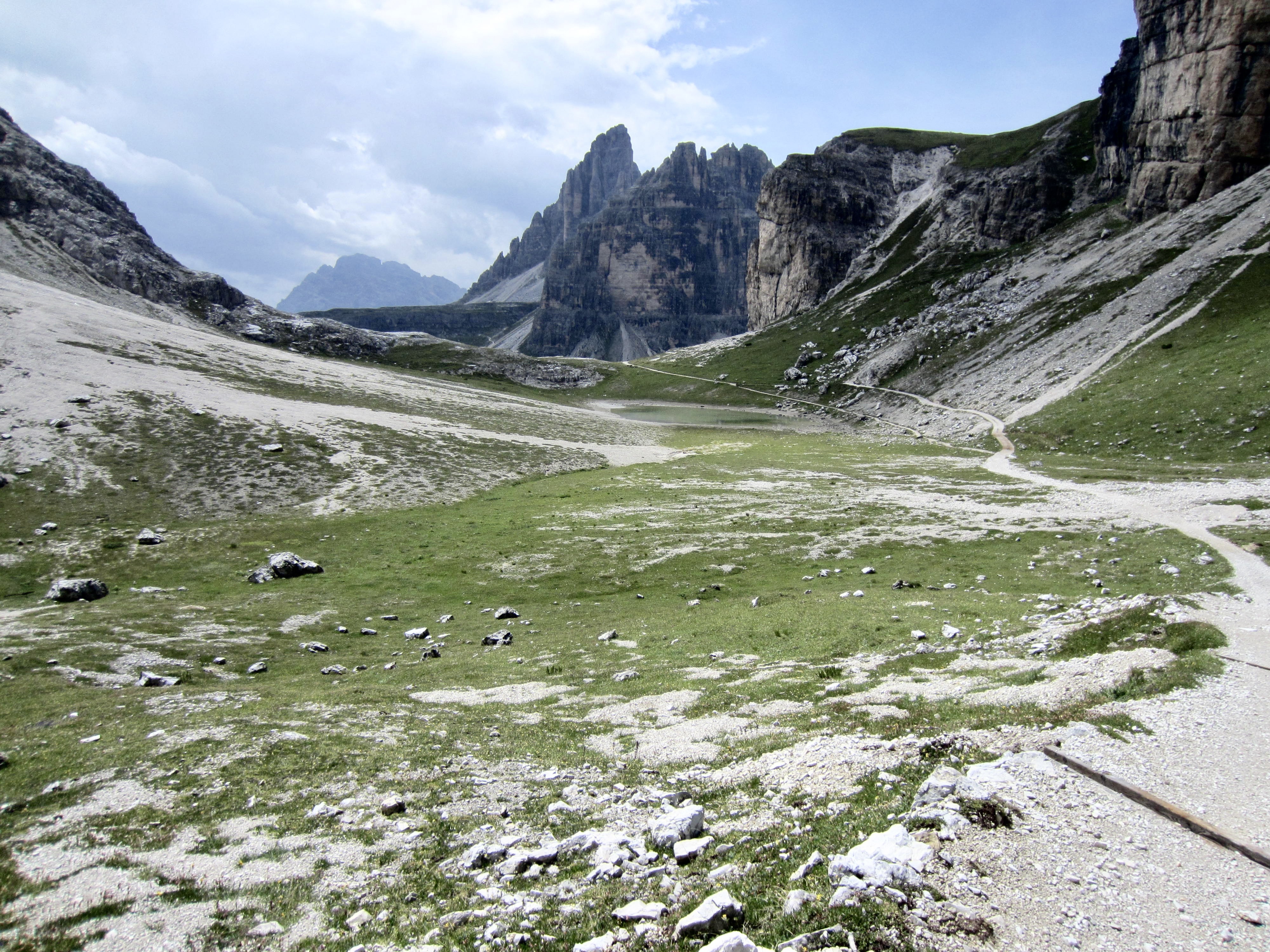
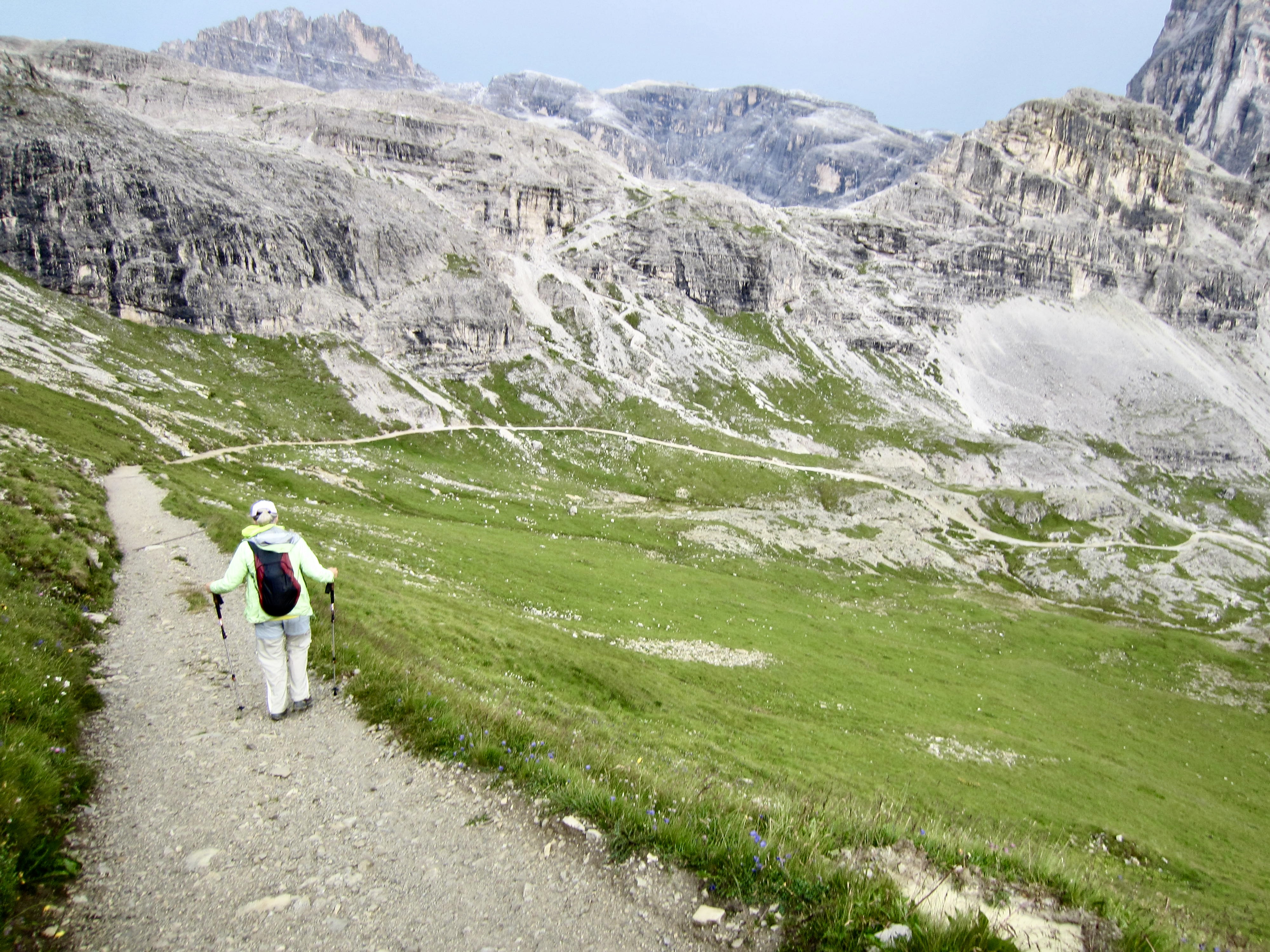
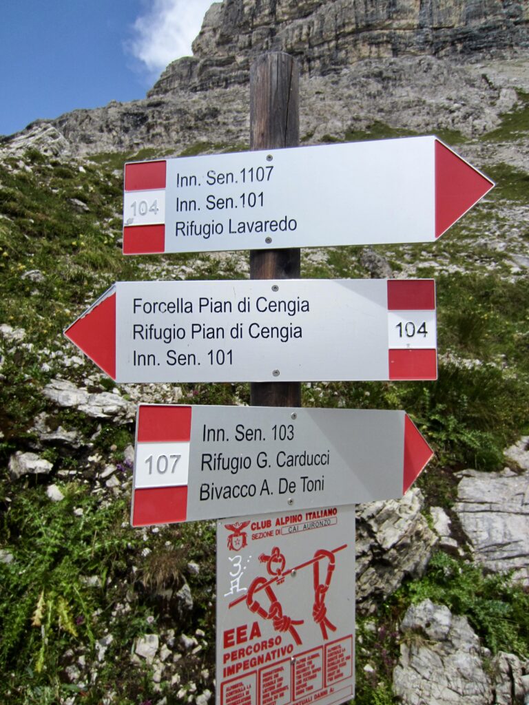
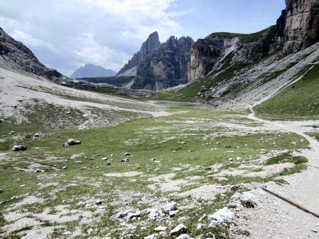
When the storm passed 30 minutes later, everyone left the emergency shelter and dispersed in various directions. Eileen and I descended into the beautiful meadows of Pian di Cengia. As the sun made a reappearance and the temperatures rose again, we stopped to partially dry out our wet clothes.
.
.
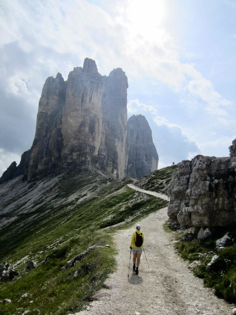
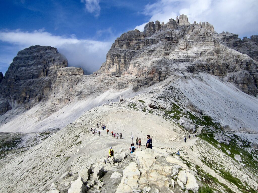
A wide trail (an ATV road, really) took us out of Pian di Cengia and up to Forcella Lavaredo (5.6 hours + 1300 feet / 400 meters from summit). This broad saddle sits at the crossroads of numerous trails and ATV roads, and it was bustling with activity. We paused here to soak in the views of high peaks and low meadows.
.
.
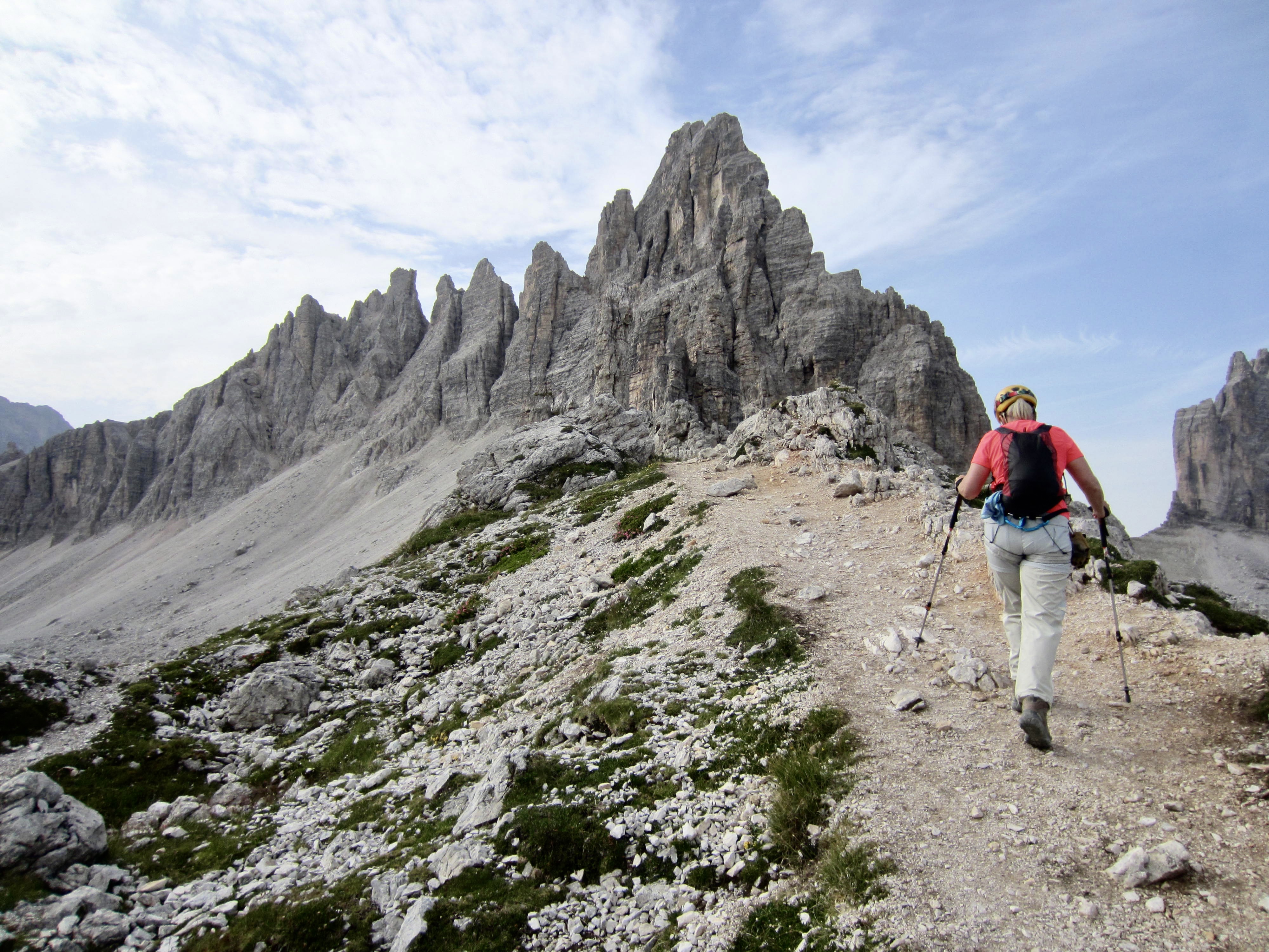
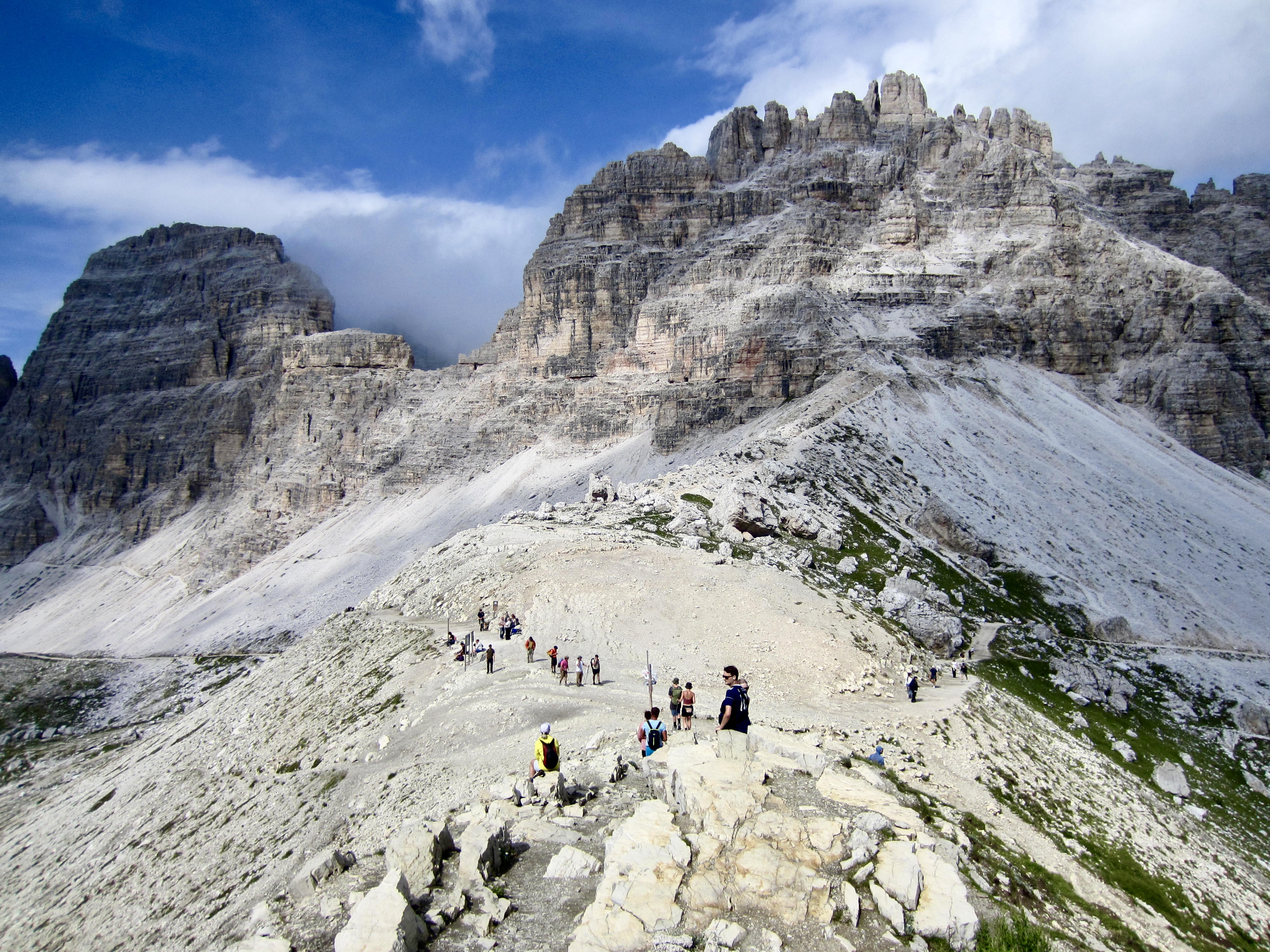
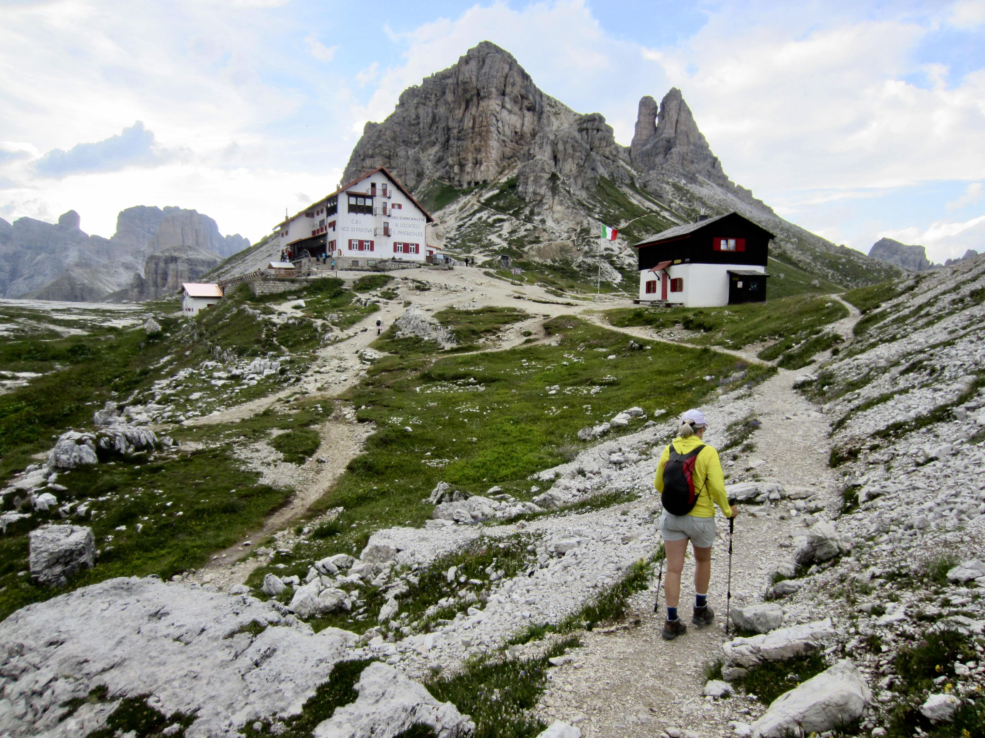
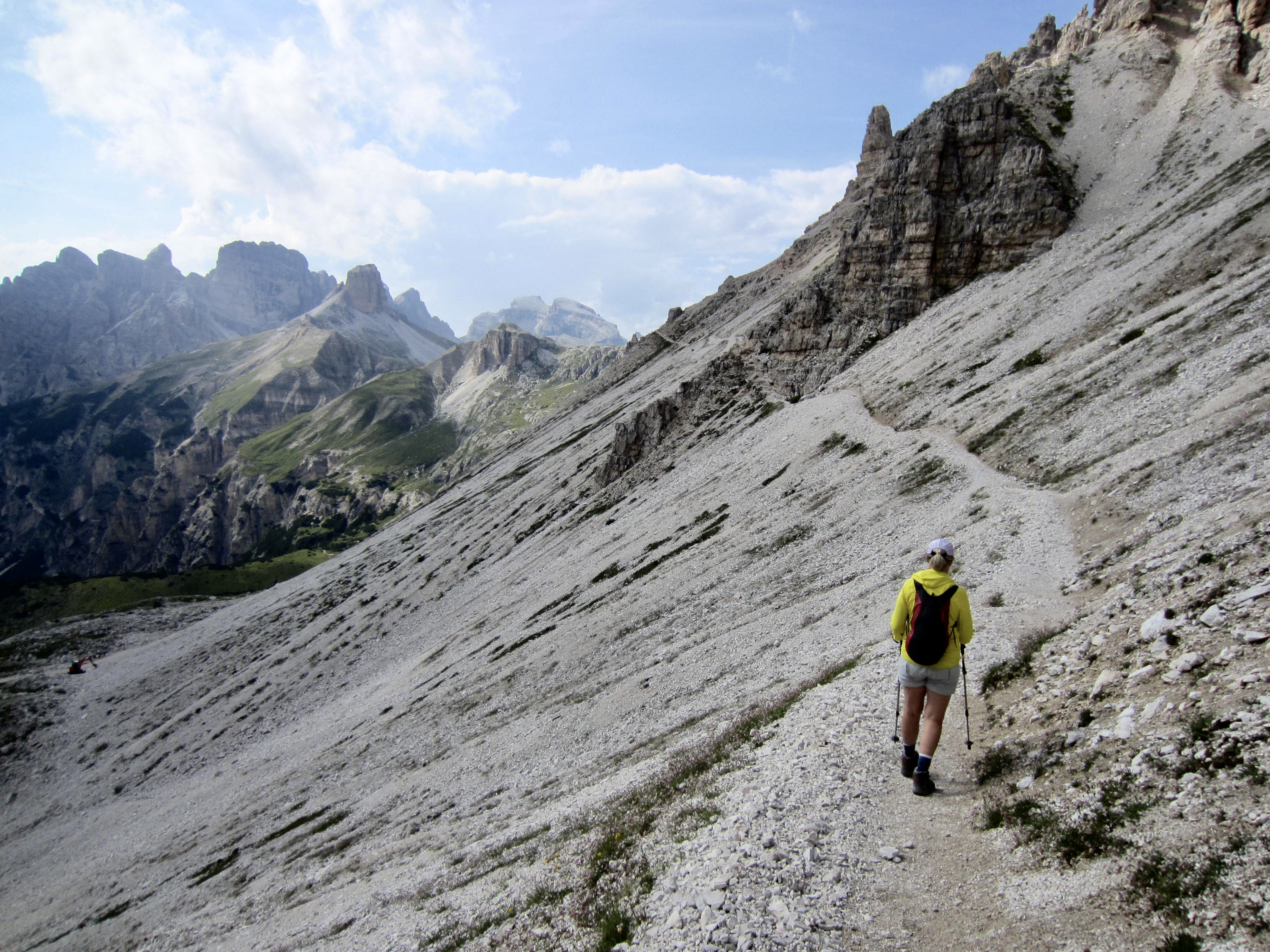
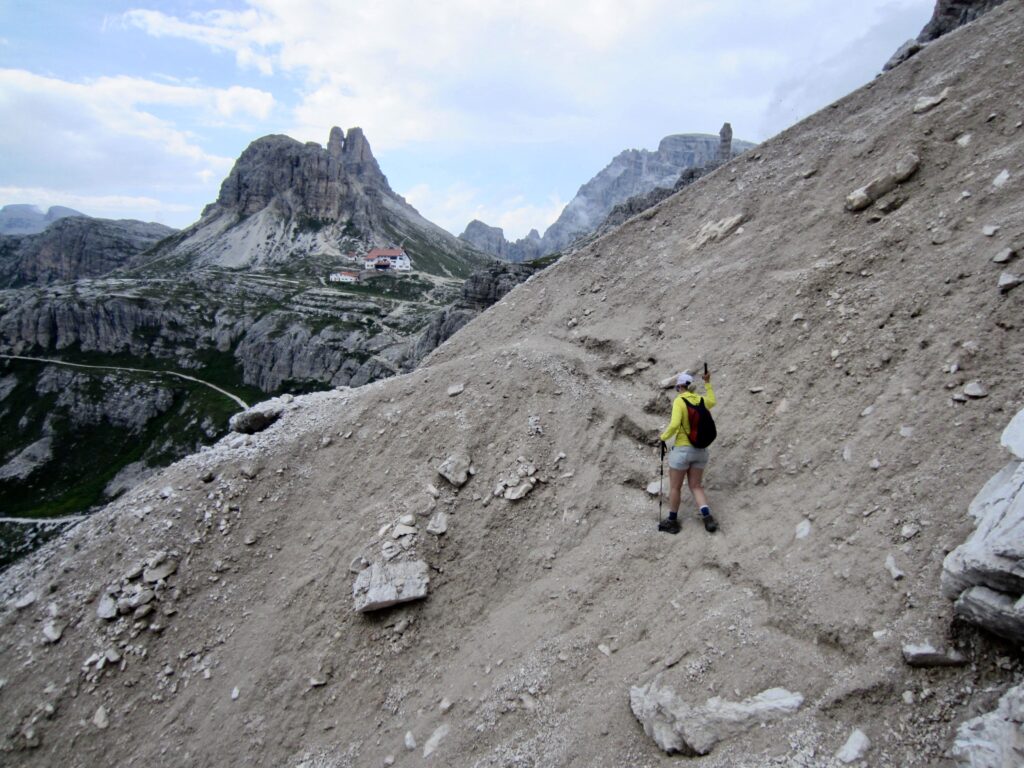
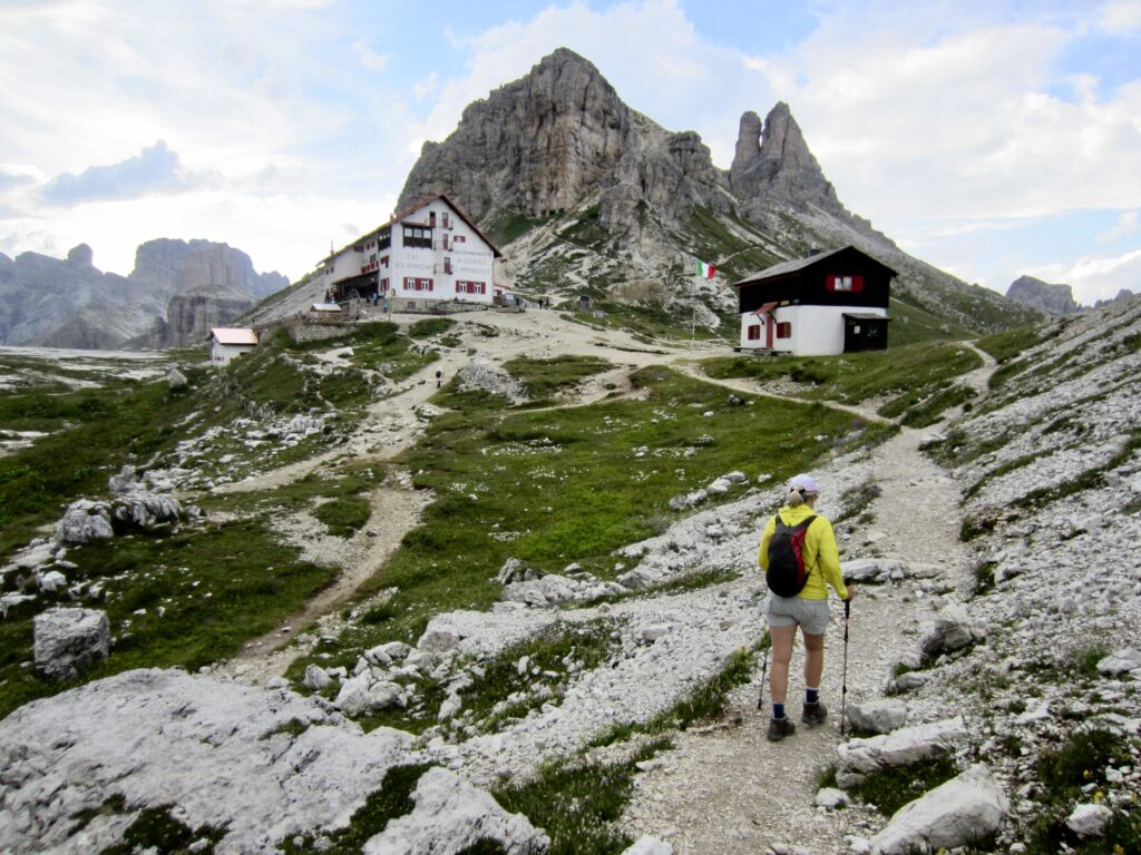
From Forcella Lavaredo, we followed a high trail that skirts below the cliffs of Croda Passaporto and Monte Paterno / Paternkofel. We arrived back at Locatelli Hut shortly before 6:00pm (6.7 hours + 1500 feet / 460 meters – 2550 feet / 780 meters from summit). Our full-day exploratory loop had turned into a wild adventure that we’ll never forget!
.
.
Route Map & Profiles
…
…
…
Photo Gallery
Click to enlarge…