Trip Date: September 10-11, 2010
Mt. Hardy Climbing Attempt
Cutthroat Pass
Snowy Creek Meadow
Methow Pass
Point 6818 aka Hardy Knob
Mount Hardy (8080’+) attempt
Trip Report Summary
Region: Northeastern Washington Cascades
Sub-Region: Upper Methow Mountains
Area: North Cascades Scenic Highway Corridor
Starting & Ending Point: PCT-Northbound Trailhead at Rainy Pass on Highway 20 (Elev. 4850 feet)
Way Points: Porcupine Creek & Cutthroat Pass & Granite Pass & Snowy Creek Meadow (trail hike)
Campsite: Snowy Creek Meadow
Sidetrip 1: Methow Pass & Hardy Knob (trail hike)
Sidetrip 2: Methow Pass & Hardy Knob (trail hike)
Summit Attempt: Mt. Hardy (rock scramble to false summit via South Slope)
Approximate Stats: 25 miles traveled; 5700 feet gained & lost.
Related Posts
Mount Hardy via Southeast Slope—South Face – September 2018
Mount Hardy via Swamp Creek—South Ridge – June 2011
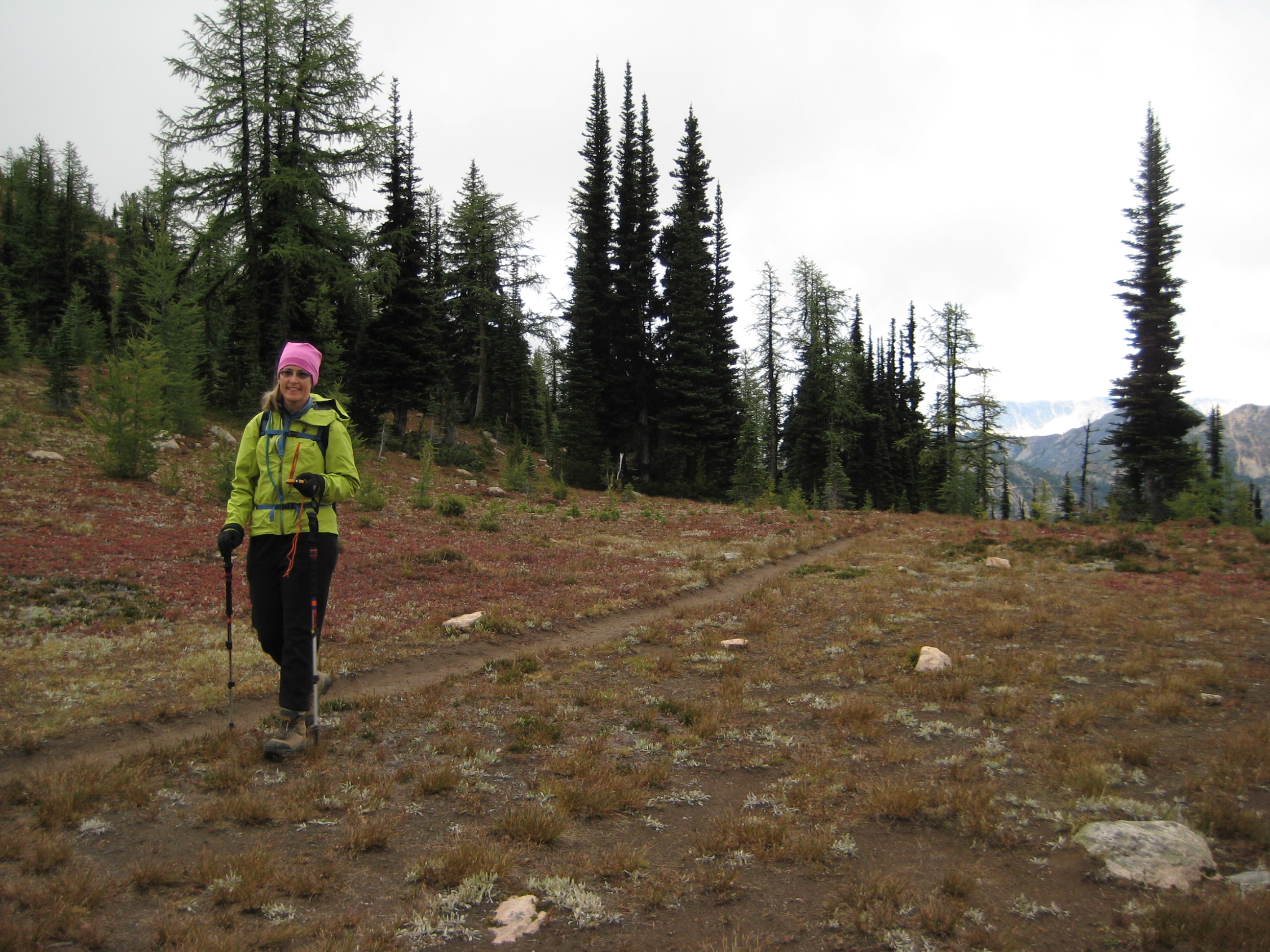
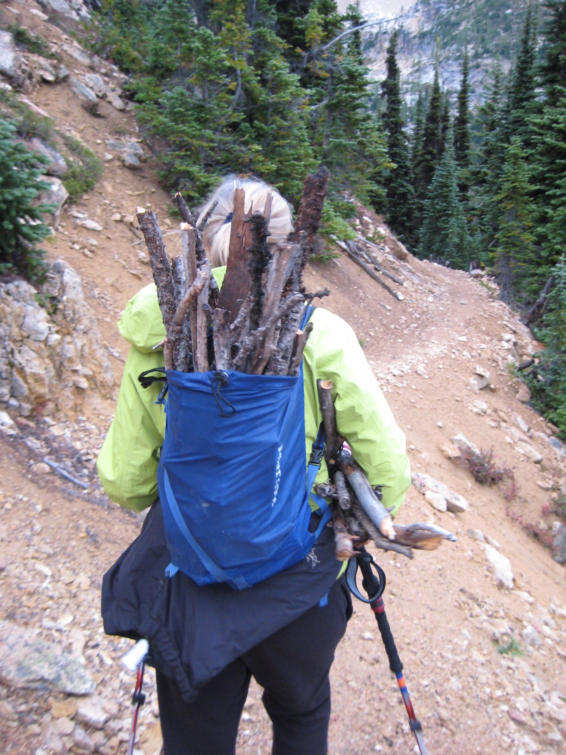
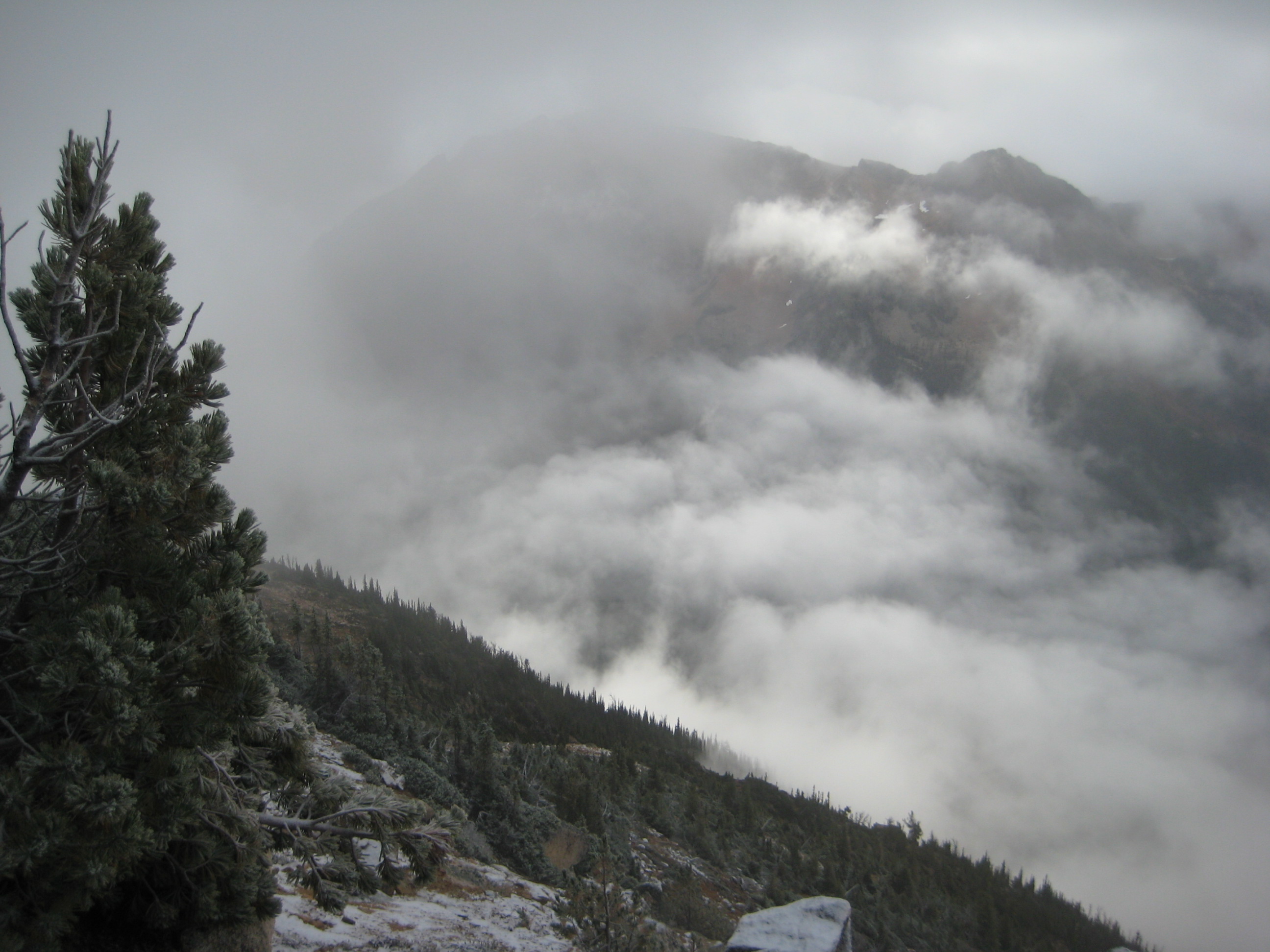
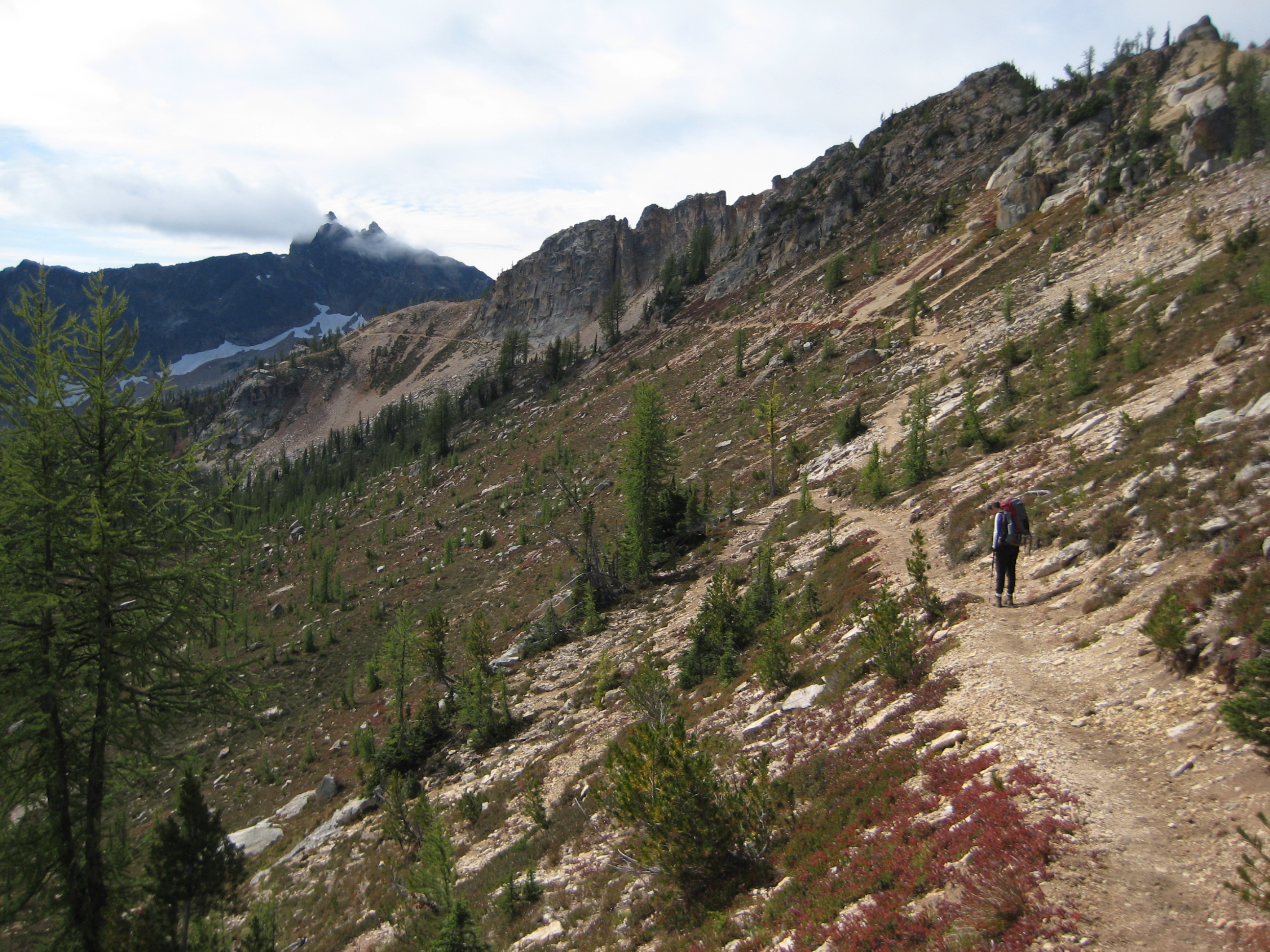
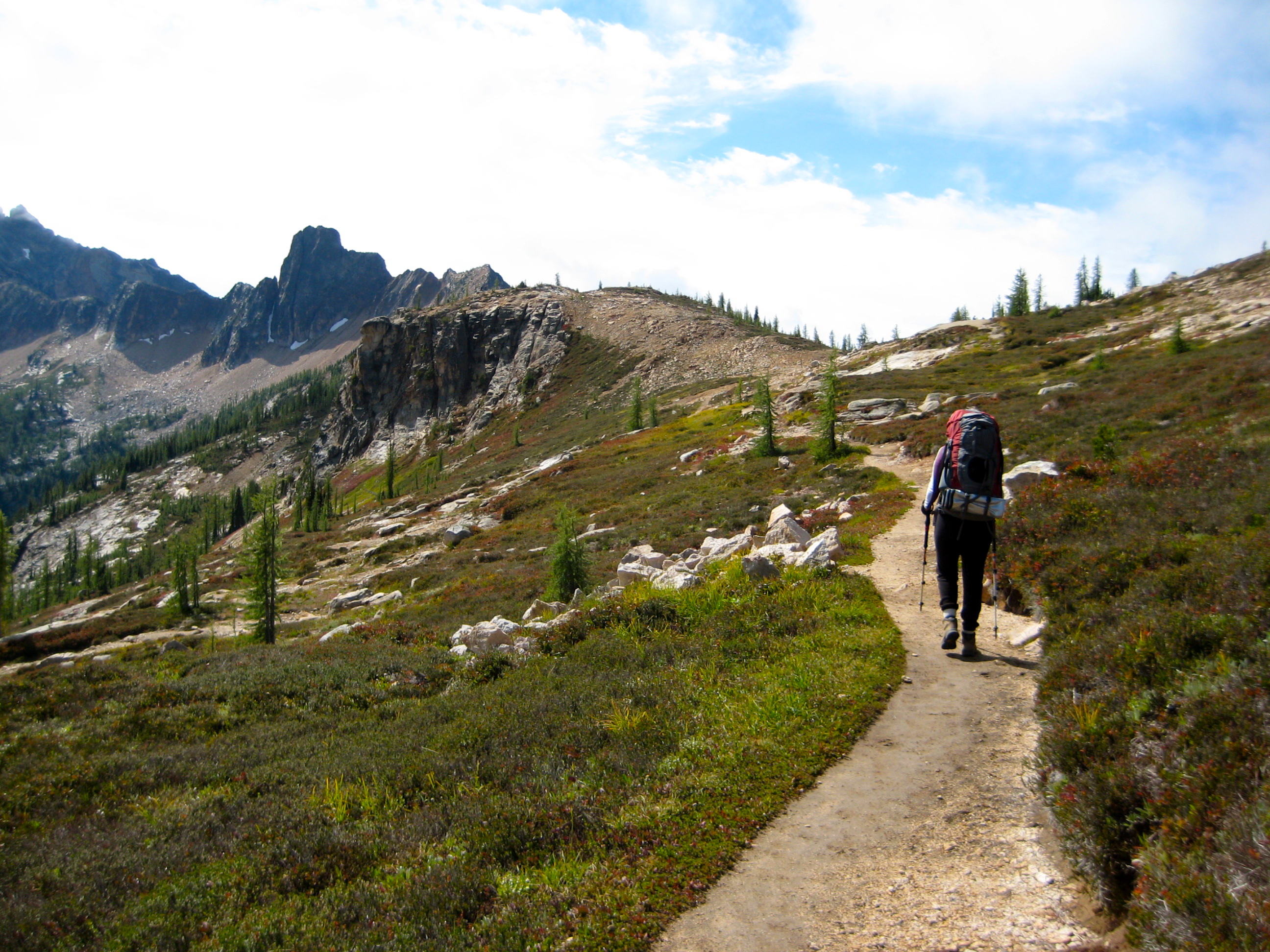
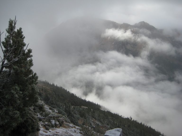
Photo Gallery
Click to enlarge…