Trip Date: January 18, 2020
2020 CALIFORNIA & ARIZONA ADVENTURE VACATION
Ryan Mountain Day Hike
Ryan Mountain (5457 ft)
Trip Report Summary
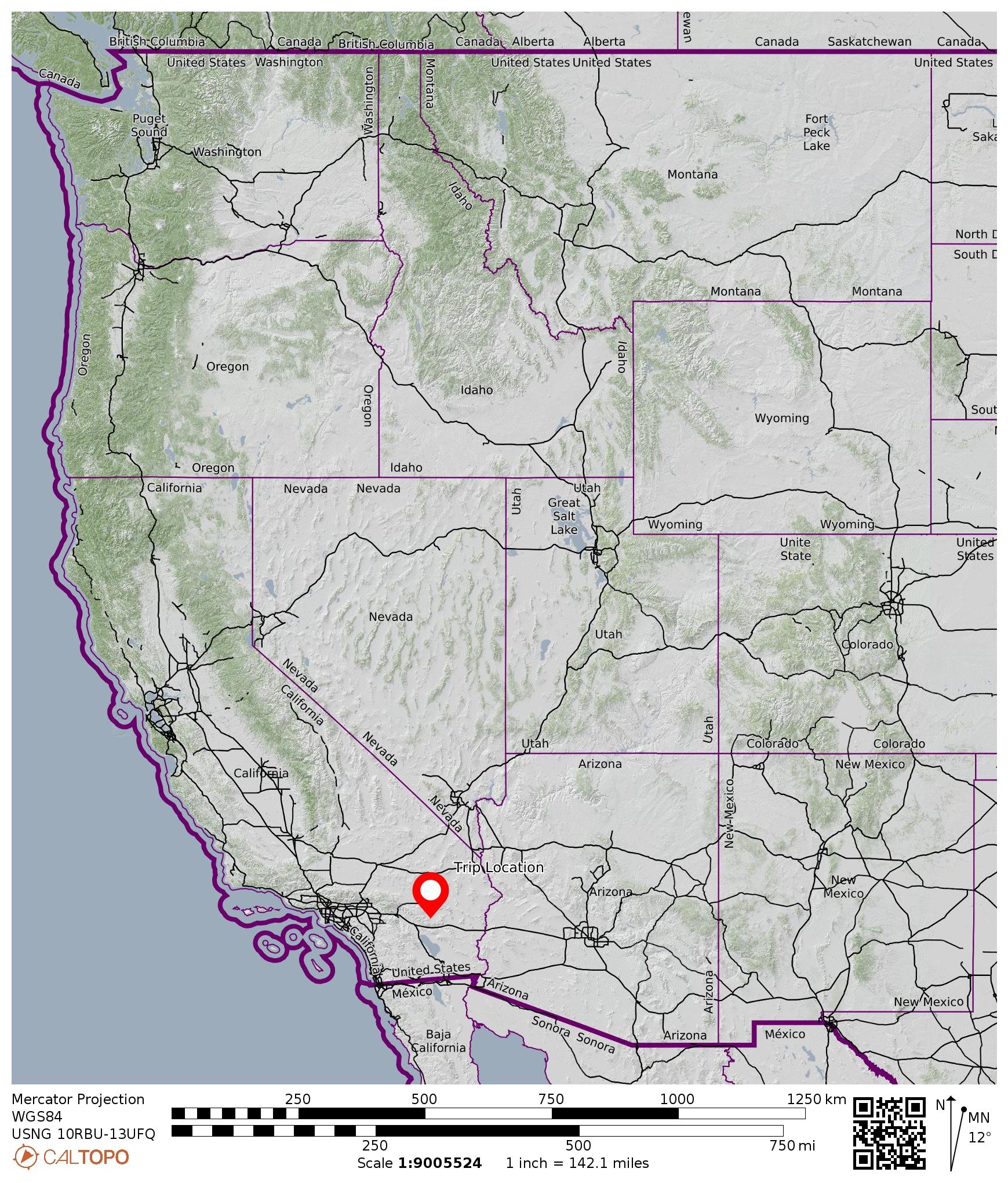
Region: California
Sub-Region: Southern California
Sub-Sub-Region: Little San Bernardino Mountains
Area: Joshua Tree National Park
Starting & Ending Point: Ryan Mountain Trailhead on Park Boulevard (Elev. 4400 feet)
Way Points: Sheep Pass Campground Trail junction & Ryan Ridge Gap & Ryan Mountain summit (trail hike)
Summit: Ryan Mountain (hike via Ryan Mountain Trail)
Approximate Stats: 3.0 miles traveled; 1050 feet gained & lost; 0.8 hours up; 0.7 hours down.
…
Full Trip Report
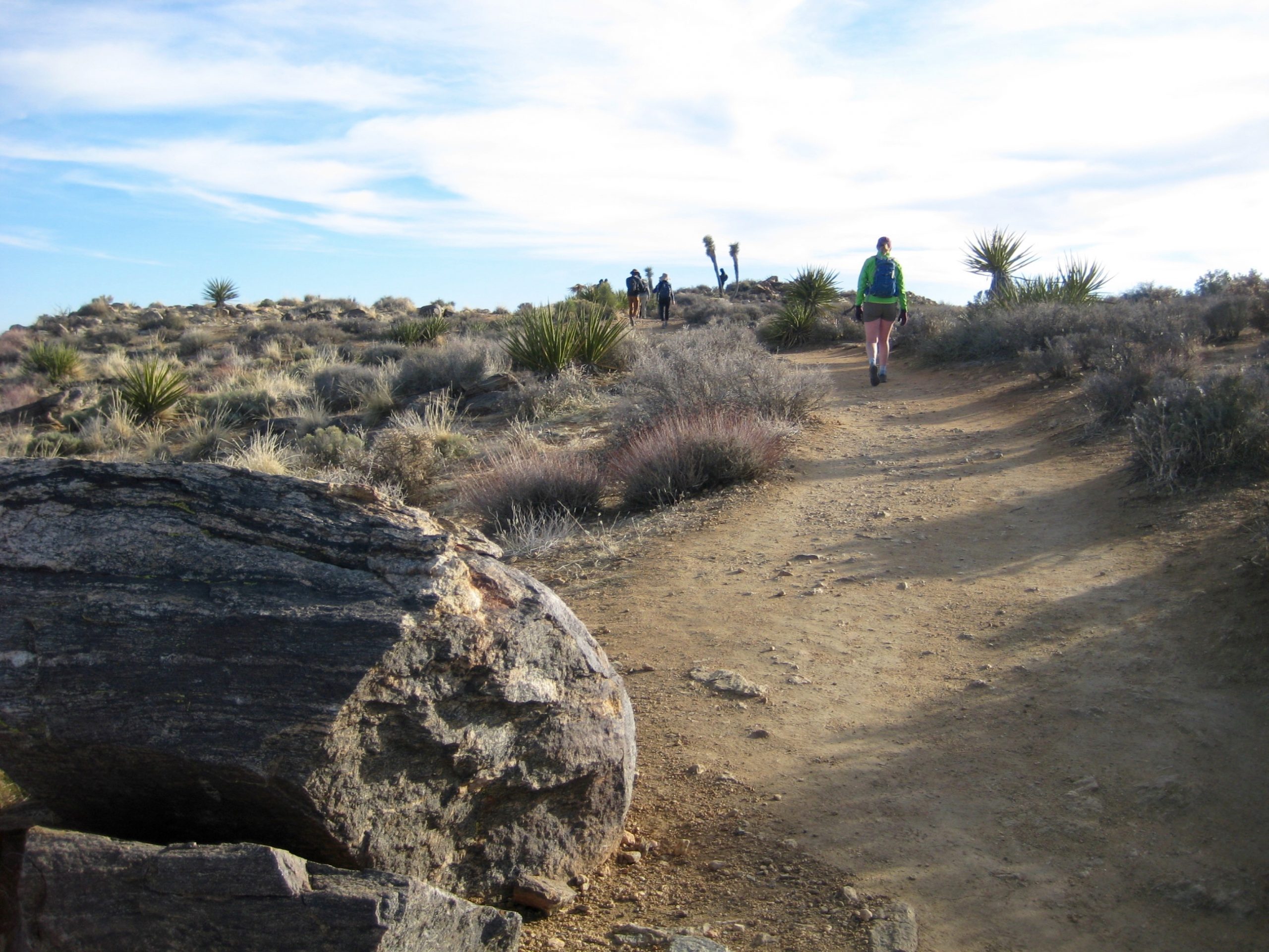
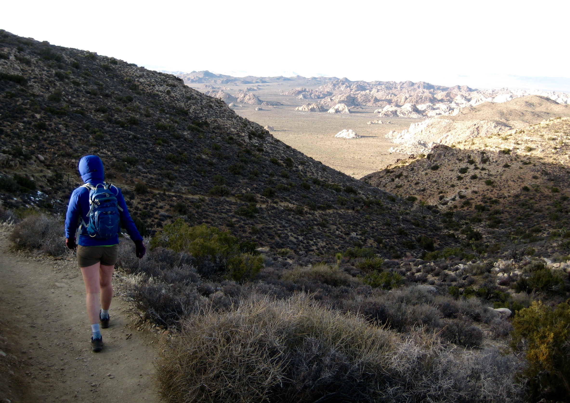
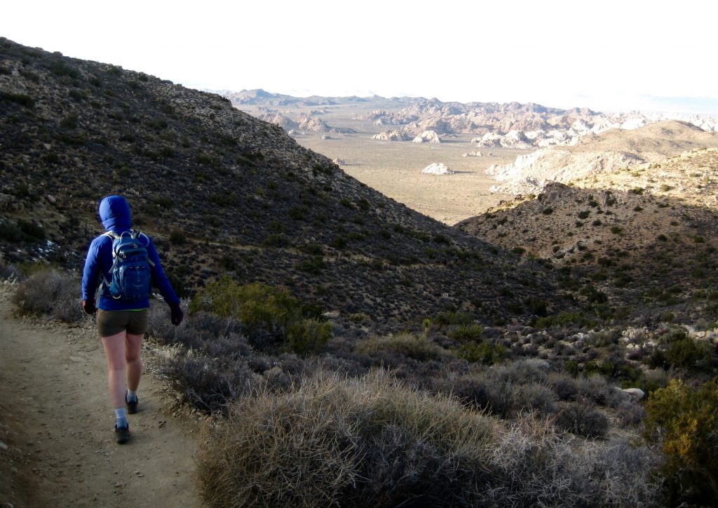
During our trip to Joshua Tree National Park, Eileen and I took a hike up Ryan Mountain near Sheep Pass. This peak is conveniently located near the center of the park and, by most accounts, is the most popular hike at “J-Tree.” Today being a Saturday, we got to share our ascent with 50 or so close friends.

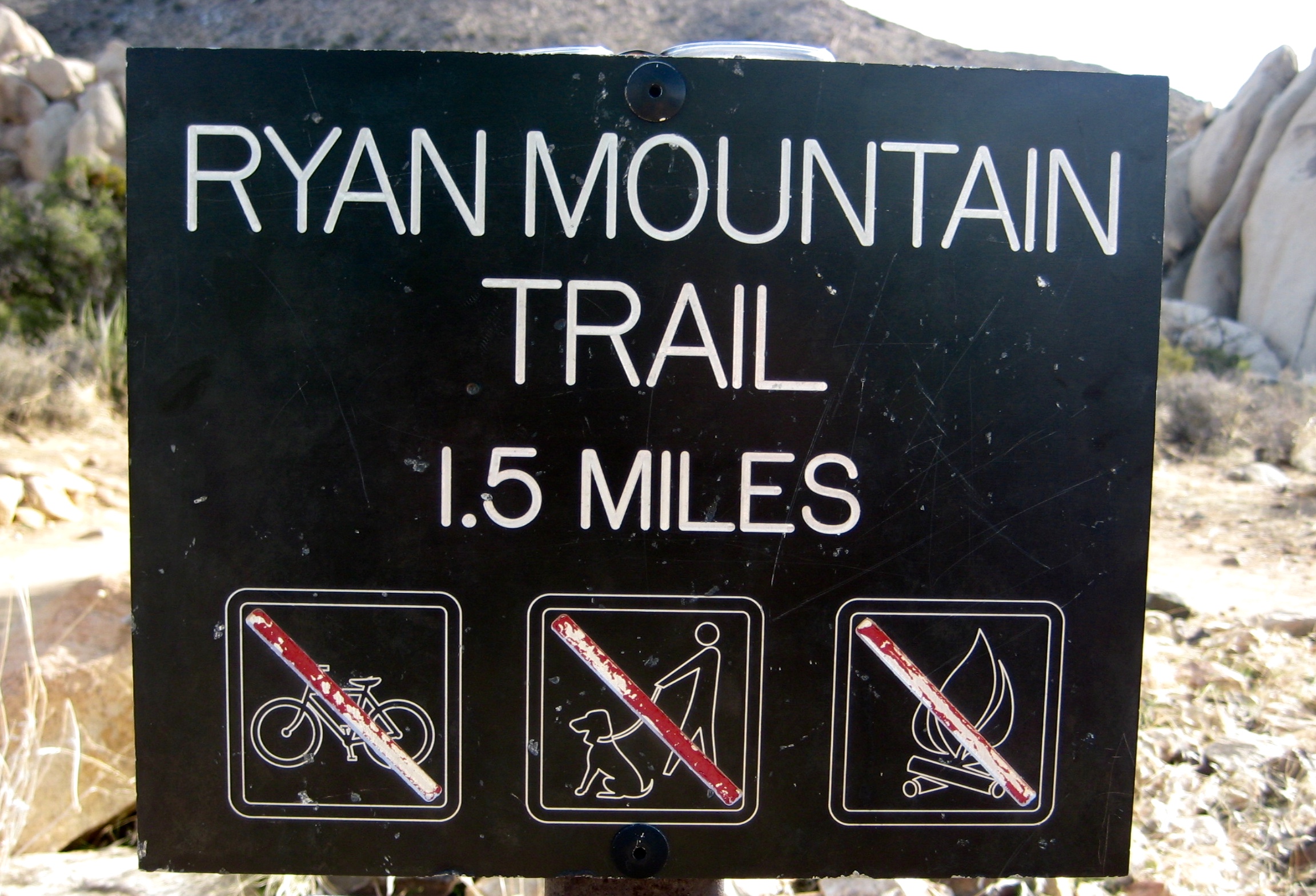
- Ryan Mtn Trail Sign
The trail is wide and well-graded throughout, but shady spots still harbored ice patches resulting from recent snowfall. Today’s weather was mild except for a cold wind on exposed ridges.

- Hiking Up Ryan Mtn Trail
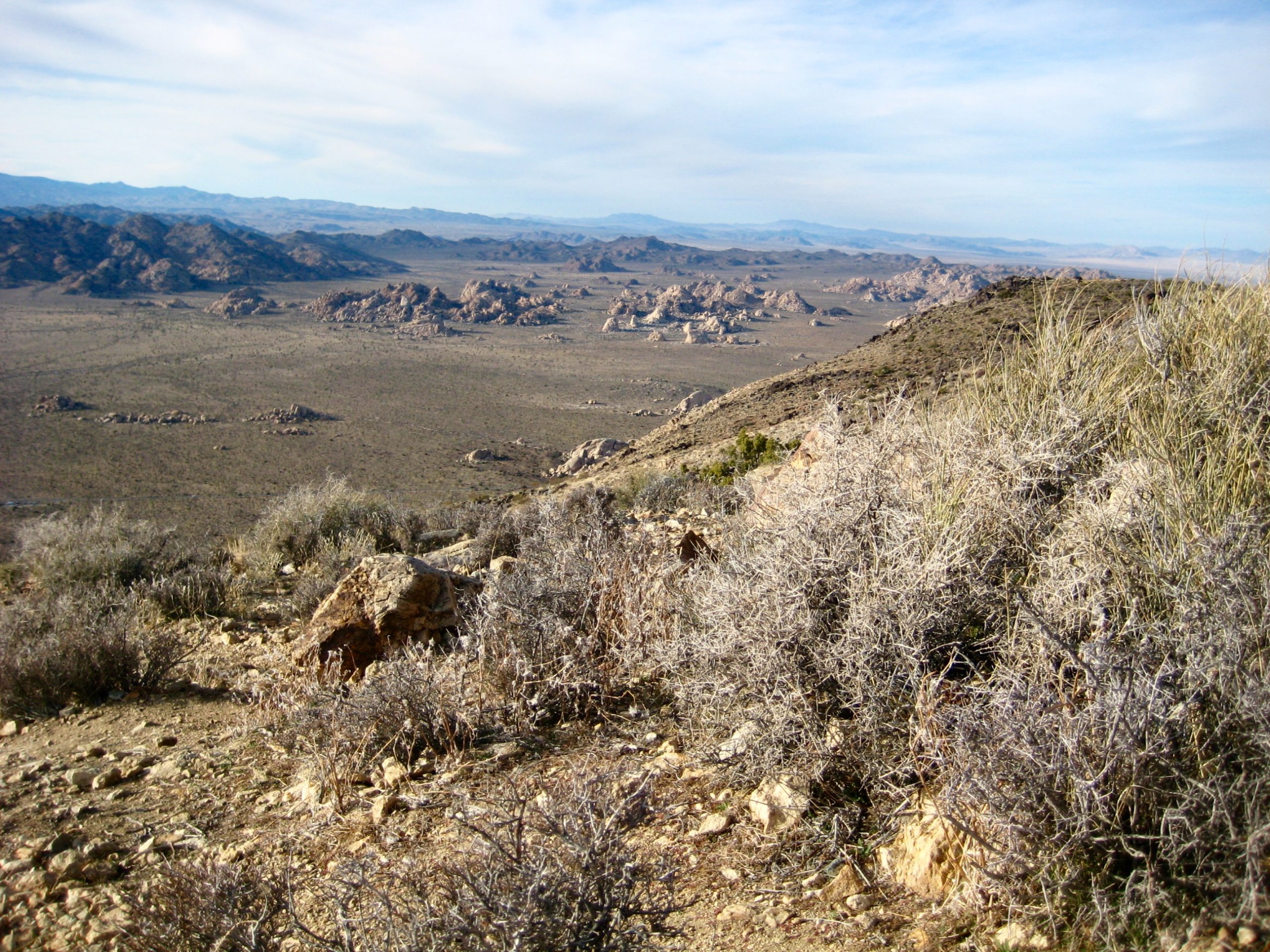
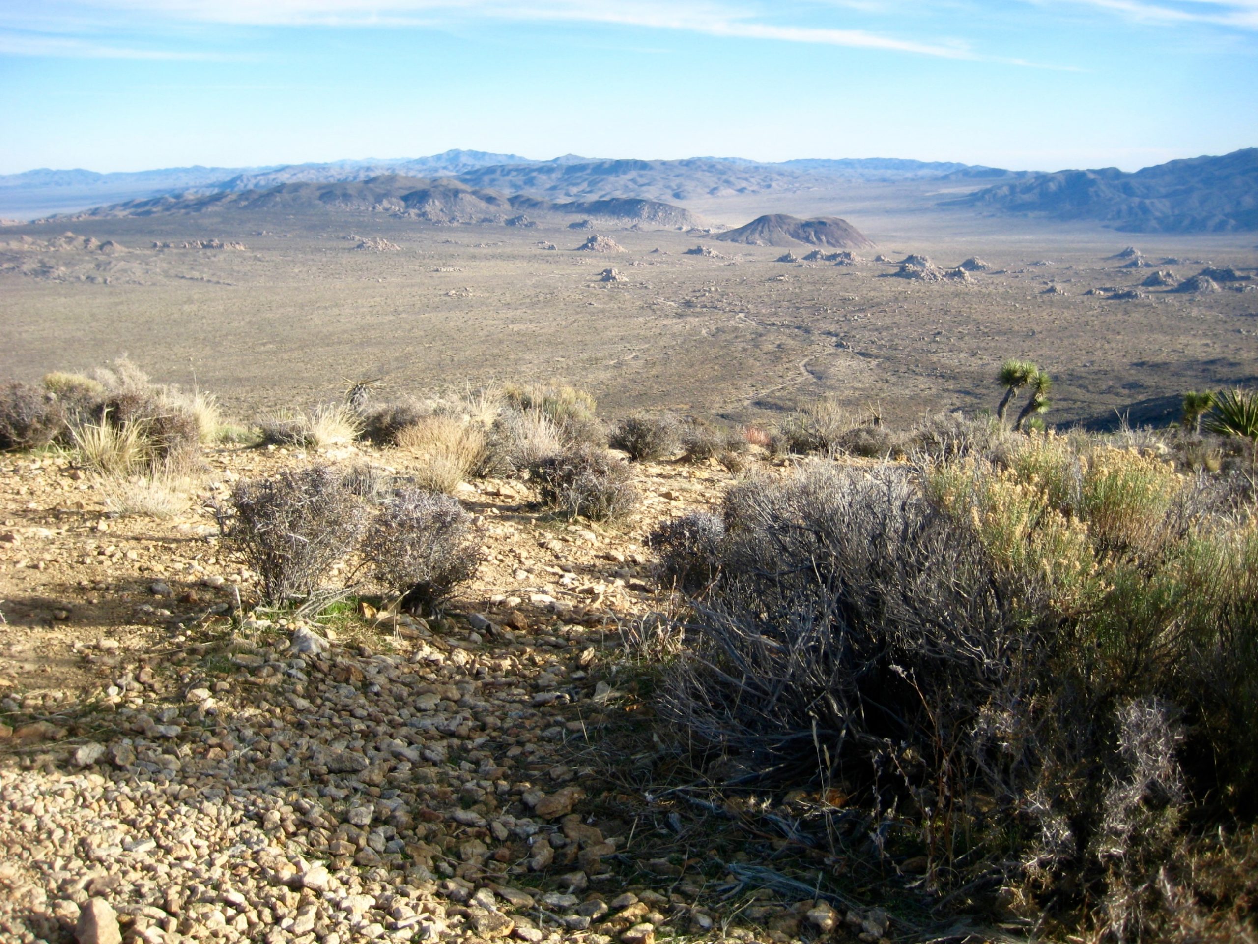
On the summit, we took shelter in the lee of a yucca clump and reveled at the local terrain. It appears that a prehistoric giant scattered huge granite boulders in a willy-nilly fashion around the pancake-flat plain surrounding us. Farther away, isolated ridges rose up from the desert pan.
- View Southeast From Ryan Mtn Summit
During our hike back to the trailhead, we passed another fifty-odd hikers heading up in all manner of attire, ranging from tank tops to expedition parkas. Popular indeed.
…
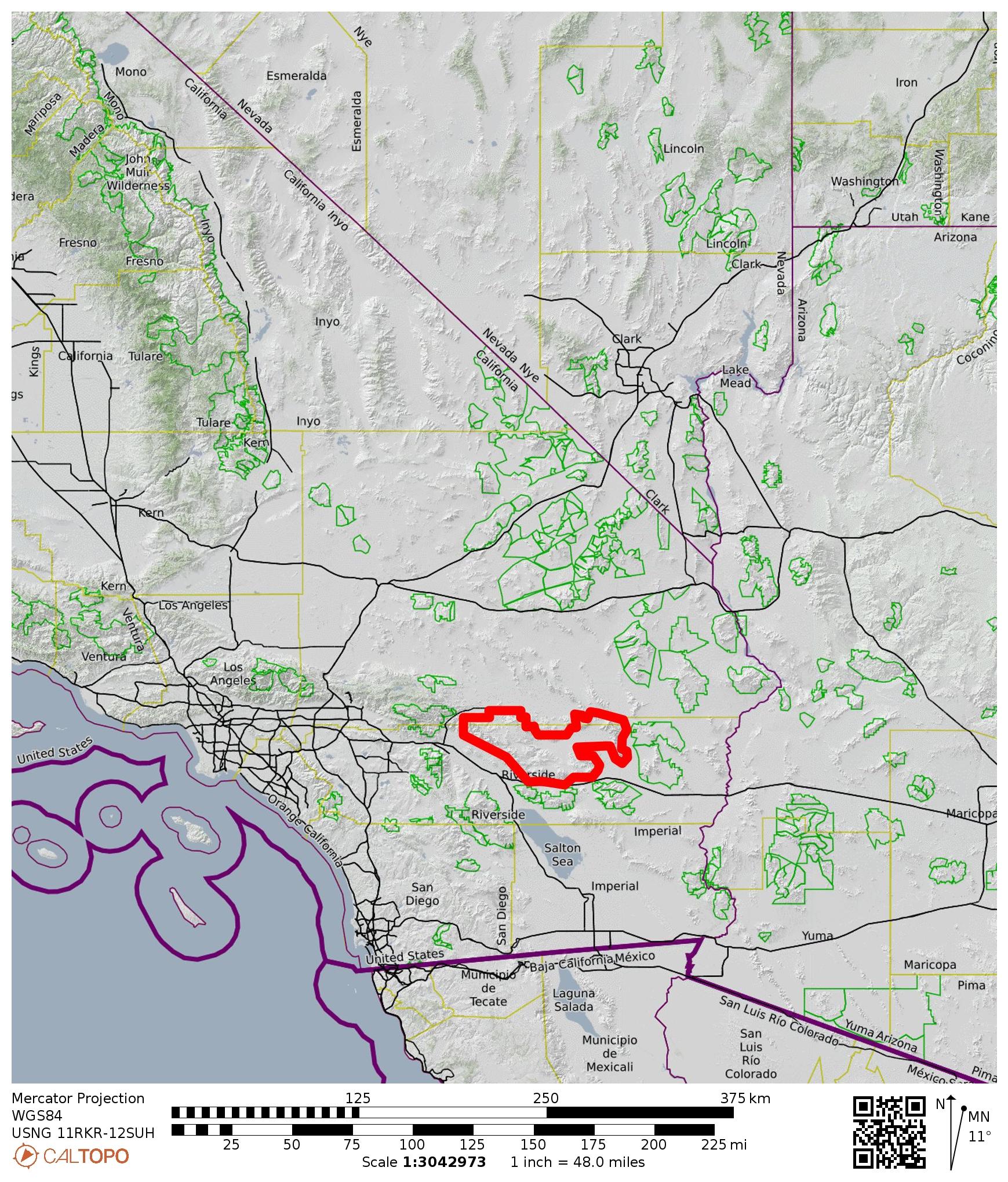
Route Map

Photo Gallery
Click to enlarge…