Trip Date: January 21, 2020
2020 CALIFORNIA & ARIZONA ADVENTURE VACATION
Mt. Suappoa/Suppoa Day Hike
Point 2241 aka Pyramid Ridge Knoll
Telegraph Pass Lookout Shelter
Telegraph Pass
SoMo Trails High Point
Mount Suappoa: legal summit aka Mount Suppoa: legal summit aka Gila Valley Lookout (2630’+)
Trip Report Summary
Region: Arizona
Sub-Region: Central Arizona
Sub-Sub-Region: South Mountains
Area: South Mountain Municipal Park & Preserve
Starting & Ending Point: Area 620 / Pyramid Trailhead near intersection of West Chandler Boulevard & South 19th Avenue (Elev. 1250 feet)
Way Points: Pyramid Ridge Knoll & Pyramid Trail / National Trail junction & Telegraph Pass Lookout & Telegraph Pass & SoMo Trails High Point & South TV Road junction (trail hike); Gila Valley Lookout (road walk)
Sidetrip: National Knoll (trail hike)
Summit: Mt. Suappoa/Suppoa: legal summit (ascent & descent via National Trail—South TV Road)
Approximate Stats: 12 miles traveled; 2500 feet gained & lost; 2.9 hours up; 2.4 hours down.
…
Full Trip Report
While Eileen was occupied with family events in Arizona, I took the opportunity to attempt a notable summit within the South Mountains, or “SoMos.” This compact but prominent mountain range located closely south of downtown Phoenix is typical of the Basin & Range Province, where isolated massifs rise abruptly above a flat desert pan.
The highest point in the South Mountains is known by several names, including “South Peak,” “Telegraph Peak,” and “TV Tower Peak,” but the most widely accepted names are either “Mt. Suappoa” or “Mt. Suppoa” as bestowed by the native Indians. Various reference sources, such as City of Phoenix, Wikipedia, Gaia, Summit Post, Peakbagger, and List of John, are about evenly split on the exact spelling, whereas the USGS map does not show a name at all. Nomenclature confusion aside, it seemed like a worthy summit goal for the day.
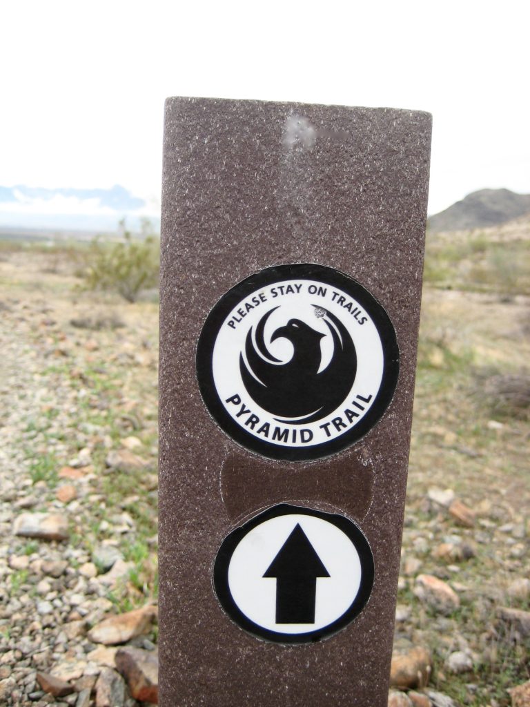
I started at the Area 620 / Pyramid Trailhead just off West Chandler Boulevard on a cool, gray morning. The Pyramid Trail led me off in a northeasterly direction at an easy grade, and the route was well-marked with signposts and cairns.

…
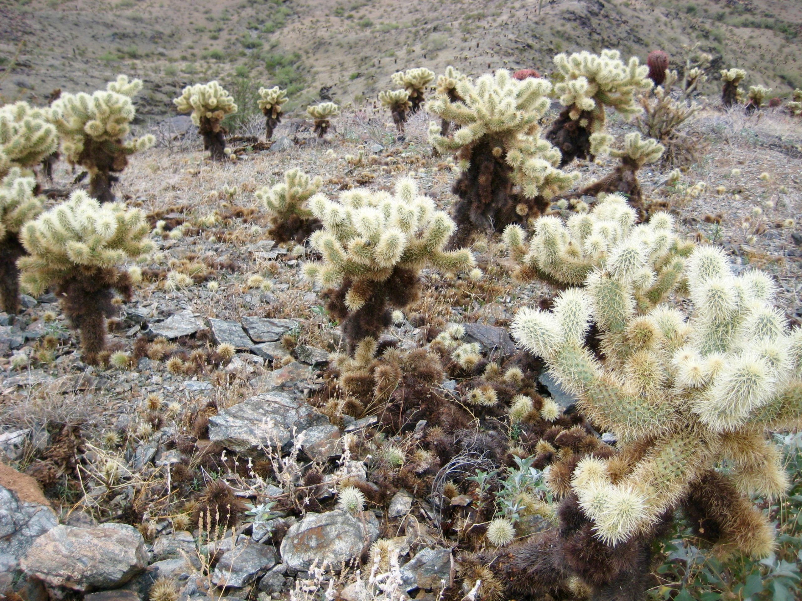
Soon, the trail steepened and began switchbacking up the nose of Pyramid Ridge. I passed a wide variety of desert vegetation along the way, including lots of “jumping joey” chollas.

- Cholla Cactus Plants Along Pyramid Trail
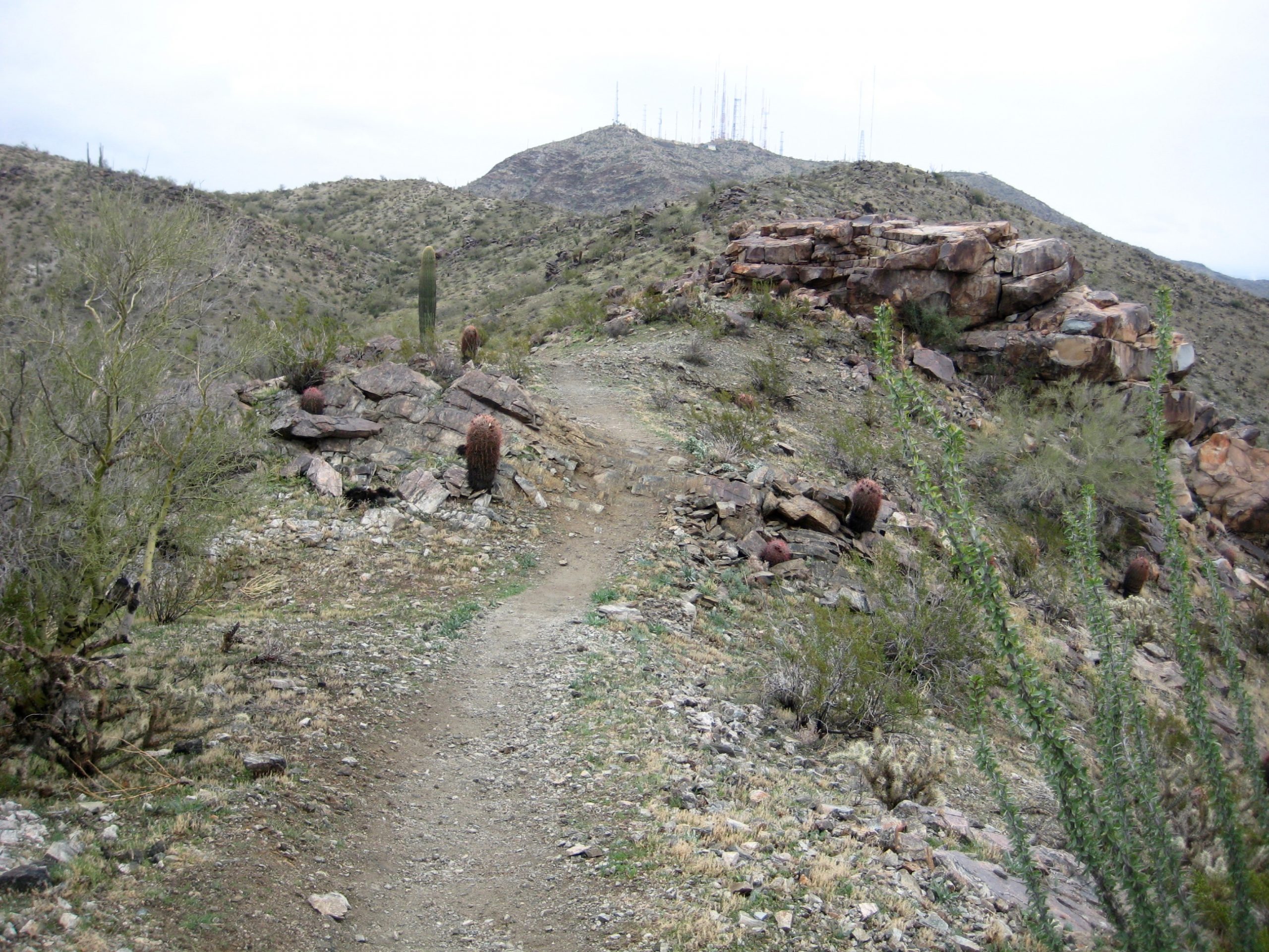
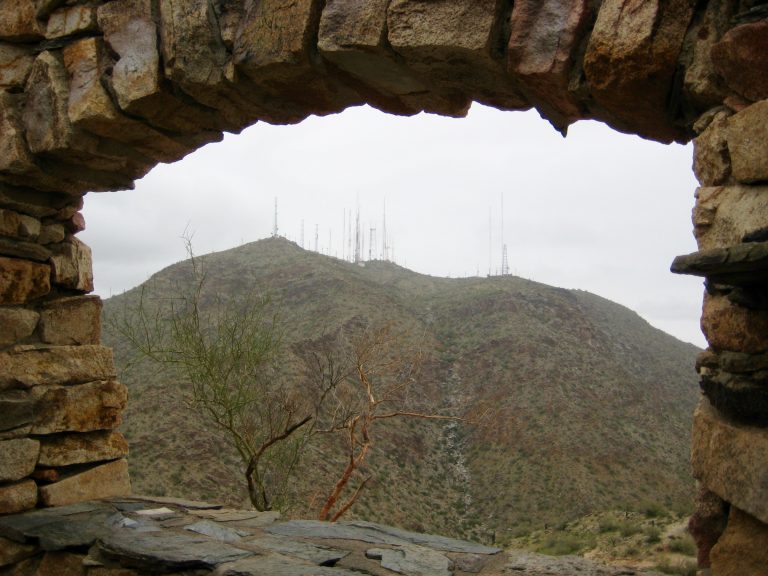
Mt. Suappoa, which is easily identified by its dozen or more summit antennas, was visible in the hazy distance.
- Mt Suappoa From Pyramid Ridge Trail
After crossing over 2241-foot Pyramid Ridge Knoll, the trail grade eased and the terrain became more interesting. A gradual traverse on or near the ridge crest took me to a junction with the National Trail at a shallow saddle (1.3 hours + 1200 feet from TH). This junction closely represents the mid-point of the ascent.

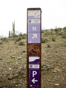
- Marker Post At Pyramid-National Trail Junction
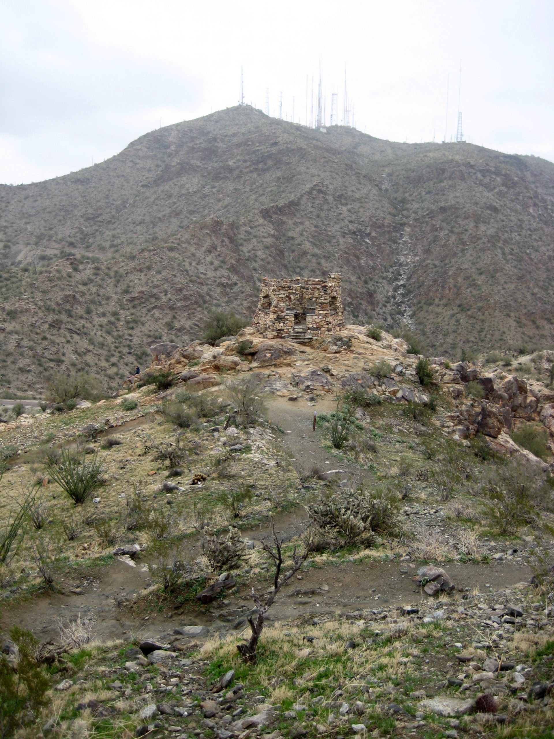
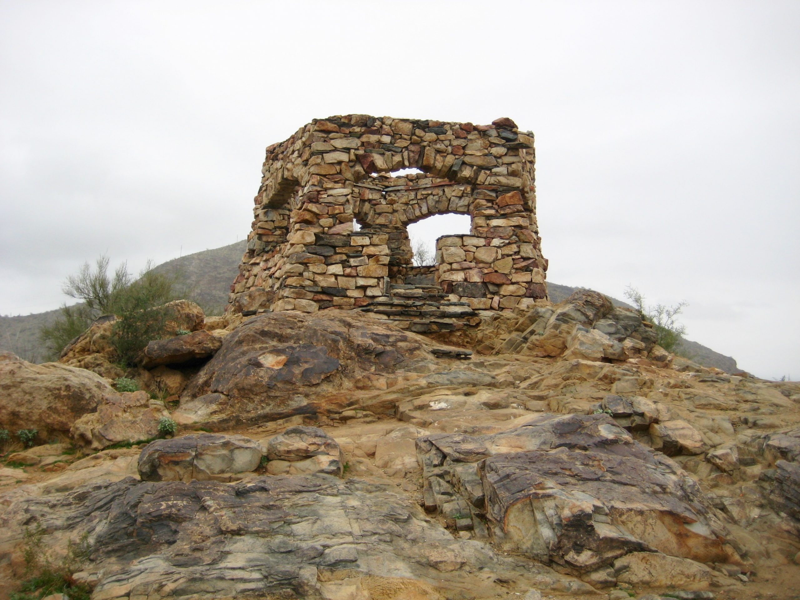
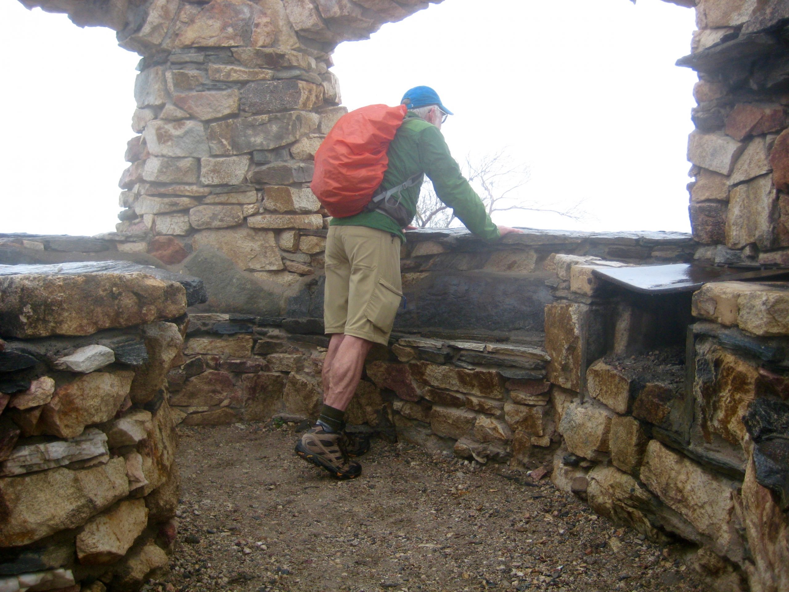
From the N-P junction, I made a quick sidetrip up to National Knoll, then returned to the junction and began descending towards Telegraph Pass. Halfway down, I encountered a handsome stone shelter at Telegraph Pass Lookout.

- Mt Suappoa Above Telegraph Pass Lookout Shelter
- Telegraph Pass Lookout Shelter
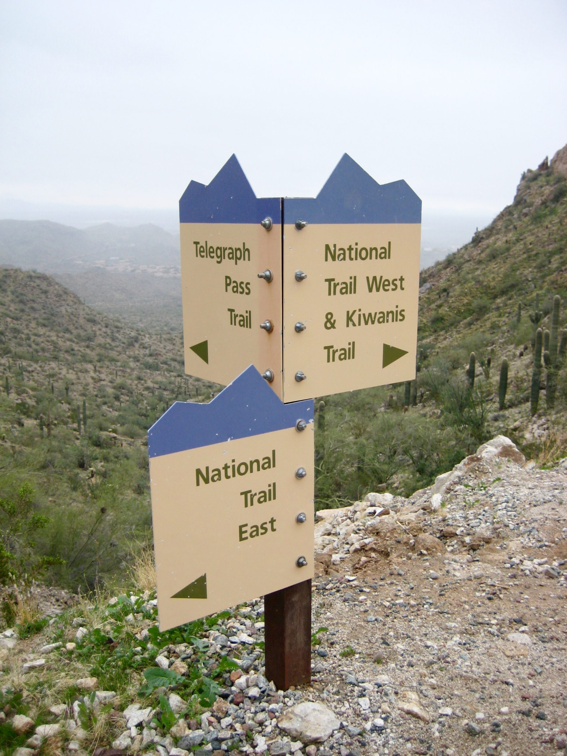
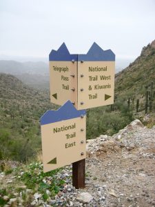
Continuing downhill from the lookout, the National Trail bottomed out at Telegraph Pass, where the Summit Road, Kiwanis Trail, and Telegraph Pass Trail all converge.
- Telegraph Pass Trail Signs
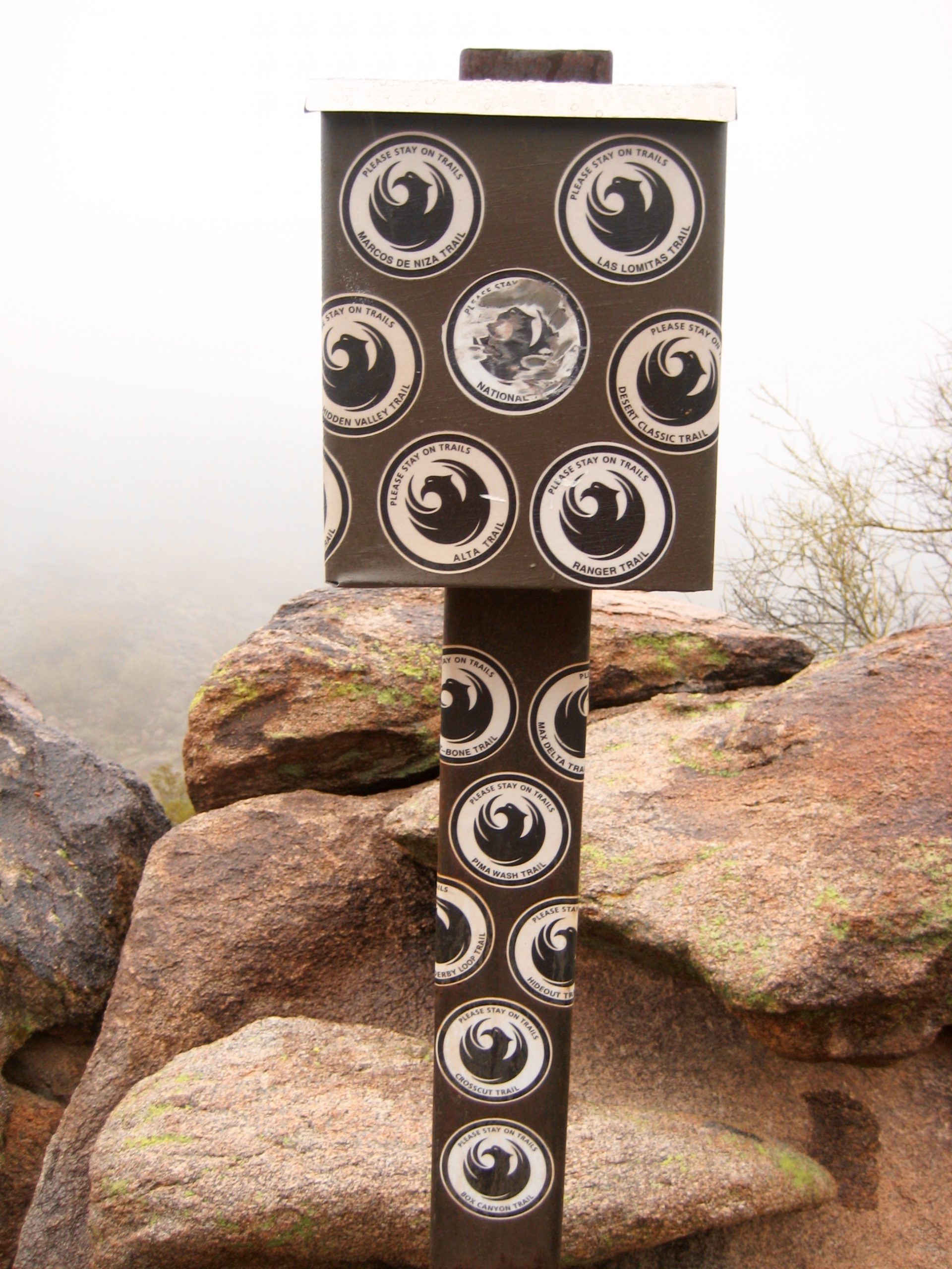
I stayed on the National Trail as it switchbacked up from the pass and then made a curving traverse around the northern flank of Mt. Suappoa. For much of this traverse, the trail roughly parallels Summit Road. In time, I came upon a fun and interesting trailside feature: a register box that marks the highest point reached by any trail in the South Mountains. The register inside is maintained by the municipal park rangers, and they invite hikers to provide comments.
- SoMo Register Box At National Trail High Point
Shortly past the register box, at a location where the National Trail comes within 100 yards of South TV Road (no joke), I headed off to the right on a faint footpath. Upon reaching the road, I followed it towards the summit of Mt. Suappoa in hopes of making an easy asphaltic diretissima. However, this was not to be; the entire summit area is enclosed by a security fence to protect the numerous communication towers and buildings. It would take a Navy SEAL team (or Stefan) to bag this summit!
As a consolation, I continued walking up the road to a nearby sub-summit that consists of a large, asphalt-paved dome called Gila Valley Lookout (2.9 hours + 2000 feet from TH). This is not the true summit of Mt. Suappoa; it sits about 60 or 70 feet lower than the antenna orchard. However, it seems to constitute the legal summit, and that would have to suffice for me—at least until I can hook up with a SEAL team.
It had been drizzling steadily for the past hour, so I was in no mood to linger or take photos. Instead, I retraced my road and trail route back to the trailhead, arriving in late afternoon (2.4 hours + 500 feet from summit).
Postscript: My subsequent research revealed that many Arizonan peak-baggers have encountered the same problem on this peak, and most of them ended up settling for the sub-summit, just as I did. However, one persistent fellow managed to find a USGS benchmark (labelled “Telegraph”) just outside the security fence at an elevation very close to whatever higher point exists inside the fence. As such, he declared the benchmark to be an acceptable and satisfying legal summit. Sounds like a worthy goal for my next Arizona trip.
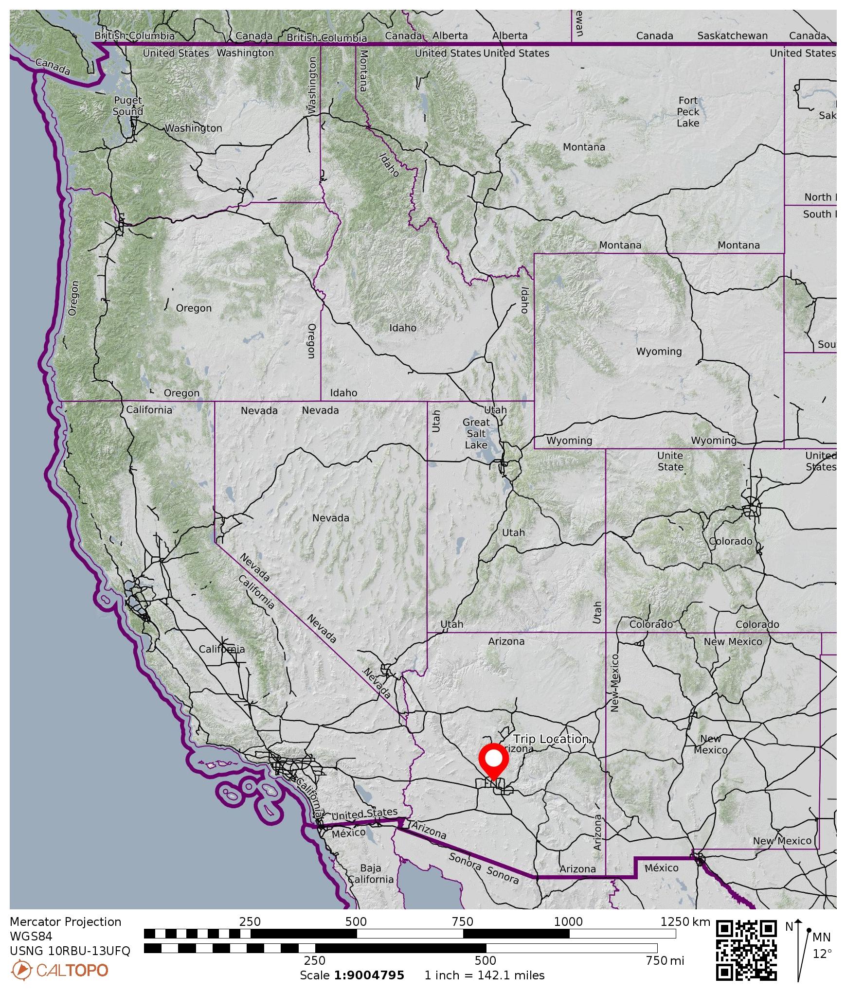
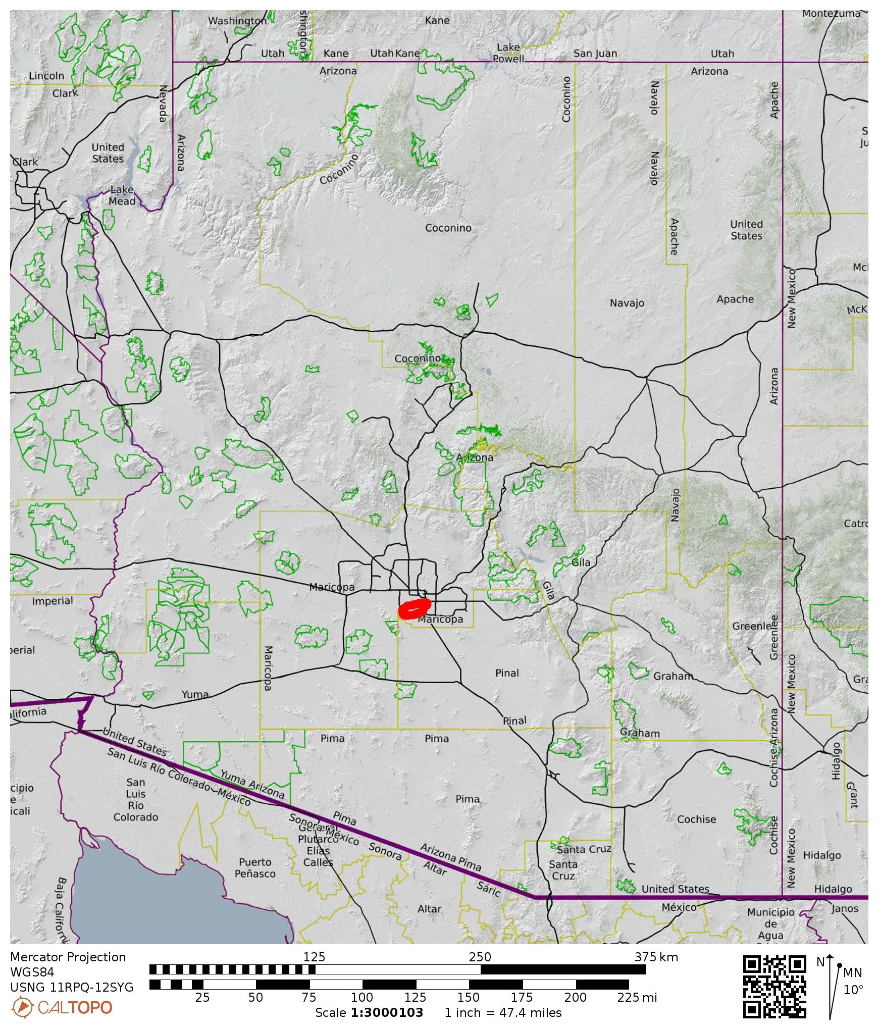
Route Map
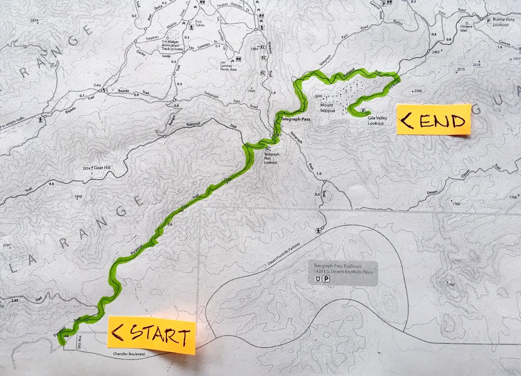
Photo Gallery
Click to enlarge…