Trip Date: November 3, 2020
2020 CALIFORNIA & UTAH ADVENTURE VACATION
Mt. Conness Day Climb & Summit Loop
Saddlebag Lake
Greenstone Lake
Conness Lakes
Mount Conness (12,590 ft)
Conness–White Saddle
Green Treble Meadows
Carnegie Institute Experimental Station
Trip Report Summary
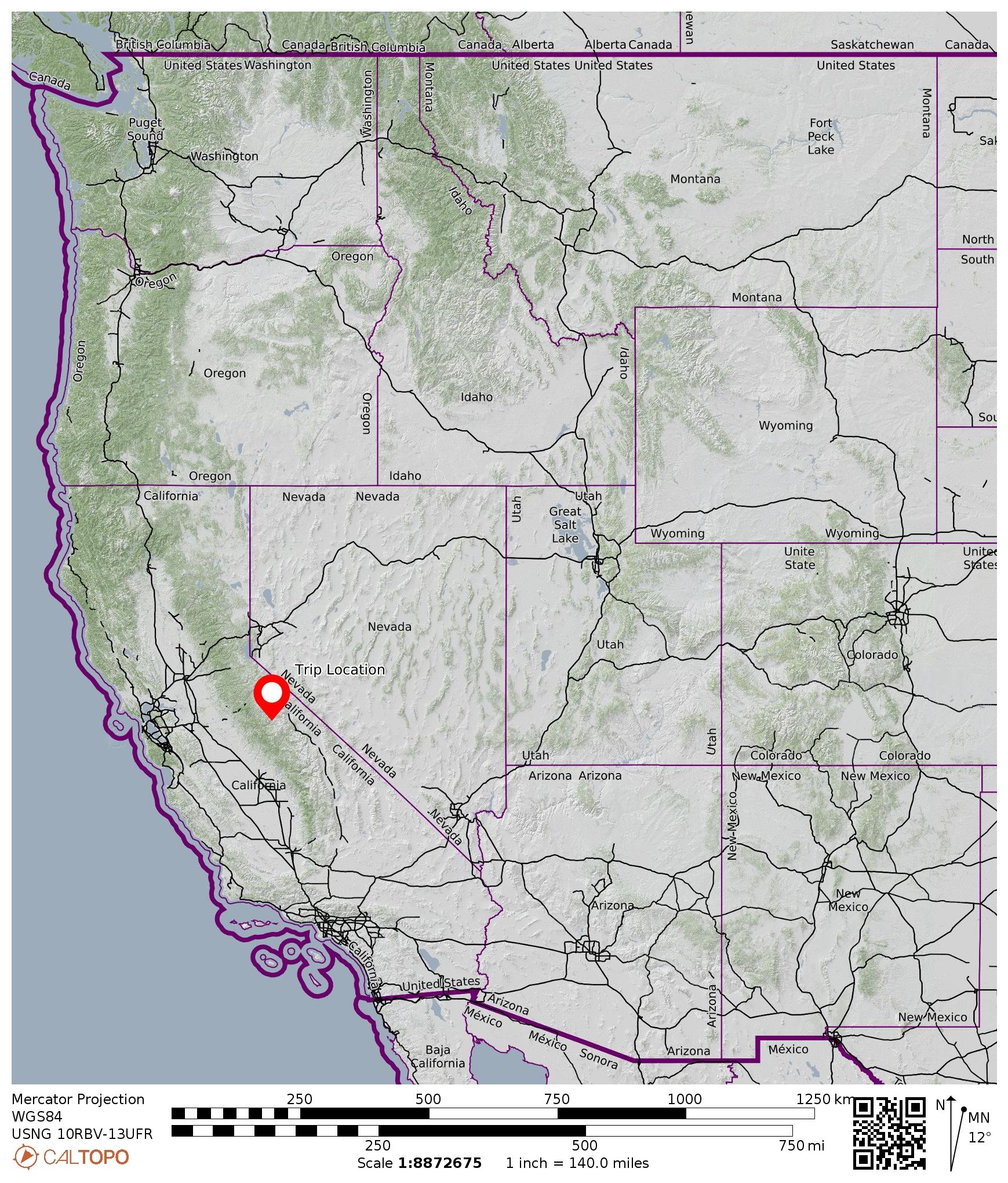
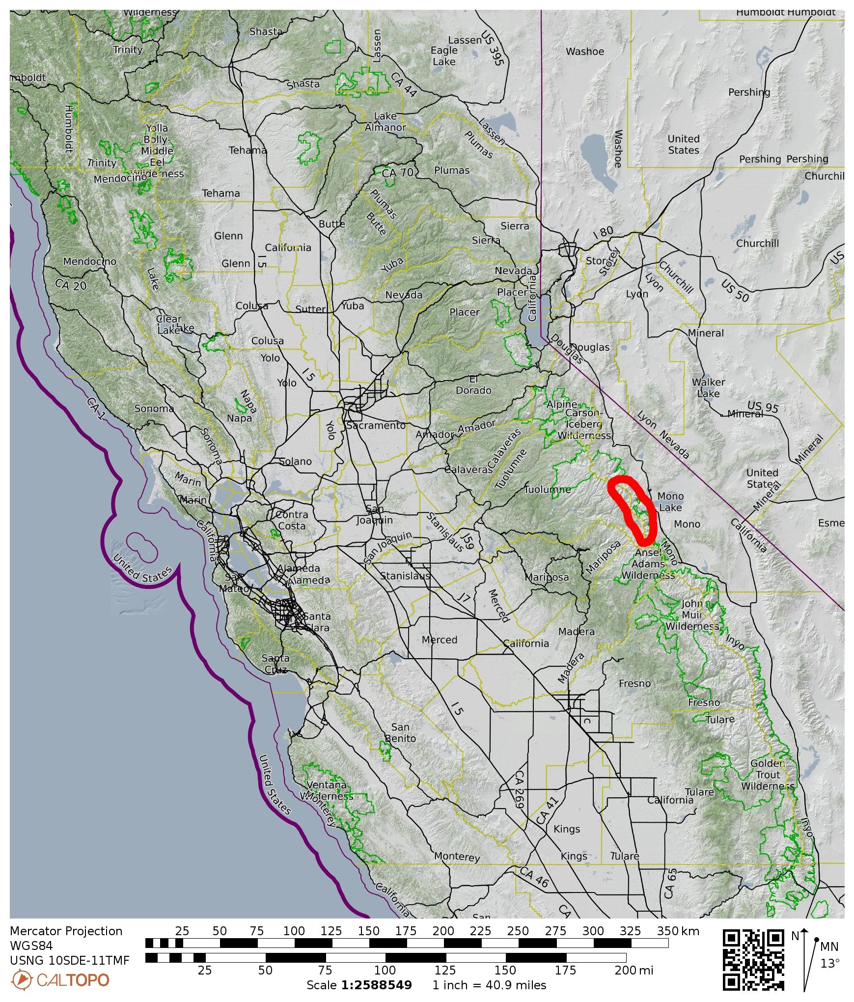
Region: California
Sub-Region: Sierra Nevada Range
Sub-Sub-Region: Tioga Crest
Areas: Inyo National Forest & Harvey Monroe Hall Research Natural Area & Yosemite National Park
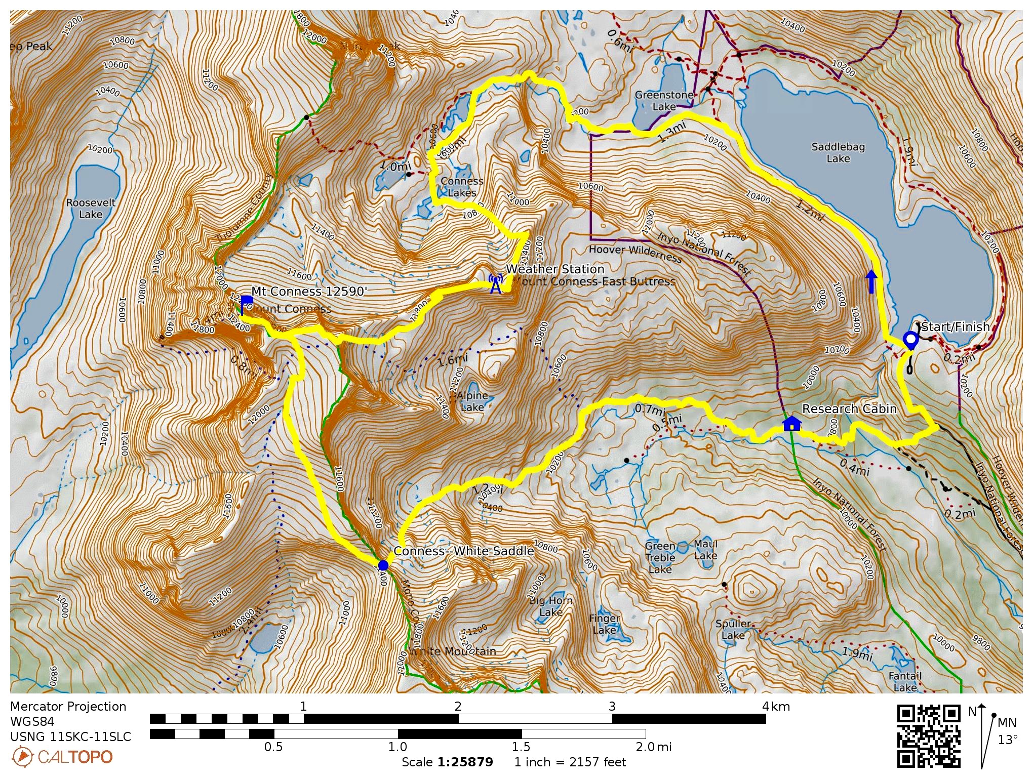
Starting & Ending Point: Saddlebag Lake Trailhead on Saddlebag Lake Road (Elev. 10,100 feet)
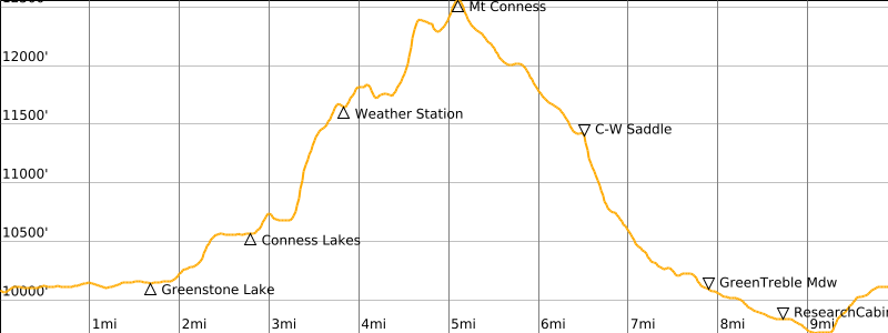
Way Points: Saddlebag Dam & Saddlebag Lake & Greenstone Lake & Lower Conness Lake & Middle Conness Lake & Conness Weather Station & Mt. Conness summit & Conness–White Saddle & Green Treble Meadows & Carnegie Institute Experimental Station & Lee Vining Creek crossing & Saddlebag Lake Road (trail hike & rock scramble & off-trail hike); Saddlebag Lake Trailhead (road walk)
Summit: Mt. Conness (rock scramble & off-trail hike via East Ridge; descent via South Slope—Conness-White Saddle—Southeast Gully)
Approximate Stats: 10 miles traveled; 3450 feet gained & lost; 6.1 hours up; 3.5 hours down.
…
Full Trip Report
Eileen and Brooke and I had hoped to do a multi-day backpacking trip in Yosemite National Park, but our plans quickly changed when camping was abruptly banned due to forest fire danger. As a consolation, we tucked in a one-day summit loop over Mt. Conness on the northeastern fringe of the park. At 12,590 feet, Mt. Conness is one of the highest peaks along the Tioga Crest and, due to good access, one of the more popular climbs.
We started at the Saddlebag Lake Trailhead on a cool, sunny Tuesday morning. The air was quite clear, despite numerous wildfires currently burning throughout California, including several small fires around Yosemite Valley. After walking across the top of Saddlebag Dam, we followed a trail around the western shore of Saddlebag Lake and past nearby Greenstone Lake.
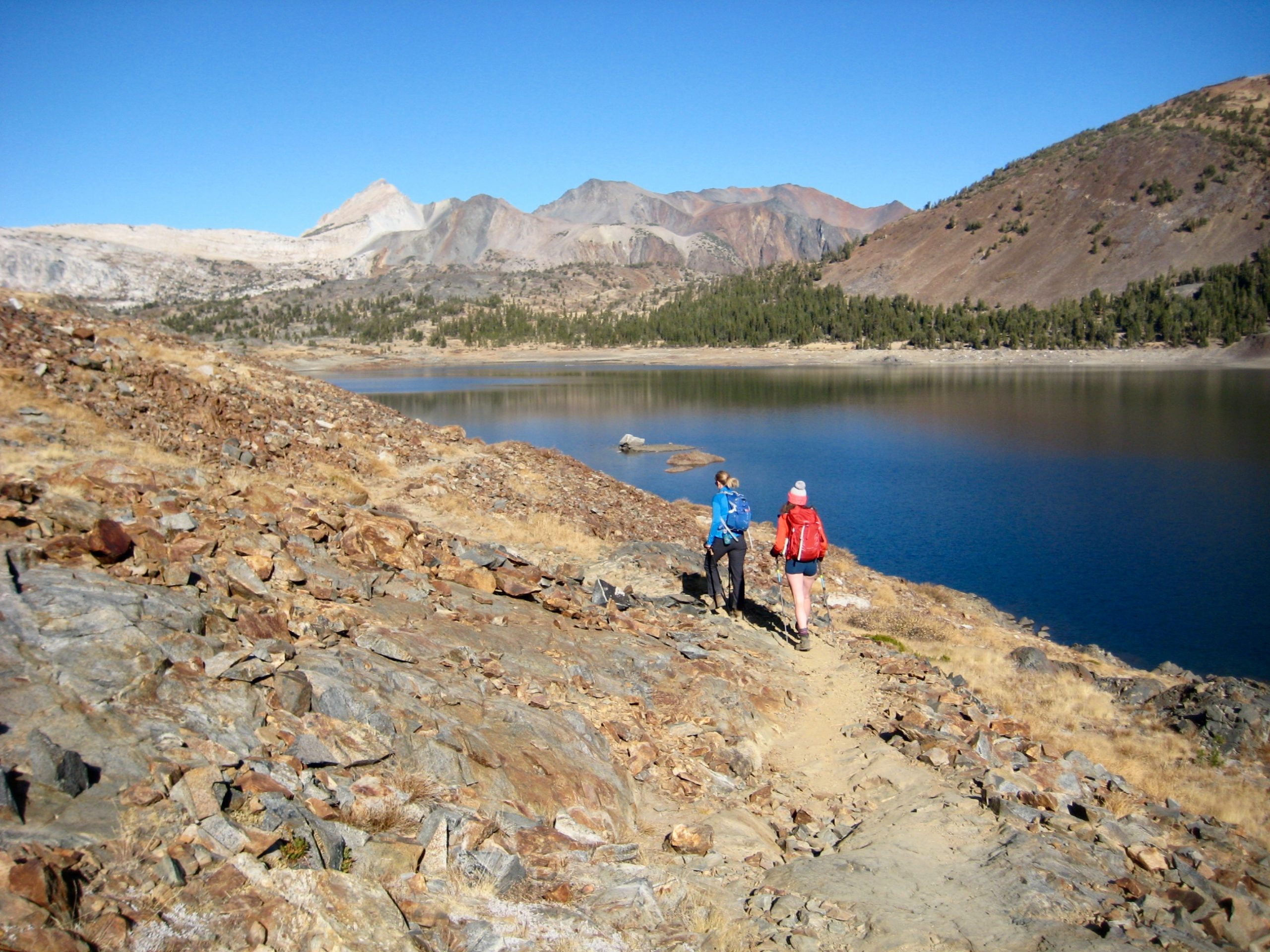
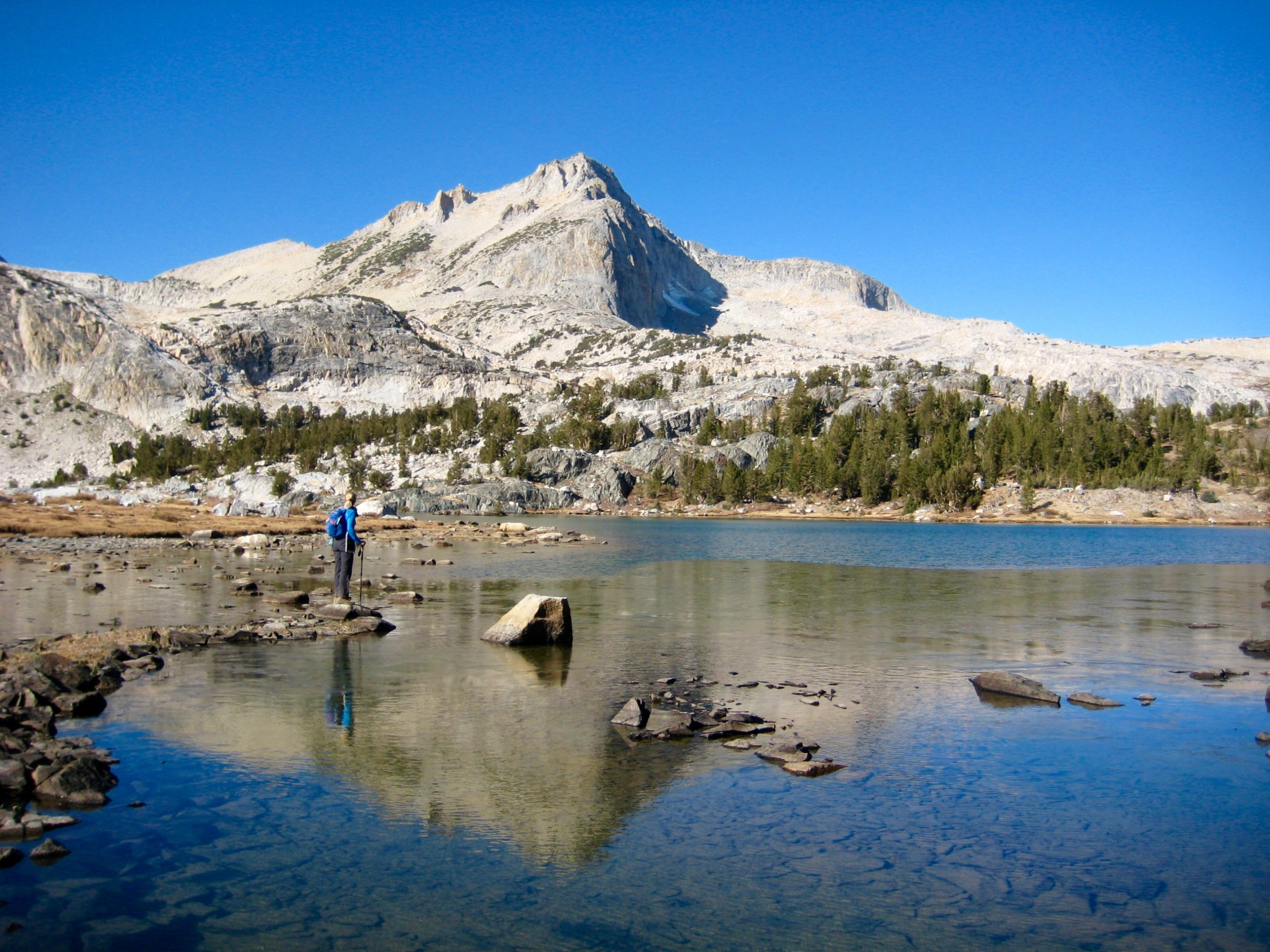
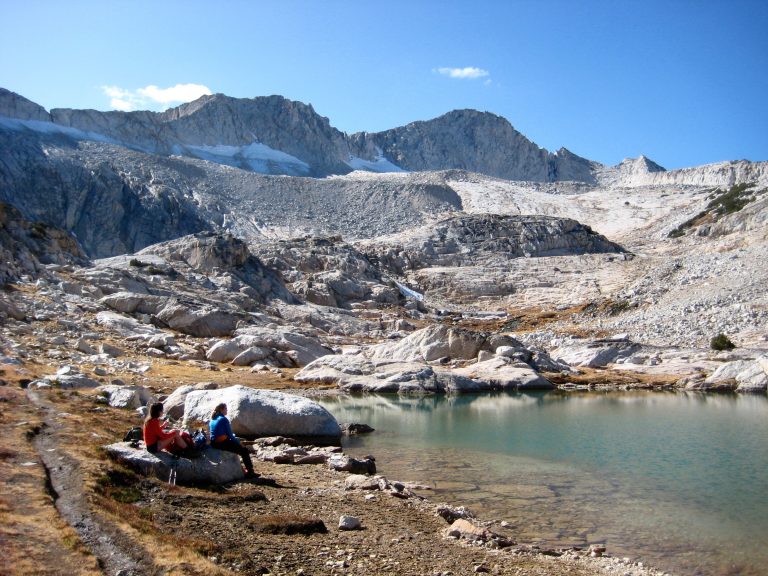
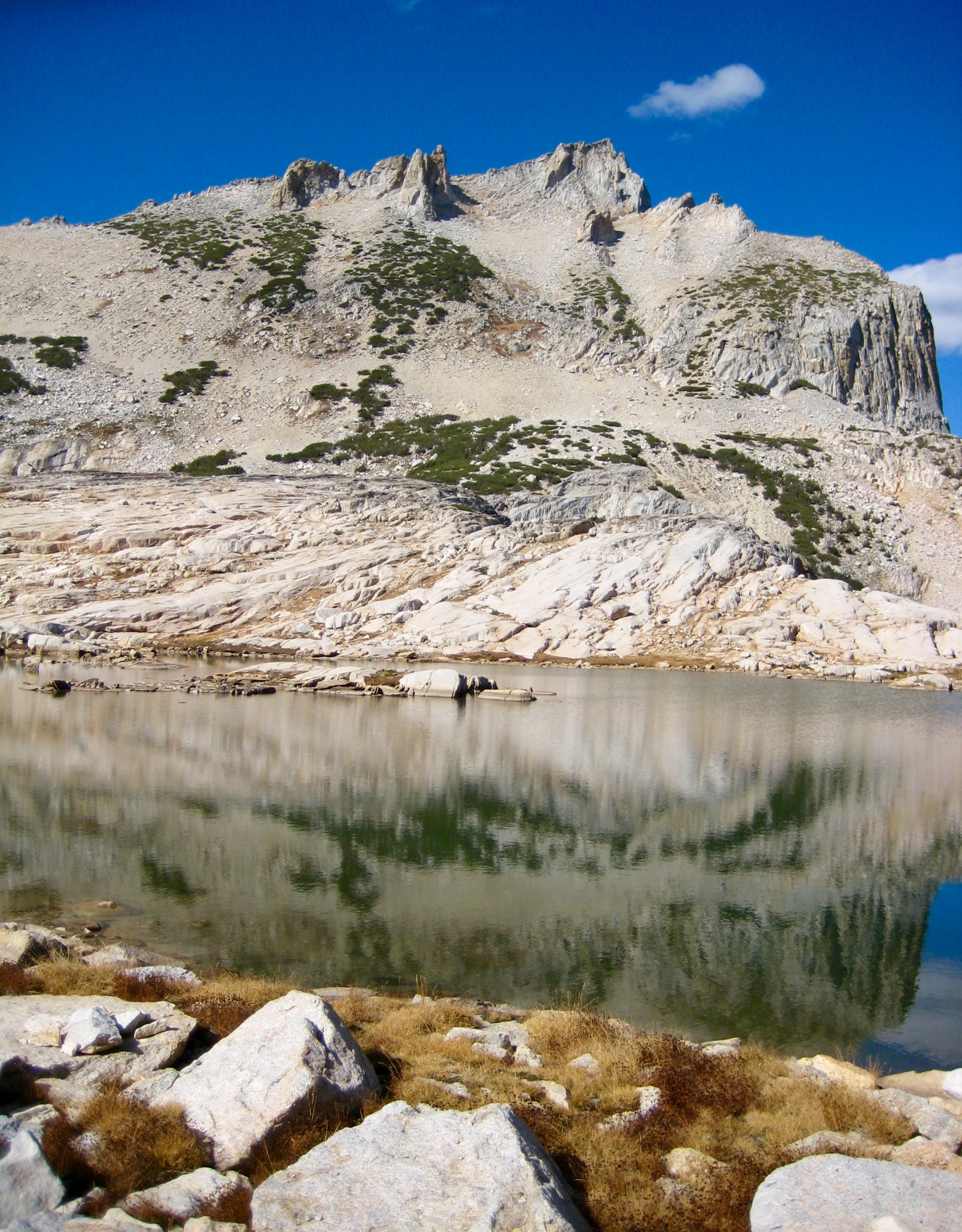
A steepening trail took us up to Conness Lakes Basin (1.8 hours + 500 feet from TH), which cradles four closely spaced alpine lakes between Mt. Conness and North Peak. This basin has an austere beauty, very reminiscent of Upper Enchantment Basin.
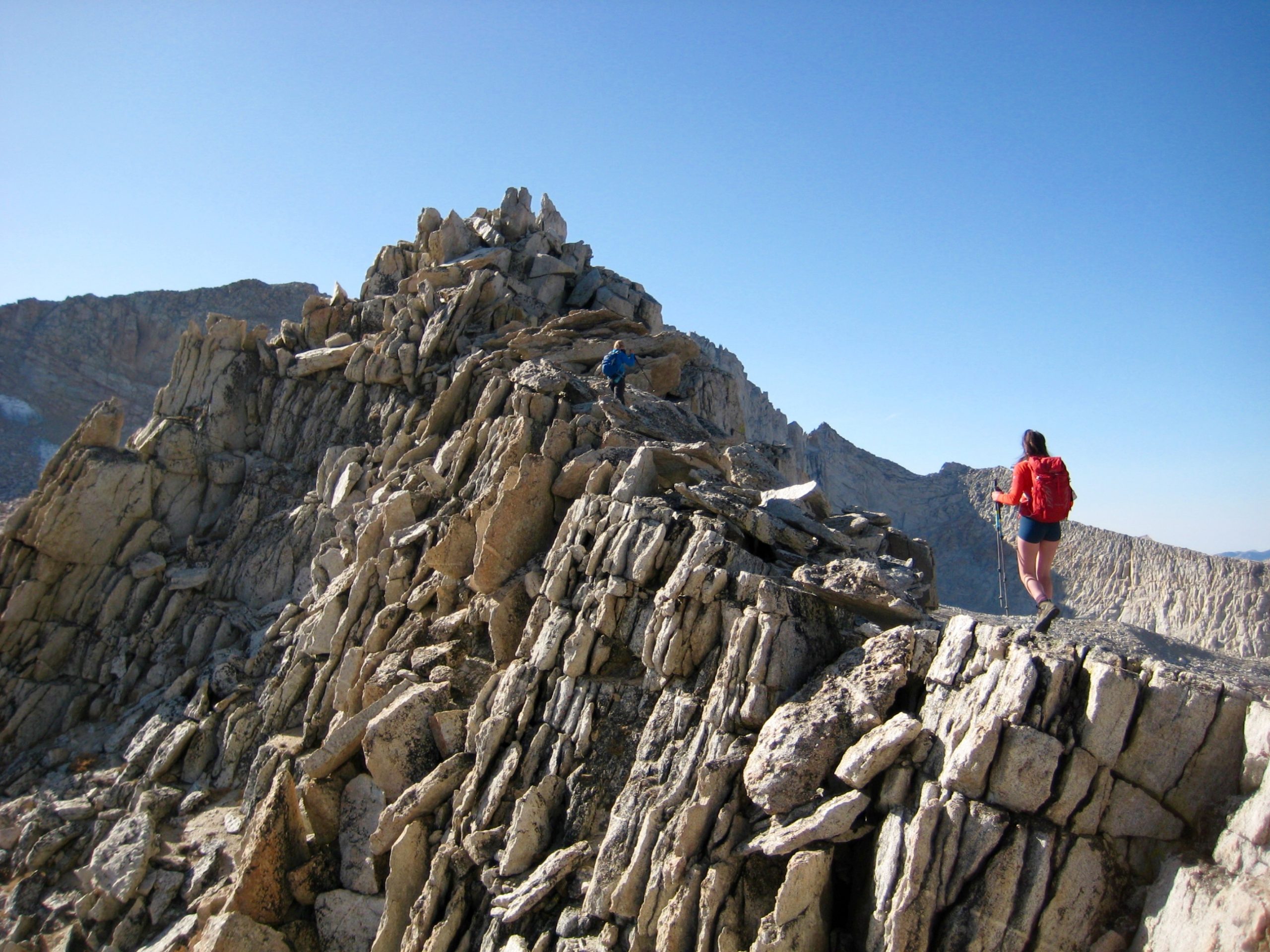
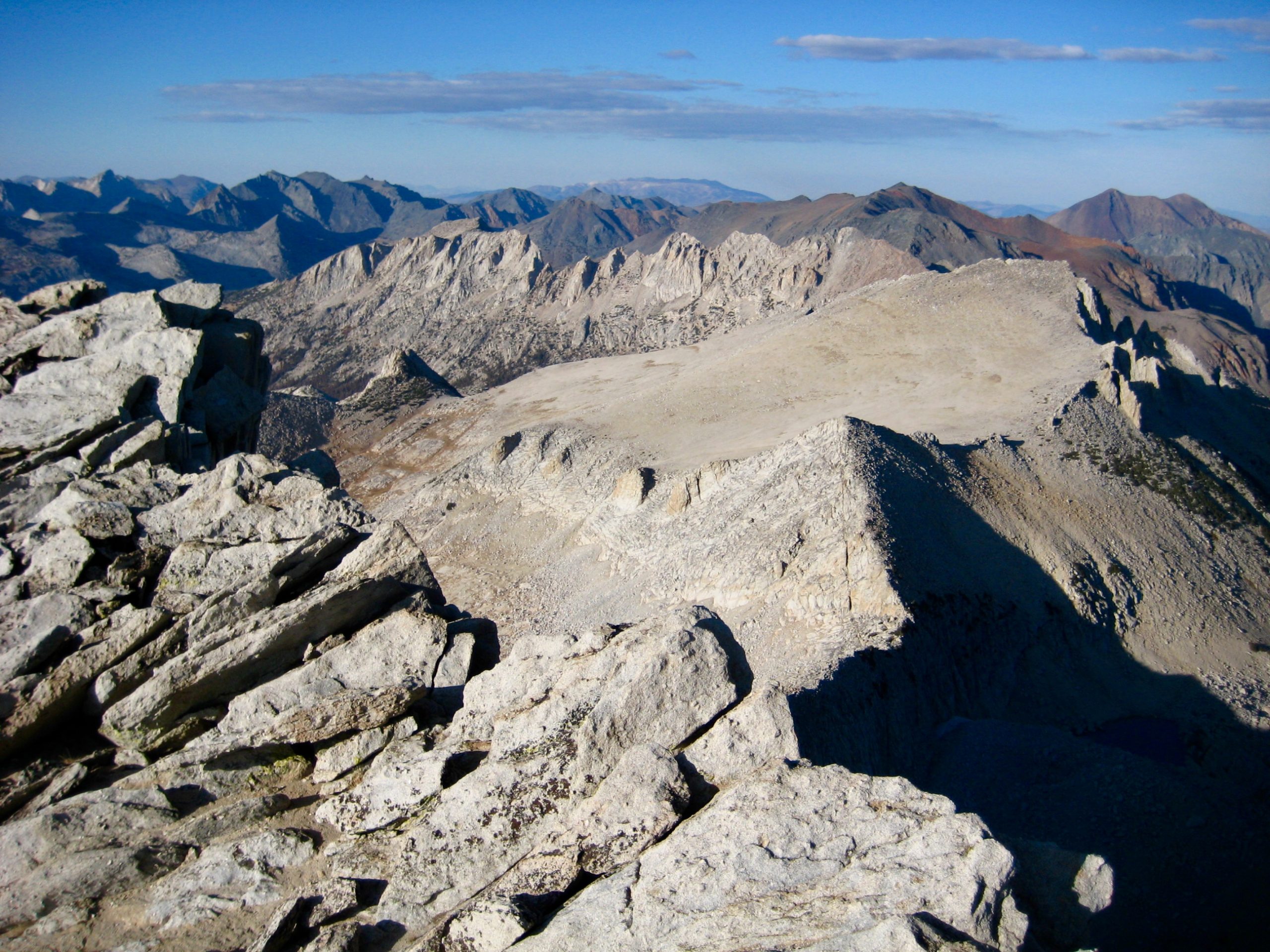
At Middle Conness Lake, we left the trail and ascended granite ledges to gain the lower east ridge of Mt. Conness. Our objective summit came into view as we scrambled along the blocky ridge crest. The lower east ridge terminates in a broad saddle with a small weather station.
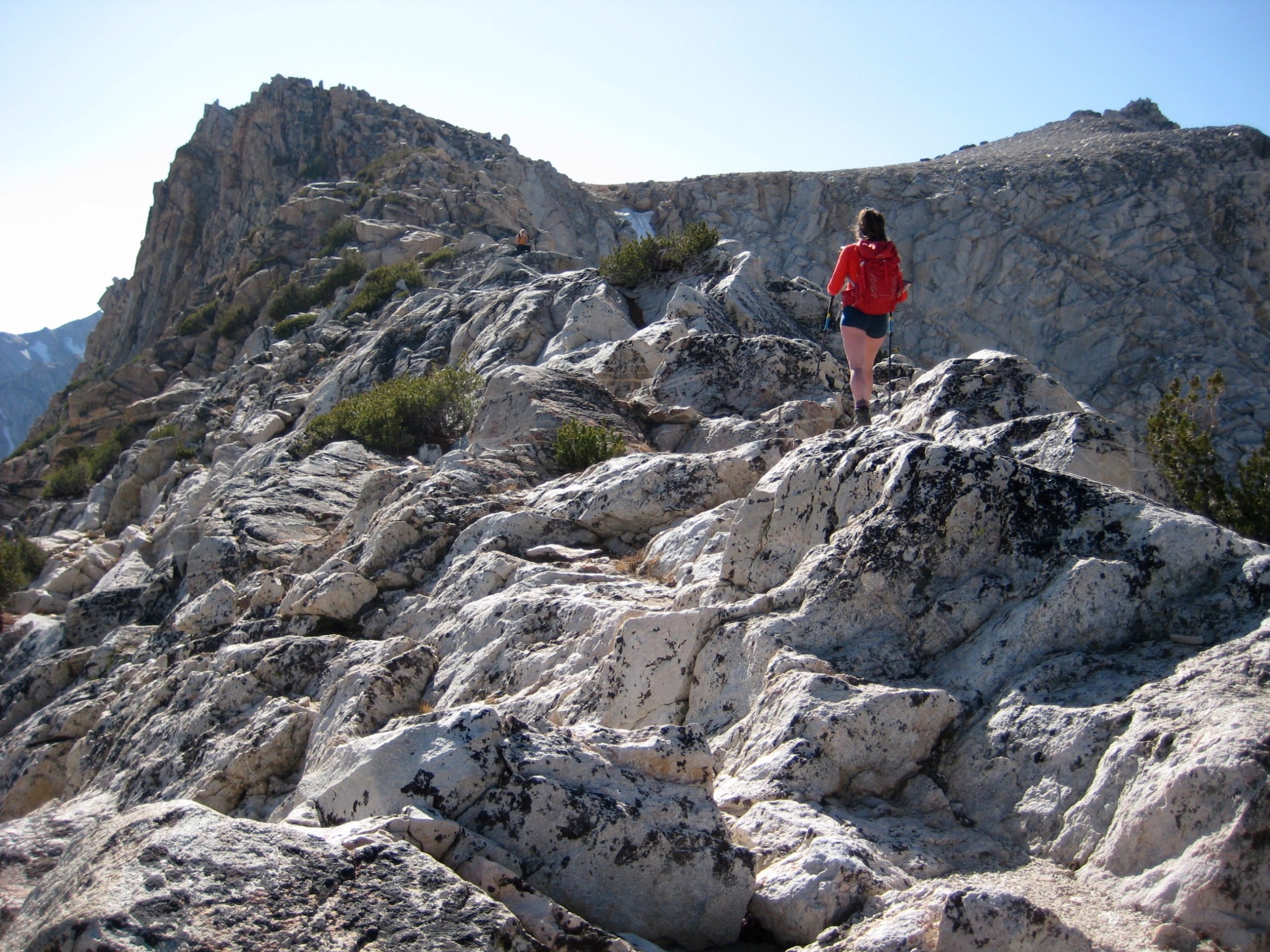
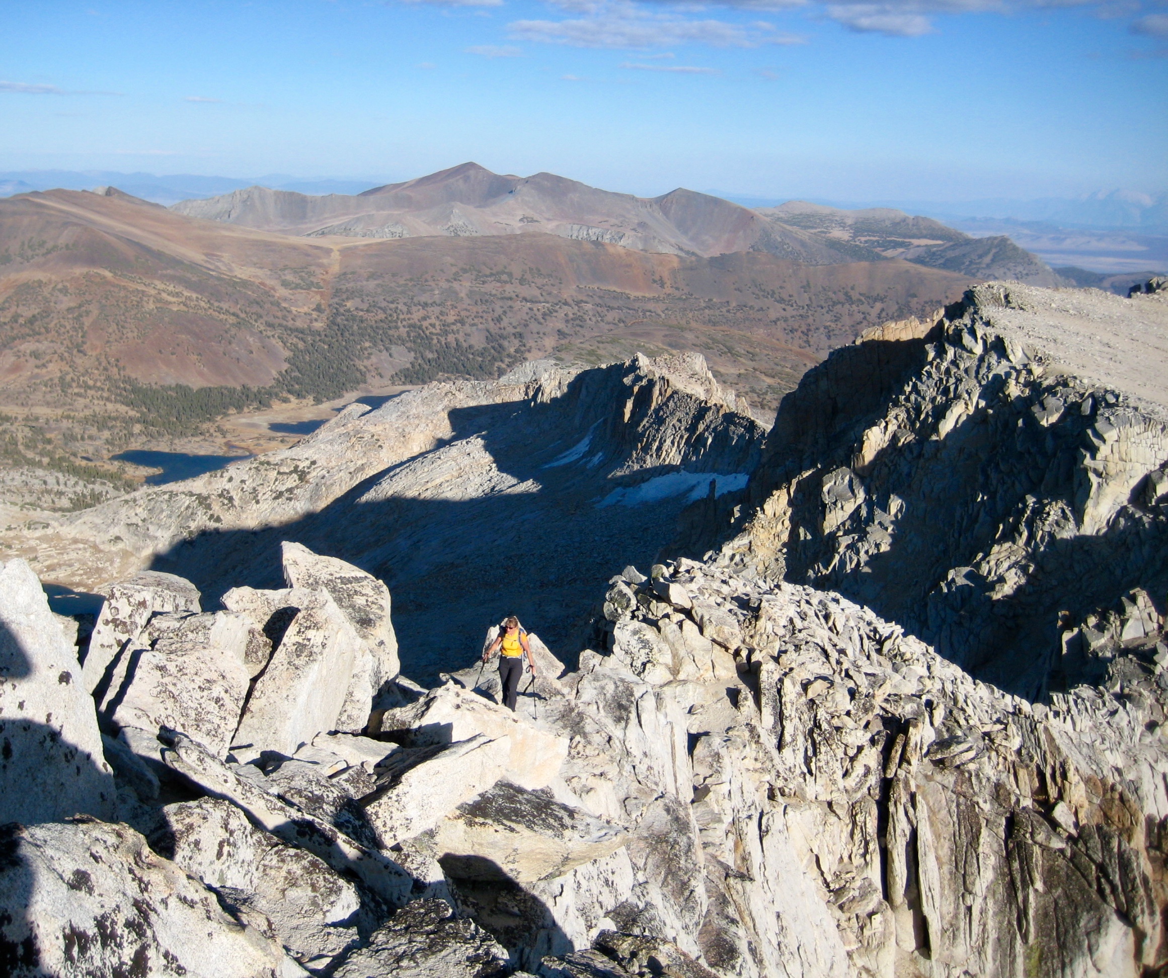
Beyond the weather station saddle, the east ridge becomes sharper and more dramatic. We endeavored to stay on the crest but soon encountered a series of exposed pinnacles and were forced down to the south. This required some careful down-climbing and traversing on exposed Class 3 rock.
Once off the ridge, we intersected a network of climber’s paths coming up from Alpine Lake—reportedly the shortest summit route on the mountain. Braided paths led us upward through a small, rubbly basin that ends in a steep headwall. This headwall initially looks difficult but actually offers a reasonable scramble route on a series of zigzagging ledges.
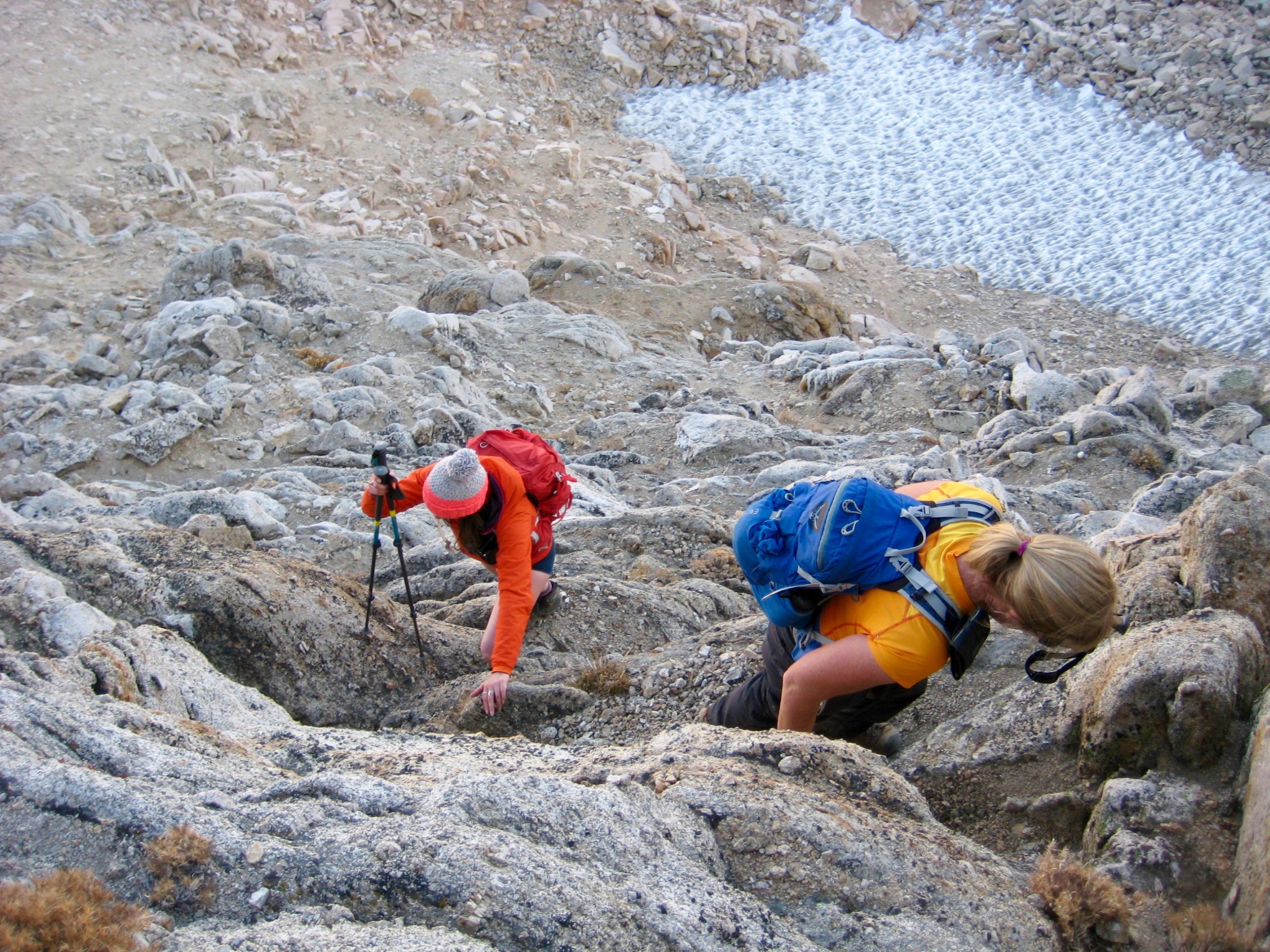
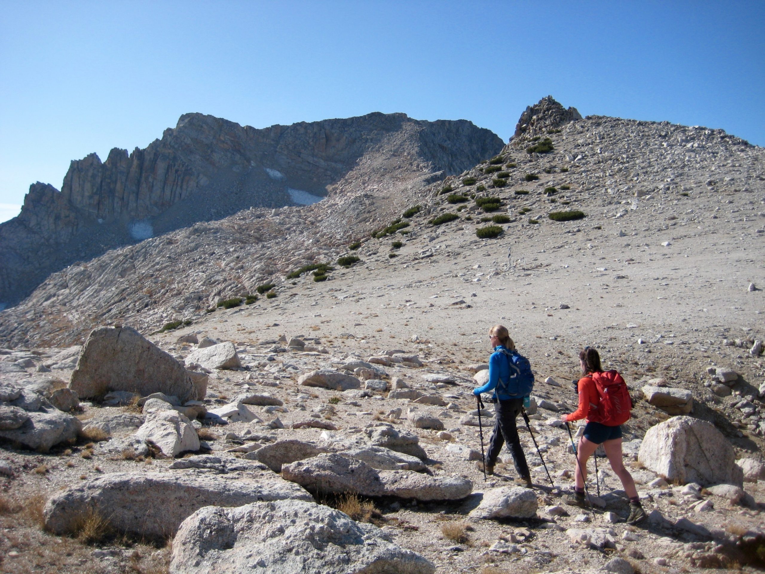
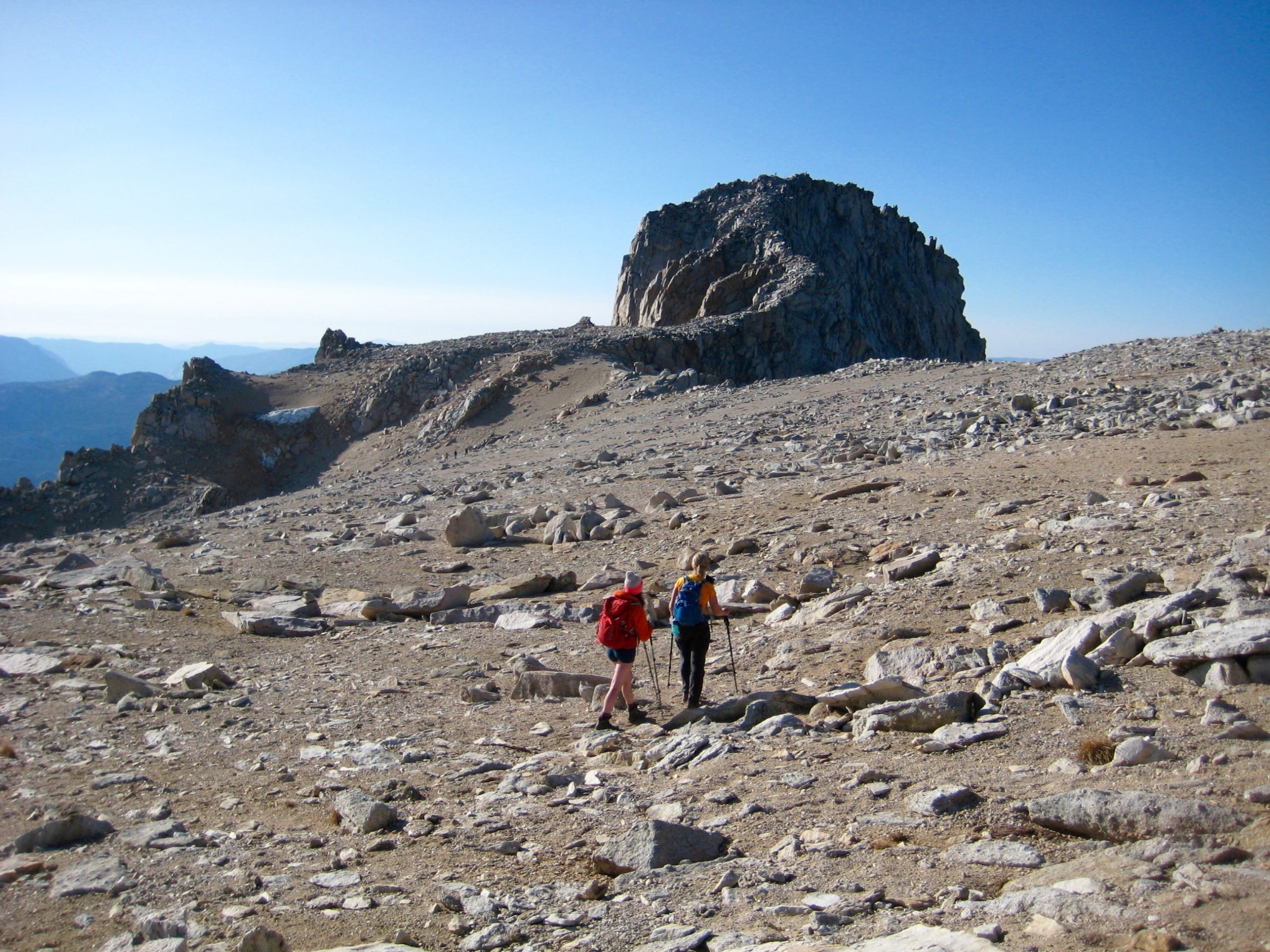
We popped over the headwall at 12,400 feet and found ourselves above a high, south-facing basin. From here, the knobby summit was clearly visible 1/4 mile to the west, across a broad, gentle field of sand, gravel, and scattered boulders.
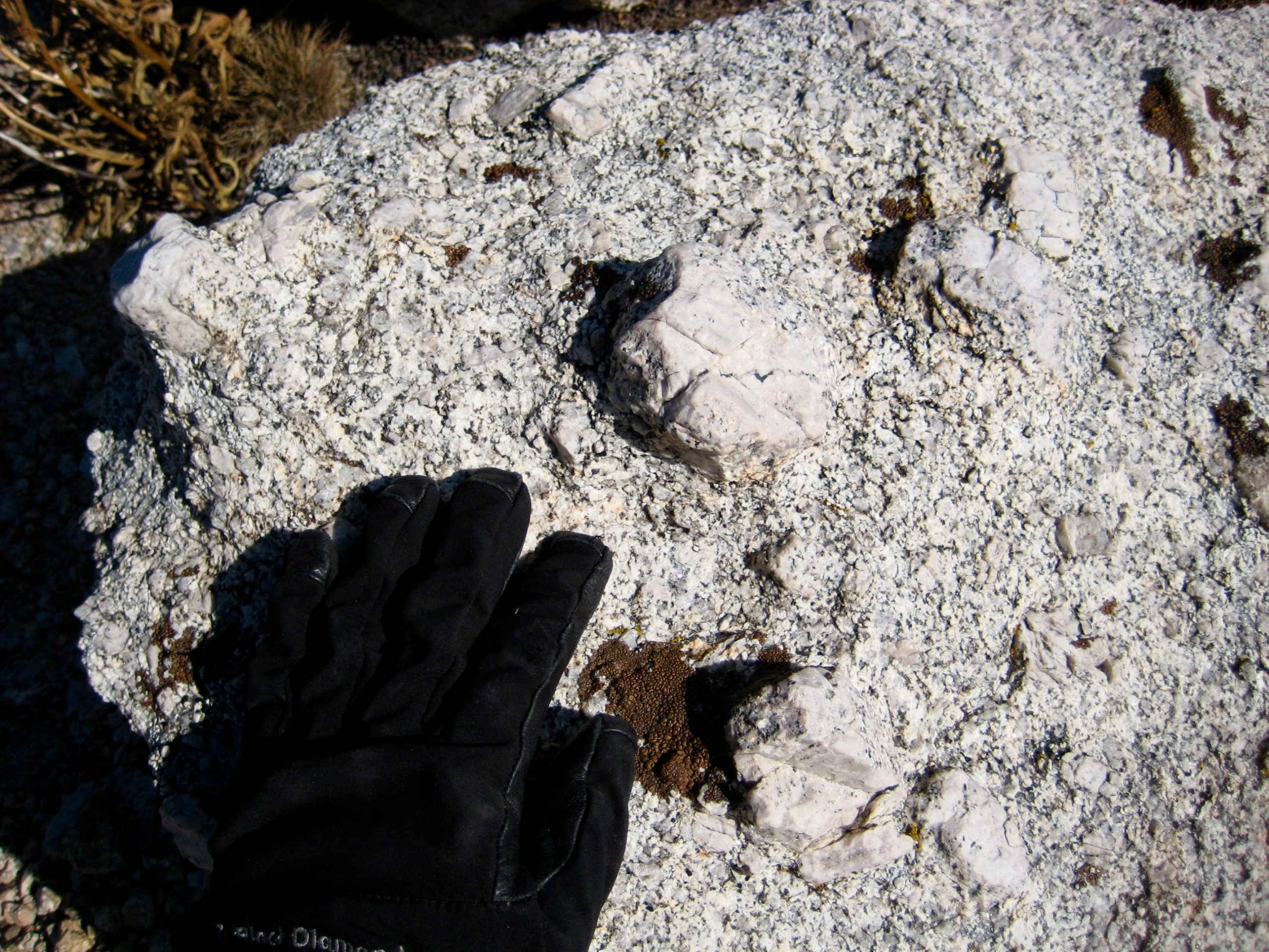
Mt. Conness is entirely composed of light-gray granite, peppered with unusually large crystals of white feldspar. These feldspar phenocrysts form chunky nubbins that project from the granite matrix. Geologists refer to such rock as porphyritic; climbers refer to it as chunkilicious.
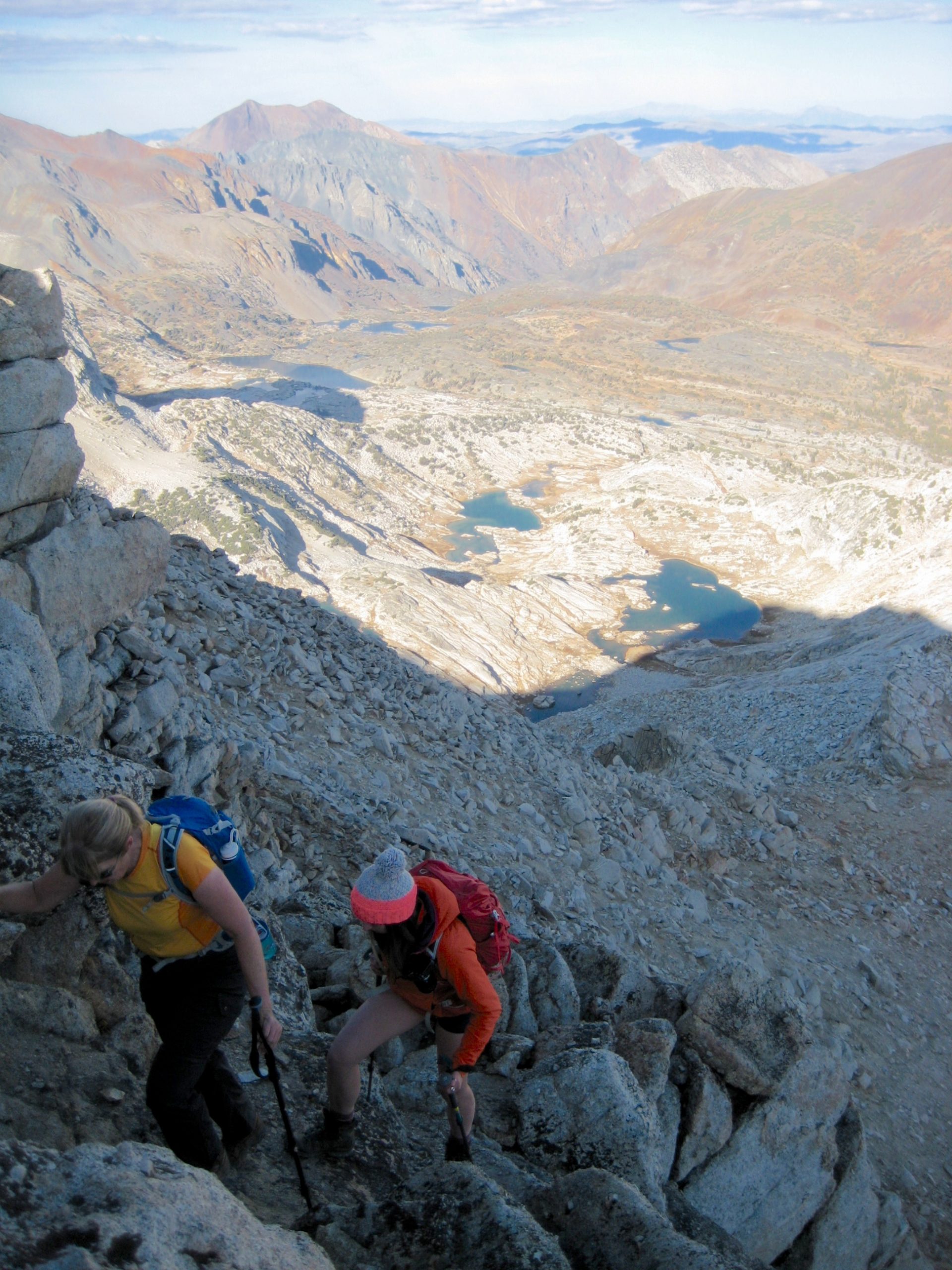
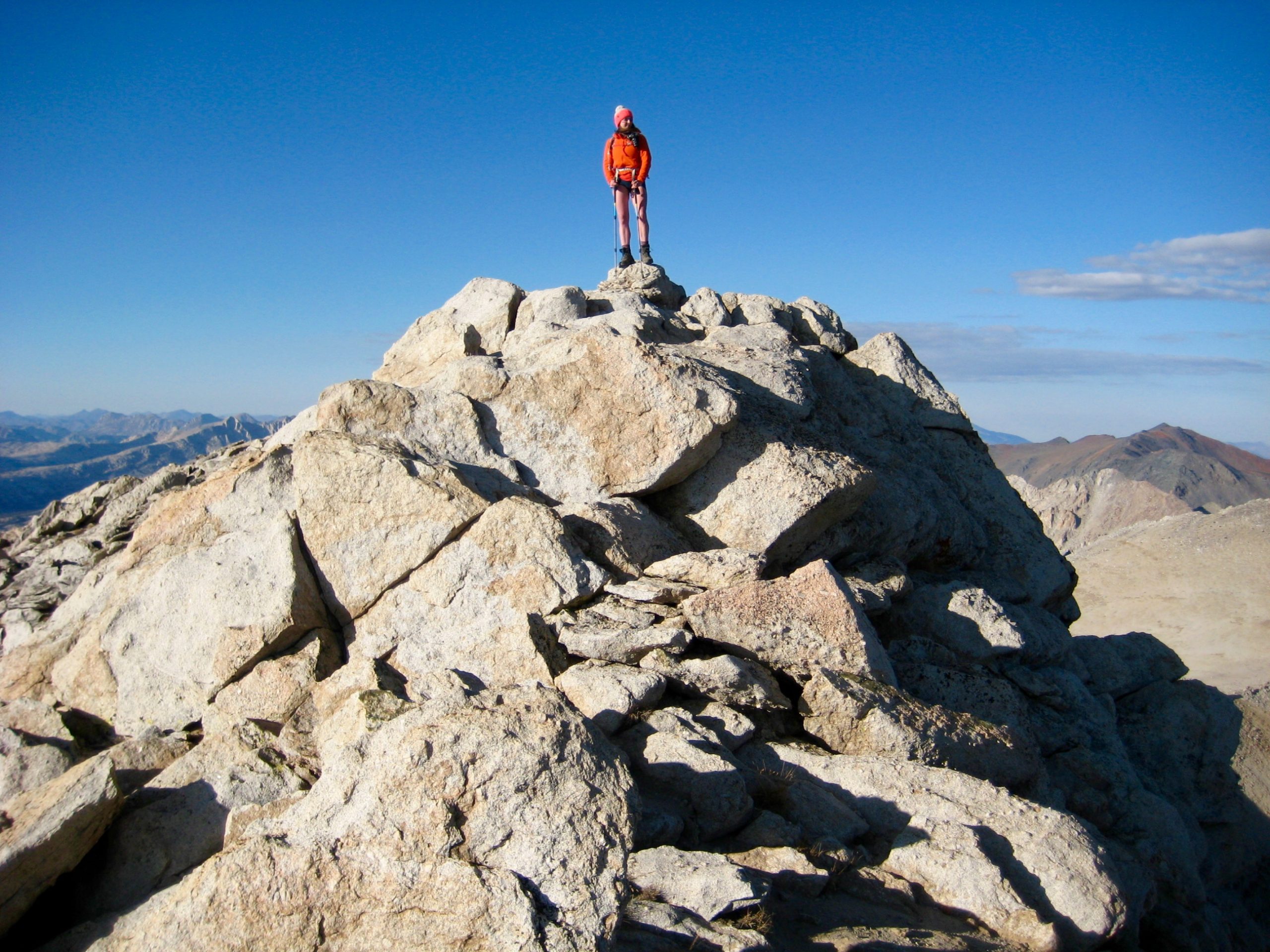
The final 100 vertical feet of our ascent involved fun scrambling up ledges and boulders connected by creatively installed granite steps. We stepped onto the breezy summit in mid-afternoon (6.1 hours + 2900 feet from TH).
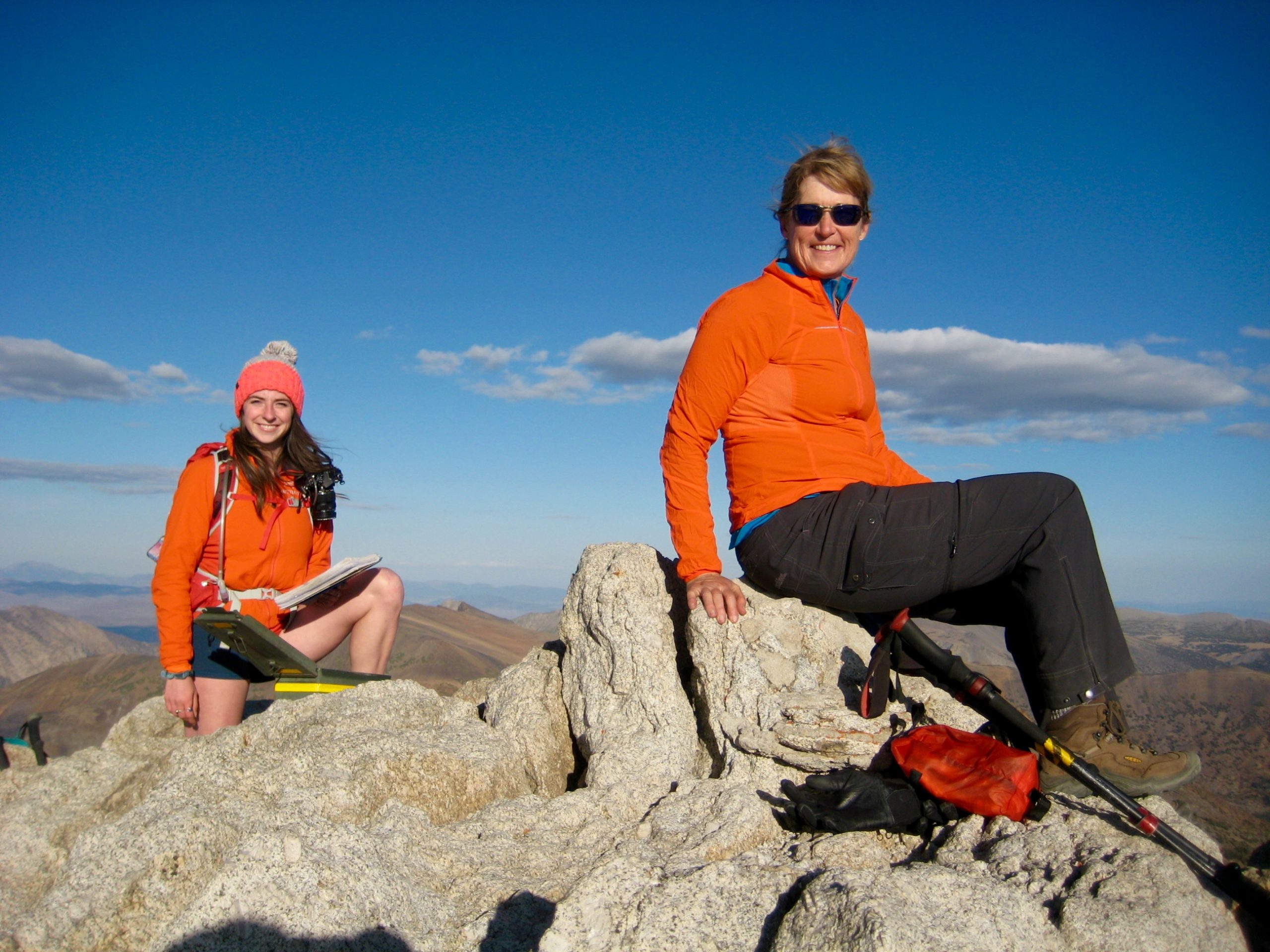
Yosemite Valley to the west was filled with smoke, and the Sierra crest to the south disappeared in a brown haze. In contrast, the northern and eastern skies were fairly clear.
Rather than retracing our up-route, we elected to create a loop by descending the high south basin and crossing over the ridge between Mt. Conness and White Mountain. A well-defined path runs through the south basin, confirming that this is a commonly used ascent/descent route.
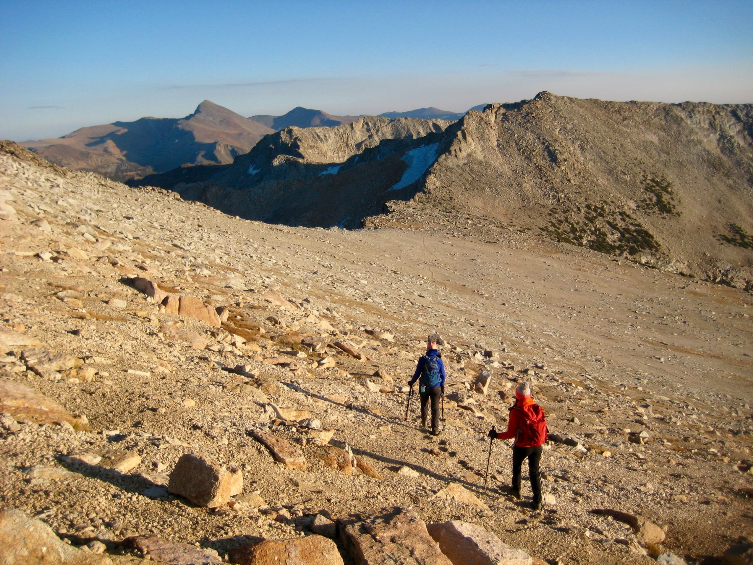
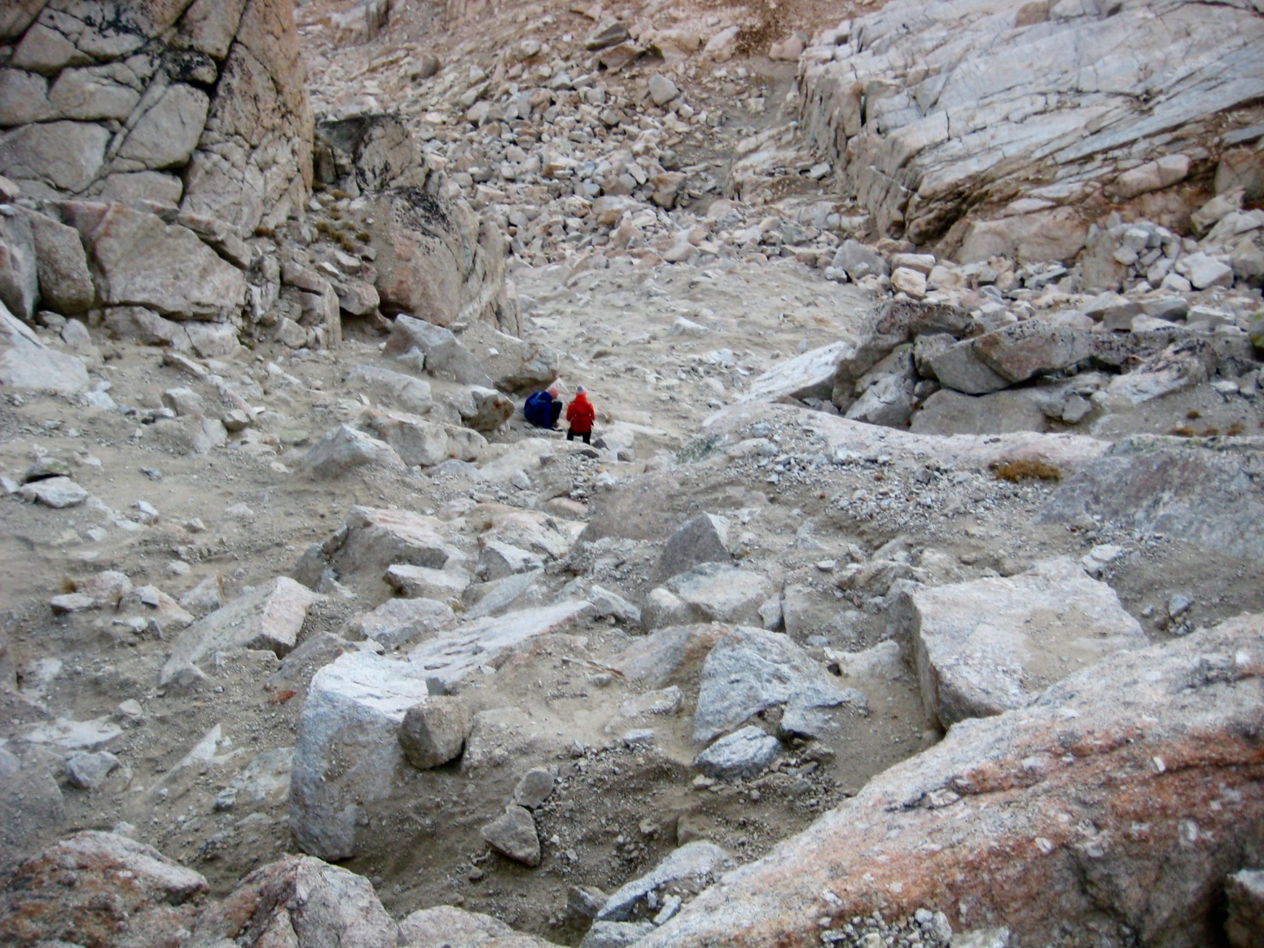
From the Conness–White Saddle, we skidded down a long, grungy gully, then followed discontinuous segments of bootpath farther down to Green Treble Meadows.
Darkness caught us in the lower meadow, where the bootpath thankfully transitions into a formal trail. Headlamps went on and we continued hiking downhill, passing a dilapidated cabin associated with the old Carnegie Institute Experimental Station. Just after crossing Lee Vining Creek, we left the trail and went up through steep forest to intersect Saddlebag Lake Road. An easy 1/2-mile road walk delivered us back to the Saddlebag Lake Trailhead at 7:00pm (3.5 hours + 550 feet from summit), thereby closing our very enjoyable summit loop.
Route Map & Profile
…
…
Photo Gallery
Click to enlarge…
