Trip Date: June 2, 2019
Governor’s Ridge Day Climb
Owyhigh Lakes
Governor’s Col
Governor’s Peak (6600’+)
Barrier Peak (6521′)
Trip Report Summary
Region: Southern Washington Cascades
Sub-Region: Mt. Rainier Massif
Area: Mt. Rainier National Park
Starting & Ending Point: Owyhigh Lakes Trailhead on Sunrise Road (Elev. 3750 feet)
Way Points: Shaw Creek Valley & Owyhigh Lakes & Governors Col (trail hike & snow hike & snow climb)
Summit: Governor’s Peak (snow climb & rock scramble via Southeast Slope)
Summit: Barrier Peak (snow climb & rock scramble via North Ridge; descent via West Ridge)
Approximate Stats: 10 miles traveled; 3500 feet gained & lost; 8.7 hours elapsed.
Related Post
Tamanos Mountain via Owyhigh Lakes–South Ridge – June 24, 2017
Full Trip Report
Jon and Adam joined me for an ascent of Governors Peak and Barrier Peak near the northeastern corner of Mt. Rainier National Park. These neighboring summits make a nice “two-fer day” in a particularly scenic portion of the park.
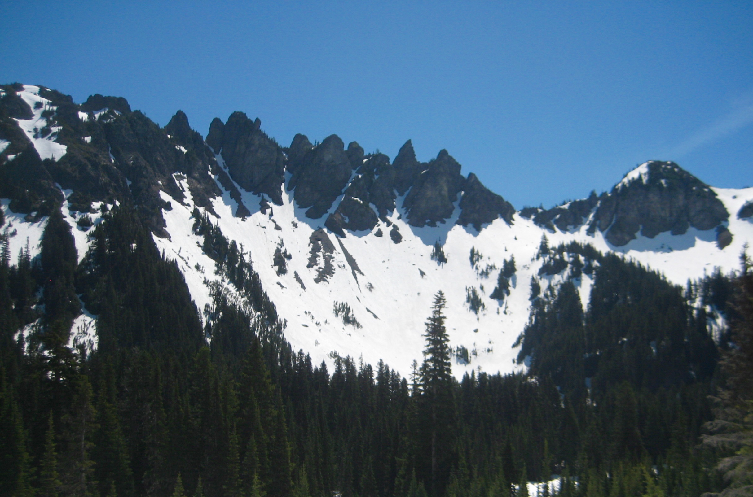
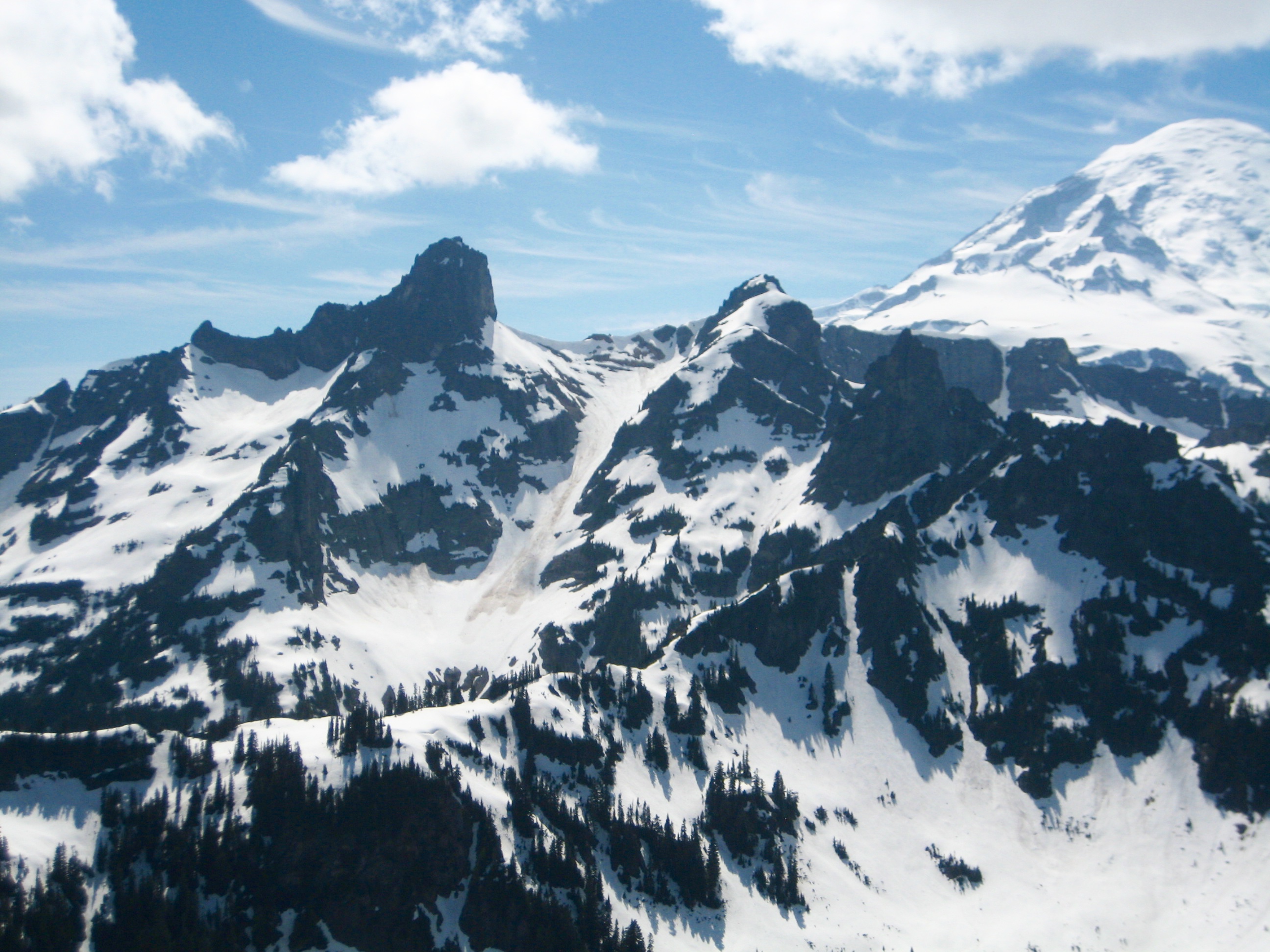
We started at the Owyhigh Lakes Trailhead and hiked up bare trail for 2 miles, then an additional 1 mile on snow-covered trail. From the lakes basin, we scoped out Governors Ridge to the east.

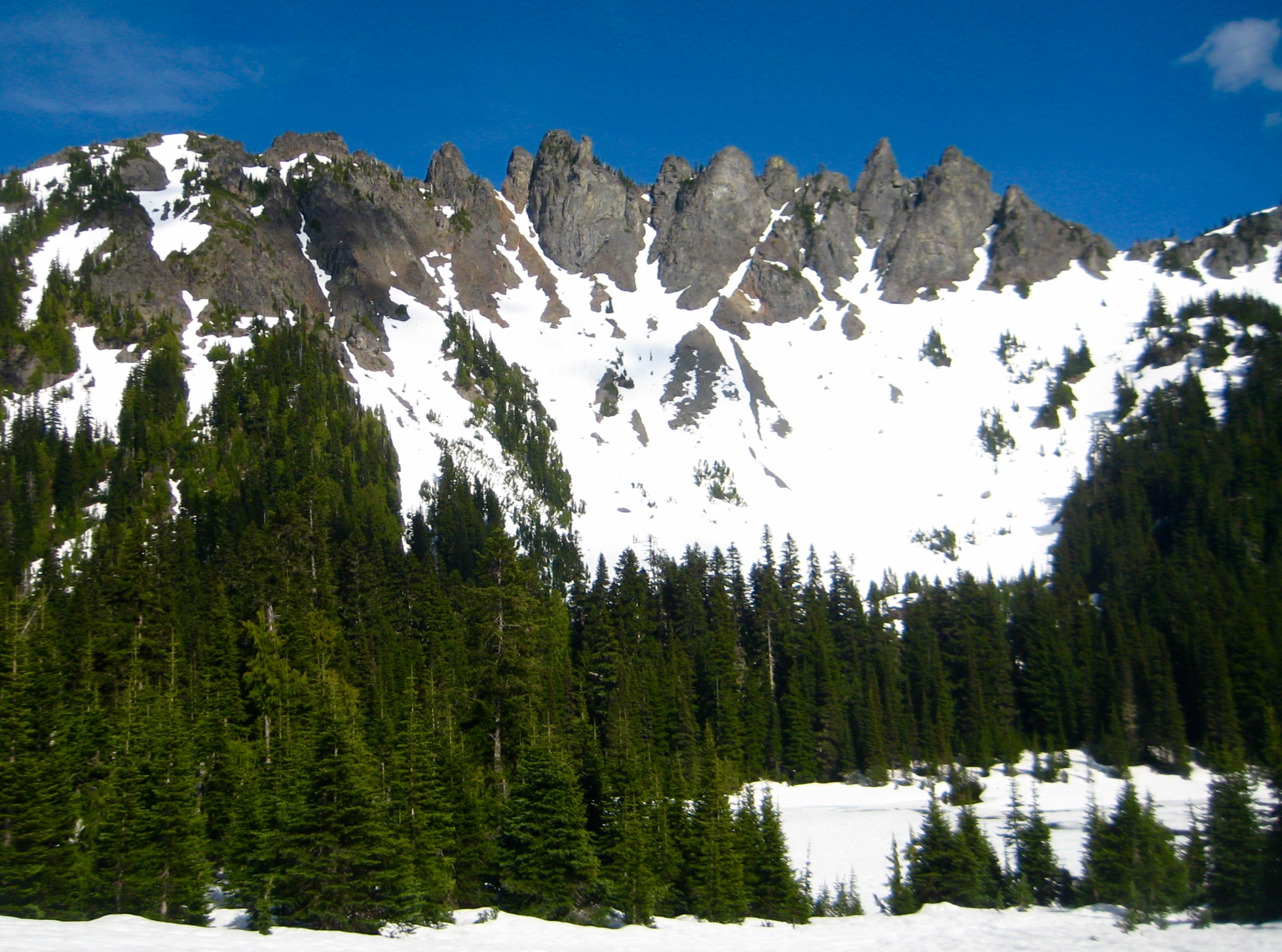
- Governors Spires & Barrier Peak From Owyhigh Lakes
Our ascent route took us across the lakes on avalanche deposits, then up a broad snow couloir to 6200-foot Governors Col (3.1 hours + 2550 feet from TH). Snow conditions were excellent; neither crampons nor snowshoes were needed.
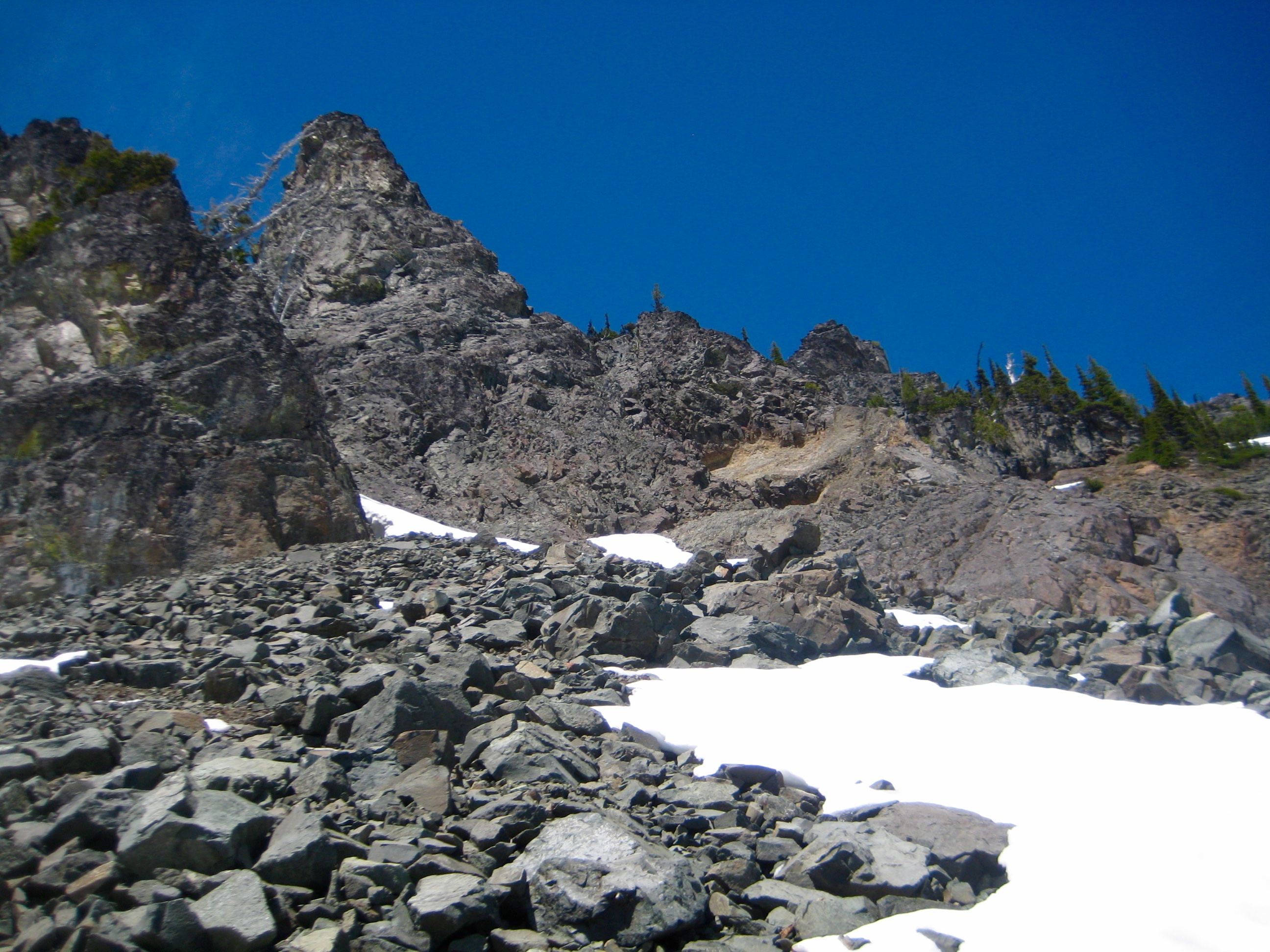
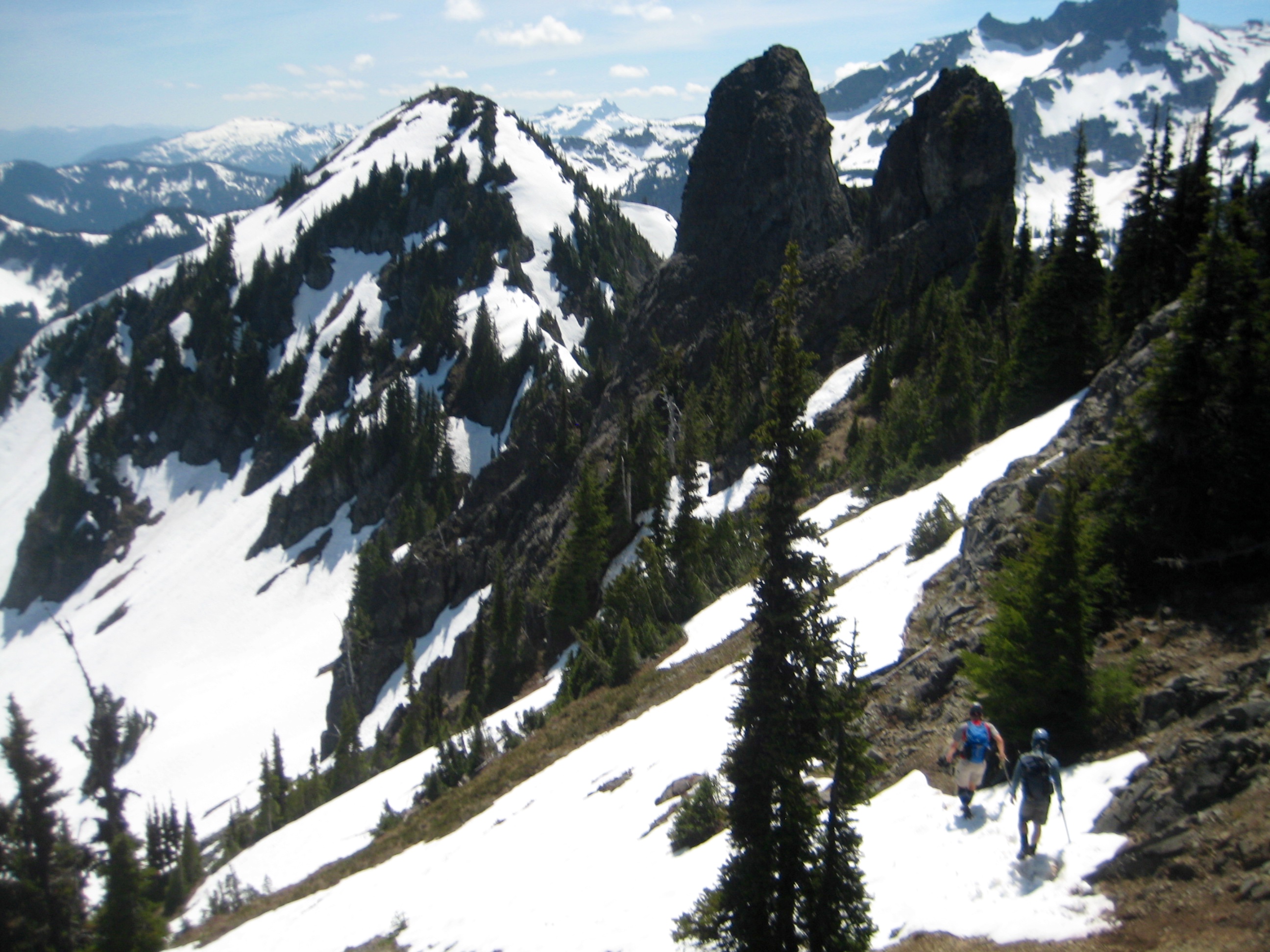
We dropped about 50 feet down the eastern side of the col, then traversed 300 yards northeastward on moderate snowfields. It was difficult to ascertain which of the numerous Governors Spires towering over us was the highest, but we booted northwestward up a steep snowfinger that appeared to head in the right direction.

- Snow Finger Leading To Governors Peak
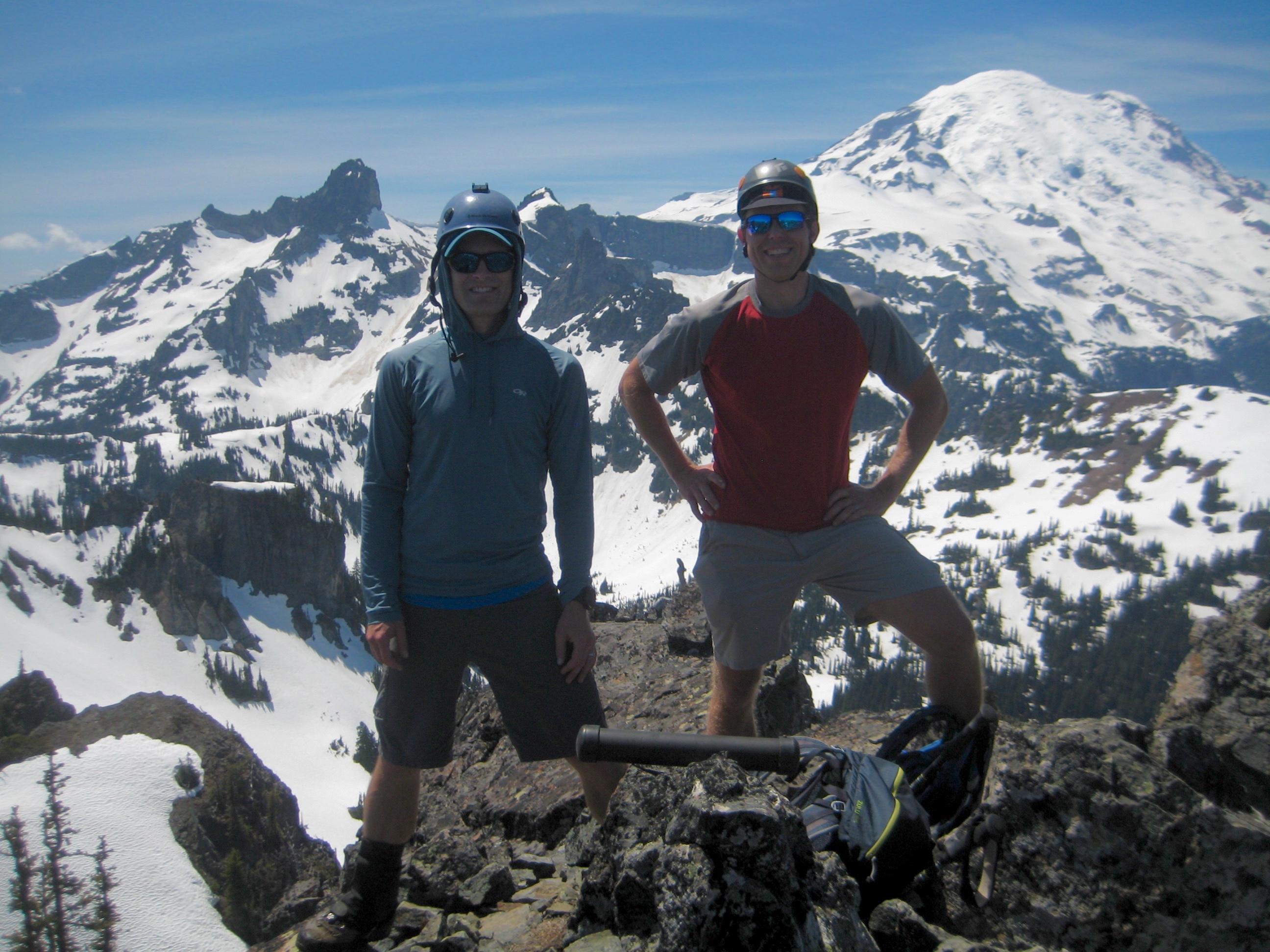
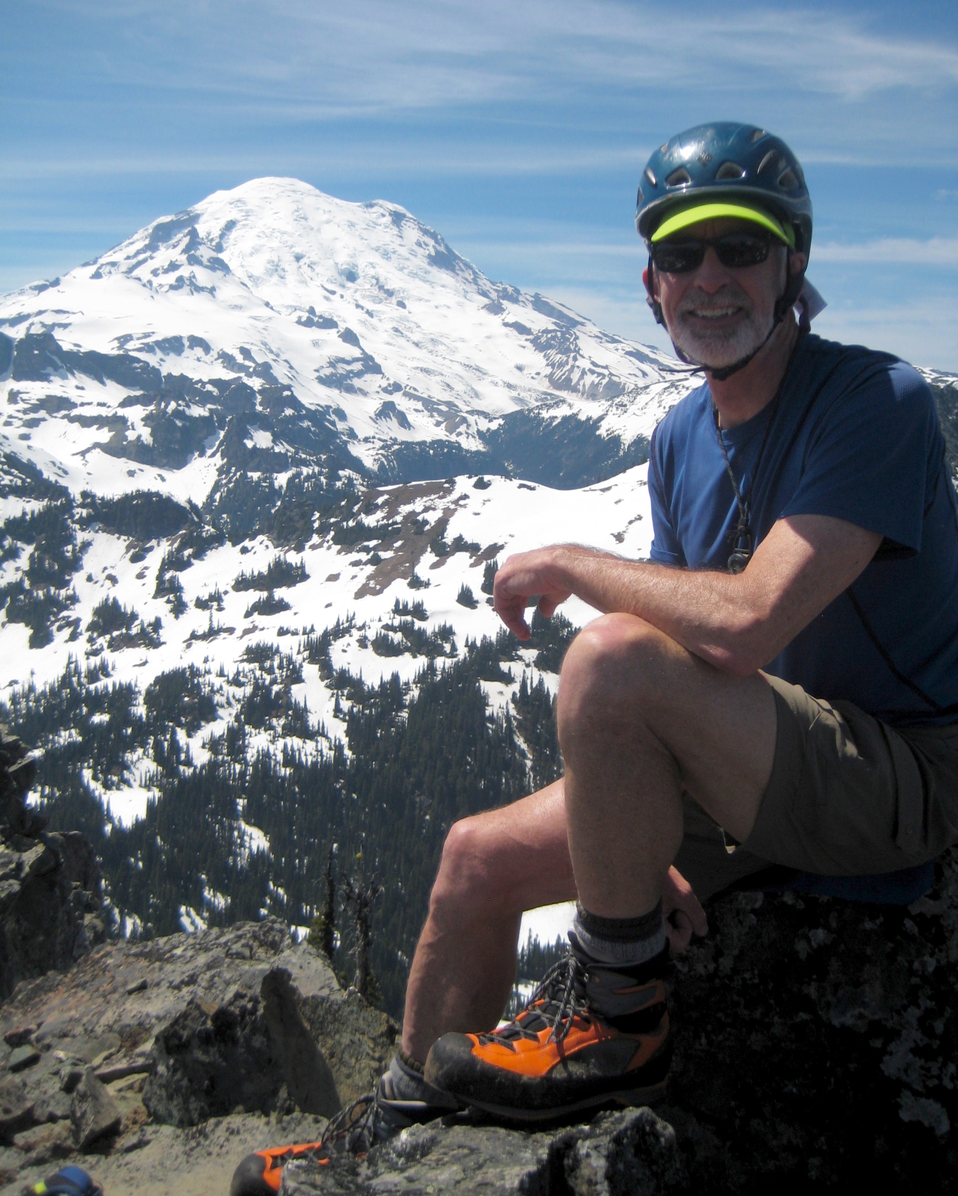
After climbing about 400 feet, first on snow and then on unpleasant down-sloping rock, we reached the base of a high block. A short Class 2-3 scramble ended at the top (4.3 hours + 3000 feet from TH), and we immediately confirmed that this was indeed Governors Peak—the highest point on Governors Ridge. A long, black, plastic tube had been left here to serve as a summit register.
- Adam & Jon On Governors Peak Summit
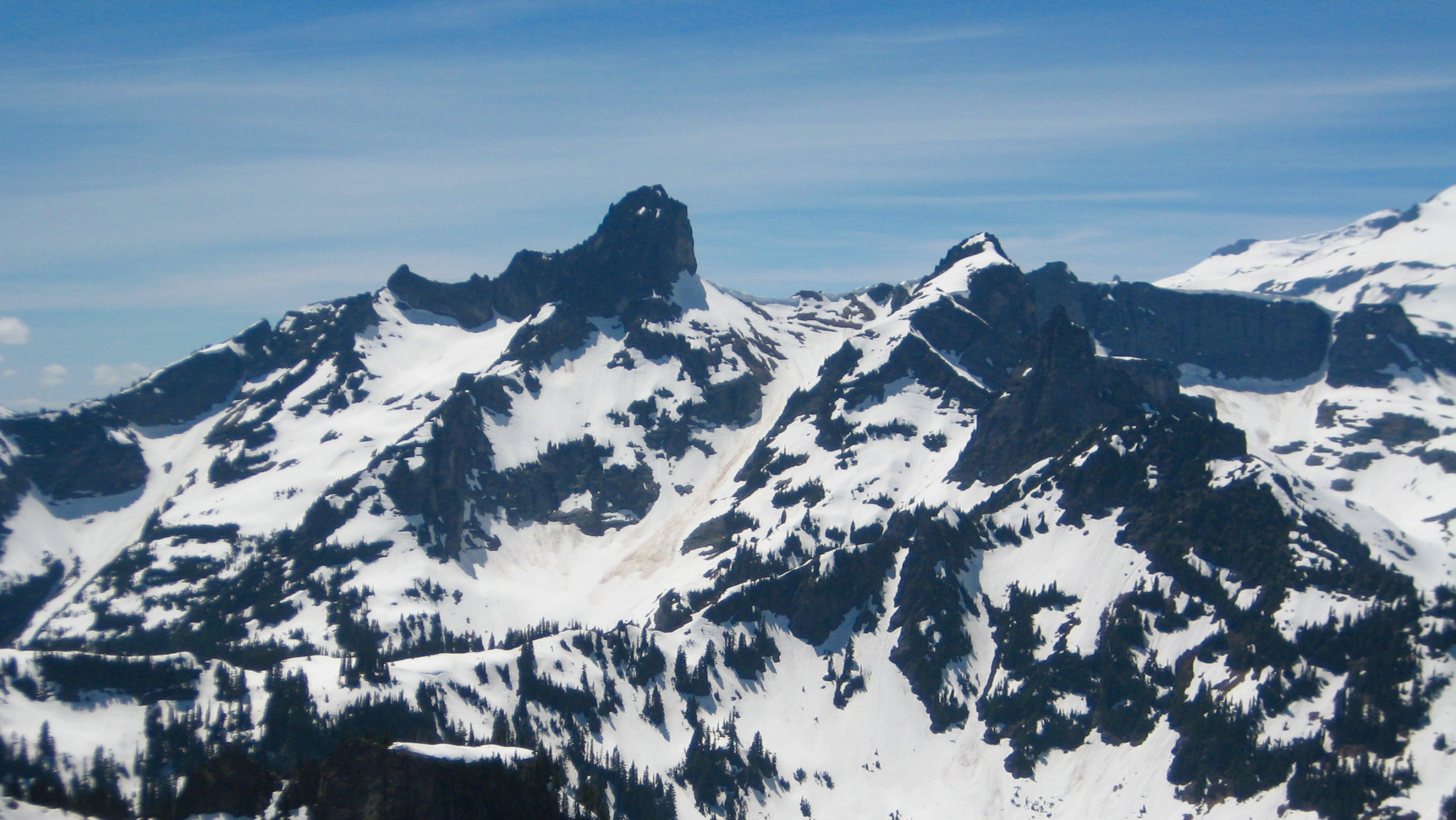
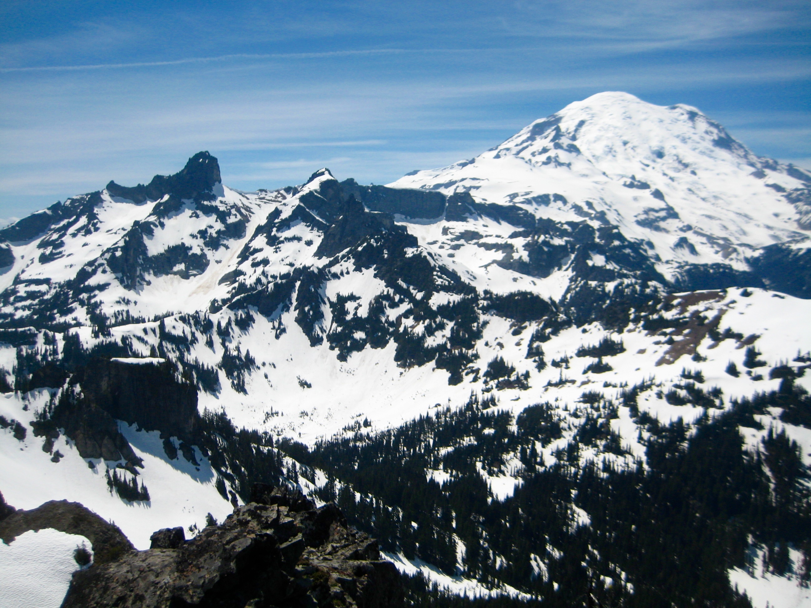
Mt. Rainier, Little Tahoma Peak, Cowlitz Chimneys, Goat Rocks, and Mt. Adams dominated our views.

- Cowlitz Chimneys From Governors Peak Summit
To climb nearby Barrier Peak, we retraced our route back to Governors Col, then began scrambling up to the south.
- Descending From Governors Peak
A rock horn near the col required some delicate Class 3 moves to get around its eastern side. Once past the rock horn, a series of steep snowpatches easily led to the rounded summit (6.0 hours + 3400 feet from TH). Not surprisingly, views were equally good from this vantage.
- Jon & Adam On Barrier Peak Summit
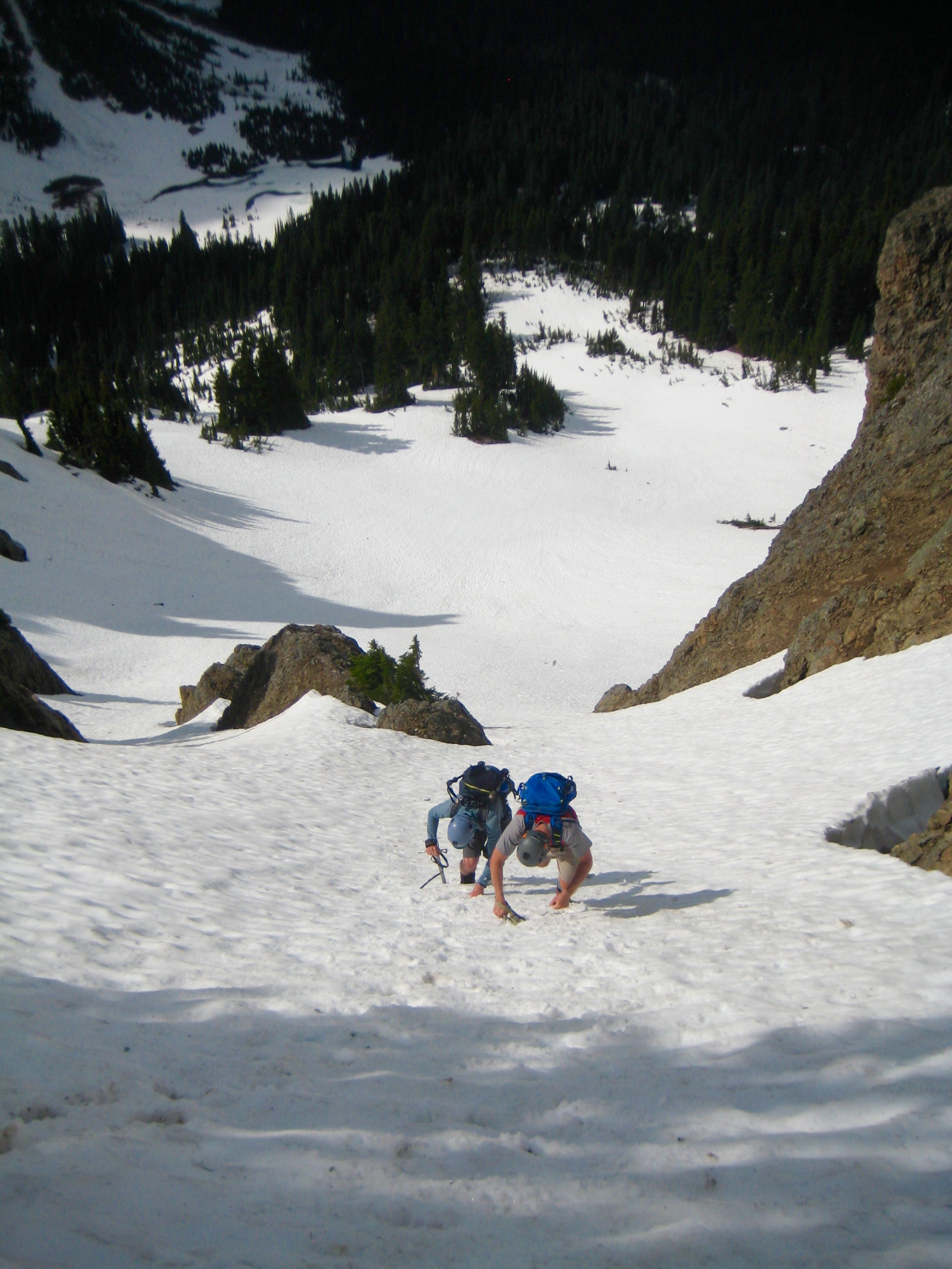
Our descent route went down the west ridge for 350 feet, then down a broad snow couloir to Owyhigh Lakes.

- Adam & Jon Downclimbing Snow Couloir
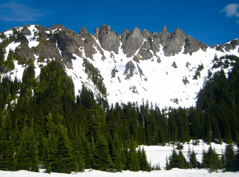
At the lakes, we took one last gander at Governors Ridge before hiking back to the trailhead (8.7 hours + 3500 feet total tour) to end a fine day in the park.

- Governors Ridge In Afternoon Sun
Route Map
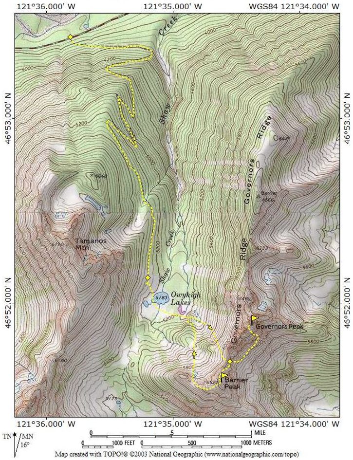
Photo Gallery
Click to enlarge…