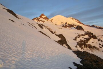
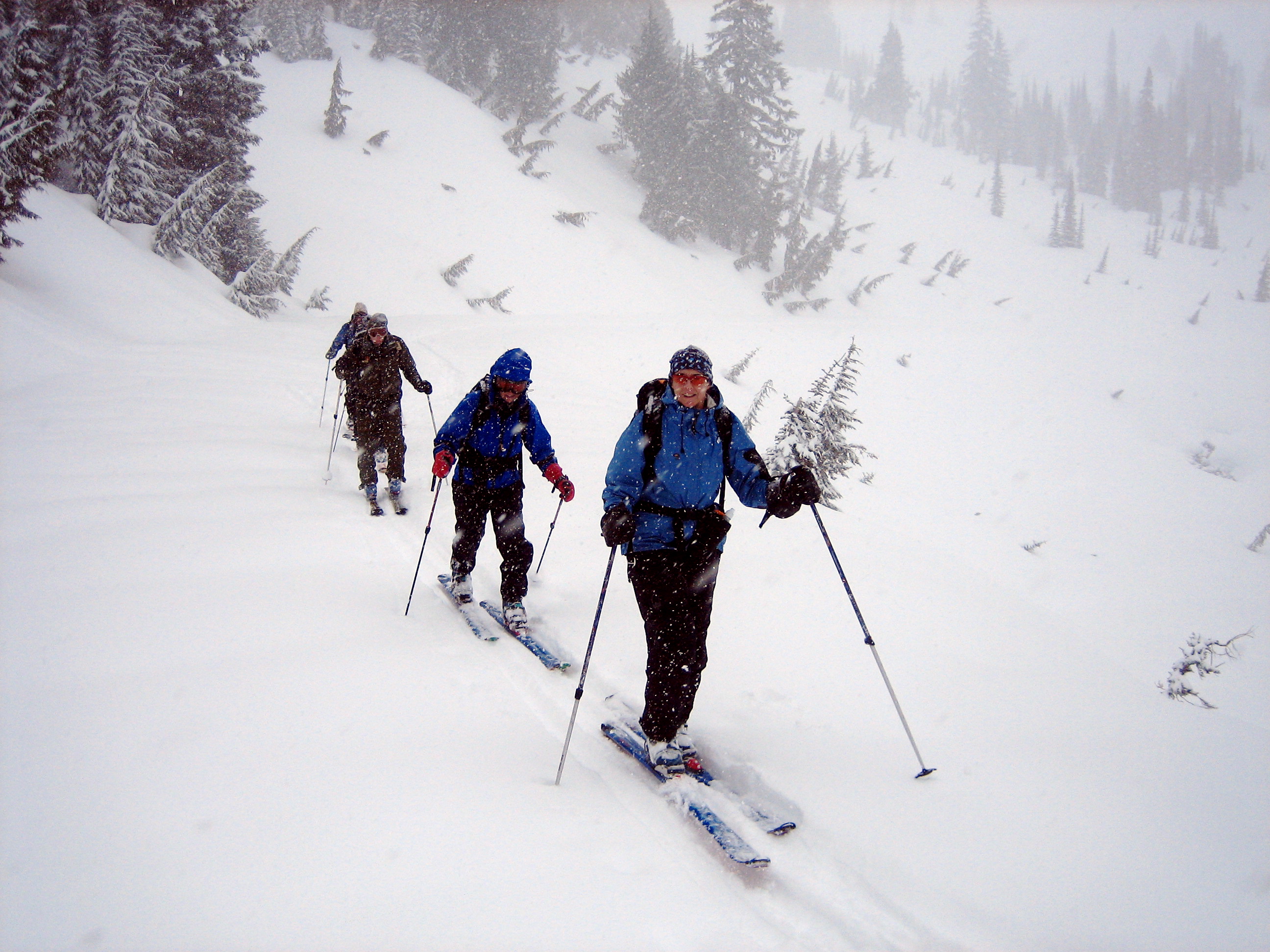
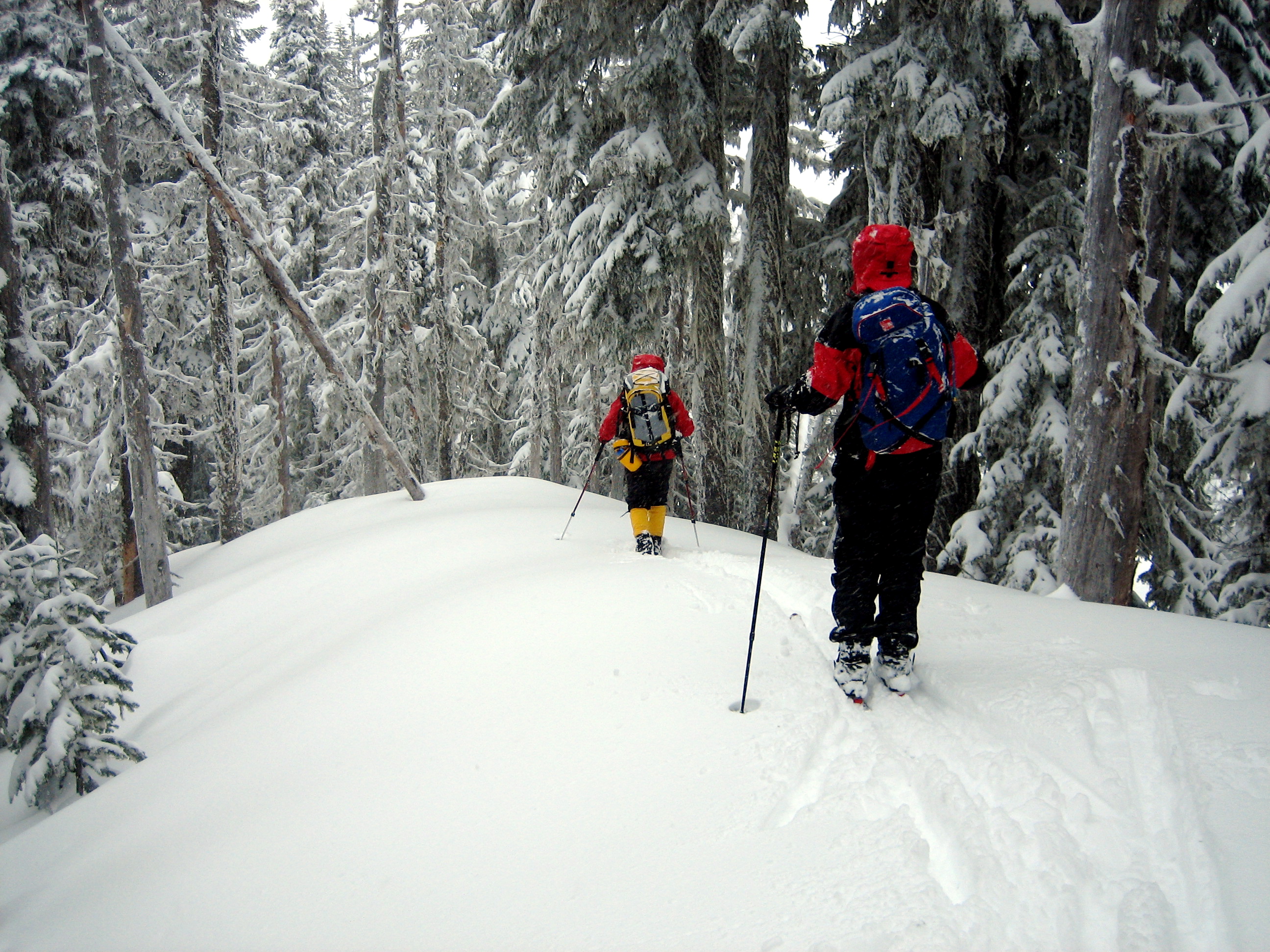
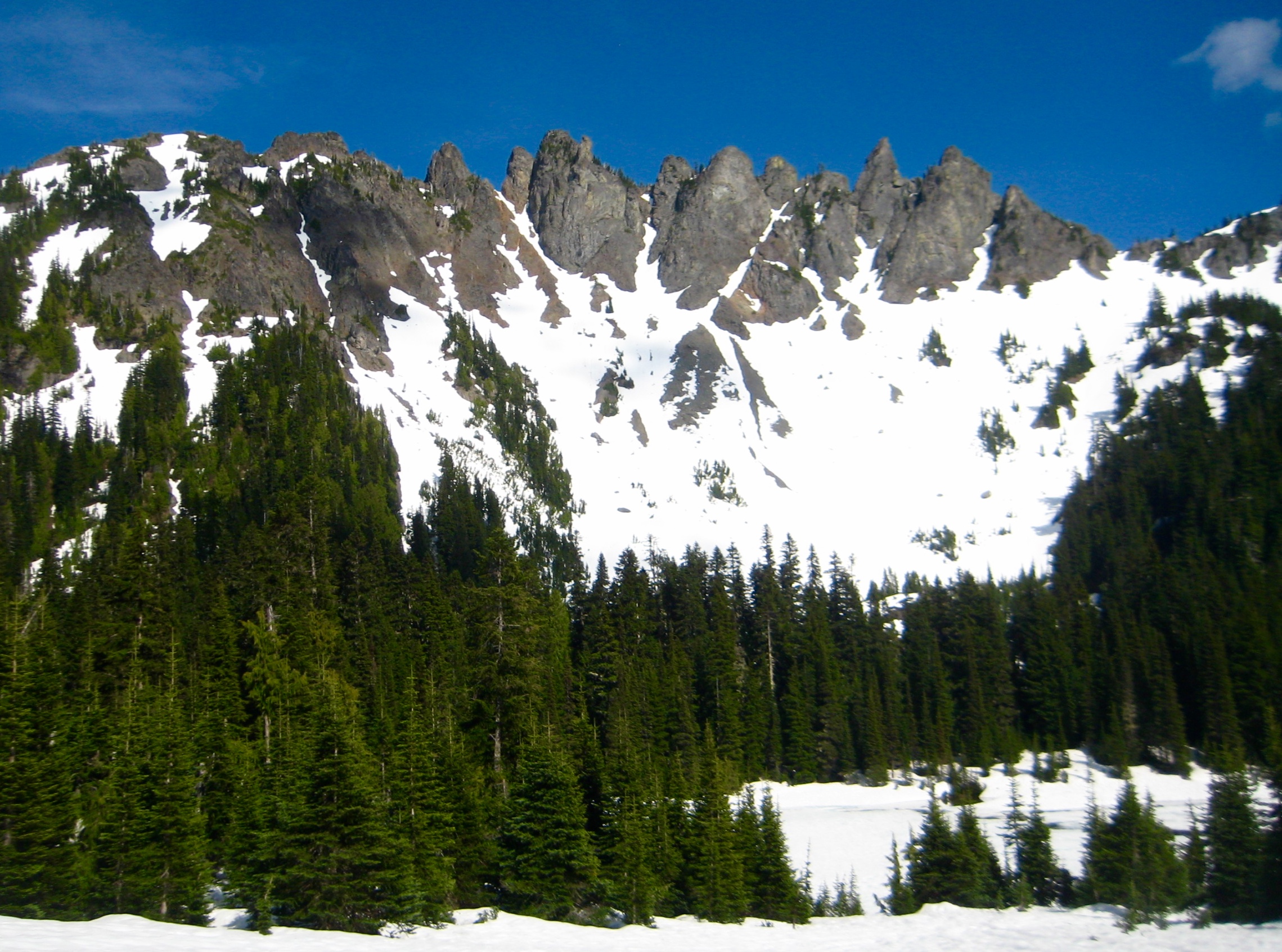
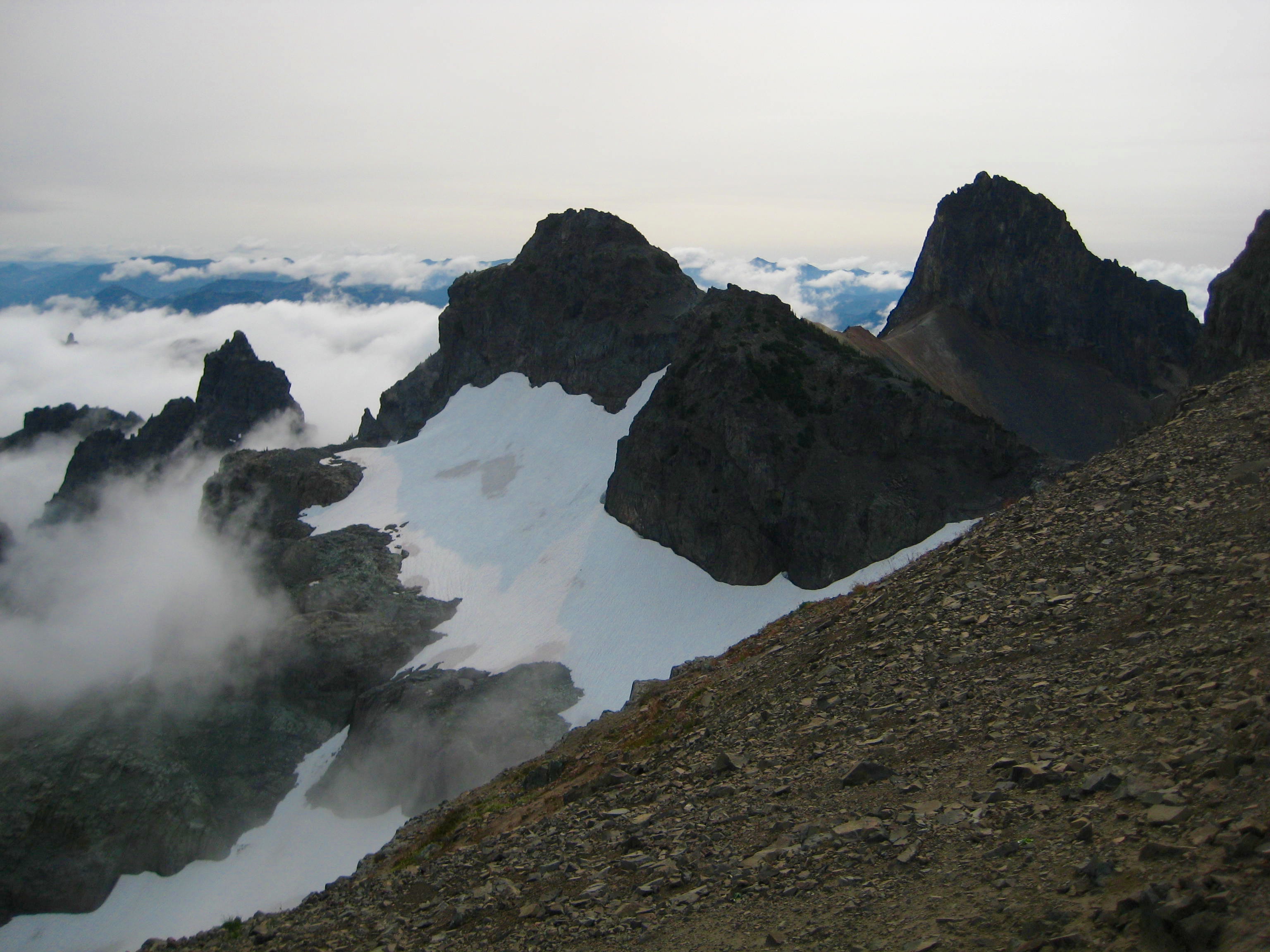
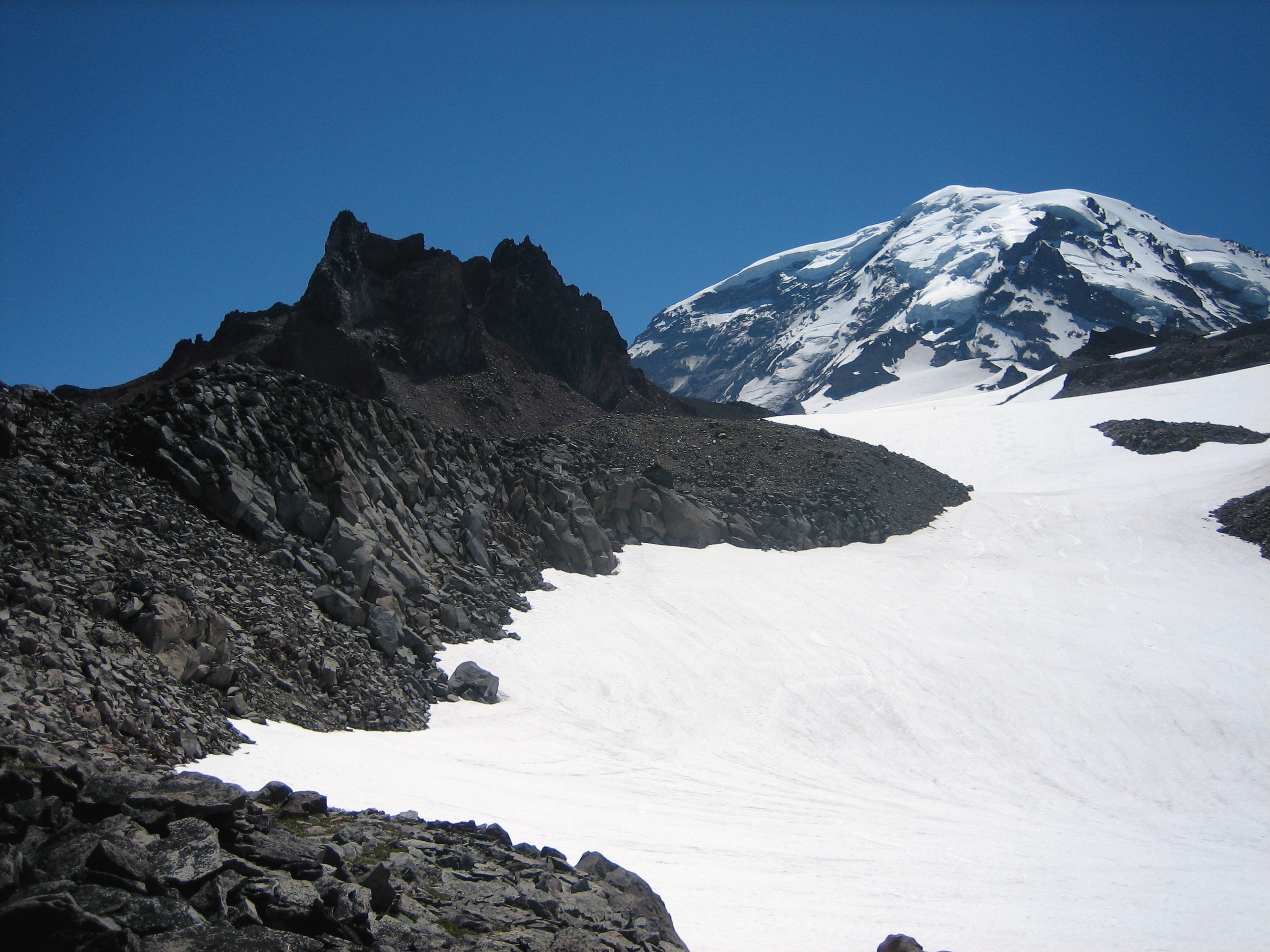
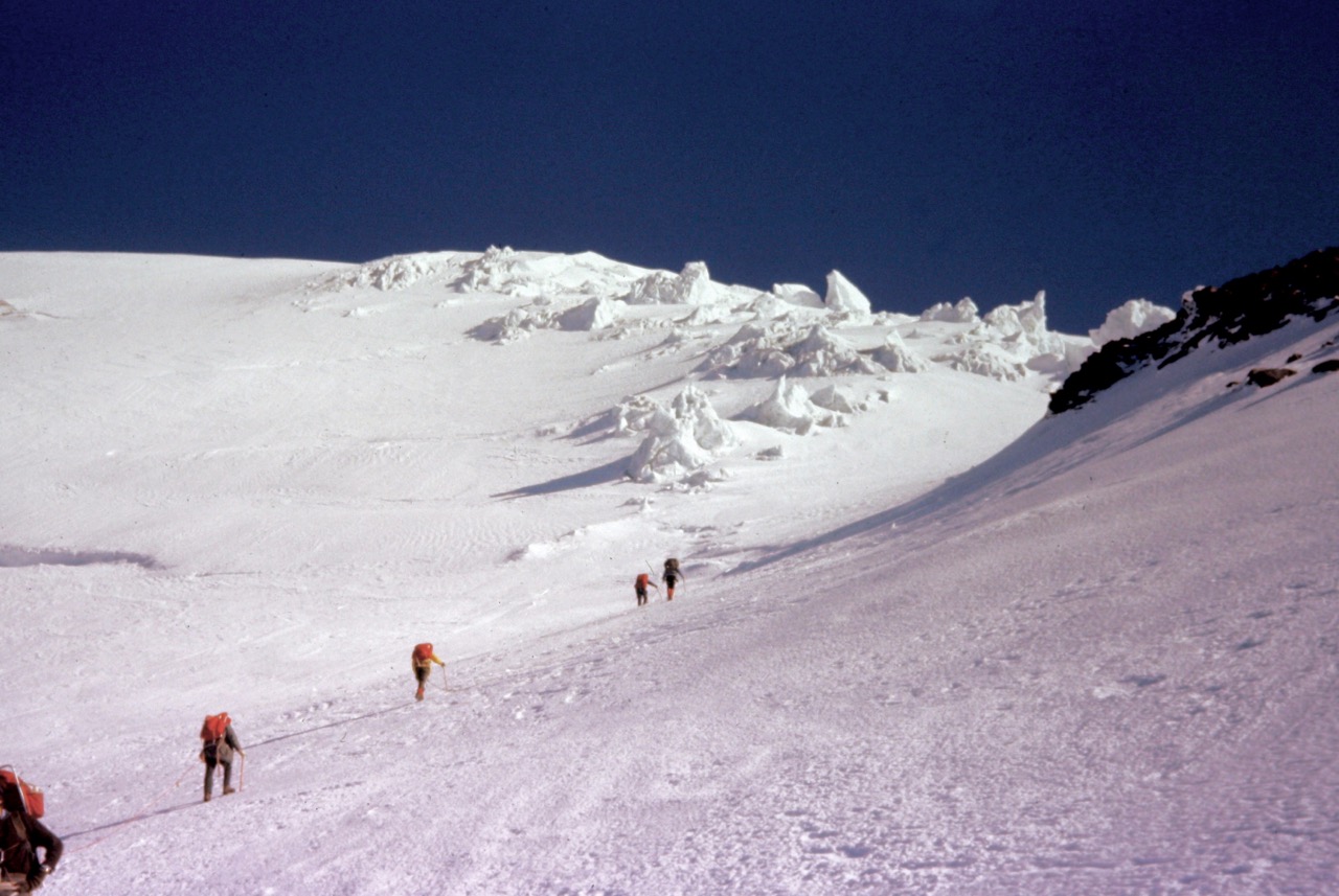
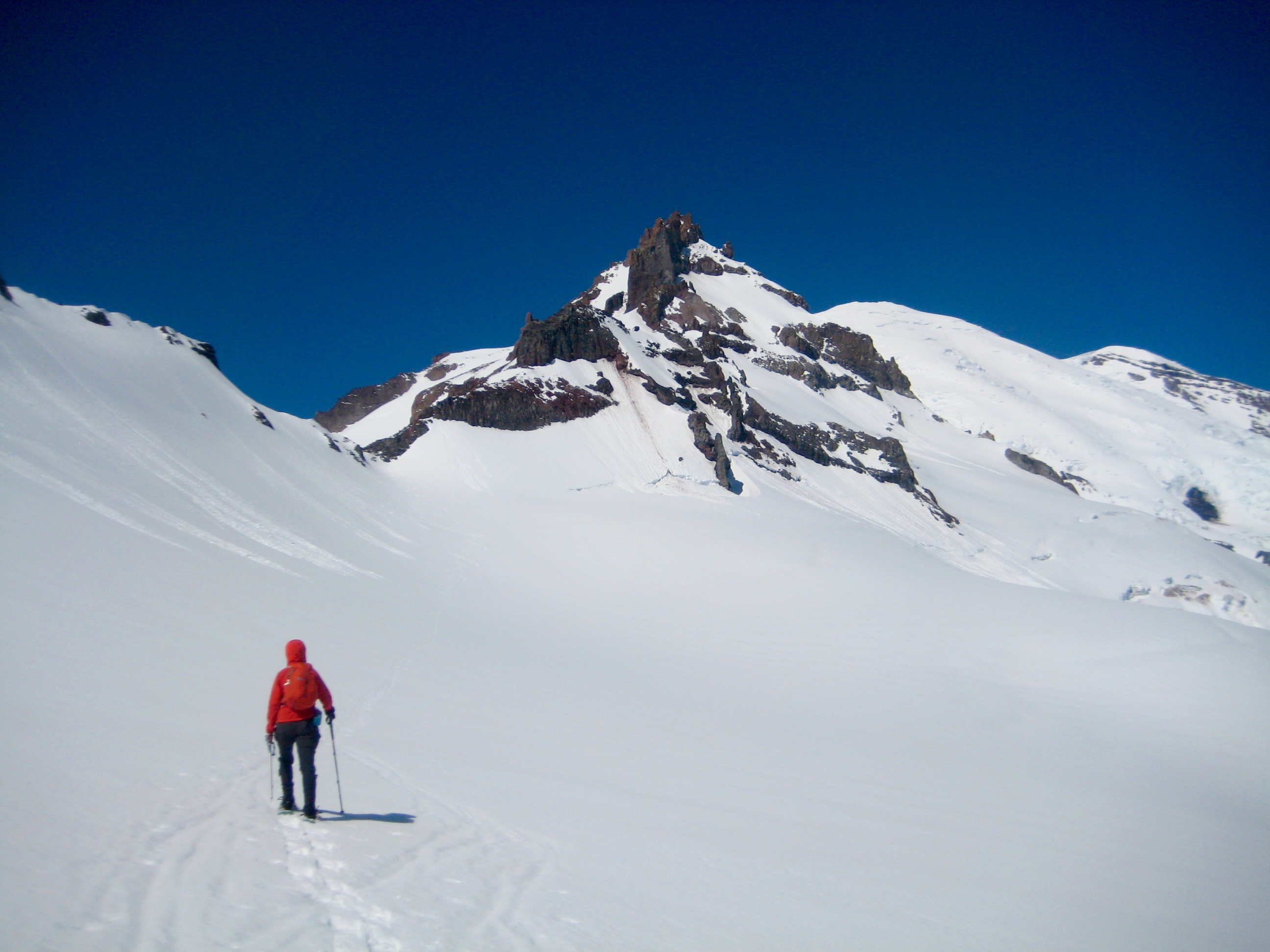
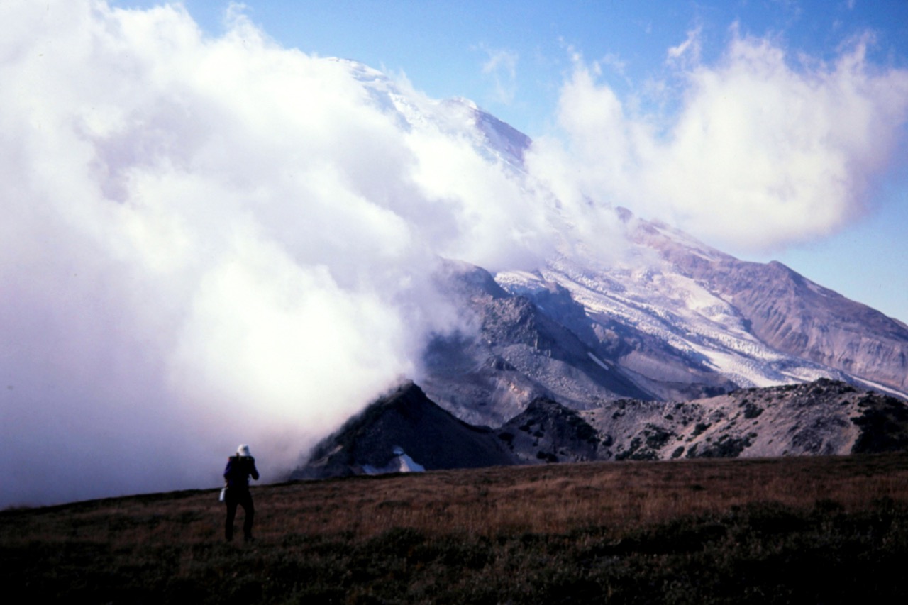
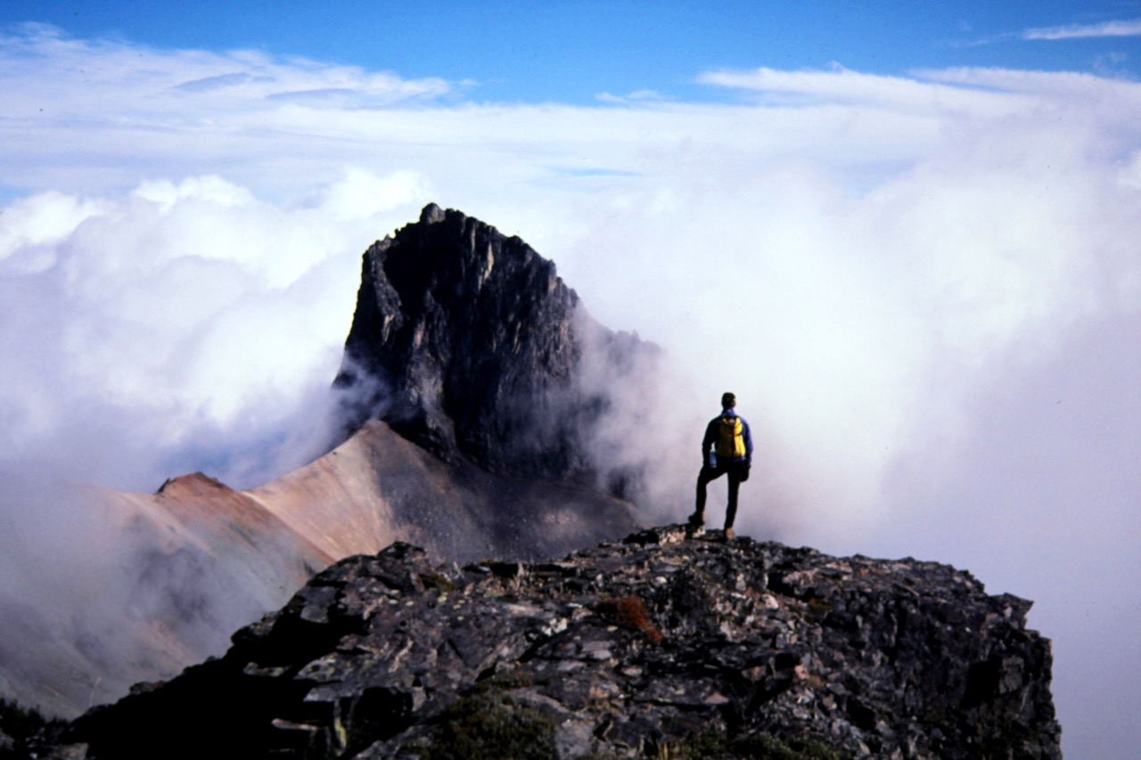
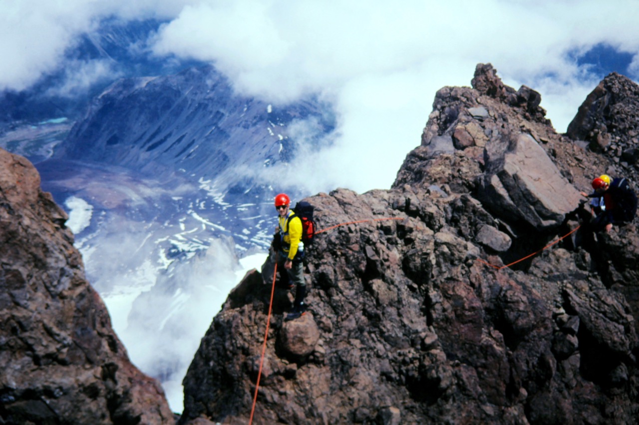
A mountainous sub-region within the Southern Washington Cascades, bounded by Poch Creek, Carbon River, Prospector Creek, Sunrise Creek, White River, Cayuse Pass, Ohanapecosh River, Stevens Creek, Reflection Lakes, Nisqually River, Copper Creek, and Deer Creek. In addition to Mt. Rainier itself, notable landforms include Mother Mountain, Observation Rock, Sluiskin Mountain, Burroughs Mountain, Little Tahoma Peak, Goat Island Mountain, Cowlitz Divide, Pyramid Peak, and Mt. Wow.
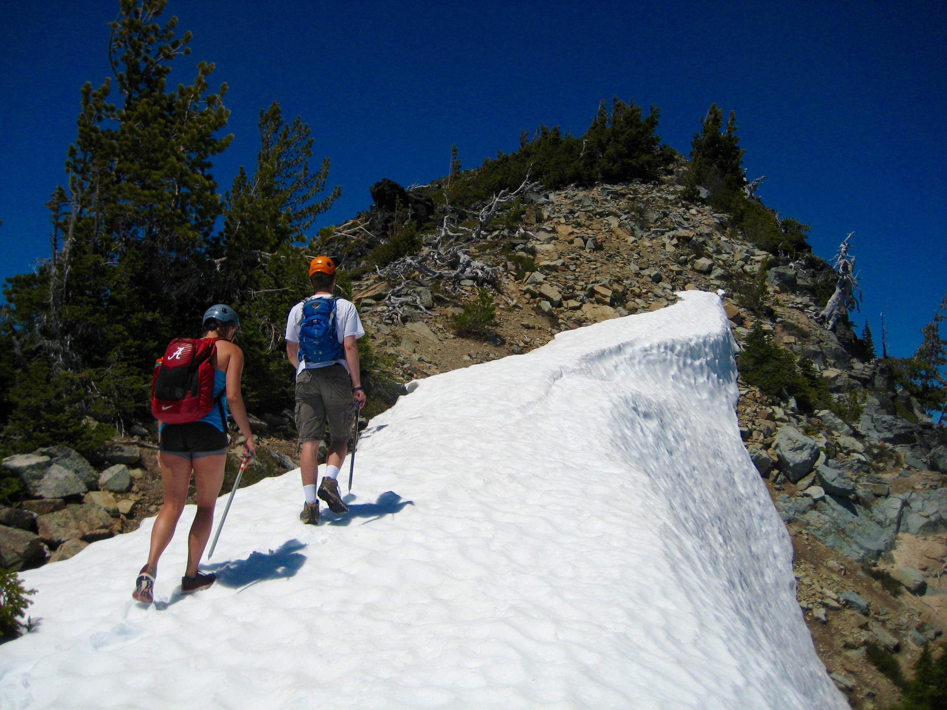
Tamanos Mtn via Owyhigh Lakes—Southeast Slope—South Ridge (Mount Rainier Massif, WA)
Trip Date: June 24, 2017 Tamanos Mountain Day Climb Owyhigh Lakes Owyhigh PassTamanos Mountain (6790′) Trip
...