Trip Date: October 24, 2019
East Devil Bike Loop: East Mission Gulch to Beehive Junction to Devil’s Gulch
Mission Creek Fork
East Mission Gulch
Mission Spring
Beehive Junction
Lower Mission Ridge
Devil’s Gulch
Trip Report Summary
Region: Central Washington Cascades
Sub-Region: Lower Wenatchee Mountains
Area: Okanogan–Wenatchee National Forest
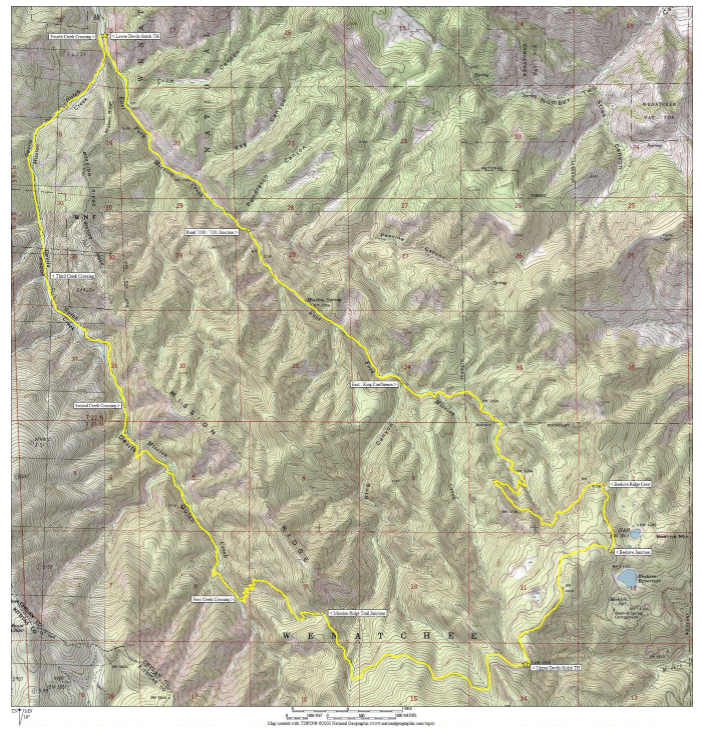
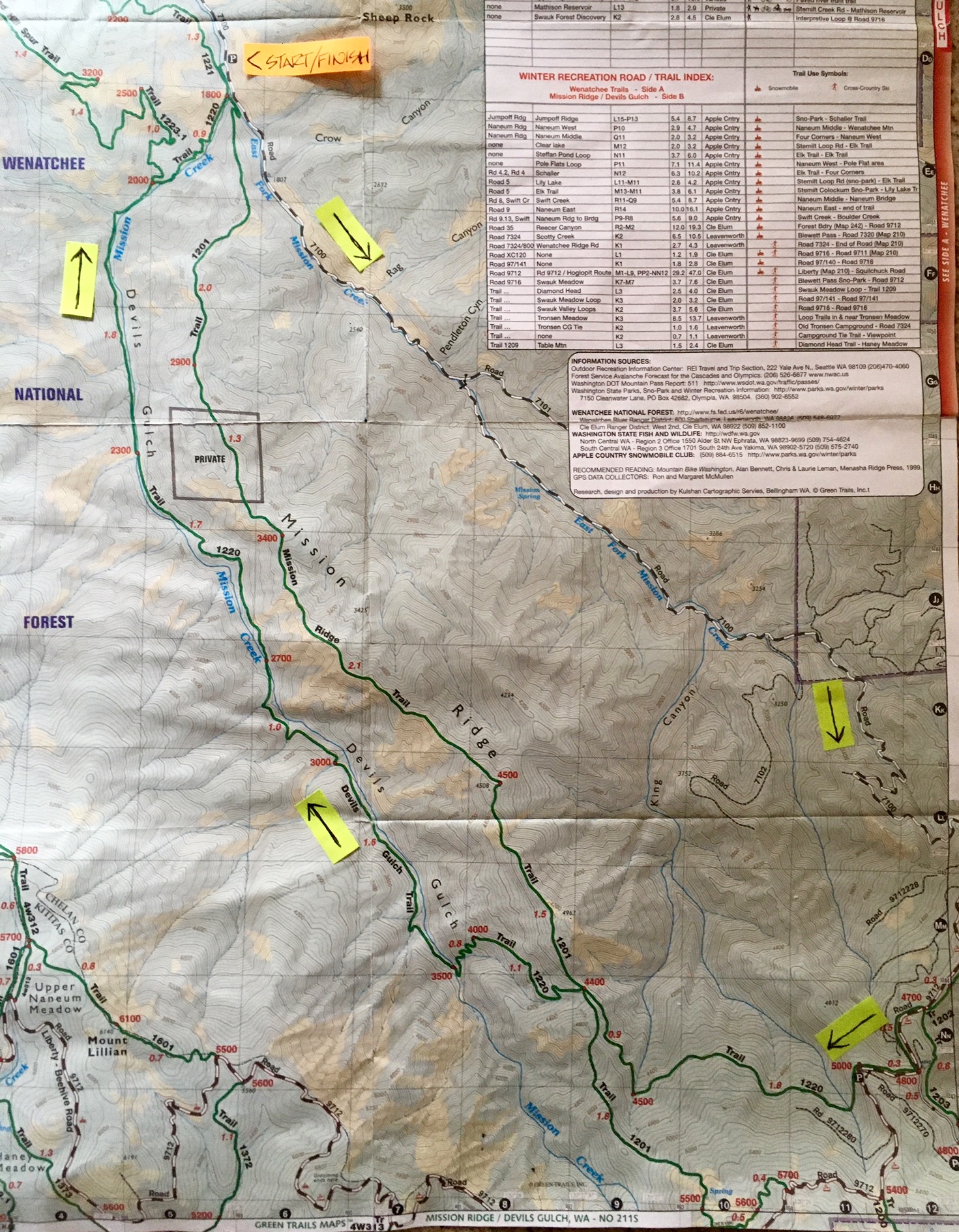
Starting & Ending Point: Lower Devil’s Gulch Trailhead on Mission Creek Road (Elev. 1720 feet)
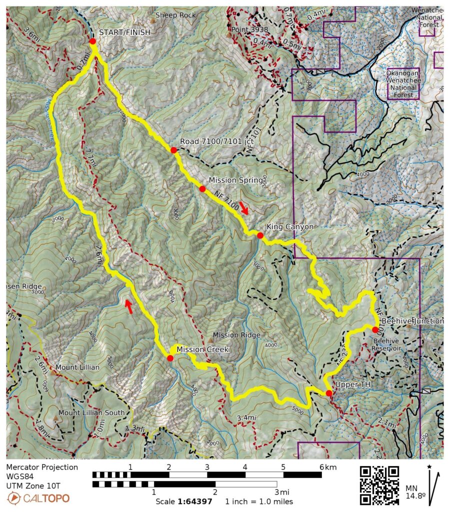
Way Points: Mission Creek Fork & East Fork Mission Creek & Road 7100 / Road 7101 junction & East Mission Gulch & Mission Spring & King Canyon mouth & Beehive Ridge & Beehive Junction & Upper Devil’s Gulch Trailhead & Upper King Canyon & Mission Ridge Trail junction & Lower Mission Ridge & Main Fork Mission Creek & Devil’s Gulch & Mission Creek Fork & Mission Creek Bridge (bike ride)
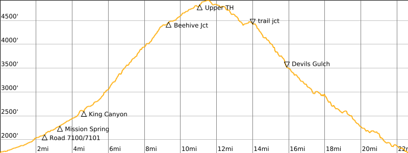
High Point: Spur ridge near Upper Devil’s Gulch Trailhead (Elev. 4930 feet)
Approximate Stats: 22.6 miles traveled; 3450 feet gained & lost; 5.7 hours elapsed.
Related Posts
>>> East Mission Gulch Bike Descent: Beehive Junction to Mission Creek Fork – October 26, 2019
>>> Red Devil Bike Loop + Devils Gulch – September 24, 2019
>>> Devils Gulch Bike Descent: Beehive Ridge to Mission Creek Fork – October 21, 1989
Full Trip Report
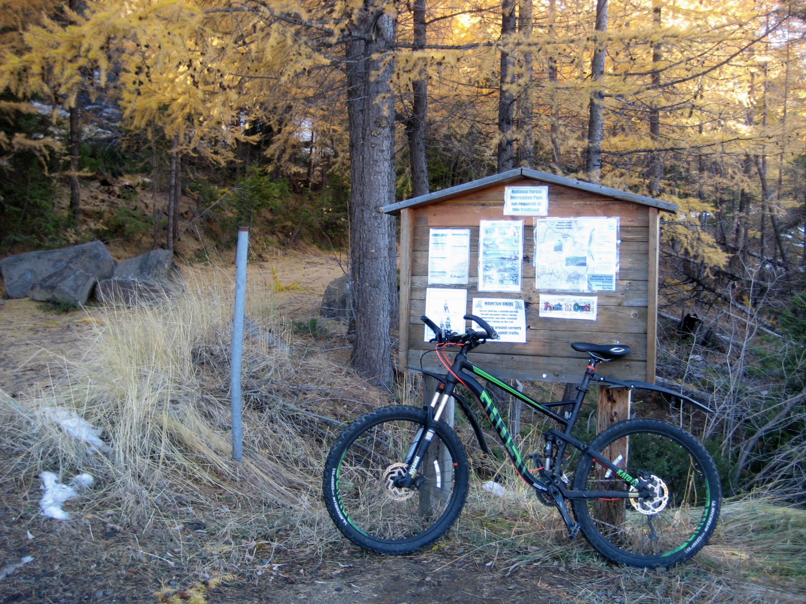
In the Mission Creek watershed—an area blessed with many good mountain bike trails—the East Devil Loop stands above all other rides. This bike loop offers three distinctly different components: the first is a sustained workout as it climbs through East Mission Gulch; the second is a scenic traverse along the crest of Beehive Ridge; and the third is a thrilling descent of uber-classic Devil’s Gulch. The ride logically starts and ends at the Lower Devil’s Gulch Trailhead, which is easily accessible from Cashmere via Mission Creek Road, and most of the route follows well-graded single-track or double-track trails.
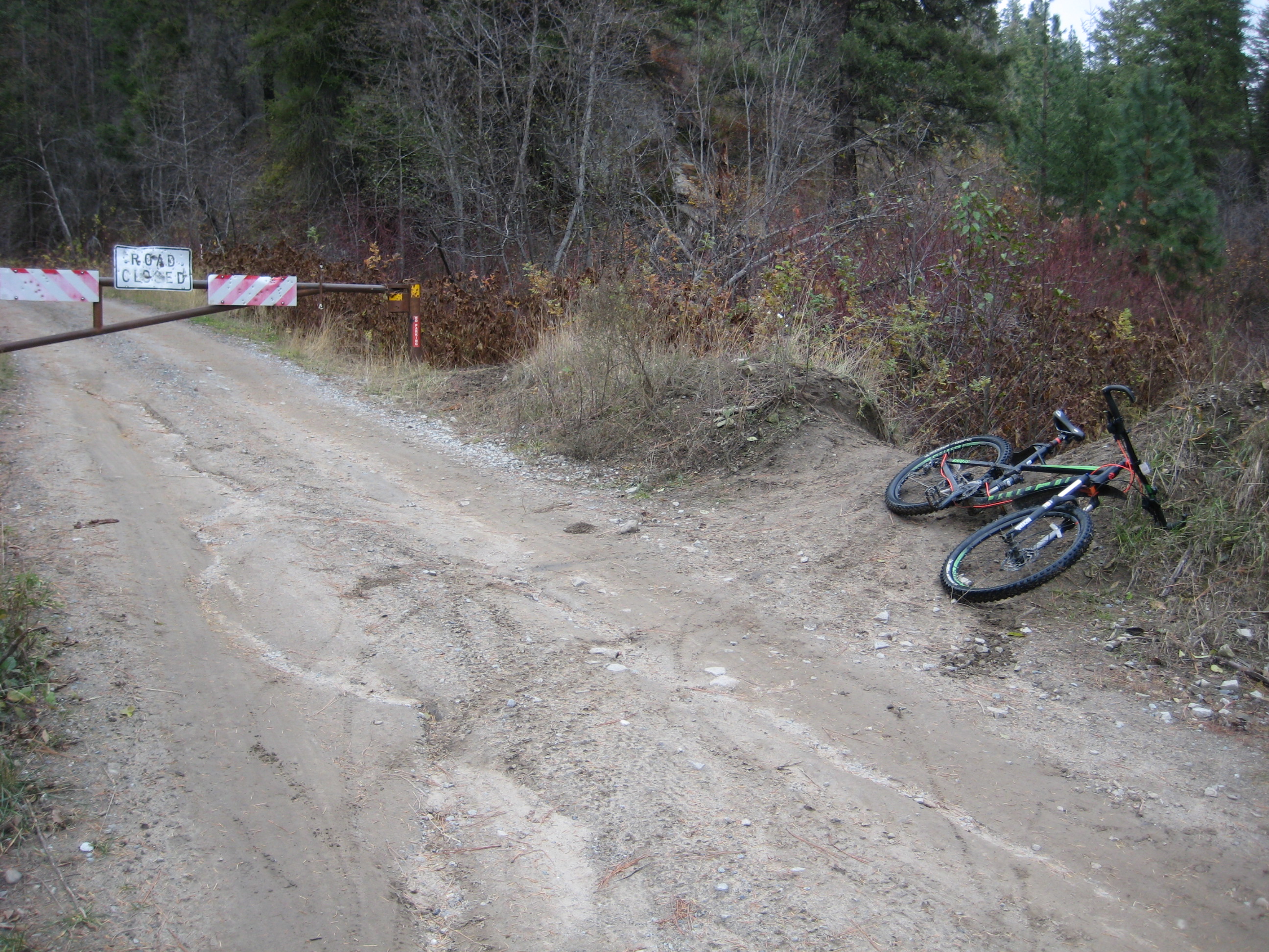
Heading out from the lower trailhead parking lot on a sunny October morning, I pointed my bike up Mission Creek Road 7100. The remarkably smooth dirt road makes a gentle ascent alongside East Fork Mission Creek for 2.3 miles, at which point it reaches a discreet junction with Road 7101. This critical junction is easily missed; keep your eyes open for a steel gate (usually open in the summer) across the road. Just before passing through the gate, look for a low dirt berm with tire tracks branching off to the right. What initially appears to be nothing more than a rogue path is actually the continuation of Road 7100—washed out and abandoned long ago—and is now the unofficial start of the East Mission Gulch Trail.
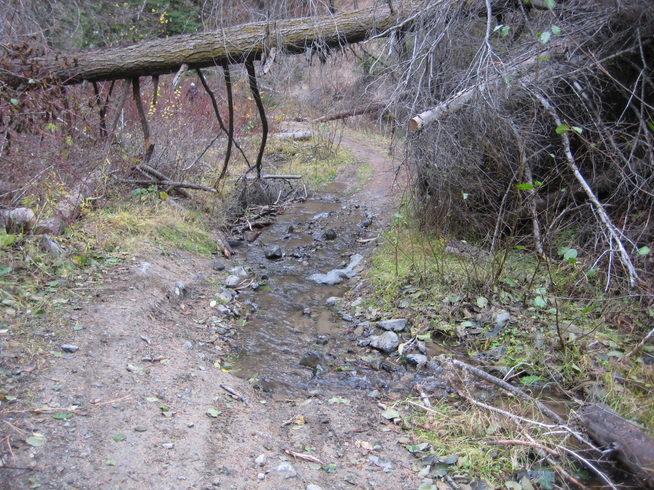
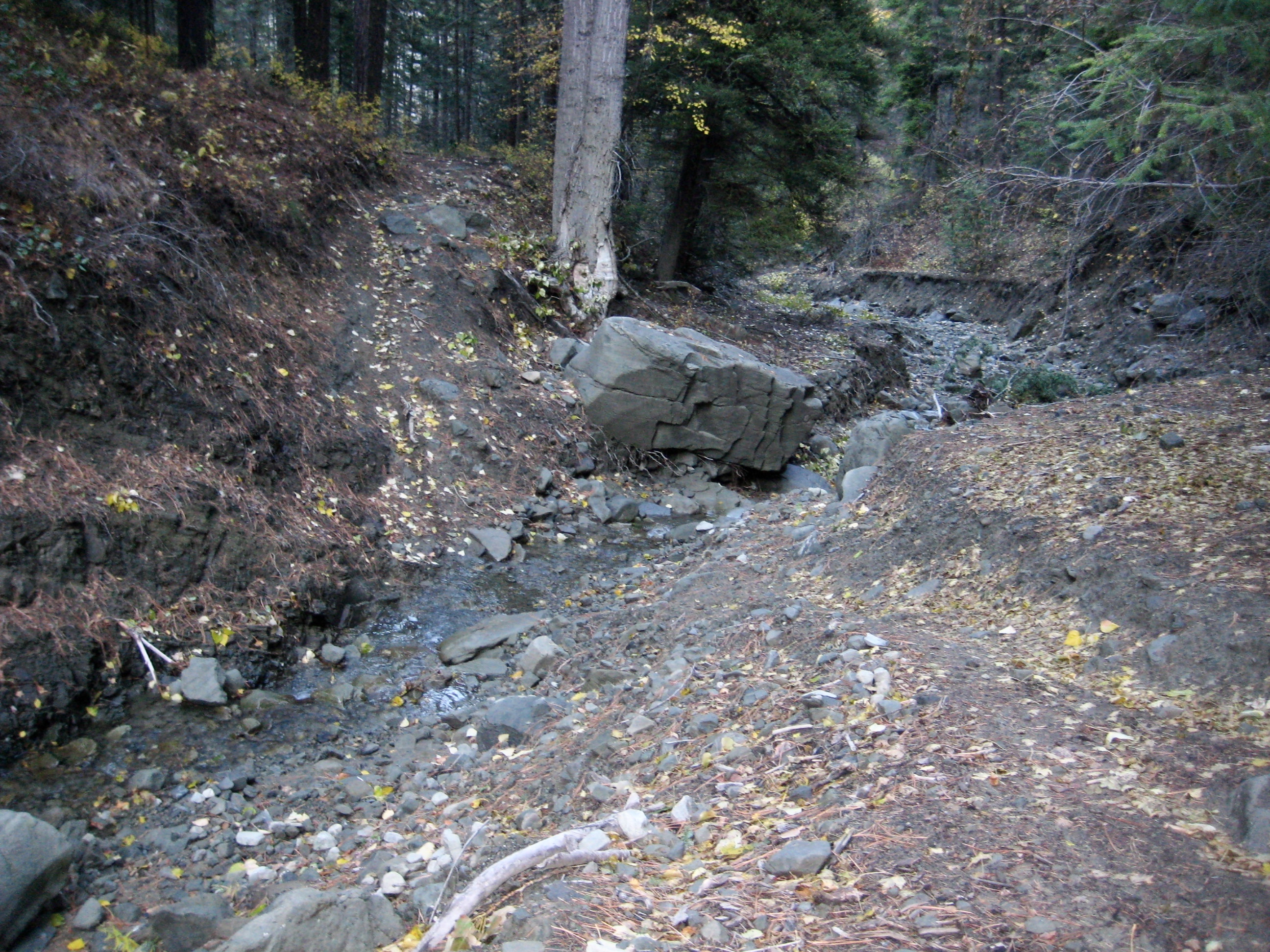
Turning onto the trail, I went over the berm, dropped down a steep bank, splashed across a drainage swale, and began riding upstream.
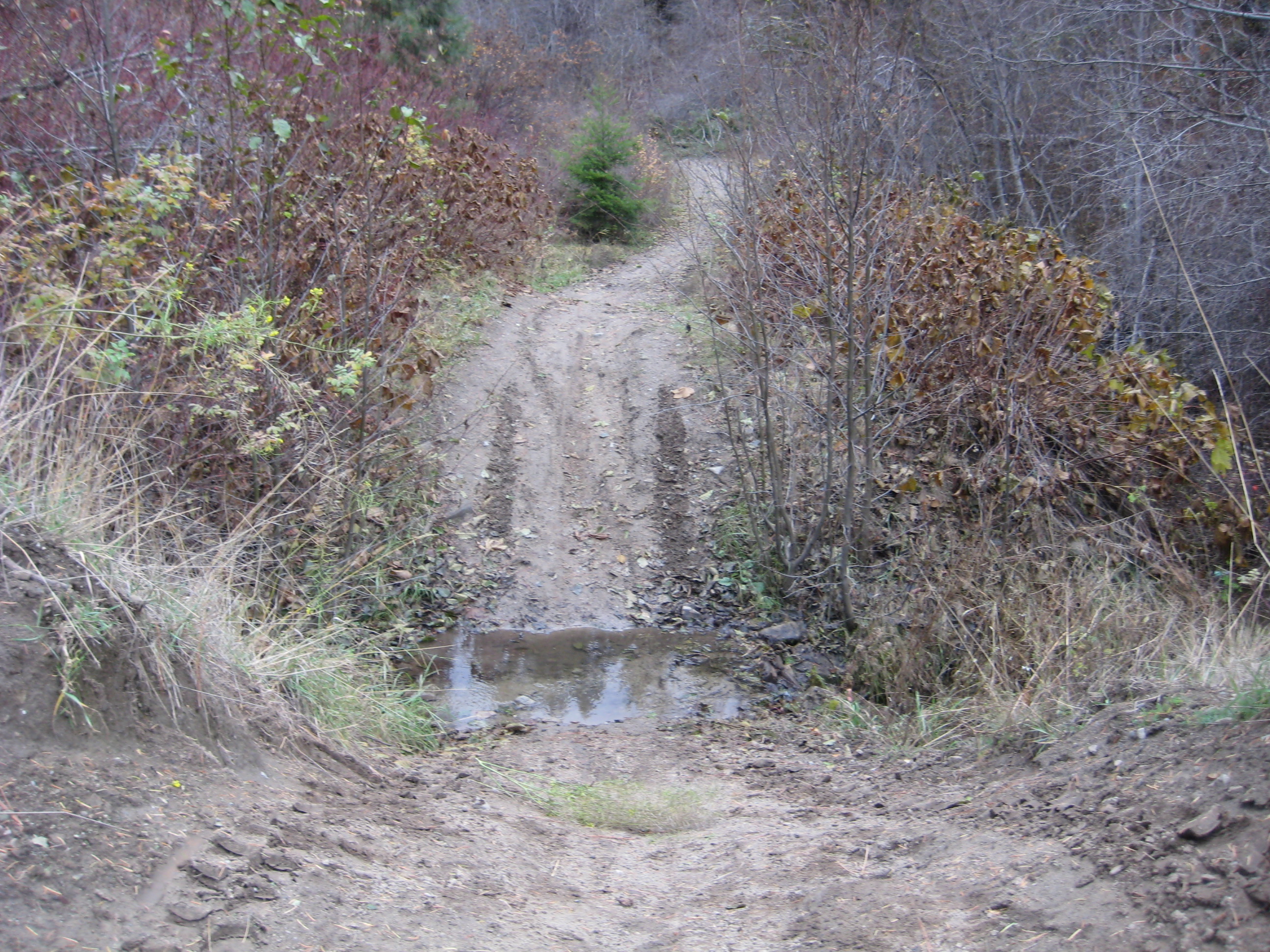
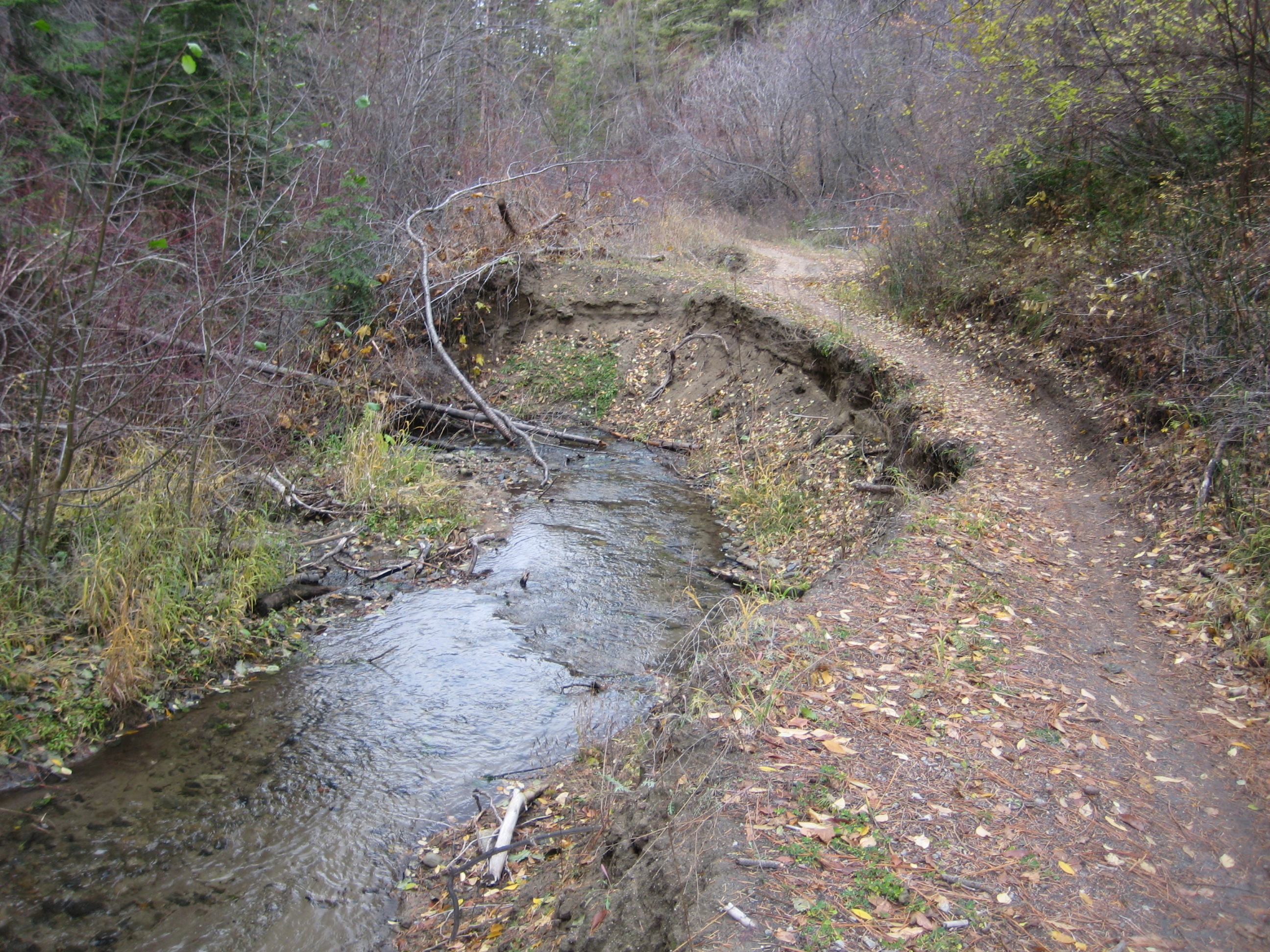
The original road closely followed East Fork Mission Creek, and now the creek is actively reclaiming the road. In some locations, creek erosion is quite severe. It is necessary to ride or push across the creek in multiple places or even to ride straight up the creek. Fortunately for me, the water level was very low, such that these crossings were never too problematic.
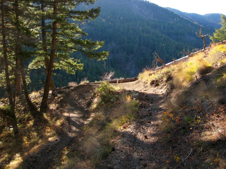
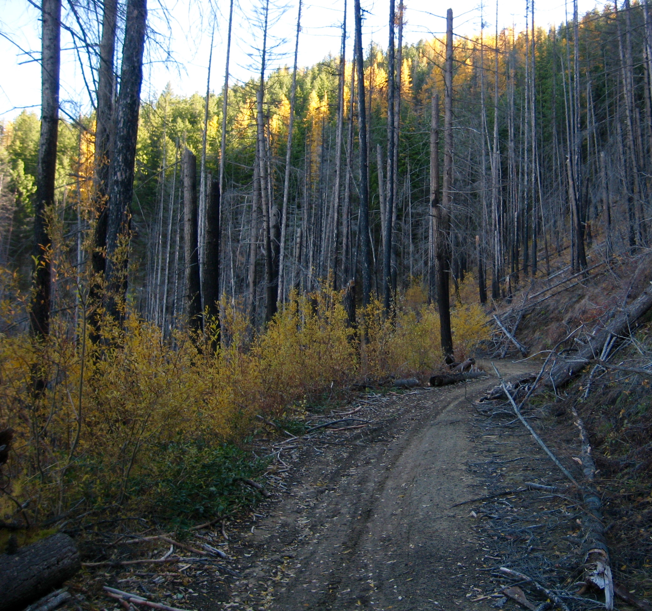
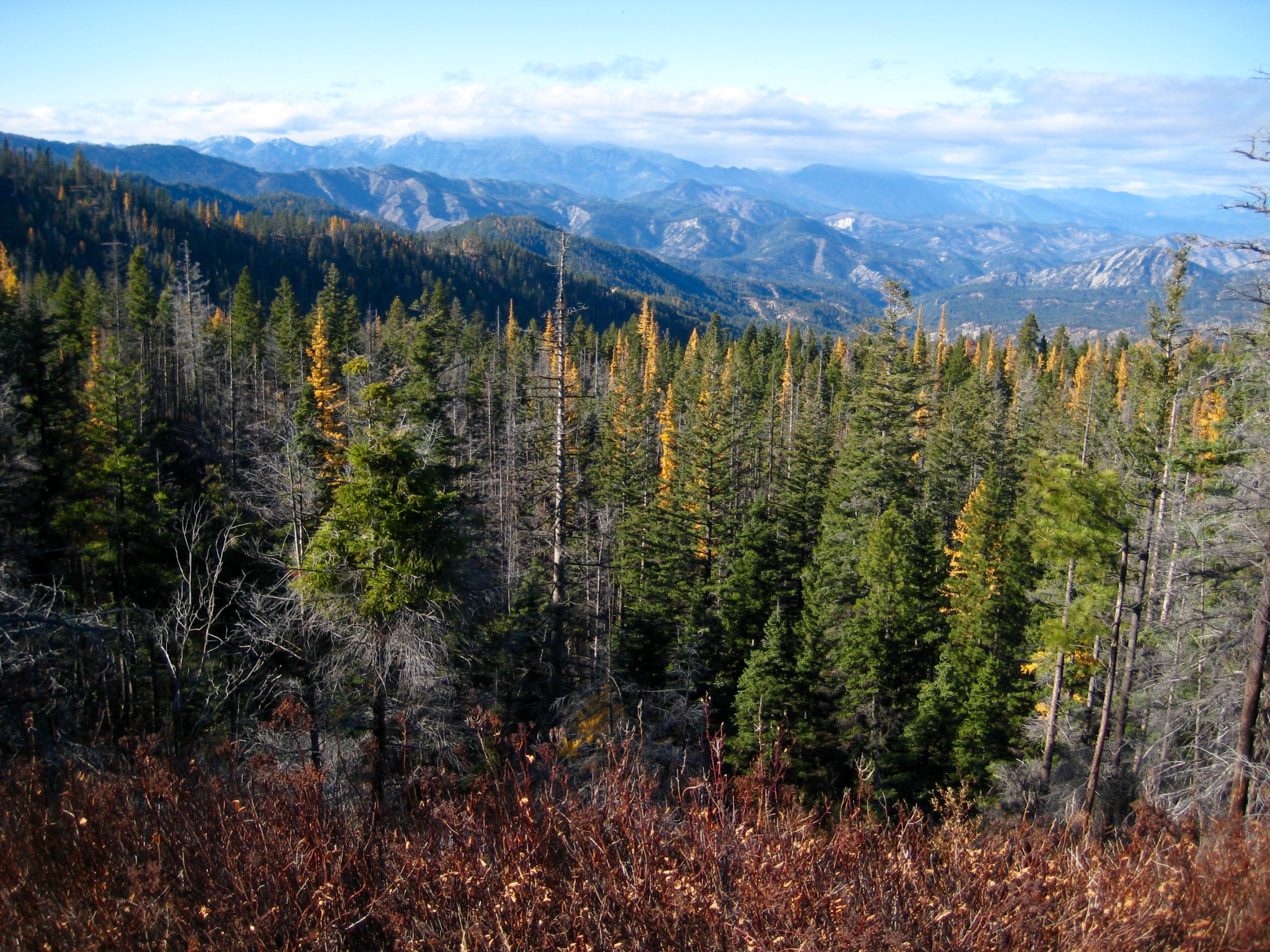
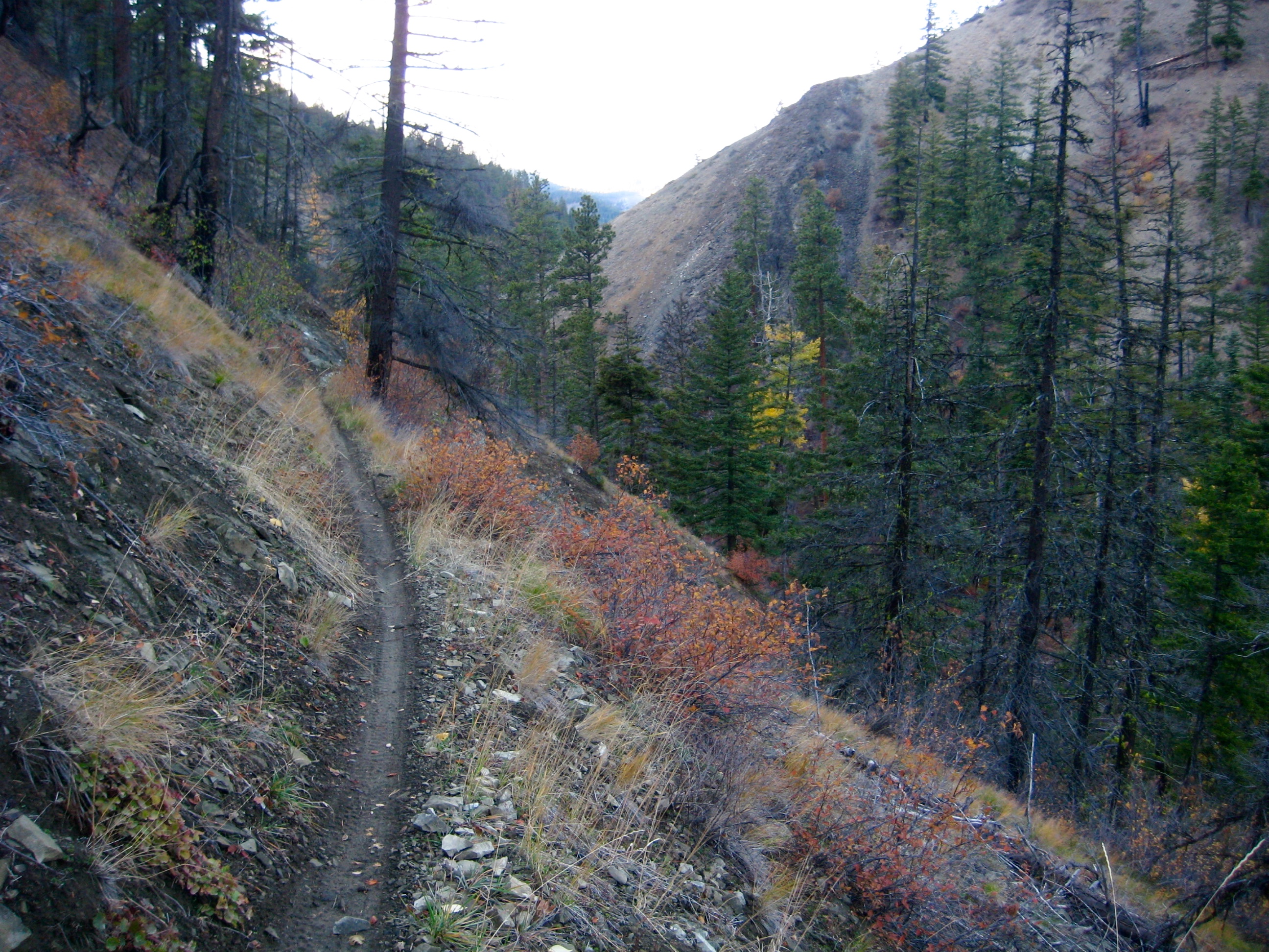
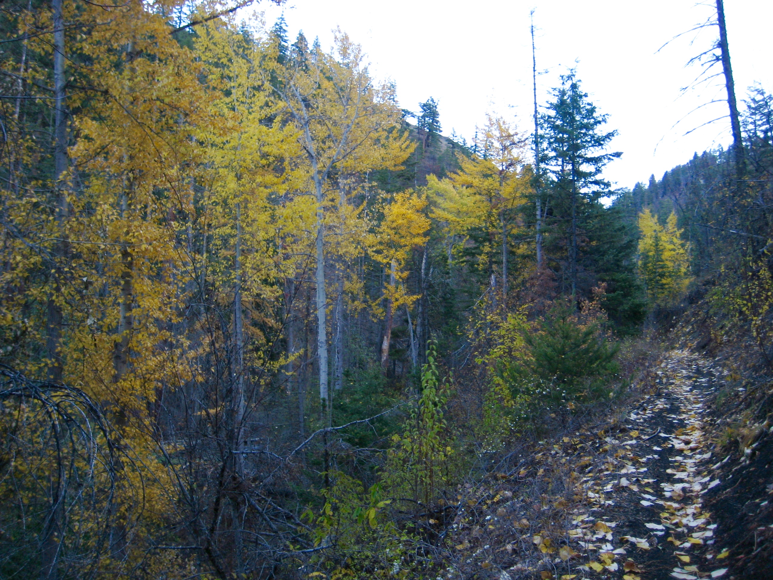
After hugging and crisscrossing the creek for 3 miles, with only minor elevation gain, the trail leaves the main gulch and begins ascending a side gulch to the east. Surface grades increase noticeably but the trail is still very rideable as it climbs into open pine and larch forest.
An additional 3 miles of stiff pedaling took me over a cattle guard and onto the 4200-foot crest of Beehive Ridge (2.2 hours + 2550 feet from starting point). Several dirt roads, including an upper segment of Road 7100, meet here.
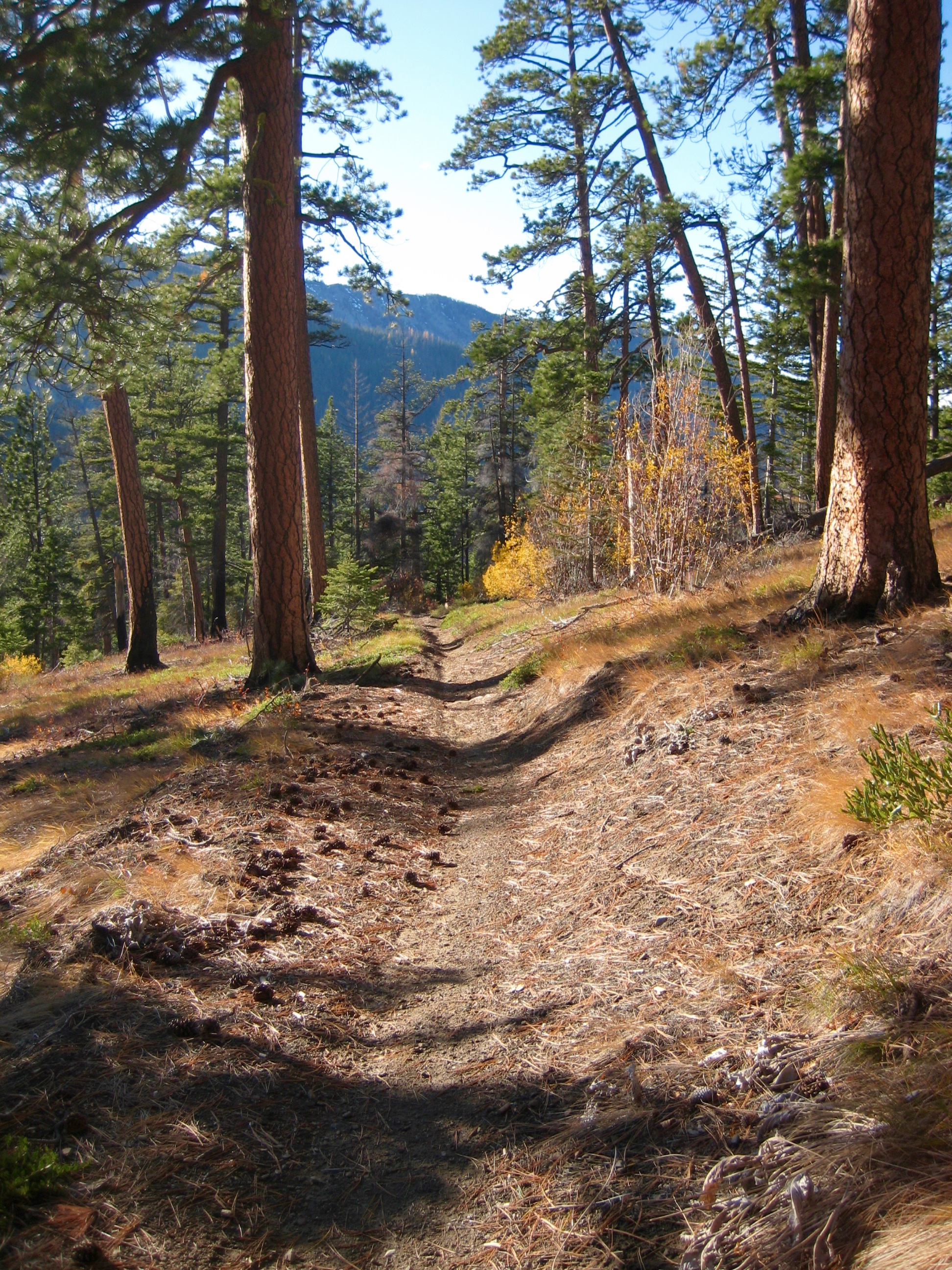
Road 7100 makes a sharp right turn at this point and continues climbing up the ridge crest. Following the road for a shy mile, I came to a “T” intersection and turned right on Liberty–Beehive Road 9712. The latter road is wide, smooth, well-graded, and heavily traveled—all in all, quite civilized compared to other roads in the area. Views open up to the north and south where Road 9712 traverses a narrow part of the ridge crest.
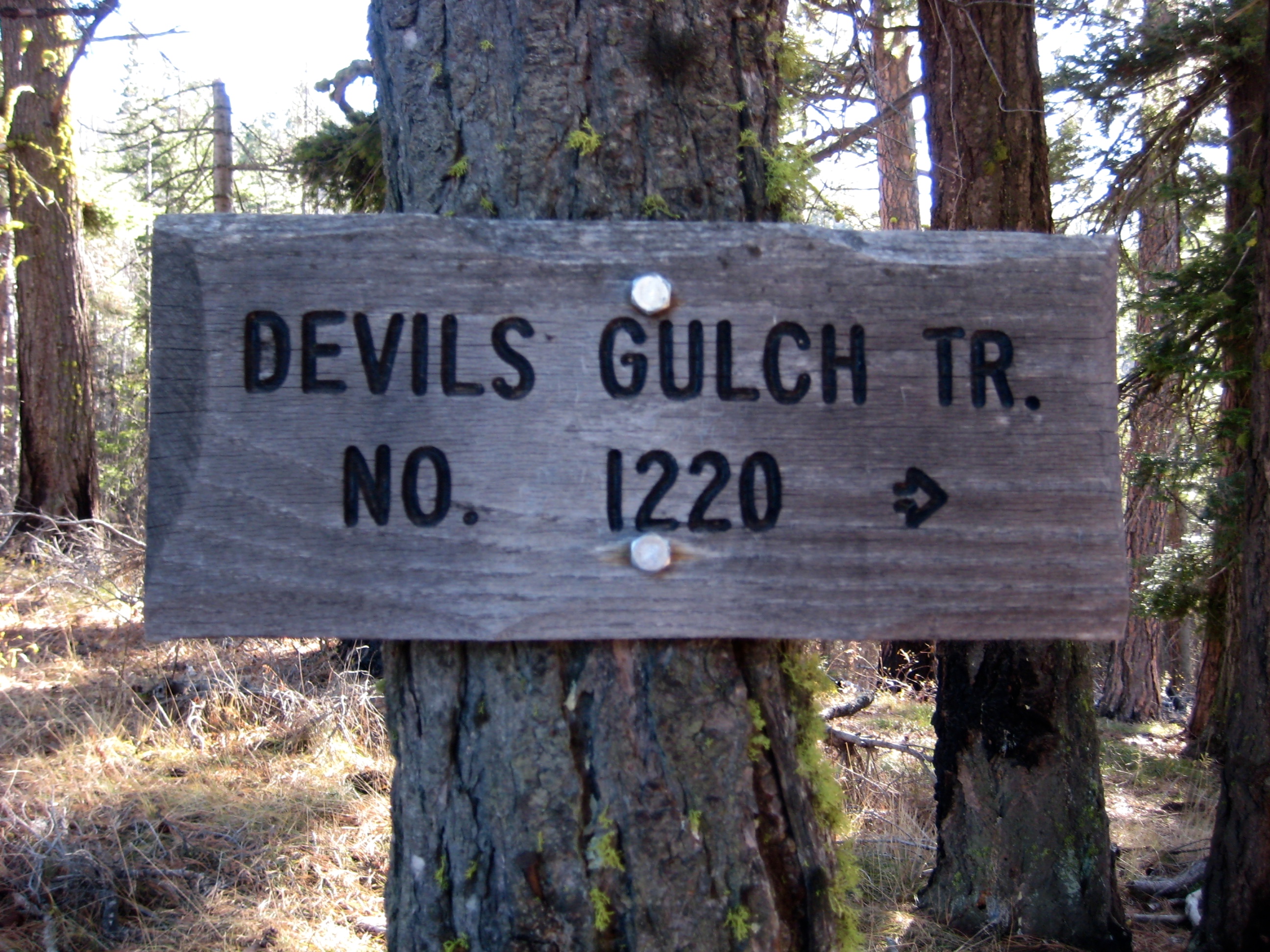
After 1.5 miles of civilized riding, I pulled into the 4800-foot parking lot at the Upper Devils Gulch Trailhead (2.9 hours + 3200 feet from starting point). The third component of the loop begins here. Yee haw!
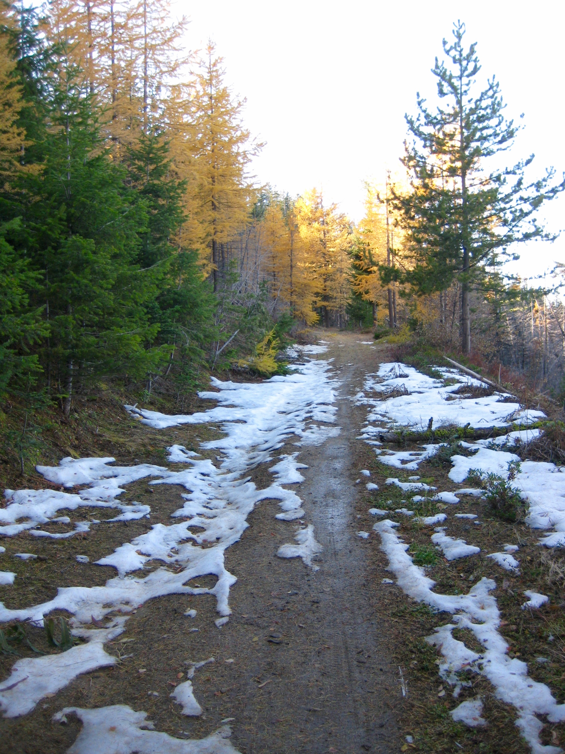
From the upper trailhead, Devils Gulch Trail 1220 climbs gently around the nose of a spur ridge, then makes a long traverse across the head of King Canyon. Crusty snow patches resulting from early October storms remained in shady areas of the trail, but I was able to ride through most patches.
A gradual descent led me to a 4400-foot ridge saddle and an intersection with Mission Ridge Trail 1201 (3.8 hours + 3300 feet from starting point). I crossed over the ridge and began a steep descent into Devils Gulch. Aside from random trees and lots of forest debris covering the trail, conditions were pretty good.
A series of switchbacks drop into the gulch invert, where the trail crosses Main Fork Mission Creek—the first of four crossings. I splashed across and headed downstream on moderately graded trail. Unfortunately, fun riding was frequently interrupted by many more annoying logs across the trail. It appears that two dozen or so trees have fallen since a chainsaw crew came through earlier this summer.
Farther down the gulch, mud puddles became prevalent and the creek became wider. Careful rock-hopping was required to avoid wet feet. This is also the most exciting part of the trail, because it traverses steep hillslopes on both sides of the creek.
The sun was setting as I zoomed down the last few miles of leaf-covered trail, crossed Mission Creek one last time (on a sturdy bridge), and coasted into the parking lot (5.7 hours + 3450 feet from starting point). Even under these less-than-ideal conditions, this 23-mile loop will always have a classic and epic quality in my mind.
Route Maps & Profile
…
…
Photo Gallery
Click to enlarge…
