Trip Date: March 27, 2021
2021 ARIZONA & CALIFORNIA ADVENTURE VACATION
Capitol Butte Day Climb
Lizard Ridge
Capitol Butte aka Thunder Mountain (6355′)
Trip Report Summary
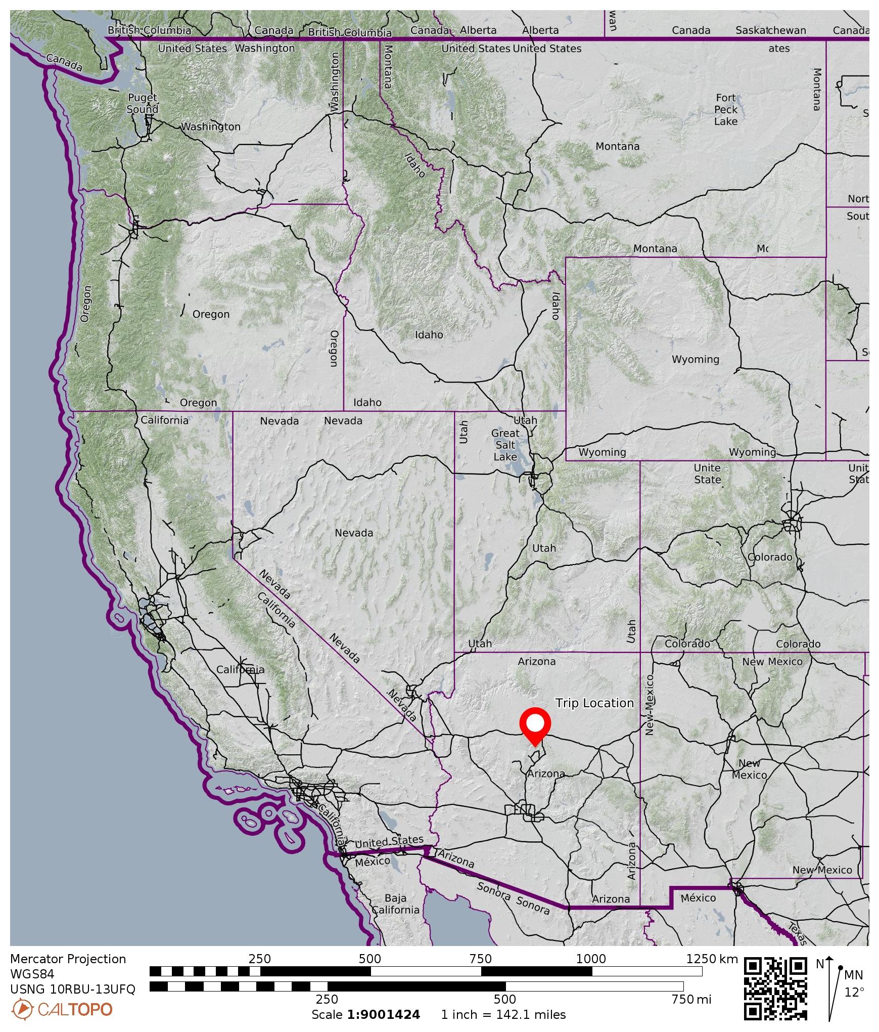
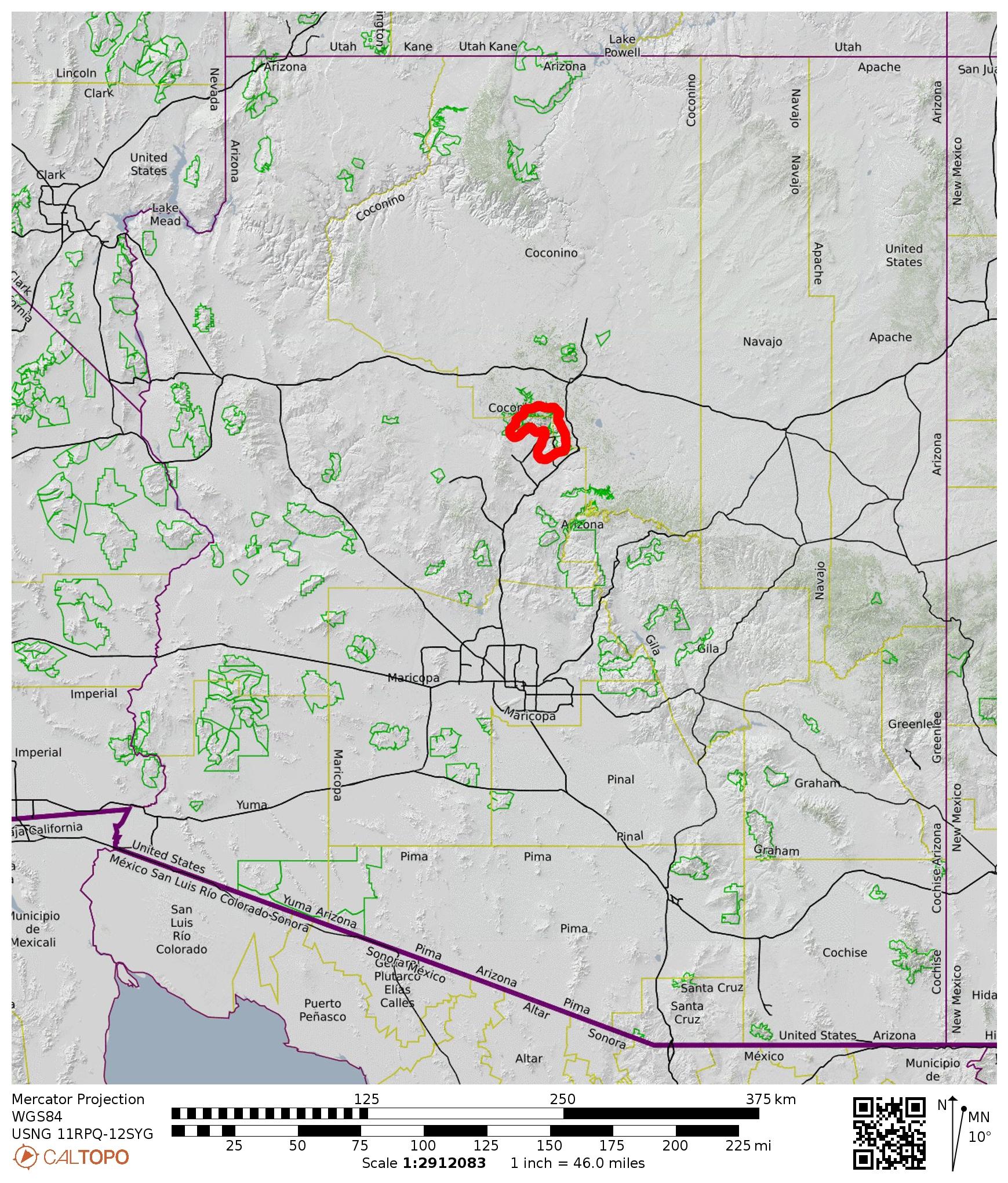
Region: Arizona
Sub-Region: Central Arizona
Sub-Sub-Region: Sedona Mountains
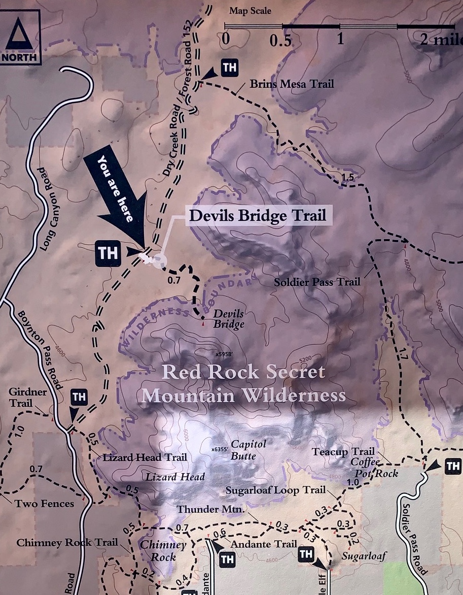
Area: Red Rock – Secret Mountain Wilderness
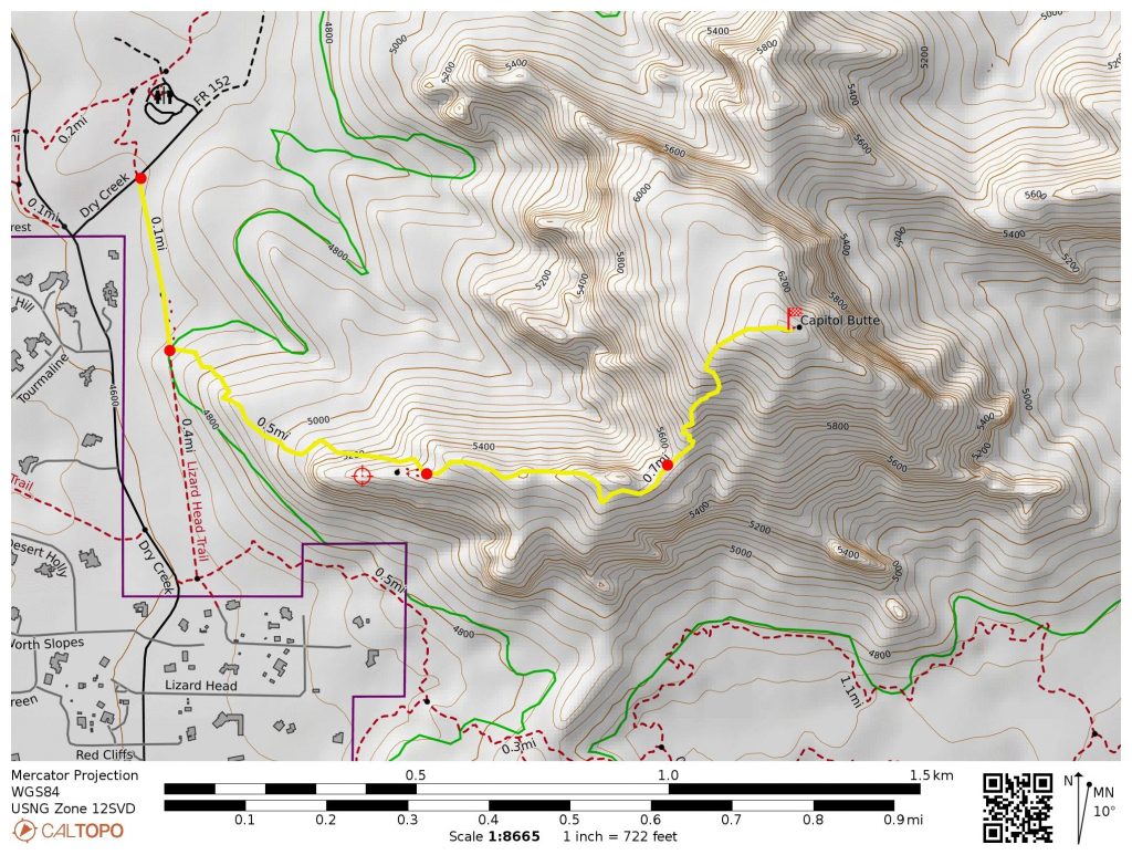
Starting & Ending Point: Lizard Head Trailhead on Dry Creek Road (Elev. 4650 feet)
Way Points: Lizard Head & Lizard Ridge & Southwest Saddle & Capitol Butte summit (trail hike & off-trail hike & rock scramble)
Summit: Capitol Butte (ascent & descent via Southwest Rib)
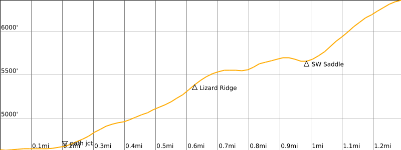
Approximate Stats: 3.0 miles traveled; 1900 feet gained & lost; 2.7 hours up; 2.2 hours down.
…
Full Trip Report
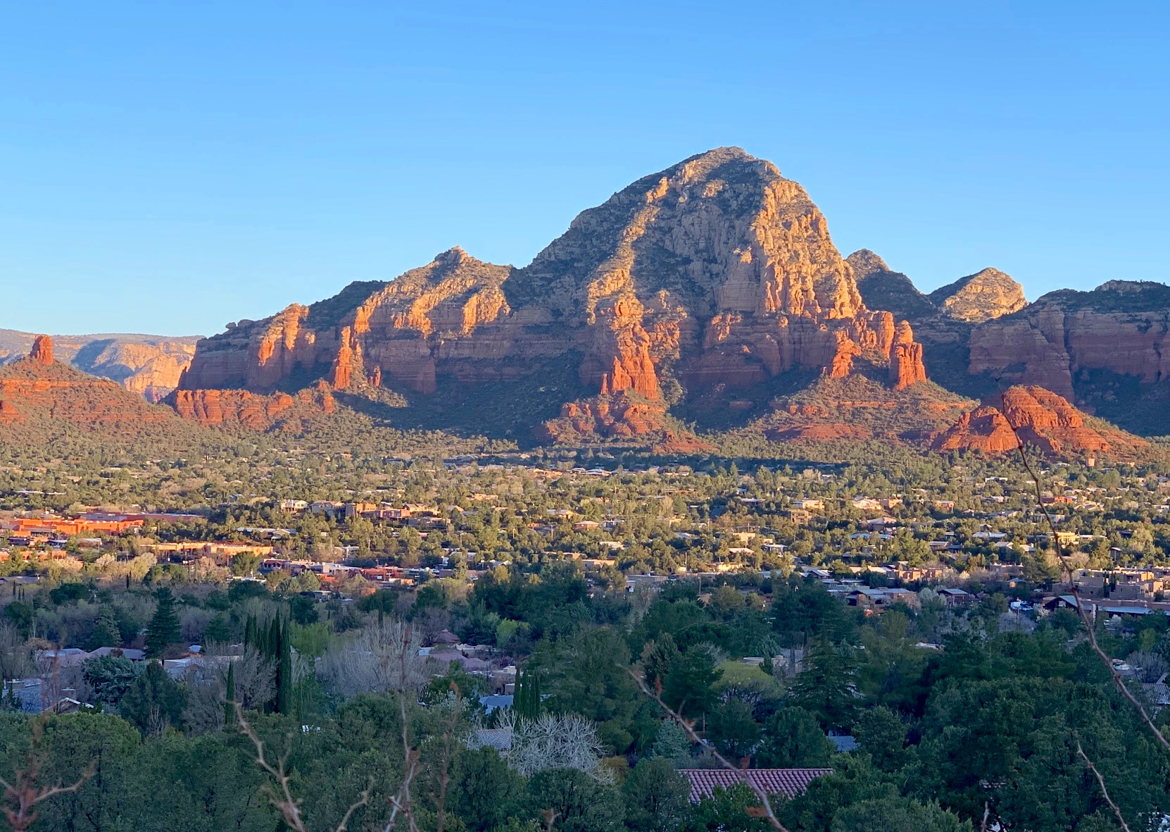
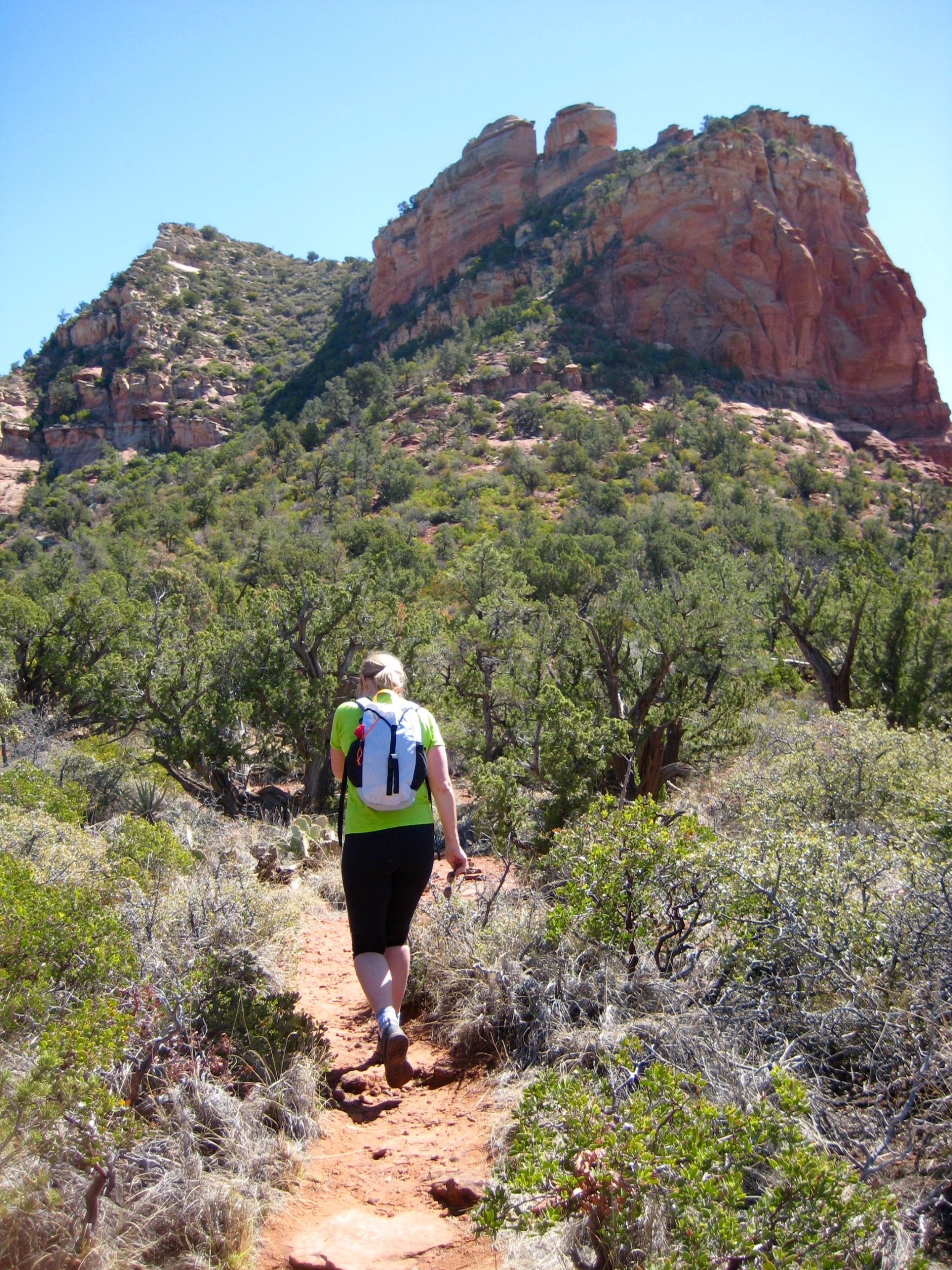
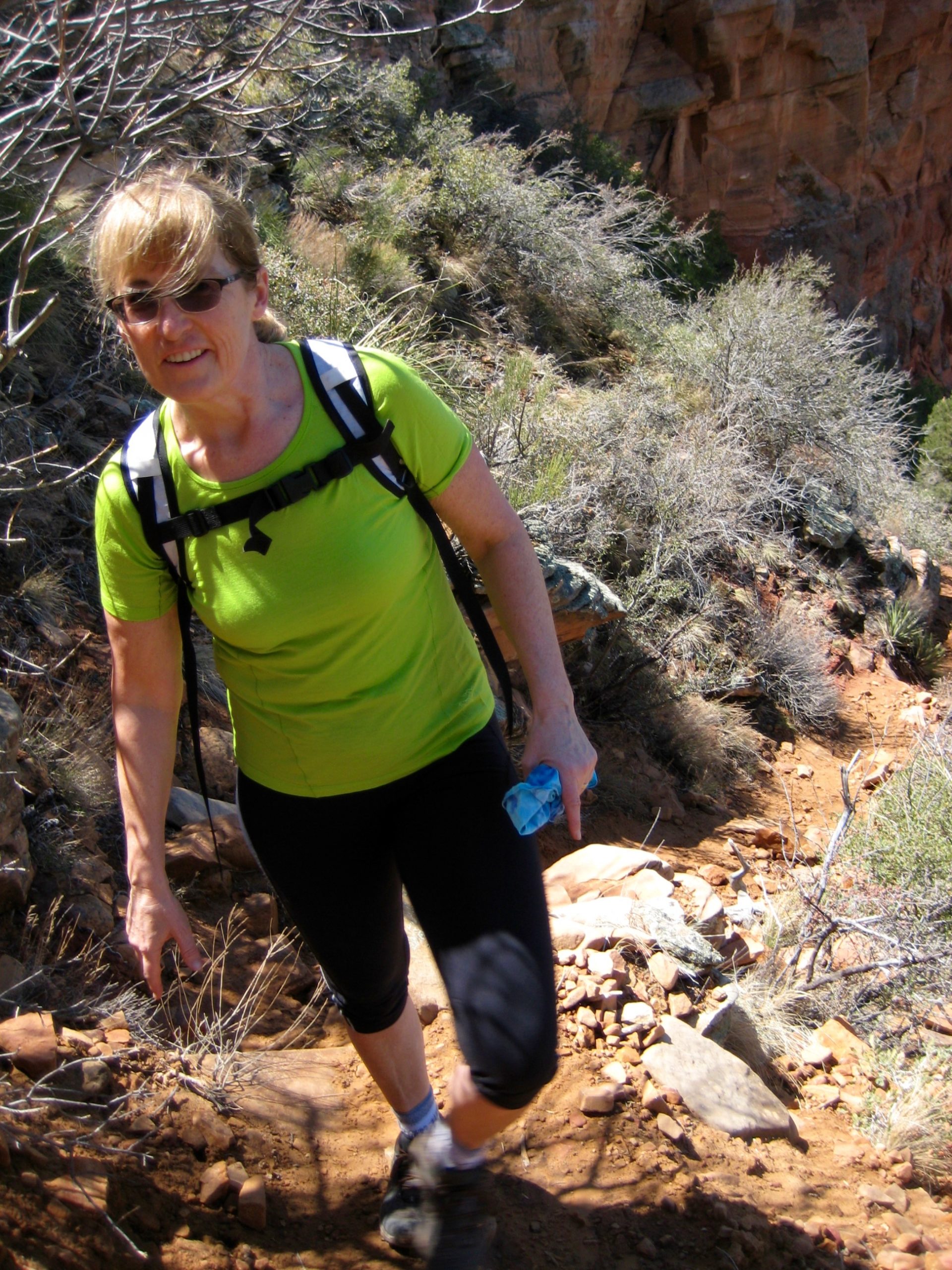
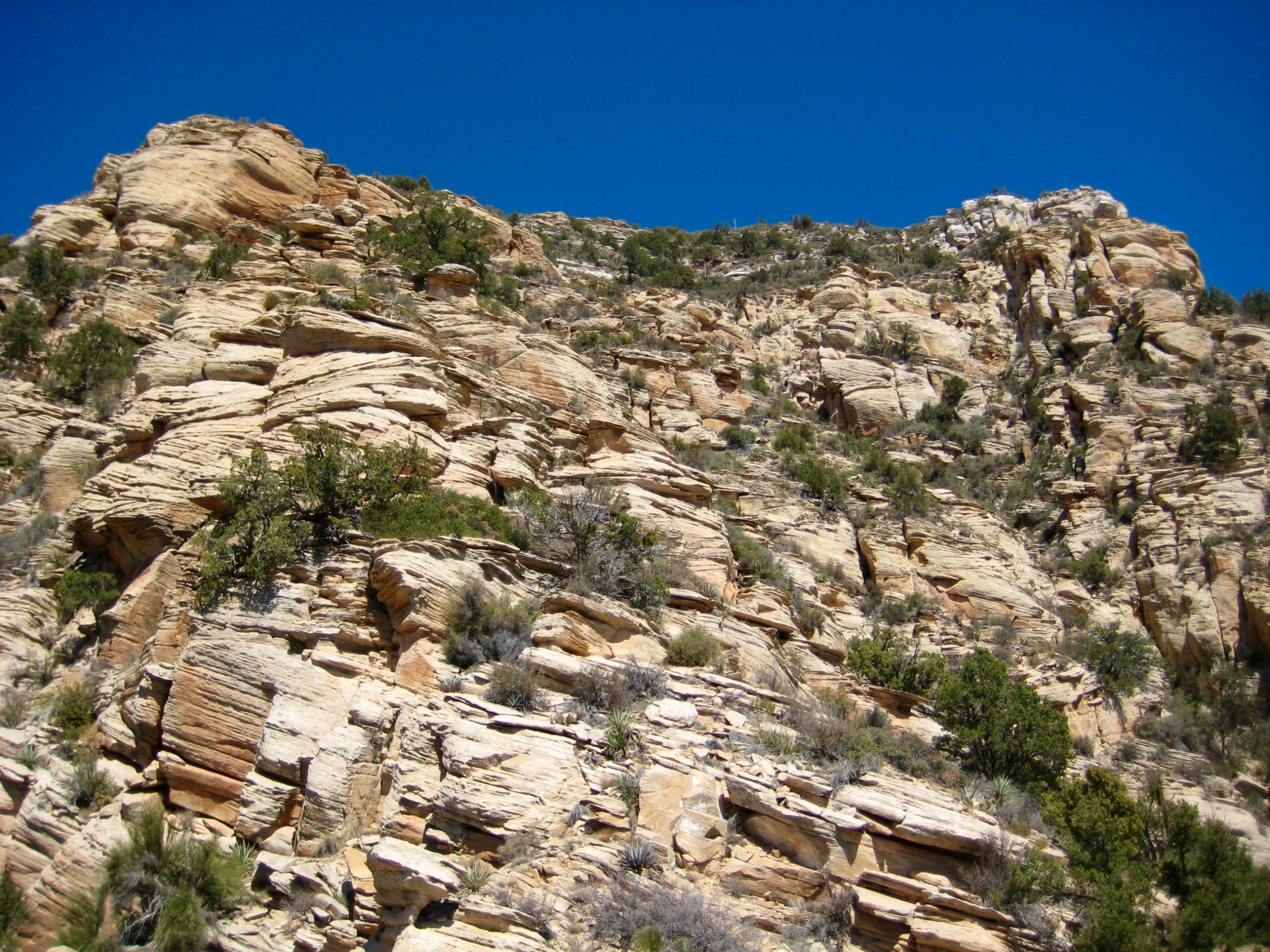
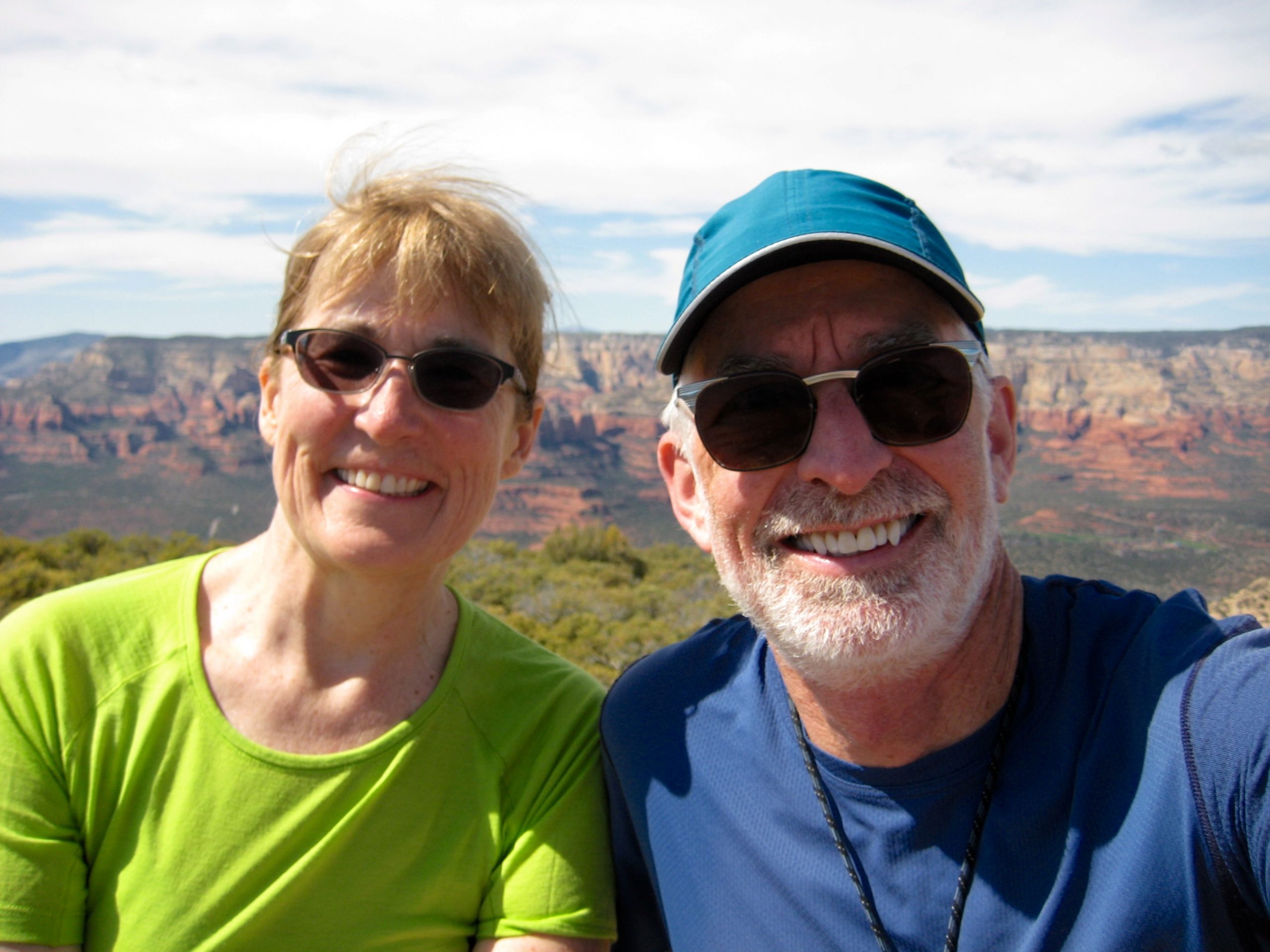
Eileen and I wrapped up our Sedona vacation with a climb of Capitol Butte, one of the most visible landforms in town. Starting at the Lizard Head Trailhead on Dry Creek Road, we hiked south toward Lizard Head—the local name for a rocky buttress on the long western arm of Capitol Butte. This buttress is capped by an outcrop that resembles a lizard when viewed from the north or south.
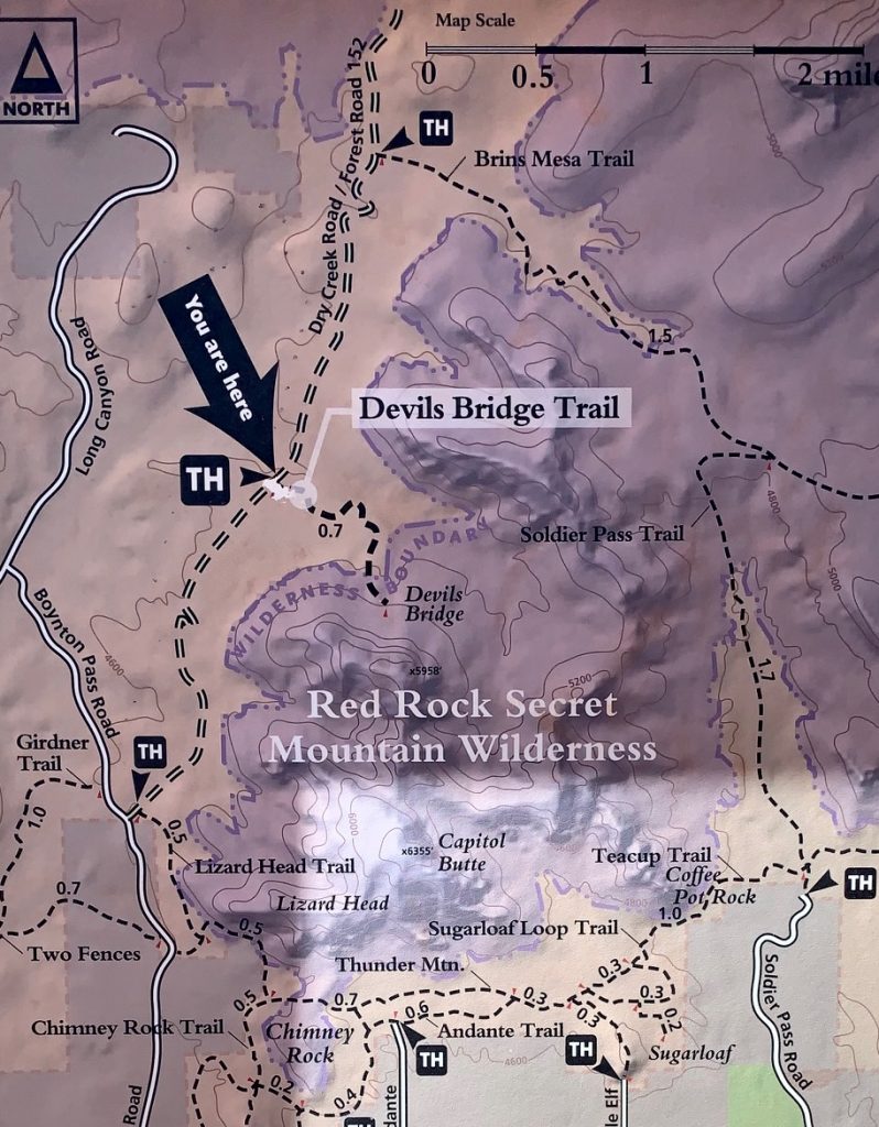
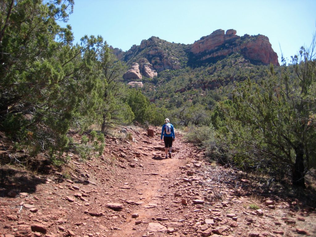
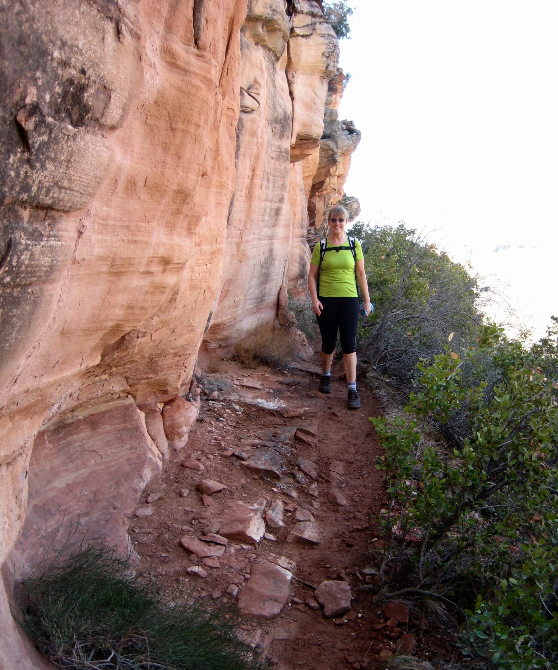
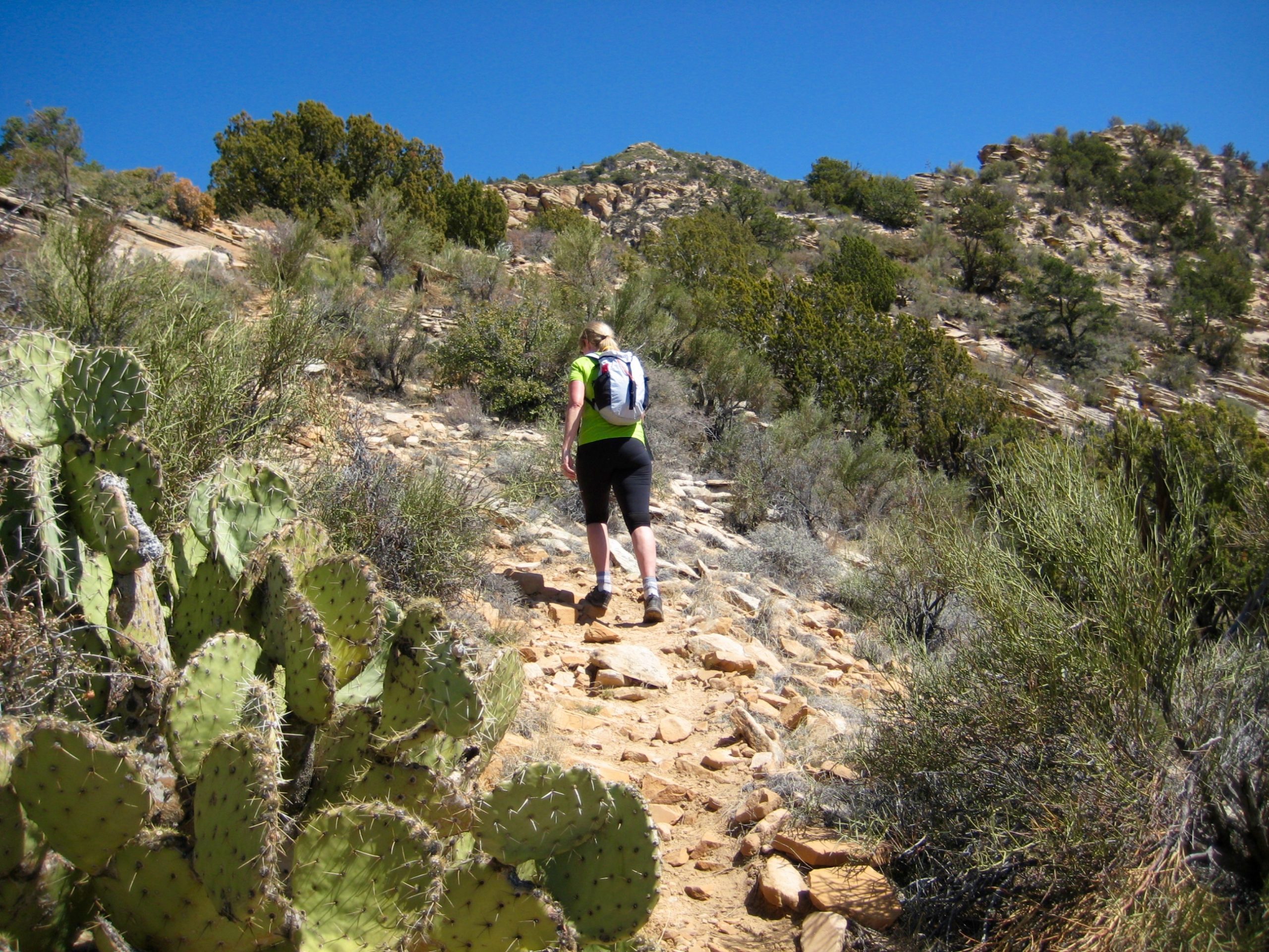
After a short distance, we turned left (east) on an unmarked but well-defined side trail that leads up Lizard Ridge and Capitol Butte. This side trail ascends steeply until encountering a vertical cliff, then traverses eastward along the cliff base.
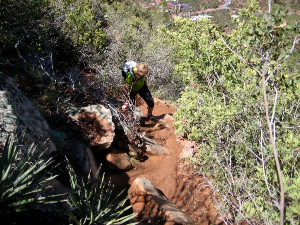

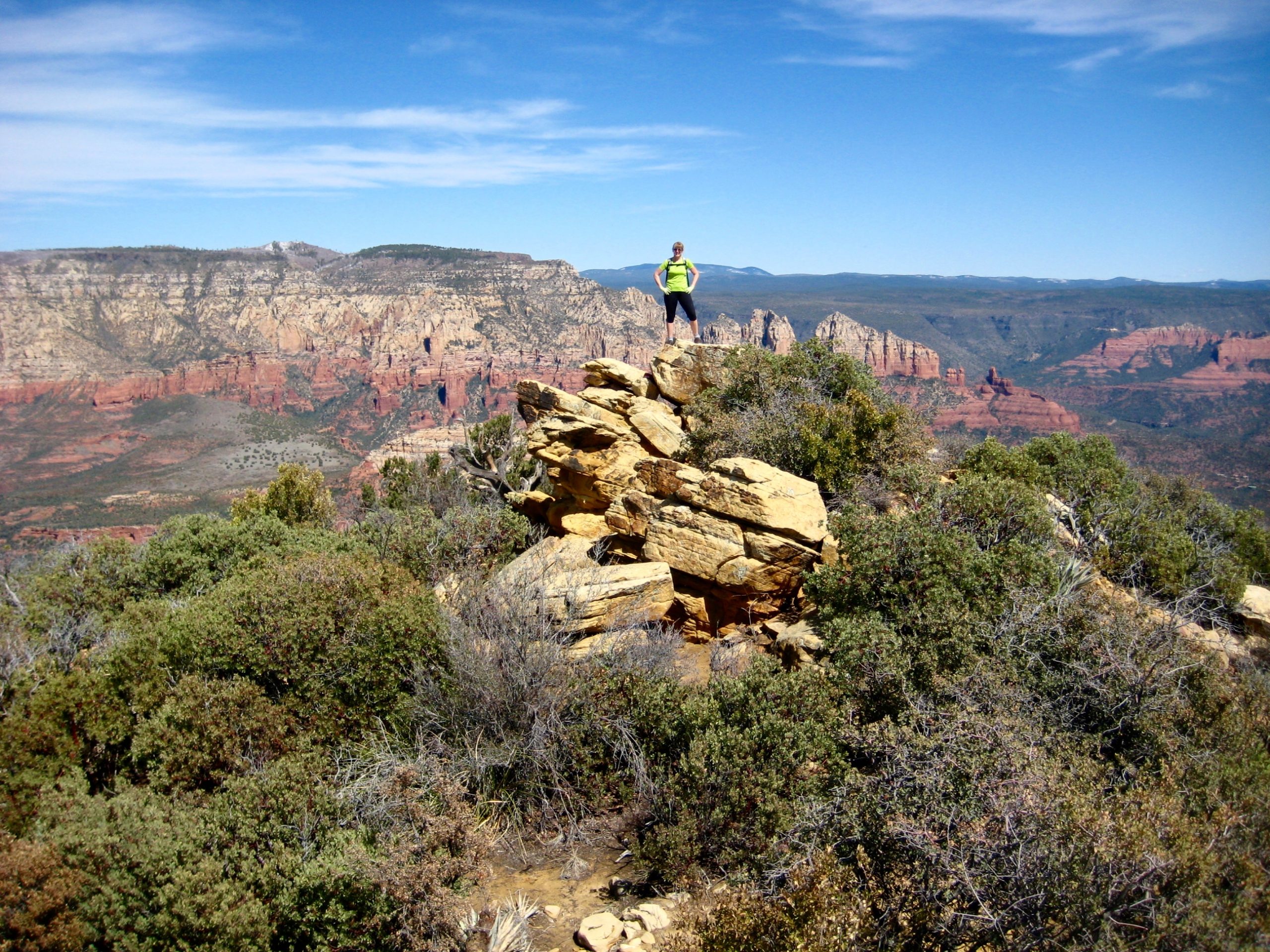
A short Class 2 scramble led up to the crest of Lizard Ridge at a point closely east of Lizard Head. From here, we could see the summit of Capitol Butte, but we could not see a feasible ascent route.
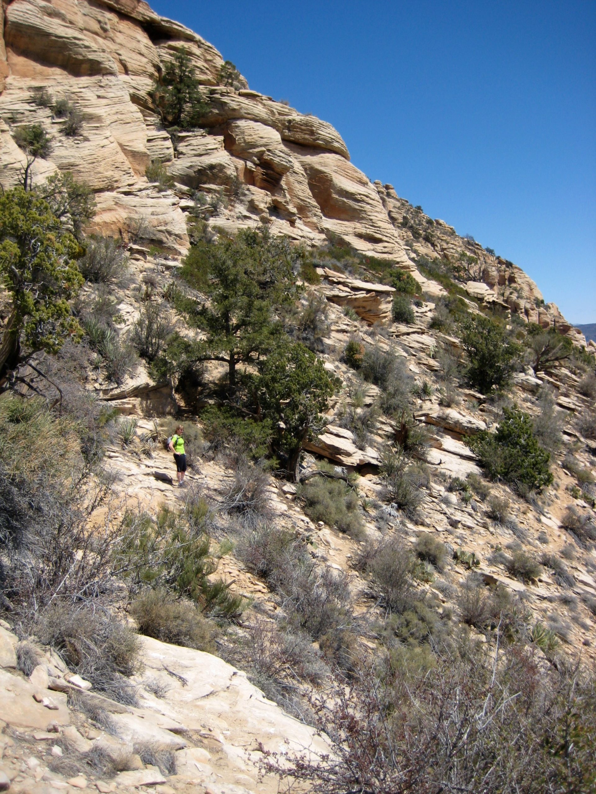
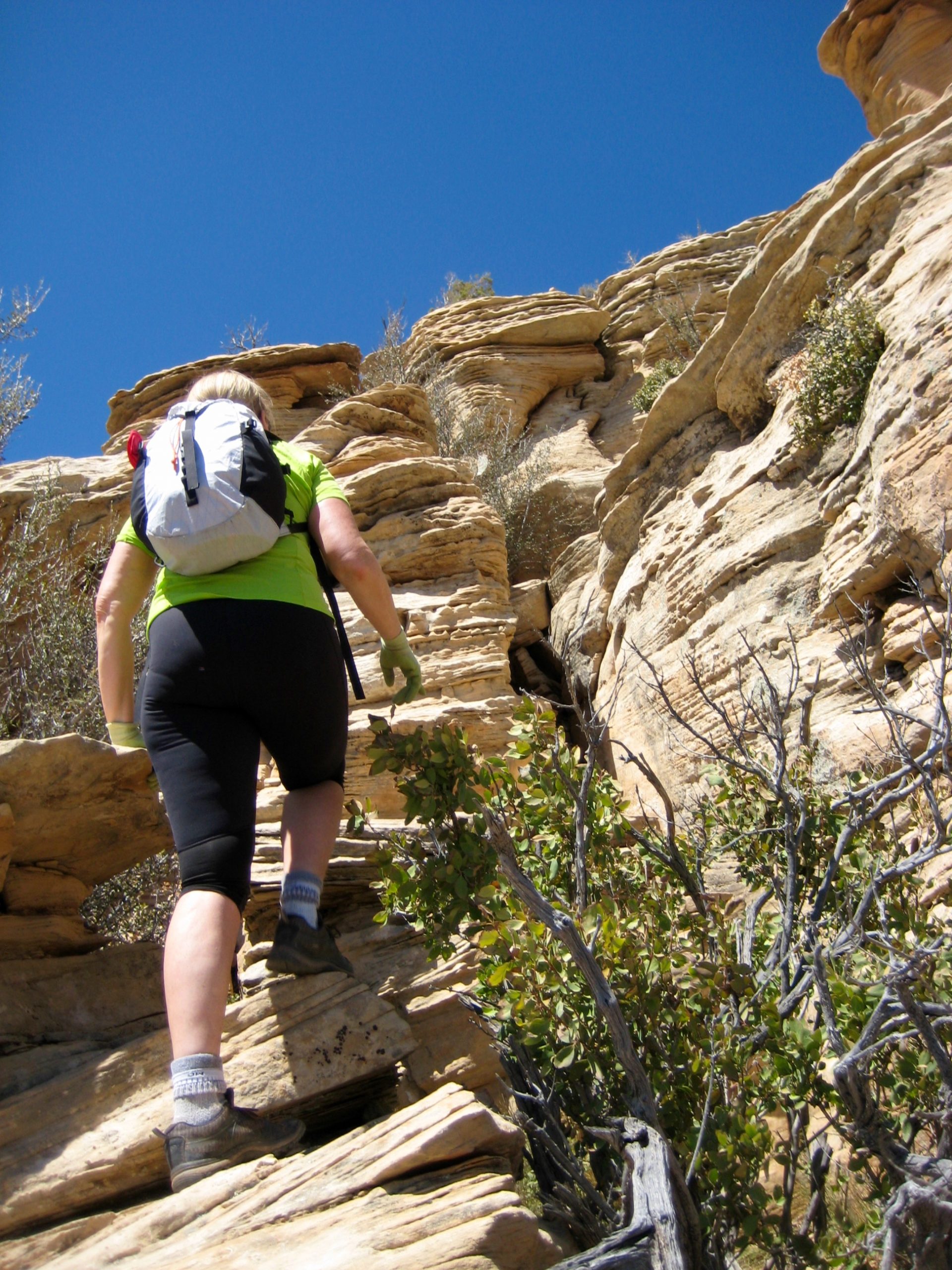
A crude path led us along the ridge crest and then around the right (south) flank of an intervening rock horn. The path forward was never visible for more than 10 or 20 yards, but it continued in an up-and-down fashion through the rocks and vegetation. We eventually made our way around the rock horn and dropped into a distinct southwest saddle (1.6 hours + 1100 feet from TH).
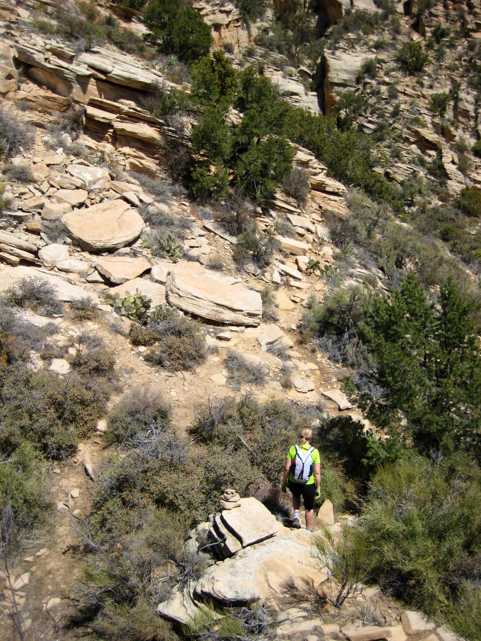
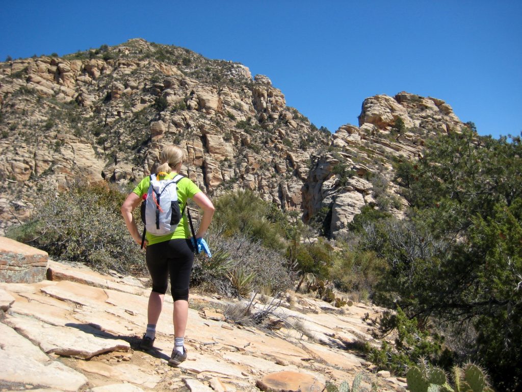
At the ridge saddle, we found ourselves staring directly up the southwest rib of the main peak. Once again, however, there was no clear route ahead, and the terrain looked much more difficult than what we’d already done.

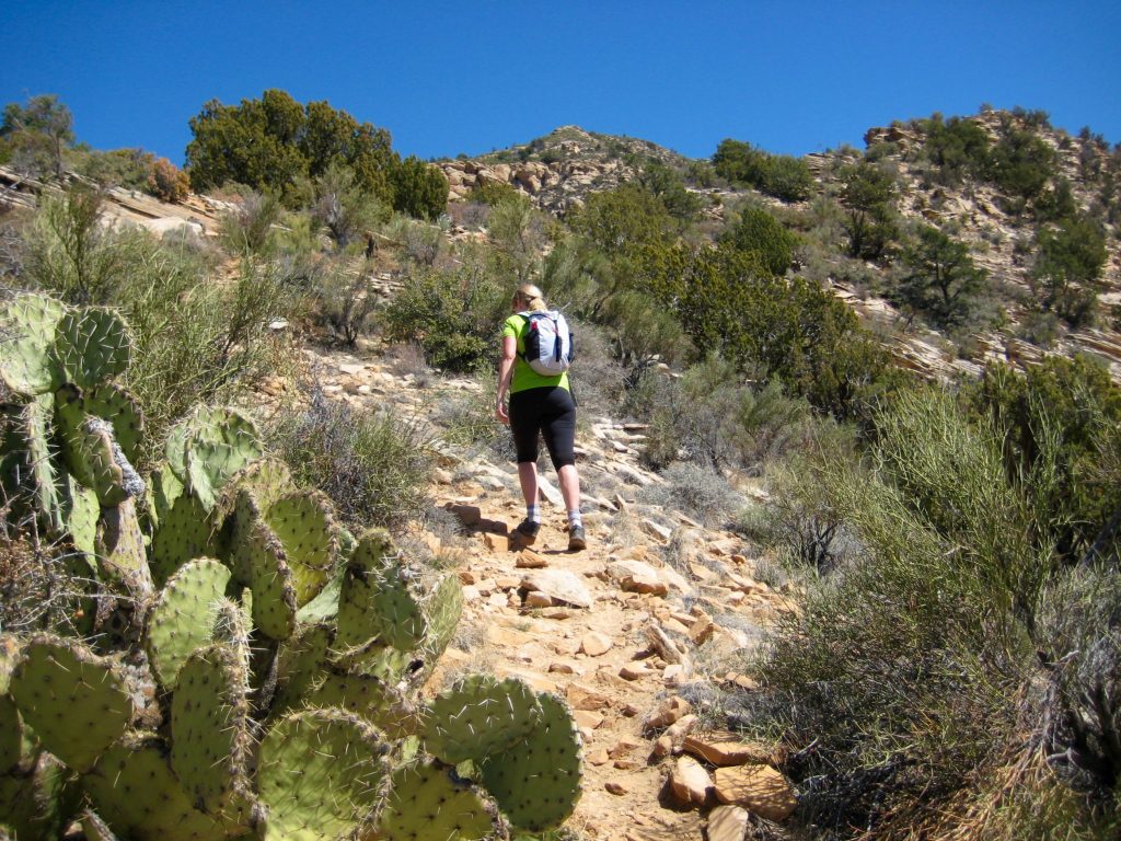
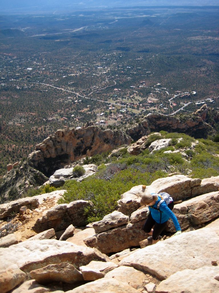
Following footprints and scattered ducks, we slowly began picking our way up the southwest rib. Segments of bootpath were interspersed with rock outcrops that required frequent Class 2-3 scrambling, albeit with only minor exposure.

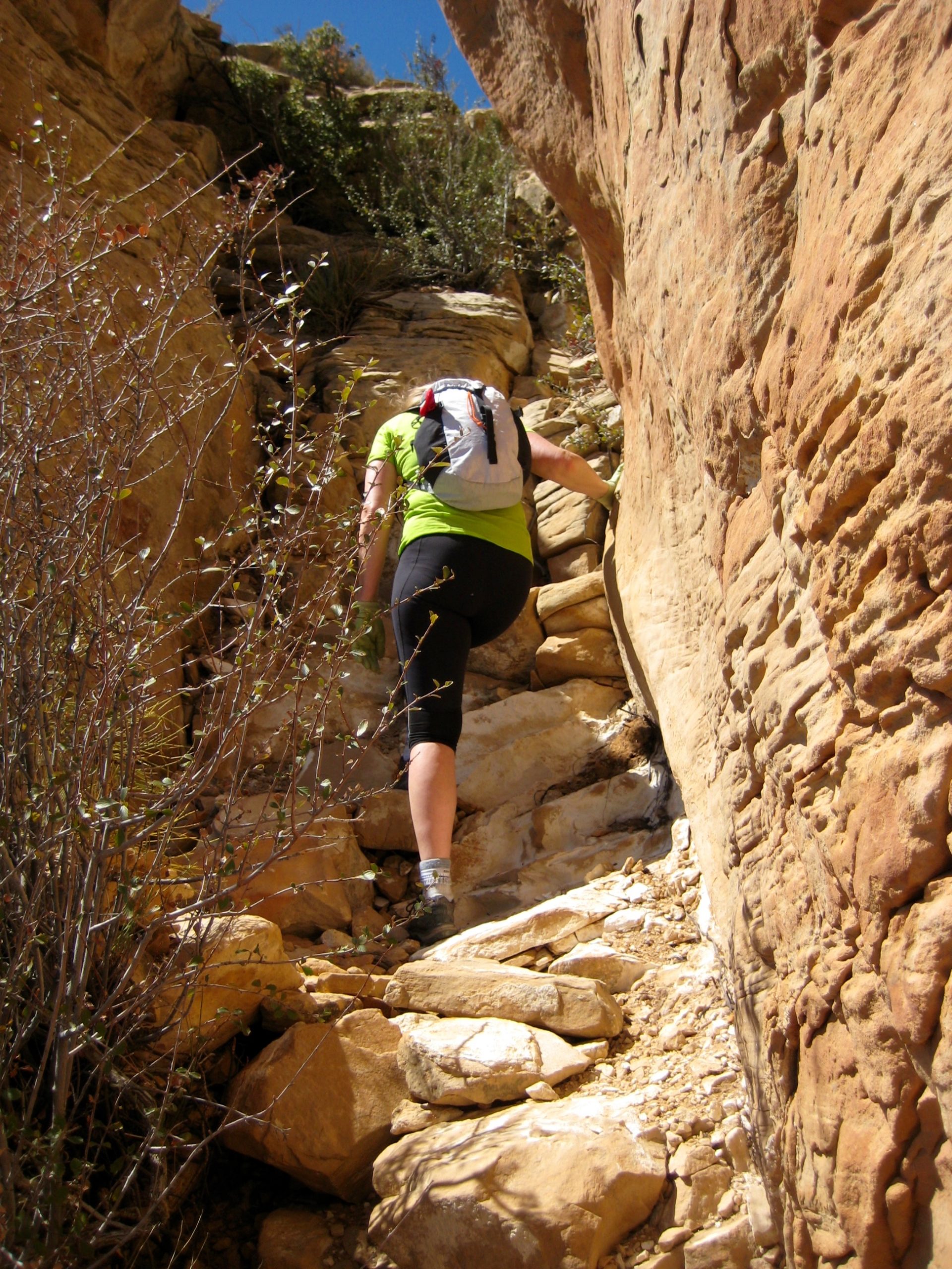
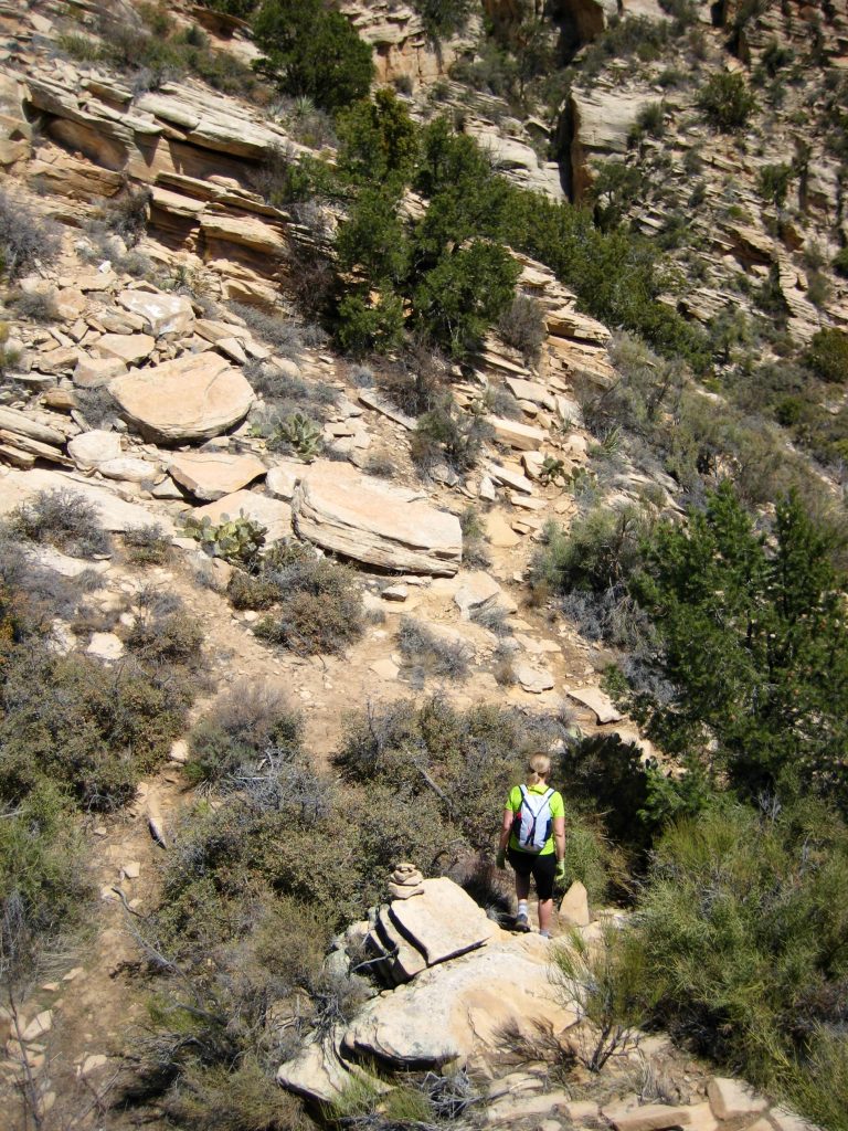
Near the midpoint of the southwest rib, our route swung out to the right, ascended a shallow gully, and then veered back to the left. We were now standing at the base of the highest and most prominent horizontal cliff band. This initially appeared to be a serious roadblock, but a bit of inspection revealed a hidden slot that provides an easy scramble up through the cliff.

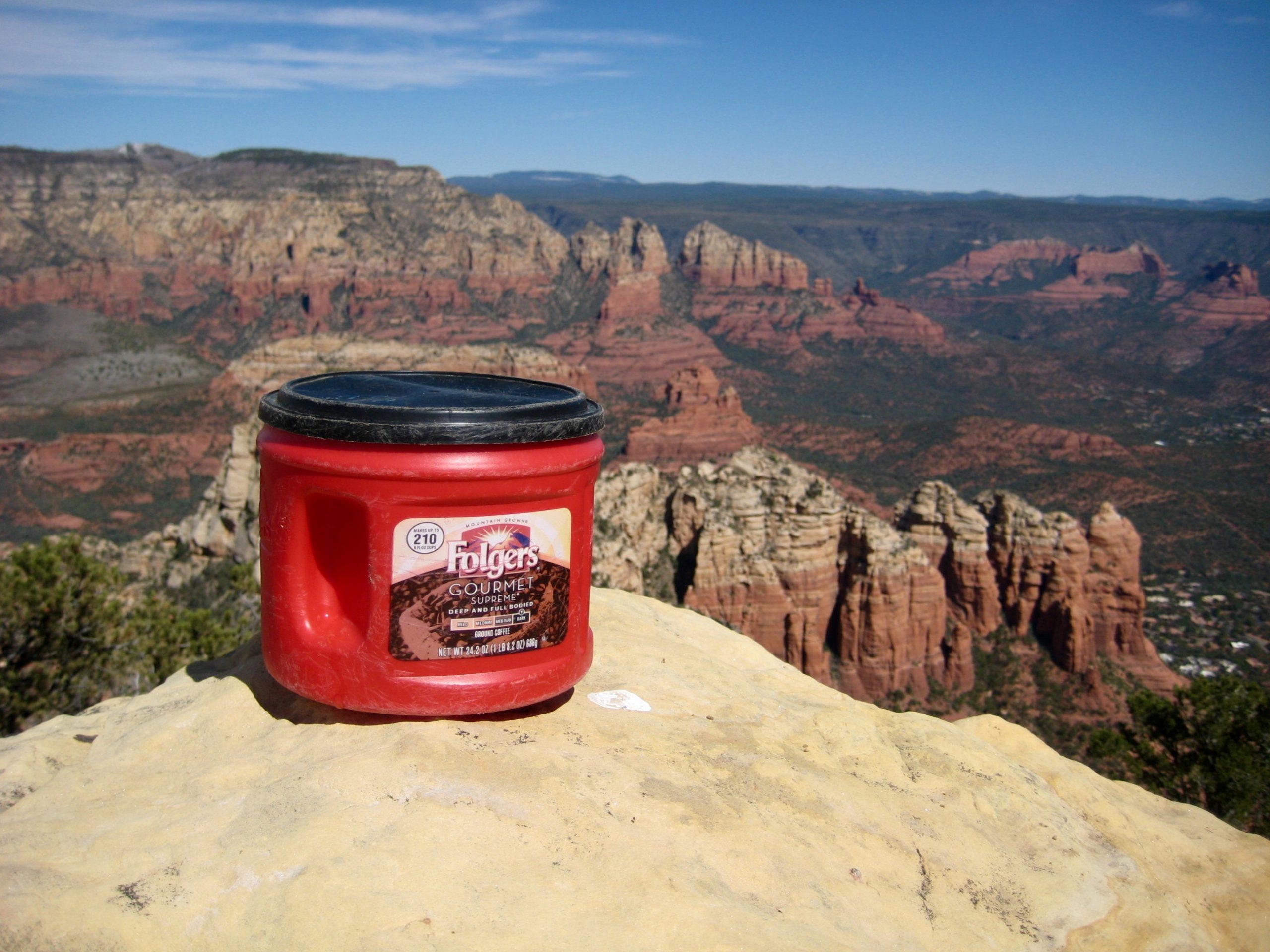
Above the highest cliff band, the slope angle eased off considerably, and the summit rocks came into view. We topped out in early afternoon (2.7 hours + 1800 feet from TH) and spent a full hour relaxing in the warm sun. The summit register, which consisted of numerous notebooks and papers stuffed in a coffee canister, attested to this peak’s popularity.

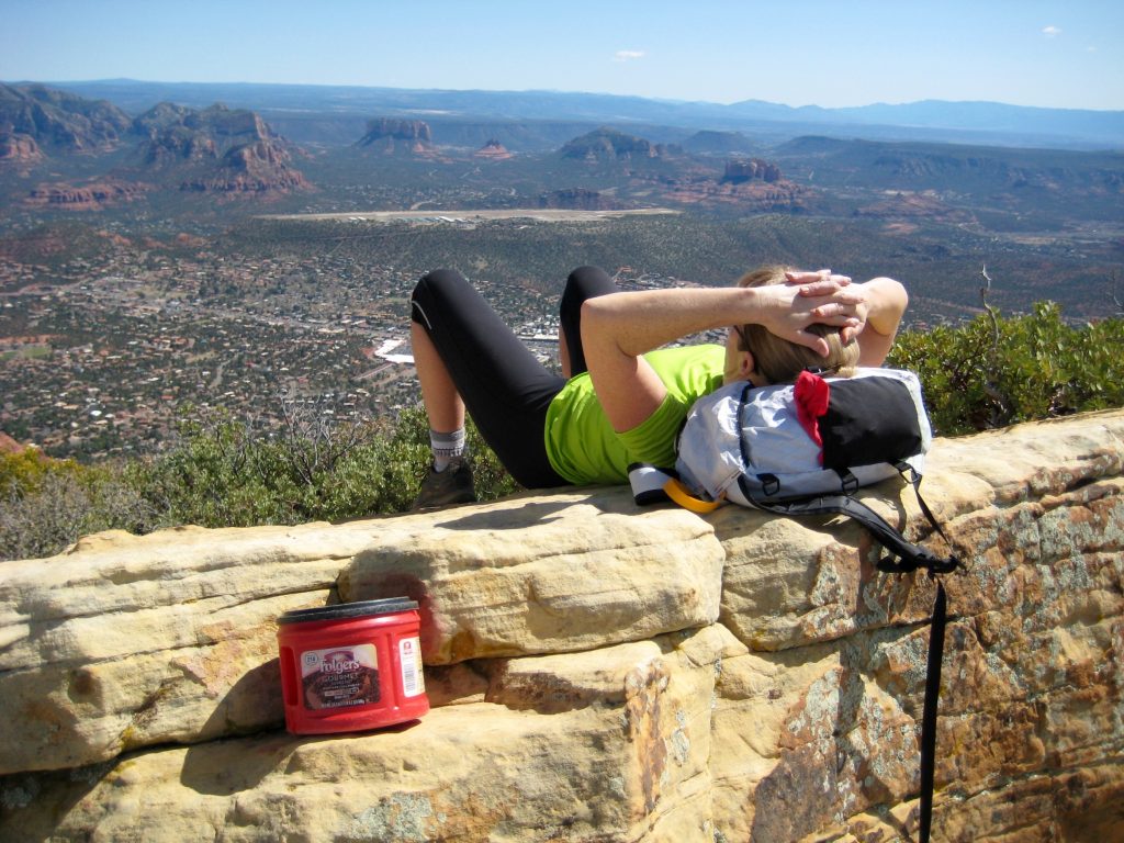
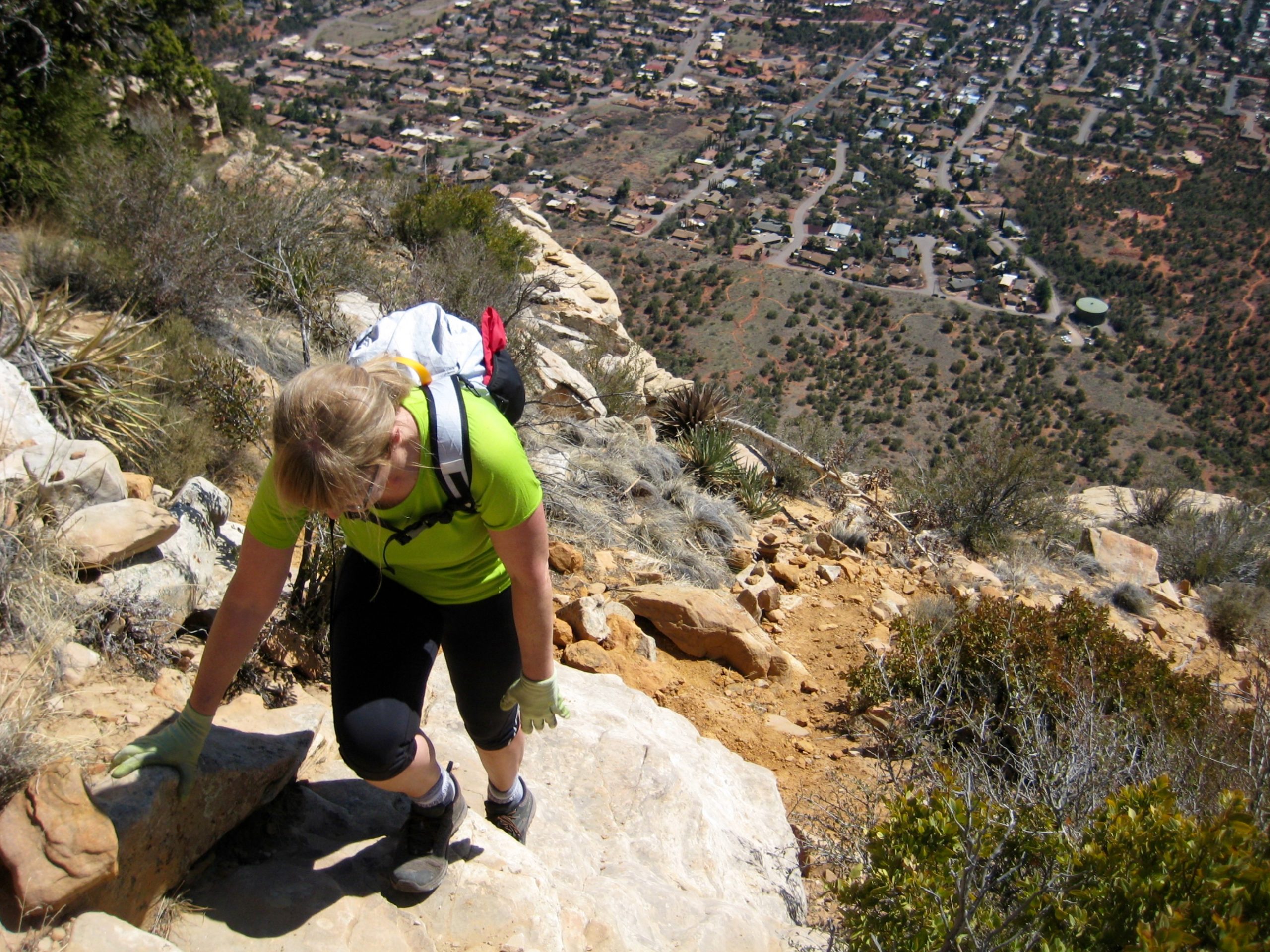
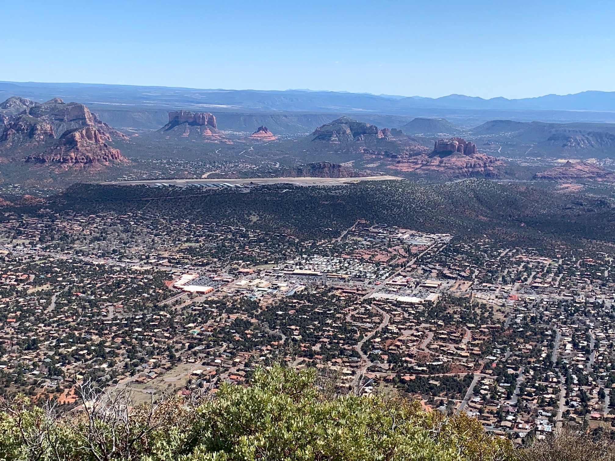
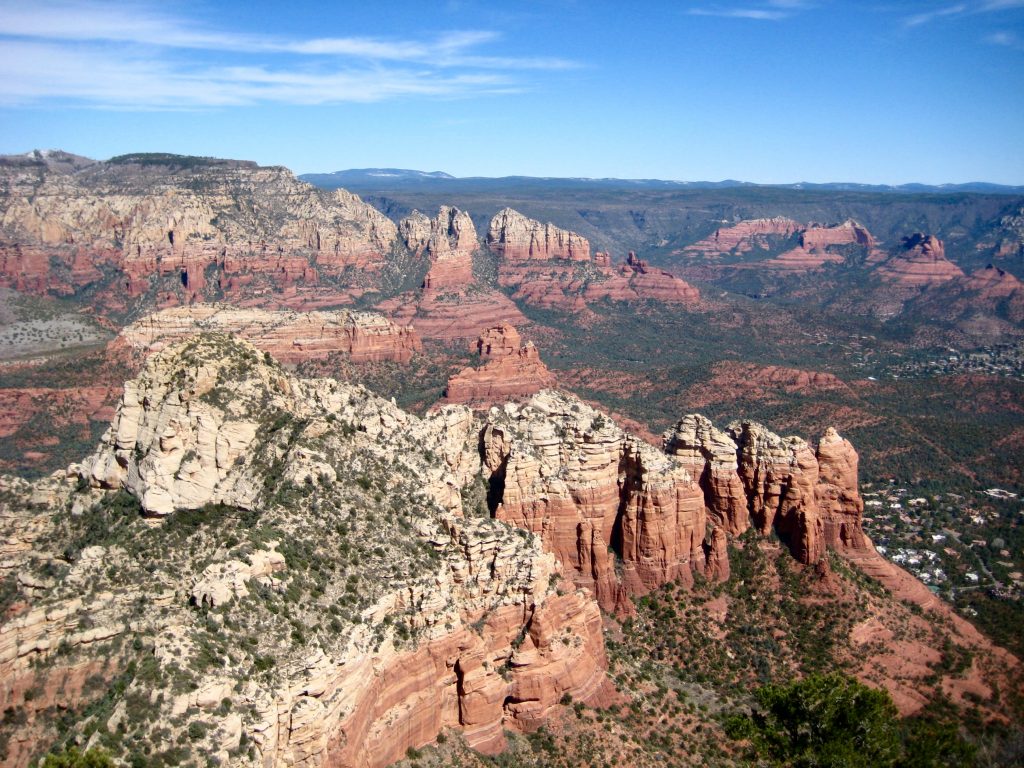
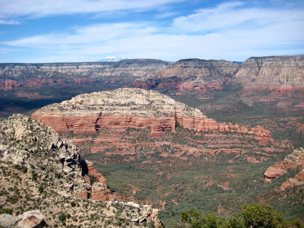
Capitol Butte offers an excellent view of the entire Sedona area, stretching from Wilson Mountain to Courthouse Butte to Bell Rock to Cathedral Rock. The airport mesa lay in the foreground, and the snow-capped San Francisco Peaks—located near Flagstaff—were visible far to the north.

We descended by carefully retracing our up-route and were back at the trailhead in late afternoon (2.2 hours + 100 feet from summit). This interesting hike-and-scramble proved to be a perfect ending to our Sedona visit.
…
Route Map & Profile
…
…
Photo Gallery
Click to enlarge…