Trip Date: April 23, 2021
2021 NEW MEXICO ADVENTURE VACATION
Stewart Lake & Winsor Ridge Loop Day Hike
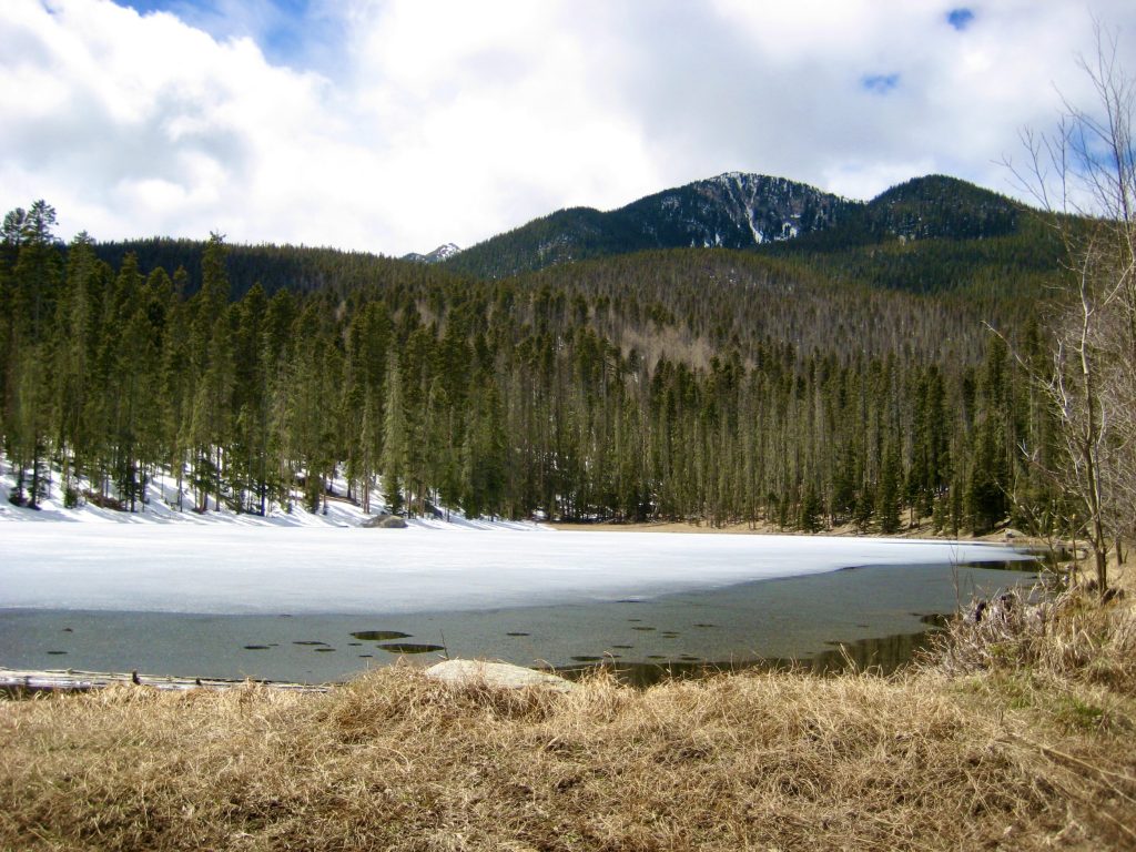
Stewart Lake
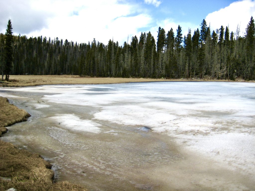
Little Stewart Lake
Winsor Ridge
Trip Report Summary
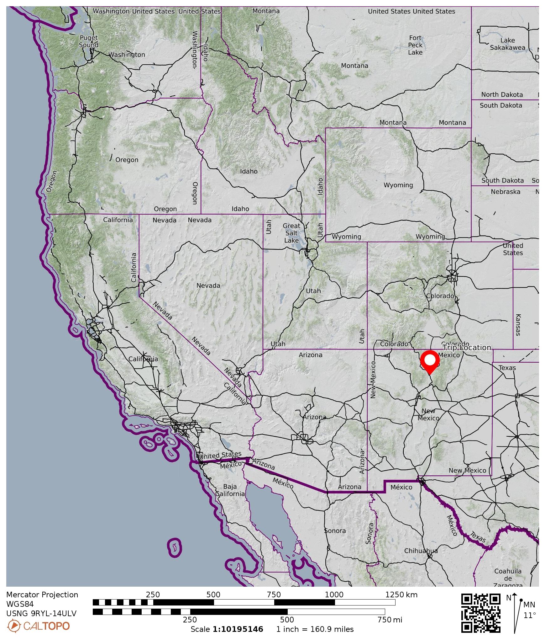
Region: New Mexico
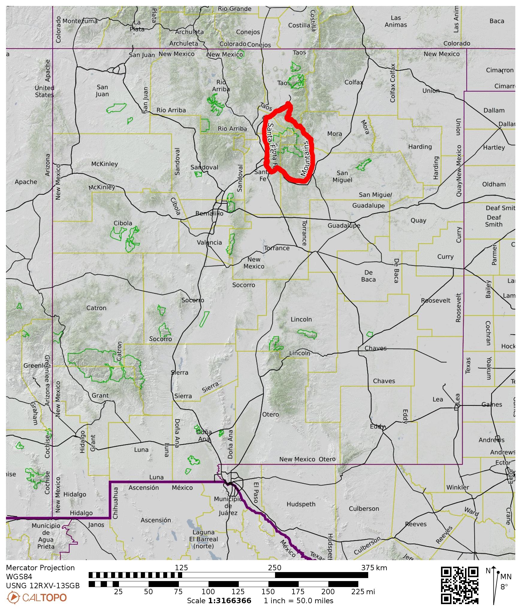
Sub-Region: Rocky Mountains
Sub-Sub-Region: Sangre de Cristo Mountains
Sub-Sub-Sub-Region: Santa Fe Mountains
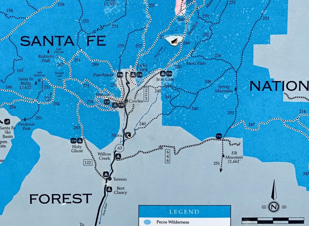
Areas: Santa Fe National Forest & Pecos Wilderness
Starting & Ending Point: Winsor Creek Trailhead on Winsor Creek Road #121 (Elev. 8450 feet)
Loop Waypoints: Winsor Creek & Winsor Junction & Winsor Ridge & Winsor Creek (trail hike & off-trail hike & snow hike)
Sidetrip Waypoints: Winsor–Skyline Junction & Stewart Lake & Little Stewart Lake (trail hike & snow hike)
High Point: Stewart Lake (Elev. 10,250 feet)
Approximate Stats: 11 miles traveled; 2100 feet gained & lost; 3.1 hours up; 3.6 hours down.
…
Full Trip Report
Given a forecast of unsettled weather during one of our days in Santa Fe, Eileen and I chose to do a sheltered valley hike rather than trying for an exposed summit. Stewart Lake, on the eastern side of the Santa Fe Mountains, proved to be a suitable destination, but we still experienced some wild and wooly conditions.
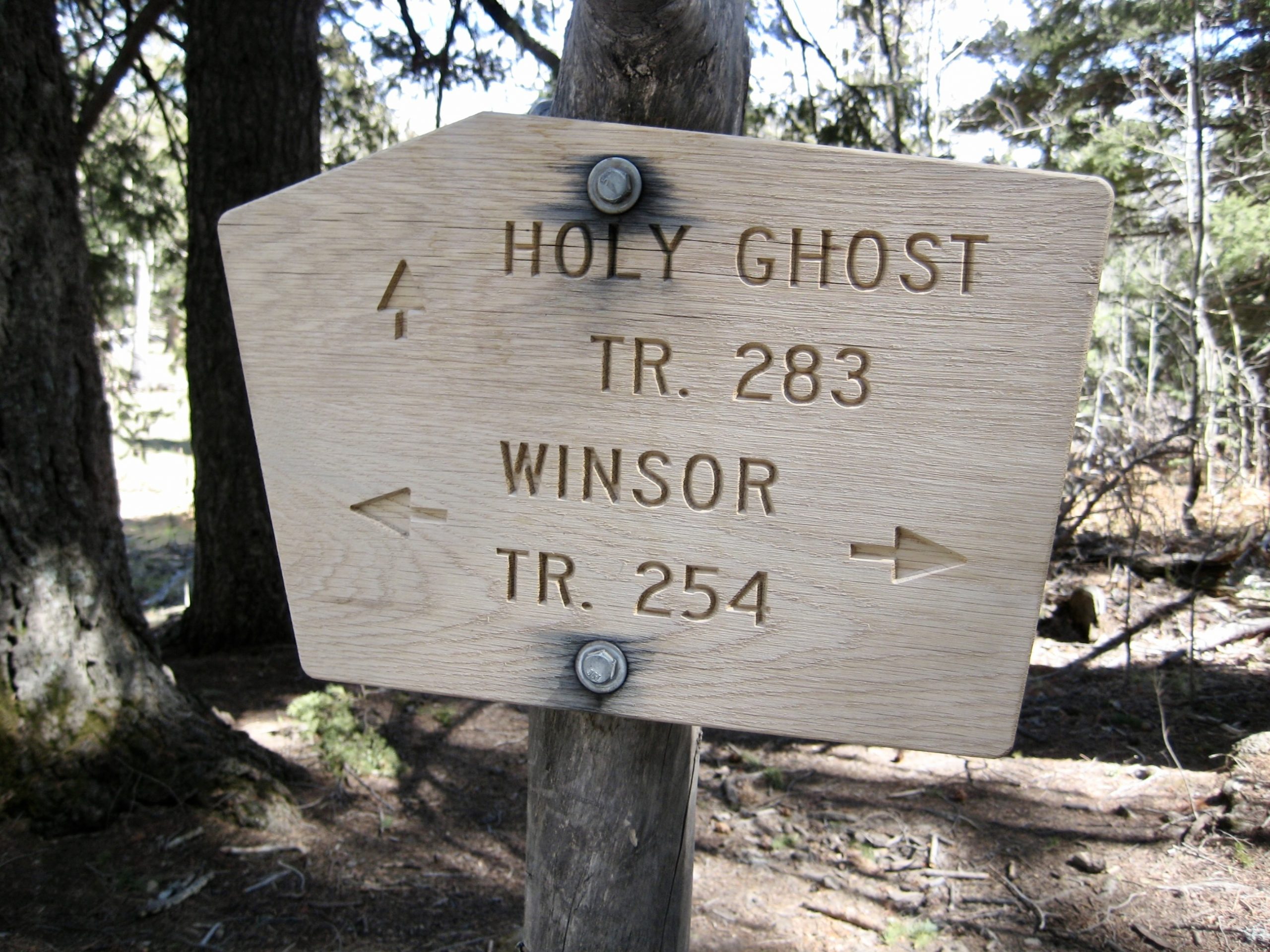
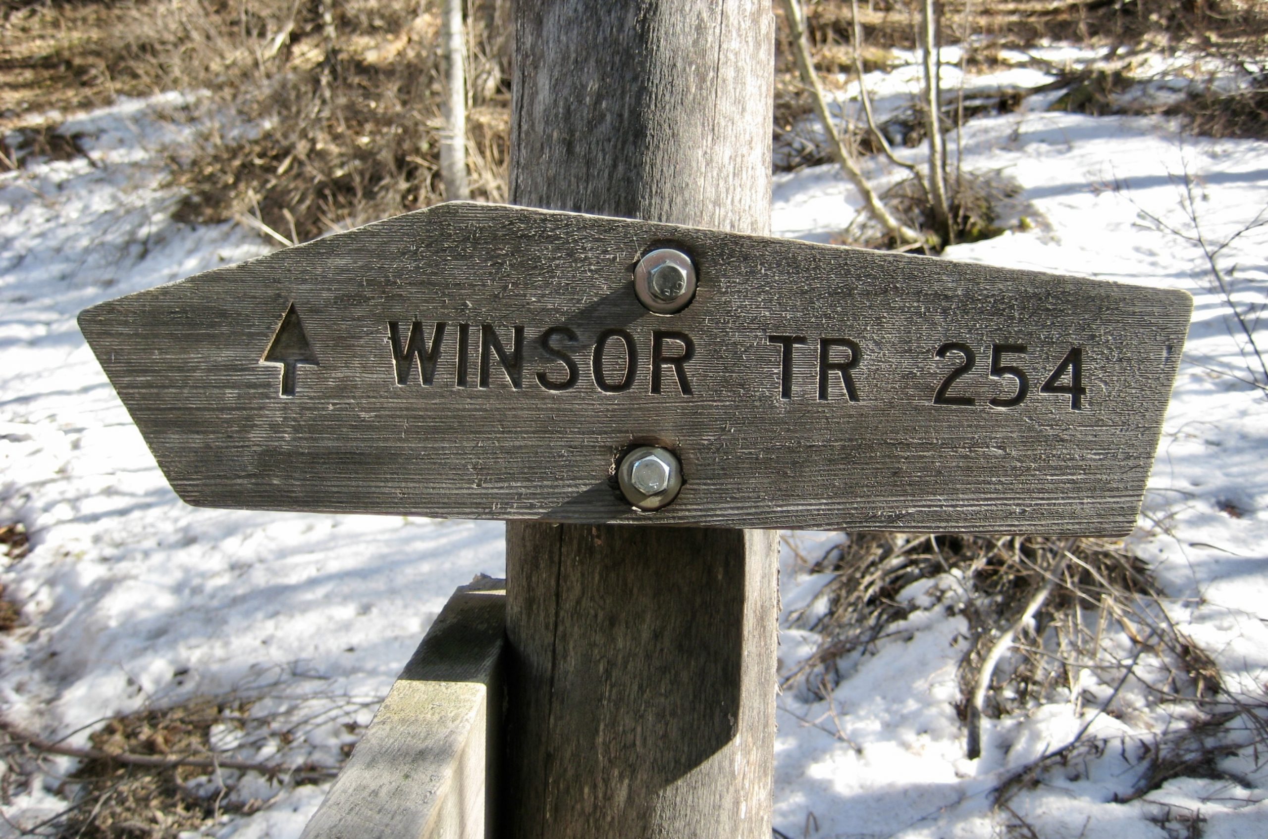
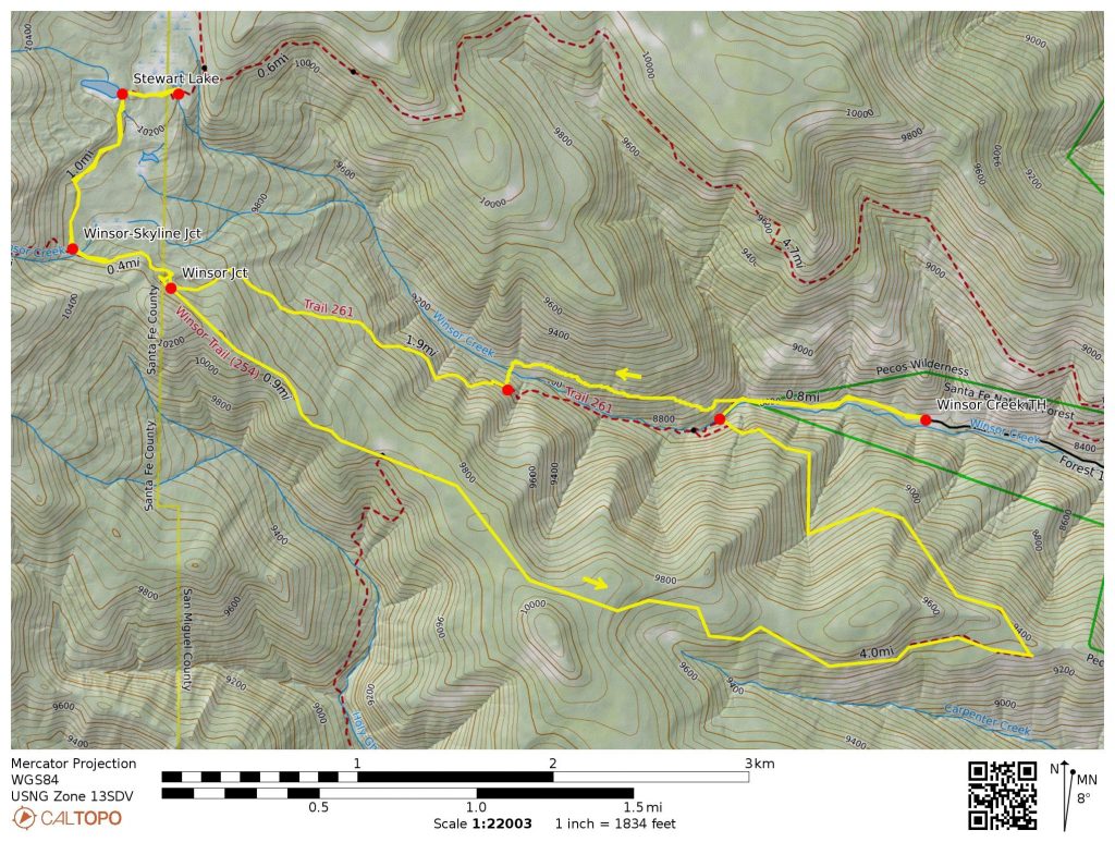
We parked at the Winsor Creek Trailhead, 1 mile above the hamlet of Cowles in the Pecos River Valley. A family named Winsor homesteaded here in the late 1800s and early 1900s, during which time they built a horseback trail over the mountains to serve as a trading route between Cowles and Santa Fe. Today, the 23-mile-long Winsor Trail #254 is designated a National Recreation Trail through the Pecos Wilderness.
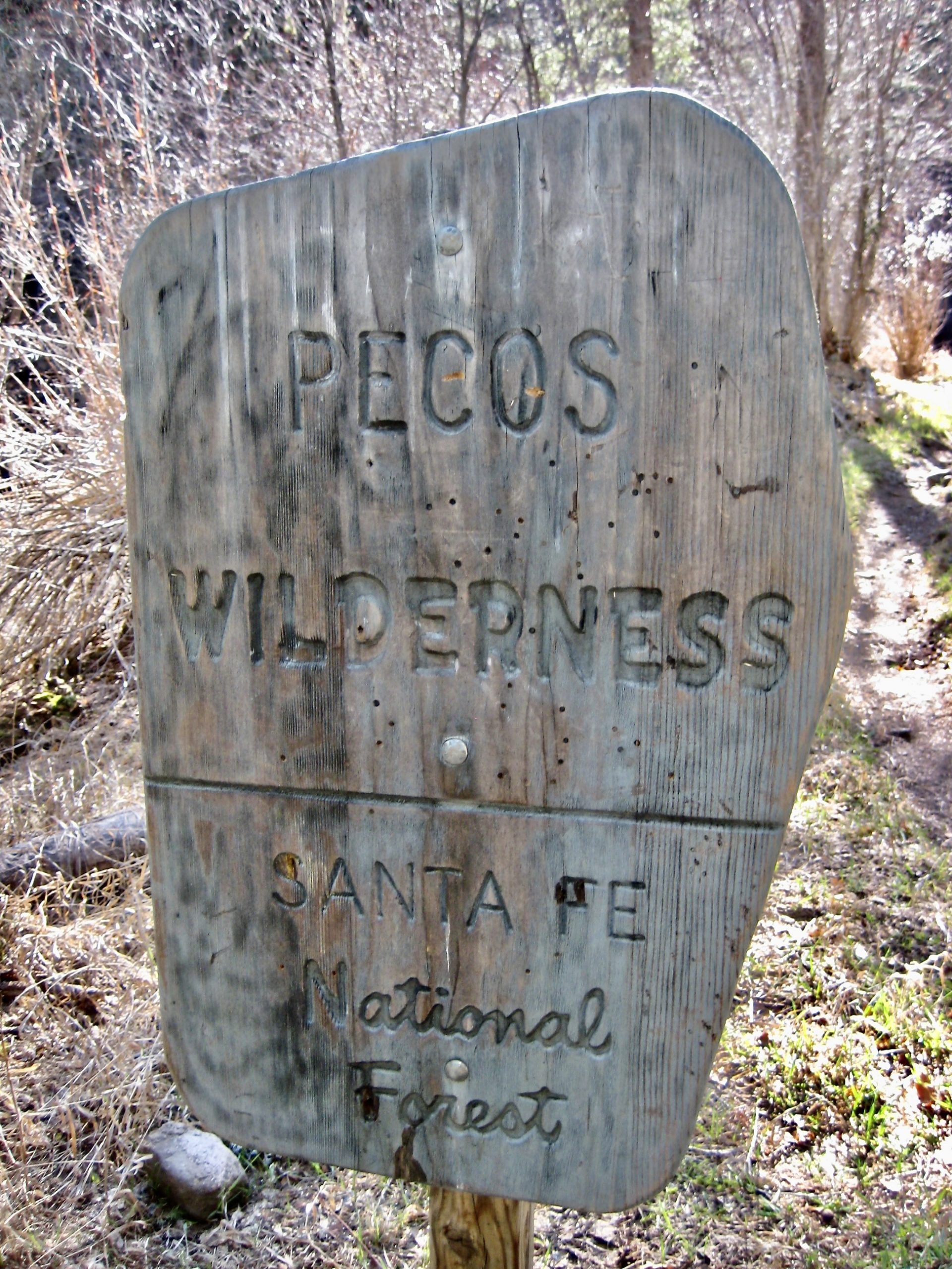
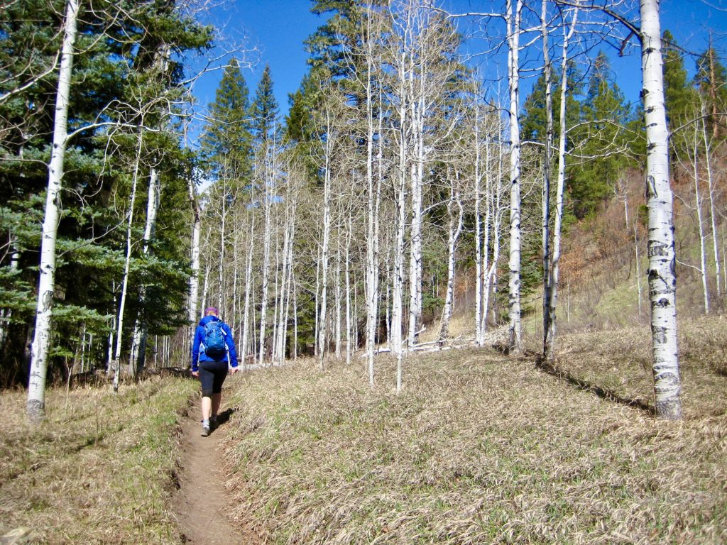
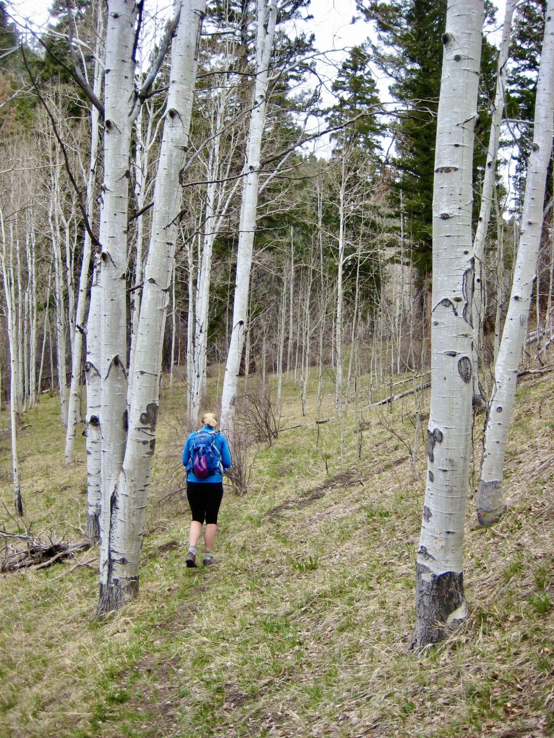
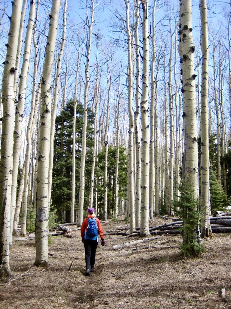
We hiked up the historic Winsor Trail for ½ mile, passing through grassy aspen forest and entering the Pecos Wilderness moments before coming to a log-crossing of Winsor Creek. Despite today’s poor weather forecast, the morning was sunny and mild.
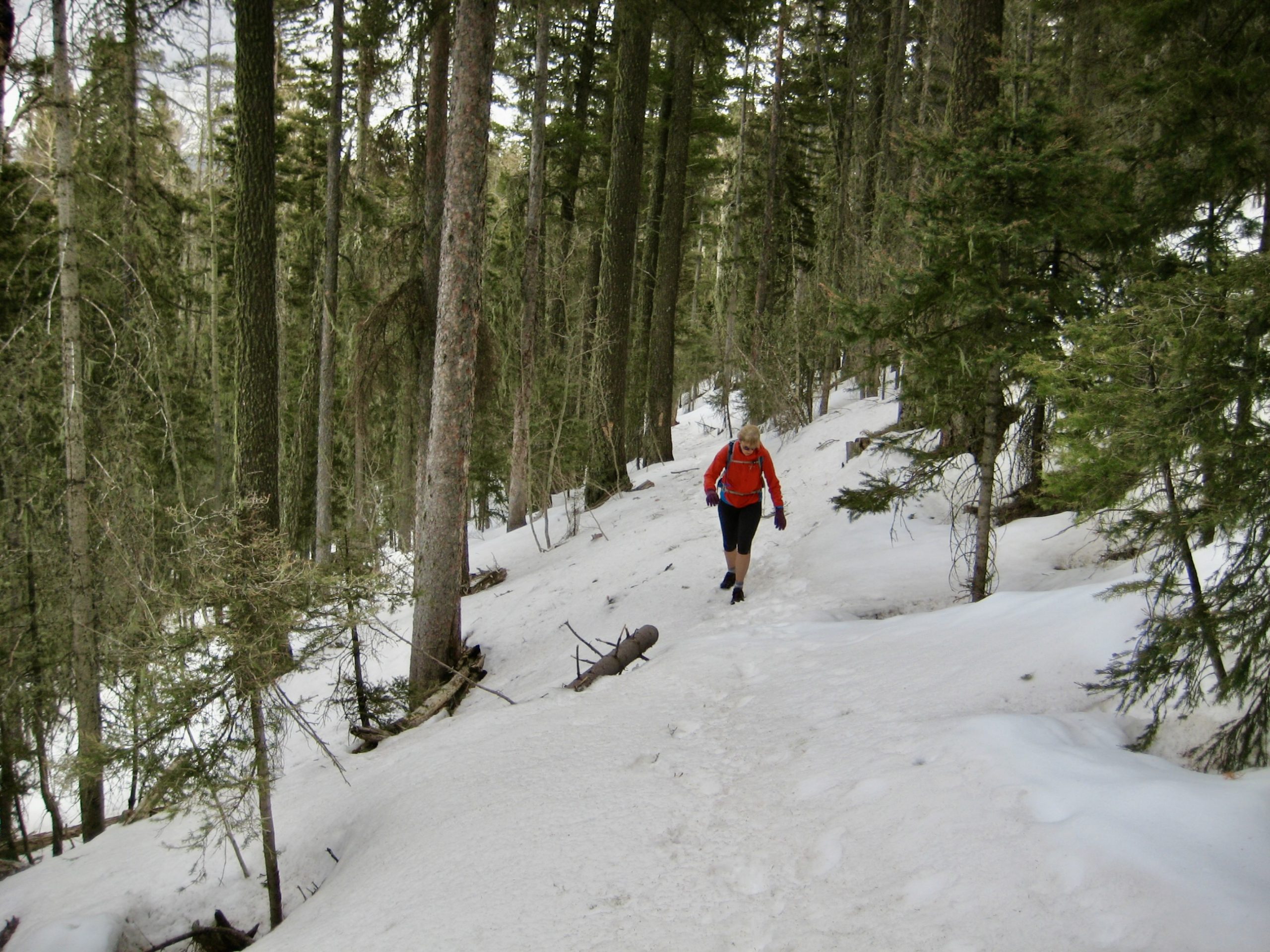
Rather than crossing Winsor Creek and continuing on the main trail, we took the advice of an All Trails reporter who emphatically recommended staying on the northern side of the valley. A crude fisherman’s path led us on an up-and-down side-slope traverse, always staying close to the creek.
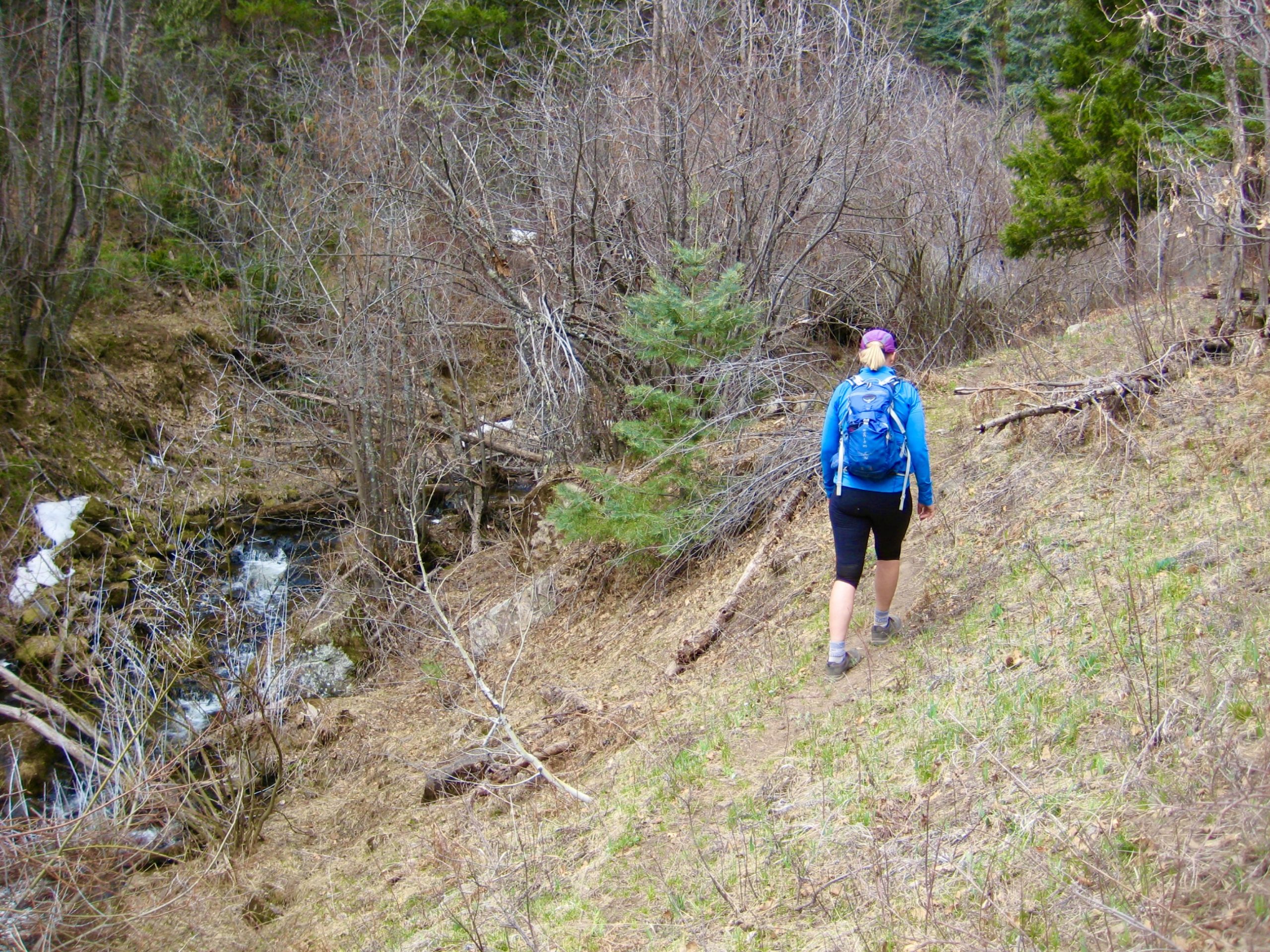
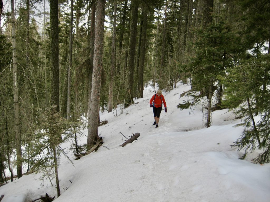
After ½ mile of slow travel, our growing concern over the path’s destination prompted us to bail out and jump over to an abandoned segment of the Winsor Trail, shown as Trail #261 on several maps. This involved crossing Winsor Creek on a log and then thrashing several hundred feet uphill through jack-straw forest. Once on Trail #261, we proceeded westward and encountered progressively more snowcover.
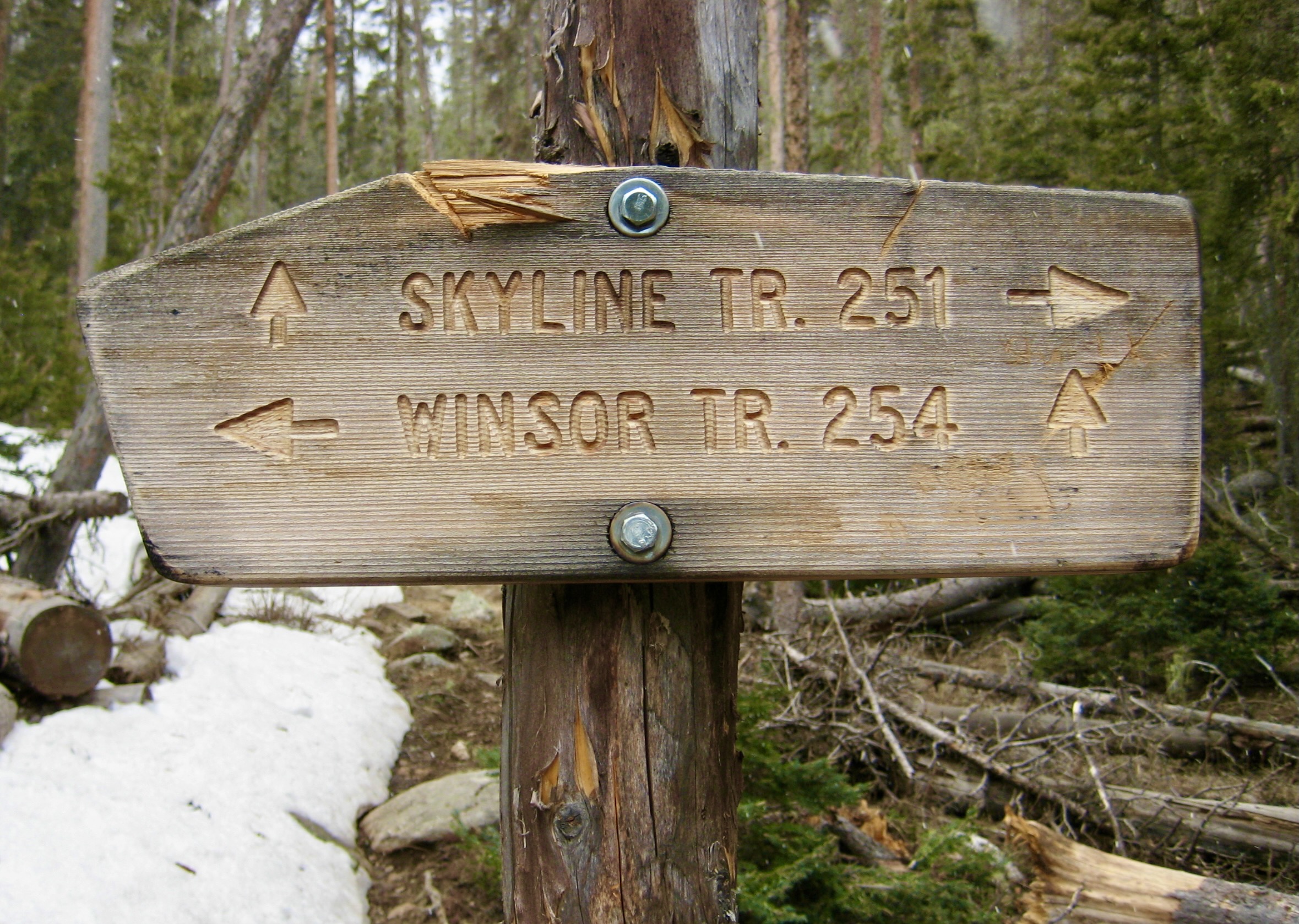
In 1 mile, we reached Winsor Junction, where our abandoned trail met the formal Winsor Trail #254. A bit farther up, we came to another junction marking a convergence of the Winsor Trail and Skyline Trail. Turning right (north) here, we followed the Skyline Trail toward Stewart Lake.
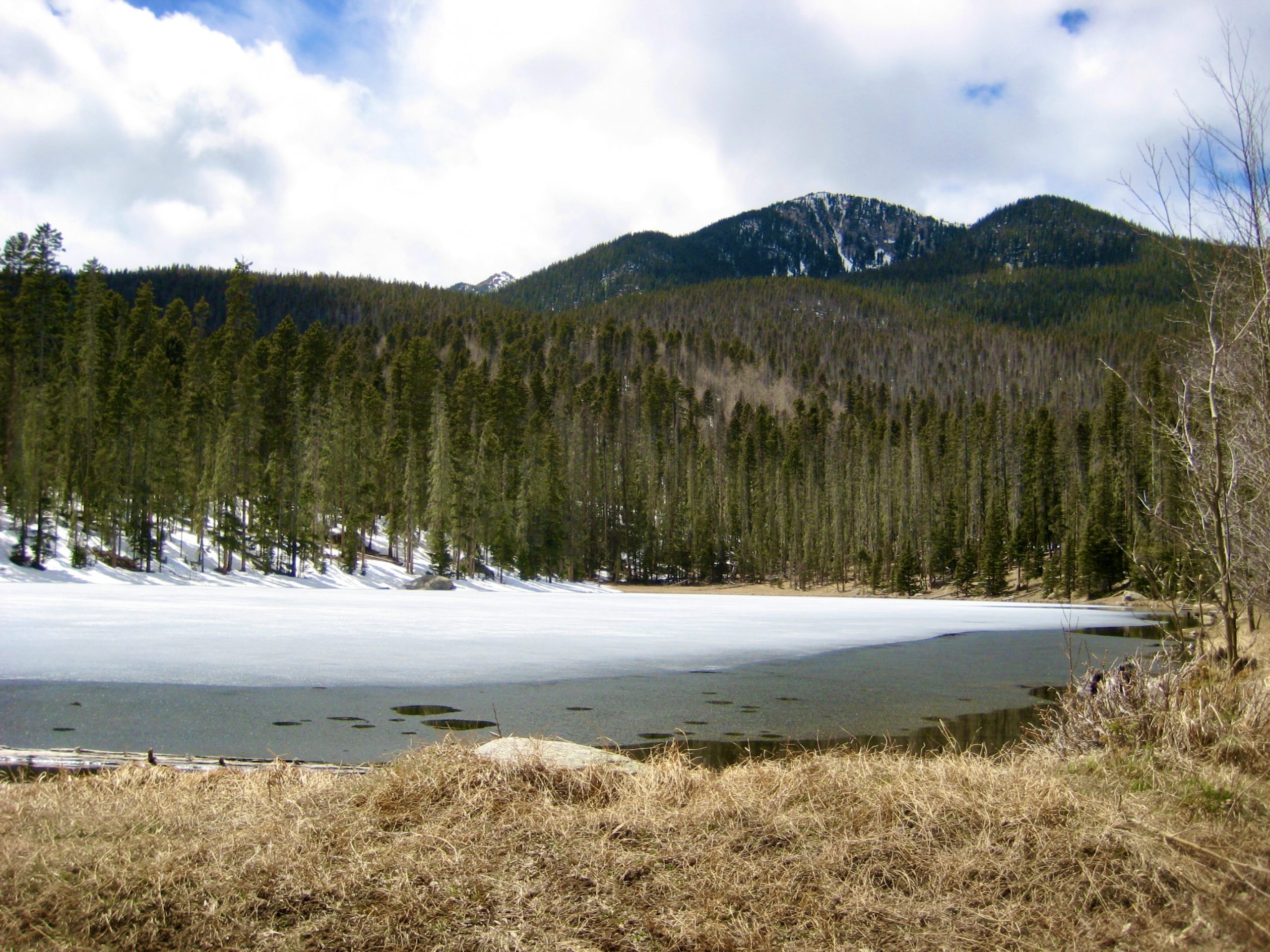
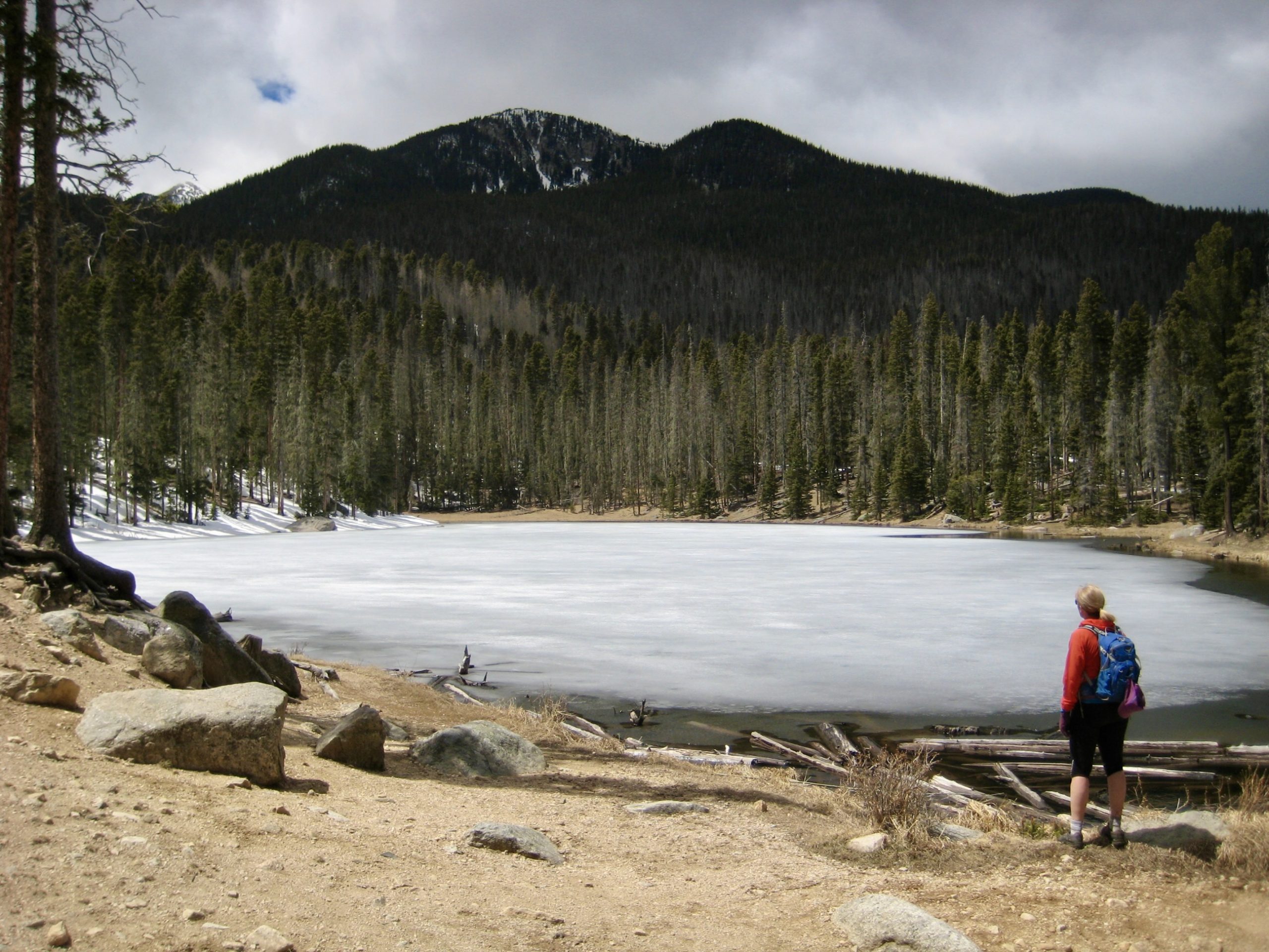
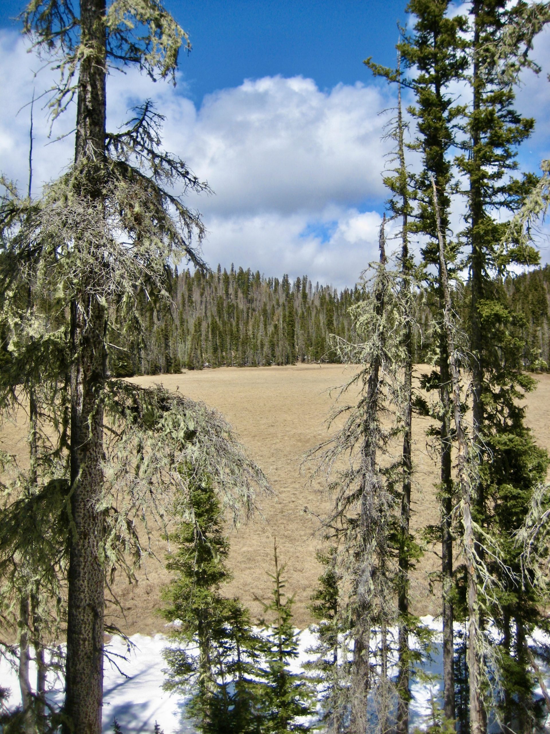
Snowcover was much decreased on sun-exposed slopes, so we quickly completed the ½ mile jaunt to Stewart Lake and nearby Little Stewart Lake (3.2 hours + 1900 feet from TH). Sitting at an elevation slightly above 10,000 feet, both lakes were still mostly iced over. No doubt these two lakes, which are separated by a huge meadow, become quite appealing in the summer.
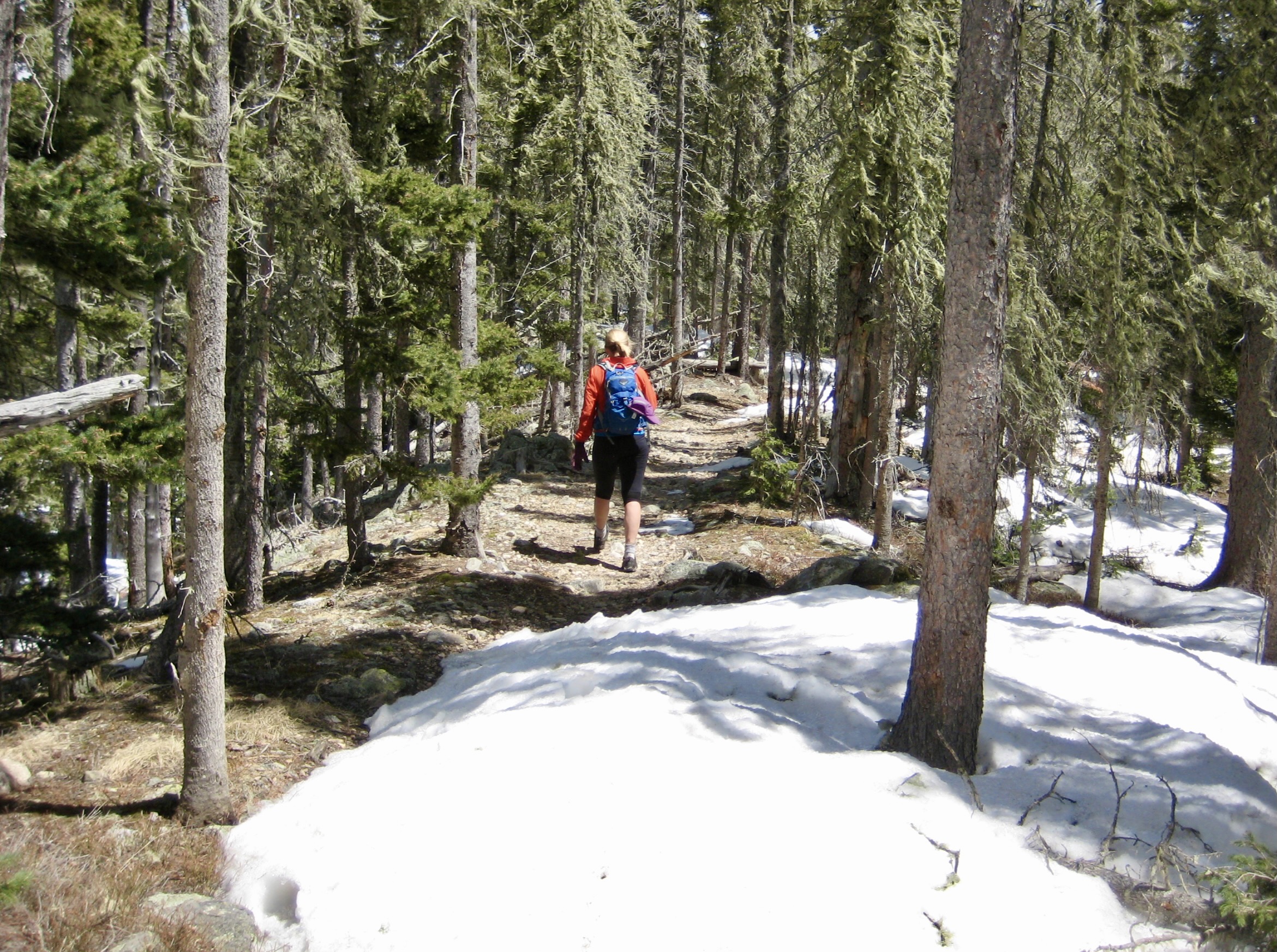
Due to a frigid wind blowing across the lakes, we lost no time in hustling back to Winsor Junction. From there, rather than retracing our up-route via the abandoned trail, we elected to make a loop hike by following the longer but well-maintained Winsor Trail #254 back to our starting point. Much of the latter trail passes through pleasant aspen forest on the crest of Winsor Ridge.
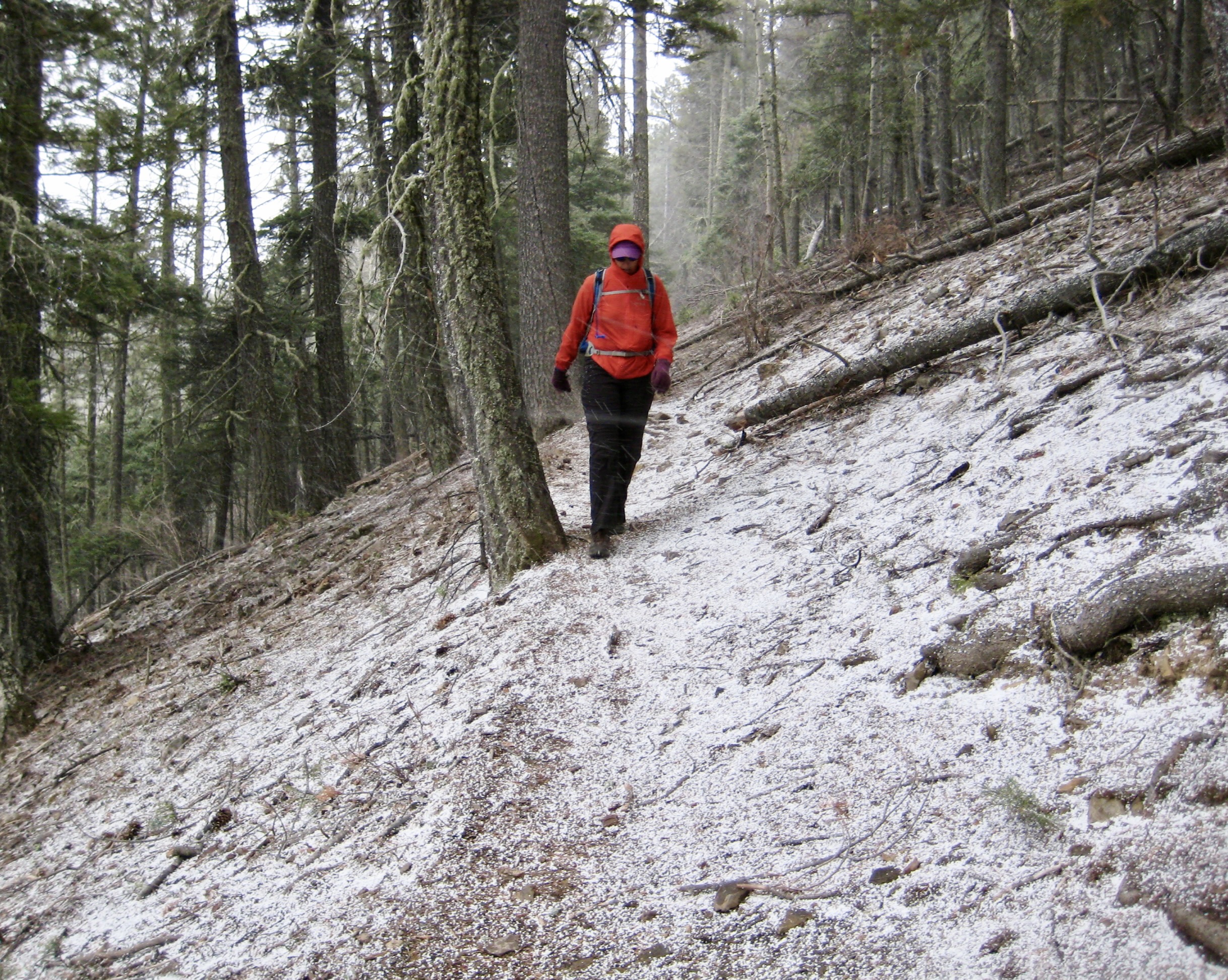
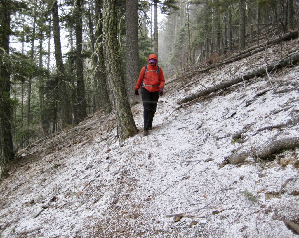
Our descent had started out in sunny conditions, but the sky gradually darkened throughout the afternoon. Upon crossing over the ridge crest at a major switchback, we were blasted by an icy wind and pelted with graupel. Within a few minutes, the bare trail was dusted with fresh snow! Fortunately, the graupel squall ended as quickly as it started.
We dropped down to Winsor Creek, crossed over, and finished our loop in the late afternoon (3.6 hours + 200 feet from lakes)
Route Maps
…
…
Photo Gallery
Click to enlarge…