Trip Date: April 22, 2021
2021 NEW MEXICO ADVENTURE VACATION
Atalaya Mountain Summit Loop: North Ridge to South Ridge
Picacho Peak (8577 ft)
Atalaya Mountain (9121 ft)
Trip Report Summary
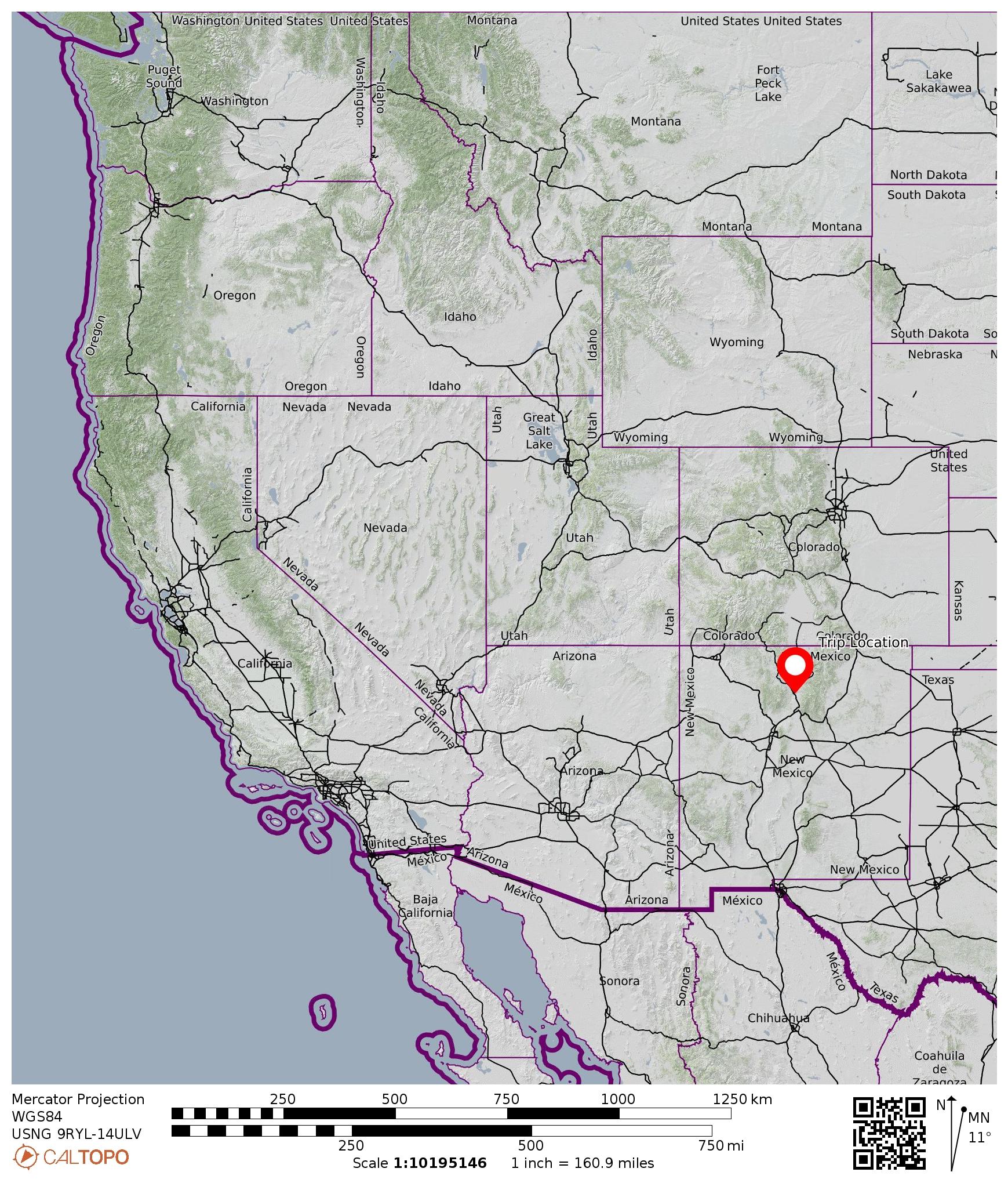
Region: New Mexico
Sub-Region: Rocky Mountains
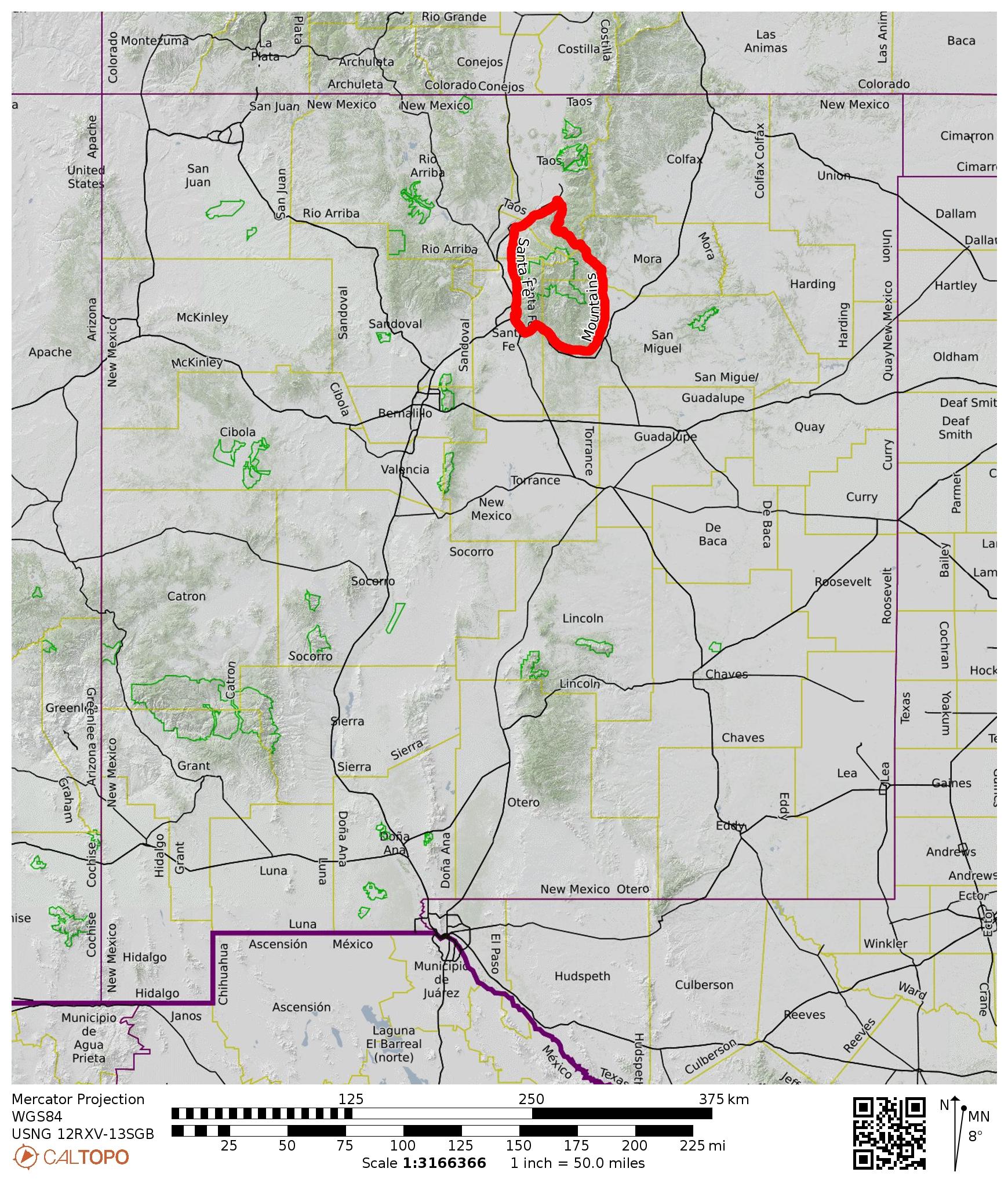
Sub-Sub-Region: Sangre de Cristo Mountains
Sub-Sub-Sub-Region: Santa Fe Mountains
Areas: Talaya Hill Open Space & Santa Fe National Forest
Starting & Ending Point: Cerro Gordo Trailhead at Upper Canyon Road / Cerro Gordo Road intersection (Elev. 7350 feet)
Loop Waypoints: Two-Mile Bypass Channel crossing & Upper Canyon Road crossing & Junction 31 & Picacho Saddle & Atalaya Mountain summit & Arroyo Mora & Junction 31 (hike via Dale Ball Trail—Atalaya Mountain Trail—Dale Ball Trail)
Summit: Picacho Peak (trail hike via South Ridge)
Summit: Atalaya Mountain (trail ascent via North Ridge; trail descent via South Ridge)
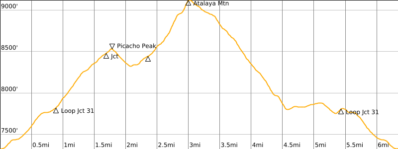
Approximate Stats: 6.3 miles traveled; 2250 feet gained & lost; 4.8 hours elapsed.
…
Full Trip Report
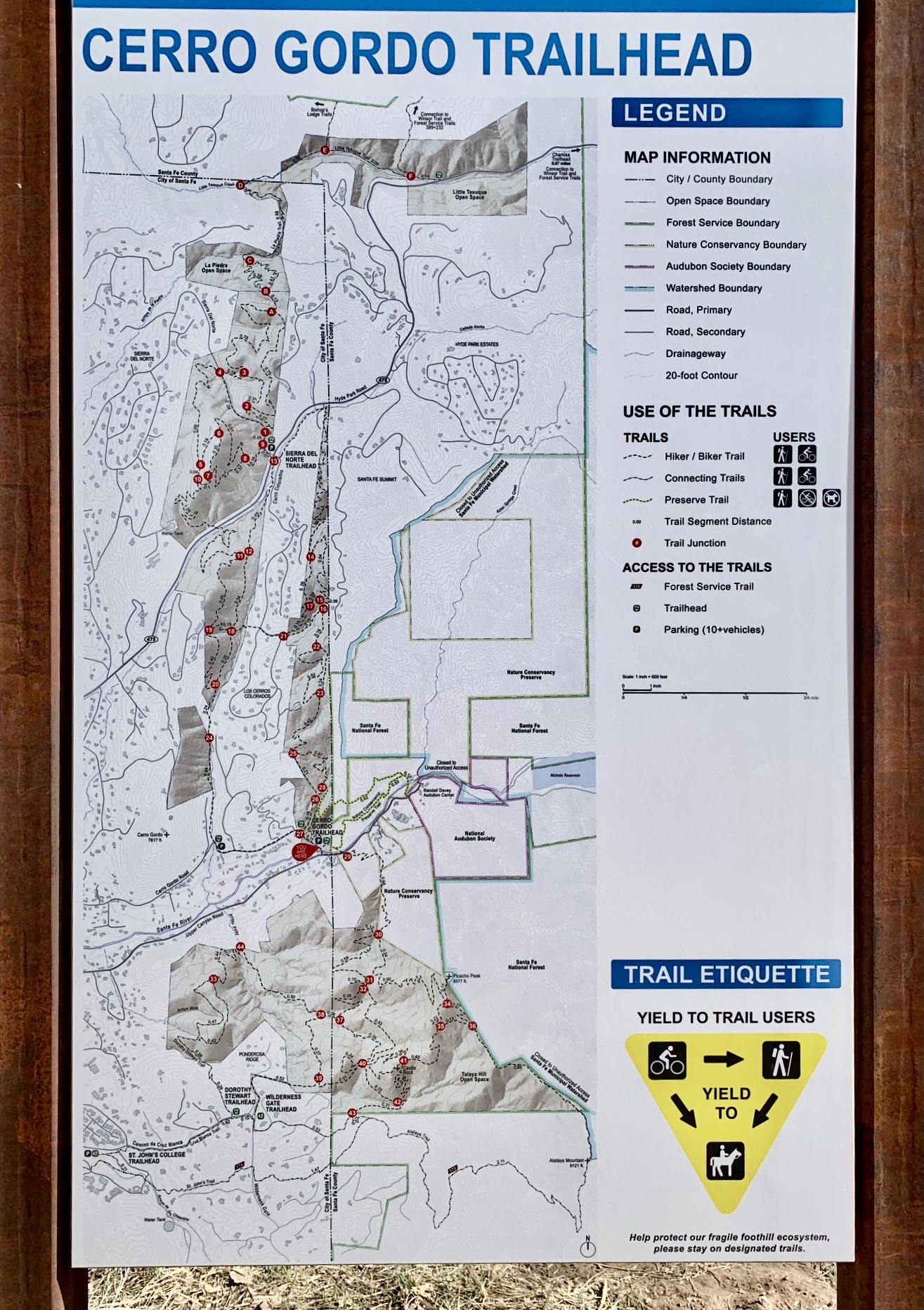
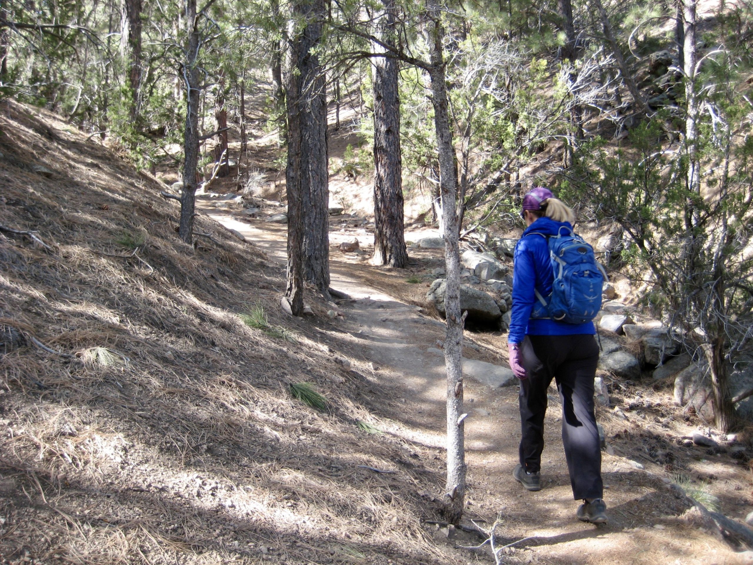
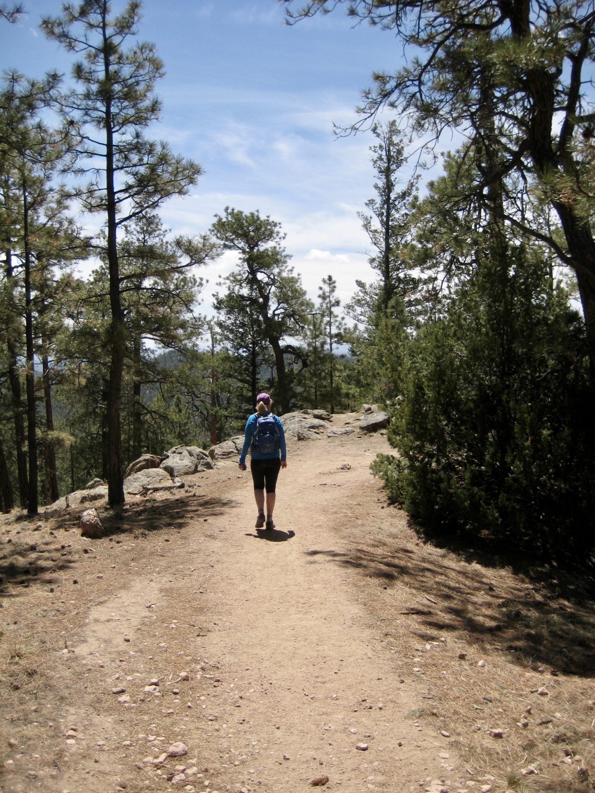
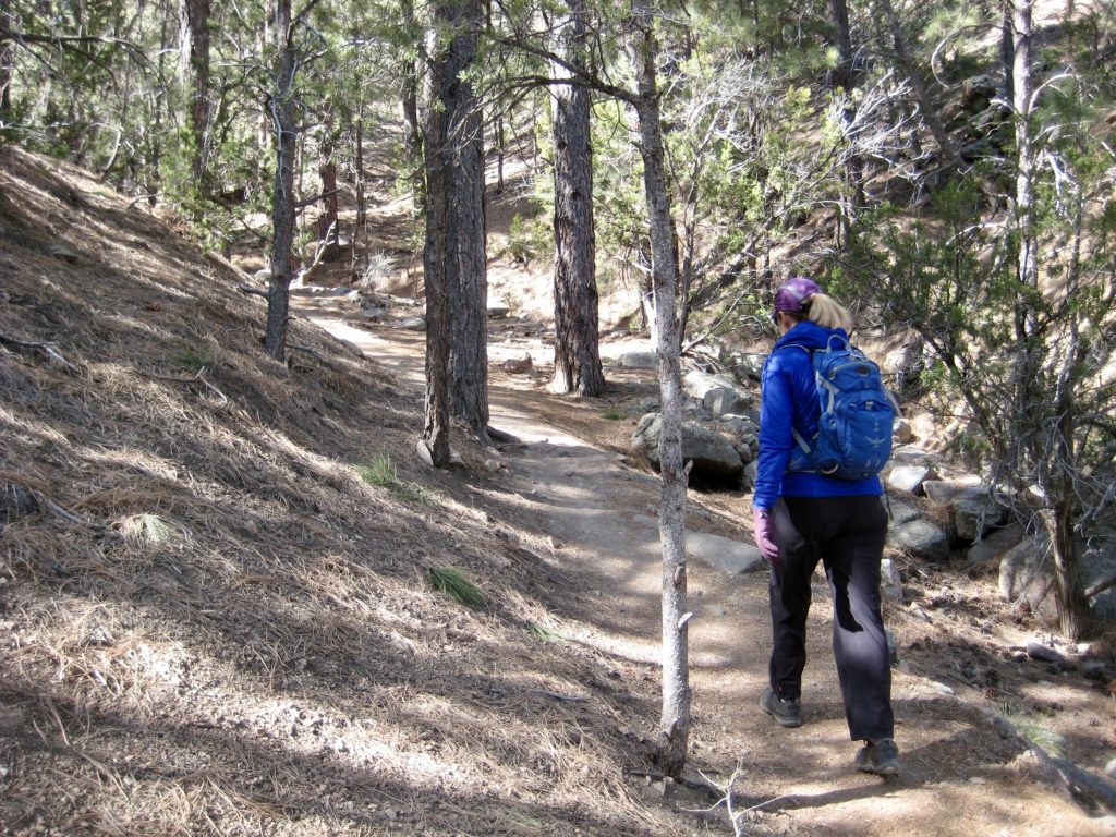
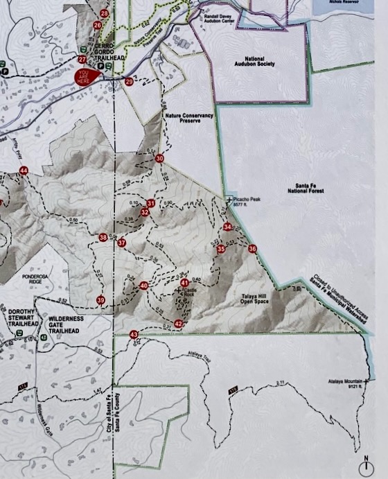
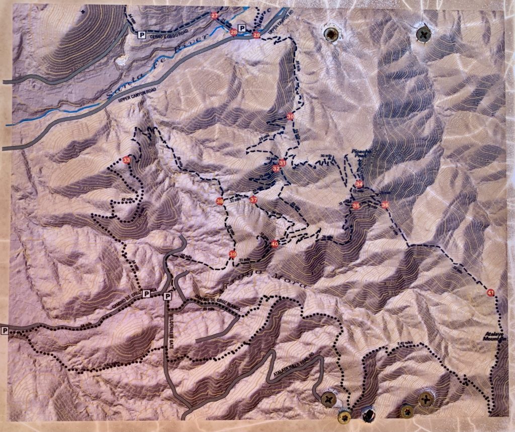
While staying in Santa Fe, Eileen and I spent an afternoon sampling the local trail network at the eastern edge of town, where a combination of land preserves and designated open spaces adjoin the Santa Fe National Forest. We started at the Cerro Gordo Trailhead—one of several trailheads that provide access to the Dale Ball Trail System, an extensive spiderweb of single-track hiking, mountain biking, and horse riding trails.
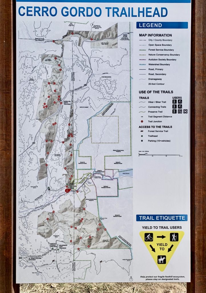
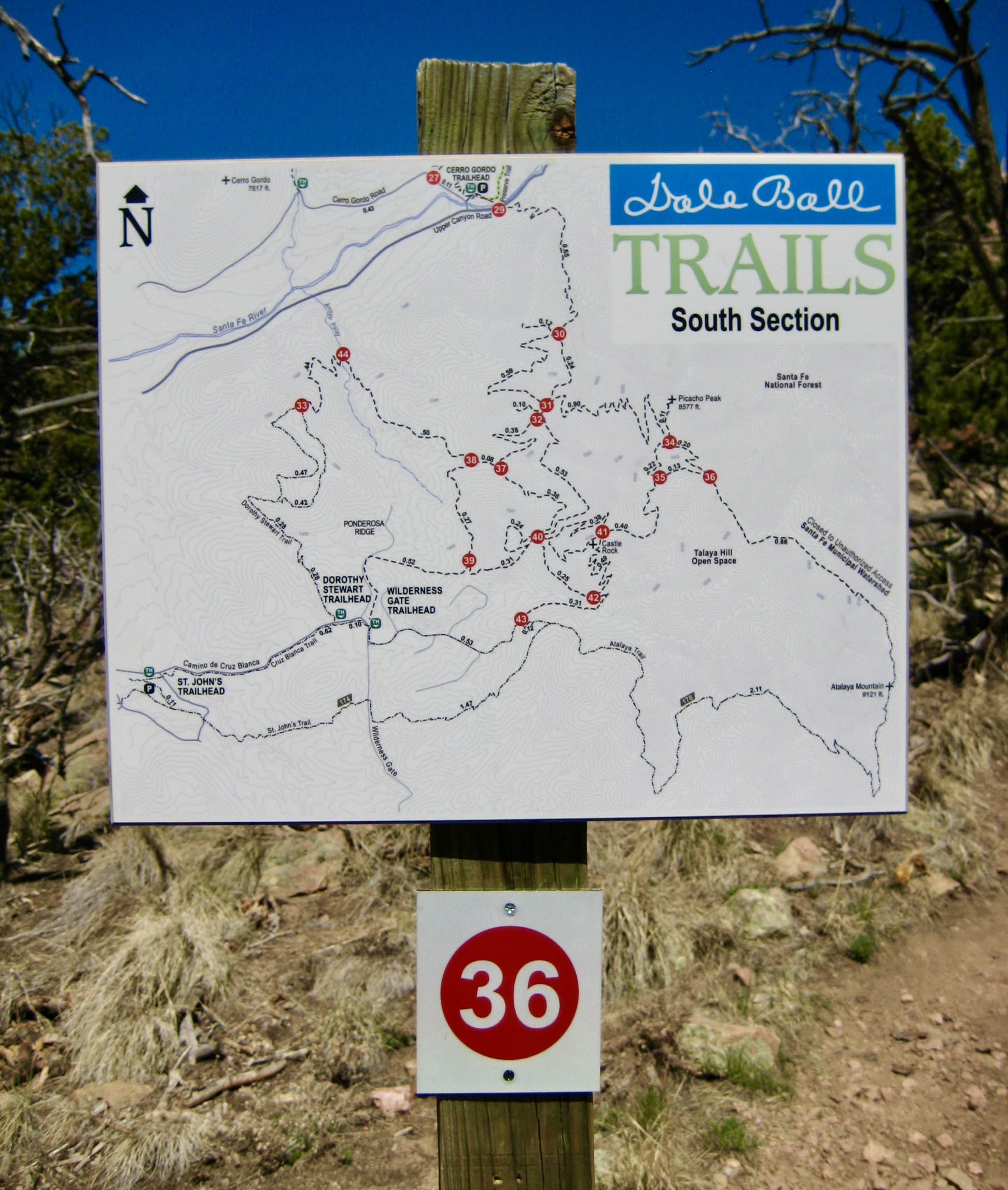
Heading south from the trailhead, we crossed a drainage channel and a road, then continued ½ mile farther to a five-way trail junction marked with a “31” sign and a detailed network map.
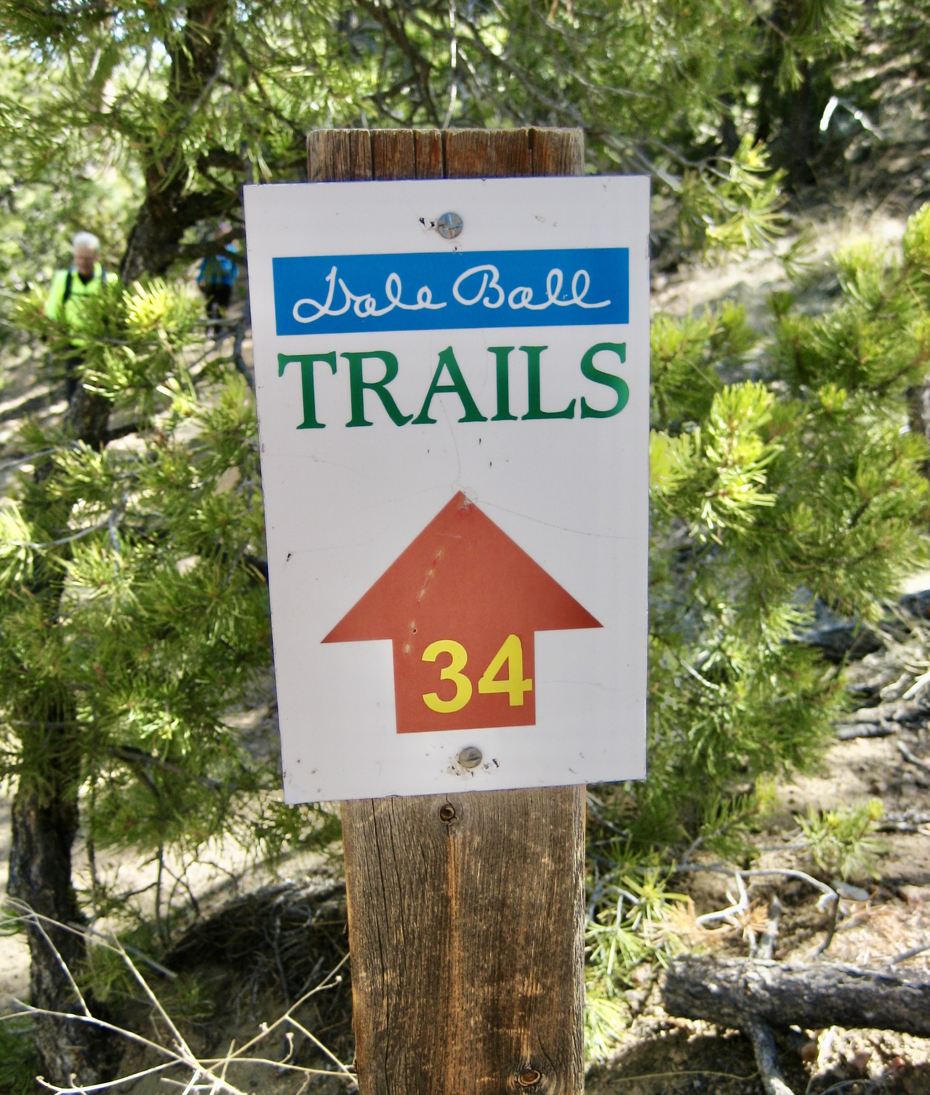
The Dale Ball network is so complex that none of the individual trail segments are identified; instead, the trail junctions are numbered. Using the junction maps as a guide, trekkers can easily navigate from one junction to the next. It’s a very simple and efficient system.
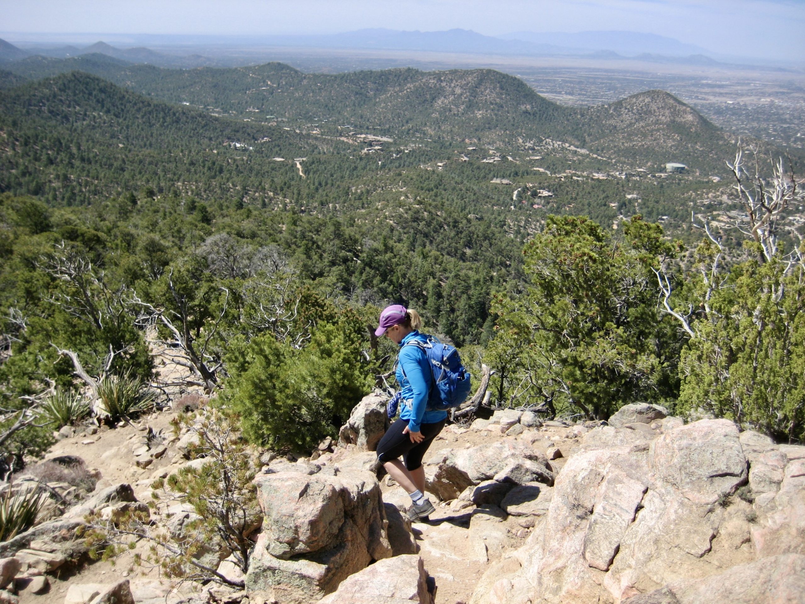
From Junction 31, we switch-backed steeply upward to a ridge saddle, then took a short sidetrip up to nearby Picacho Peak (1.3 hours + 1300 feet from TH). The Santa Fe Mountains, a sub-range of the lofty Sangre de Cristo Mountains, could be seen extending far to the north of this summit.
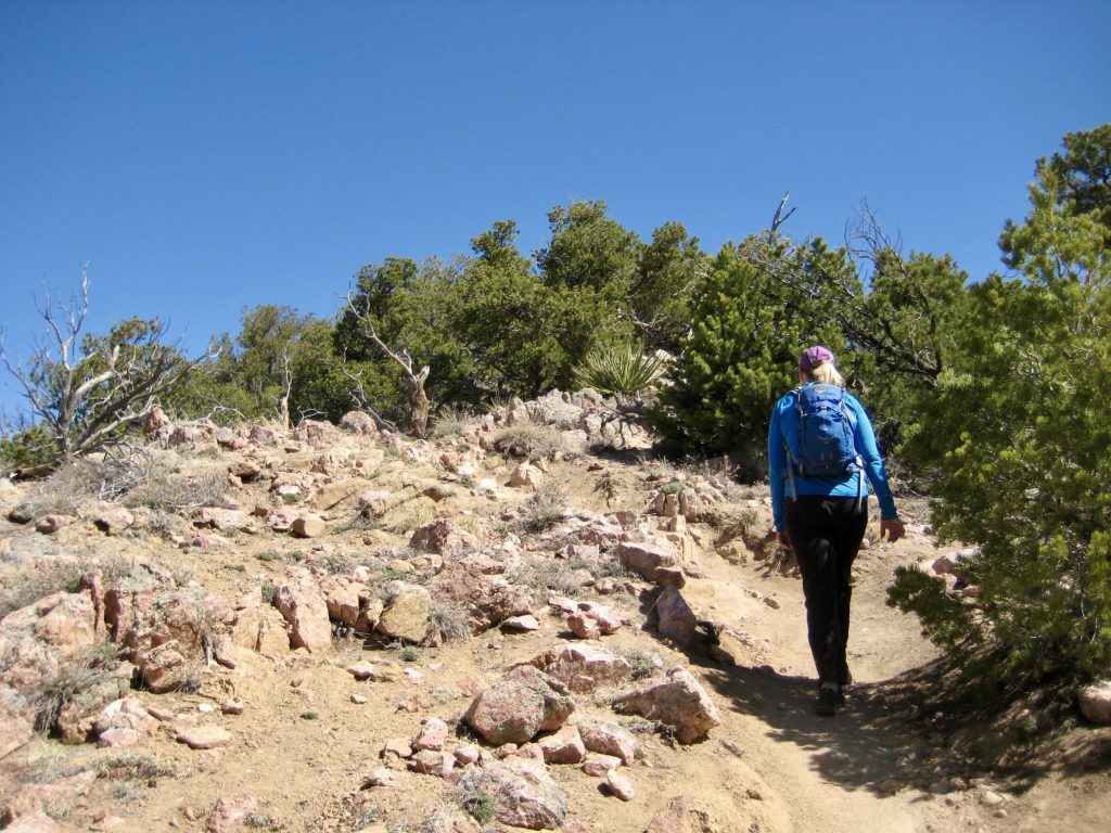
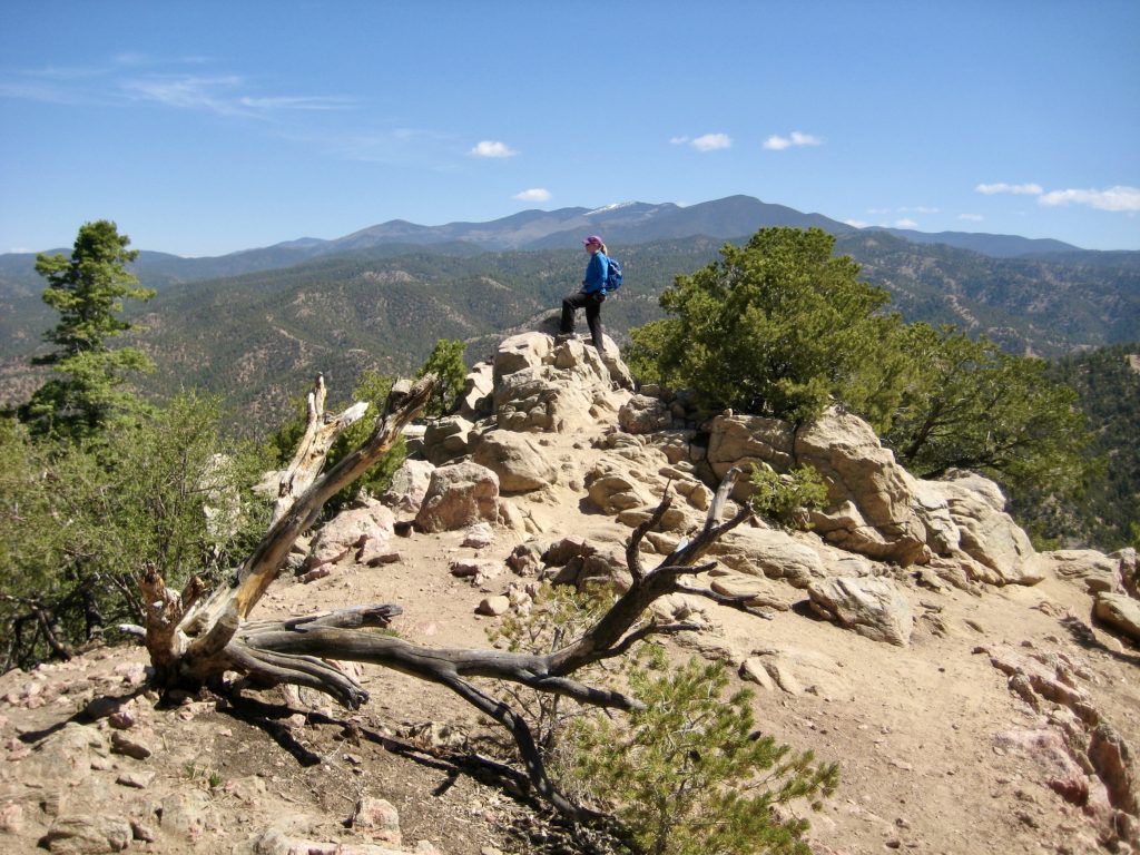
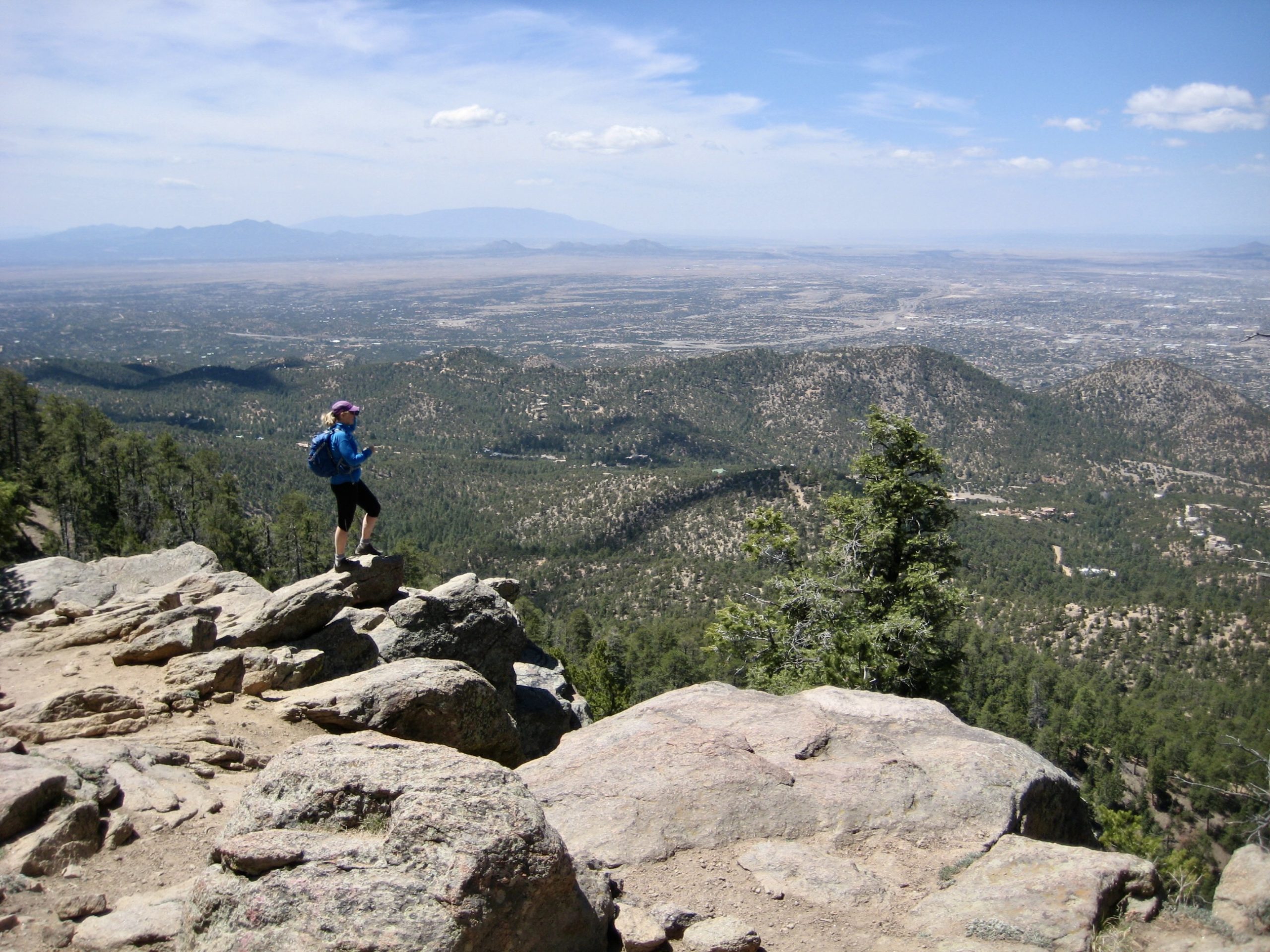
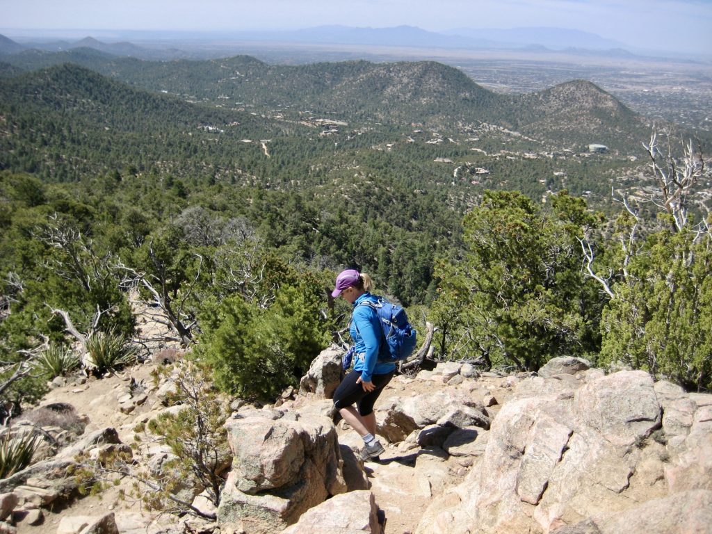
After a short break on Picacho Peak, we dropped back down to the saddle, then hiked southeastward along a ridge crest. The Dale Ball Trail officially ended at the national forest boundary, but a primitive trail continued up to the summit of 9121-foot Atalaya Mountain (2.5 hours + 2100 feet from TH). This summit is the highest point in the local area, and it provides a rocky vantage overlooking Santa Fe.

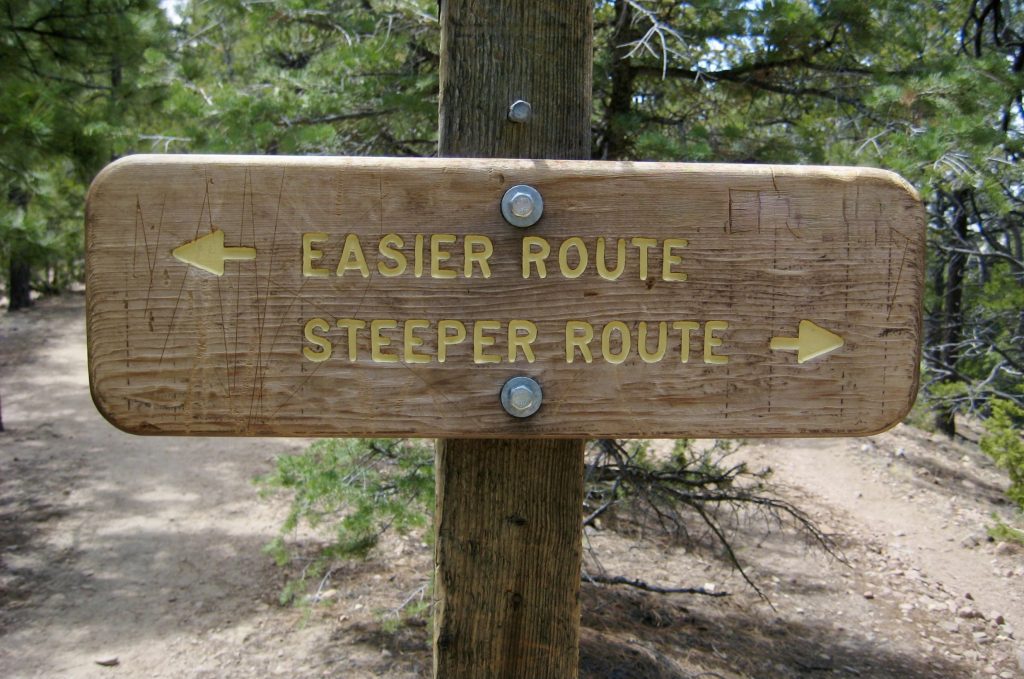
Continuing southward over the summit, we found ourselves on the Atalaya Mountain Trail. This well-constructed Forest Service trail traverses the ridge crest a short distance, then turns northwestward and reconnects with the Dale Ball Trail in Arroyo Mora. At several locations, we were given the option of either a shorter, steeper route or a longer, gentler route.

After climbing out of Arroyo Mora and crossing two smaller gullies, we closed our loop at Junction 31 and retraced our steps back to the trailhead (4.8 hours + 2250 feet for total trek). Without a doubt, this close-in trail network is a wonderful amenity for Santa Fe residents.
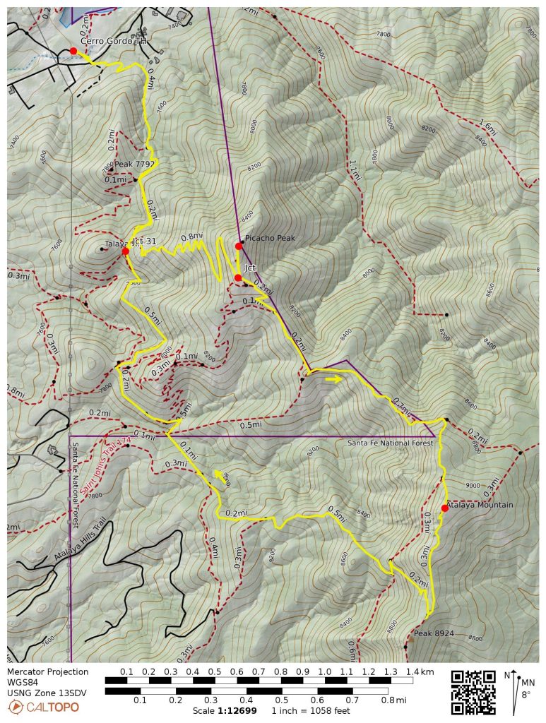
Route Maps & Profile
…
…
…
…
Photo Gallery
Click to enlarge…