Trip Date: April 24, 2021
2021 NEW MEXICO ADVENTURE VACATION
Lake Peak Day Climb & Deception Peak Loop Hike
Ravens Ridge Viewpoint
Deception Peak (12,320+ ft)
Lake Peak (12,409 ft)
Hikers Hut
Trip Report Summary
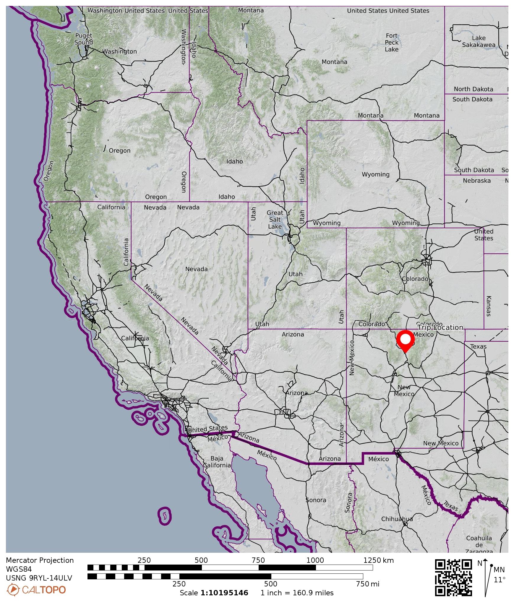
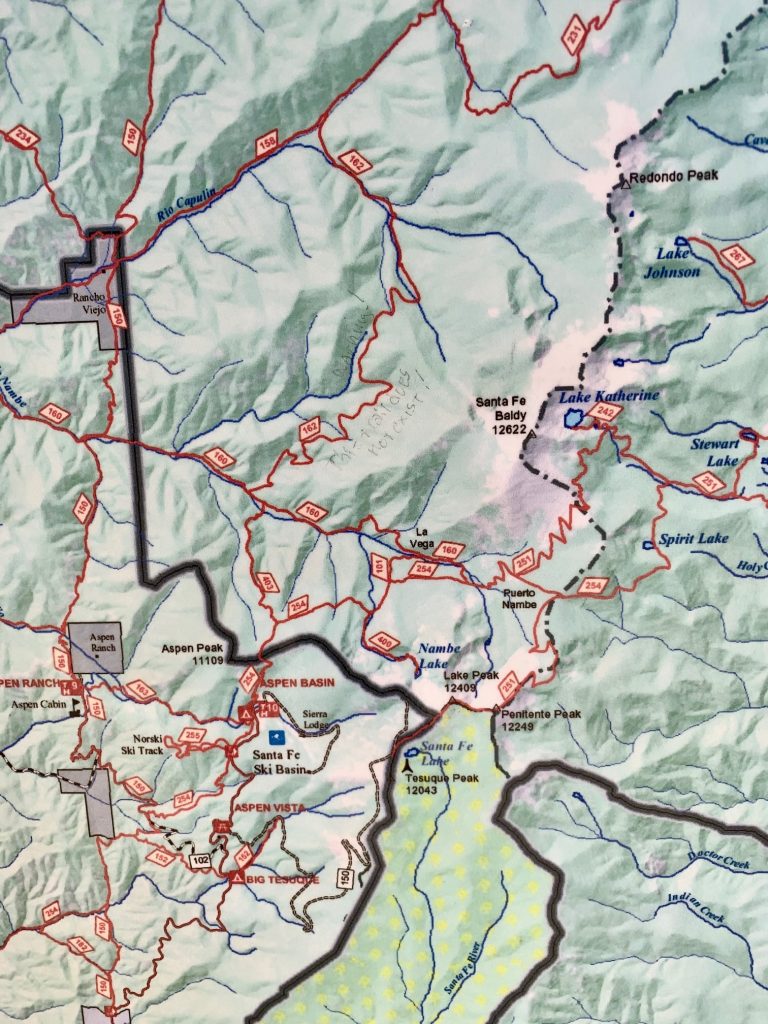
Region: New Mexico
Sub-Region: Rocky Mountains
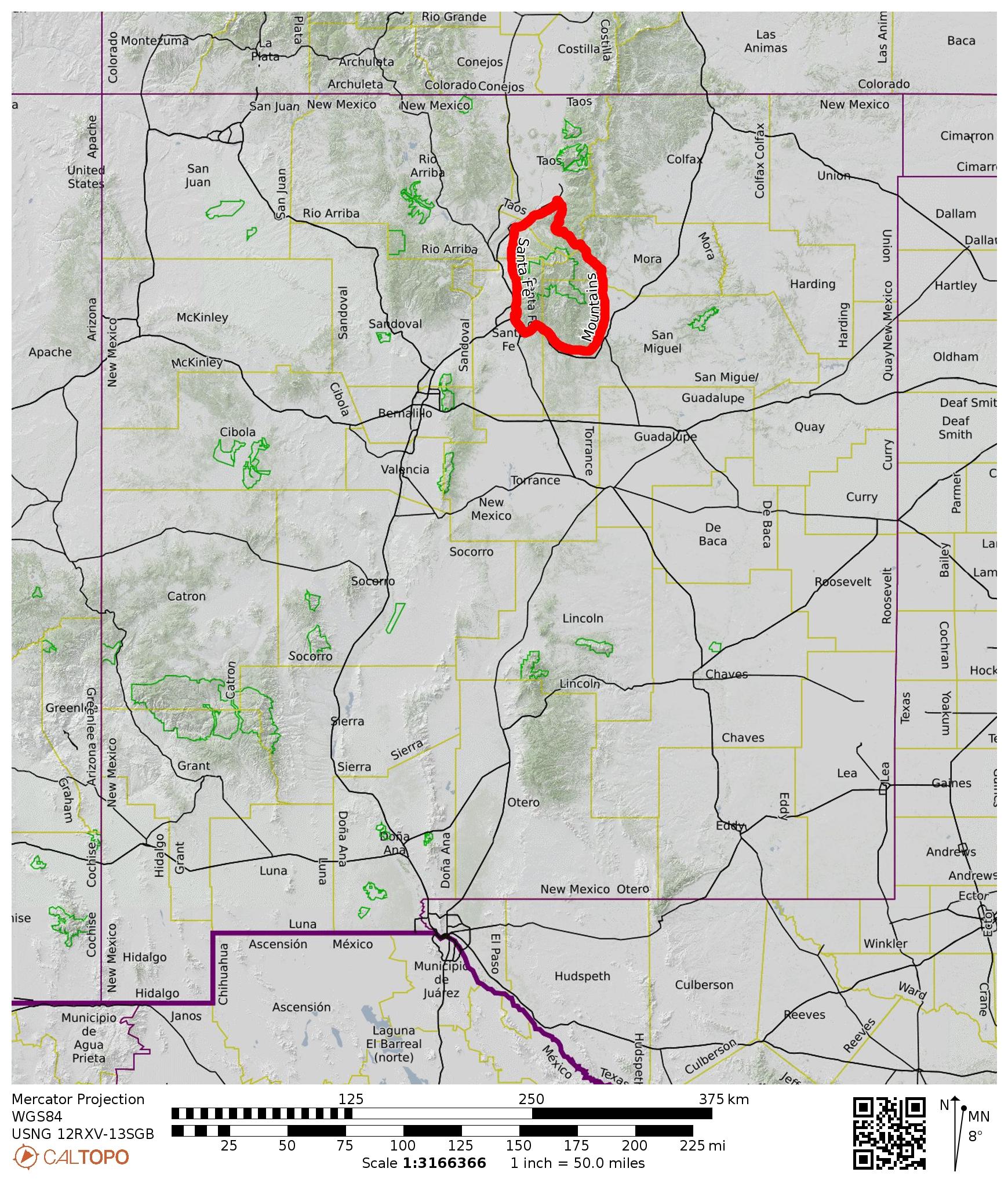
Sub-Sub-Region: Sangre de Cristo Mountains
Sub-Sub-Sub-Region: Santa Fe Mountains
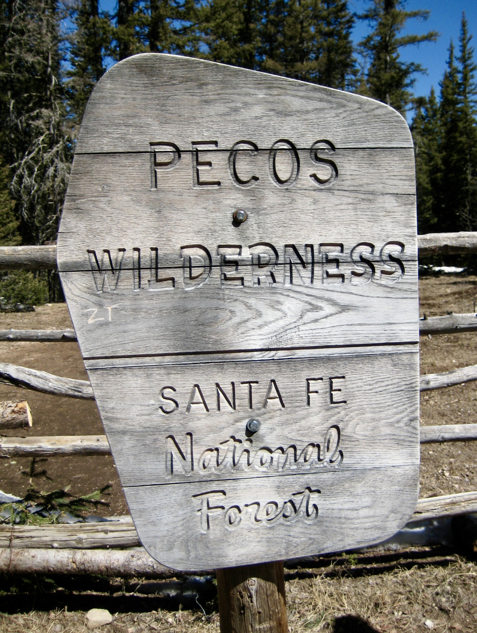
Areas: Santa Fe National Forest & Pecos Wilderness
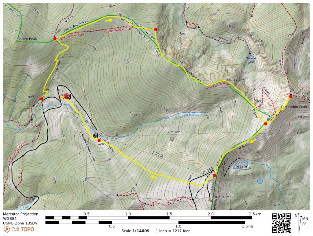
Starting Point: Winsor Trailhead at Santa Fe Ski Basin on Santa Fe Scenic Byway #475 (Elev. 10,300 feet)
Way Points: Ravens Ridge Saddle & Point 11,212 & Ravens Viewpoint & Point 12,027 & Deception Junction & Hikers Hut & Aspen Basin & Santa Fe Ski Area (trail hike & snow hike)
Ending Point: Santa Fe Ski Basin base lodge (Elev. 10,300 feet)
Summit: Deception Peak (off-trail hike via West Slope; descent via Southwest Ridge)
Summit: Lake Peak (rock scramble via Southwest Ridge)
Approximate Stats: 6.0 miles traveled; 2600 feet gained & lost; 3.6 hours up; 2.1 hours down.
…
Full Trip Report
During our stay in Santa Fe, Eileen and I set our sights on a local classic outing: a climb of Lake Peak near Santa Fe Ski Basin. This is one of numerous 12,000-foot summits in the Santa Fe Mountains and is particularly popular due to convenient access. For a little extra spice, we combined our climb with a snow-hiking loop around the ski area.
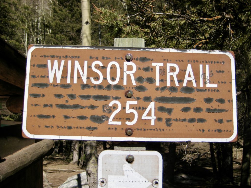
Our trek started at the Winsor Trailhead located near the northwestern corner of the ski area’s large parking lot. Winsor Trail #254 is a historic 23-mile-long route that crosses the Santa Fe Mountains in a roughly west-east direction, and this trailhead catches the trail near its midpoint.
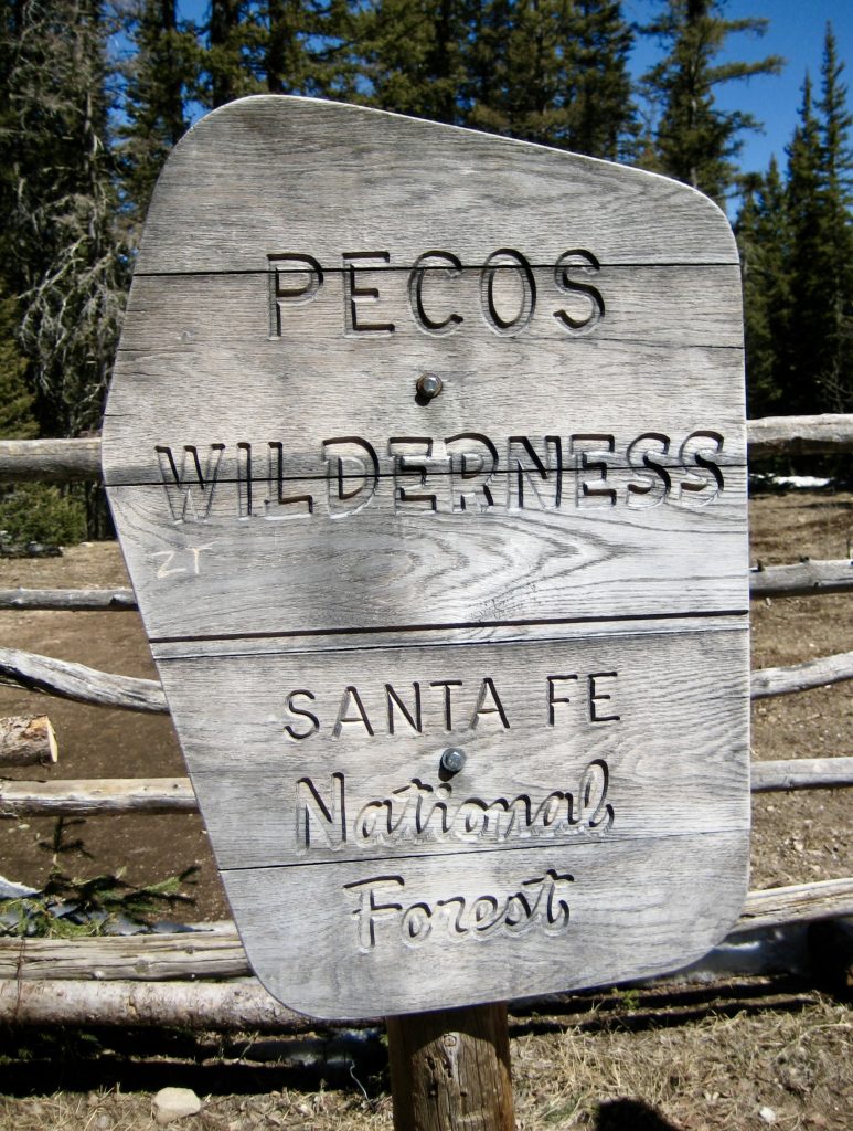
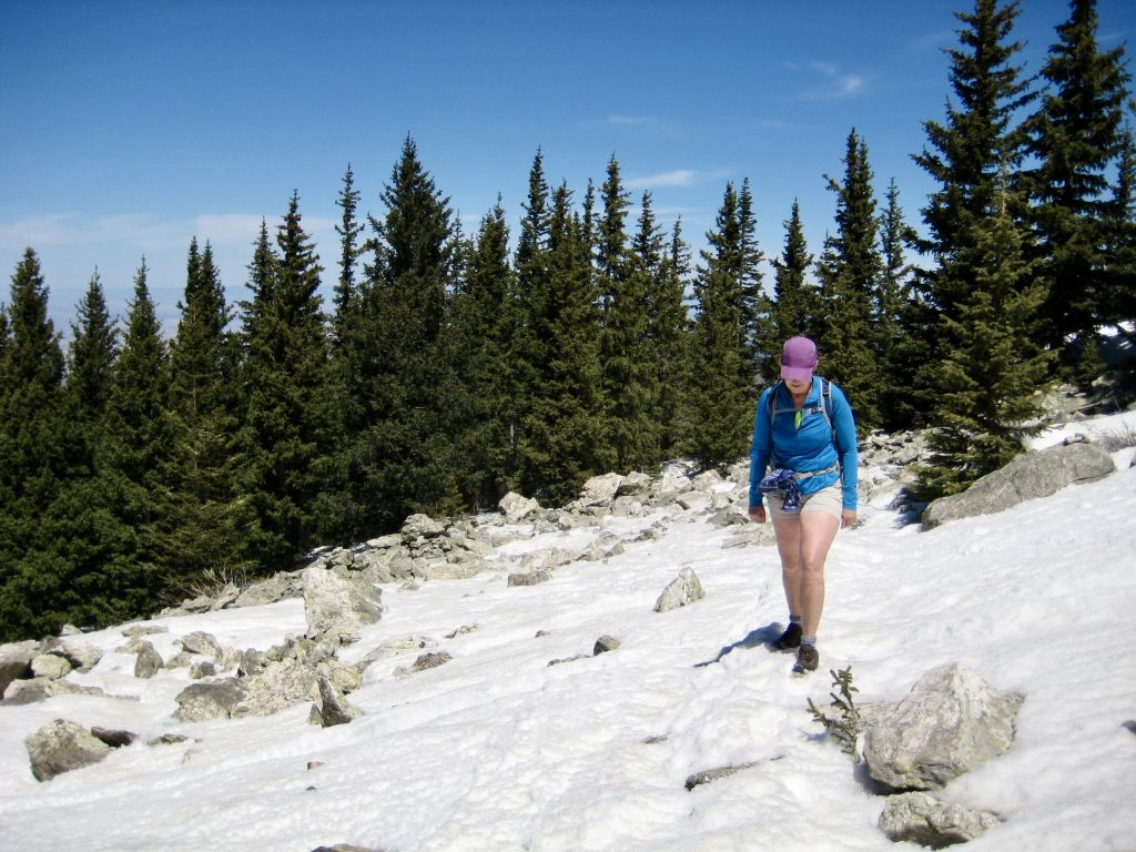
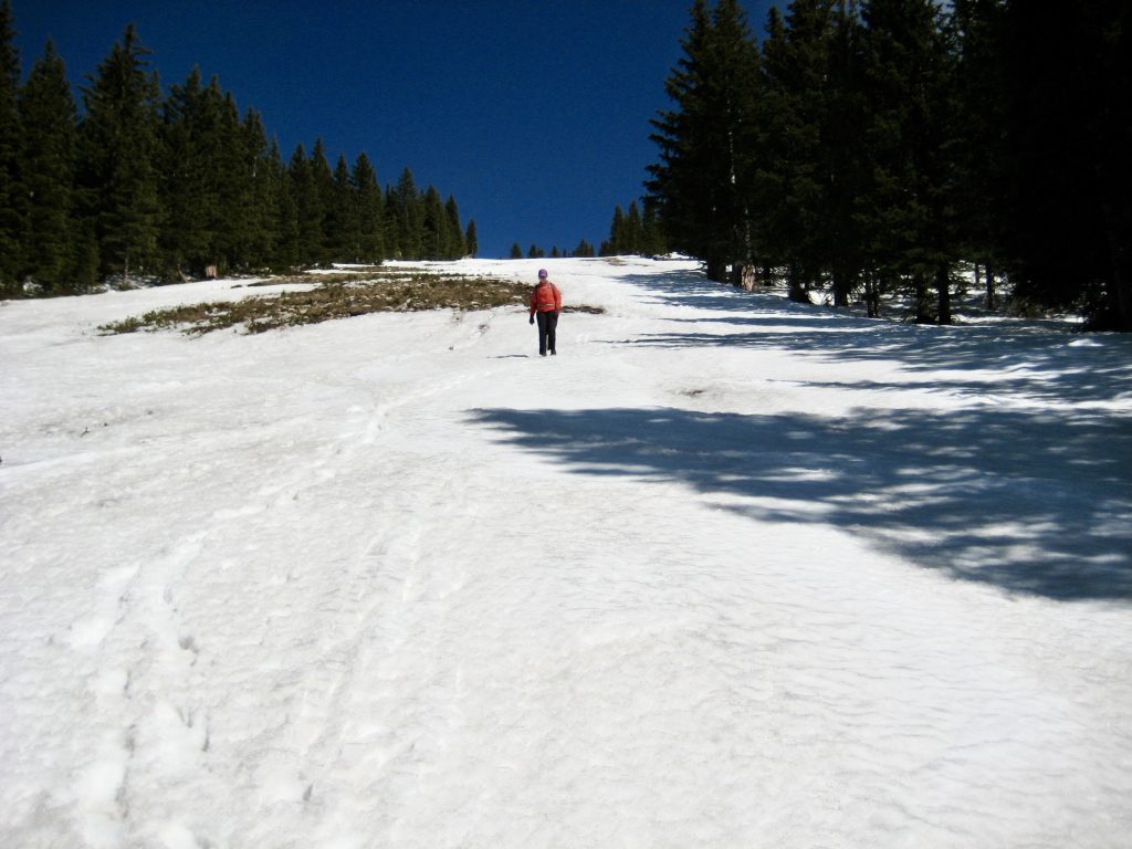
From the parking lot, the Winsor Trail switchbacks steadily upward through dense evergreen forest. Most of the shady trail was coated with rock-hard ice on this spring day, making for slow progress and making us wish we’d brought our microspikes. After 1 mile of ascent, the trail reaches the crest of Ravens Ridge at a broad saddle marked by a trail junction, a horse corral, and a boundary of the Pecos Wilderness.
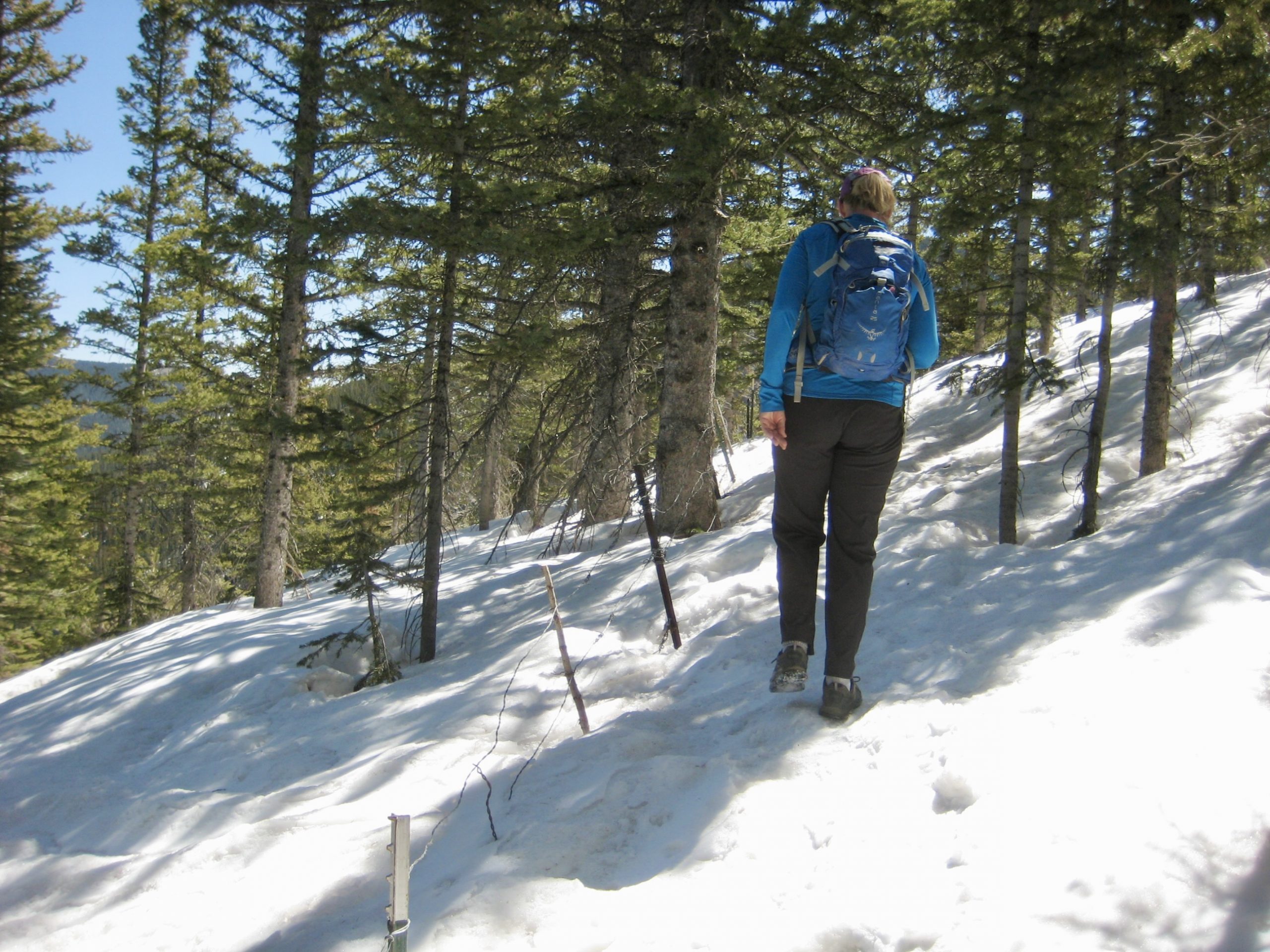
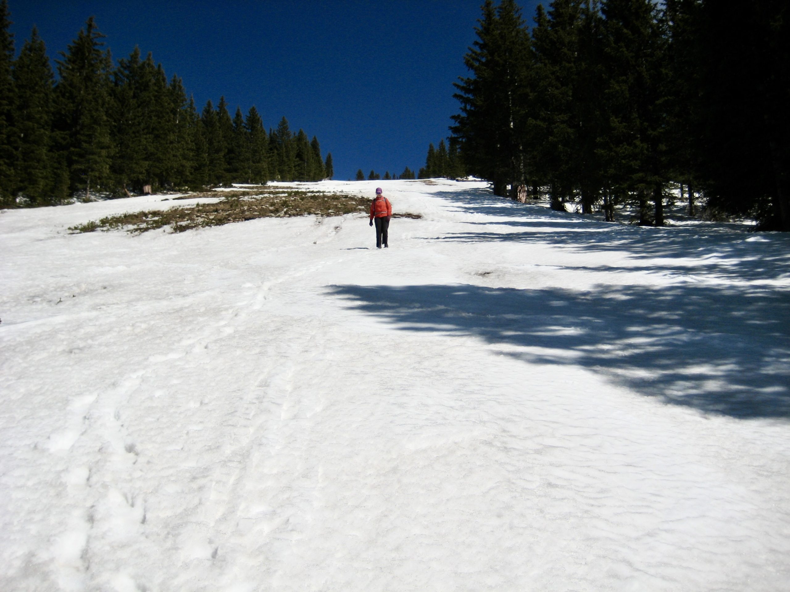
Turning right (east) at the junction, we followed the Ravens Ridge Trail over a gentle knoll, hiking parallel to a barbed-wire fence the entire way. Patchy snow quickly turned into continuous snow as the trail gained elevation on the ridge crest. Fortunately, the snow was sufficiently crusty to support our weight…most of the time.

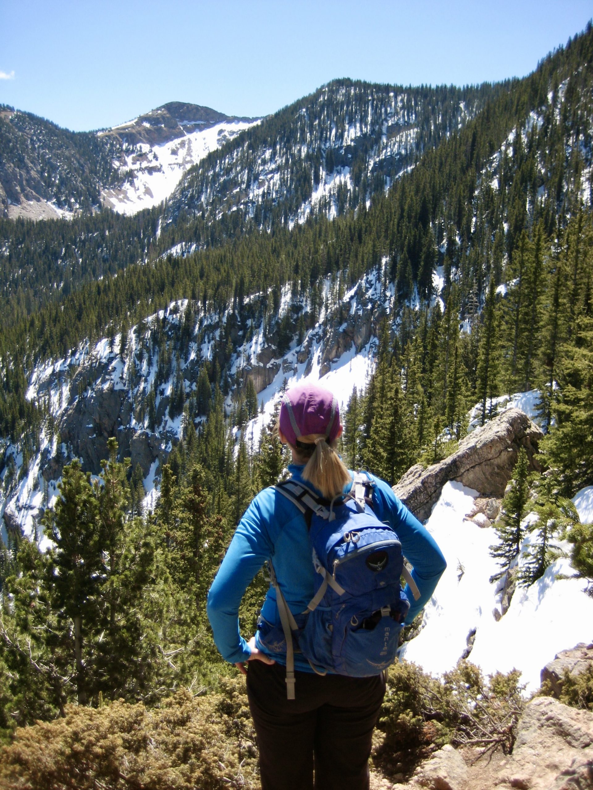
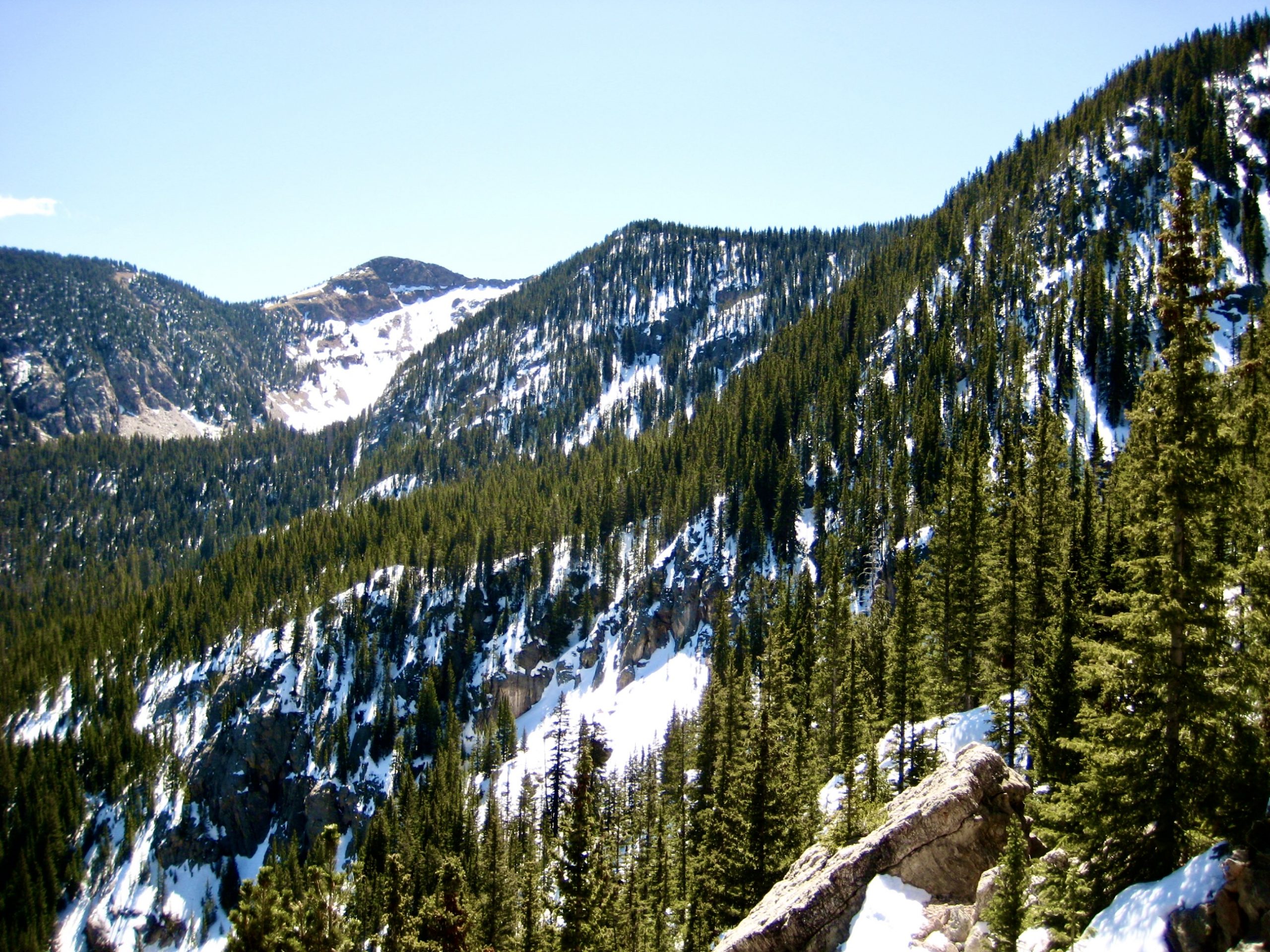
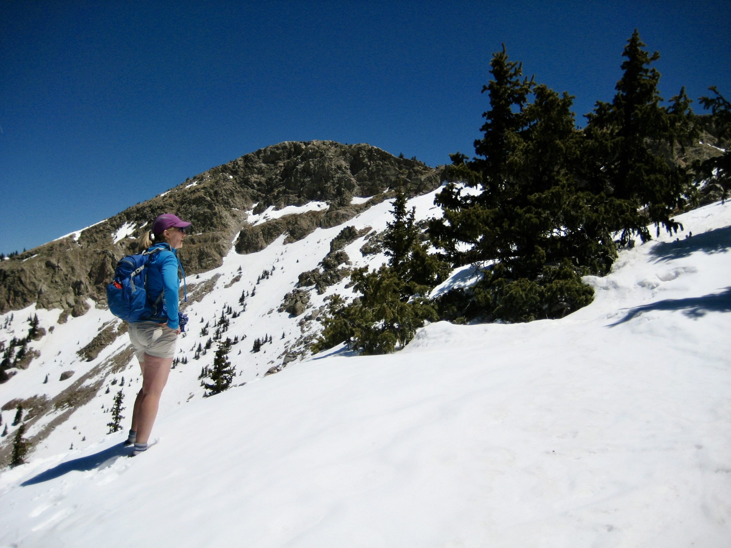
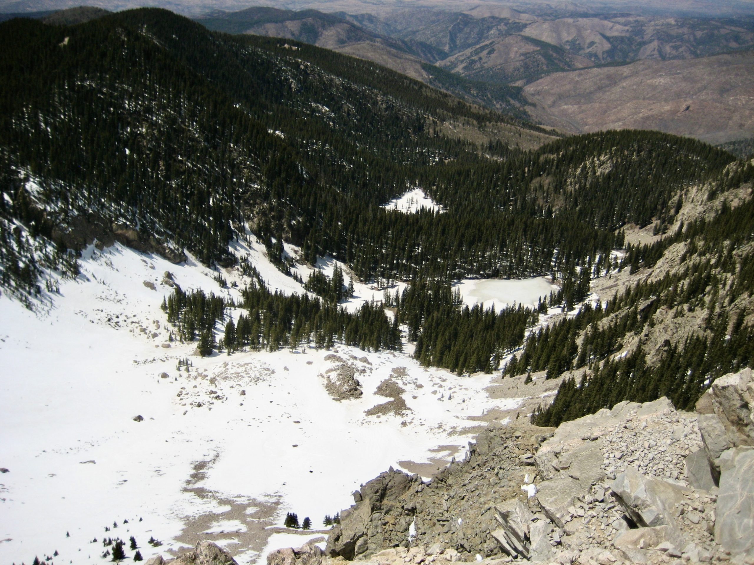
In a long mile, the trail and fence abruptly ended at a rocky viewpoint overlooking Rio Nambe Valley. Our objective peak was clearly visible at the head of the valley, directly above the Nambe Lake cirque.

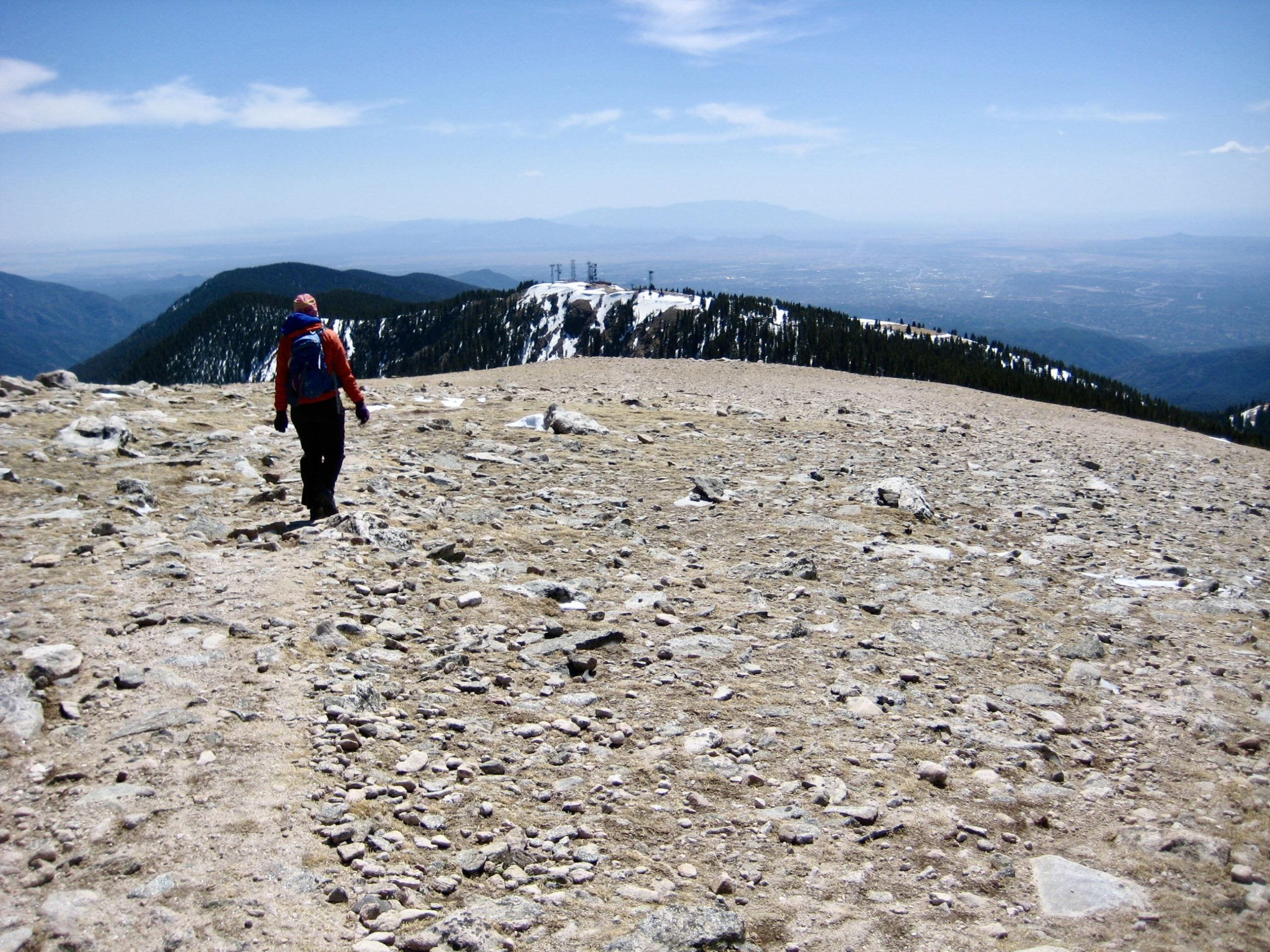
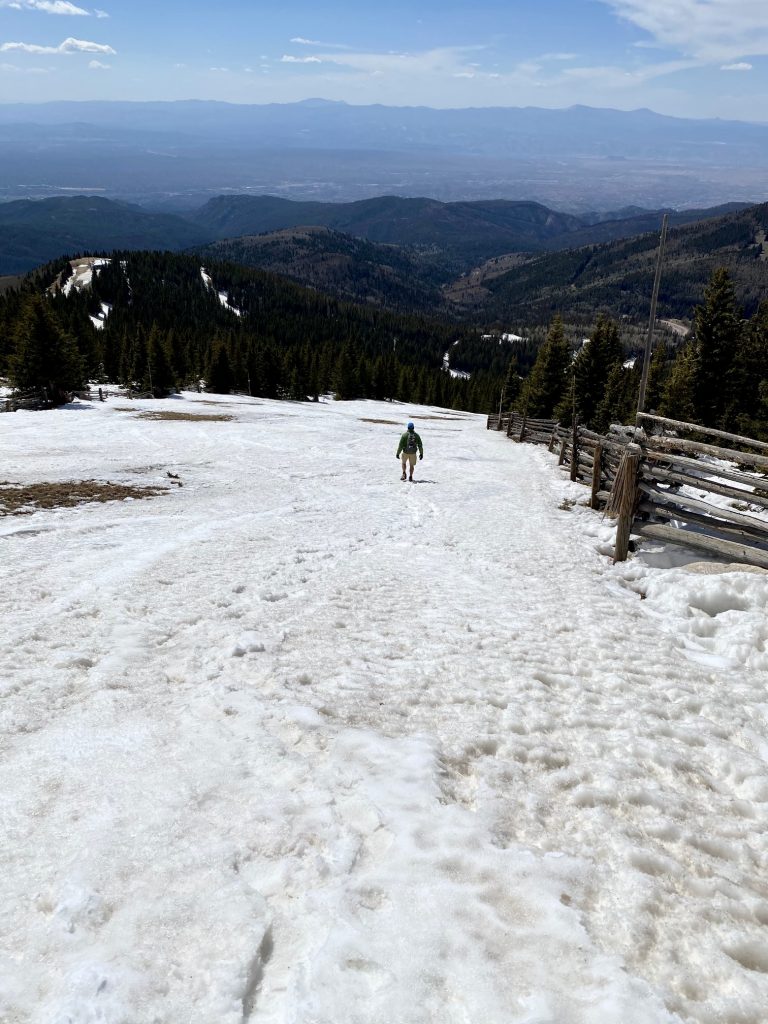
Beyond Ravens Viewpoint, our snow route turned southeastward and went over the top of two more knolls, eventually breaking out of the forest. Once again, Lake Peak came into view—this time much closer.

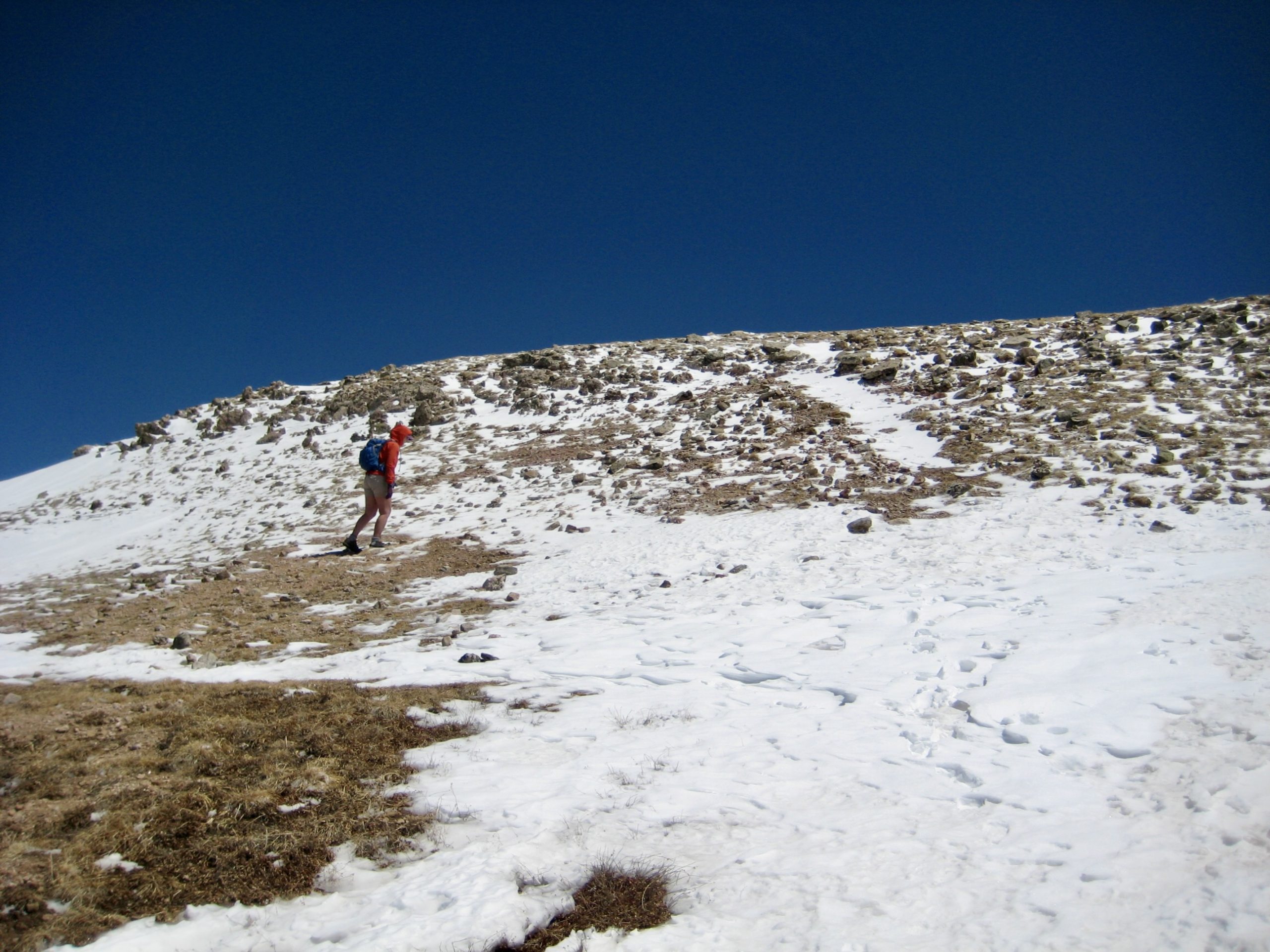
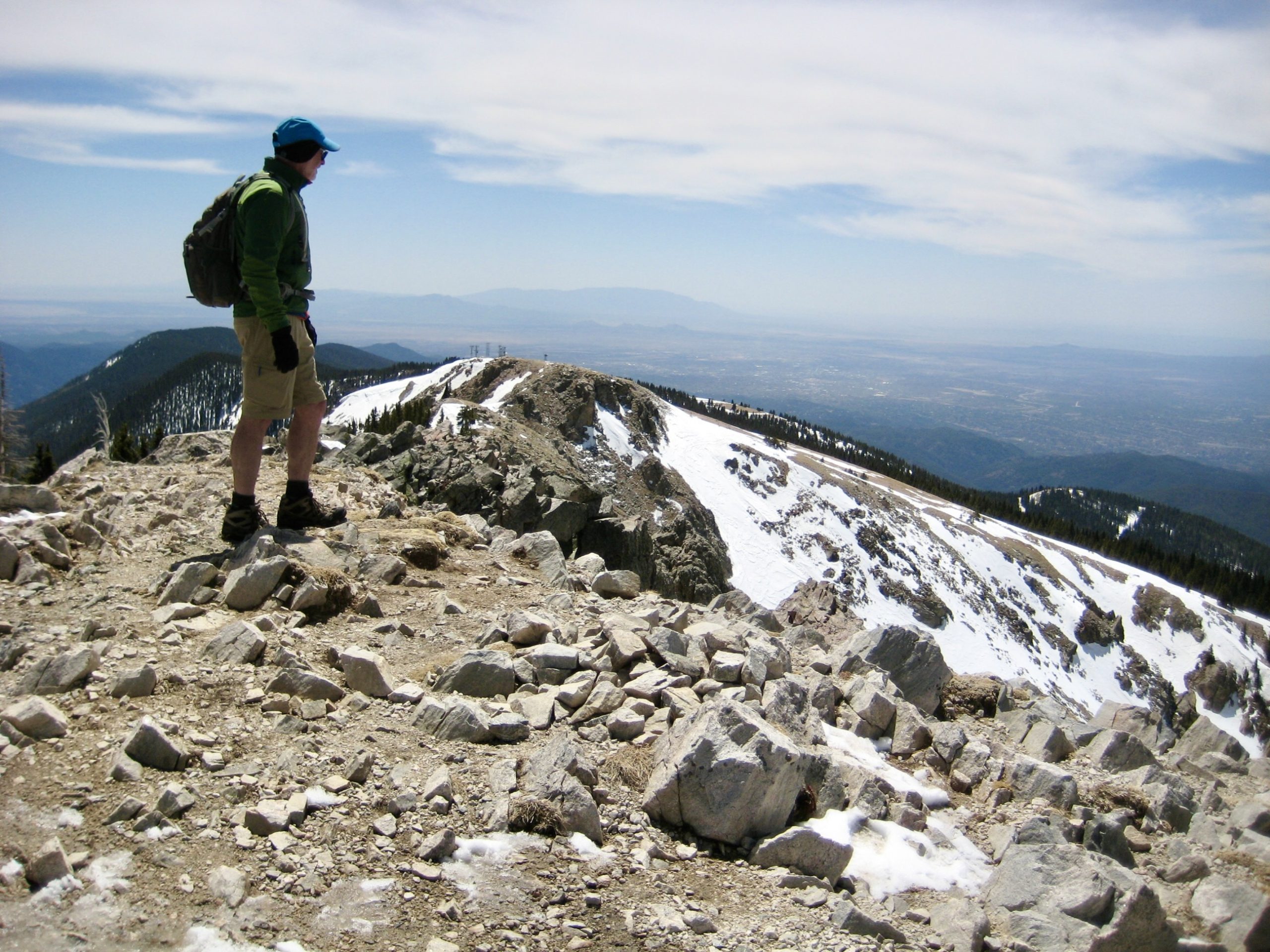
We worked our way up the barren, wind-scoured slope of Deception Peak, which seemed to be a hub of activity. There were several small groups heading over to or coming back from Lake Peak, and one group of backcountry skiers was descending toward the ski area.

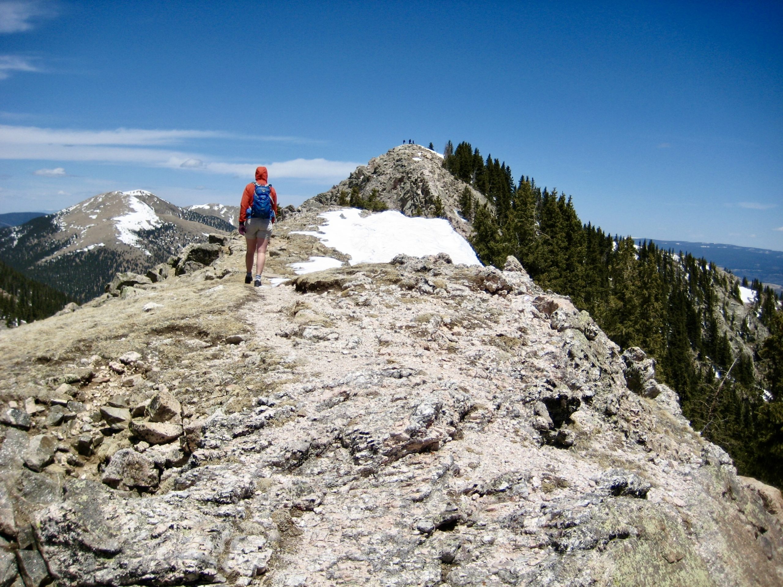
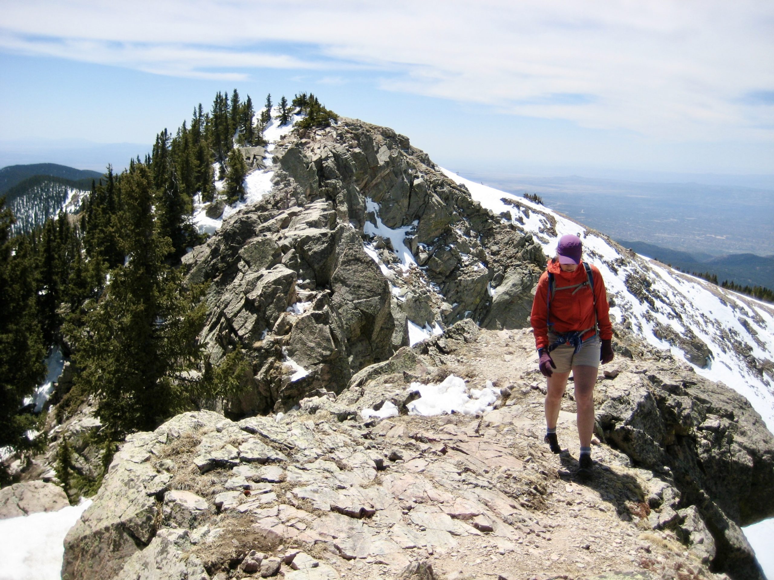
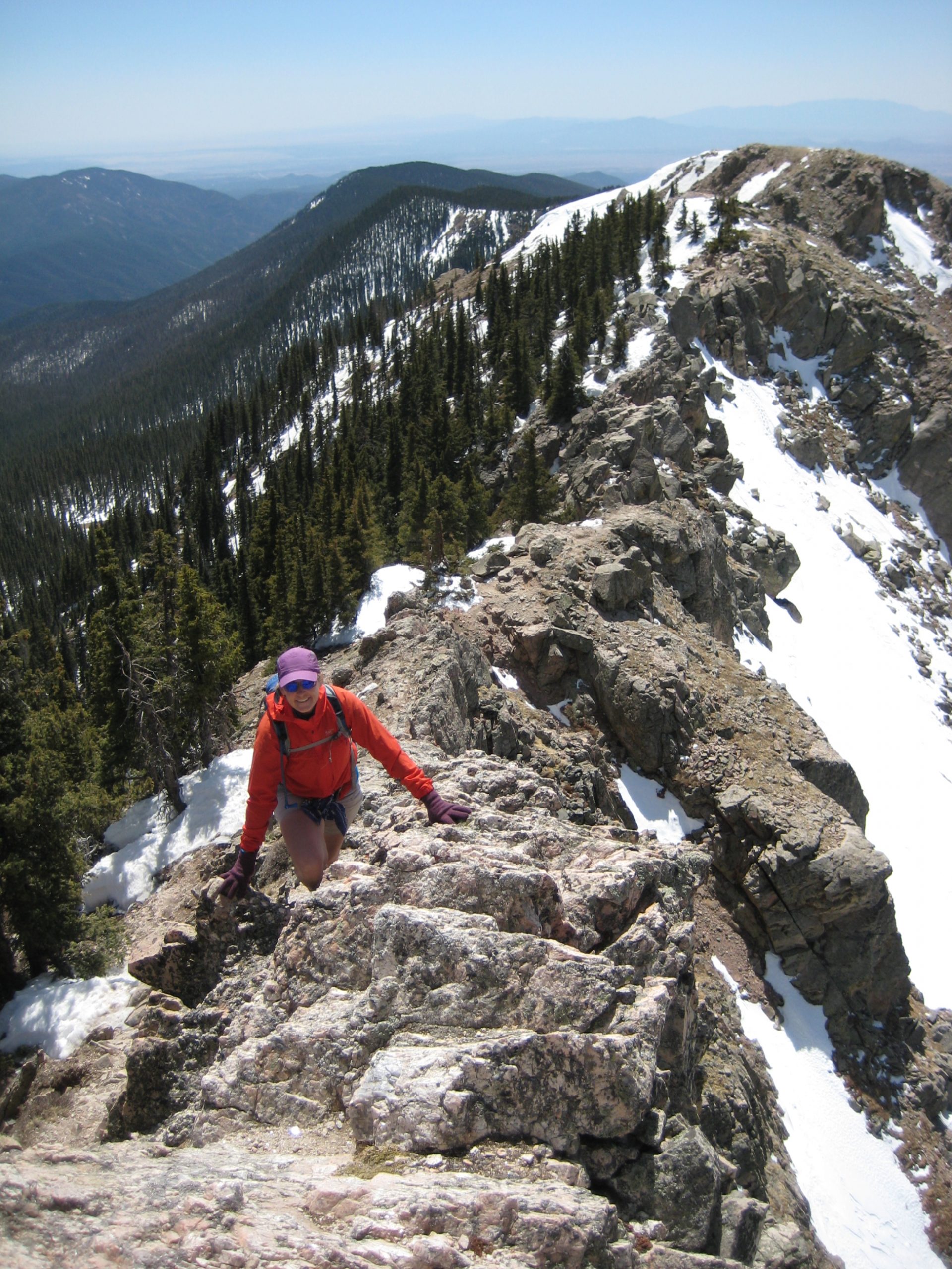
From Deception Peak, the summit of Lake Peak was only ¼ mile away, but the two summits were separated by a rugged and chossy-looking ridge with lots of remnant snow patches. It didn’t look easy. We scoped out a feasible route and headed over.
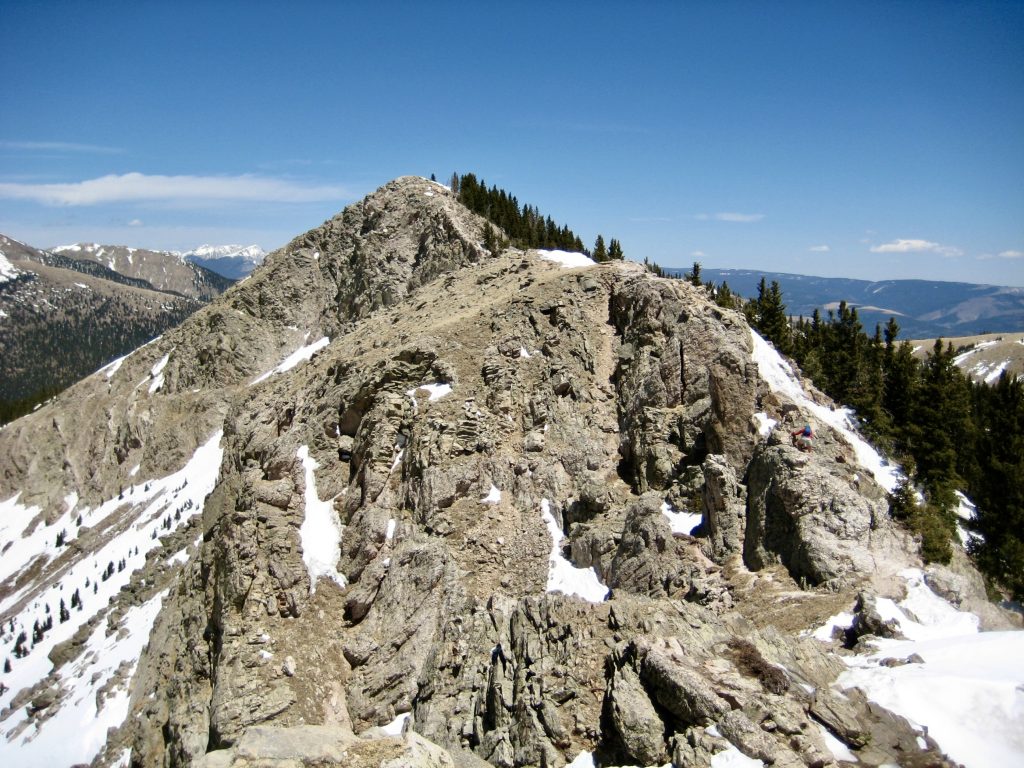
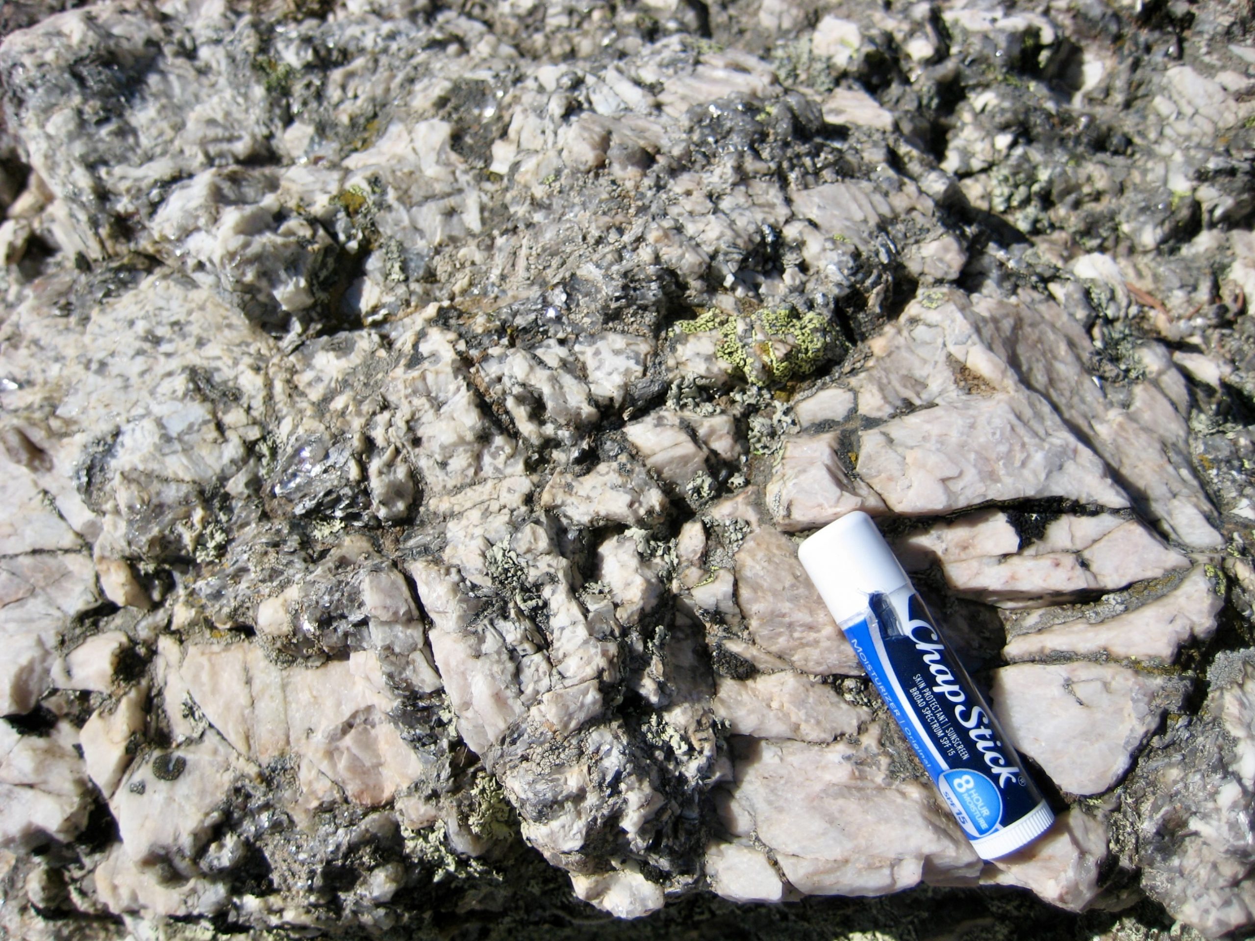
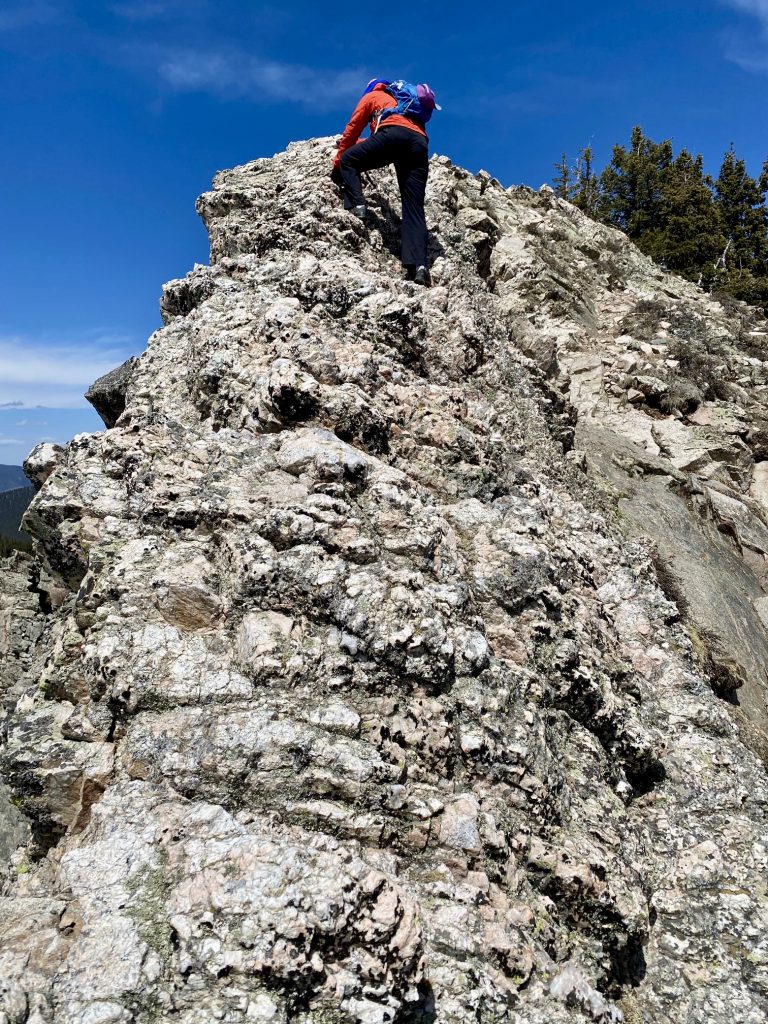
We were pleasantly surprised to find that the ridge wasn’t so chossy after all; instead, it was composed of a mega-crystalline granitic rock that turned out to be rather enjoyable. In contrast, the snow patches were quite icy and not very compatible with our flimsy trail sneakers.
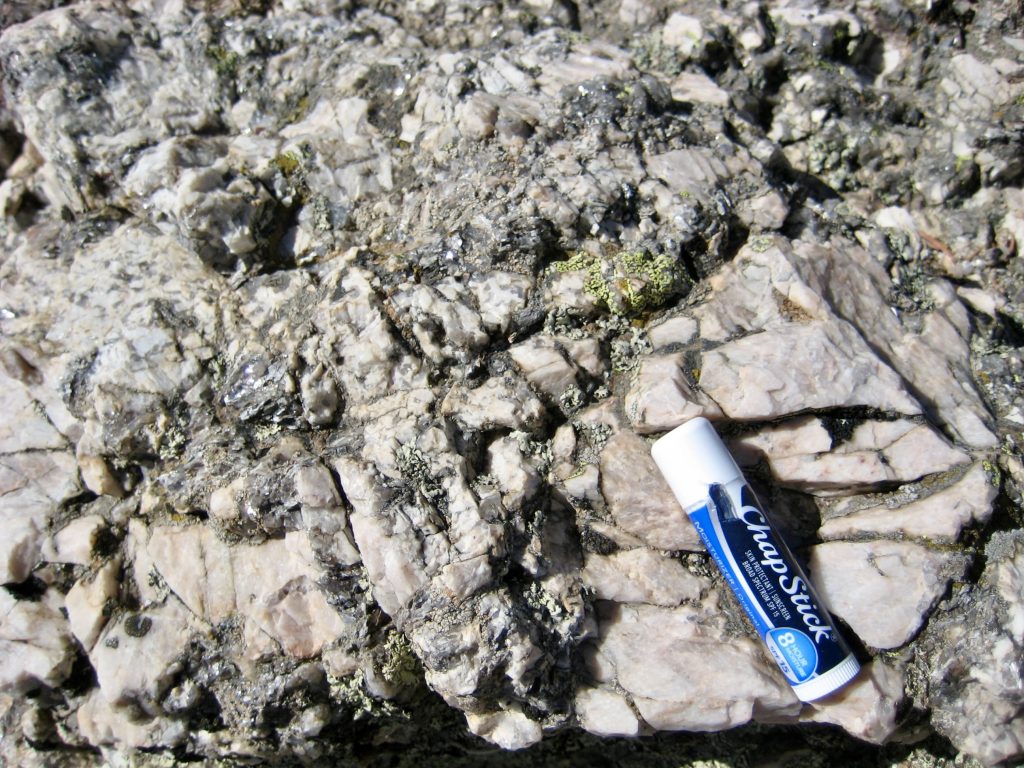
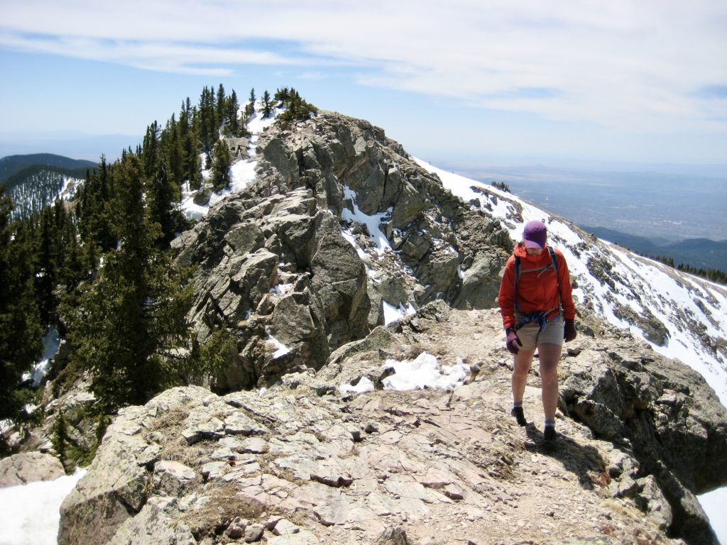
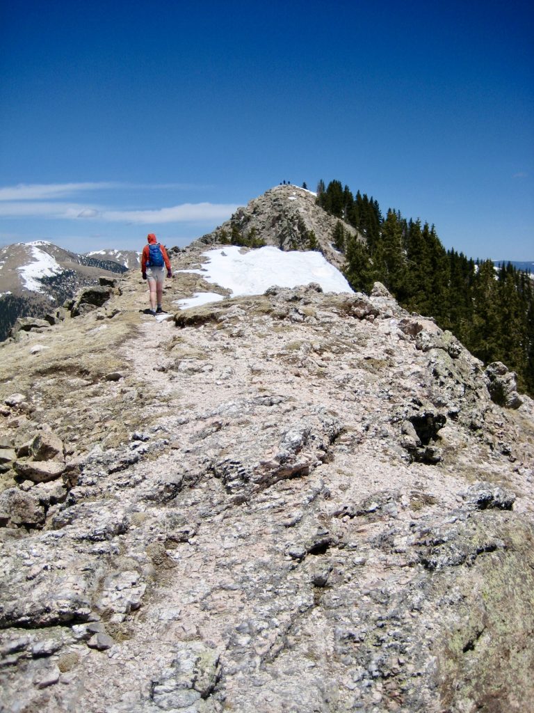
Just below the summit, the ridge crest narrowed to a 5-foot-wide rib with considerable exposure on both sides. Thankfully, the mega-crystalline rock was solid and made for fun Class 3 scrambling.

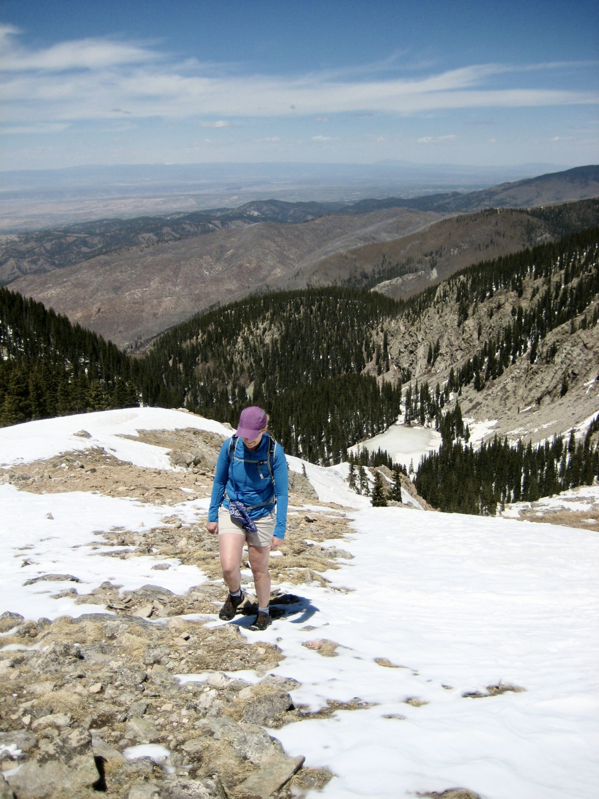
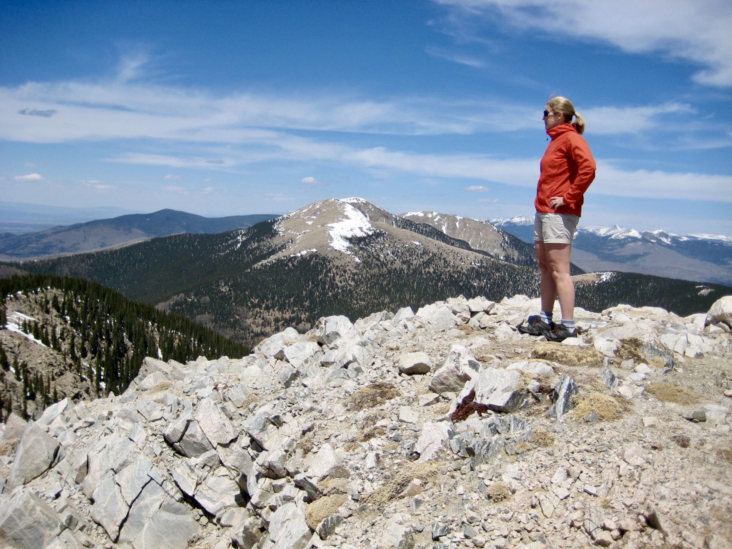
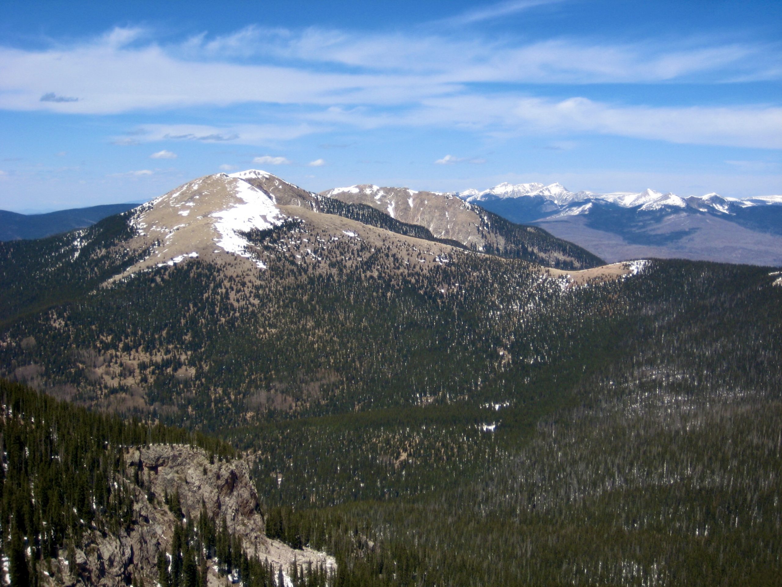
We gained the summit in early afternoon (3.6 hours + 2500 feet from TH) and spent some time taking in views of the unfamiliar surroundings. Sante Fe Baldy, a slightly higher but less rugged peak, stood out closely to our north. Farther north, the snow-capped peaks of the Taos Mountains could be seen.


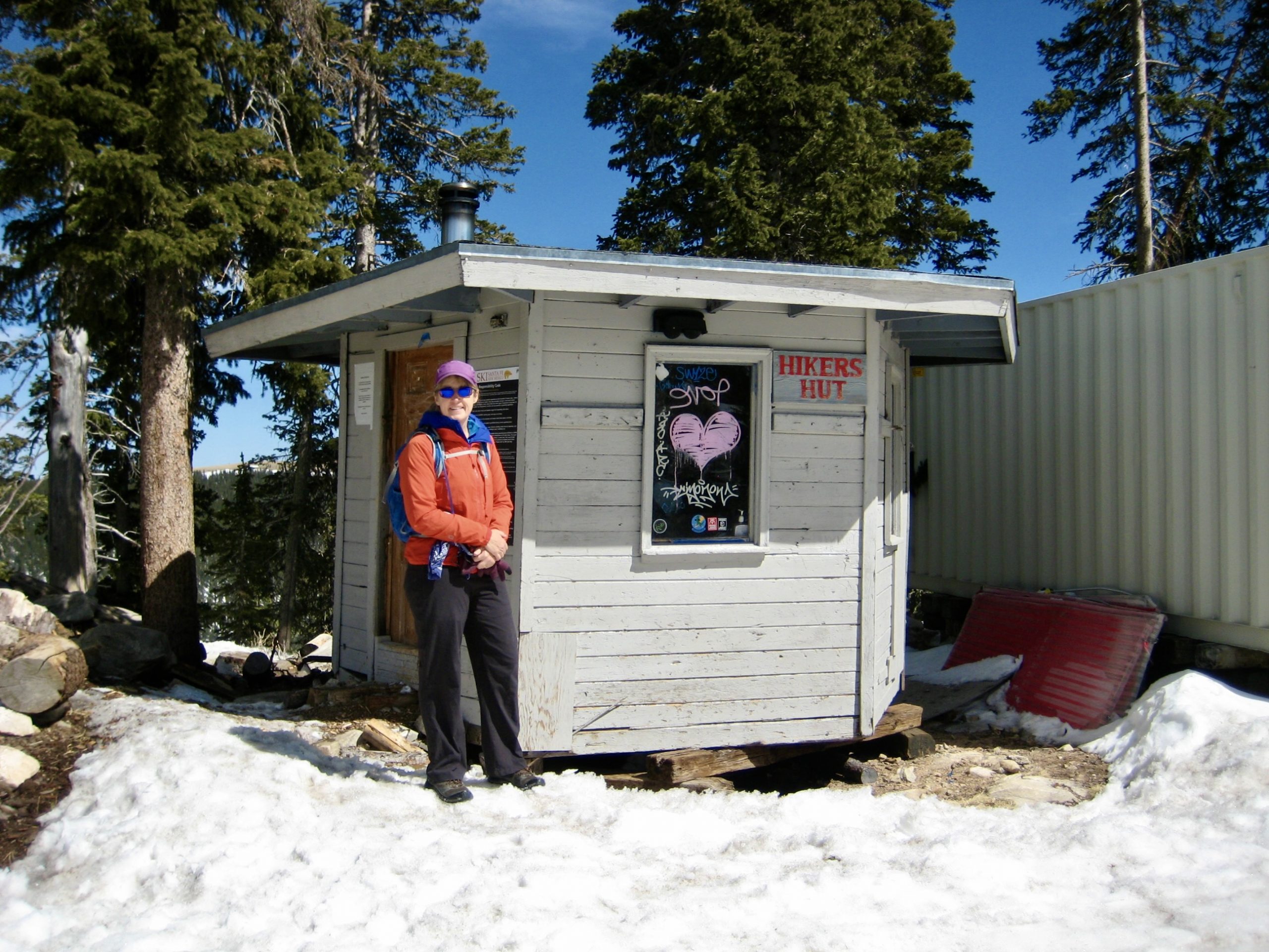
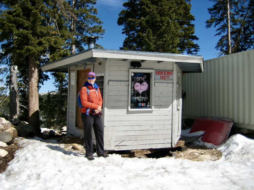
Leaving the summit, we carefully scrambled back over to Deception Peak, then began the second half of our loop. A faint path led us down to the south until encountering a chairlift station and several other ski area structures, including a tiny shelter called Hikers Hut.
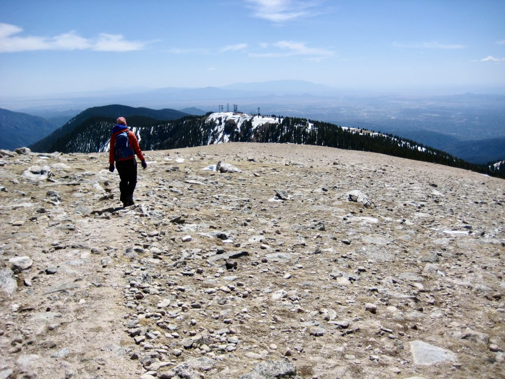
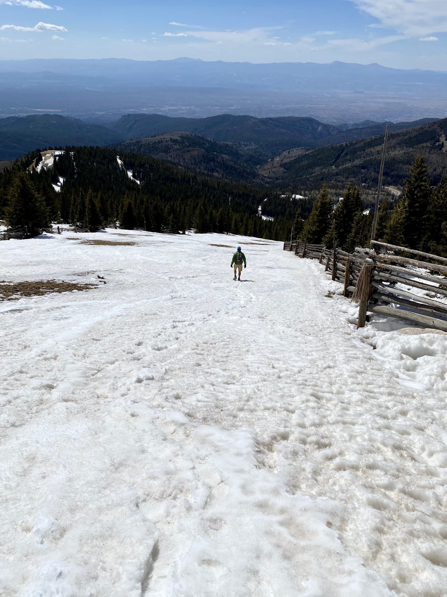
Because we lacked suitable footwear for a steep snow descent, Eileen studied the ski area terrain on her map and identified a nearby intermediate (“blue square”) ski run. We traversed over to the run and enjoyed what might have been the fastest and easiest 2000-foot descent we’ve ever done!
By late afternoon, we reached the ski area’s base lodge (2.1 hours from summit) and strolled across the parking lot to complete our very satisfying loop.
Route Maps
…
…
Photo Gallery
Click to enlarge…