Trip Date: February 28, 2010
Pickhandle Point Ski Tour
Pickhandle Basin
Pickhandle Point (6361′)
Trip Report Summary
Region: Southern Washington Cascades
Sub-Region: Chinook Mountains
Area: Mt. Baker – Snoqualmie National Forest
Starting & Ending Point: Crystal Mountain Ski Area parking lot C on Crystal Mountain Road (Elev. 4300 feet)
Way Points: Pickhandle Creek Vehicle Bridge & Pickhandle Basin & Upper Pickhandle Basin & Pickhandle Ridge & Pickhandle Point summit (ski tour)
Summit: Pickhandle Point (ski ascent & ski descent via West Ridge)
Approximate Stats: 4 miles traveled; 2500 feet gained & lost; 3.7 hours up; 1.9 hours down.

…
Full Trip Report
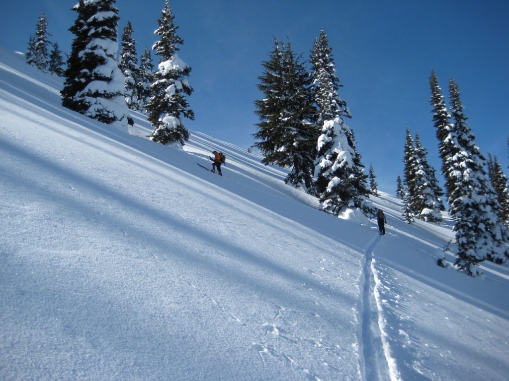
Eileen, Fay, and I took advantage of a recent powder dump by heading up Pickhandle Point above Crystal Mountain Ski Area. We parked in Lot C and skinned up a series of cat roads that took us over the top of the easternmost chair lift. After crossing Pickhandle Creek on a steel bridge, we ascended steep forest to reach Pickhandle Basin, then we angled up to the ridge crest.
.

.
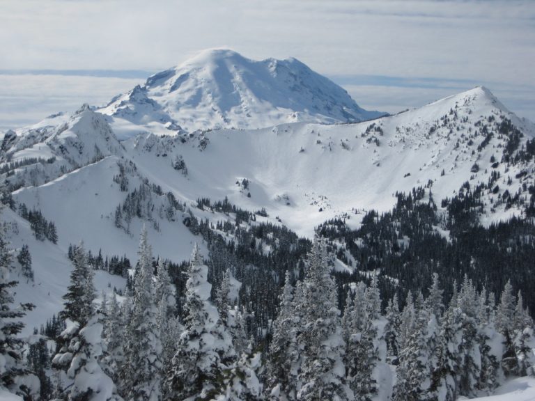
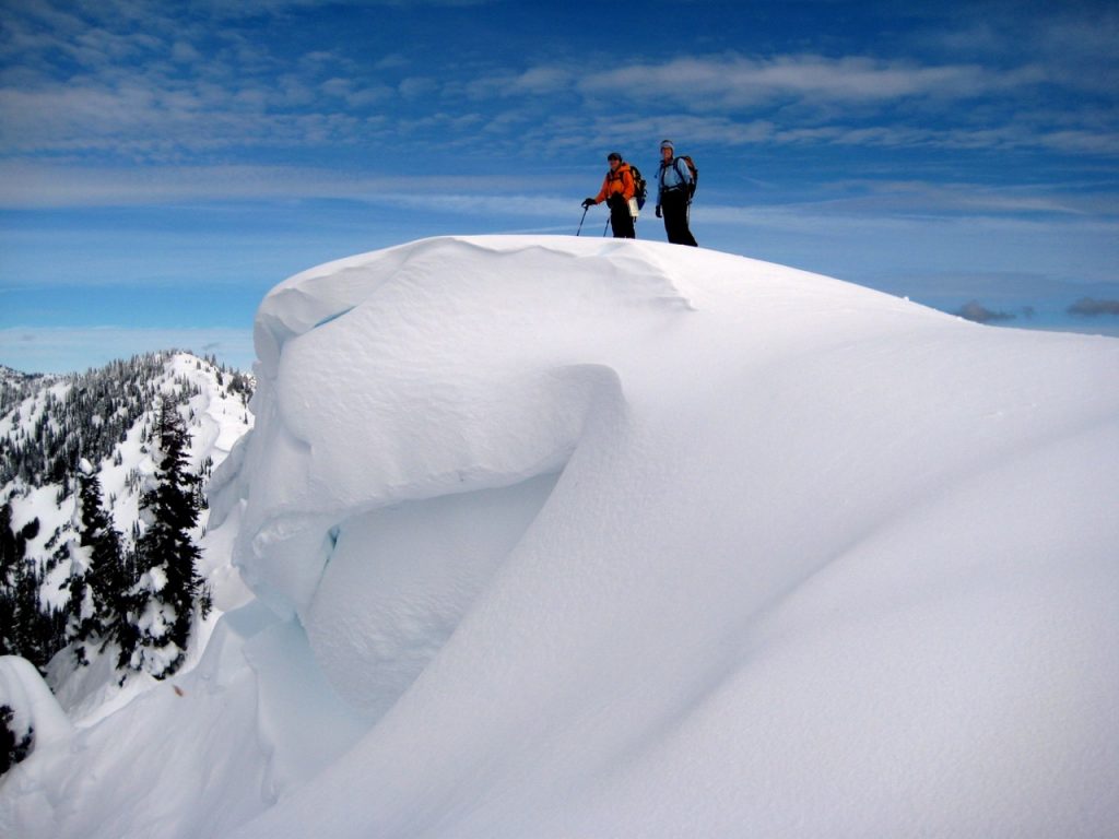
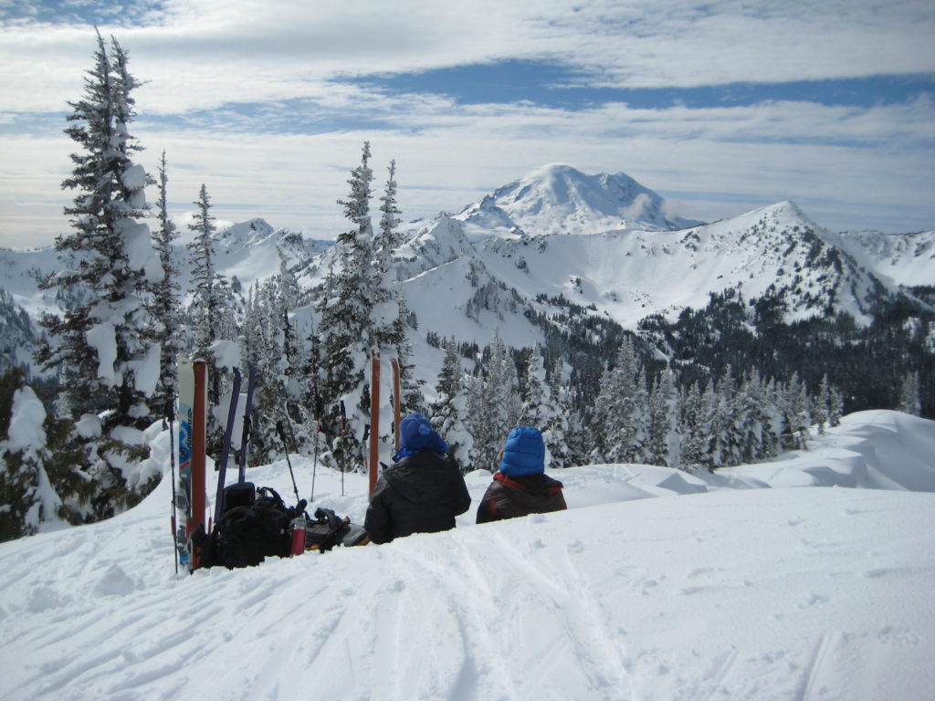
A short easterly jaunt along the crest ended on the summit (3.7 hours + 2500 feet from start). The fabulous scenery from this vantage point demanded a leisurely lunch break on the summit, with a striking view of Mt. Rainier across the ski area.

.
.
.
Blessed with a thick layer of Cascade powder, we made two runs down the north facing slope above Pickhandle Basin. Snow conditions were excellent for our telemark gear. The remainder of our descent roughly followed our up-track through the forest and down the cat road to end a great day.
Area Map
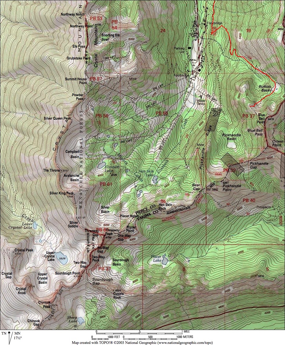
Photo Gallery
Click to enlarge…


