Trip Date: January 27, 2019
2019 TASMANIA ADVENTURE VACATION
Moorina Beach Day Hike
Mars Bluff
Moorina Beach Arch
Trip Report Summary
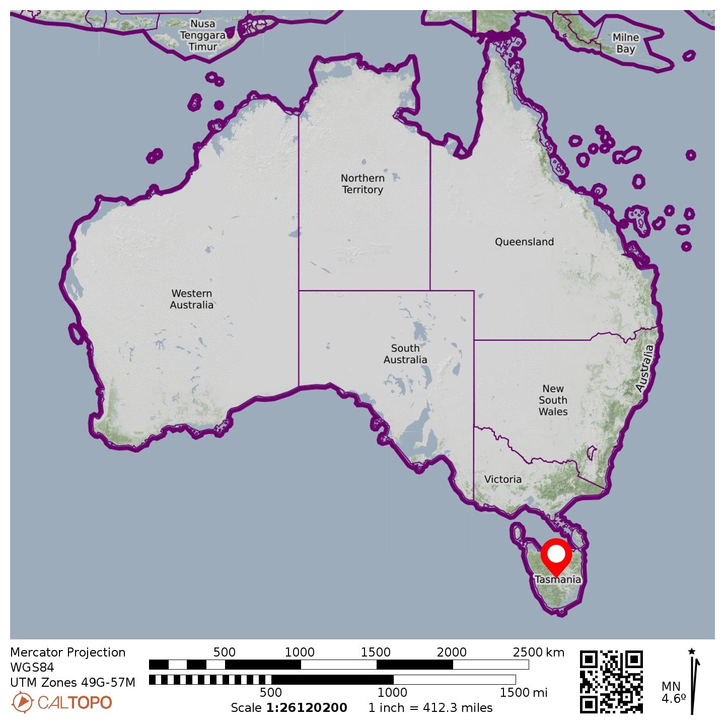
Region: Tasmania (Australia)
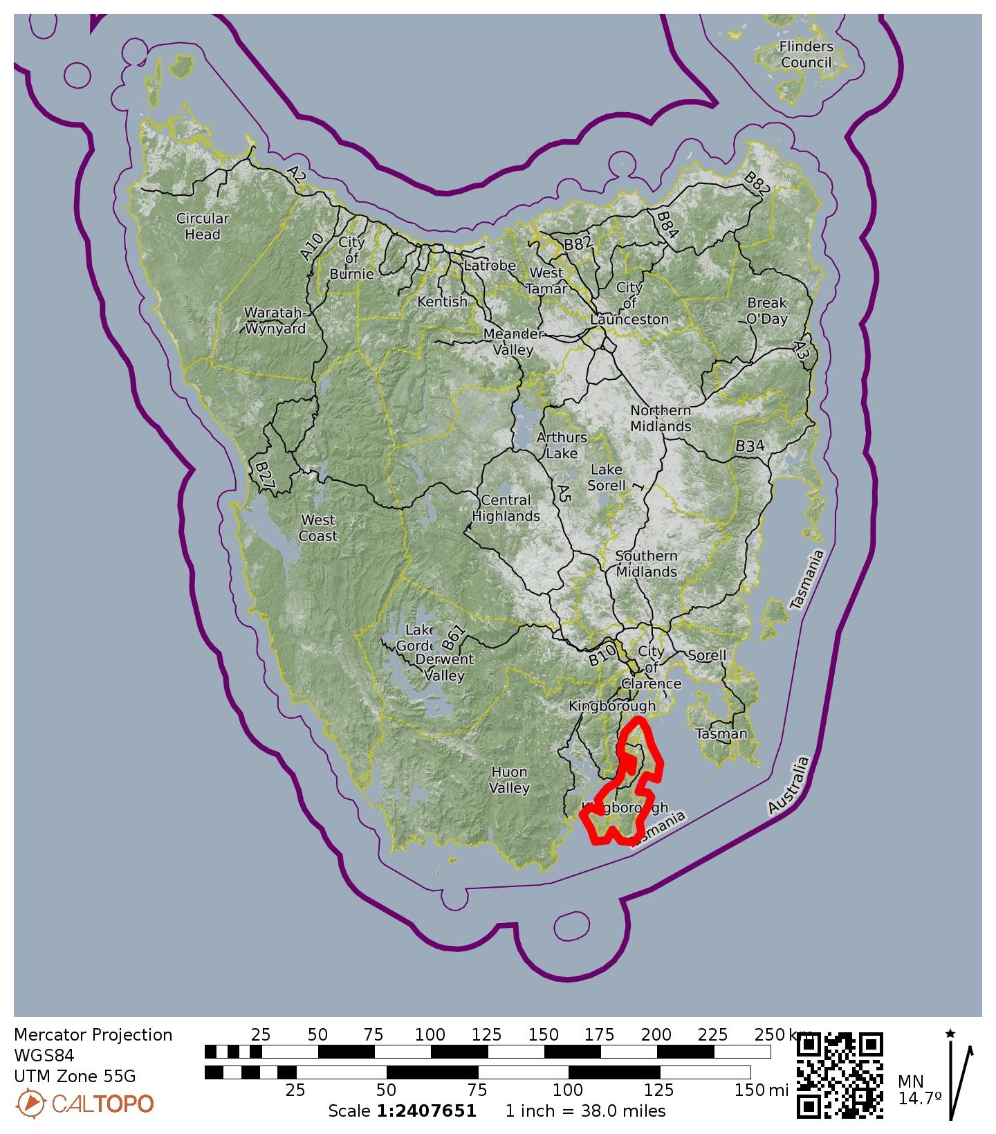
Sub-Region: Southeastern Tasmania
Sub-Sub-Region: North Bruny Island
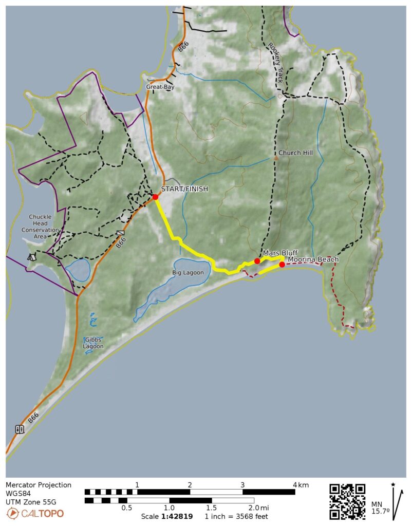
Starting & Ending Point: Cape Queen Elizabeth Trailhead on Main Bruny Road B66
Way Points: Big Lagoon & Mars Bluff & Moorina Beach Arch & Moorina Beach sea stack (trail hike & beach walk & rock scramble)
Approximate Stats: 5.0 miles / 8.0 kilometers traveled; 300 feet / 90 meters gained & lost; 2.5 hours elapsed.
…
Full Trip Report
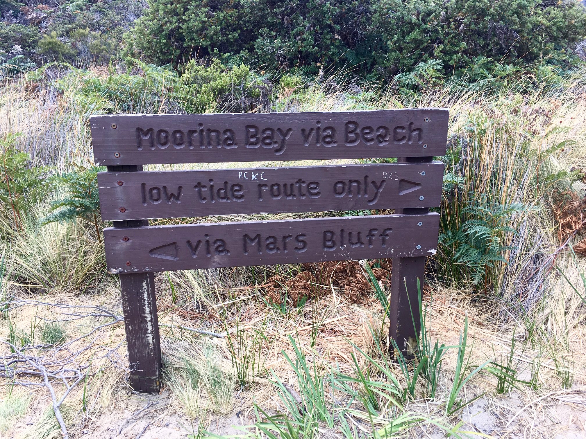
While touring around Bruny Island in southeastern Tasmania, Eileen, Brooke, Callum, and I made a short hike out to Moorina Beach. We started at the Cape Queen Elizabeth Trailhead and walked out past Big Lagoon to a trail junction that announced both a low route and a high route to the beach.

- Moorina Bay Trail Sign
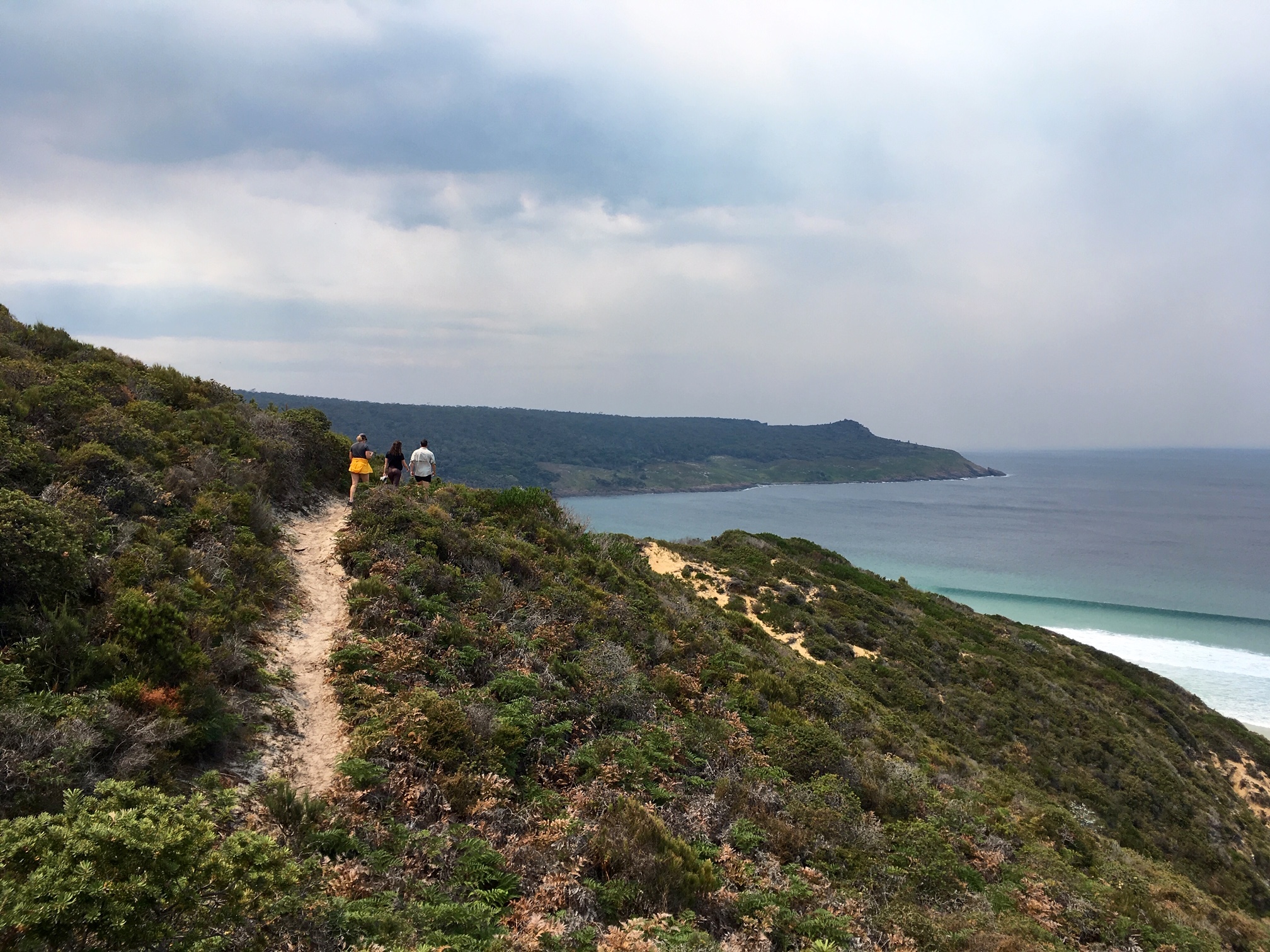
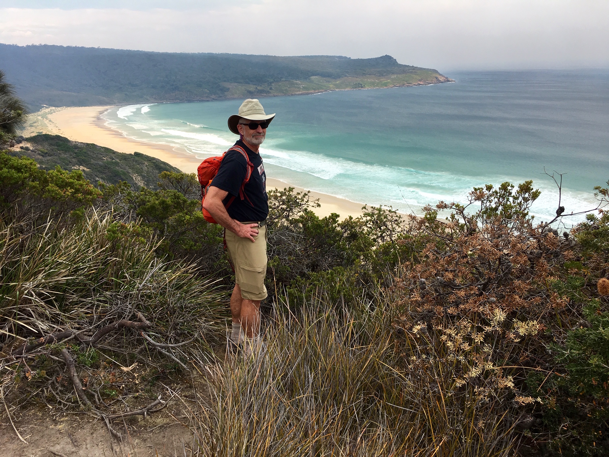
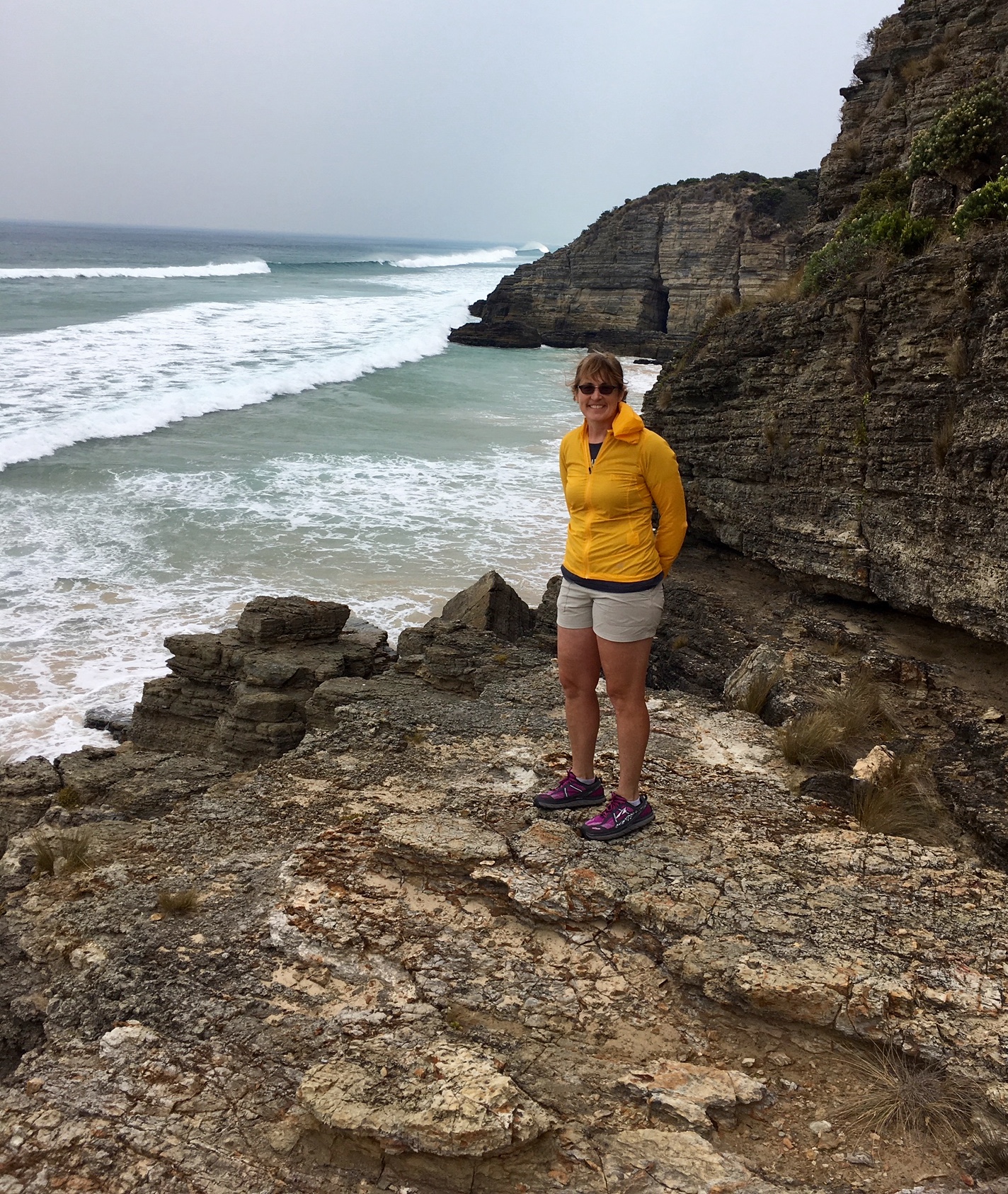
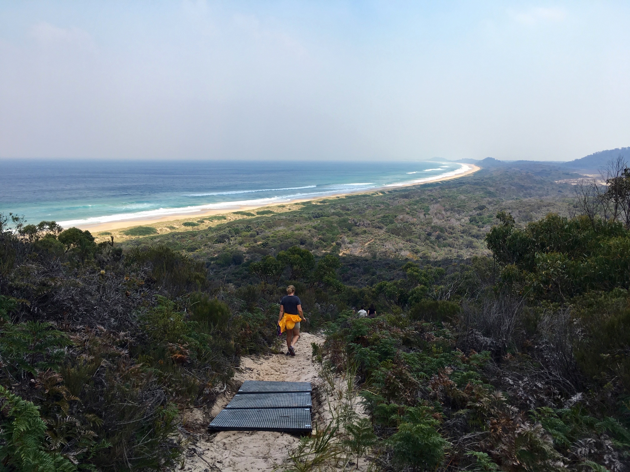
Since the tide was in, we had to take the high trail over Mars Bluff. This gave us a good view of the Bruny coastline before we descended to the beach.
- Hiking Above Moorina Bay
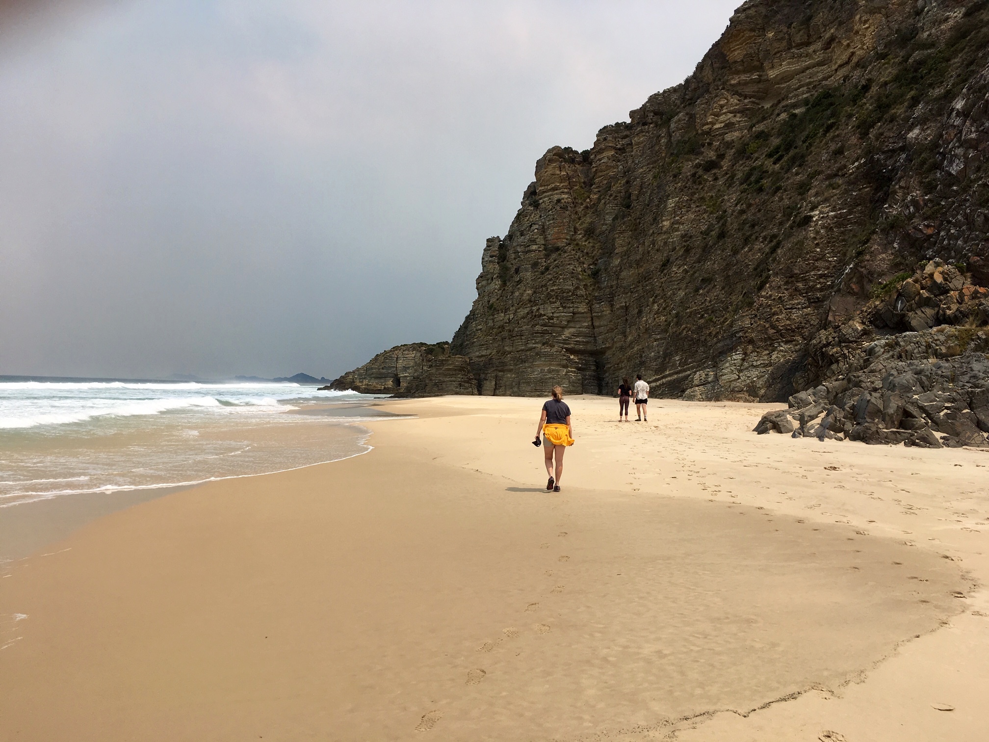
Moorina Beach is a ribbon of tan-colored sand interspersed with tall cliffs of horizontally layered conglomerate.
- Walking Along Moorina Beach
Eileen and I couldn’t resist scrambling up one of the conglomerate sea stacks. The rock was super-ledgey and surprisingly solid; I never knew conglomerate could be so fun.

- Eileen On Moorina Beach Sea Stack
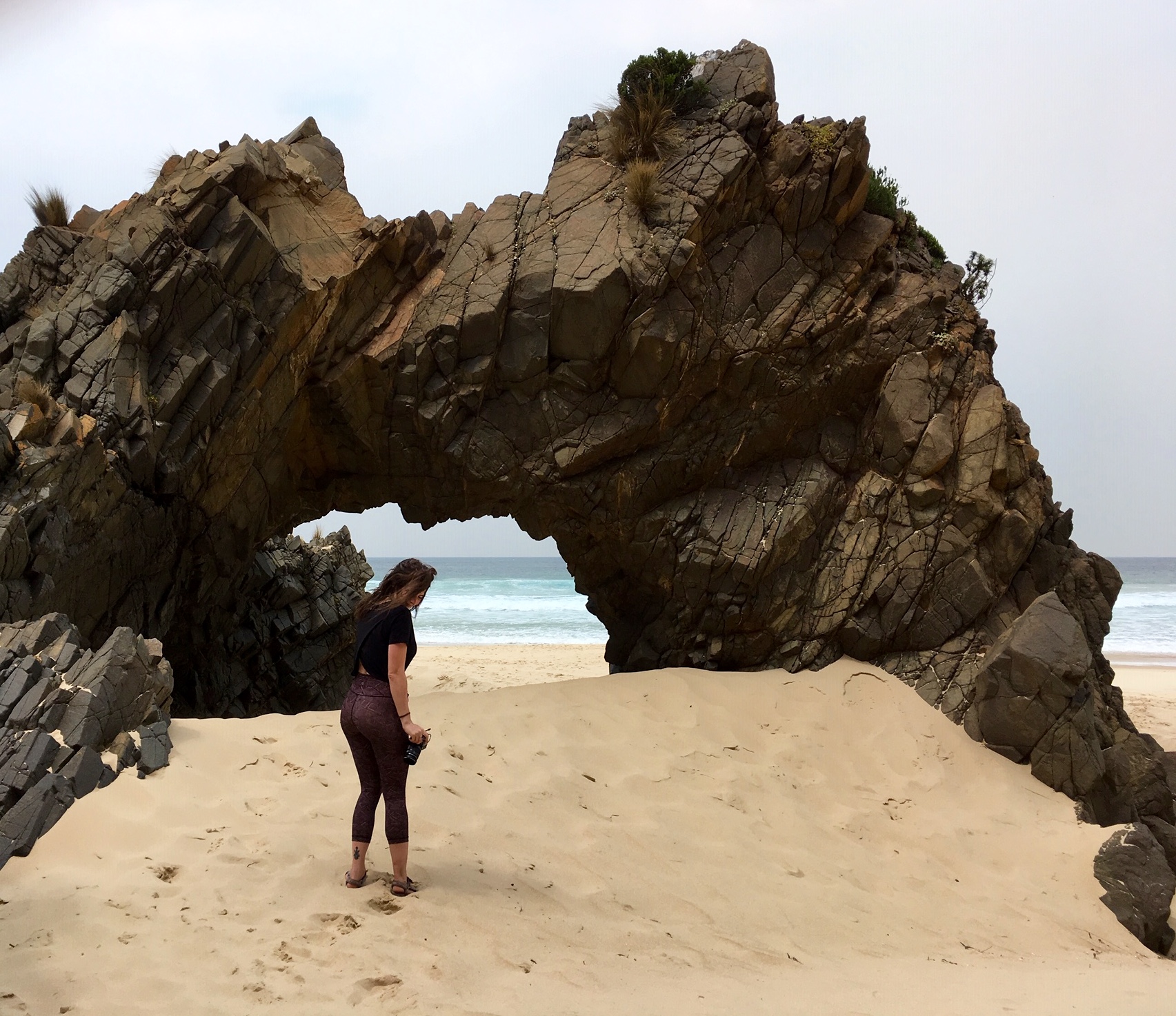
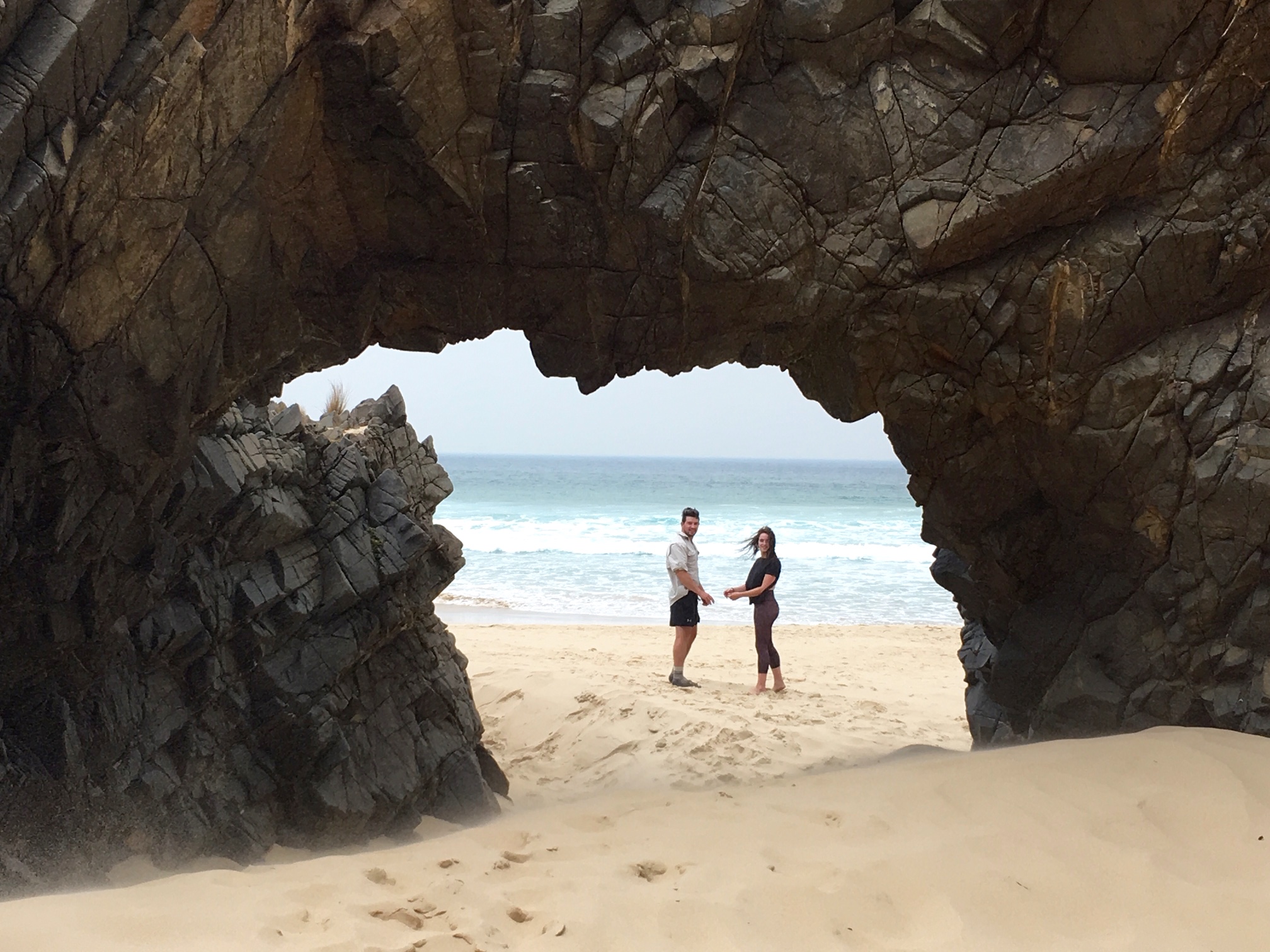
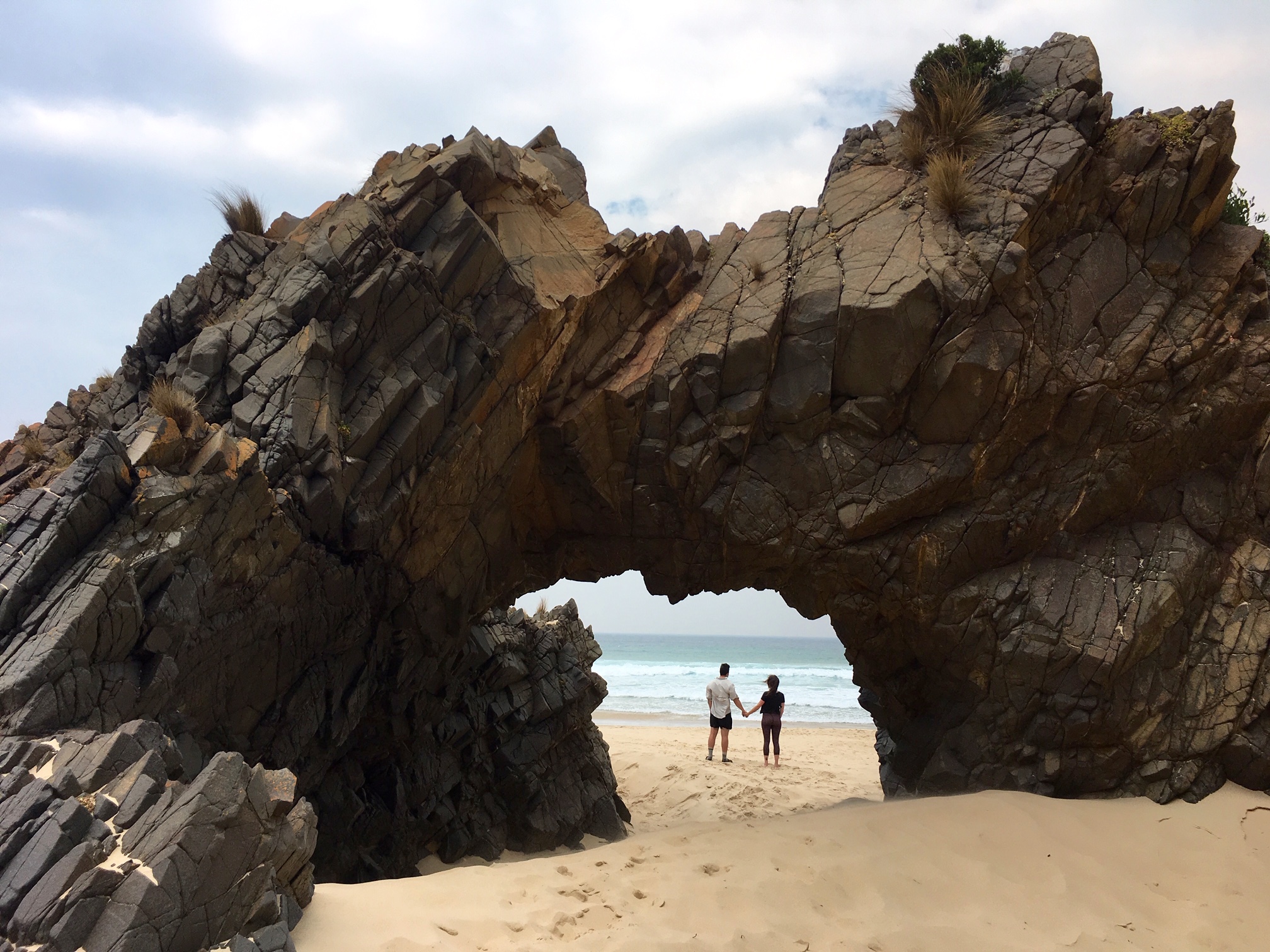
The main attraction of Moorina Beach, however, is this large natural arch composed of blocky volcanic rock. It creates a dramatic picture frame for the adjacent ocean.

- Brooke At Moorina Beach Arch
- Cal & Brooke At Moorina Beach Arch
Route Map
…
Photo Gallery
Click to enlarge…