Trip Date: October 25, 2018
2018 UTAH ADVENTURE VACATION
Ding Canyon & Dang Canyon Exploration
Ding-Dang Wash
Ding Canyon
Dang Canyon
Trip Report Summary
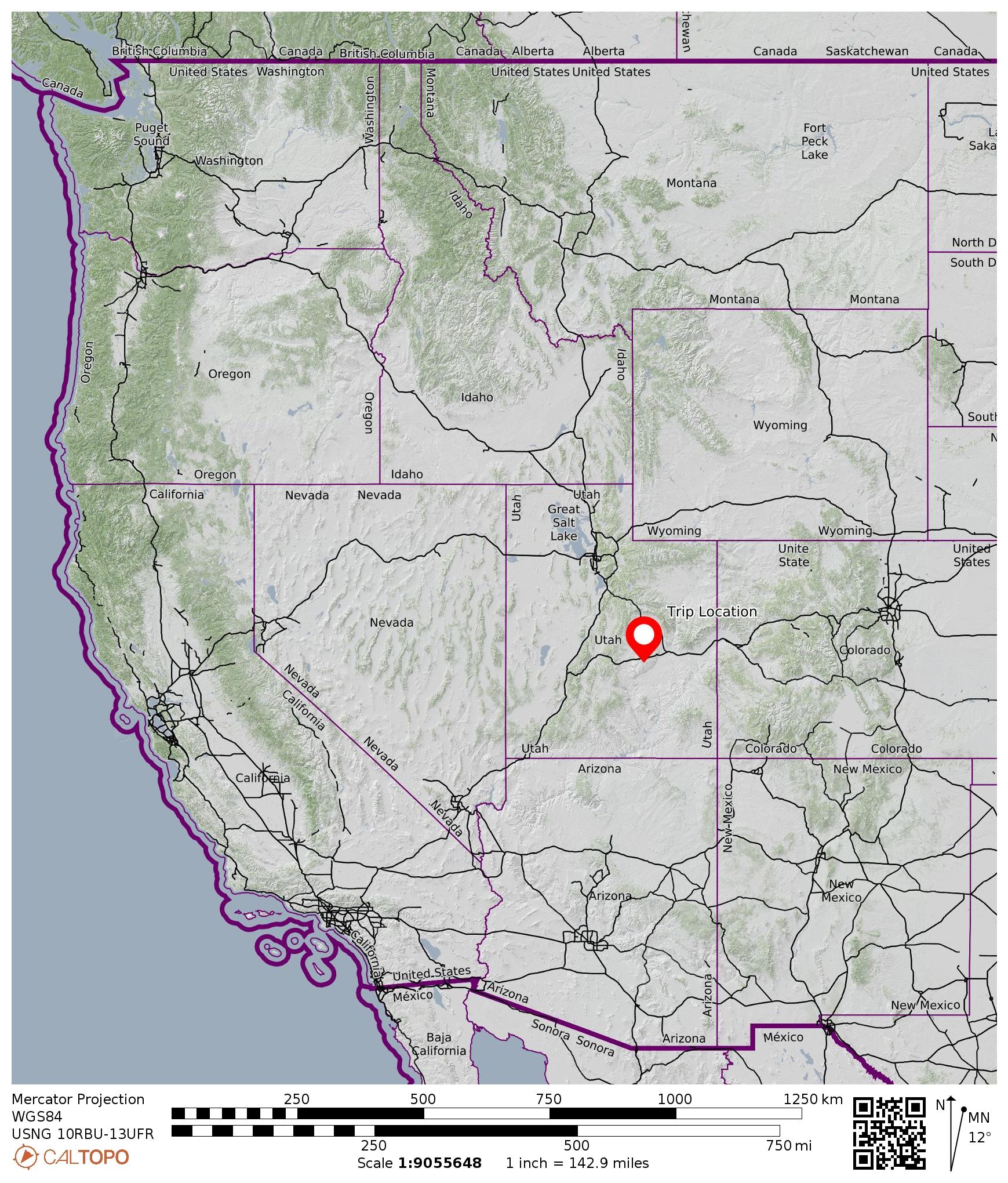
Region: Utah
Sub-Region: Southeastern Utah
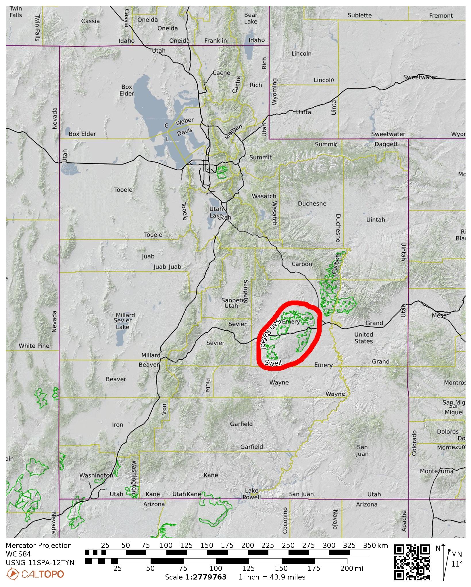
Sub-Sub-Region: San Rafael Swell
Area: Bureau of Land Management (BLM) property
Starting & Ending Point: Ding-Dang Trailhead on Ding-Dang Canyon Road #1013 (Elev. 4900 feet)
Way Points: Ding-Dang Wash & Ding-Dang Confluence & Ding Canyon & Dang Canyon (trail hike & off-trail hike & rock scramble & pool wade)
Invert: Ding Canyon (up & back traverse of lower segment)
Invert: Dang Canyon (up & back traverse of lower segment)
Approximate Stats: 5 miles traveled; 600 feet gained & lost; 4.0 hours elapsed.
…
Full Trip Report
After moving our camp from Goblin Valley State Park to a nearby informal campsite on BLM property, Kevin, Lisa, Dwayne, Eileen, and I headed out for an afternoon of canyoneering in the San Rafael Swell. The “Swell” is what locals call a broad geologic anticline (ridge or dome) that was pushed up here and later breached by erosion.
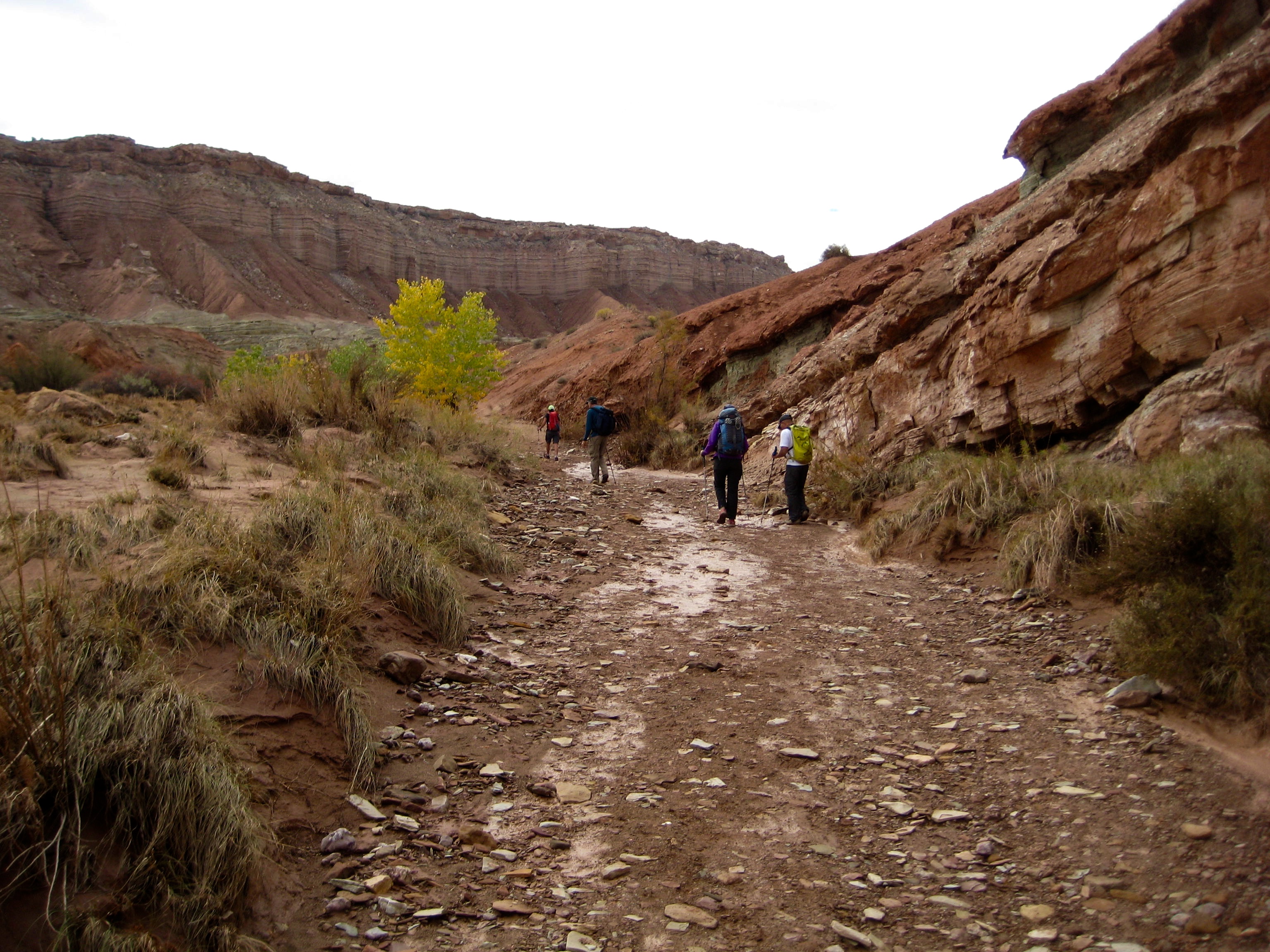
We drove several smooth miles up the Little Wild Horse Road and an additional rough mile along the Ding-Dang Road to a marked trailhead. We then hiked up a wide wash emanating from Ding and Dang Canyons (no, I did not make up these names).

- Hiking Up Ding-Dang Wash
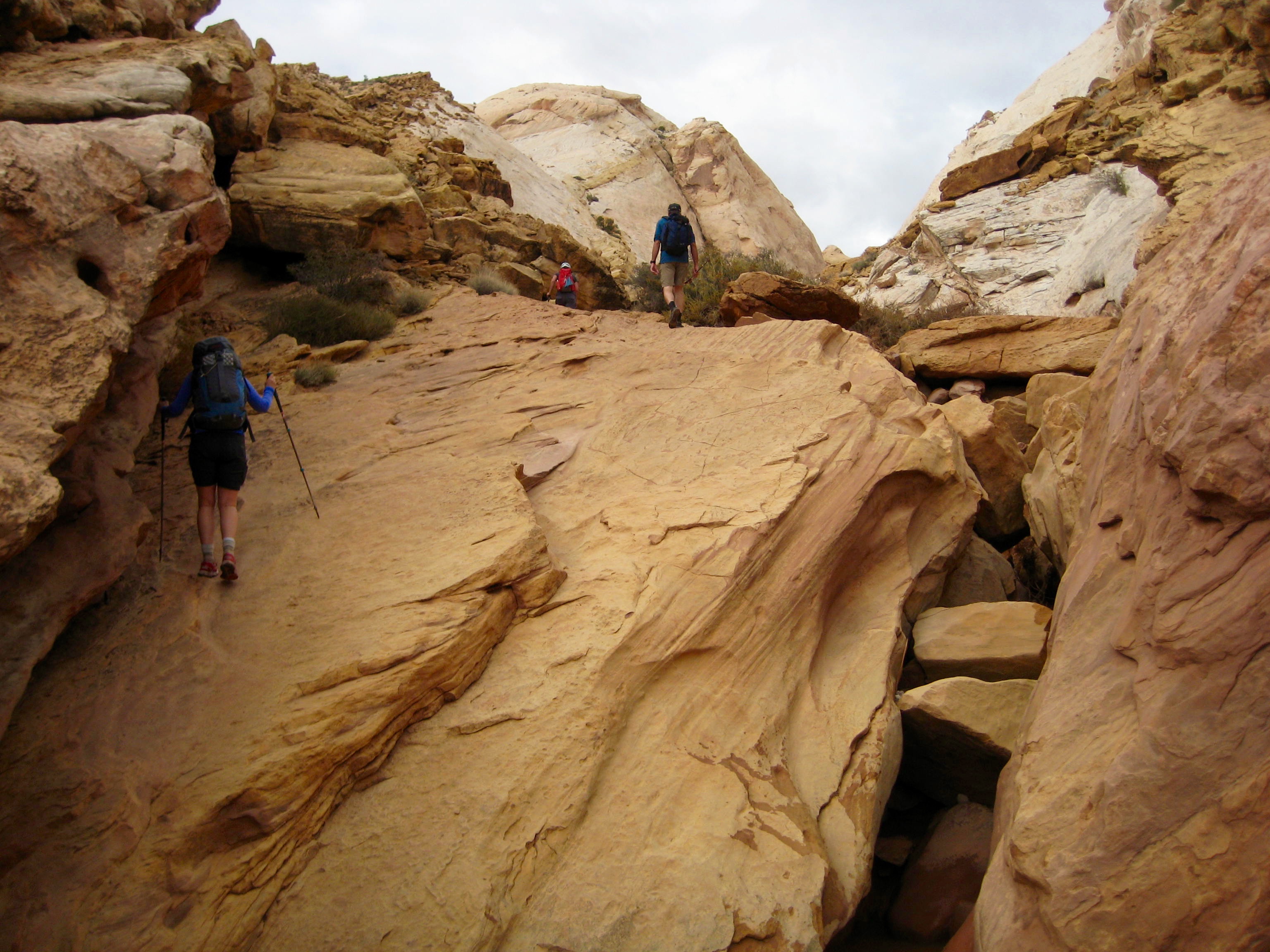
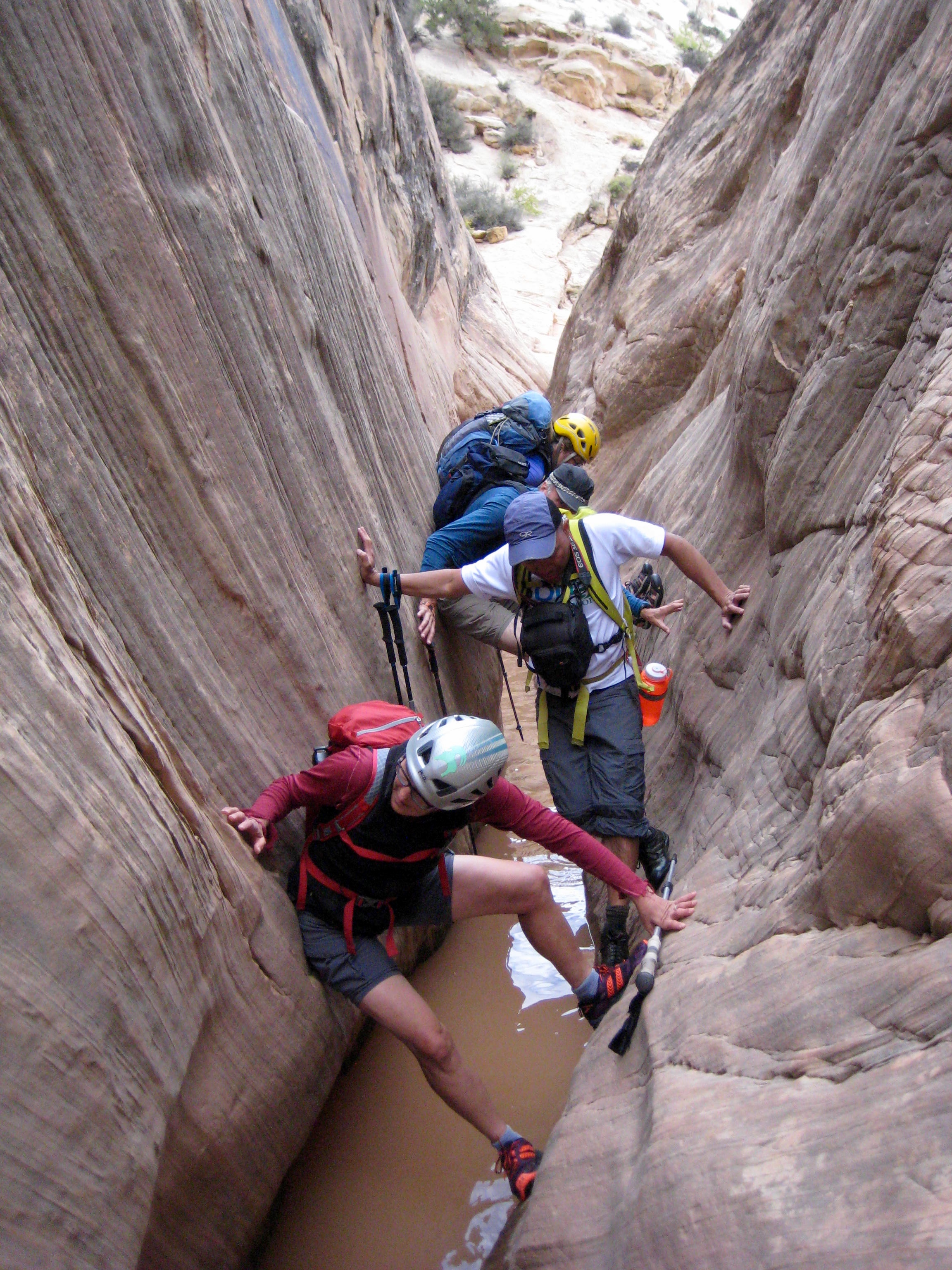
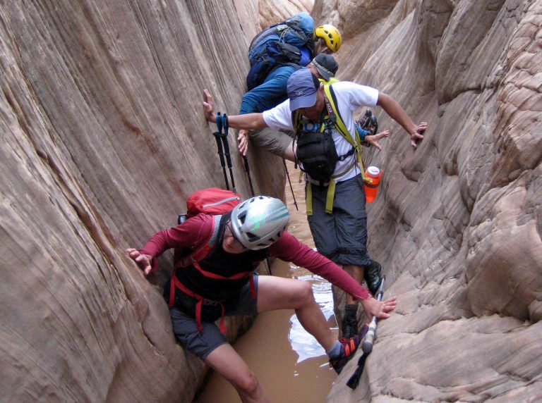
At a confluence of the two canyons, we veered right and worked our way up Ding Canyon. It began with some easy scrambling and slot walking.
- Scrambling Up Entrance Of Ding Canyon

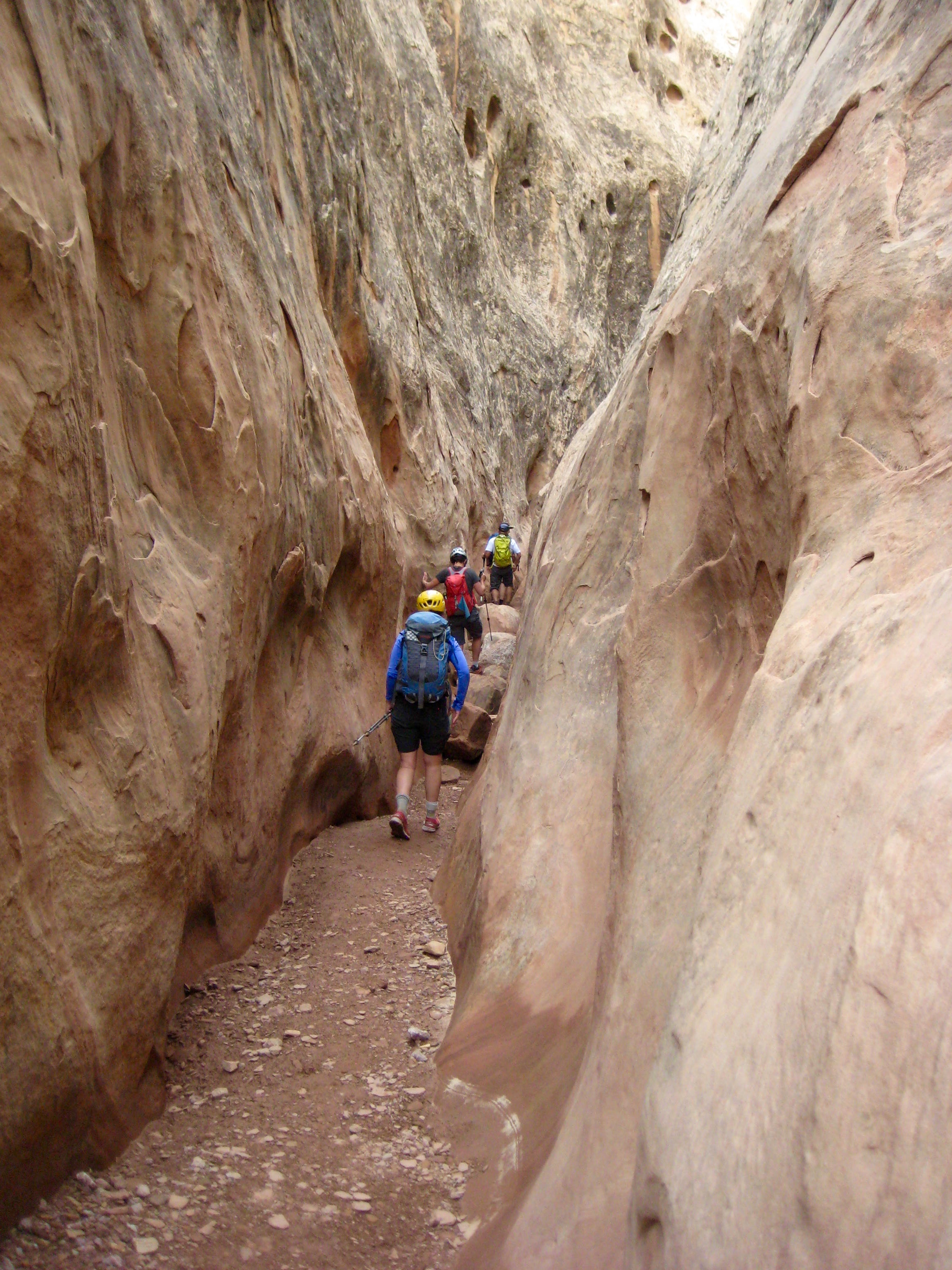
- Hiking Thru Lower Ding Canyon
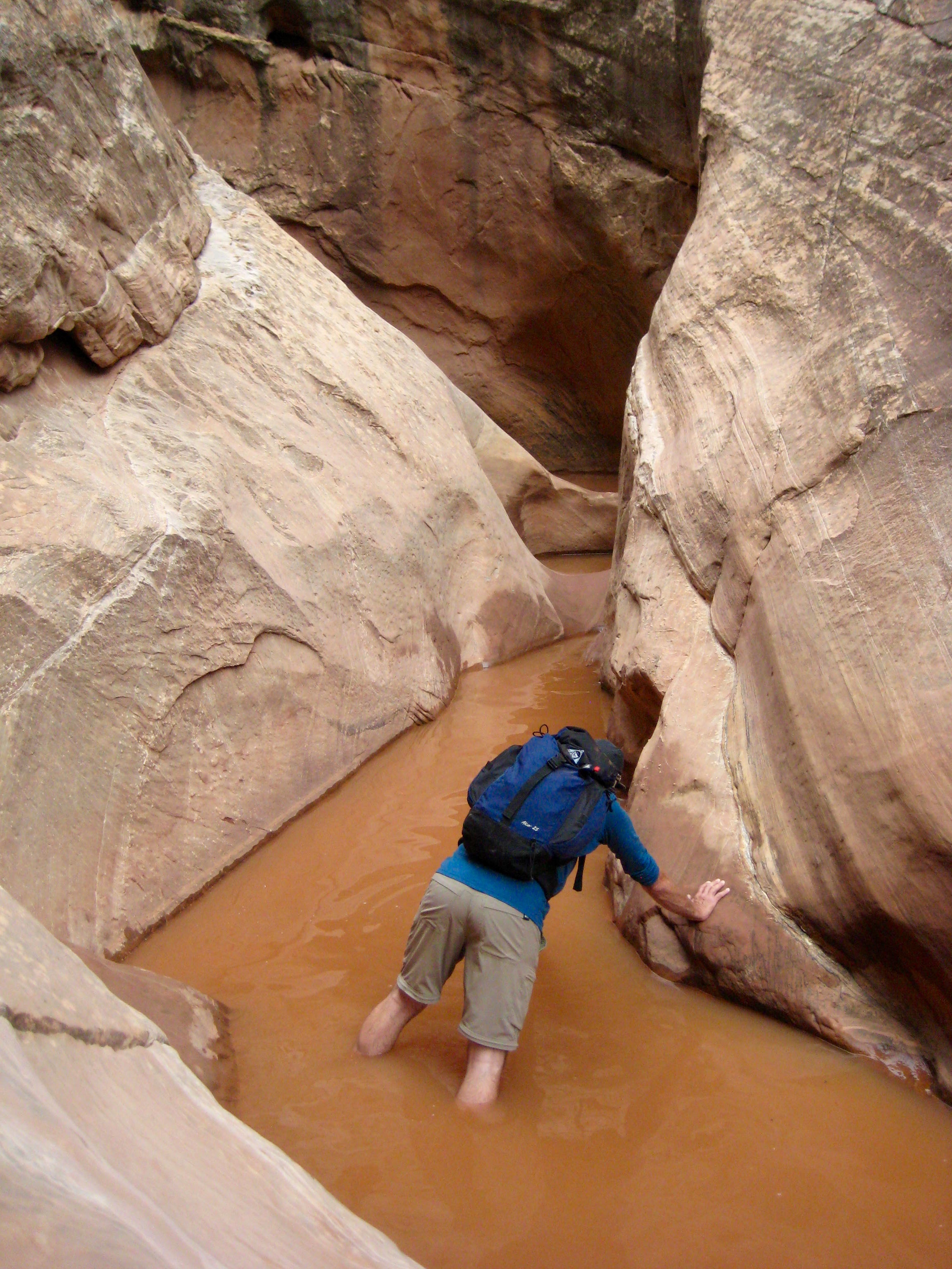
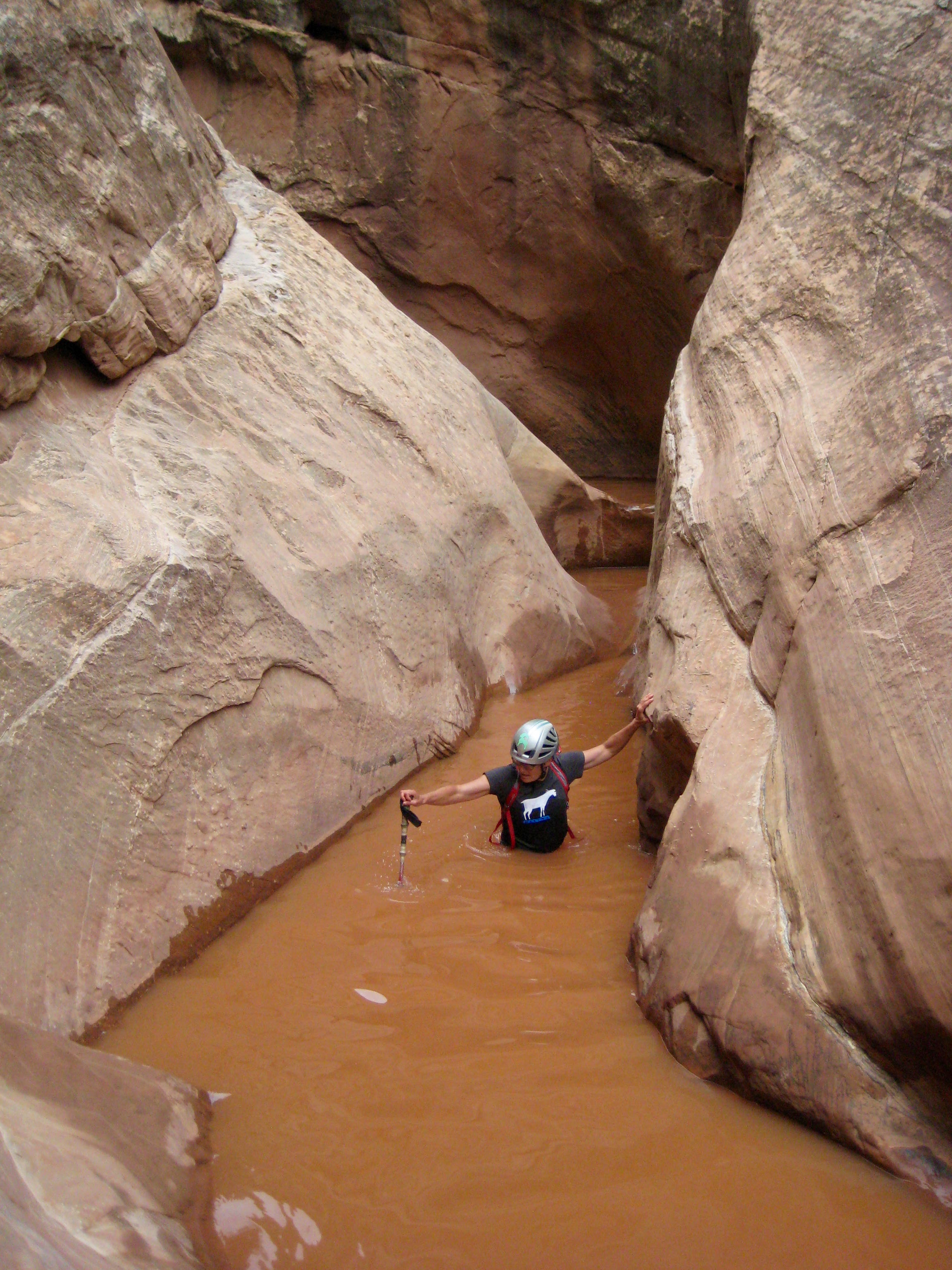
Gradually, the slot canyon grew very narrow and filled with water. We rolled up our cuffs and waded in.
- Kevin Wading Thru Lower Ding Canyon
We turned back when Lisa found herself in cold, brown, neck-deep water. Although she is impervious to cold, this was a show-stopper even for her.
- Lisa Wading Thru Lower Ding Canyon
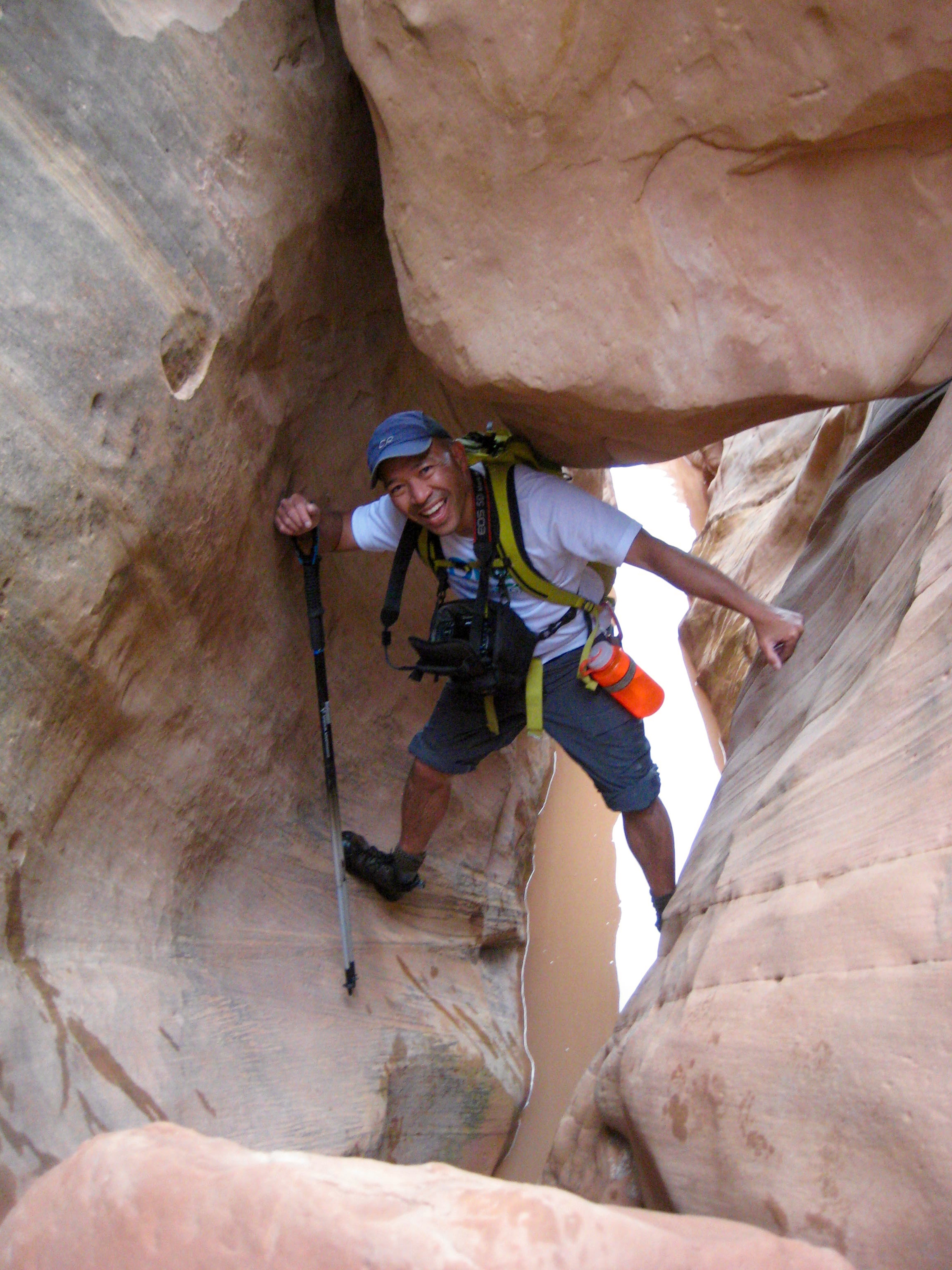
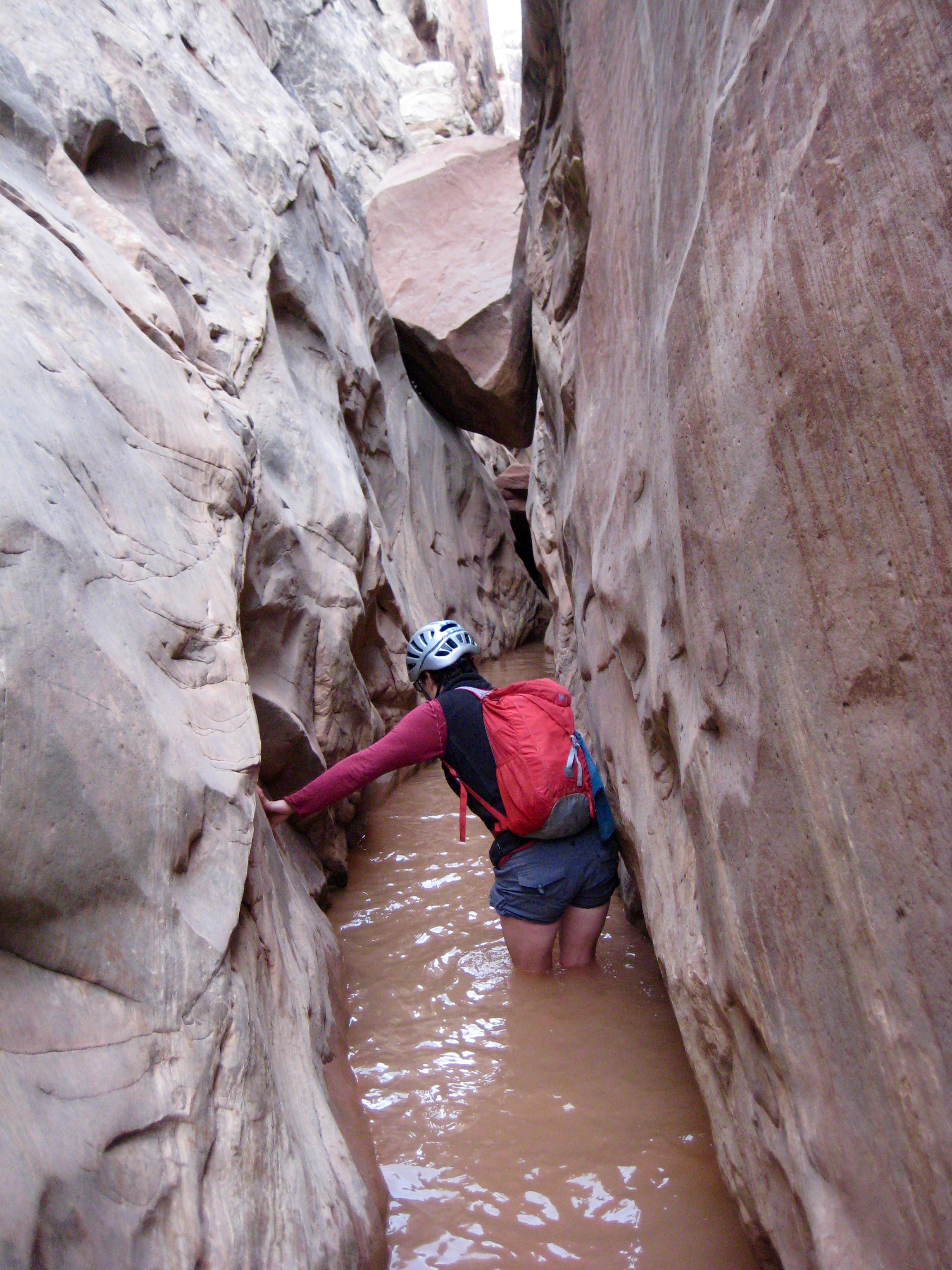
After returning to the confluence, we went up Dang Canyon. This was similar to Ding Canyon and involved a lot of fun stemming and chimney techniques. Once again, however, we turned back when the water got too deep.
- Scrambling Thru Lower Dang Canyon
- Dwayne Stemming In Lower Dang Canyon
- Lisa Wading Thru Lower Dang Canyon
It was getting dark by the time we returned to the trailhead (4.0 hours round trip). Upon returning to camp, Lisa made a beeline for the shower to wash off the chocolate milk!
Route Map

- Map of Ding & Dang Canyons (Tom’s Utah Canyoneering)
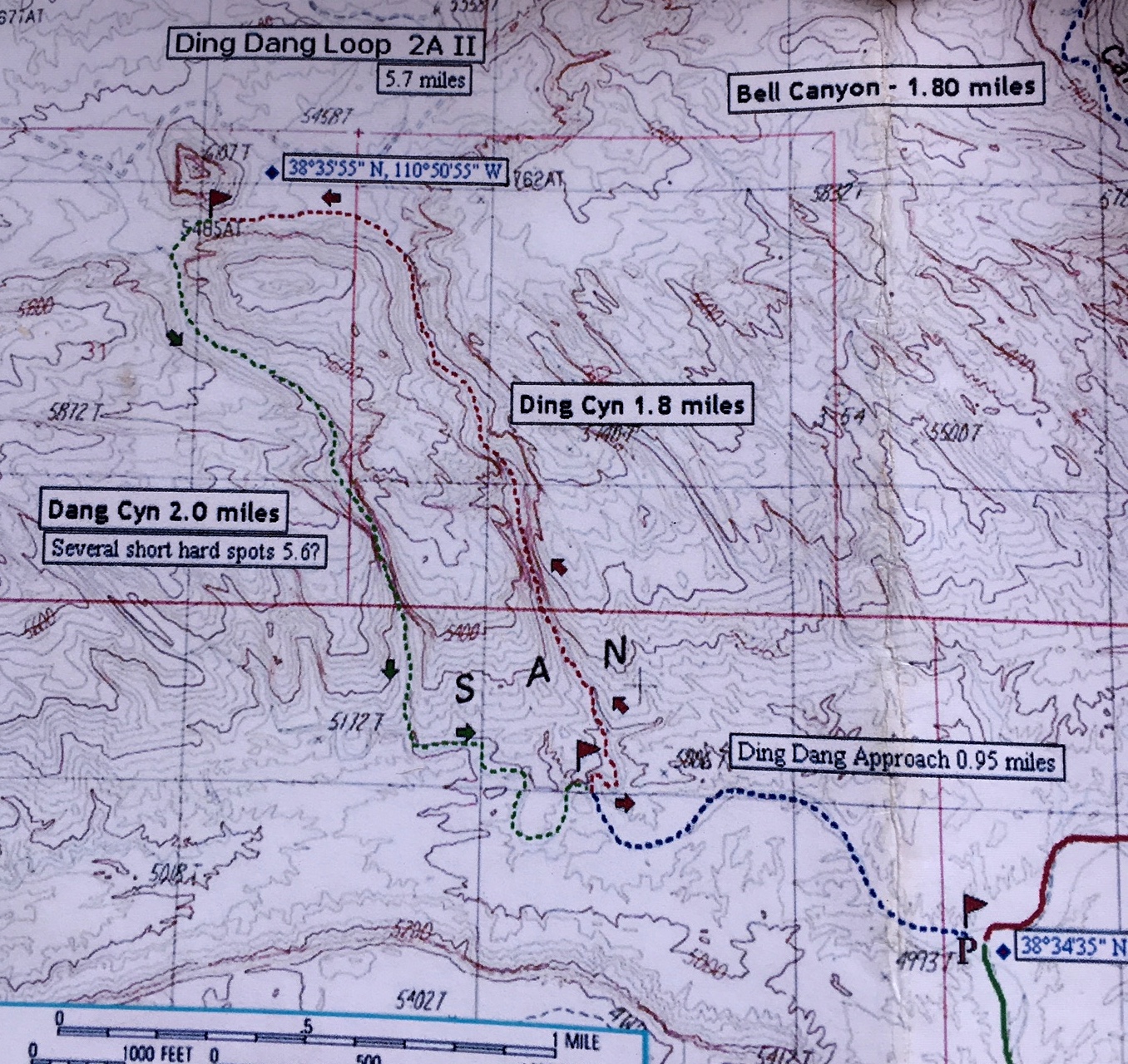
Photo Gallery
Click to enlarge…