Trip Date: March 25, 2007
Blue Bell Ridge Ski Tour
Bullion Basin
Blue Bell Ridge
Trip Report Summary
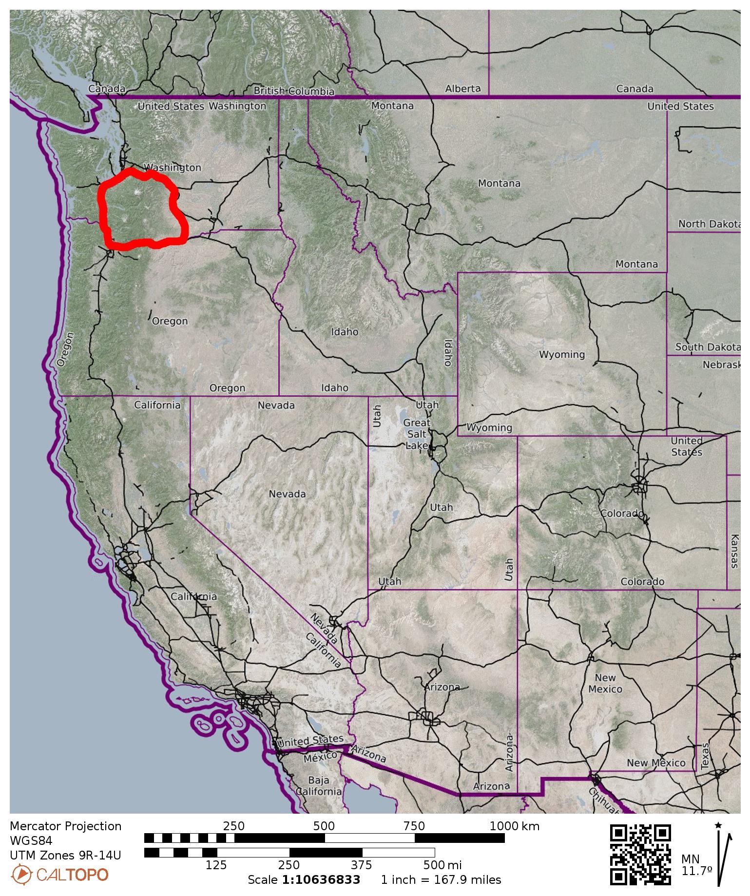
Region: Southern Washington Cascades
Sub-Region: Chinook Mountains
Area: Mt. Baker – Snoqualmie National Forest
Starting & Ending Point: Norse Peak Trailhead off Crystal Mountain Road (Elev. 4000 feet)
Way Points: East Silver Creek Siding Road & Bullion Creek & Bullion Basin & Blue Bell Ridge (ski tour)
Approximate Stats: 8 miles traveled; 2500 feet gained & lost; 6.1 hours elapsed.

…
Full Trip Report
Here is my report for Sunday’s ski tour near Crystal Mtn with Fay, Eileen, and Todd. We initially intended to ski up to Corral Pass, but this idea got scrapped when we discovered that there is now NO SNOW at elev. 3000 feet along SR-410. I couldn’t believe that the recent storms hadn’t put down any snow here!
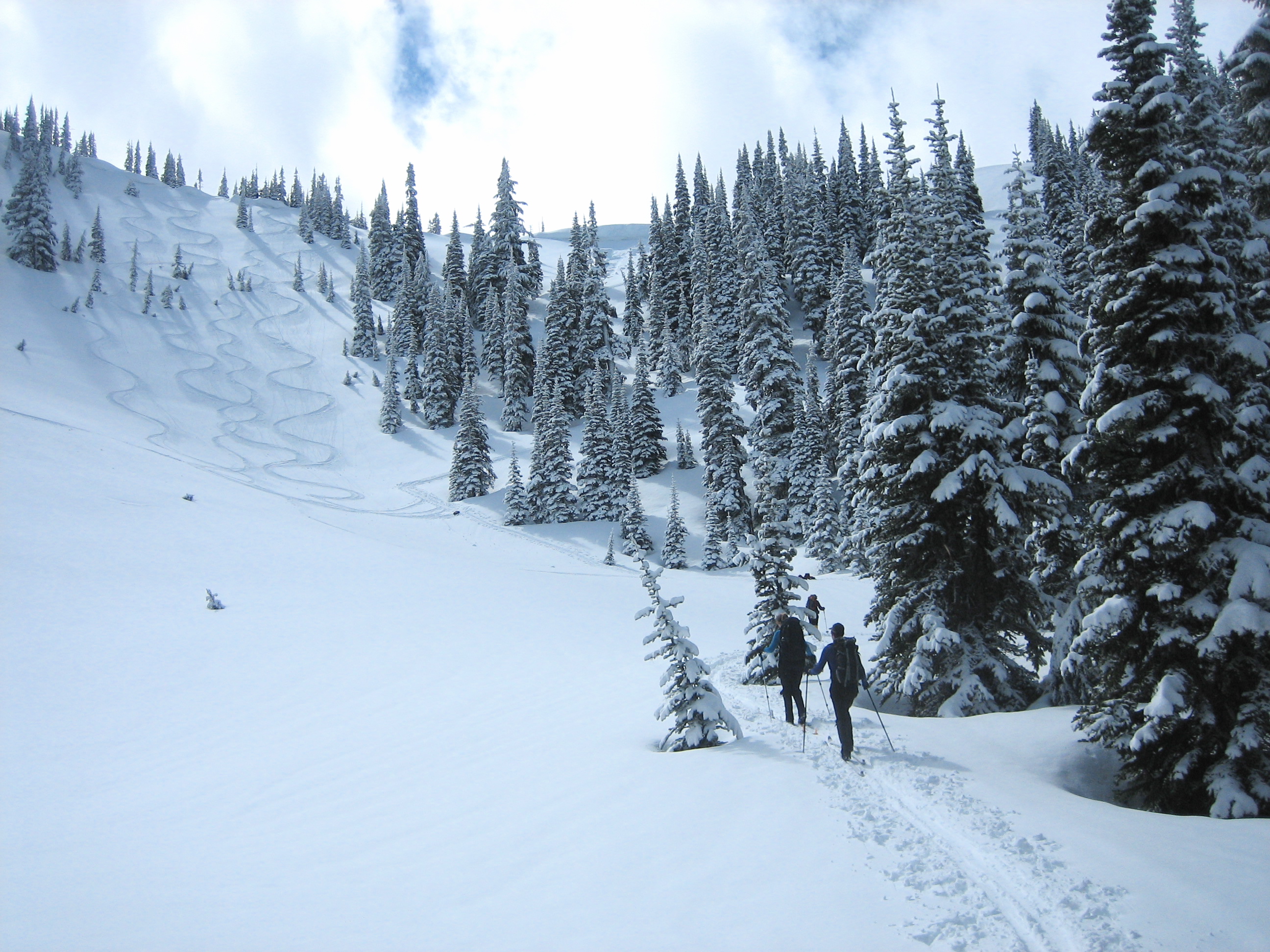
In dismay, we drove up to the Norse Peak Trailhead at elev. 4000 feet. Even here the snowcover was skimpy and patchy, but we managed to eke out a continuous snow route along a side road leading to Bullion Creek. Things improved immensely by then, and we skinned up to Bullion Basin on good snowcover.

- Skiing through Bullion Basin
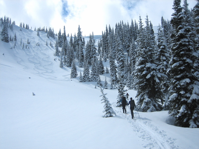
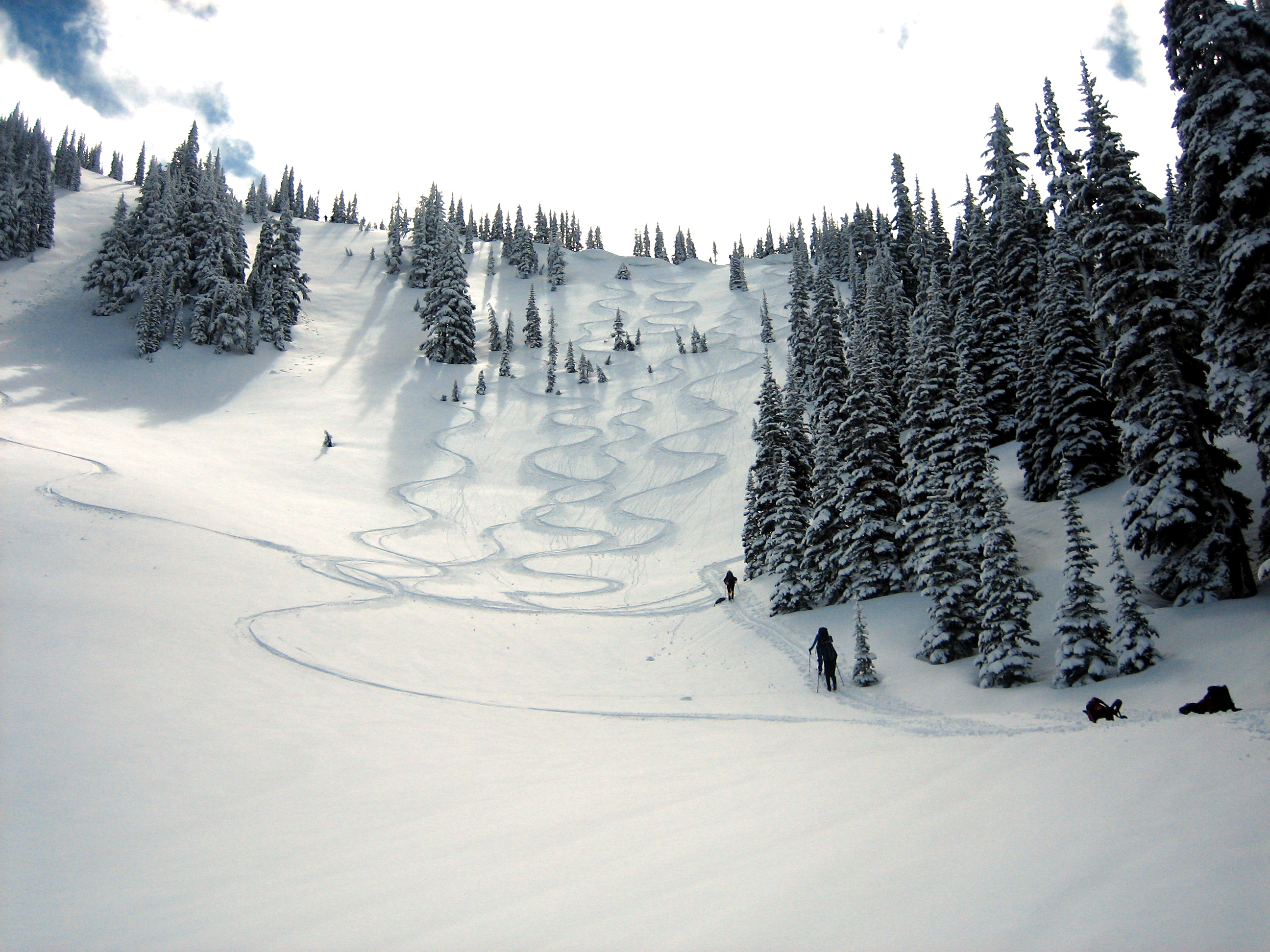
Yo-yo skiers were putting their signatures on the basin sideslopes, which had nearly 1 foot of fresh snow. We proceeded up to the northwest ridge of Blue Bell Point for lunch and a view.

- Skinning Thru Bullion Basin
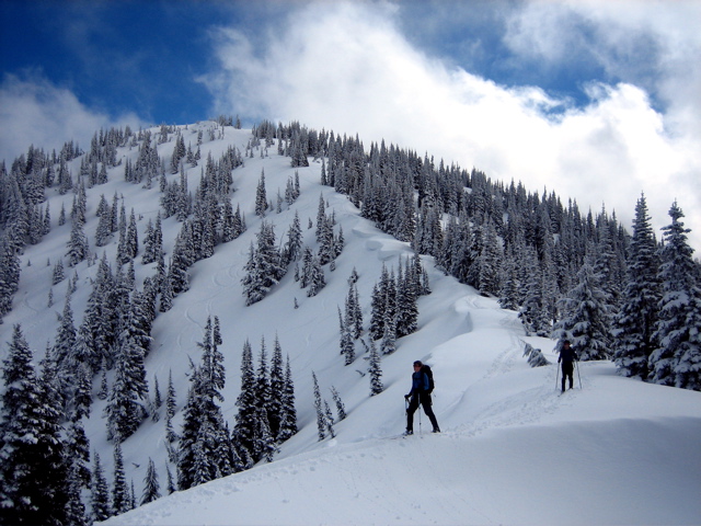
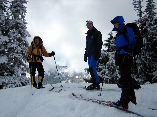
- Fay, Todd, and Eileen on ridge
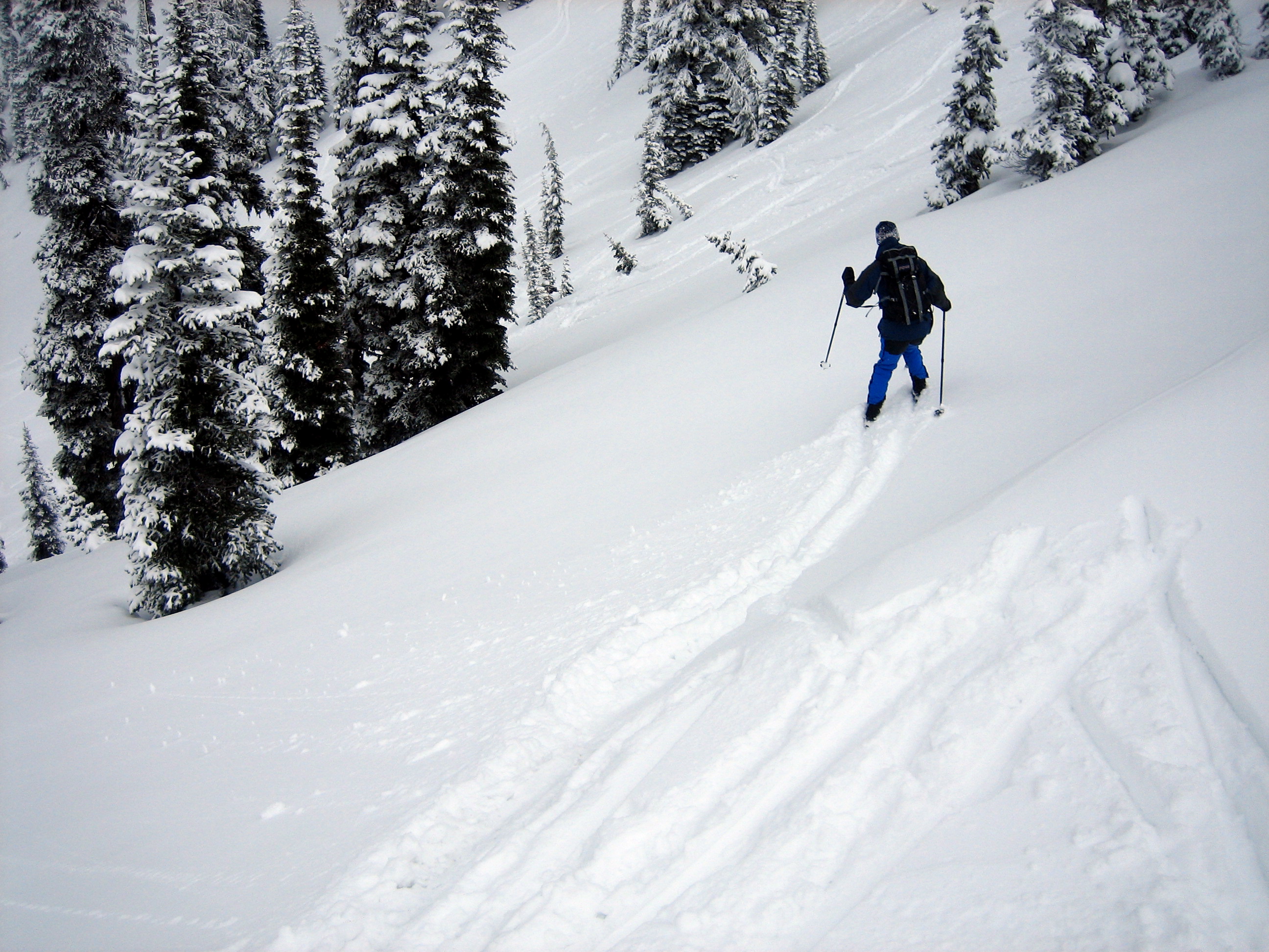
By the time we started our descent, the fresh snow was starting to get tracked up and a bit warm but still quite skiable. Farther down, close to the road, it was thick and heavy. Fortunately, the weather remained pleasant all day, and we felt that this amounted to a very nice salvage trip.
- Todd Skiing Off Ridge
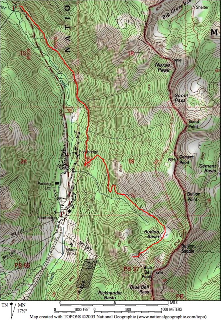
Route Map
…
Photo Gallery
Click to enlarge…