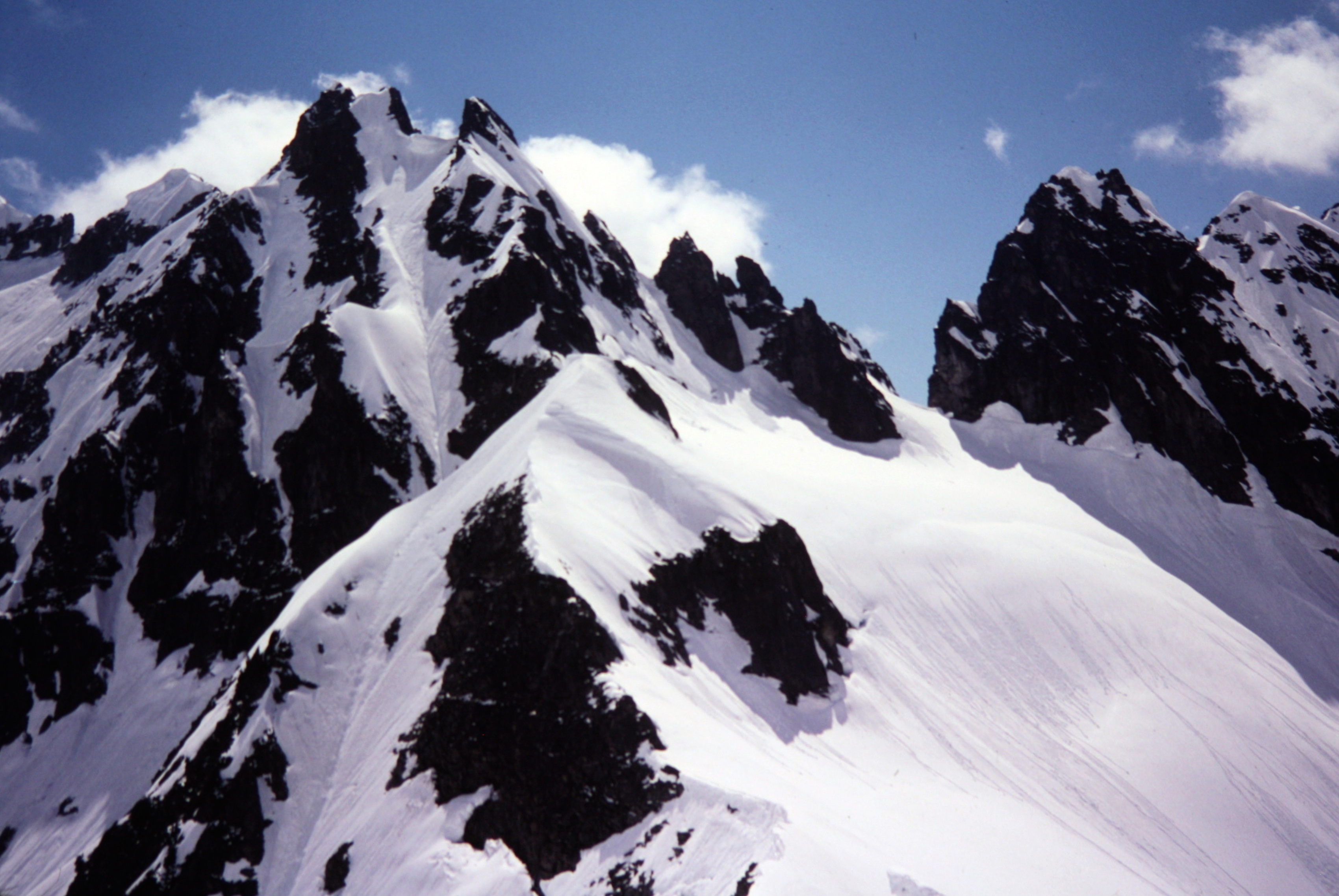
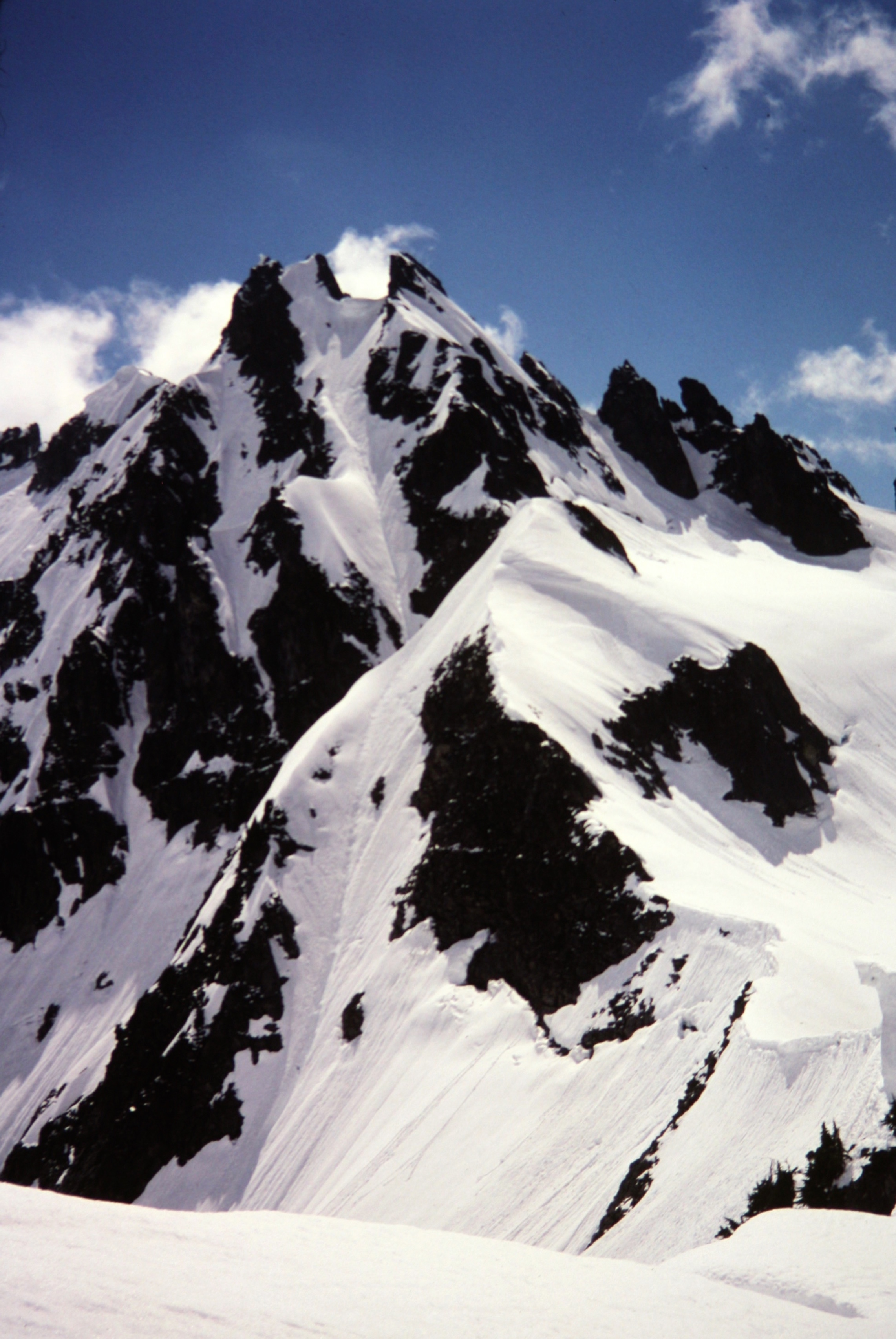
Trip Date: June 9, 2002
Monte Cristo Pass Day Climb
Monte Cristo Townsite
Mystery Pass
Upper Glacier Basin
Monte Cristo Pass
Trip Report Summary
Region: North-Central Washington Cascades
Sub-Region: Monte Cristo Mountains
Area: Henry M. Jackson Wilderness
Starting & Ending Point: Monte Cristo Roadhead at Barlow Pass on Mountain Loop Highway (Elev. 2350 feet)
Way Points: South Fork Sauk River Bridge & Monte Cristo townsite (bike ride & bike push); Justice Mine & Mystery Pass & Upper Glacier Basin & Monte Cristo Pass (trail hike & snow hike & snow climb)
Approximate Stats: 15.0 miles traveled (8.5 miles on bike + 6.5 miles on foot); 4700 feet gained & lost; 6.9 hours up; 3.7 hours down.
Full Trip Report
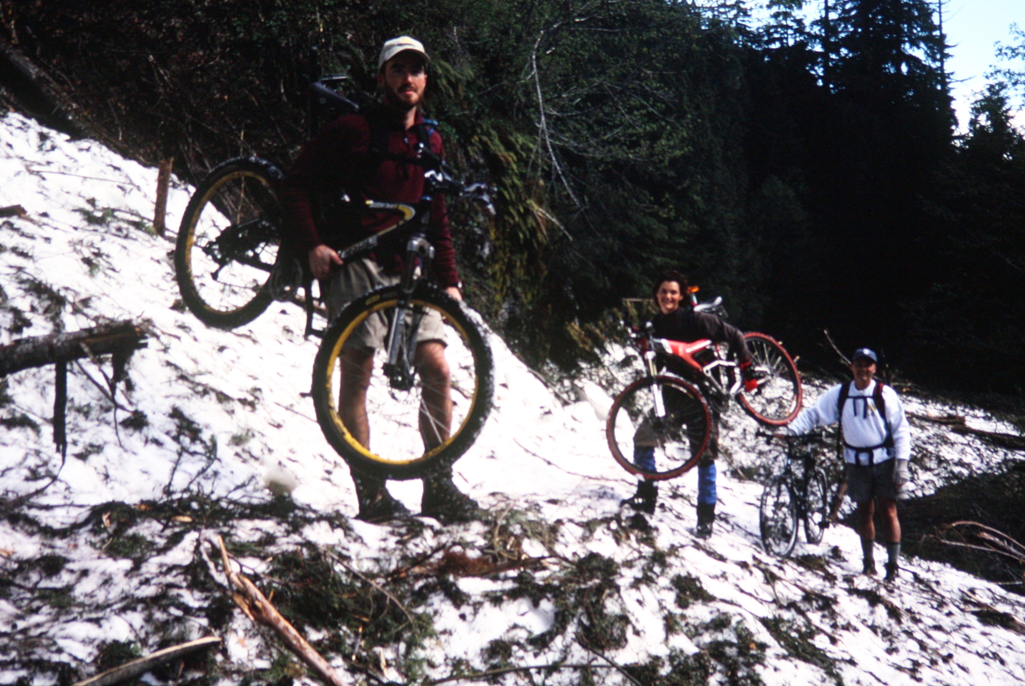
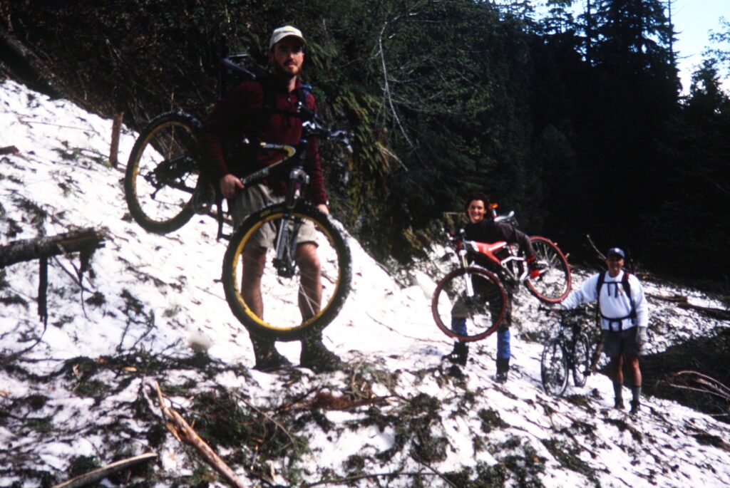
On a sunny Sunday, Carolyn, Greg, and Valdis for a hike and climb to Monte Cristo Pass. Starting at Barlow Pass, we pedaled and pushed our mountain bikes up the Monte Cristo Road, which was approximately 40% snow-covered, to the old townsite (1.8 hours from Barlow Pass).
.
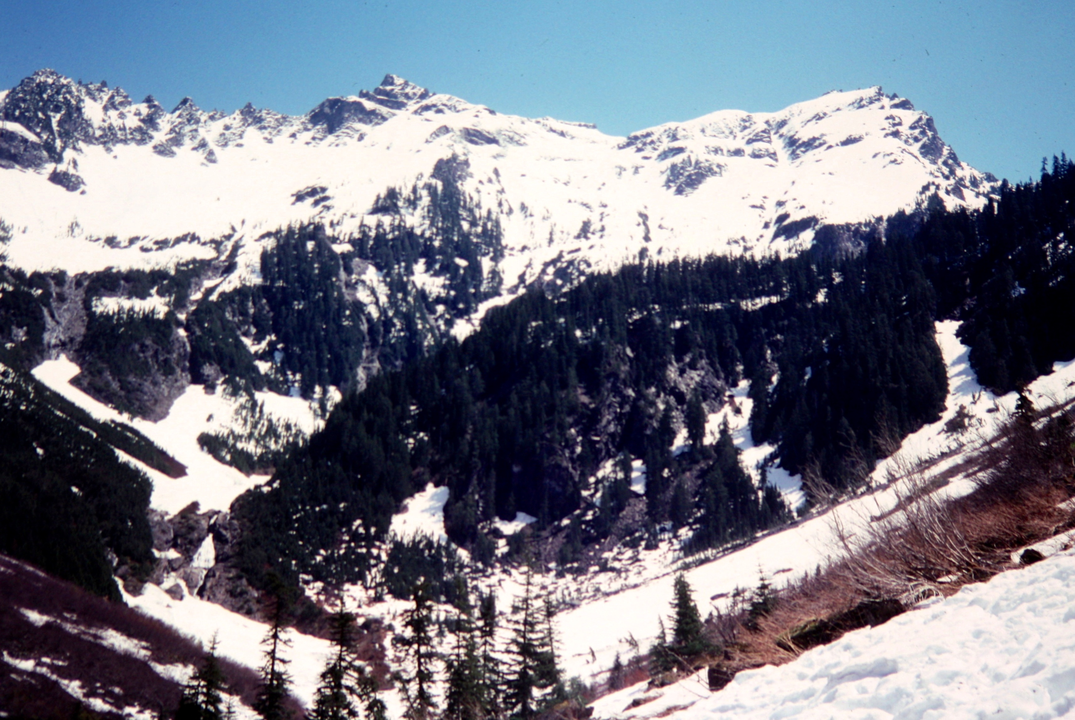
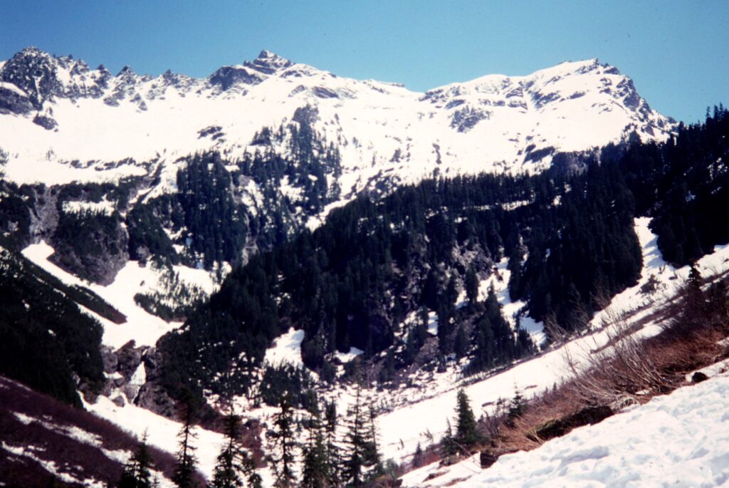
We stashed our bikes there and began hiking up the Justice Mine Trail until encountering solid snow, then we booted up Mystery Couloir. Upon reaching Mystery Pass, we scoped out a route into Upper Glacier Basin and up to Monte Cristo Pass.
.
.
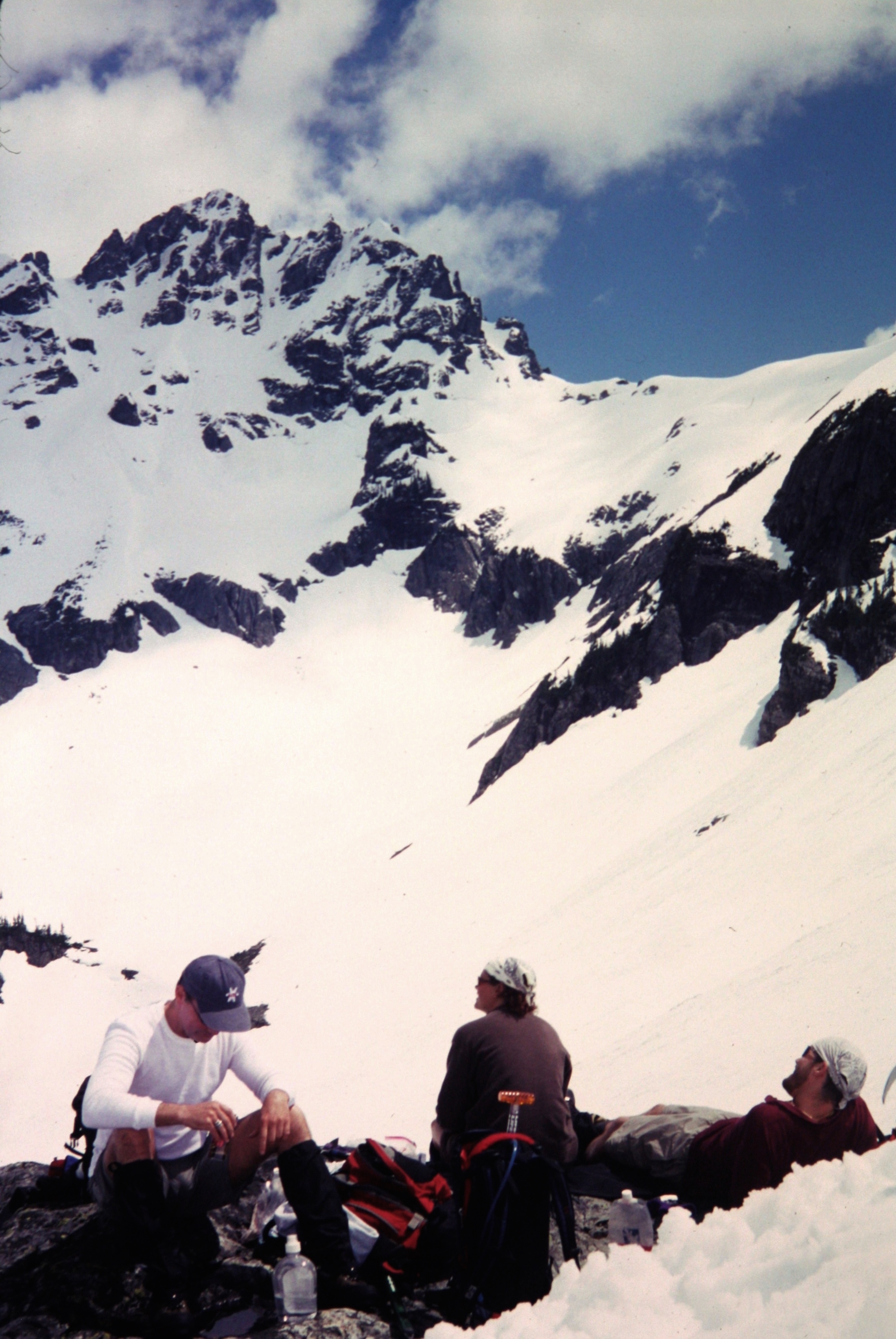
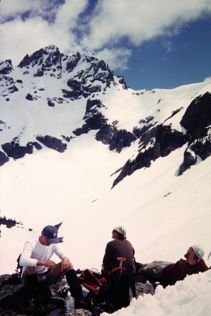
Our chosen route took us on a high traverse across the basin, then up the left side of the cirque wall, and then rightward to gain 6000-foot Monte Cristo Pass (6.9 hours from Barlow Pass). The snow was getting very mushy in the mid-afternoon heat, and numerous small avalanches were occurring around the cirque.
.
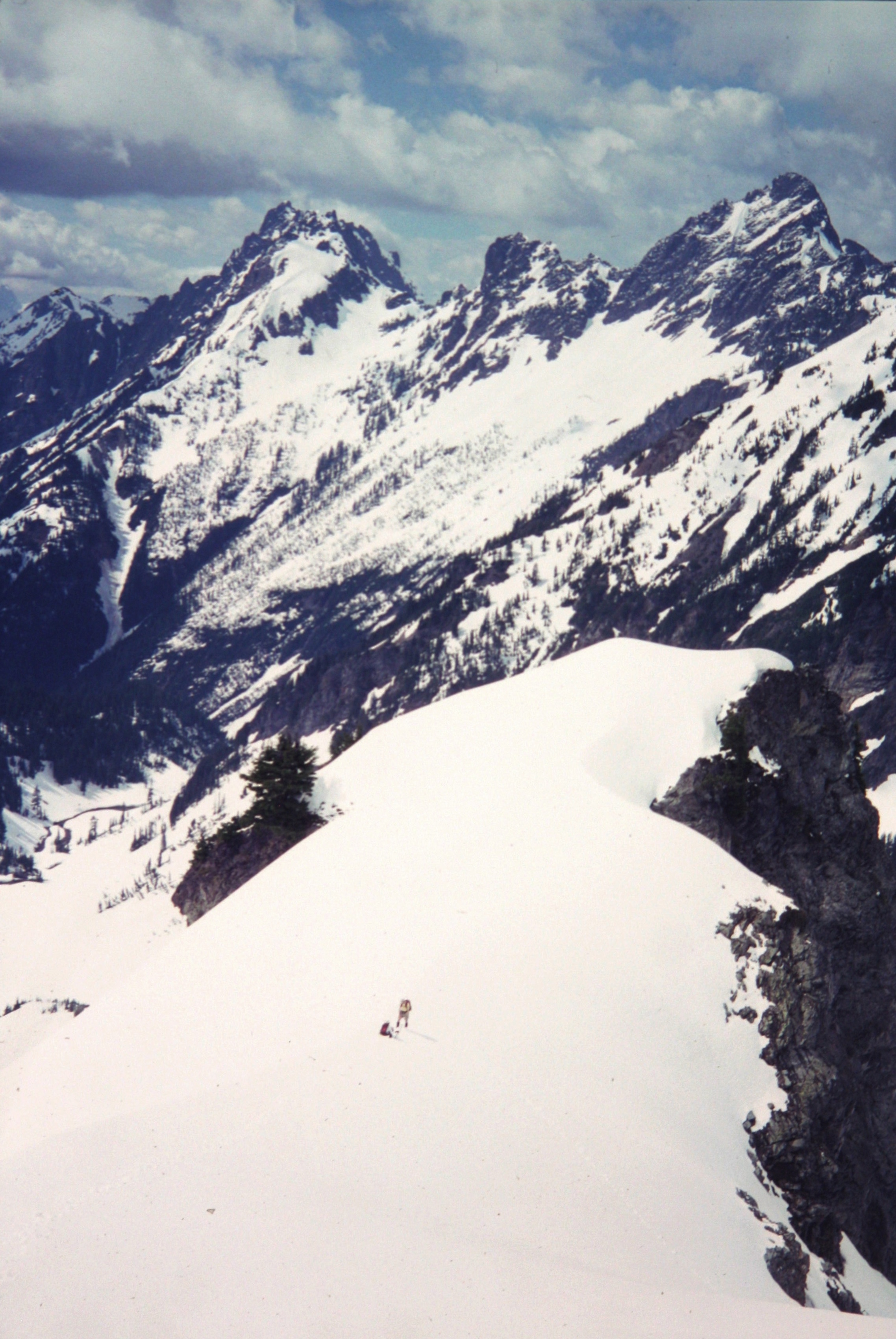
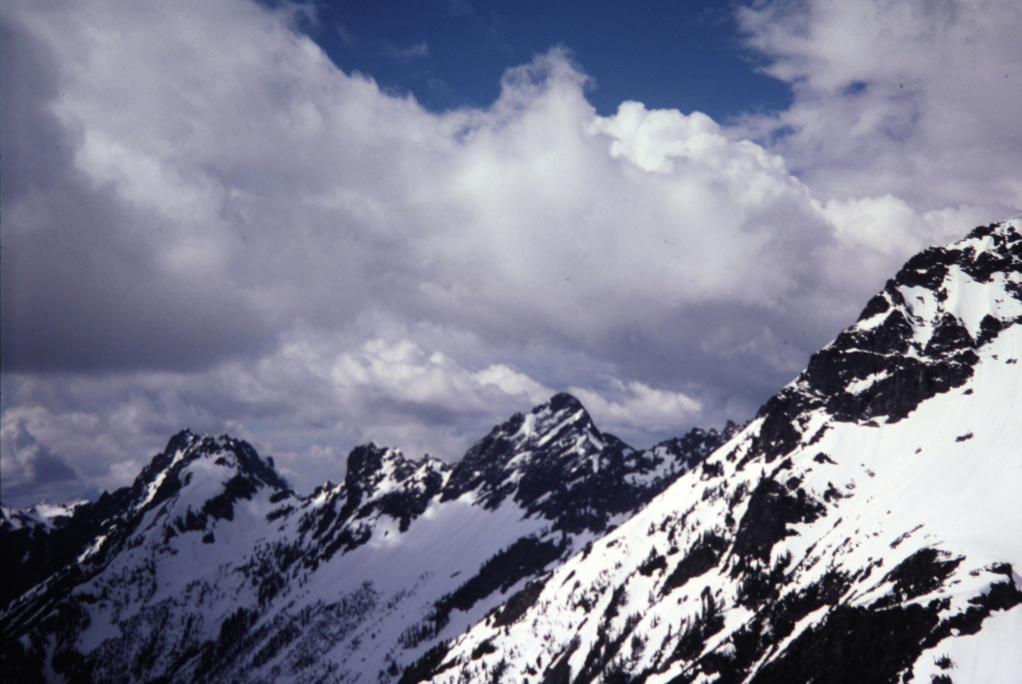
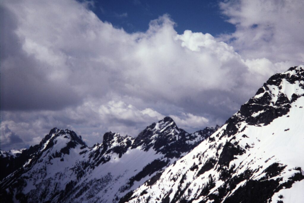
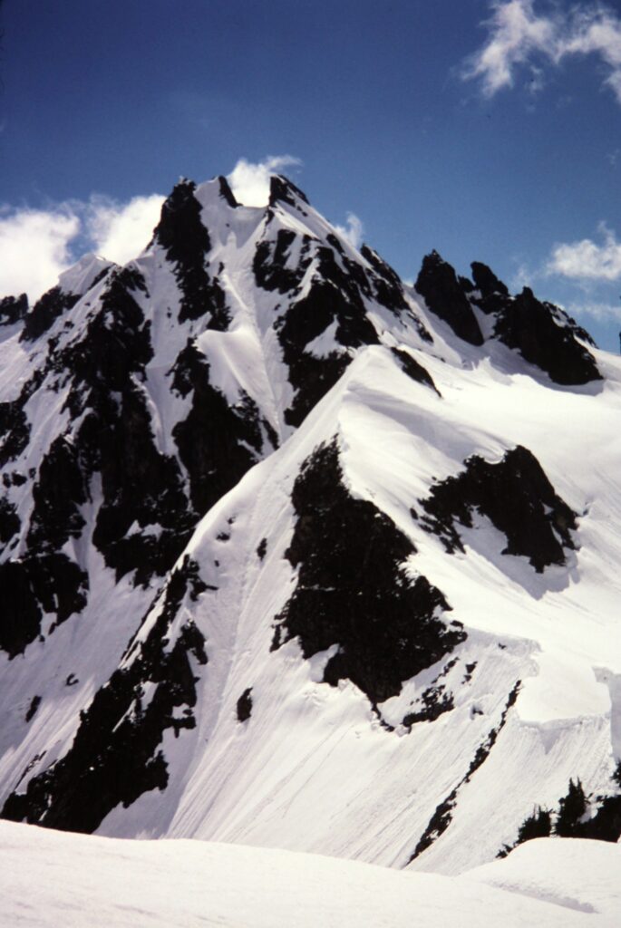
Our position gave us a great view of many other peaks in the Monte Cristo Mountains. I booted a bit farther up the western side of the pass to get an even better vantage.
.
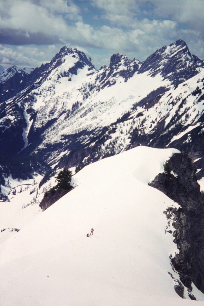
.
To descend, we followed our up-track into Upper Glacier Basin, but then we took the main trail down Glacier Creek to the Monte Cristo Townsite. From there, we pedaled and pushed our bikes back to Barlow Pass (3.7 hours from Monte Cristo Pass).
Route Maps & Profile
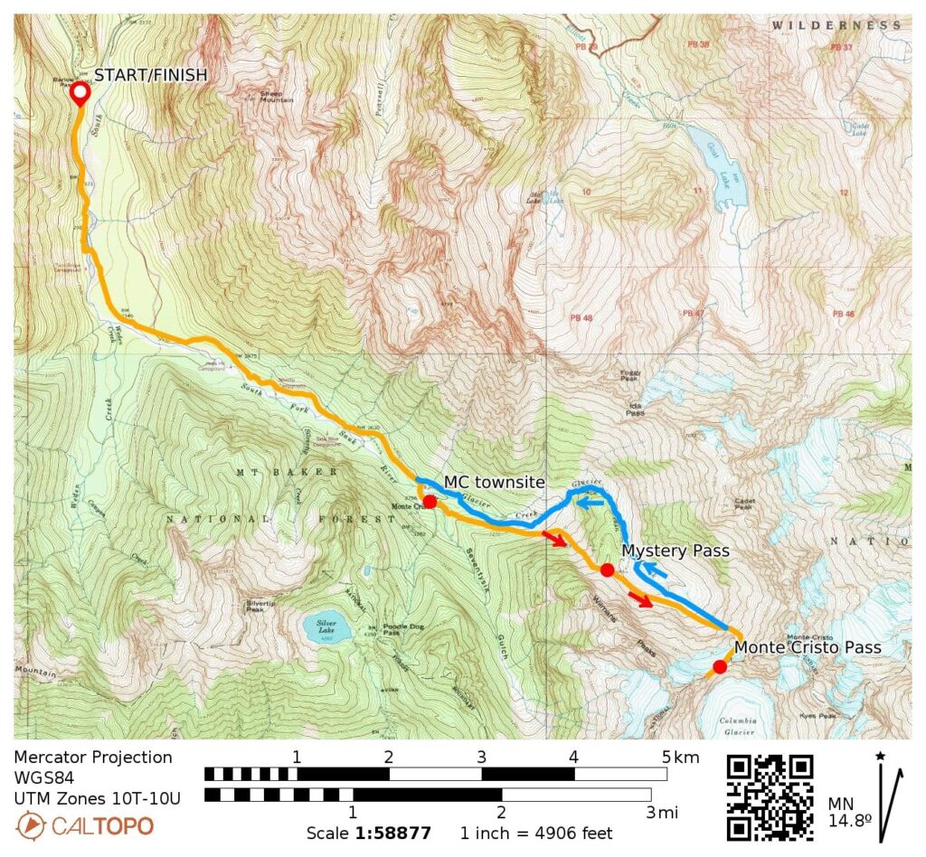
…
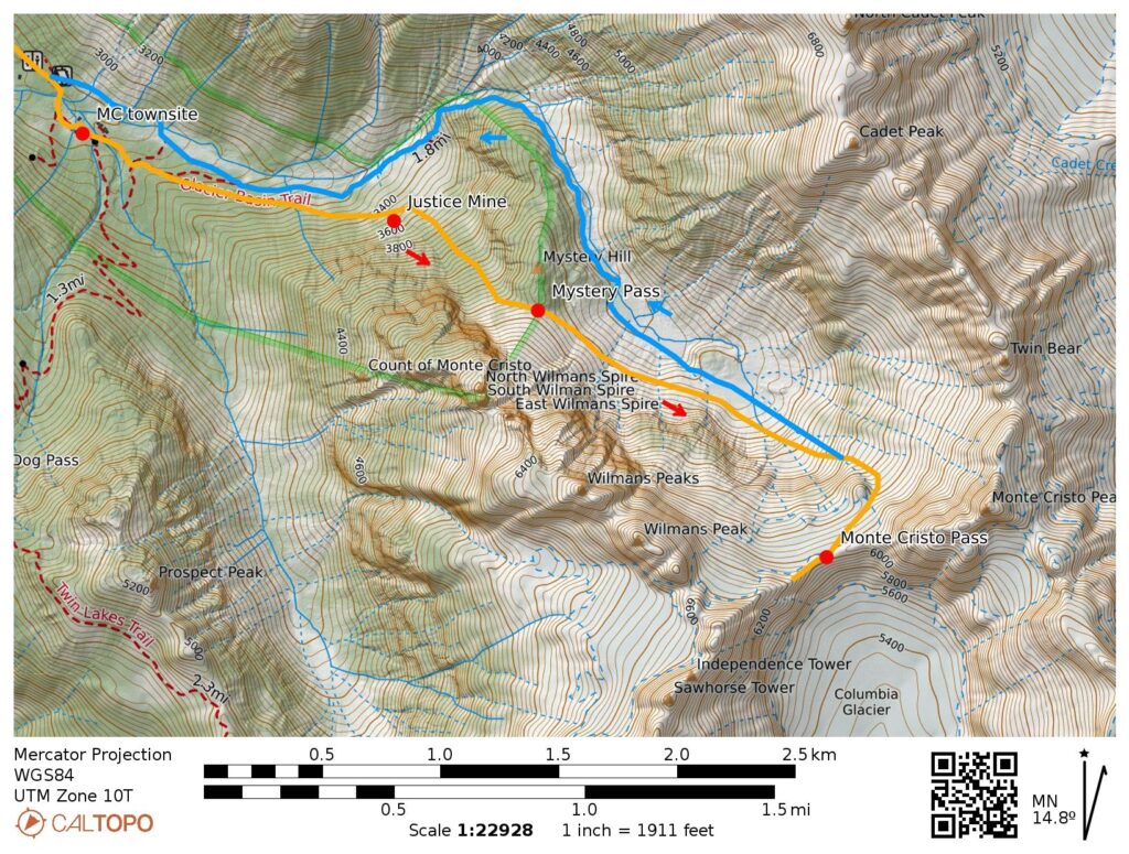
…
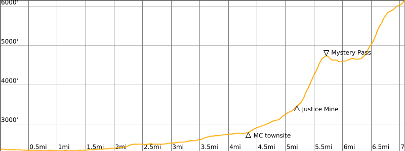
…
Photo Gallery
Click to enlarge…