Trip Date: November 4, 2021
2021 DESERT SOUTHWEST ADVENTURE VACATION
Yellow Rock Day Hike
Cottonwood Creek
Yellow Rock (5524′)
Trip Report Summary
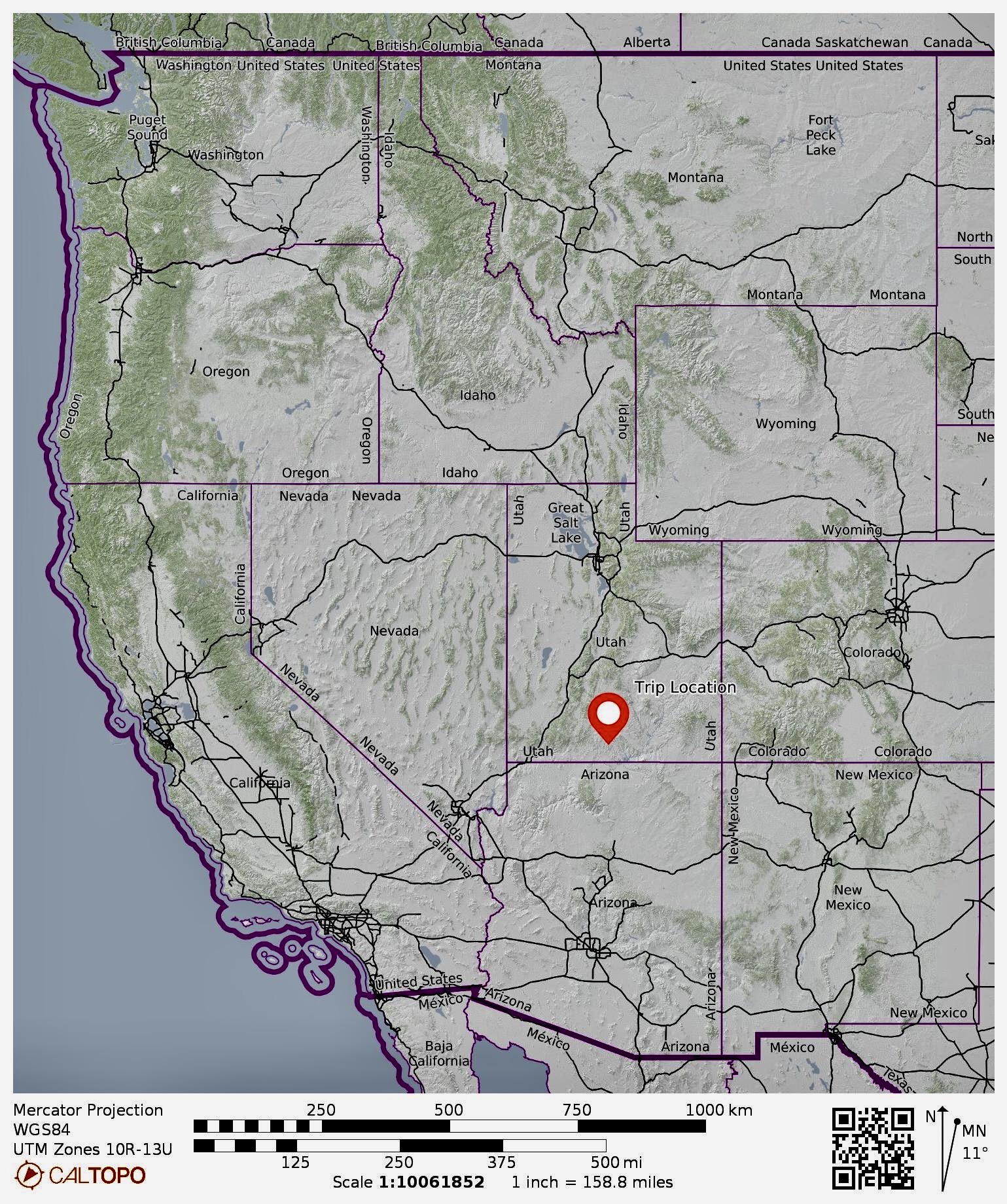
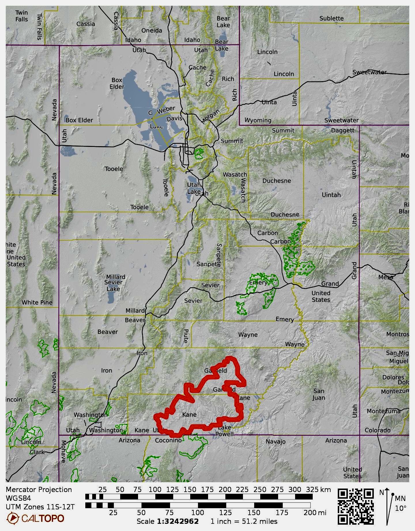
Region: Utah
Sub-Region: Southwestern Utah
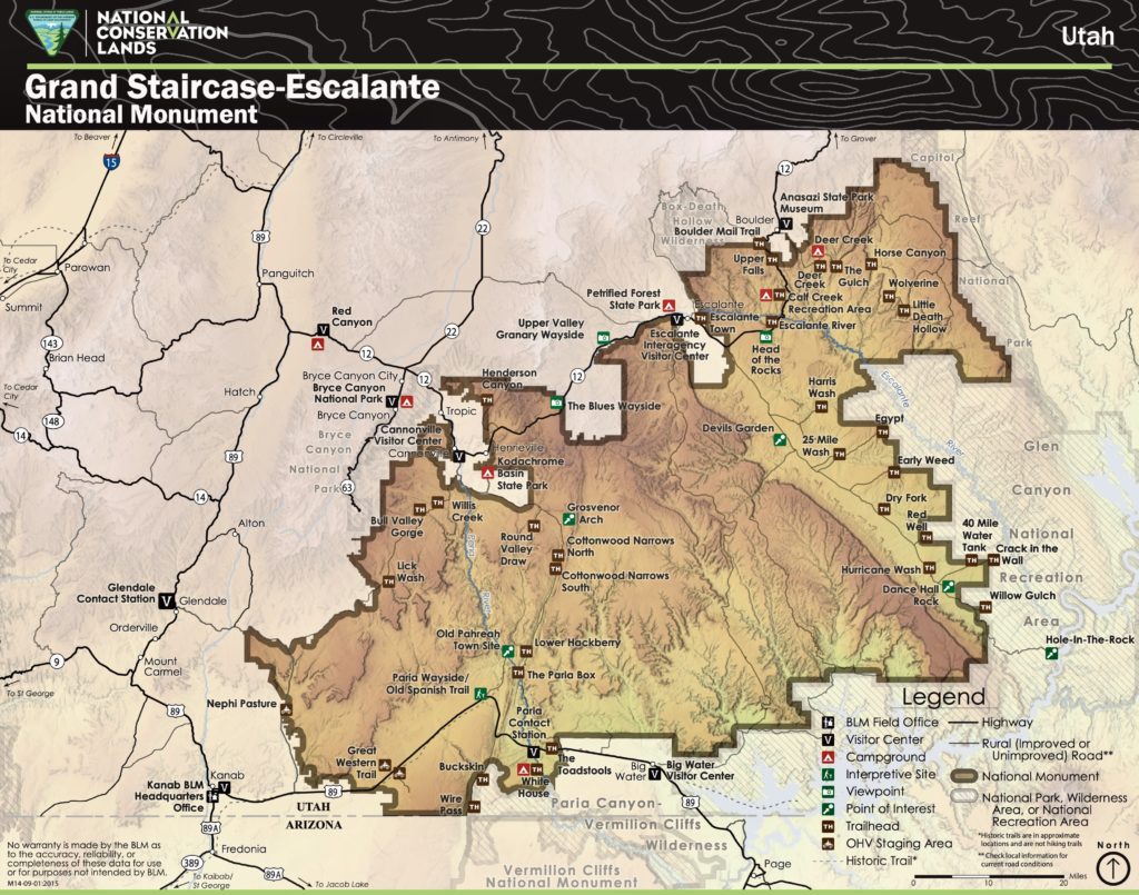
Area: Grand Staircase – Escalante National Monument
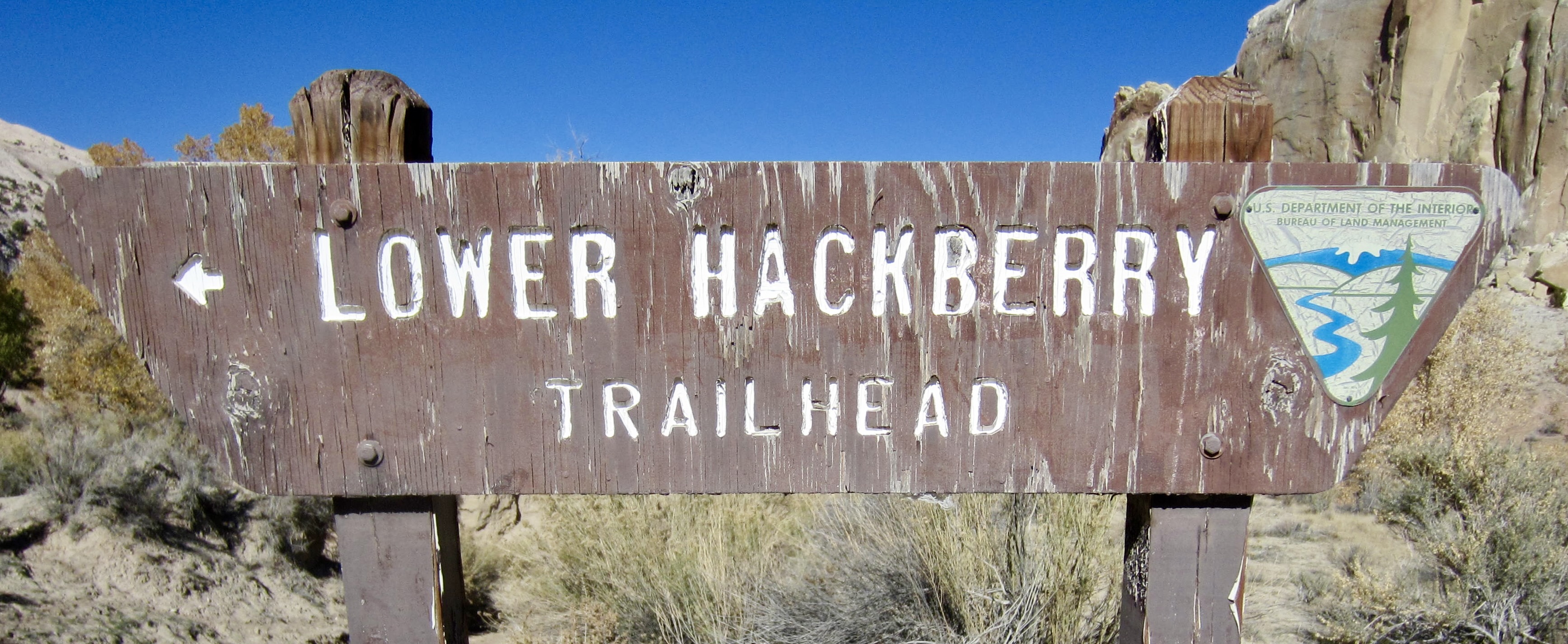
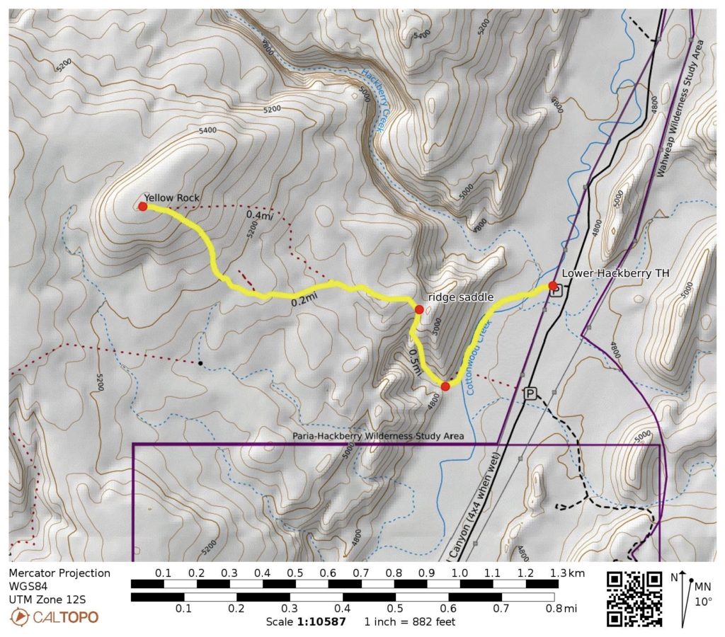
Starting & Ending Point: Lower Hackberry Trailhead (Cottonwood Road)
Way Points: Cottonwood Creek & South Hackberry Ridge & Yellow Rock Flats & Yellow Rock summit (trail hike & off-trail hike & slab hike)
Summit: Yellow Rock (ascent & descent via Southeast Slope)
Approximate Stats: 2.5 miles traveled; 900 feet gained & lost; 1.1 hours up; 0.9 hours down.
…
Full Trip Report
During our brief car-camping visit to the Cockscomb area of Grand Staircase – Escalante National Monument, Eileen, Steve, Deb, and I made an afternoon trek up Yellow Rock. This visually striking dome of yellow sandstone stands closely west of Cottonwood Road and south of Hackberry Creek. The ascent involves a mile of trail and off-trail hiking over varied terrain, followed by a very enjoyable hike up a wonderfully colorful slab.

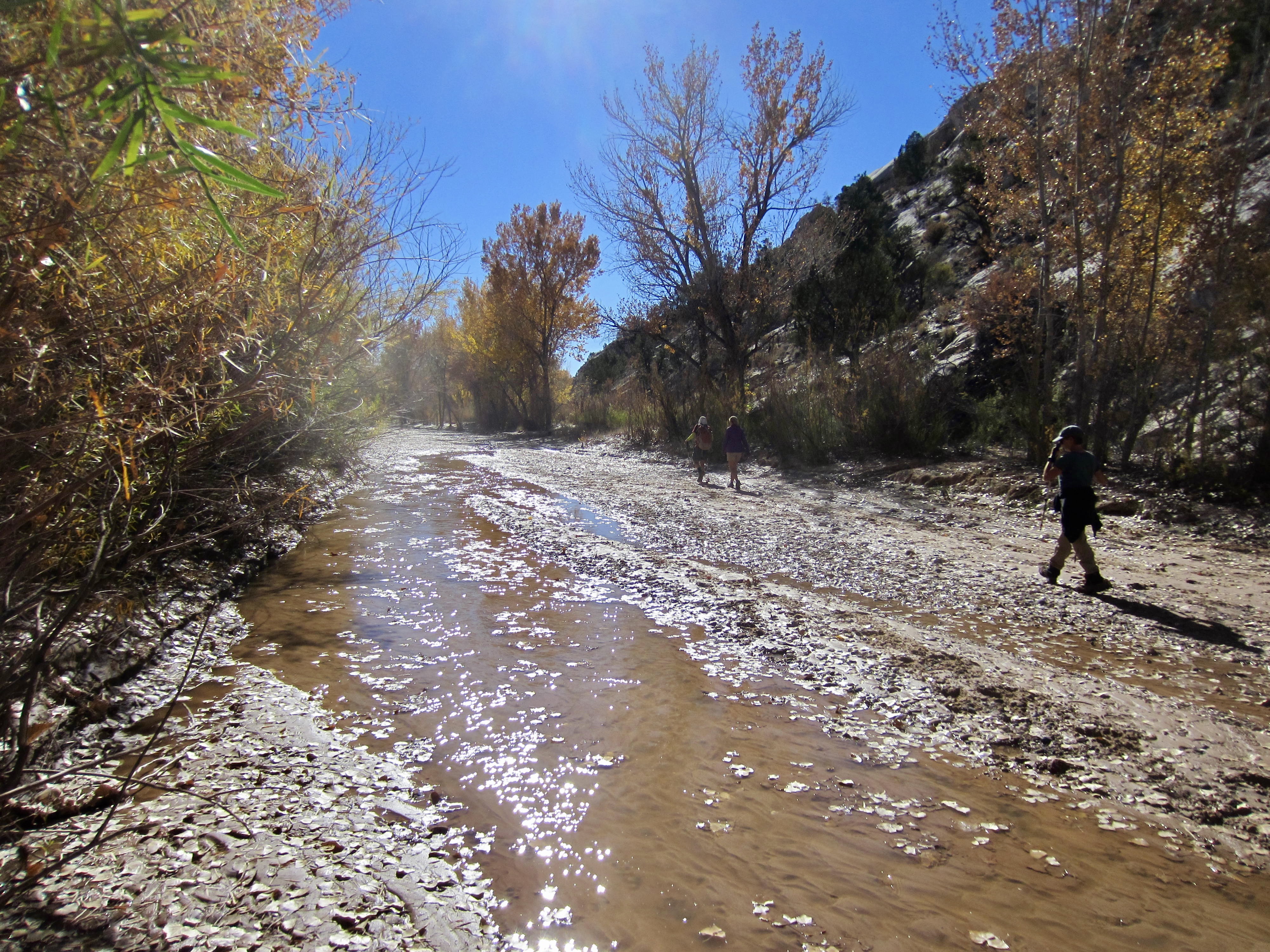
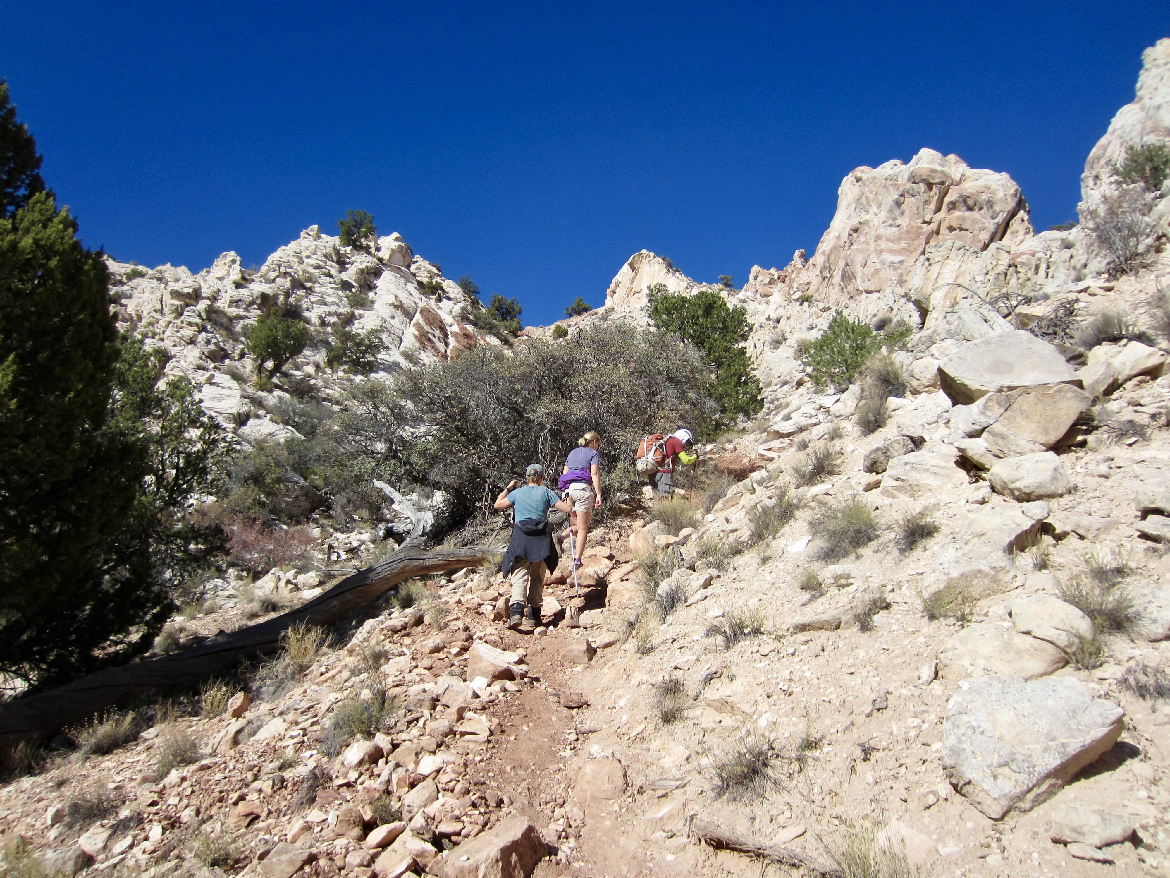
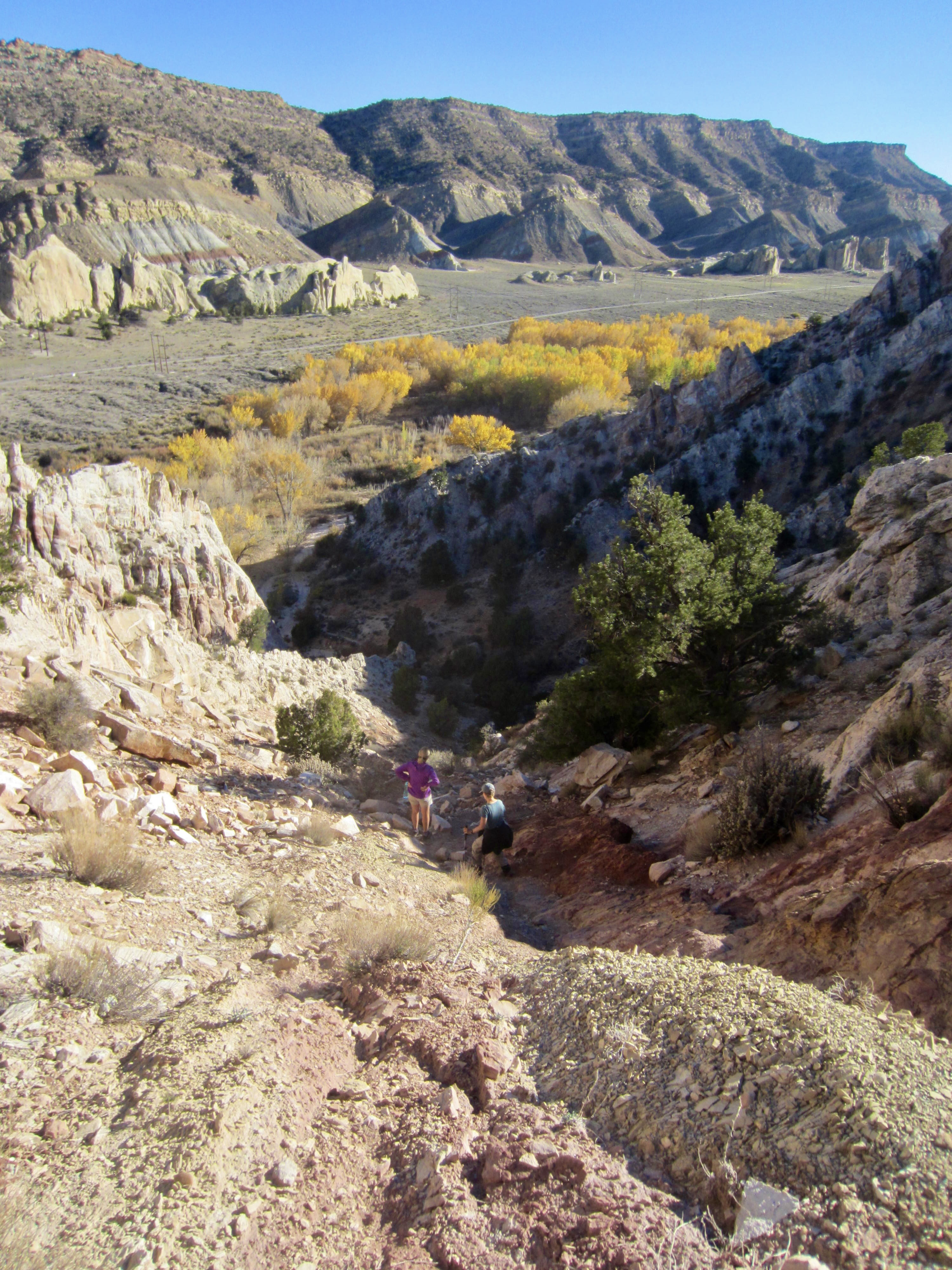
Starting from the Lower Hackberry Trailhead, we walked down to Cottonwood Creek, then turned left (south) and wandered downstream for 500 yards. It was necessary to rock-hop back and forth across the creek several times to find easy travel. Upon arriving at the mouth of a short box canyon, we turned right and hiked into this box canyon on a sandy wash.
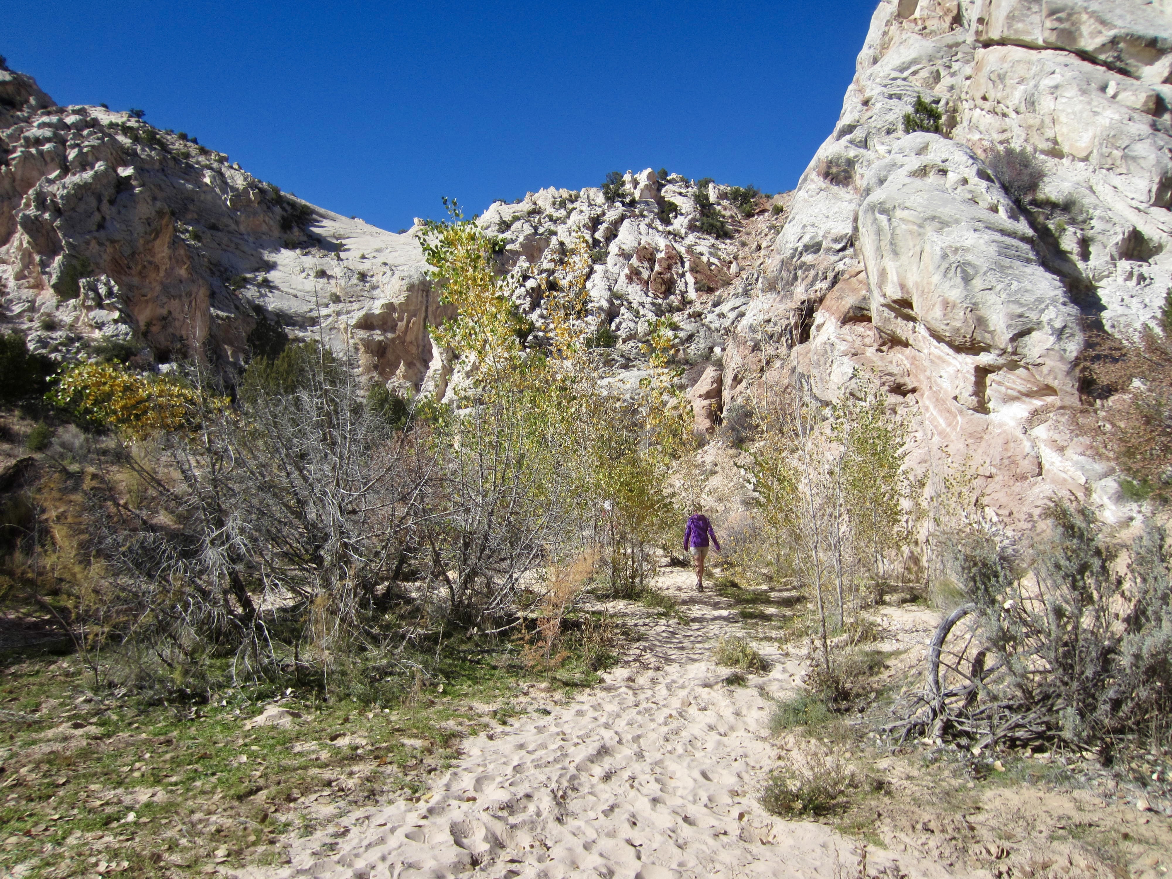
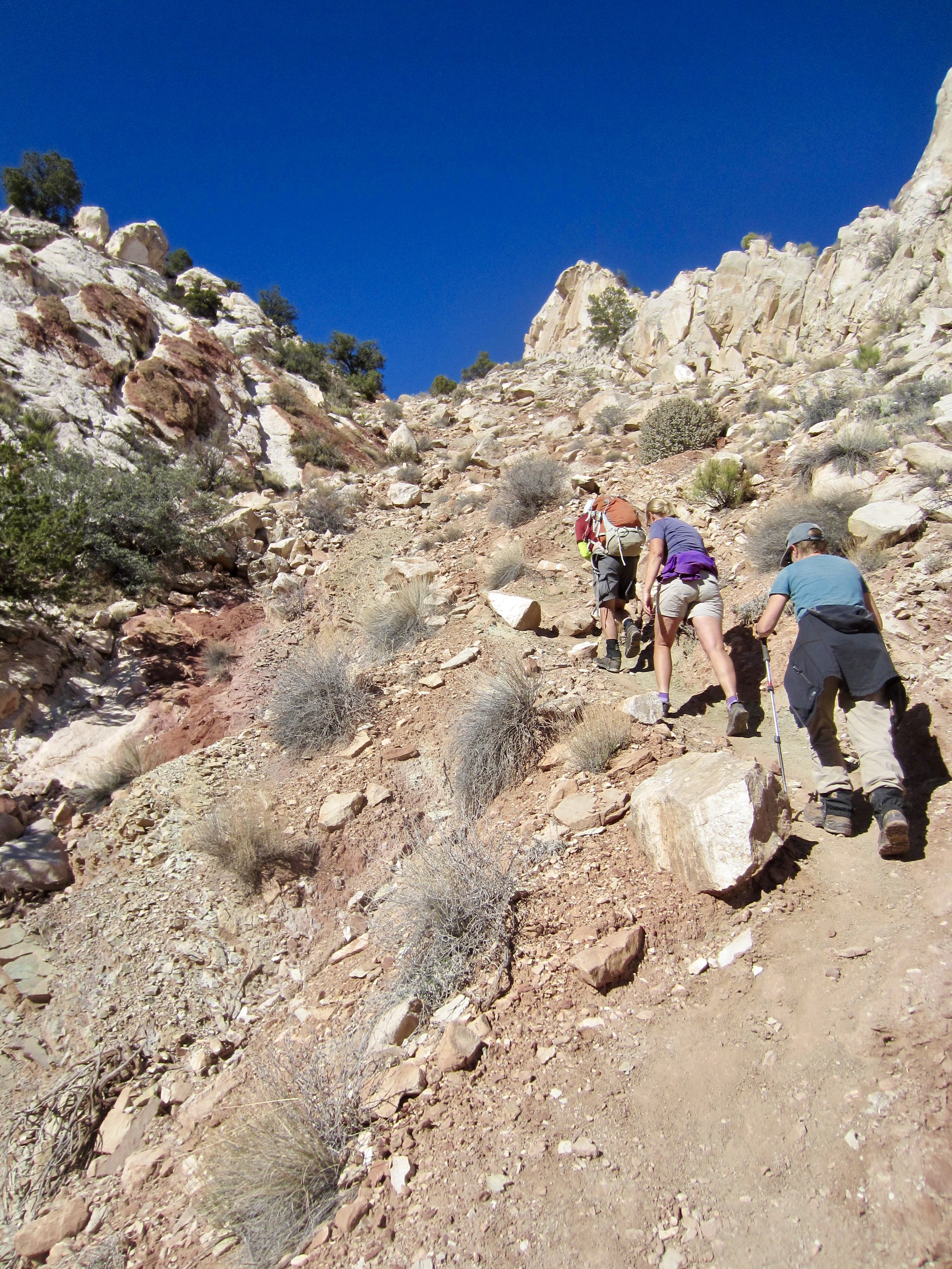
After hiking about 75 yards into the box canyon, we could see a hidden gully heading up to our right (north). A primitive trail in this gully took us steeply upward for 300 vertical feet to a ridge saddle overlooking Hackberry Creek. We then turned left and followed the primitive trail up to a higher ridge, from which we gained our first view of Yellow Rock.
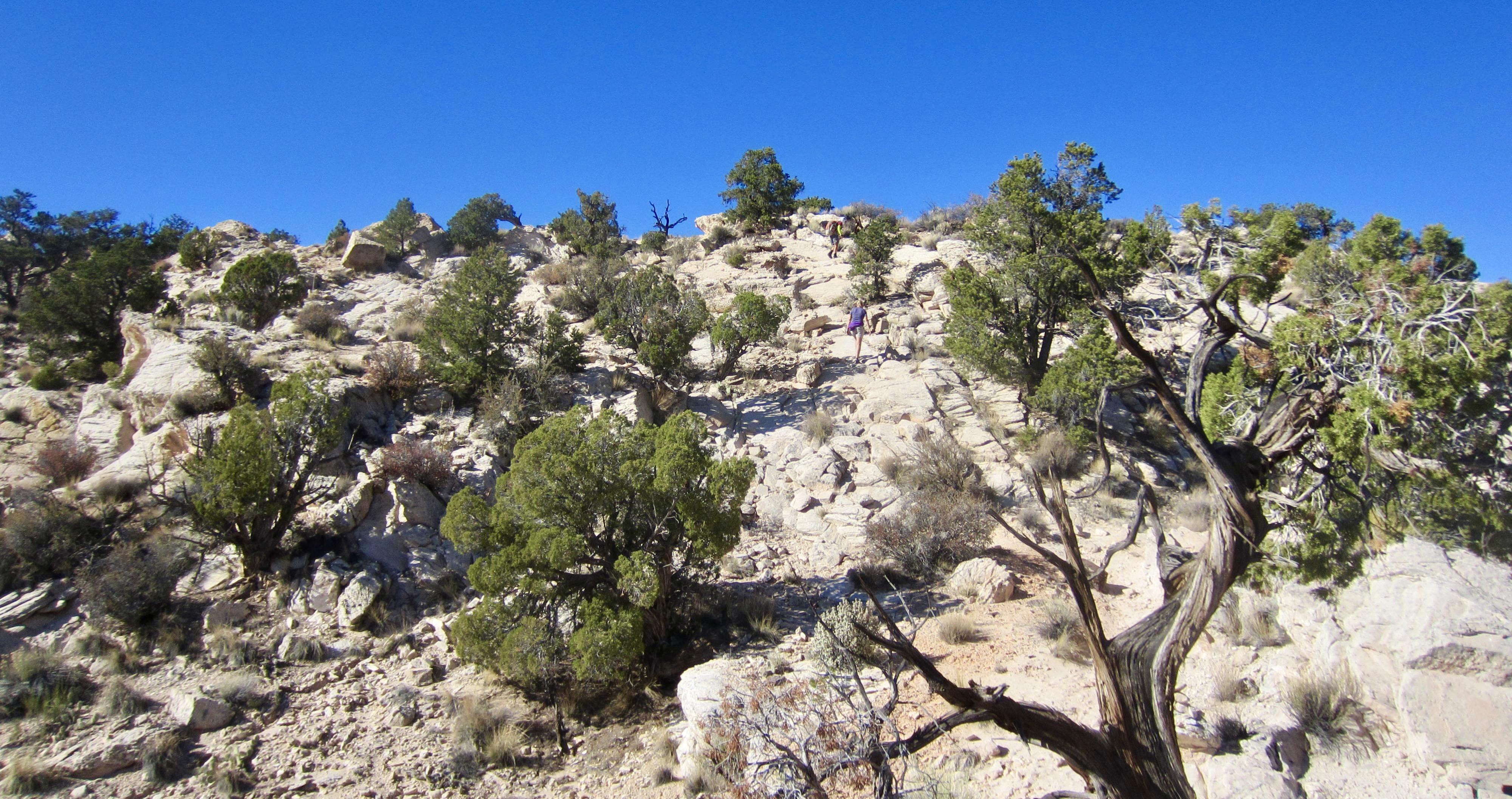
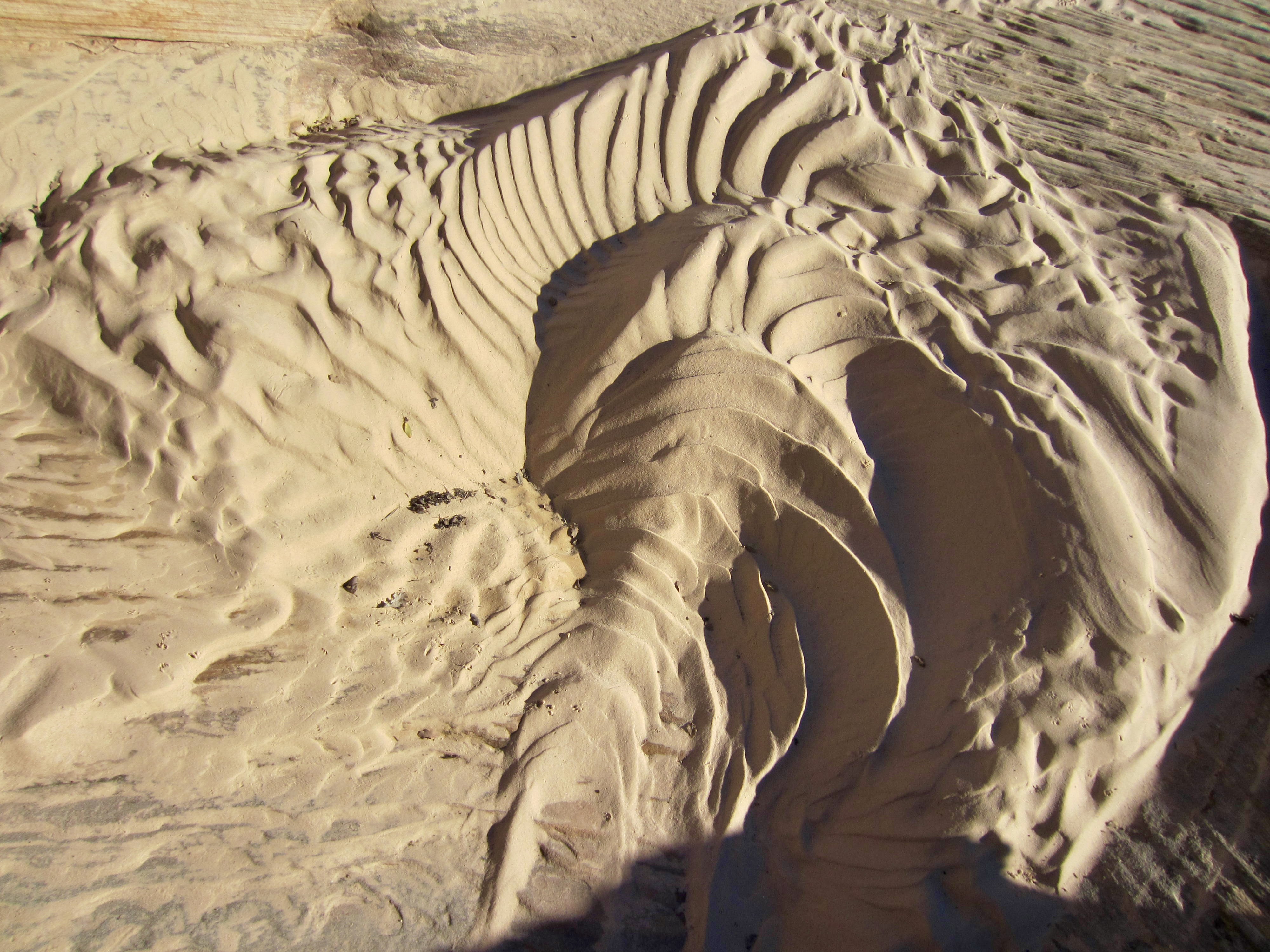
A series of braided trail segments led us leftward along the ridge crest and down slightly into a low, flat, sandy area. Desert environments often hold little visual delights in random locations, and here we stumbled across a most remarkable nautilus-shaped wind sculpture!
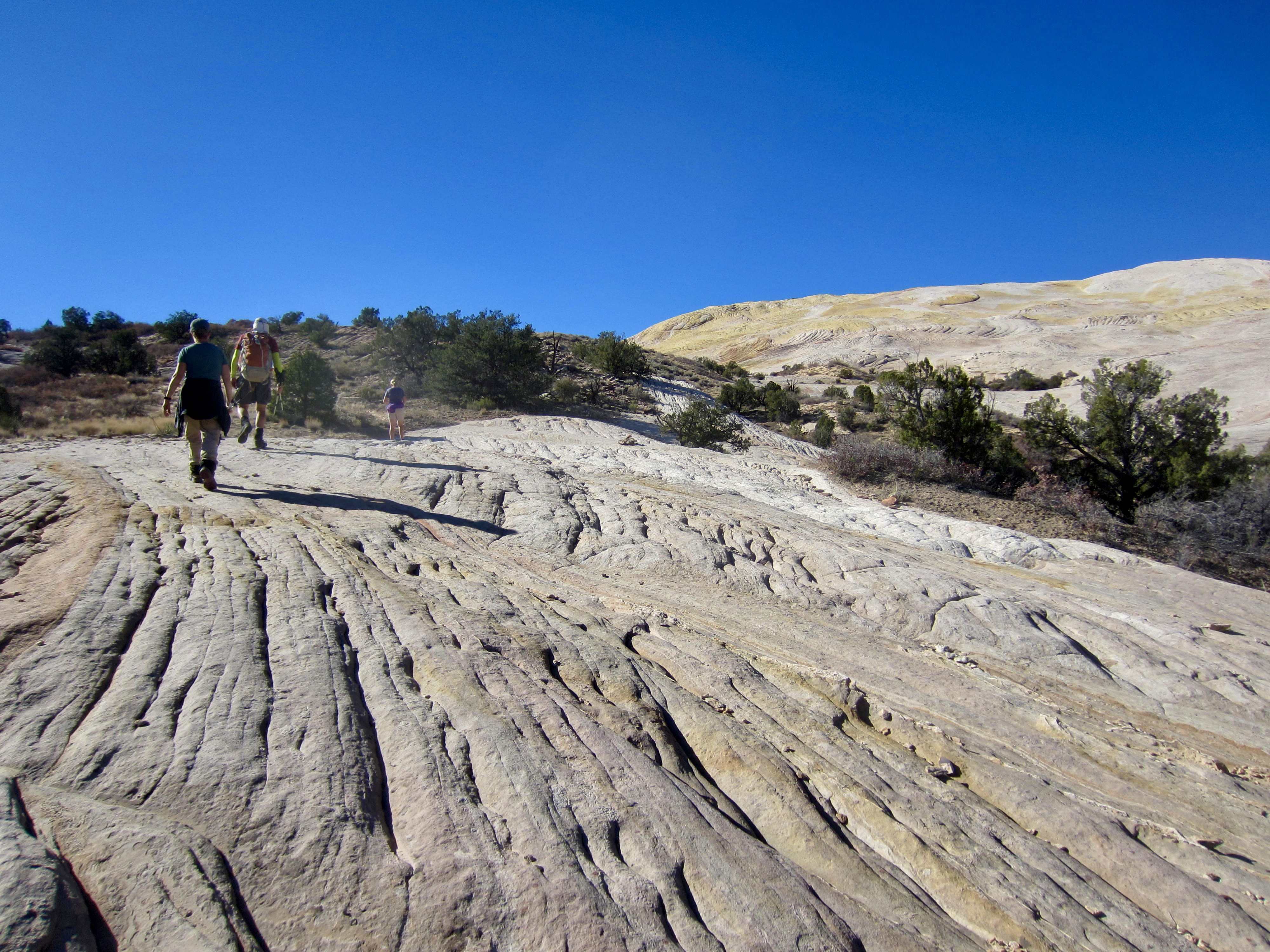
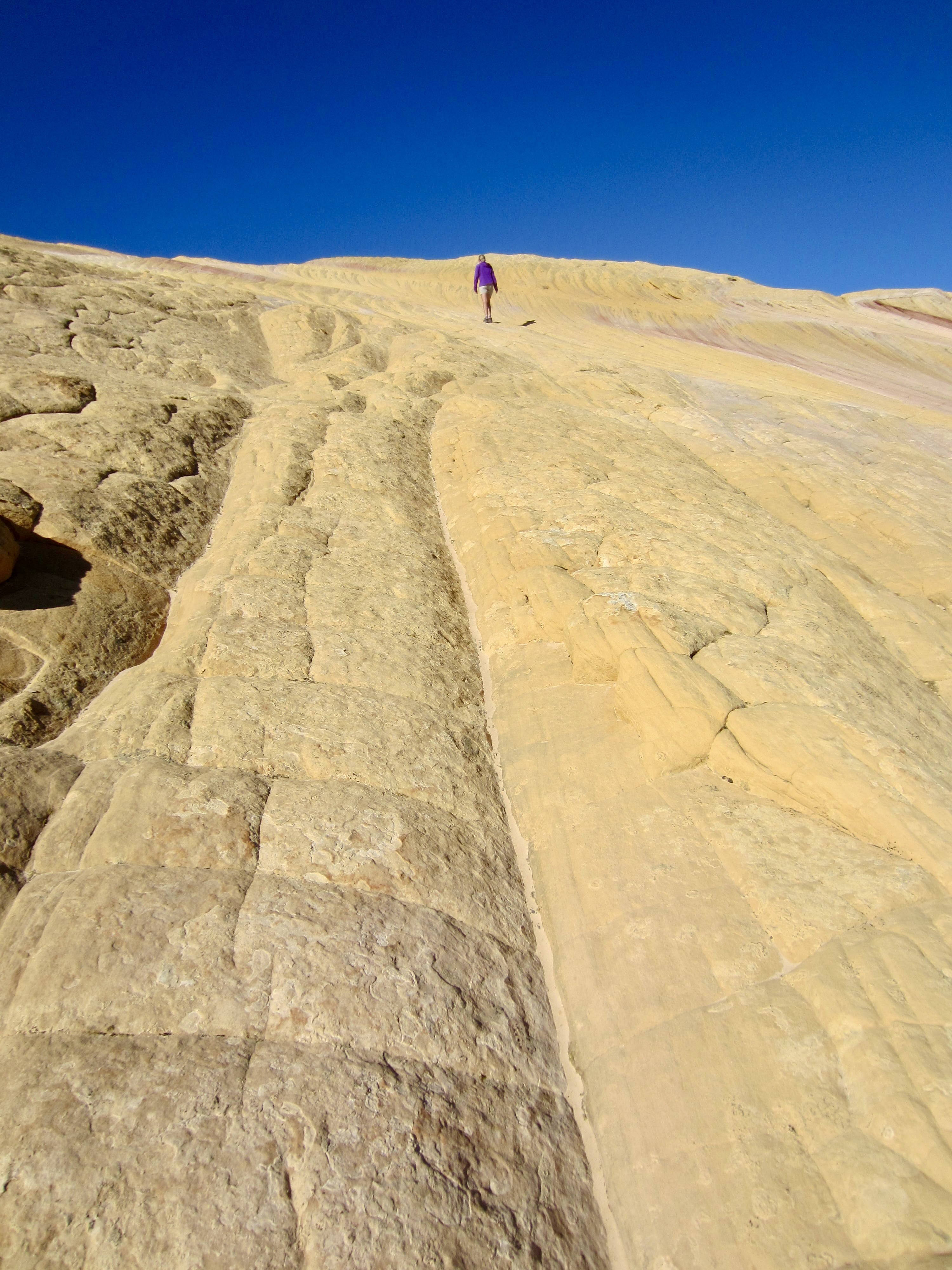
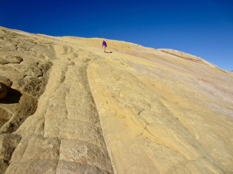
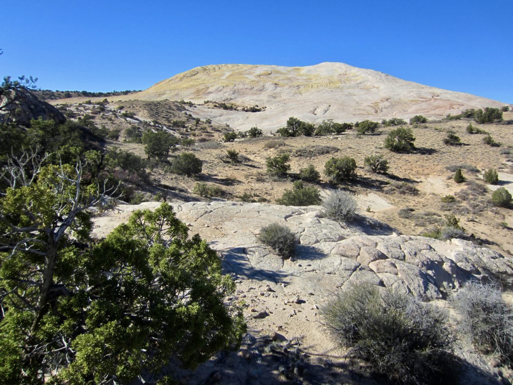
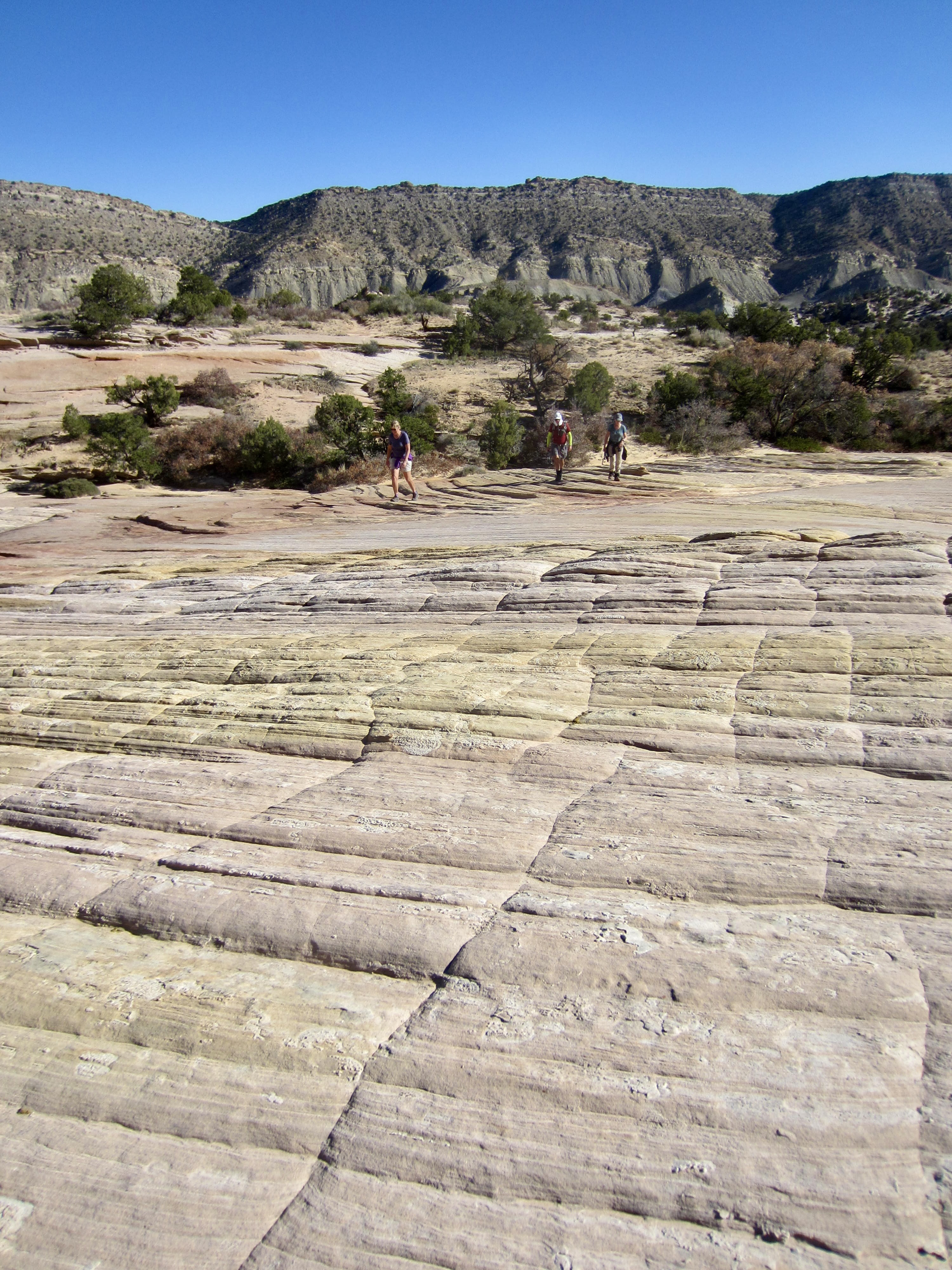
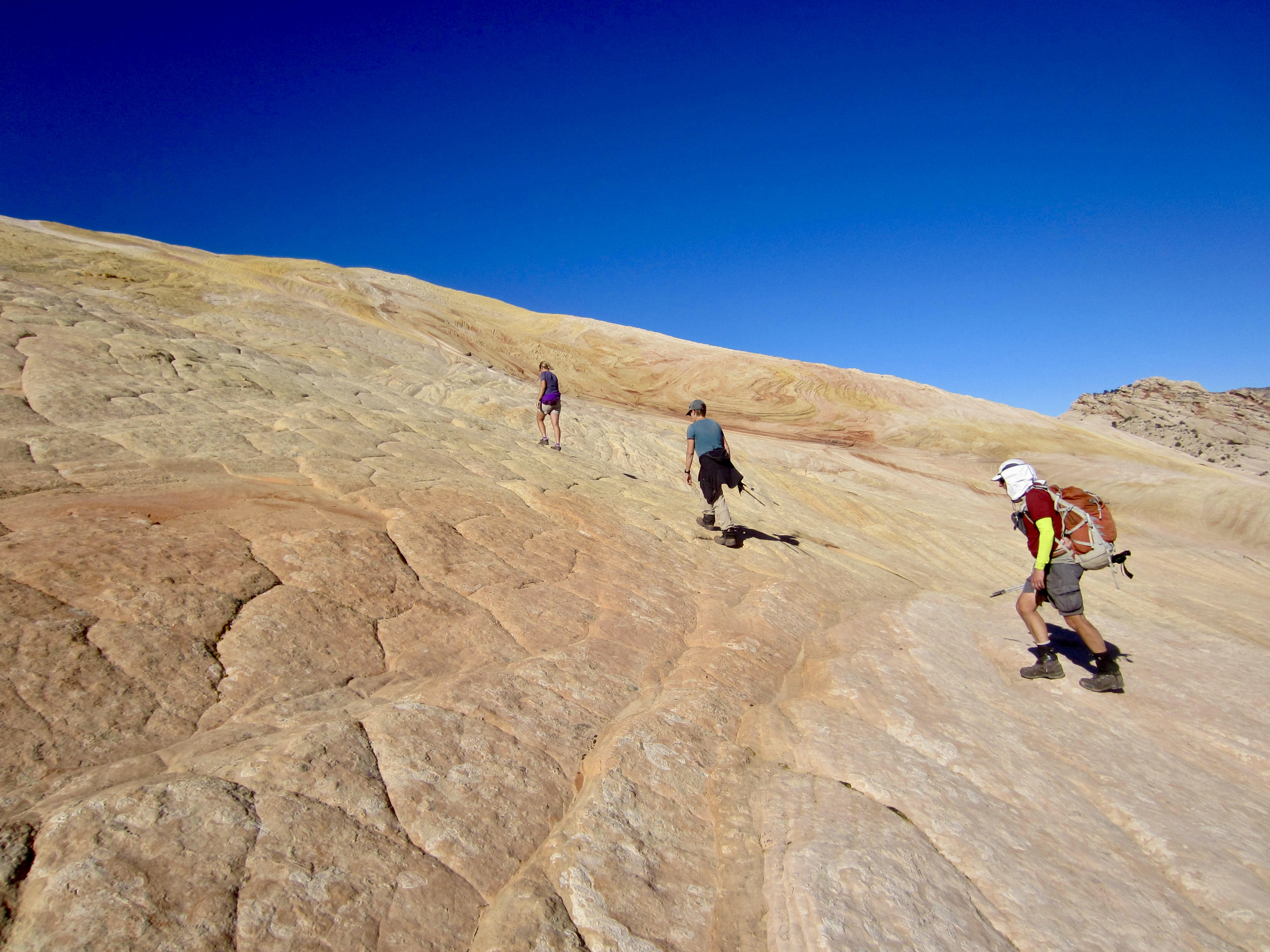
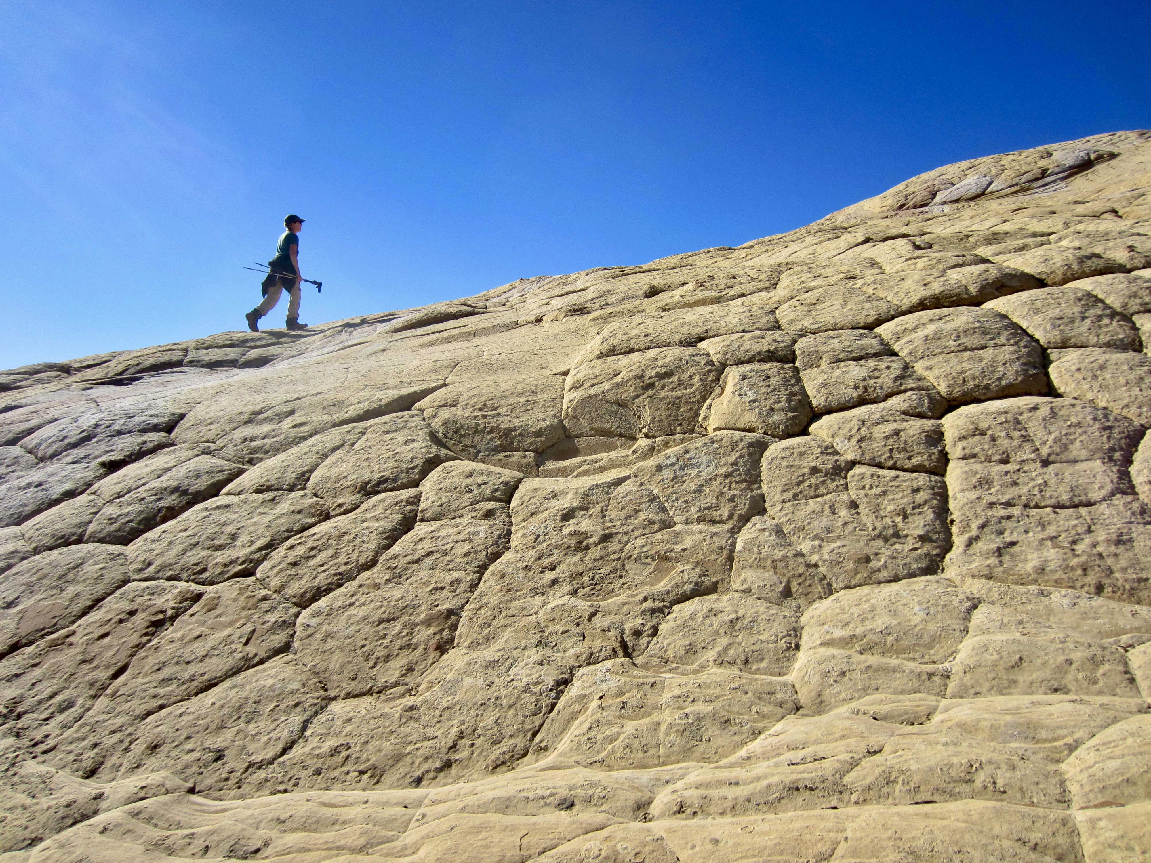
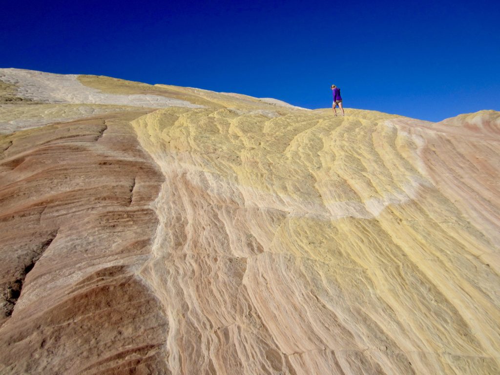
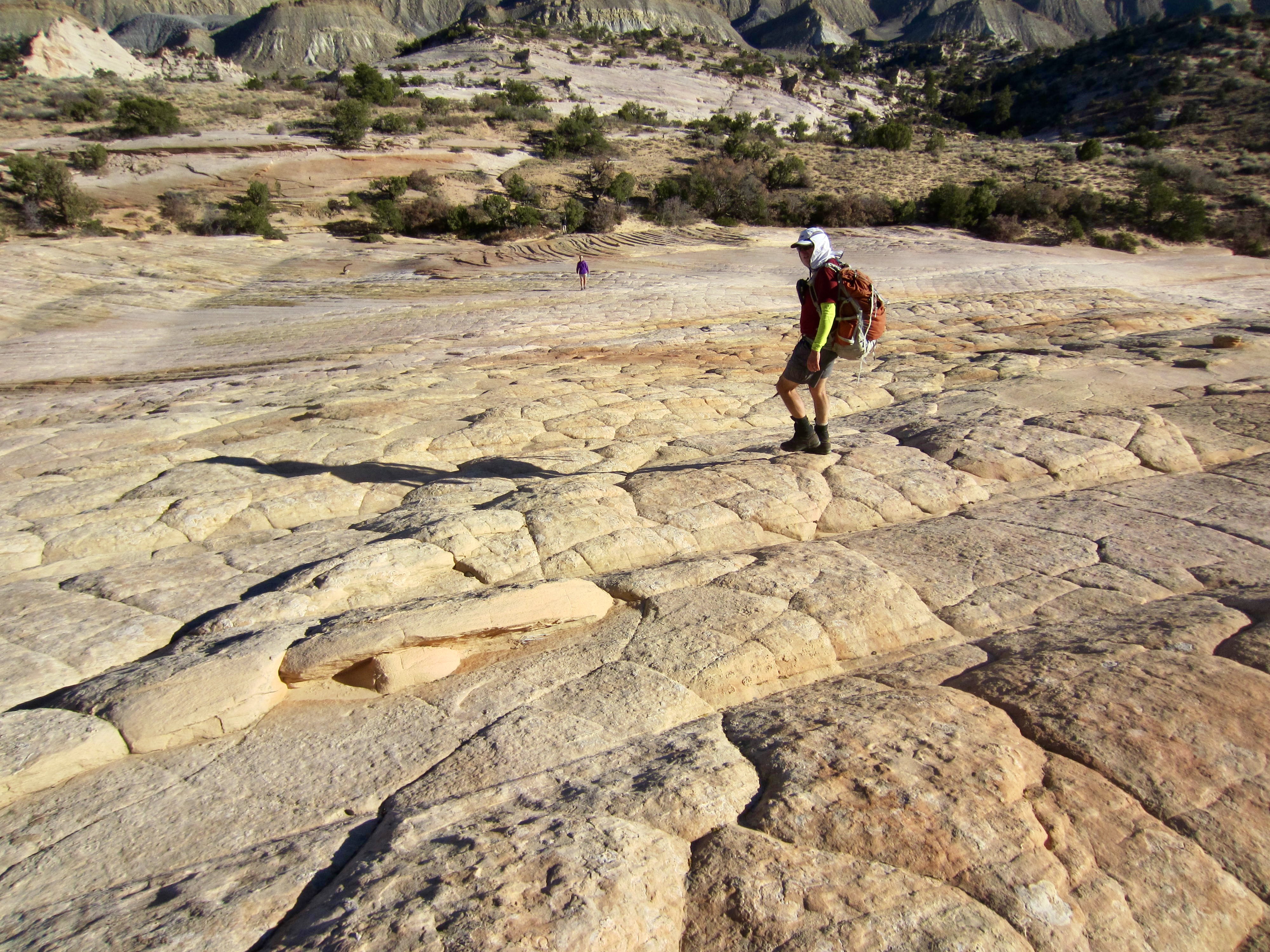
At the far edge of the sandy flat, we stepped onto a broad sandstone slab and began hiking up Yellow Rock. This type of sandstone terrain is called slickrock, but it is actually very grippy and great fun to hike on. The slabby rock here features both tessellated and laminated textures resulting from a combination of depositional layering, stress cracking, and water and wind erosion. The entire surface is colored with broad streaks of muted yellows, reds, and tans, as though the sand matrix was mixed with mustard, paprika, and cardamom.

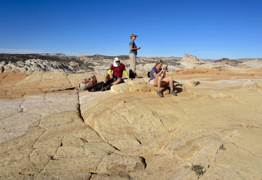
Upon gaining the broad summit (1.1 hours + 800 feet from TH), we could look across the vast upland of the Grand Staircase. This term refers to the enormous “stratigraphic staircase” of tilted sedimentary rock layers that are exposed across northern Arizona and southern Utah, ascending from the bottom of Grand Canyon to the top of Bryce Canyon.
We descended by way of our up-route and were back at the trailhead in less than an hour. Based on our moderate overall pace, I would say that most parties will find this to be a very rewarding trek that can be completed in about 2 hours.
…
Route Map & Profile & Area Map
…

…
…
Photo Gallery
Click to enlarge…