Trip Date: March 25, 2021
2021 ARIZONA & CALIFORNIA ADVENTURE VACATION
Soldier Cave Scramble & Soldier Pass Trail Loop
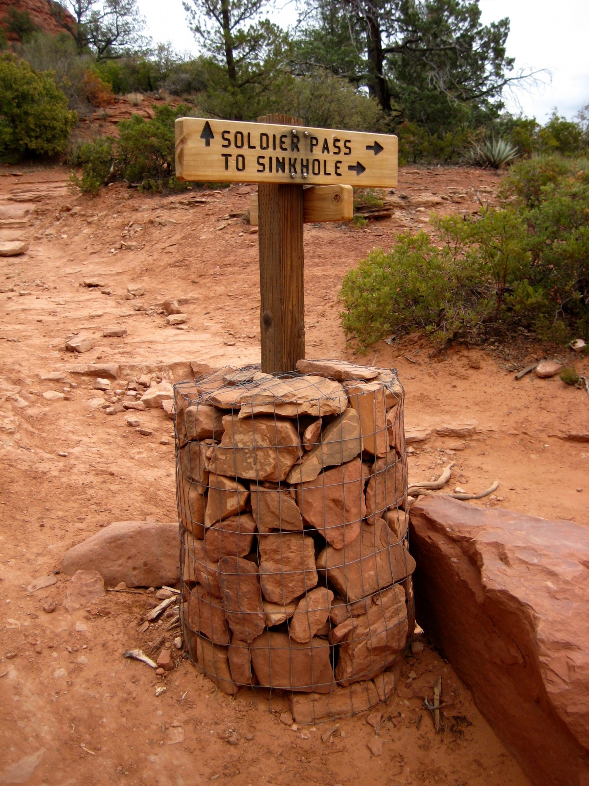
Devil’s Kitchen Sinkhole
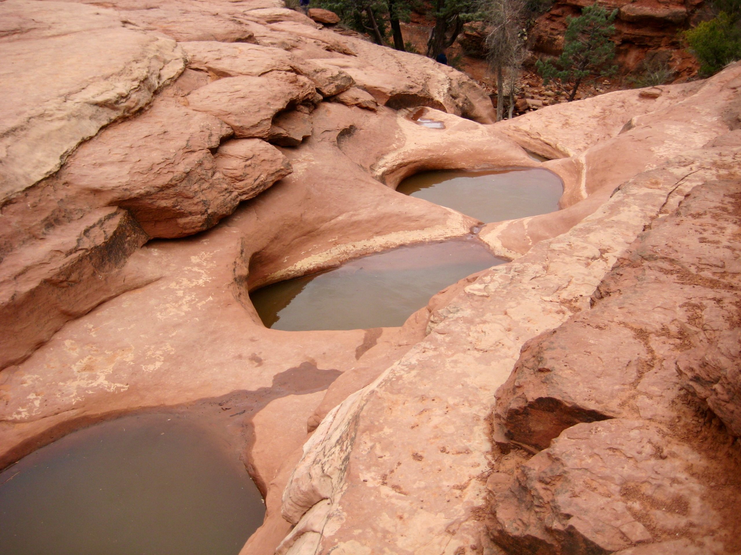
Seven Sacred Pools
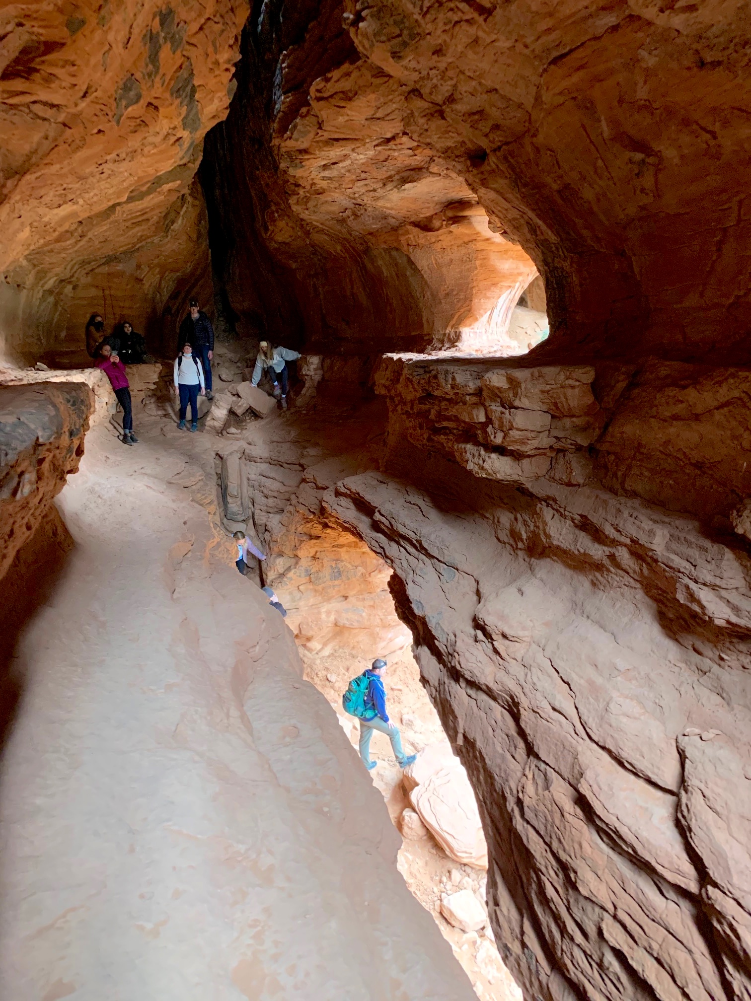
Soldier Caves
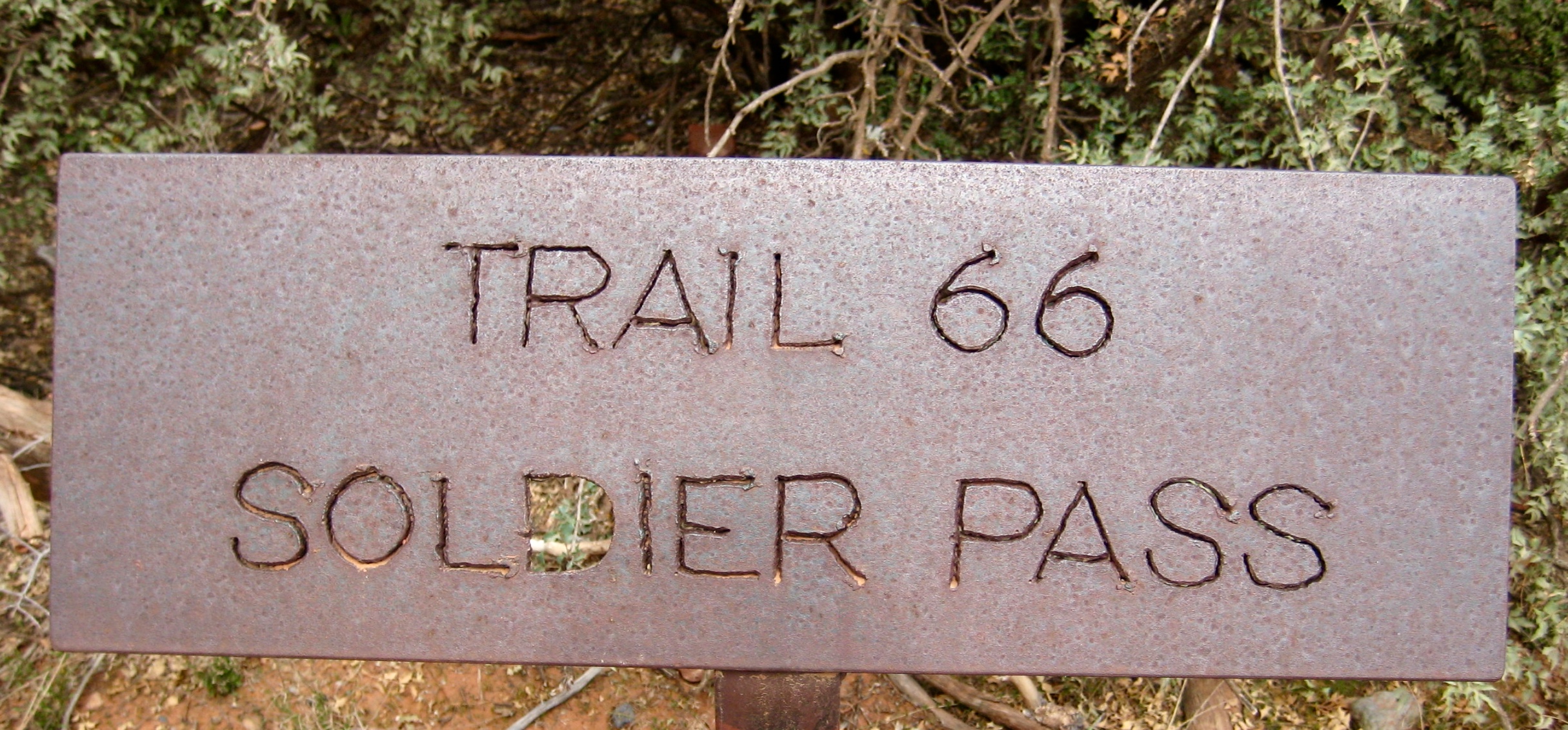
Soldier Pass
Brin’s Mesa
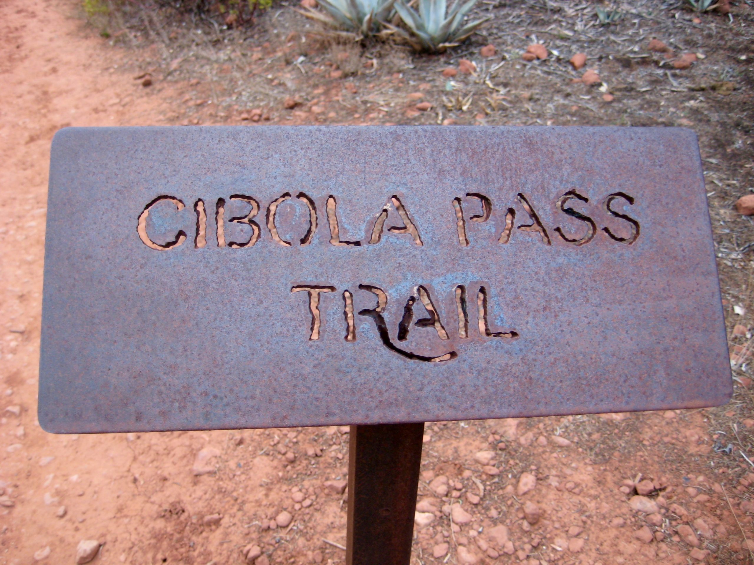
Cibola Pass
(Note: erroneously called Soldiers Pass or Soldier’s Pass in some references)
Trip Report Summary
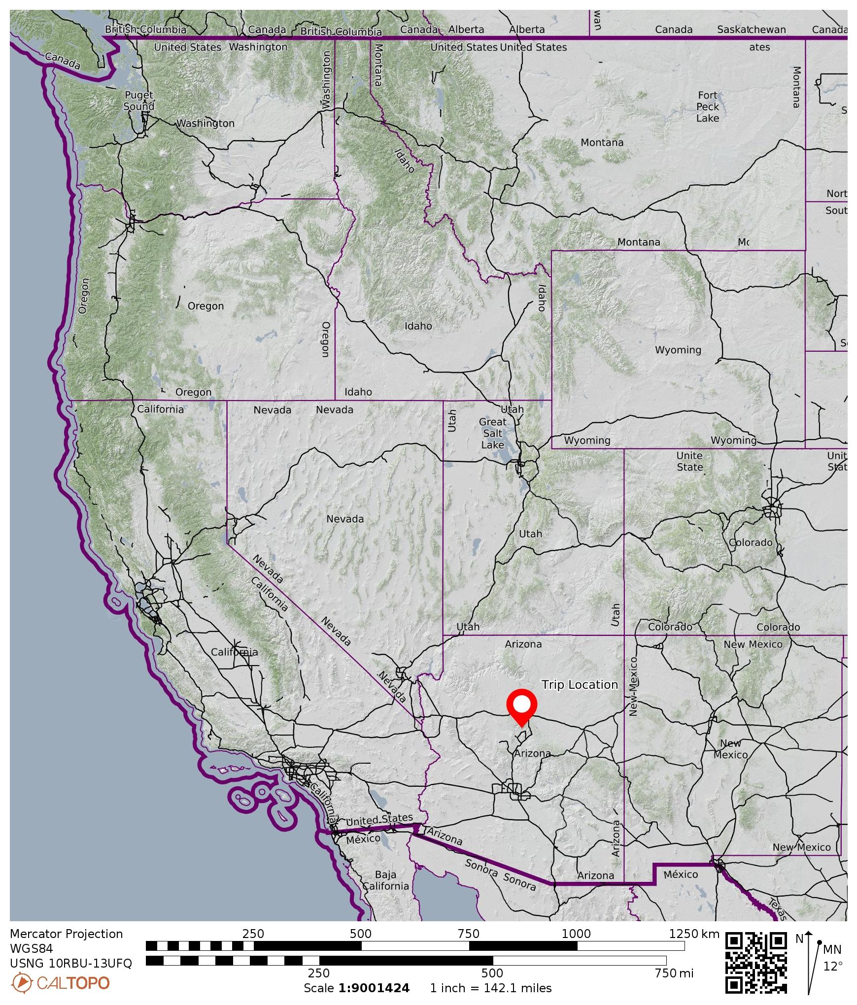
Region: Arizona
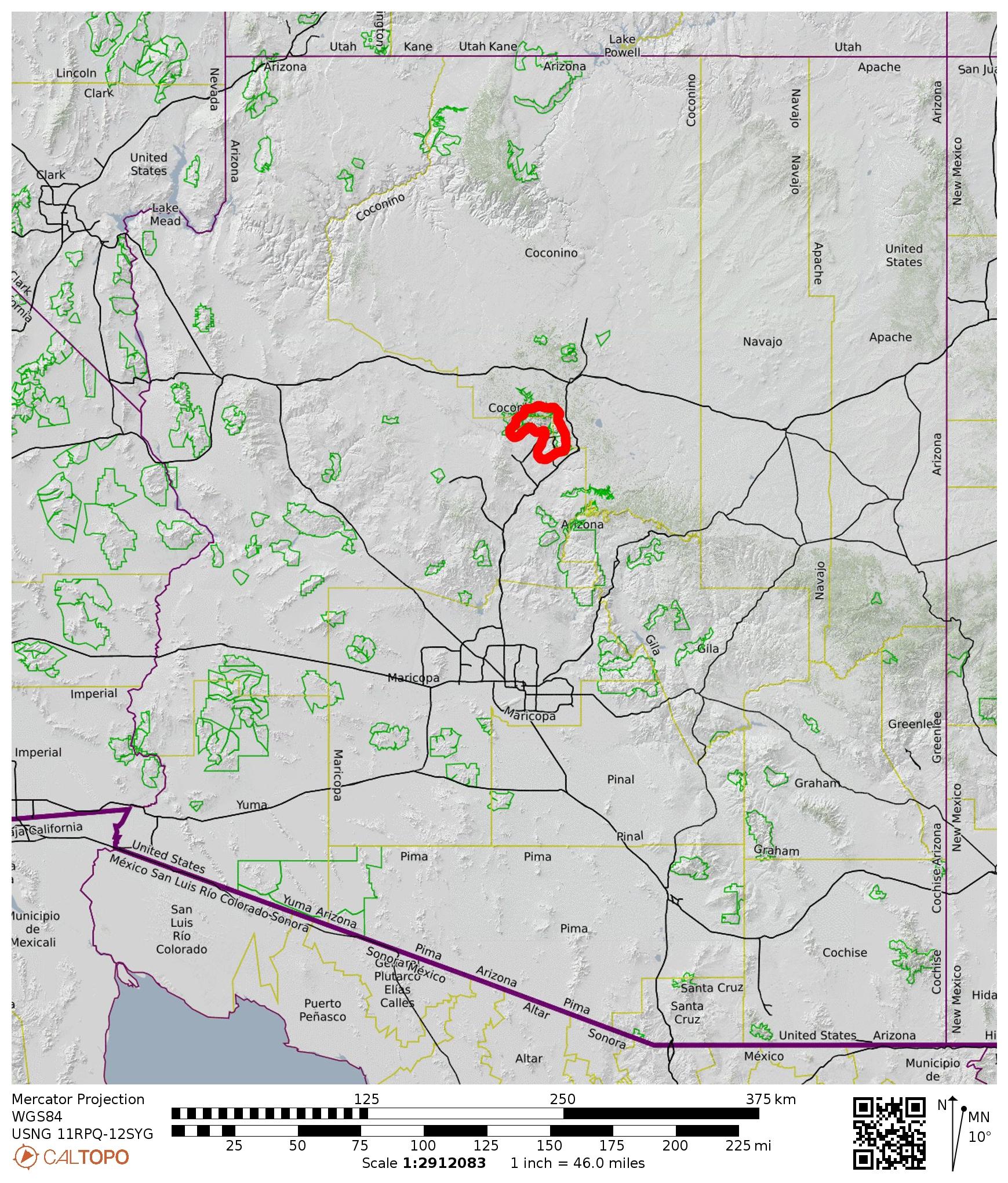
Sub-Region: Central Arizona
Sub-Sub-Region: Sedona Mountains
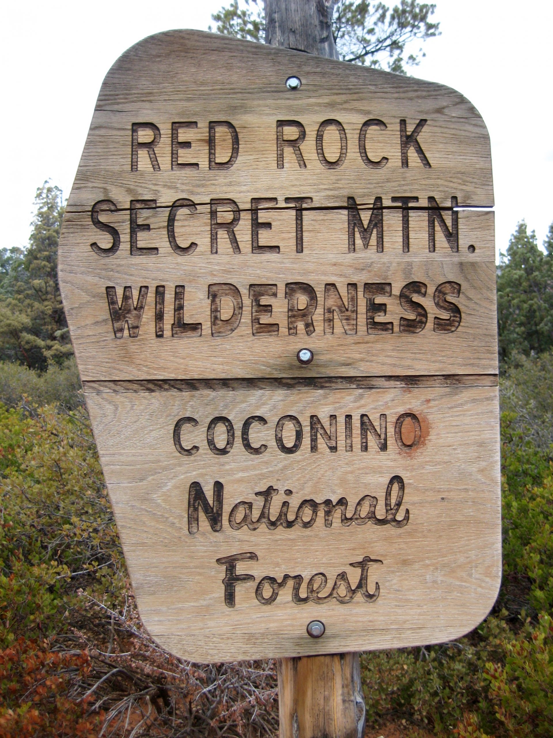
Area: Red Rock – Secret Mountain Wilderness
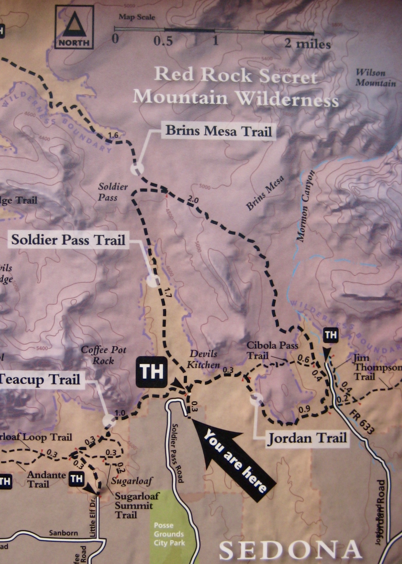
Starting & Ending Point: Soldier Pass Trailhead on Soldier Pass Road (Elev. 4450 feet)
Way Points: Devil’s Kitchen Sinkhole & Seven Sacred Pools & Soldier Wash & Soldier Pass & Brin’s Mesa & Mormon Canyon & Cibola Pass & Devil’s Kitchen (trail hike & off-trail hike)
High Point: Brin’s Mesa (Elev. 5100 feet)
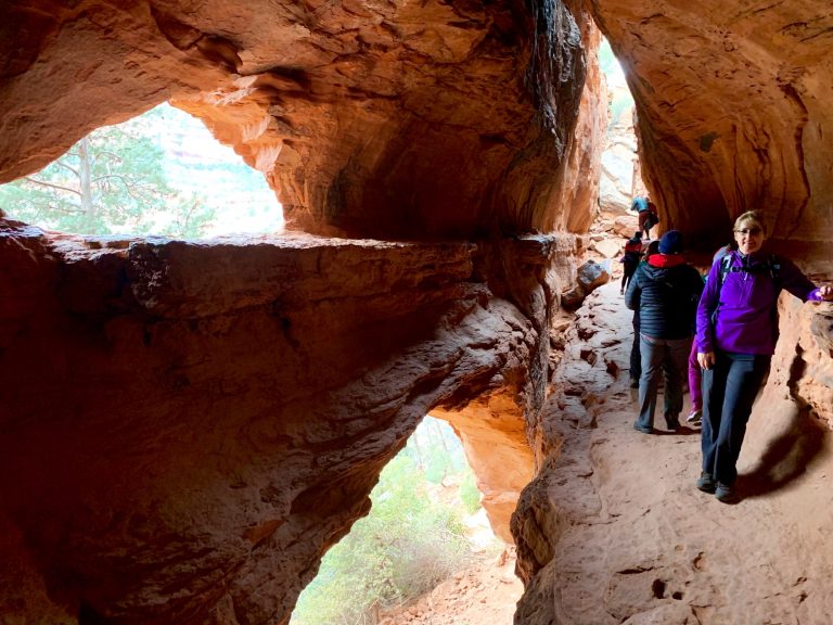
Sidetrip: Soldier Caves (rock scramble)
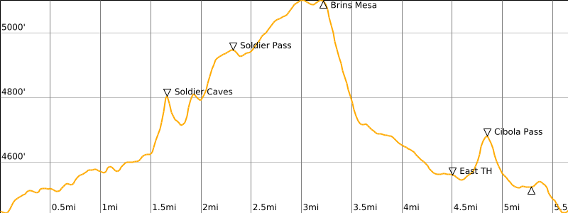
Approximate Stats: 5.5 miles traveled; 1300 feet gained & lost; 3.2 hours elapsed.
…
Full Trip Report
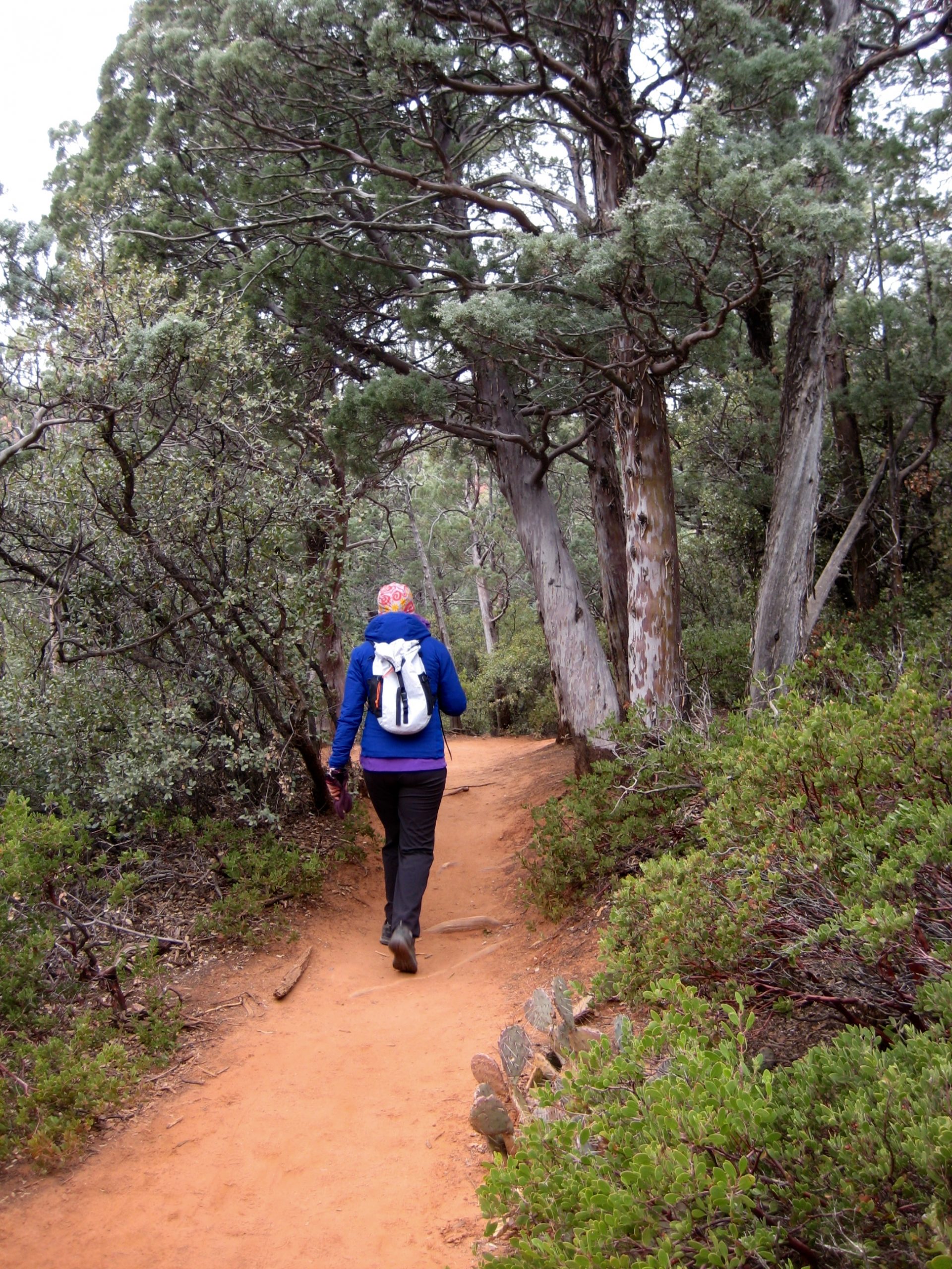
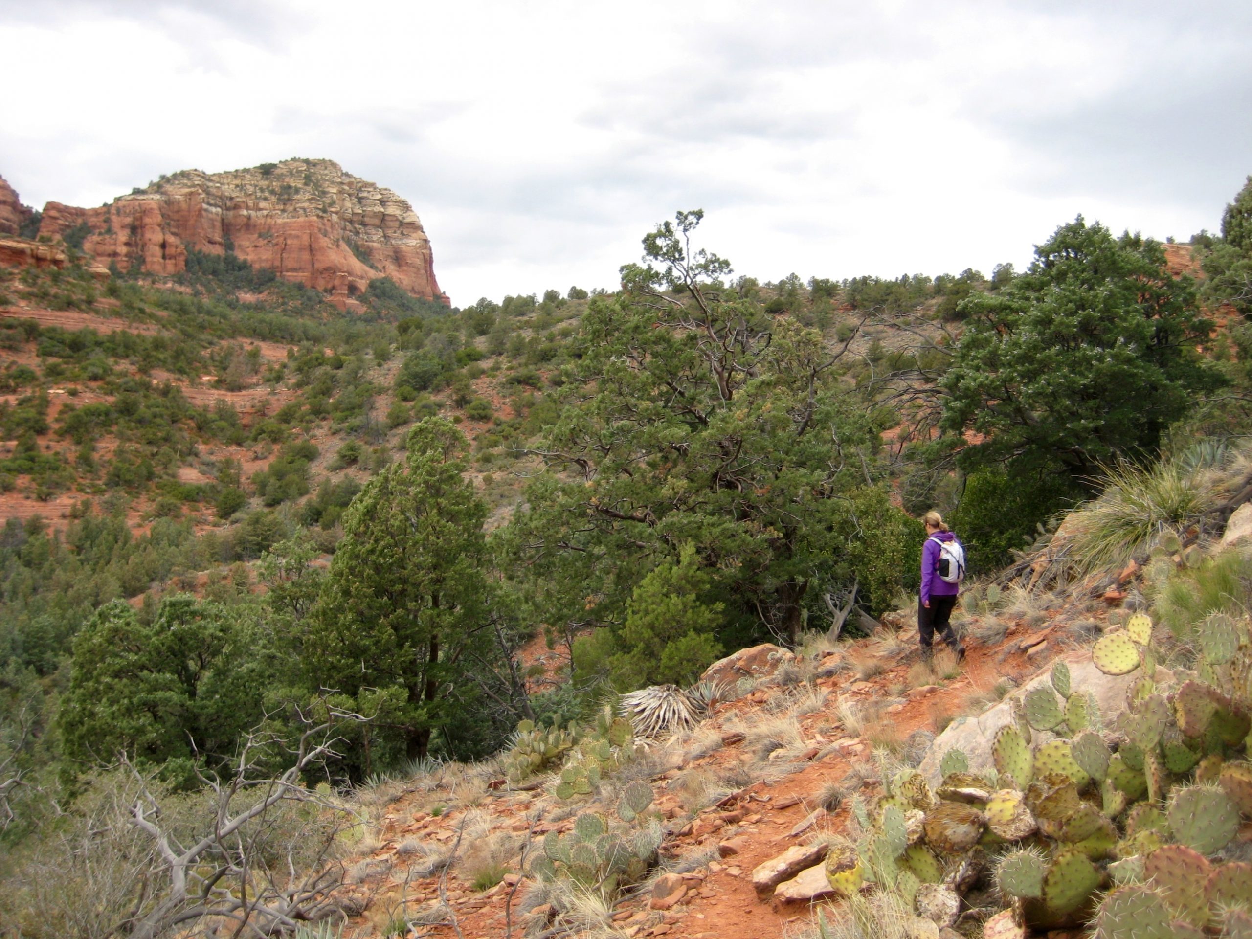
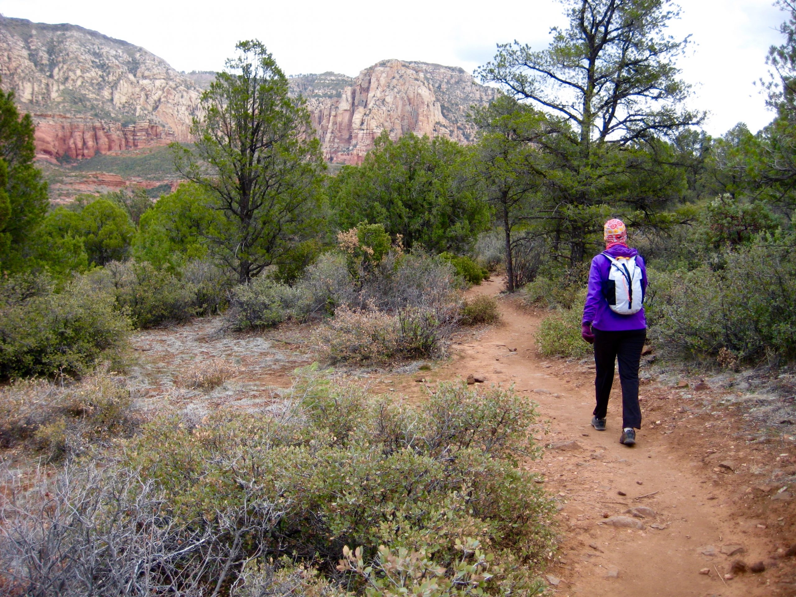
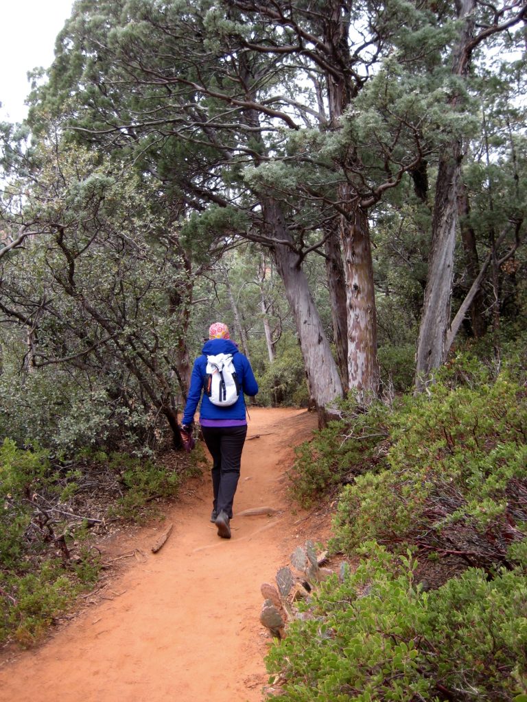
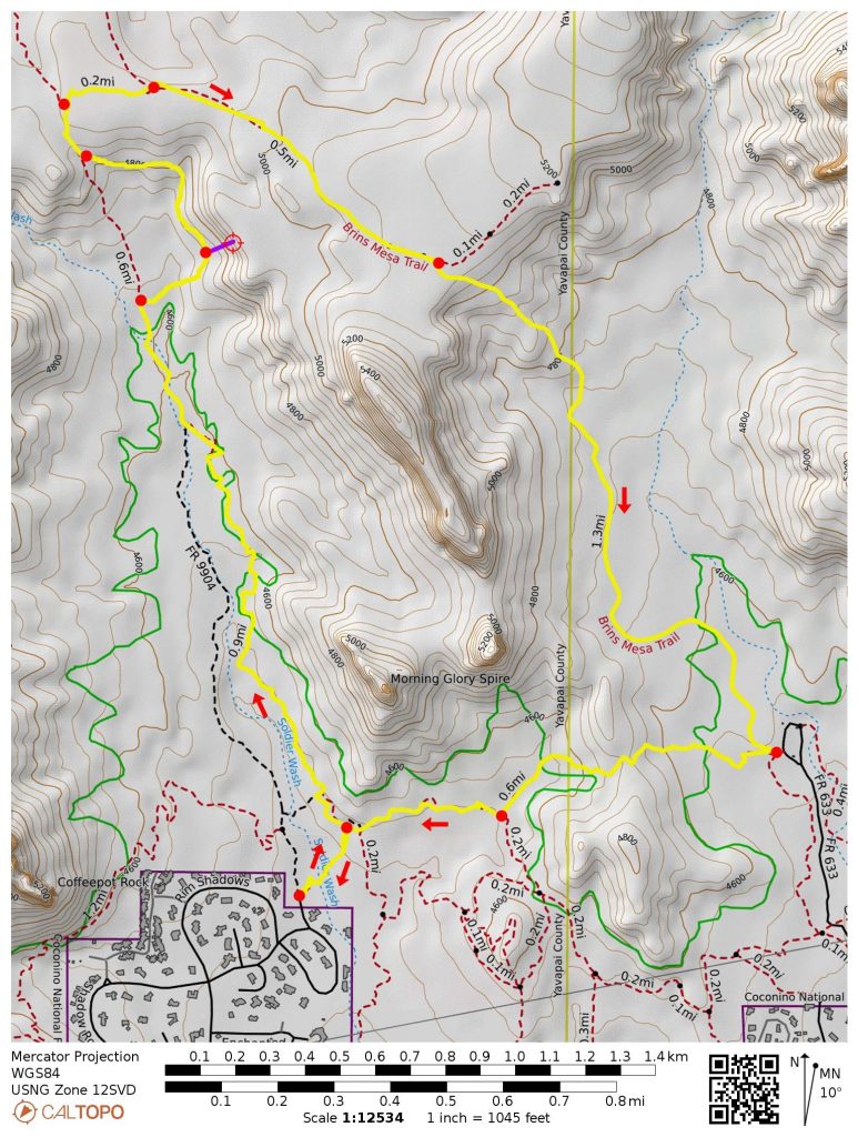
During our first full day in Sedona, Eileen and I completed a hike around Brin’s Butte in the Red Rock – Secret Mountain Wilderness. There are several access points for this loop, and we chose to begin at the Soldier Pass Trailhead closely southwest of Brin’s Butte.

In a short ¼ mile up the trail, we came to a massive sinkhole called “Devil’s Kitchen.” This impressive geomorphic feature was created in the 1880’s by the collapse of sandstone strata into an underground limestone cavern located 500 feet below ground surface. The opening became enlarged by a partial collapse in 1989.
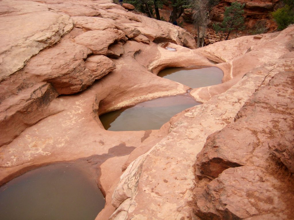
Hiking in a clockwise direction around the loop, we soon passed a series of small potholes arranged in a stair-step alignment atop a sandstone bench. These potholes have been designated as the “Seven Sacred Pools” and, when fed by fresh rainwater, create an attractive scene of cascading waterfalls. Today, the pools were filled with murky brown water and looked somewhat less than sacred.
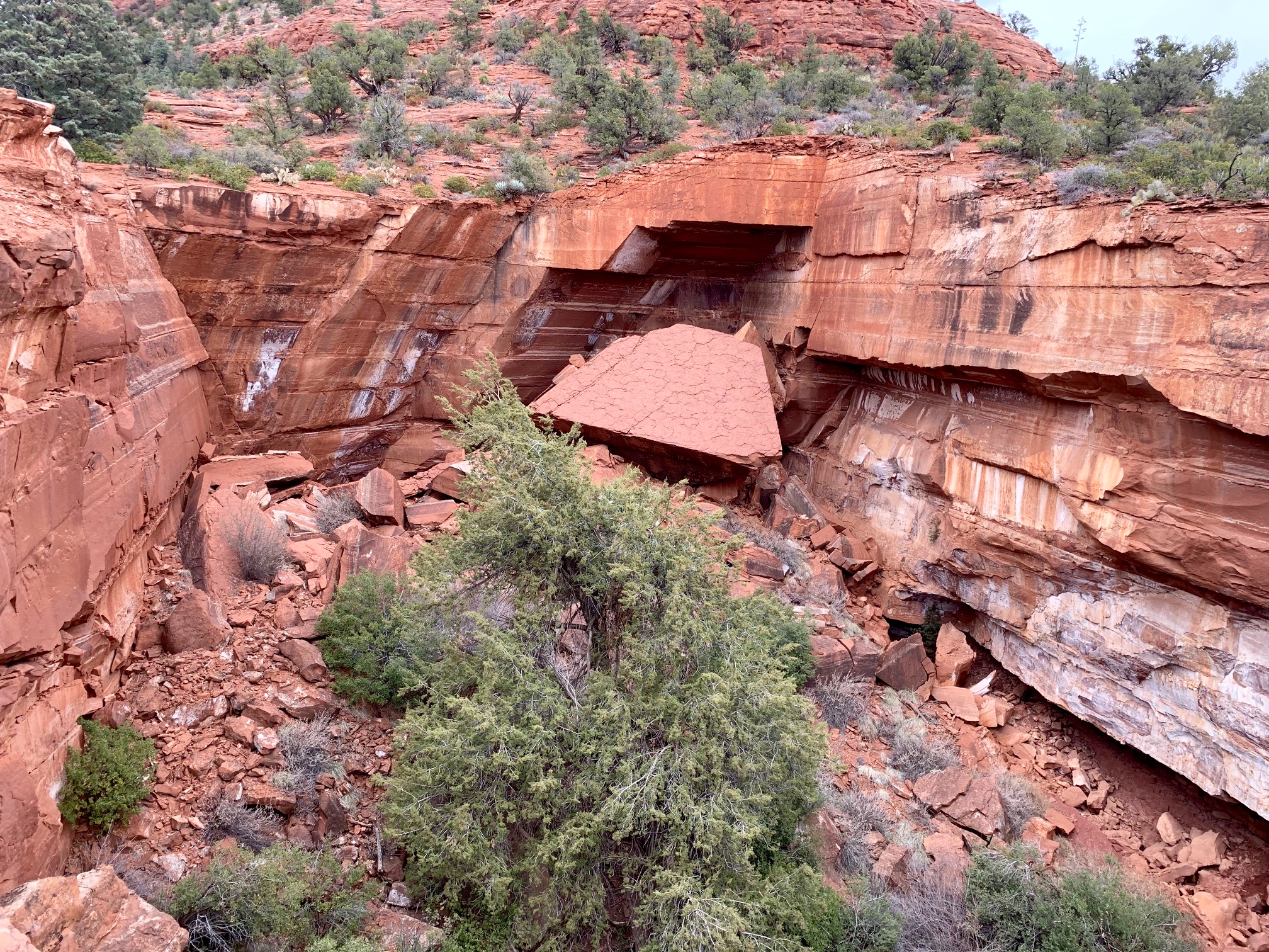
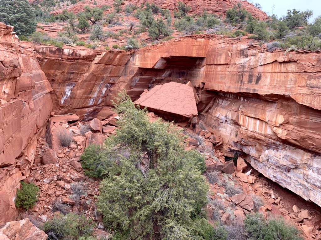
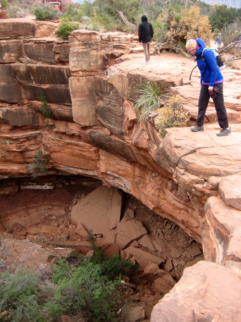
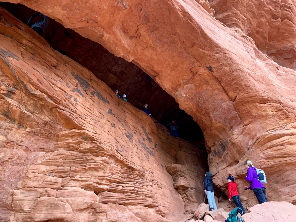
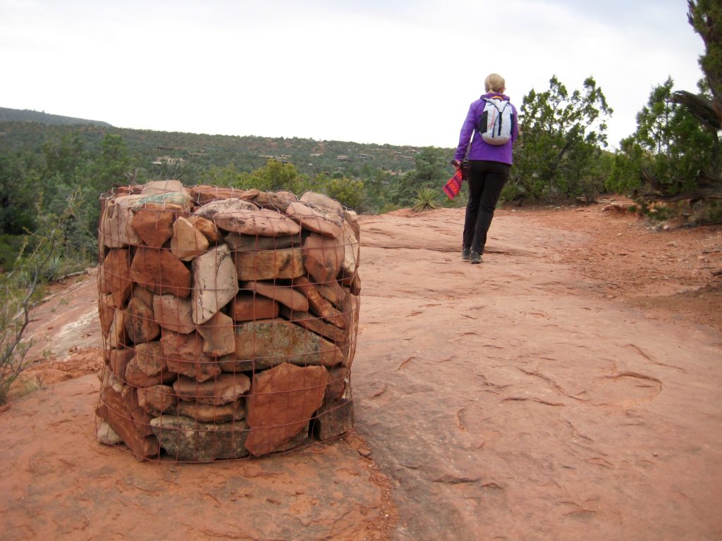
We continued hiking along Soldier Pass Trail on rust-colored soil until encountering a side trail leading steeply up toward Brin’s Butte. This side trail ended abruptly at a vertical cliff exhibiting several enormous natural arch openings known as Soldier Caves.
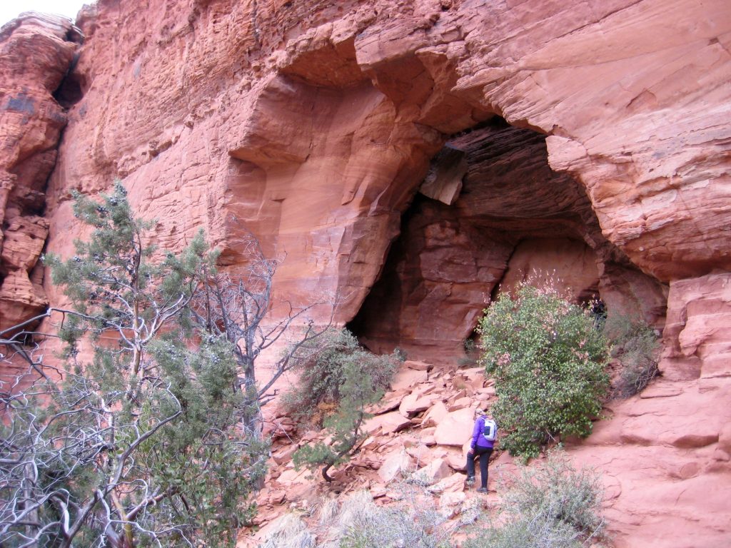
We scrambled into one cave that features a detached arch and a high interior ledge. Exploring the amazing natural architecture of this geologic structure was the climax of our entire trek.

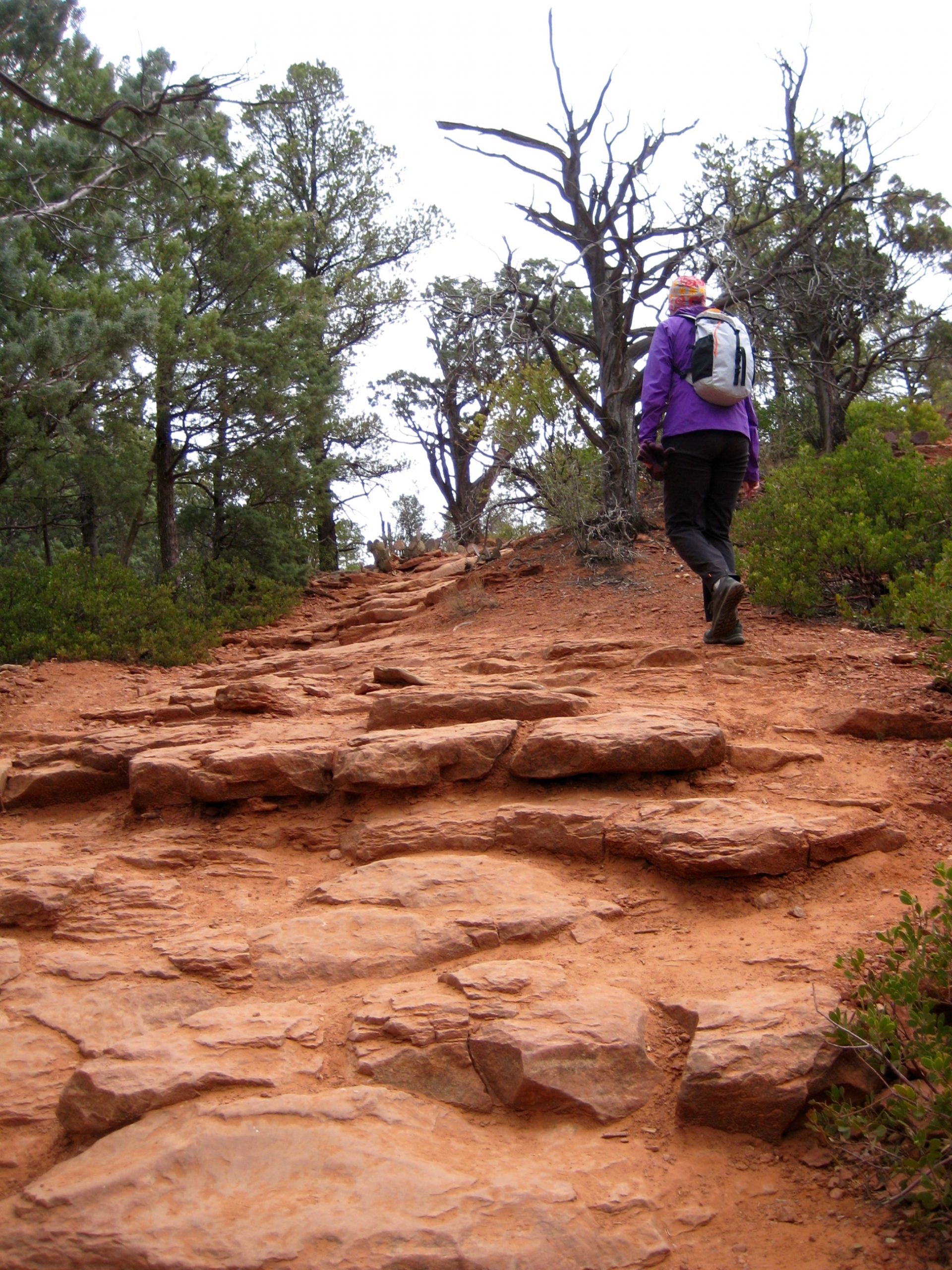
Rather than descending back to the main trail, we teased out a network of hiker’s paths contouring around the hillside at a higher level. Our route rejoined the main trail ½ mile up-valley, and we followed it over Soldier Pass to a junction with Brin’s Mesa Trail (1.8 hours + 800 feet from TH).
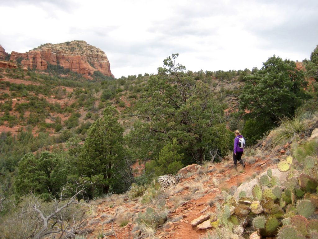
The latter trail took us in a southeasterly direction across Brin’s Mesa and down to Mormon Canyon, which is bounded by rugged sandstone formations bearing names such as “Steamboat Rock,” “The Fin,” and “The Sail.” Near the canyon invert, we intersected Cibola Pass Trail.
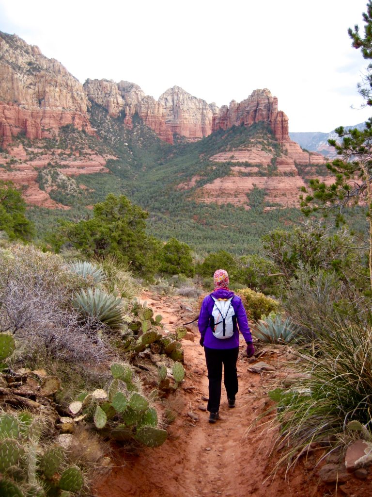
Turning west, we hiked over Cibola Pass and then finished our loop on Jordan Trail. We anxiously quickened our pace during the last few miles, knowing that the trailhead gate closes at 6:00pm each day.
It was precisely 5:59pm when we hustled into the parking lot (3.2 hours +1300 feet total loop), and we watched with dismay as the gate slammed shut moments later. As it turned out, though, our anxiety was unnecessary; the gate has an automatic opener for exiting vehicles. Whew…crisis averted!
Route Map & Profile
…
…
Photo Gallery
Click to enlarge…