Trip Date: April 10, 2004
Rainy–Birthday Ski Traverse: Rainy Lake to Copper Col to Early Winters Hairpin
Rainy Lake
Copper Creek Valley
Copper Col
Early Winters Basin
Trip Report Summary
Region: Northeastern Washington Cascades
Sub-Region: Washington Pass Mountains
Area: North Cascades Scenic Highway Corridor
Starting Point: Rainy Lake Trailhead at Rainy Pass on Highway 20 (Elev. 4850 feet)
Way Points: Rainy Lake & Bridge Creek & Copper Creek Basin & Copper Col & Early Winters Basin & Early Winters Hairpin (ski tour & boot descent)
High Point: Copper Col (Elev. 7150 feet)
Ending Point: Early Winters Hairpin on Highway 20 (Elev. 5200 feet)
Approximate Stats: 8 miles traveled; 3200 feet gained; 2850 feet lost; 8.3 hours elapsed.
Related Post
>>> Rainy–Birthday Ski Traverse: Rainy Pass to Copper Col to Early Winters Hairpin – April 21, 2001
Full Trip Report
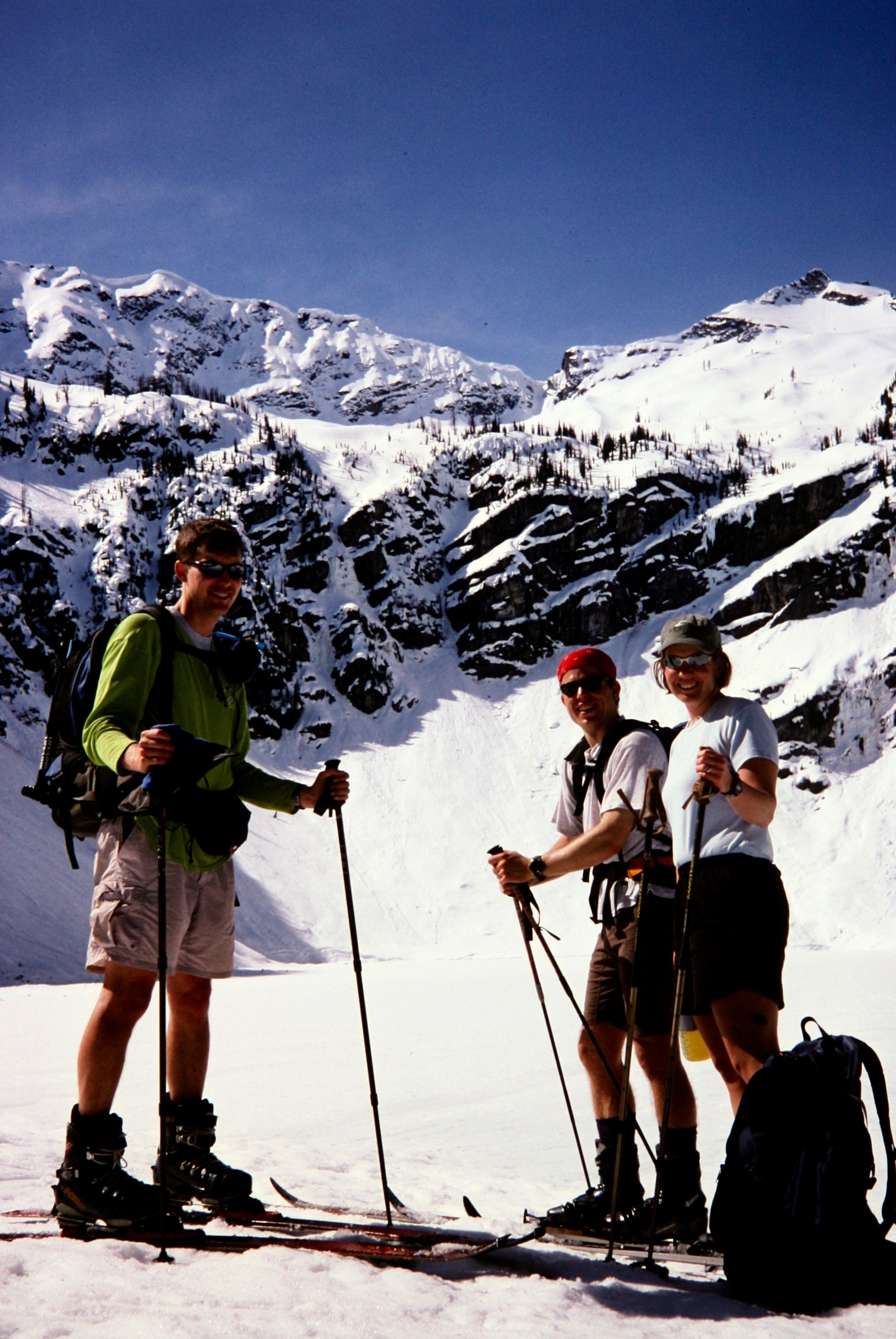
A scant 48 hours after the North Cascades Highway opened last Thursday, I pulled off the road at Rainy Pass with Jon, Megan, and Eric. We were armed with touring skis and intentions to traverse from Rainy Pass to the Early Winters Hairpin just east of Washington Pass, going by way of Rainy Lake and Copper Col. I had first completed this traverse with Laura in April 2001 as an exploratory ski trip. Because it eventually joins the route of a shorter and very popular tour called the “Birthday Traverse,” our extended version became the “Rainy–Birthday Traverse.”
This year’s installment of the Rainy–Birthday Traverse was anything but rainy. We started out wearing shorts and light shirts, and we never saw a cloud all day. Our first tour leg involved an easy contouring jaunt over to spectacular Rainy Lake, which is just beginning to melt on one edge.

- Eric at Rainy Lake (photo by Jon)
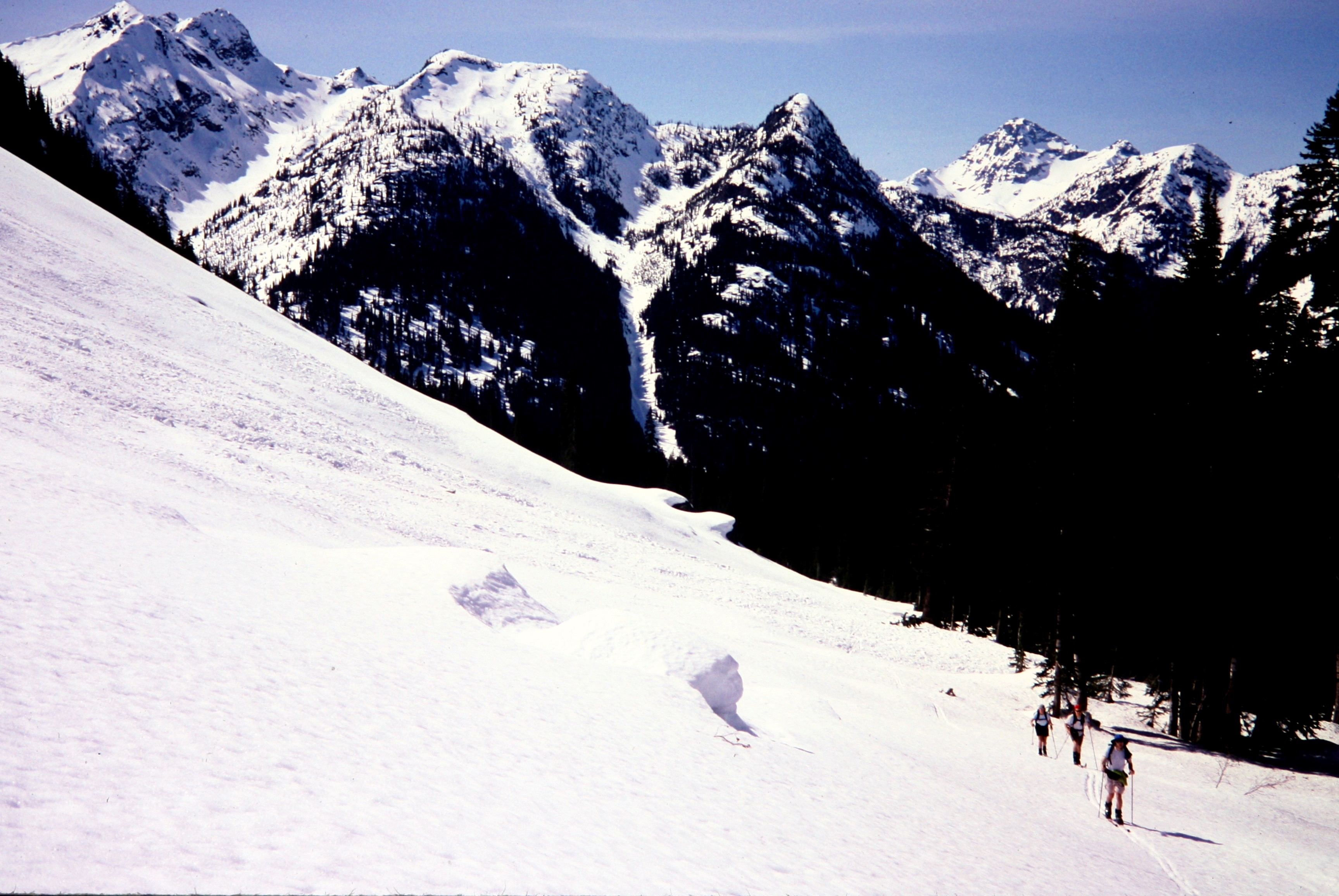
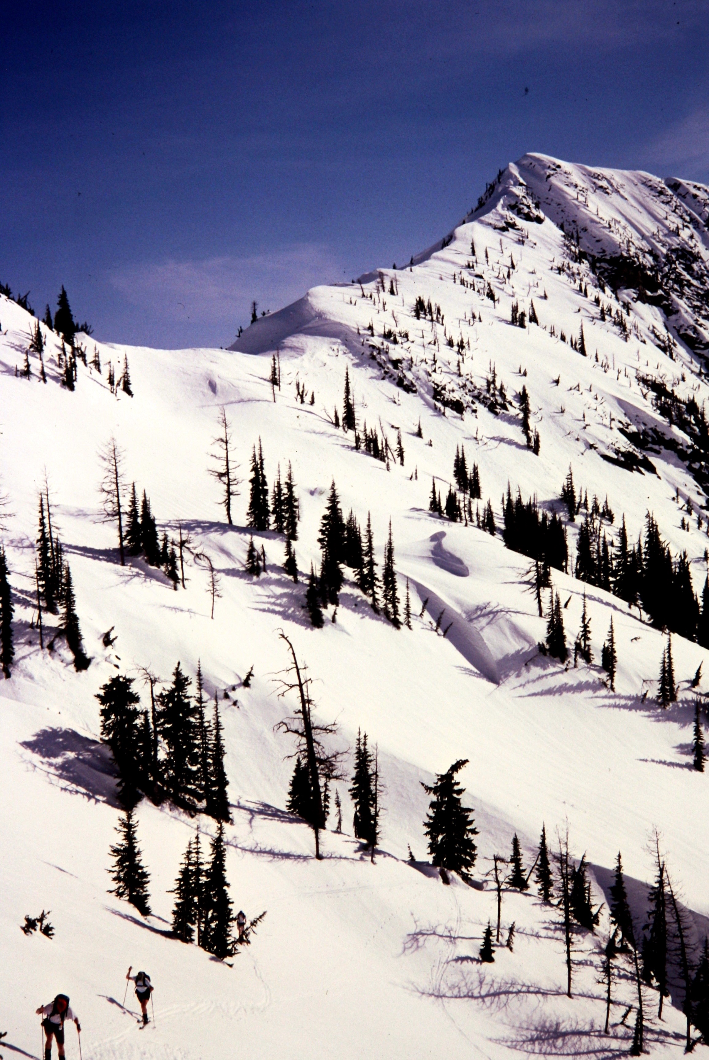
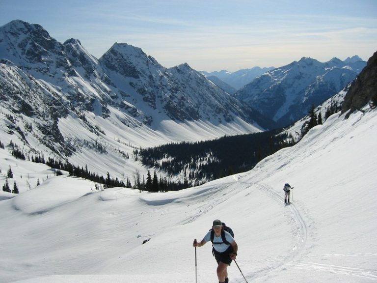
Next, we gradually descended open forest to Bridge Creek and followed its southward curve to near Copper Creek. At 4200 feet, we crossed Bridge Creek on a snow bridge (1.7 hours from Rainy Pass), applied skins, and headed up along the north bank of Copper Creek. Or, I should say, what I thought was Copper Creek. After 10 minutes of climbing, I realized that I had been suckered up State Creek instead. A check of map and compass, together with some group head-scratching, got us redirected on a southeastward bearing to the correct creek.

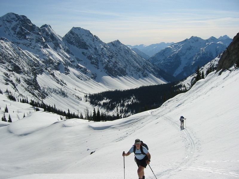
- Skinning Up Copper Creek Valley
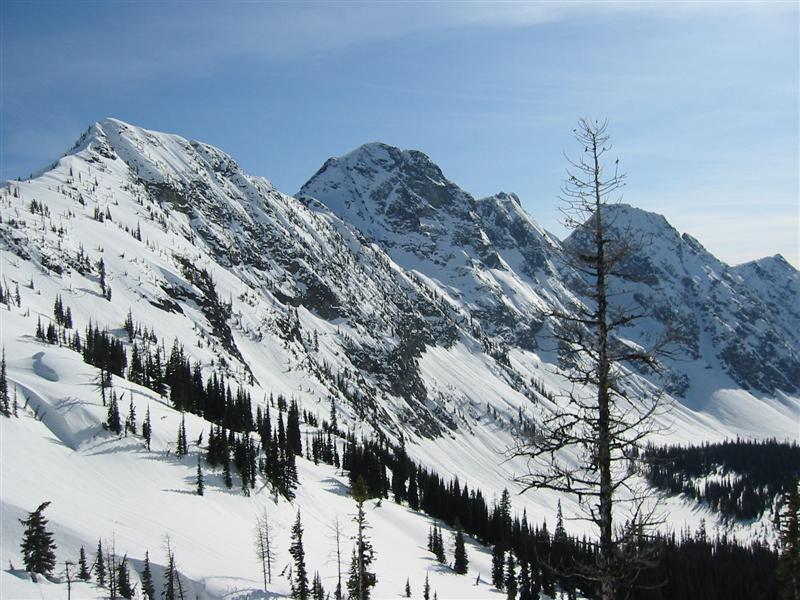
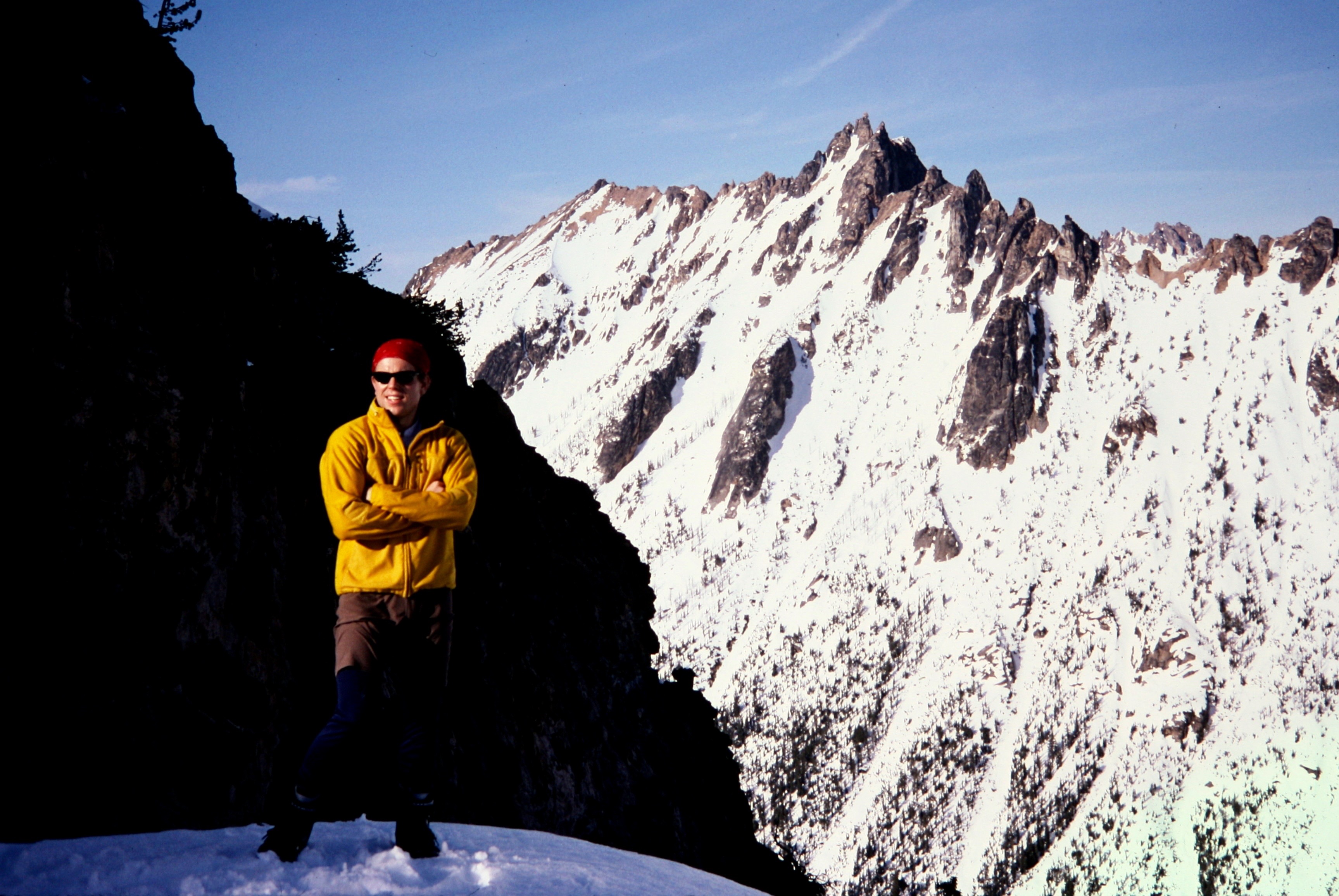
We spent the next hour skinning up unpleasantly steep and dense forest before emerging in a clearing at 5000 feet, with glorious views of Switchblade Peak, Stiletto Peak, Bowan Mountain, and McGregor Mountain.
- Swithblade and Stiletto Peaks (photo by Jon)
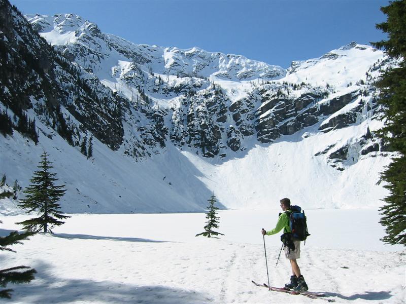
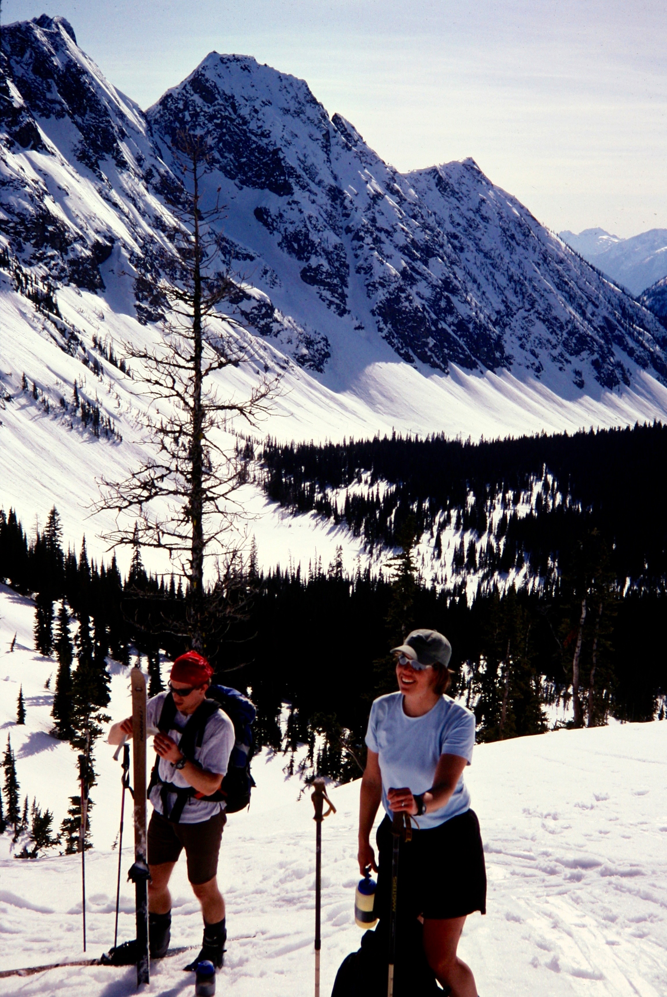
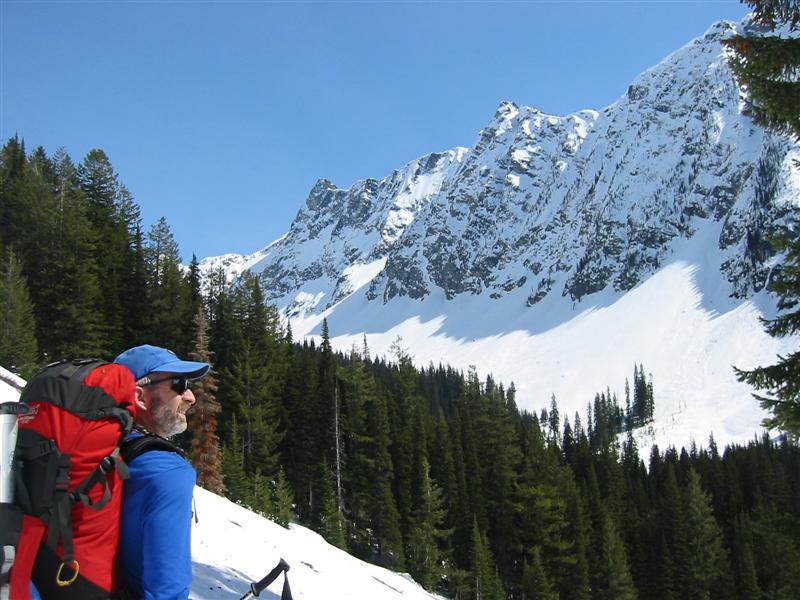
Crossing to the south side of Copper Creek at 5100 feet put us on wonderfully open slopes leading 2 miles up-valley. We were broiled by the “dutch oven” effect of the sun reflecting off the nearly parabolic valley bowl, in which Jon swore he constantly remained at the geometric focal point. The snow here would have been perfect for skiing down: a few inches of sun slush over a very firm base. We reached Copper Col, the 7150-foot low point in the valley headwall, at about 5:30pm (6.8 hours from Rainy Pass).
- Jon At Copper Col With Big Kangaroo
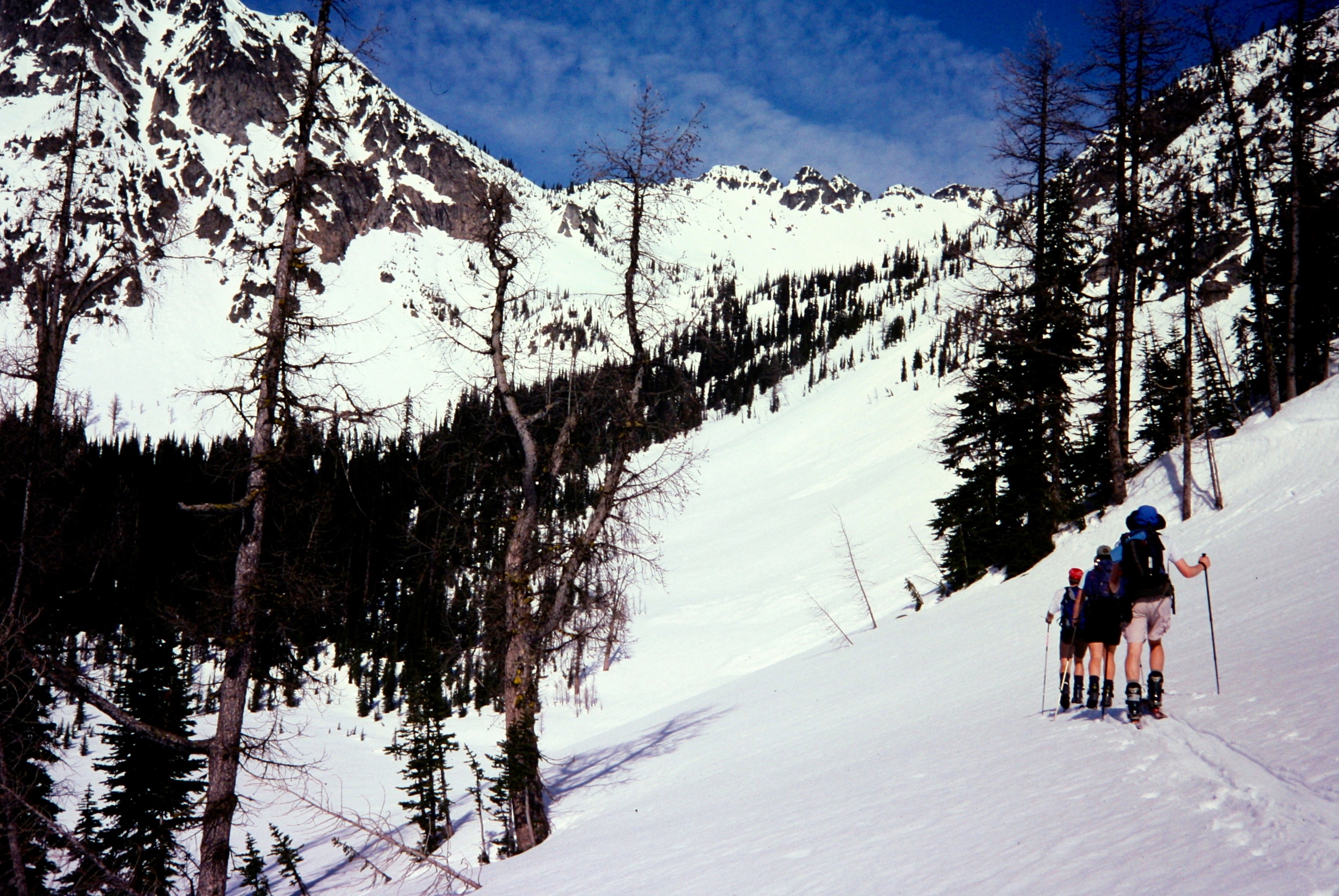
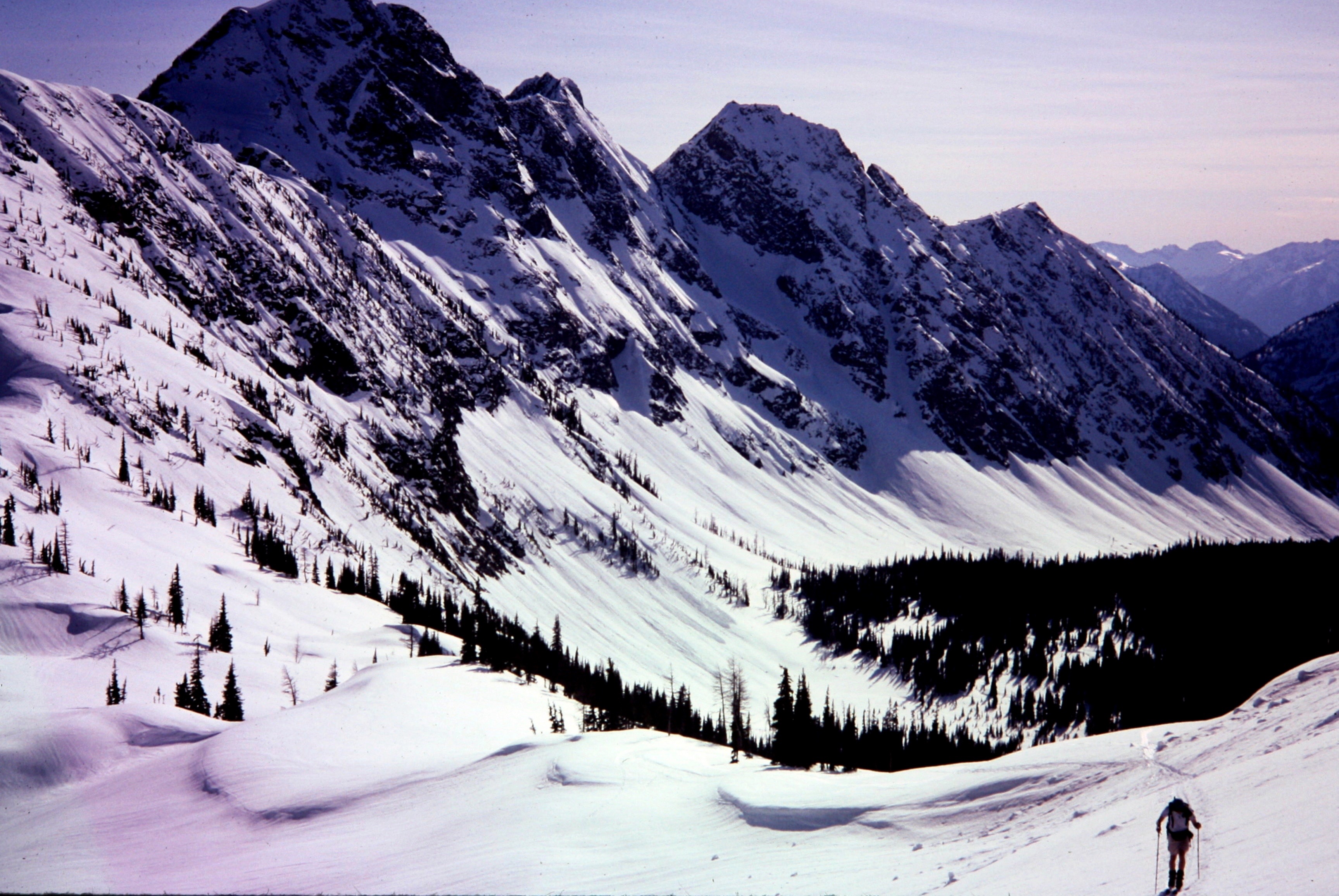
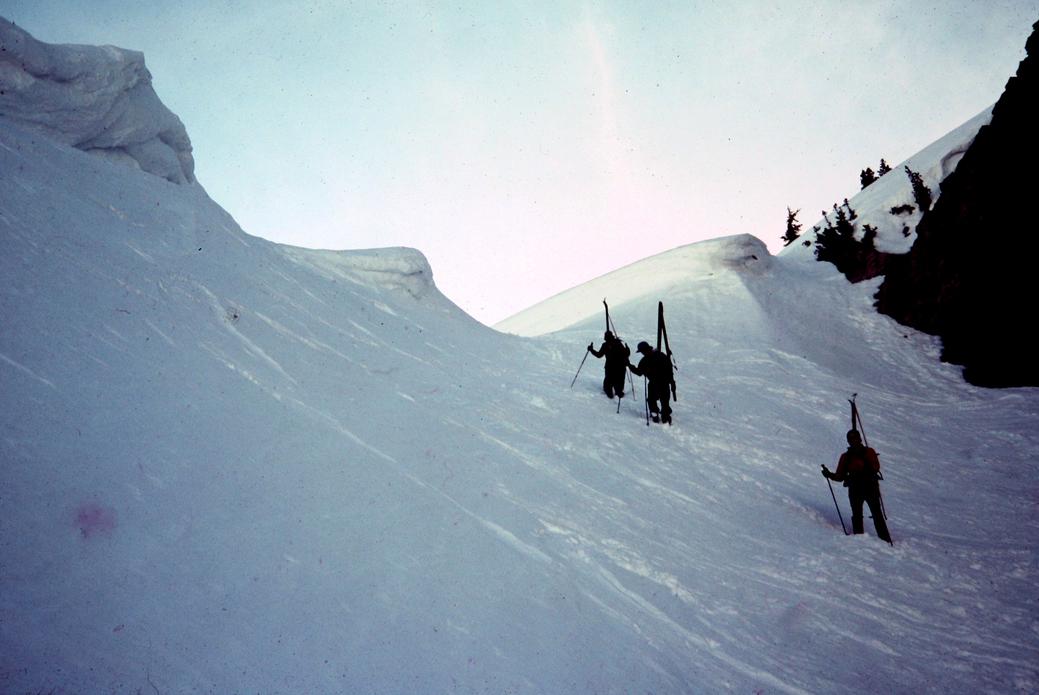
Copper Col gave easy access to a short but moderately steep couloir leading down to the broad slopes of Early Winters Basin. Being on the shady side of the ridge, this couloir was now developing its night-crust, so we all elected to boot down until reaching gentler slopes. I explained to my partners that all real backcountry ski tours invariably have a skis-on-pack component.
- Booting Down From Copper Col
Unfortunately, this component turned out to be much longer than we had initially thought, because nearly the entire lower slopes featured an icy crust over glop. We ended up having to plunge-step about 1500 feet down to Early Winters Creek, where a Mountaineers class had established a camp for the night.
At this point, we were into evening and I was growing concerned about our chances of hitching a ride back to Rainy Pass. None of us harbored any interest in walking the 5.5 miles in ski boots! So, while Jon, Megan, and Eric descended at a leisurely pace, I hurriedly (and ungracefully) skied the remaining mile of concrete-like crust down to Highway 20 and positioned myself on the roadside with thumb extended. Traffic was very light by now—about one car per 5 minutes—and generally unaccommodating to hitchhikers, but eventually a pickup stopped and zoomed me back to my awaiting vehicle.
Route Comments
This is a satisfyingly long and scenic day-tour, but our timing did not allow for turns in good skiable snow. Ideally, it would be done either in colder, powder-snow conditions or in warmer conditions when the shady areas don’t refreeze by evening.
Gear Comments
Three of us used mid-weight nordic touring gear (skis with no-wax bases, and plastic boots), which worked well for the miles of traversing and contouring. However, in a personal tribute to telemark history, Eric wore plastic Asolo “monster” boots with mechanically hinged soles (we’re talking pre-Terminator-bellows technology here). Although heavy and noisy, the boots made him look like Frankenstein and sound like a giant frog.
Photo Gallery
Click to enlarge…