Trip Date: September 3-6, 2020
Goat Rocks Climbing Trip
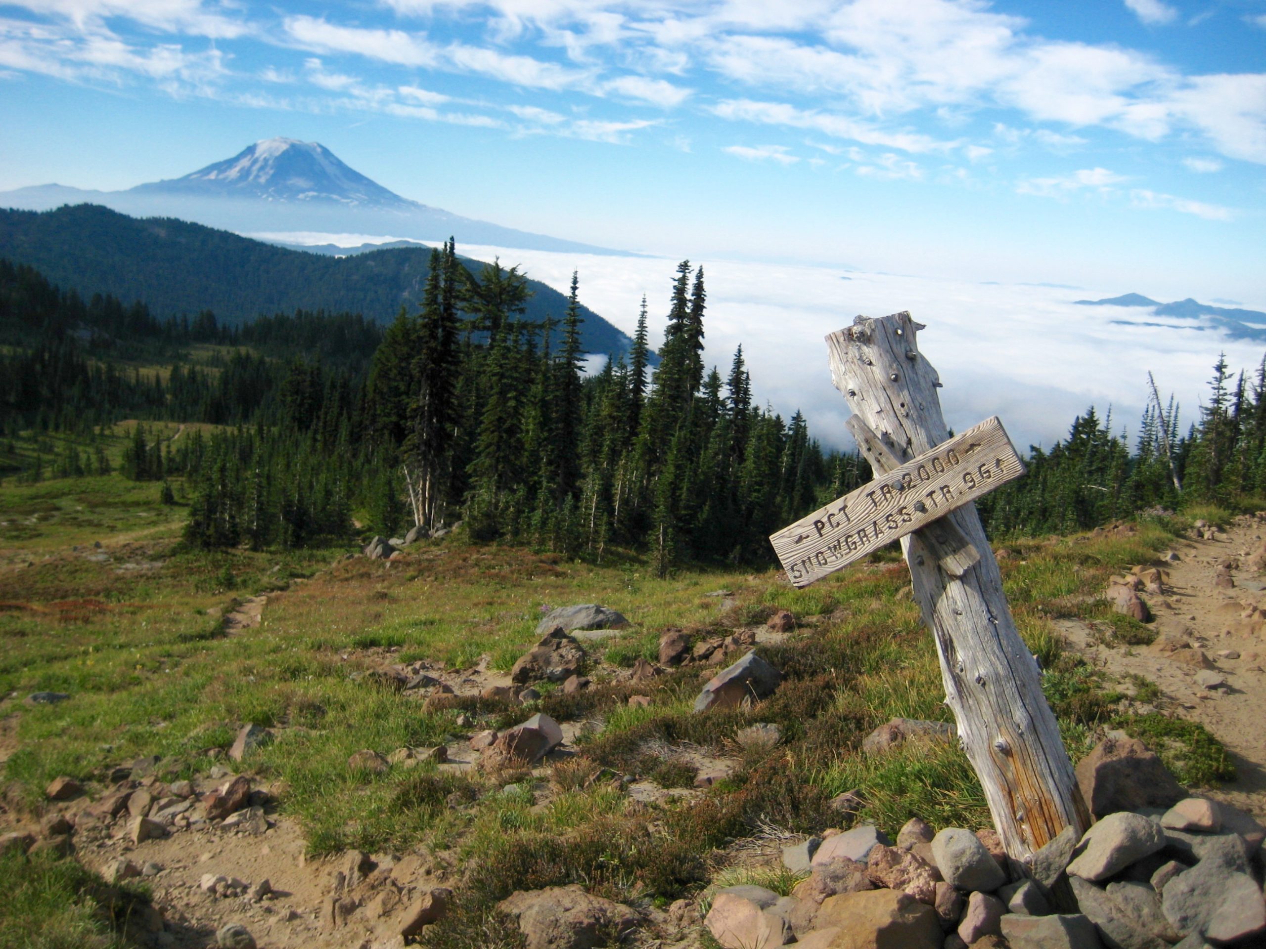
Snowgrass Flats
Cispus Basin
Mount Curtis Gilbert aka Gilbert Peak (8184′)
Old Snowy Mountain (7930′)
Old Snowy – Ives Col
Ives Peak (7932′)
Trip Report Summary
Region: Southern Washington Cascades
Sub-Region: Goat Rocks
Area: Goat Rocks Wilderness
Starting & Ending Point: Snowgrass Flats Trailhead on Chambers Lake Road (Elev. 4650 feet)
Way Points: Goat Creek & Bypass Junction & Snowgrass Flats (trail hike)
Campsite: Lower Snowgrass Flats (Elev. 6200 feet)
Sidetrip: Cispus Basin & Upper Cispus River & Cispus Saddle (trail hike & off-trail hike)
Summit: Mt. Curtis Gilbert (rock scramble via Goat Ledges—Northwest Ridge —Southwest Face)
Sidetrip: Upper Snowgrass Flats & Packwood Glacier Cirque (trail hike)
Summit: Old Snowy Mountain (off-trail hike & rock scramble via North Ridge; descent via South Ridge)
Sidetrip: Old Snowy – Ives Col (off-trail hike & rock scramble)
Summit: Ives Peak (rock scramble via Northwest Ridge—South Face; descent via South Face—South Ridge—West Slope)
Approximate Stats (including all sidetrips): 22 miles traveled; 7500 feet gained & lost.
Related Posts
Mt. Curtis Gilbert + Big Goat Horn – July 2003
Old Snowy Mtn + Ives Peak + McCall Glacier Ski Descent – July 2002
Mt. Curtis Gilbert via Meade Glacier – September 1983
Full Trip Report
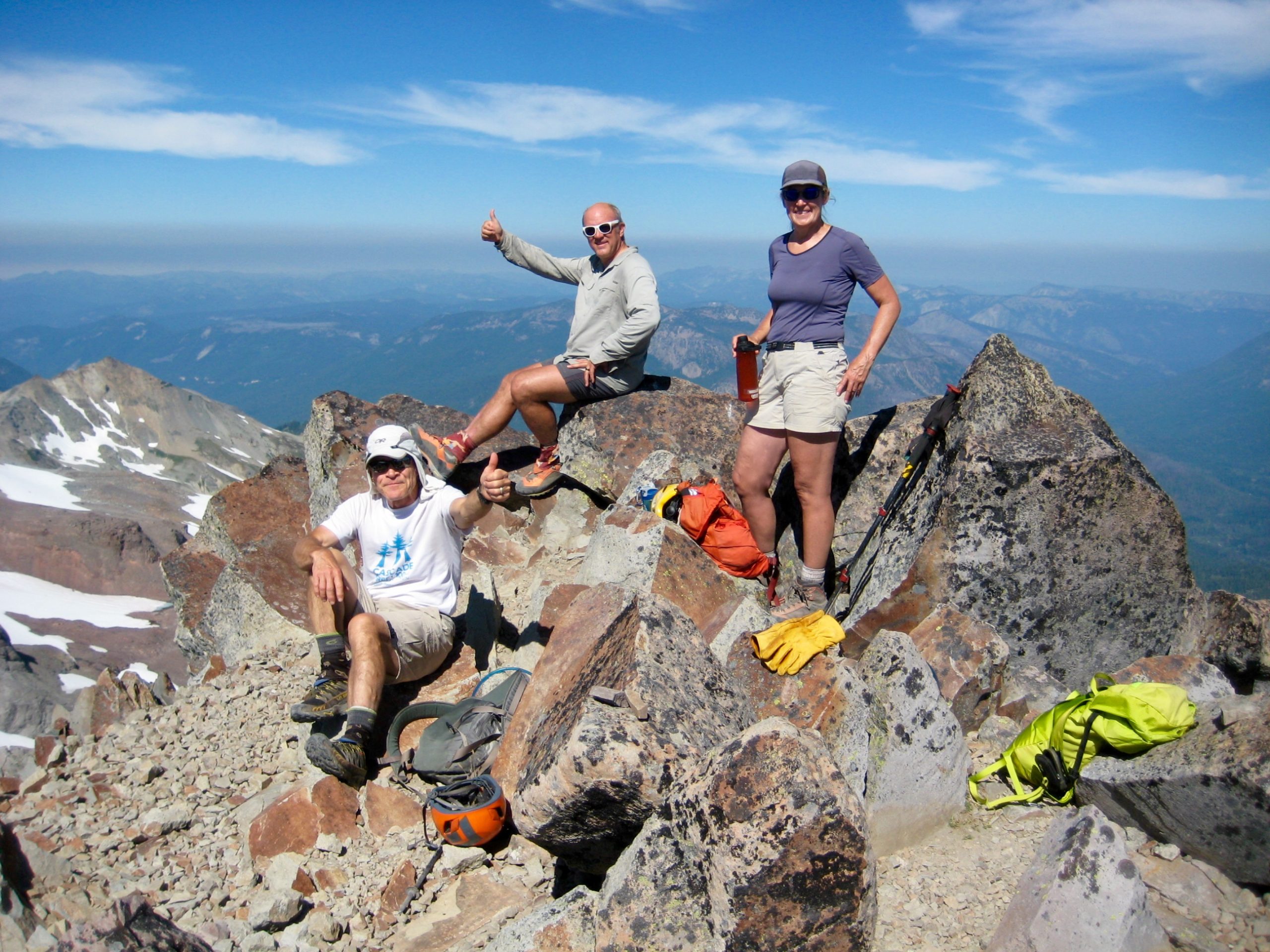
Eileen and I spent Labor Day Weekend in the Goat Rocks with Kevin, Maria, George, and Karen. We normally wouldn’t visit such a popular destination on a holiday weekend, but this was how everybody’s schedule played out. Fortunately, Snowgrass Flats had enough real estate to accommodate the enthusiastic crowds without detracting from our wilderness experience, and we each got our respective summit fill.
Day 1: Trailhead to Snowgrass Flats
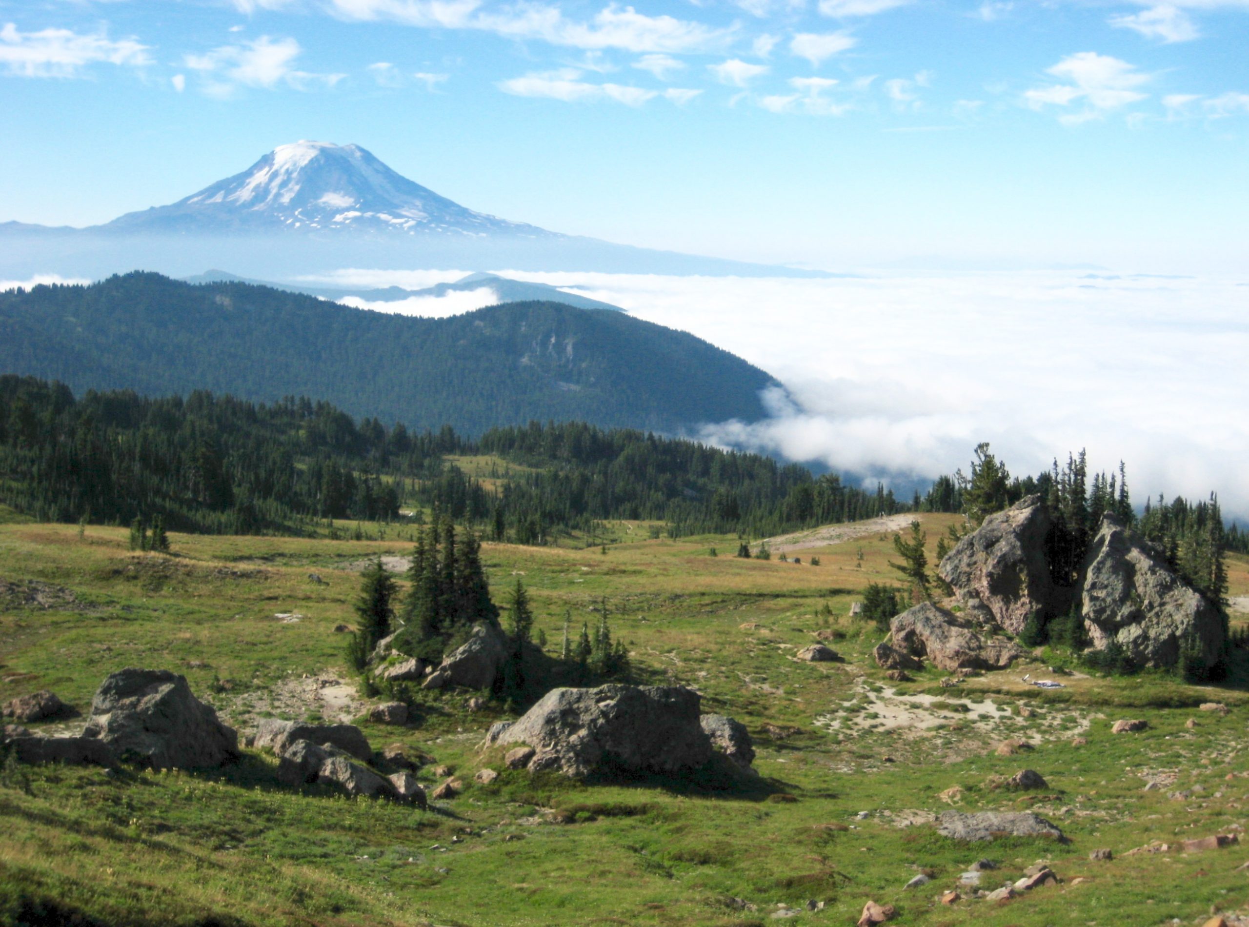
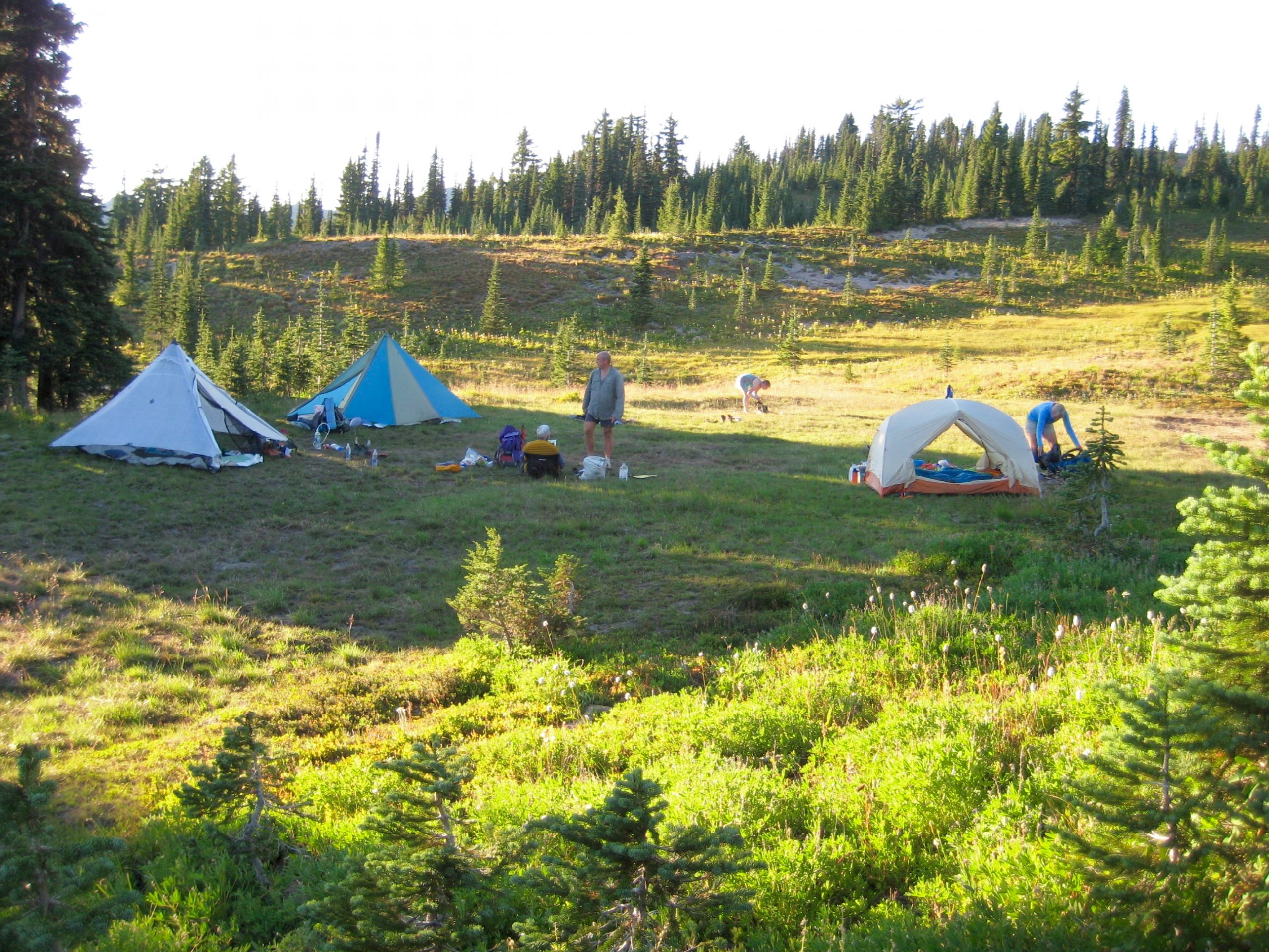
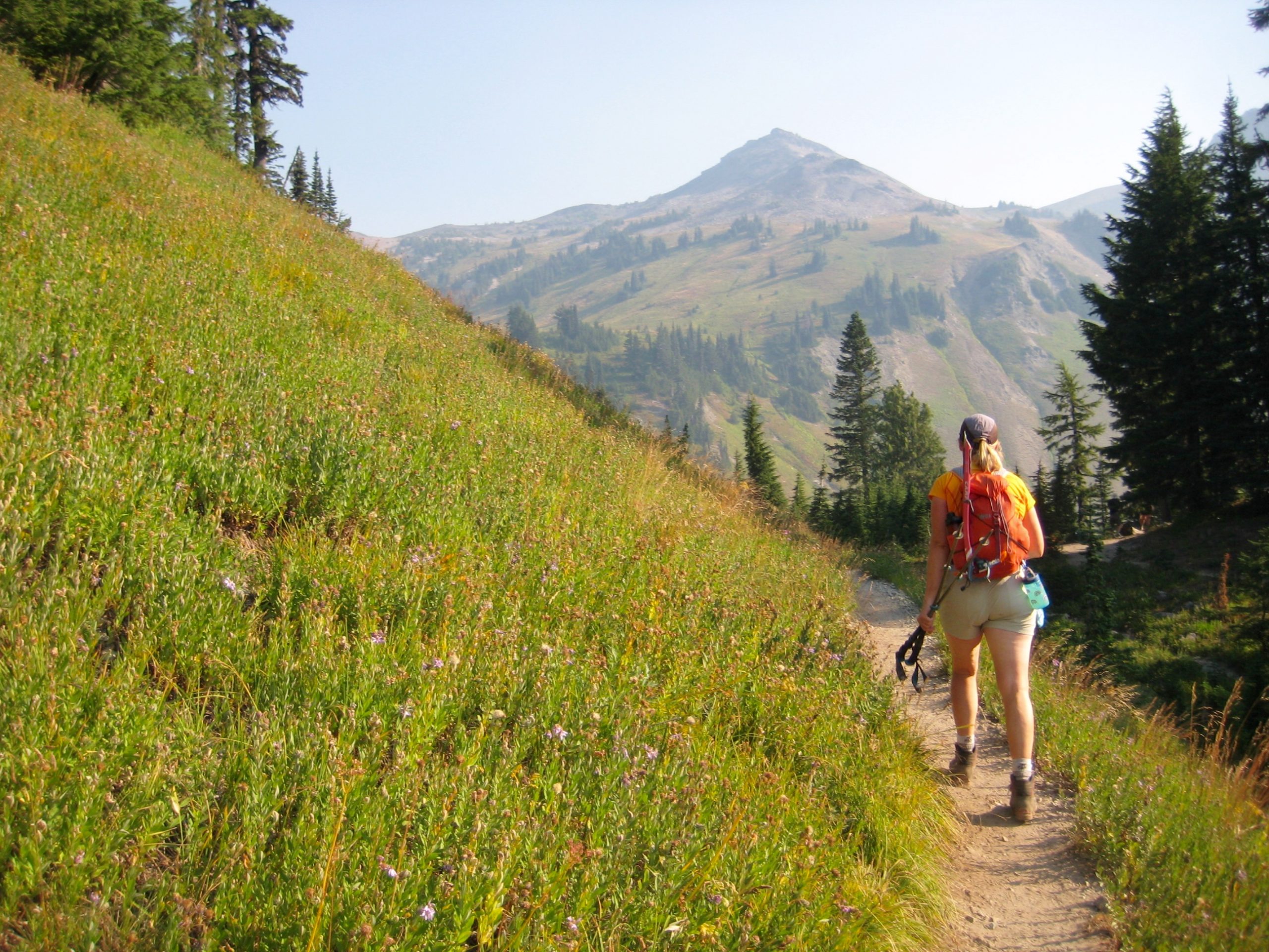
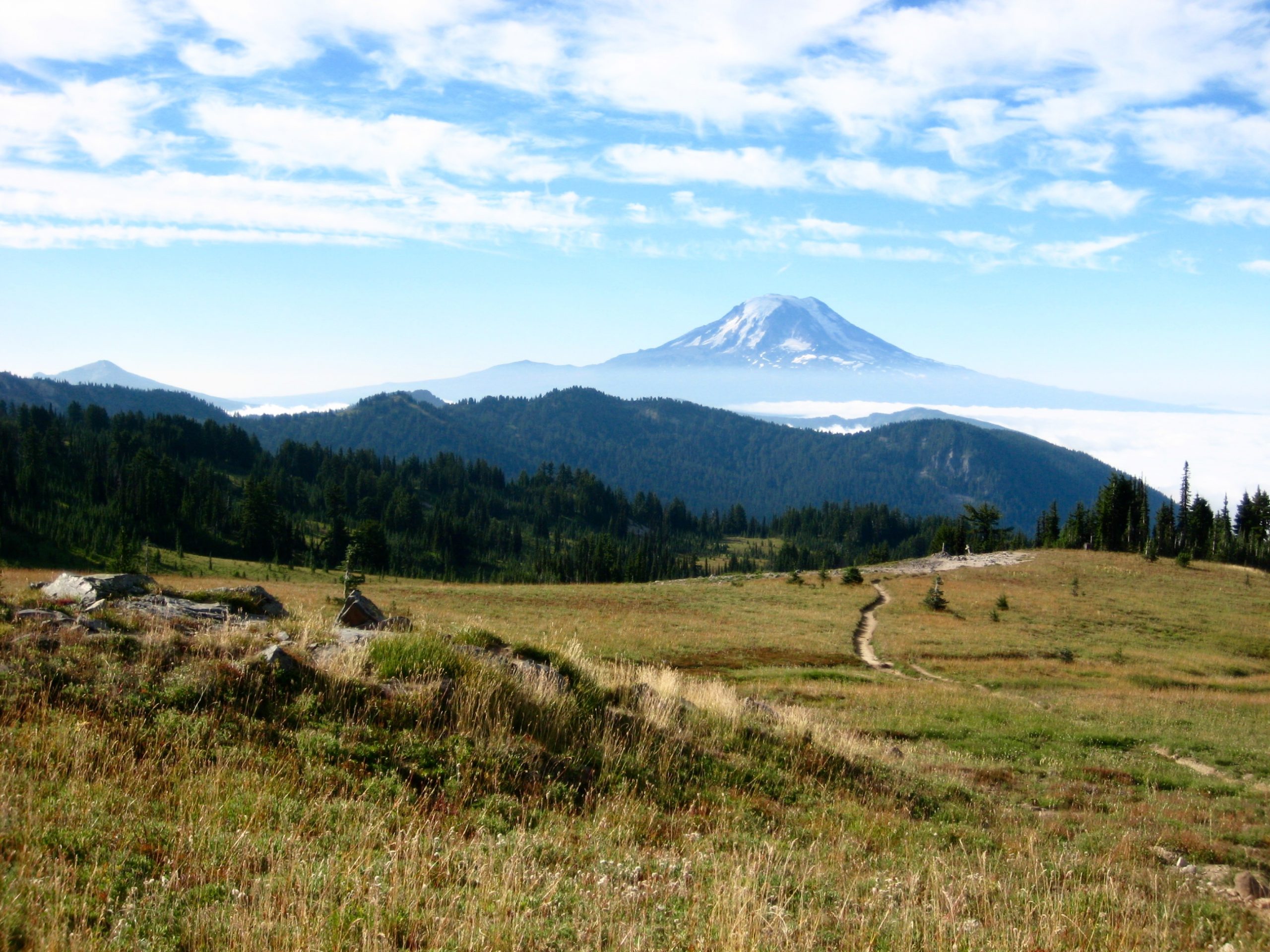
We met at the Snowgrass Flats Trailhead at high noon on a hot Thursday and began hiking up the shady trail. The inviting pools of Goat Creek demanded a dunk break on our way to the wide-open meadows of Snowgrass Flats (4.0 hours + 2000 feet from TH).
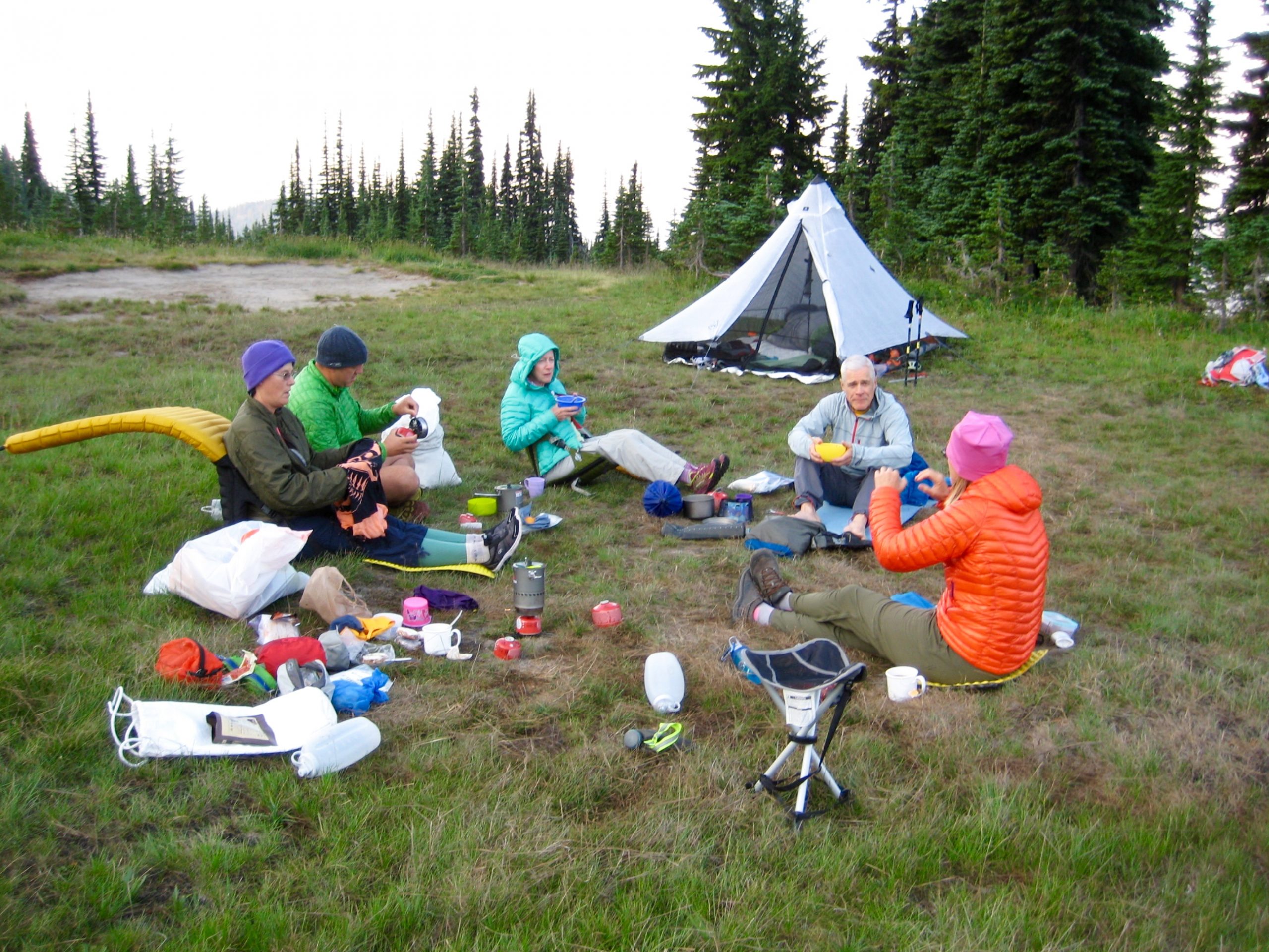
Although campsites are prevalent throughout Snowgrass Flats, all of the runoff creeks were now bone-dry. We fanned out in search of a watered camp and eventually hit paydirt in the lower flats, where there was a large grassy bench with an ice-cold spring located 50 yards downhill. This became our home for the next three nights.
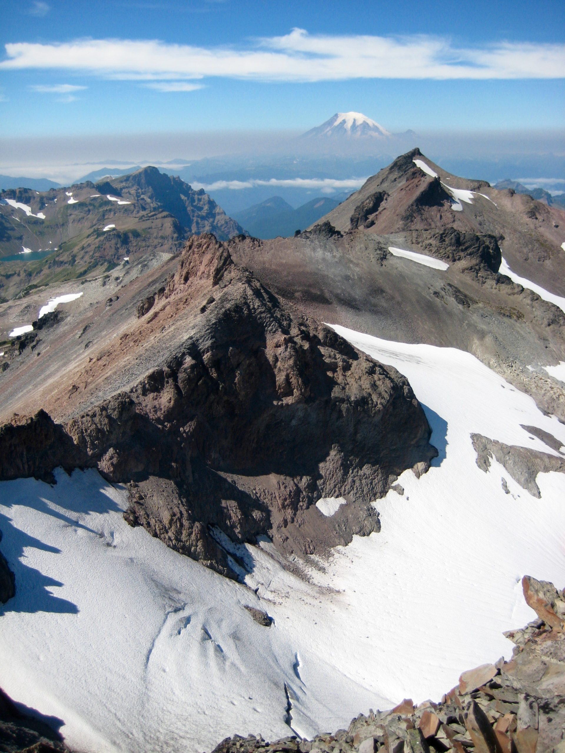
Day 2: Mt. Curtis Gilbert Summit Climb
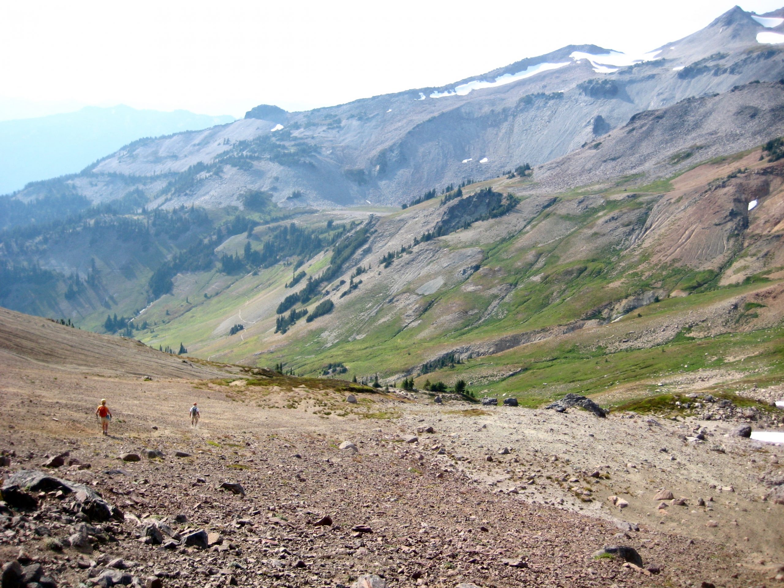
Following a calm and warm night, we were disappointed to see smoke-filled skies in the morning. Presumably, a shift in the wind had pushed in smoke from the Naches fire currently burning to the east. This didn’t alter our plan to climb Mt. Curtis Gilbert today, but it would certainly hamper our views. While Maria planted herself in a camp chair with a salacious paperback novel, the rest of us headed south on the Pacific Crest Trail (PCT). In 2 easy miles, we crossed the upper reaches of the Cispus River, which originates in Cispus Basin.
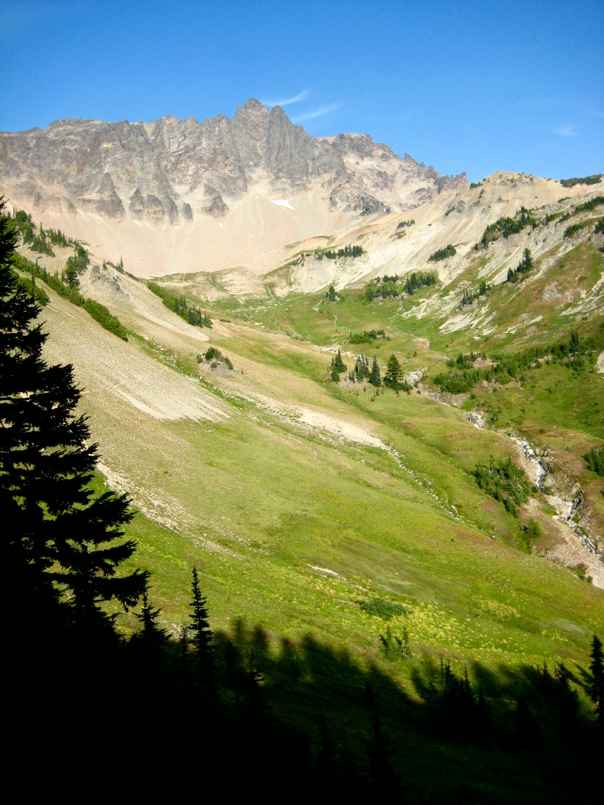
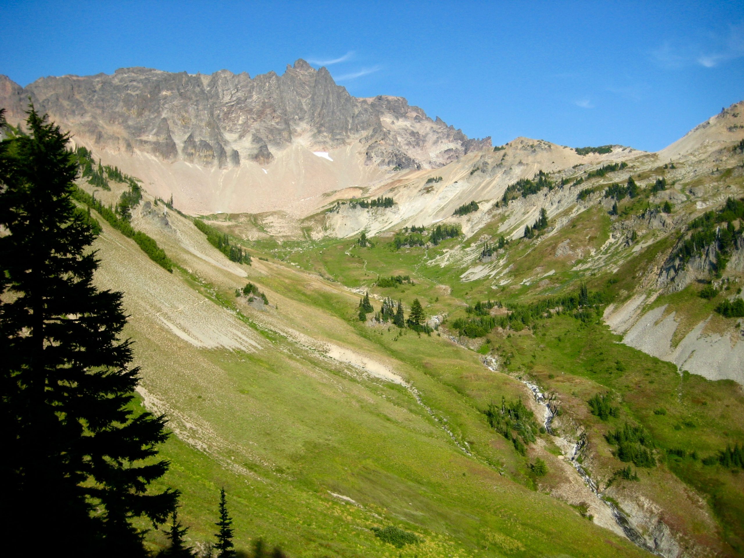
Those of us who had never visited Cispus Basin before were captivated by its grand size and sweeping meadows—a worthy rival to Snowgrass Flats. We left the PCT and hiked uphill to reach a 7000-foot saddle at the eastern rim of the basin. Here, smooth slopes of tan and orange soil transitioned to the gray and black rock of the Goat Rocks crest.
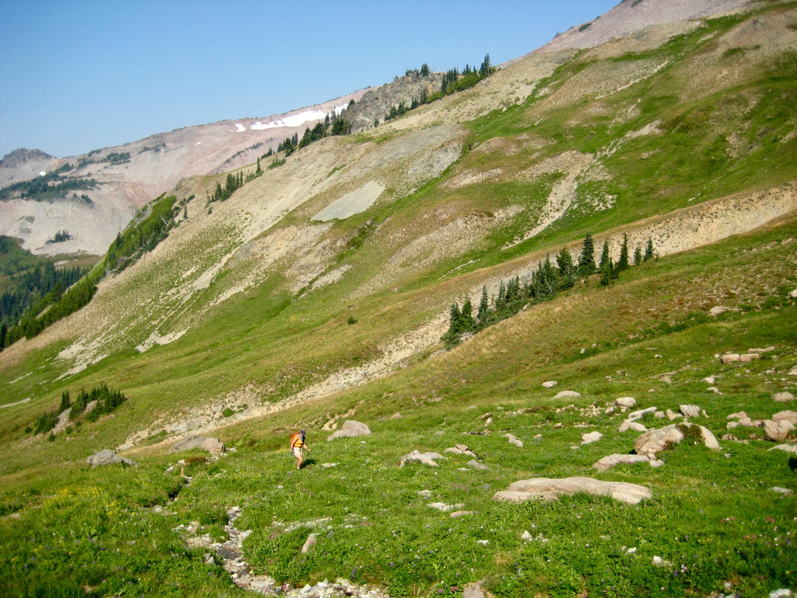
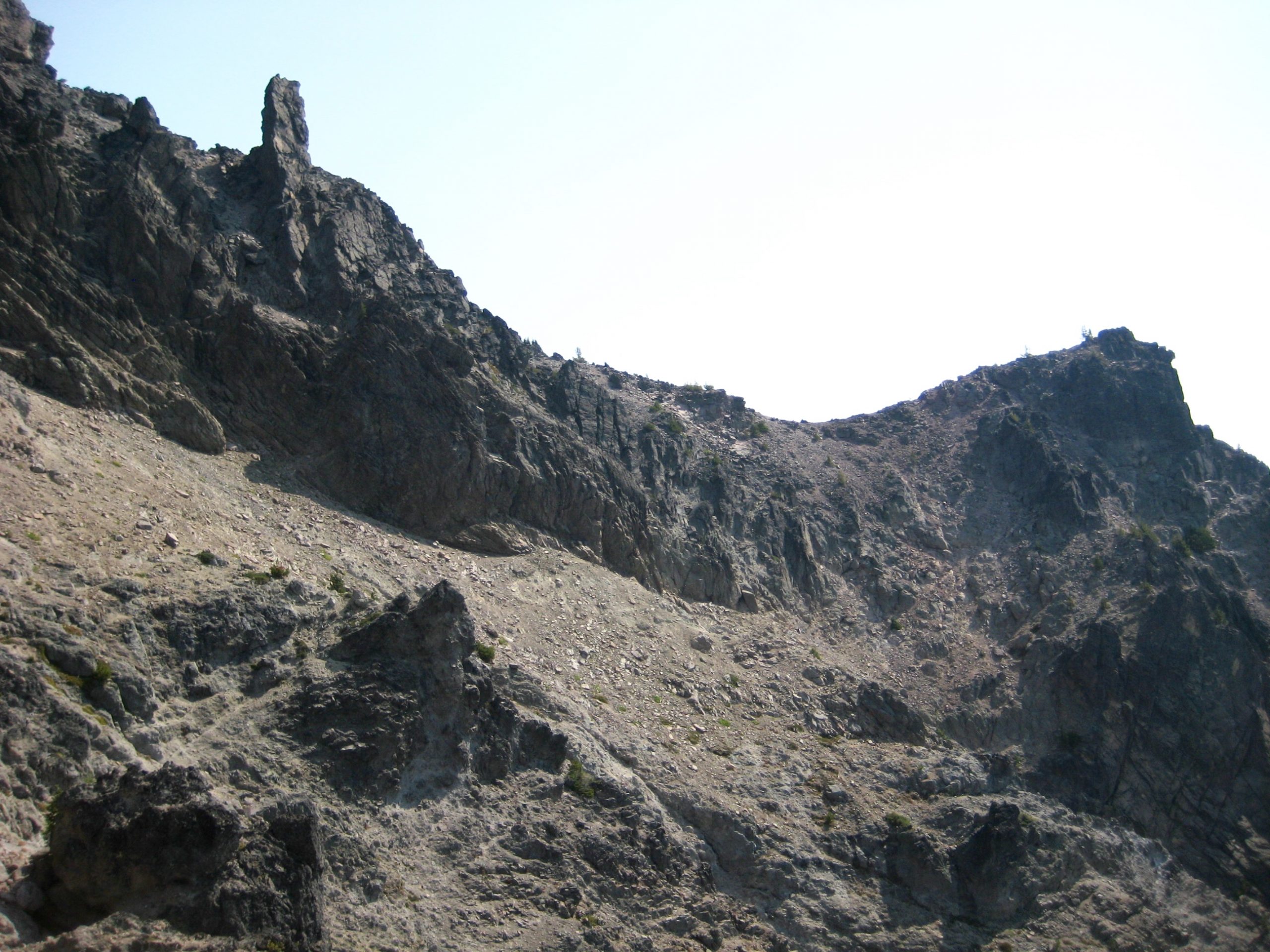
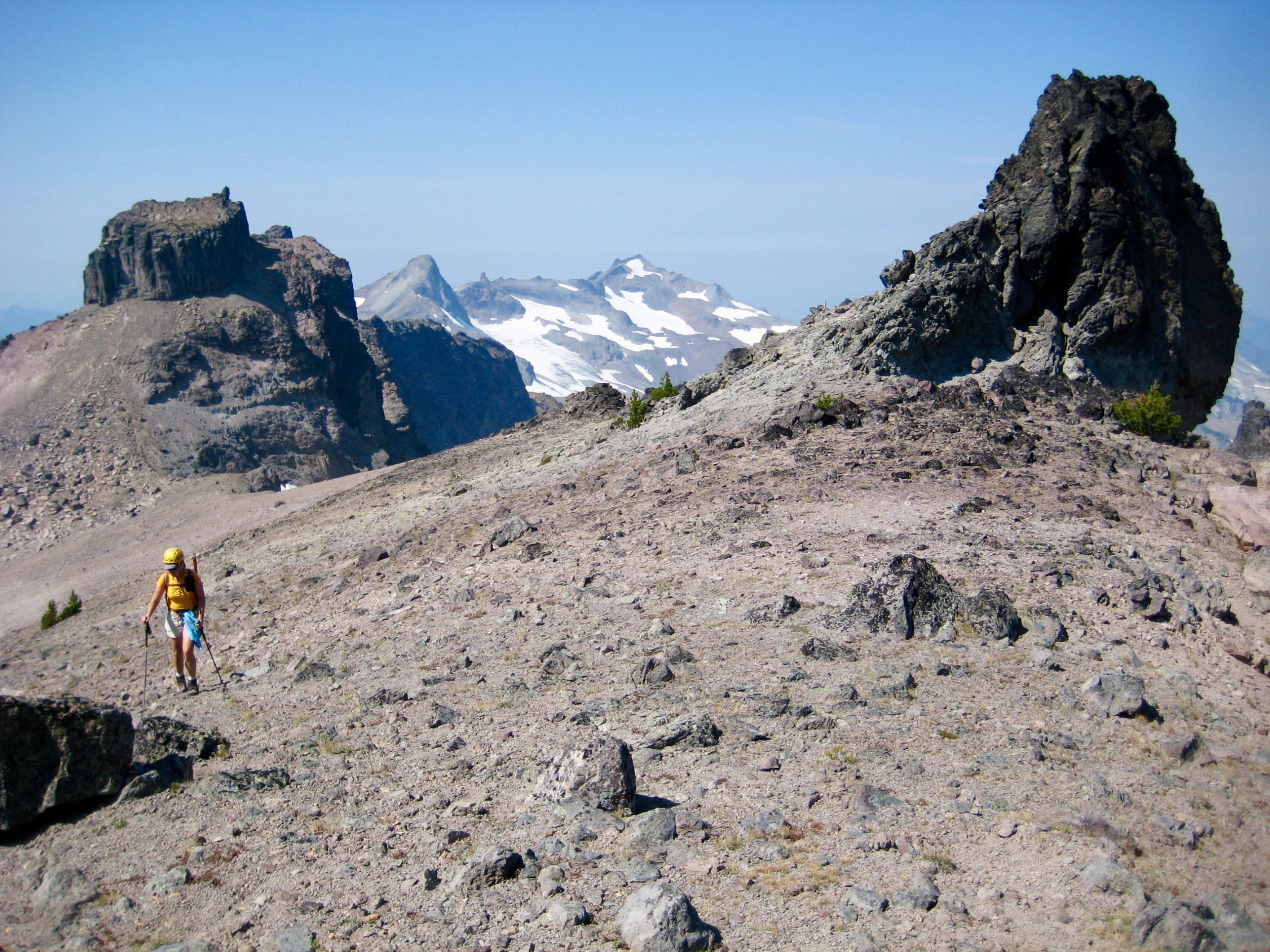
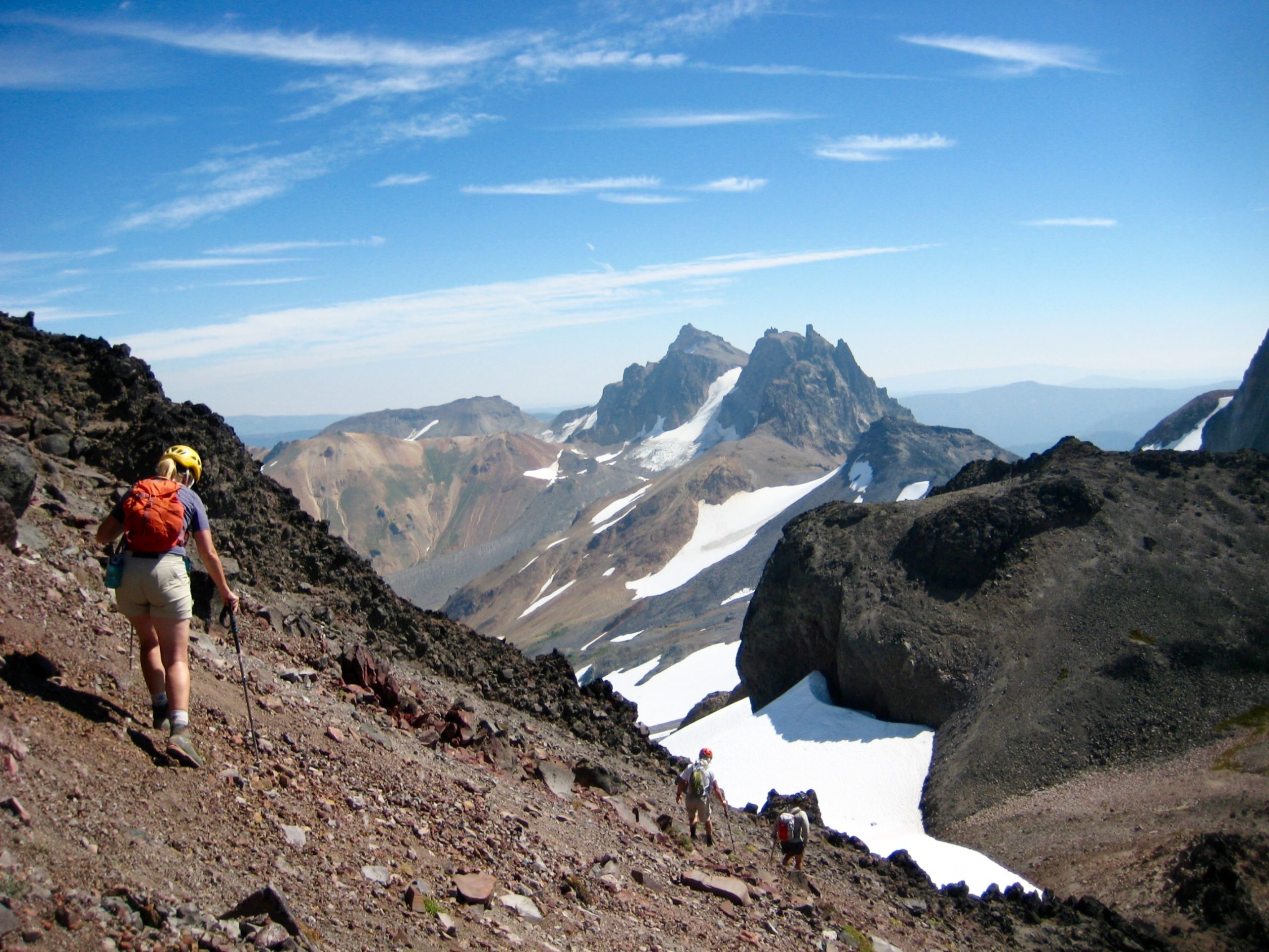
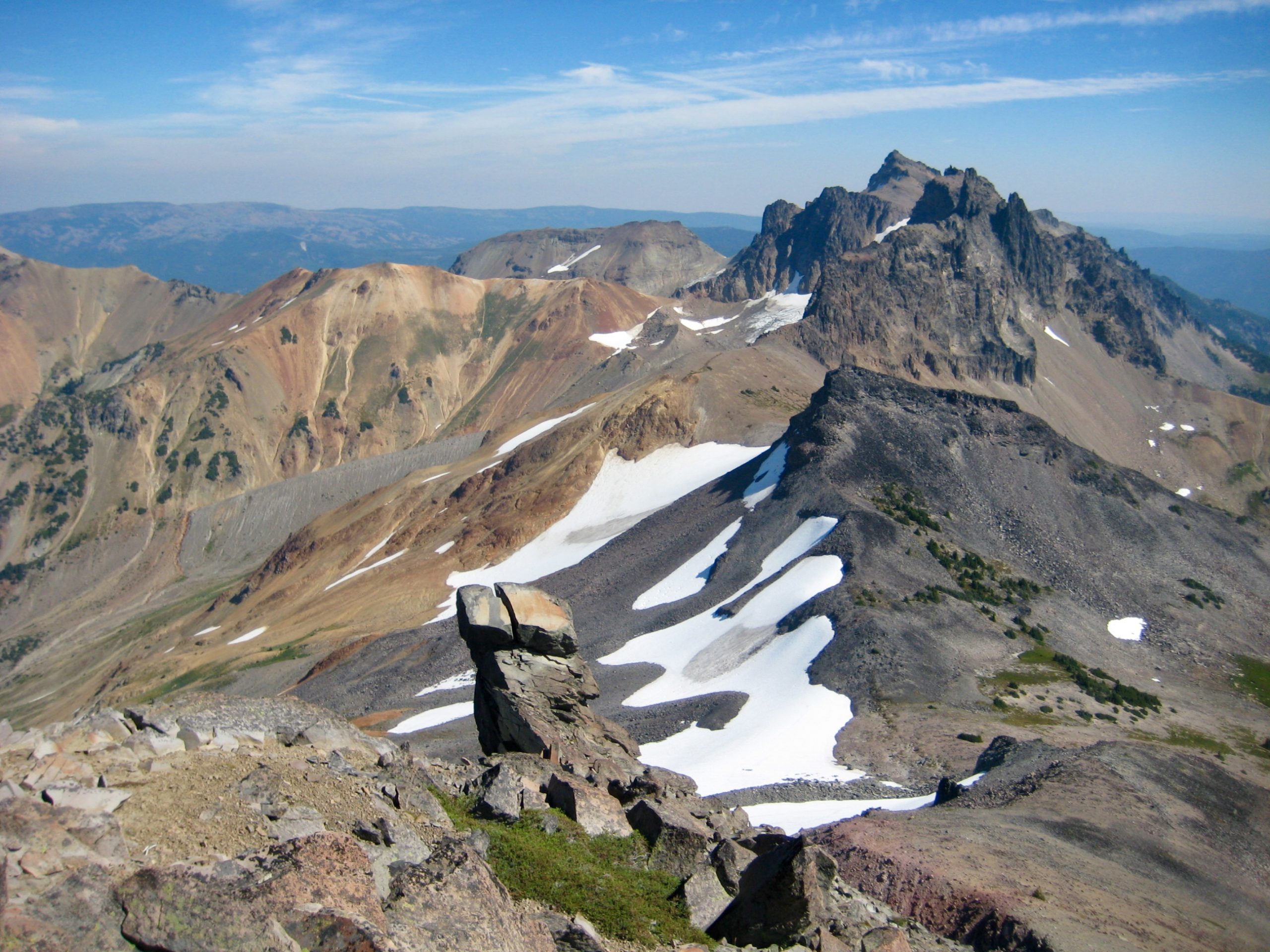
Looking south from Cispus Saddle, we got a first view of the rugged terrain that separated us from Mt. Curtis Gilbert. It was not an encouraging sight: jagged rib after rib, and rubbly gully after gully. Our objective peak—located a full mile to the east—was not even visible over the intervening ridges.
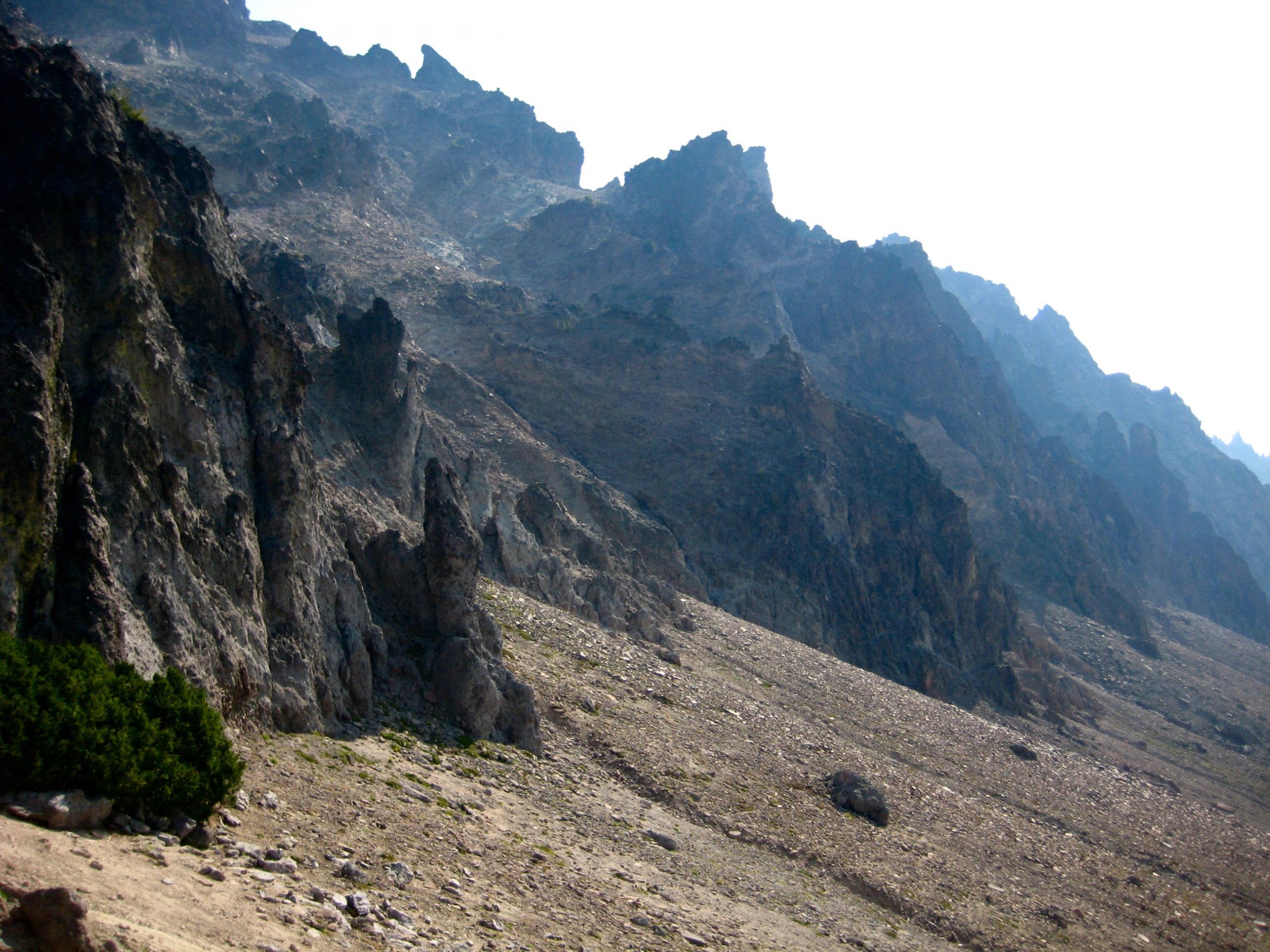
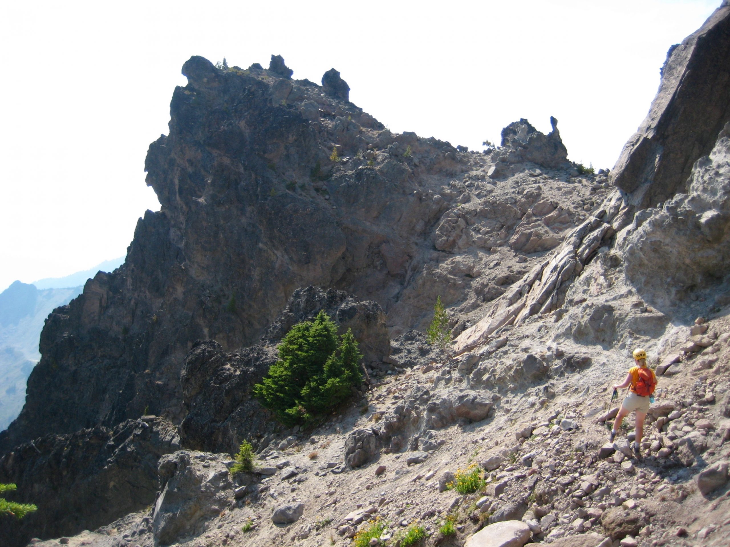
After some initial scrambling, Kevin and Karen decided that the steep, sketchy slopes were not to their liking, so they turned back. George, Eileen, and I pushed onward in hopes that a reasonable route would unfold. Thankfully, it did.
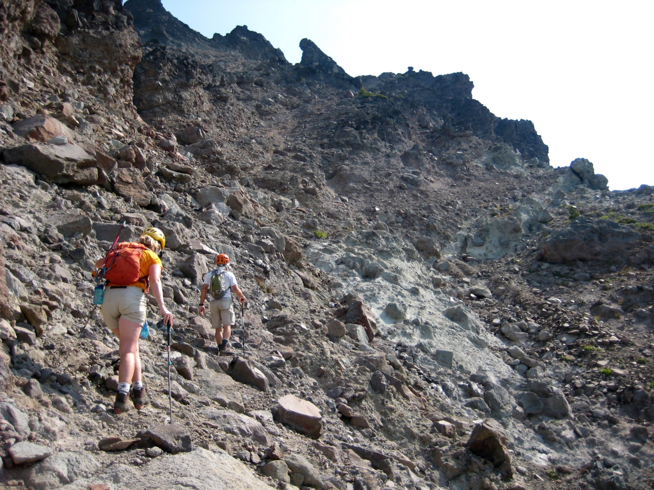
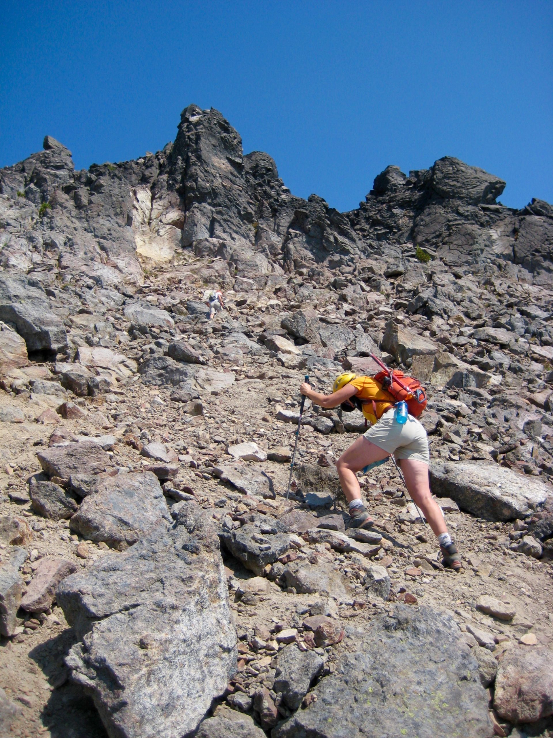
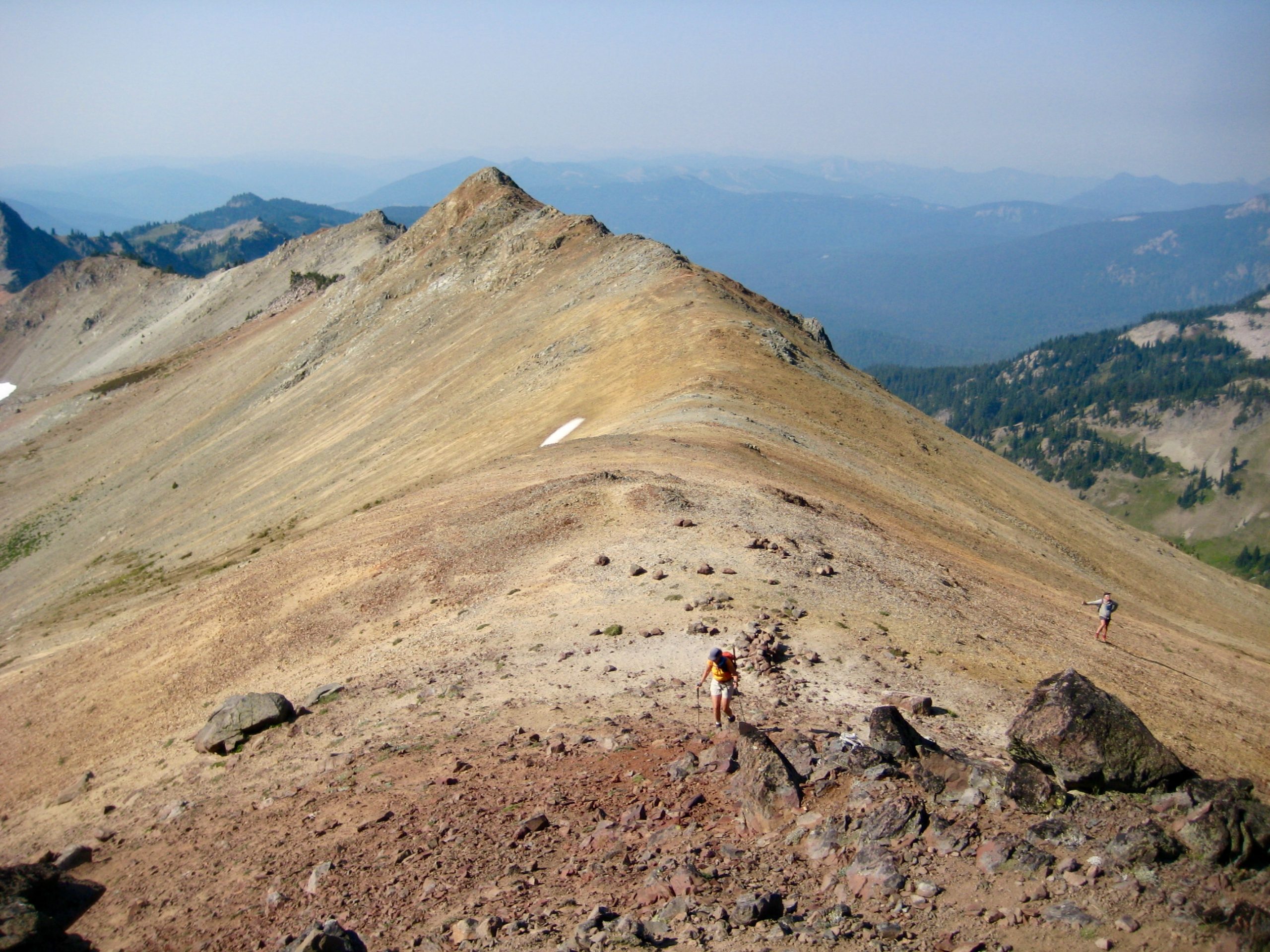
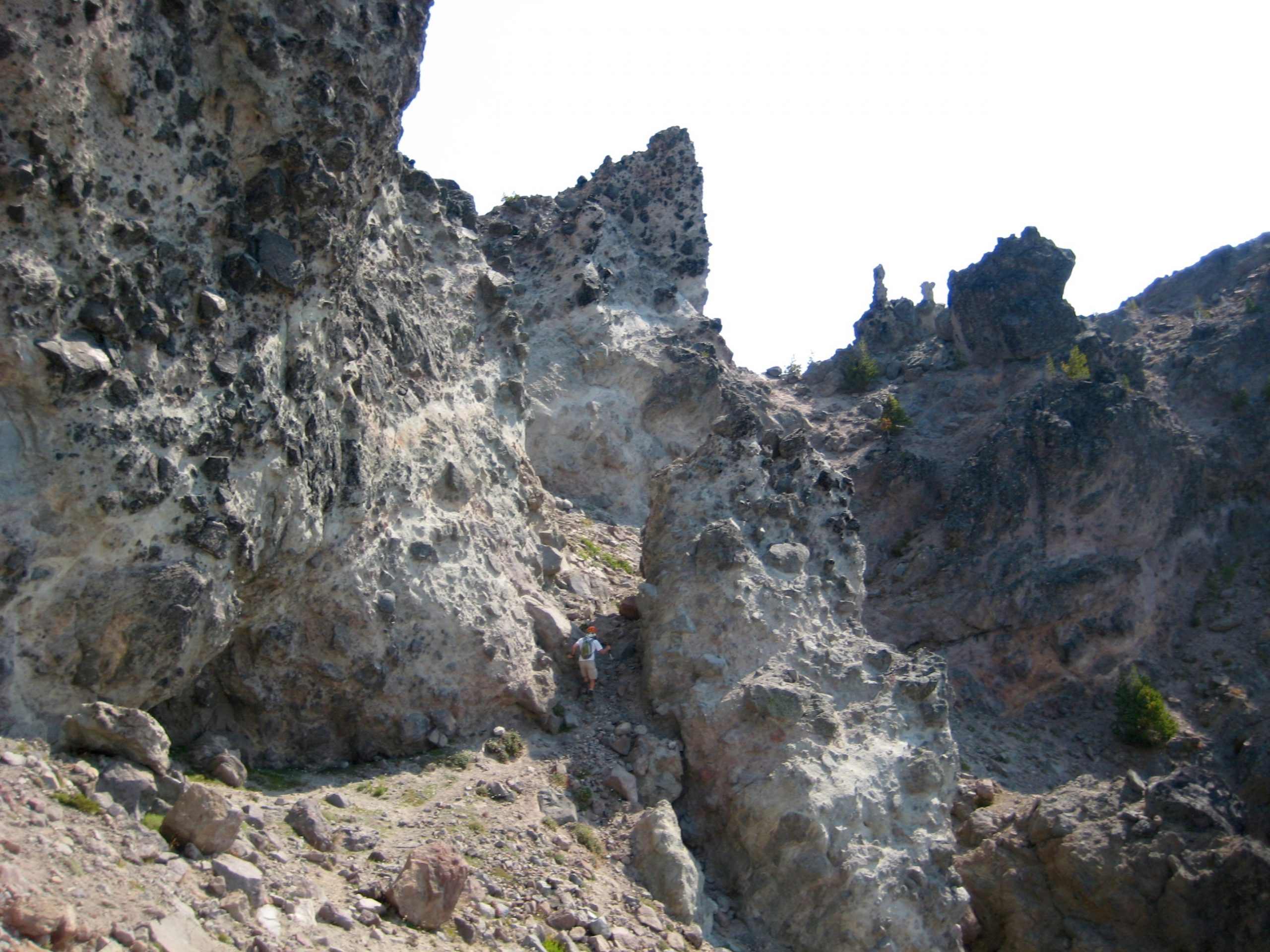
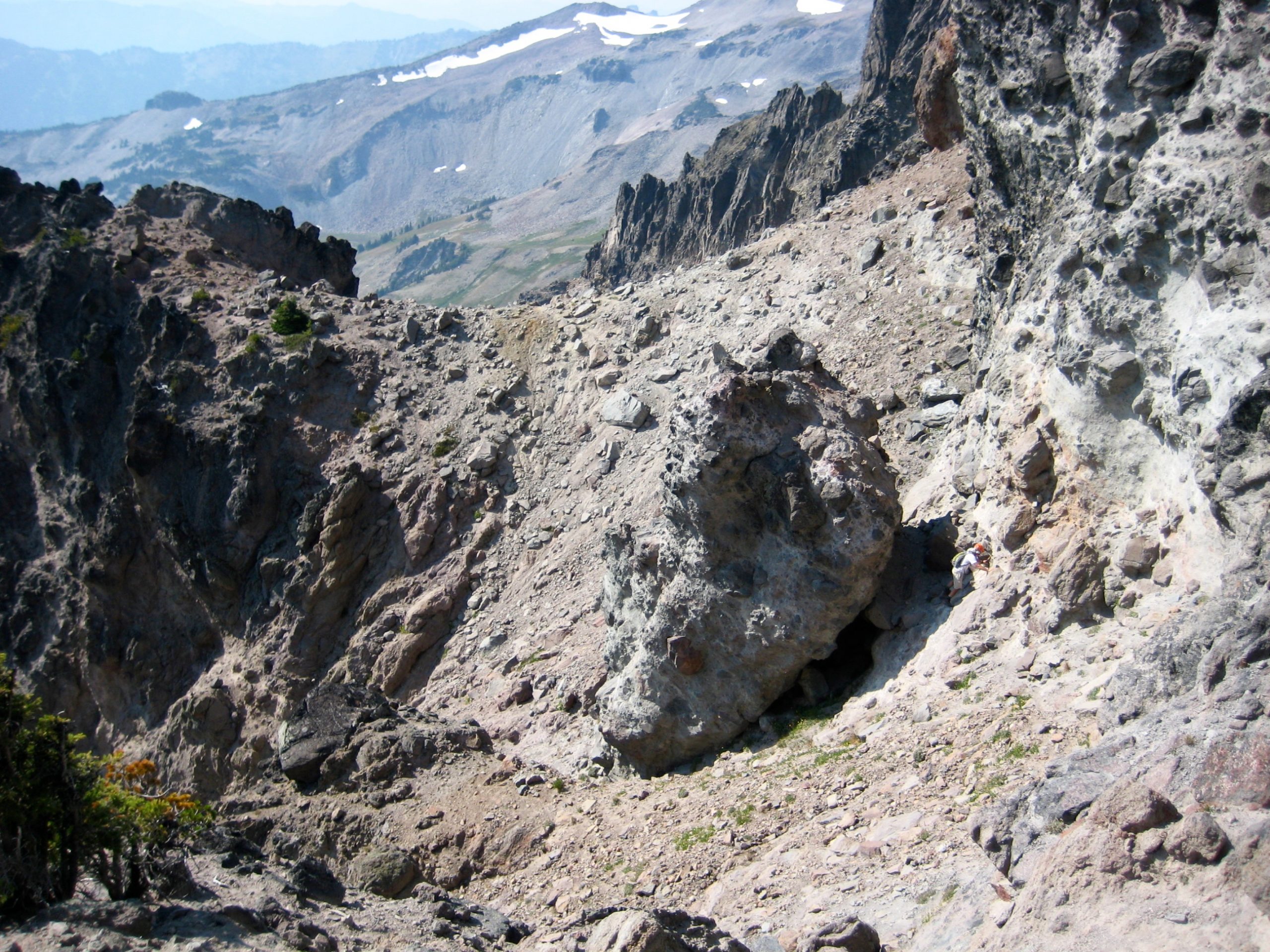
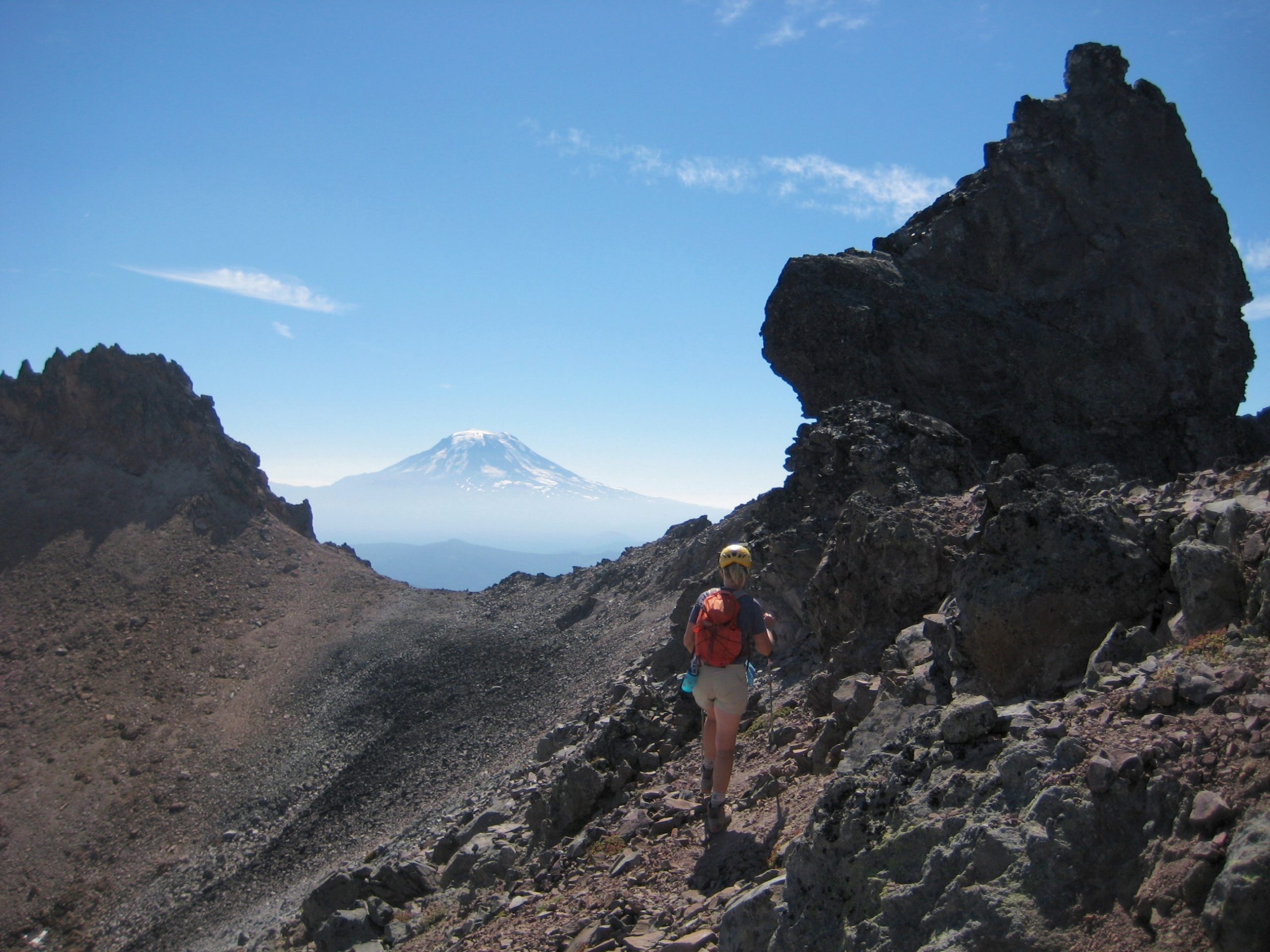
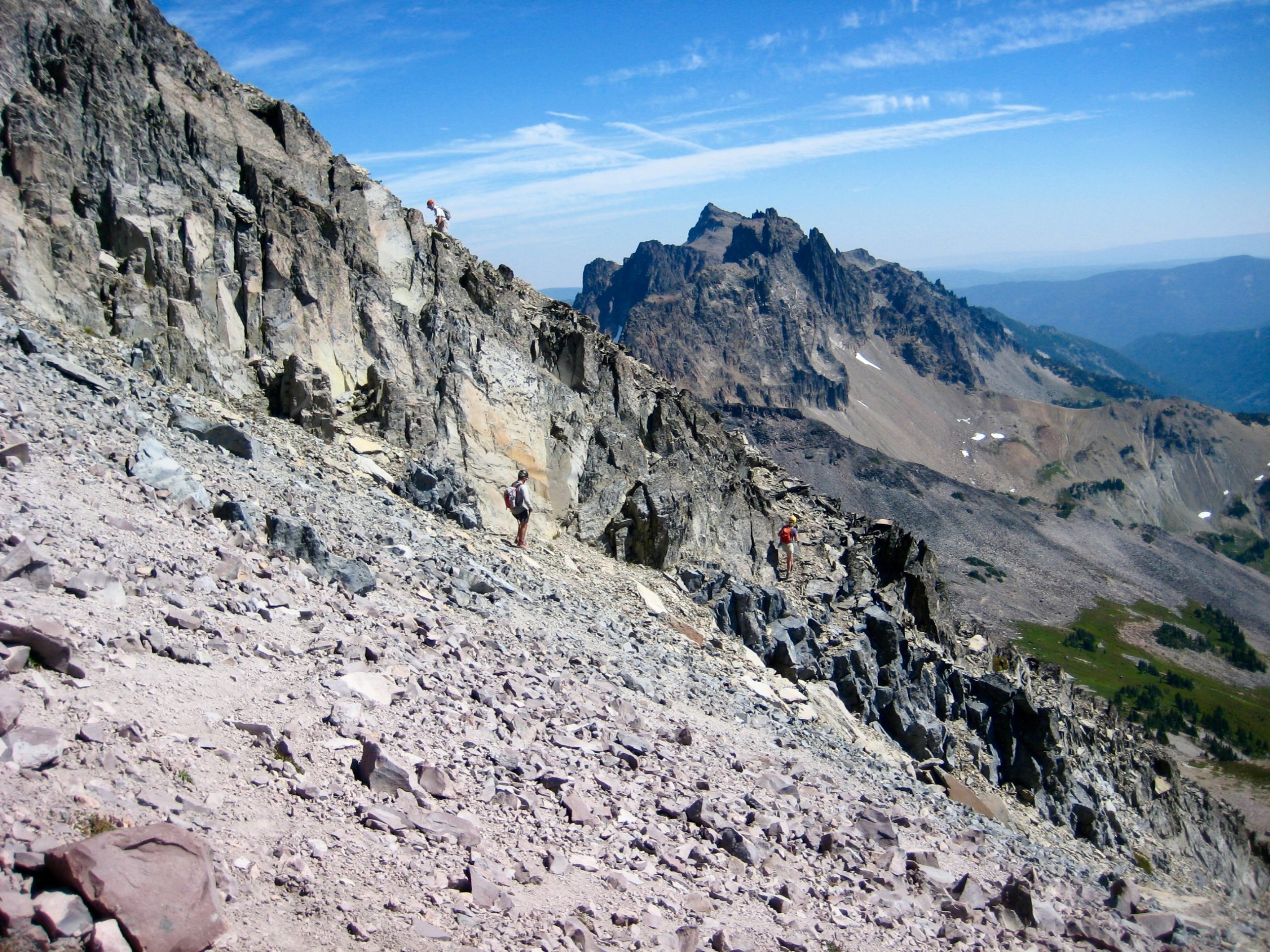
Our scrambling traverse took us over four or five ribs and a similar number of shallow gullies, always staying between 7400 and 7600 feet on the southwestern side of the crest. The route ahead was never immediately obvious, but every rib had a small saddle and every gully had a ledge (or hint of a ledge) that allowed a reasonable crossing. Most of the traverse across these “goat ribs” and “goat ledges” was Class 2, interspersed with some Class 3 moves.
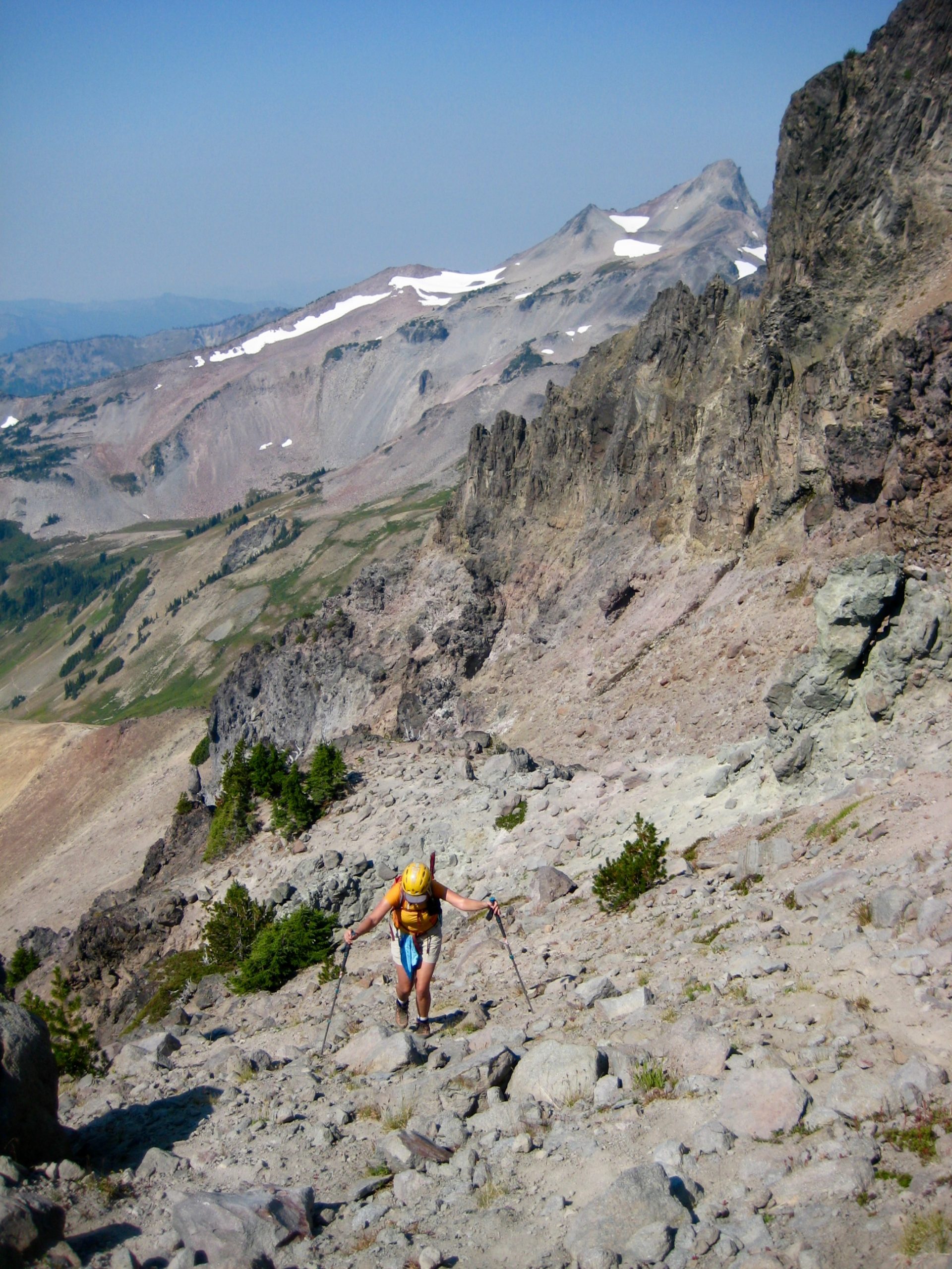
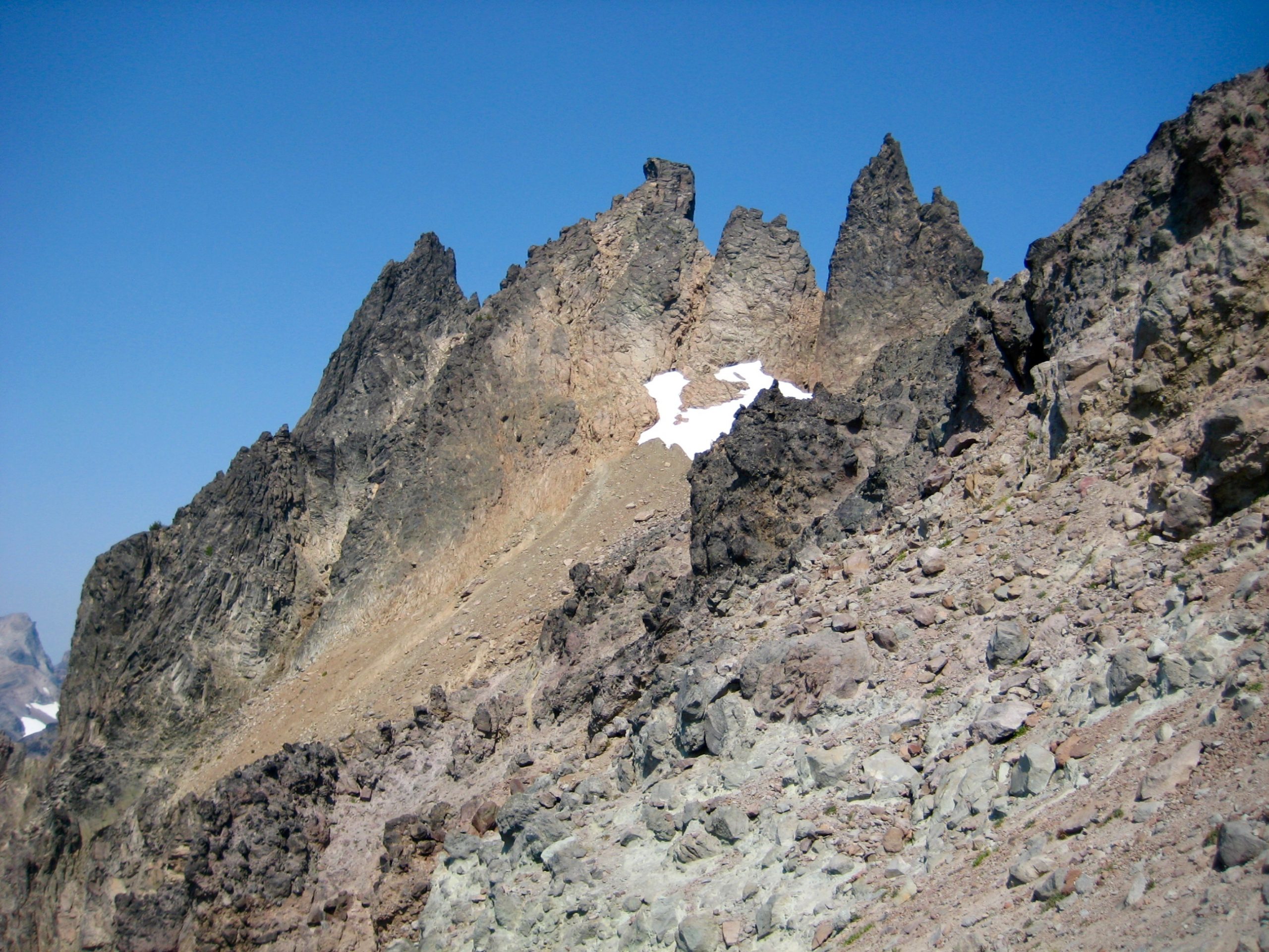
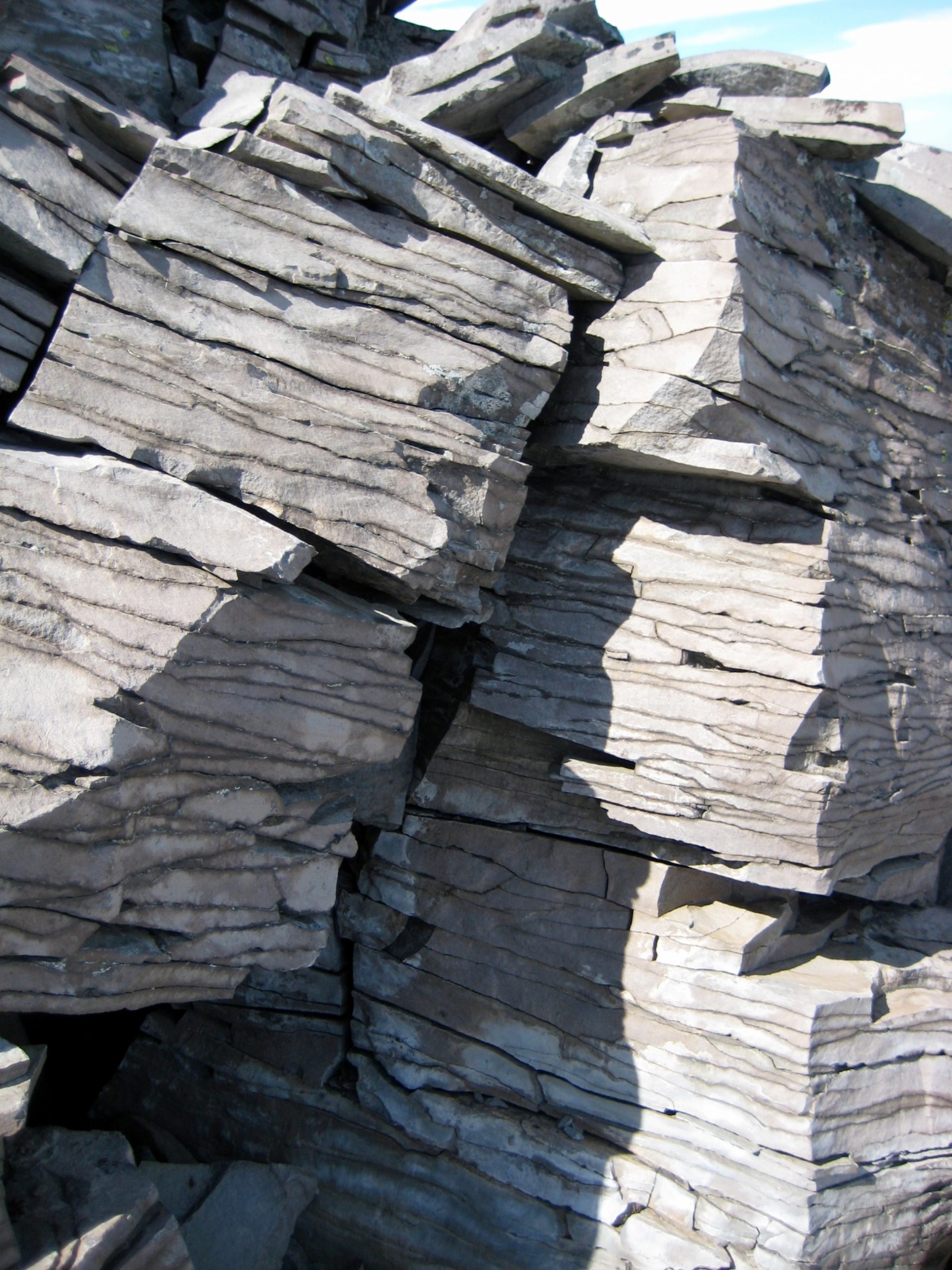
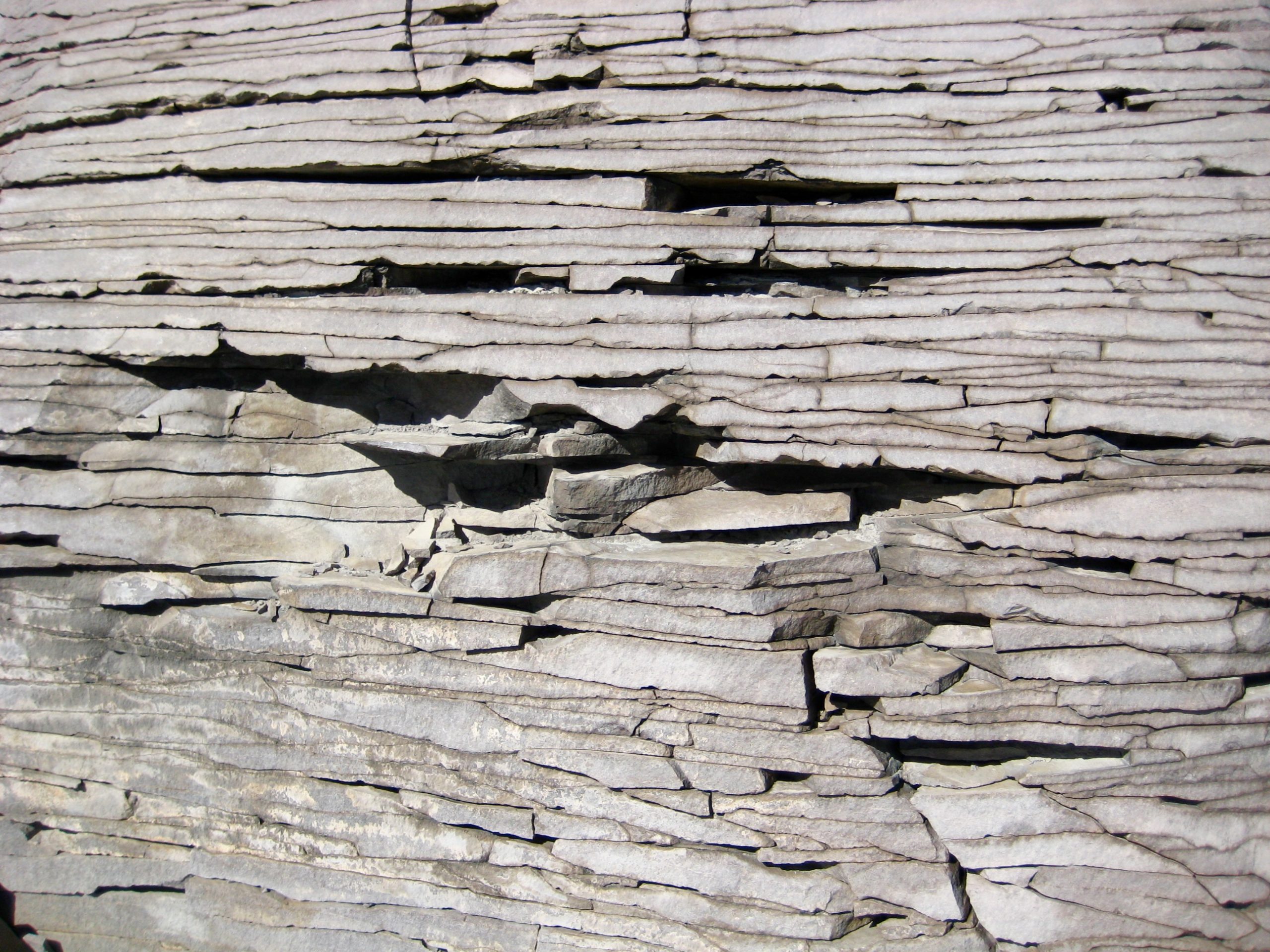
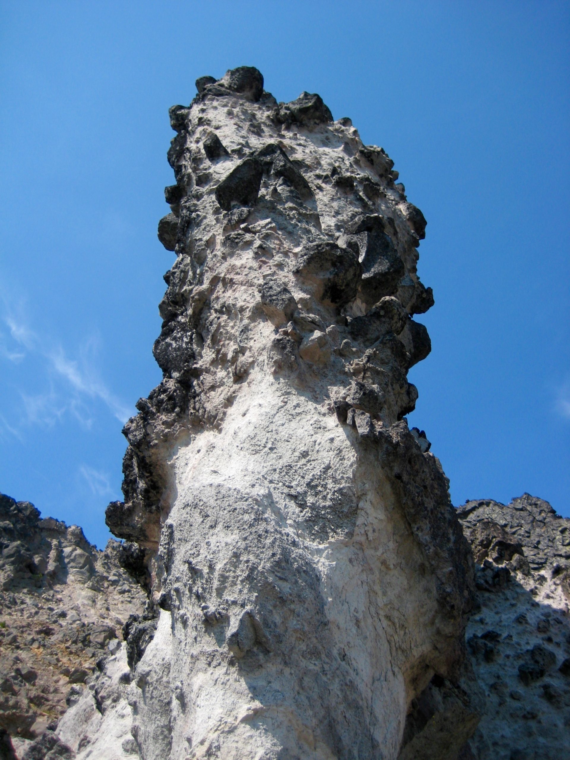
The geology in this sector of the Goat Rocks consists of andesite lava flows mixed with pyroclastic breccia and tuff. These volcanic deposits form dramatic horns, spires, and needles, in addition to bizarre lumps and chicken-heads. Furthermore, the rock quality really isn’t so bad; it was a continual relief to discover that what appeared to be loose rubble sitting atop dirt slopes turned out to be breccia clasts firmly welded into a hard matrix.
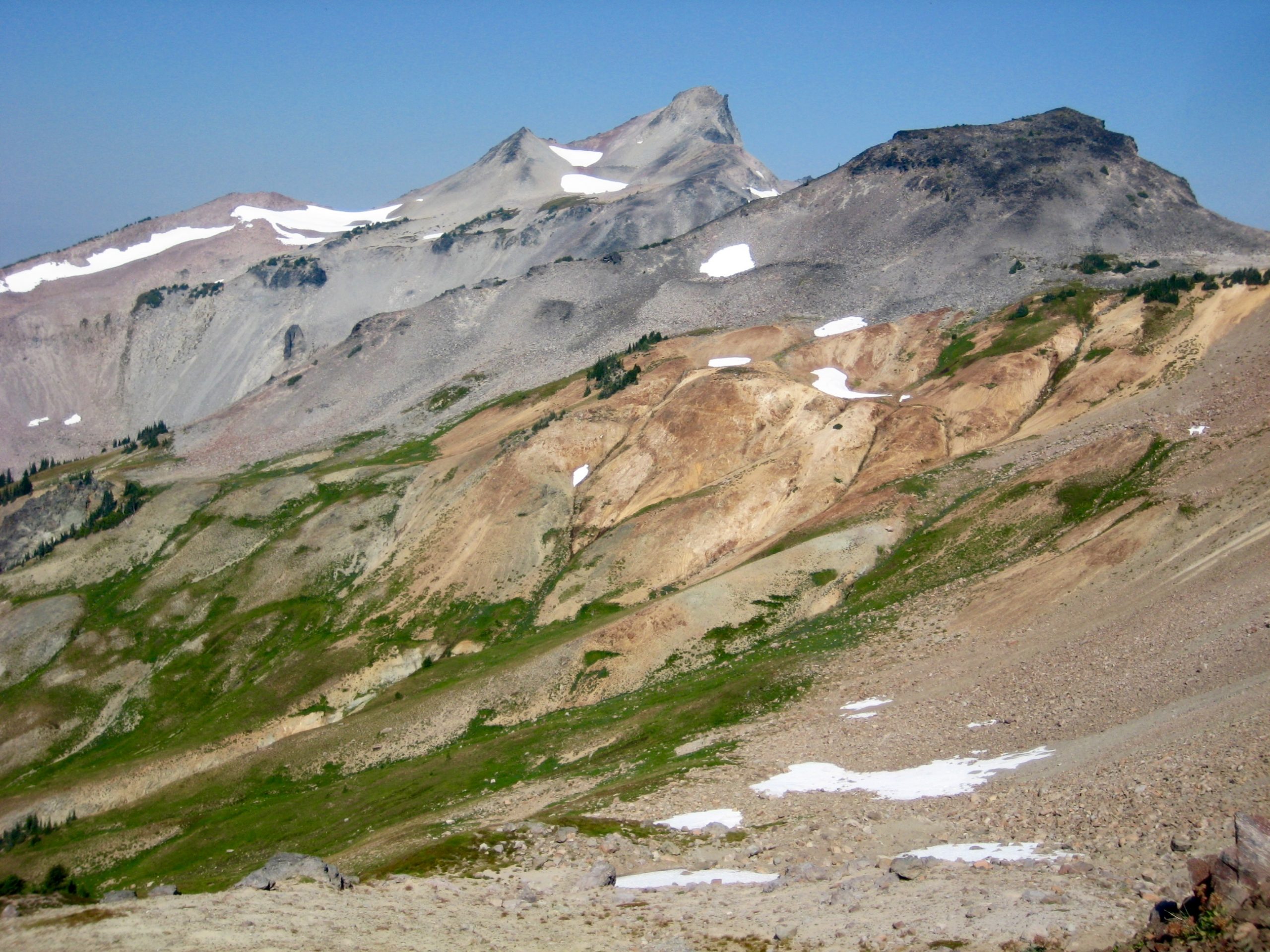
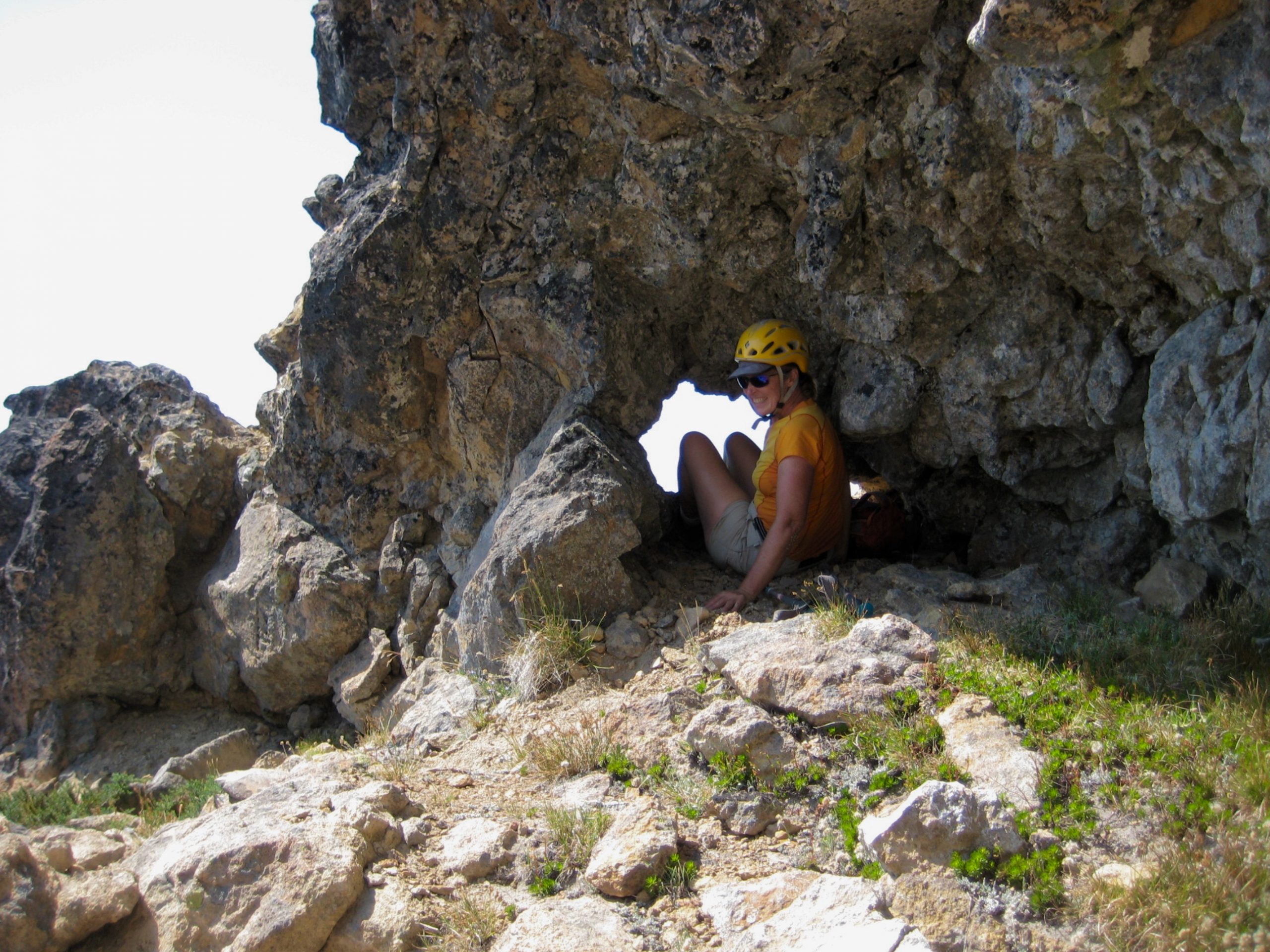
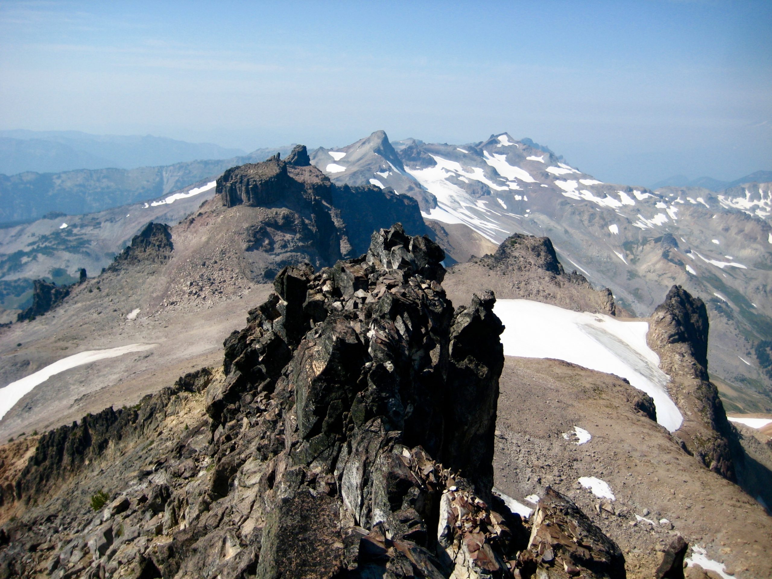
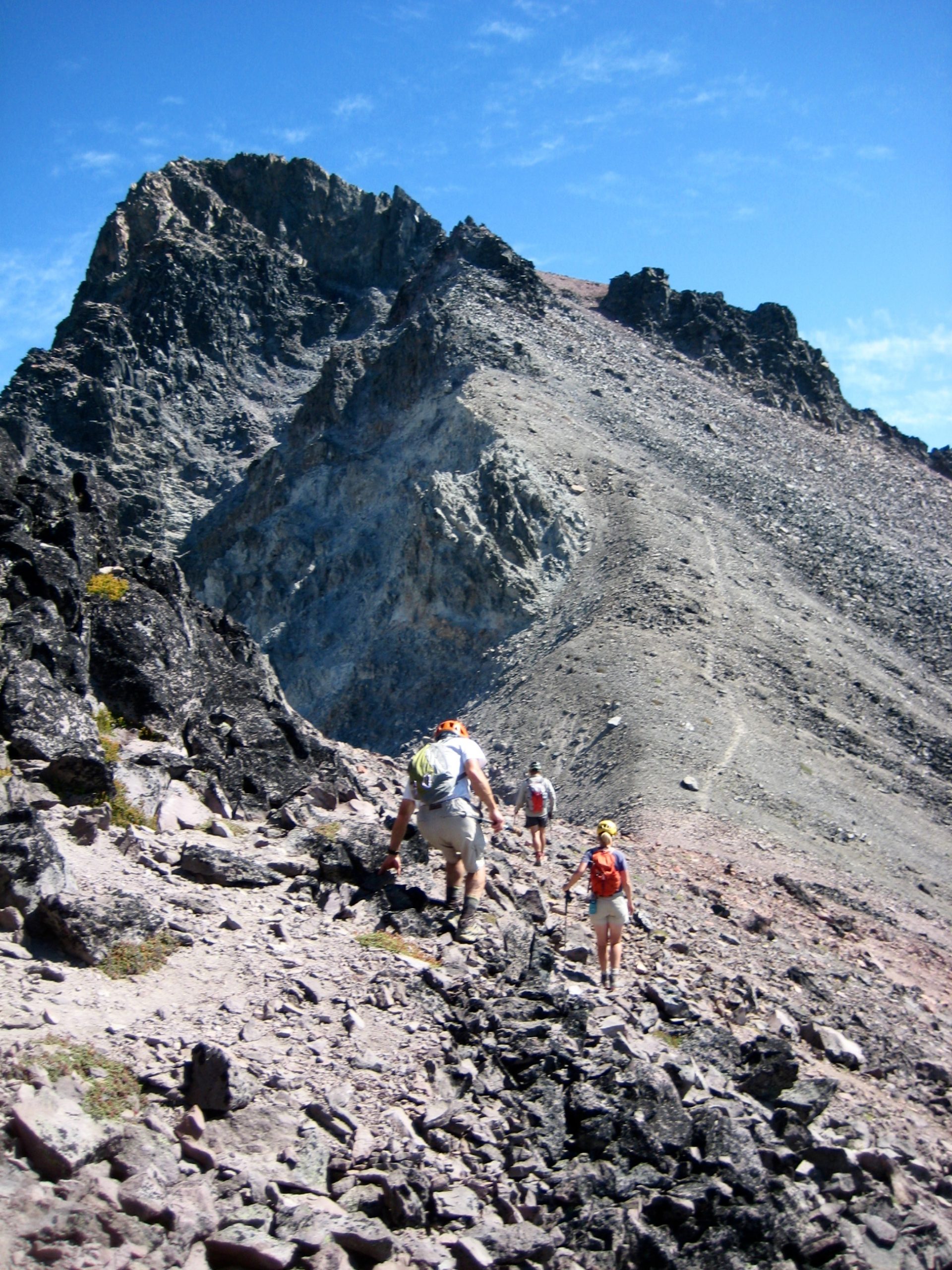
After 1/2 mile of delicate traversing, we scrambled up to a 7600-foot saddle closely below Goat Citadel. We were now standing on the final rib. The summit of Mt. Curtis Gilbert stood on the far side of a broad scree basin, with only one more pinnacle to negotiate.
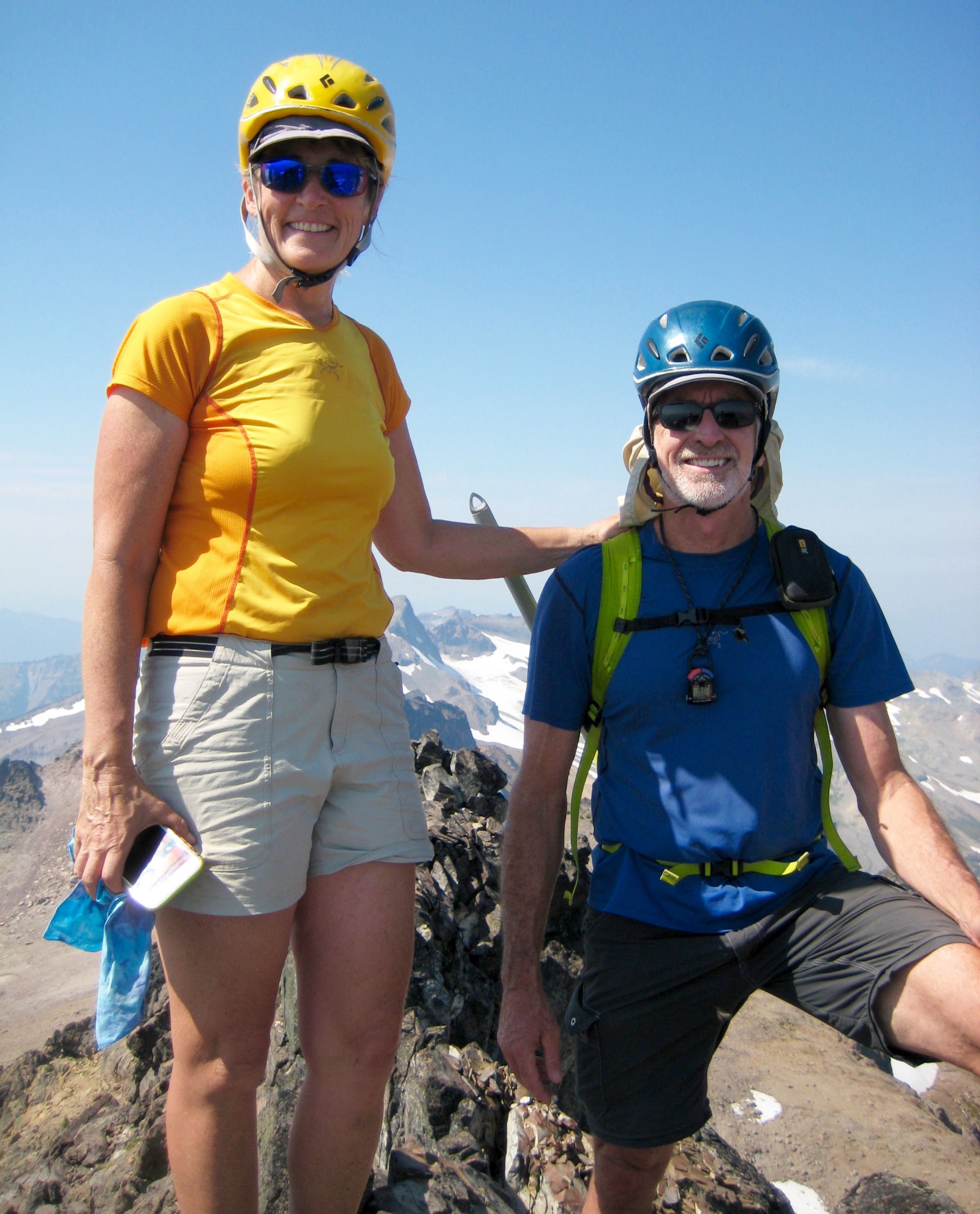
We hiked across the scree basin and nearly squealed with delight upon discovering a small cannonhole piercing the final rock pinnacle. Eileen couldn’t resist the urge to squeeze through the cannonhole, as did George on our return trip.
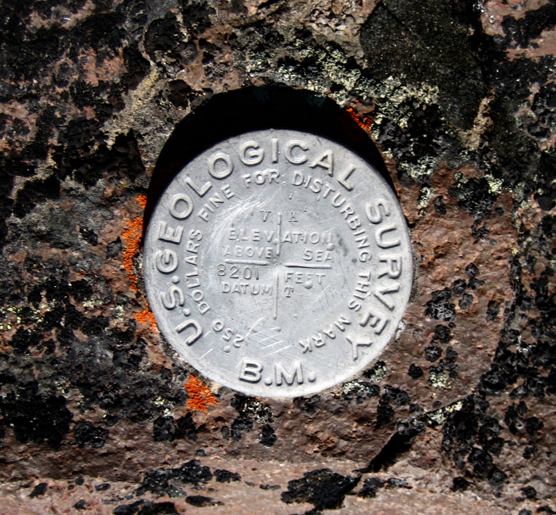
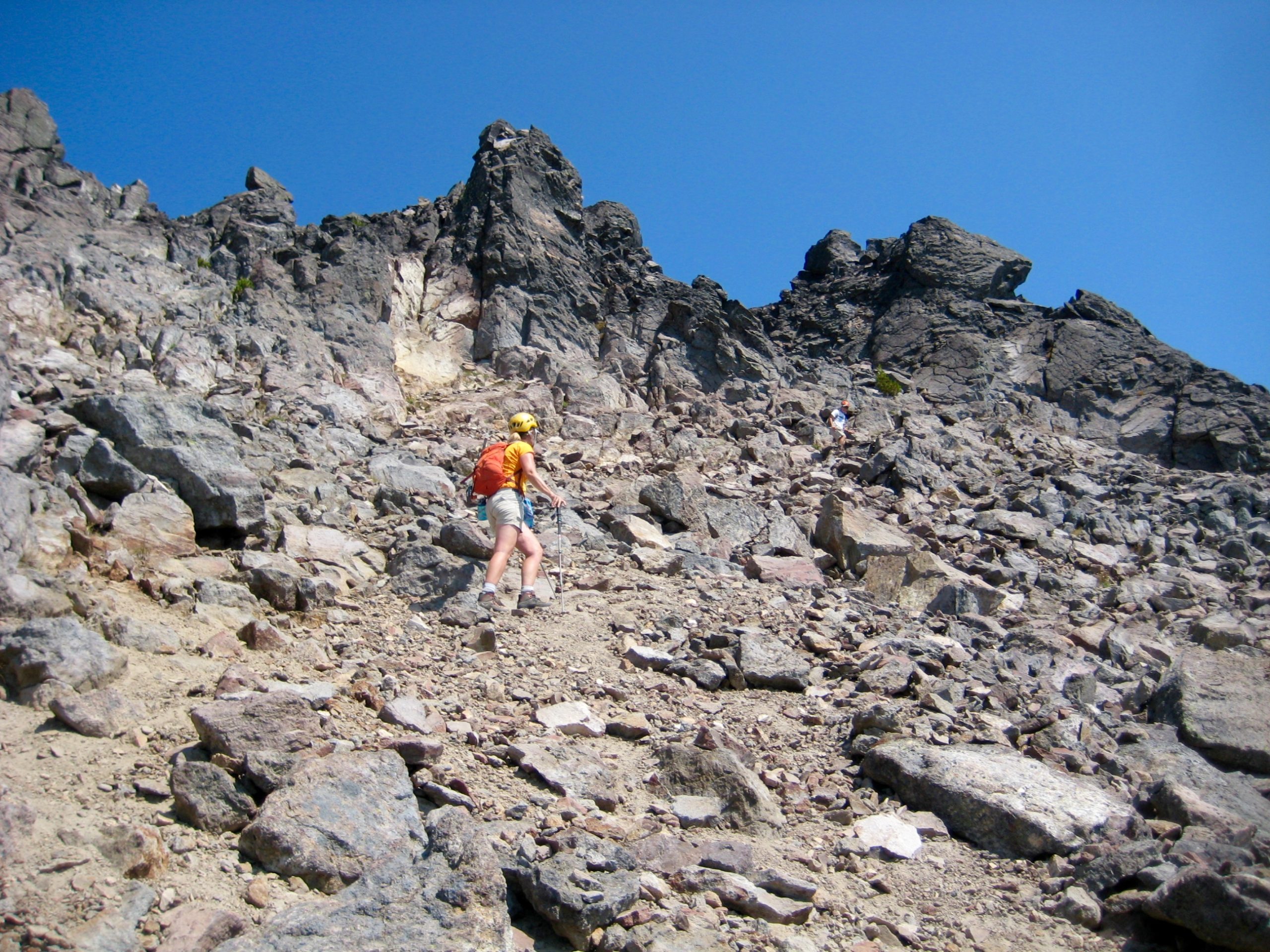
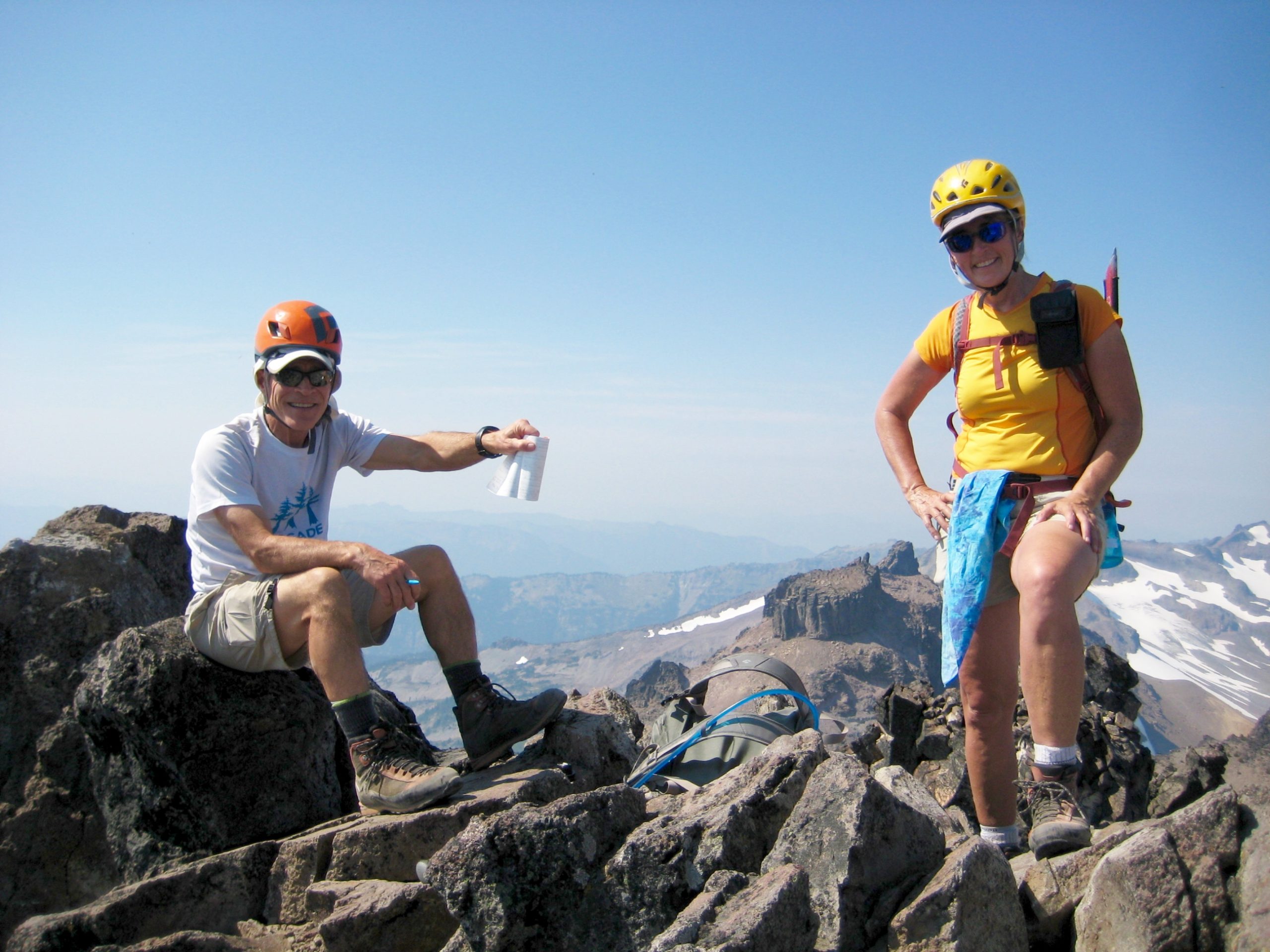
Another short traverse and a Class 2-3 scramble up the west face delivered us to the summit in mid-afternoon (4.9 hours + 2300 feet from camp). Visibility was poor due to the smokey air, but we couldn’t complain about the warm weather. The register booklet confirmed that this is a popular summit; it showed numerous ascents over the past few years, including two ceremonial ascents by the eponymous Gilbert family from Yakima.
In late afternoon heat, we retraced our steps back across the numerous ribs and gullies. Navigational uncertainty was now gone, so we could fully appreciate the nuances of this geomorphically intriguing and visually fascinating traverse—a route highly recommended for anyone seeking an out-of-the-ordinary scramble!
After finally regaining Cispus Saddle, we dropped into Cispus Basin and stopped by the river to cool off. Visibility was getting much better, apparently due to another shift in the local wind direction.
A final 2-mile hike on the PCT completed our journey back to camp (3.9 hours + 500 feet from summit) in time to join our cohorts for dinner.
Day 3: Old Snowy Mtn & Ives Peak Summit Climbs
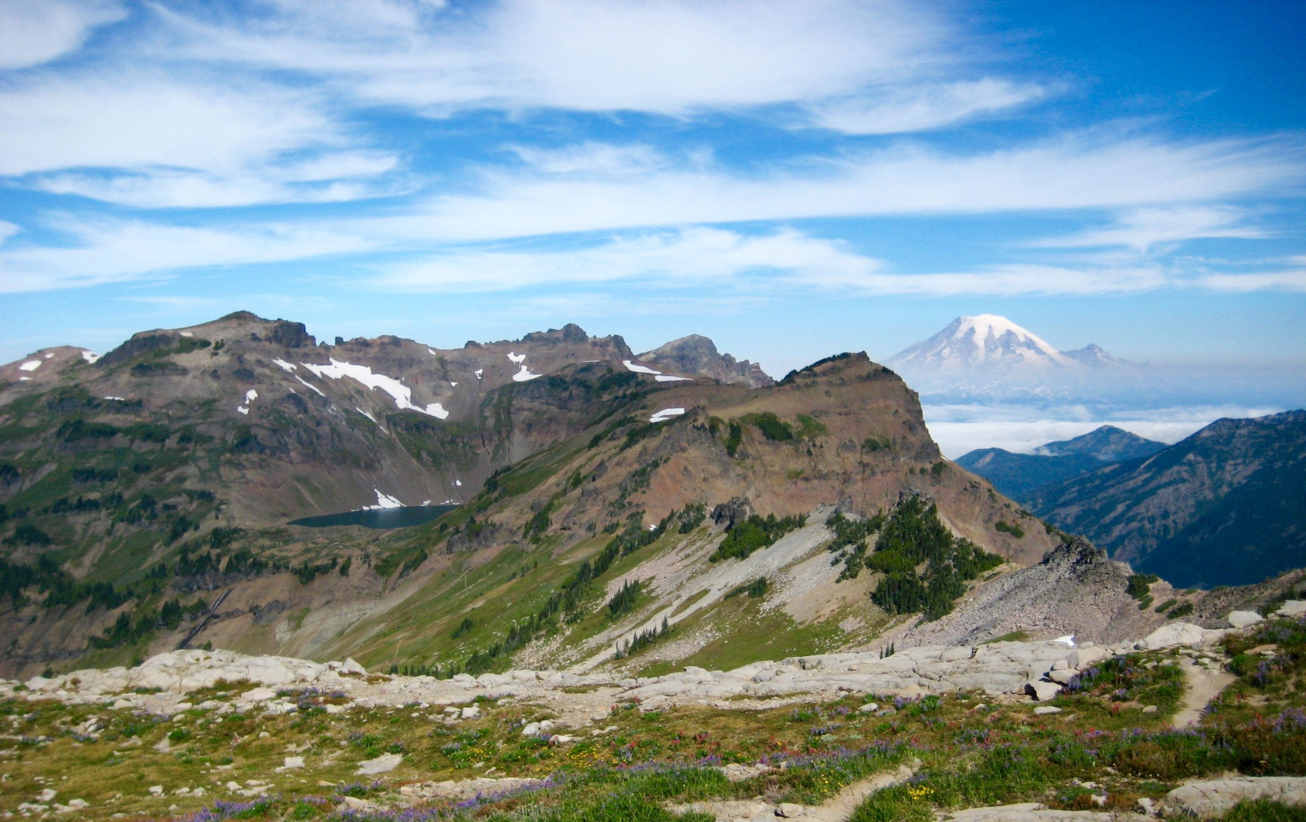
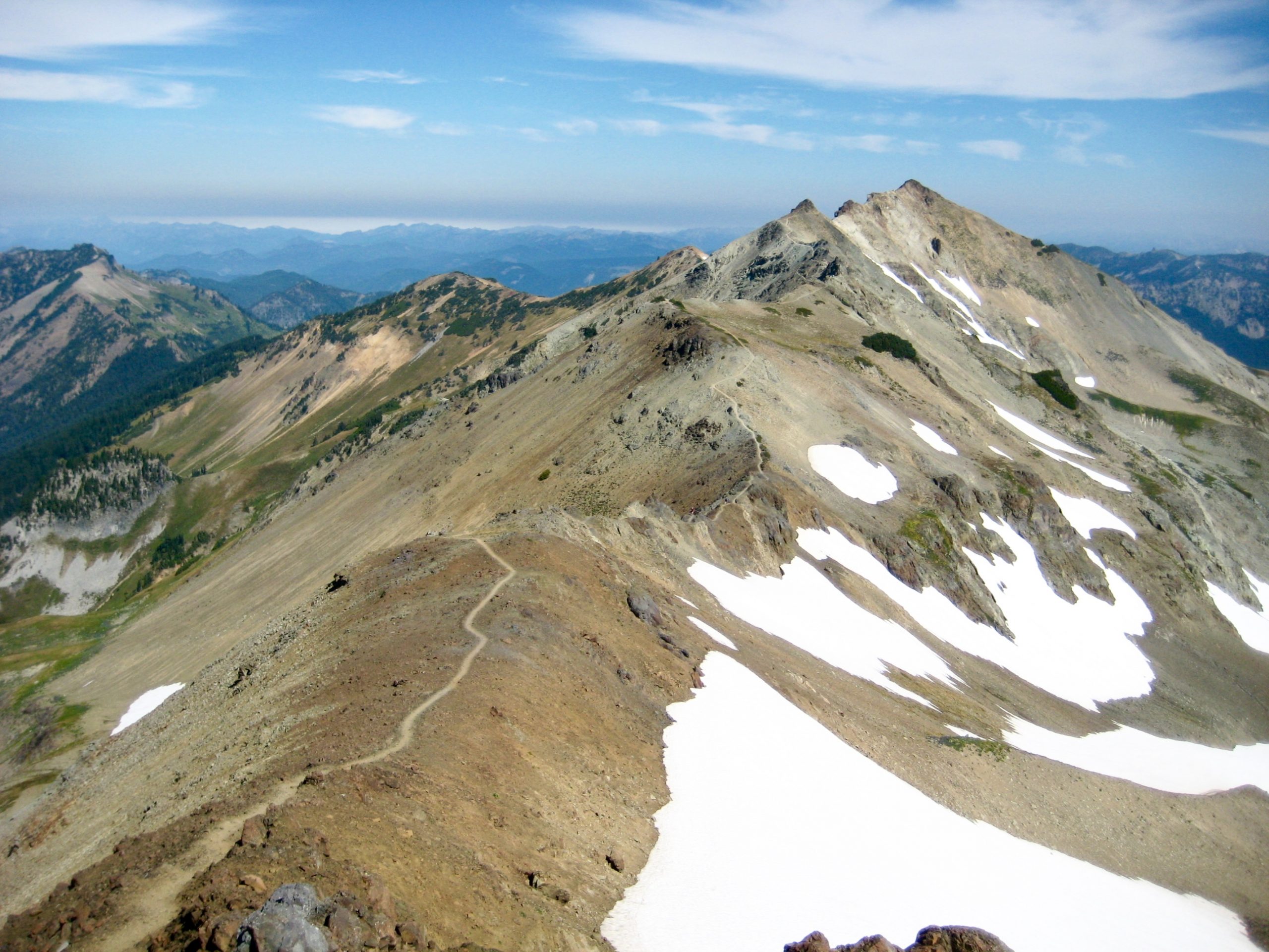
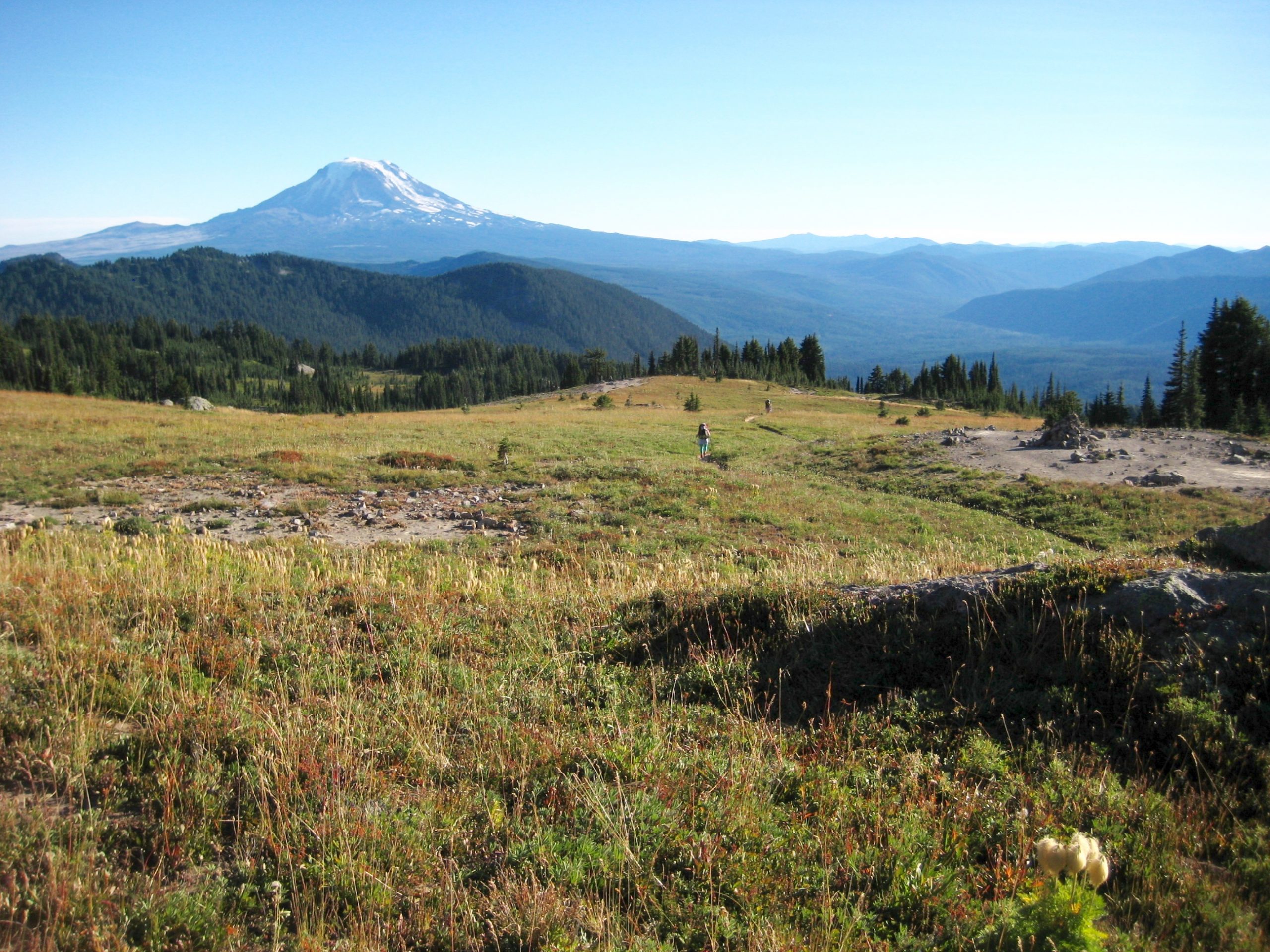
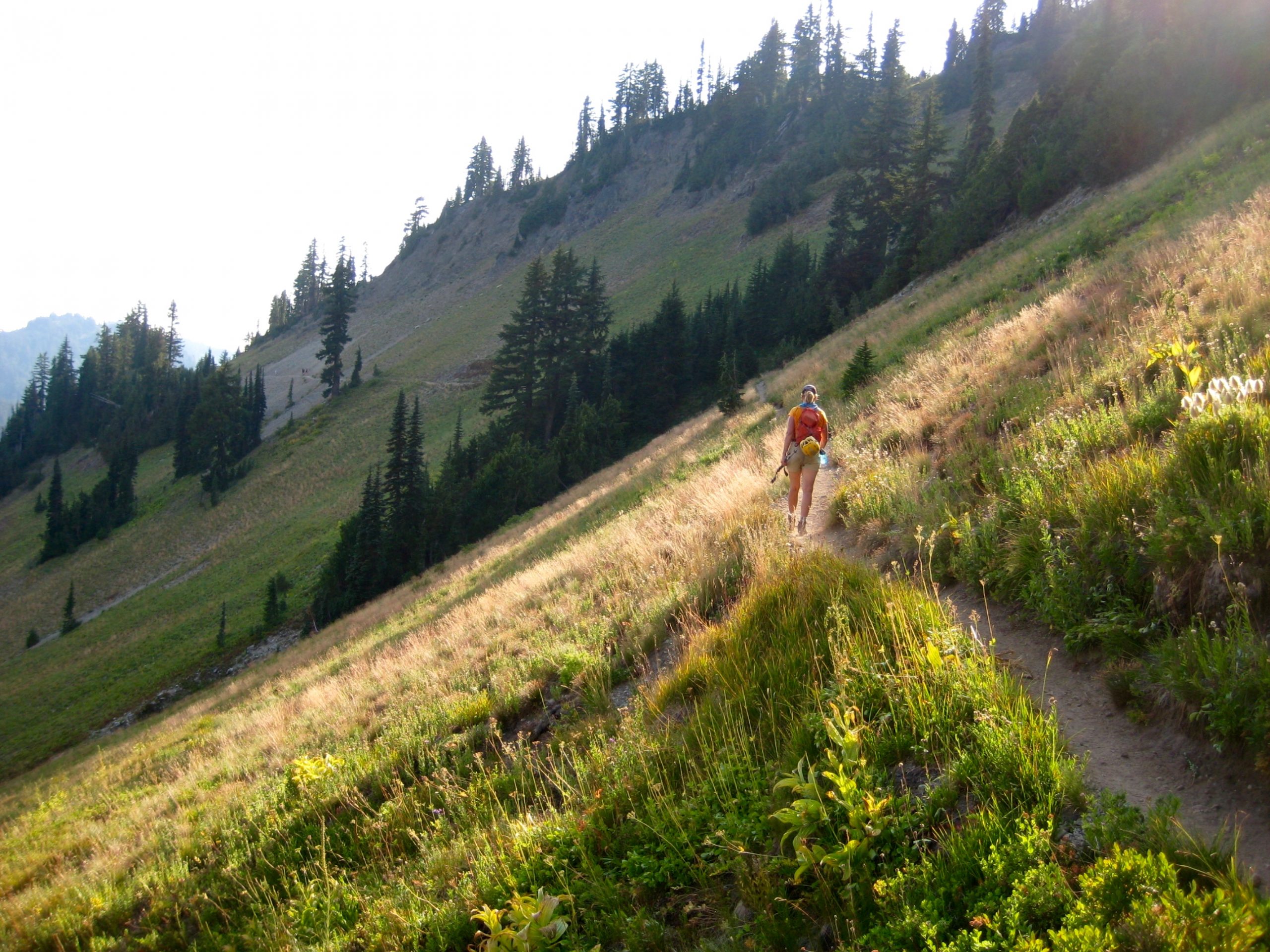
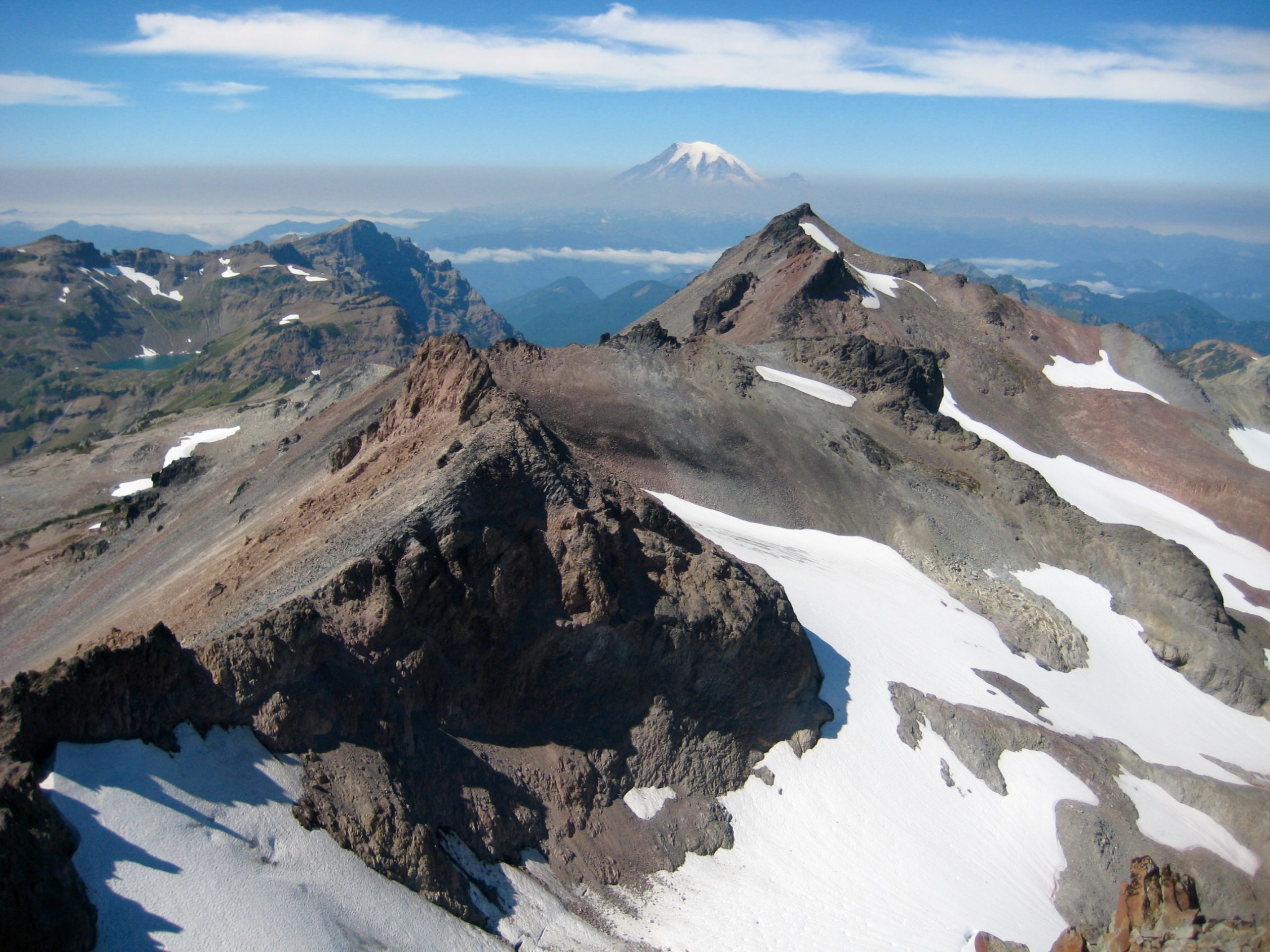
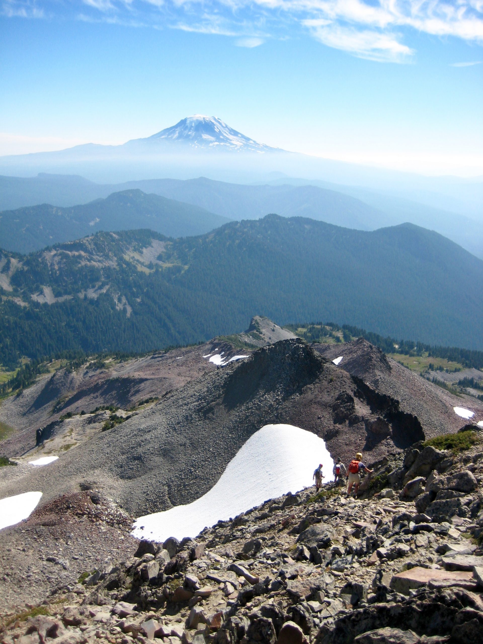
The morning brought blue skies and valley fog, with only a bit of wildfire smoke. These favorable conditions prompted everyone to head out for Old Snowy Mountain, located 1 mile to the north. We started with a pleasant hike on the PCT through the full expanse of Snowgrass Flats.
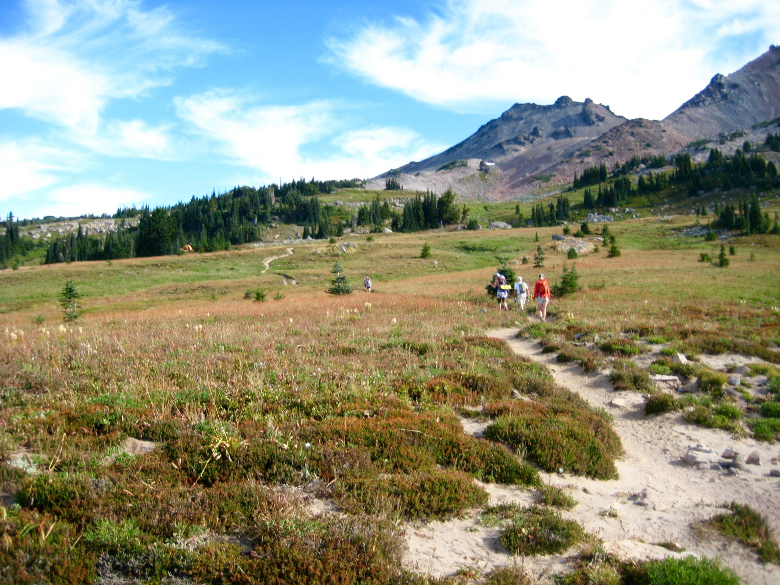
At a high junction, the PCT offered two different options: one branch goes up the west ridge of Old Snowy Mountain, whereas the other branch traverses the Packwood Glacier cirque to the peak’s north ridge. Kevin assured us that the latter option would be more fun and scenic, so it was an easy choice.
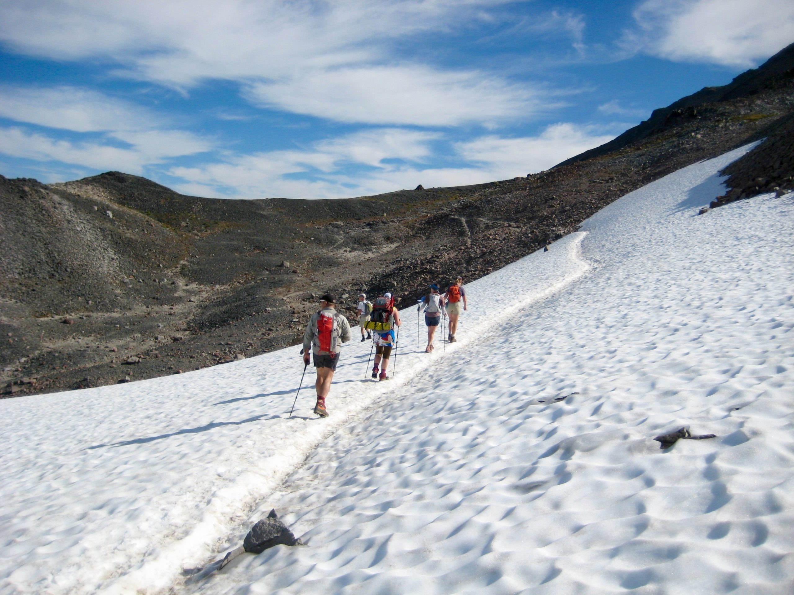
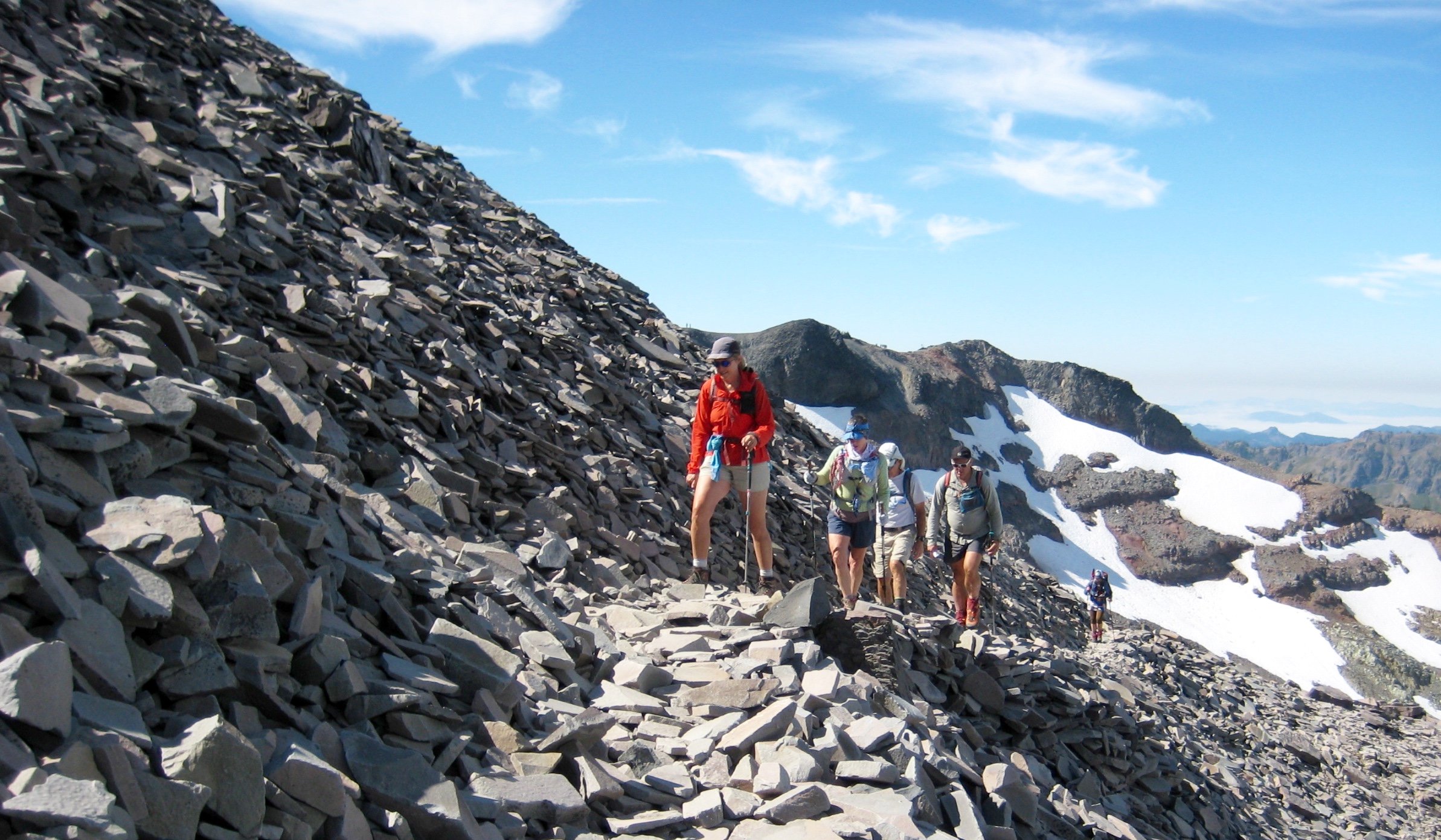
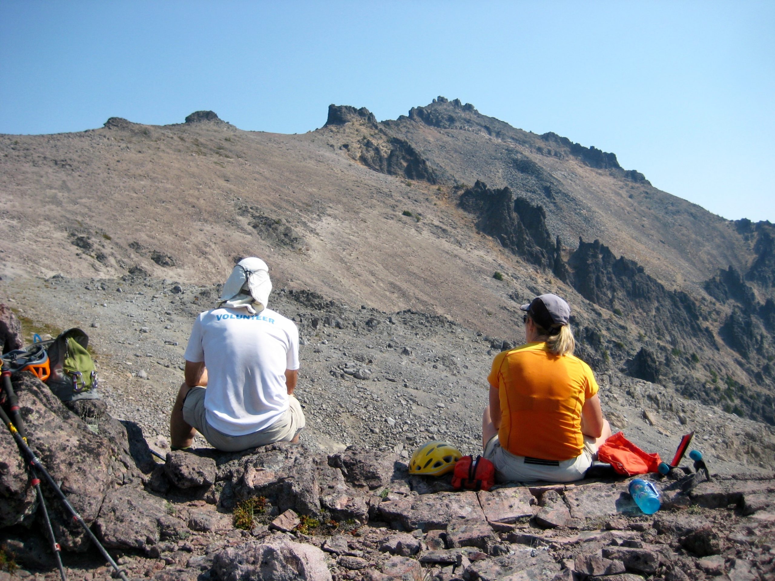
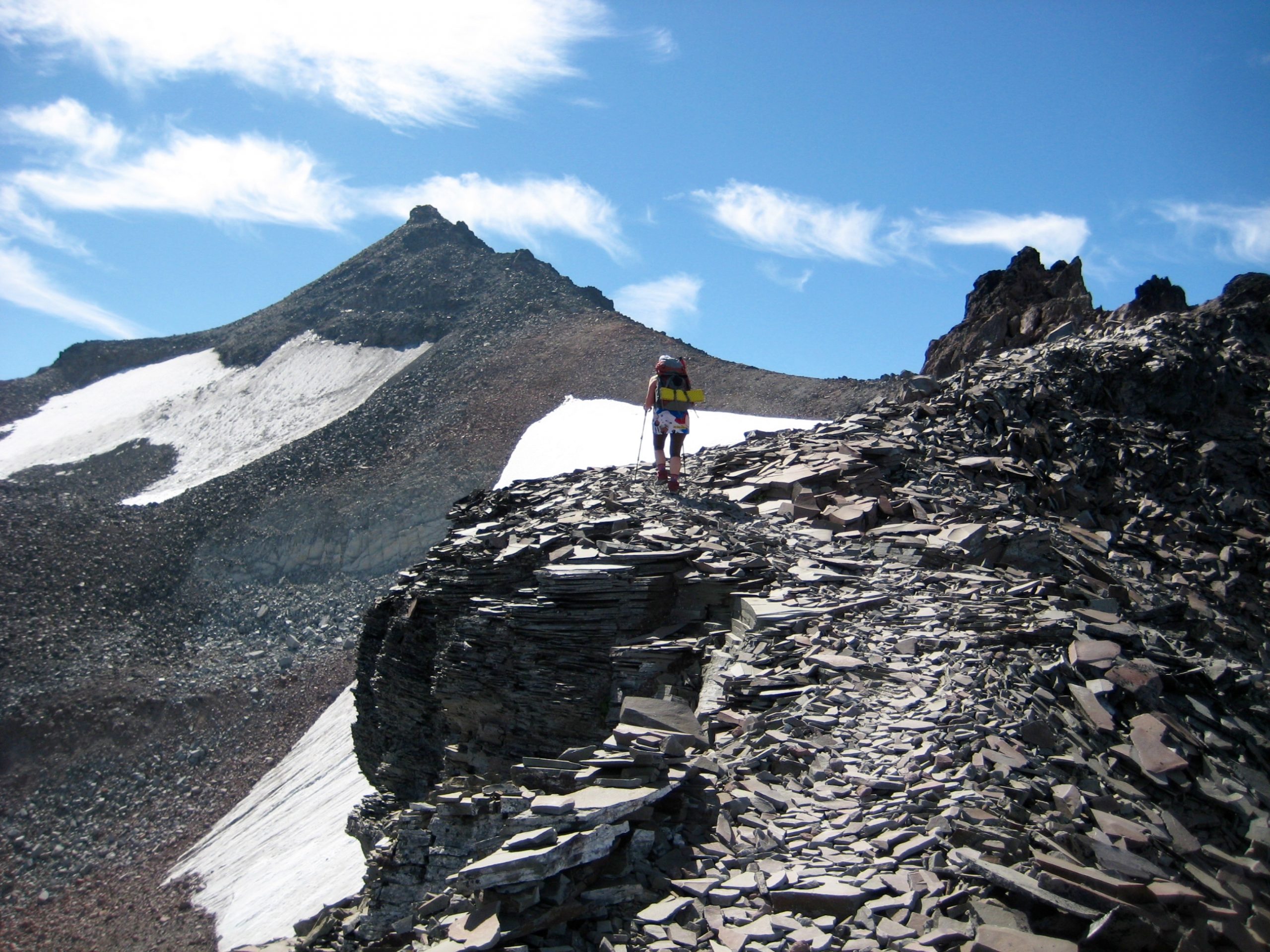
Once across the cirque, we hiked up the narrow north ridge on a steep trail covered with platy andesite talus. Kevin was correct; it was fun and scenic.
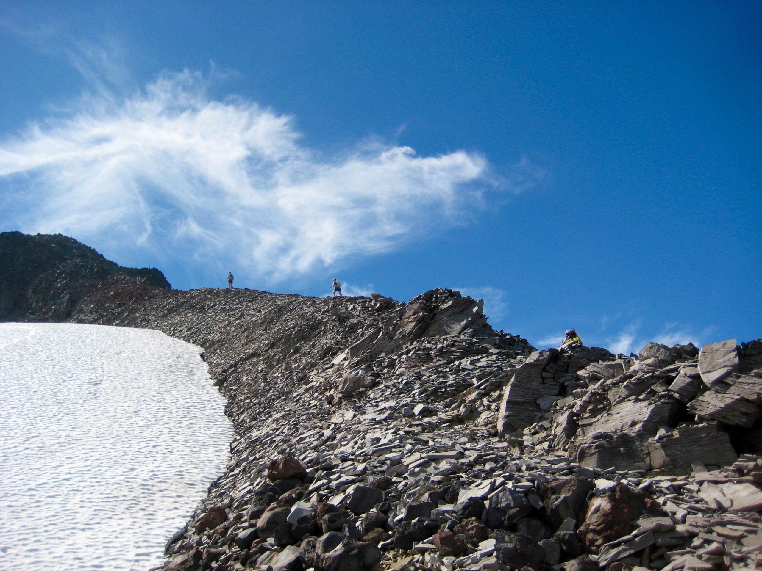
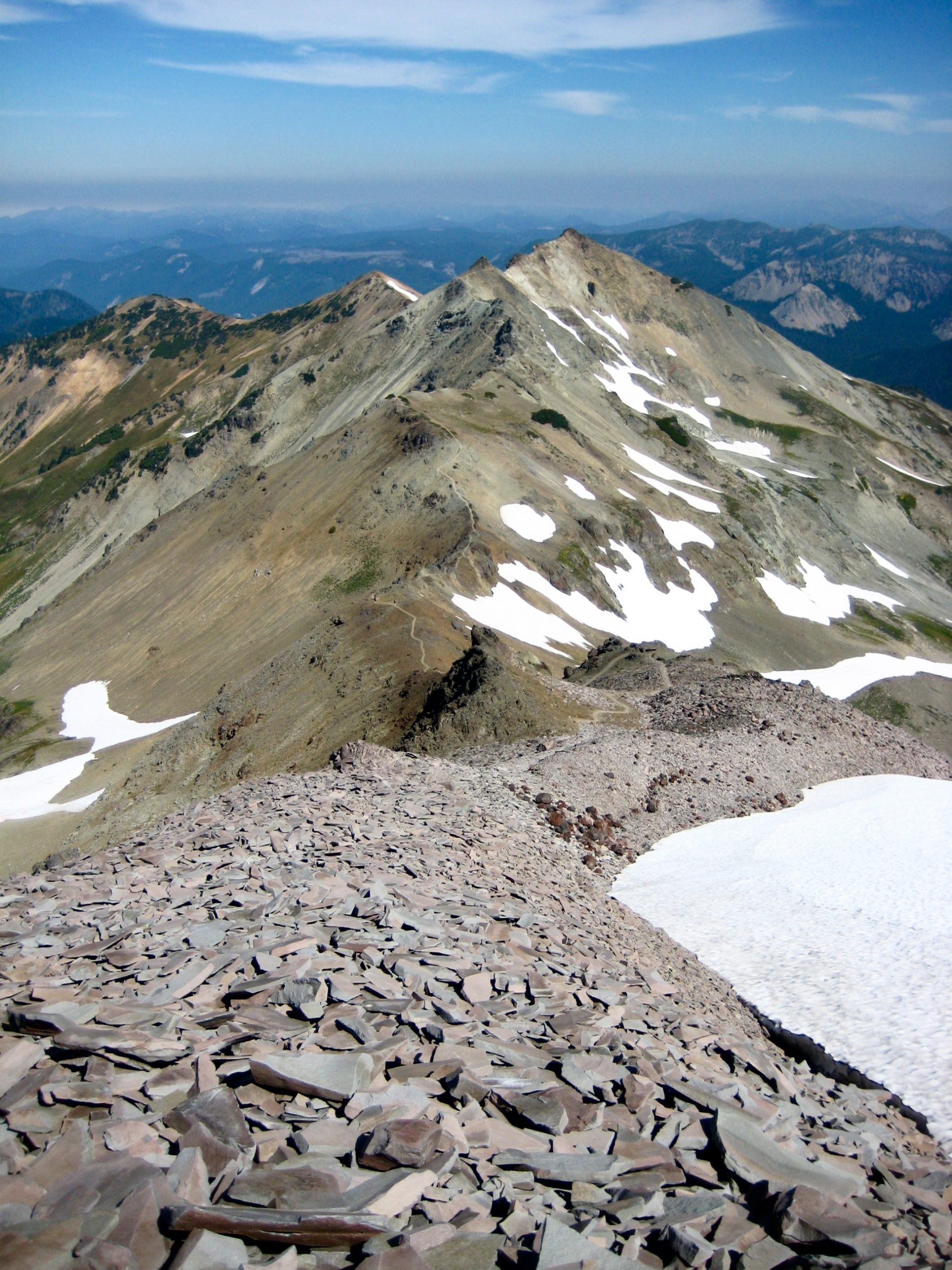
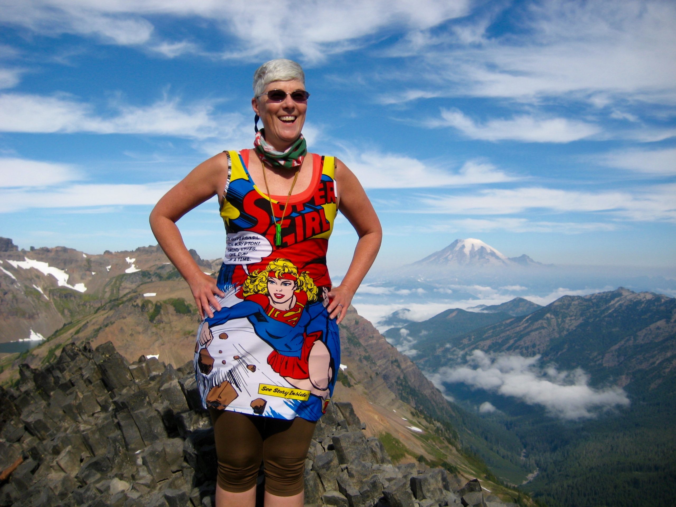
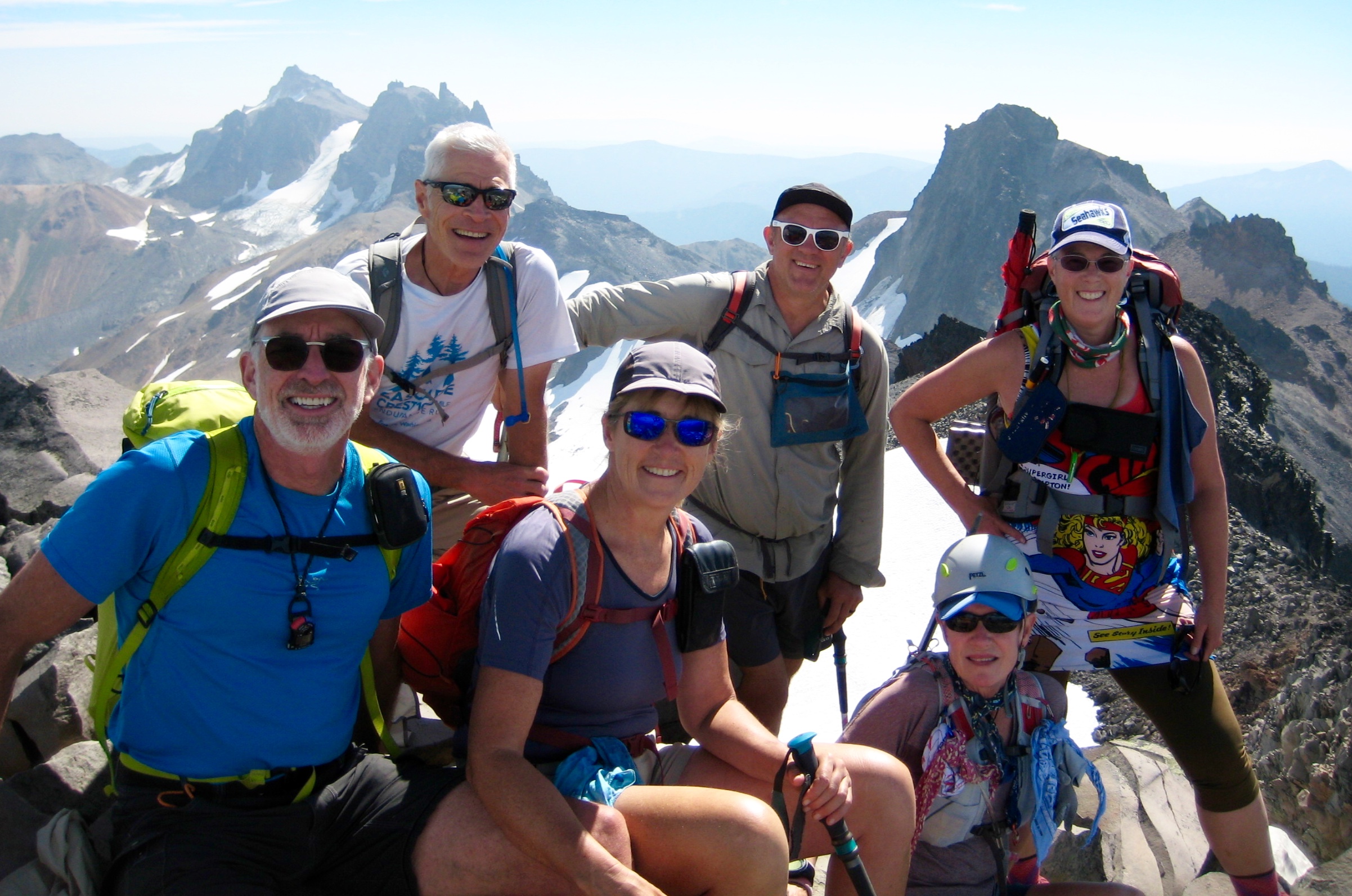
Given that Old Snowy Mountain is probably the most popular viewpoint in the entire Goat Rocks Wilderness, we shared the summit with more than a dozen other hikers.
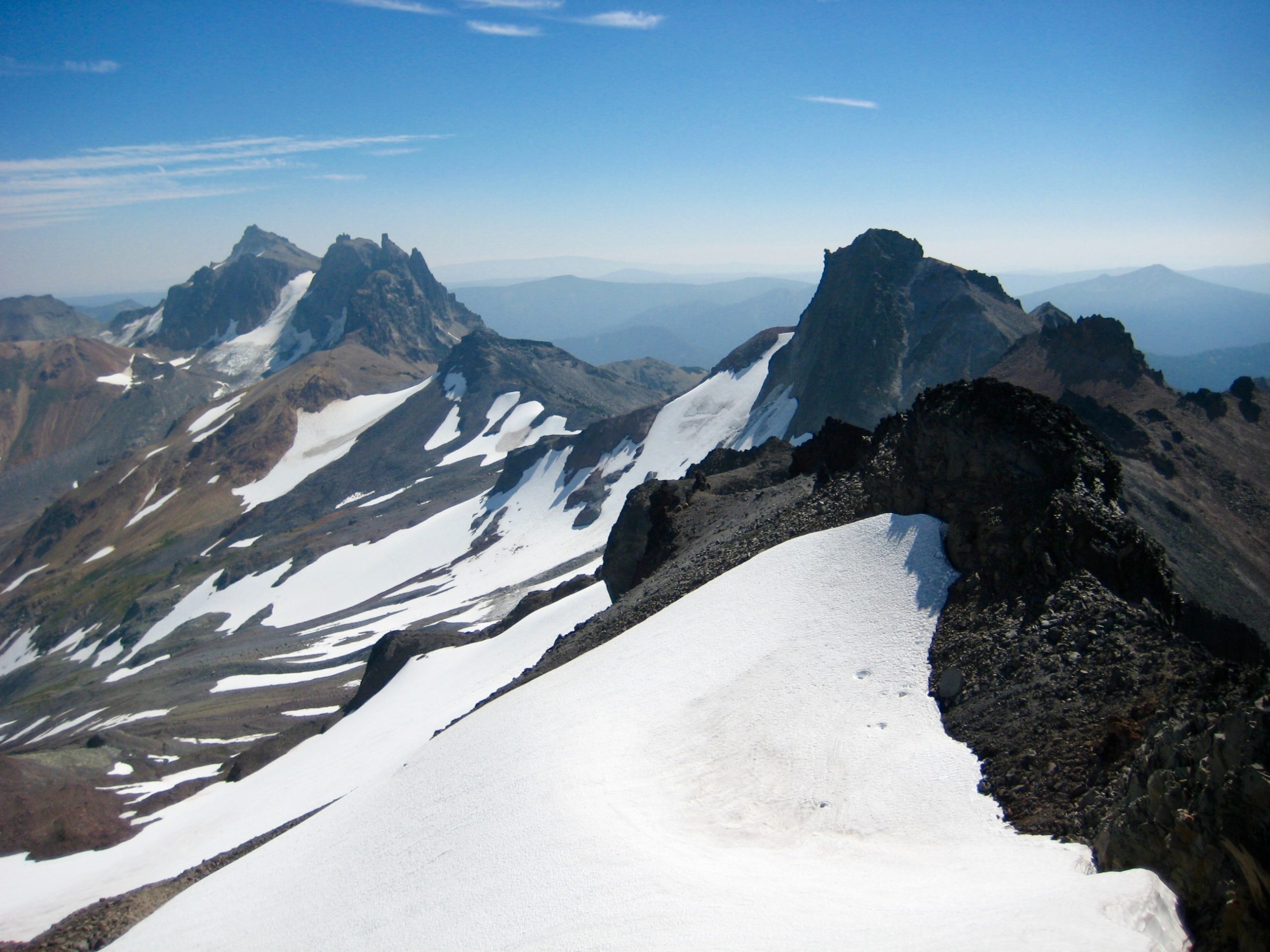
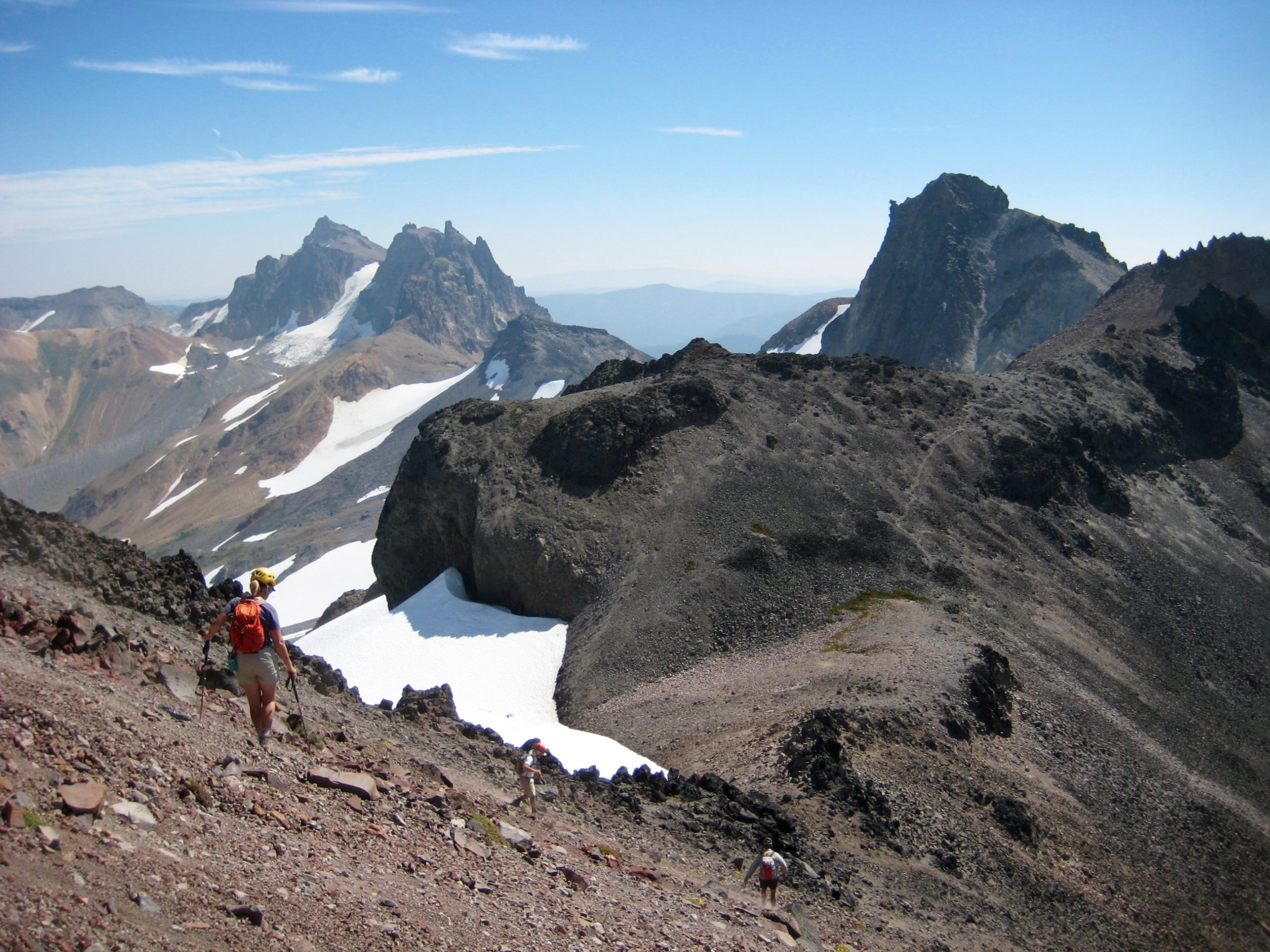
George, Kevin, Eileen, and I wanted to tuck in nearby Ives Peak, so we descended Old Snowy Mountain via the south ridge. This proved to be a straightforward and interesting route to the Old Snowy – Ives Col.
From the col, we ascended Ives’ northwest ridge (Class 1-2), crossed over a rounded crest, and then scrambled up the south face (Class 3). We had this summit to ourselves.
Our descent involved a short scramble down the south face to a gentle saddle, followed by a long drop on the west slope. We strolled into camp at 4:30pm (7.3 hours + 2400 feet total loop) and found Karen and Maria waiting for us.
This being a Saturday afternoon, the population of Snowgrass Flats had exploded while we were gone; now there were campers everywhere. Kevin took a tour of the area after dinner and counted 47 tents! From our campsite, though, it sometimes seemed that we were nearly alone.
Day 4: Snowgrass Flats to Trailhead
After a windy night, we awoke to a cool, breezy morning. Our group had breakfast together, then broke camp and headed out with different itineraries. George and Karen left first, taking Bypass Trail back to the trailhead; Eileen and I followed a bit behind them; Kevin and Maria, having an extra day, struck off for Walupt Lake.
Not surprisingly for a holiday weekend, the parking lot at Snowgrass Flats Trailhead was overflowing with cars, and more were arriving by the minute. We were happy to relinquish our spot.
Route Map
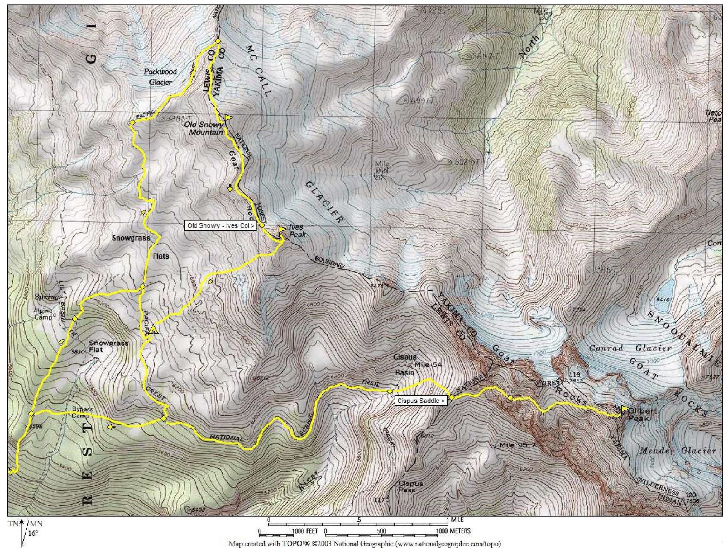
Photo Gallery
Click to enlarge…