Trip Date: May 23-24, 2015
Kitling Peak & Graybeard Peak Climbing Trip
Easy Pass
Kitling Peak (8003’)
Graybeard Peak (7965’)
Trip Report Summary
Region: Northeastern Washington Cascades
Sub-Region: Ragged Range
Area: North Cascades National Park
Starting & Ending Point: Easy Pass Trailhead on Highway 20 (Elev. 3700 feet)
Way Points: Granite Creek & Easy Pass Creek & Easy Pass (trail hike & snow hike)
Campsite: Easy Pass (Elev. 6550 feet)
Summit: Kitling Peak (snow climb via Southwest Face—West Ridge)
Summit: Graybeard Peak (snow climb & rock scramble via Southwest Chute—Southeast Ridge)
Approximate Stats: 12 miles traveled; 7100 feet gained & lost.
Full Trip Report
Not to be put off by a slightly gloomy Memorial Day Weekend forecast, I headed into the North Cascades with Eileen, Lisa, Kevin L. (“K. Lo”), and Kevin K. (“K. Ko”) for a Saturday-Sunday climbing trip. Kitling and Graybeard Peaks offer up a fine double-header weekend outing any time of the spring, summer, or fall. As a spring or early summer trip in particular, they both make for excellent snow climbs.
Day 1 (AM): Trailhead to Easy Pass
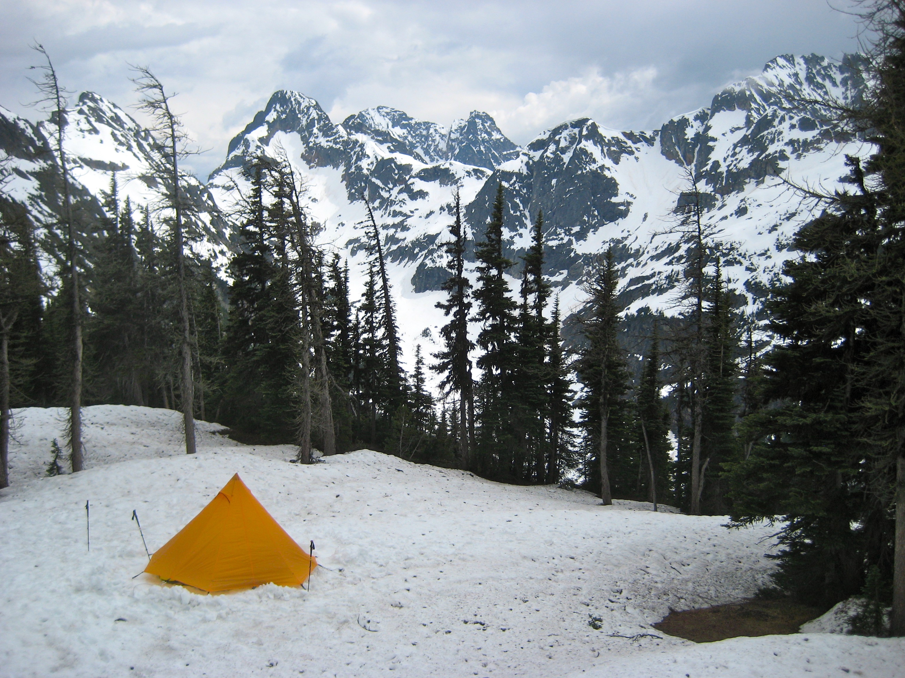
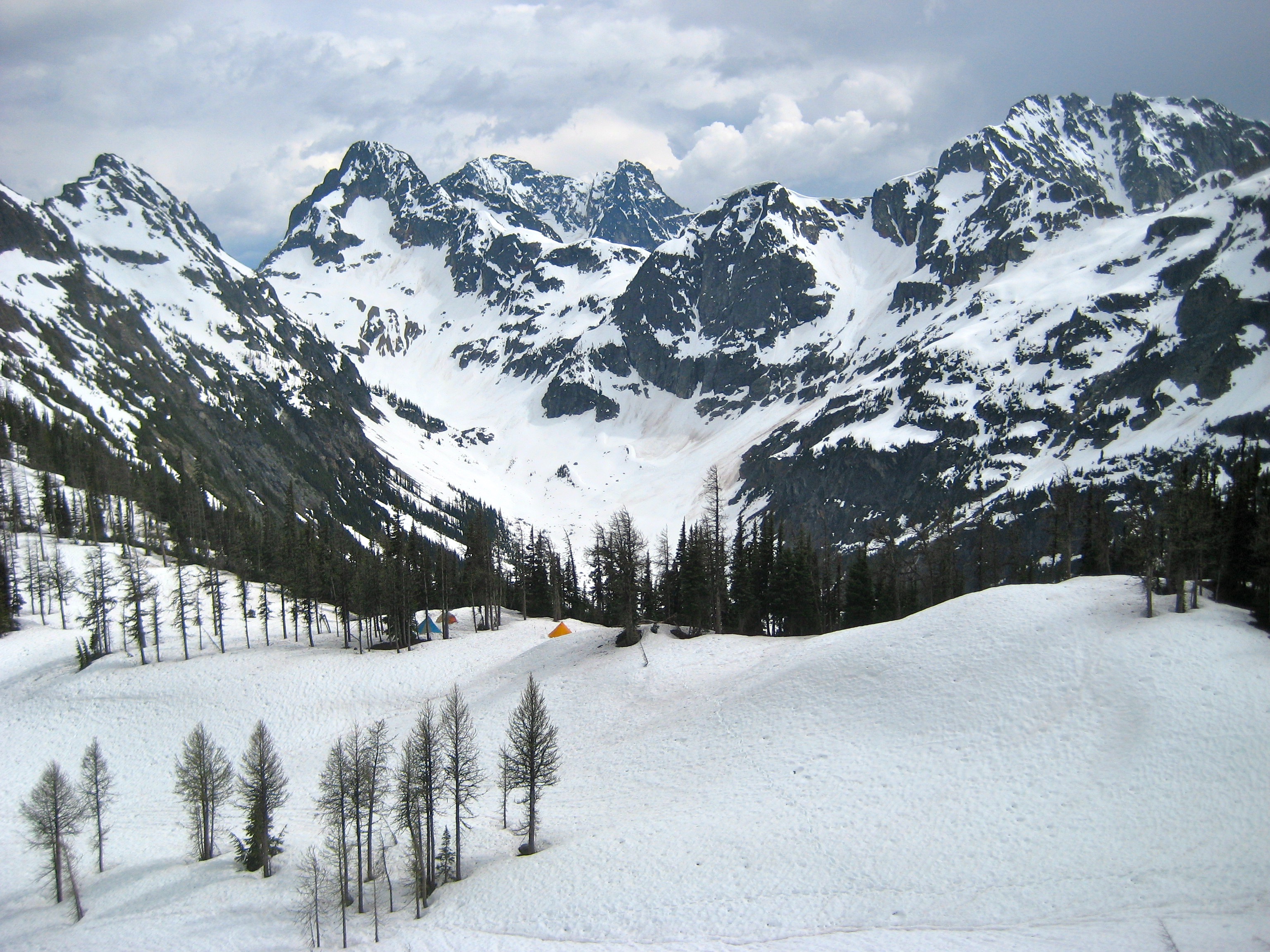
We hiked up the Easy Pass Trail in unexpectedly sunny and warm conditions. Snow patches began at about 4500 feet, and solid snow began around 5000 feet. Easy Pass (3.4 hours + 2800 feet from TH) made for a scenic alpine campsite almost exactly halfway between Kitling Peak and Graybeard Peak.

- Camp At Easy Pass
Day 1 (PM): Kitling Peak Summit Climb
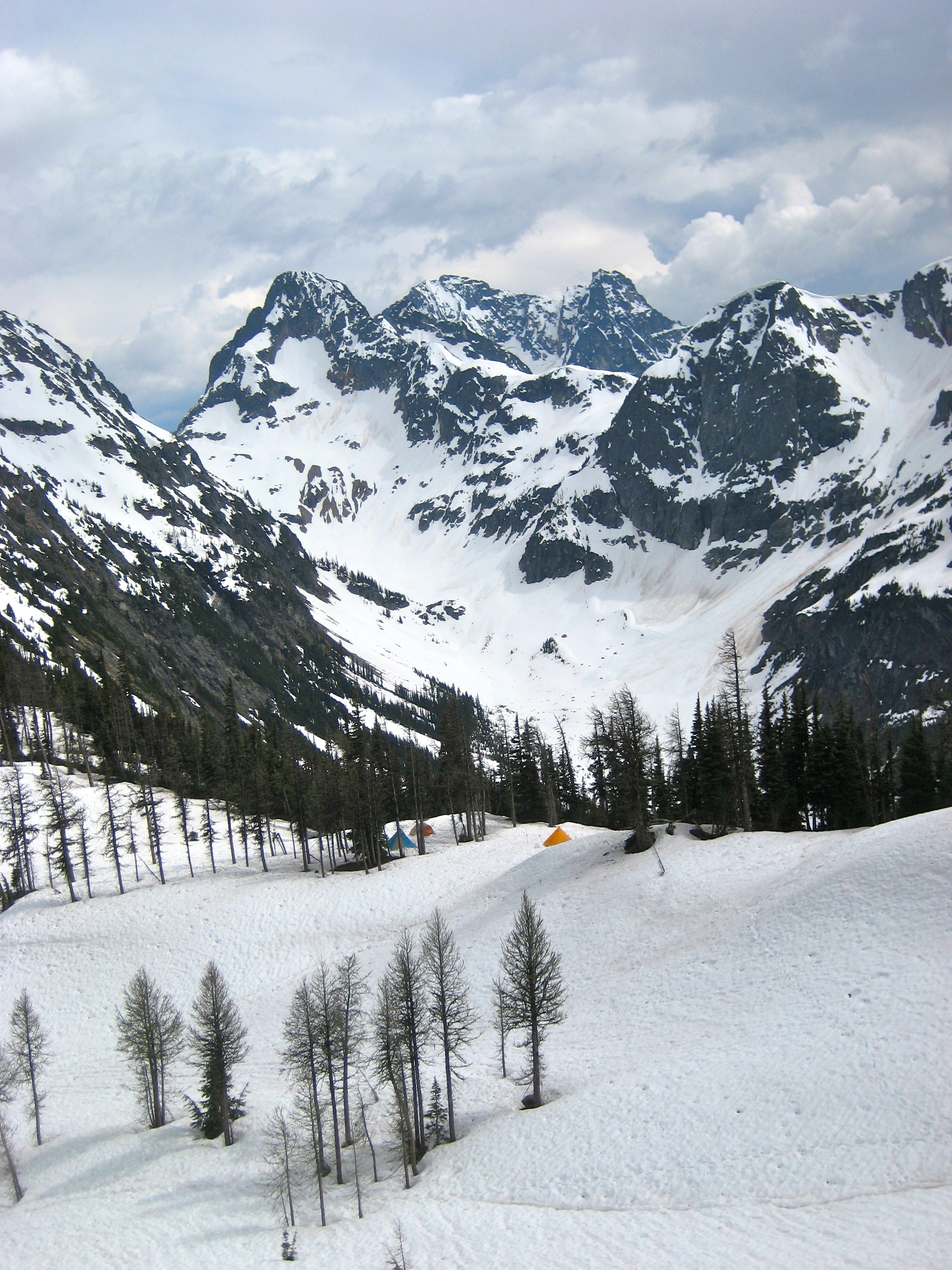
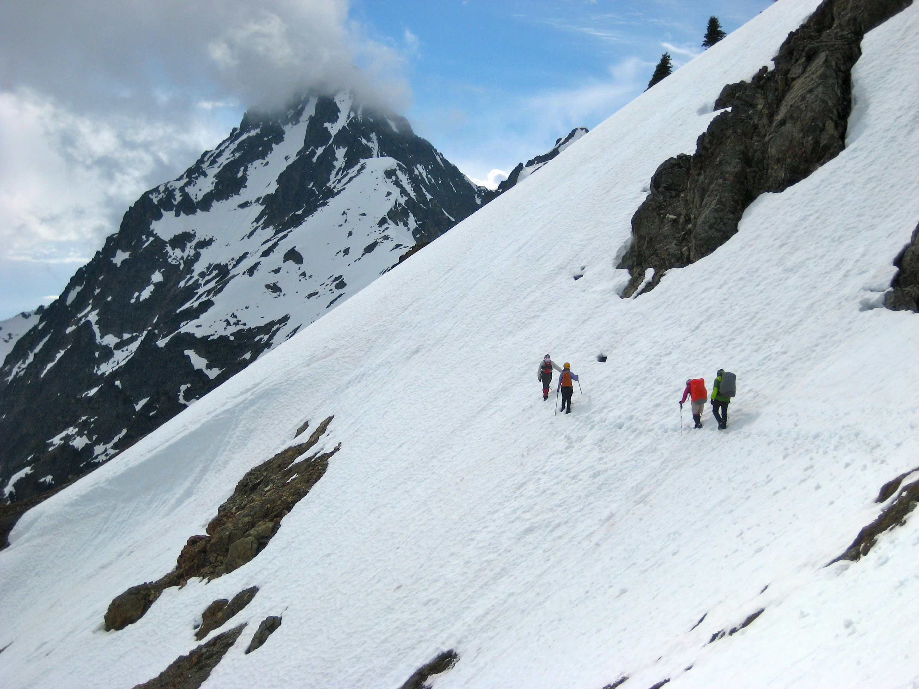
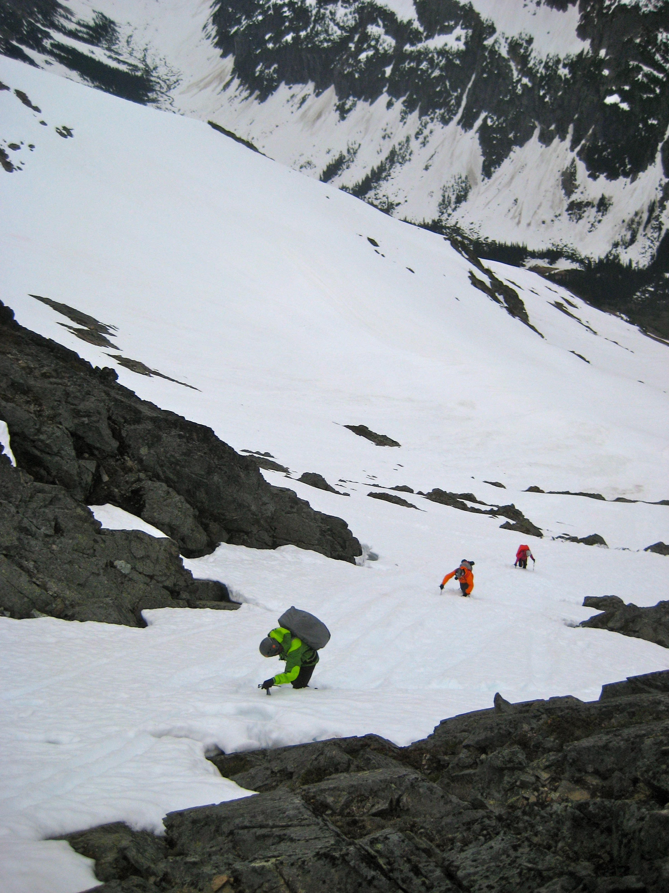
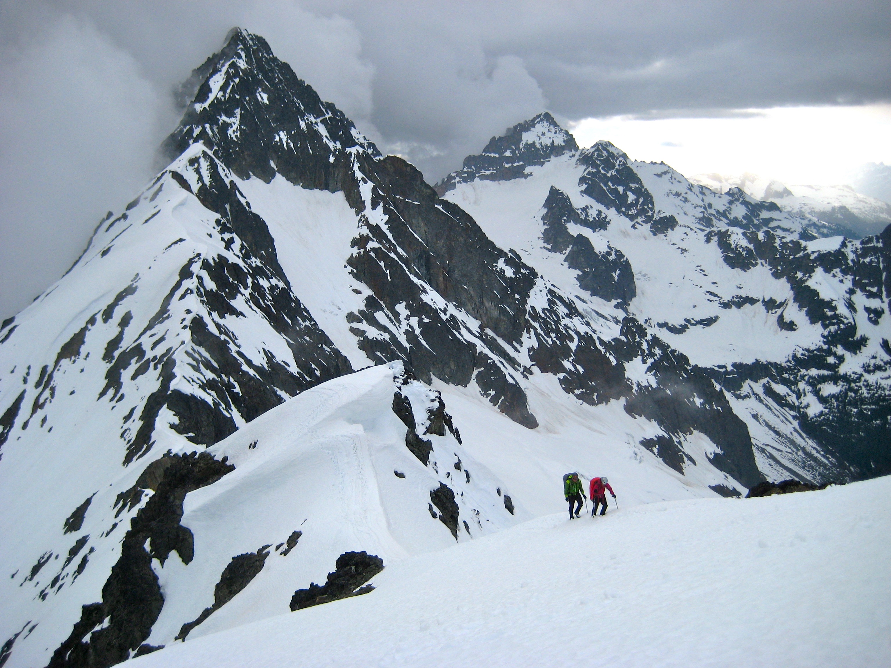
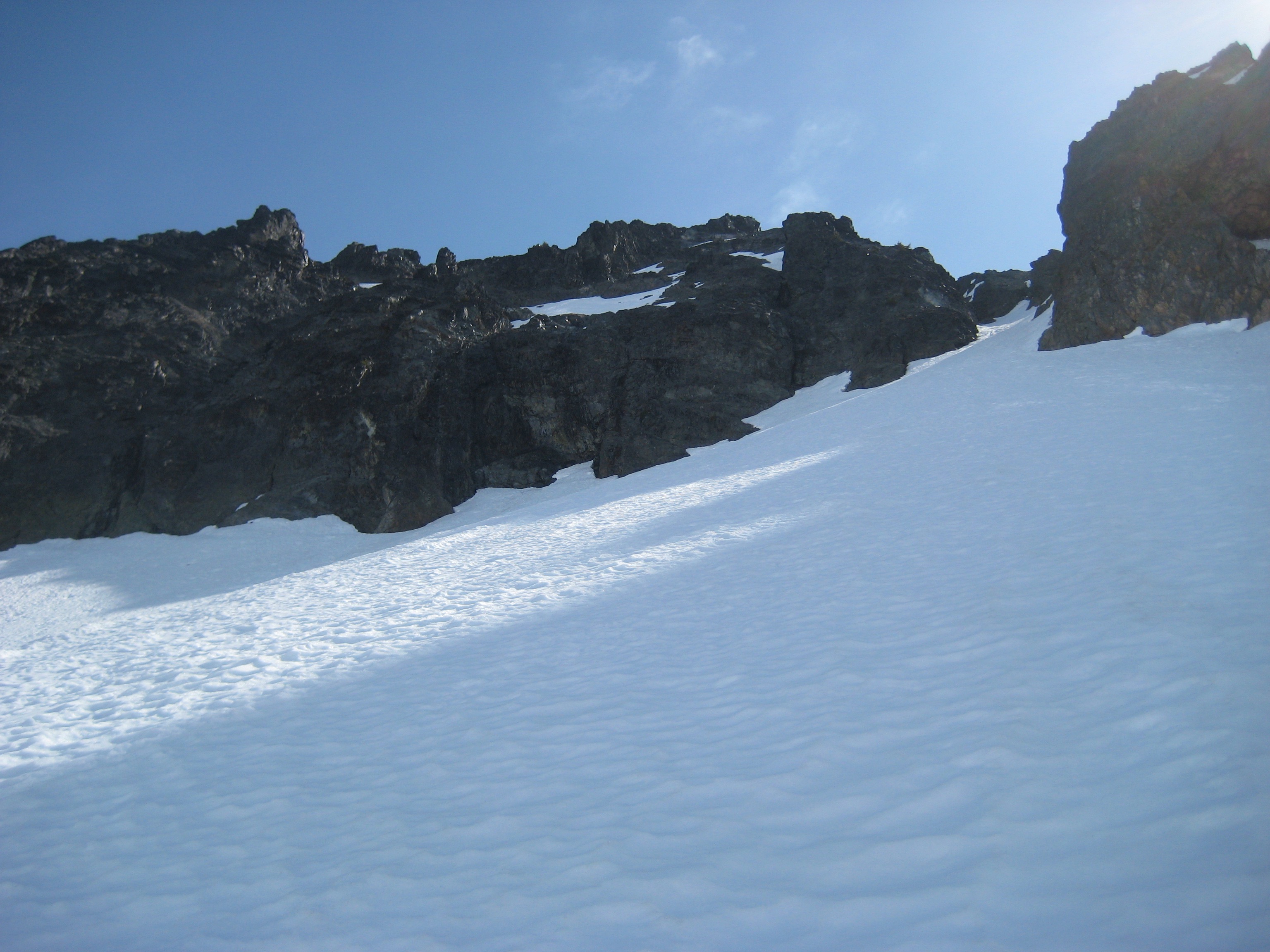
After shoveling out tent platforms and pitching tents, we all loaded summit packs and headed out for Kitling Peak. This climbs begins with a 1-mile ascending traverse over moderately steep snow slopes. The objective peak doesn’t come into view until skirting around Point 7690.

- Traversing To Kitling Peak
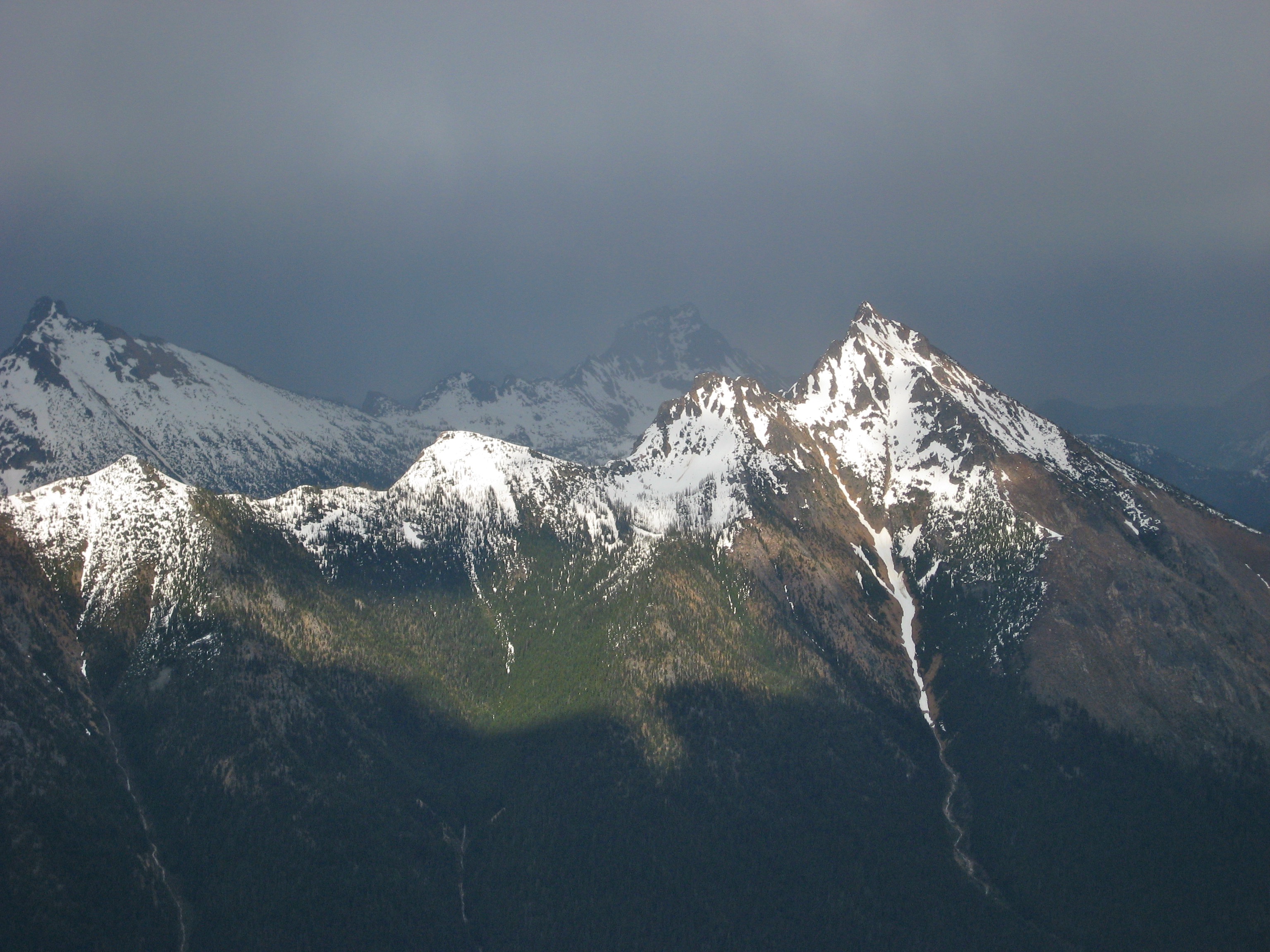
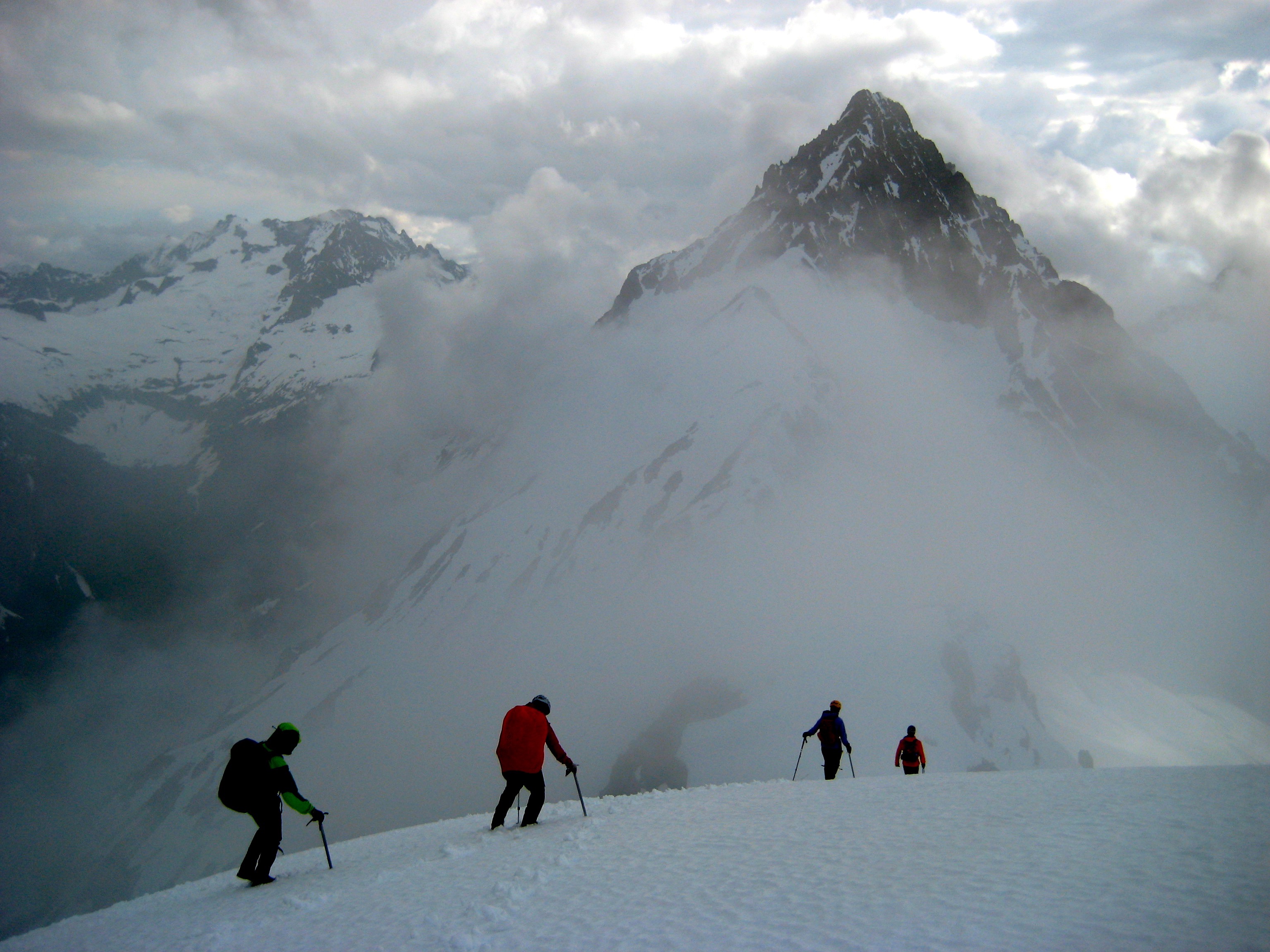
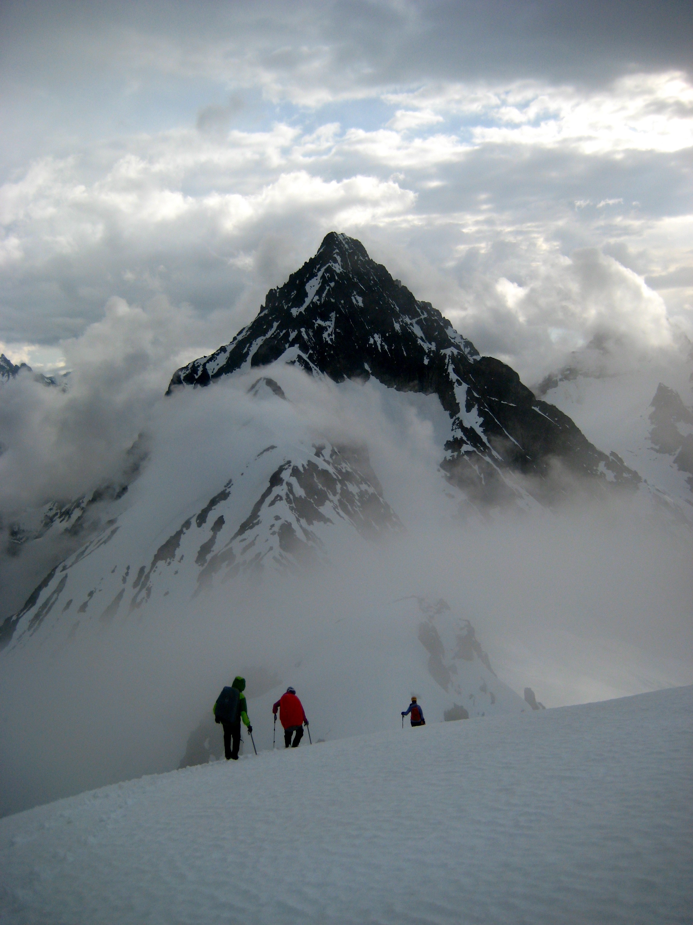
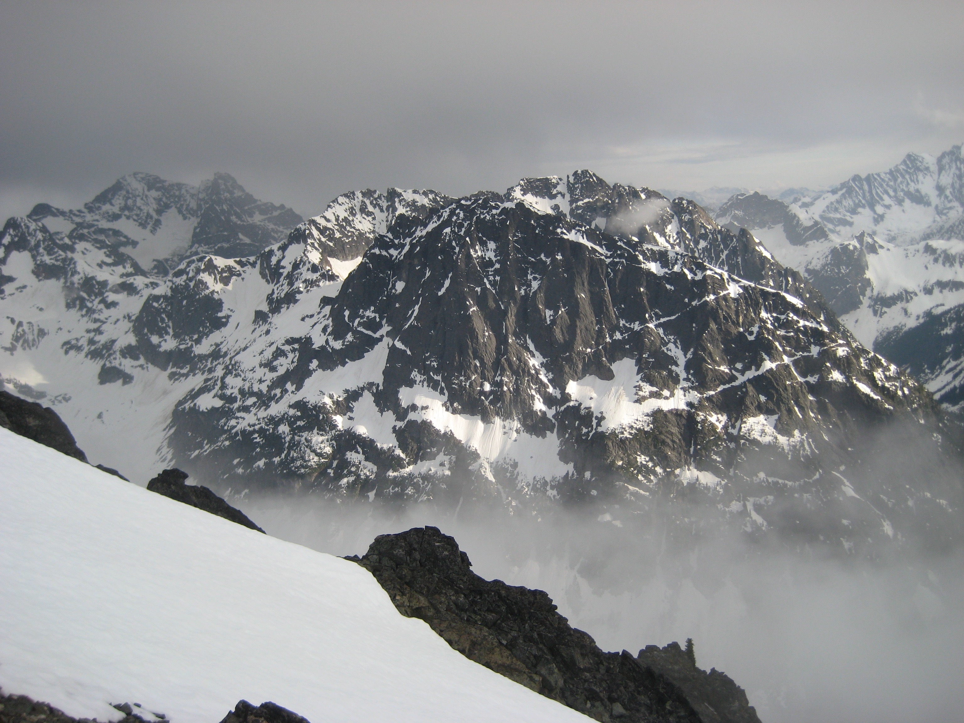
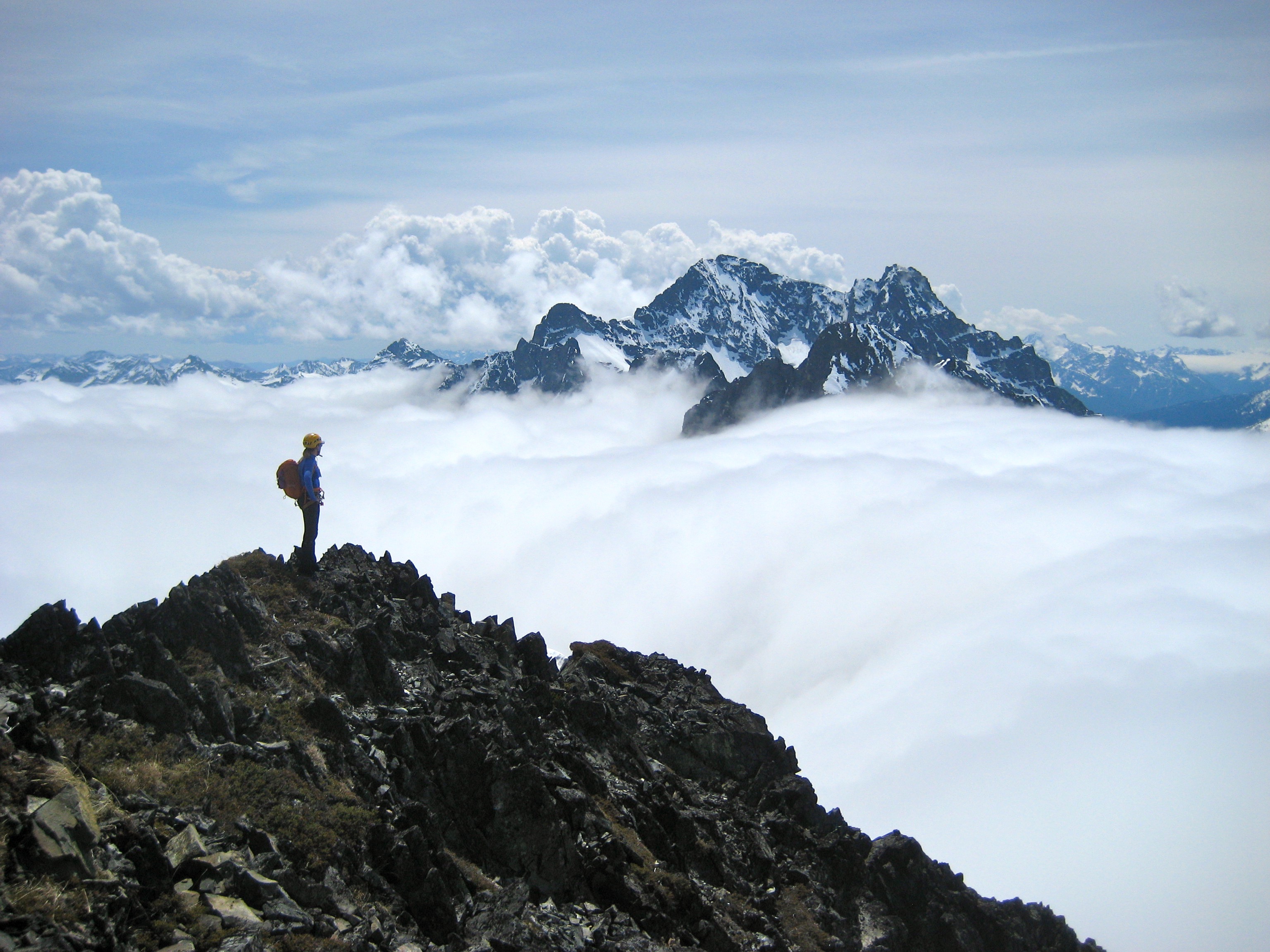
Ominously dark clouds formed overhead, and a few peals of thunder could be heard in the distance, but we never felt more than a dozen raindrops all afternoon.
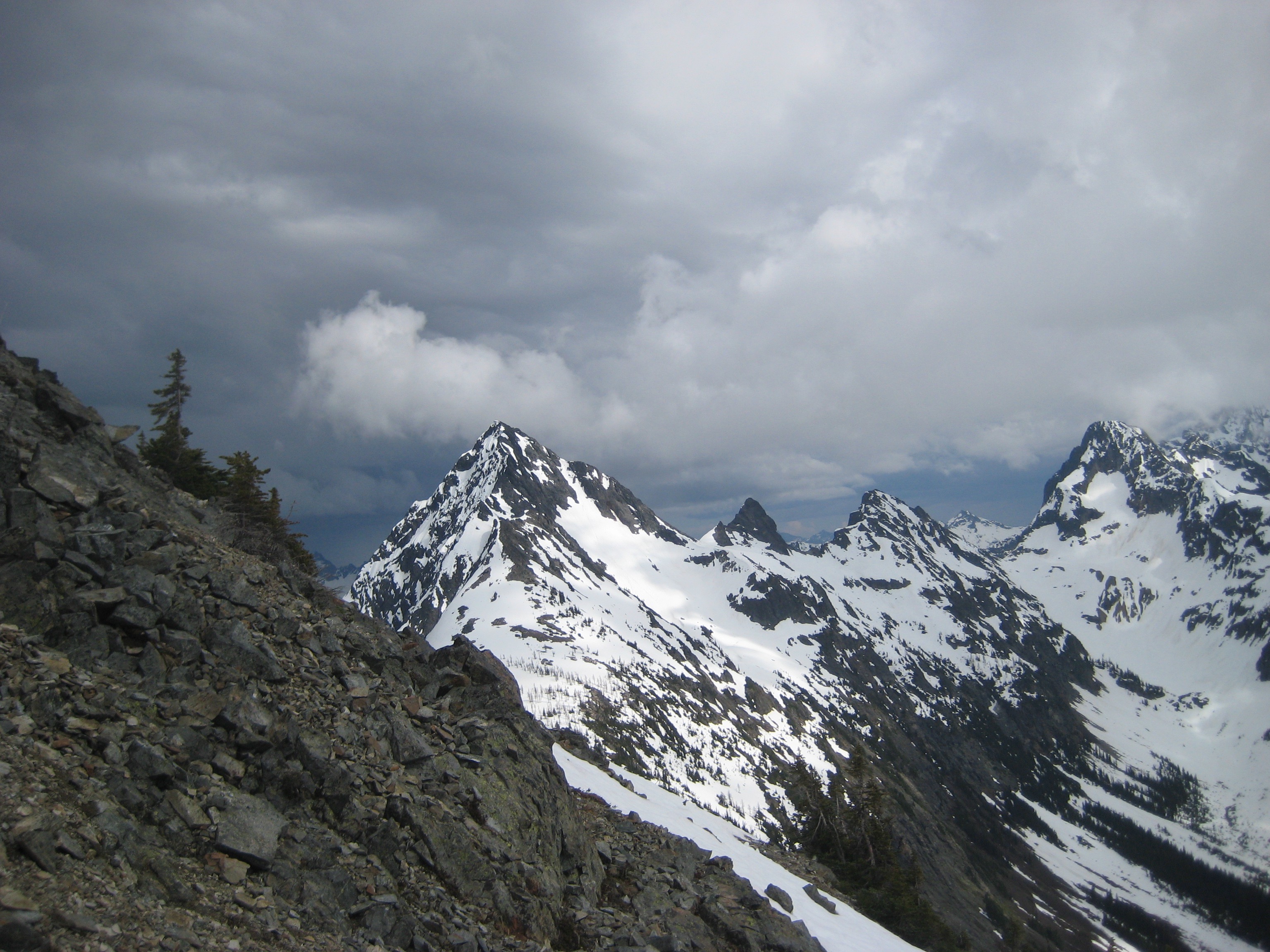
- Storm Clouds Over Forbidden Peak and Eldorado Peak
Every time we thought the storm curtain was closing down on us for good, a patch of blue sky would appear overhead. This created some striking sunlight effects on the surrounding mountains.
- Stormy Spotlight On Mount Hardy
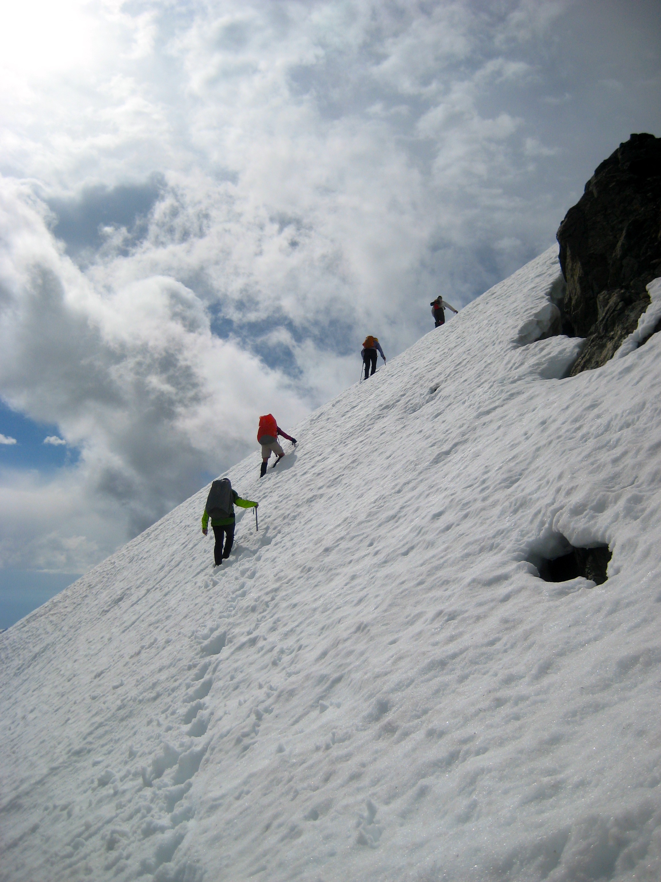
After traversing underneath the summit of Kitling Peak, we began climbing a moderately steep snowfinger on the southwest face. The snow had a 12-inch mushy layer over a firm bottom. Who doesn’t like a firm bottom?
- Climbing SW Face Of Kitling Peak
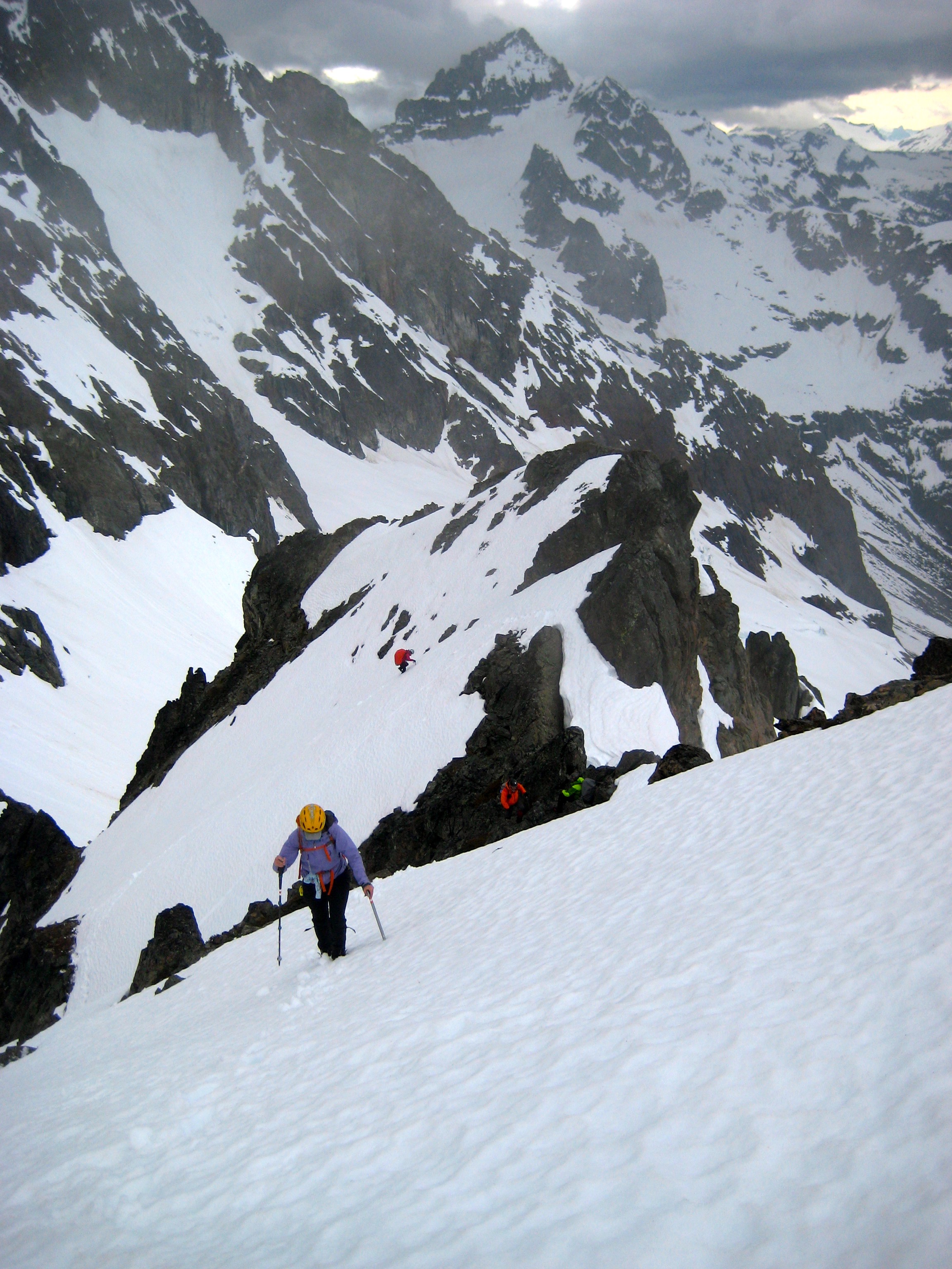
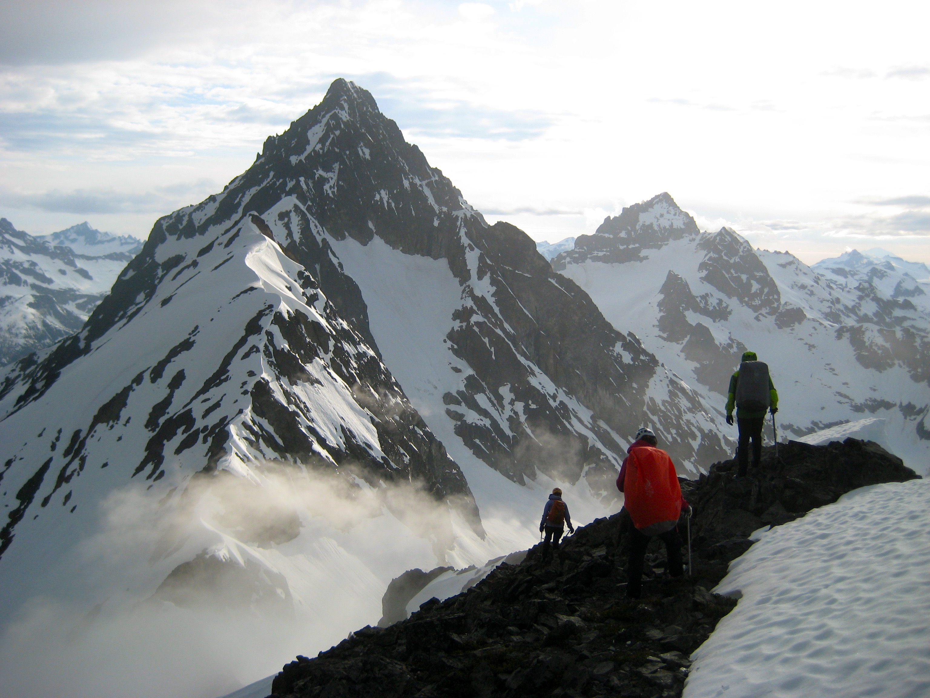
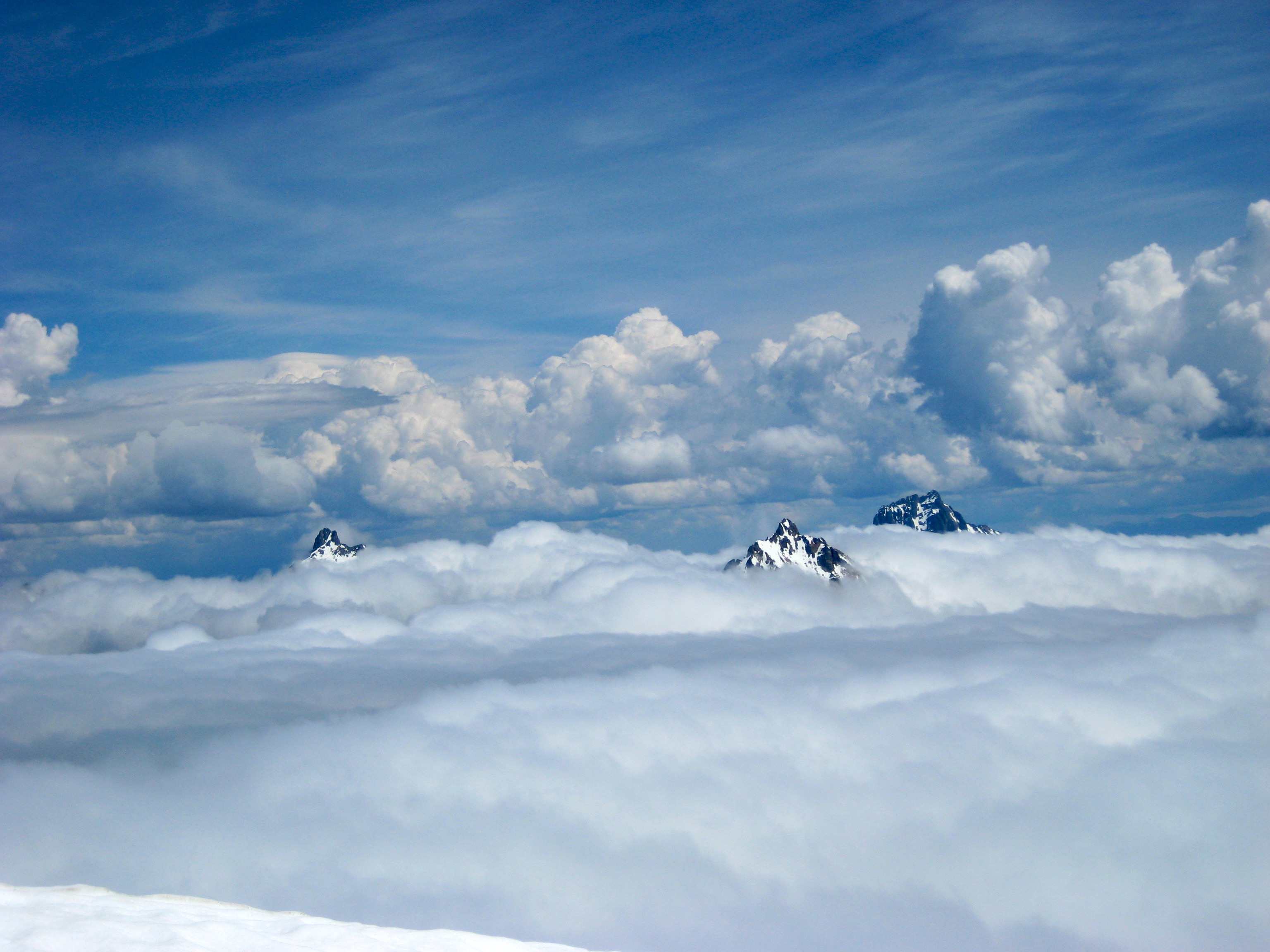
The snowfinger terminated on Kitling’s narrow, exposed west ridge. We followed the crest upward and over an interesting false-summit snow pillow, and then up a final snowfield to the corniced summit dome. To the northwest, Mesahchie Peak and Kimtah Peak brushed against the cloud ceiling.
- Kevin L and Lisa Nearing Kitling Peak Summit
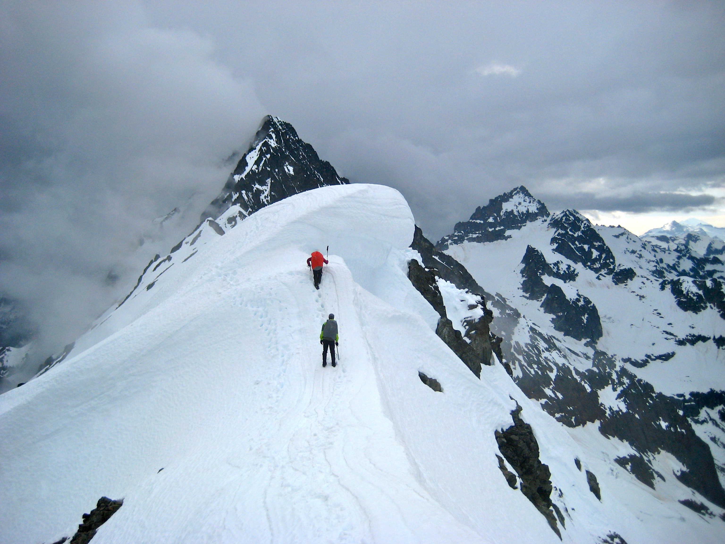
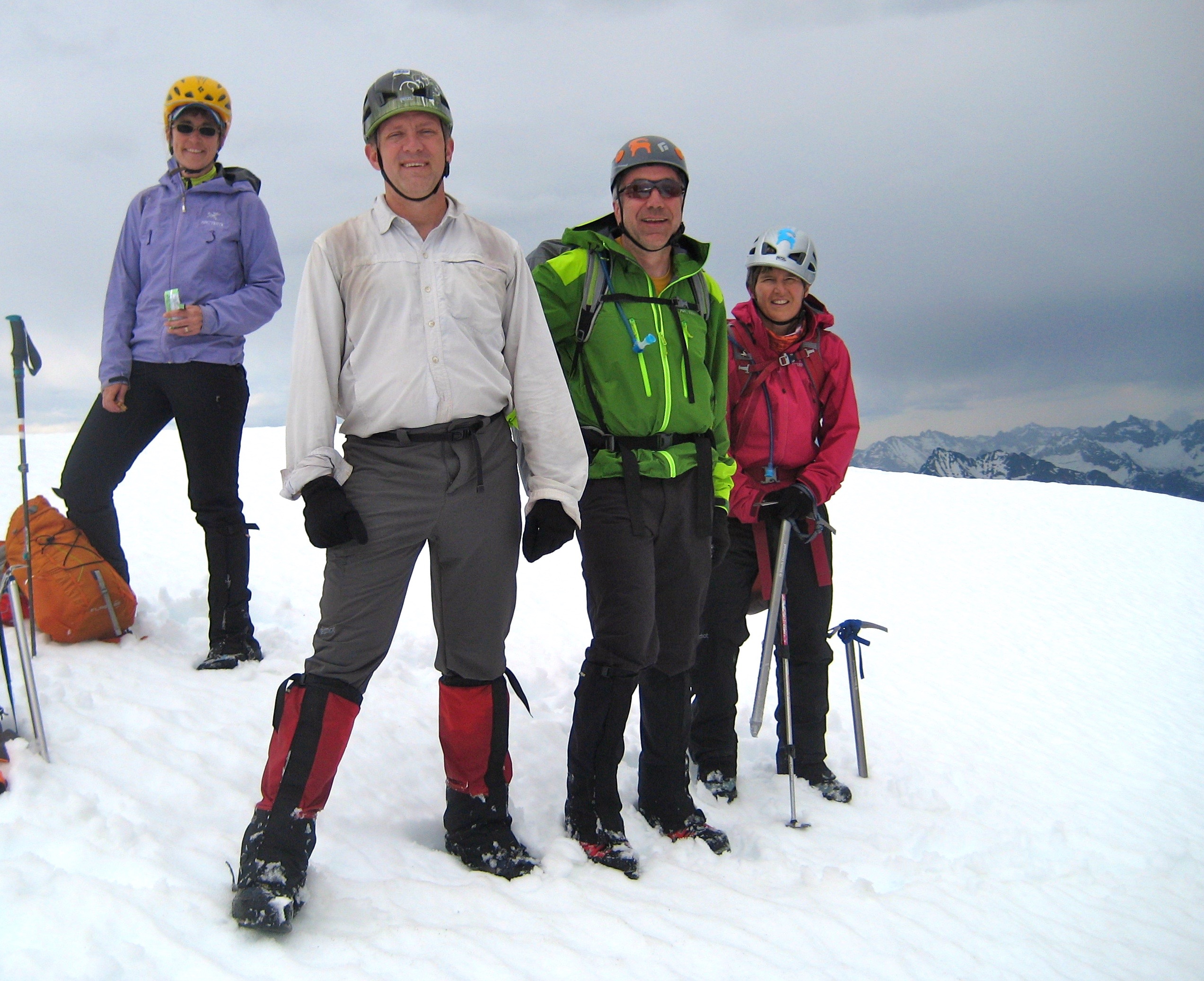
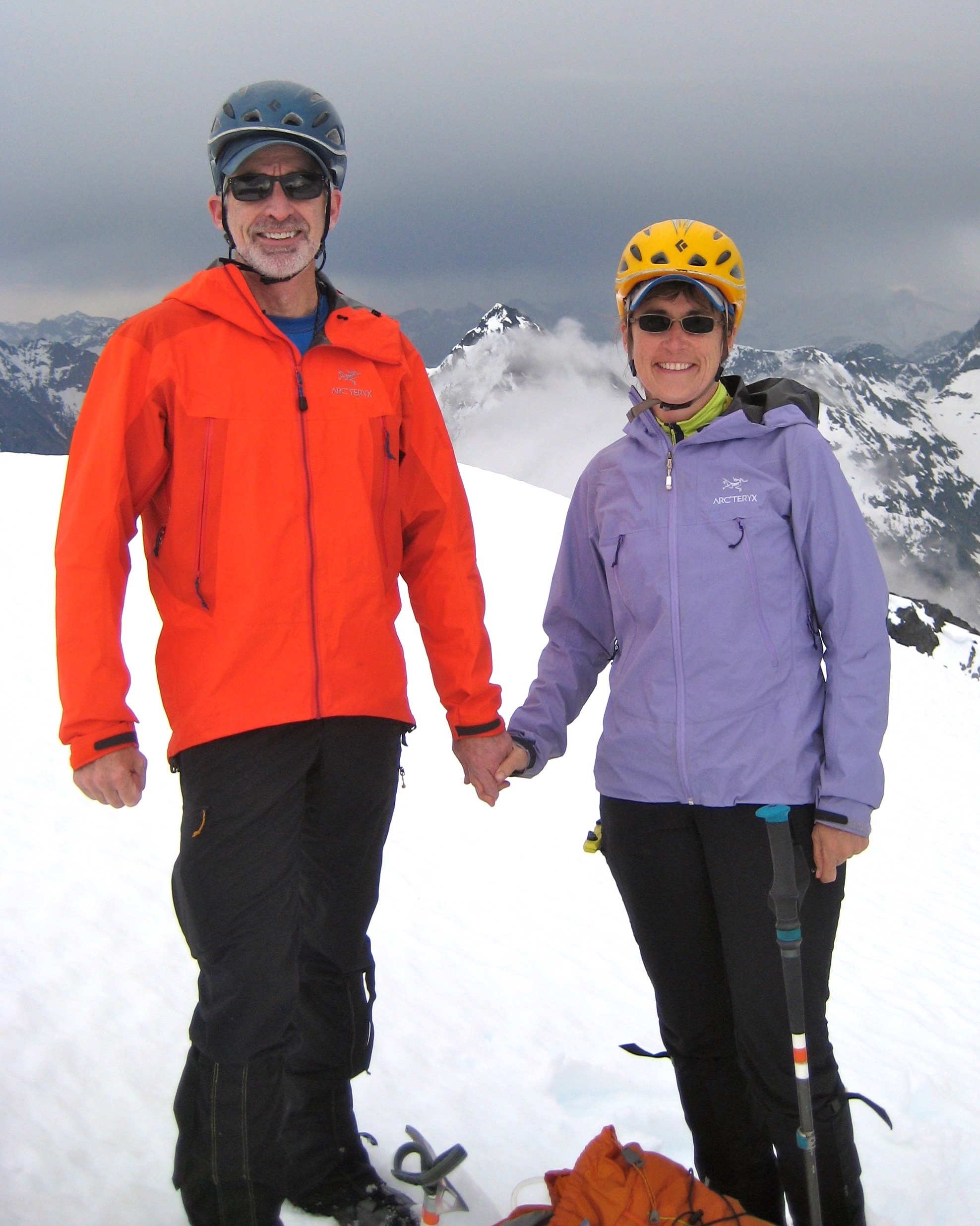
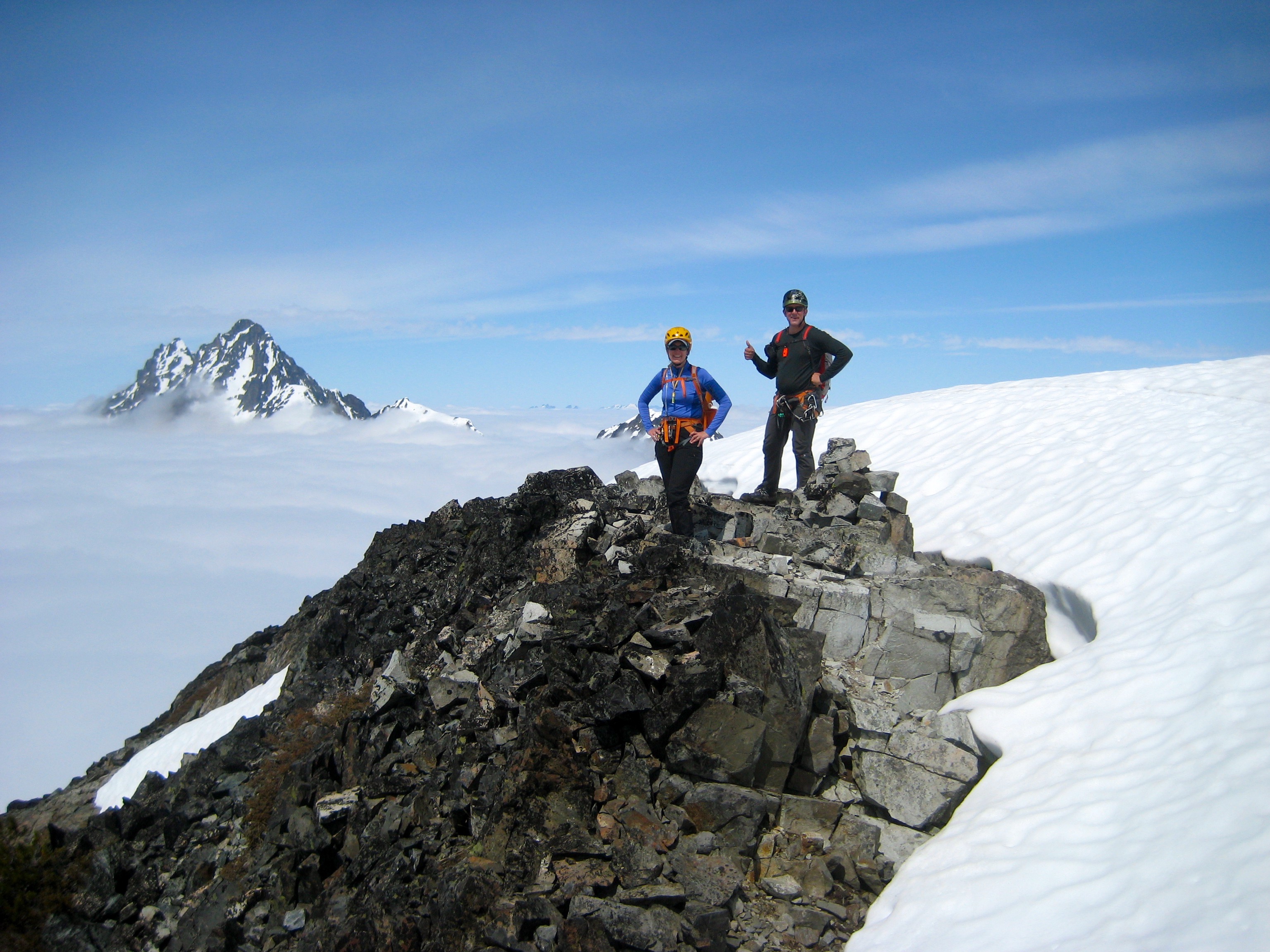
We summited at 6:30pm (3.2 hours from camp), with only a little time available for mountain gazing but plenty of time for a big smile.

- Eileen, Kevin K, Kevin L, and Lisa On Kitling Peak
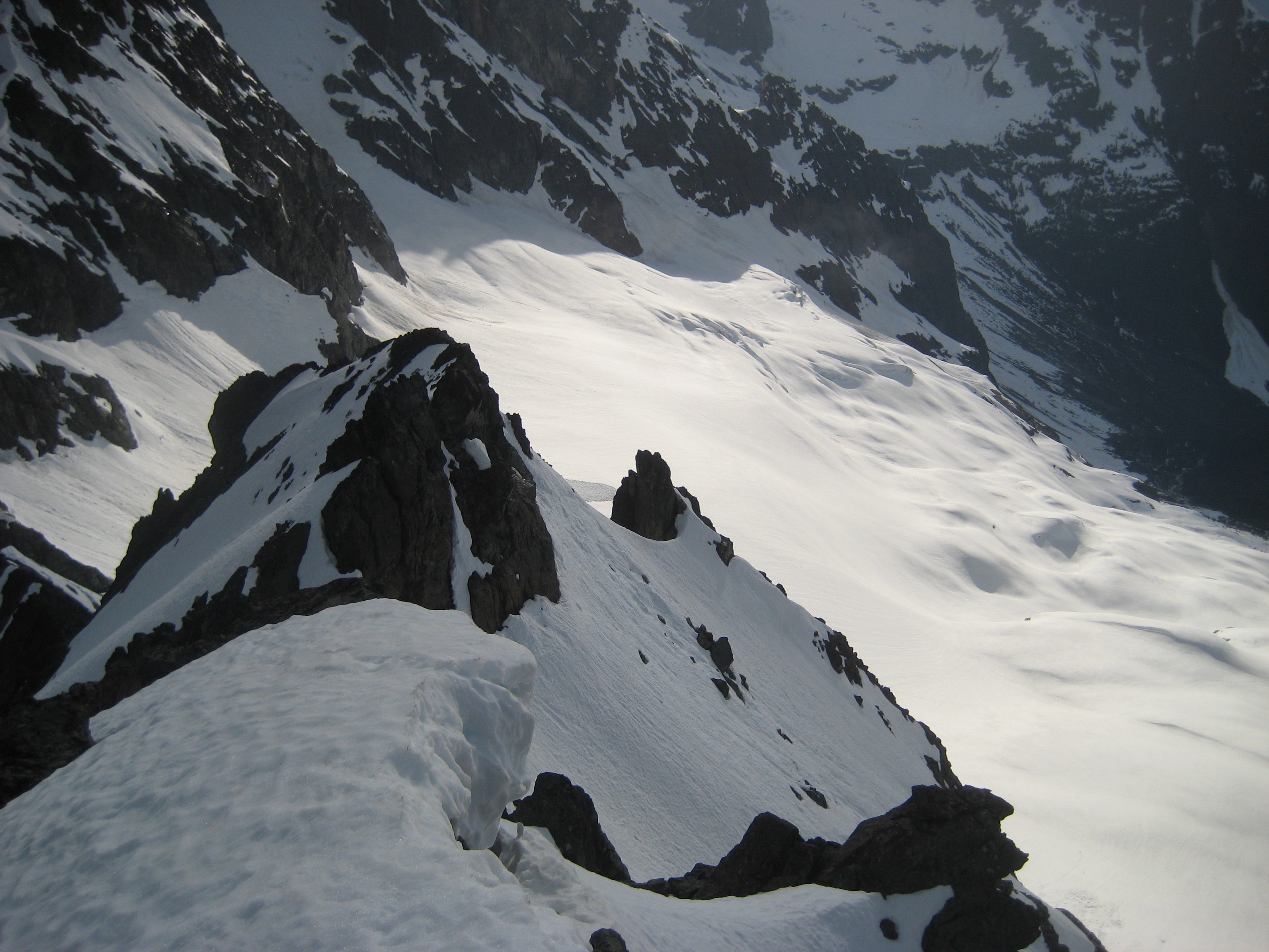
We descended the same way, following our up-track back down the ridge and face.
- Starting Descent From Kitling Peak
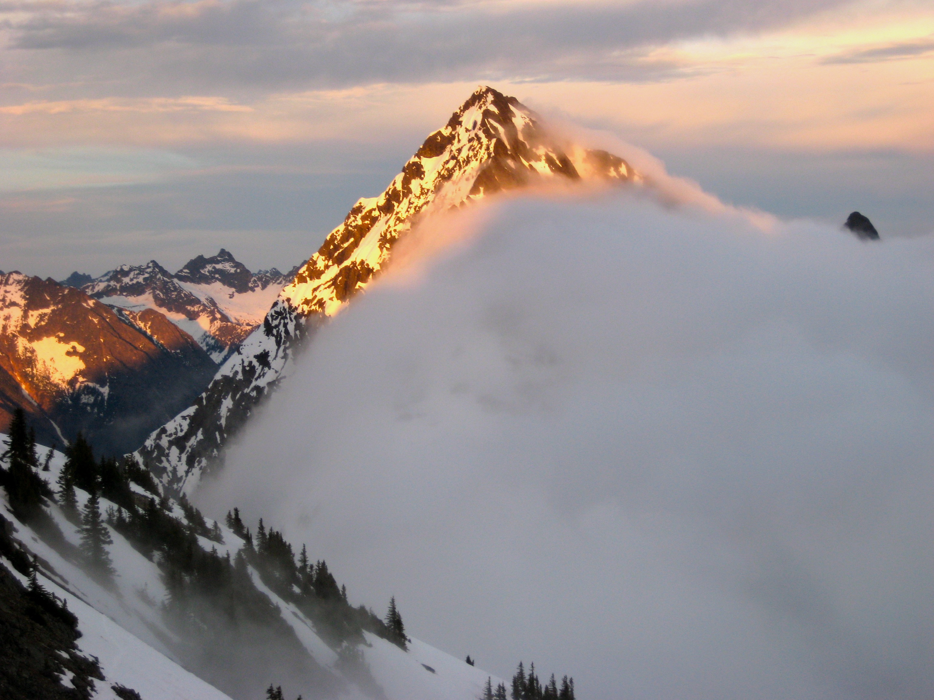
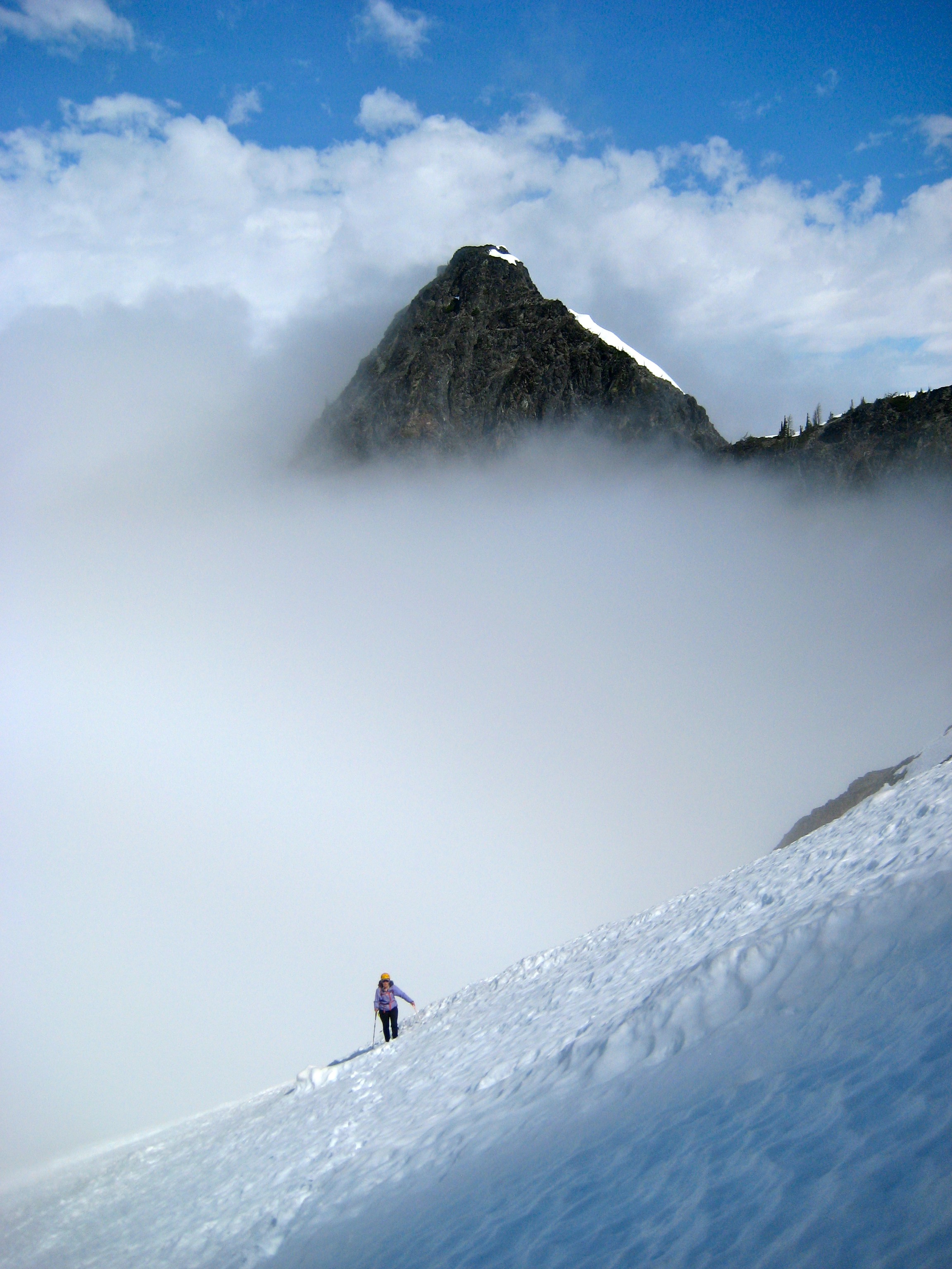
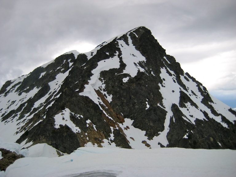
During our descent, fog rose up from Fisher Creek valley and enveloped all but the highest peaks. The setting sun gave a warm glow to everything above the fog.
- Evening Sun On Graybeard Peak
Day 2: Graybeard Peak Summit Climb & Exit Hike
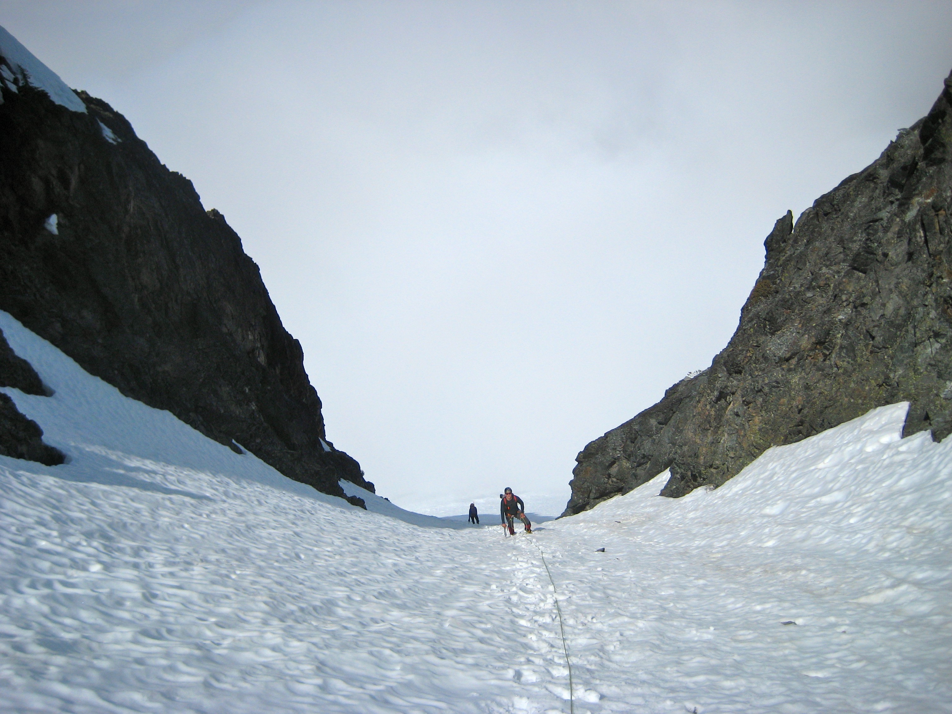
On Sunday morning, K. Ko and Eileen and I headed out for Graybeard Peak. We ascended about 400 feet above Easy Pass and then contoured across a series of snowfields and rock slopes until entering a large 6800-foot basin west of the peak. From the basin, we climbed directly eastward up a distinctive snow chute. The angle was steep enough (up to about 40 degrees) to prompt the use of a rope, flukes, and pickets. But we were happy to leave the valley fog behind us.
- Kevin K and Eileen Climbing SW Chute On Graybeard Peak
At the top of the snow chute, we crossed onto a high south-facing snowfield, which ended at the rocky south ridge.
- Climbing Upper Snowfield On Graybeard Peak
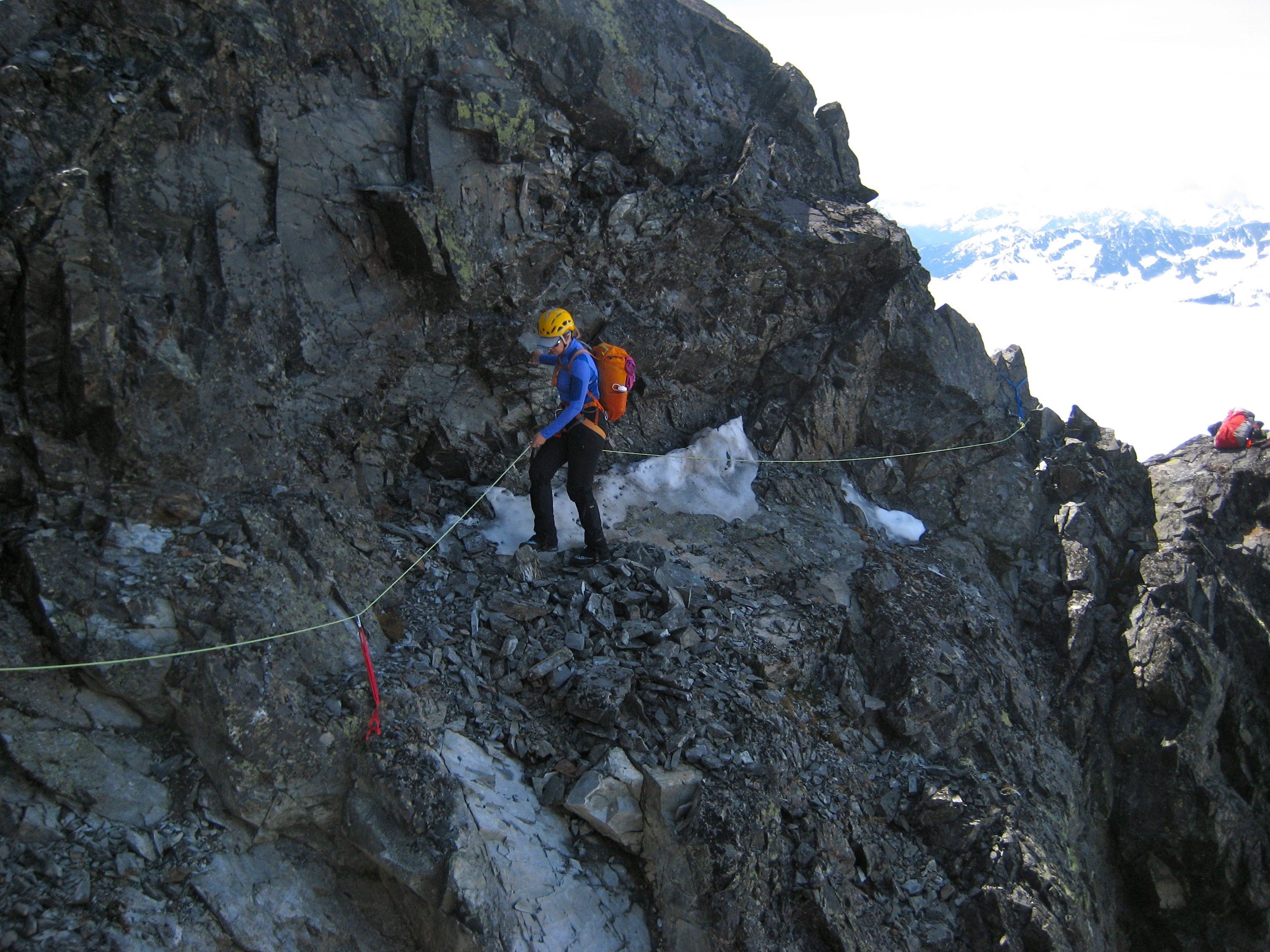
A hundred yards of Class 2-3 scrambling along the shattered ridge led us to a loose, exposed notch closely south of the summit knob. The rock here was loose, down-sloping, and partially covered with ice. How fun does that sound? We didn’t hesitate to string up a hand line for safety.
- Eileen Traversing Into South Notch
Once past the exposed notch, it was a short scramble to the summit (3.8 hours from camp). There was a large cairn but no register. A remnant cornice drooped over the steep north face.
- Eileen and Kevin K On Graybeard Peak Summit
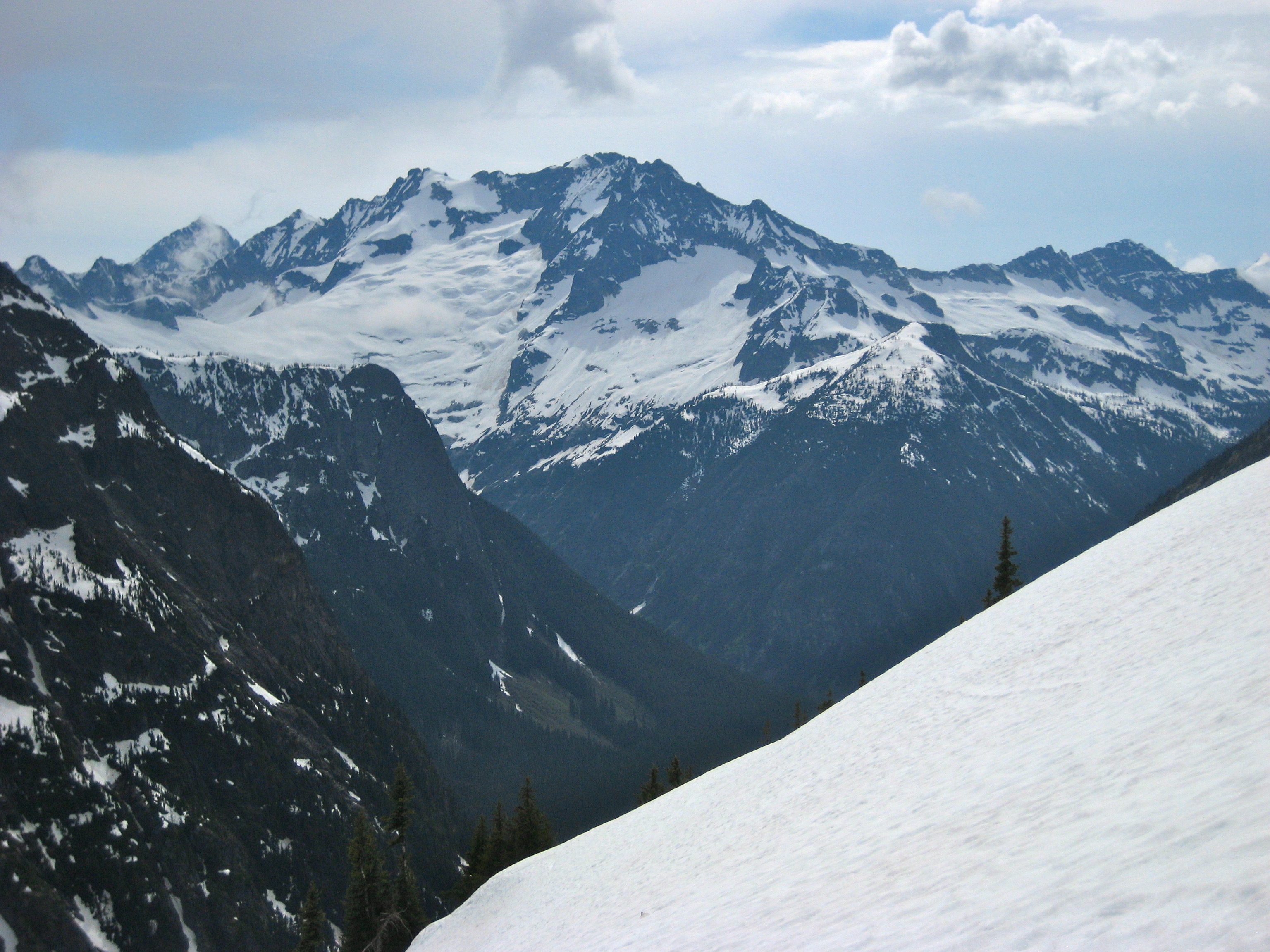
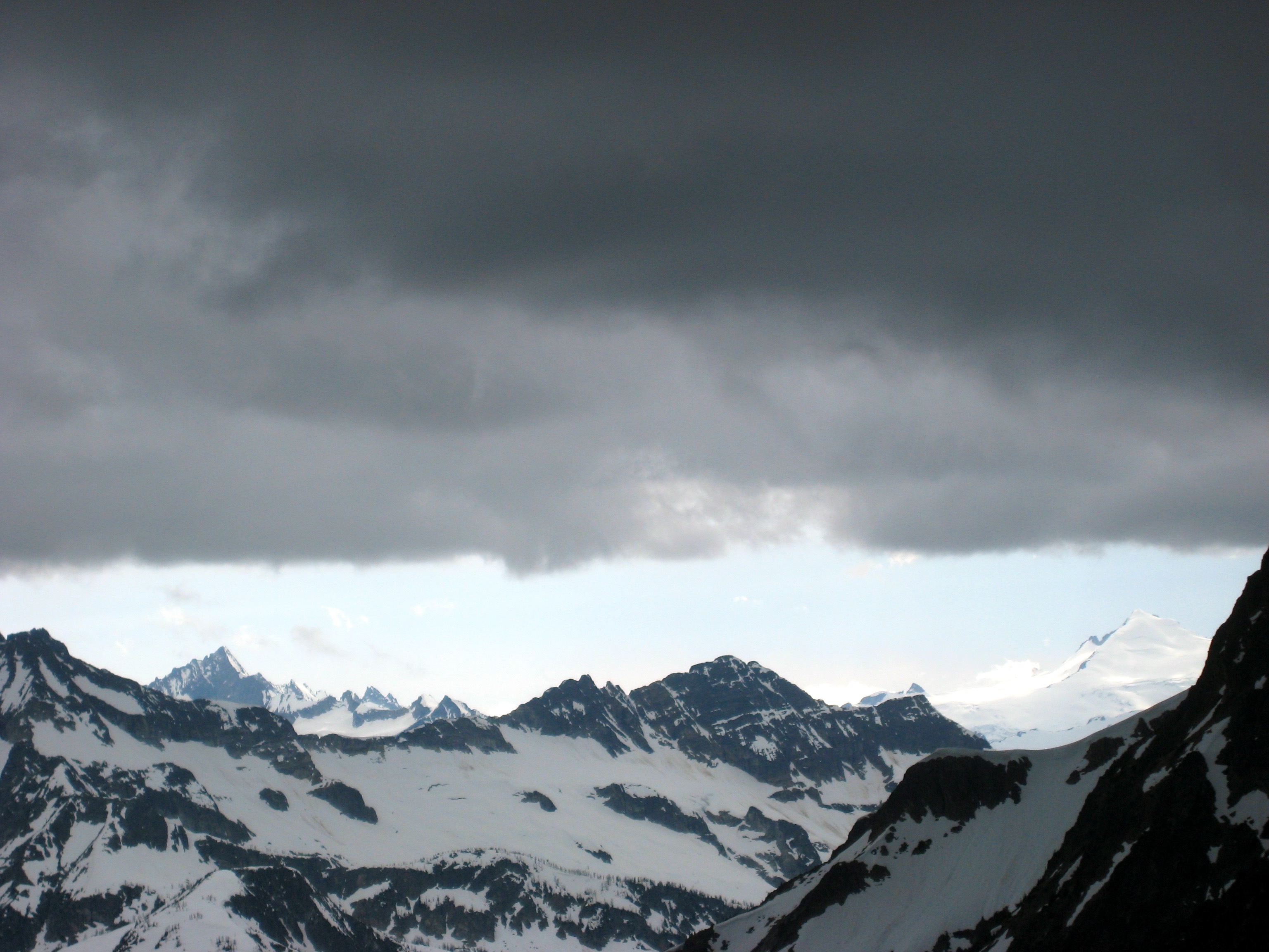
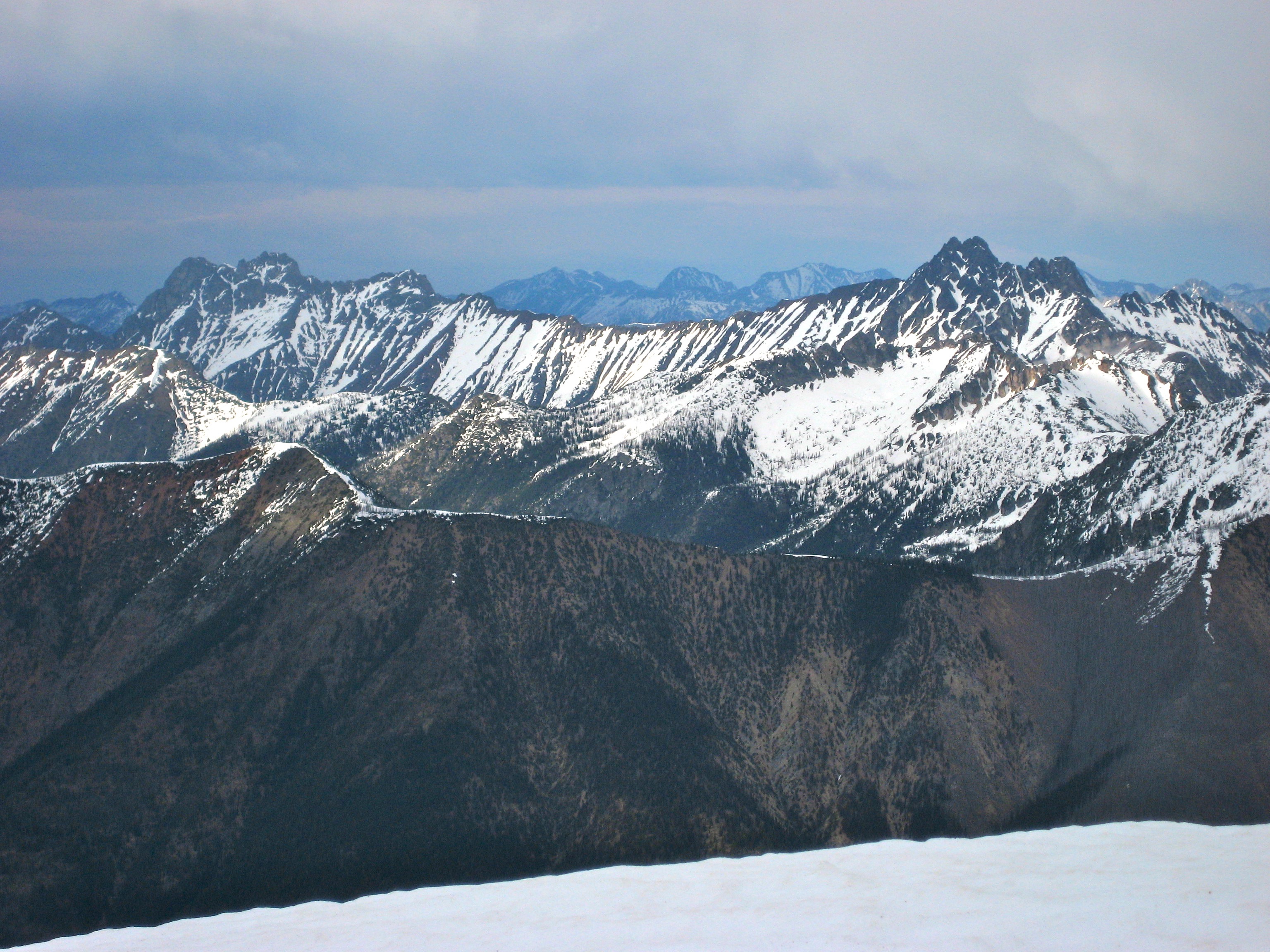
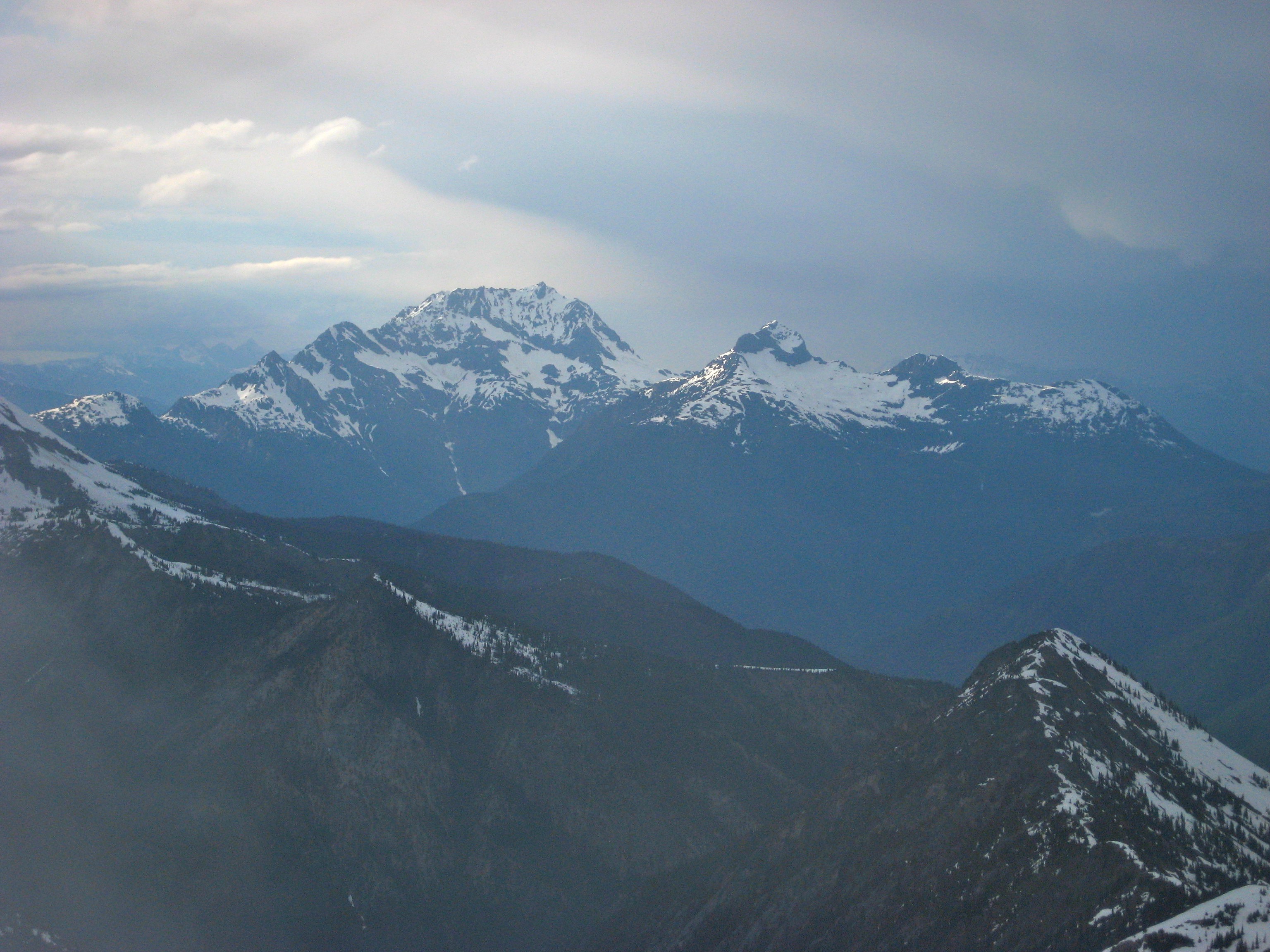
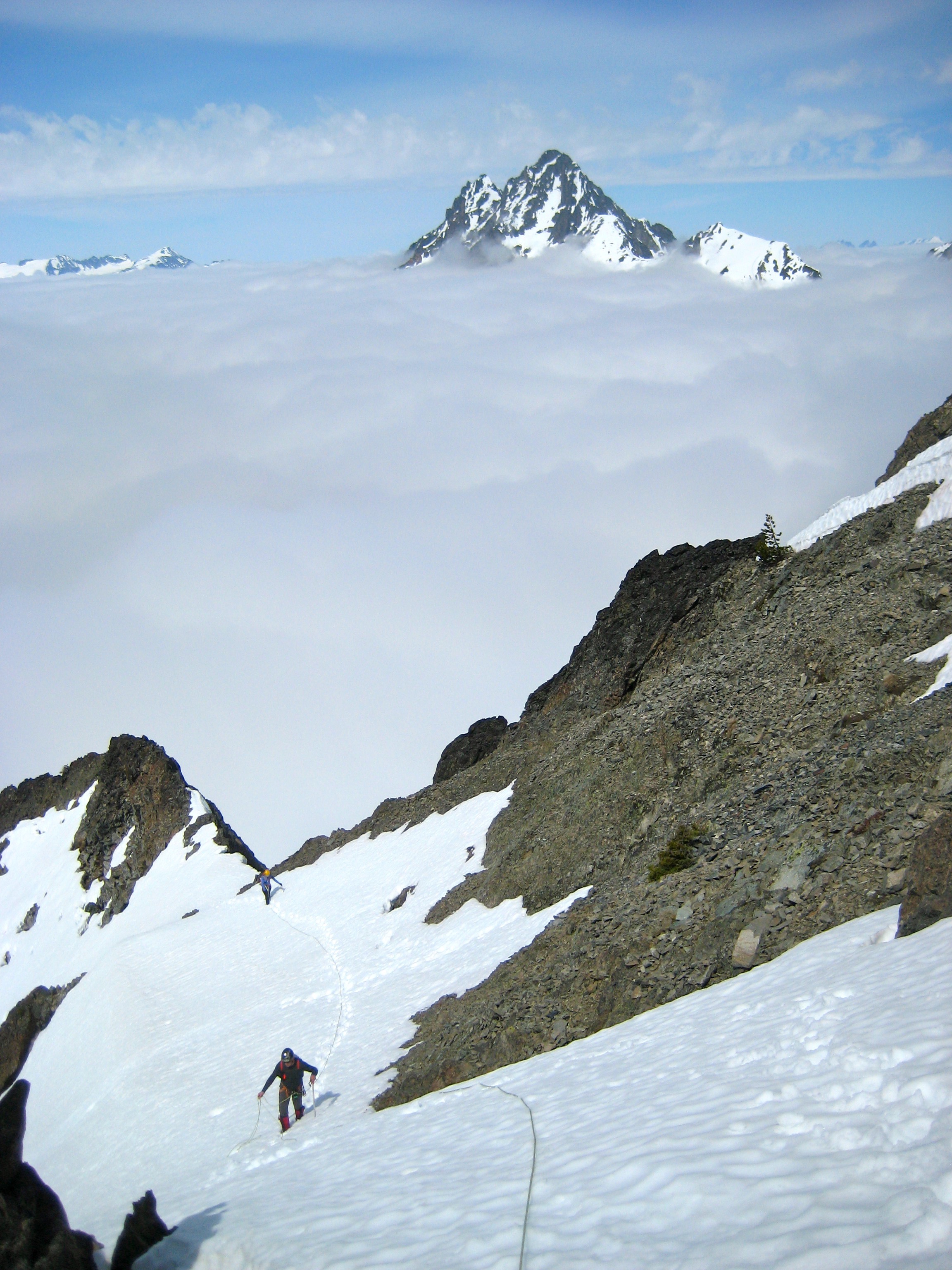
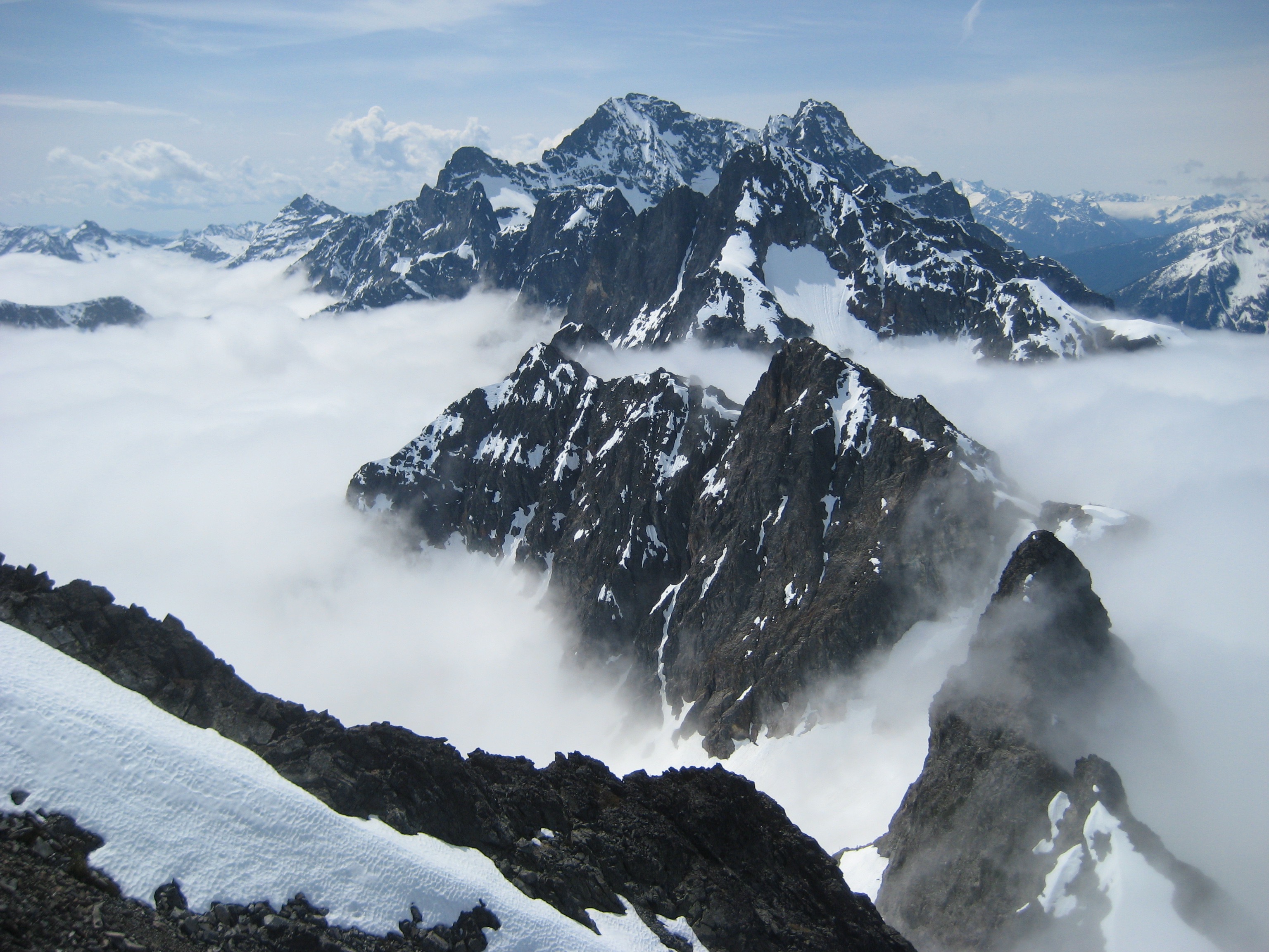
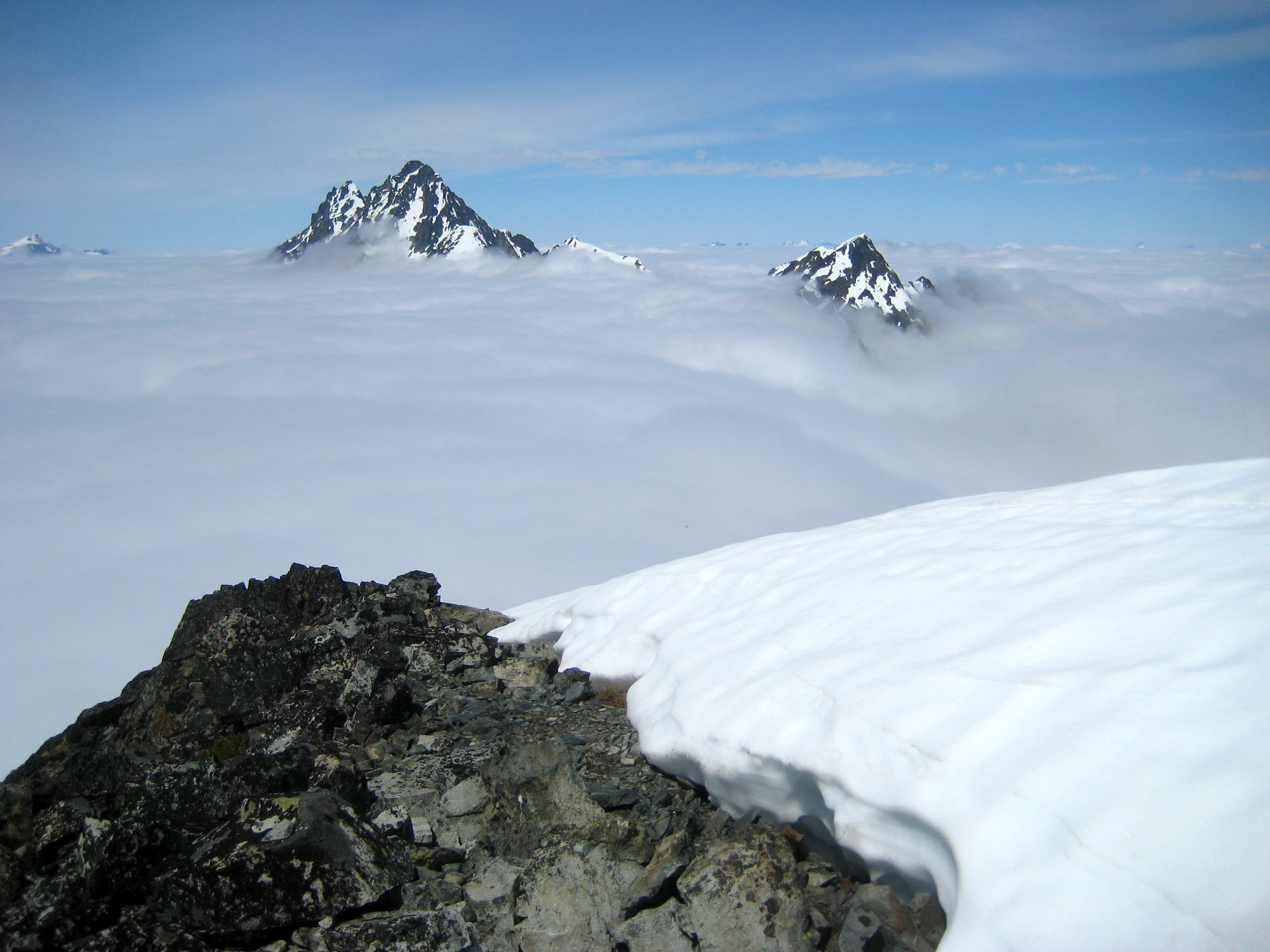
The cloud deck hovered several hundred feet below us, at an elevation of about 7500 feet. All of the big peaks to the west stuck up through the clouds.
- Mount Goode From Graybeard Peak
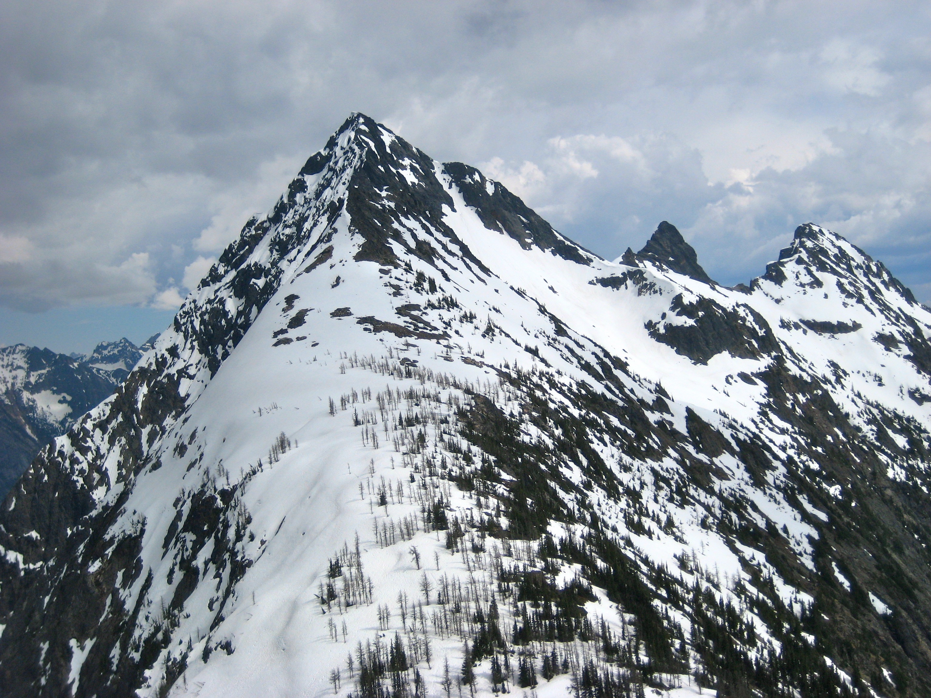
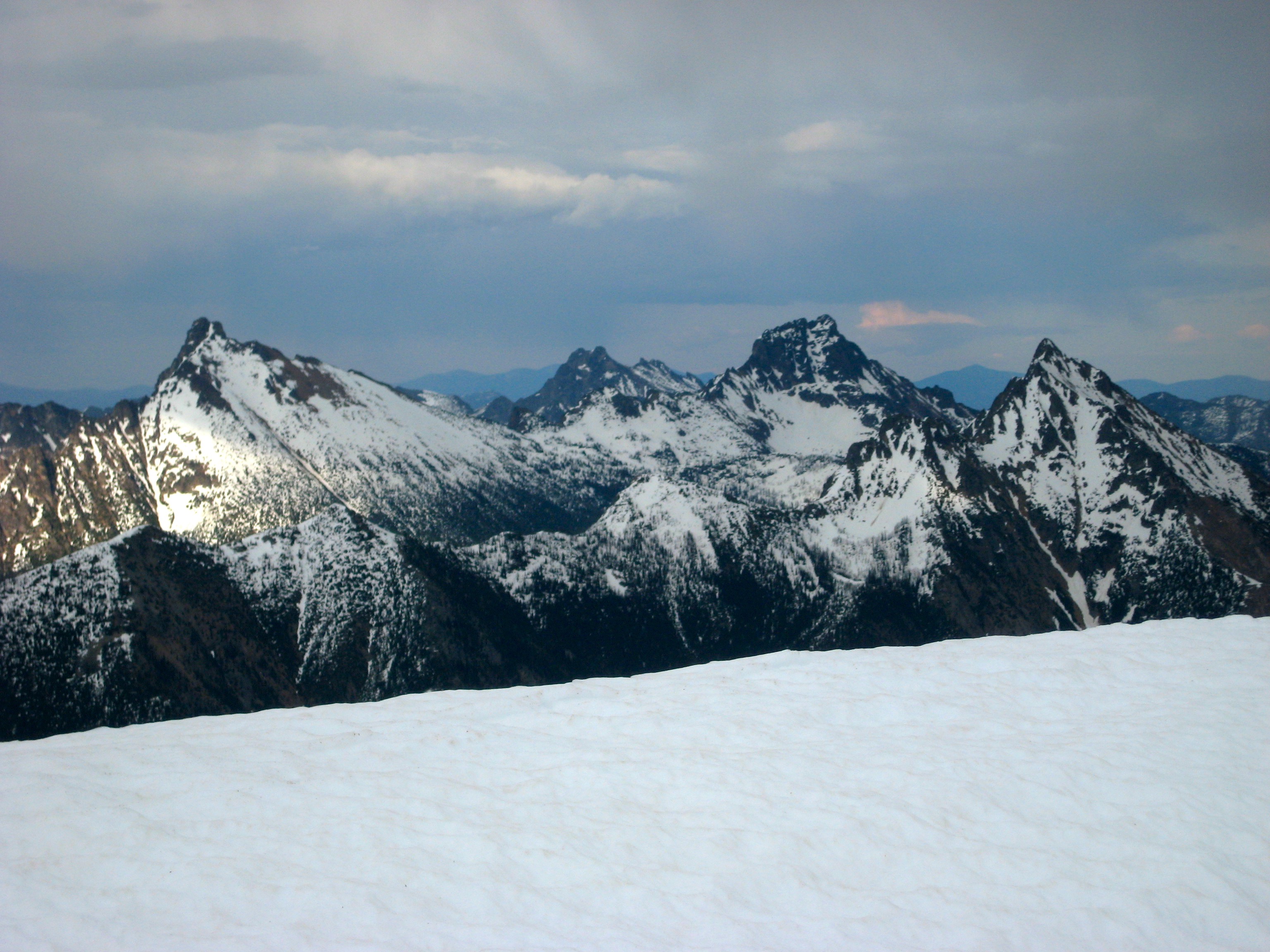
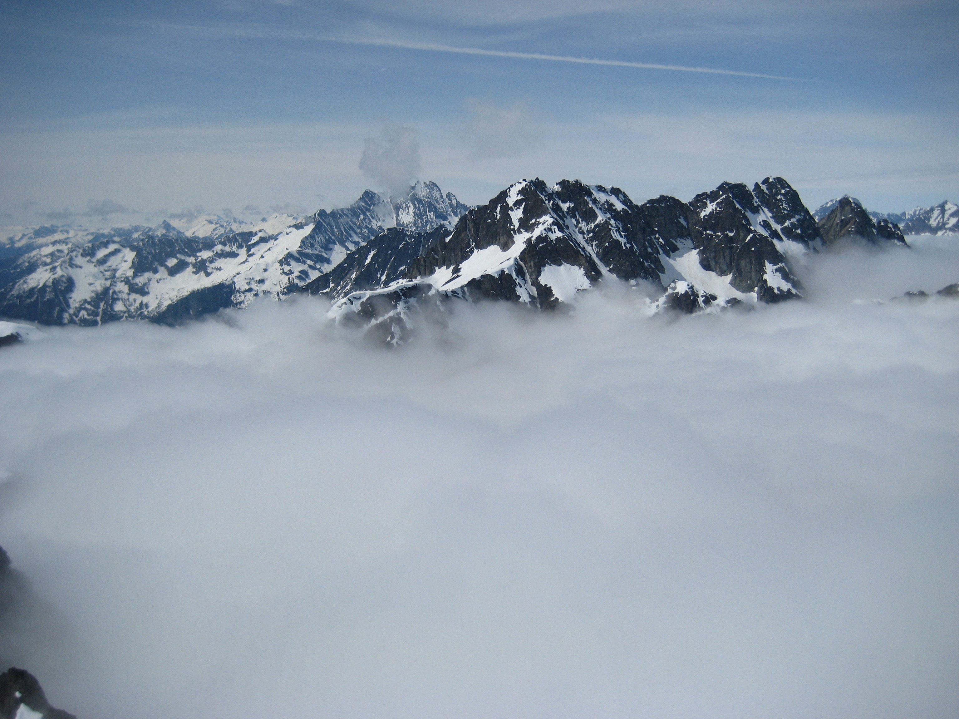
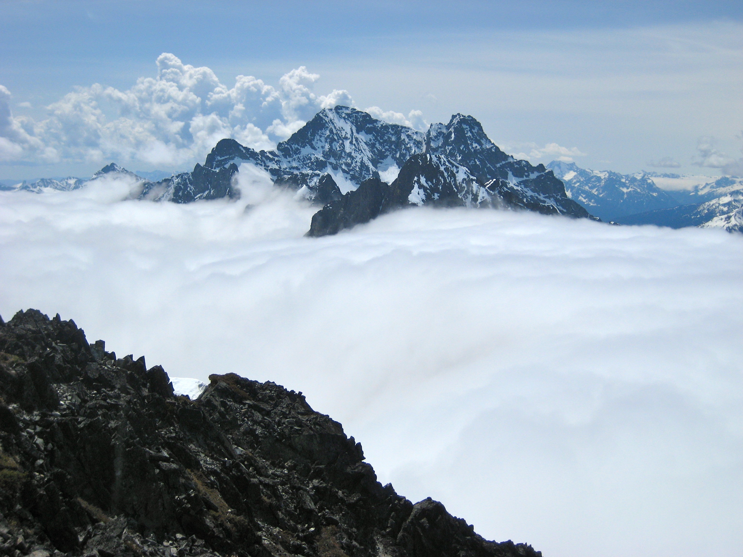
A few of the taller peaks to the east also managed to punch through the cloud deck. Cumulus clouds above threatened to build into thunderheads but never did.
- Golden Horn, Mount Hardy, and Tower Mountain Pierce the Clouds
We soaked up as much sun as possible before descending into the fog and traversing back over to Easy Pass where Lisa and K. Lo were waiting for us. We quickly packed up and hiked out.
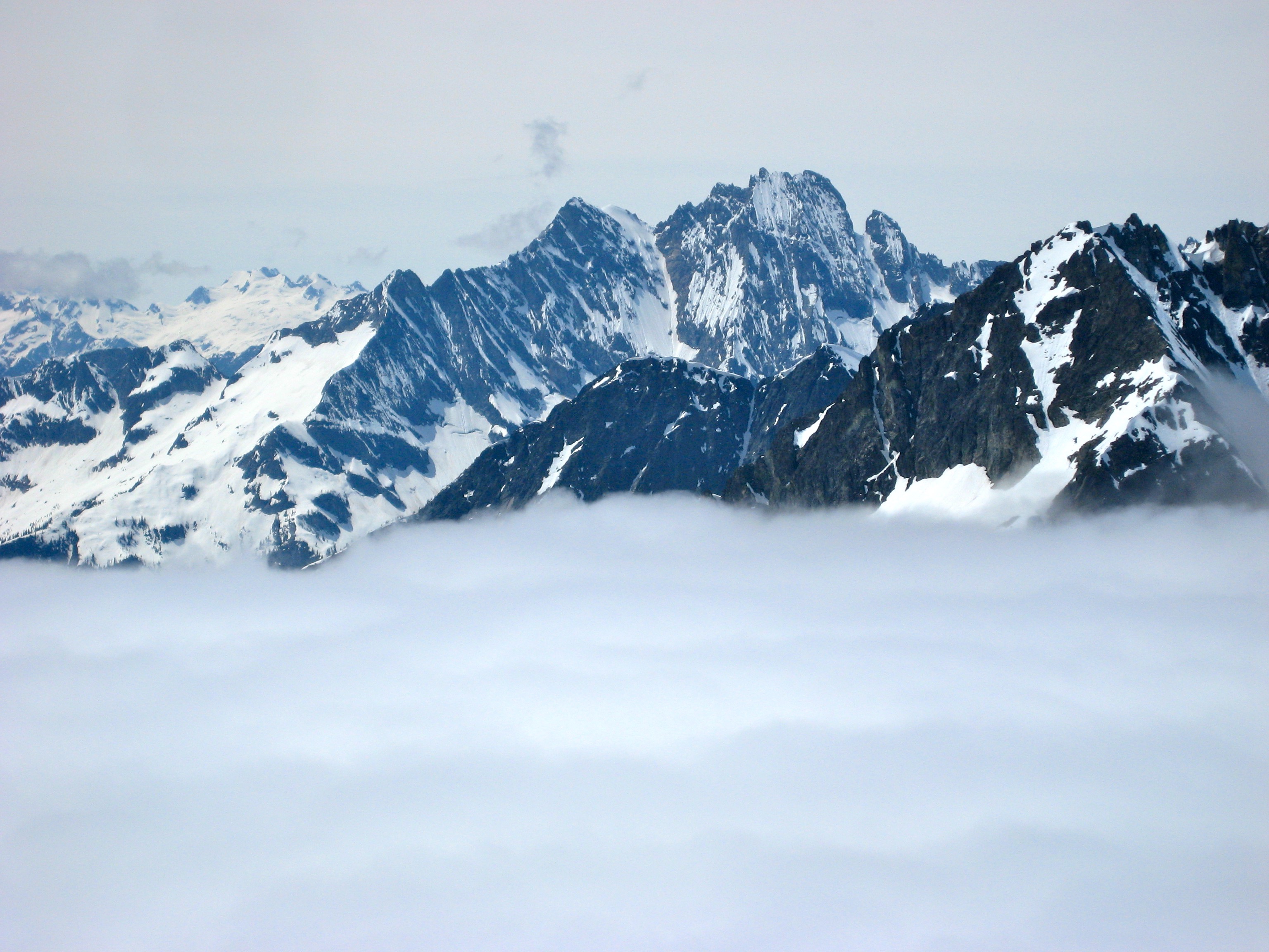
- Black Peak From Graybeard Peak
Photo Gallery
Click to enlarge…