Trip Date: October 24, 2022
2022 RED ROCK ADVENTURE VACATION
White Rock Spring Peak Summit Loop
White Rock Mountain: north peak aka White Rock Spring Peak (5960+ ft)
White Rock Saddle
White Rock Spring
Trip Report Summary
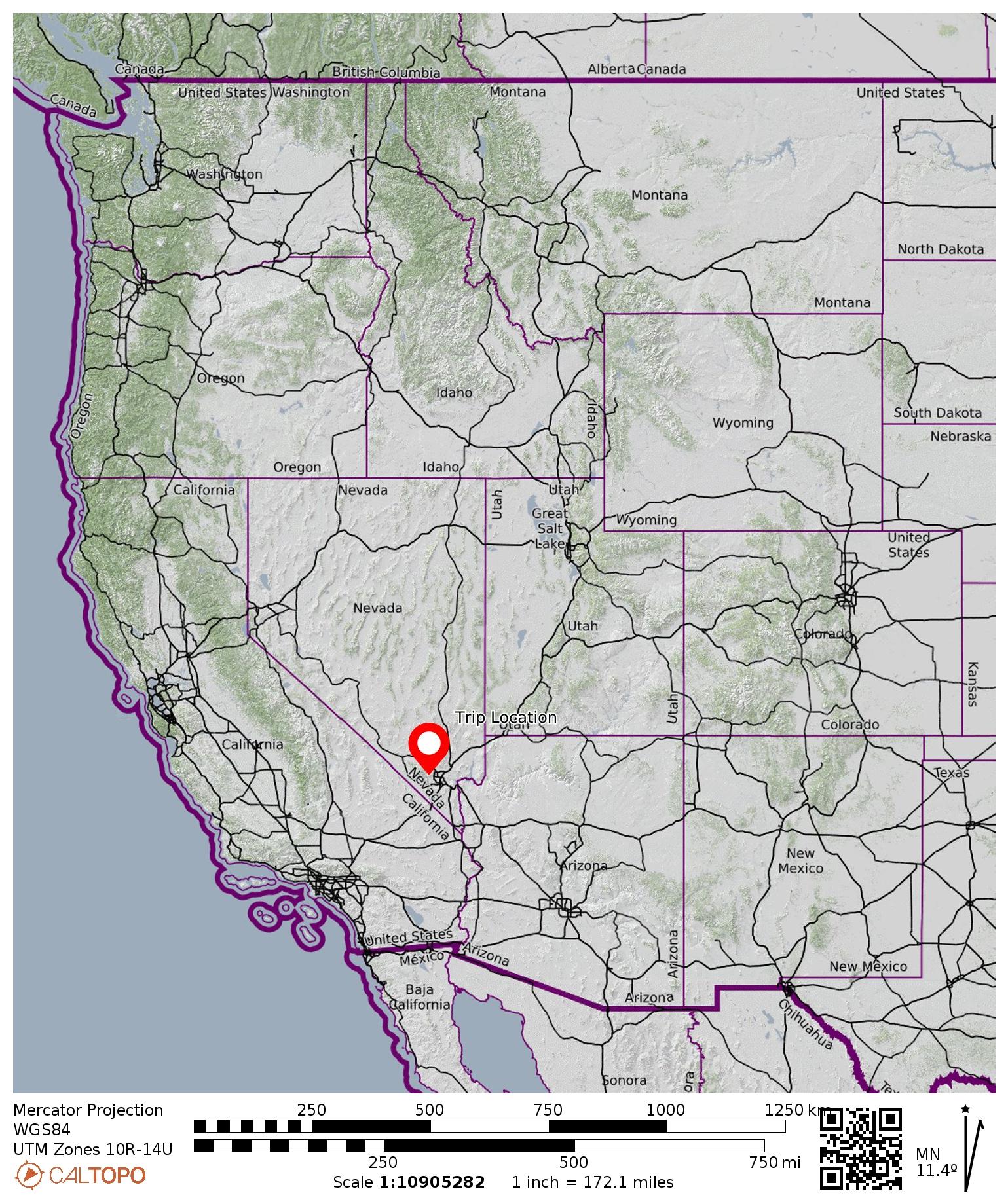
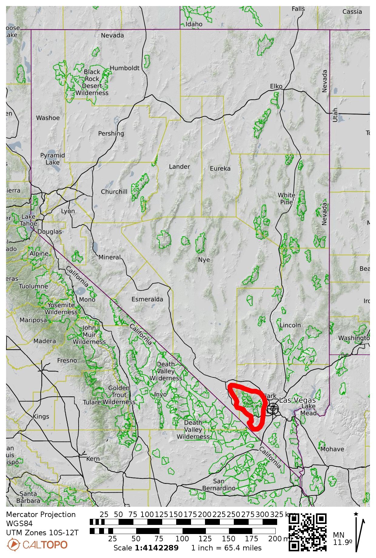
Region: Nevada
Sub-Region: Spring Mountains
Sub-Sub-Region: White Rock Hills
Areas: Red Rock Canyon National Conservation Area & La Madre Mountain Wilderness
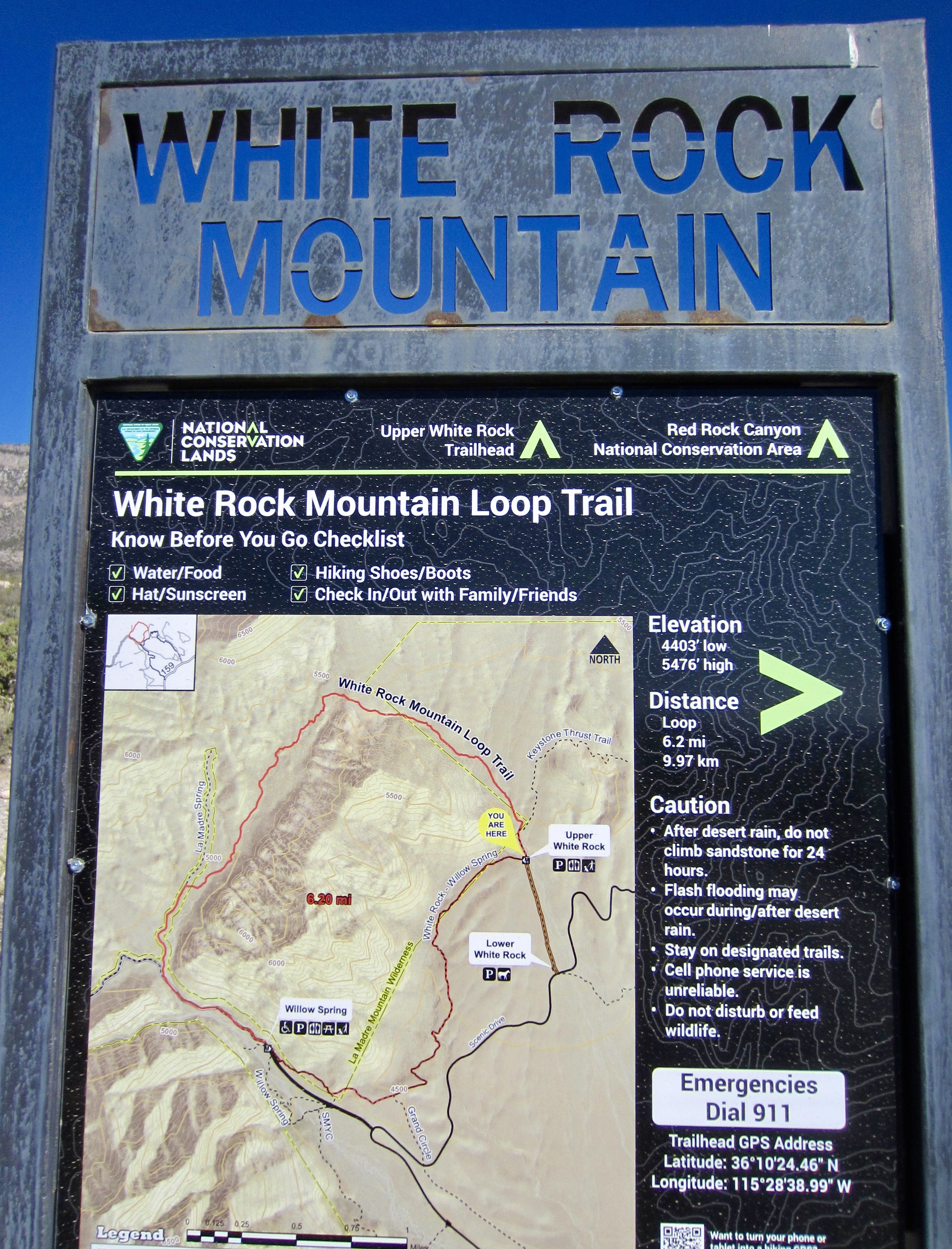
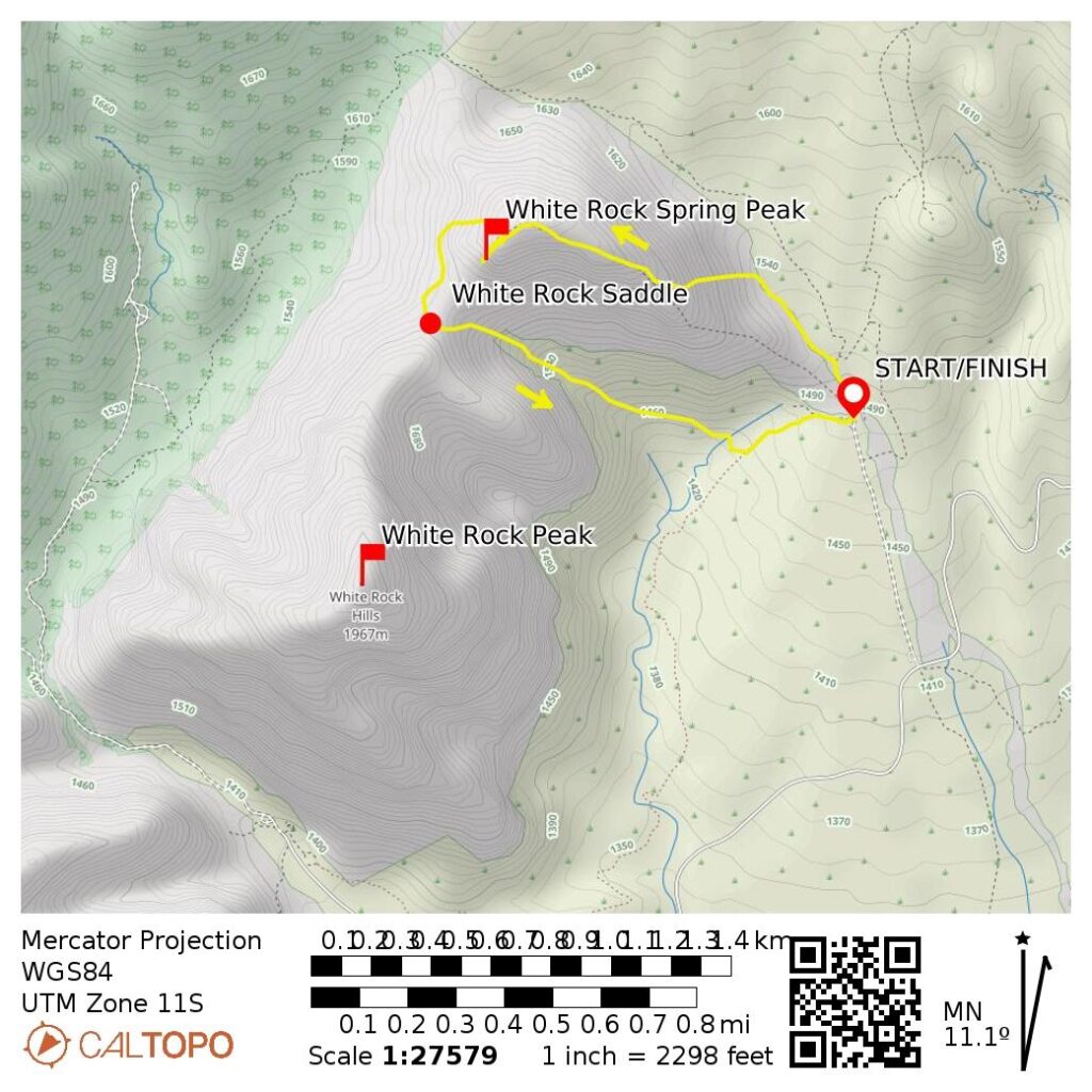
Starting & Ending Point: Upper White Rock Mountain Trailhead at end of White Rock Spring Road (Elev. 4870 feet)
Loop Way Points: White Rock Ridge crest & false summit & White Rock Spring Peak summit & White Rock Saddle & White Rock Spring & White Rock Loop Trail junction & Upper White Rock Mountain Trailhead (trail hike & off-trail hike & rock scramble)
Summit: White Rock Spring Peak (rock scramble via East Ridge—Upper North Ridge; descent via West Slope—East Gully)
Approximate Stats (total loop): 2.5 miles traveled; 1300 feet gained & lost; 3.5 hours elapsed.
…
Related Post
>>> White Rock Peak via Northeast Gully—North Ridge—Upper Southeast Ridge – April 28, 2023
Trip Overview
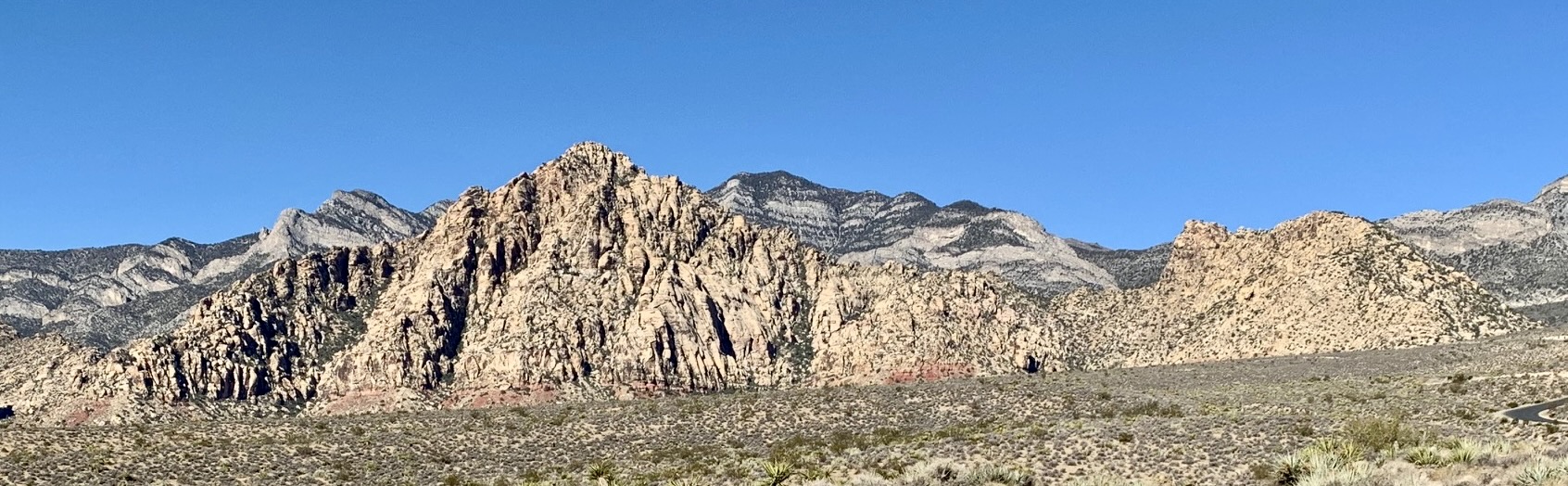
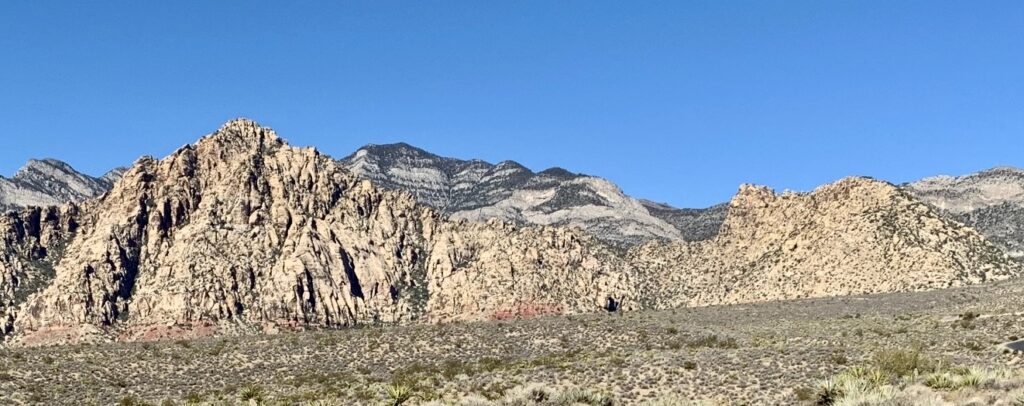
The White Rock Hills comprise a small but rugged mountain massif of white-colored sandstone standing prominently at the head of Red Rock Canyon National Conservation Area. The highest point of this massif is 6462-foot White Rock Peak—a popular summit among both serious scramblers and technical climbers. Approximately ¾ mile to the north is a sub-peak generally known as White Rock Spring Peak. Despite being 500 feet lower, it provides a worthy destination for people wanting a short but enjoyable scramble.
.
Full Trip Report
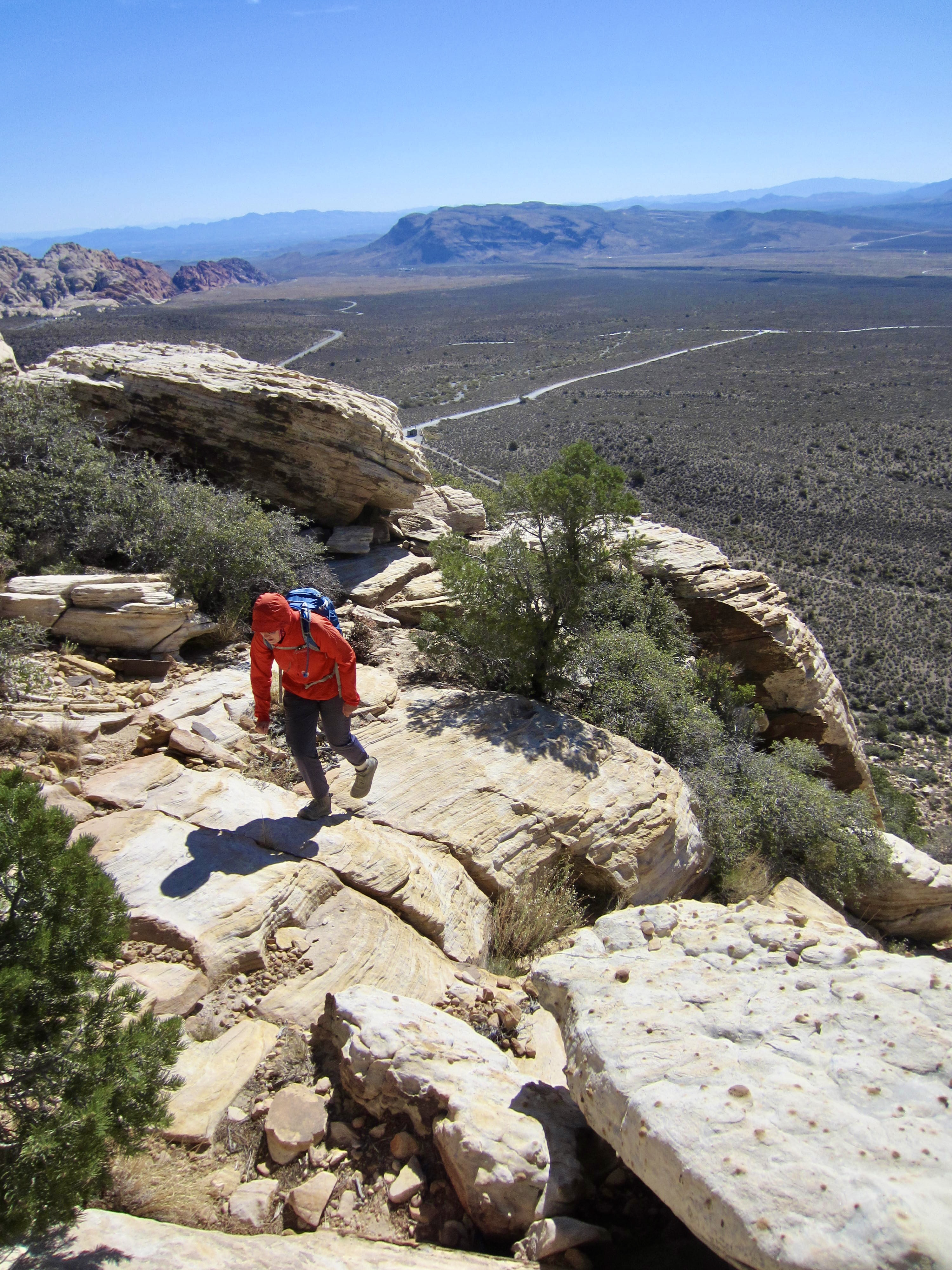
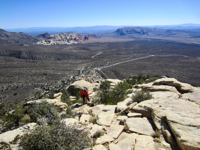
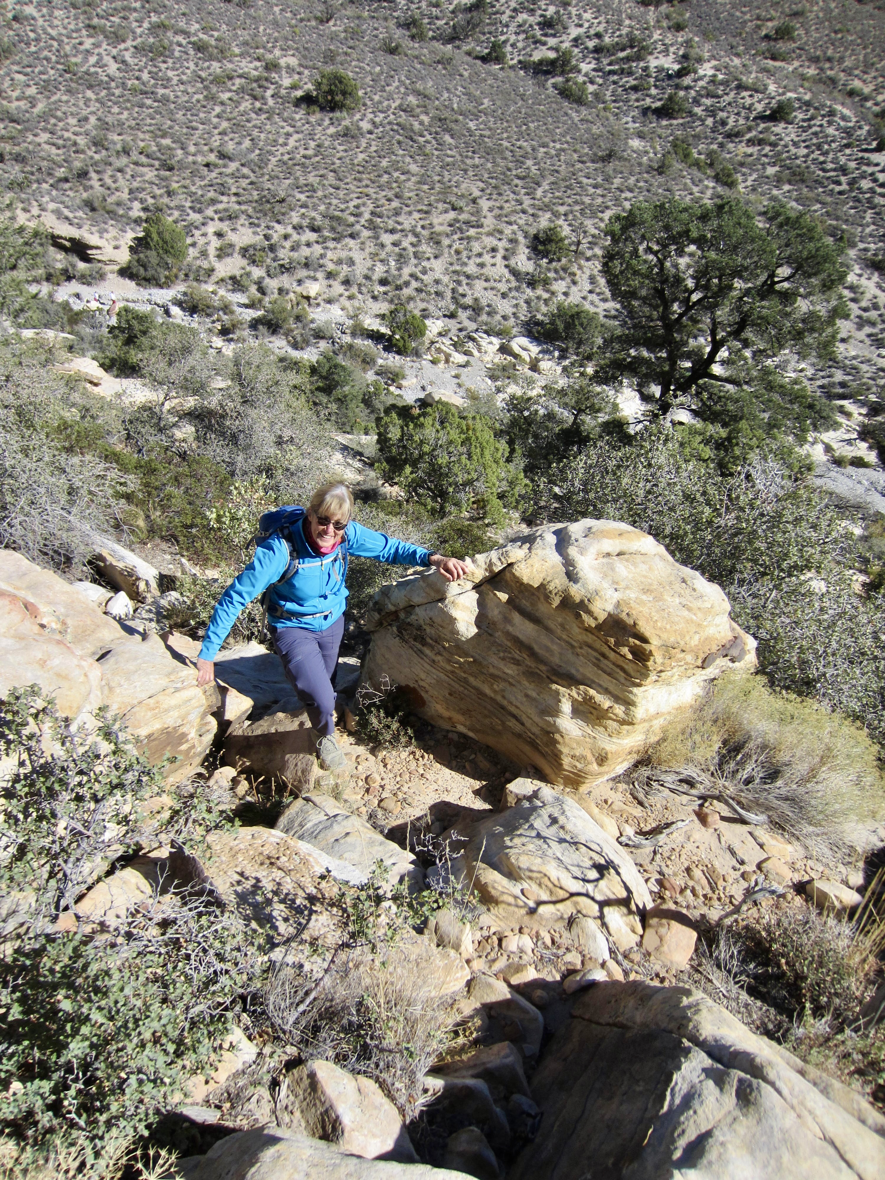
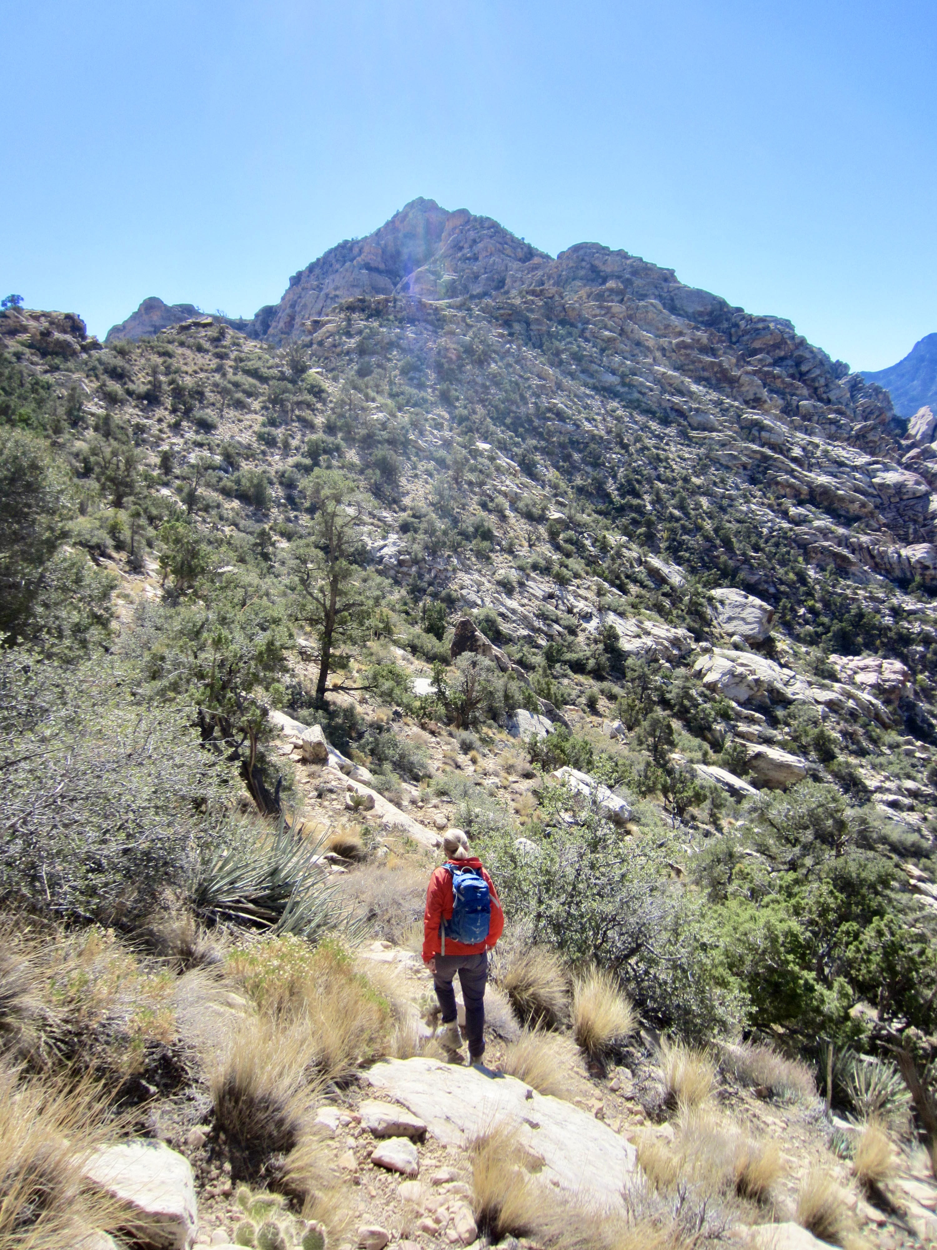
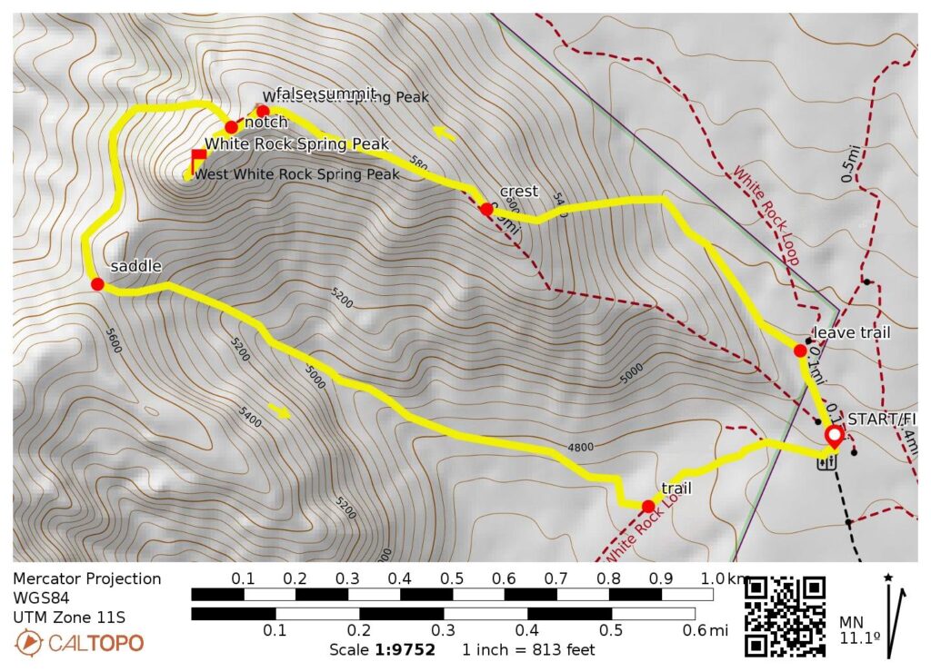
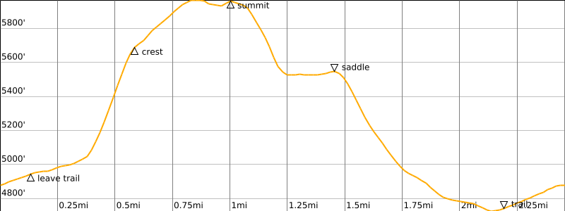
Eileen and I left the Upper White Rock Mountain Trailhead on a cool Monday morning and followed the loop trail northward for about 250 yards. We then veered off to the left, crossed a dry wash, and ascended the open hillslope in a westerly direction. This involved a combination of hiking and easy Class 2 scrambling.
.
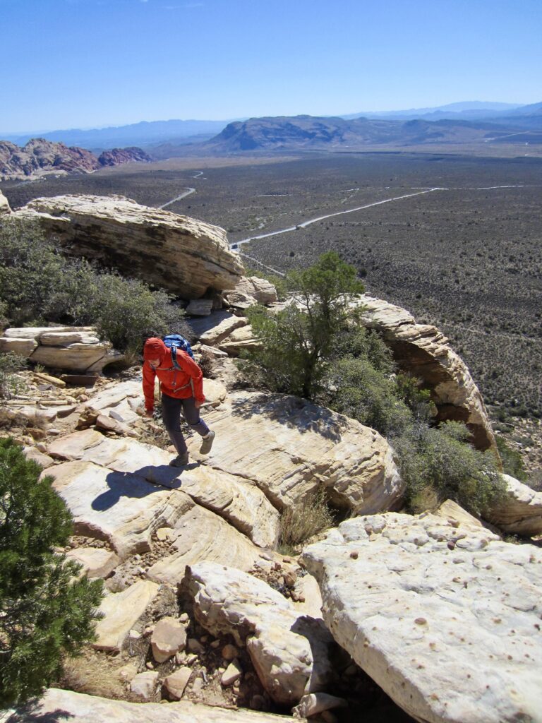
We gained the peak’s east ridge crest at 5700 feet, then turned right and followed the broad, lumpy crest in a west-by-northwest direction. There were lots of simple Class 2-3 scrambling moves required to work over or around sandstone domes and boulders but nothing with exposure.
.
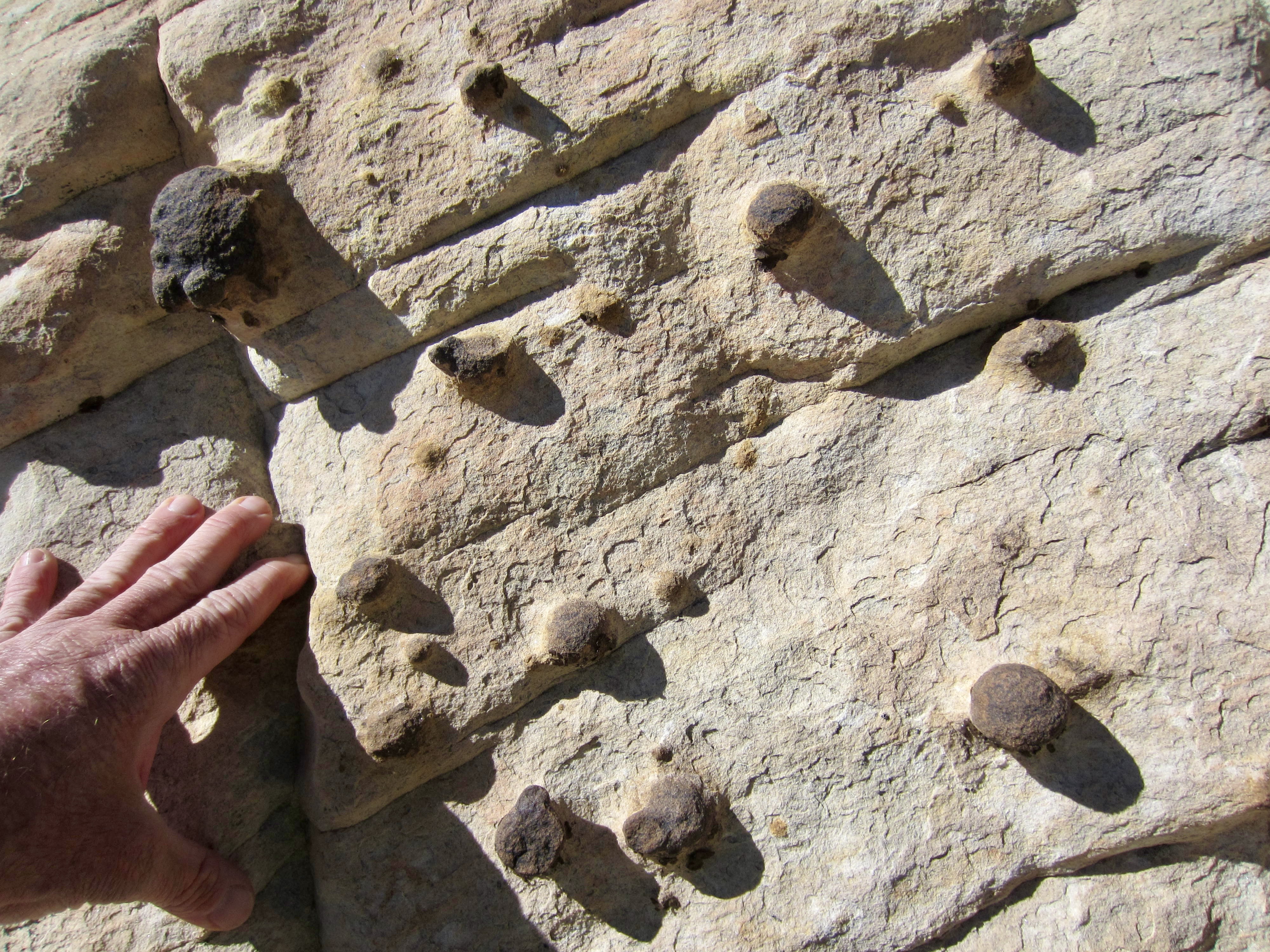
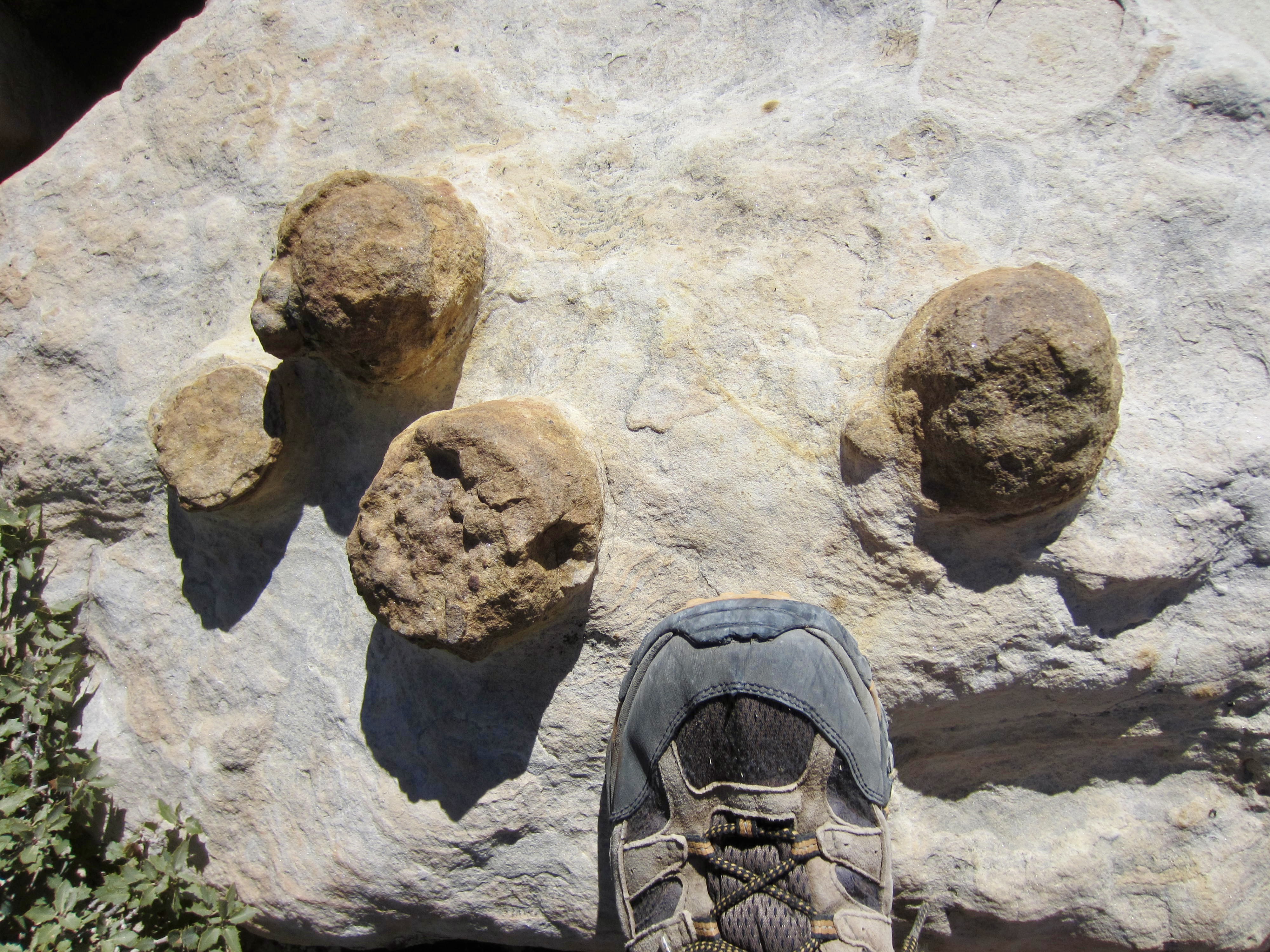
Along the way, we passed hundreds of concretions, ranging from pea size to grapefruit size, embedded in the sandstone. These concretions formed when hematite—an iron oxide mineral—precipitated around sand grains within the sand deposit before it became lithified into sandstone, resulting in very hard, erosion-resistant knobs.
.
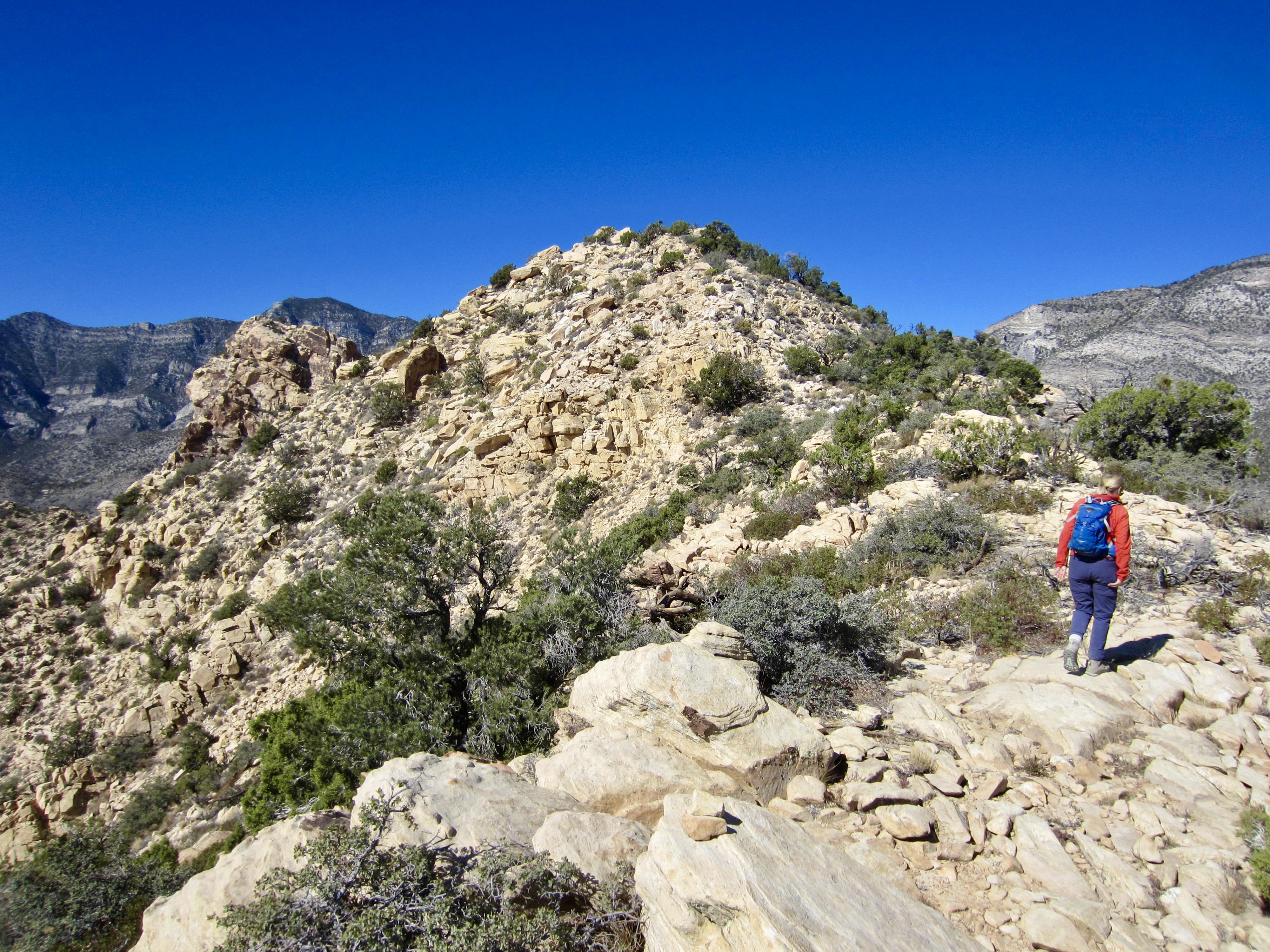
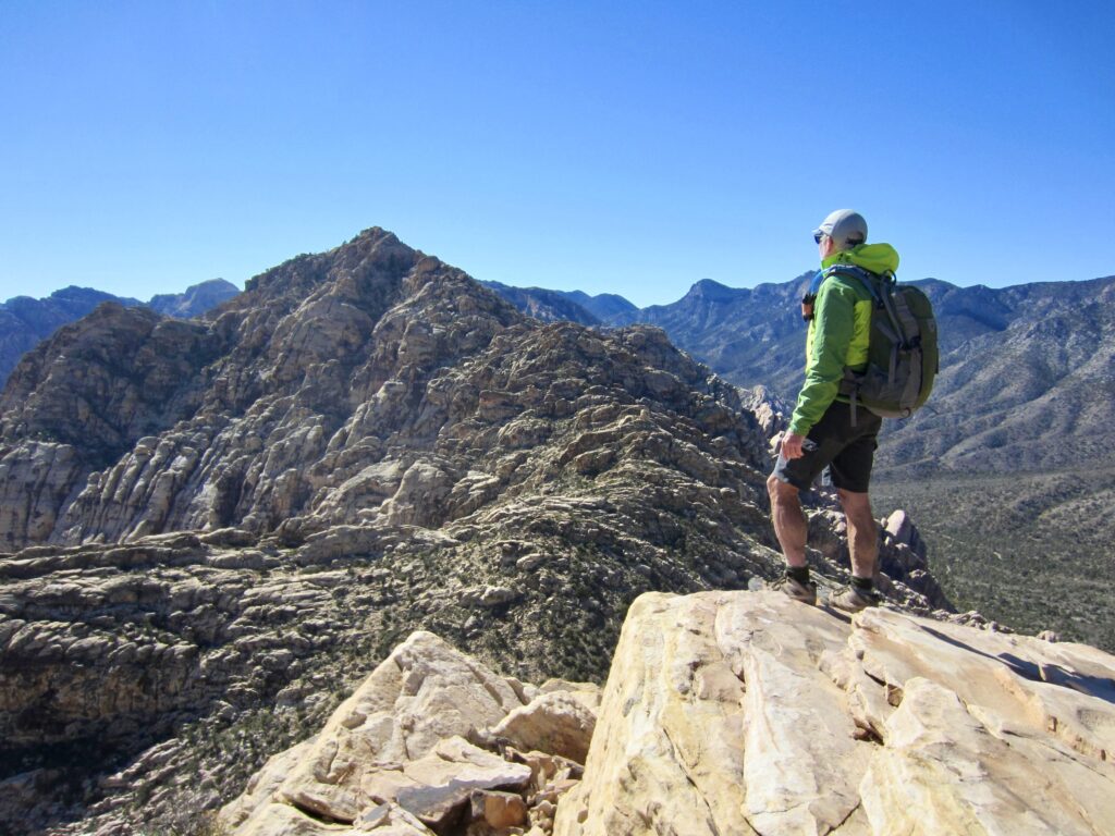
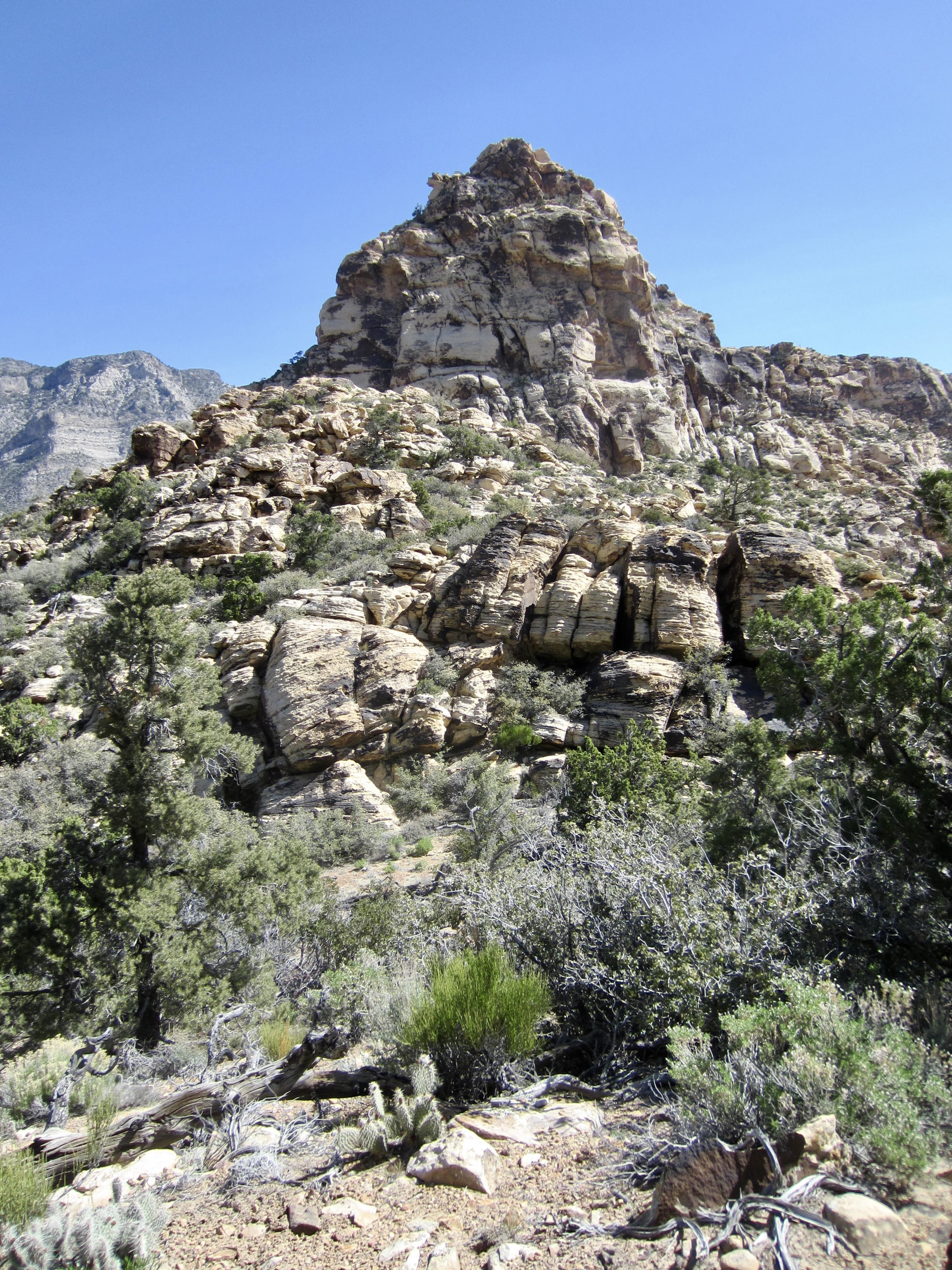
After gaining nearly 300 feet on the crest, we reached a false summit consisting of a bouldery knoll. The slightly higher true summit was visible as an angular crag 200 yards to the southwest, across a rocky notch.

.
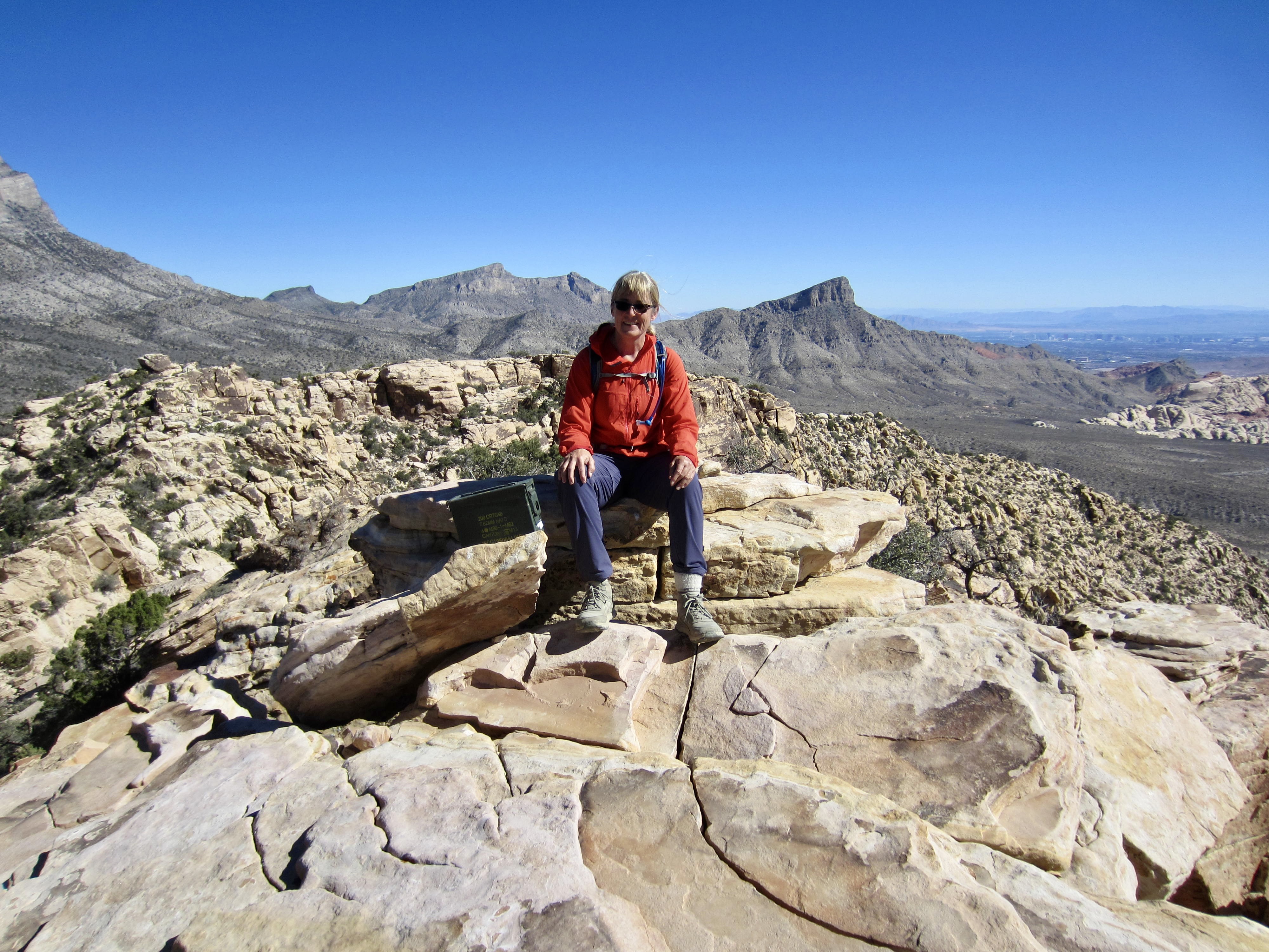
We descended into the notch and then scrambled back up solid Class 3 rock to gain the summit of White Rock Spring Peak (1.5 hours + 1200 feet from starting point). There was an ammo can register showing multiple ascents per week.

.
The impressive summit of White Rock Peak stood ¾ mile away to the south—and separated from us by White Rock Saddle, 450 feet below. Eileen and I had entertained thoughts of dropping into this saddle and then traversing over to the higher summit, but we quickly discovered that it would be very difficult to descend the steep southern face of White Rock Spring Peak. It was necessary to find a detour.
.
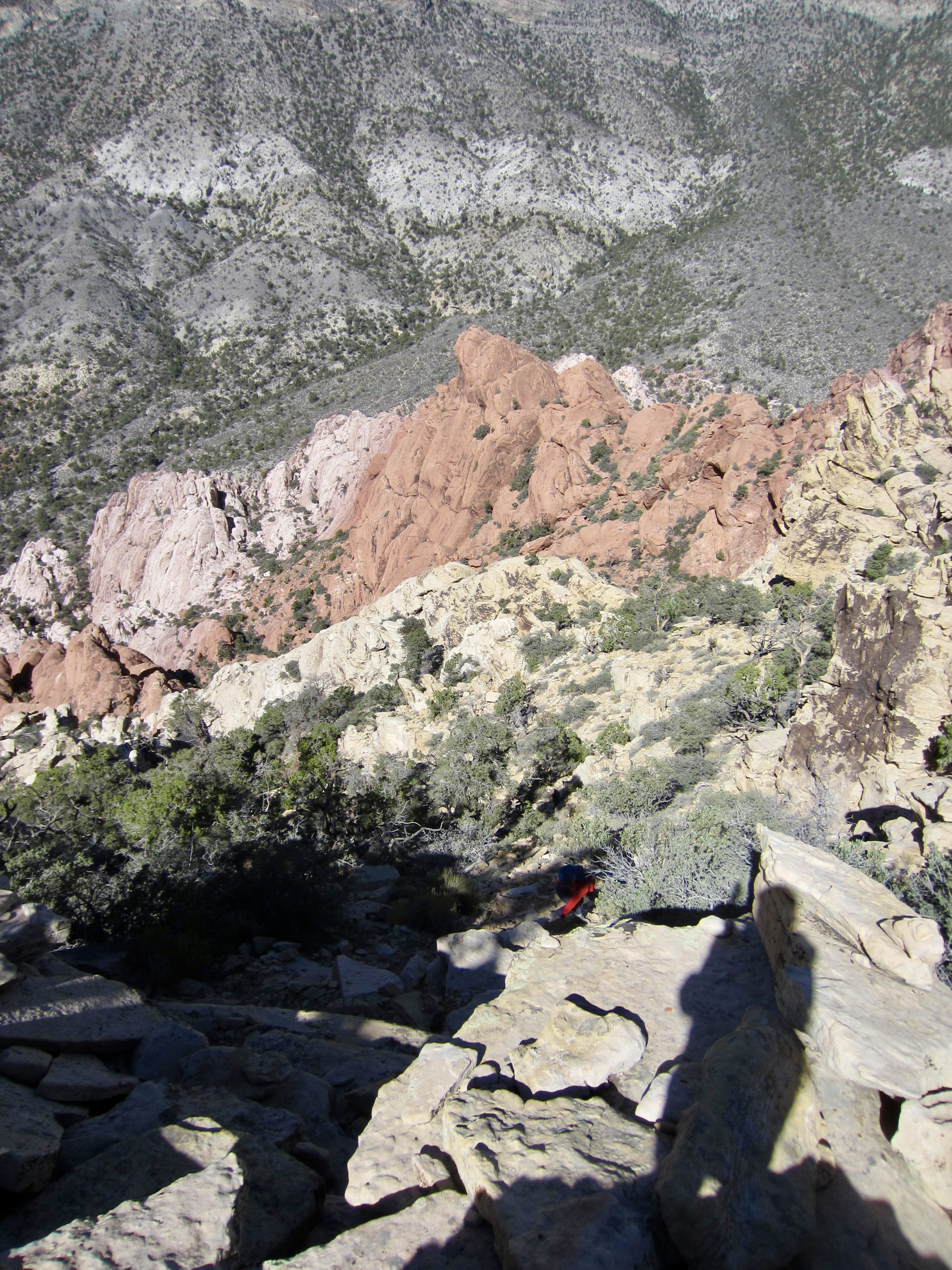
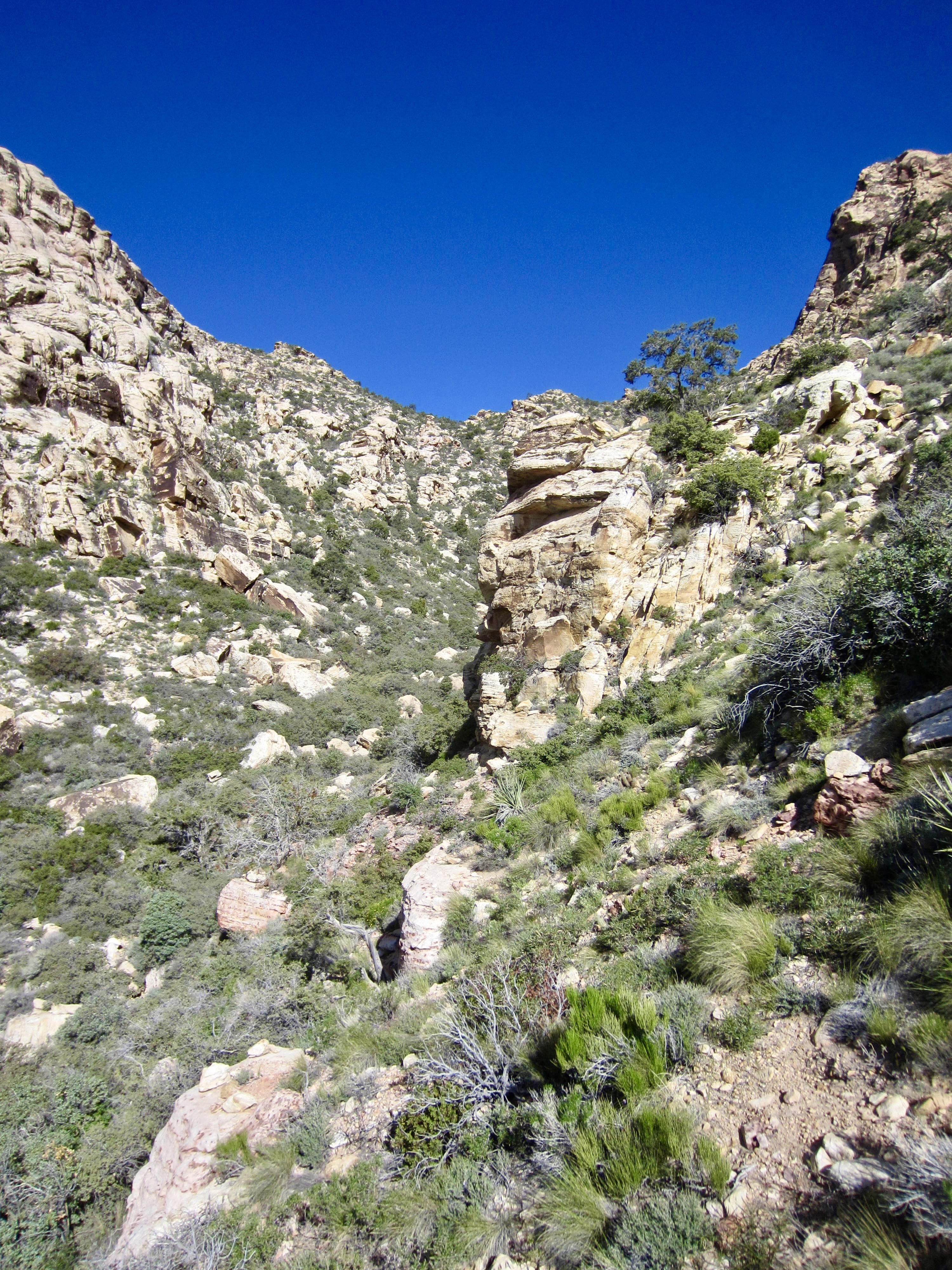
Our detour involved backtracking almost to the false summit and then descending a steep, loose, dirty draw for 400 vertical feet. This was very unpleasant! Upon reaching an elevation of 5550 feet, we were able to make a fairly level traverse over to White Rock Saddle.
.
From White Rock Saddle, we reconnoitered the lower portion of the route up White Rock Peak’s north ridge in preparation for a future climb. Once back at the saddle, we descended the broad east gully (a dry couloir, really) to intersect the White Rock Mountain Loop Trail near White Rock Spring, then we made a short hike over to the trailhead to close our loop (3.5 hours + 1300 feet total loop, excluding reconnaissance sidetrip).
.
Route Maps & Profile
…
…
…
Photo Gallery
Click to enlarge…