Originally Posted: June 2009
Updated: November 2026
Silver Peak Day Climb
Humpback Creek Valley
Annette Lake
Silver Peak (5605 ft)
Route Description Summary
Region: Central Washington Cascades
Sub-Region: Iron Horse Mountains
Area: Mt. Baker – Snoqualmie National Forest
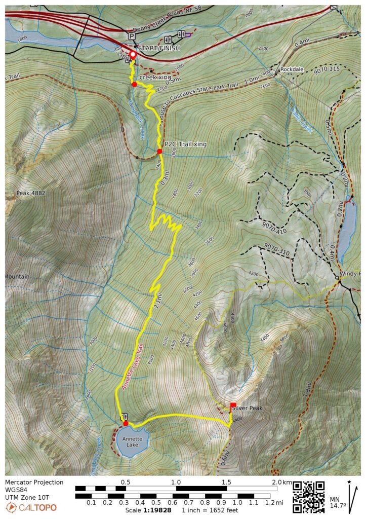
Starting & Ending Point: Annette Lake Trailhead off Interstate-90 at Exit 47 (Elev. 1900 feet)
Approach Way Points: Humpback Creek crossing & Palouse-to-Cascades Trail crossing & Annette Lake (trail hike)
Summit: Silver Peak (off-trail hike & rock scramble via West Slope—South Ridge)
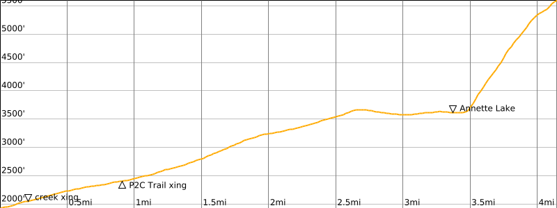
Approximate Stats for Annette Lake (round trip): 6.8 miles traveled; 1900 feet gained & lost.
Approximate Stats for Silver Peak (round trip): 8.4 miles traveled; 3800 feet gained & lost.
Related Posts
>>> Silver Peak via Hyak Flats—Nordic Pass—Northwest Ridge – May 15, 2020
>>> Abiel Peak via East Ridge + Cold Creek Trail Loop – September 23, 2021
>>> Tinkham Peak Summit Loop: Mirror Lake to Windy Pass – September 16, 2021
Route Overview
Silver Peak is the highest summit in the Iron Horse Mountains, which extend from Rattlesnake Lake to Stampede Pass on the southern side of Interstate-90. Given its height and relatively easy ascent, Silver Peak has also become the most sought-after summit in the Iron Horse Mountains. I consider it to be one of the “Iron Horse Triplets” along with nearby Abiel Peak and Tinkham Peak.
There are several routes up Silver Peak. The easiest (and most common) route begins at Windy Pass and follows a series of hiking trails to Cold Creek Pass, then follows a path along the peak’s south ridge. The shortest route also begins at Windy Pass but follows old roads up through Windy Acres and finishes with a scramble up the north ridge. The hardest route is a technical climb directly up the north face. However, my own preference is the longest route, which ascends the peak’s west slope above Annette Lake. Although it involves a greater distance and more elevation gain, this western route offers the advantages of a pleasant approach trail, a pretty mountain lake, and a scenic hillslope.
Parking Comments
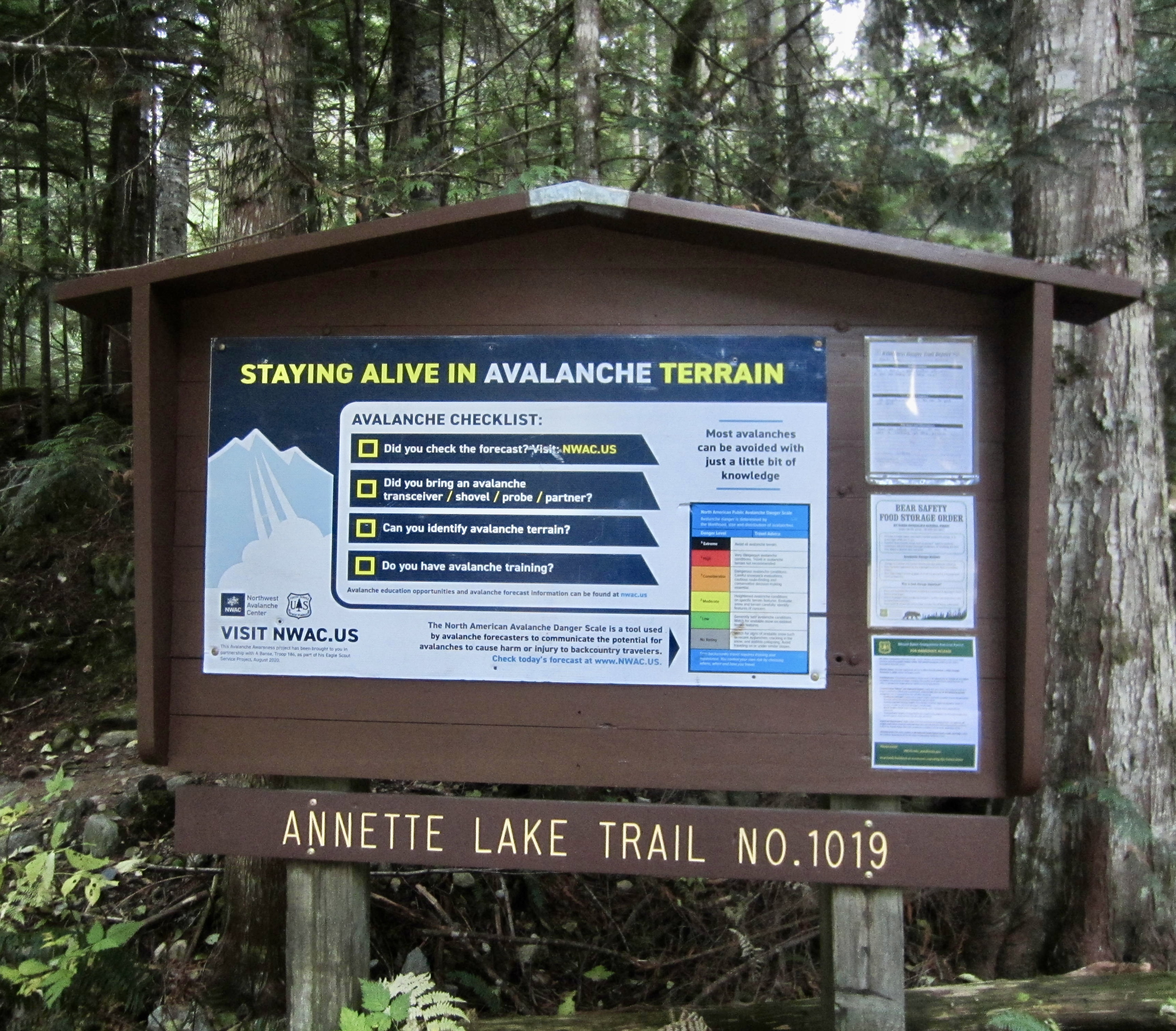
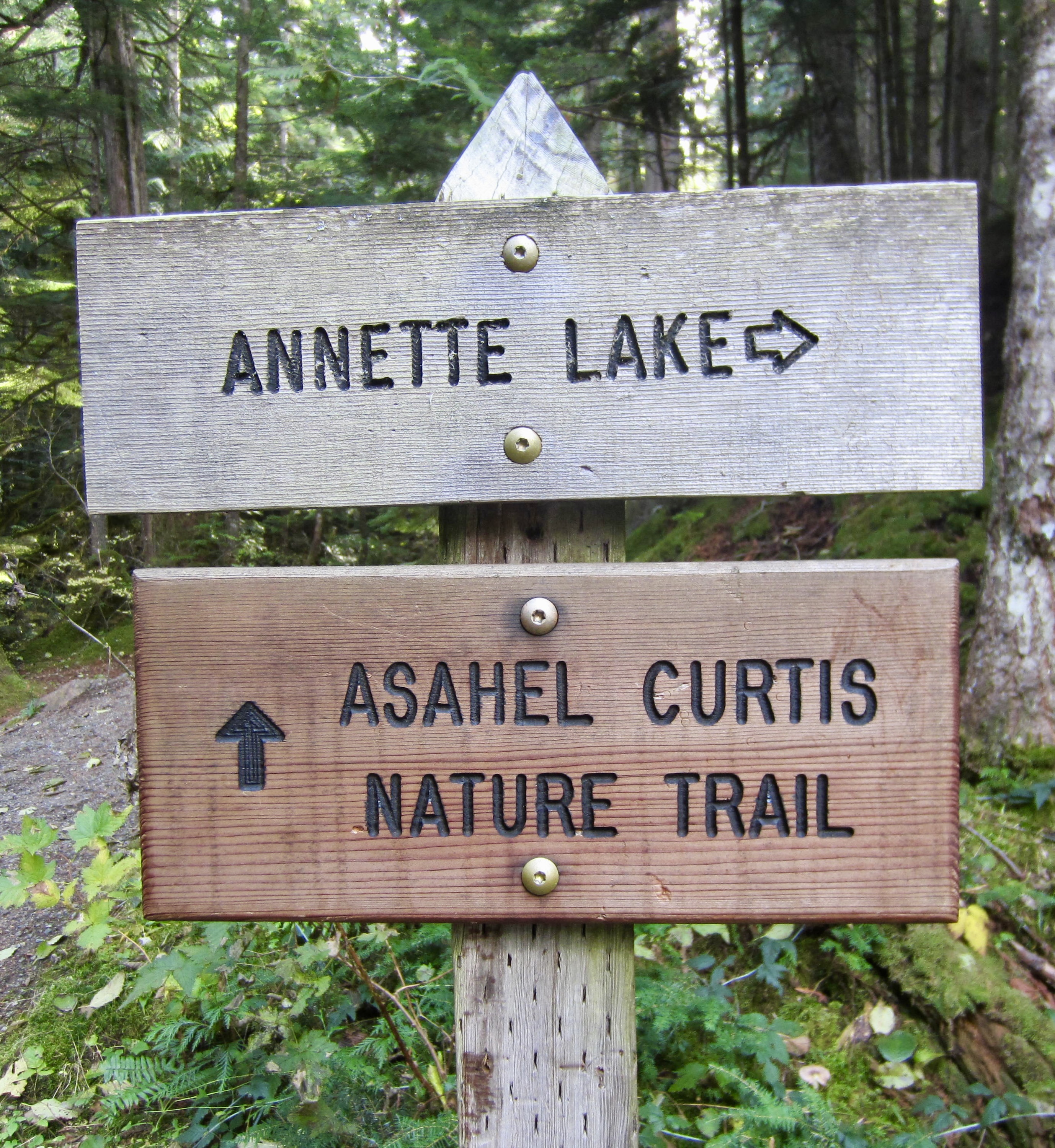
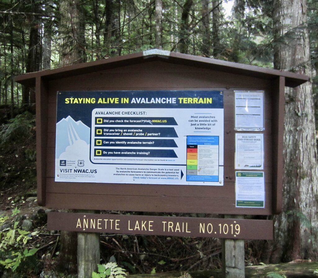
The Annette Lake Trailhead and parking lot can be reached by a short drive from Exit 47 off Interstate-90. From this exit, head south and immediately come to a “T” intersection, then turn left and follow signs to the trailhead. The large parking lot here is shared with the Annette Lake Trail and Asahel Curtis Nature Trail, and it doubles as a sno-park in the wintertime. Be aware that a Northwest Forest Pass (or equivalent) is required.
.
Full Route Description
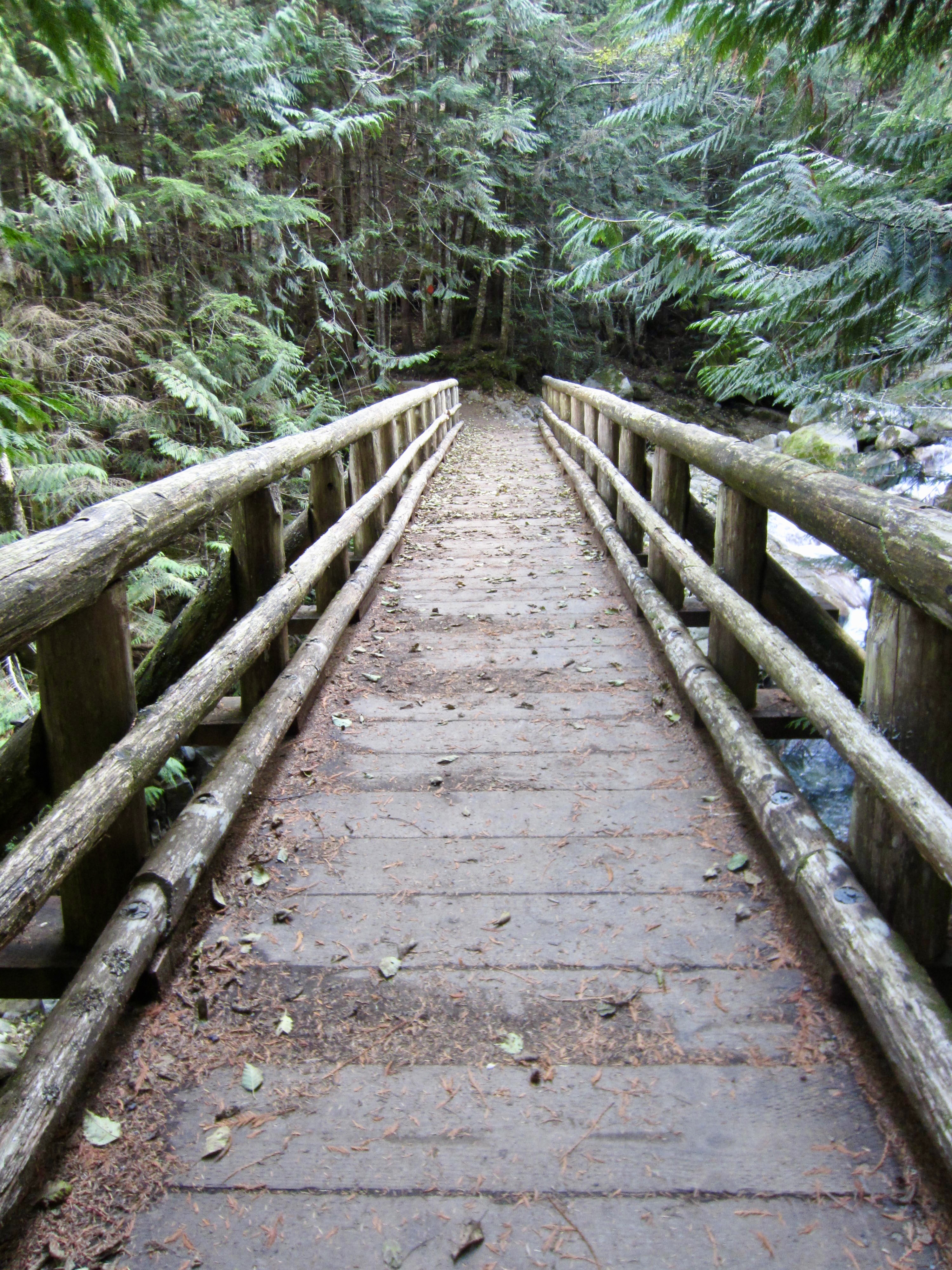
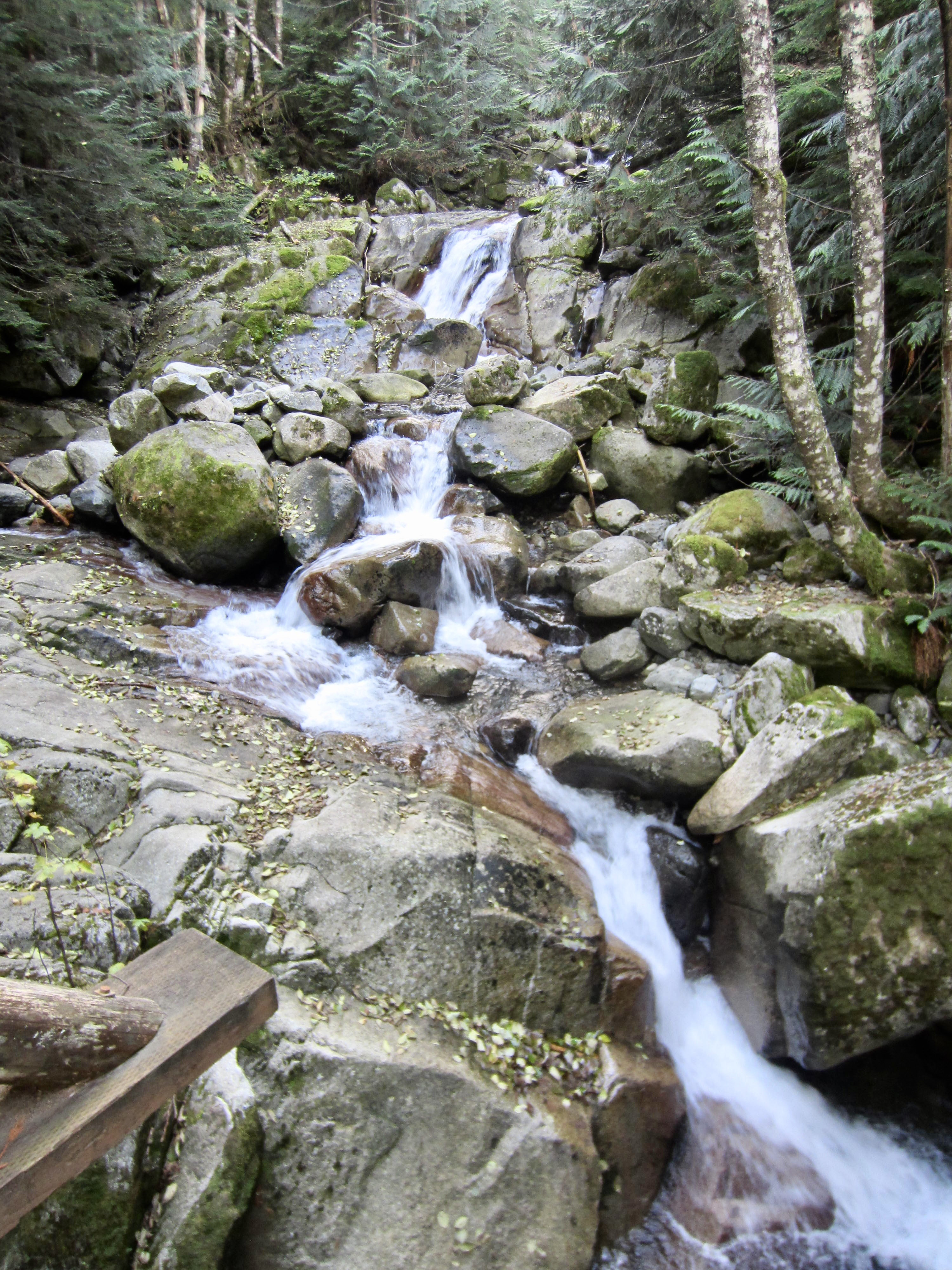
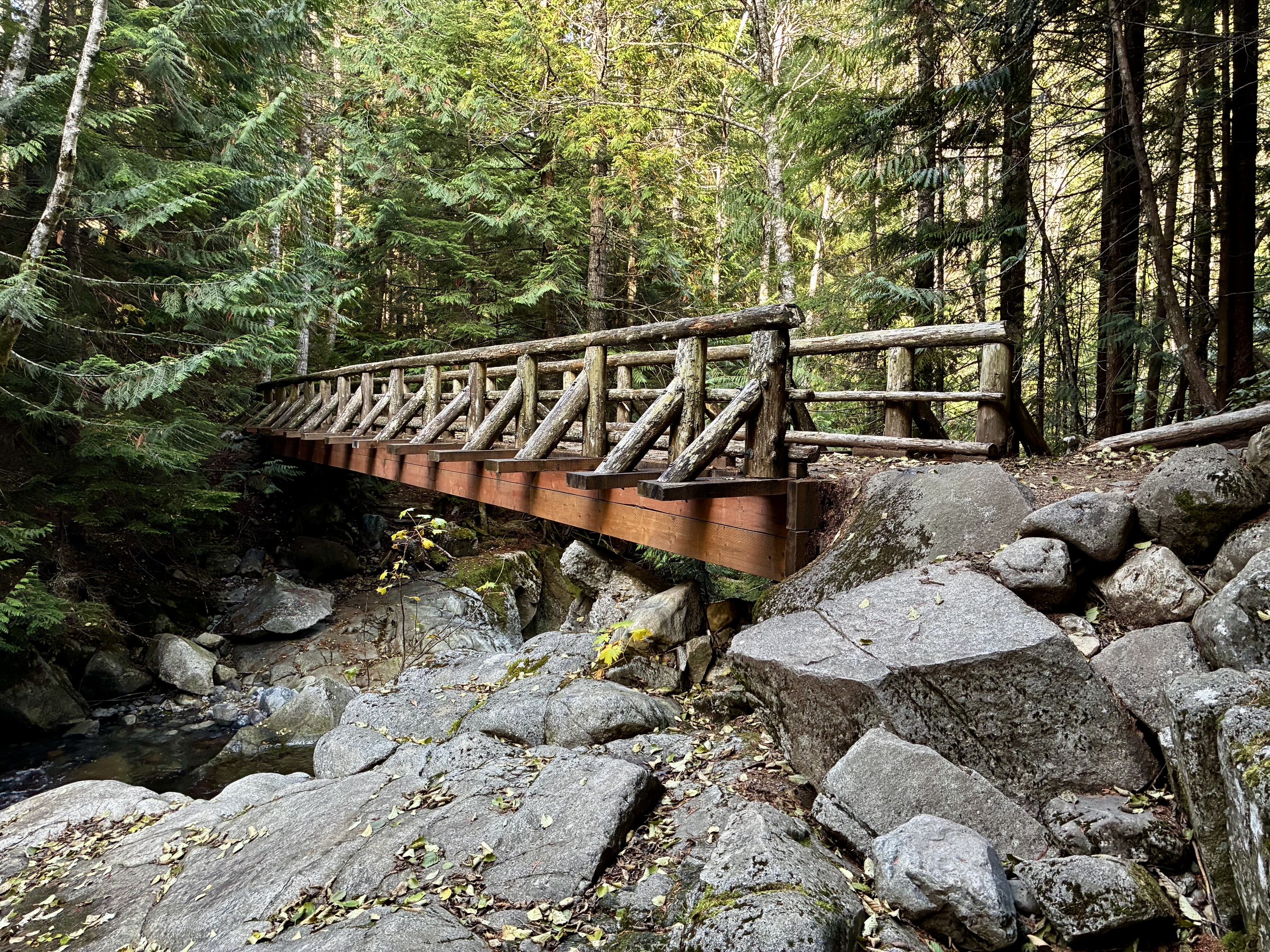
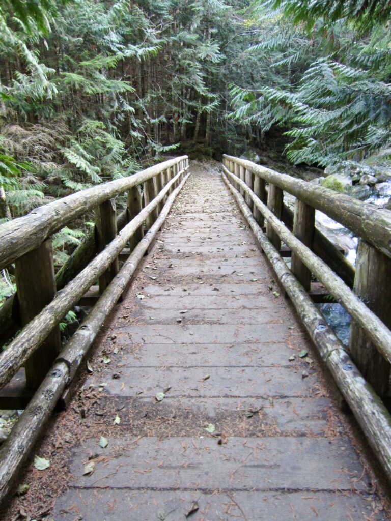
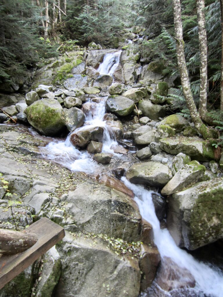
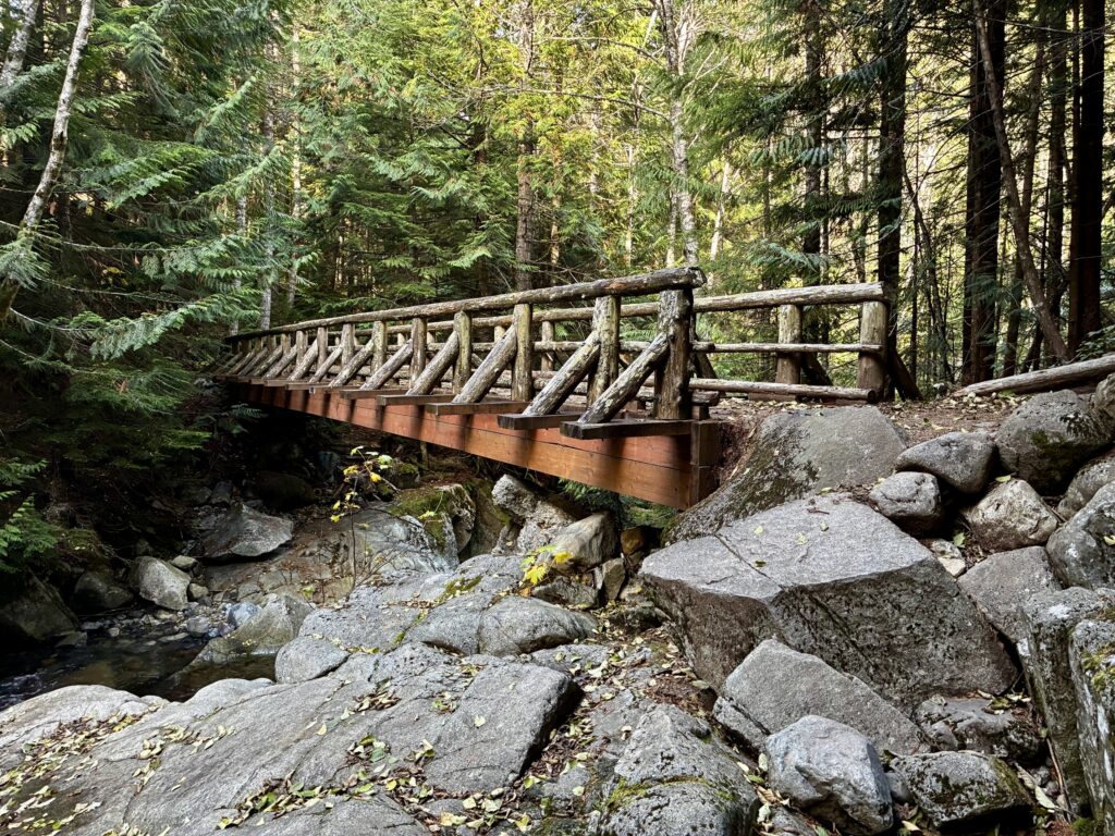
Starting at the eastern corner of the parking lot, follow the marked Annette Lake Trail, which immediately switchbacks up through dense forest. Soon, you will cross Humpback Creek on a long, wooden girder bridge. Take a moment to admire the cascading creek.
.
.
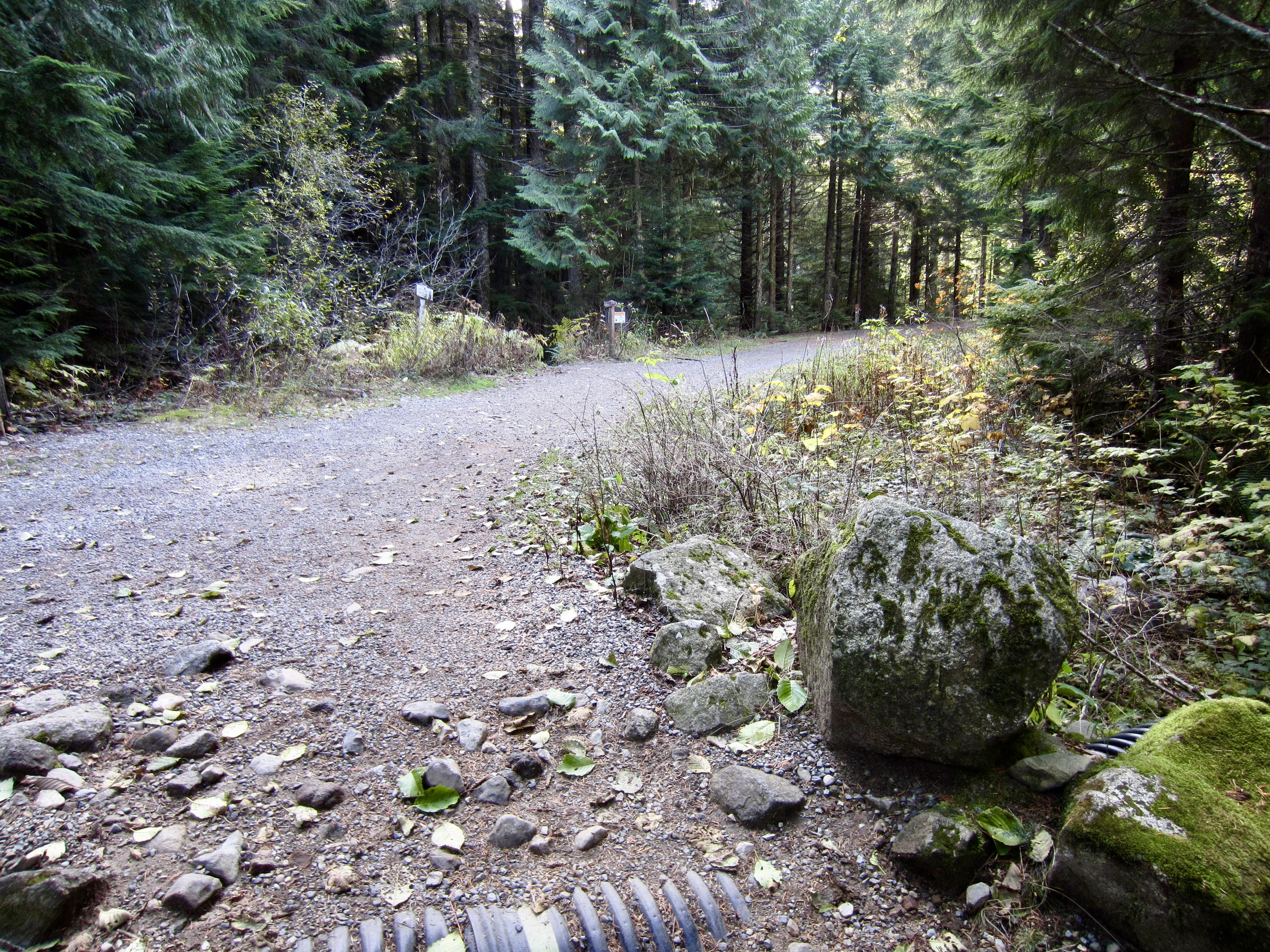
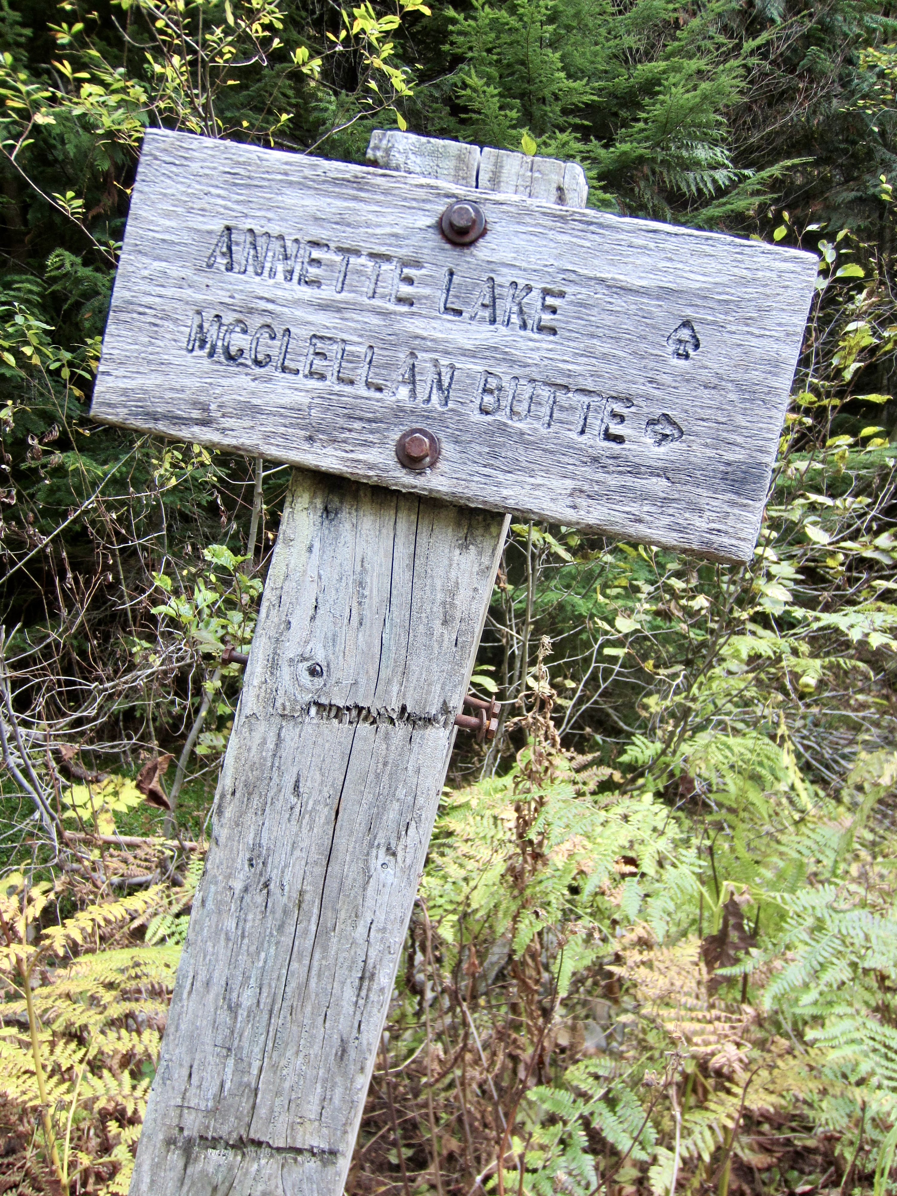
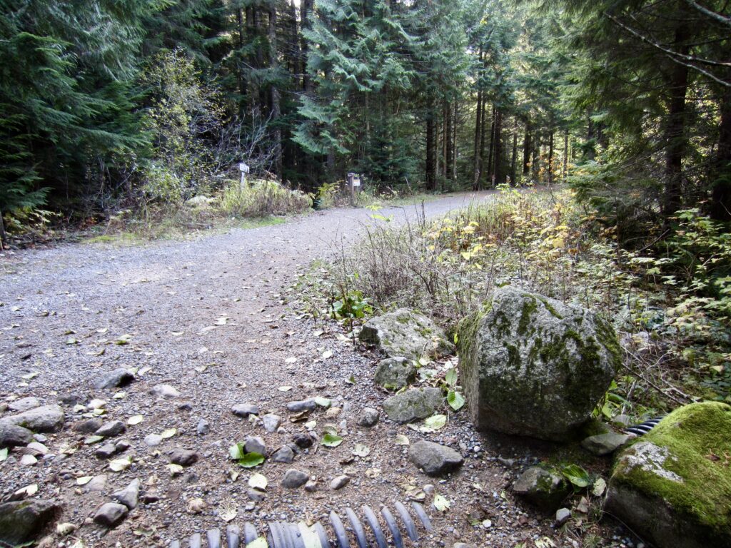
Continue uphill for another ½ mile to reach the wide Palouse-to-Cascades Trail (0.9 miles + 450 feet from TH). Cross this former railroad grade diagonally to the right and keep hiking up the Annette Lake Trail as it ascends farther into Humpback Creek Valley.
.
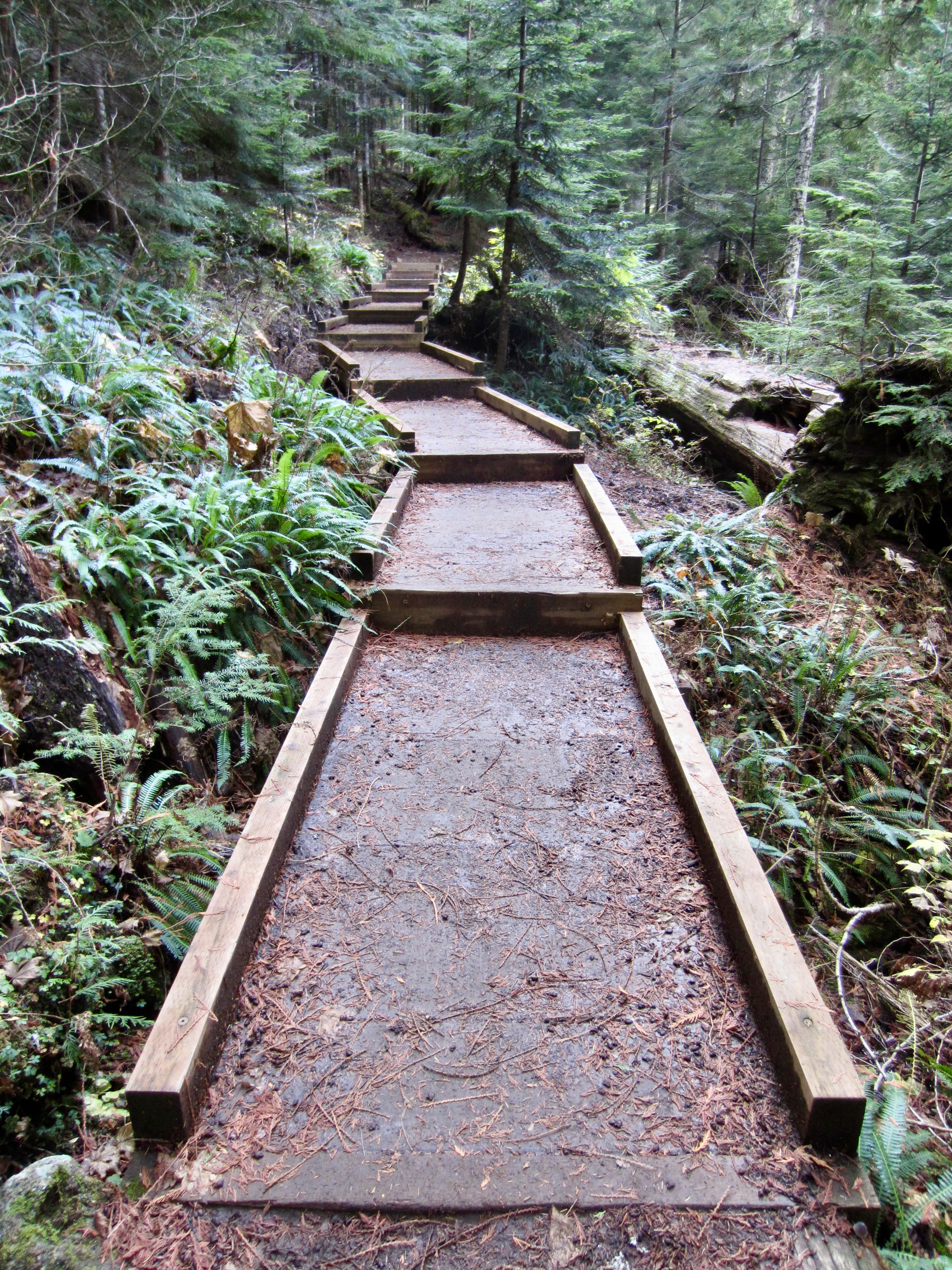
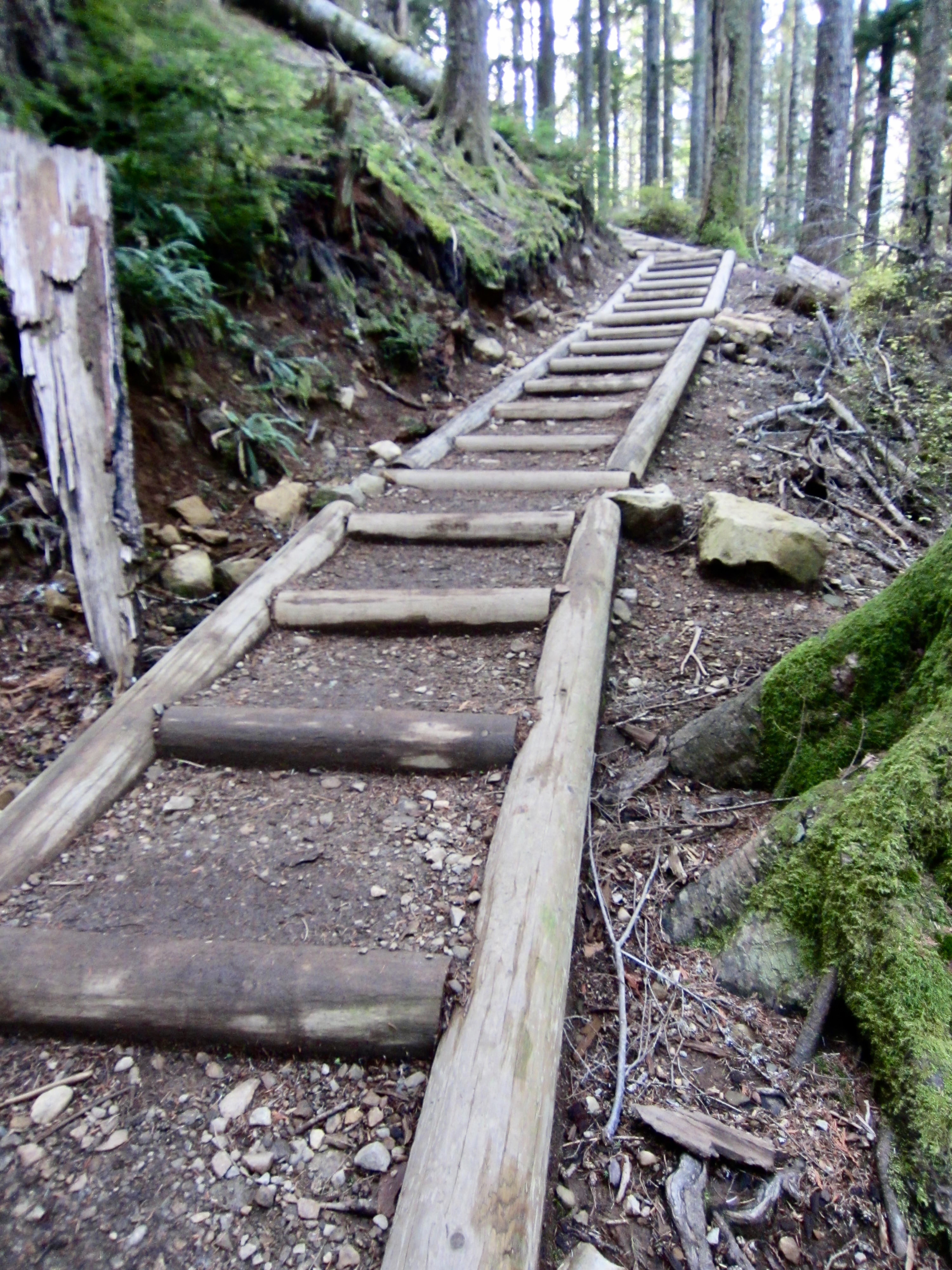
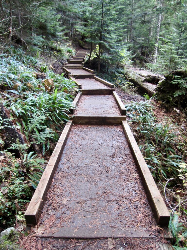
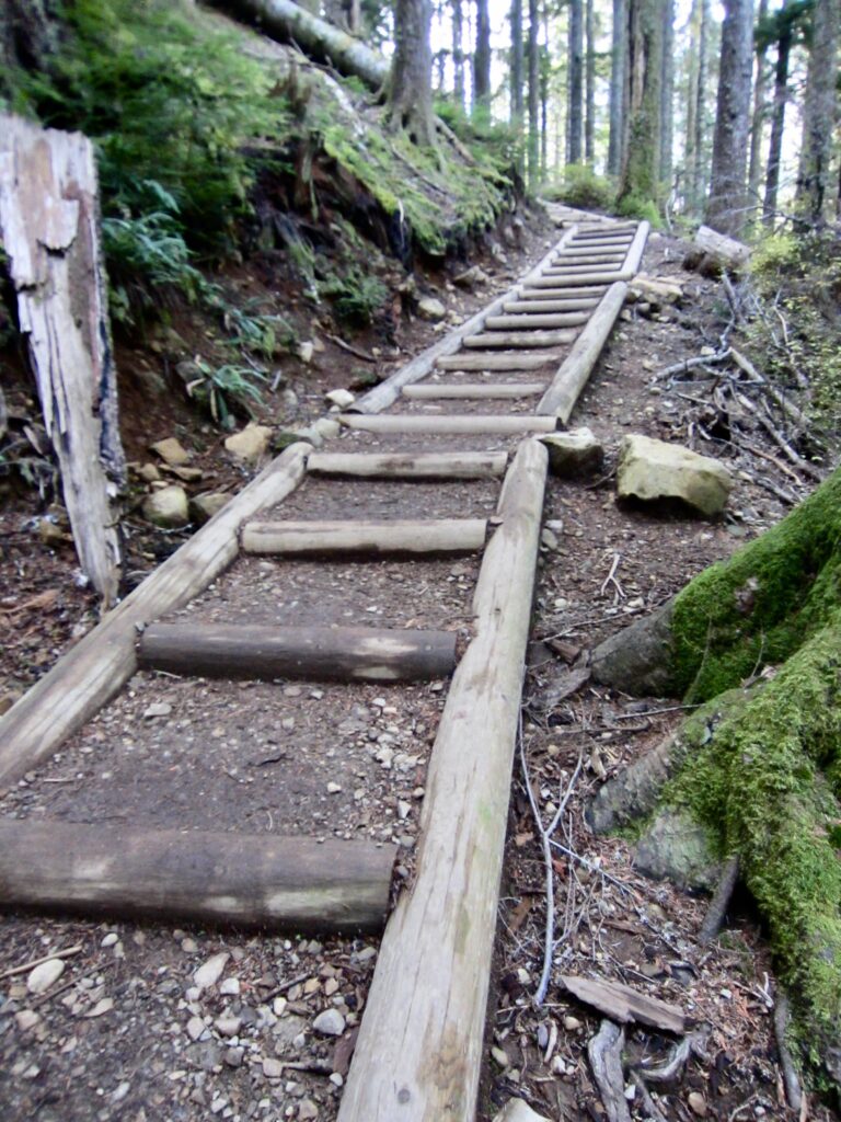
The entire trail is smooth, well-graded, and well-maintained, with numerous puncheons, bridges, and stairways having been added in recent years. You will steadily gain elevation by means of several long traverses interrupted by two sets of switchbacks.
.
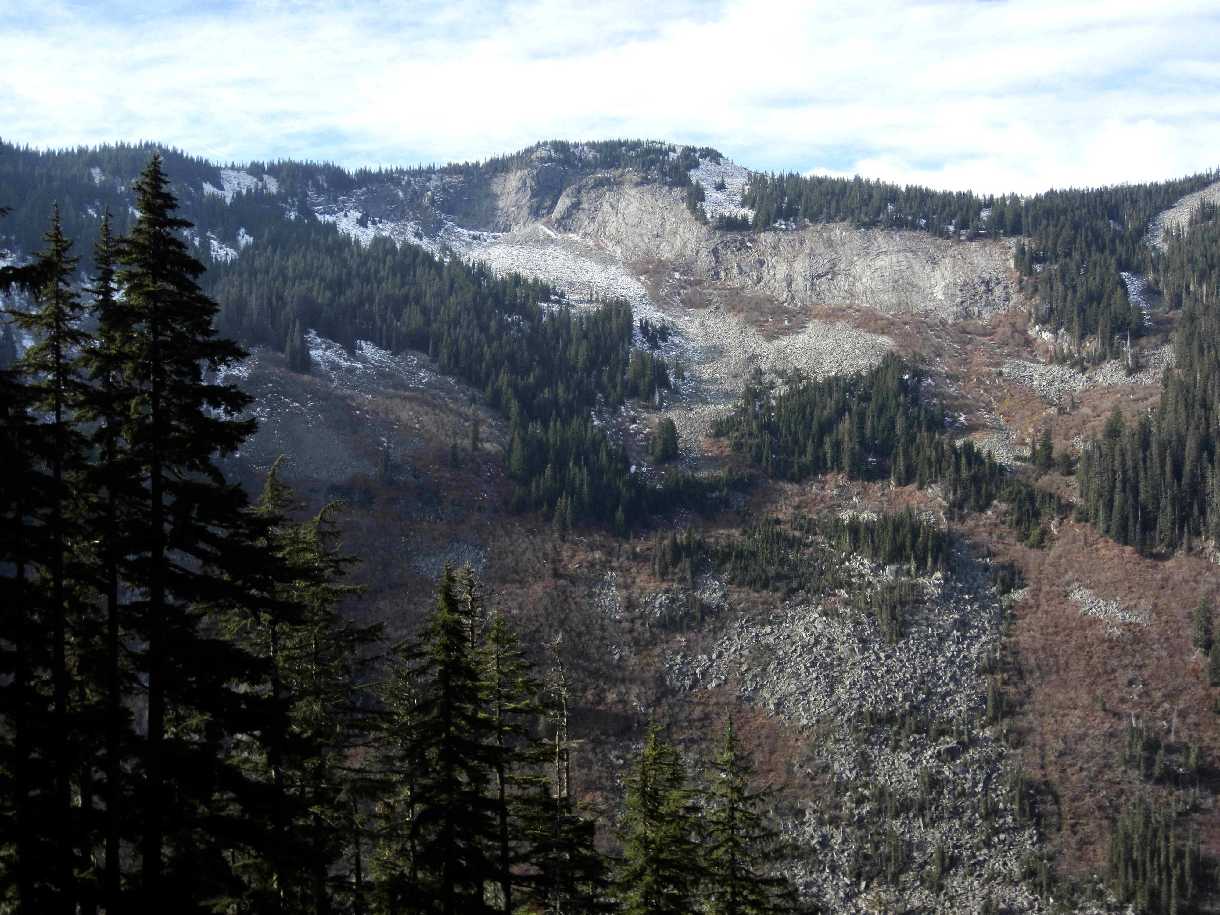
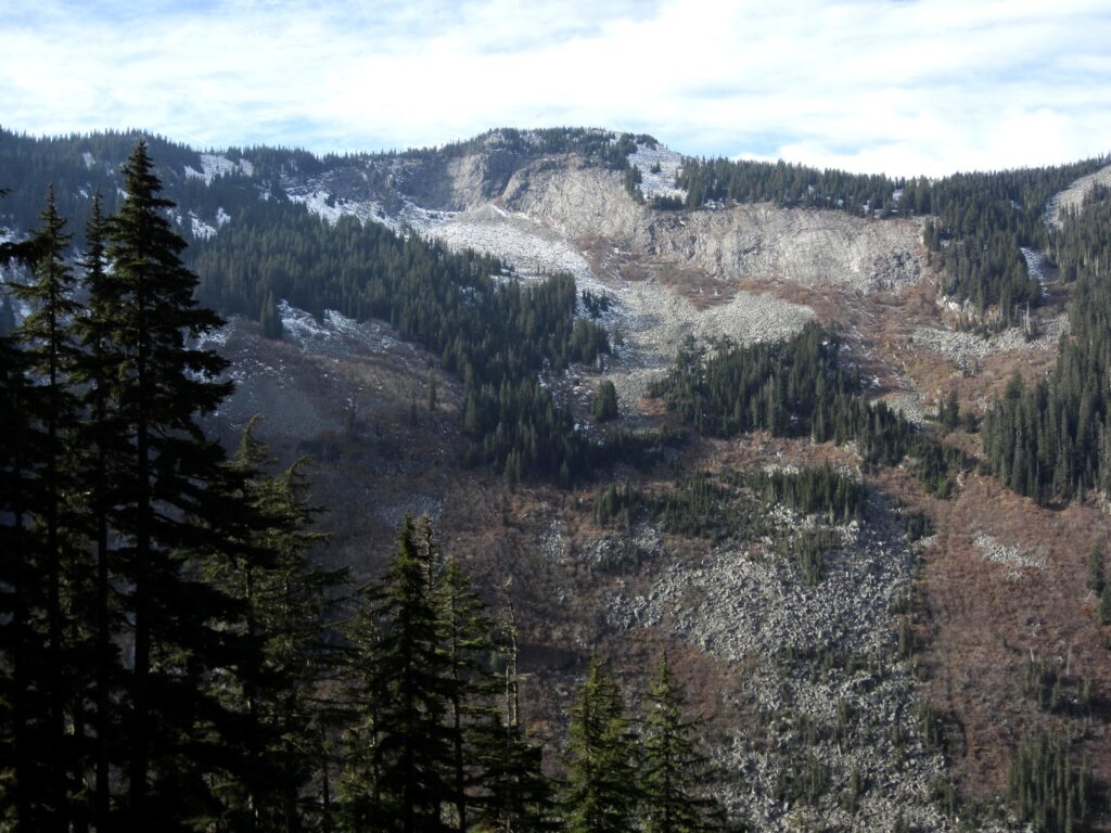
Eventually, the trail passes through a series of open, rocky or brushy chutes (avalanche chutes in the wintertime) and then descends a bit. The cliffy face of Humpback Mountain can be seen directly across the valley.
.
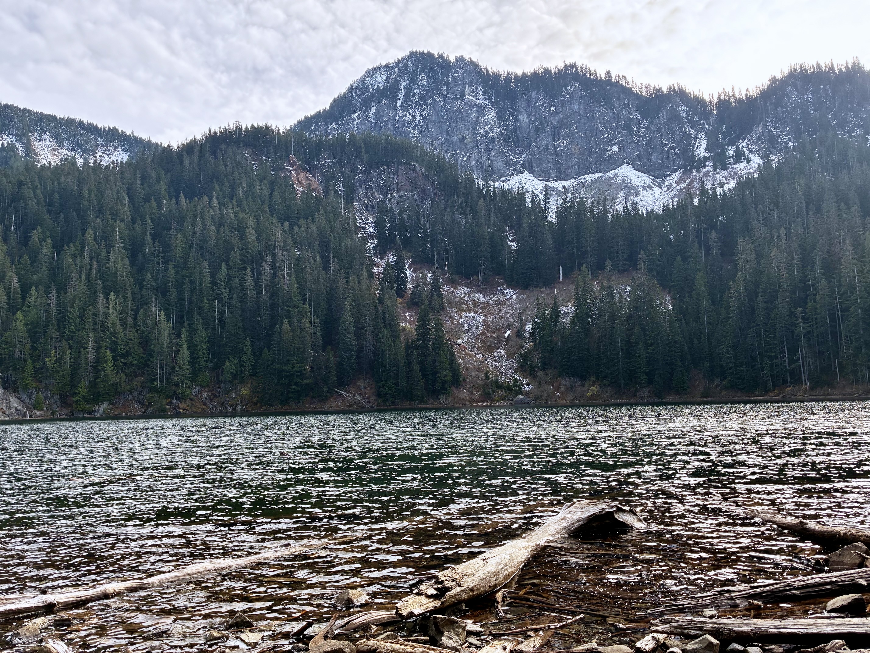
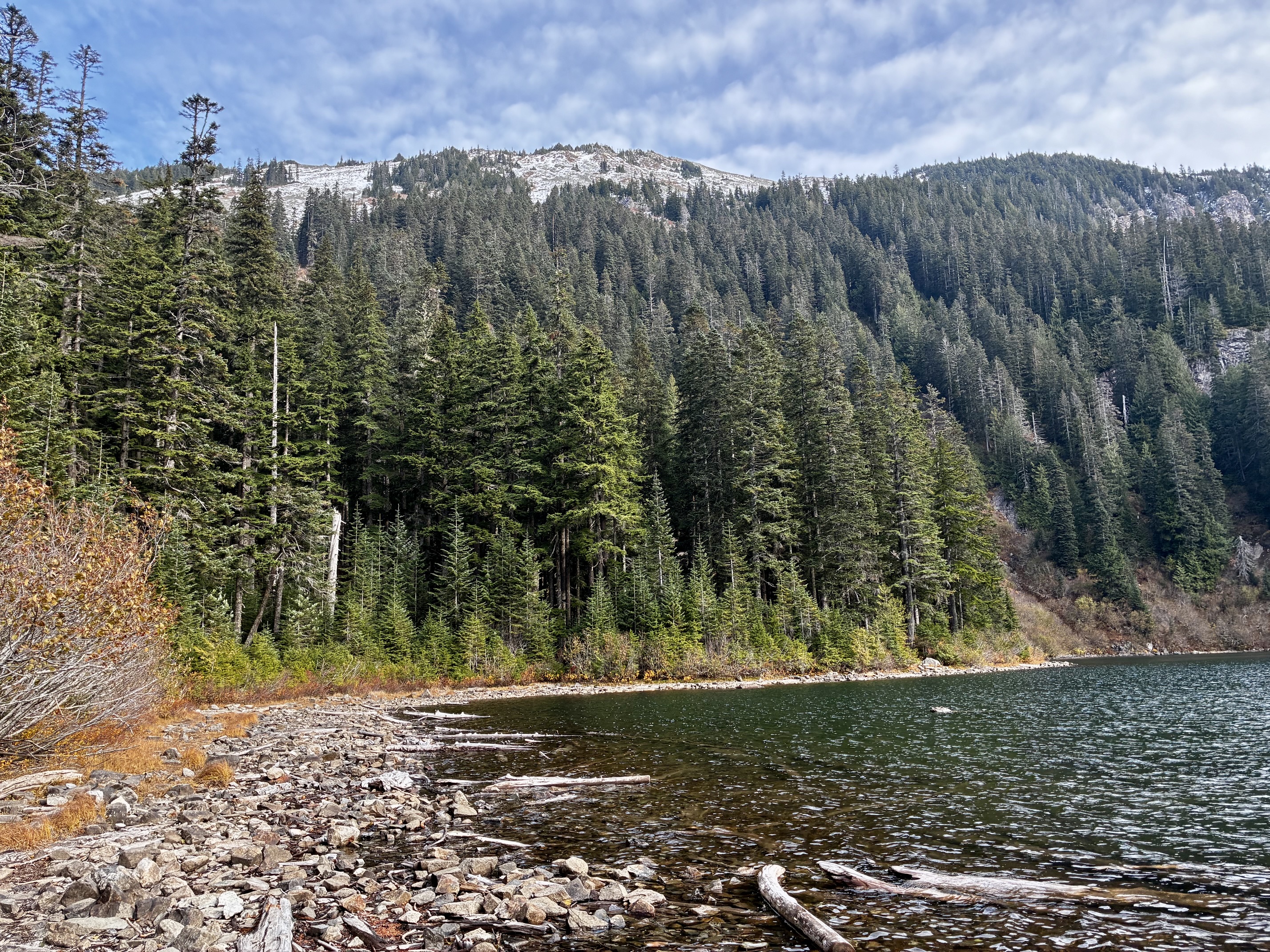
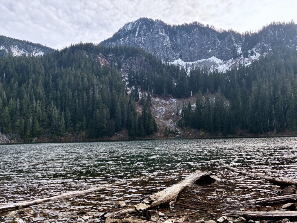
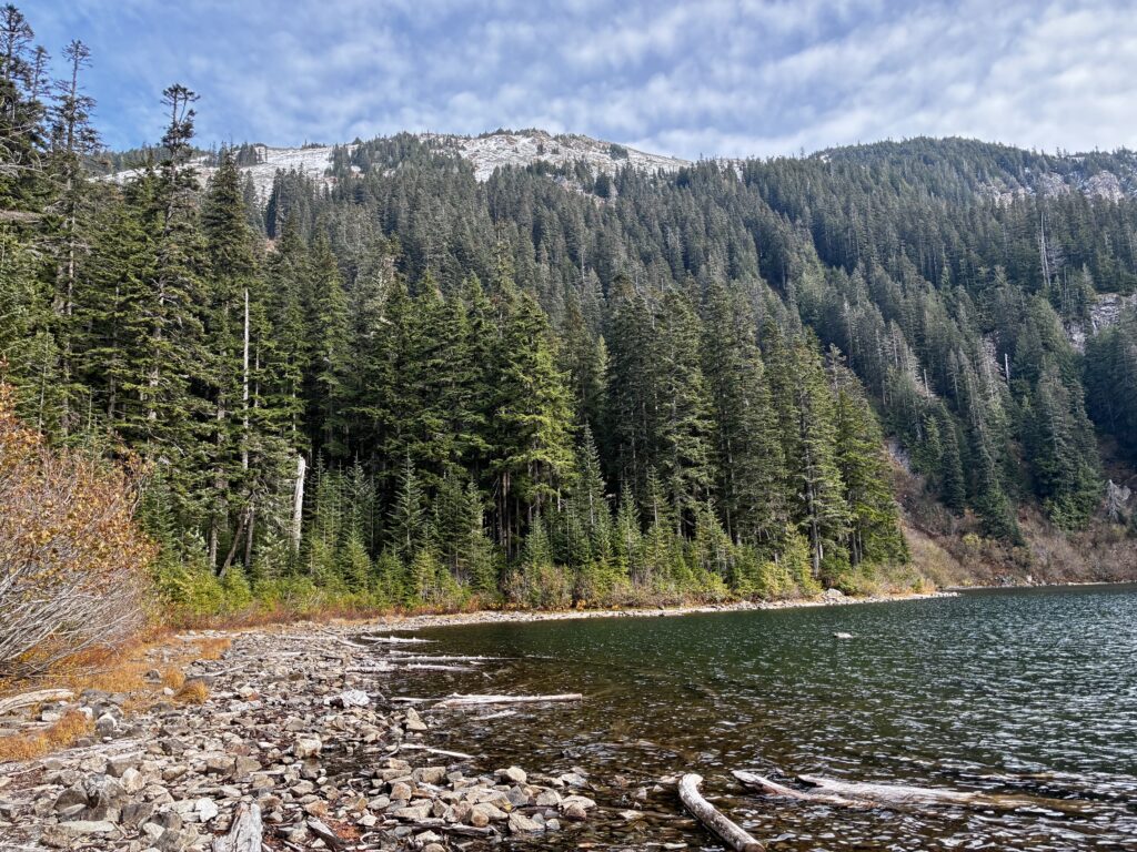
After dropping 100 vertical feet, a final undulating traverse brings you to Annette Lake (3.4 miles + 1800 feet from TH). This pretty little lake sits in a bowl beneath Abiel Peak, which rises directly ahead (southeast). The broad talus slope on Silver Peak is visible far up to the left (east).
.
.
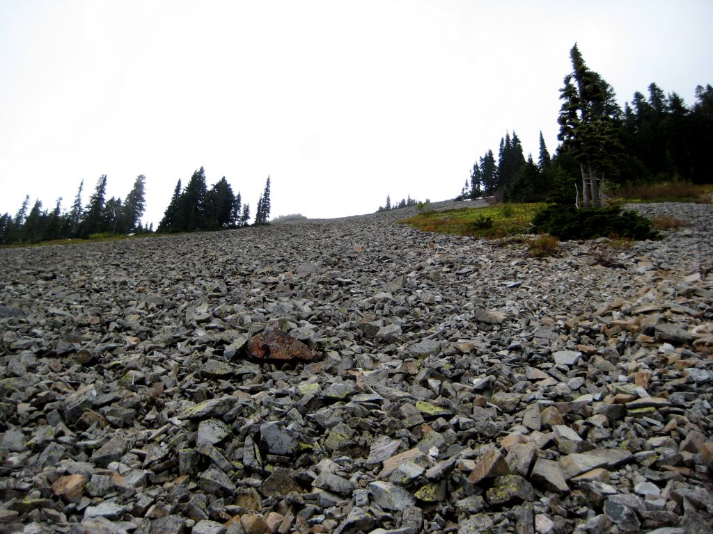
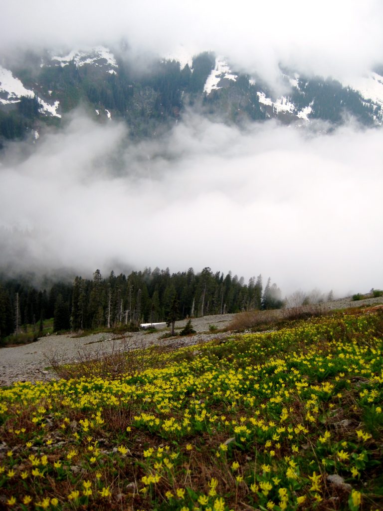
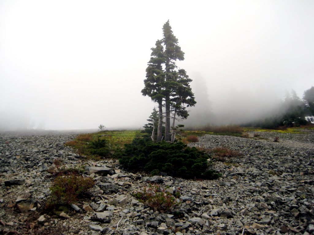
From the lake shore, turn sharply left (east) and follow a bootpath up through the forest. After approximately 1000 vertical feet, the forest opens onto a vast talus field. Proceed straight uphill, looking for traces of a climber’s path that switchbacks up through the talus and low vegetation. In early season, there will be big patches of yellow avalanche lilies here.
.
.
.
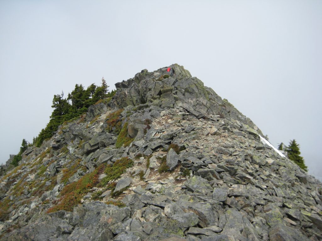
As you get higher on the hillslope, the rocky summit will come into view. Gradually veer to the right and gain the south ridge at an elevation between 5300 and 5400 feet. Make an easy scramble up the ridge crest to reach the 5605-foot summit of Silver Peak (4.2 miles + 3700 feet from TH).
.
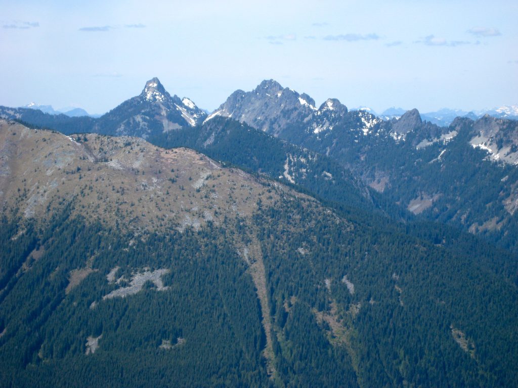
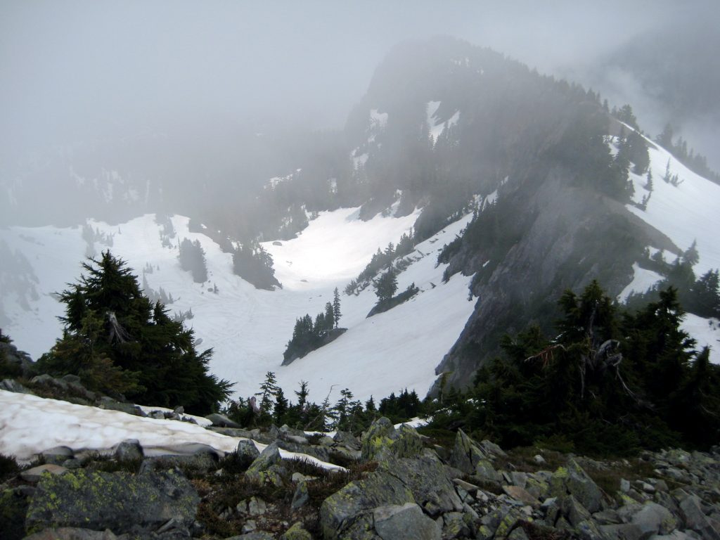
Silver Peak offers a great northerly view across the I-90 corridor. Most prominent are Granite Mountain in the Lower Snoqualmie Range, and Kaleetan Peak and Chair Peak in the Snoqualmie Range. Directly below you is the northern cirque stretching down into Windy Acres.
.
.
To descend, simply reverse your route, carefully down-climbing the ridge crest and descending the big talus slope. Aim for Annette Lake’s northern shore, where you can pick up the trail leading back to the trailhead.
Route Map & Profile
…
…
Photo Gallery
Click to enlarge…