Originally Posted: November 2026
Dirty Harry’s Peak Day Hike
Dirty Spring Traverse: Far Side TH to Mason Creek TH
The Grit Scone
Garcia Overlook
Dirty Harry’s Balcony
Dirty Harry’s Museum
Dirty Harry’s Peak (4680+ ft)
Ira Spring Trailhead
Route Summary
Region: Central Washington Cascades
Sub-Region: Lower Snoqualmie Range
Areas: Middle Fork Snoqualmie Natural Resources Conservation Area & Mt. Baker – Snoqualmie National Forest
Option A: Dirty Harry’s Peak
Starting & Ending Point: Far Side / Dirty Harry’s Trailhead off Interstate-90 at Exit 38 East (Elev. 1320 feet)
Way Points: South Fork Snoqualmie River Bridge & The Grit Scone & Garcia Overlook Trail junction & Dirty Harry’s Balcony Trail junction & Dirty Harry’s Museum Trail junction & Dirty Harry’s Peak summit (trail hike)
Summit: Dirty Harry’s Peak (trail hike via South Slope—Southeast Ridge)
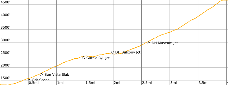
Approximate Stats for Dirty Harry’s Balcony (round trip): 4.2 miles traveled; 1350 feet gained & lost.
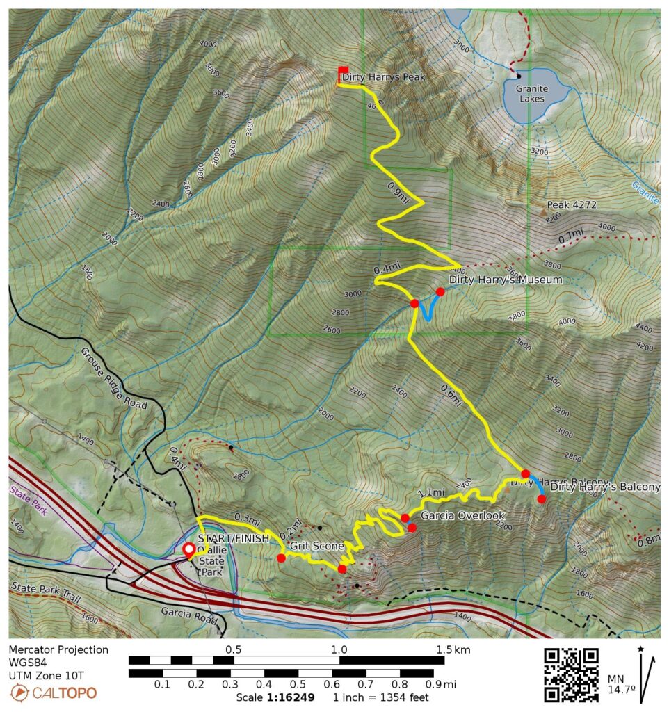
Approximate Stats for Dirty Harry’s Peak (round trip): 8.0 miles traveled; 3500 feet gained & lost.
Option B: Dirty Spring Traverse
Starting Point: Far Side / Dirty Harry’s Trailhead off Interstate-90 at Exit 38 East (Elev. 1320 feet)
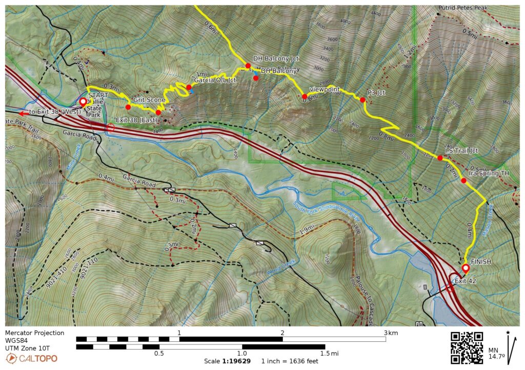
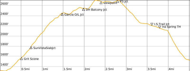
Traverse Way Points: South Fork Snoqualmie River Bridge & The Grit Scone & Garcia Overlook Trail junction & Dirty Harry’s Balcony Trail junction & Ira Spring Connector Trail junction & Web Mountain Viewpoint & P3 Trail junction & Ira Spring Trail junction & Ira Spring Trailhead & Mason Creek Trail junction & Lower Mason Creek crossing & Mason Creek Trailhead (trail hike)
Traverse High Point: P3 Trail junction (Elev. 2700 feet)
Ending Point: Mason Creek Trailhead at end of short spur road off Interstate-90 at Exit 42 (Elev. 1520 feet)
Approximate Stats (one way): 4.5 miles traveled; 1550 feet gained; 1350 feet lost.
Route Overview
Dirty Harry’s Balcony and Dirty Harry’s Peak are two notable topographic features in the Lower Snoqualmie Range, which extends along the northern side of Interstate-90 between North Bend and Denny Creek. The “balcony” refers to a large geologic ledge that lies atop a mile-long cliff above the freeway, and the peak is a 4680-foot high point on the overlying ridge crest. Both features are named after Harry Gault, a local logger who became somewhat infamous for his unorthodox logging practices, such as building exceptionally steep logging roads across these hillsides.
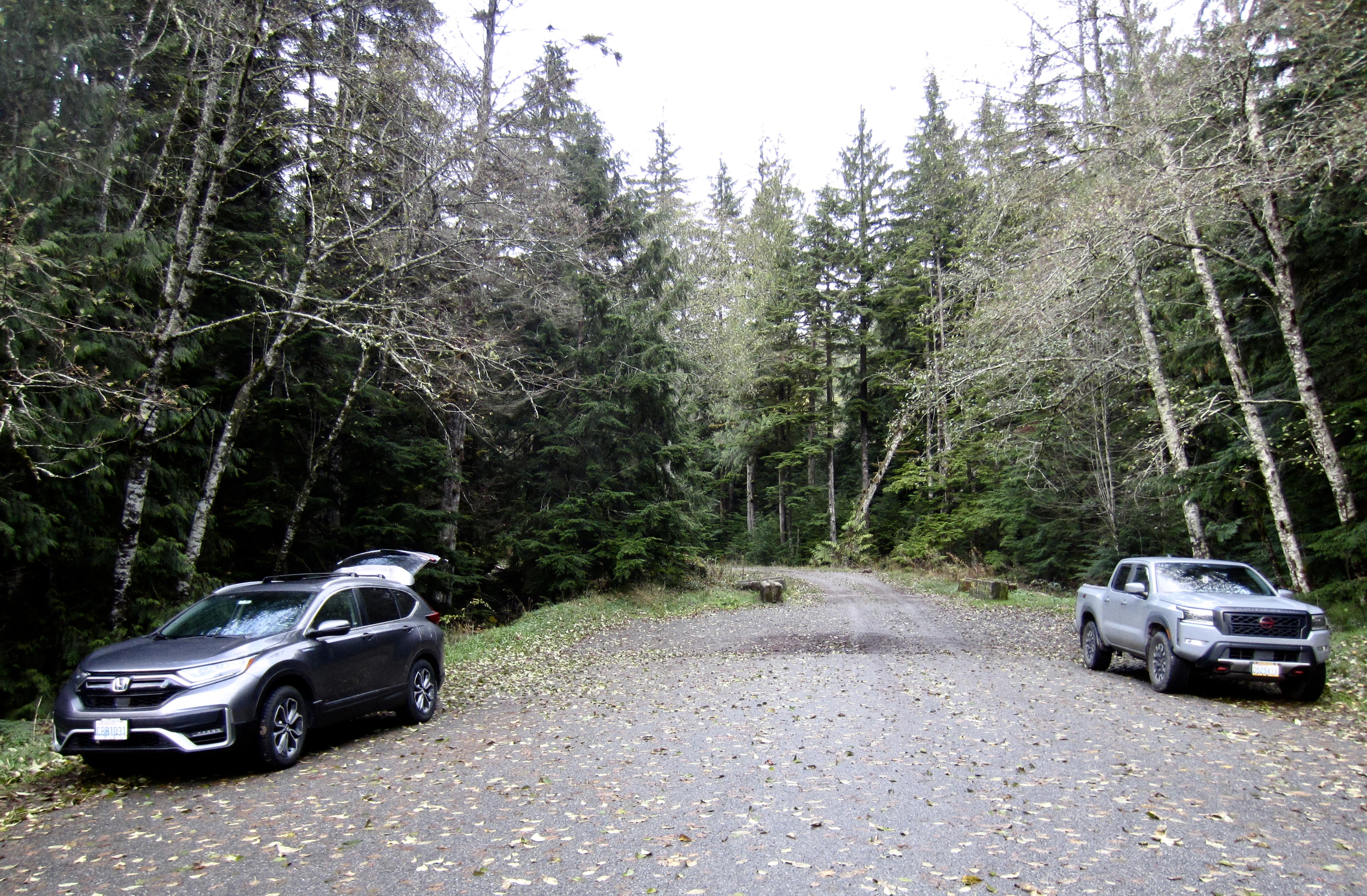
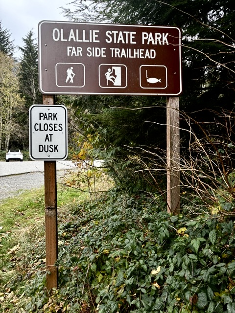
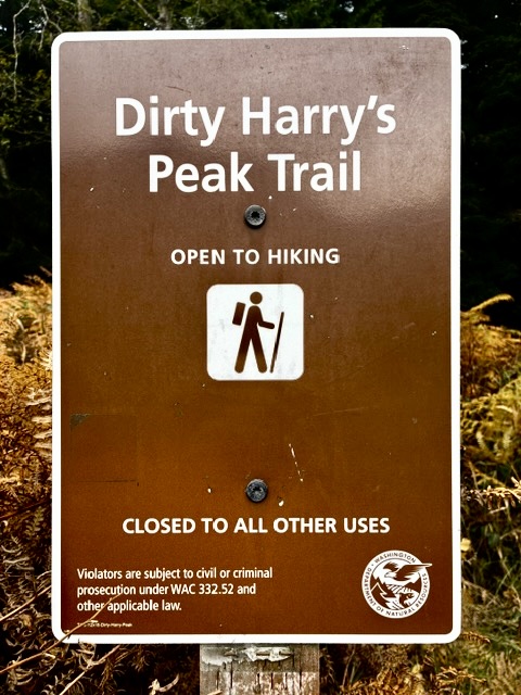
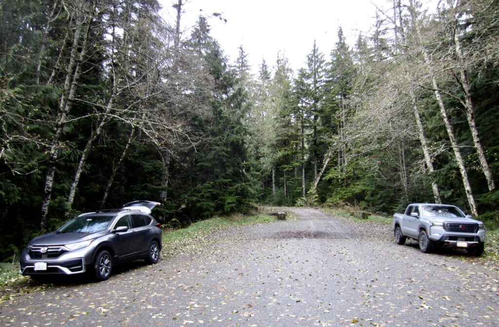
The balcony and the peak can be readily gained by way of the Dirty Harry’s Peak Trail, which begins at the easternmost end of Olallie State Park. If driving eastbound on I-90, get off at Exit 38, turn right, and proceed eastward on Homestead Valley Road for 2 miles until it curves to the left and crosses back under the freeway. Shortly past the undercrossing, the road curves to the right and widens out. Look for parking spots on both sides of the road, with signs indicating Far Side Trailhead and Dirty Harry’s Peak Trailhead (this trailhead has two different names). If driving westbound on I-90, get off at Exit 38 and turn right to enter the trailhead area. Be aware that the parking lots fill up quickly on summer weekends, and that a Discover Pass is required here.
The Dirty Spring Traverse is an interesting alternative to a simple out & back hike to the balcony or peak. This 4.5-mile, one-way trek extends from the Far Side / Dirty Harry’s Trailhead at Exit 38 to the Mason Creek Trailhead at Exit 42, thereby involving only a short car shuttle between trailheads. The route follows partial or full segments of six different trails or roads: Dirty Harry’s Peak Trail, Dirty Harry’s Balcony Trail, Ira Spring Connector Trail, Ira Spring Trail, Mason Creek Road, and Mason Creek Trail. The Mason Creek Trailhead is located at the end of a short spur road that extends approximately 150 yards northward from the Exit 42 interchange on Interstate-90. There is limited parking along both sides of this spur road, but no pass is required.
.
.
.
Full Route Description
The following three text sections describe the route (1) from the Far Side / Dirty Harry’s Trailhead to Dirty Harry’s Balcony; (2) from Dirty Harry’s Balcony to Dirty Harry’s Peak; and (3) from Dirty Harry’s Balcony to Mason Creek Trailhead.
Far Side / Dirty Harry’s Trailhead to Dirty Harry’s Balcony
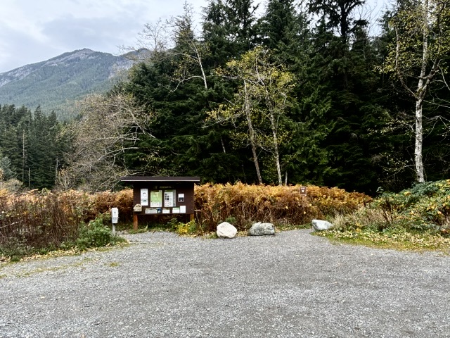
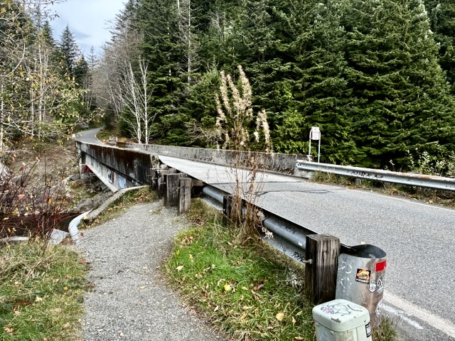
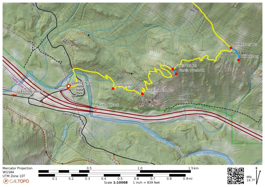
Starting at the trailhead kiosk on the northern side of the parking lot, follow the marked Dirty Harry’s Peak Trail through the woods for 200 yards until intersecting a paved road. Go left and walk across a concrete bridge over the South Fork Snoqualmie River, then immediately turn right and rejoin the trail on the other side of the river.
.
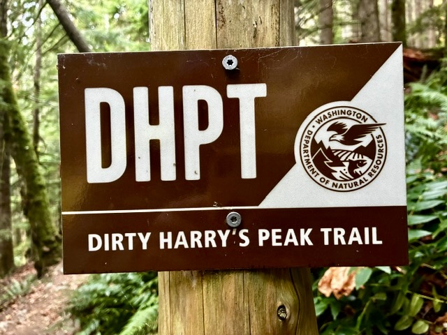
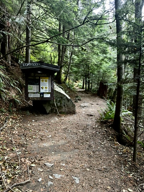
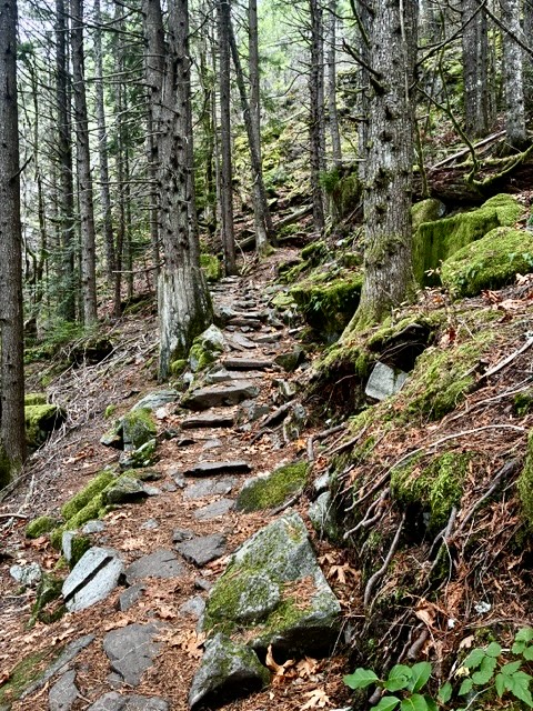
Continue hiking eastward on the trail, soon passing another small kiosk before embarking on a steady uphill ascent. Navigation can be a bit tricky due to numerous side trails leading to climbing crags, with names such as Neverland, The Grit Scone, and Sun Vista Slab. Look for DHPT signs that mark the main trail.
.
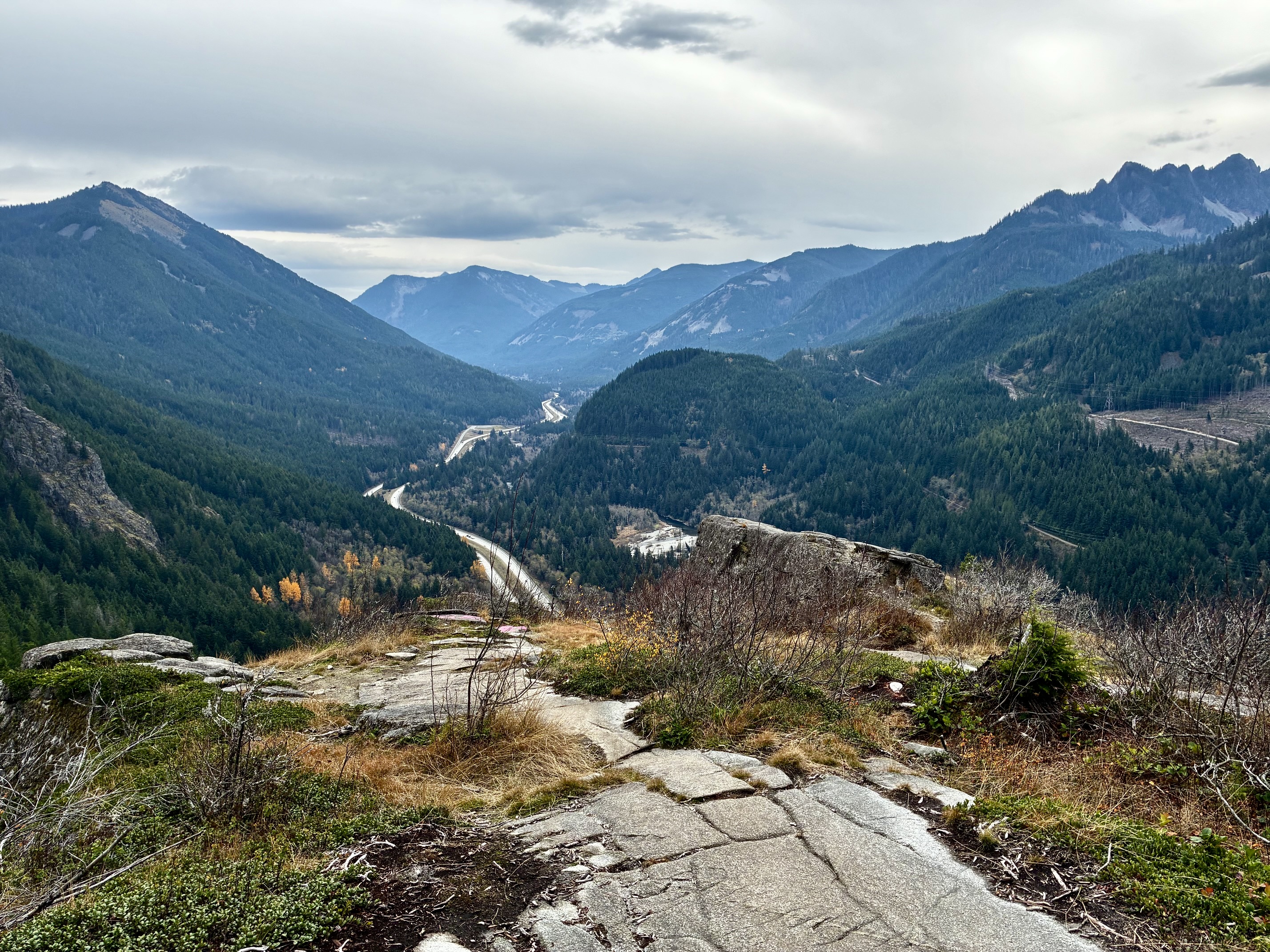
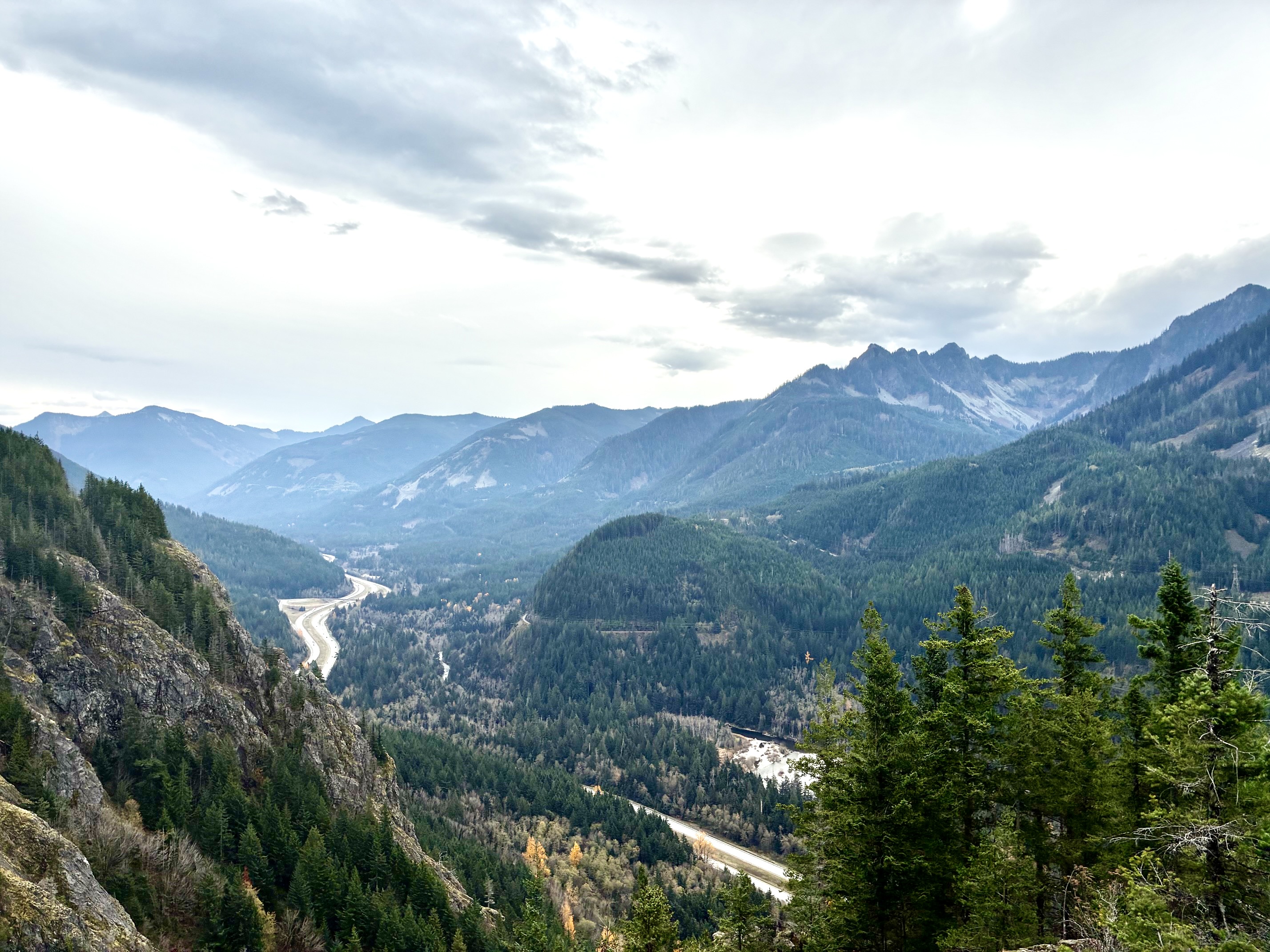
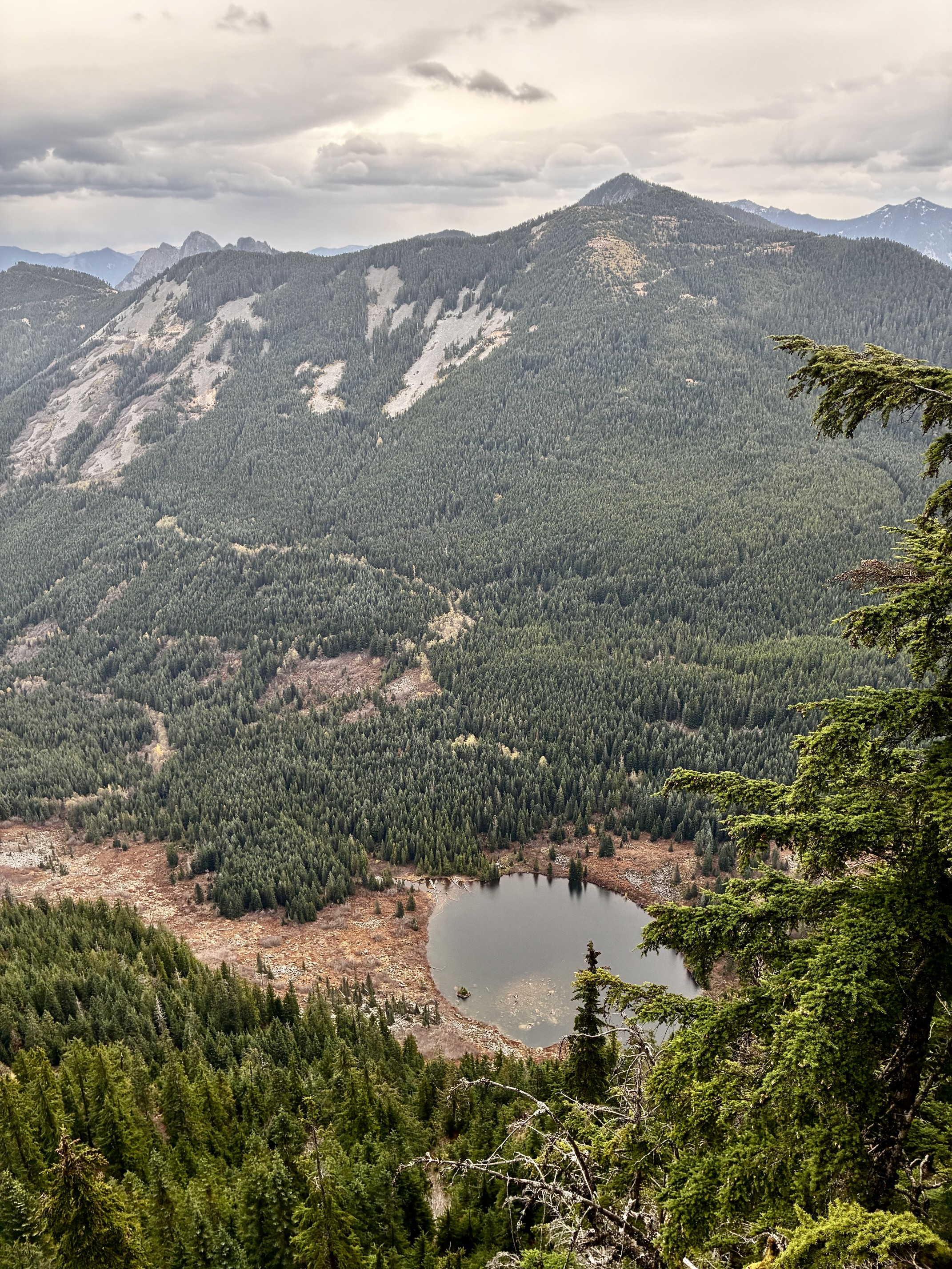
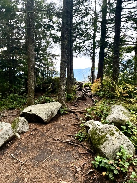
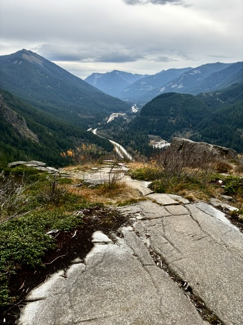
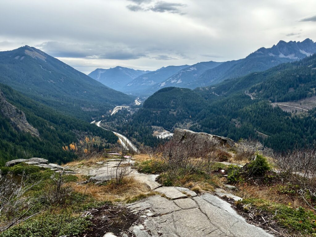
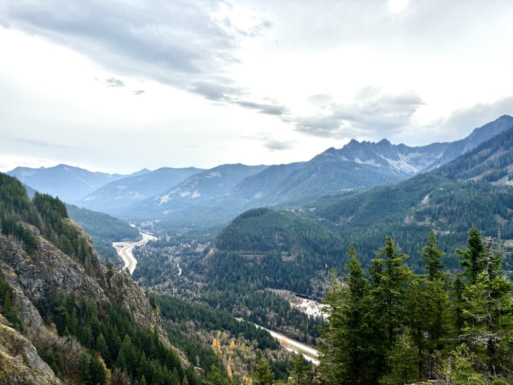
Once past most of the climbing crags, the trail gains the top of a broad, flat area that forms the western end of Dirty Harry’s Balcony. Very soon, look for an obvious side trail that leads out to Garcia Overlook (1.5 miles + 1100 feet from TH). To get a good view of the I-90 corridor and surrounding peaks, walk down a “stone sidewalk” until it ends at a rock knob atop a vertical cliff—but don’t get too close to the edge! This rock knob served as the Garcia topographic survey station decades ago. Directly across the valley is the historic Garcia train stop.
.
.
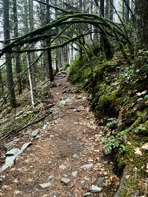
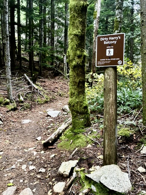
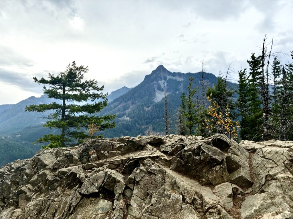
From Garcia Overlook, keep hiking eastward on the trail as it drops a bit and then makes a winding, undulating traverse across the balcony. Soon, you will arrive at a “T” intersection. To visit Dirty Harry’s Balcony, turn right and follow the side trail for 200 yards until it ends at a rocky hump (2.1 miles + 1300 feet from TH). Along the way, you will pass a marked junction with the Ira Spring Connector Trail. The views at the balcony are similar to those at Garcia Overlook.
.
.
.
Dirty Harry’s Balcony to Dirty Harry’s Peak
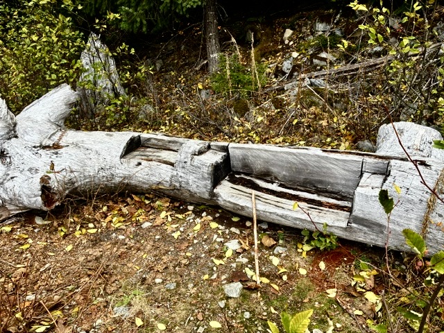
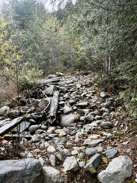
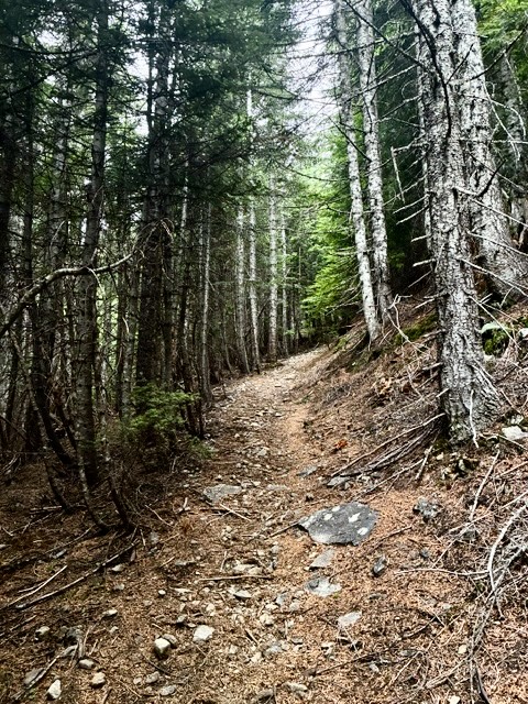
If your goal is Dirty Harry’s Peak, return to the “T” intersection and take the branch that continues upward in a northwesterly direction. Very quickly, the trail transitions from a single-track to an abandoned logging road. This road-trail gets rocky or overgrown in various locations but is easy to follow. Where it crosses a small creek, a short side trail leads up to a collection of logging relics known as Dirty Harry’s Museum. Just beyond the creek, the trail starts switchbacking uphill at a remarkably steep gradient—a testament to Harry Gault’s logging road construction!
.
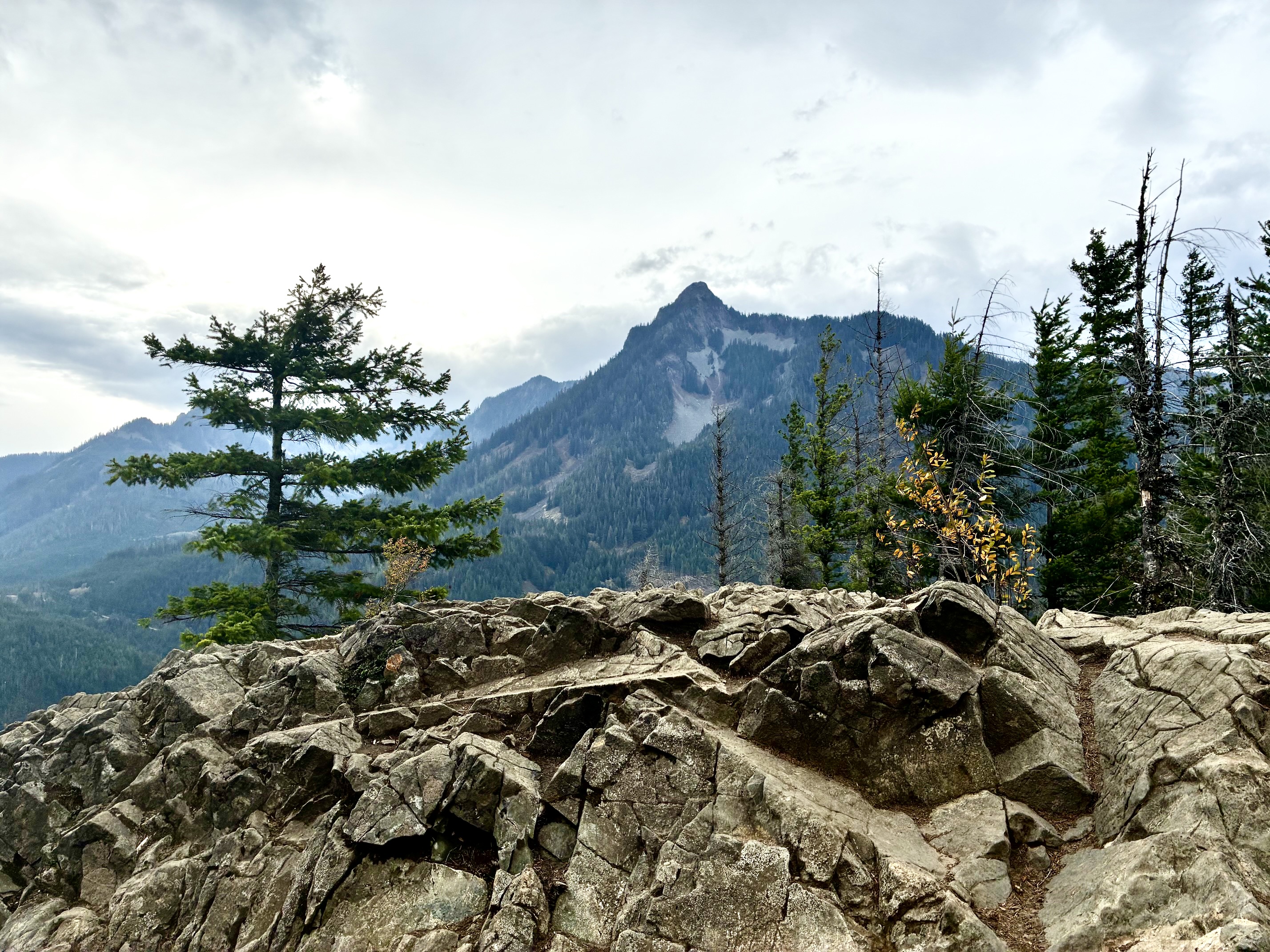
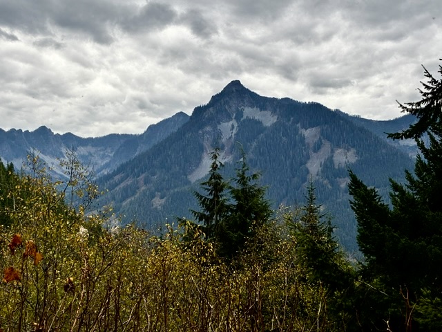
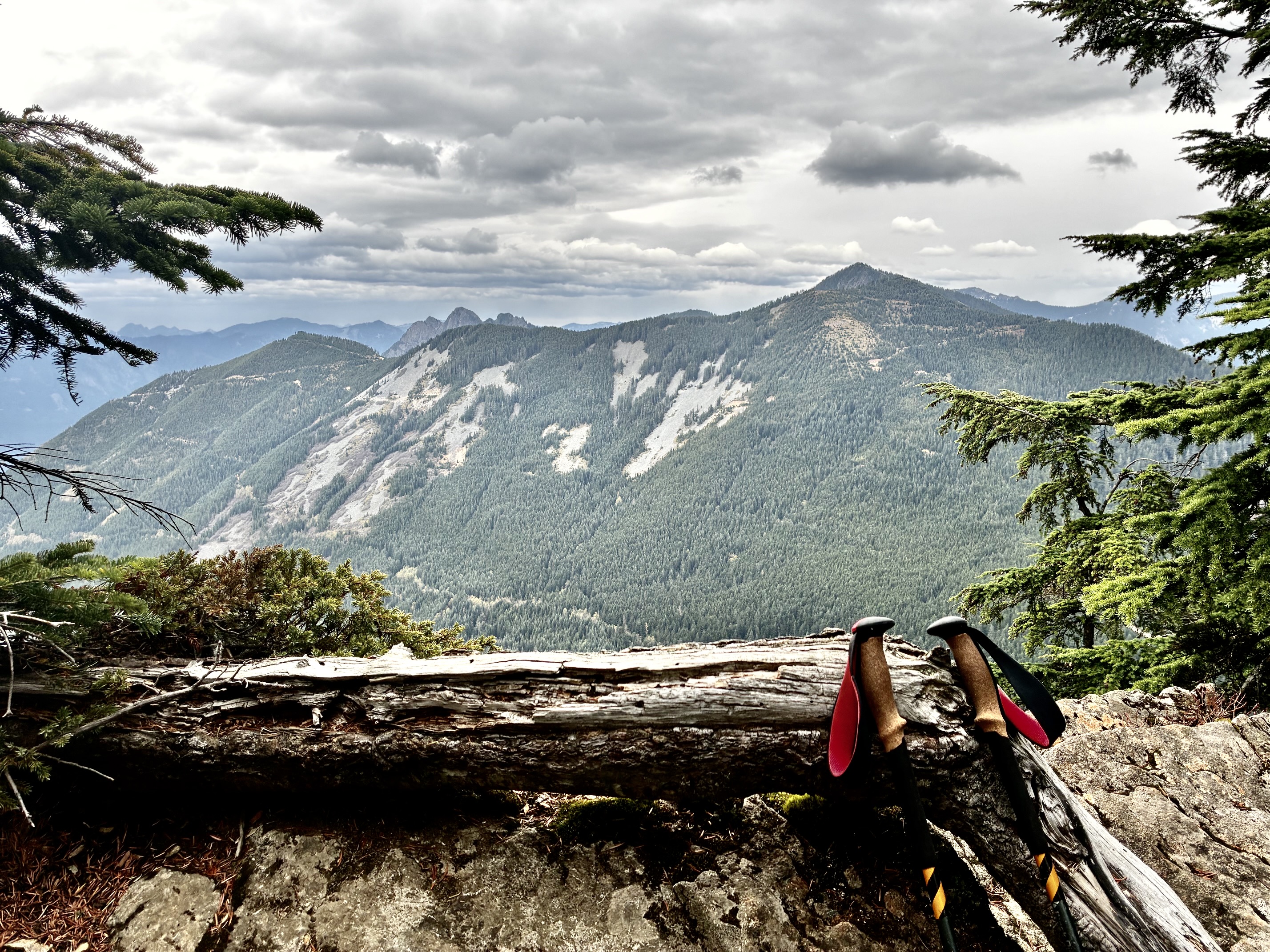
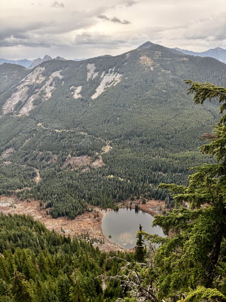
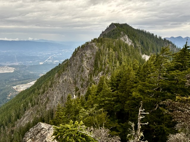
The road-trail eventually ends on the forested hillside, and a single-track trail continues up to the nearly level summit ridge of Dirty Harry’s Peak (4.0 miles + 3450 feet from TH, excluding sidetrips). By moving along this summit ridge, you can obtain different views. From the eastern end, Russian Butte, Thompson Point, Revolution Peak, and Lower Granite Lake can be seen to the north and northeast. From the far western end, Dirty Box Peak and North Bend can be seen to the west and northwest.
.
.
Dirty Harry’s Balcony to Mason Creek Trailhead
If your goal is to complete the Dirty Spring Traverse, locate the Ira Spring Connector Trail junction with the Dirty Harry’s Balcony Trail. Follow this trail as it makes an initial ascent and then levels out across the forested hillside. In the first mile, you will pass two side trails; one leads to a nearby viewpoint on the right, and the other leads up 2500 feet to Putrid Pete’s Peak (locally known as simply “P3”) on the left.
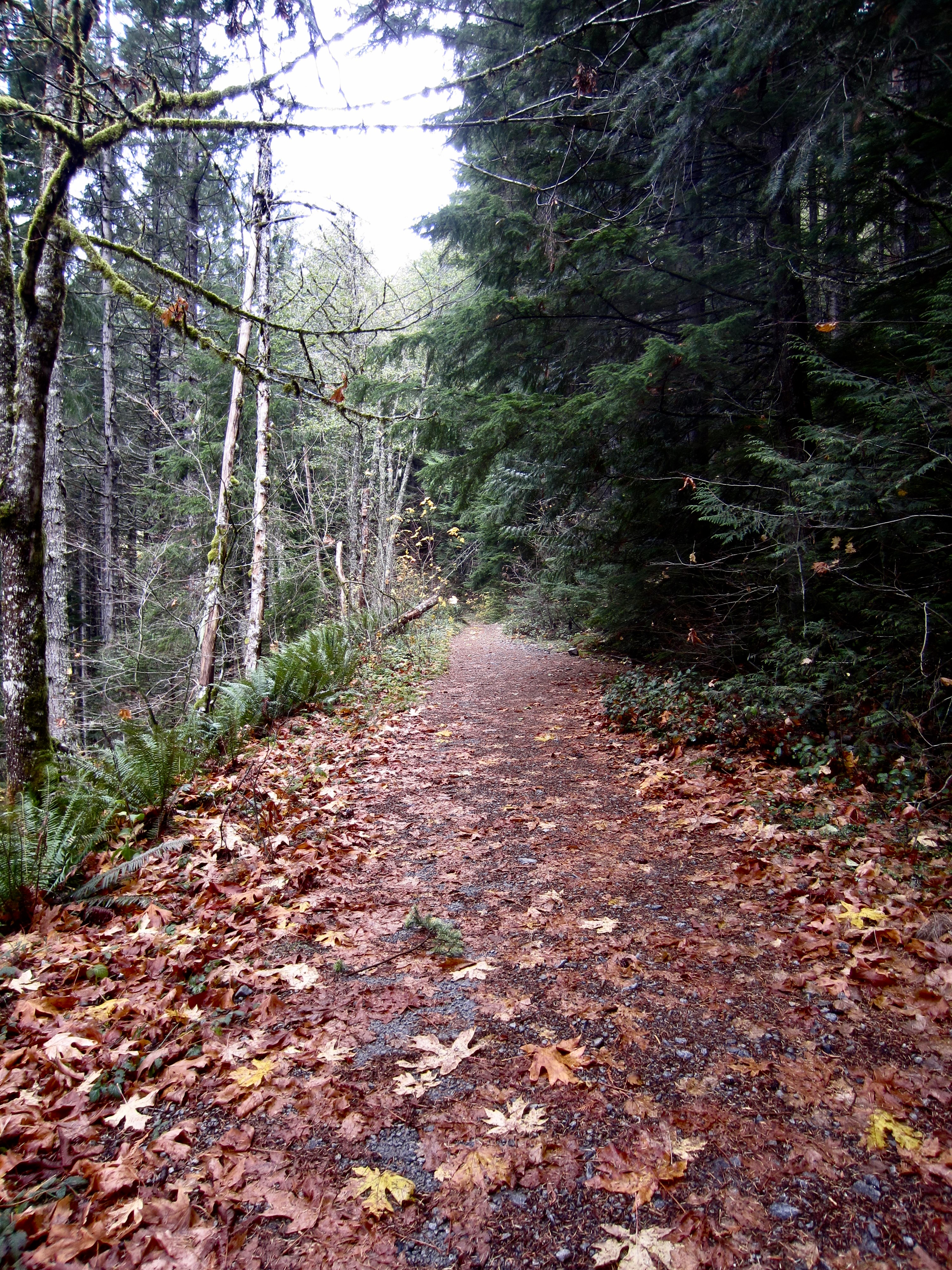
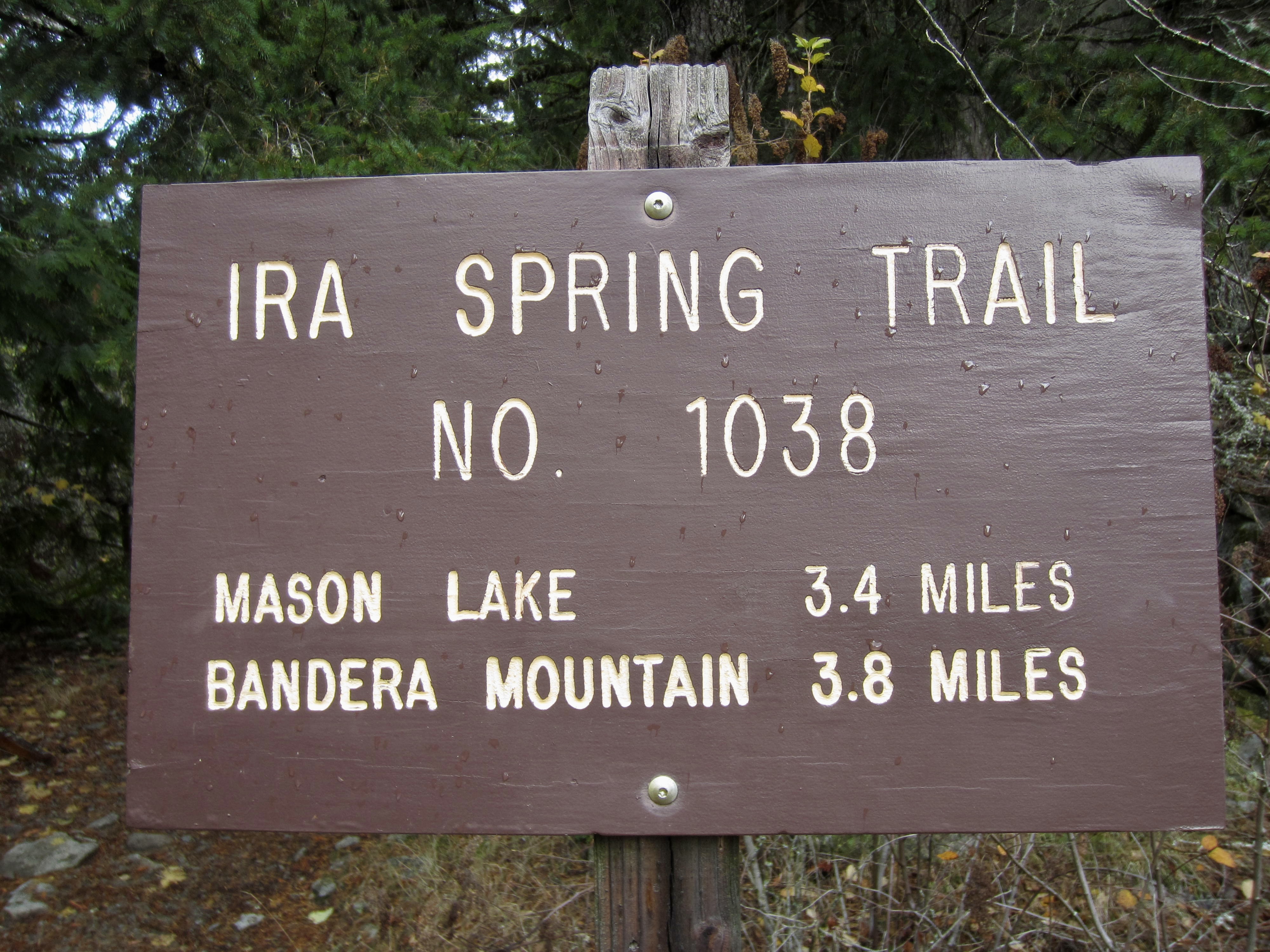
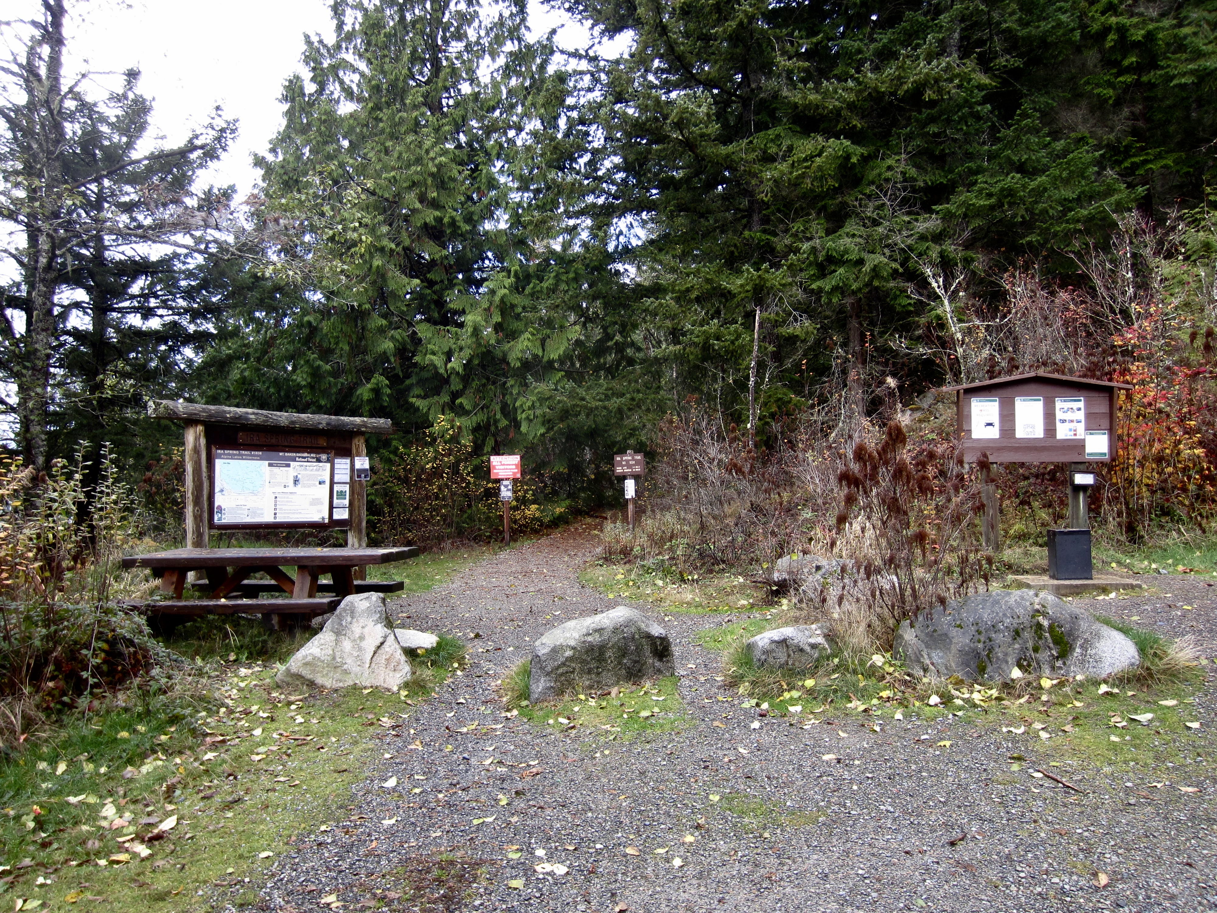
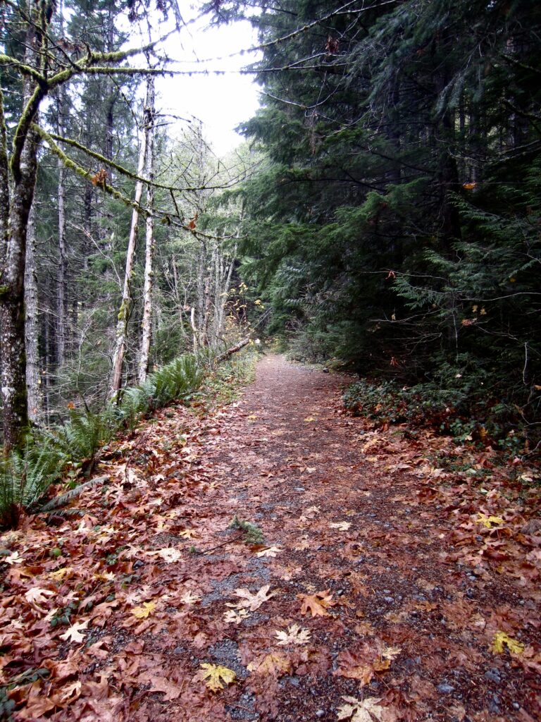
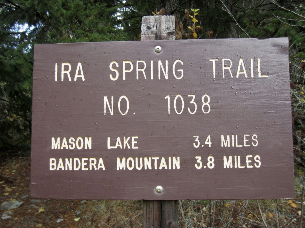
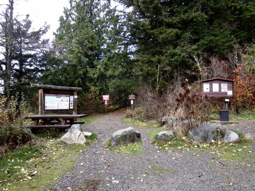
In the next mile, you will descend 500 feet and intersect the Ira Spring Trail at a distinct curve. Keep to the right and hike down this wide road-trail for 300 yards to reach the Ira Spring Trailhead (1.6 miles + 250 feet from Dirty Harry’s Balcony Trail; 3.6 miles + 1550 feet from Far Side Trailhead).
.
.
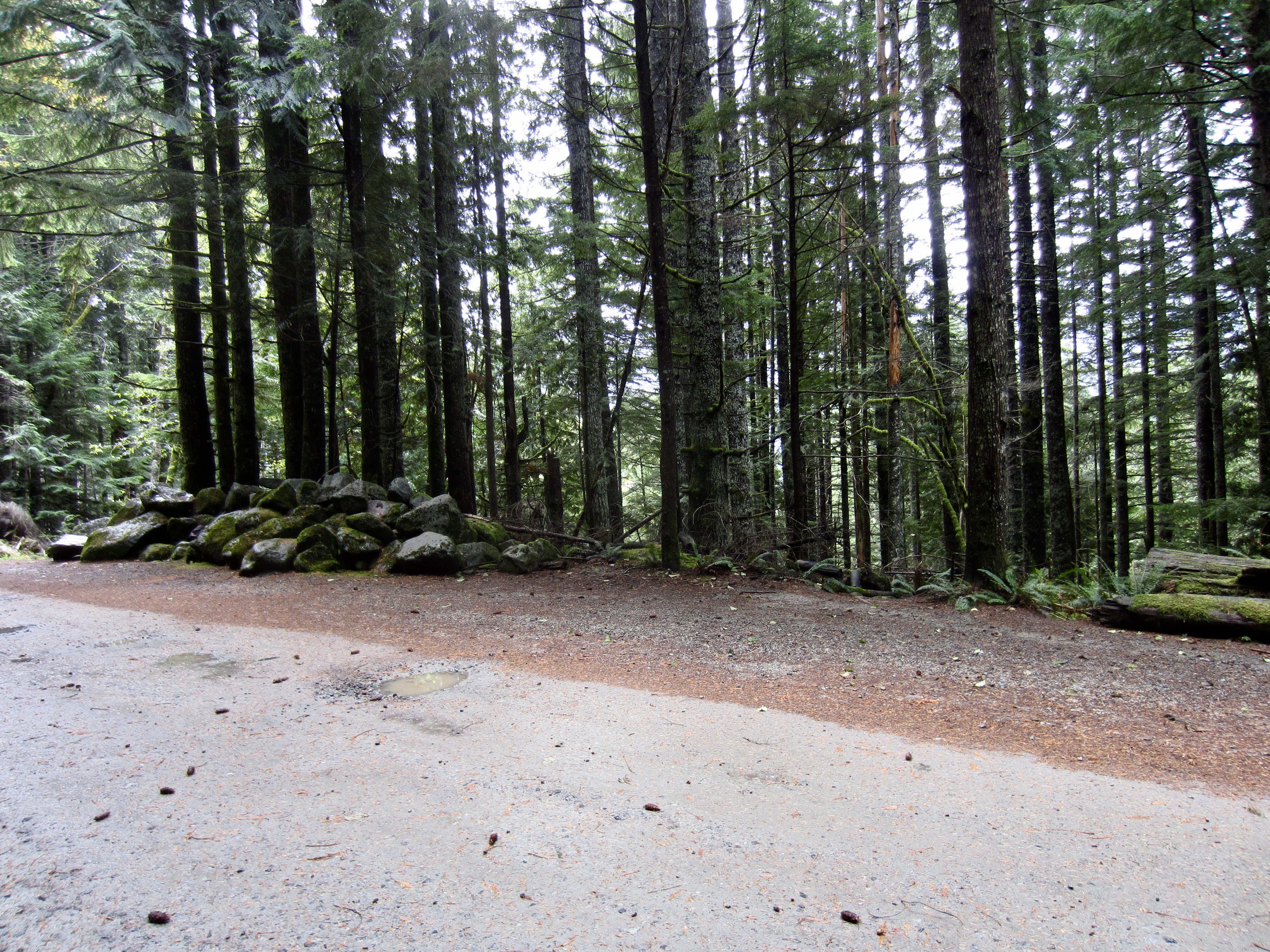
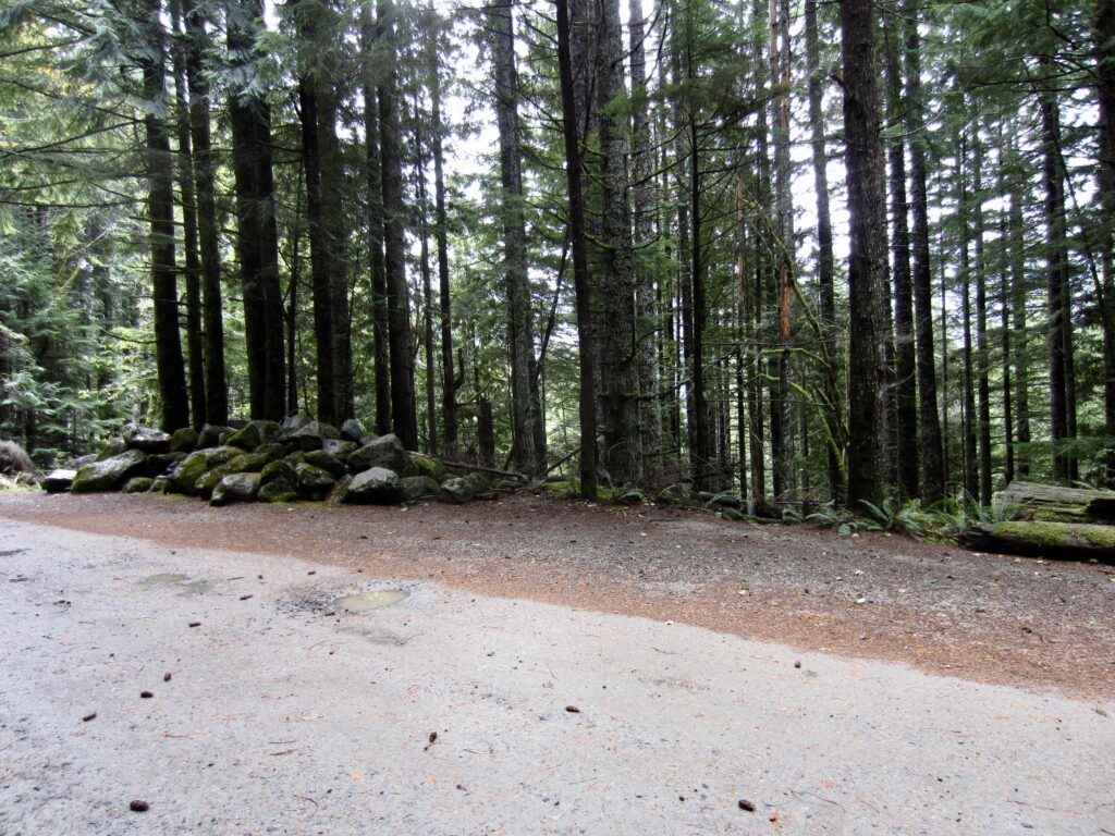
If you parked at the Mason Creek Trailhead near Exit 42, walk through the parking lot and continue walking easterly down the road for approximately ¼ mile to a junction with the Mason Creek Trail. This unmarked junction is located adjacent to a pile of boulders and across from a “No Parking” sign.
.
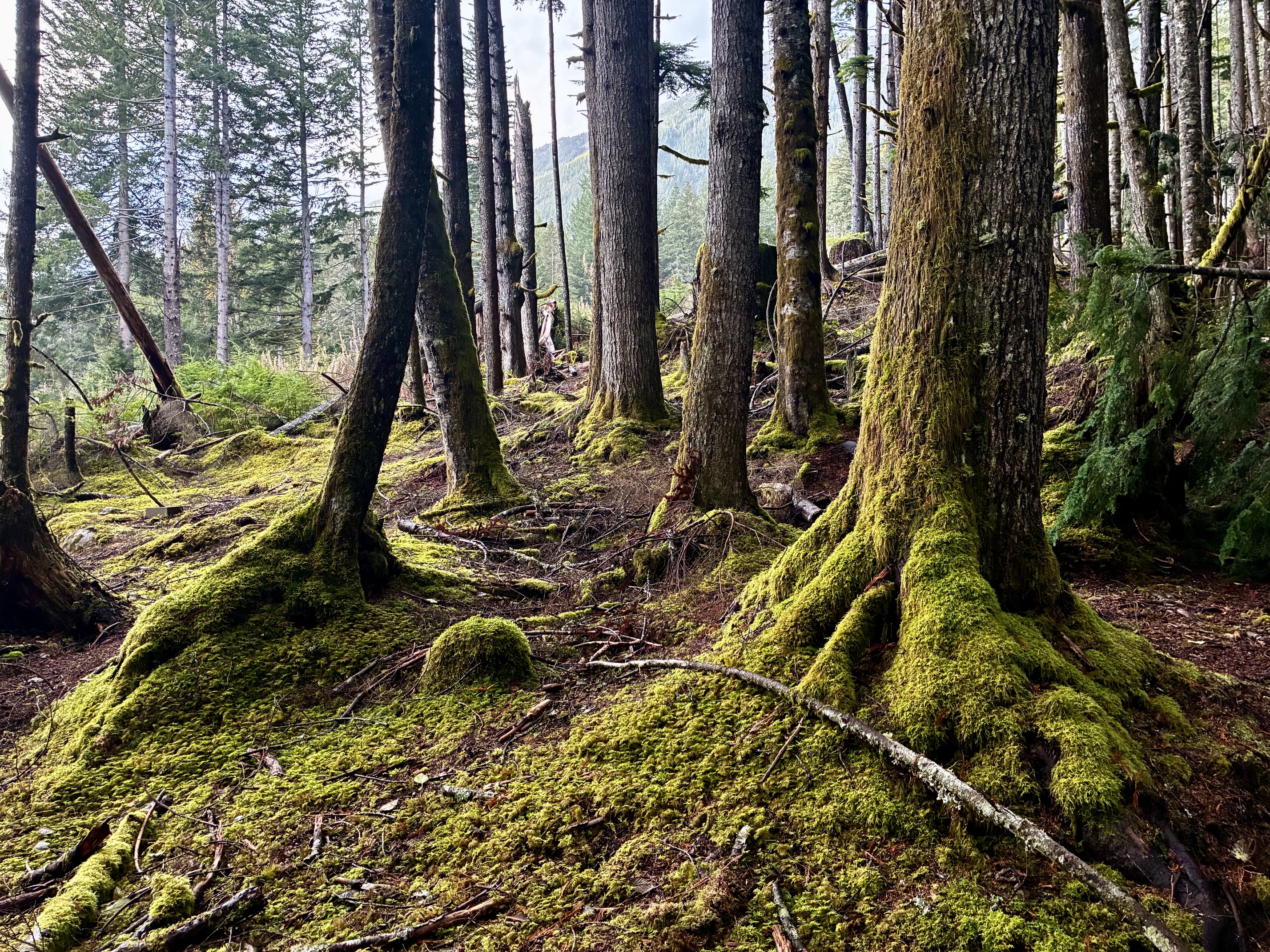
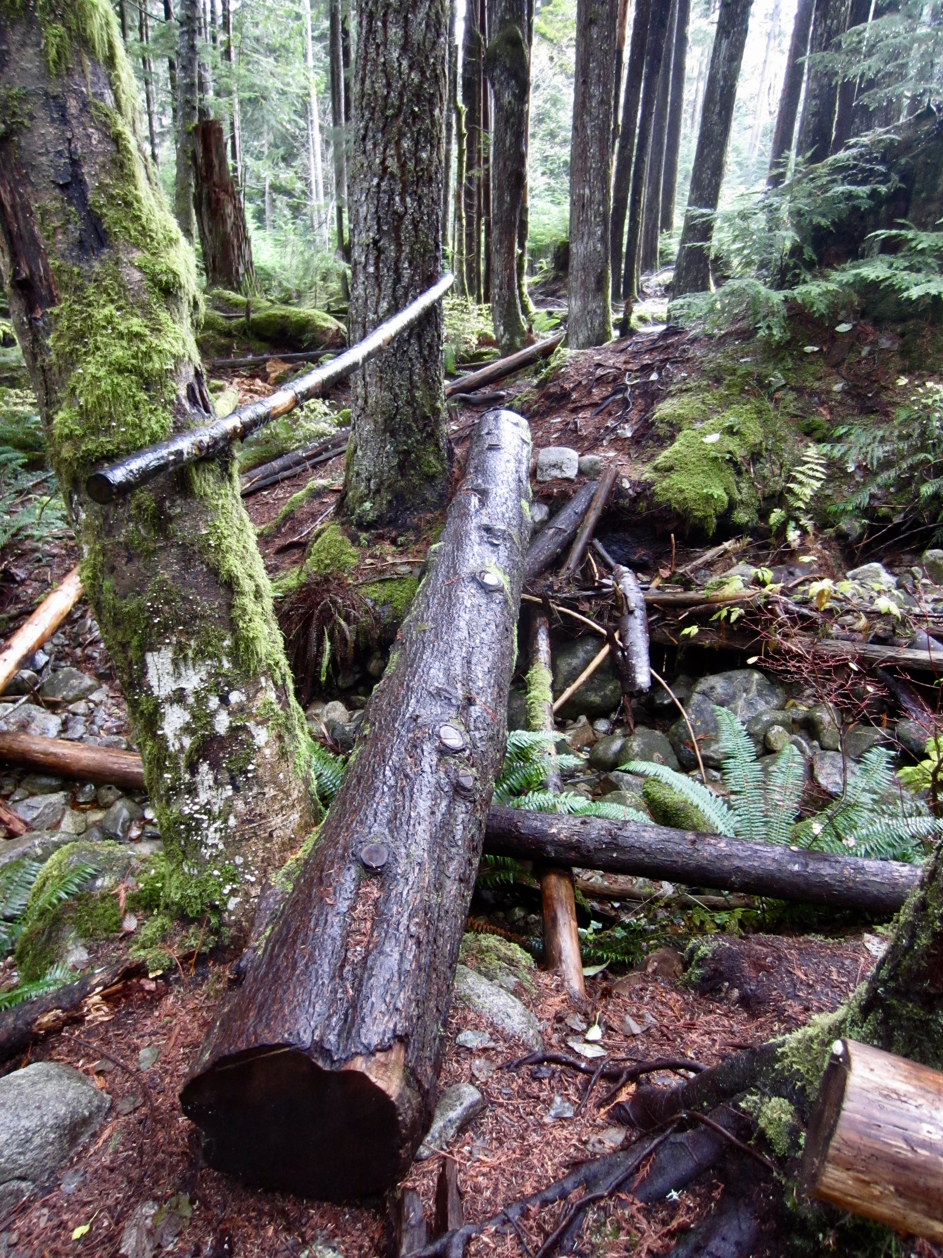
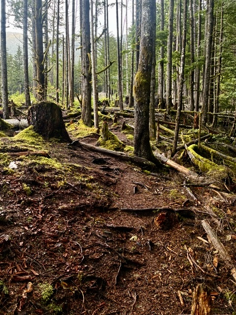
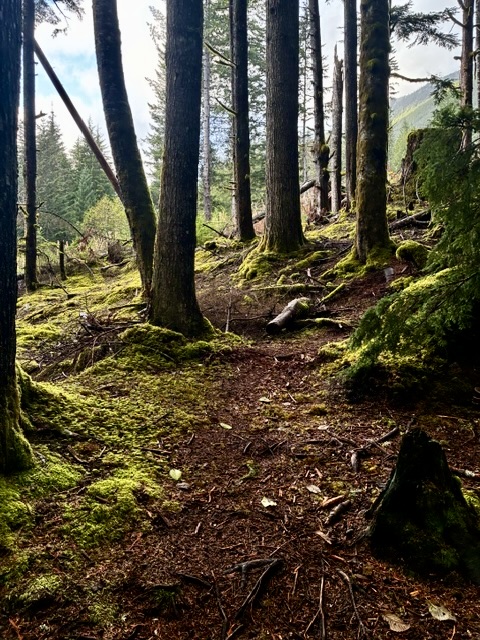
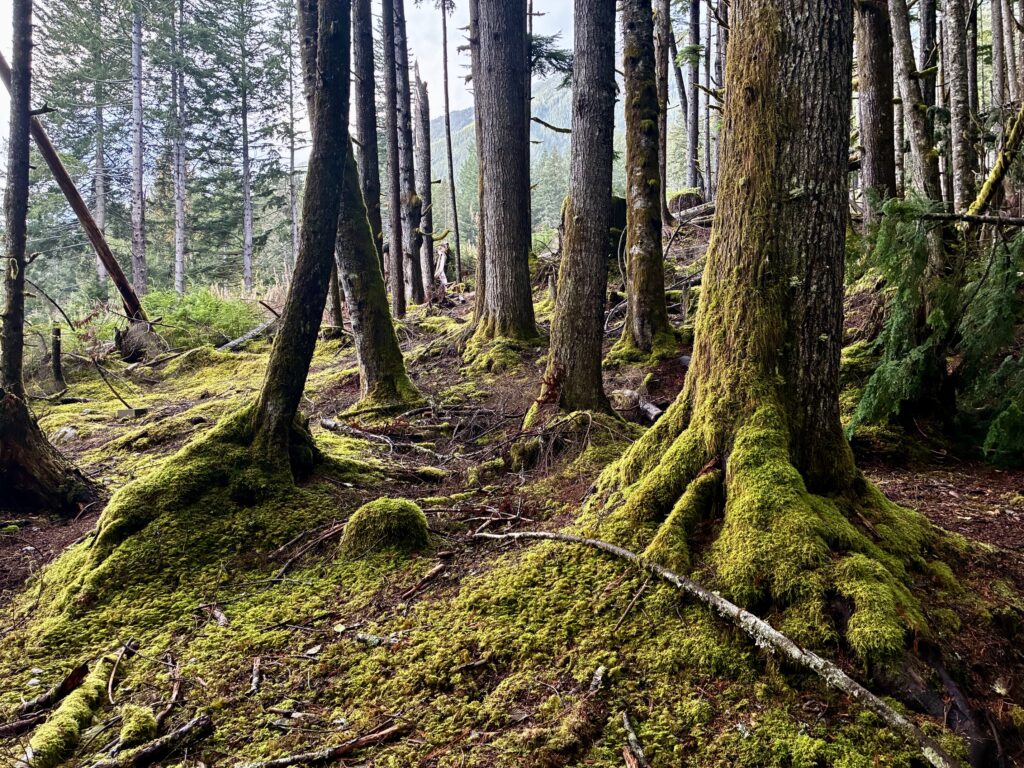
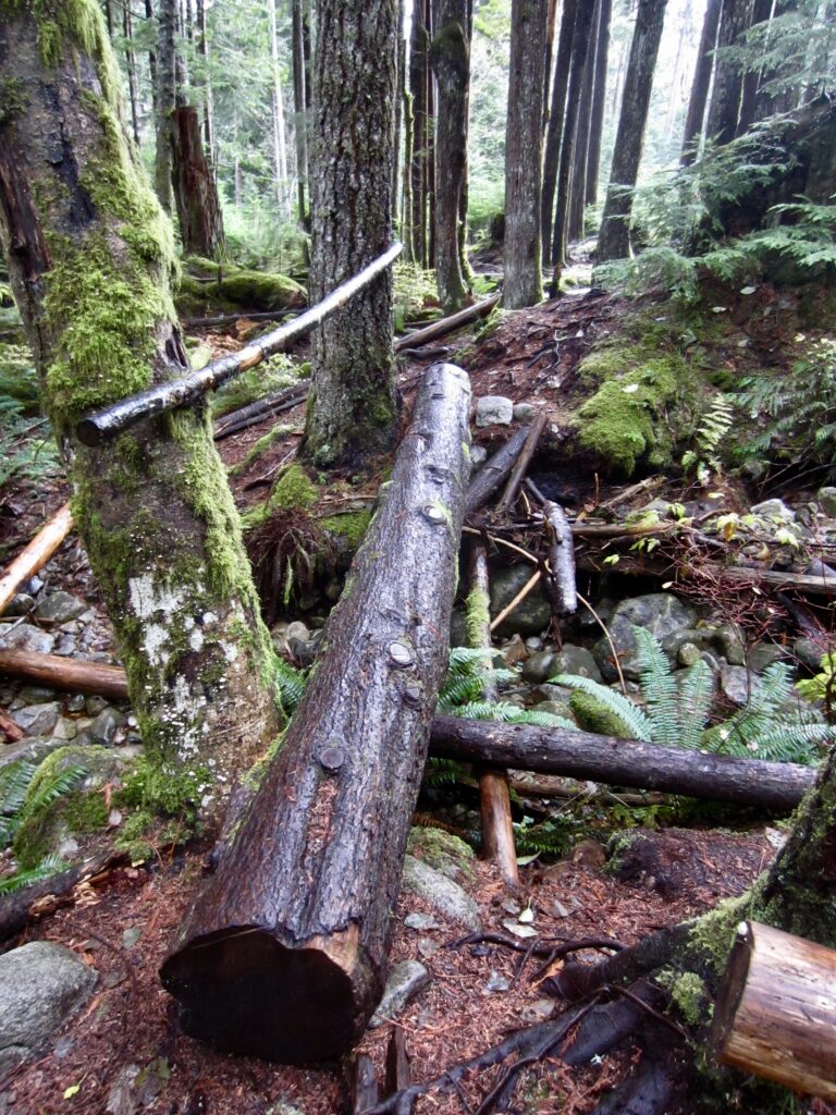
Head downhill on the Mason Creek Trail as it wanders through pleasant second-growth forest decorated with moss and ferns, always staying within earshot of the creek. Despite being an unsanctioned “volunteer trail,” it is surprisingly well-maintained, as evidenced by the dozens of cut logs.
.
.
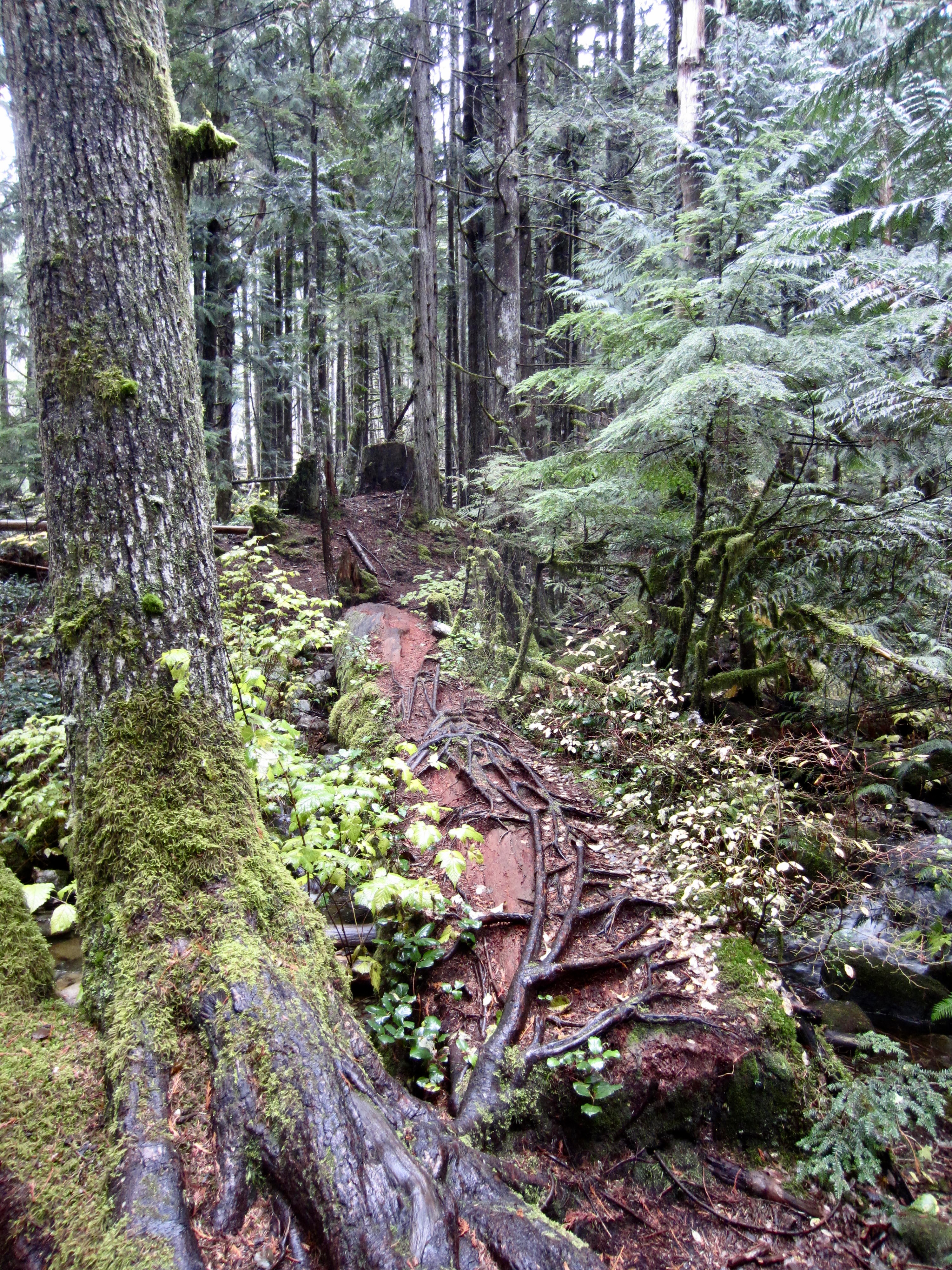
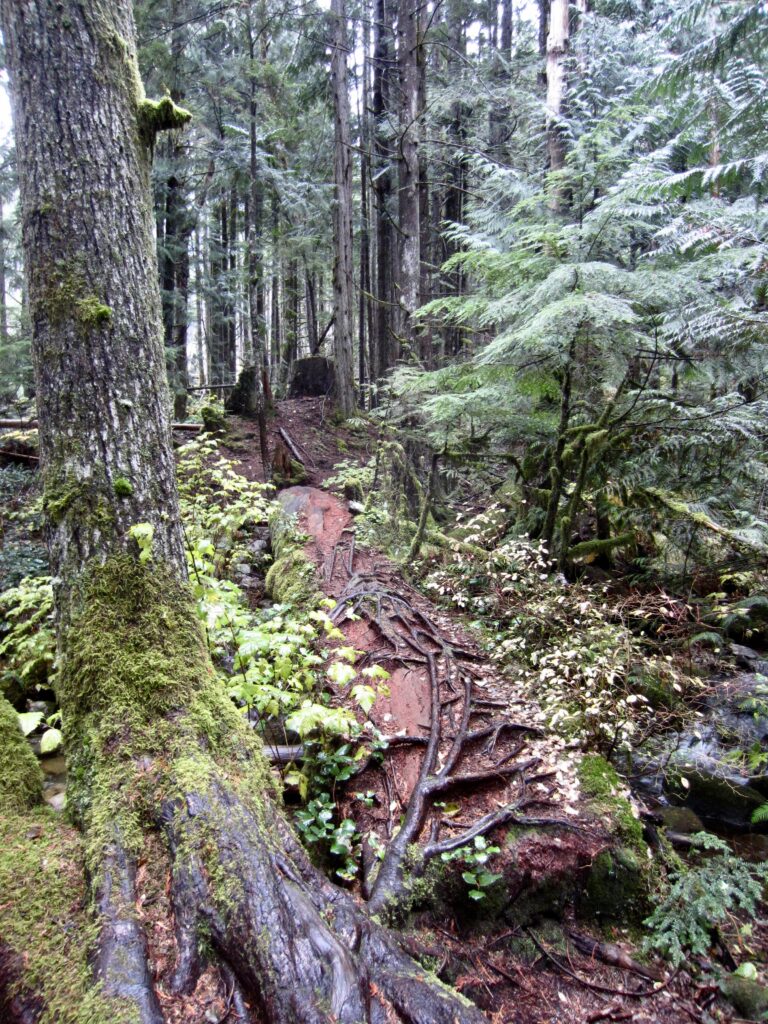
After dropping 600 vertical feet, the trail angles over to the left and crosses two minor tributaries of Lower Mason Creek on small logs, then crosses the main branch on a large, root-covered log. Once across, turn right and descend another 30 yards to reach the Mason Creek Trailhead at an intersection with a wide dirt road (4.5 miles + 1550 feet – 1350 feet from Far Side Trailhead). Turn left and follow this road downhill for 100 yards as it makes a sweeping curve to the right and arrives at your waiting vehicle parked on the Exit 42 spur road.
.
Route Map & Profile
…
…
…
…
…
Photo Gallery
Click to enlarge…