Originally Posted: June 2015
Updated: November 2026
McClellan Butte Day Hike & Scramble
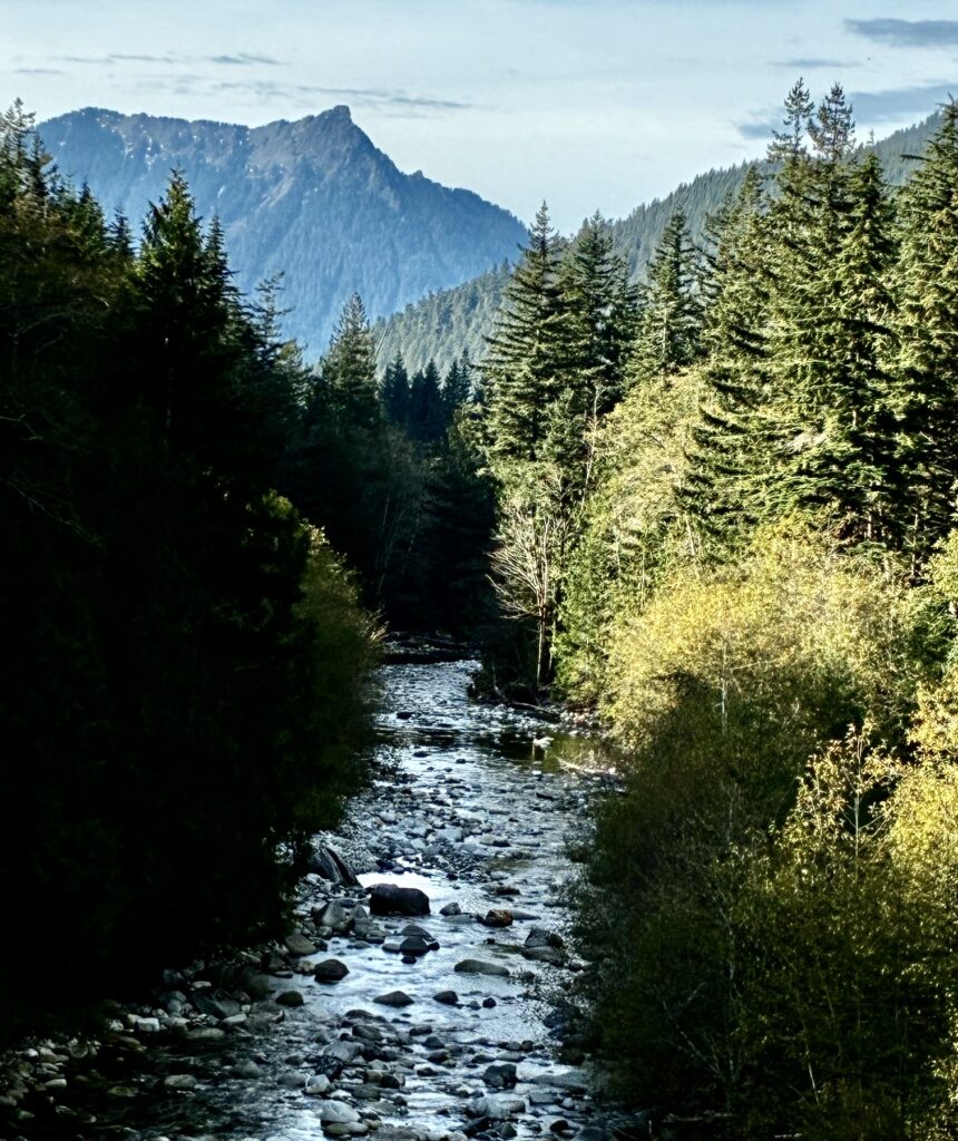
Alice Creek Valley
McClellan Butte (5162 ft)
Route Description Summary
Region: Central Washington Cascades
Sub-Region: Iron Horse Mountains
Area: Mt. Baker – Snoqualmie National Forest
Starting & Ending Point: McClellan Butte Trailhead off Interstate-90 at Exit 42 (Elev. 1550 feet)
Way Points: powerline undercrossing & trail junction & Palouse-to-Cascades Trail crossing & Garcia Road crossing & south shoulder & southwest spur ridge crest & base of summit block (trail hike)
Summit: McClellan Butte (rock scramble via Southeast Face)
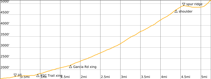
Approximate Stats (round trip): 10.6 miles traveled; 3800 feet gained & lost.
Route Overview
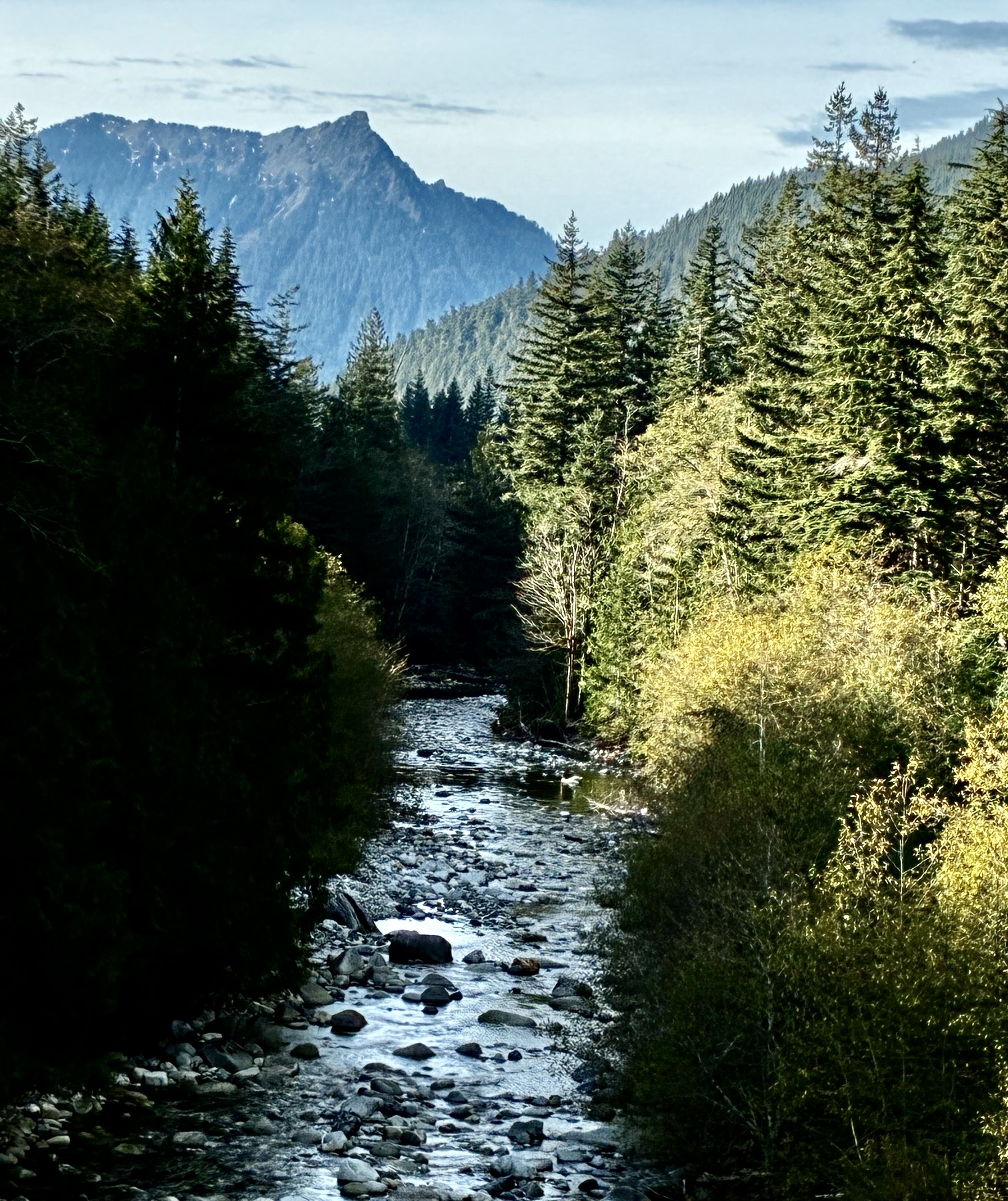
From the perspective of motorists traveling on Interstate-90 between Issaquah and Cle Elum, McClellan Butte is arguably the most impressive peak in view. Its sharp summit horn towers over the freeway in a dramatic fashion. When seen from other peaks along the I-90 corridor, McClellan represents an unmistakable landmark.
Many motorists who know McClellan Butte just from roadway level would be surprised to learn that a straightforward hiking trail leads nearly to its summit. I say “nearly” because the trail gets you only 99% of the way up; the final 1% involves a very exposed Class 2 scramble. If you possess confident footwork and a high tolerance for exposure, the full ascent will provide an enjoyable and rewarding destination. On the other hand, if you are a bit uncomfortable with exposed Class 2 scrambling, the trail hike to the base of the summit horn will still give you a satisfying trek and great views.
.
Parking Comments
The McClellan Butte Trailhead can be reached by a short drive from Exit 42 off Interstate-90. From this exit, head southwest and follow the gravel roadway as it curves to the left. Very quickly, you will come to a marked side road branching uphill to the right. Take this side road for 300 yards to its end in the trailhead parking lot. Be aware that a Northwest Forest Pass (or equivalent) is required here.
Full Route Description
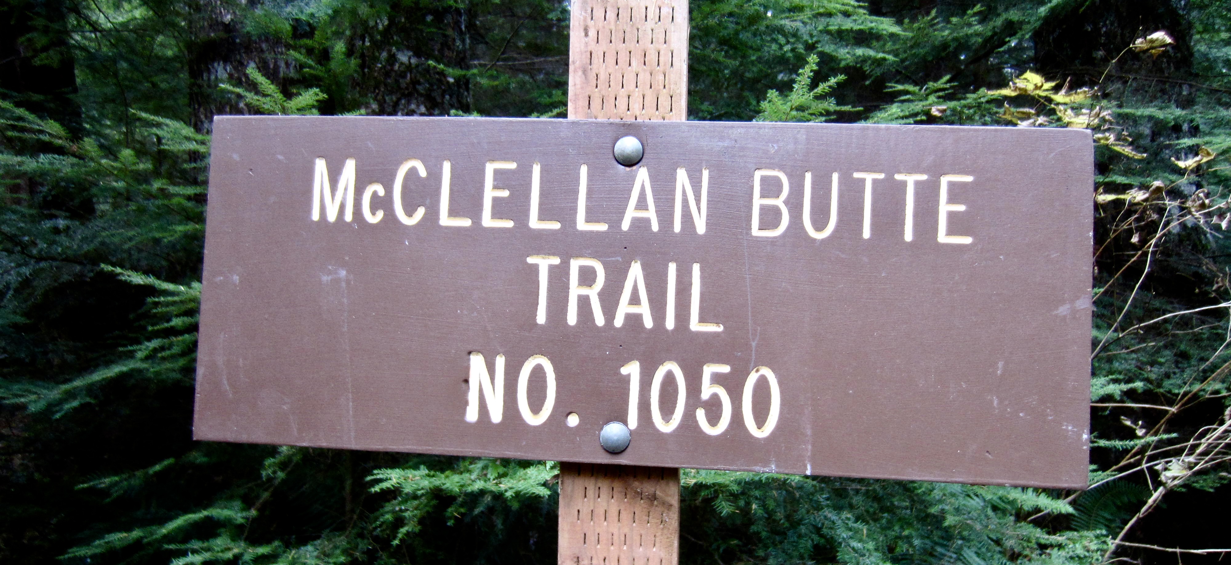
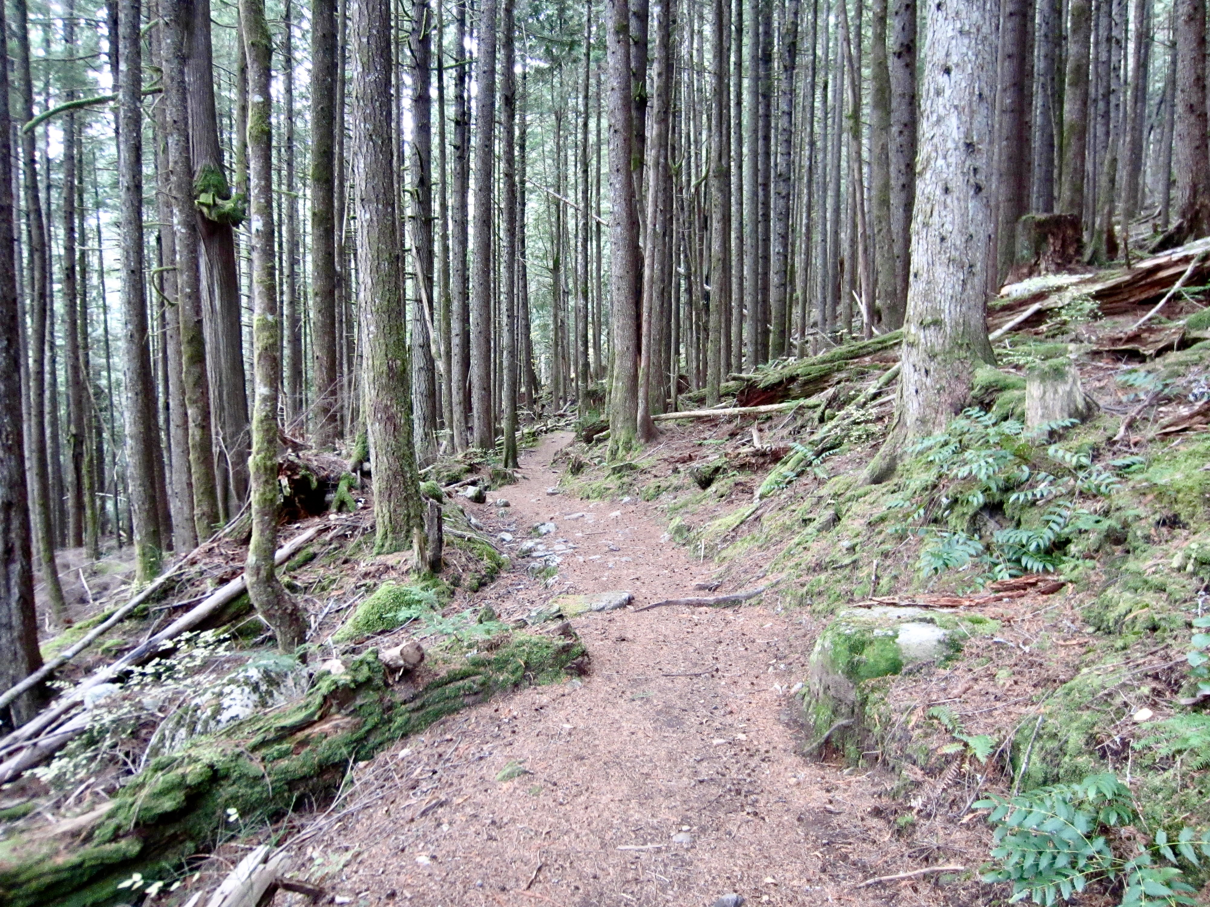
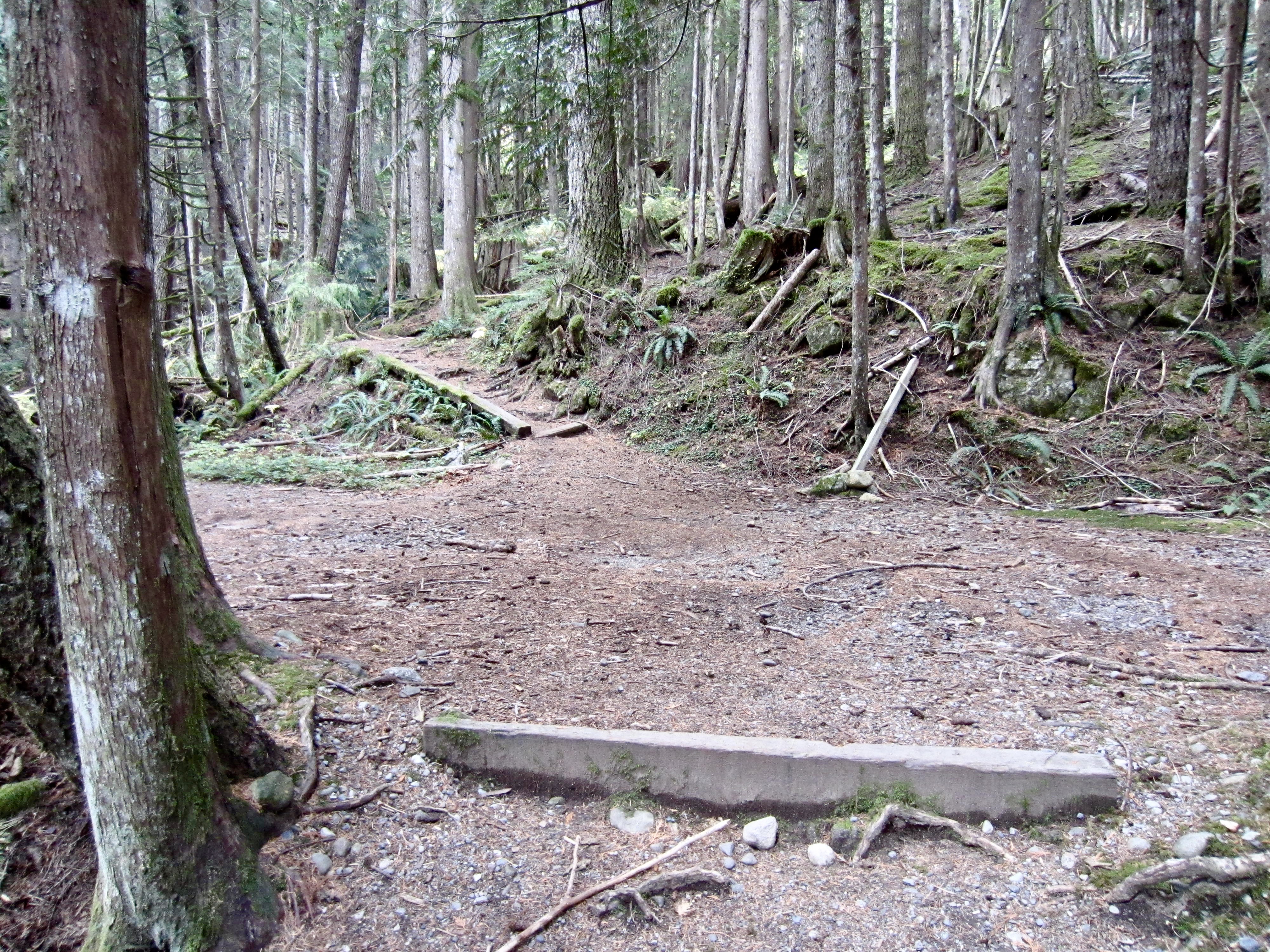
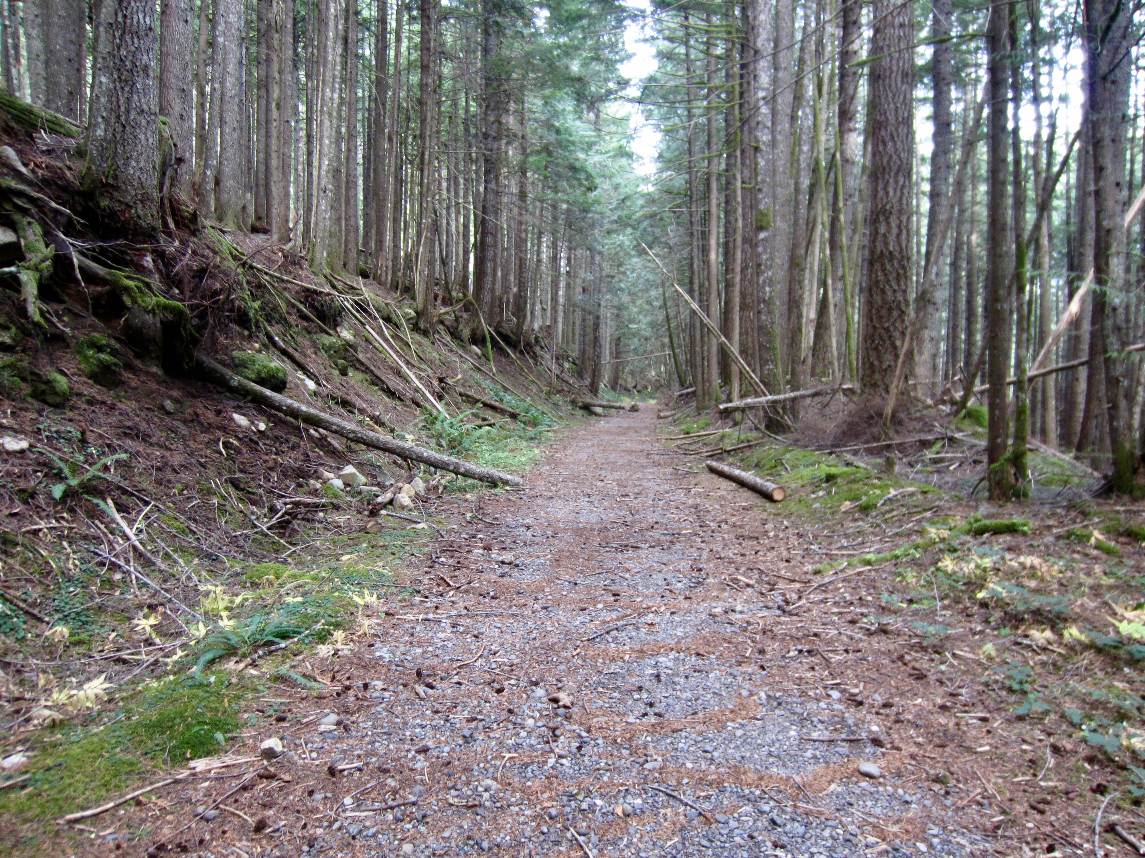
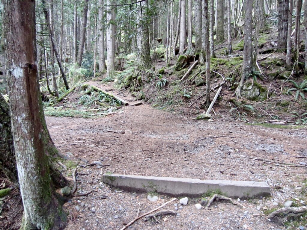
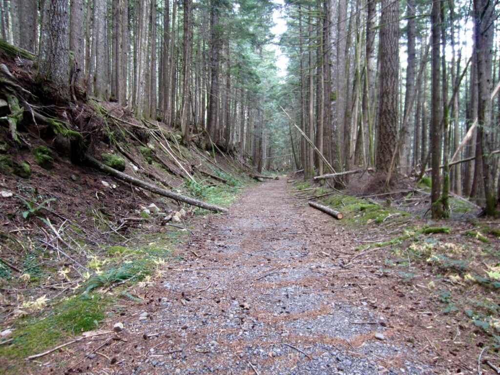
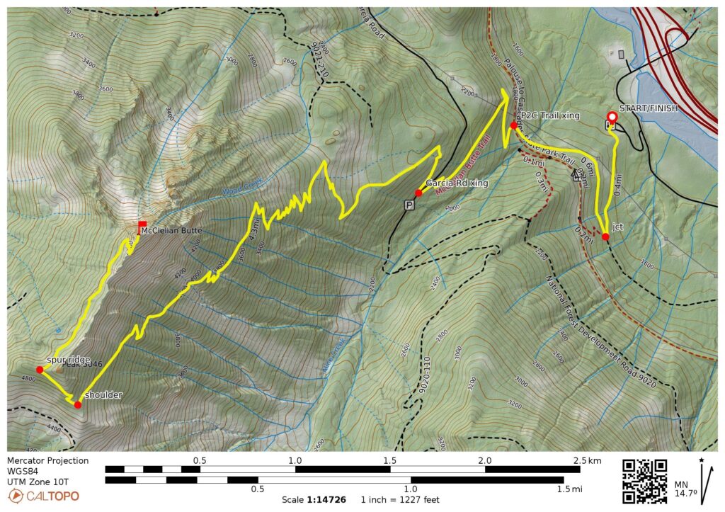
From the western end of the parking lot, follow the McClellan Butte Trail southward through dense forest for 0.4 miles until intersecting an old overgrown road. Here, you have the choice of continuing straight uphill or turning sharply to the right. I recommend turning right and hiking along this pleasantly mossy road for another 0.6 miles until it crosses the wide Palouse-to-Cascades (P2C) Trail. If you choose to go straight uphill at the old road, you will reach the P2C Trail in 0.2 miles and then follow it rightward for 0.4 miles until arriving at the aforementioned crossing point. Both options are the same distance.
.
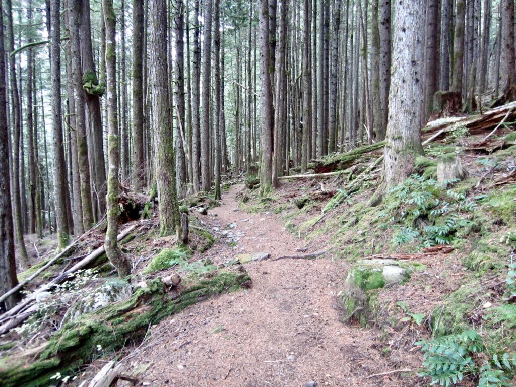
After crossing the P2C Trail, proceed uphill on the McClellan Butte Trail as it makes wide switchbacks into the Alice Creek Valley. You will cross Garcia Road (1.75 miles + 700 feet from TH) and keep angling uphill. If desired, this road can be used to achieve a higher starting point for the ascent.
.
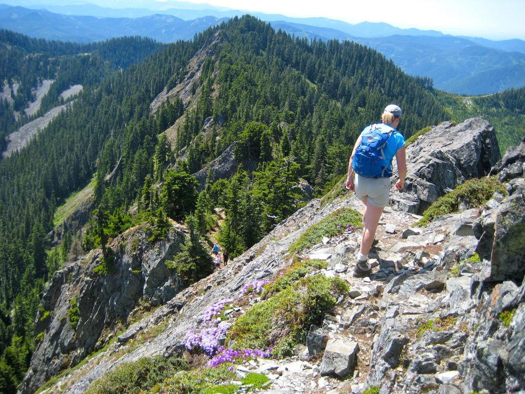
Eventually, the trail bends around a high shoulder in the peak’s long south ridge and then traverses up to the crest of a minor spur ridge. Descend a bit before continuing along the western flank of the ridge for 0.6 miles to reach a rocky platform the base of the summit horn (5.2 miles + 3700 feet from TH).
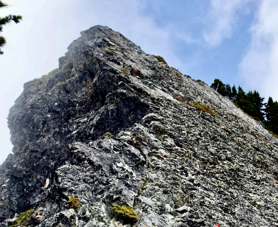
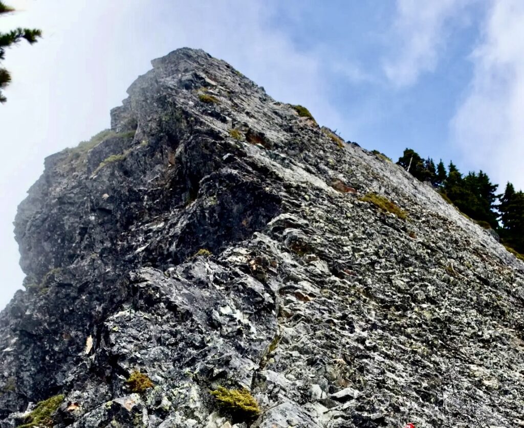
From the rocky platform, you are looking across the peak’s steep southeastern face and can appreciate the degree of exposure. Make a careful visual assessment of the terrain here in relation to your scrambling skills and exposure tolerance. If you have any doubts, just sit down and enjoy the scenery. The final ascent to the summit is serious business and should not be attempted if there is any snow or ice covering the rock. Several fatalities have occurred here in bad conditions!
.
If you are comfortable proceeding, begin with a short ascent up the sharp crest for about 15 feet, then make a rising traverse across the face. Look closely for places where the rock has been chipped away to create crude footholds. There are also a few cut-off iron pipes embedded in the rock—remnants of a former handrail—to help guide the way. Move slowly and carefully, and be aware that if the scrambling starts to exceed Class 2, you are probably off route. In this case, back up until you regain the correct route.
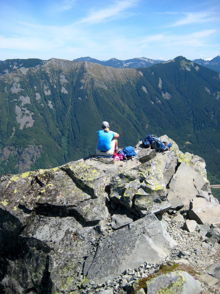
Once across the face, you will encounter broken rock and easier travel. A few dozen steps up a dirty groove will bring you to the summit of McClellan Butte (5.3 miles + 3800 feet from TH). Immediately across the I-90 corridor is the Lower Snoqualmie Range, with its familiar summits such as Mailbox Peak, Mt. Defiance, Bandera Mountain, and Granite Mountain.
.
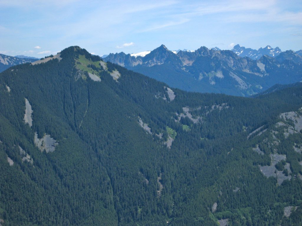
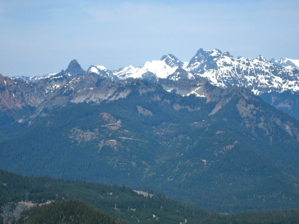
Farther back are the jagged summits of the Snoqualmie Range. These include Kaleetan Peak, Chair Peak, Mt. Thomson, Chimney Rock, Lemah Mountain, and Chikamin Peak.
.
.
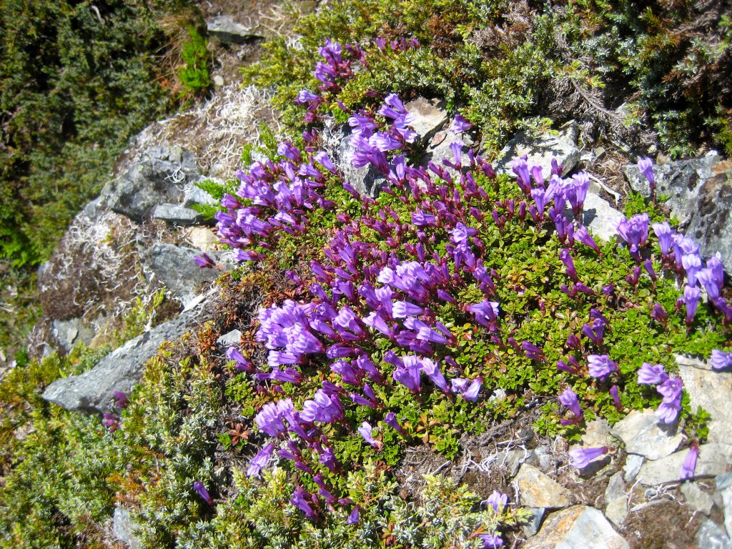
On the summit, you will notice some anchor bolts, metal pieces, and other relics of a previous fire lookout structure. Depending on the time of year, you might also enjoy some colorful wildflowers.
.
For your descent, make a very careful down-climb of the steep face. Take your time to ensure positive foot placements and to stay on the exact route. Once down to the rocky platform, it’s just a 5.2-mile hike back to the trailhead.
.
Route Map & Profile
…
…
Photo Gallery
Click to enlarge…