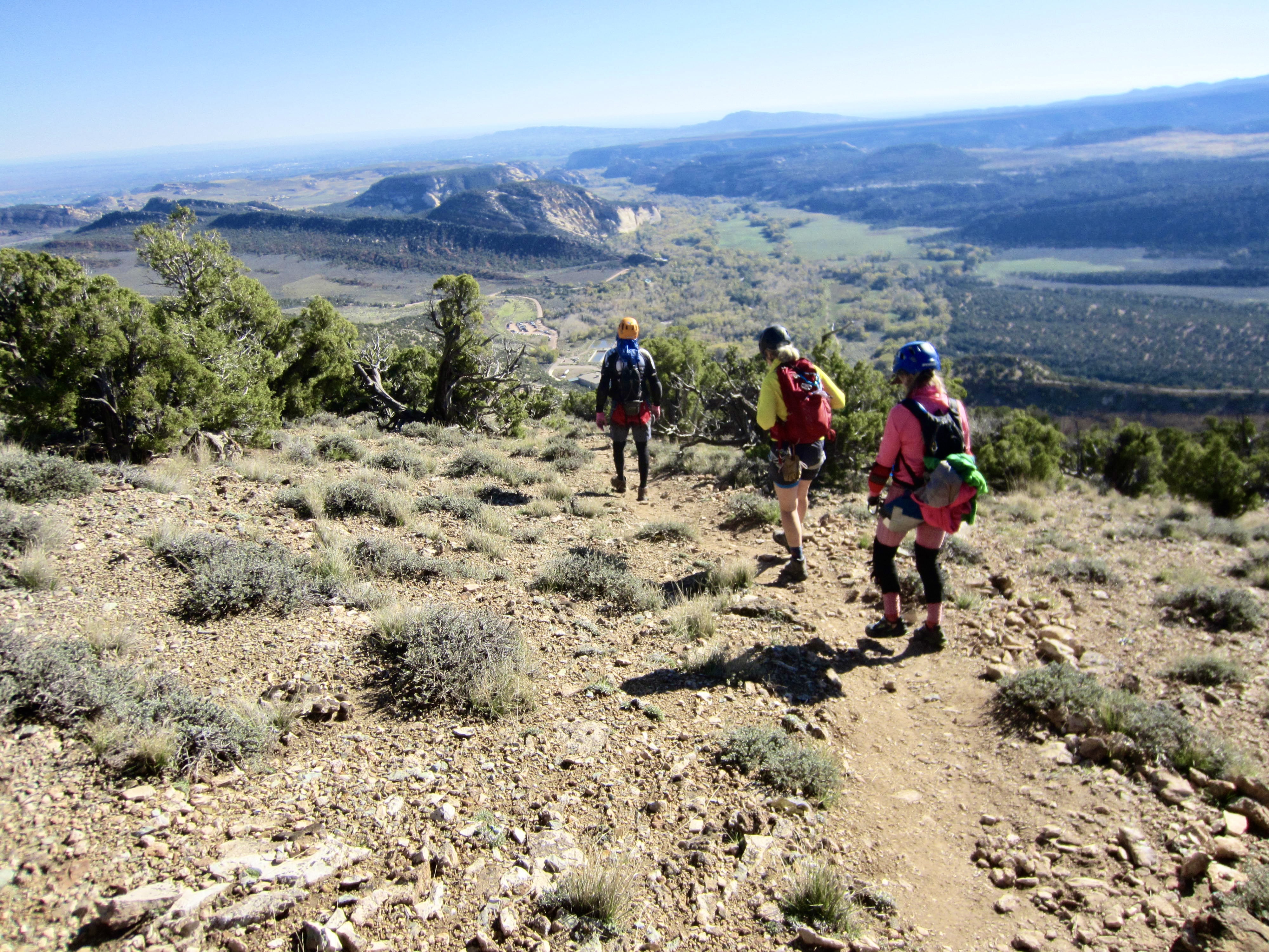
Trip Date: October 14-16, 2026
Ashley Gorge Via Ferrata Climbs
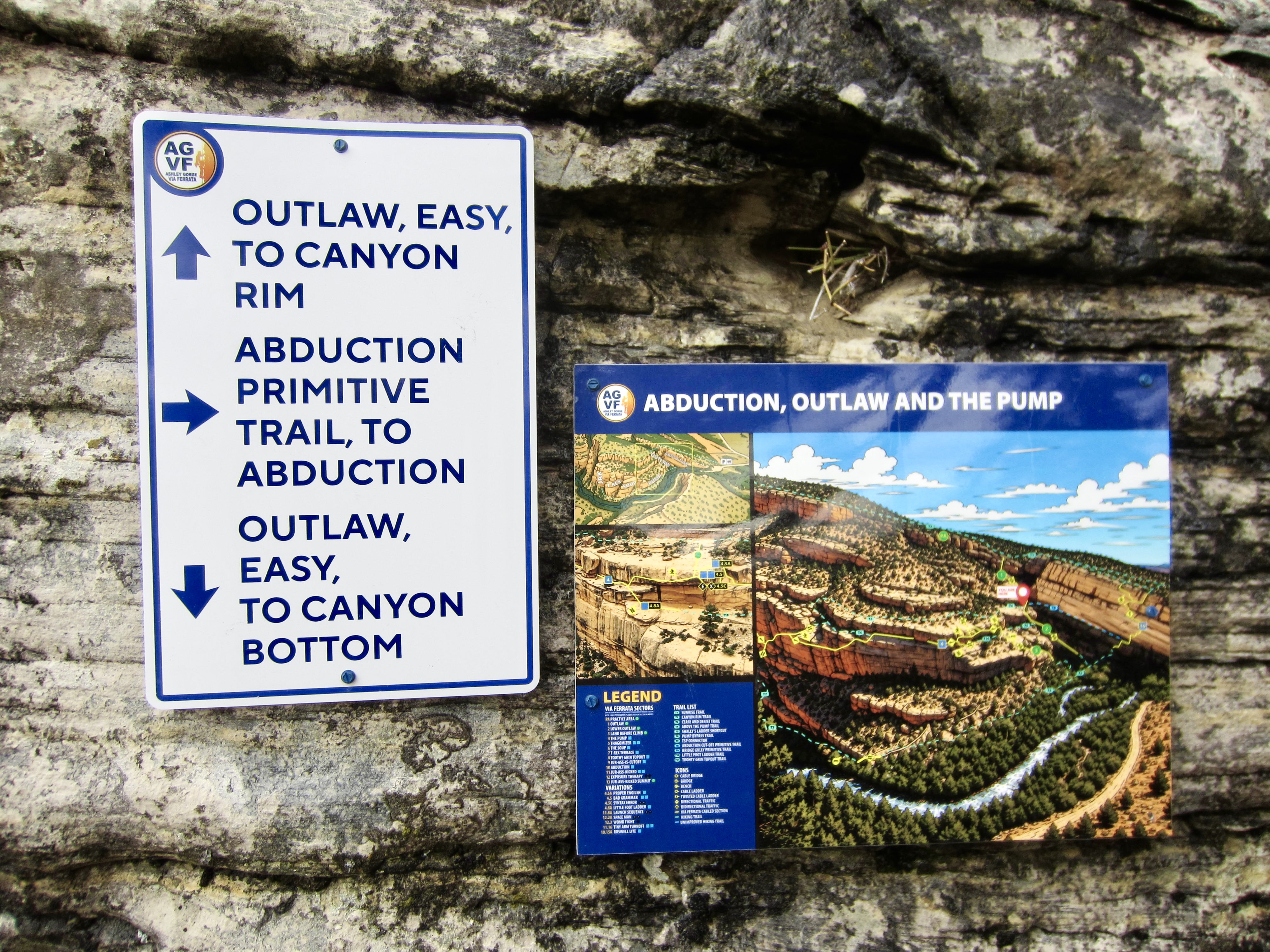
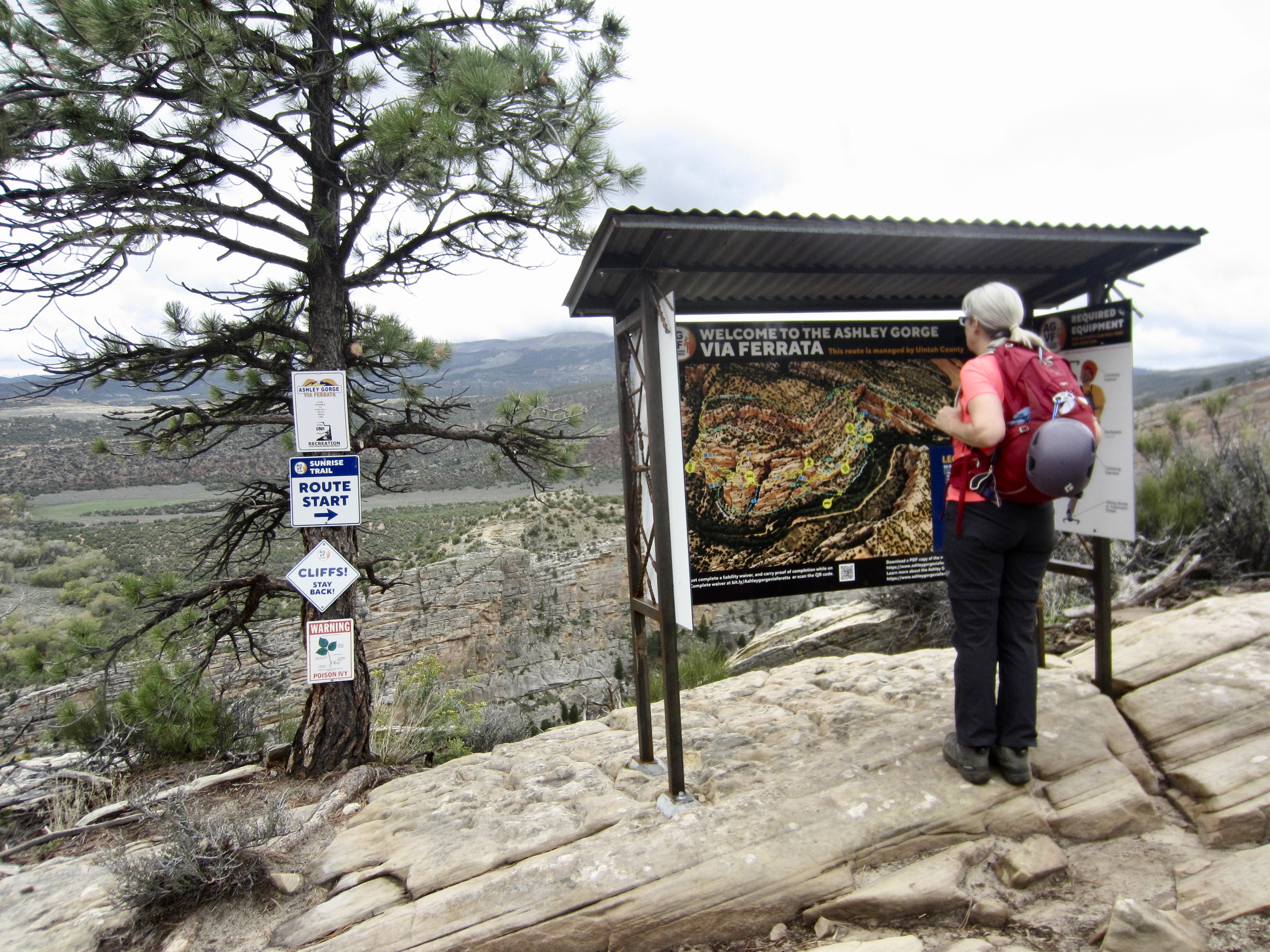
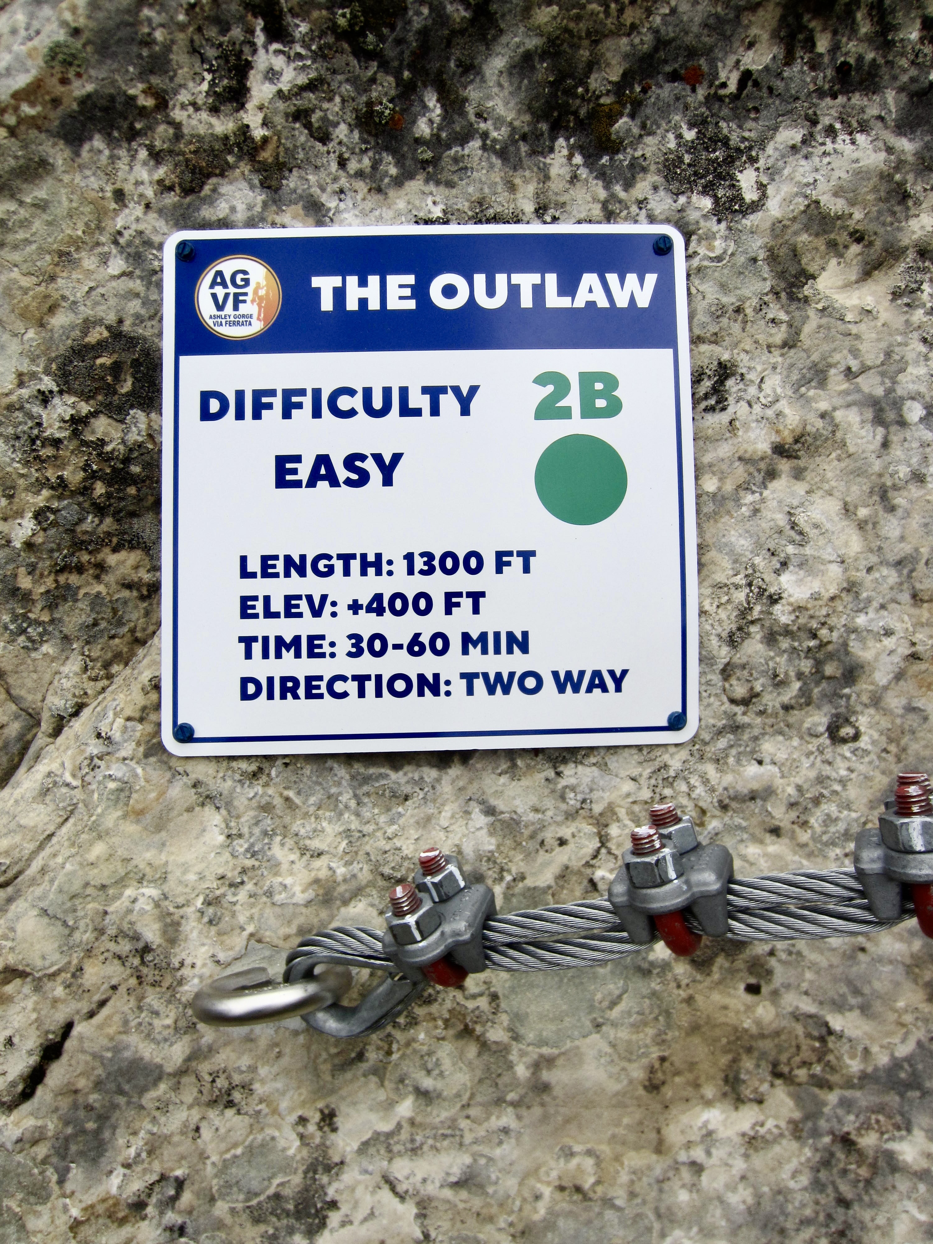
Outlaw Kiosk
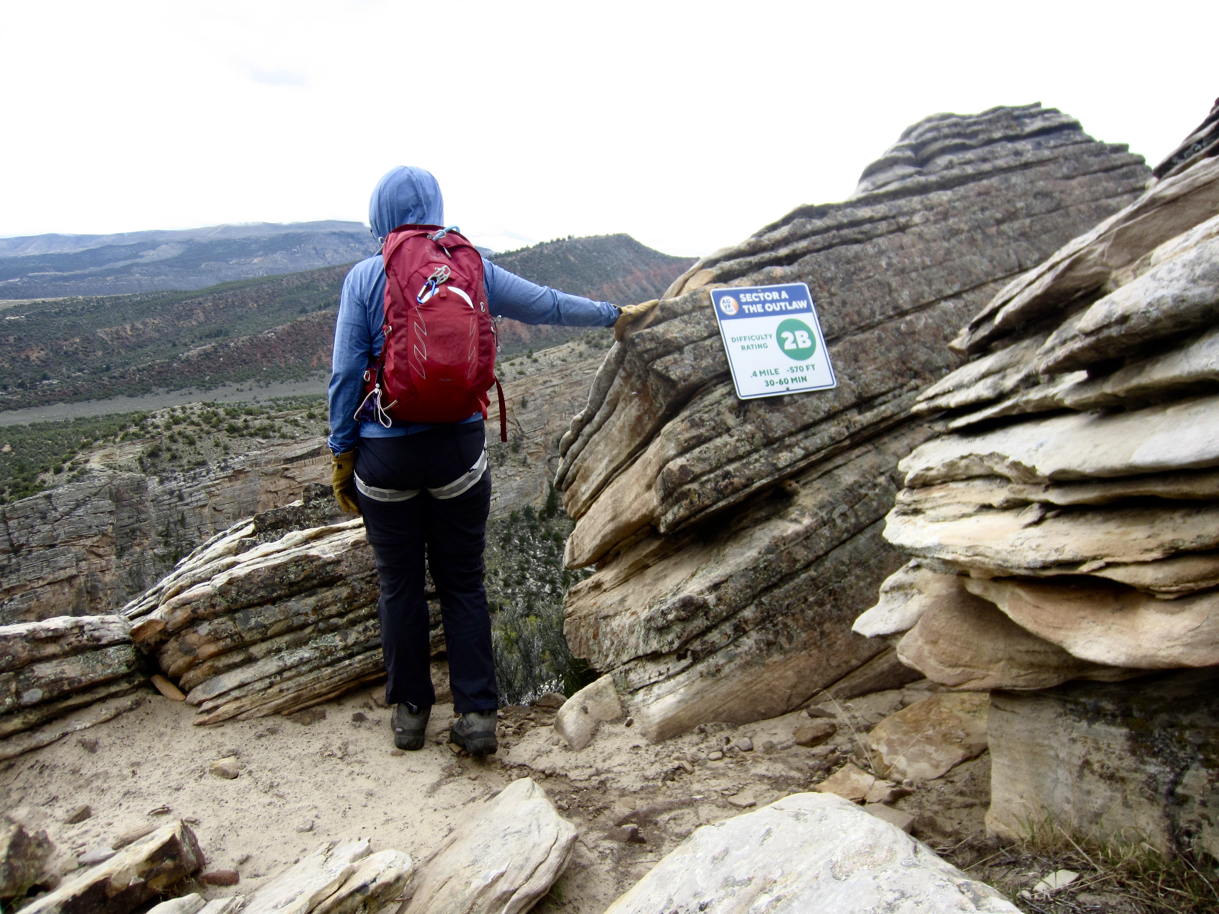
The Outlaw (2B)
Lower Jur-Ass-Kicked (3B)
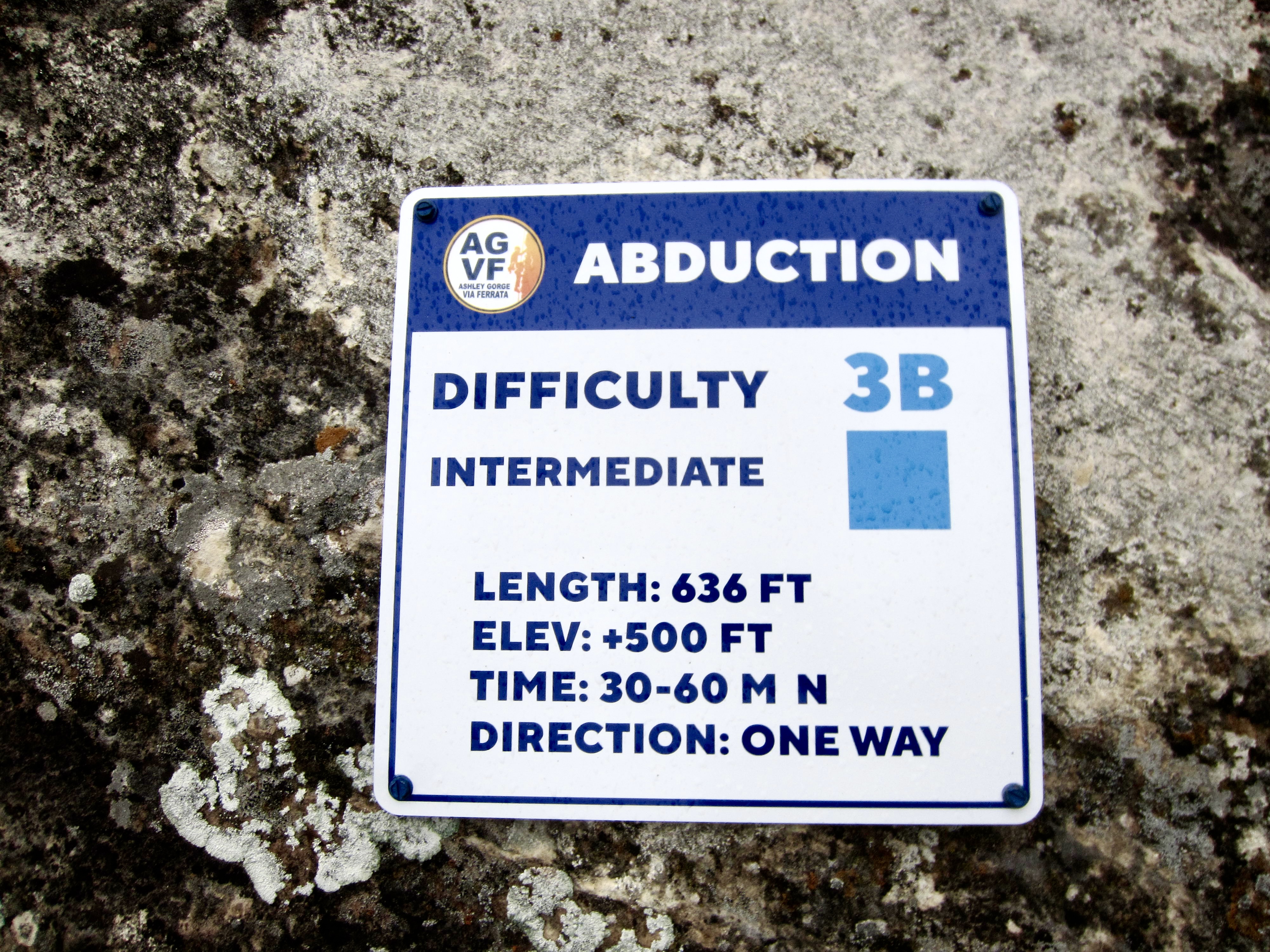
Abduction (3B)
Shally’s Ladder
The Pump (3C)
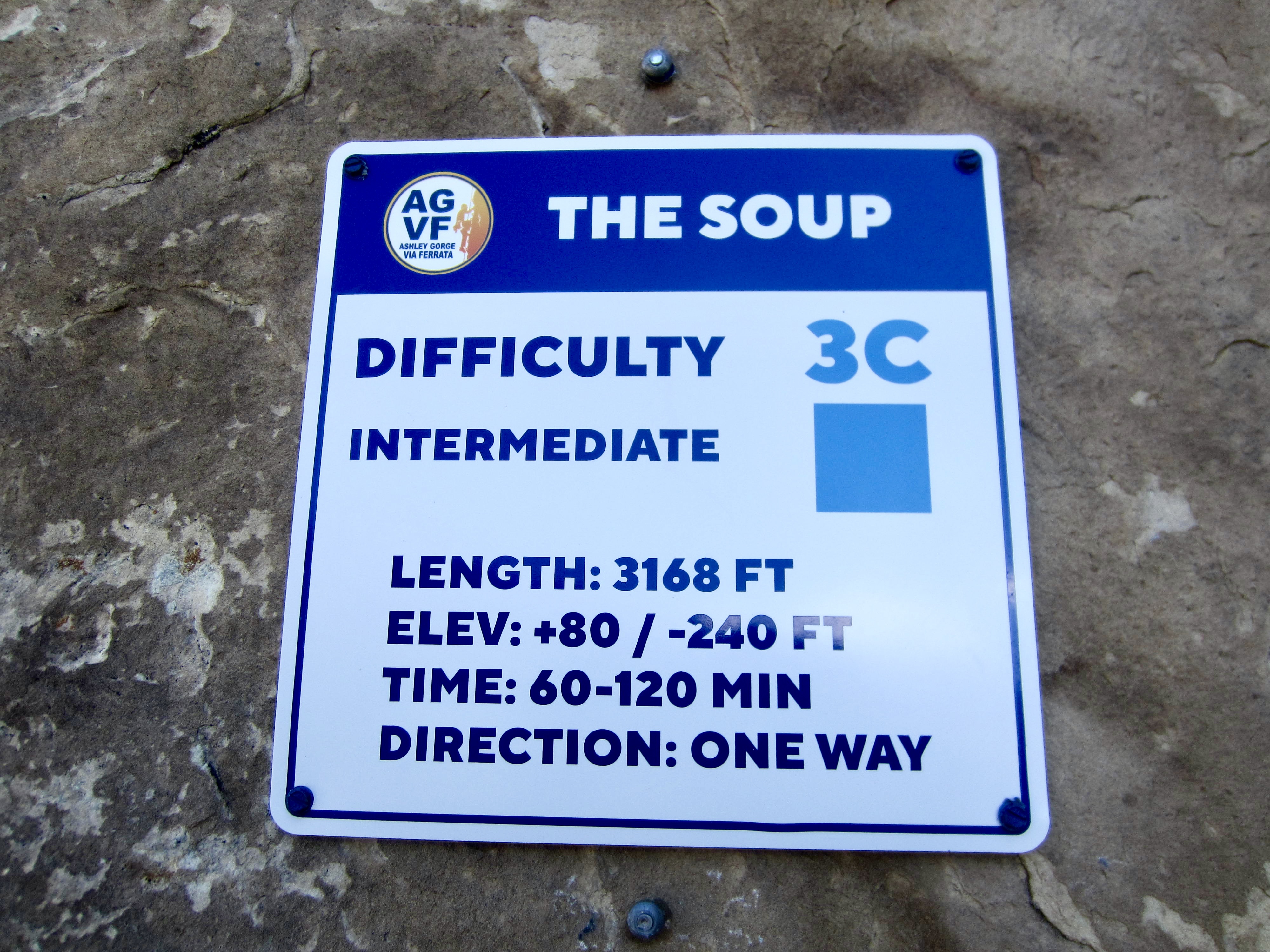
The Soup (3C)
Dynomite Sky Bridge
T-Rex Terrace (3A)
Toothy Grin (2B)
- Trip Report Summary
- Trip Overview
- Driving & Parking Directions
- Access & Connector Trails
- Via Ferrata Routes
- Via Ferrata Gear & Guides
- Camping & Lodging
- Full Trip Report
- Daytrip 1: Outlaw + Lower Jur-Ass-Kicked + Abduction Climbs
- Daytrip 2: Outlaw to T-Rex Terrace + Abduction Climbs
- Daytrip 3: Outlaw to T-Rex Terrace + Toothy Grin Climbs
- Route Maps
- Photo Gallery
Trip Report Summary
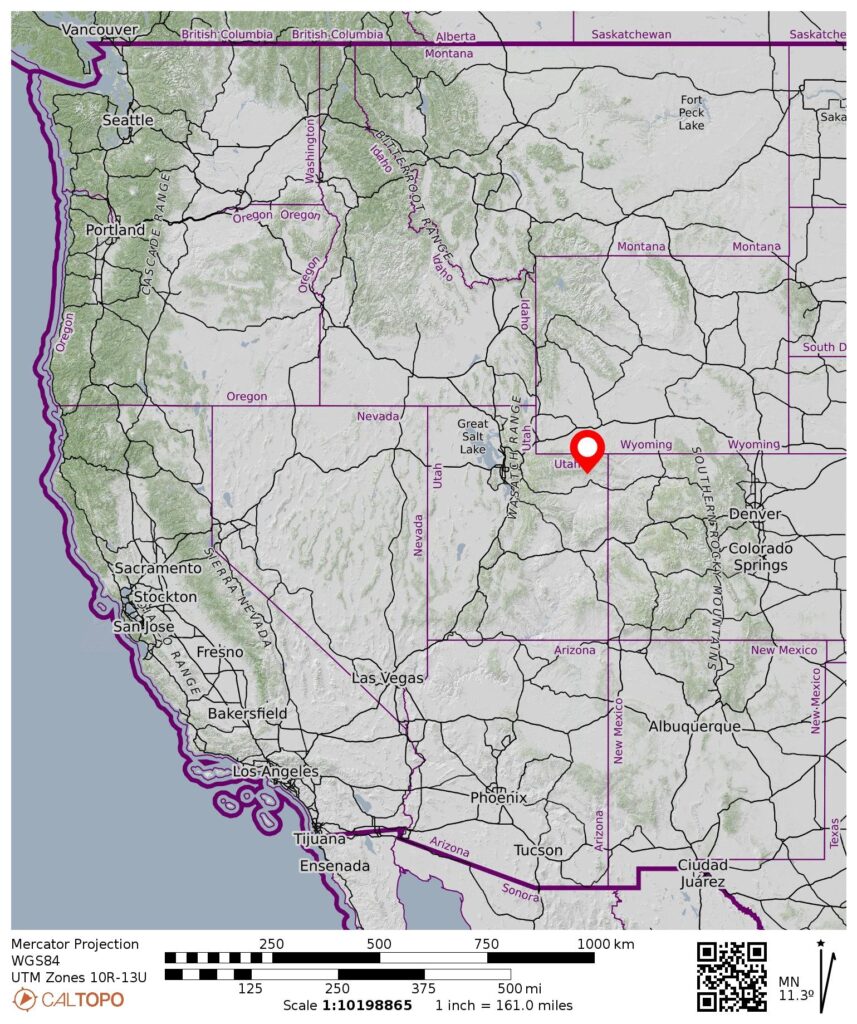
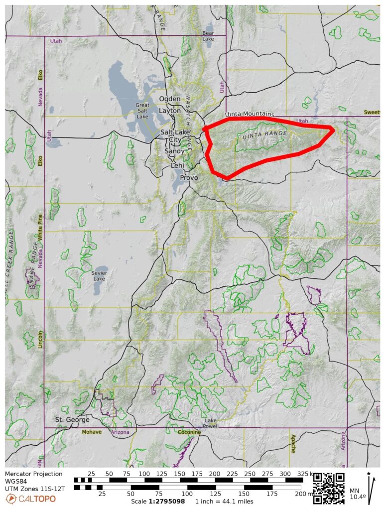
Region: Utah Rockies
Sub-Region: Uinta Range aka Uinta Mountains
Locale: Vernal, Uintah County, Utah
Setting: Ashley Creek Canyon
Feature: Ashley Gorge – east wall (Base Elev. 6200 feet; Top Elev. 7300 feet)
Campsite: Red Fleet State Park off Highway 191 (Elev. 5650 feet)
Starting & Ending Point for All Daytrips: Ashley Gorge Trailhead near end of Ashley Spring Road CR-2075 (Elev. 6170 feet)
Approach Way Points: Lower Abduction Topout Trail junction & Upper Abduction Topout Trail junction & Outlaw Kiosk (trail hike)
Daytrip 1: Outlaw + Lower Jur-Ass-Kicked + Abduction Climbs
Route 1–2: Upper Outlaw—Lower Outlaw (via ferrata descent to lower end of Cease & Desist Trail)
Route 11–9: Lower Jur-Ass-Kicked—Jur-Ass-Is Cutoff (via ferrata ascent & traverse to upper end of Cease & Desist Trail)
Route 10–10.15A: Abduction—Roswell Lite (via ferrata ascent to Lower Abduction Topout Trail)
Approximate Day 1 Stats: 3.5 miles traveled; 1500 feet gained & lost.
Daytrip 2: Outlaw to T-Rex Terrace + Abduction Climbs
Route 1–4–6–7: Upper Outlaw—The Pump—The Soup—T-Rex Terrace (via ferrata descent & traverse to upper end of Cease & Desist Trail)
Route 10: Abduction (via ferrata ascent to Upper Abduction Topout Trail)
Approximate Day 2 Stats: 3.4 miles traveled; 1700 feet gained & lost.
Daytrip 3: Outlaw to T-Rex Terrace + Toothy Grin Climbs
Route 1–4–6–7–8–13: Upper Outlaw—The Pump—The Soup—T-Rex Terrace—Toothy Grin—Jur-Ass-Kicked Summit (via ferrata descent & traverse & ascent to upper end of Canyon Rim Trail)
Approximate Day 3 Stats: 3.5 miles traveled; 1700 feet gained & lost.
Approximate Total Stats: 10.4 miles traveled; 4900 feet gained & lost.
…
Trip Overview
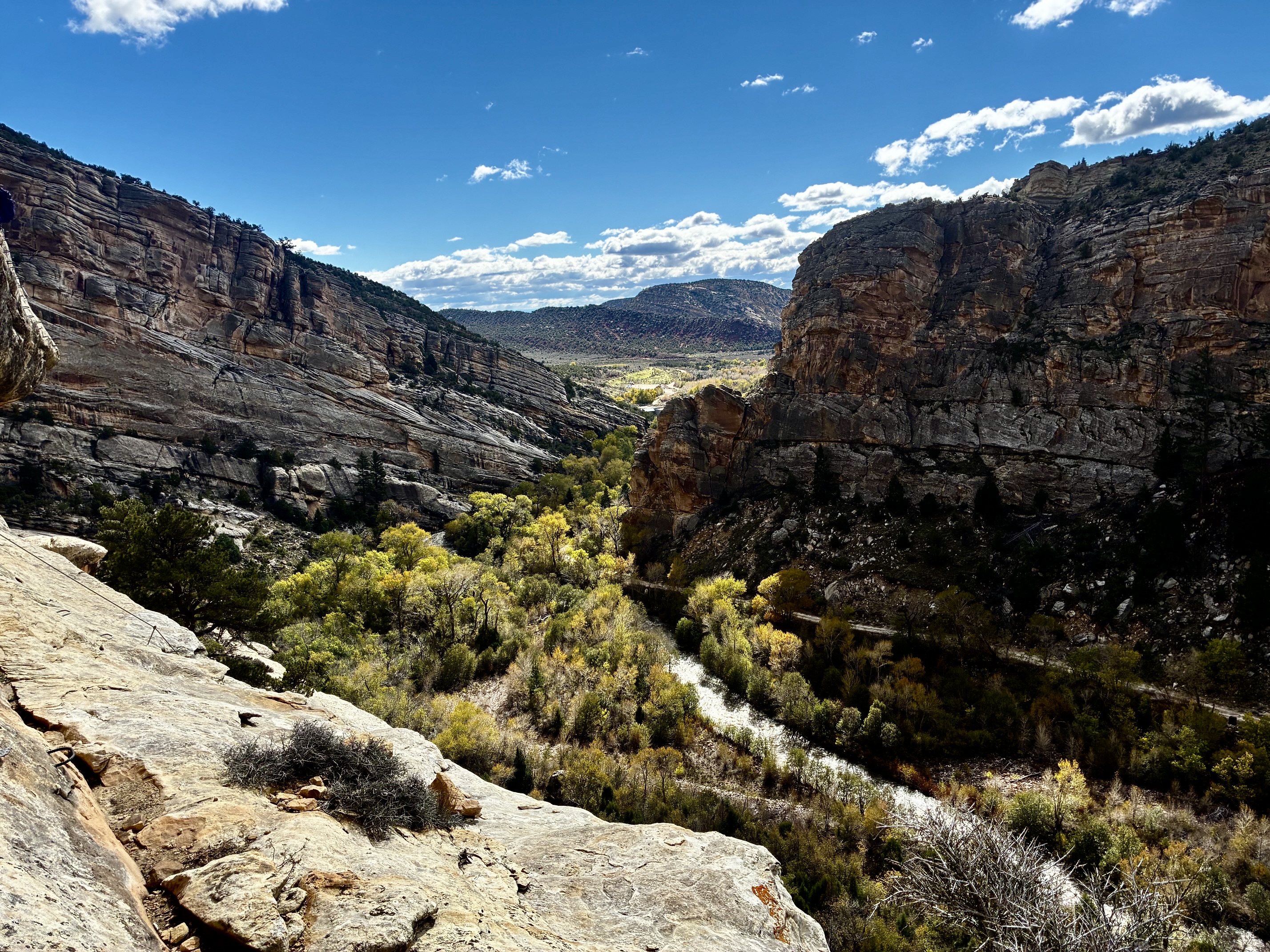
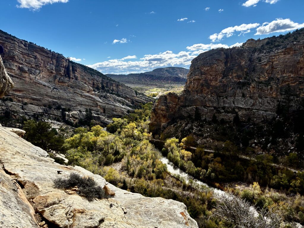
Ashley Gorge is a relatively unassuming sandstone canyon located in the northeastern corner of Utah, just a few dozen miles from the borders of both Wyoming and Colorado. It was carved into the Paleozoic bedrock by Ashley Creek, to a depth of nearly 1500 vertical feet beneath the surrounding plateau. However, what distinguishes this particular canyon from the myriad other scenic sandstone canyons in Utah is the fact that it serves as the home of America’s newest and largest via ferrata climbing area.
.
Ashley Gorge Via Ferrata was envisioned and funded (with grants) by Uintah County and subsequently designed and executed by a specialized construction crew. The county continues to manage and develop the entire area. Presently, it comprises 13 separate climbing routes, plus a handful of variations that bring the total number over 20. As such, it constitutes a publicly owned via ferrata recreational park—and it is fantastic!
Driving & Parking Directions
To reach Ashley Gorge from the town of Vernal, Utah, drive northward on N. 2500 Street West, which soon becomes CR-2060. After going uphill for several miles, leave the pavement and veer left onto Old Power Plant Road (CR-2070), a hard-surface dirt road. When this road splits in 1.4 miles, keep right and follow Ashley Spring Road for 0.2 miles to the signed Ashley Gorge Via Ferrata Trailhead.
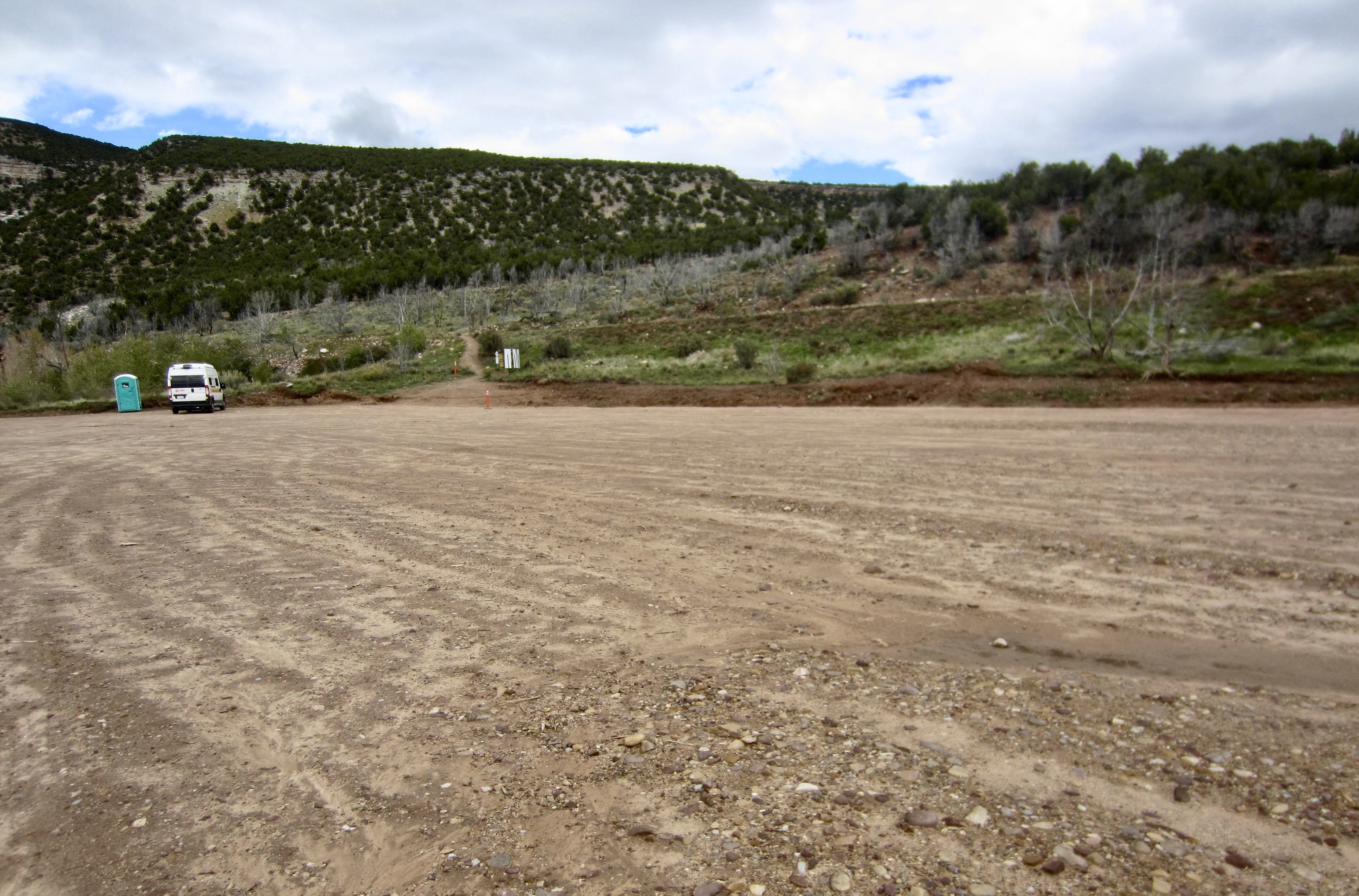
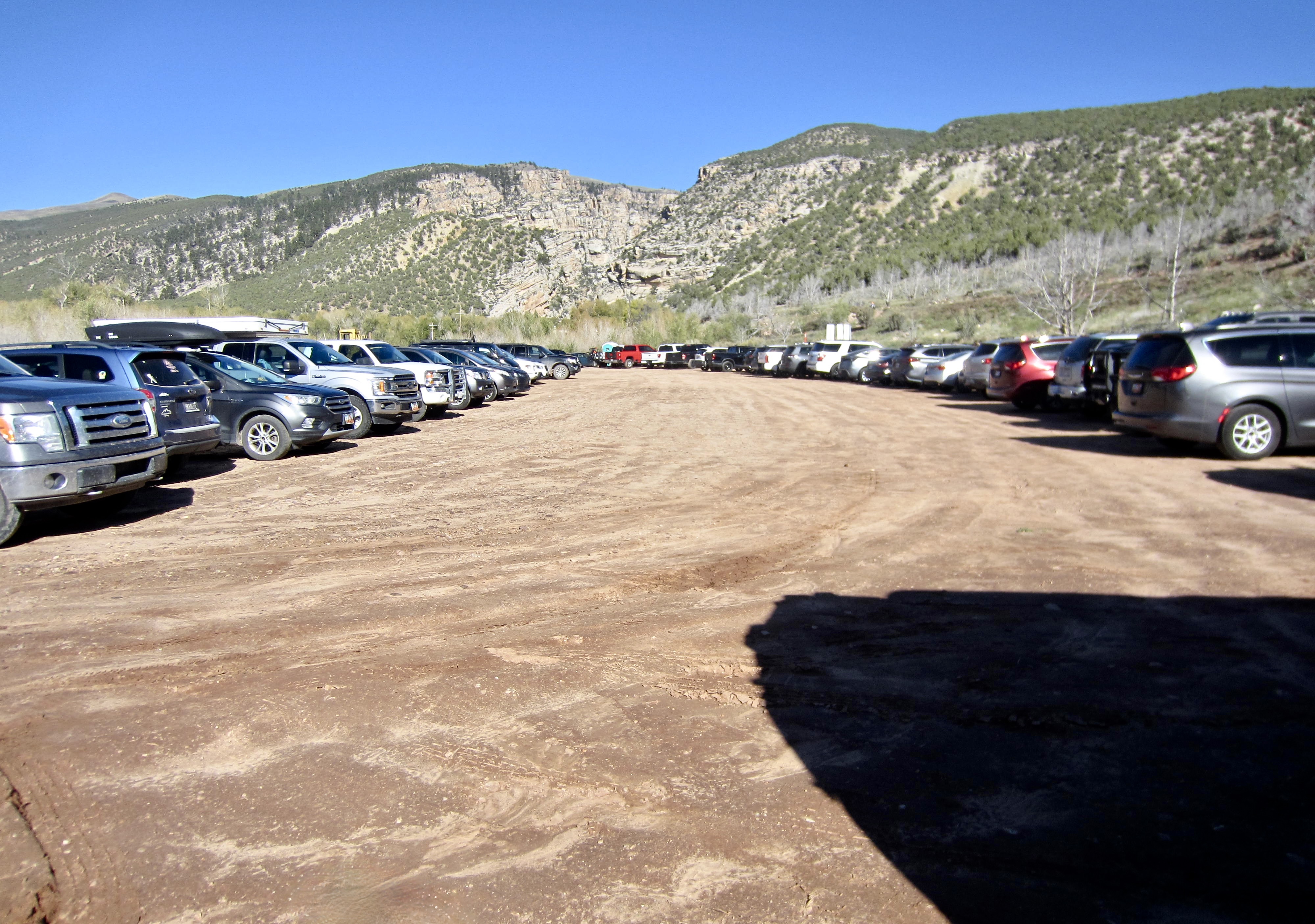
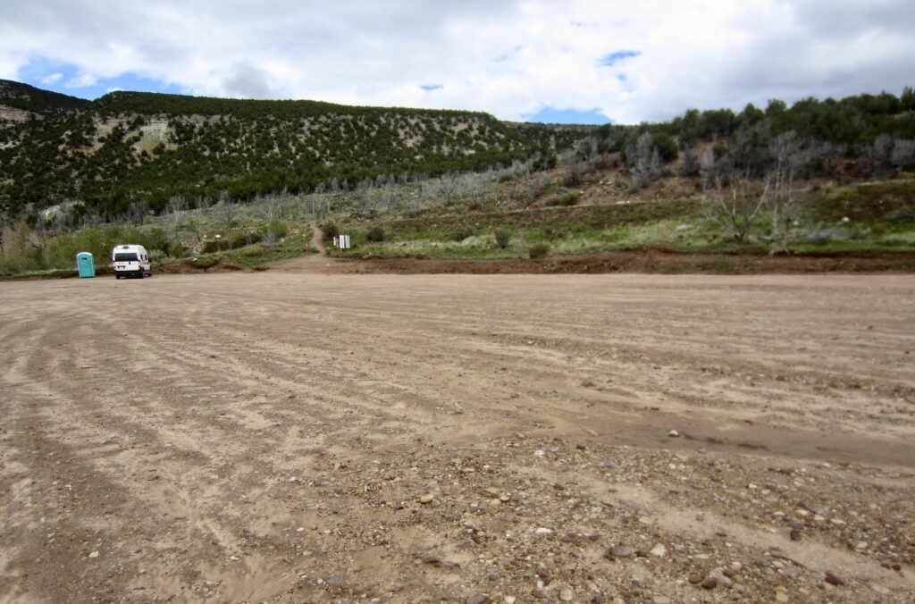
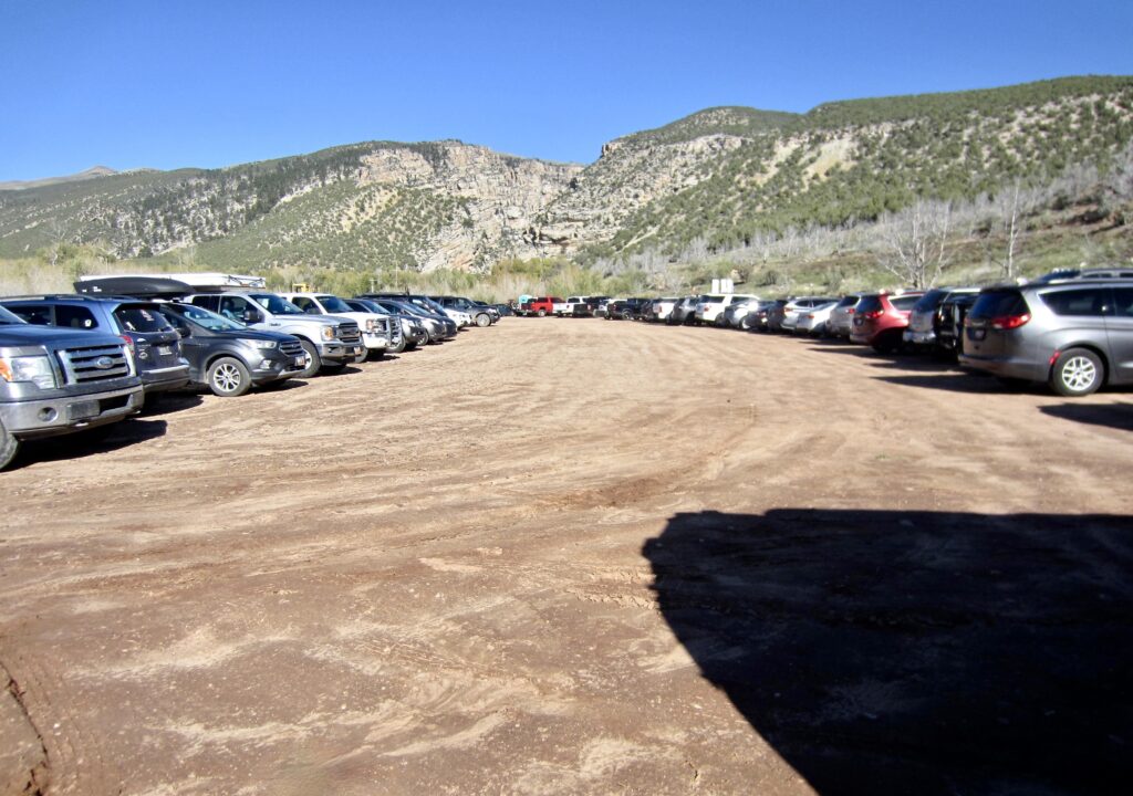
The newly constructed parking lot is very large, covering an area of approximately one acre. No permit or fee is needed to park here, but be aware that the number of visitors can vary wildly. When Eileen and I first arrived on a cool, overcast Wednesday afternoon, there were no other vehicles present, and the parking lot appeared to be comically oversized. Two days later, on a warm, sunny Friday morning, there were more than 100 other vehicles present, and we barely found a parking spot!
.
Access & Connector Trails
There are three primary trails providing access to the various via ferrata routes within Ashley Gorge:
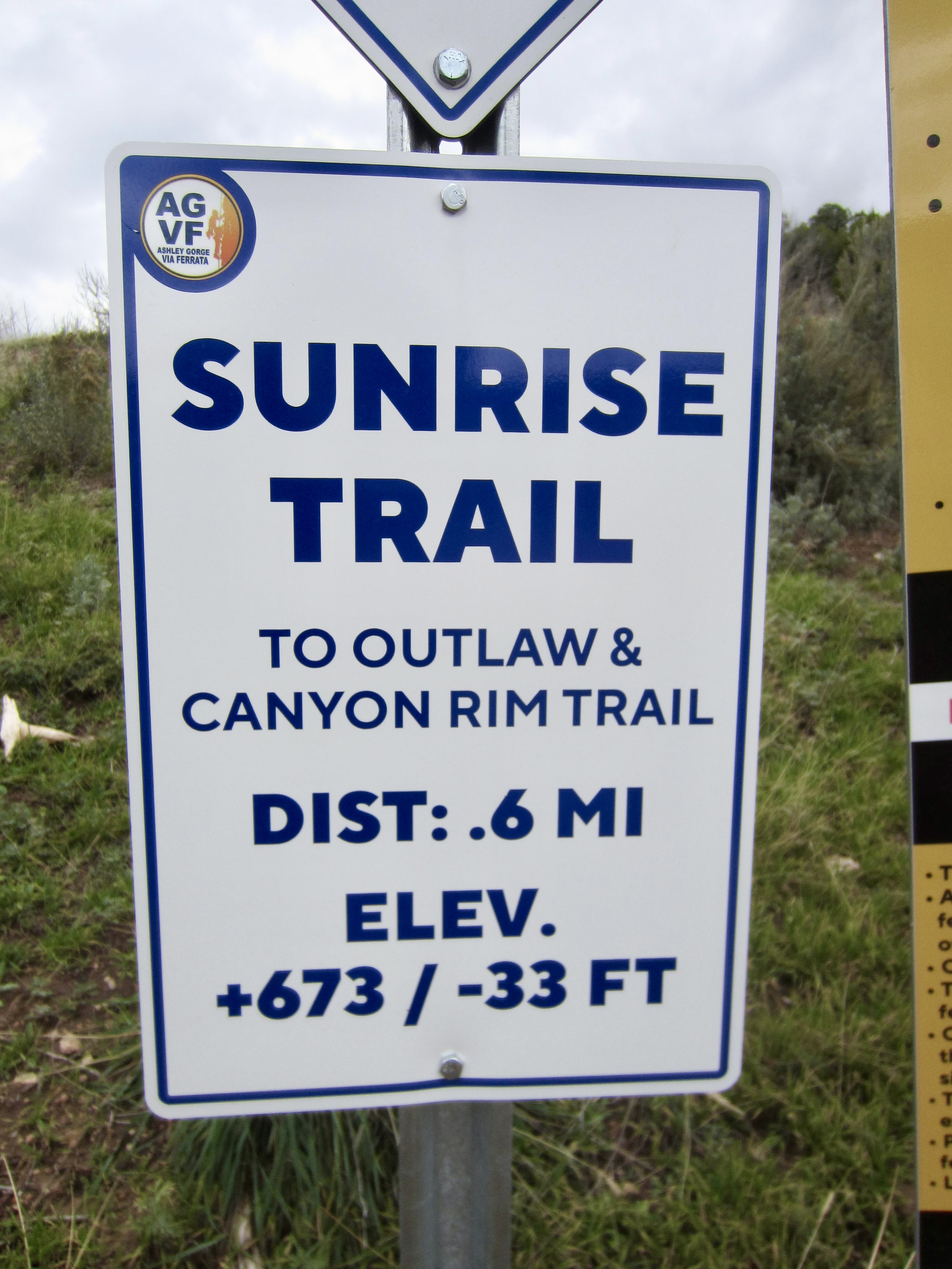
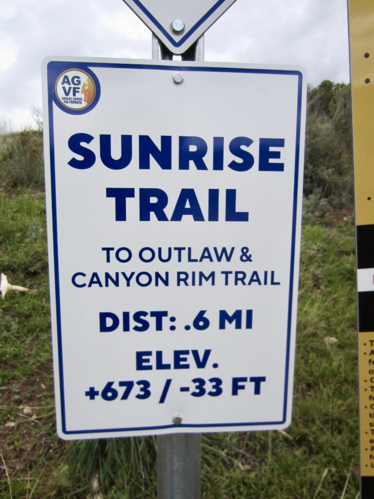
- Sunrise Trail extends from the parking lot to the Outlaw Kiosk, covering a distance of 0.9 miles and gaining 650 vertical feet.
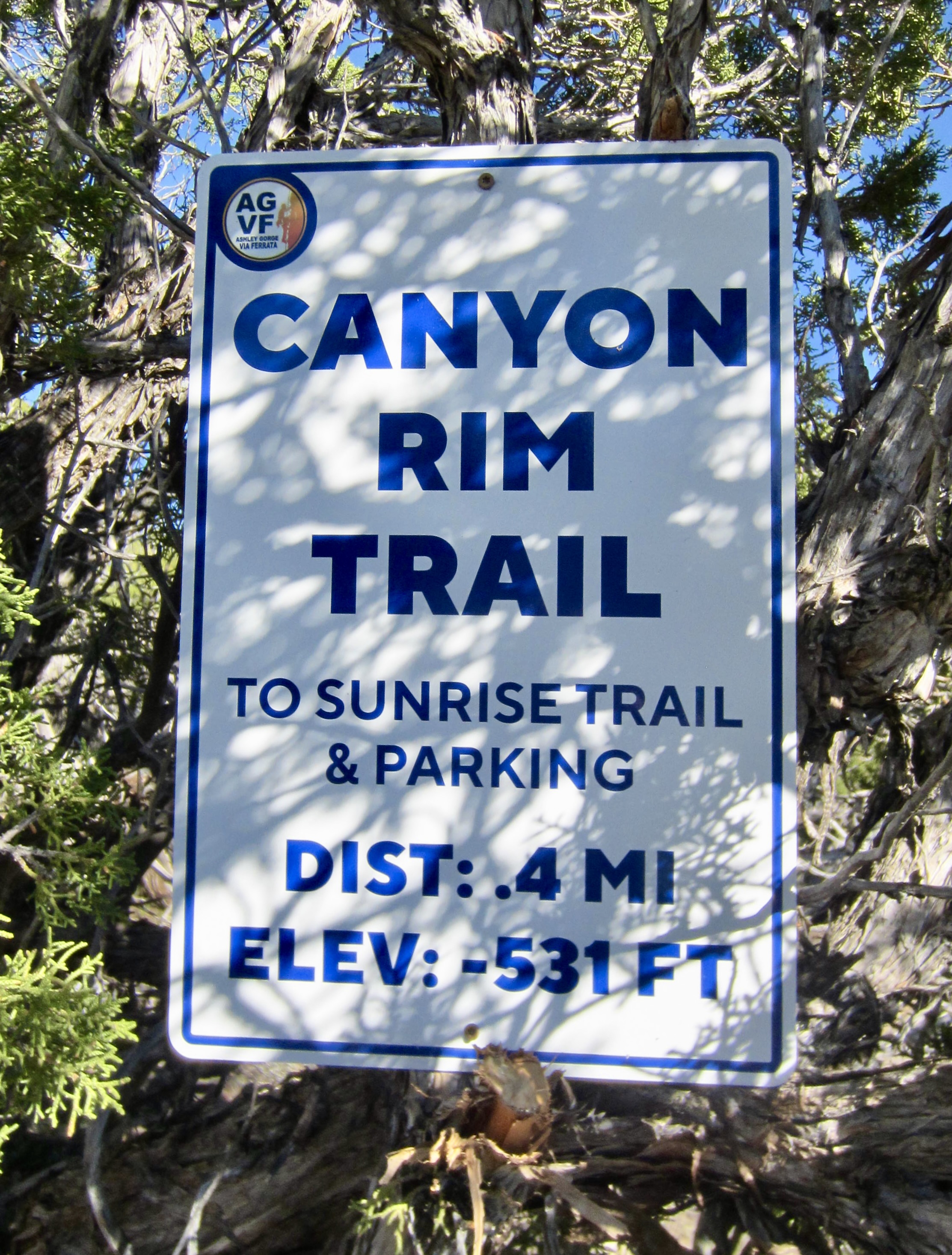
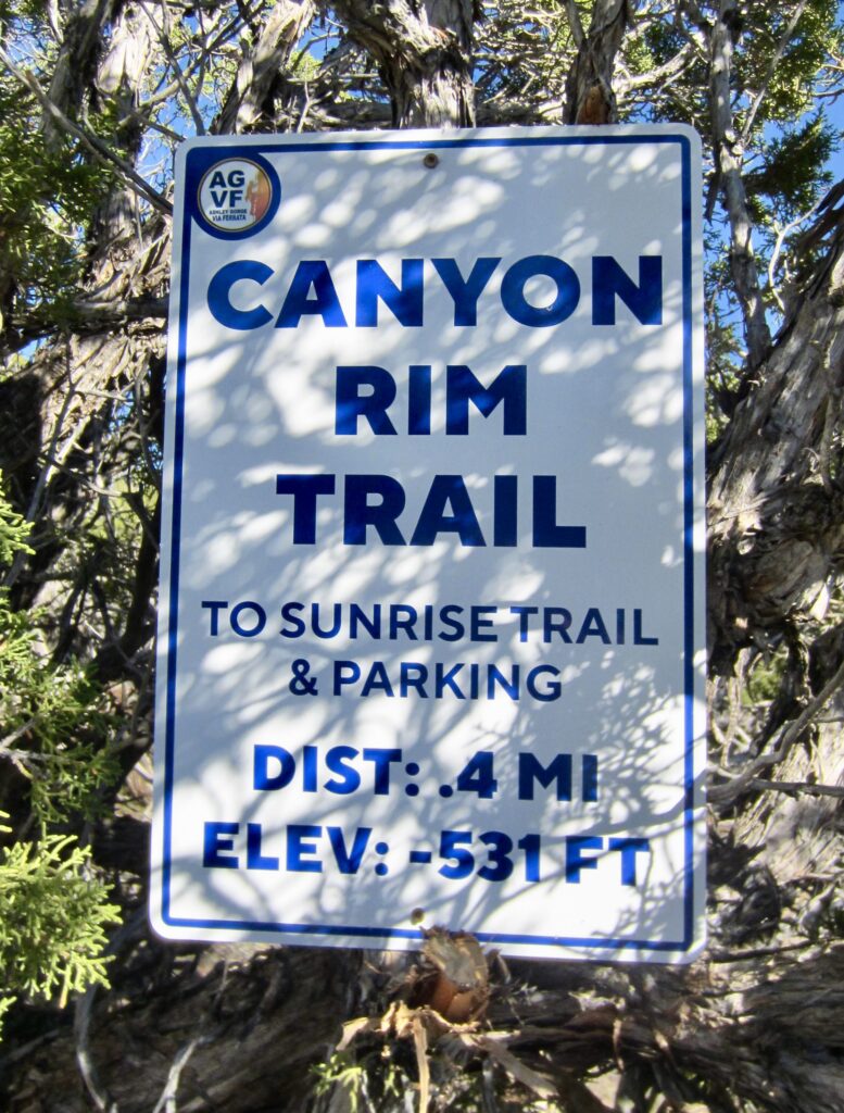
- Canyon Rim Trail extends from the Outlaw Kiosk to the uppermost point of the climbing area, covering a distance of 0.4 miles and gaining 500 vertical feet.
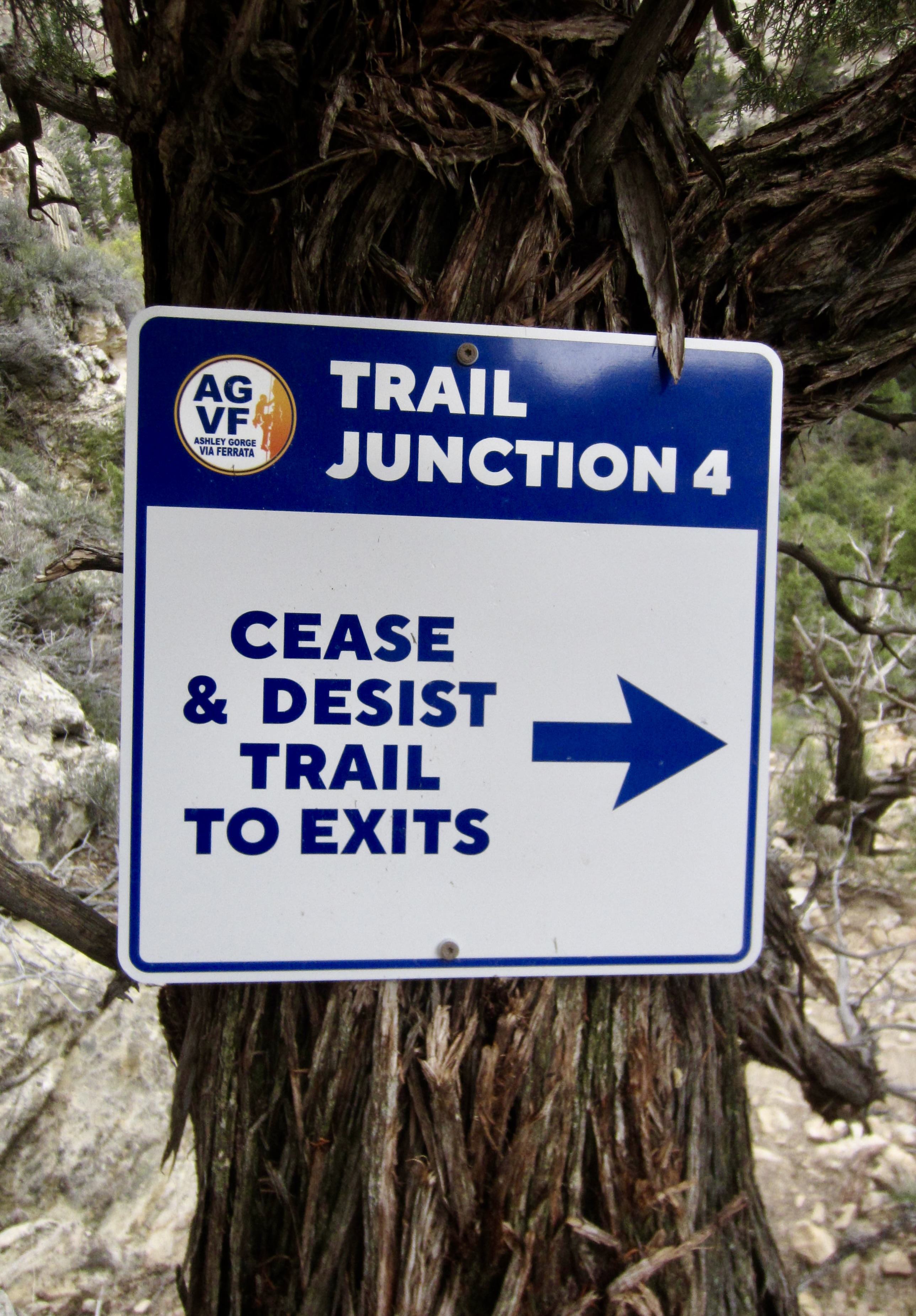
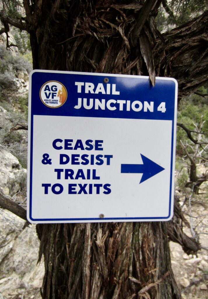
- Cease & Desist Trail extends through the canyon bottom from the start of Abduction route to the start of Jur-Ass-Kicked route, covering a distance of 0.75 miles and nearly touching Ashley Creek at one point.
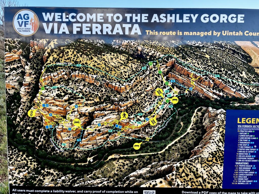
In addition, there are several secondary trails that branch off from these primary trails to connect with certain climbing routes. Most secondary trails are relatively rough and might be exposed in some locations. It should also be noted that none of the primary or secondary trails are accurately shown on any of the mapping sources that I’ve seen. My maps included at the end of this trip report illustrate my GPS tracking of the primary trails.
.
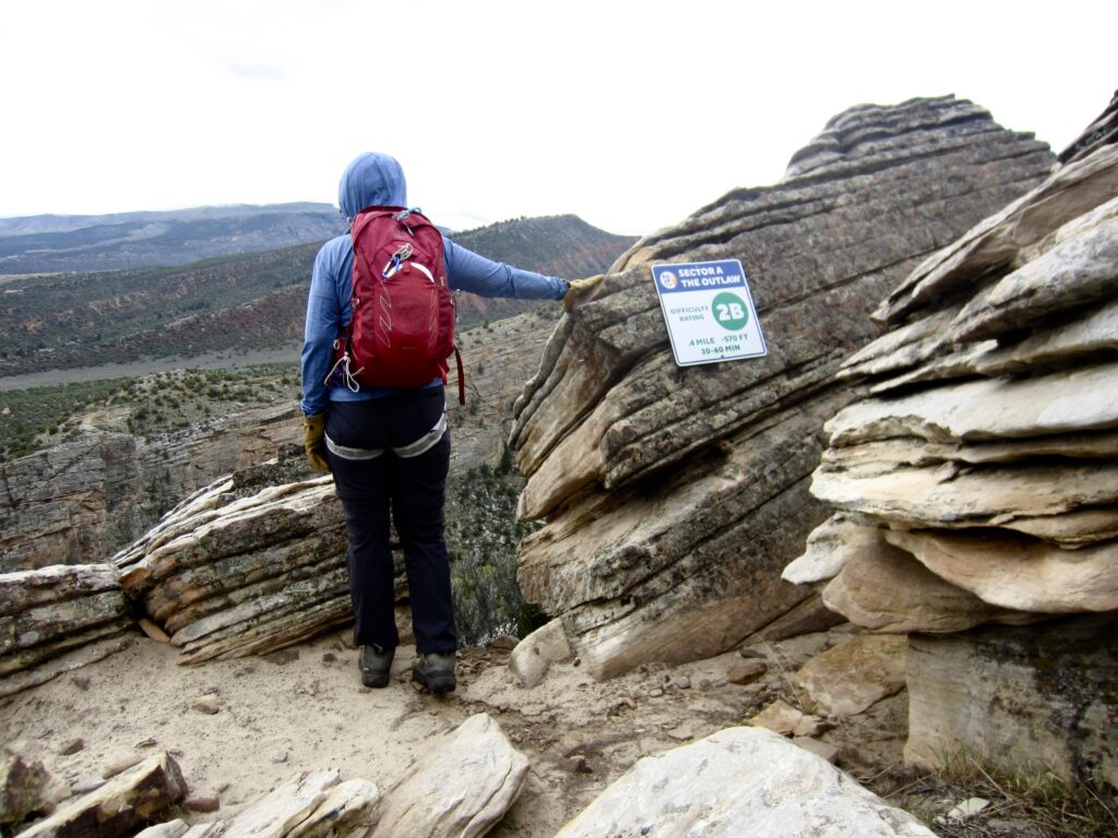
A notable aspect of Ashley Gorge is that there is no hiking access into the canyon floor. (The water facility road that runs alongside Ashley Creek is gated at each end.) In order to reach the main via ferrata areas, it is necessary to make a technical descent from the canyon rim. This can be done by either of two different access routes. Most visitors choose to descend a route called The Outlaw because it is closer to the trailhead and easier to navigate. The alternative descent route, called Toothy Grin, is located at the far end of the Canyon Rim Trail and is more convoluted. Both of these access routes have a 2B grade, but the latter is noticeably harder.
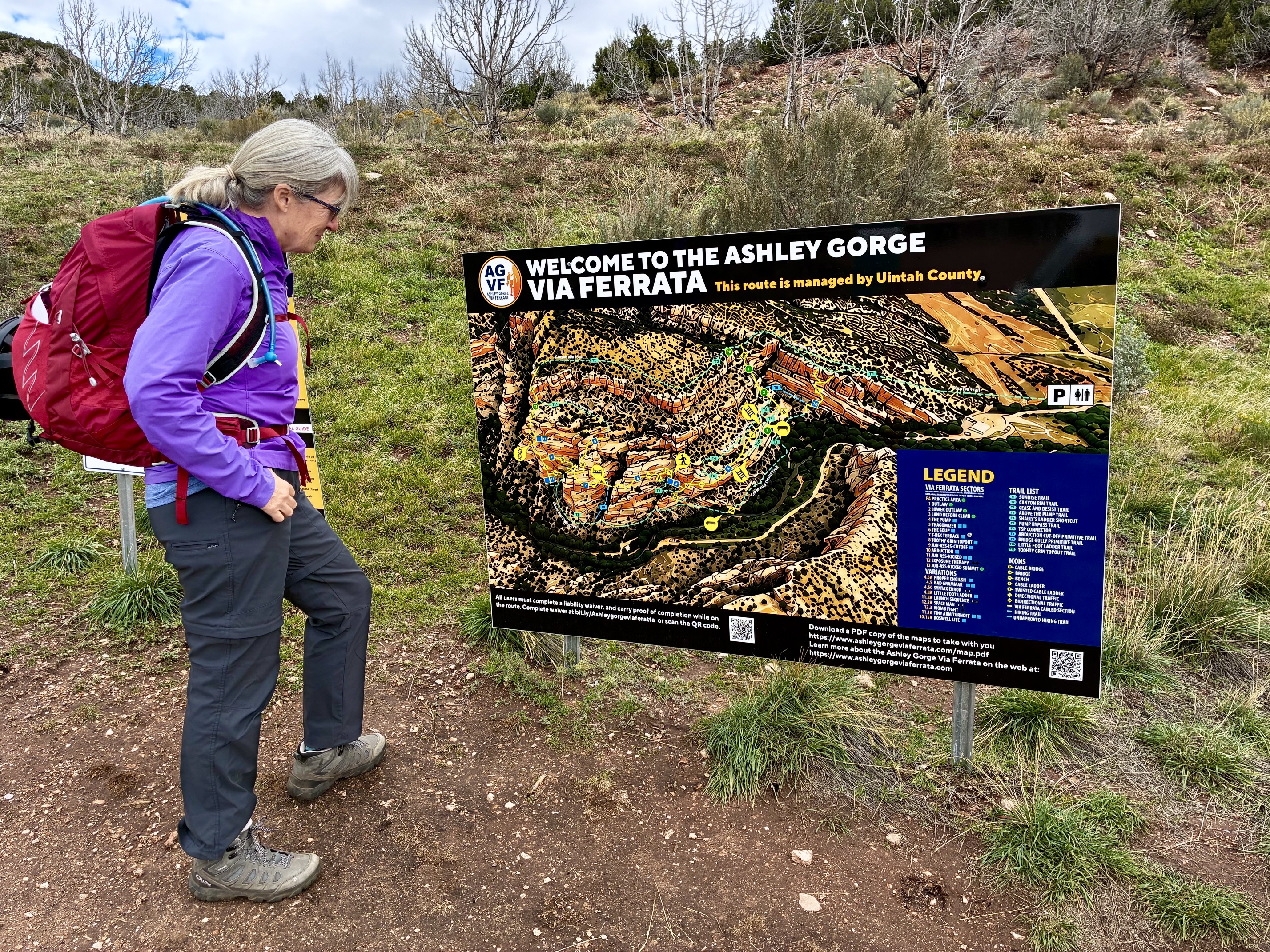
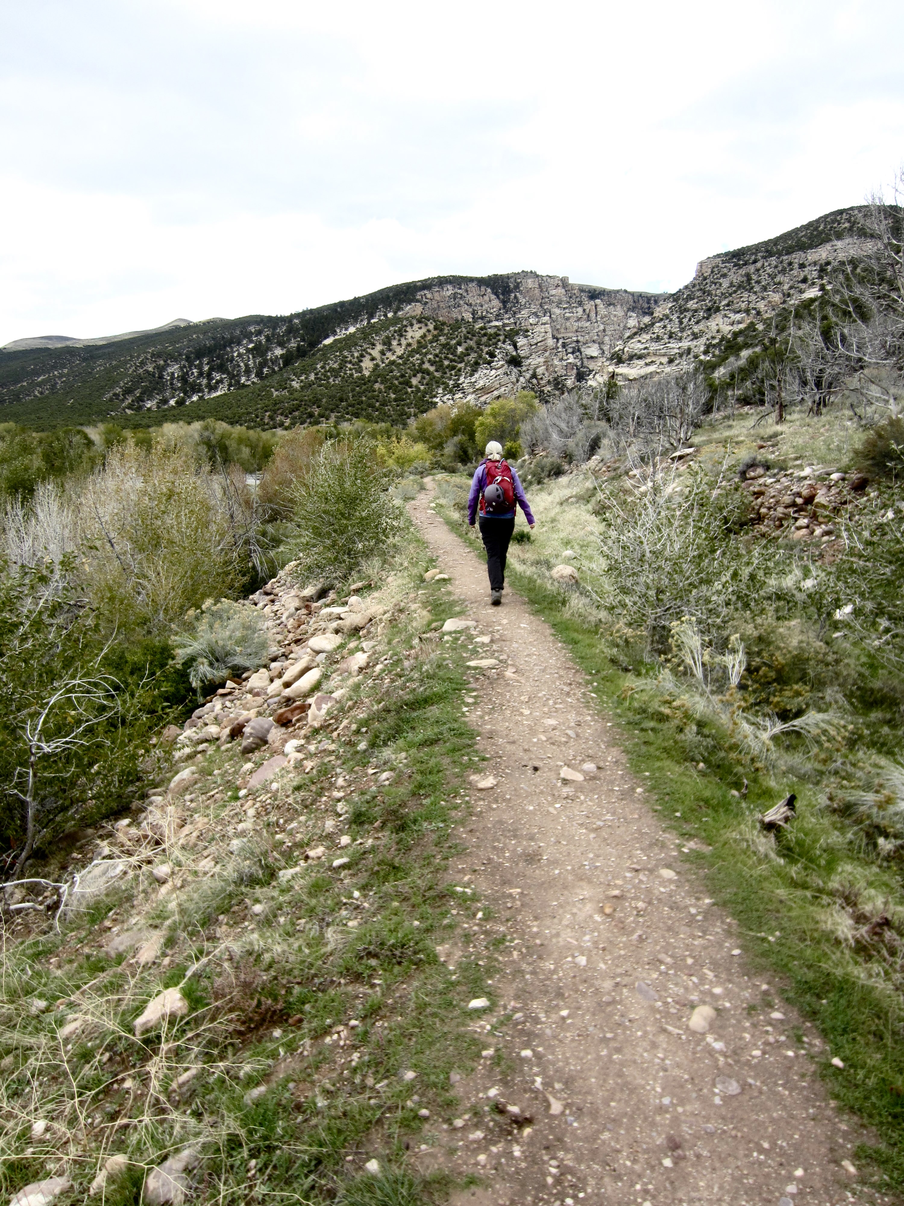
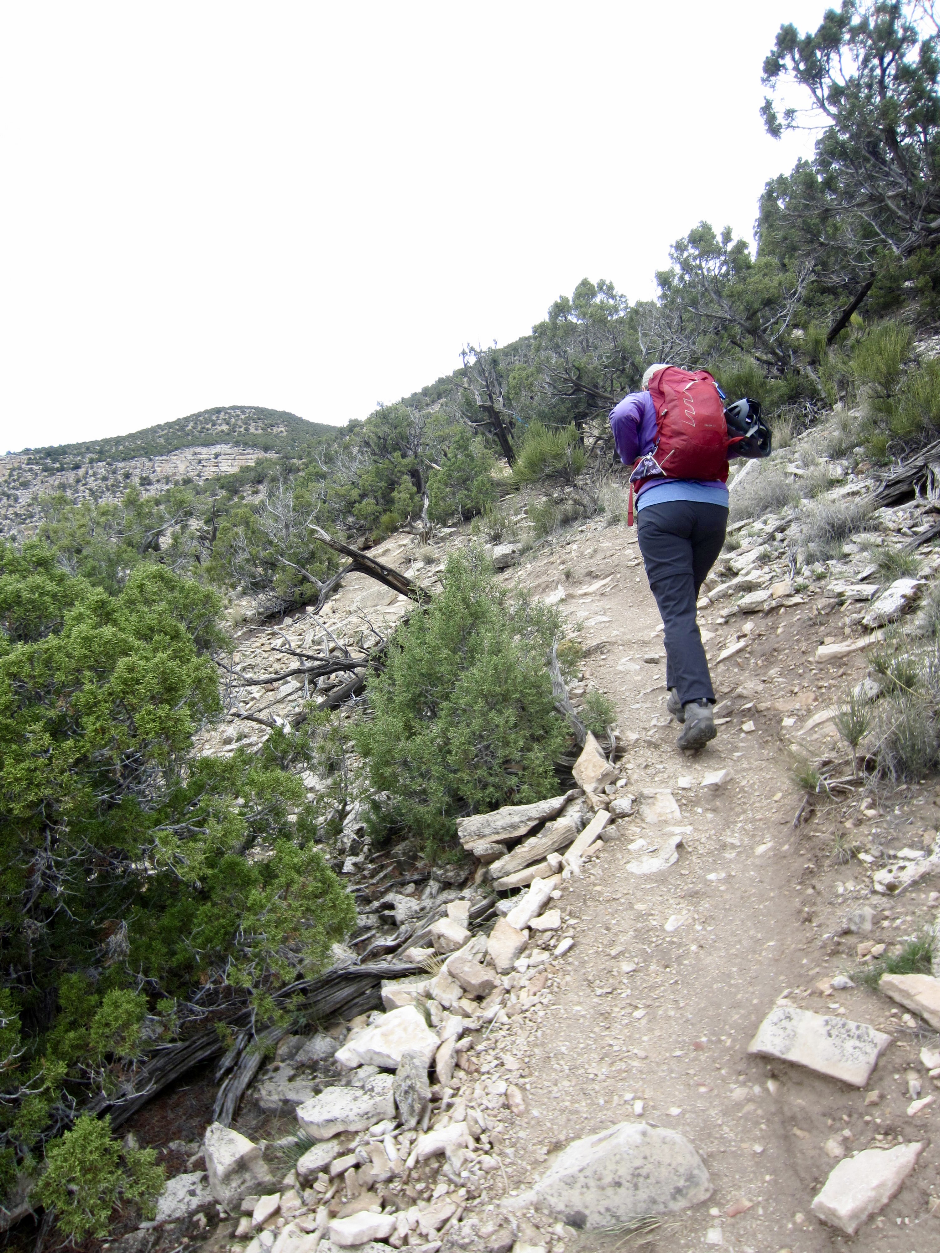
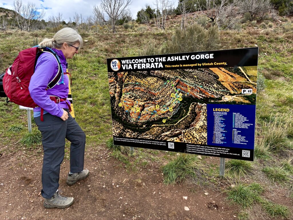
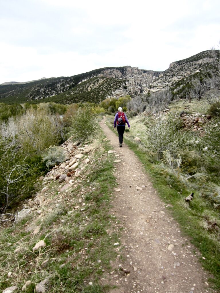
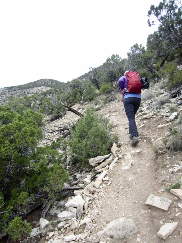
The Sunrise Trail begins near the northeastern corner of the parking lot and is marked by a large, colored map. This primary access trail initially follows a small irrigation canal levee and then angles up the adjacent hillside. The trail is steep and rocky—resembling a climber’s path as much as a hiker’s trail.
.
.
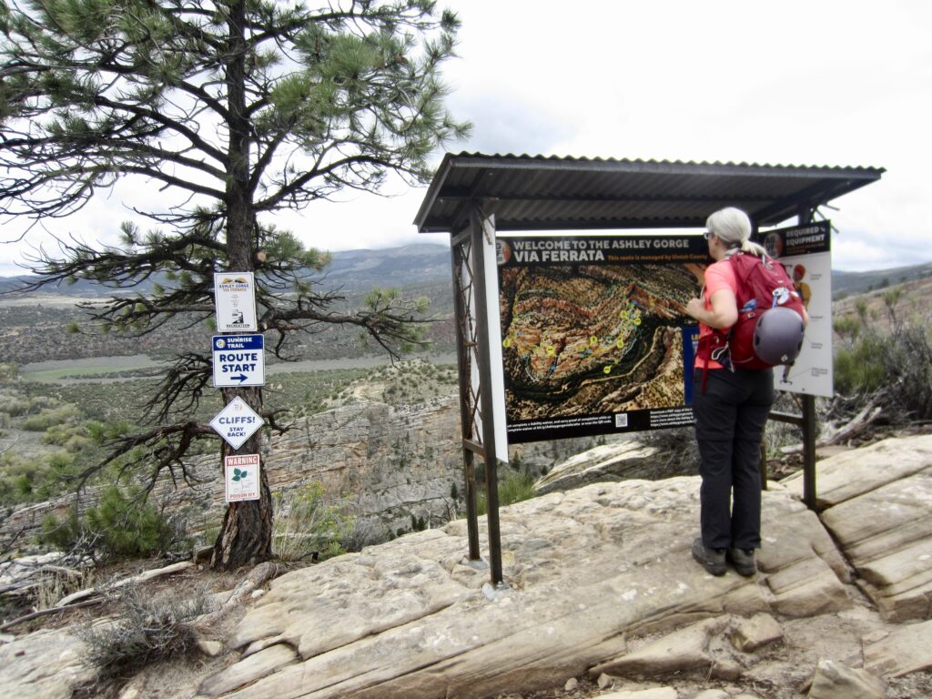
After an ascent of 650 vertical feet, the Sunrise Trail ends at Outlaw Kiosk, which sits near the brink of Ashley Gorge. The Outlaw—one of two possible via ferrata descent routes—starts a couple dozen yards north of this kiosk, and the Canyon Rim Trail continues uphill from here, gaining another 500 vertical feet.
.
Via Ferrata Routes
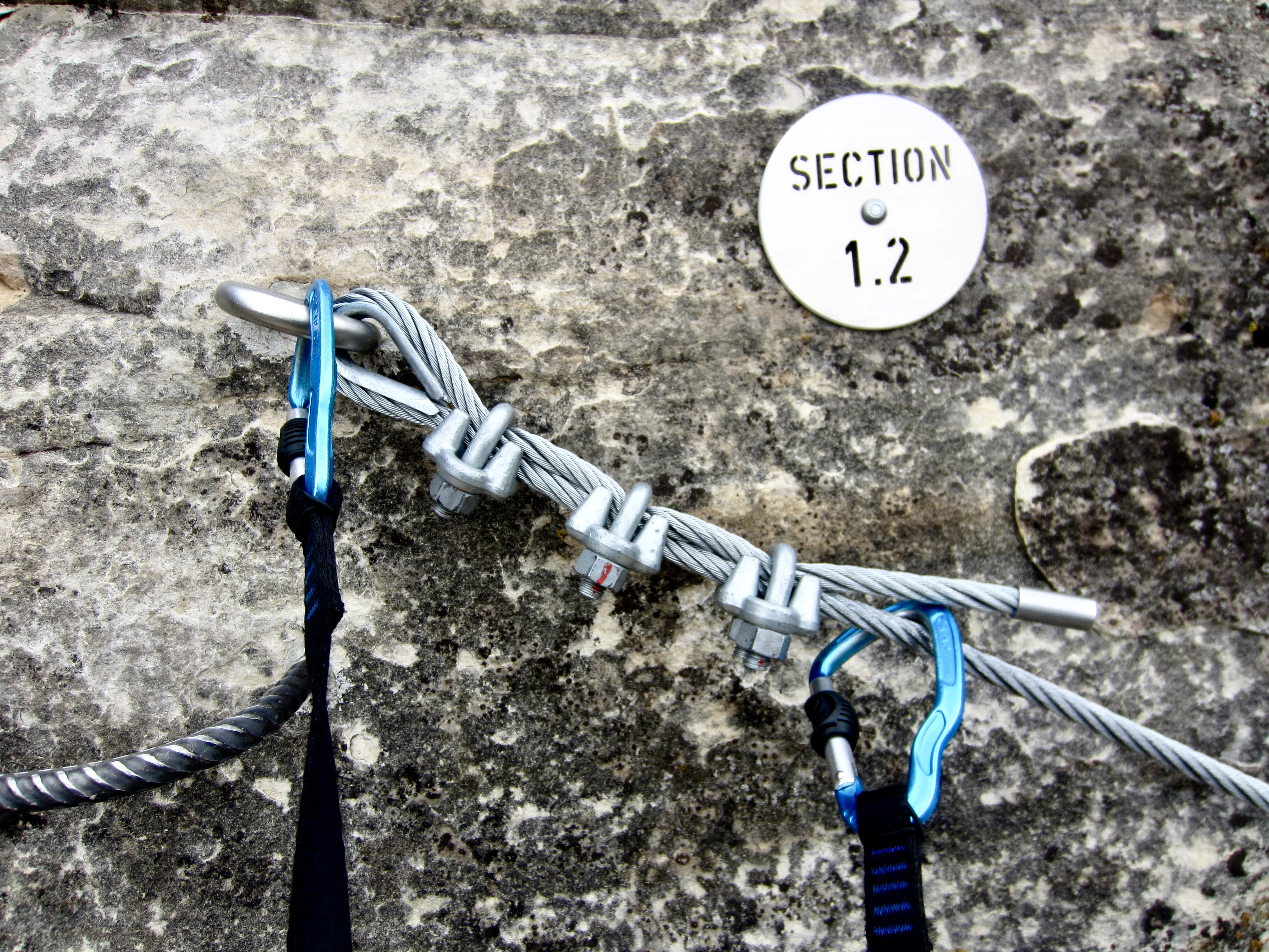
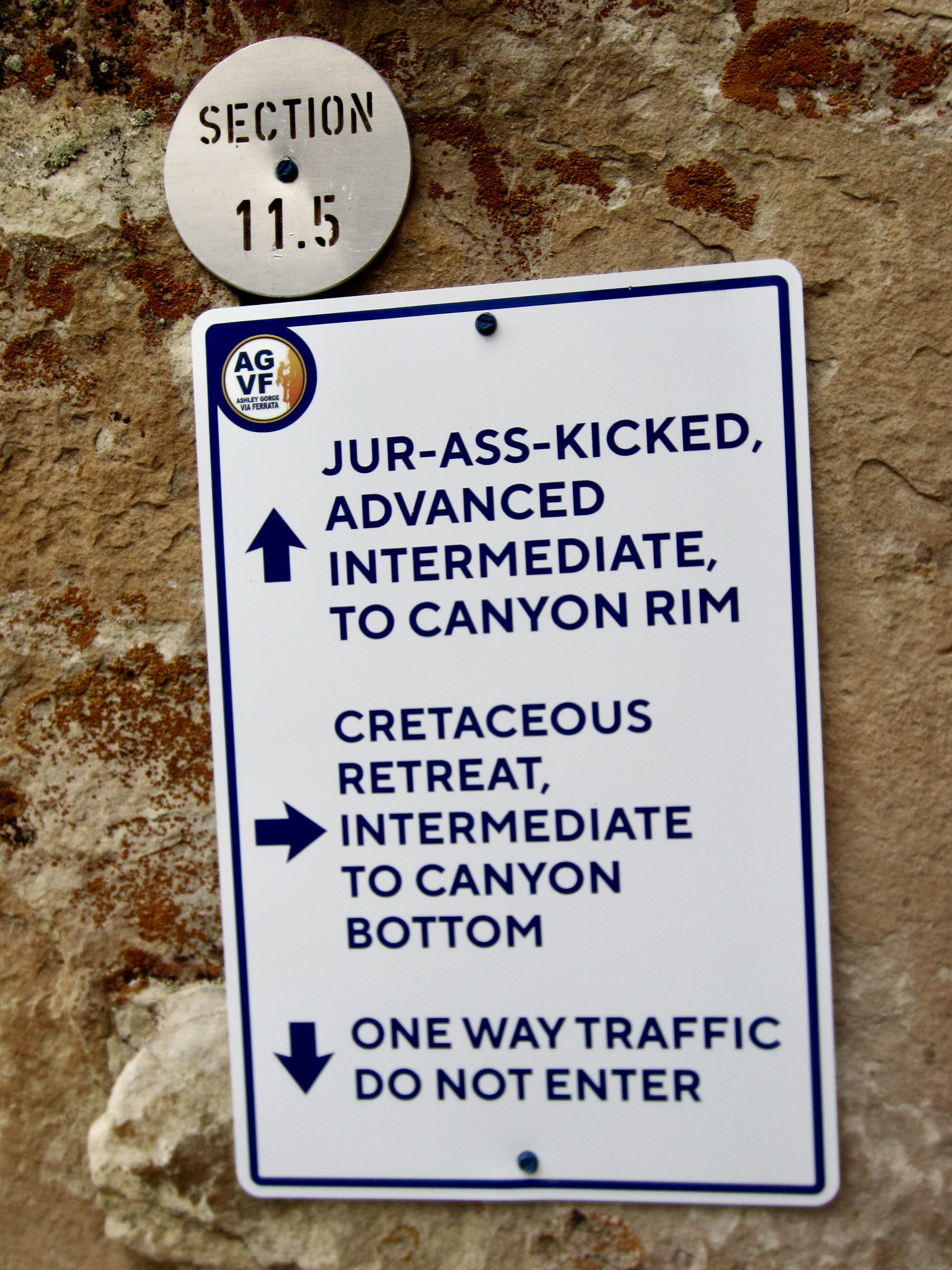
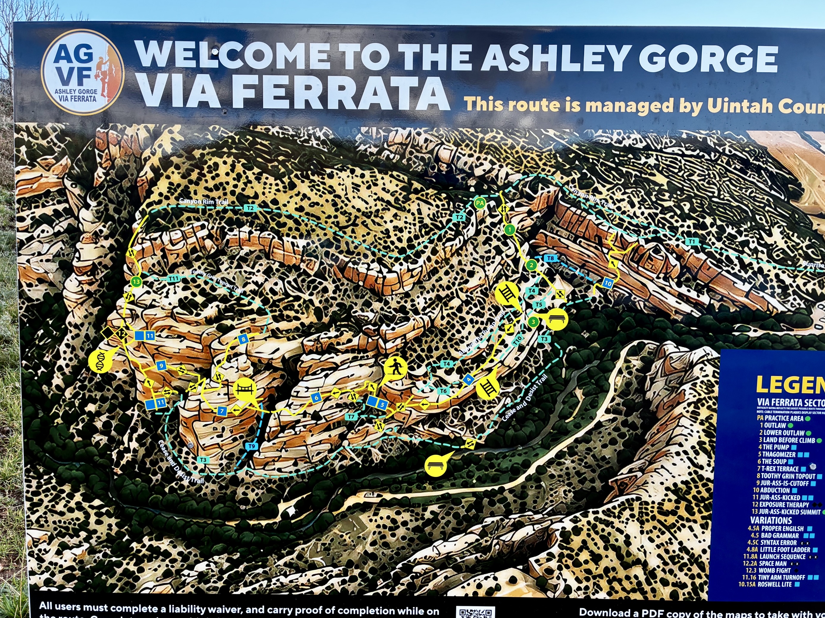
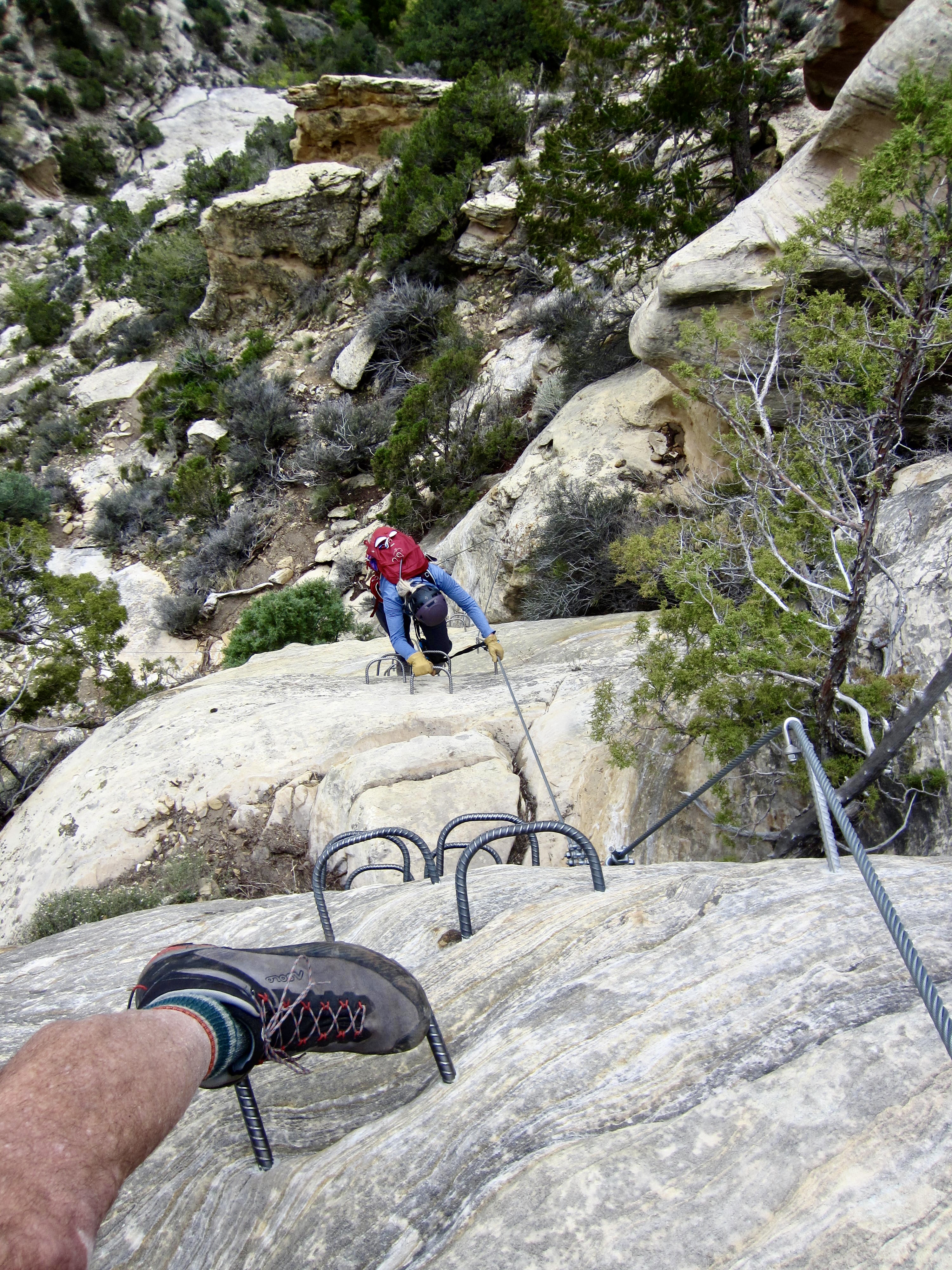
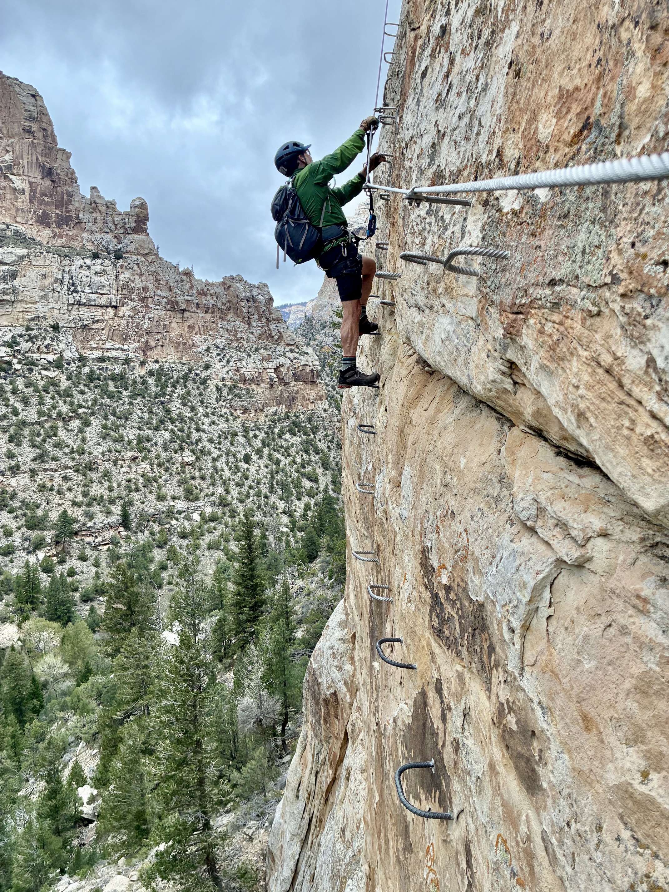
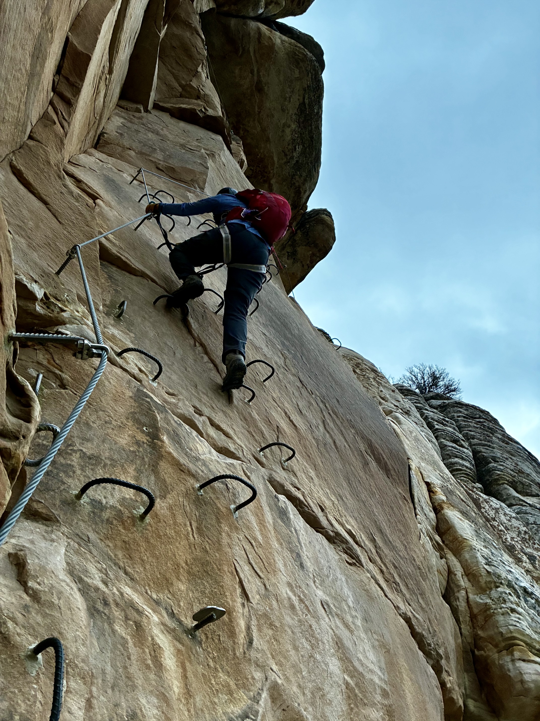
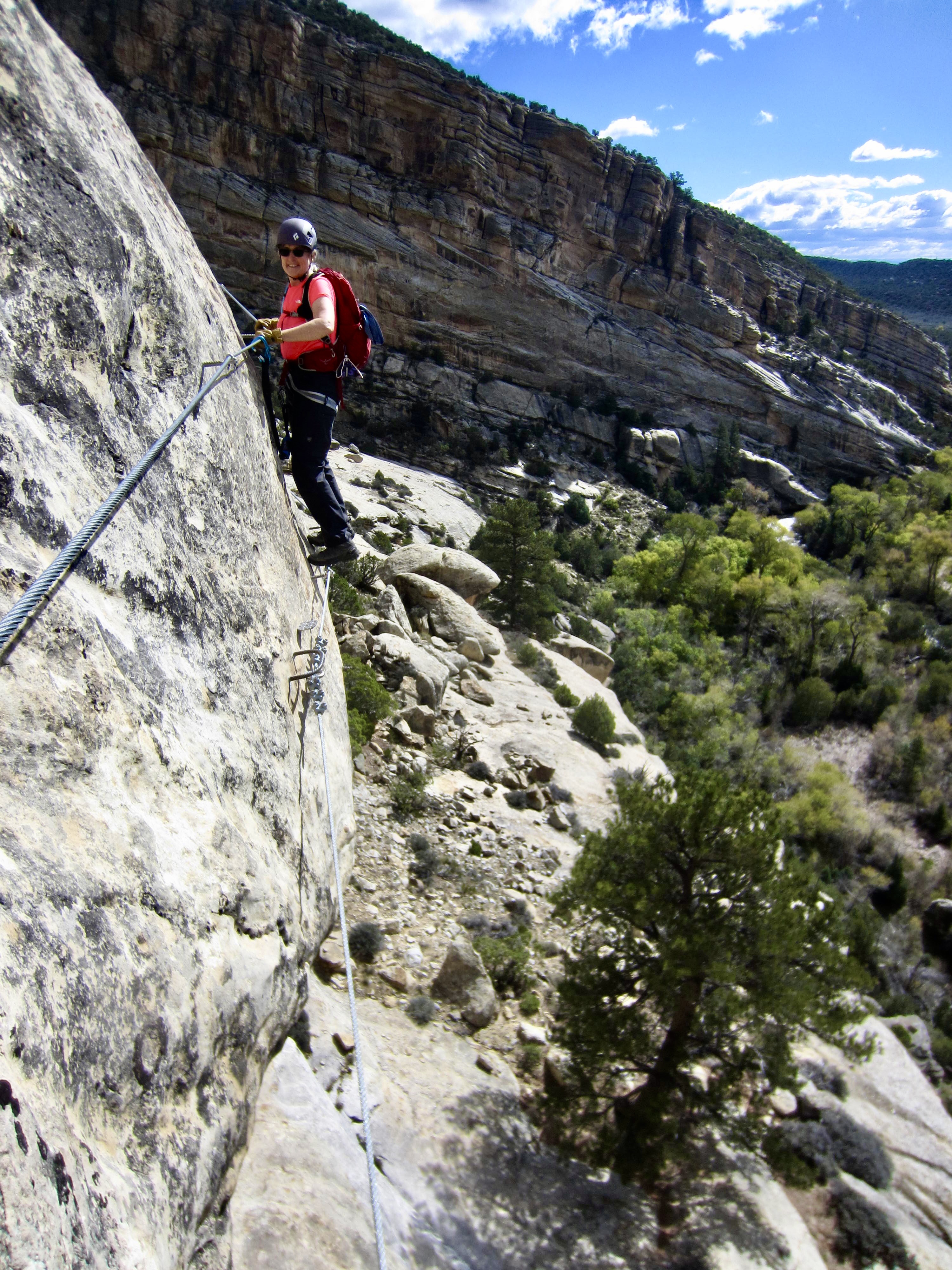
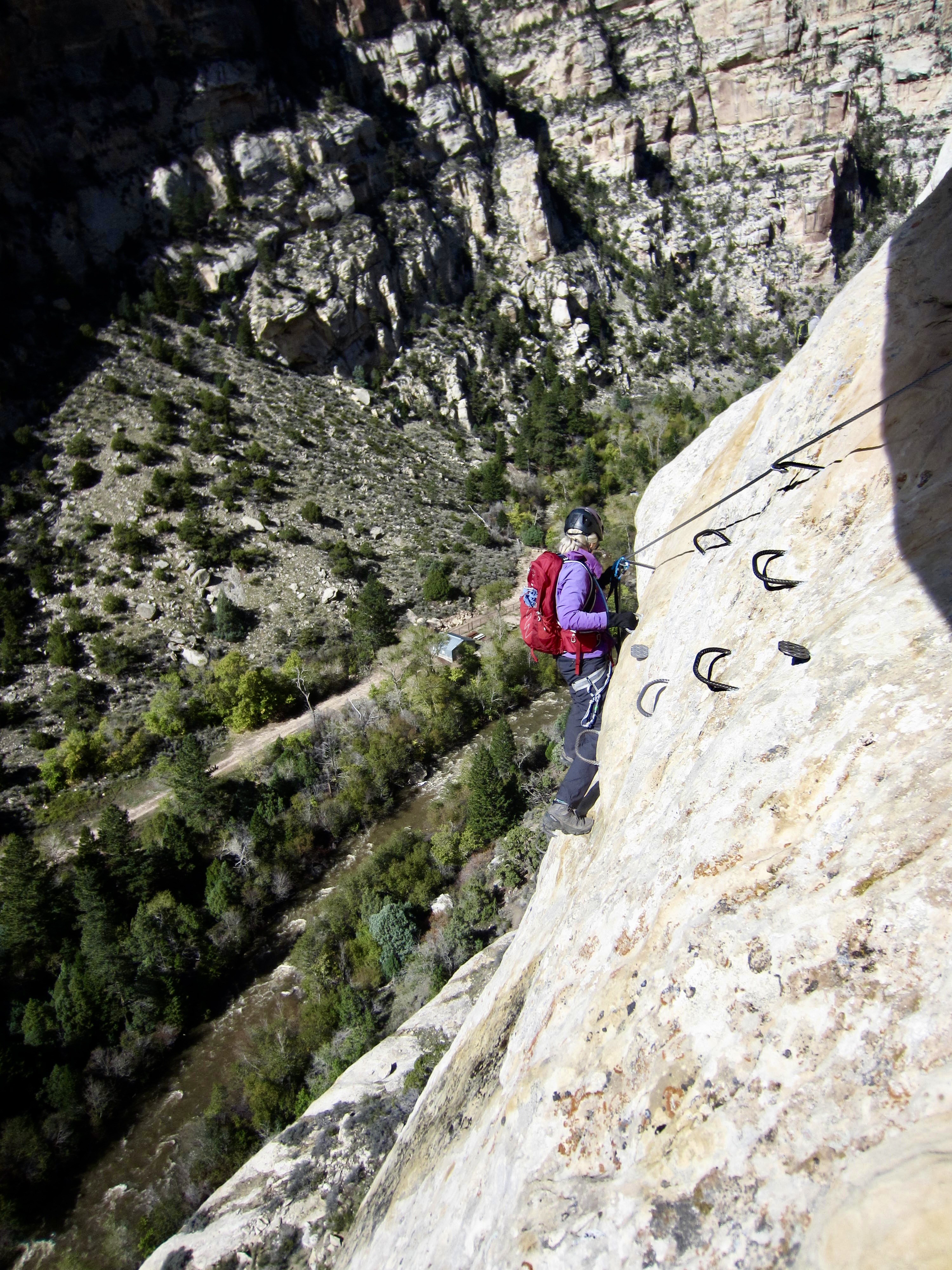
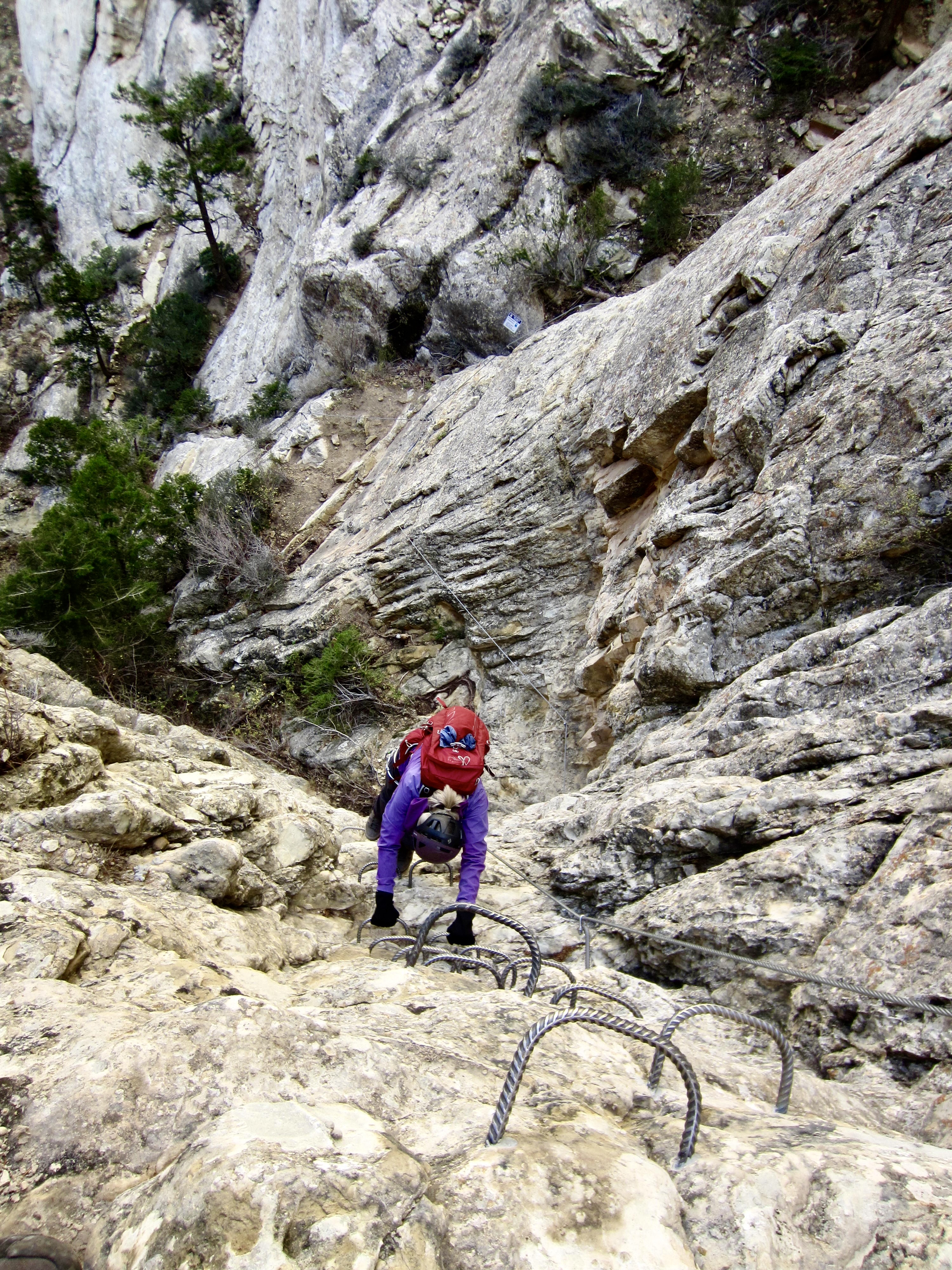
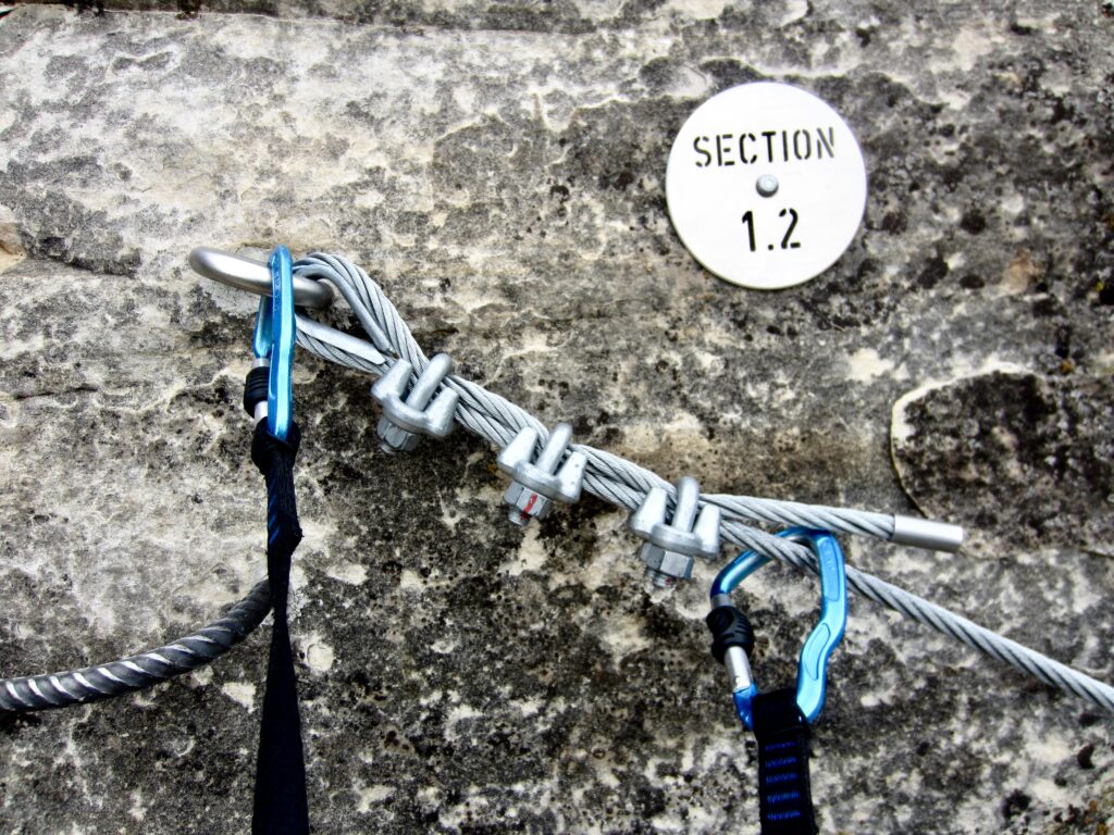
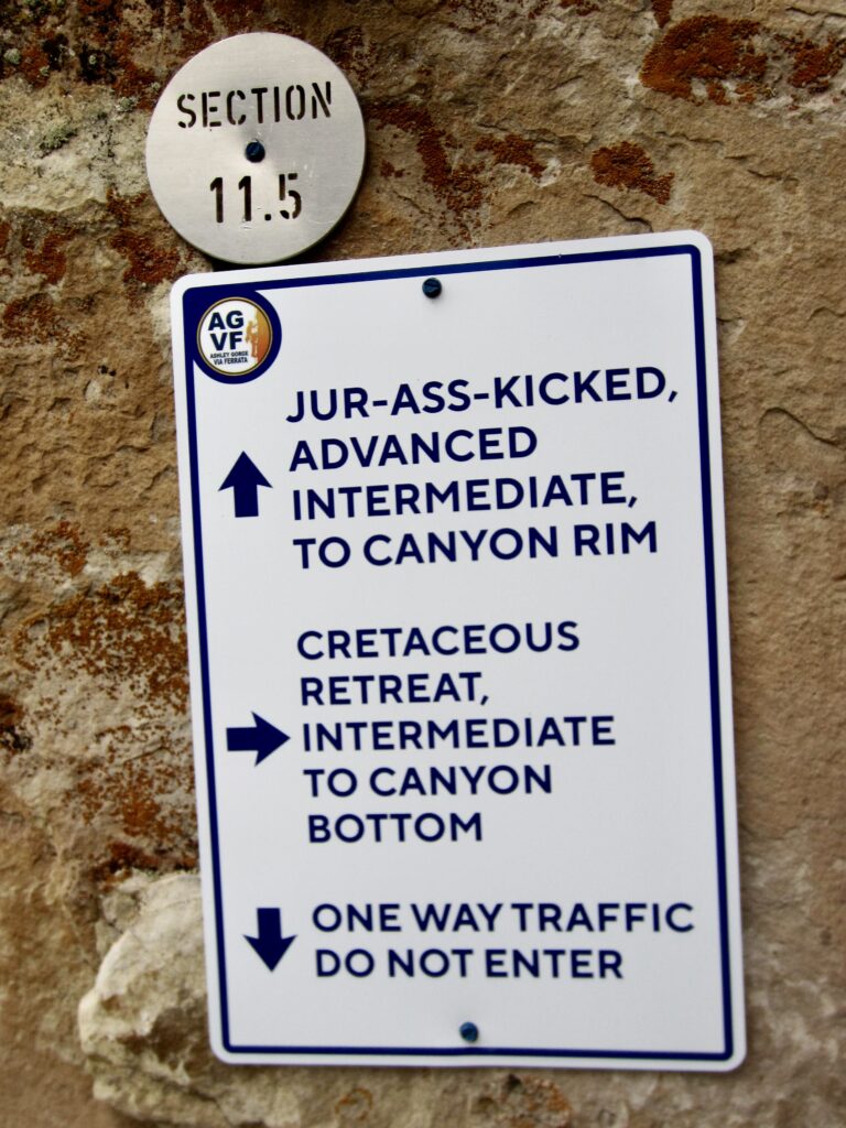
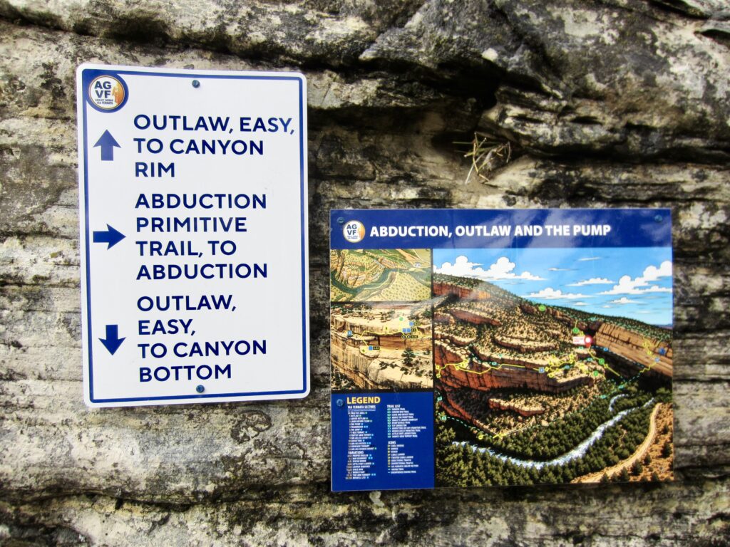
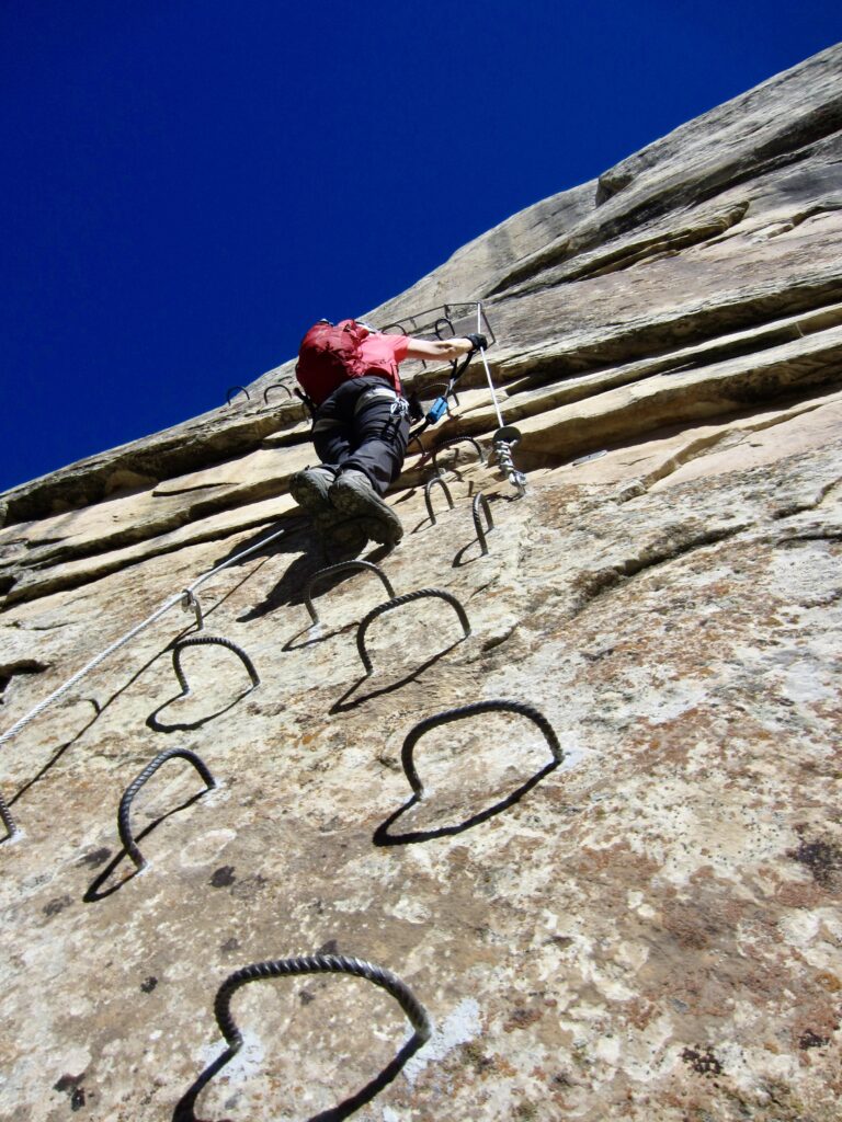
All via ferrata routes at Ashley Gorge were designed and constructed to a very high standard, equaling or exceeding anything I’ve observed in the Italian Dolomites. In fact, much of the stainless steel hardware was imported from Italy. The cable anchors are robust, and the routes are generously equipped with rungs, hand loops, and foot stemples. The routes themselves are well-marked with informational signs, directional arrows, and section plaques. Additionally, color maps are provided at key locations throughout the canyon.
.
.
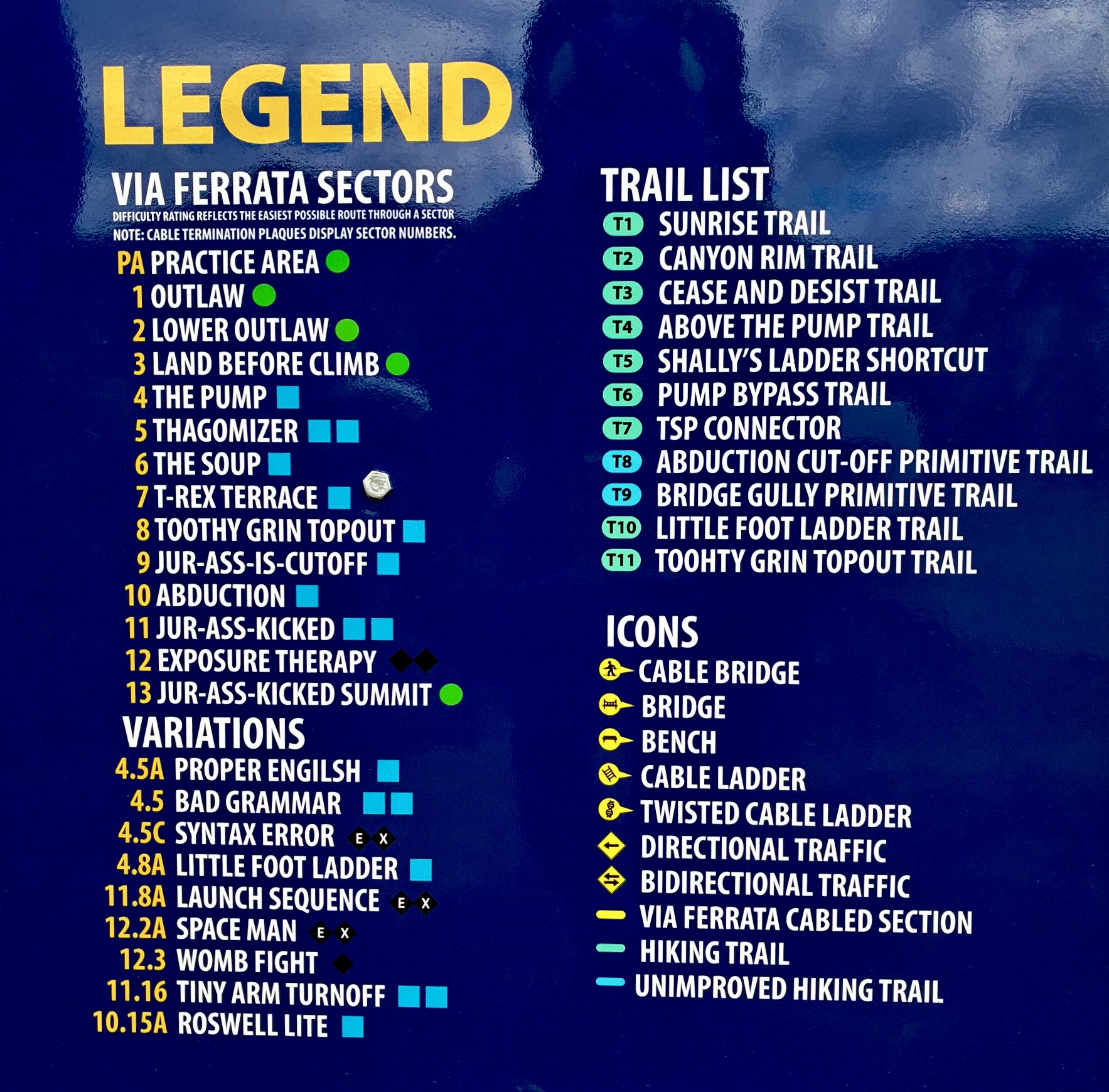
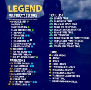
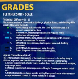
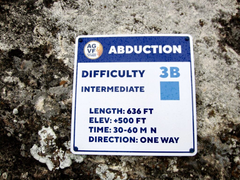
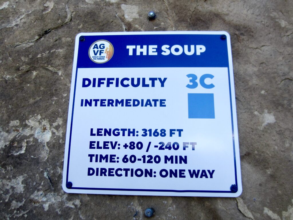
In order to provide opportunities for climbers of all different levels of ability and experience, the developers included multiple via ferrata routes in each of several grades, ranging from novice or easy to demanding or expert. They even created a practice area for first-timers. All routes are well-marked with the name, the difficulty rating, and commitment rating. In particular, the physical and technical difficulty of a route is expressed in three different ways:
- Numerical Grades, based on the Fletcher–Smith Scale, which ranges from 1 (novice) to 5 (expert).
- Colored Shapes, comparable to those used at ski areas and mountain bike parks. These consist of either a green circle, one or two blue squares, or one or two black diamonds.
- Descriptive Terms with an intuitively understandable meaning. These include novice, intermediate, advanced intermediate, demanding, most difficult, and expert.
The overall commitment or seriousness of a route is expressed with a letter grade ranging from A to C. On this scale, a grade of “A” refers to a route that is either short or has adequate bail-out options, whereas a grade of “C” refers to a route that is both long and has few or no bail-out options.
For reference purposes, I will mention that Eileen and I have a moderate amount of rock climbing experience and a considerable amount of experience with exposed scrambling, plus a dozen Italian Dolomites alpine via ferrata climbs under our belt. At Ashley Gorge, we pegged our exposure meters and difficulty limits on Grade 3C (advanced intermediate & very committing) routes. Just watching other climbers on harder routes gave us sweaty palms!
.
Via Ferrata Gear & Guides
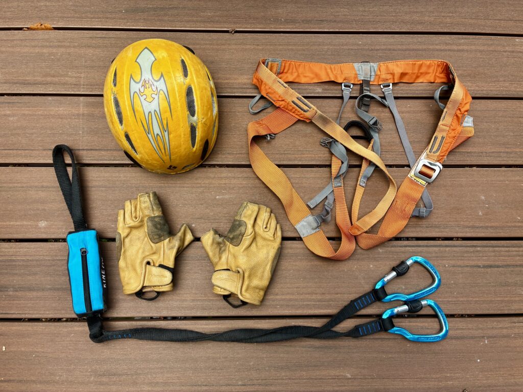
A few key pieces of gear are either required or recommended for any via ferrata climbing at Ashley Gorge. Required gear consists of a helmet, a harness, and an energy-absorbing lanyard—all meeting UIAA certification. Recommended gear includes good footwear, gloves, snack food, water, and extra clothing. As the land manager, Uintah County is very serious about this. Expect to have your gear inspected at the trailhead, and know that any climber caught without these items could be charged with a misdemeanor. The county also requires that each climber watch a safety video and sign a waiver before heading out.
If you are new to via ferrata climbing or are looking to elevate your game, it might be prudent to hire a guide for your visit to Ashley Gorge. Vernal-based Dyno Outfitters offers part-day and full-day guided excursions, as well as equipment rentals. Over time, other guiding companies will likely be added to the approved list.
.
Camping & Lodging
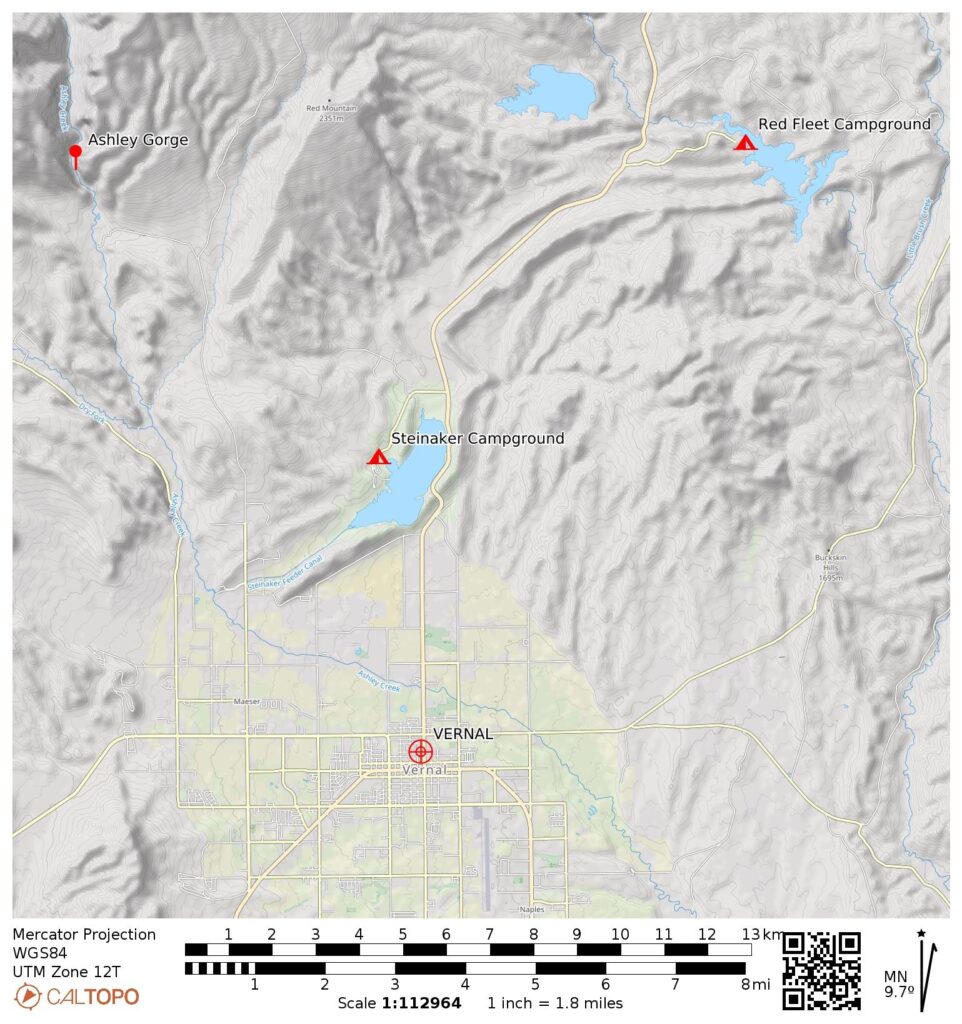
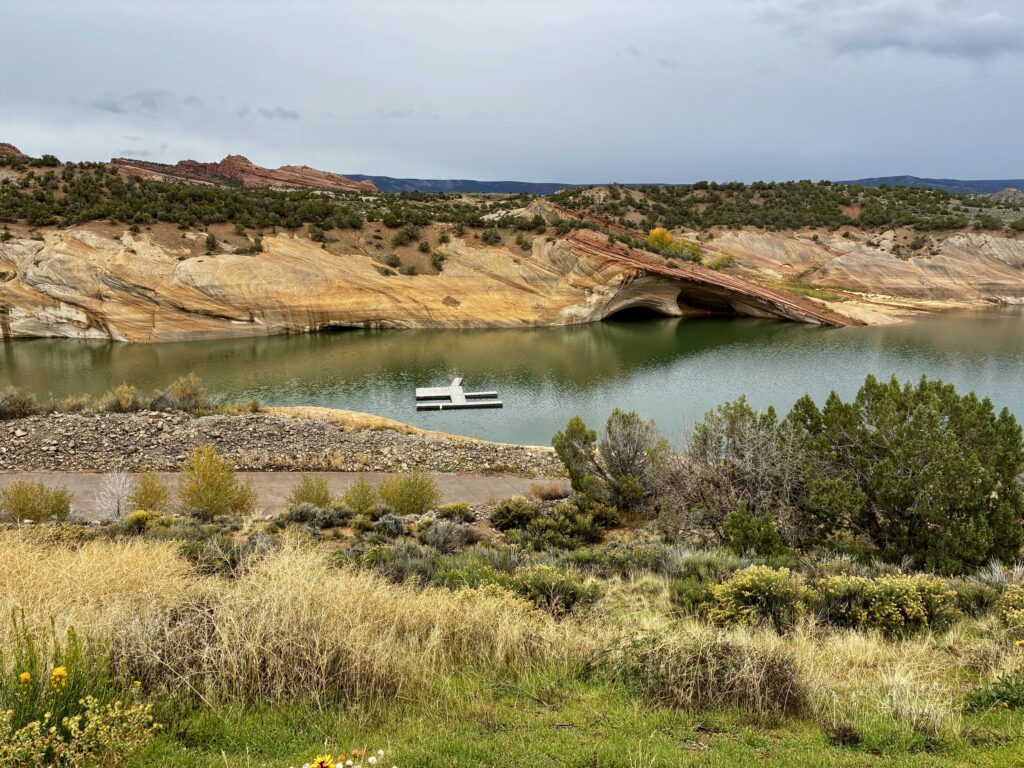
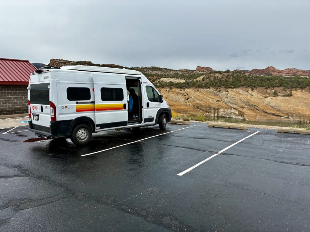
Currently, there are two public campgrounds located within a reasonable driving distance of Ashley Gorge. Eileen and I spent three nights at Red Fleet State Park off Highway 191, approximately 20 miles away. We found it to be clean, comfortable, and scenic. Another option is Steinaker State Park, about 15 miles away. There is also talk of a new campground being created very close to the gorge, so this could be a convenient option in the future. For people who prefer more-civilized lodging, downtown Vernal offers numerous hotels and motels.
.
.
Full Trip Report
On three consecutive days in mid-October, Eileen and I sampled many of the via ferrata routes at Ashley Gorge. We started each day with a hike up to Outlaw Kiosk, followed by a partial or full descent of The Outlaw route. Our weather ranged from chilly and gray with some rain on Day 1 to warm and sunny on Day 3. Visitation varied even more widely: on Day 1, we were the only two people in the entire gorge; on Day 3, we were among several hundred other climbers.
.
Daytrip 1: Outlaw + Lower Jur-Ass-Kicked + Abduction Climbs
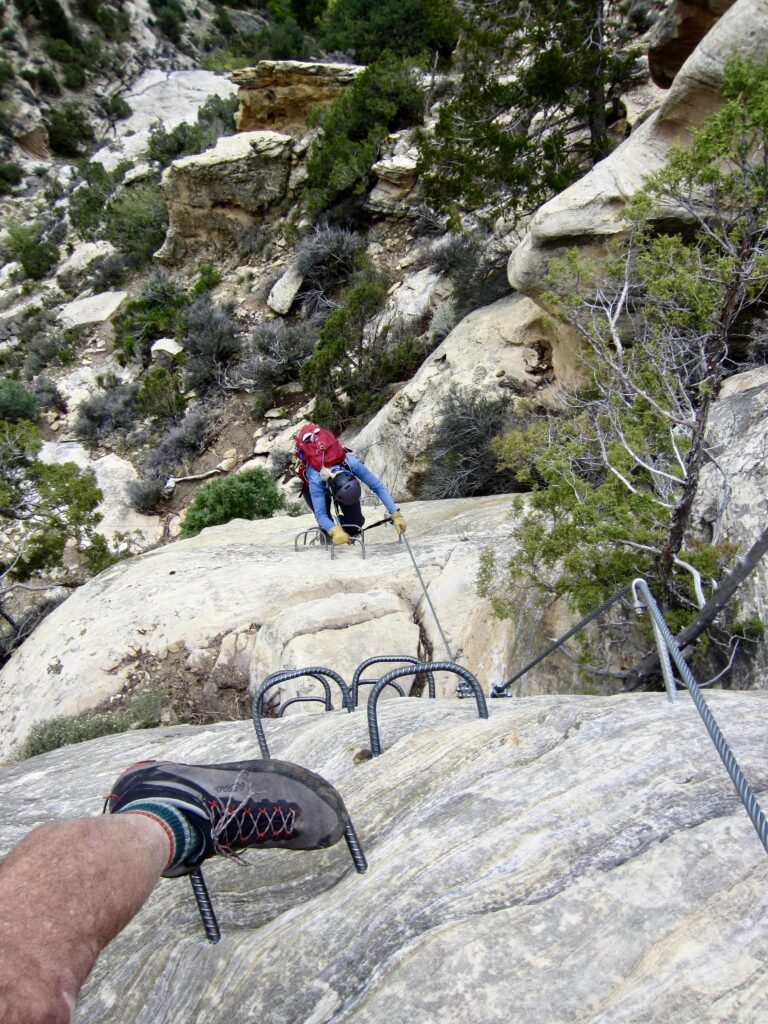
Due to a forecast of afternoon rain, Eileen and I planned our first day at Ashley Gorge to be mainly a reconnaissance of the trail network and a sampler of the via ferrata routes. We initially hiked up the Sunrise Trail to Outlaw Kiosk, then we down-climbed The Outlaw route, which involves a series of short cliffs and rocky slopes. With a grade of 2B (intermediate), the difficulty, commitment, and exposure felt very comfortable to us—and comparable to many of the alpine via ferratas we’d done in Italy.
.
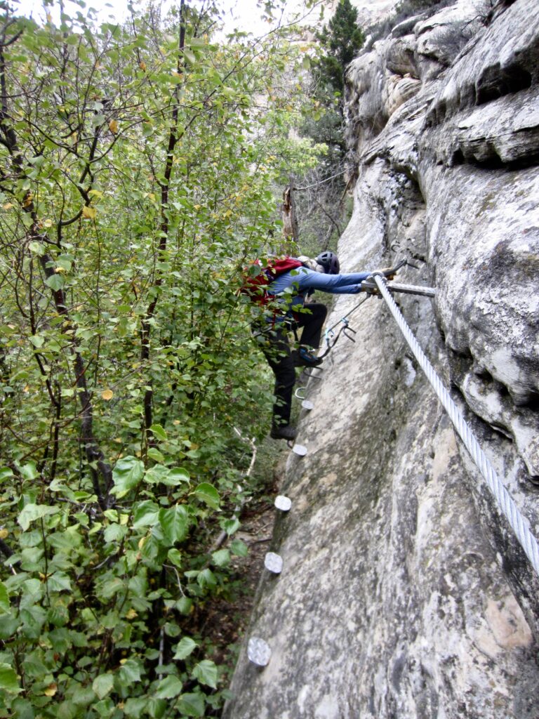
Upon intersecting the Cease & Desist Trail in the canyon bottom, we started hiking upstream. This trail wanders up, down, and around boulders and bushes, with tall sandstone cliffs towering overhead. At one point, the trail traverses across a steep outcrop and then drops down a slightly overhanging face to reach to creek level. Clearly, this is not your grandma’s hiking trail!
.
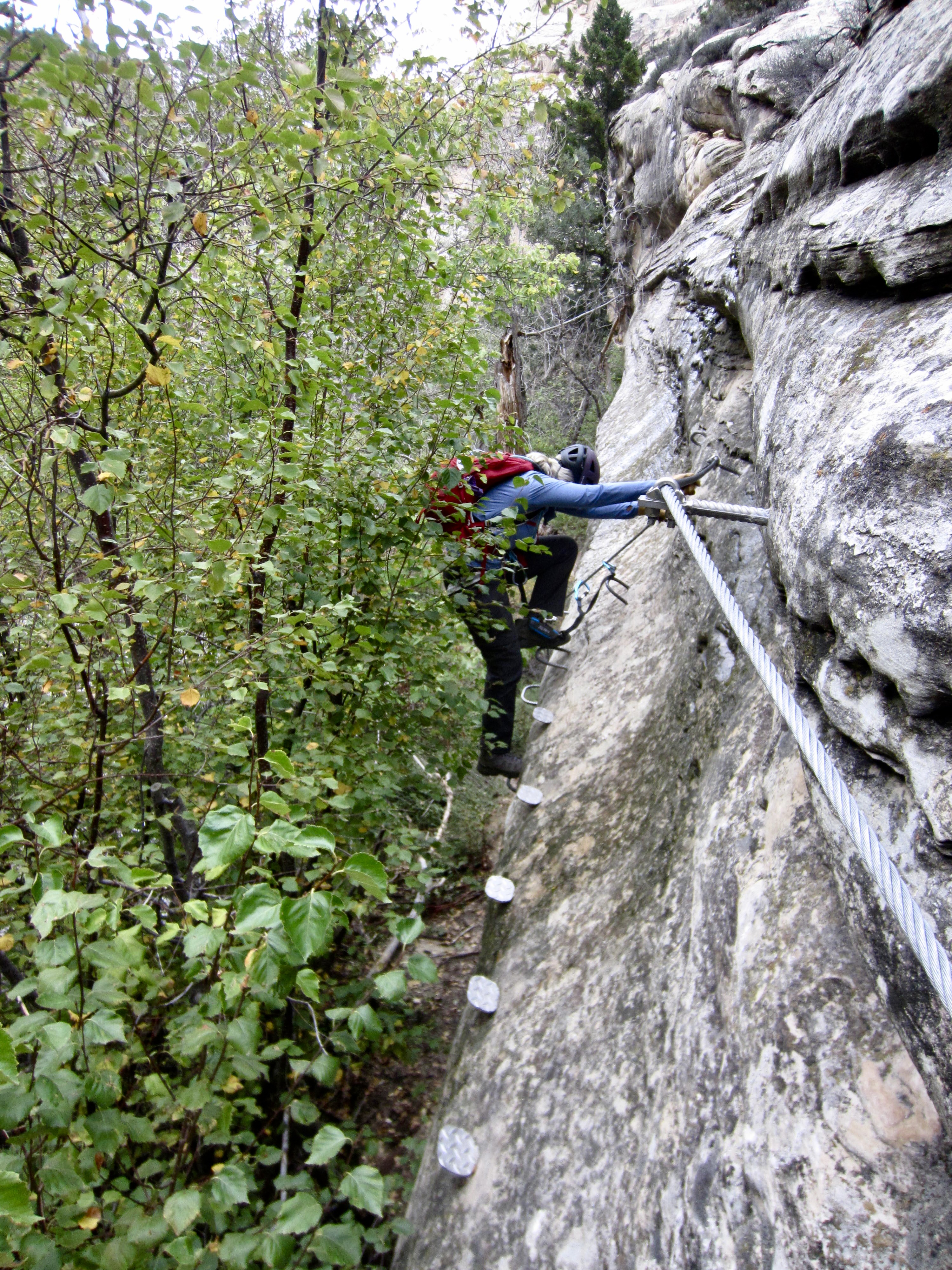
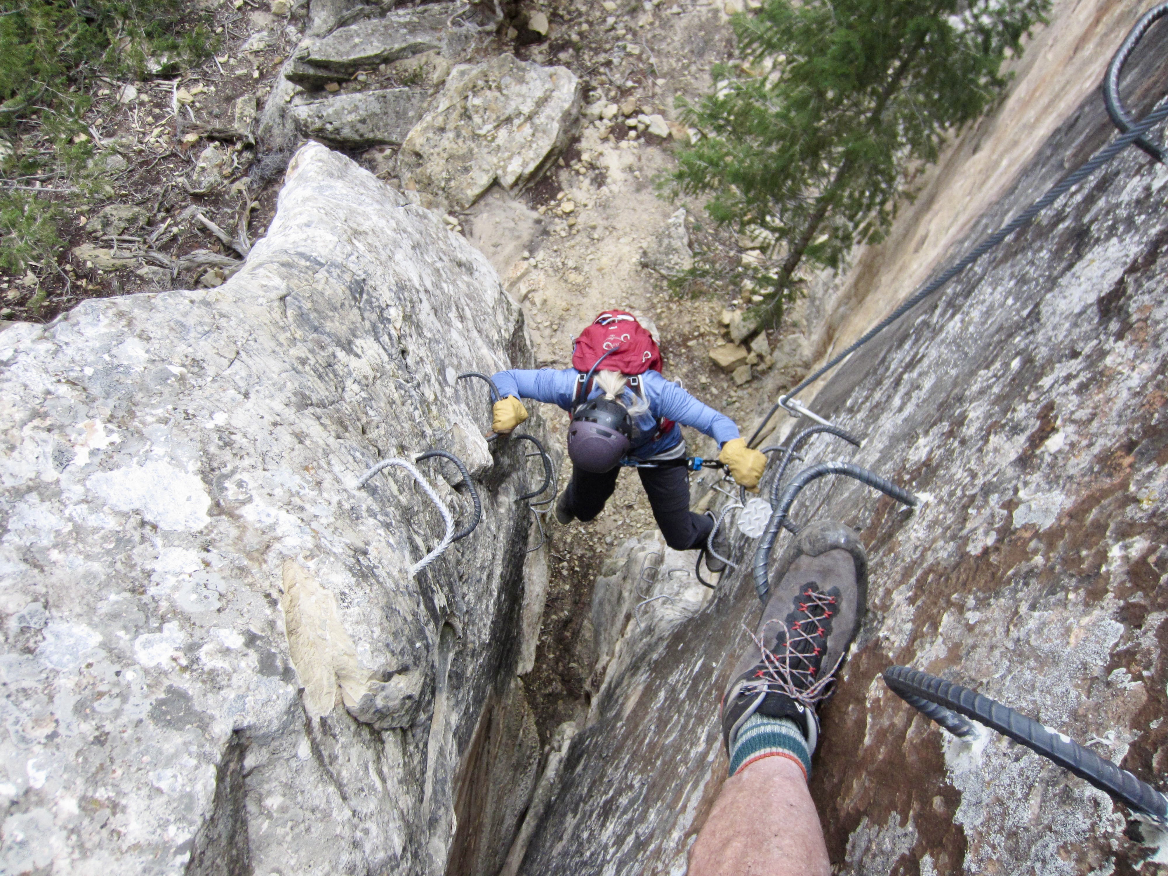
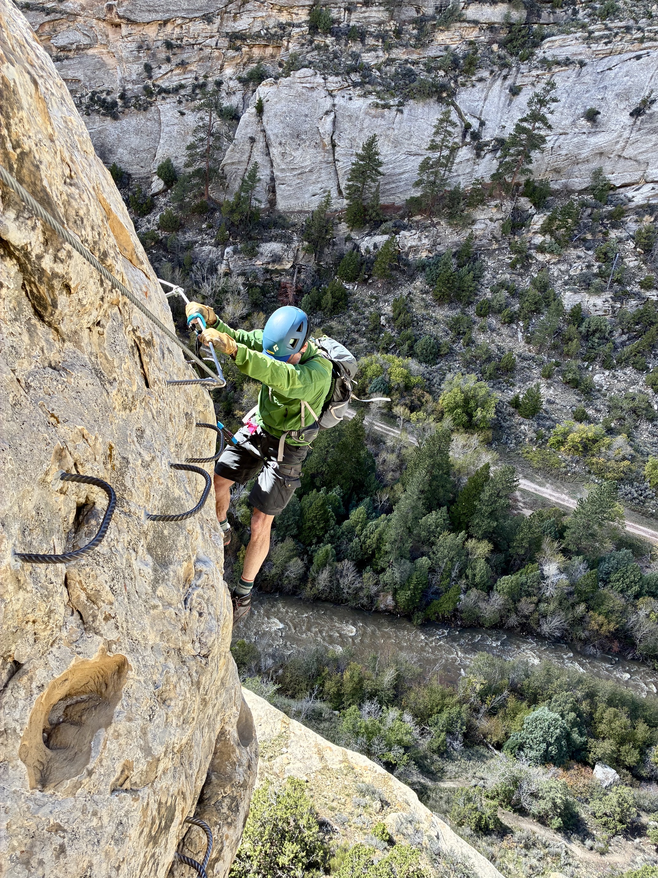
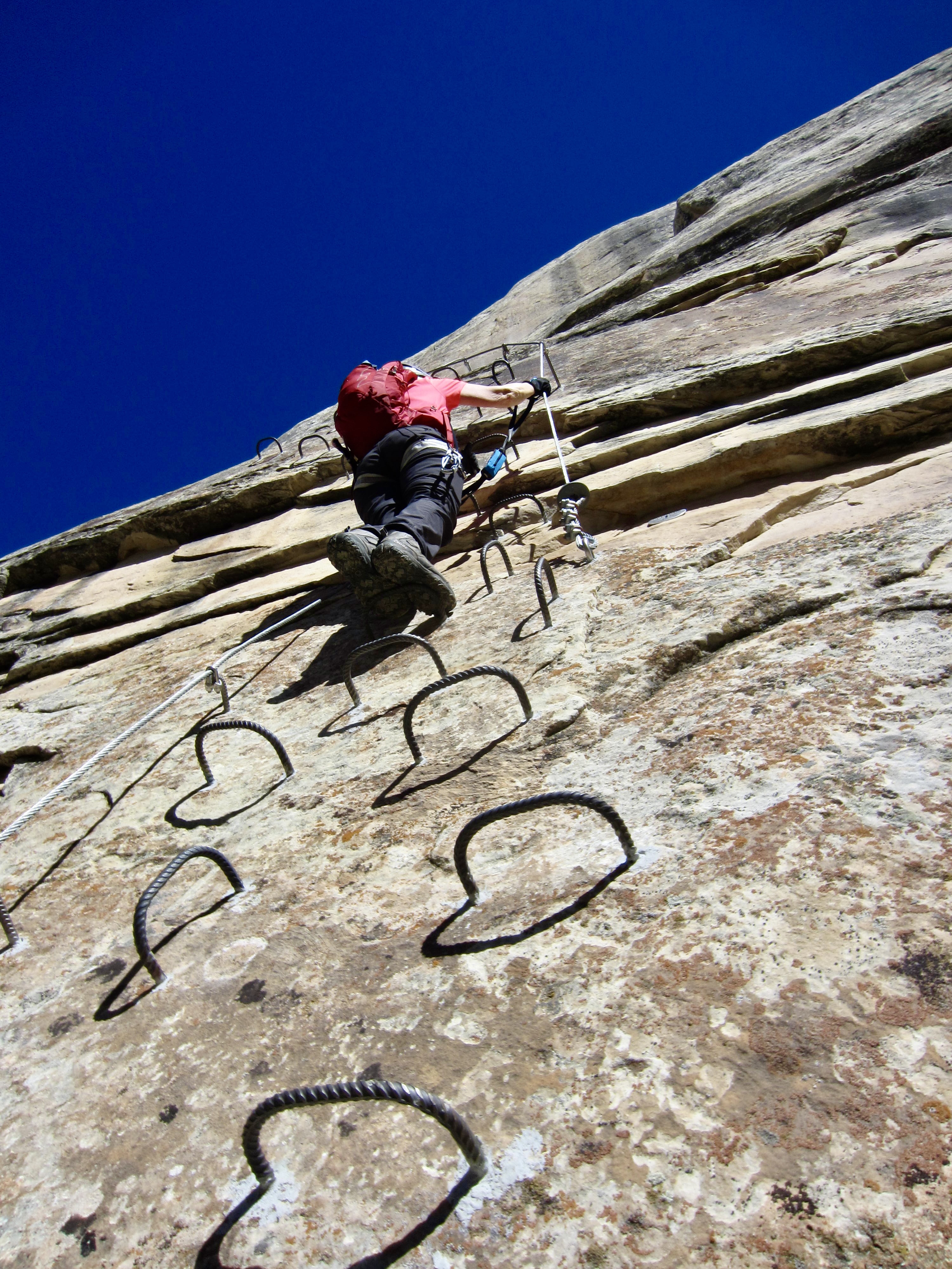
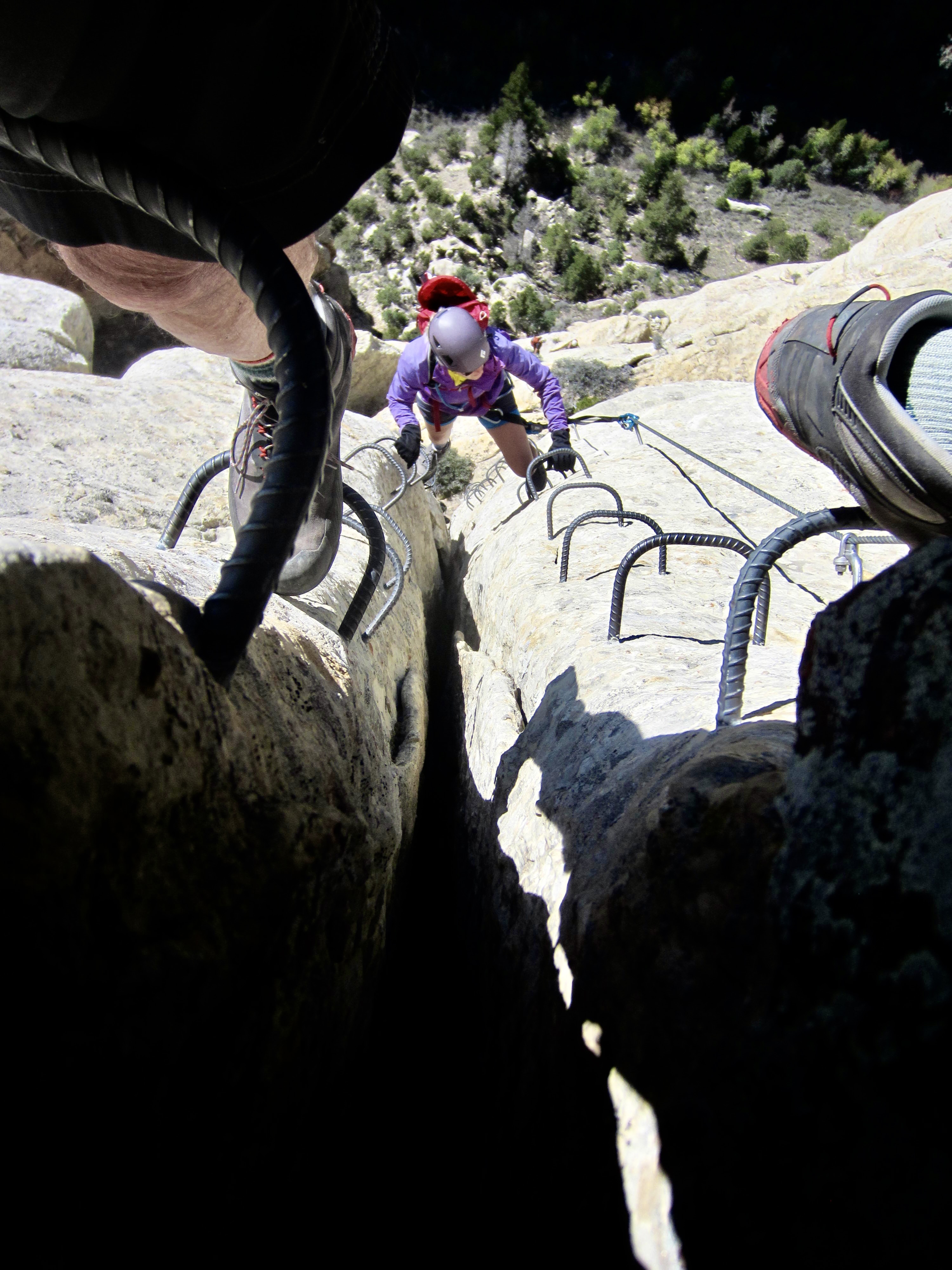
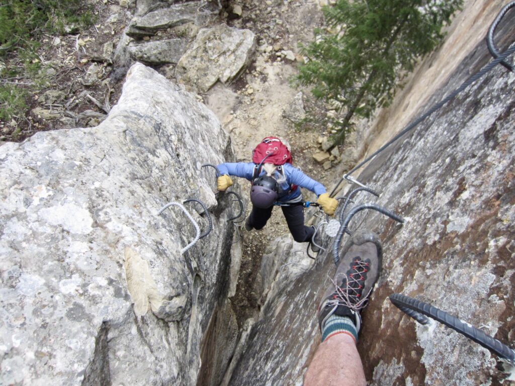
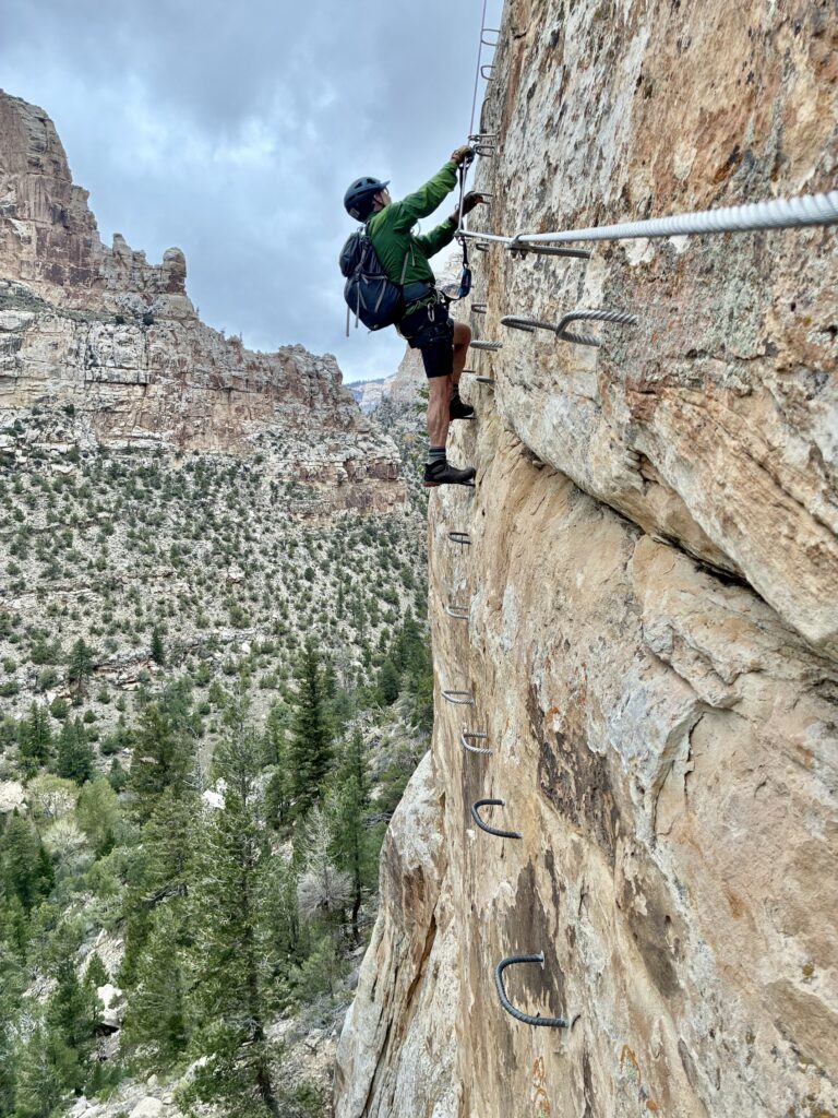
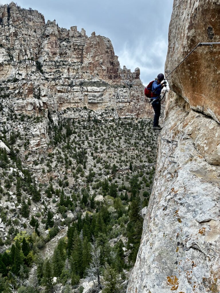
The Cease & Desist Trail gradually angles up a hillslope and effectively ends at the base of a huge cliff. Because the canyon’s most famous via ferrata, Jur-Ass-Kicked, starts here, we decided to make a partial ascent. This Grade 3C route initially climbs a chimney and then quickly transitions to vertical face climbing. After several hundred feet of climbing, we found ourselves in a position of scintillating exposure while safely tethered to sequential cables. We were getting a white-knuckle introduction to Ashley Gorge’s marvelous via ferrata climbing—on just a moderately difficult route!
.
.
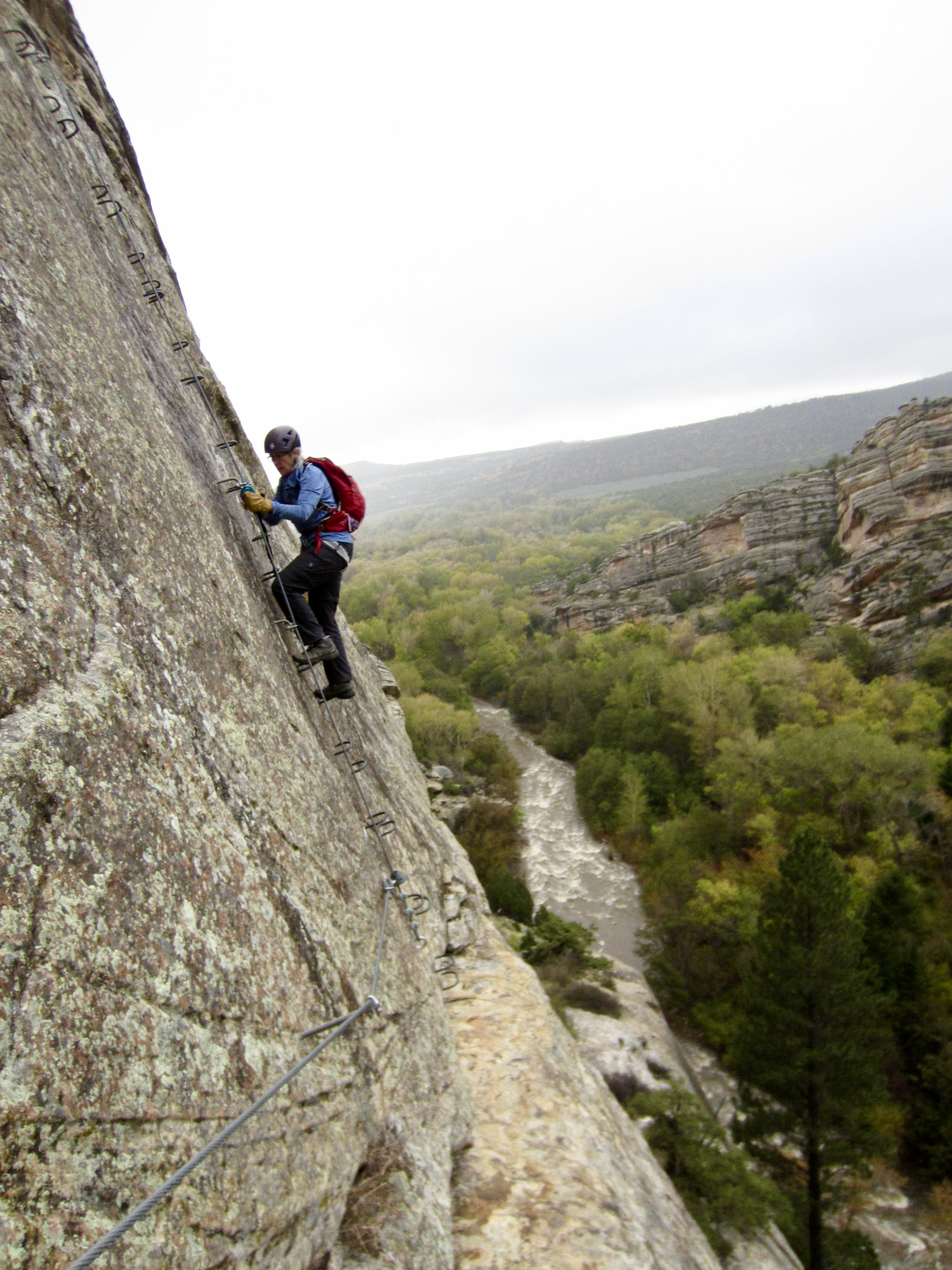
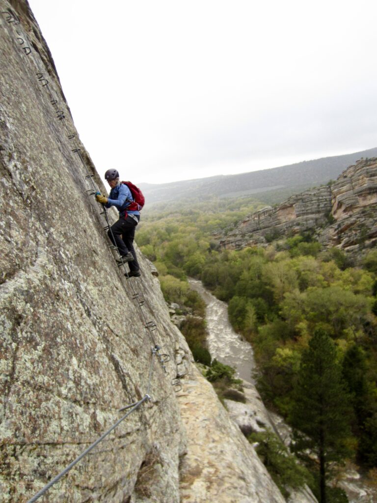
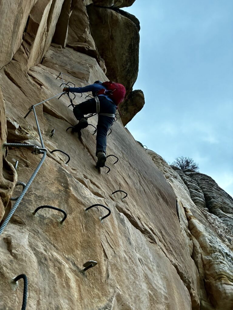
It was late afternoon under a darkening sky when we reached the first bail-out route, so we worked our way back to the Cease & Desist Trail and hurriedly hiked back downstream. By the time we started our exit climb up Abduction, a light rain was falling. Now came our introduction to climbing a Grade 3B route on wet rock!
.
Although Abduction is a really fine route, we were pleased to encounter a high-up Roswell Lite variation that would get us over the rim in a slightly shorter and easier manner. We topped out and then scurried down the Sunrise Trail in a steady rain, arriving at the trailhead shortly before dark (5.2 hours + 1500 feet total day). What a reconnaissance and sampler this turned out to be!
Daytrip 2: Outlaw to T-Rex Terrace + Abduction Climbs
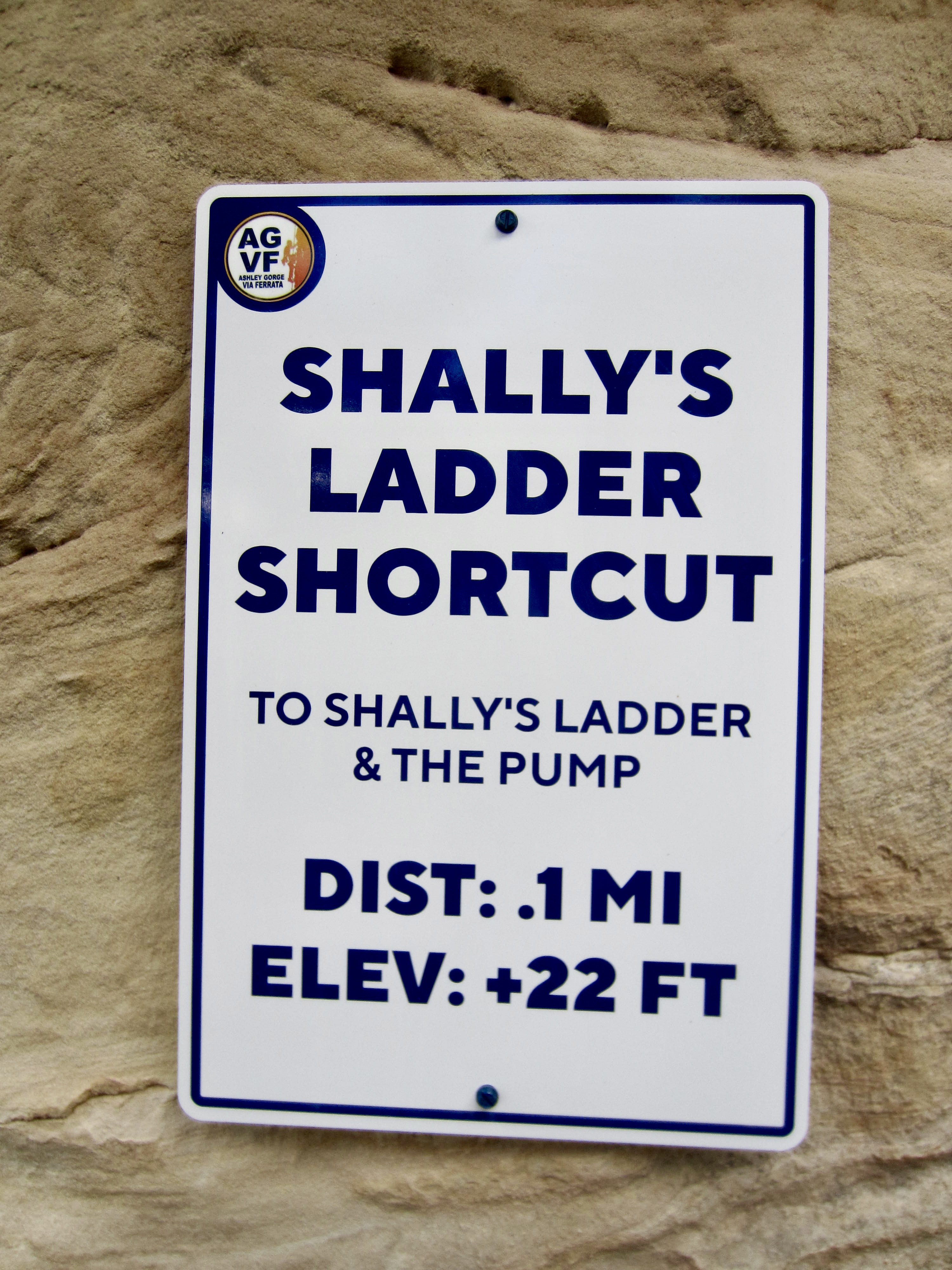
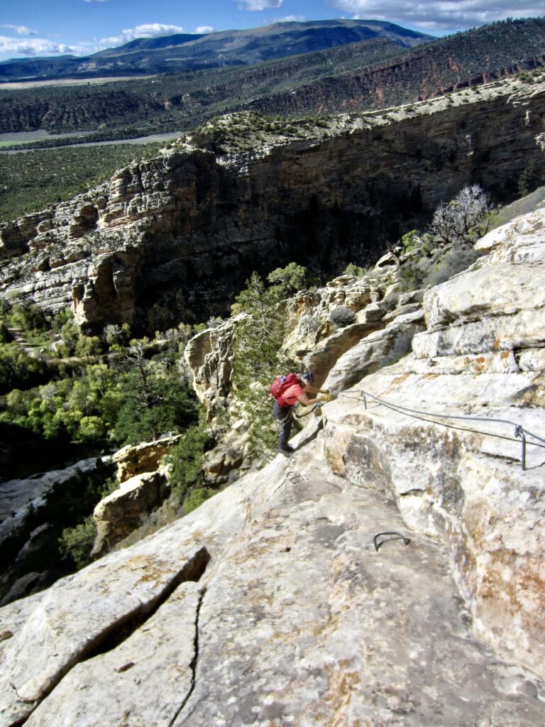
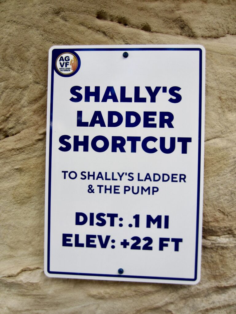
Our second day at Ashley Gorge was warmer and partly sunny, albeit with moderate winds. There were 15 cars in the parking lot when we arrived on this Thursday morning and repeated our approach hike up to Outlaw Kiosk. We then descended the upper portion of Outlaw until reaching a side trail called Shally’s Ladder Shortcut.
.
.
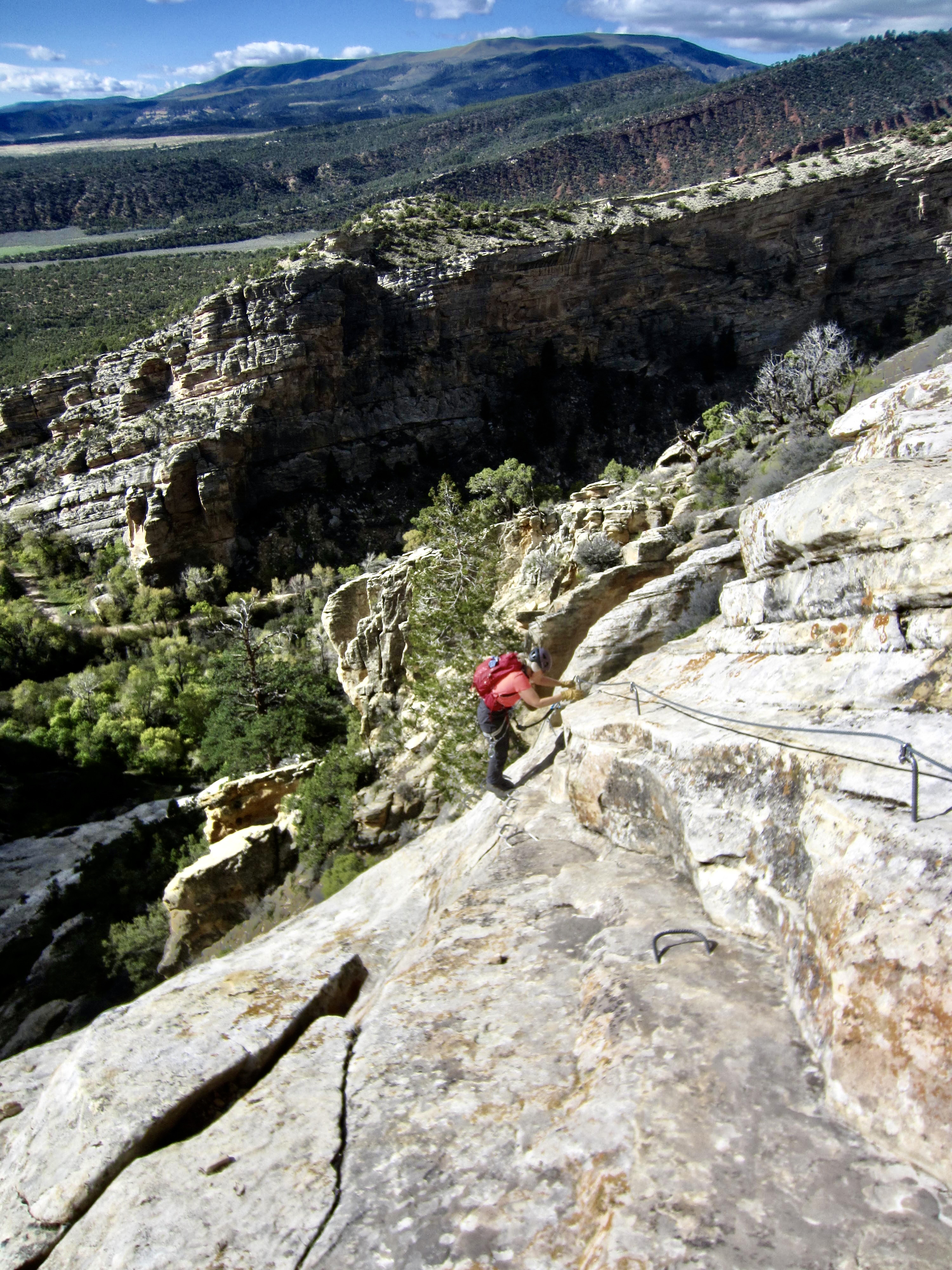
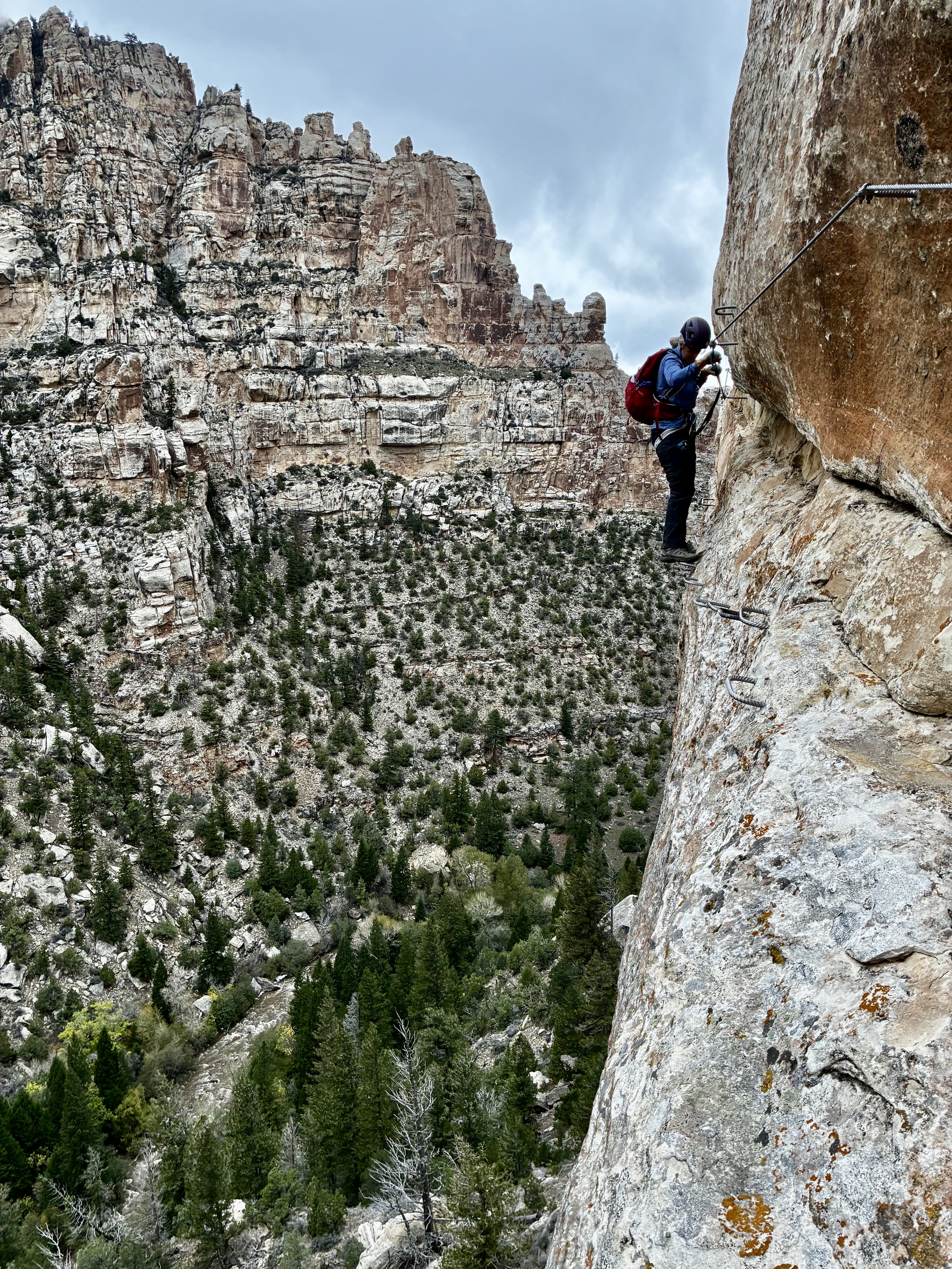
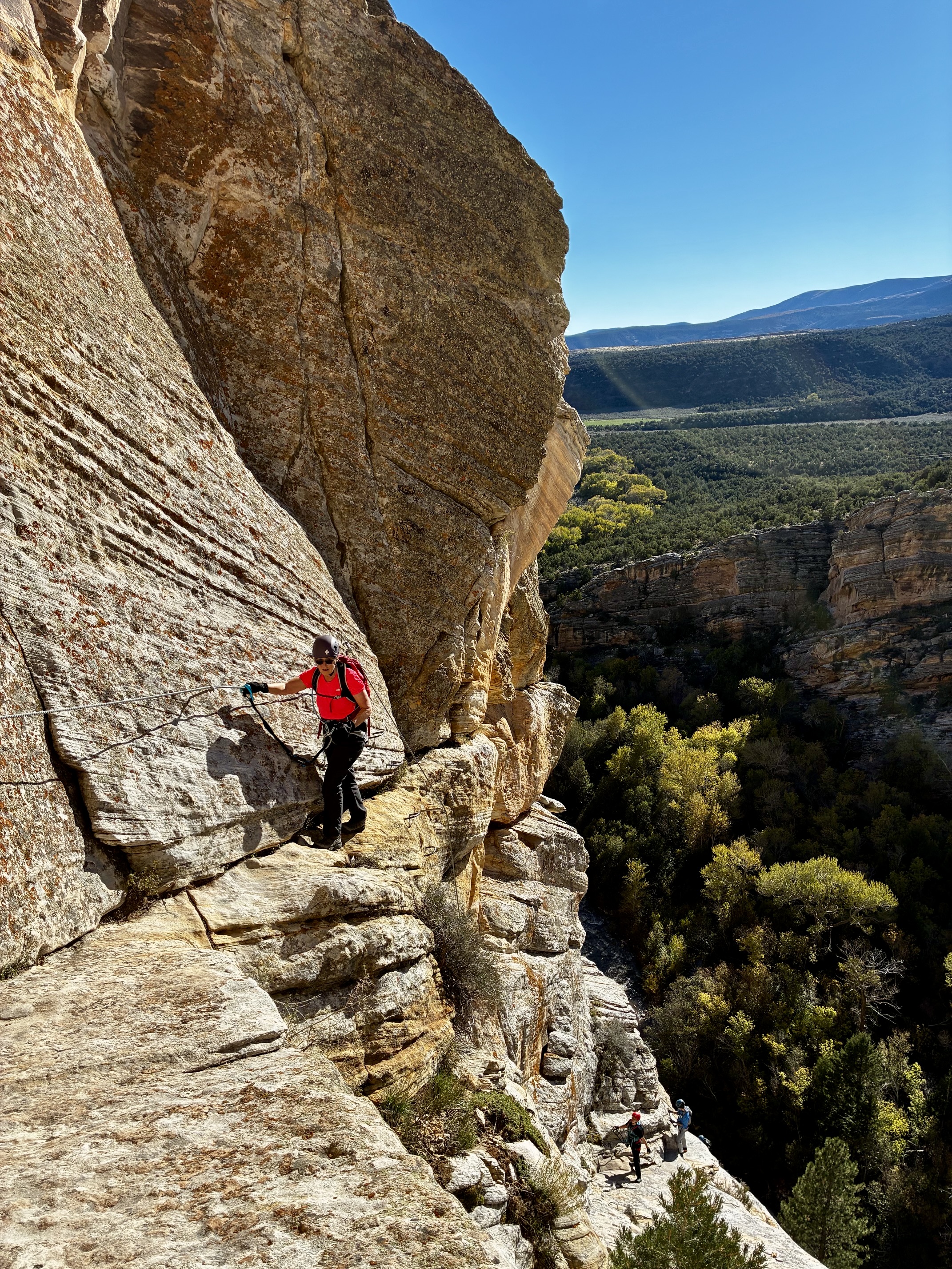
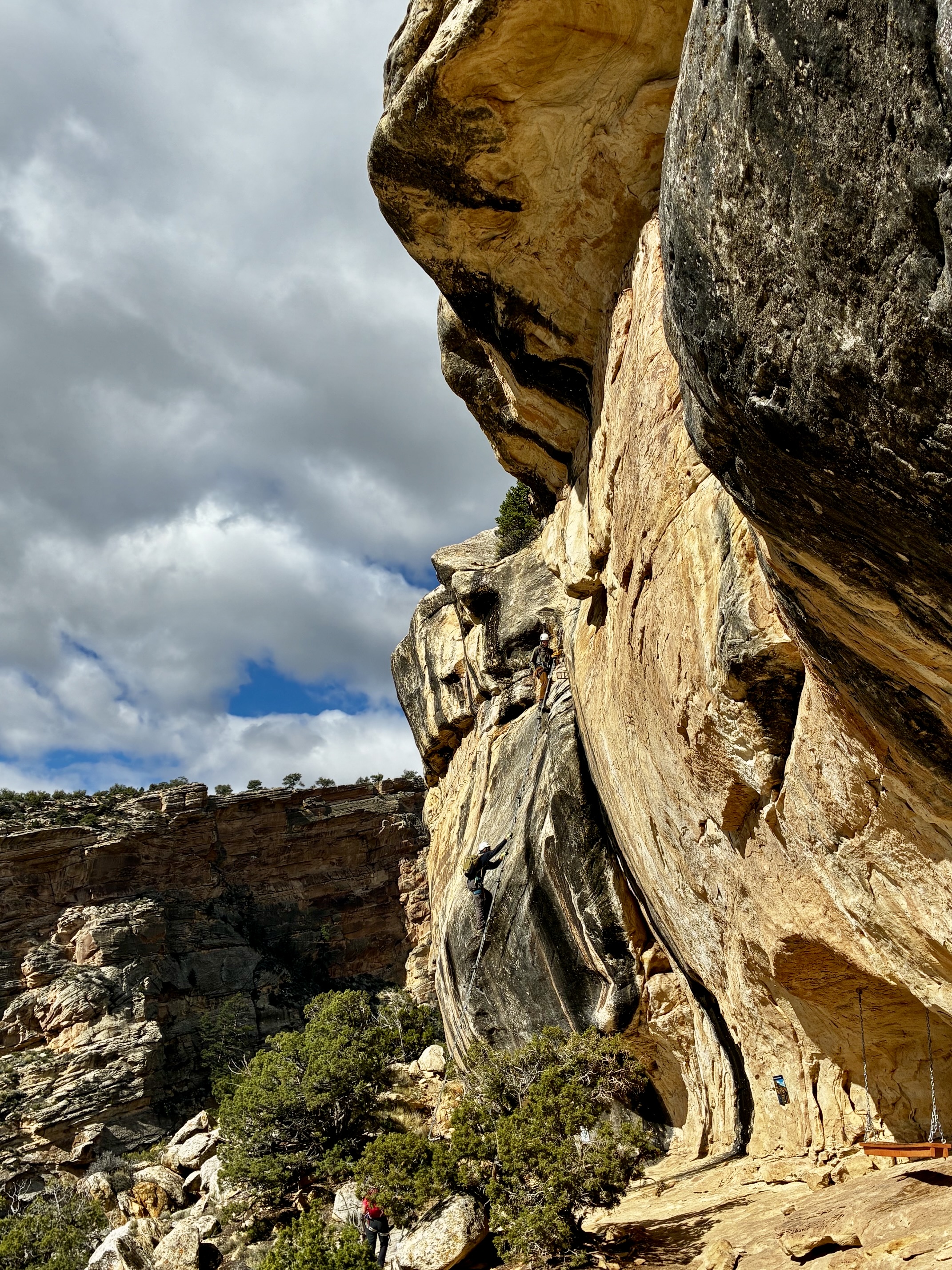
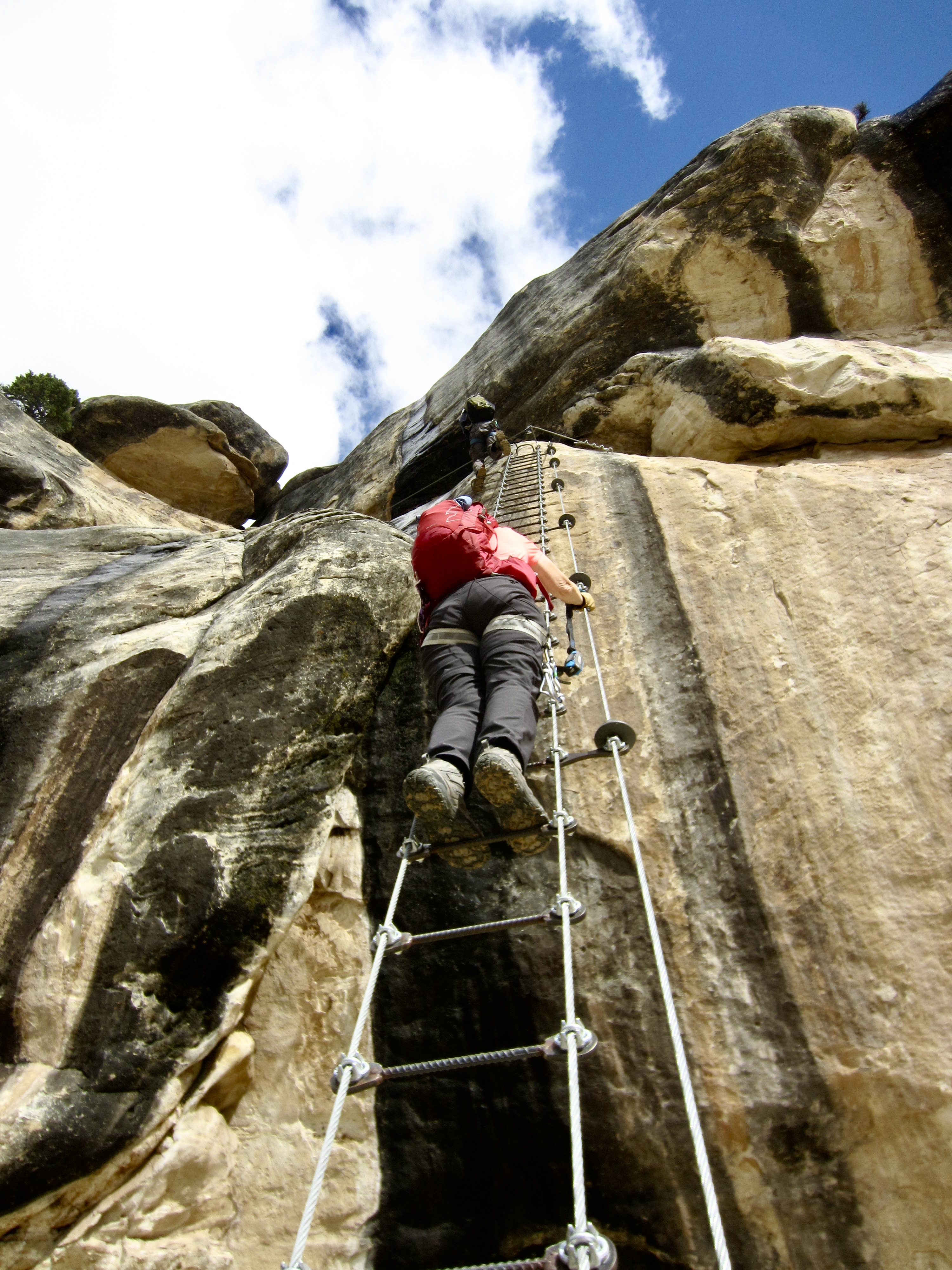
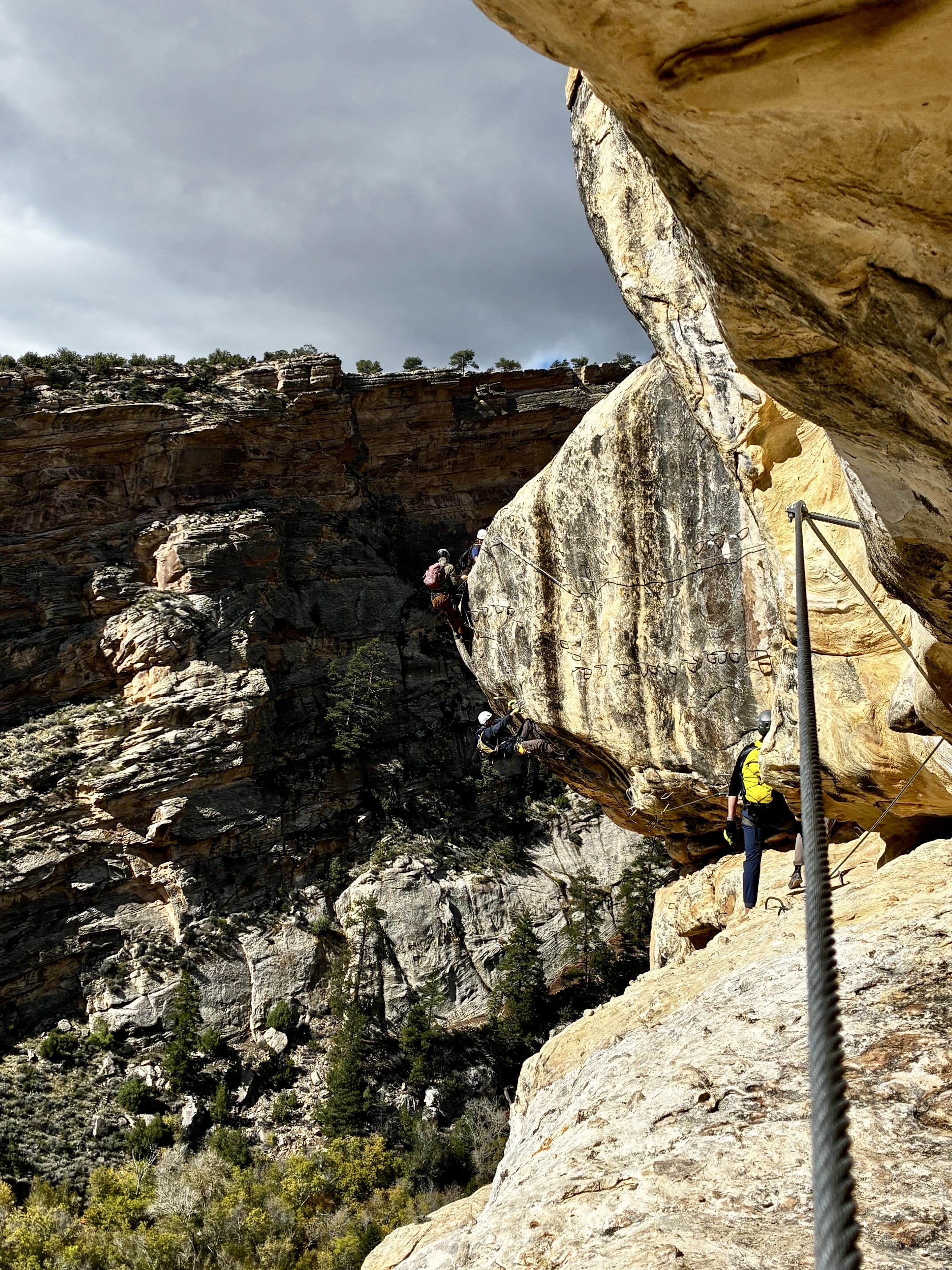
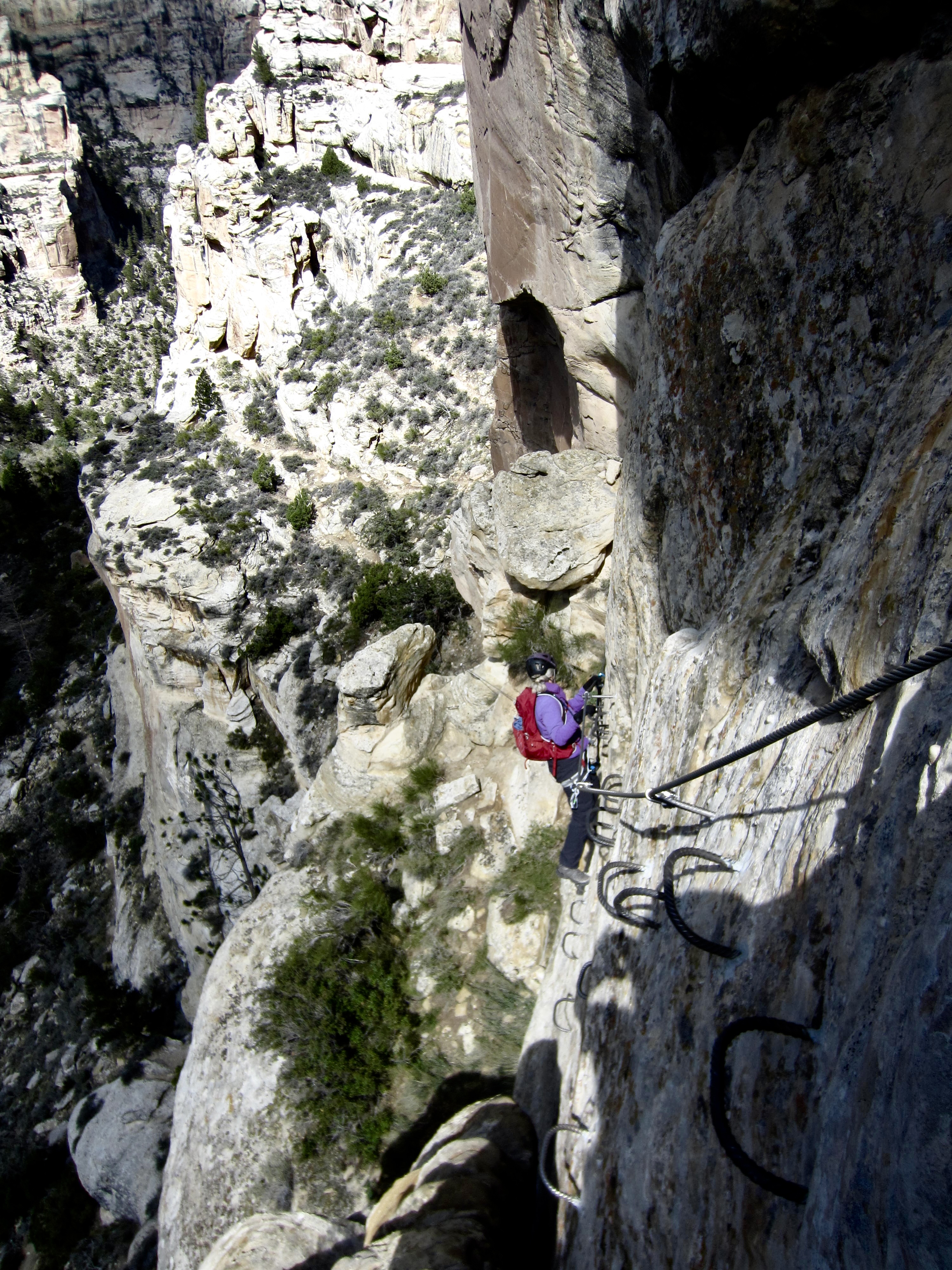
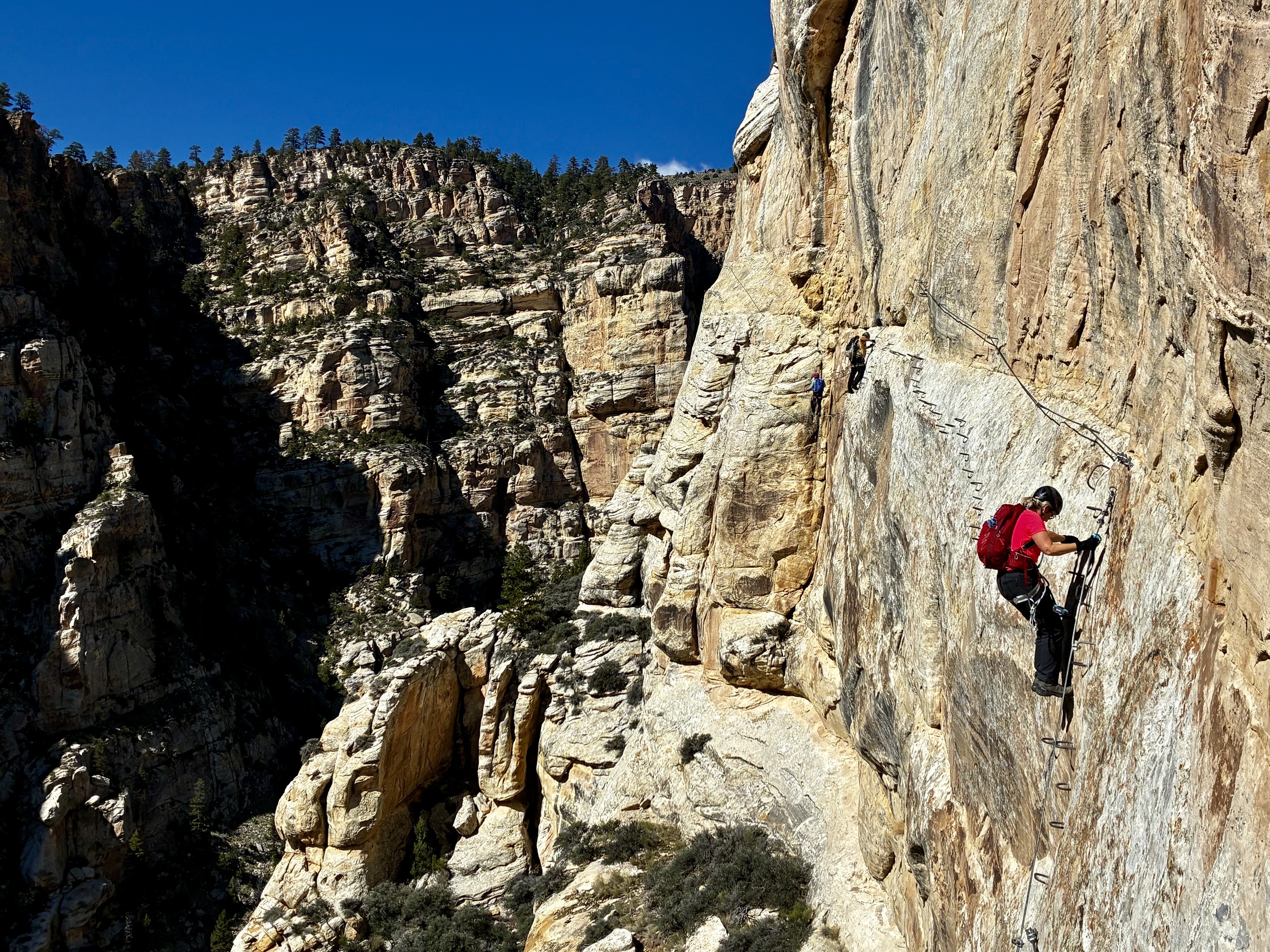
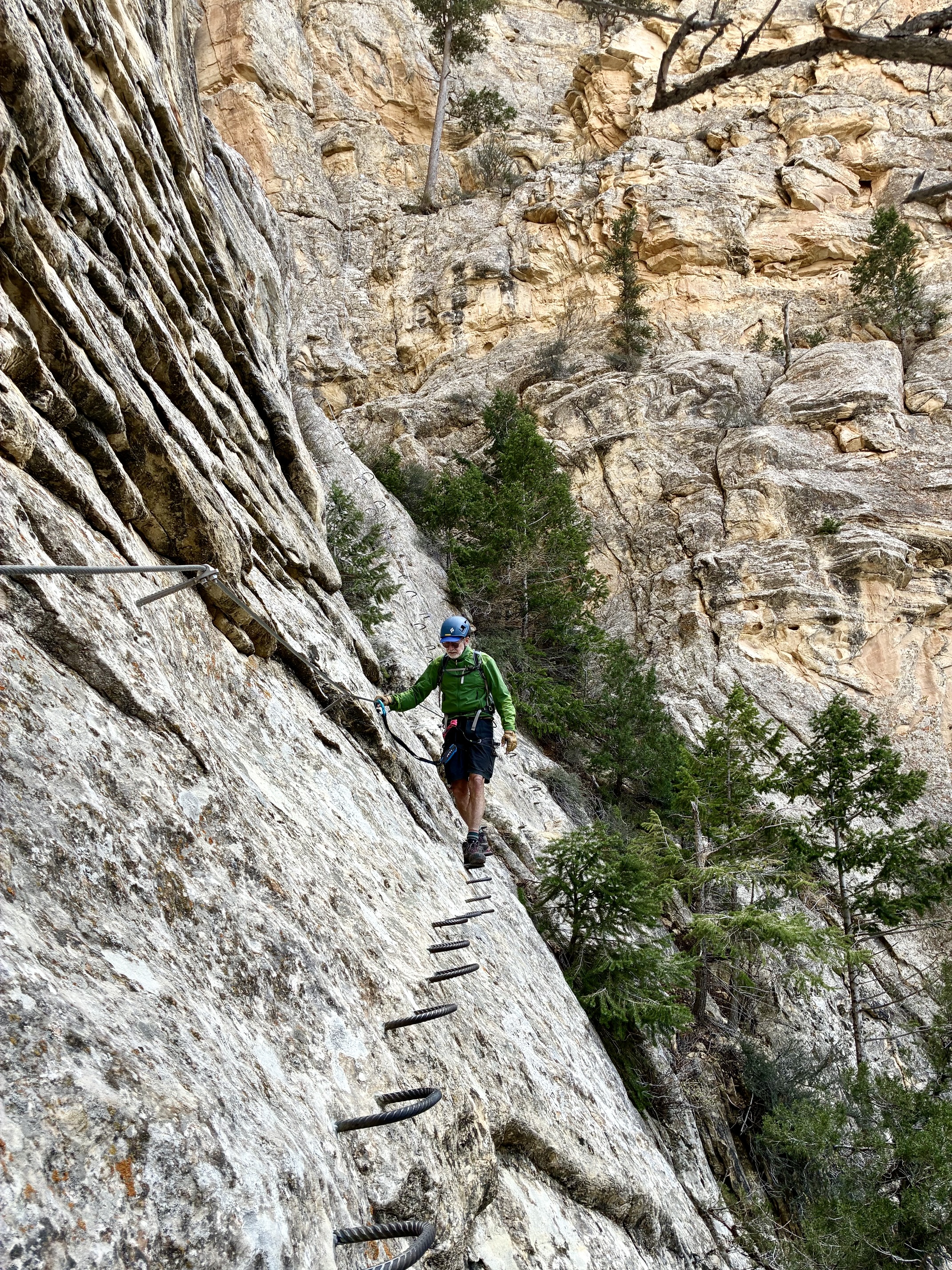
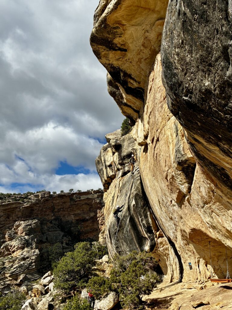
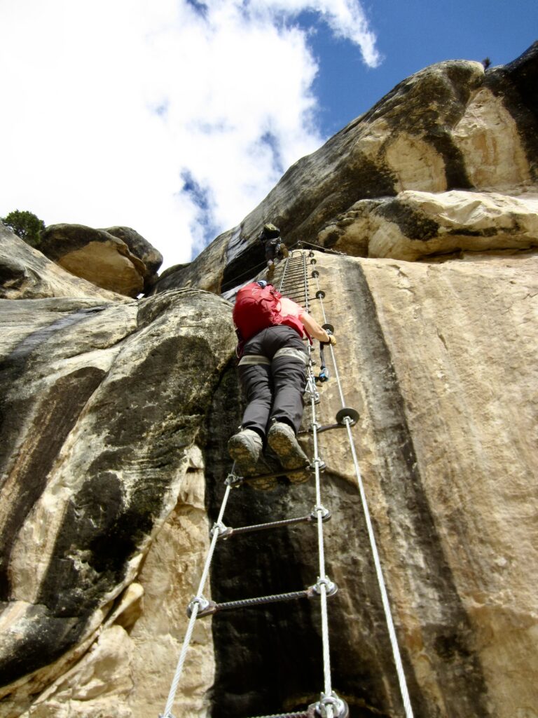
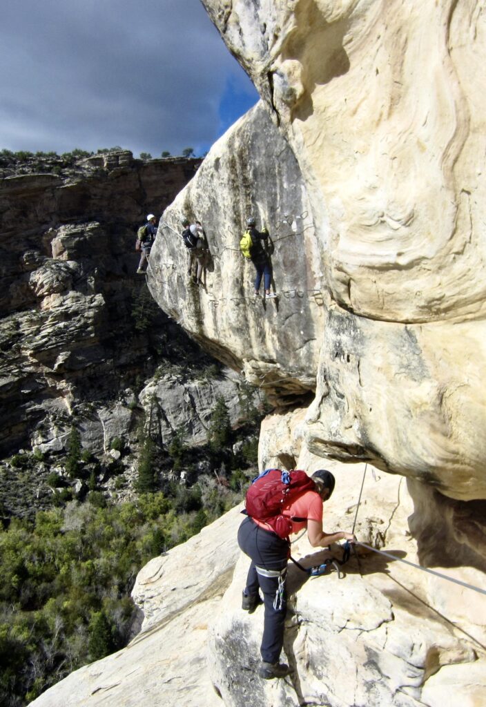
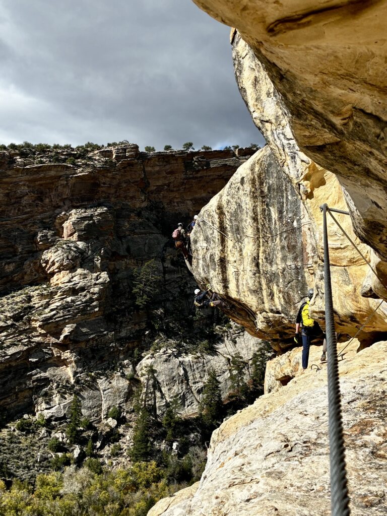
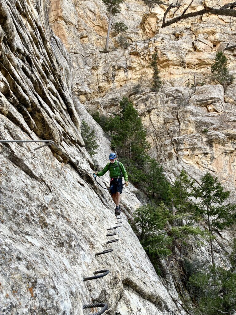
Shally’s Ladder is a long, straight cable ladder that provides access to a grade 3C via ferrata called The Pump. In contrast to ascending or descending routes such as The Outlaw and Abduction, this is a traversing route that takes climbers laterally across a major cliff band.
.
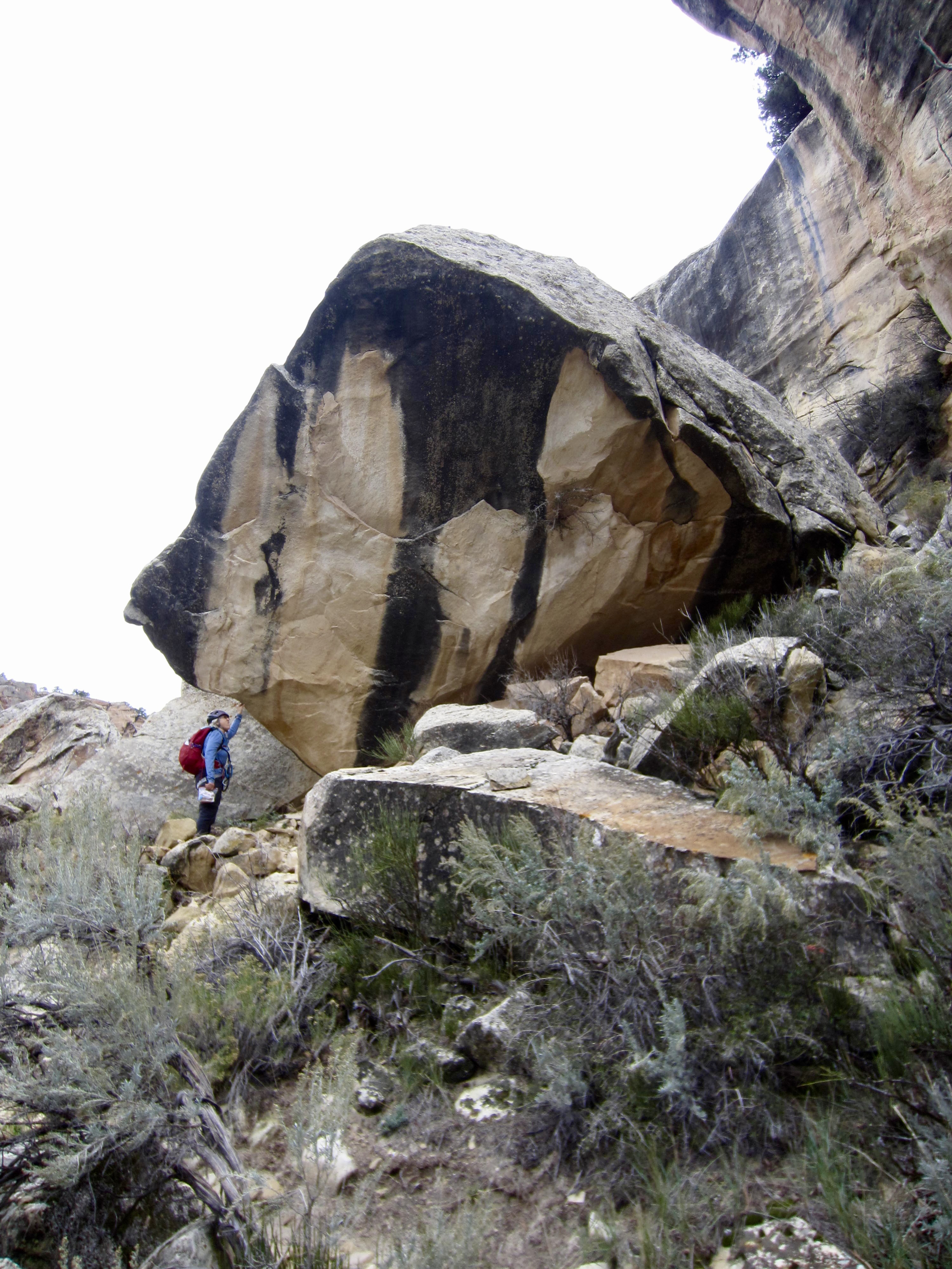
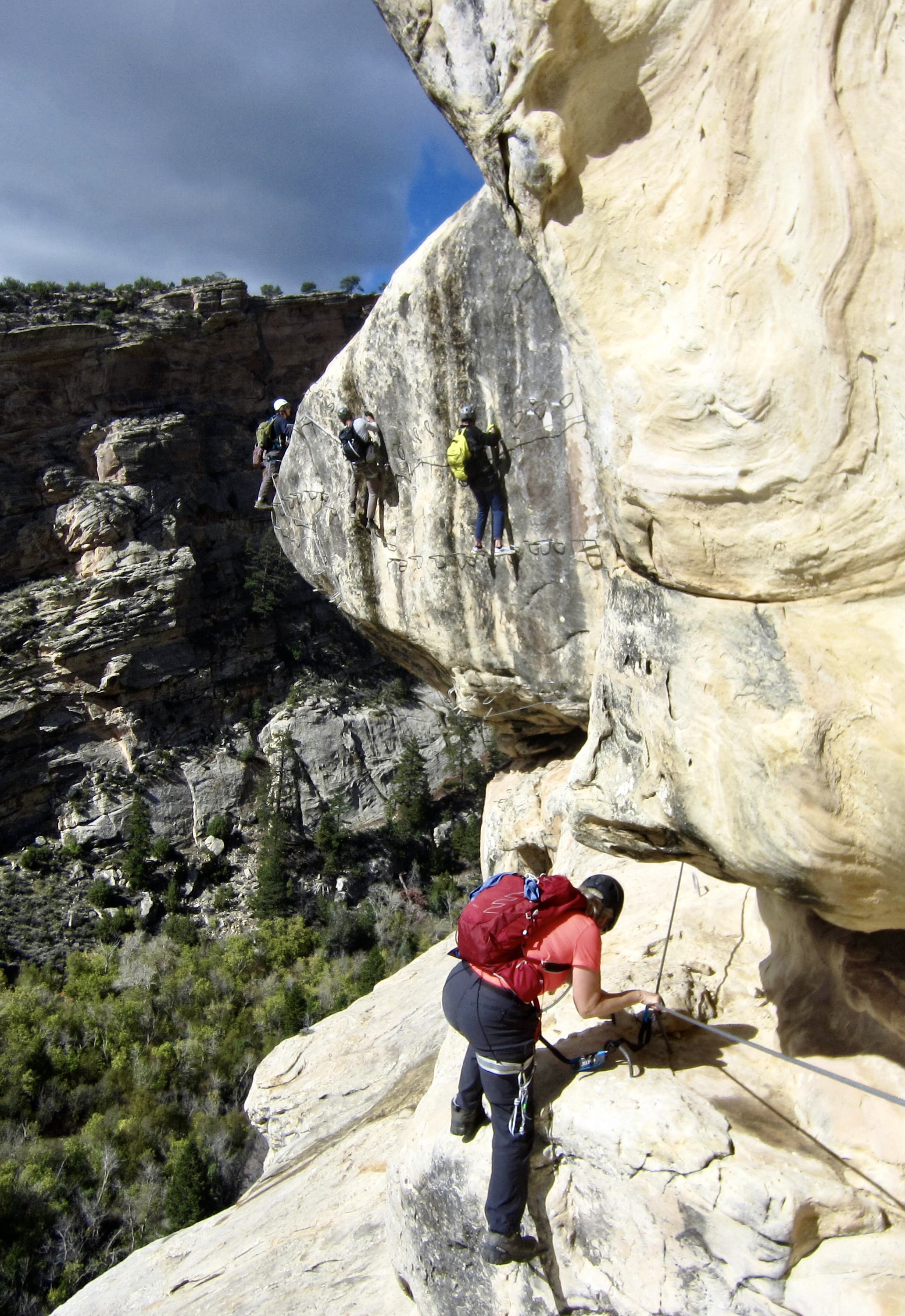
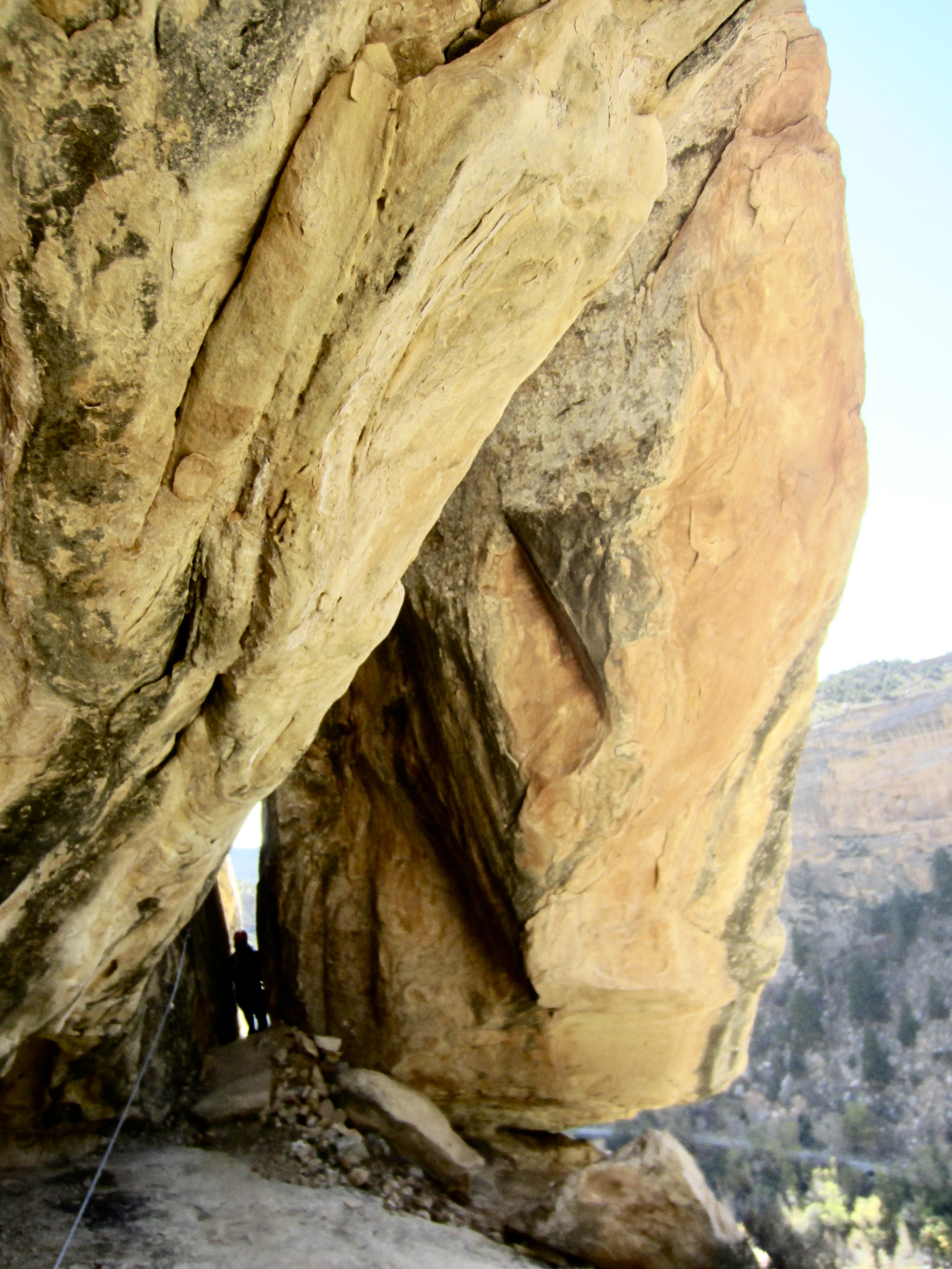
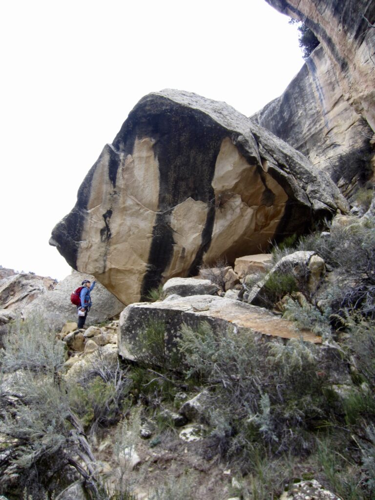
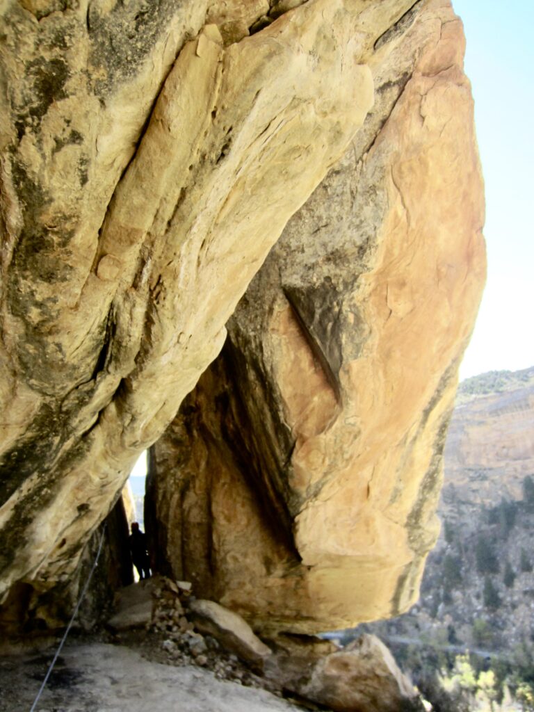
An initial traverse brought us to a particularly interesting geological feature of The Pump: a nose-shaped projection where climbers are given three different options. The easiest option is to go up and over. A slightly more difficult option is to work around the vertical sidewall. The most difficult and exciting option is to get underneath the nose and then climb over the tip. Eileen and I chose the middle option.
.
.
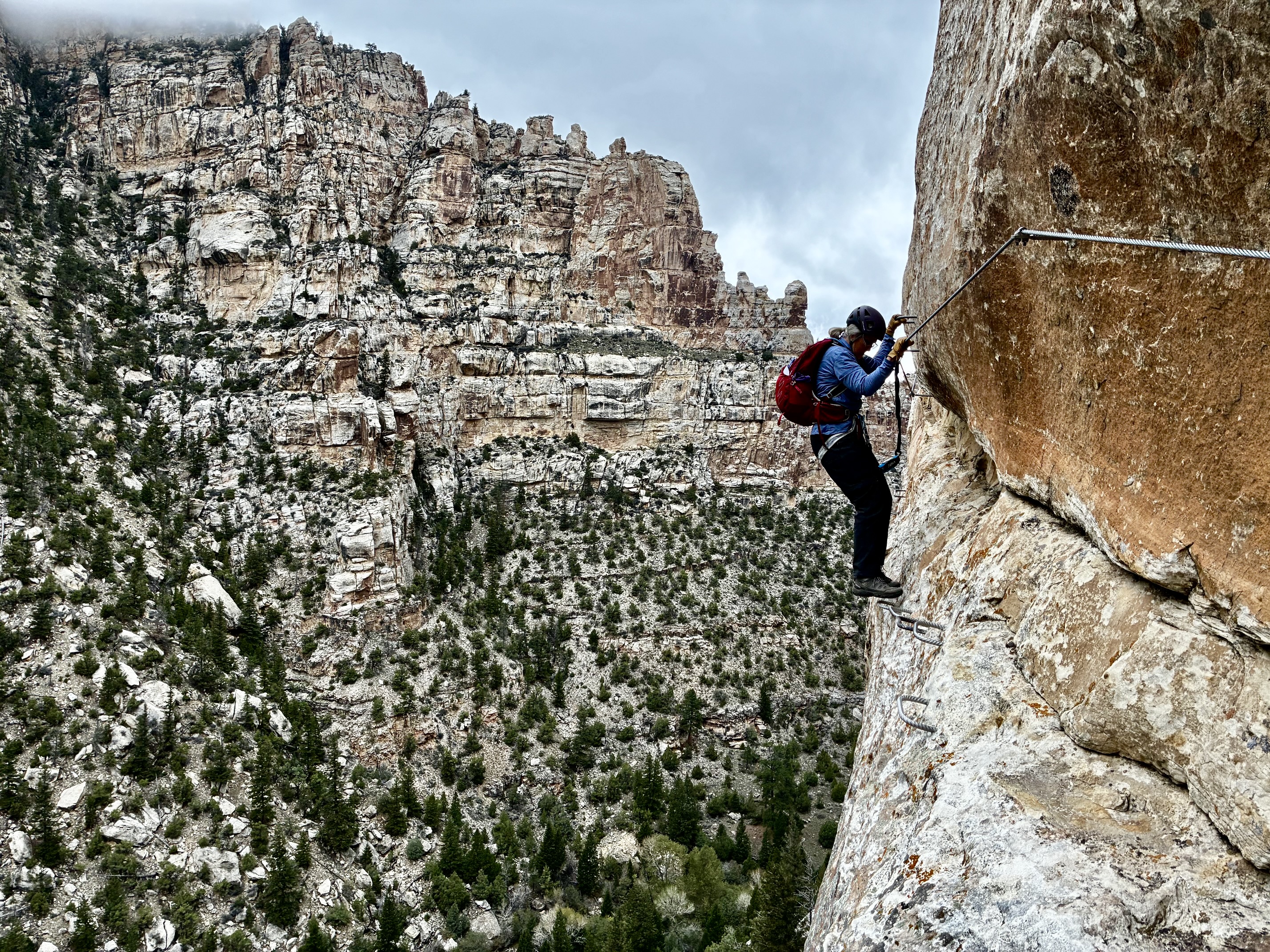
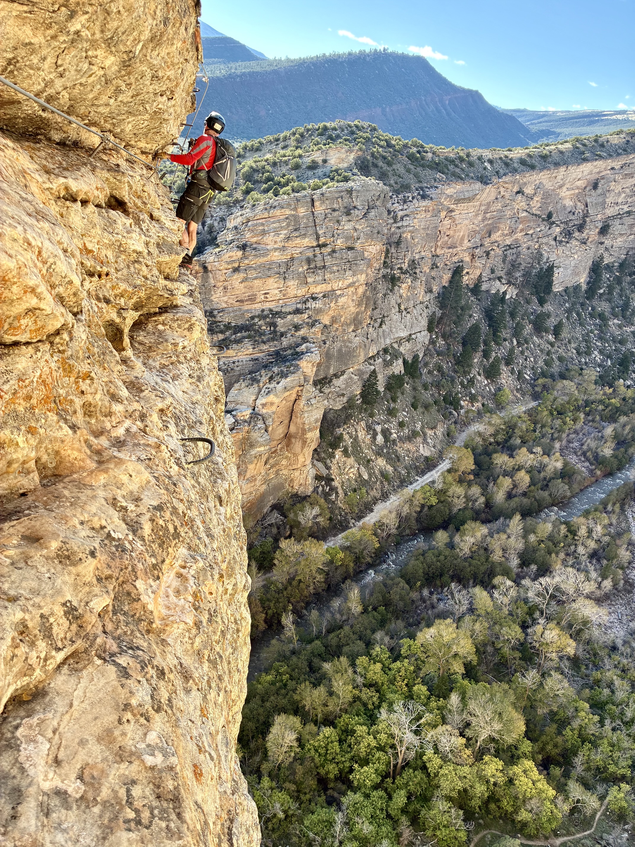
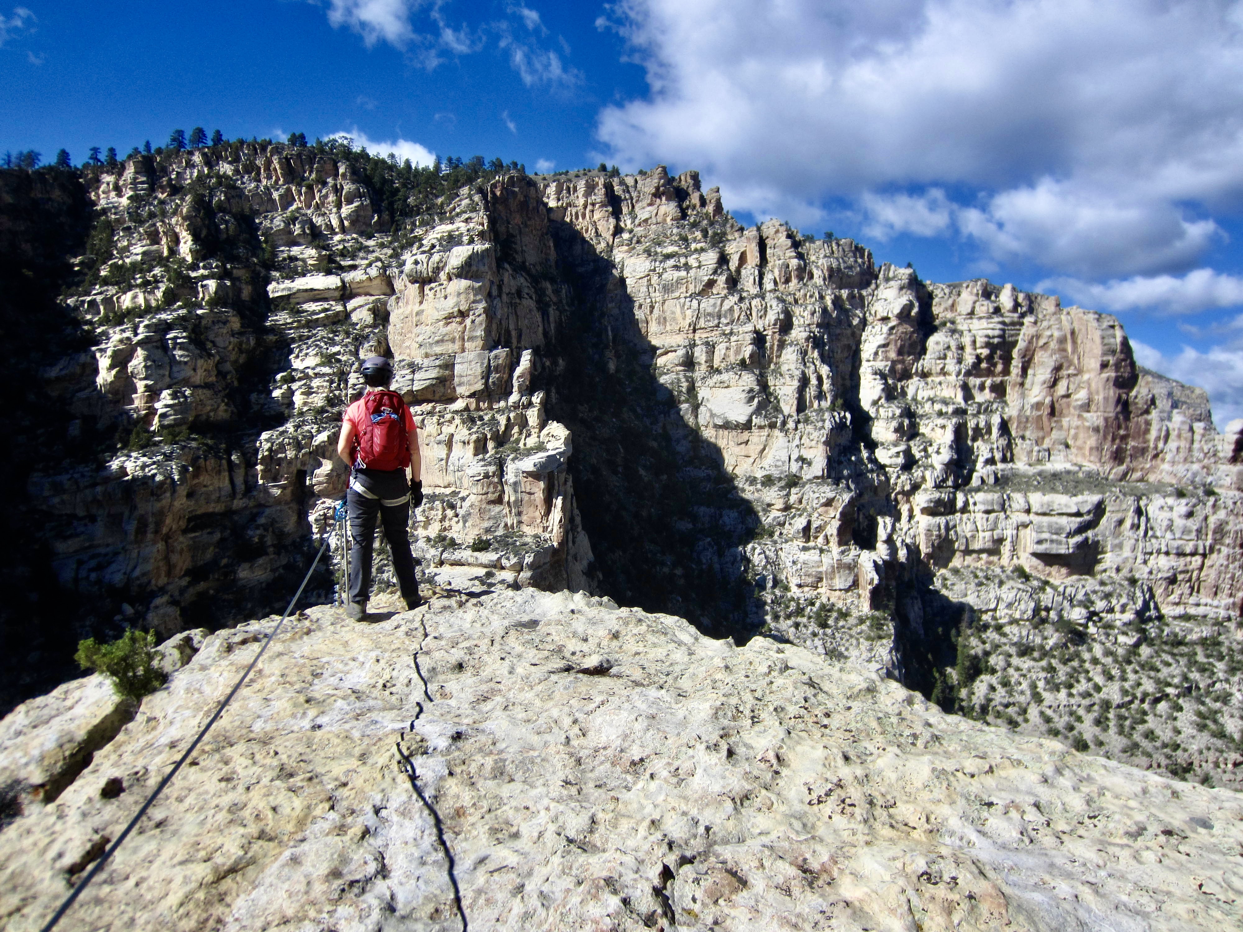
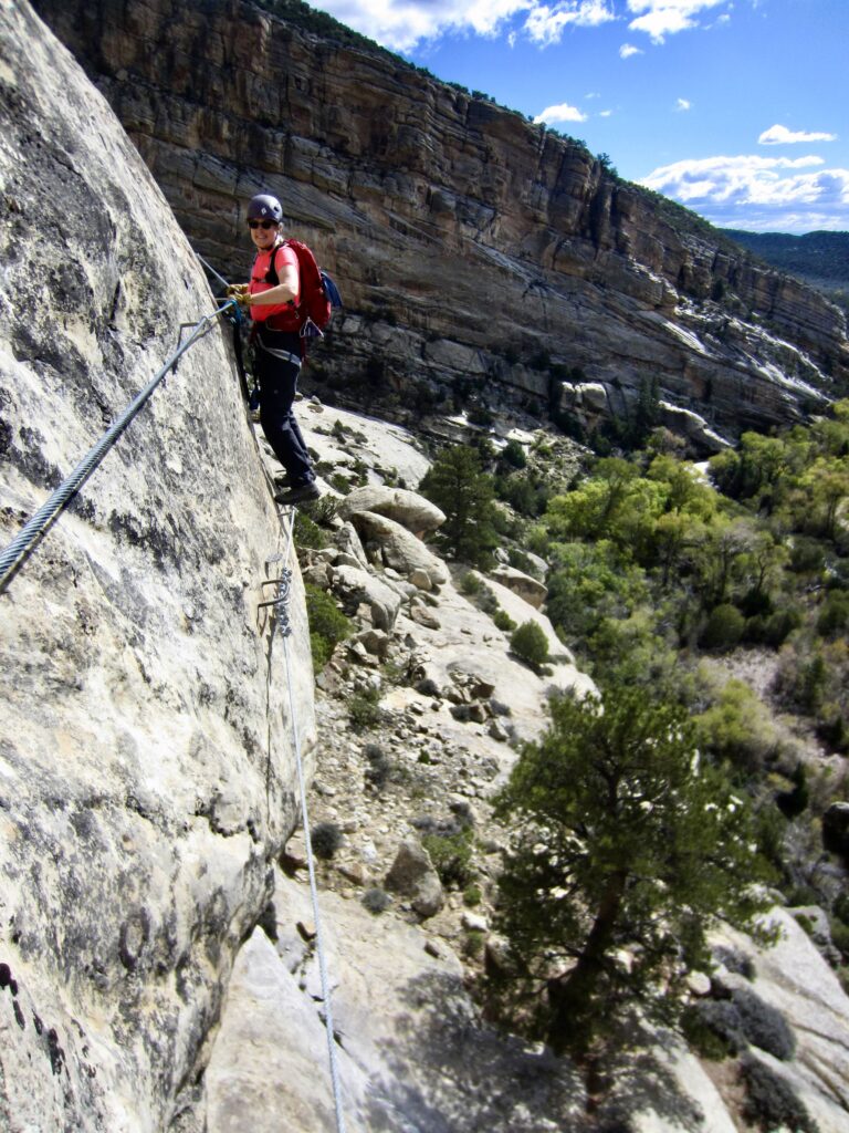
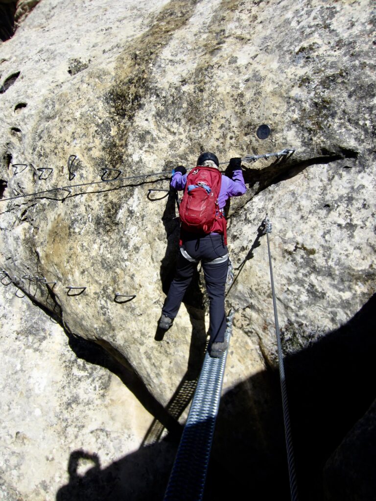
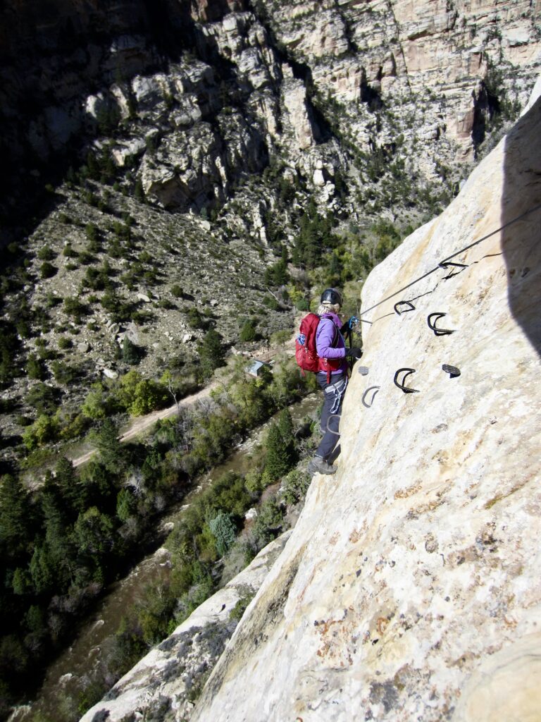
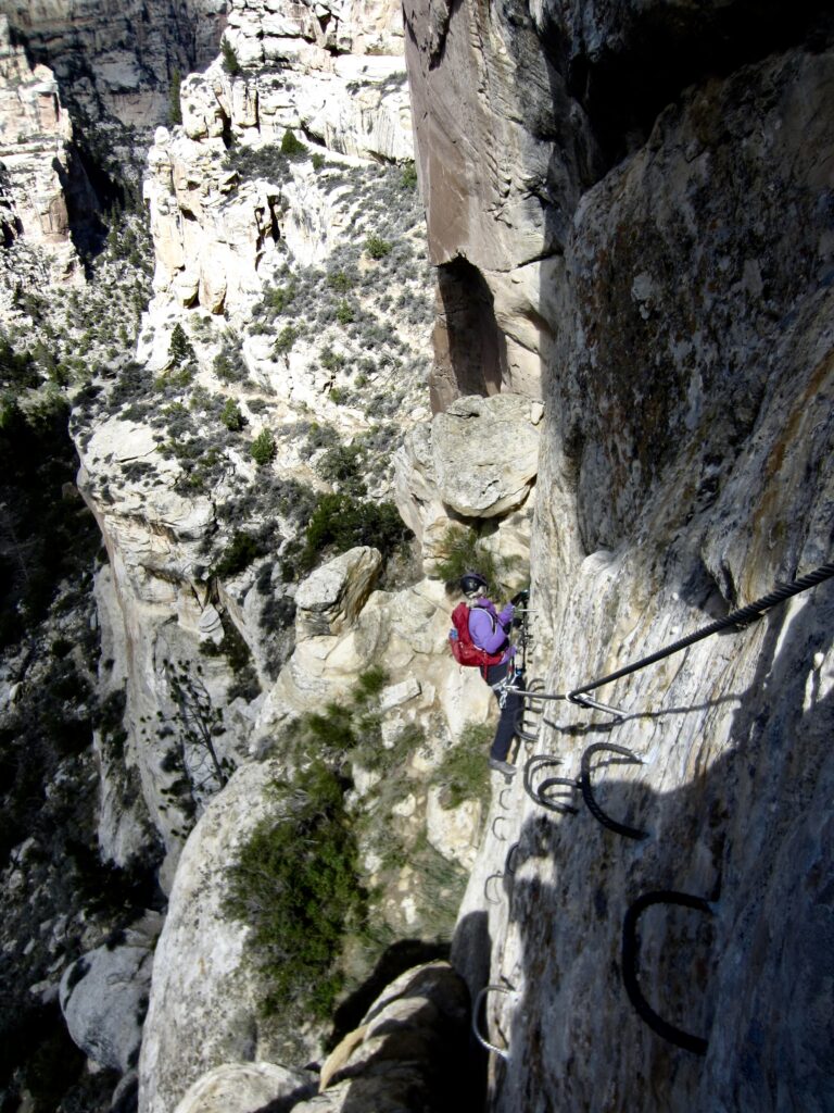
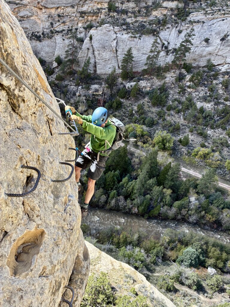
Once past the nose, we continued traversing across the broad cliff. At several locations, the normal steel-rung footholds were replaced with segments of steel cable. These squishy cables incite an elevated degree of anxiety to what is already a very exposed situation!
.
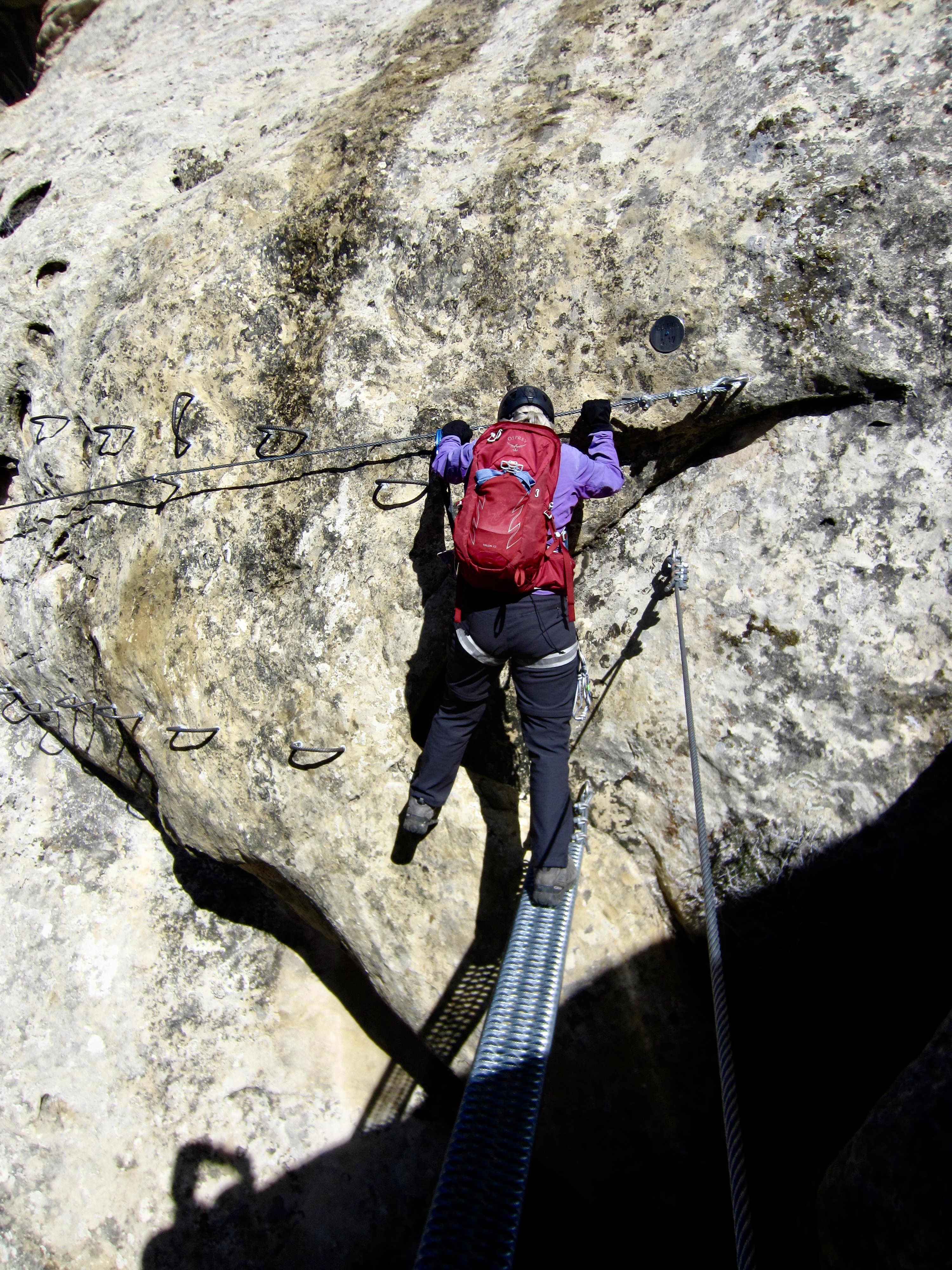
Eventually, The Pump came to an end, and we transitioned into another Grade 3C route called The Soup. This latter route is similarly exposed but involves more up-climbs and down-climbs throughout the traverse. At one point, it crosses a small gap by means of a short but narrow footbridge.
.
.
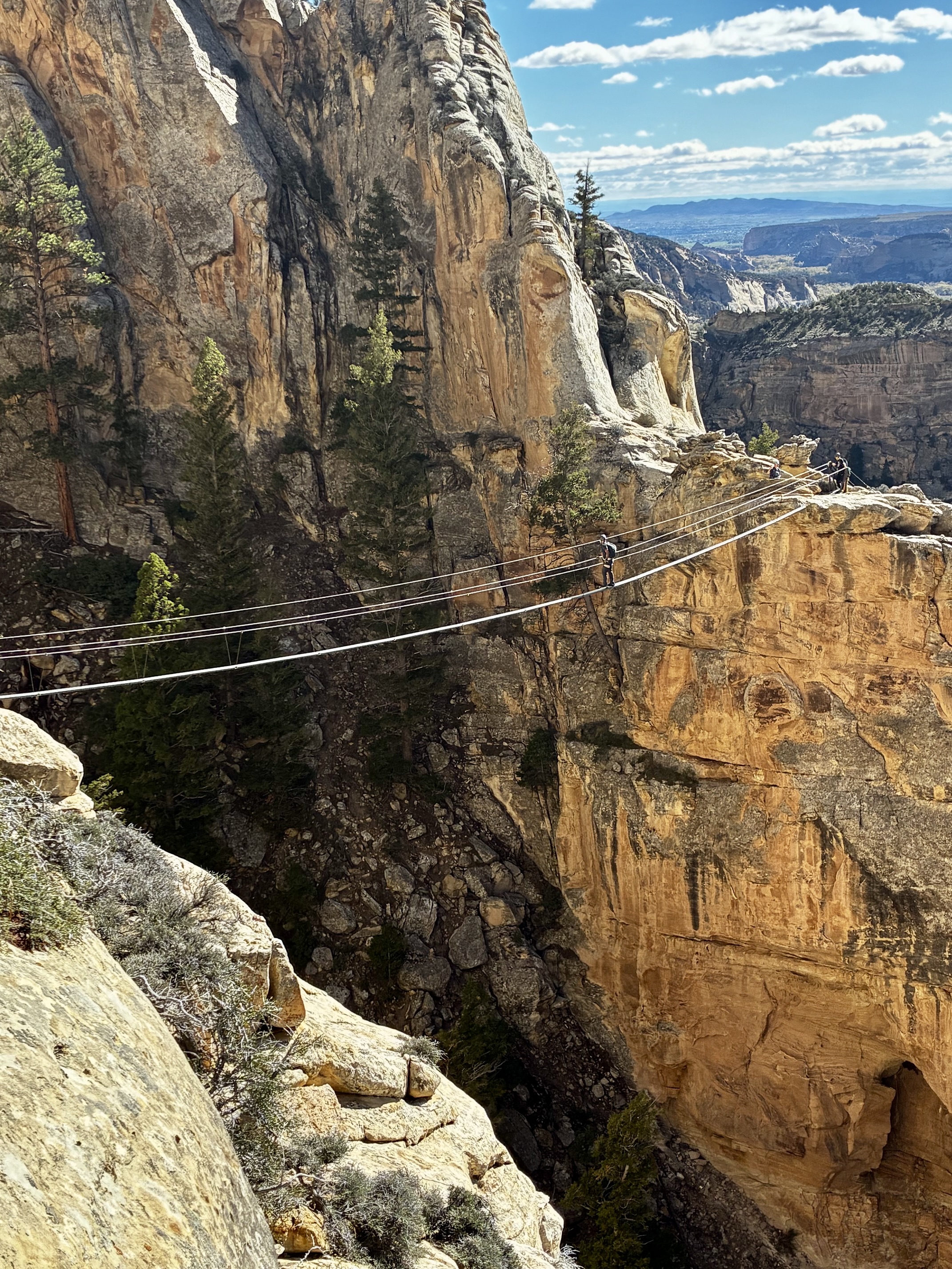
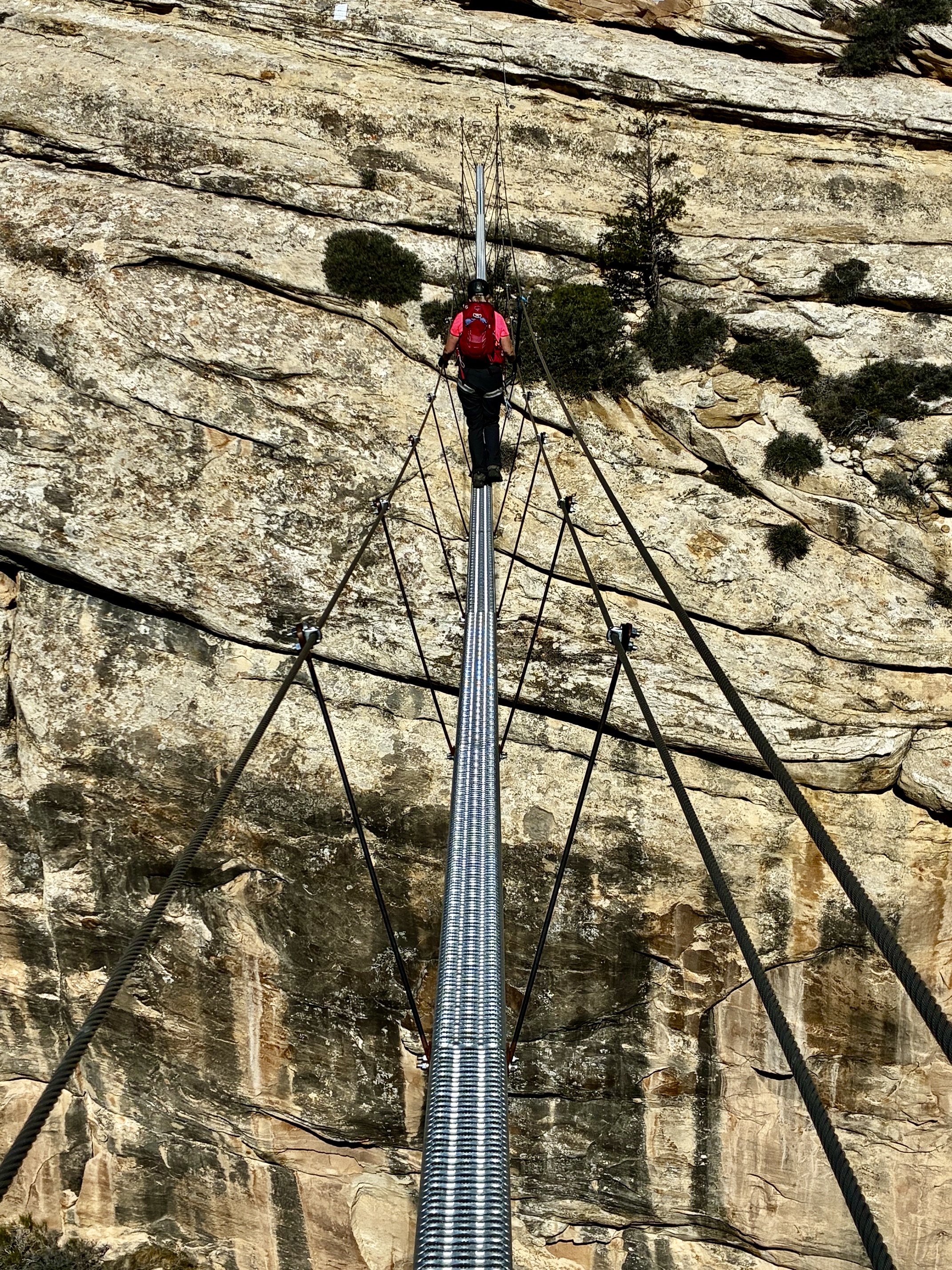
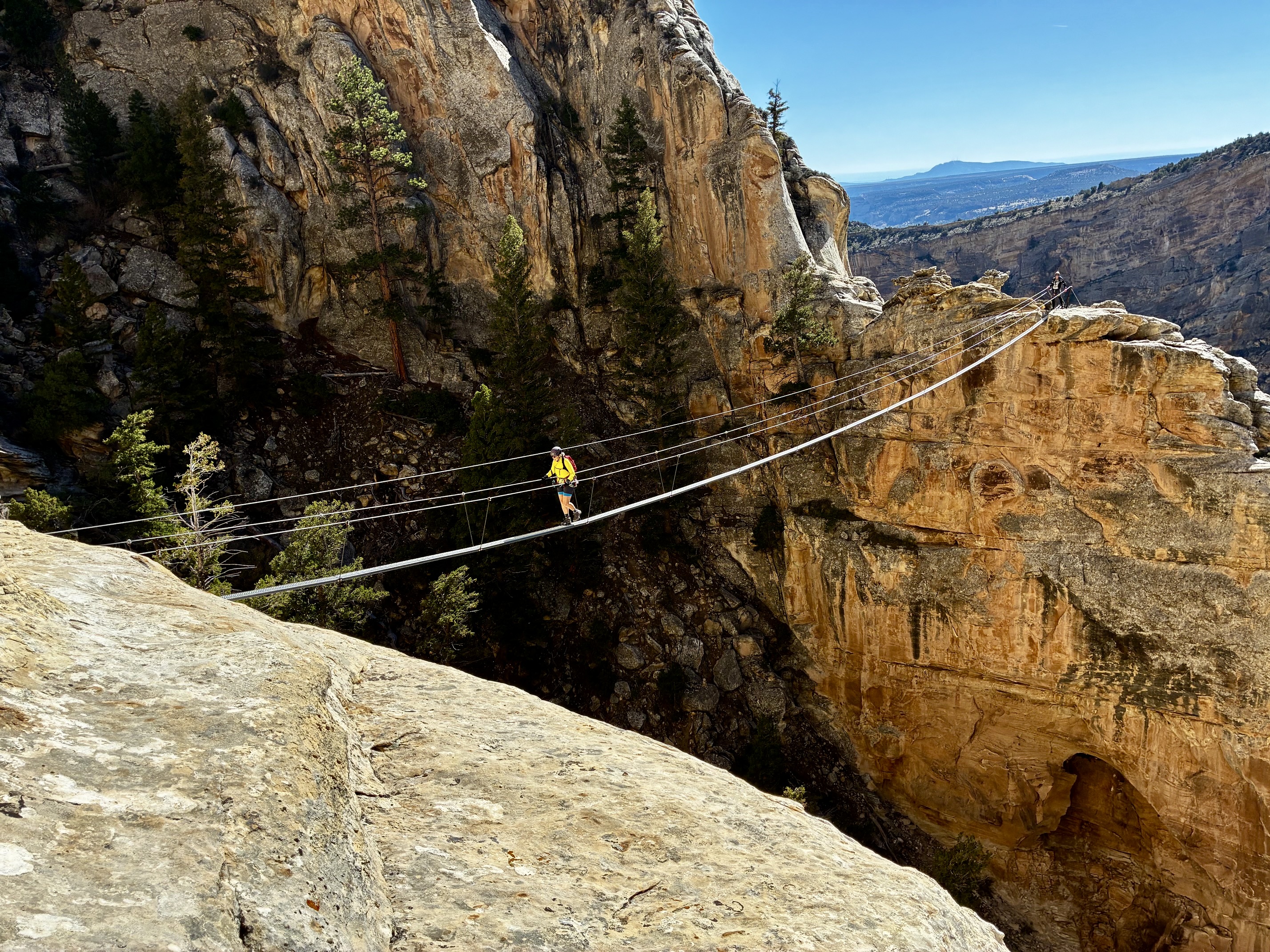
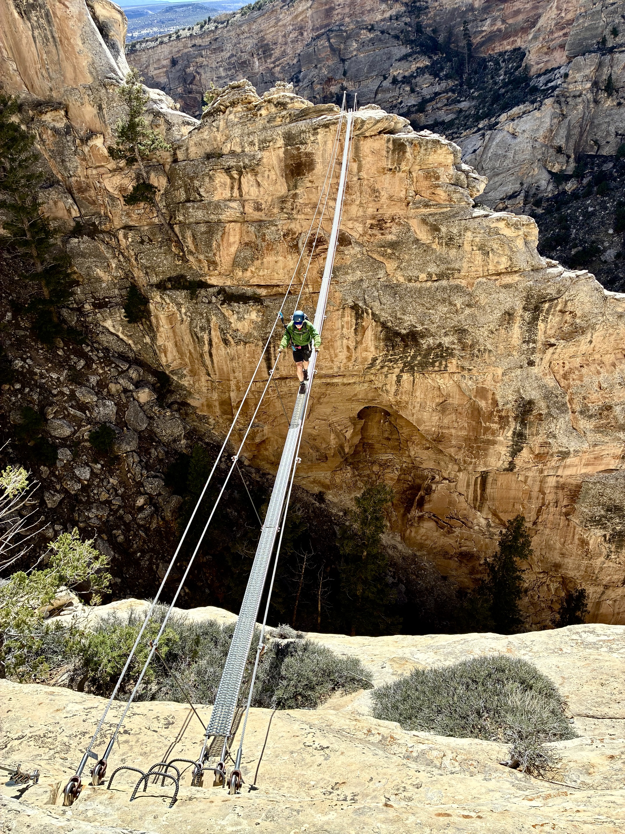
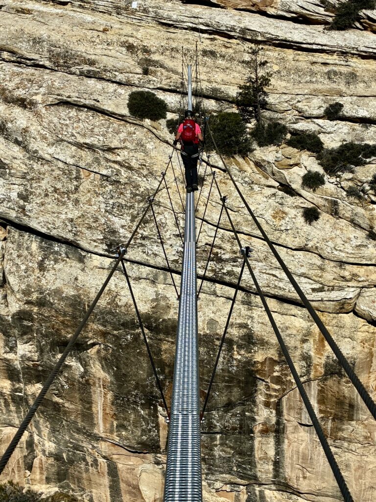
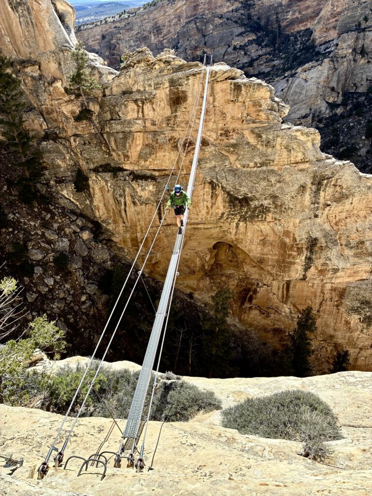
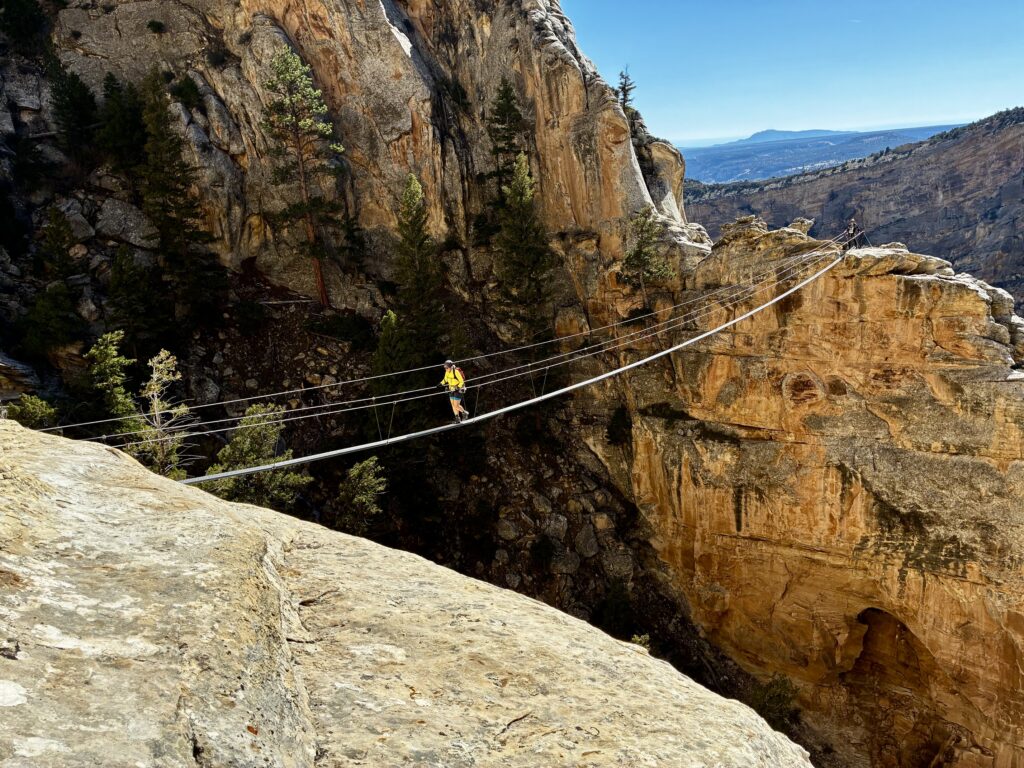
After nearly ½ mile of technical traversing through the canyon, Eileen and I arrived at one of the two “signature features” within Ashley Gorge: the Dynomite Sky Bridge—a dramatically long and slender suspension bridge that spans a deep gully. With a length of approximately 160 feet and a width barely over 6 inches, it sways and bounces and rolls enough to deliver a sensational crossing experience!
.
.
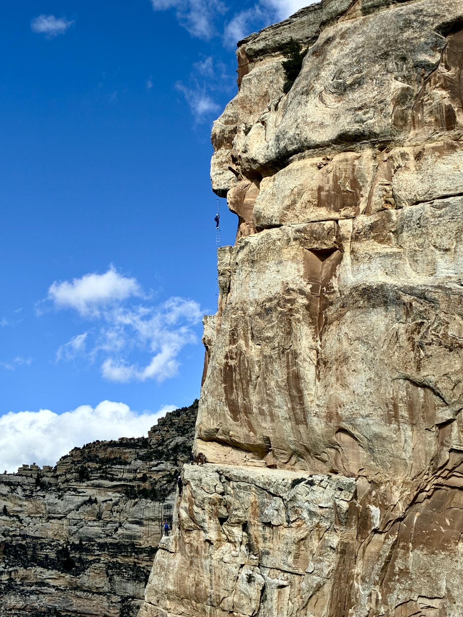
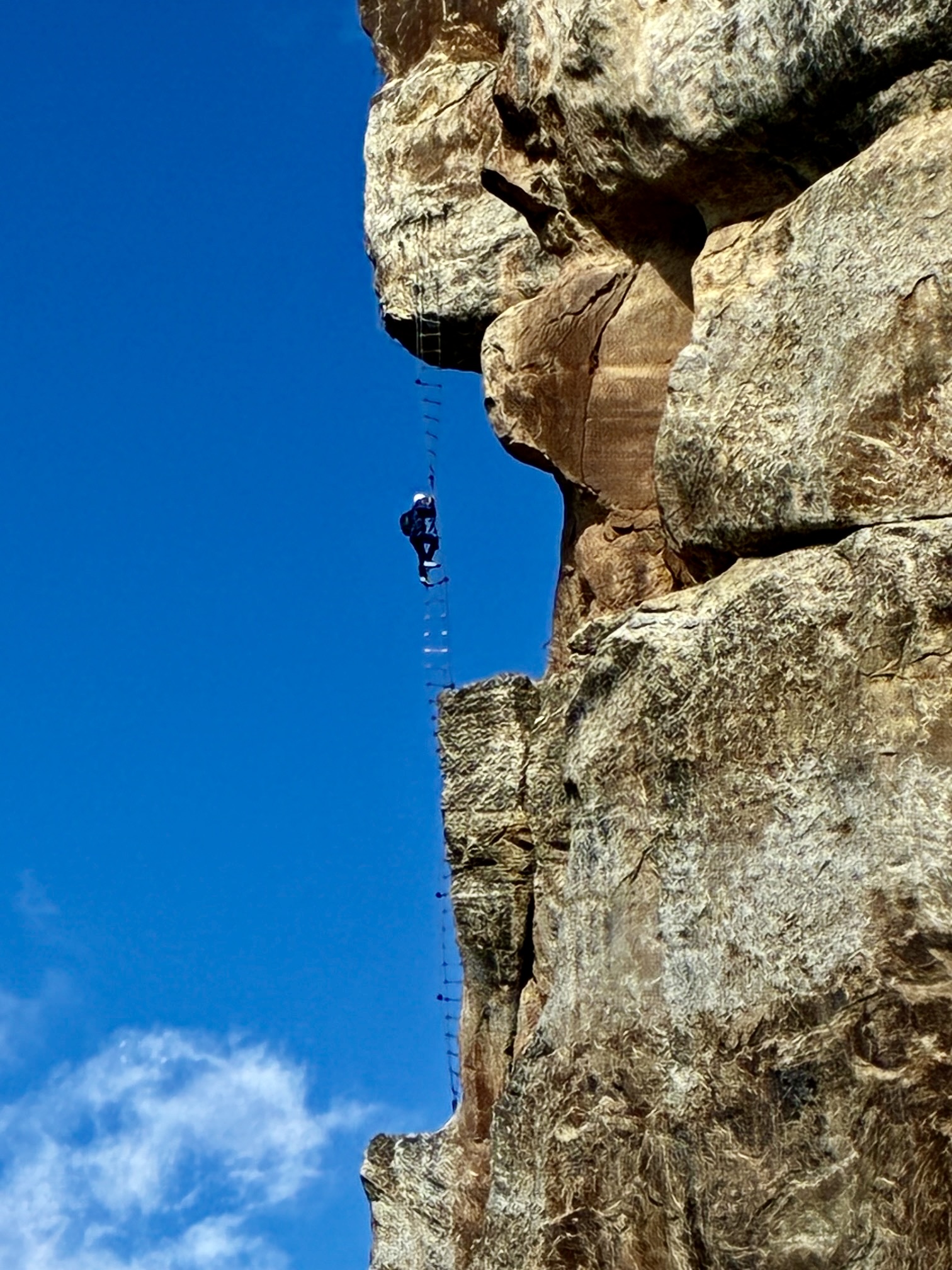
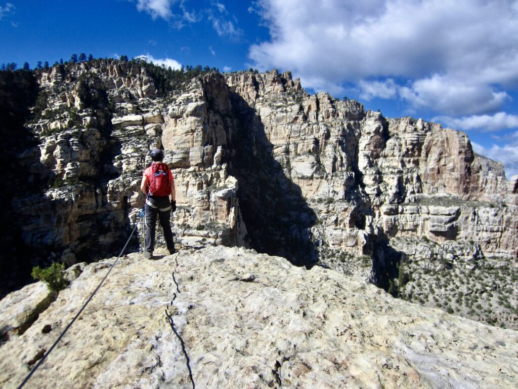
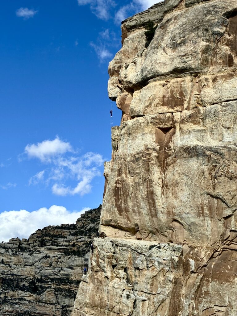
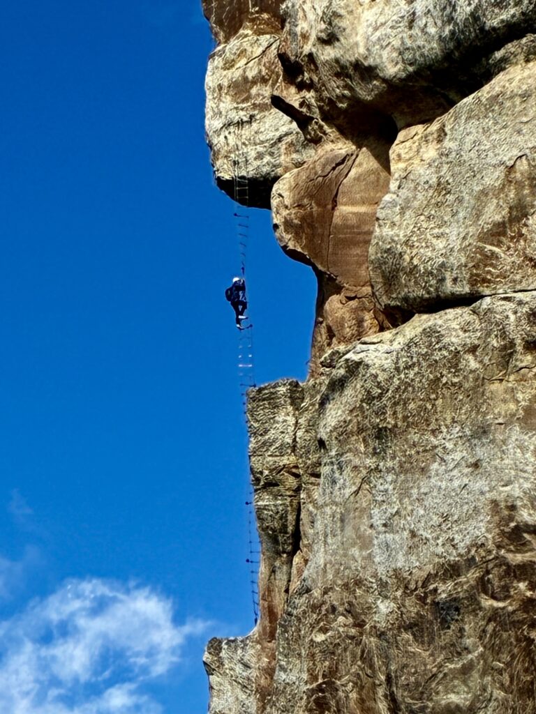
A short traverse on the far side of the suspension bridge brought us up to T-Rex Viewpoint. This rock promontory is a great vantage for observing the entire canyon and makes a great lunch spot. More importantly, it offers a splendid observation platform for the other “signature feature” within Ashley Gorge: the Helix Ladder. When creating the famous Jur-Ass-Kicked via ferrata, the route developers installed a long, vertical, spiraling cable ladder across a gap in the sharp arete. Eileen and I watched several climbers scale the ladder and then execute a difficult move around a roof. We now knew what a double-black-diamond route looks like!
.
.
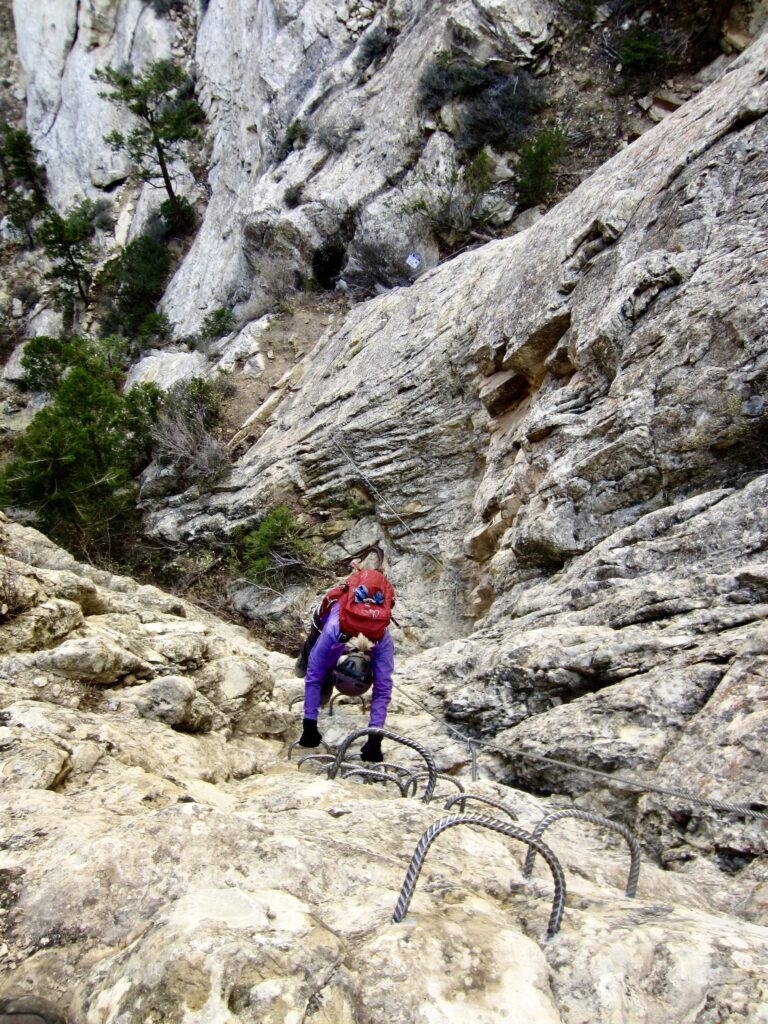
Feeling satisfied with our day, Eileen and I chose to begin our exit rather than continue onward. We descended the T-Rex Terrace route and then hiked downstream on the Cease & Desist Trail until reaching its end at the start of Abduction.
.
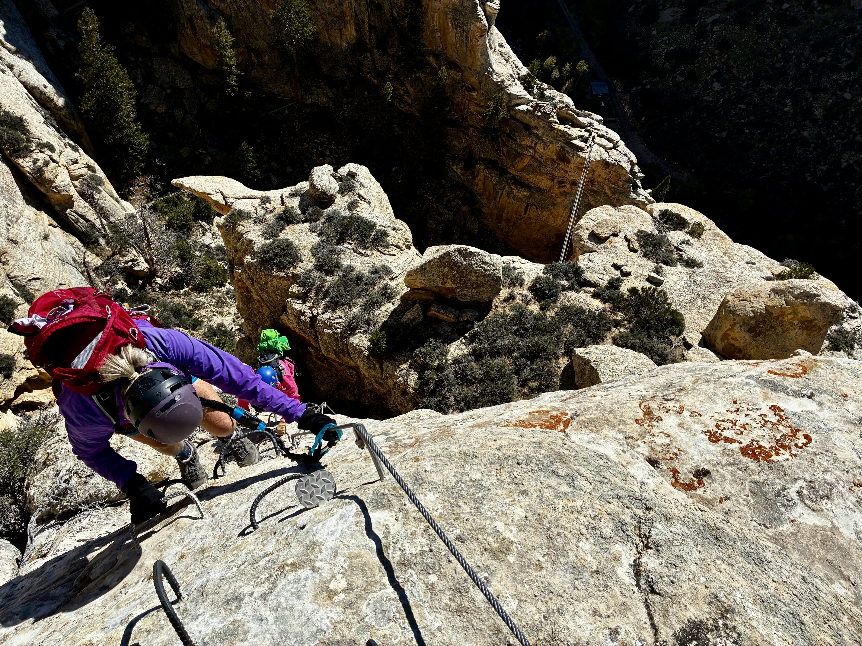
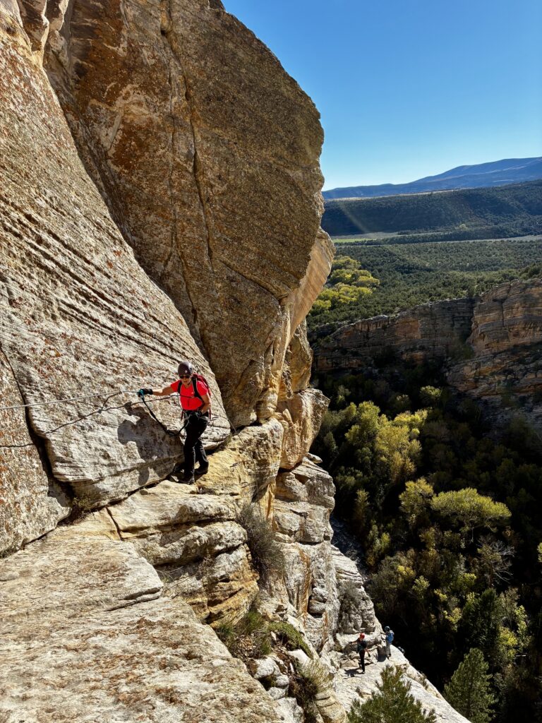
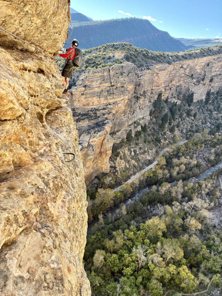
Although we had climbed Abduction just yesterday, it felt like a different route on this sunny day. We even had time and desire to do the full Grade 3C version, which tops out at a slightly higher location on the canyon rim. Due to the rock quality and varied terrain, Abduction became one of our favorite routes at Ashley Gorge.
.
.
After topping out, we hiked back down to the trailhead in late afternoon (7.0 hours + 1700 feet for total day). There were still only a dozen or so vehicles in the parking lot.
Daytrip 3: Outlaw to T-Rex Terrace + Toothy Grin Climbs
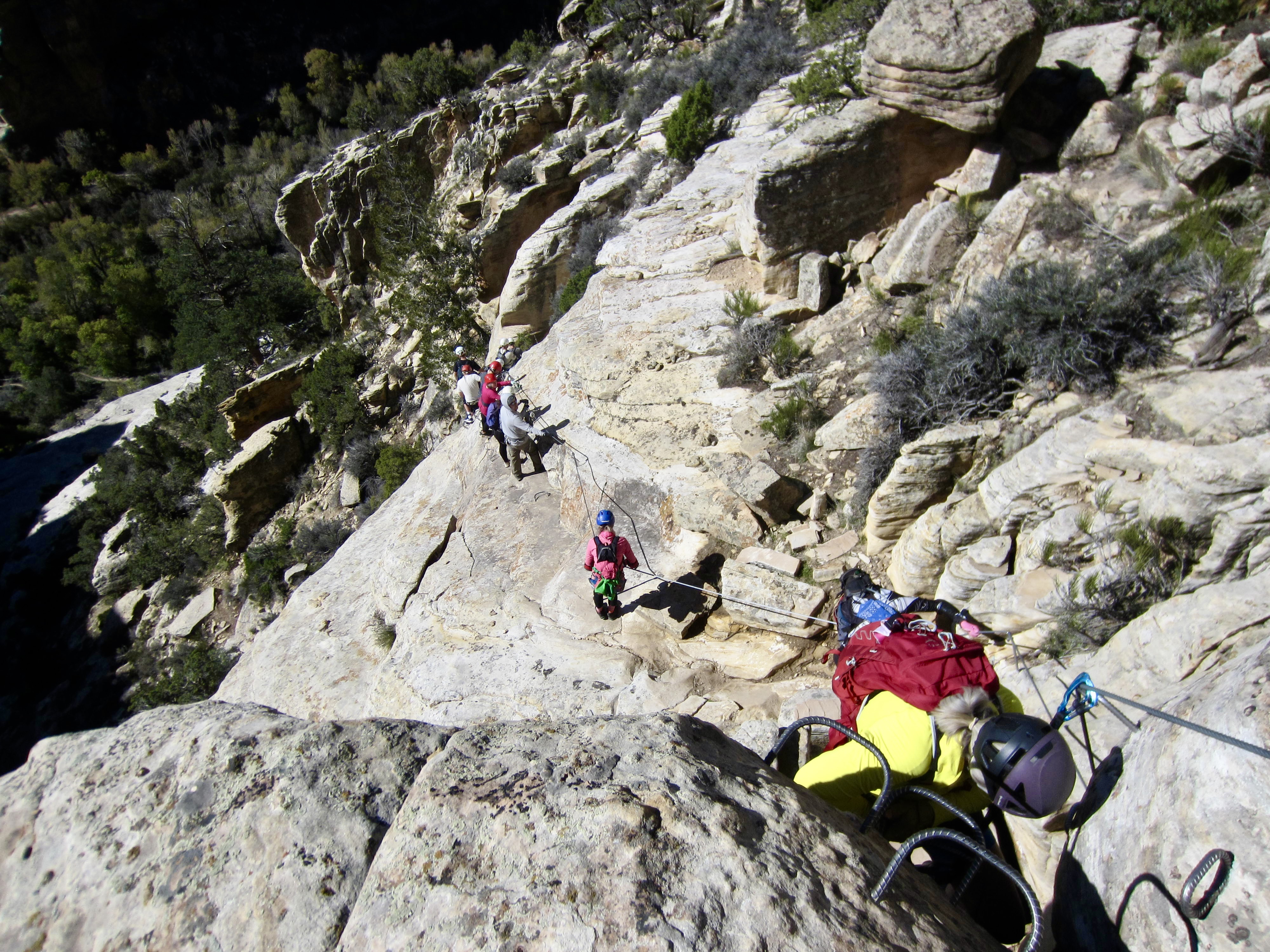
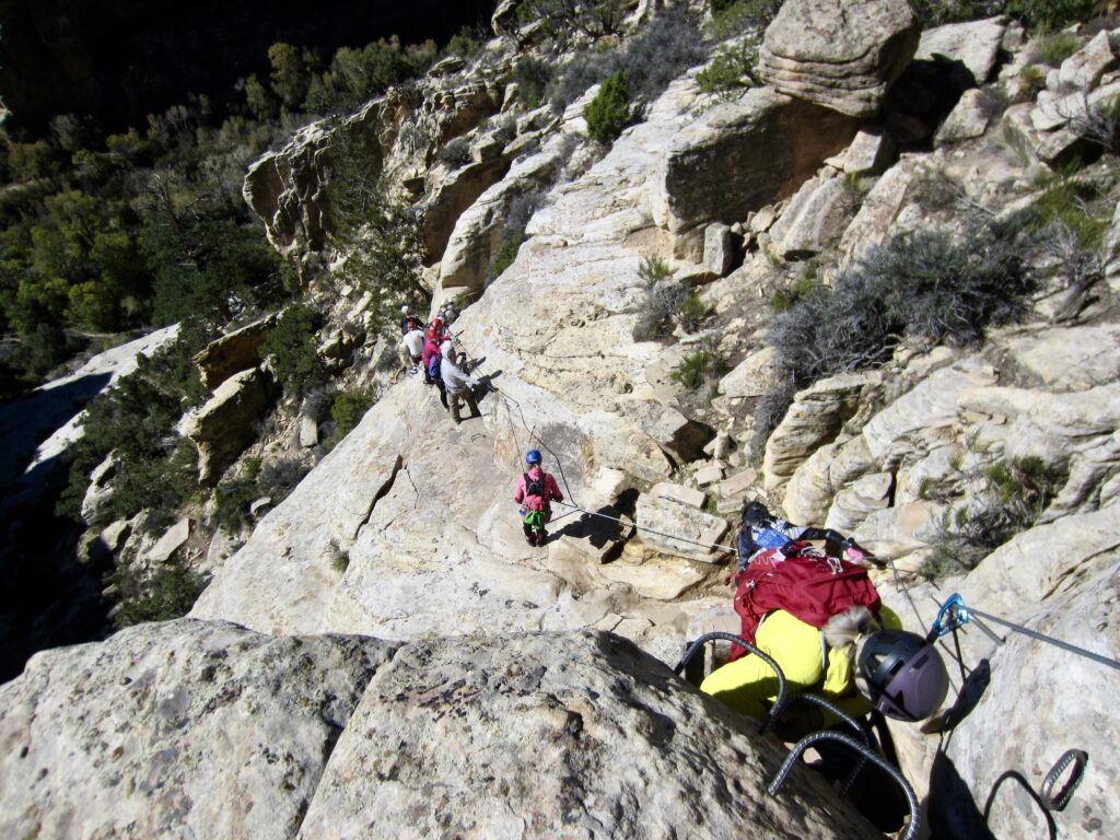
For our last day at Ashley Gorge, Eileen and I laid out an itinerary that would take us on a long traverse back to T-Rex Terrace and then up to the canyon rim. However, upon arriving at the trailhead on this sunny Friday, our plan almost got upended. The parking lot was so jam-packed, we barely found a place to park! Similarly, there was a long line of climbers—many in large, guided groups—slowly descending The Outlaw. It seemed that traffic congestion would be today’s theme.
.
After descending the uppermost part of The Outlaw, we veered onto a side trail (Above The Pump) that follows a broad ledge above Shally’s Ladder. Rather suddenly, we had left the crowds behind and were able to enjoy relatively light traffic on The Pump and The Soup via ferratas.
.
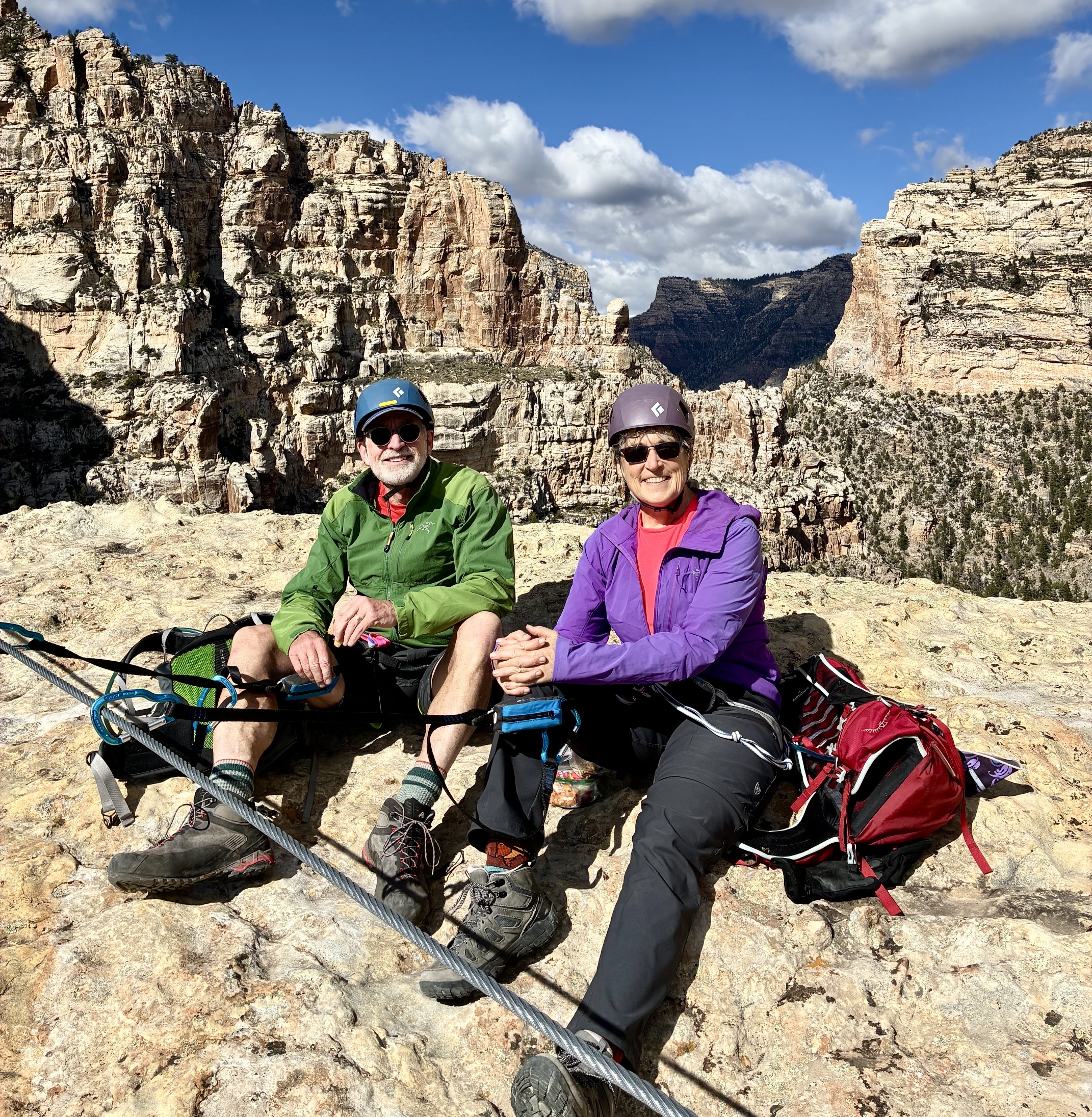
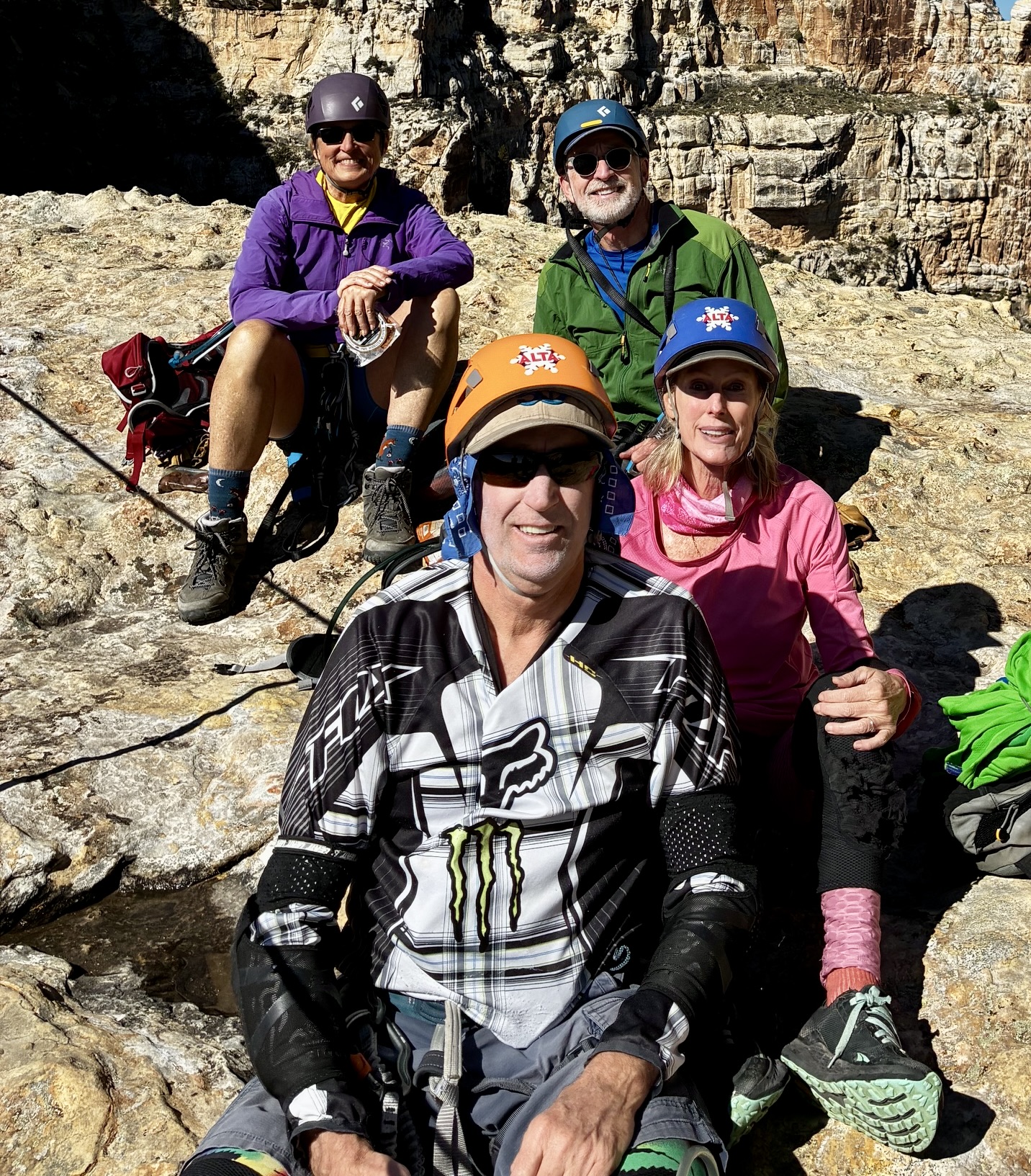
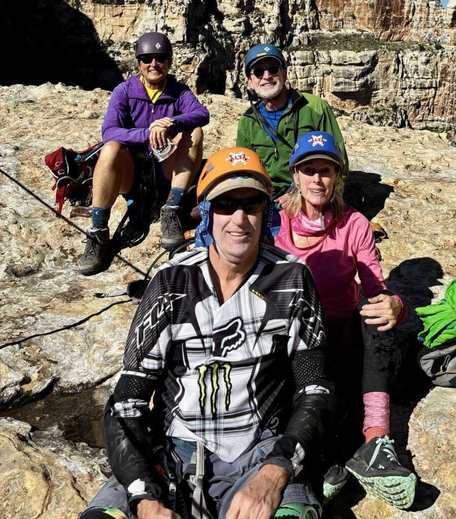
Earlier in the day, while descending The Outlaw, Eileen and I had gotten into a conversation with an adventurous couple—Steve and Debbie—from Salt Lake City. By chance, we encountered them again on The Pump and ended up spending the entire day as a foursome.
.
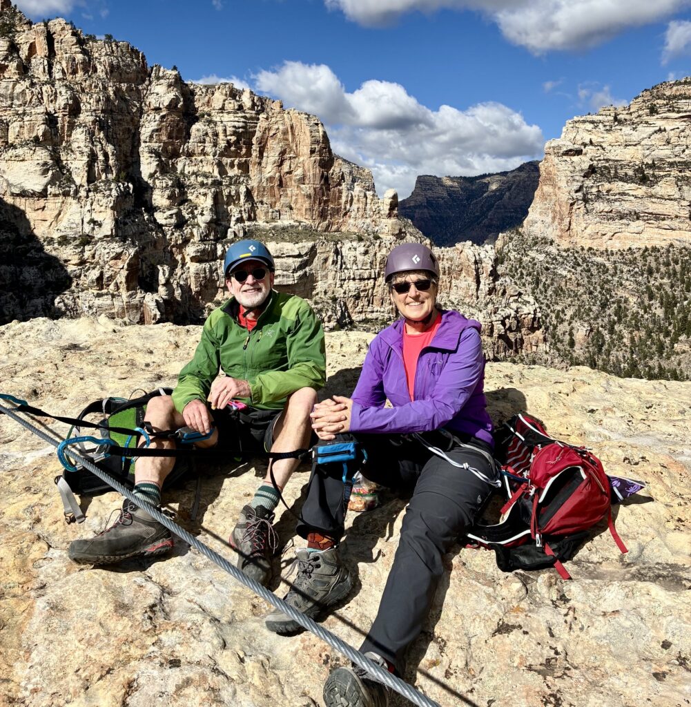
We all crossed over Dynomite Sky Bridge, which was as thrilling as ever, and then stopped for lunch on T-Rex Terrace. A steady stream of climbers could be seen working their way up Jur-Ass-Kicked and ascending the Helix Ladder. Clearly, this marvelously exposed and difficult route has become a magnet for expert via ferrata climbers.
.
.
.
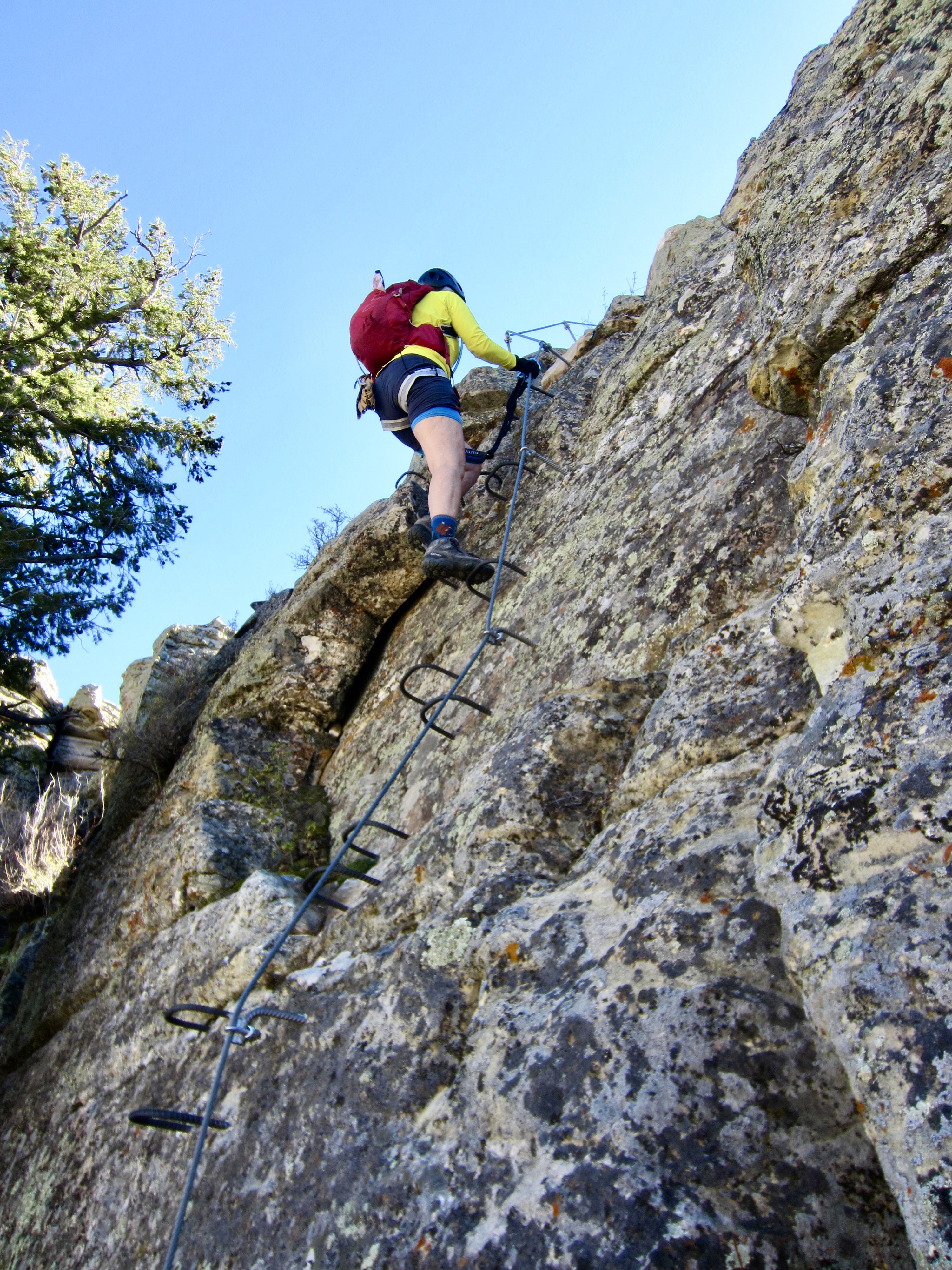
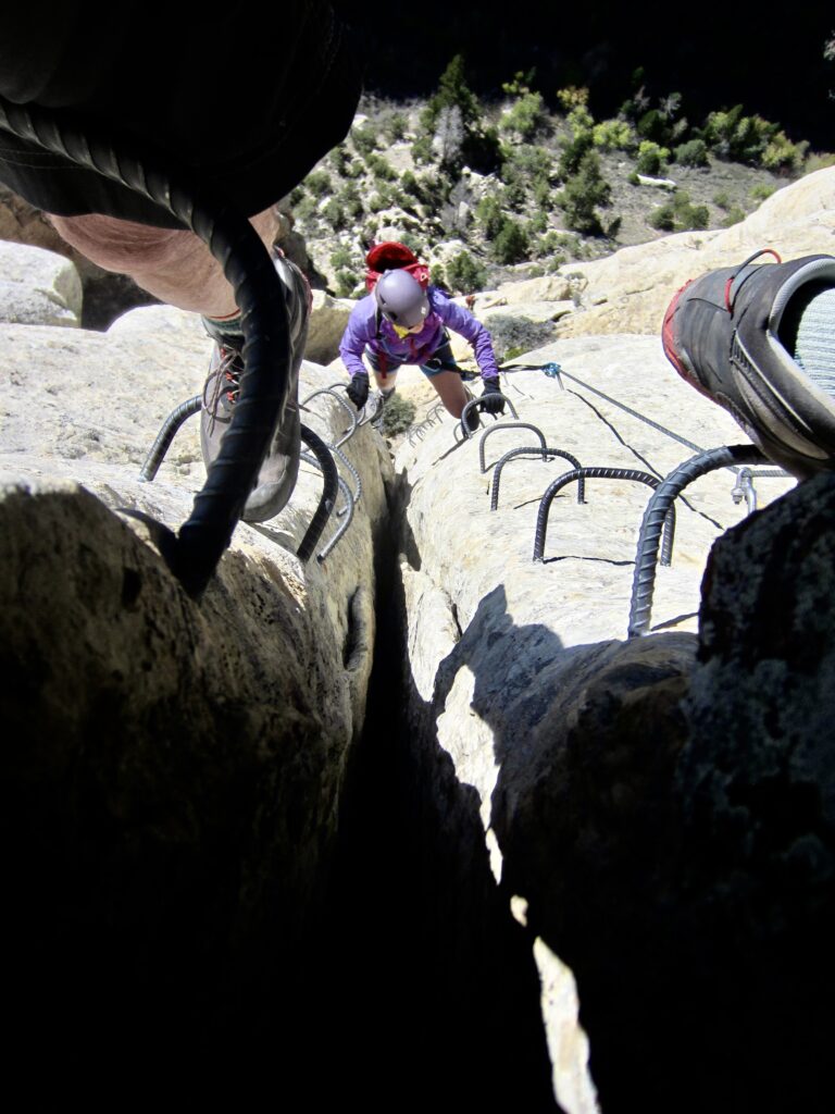
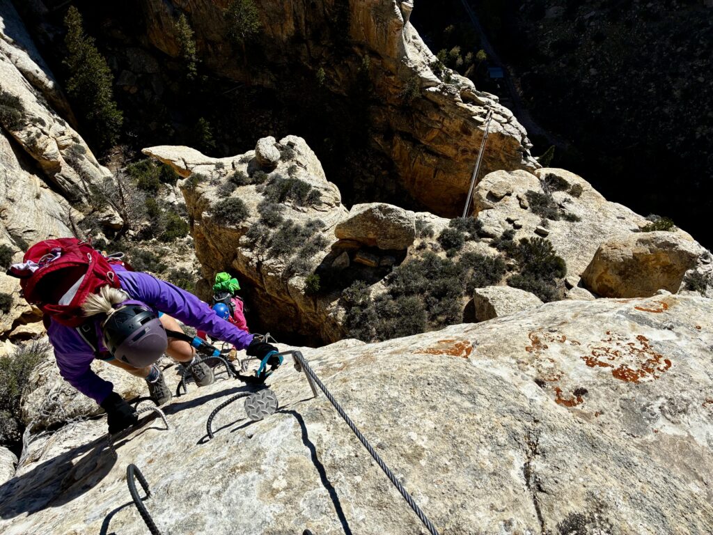
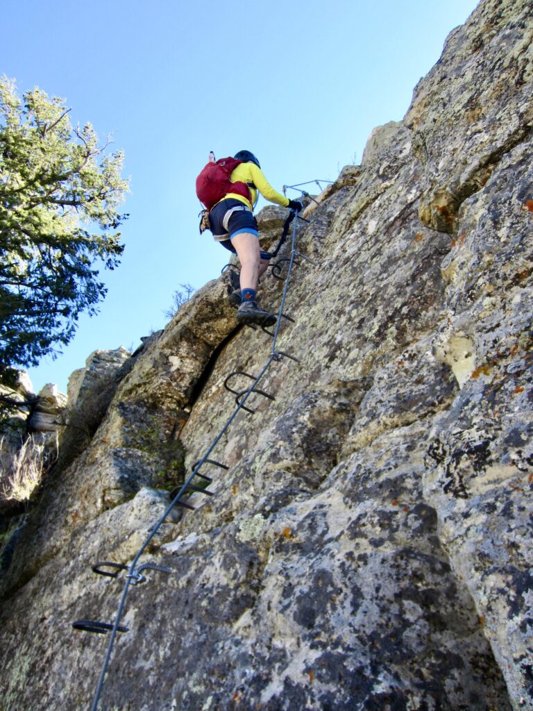
From T-Rex Terrace, Eileen, Debbie, Steve, and I headed up Toothy Grin. This two-way entry and exit route starts in a shallow chimney, then surmounts a series of short but steep—or even overhanging—cliff bands. Although it is marked as a Grade 2B via ferrata, we felt that it really deserved a 3B grade.
.
.
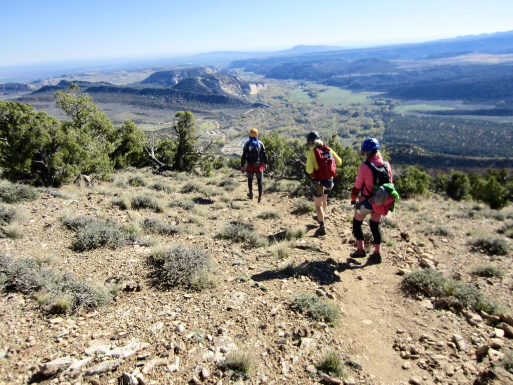
Toothy Grin eventually merges with Jur-Ass-Kicked Summit route and then tops out on a high knob. We quickly located the Canyon Rim Trail and followed it down to the still-busy parking lot (5.4 hours +1700 feet for total day).
.
Eileen and I took off our via ferrata harnesses and lanyards for the final time of our trip. It had been an incredible three days at Ashley Gorge, and we came away with a great admiration for the collective vision and effort required to create such a fabulous recreational park. Hopefully, the undeniable success of this facility will inspire others to create via ferrata parks in other locations.
Route Maps
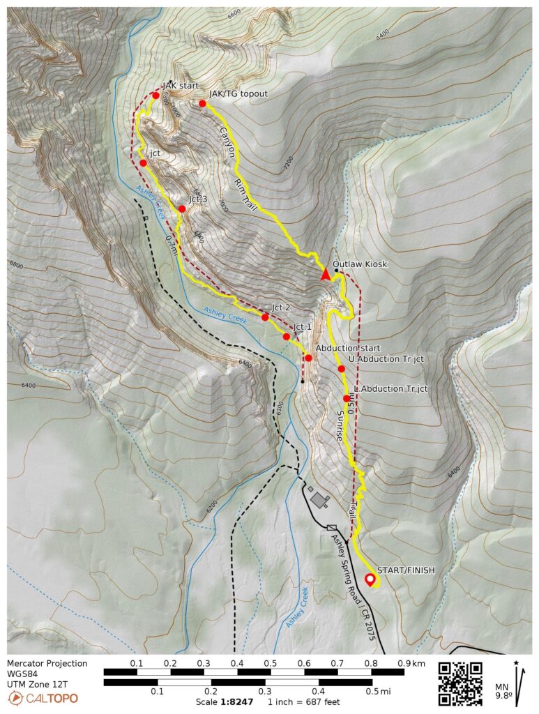
…
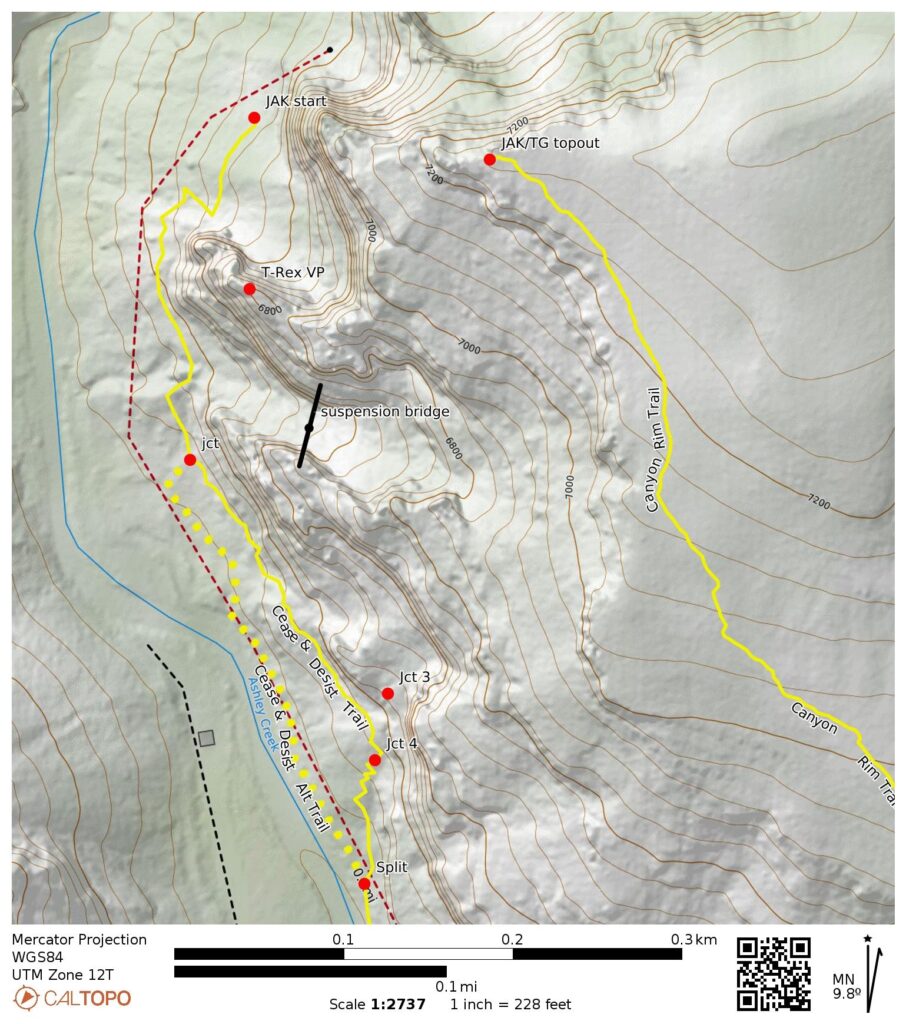
…
Photo Gallery
Click to enlarge…