
Trip Date: September 15-17, 2026
Three Fingers Lookout Hiking & Scrambling Trip
Meadow Mountain
Saddle Lake
Goat Flat aka Goat Flats
Tin Can Gap
Three Fingers Mountain: south peak / Three Fingers Lookout (6854 ft)
Trip Report Summary
Region: North-Central Washington Cascades
Sub-Region: West Sauk Mountains
Area: Boulder River Wilderness
Starting & Ending Point: Tupso Pass Road #41 blockade at South Fork Canyon Creek Bridge (Elev. 1600 feet)
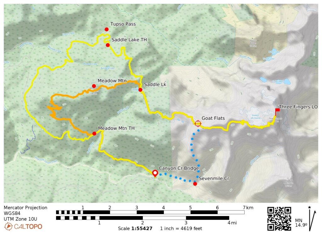
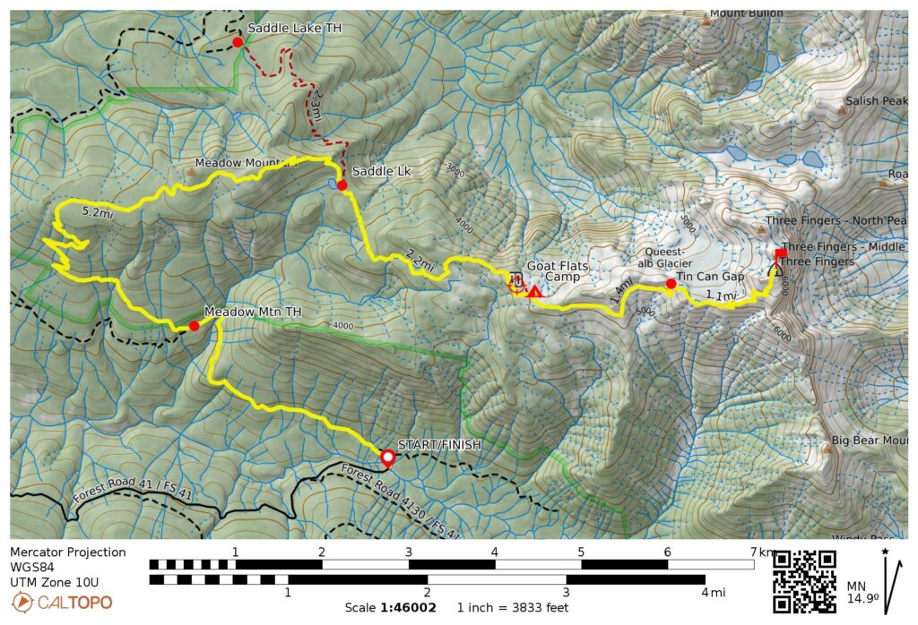
Approach Way Points: South Fork Canyon Creek Bridge & Saddle Creek Culvert & Meadow Mountain Trailhead & Meadow Mountain saddle & Saddle Lake & South Fork Saddle Creek Meadows & Goat Flats (trail hike)
Campsite: North edge of Goat Flats (Elev. 5000 feet)
Sidetrip Way Points: Sevenmile–Baldy Ridge notch & Tin Can Gap & Queest-Alb Glacier notch & south snowfield & ladder gully & Three Fingers Lookout (trail hike & trail scramble & rock scramble & ladder climb)
Summit: South Finger (rock scramble & ladder climb via Southwest Face)
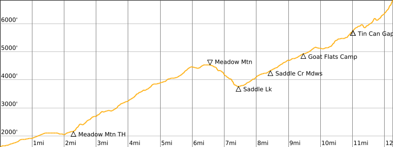
Approximate Stats (round trip): 24.8 miles traveled; 7550 feet gained & lost.
Related Posts
>>> Three Fingers Mountain: South Peak via Tupso Pass—Saddle Lake—Goat Flats – July 23, 1994
Trip Overview
Of the 90 or so fire-lookout cabins still existing in Washington, none is more revered by both avid hikers and lookout aficionados alike than Three Fingers Lookout in the West Sauk Mountains. This century-old cabin owes its well-deserved fame to a spectacular location atop the south peak of Three Fingers Mountain, with sheer cliffs plunging hundreds—or even thousands—of feet to glaciers and valleys below. When viewed from a distance, the cabin has the appearance of a wooden temple perched on a sacred pinnacle. If not for the efforts of volunteer groups such as the Everett Mountaineers and Friends of Three Fingers Lookout, the historic structure probably would have collapsed under snow loads and been blown off the summit many decades ago.
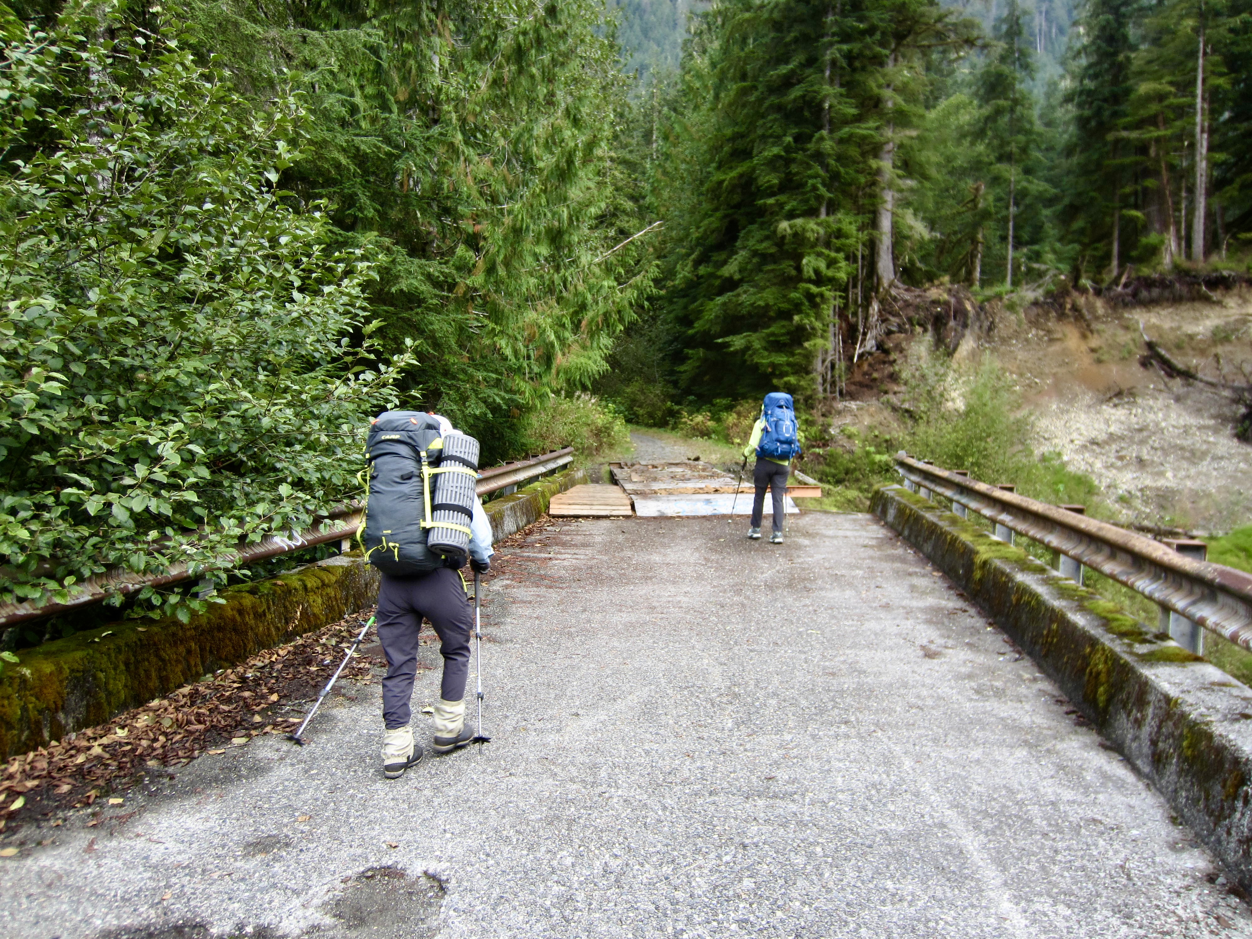
Currently, there are three standard approach routes to Three Fingers Lookout, all of which begin at the South Fork Canyon Creek Bridge on Tupso Pass Road #41. This bridge was damaged in a flood many years ago and is impassible to vehicles but is open to hikers and bikers. The three approaches are summarized below. Other approaches have been done, but they are longer and less appealing.
- Tupso Pass Approach: First, follow the old road for 8.6 miles to the Three Fingers / Saddle Lake Trailhead near Tupso Pass. This segment is typically (and preferably) done on a mountain bike; the old road is partially overgrown but constitutes a very agreeable single-track biking trail. Next, hike 2.2 miles to Saddle Lake on a very rough, unmaintained trail, and then continue for another 2.2 miles to Goat Flats on a pretty good trail. Approximate one-way stats: 13.0 miles + 3800 feet.
- Meadow Mountain Approach: First, walk or ride the old road for 2.3 miles to the Meadow Mountain Trailhead shortly past Saddle Creek. Next, follow the quasi-maintained hiking trail for 5.1 miles over Meadow Mountain and down to Saddle Lake, then continue for another 2.2 miles to Goat Flats on a pretty good trail. Approximate one-way stats: 9.6 miles + 4250 feet.
- Sevenmile Creek Approach: First, walk the old road for 300 yards to a discreet junction with a heavily overgrown spur road, then follow this spur road through the Canyon Creek Valley for 1.1 miles to a flagged path heading up to the left, just before Sevenmile Creek. Scratch and claw your way up this steep, crude path for 1.5 miles to reach Goat Flats. Approximate one-way stats: 2.8 miles + 3550 feet. (I have not done this “efficient” approach, but those who have unanimously report that it is very taxing.)
…
Full Trip Report
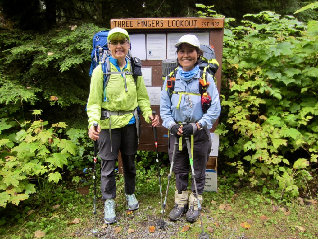
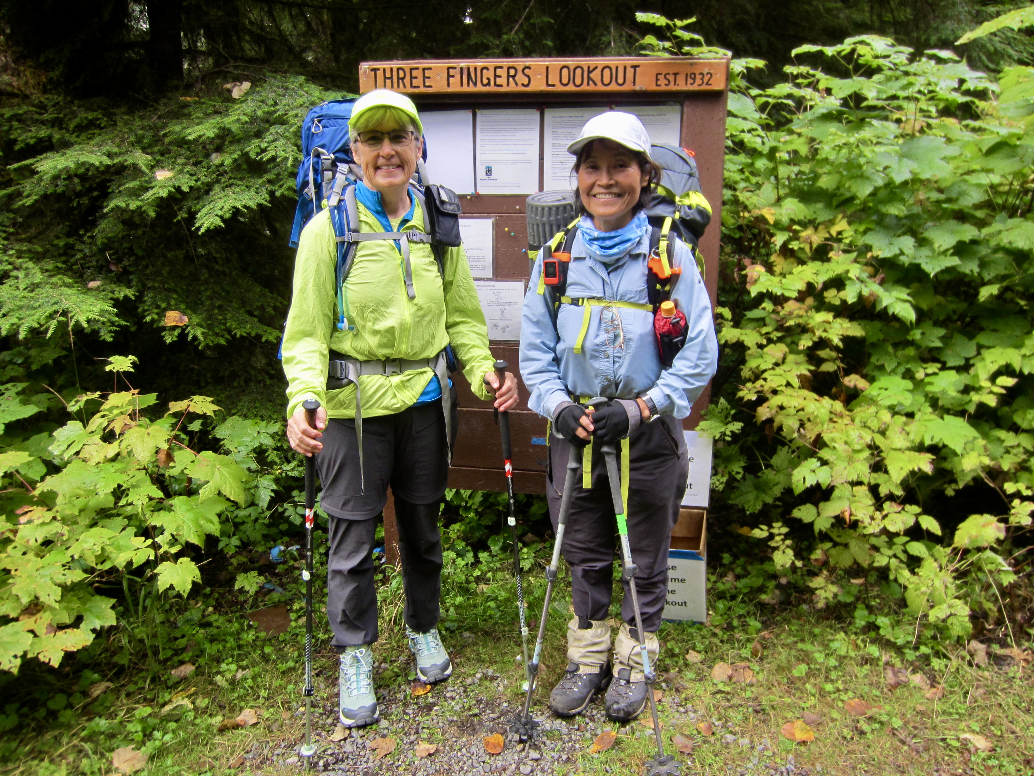
Eileen and Yoko had never been to Three Fingers Lookout, so they were excited for their first visit. I had not been to the lookout since 1994, so I was long overdue for another visit. We elected to take three full days for our mid-September trek, as this expanded schedule allowed us to spend two nights in Goat Flats and to enjoy an unhurried sidetrip up to the lookout. We also chose the Meadow Mountain approach route, because this eliminated the logistical hassles of transporting mountain bikes and avoided the need to ride uphill for 8½ miles with heavy backpacks. In the end, after talking to numerous other trekkers about the alternative approaches, we all felt that this was our best option.
Day 1: Canyon Creek Bridge to Goat Flats
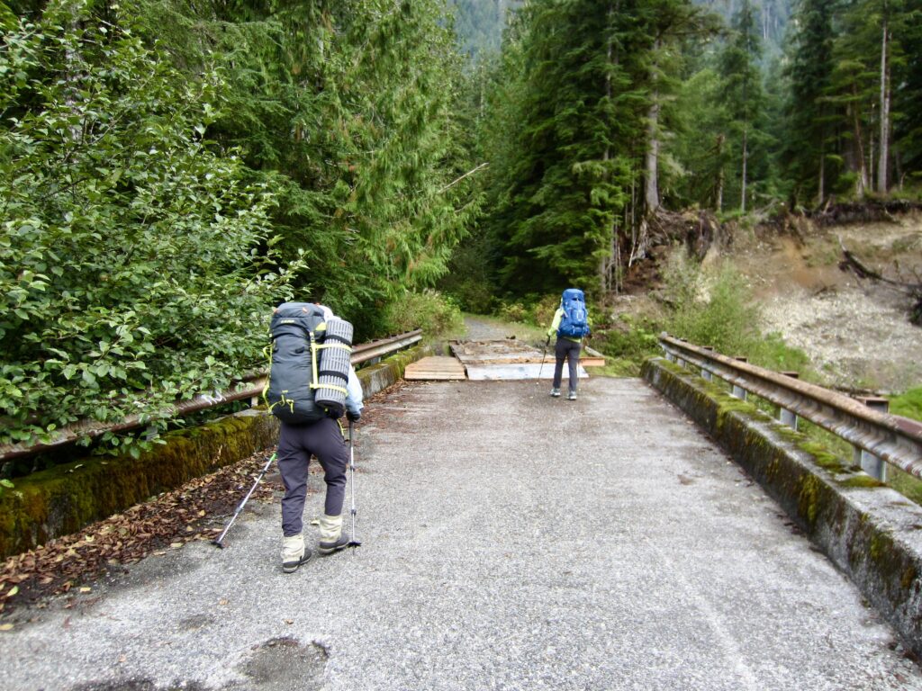
We headed out from the Tupso Pass Road blockade on a cool, damp Tuesday morning. Upon crossing the South Fork Canyon Creek Bridge, we were surprised to see a dozen or so bikes lined up along the guardrails—with no locks. Based on our conversations with other people over the next couple days, it appears that these are loaner bikes, left here by Friends of Three Fingers Lookout. Thanks FOTFLO!
.
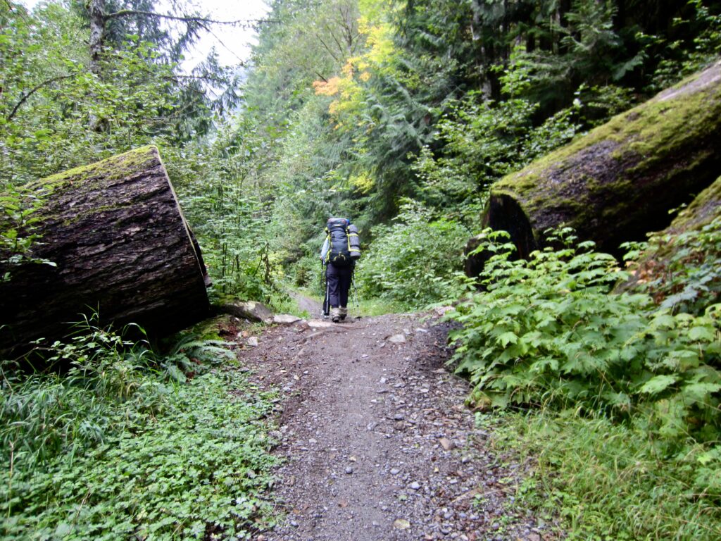
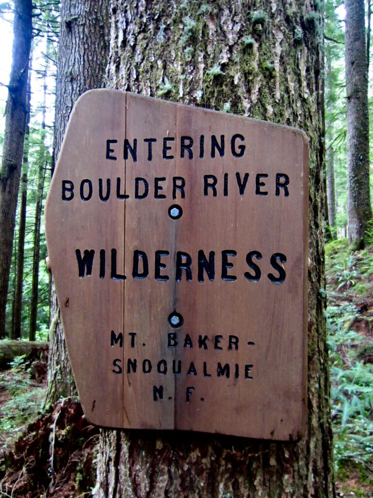
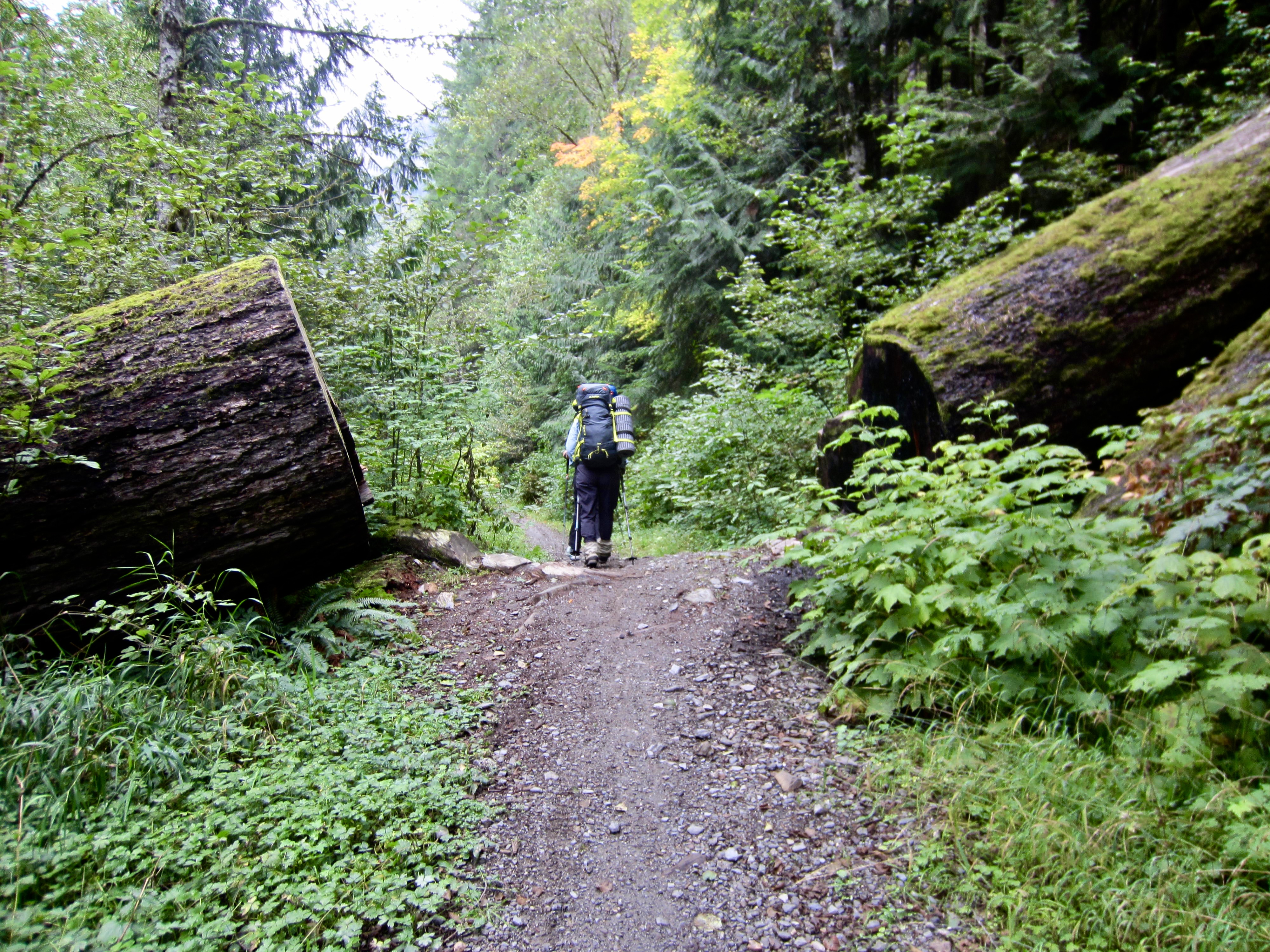
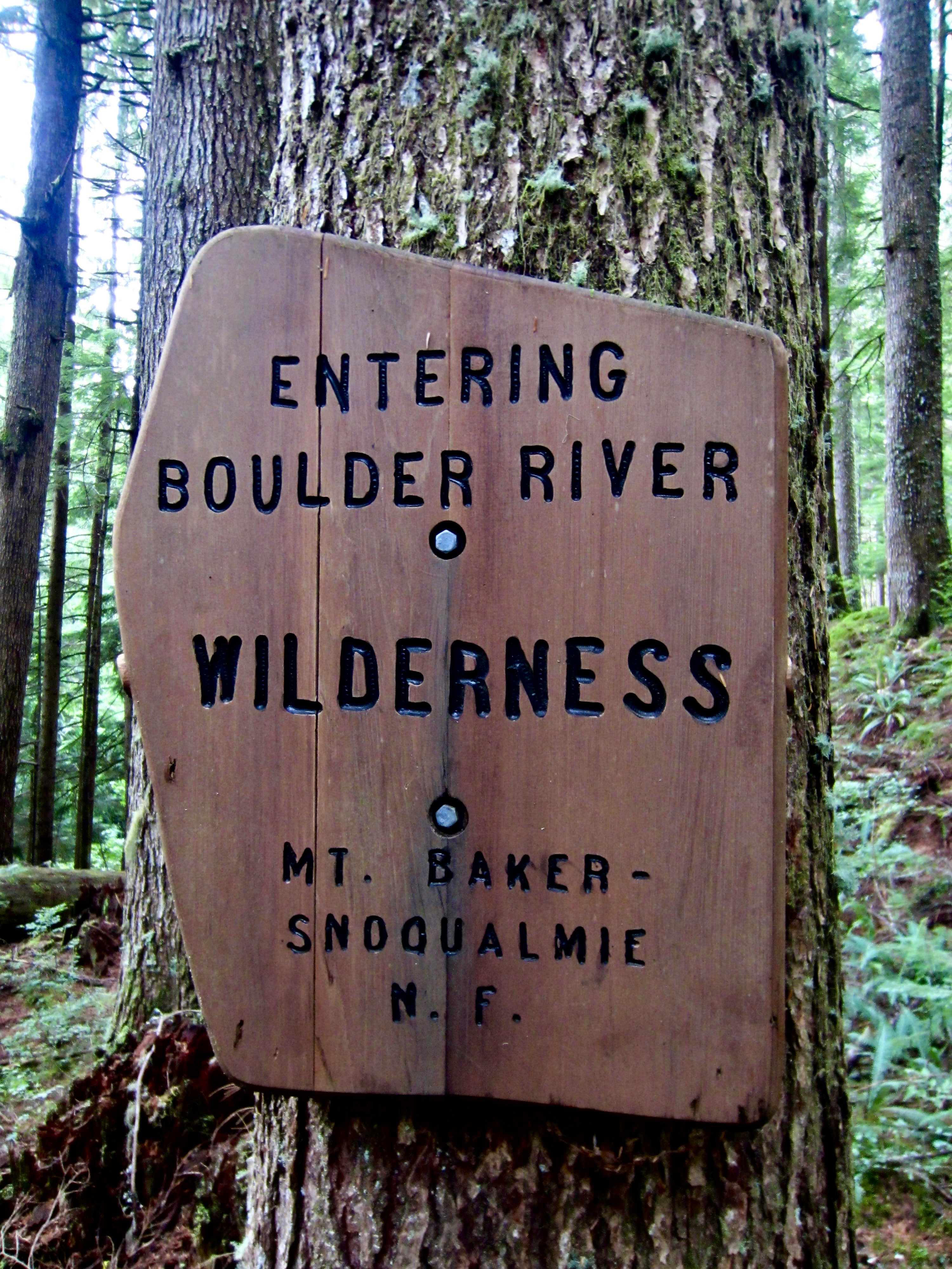
We marched up the gently graded road-trail for 2 miles to a point where Saddle Creek flows through a culvert, then continued for another ¼ mile to an inconspicuous junction with the Meadow Mountain Trail. Here, we veered off to the right, immediately passing a kiosk and entering the Boulder River Wilderness before beginning a long, arcuate hike over Meadow Mountain. We soon encountered a young man (Jack) boiling springwater to “purify” it. Being the only person we saw on our entire hike today, he automatically gained a certain level of celebrity status.
.
.
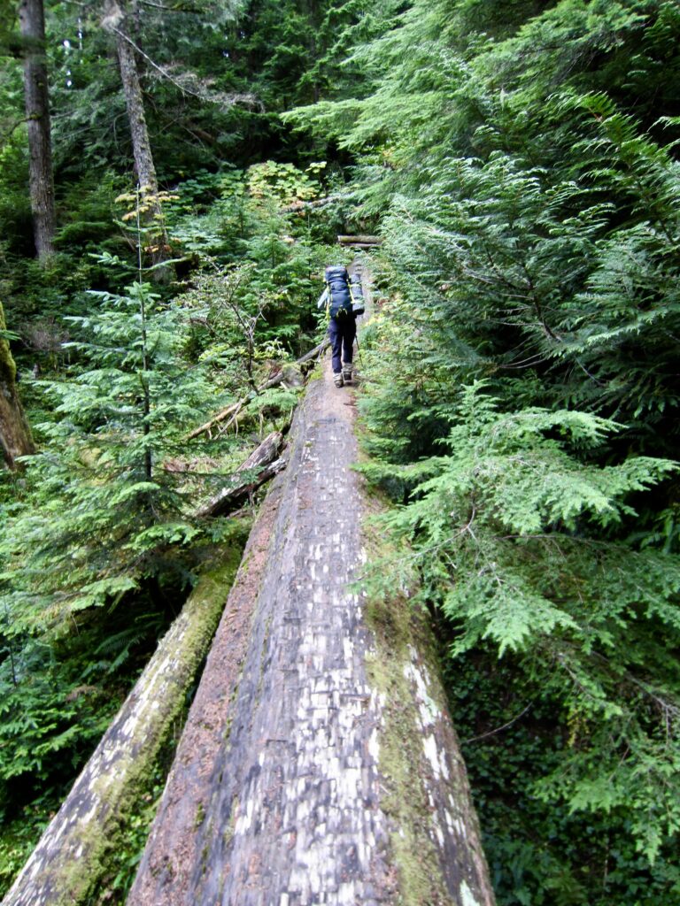
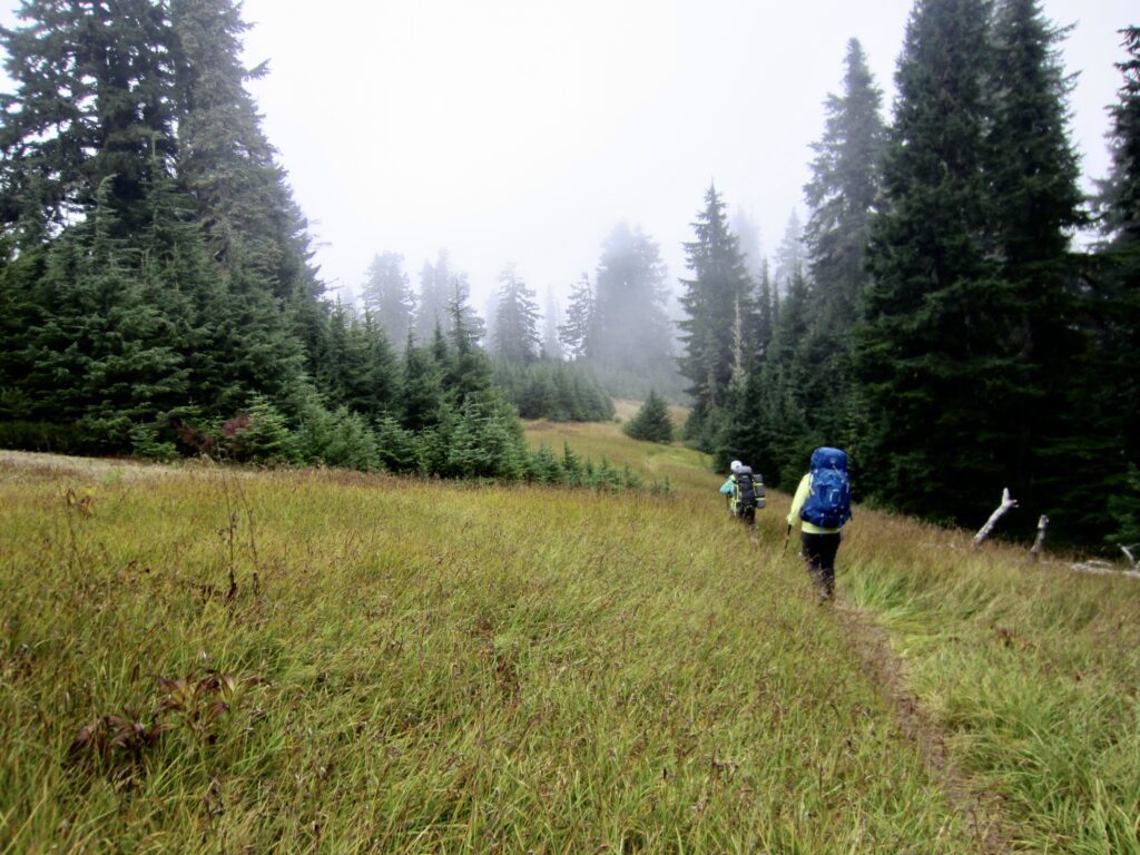
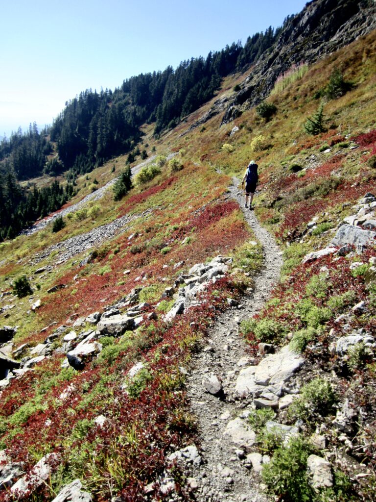
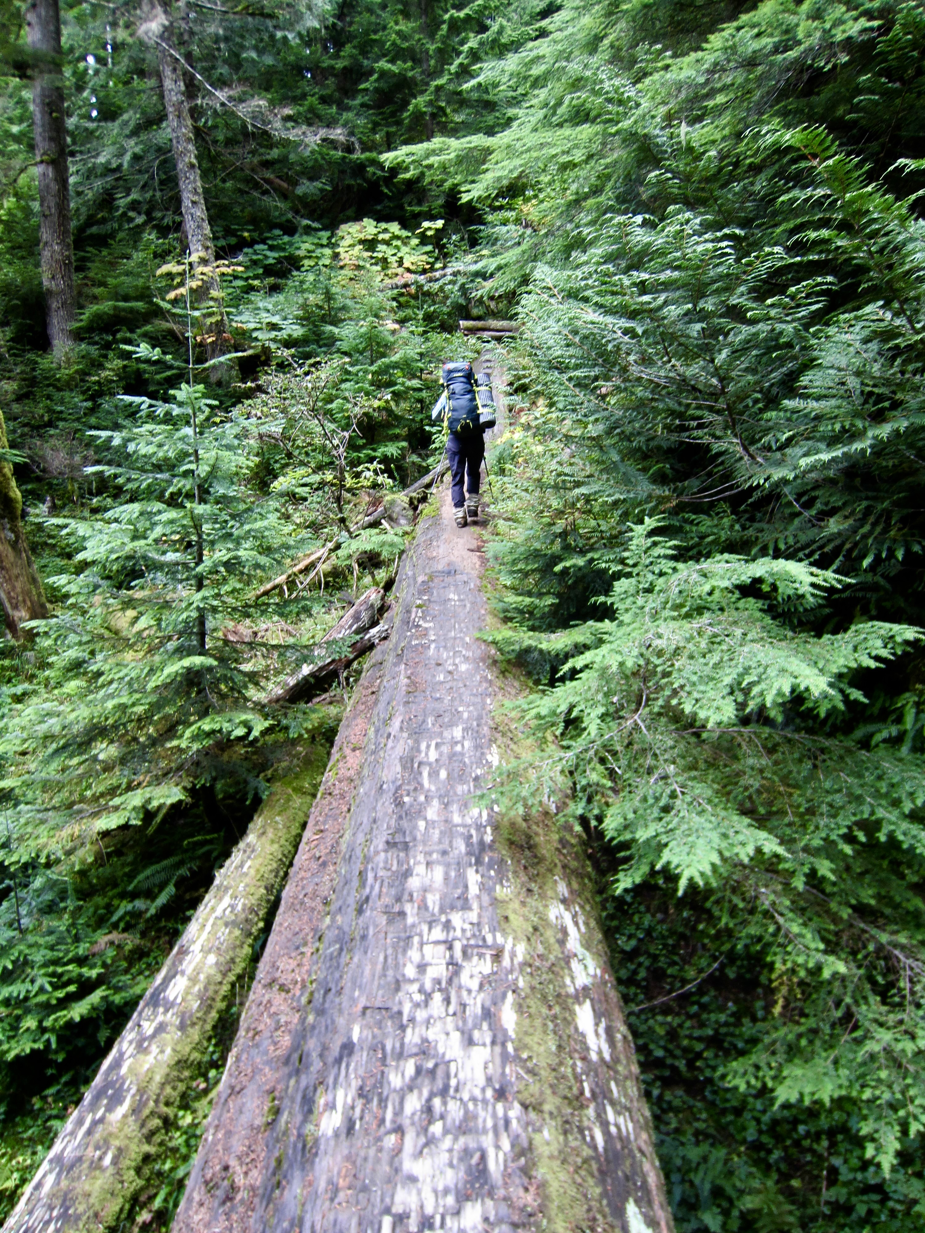
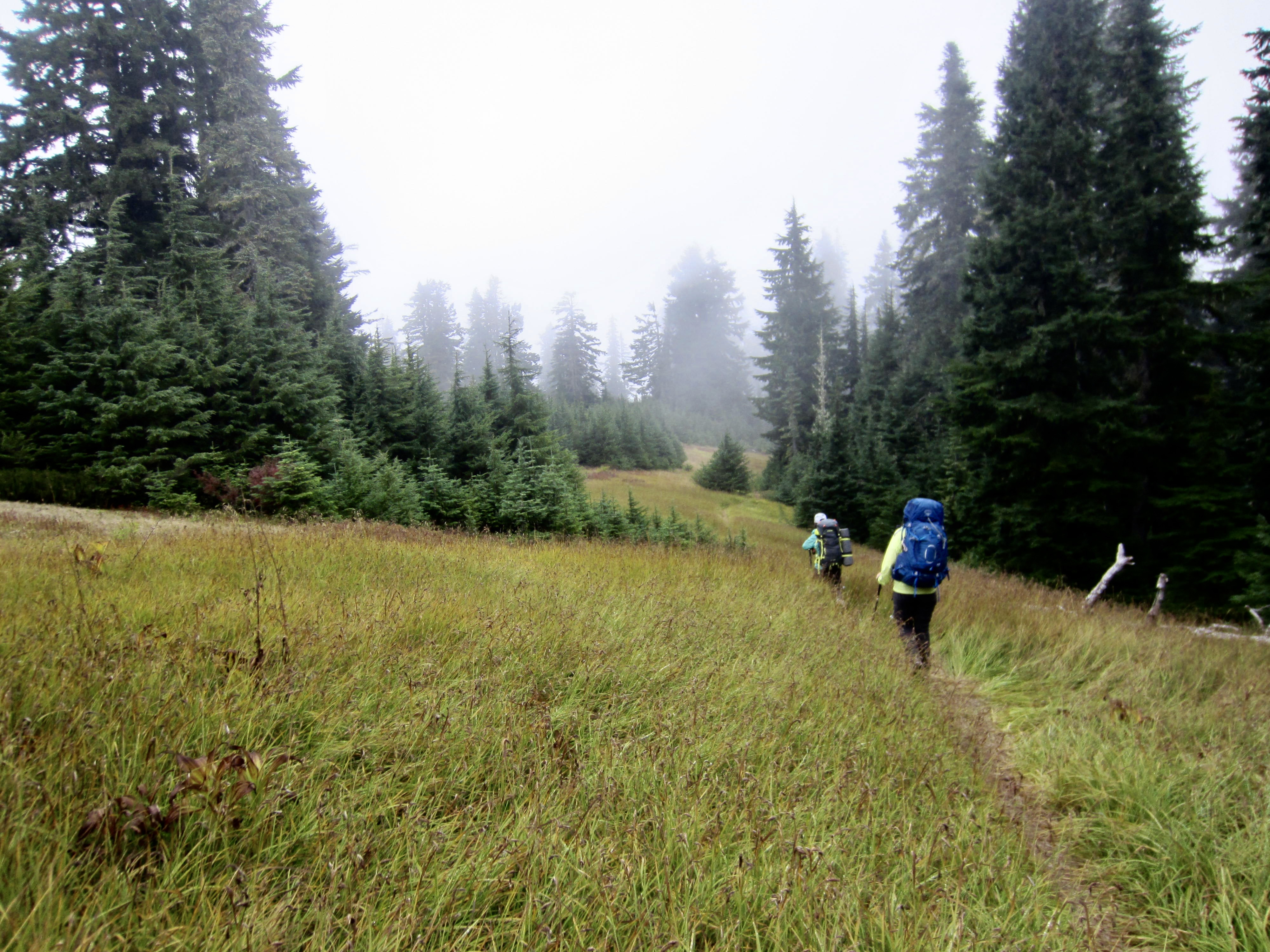
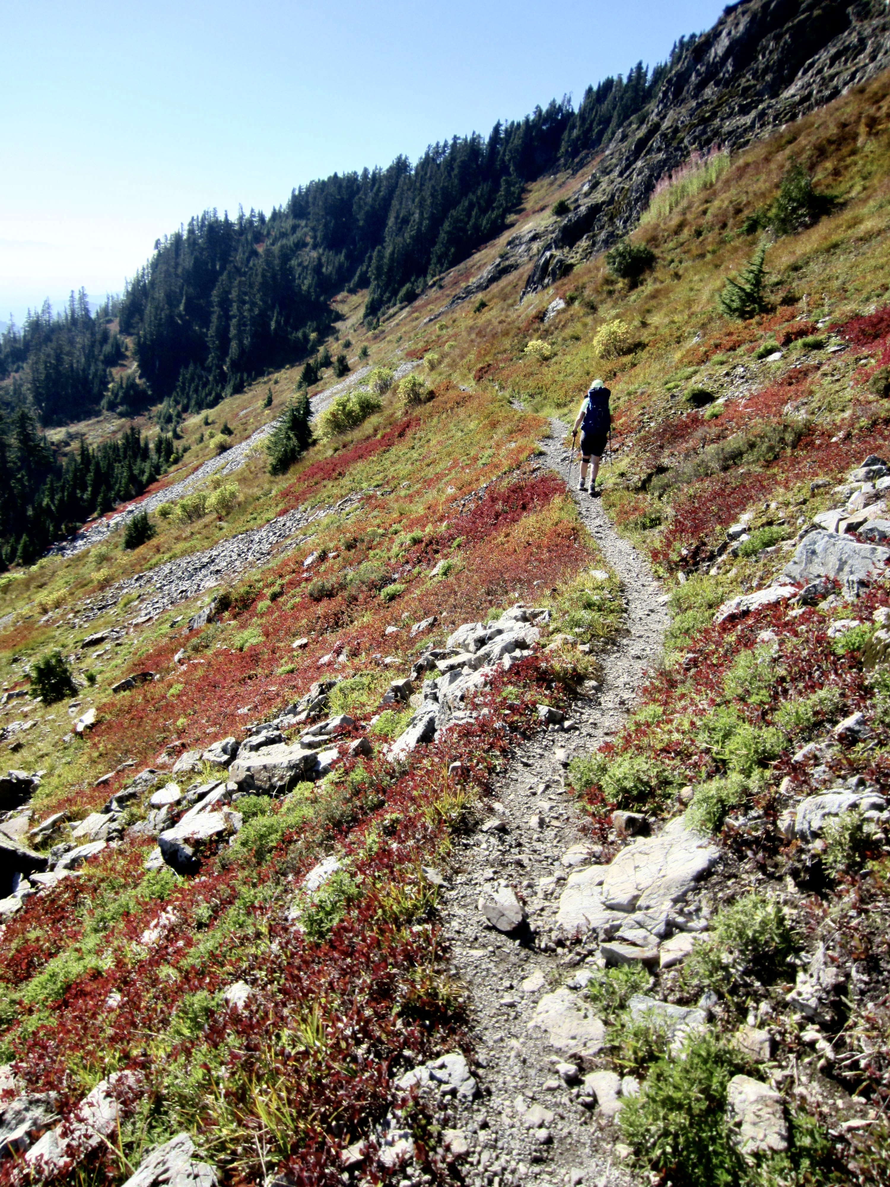
The Meadow Mountain Trail was in surprisingly good condition, thanks to recent maintenance work. There was ample evidence of fresh log-cutting in the first few miles. Farther up the trail, however, we encountered numerous fallen logs and muddy bogs. After approximately 3½ miles from the junction, the trail eased back and traversed through delightful meadowland high on the flank of Meadow Mountain. Low clouds were draped over the summit but no rain fell.
.
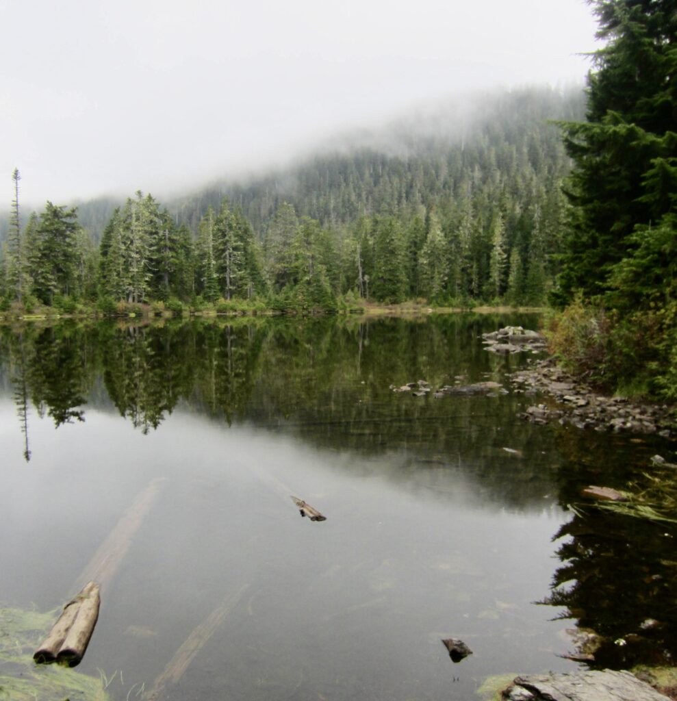
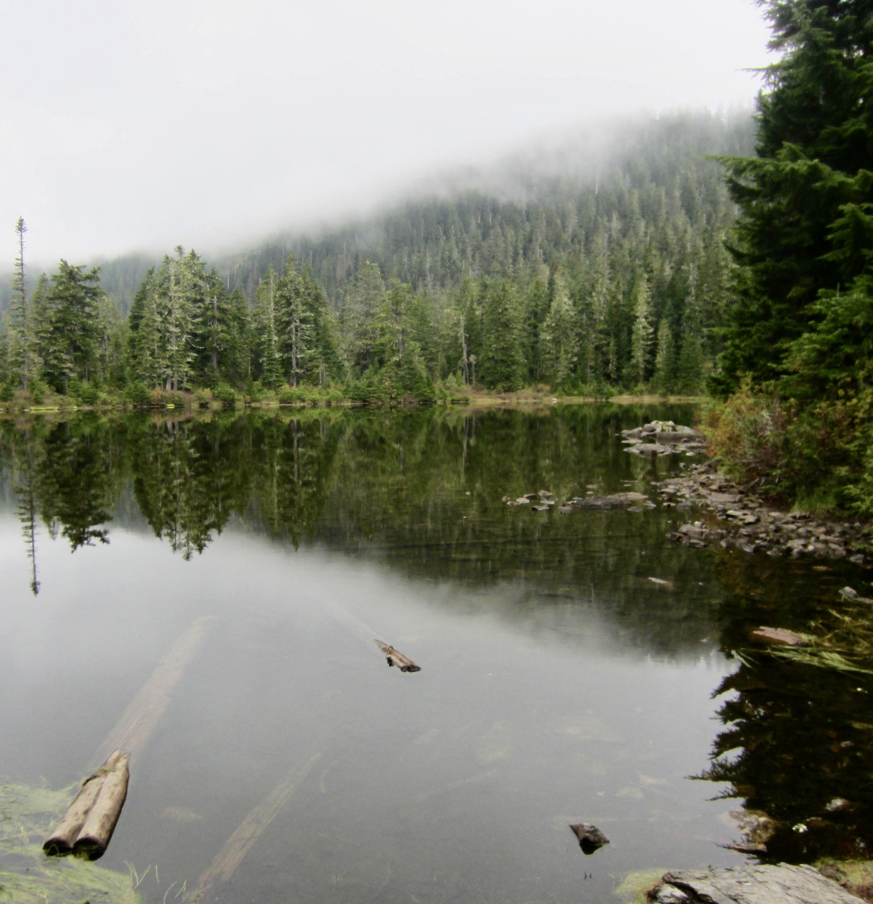
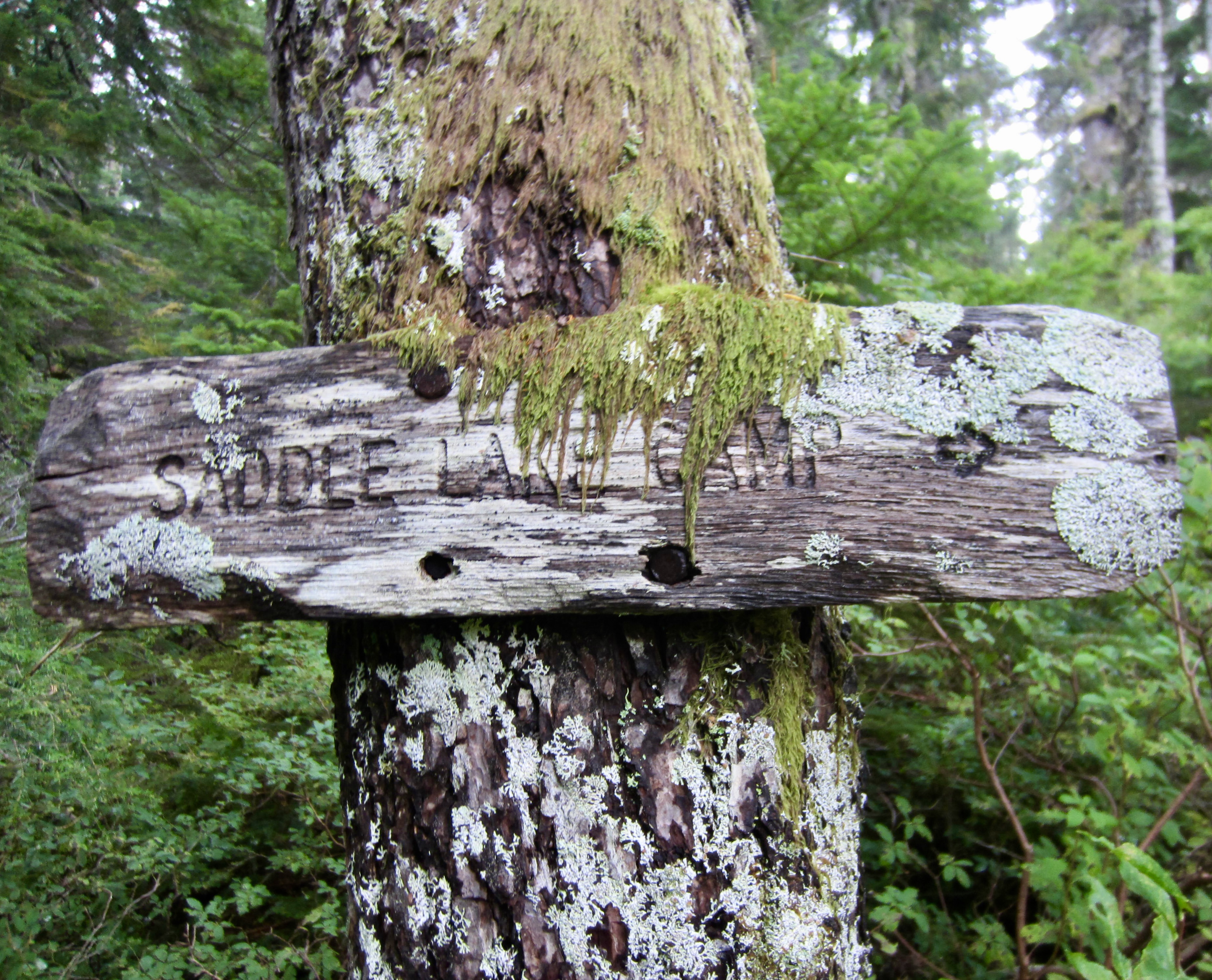
A 700-foot descent over the other side of the hill brought us to woodsy little Saddle Lake in mid-afternoon (6.0 hours + 7.4 miles + 3000 feet – 800 feet from bridge). Here, we converged with the trail coming up from near Tupso Pass. This lake had been our fallback campsite in case the Meadow Mountain Trail was extremely bad condition, so we were happy to be pushing on.
.
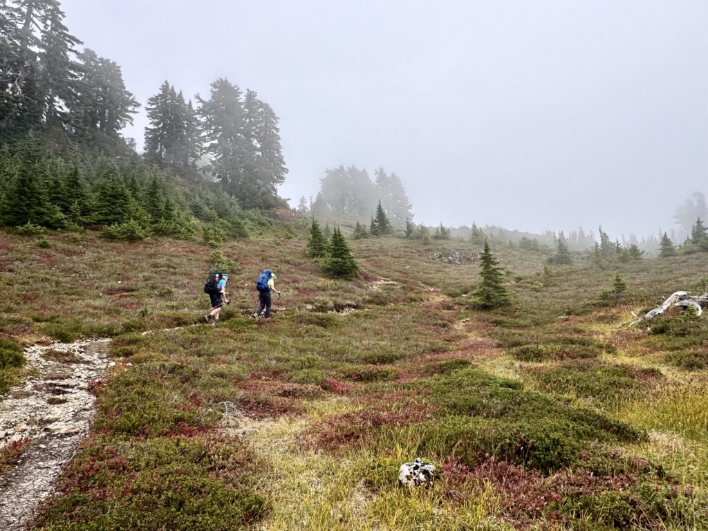
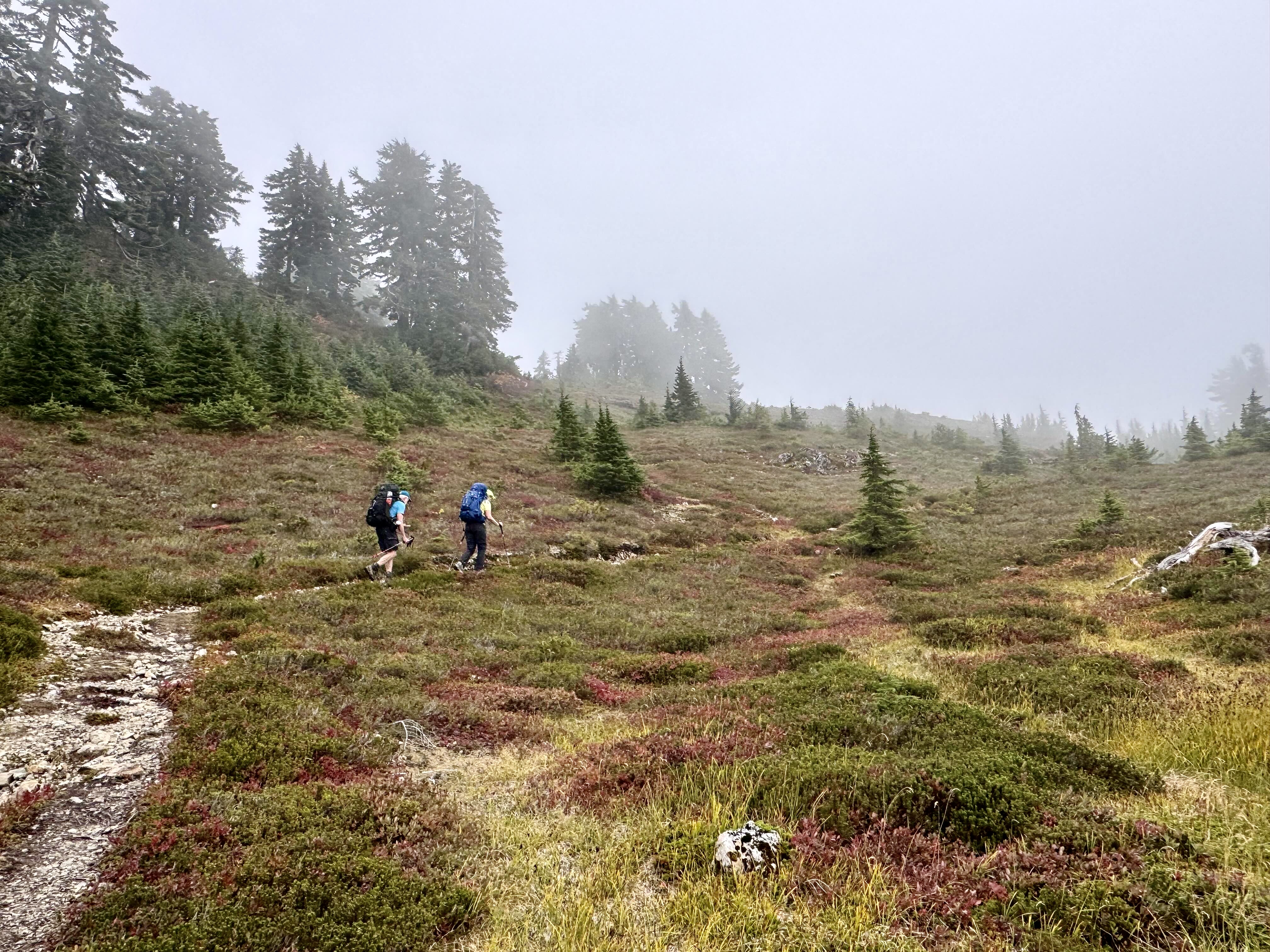
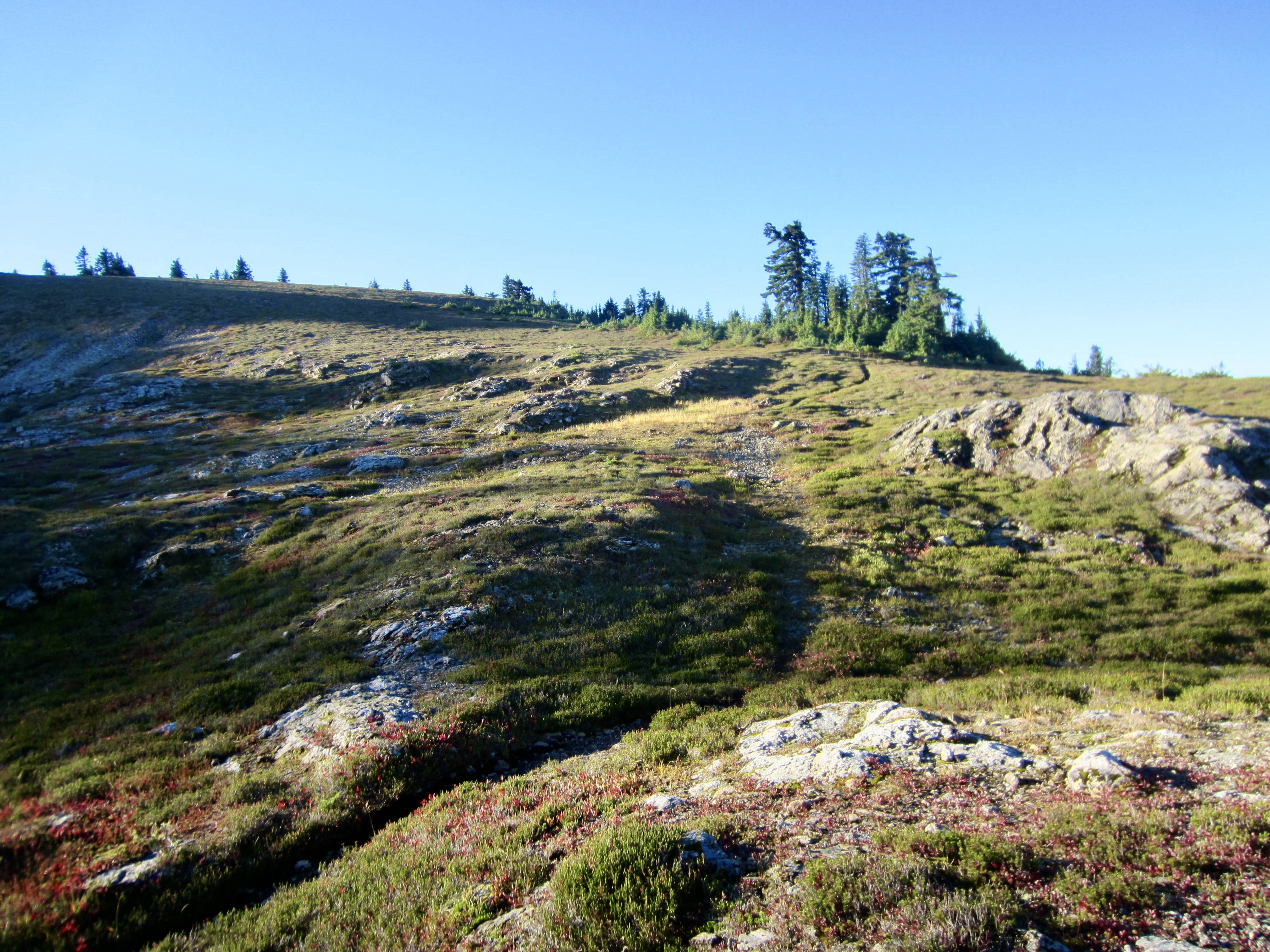
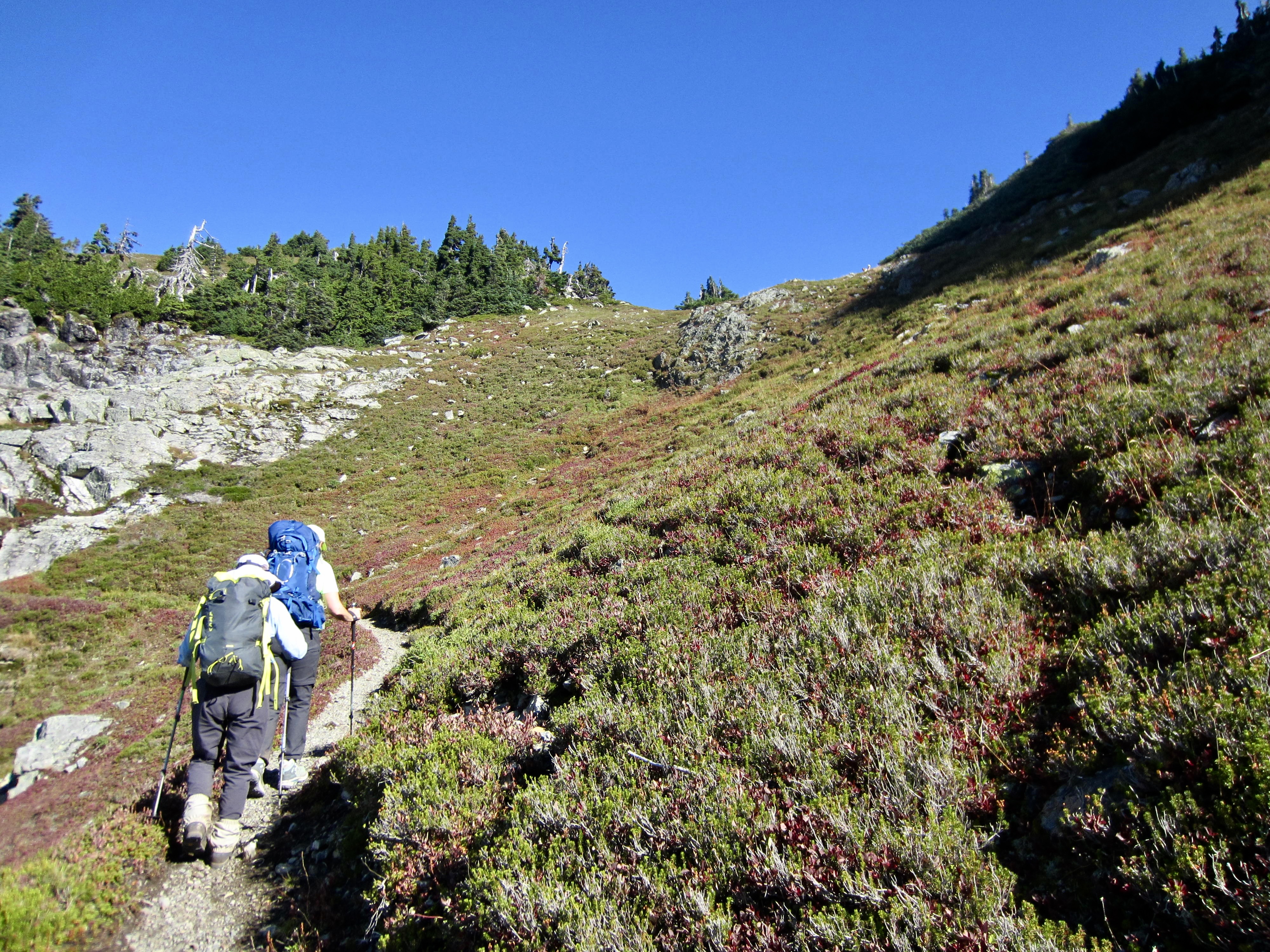
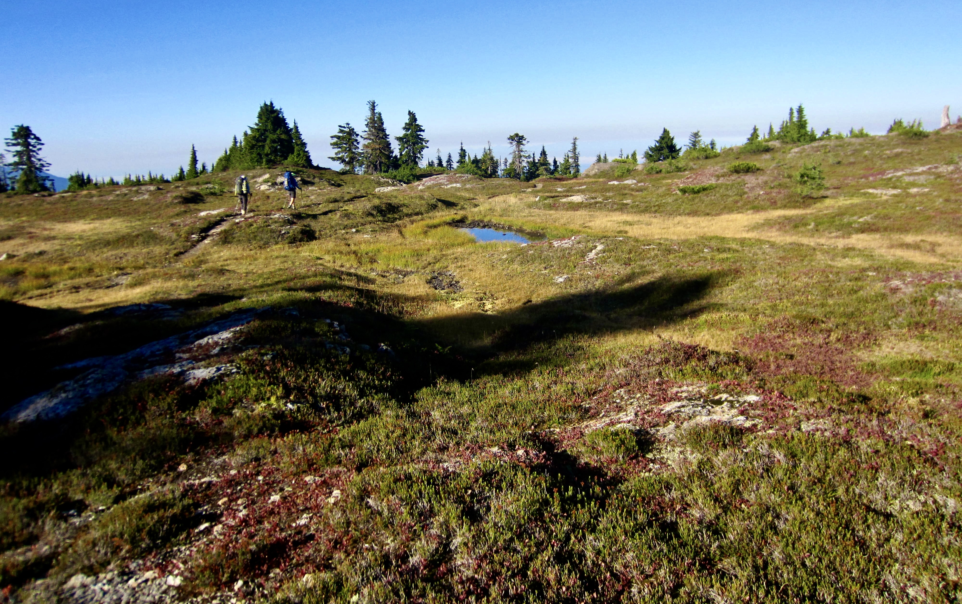
From Saddle Lake, the combined trail began as a steep, rocky track through dense forest, but it gradually improved and led us through pleasant meadows at the head of South Fork Saddle Creek. Continuing upward, we switchbacked through open heather slopes that eventually flattened out at the formal entrance to Goat Flats (8.0 hours + 9.7 miles + 4250 feet – 850 feet from bridge).
.
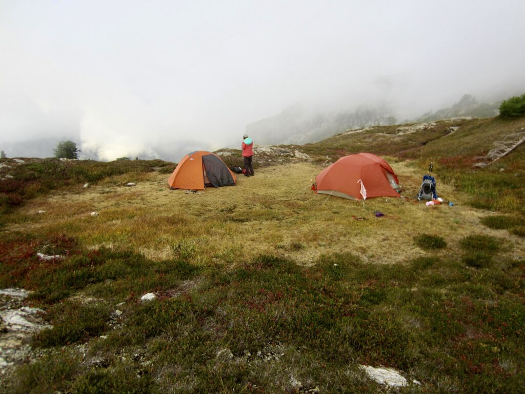
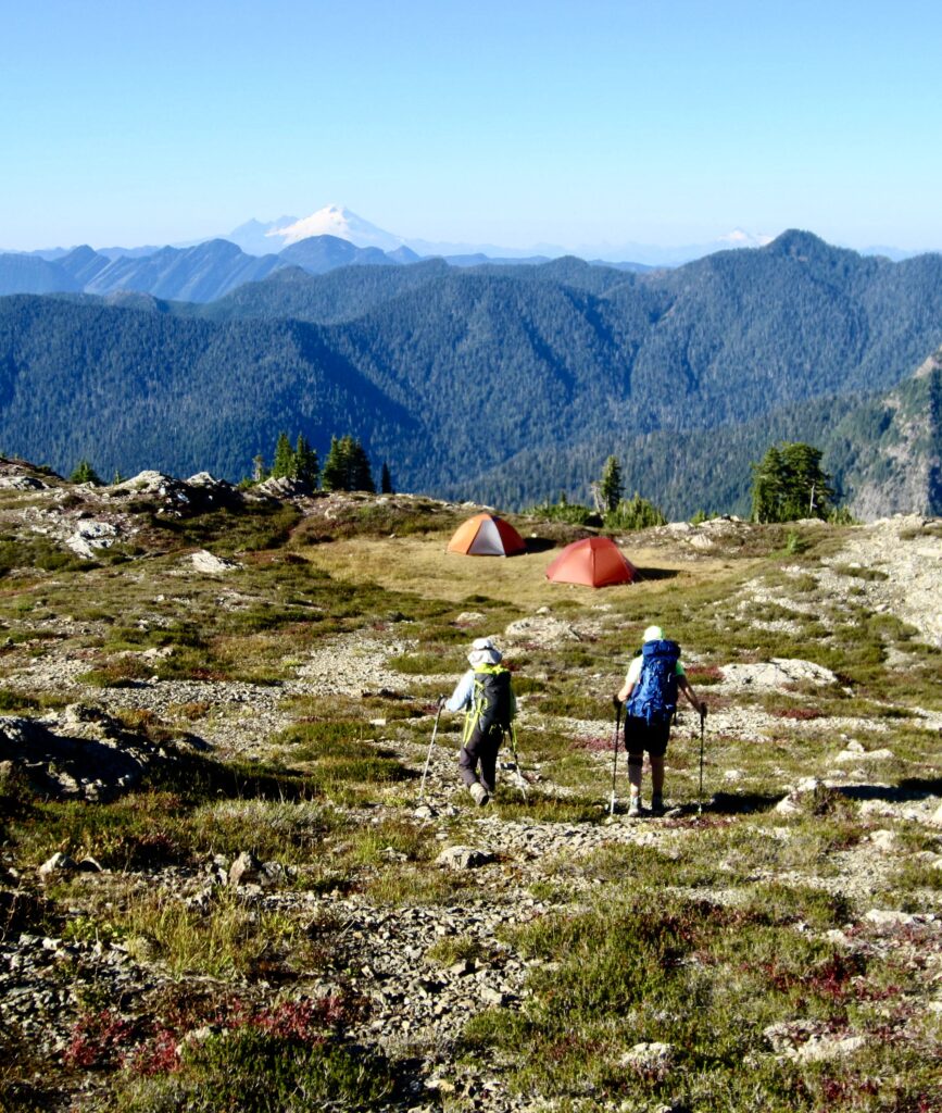
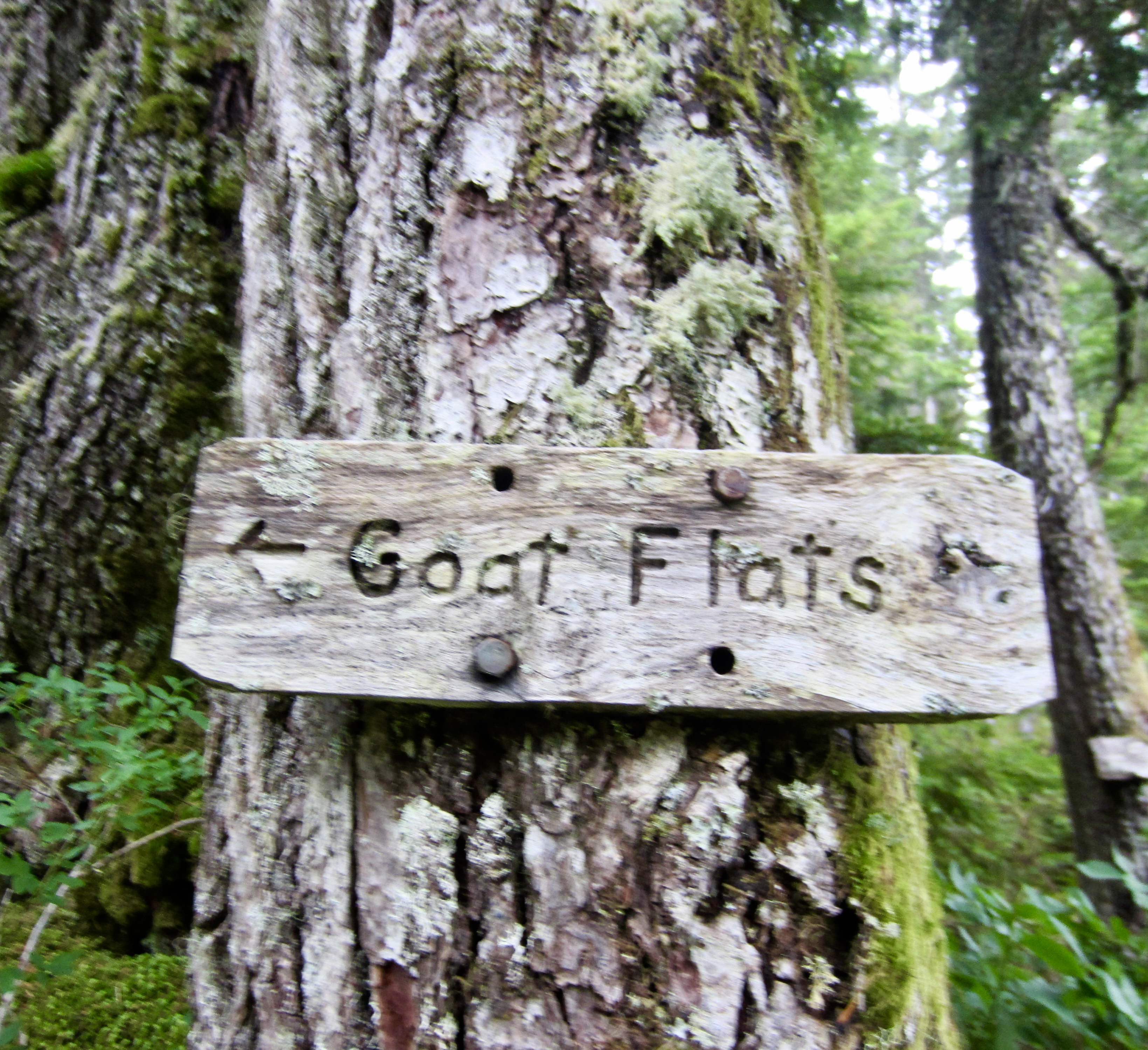
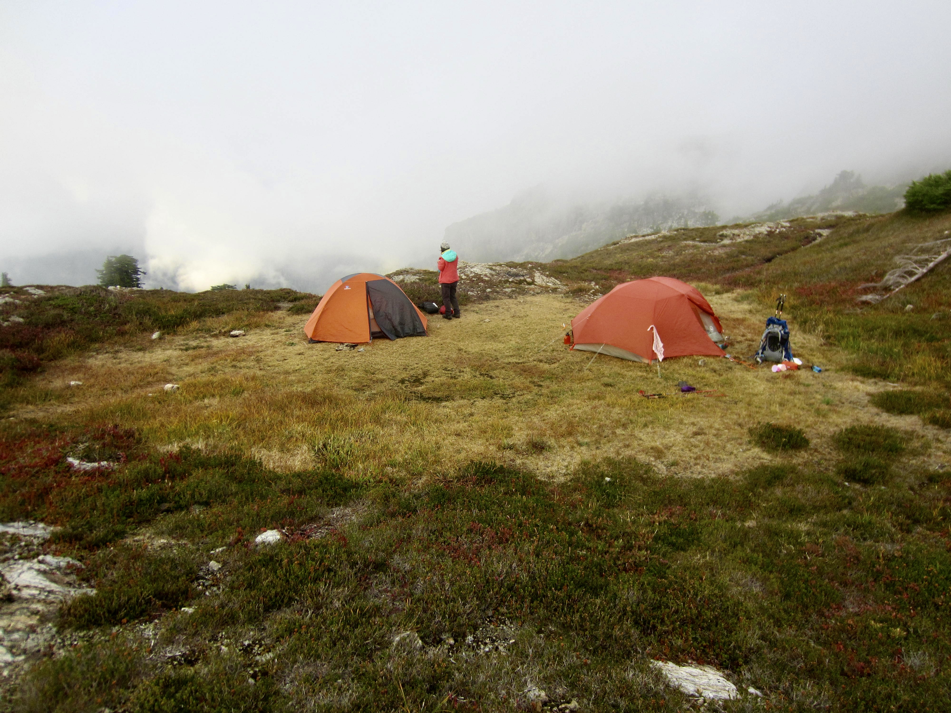
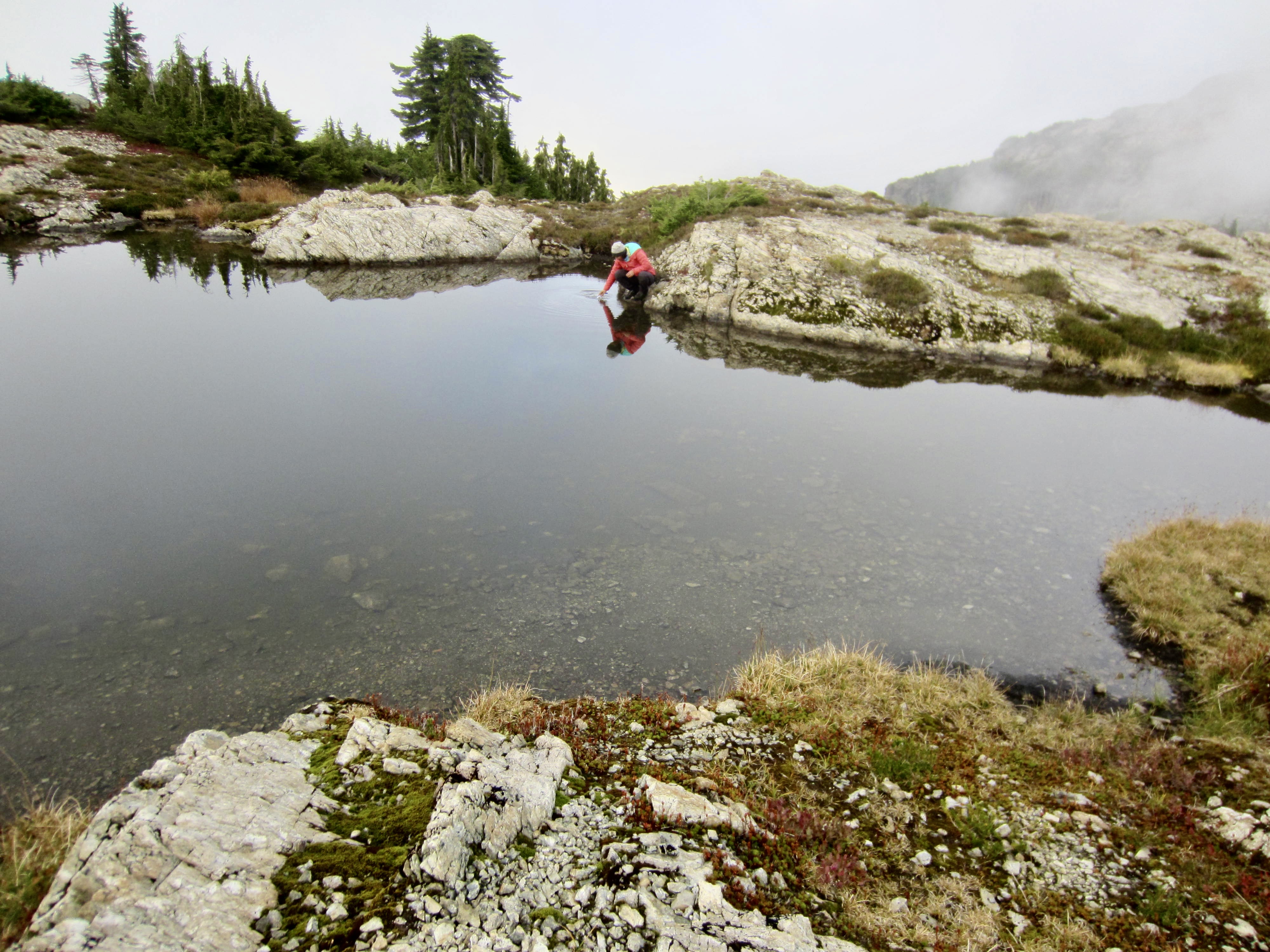
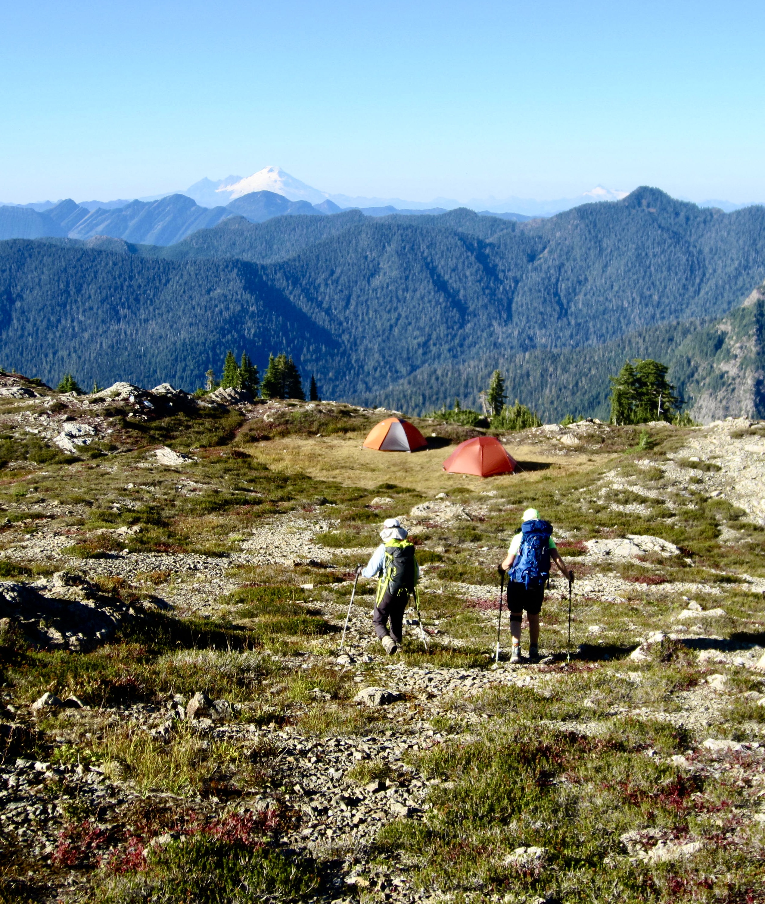
After wandering around in the fog for a while, we located an excellent campsite at the northern edge of Goat Flats (or “Goat Flat” if you adhere to the USGS map). Drinking and cooking water was available from a rocky pond located a short distance down the side. Throughout the evening, we watched the fog ever-so-slowly dissipating.
.

.
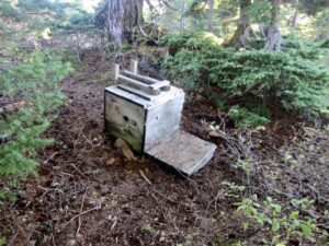
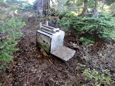
Before leaving on our trip, Eileen, Yoko, and I had all read reports indicating that the Goat Flats latrine was…ahem…over capacity. That is to say, the “contents” were at flood stage and becoming dangerously close to seat level. Obviously, this information caused us great concern. You can imagine our surprise and relief when we arrived to find two Forest Service rangers in the process of digging a brand new privy pit! This was true serendipity! After the rangers performed some “beta testing” on the new facility, our group had the privilege of inaugurating and using it for the next two days.
Day 2: Three Fingers Lookout Ascent
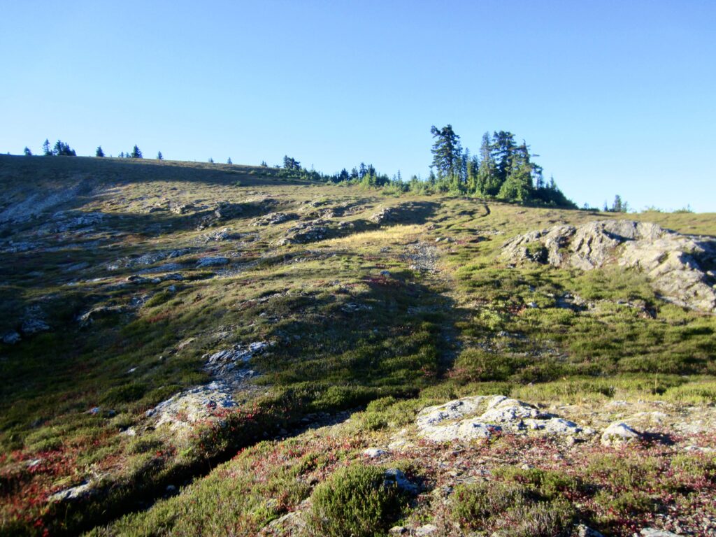
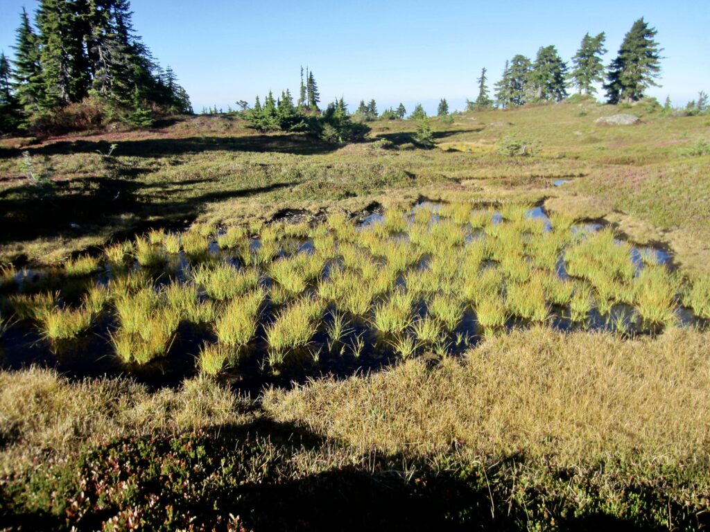
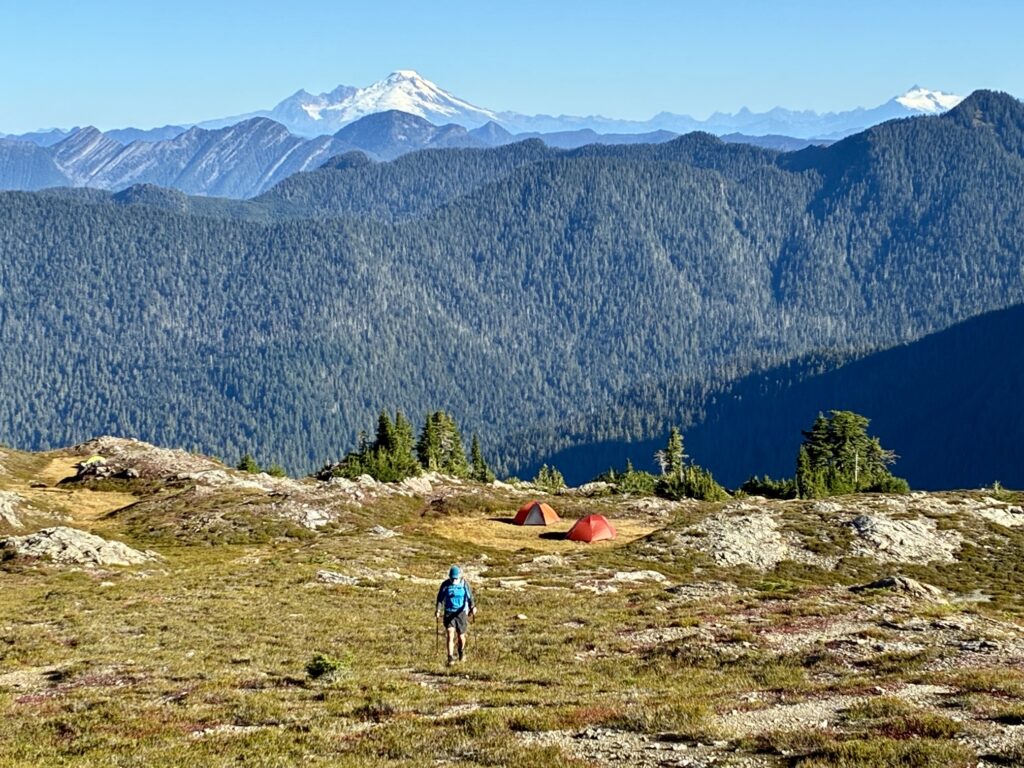
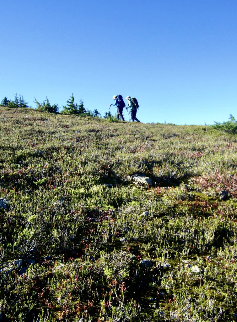
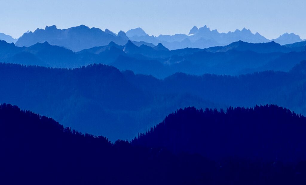
Following a cold night, we awoke to a glorious bluebird morning. Yesterday’s fog had completely disappeared, and the previous rainstorm had washed much of the chronic wildfire smoke out of the air, leaving us with good visibility in all directions. We left camp at 9:00am and headed up the Three Fingers Trail with great anticipation.
.
.

.
.
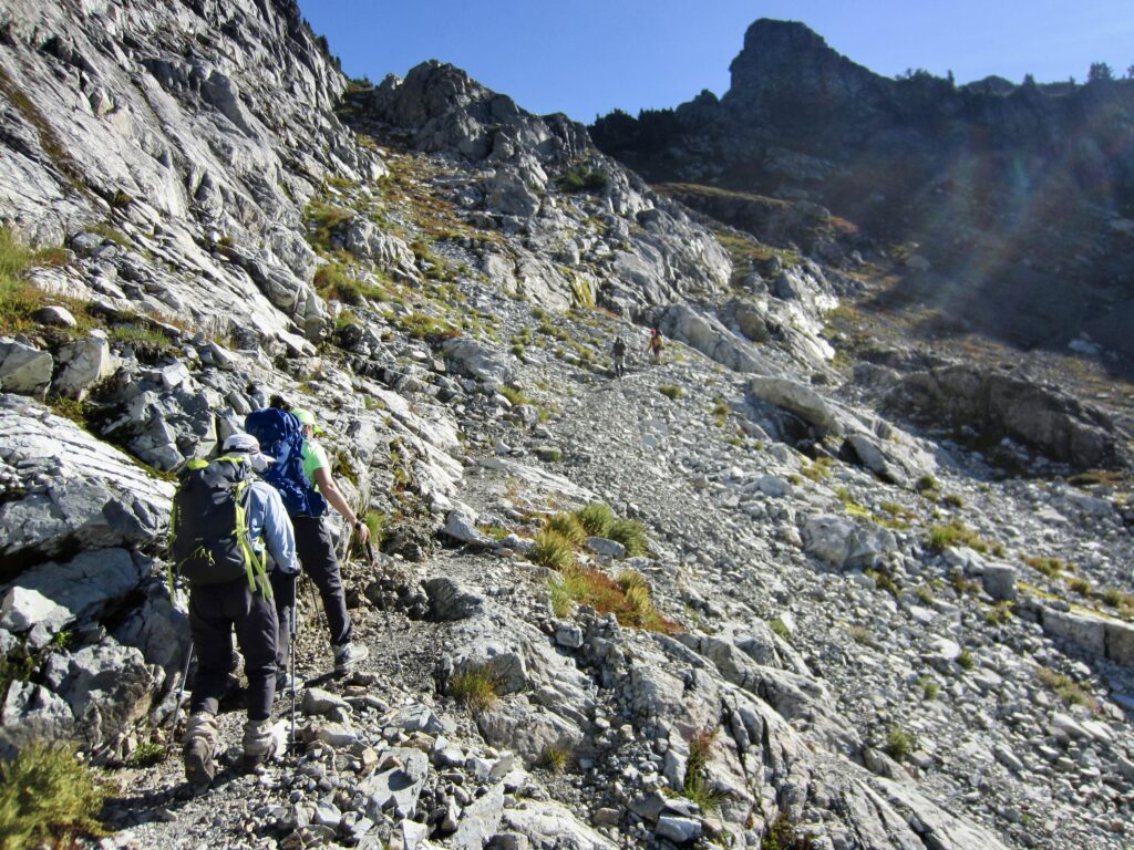
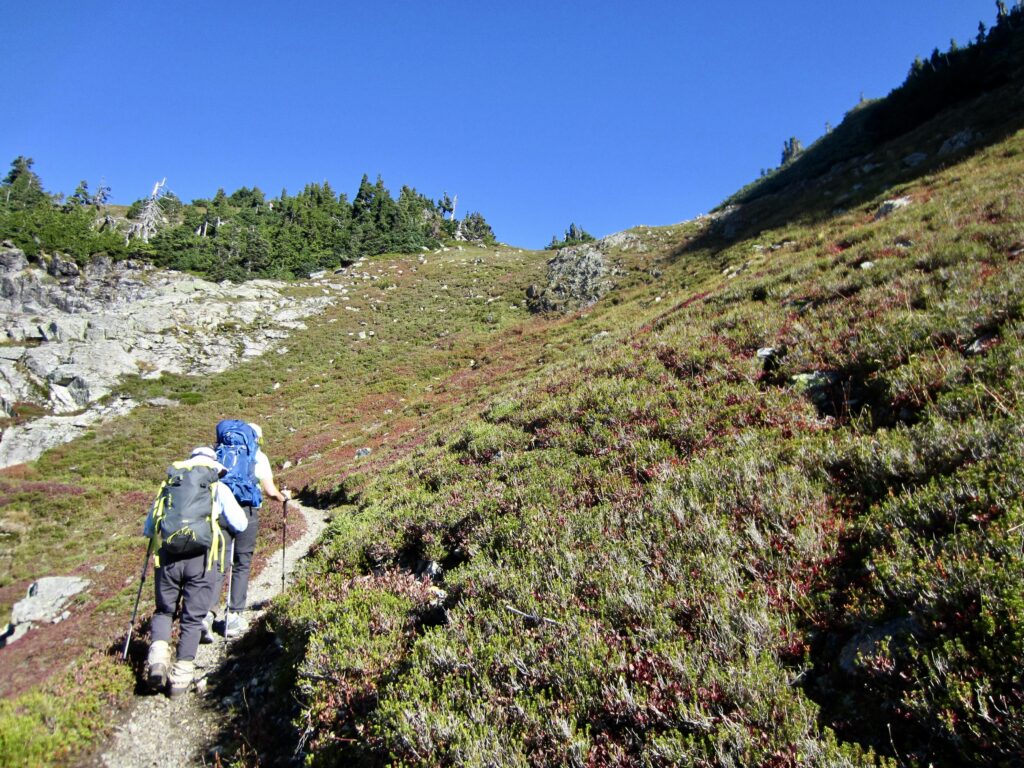
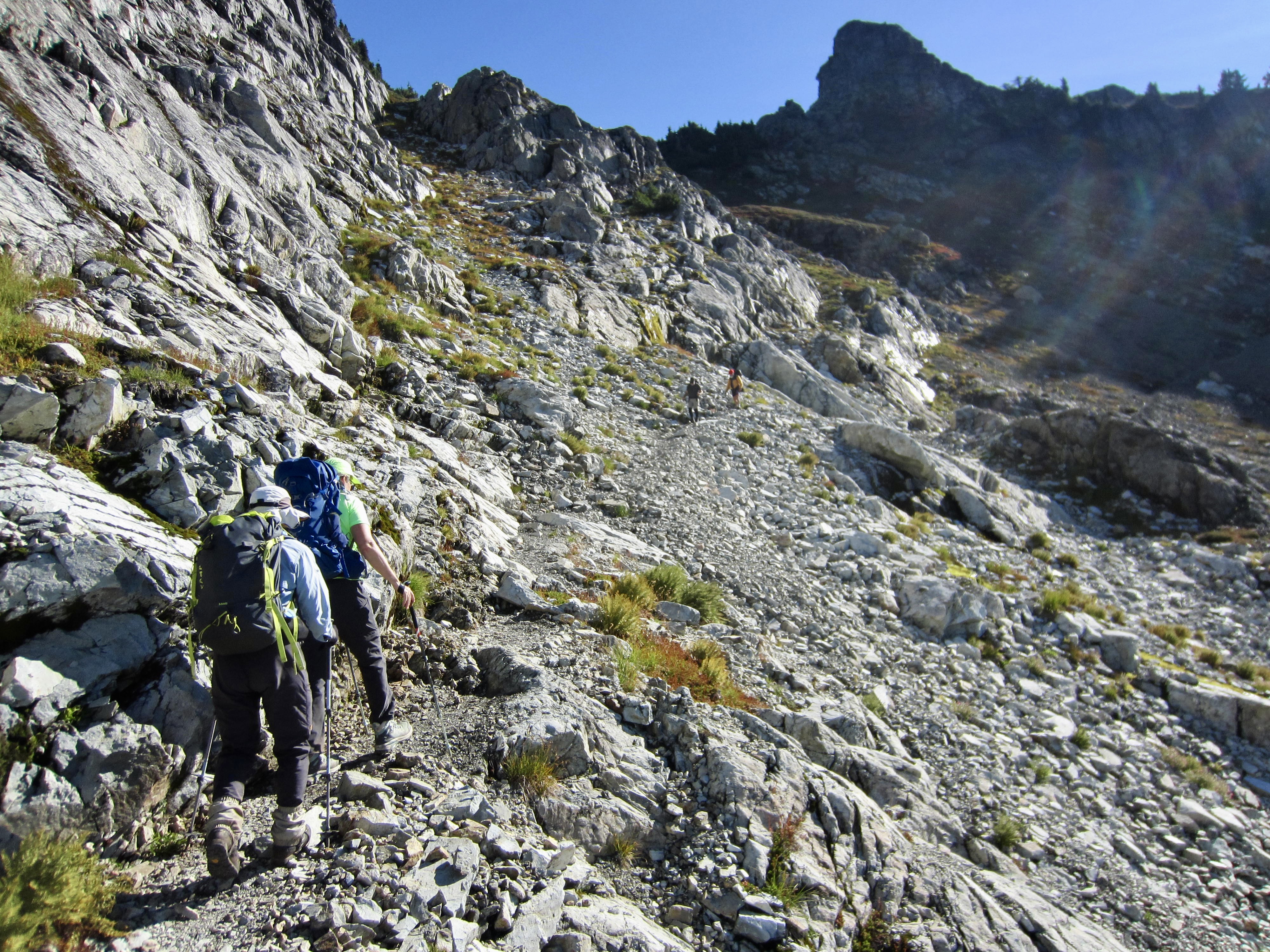
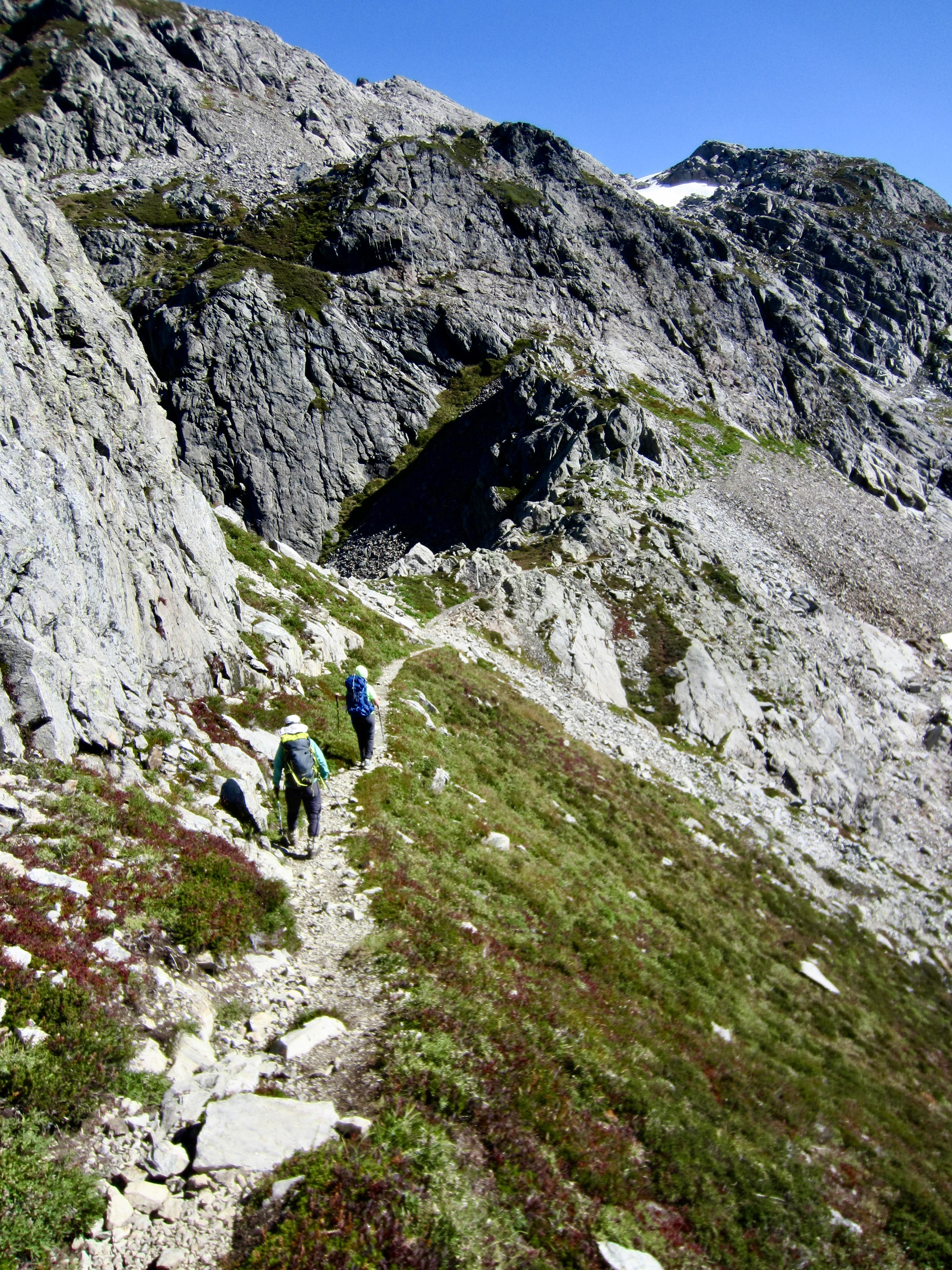
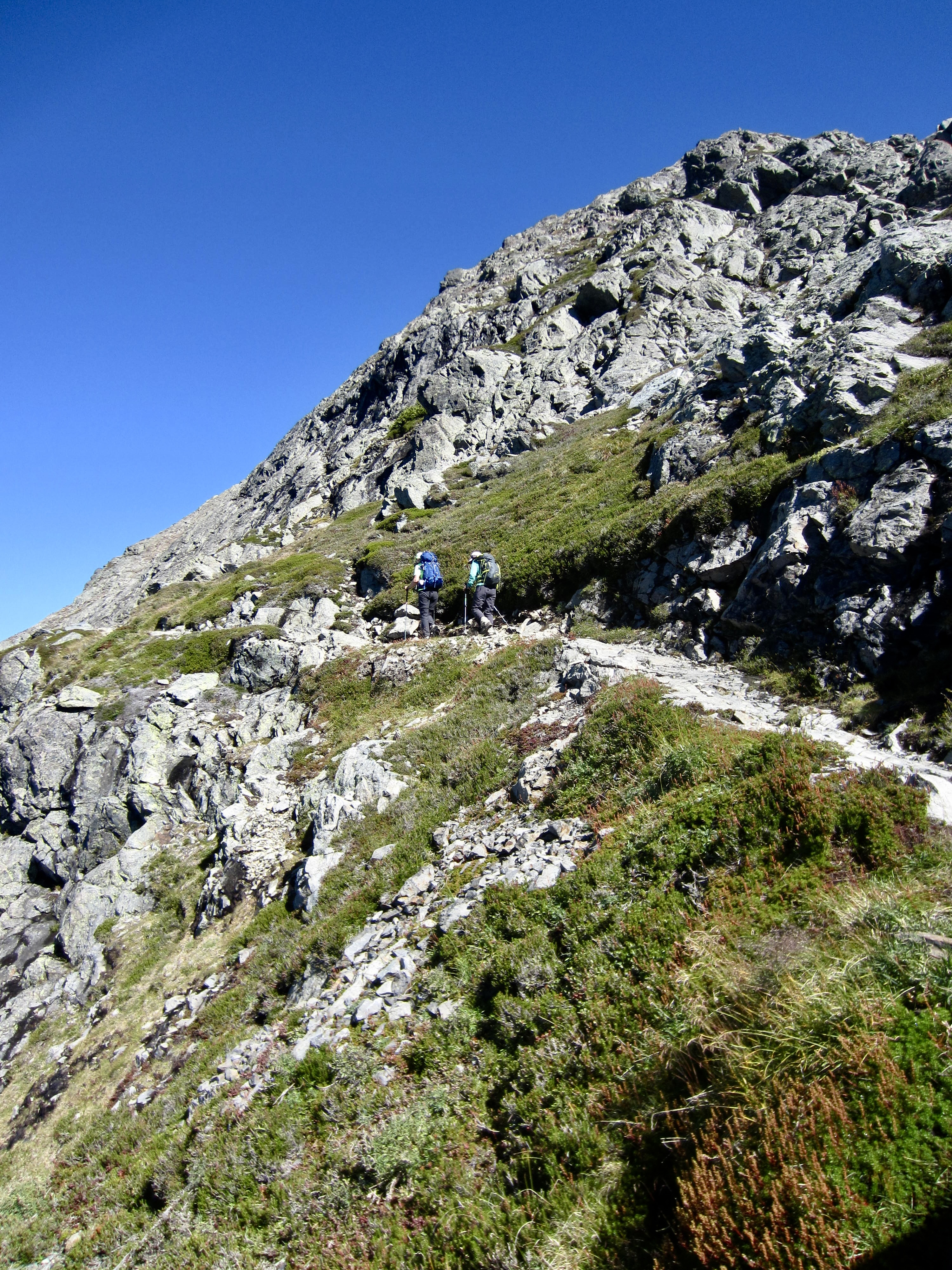
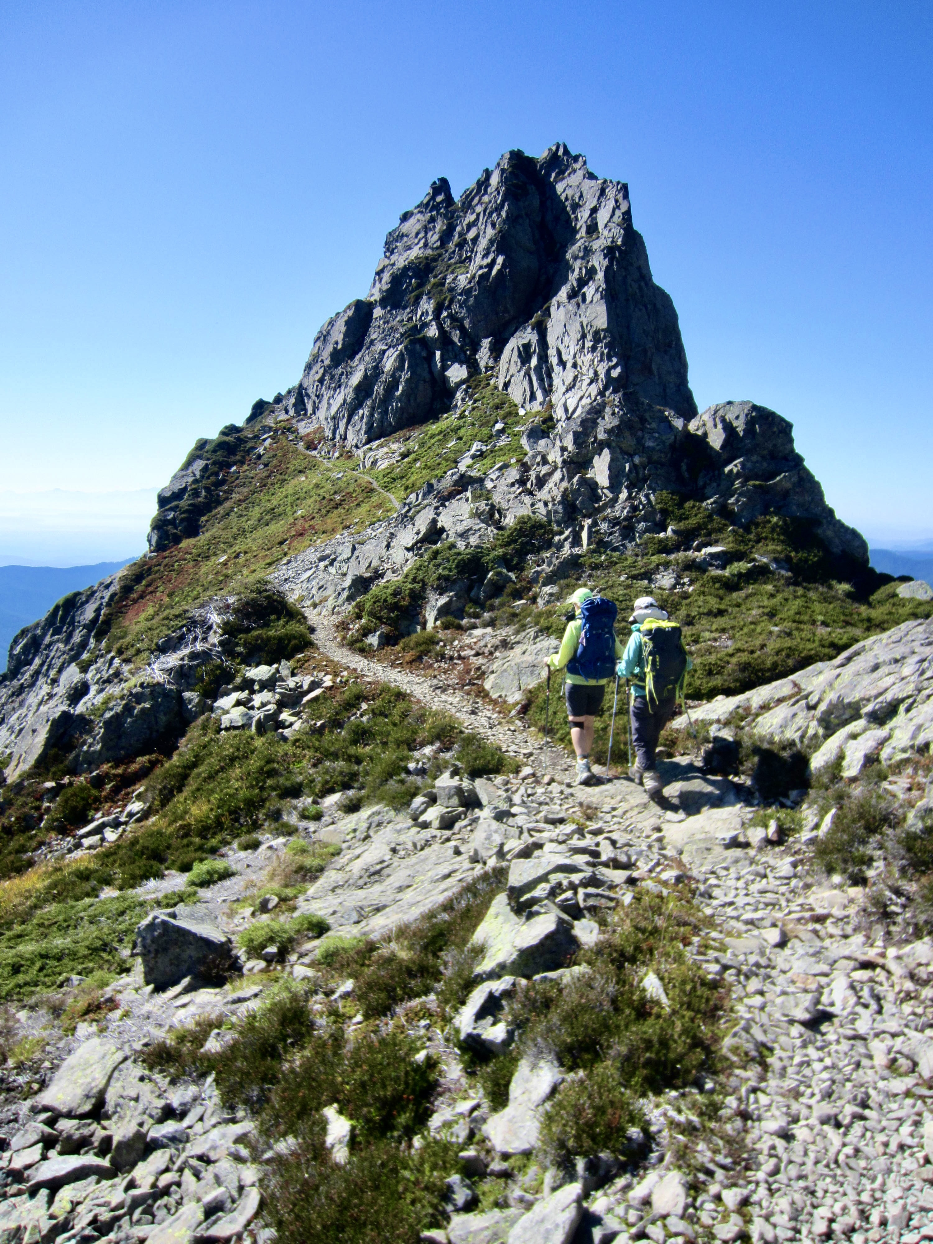
The Three Fingers Trail ascends southeasterly out of Goat Flats, crosses over to the southern side of a craggy ridge, and makes a long easterly traverse across the hillside. It then switchbacks up to the broad sag of 5750-foot Tin Can Gap. Along the way, we encountered the first of several descending hikers who had spent the night in the lookout cabin. They were all gushing about the magnificent sunset and sunrise they had witnessed!
.
.
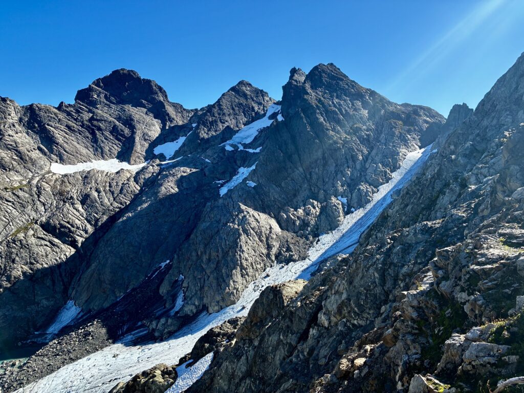
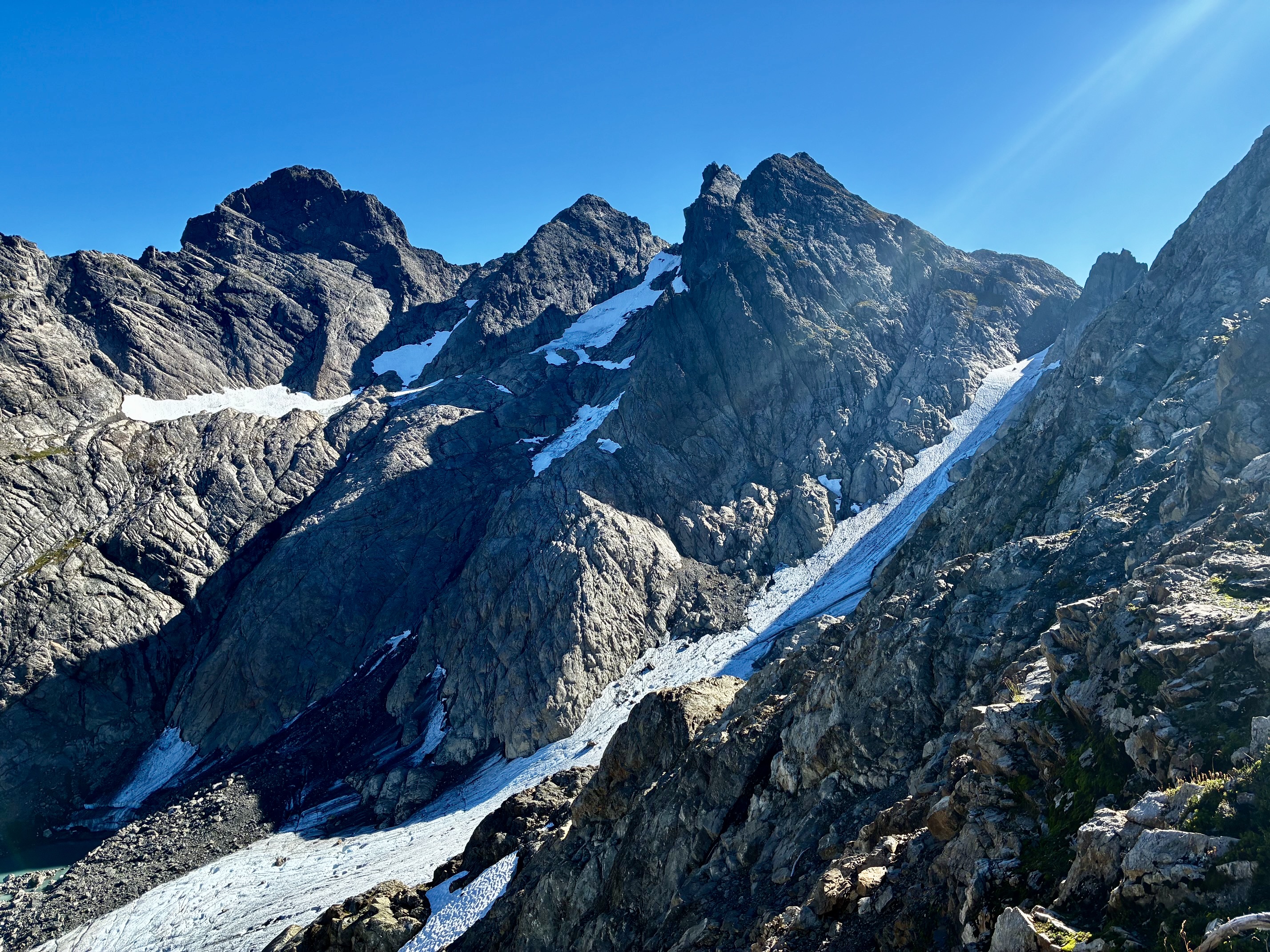
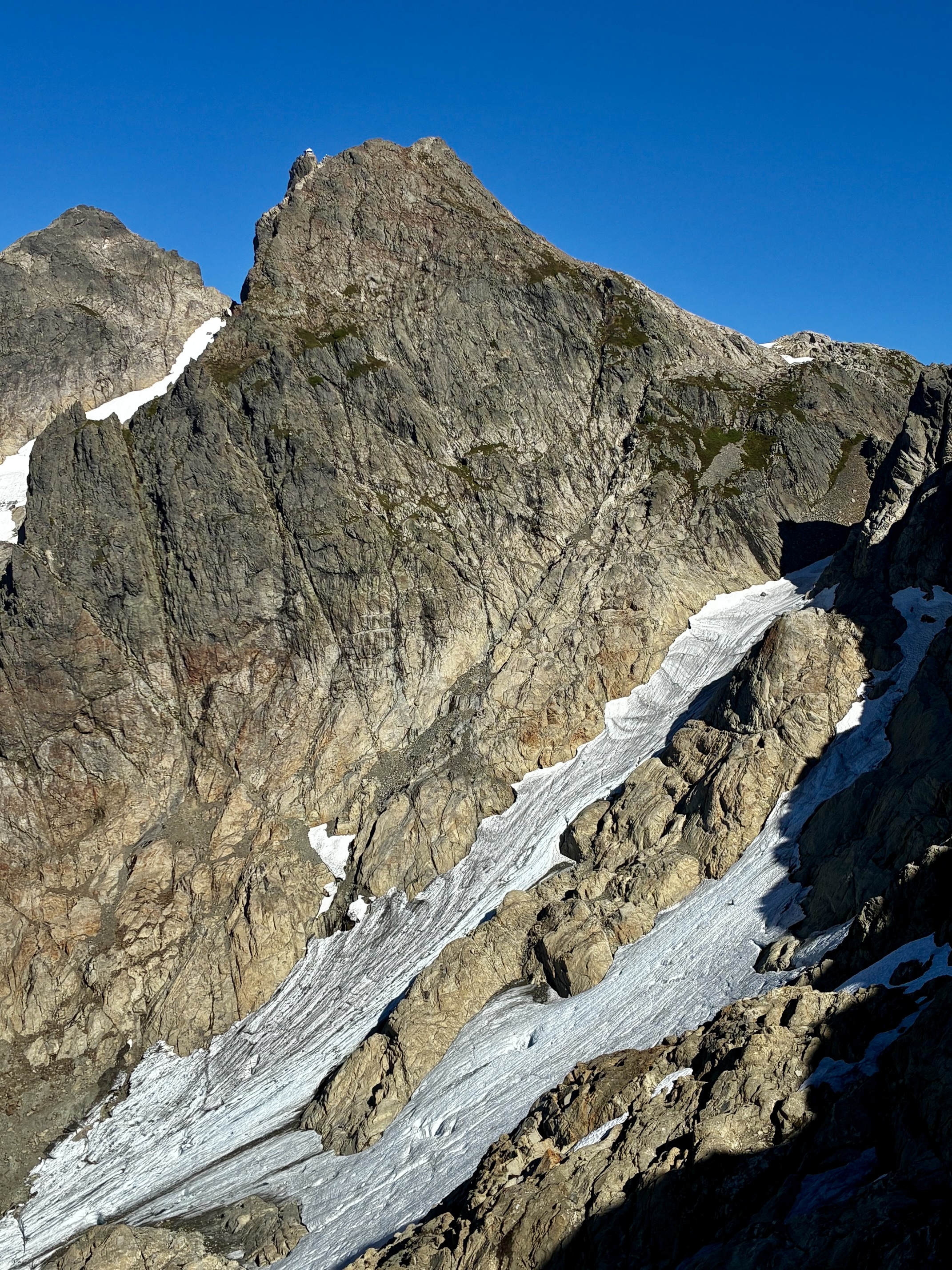
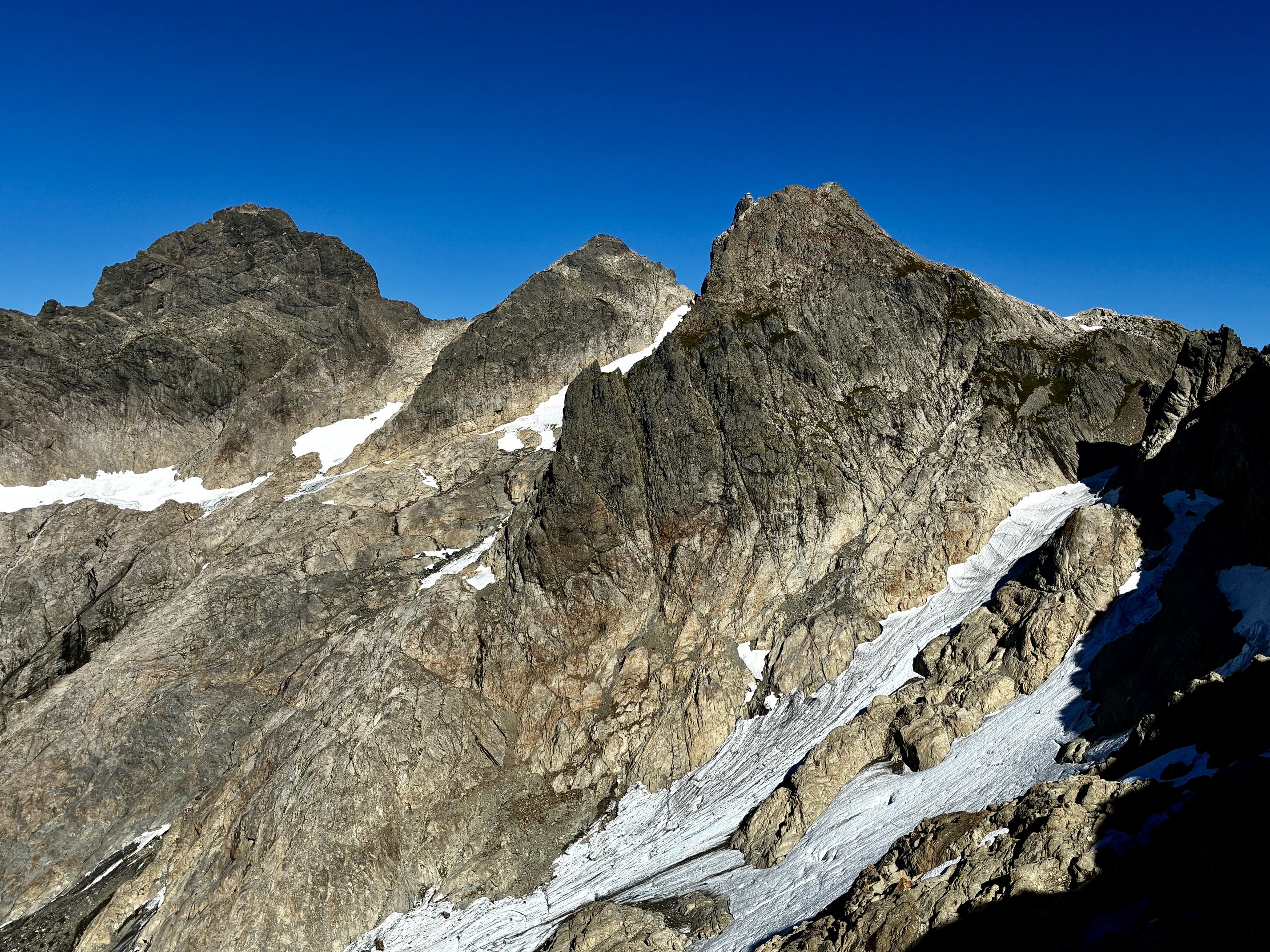
We arrived at Tin Can Gap in late morning (1.3 hours + 1.5 miles + 850 feet from camp) and stopped for a snack. This gap offers a marvelous close-up vantage for Three Fingers Mountain, with all three “fingers” in full view. The lookout cabin appears as a tiny geometric shape atop the south finger. Even though I had been to the cabin before, it was difficult to believe that such a structure exists…and that we could actually get there!
.
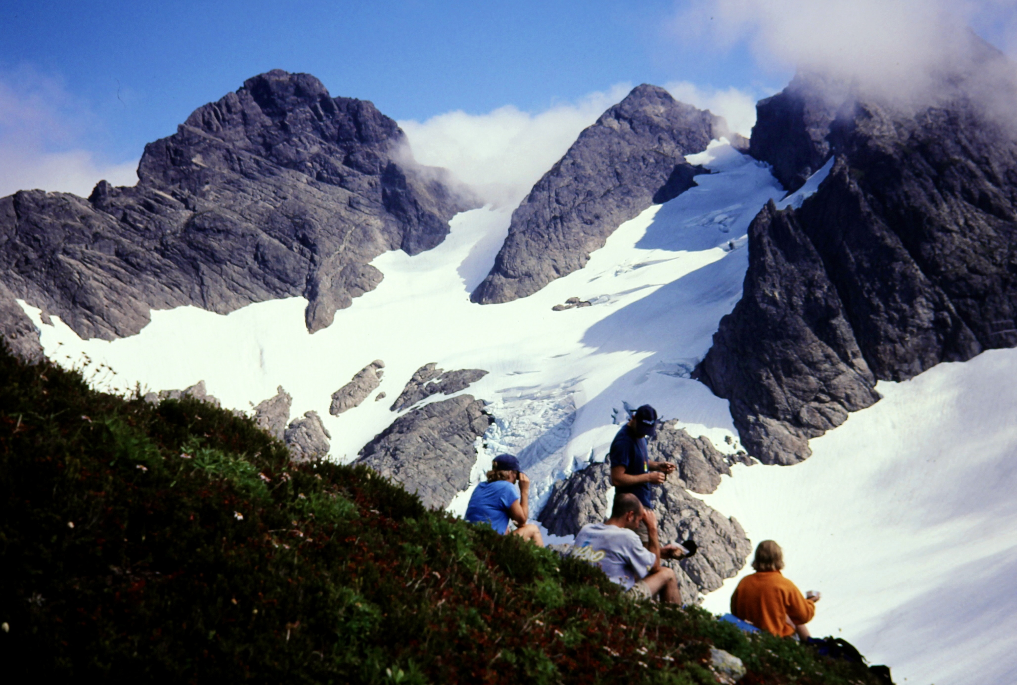
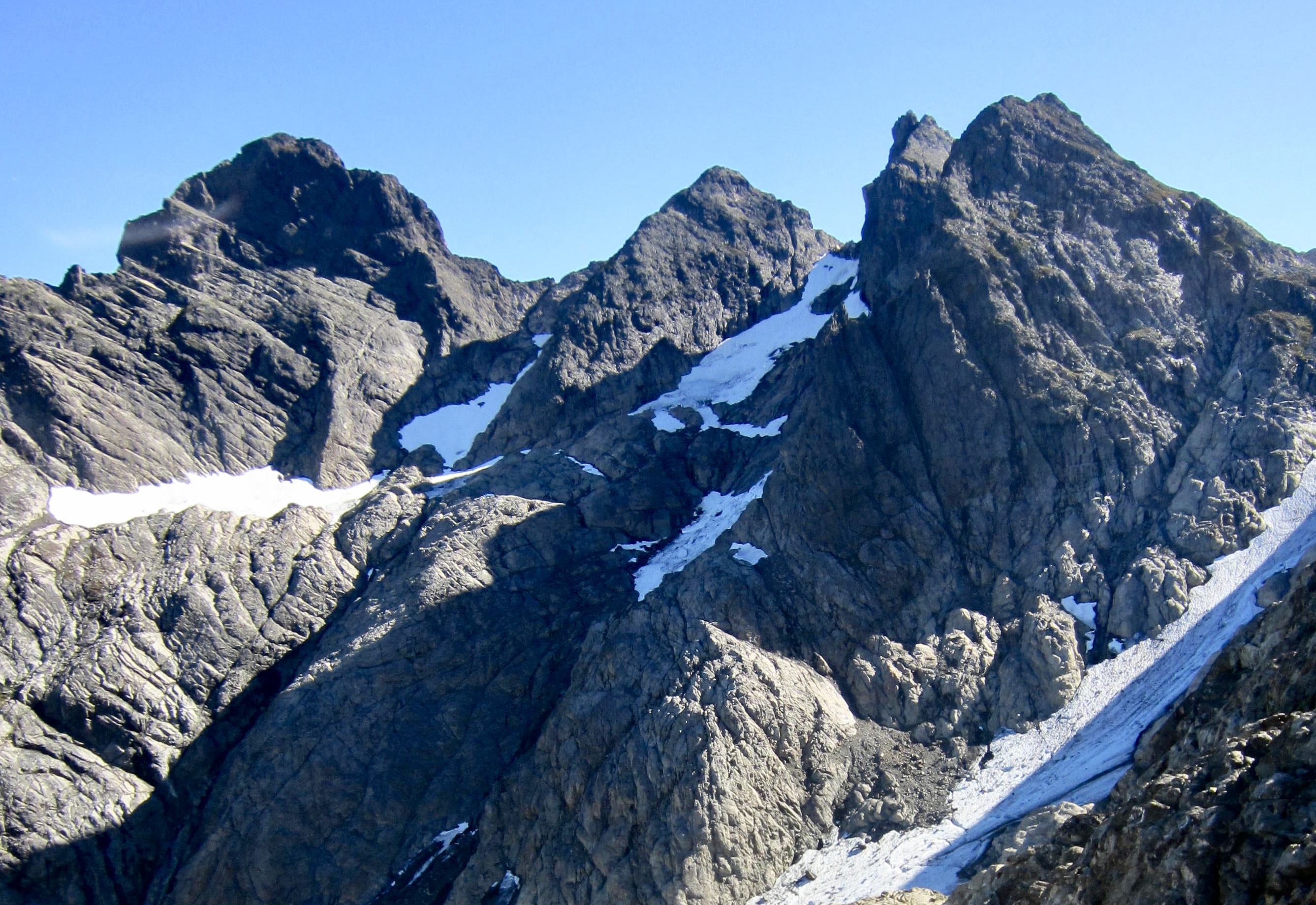
Unfortunately, the view wasn’t entirely positive and uplifting. I was dismayed to see how much of the Quest-Alb Glacier has vanished over time. By pure coincidence, I had climbed the north finger on this exact day in 2000 and had taken a photograph from Tin Can Gap. The “then & now” pair of photos below show that approximately 80% of the glacier coverage has been lost over the intervening 26 years. What was formerly a total snow traverse to access the north finger is now almost entirely on rock.
.
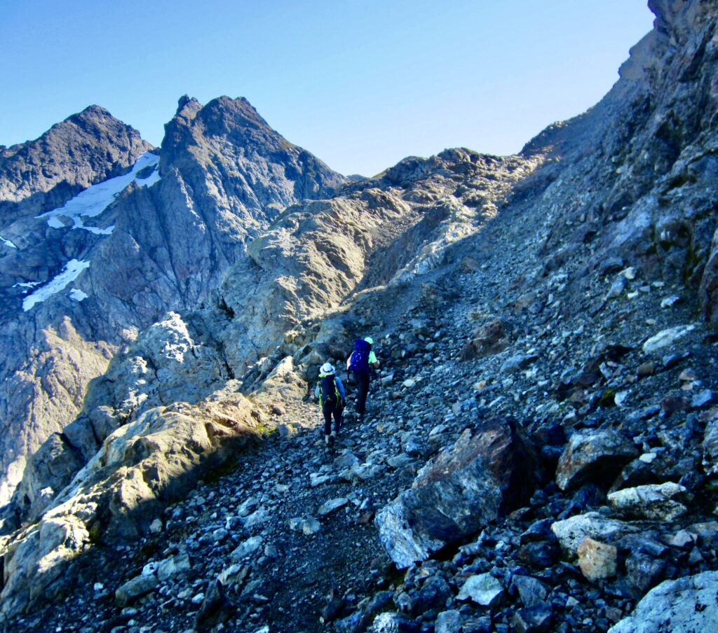
The Three Fingers Trail crosses through Tin Can Gap and makes a short traverse along the northern side of the ridge. In past decades, this would have been a somewhat dicey traverse on steep, hard snow, but it is now a straightforward hike on bare ground.
.
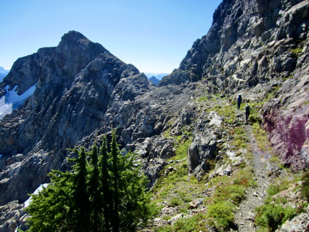
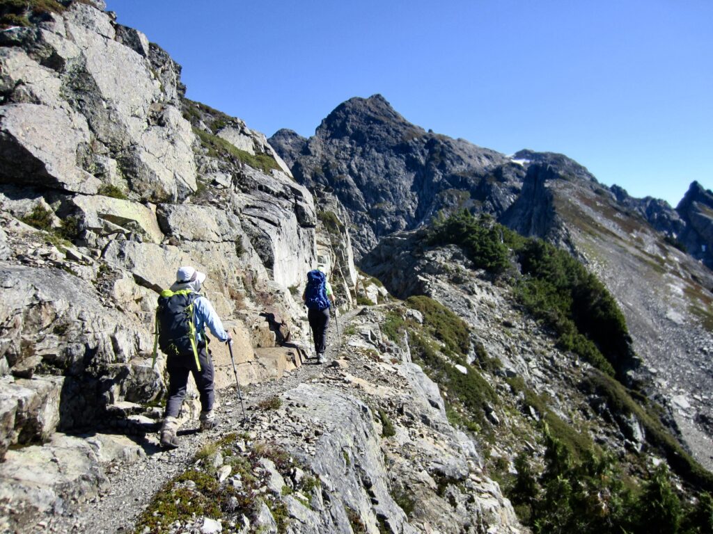
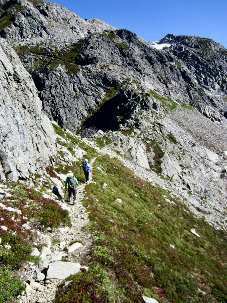
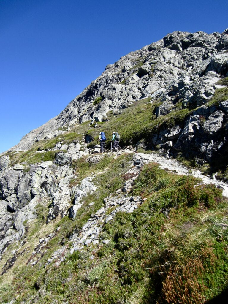
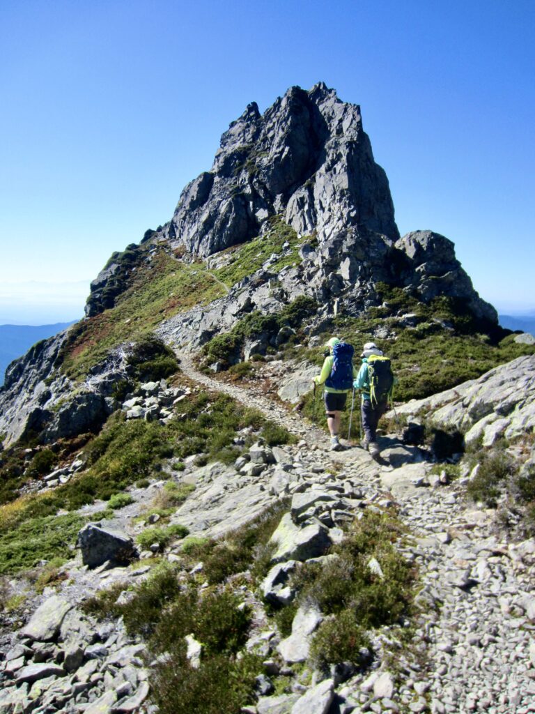
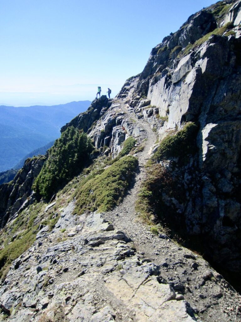
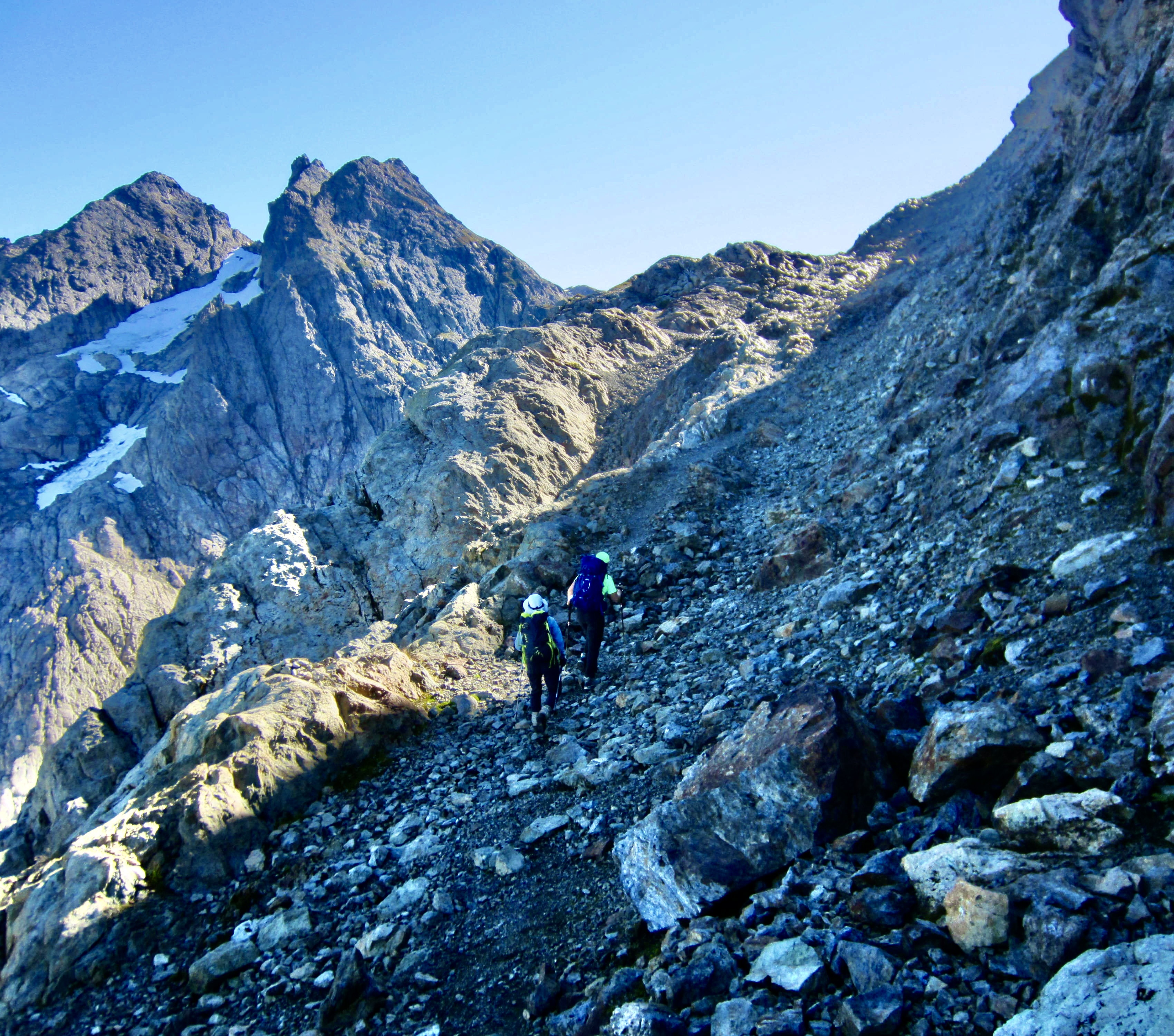
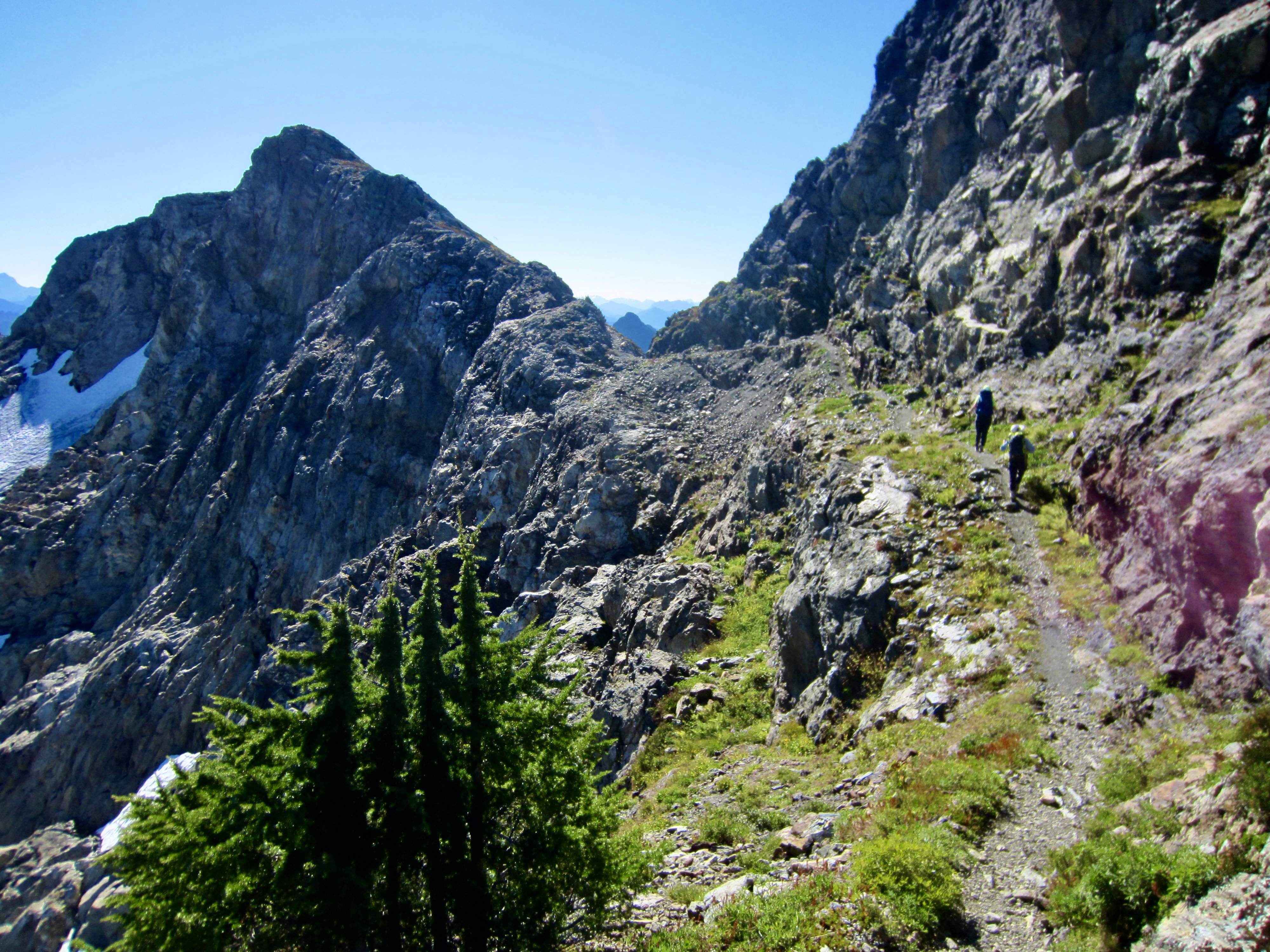
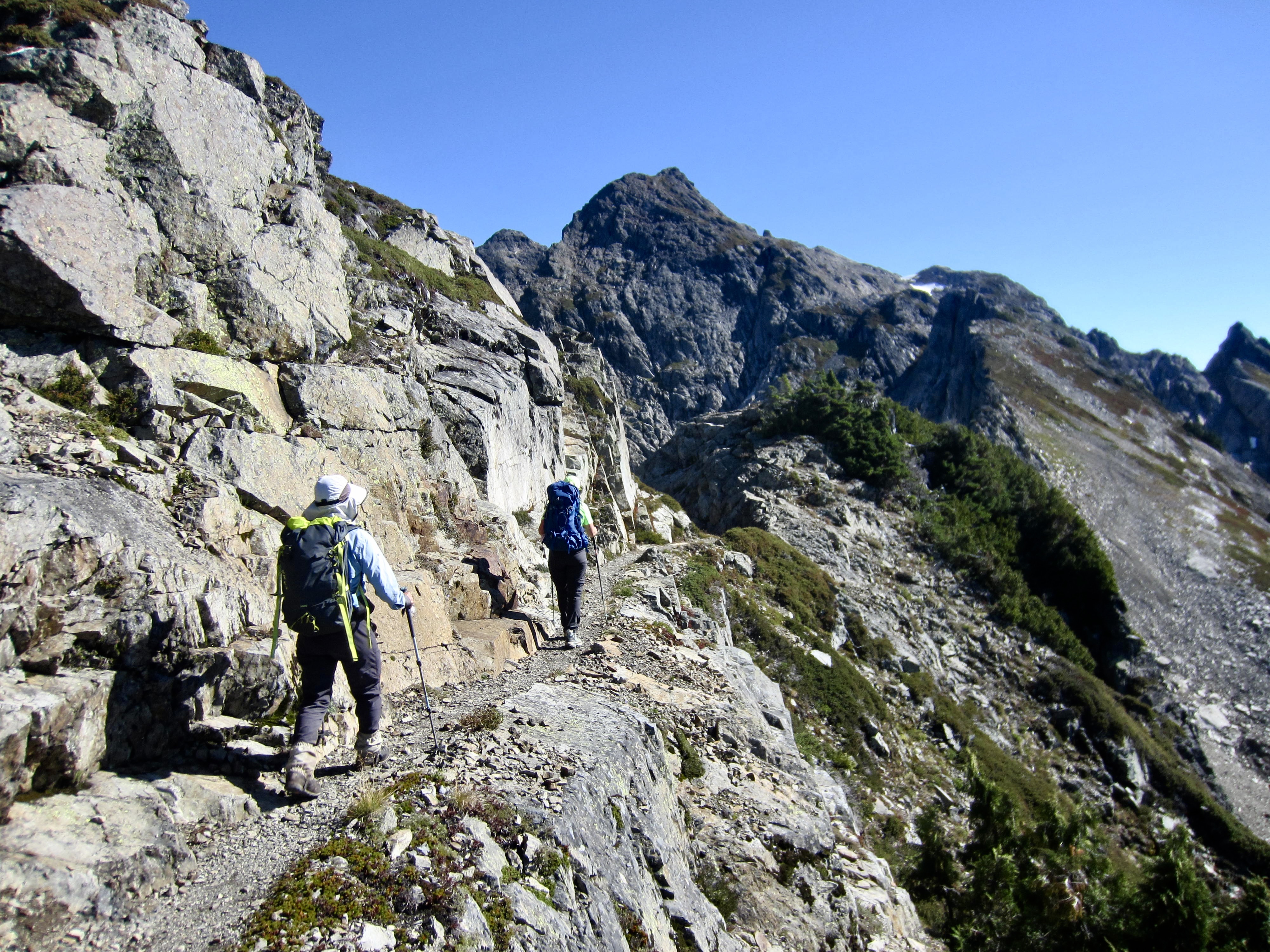
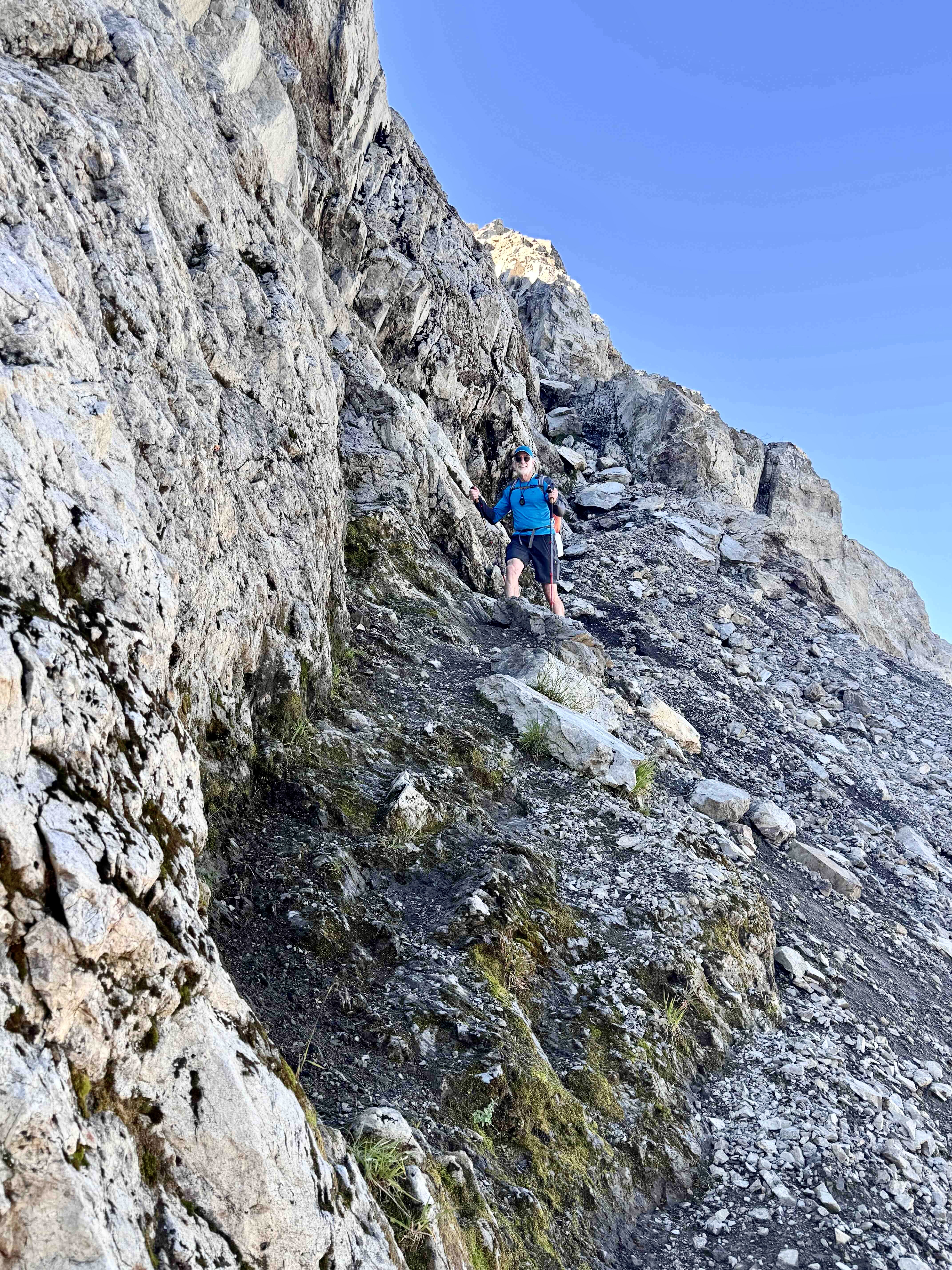
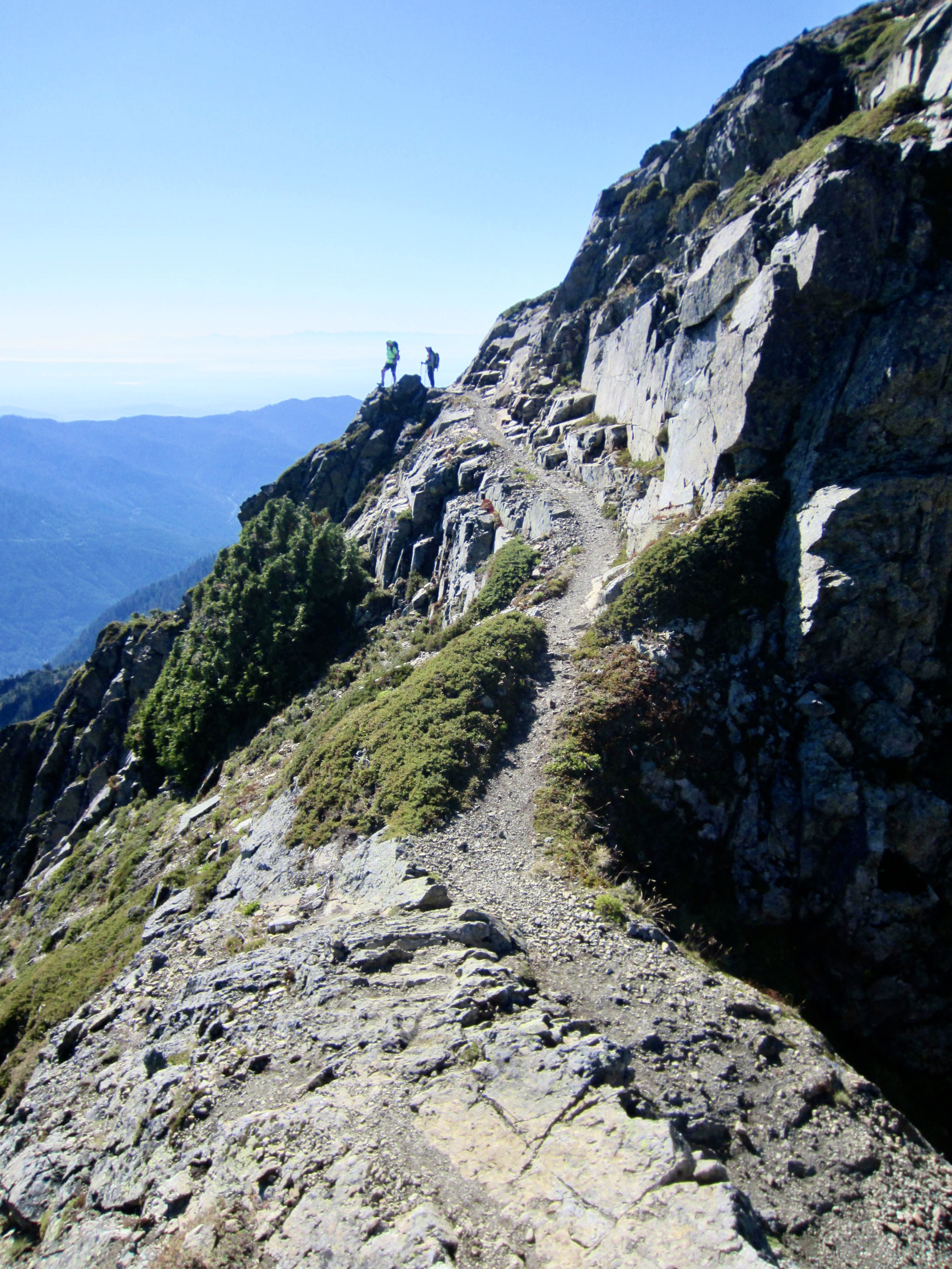
The trail then ducks through a small notch and continues traversing along the southern side of the ridge. We marveled at the construction effort that was required to build this trail back in 1930. Here and elsewhere, narrow ledges were blasted into steep cliffs. Overall, the Three Fingers Trail would feel right at home in the Italian Dolomites!
.
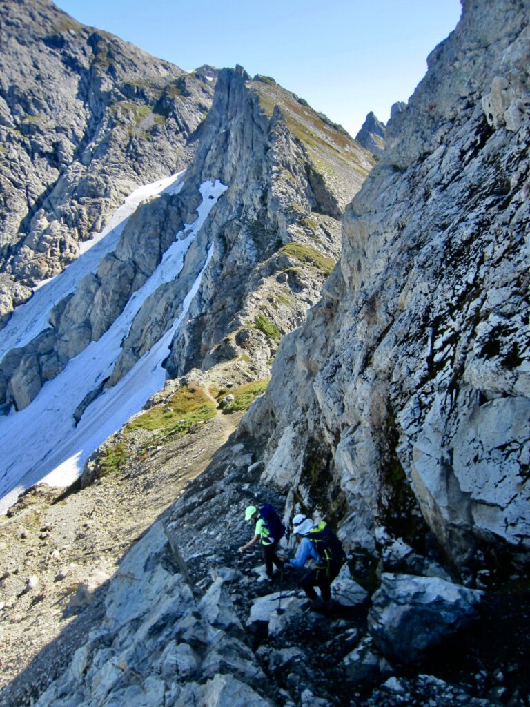
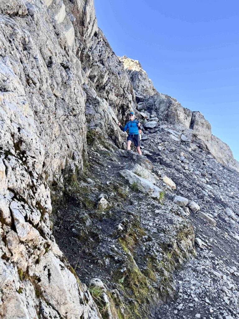
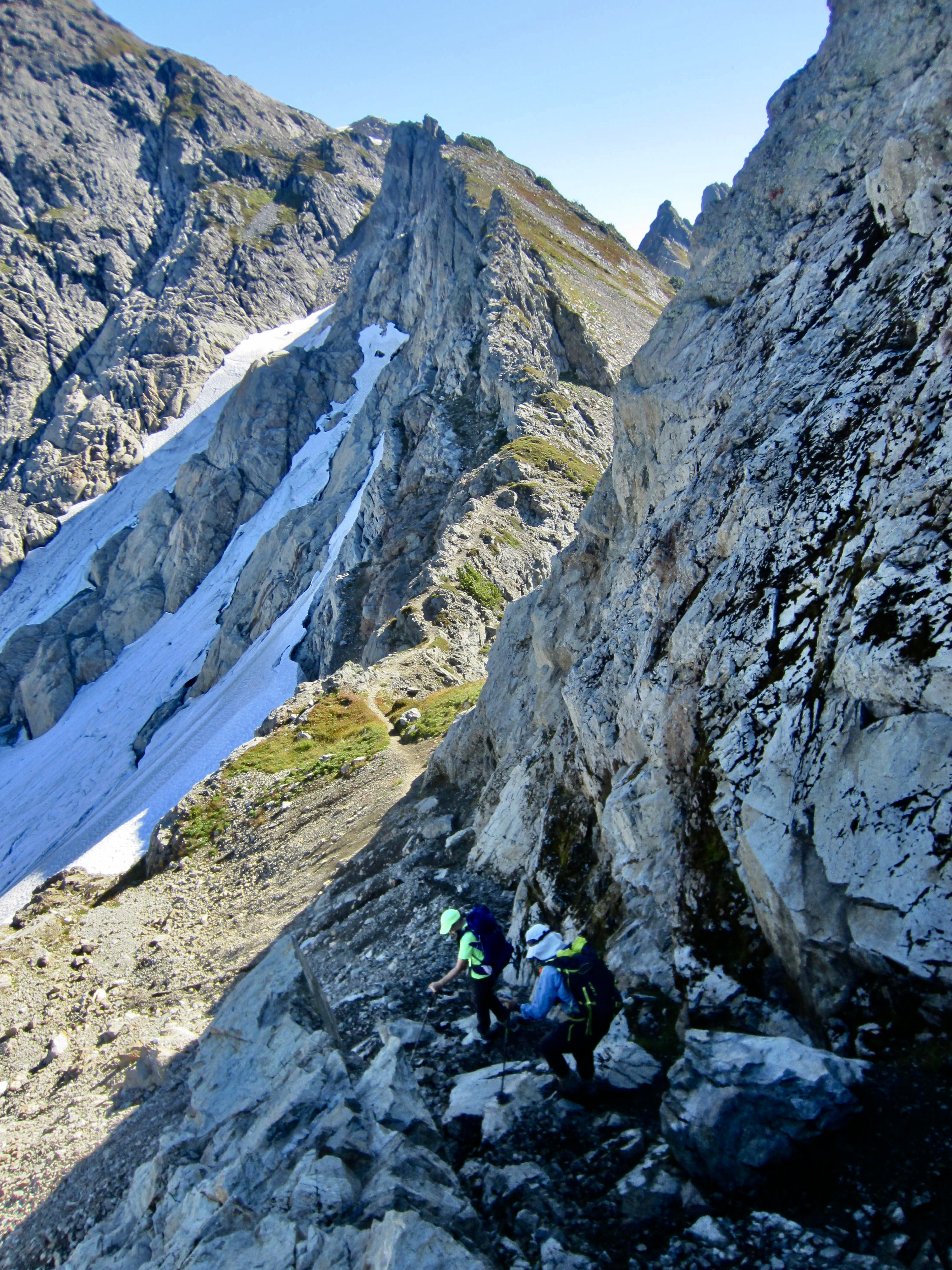
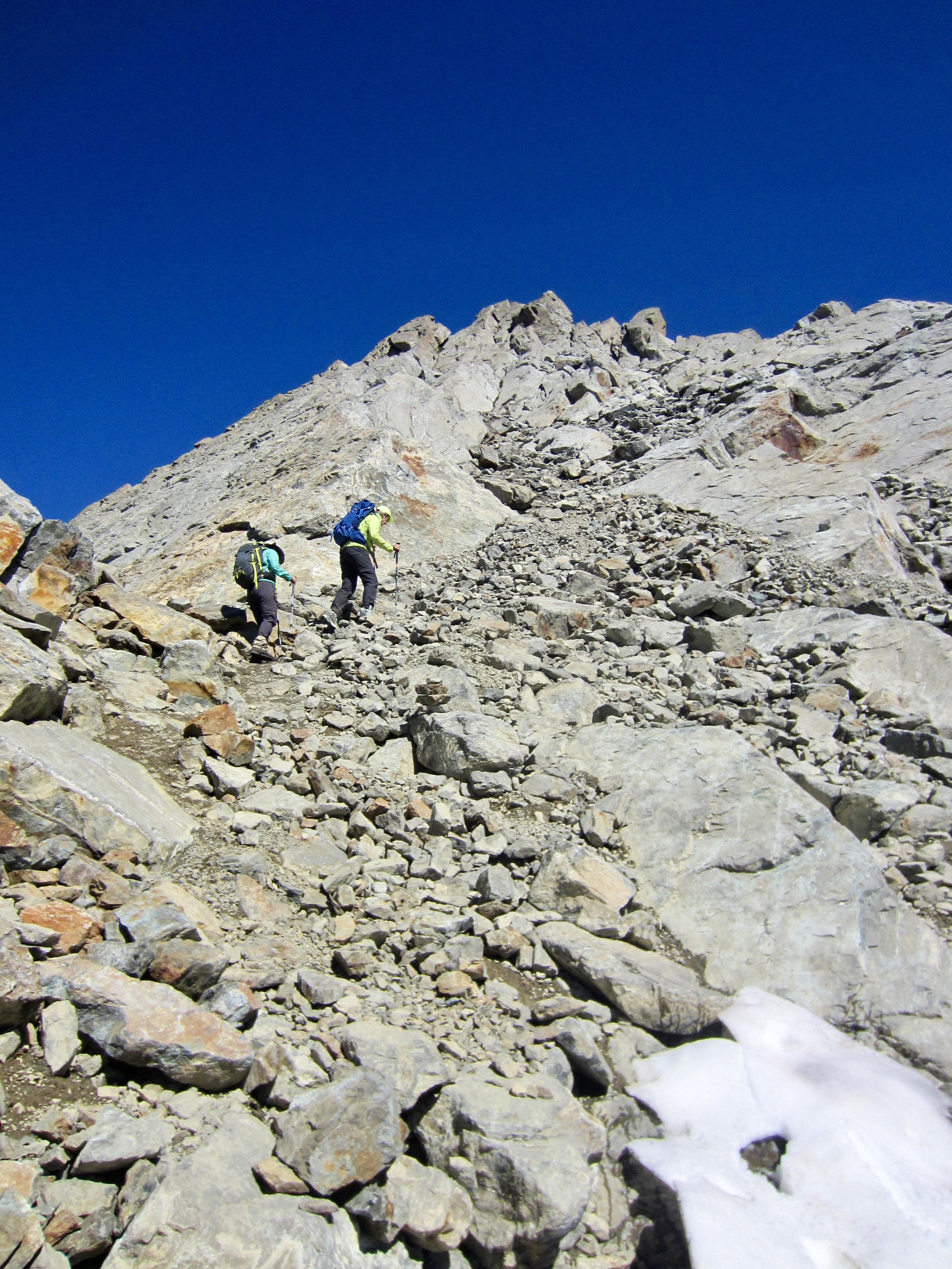
At one point, the trail seems to reach a dead end on top of a rock knob. To get off this knob, it is necessary to scramble down a Class 2-3 chute on the northern side, then continue descending into a wide gap. The scrambling is not difficult here, but the rock is fairly loose.
.
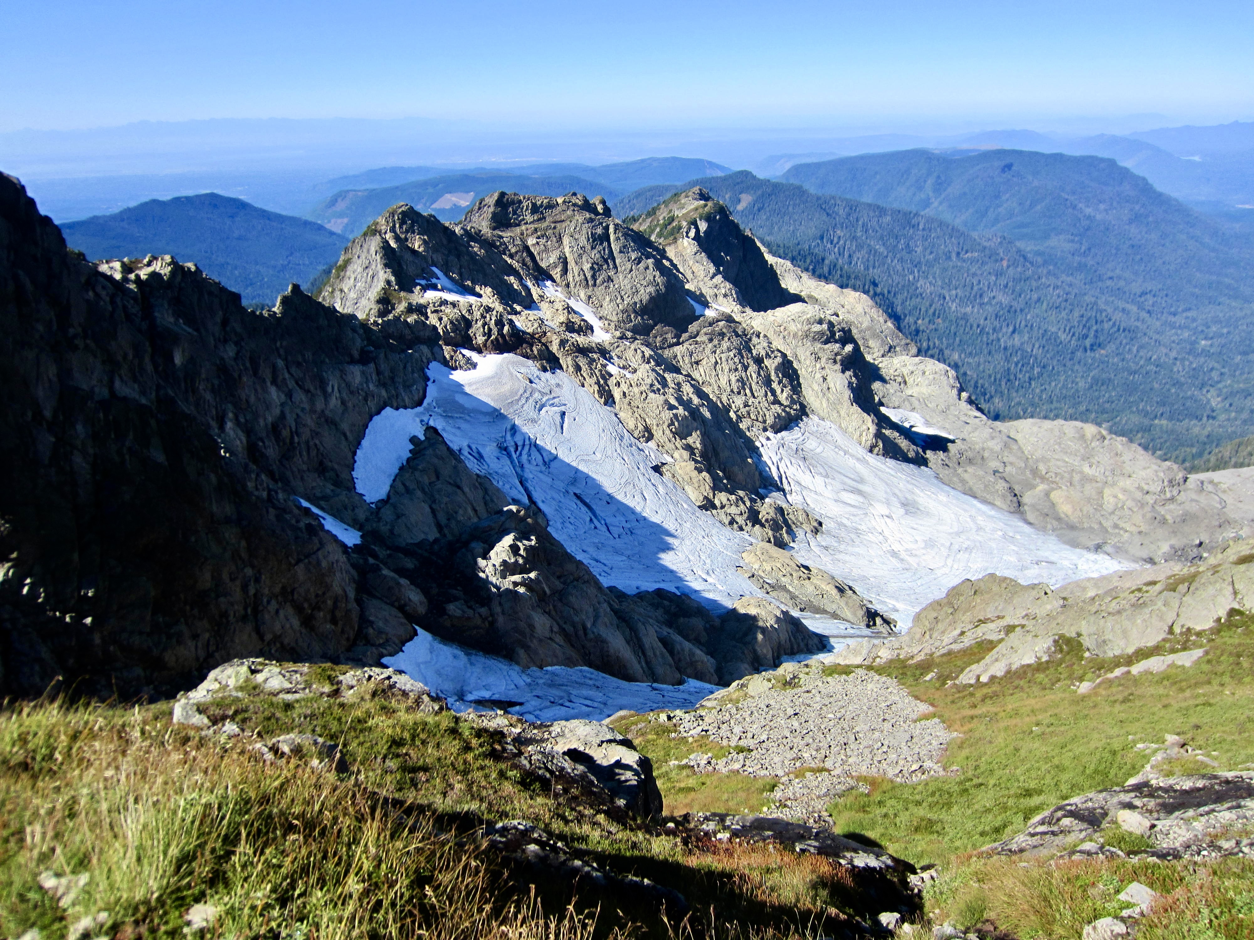
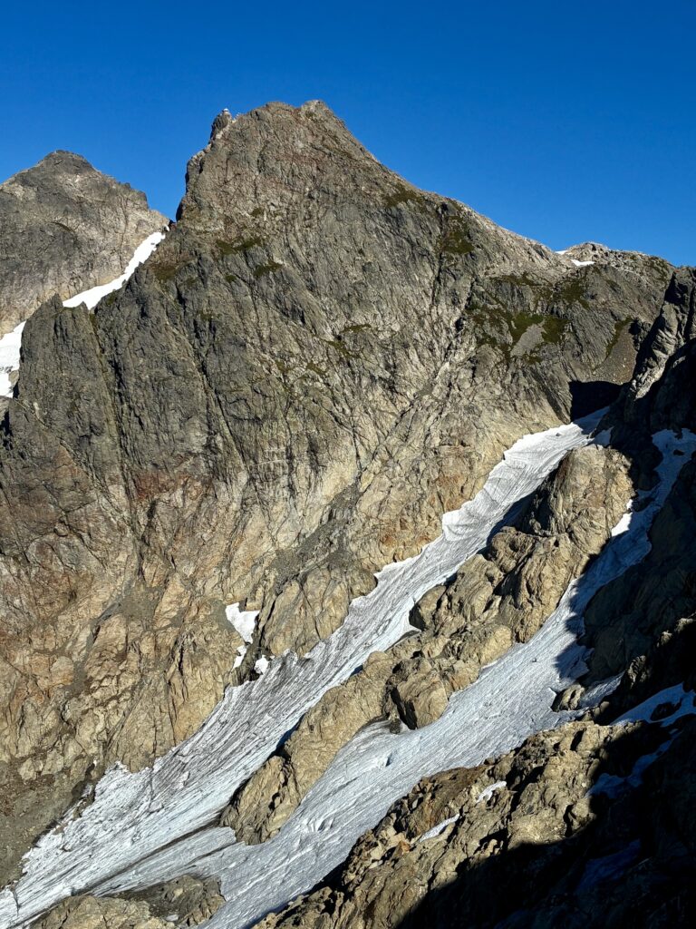
More south-side traversing brought us to the end of the long ridge at the base of the summit block. From here, we could look back along the craggy ridge and see various segments of the trail. Directly below was the Quest-Alb Glacier, with large patches of blue ice exposed. A mossy cliff in this vicinity was dripping with meltwater, which provided the only drinking water on the entire ascent.
.
.
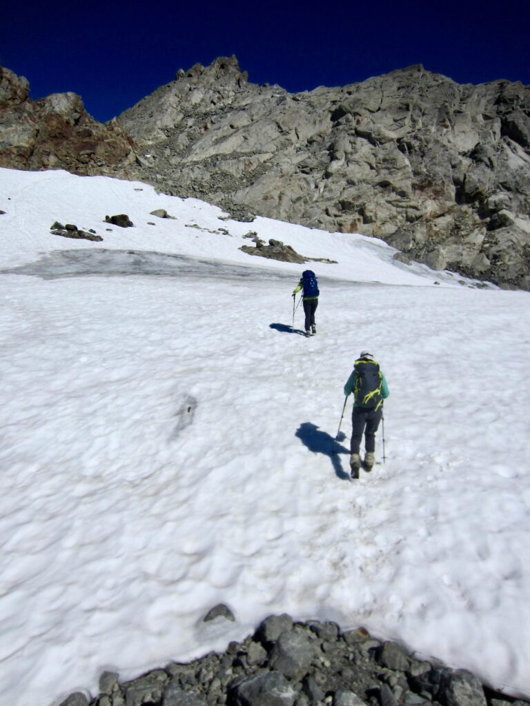
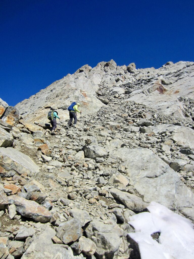
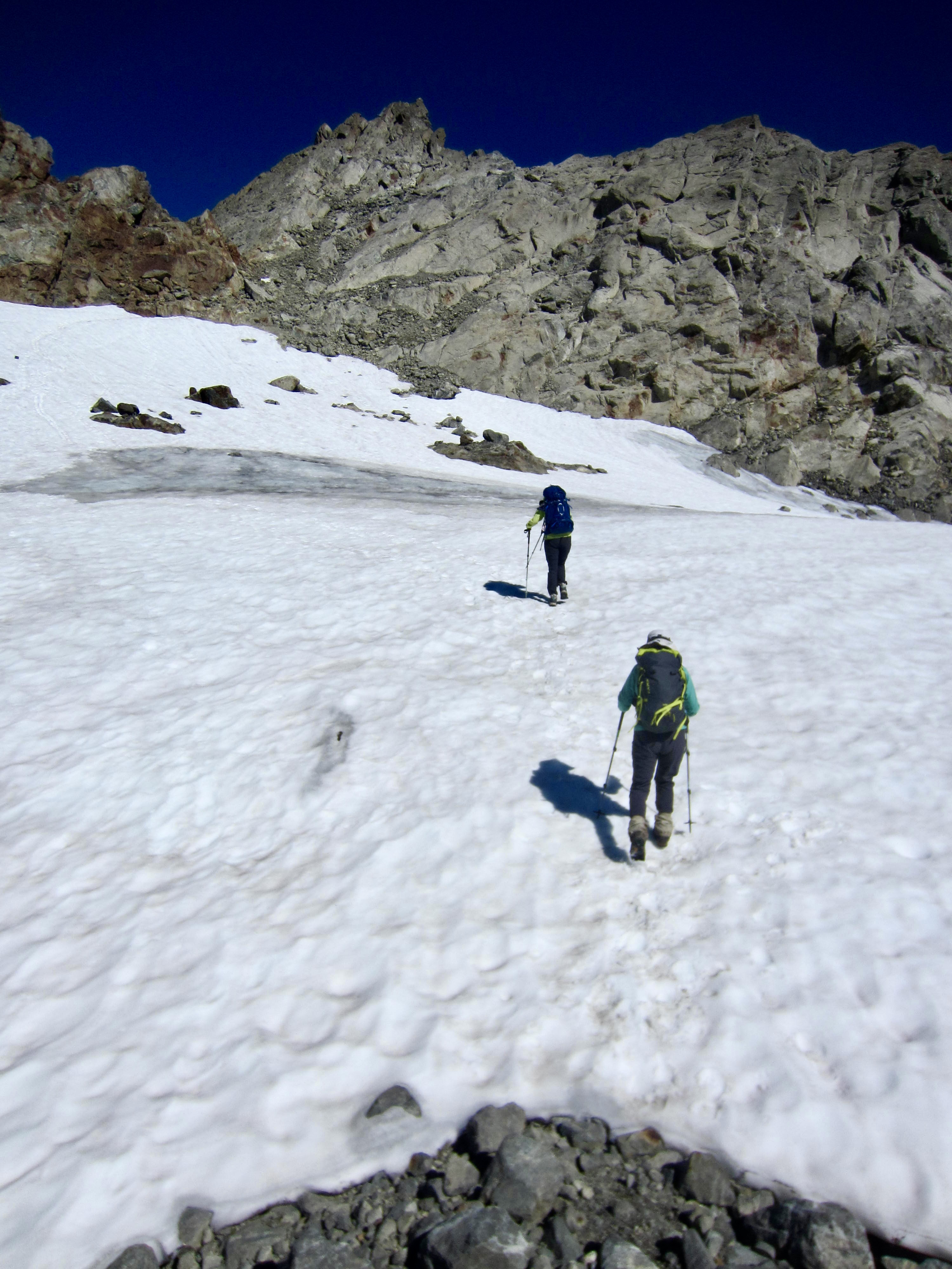
At an elevation of 6350 feet, the trail took a sharp left turn and disappeared underneath a permanent snowfield. This snowfield has only a moderate inclination, so we did not feel any need for ice axes or crampons. At the top, the trail reappears on a steep rubble field. The roof of the lookout cabin could be seen far overhead.
.
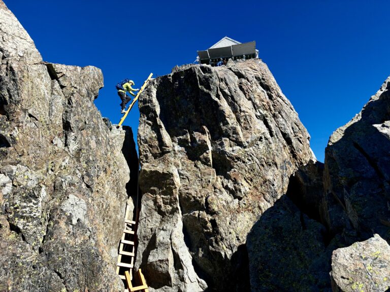
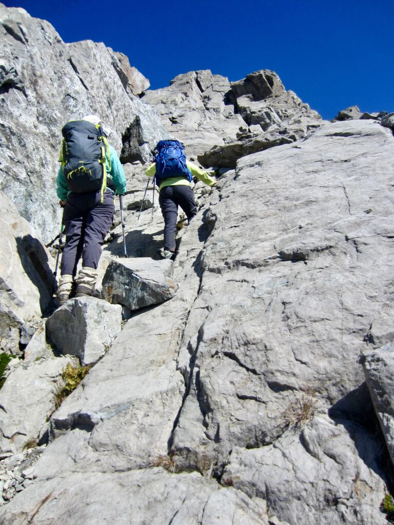
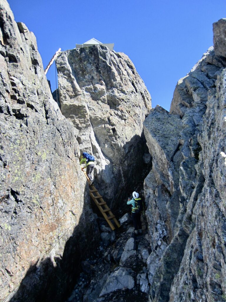
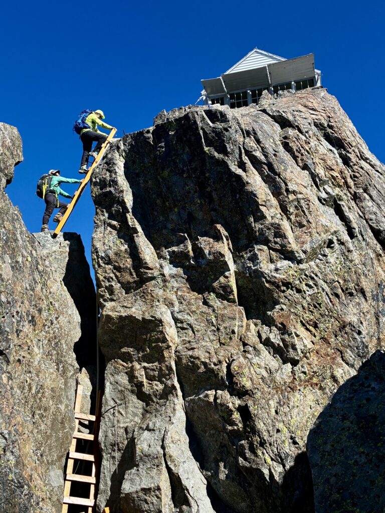
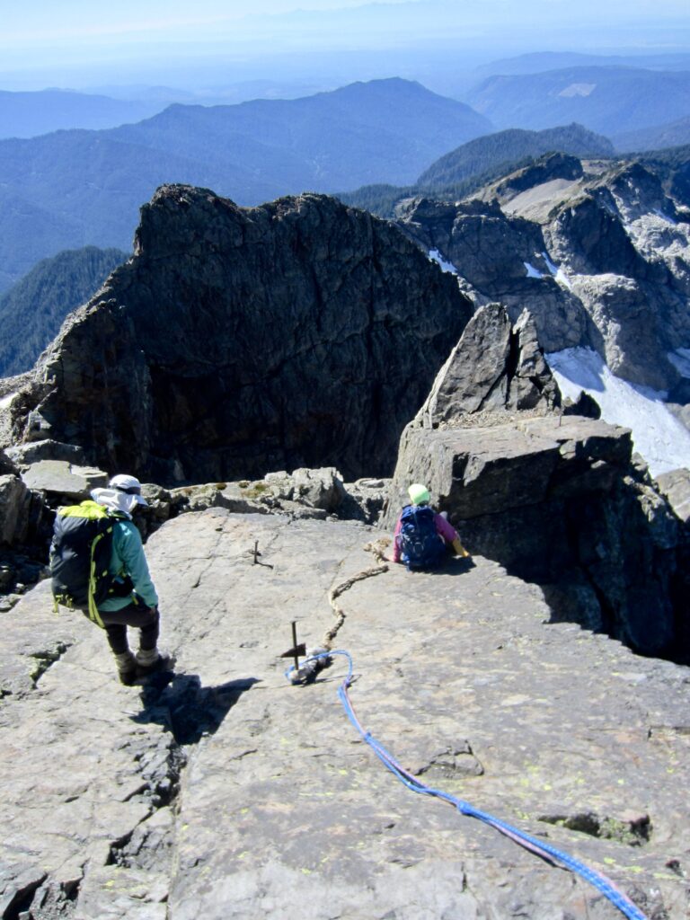
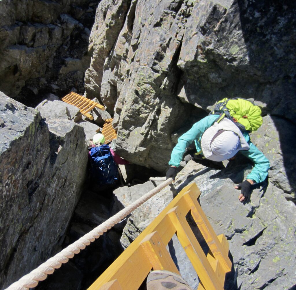
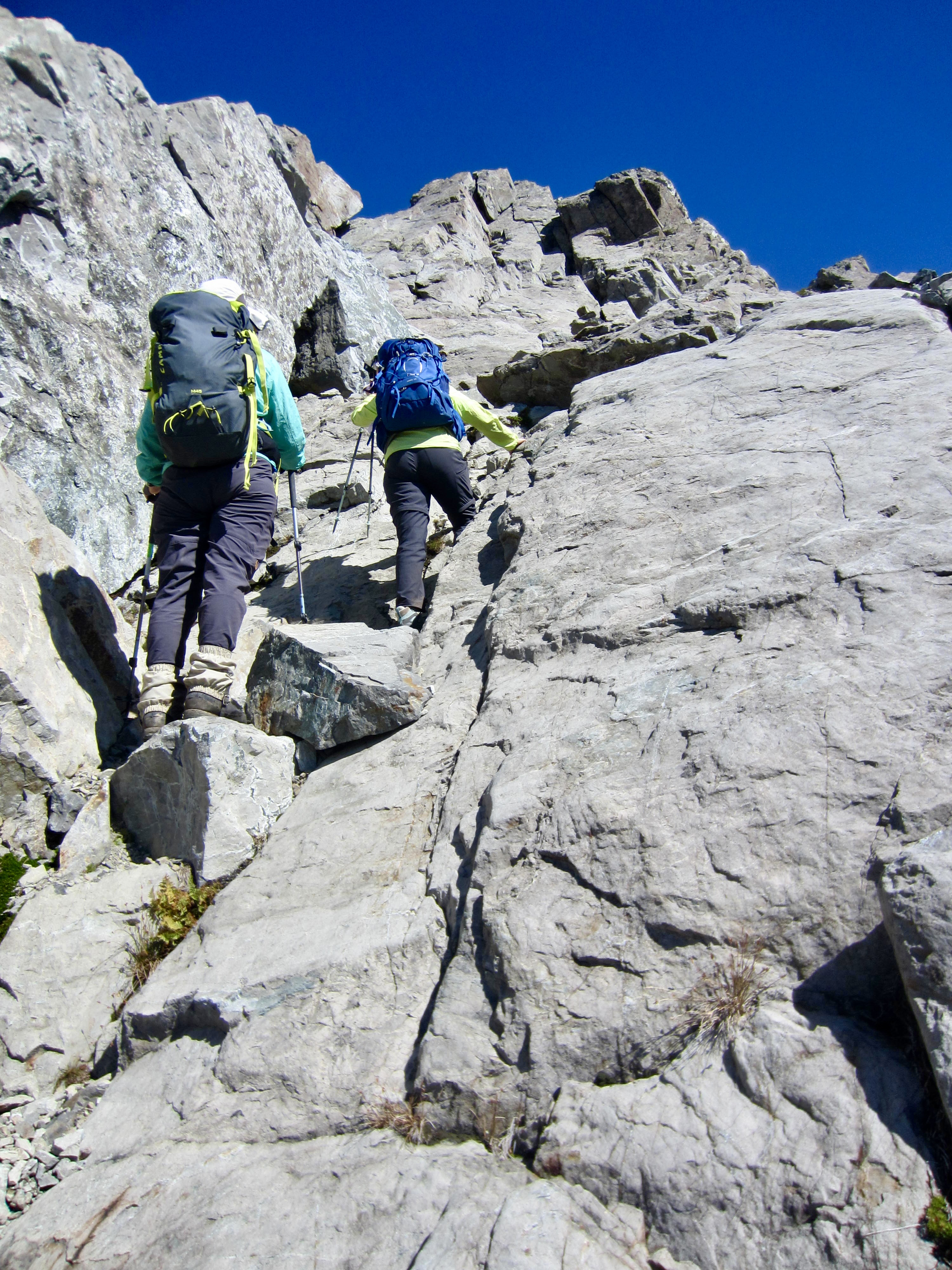
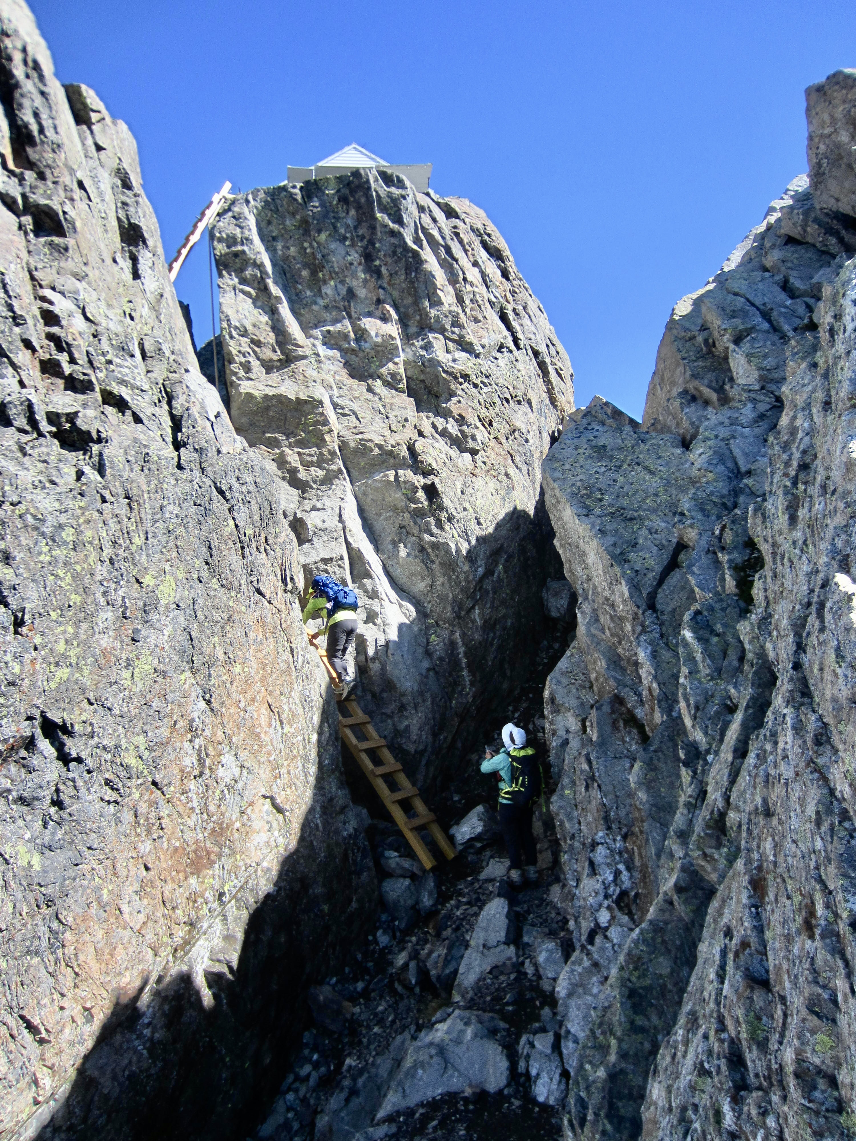
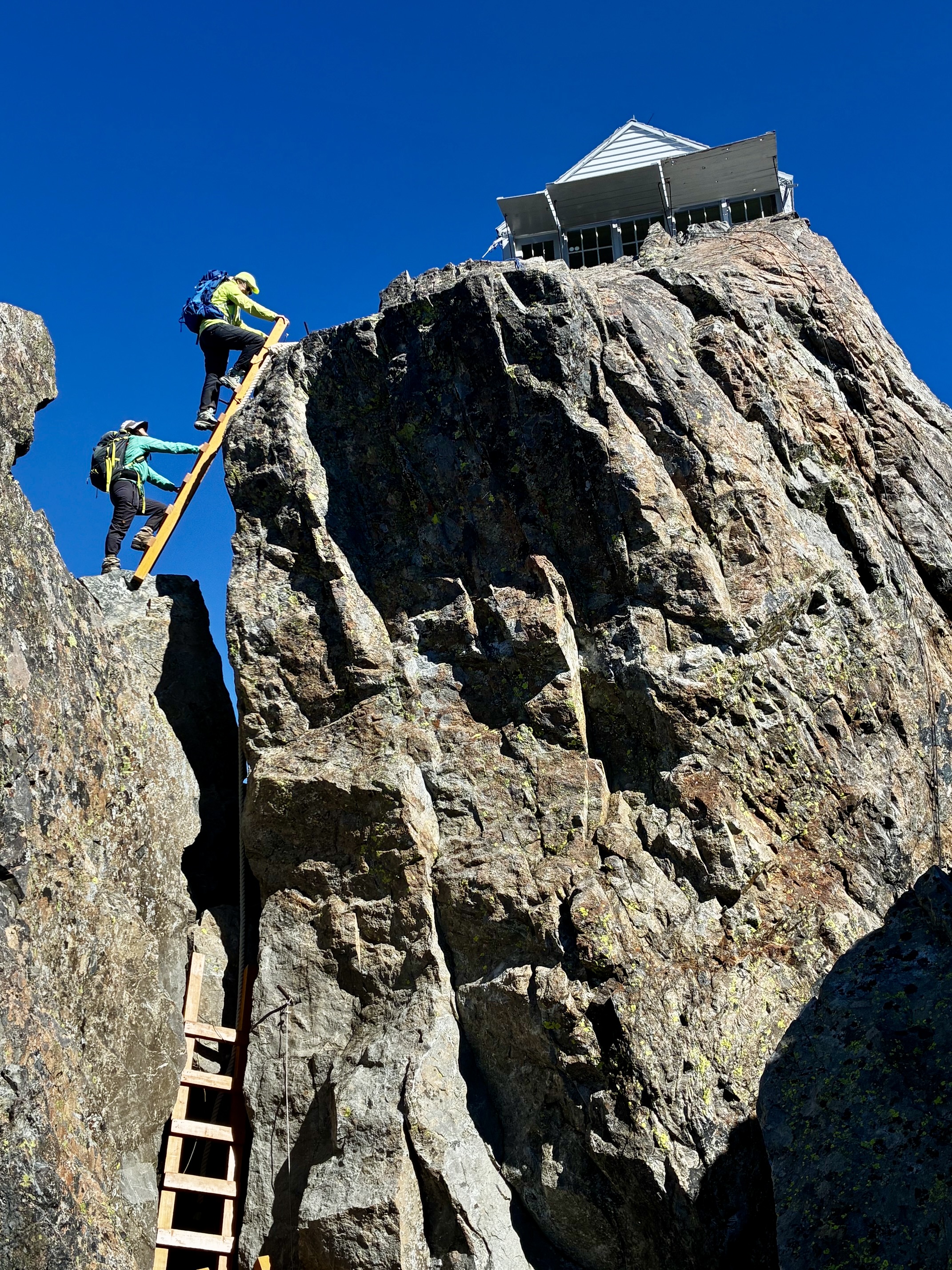
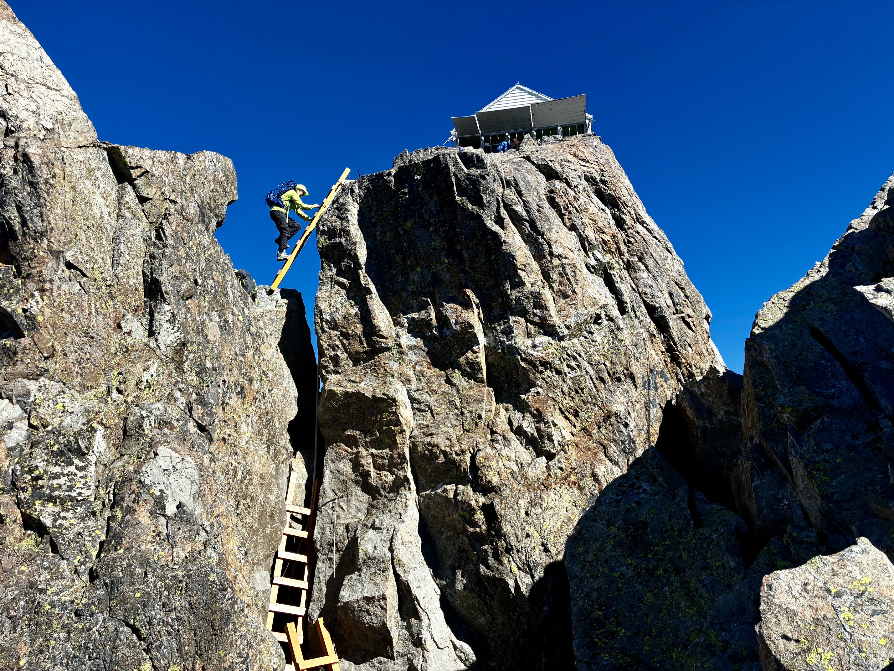
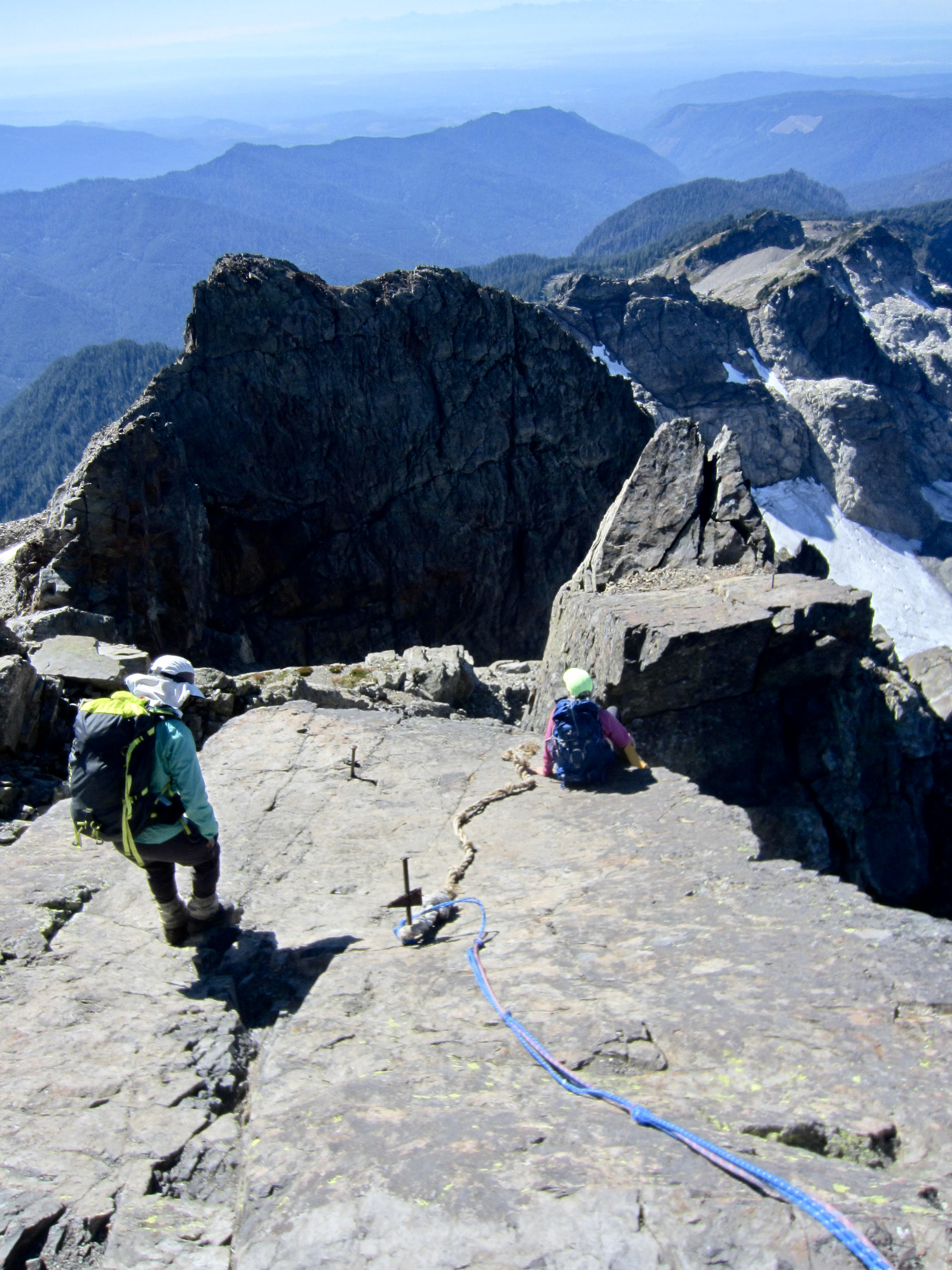
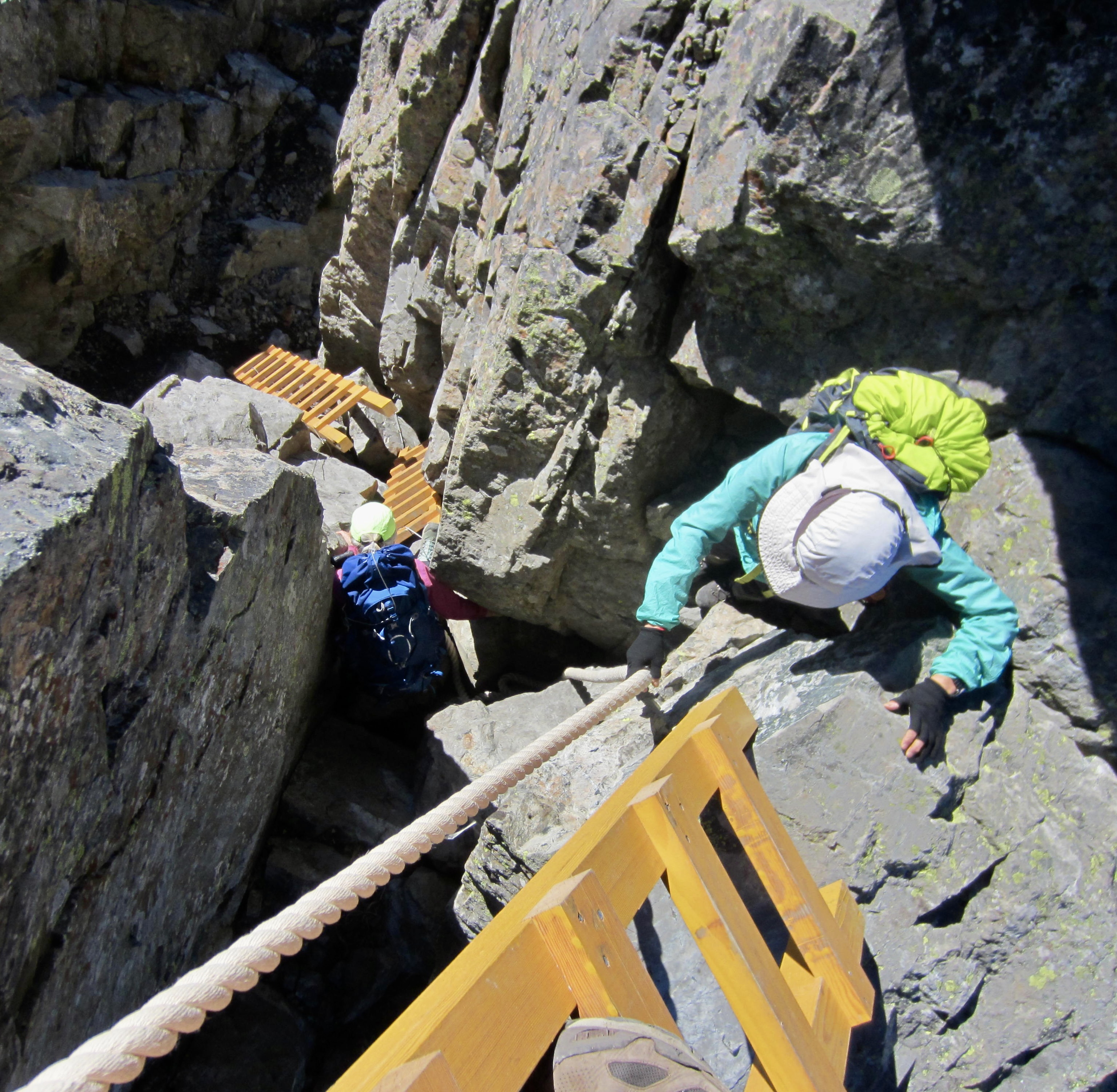
A short Class 2-3 scramble up a solid face, followed by a short leftward traverse across a ledge, brought us into a narrow gully directly beneath the summit pinnacle. Leading up this pinnacle were three wooden ladders. Three legendary wooden ladders. Even when you know what’s coming, it is still an amazing sight! Eileen and Yoko eagerly headed up the ladders while I hung back to photograph the dramatic scene.
.
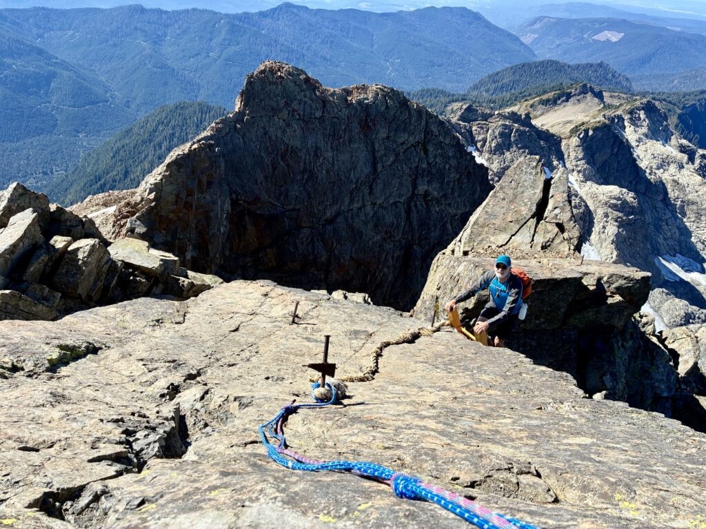
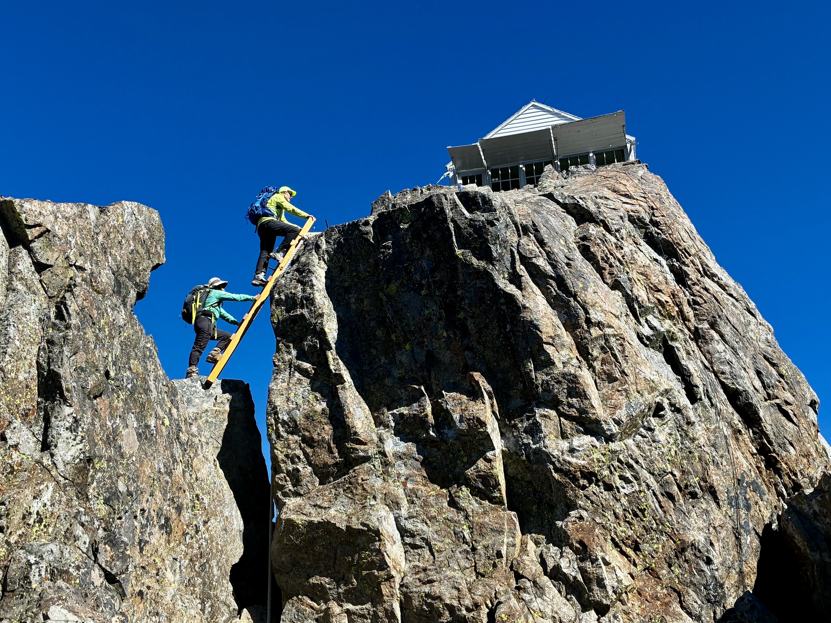
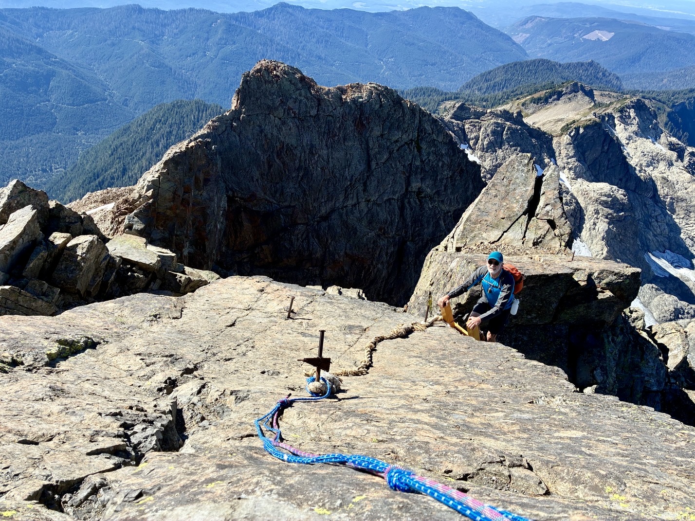
I was impressed by the quality of the new ladders, which were installed by volunteers several years ago. All three ladders are constructed of stout wooden members and are treated with a protective coating. A length of ship’s hawser hangs down to assist in the transition between the second and third ladders. Given the overall similarity to the iron ladders used in via ferrata routes throughout the Dolomite Alps, perhaps this part of the climb should be called a via legno, meaning “by way of wood.” Regardless what you call it, the ascent is sensationally exposed!
.
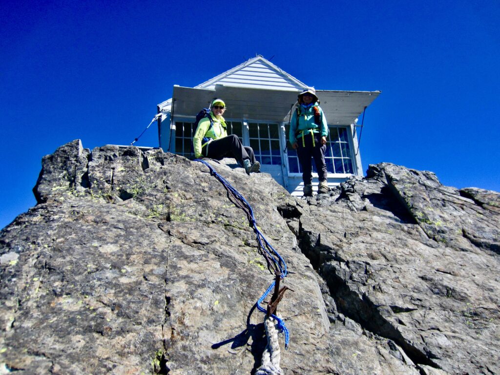
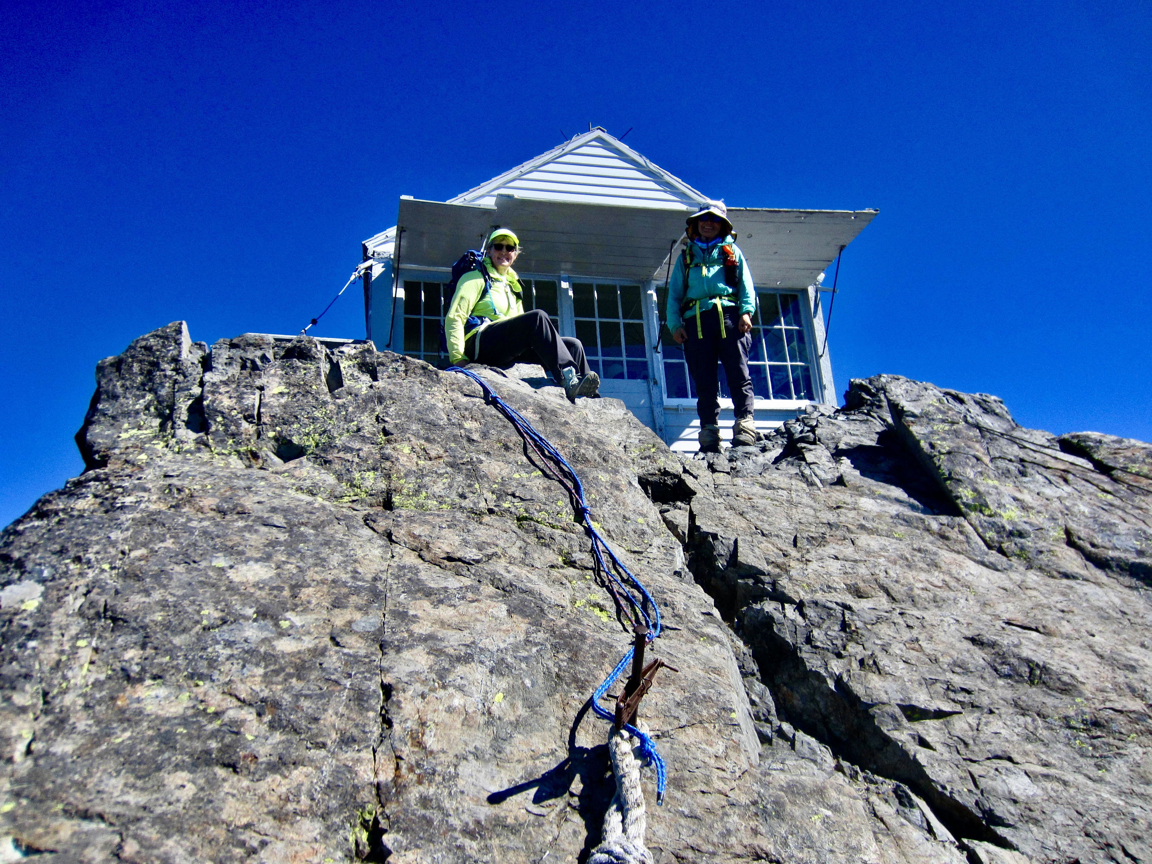
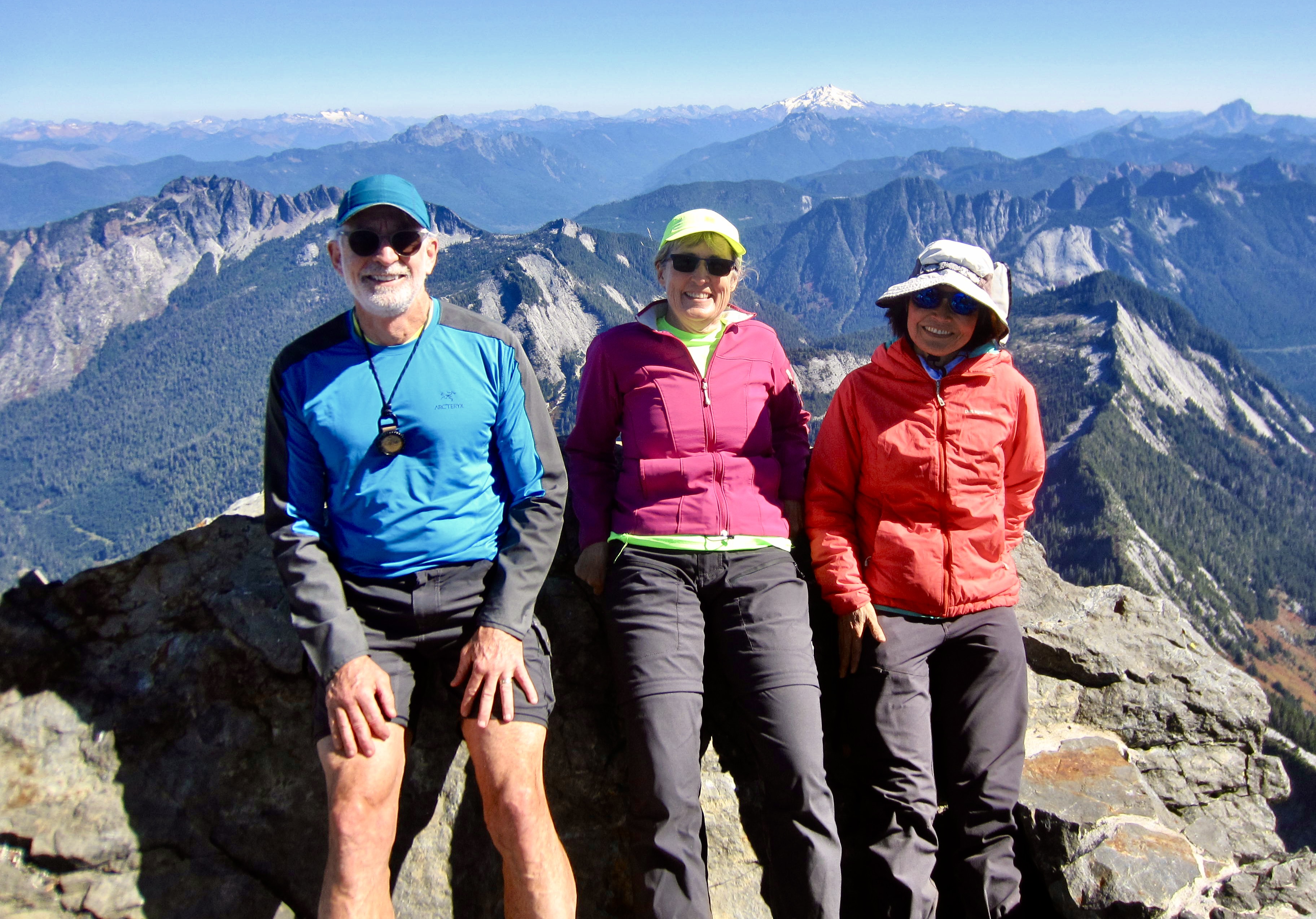
By 12:30pm, we were all gathered outside the front door of Three Fingers Lookout (3.5 hours + 2.7 miles + 2150 feet from camp). There were three young men from Oregon in the cabin, getting prepared to spend the night, and two day-tripping women were on the “rear patio” (they had used the Sevenmile Creek approach). A third solo hiker arrived shortly after us, but we were perplexed by the fact that Jack had not yet made an appearance. Still boiling water, we assumed.
.
.
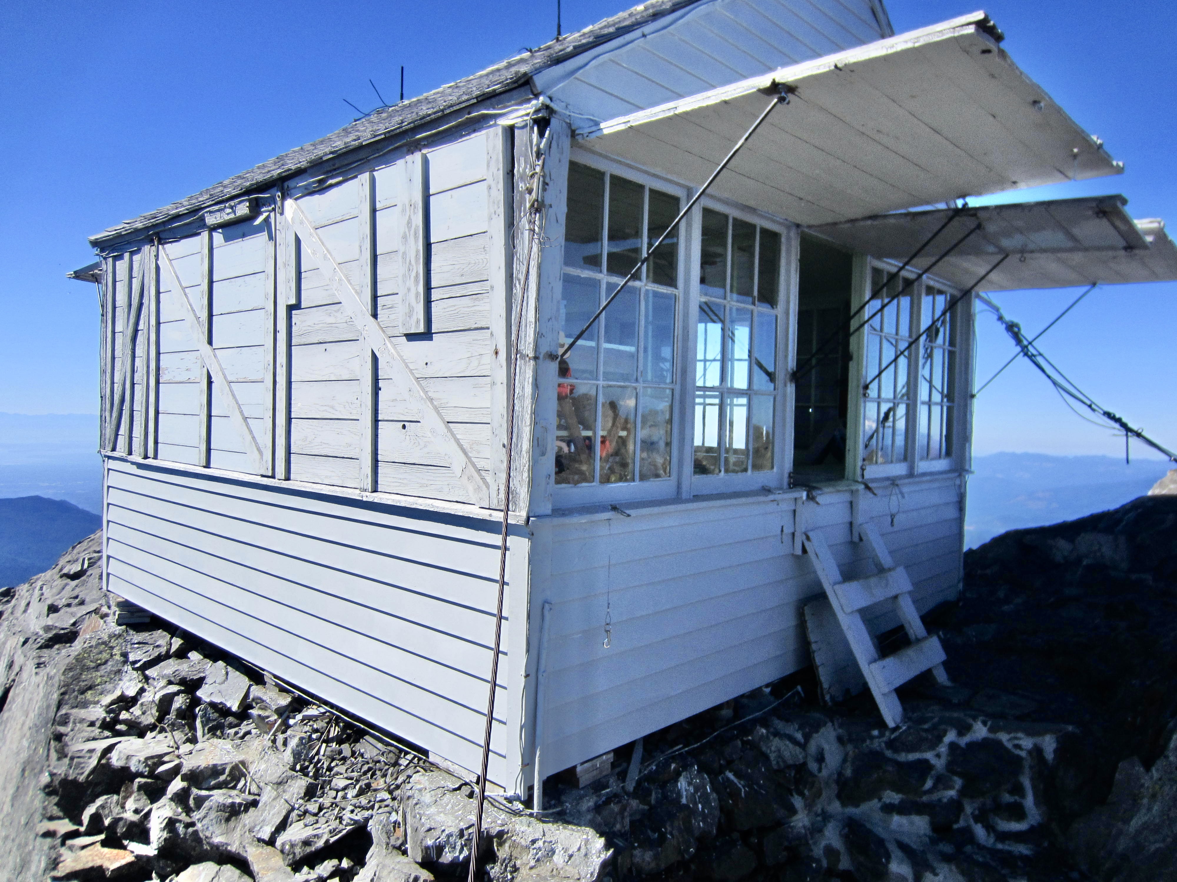
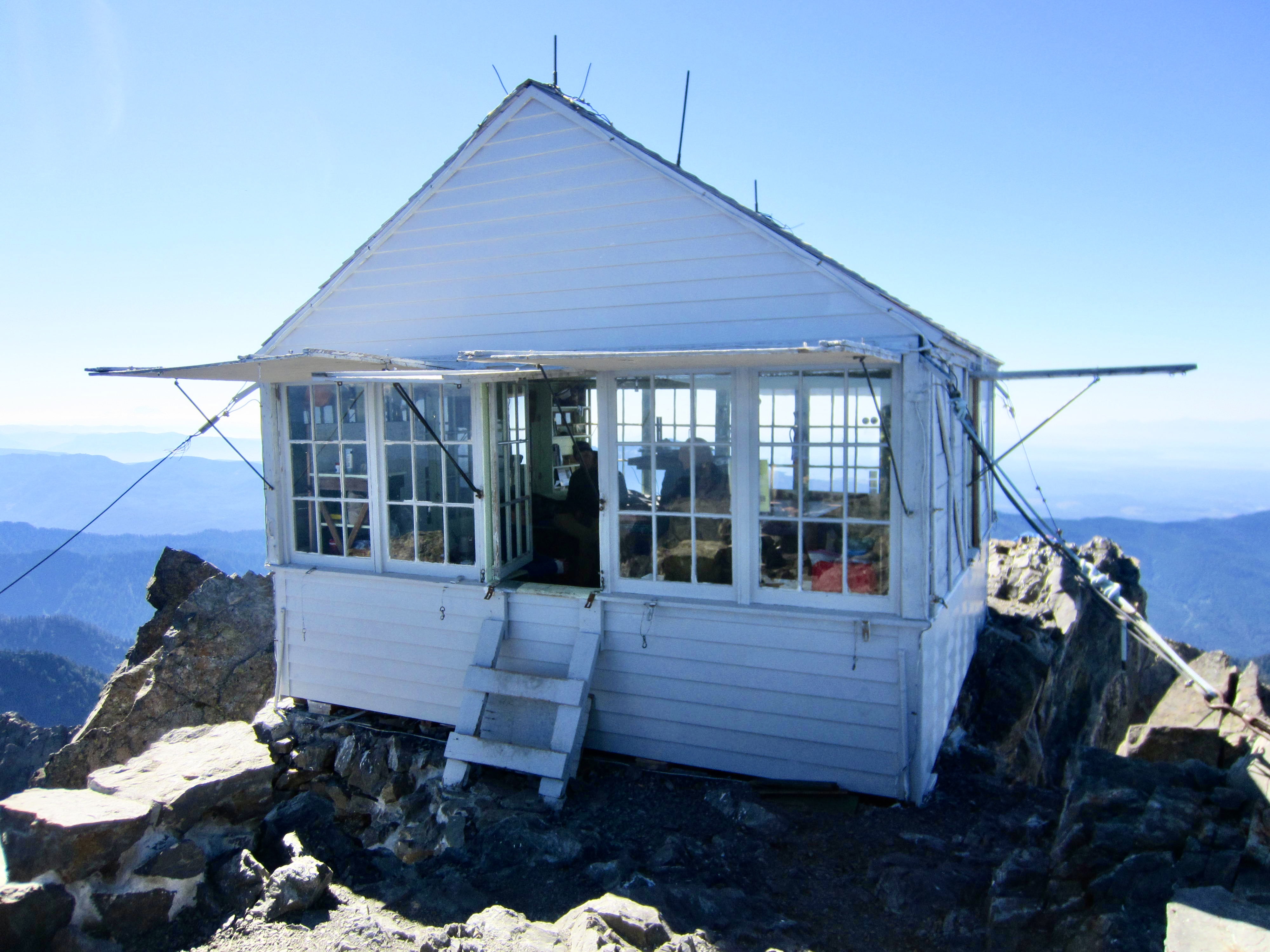
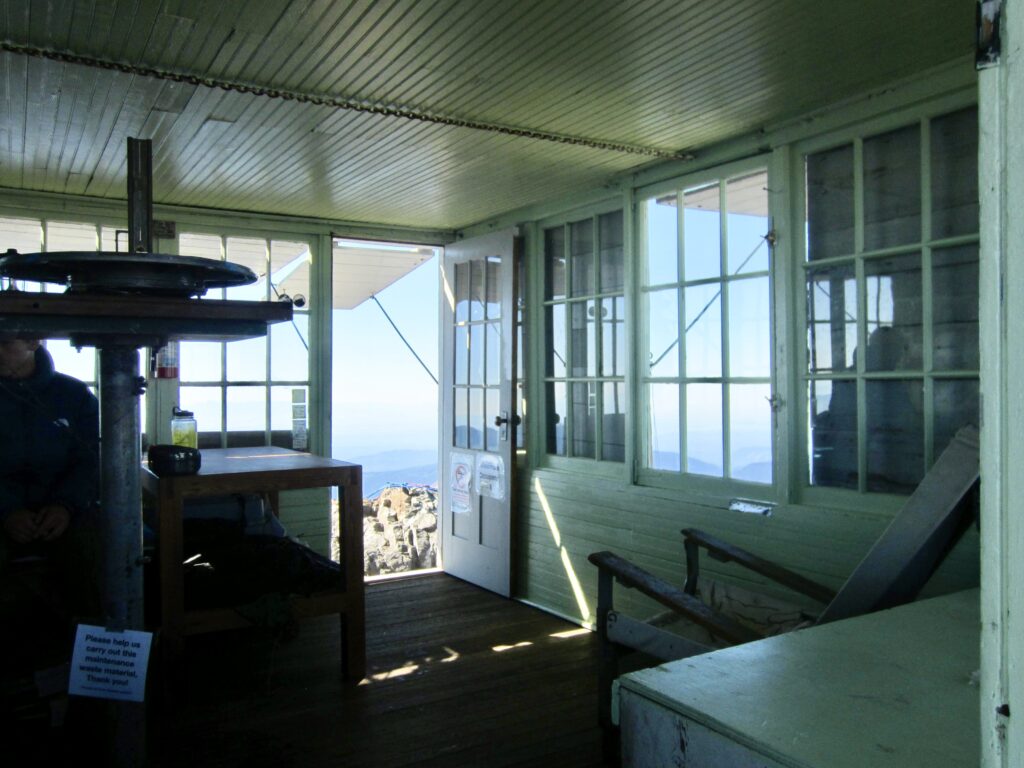
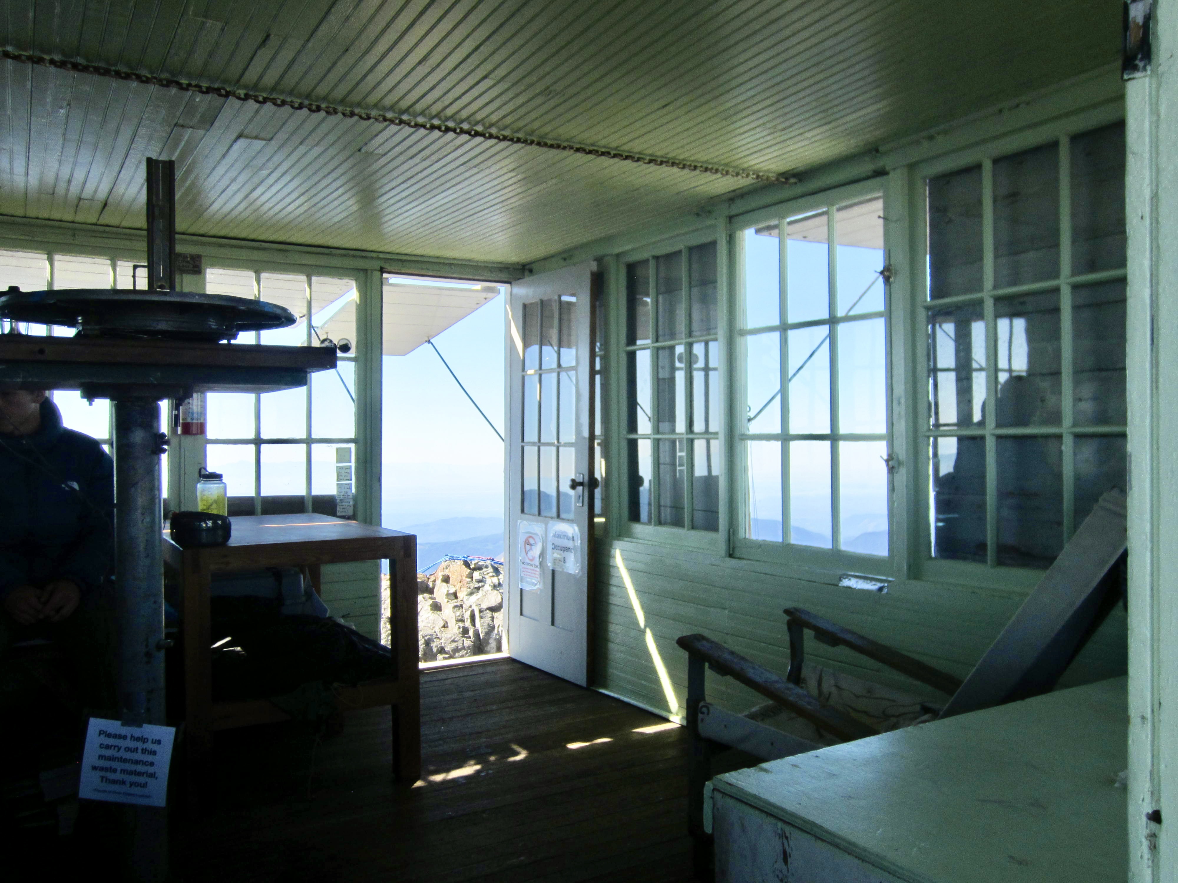
The lookout cabin consists of a simple 14-foot-square box with a gable roof and windows on all four sides. This style of lookout cabin was pejoratively nicknamed a “grange hall” due to its relatively mundane architecture. According to several reliable sources, the ascent trail was built in 1930, the summit pad was blasted in 1931, the cabin was erected in 1932, and staffing began in 1933. Since being decommissioned as an active fire lookout by the Forest Service years later, the cabin has been well-maintained by a herd of dedicated volunteers.
.
.
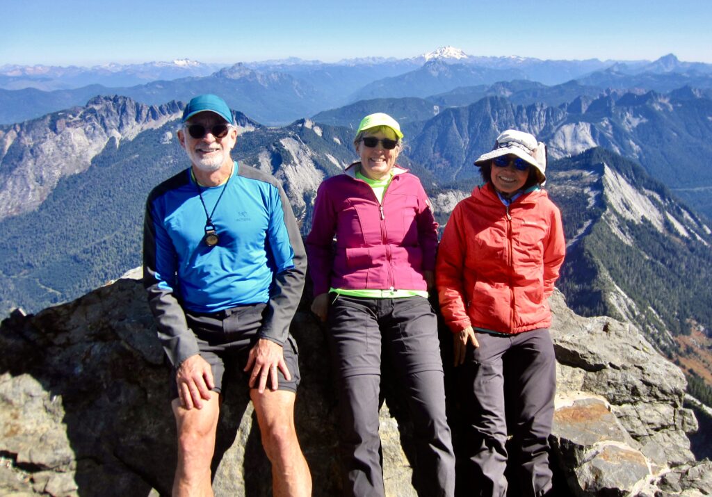
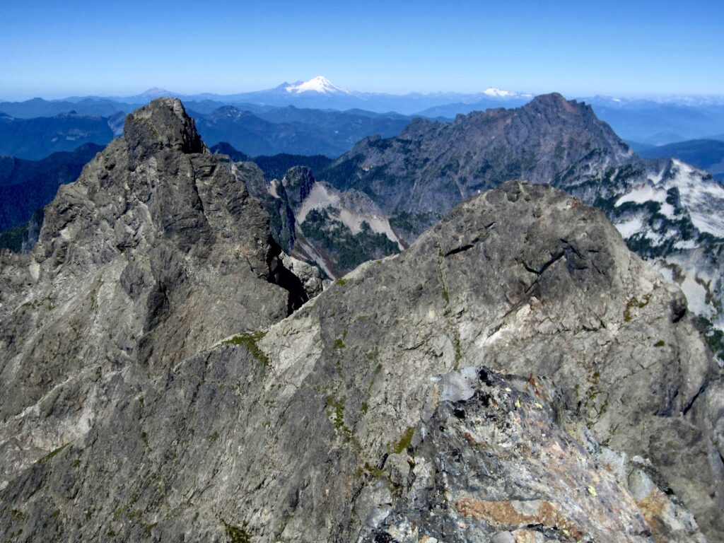
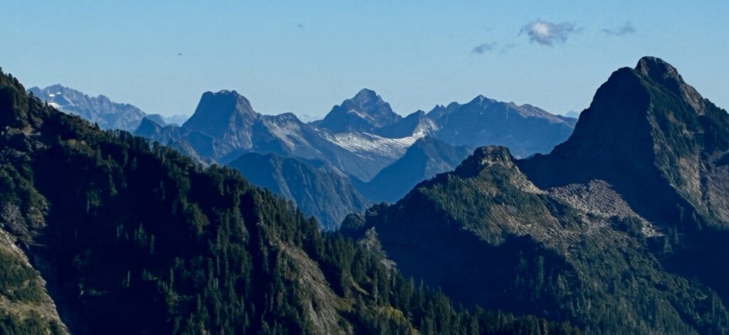
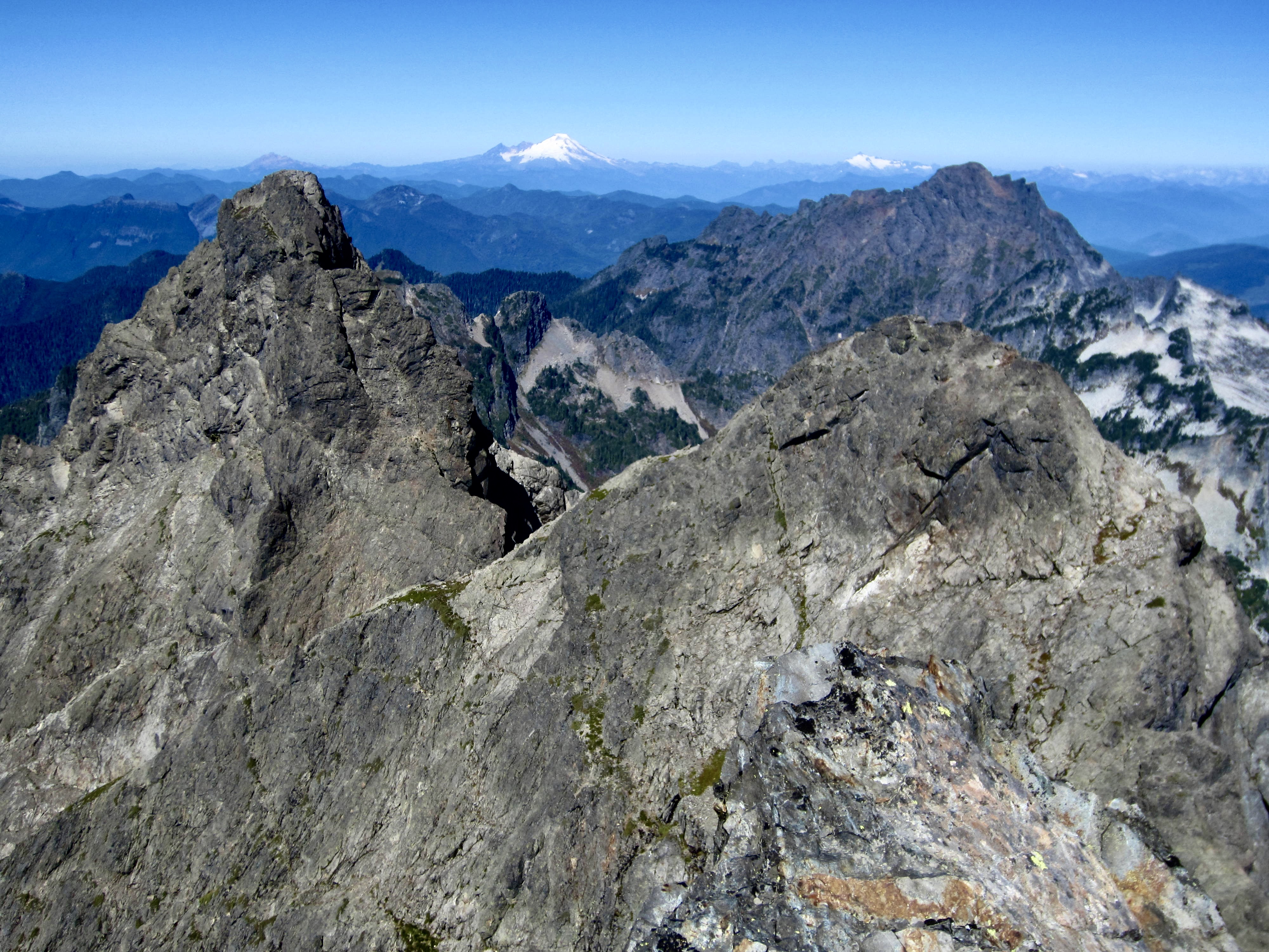
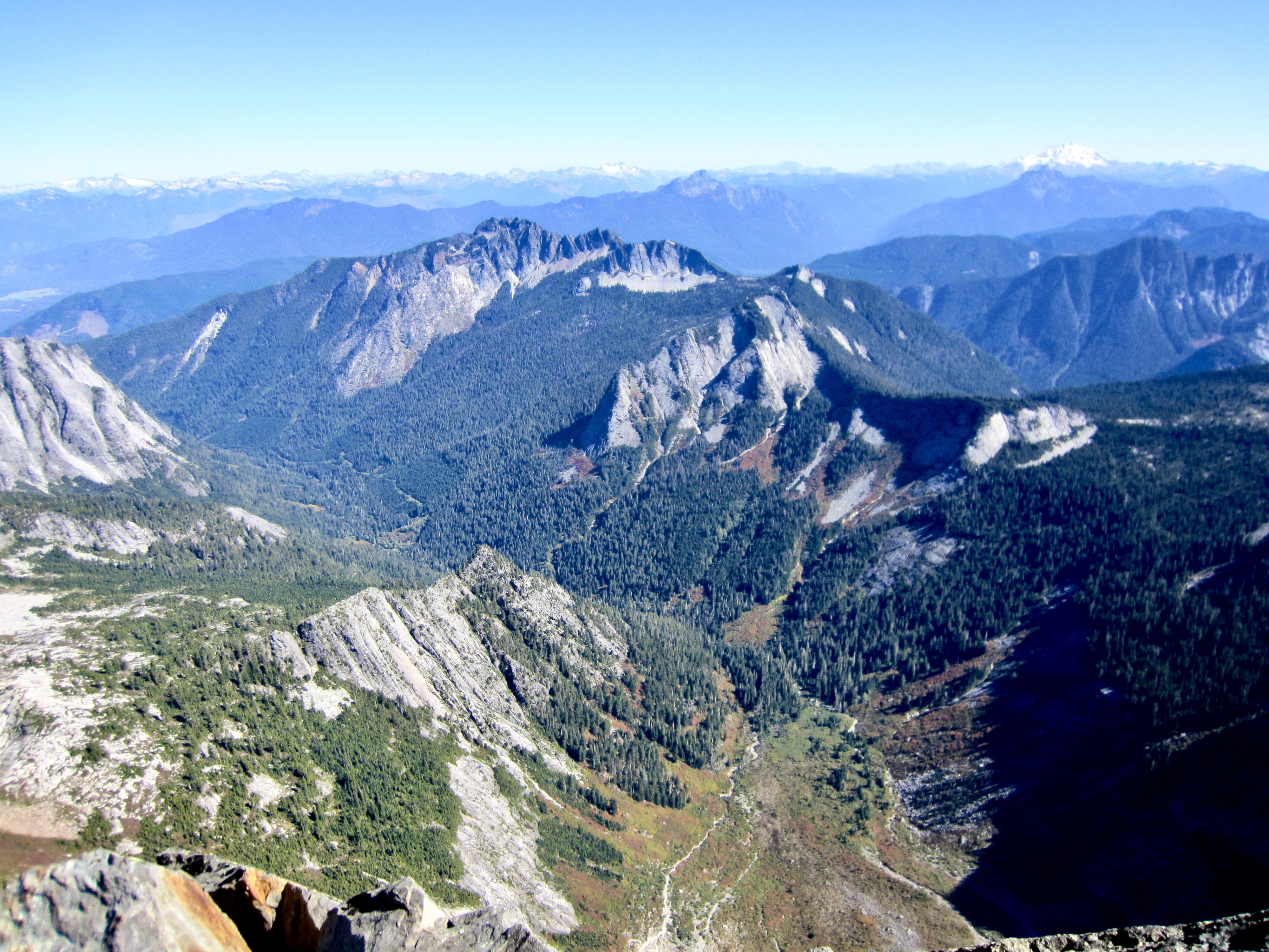
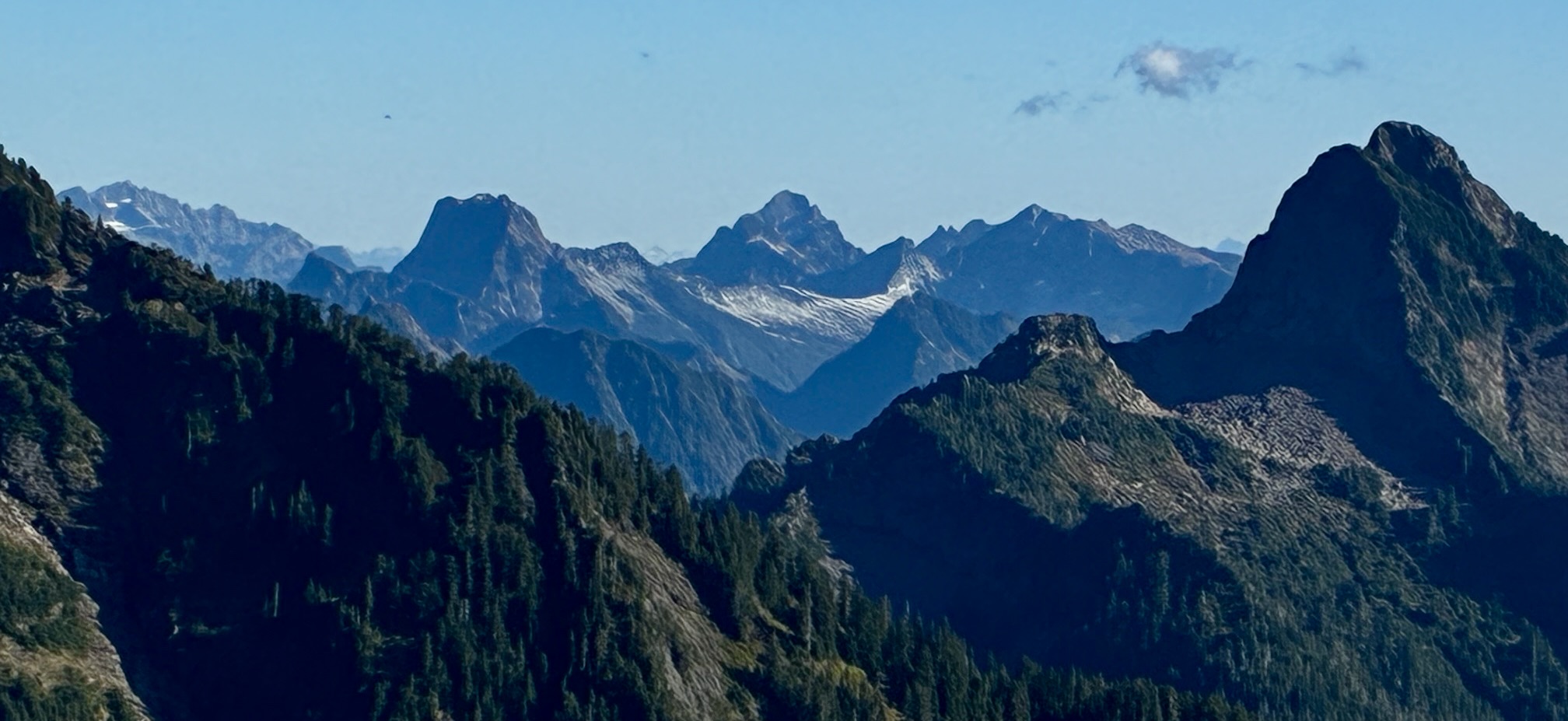
The location of Three Fingers Lookout was chosen because it provides an unobstructed view of the western Cascades, from Mt. Daniel and Chimney Rock in the south to Mt. Baker and Mt. Shuksan in the north. Nearby peaks of interest include the north finger, Whitehorse Mountain, Mt. Pugh, Liberty Mountain, and Del Campo Peak.
.
After an enjoyable 90-minute summit sojourn, Eileen, Yoko, and I began packing up our gear and preparing to leave. Just before we reached the ladders, Jack popped his head over the edge and triumphantly stepped up to the cabin with his overnight backpack. I overheard one of the occupants say, “You must be Jack. We’ve heard a lot about you.” Celebrity indeed!
.
We had an uneventful descent of the summit block and a relaxed hike back along the ridge trail. Because we were staying another night at Goat Flats, there was no need to hurry. Several hikers coming up the trail inquired about available space in the lookout cabin, which has a maximum capacity of eight people. No doubt, it was going to be a full house tonight.
.
.
.
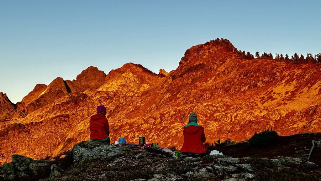
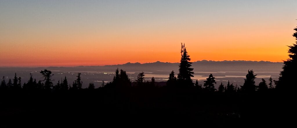
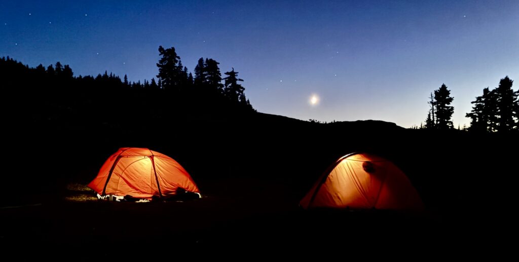
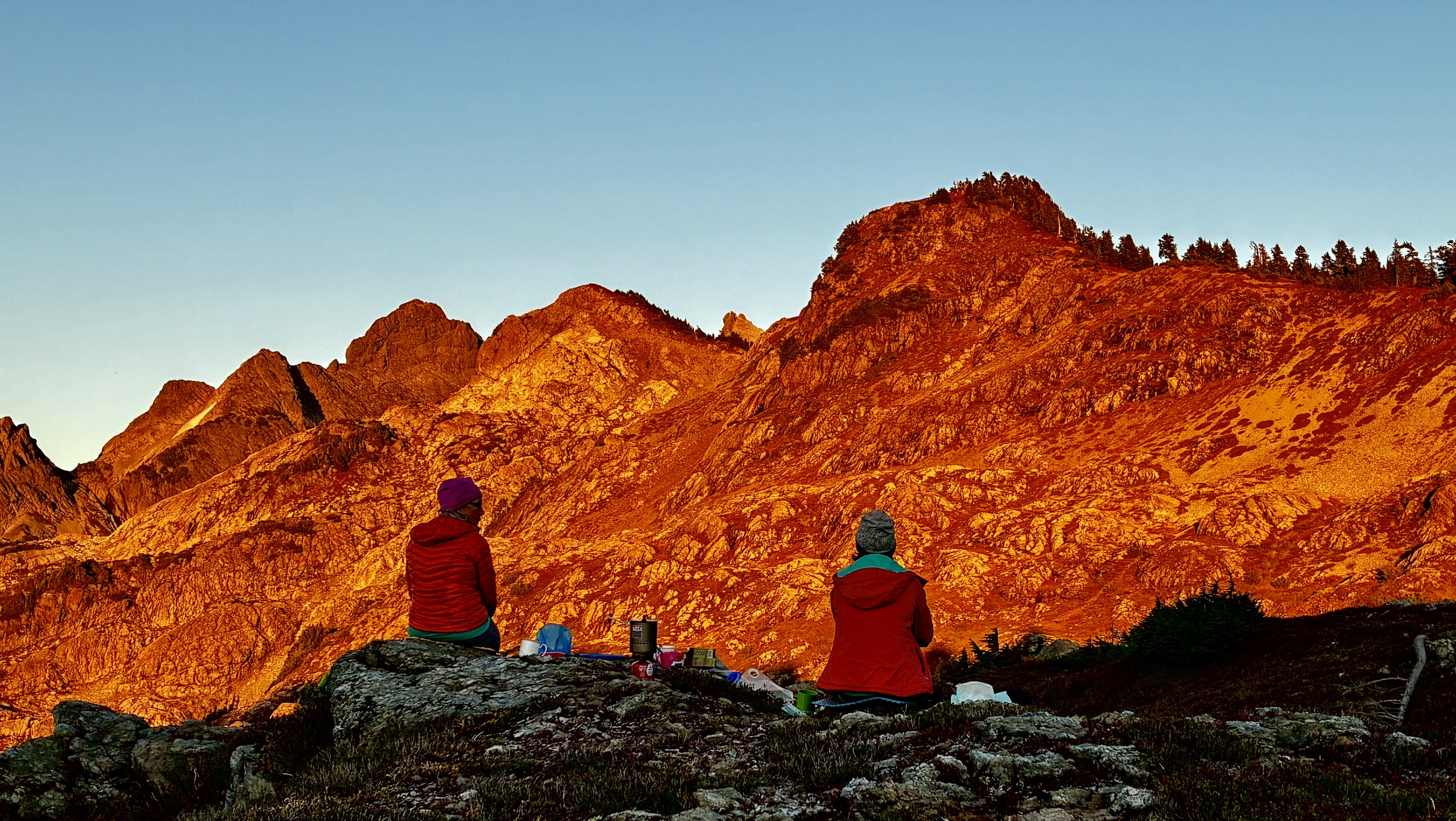
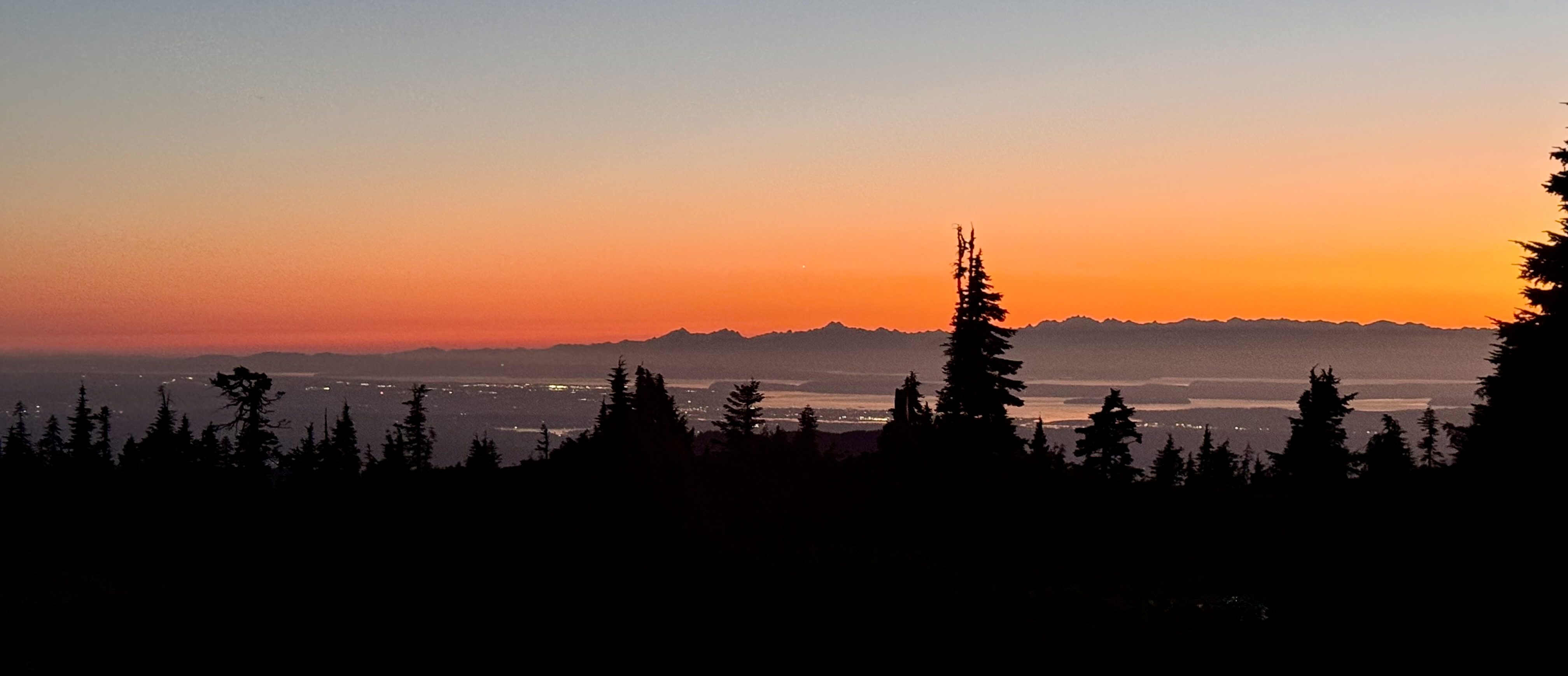
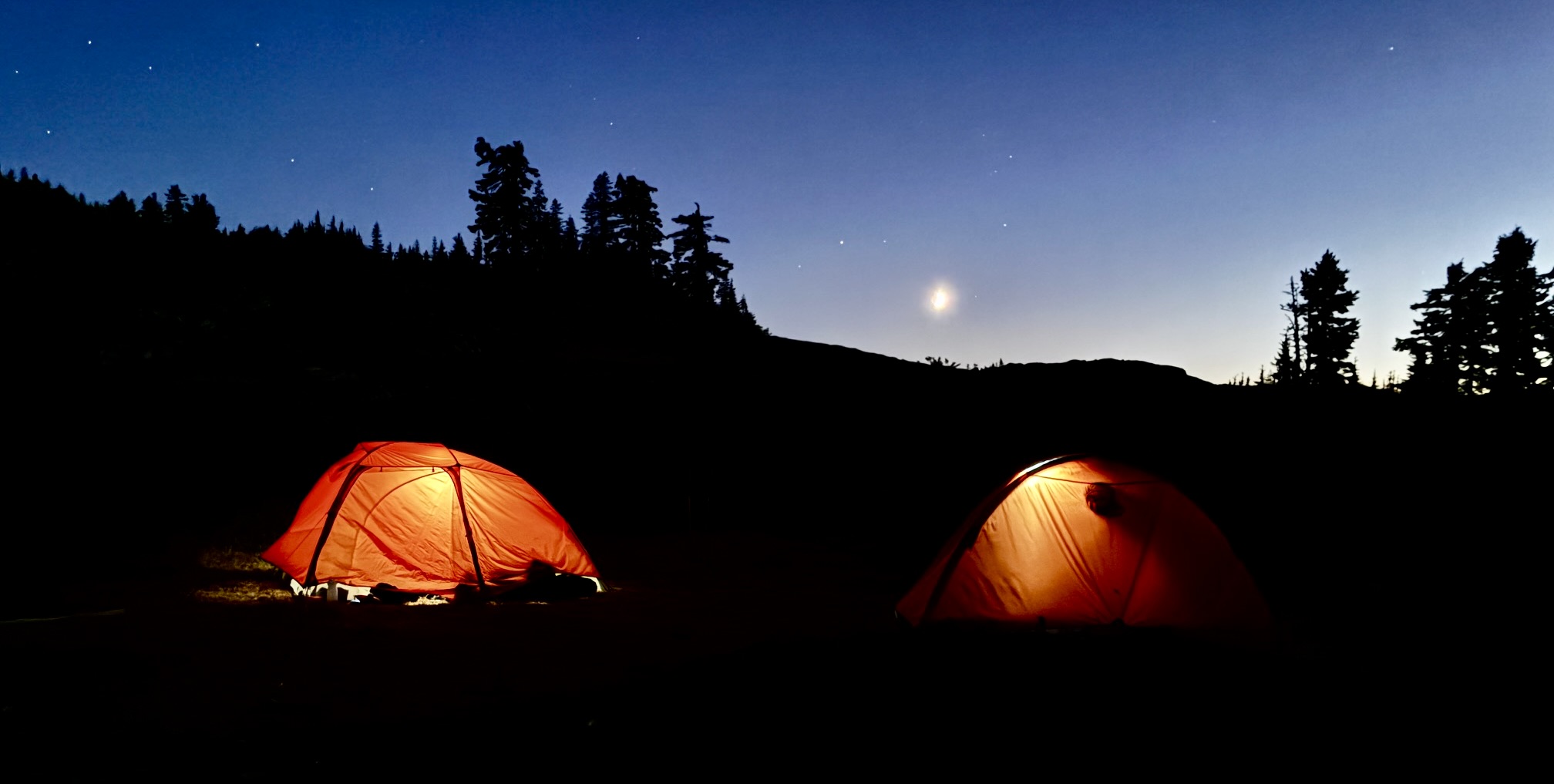
We rolled into Goat Flats shortly before 5:00pm (2.8 hours + 300 feet – 2150 feet from summit). The evening was mild and clear, so we had a leisurely dinner and then watched the slow transition from alpenglow on the mountain to rosy sunset over the Olympics to crescent moon rising over the ridge. It was a magical night in a special place!
.
.
.
.
Day 3: Goat Flats to Canyon Creek Bridge
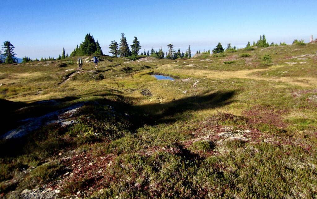
We awoke at 7:00am to see a blue sky above but a smoky haze on the horizon. Apparently, the ongoing wildfires were not going to be quelled by a couple rainy days. At 9:00am, we were back on trail, which took us down to Saddle Lake (1.4 hours from camp), then up and over Meadow Mountain. During our exit hike, we encountered a handful of day-hikers and overnighters who were making their own pilgrimage up to the lookout—and a pilgrimage it is. A final march down the road-trail delivered us to our waiting vehicle at 4:30pm (7.6 hours + 850 feet – 4250 feet from camp). The only blemish on this fabulous trek was having a mouse get into our bag of potato chips. Dang, those would have tasted good!
.
Route Map & Profile
…
…
Photo Gallery
Click to enlarge…