Originally Posted: December 2022
Updated: December 2024
Grand Prospect & West Rattlesnake Peak Ski Tour
Canyon Creek Hump
Checkpoint Junction
Grand Prospect
Rattlesnake Mountain: west peak aka West Rattlesnake Peak (3262 ft)
Route Summary
Region: Central Washington Cascades
Sub-Region: Issaquah Alps
Area: Raging River State Forest
Starting & Ending Point: Snoqualmie Point Trailhead on Winery Road (Elev. 1070 feet)
Typical Season: late December to early March
Option 1: Grand Prospect
Way Points: Road 8000 junction & Road 8100 junction & powerline crossing & Cedar Alley & Canyon Creek Hump & Checkpoint Junction / Road 5500 junction & crossover junction & Rattlesnake Mountain Trail junction & Grand Prospect (ski tour via Road 8000—Road 8100—Road 5500—Rattlesnake Mountain Trail)
High Point: Grand Prospect (Elev. 3080 feet)
Approximate Stats (round trip): 11.4 miles traveled; 2300 feet gained & lost.
Option 2: West Rattlesnake Peak
Way Points: Road 8000 junction & Road 8100 junction & powerline crossing & Cedar Alley & Canyon Creek Hump & Checkpoint Junction / Road 5500 junction & crossover junction & West Rattlesnake Quarry & West Rattlesnake Peak summit (ski tour via Road 8000—Road 8100—Road 5500)
High Point / Summit: West Rattlesnake Peak (Elev. 3262 feet)
Approximate Stats (round trip): 12.4 miles traveled; 2500 feet gained & lost.
Information Sources
The following links provide helpful information for planning this ski tour. Even these information sources, however, should not be taken as a substitute for having the fitness, knowledge, equipment, and clothing required for ski touring.
>>> WSDOT road reports for Interstate-90 and Snoqualmie Pass
>>> National Weather Service weather forecast for Snoqualmie Pass area
>>> Northwest Avalanche Center avalanche forecast for Snoqualmie Pass area
>>> Other easy to intermediate ski tours in the I-90 / Snoqualmie Pass corridor
Route Overview
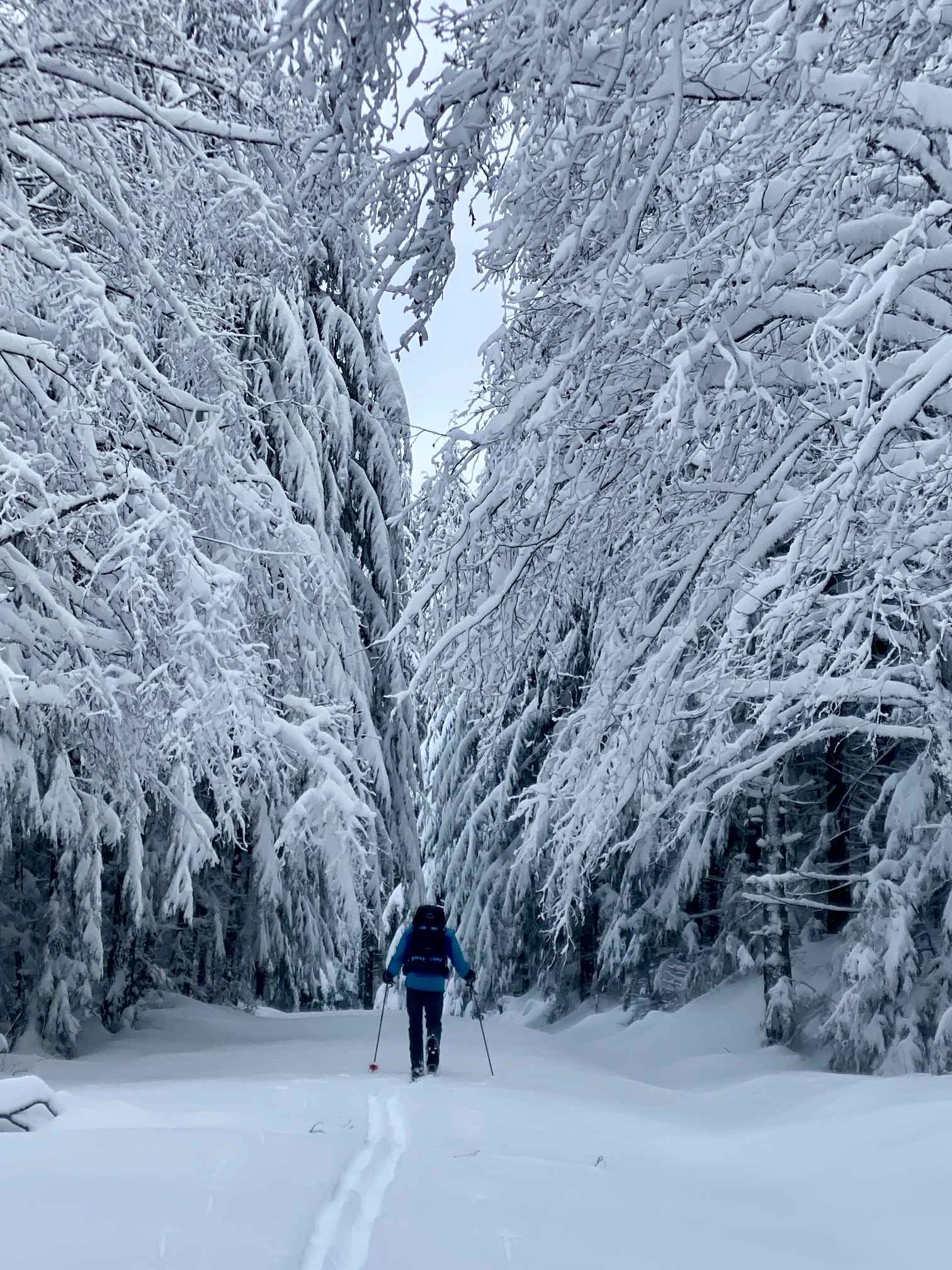
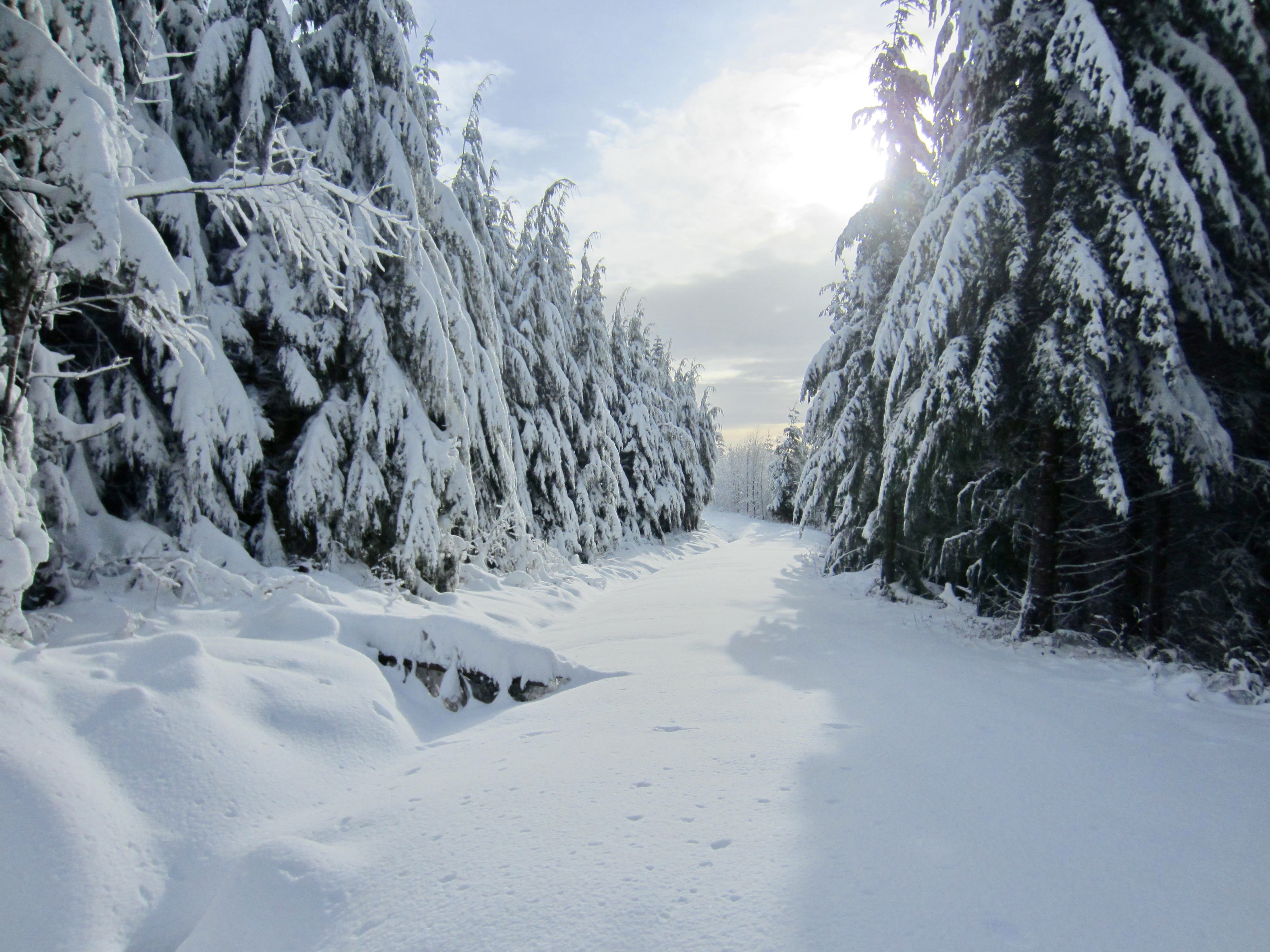
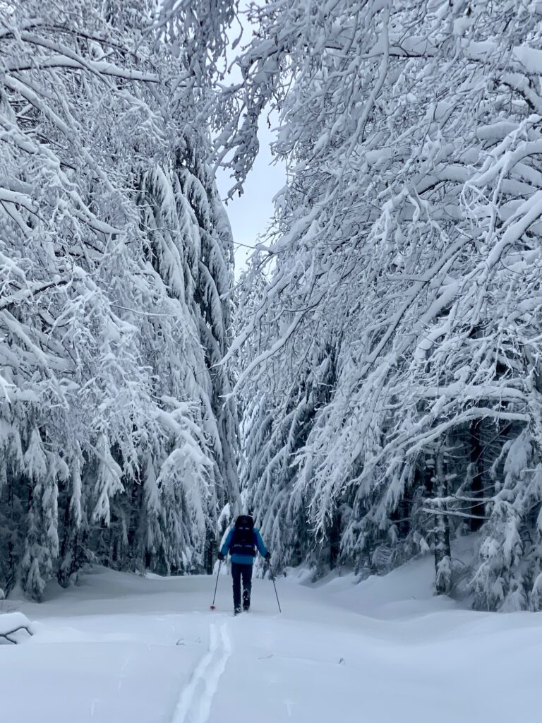
When the Puget Sound lowlands get a dusting of snow and the Cascade foothills get a solid blanket of white, I frequently head to the Issaquah Alps with my backcountry skis. These local hills offer surprisingly good ski touring and snowshoeing options without having to drive very far from home—something that I greatly appreciate when freeway conditions over Snoqualmie Pass are treacherous. Moreover, on those occasions when Interstate-90 gets closed at North Bend, the Issaquah Alps become a snowy gold mine!
Based on my experience, the best ski tours in the Issaquah Alps are Grand Prospect and West Rattlesnake Peak on Rattlesnake Mountain. Both tours begin at Snoqualmie Point Trailhead and follow the same forest roads for the first 5½ miles before diverging toward their separate destinations. Grand Prospect is a bit shorter and more protected from wind, so it makes a better choice in foul weather. West Rattlesnake Peak is a bit longer and more exposed, but it provides the satisfaction of a mountain summit—albeit, not a particularly attractive summit. Neither destination involves any notable avalanche terrain, which makes them feasible in a wide range of hazard conditions.
Although the following two route descriptions are presented as backcountry ski tours, it is certainly possible to complete either of them as a snowshoe hike. However, the dozen or so miles of travel over fairly low-gradient roads would be extremely tedious on snowshoes. A better snowshoe route to Grand Prospect is the Rattlesnake Mountain Trail, which begins at the same trailhead but takes a much more direct path. From Grand Prospect, the summit of West Rattlesnake Peak can be reached by a ¼-mile cross-country snowshoe ascent through the forest.

.
Parking Comments
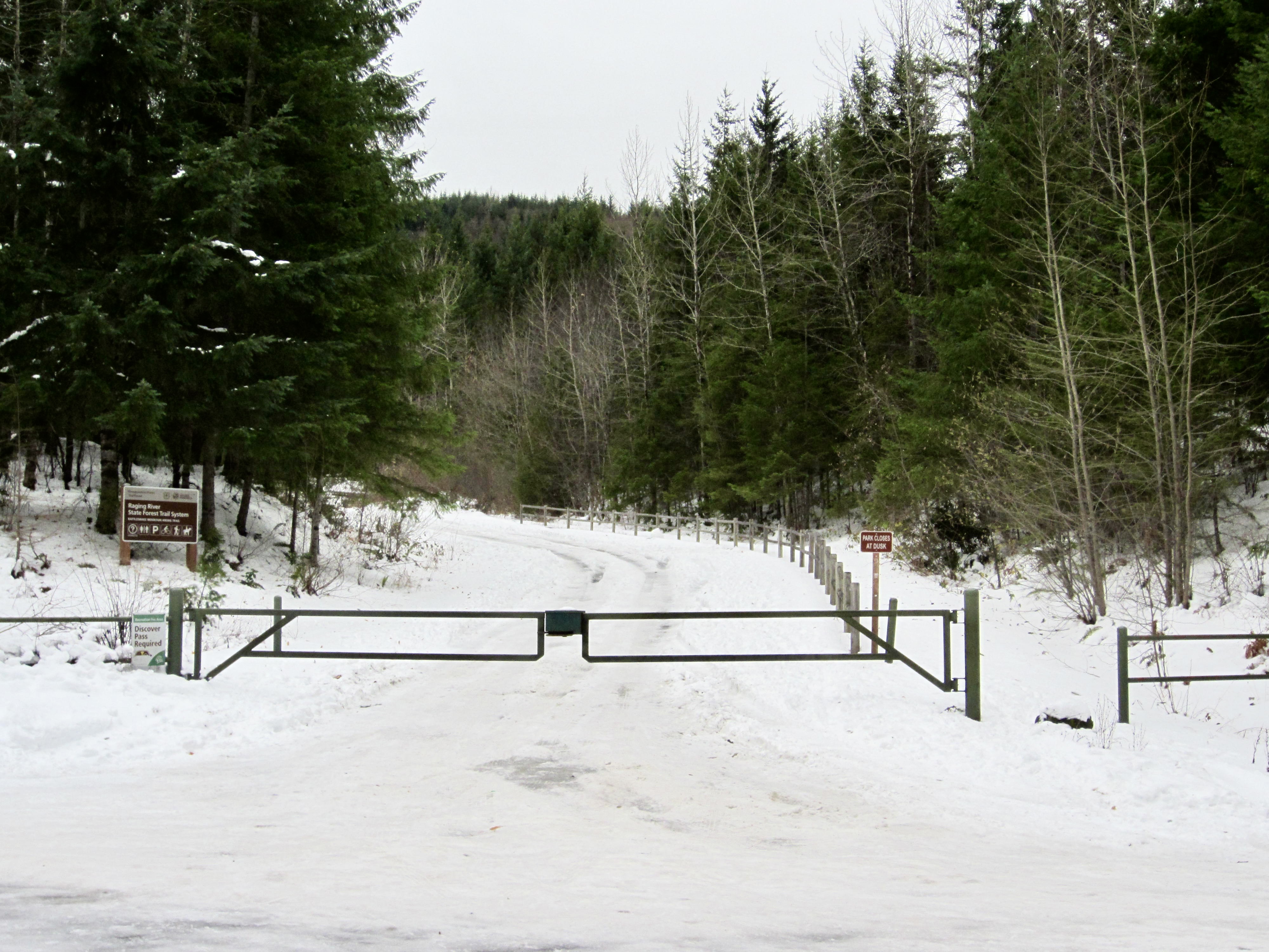
Snoqualmie Point Trailhead is located a short distance from Interstate-90 off Exit 27. However, the parking situation at this trailhead can be a little problematic in the wintertime, especially on busy weekends. Because the parking lot is not routinely plowed, and because the entrance is sometimes gated during snowy weather, access to the parking lot can be difficult or impossible. Fortunately, there is usually some limited parking space alongside the road just outside the entrance gate and/or a bit farther up the road at Snoqualmie Point Park. On any winter day, an early start and an all-wheel drive vehicle are recommended to ensure that you can secure a parking spot.
.
Route Description
The following route description is presented in four parts: (1) Trailhead to Milepost 5.5, (2) Milepost 5.5 to Grand Prospect, (3) Milepost 5.5 to West Rattlesnake Peak, and (4) Descent to Trailhead.
Trailhead to Milepost 5.5
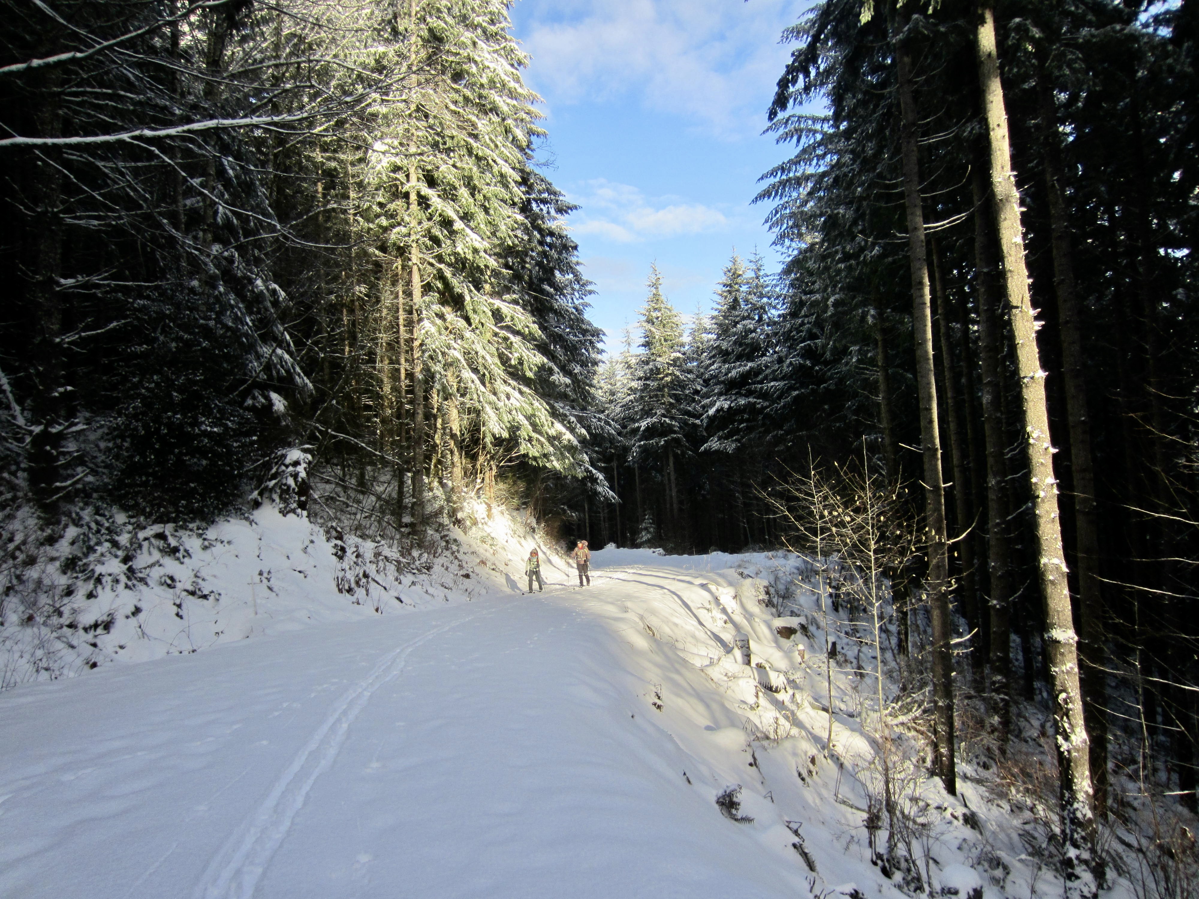
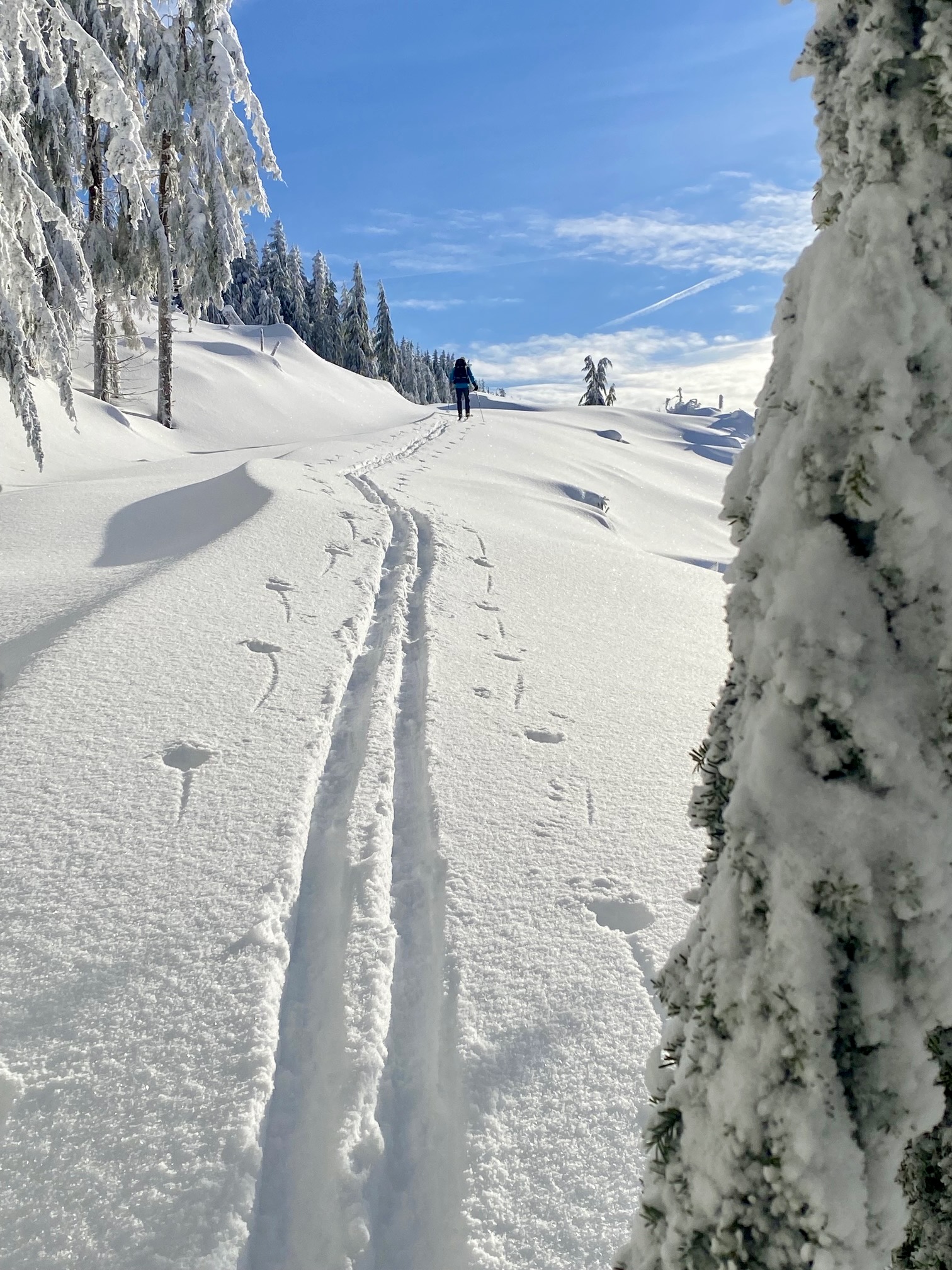
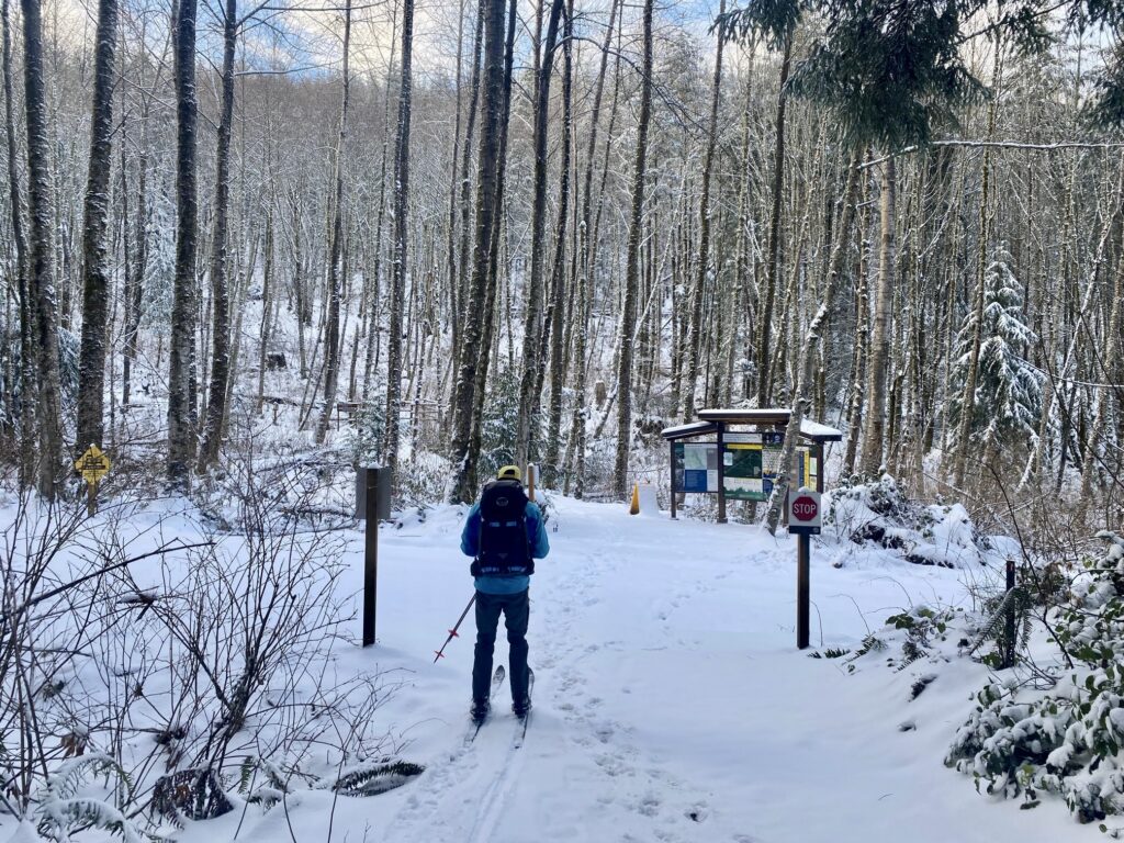
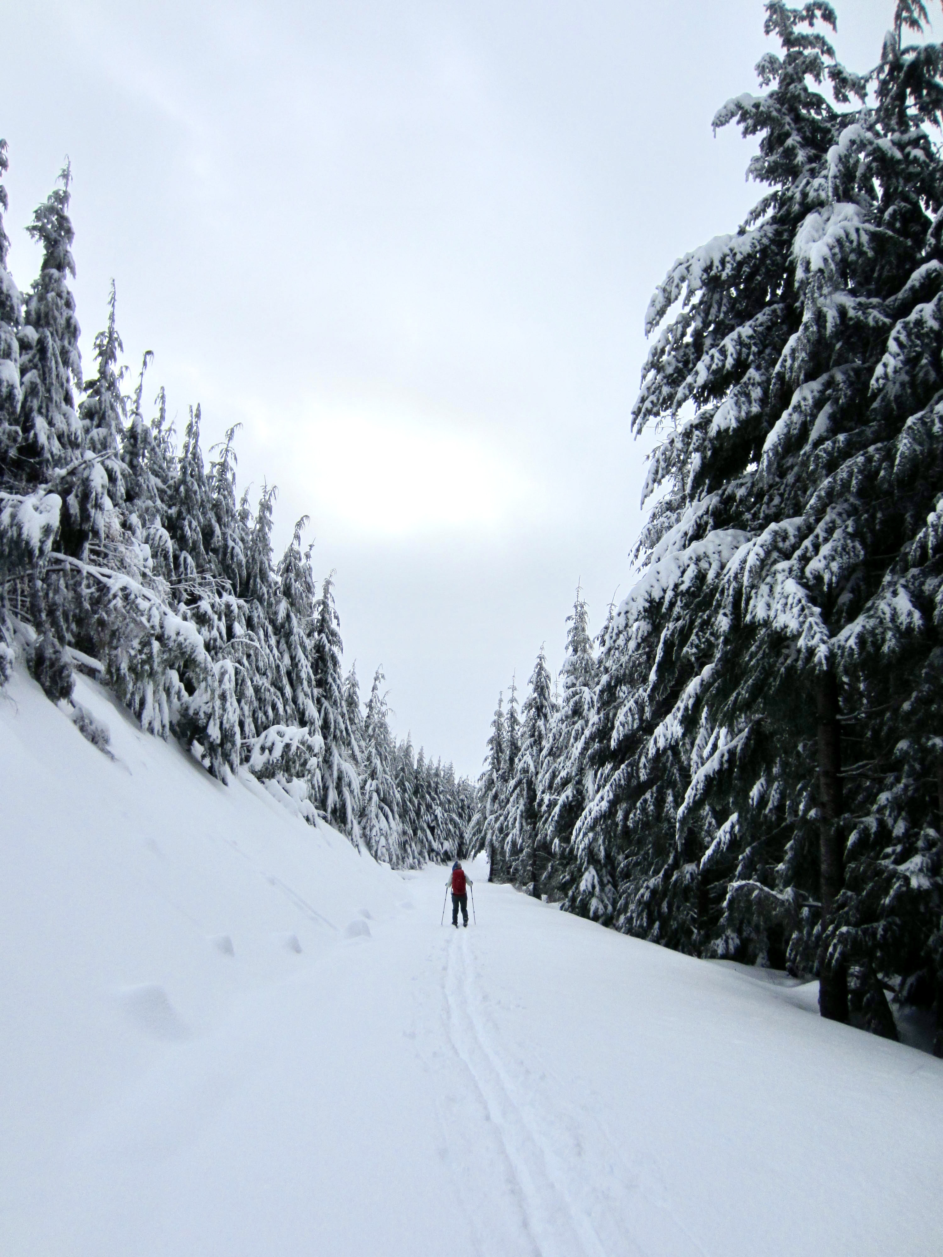
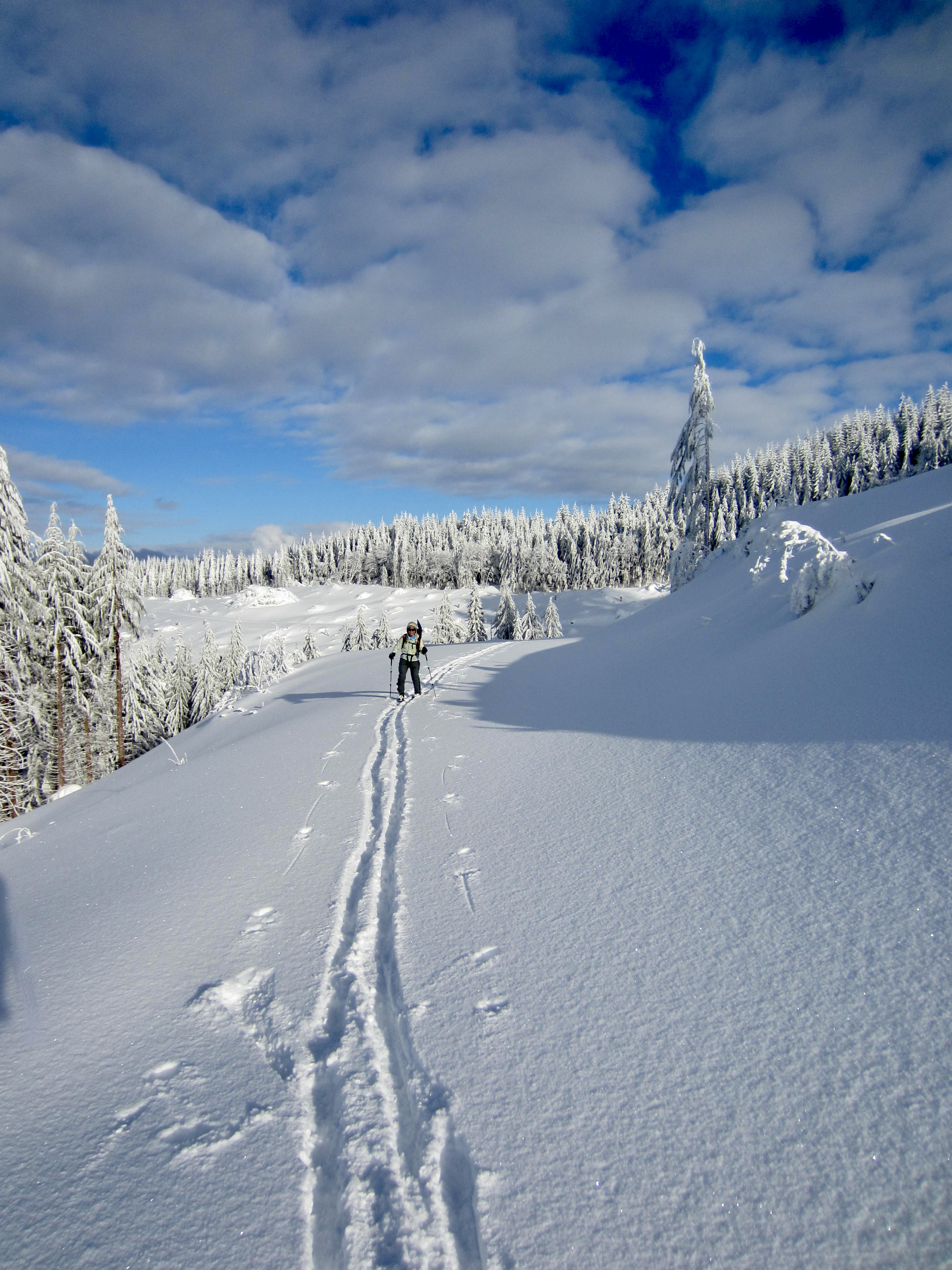
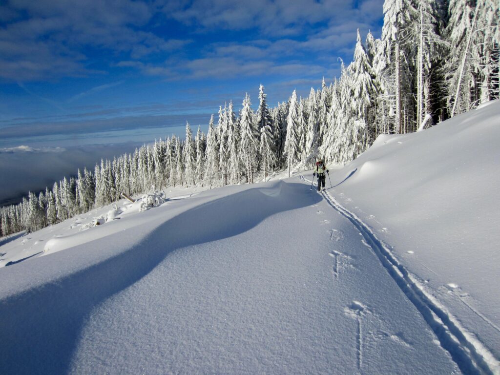
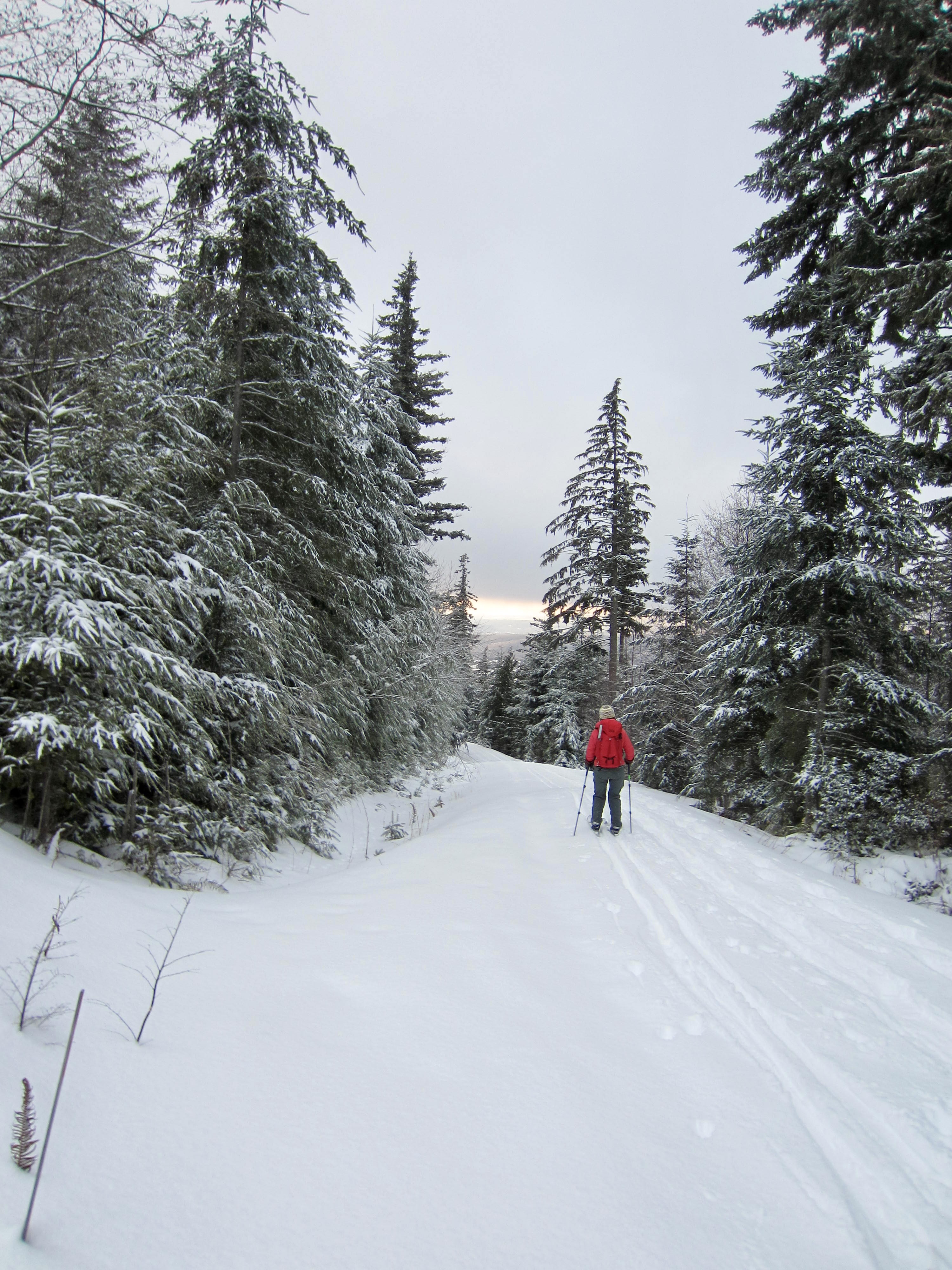
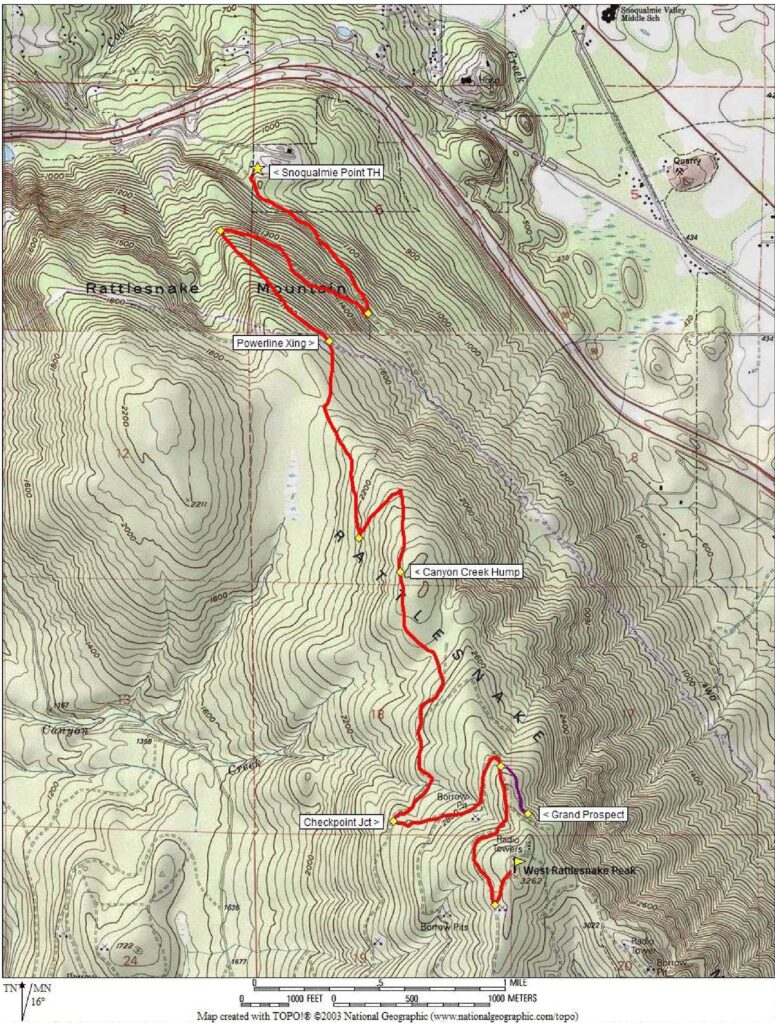
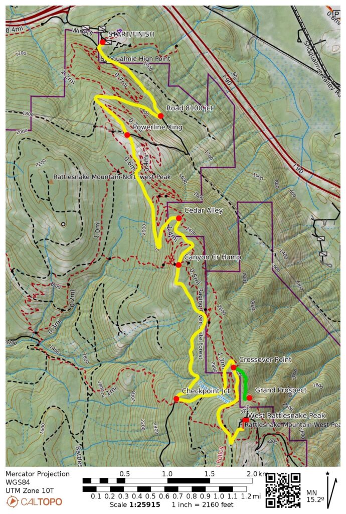
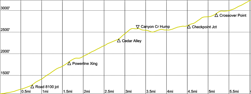
Starting at the Snoqualmie Point Trailhead kiosk, ski or walk up the narrow trail for 75 yards until intersecting Road 8000, then turn left and ski southeastward on this gradually ascending road. Unless you happen to be here immediately after a snowstorm, expect to find the road well-tracked by booters, snowshoers, and a few other skiers. If snowcover is patchy, you might need to carry your skis for a ways.
.
.

.
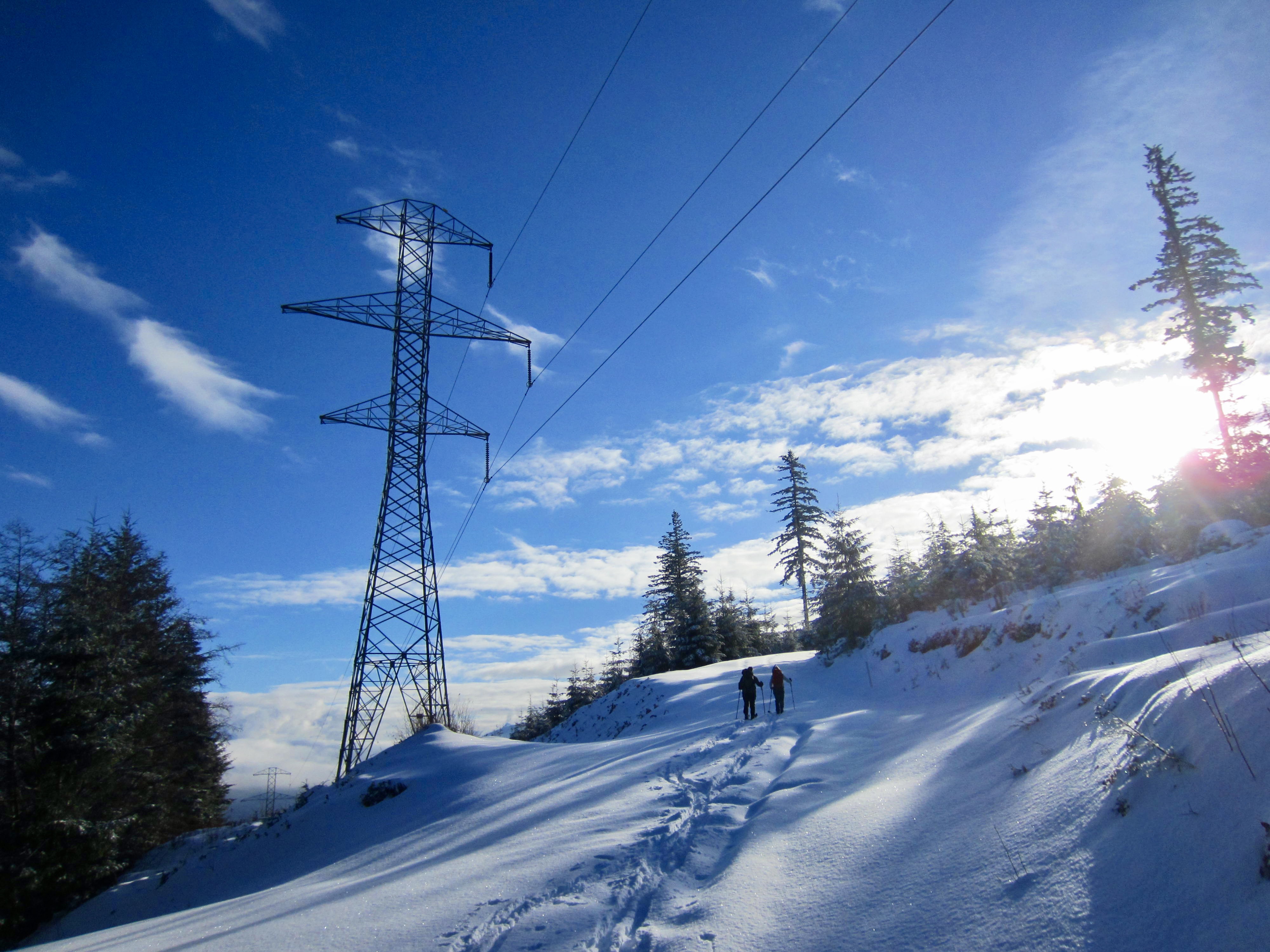
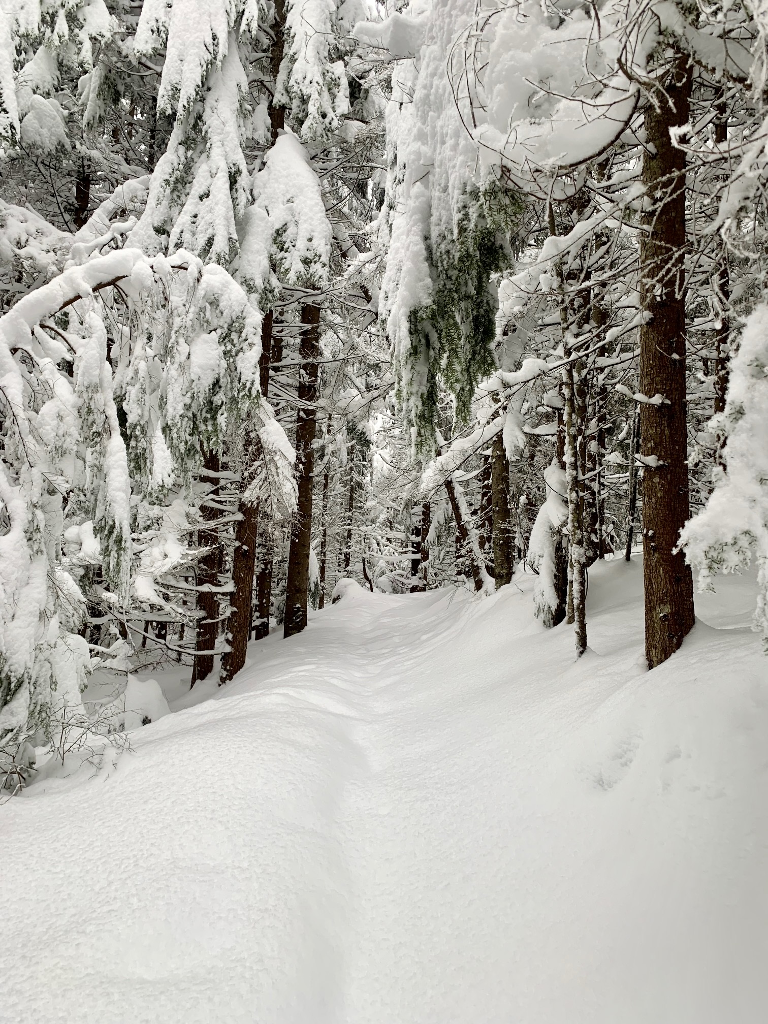
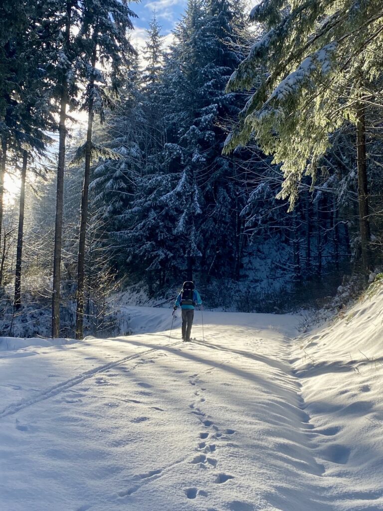
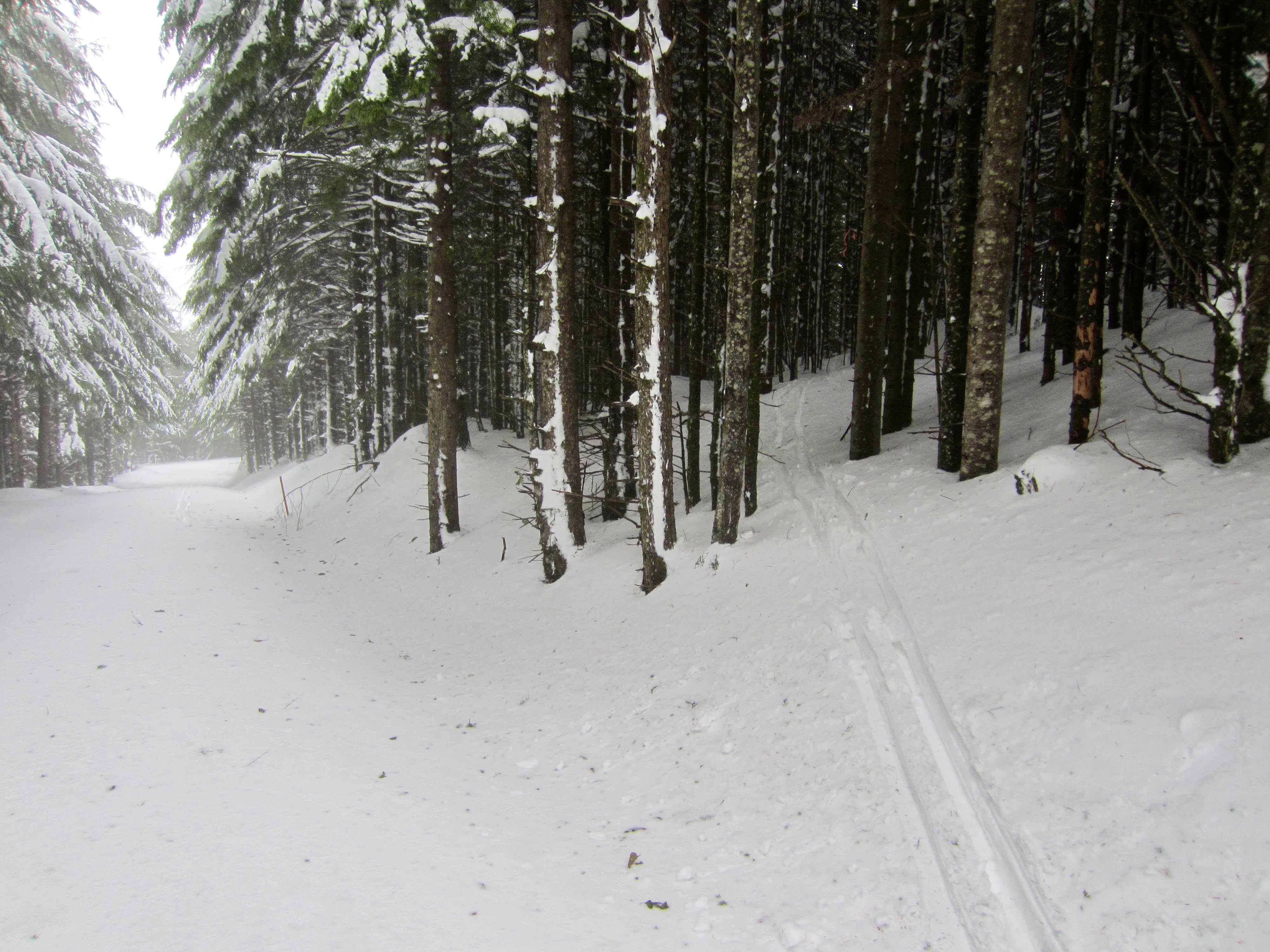
In ¾ mile, you will reach an obvious junction with Road 8100, which curves back to the right. Turn onto Road 8100 and follow it northwestward for ½ mile, then turn back to the southeast at a tight switchback. The average gradient increases noticeably and the snowcover usually improves considerably as the road climbs onto the spine of Rattlesnake Mountain. Upon reaching a major powerline crossing and minor road crossing, continue straight ahead on the main road and keep ascending.
.

.
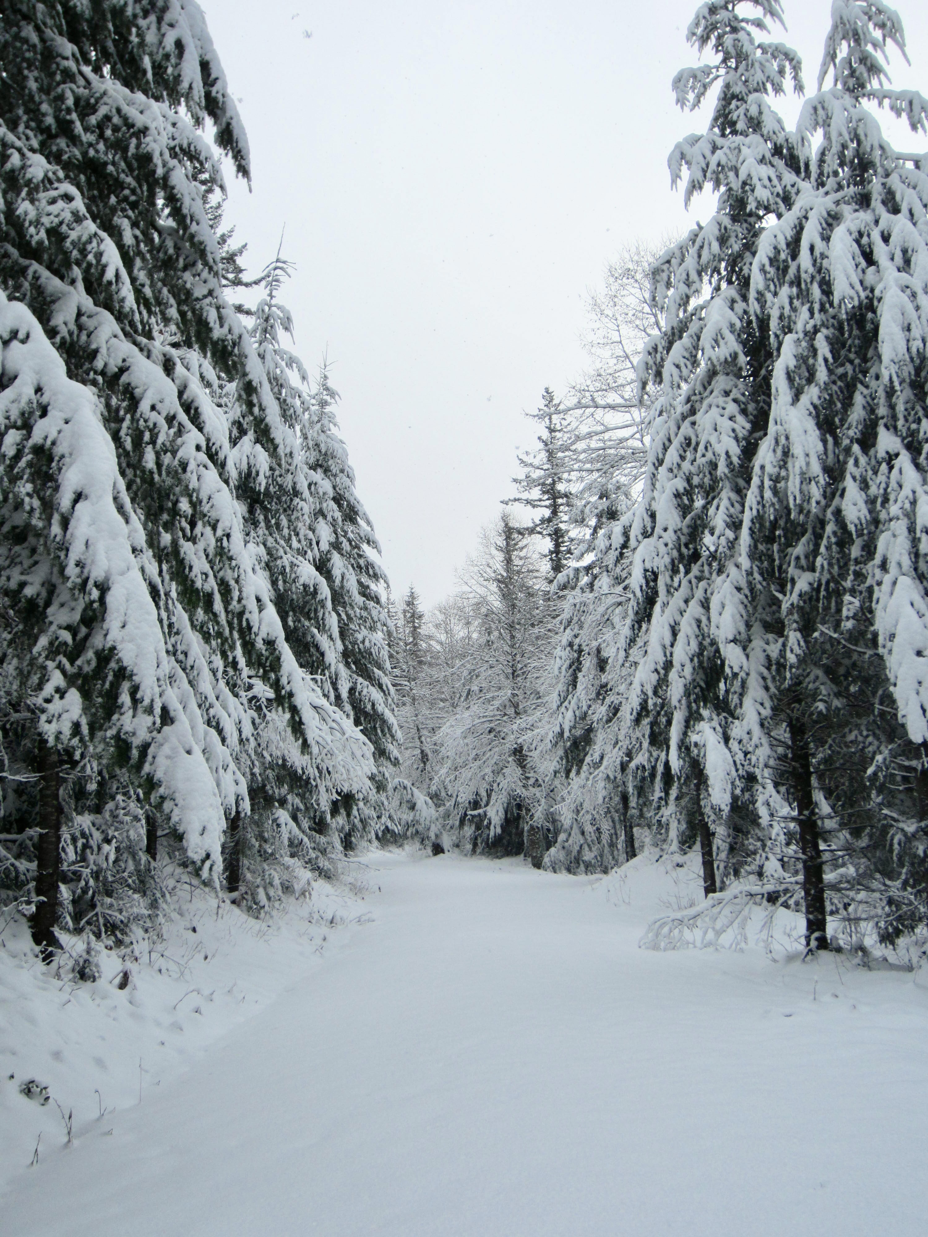
Road 8100 steadily gains elevation as it passes through pleasantly dense forest and makes two more switchbacks. Shortly after the second switchback, the road gains a local high point known as the Canyon Creek Hump (3.3 miles + 1600 feet from TH). You are now approximately halfway to West Rattlesnake Peak.
.
.
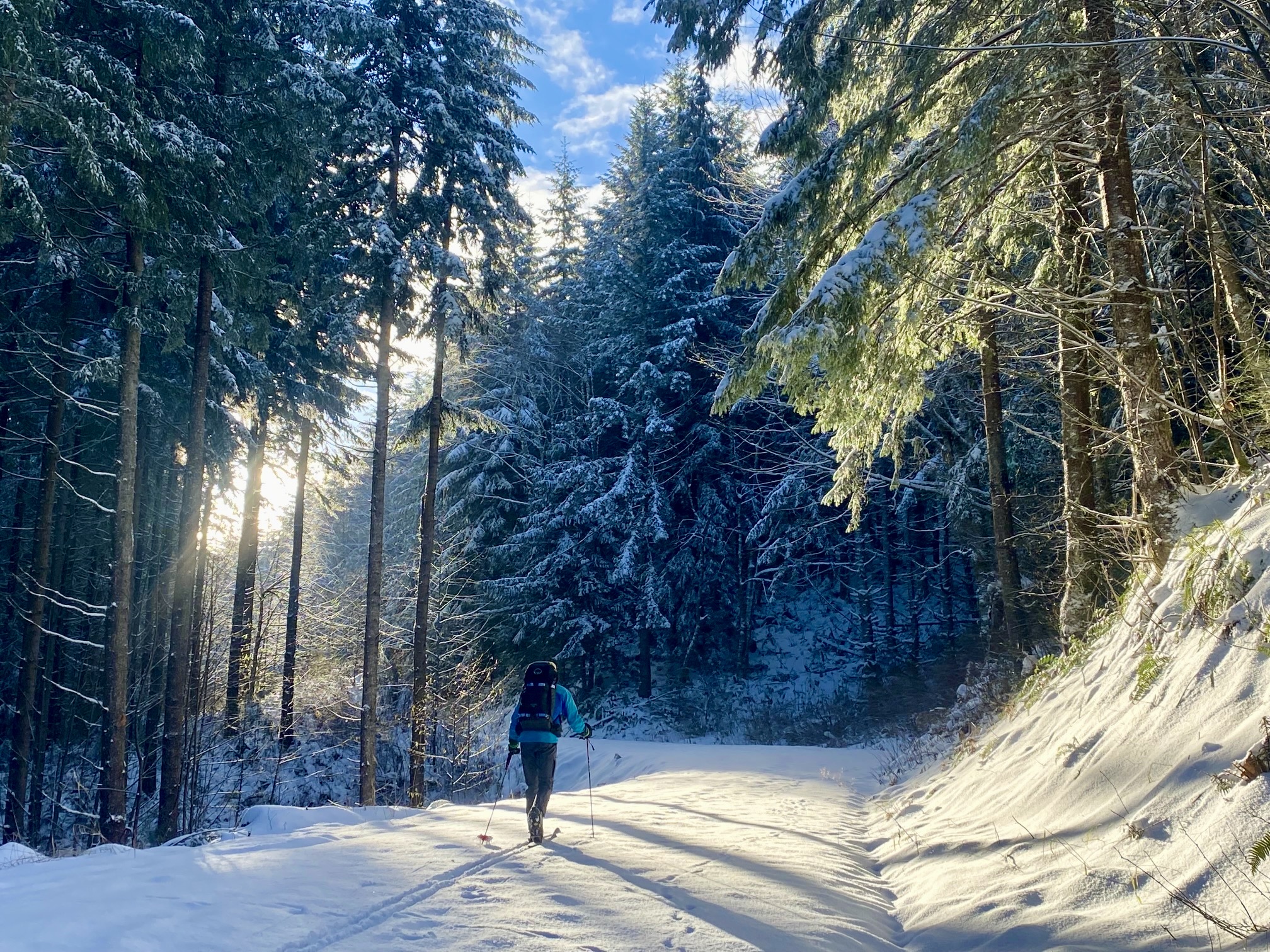
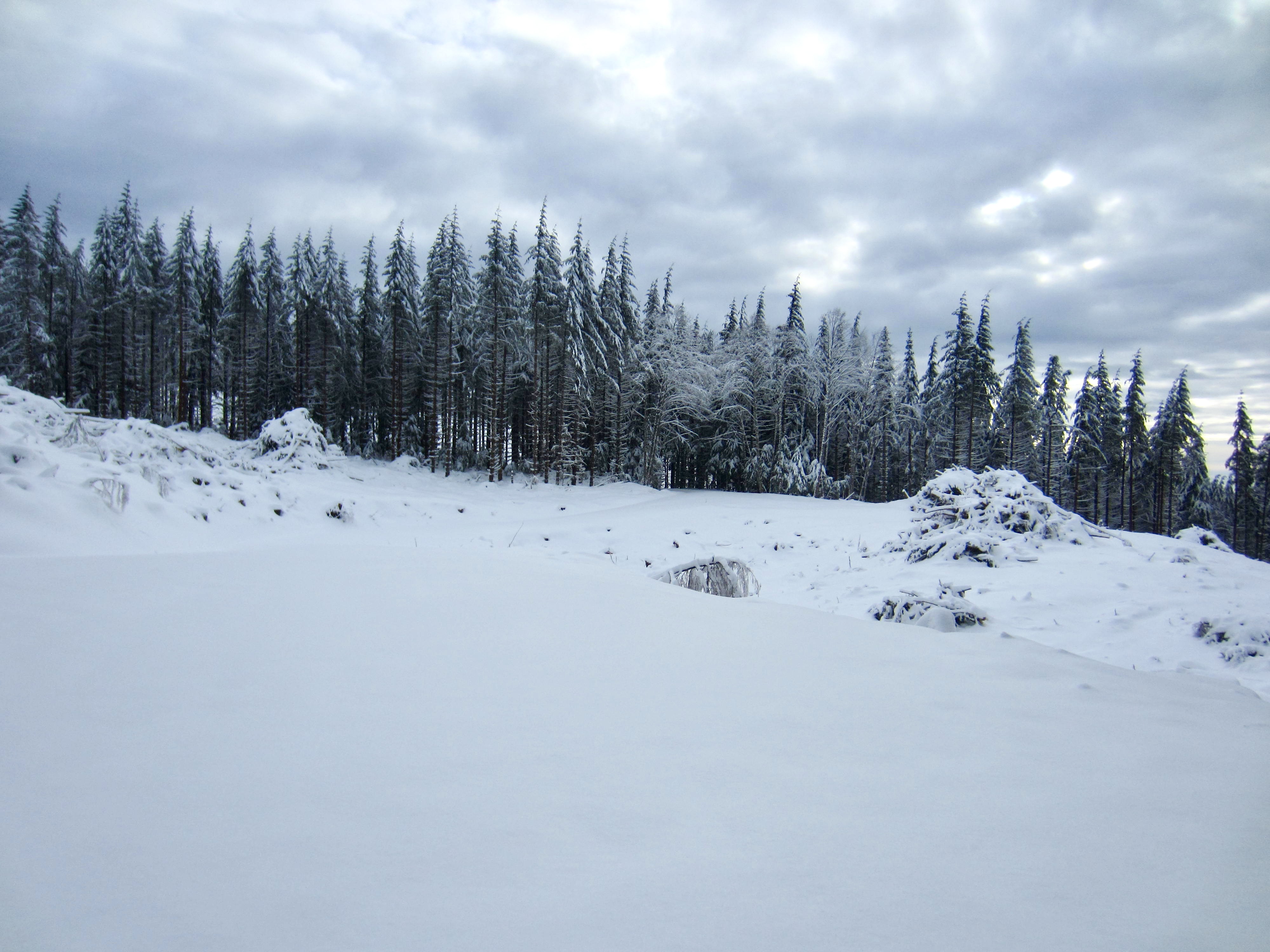
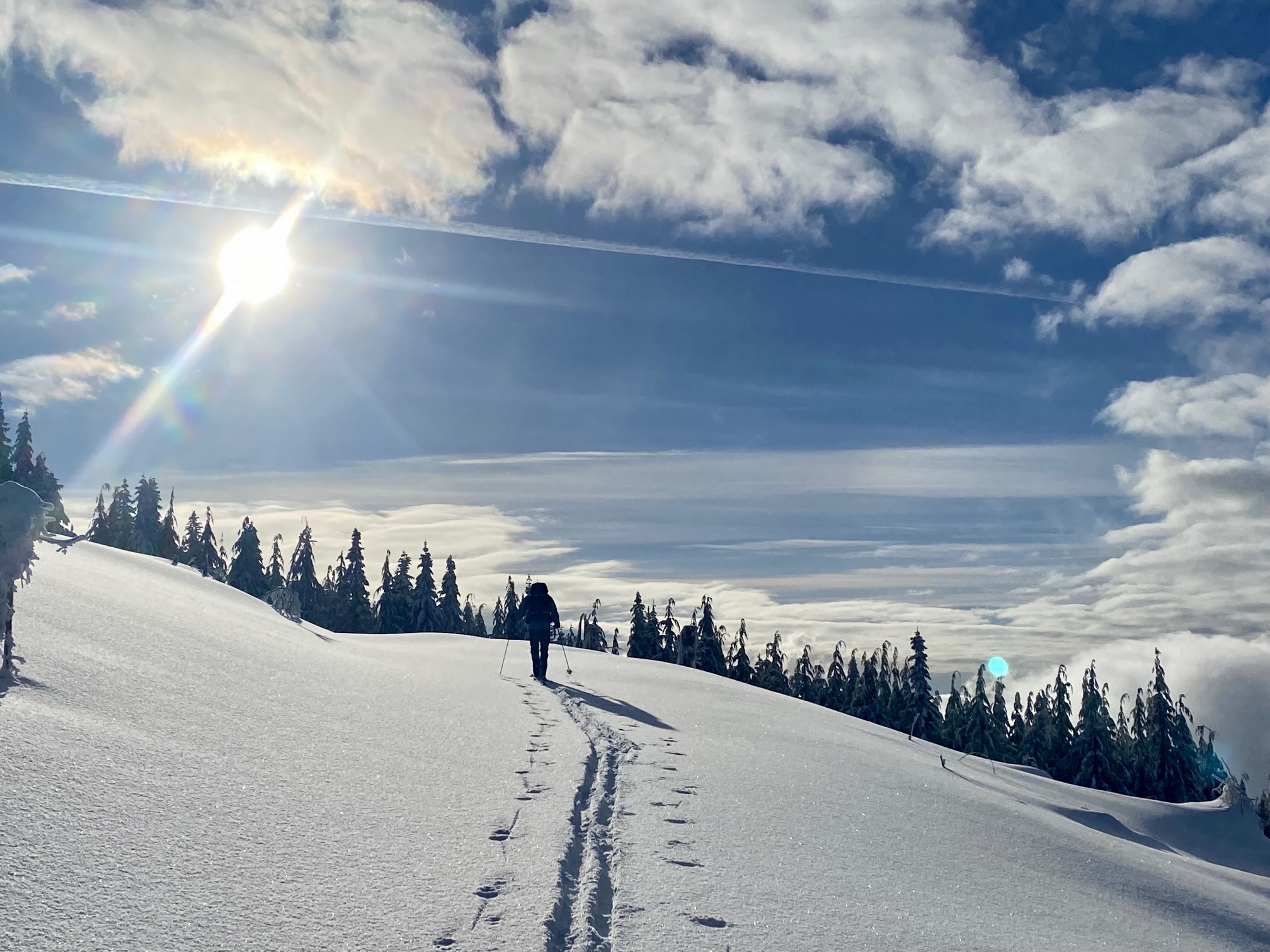
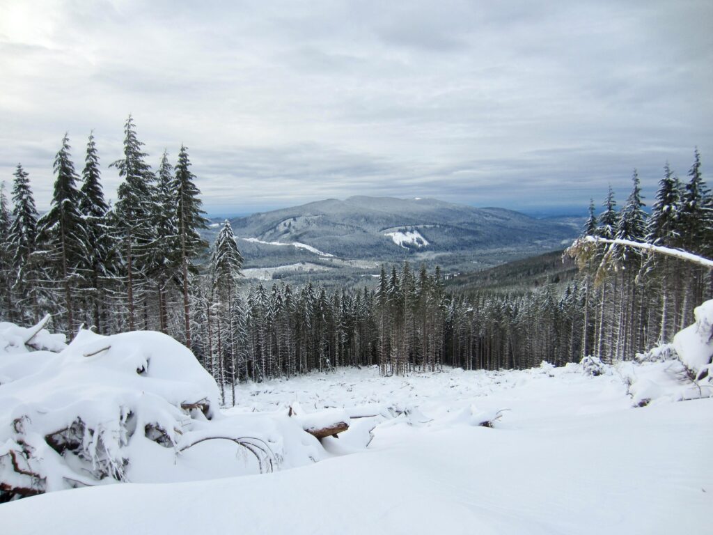
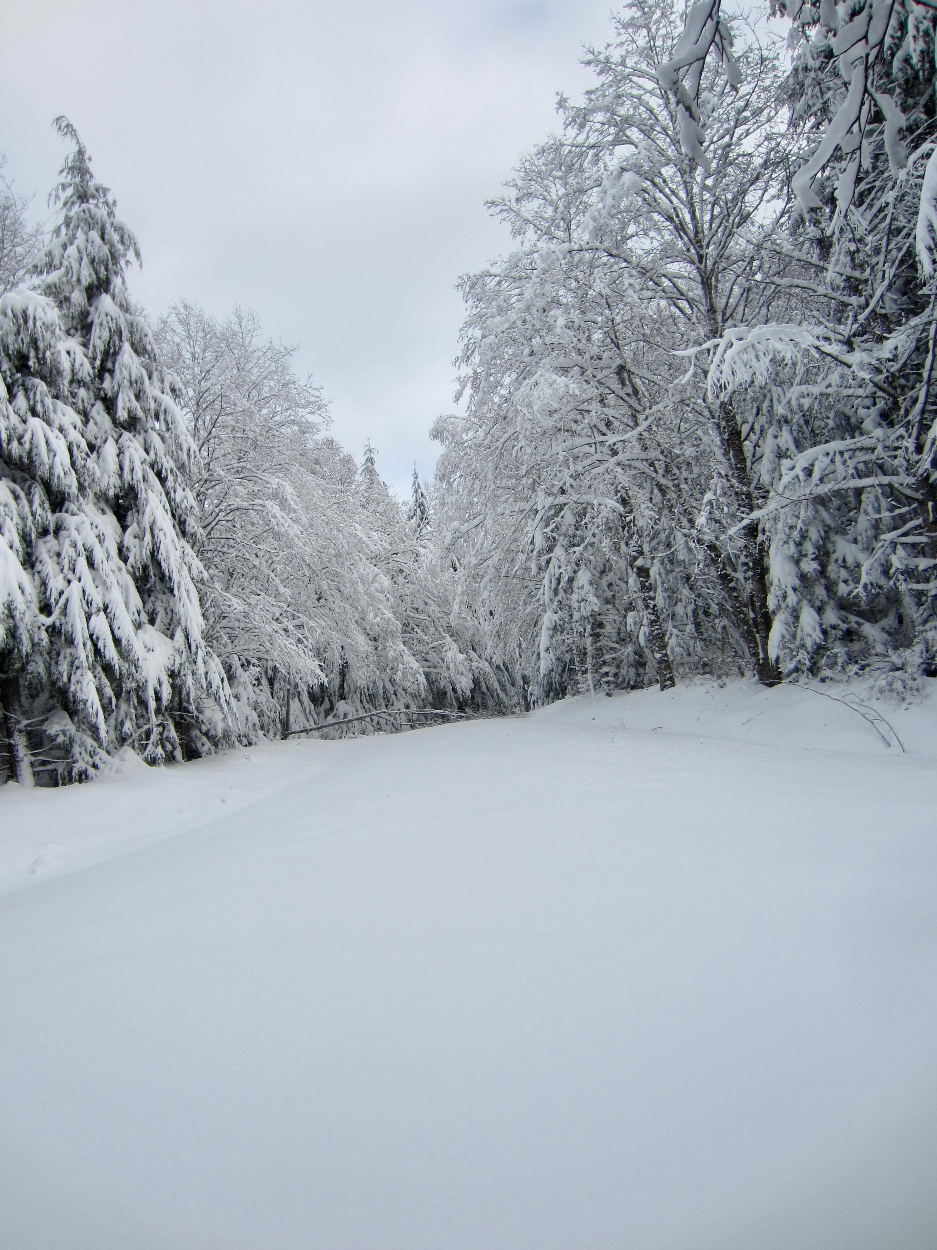
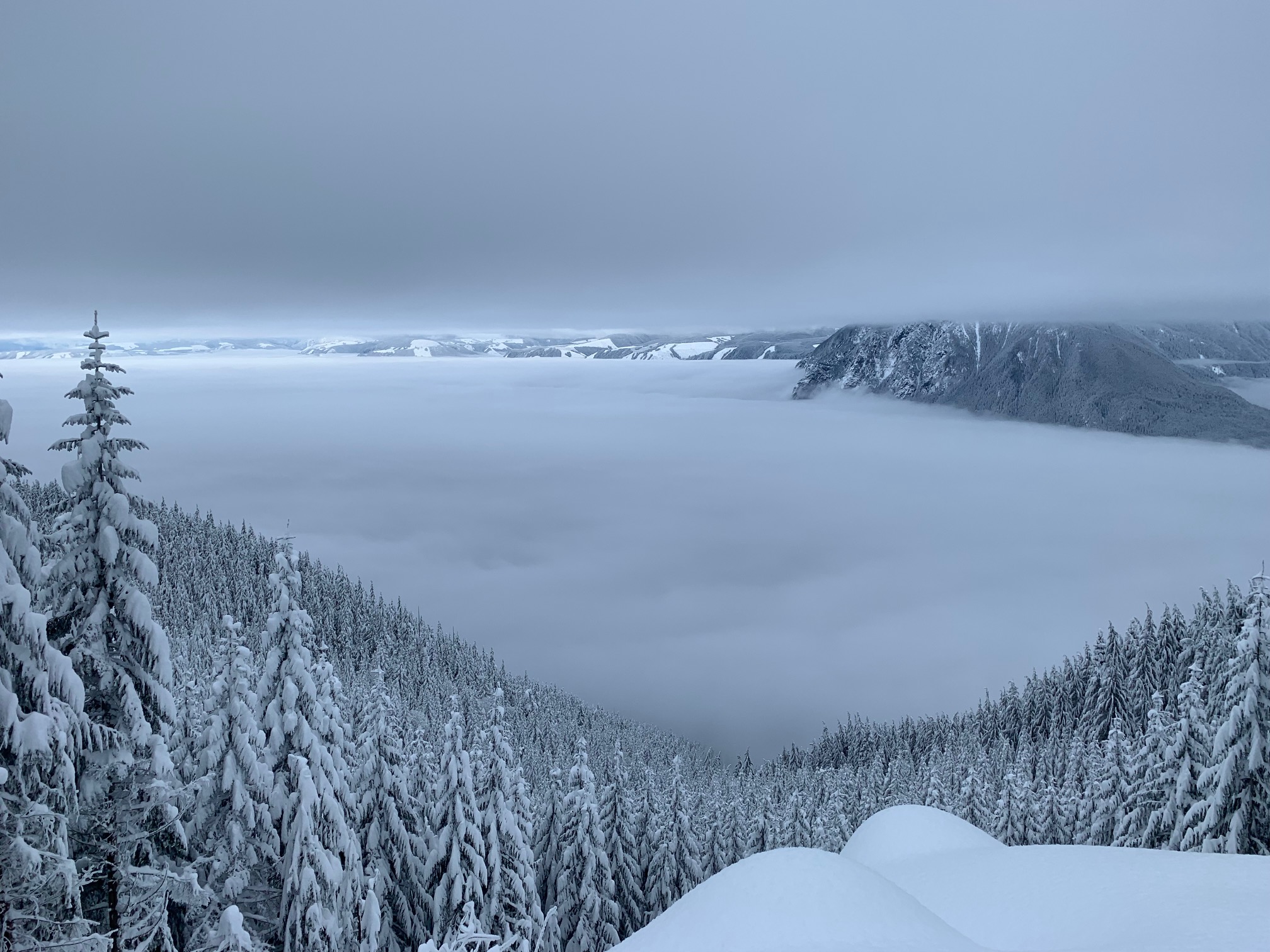
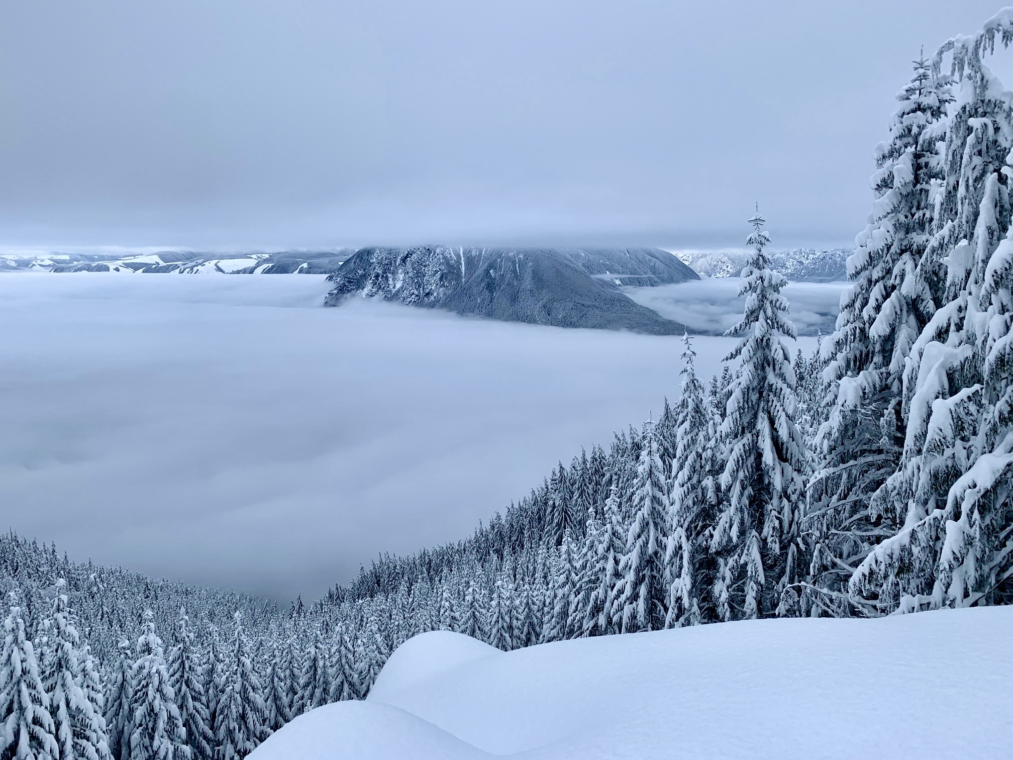
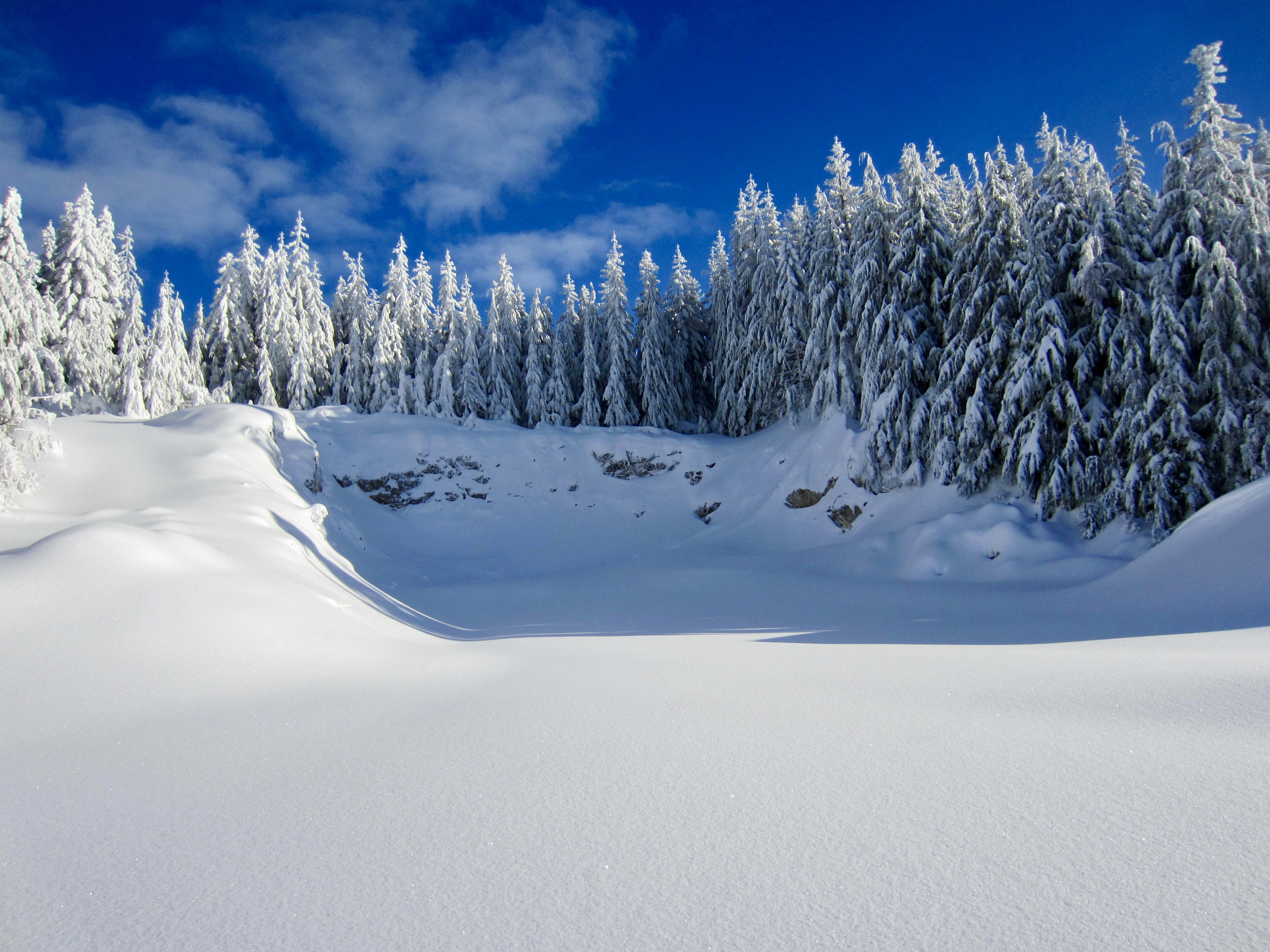
From the hump, Road 8100 descends for several hundred yards and then makes a mile-long undulating traverse around the headwaters of Canyon Creek. You will pass through a series of recent clearcuts dotted with huge piles of logging slash. Despite being a bit unsightly, these clearcuts do allow some unusual westerly views of Tiger Mountain and Taylor Mountain.

.
.
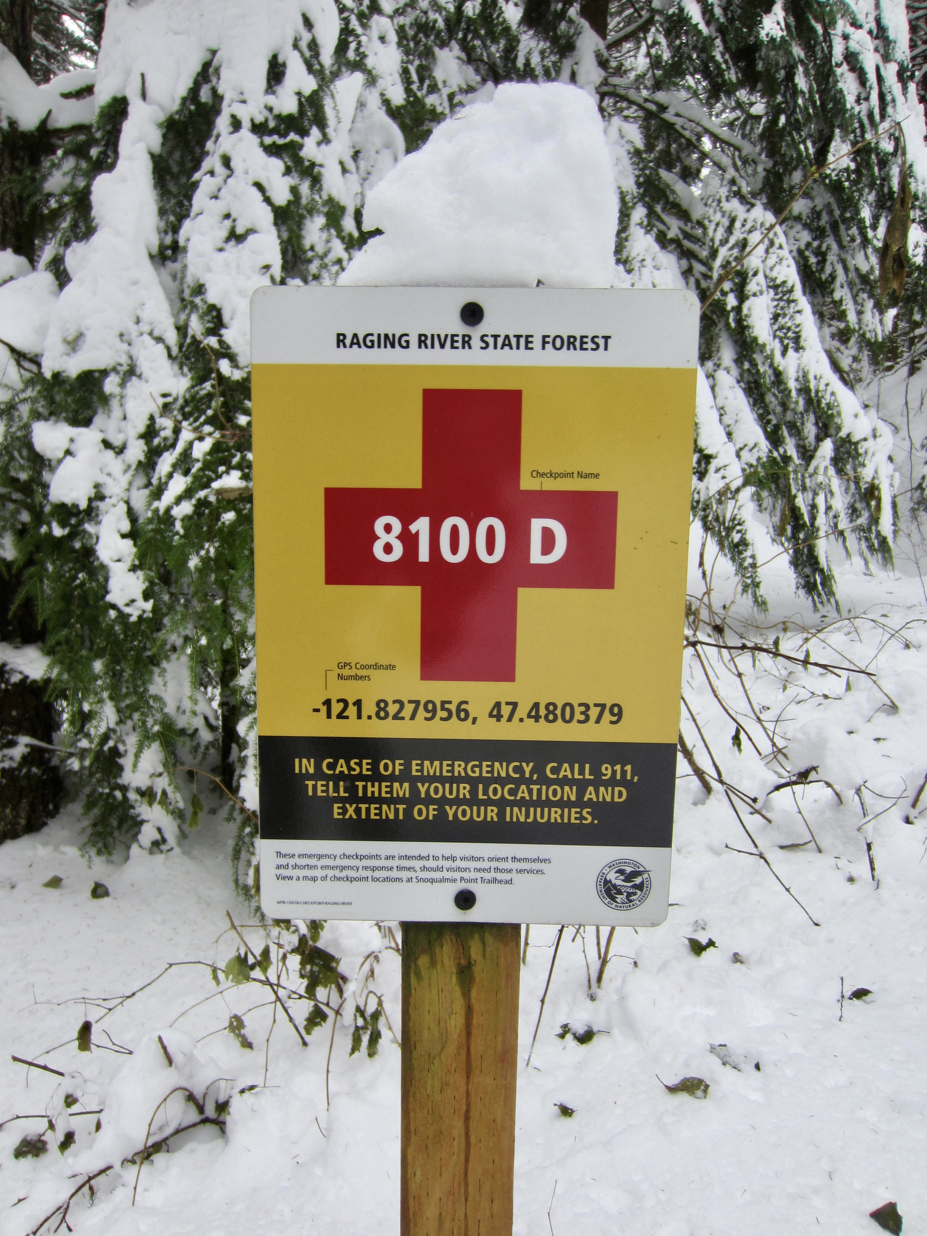
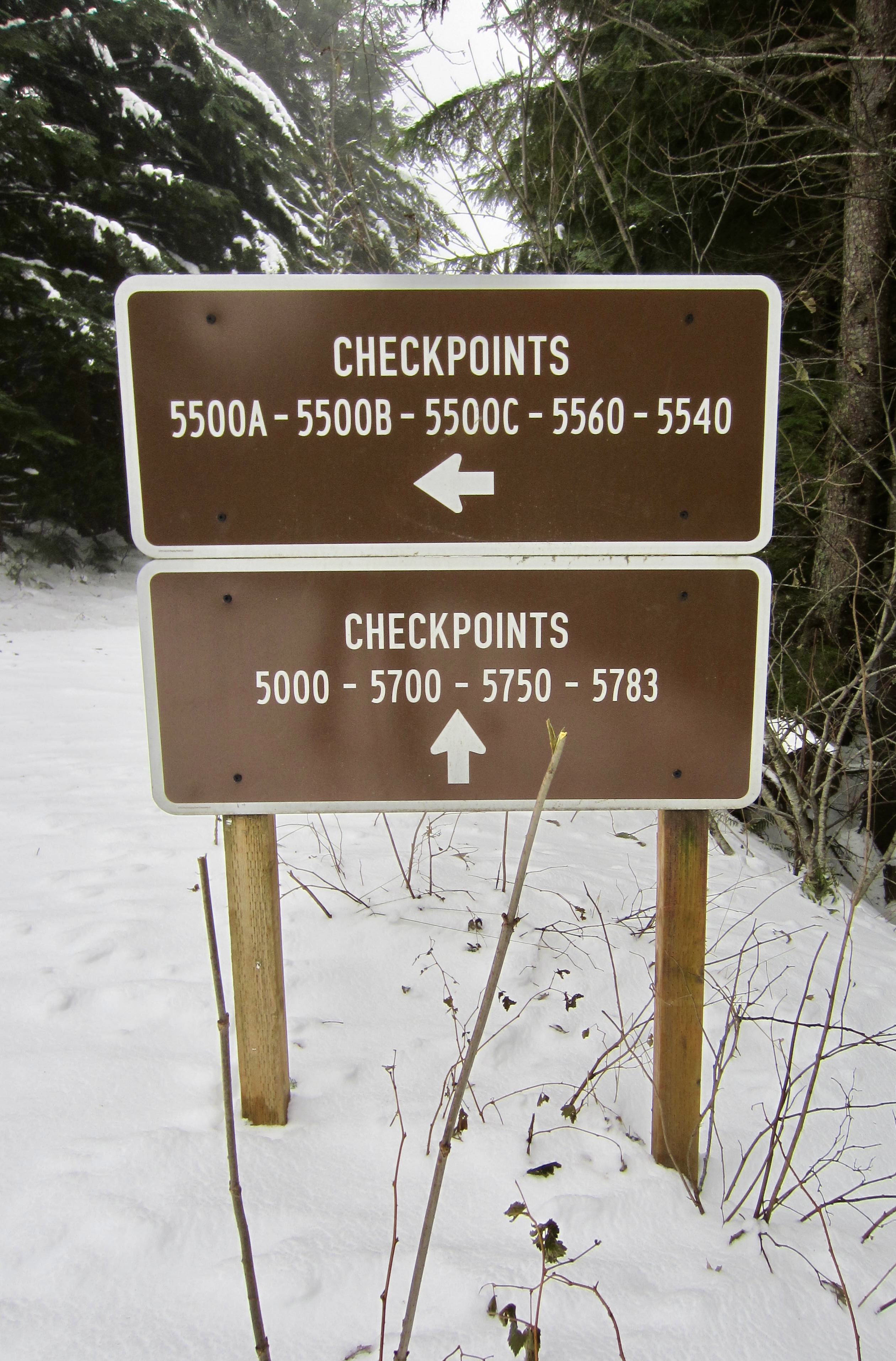
Over the course of the tour, you might have noticed a few yellow signs with red cross patterns alongside the roads. These are emergency checkpoint markers that have unique identifiers and GPS coordinates. Hikers, bikers, skiers, snowshoers, and others experiencing trouble can call 9-1-1 and report their location using these identifiers and/or coordinates.
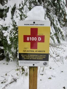
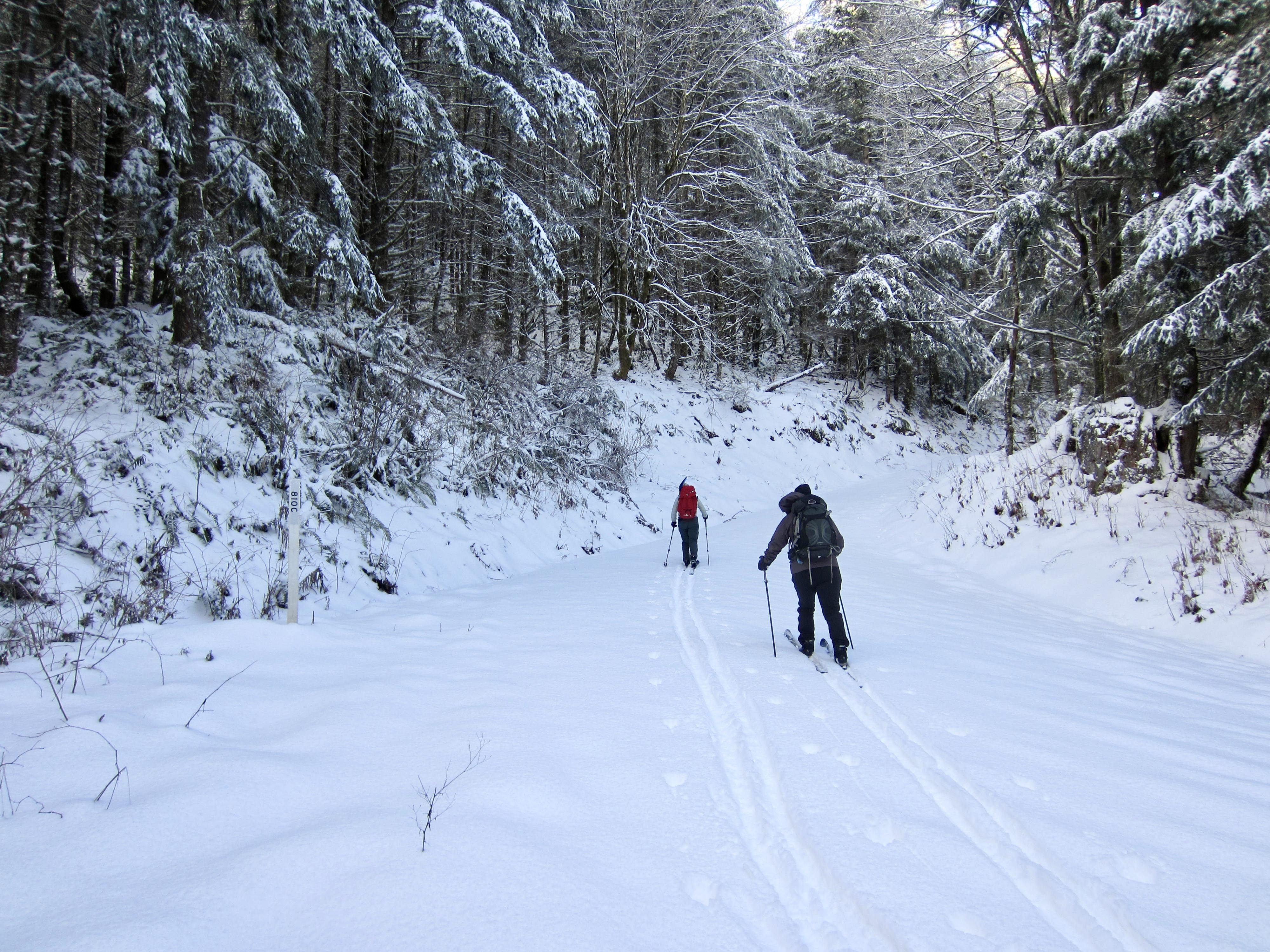
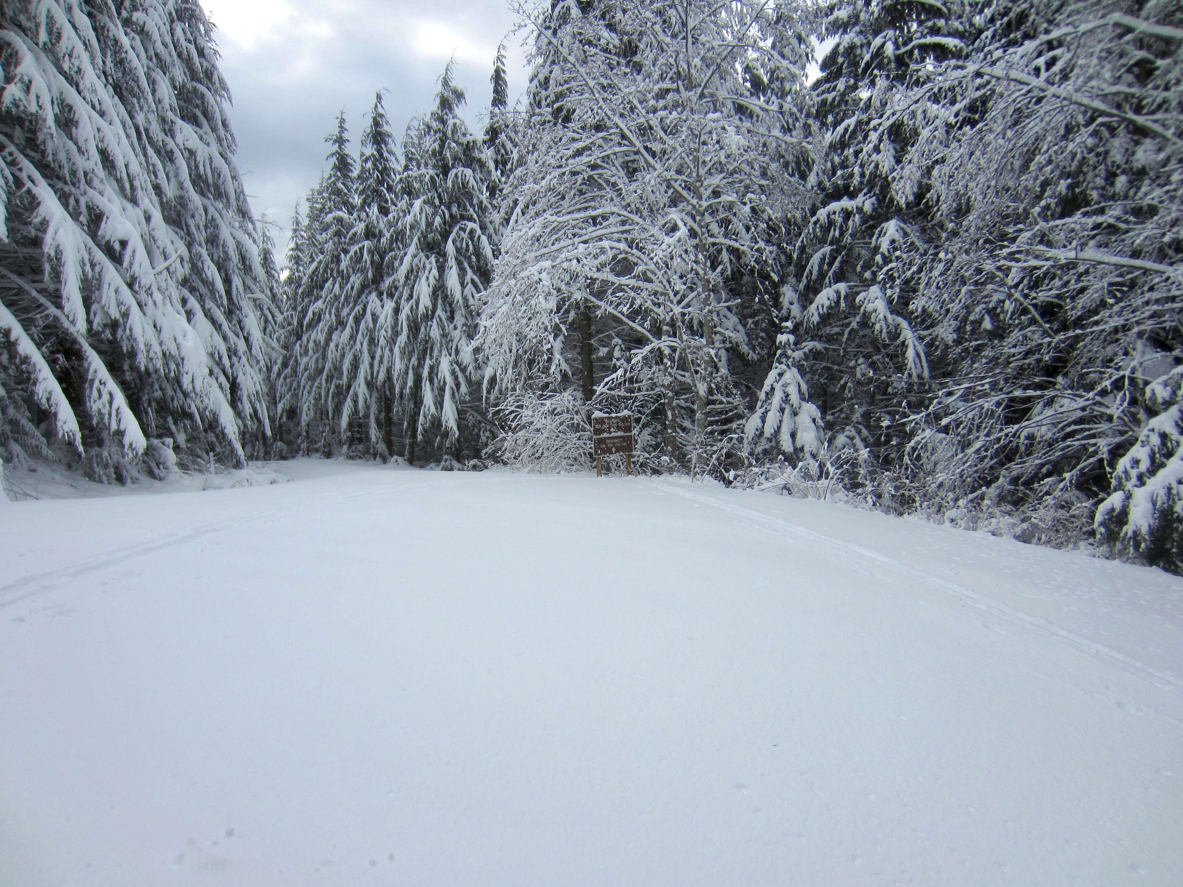
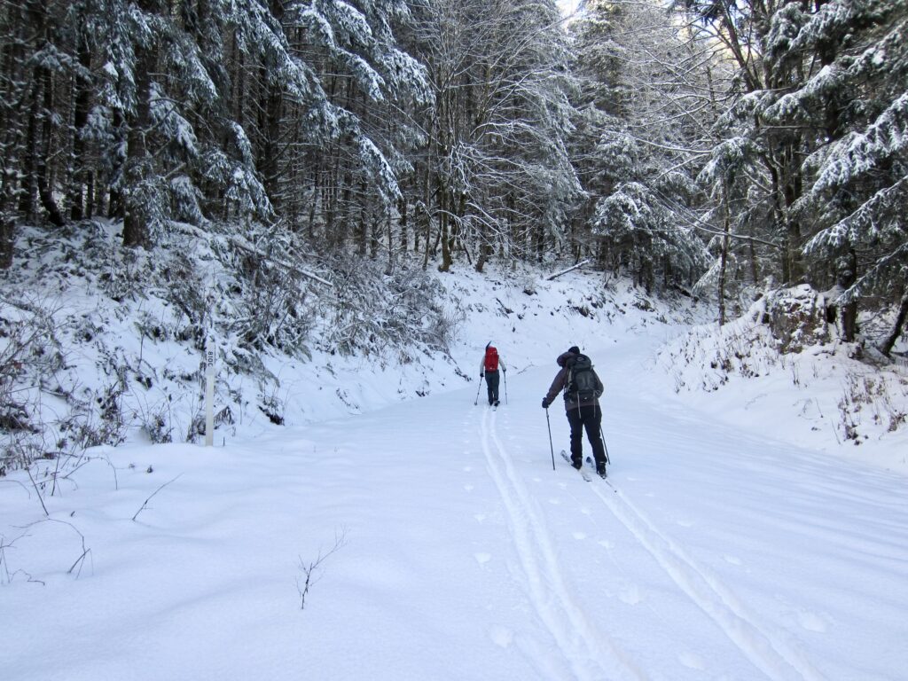
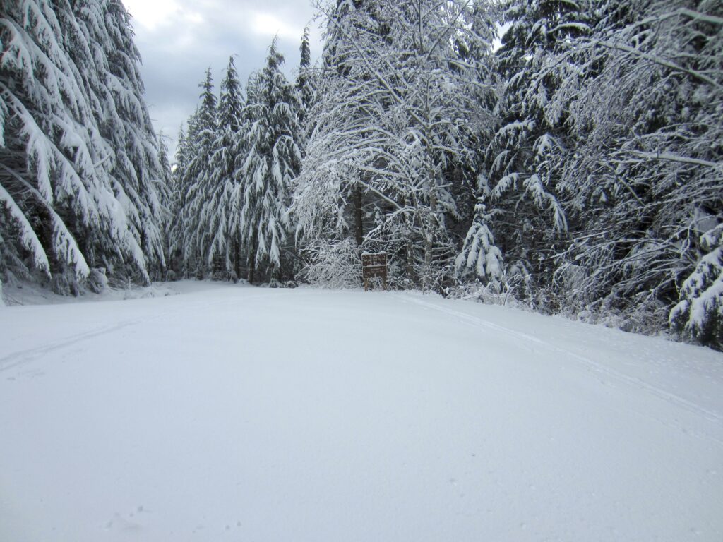
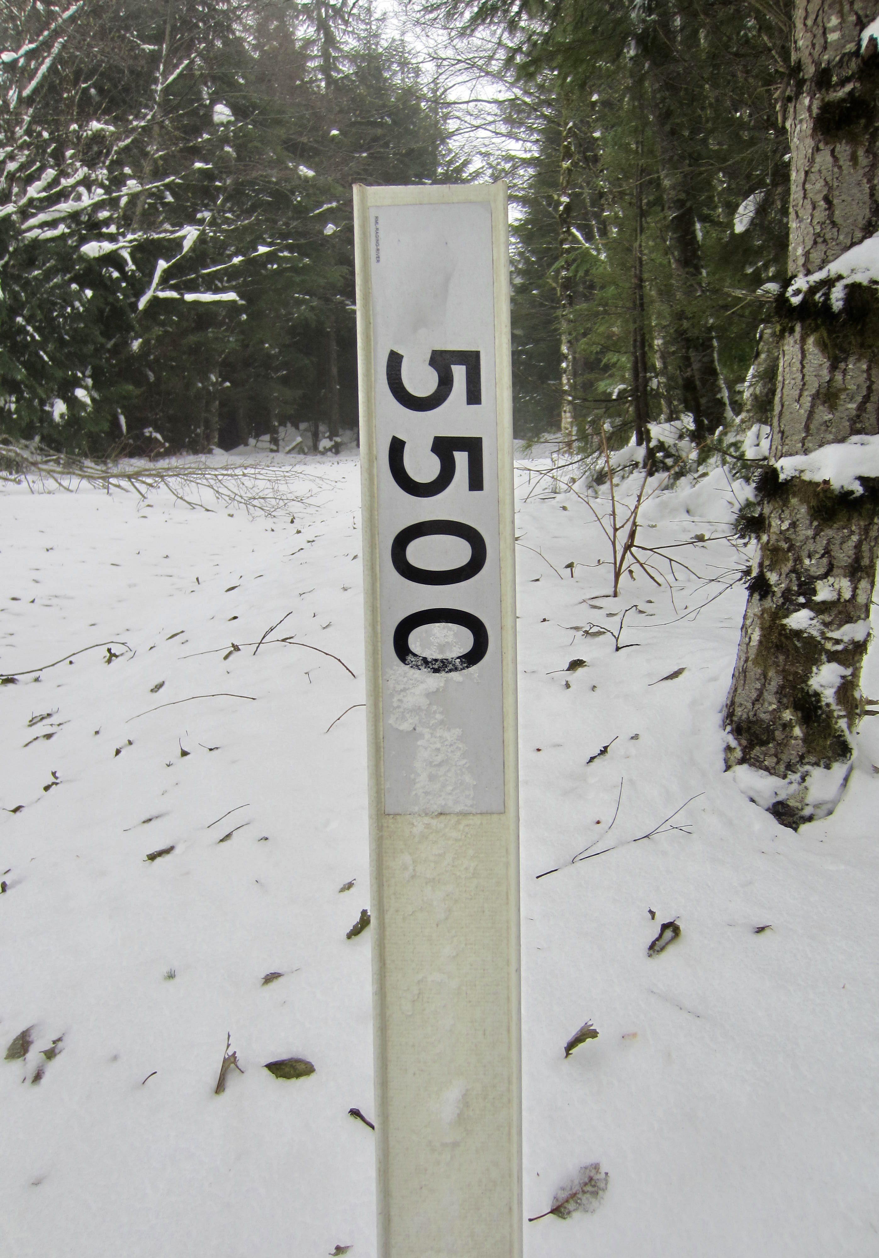
After the mile-long traverse, Road 8100 comes to an end at a “T” intersection called Checkpoint Junction (4.5 miles + 1800 feet from TH). From this 2650-foot intersection, Road 5500 goes uphill to the east, and Road 5000 goes downhill to the south.
.
.
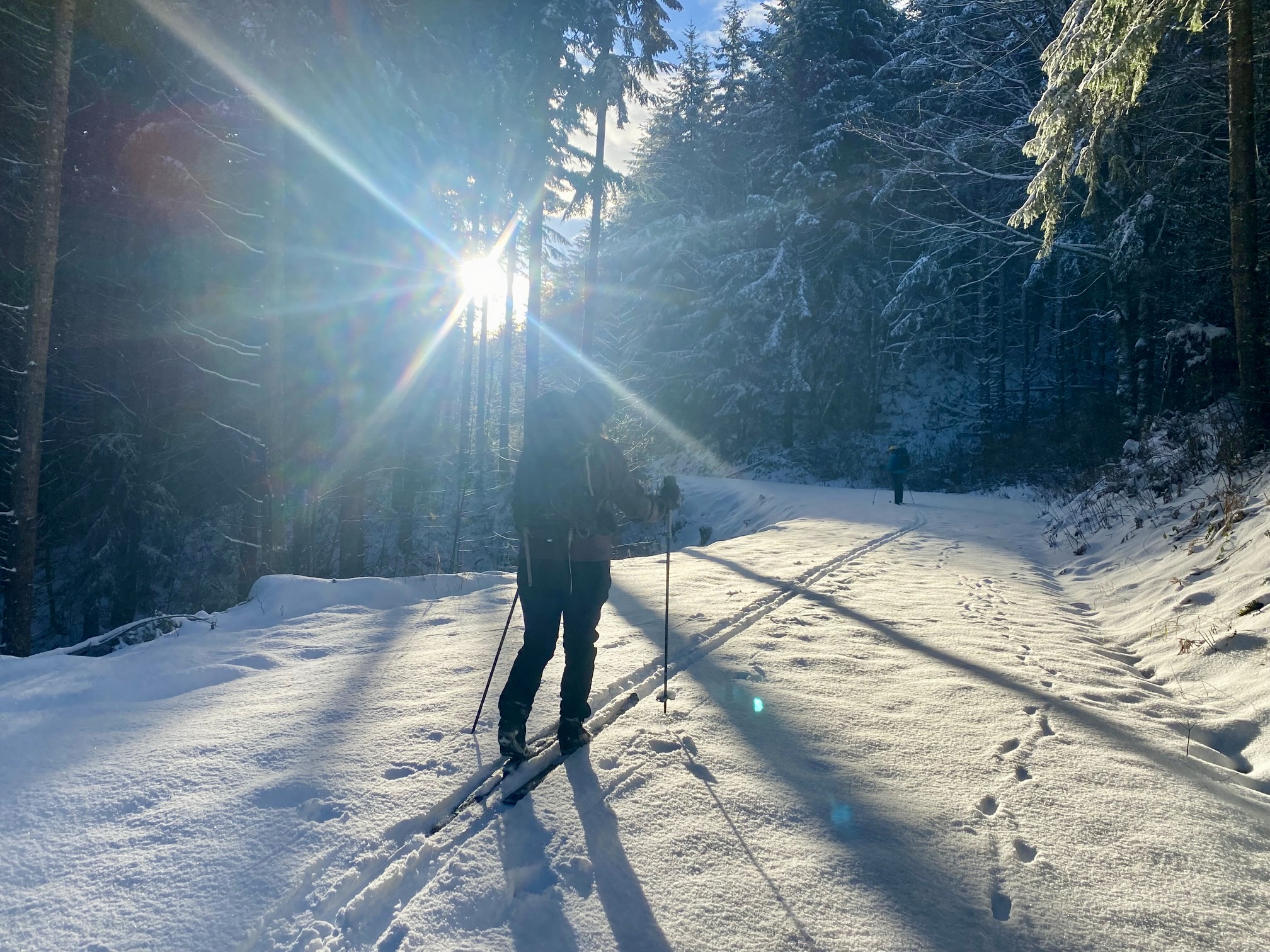
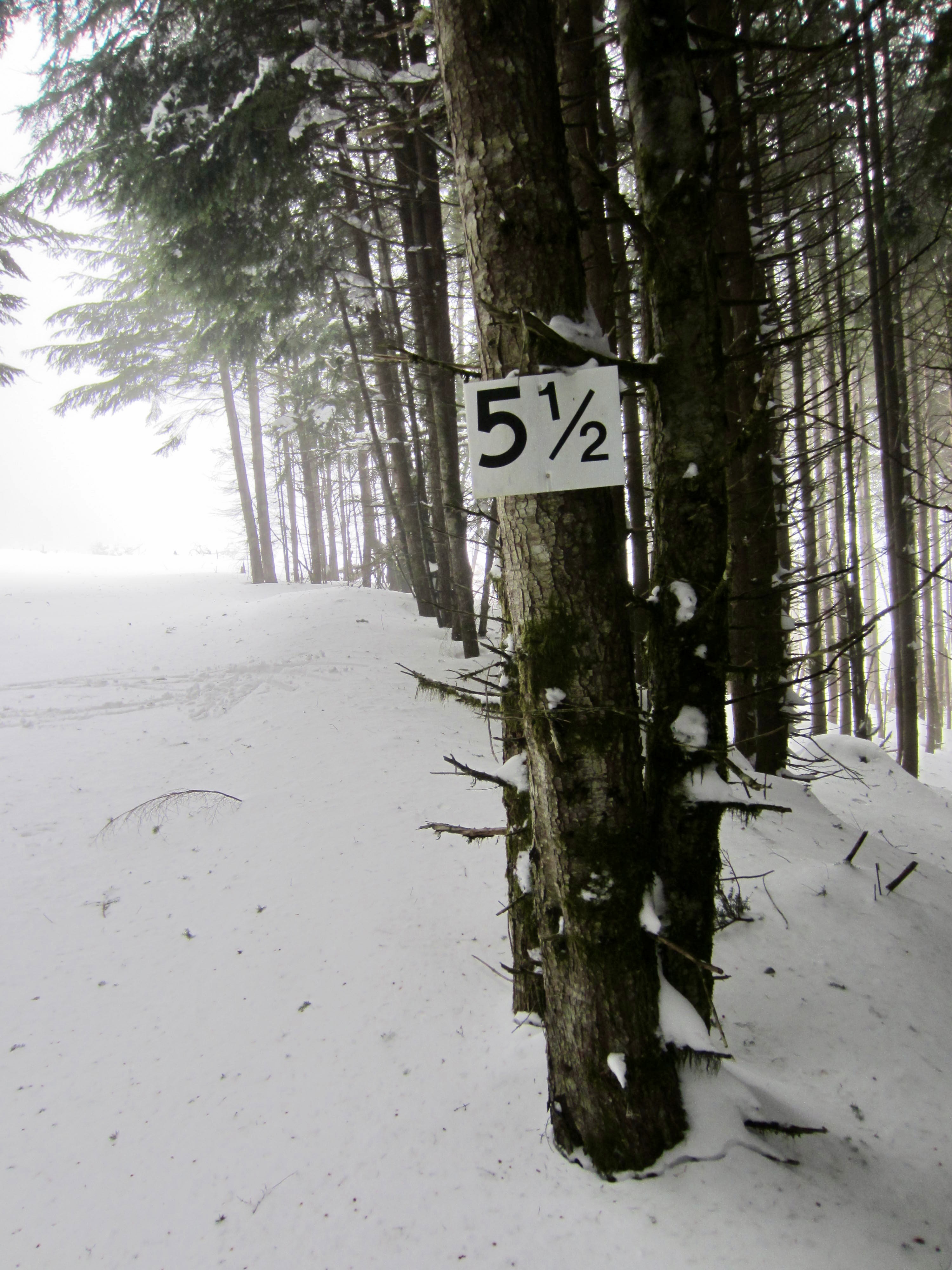
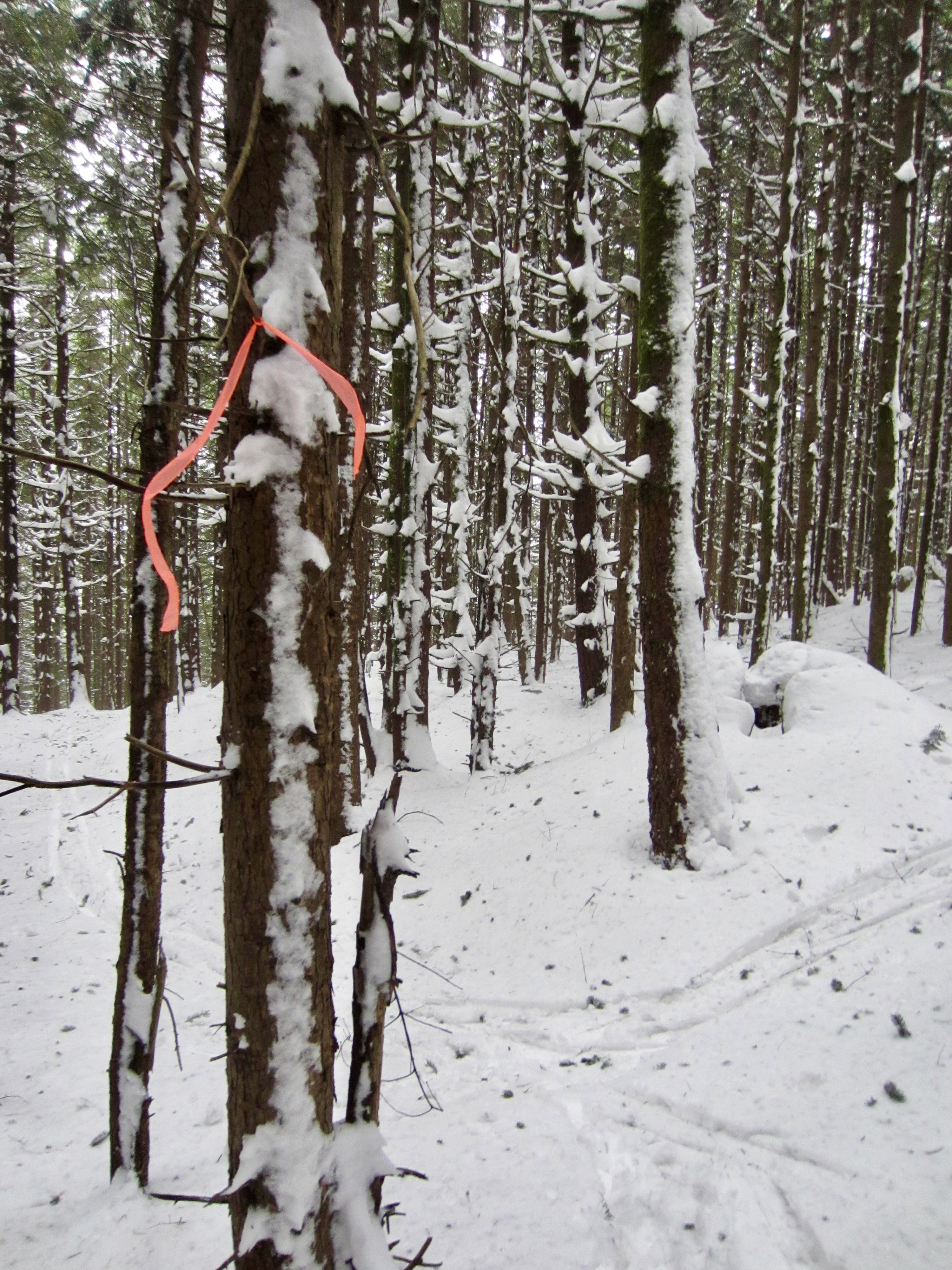
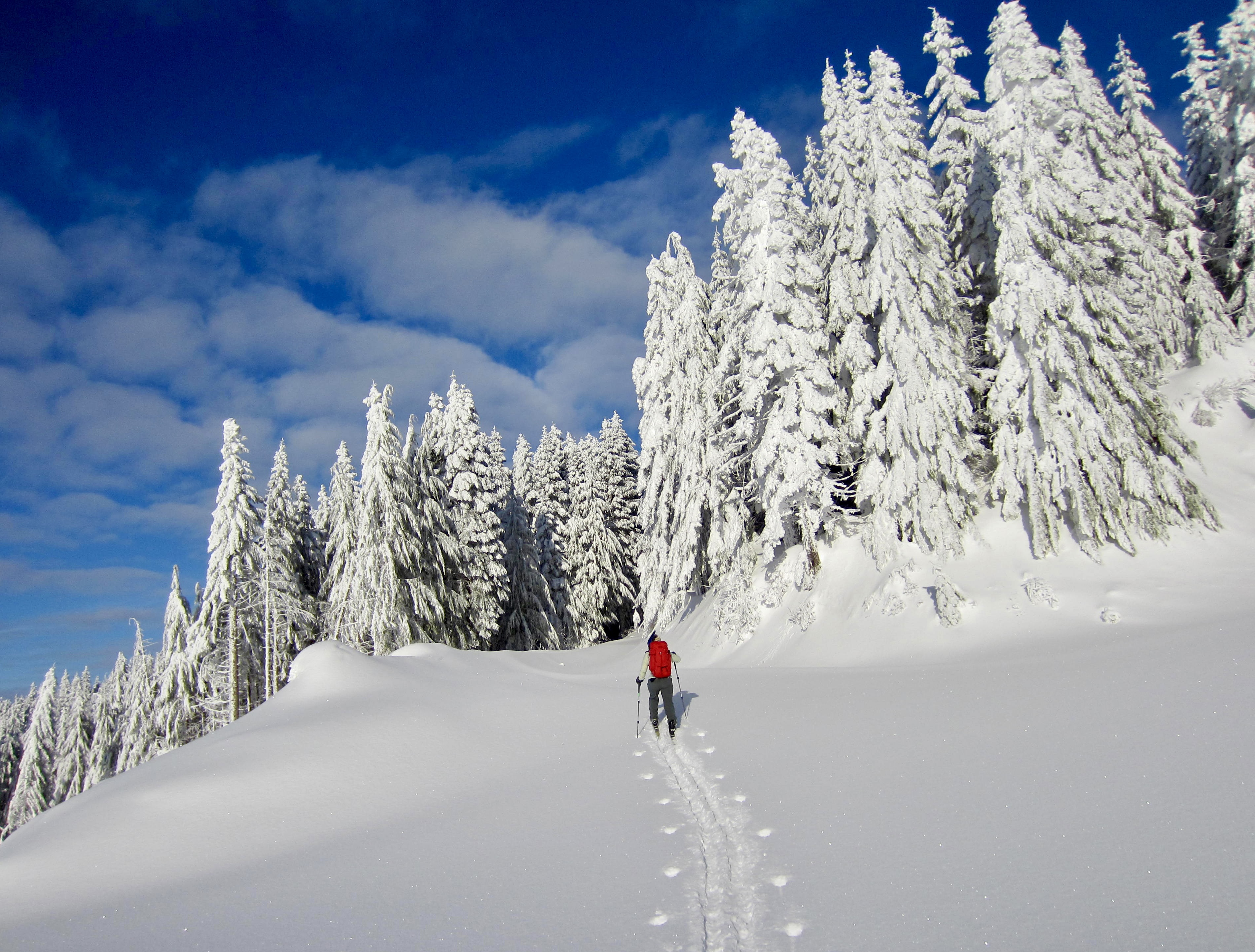
Head uphill on Road 5500, climbing through several more clearcuts and then curving around the ridge crest in dense forest. On a clear day, the communication towers come into view on the summit of West Rattlesnake Peak. Shortly after the curve, and just before entering another clearcut, you will arrive at Milepost 5.5, which consists of a “5½” sign nailed to a tree on the right side of the road. Directly opposite the marker, look for some orange flagging tied to a tree on the left side of the road. This flagging marks the crossover route to Grand Prospect.
.
.
…
Milepost 5.5 to Grand Prospect
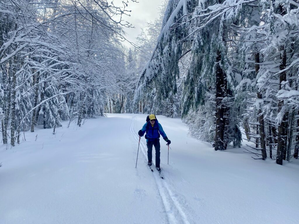
For skiers wanting to visit Grand Prospect, head diagonally into the forest and contour eastward through tight trees, aiming for another orange flag. In a short 20 yards, you will intersect the Rattlesnake Mountain Trail, which might or might not be tracked with boots or snowshoes. Turn right and follow the trail corridor uphill to the southeast.
.
.
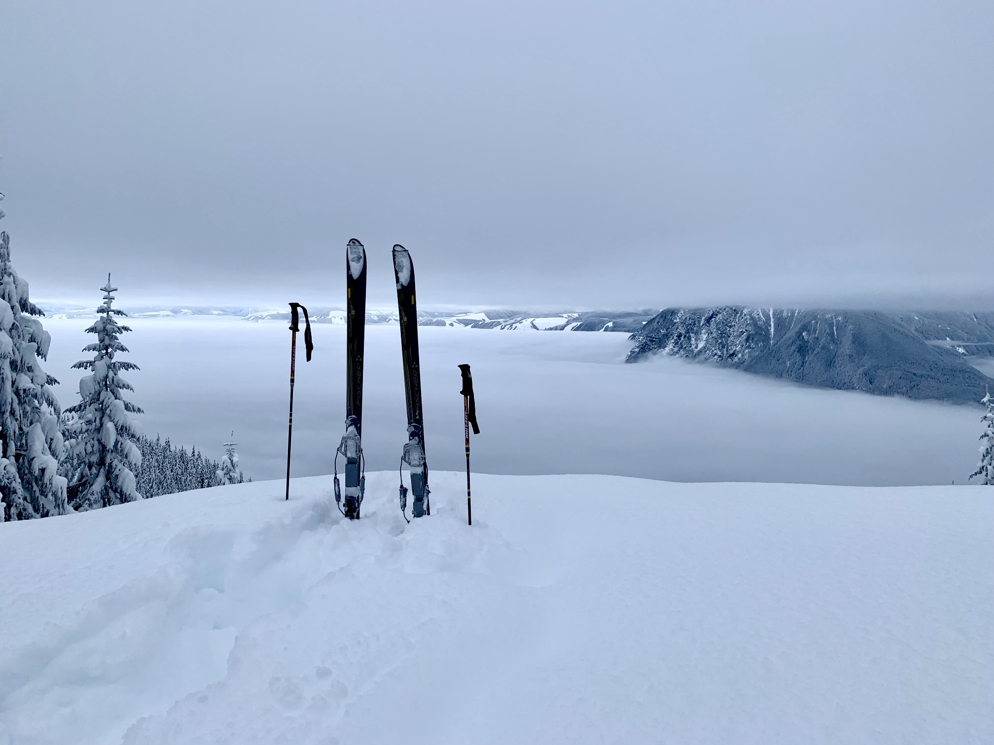
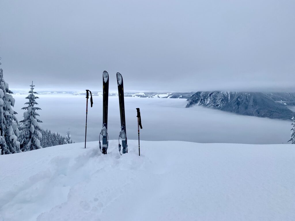
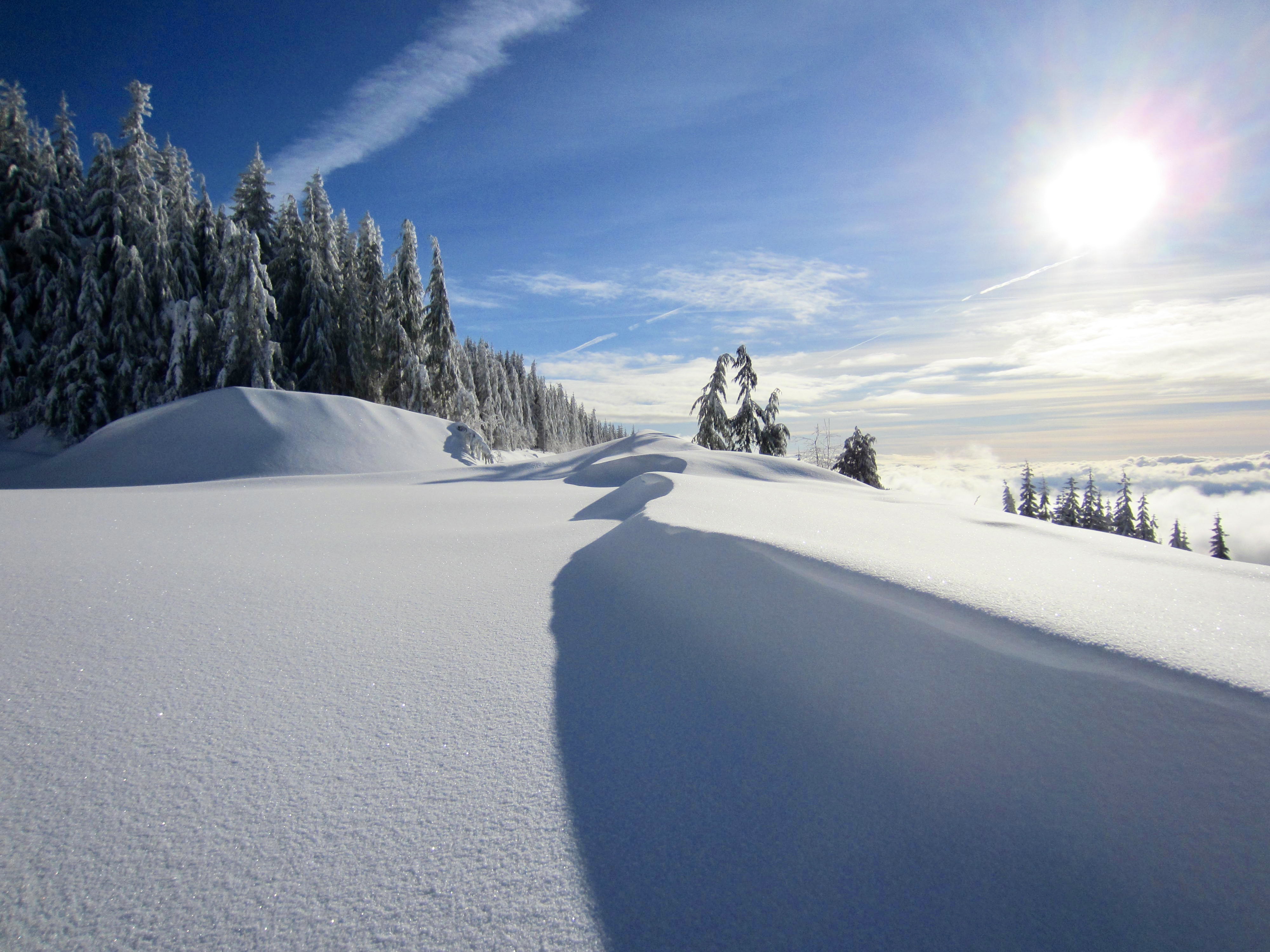
After following the trail for ½ mile, you will arrive at Grand Prospect (5.7 miles + 2200 feet from TH). This popular spot on the flank of Rattlesnake Mountain provides a marvelous view of Mt. Si and the Snoqualmie River Valley—and it makes a fine destination in its own right.
.
…
Milepost 5.5 to West Rattlesnake Peak
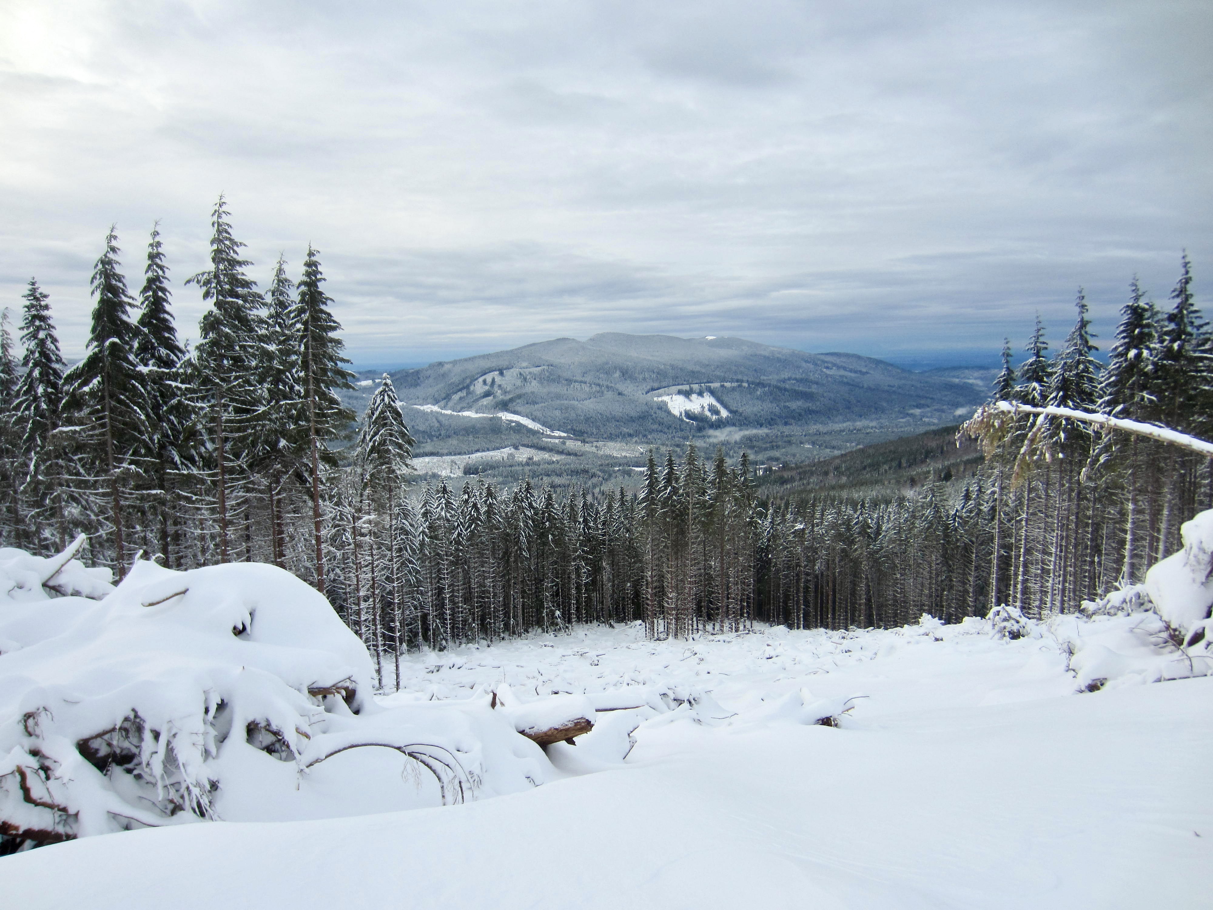
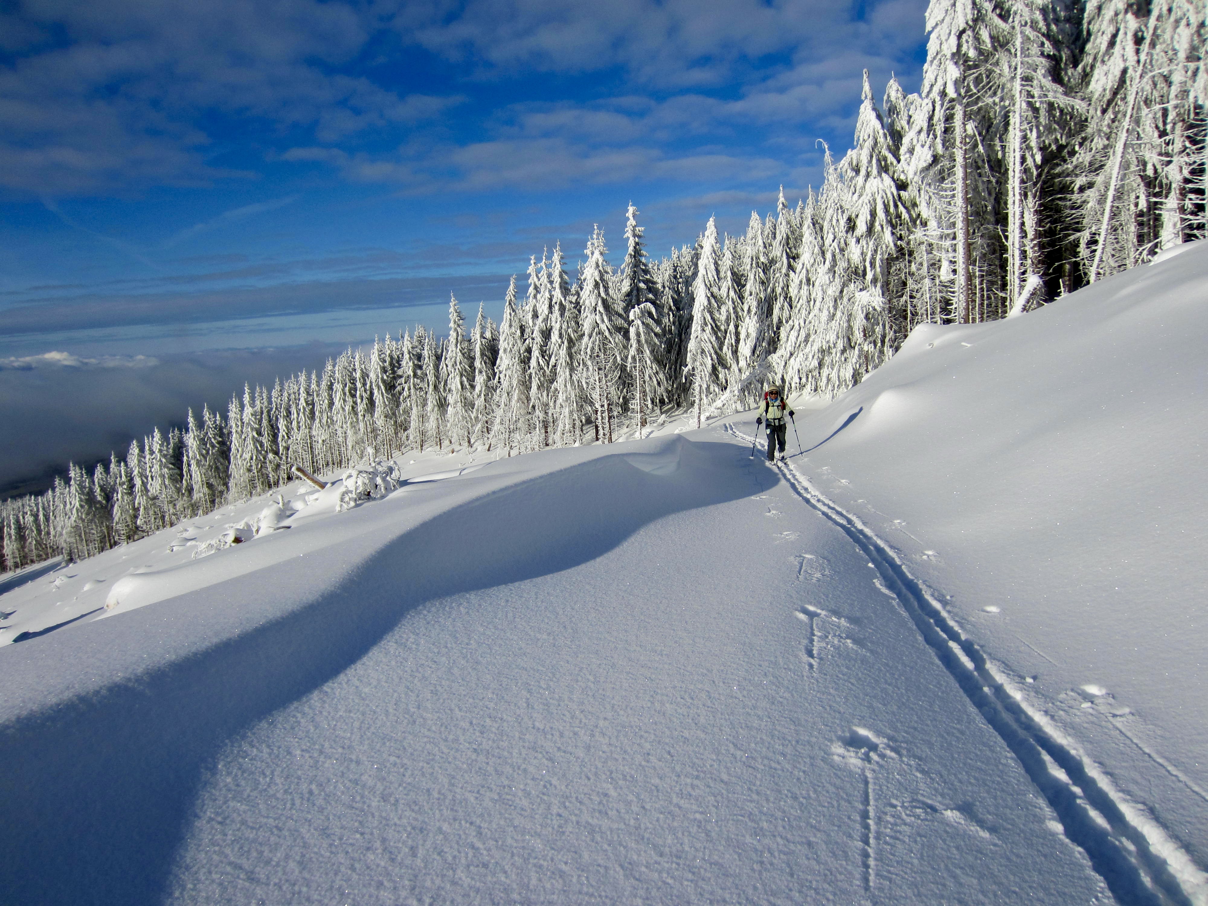
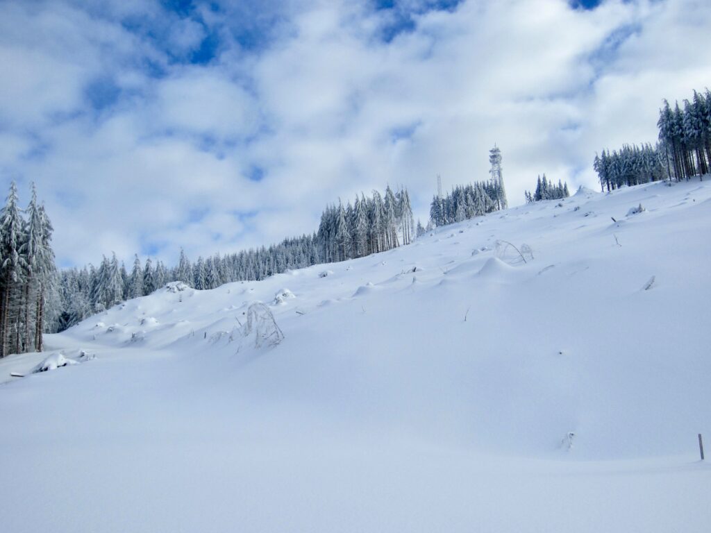
For skiers wanting to tuck in the summit of West Rattlesnake Peak, stay on Road 5500 at the aforementioned “5½” mile marker and continue southward. The road crosses through a large clearcut high on the peak’s western flank, which provides distant views to the north, west, and south. Being exposed to winter sun and wind, this entire slope is oftentimes covered by crusty snow.

.
.
.
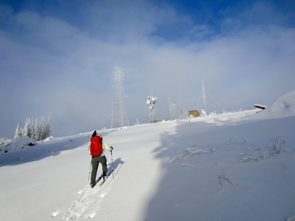
After ¾ mile of traversing, you will come to a large flat area adjacent to a rock quarry. Turn sharply back to the left here and follow the road for several hundred yards to the summit plateau of West Rattlesnake Peak (6.2 miles + 2400 feet from TH). This summit does not possess any sort of backcountry appeal—it is developed with numerous communication towers and ancillary buildings—but you can get some good views by moving around the plateau.
.
.
…
Descent to Trailhead
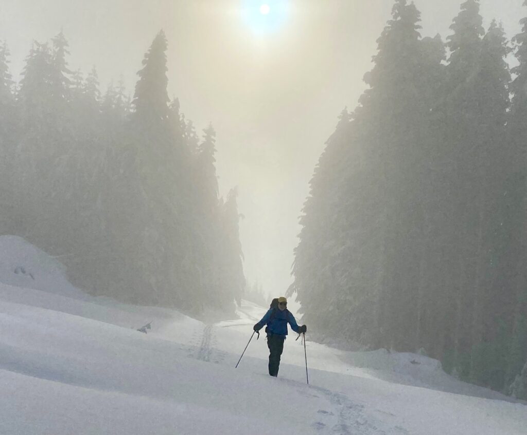
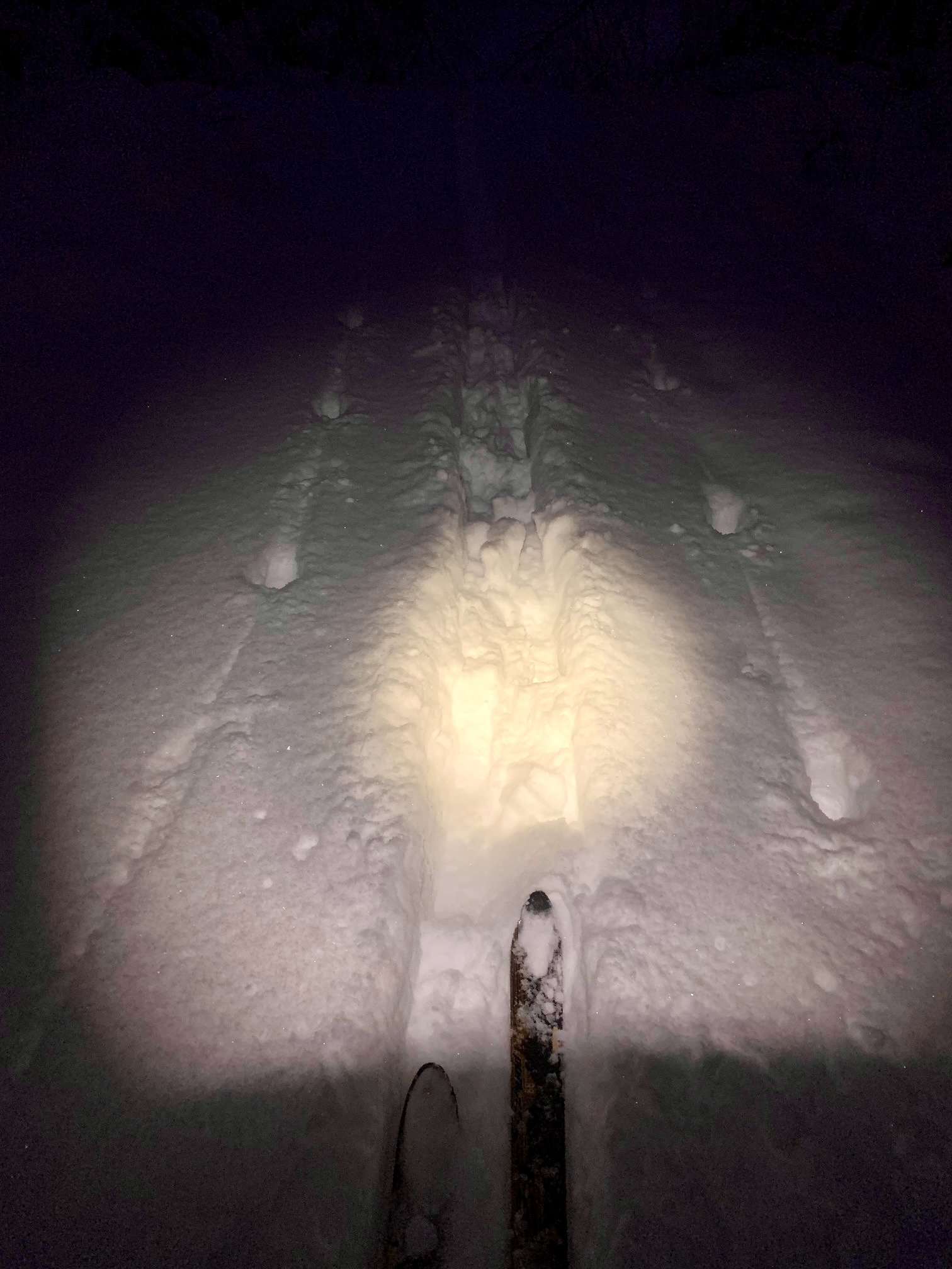
Regardless of whether your destination is Grand Prospect or West Rattlesnake Peak, the descent is made by simply following your up-track back to the trailhead. This will involve a lot of downhill gliding and a little bit of uphill climbing. When snow conditions are good, it can be a very fun and fast descent. The total tour can be fairly long, though; on two occasions, I’ve done most of the descent by headlamp, but that just added to the overall adventure!
.
Equipment Comments
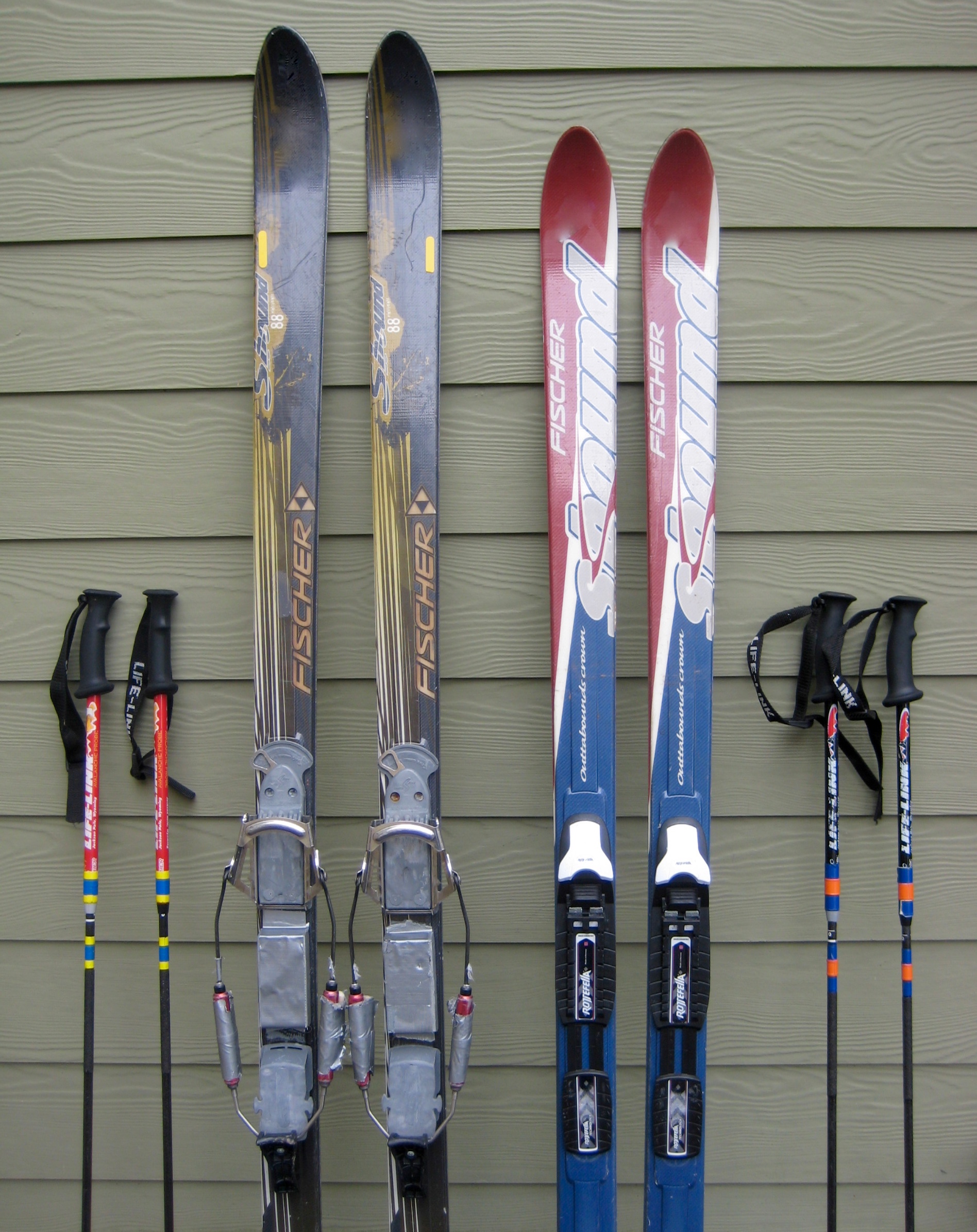
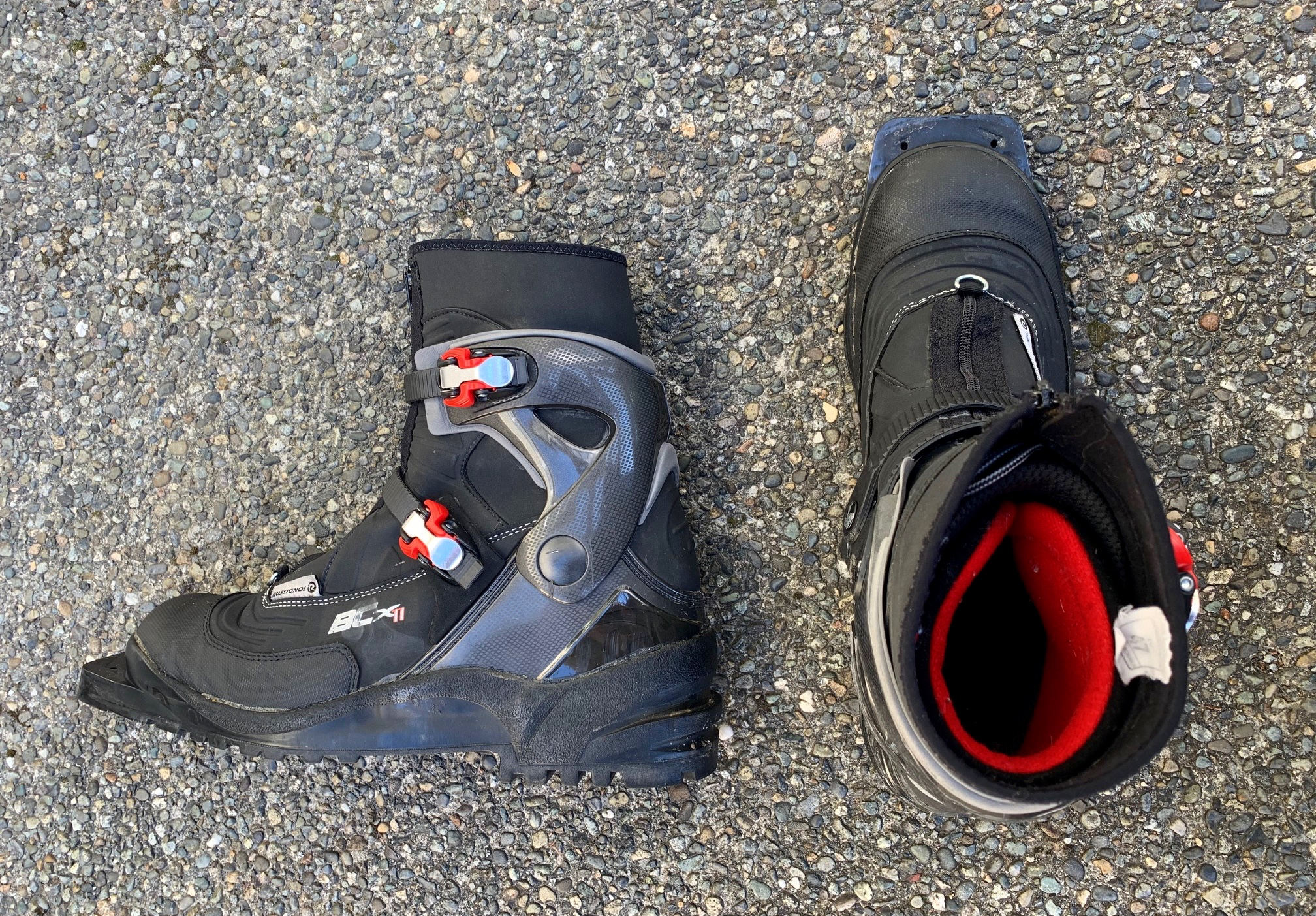
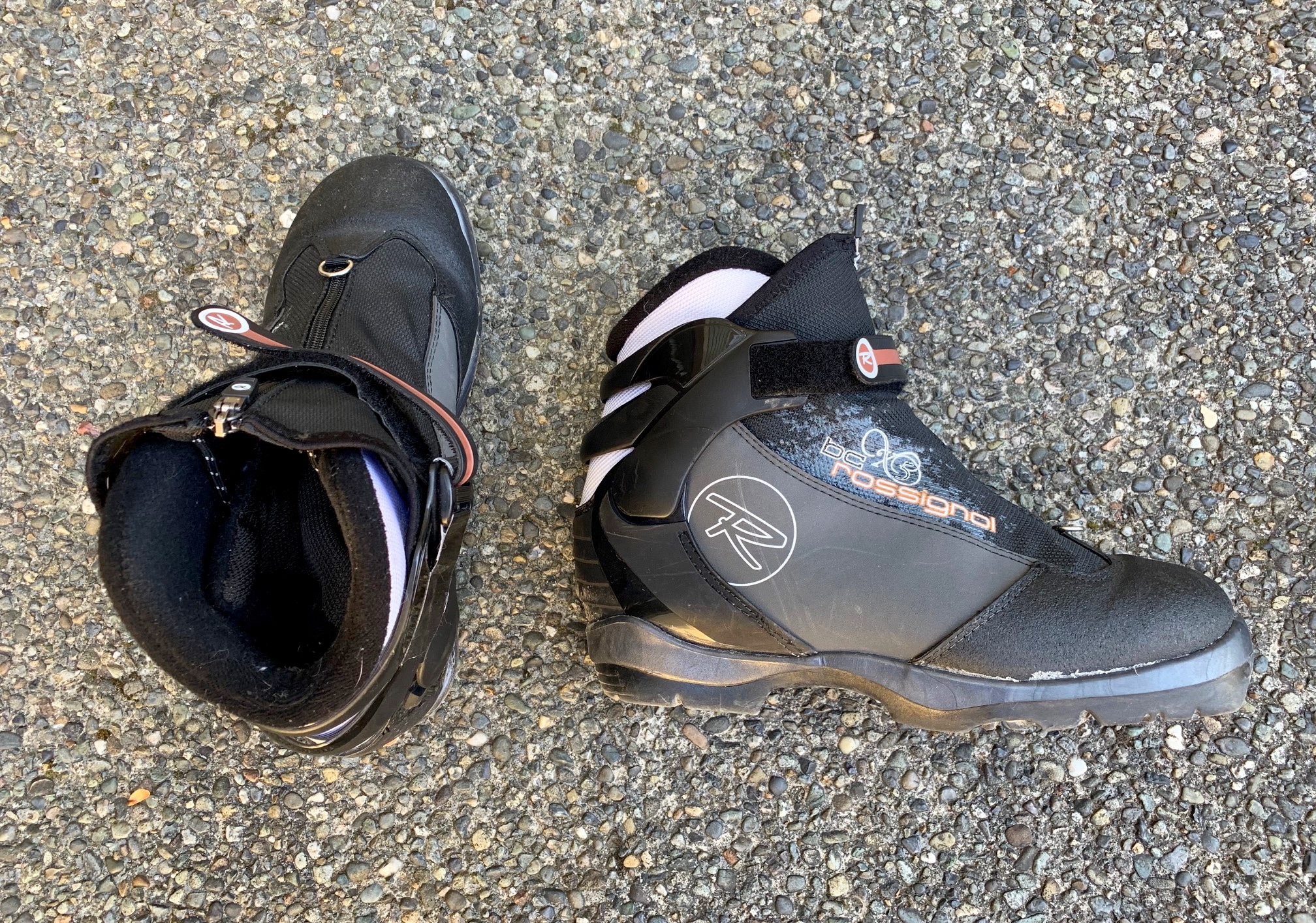
For these ski tours, I recommend using medium-width, fishscale-base, backcountry nordic skis mounted with either 75-mm bindings or NNN-BC bindings, combined with compatible nordic touring boots. Either partial or full-length climbing skins are very useful traction in certain snow conditions, such as dry powder or icy crust. Although not essential, I also recommend using adjustable ski poles to maximize efficiency on the uphill and downhill portions. In addition, a backpack with a good ski-carry system makes any road walking more convenient.
For further information regarding the specialized equipment that I typically use on these particular ski tours and on other ski tours of a similar type, see my gear discussions and reviews on the following pages:
>>> Backcountry Nordic Ski Touring Gear
>>> Backcountry Ski & Snowshoe Packs
>>> Wintertime Comfort Accessories
…
Route Maps & Profile
…
…
…
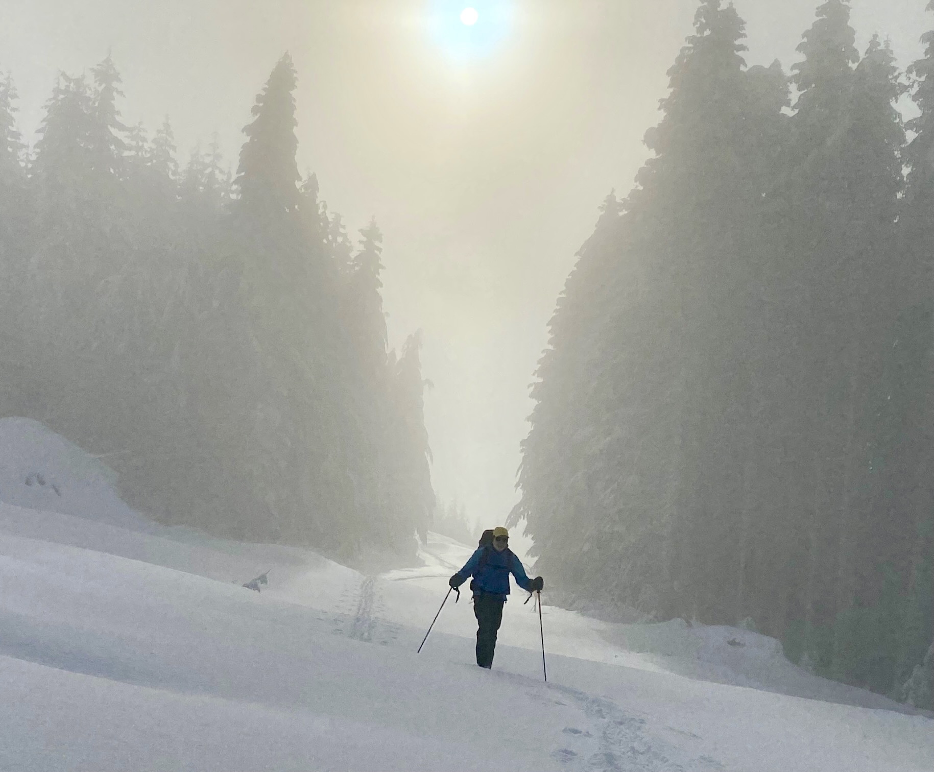
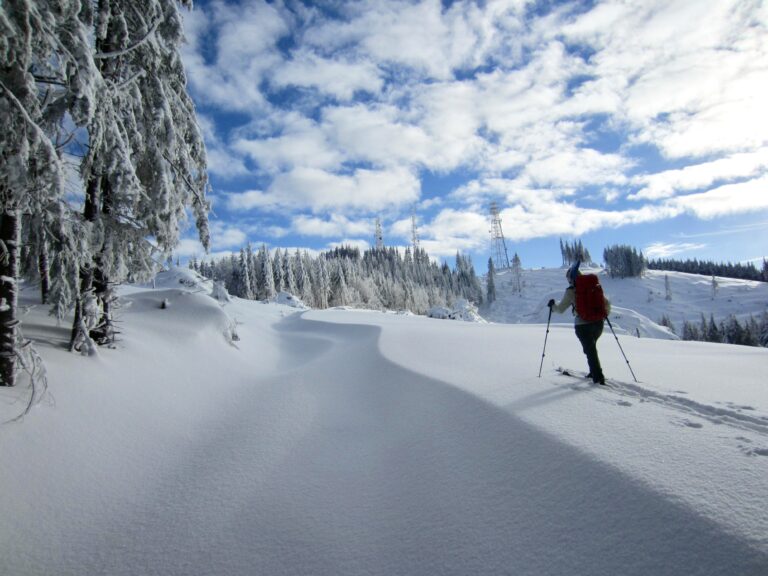
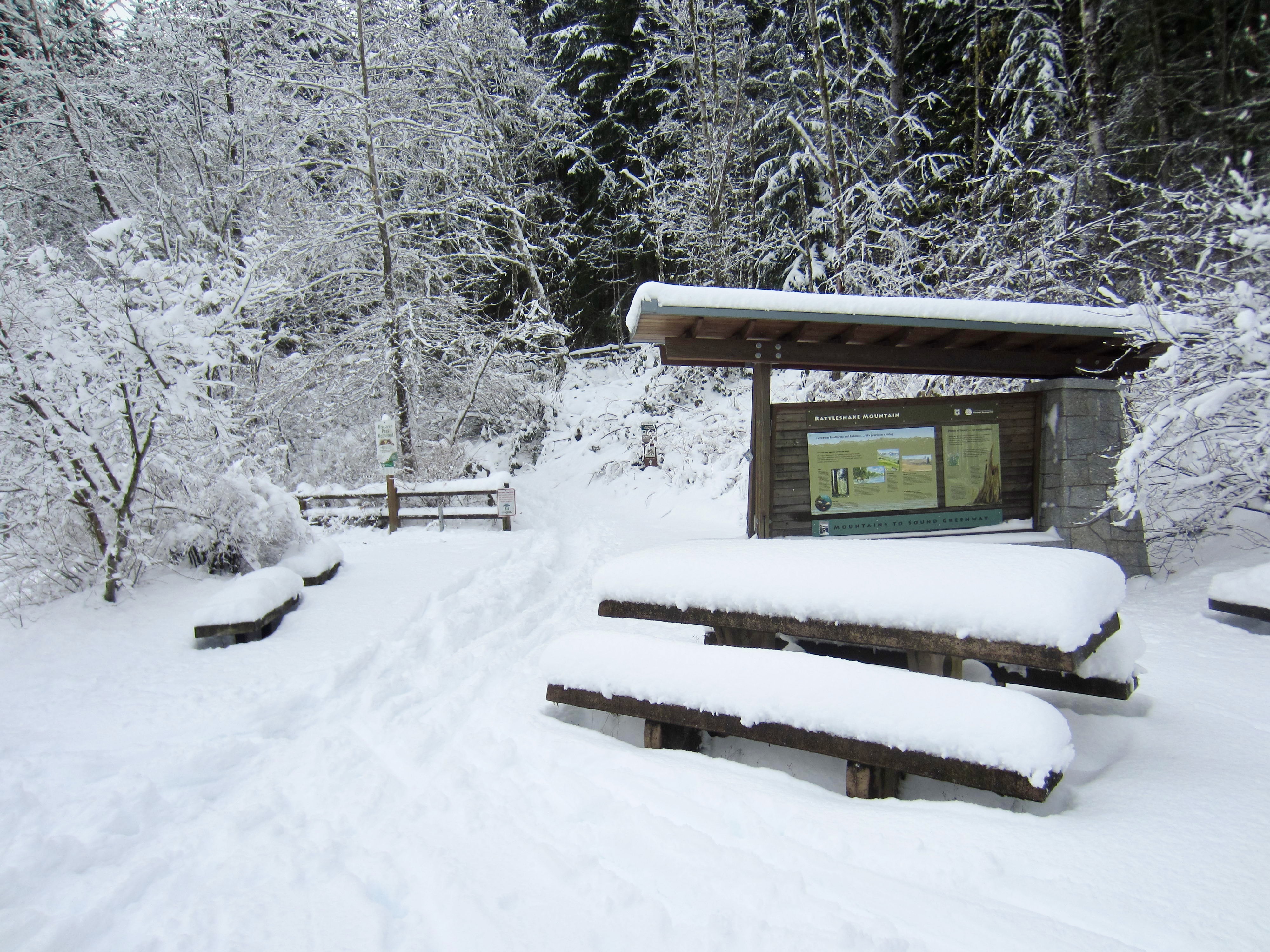
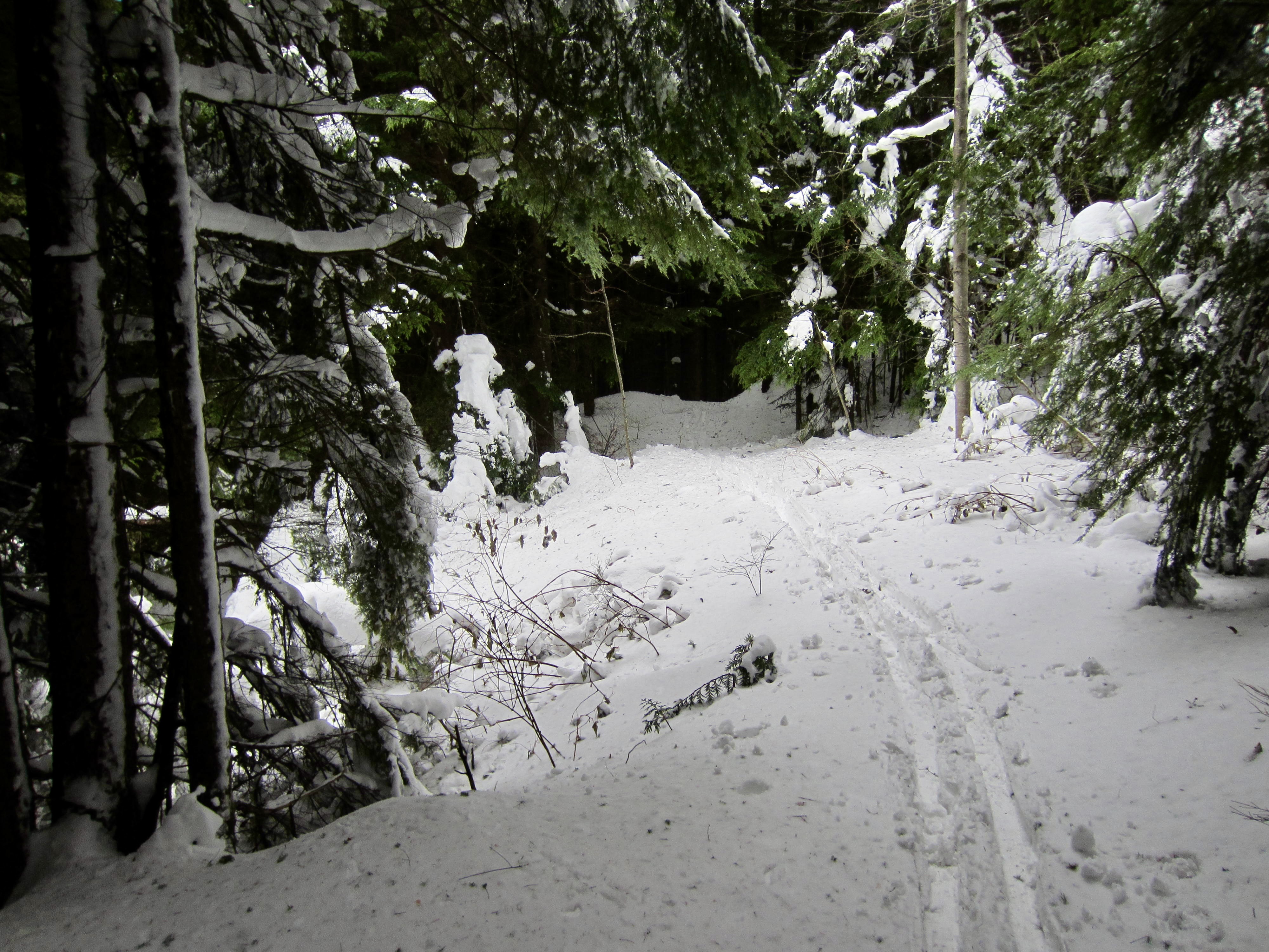
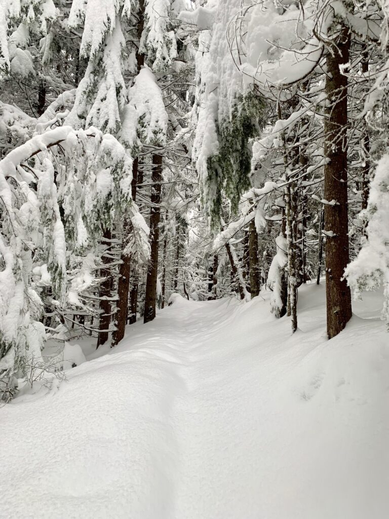
Photo Gallery
Click to enlarge…