Trip Date: March 15, 2019
2019 ARIZONA SPRING VACATION
Mesquite–Ford Trail Loop: Mesquite Canyon to Ford Canyon
Mesquite Canyon
Willow Canyon
Ford Canyon
Trip Report Summary
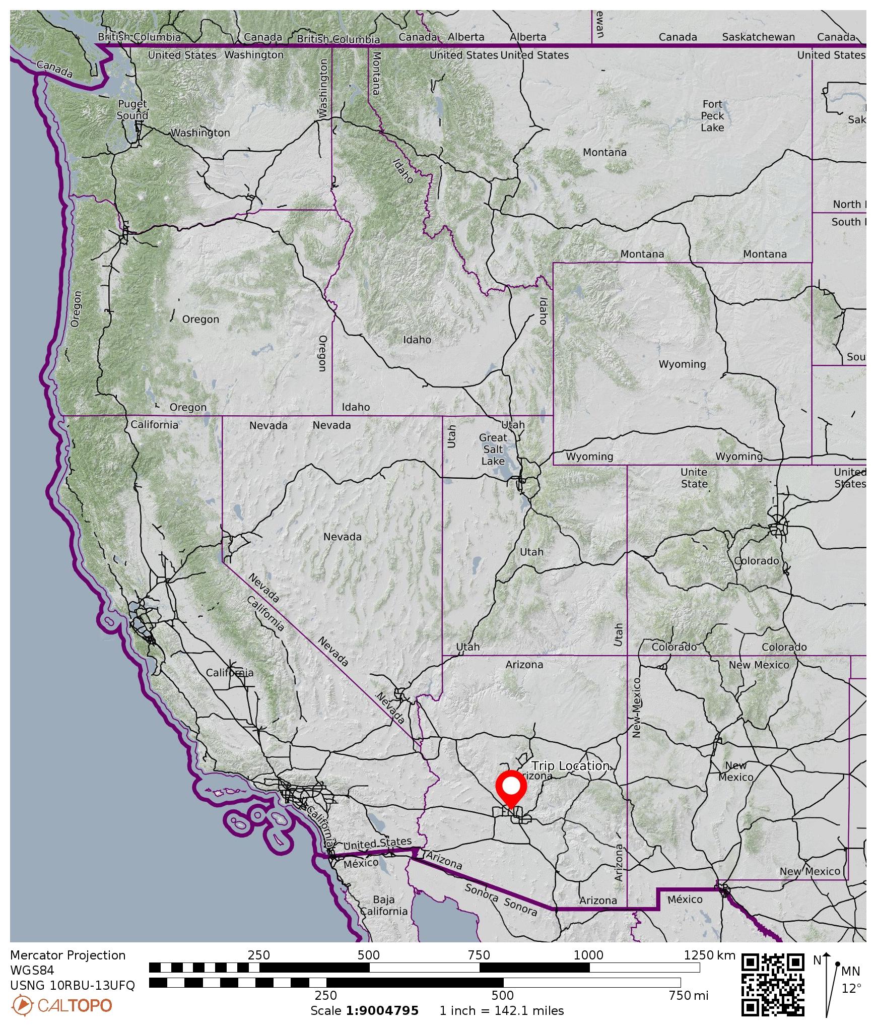
Region: Arizona
Sub-Region: Central Arizona
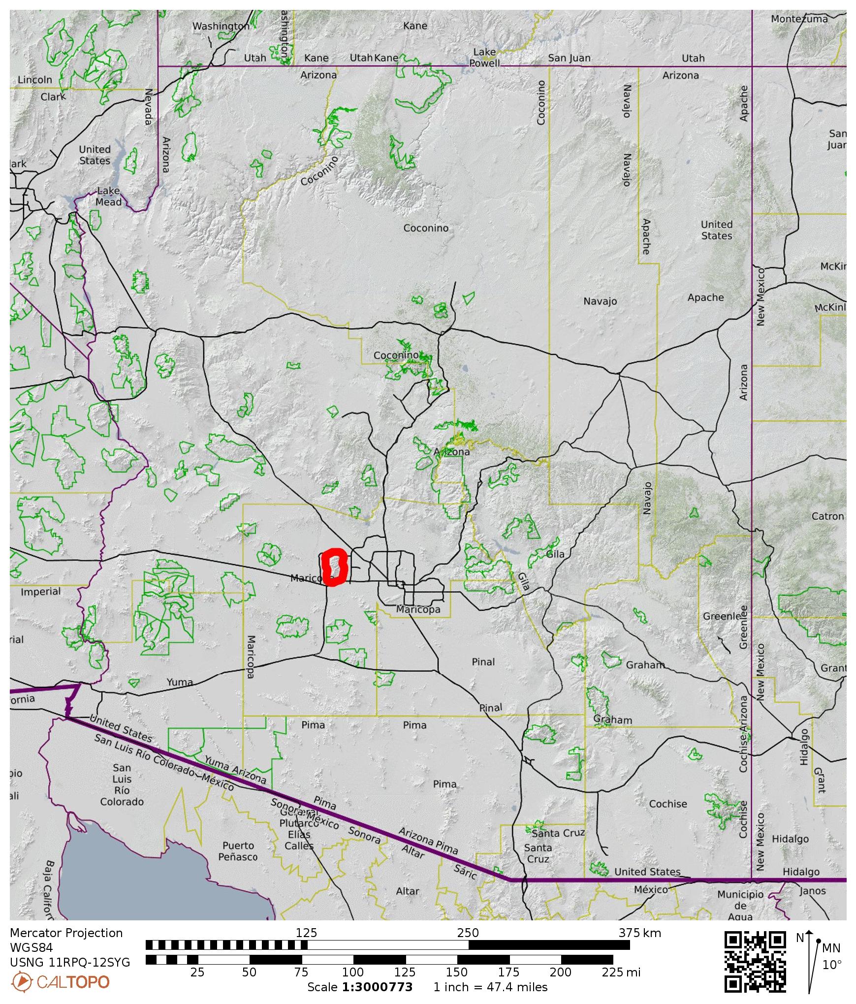
Sub-Sub-Region: White Tank Mountains
Area: White Tank Mountain Regional Park
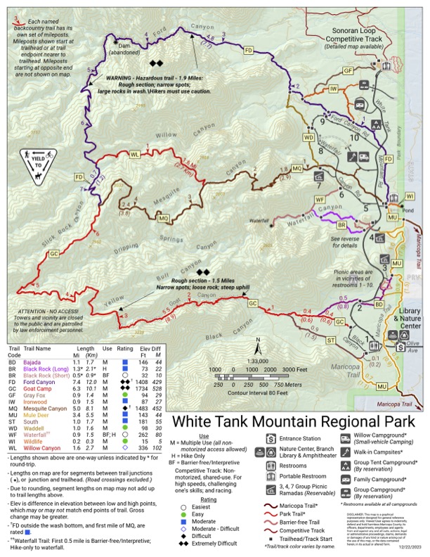
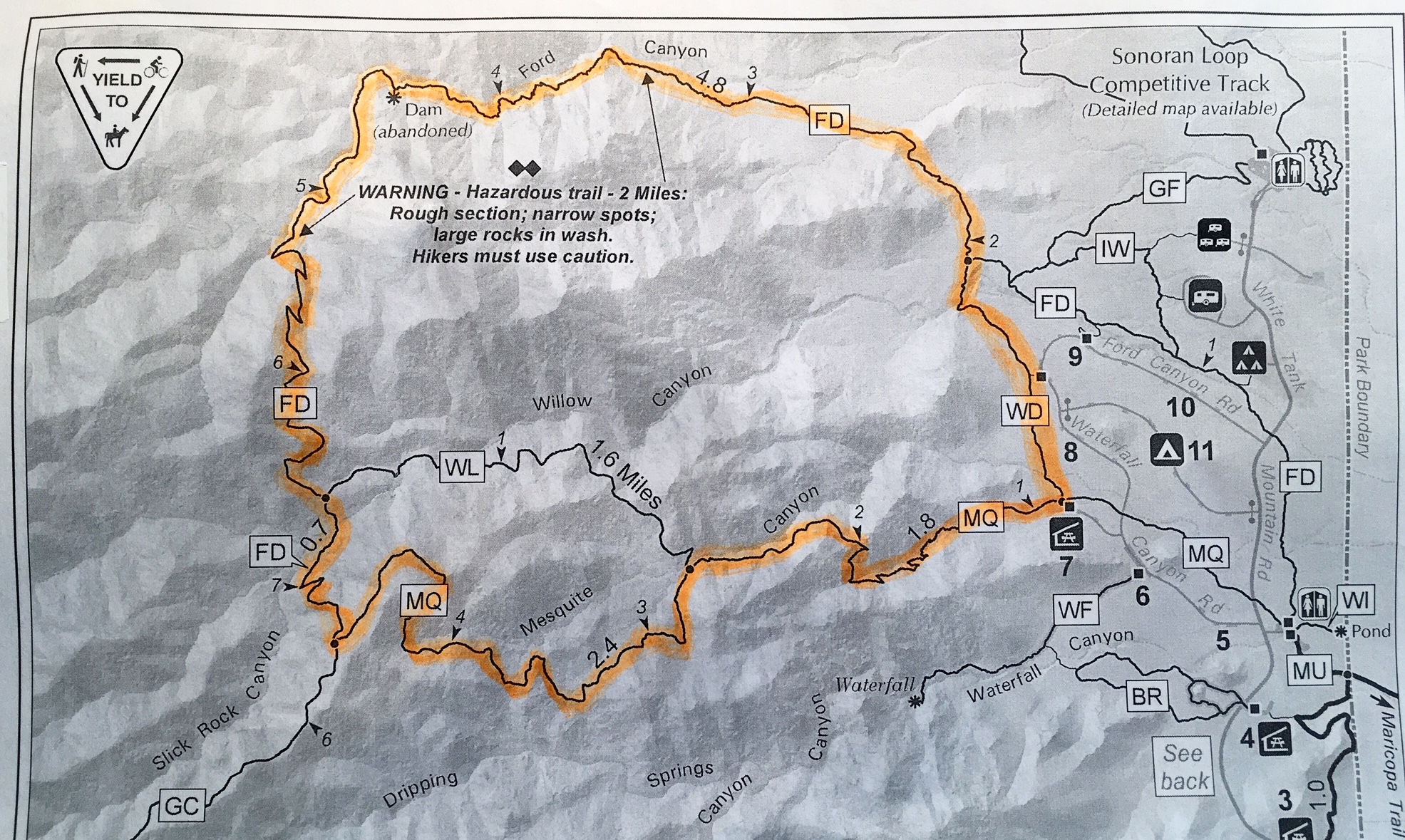
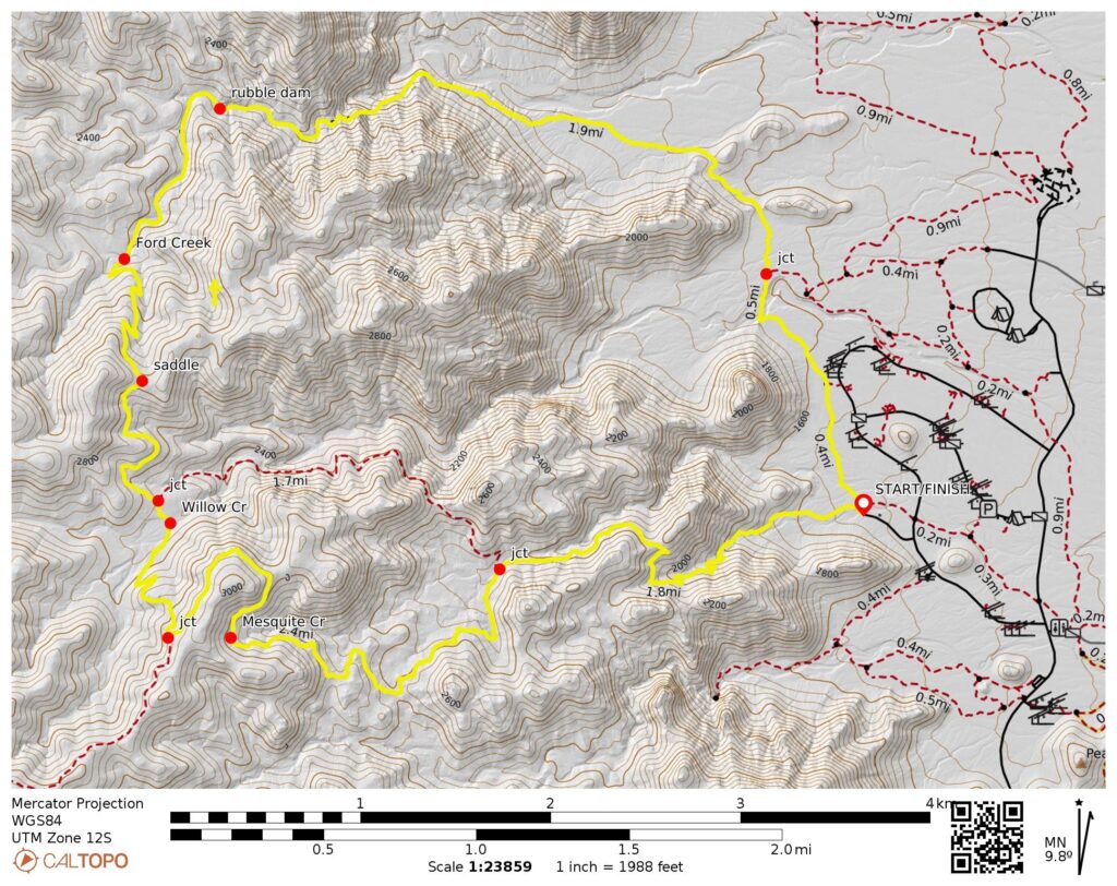
Starting & Ending Point: Mesquite Canyon / Waddell Trailhead adjacent to Picnic Area #7 at end of Ramada Way (Elev. 1550 feet)
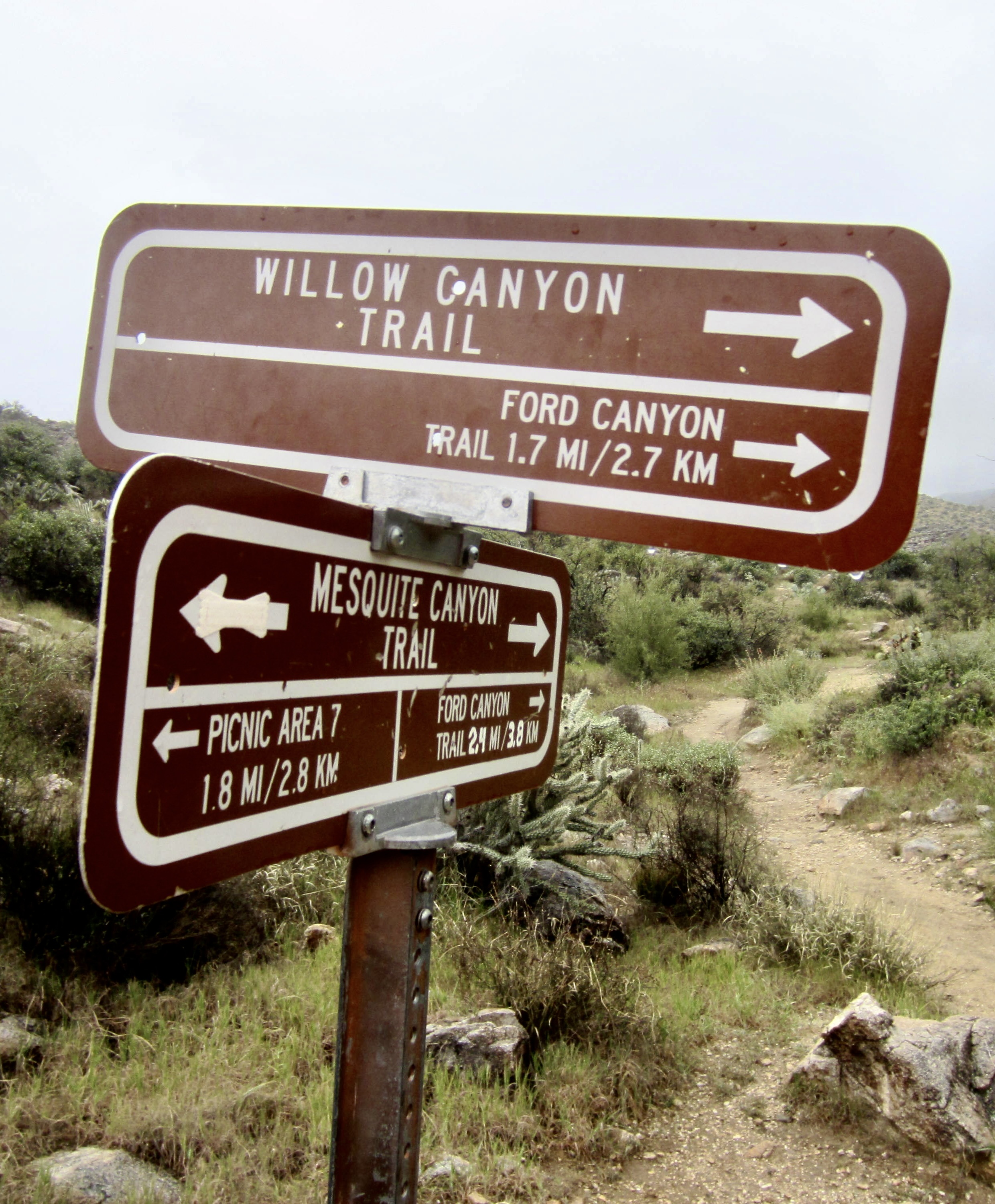
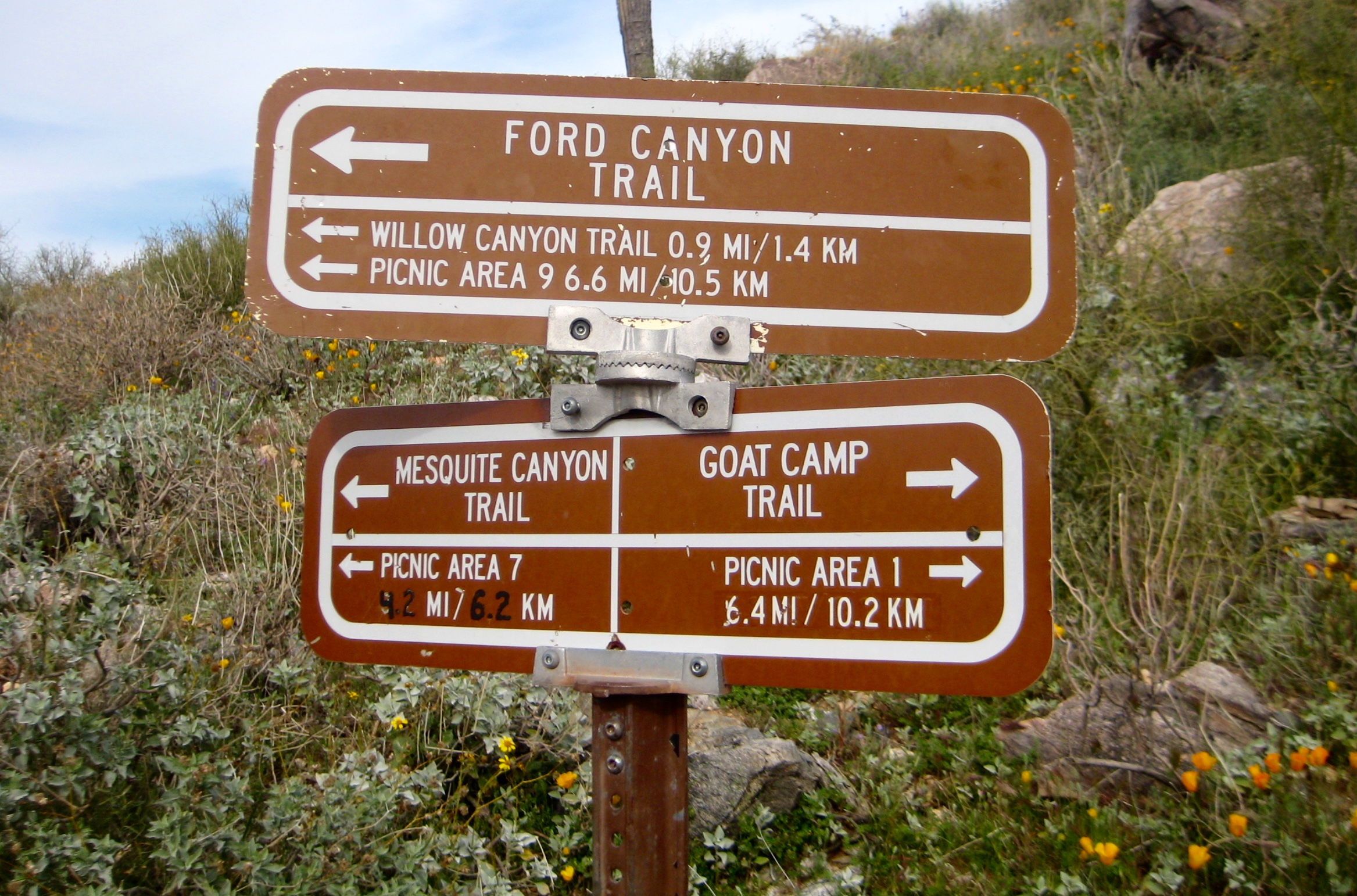
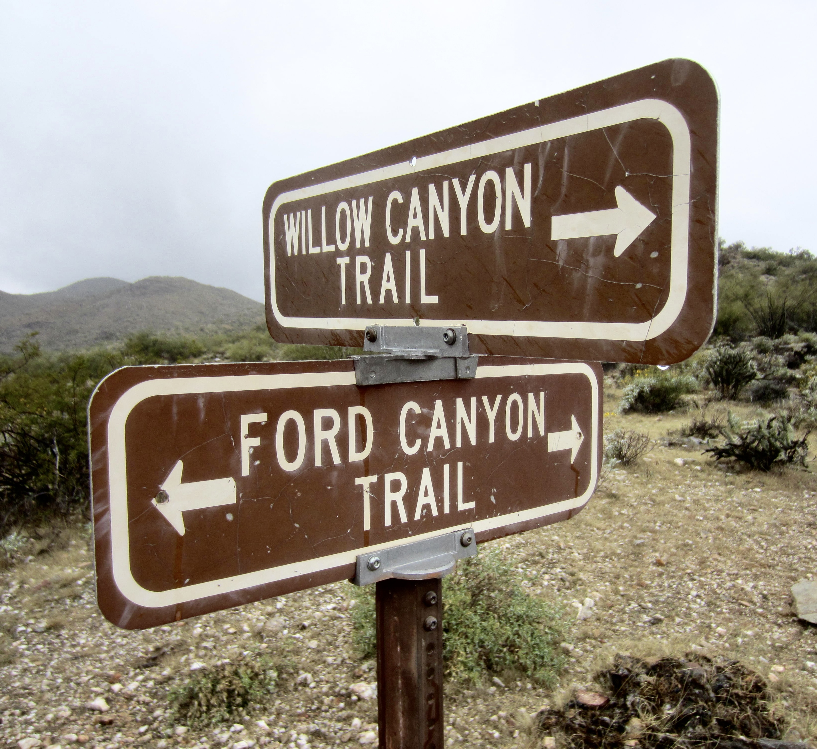
Way Points: Mesquite Canyon Trail / Willow Canyon Trail junction & Mesquite Canyon Trail / Ford Canyon Trail junction & Upper Willow Creek crossing & Ford Canyon Trail / Willow Canyon Trail junction & Upper Ford Creek crossing & Ford Canyon Dam & Willow Canyon Flats & Ford Canyon Trail / Waddell Trail junction & Mesquite Canyon Flats & Mesquite Canyon / Waddell Trailhead (trail hike via Mesquite Canyon Trail–Ford Canyon Trail–Waddell Trail)
High Point: Mesquite Canyon Trail / Ford Canyon Trail junction vicinity (Elev. 2900 feet)
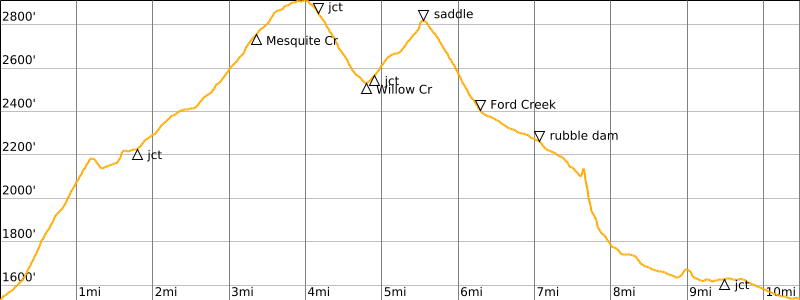
Approximate Stats: 10.5 miles traveled; 1700 feet gained & lost; 3.9 hours elapsed.
…
Related Post
>>> Goat–Willow Trail Loop: Goat Canyon to Willow Canyon – February 18, 2026
Trip Report Overview
The White Tank Mountains, or simply “White Tanks,” are a compact sub-range of arid peaks lying closely west of Phoenix. The highest peak reaches slightly over 4000 feet, and the sub-range itself is named for the presence of large, water-holding depressions within the white granite bedrock. White Tank Mountain Regional Park encompasses 45 square miles in the northern portion of the sub-range. This park features an extensive network of hiking trails that lend themselves to a variety of possible loops and traverses.
.
Having a few hours of daylight available during my penultimate vacation day in Phoenix, I headed over to White Tank Mountain Regional Park for a final hike. Being alone, I opted to do the Mesquite–Ford Trail Loop, which begins and ends at the Mesquite Canyon / Waddell Trailhead adjacent to Picnic Area #7 on Ramada Way. This 10.5-mile “closed loop” gains and loses 1700 vertical feet as it travels up Mesquite Canyon and down Ford Canyon.
Full Trip Report
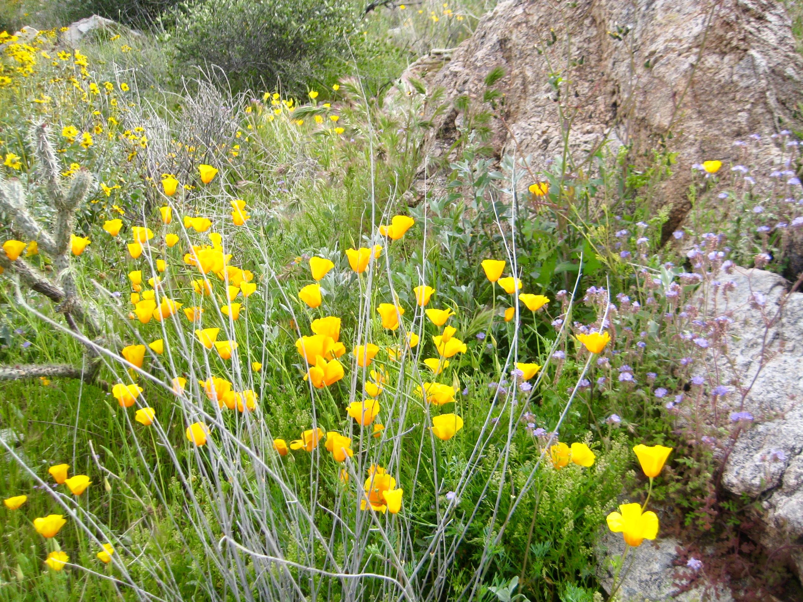
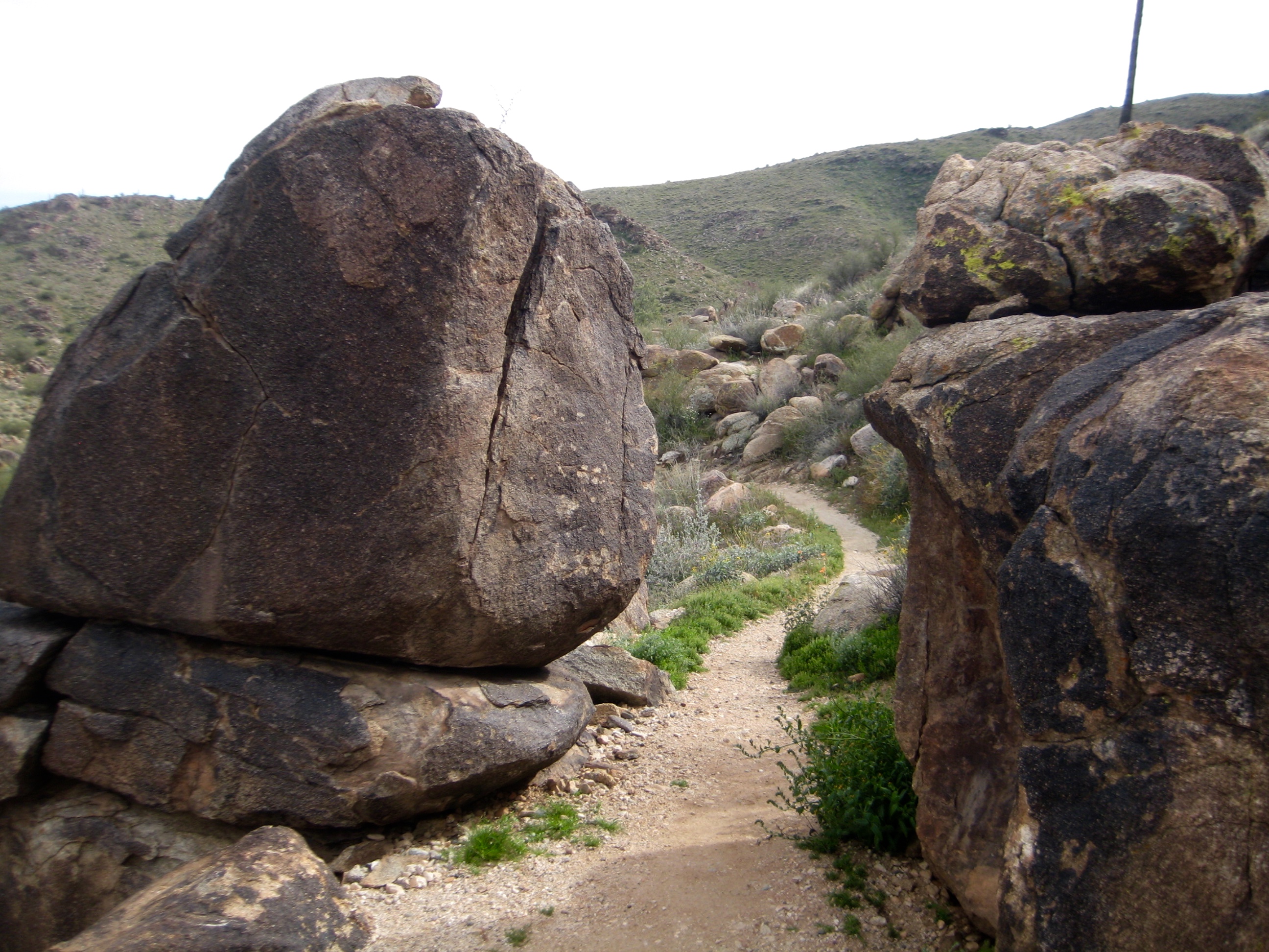
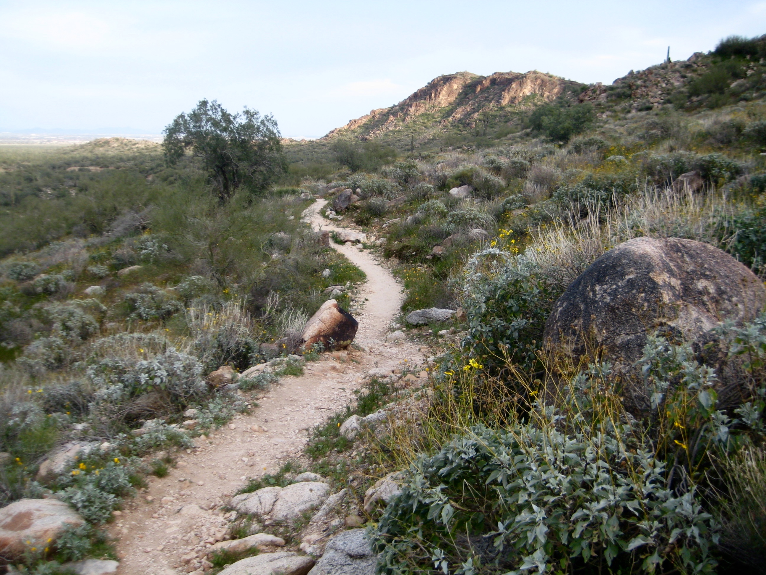
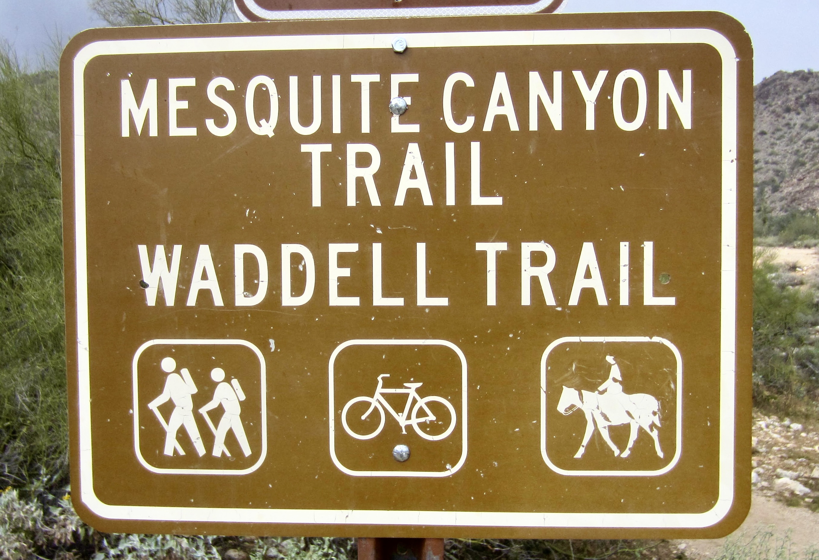
From the Mesquite Canyon / Waddell Trailhead, I started up the Mesquite Canyon Trail. The terrain along this trail epitomizes Arizona desert hiking: rocks, lizards, cacti, scrub bushes, and wildflowers galore—all within sight of the Phoenix metropolis.

- Upper Mesquite Canyon Trail
- Wildflowers On Mesquite Canyon Trail
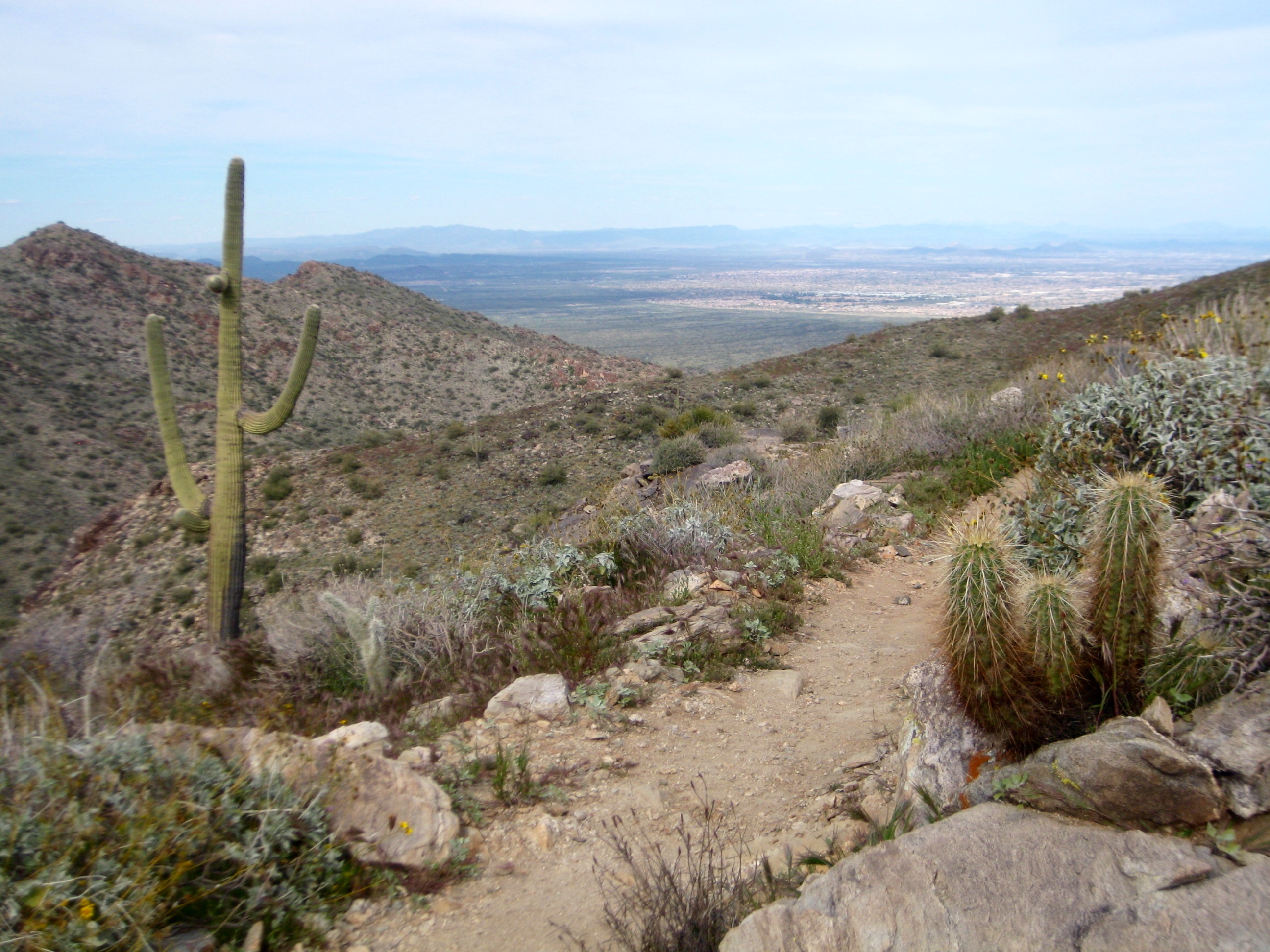
After 4 miles, the Mesquite Canyon Trail ended at a junction with the Ford Canyon Trail (1.4 hours + 1350 feet from TH). I turned right on the Ford Canyon Trail and headed north. The trail dipped down to cross Willow Creek (dry) and passed a junction with the Willow Canyon Trail, then switch-backed up to a ridge saddle.
From the ridge saddle, I descended into Ford Canyon. In the canyon invert, trail tread became lost in the sandy and gravelly washes. However, scattered ducks, cairns, and trail markers clearly led the way down.
- Upper Ford Canyon Trail
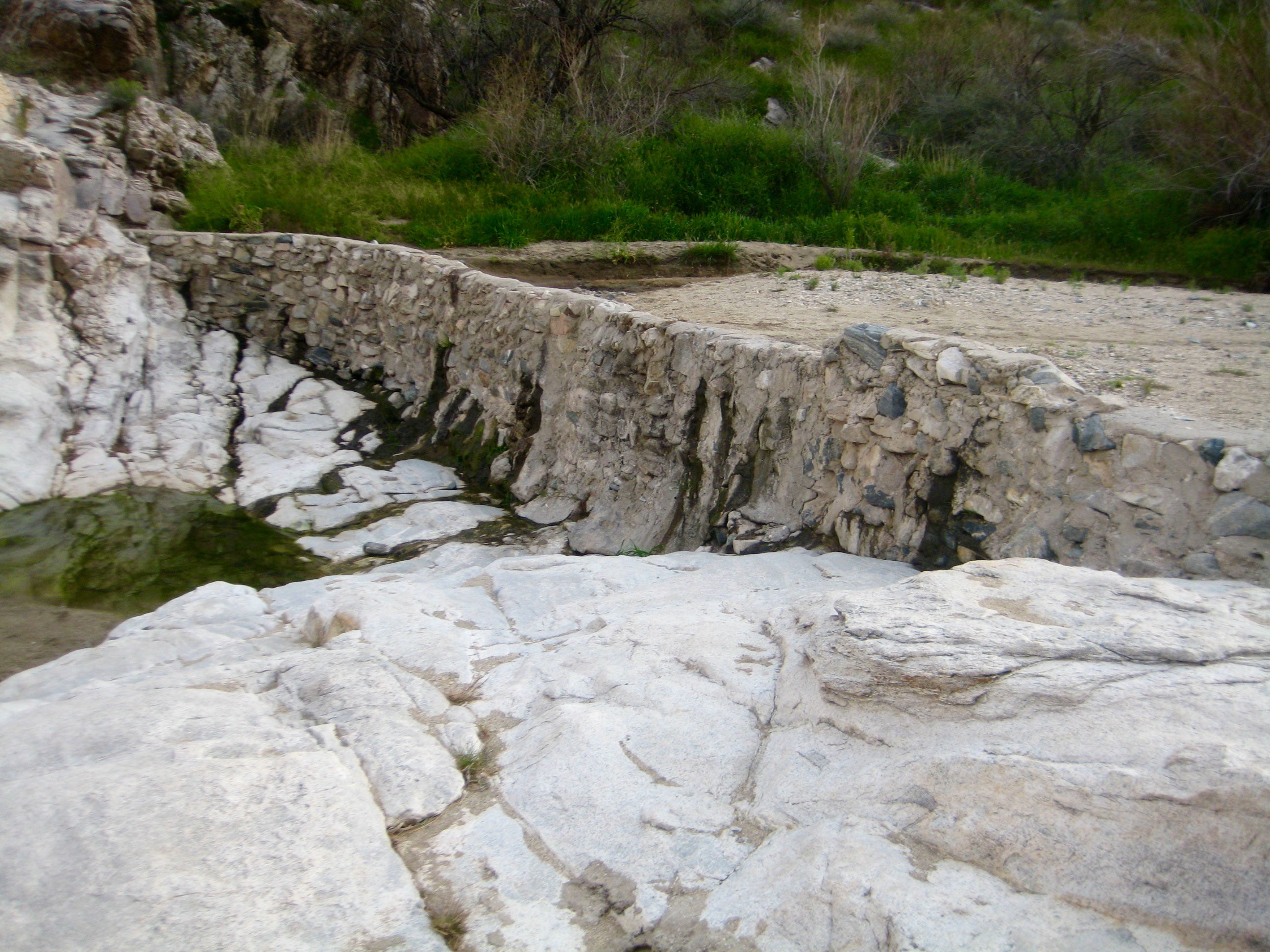
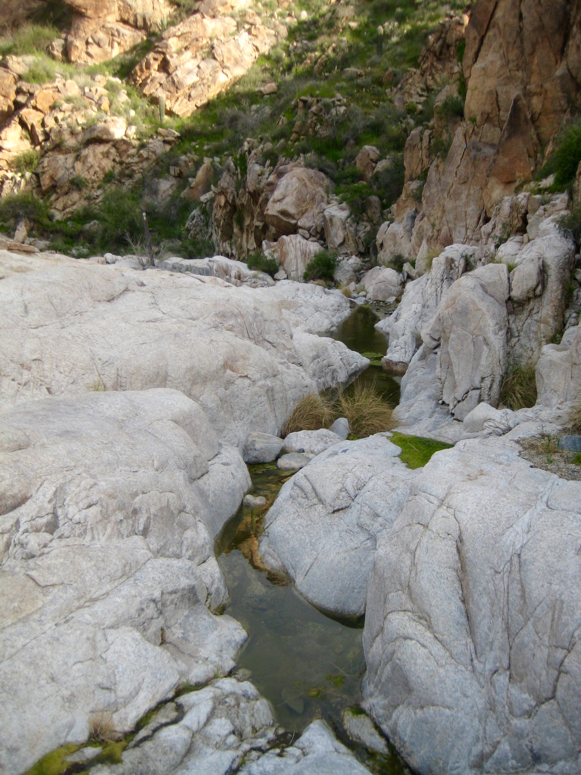
The canyon gradually became a narrow channel with polished rock slabs and small pools of water. I passed an old rubble-and-mortar dam along the way (2.5 hours + 1650 feet from TH).

- Polished Slabs In Ford Canyon
- Old Dam In Ford Canyon
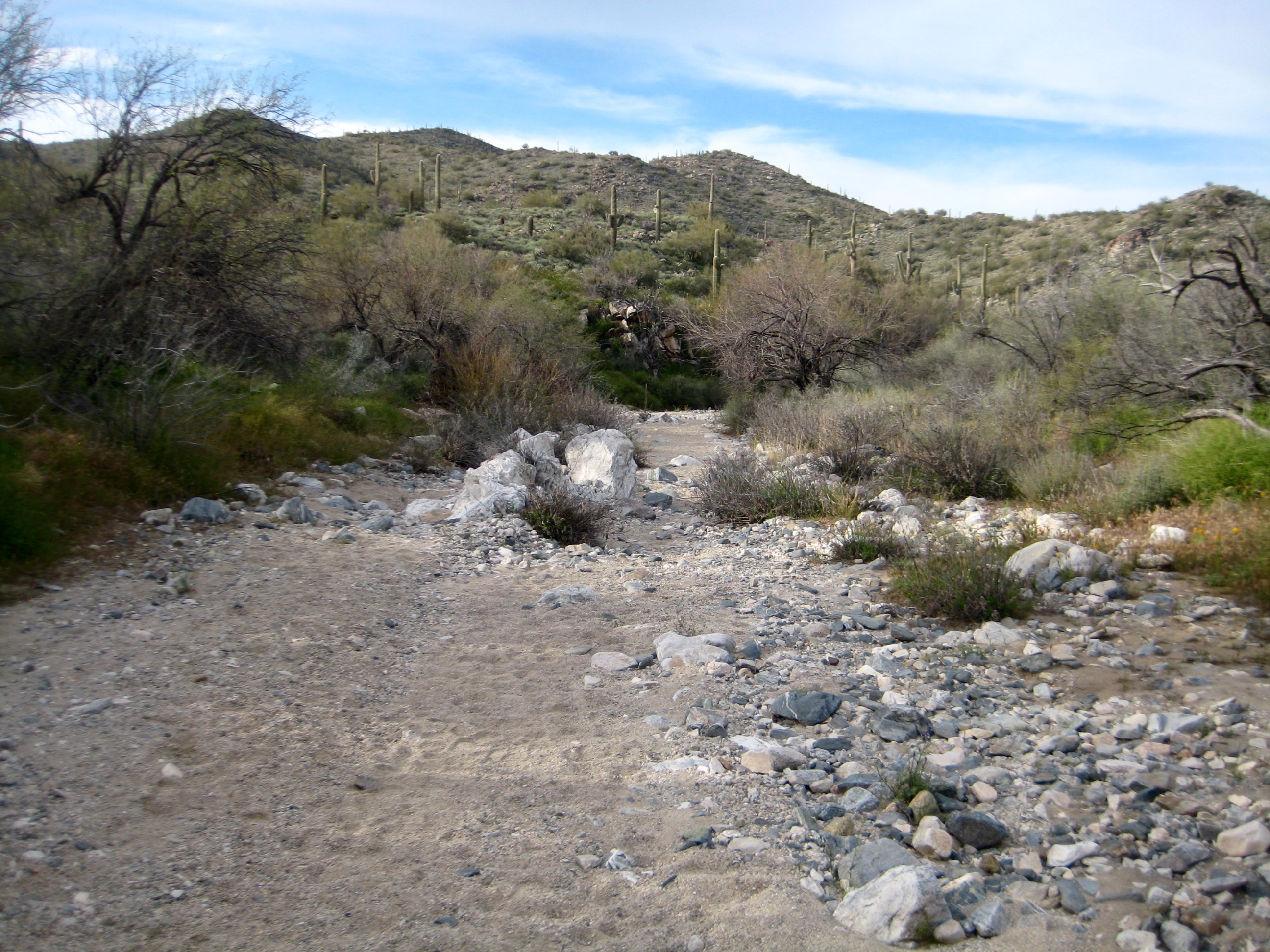
With further distance, the Ford Canyon Trail steadily improved until it intersected the Waddell Trail. I turned right onto the latter trail and followed it back to my starting point at the Mesquite Canyon / Waddell Trailhead (3.9 hours + 1700 feet total loop), arriving just before dark.
- Lower Ford Canyon Trail
Route Maps & Profile

- Mesquite — Ford Trail Loop Route Map (Parks Dept.)
…
…
…
Photo Gallery
Click to enlarge…