Originally Posted: December 2025
Updated: April 2026
Stickerbush Bike Loop
Cherrybush Bike Loop
Cedarbush Bike Loop
Triplebush Bike Spiral
Marckworth State Forest
Stossel Creek
Cherry Creek
Dorothy Creek
Youngs Creek
Stickerbush Arm
Route Summaries
Region: Central Washington Cascades
Sub-Region: Taylor-Tolt Mountains
Area: Marckworth State Forest
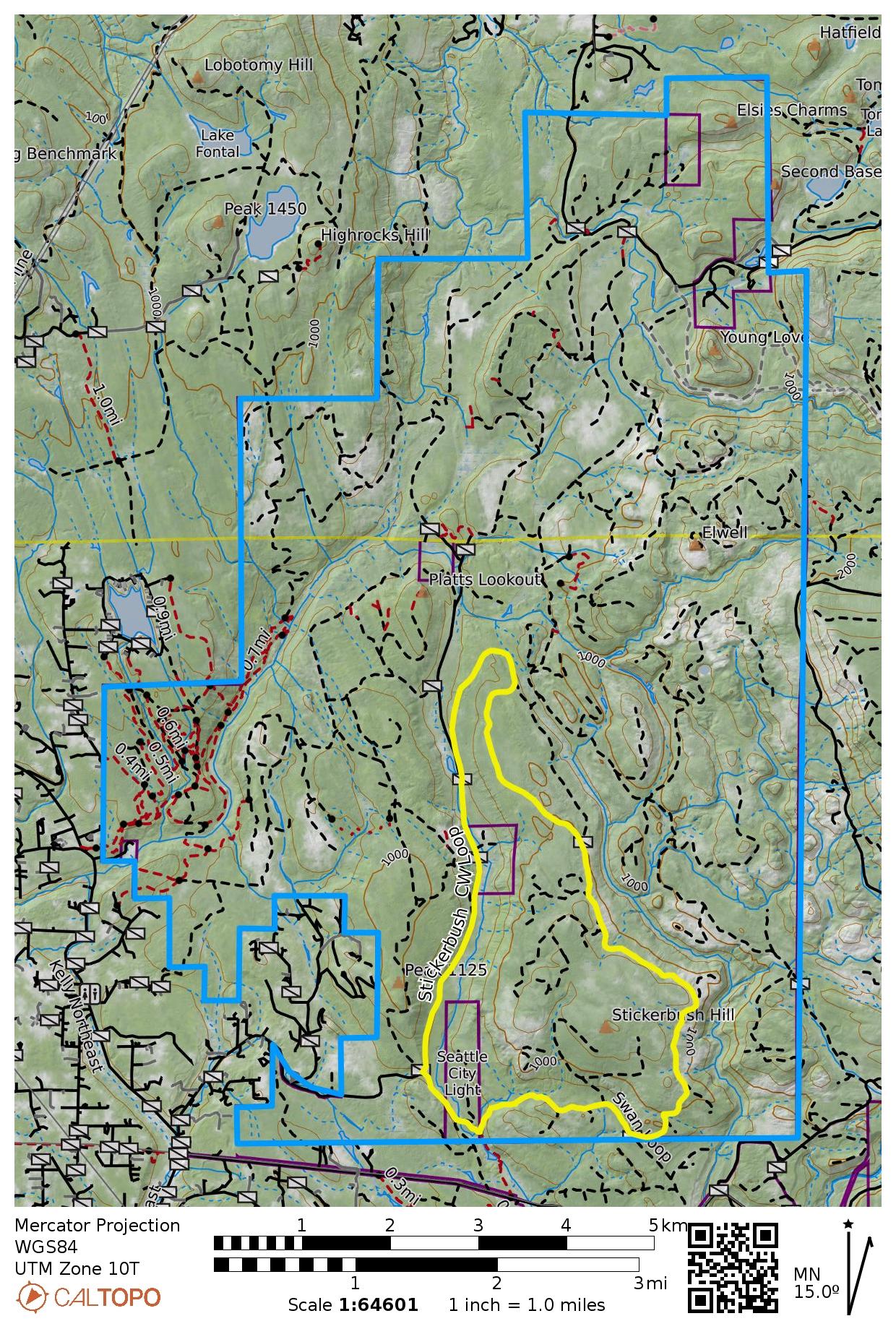
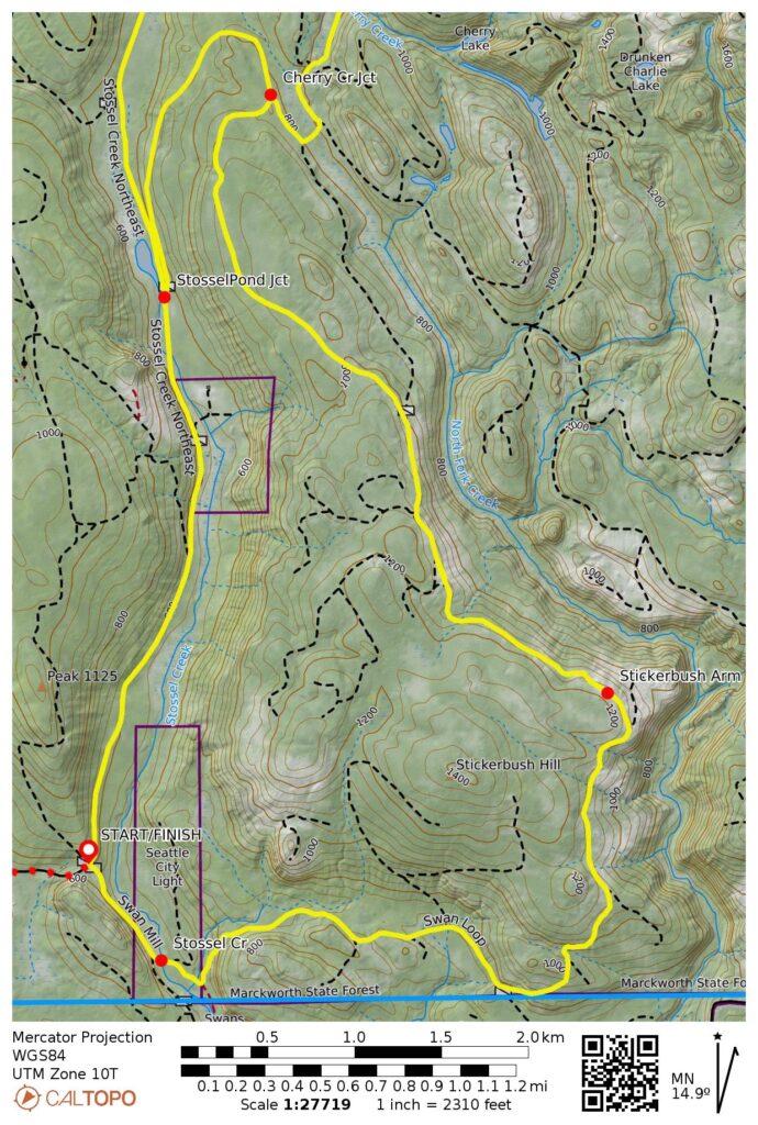
Option 1: Stickerbush Bike Loop
Starting & Ending Point: Four-way intersection on Stossel Creek Road, approximately 1.1 miles inside of forest boundary (Elev. 600 feet)
Way Points for Clockwise Loop: Stossel Pond Junction & Cherry Creek Junction & Stickerbush Arm & Stossel Creek crossing & four-way intersection (bike ride)
Low Point: Stossel Creek (Elev. 500 feet)
High Point: Stickerbush Arm (Elev. 1150 feet)
Approximate Stats: 10.0 miles traveled; 800 feet gained & lost.
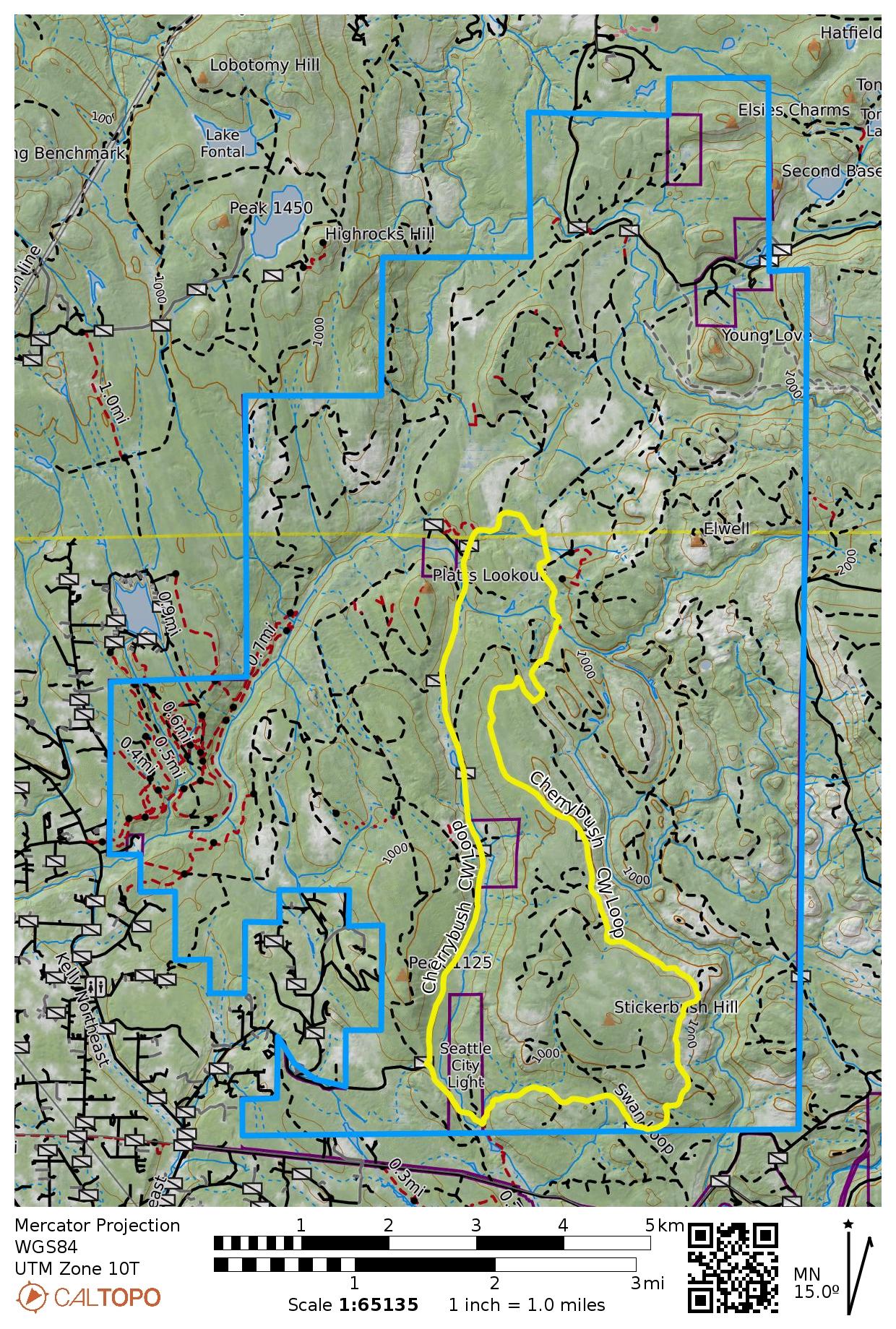
Option 2: Cherrybush Bike Loop
Starting & Ending Point: Four-way intersection on Stossel Creek Road, approximately 1.1 miles inside of forest boundary (Elev. 600 feet)
Way Points for Clockwise Loop: Stossel Pond Junction & Lower Cherry Creek Bridge & Dorothy Plateau Junction & Youngs River Junction & Truck Hill Fork & Upper Cherry Creek Bridge & Cherry Creek Junction & Stickerbush Arm & Stossel Creek crossing & four-way intersection (bike ride)
Low Point: Stossel Creek (Elev. 500 feet)
High Point: Stickerbush Arm (Elev. 1150 feet)
Approximate Stats: 12.7 miles traveled; 900 feet gained & lost.
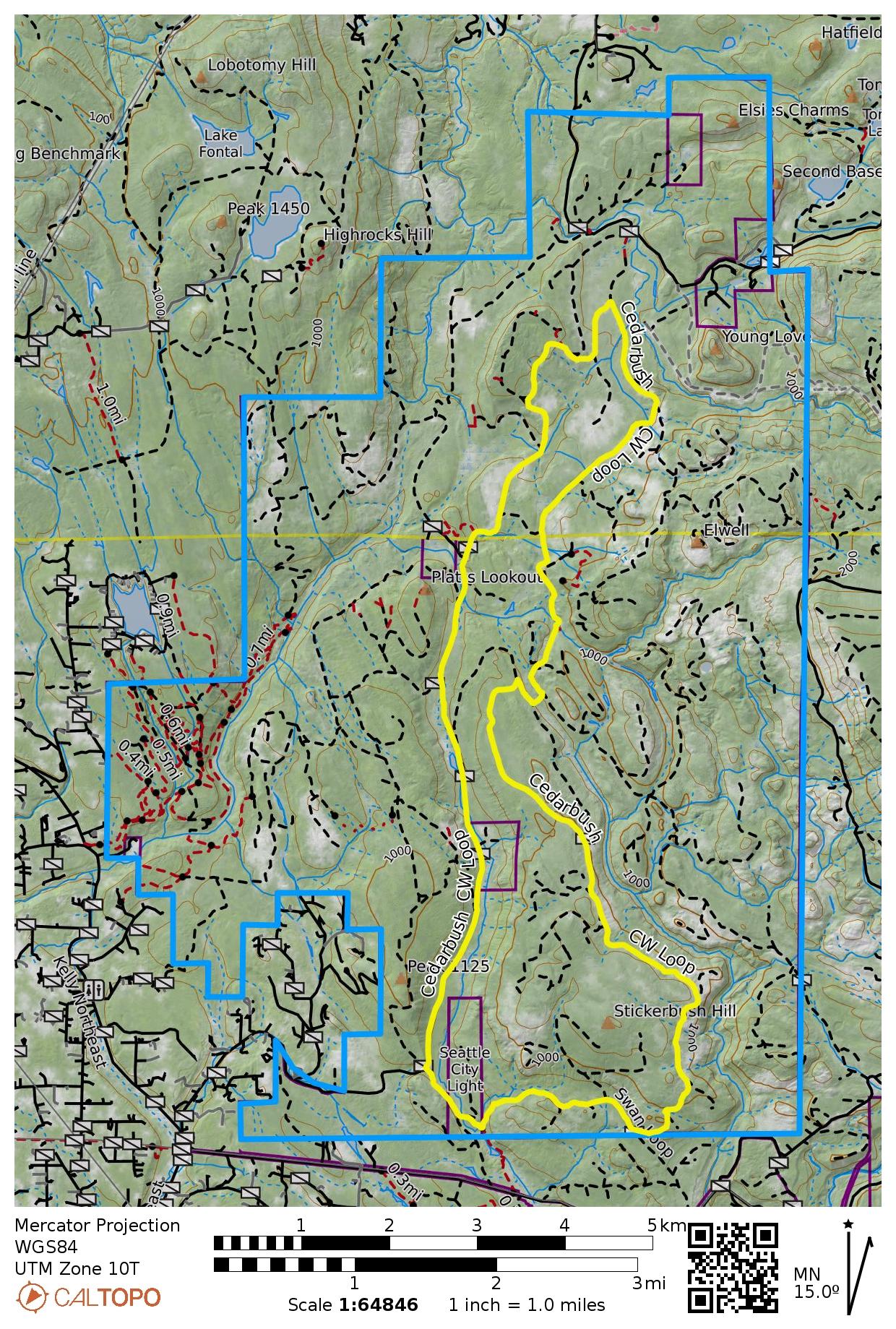
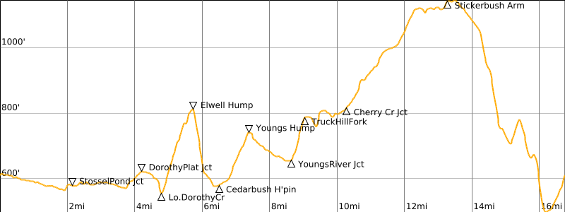
Option 3: Cedarbush Bike Loop
Starting & Ending Point: Four-way intersection on Stossel Creek Road, approximately 1.1 miles inside of forest boundary (Elev. 600 feet)
Way Points for Clockwise Loop: Stosser Pond Junction & Lower Cherry Creek Bridge & Dorothy Plateau Junction & Lower Dorothy Creek Bridge & Elwell Hump & Cedarbush Hairpin & Youngs Hump & Upper Dorothy Creek Bridge & Youngs River Junction & Truck Hill Fork & Upper Cherry Creek Bridge & Cherry Creek Junction & Stickerbush Arm & Stosser Creek crossing & four-way Intersection (bike ride)
Low Point: Stossel Creek (Elev. 500 feet)
High Point: Stickerbush Arm (Elev. 1150 feet)
Approximate Stats: 16.8 miles traveled; 1300 feet gained & lost.
Route Overview
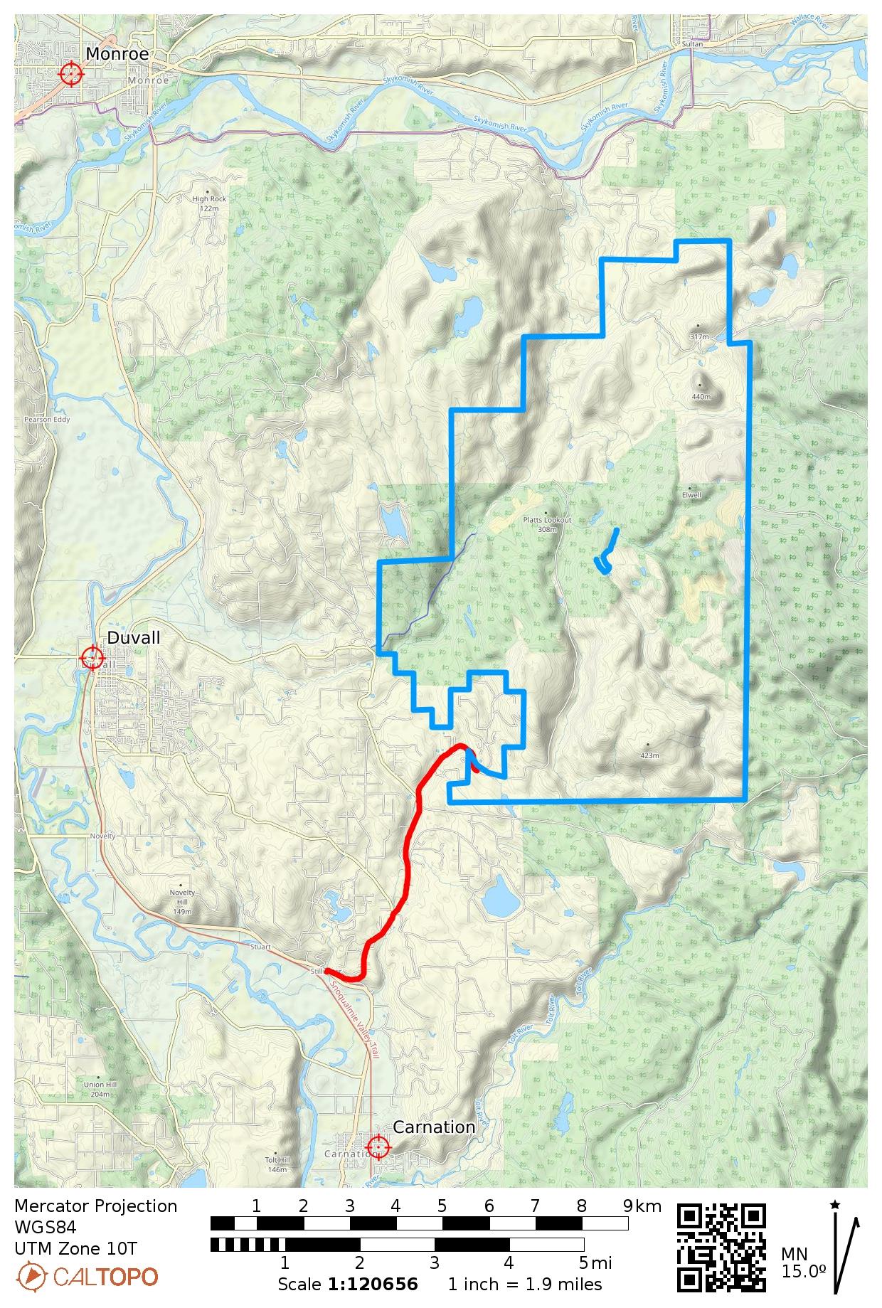
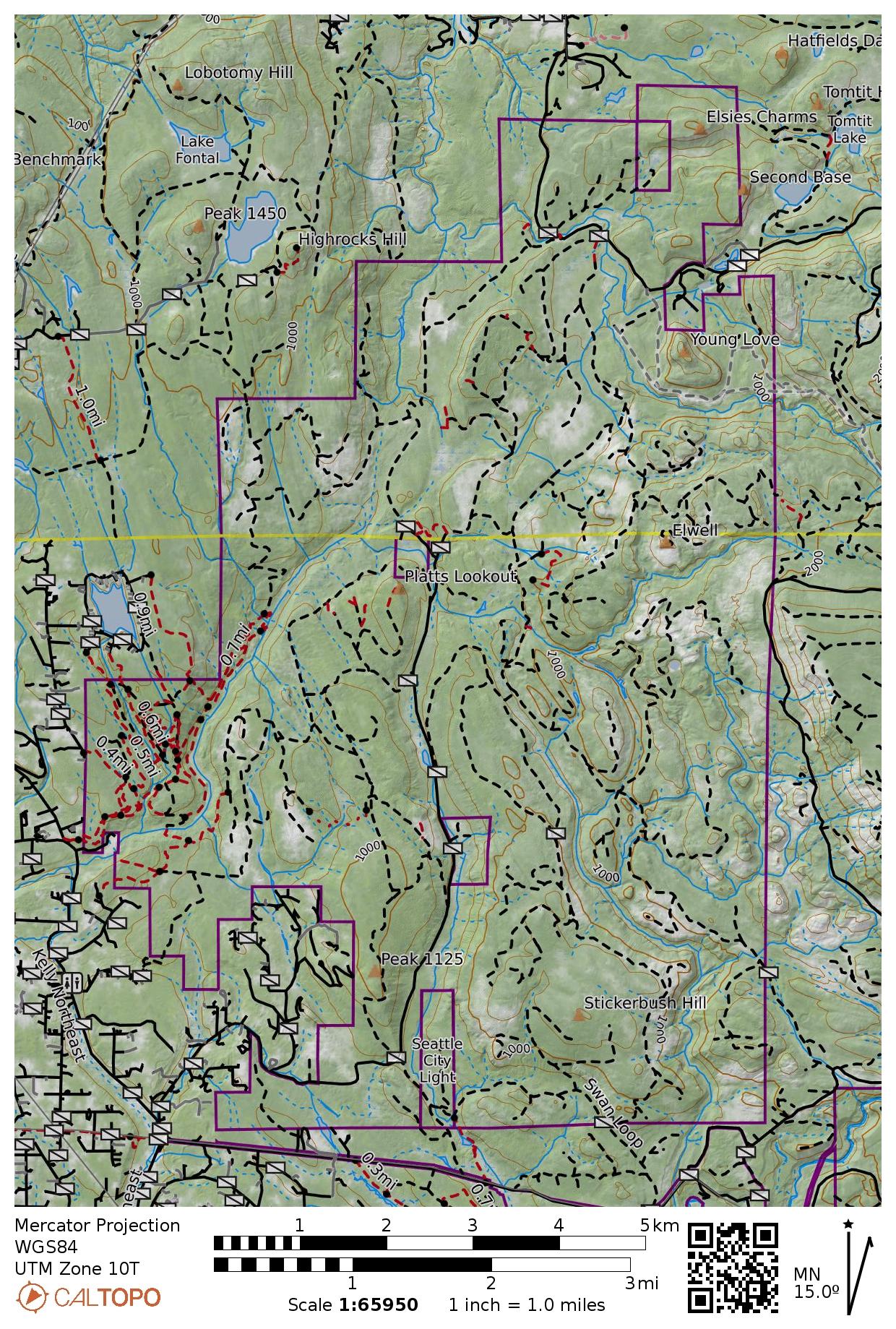
Marckworth State Forest is an irregularly shaped woodland parcel located in the Cascade foothills east of Duvall. It serves as a working forest for timber-harvesting, gravel mining, recreation, and other purposes, all under the management of Washington State Dept. of Natural Resources (DNR). Despite encompassing 25 square miles and containing a vast network of forest roads—both active and abandoned—Marckworth remains a secret to most people.
.
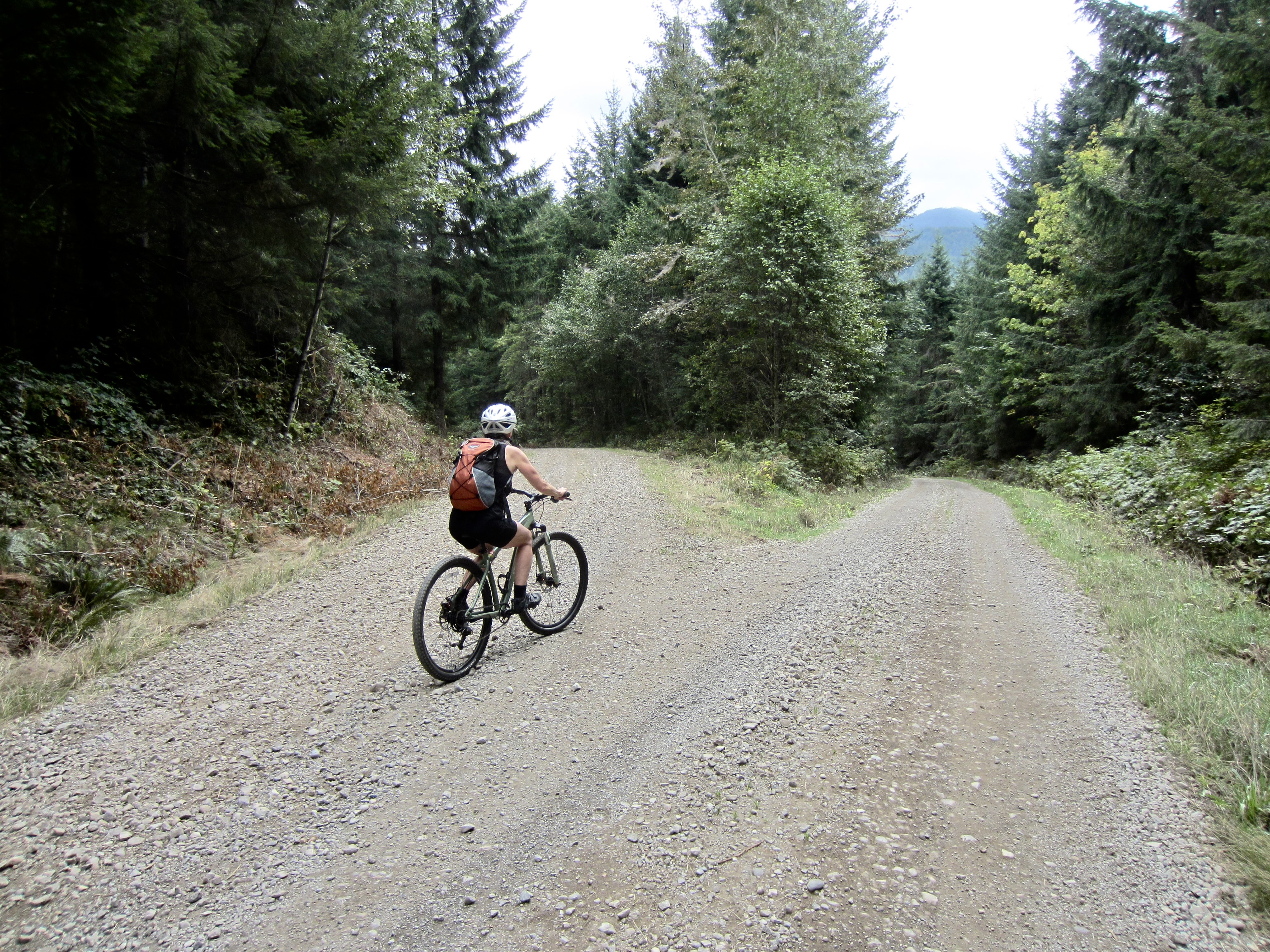
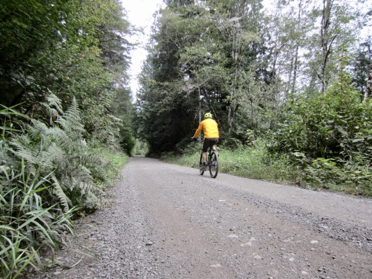
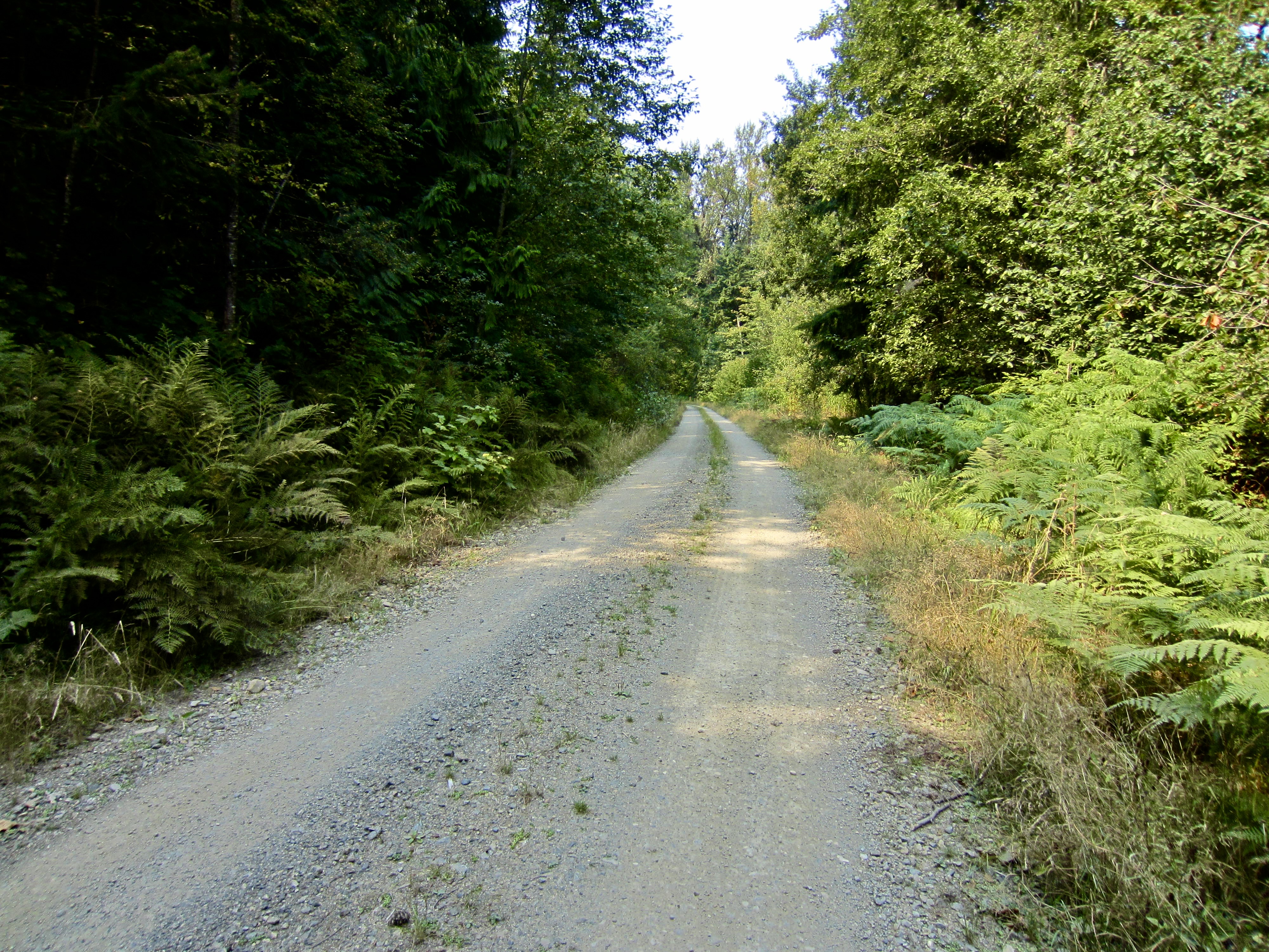
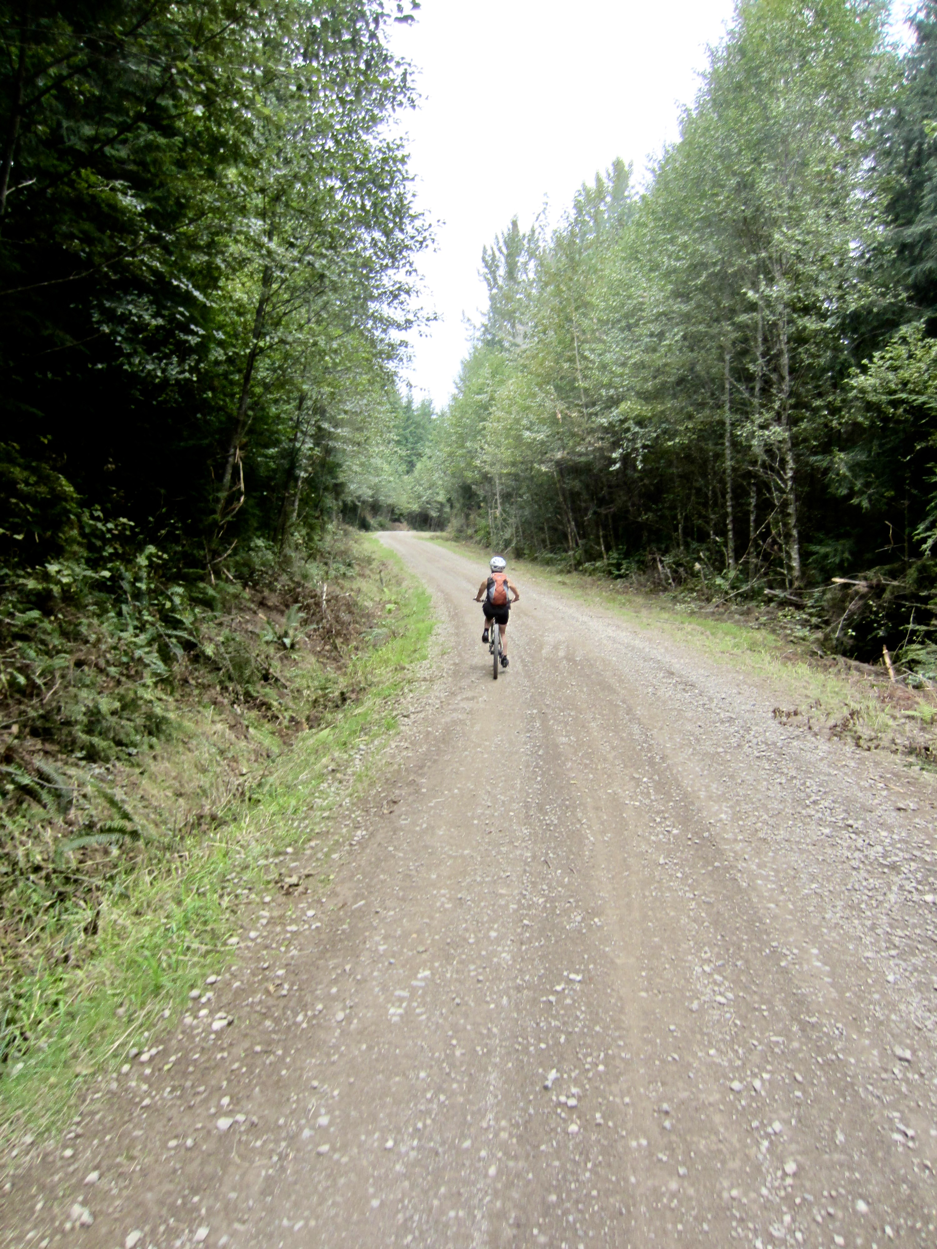
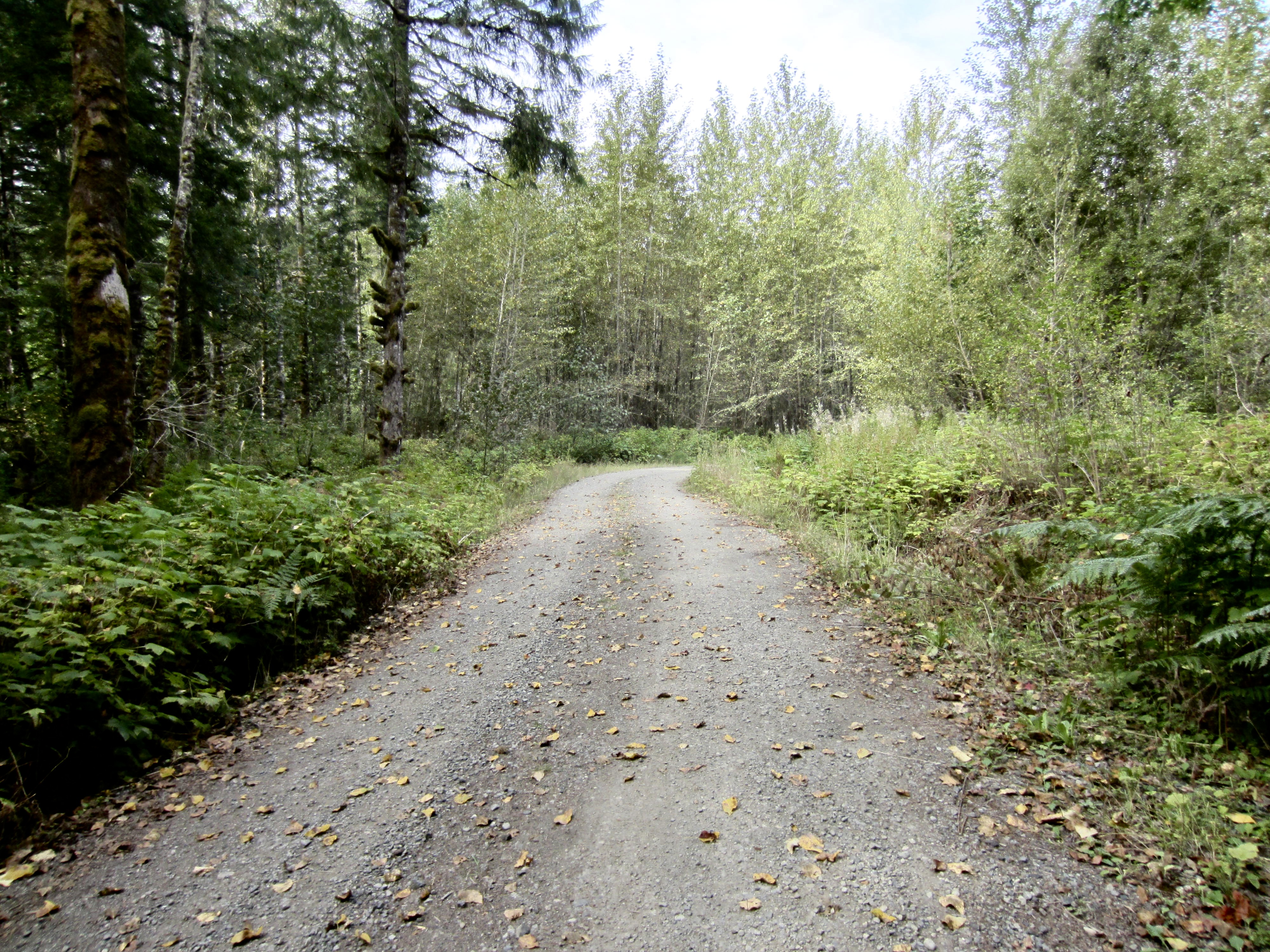
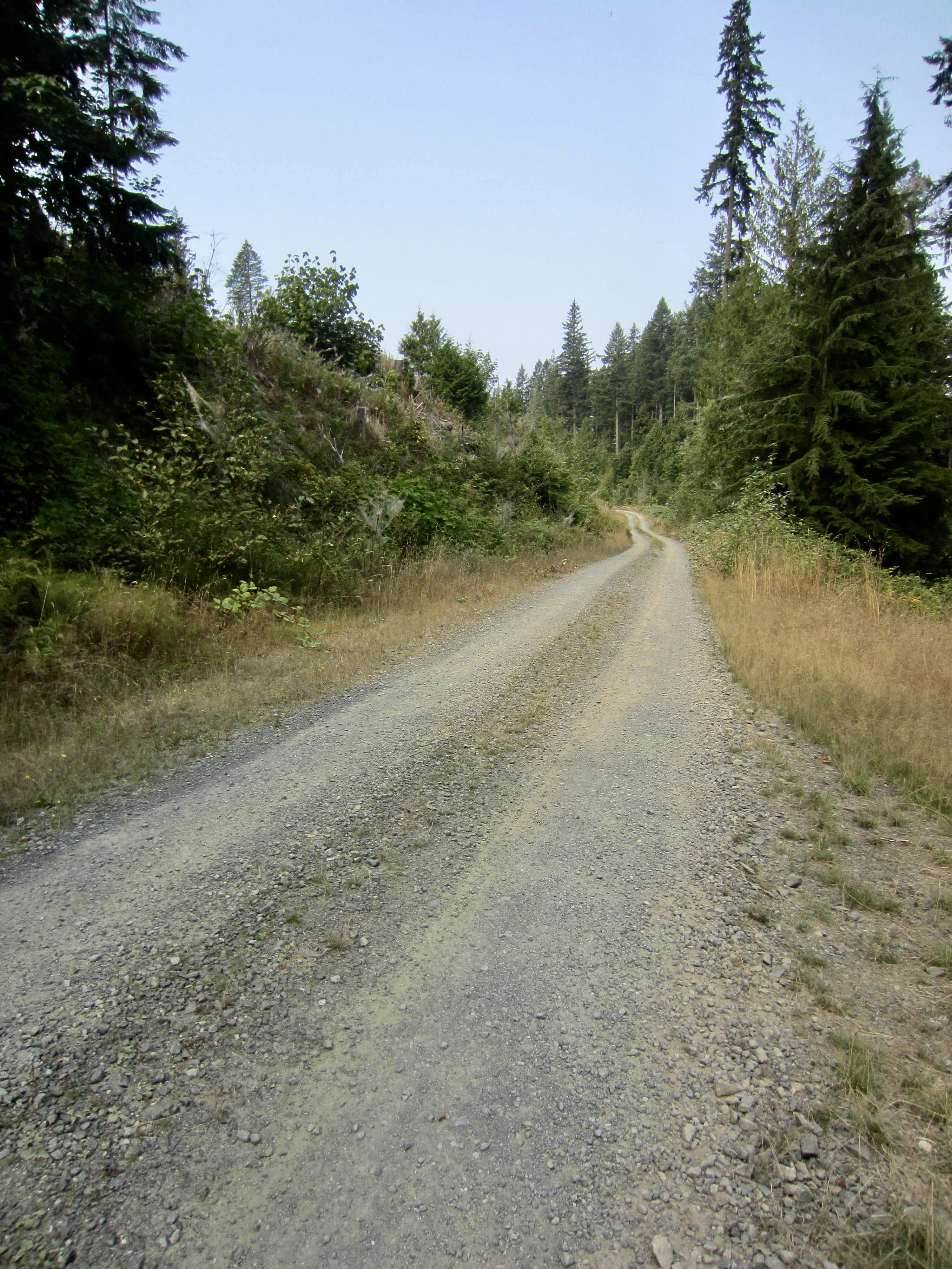
For cyclists, the main appeal of Marckworth State Forest is its collection of well-graded, gravel-surfaced, all-weather logging roads that encircle the interior. These interconnecting roads create a variety of notable loops for gravel biking and mountain biking. Three such loops are particularly recommended: the 10.0-mile Stickerbush Loop, the 12.7-mile Cherrybush Loop, and the 16.8-mile Cedarbush Loop. This distance progression allows riders to select a trek that suits their desired level of effort. For extremely ambitious riders, there is the 39.5-mile Triplebush Spiral—a combination of all three loops!
.
Access & Parking
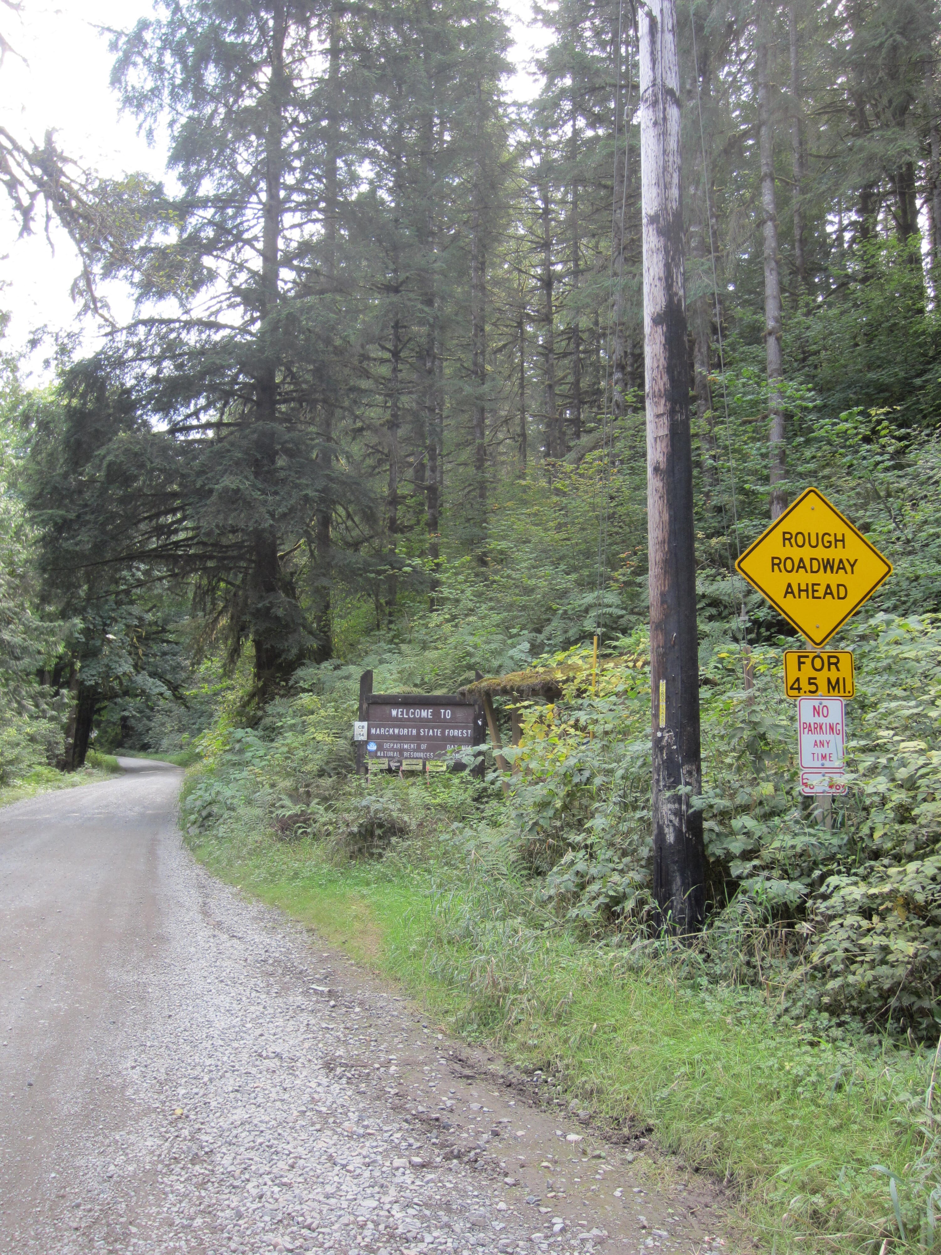
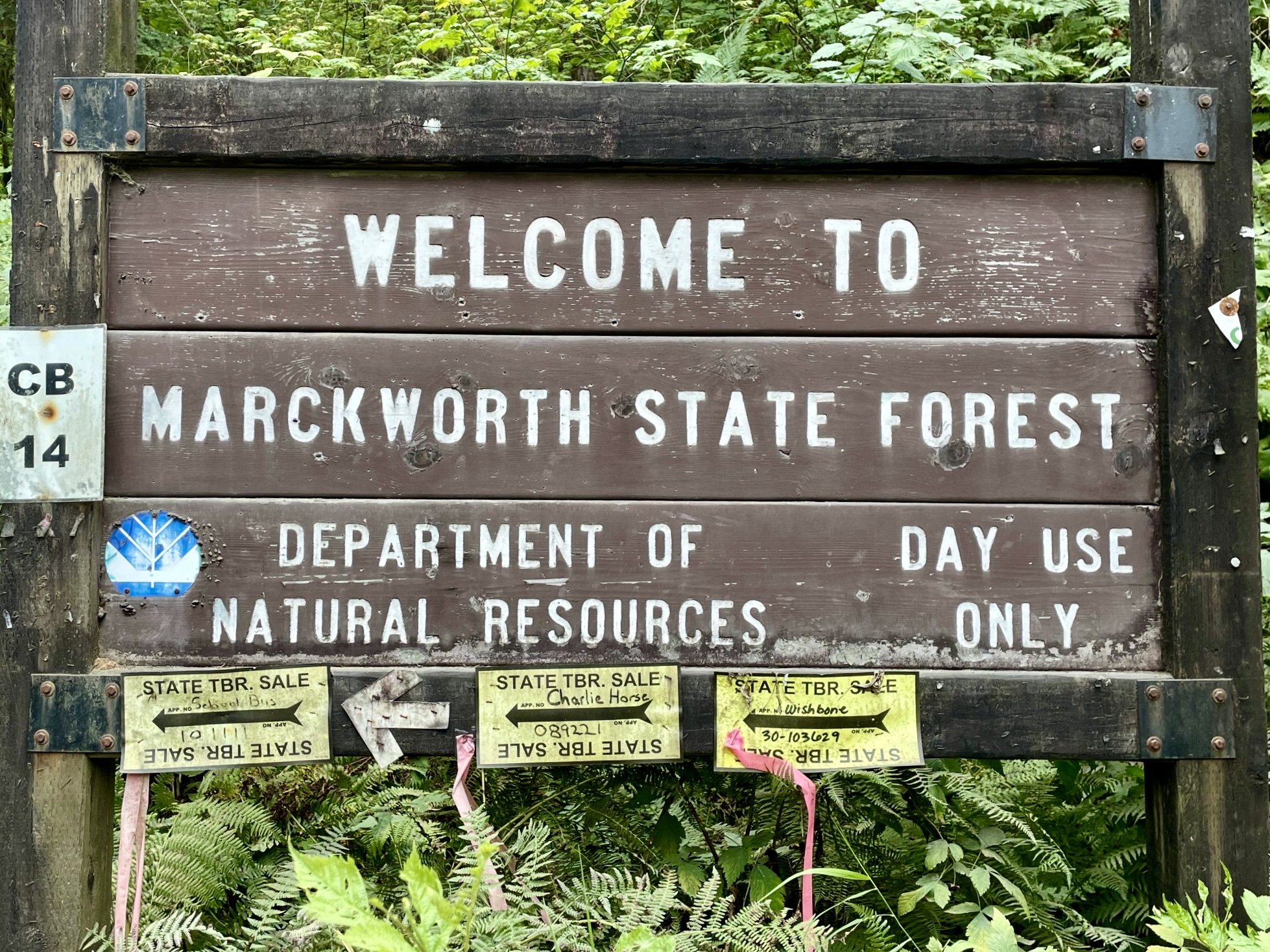
To approach Marckworth State Forest, drive eastward on Stillwater Hill Road, which takes off from Highway 203 between Carnation and Duvall. Stillwater Hill Road soon becomes Kelly Road and proceeds in a northerly direction. After 3.1 miles, veer right onto Stossel Creek Way and keep driving up this narrow road for another 1.3 miles, at which point the road changes from pavement to gravel. A large wooden sign here indicates that you have entered Marckworth State Forest.
.
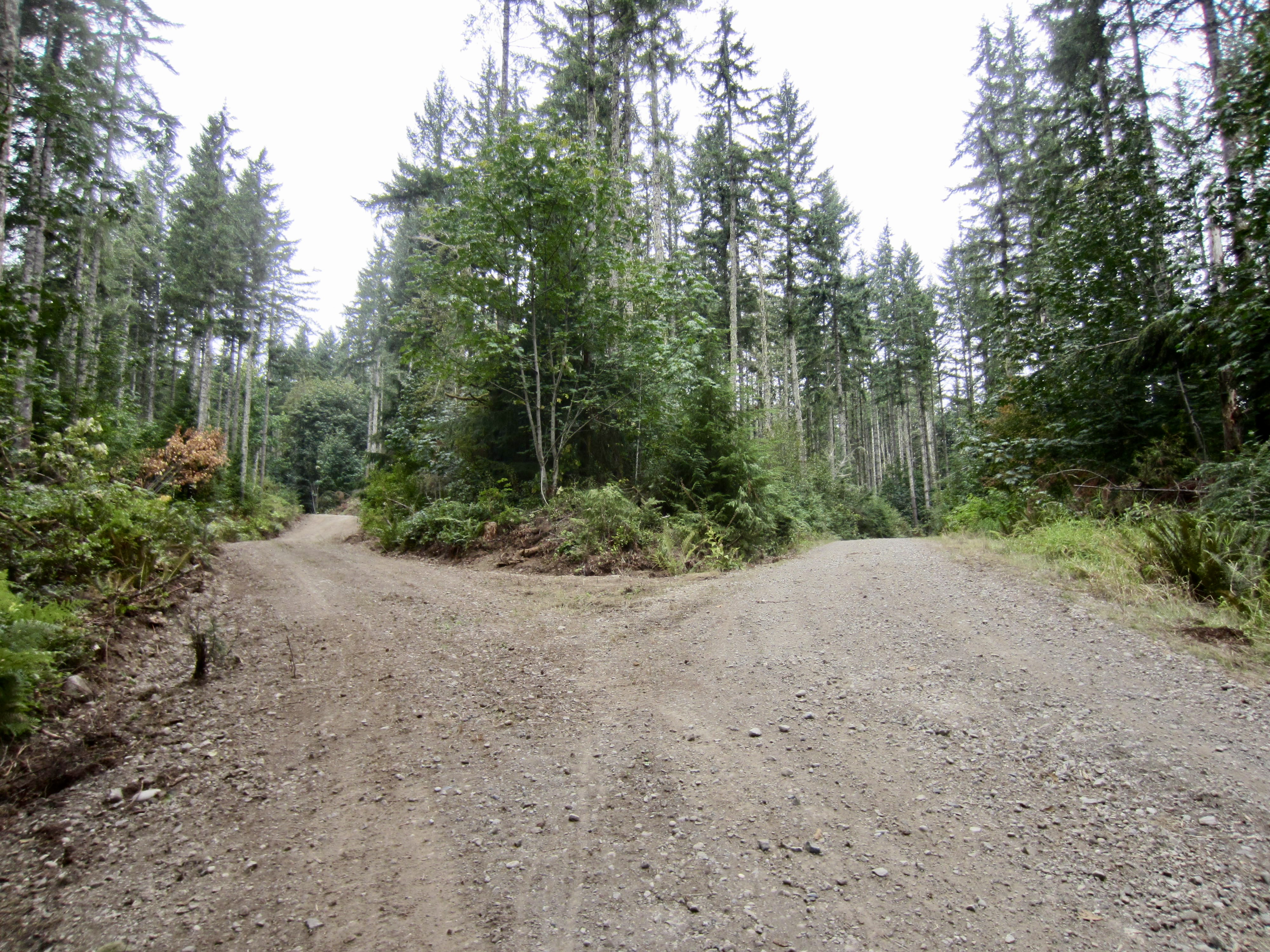
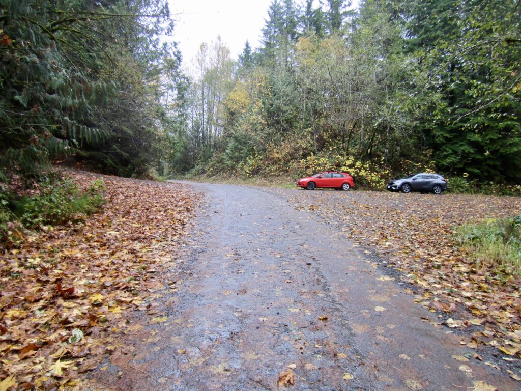
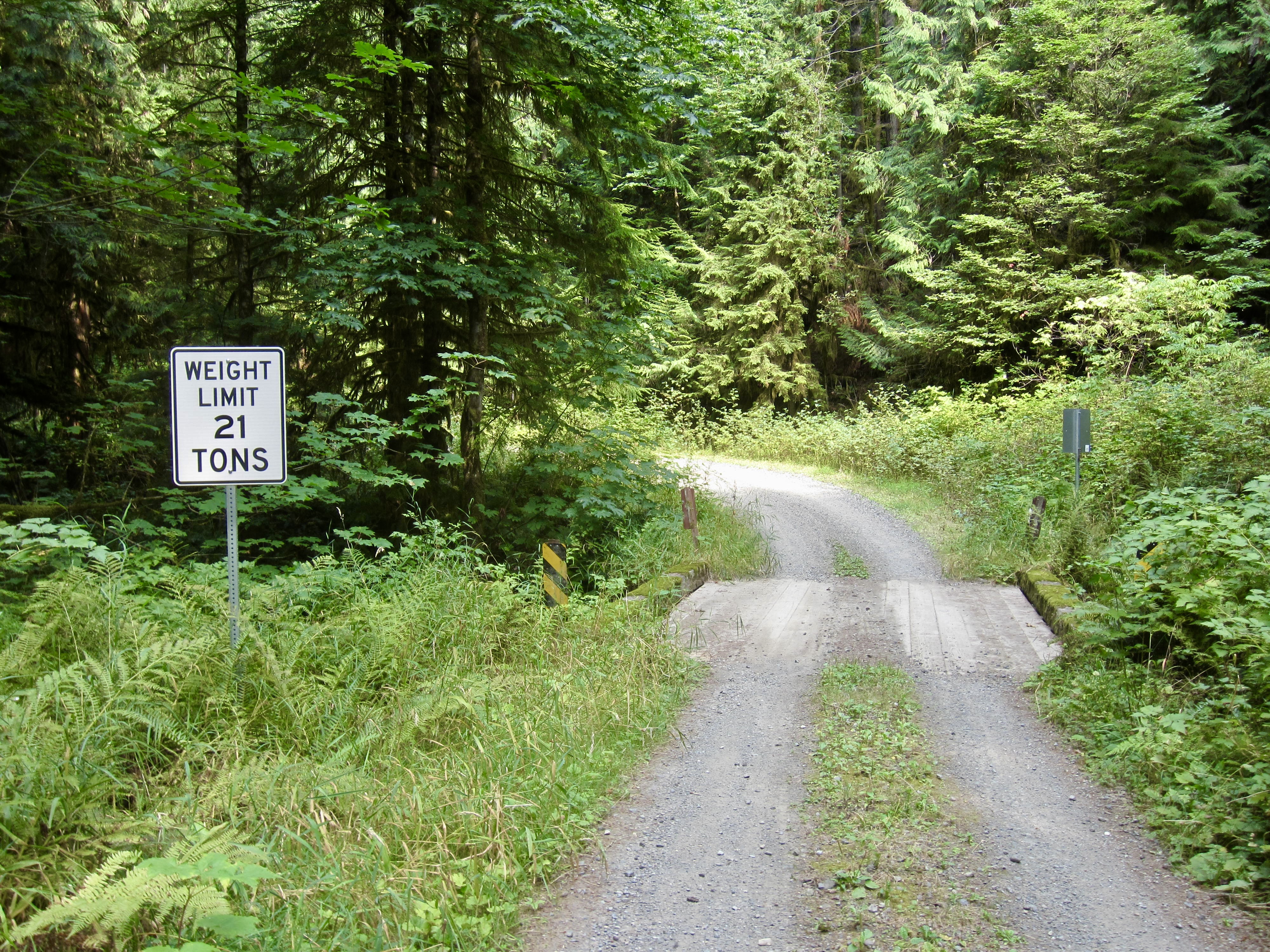
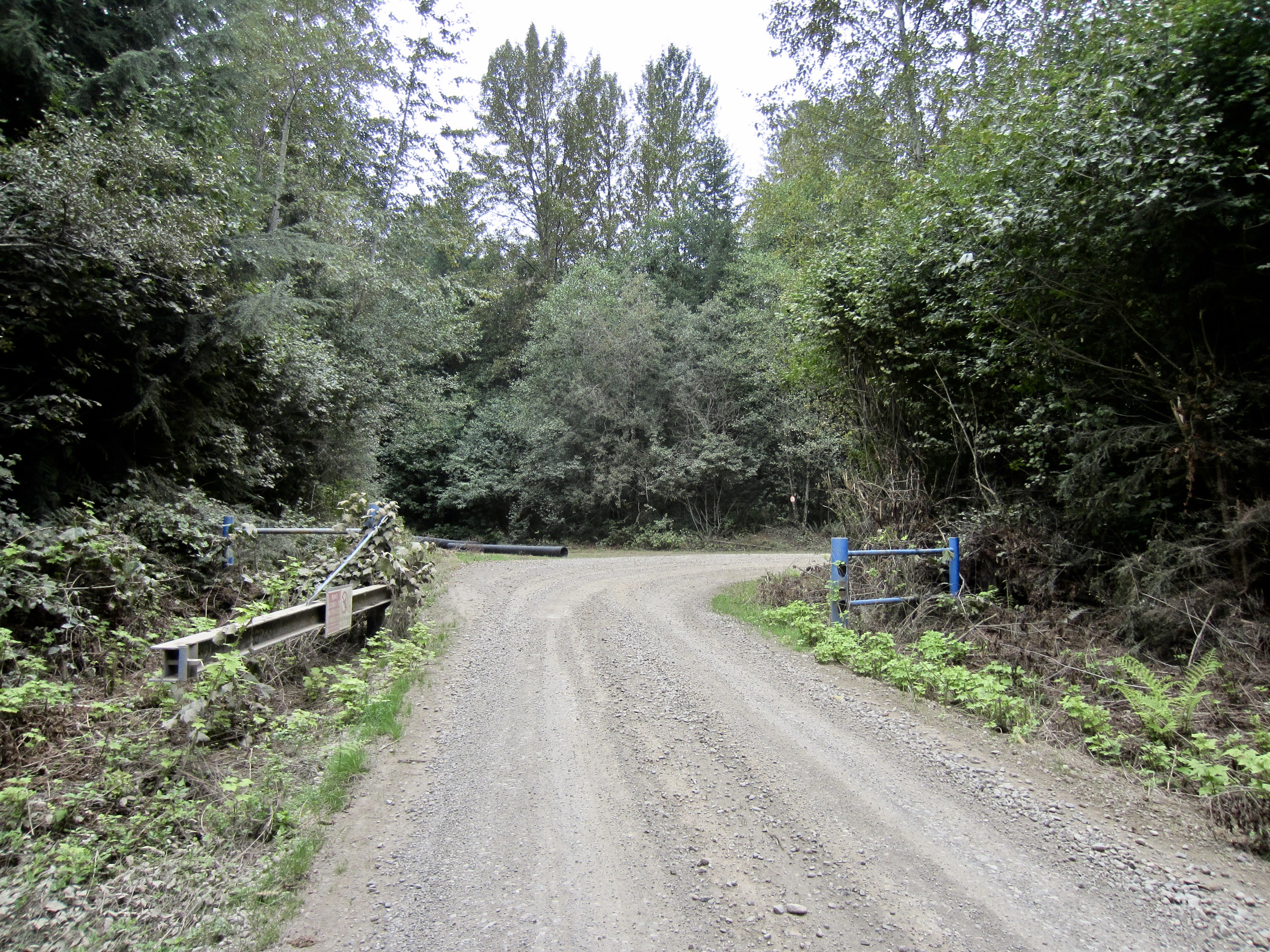
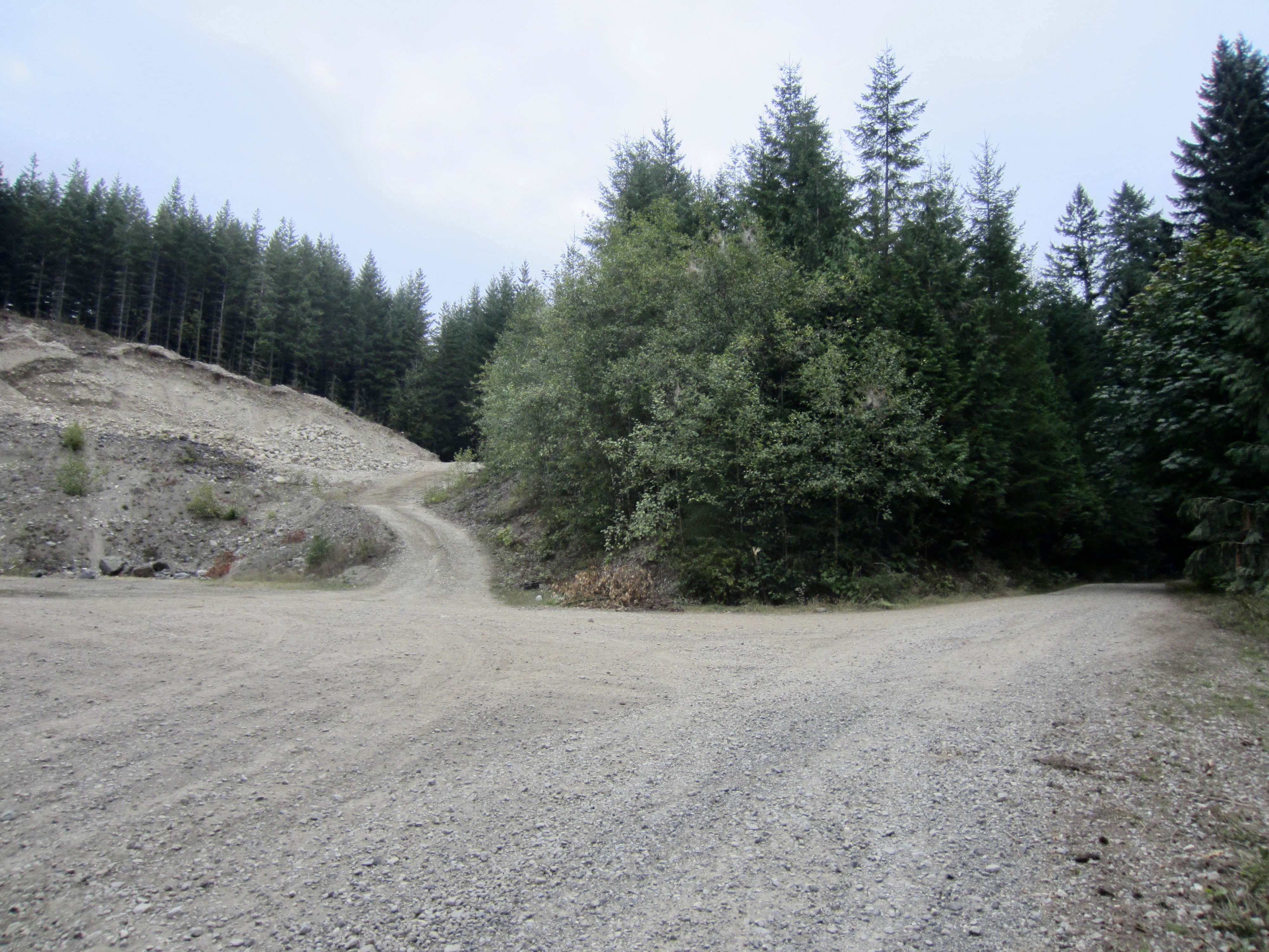
Drive up the winding gravel road for 1.1 miles to reach a wide four-way intersection. At this intersection, a gated spur road heads up to the left, another gated spur road heads down to the right, and the main road (Stossel Creek Way) continues straight ahead. There is no formal parking lot here, but there is plenty of space for multiple cars to park on the roadsides. Be aware that a Washington State Discover Pass is required for parking anywhere in the forest.
.
…
Route Descriptions
The three bike loops described below begin and end at the previously mentioned four-way intersection on Stossel Creek Way. From this point, each of the loops can be ridden in either a clockwise or counterclockwise direction. My route descriptions correspond to a clockwise direction because it involves riding down rather than up the steepest roadway gradients. If you prefer to ride up the steepest gradients instead, simply reverse my directions and travel counterclockwise.
Be aware that there are no signs of any sort along any of the roads, so navigation can be tricky. In an effort to help bikers follow the described routes, I have given provisional names to all key junctions, as well as to a few other significant geographic features. These names are stated in the text and are shown on the enclosed maps and profiles.
…
Stickerbush Bike Loop
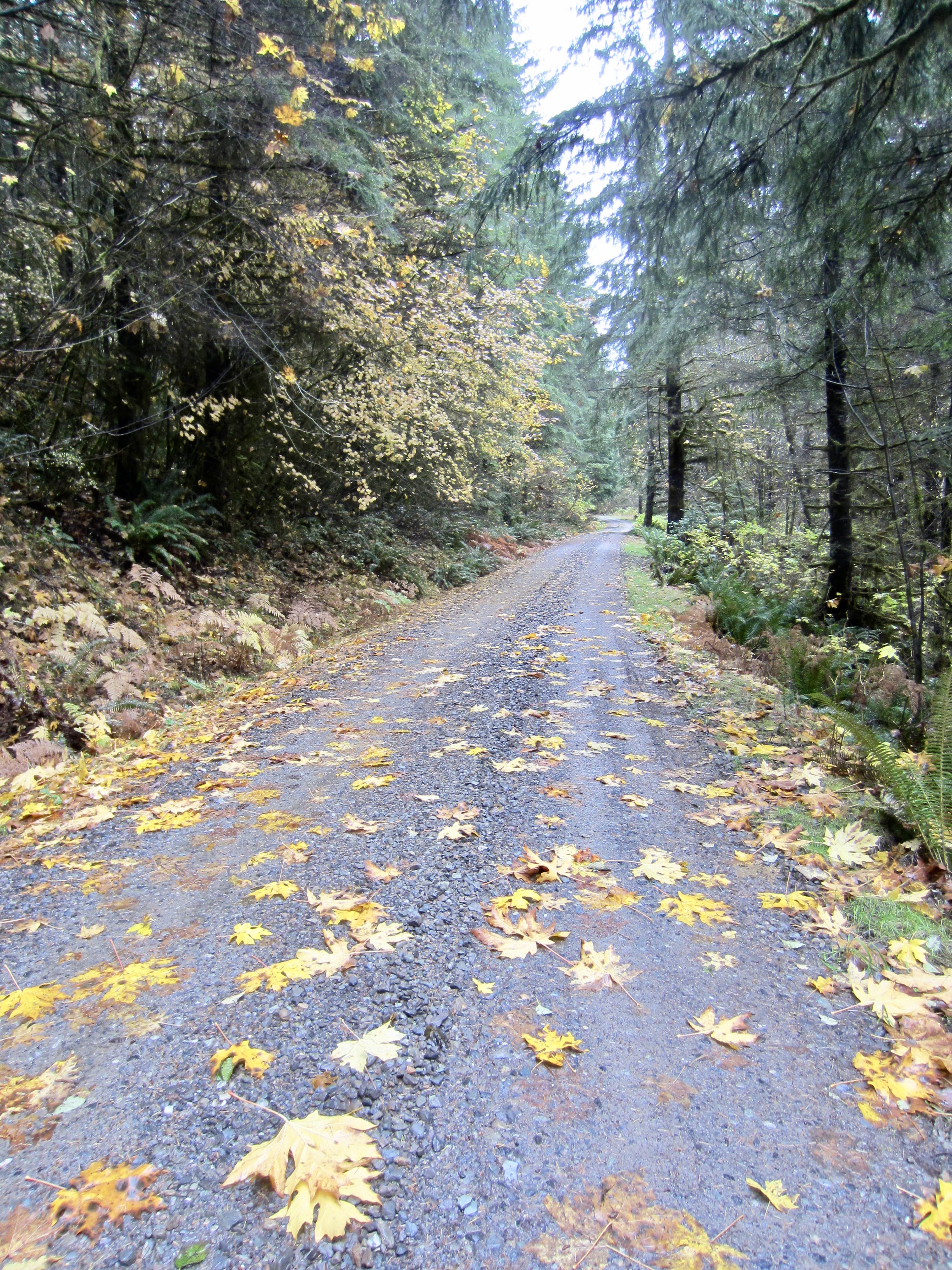
The Stickerbush Loop follows a 10.0-mile course around Stickerbush Hill, a broad peak in the southern part of Marckworth State Forest. Despite being the shortest of the three loops, this one offers the most consistently pleasant riding conditions and best concentration of interesting terrain.
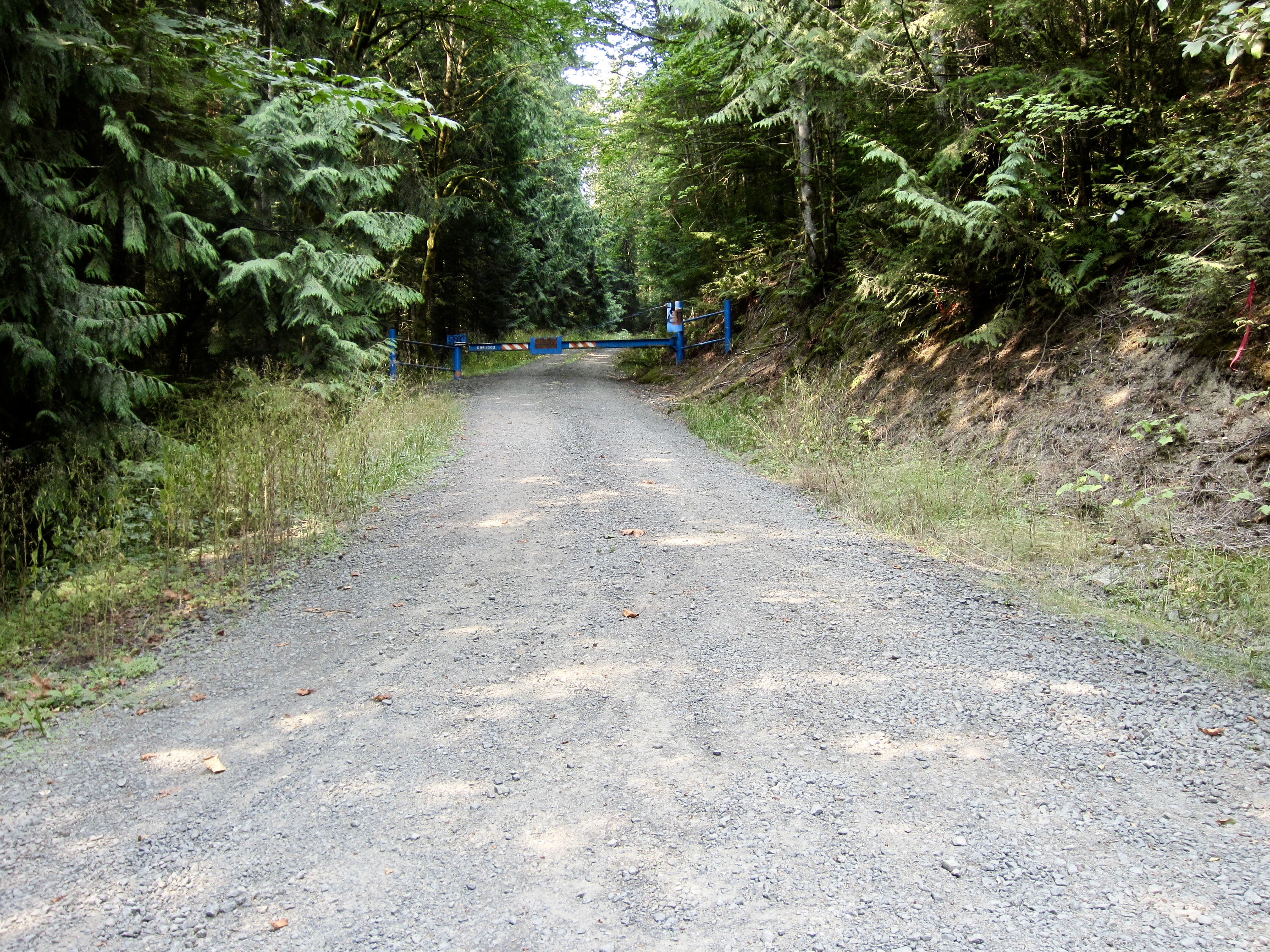
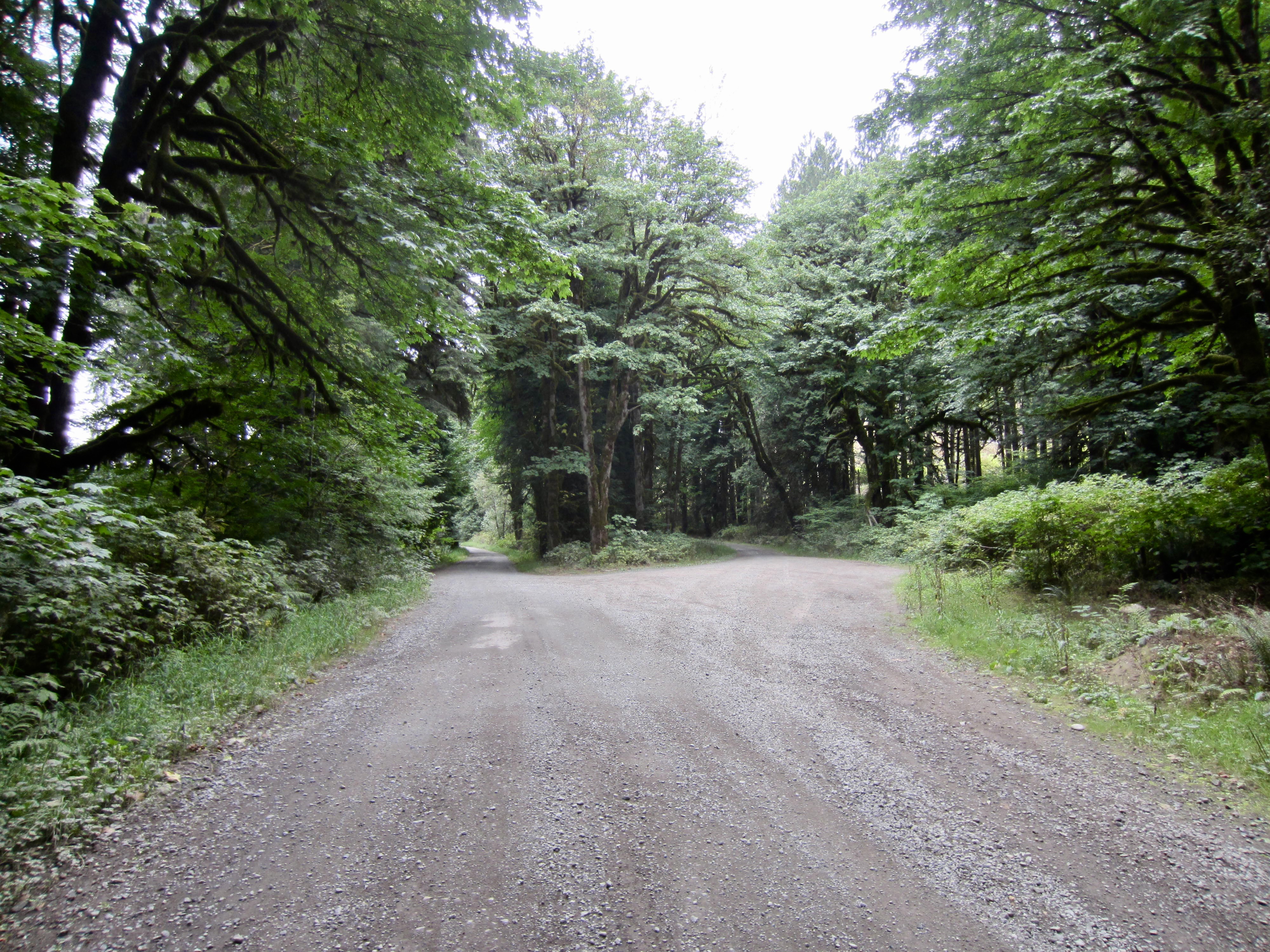
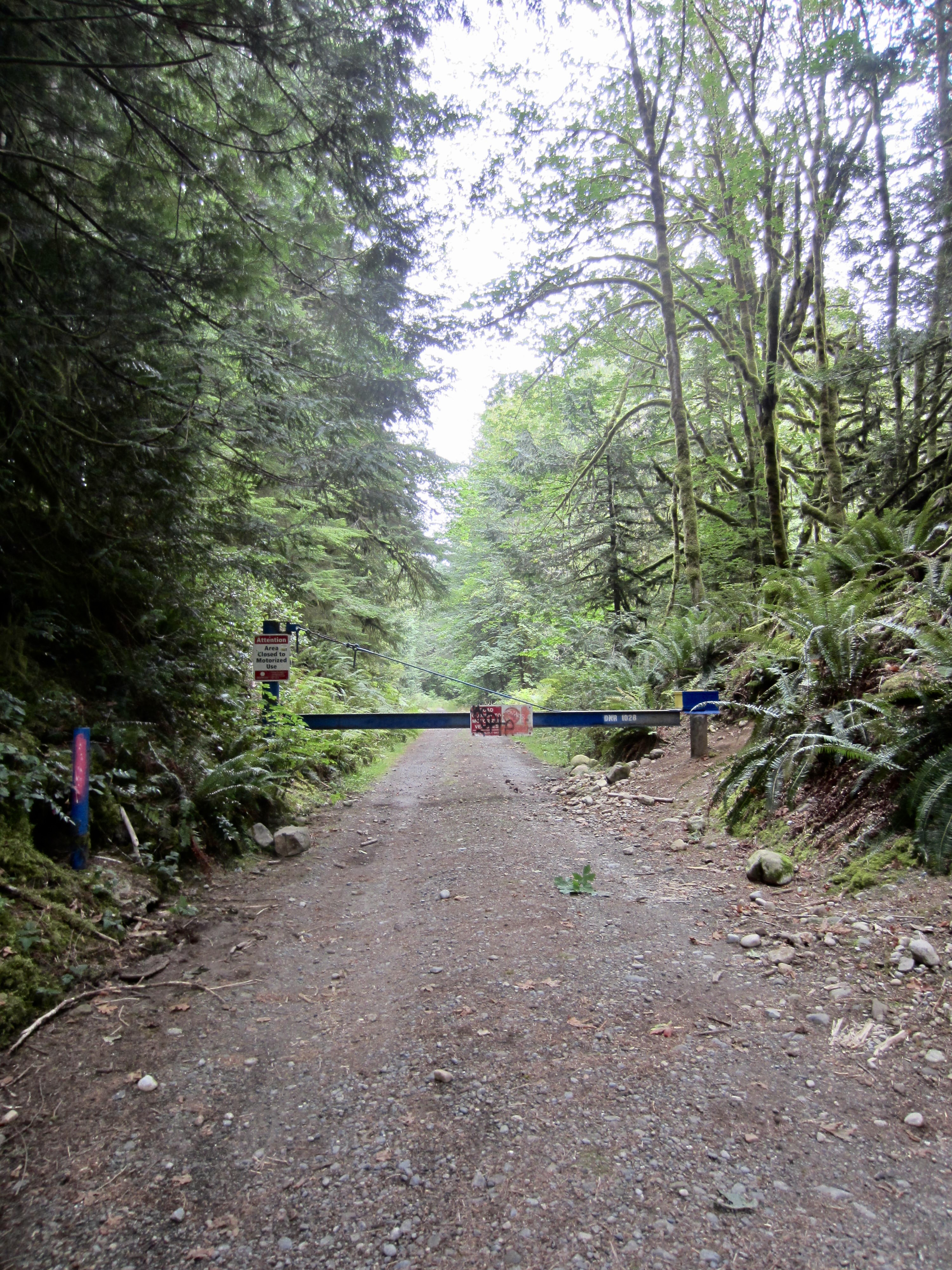
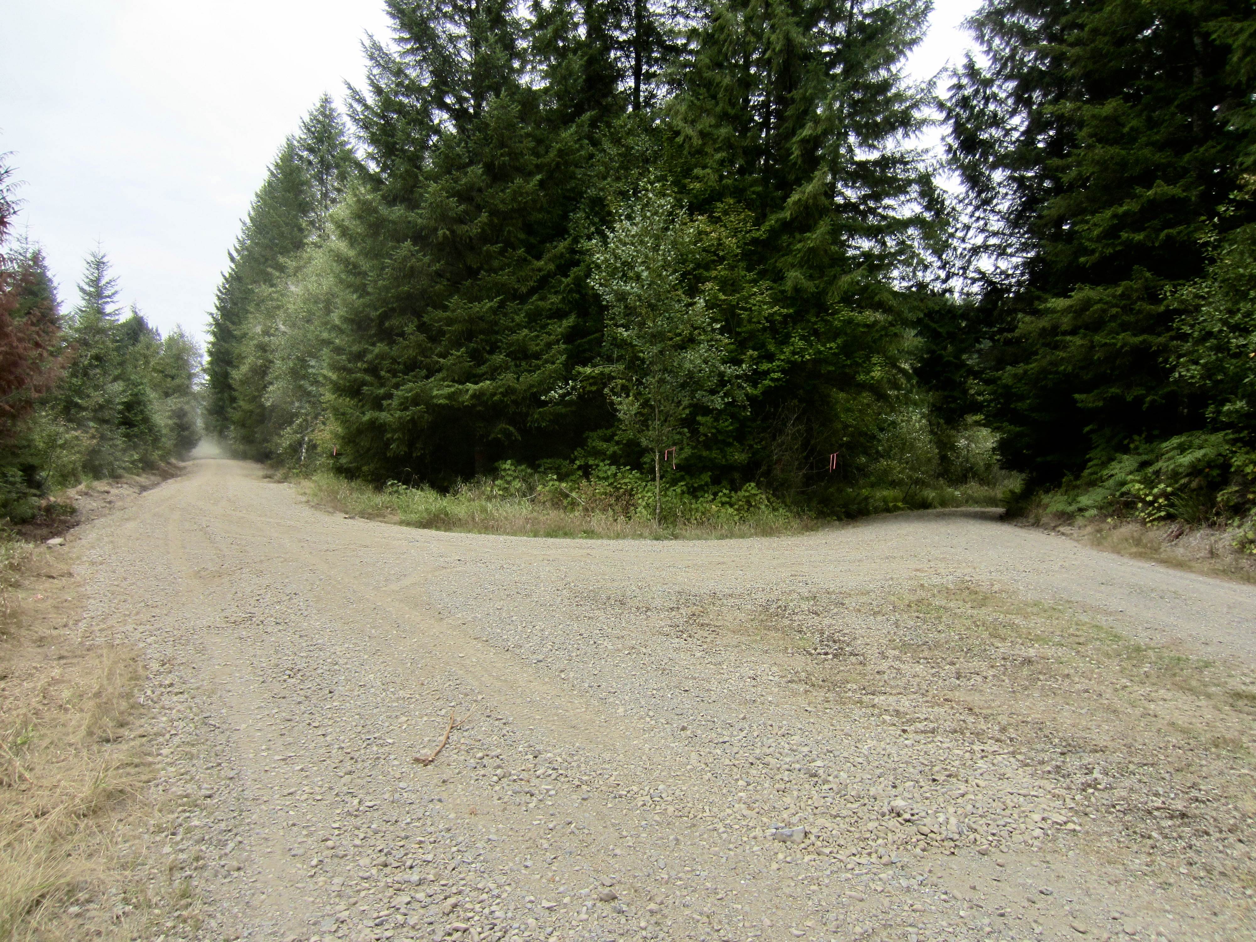
Starting at the four-way intersection (Mile 0.0), pedal northward on Stossel Creek Way, which begins as a smooth and level country lane. In 2.1 miles, arrive at Stossel Pond Junction. Veer right here and immediately pass under or around a blue gate, then make a steady ascent around the northern flank of Stickerbush Hill to reach Cherry Creek Junction at 3.5 miles. Your loop converges with the other two loops at this junction.
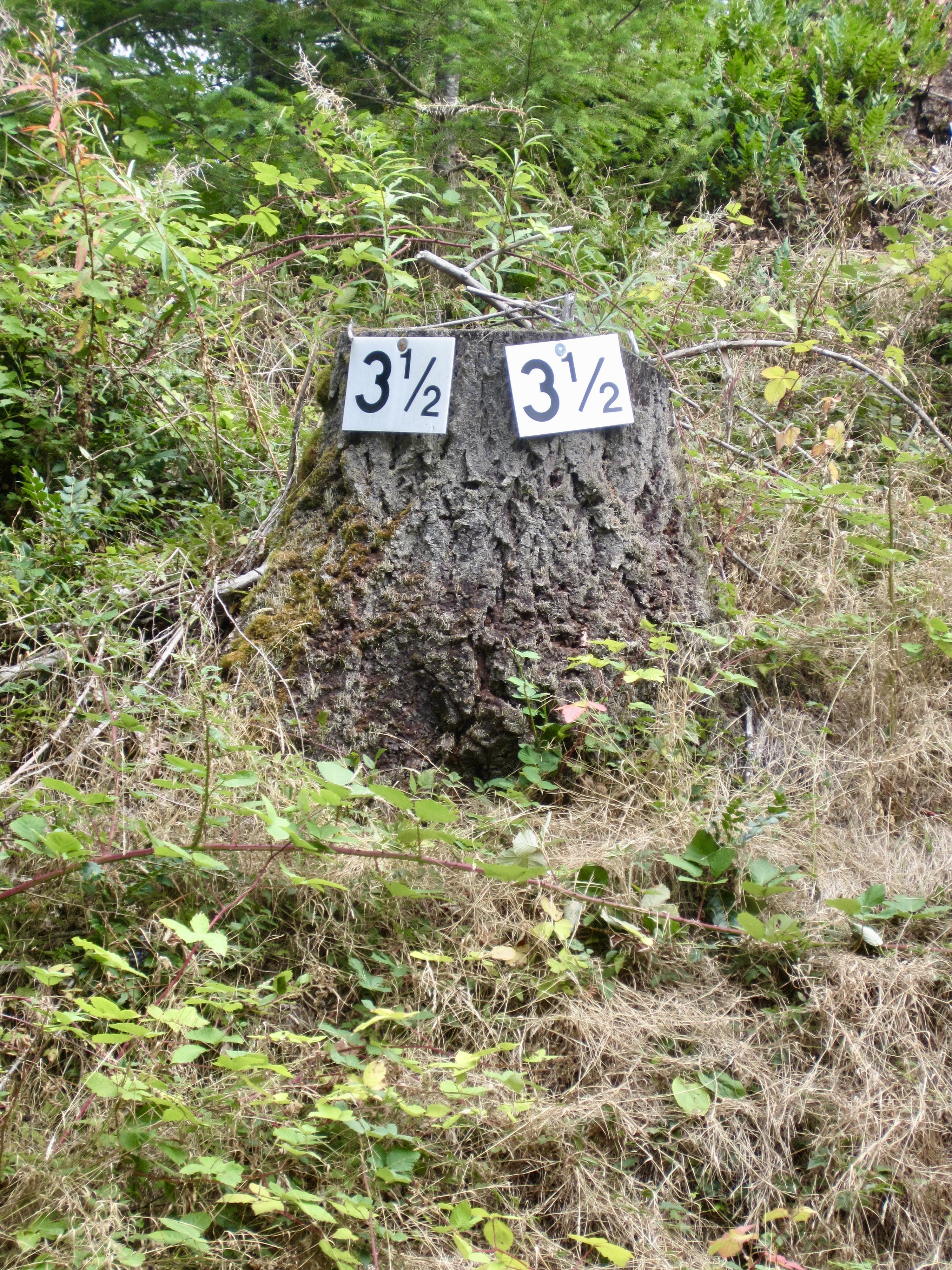
From Cherry Creek Junction, take the righthand road and continue climbing steadily along the eastern flank of Stickerbush Hill. The road gradient eventually eases back and then tops out on Stickerbush Arm at 6.5 miles. This northeastern arm of Stickerbush Hill represents the highest point of your loop and is identified by a “3½” mile marker nailed to an adjacent tree stump.
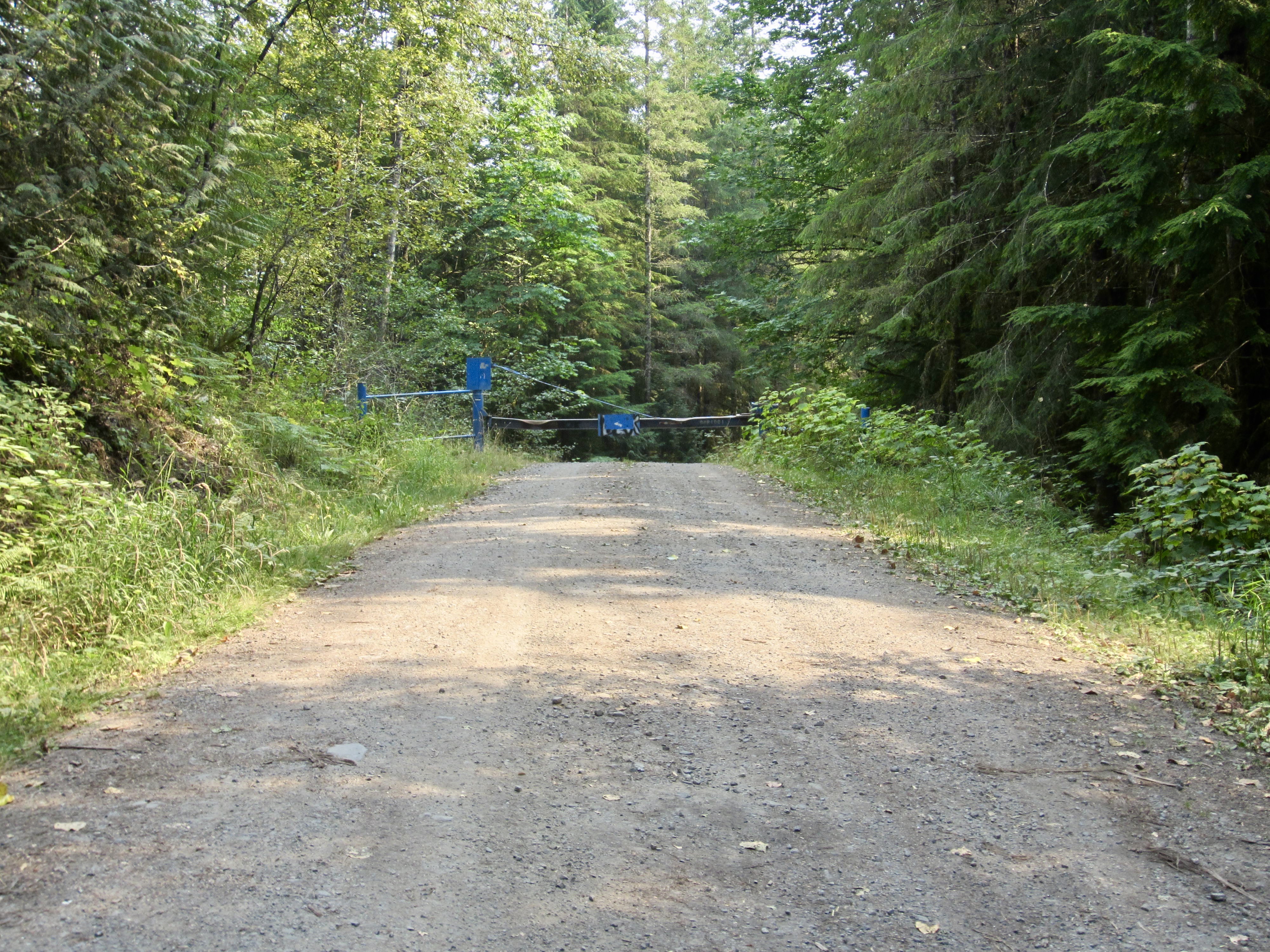
From Stickerbush Arm, make a long descent that involves two steep segments and some brief uphill segments. Be careful to control your speed on the steep, gravelly sections; serious wipeouts have occurred here! The road flattens out as you cross the Stossel Creek Culvert at 9.4 miles. A short climb then brings you past a blue gate and back up to the four-way intersection at 10.0 miles, thereby ending your Stickerbush Loop.
…
Cherrybush Bike Loop
The Cherrybush Loop follows a 12.7 mile course that incorporates most of the Stickerbush Loop, plus a northern extension into the Cherry Creek drainage. Over its intermediate distance, this loop offers a good combination of pleasant riding conditions and interesting terrain with a satisfying amount of elevation gain.
Starting at the four-way intersection (Mile 0.0), pedal northward on Stossel Creek Way, which begins as a smooth and level country lane. In 2.1 miles, arrive at Stossel Pond Junction. Veer left here and continue along the maple tree-lined road beside Stossel Pond. Soon after crossing Lower Cherry Creek Bridge, go straight at a junction, pass through a blue gate, and ascend slightly to Dorothy Plateau Junction at 4.2 miles. Turn right here and ascend a bit more to Youngs River Junction at 4.6 miles. Your loop converges with the Cedarbush Loop at this junction.
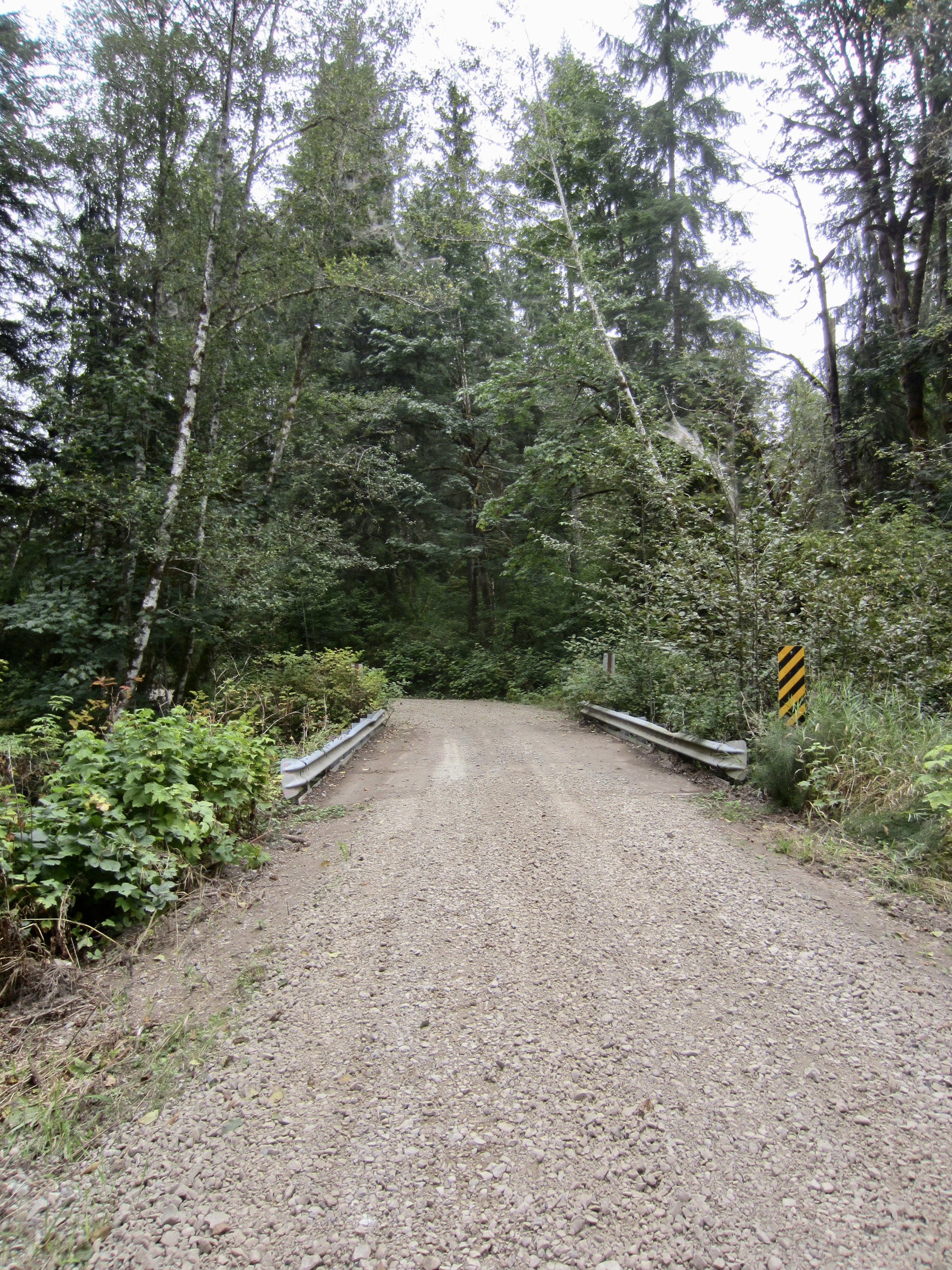
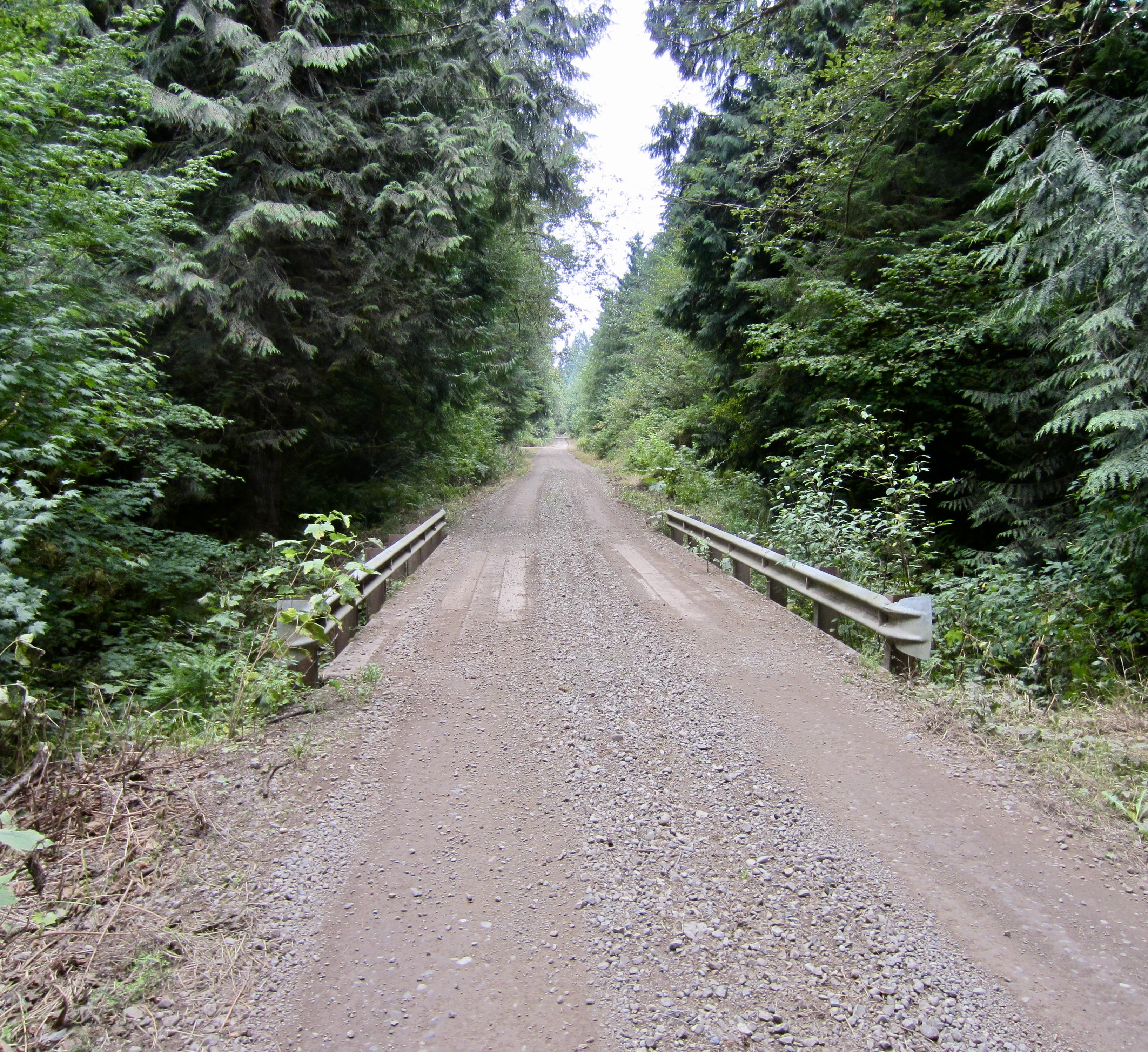
Turn right at Youngs River Junction and head southward on a well-traveled truck road to reach Truck Hill Fork at 5.0 miles. Although the main truck road switches back to the left here, stay to the right on a little-used road that descends slightly to Upper Cherry Creek Bridge. In early season, you might be able to see a small waterfall up the channel. From the bridge, climb a steeper hill to reach a major fork. Go right, initially descending slightly, and then continue upward to Cherry Creek Junction, a major T-intersection at 6.2 miles. You are now back on the Stickerbush Loop.
Turn left (south) and make a long, steady climb along the eastern flank of Stickerbush Hill. The road gradient eventually eases back and then tops out on Stickerbush Arm at 9.2 miles. This northeastern arm of Stickerbush Hill represents the highest point of your loop and is identified by a “3½” mile marker nailed to an adjacent tree stump.
From Stickerbush Arm, make a long descent that involves two steep segments and some brief uphill segments. Be careful to control your speed on the steep, gravelly sections; serious wipeouts have occurred here! The road flattens out as you cross the Stossel Creek Culvert at 12.1 miles. A short climb then brings you past a blue gate and back up to the four-way intersection at 12.7 miles, thereby ending your Cherrybush Loop.
…
Cedarbush Bike Loop
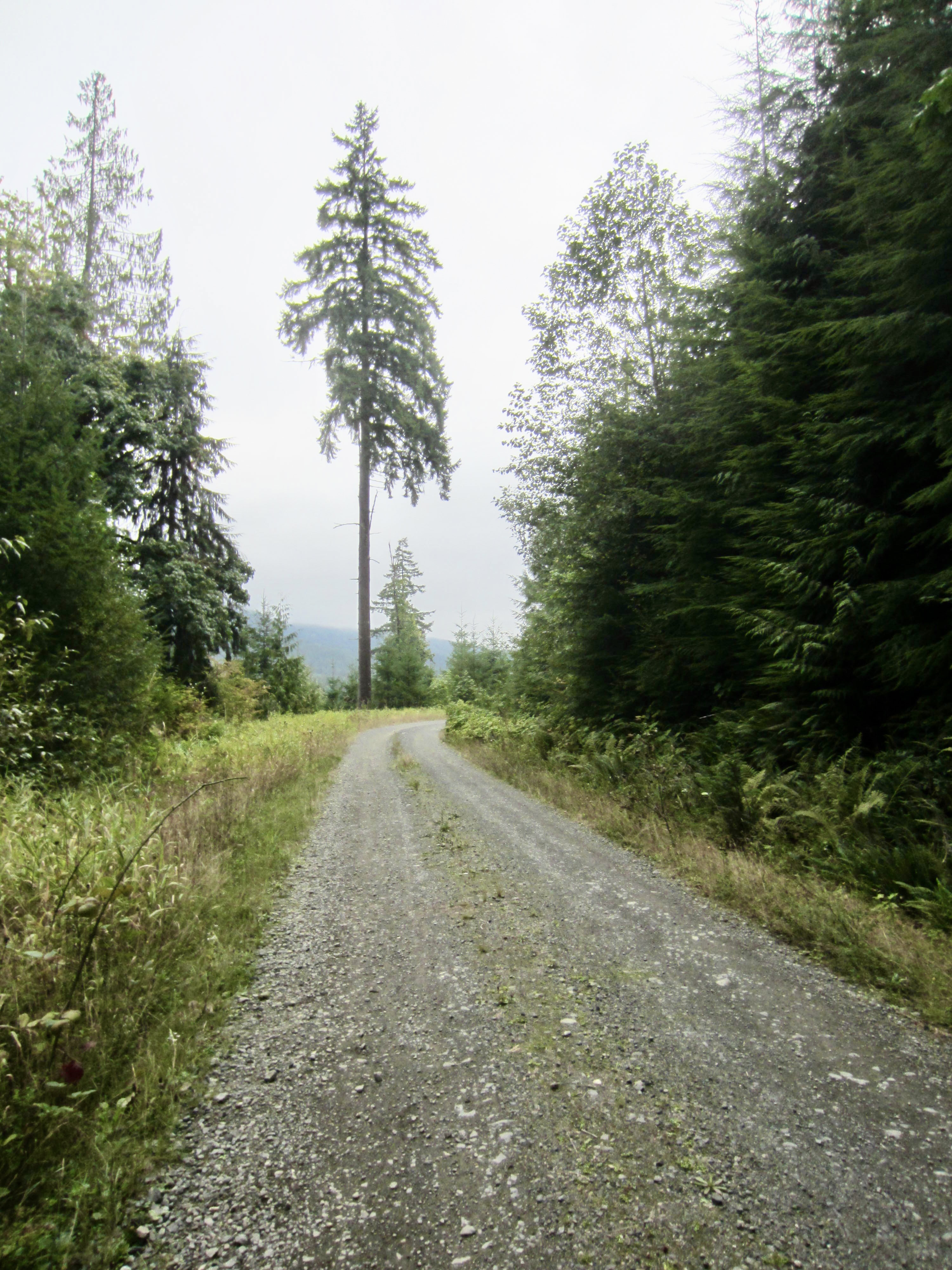
The Cedarbush Loop follows a 16.8-mile course that incorporates most of the Stickerbush and Cherrybush Loops, plus a northern extension toward Cedar Ponds Road. Of the three loops, this one provides the greatest challenge, due to its total length and elevation gain, as well as its long stretches of loose gravel in the northernmost portion.
Starting at the four-way intersection (Mile 0.0), pedal northward on Stossel Creek Road, which begins as a smooth and level country lane. In 2.1 miles, arrive at Stossel Pond Junction. Veer left here and continue along the maple tree-lined road beside Stossel Pond. Soon after crossing Lower Cherry Creek Bridge, go straight at a junction, pass through a blue gate, and ascend slightly to Dorothy Plateau Junction at 4.2 miles.
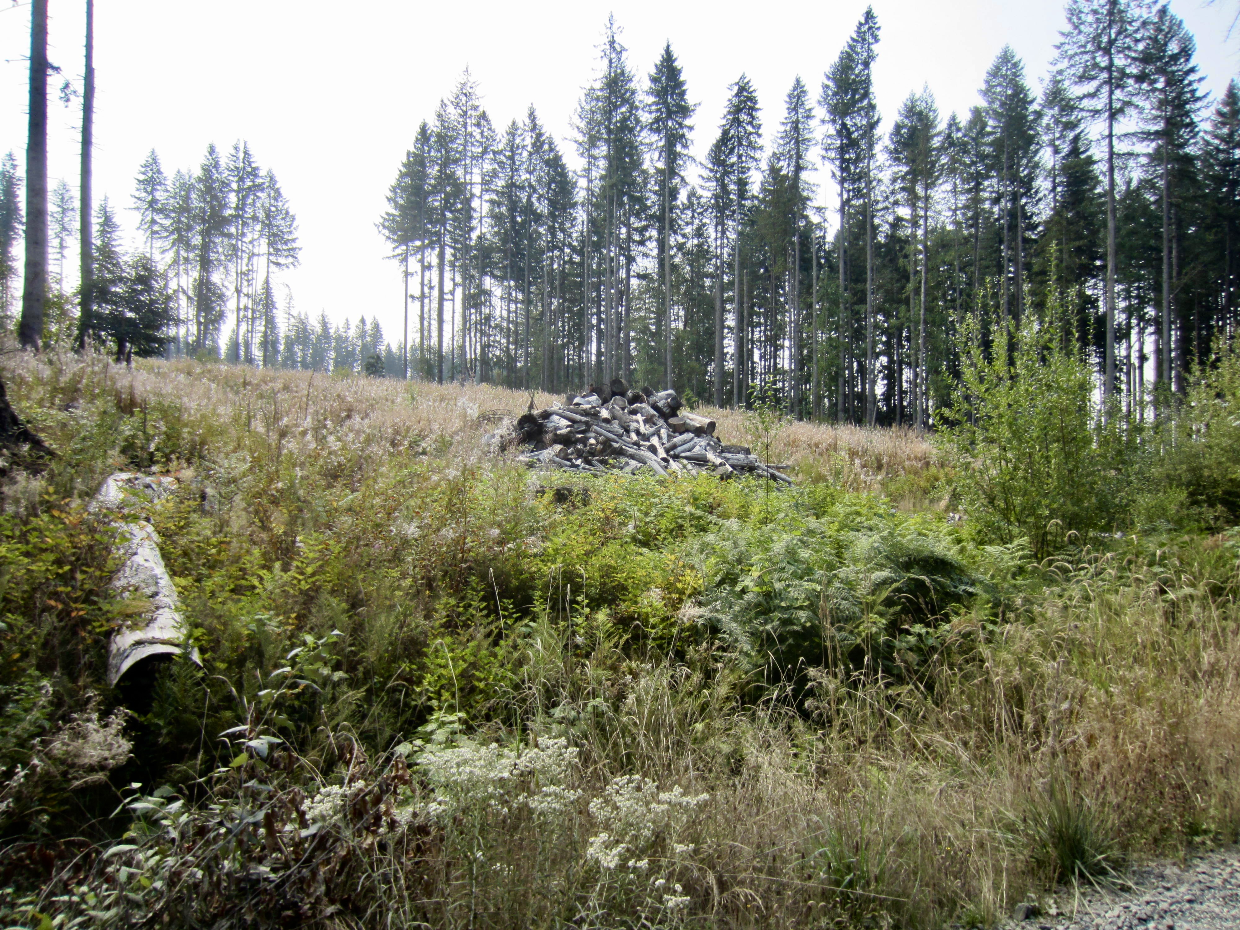
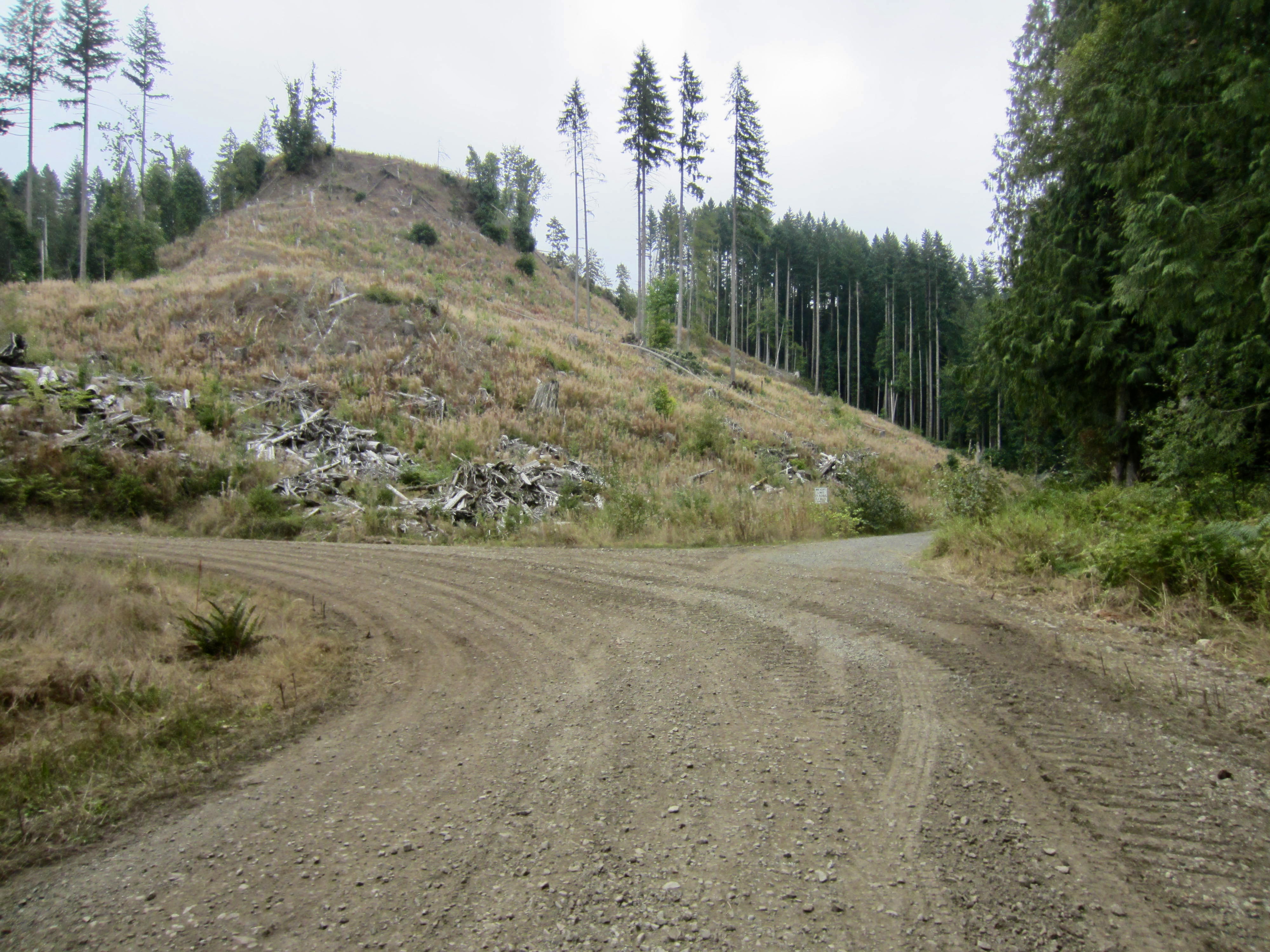
Go straight ahead and descend to the Lower Dorothy Creek Bridge at 4.8 miles, then begin a steady climb on loose gravel. Stay to the right at a roadway fork within a recent clearcut and then continue upward to Elwell Hump, a local high point at 5.7 miles. Head downhill, staying right again at another fork, and continue descending to Cedarbush Hairpin at 6.5 miles. This sharp right-hand turn represents the northernmost point in your loop.
From Cedarbush Hairpin, make a steady ascent until topping out on Youngs Hump at 7.4 miles. This local high point is located shortly beyond a large gravel quarry. Descend slightly, crossing Upper Dorothy Creek Bridge to reach Youngs River Junction at 8.7 miles. You have now converged with the Cherrybush Loop.
From Youngs River Junction, go straight ahead and climb steeply on a well-traveled truck road to reach Truck Hill Fork at 9.0 miles. Although the main truck road switches back to the left here, stay to the right on a little-used road that descends slightly to Upper Cherry Creek Bridge. In early season, you might be able to see a small waterfall up the channel. From the bridge, climb a steeper hill to reach a major fork. Go right, initially descending slightly, and then continue upward to Cherry Creek Junction, a major T-intersection at 10.3 miles. You are now back on the Stickerbush Loop.
Turn left (south) and make a long, steady climb along the eastern flank of Stickerbush Hill. The road gradient eventually eases back and then tops out on Stickerbush Arm at 13.3 miles. This northeastern arm of Stickerbush Hill represents the highest point of your loop and is identified by a “3½” mile marker nailed to an adjacent tree stump.
From Stickerbush Arm, make a long descent that involves two steep segments and some brief uphill segments. Be careful to control your speed on the steep, gravelly sections; serious wipeouts have occurred here! The road flattens out as you cross Stossel Creek Culvert at 16.2 miles. A short climb then brings you past a blue gate and back up to the four-way intersection at 16.8 miles, thereby ending your Cedarbush Loop.
…
Route Maps & Profiles

…
…
…

…
…
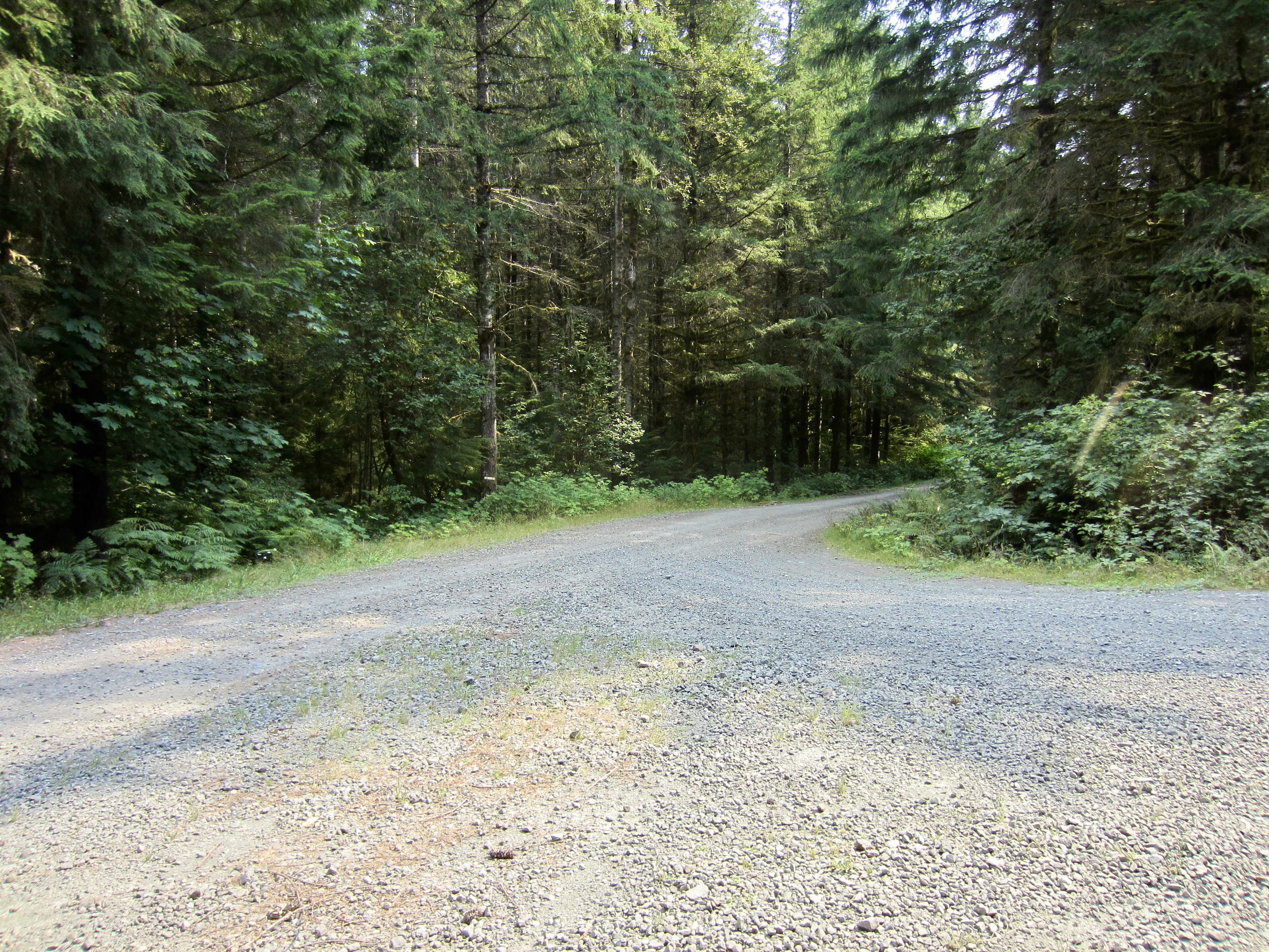
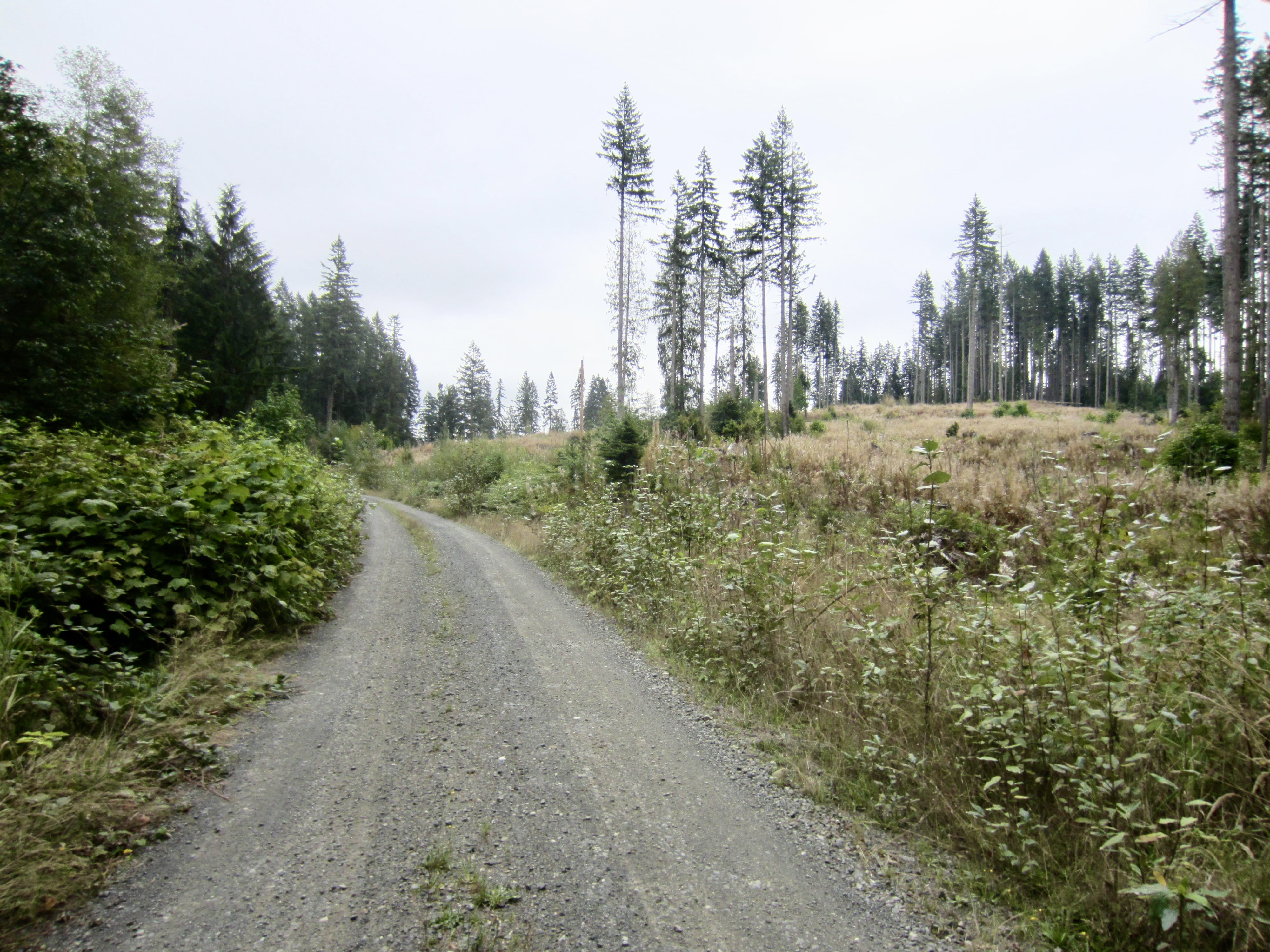
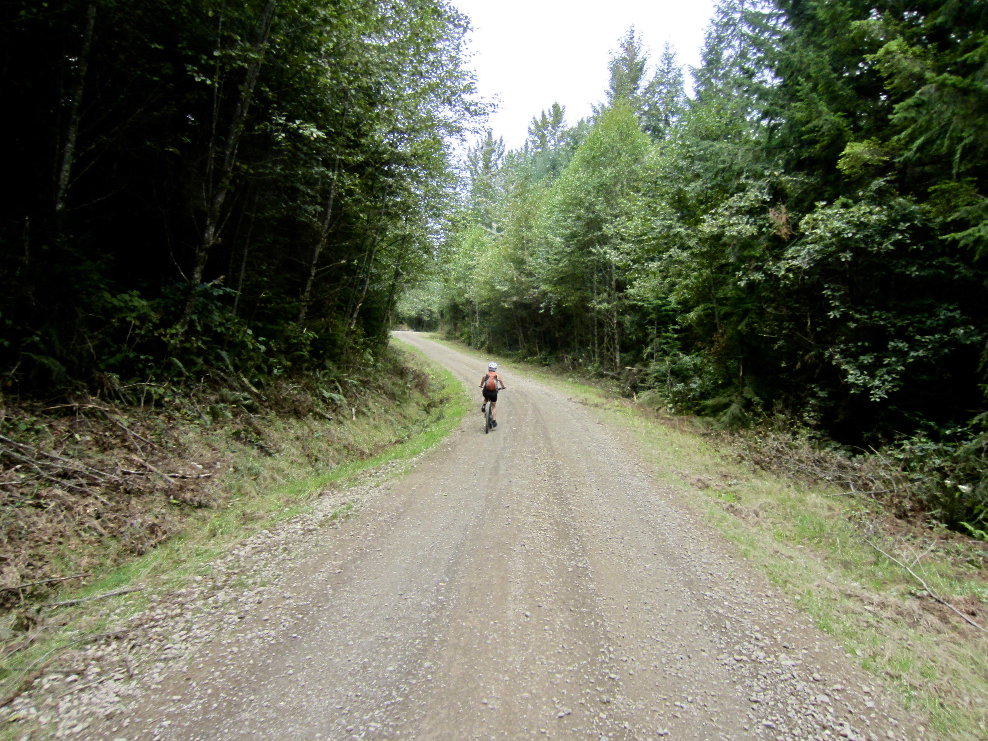
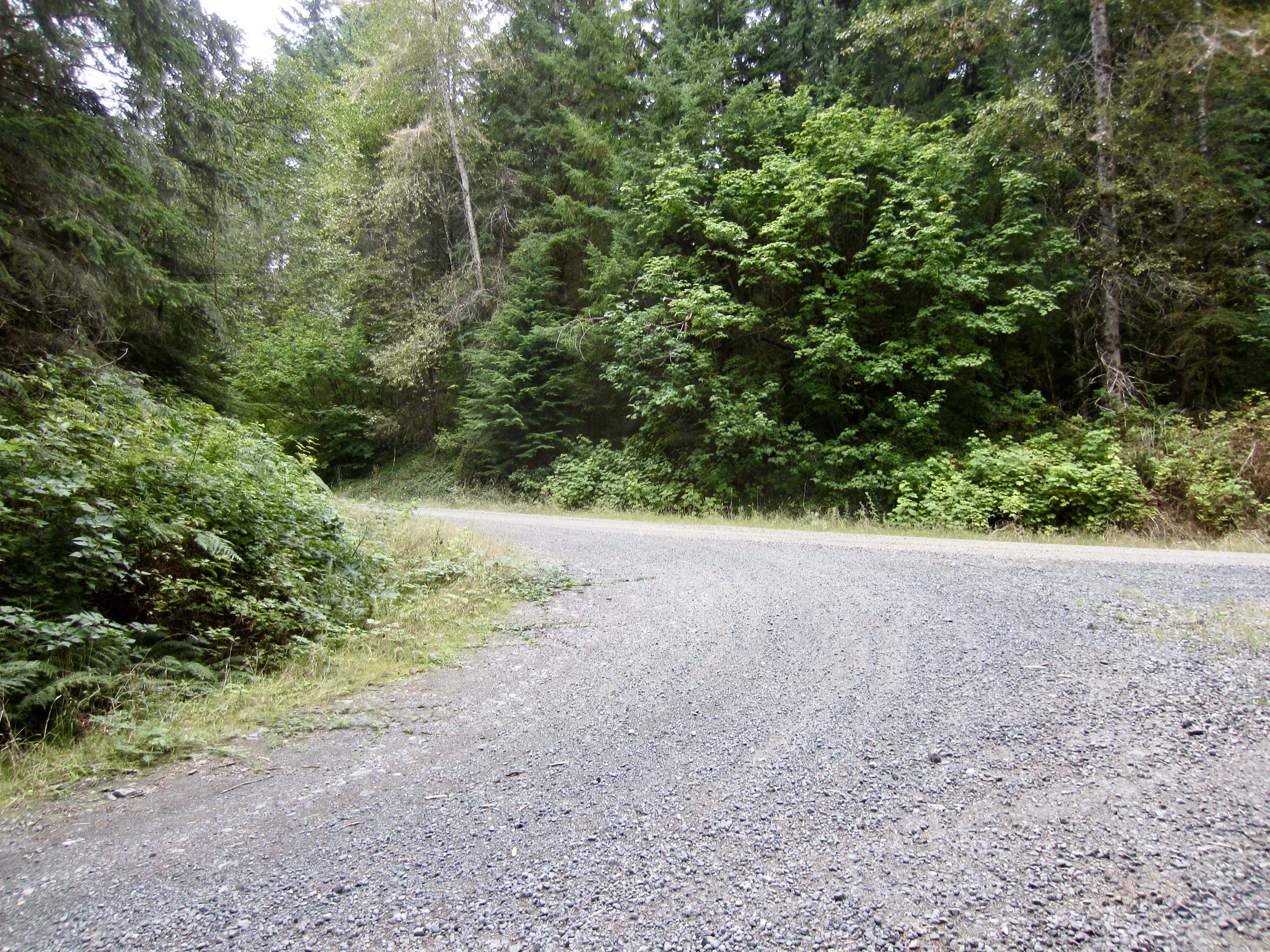
Photo Gallery
Click to enlarge…