Trip Date: June 21, 2025
2025 WESTERN ALPS ADVENTURE VACATION
West Breithorn Day Climb
Trockener Steg
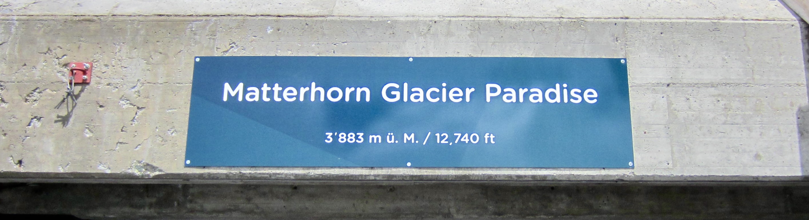
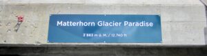
Klein Matterhorn / Glacier Paradise (12,740 ft / 3,880 m)
West Breithorn aka Breithorn Occidentale aka Breithorn Westgipfel (13,661 ft / 4,160 m)
Trip Summary
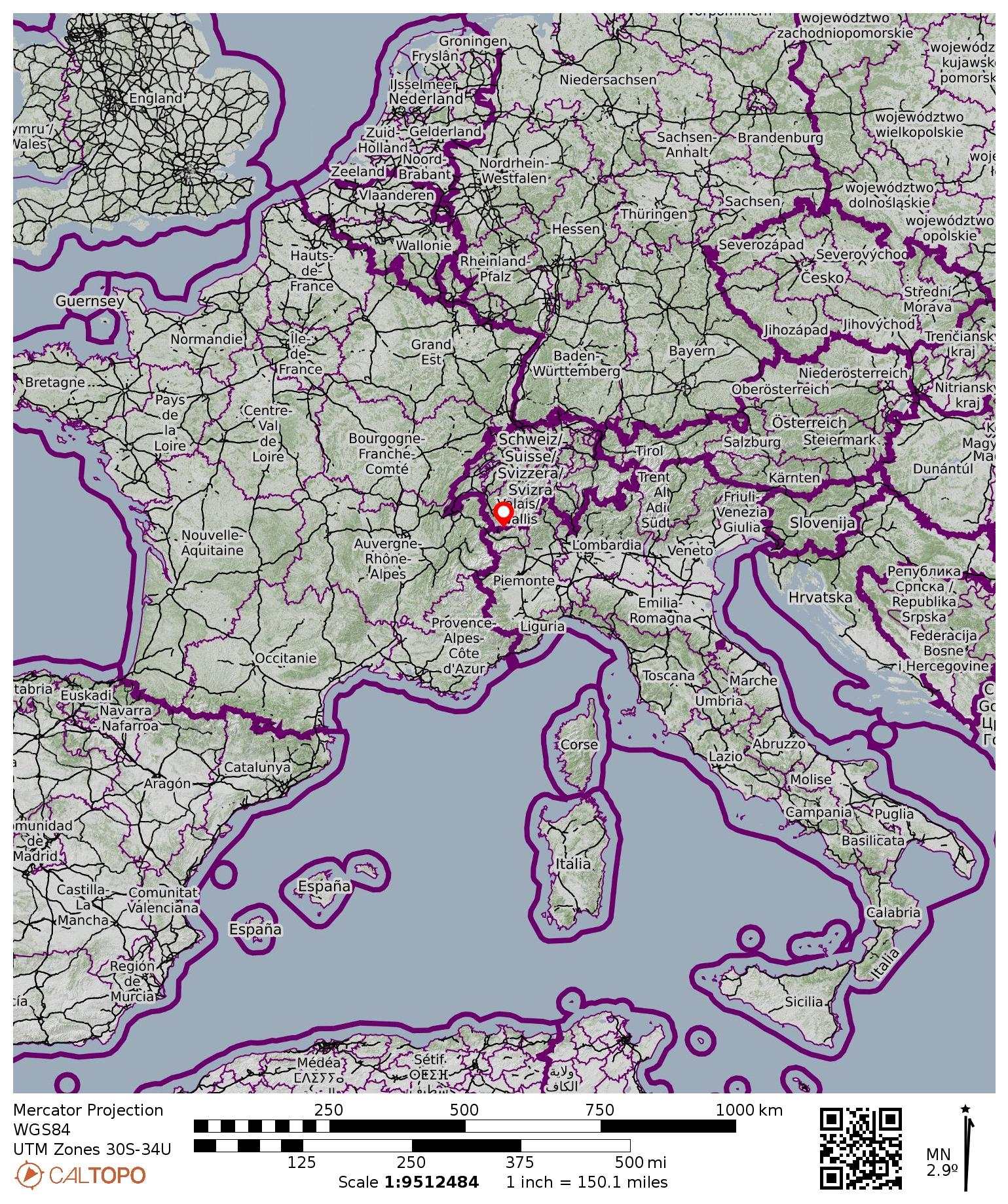
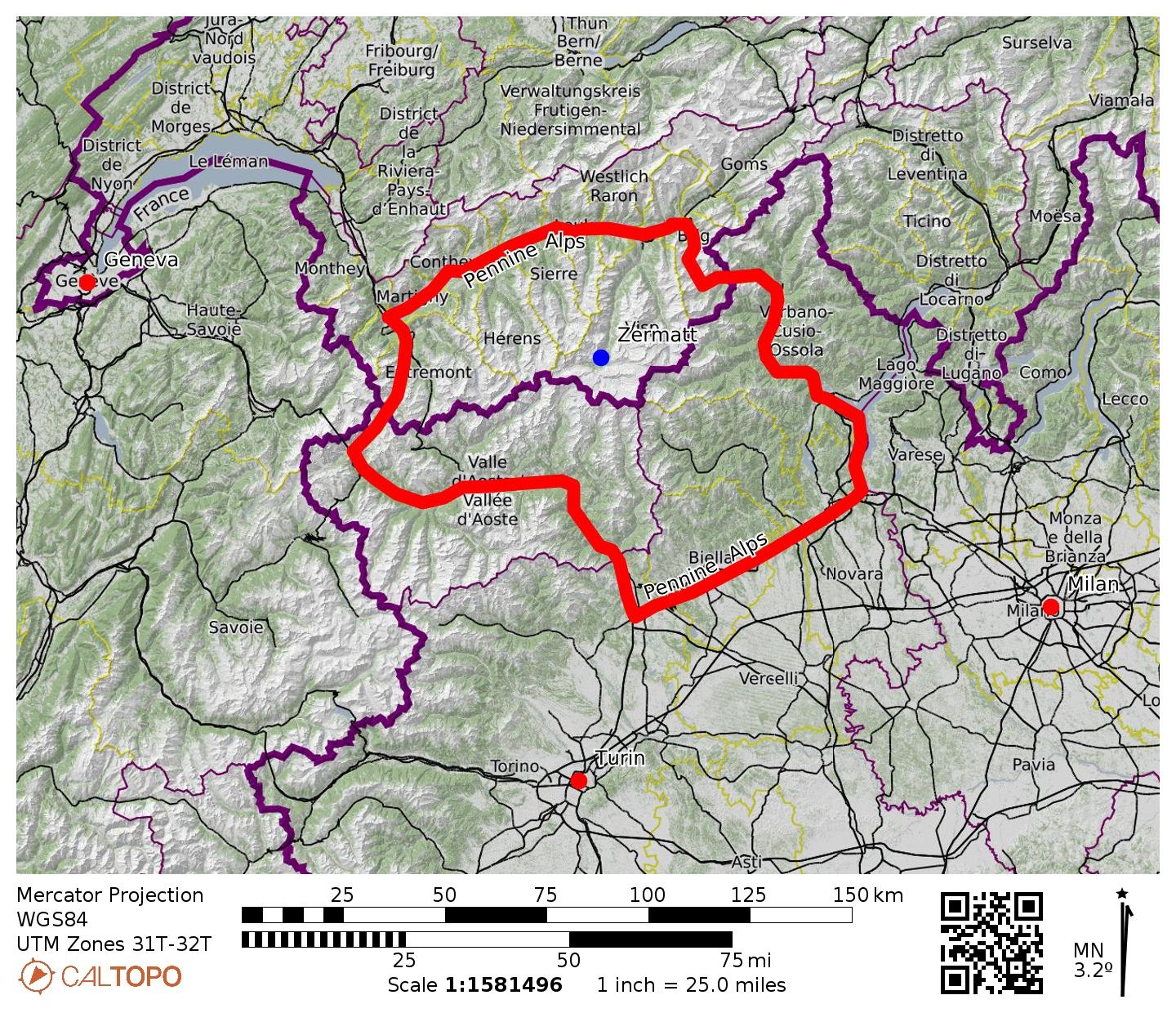
Region: Switzerland
Sub-Region: Pennine Alps
Primary Starting & Ending Point: Matterhorn Express Gondola base station in Zermatt, Switzerland (Elev. 5,350 feet / 1,630 meters)
Secondary Starting & Ending Point: Matterhorn Glacier Paradise (Elev. 12,740 feet / 3,880 meters)
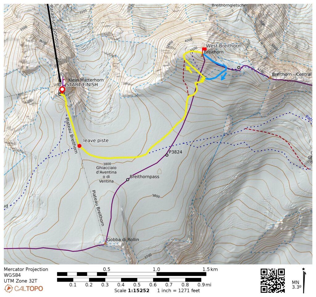
Way Points: Furi & Schwarzsee & Trockener Steg / Matterhorn Glacier Paradise Gondola base station & Matterhorn Glacier Paradise / Klein Matterhorn (gondola ride); Klein Matterhorn – Gobba di Rollin saddle & West Breithorn summit (snow hike & snow climb)
Summit: West Breithorn (snow climb via South Slope; descent via East Ridge—South Slope)
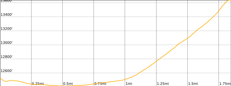
Approximate Stats: 3.7 miles / 5.9 kilometers traveled on foot; 1,300 feet / 400 meters gained & lost on foot.
…
Full Trip Report
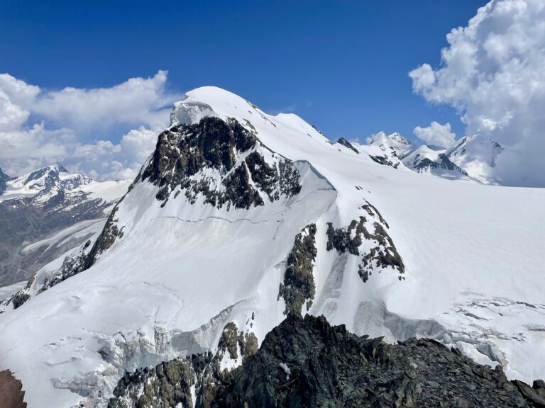
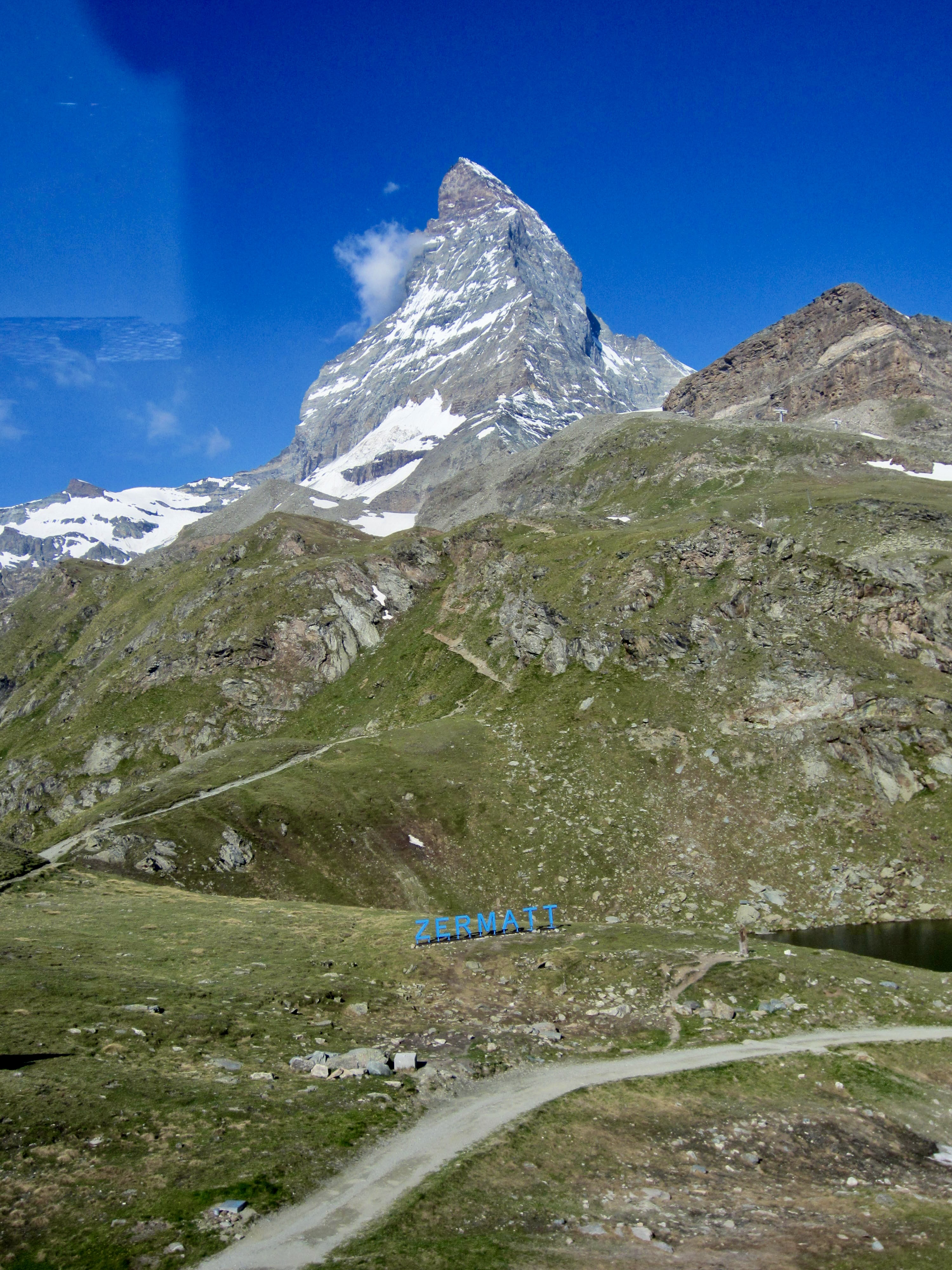
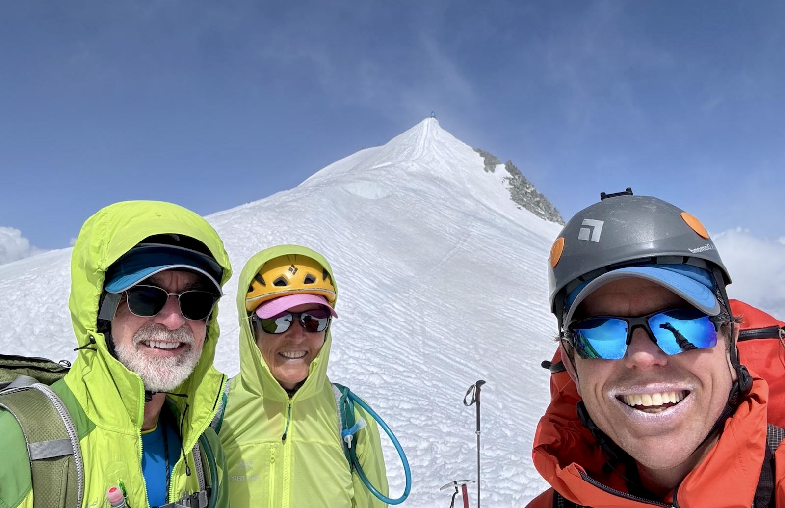
During our brief stay in Zermatt after completing the Mountaineer’s Haute Route, Eileen and Jon and I made an ascent of West Breithorn. This ultra-popular summit can be reached by a short and straightforward snow climb, and it offers marvelous views of the Matterhorn, Monte Rosa, and many other peaks in the Pennine Alps. West Breithorn is the westernmost and highest of five peaks in the local massif.
The Approach
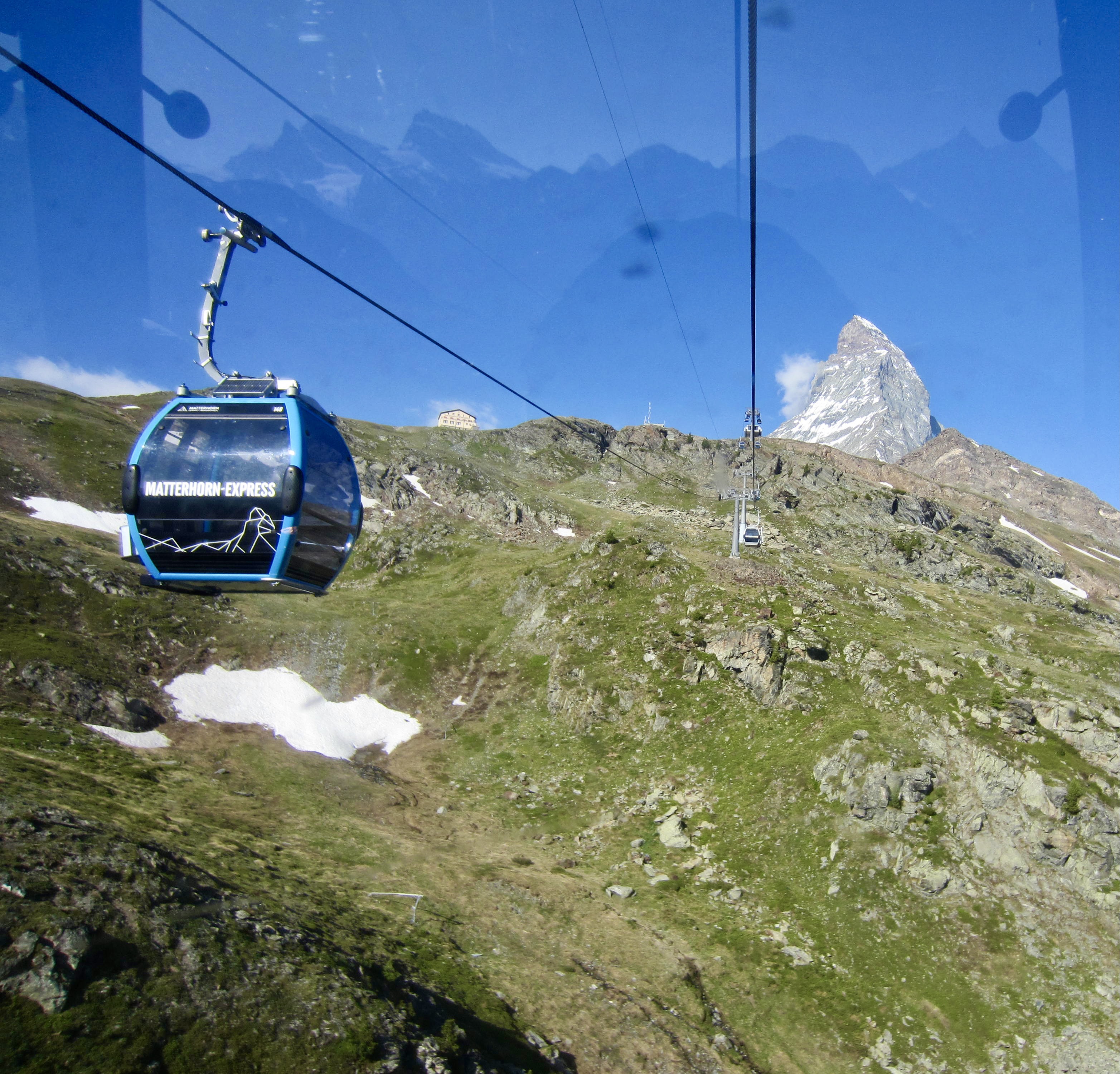
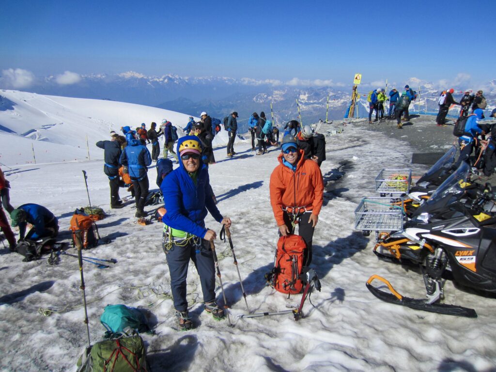
From Zermatt, West Breithorn is easily approached via two gondola rides. The Matterhorn Express Gondola whisks passengers up to Trockener Steg at 9,570 feet / 2,920 meters, and then the Matterhorn Glacier Paradise Gondola rises to a remarkable elevation of 12,700 feet / 3,880 meters. The cost for this effortless gain of 7,300 feet / 2,230 meters is approximately 114 CHF. Both gondola rides provide nice views of the splendid alpine landscape above Zermatt.
.
The Climb
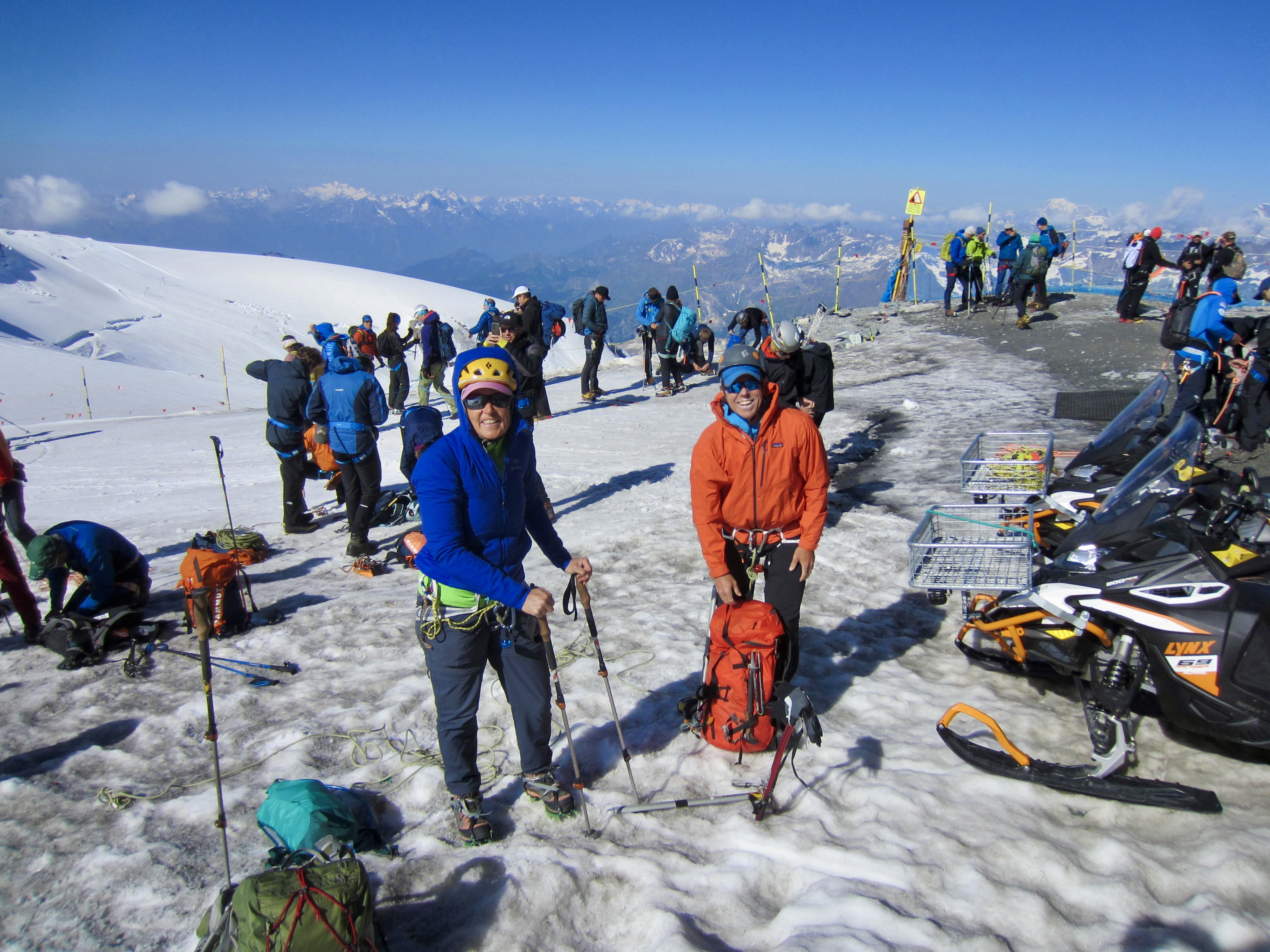
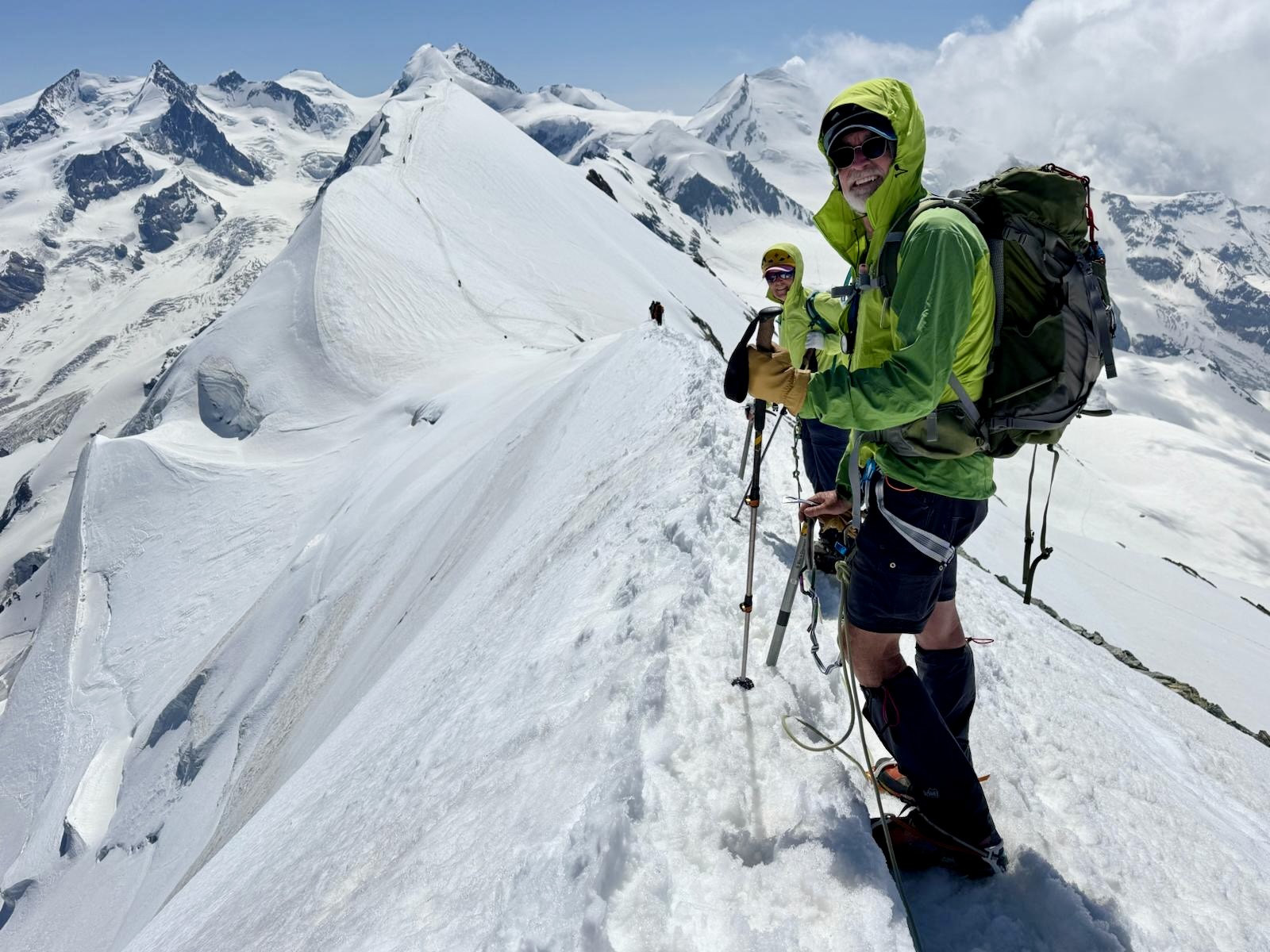
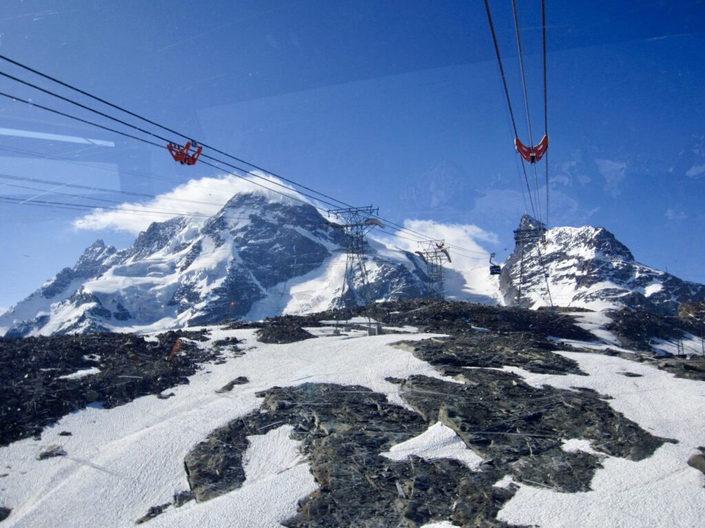
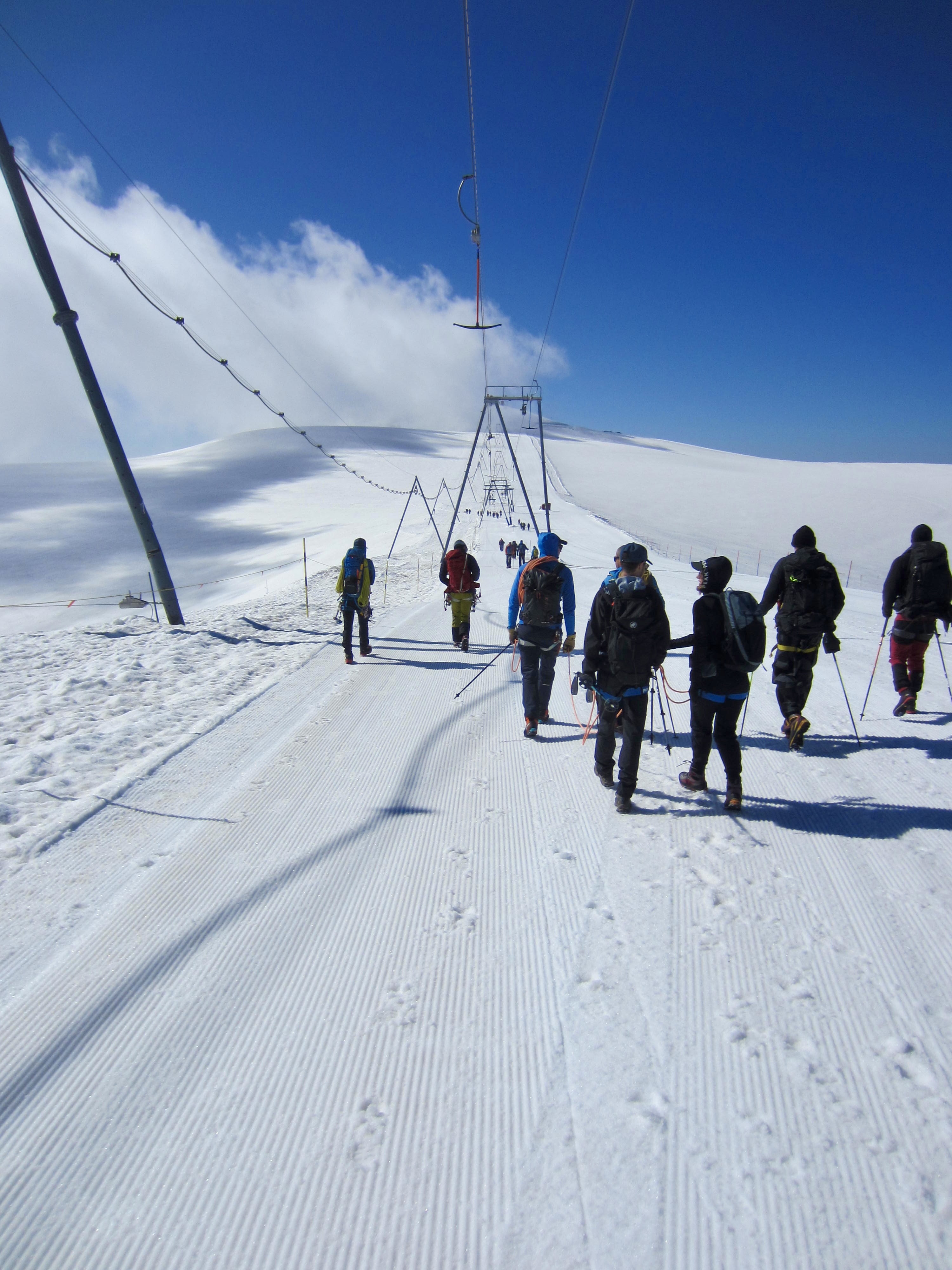
Our climb of West Breithorn occurred on a sunny Saturday morning, so we had plenty of company at Matterhorn Glacier Paradise. Among the scores of other climbers were many parties of guided clients. It appears to be a staple ascent for local mountain guides. We donned harnesses and crampons at the gondola station, then headed out.
.

.
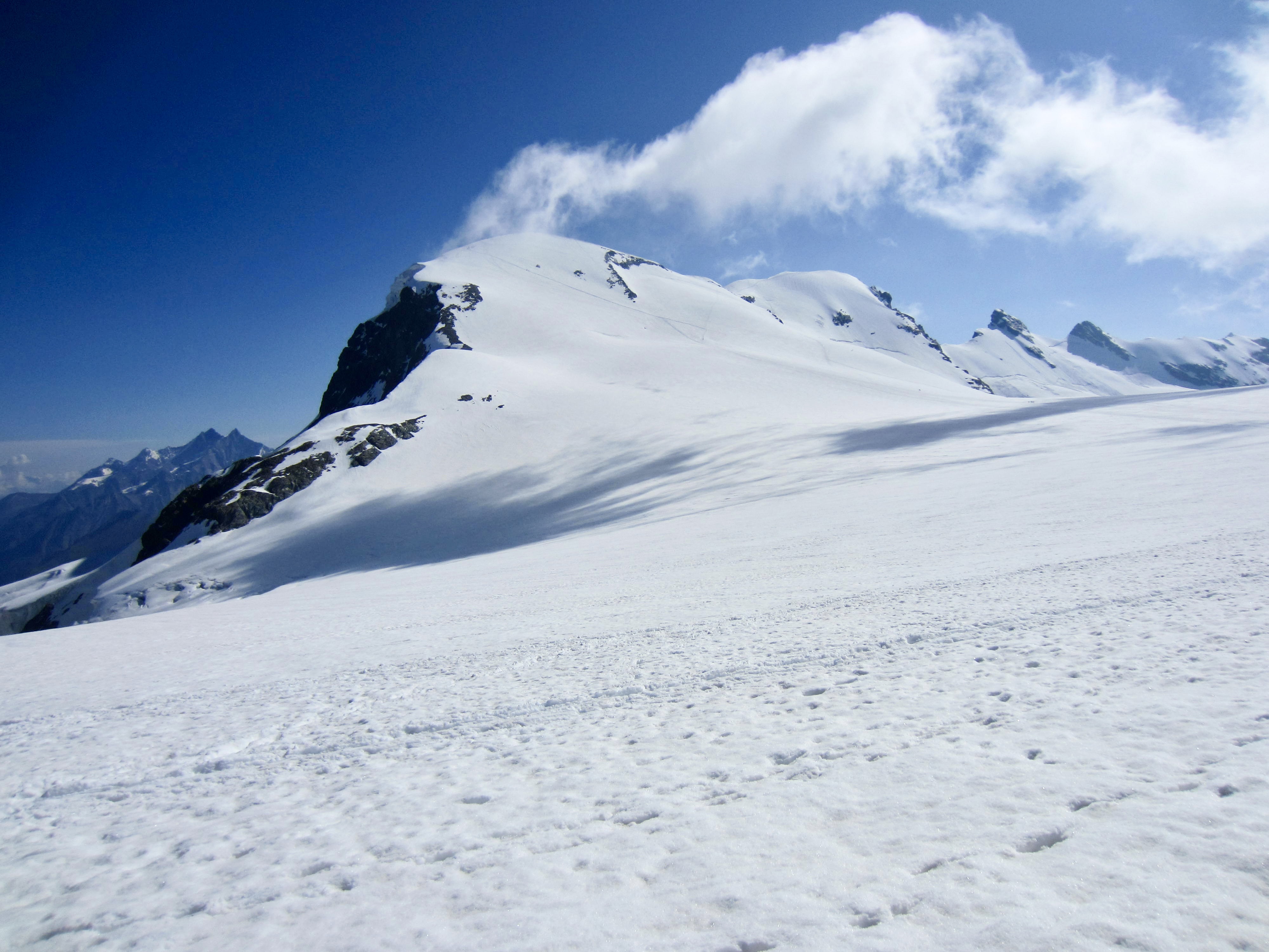
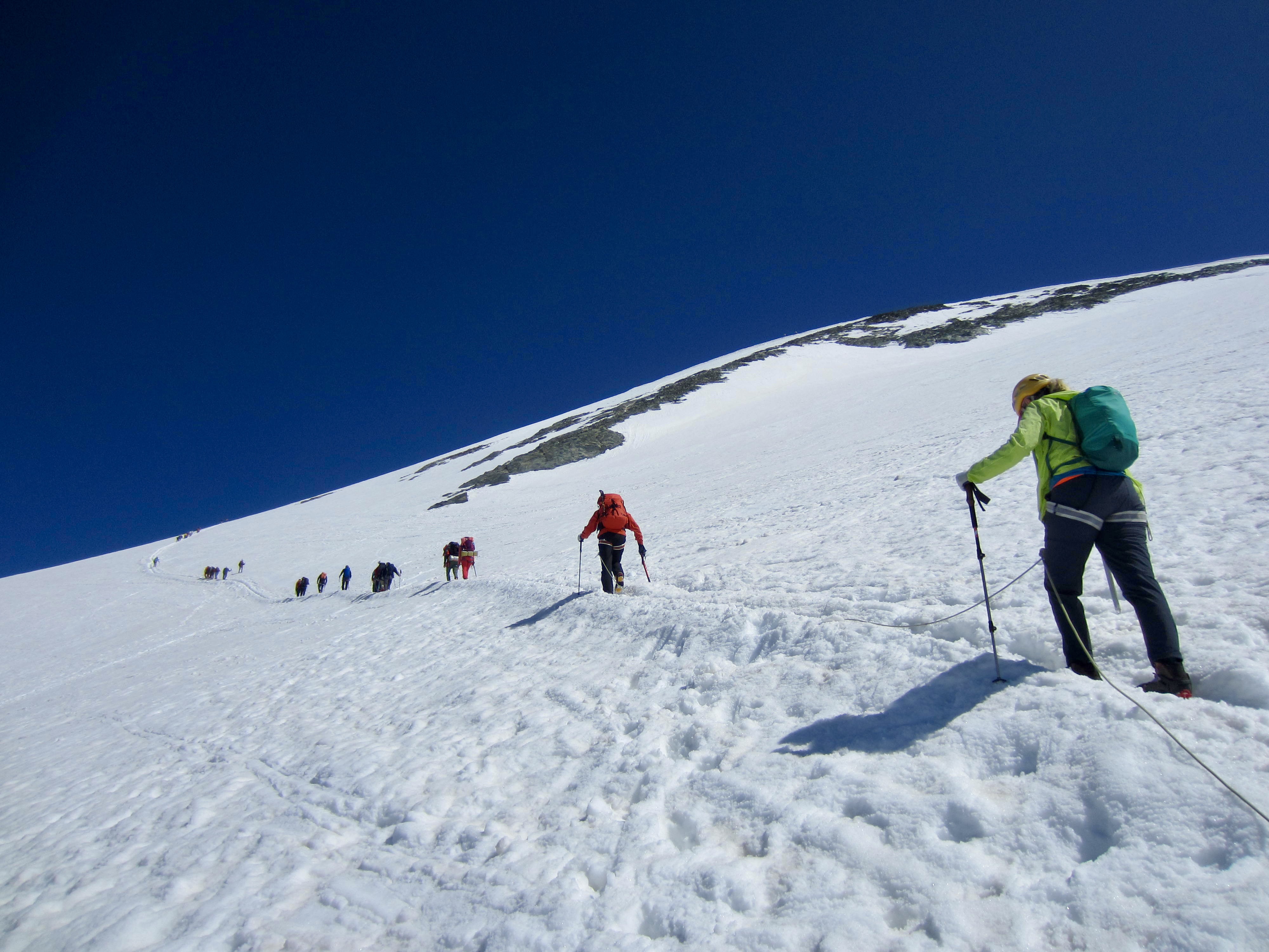
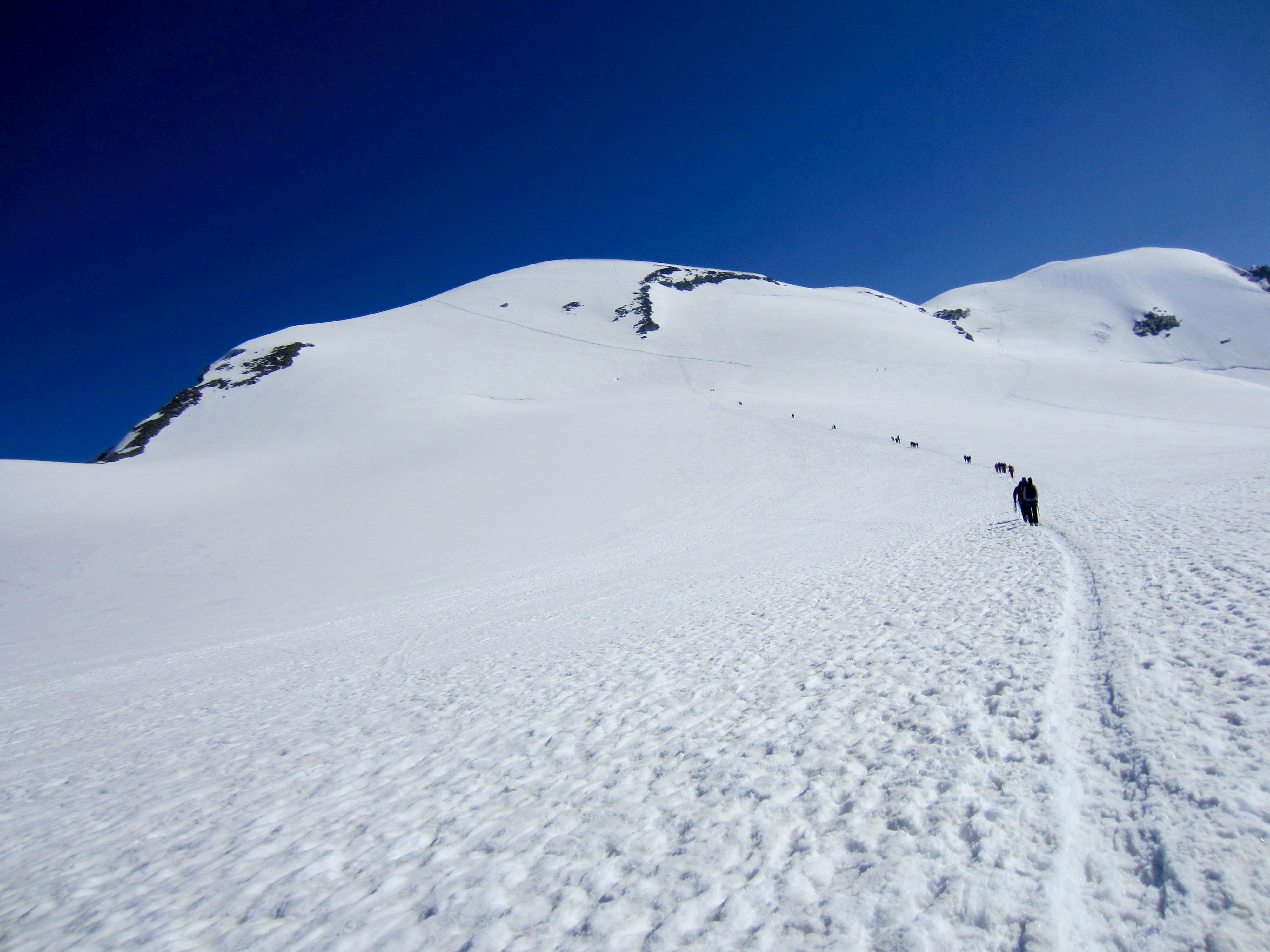
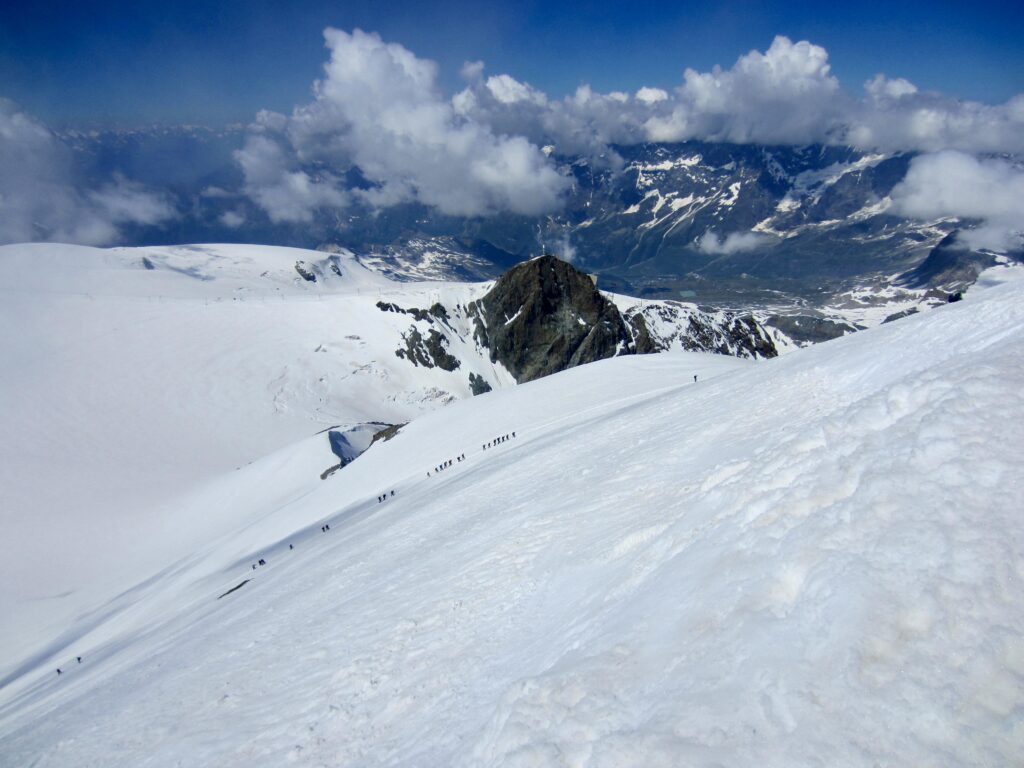
The standard route begins with a short march down a groomed ski run into a gentle saddle before veering off to the left. We roped up here, then followed a firmly packed bootpath over toward the summit. The German word breithorn translates to “broad peak,” and this certainly describes West Breithorn.
.
The slope gradient progressively increases with proximity to the summit, but it really never gets more than moderately steep. We followed the bootpath on a long, left-slanting traverse across the peak’s south slope before cutting back to the summit.

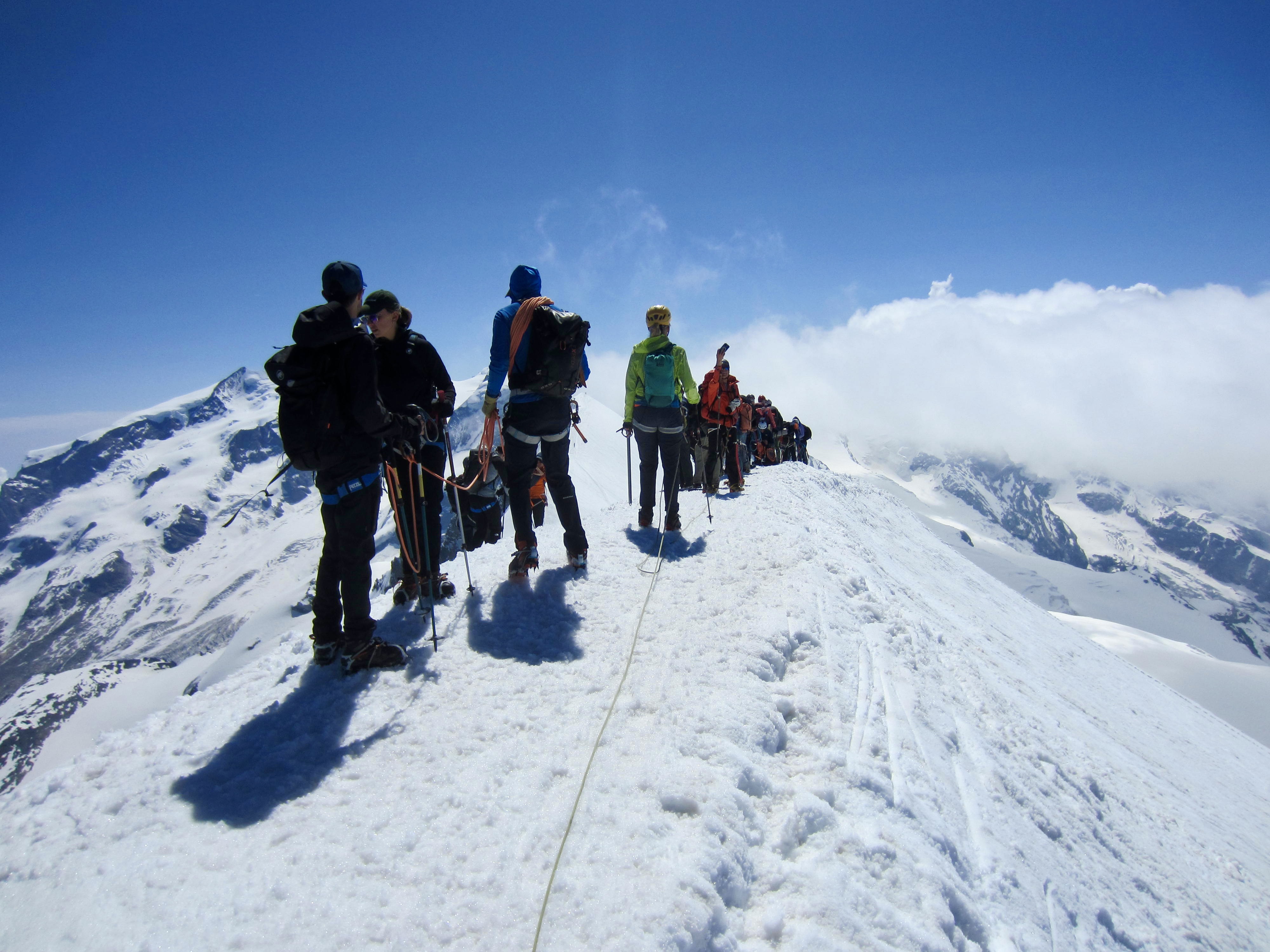
.
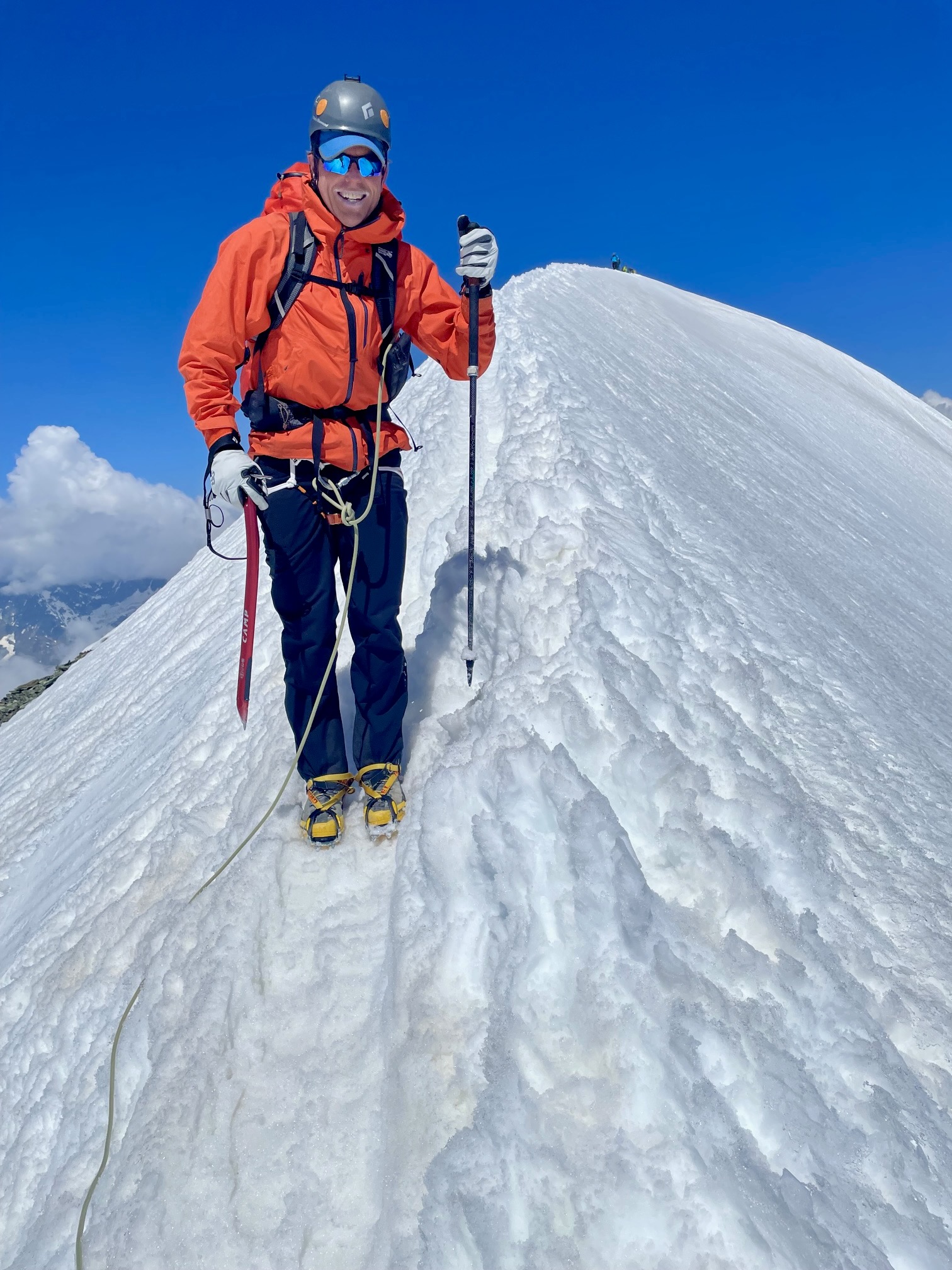
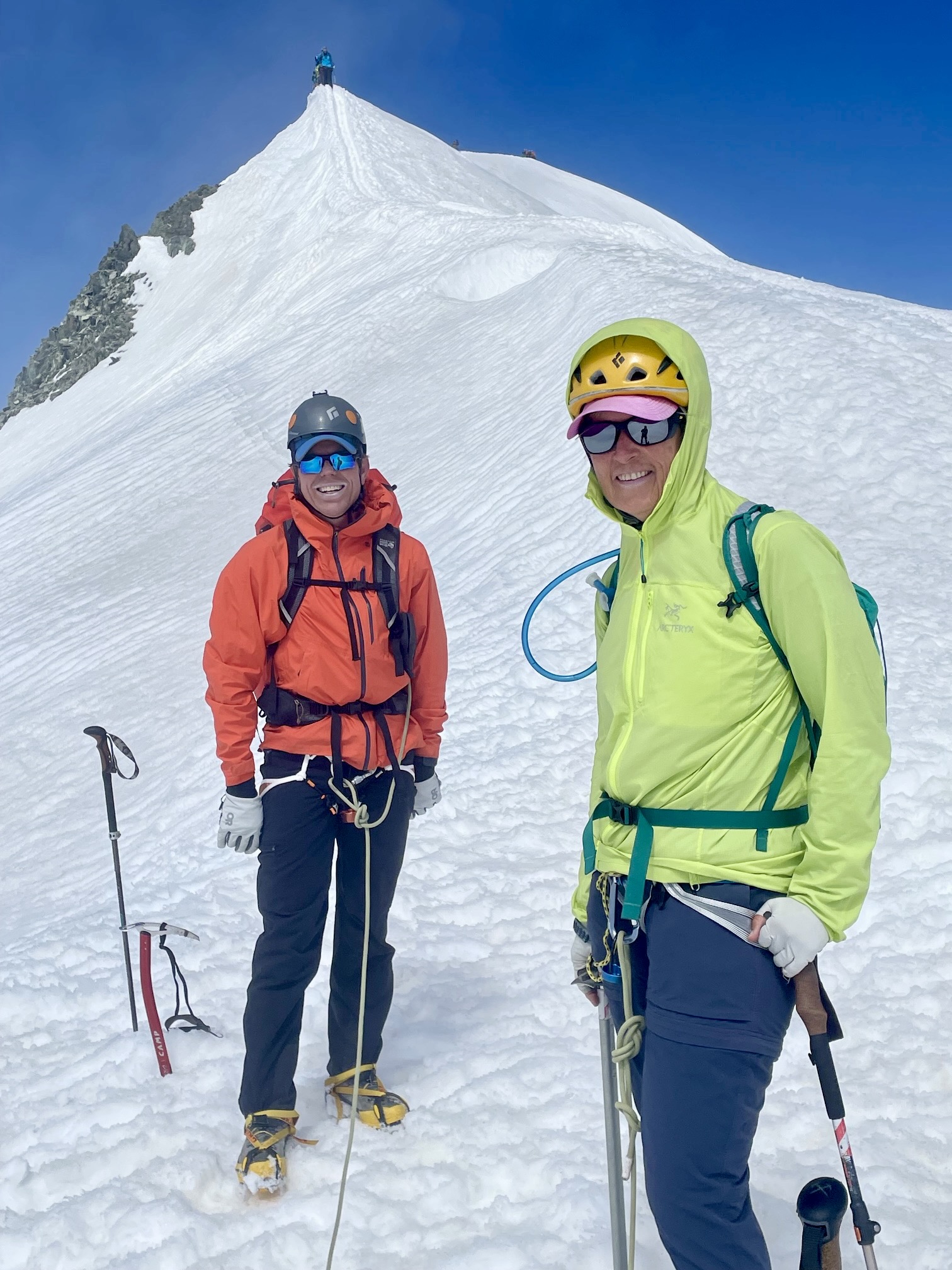
There were numerous people lined up on the summit ridge when we arrived, and many more coming behind us. As advertised, views were excellent. Closely to the east, we could see climbers heading up Central Breithorn, and just beyond was the huge, convoluted massif of Monte Rosa—the highest mountain in the Pennine Alps and second highest mountain in Western Europe.

.

.
.
The Descent
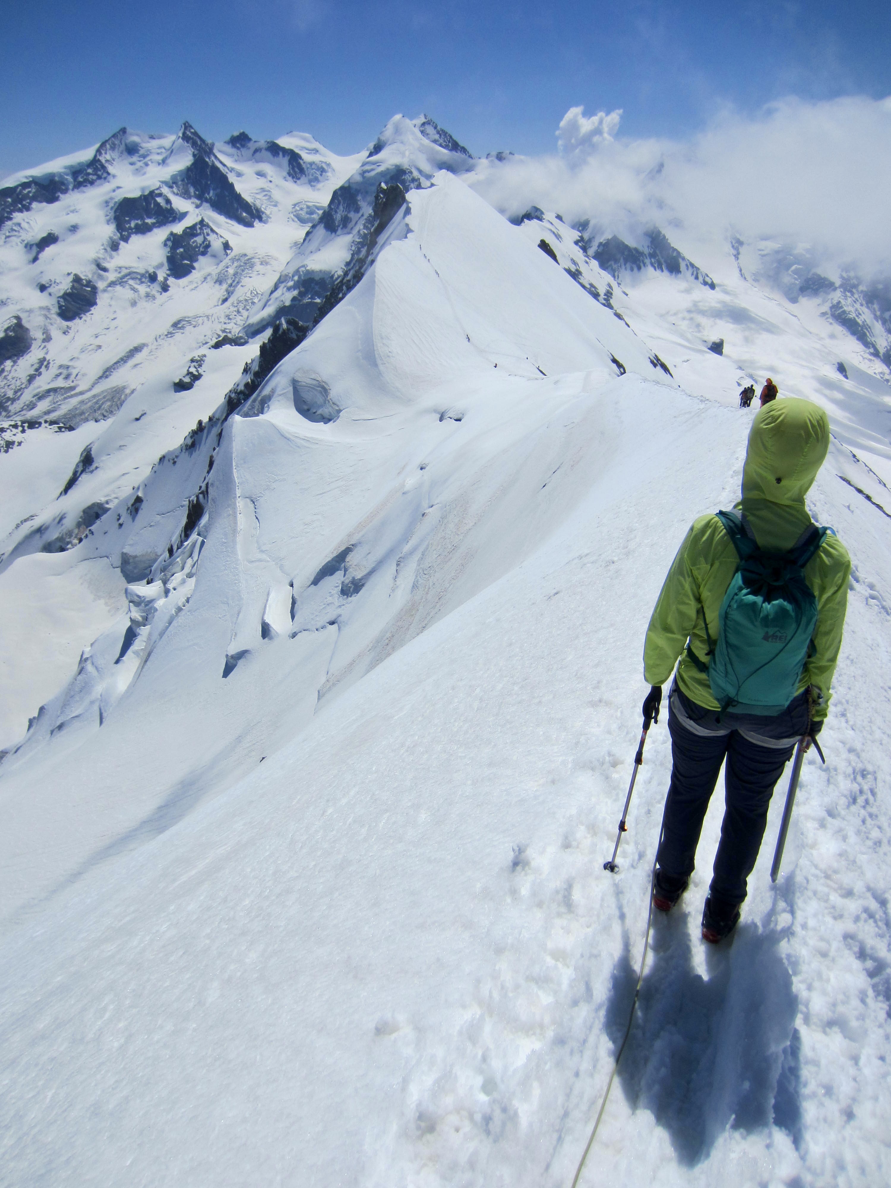
In order to avoid conflicts with climbers coming up the standard route, we elected to descend the east ridge. This turned out to be the highlight of our climb. We carefully walked down the knife-edge crest, trying not to focus on the steep slope to our right and the huge cliff to our left!
.
The knife-edge crest gradually widened out and ended in a broad saddle. We then plunge-stepped down the south slope and intersected our up-track. An hour later, we were back at the gondola station to end a dandy little climb.
.
Route Map & Profile
…
…
Photo Gallery
Click to enlarge…